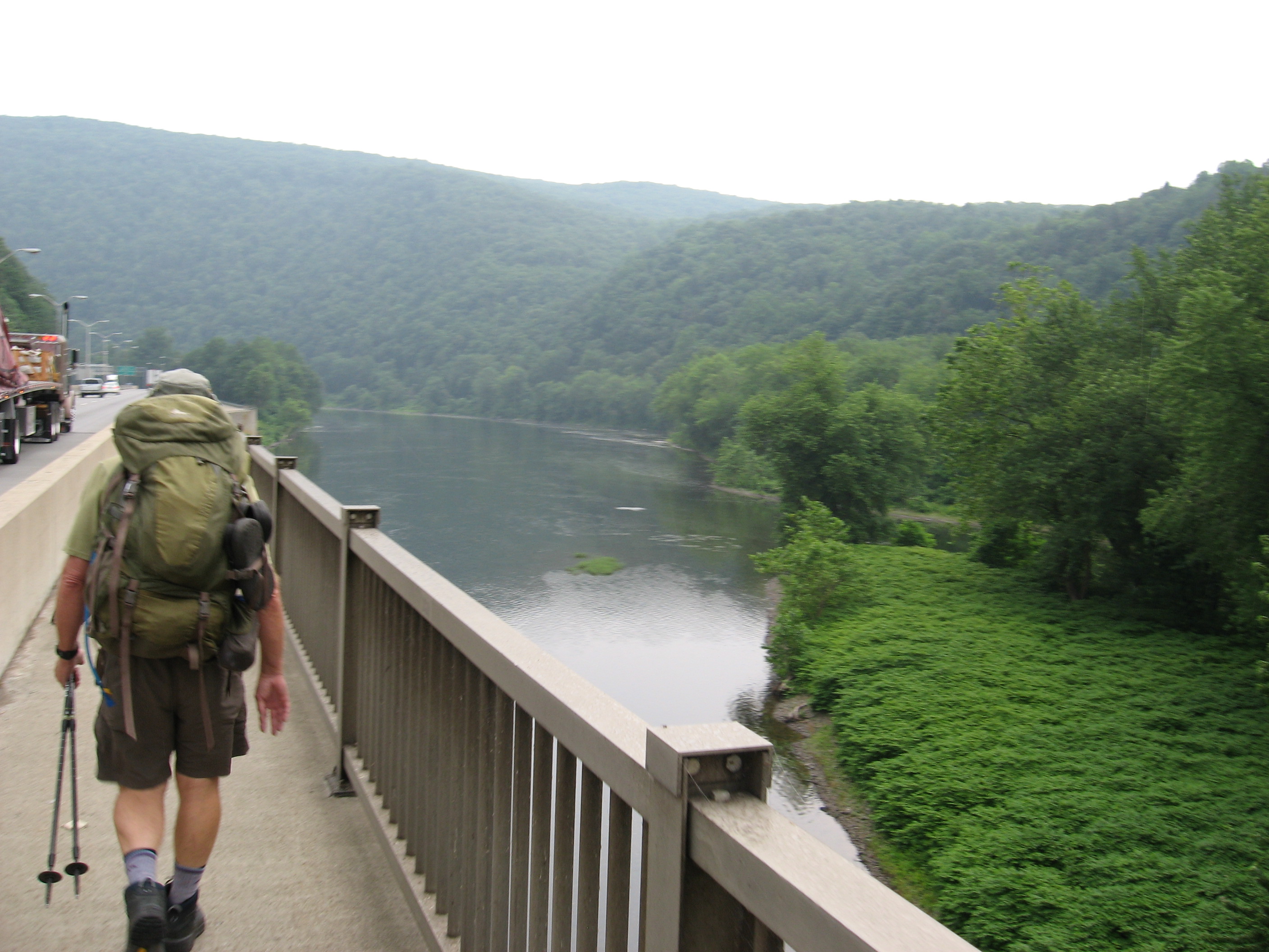
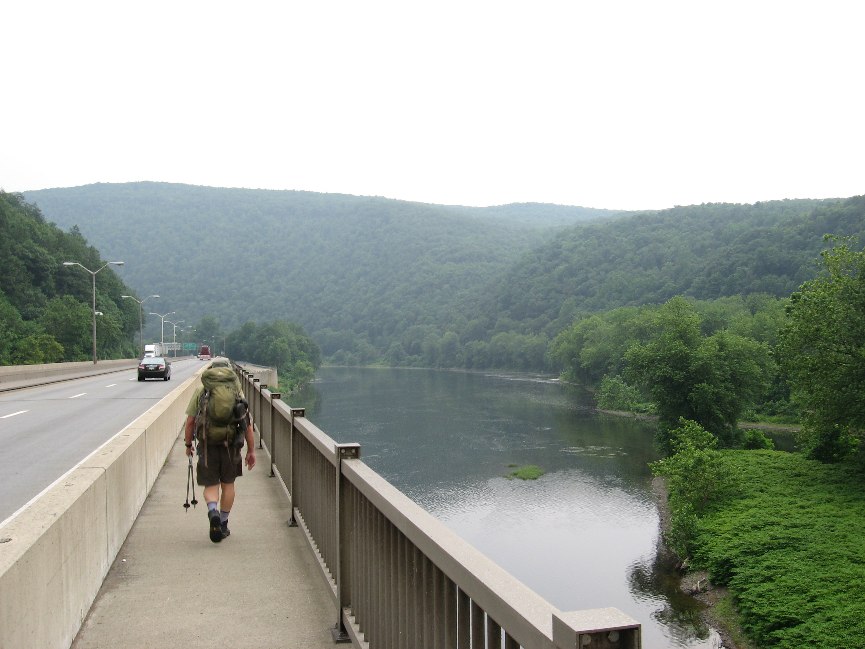
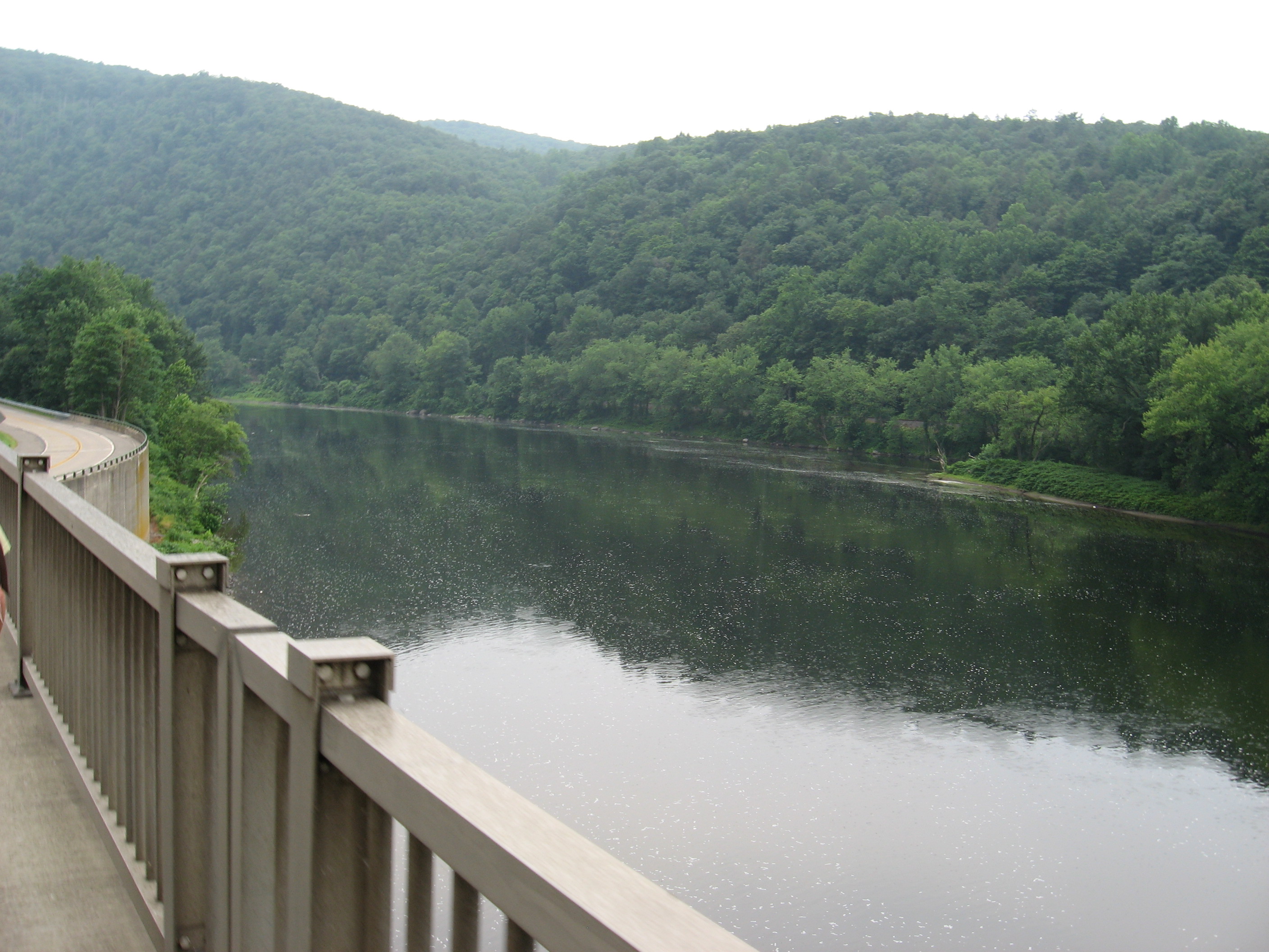
Delaware River Bridge (west end) (350') Pennsylvania?New Jersey State Line
350
1294.2
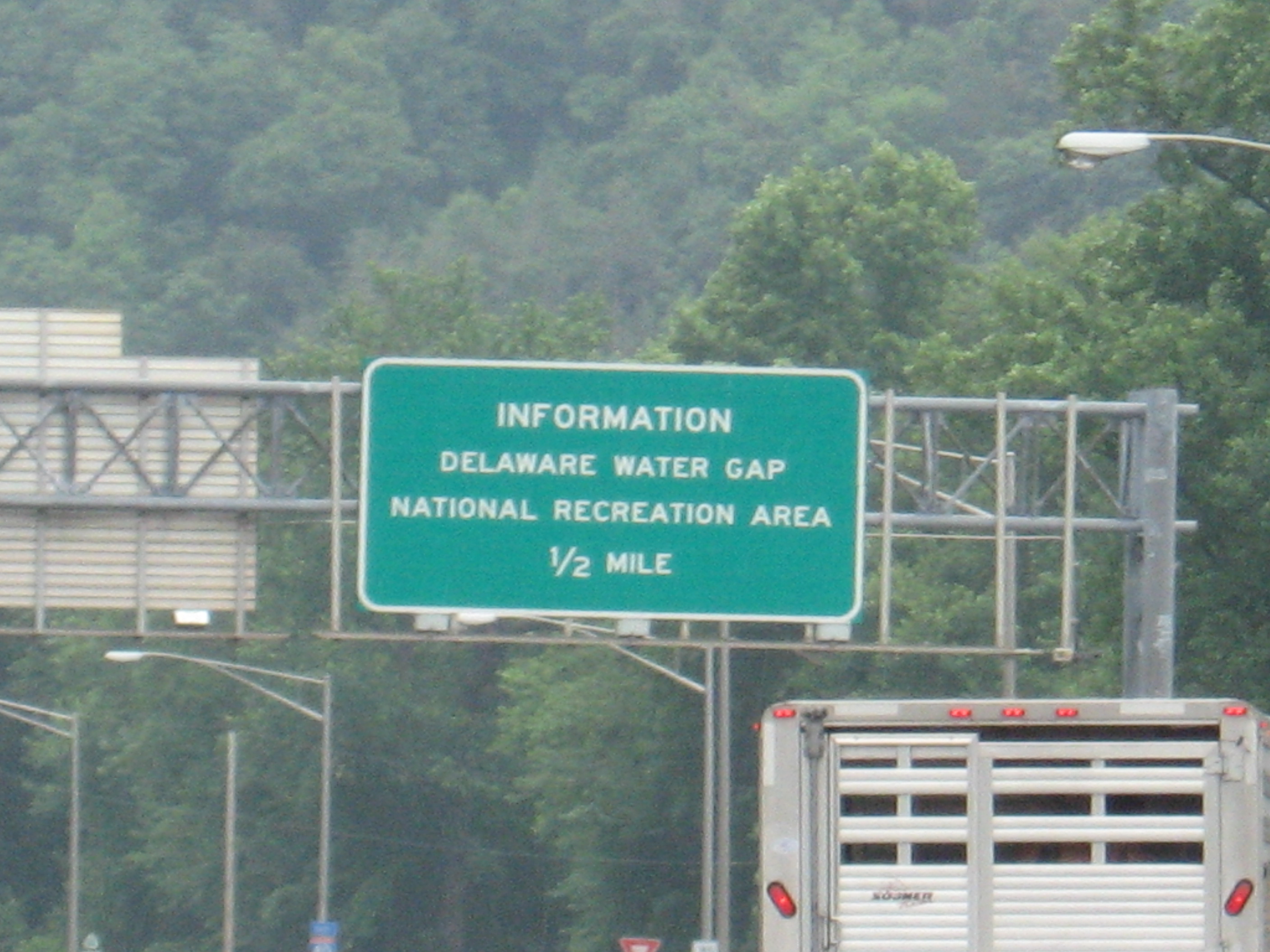
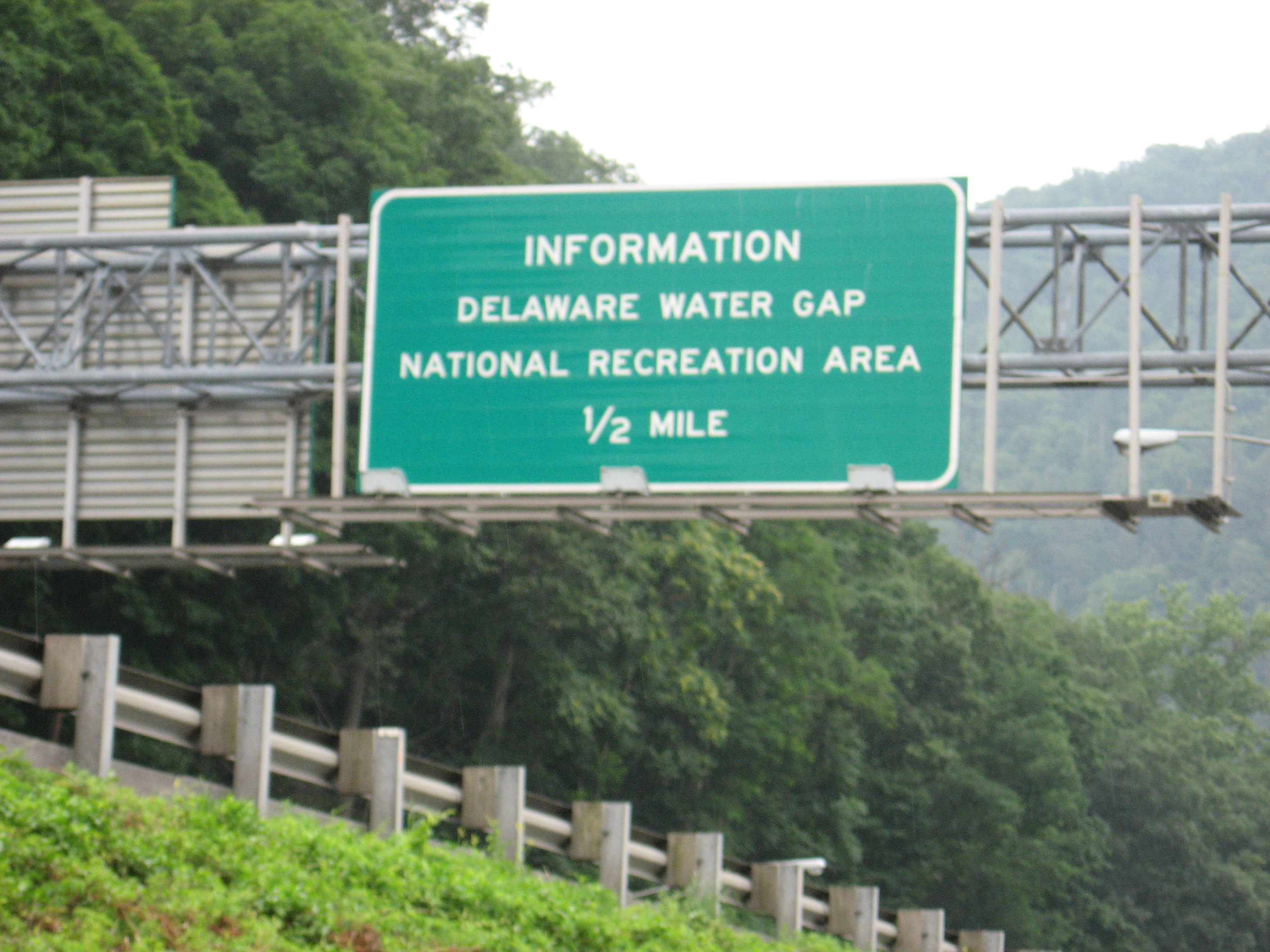
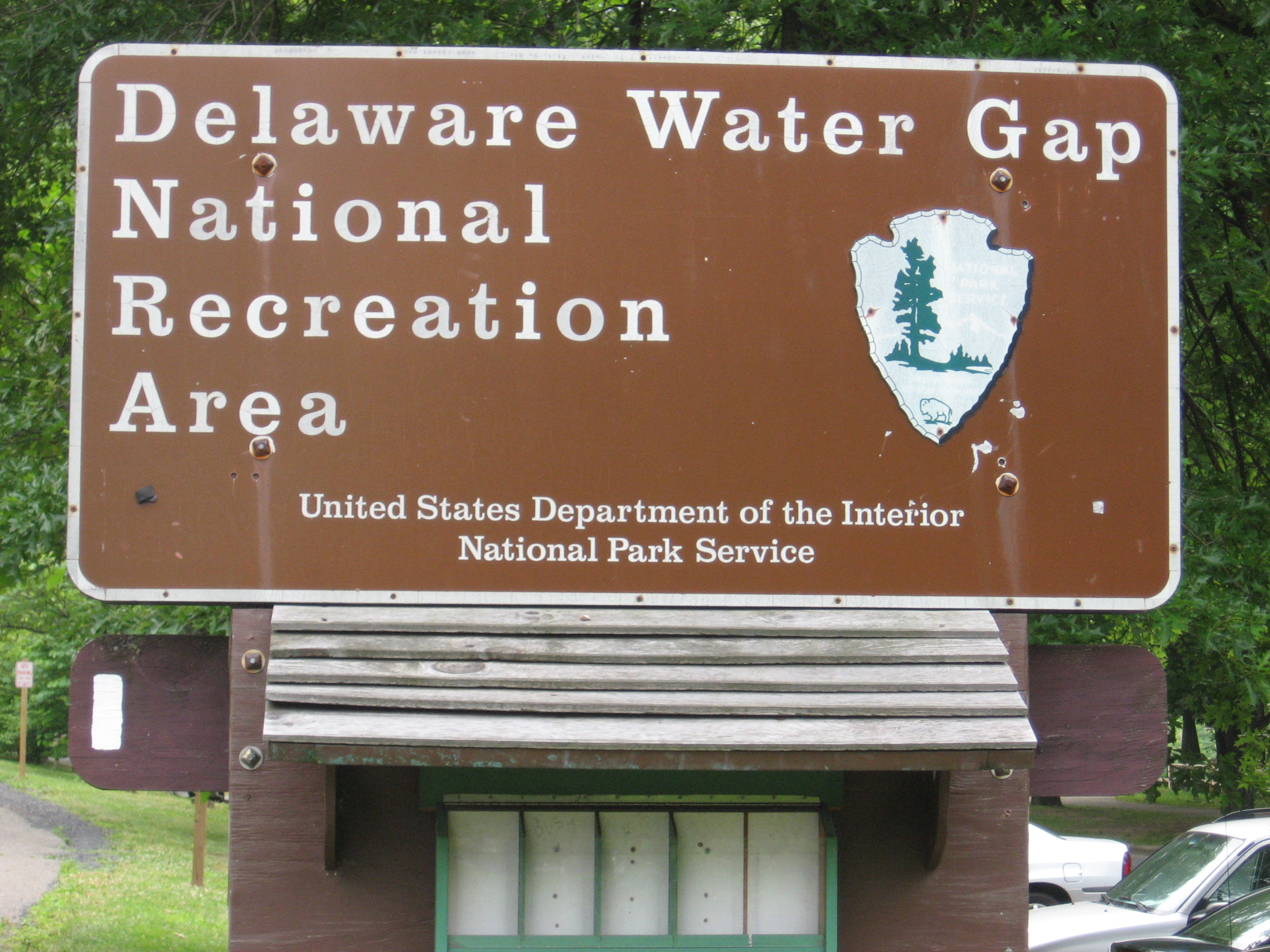
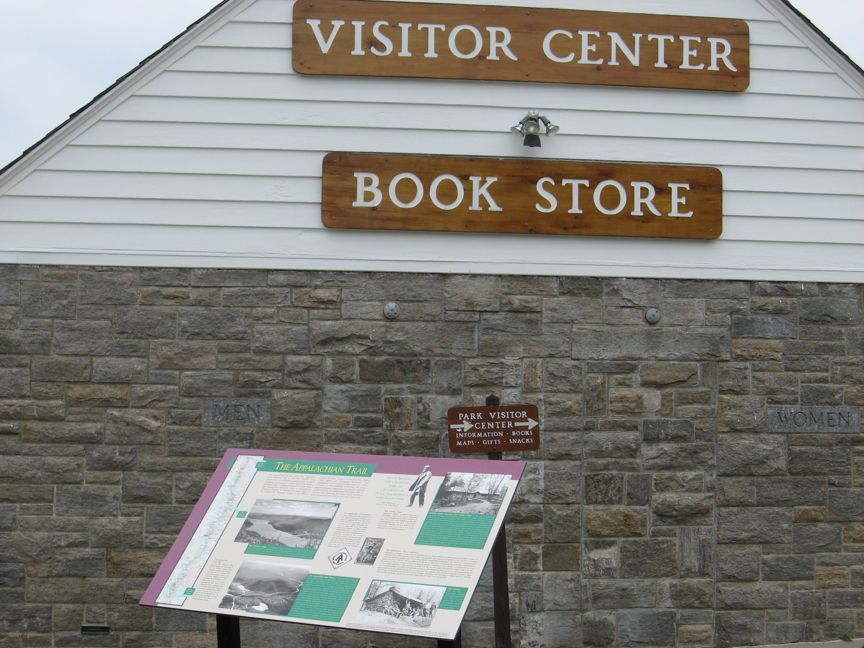
Delaware Water Gap National Recreation Area Kittatinny Point Visitors Center (350')
350
1294.6
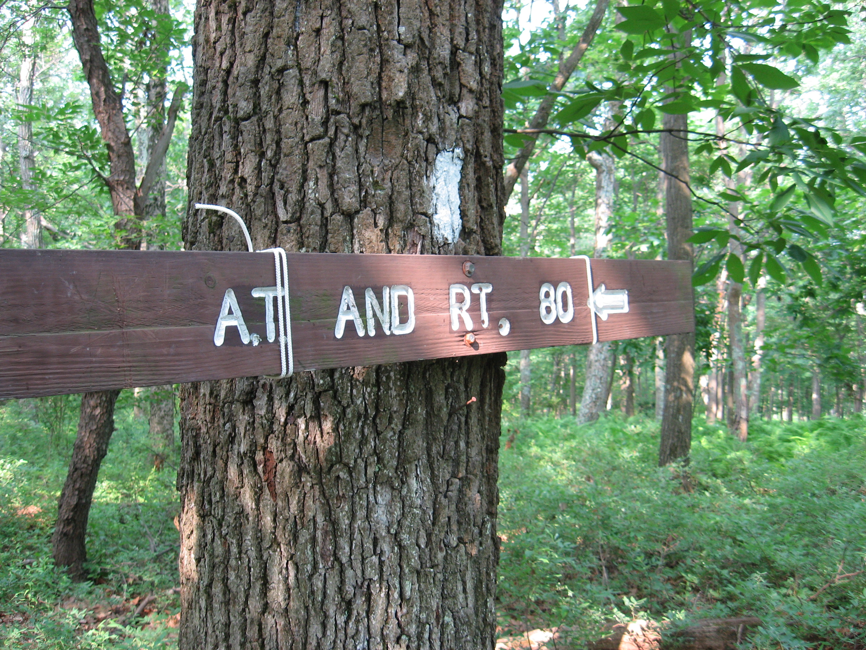
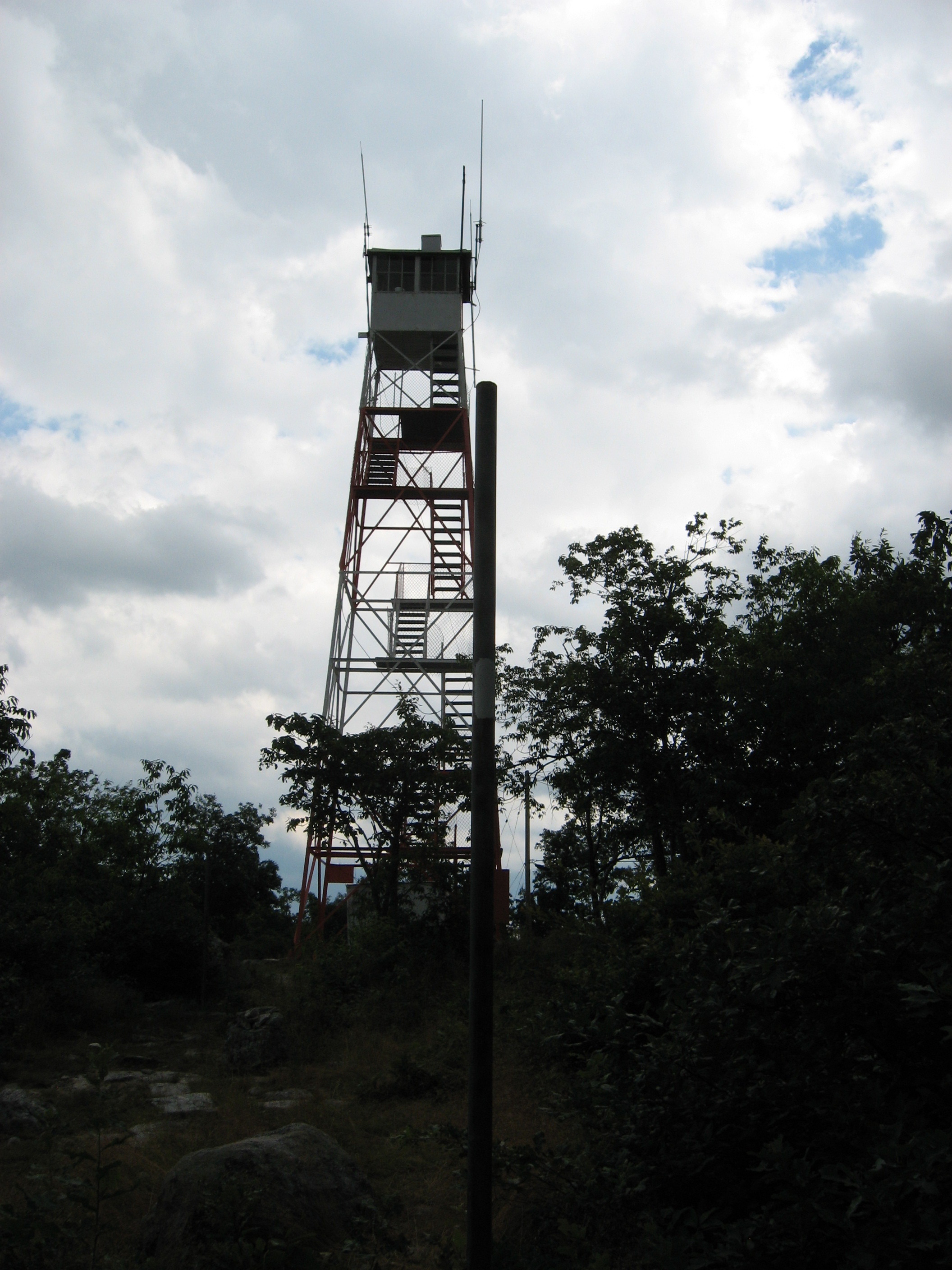
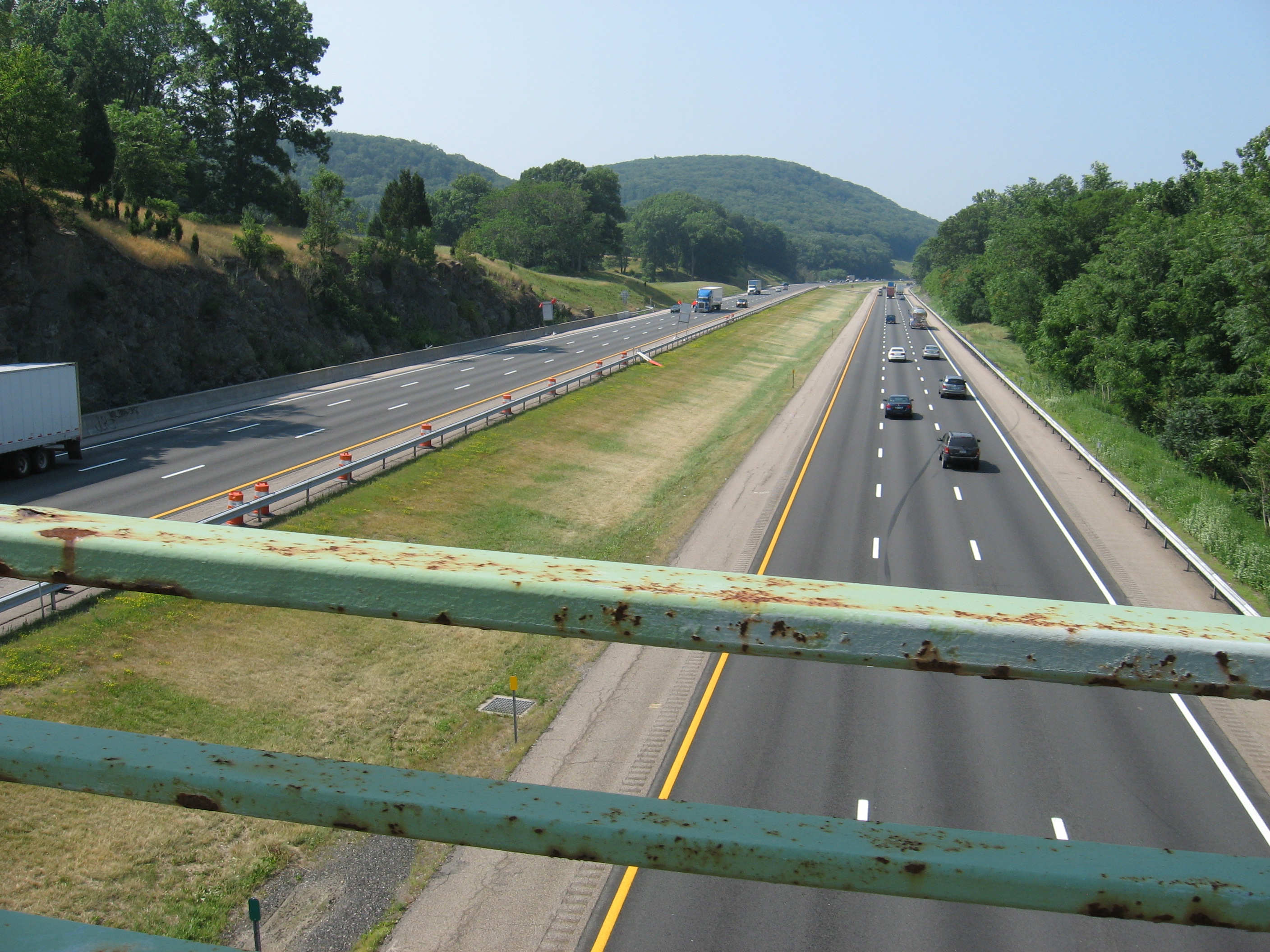
I-80 (350')?underpass
350
1294.7
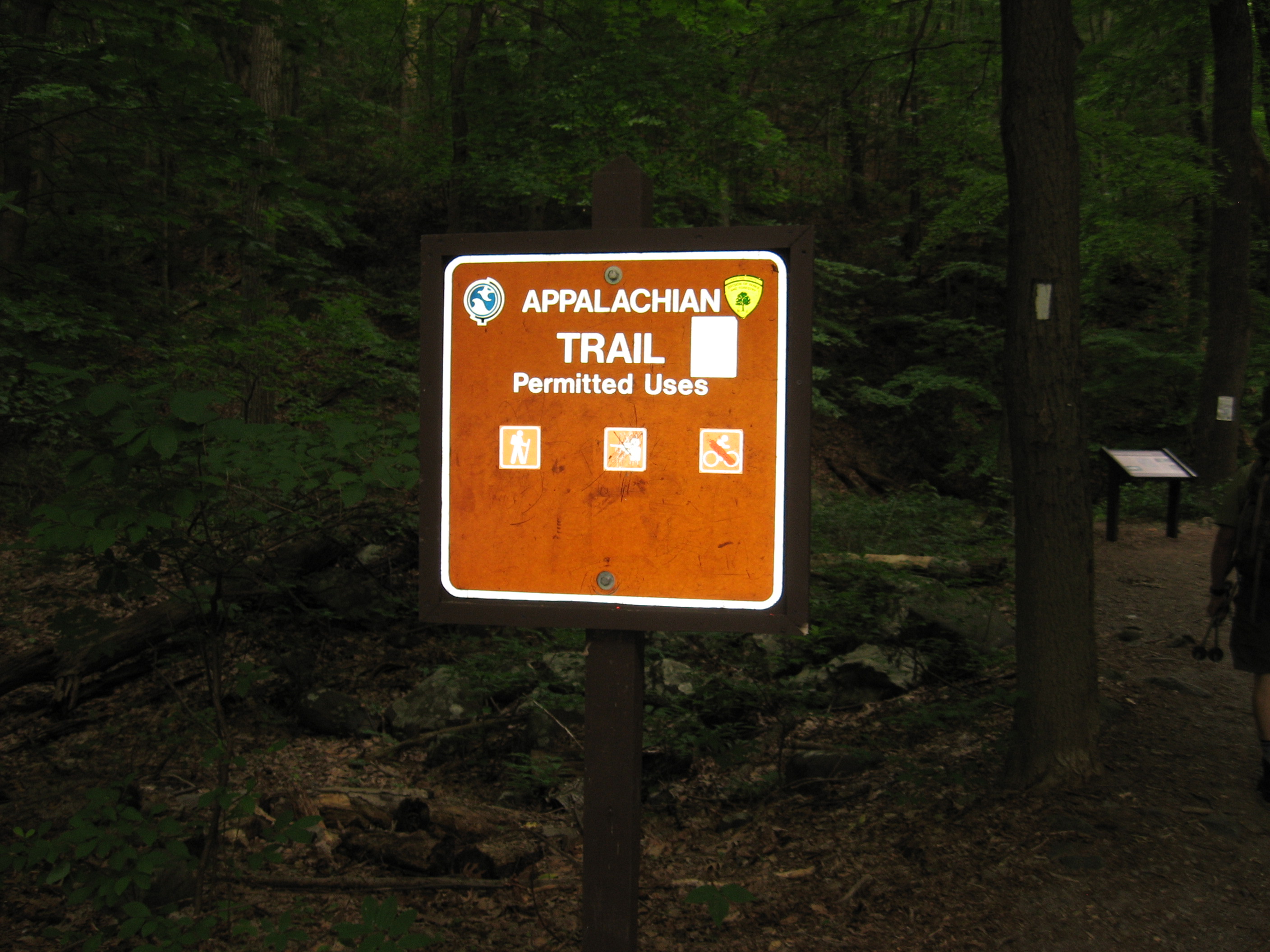
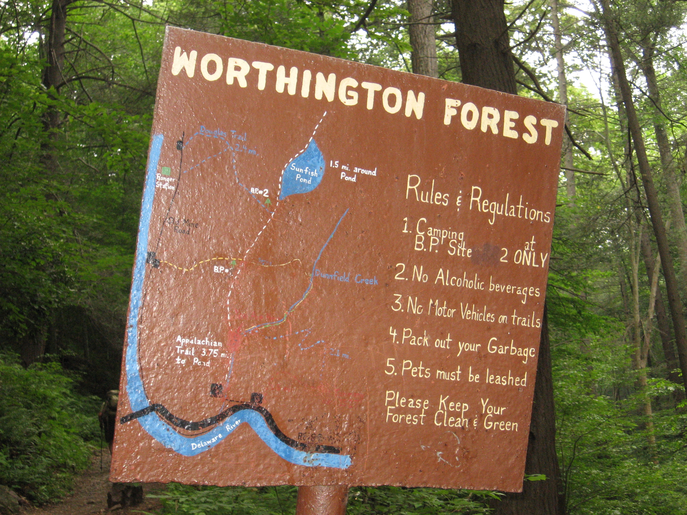
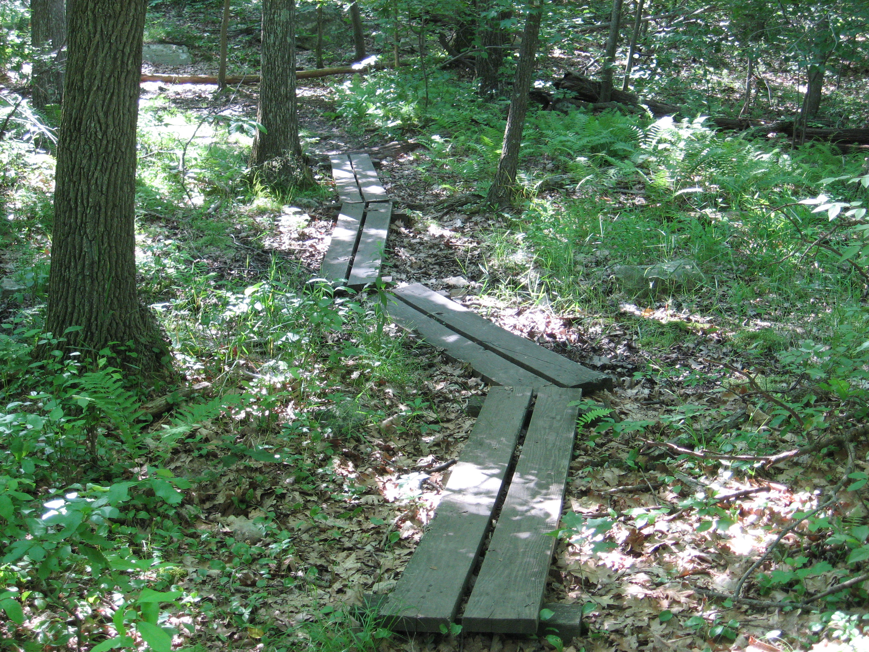
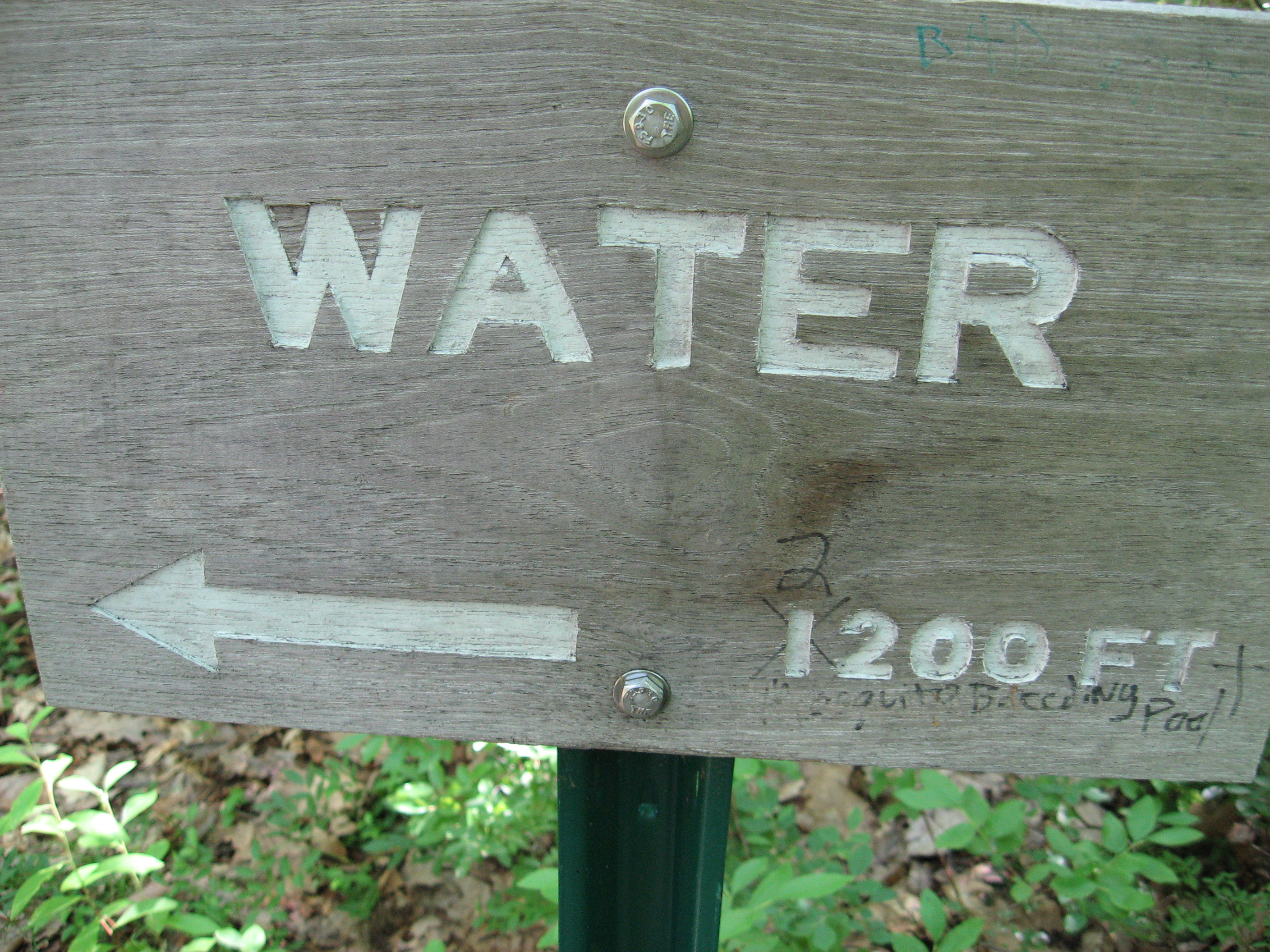
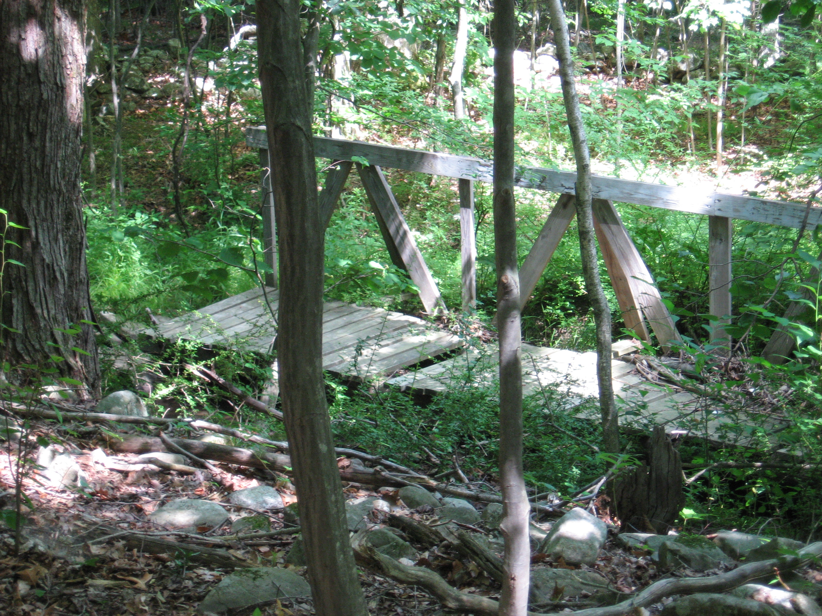
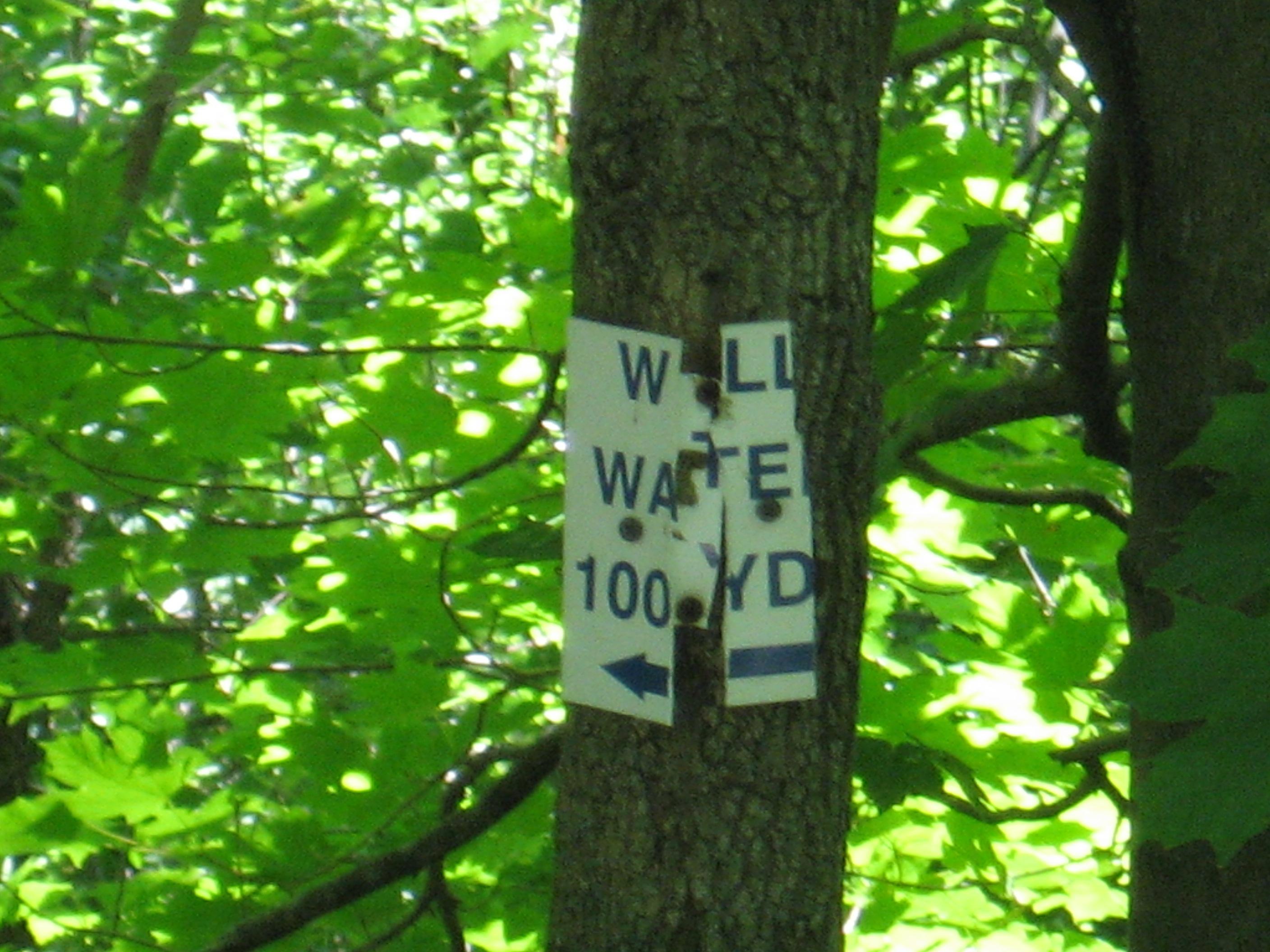
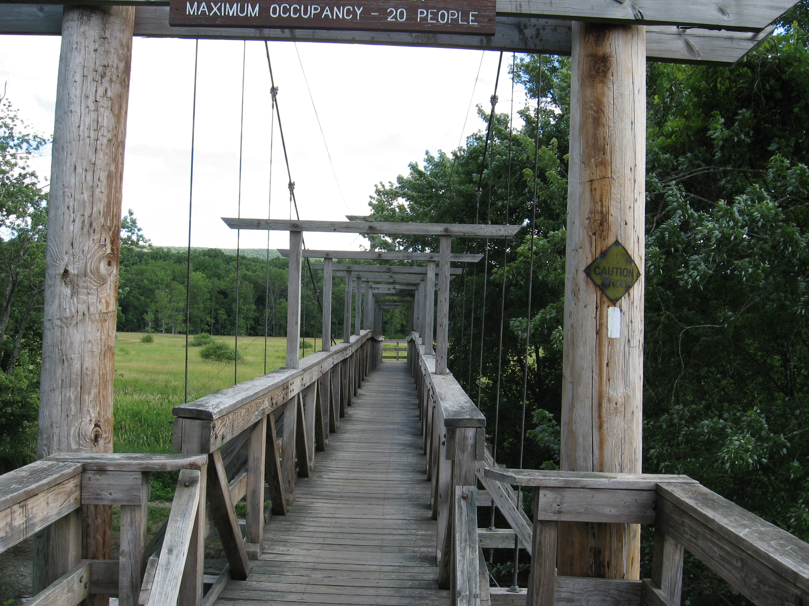
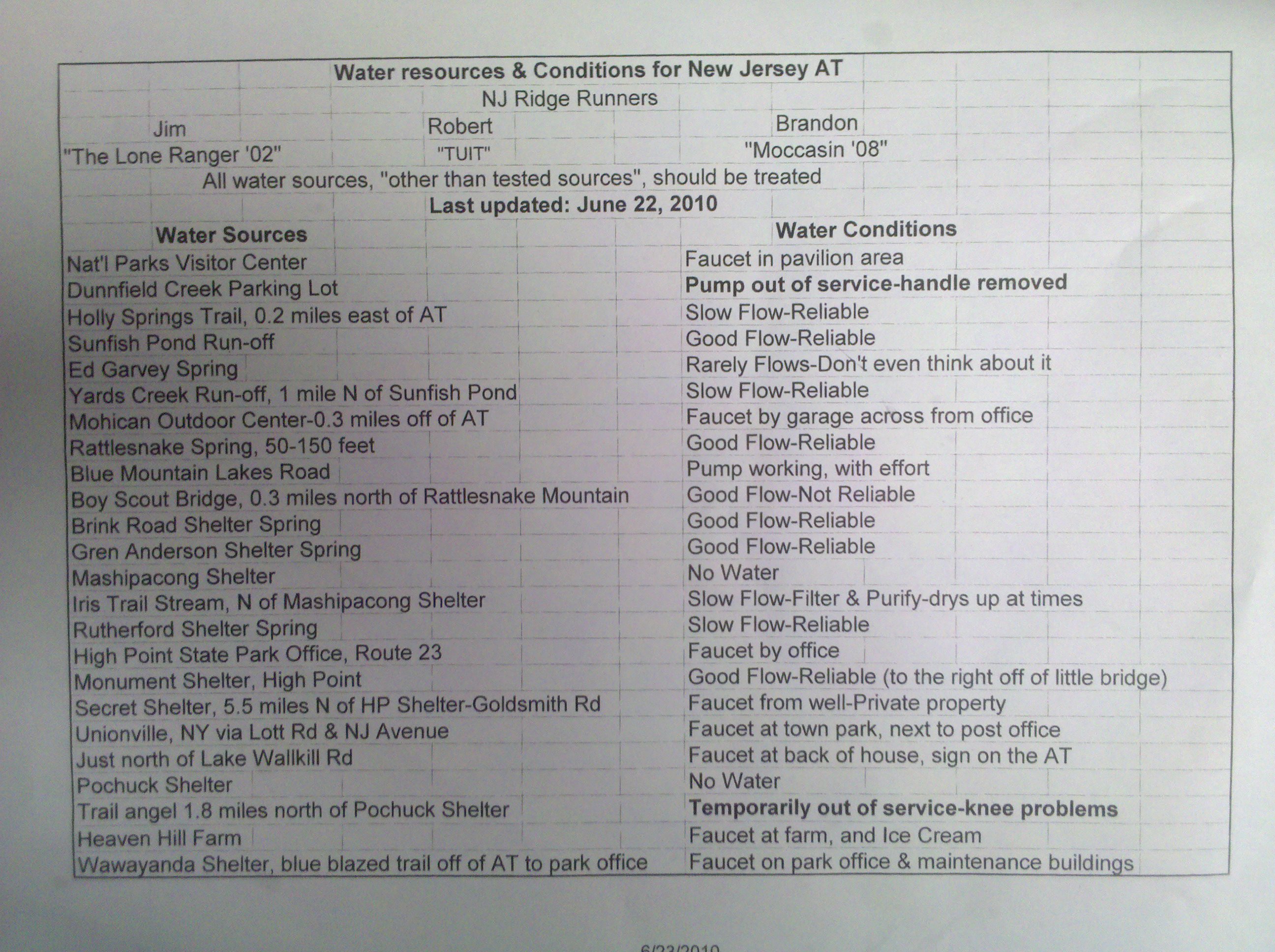
Dunnfield Creek Natural Area (350')?water pump at northern end of parking area
350
1294.8
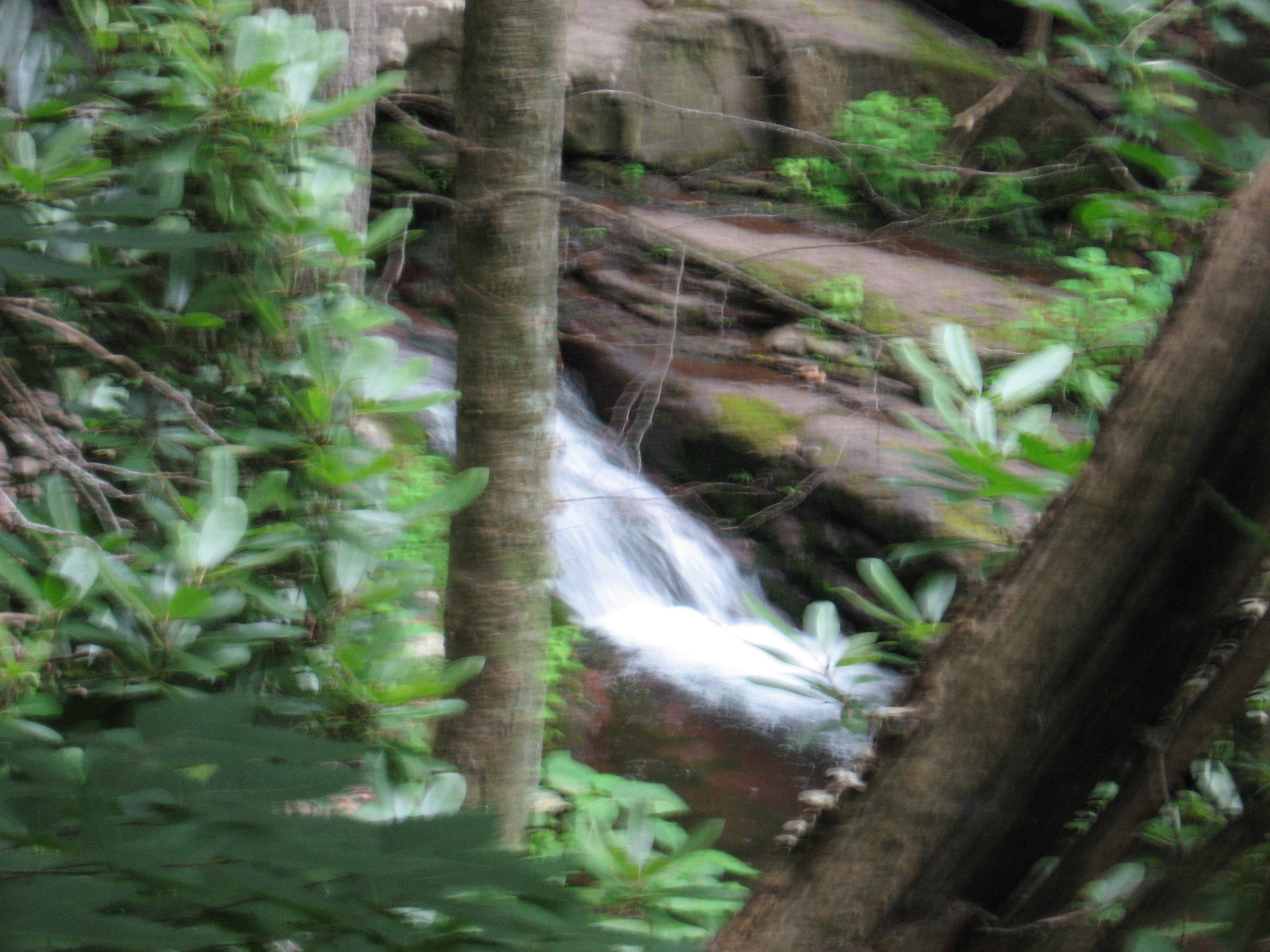
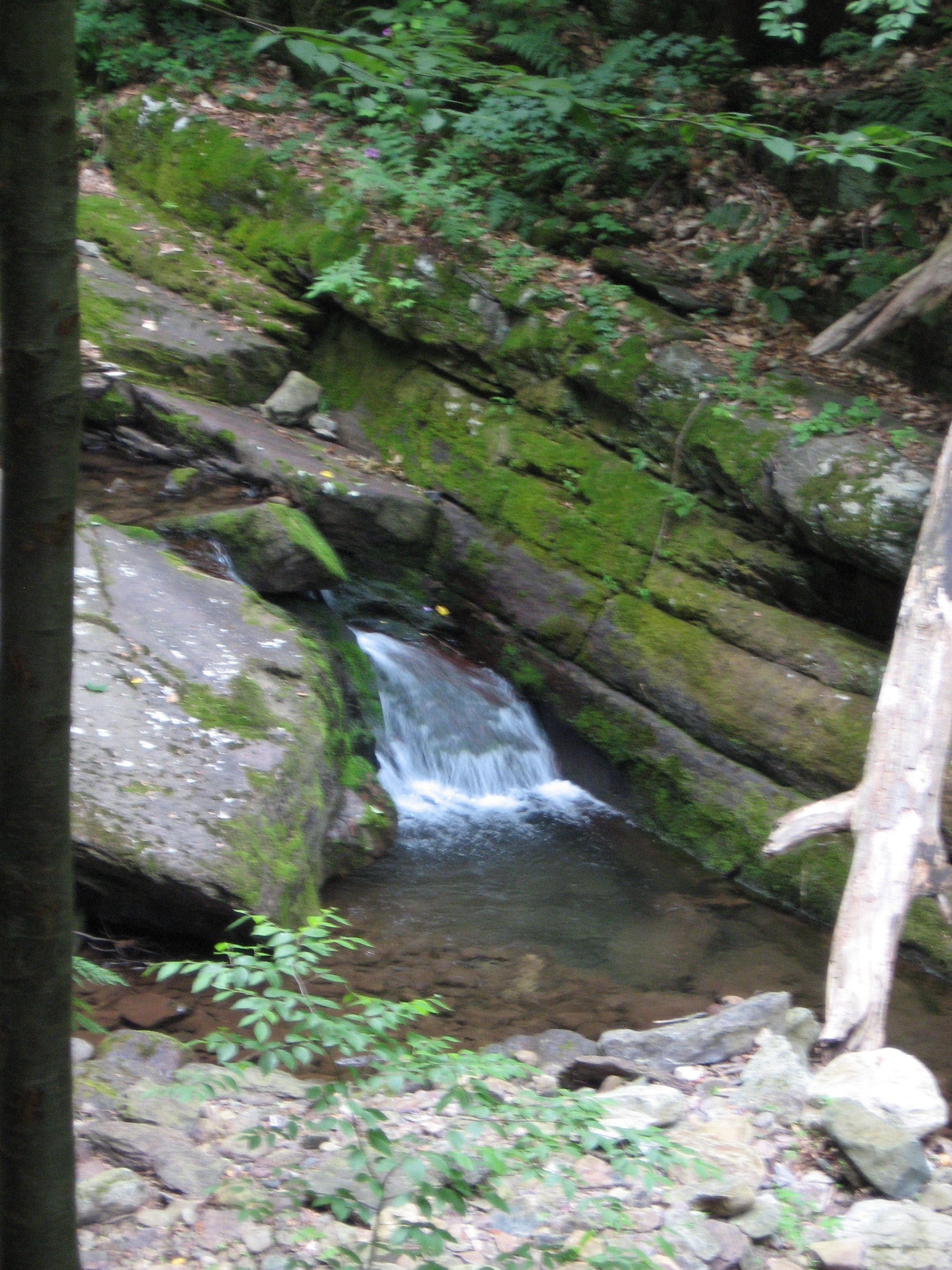
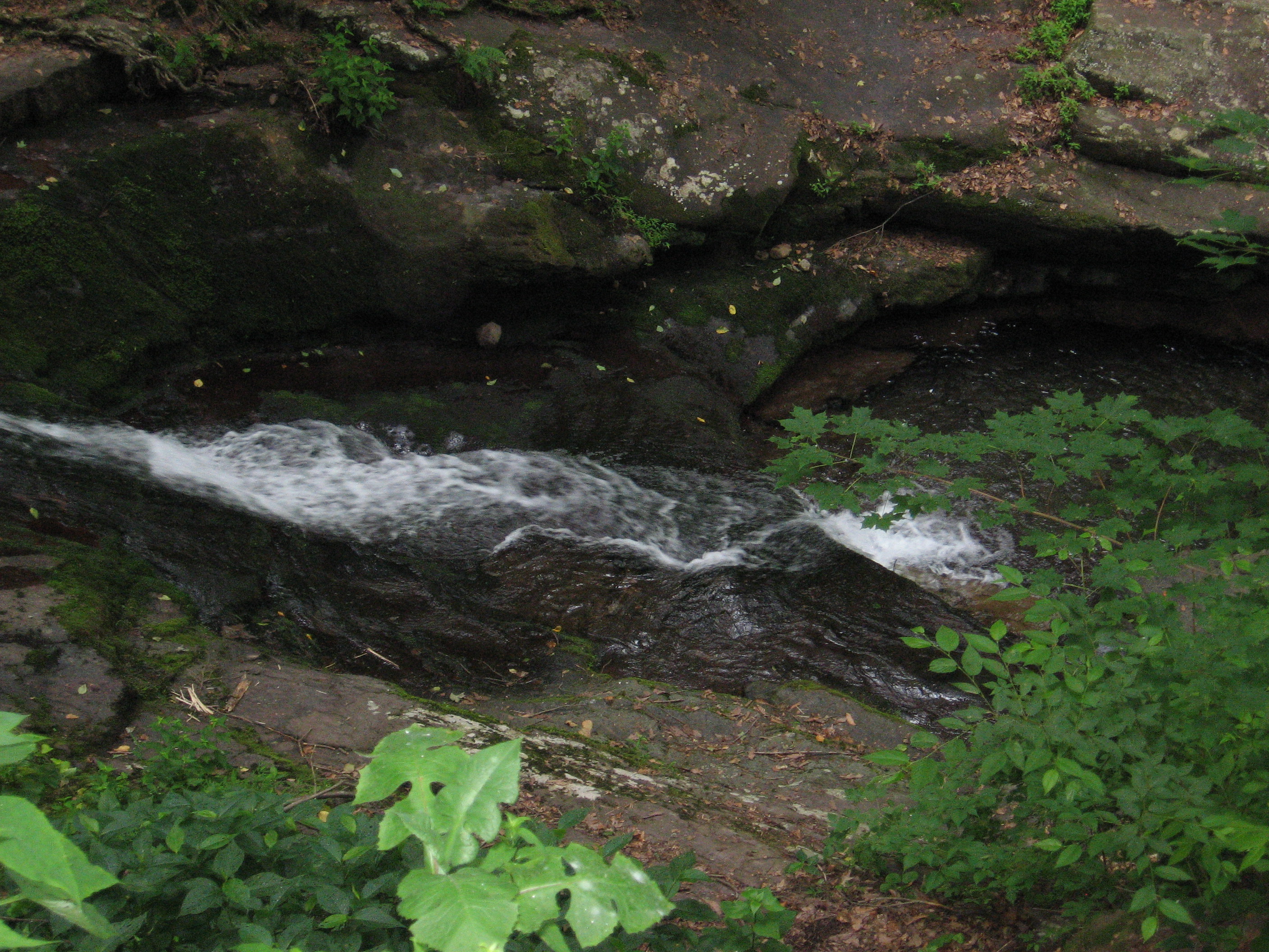
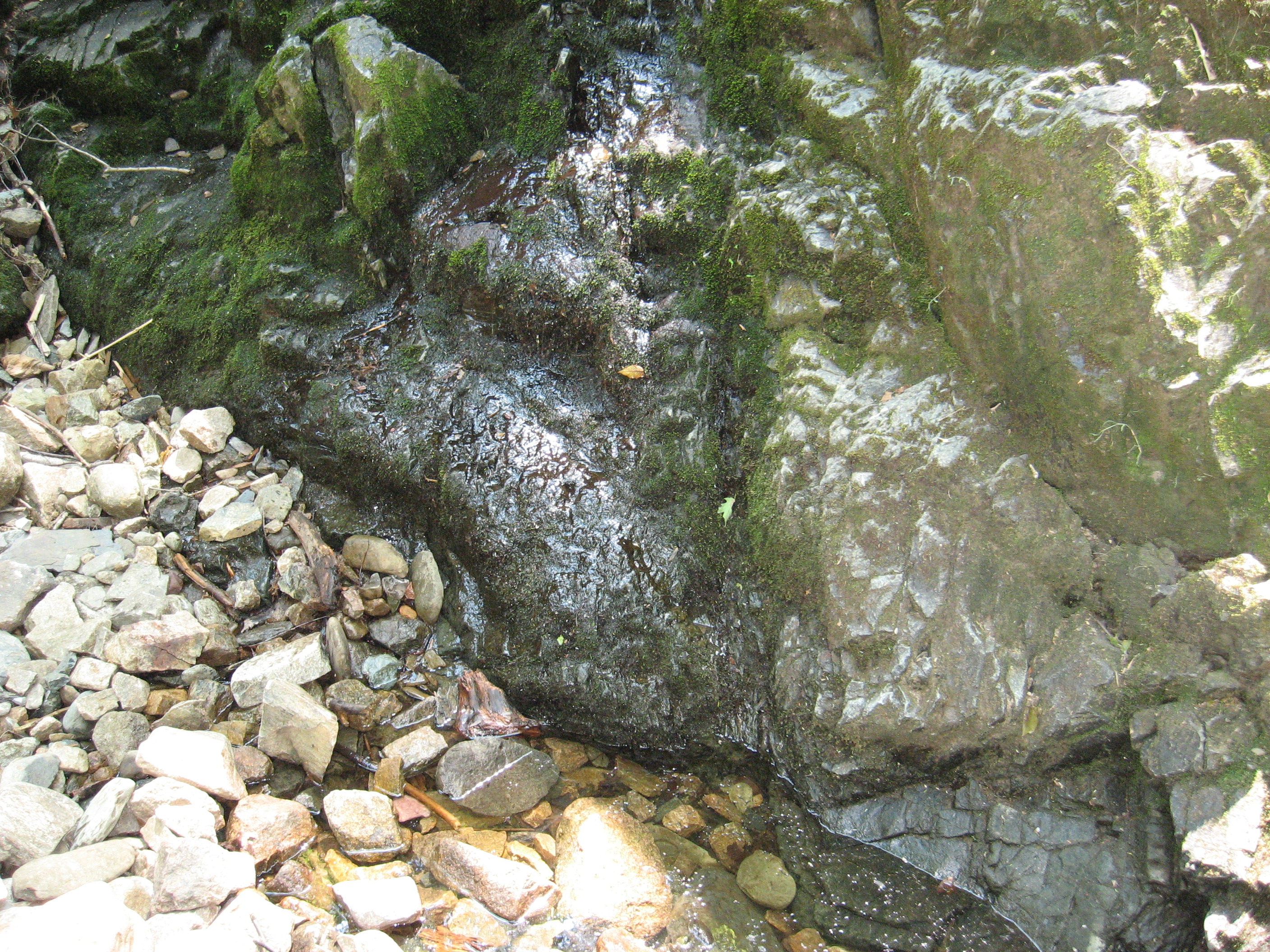
Dunnfield Hollow Trail to Dunnfield Creek Falls (350')
350
1296.2
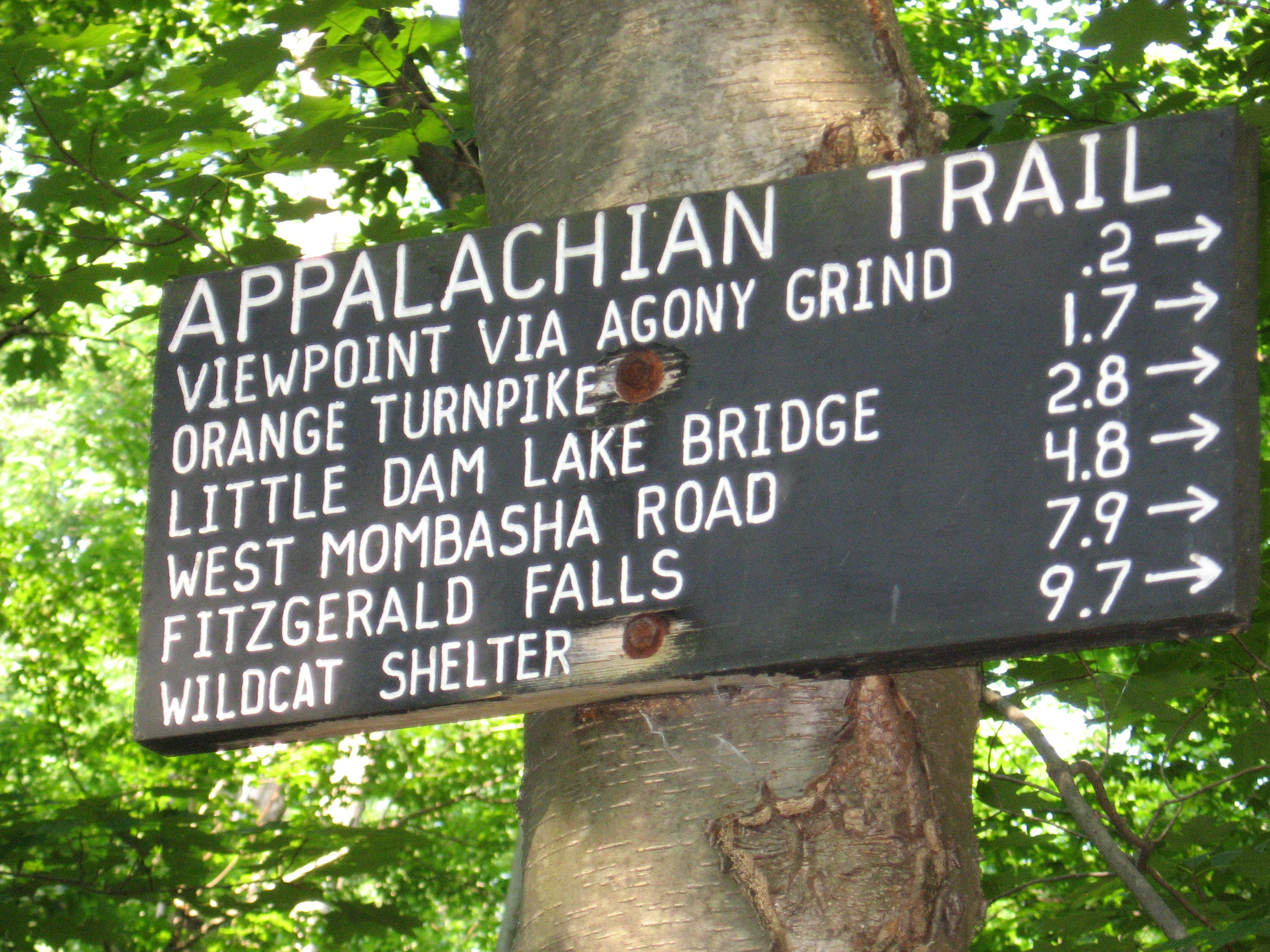
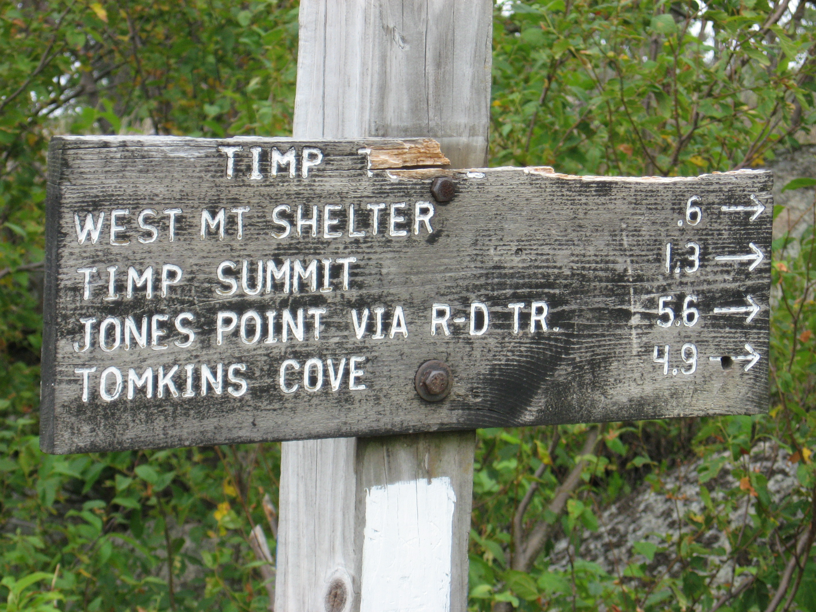
Holly Springs Trail (950')
950
1297.8
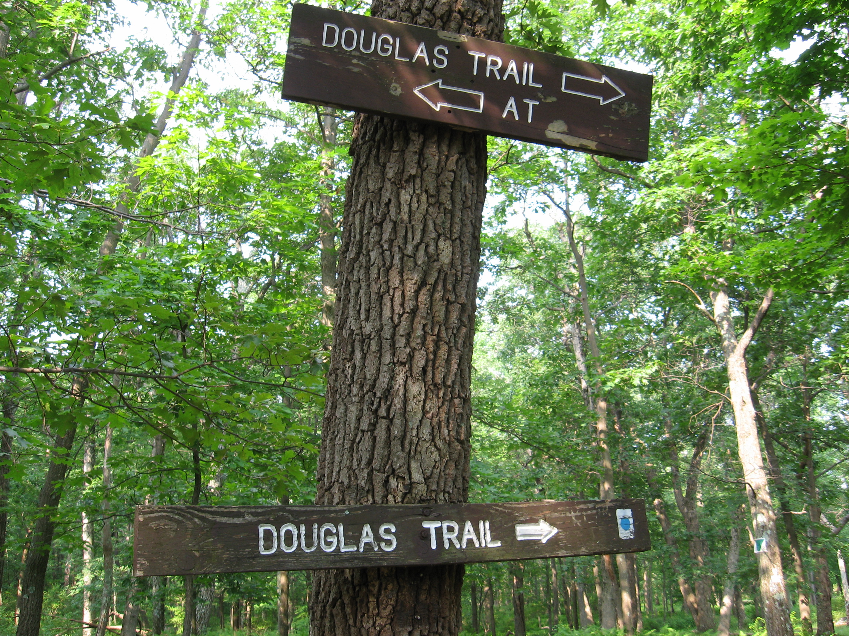
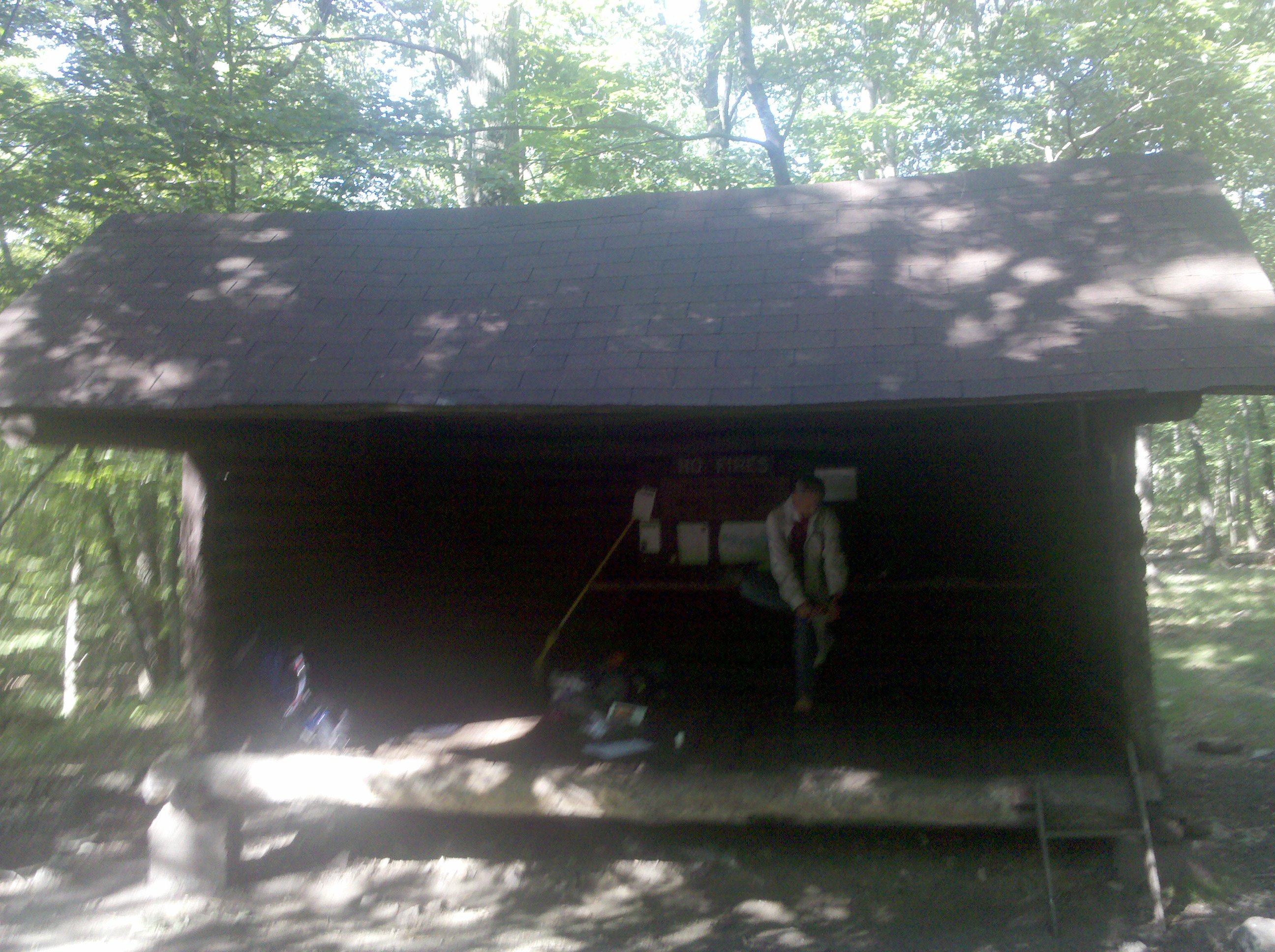
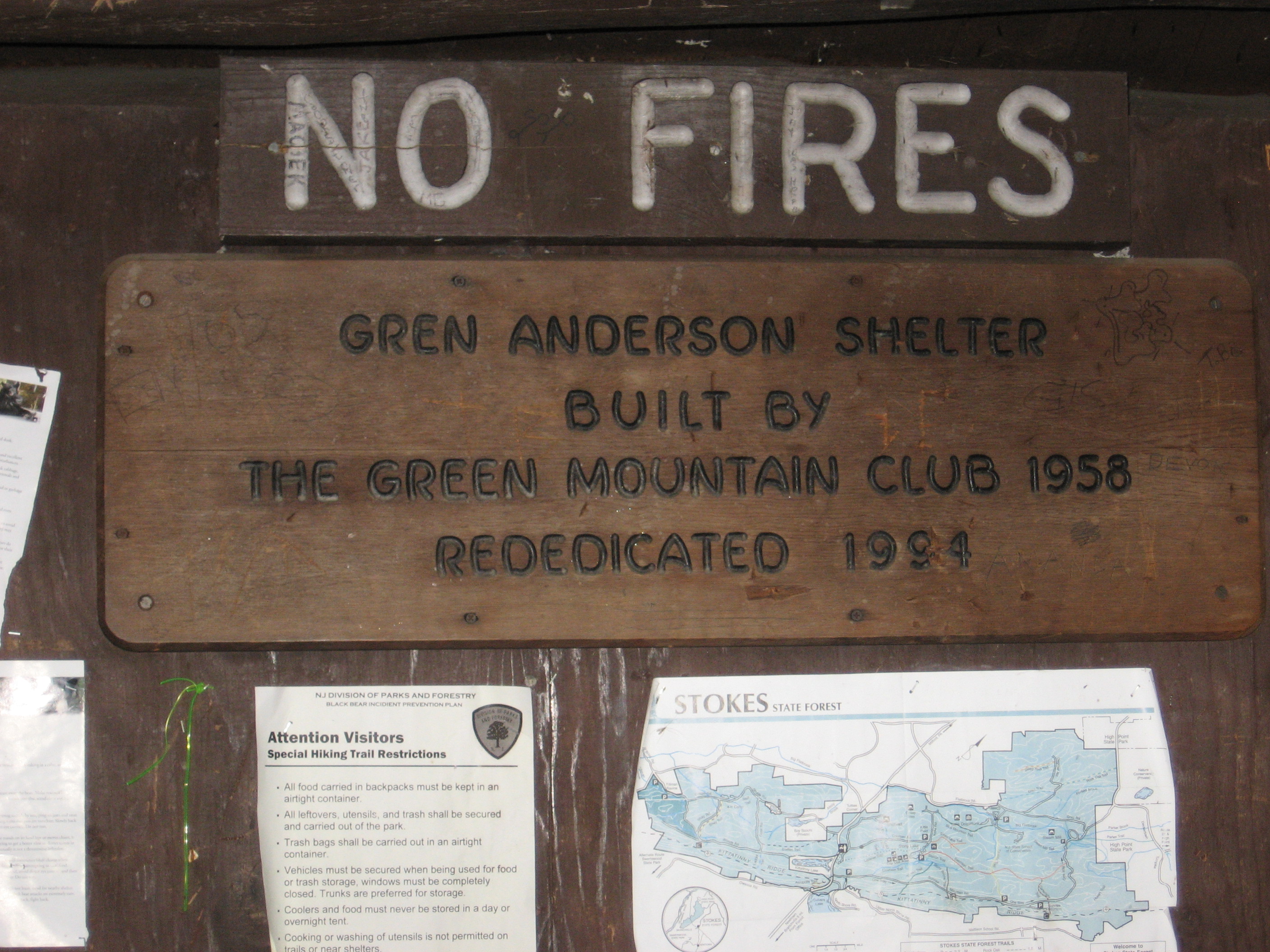
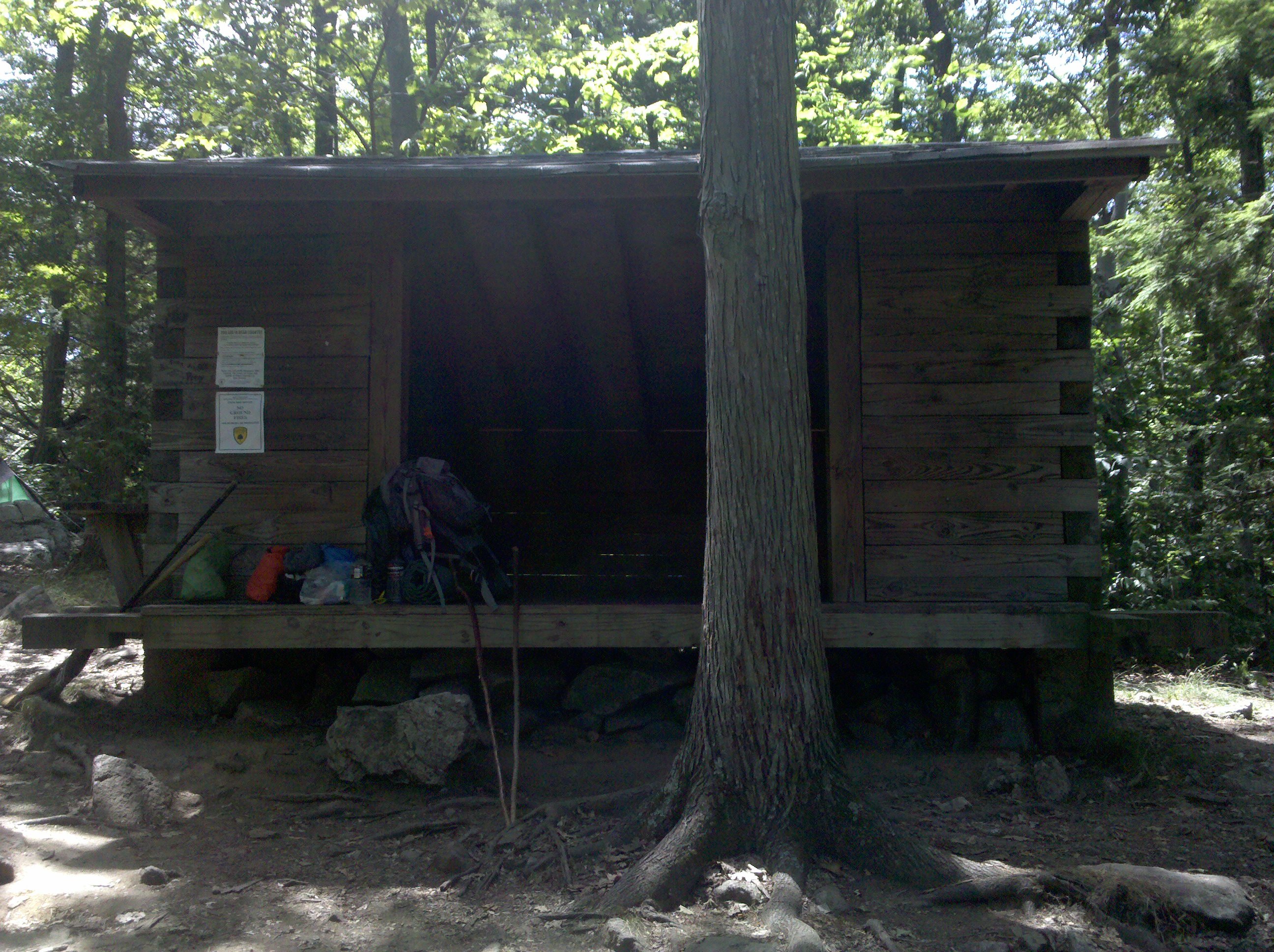
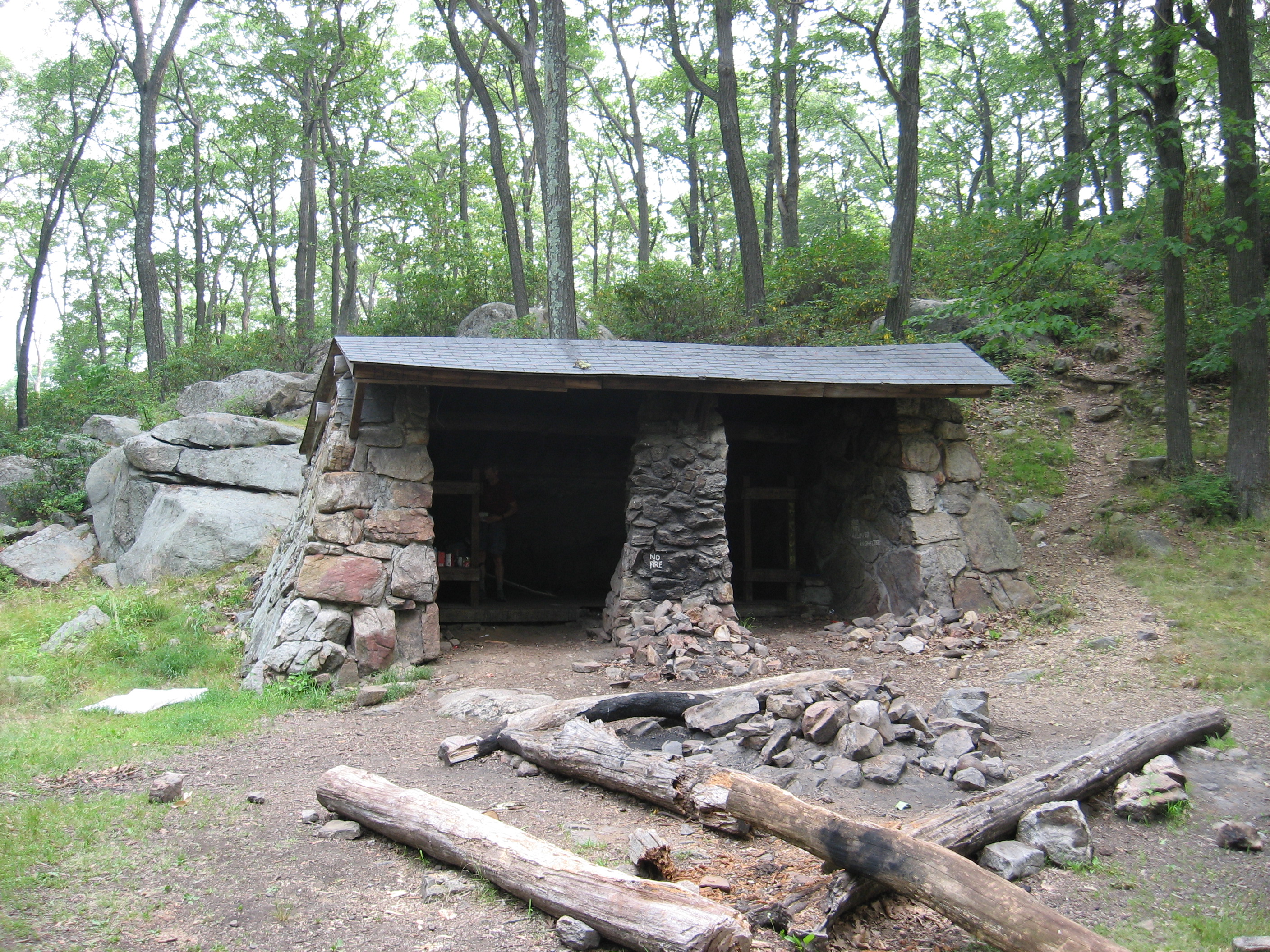
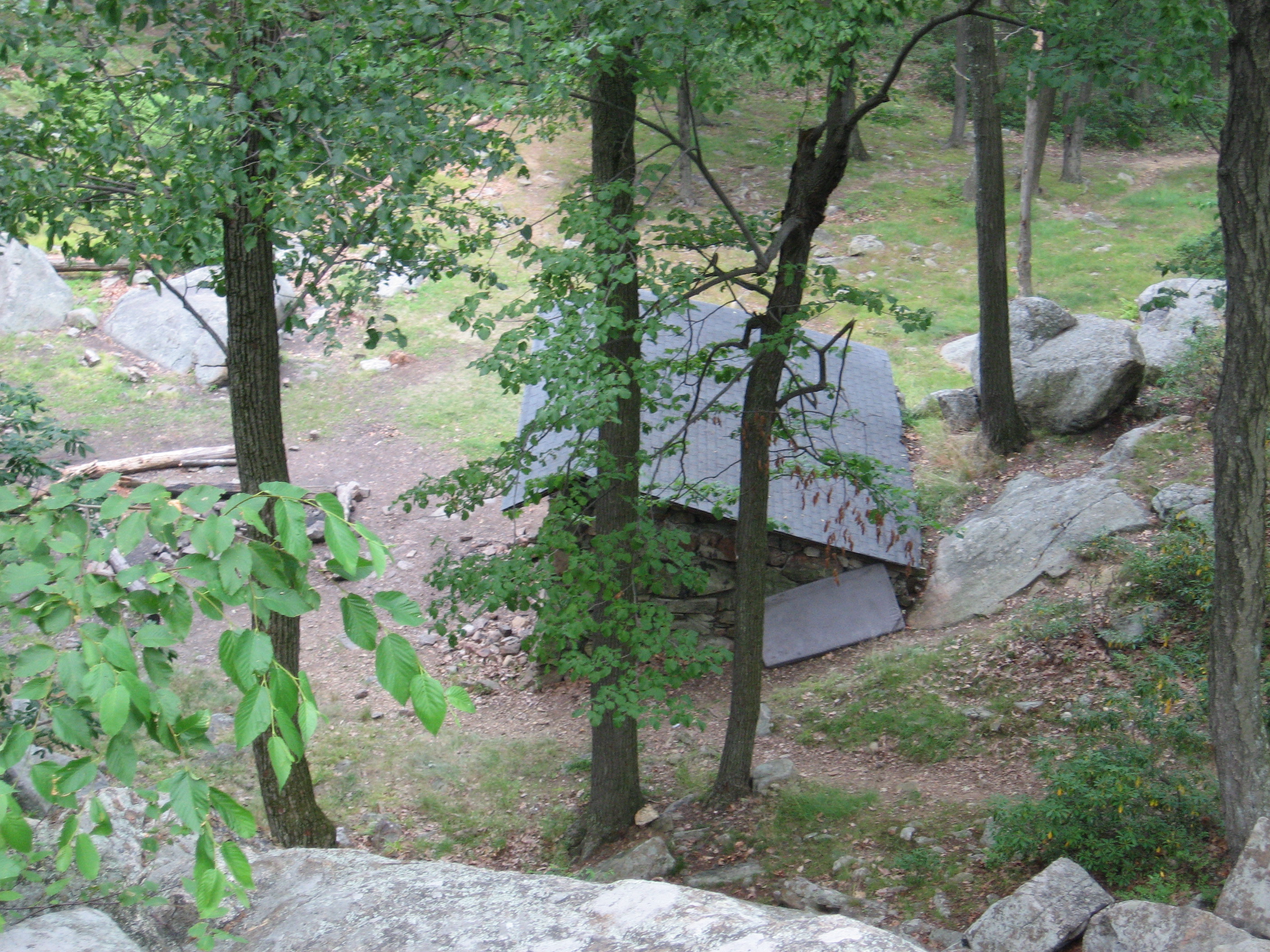
Blue-blazed Douglas Trail, Backpack-er Campsite (1,300')
1300
1299.1
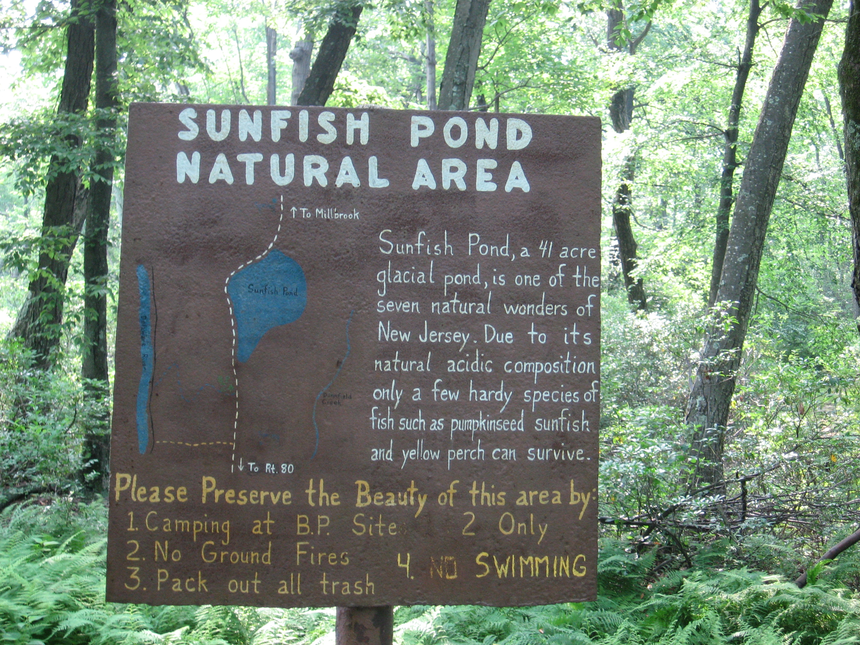
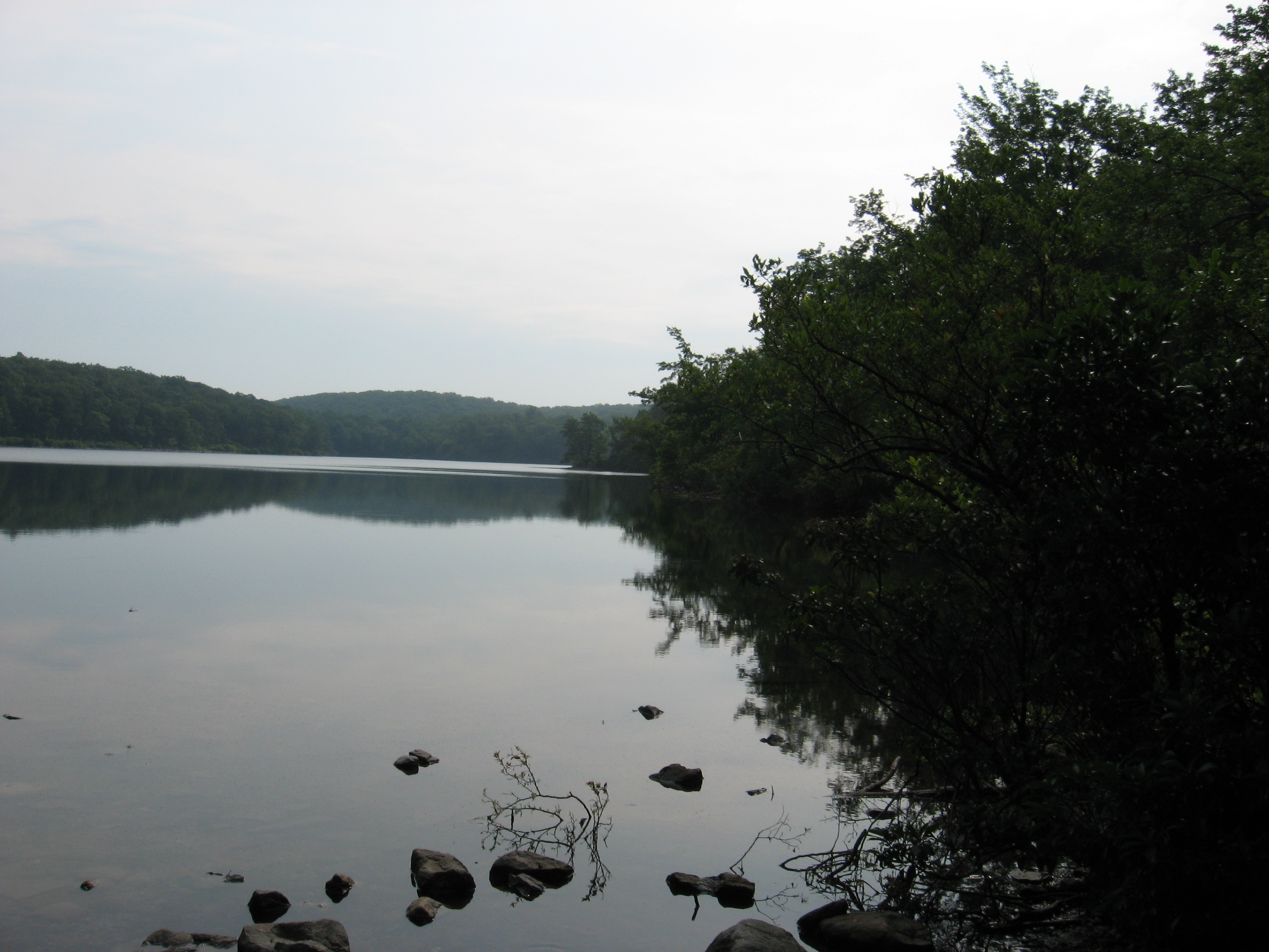
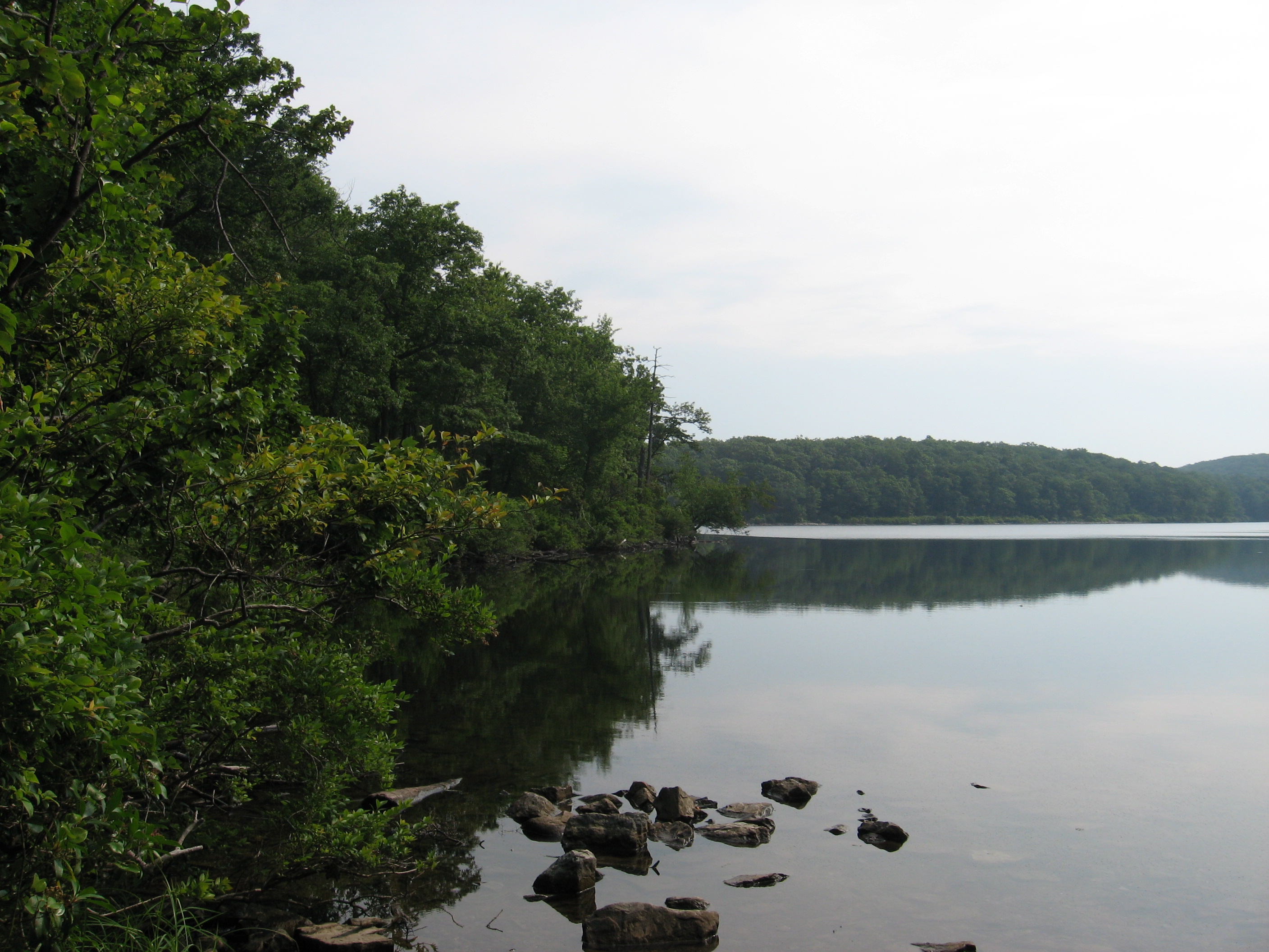
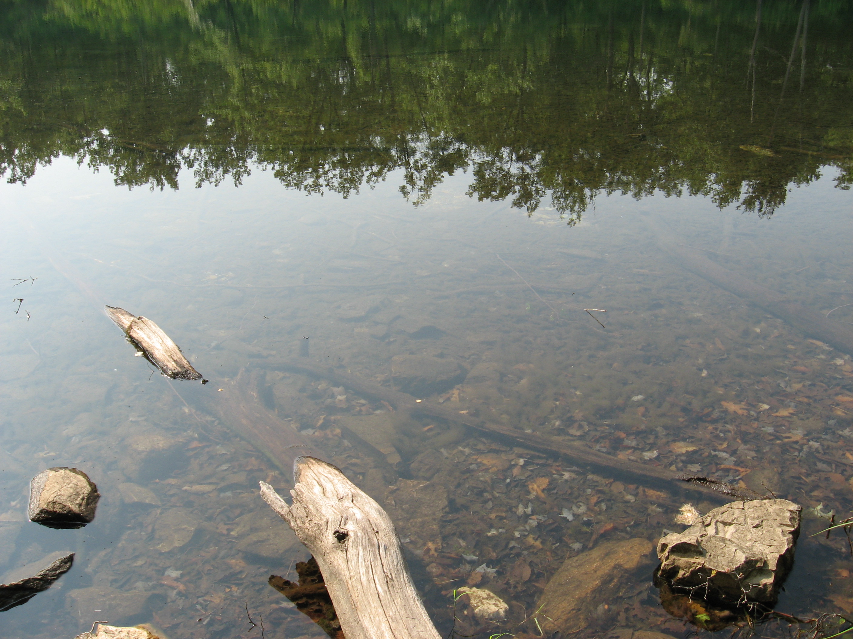
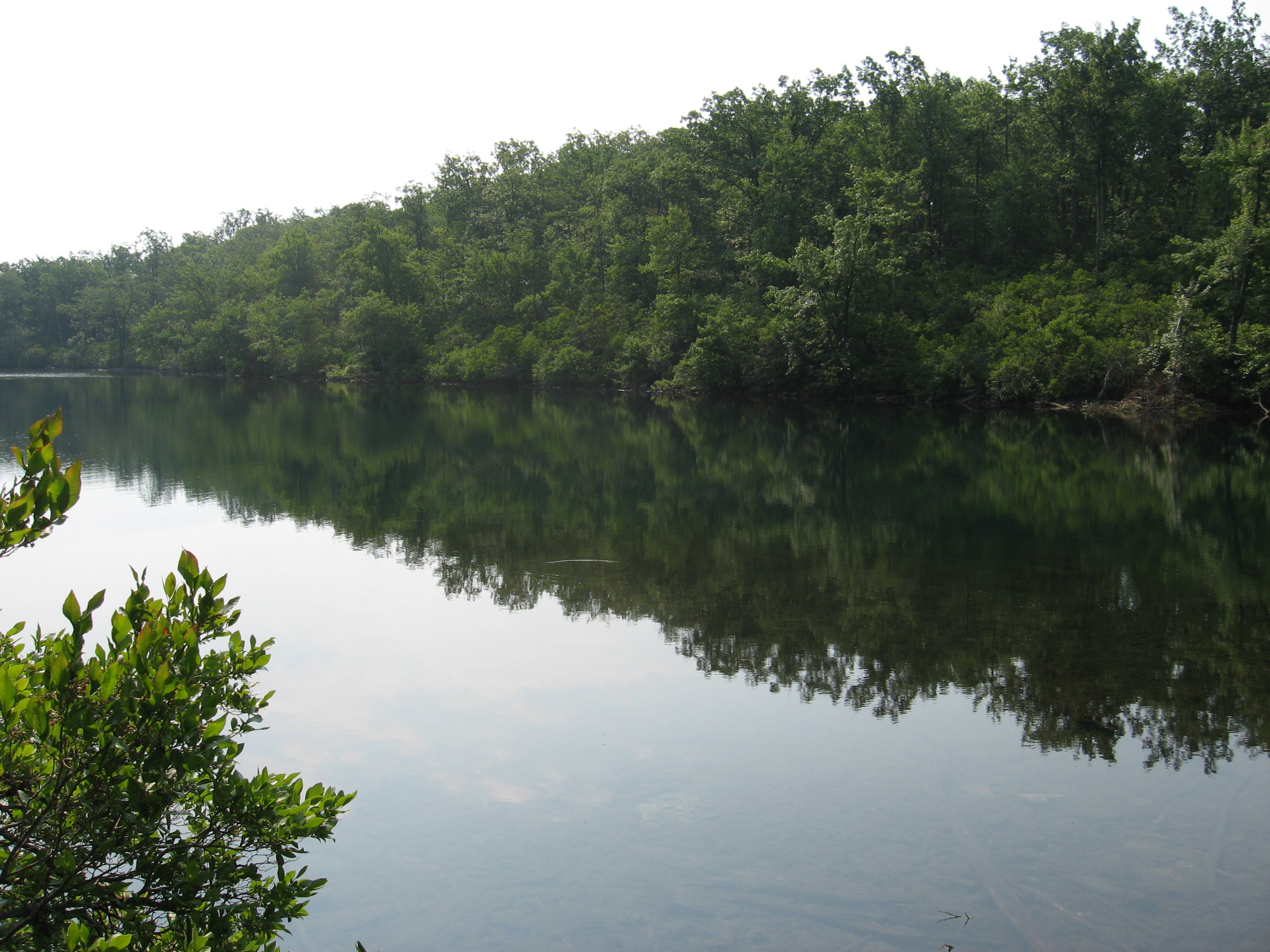
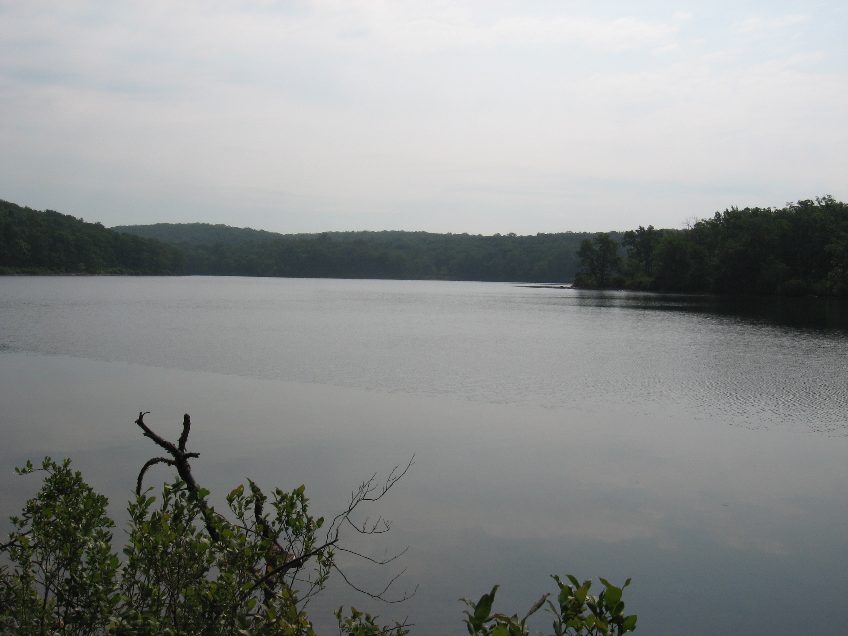
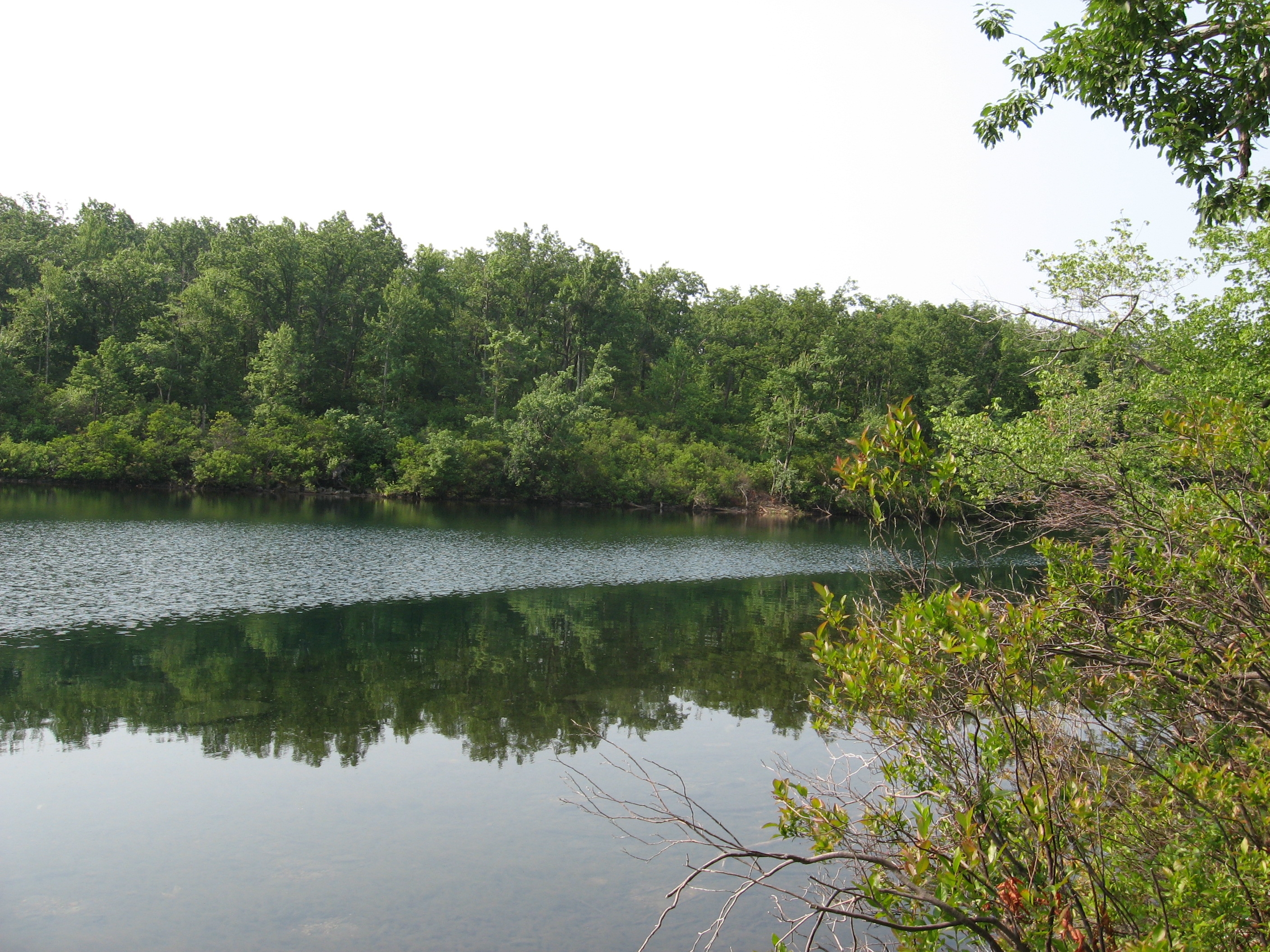
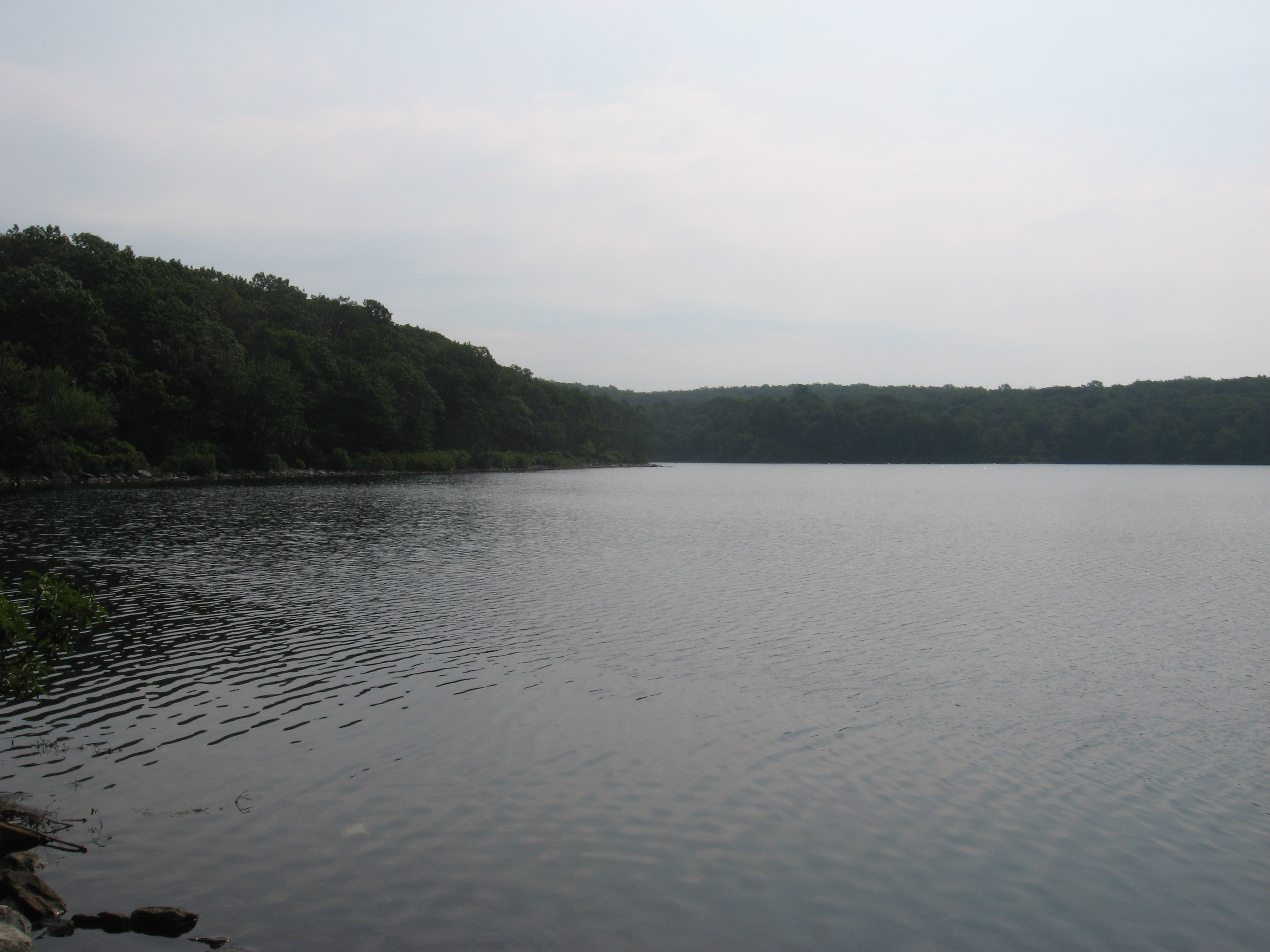
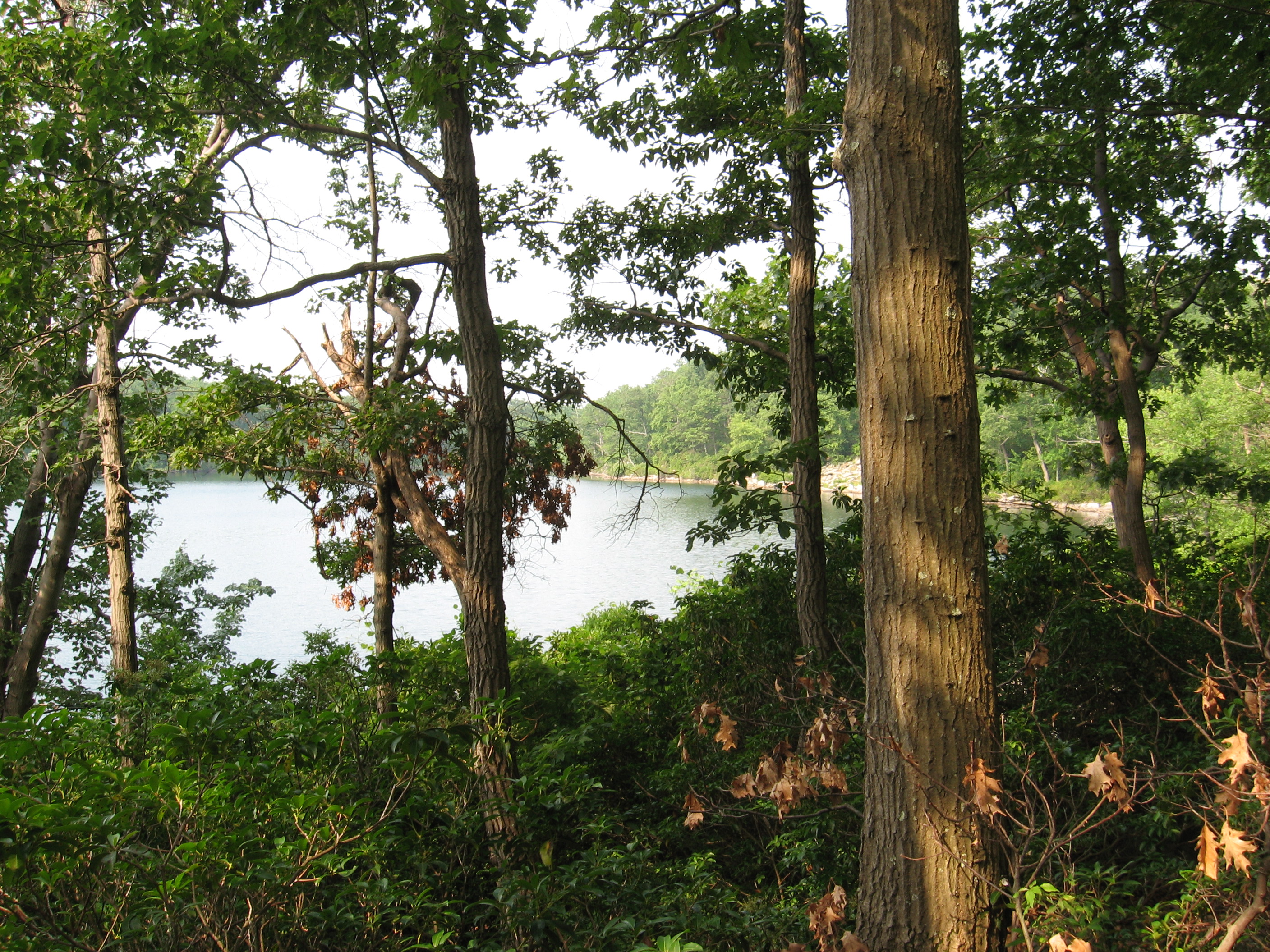
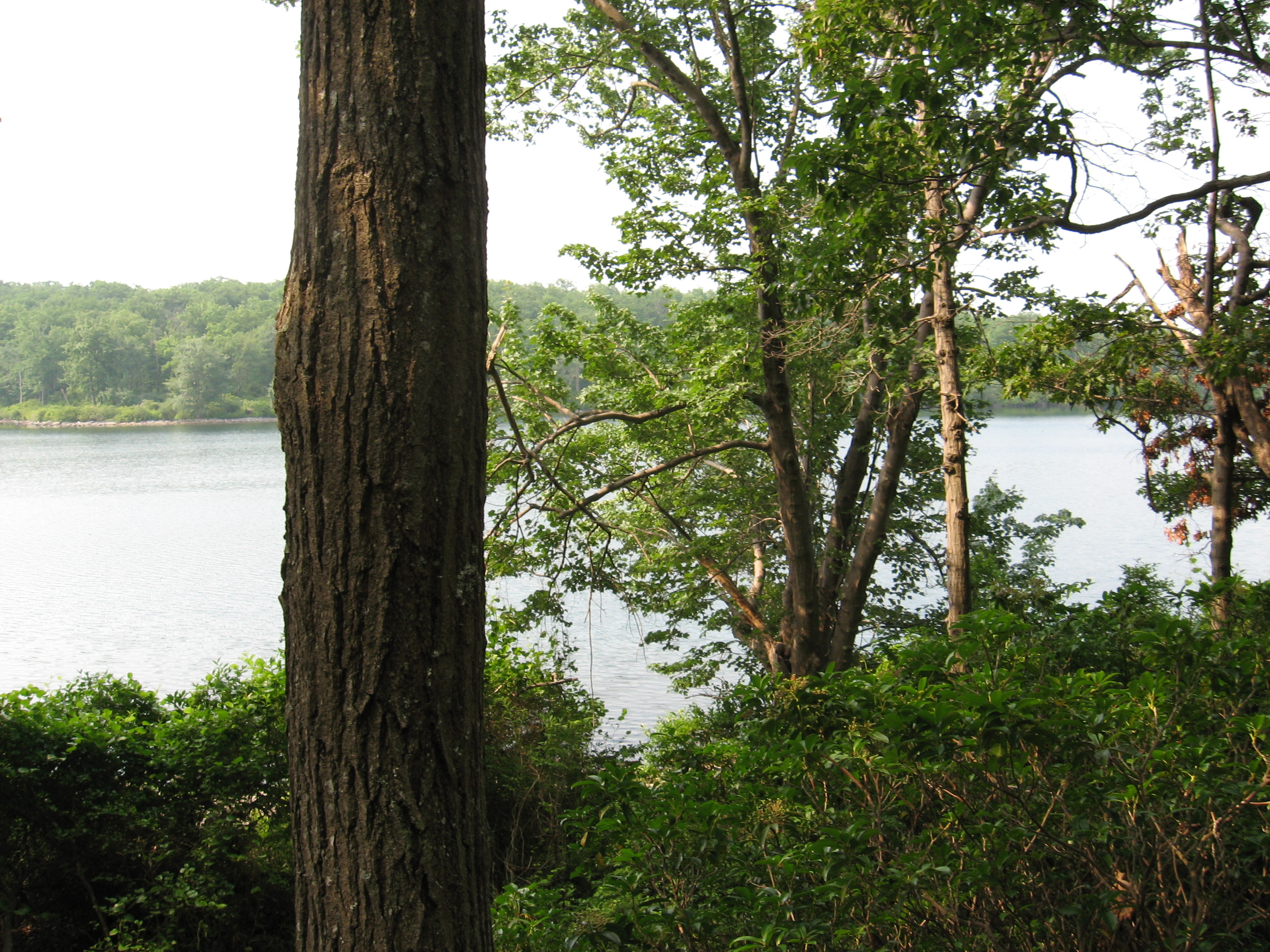
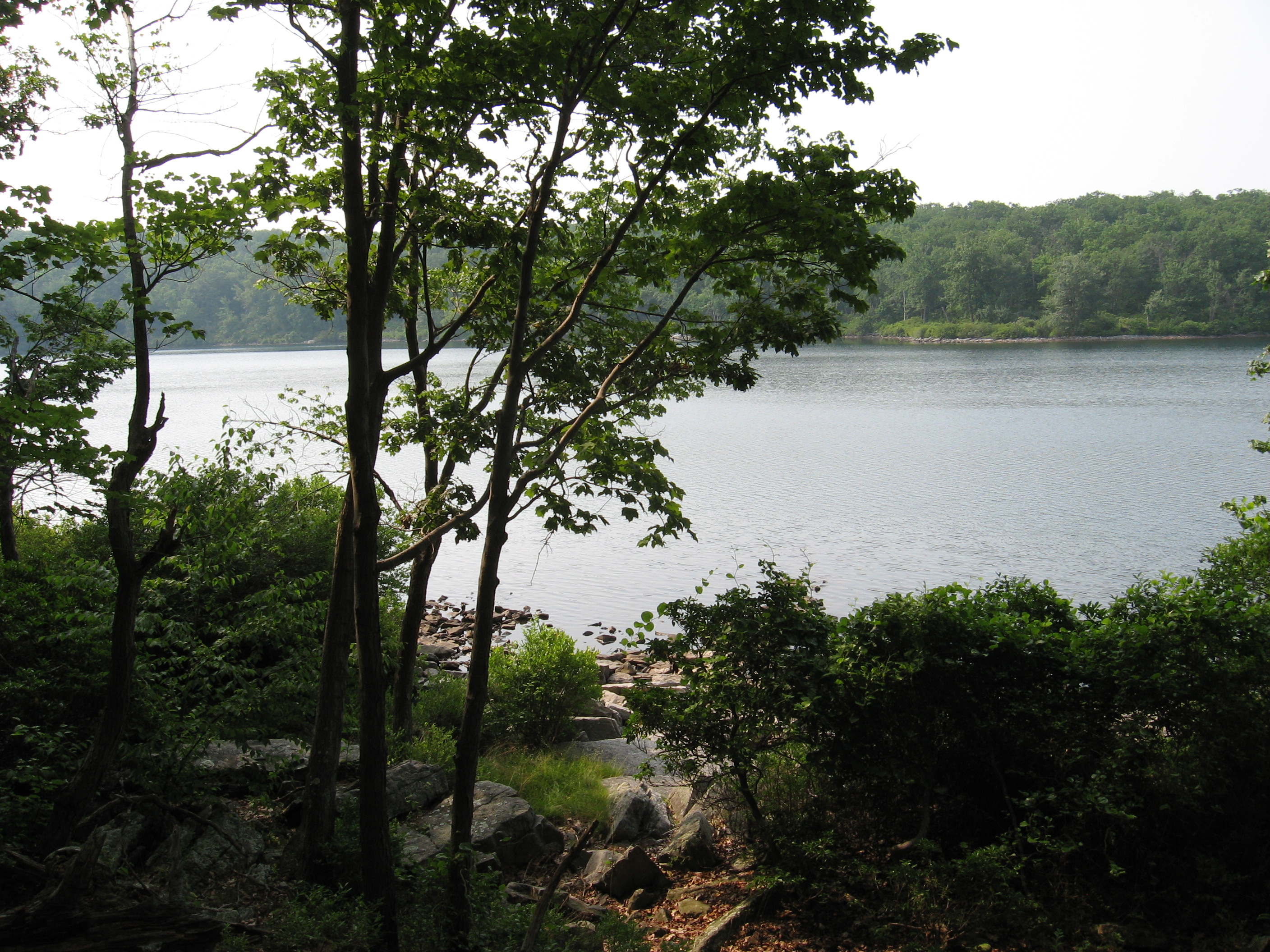
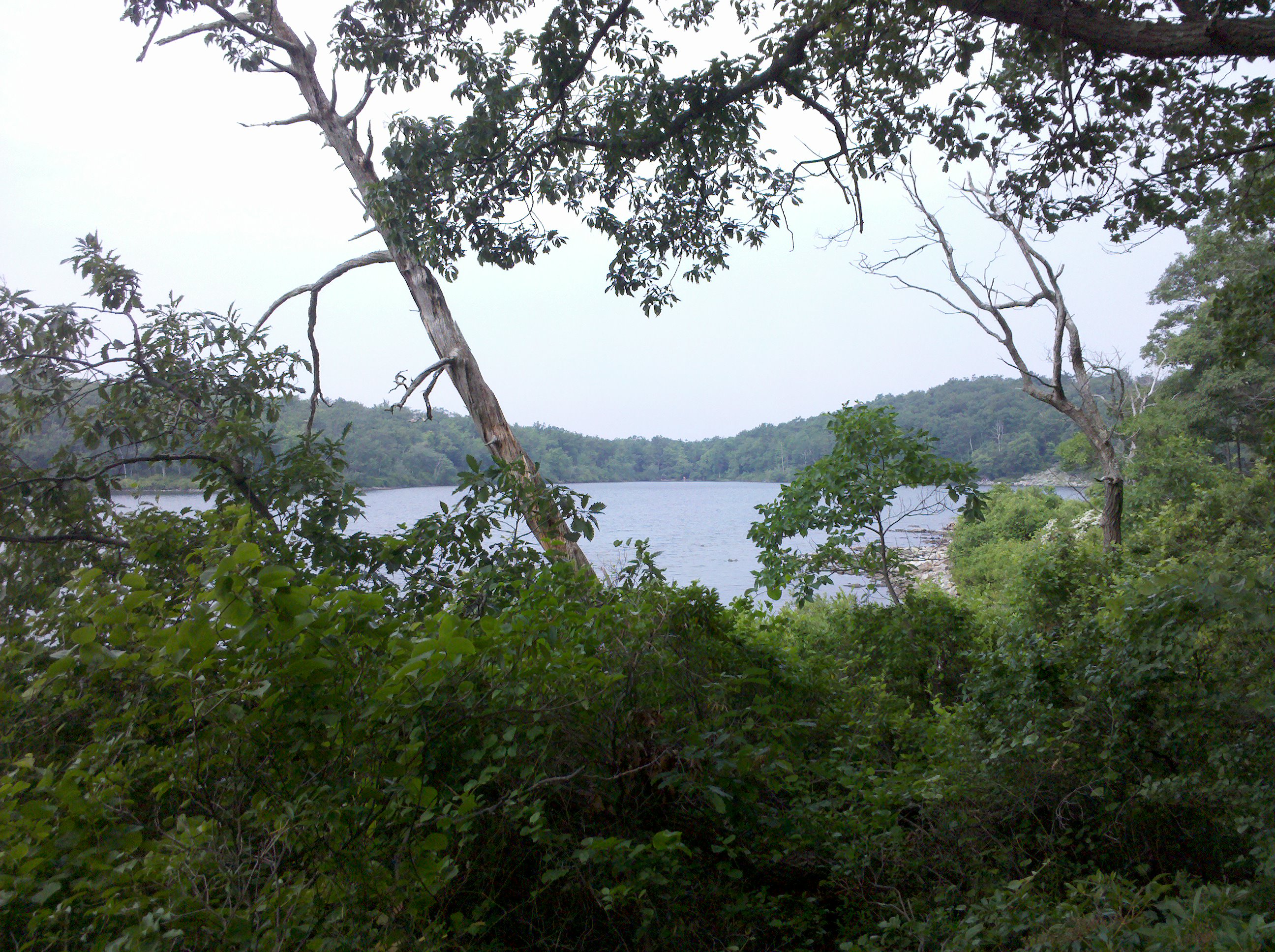
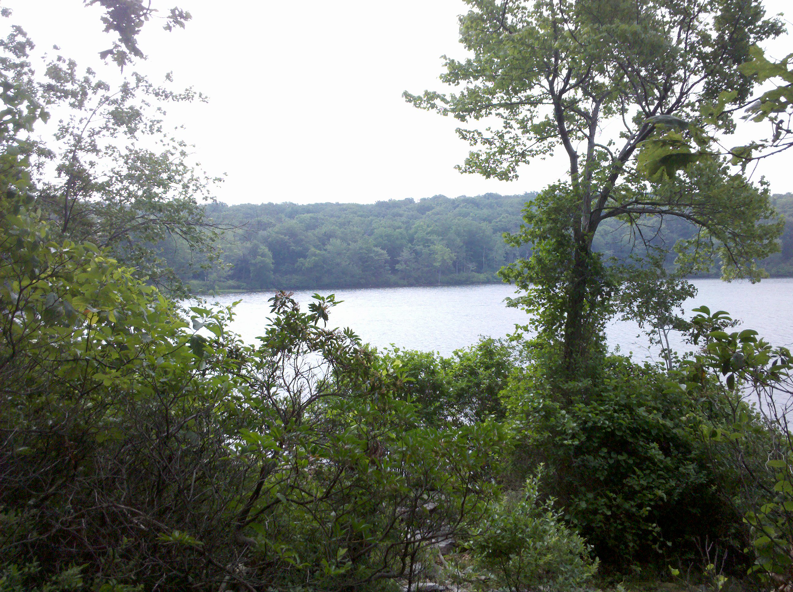
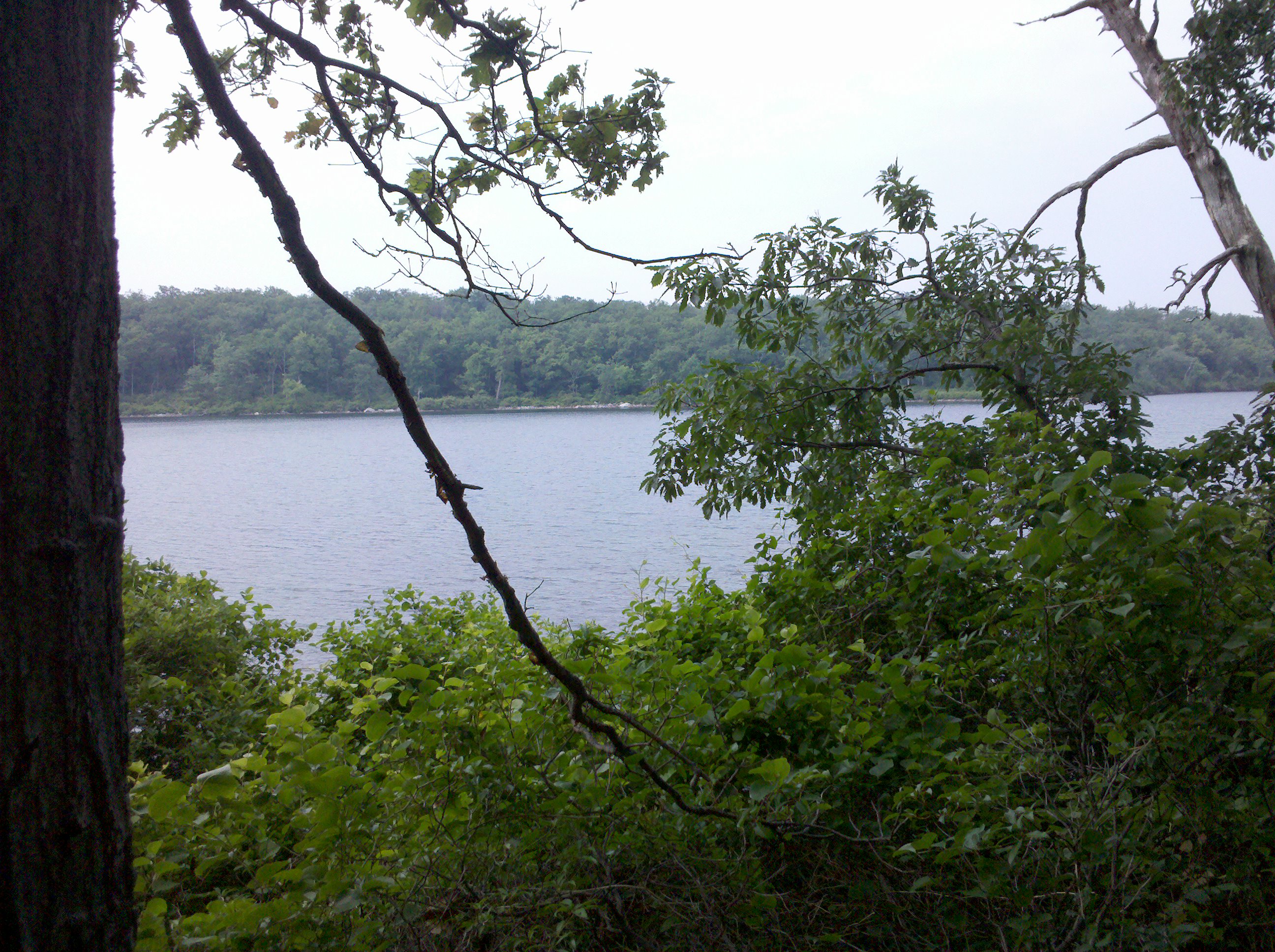
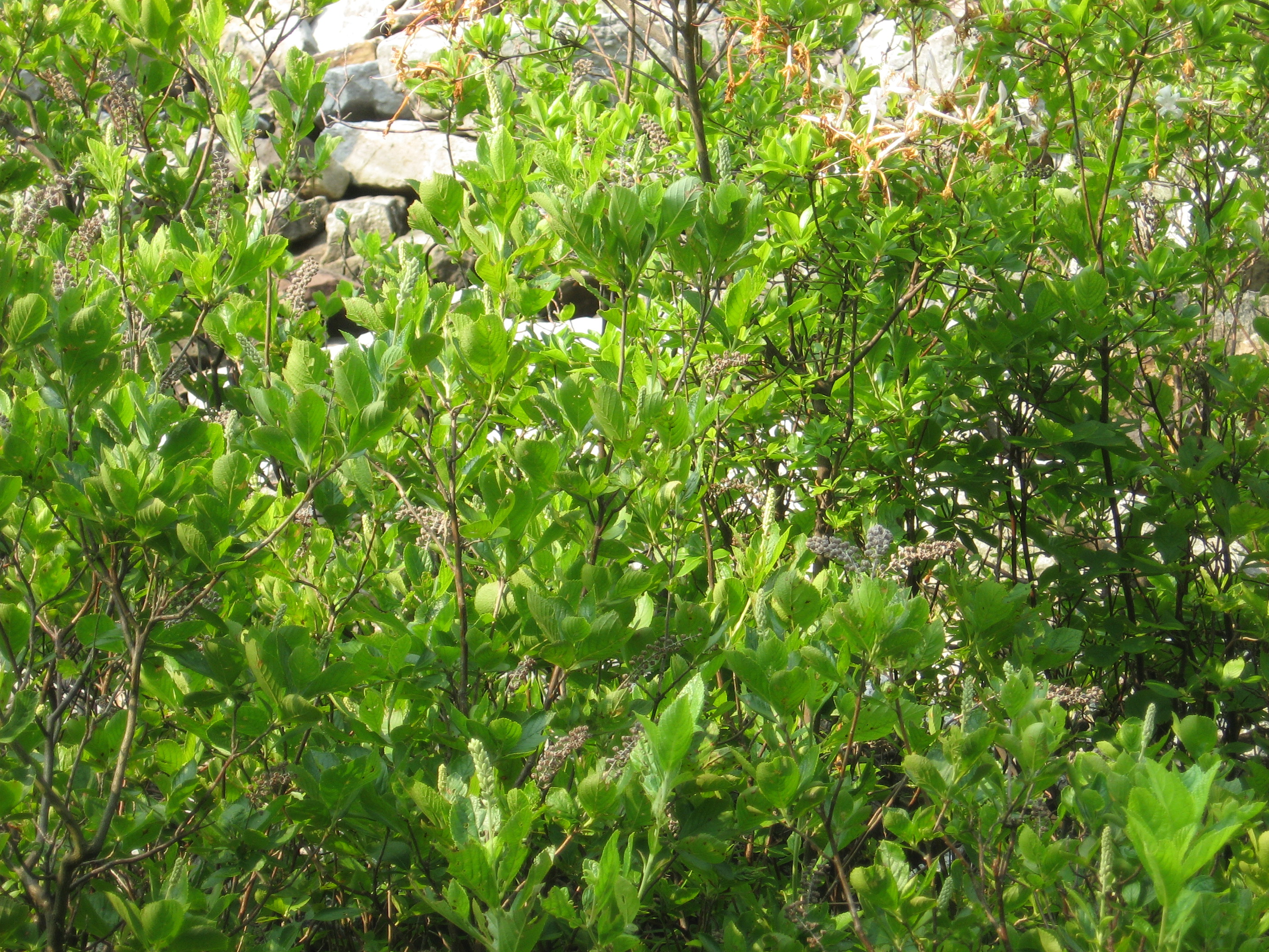
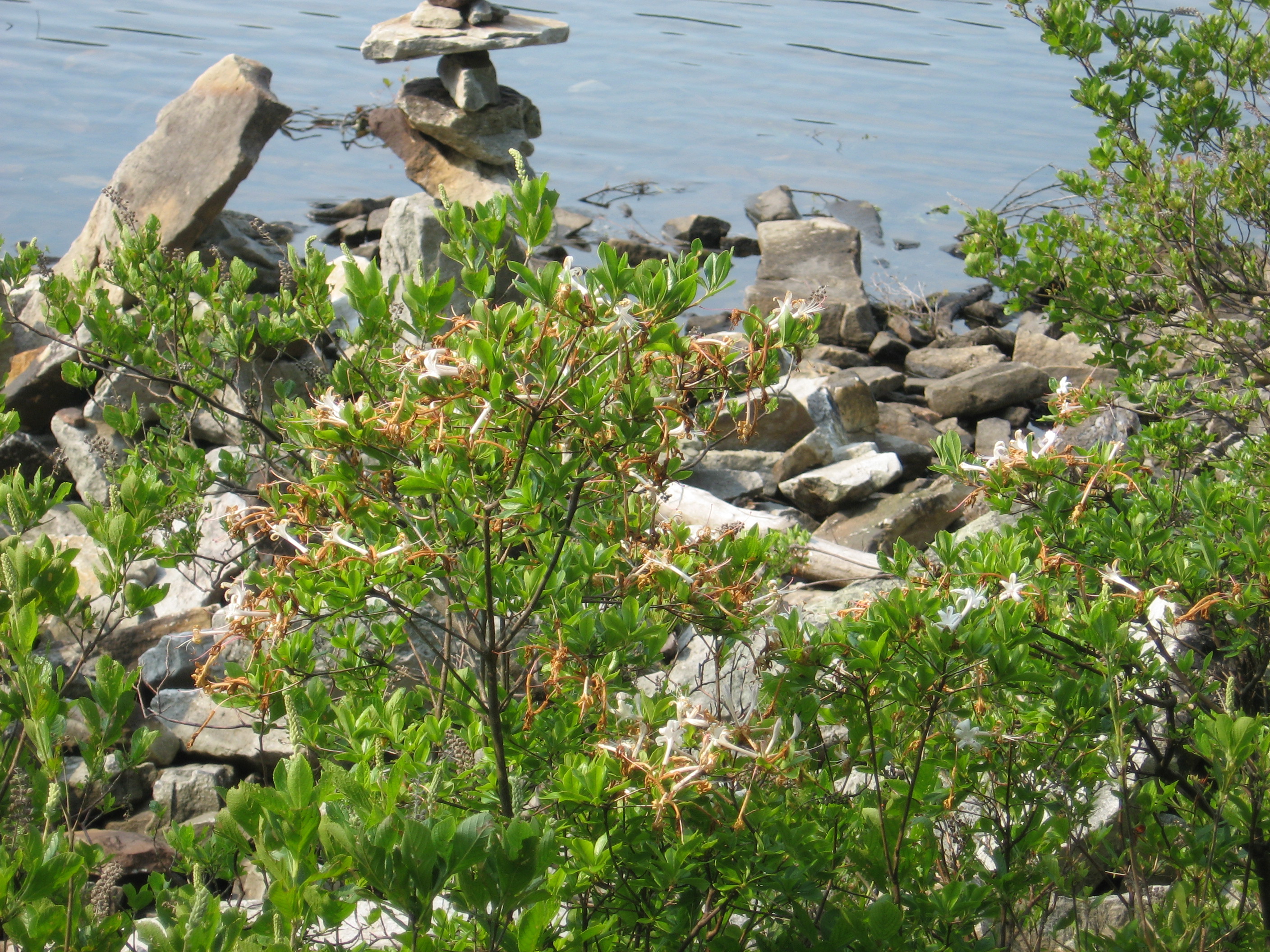
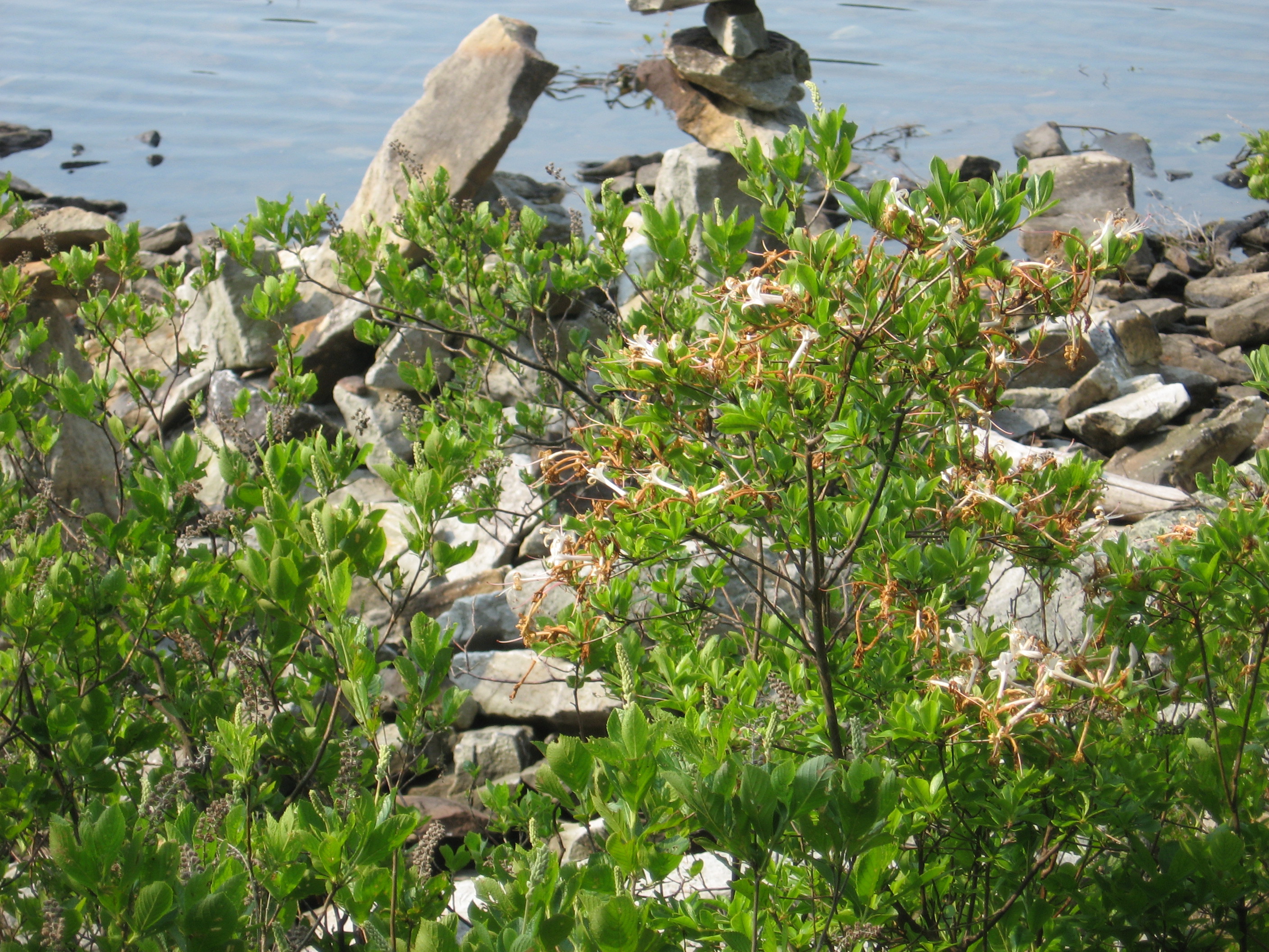
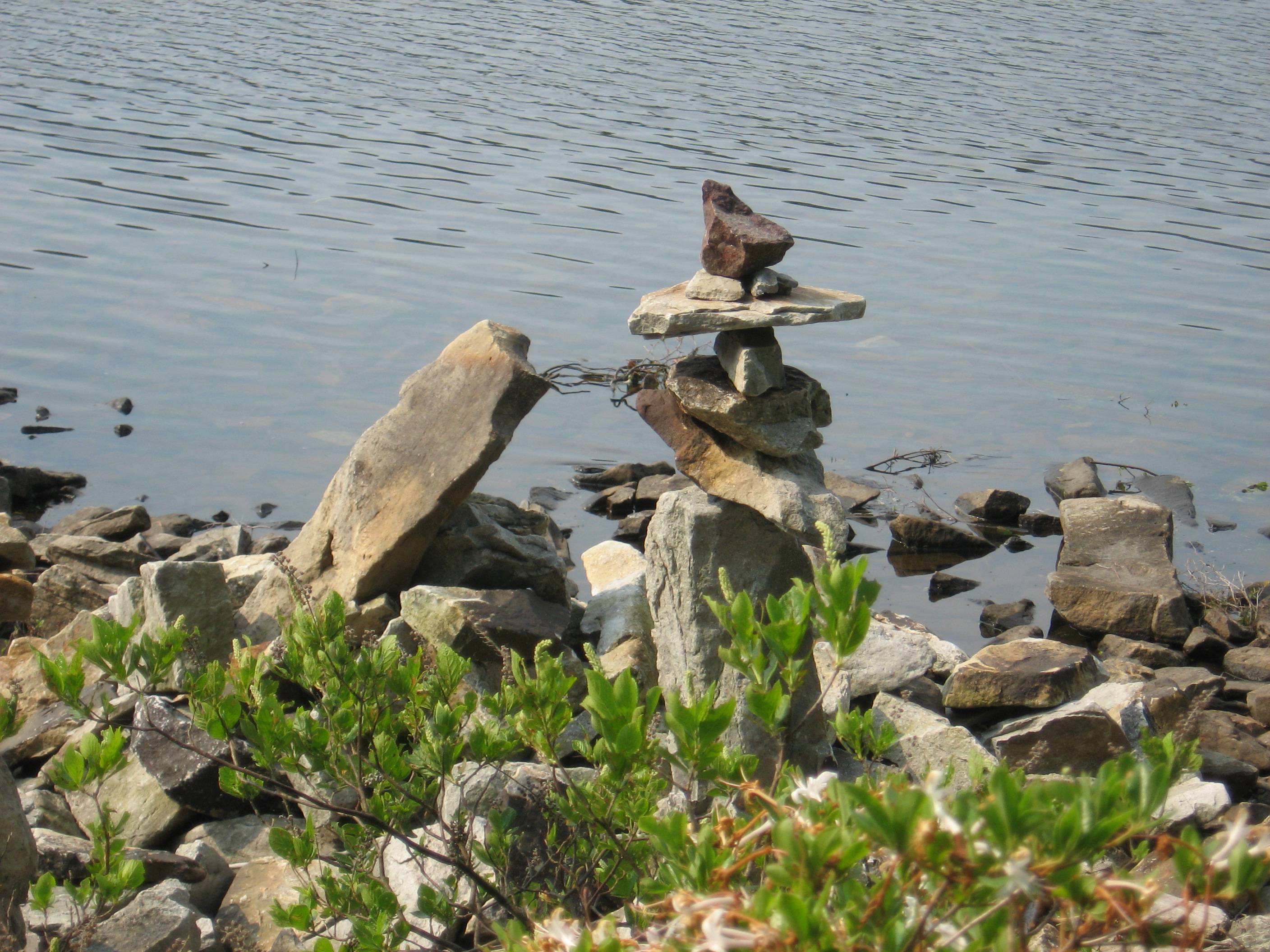
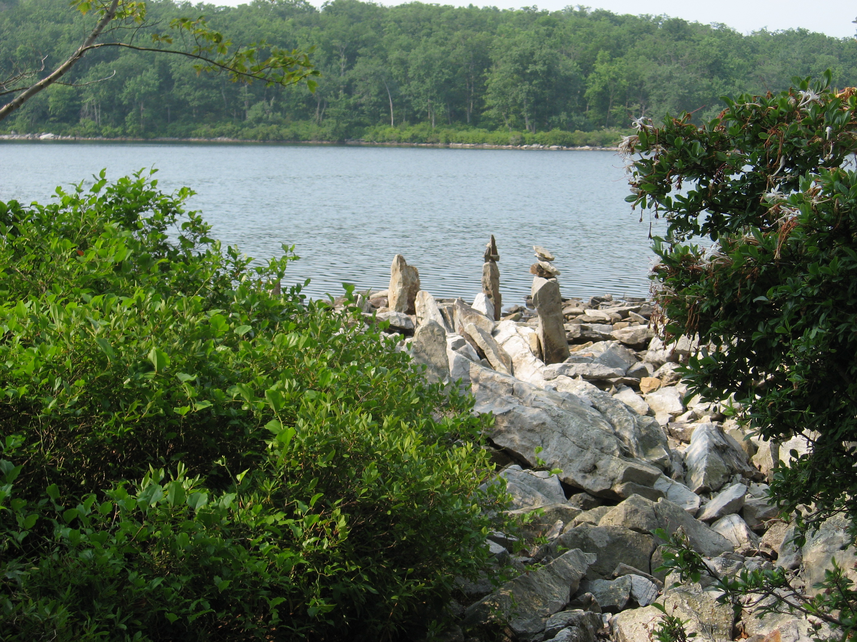
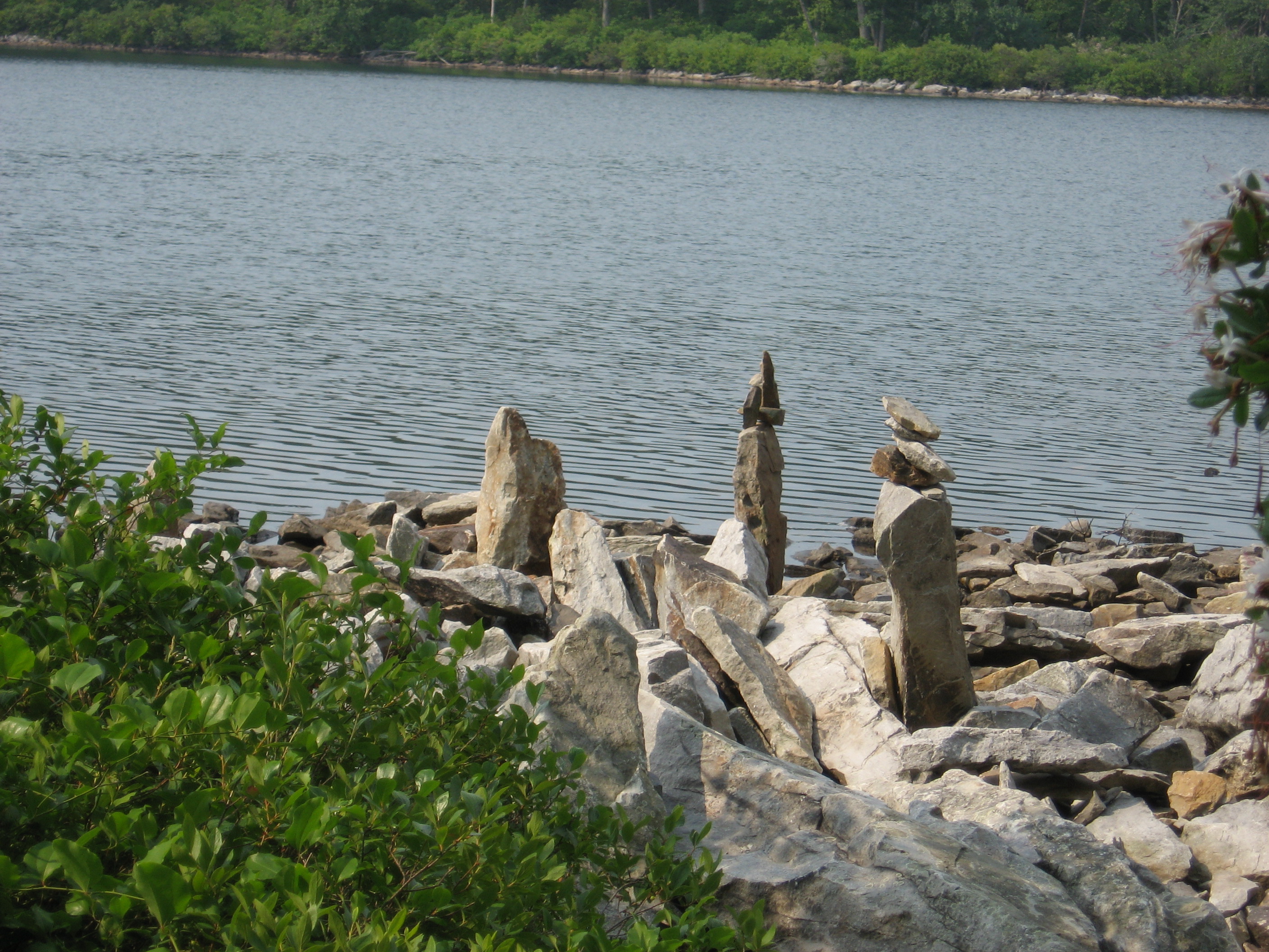
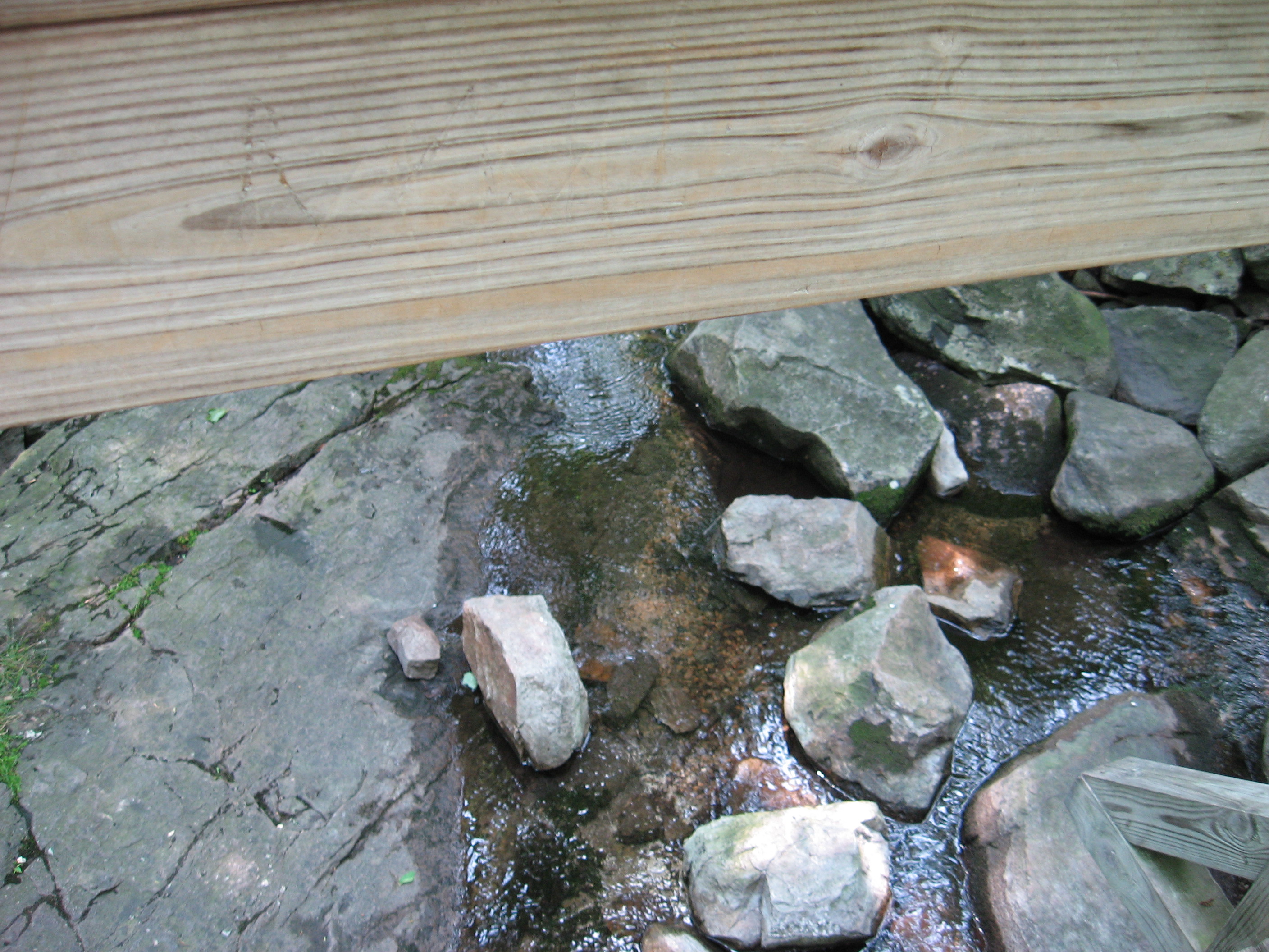
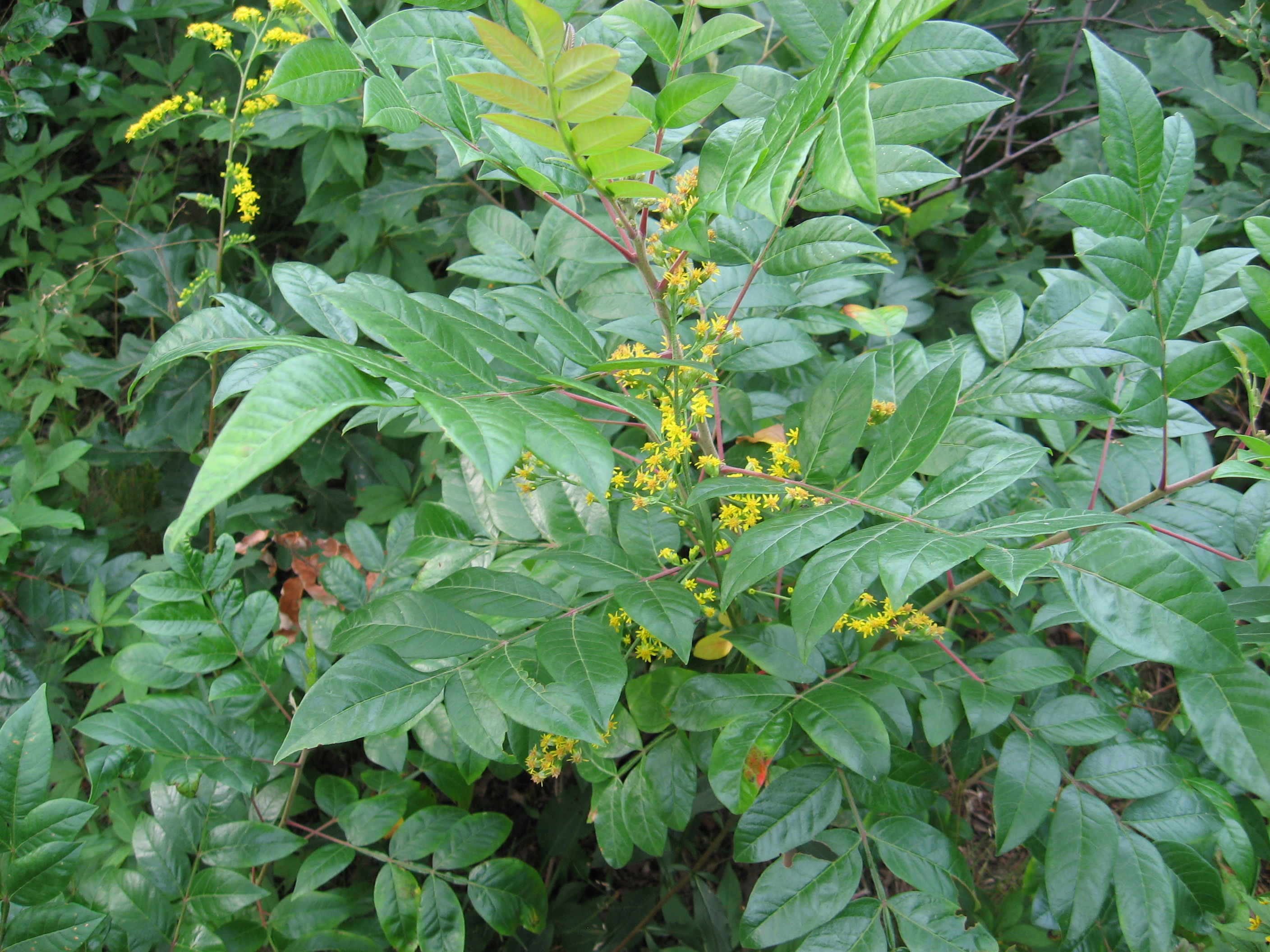
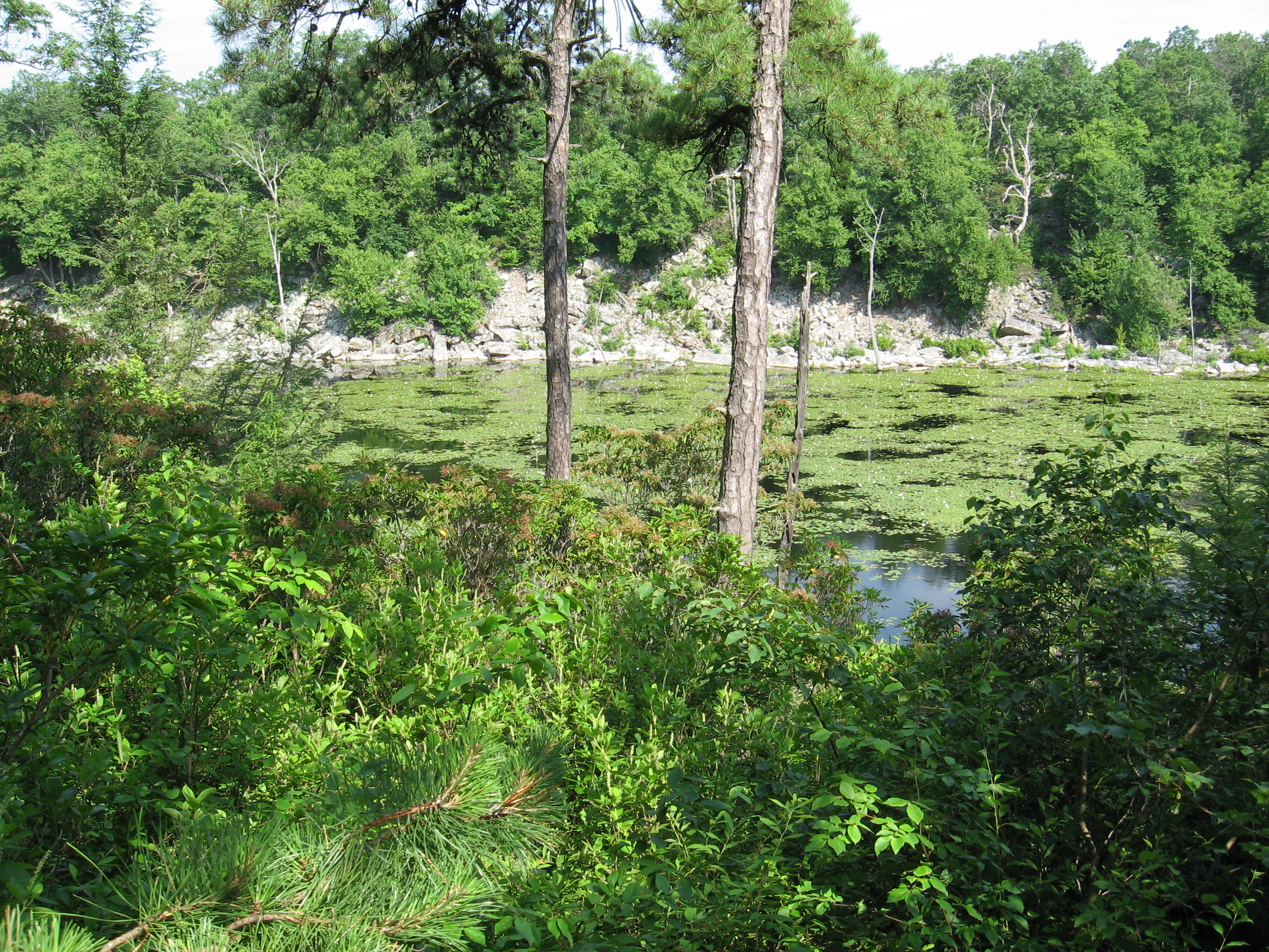
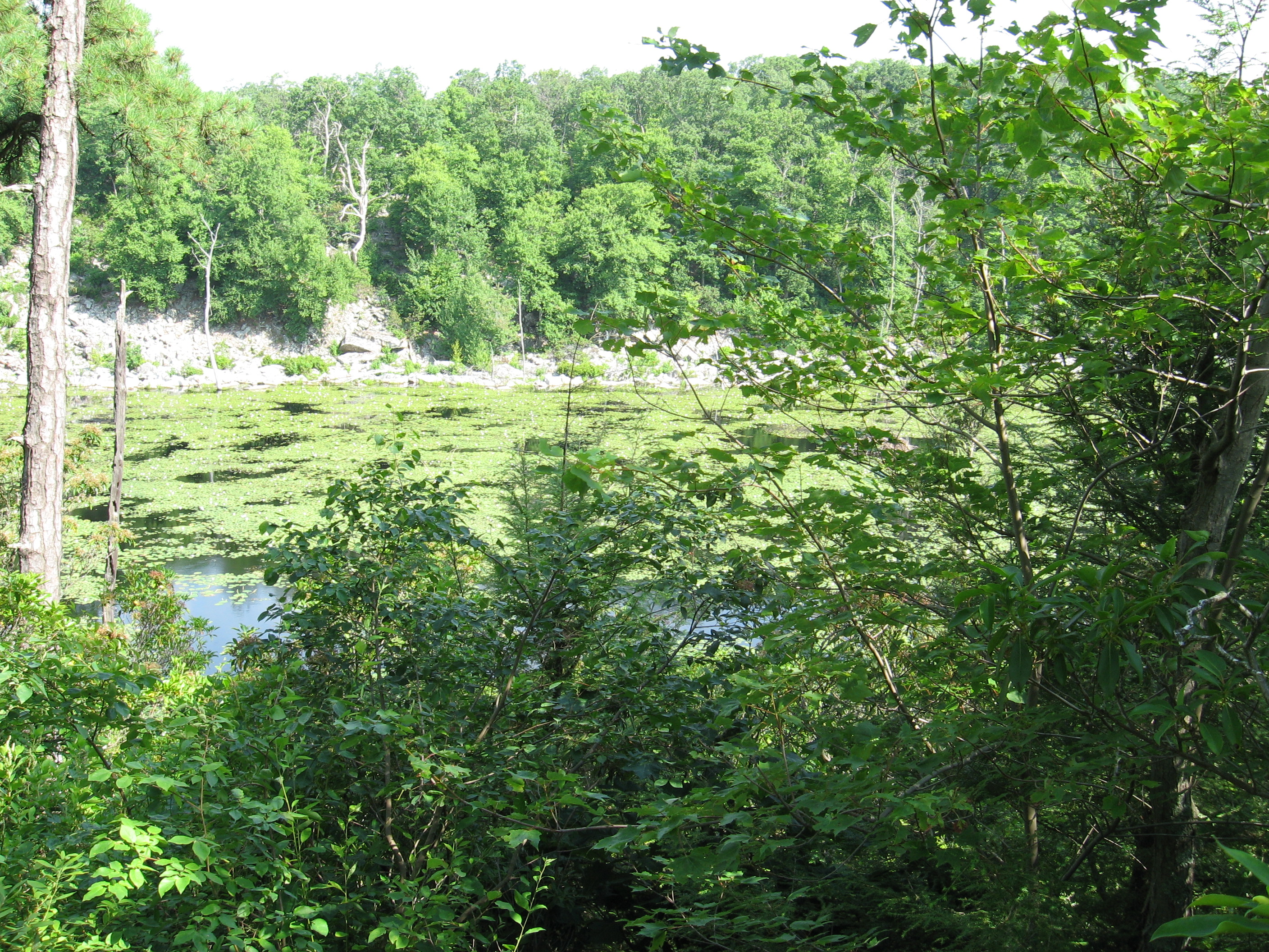
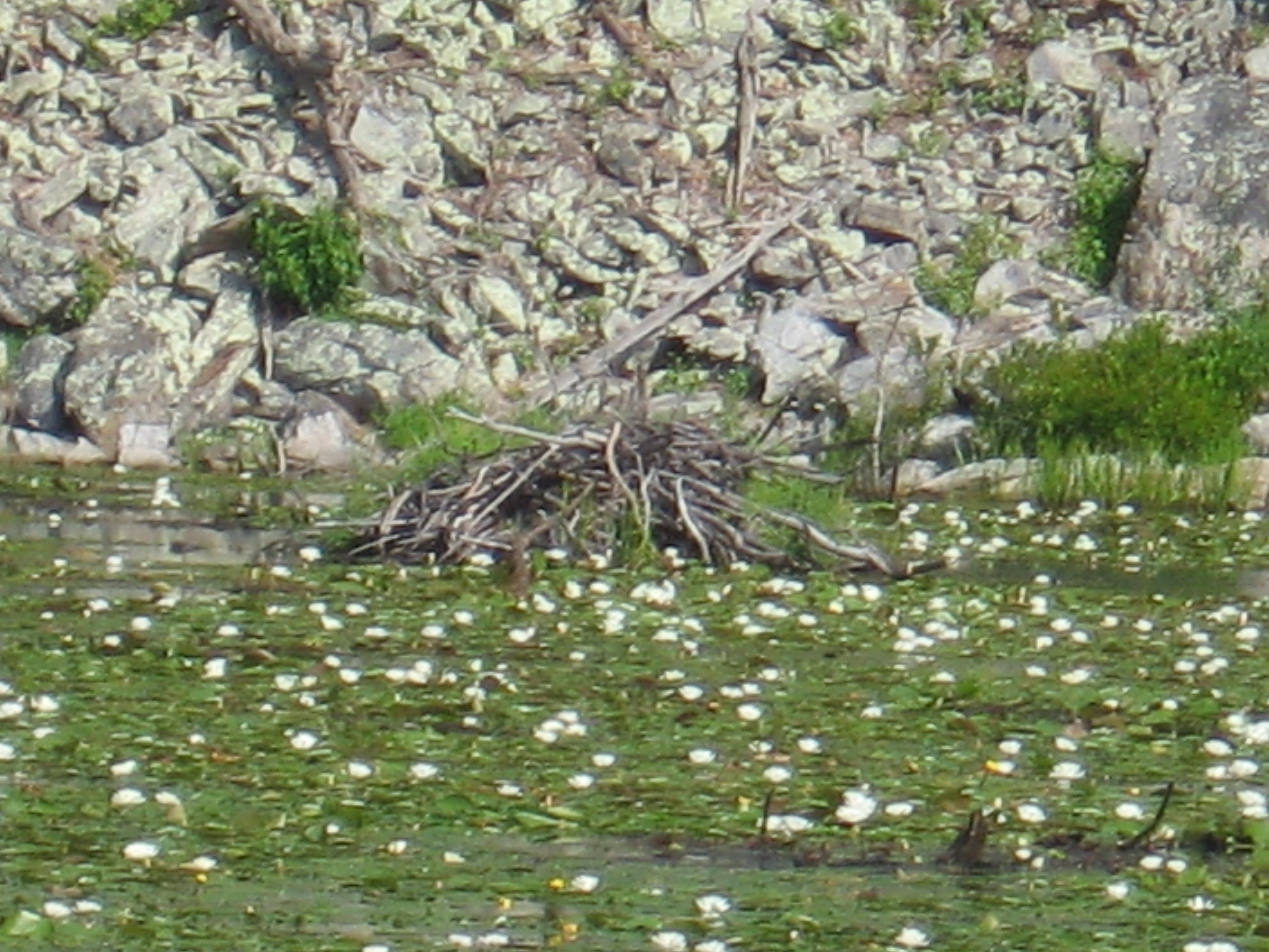
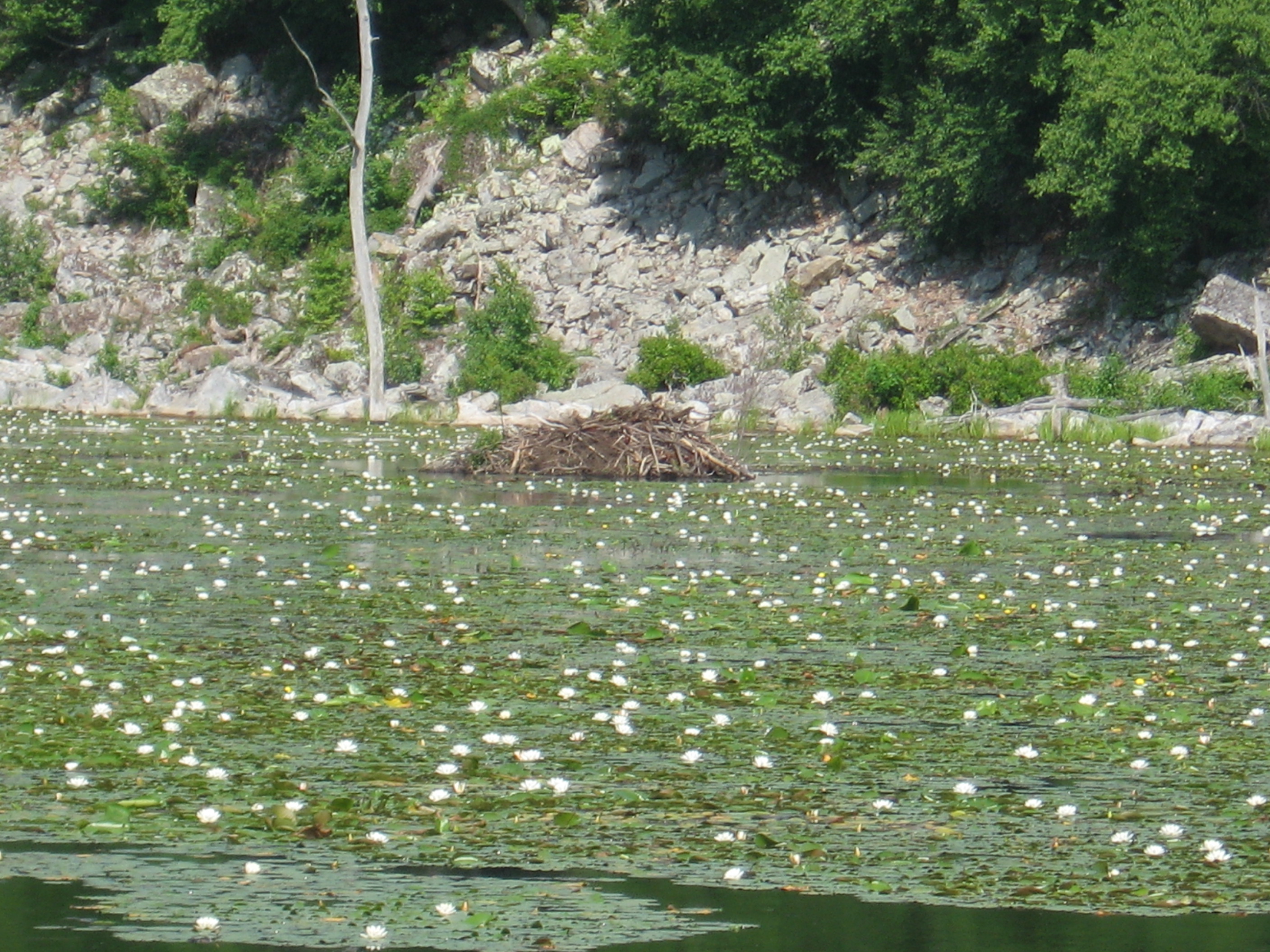
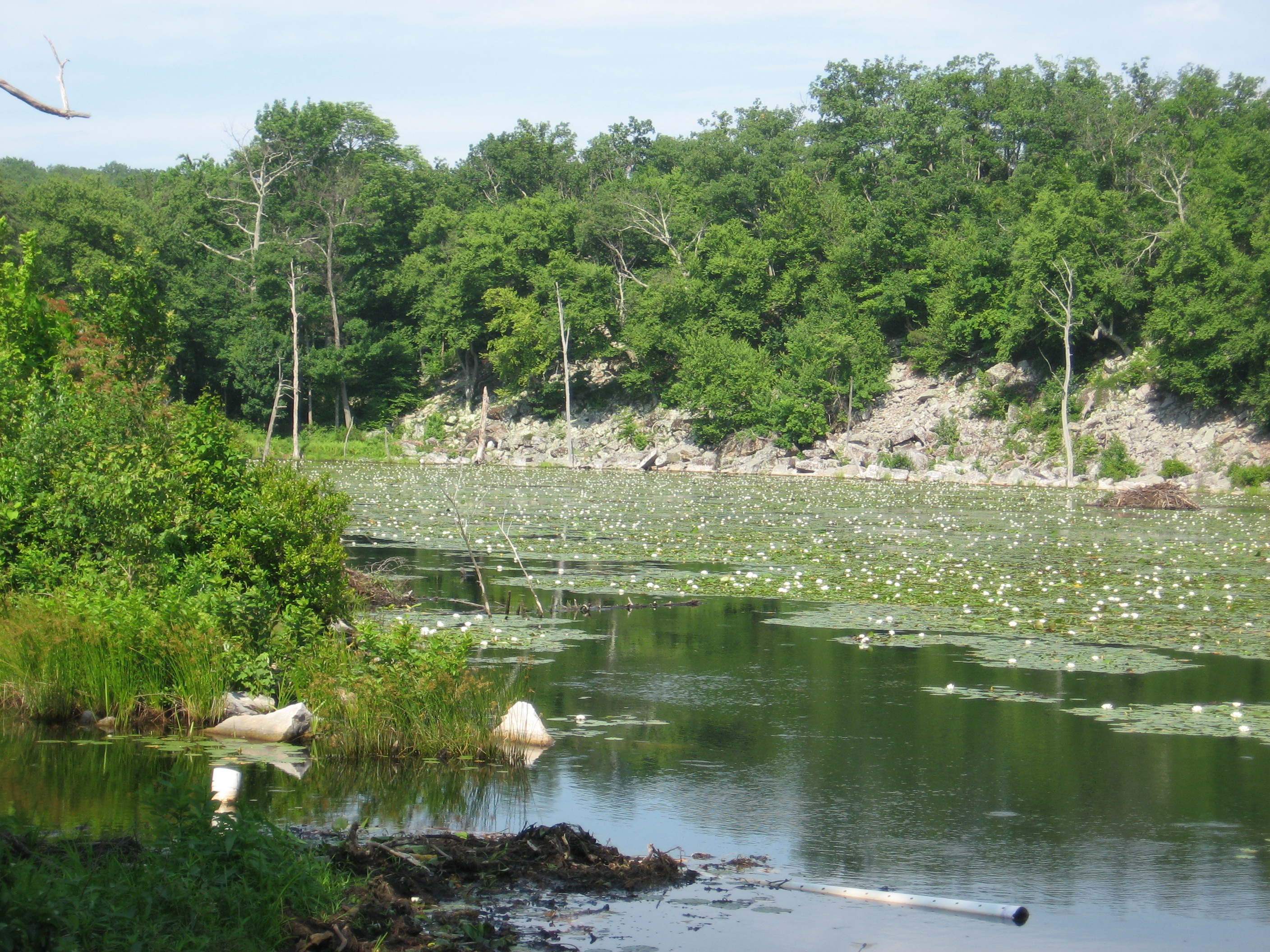
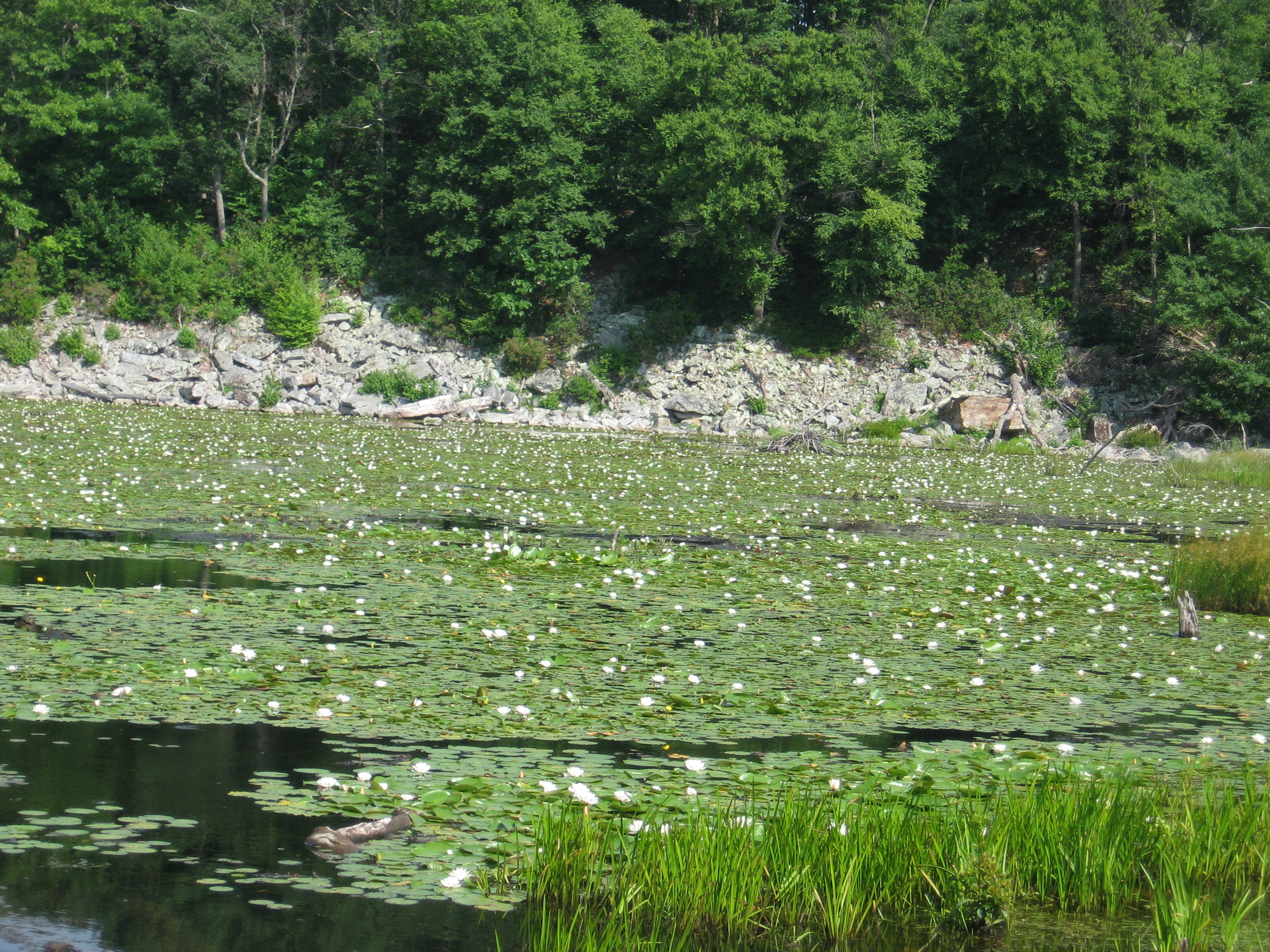
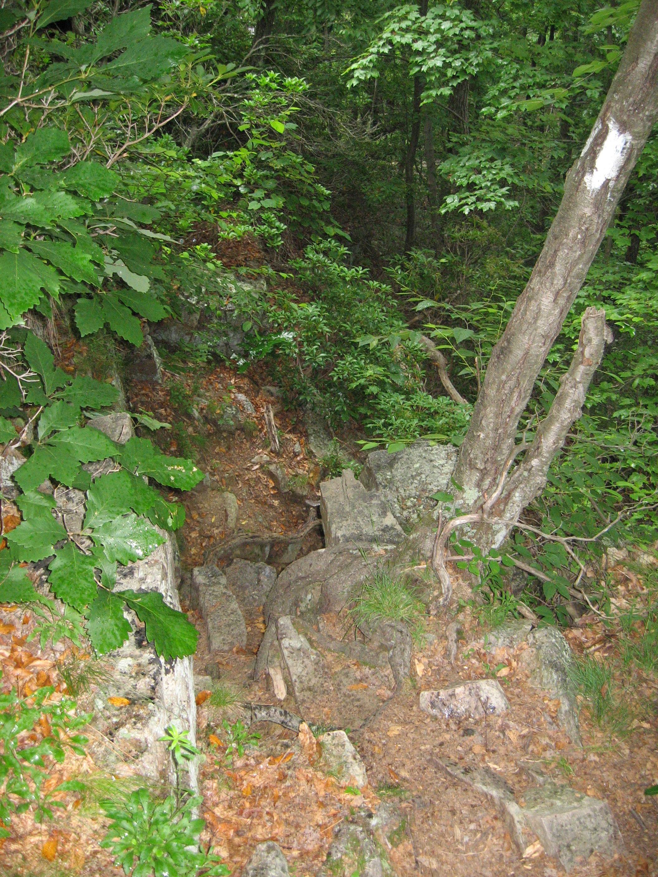
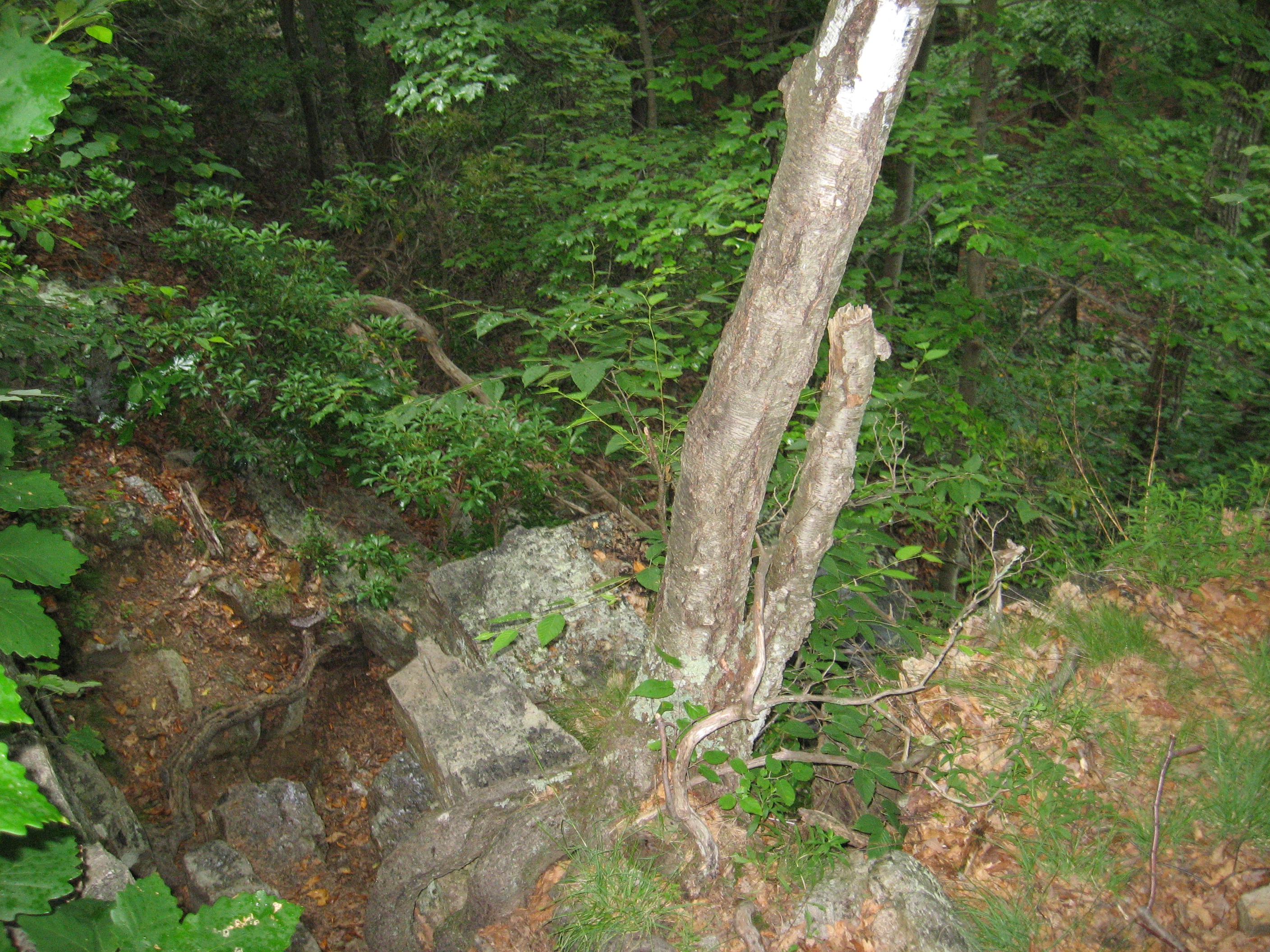
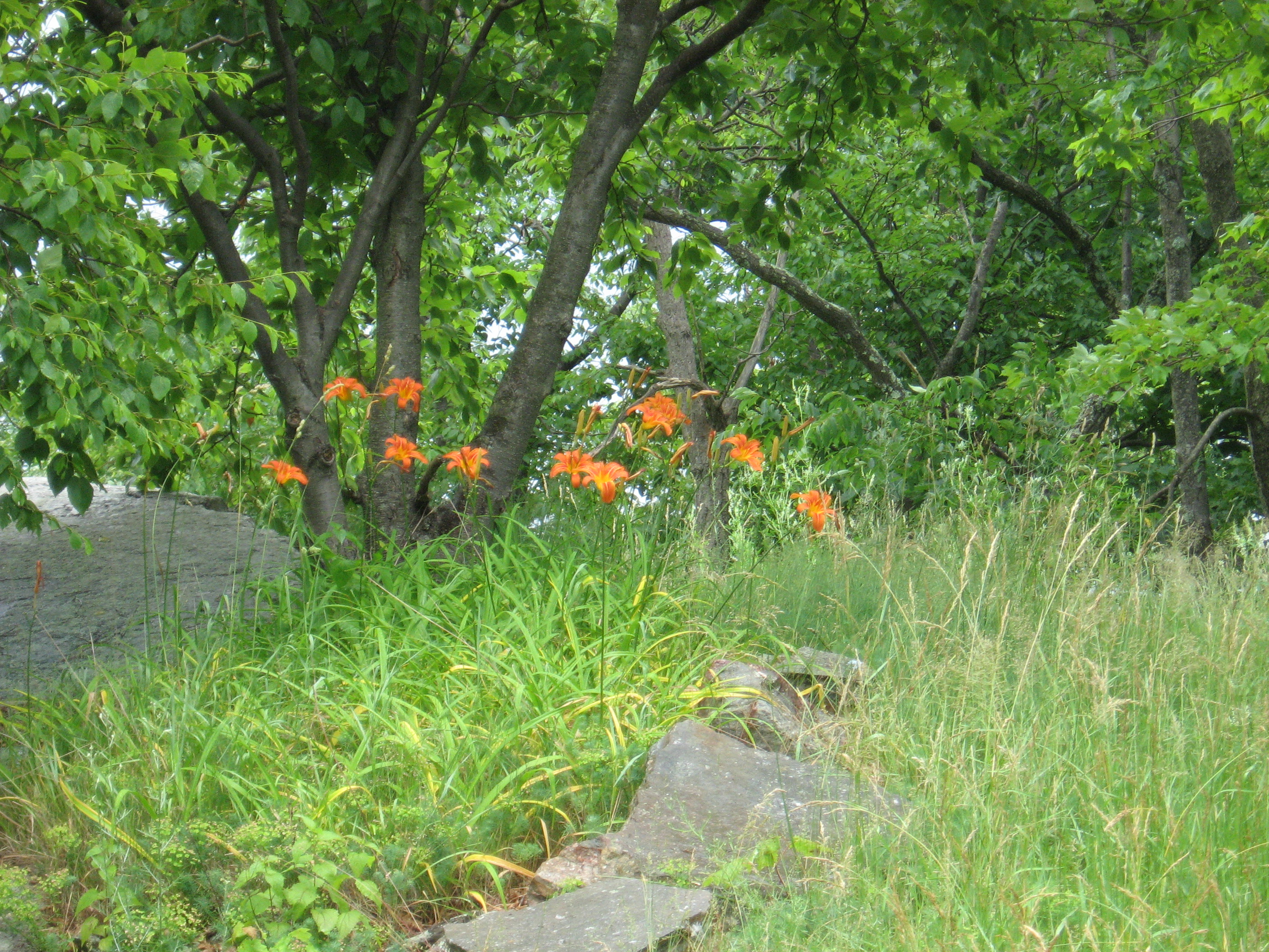
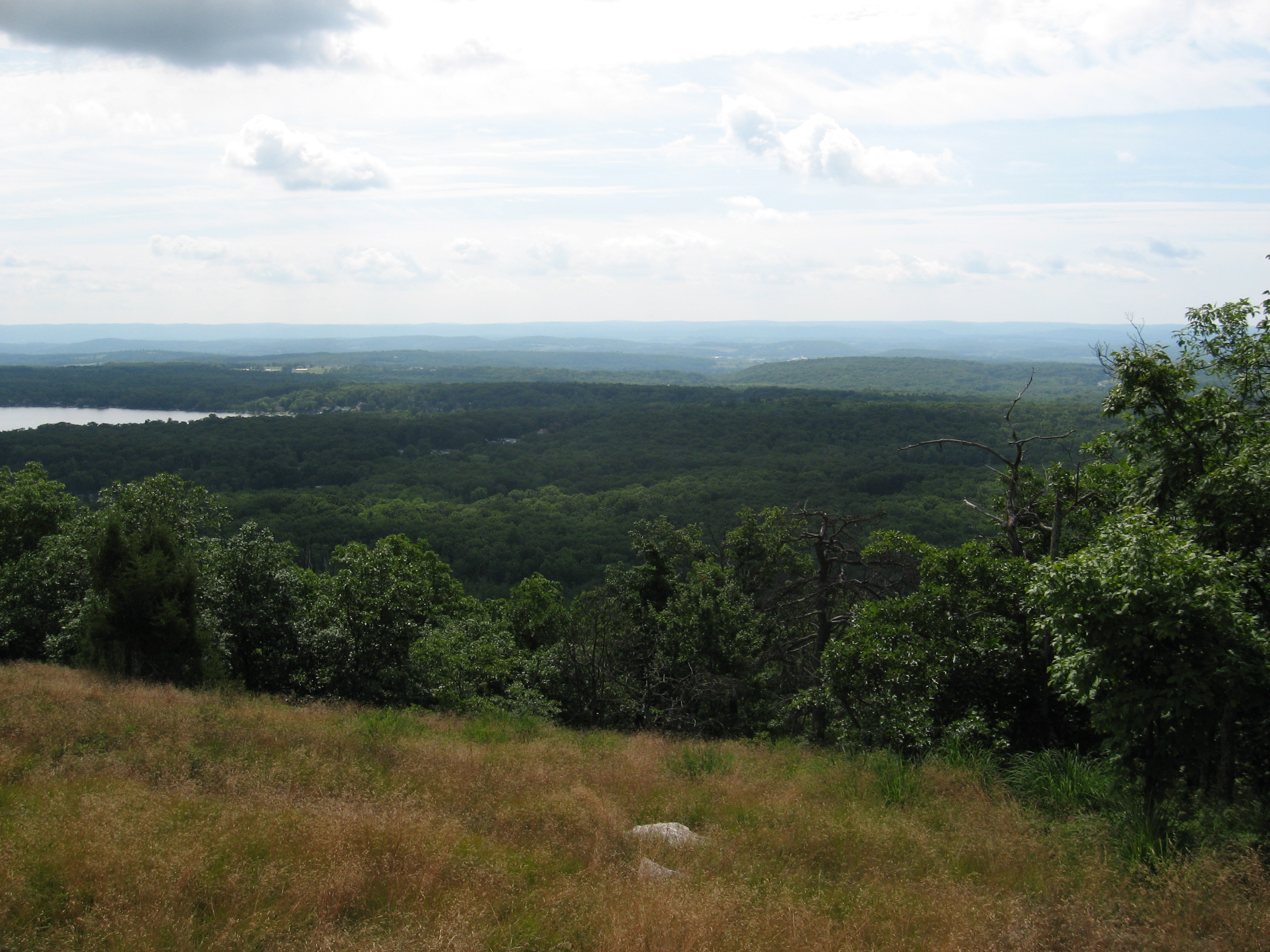
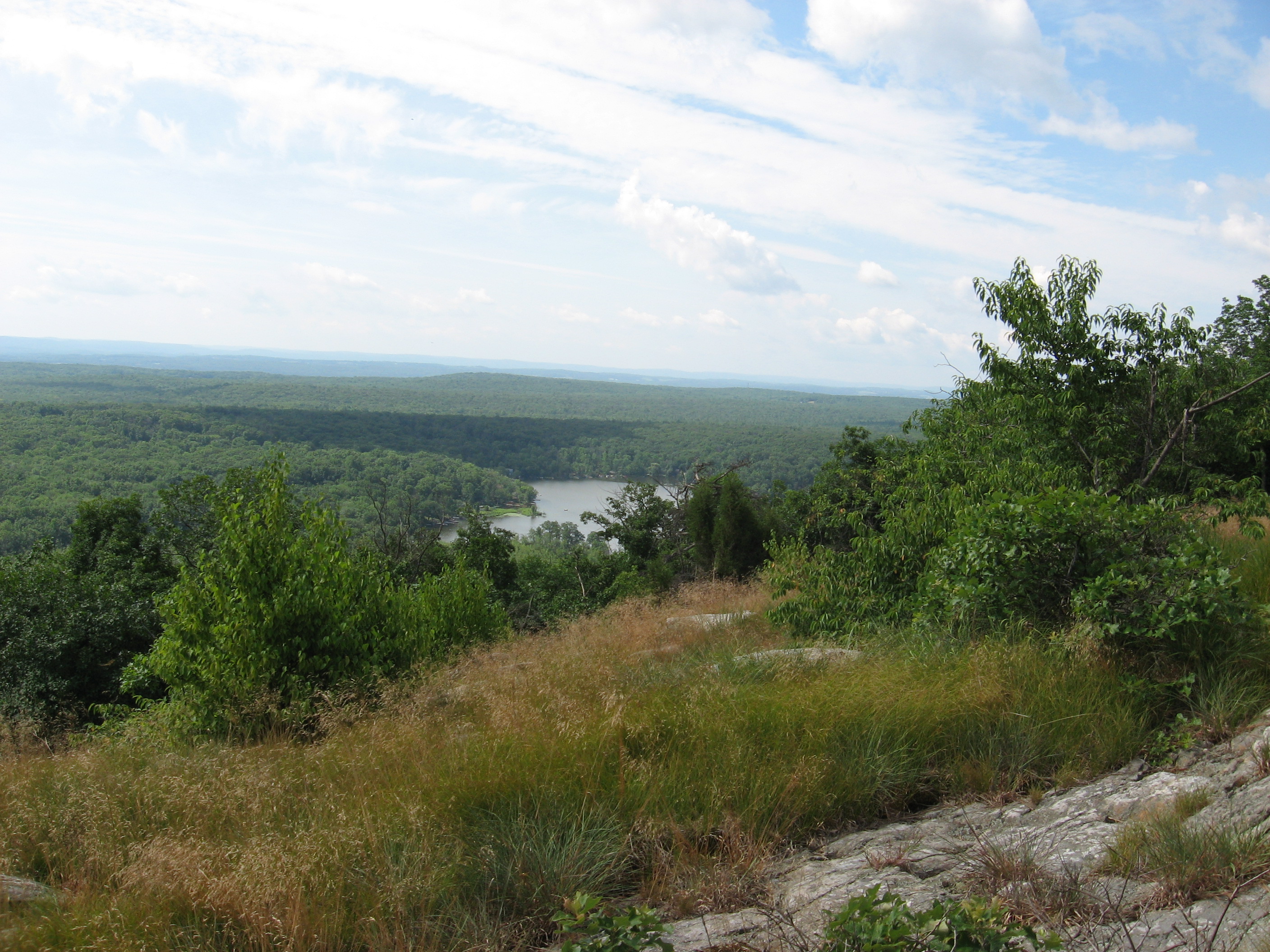
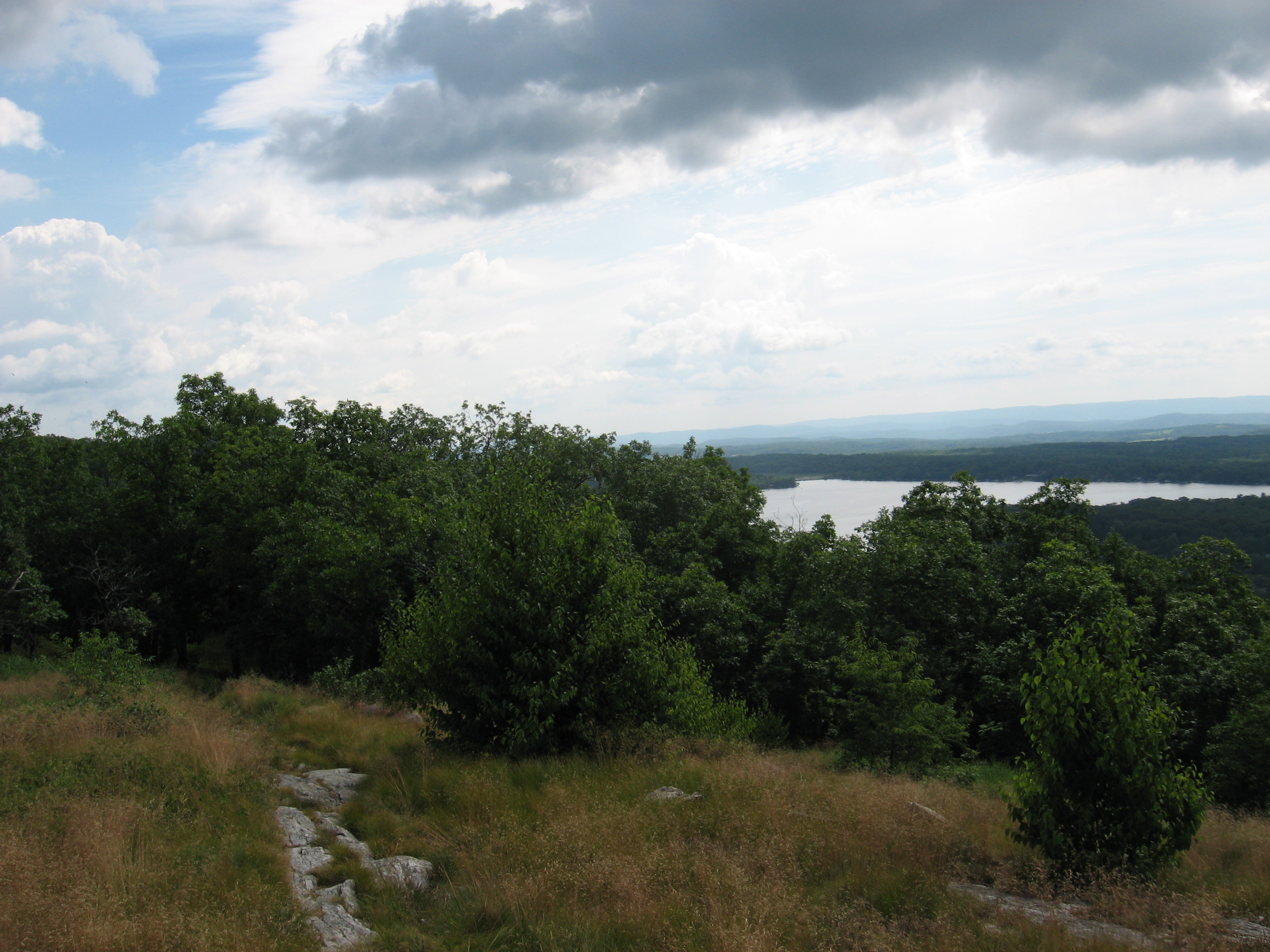
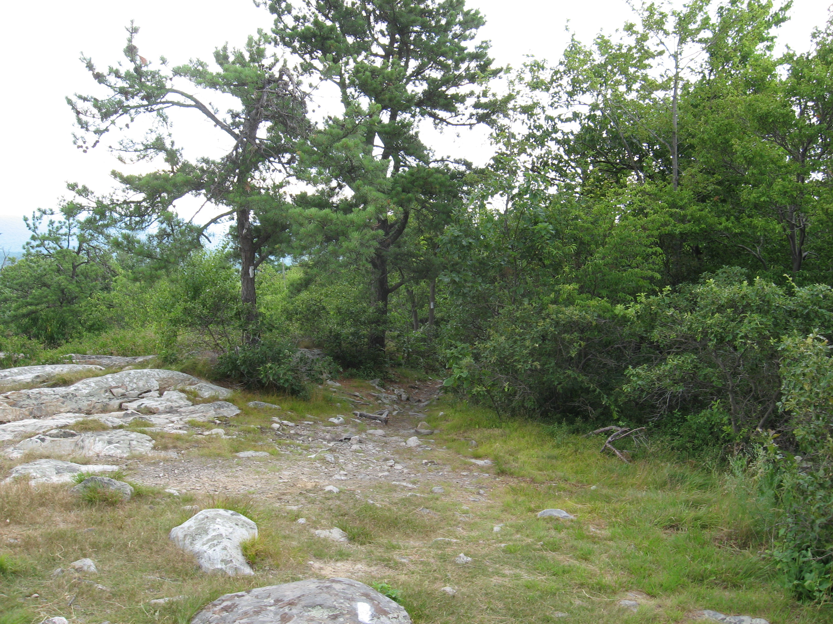
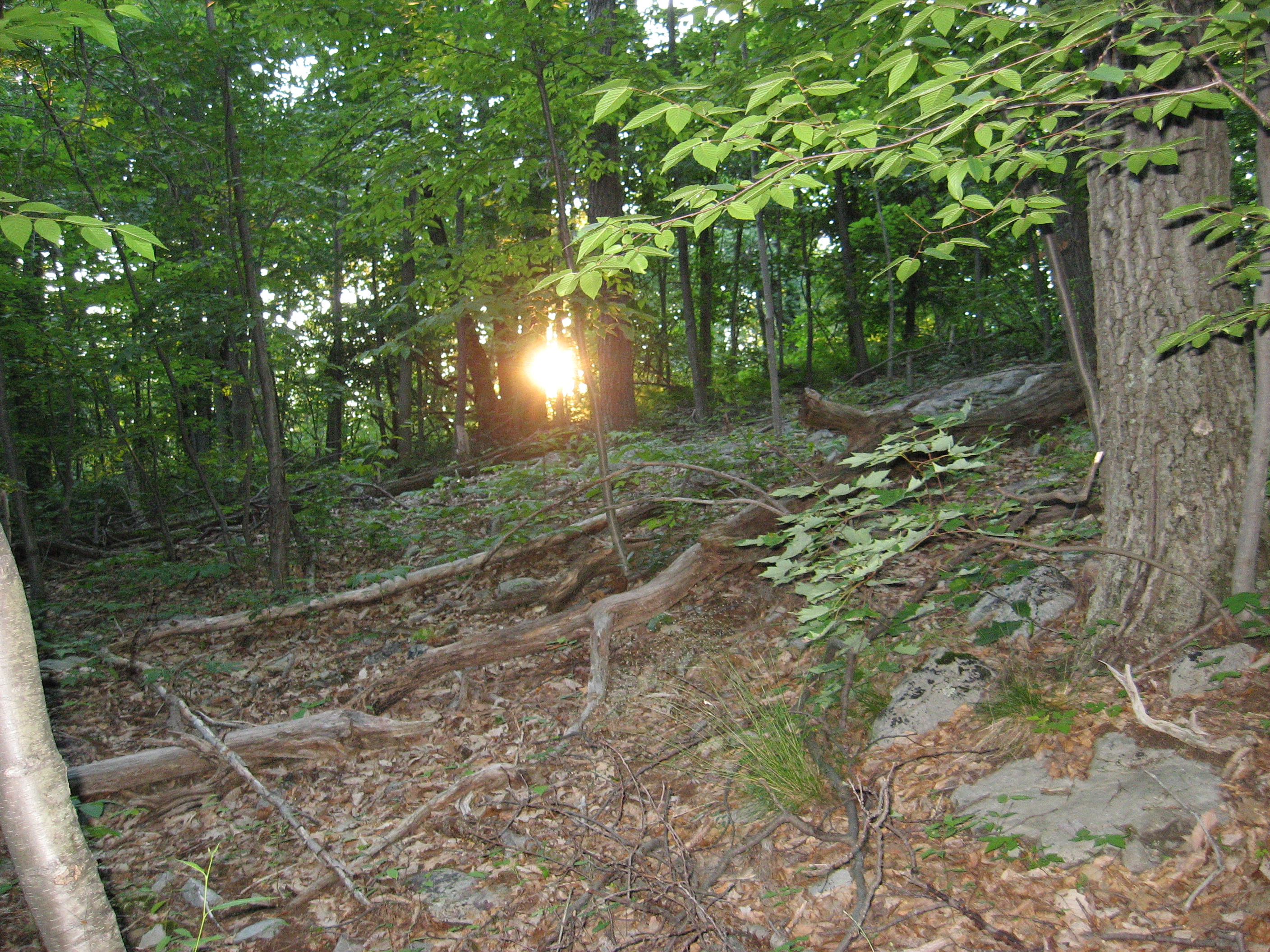
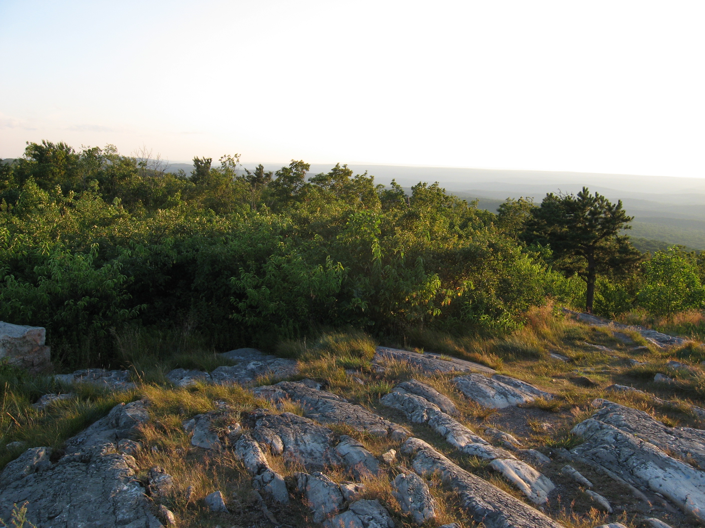
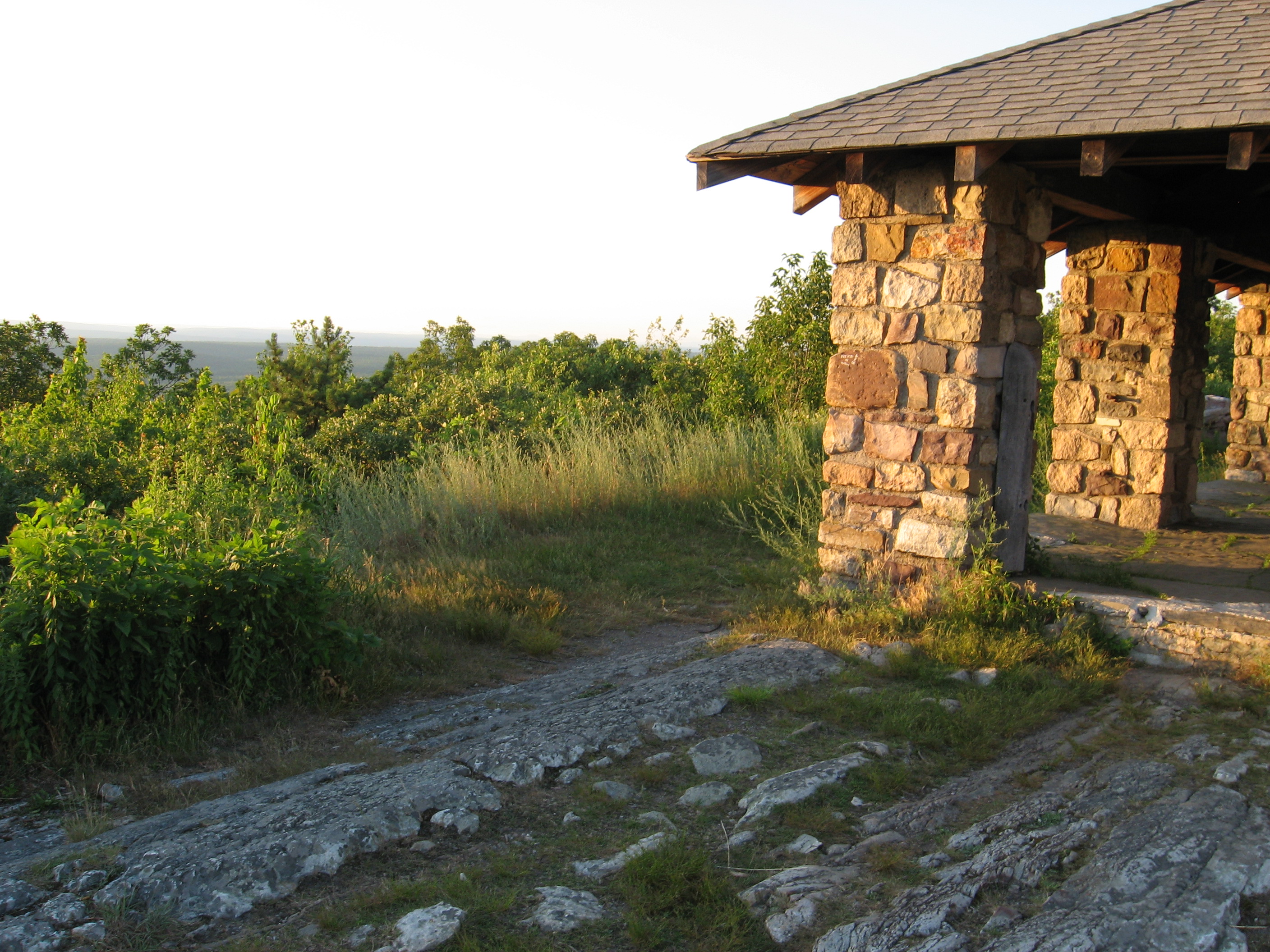
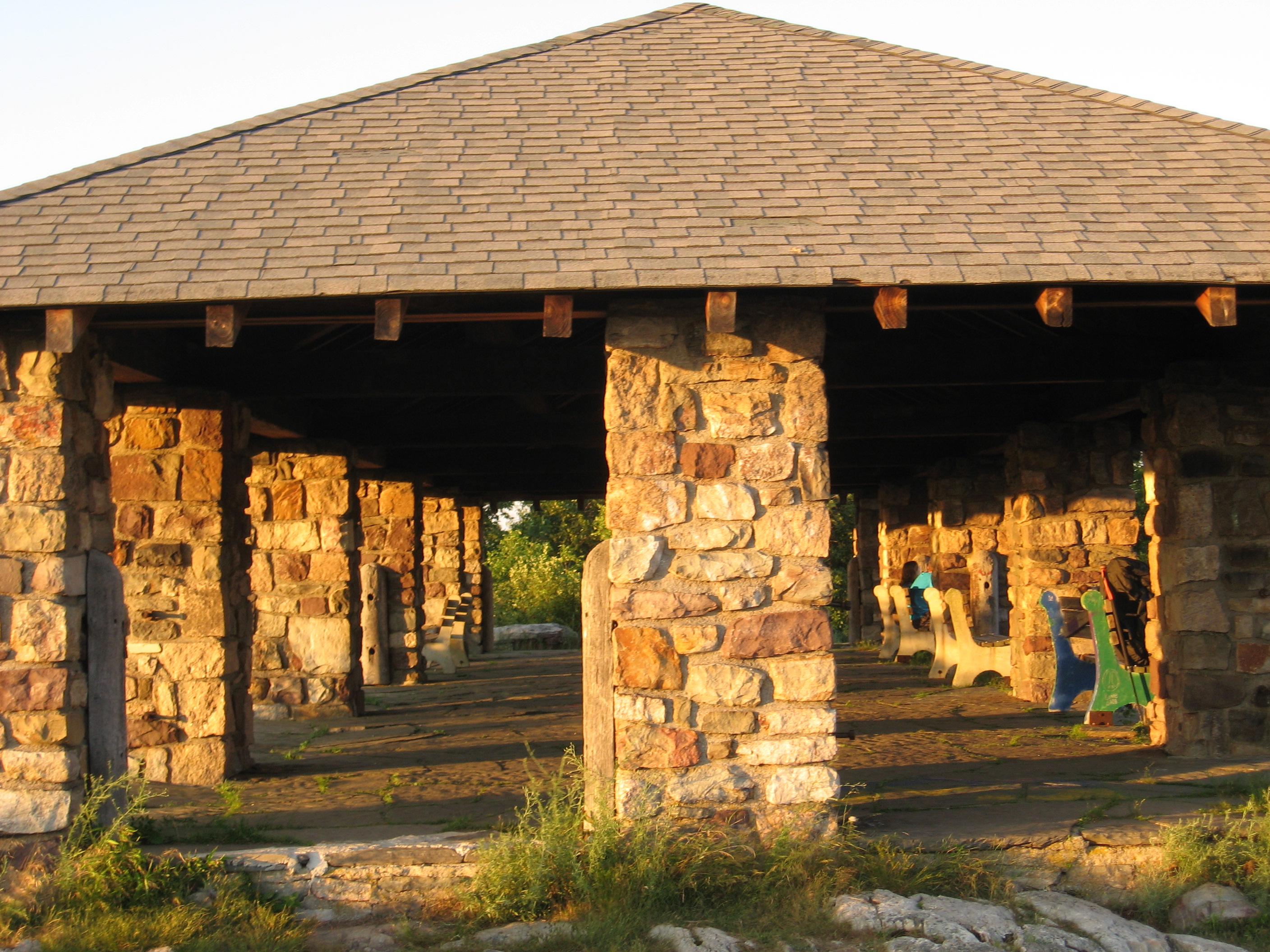
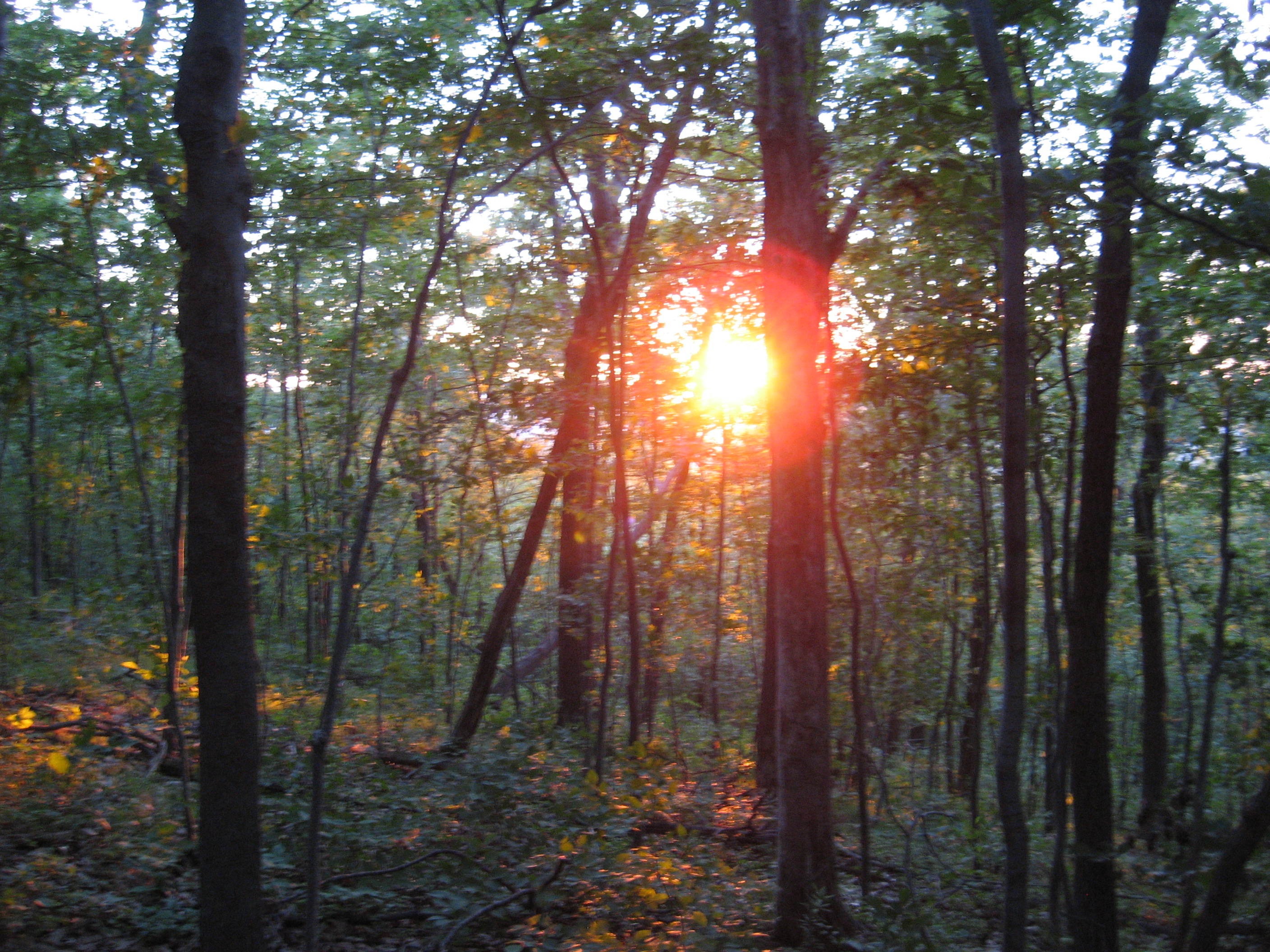
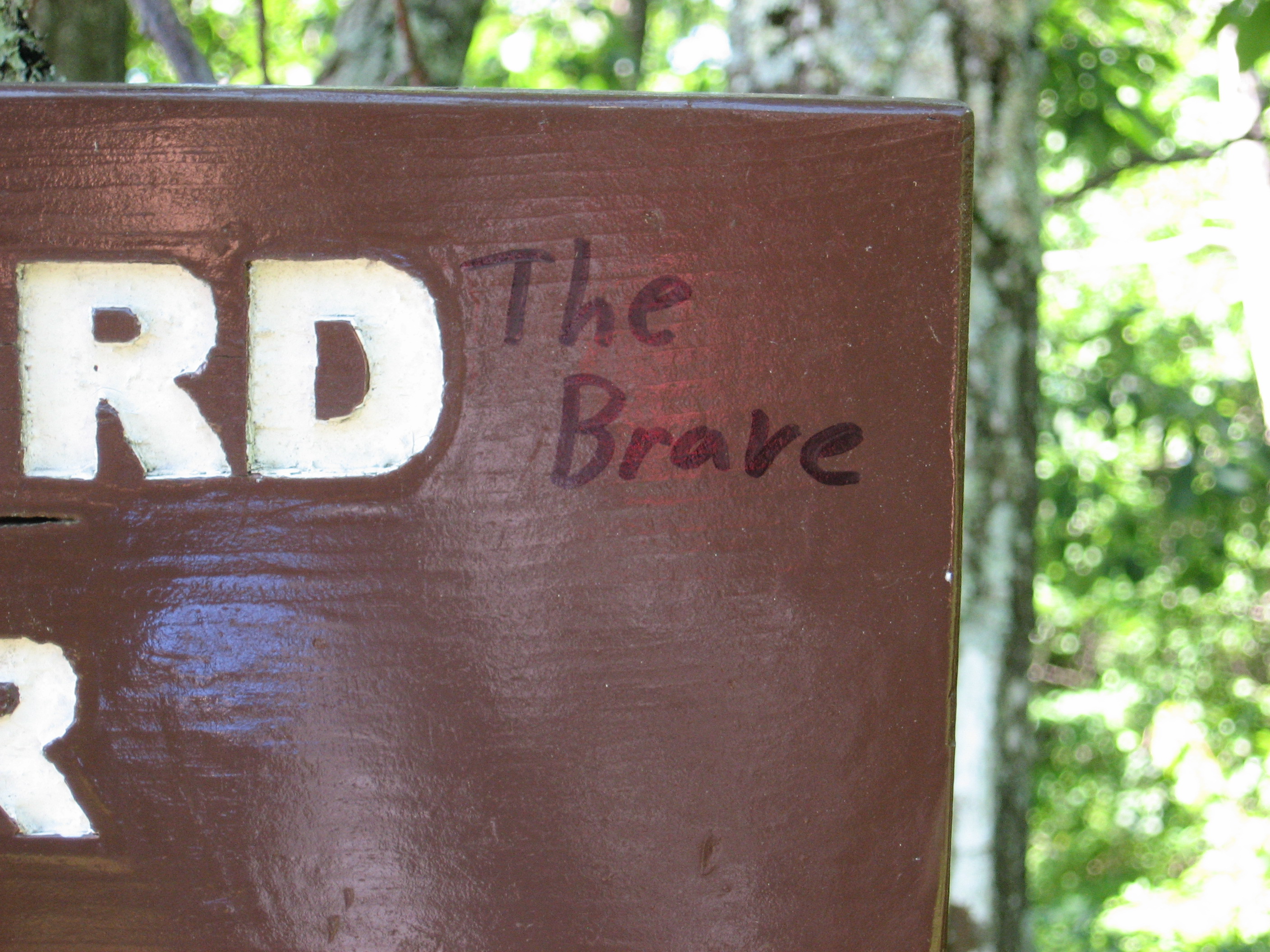
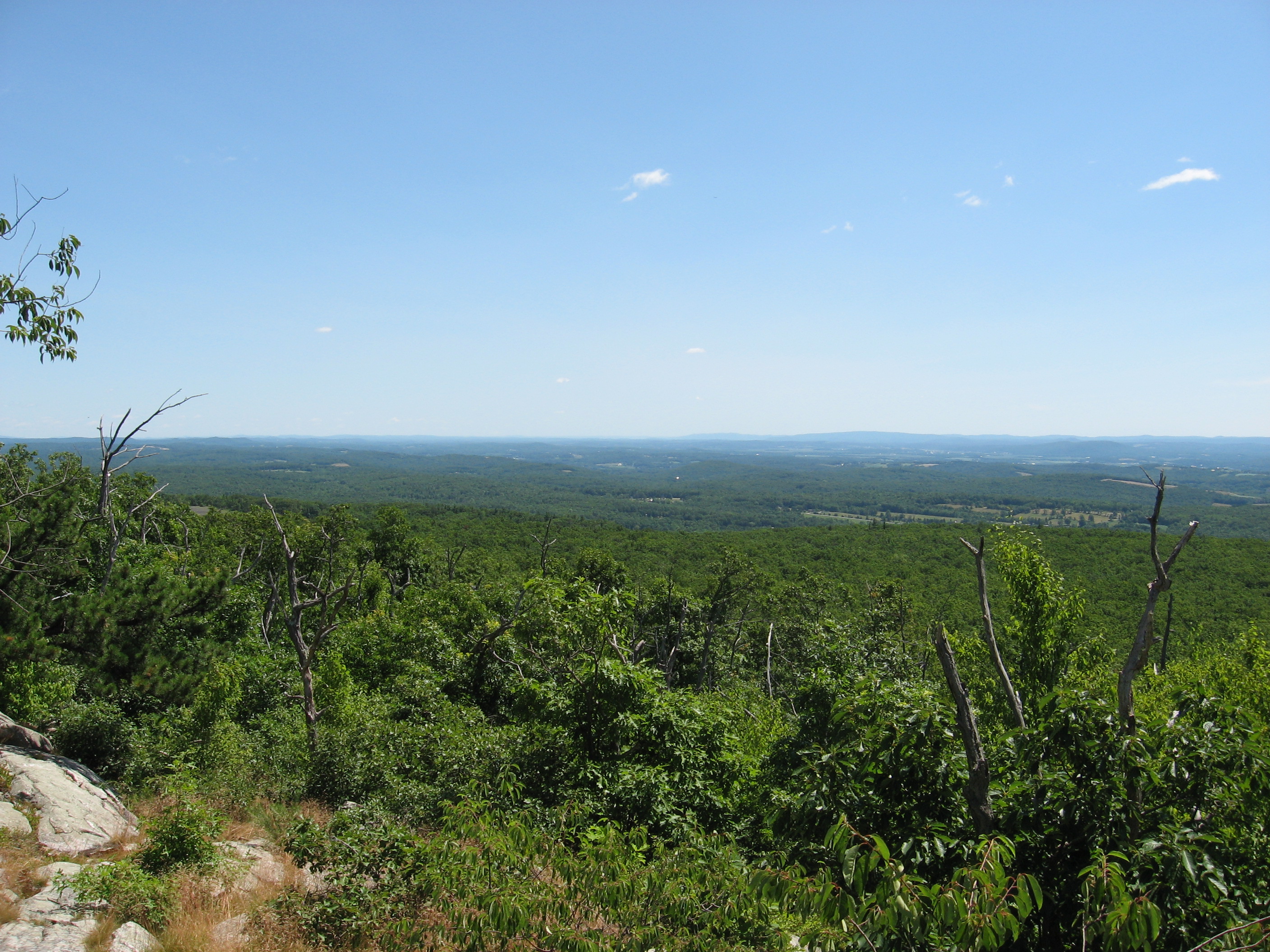
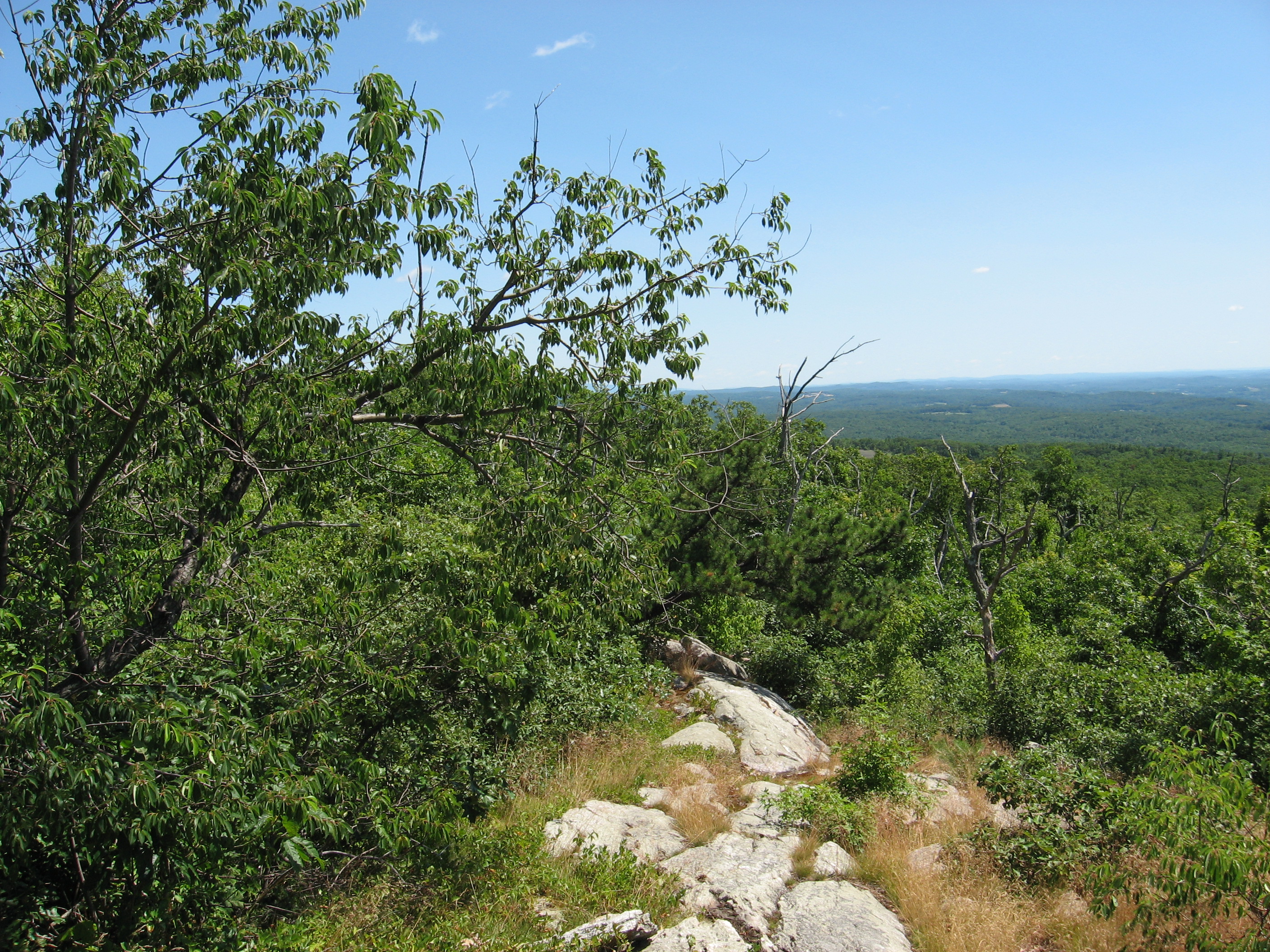
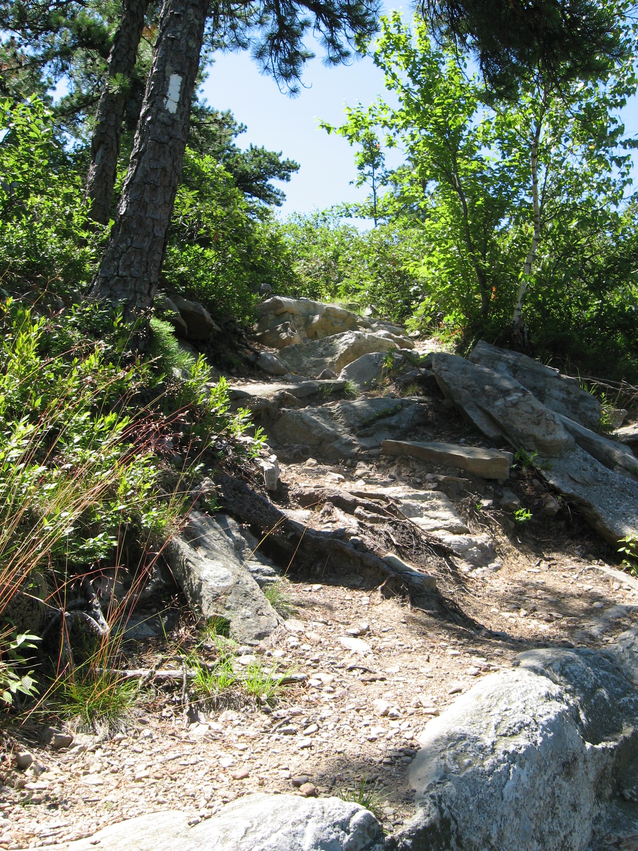
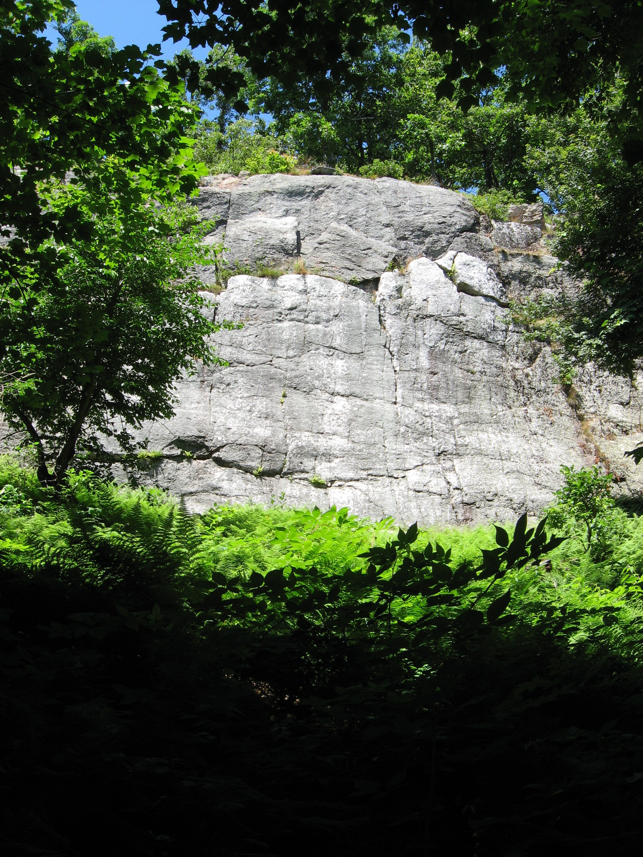
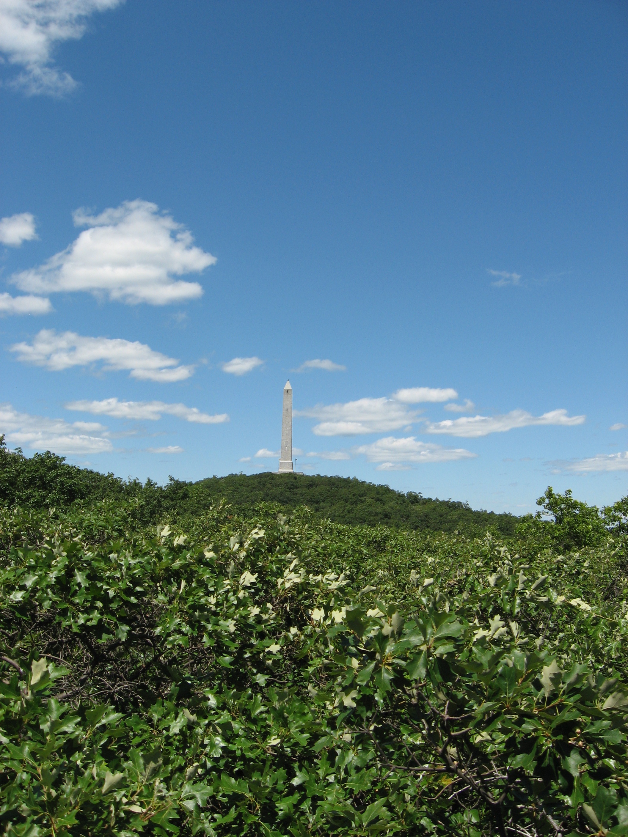
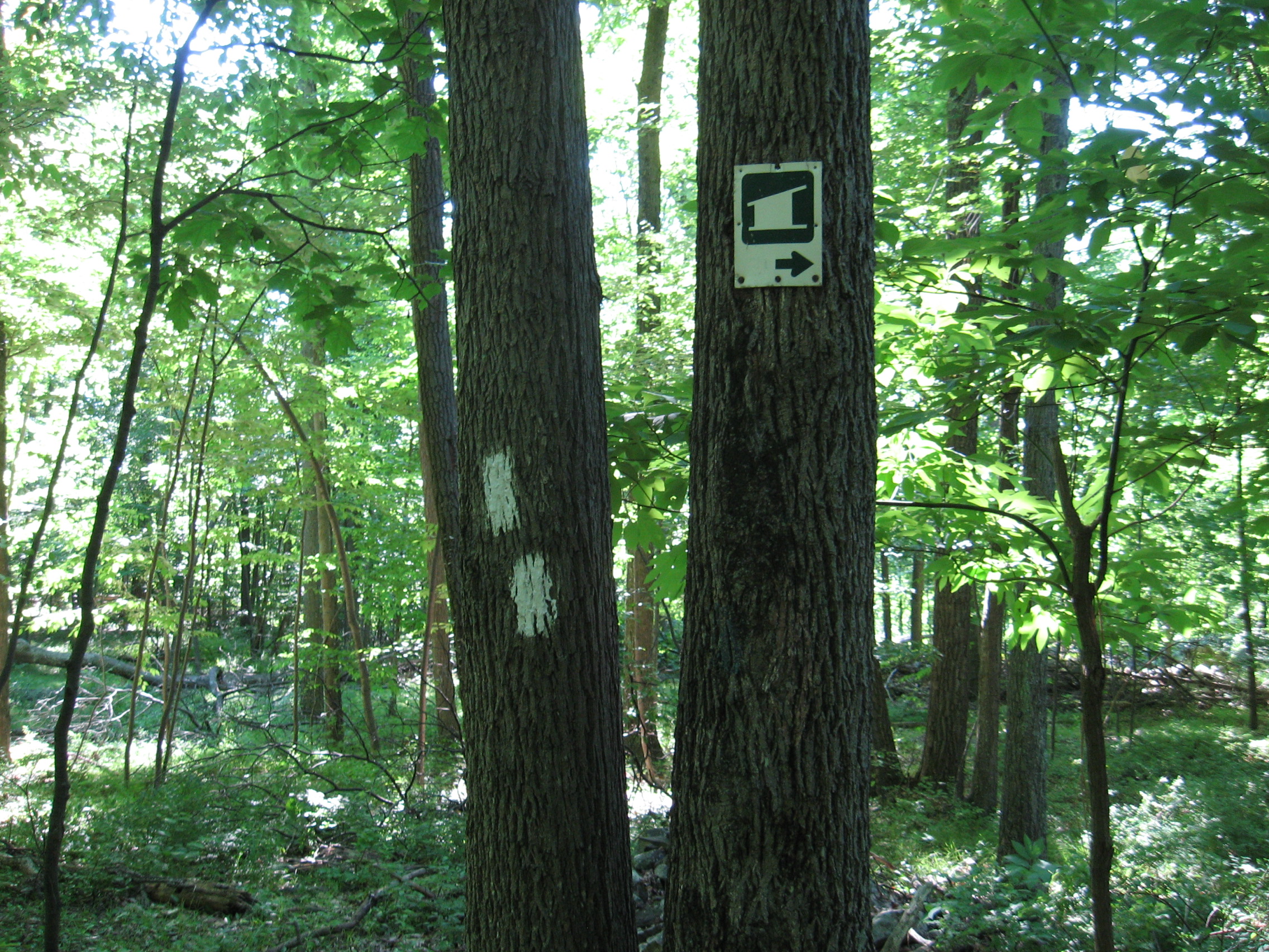
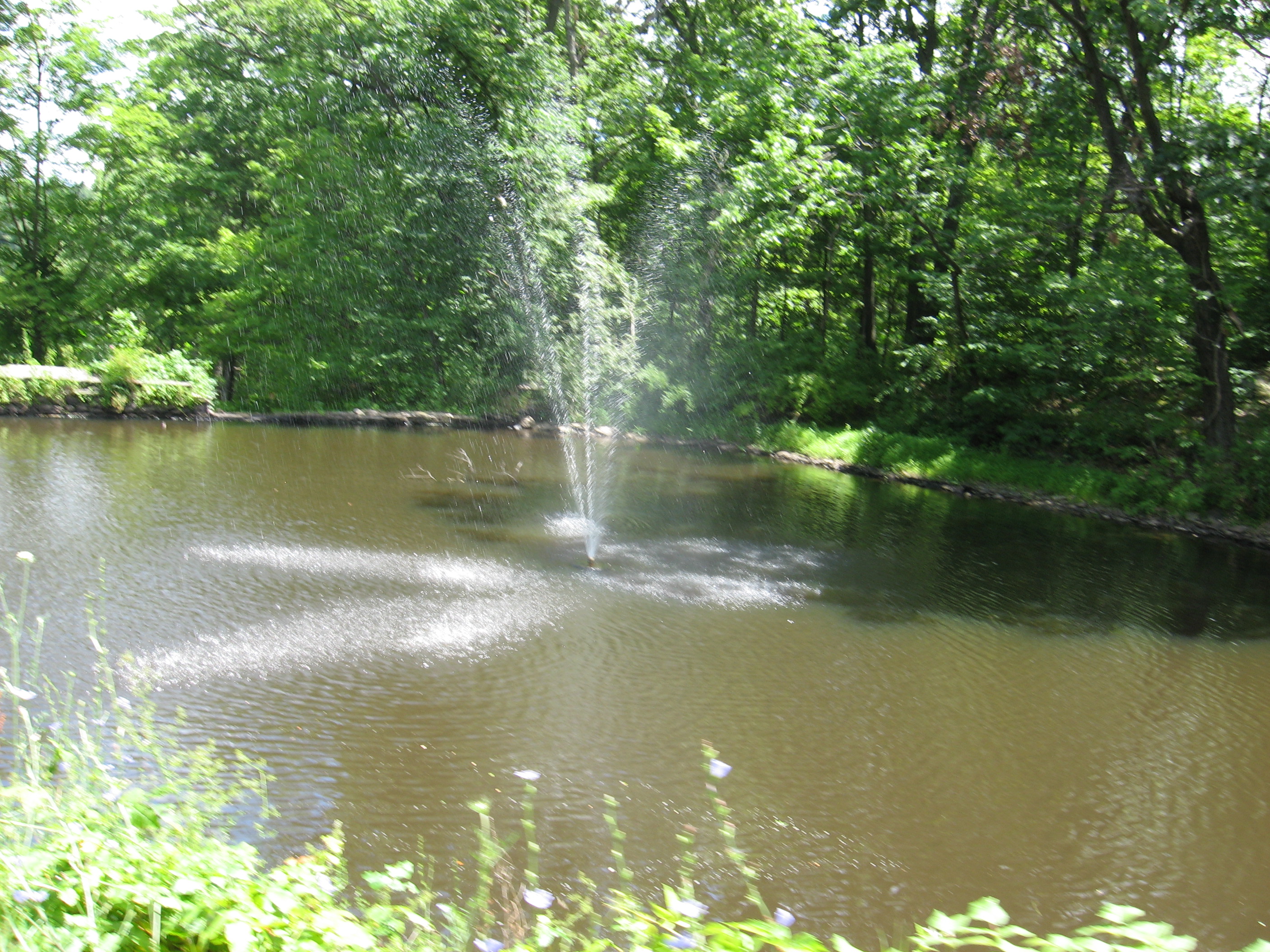
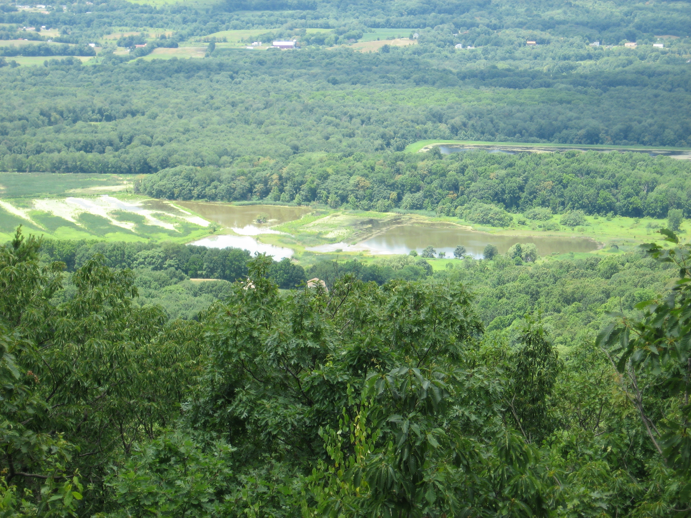
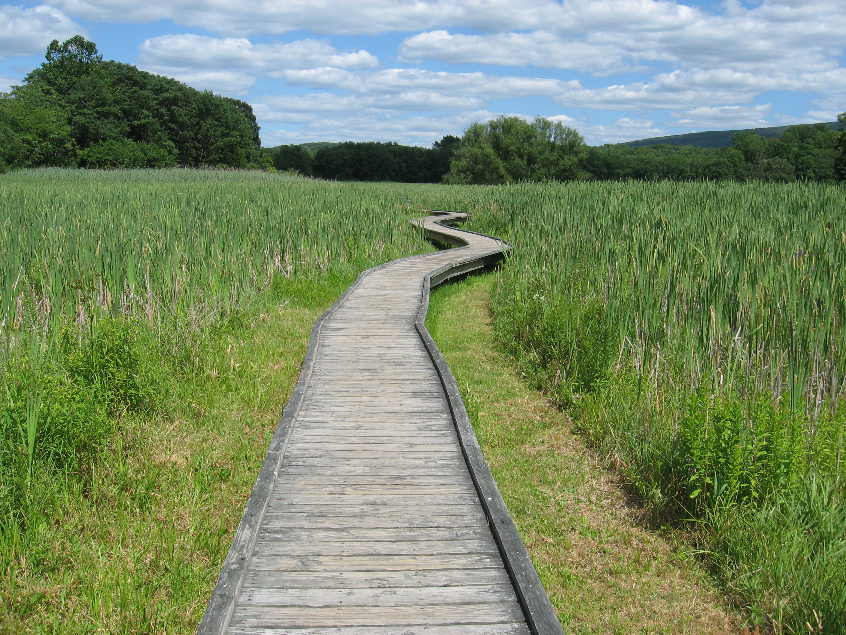
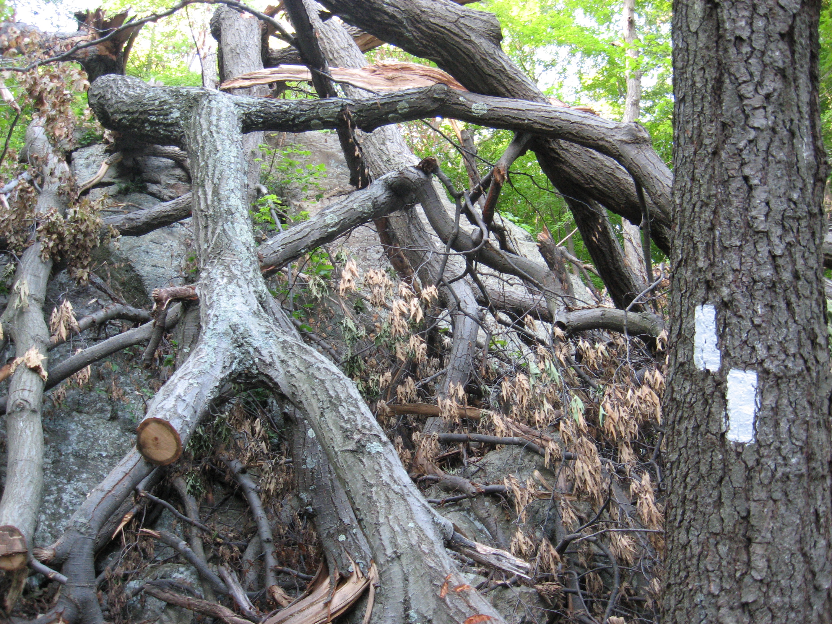
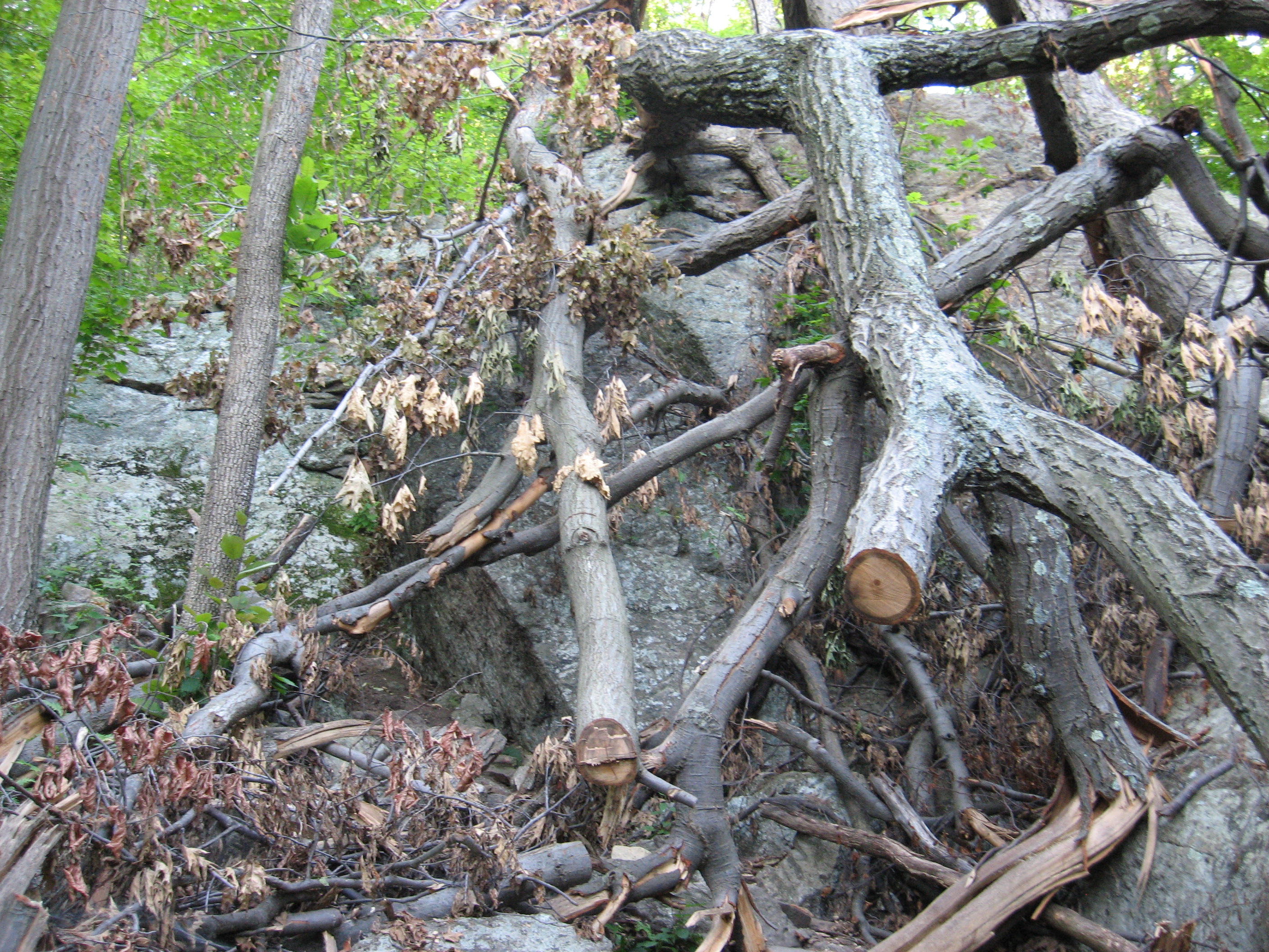
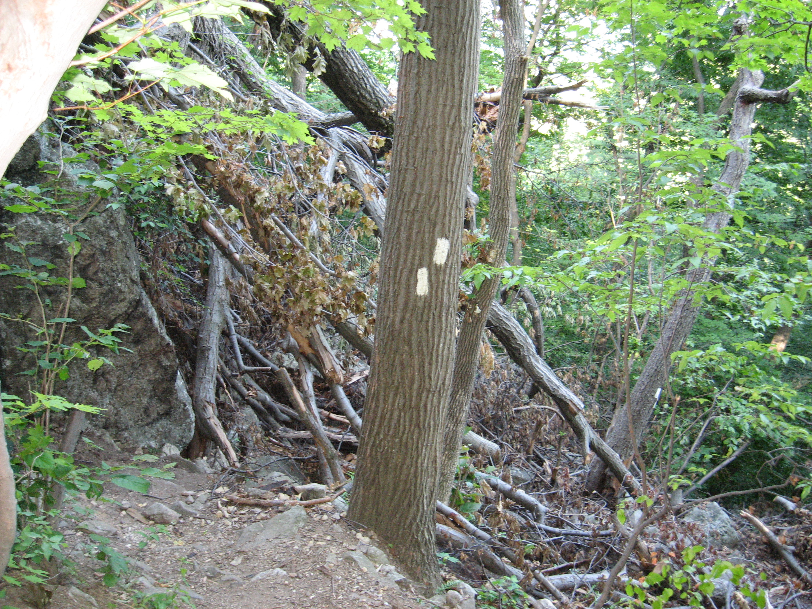
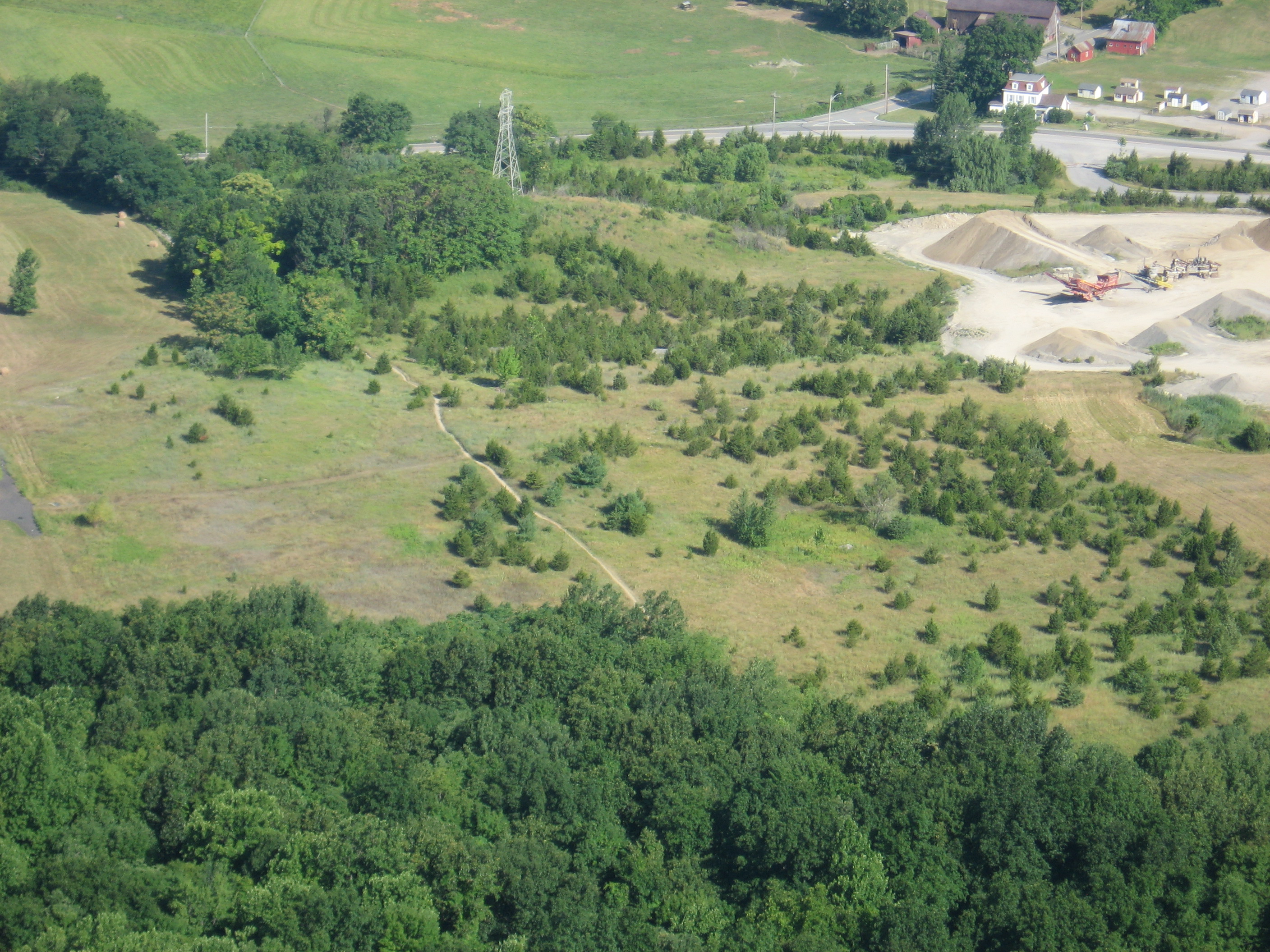
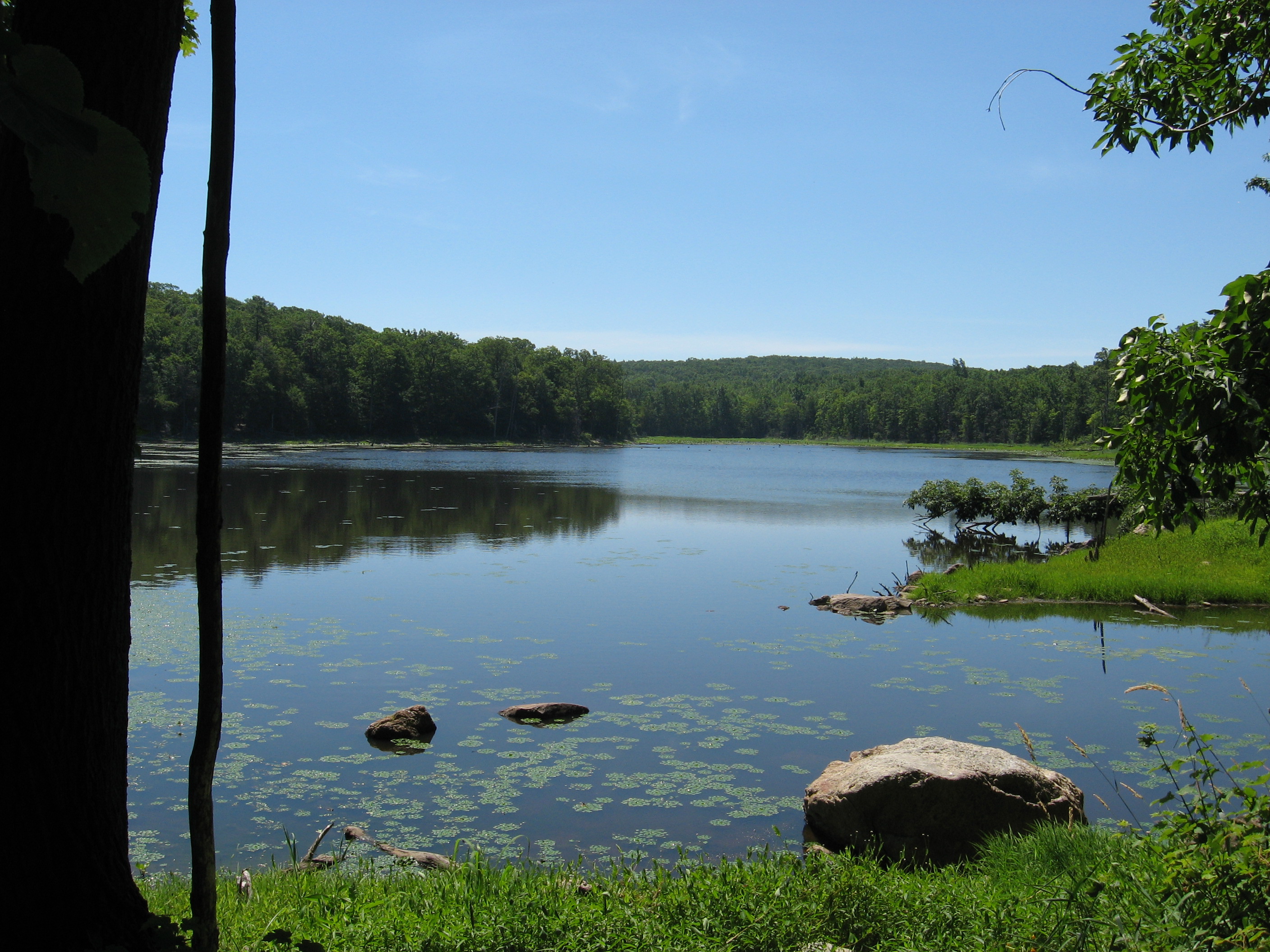
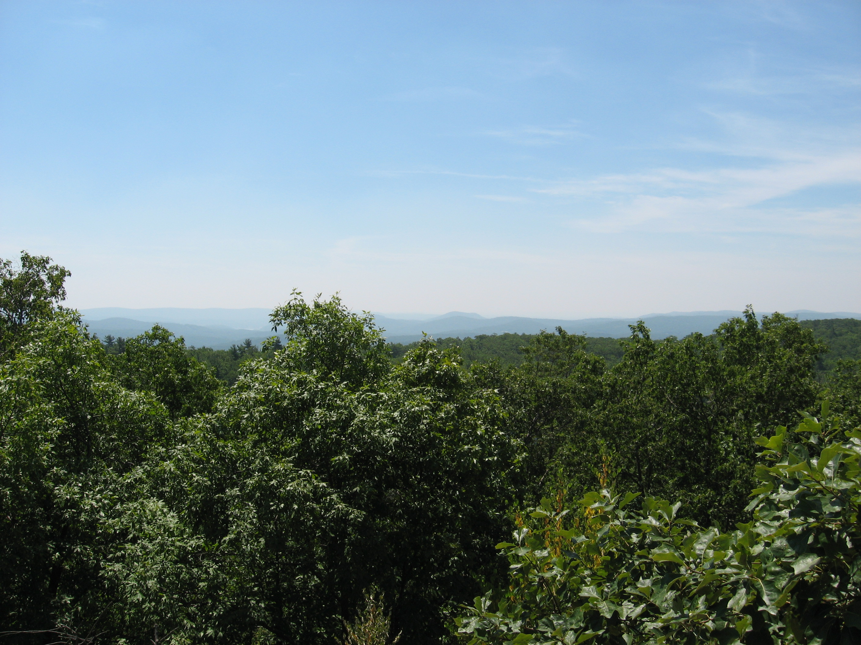
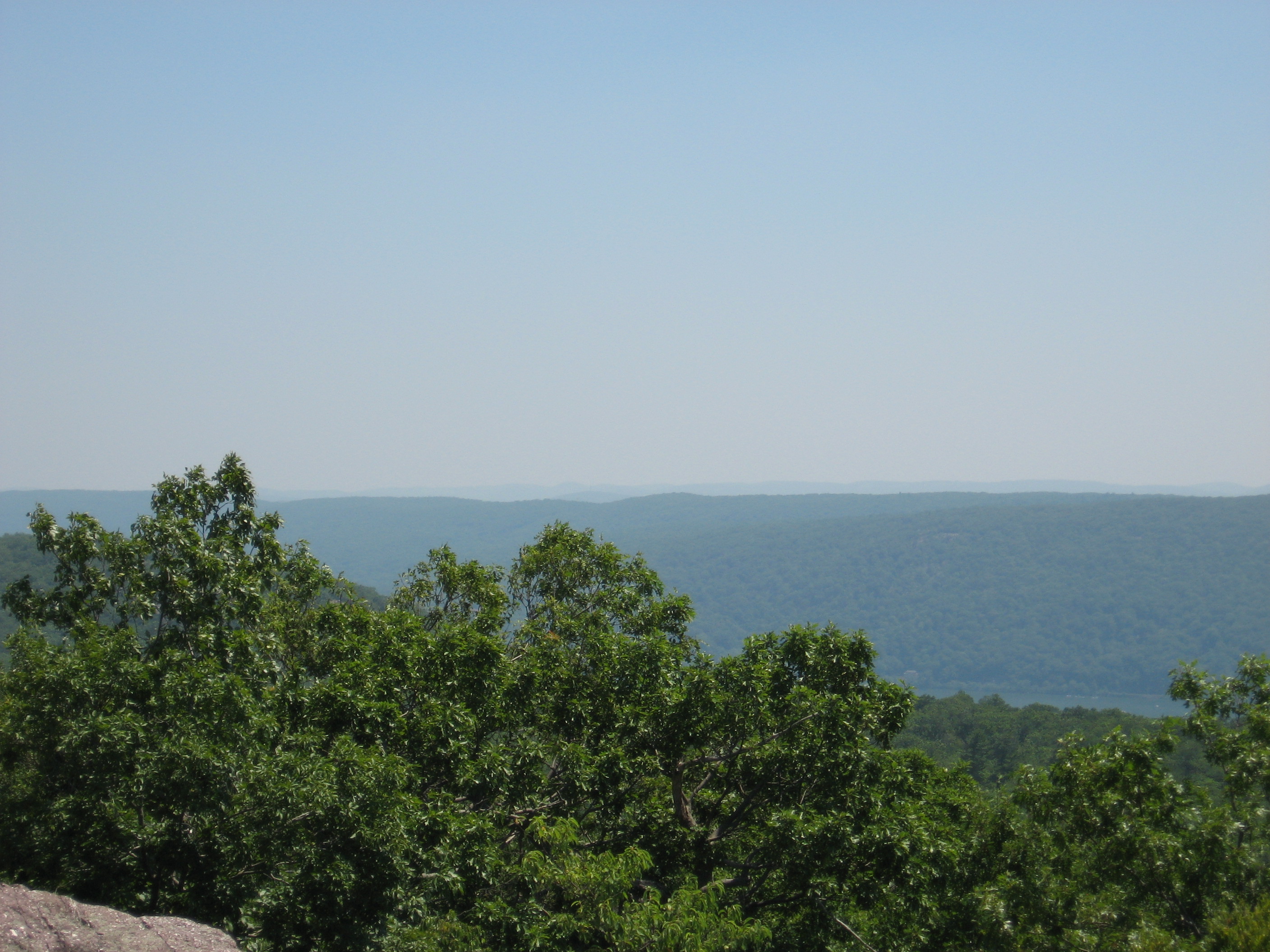
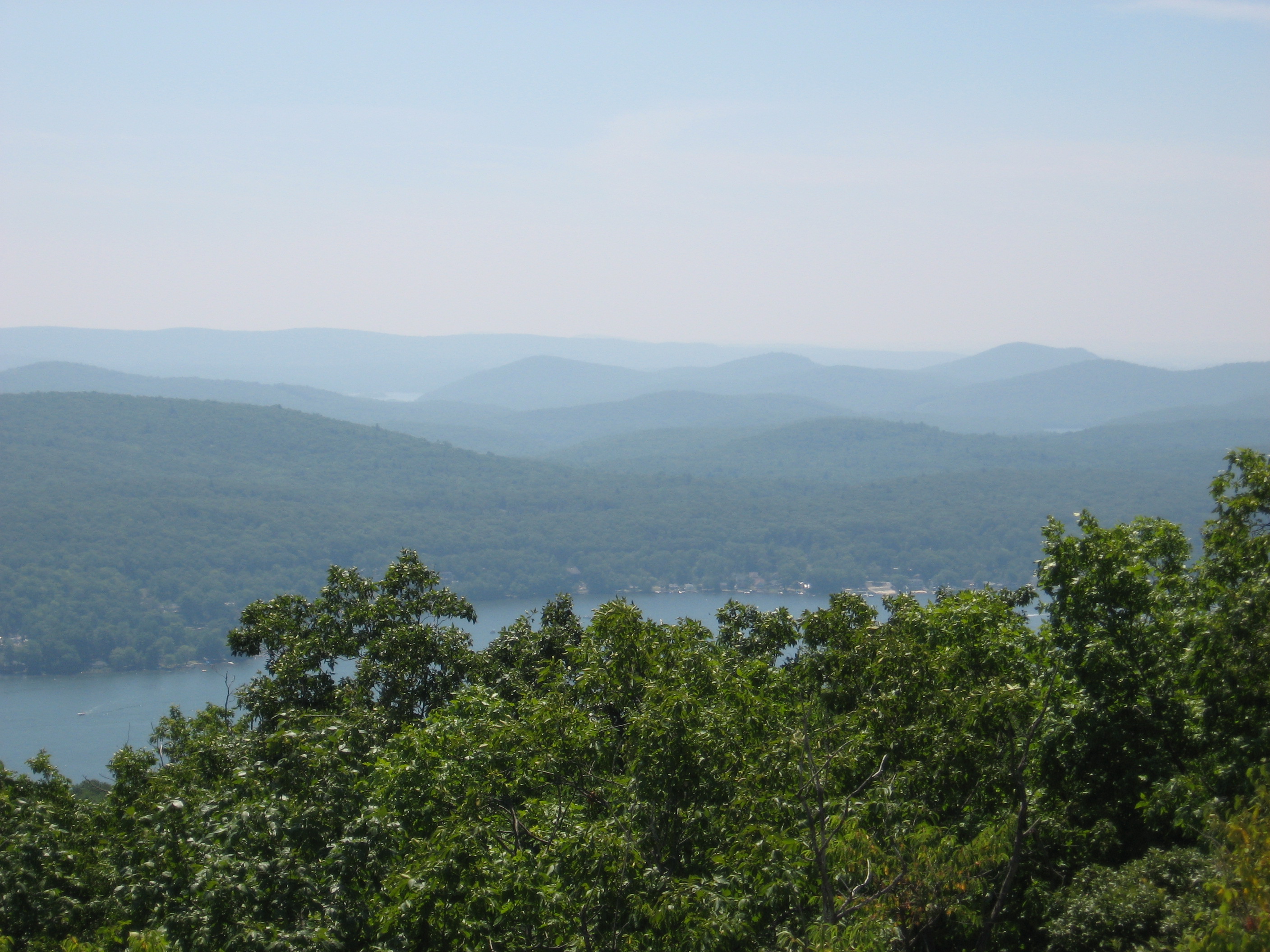
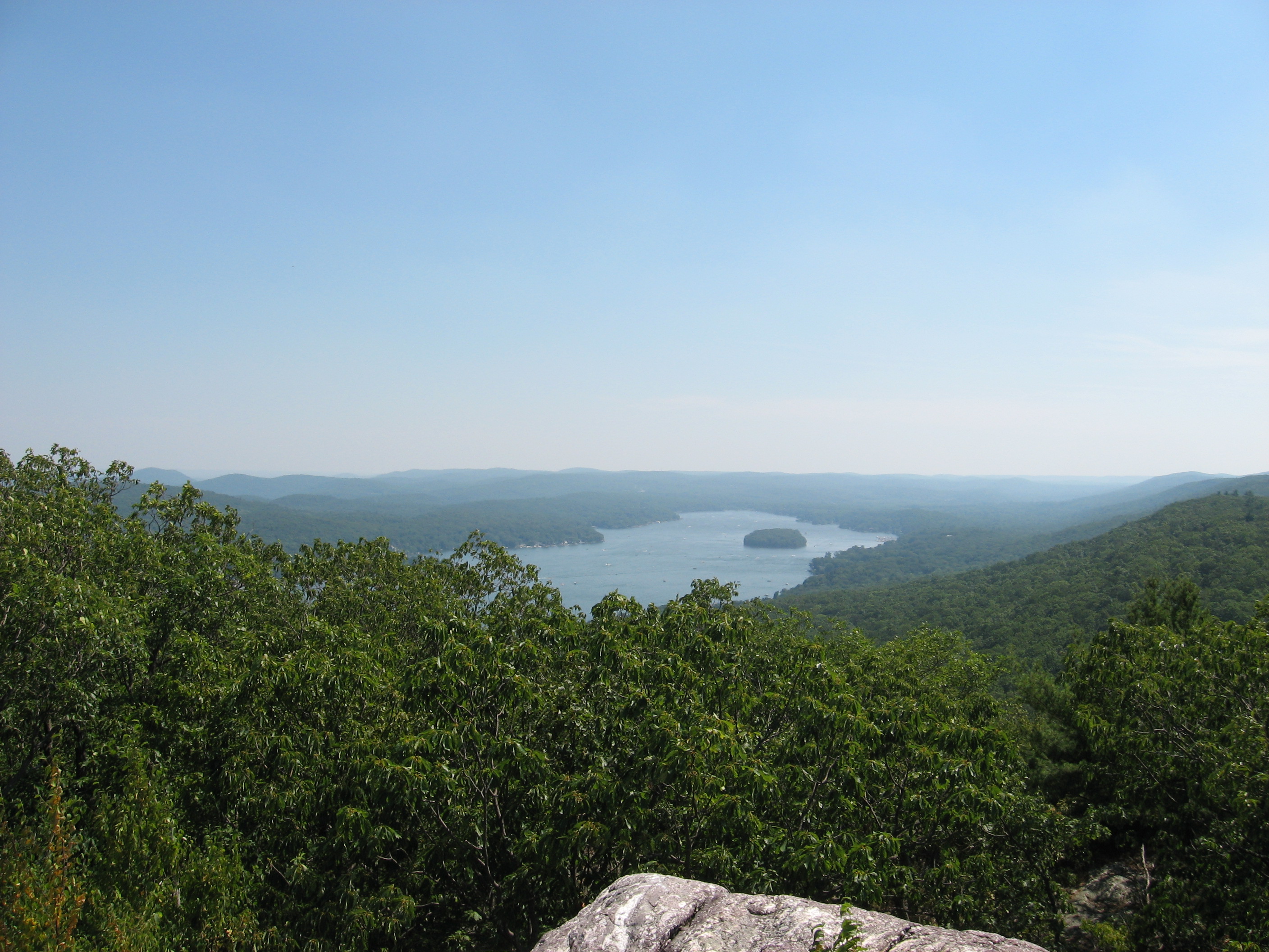
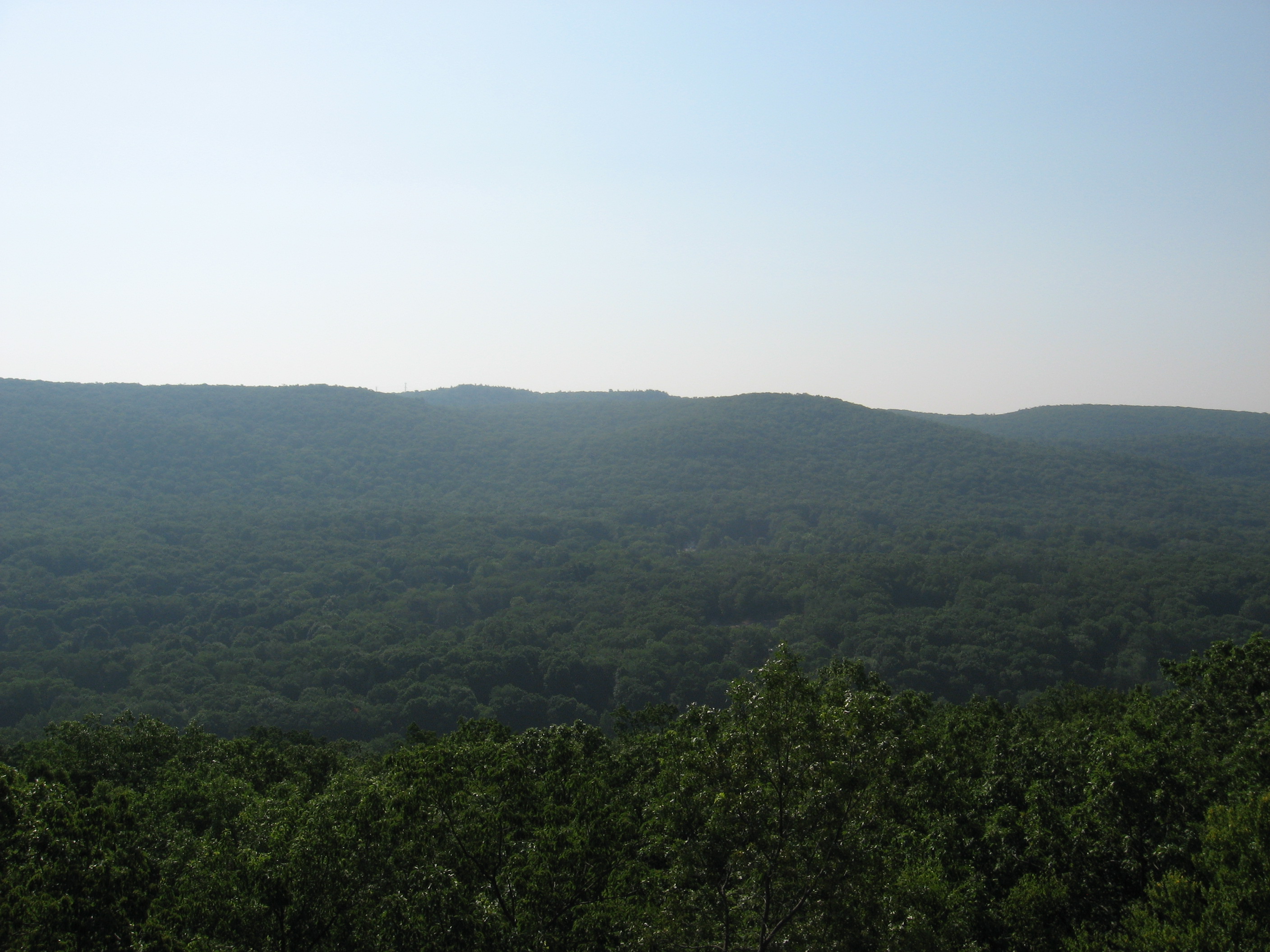
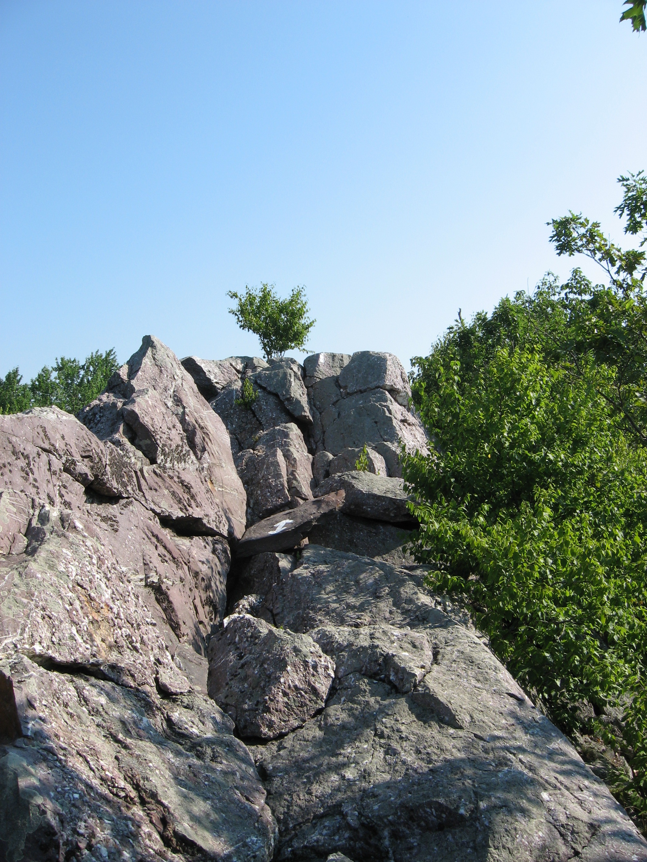
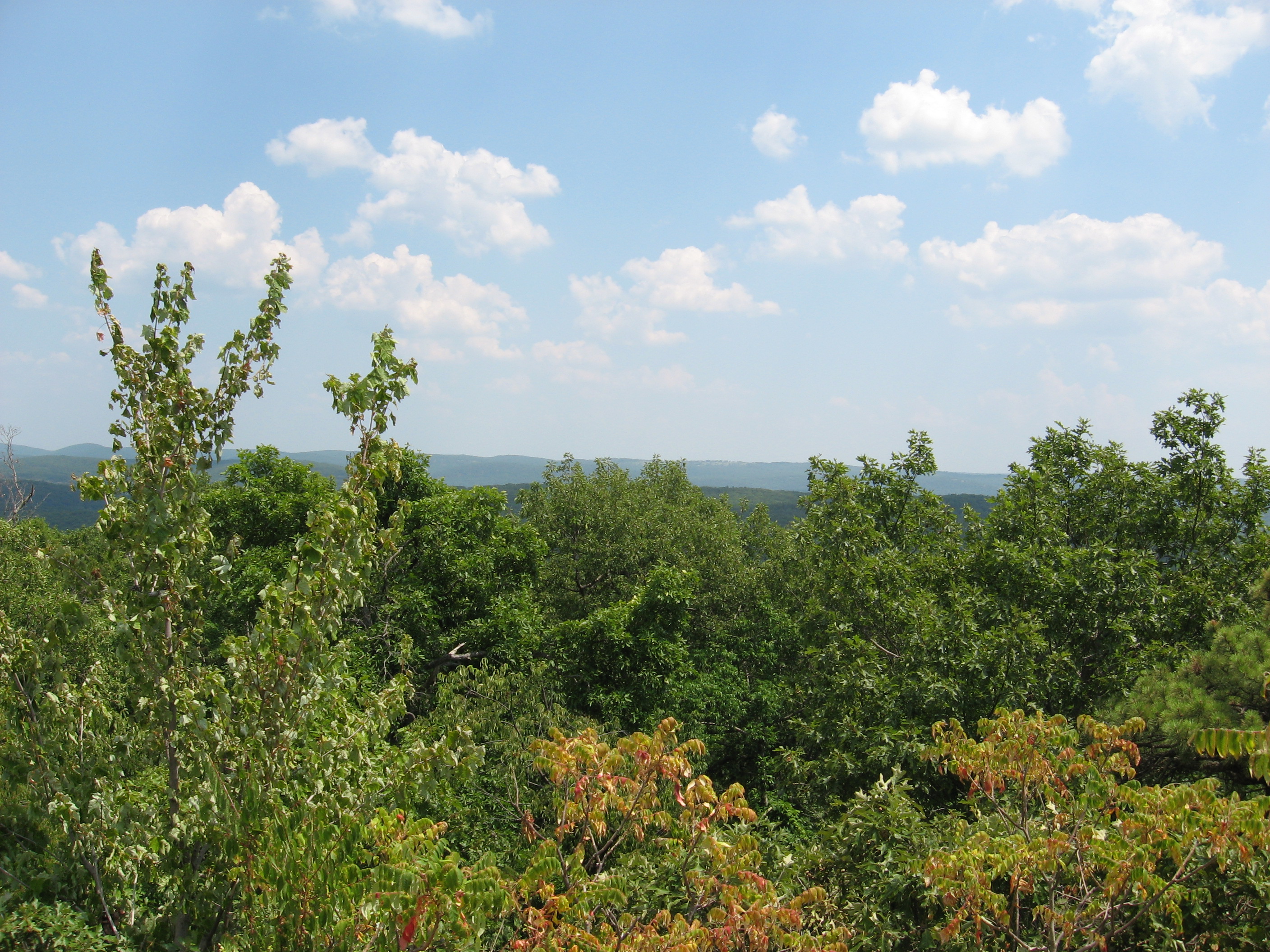
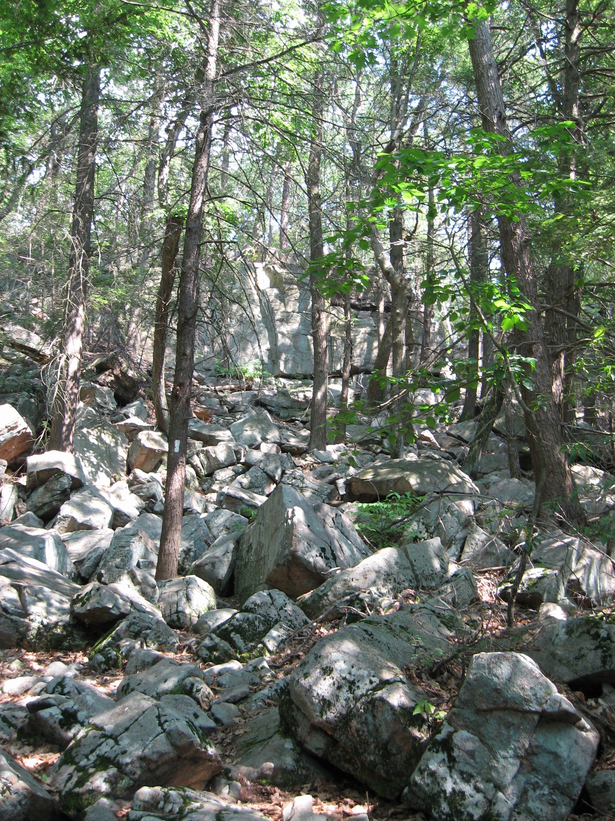
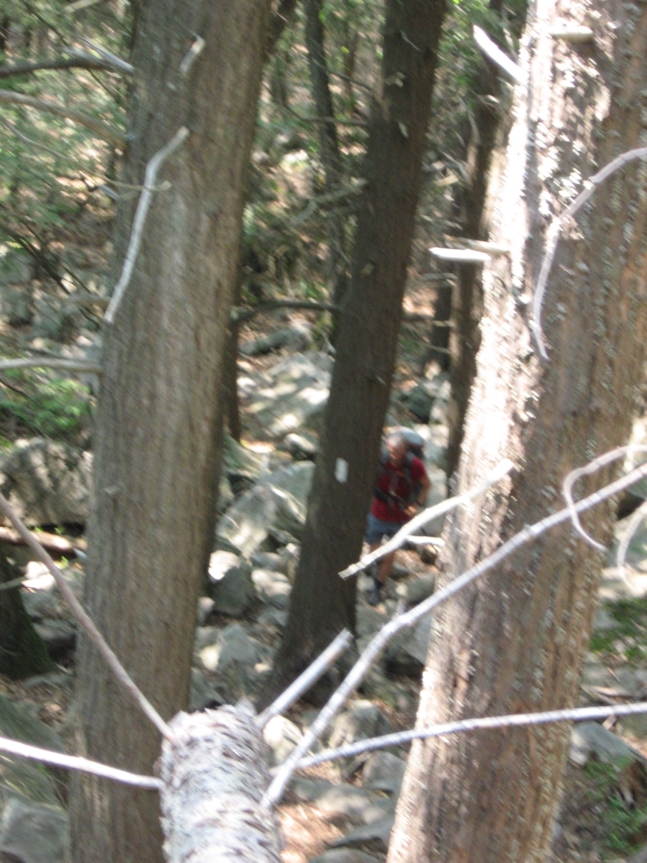
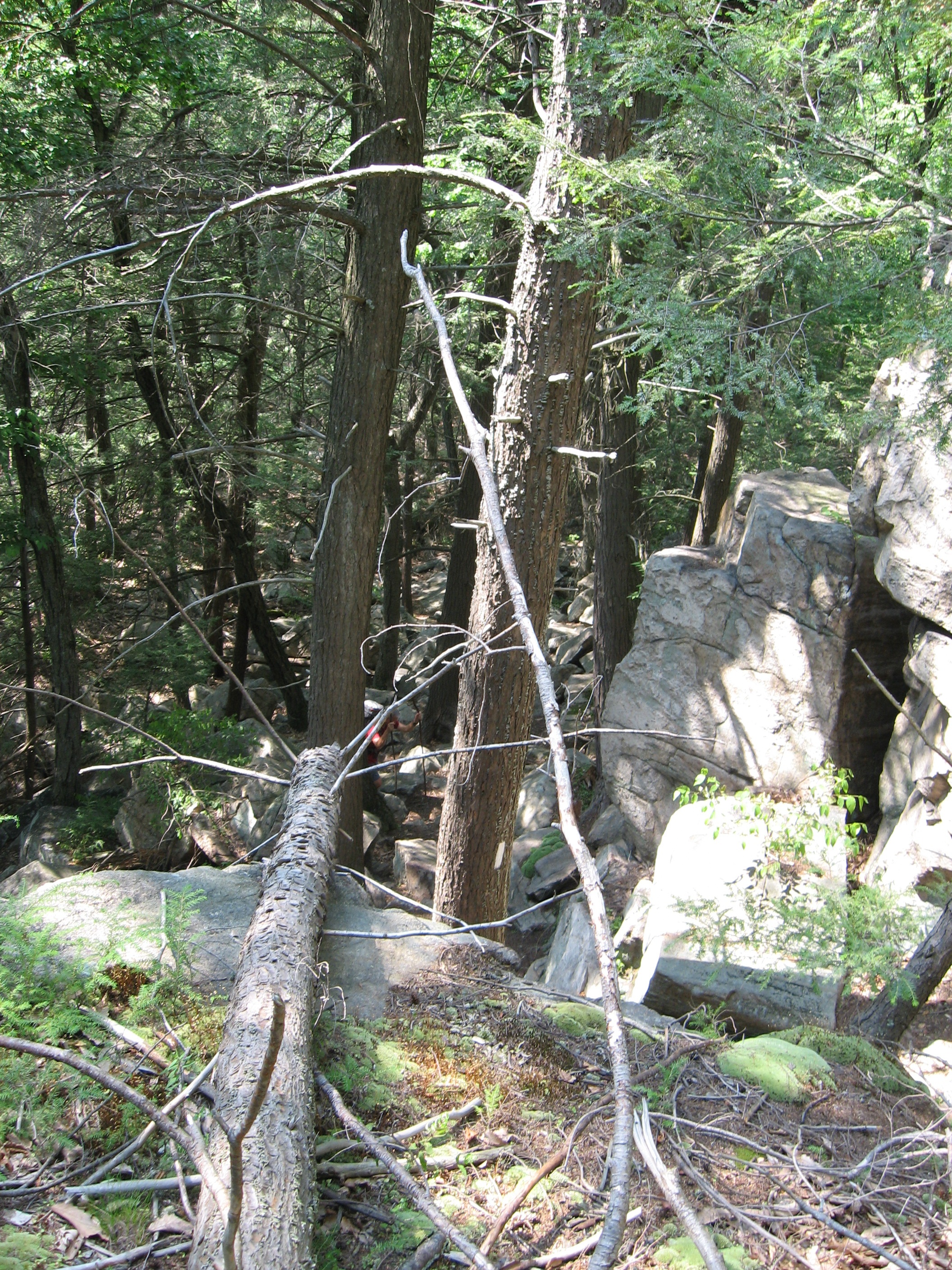
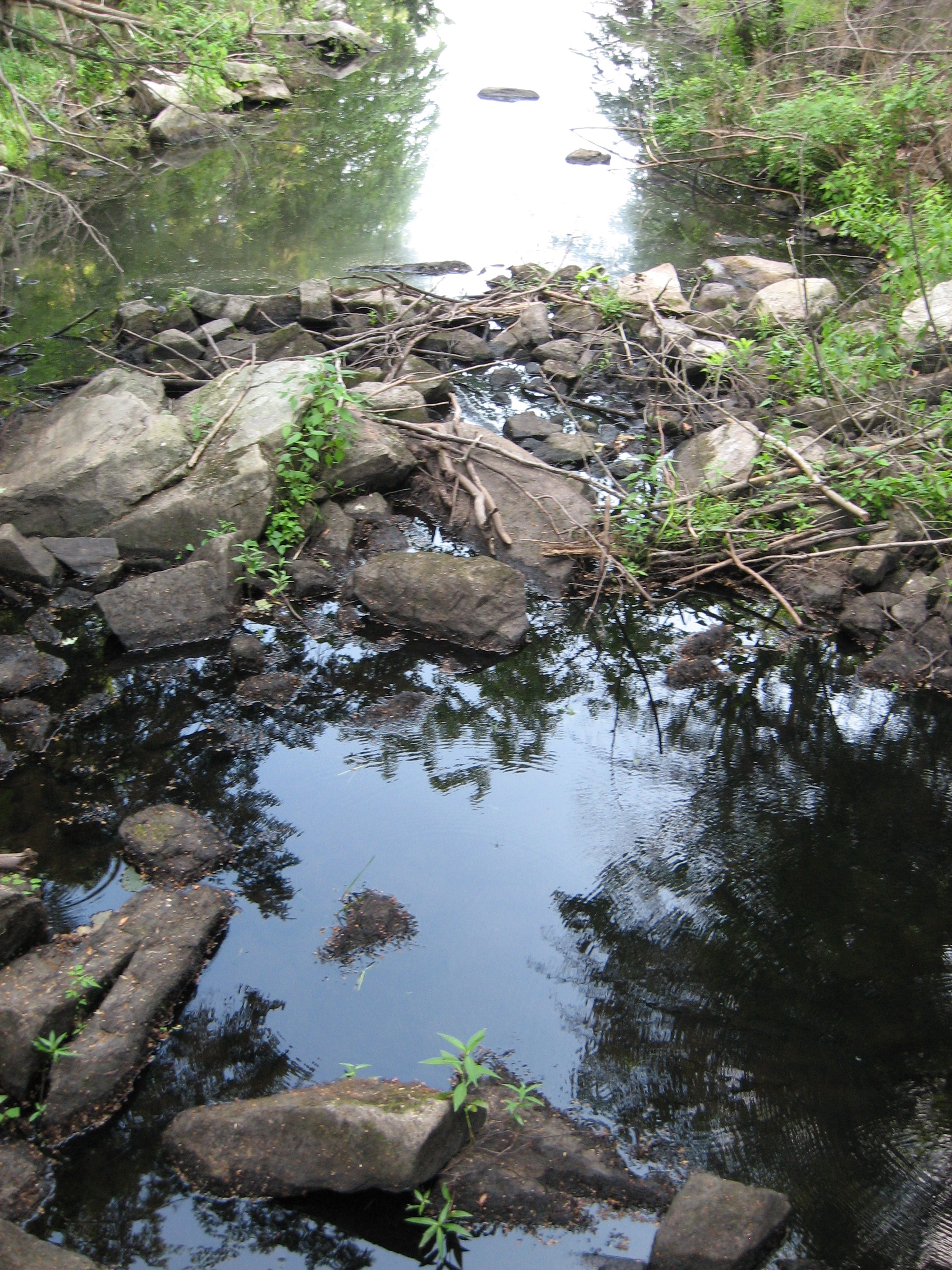
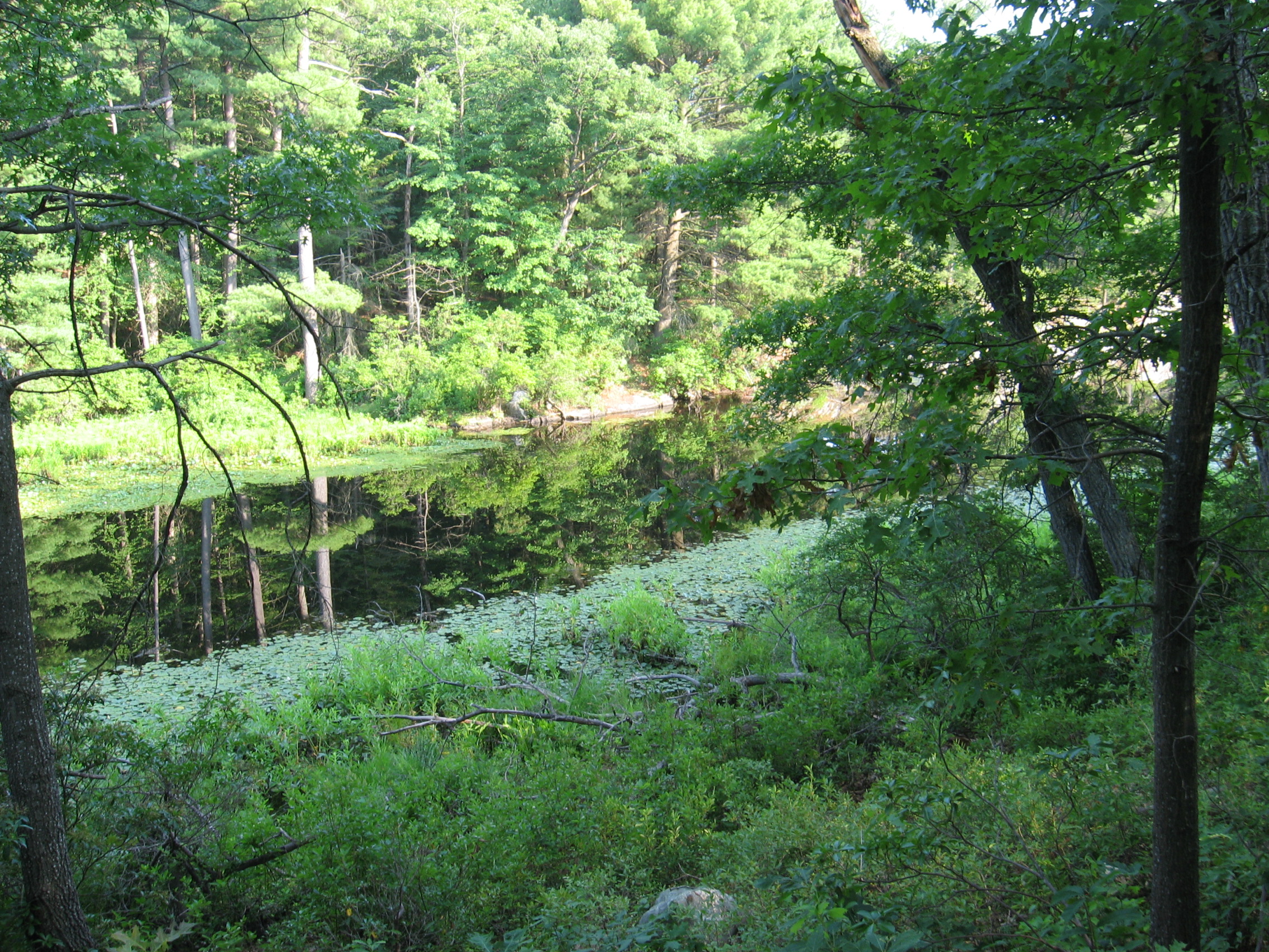
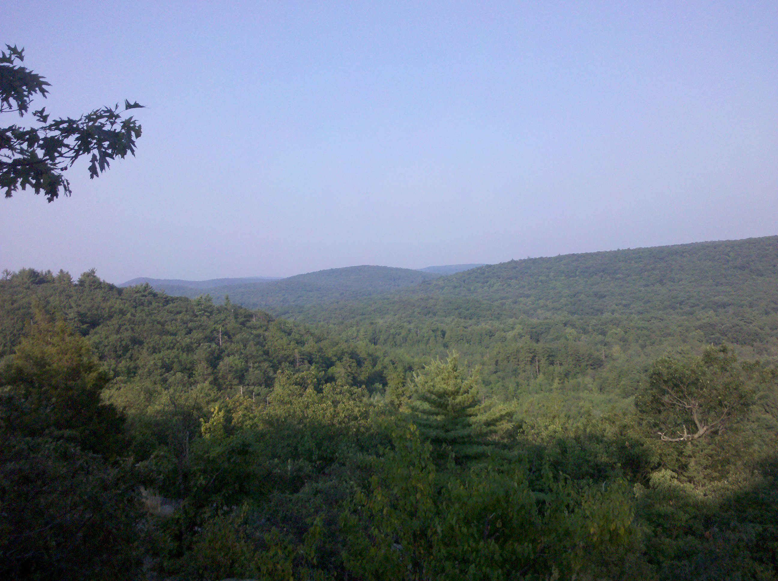
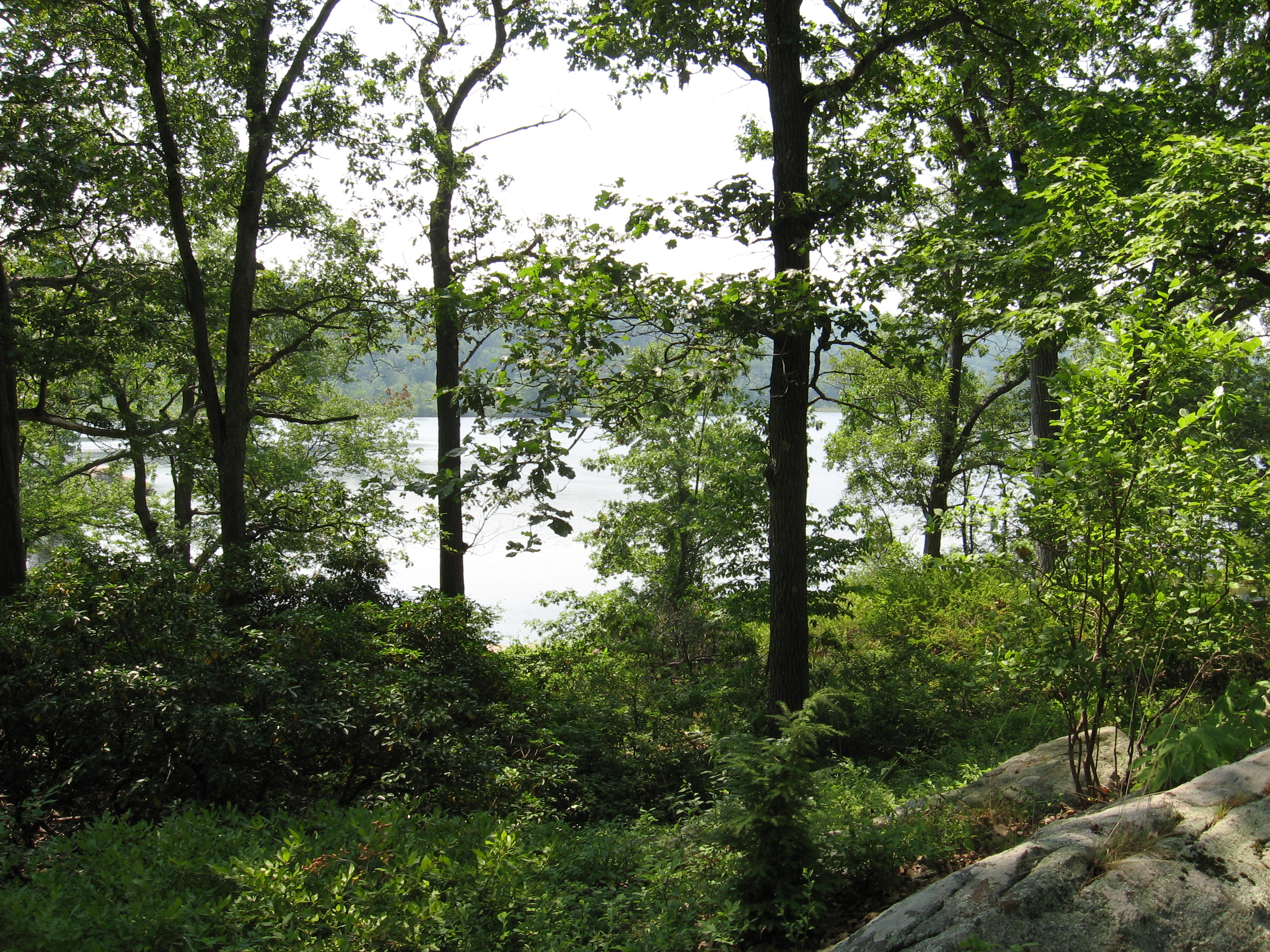
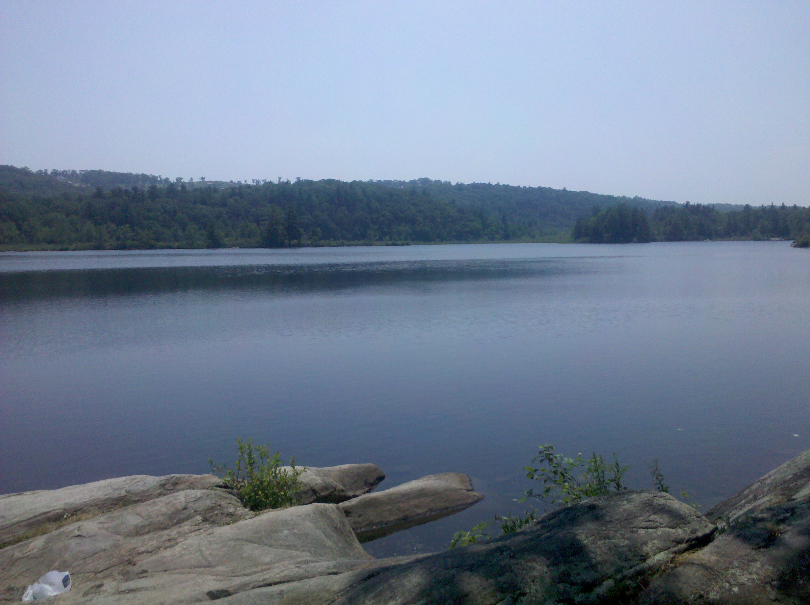
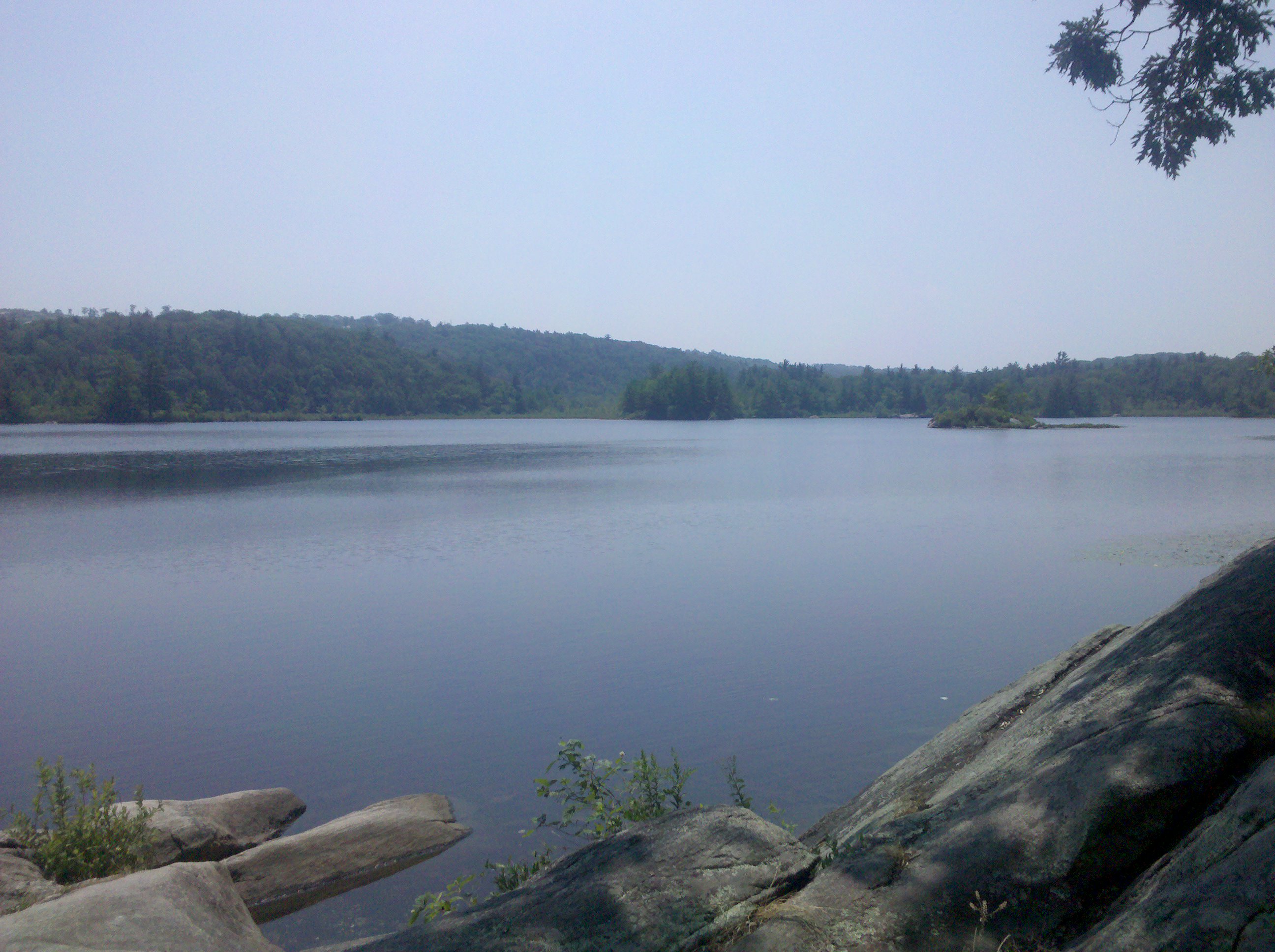
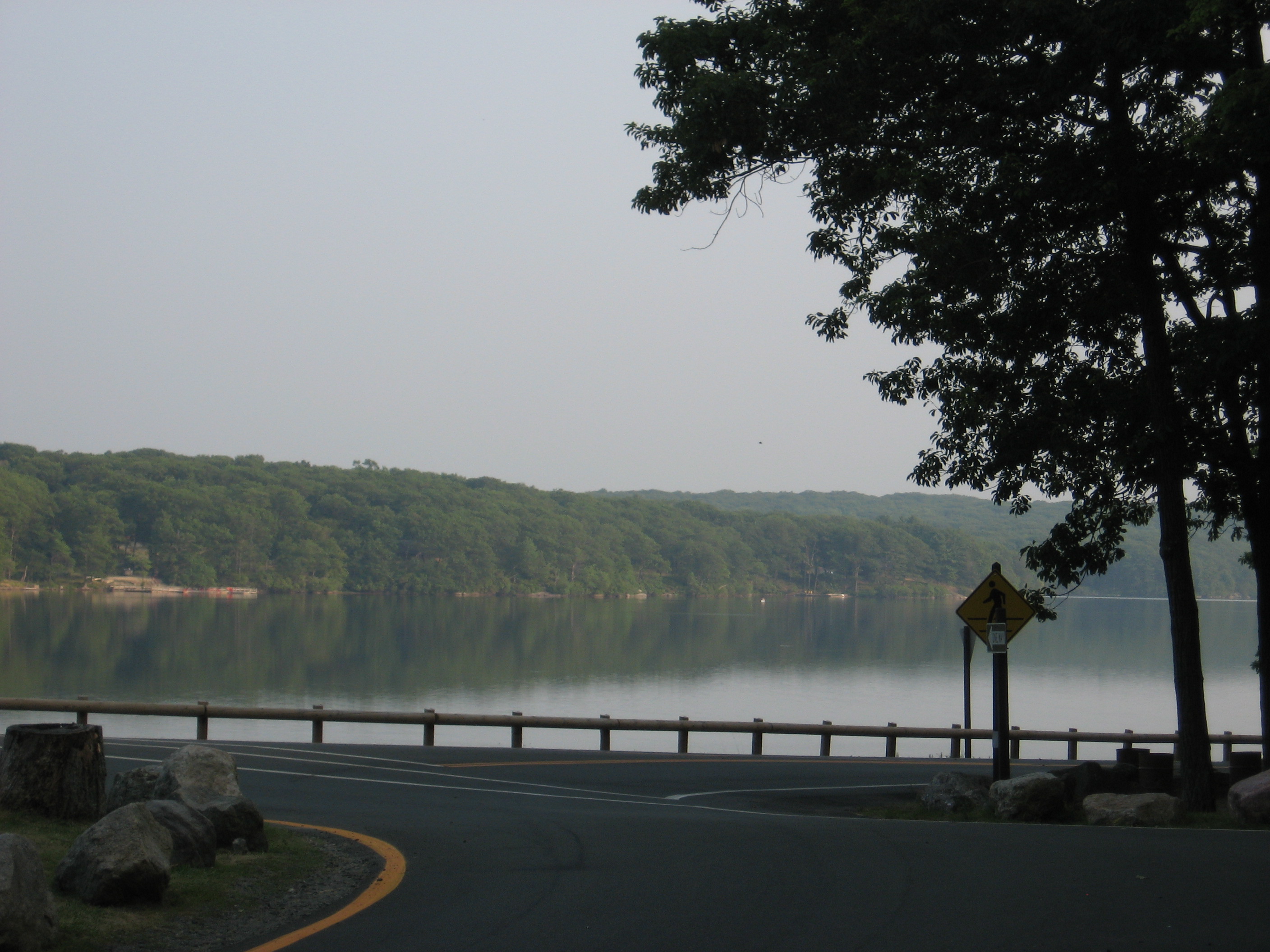
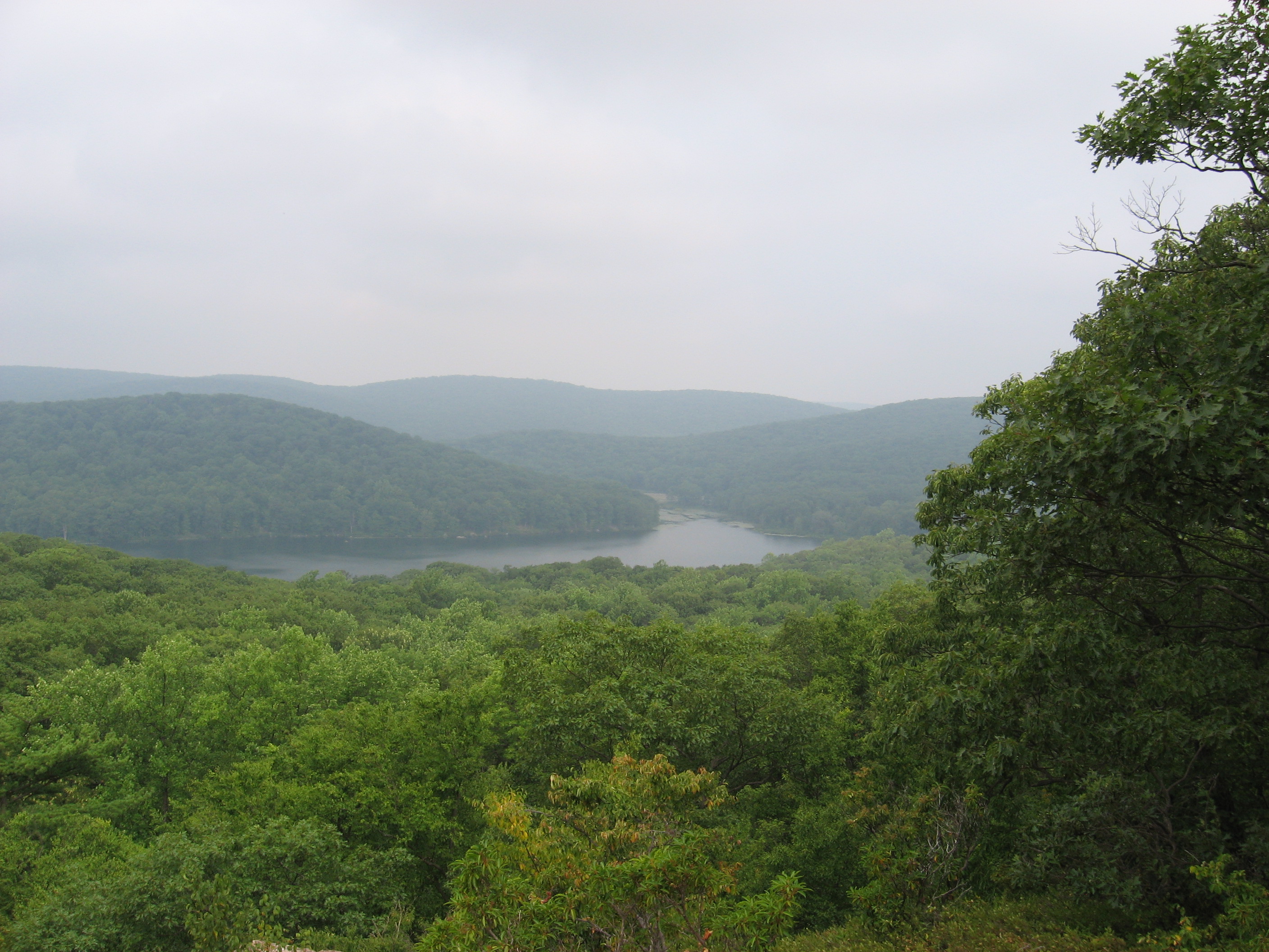
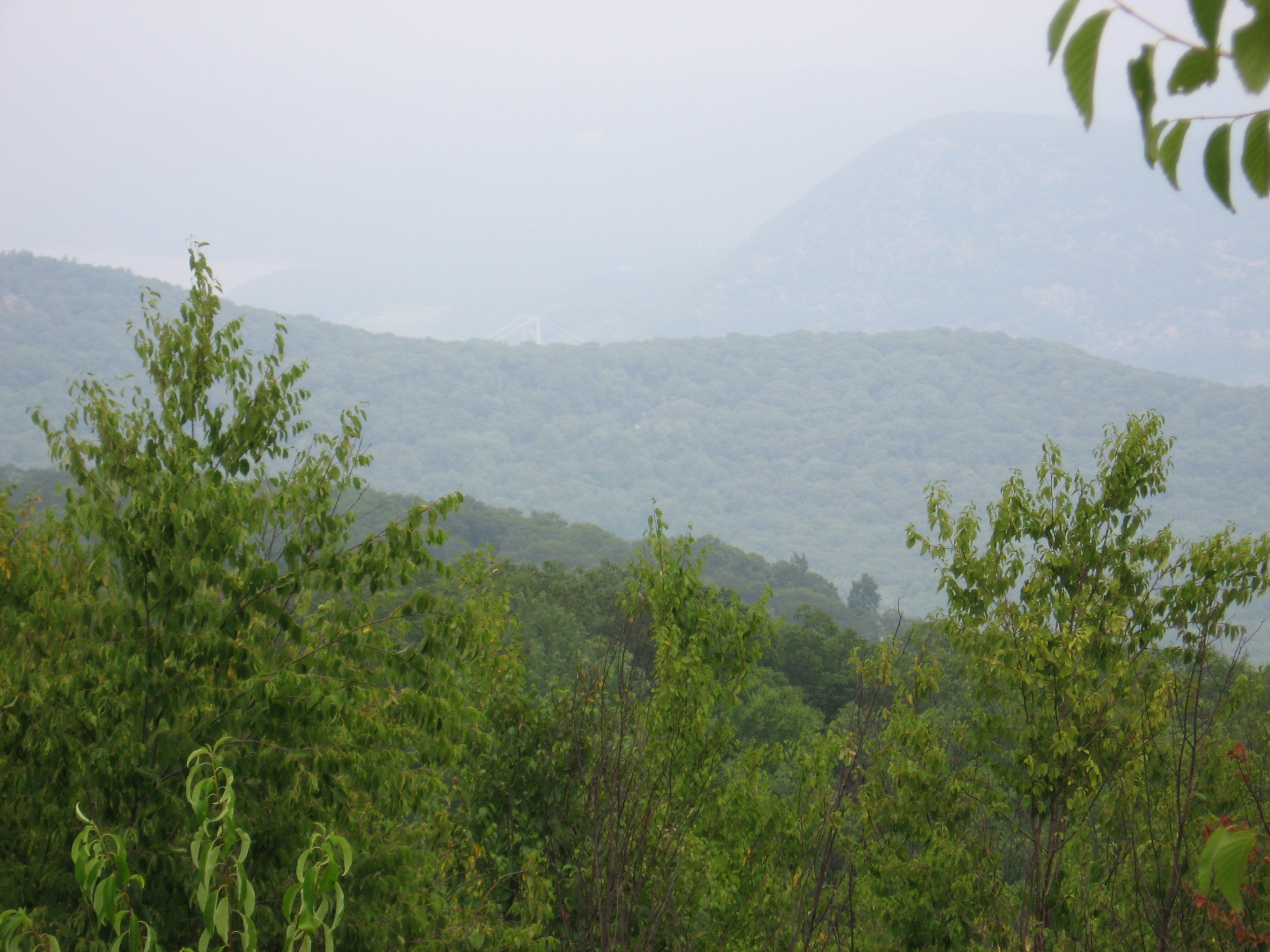
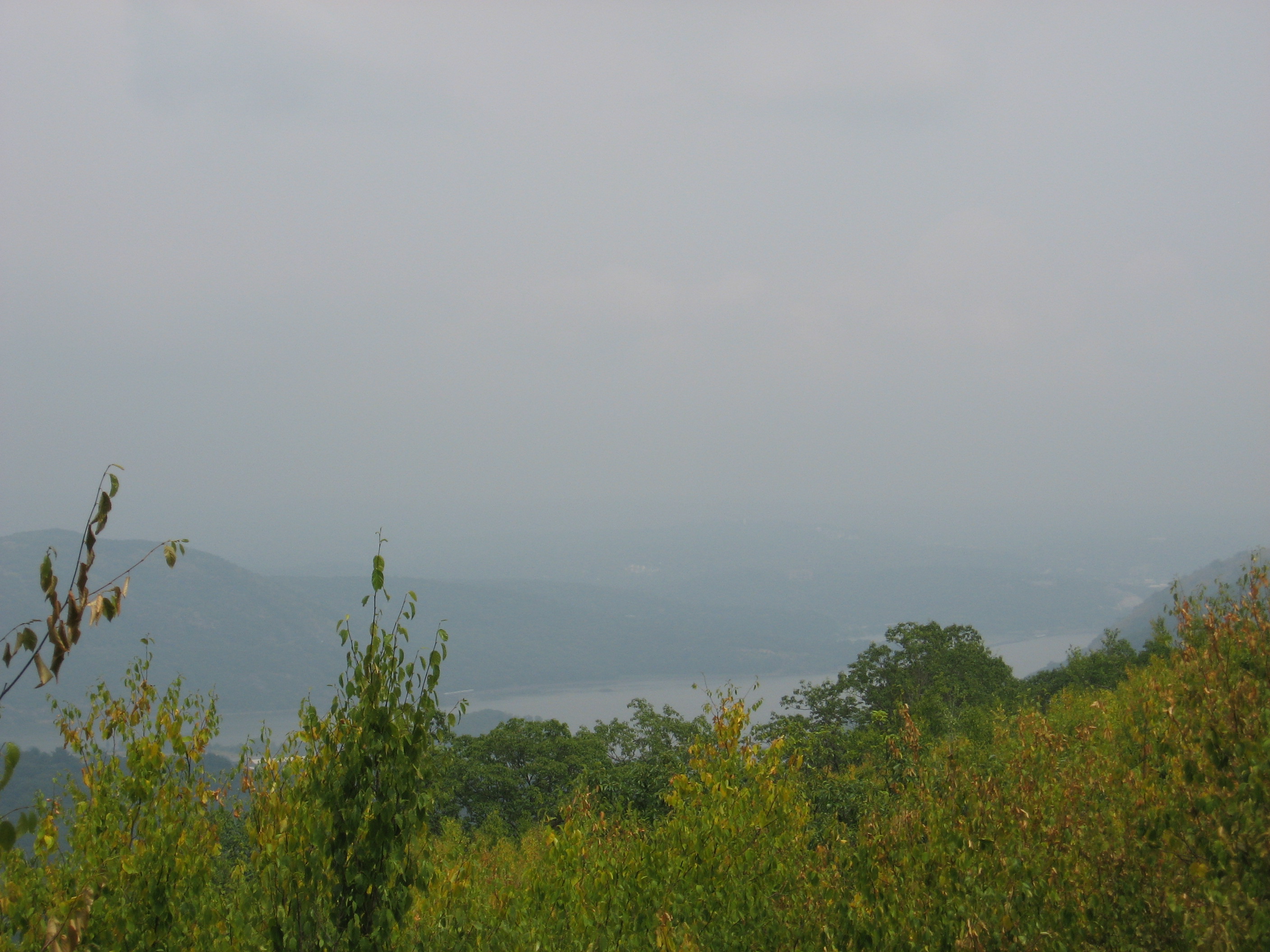
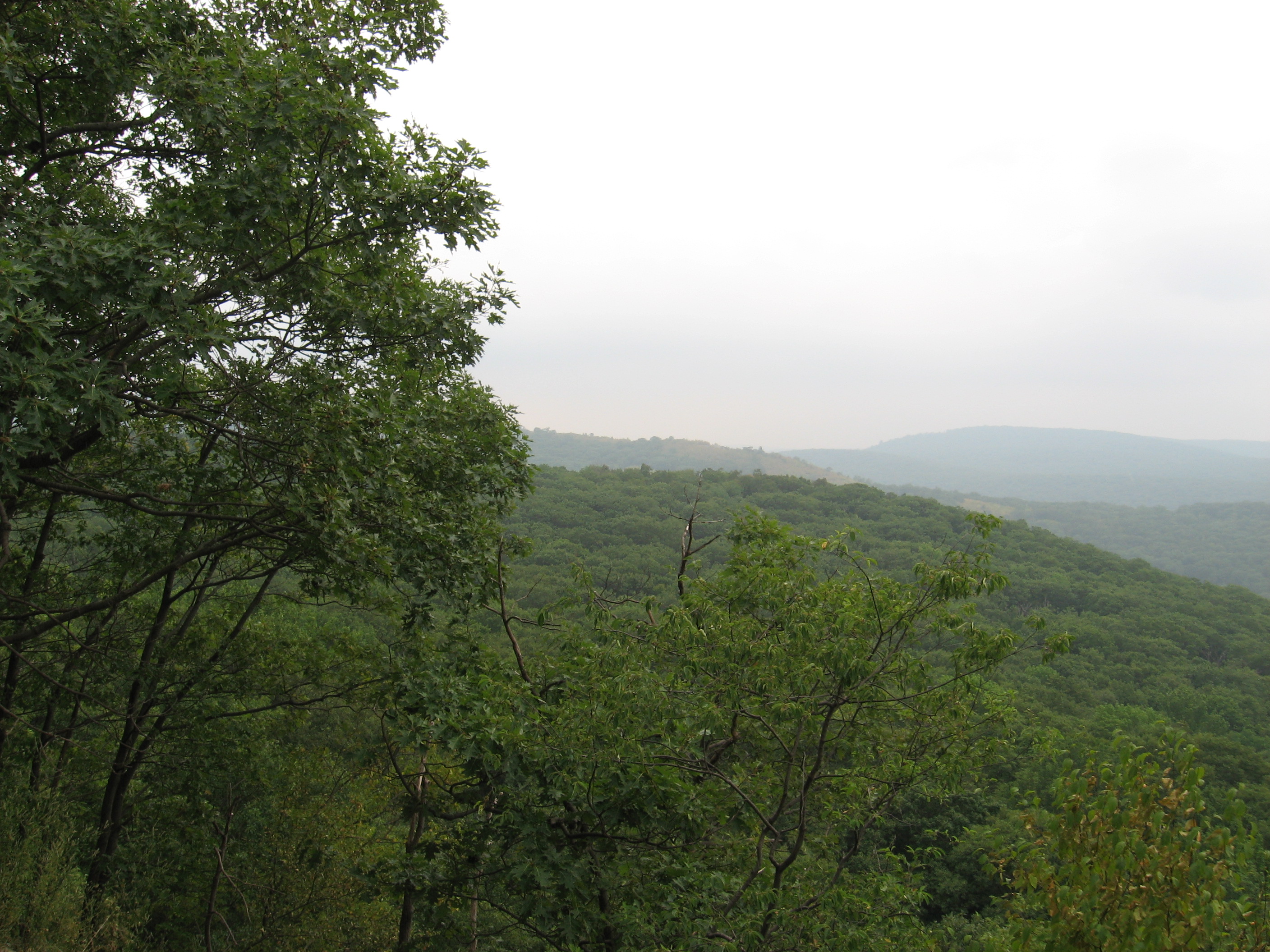
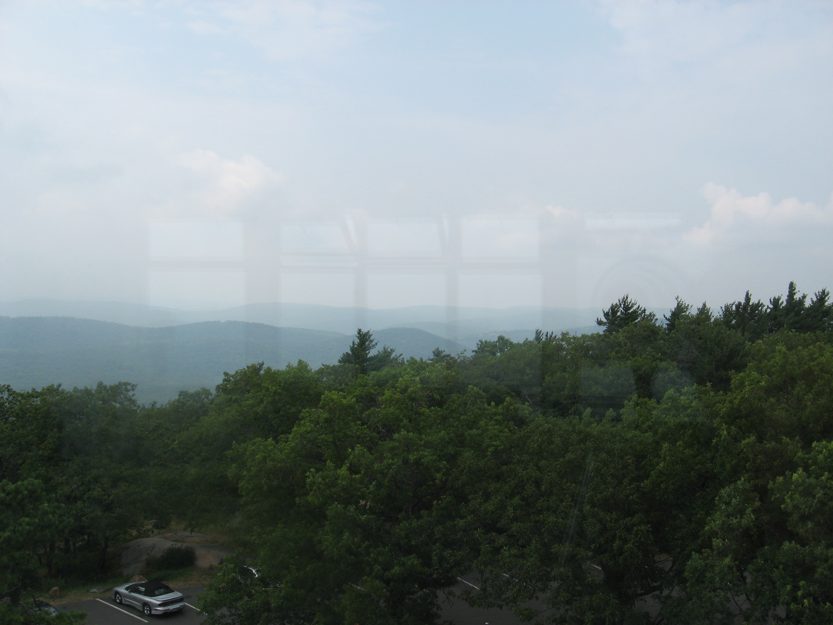
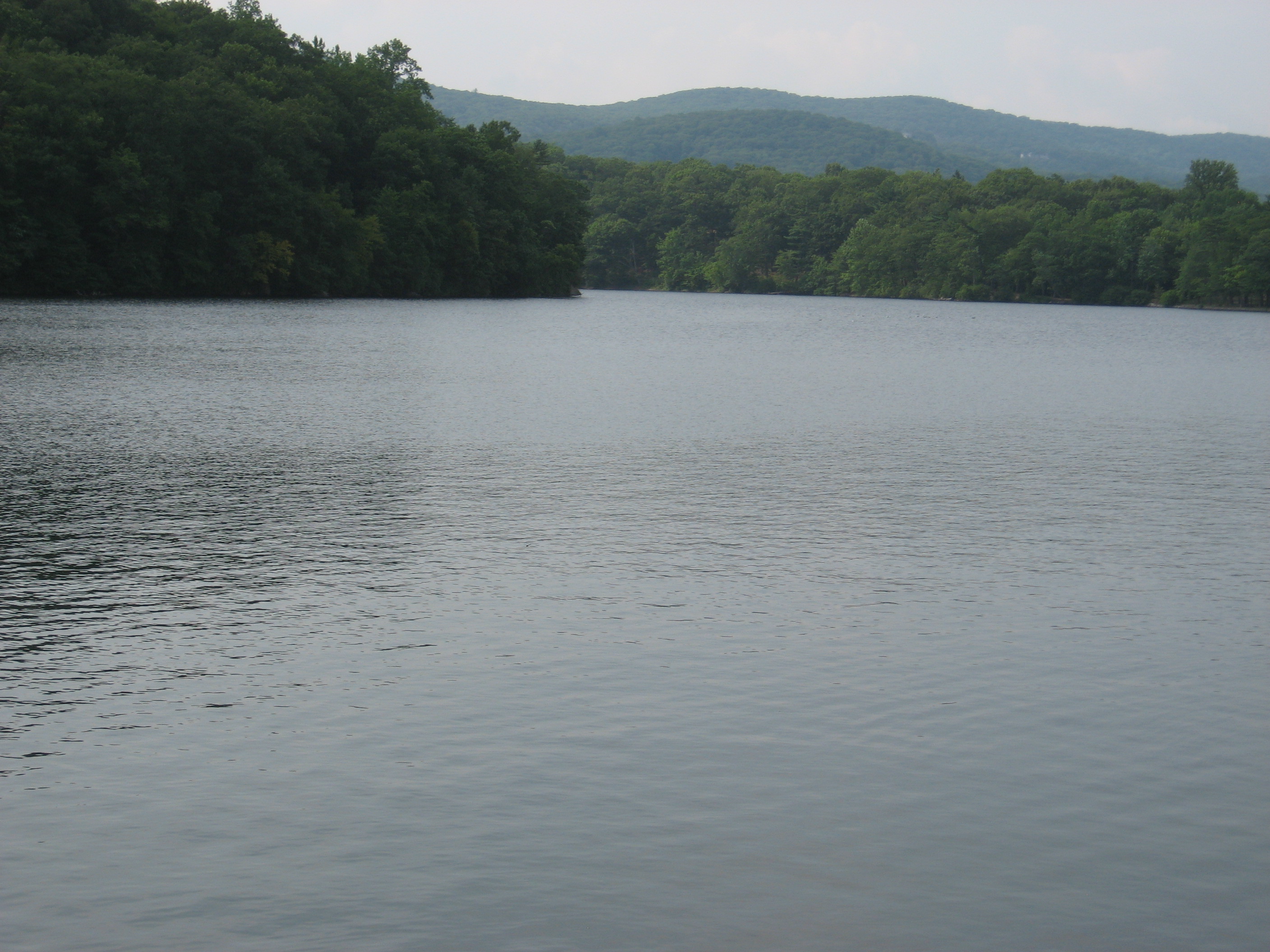
Sunfish Pond (1,382')?glacial pond, no camping
1382
1299.2
Orange-blazed Garvey Spring Trail (1,400')
1400
1303.5
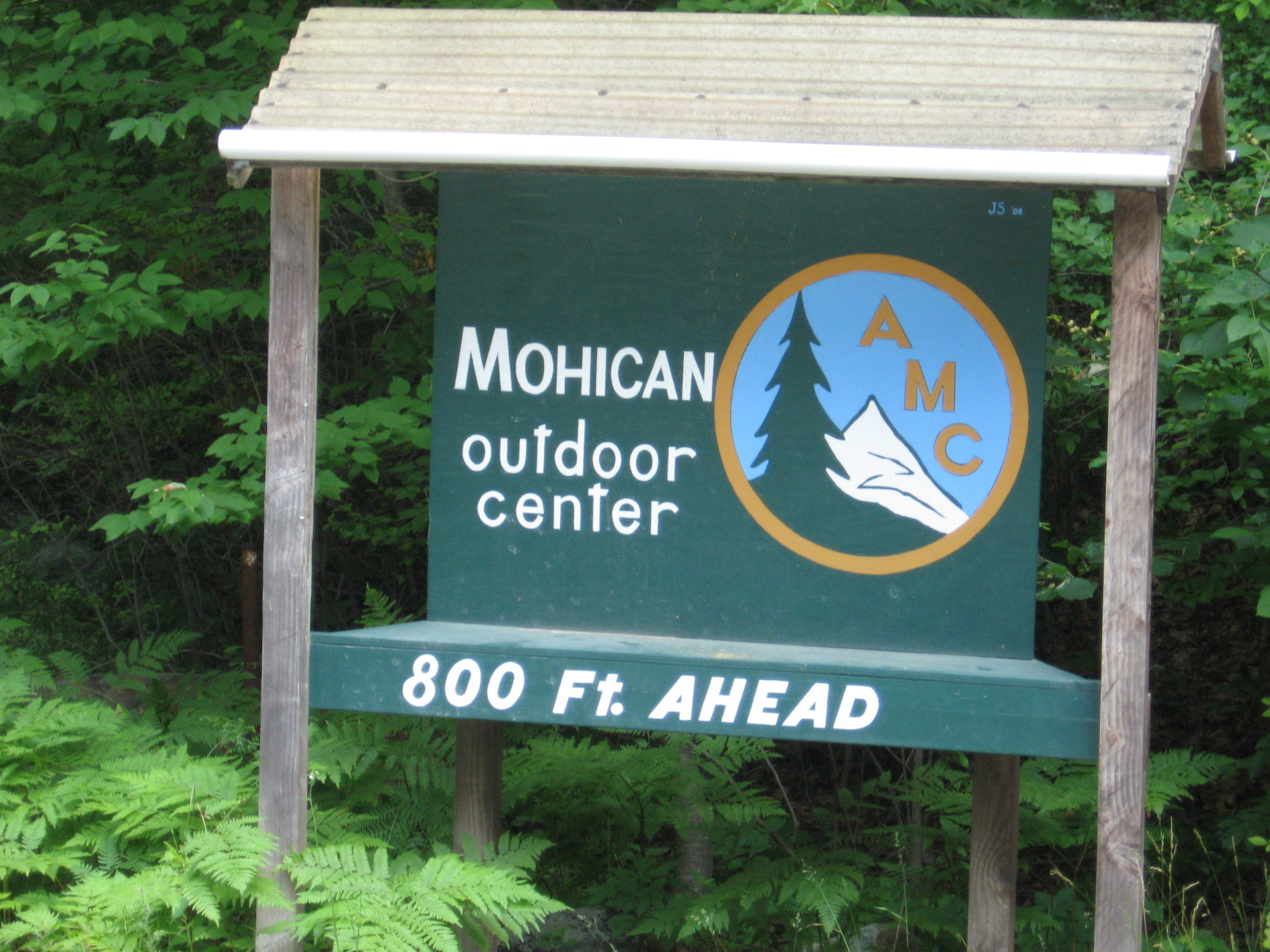
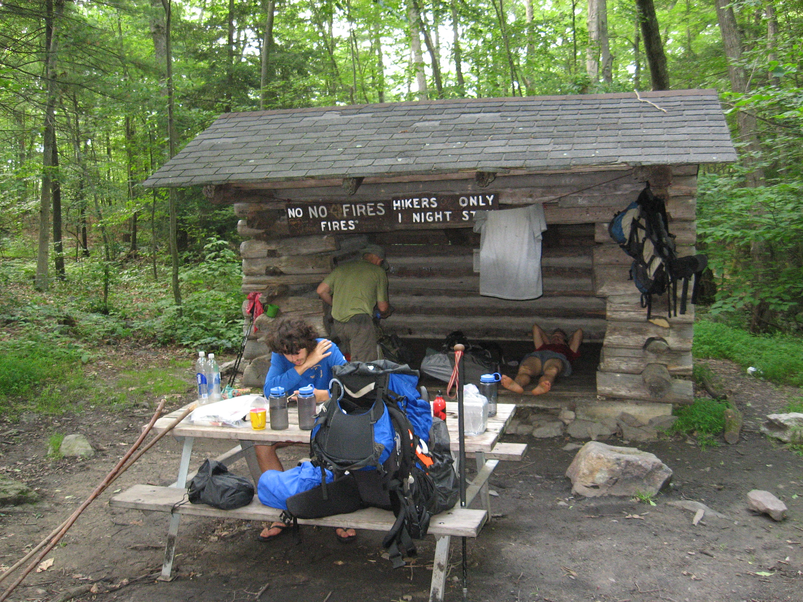
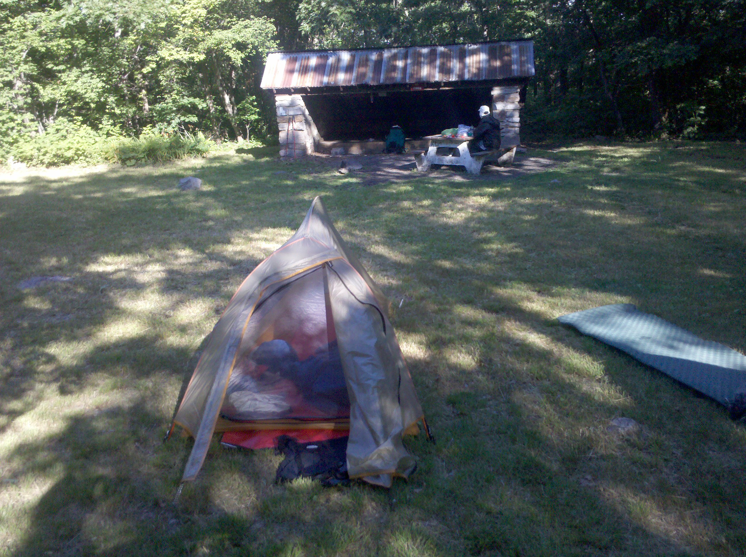
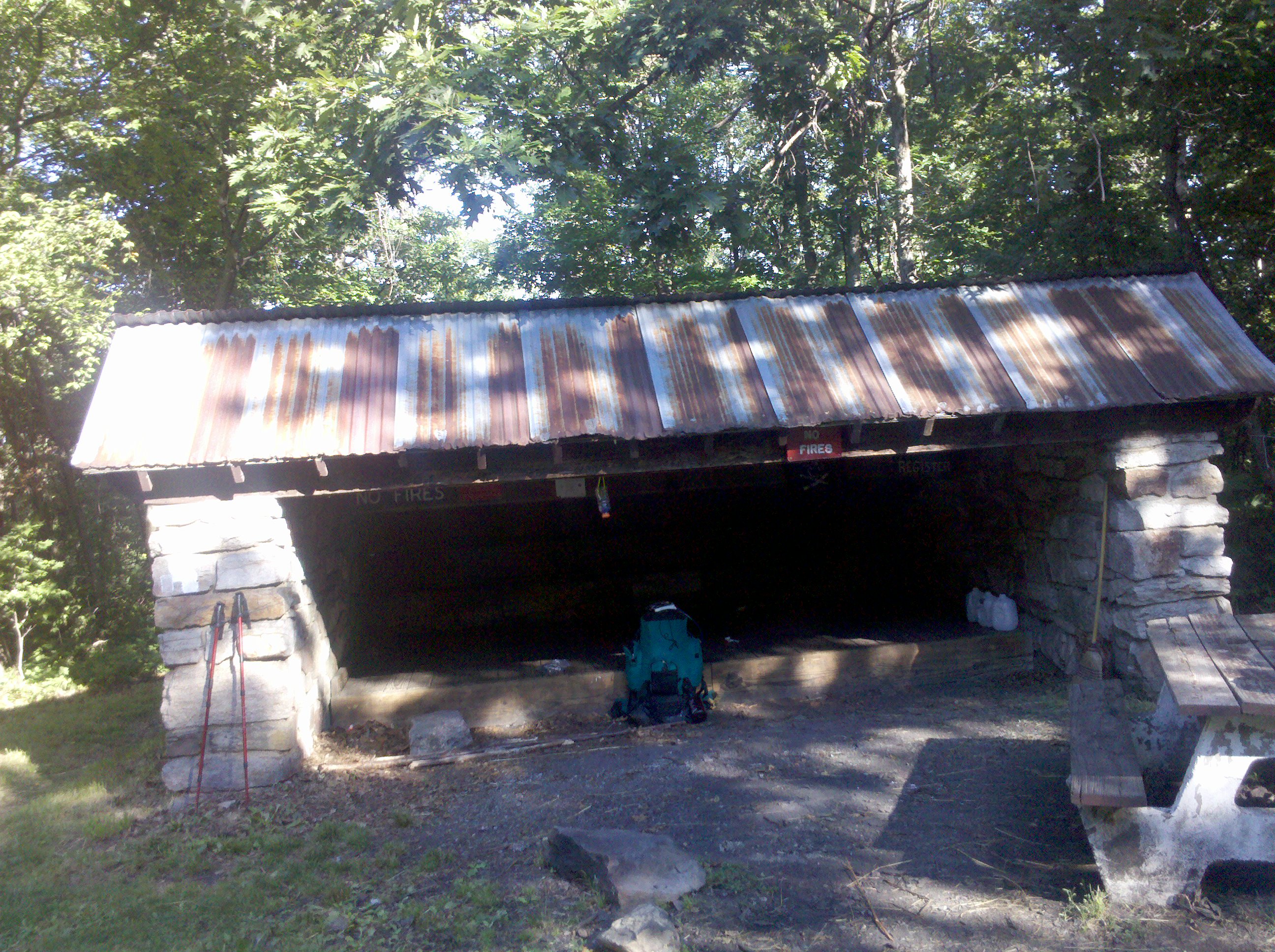
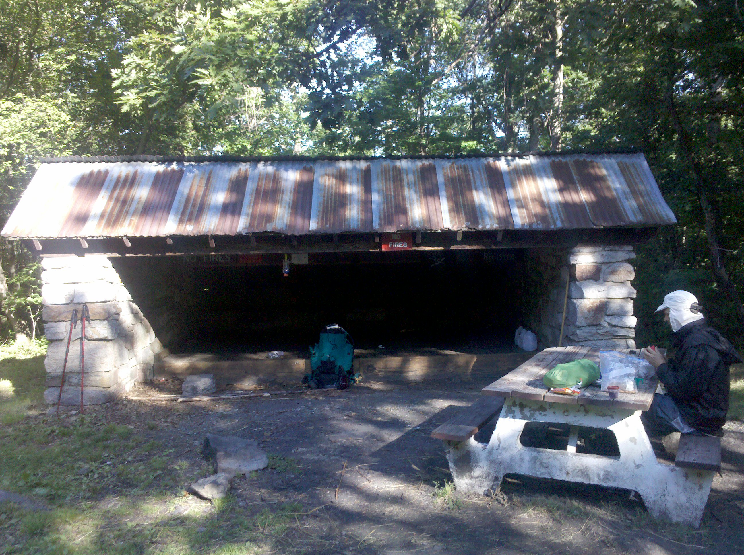
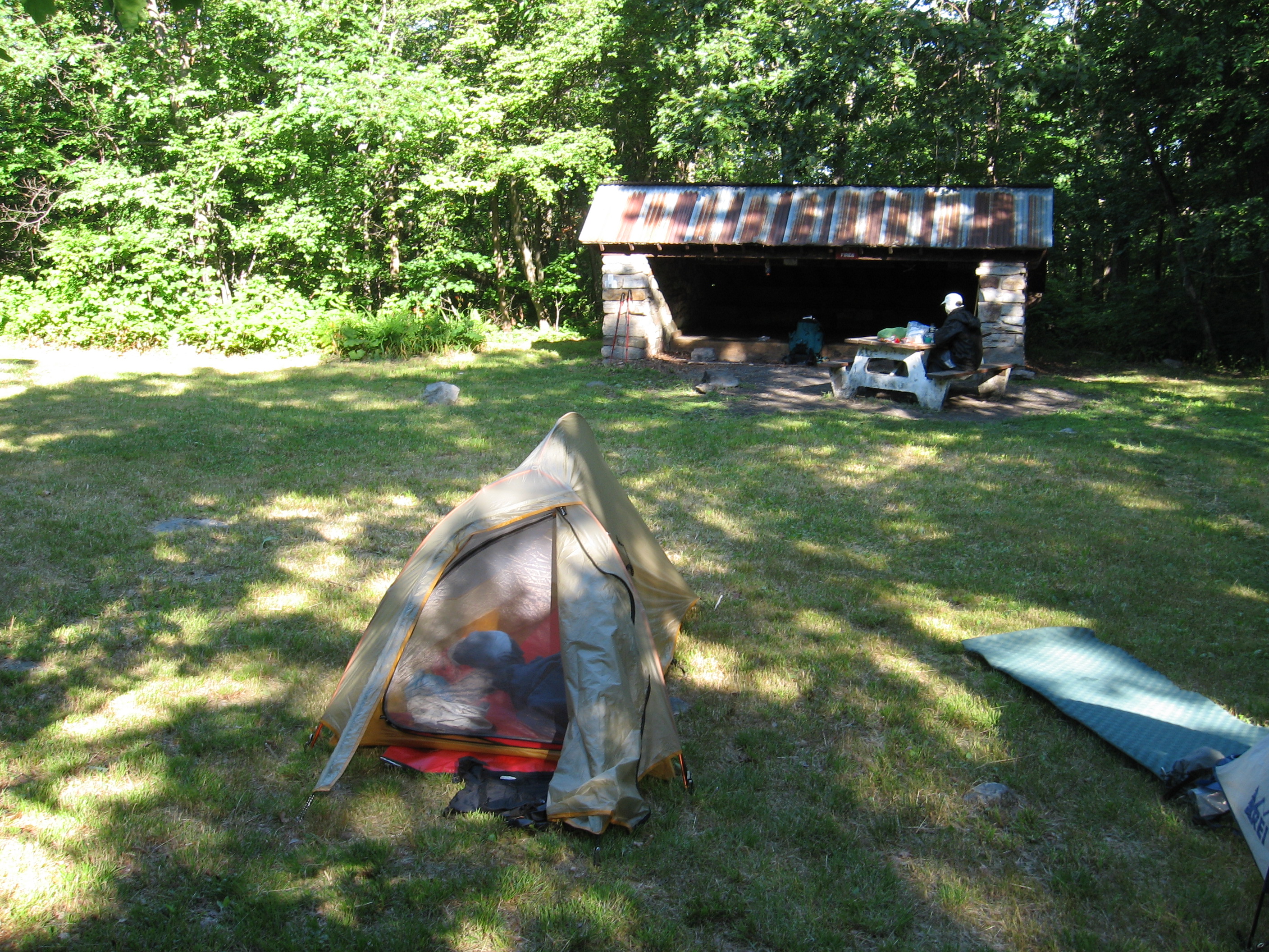
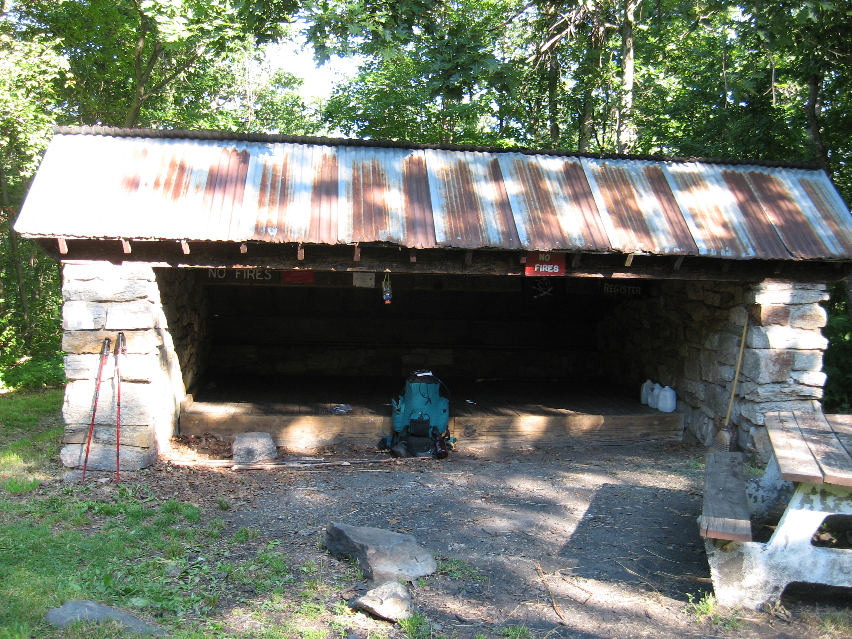
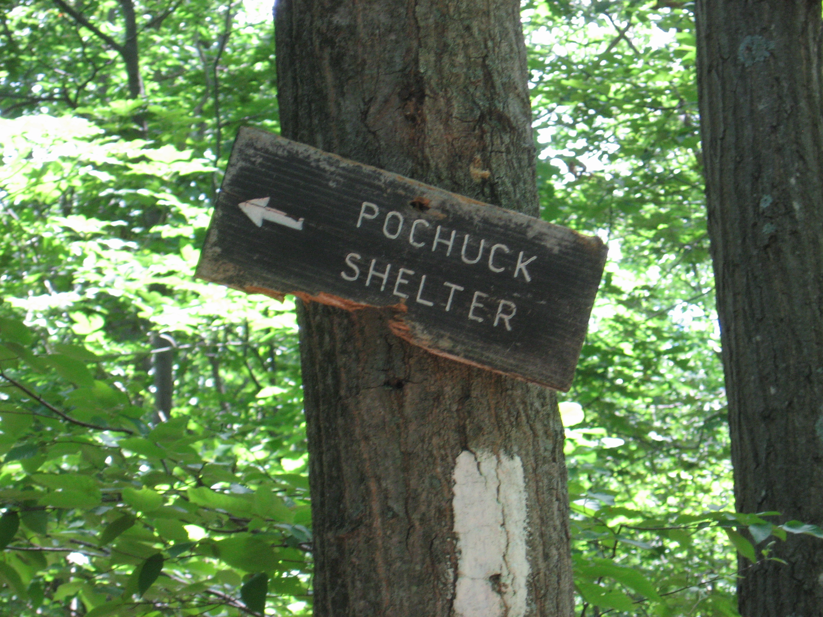
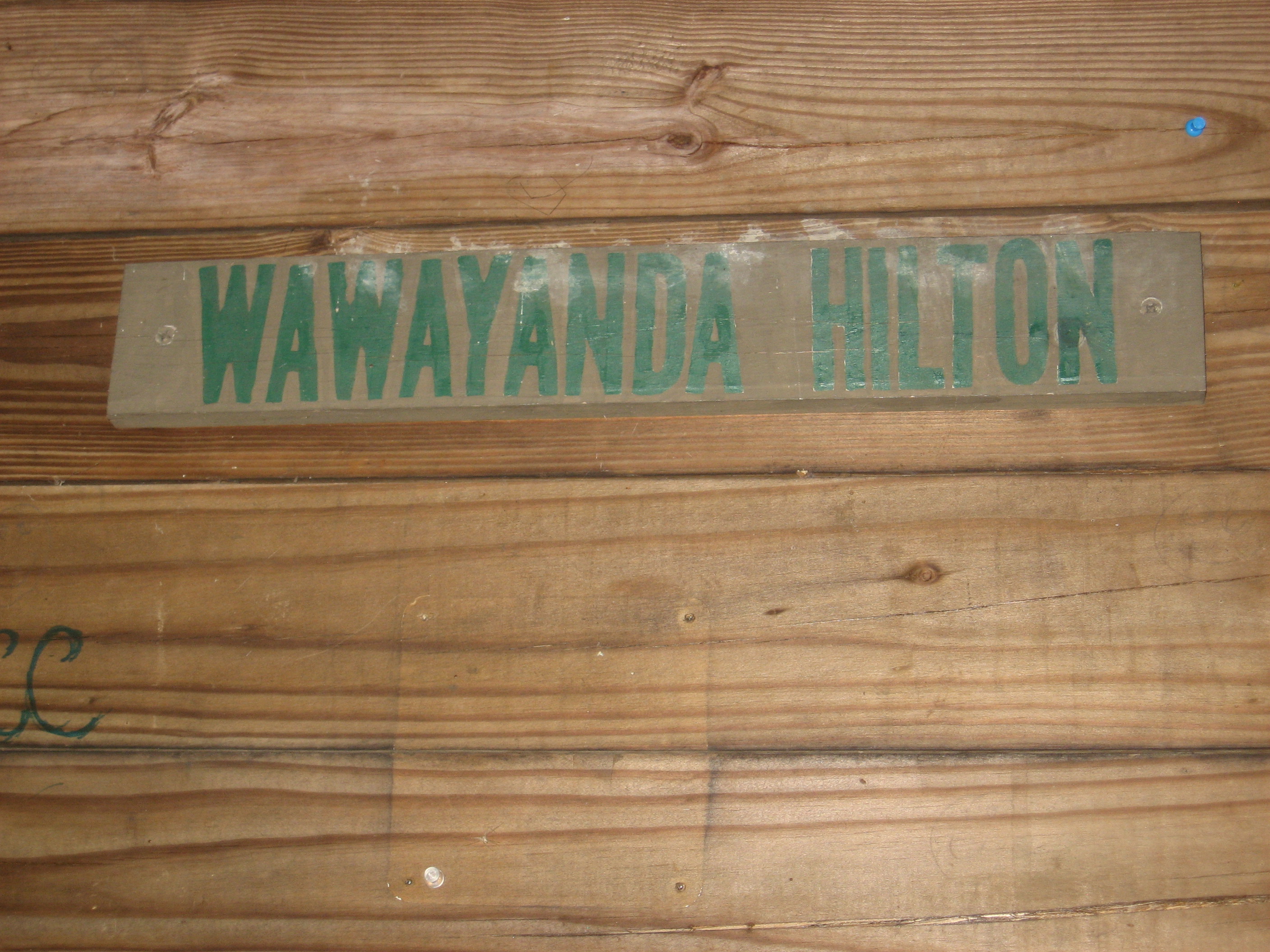
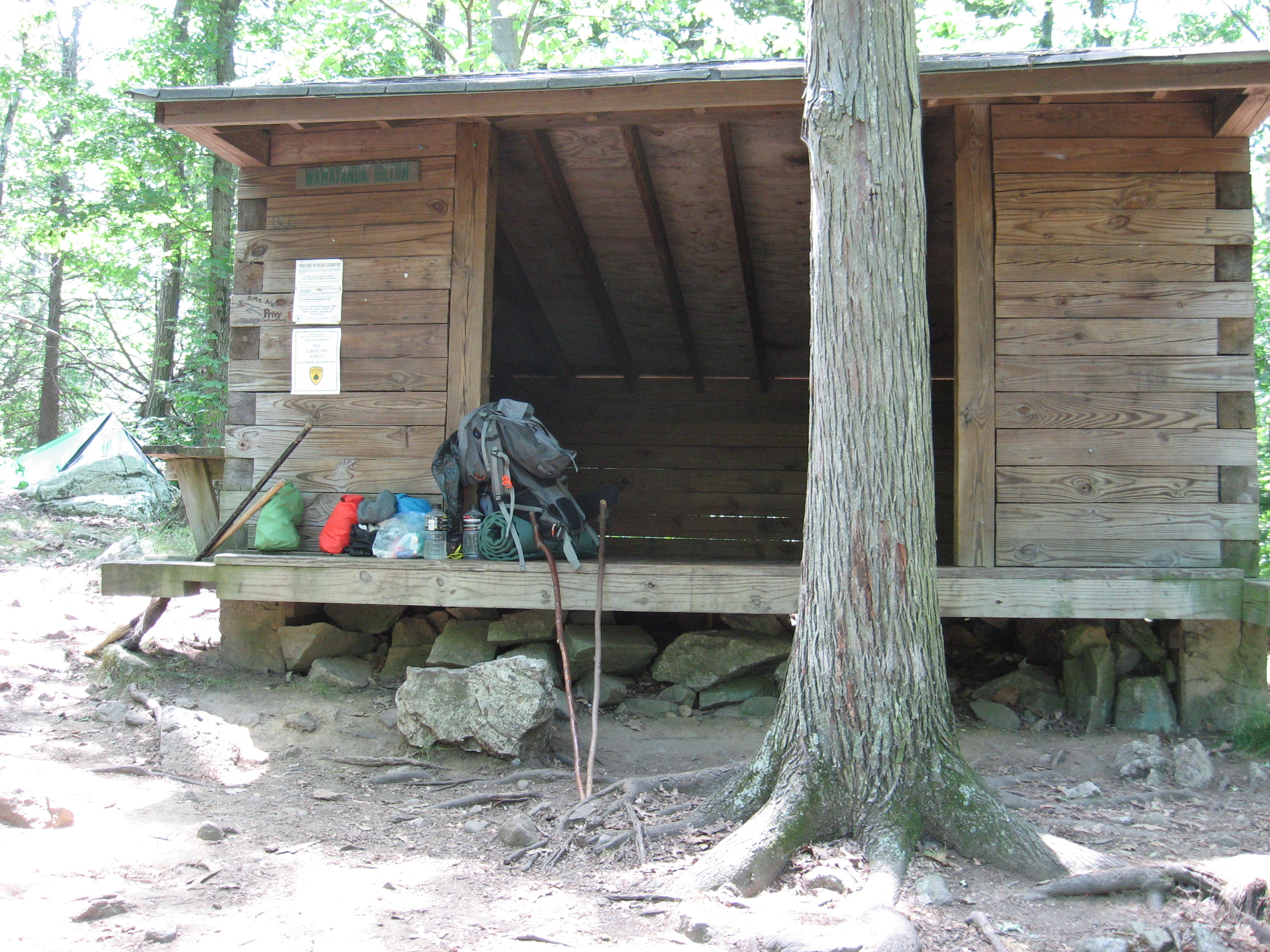
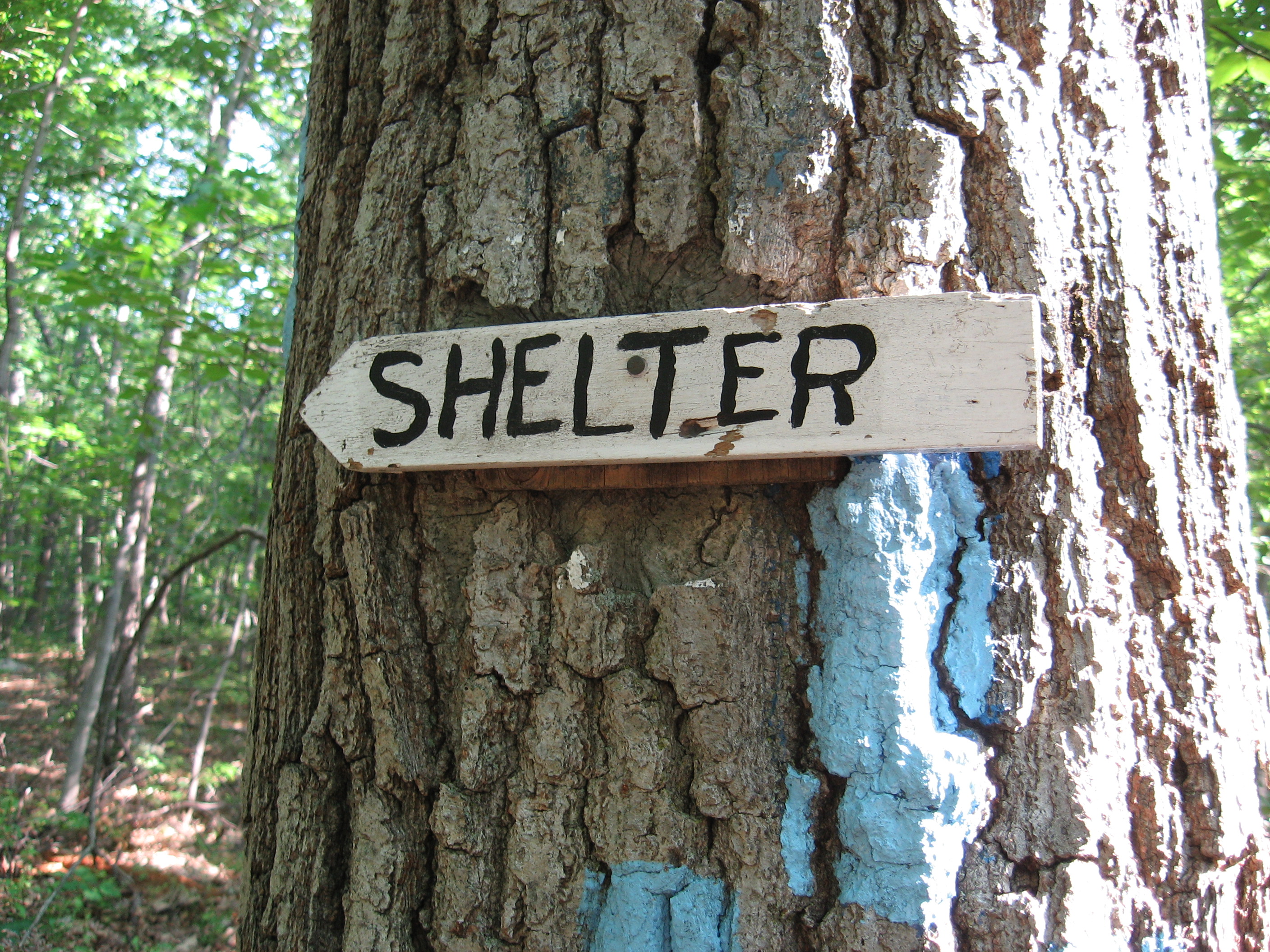
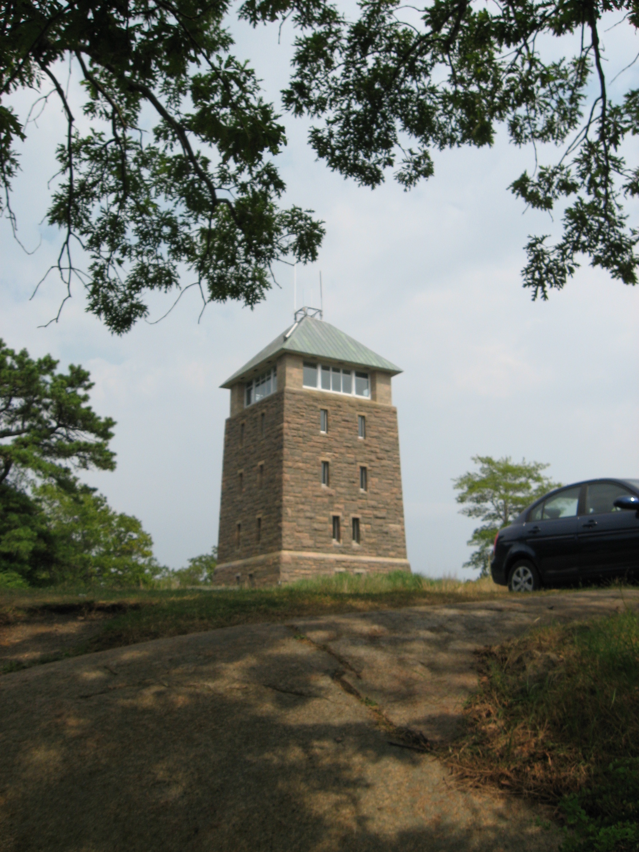
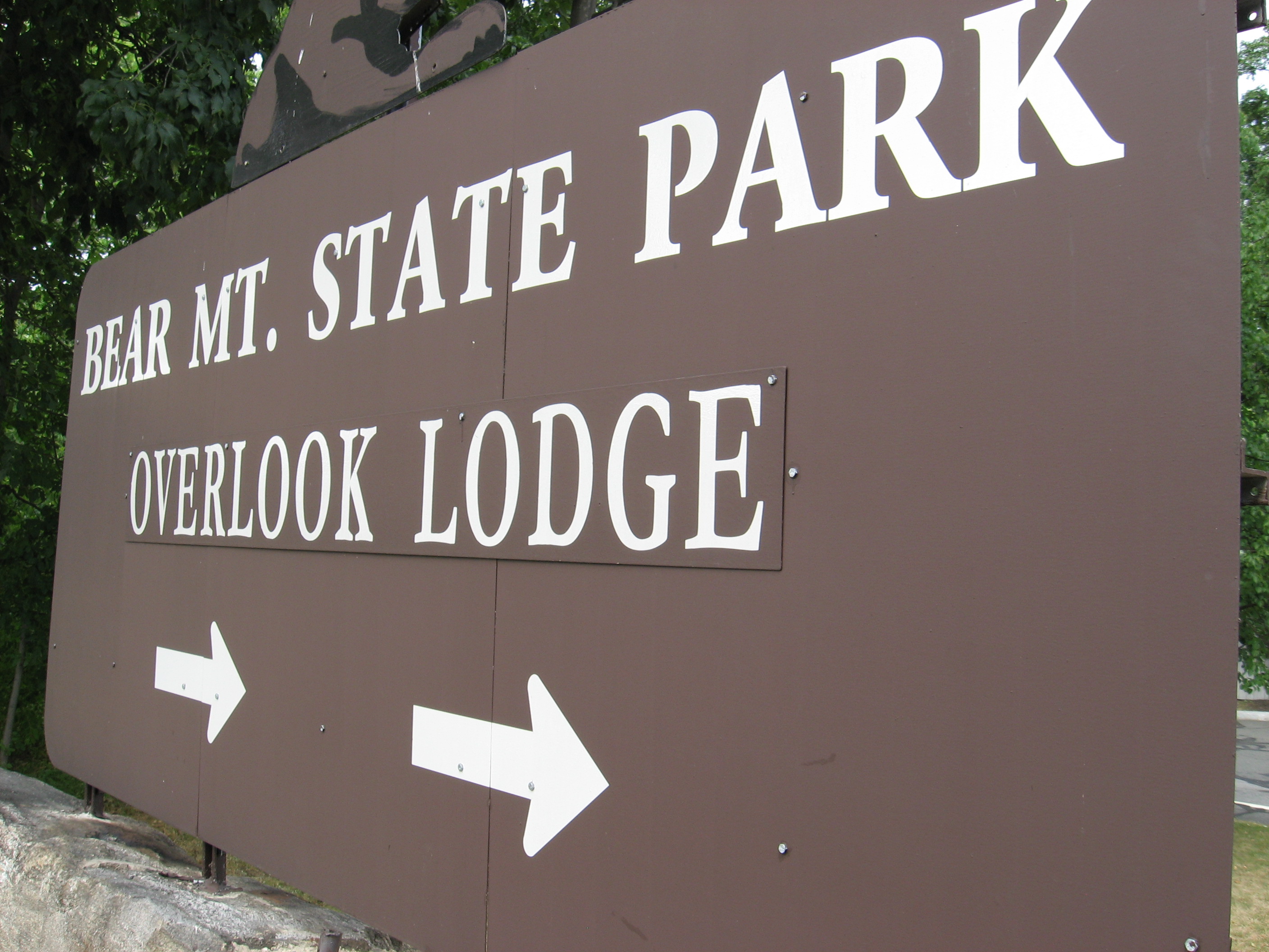
Camp Road; AMC Mohican Outdoor Center (1,150')
1150
06/27/10 3:00 pm
My Location: N 41°2'08.02", W 75°0'02.43"
410 m map it
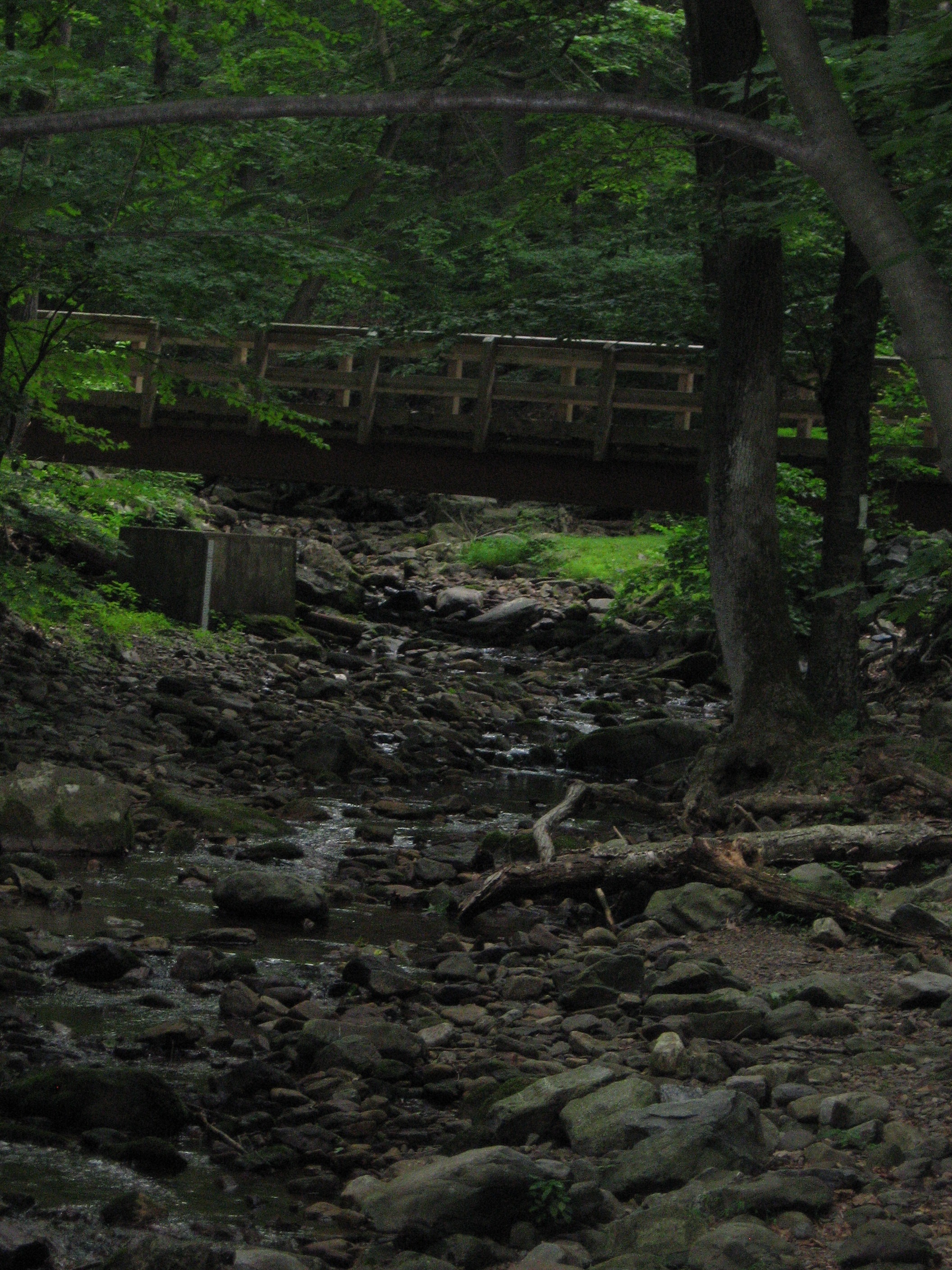
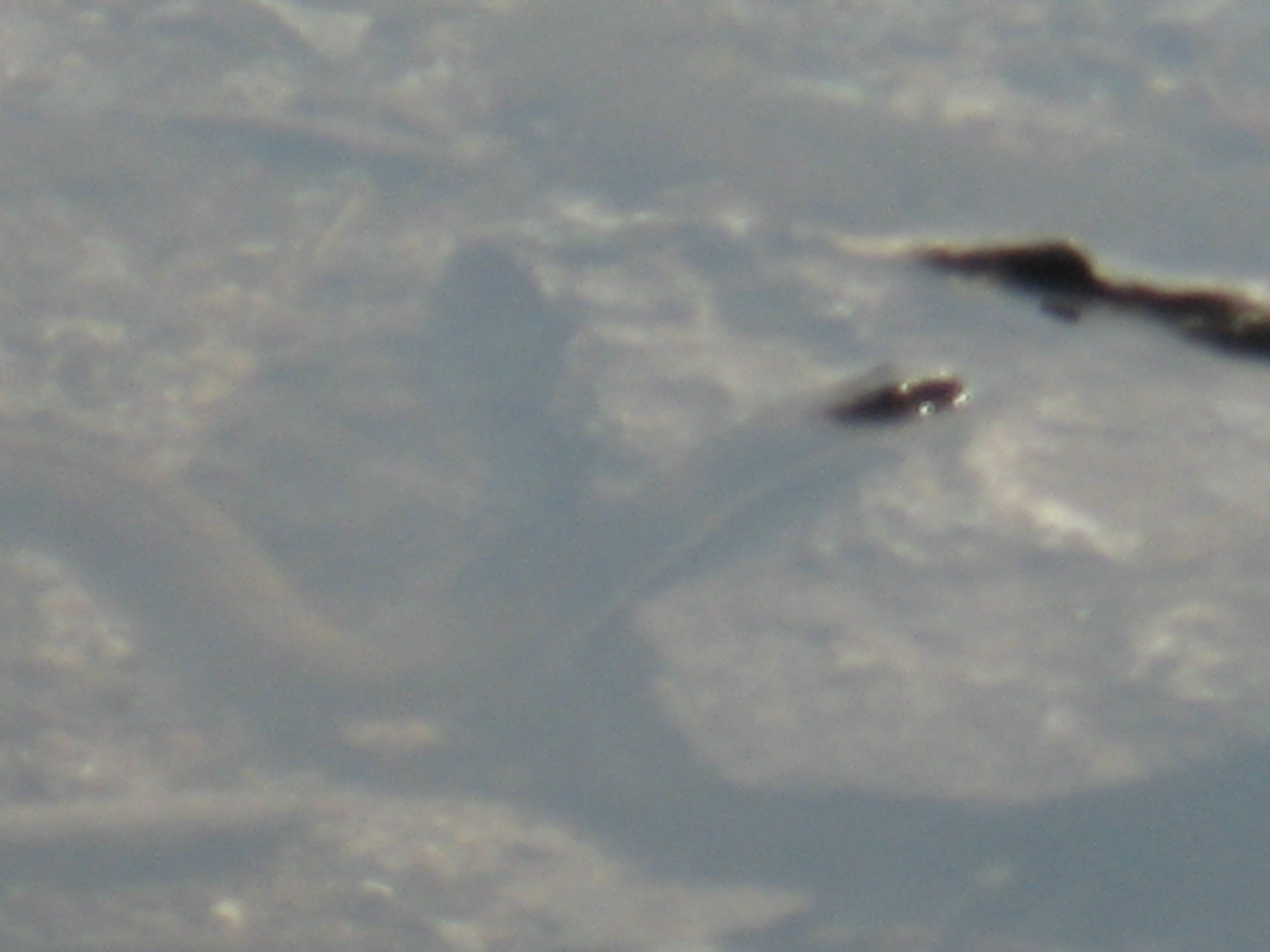
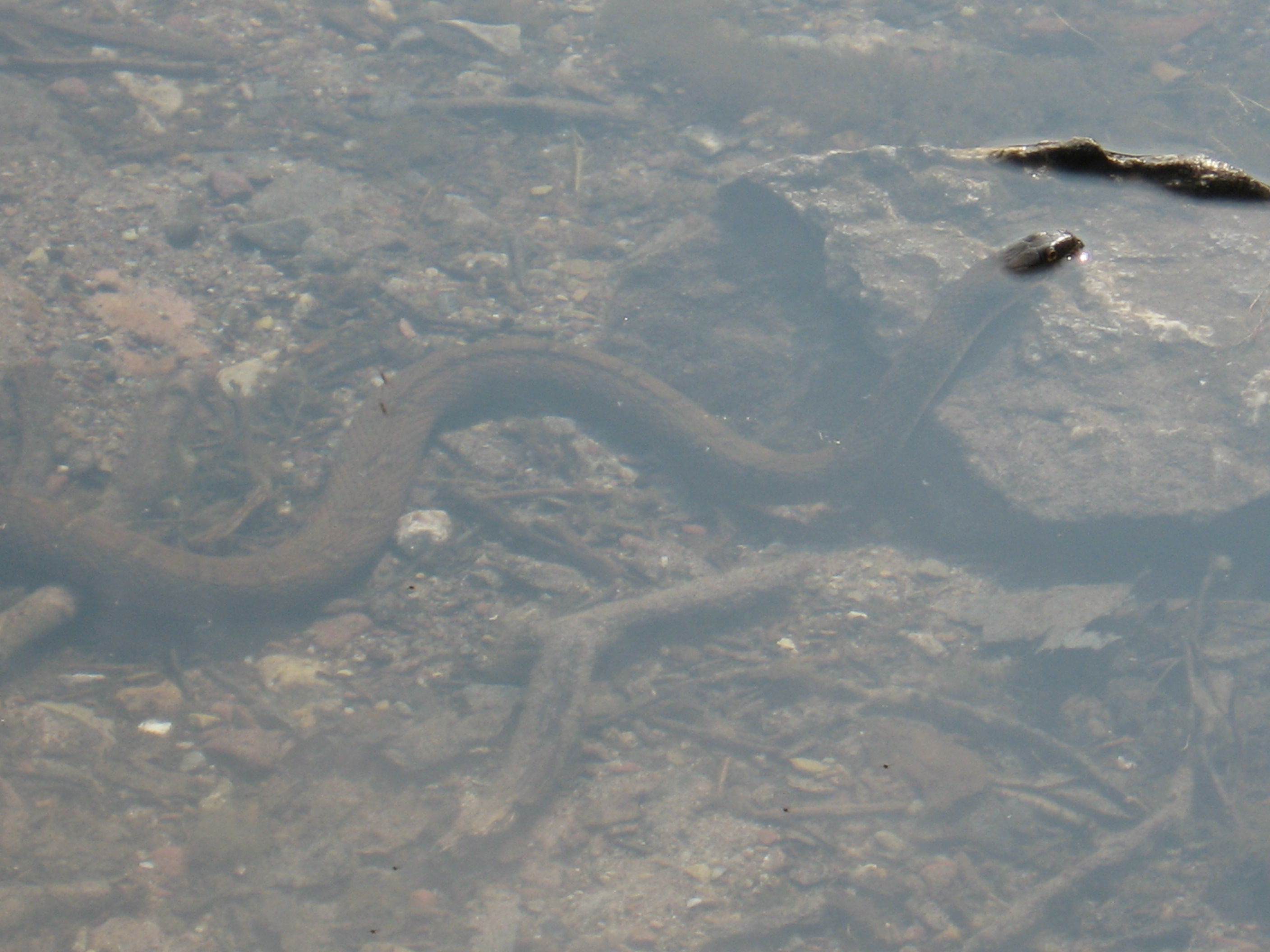
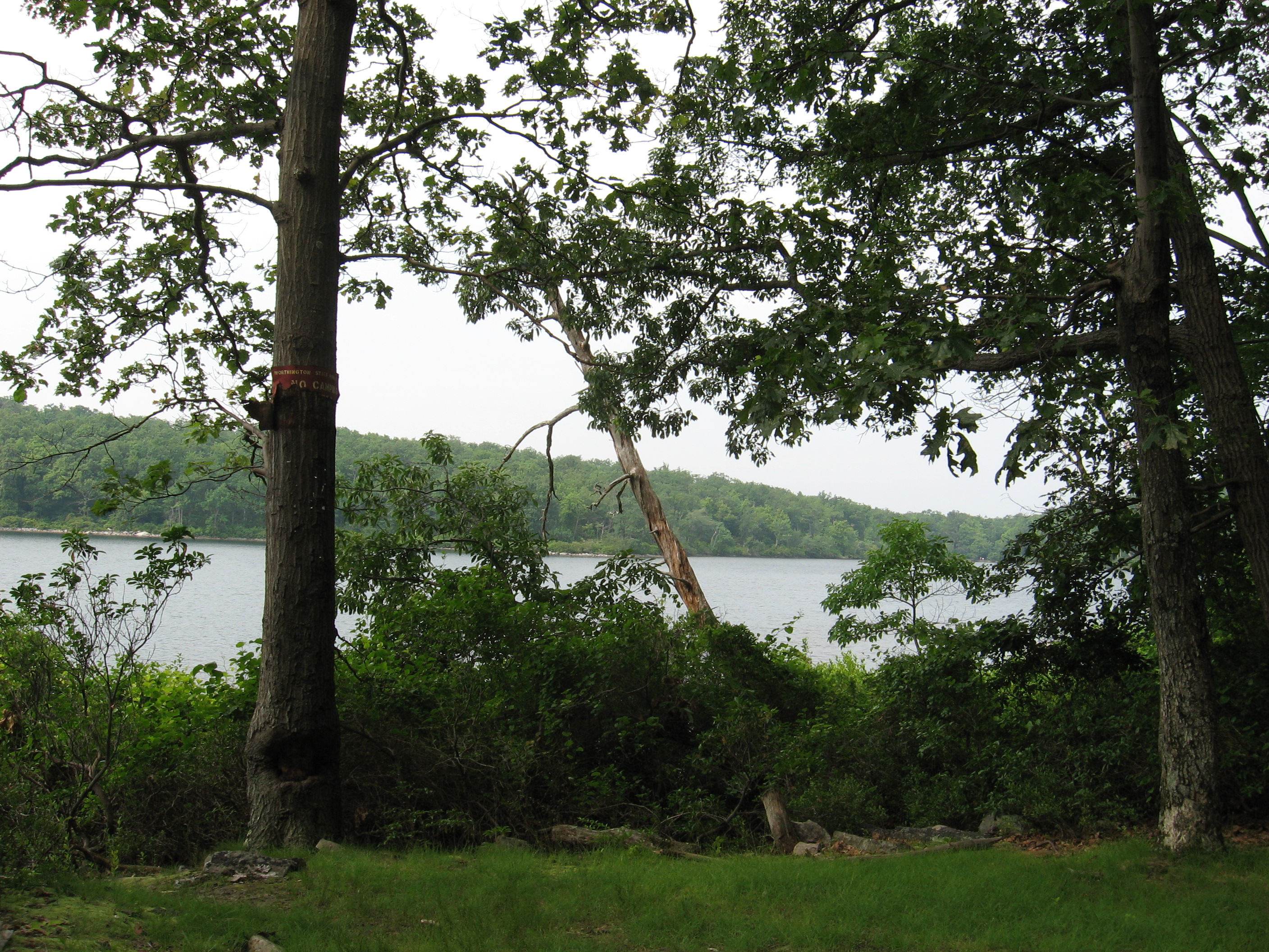
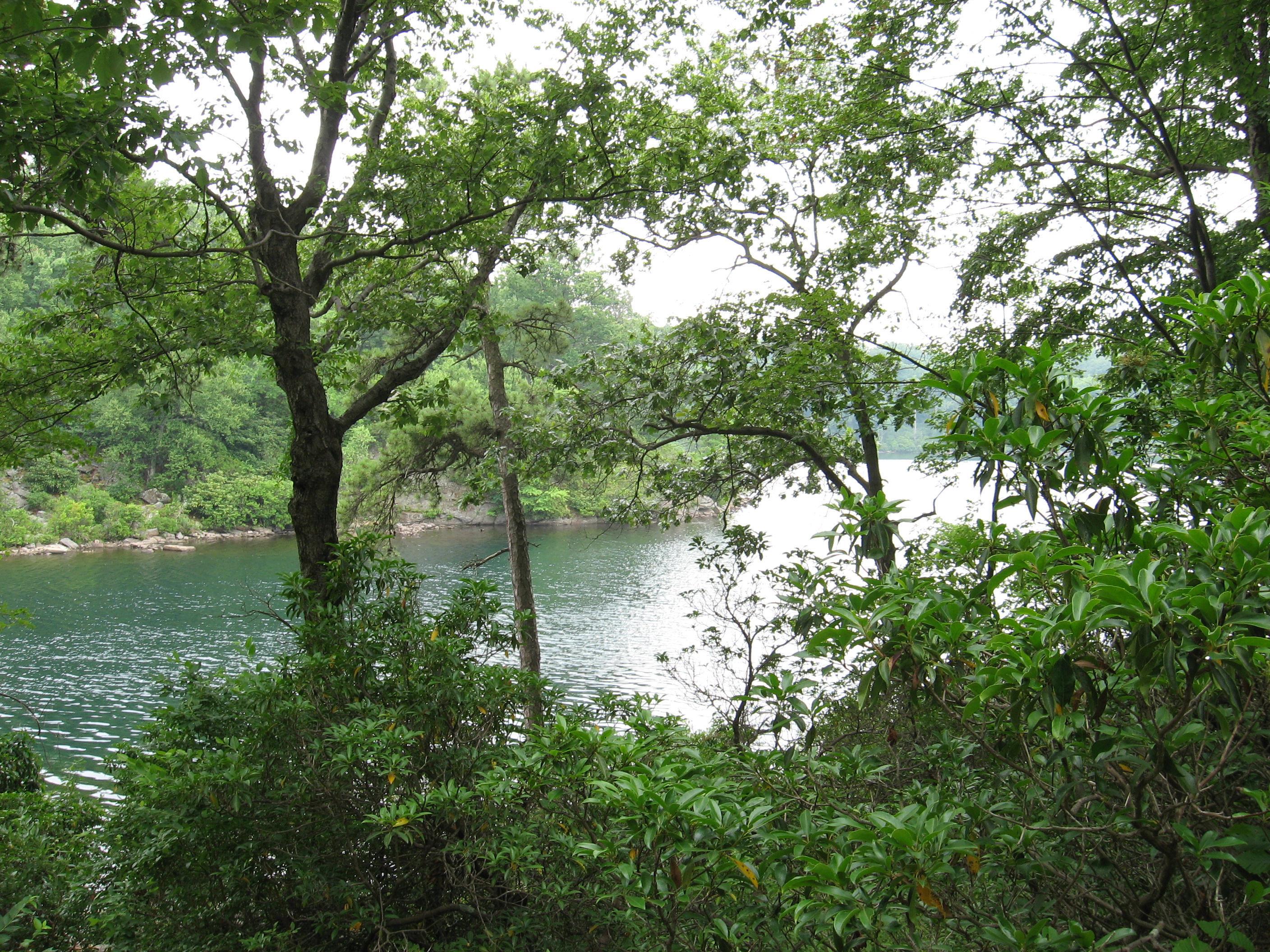
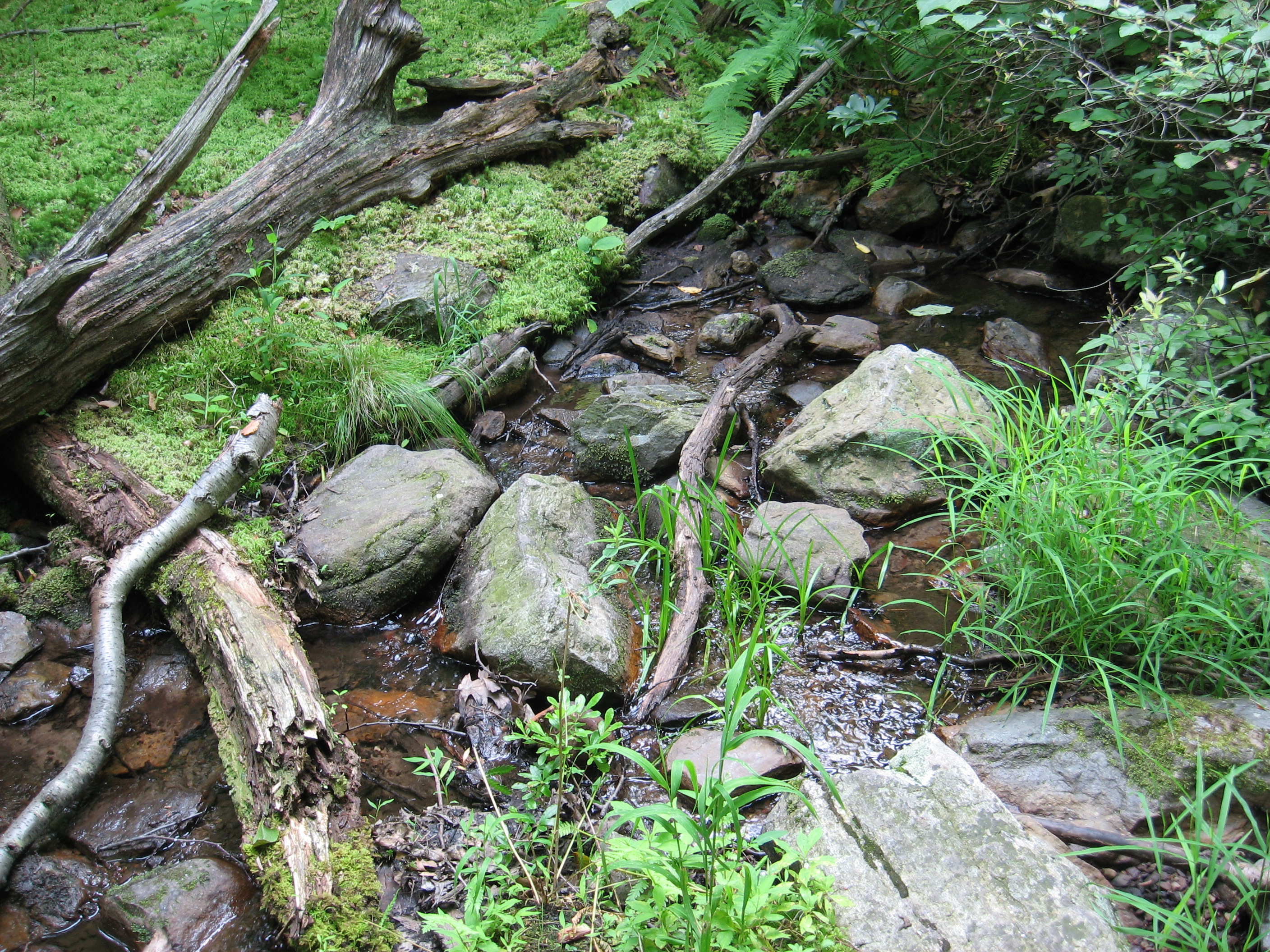
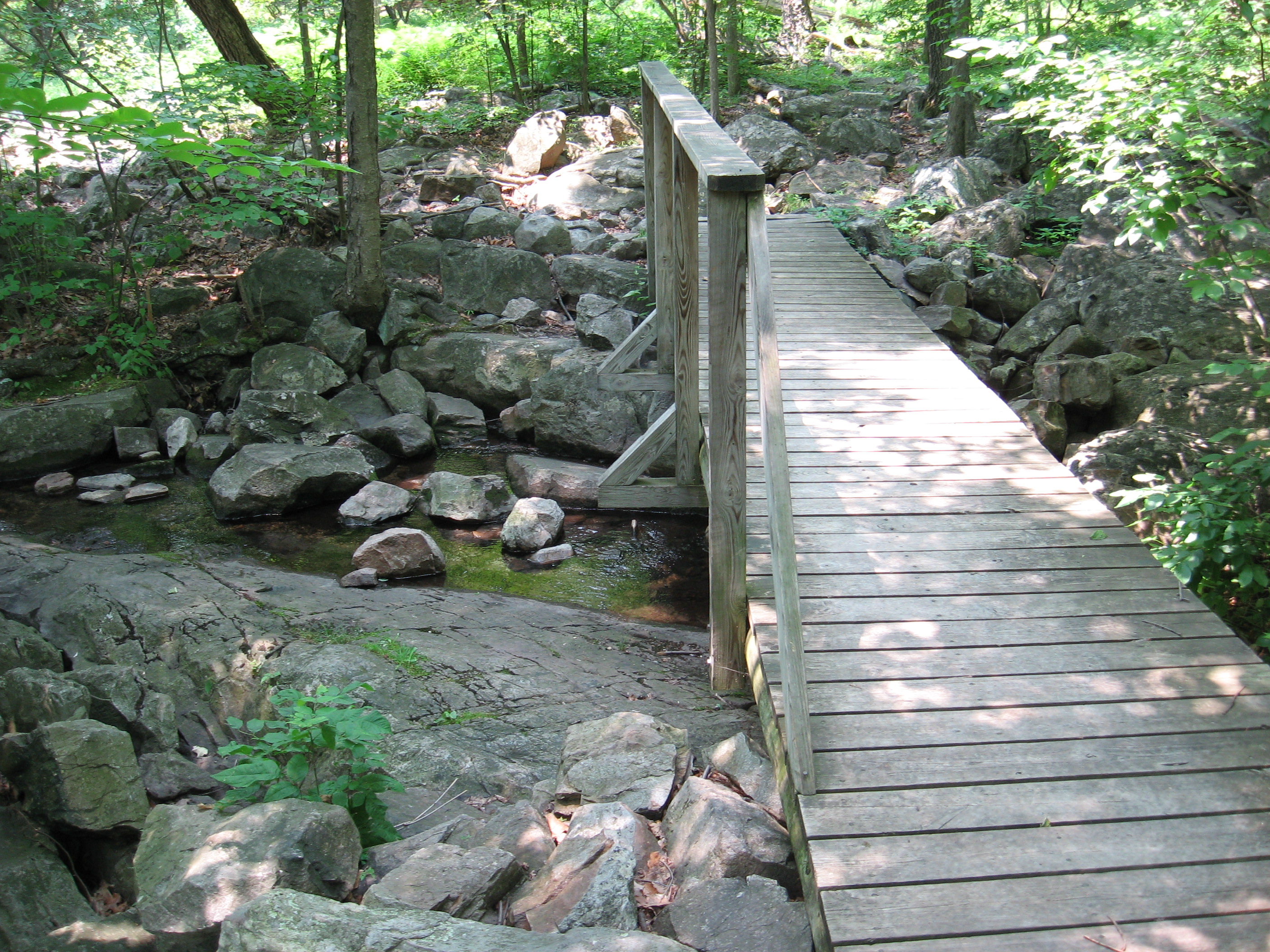
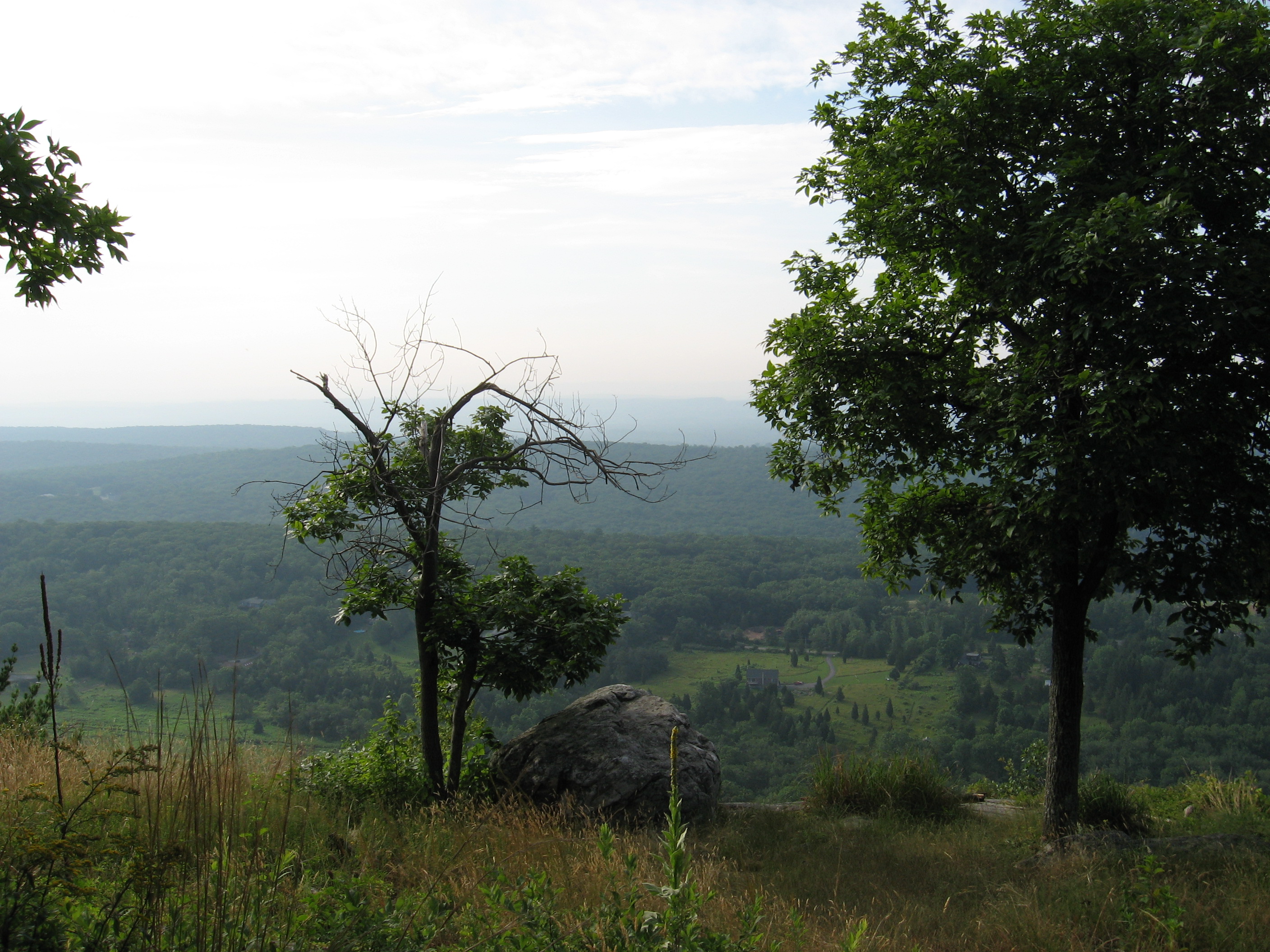
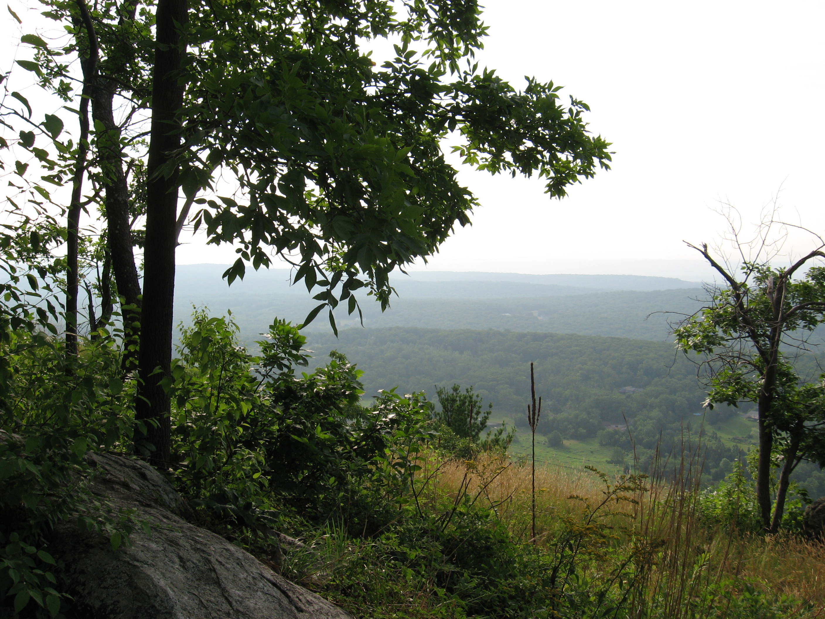
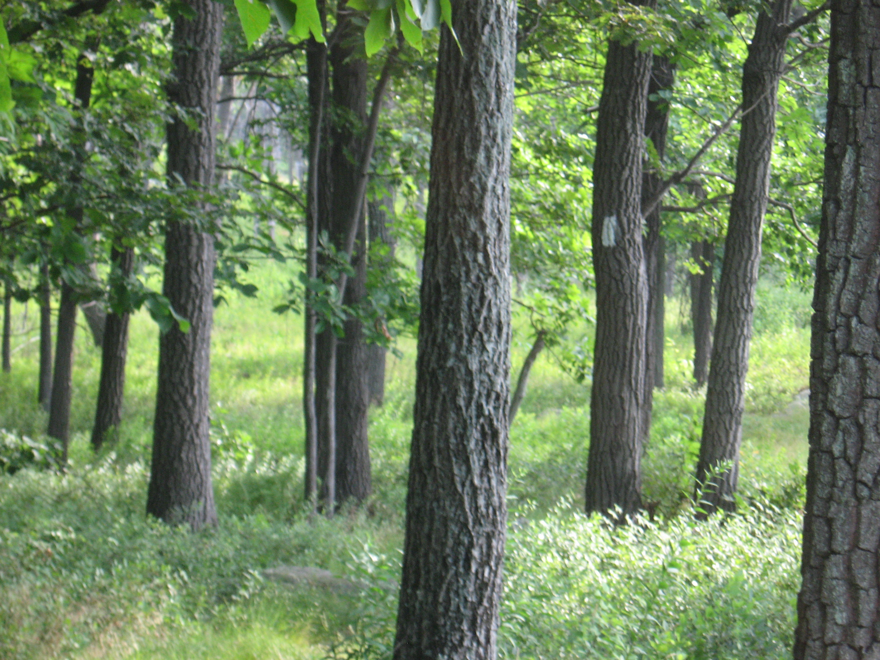
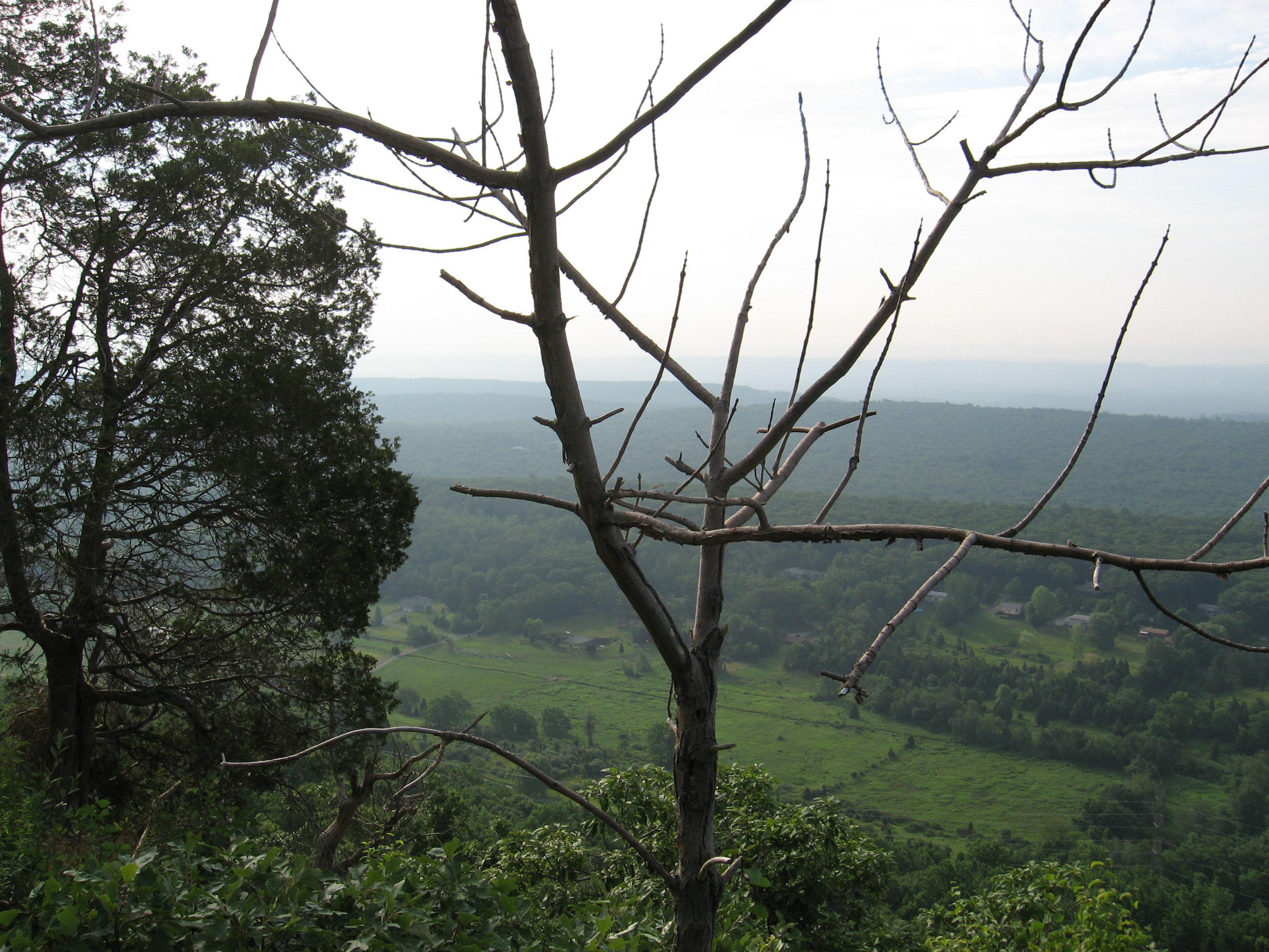
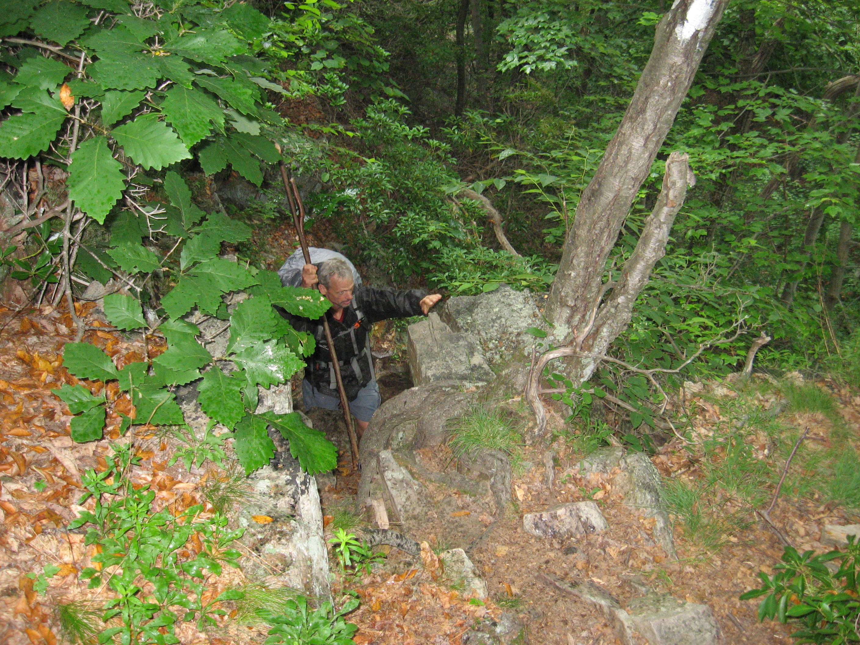
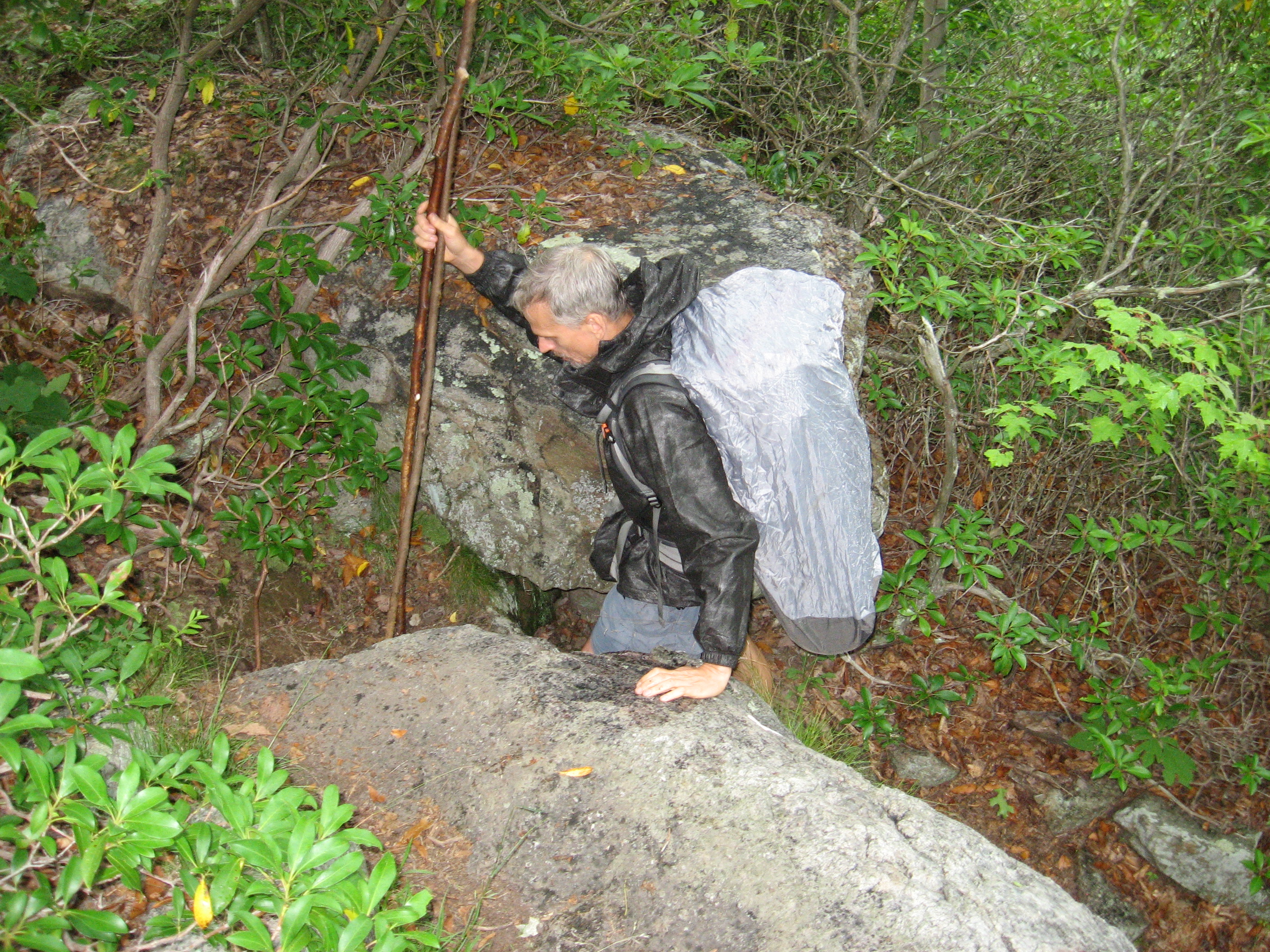
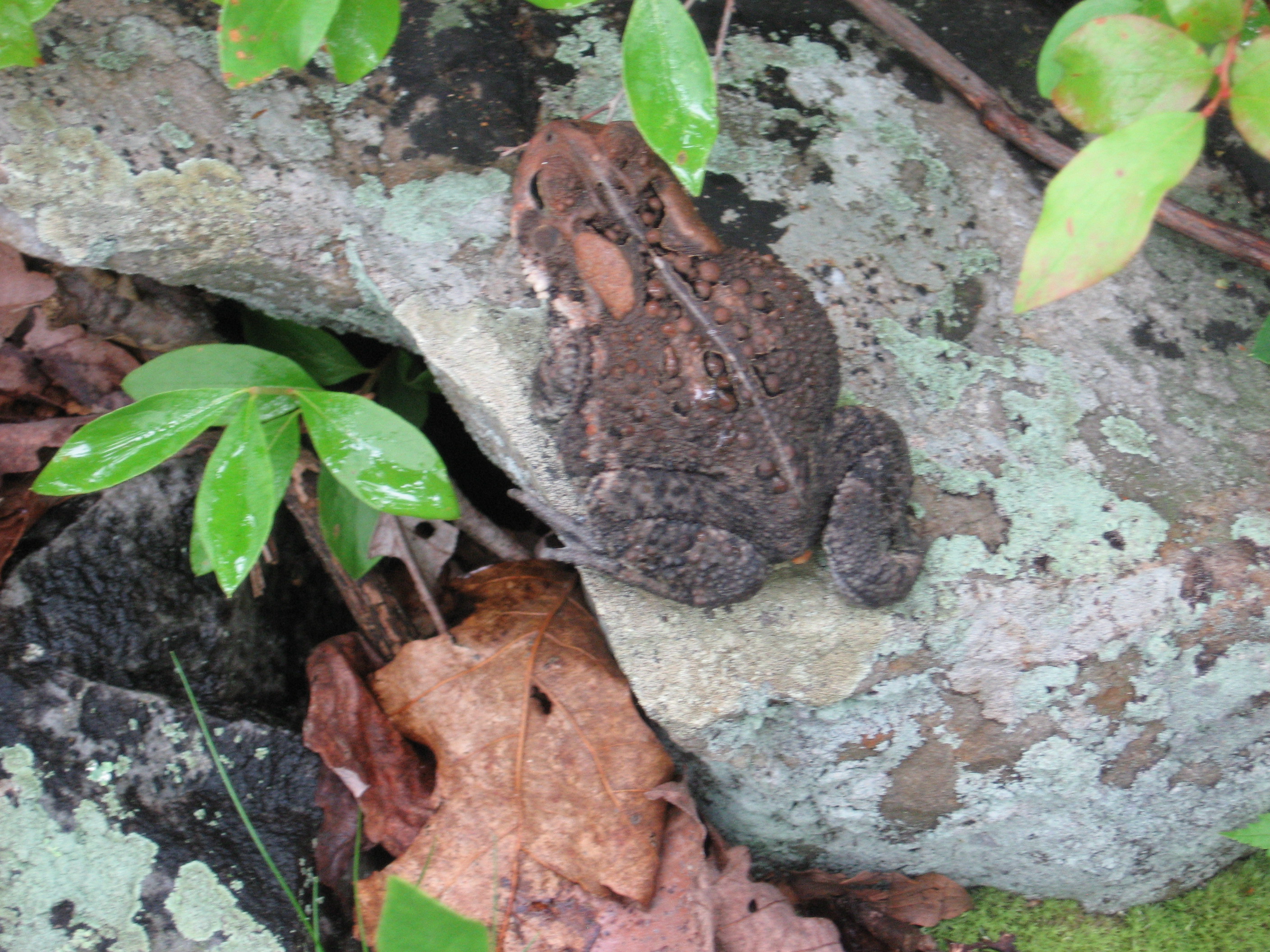
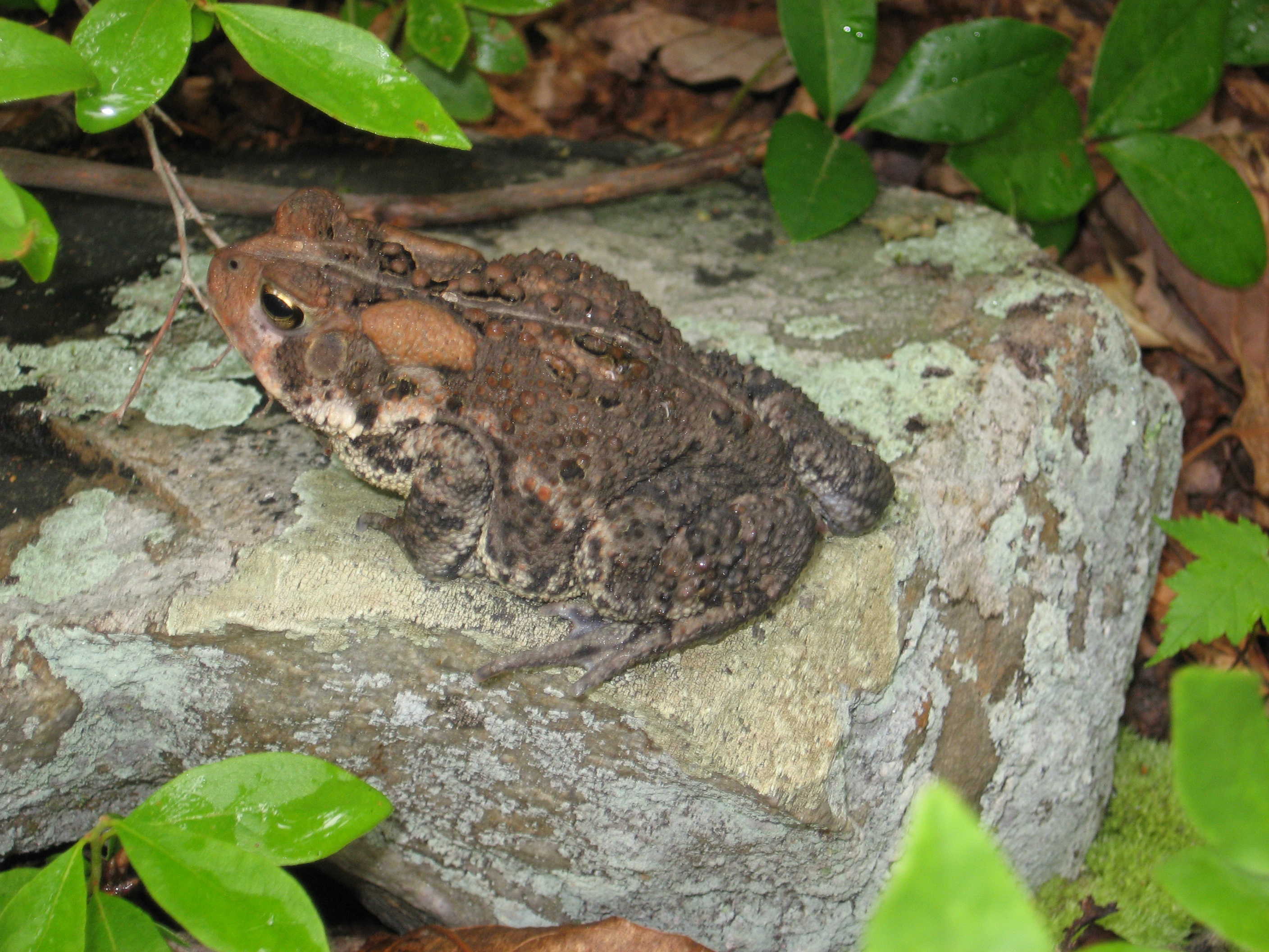
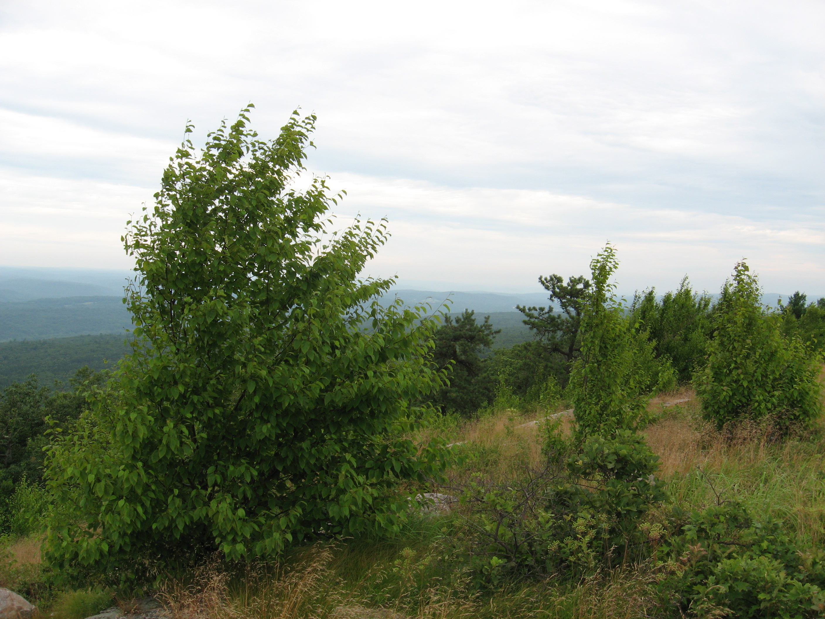
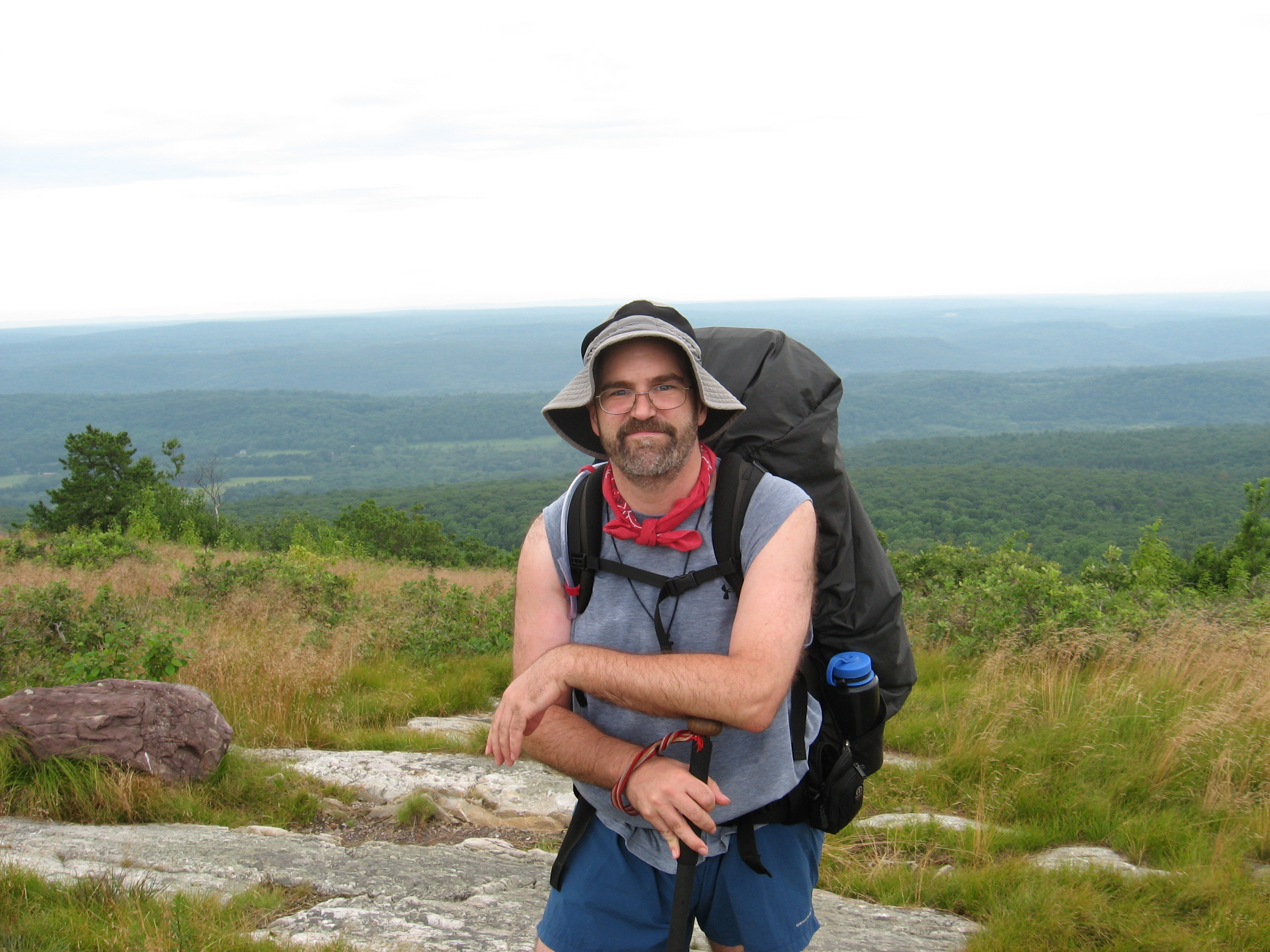
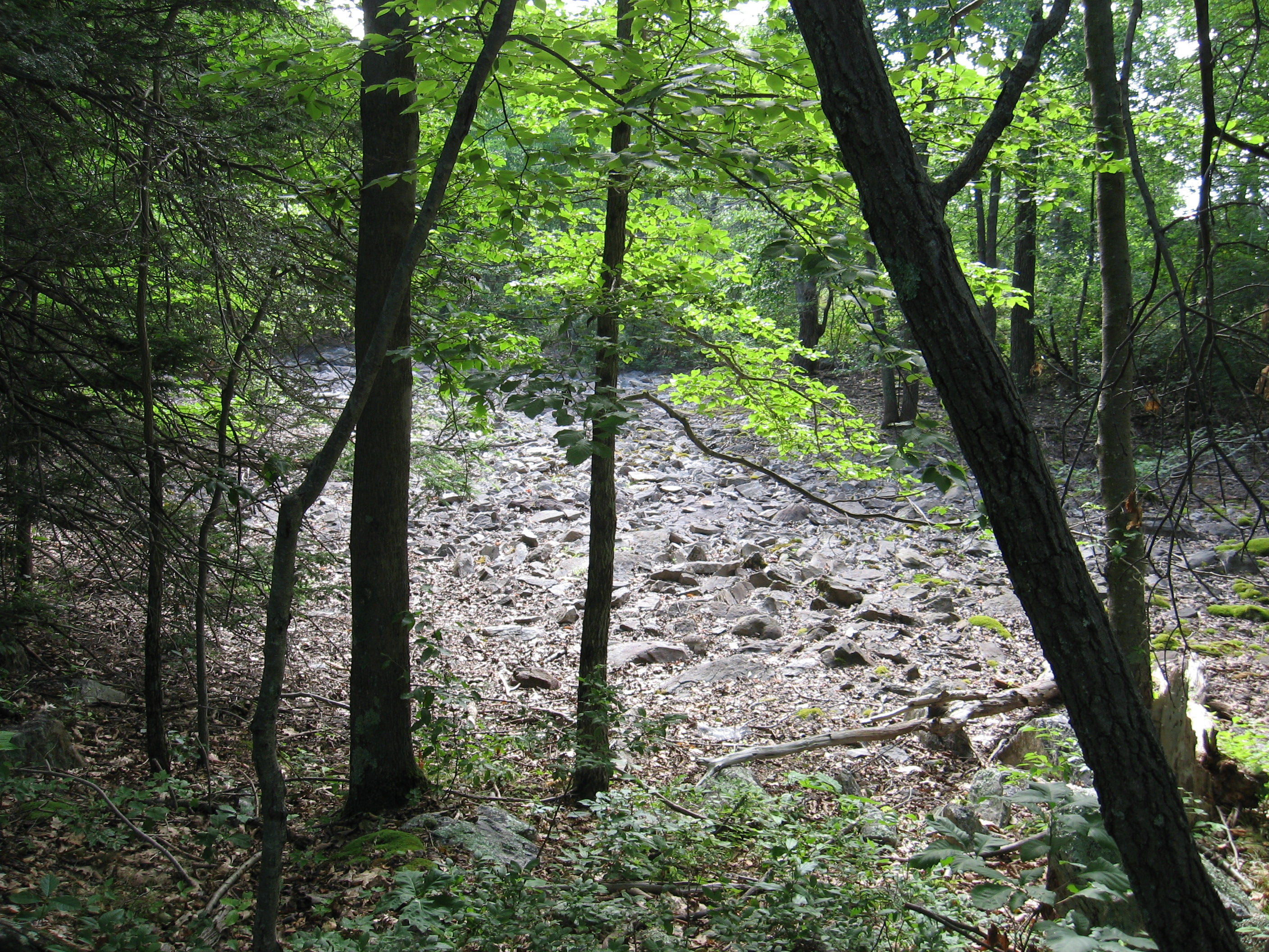
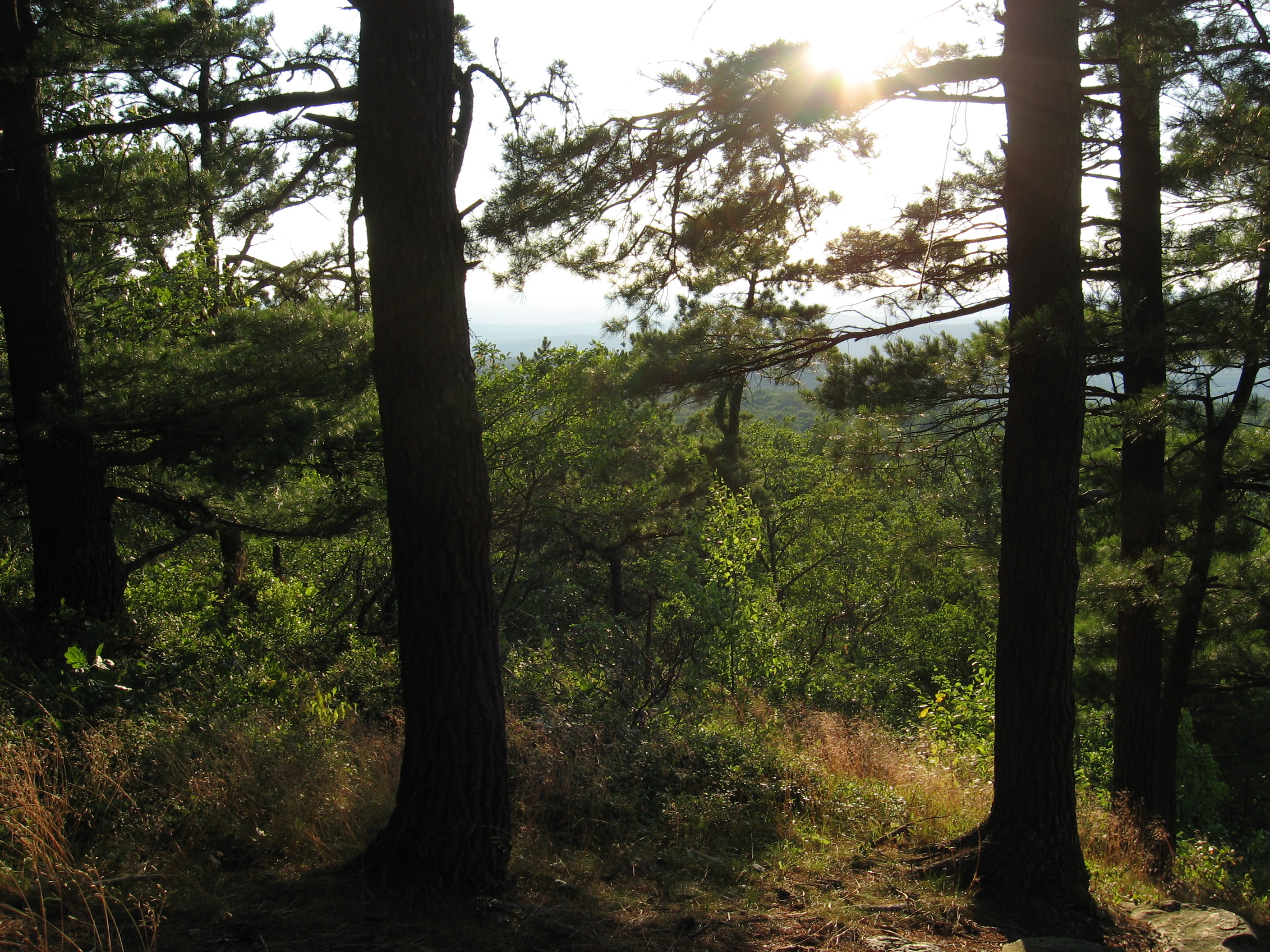
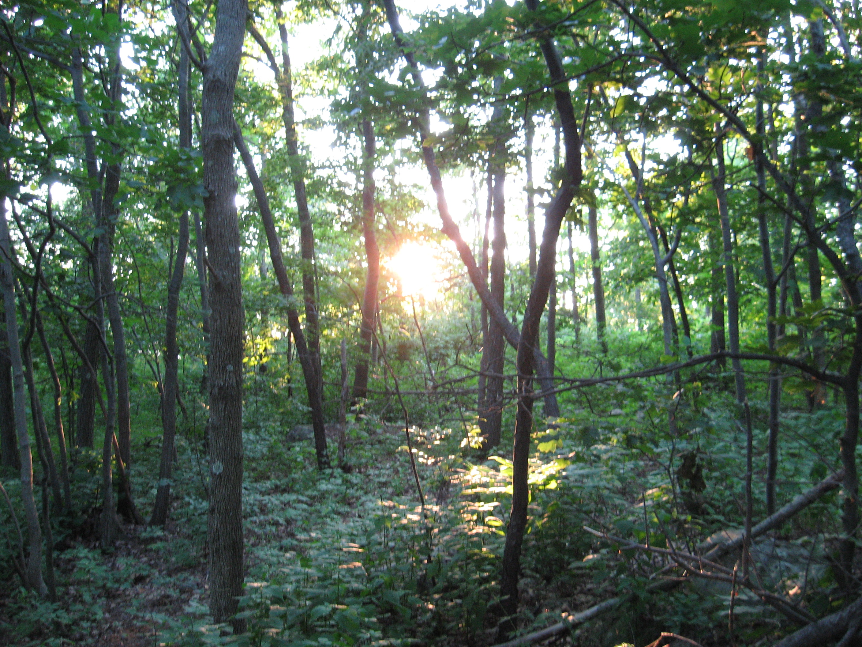
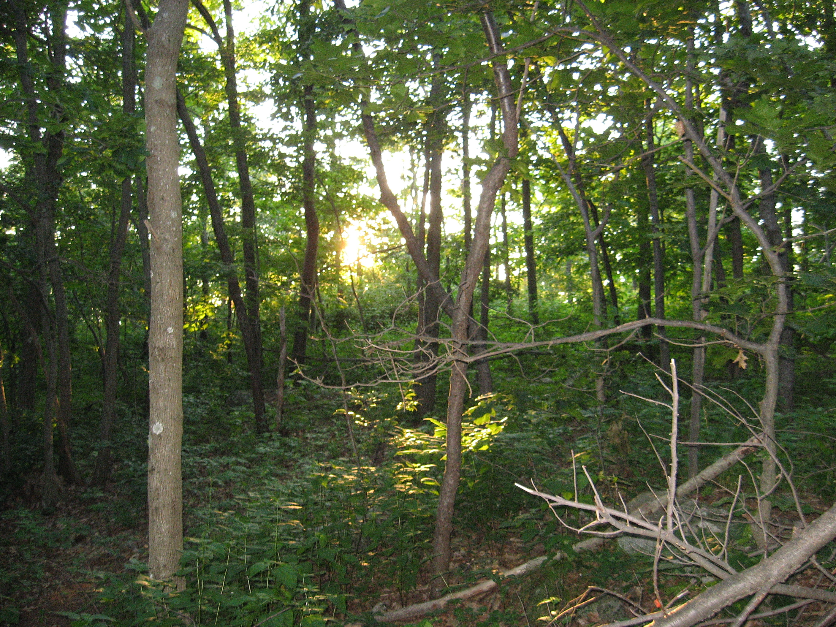
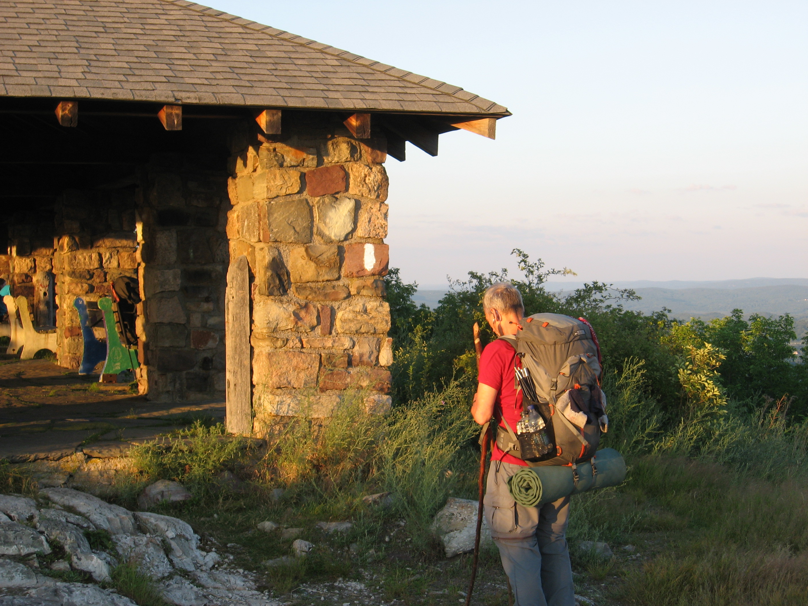
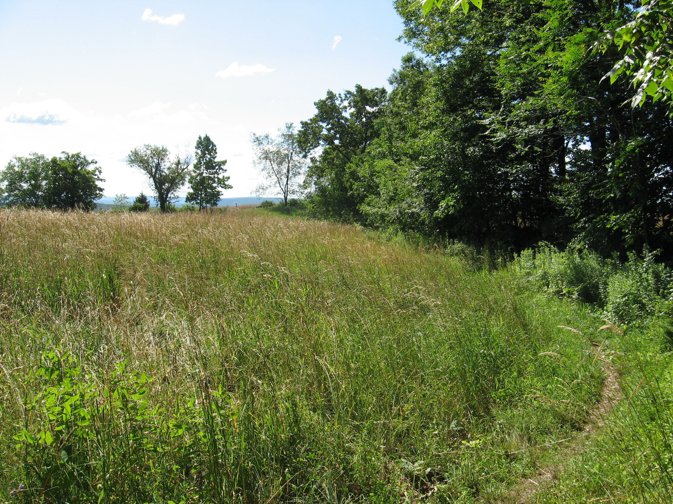
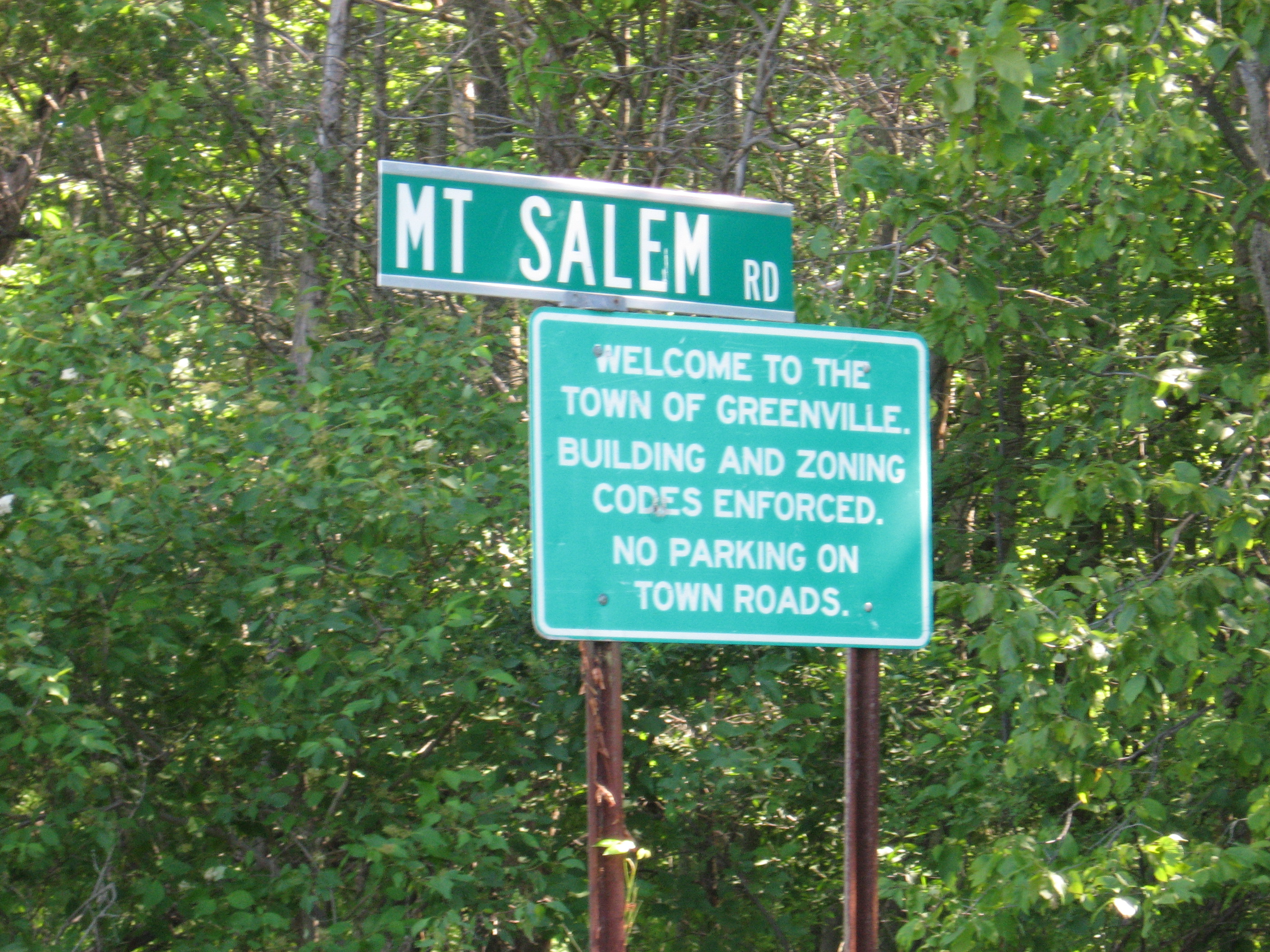
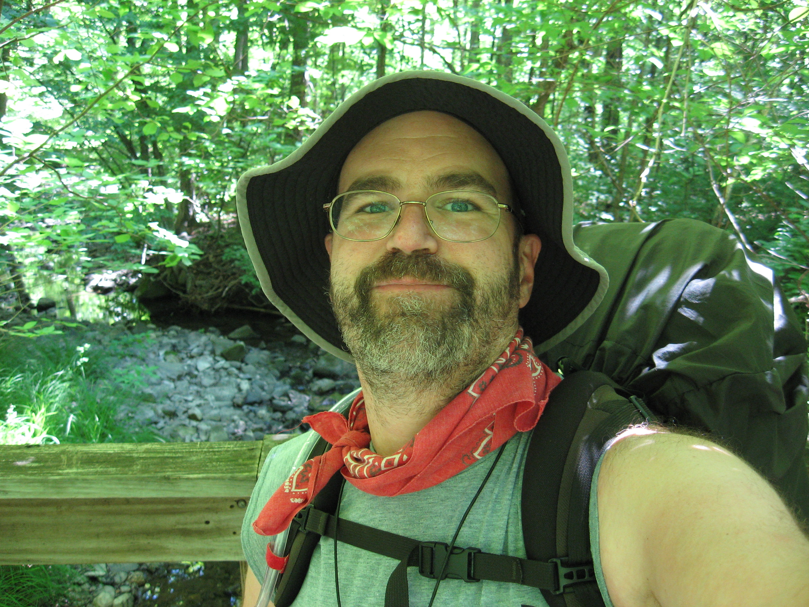
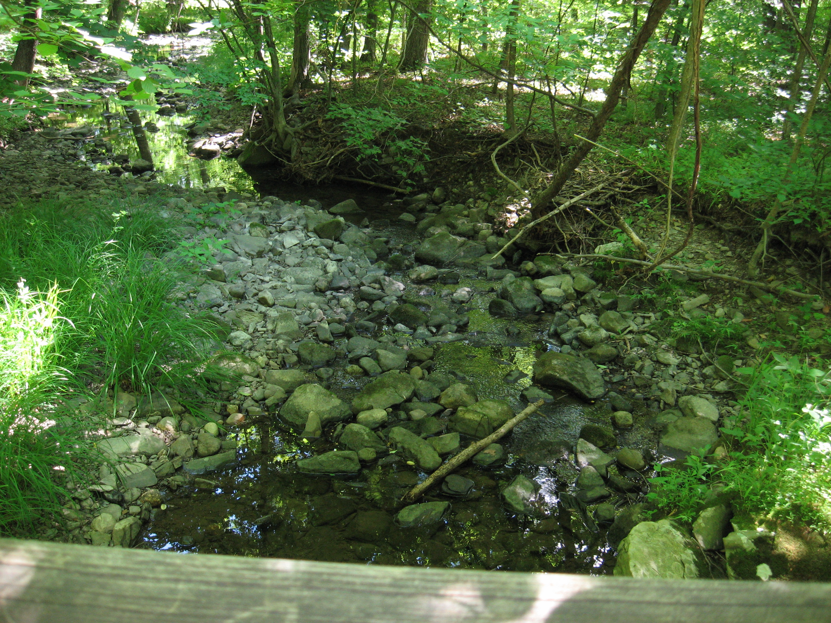
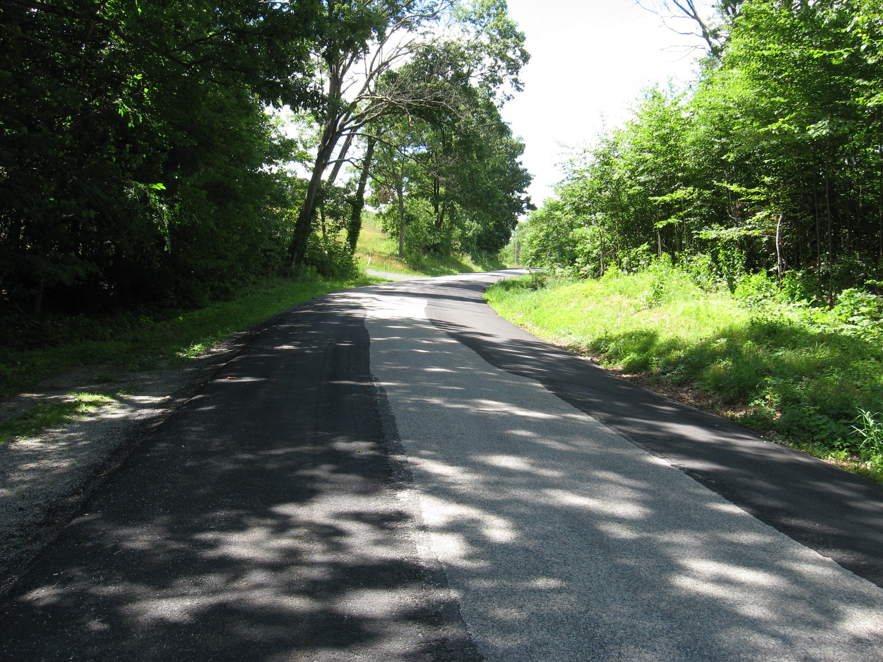
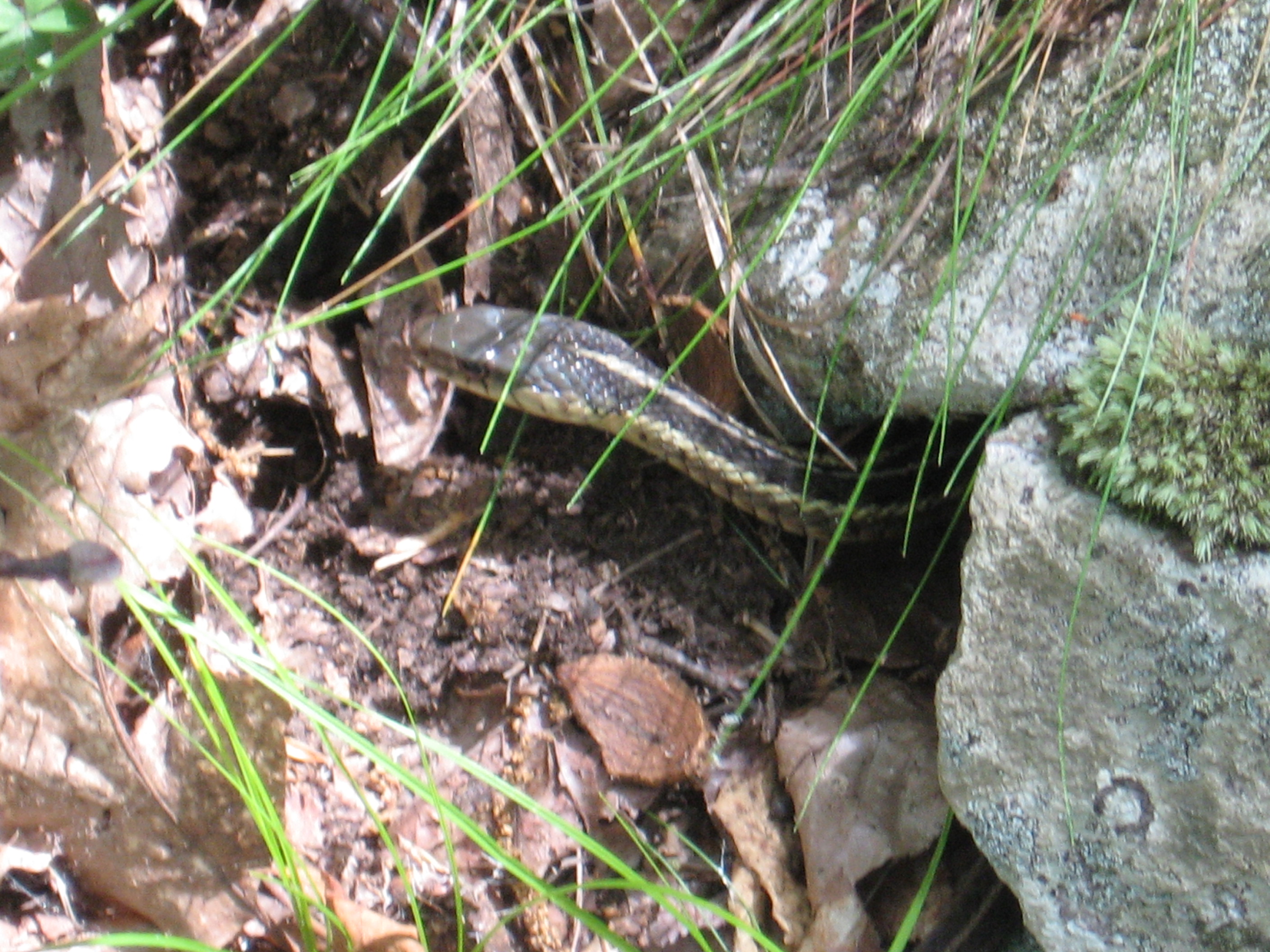
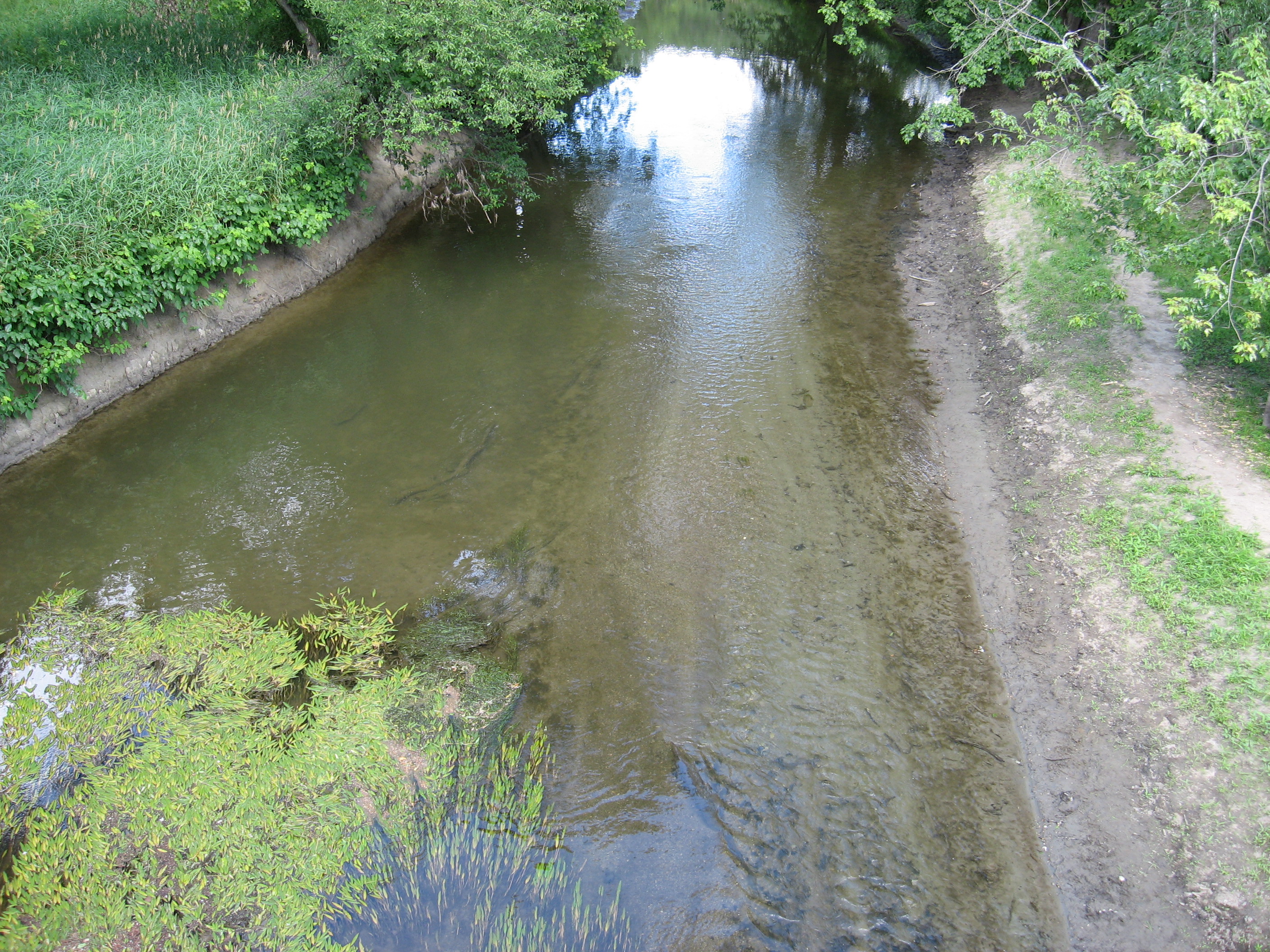
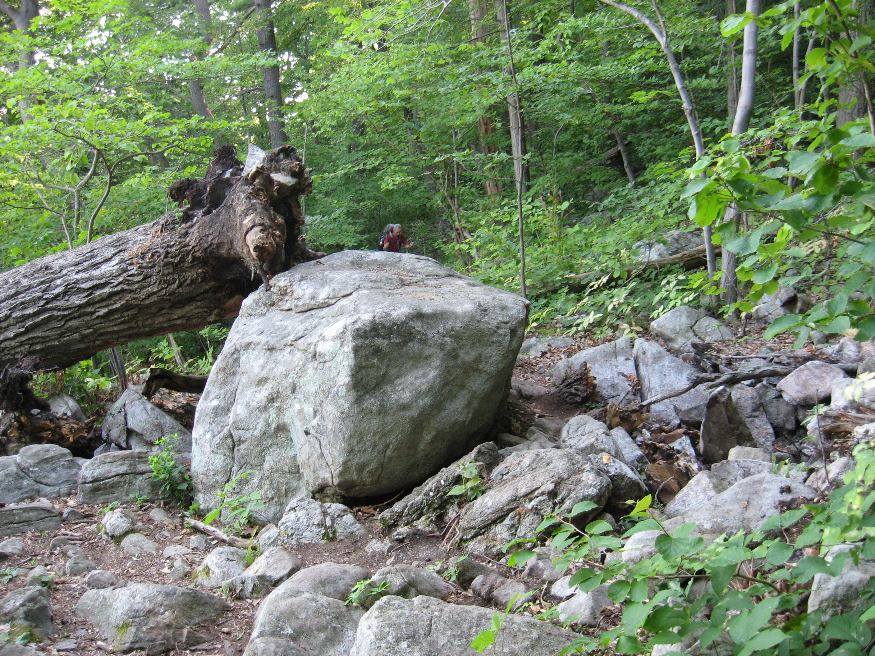
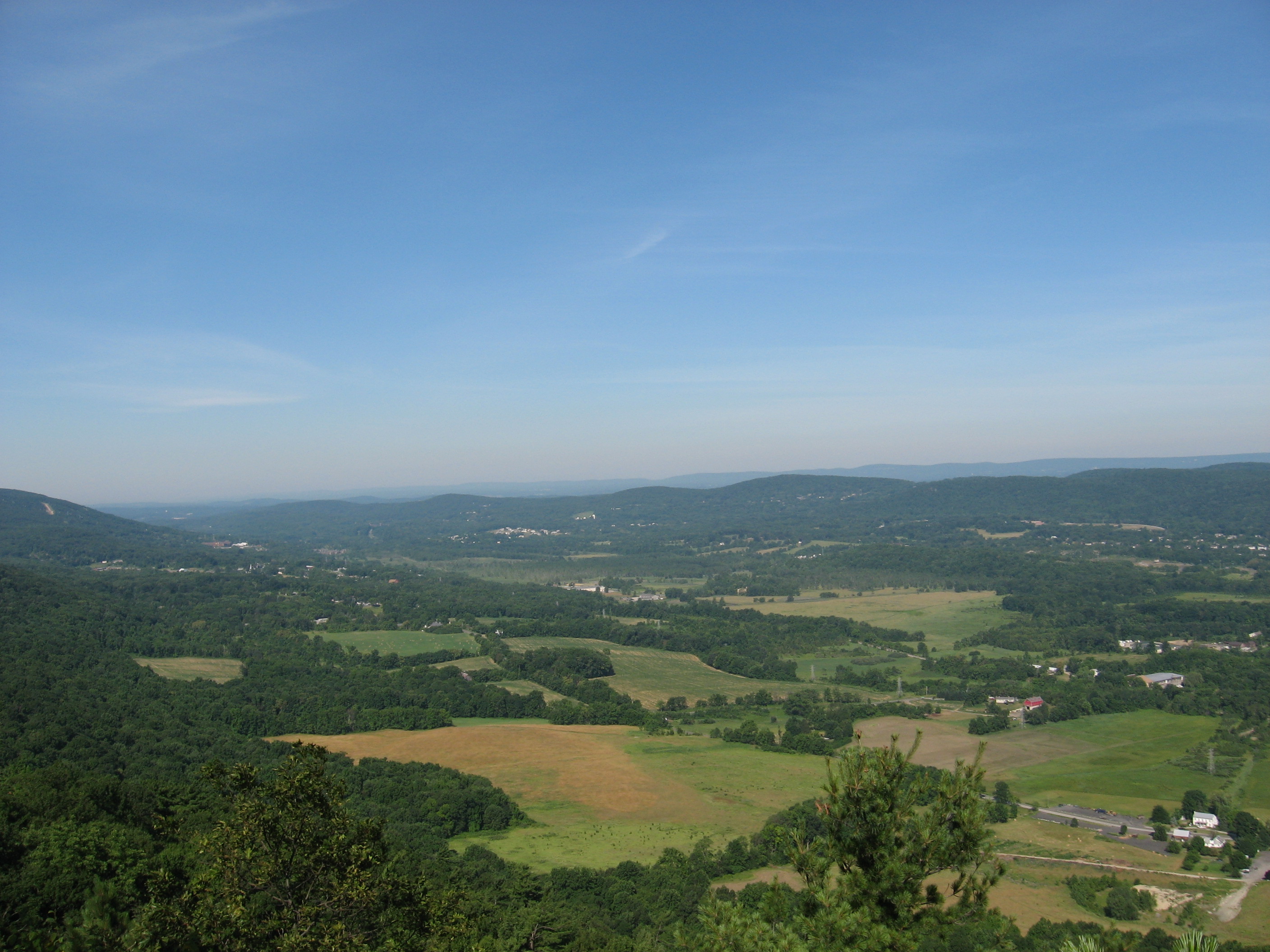
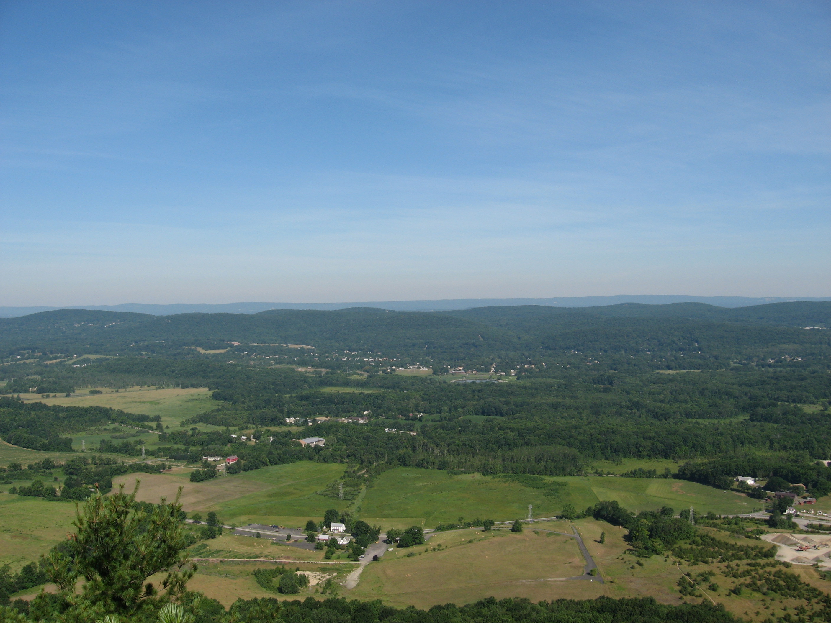
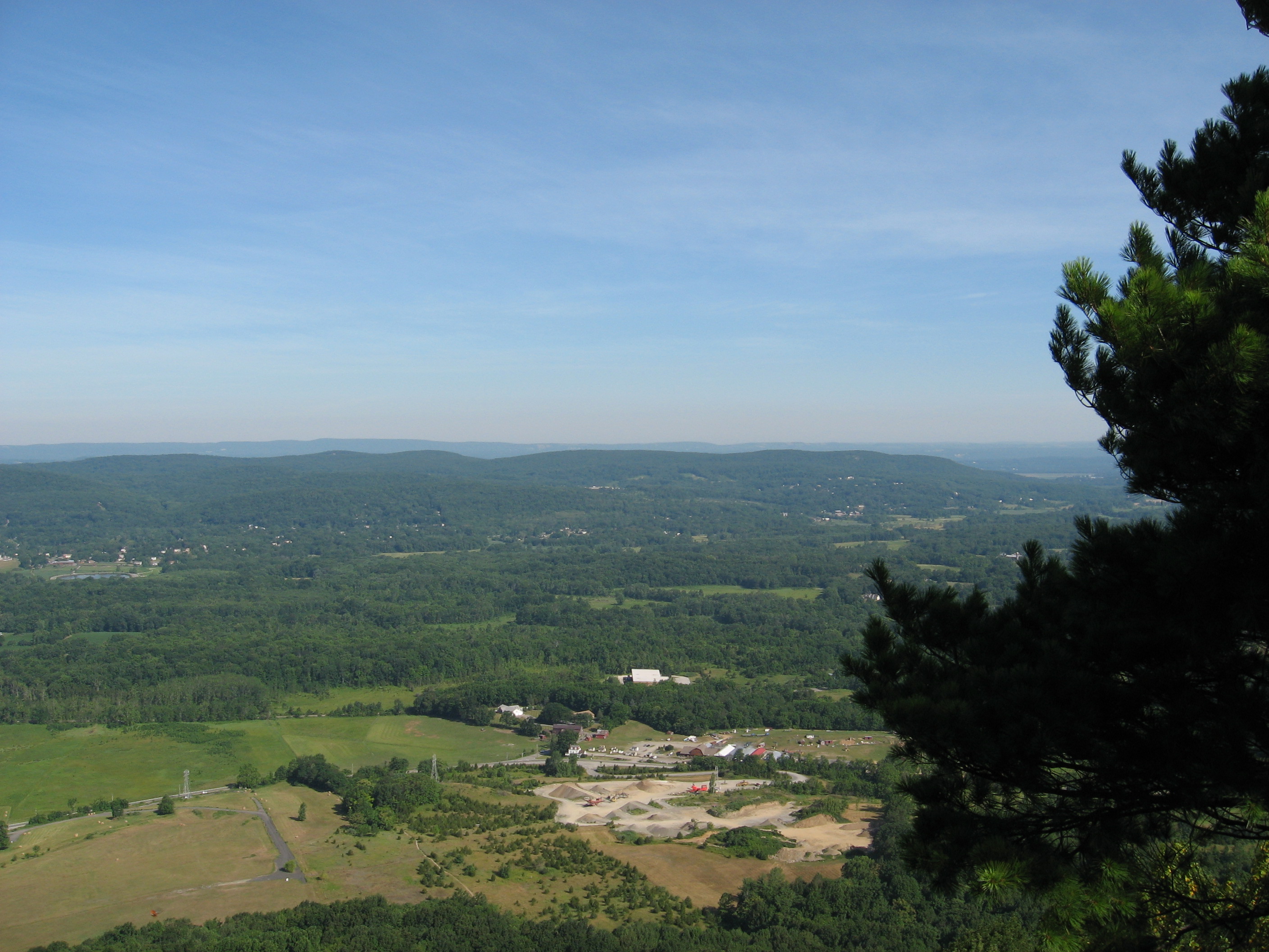
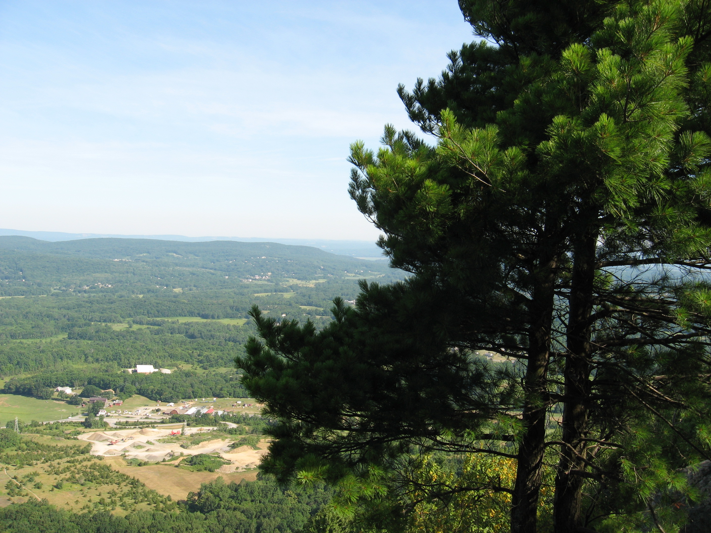
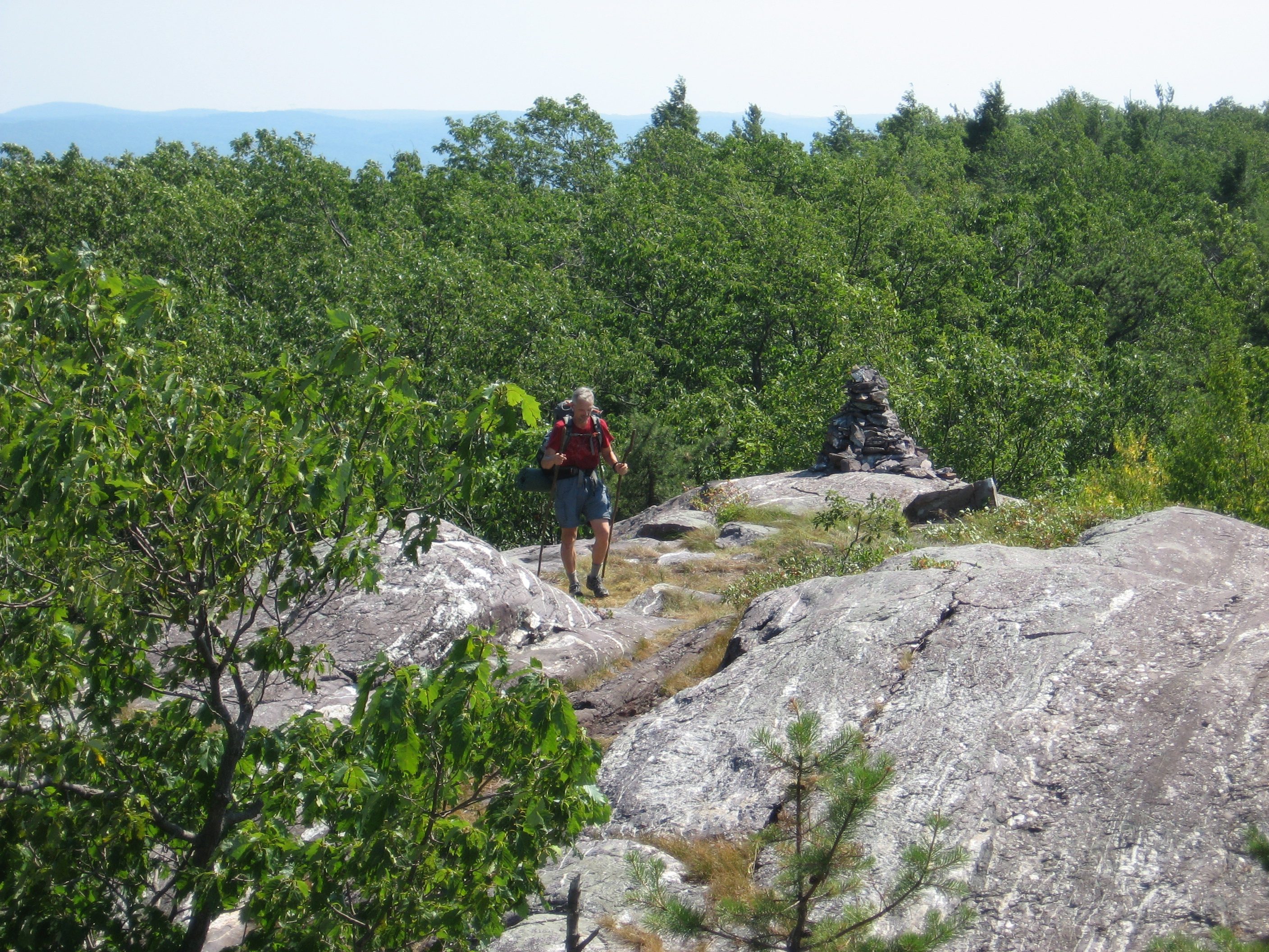
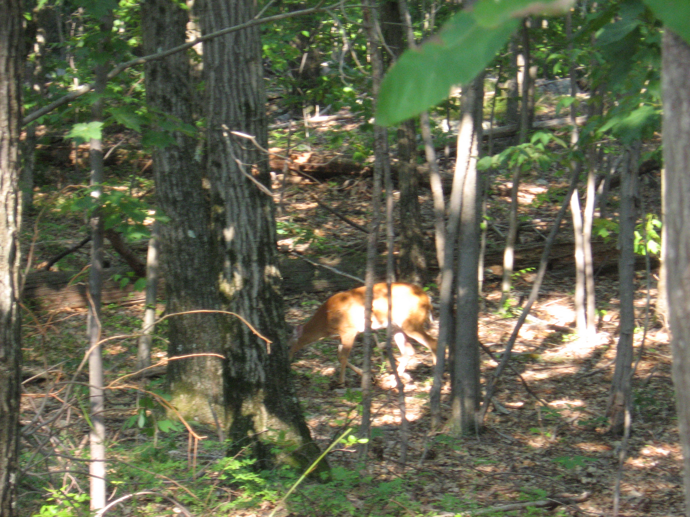
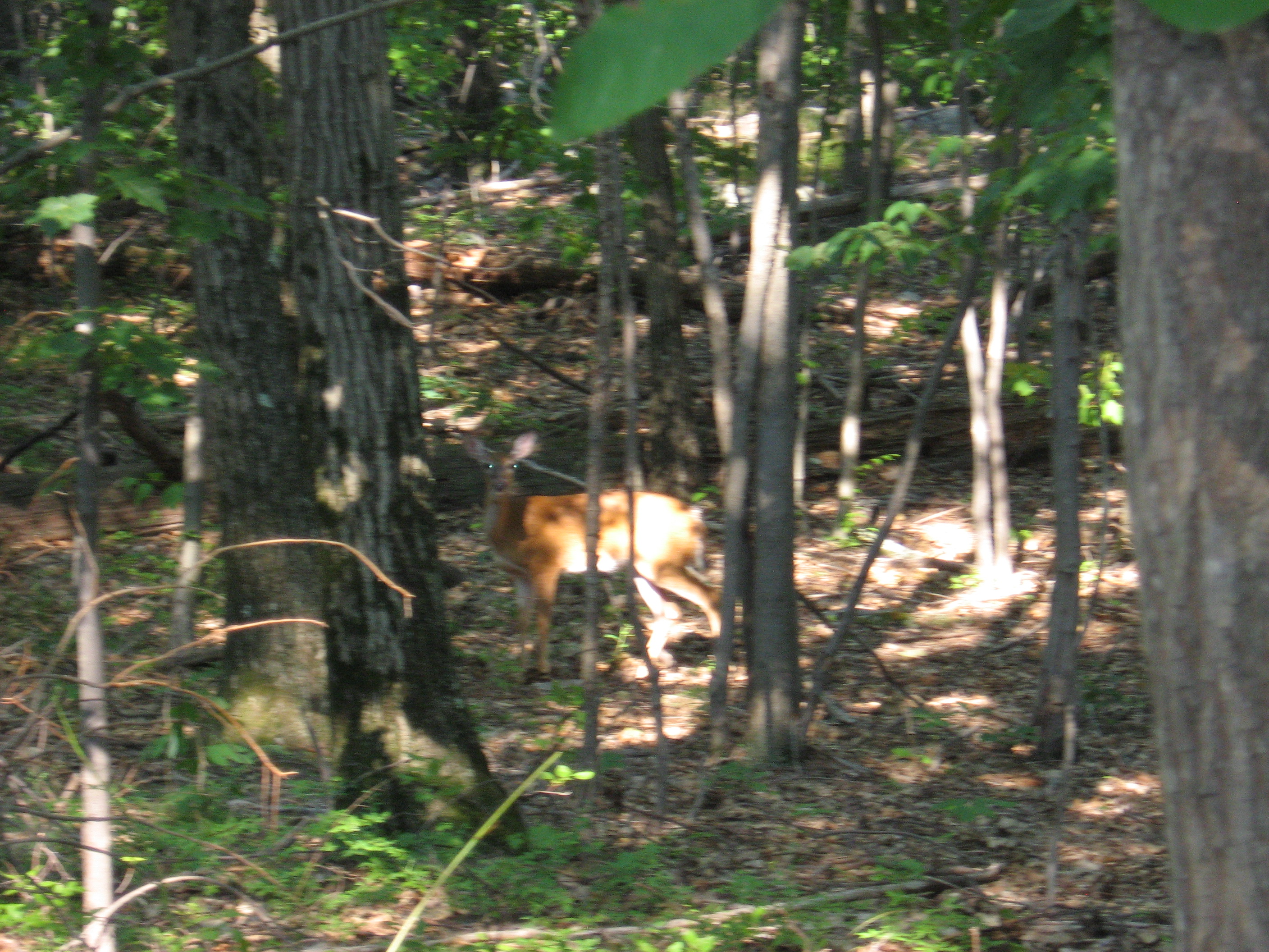
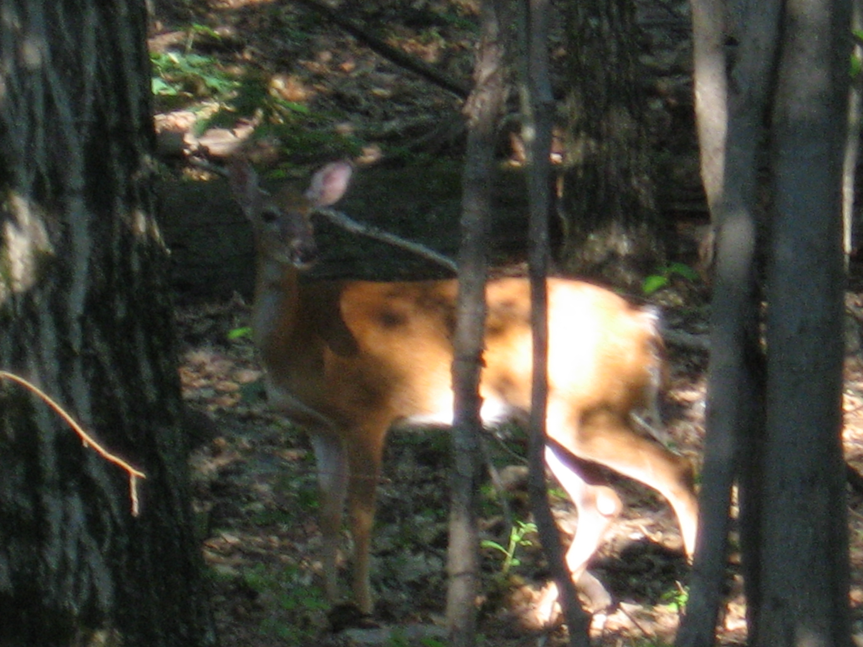
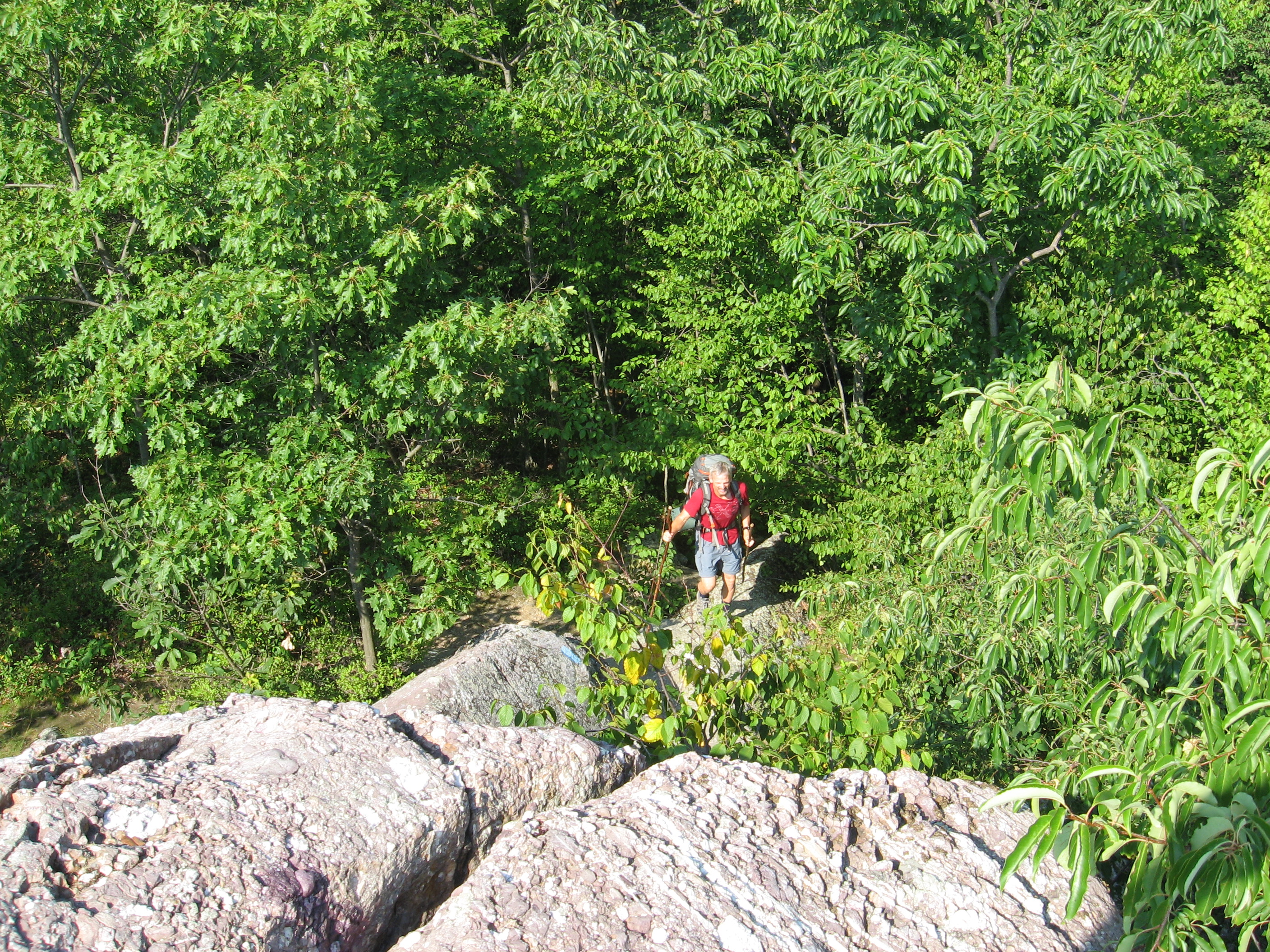
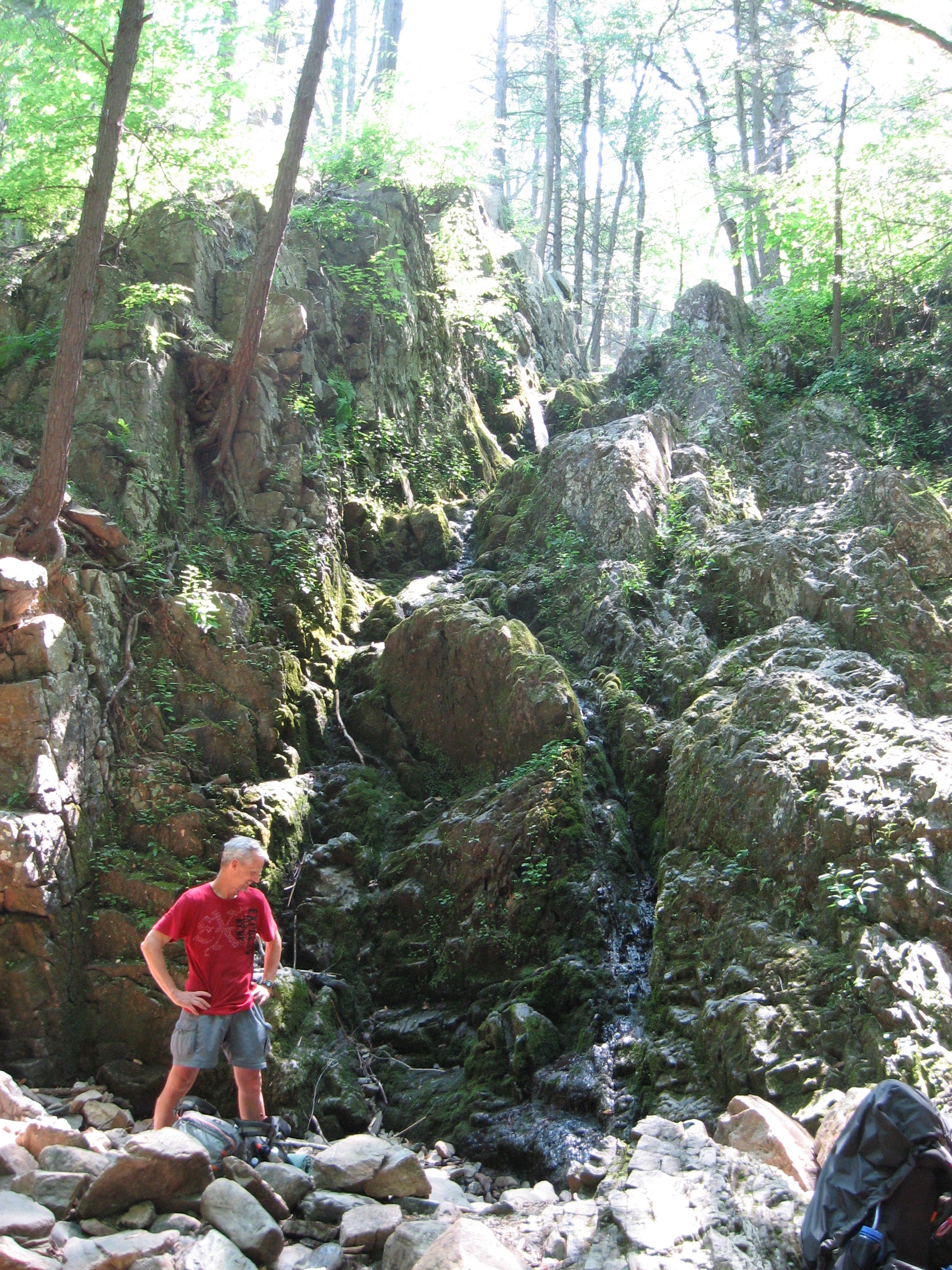
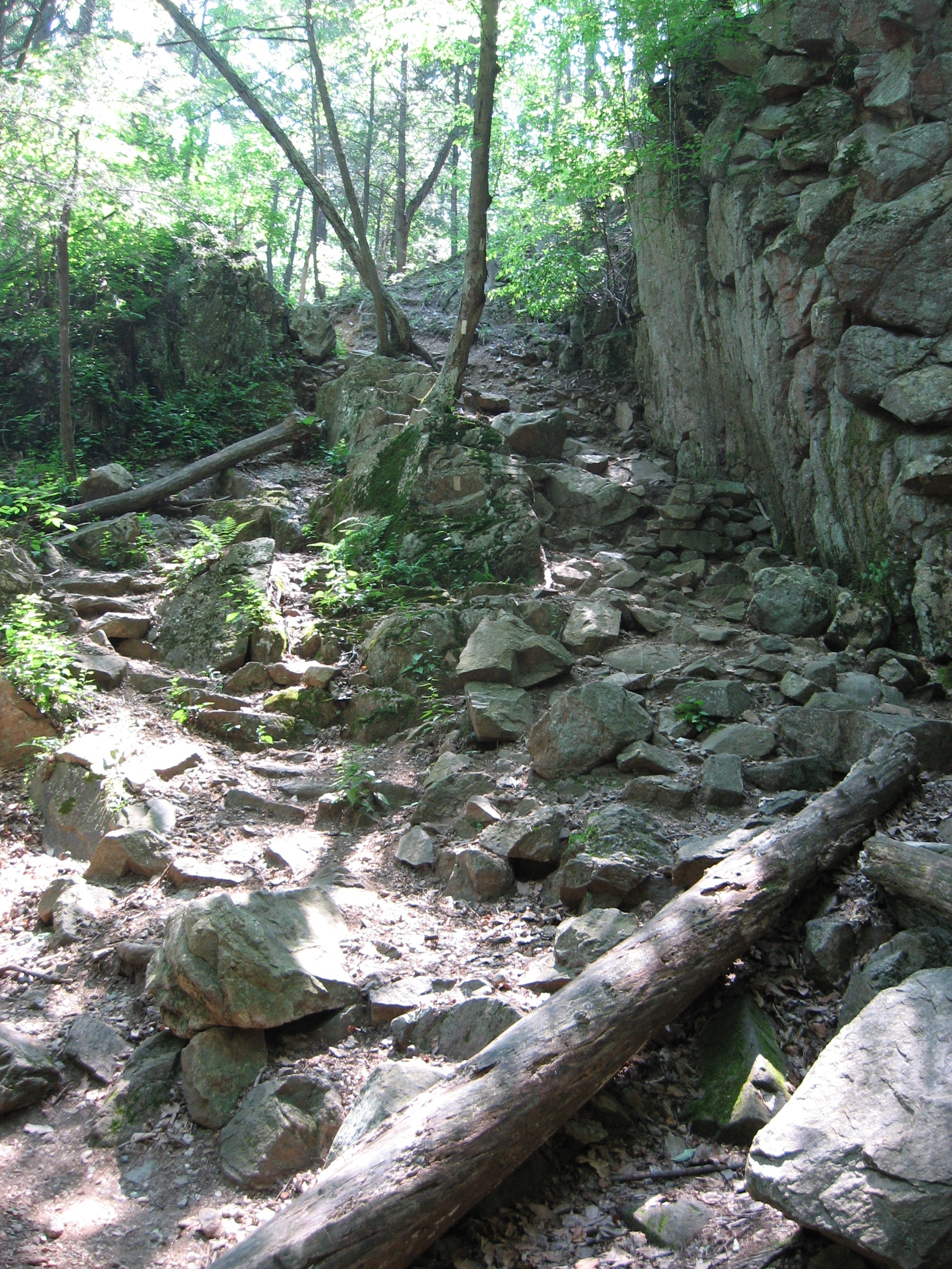
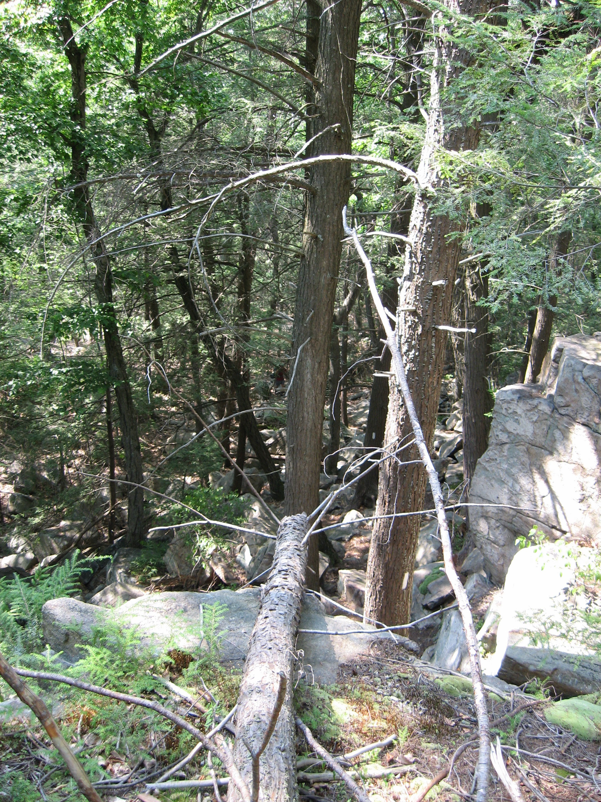
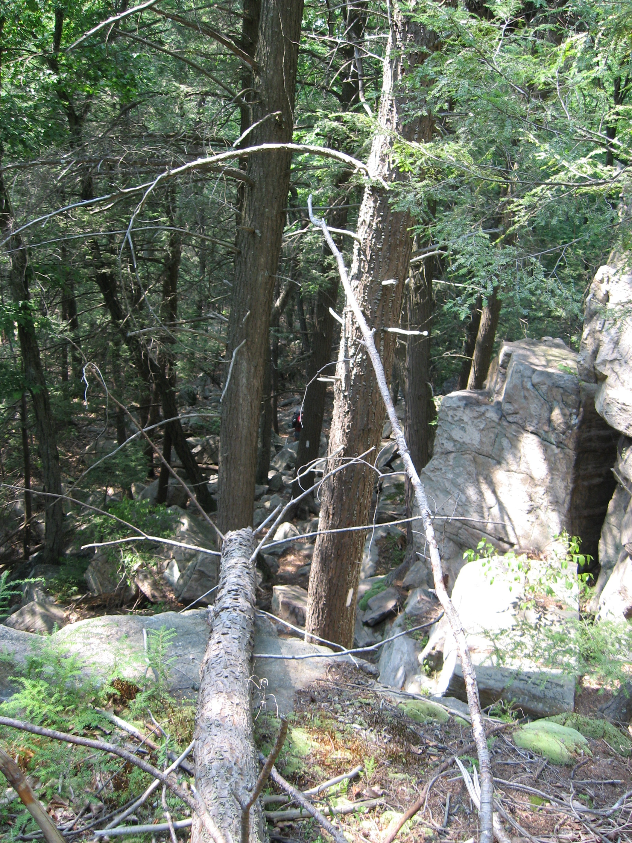
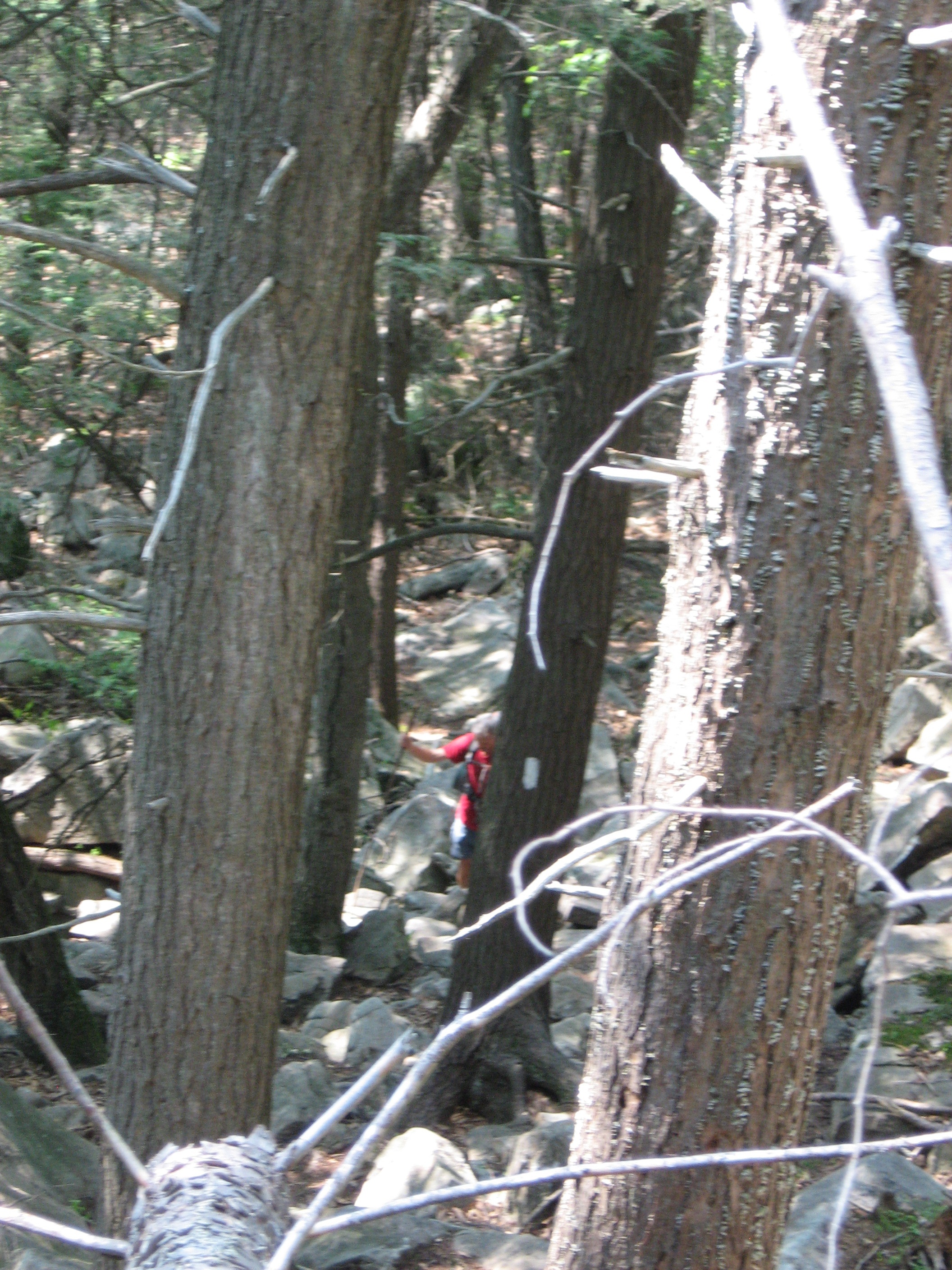
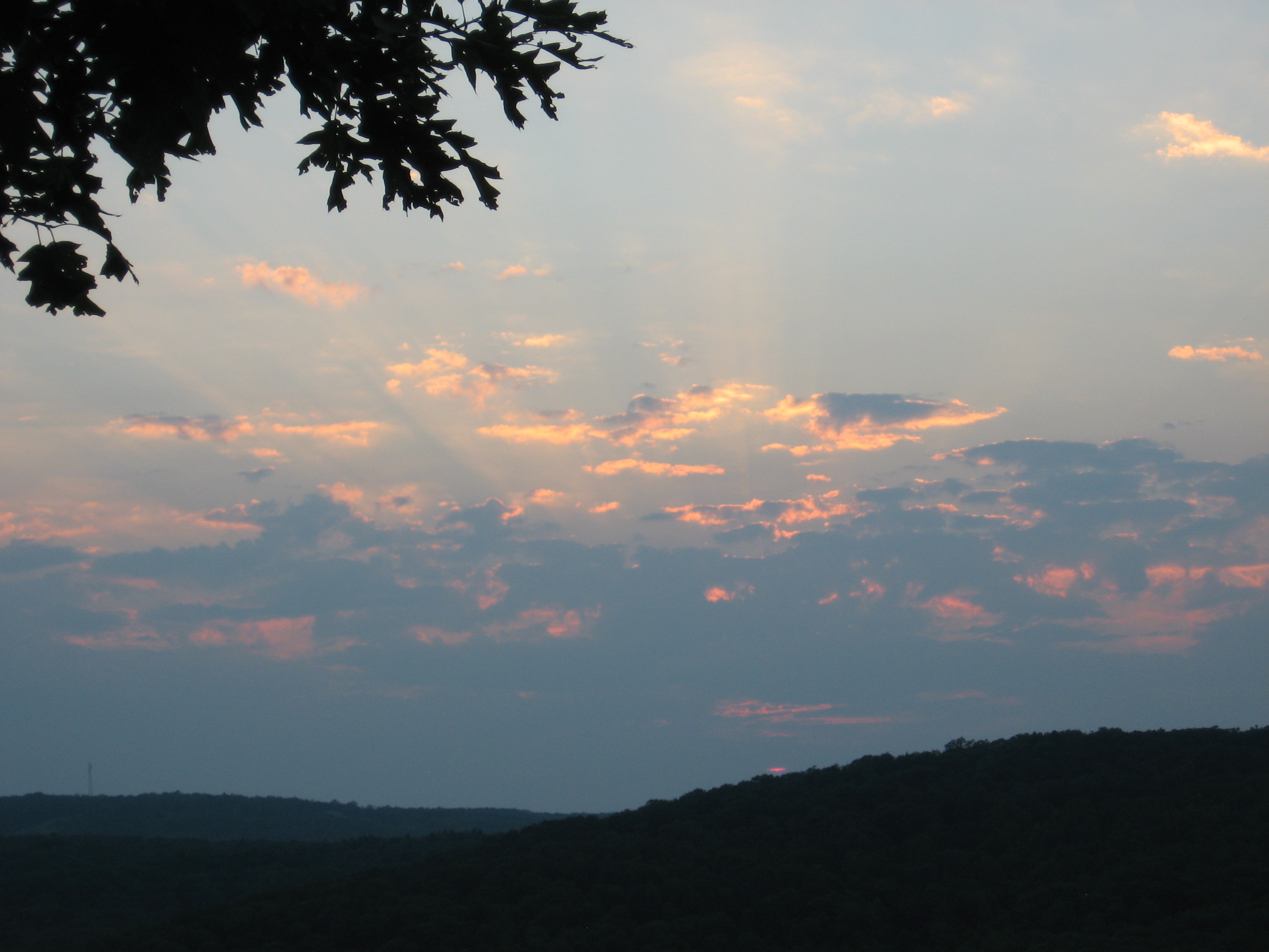
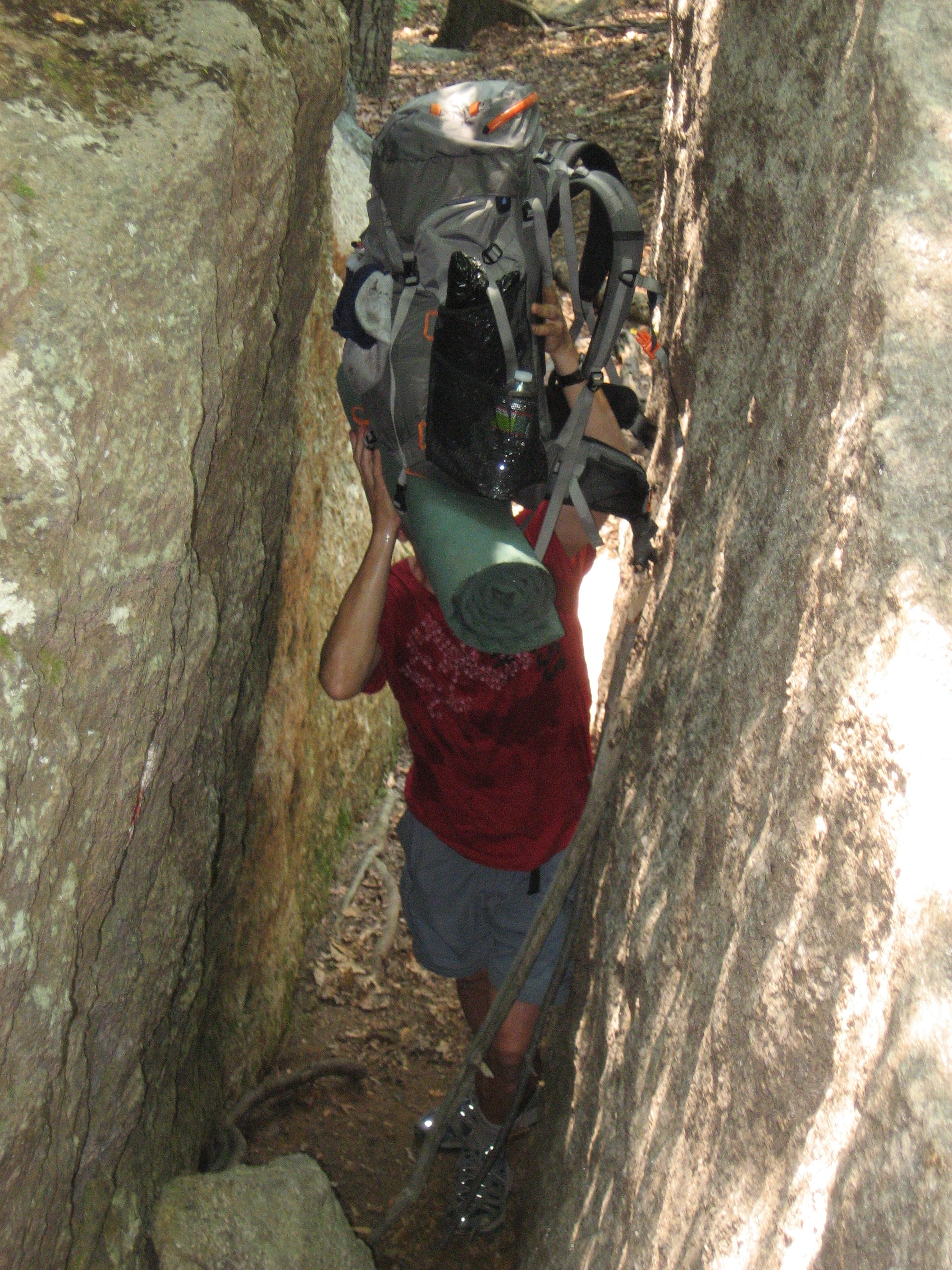
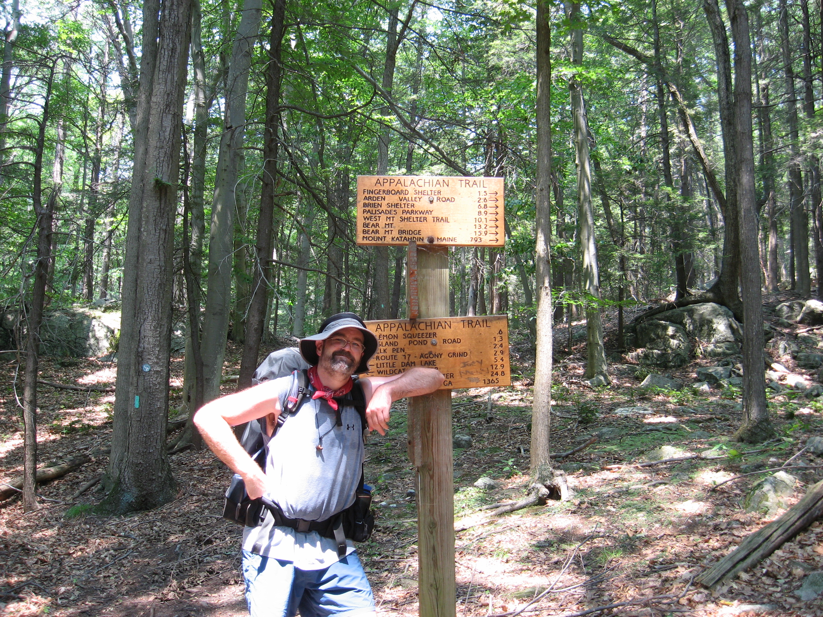
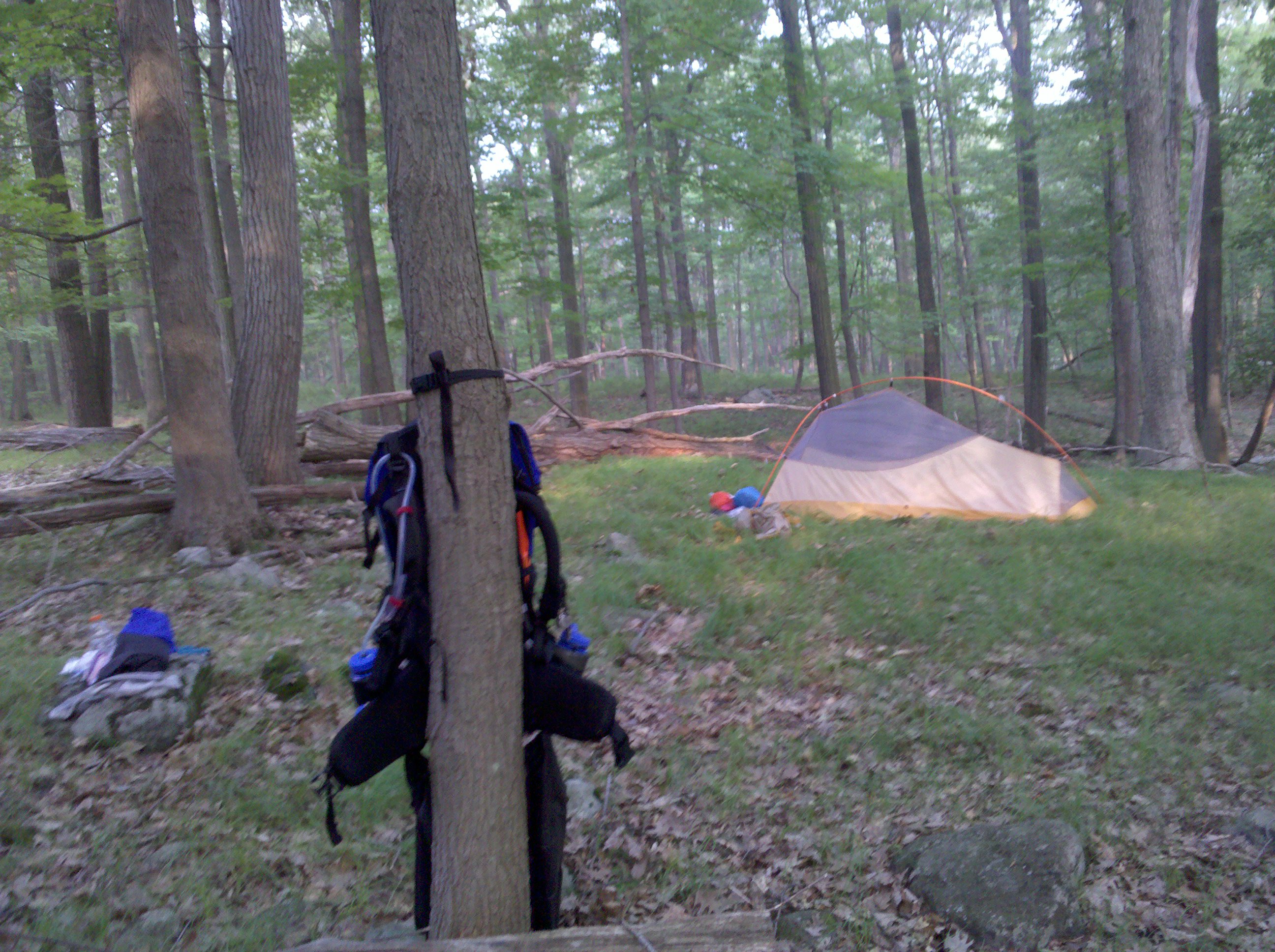
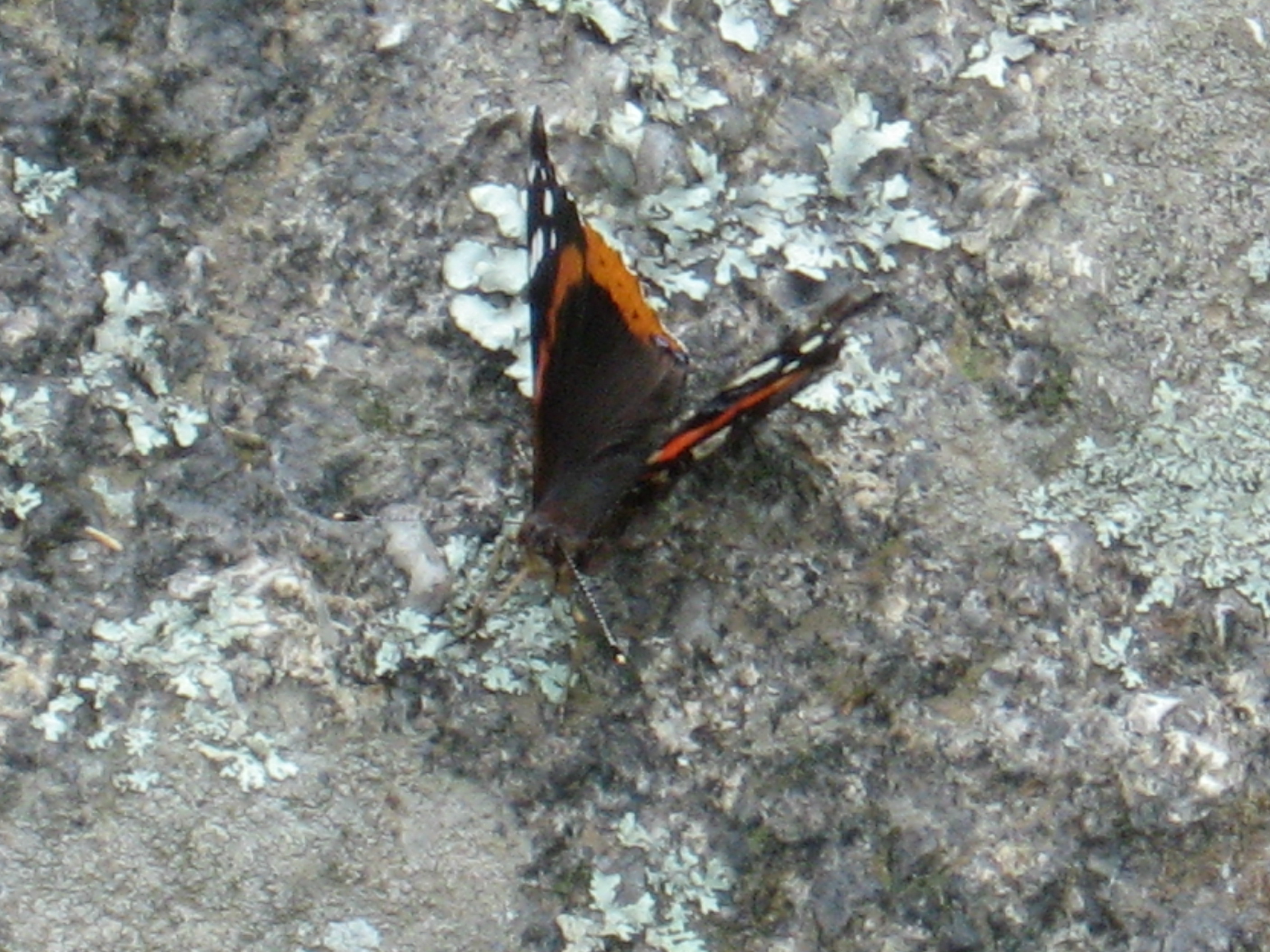
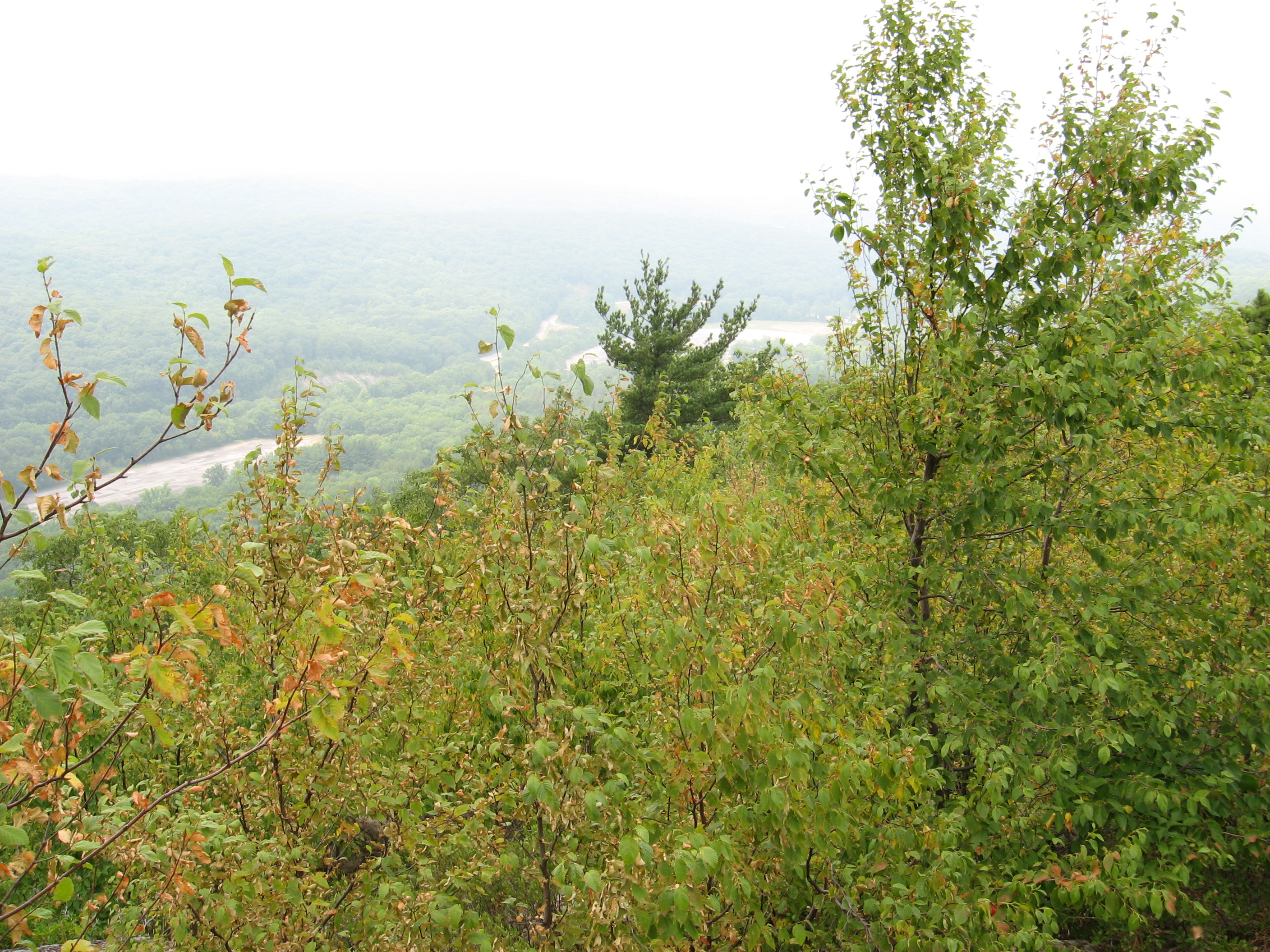
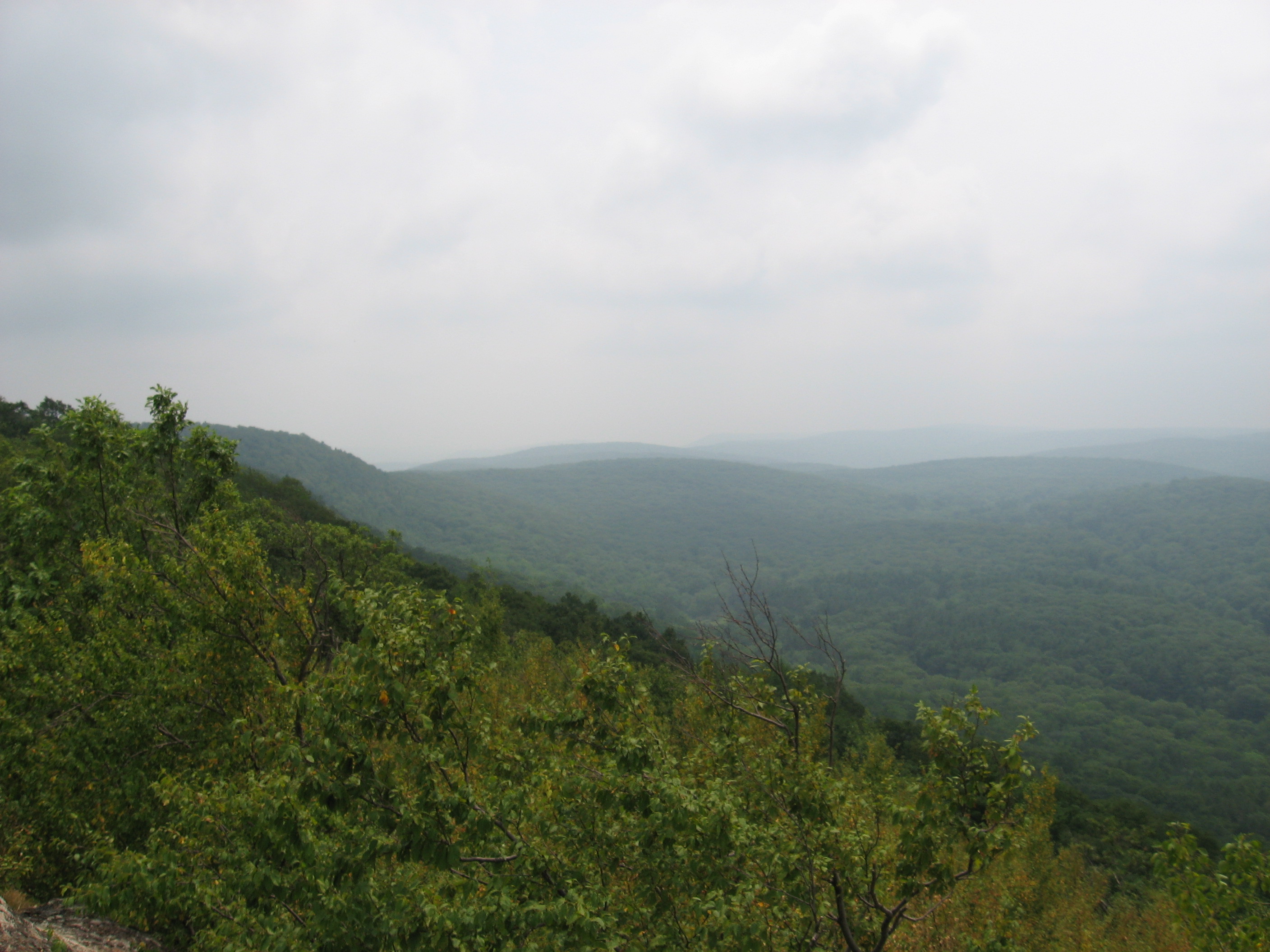
G-d it is good to be out of PA! Started off this morning with Bloodhound in a light drizzle across the I80 bridge. Climb out of the gap was along a nice stream with waterfalls. Then it was Sunfish pond, one of the 7 natural wonders of NJ since it is a glacial pond. Saw a water moccasin when I first reached it. When I stopped for lunch, I kept seeing something move on the far bank. Turned out it was a deer, but even at max zoom my camera could not get the shot, but it was gorgeous, glacial lake in the foreground, deer feeding on far bank next to rocks. It was one time I wish I had a telephoto lens.
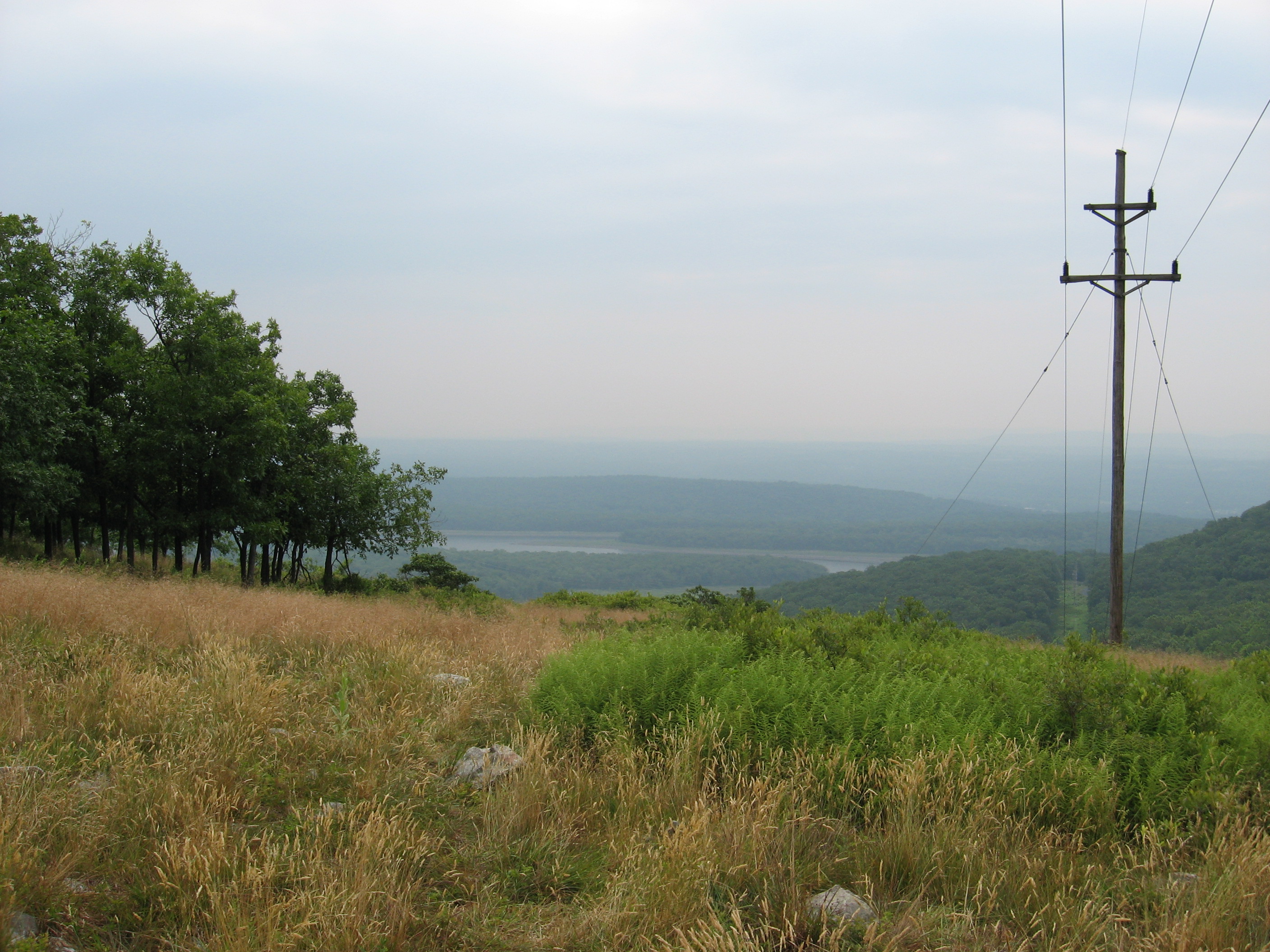
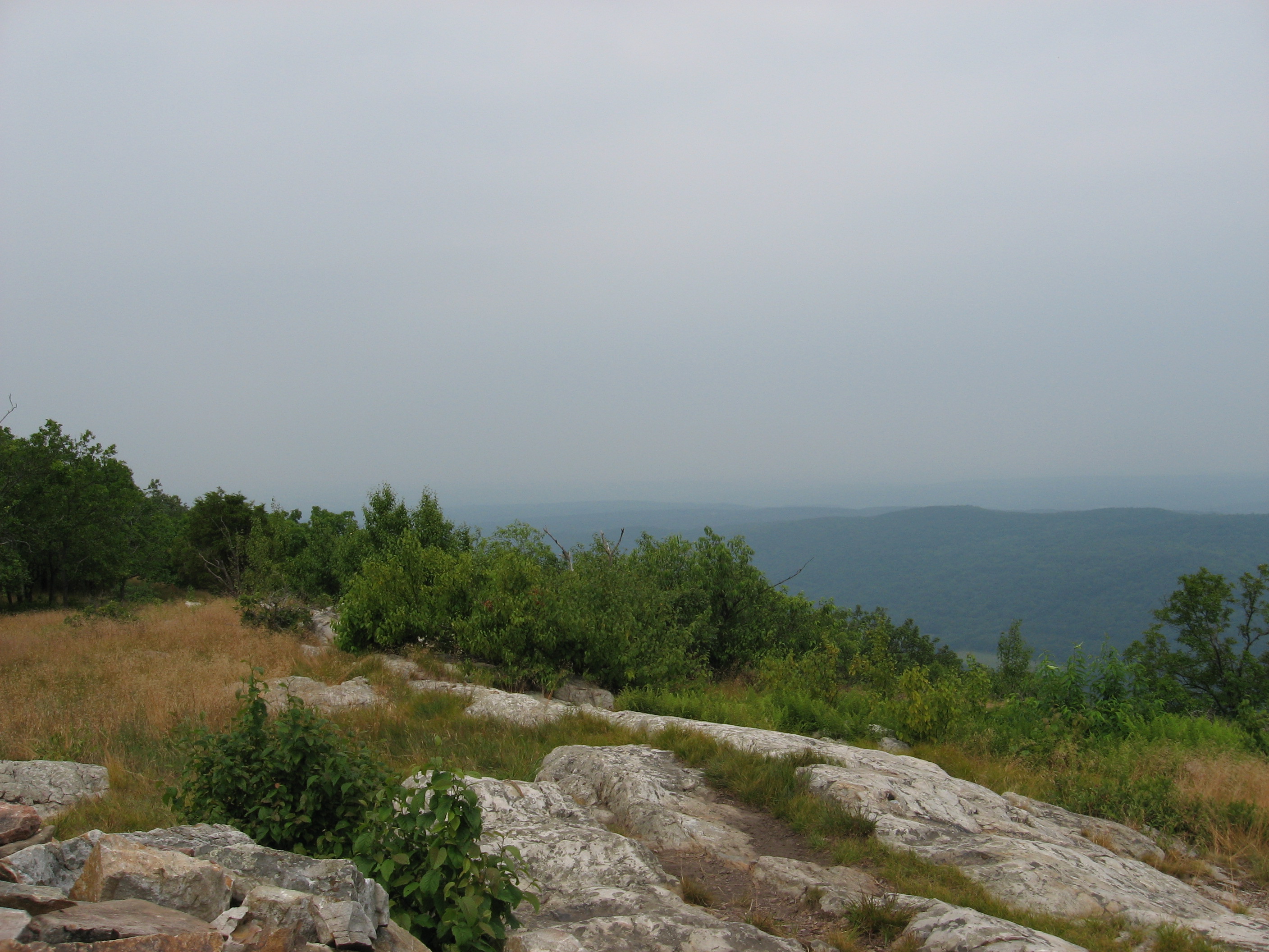
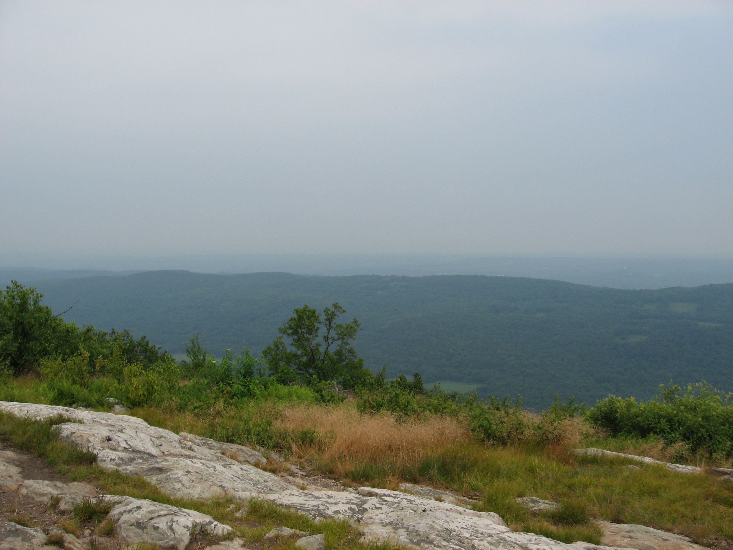
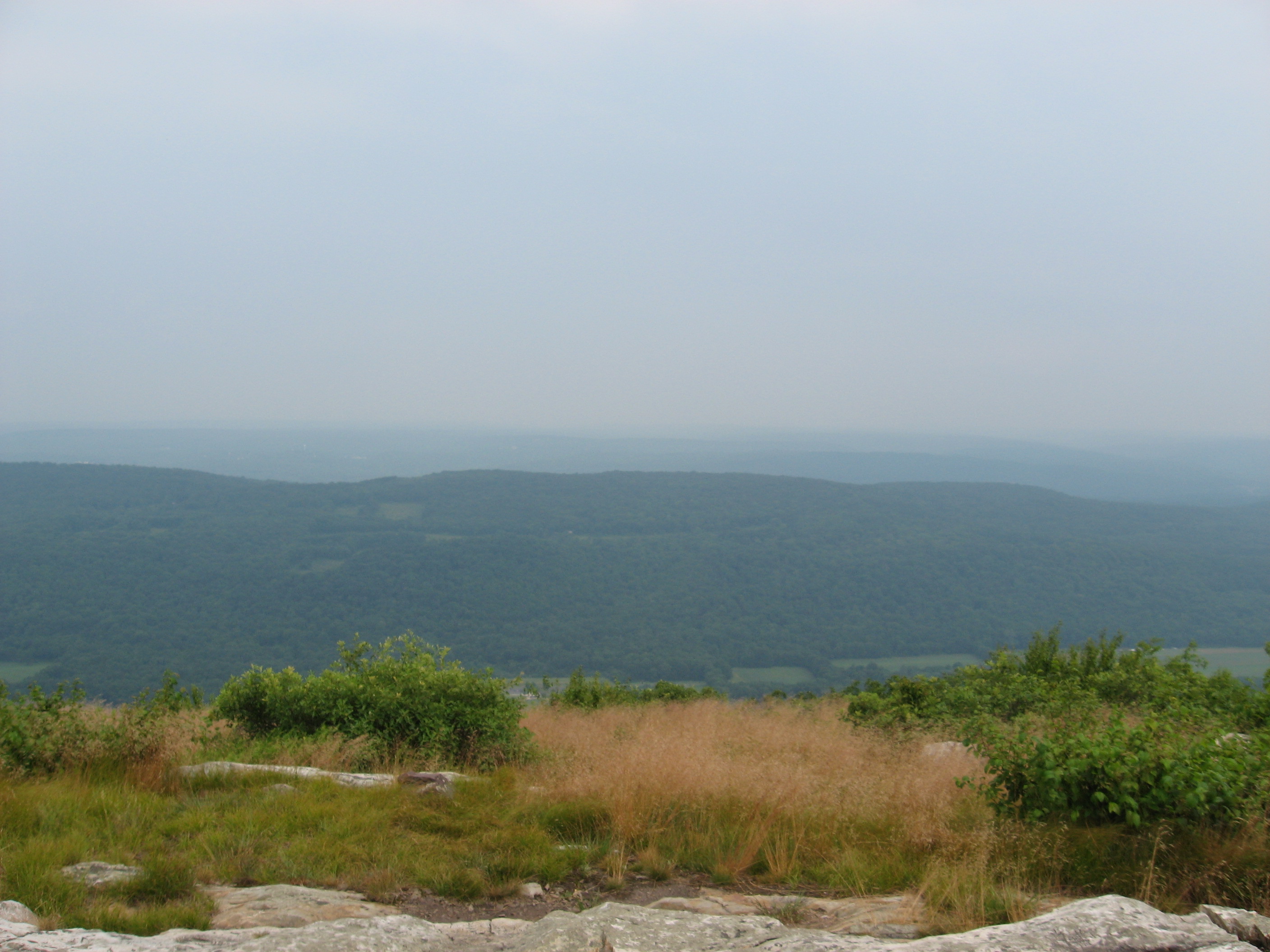
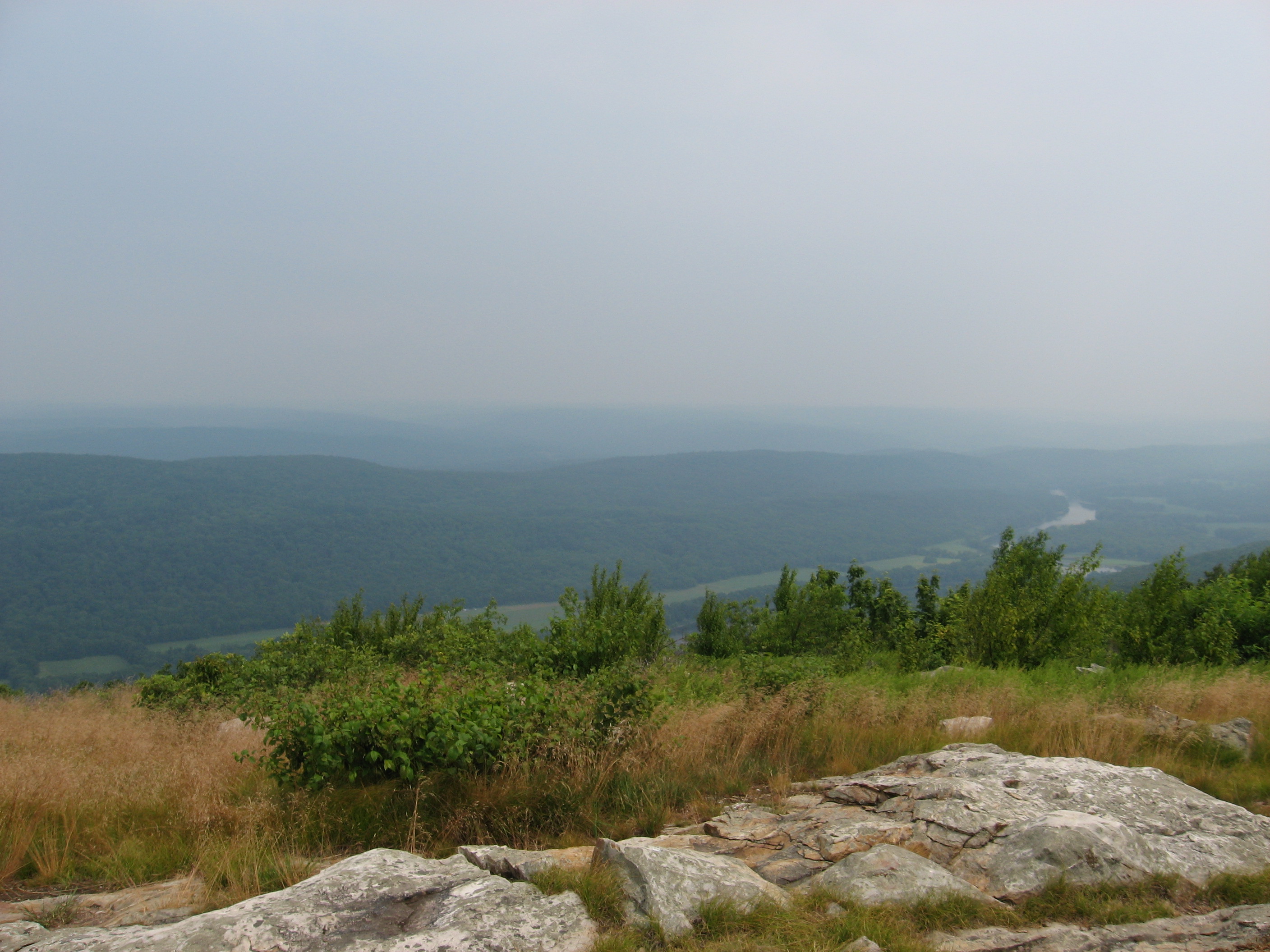
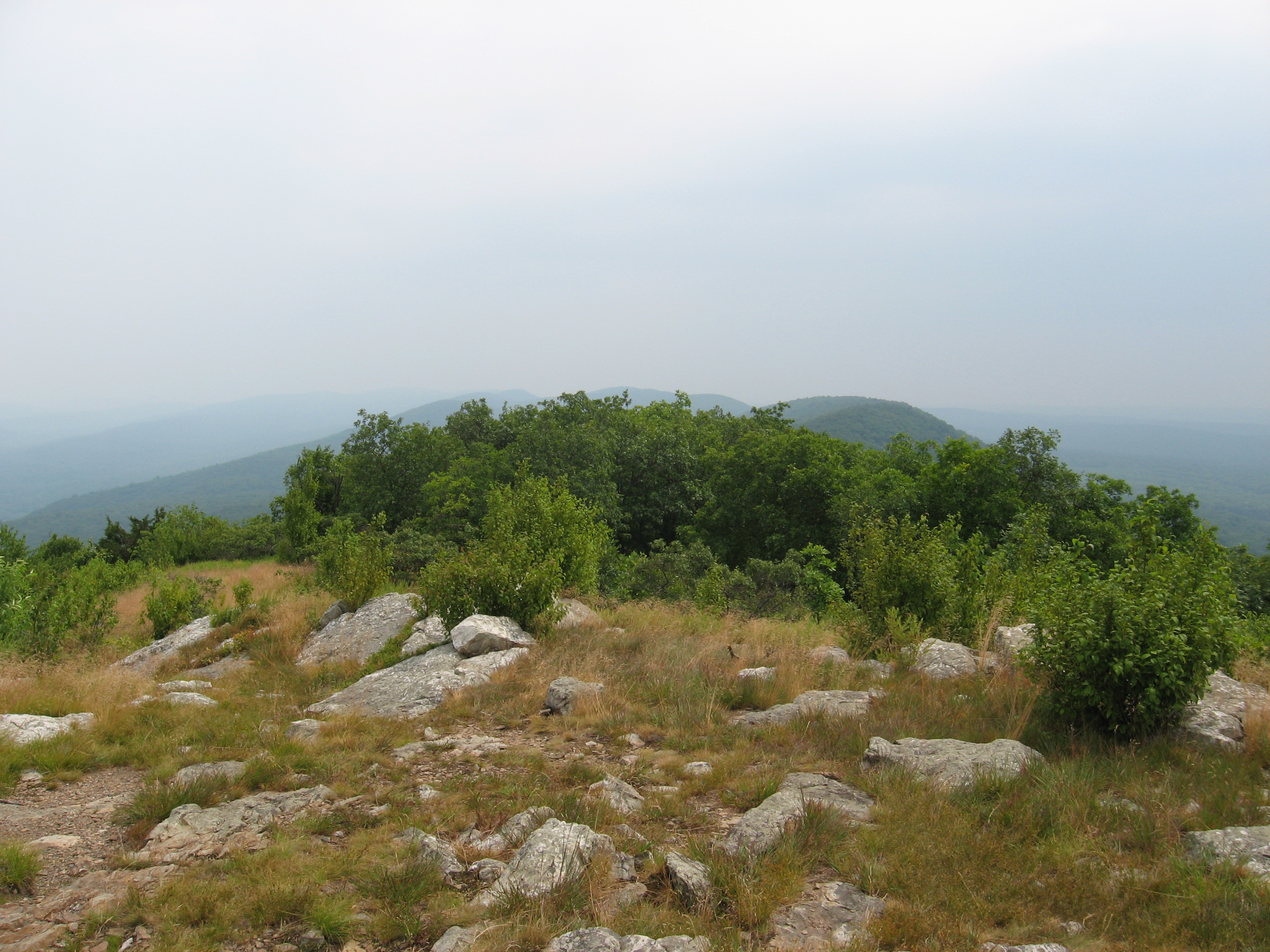
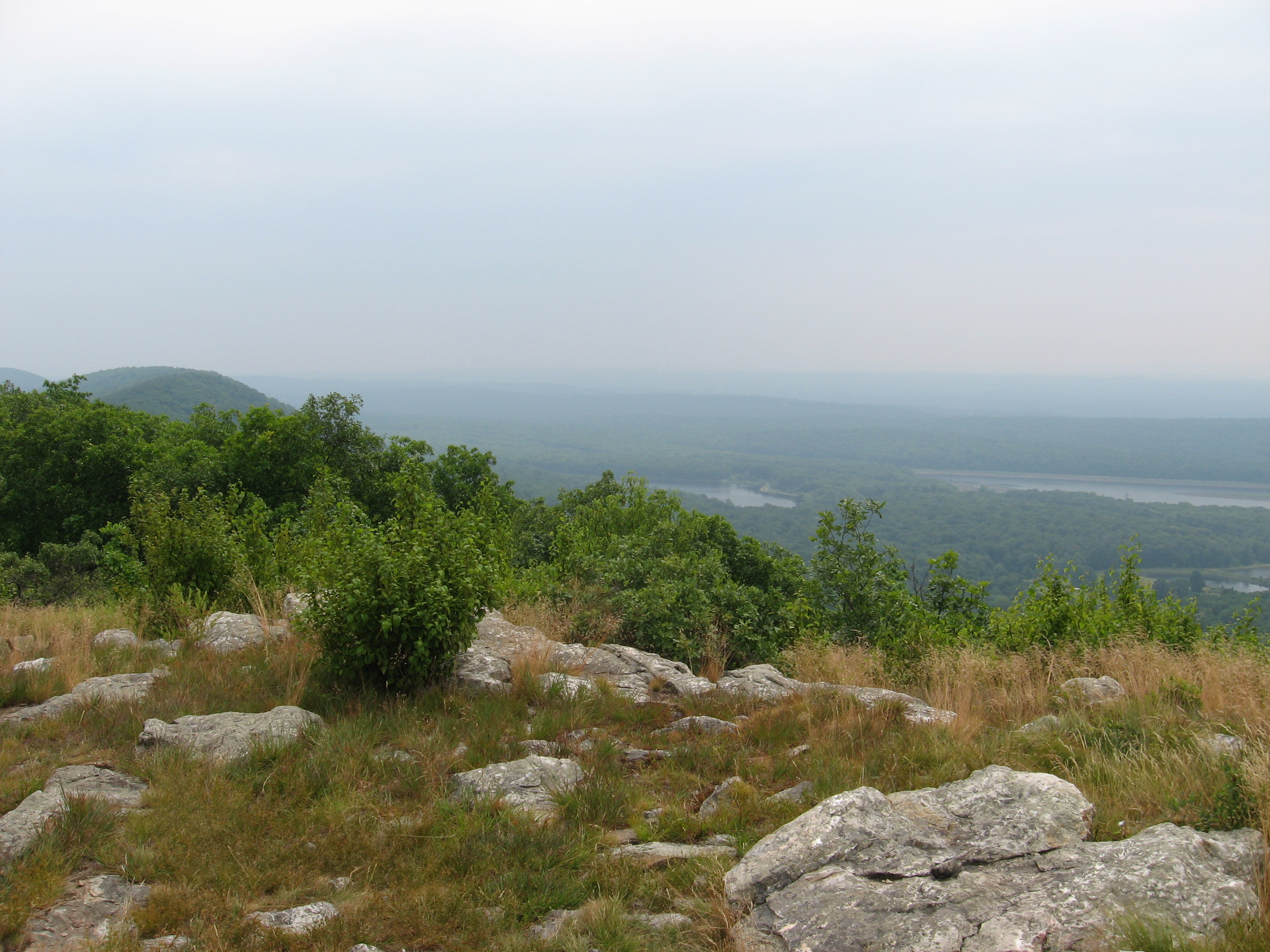
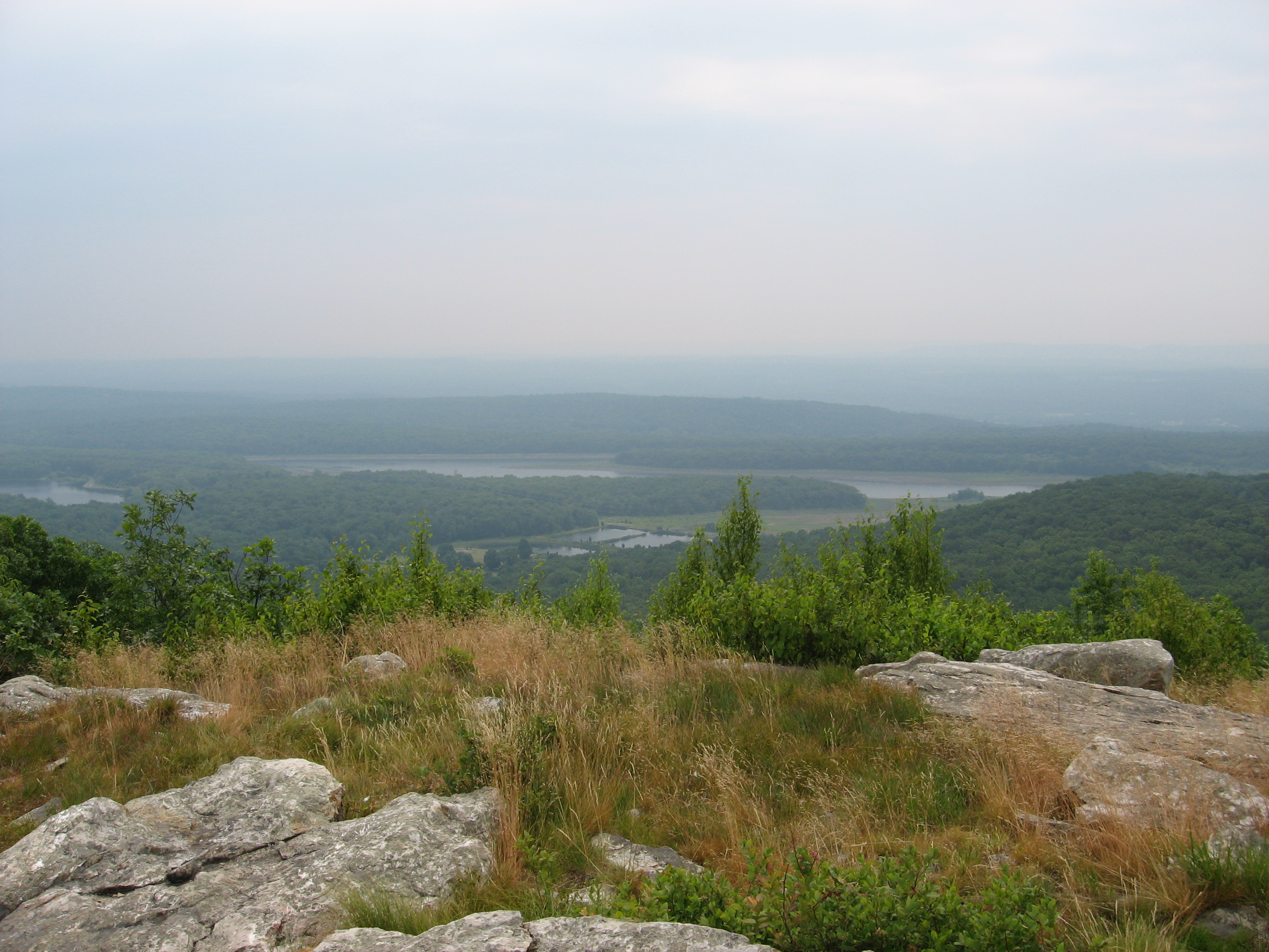
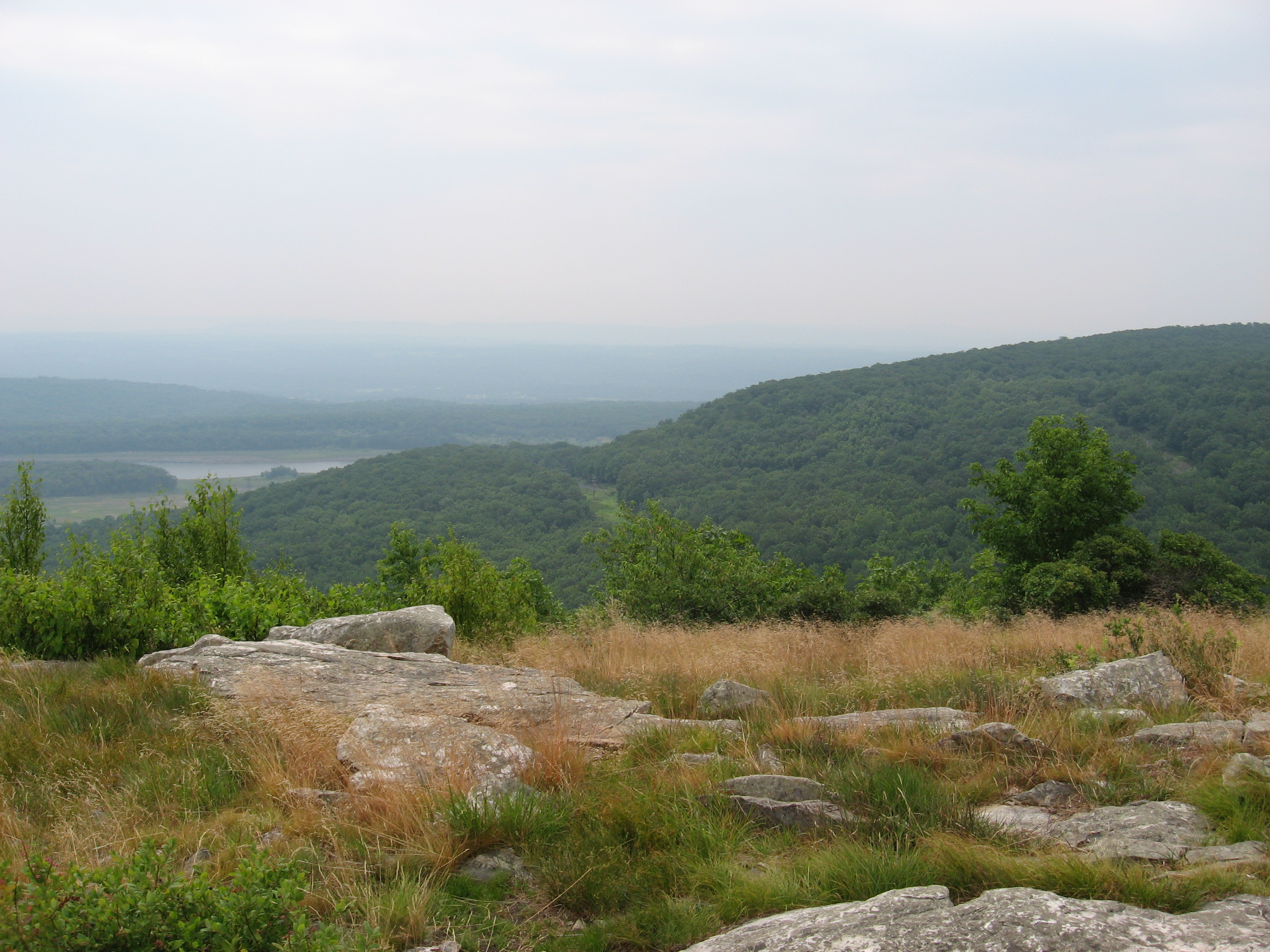
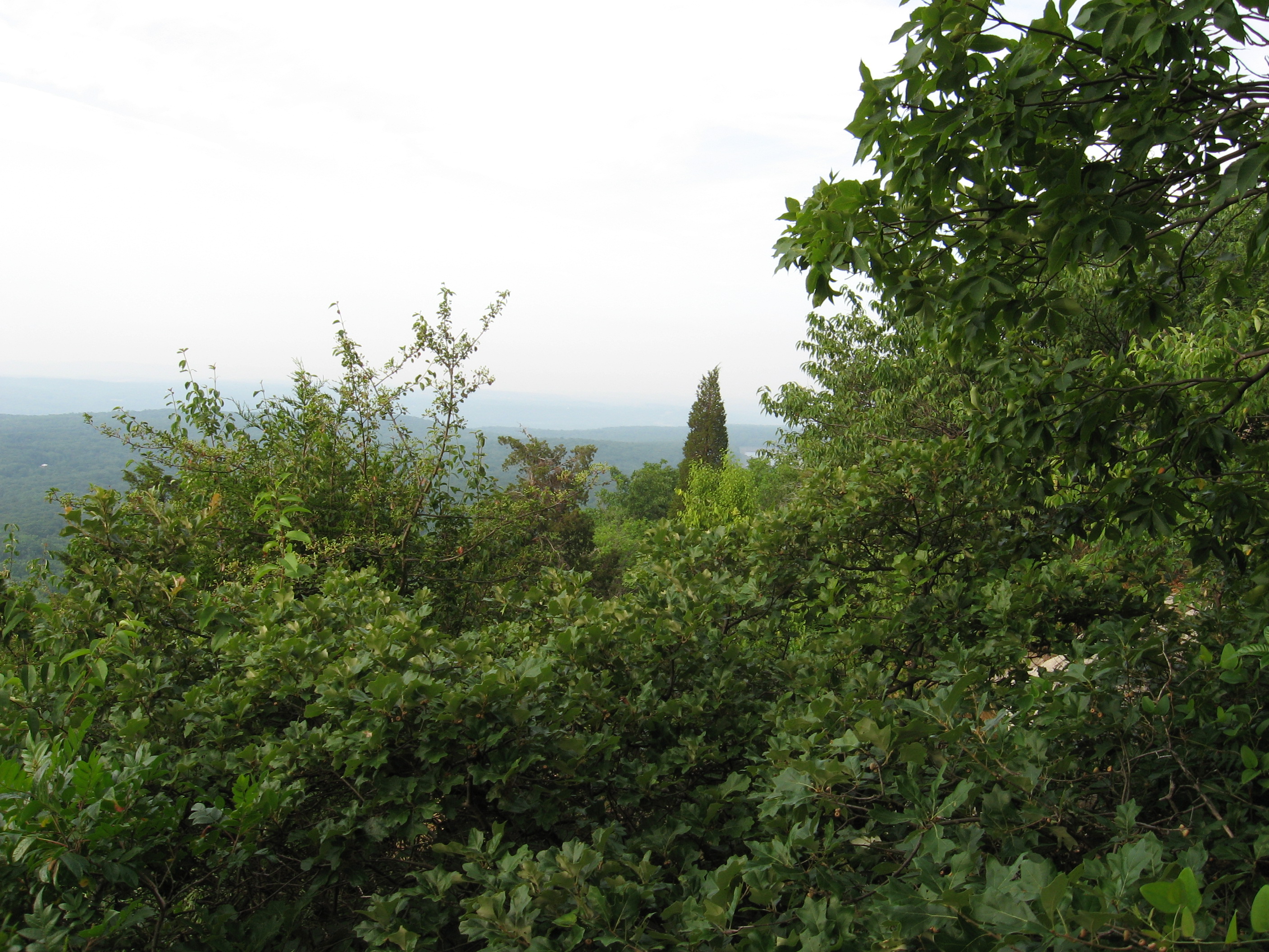
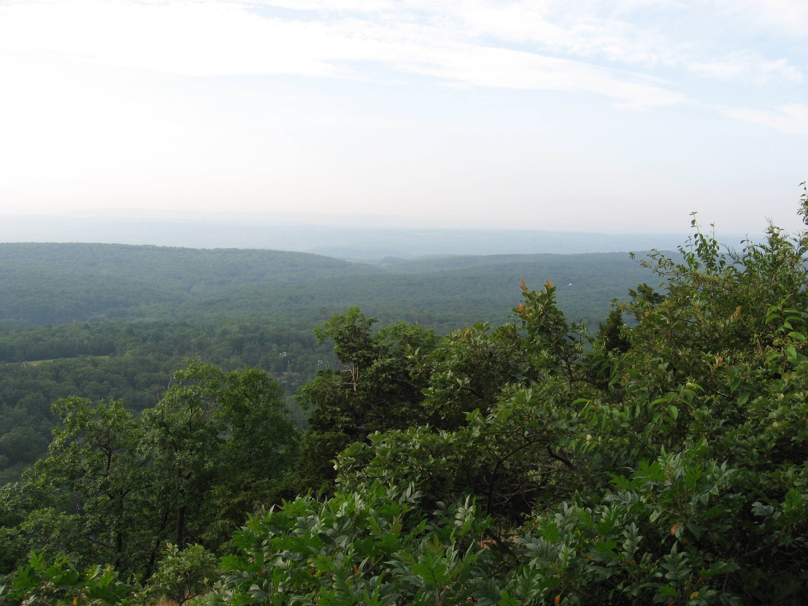
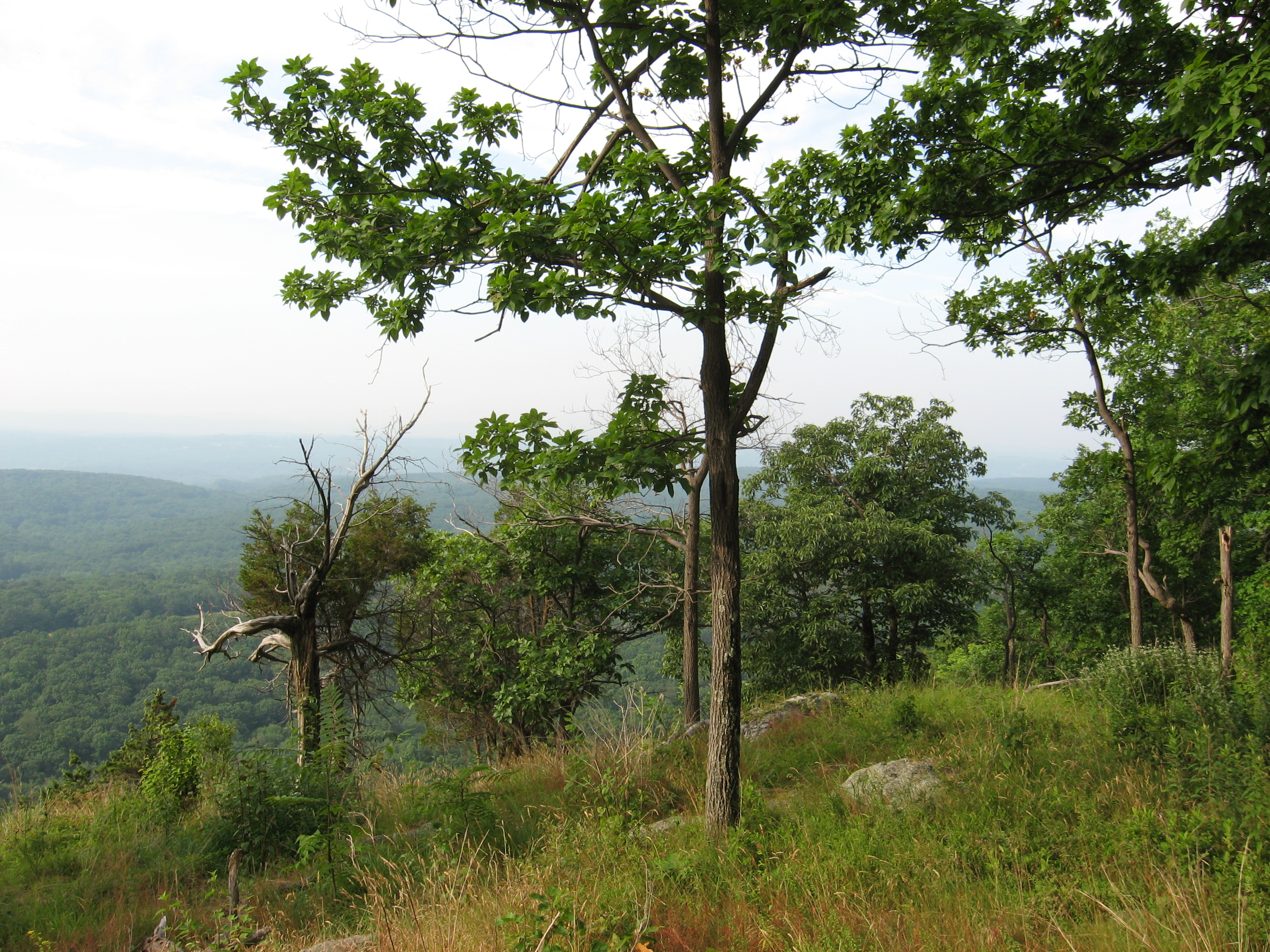
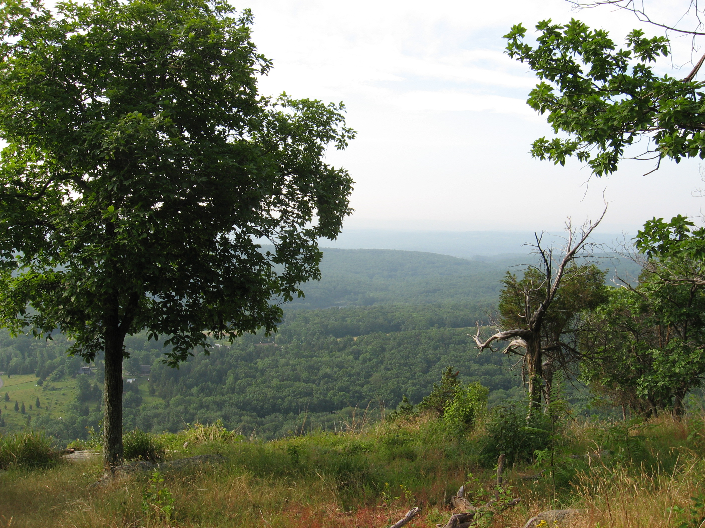
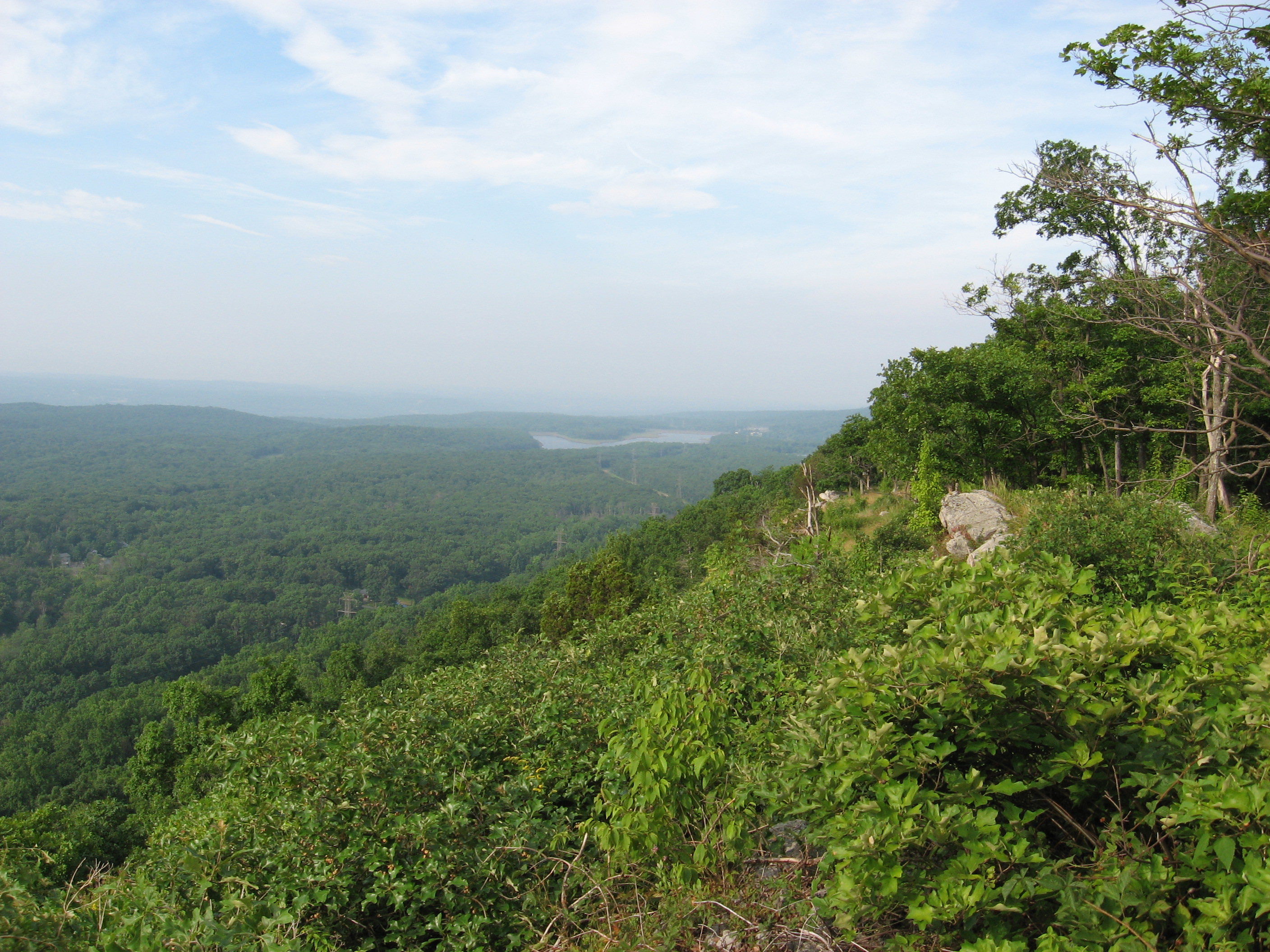
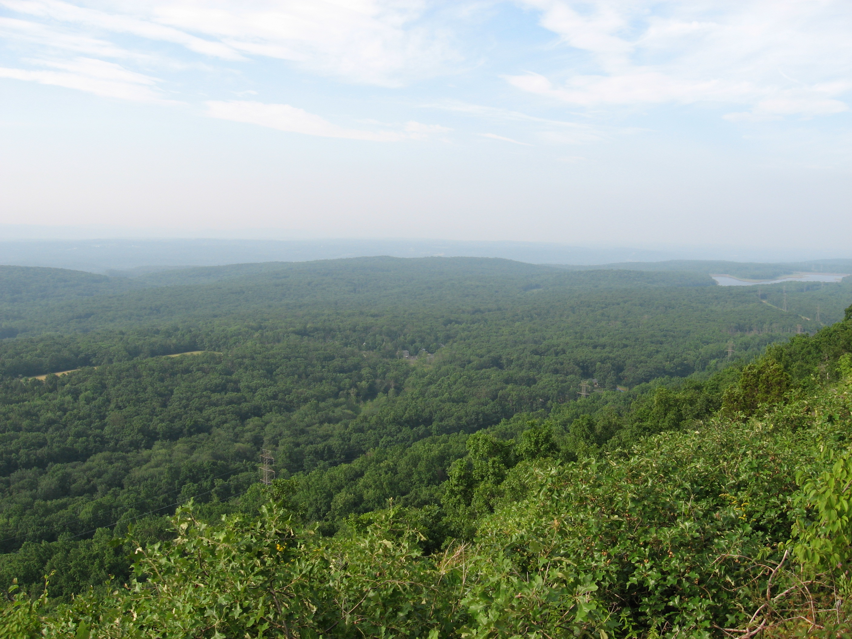
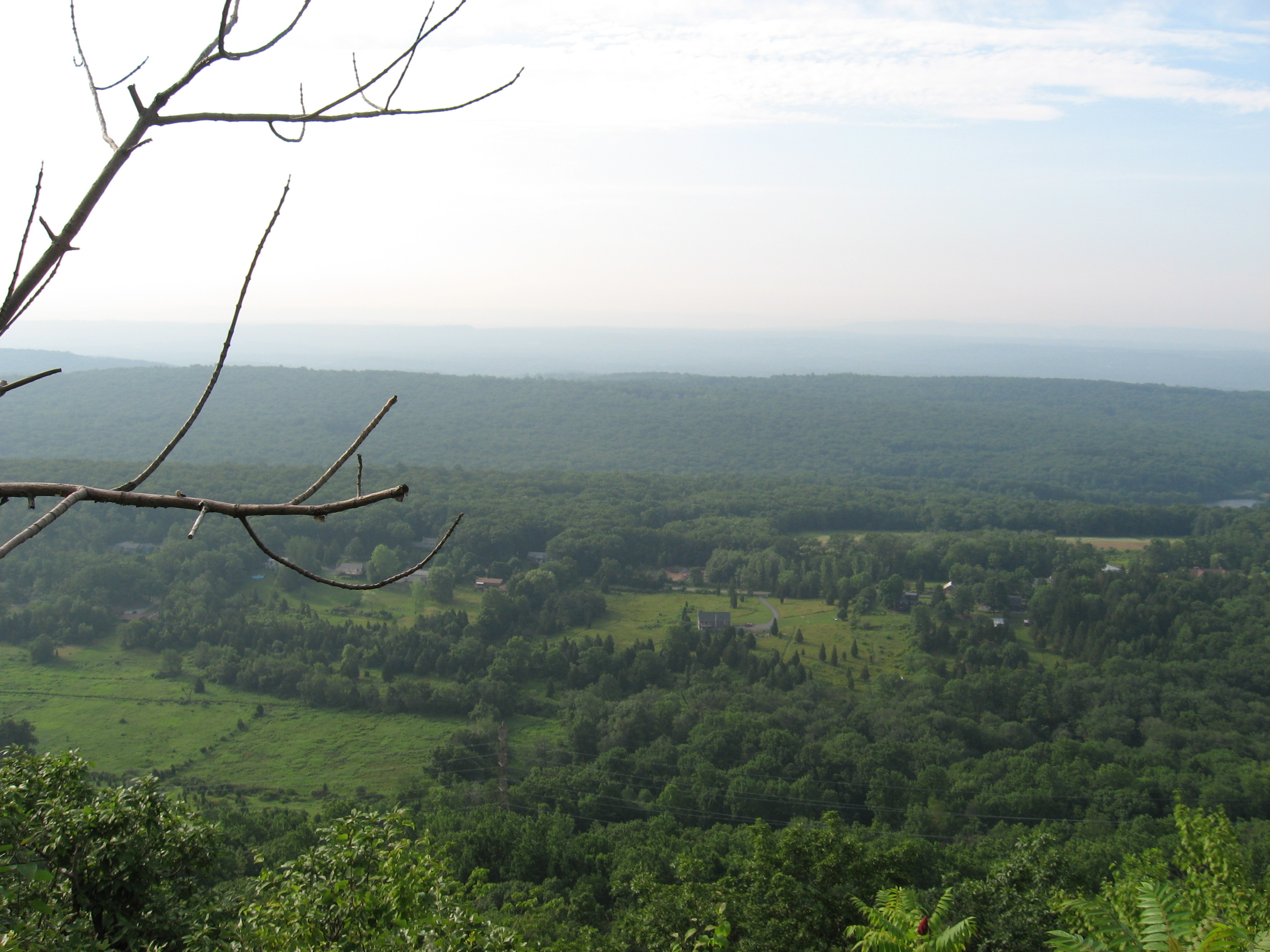
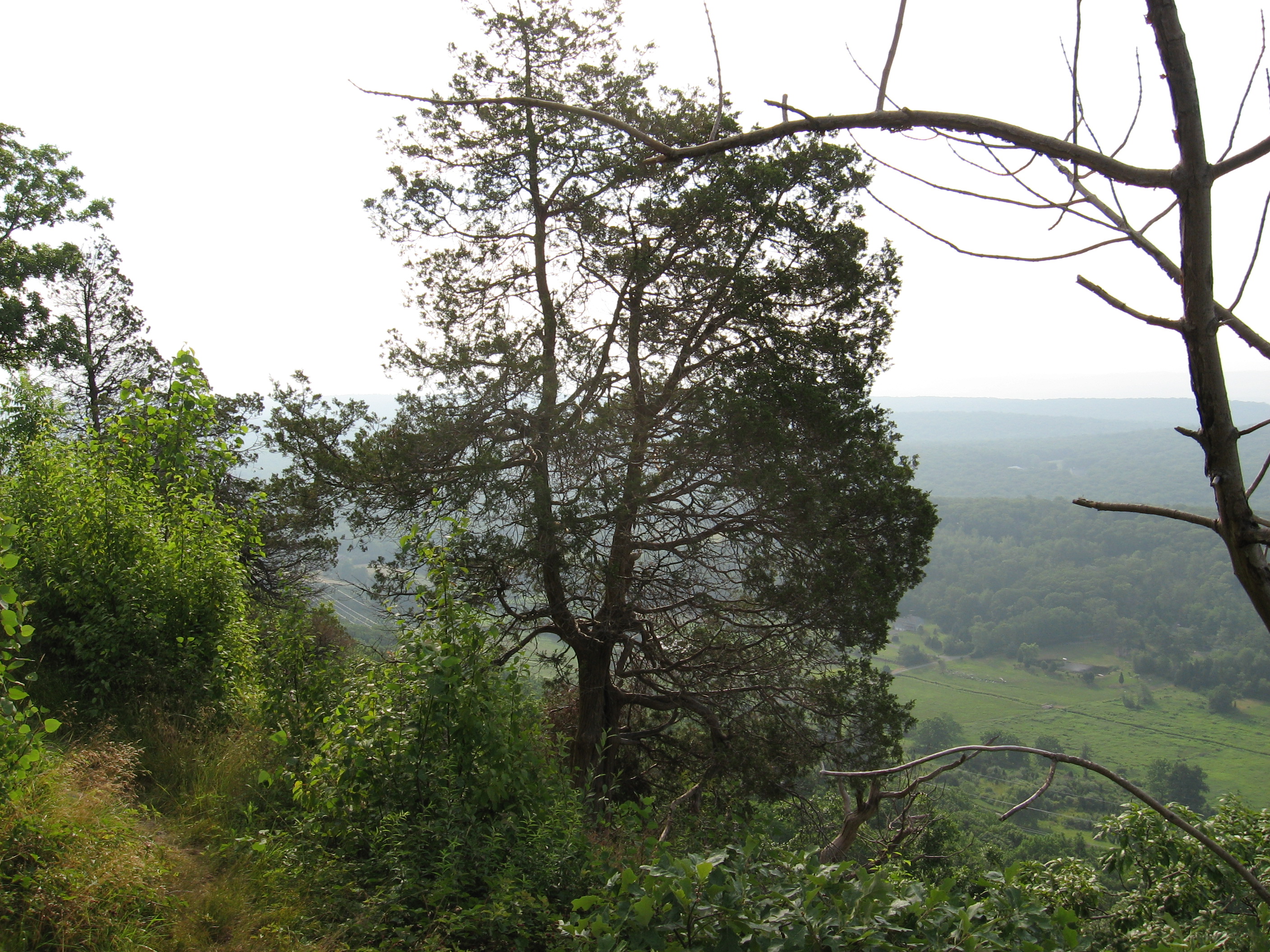
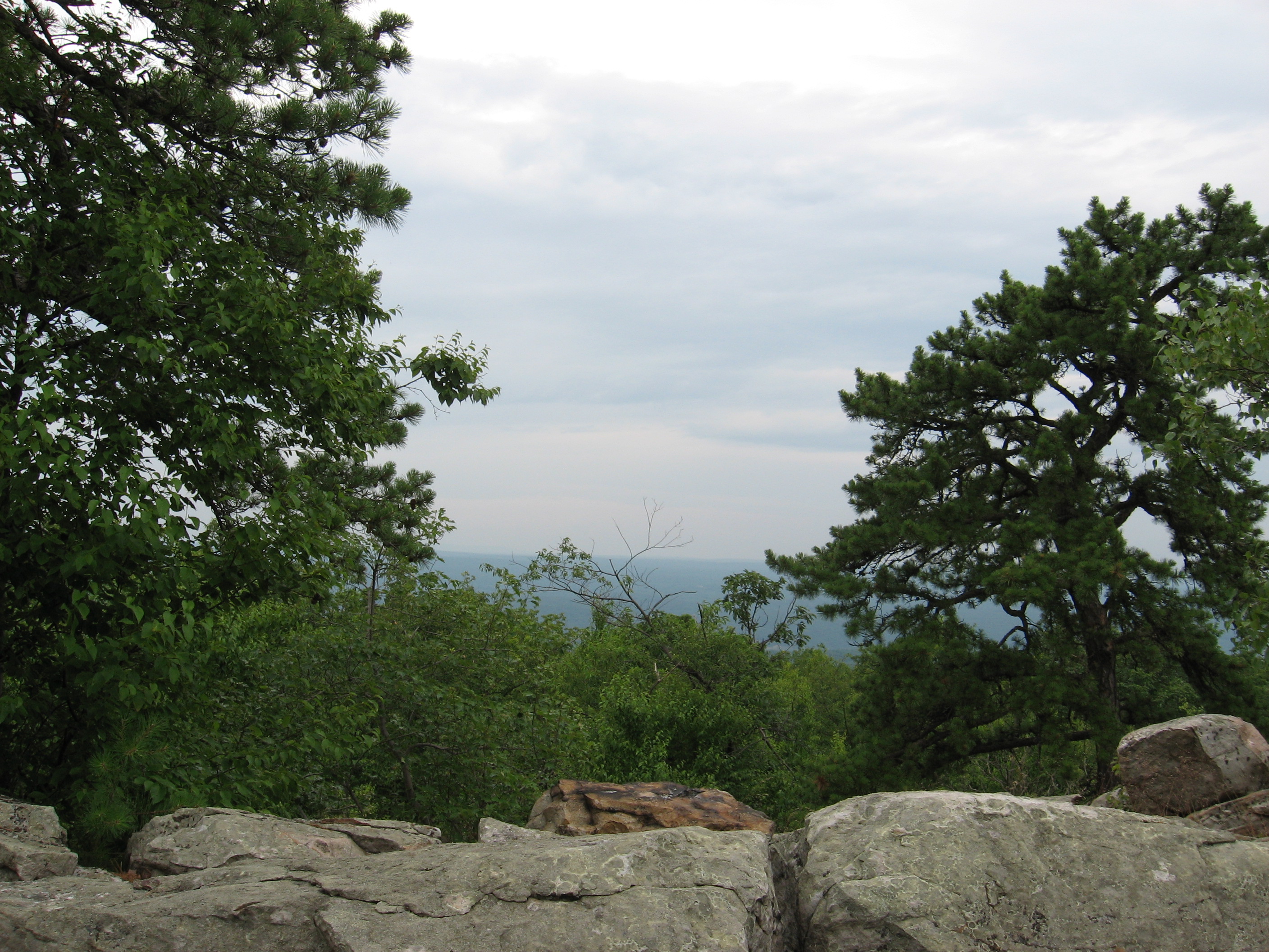
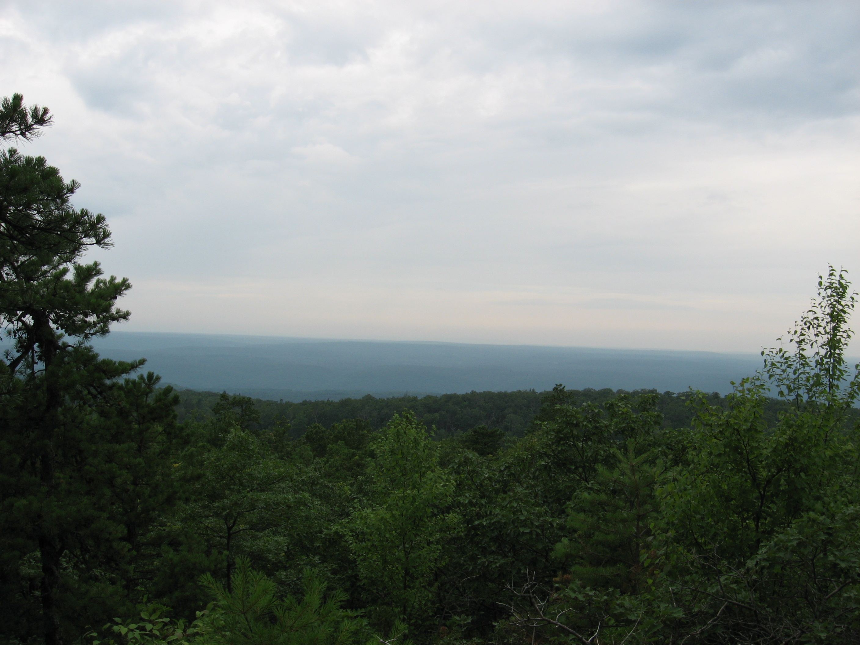
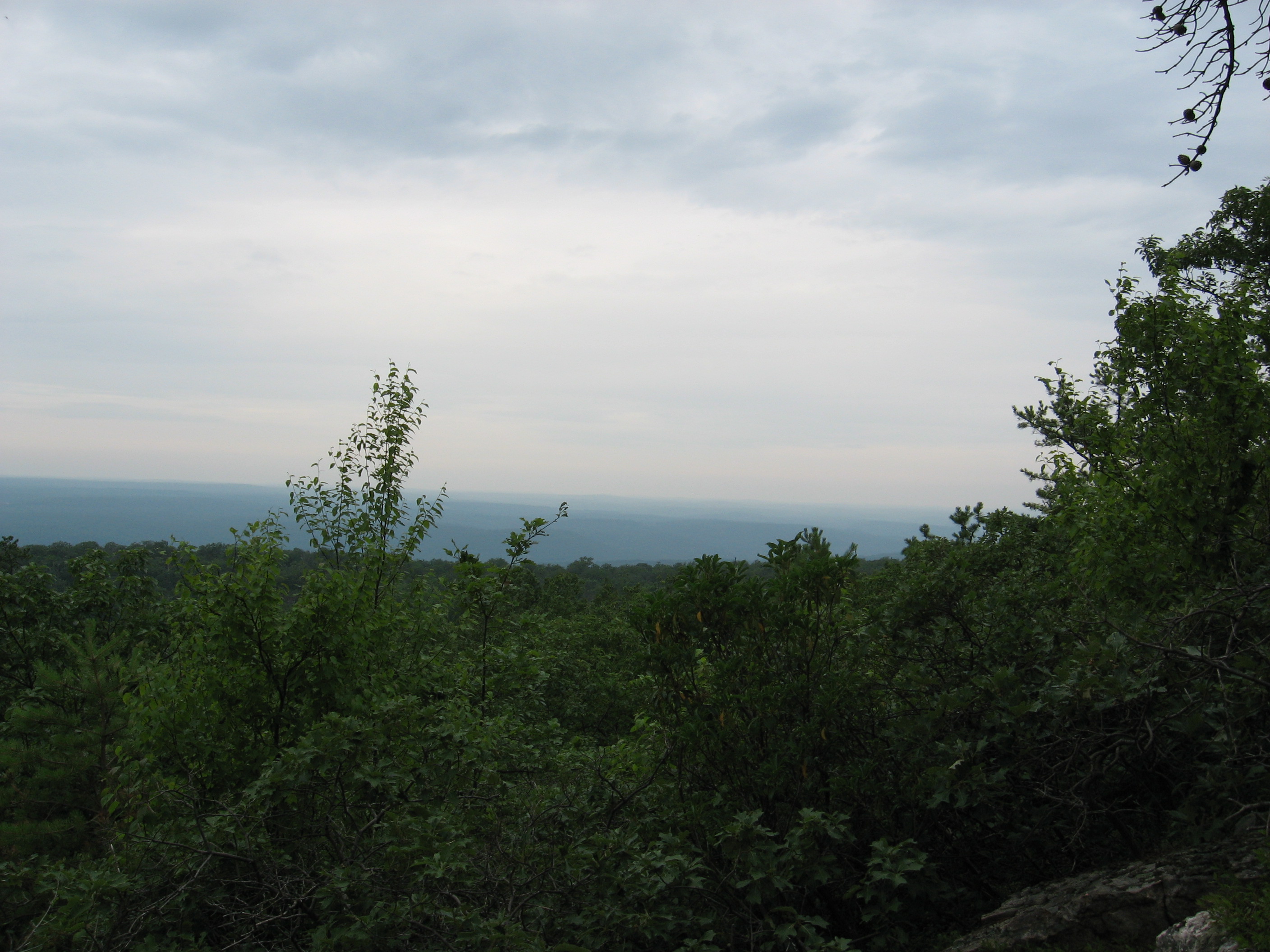
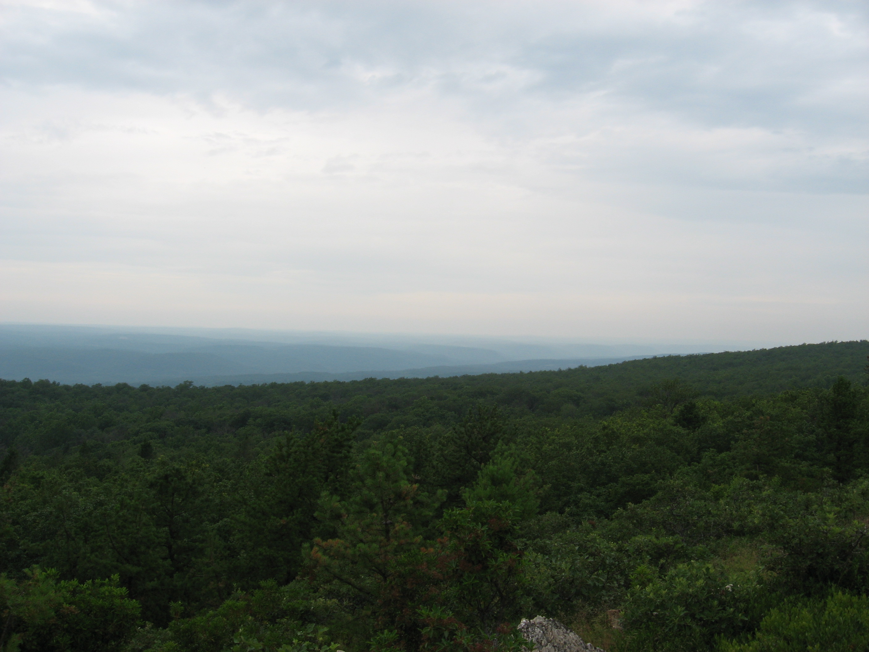
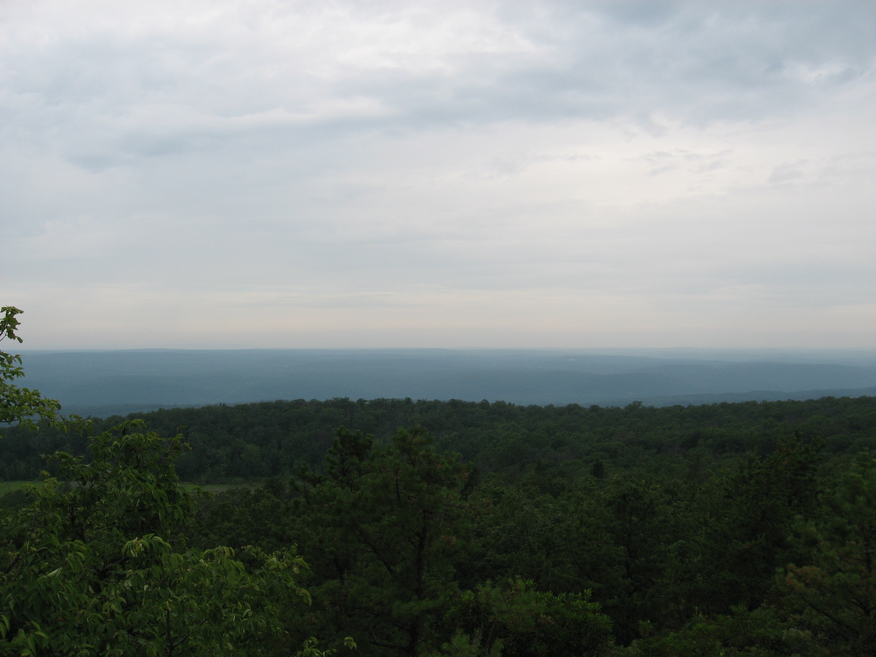
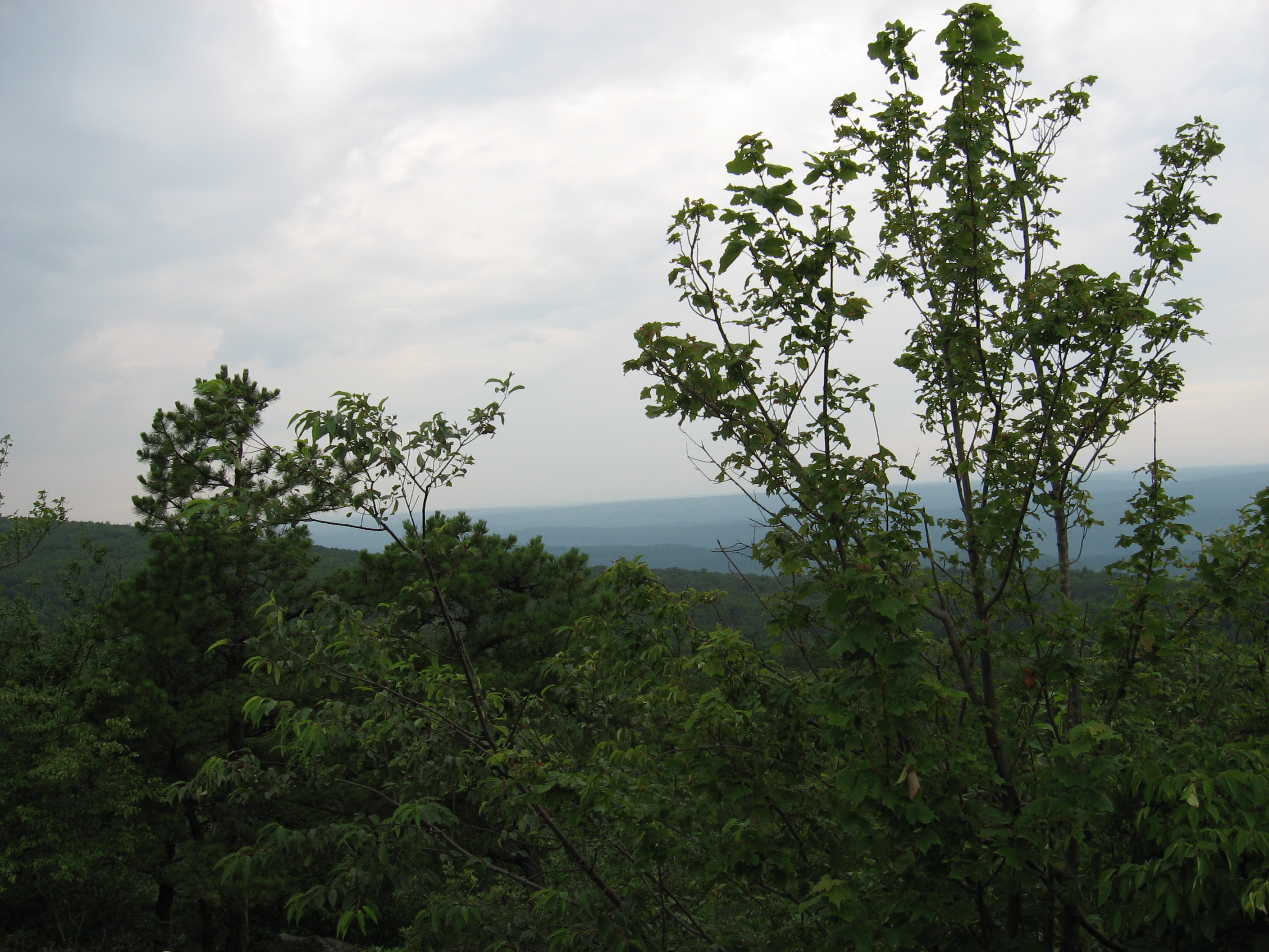
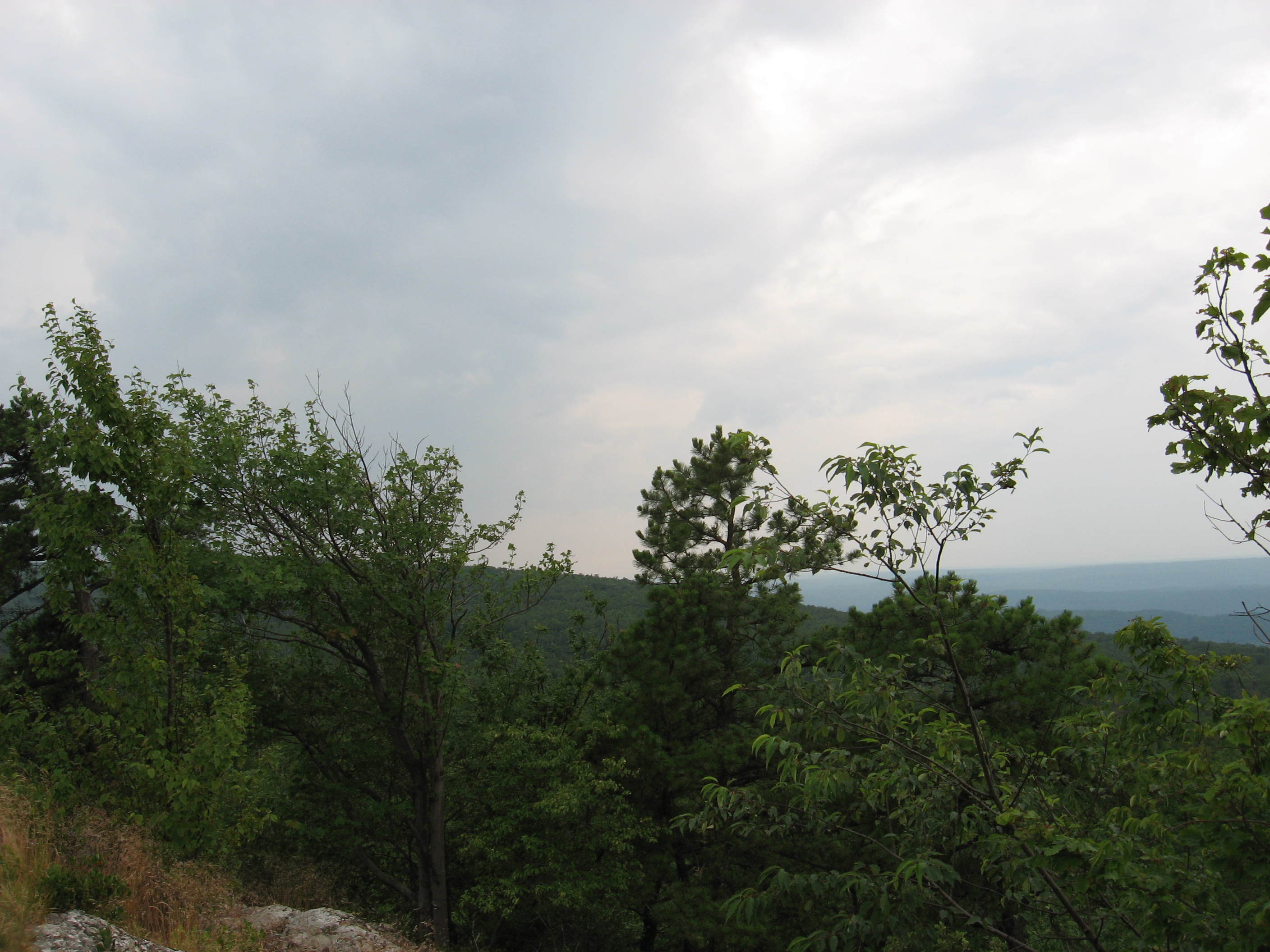
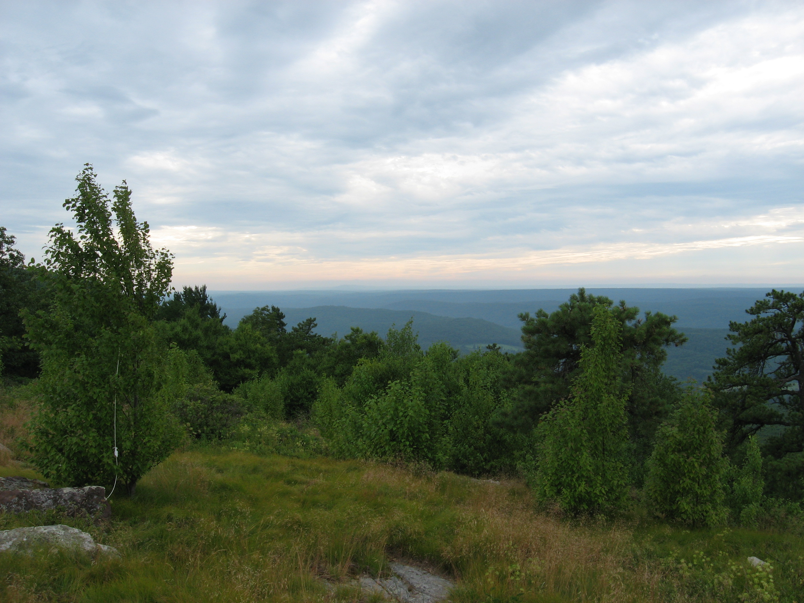
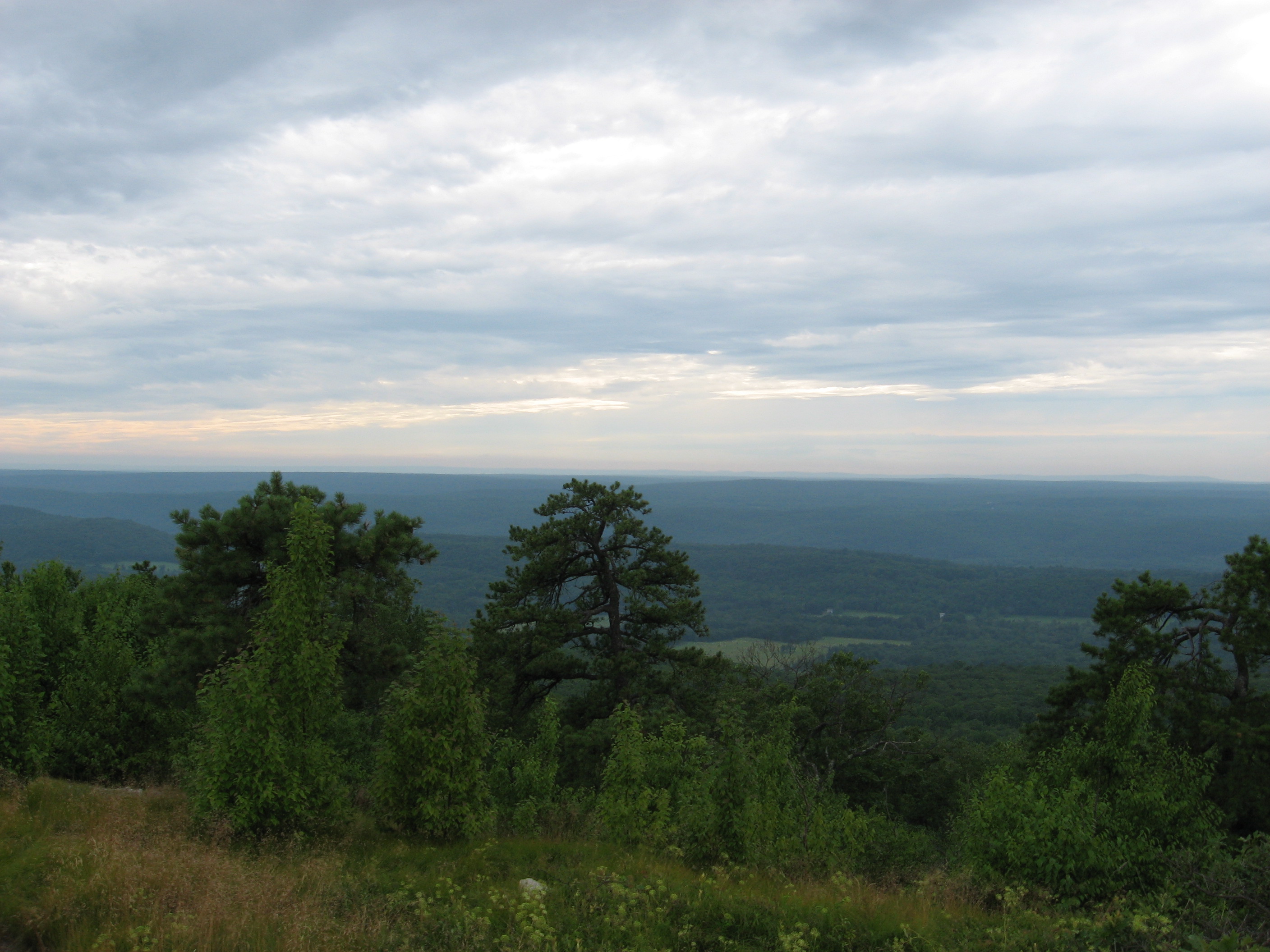
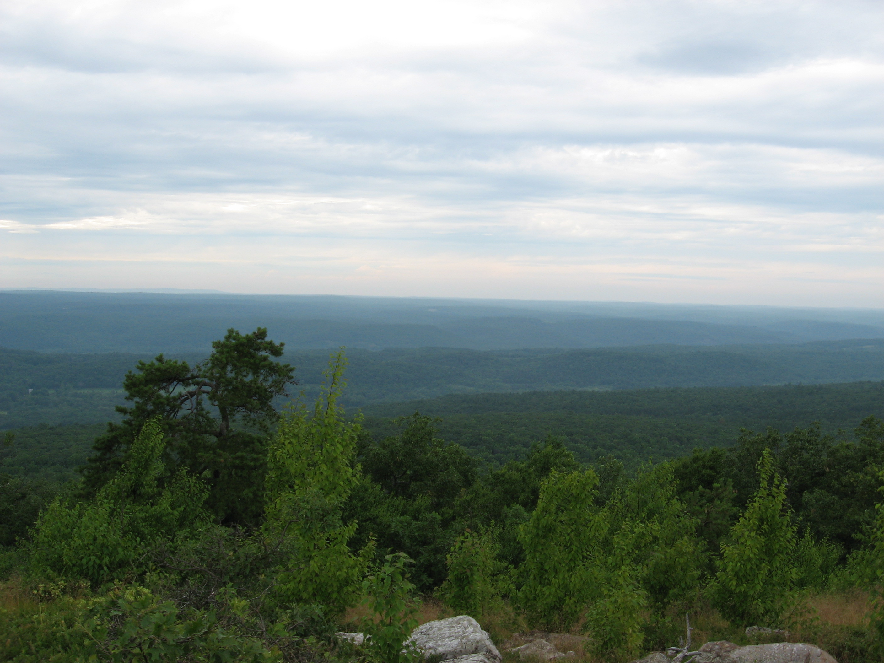
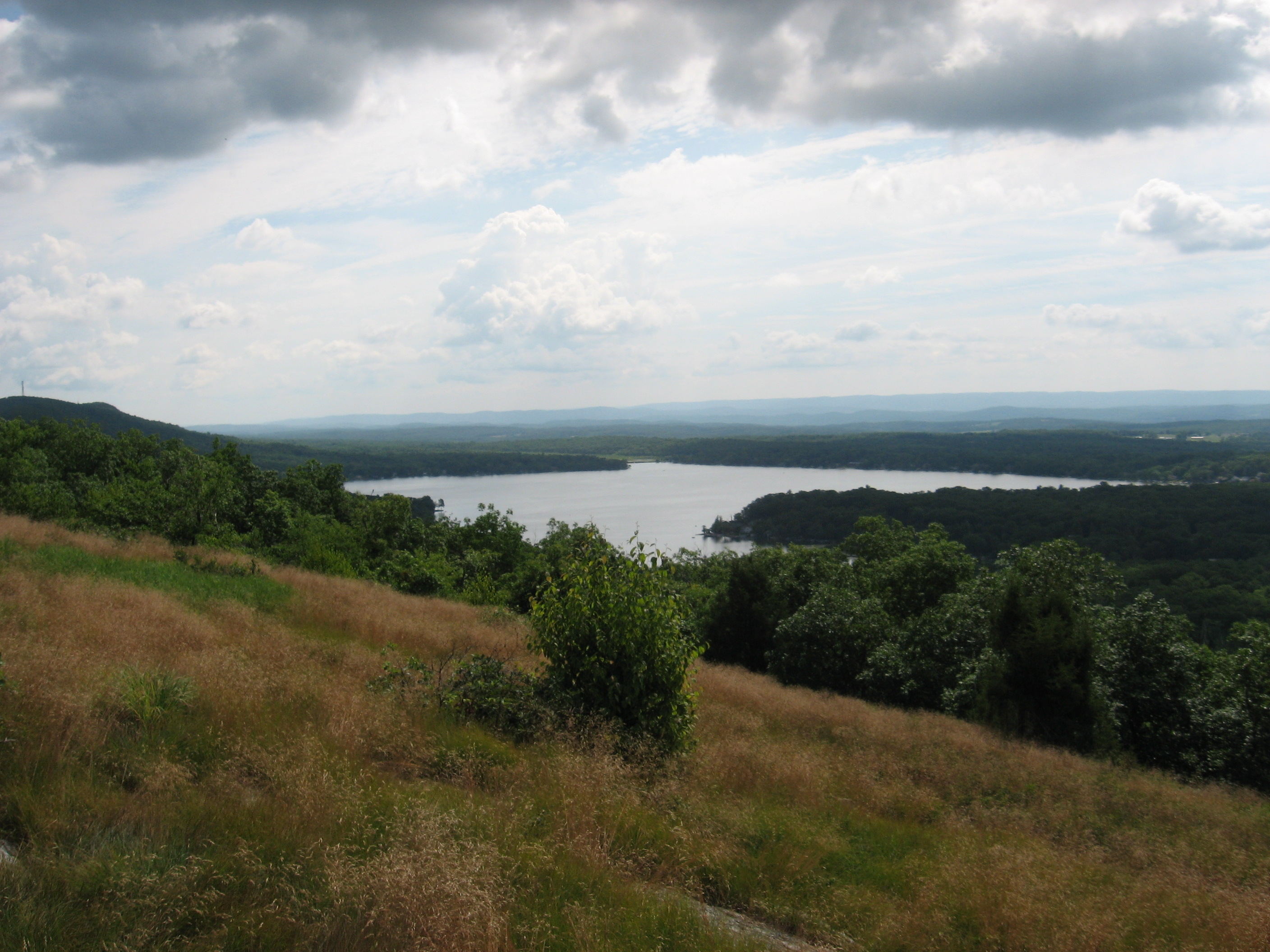
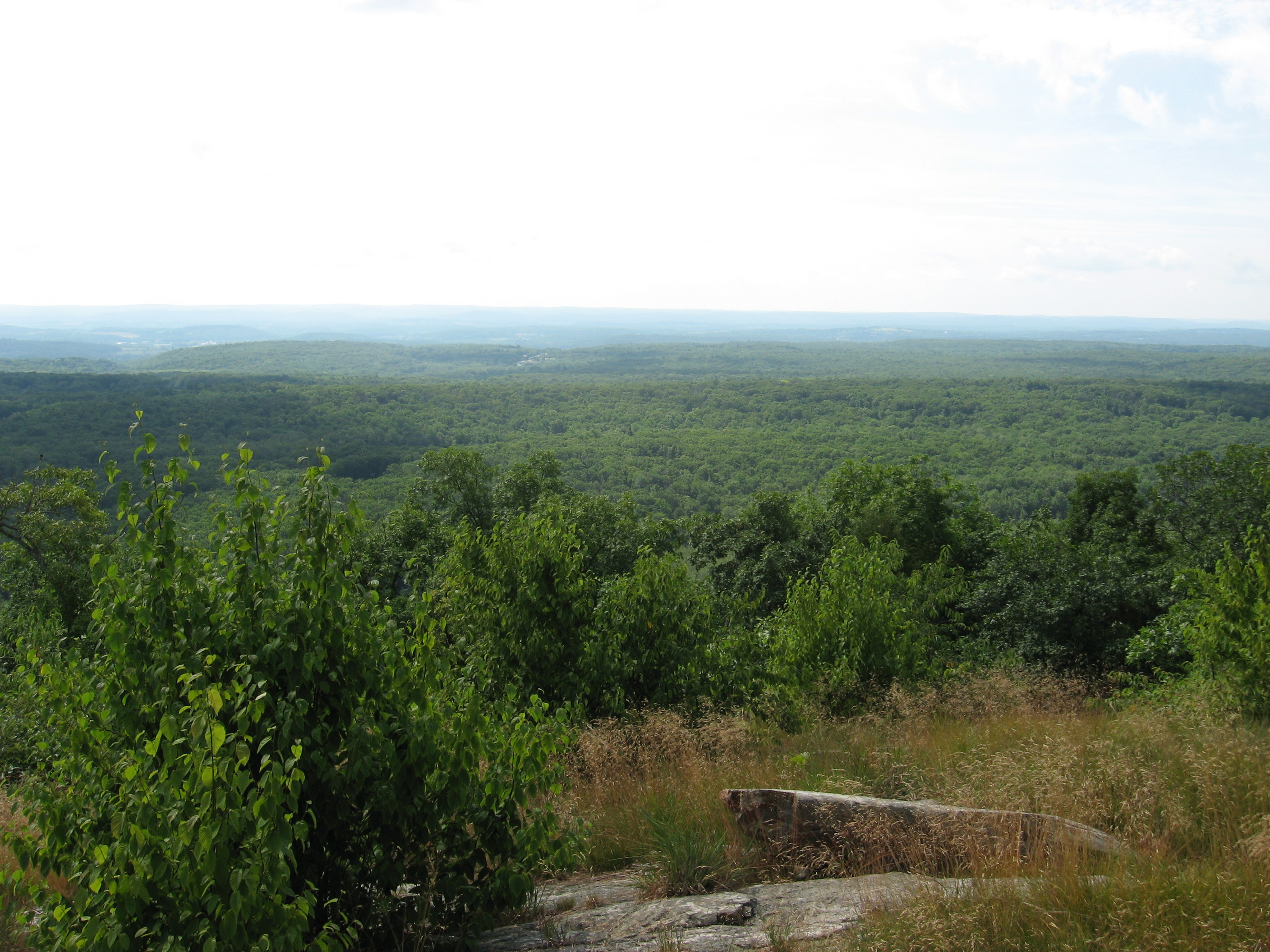
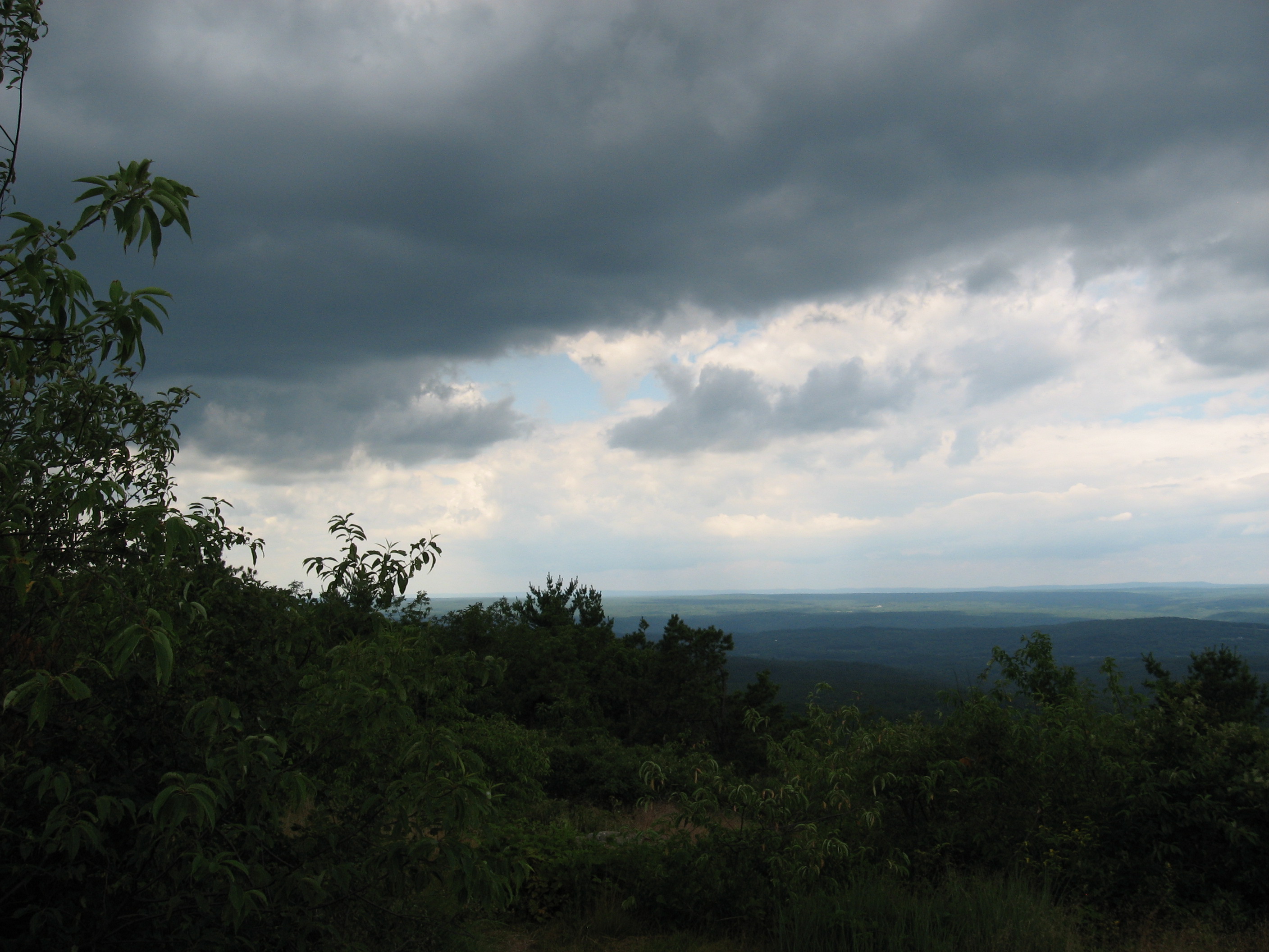
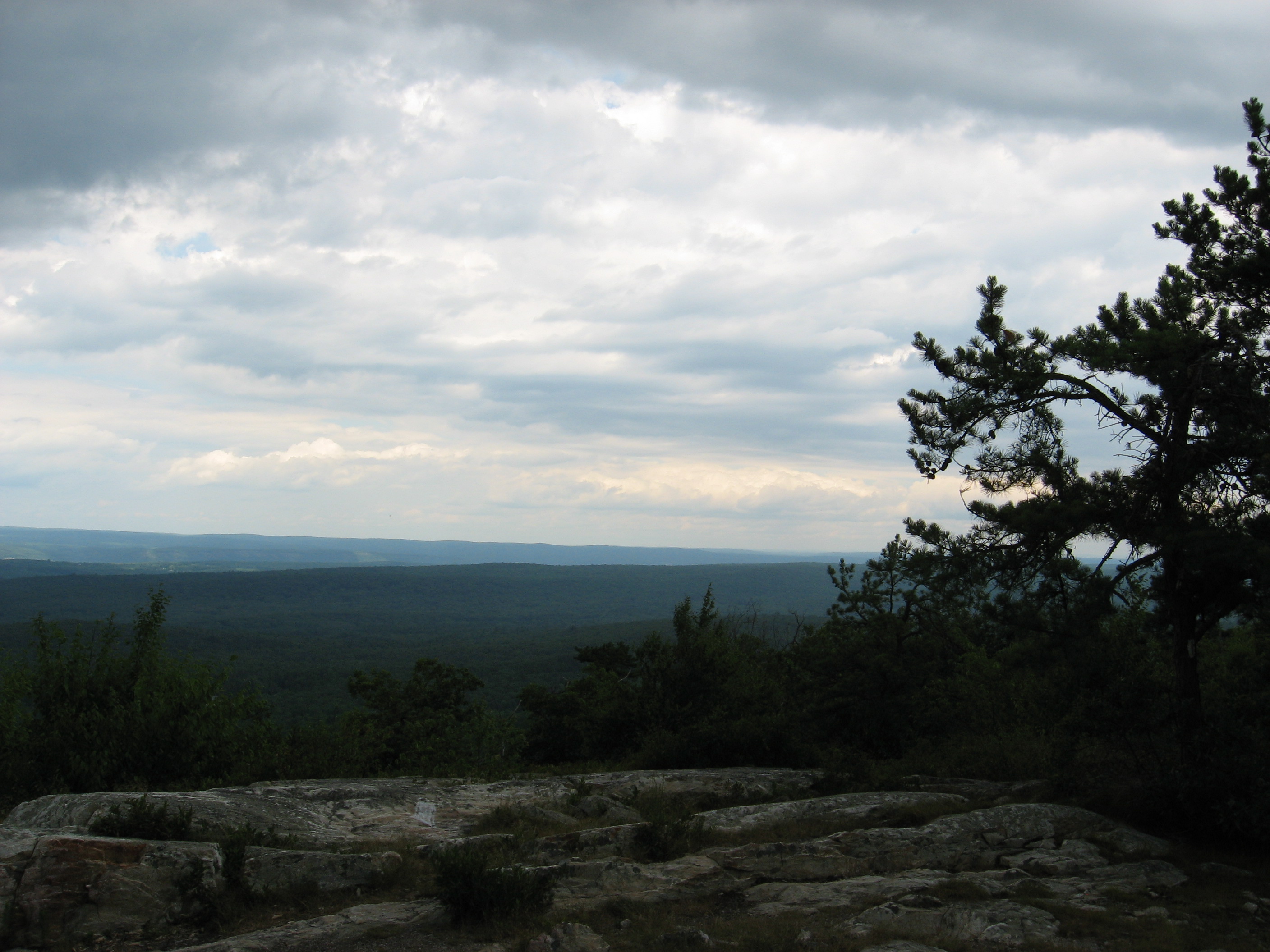
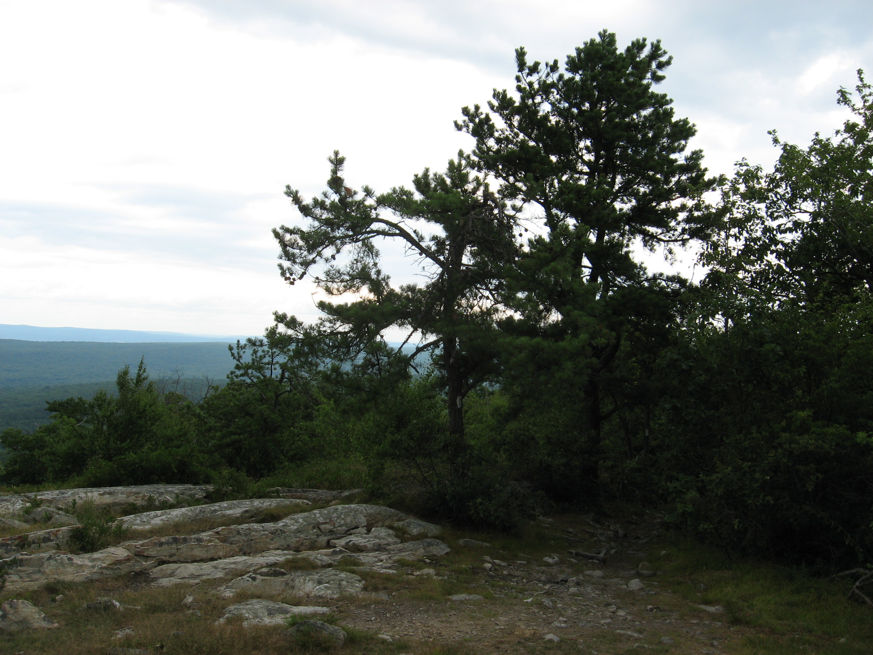
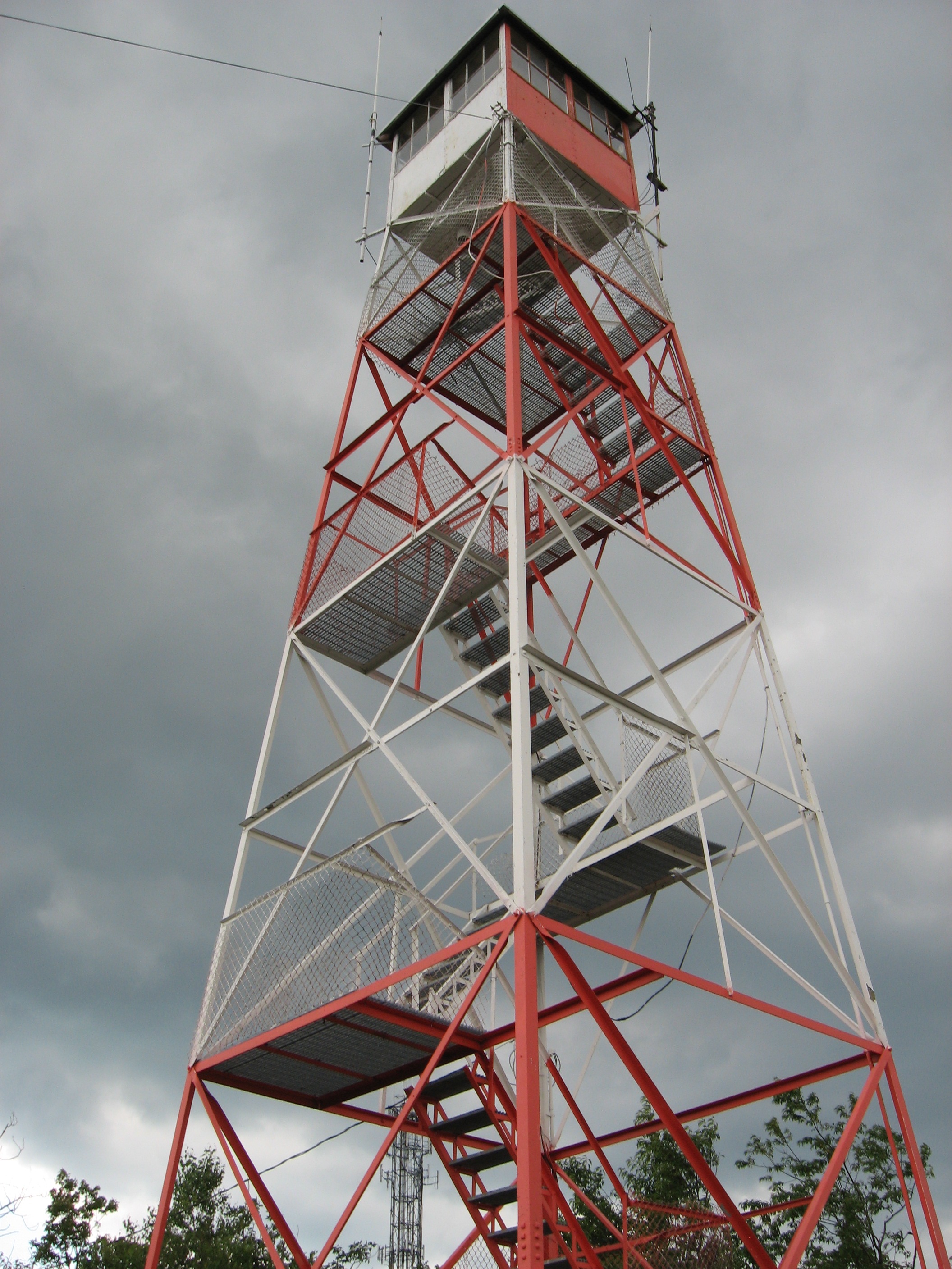
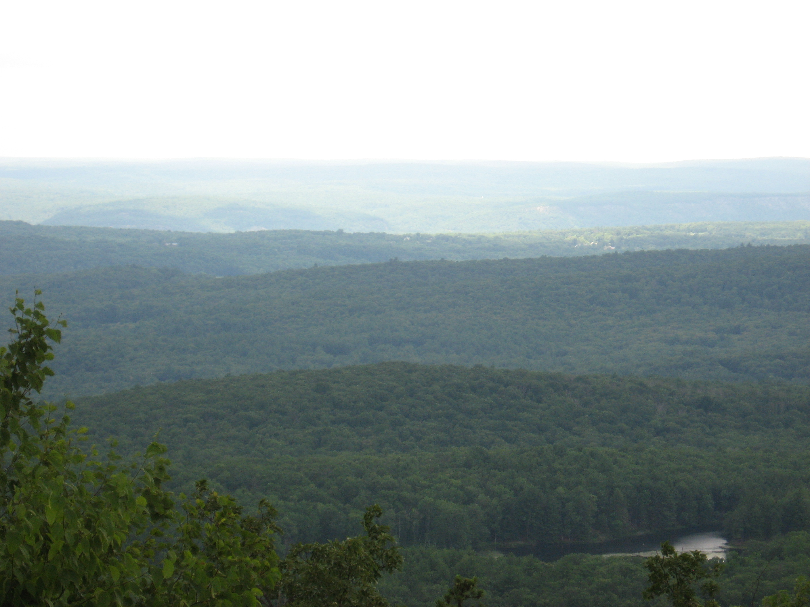
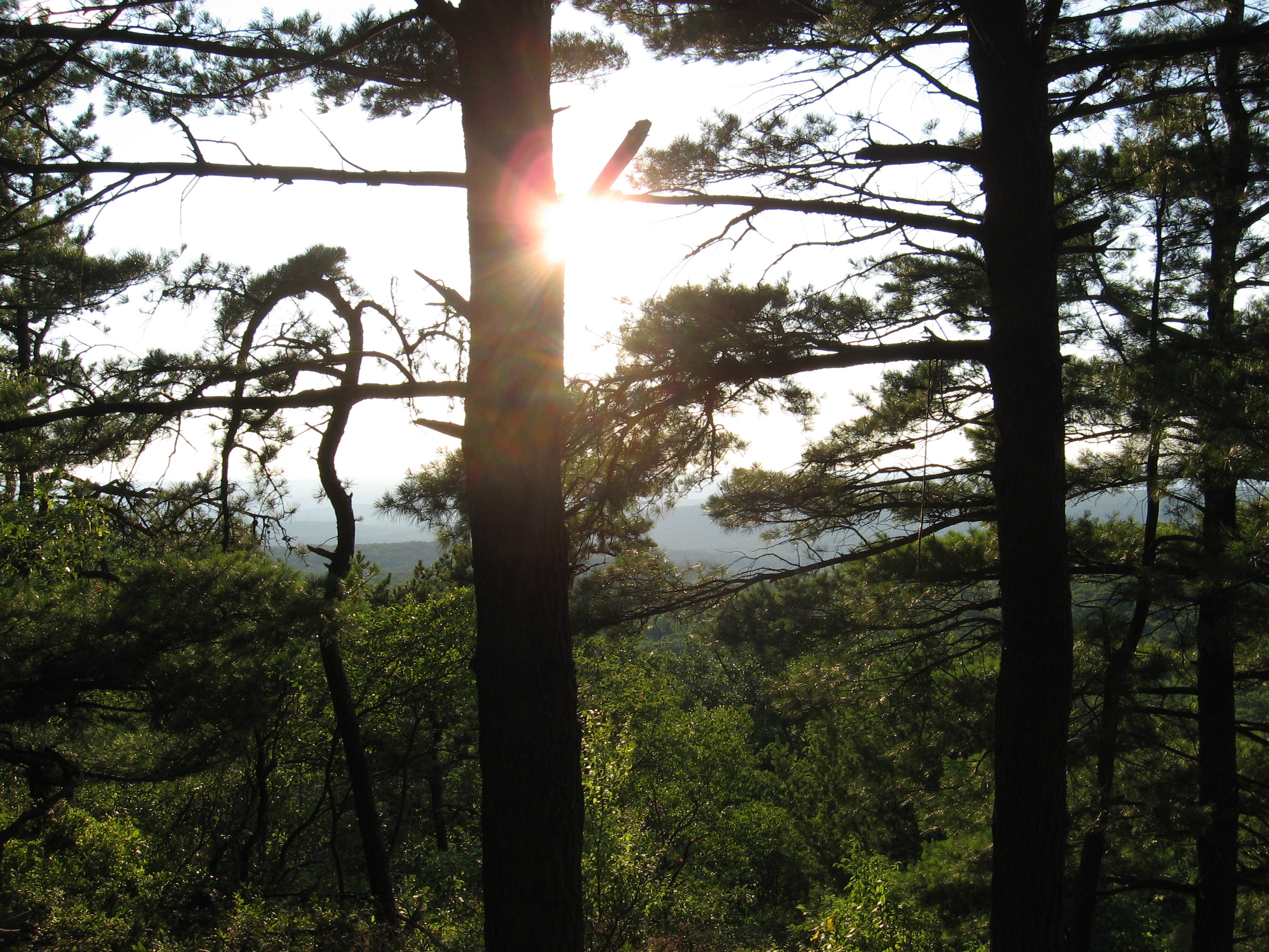
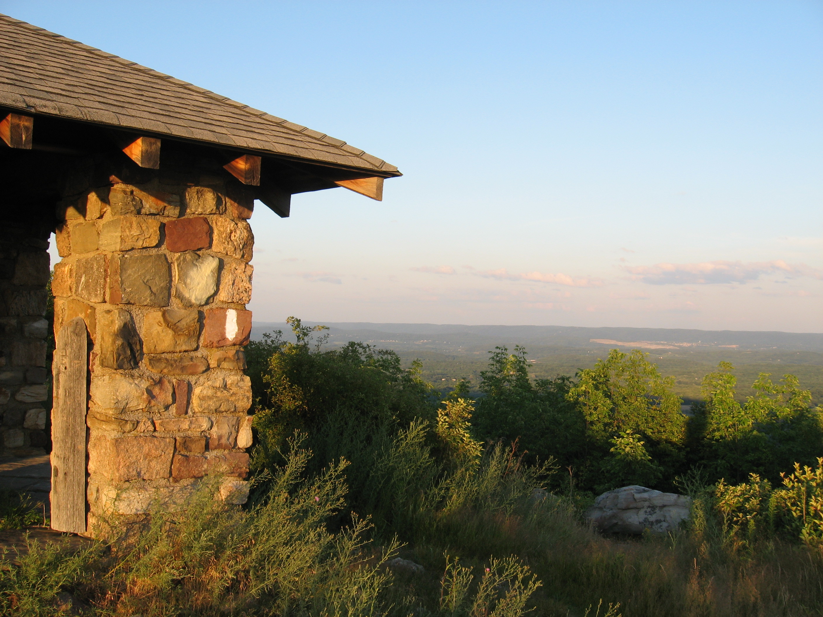
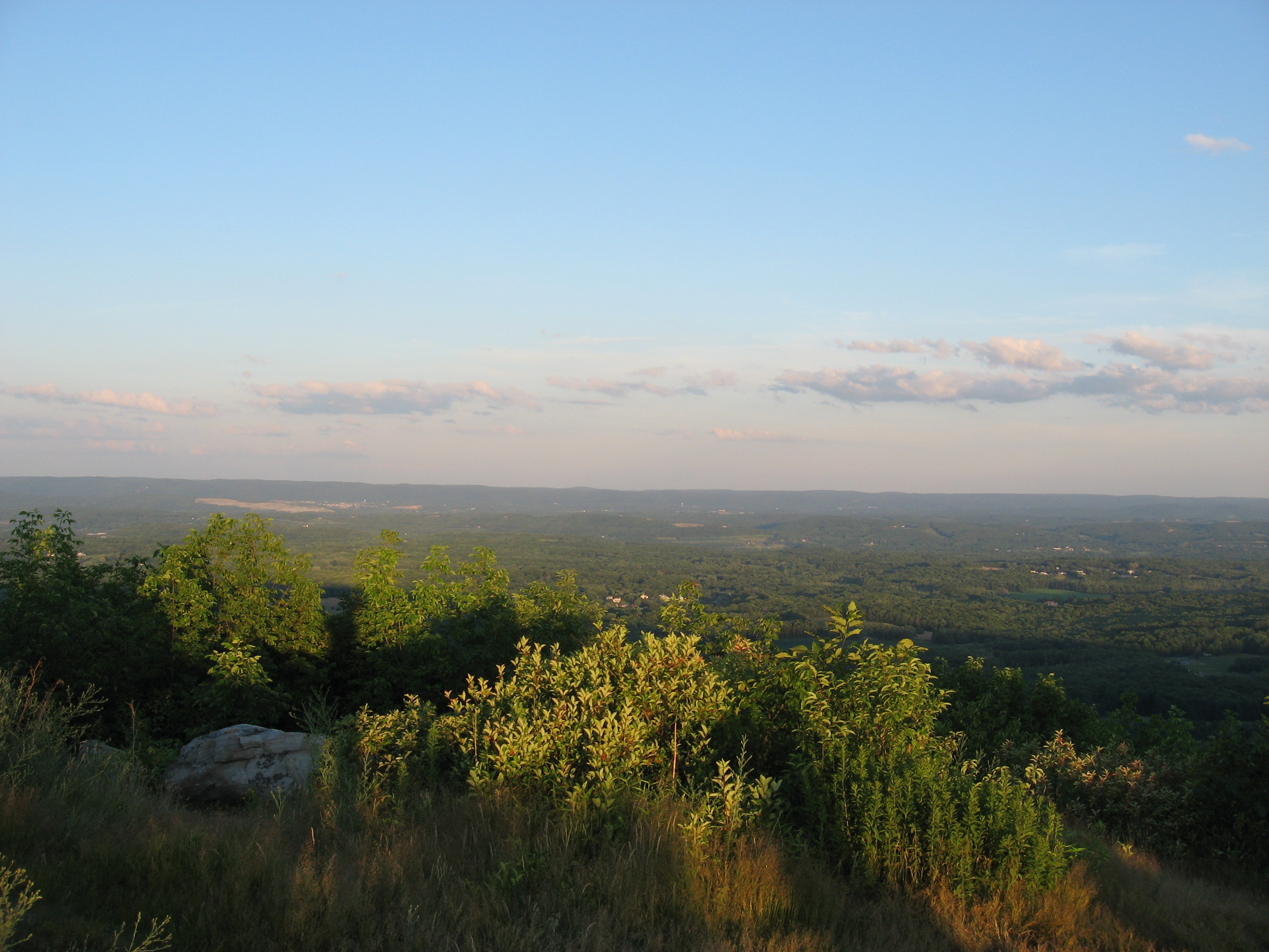
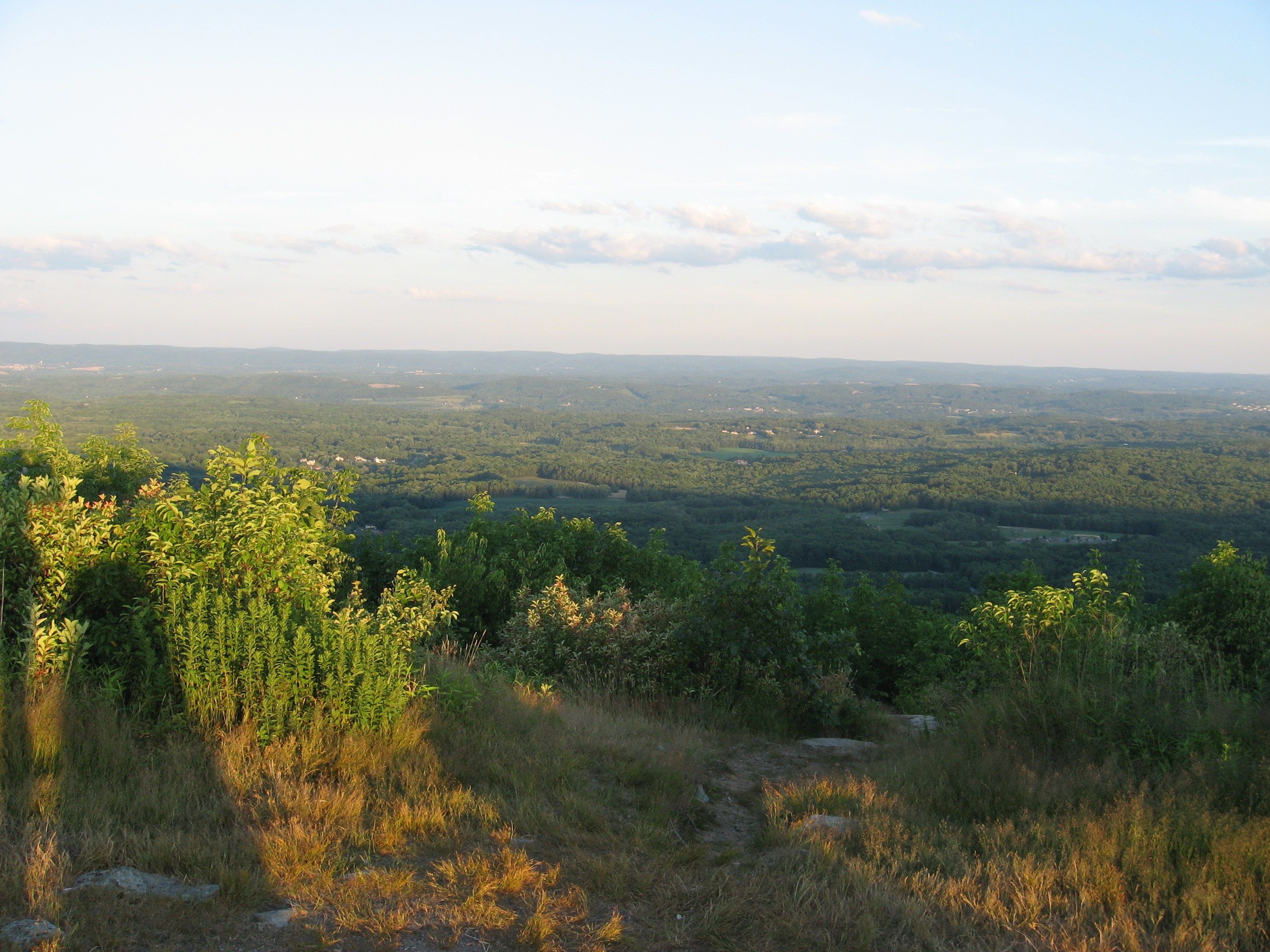
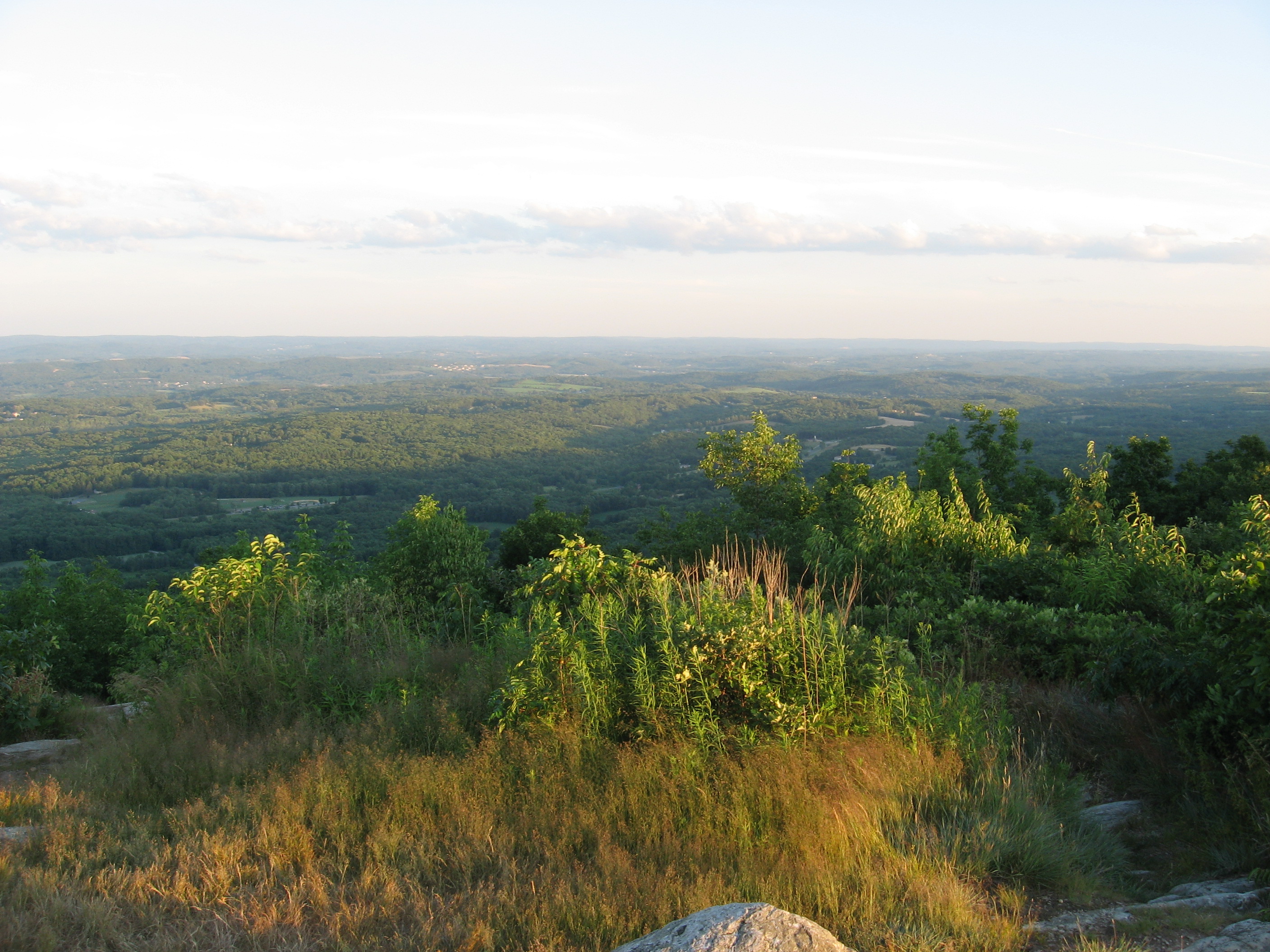
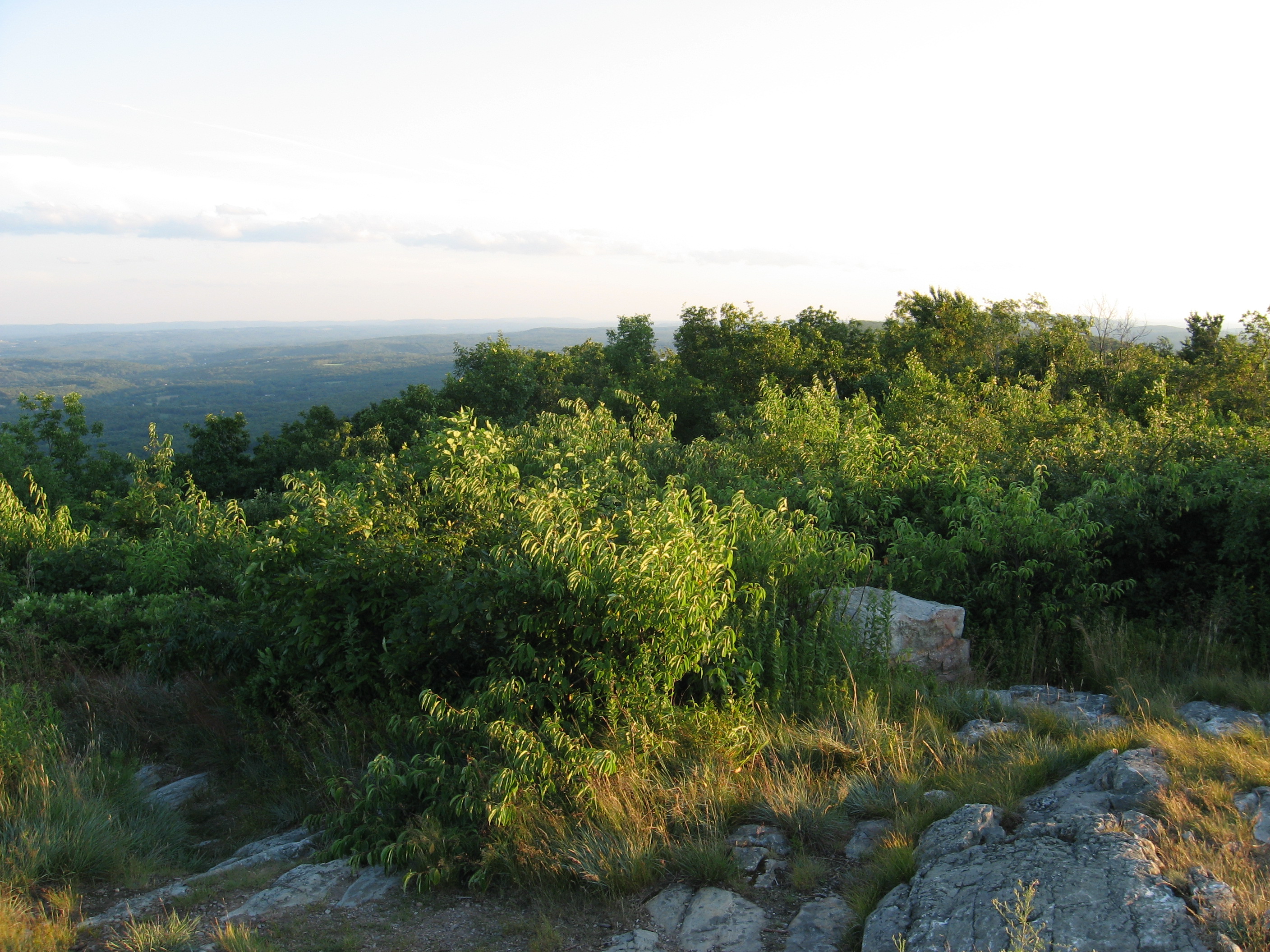
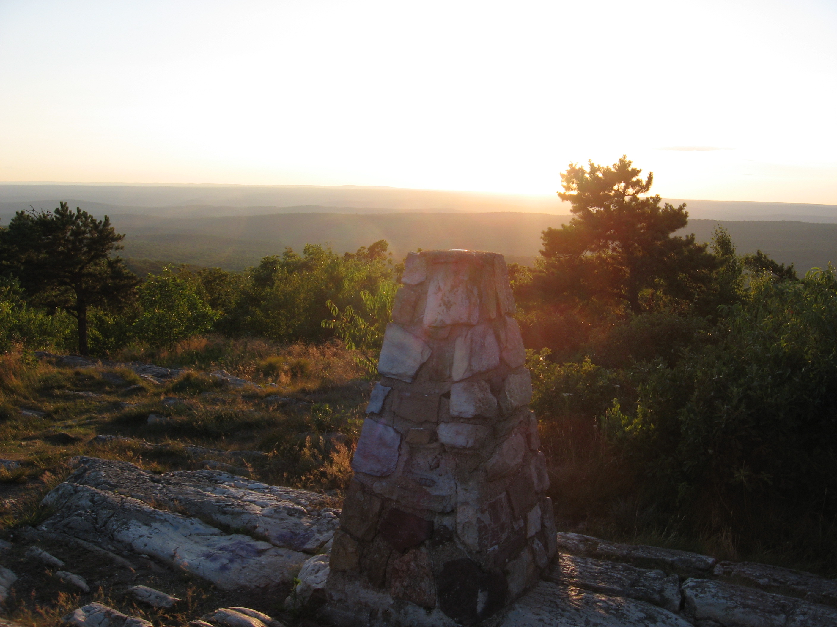
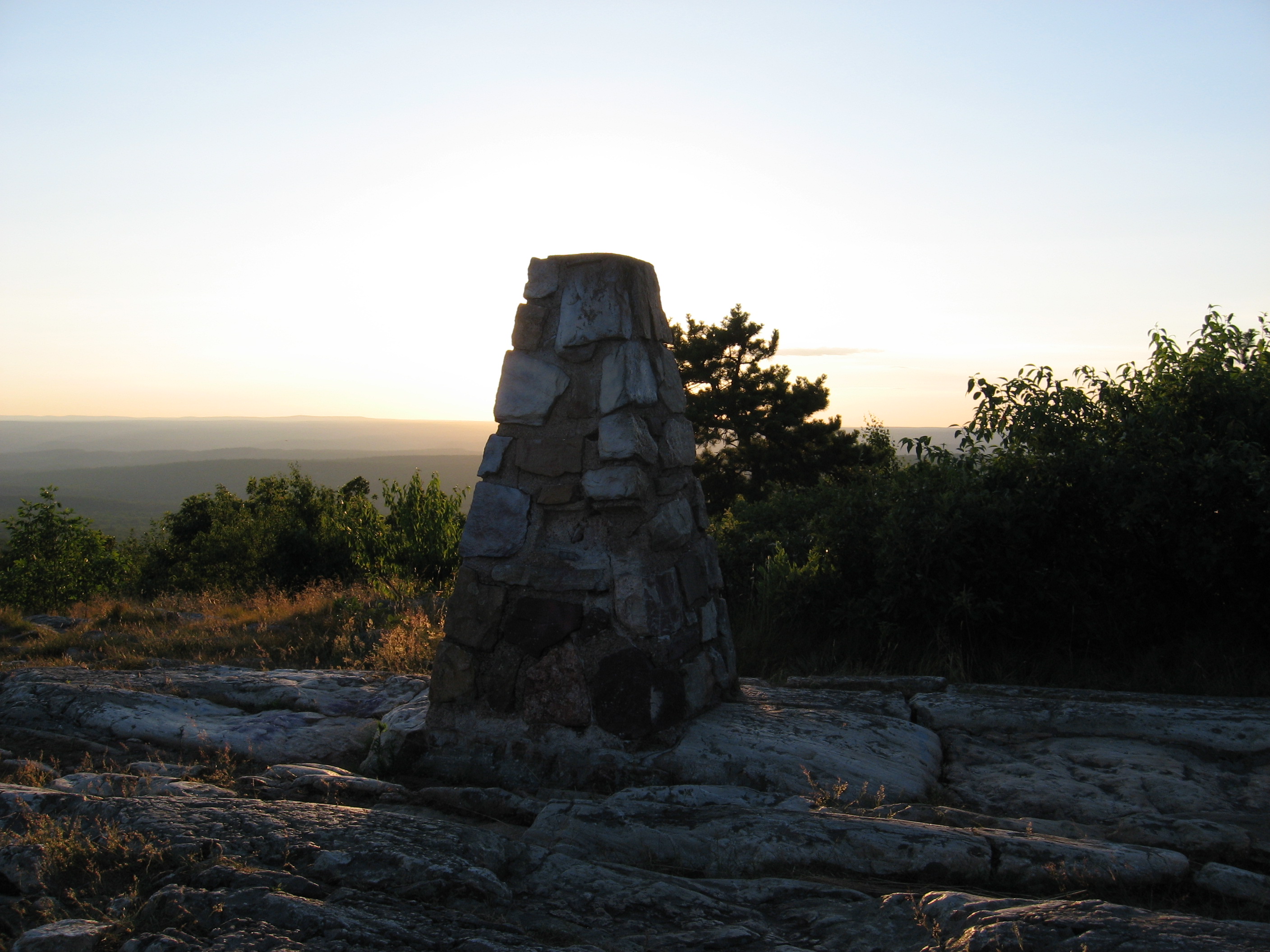
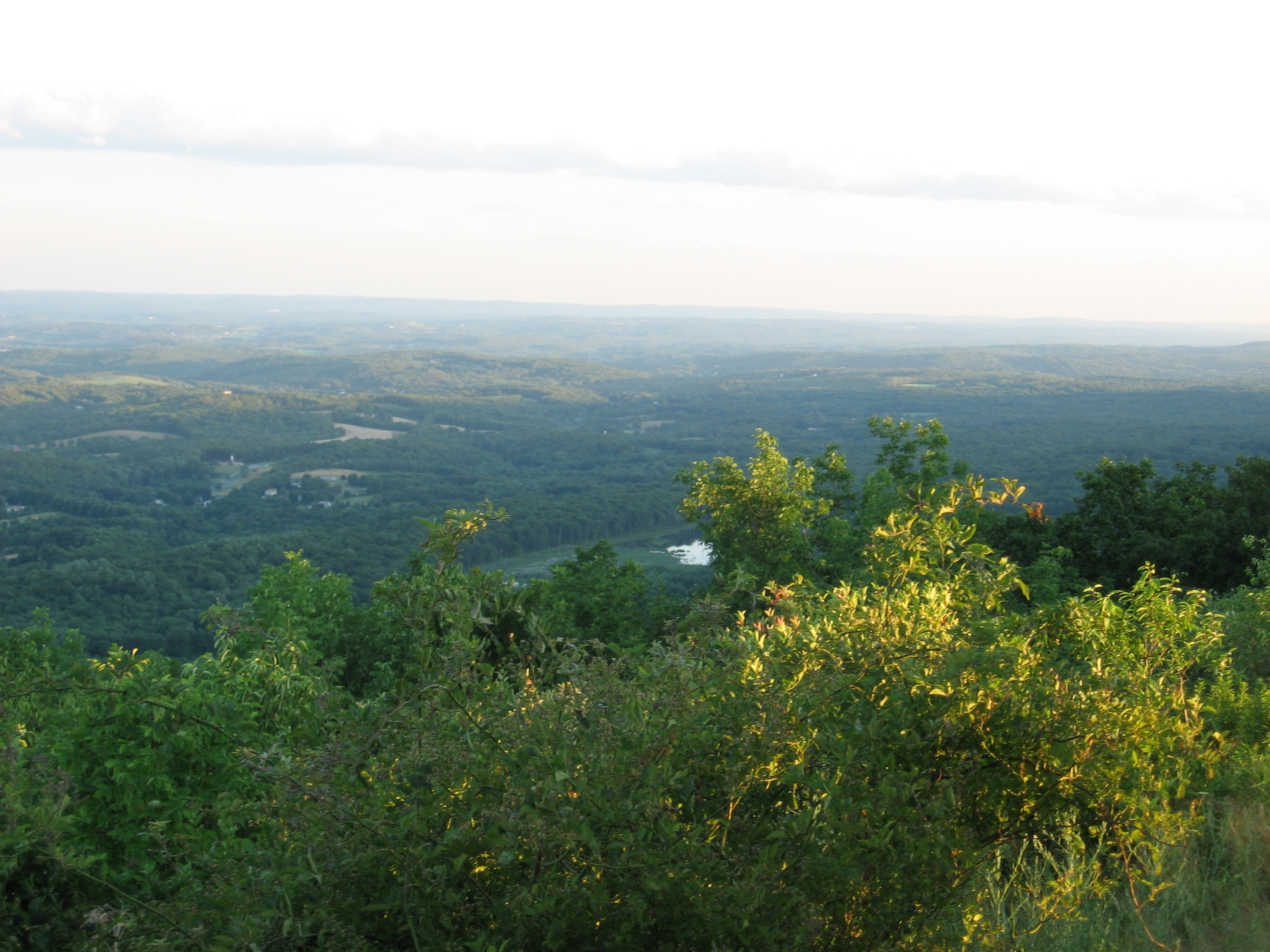
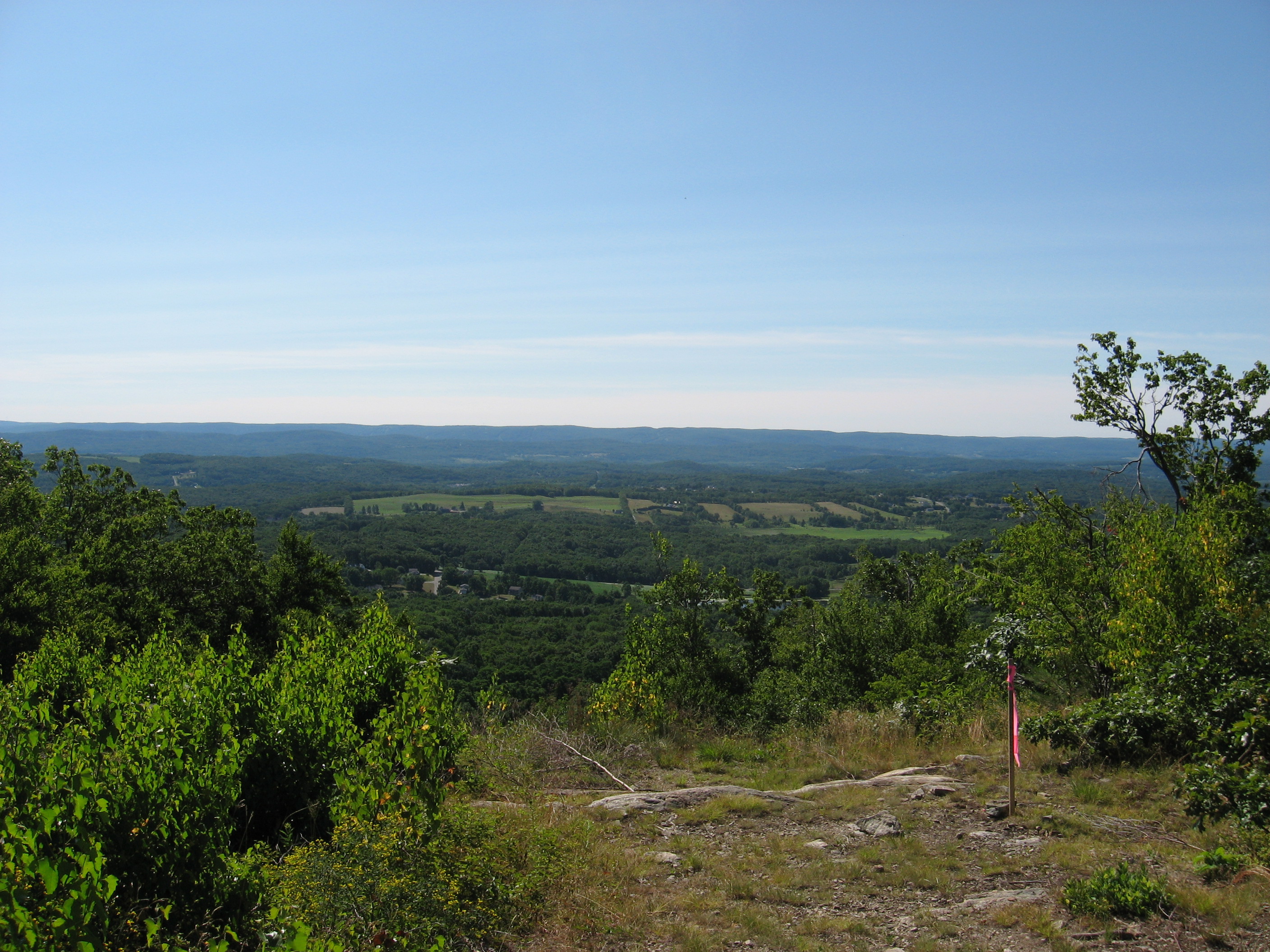
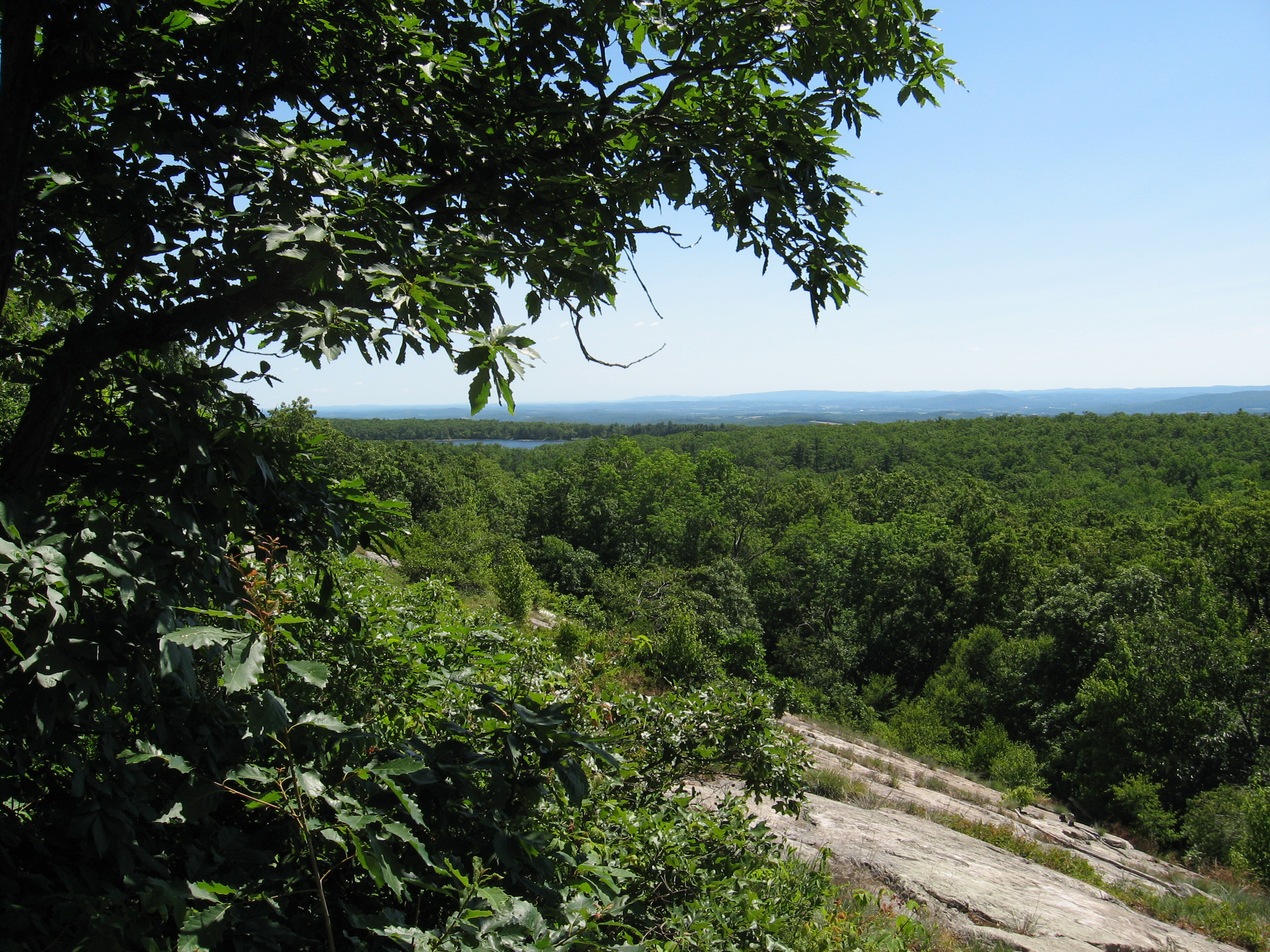
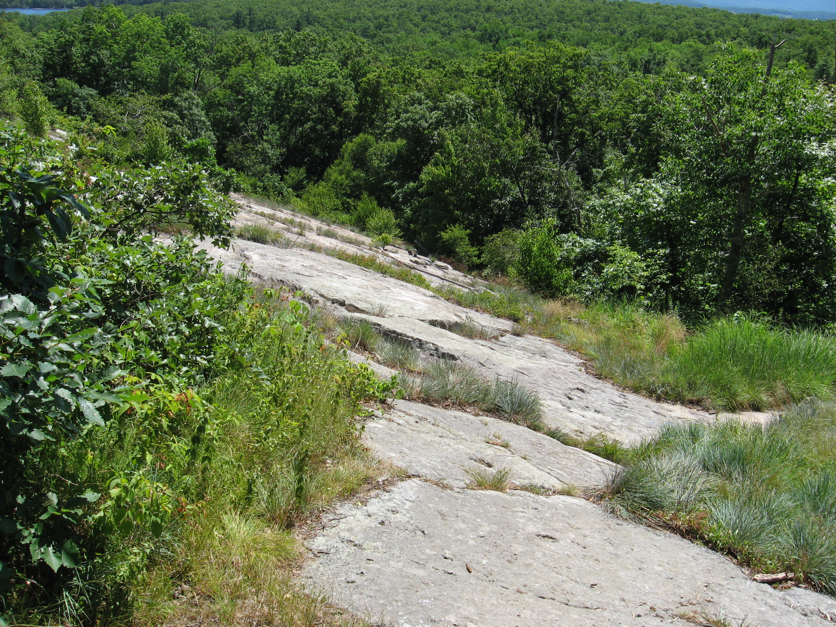
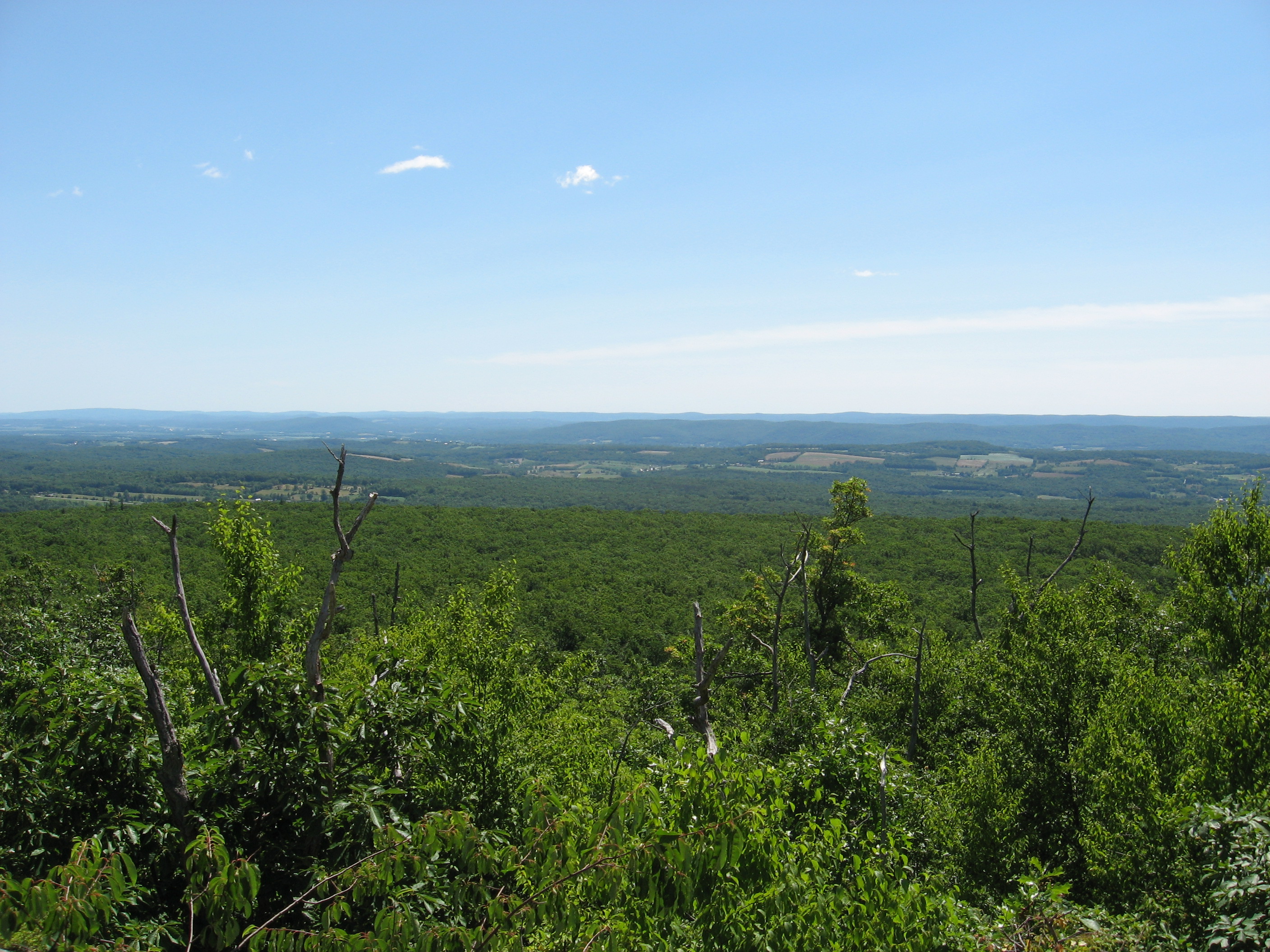
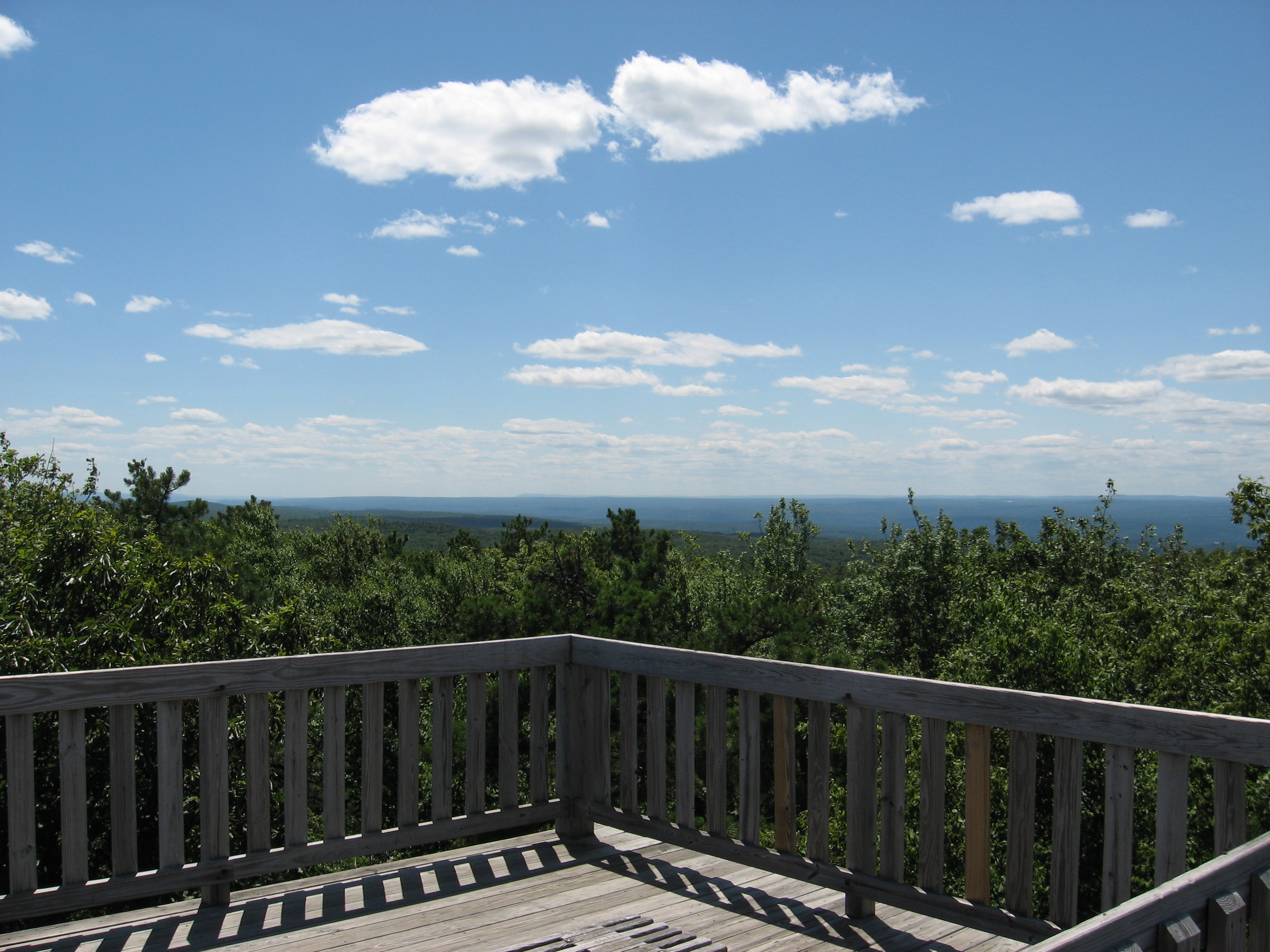
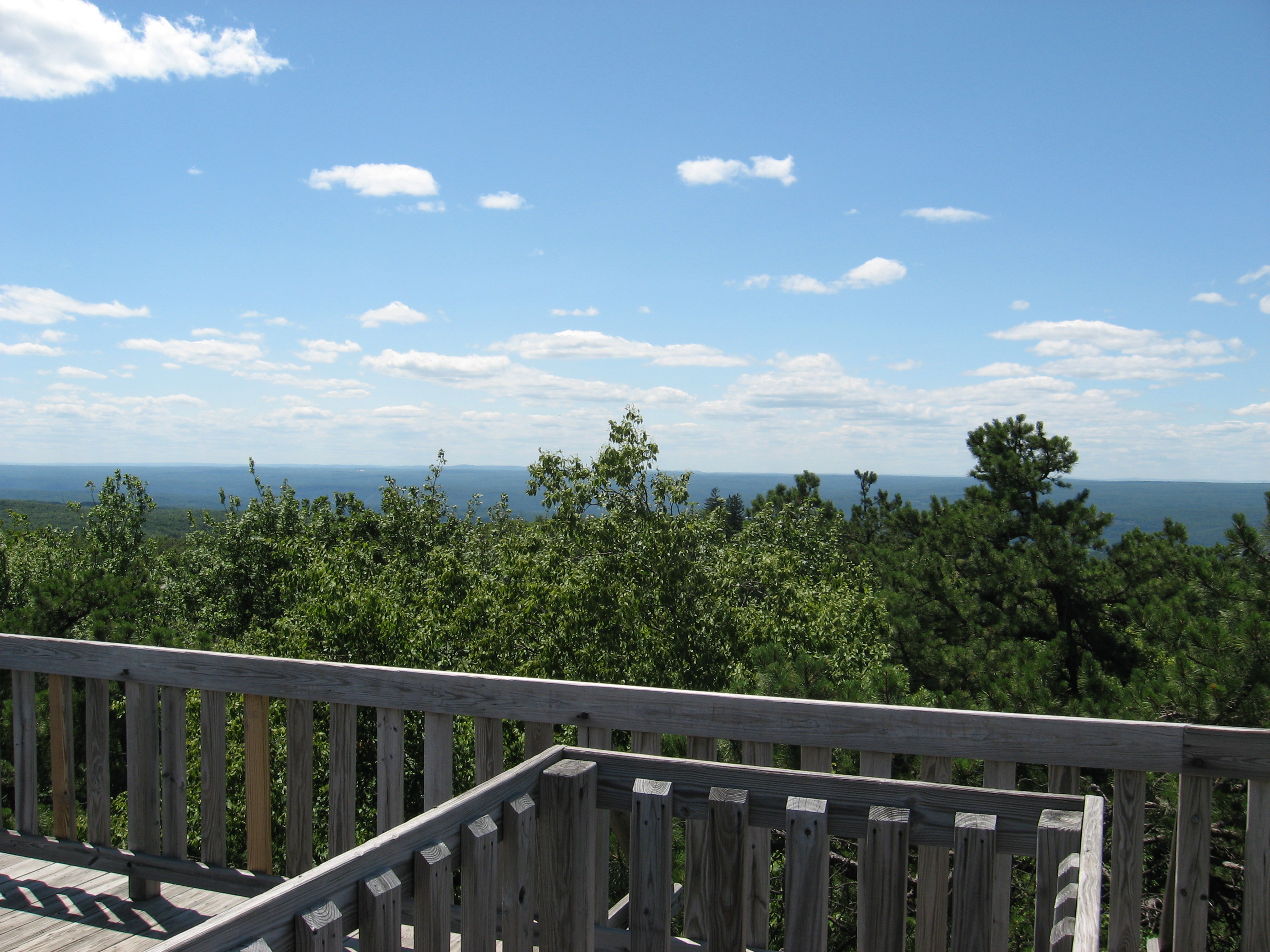
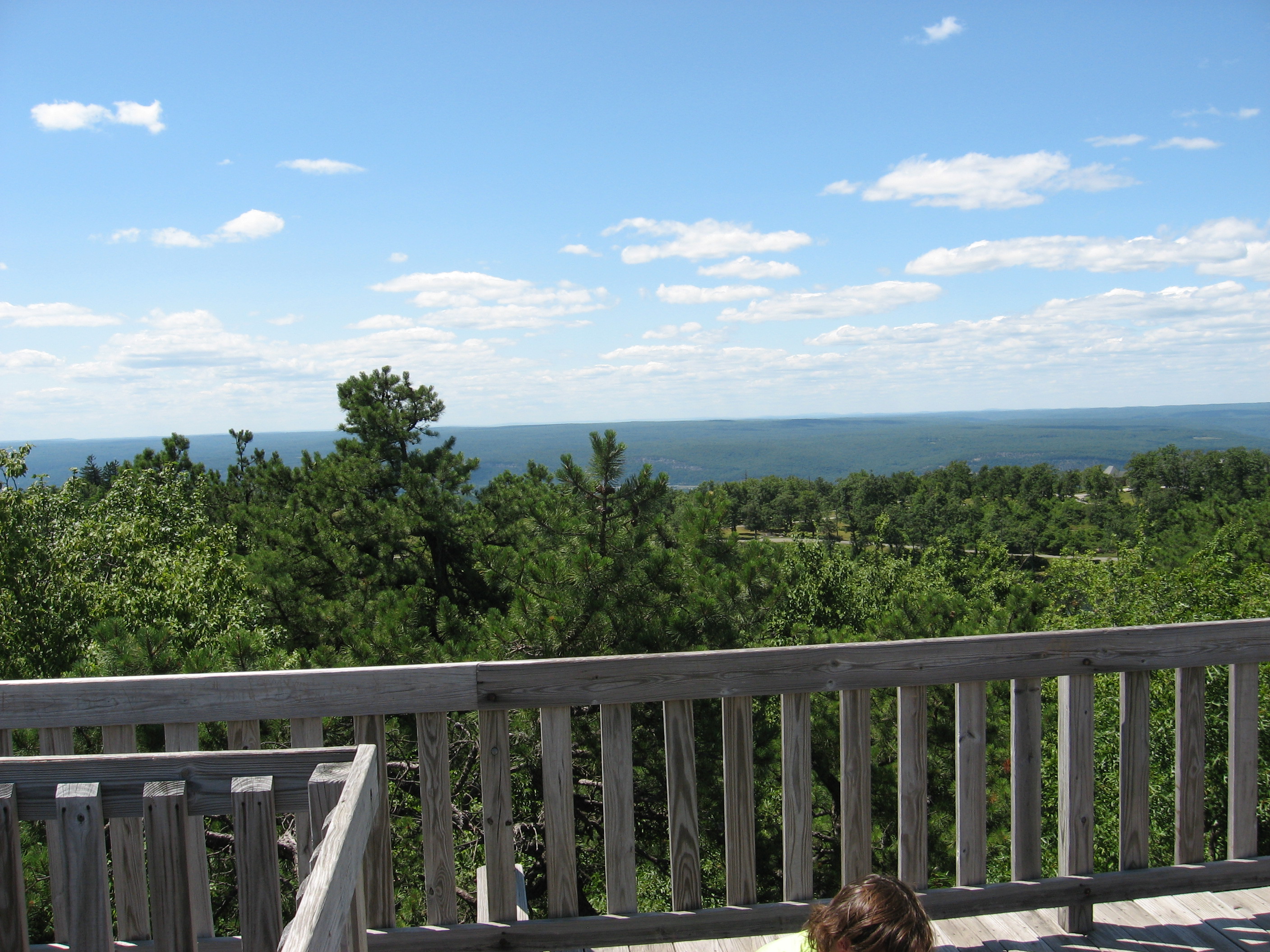
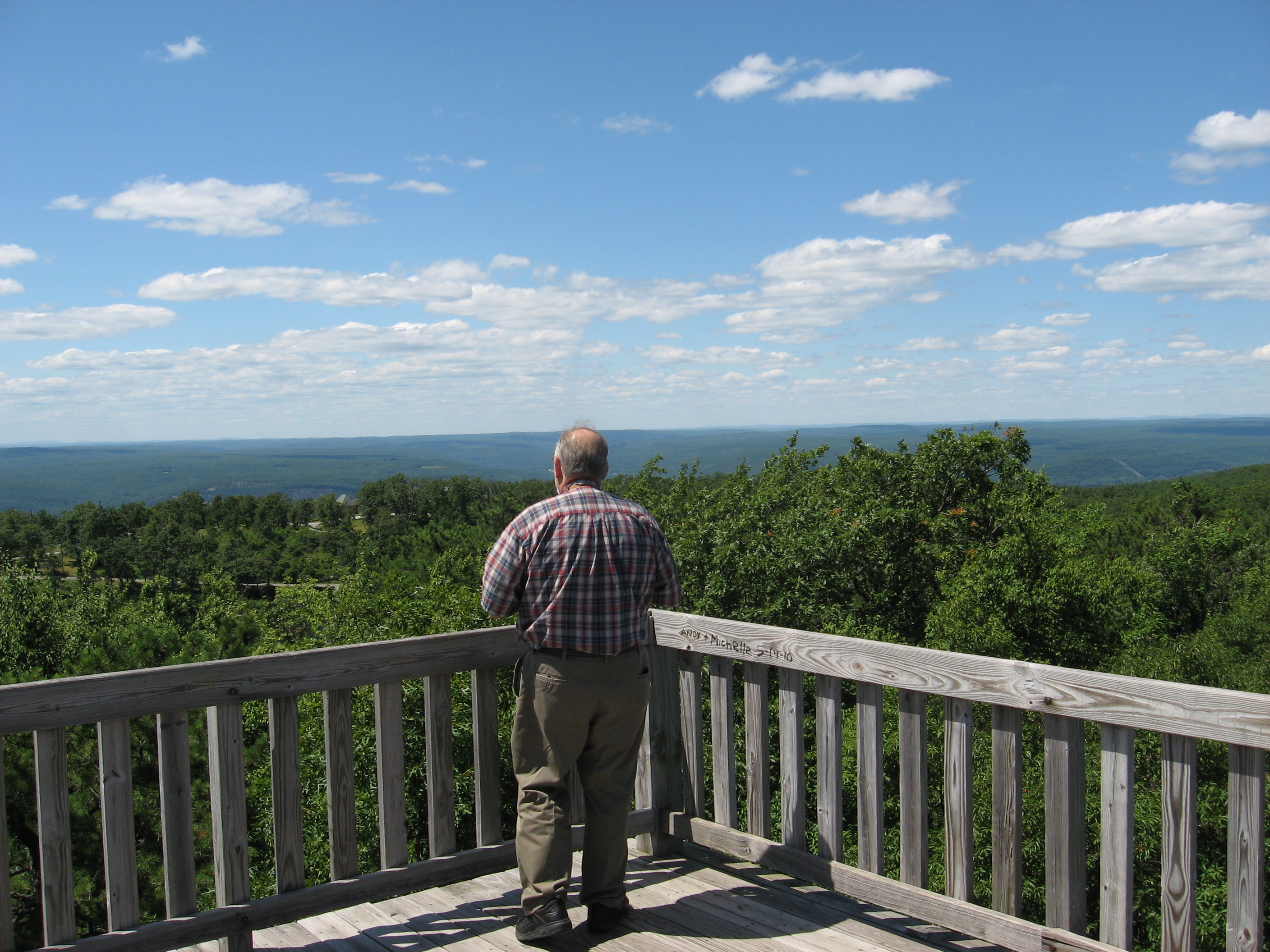
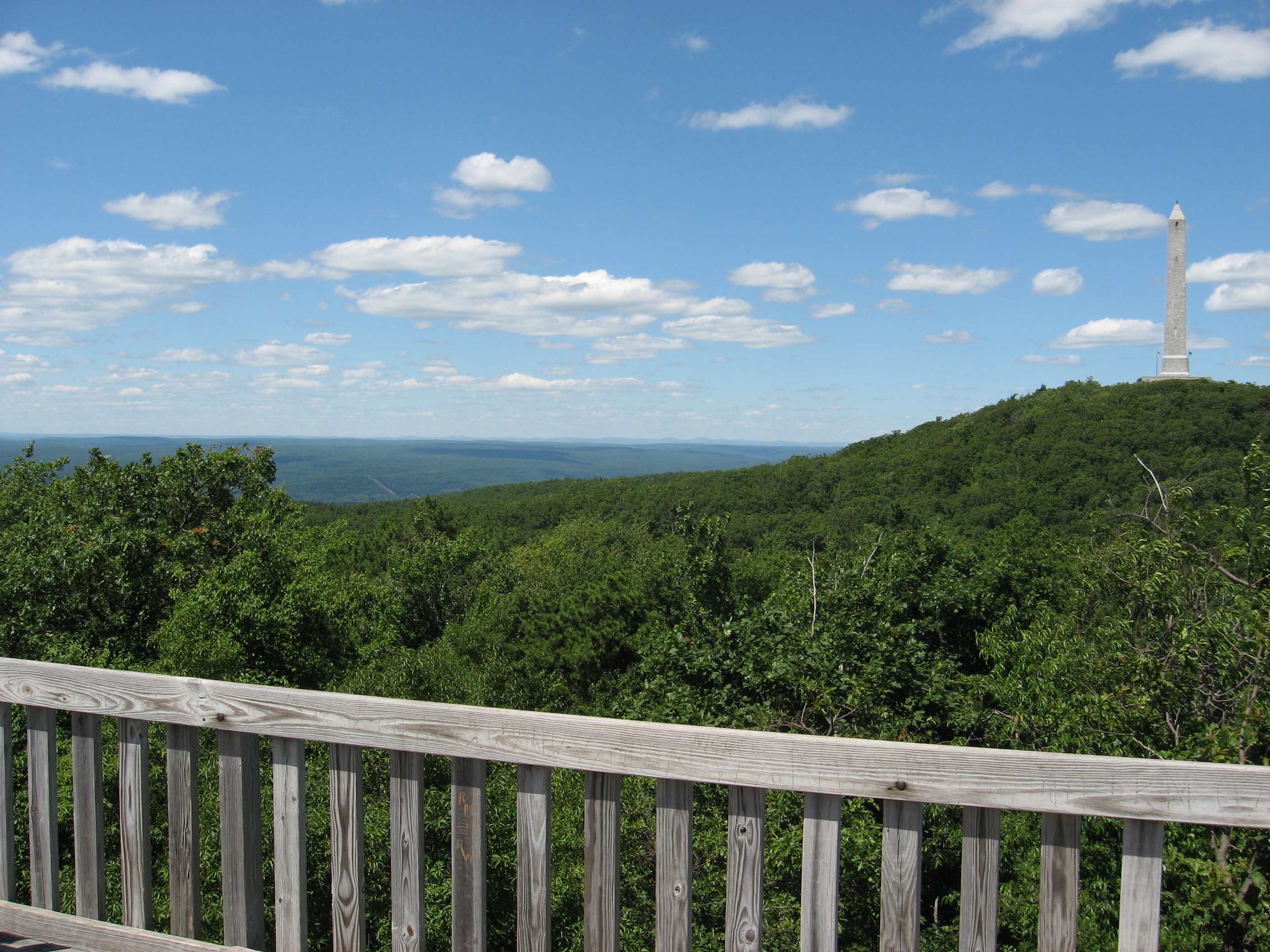
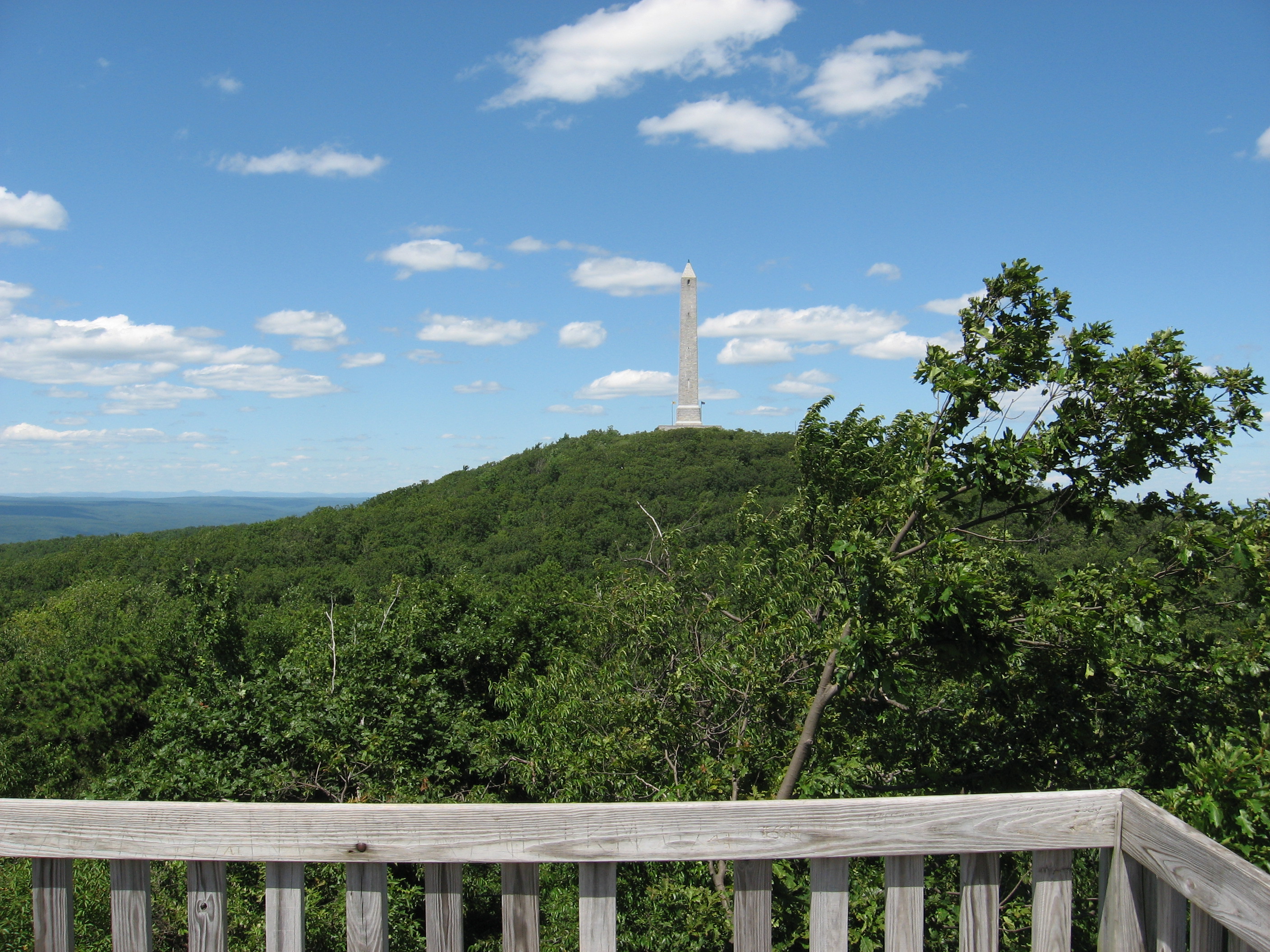
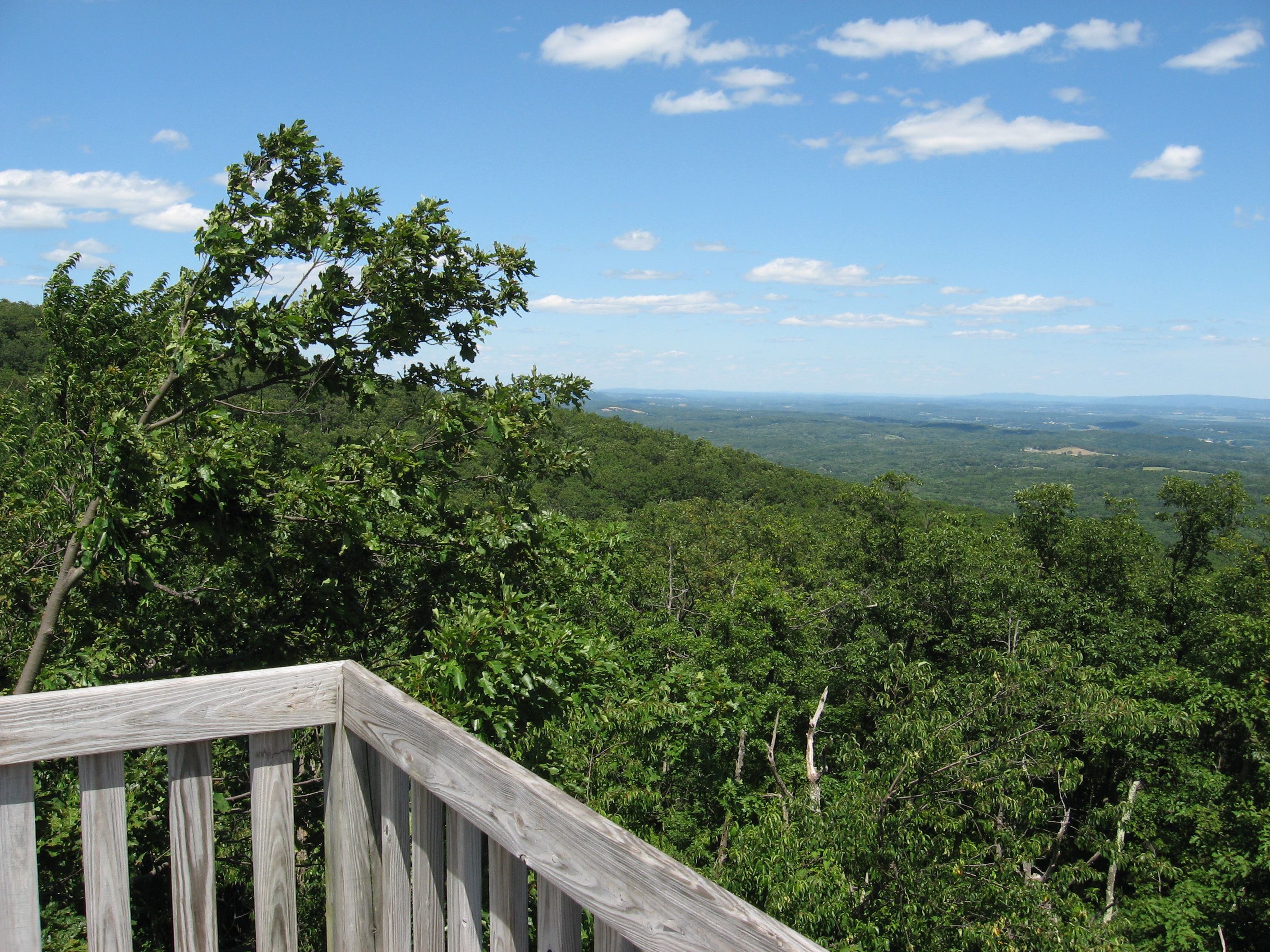
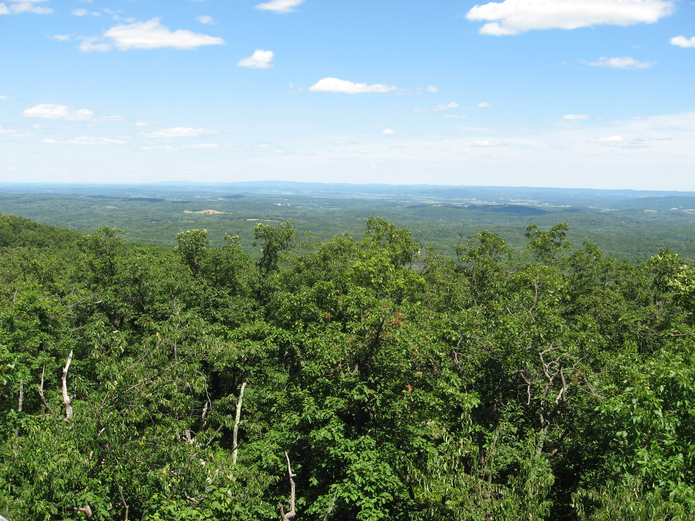
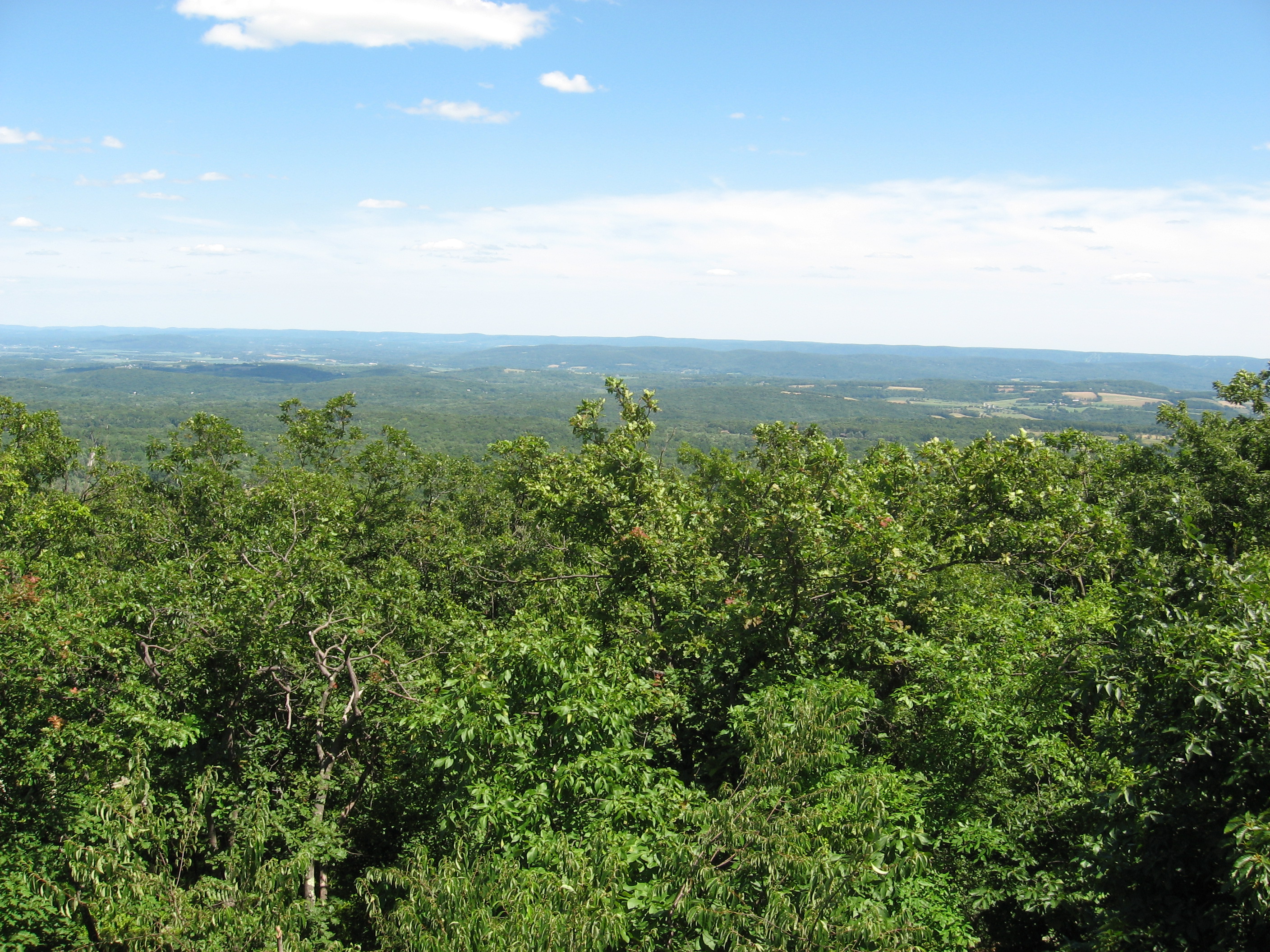
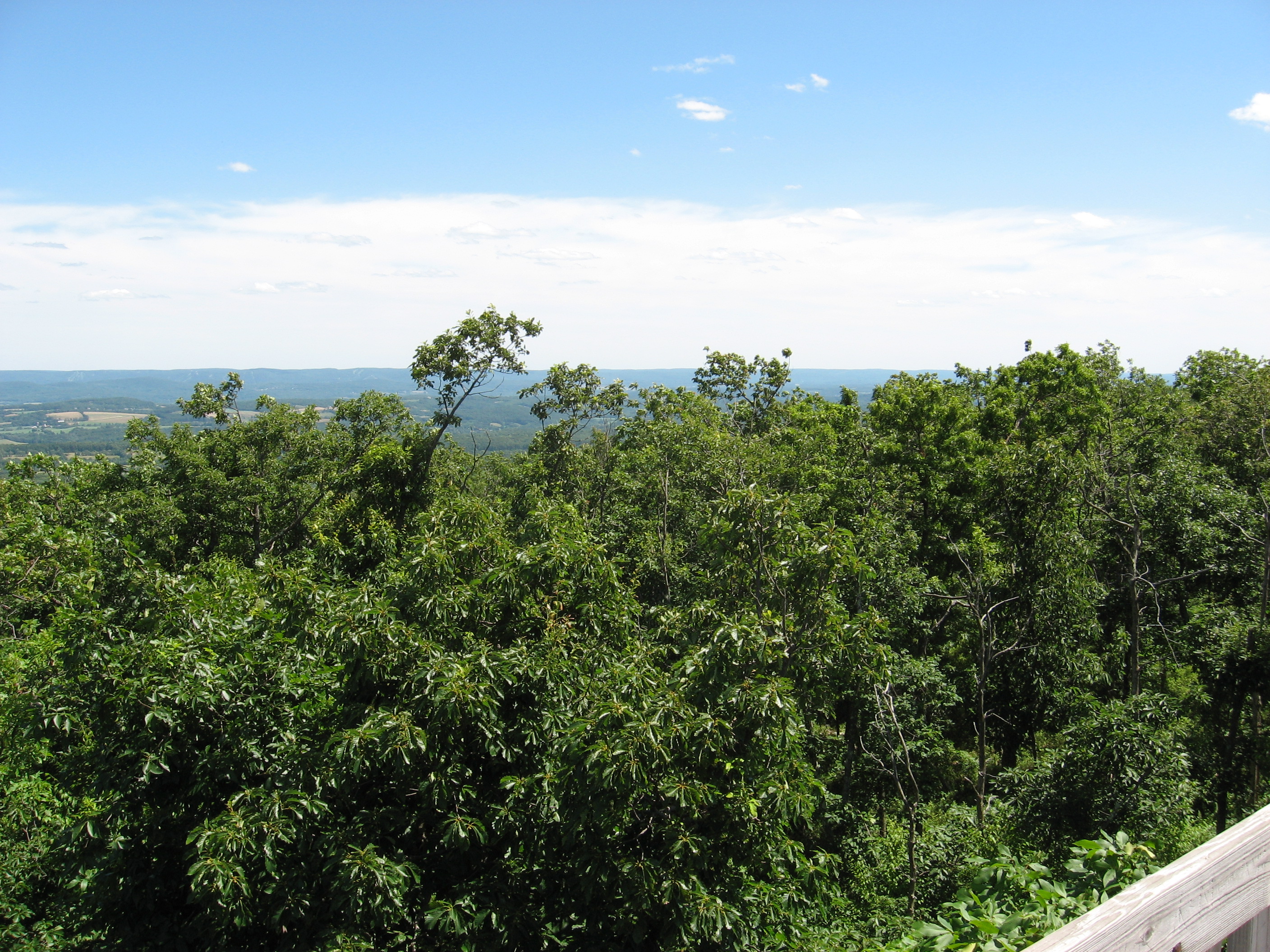
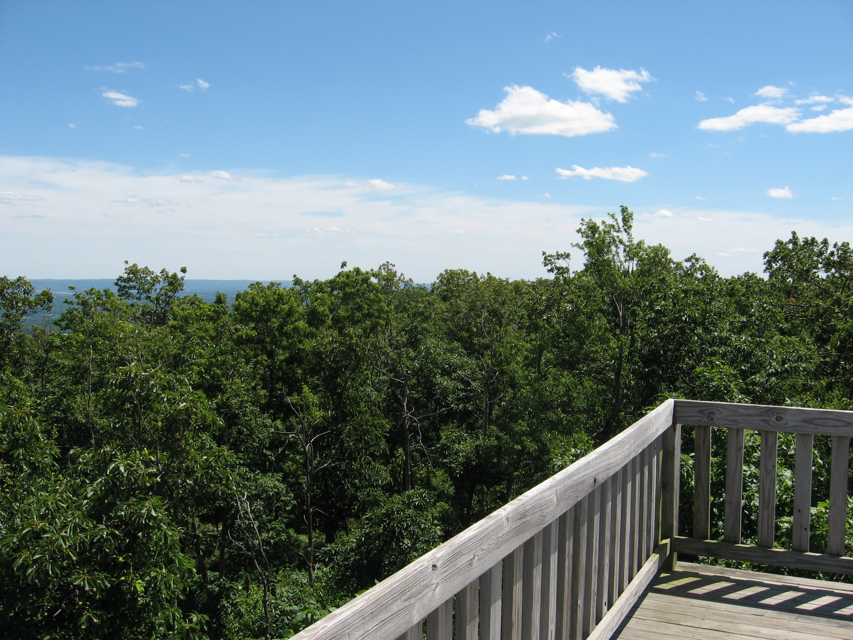
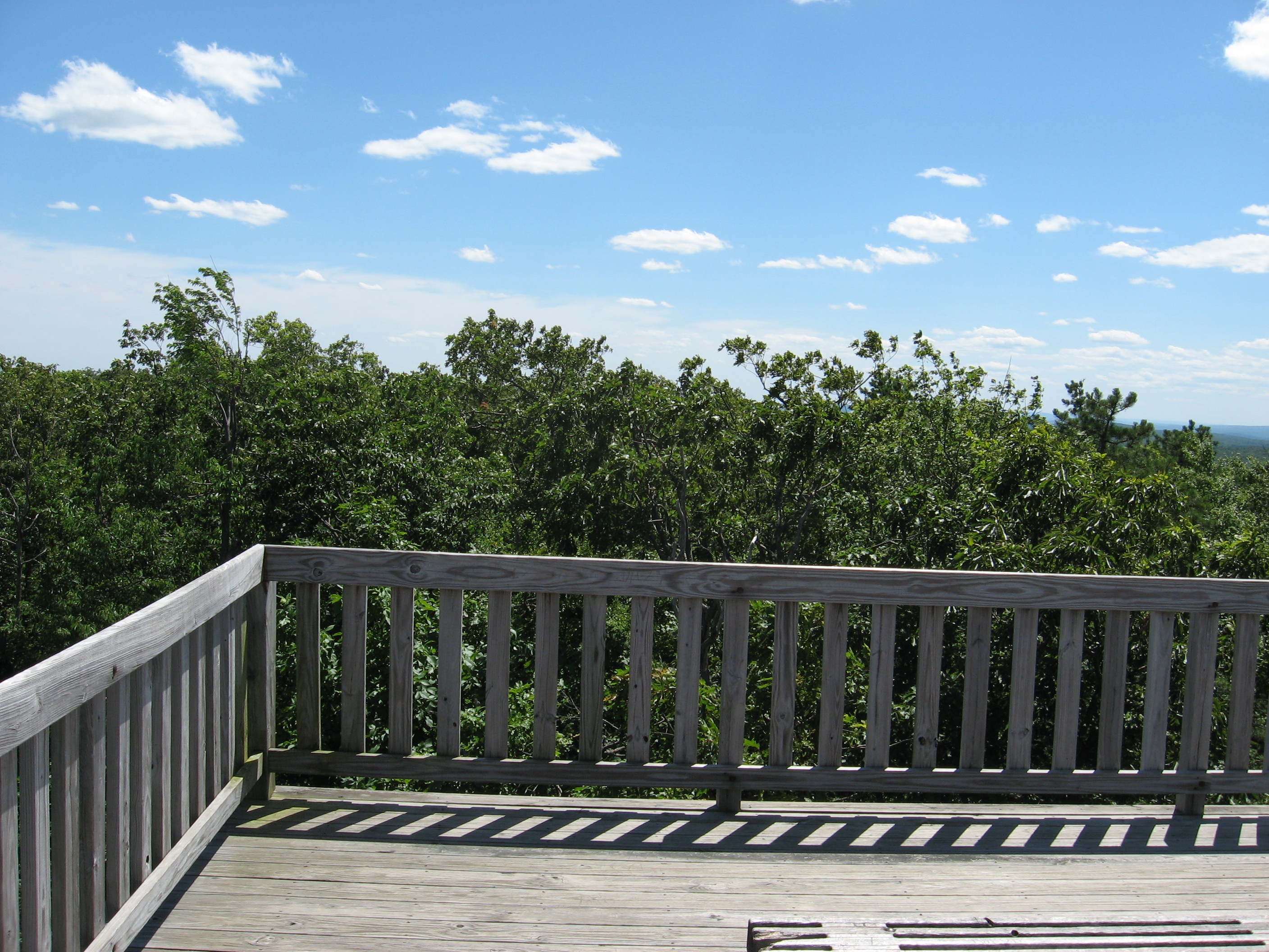
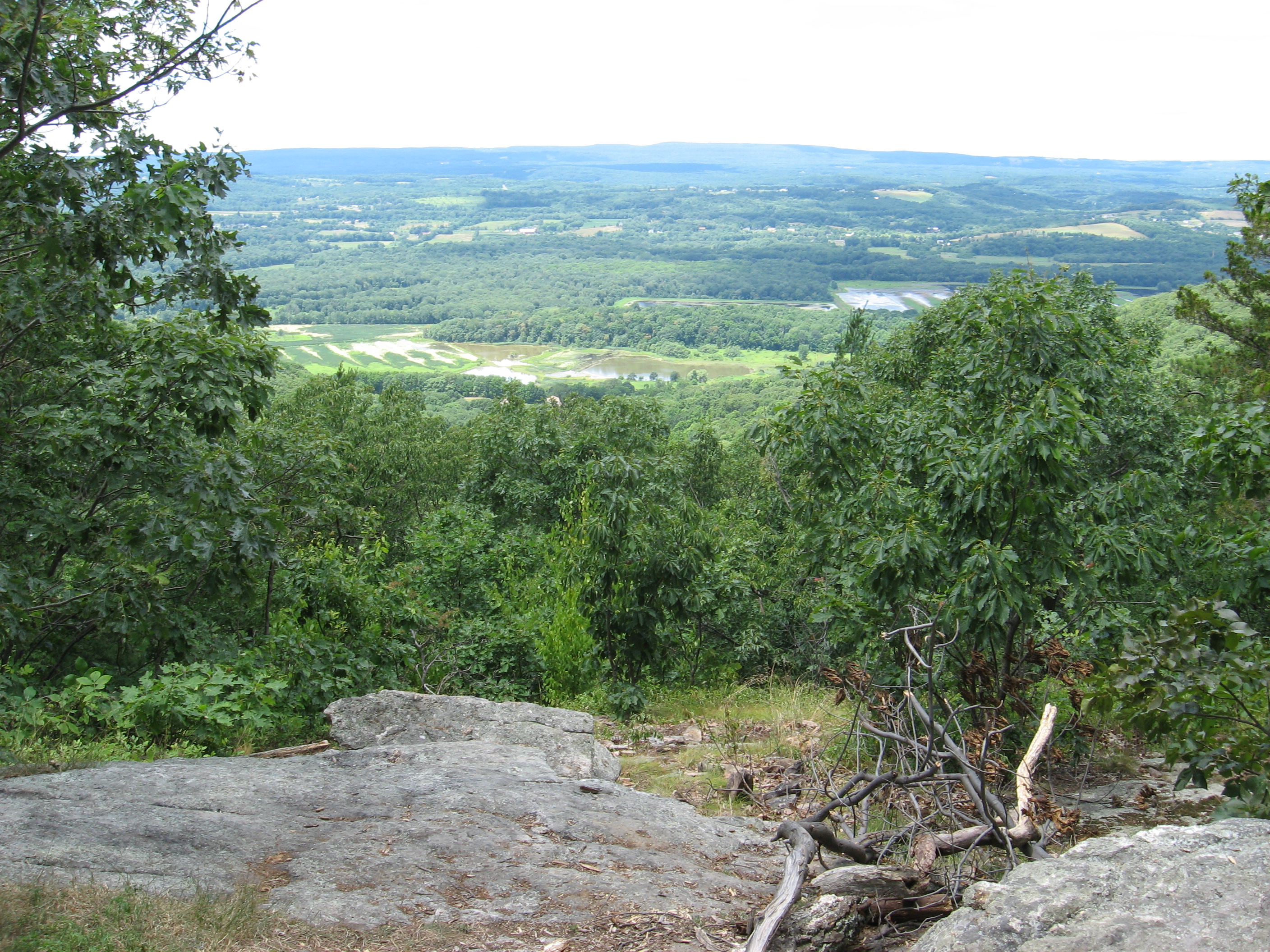
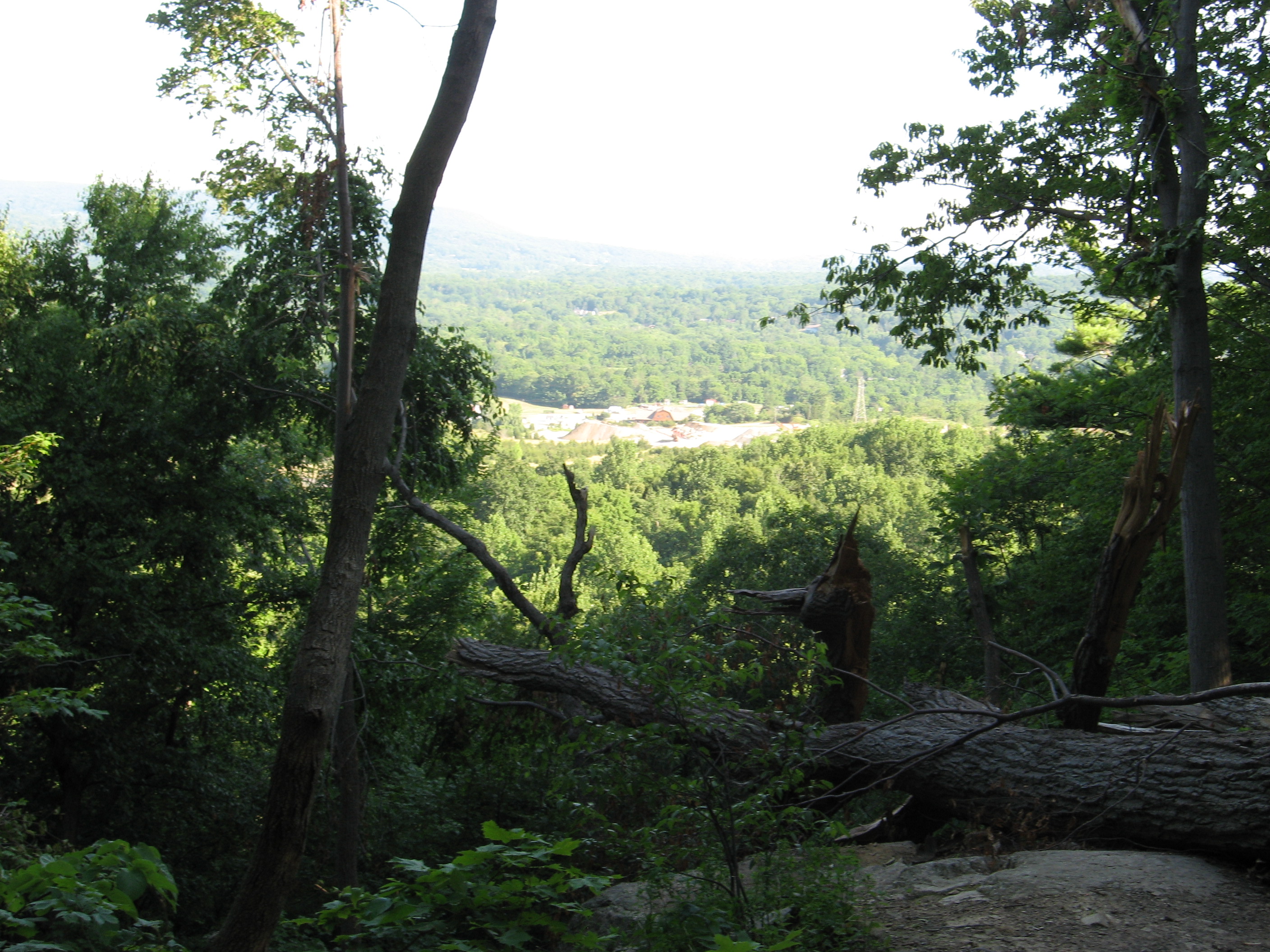
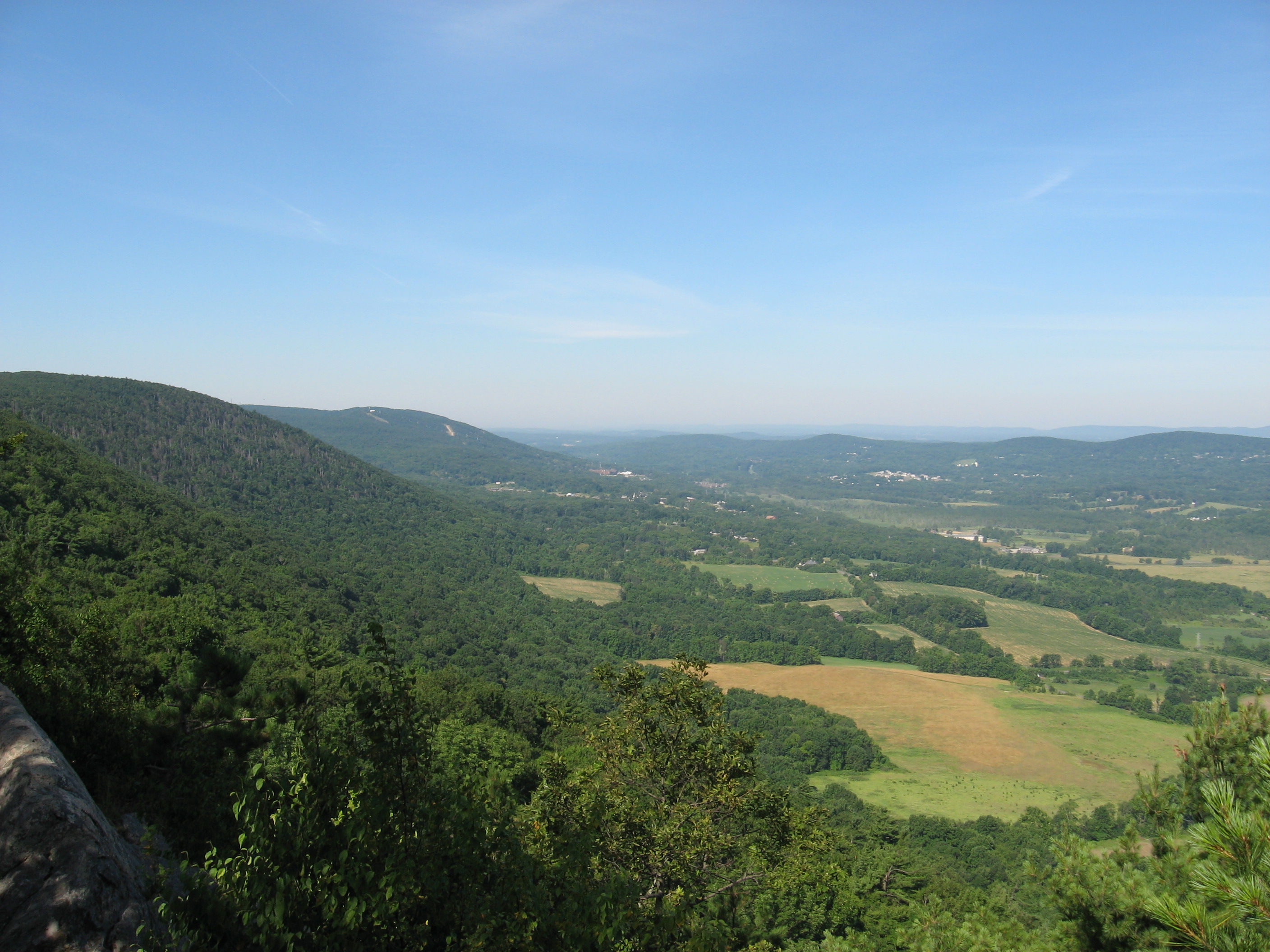
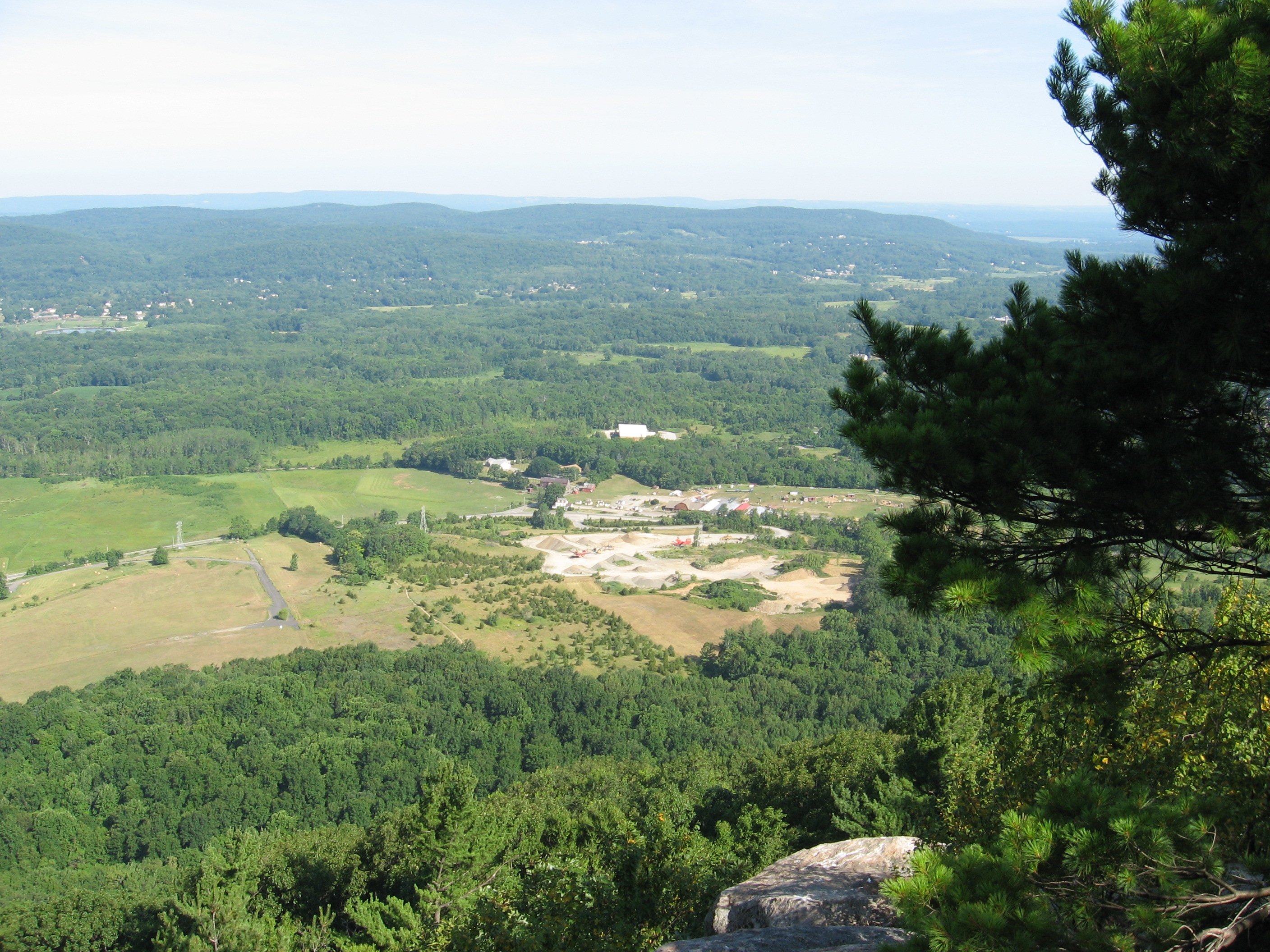
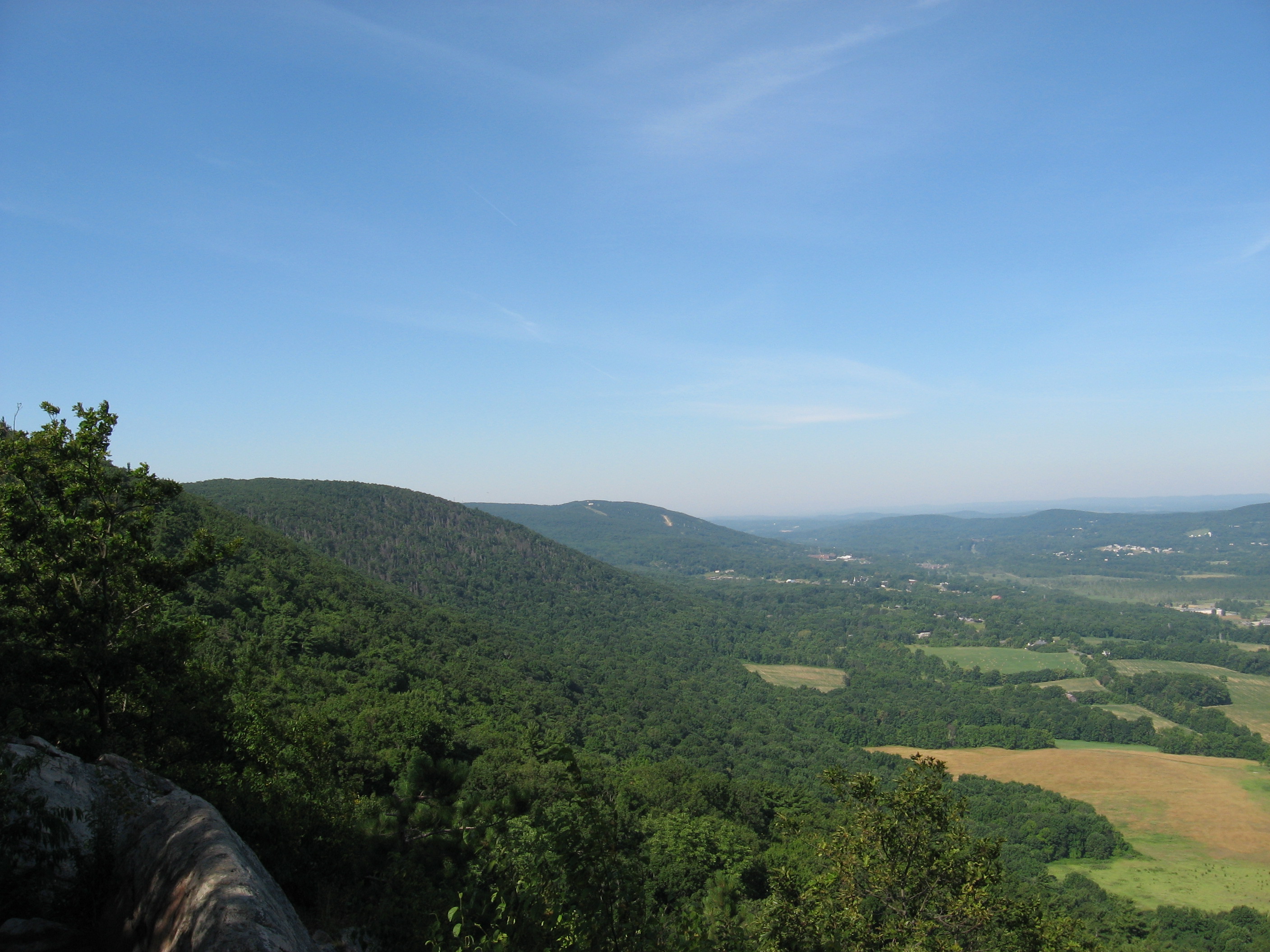
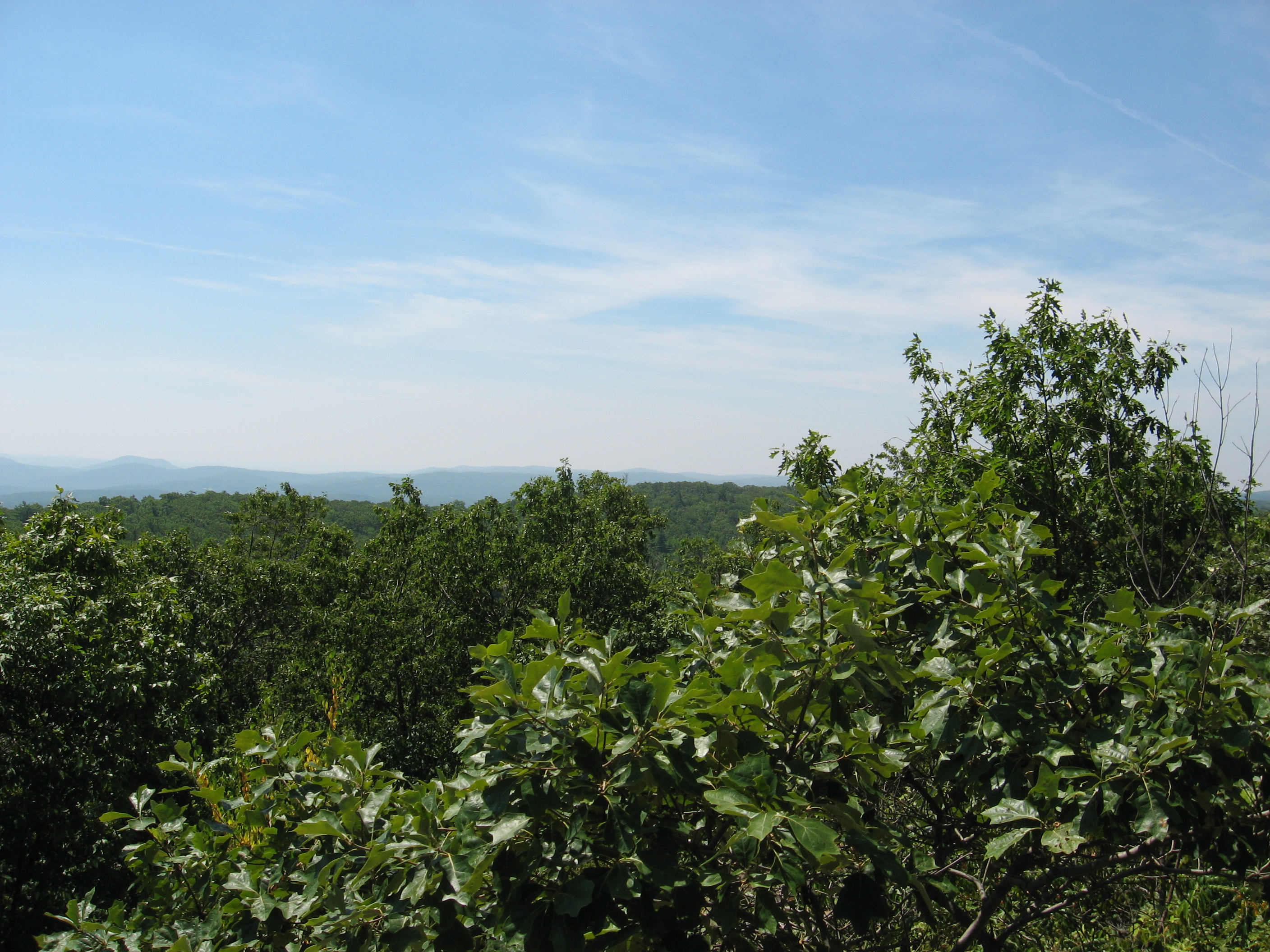
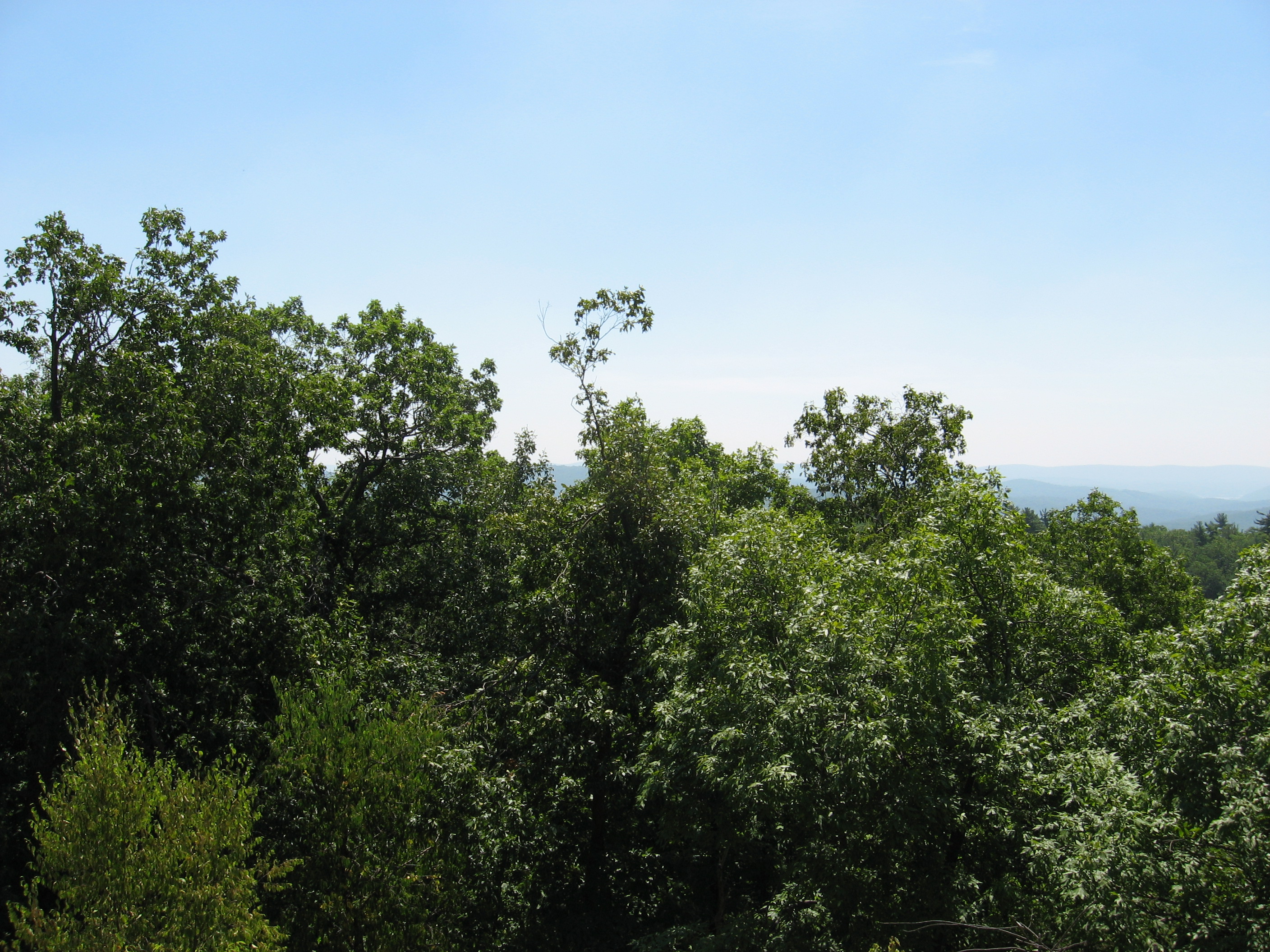
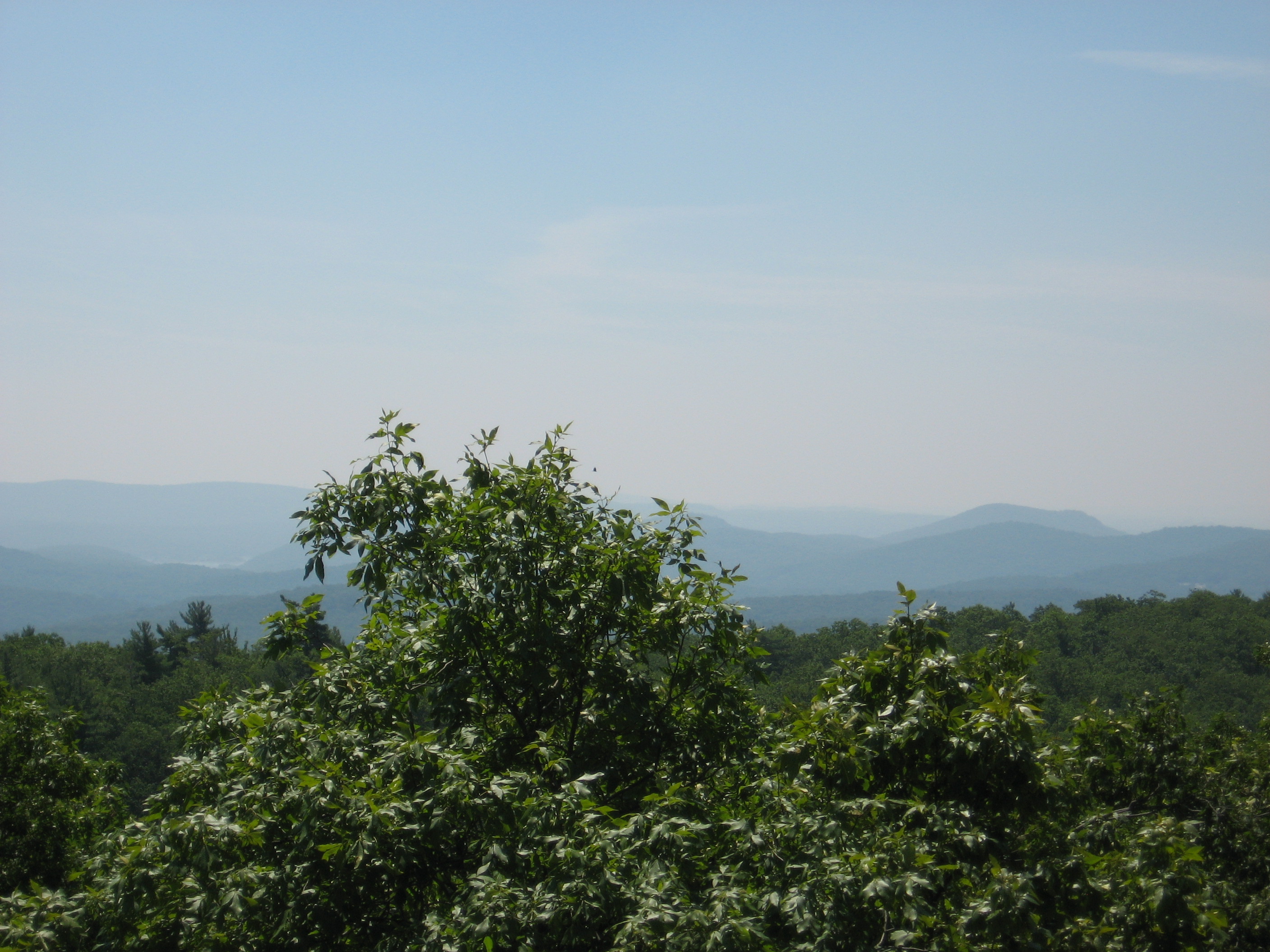
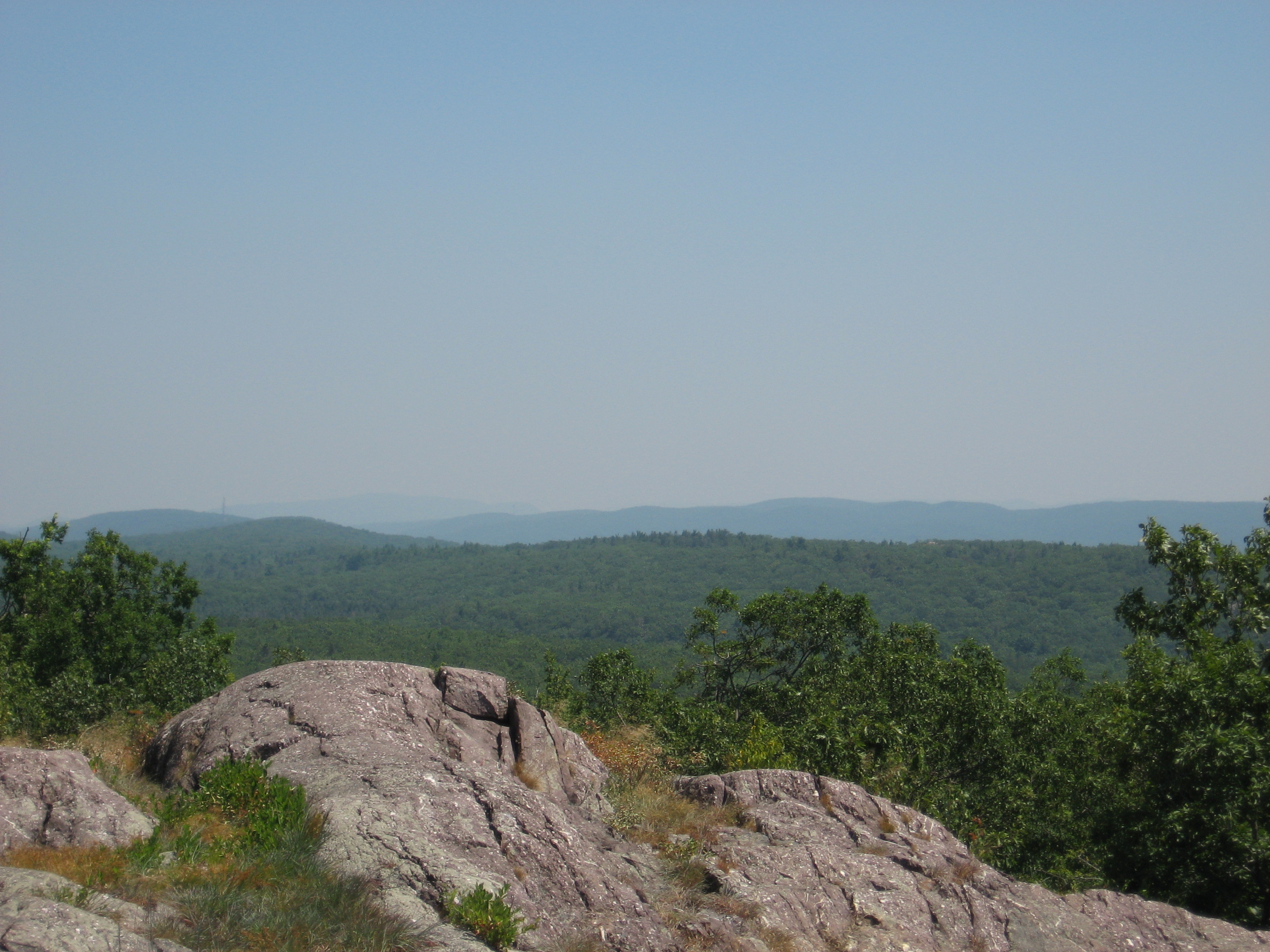
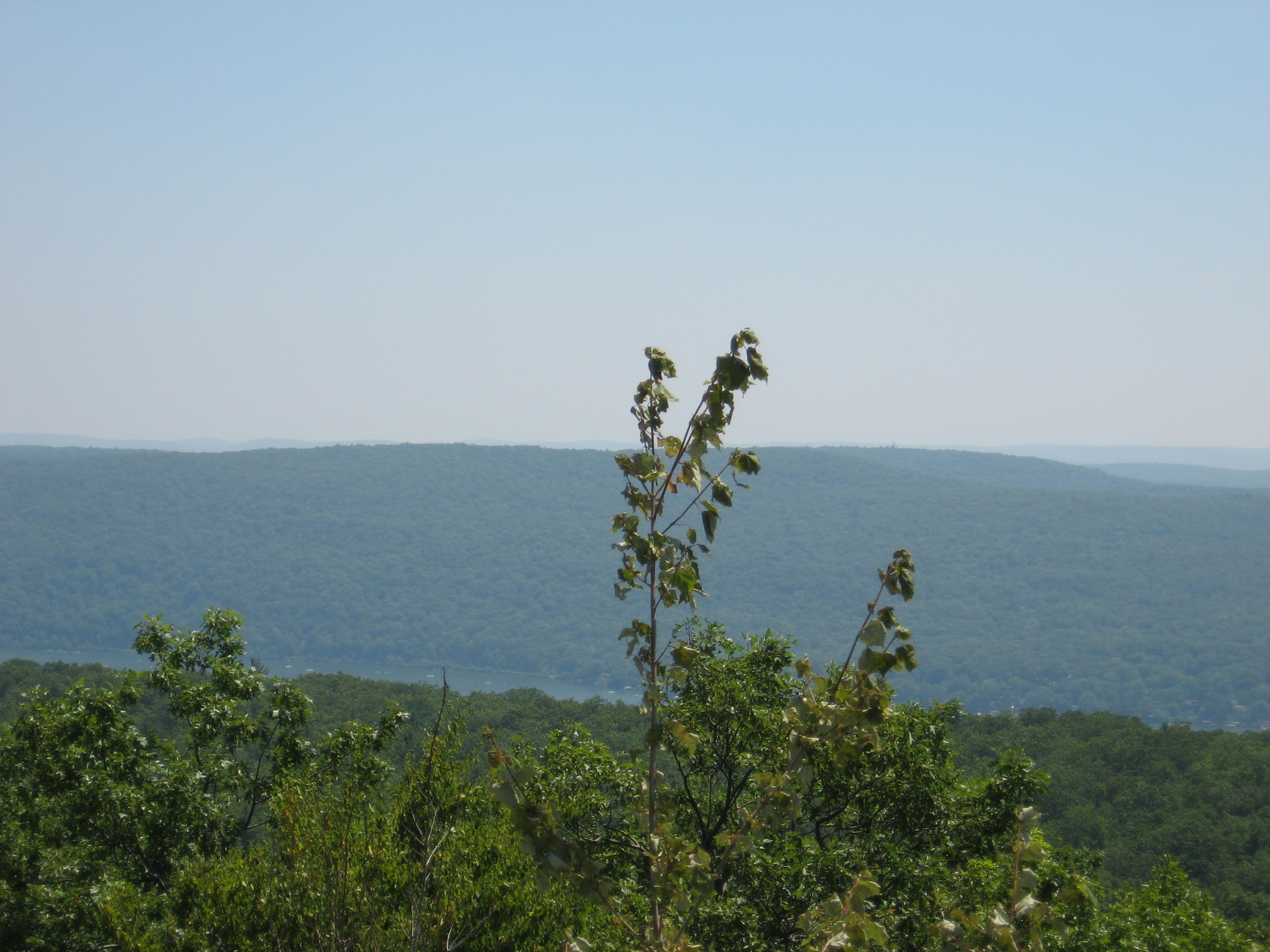
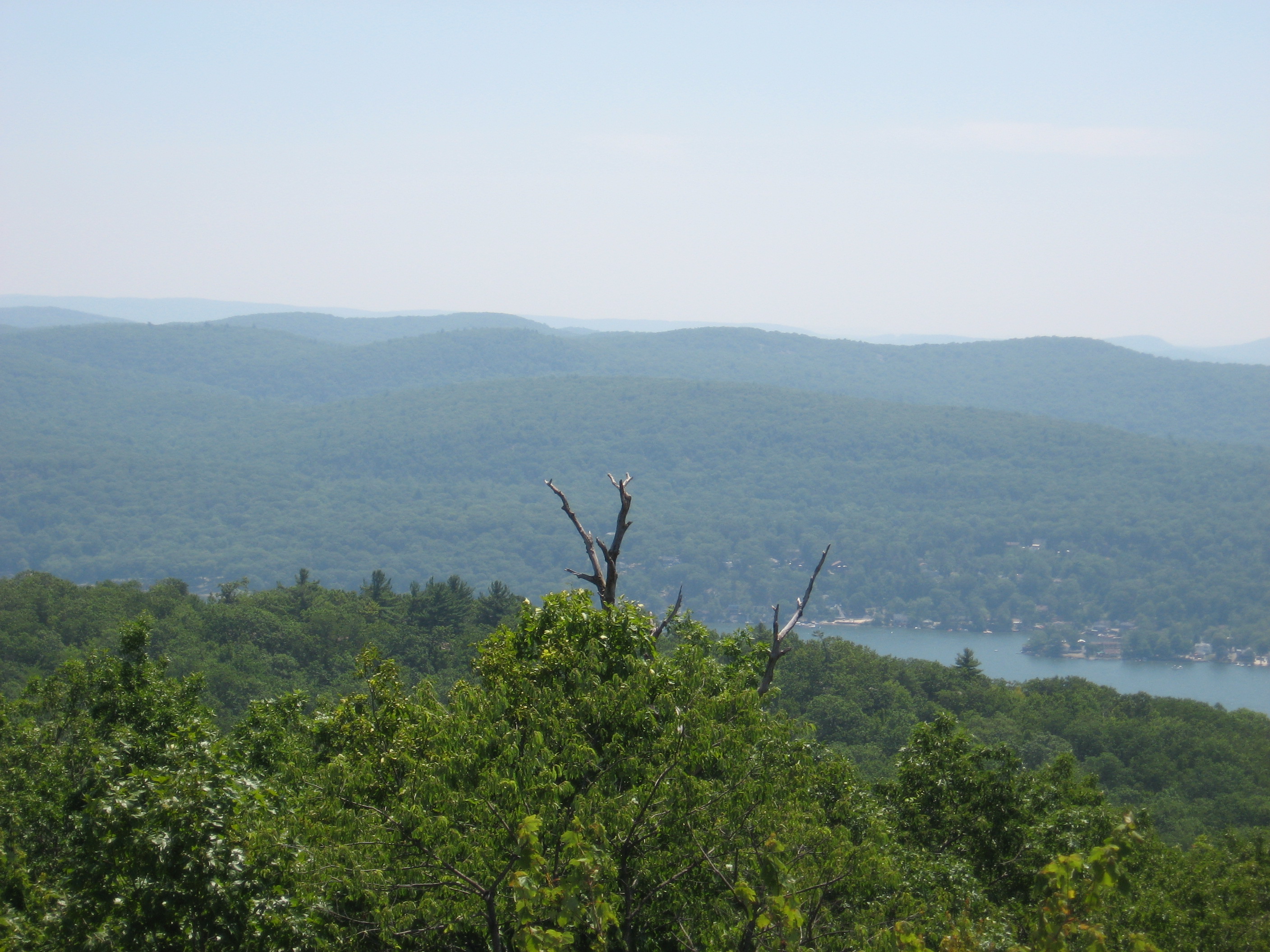
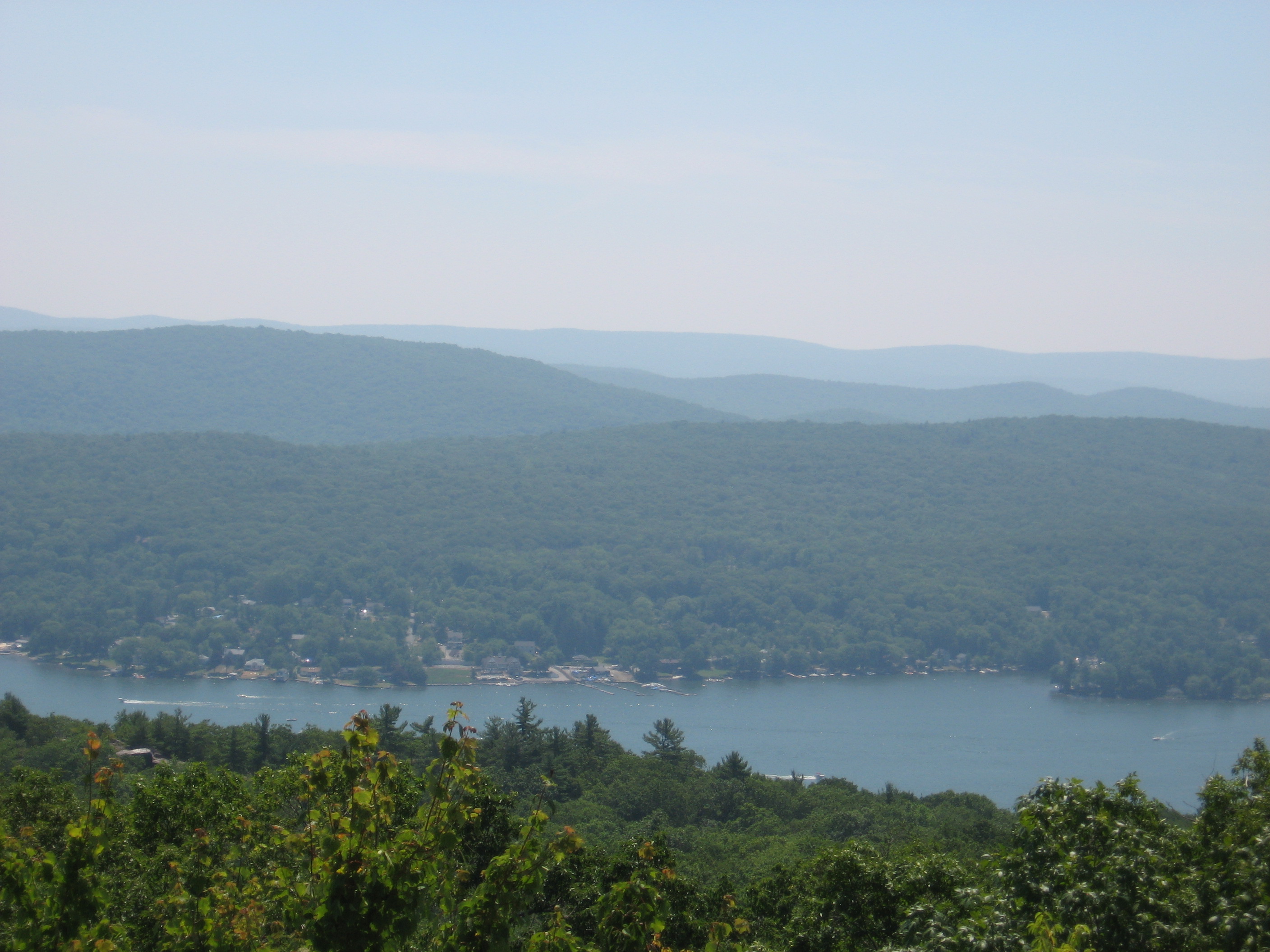
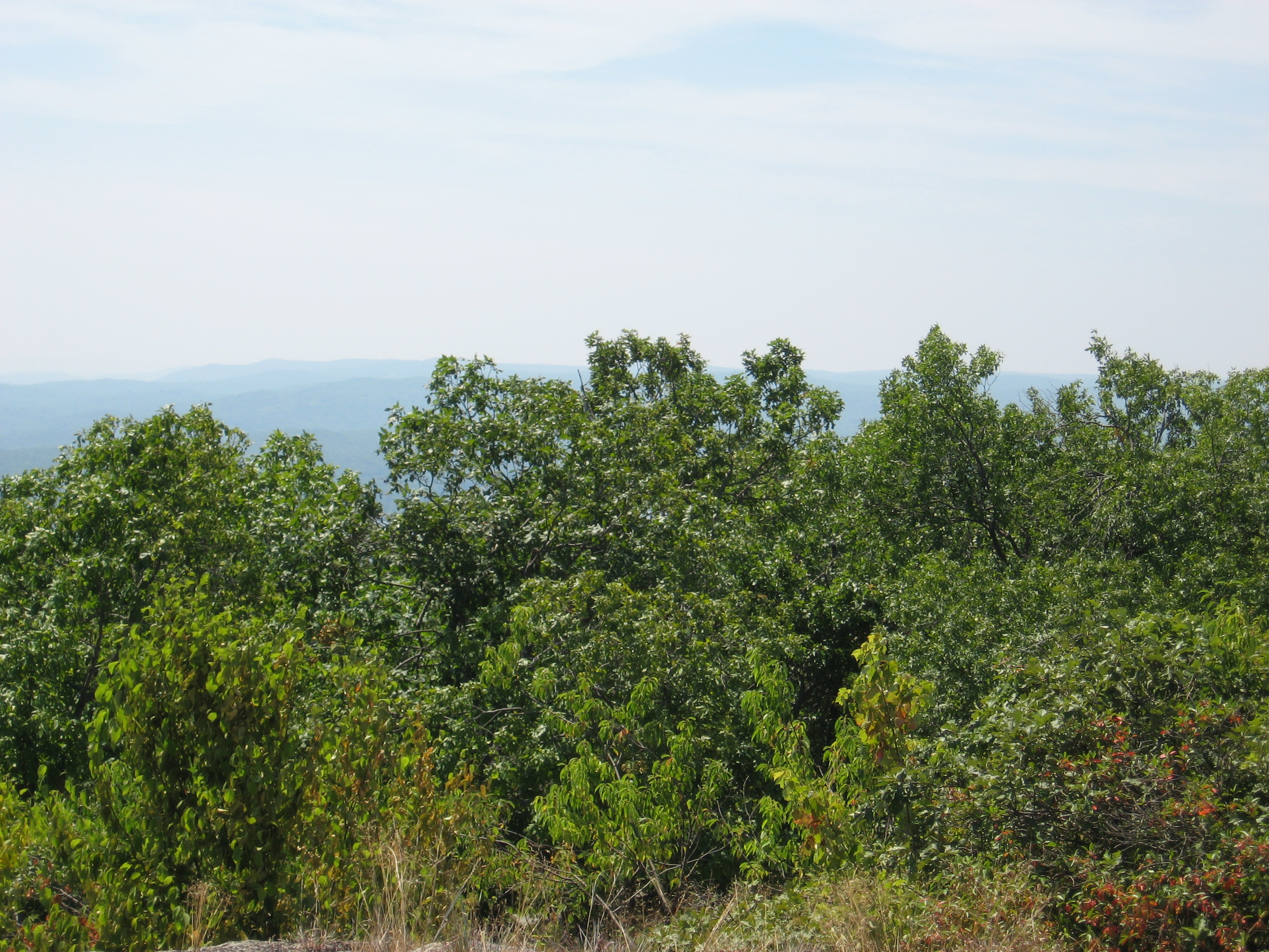
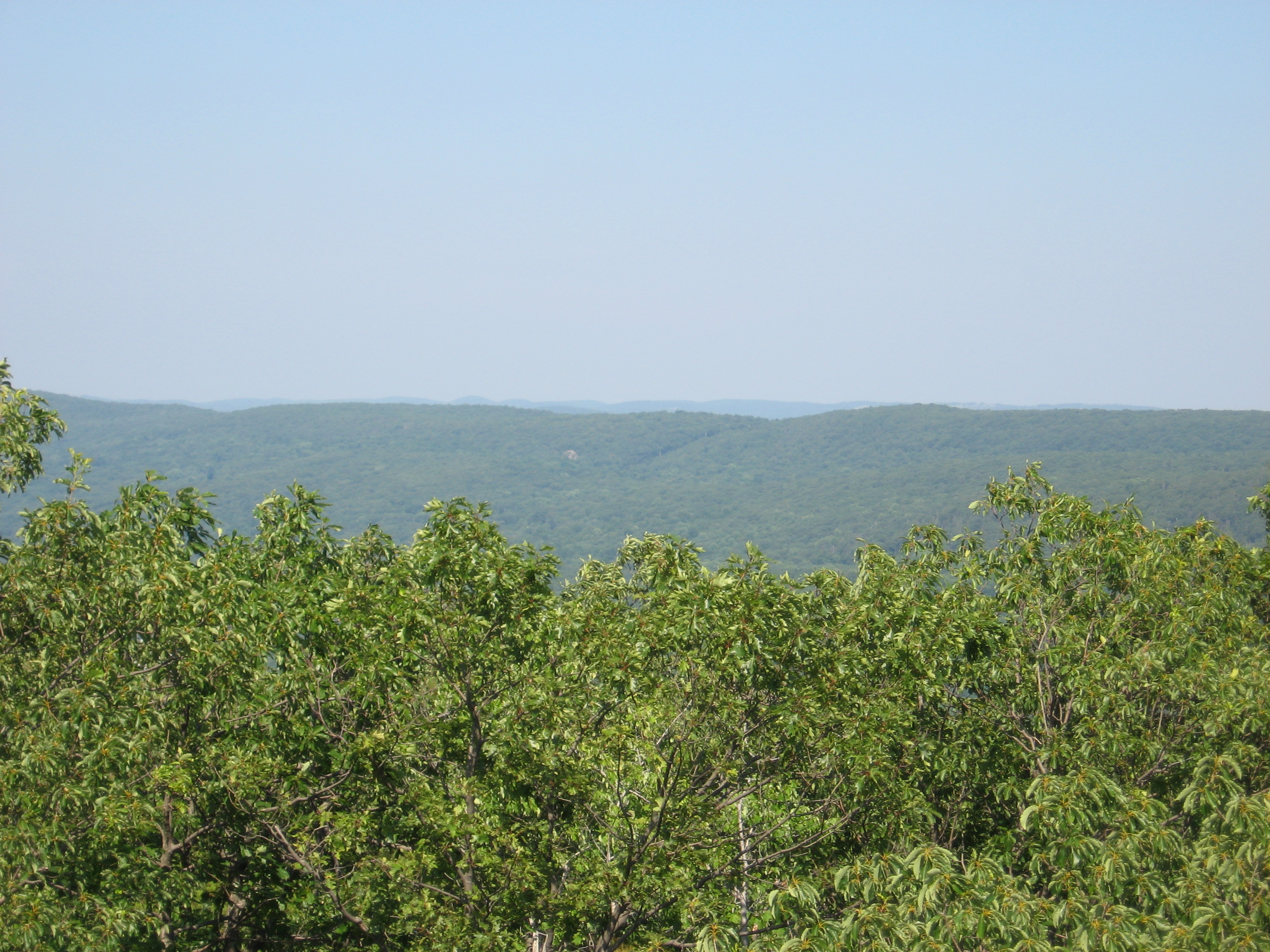
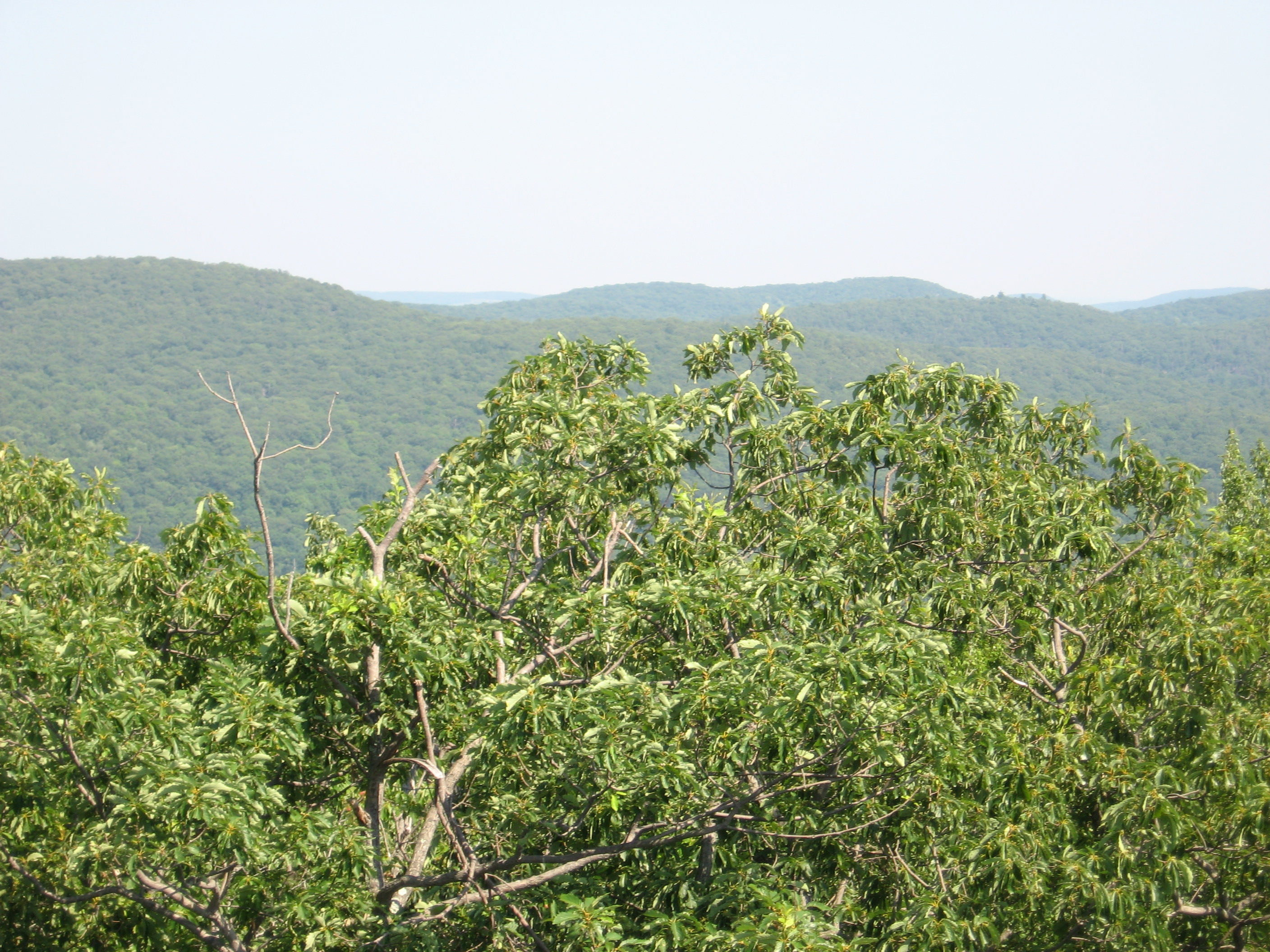
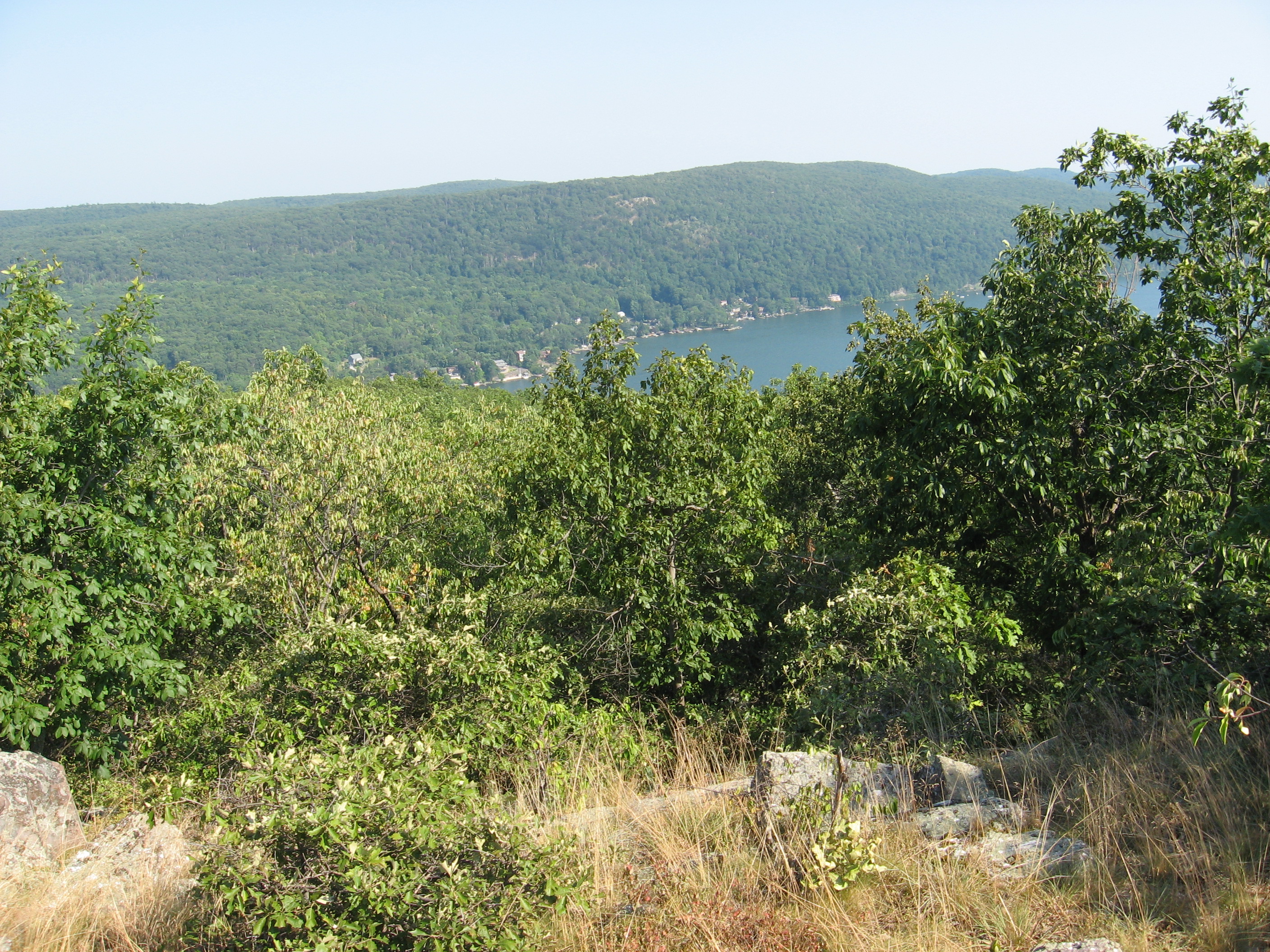
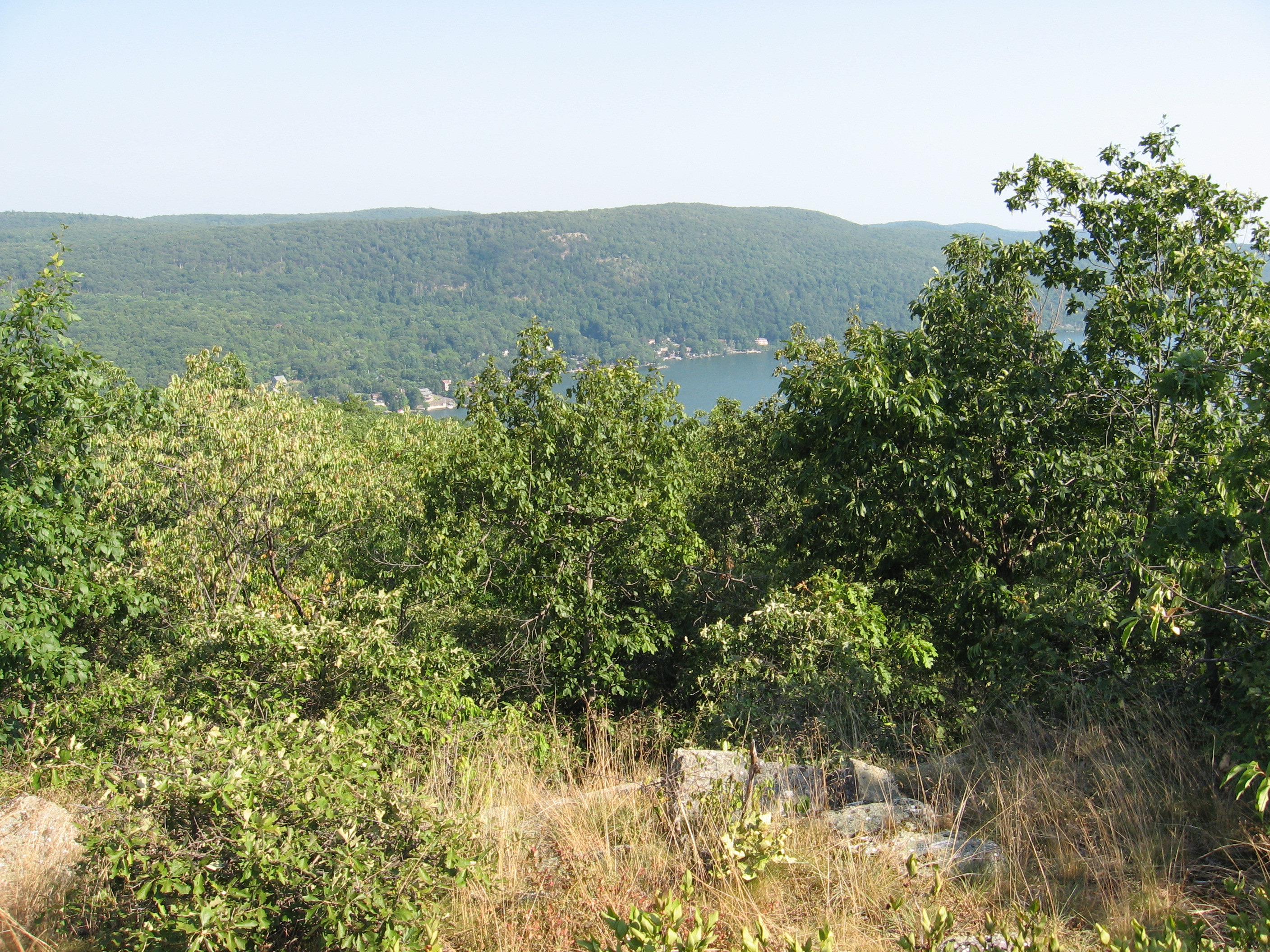
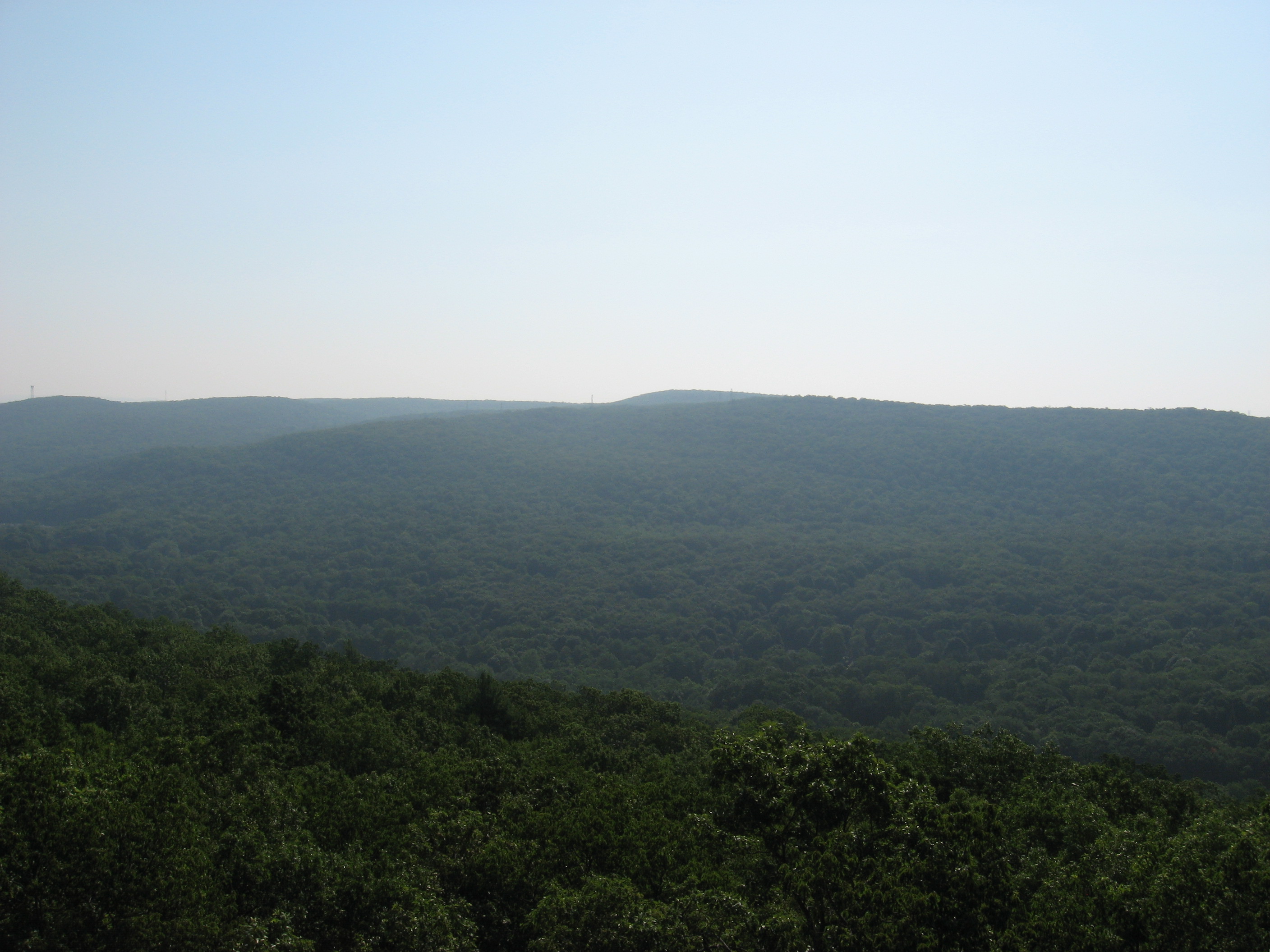
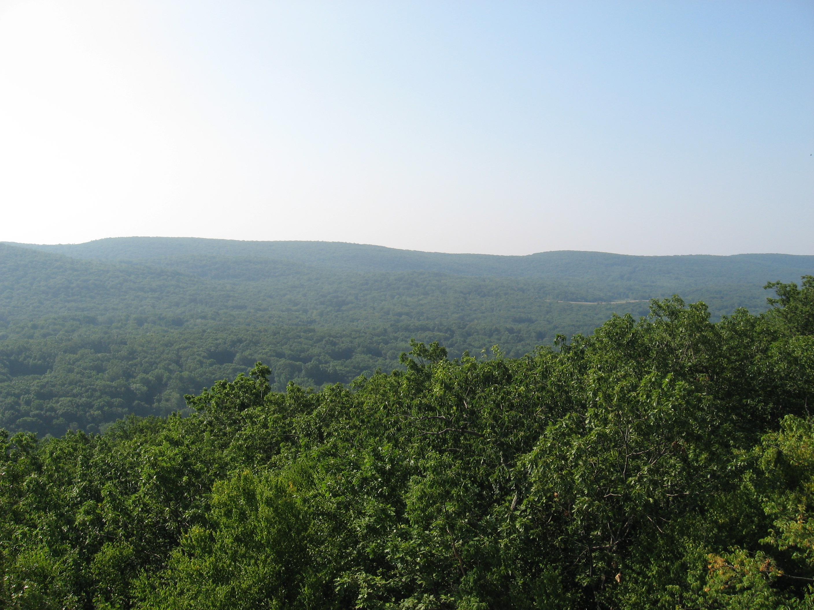
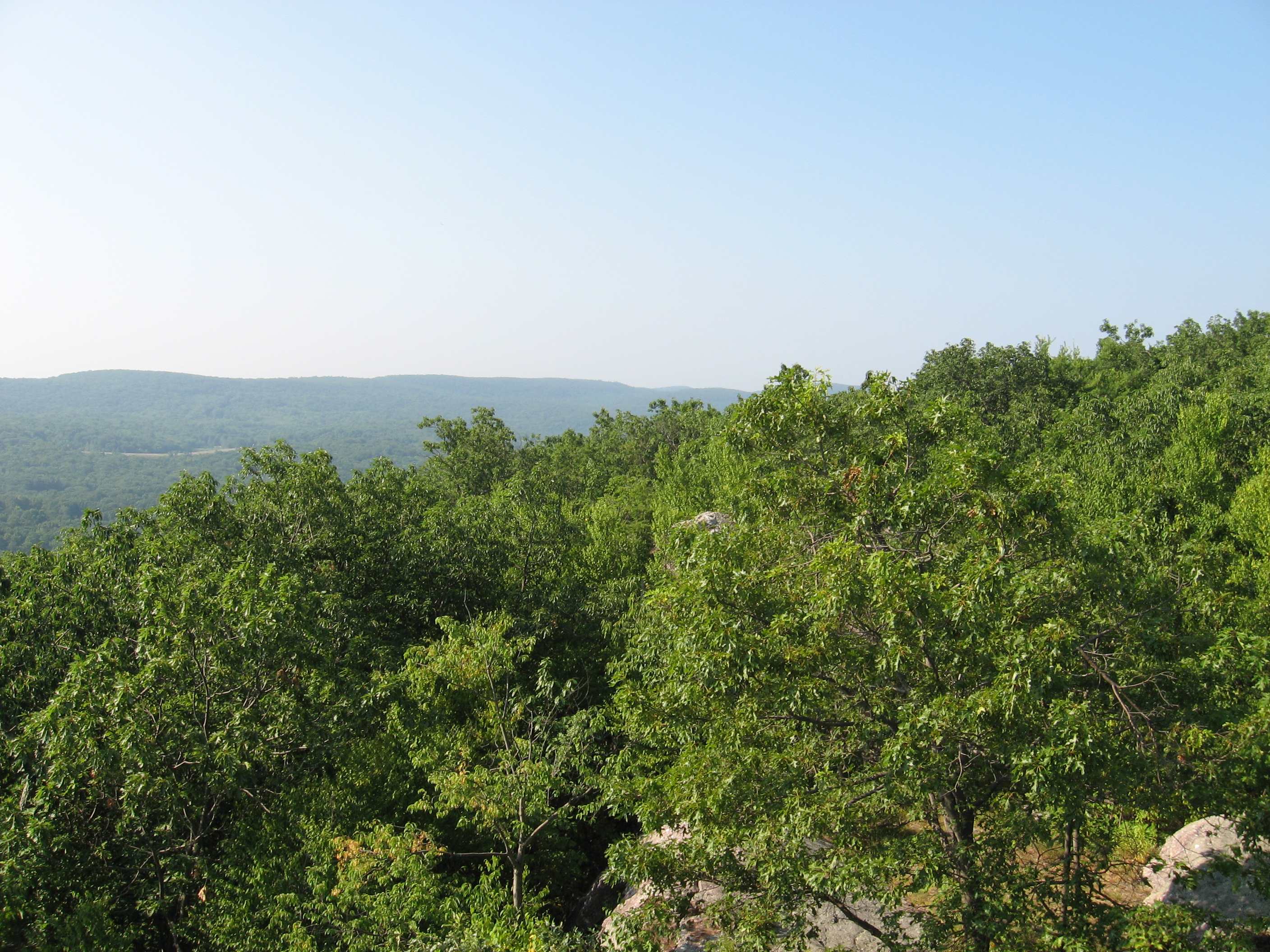
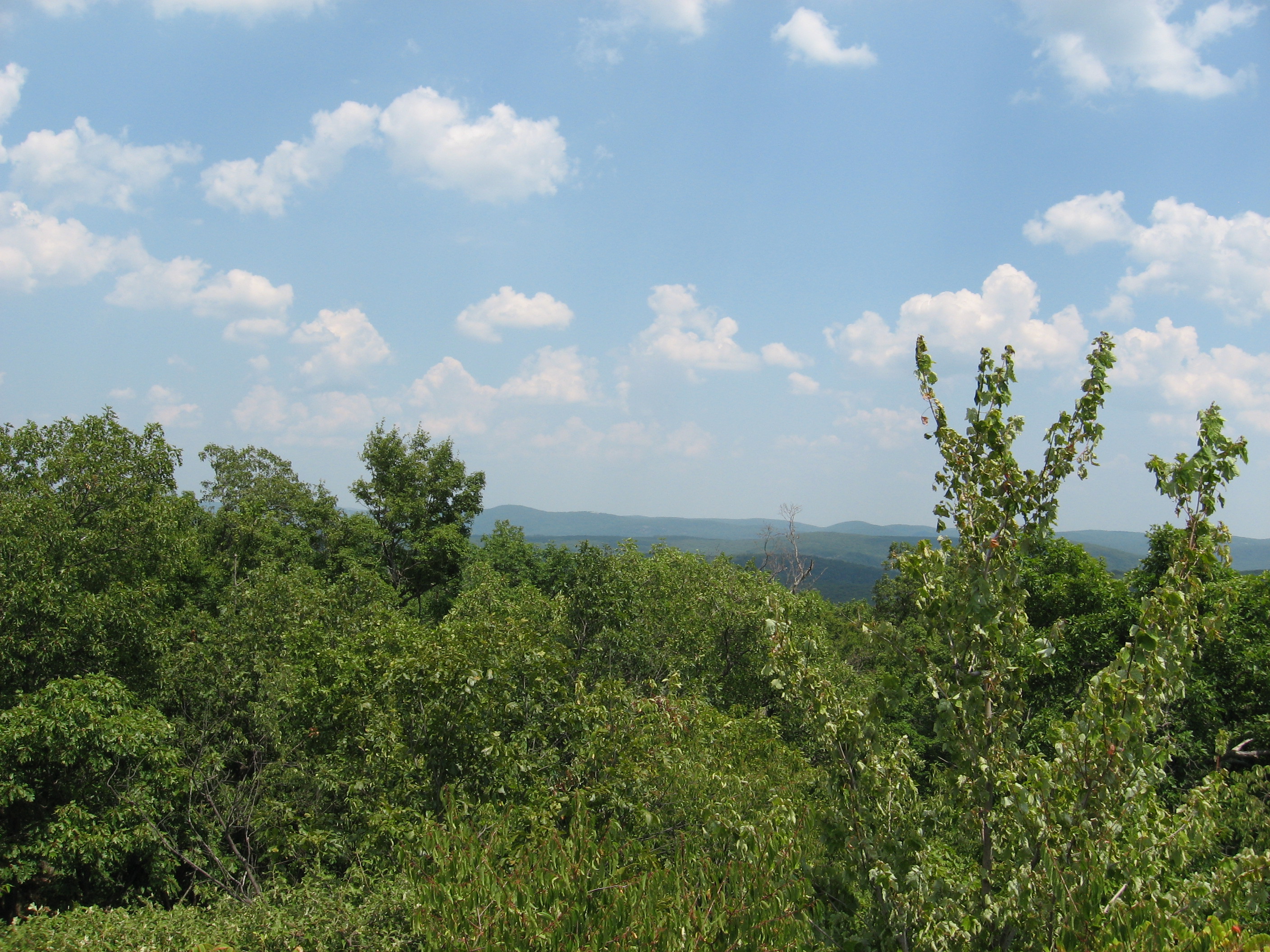
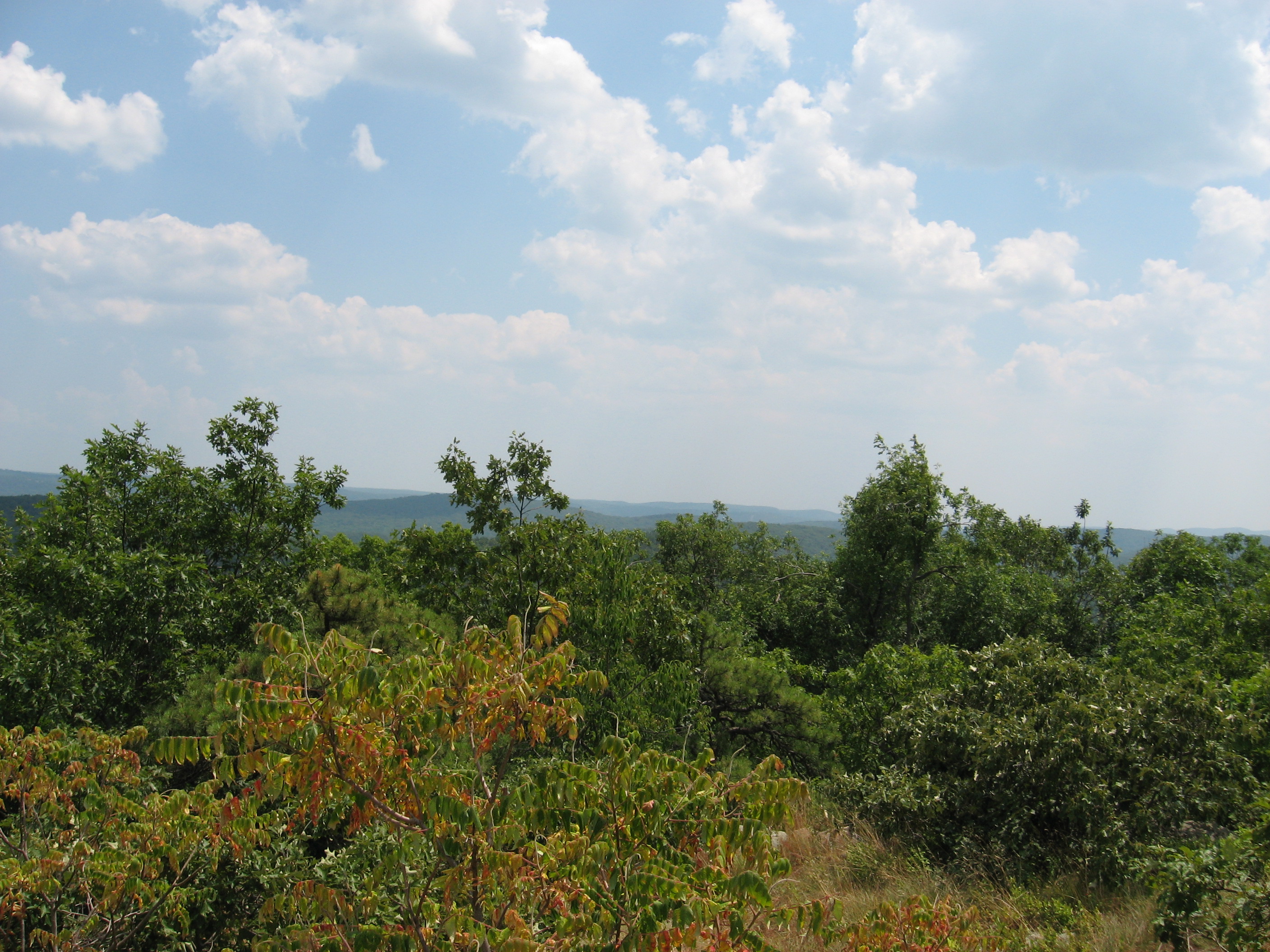
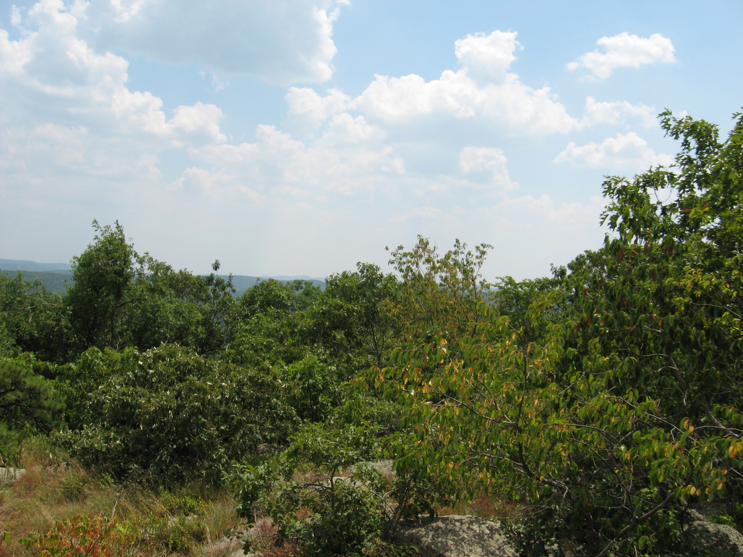
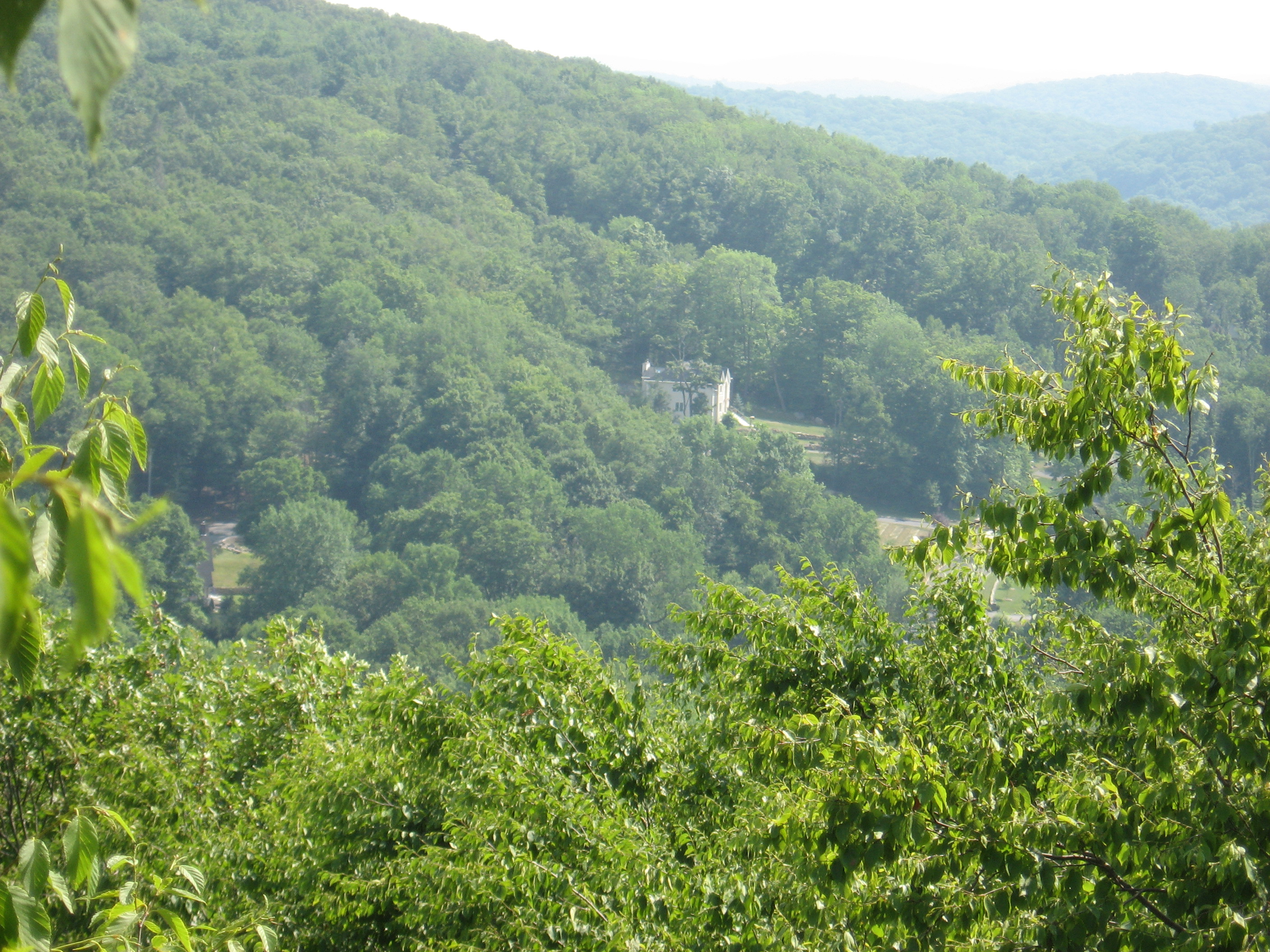
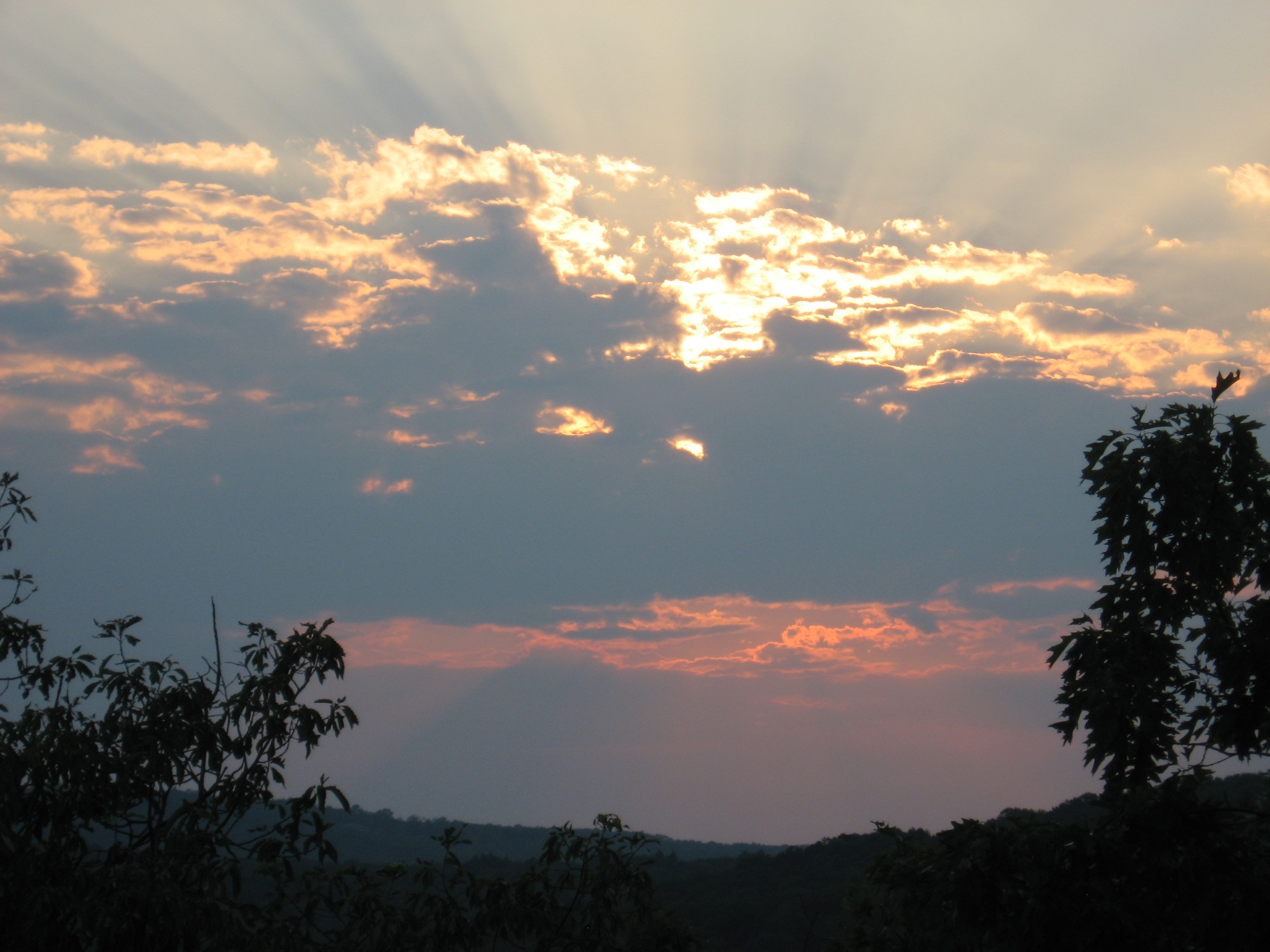
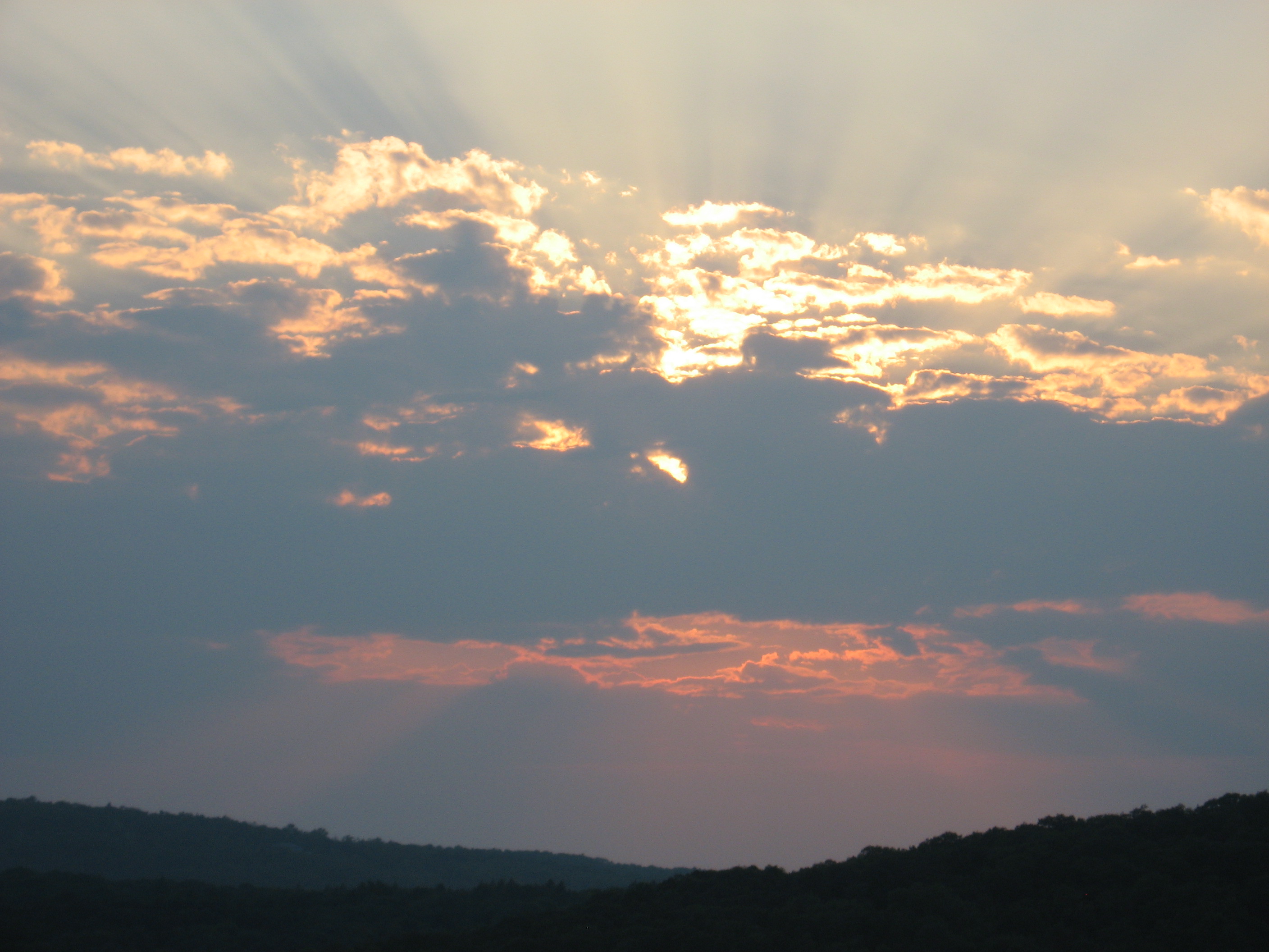
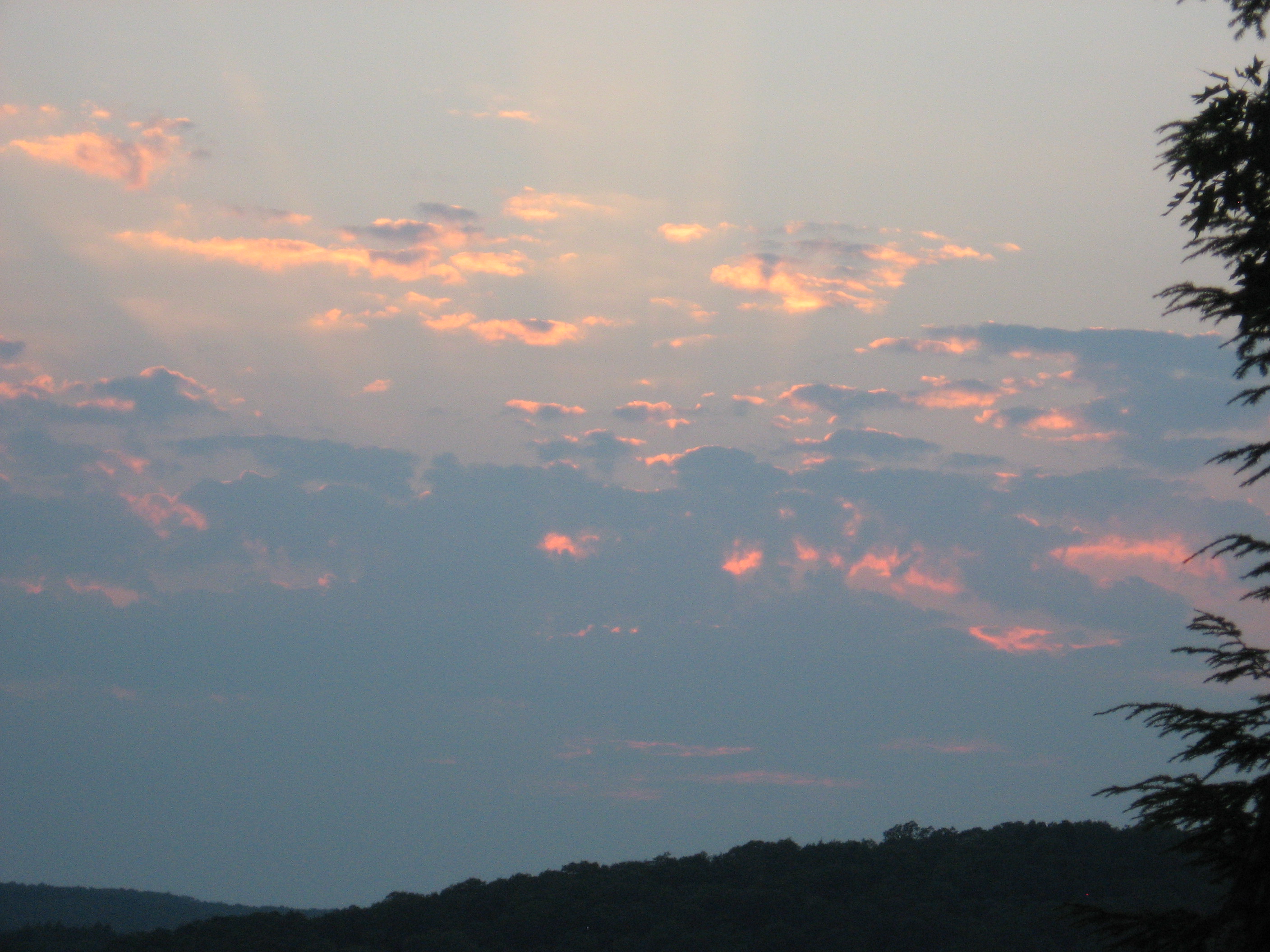
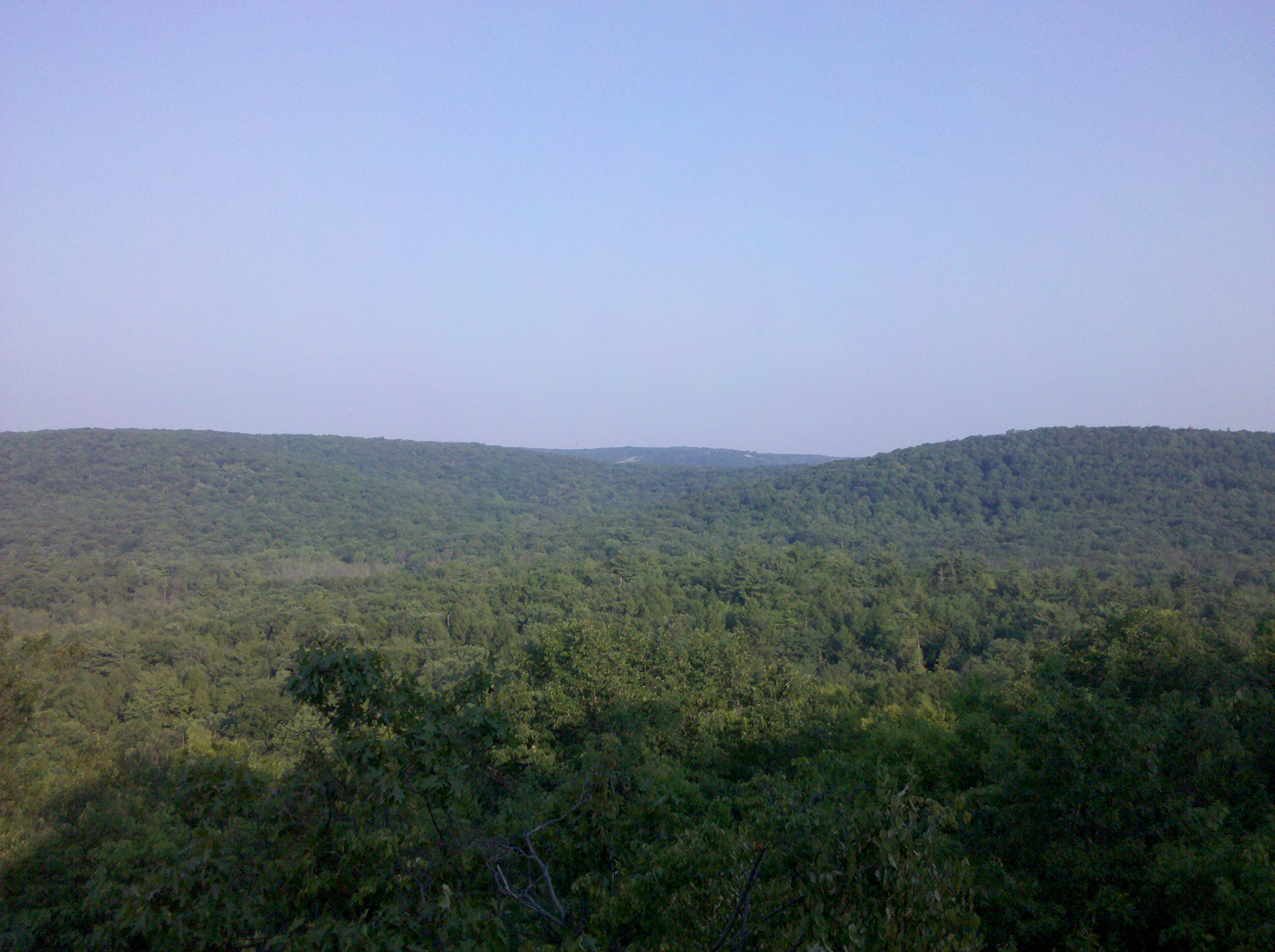
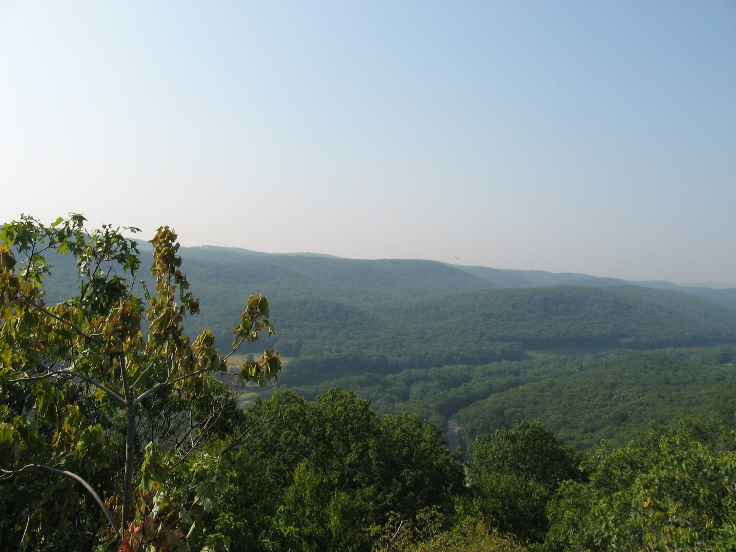
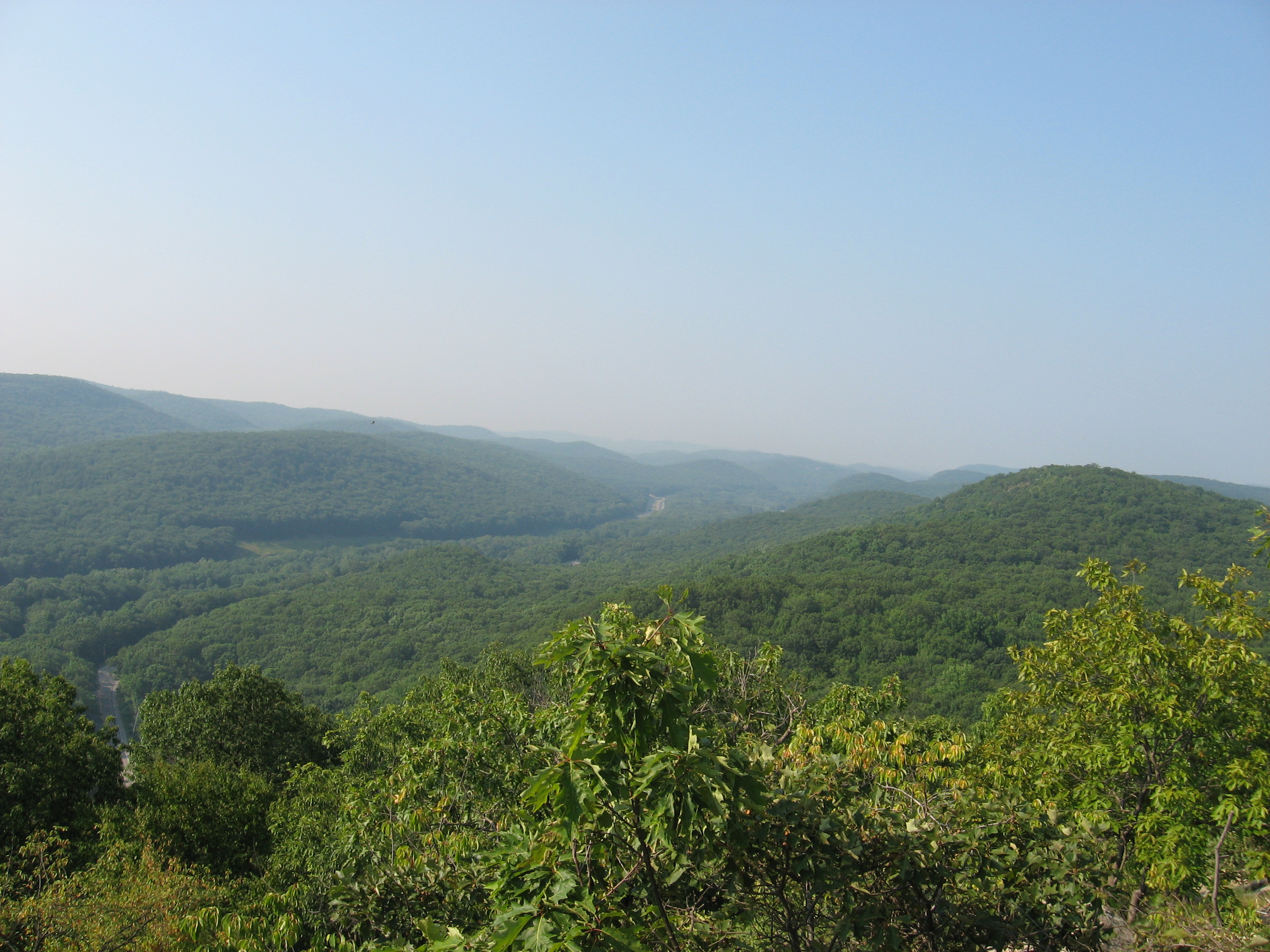
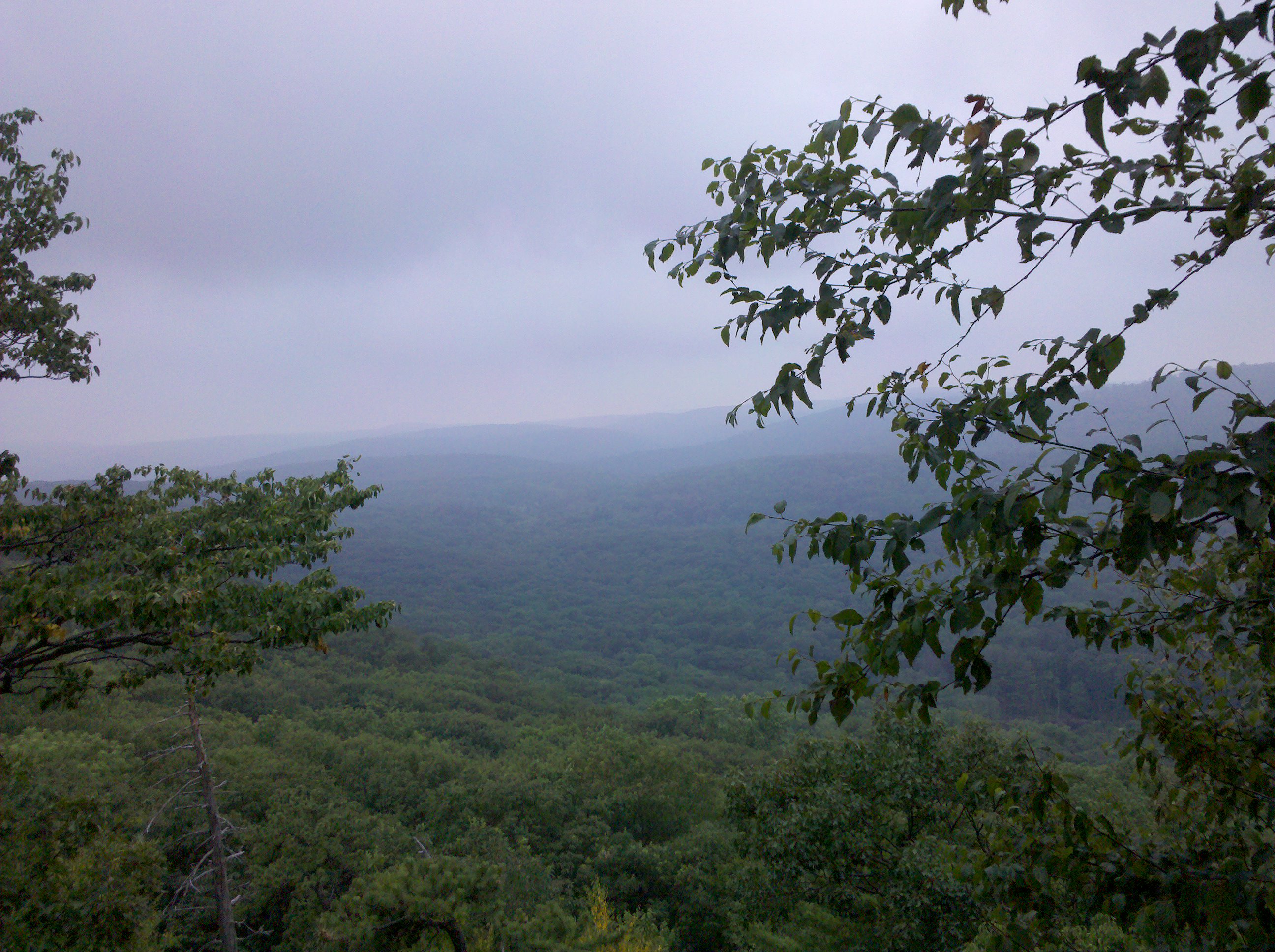
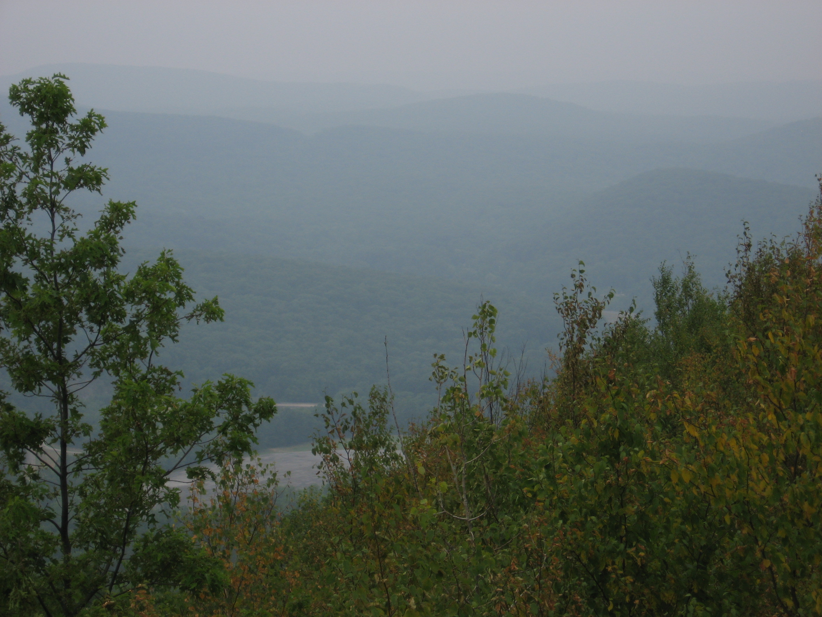
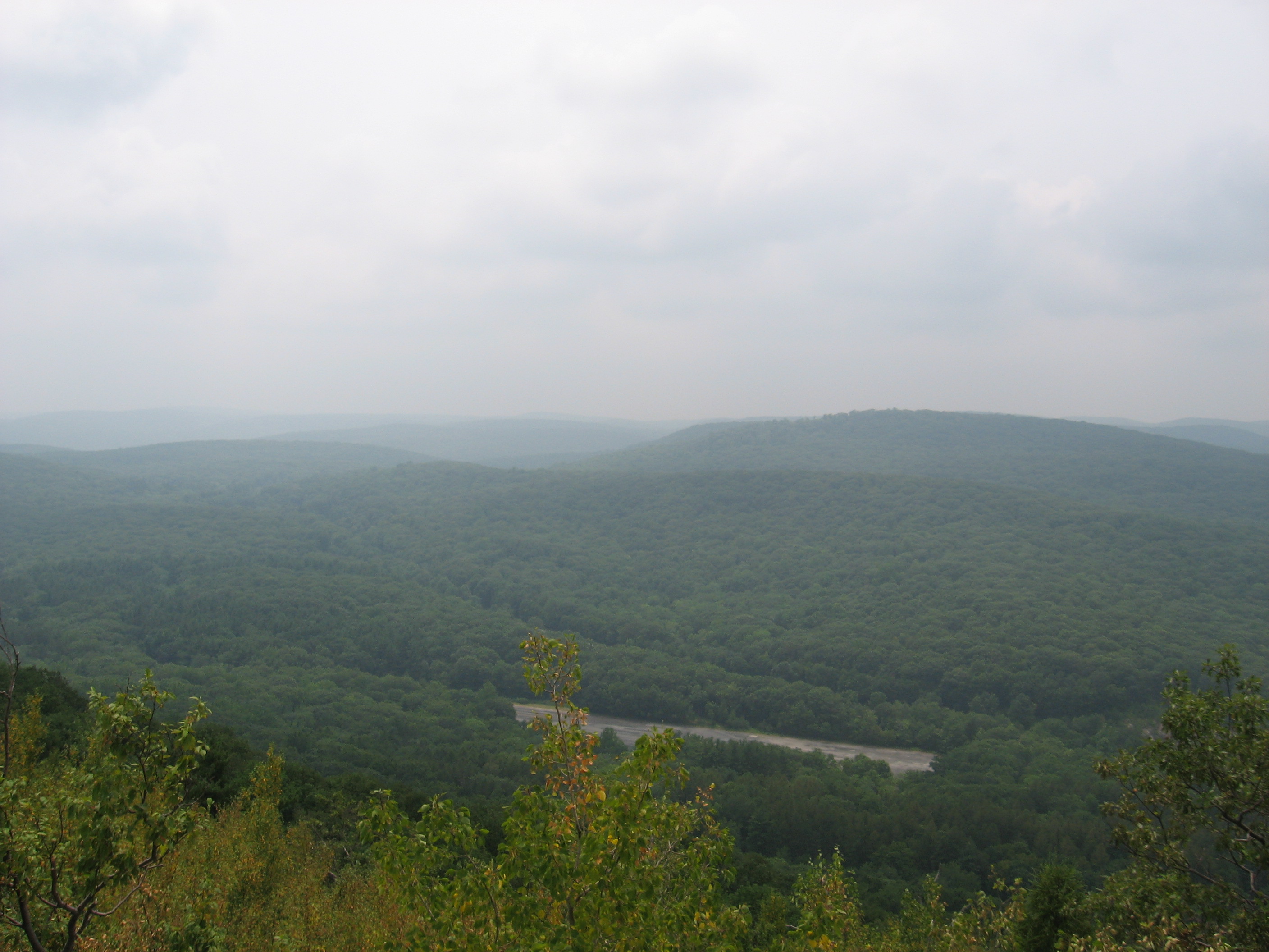
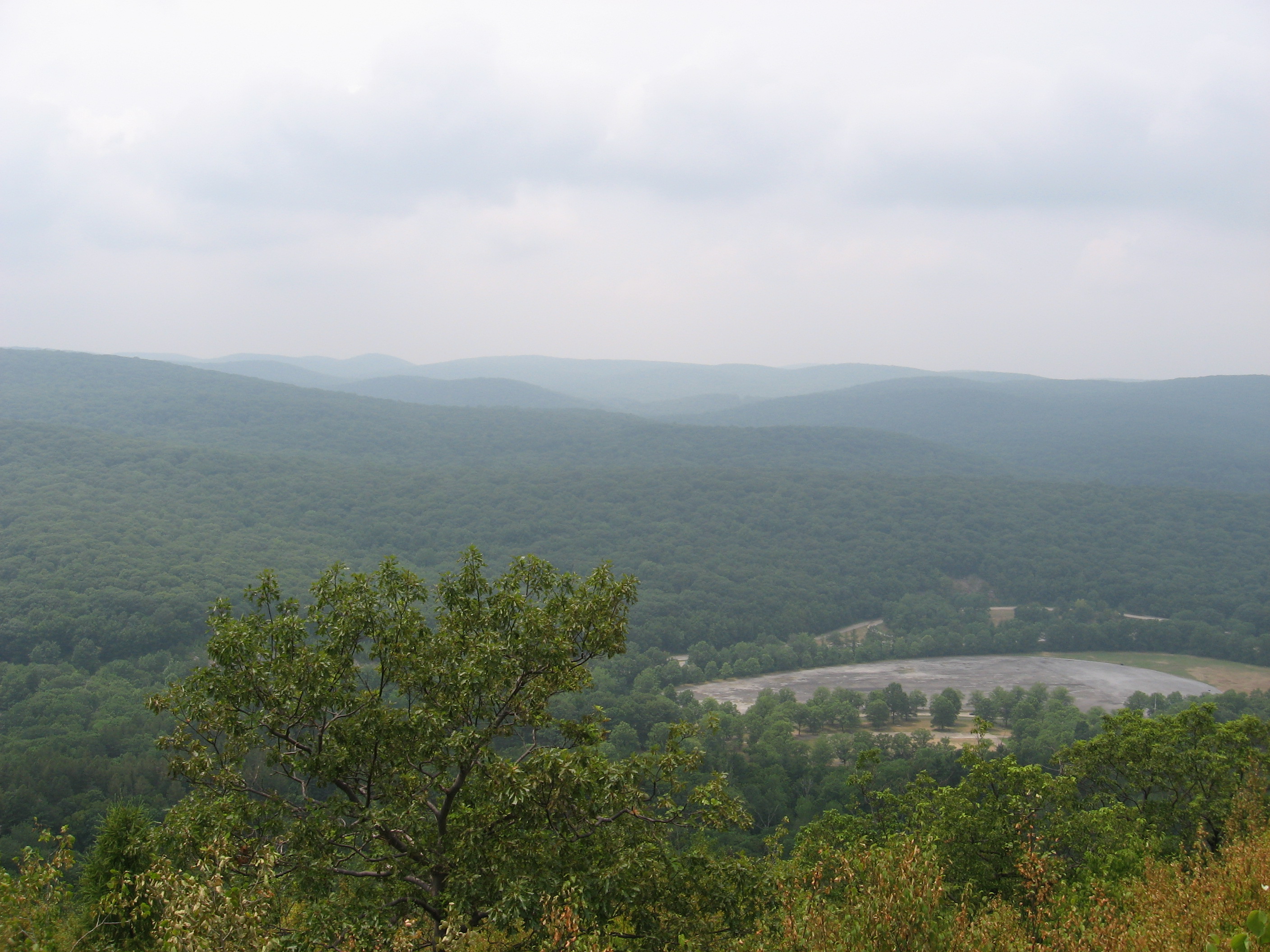
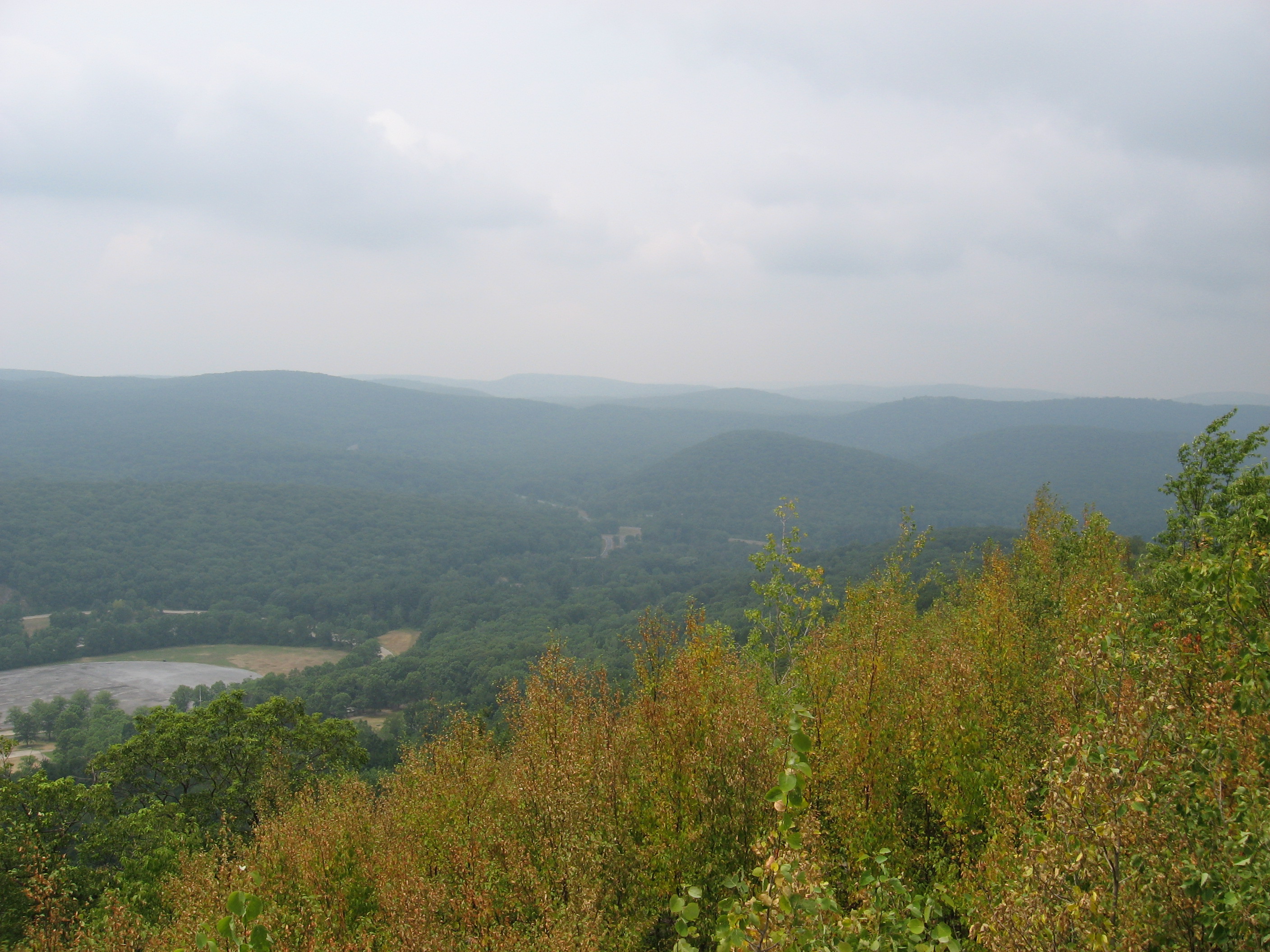
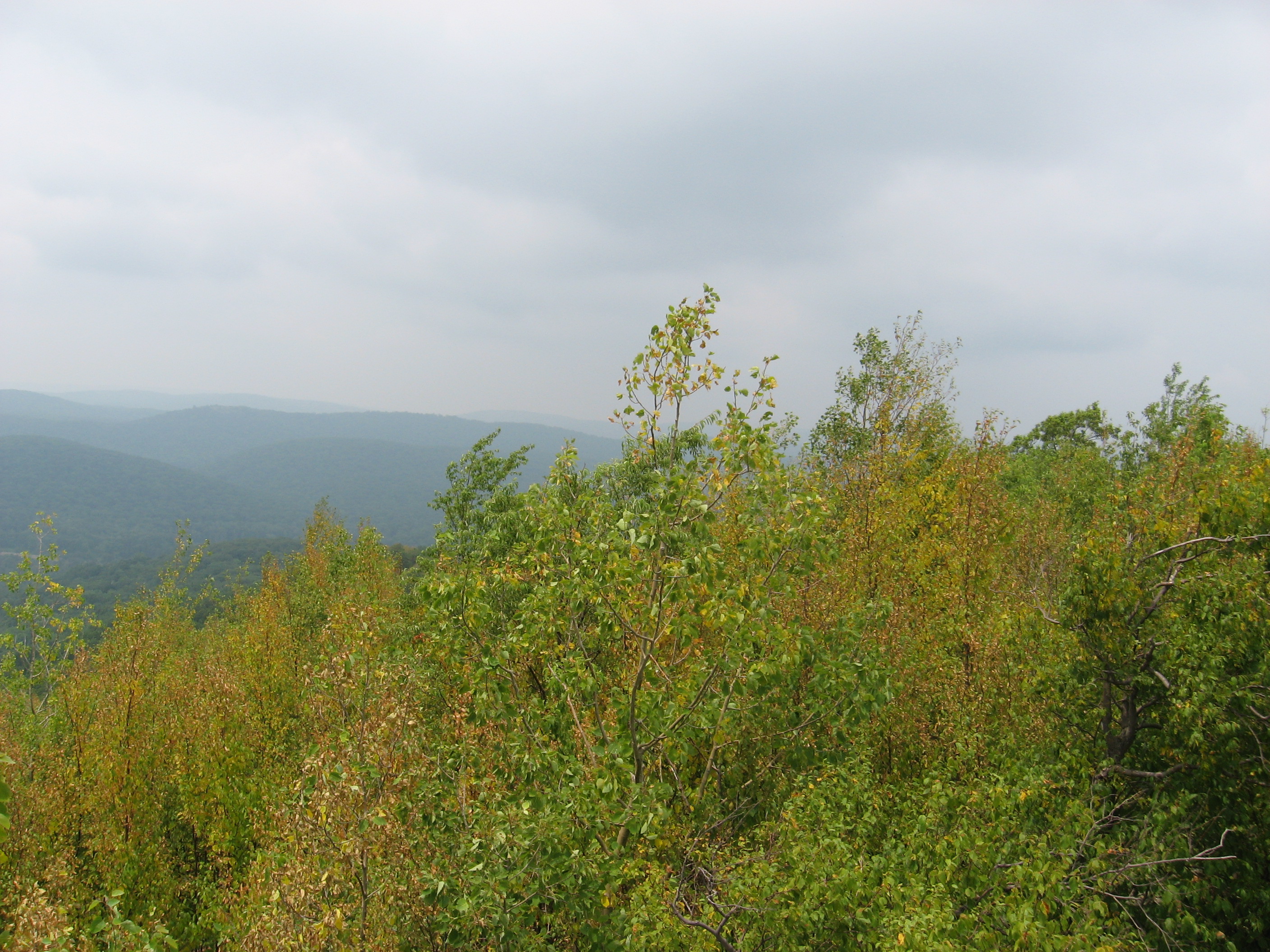
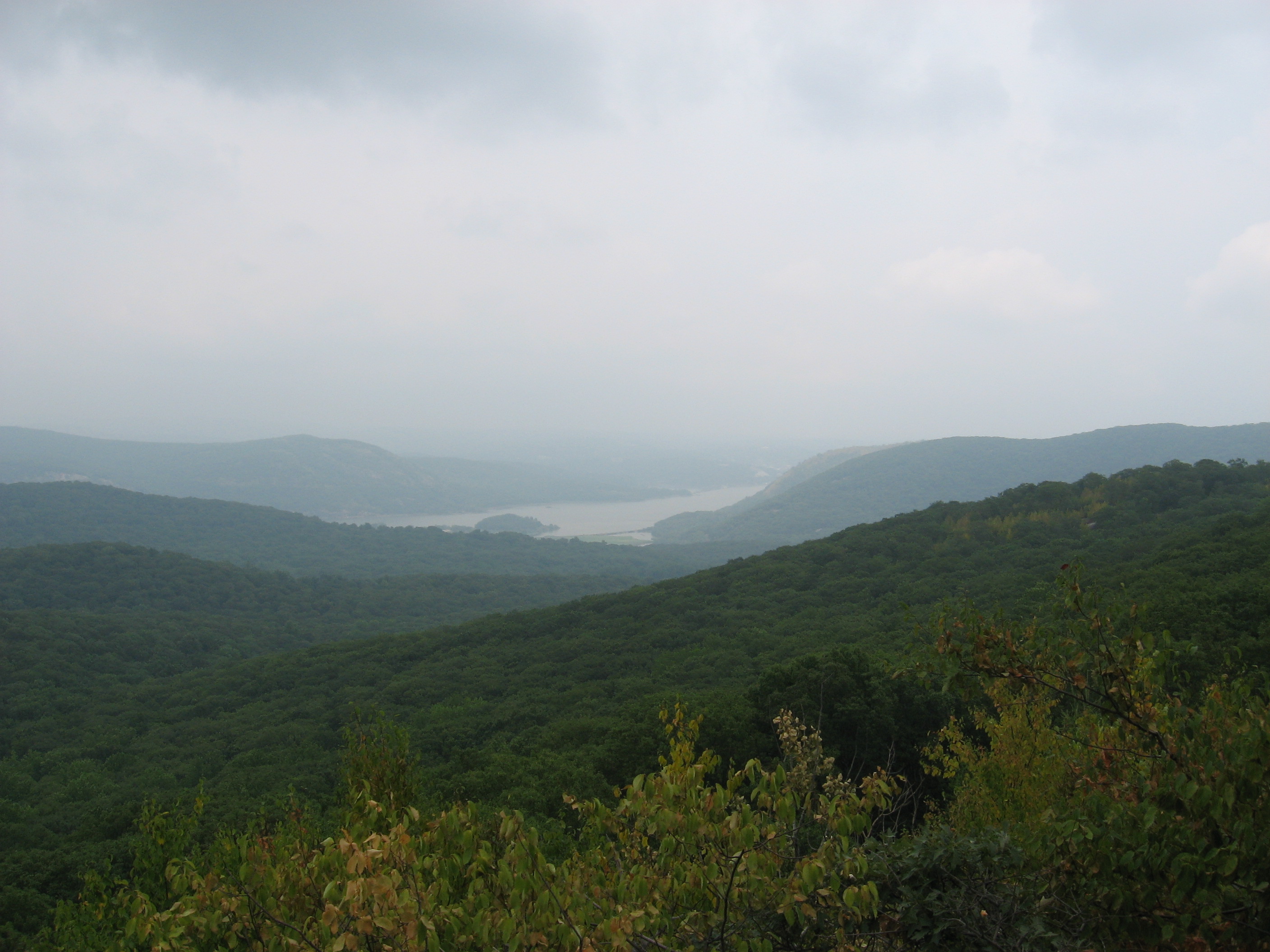
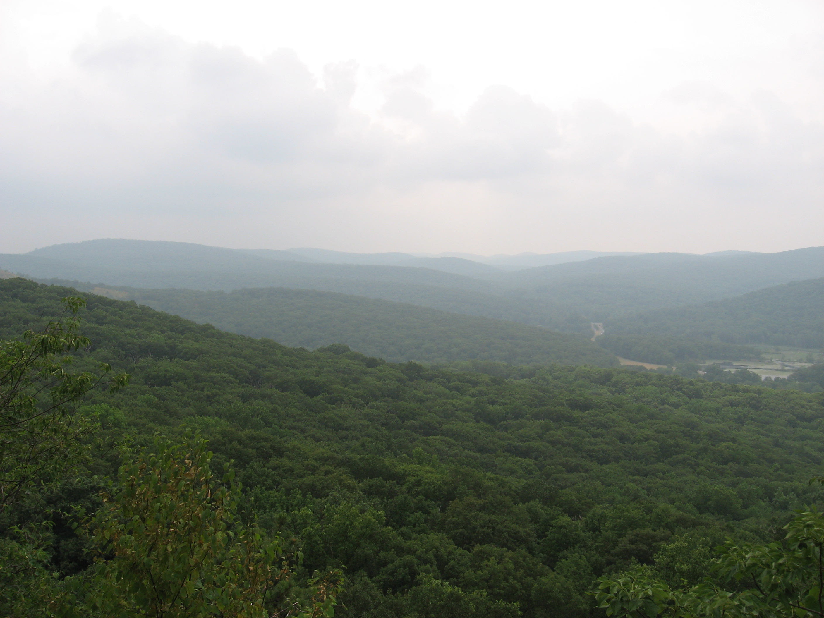
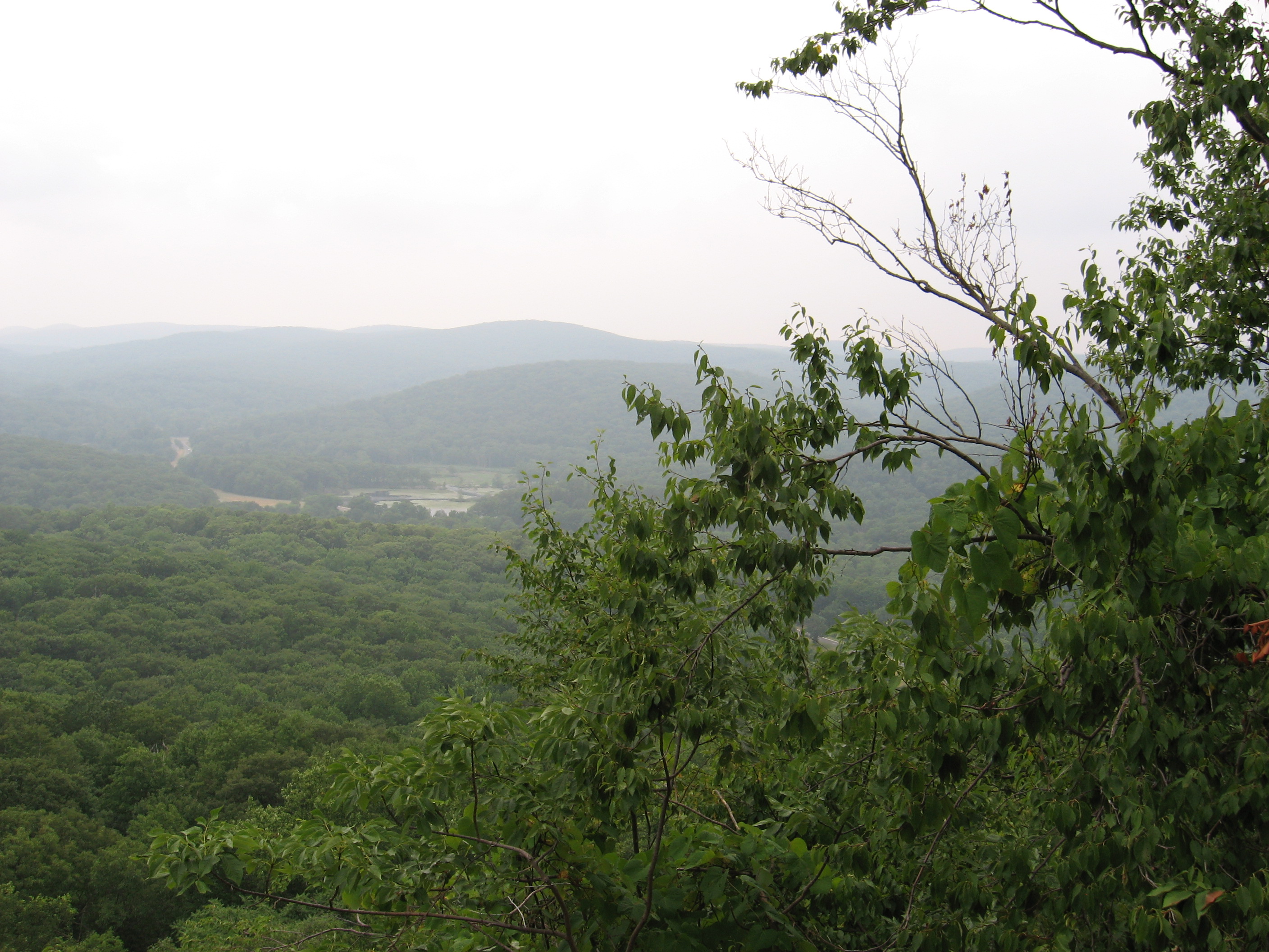
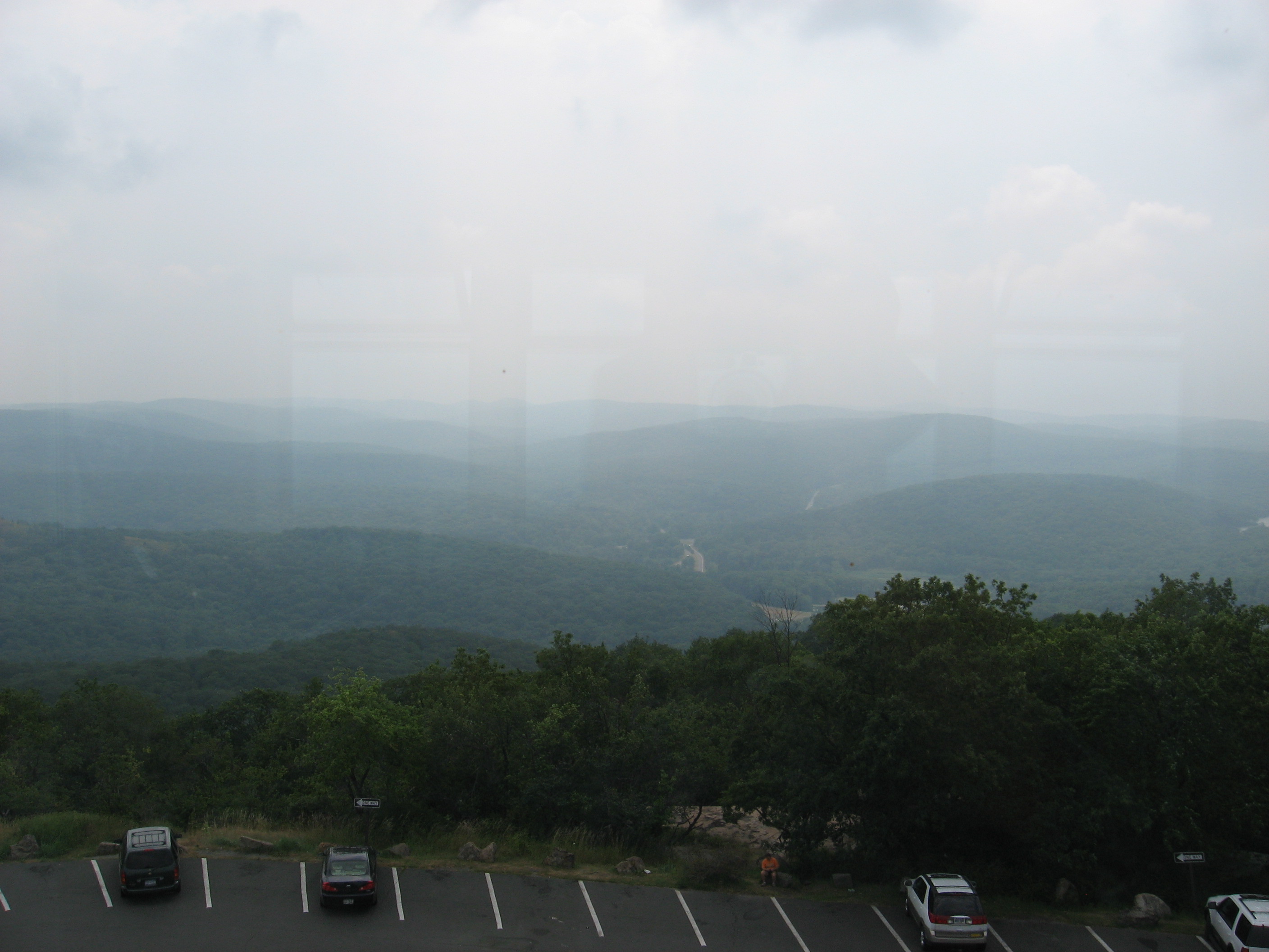
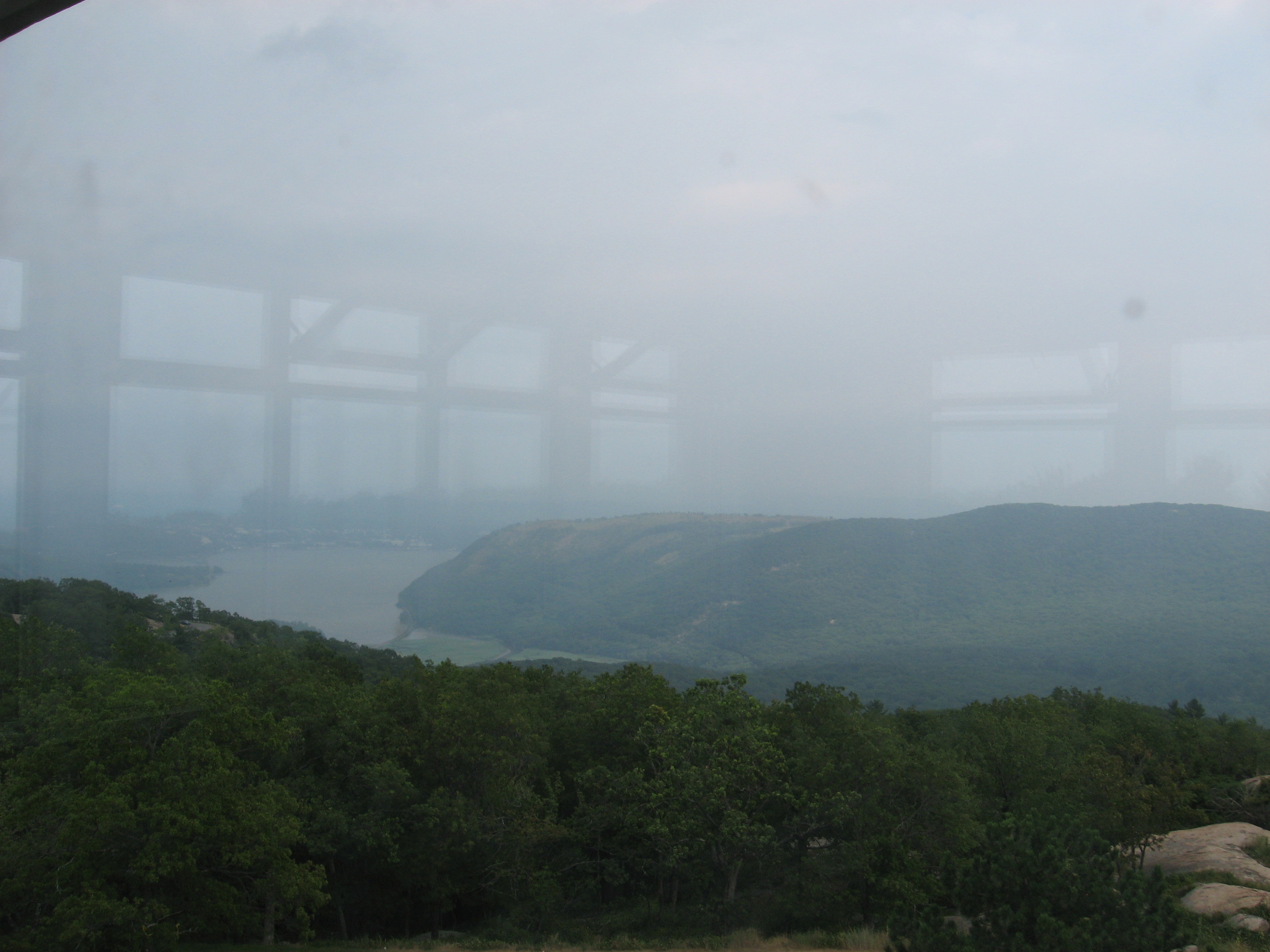
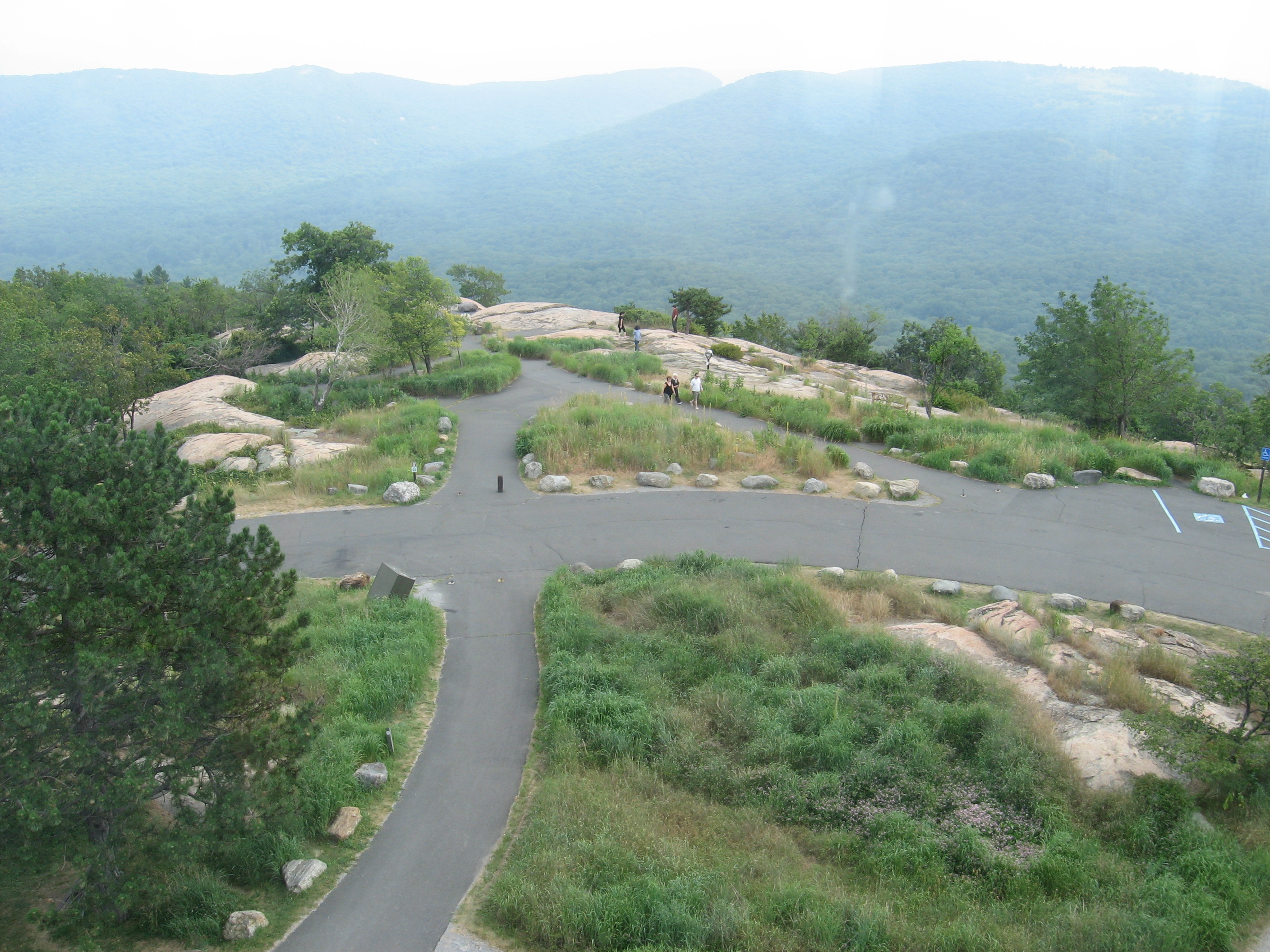
Got to, what I think, is one of the best vistas. Enjoyed the view until the sun broke though the remaining clouds, then it just got too hot to stay.
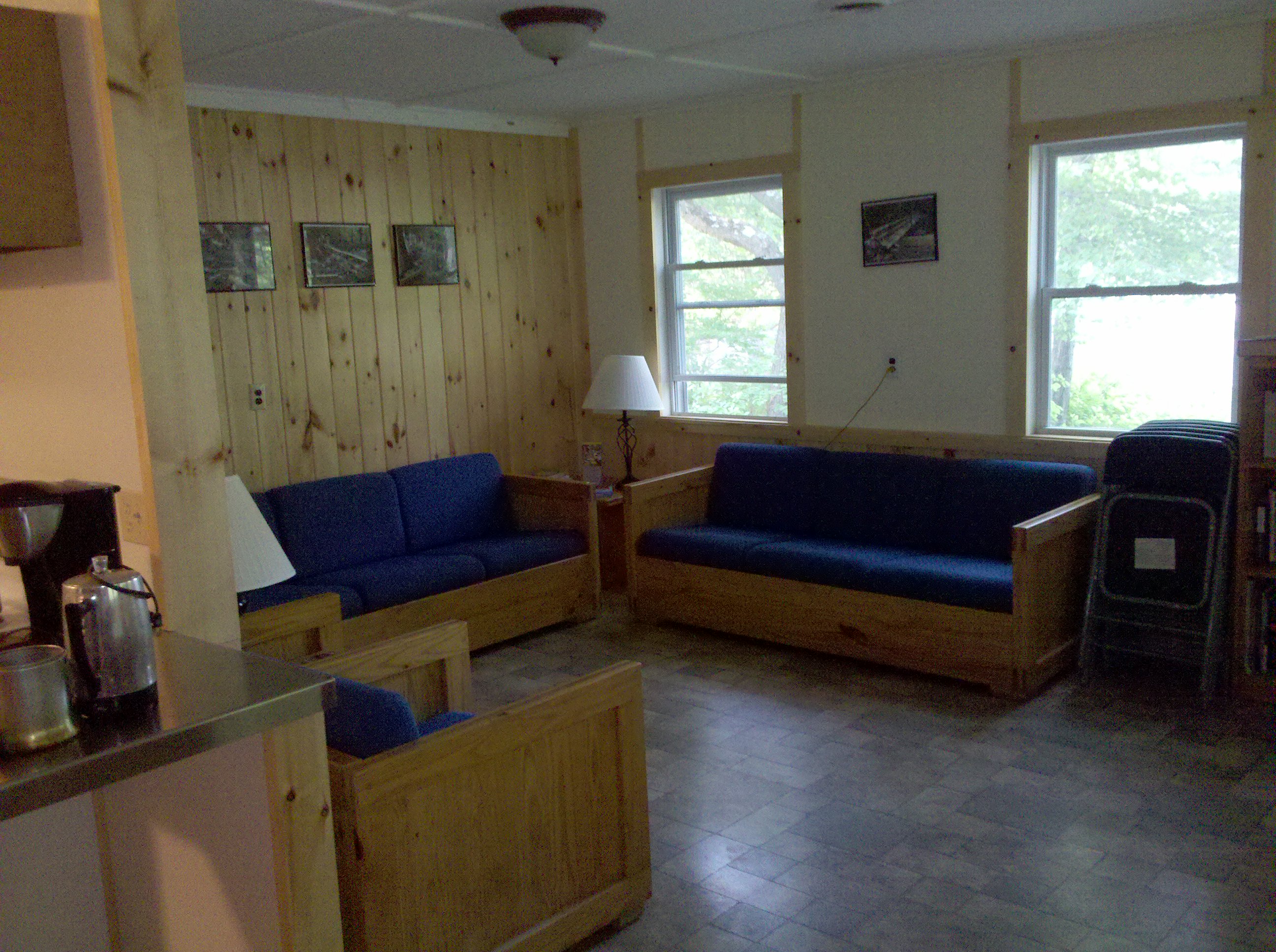
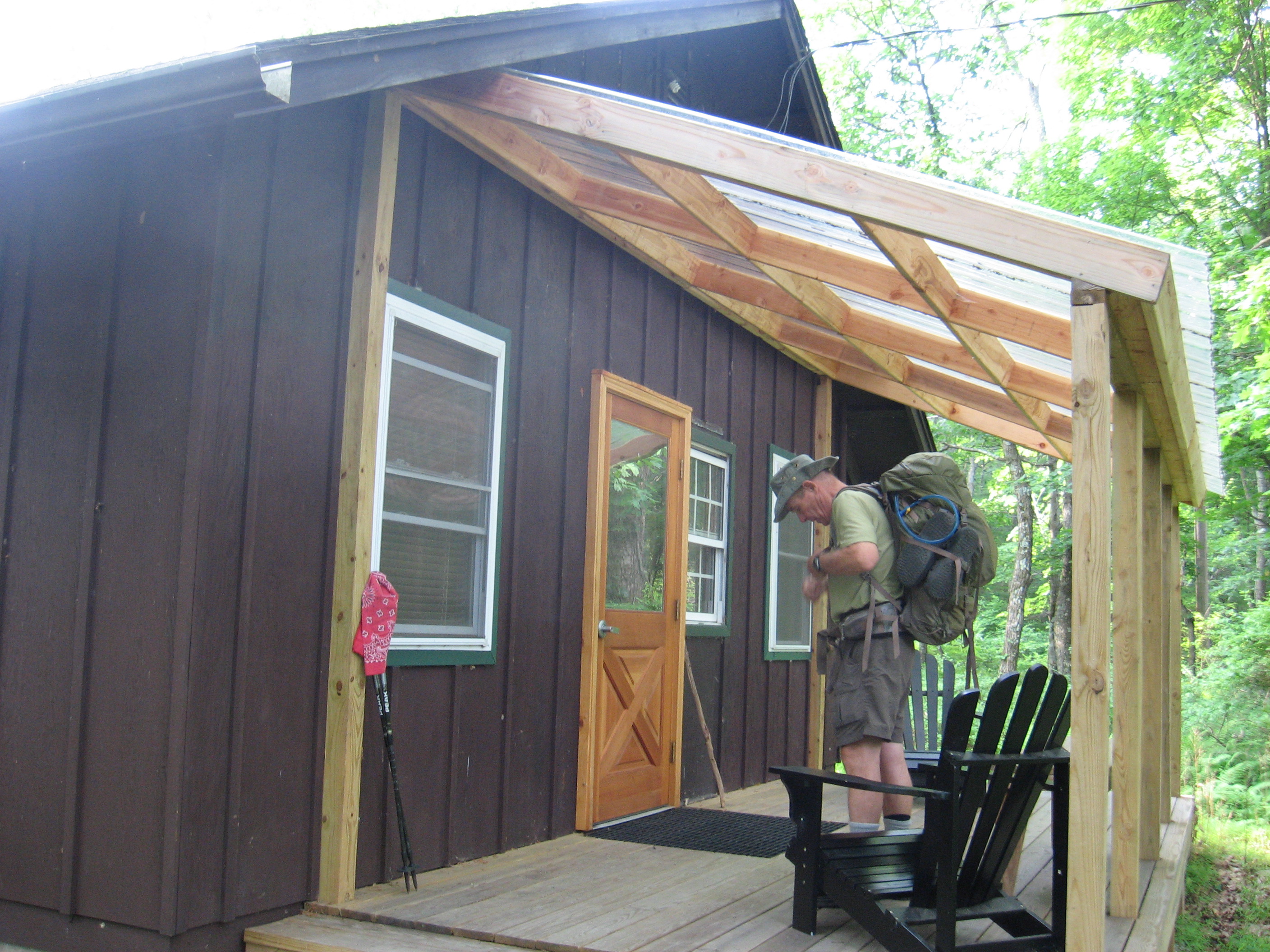
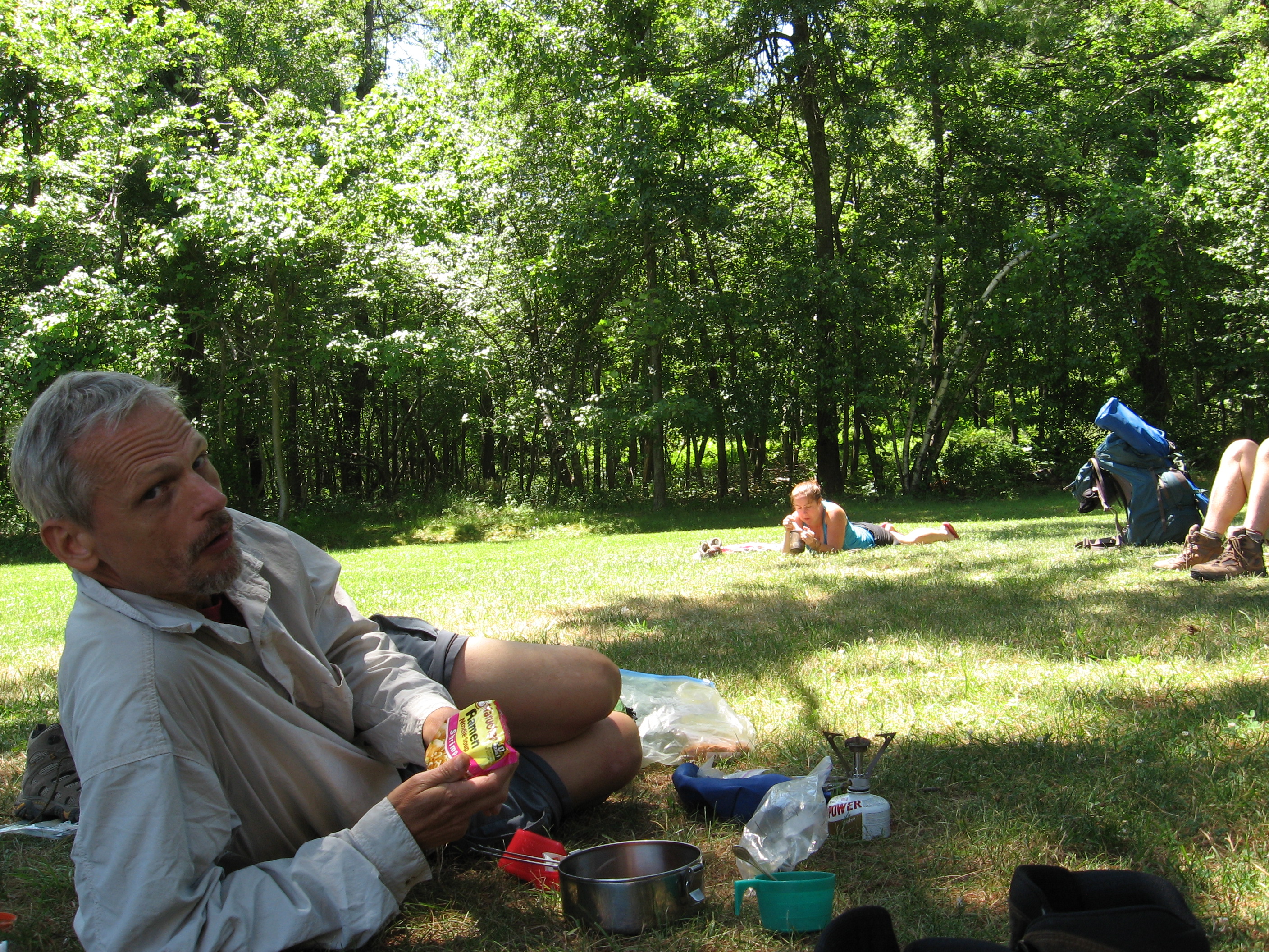
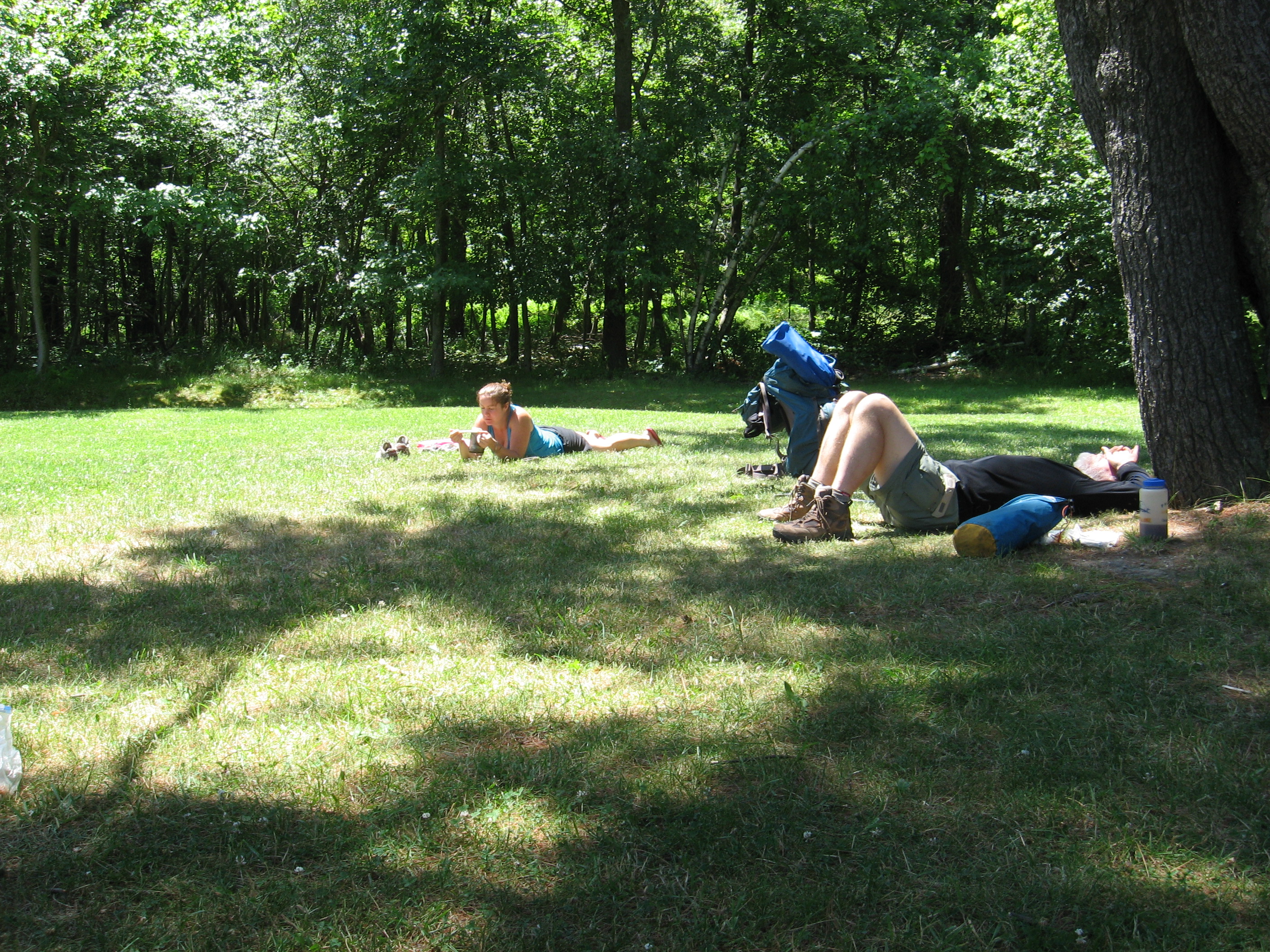
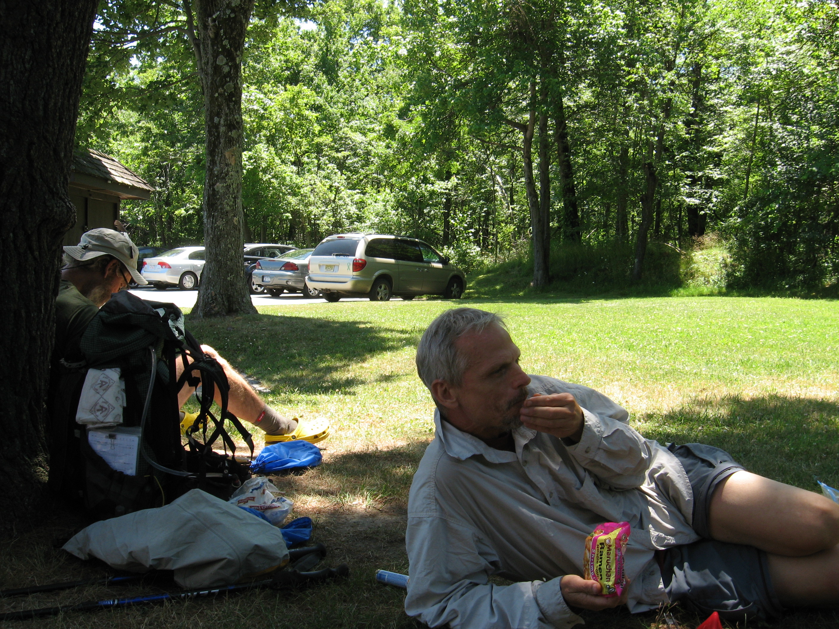
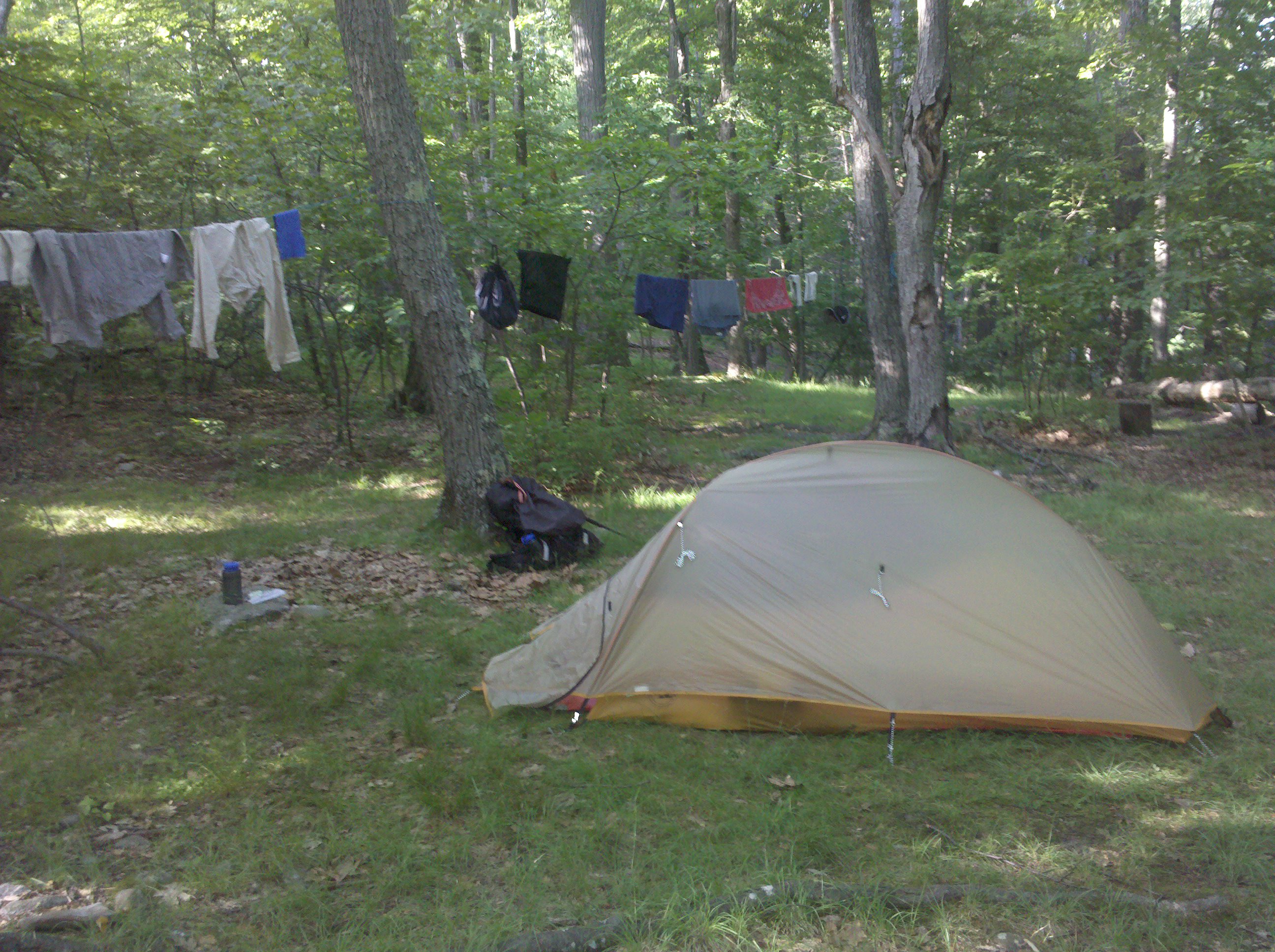
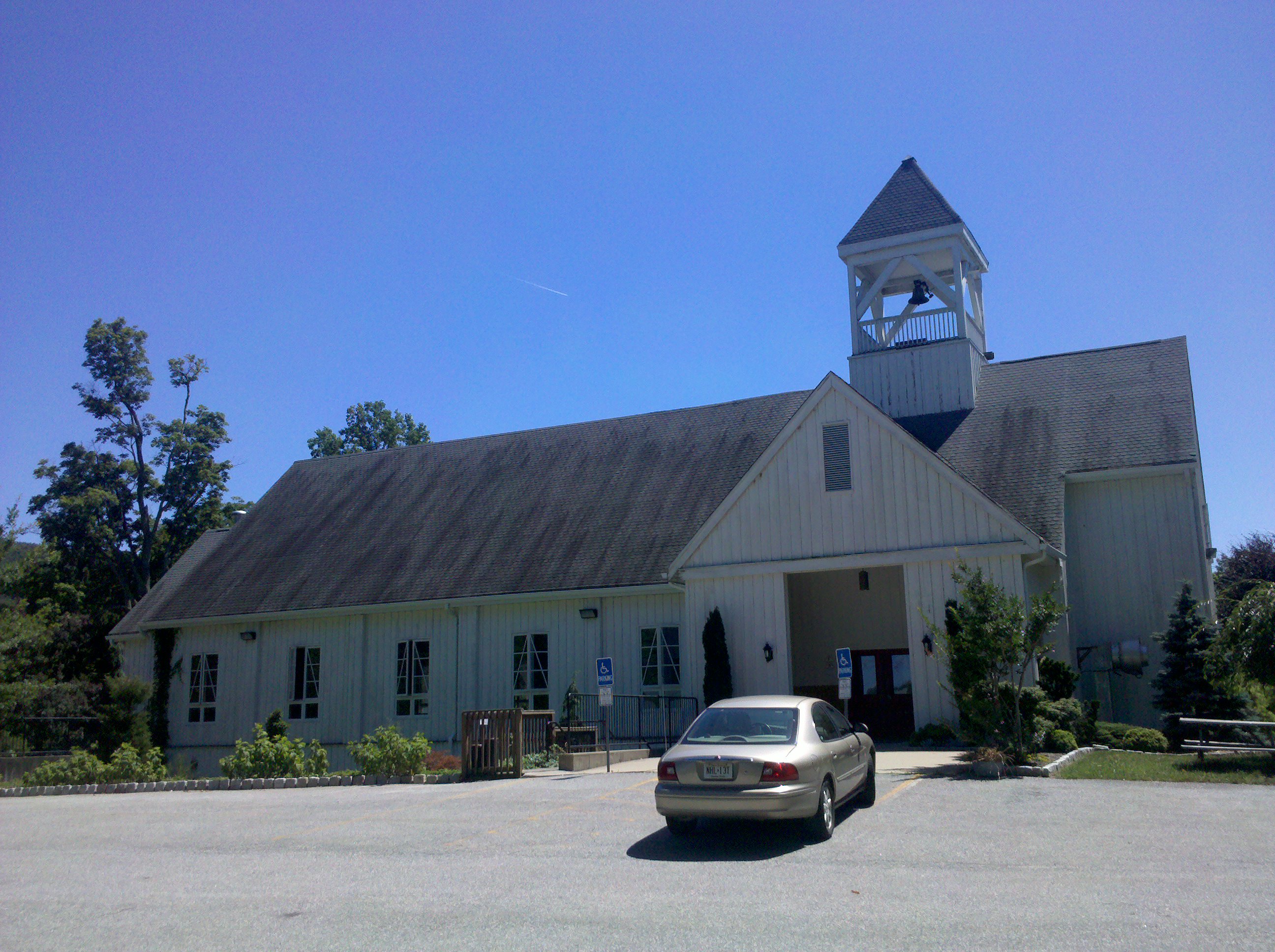
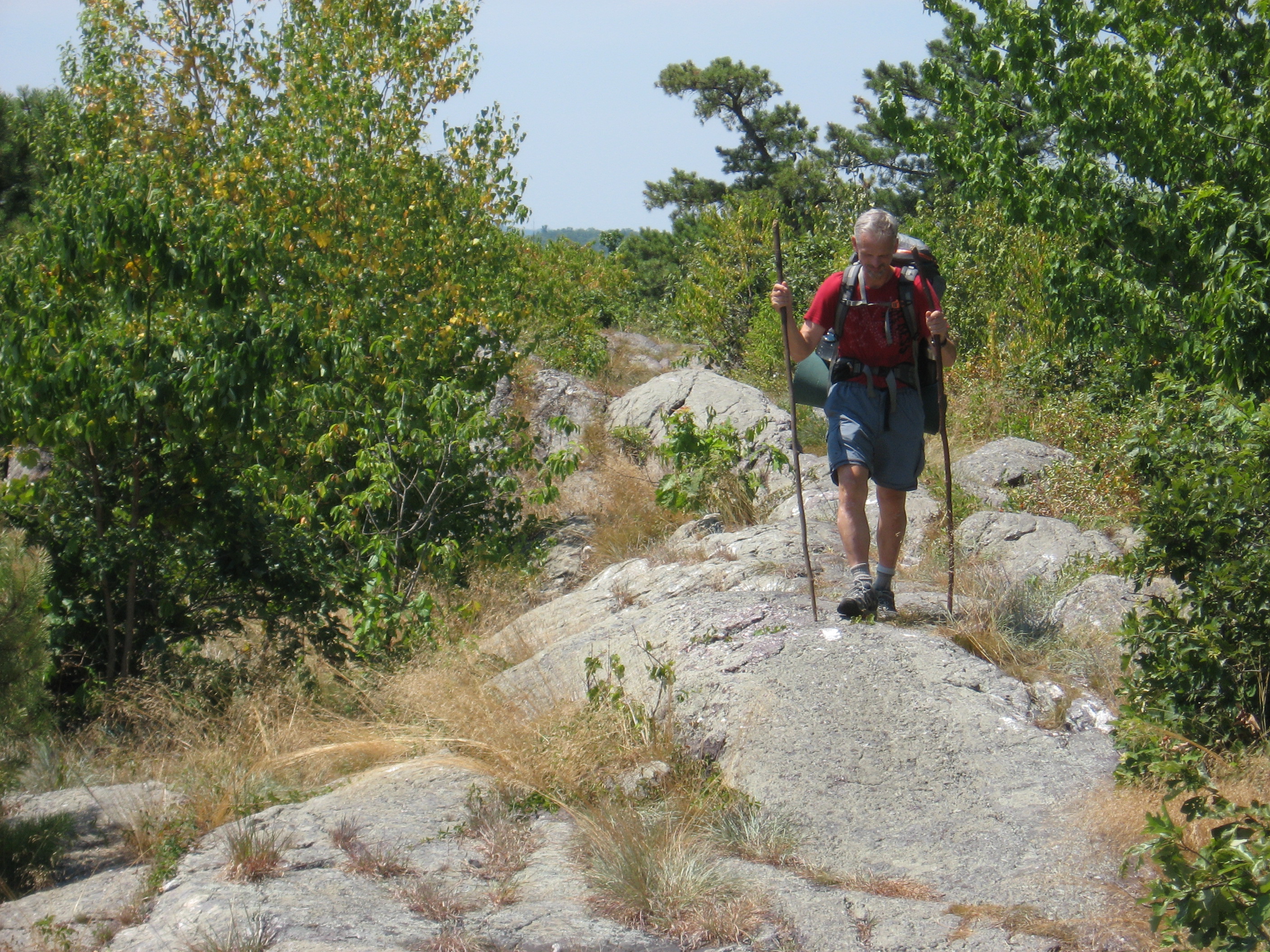
Got to the Mohican Center, got a roast beef sandwich, Gatorade, fruit and chips. Got a room (well a cabin) all for $36...great deal. Also was given some left over blueberry pancakes for tomorrow morning. The hot shower was wonderful. Overall a good days hike.
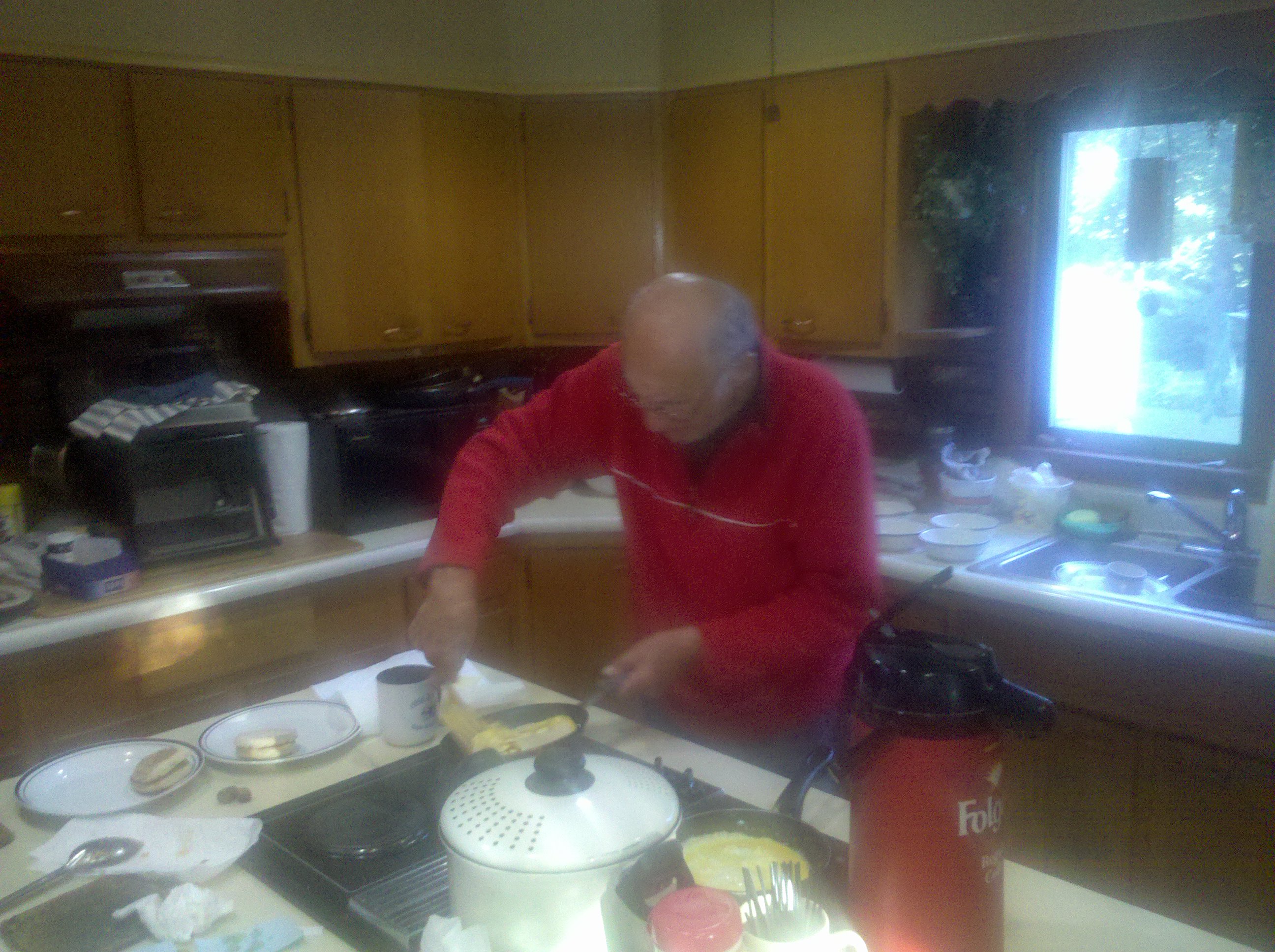
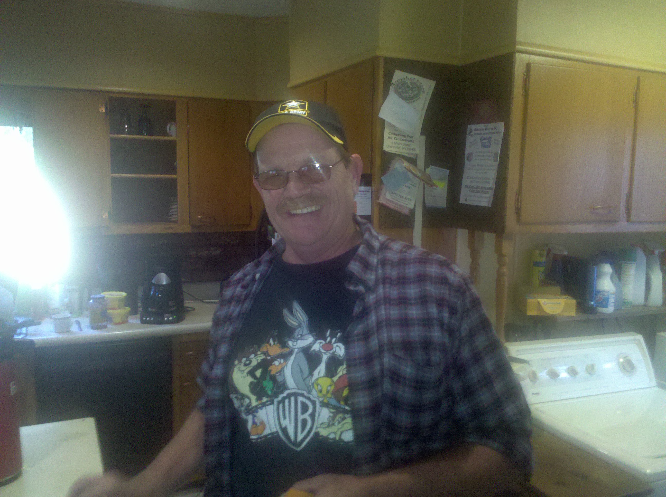
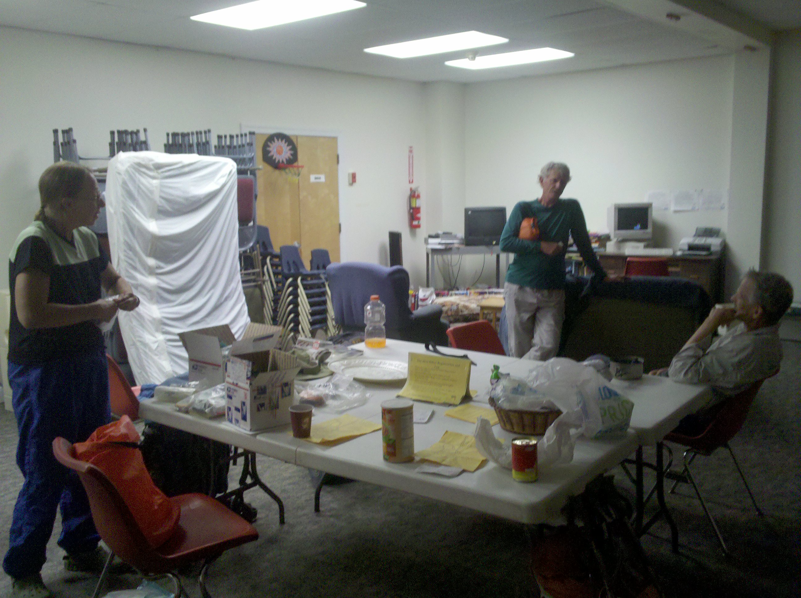
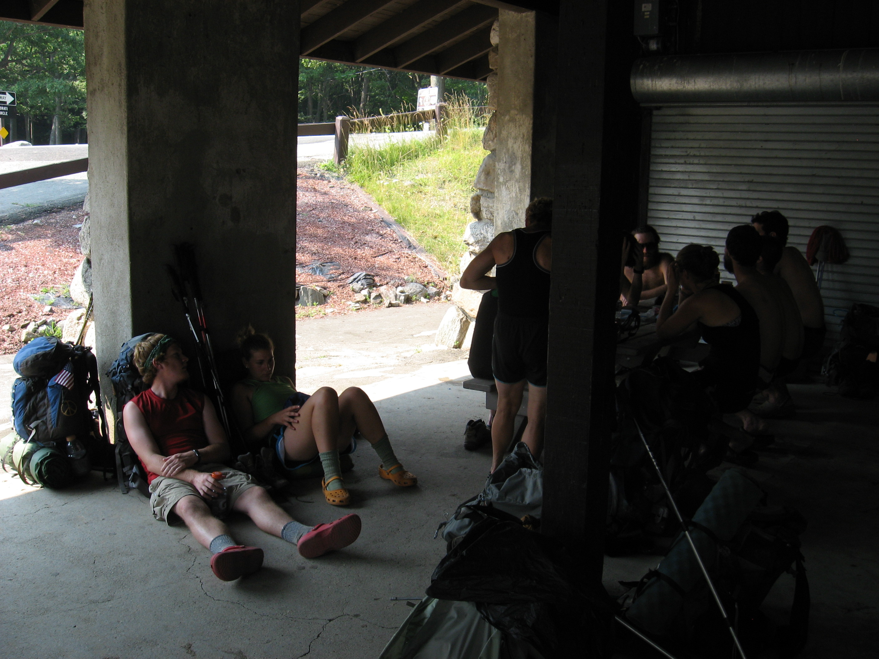
Well last night was just a hoot. Bill is quite a character. For a guy who was a cook in the military in the Korean War, he is sharp as a tack. He grilled me for 15 minutes and caught me using 3 four syllable words. Imagine Groucho Marx with a military cooks gruffness. He kept everyone laughing and he still can cook: salad hot dogs, homemade soup and watermelon for dinner and coffee, hash browns, english muffin, egg and cheese omelets and sausage for breakfast. There were 17 people there last night!
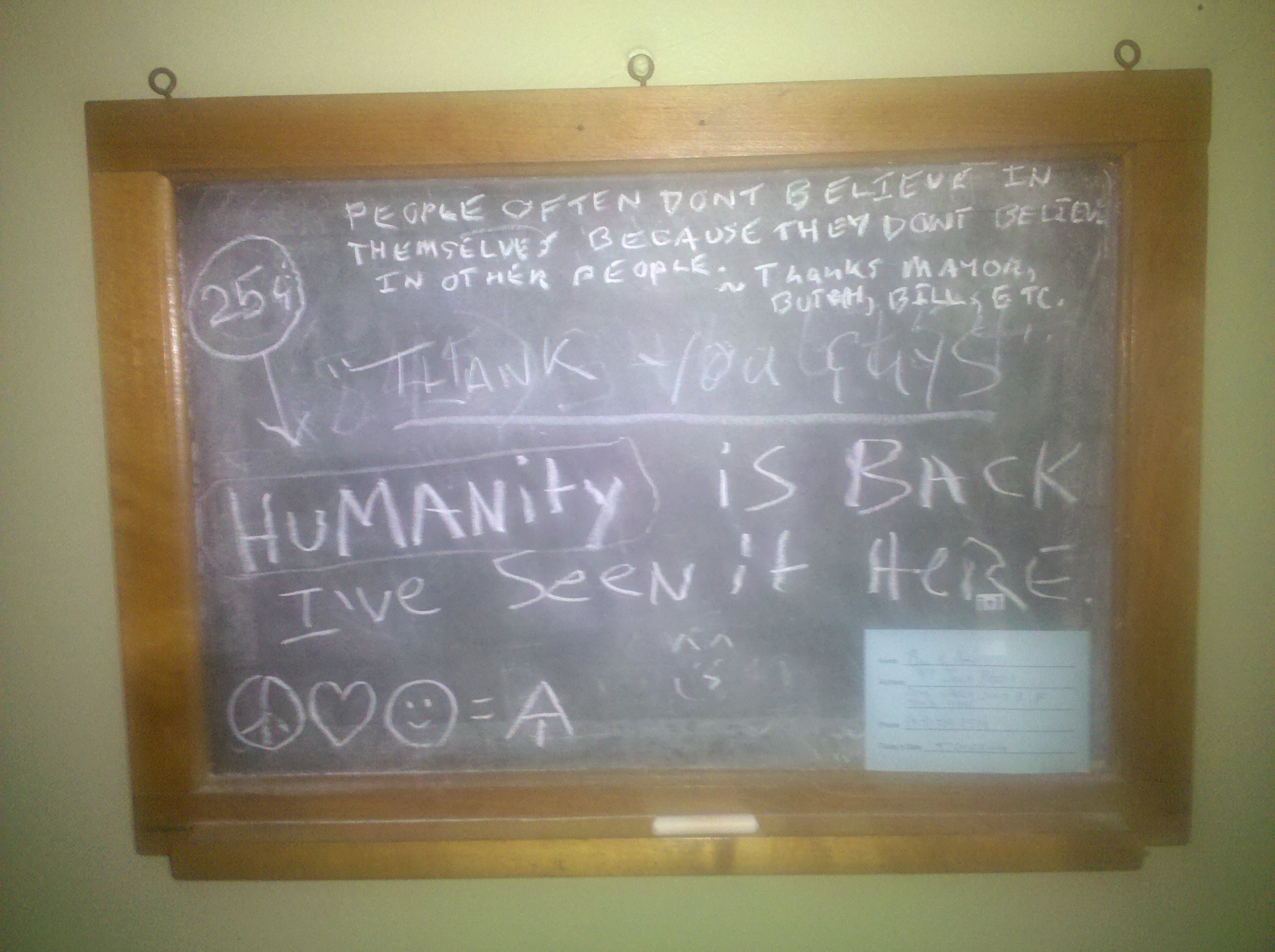
The compulsory video was Paul Potts from Brittan's Got Talent singing Nessum Dorma. The theme was based on the last word of the aria "Vinchero" which Butch said translated into "I will win" and wove the story about how, if you believe in yourself, you can do anything you want from finishing the trail or anything you want to do at life. Well done and told well with friends to share it with.
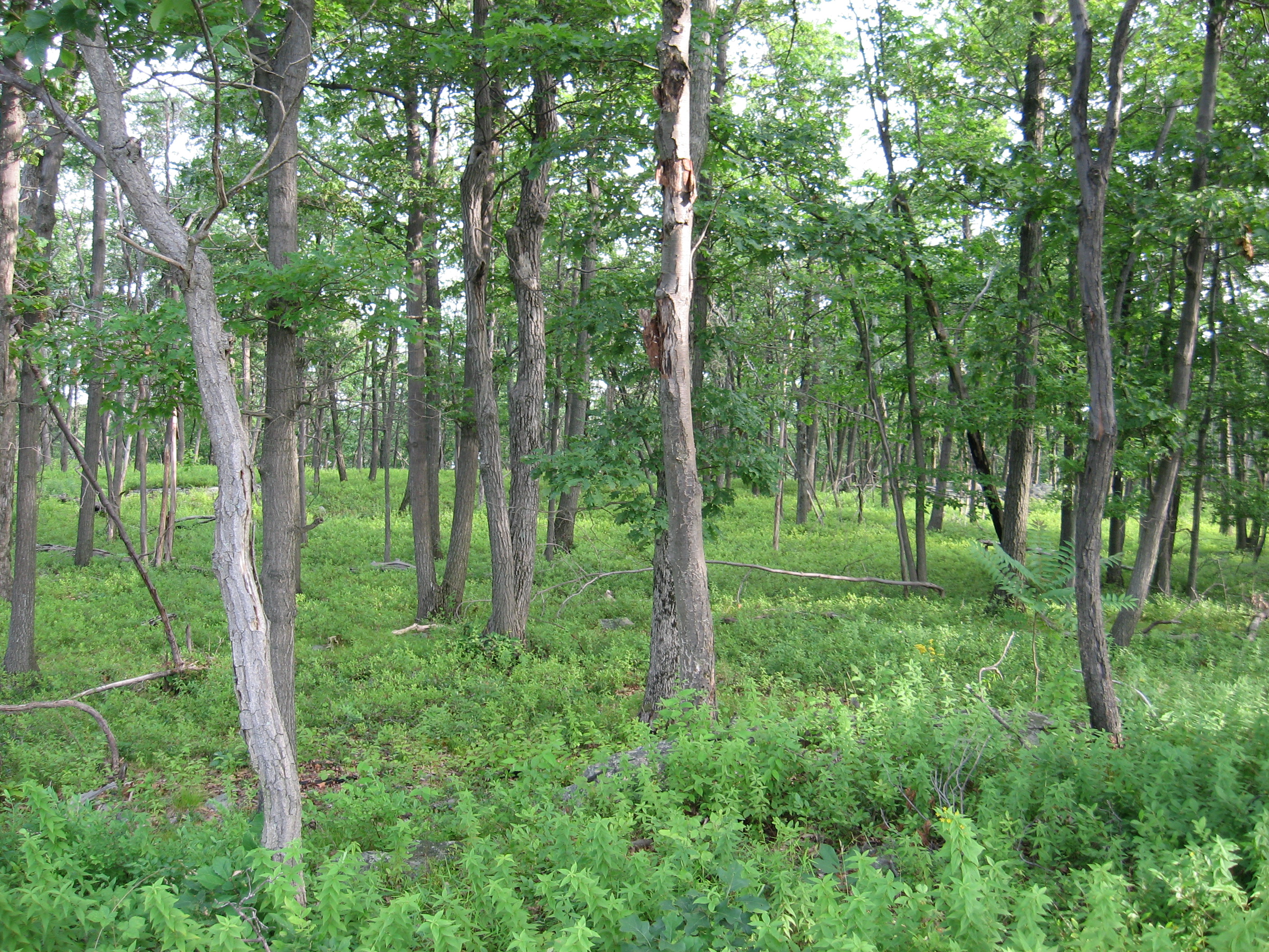
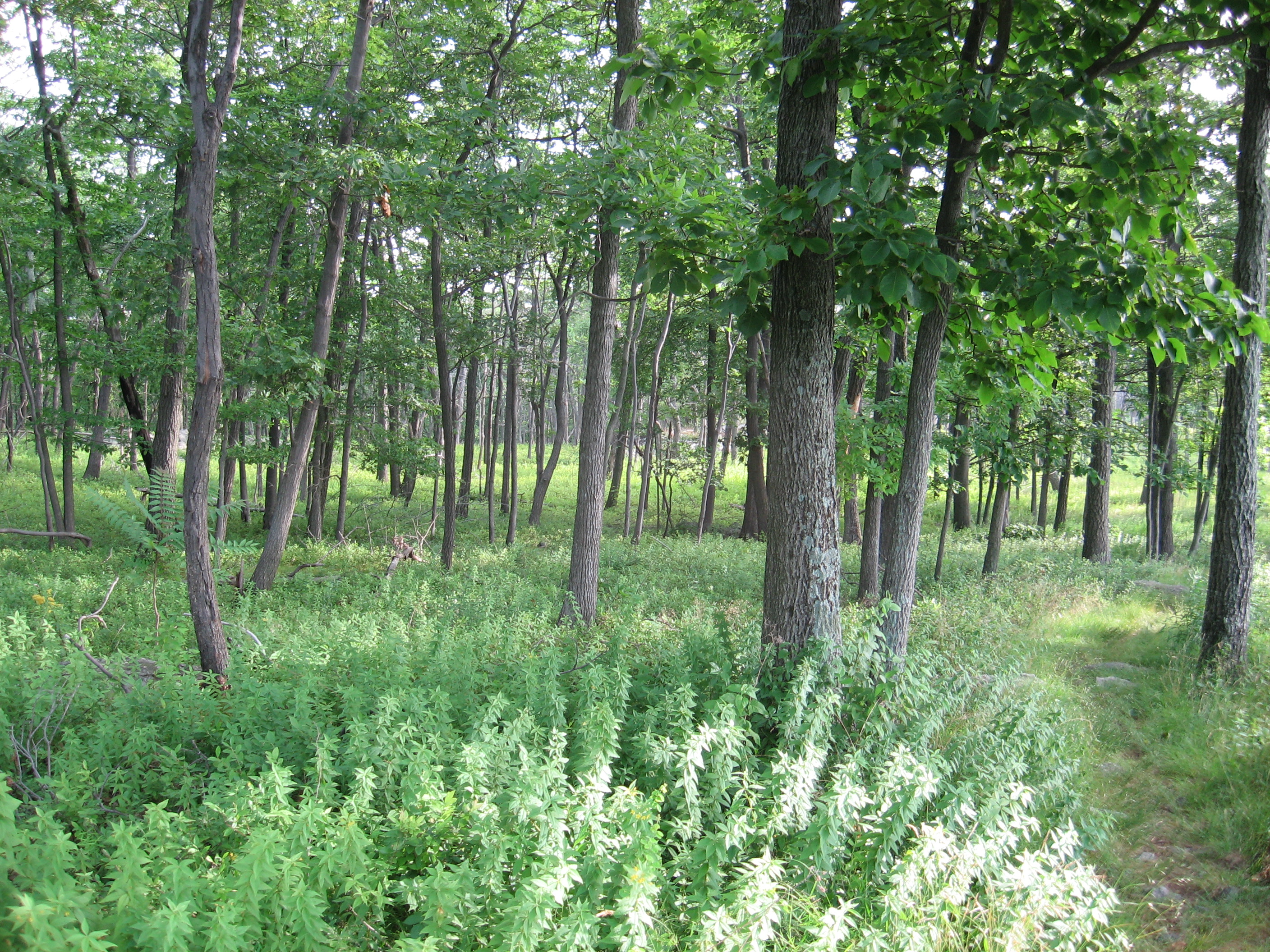
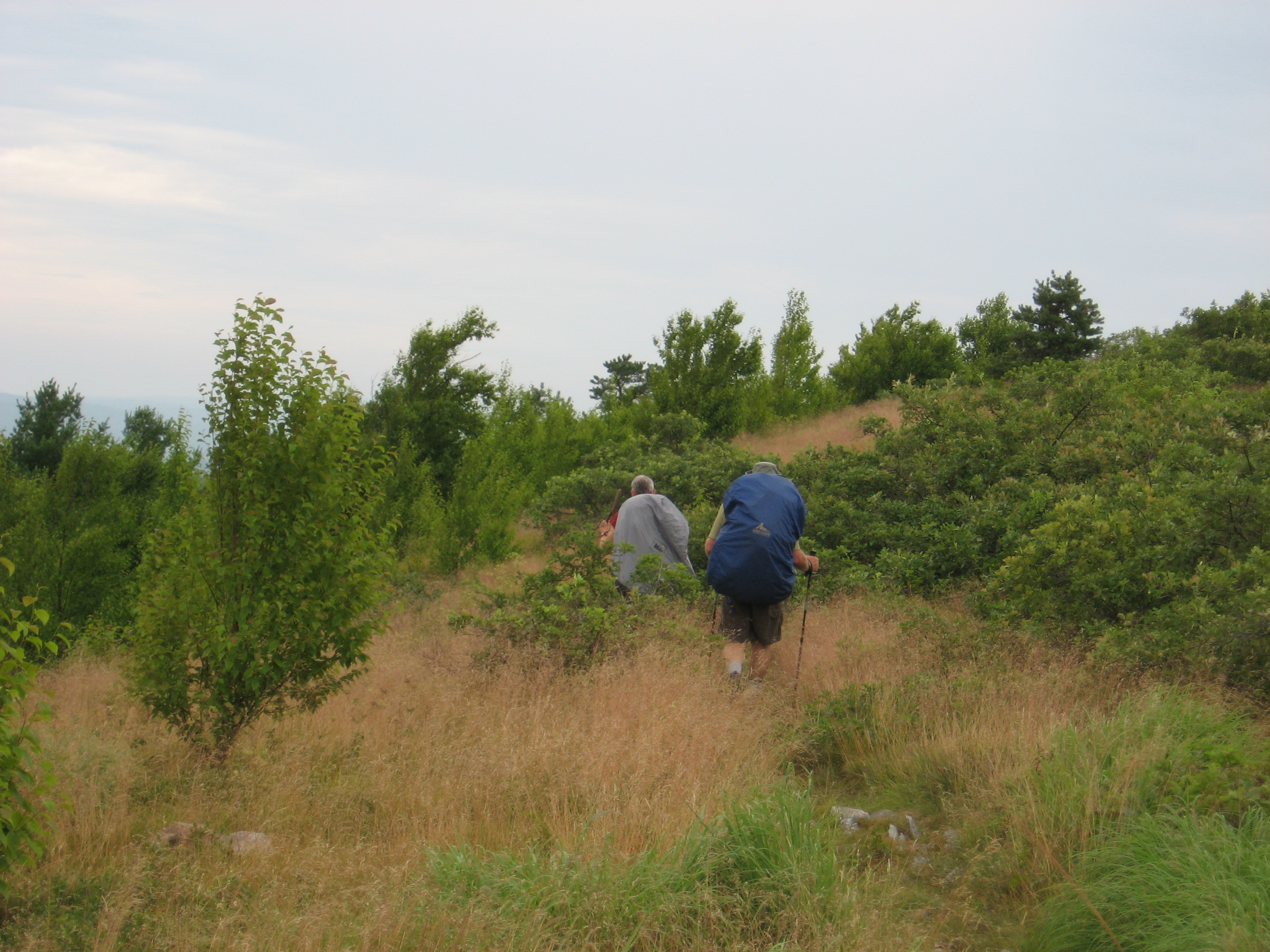
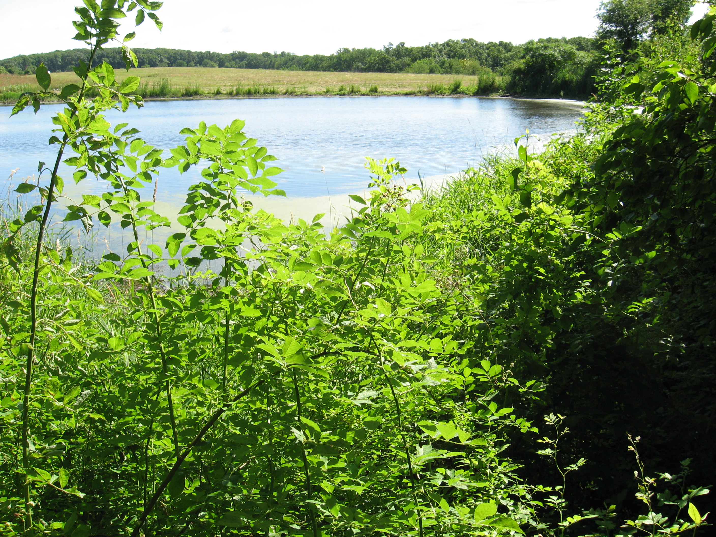
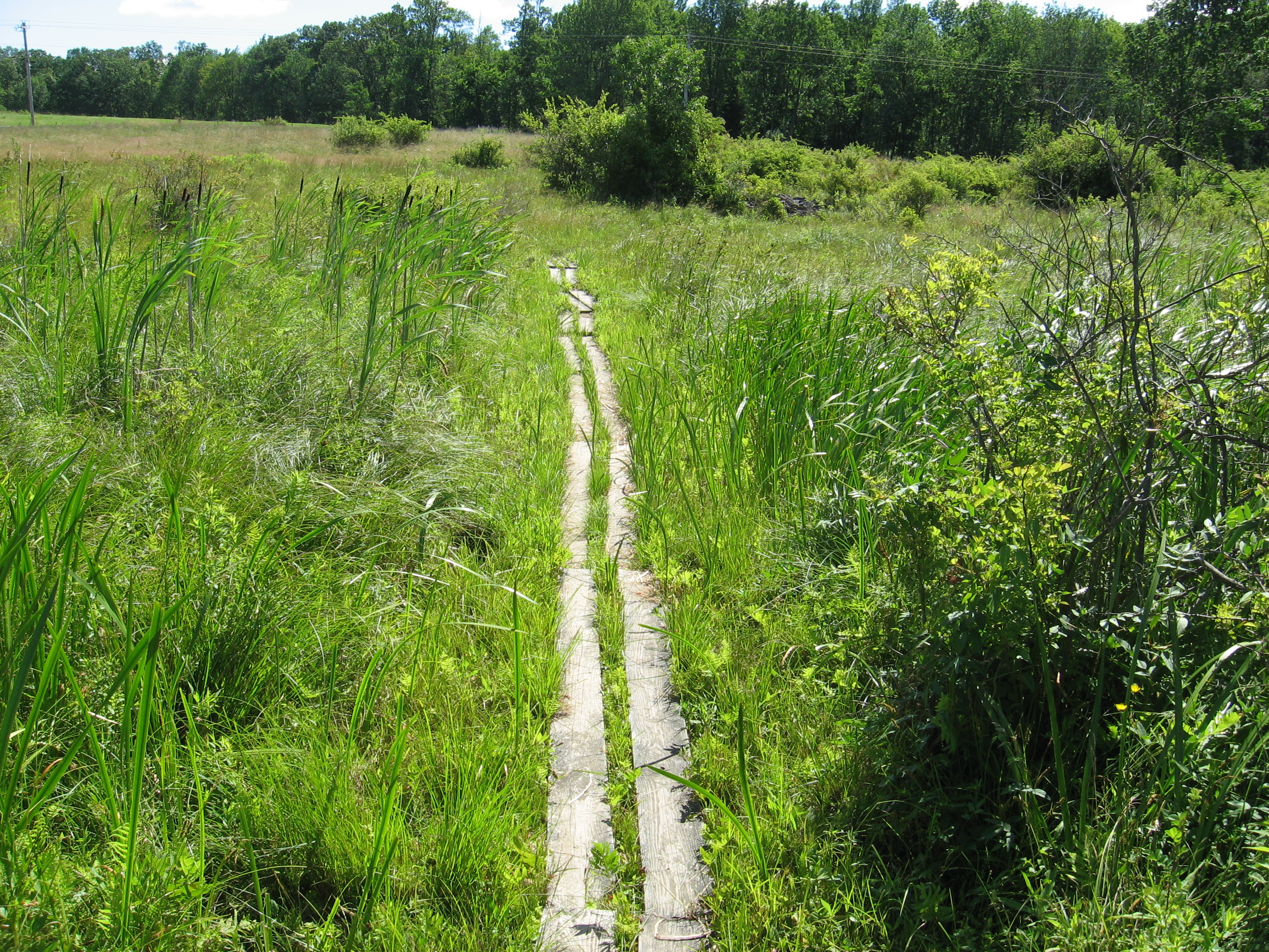
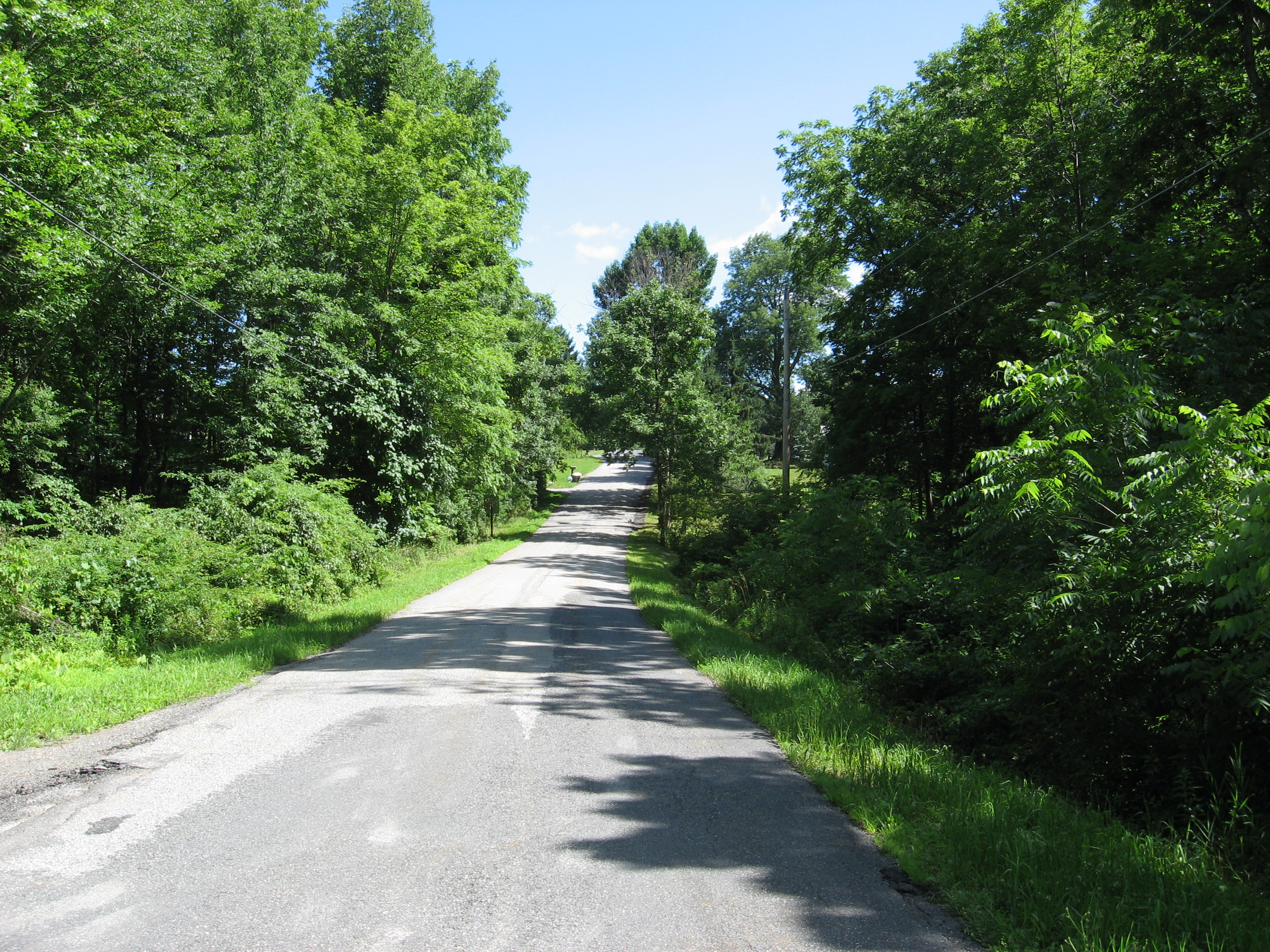
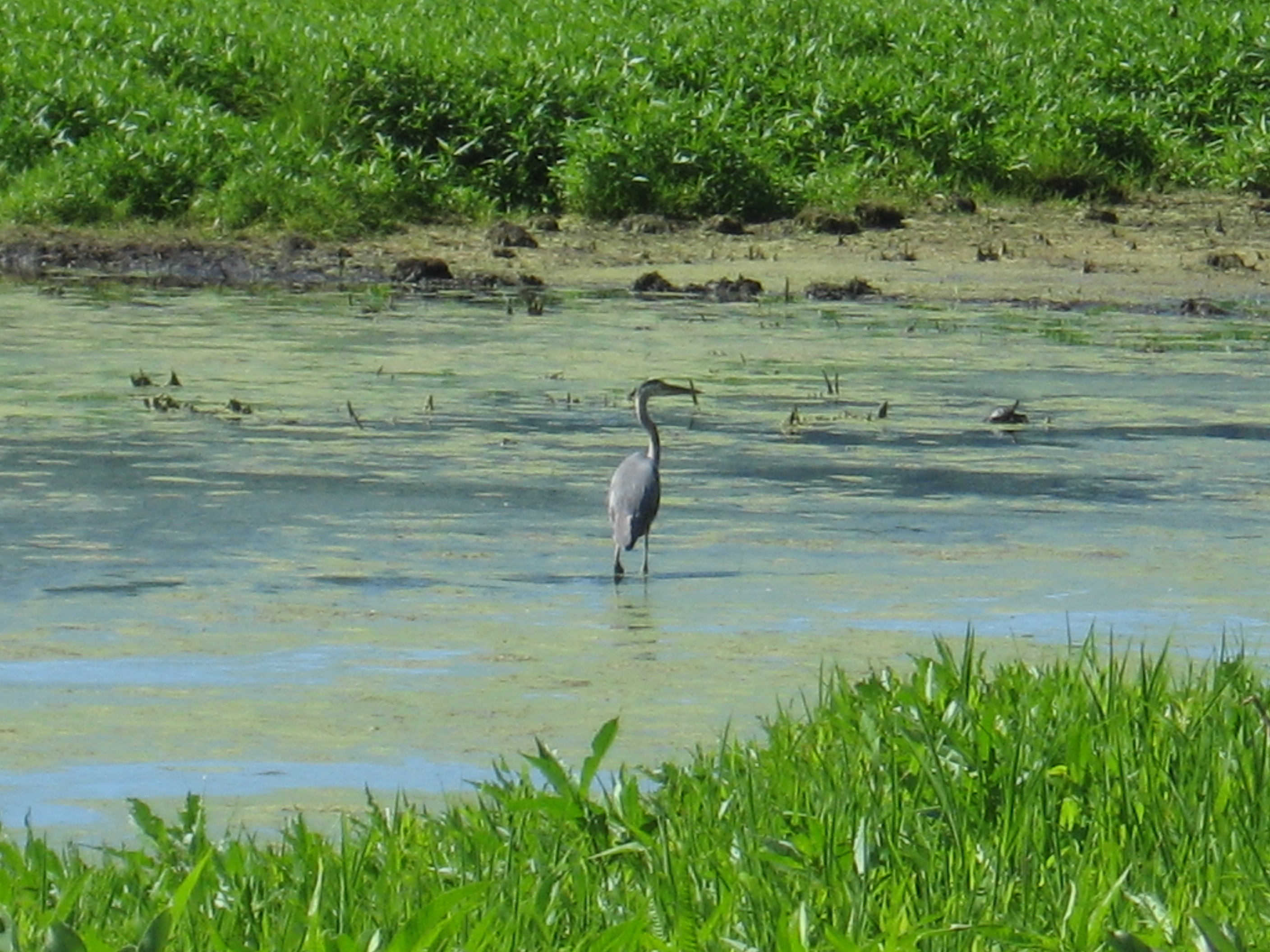
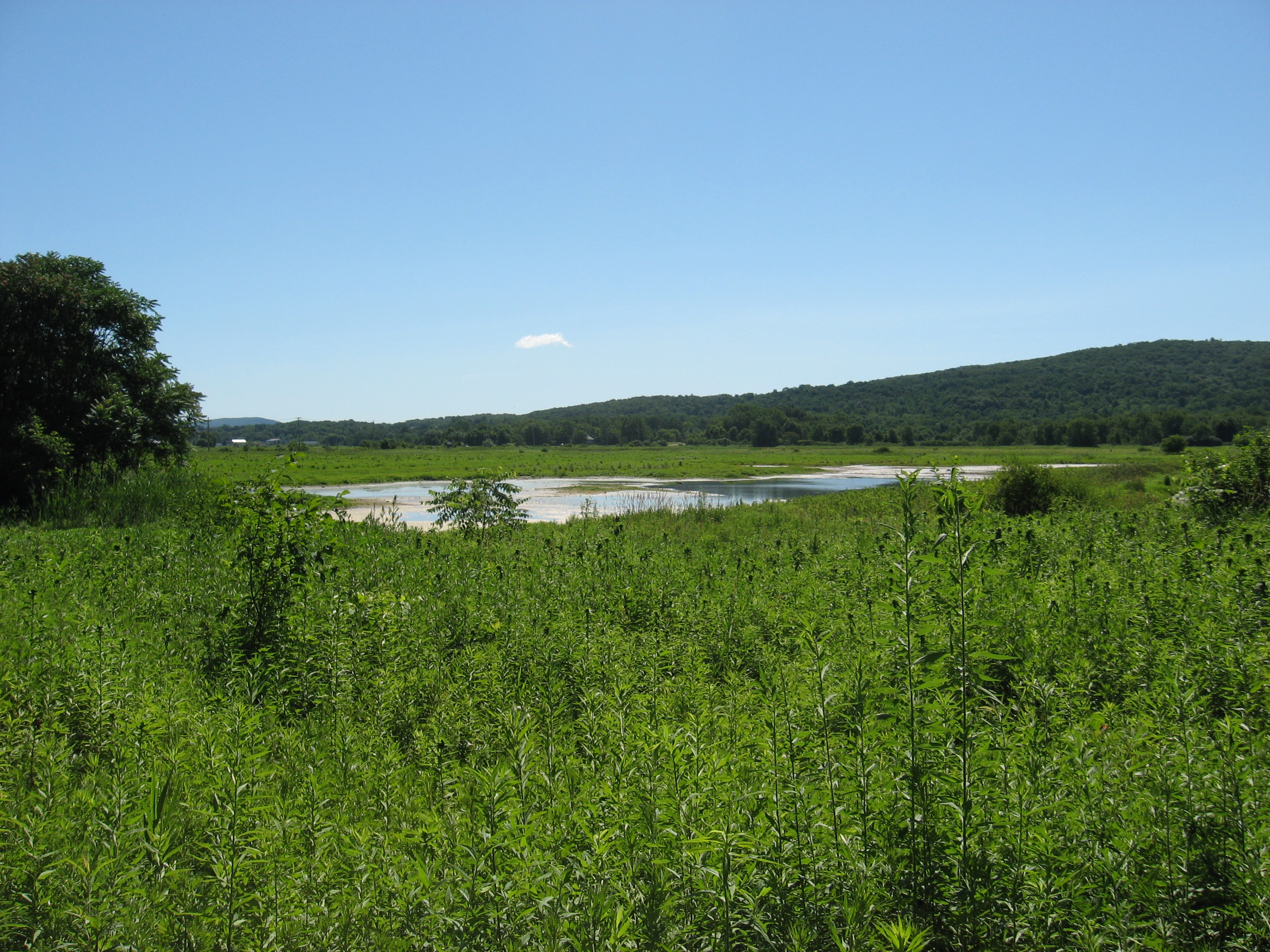
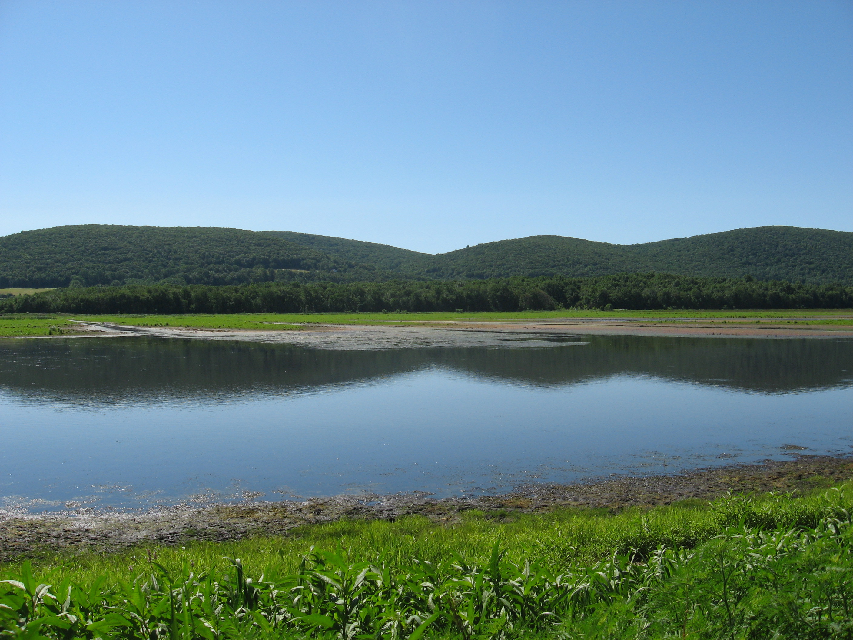
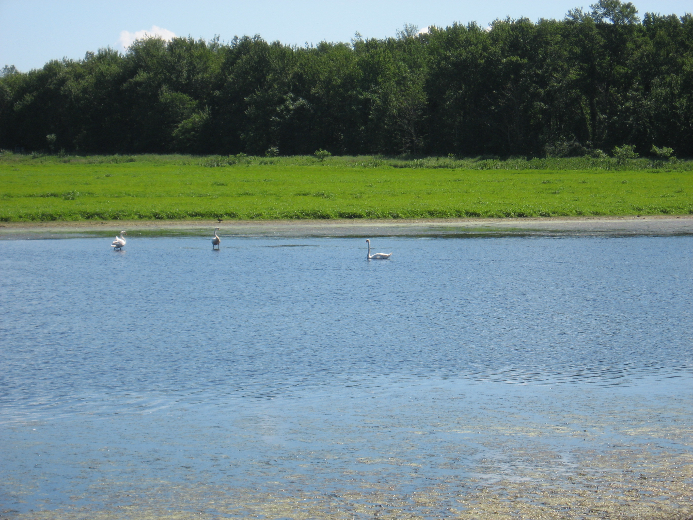
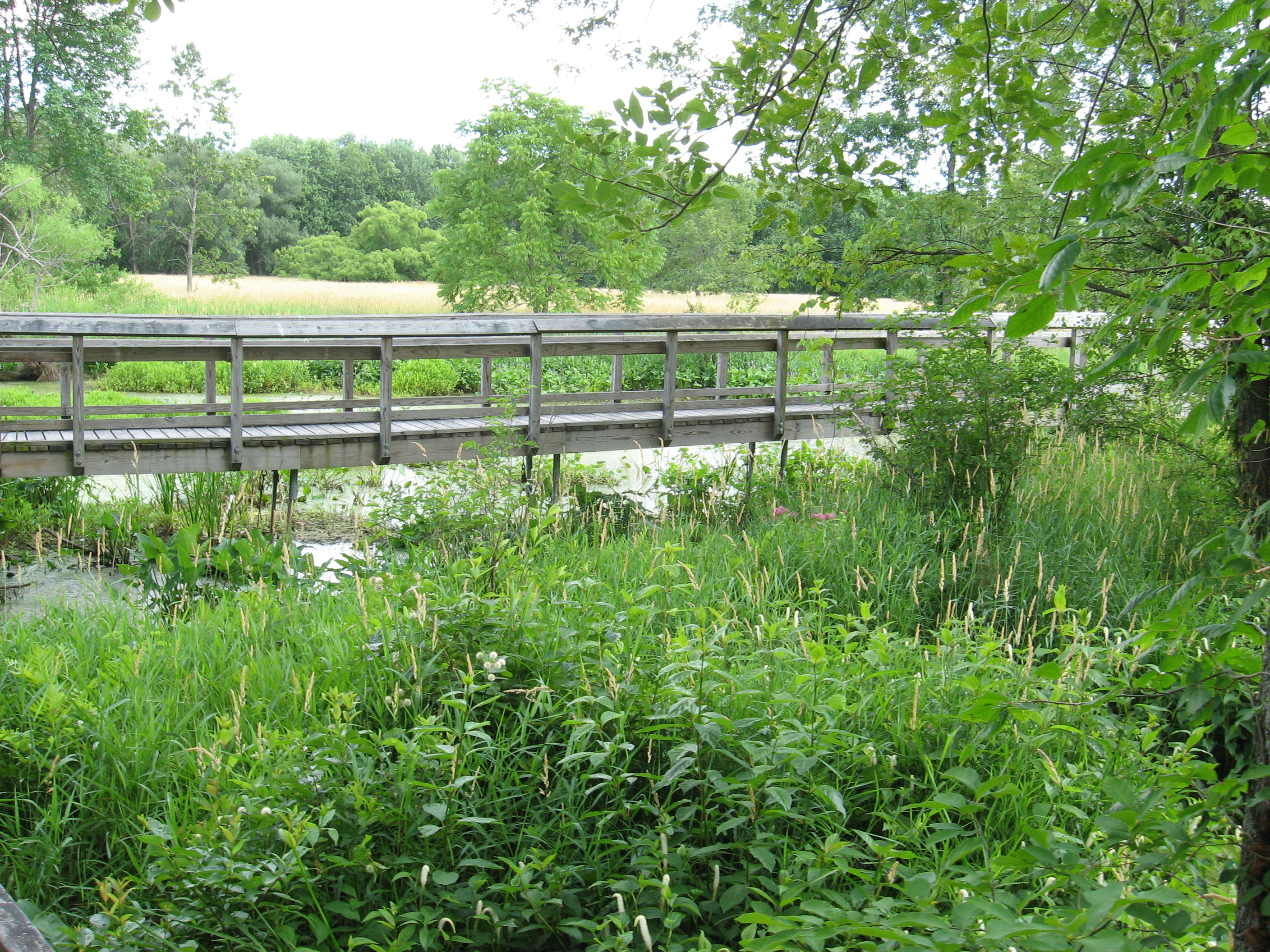
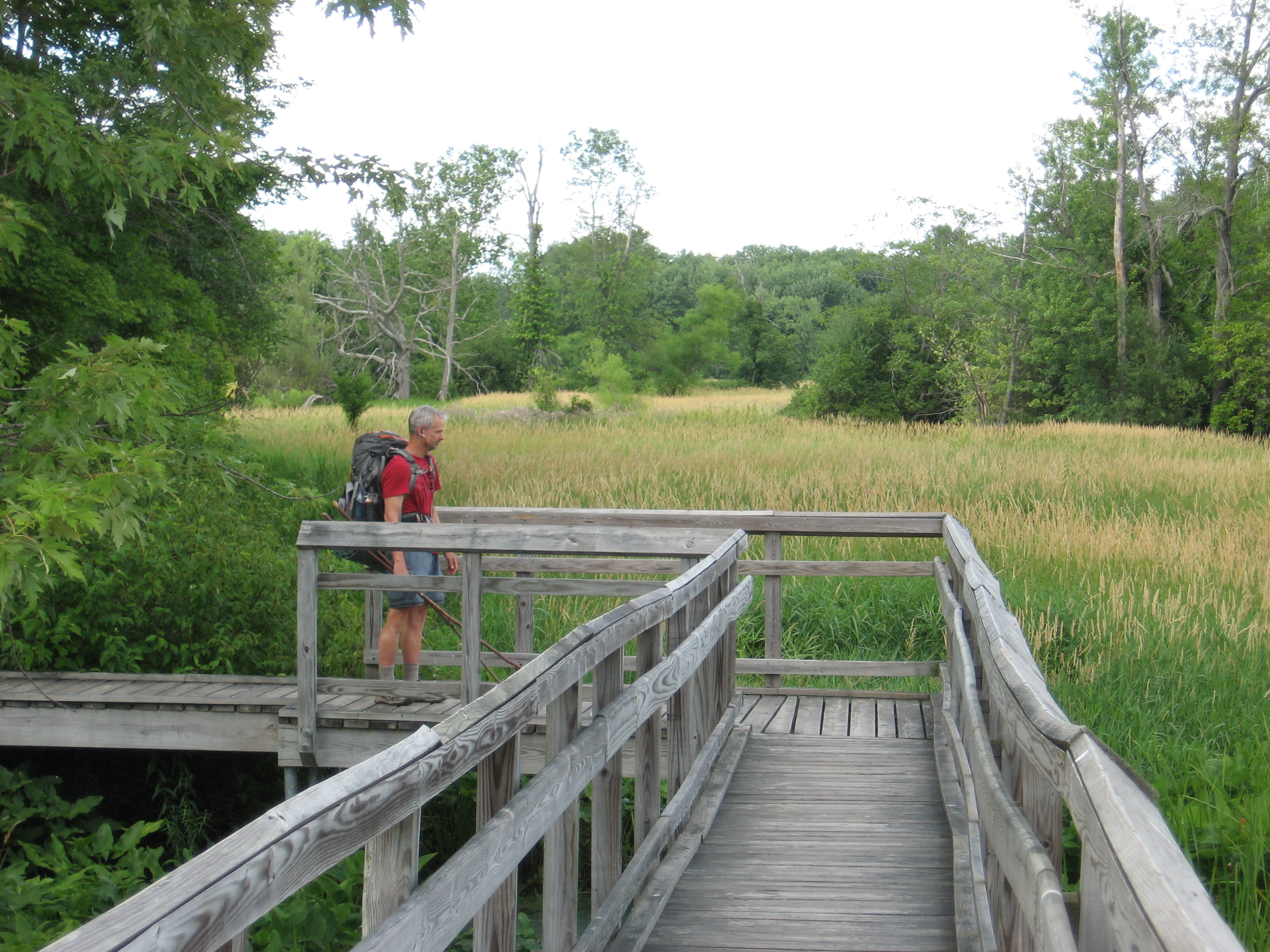
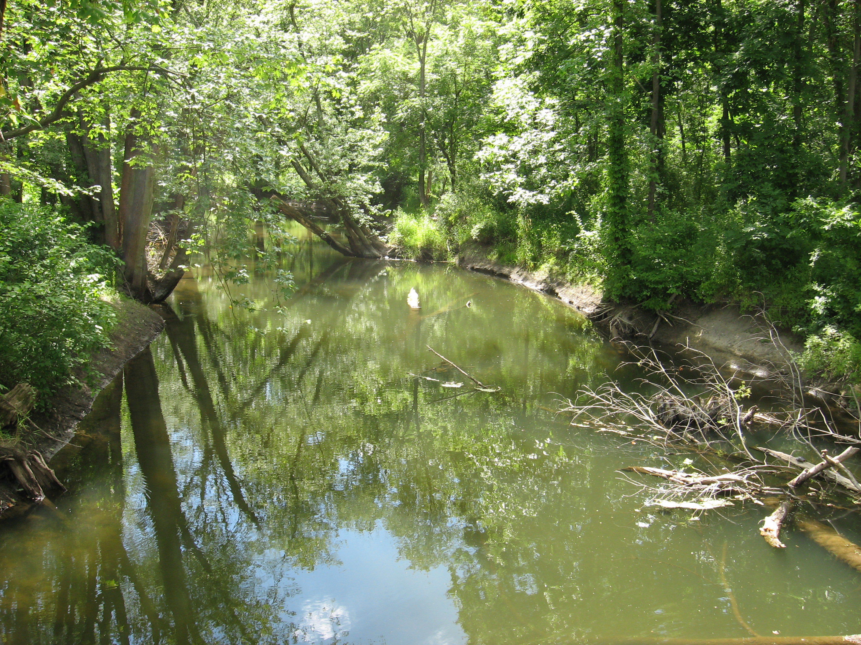
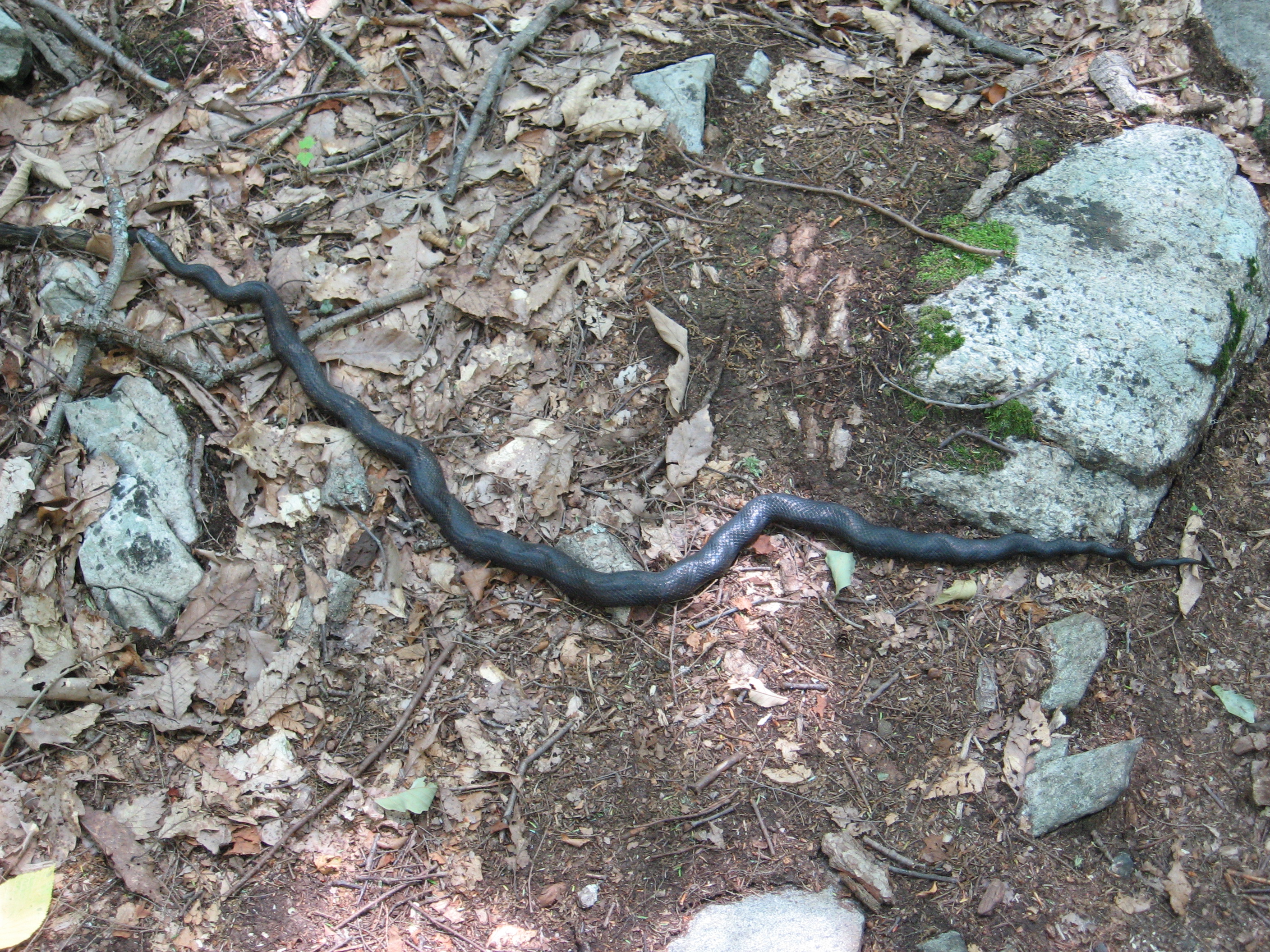
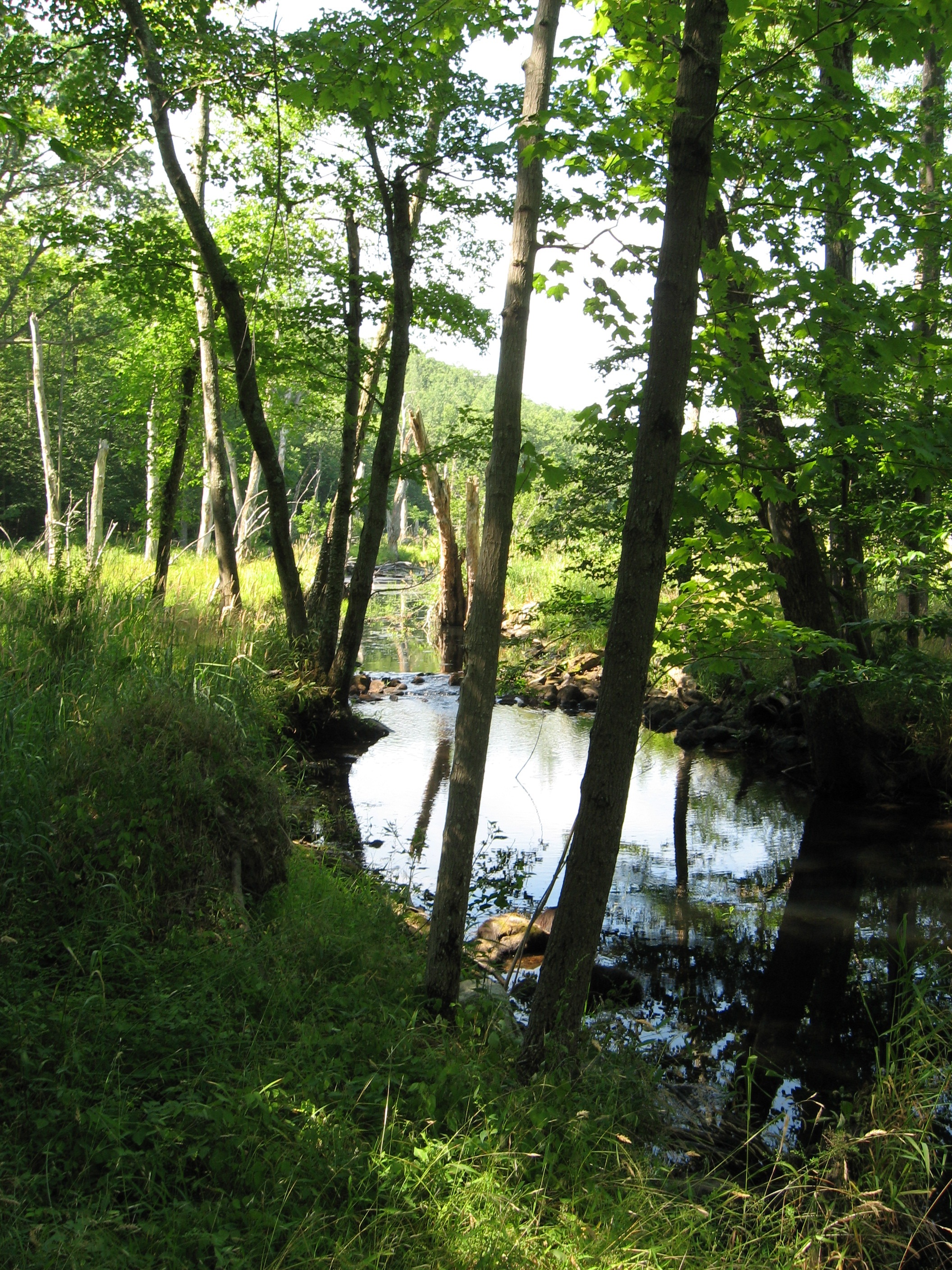
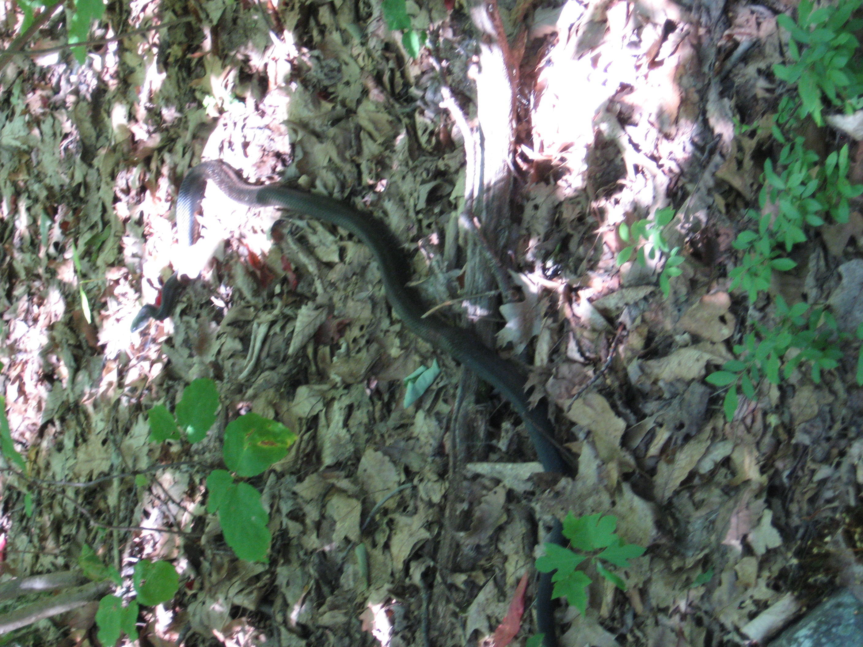
Today's hike (with Barry again!) was fairly easy with only one or two tuff climbs. Also walked though 2 wildlife sanctuaries (wetlands) and saw 4 snakes, 2 muskrats, herons, ducks and even some swans...I again have to say "This is NJ?". Got to the road and went to the farmers market 0.1 miles from the trail crossing, ate a snack and then asked a man for a ride to town (2.4 miles is a long way to road walk). He responded "going to the hiker hostel?" It turned out he knows the person who runs it. Here with 6 others. Butch (from yesterdays hostel) dropped off one hiker and said no one is at his place tonight so I guess I am about to be in a bubble between groups again.
7/3/10 9:15pm
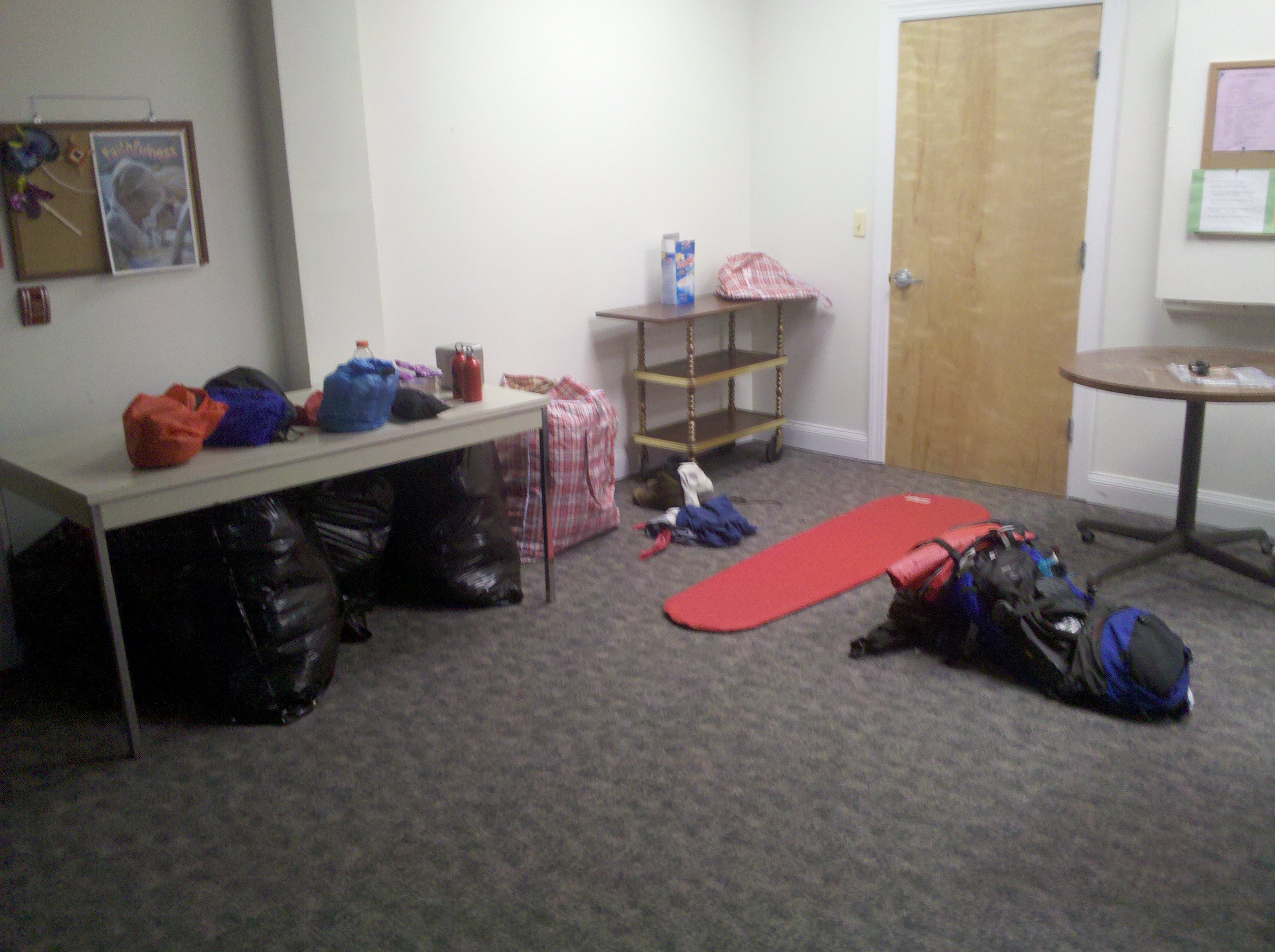
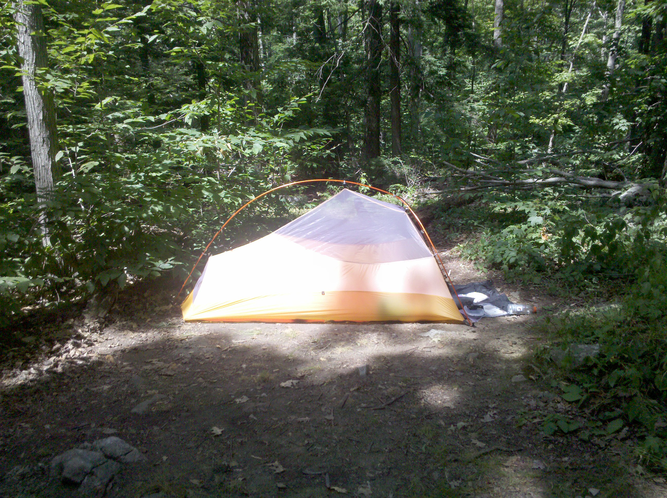
Neither Barry nor I felt much like hiking today. He was still getting over severe dehydration, and I over did the fried chicken (fat) yesterday so my stomach was off. Decided to take a zero and Rev. Bob said it was ok. This zero, unlike DWG, I really did NOTHING, which I need. Was able to get on the computer and write a script to make it easier to post my photos, but that, a few chores and walks to lunch and dinner were it. Good to take a day off.
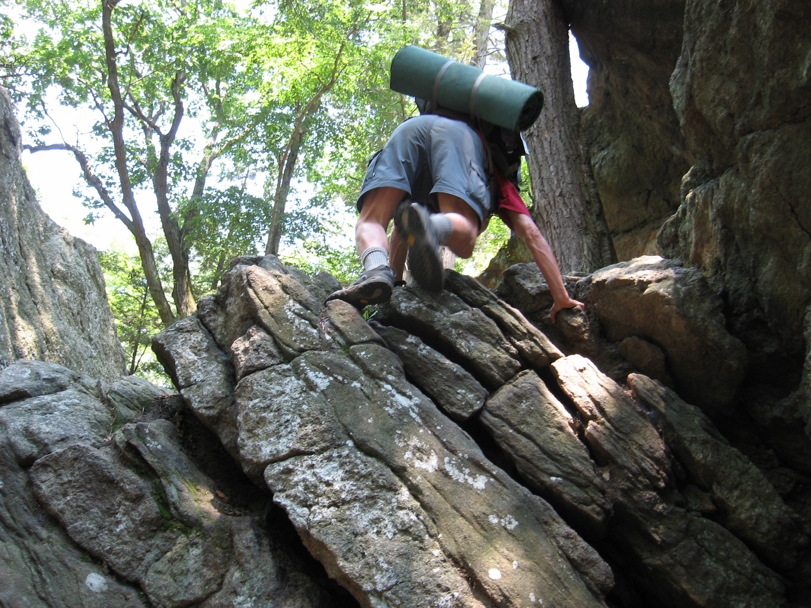
Day started off with good trail and a fast pace. But then we crossed into NY and the trail turned to rock climbs, blazes were non-existent when you needed them most, there was NO shade and it was hot as hell. By the time we got to the road we (Barry and I) were both out of water. Lucky for us trail magic was at hand, cold water, soda, cookies and fruit thanks to thru hiker Ichabad and his parents. What a Blessing. Two other thru hikers were going into the Inn due to illness and I said Barry and I were going too. Had fantastic Chinese for dinner, but still trying to rehydrate after today's hike. Tomorrow done not seem to hold any relief, hot and sunny with the same type of trail ahead, but we sleep on beds with A/C tonight.
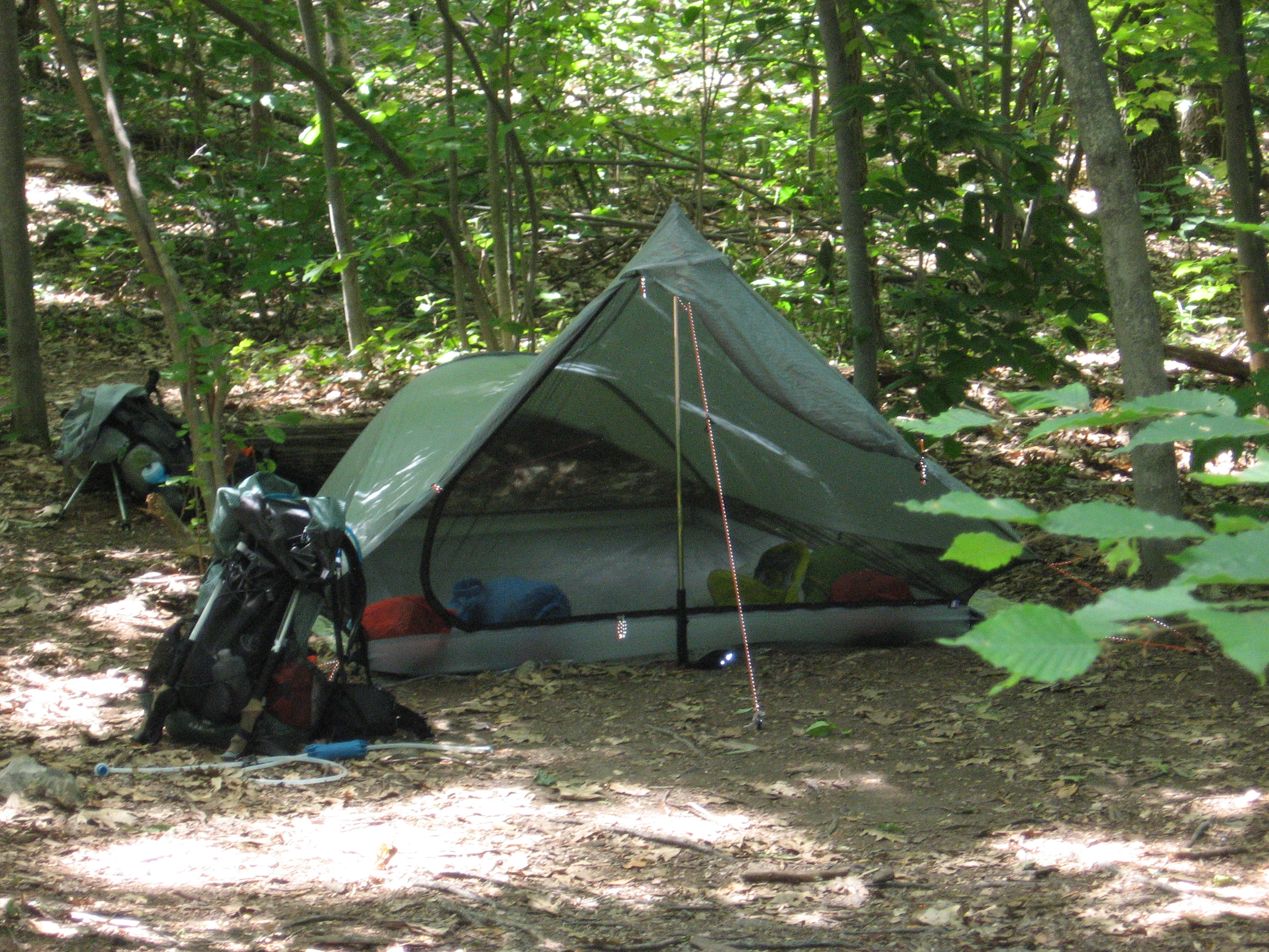
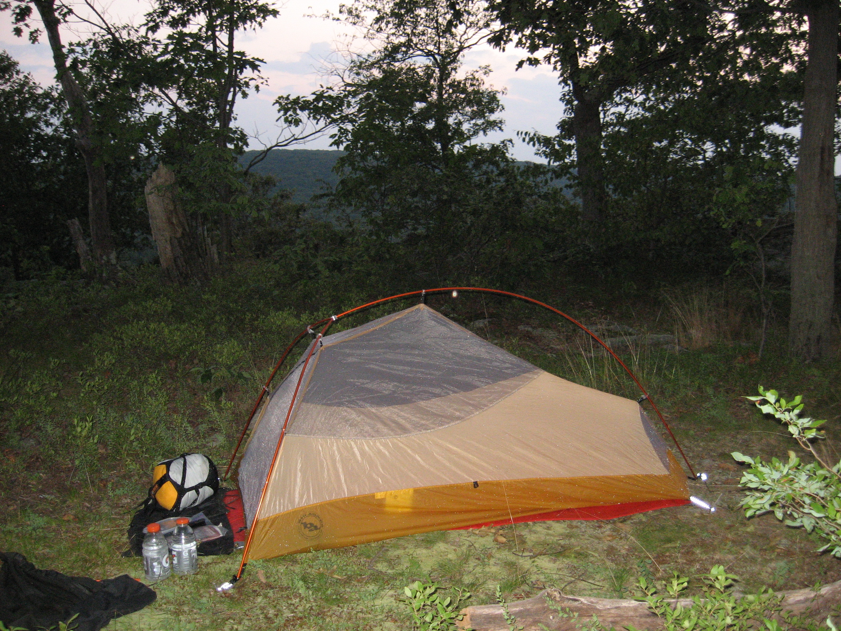
Today was too hot, too rocky, too buggy and just too long! The only fun I had today was a dip in a pond, dinner by a nice cold water spring (which was 0.5 miles off the trail) and a nice sunset from the campsite. Water is very scarce in these parts right now. Fitzgerald Falls was a trickle and the Orange Turnpike spring was flowing but that was it (we didn't need water at the two ponds we passed, but I wouldn't drink from them anyway). I am still sweating like a pig and it is after 9pm! Anybody make an a/c unit for a tent?
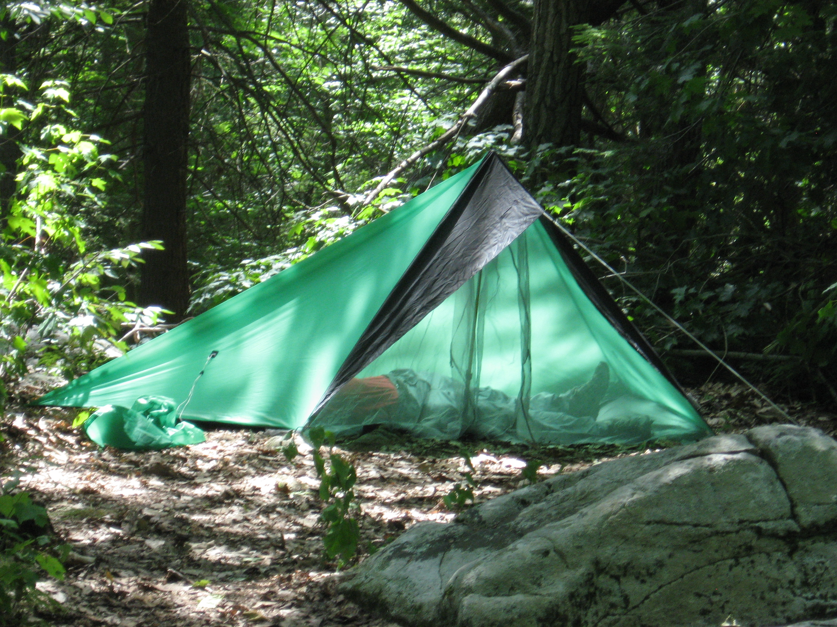
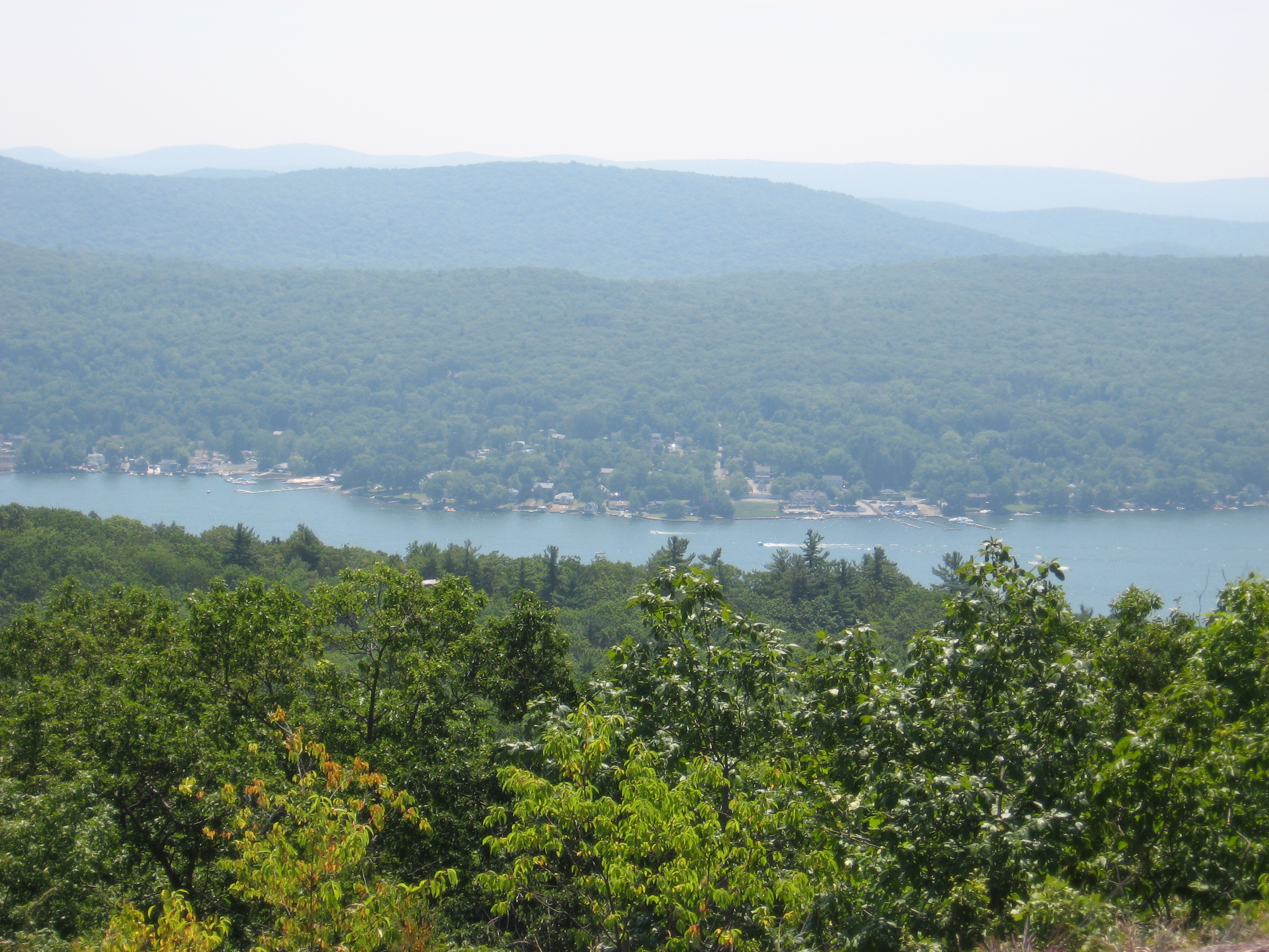
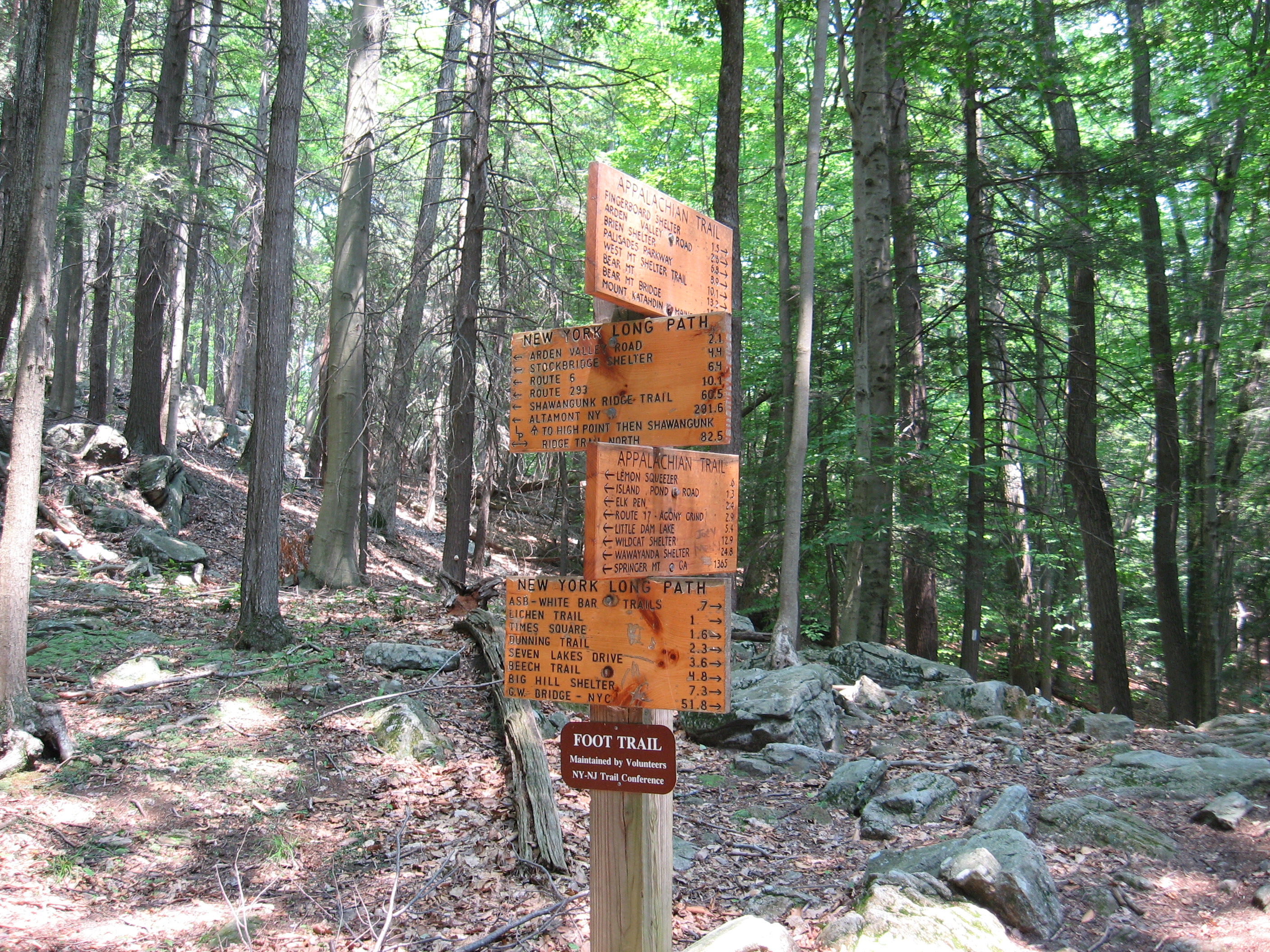
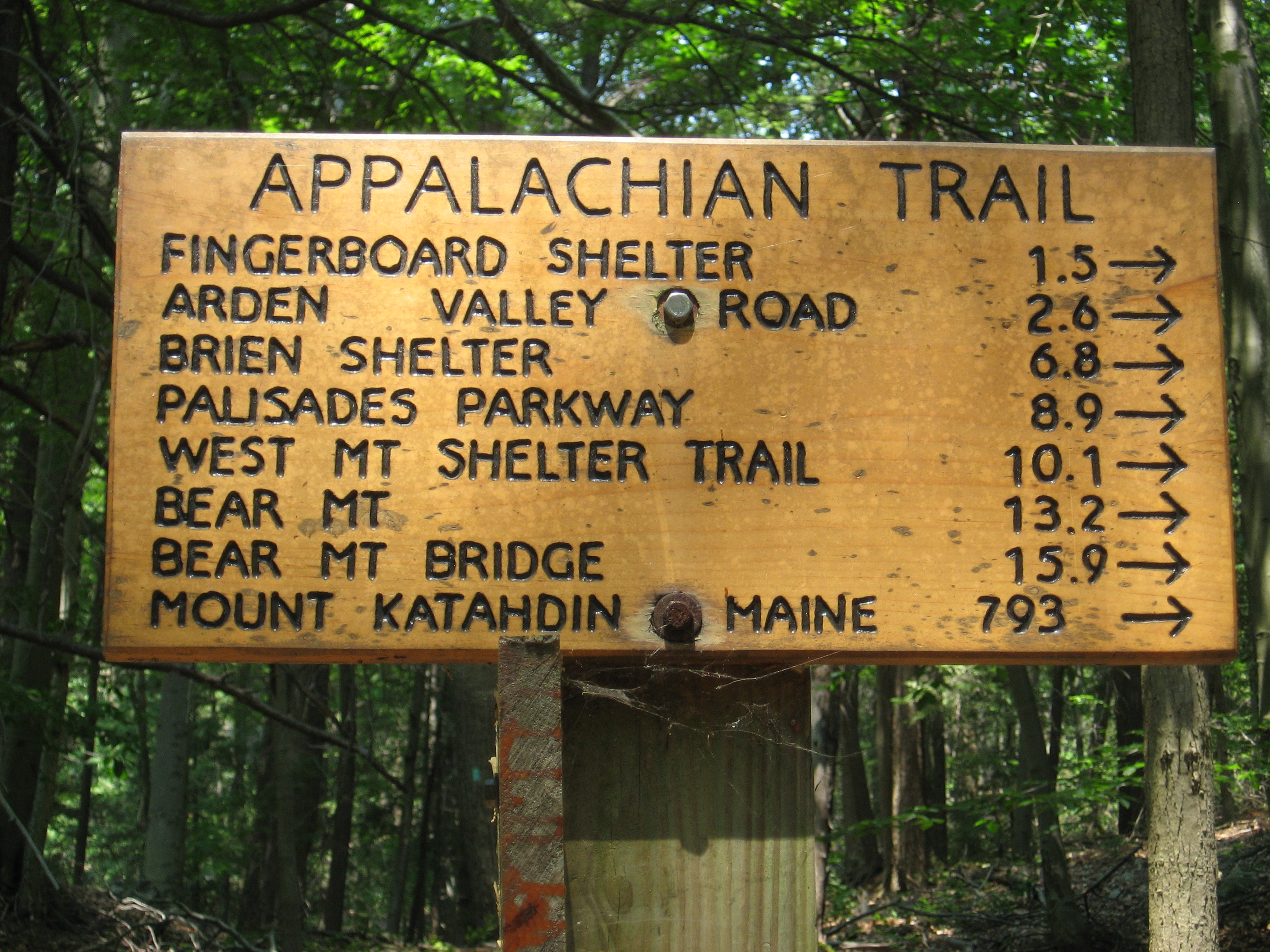
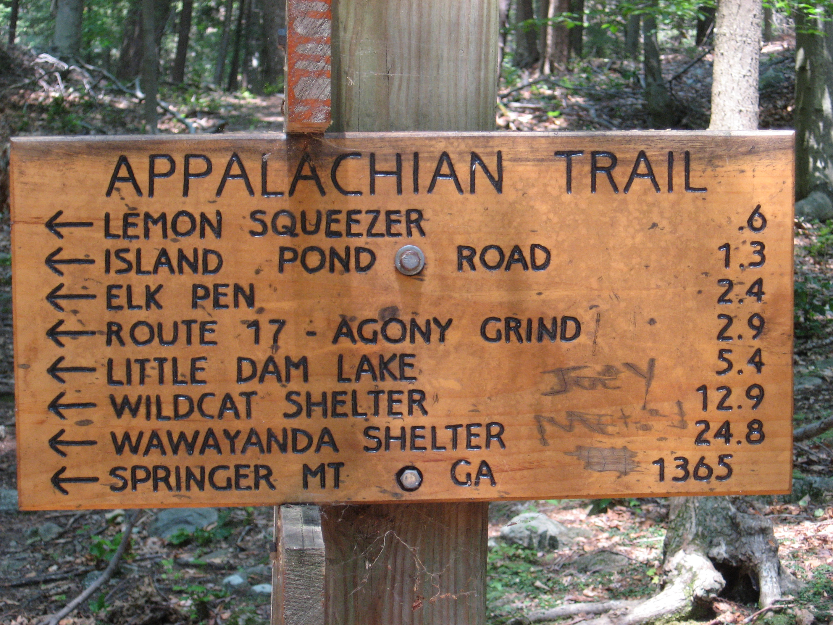
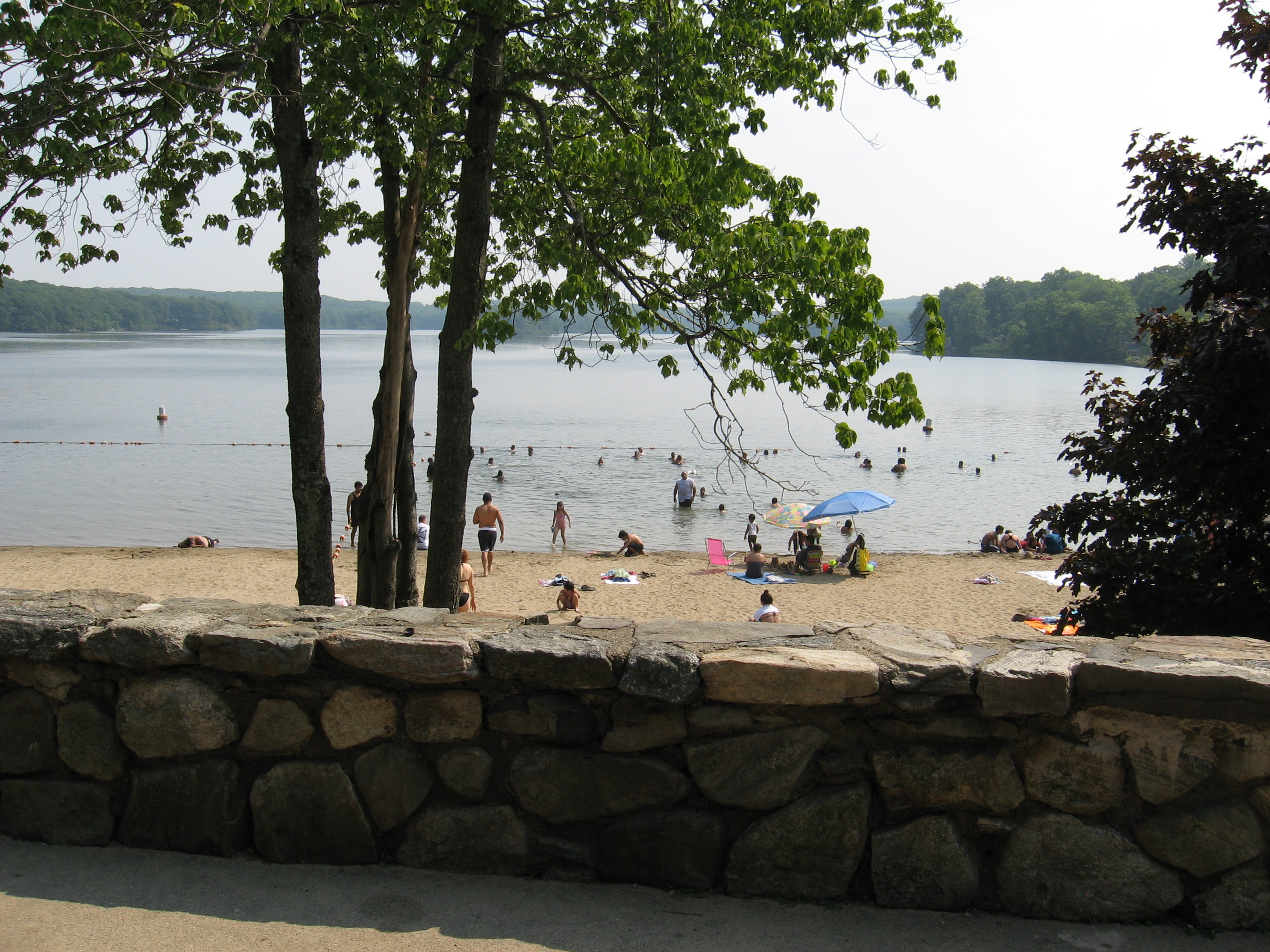
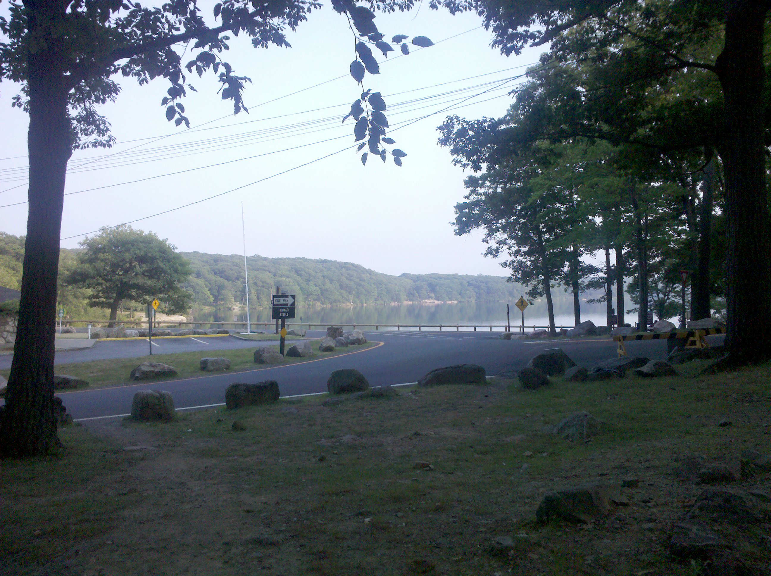
Today was much better than yesterday. Although it was still HOT, there was a cool breeze at times, and a cloud from time to time. After the downhill nicknamed "Agony", my knees started feeling better and the trail seemed a lot more fun. We swam at Island Pond, which was fantastic! The "Lemon Squeezer" was fun, or at least I thought so, and then we swam a second time at Lake Tiorati, which had soda and ice cream as well. We left after they closed the place down and hiked until almost dark and just threw up a quick camp.
All and all a HOT but fun day!
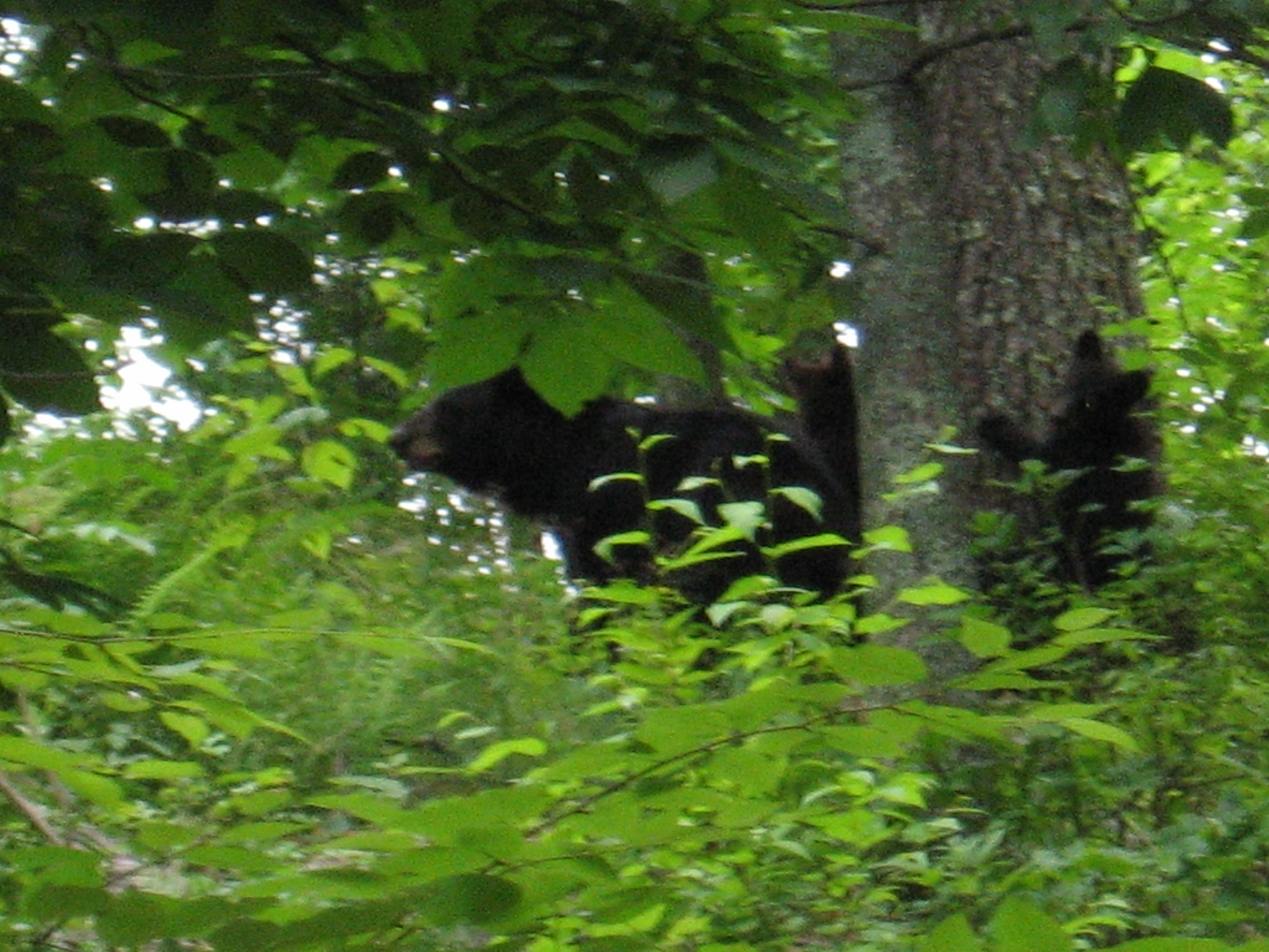
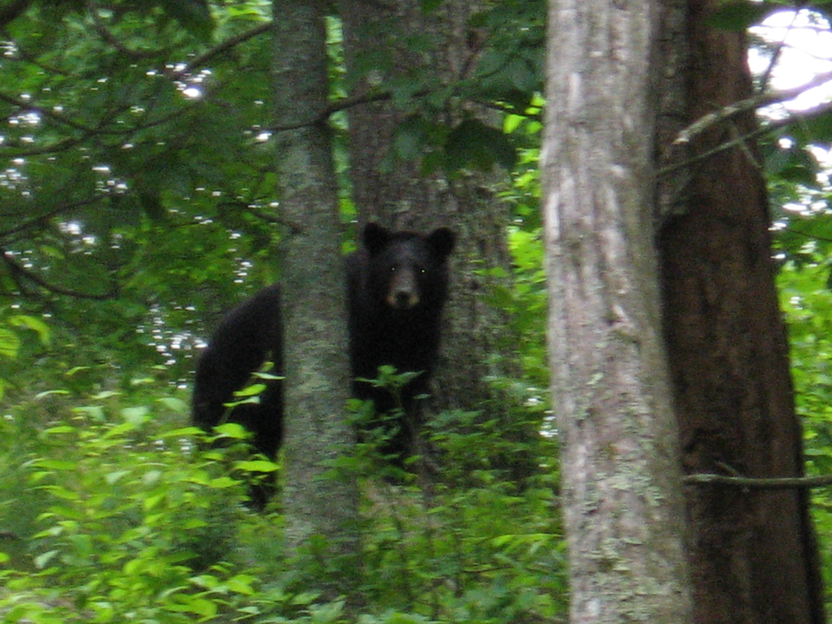
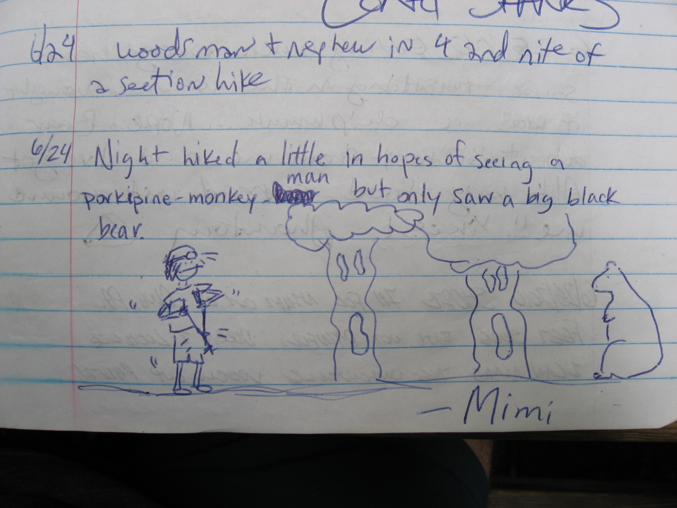
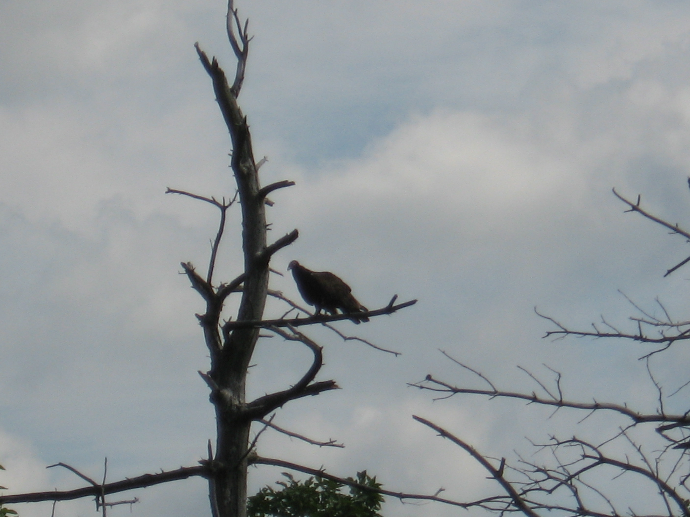
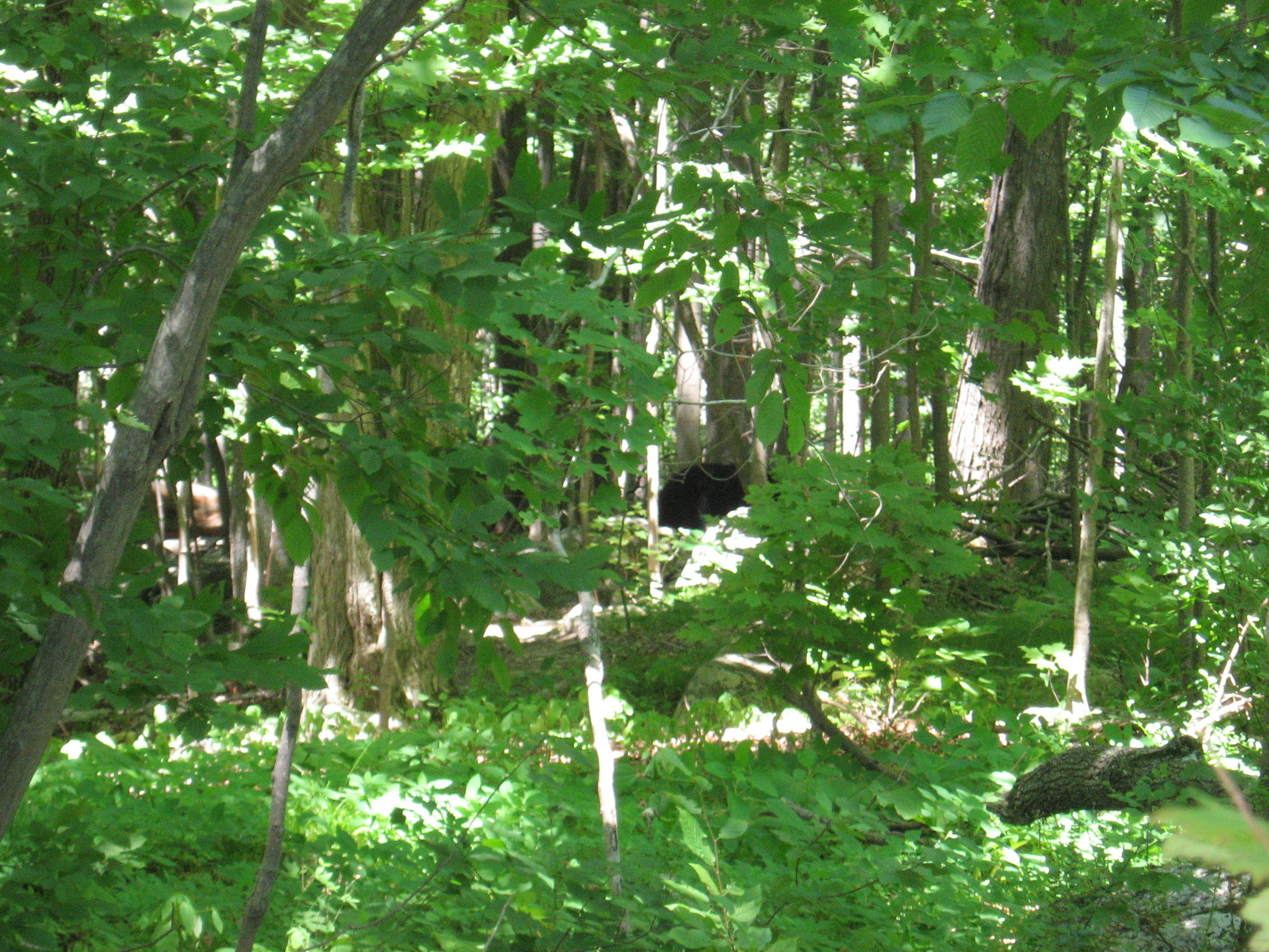
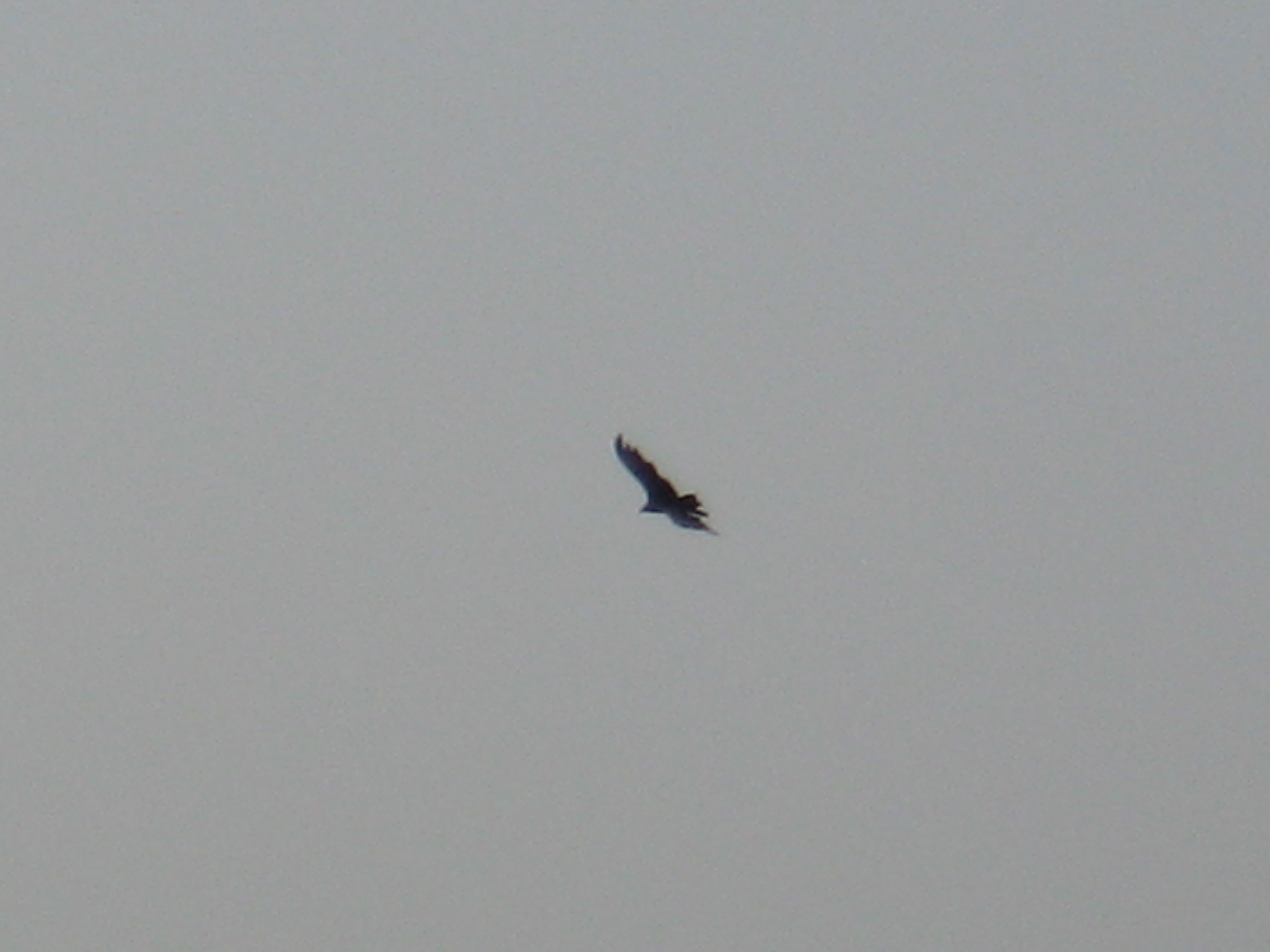
PS Saw a bear before crossing 17A (no pic, happened too fast), 4 deer and a small water moccasin.
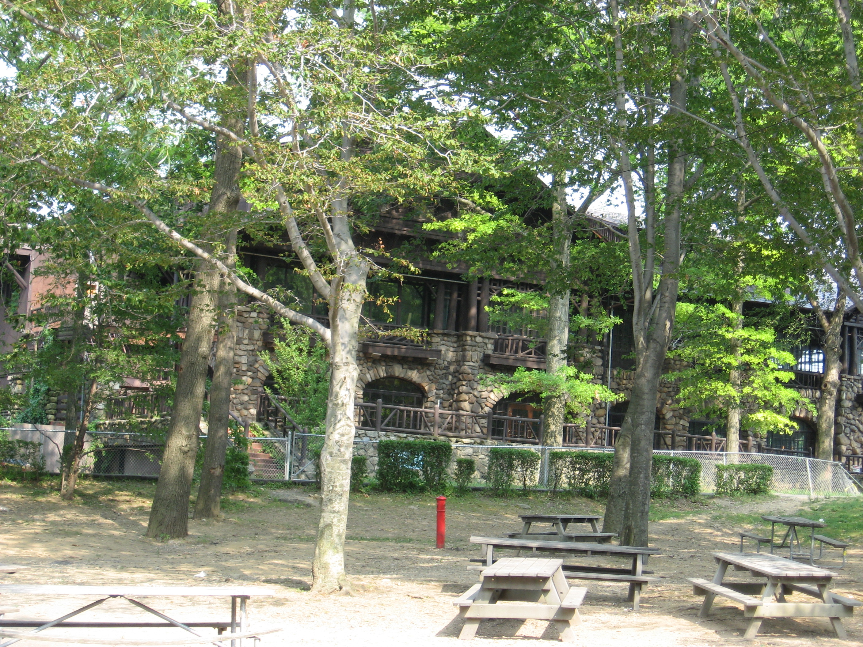
Bear Mountain Inn, Hessian Lake (155') Bear Mountain, N.Y. 10911
155
1403.1
Bear Mountain Museum and Zoo (124')
124
1403.2
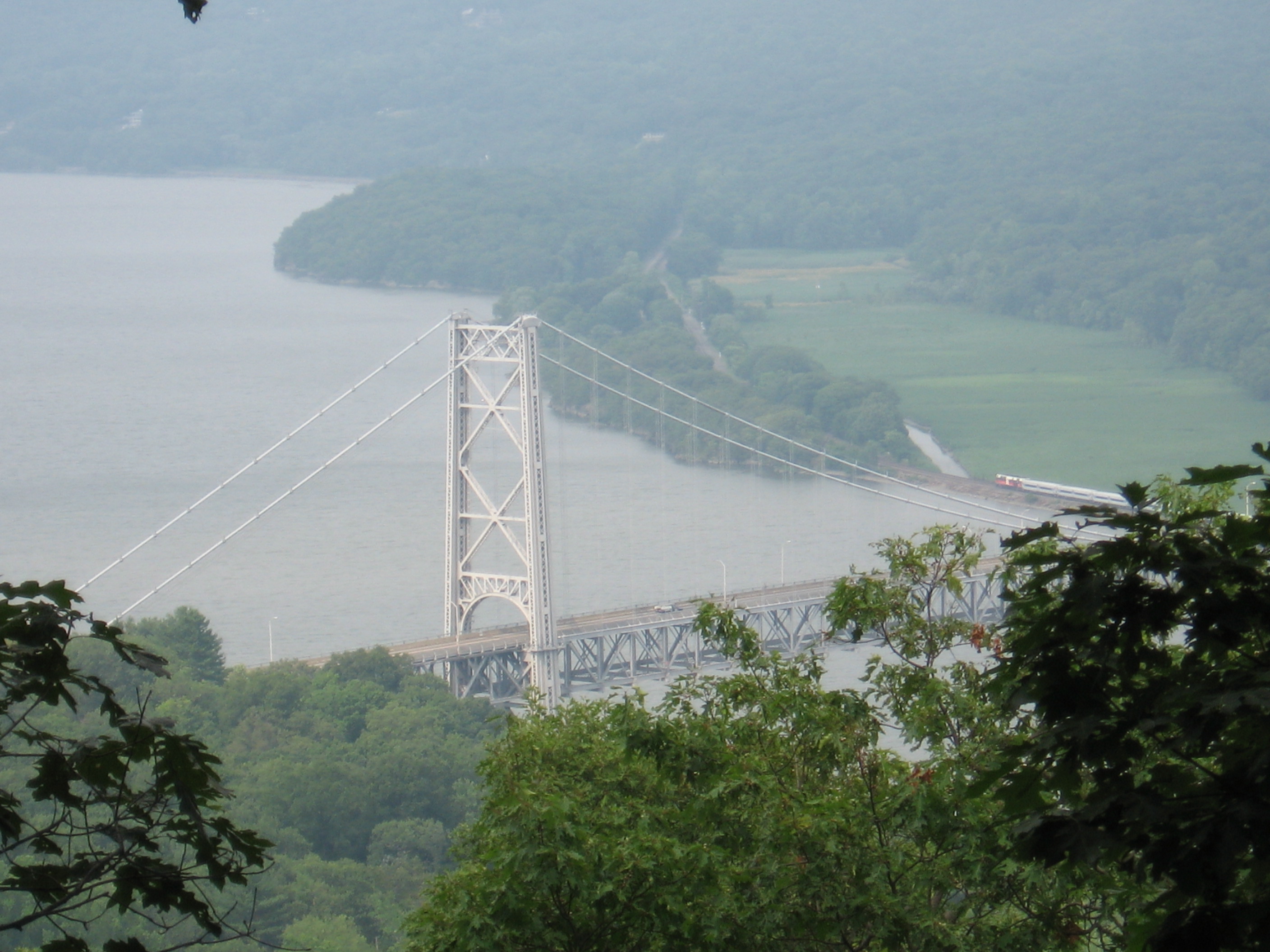
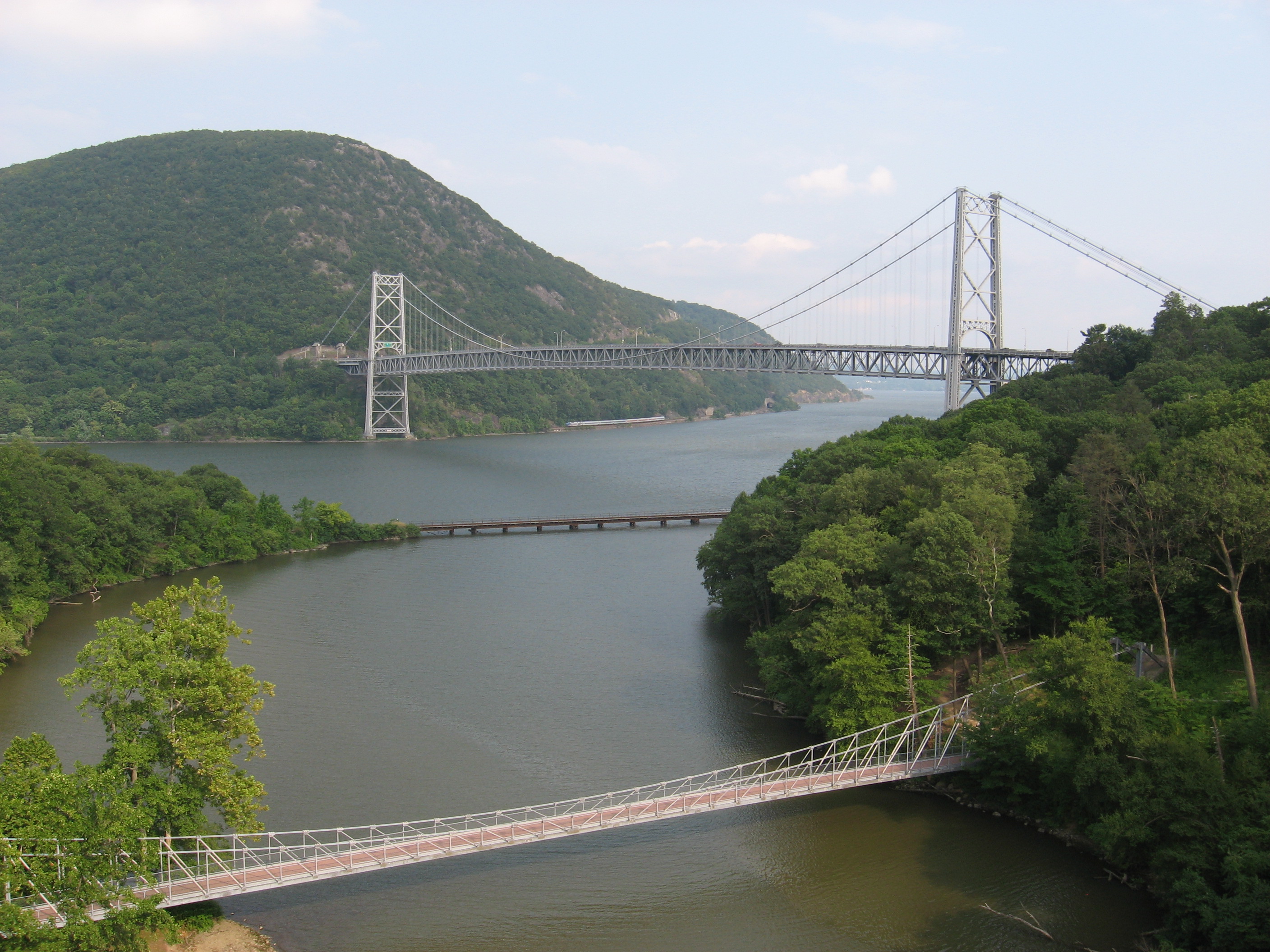
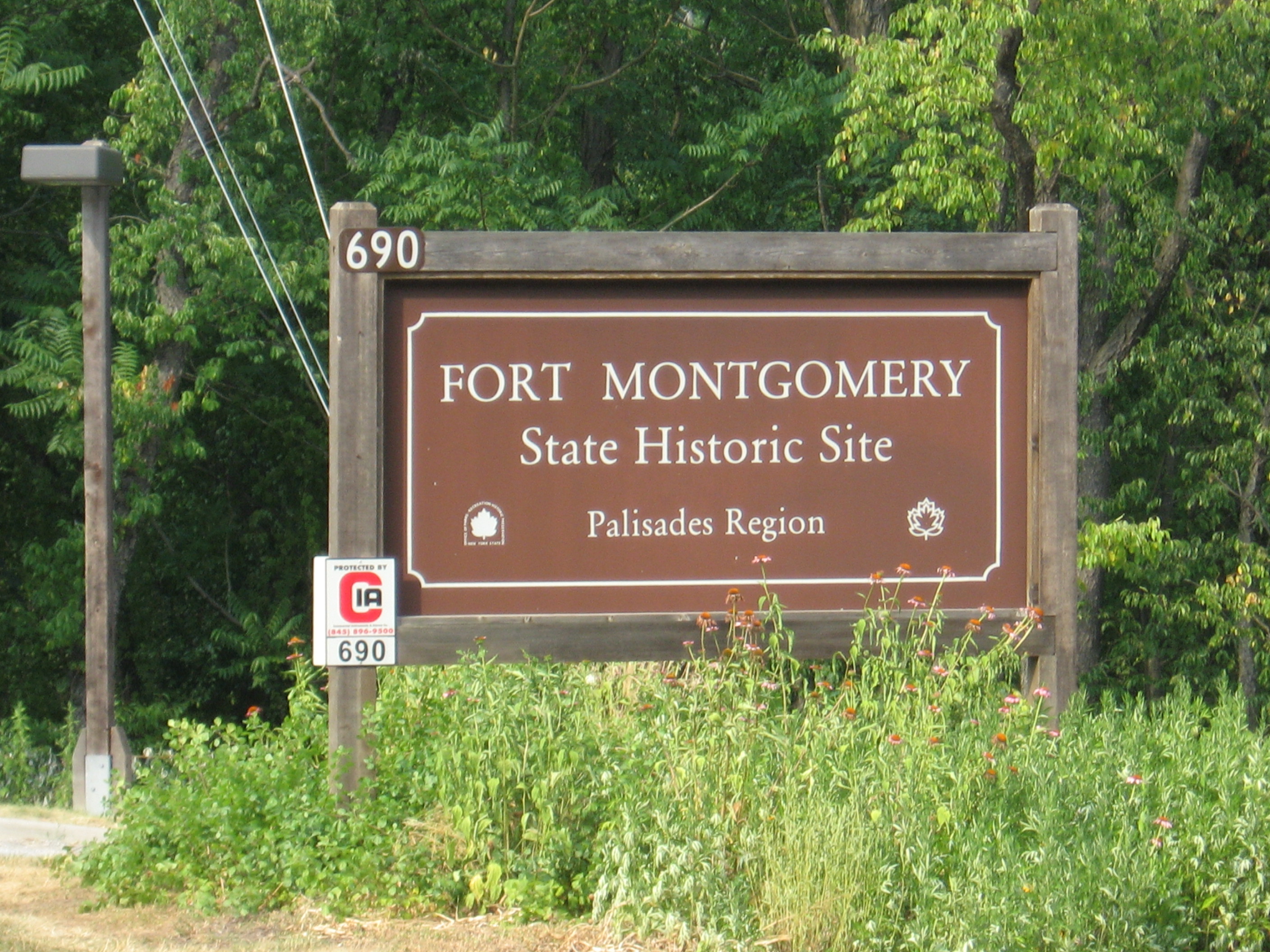
U.S. 9W, Bear Mountain Circle (150') Bear Mountain Bridge, Hudson RiverFt. Montgomery, N.Y. 10922
150
07/8/10 9:50 pm
My Location: N 41°20'04.58", W 73°59'06.87"
290 m map it
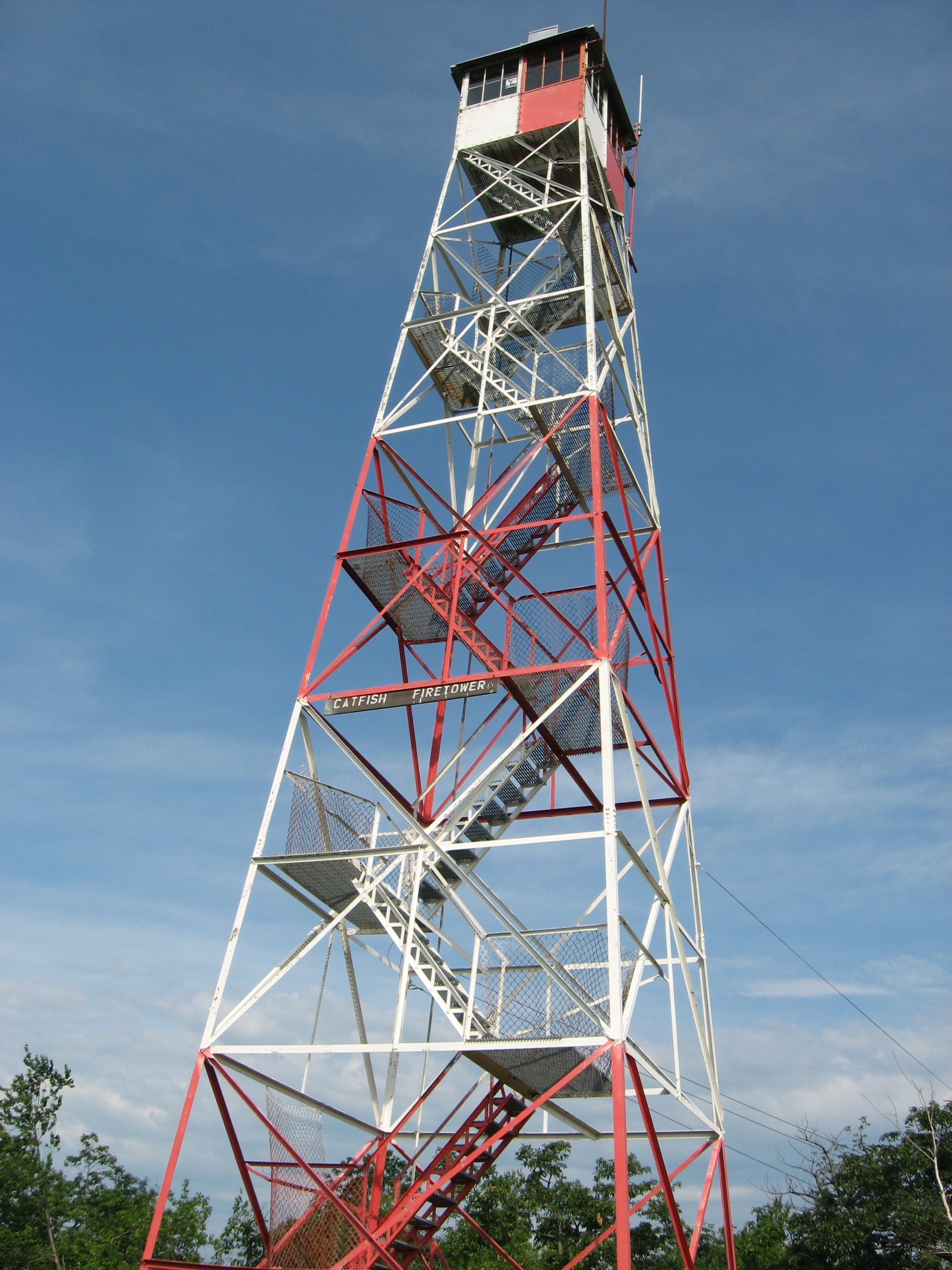
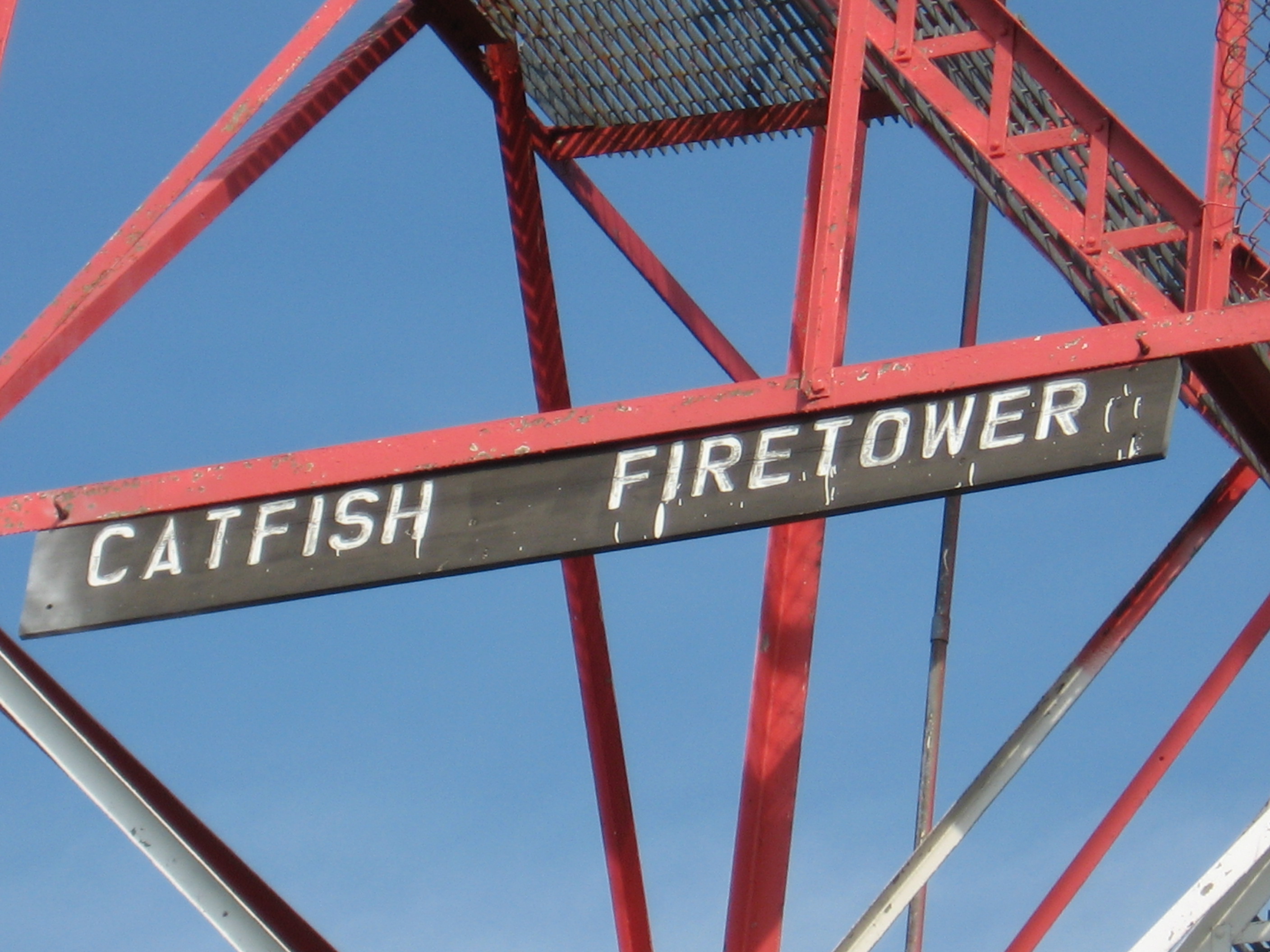
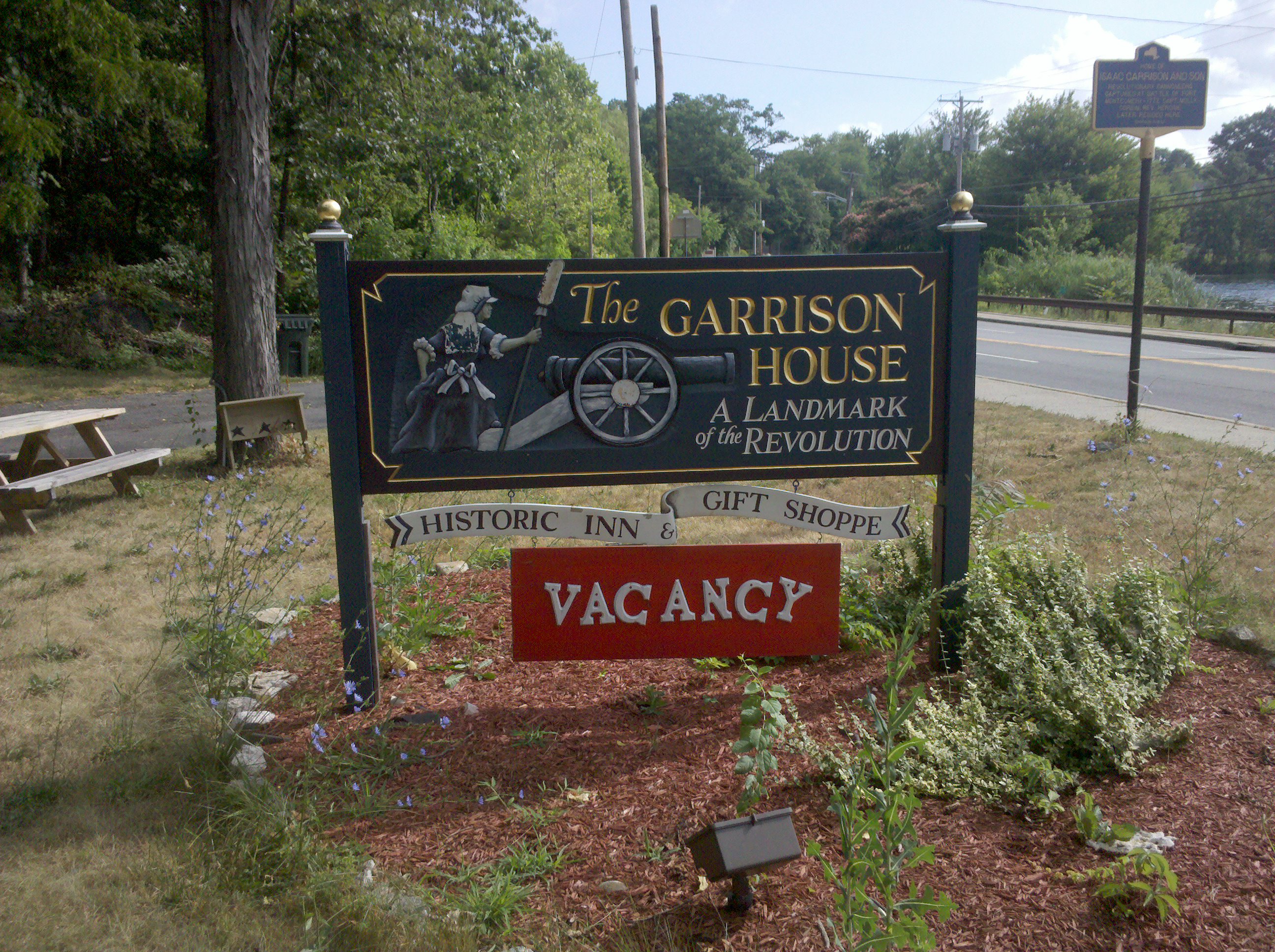
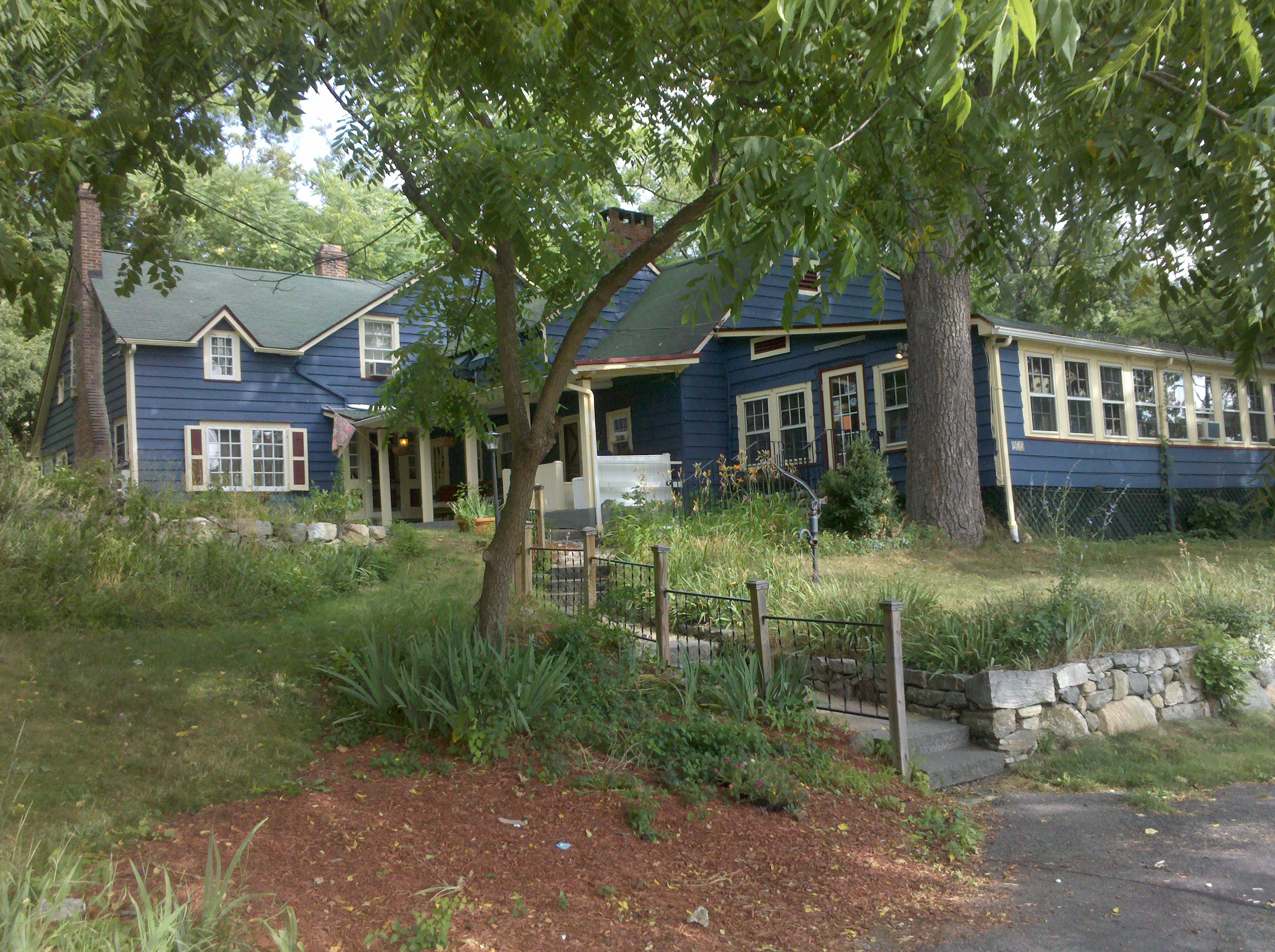
Today was HOT.....DAMN HOT. Actually, it was more humid than hot, but it kicked my butt. Once again it was not a fun day and I just seemed to be off all day. I woke up to a crazy bird that made a call that sounded like a cross between someone calling for help, and a rabbit being killed by a bird of prey. Then I was sweating like a pig before even putting on my backpack on. Then up and down all day on top of the humidity. I had to take a nap at an overview, loosing Barry for the first time in days. Only good parts of the day: got hit by a rain drop (yes I mean A raindrop) and the sun stayed behind clouds most of the day. I also missed going through Bear Mountain Zoo (really, from what I heard, that goes in the good column) and just missed the post office by a half hour. Walked down to The Garrison House (a bright spot for the day) now sitting here well after hiker midnight, watching TV and writing this. Looking forward to a change of weather promised over the next day or two.
7/9/10 7:15am
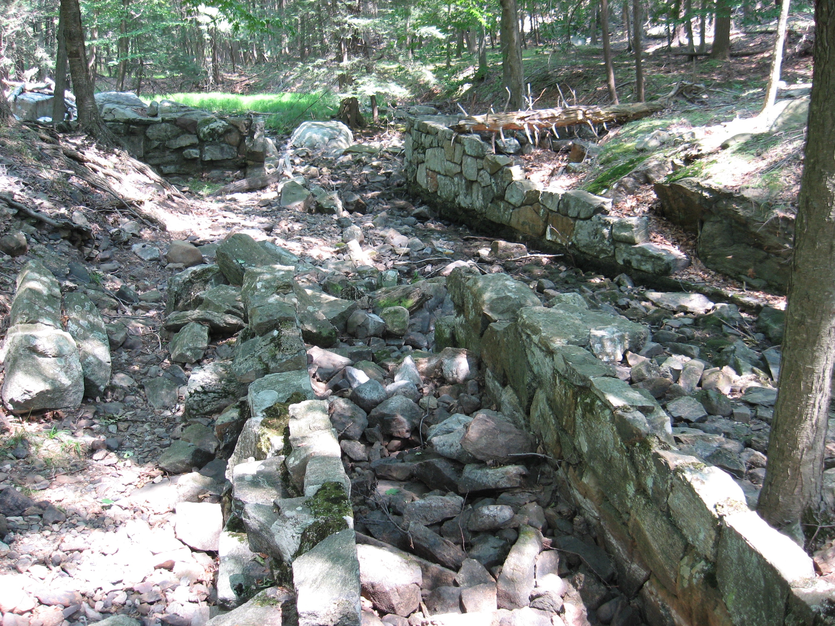
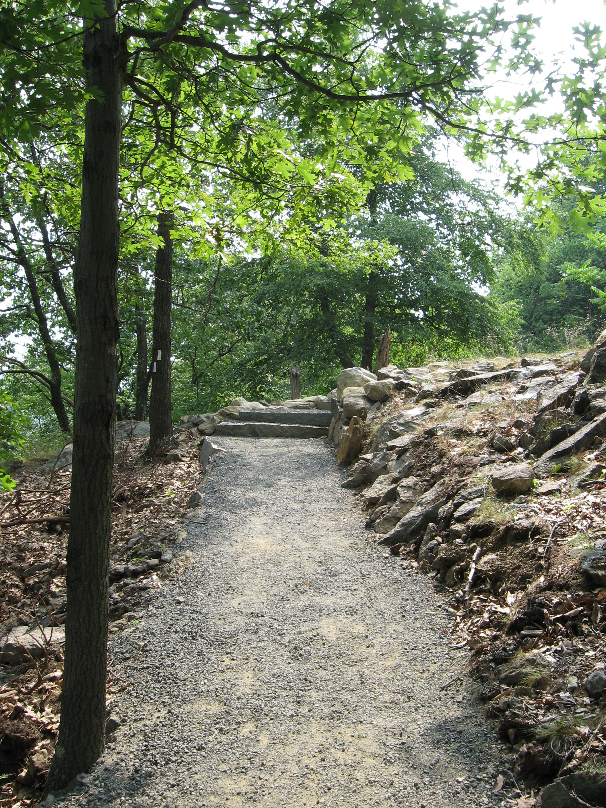
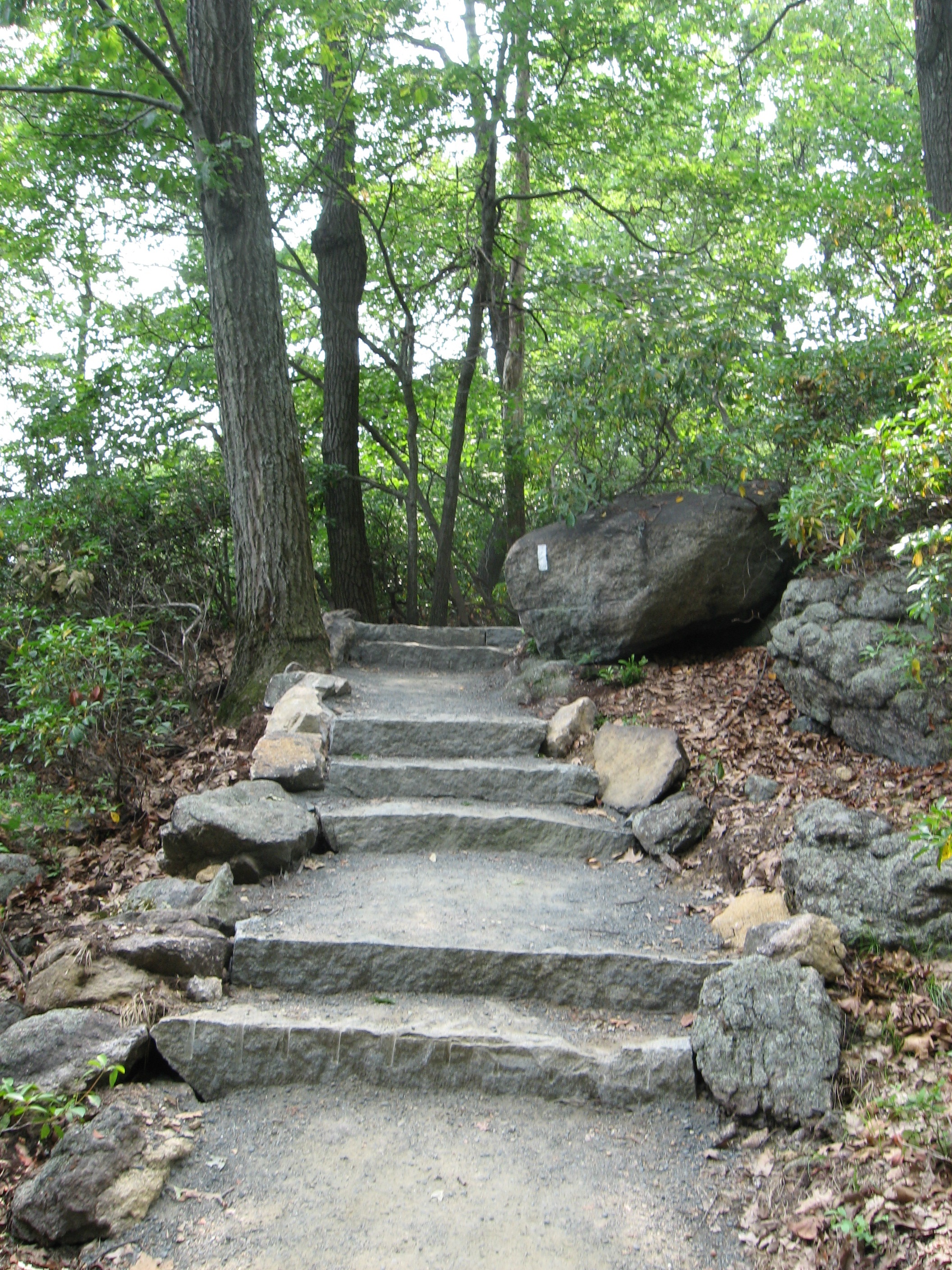
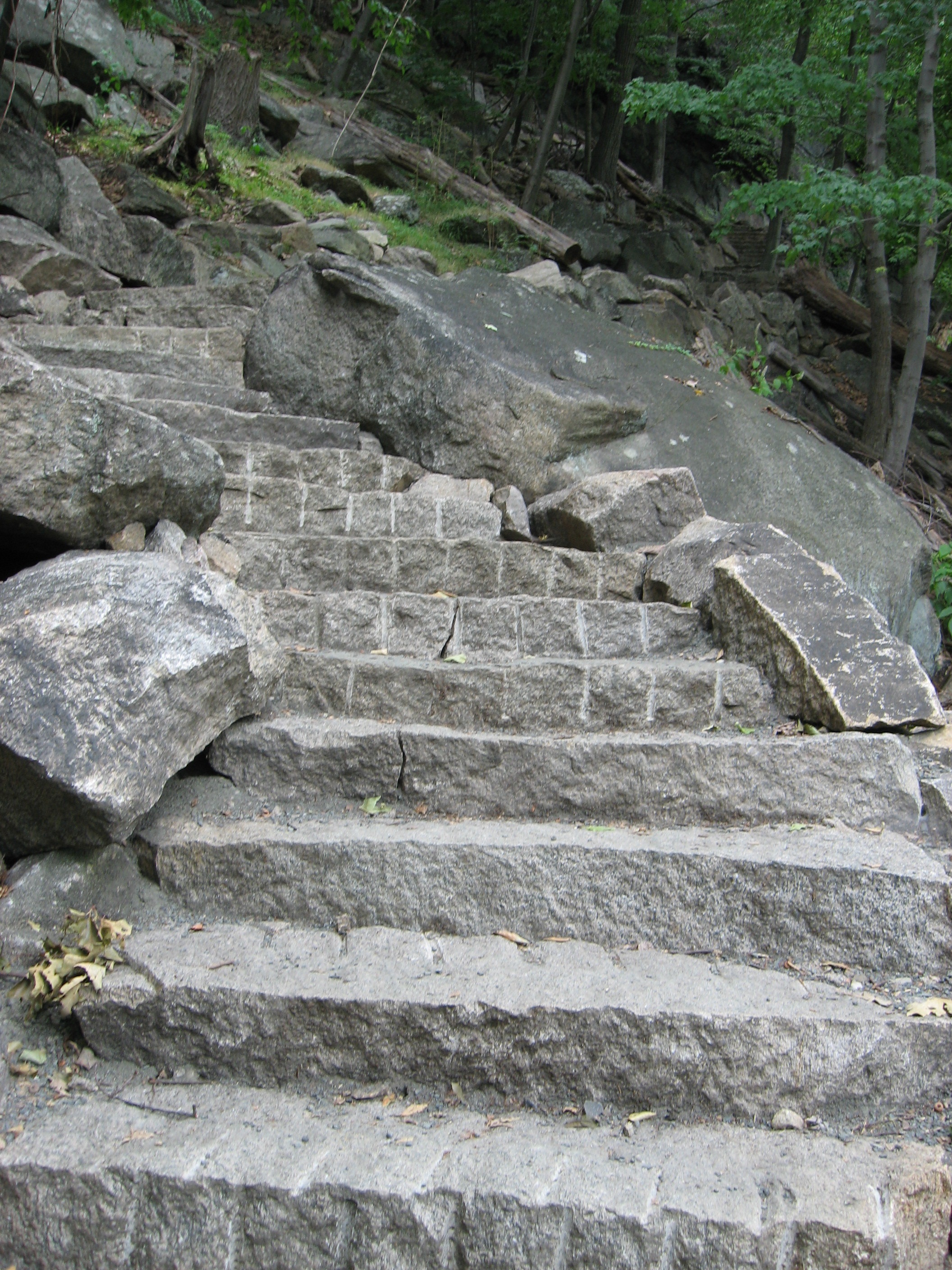
I do have to make a comment about yesterday's section. Going down to Bear Mountain State Park there are some 1000 steps, made out of stone, a beautiful surface of stone and gravel and rock walls. I sure hope this was NOT done by the NJ/NY Trail Club, because it was that money could have kept the whole AT maintained for years, bought material for all new shelters and funded the ridge runner program just on the interest of the money spent. If it was funded by tax dollars.....well that's government for ya.
Also, if you have walked this section and think the AT is all like that, you are dead wrong. The trail rarely has steps and is not surfaced the way this section is. This section is the Bill Bryson section, not what the AT is truly like.
7/9/10 9:15pm
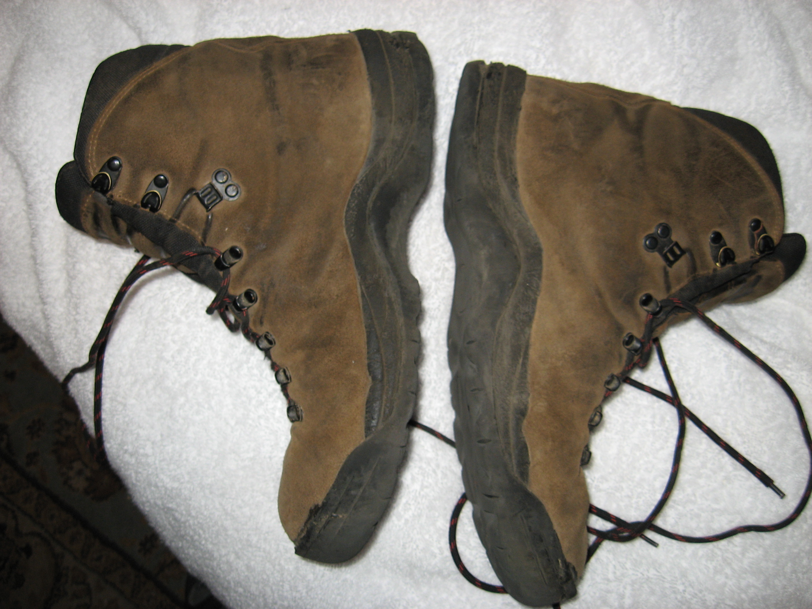
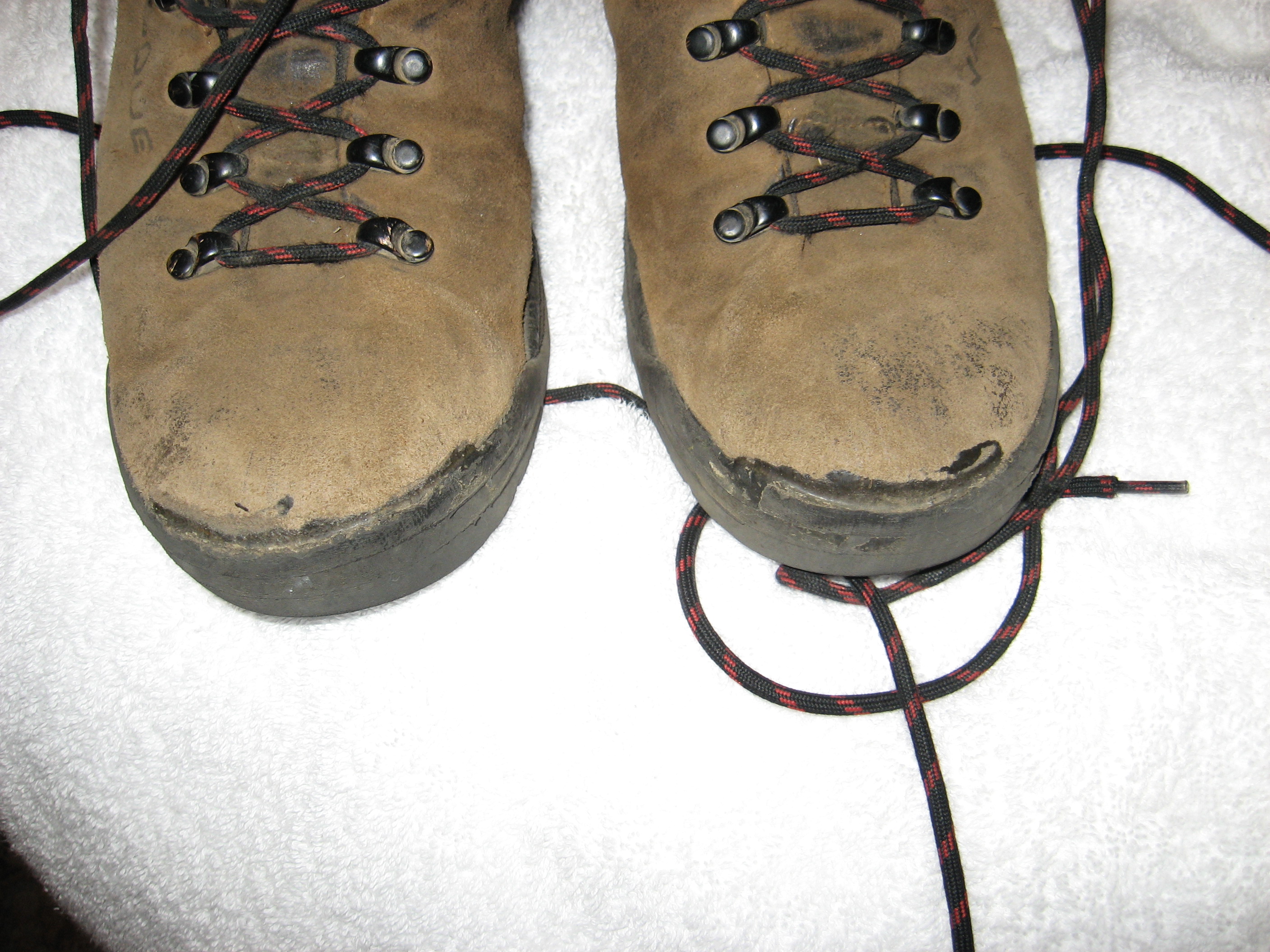
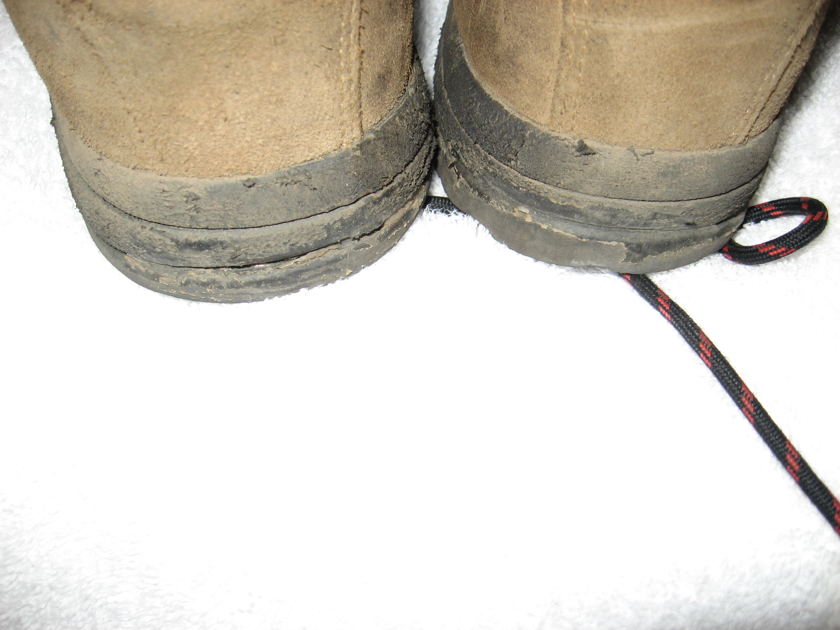
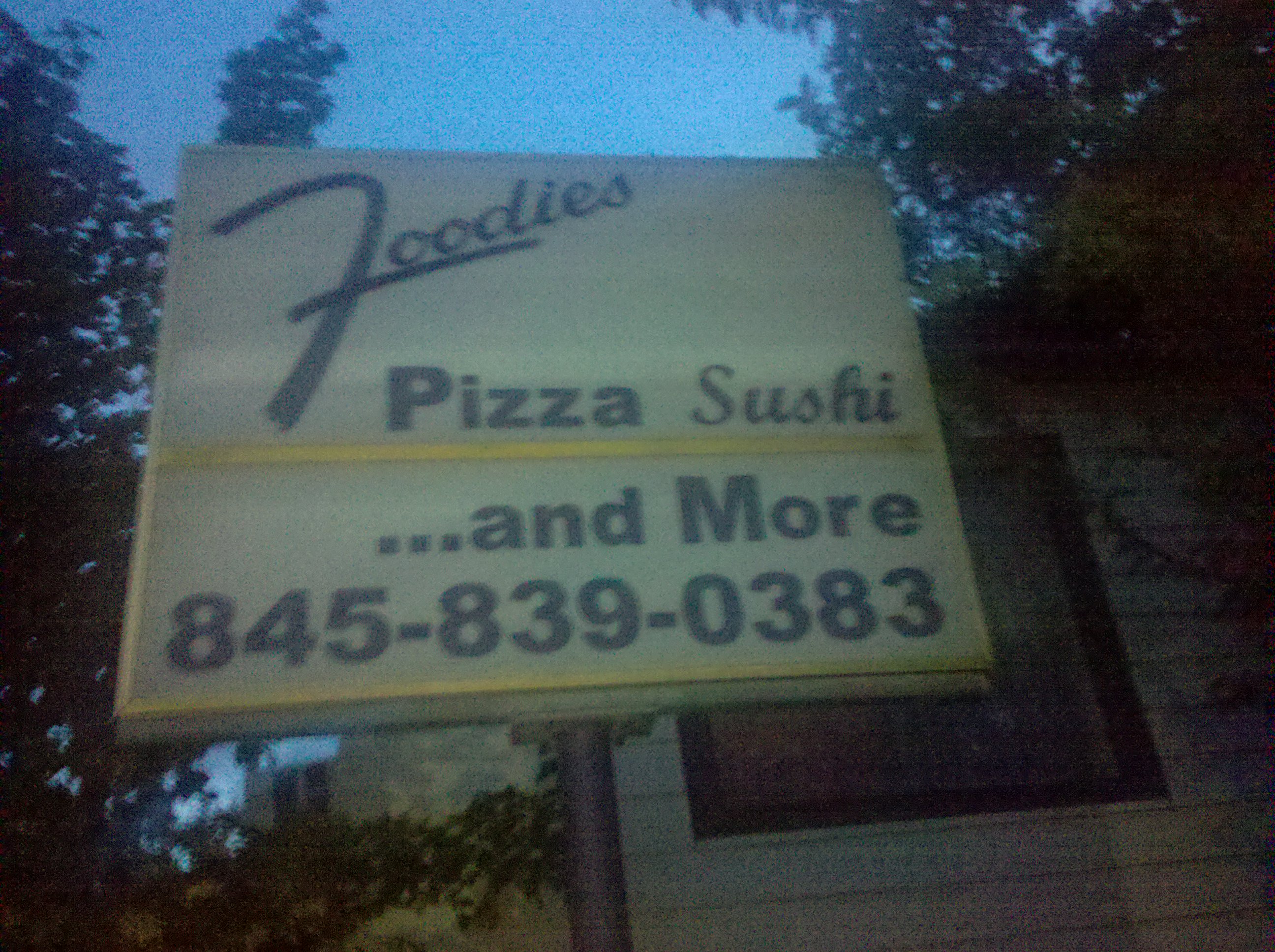
Got up with my left knee hurting a bit and very stiff. Walked to the deli for breakfast, then the post office (food drop and boots) and then back. It was hot, even though it was before 8am and my knee didn't loosen up at all, so by the time I got back I had decided to take a zero day. Sat around all day watching a "House" Marathon and resting my knee. No sign of anyone to pay all day (but she just walked it not a minute ago, and it took some time before she said a word about "what are you still doing here?", but she finally did). Went to Foodies for dinner (where the M&R market used to be). This place's sign says "Pizza and Sushi". Interesting combination, but the place gave me a sense of being in NY for the first time, the owner was a true NY'er Deli owner and the food was really good. The owner even gave use a ride back to the B&B. Knee feeling better on the walk there, so I will be moving on tomorrow.