| Miles from Springer | Features | Elevation |
|---|---|---|
| 1498.5 | U.S. 44 (700')Salisbury, Conn. 06088 Lakeville, Conn. | 700 |
| 1499.2 | Conn. 41, Undermountain Road (720') Salisbury, Conn. 06088 | 720 |
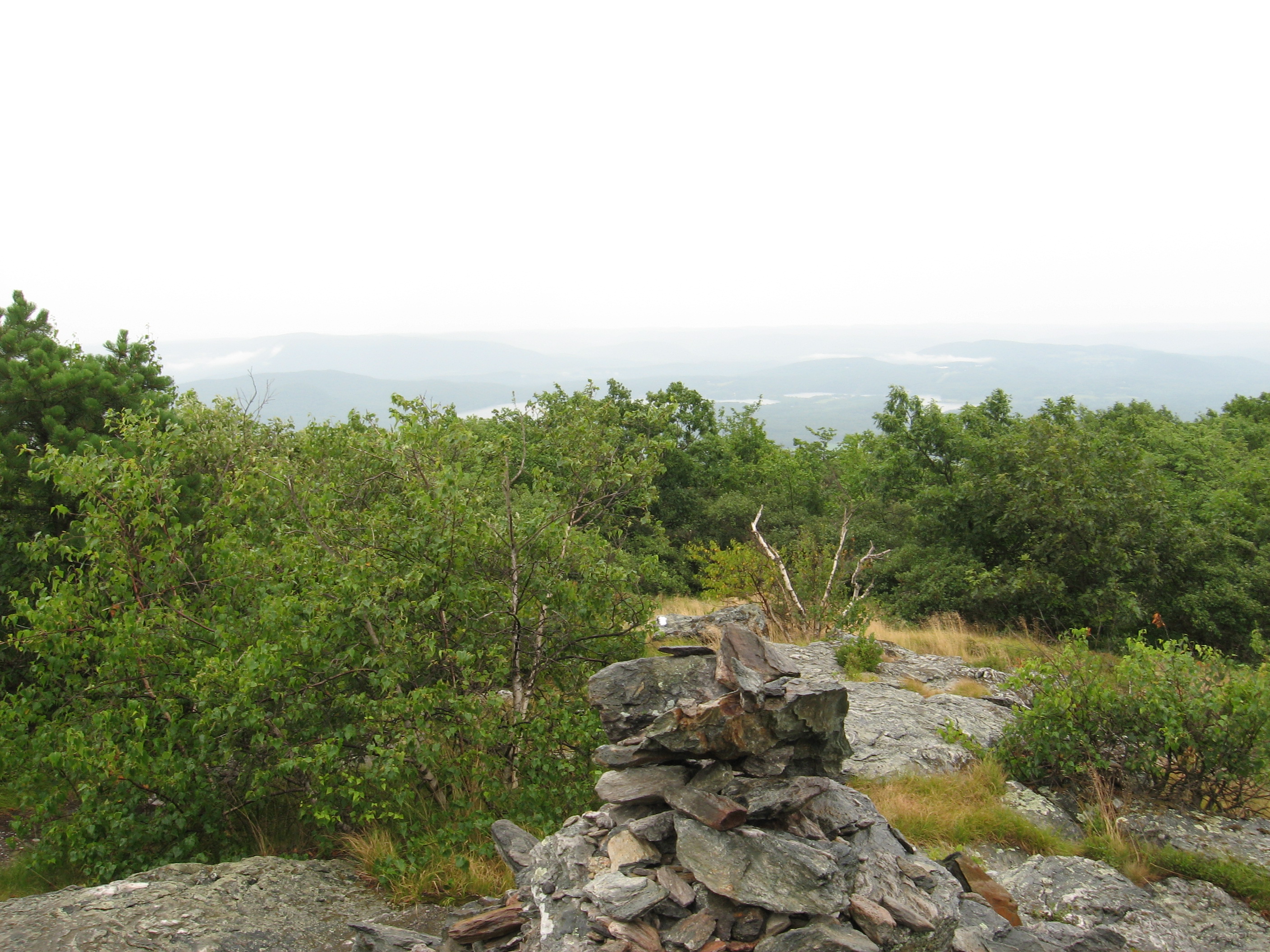
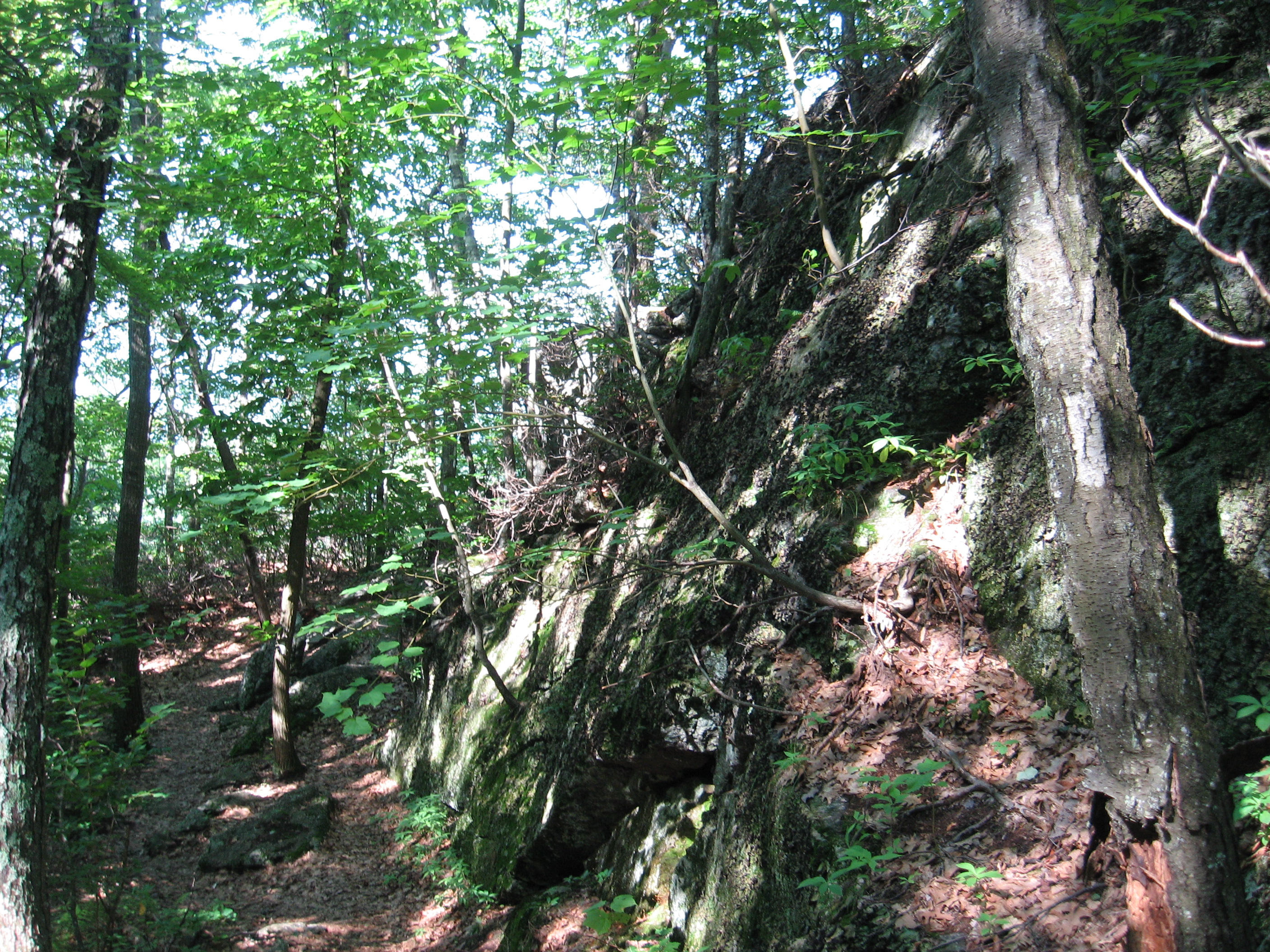
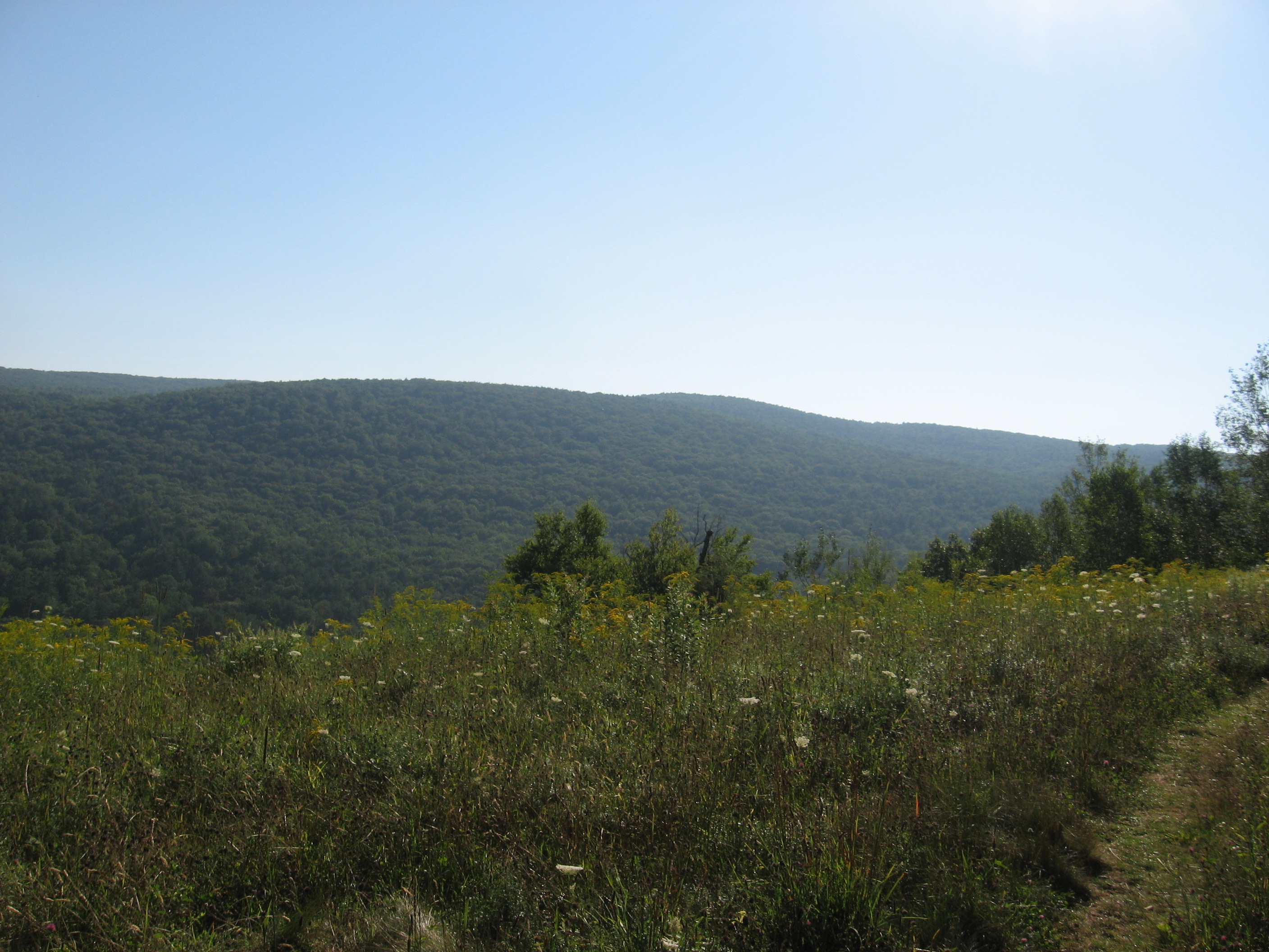
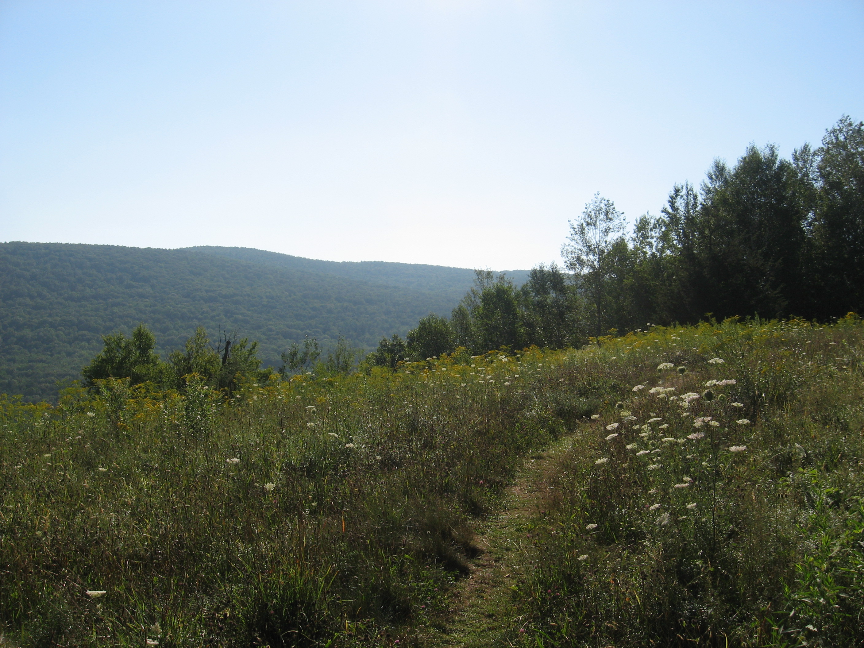
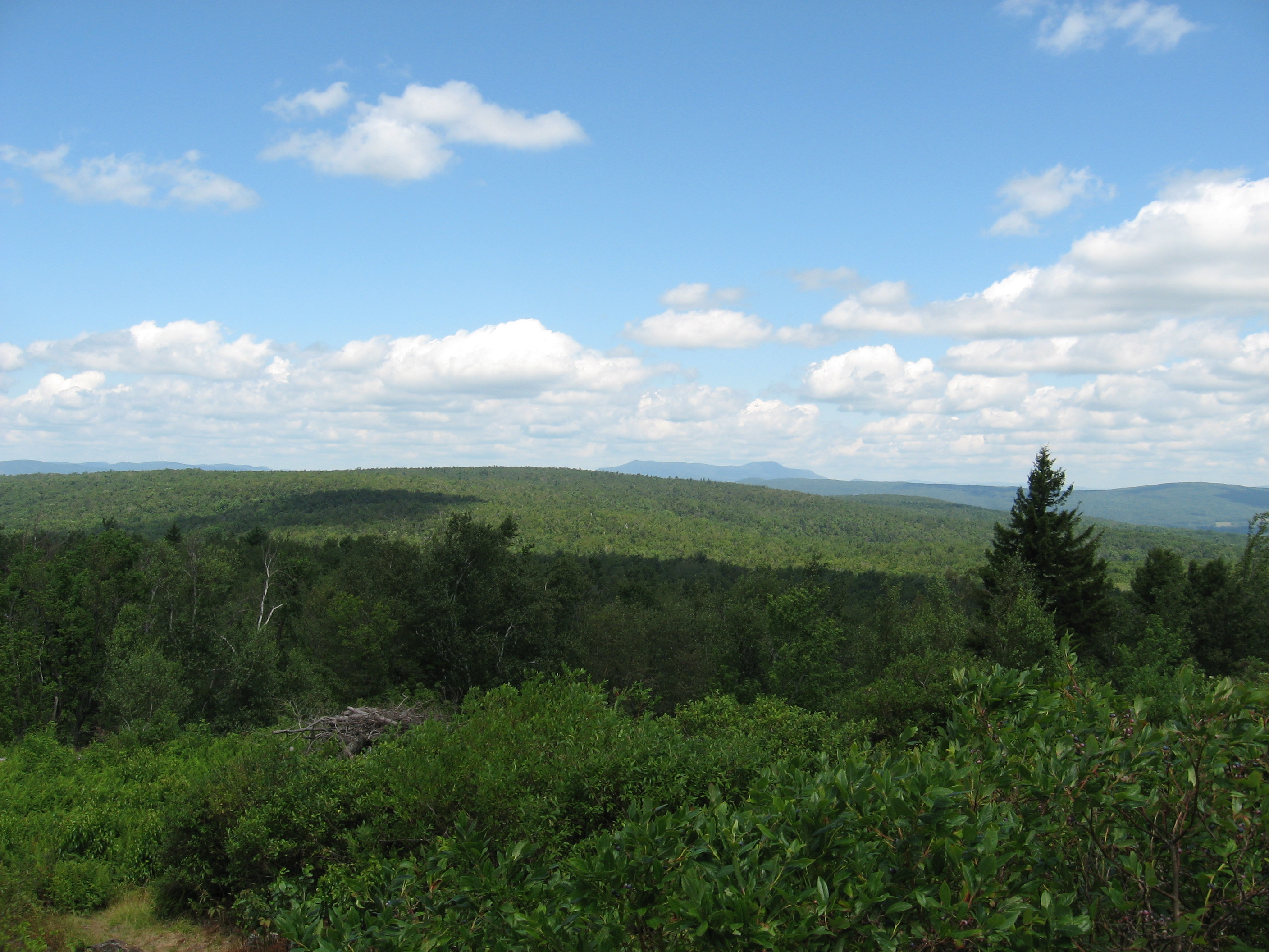
| 1501.9 | Lions Head (1,738') | 1738 |
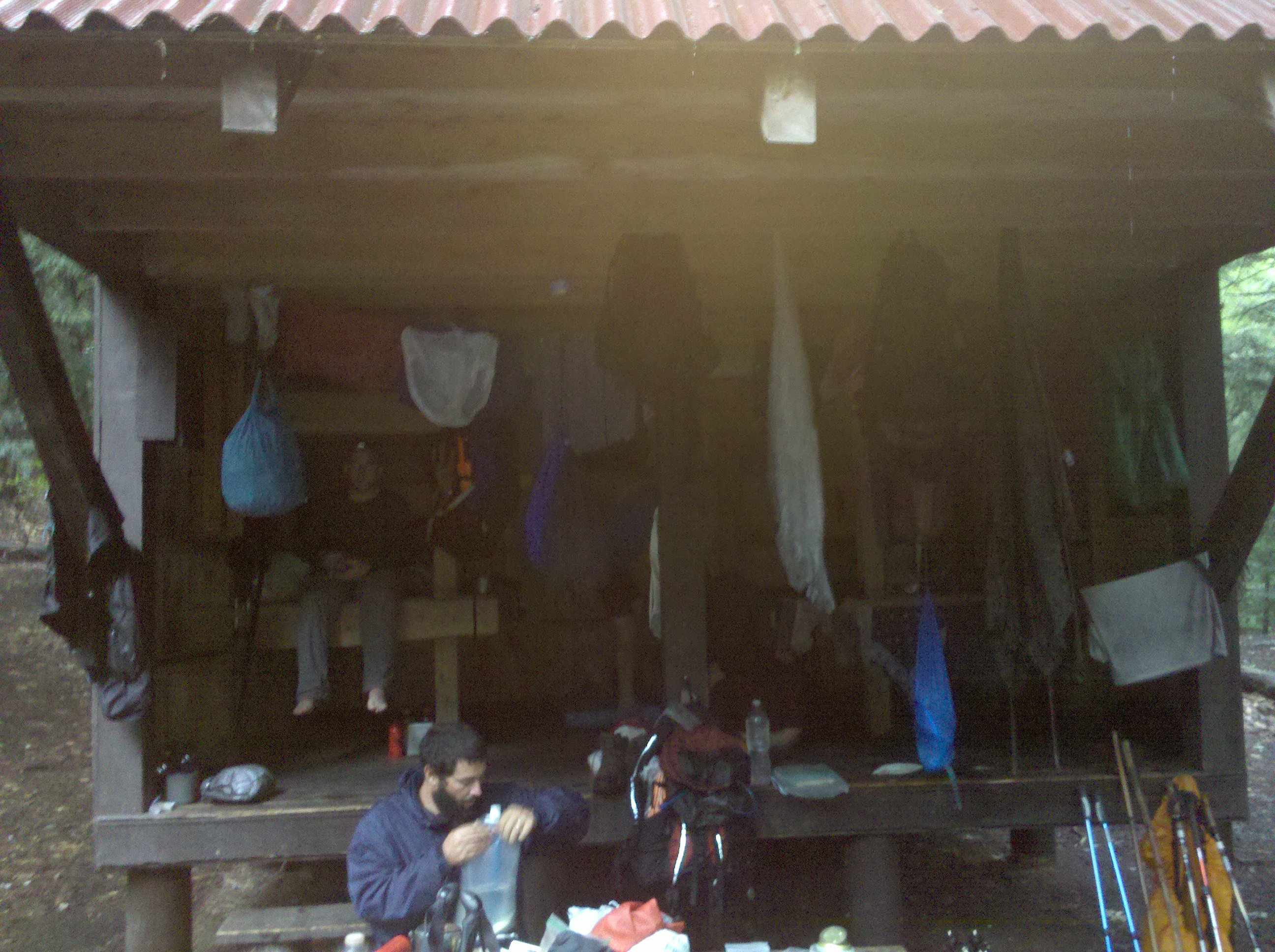
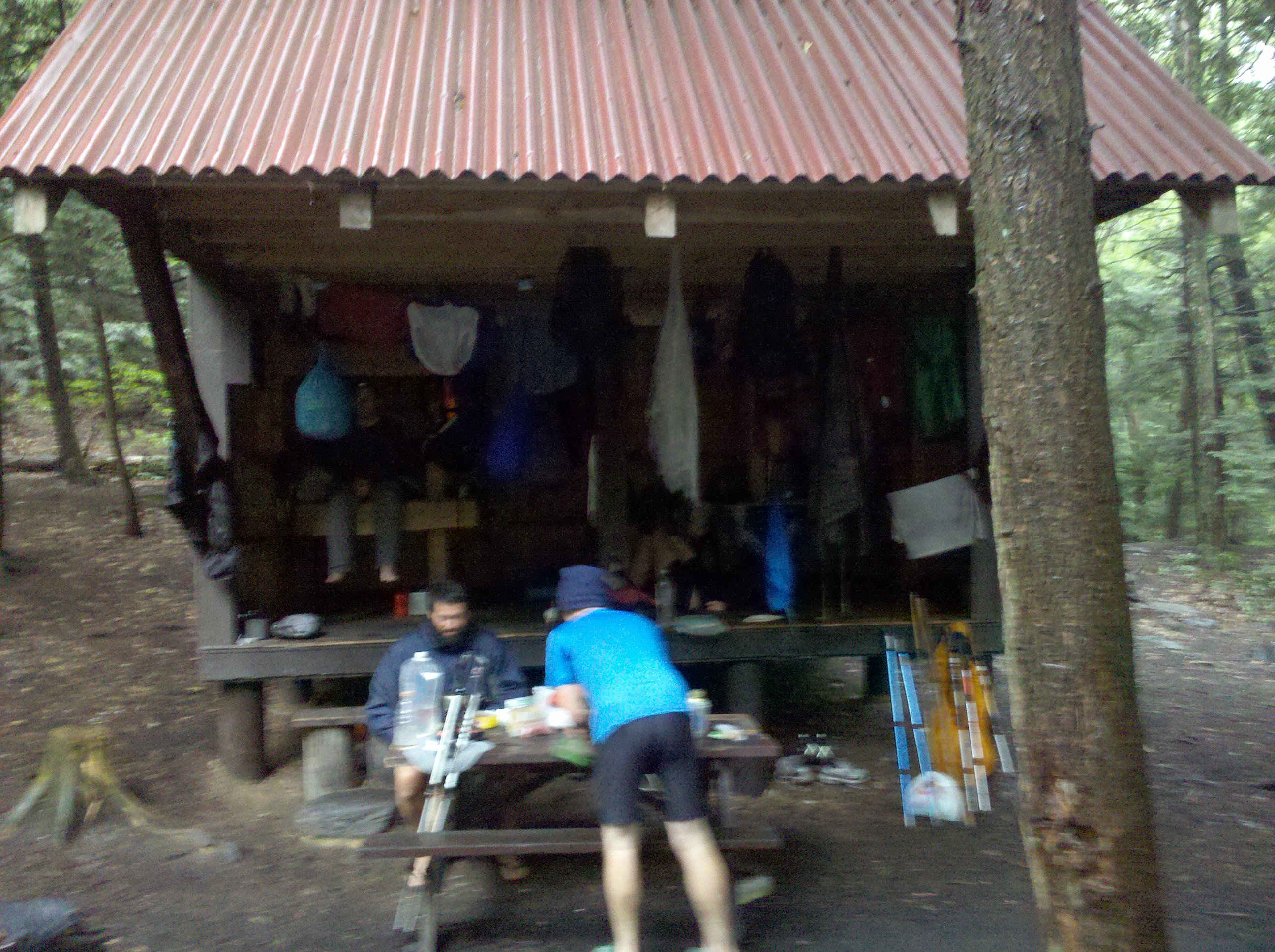
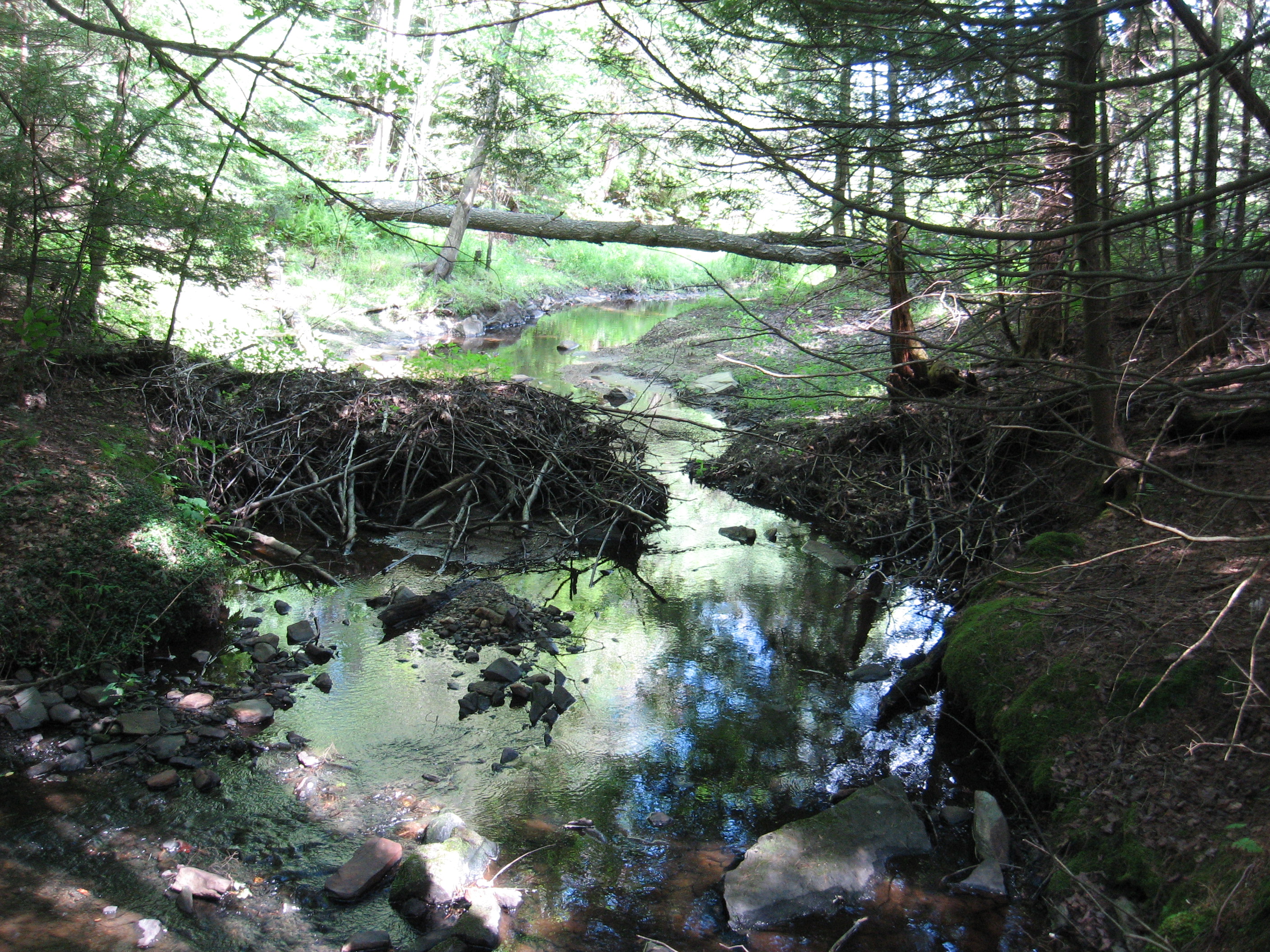
| 1502.6 | Riga Shelter (1,610')?8mS; 1.2mN | 1610 |
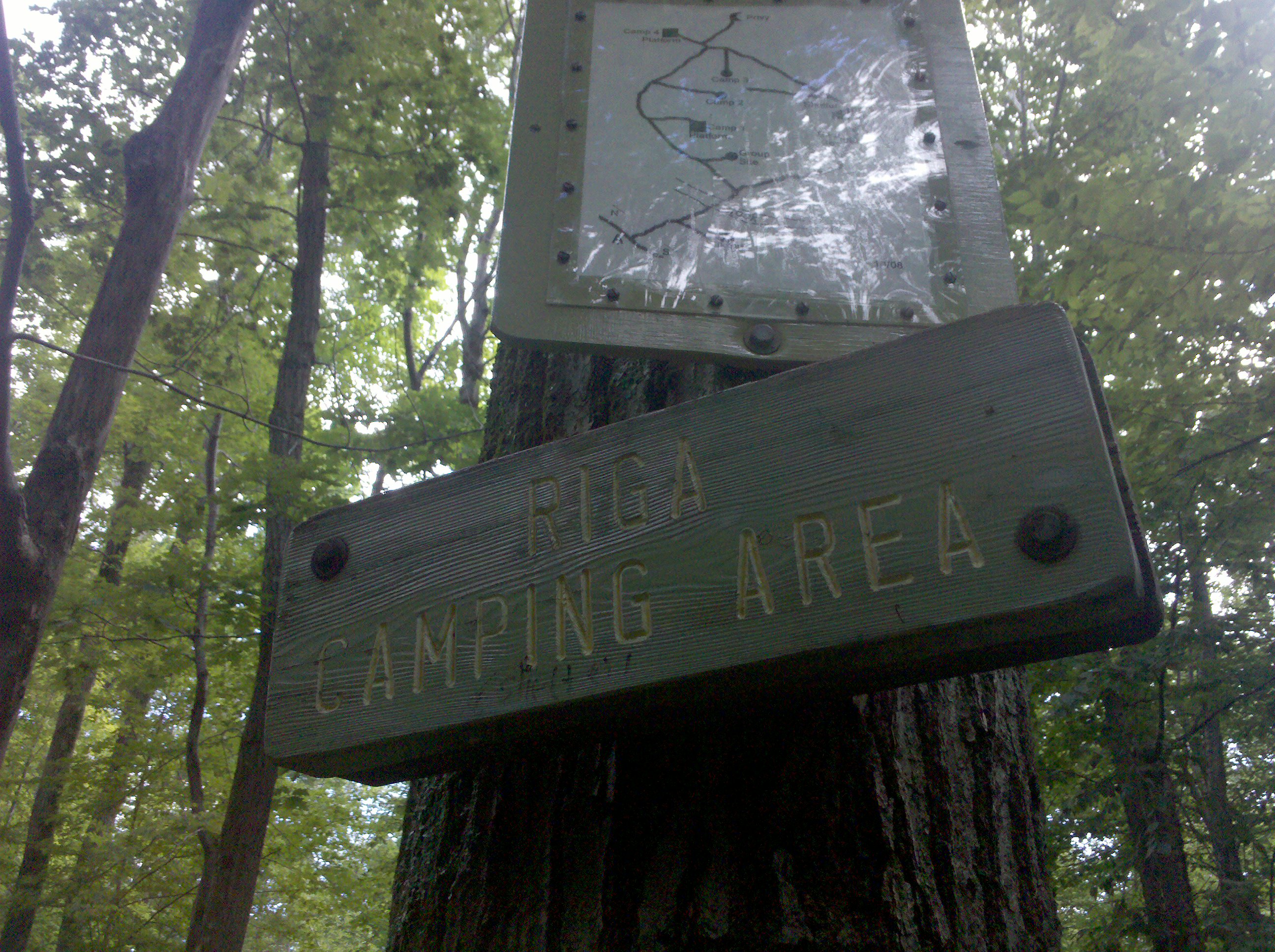
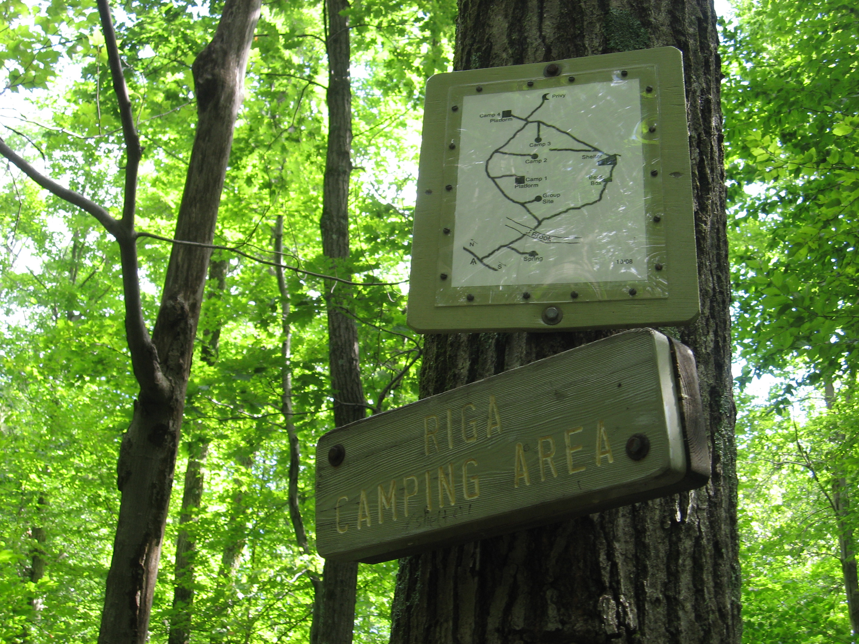
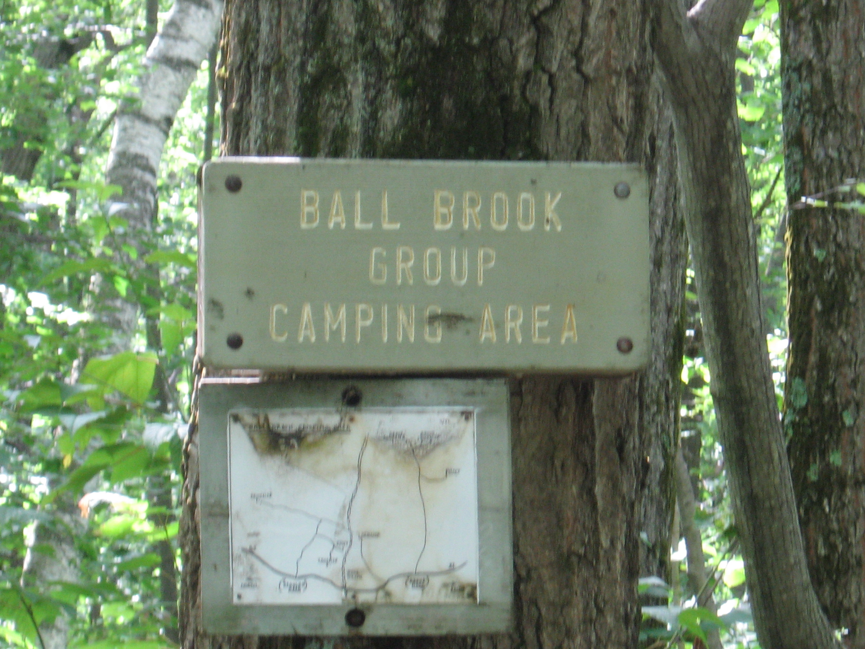
| 1503.2 | Ball Brook Group Campsite (1,650') | 1650 |
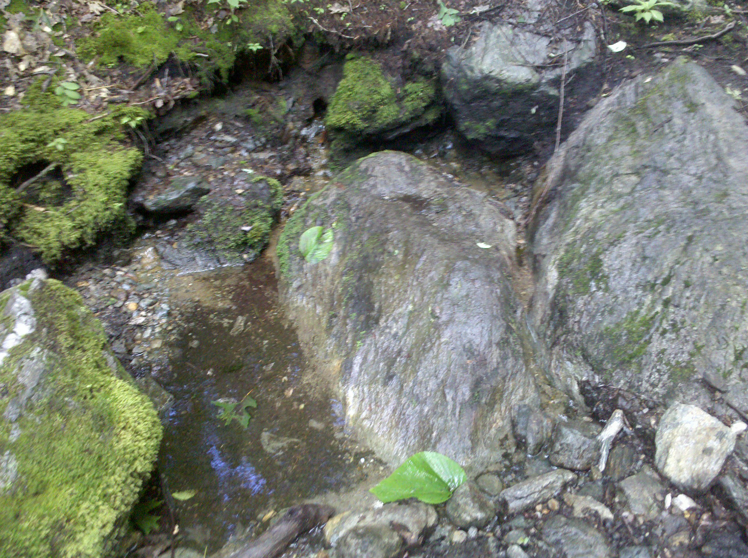
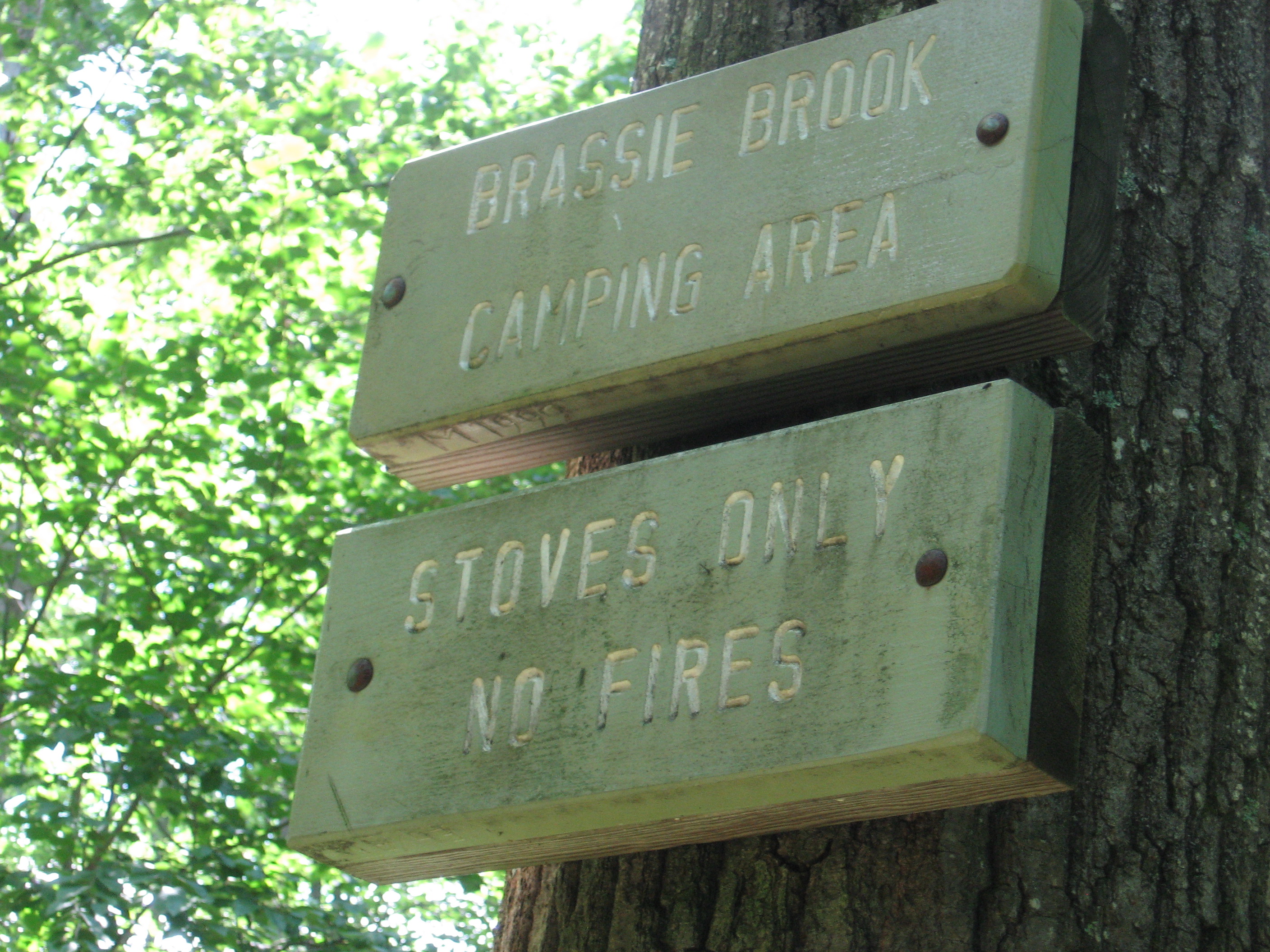
| 1503.8 | Brassie Brook (south branch) (1,705') Brassie Brook Shelter?1.2mS; 8.8mN | 1705 |
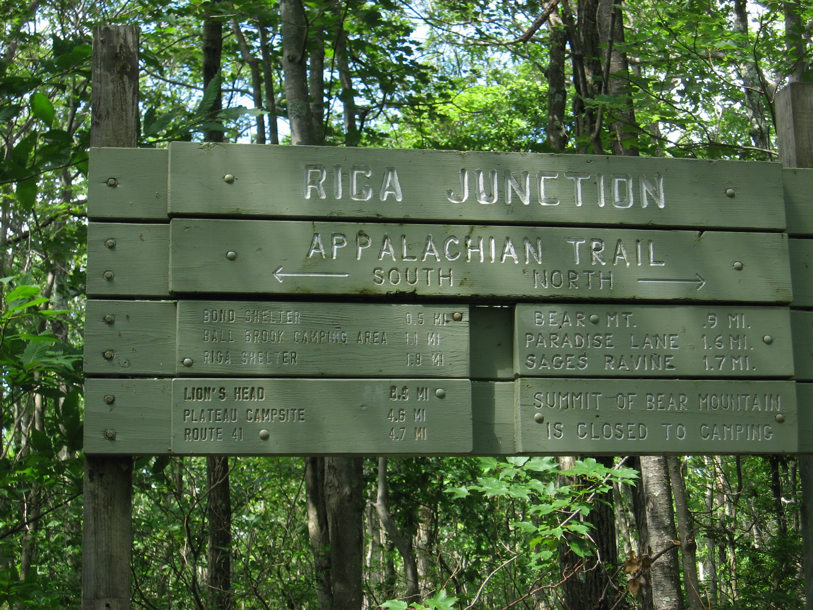
| 1504.3 | Undermountain Trail, Riga Junction (1,820') | 1820 |
| 1504.5 | Bear Mountain Road (1,920') | 1920 |
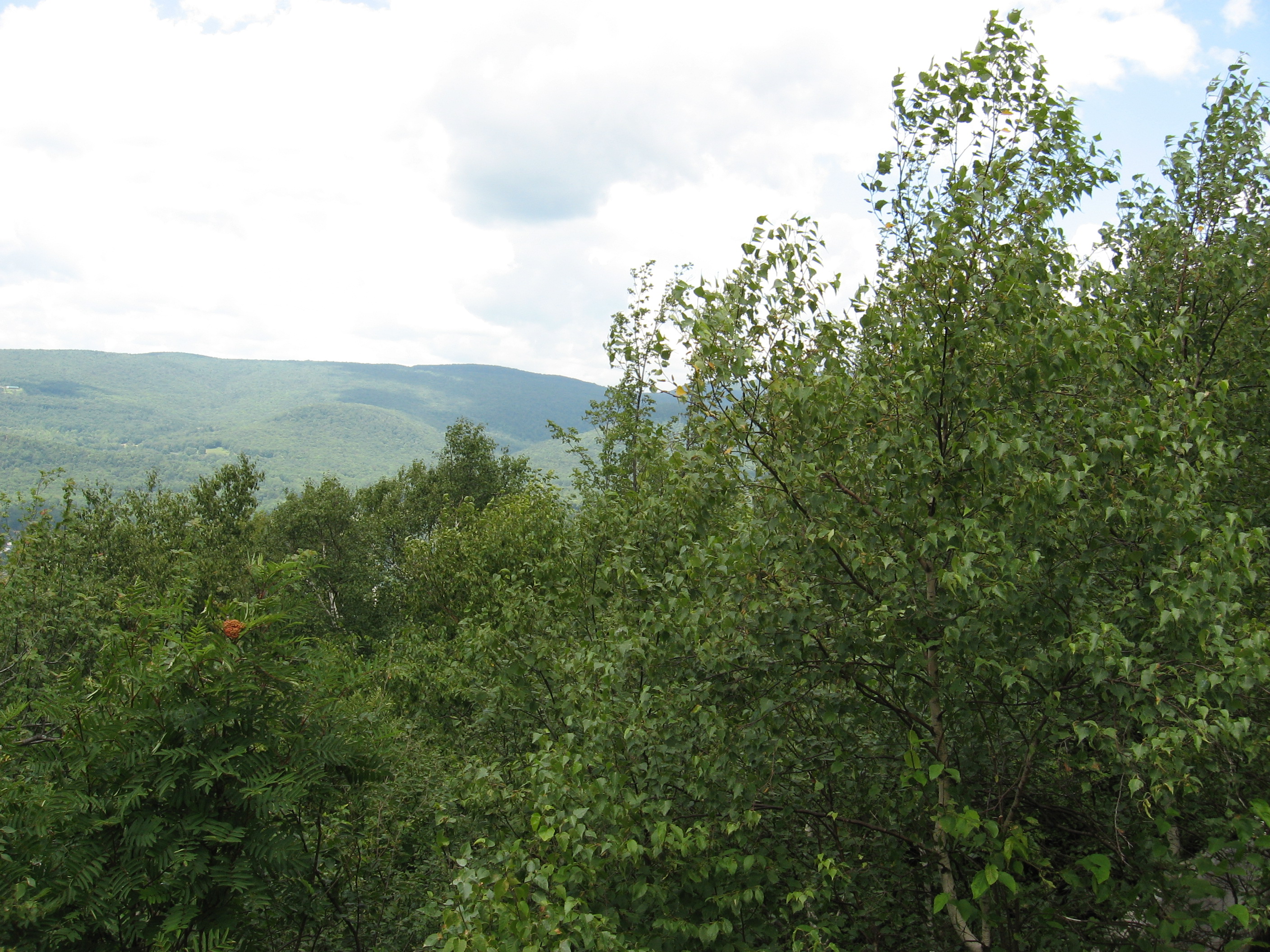
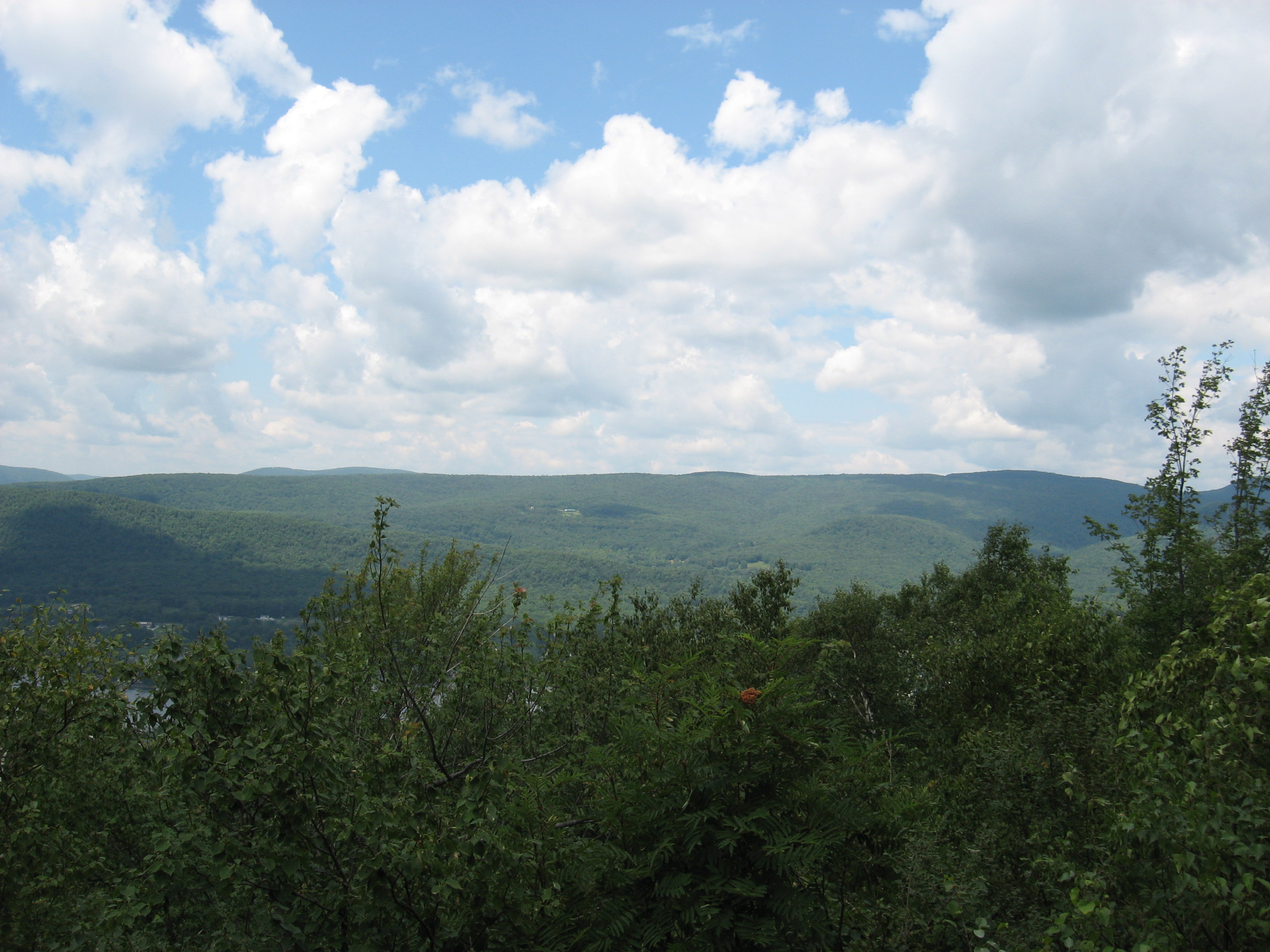
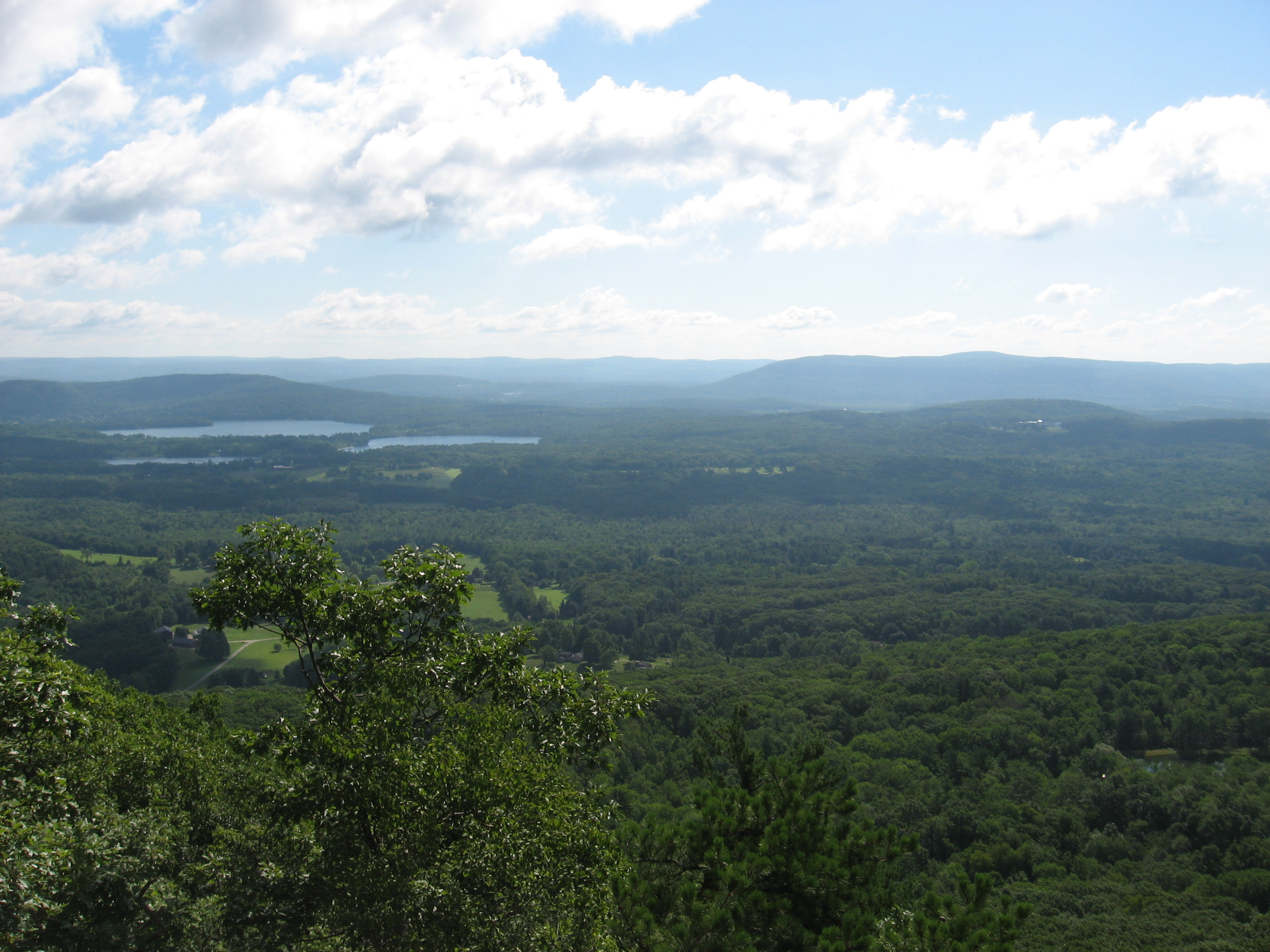
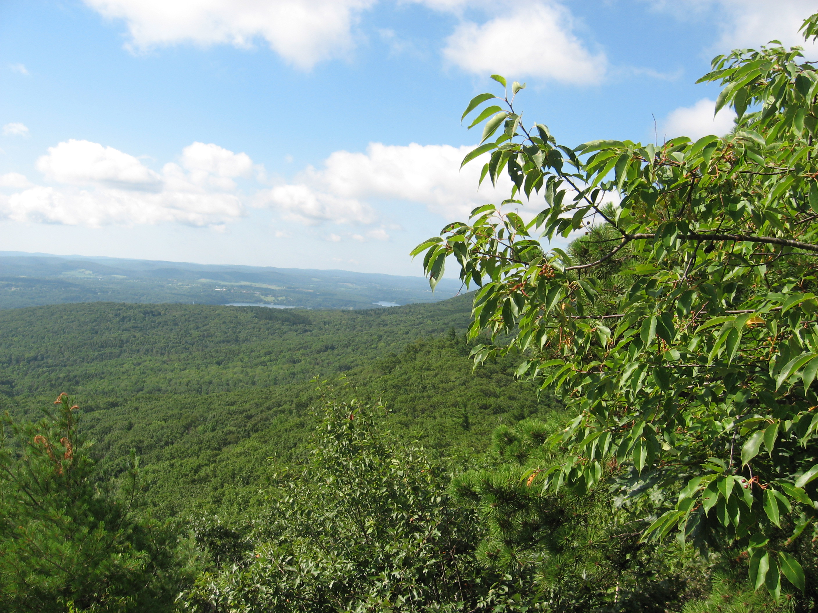
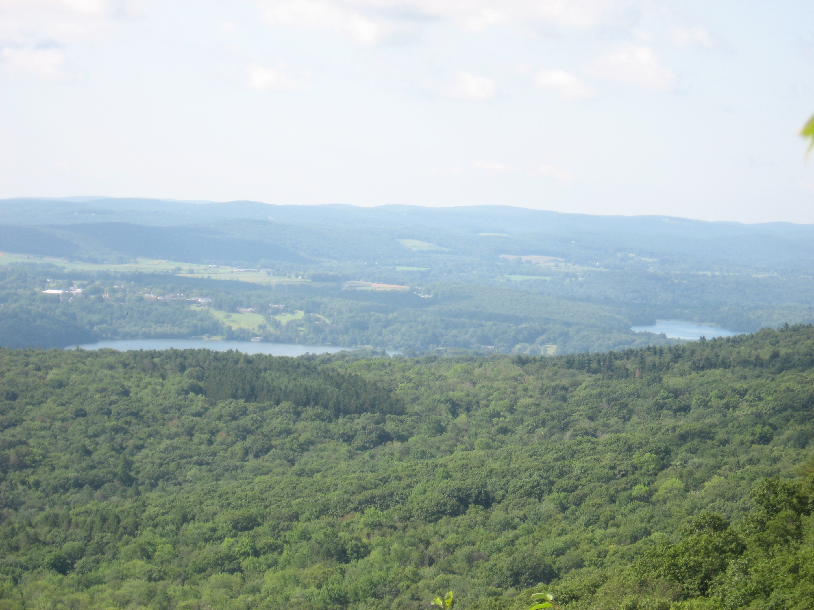
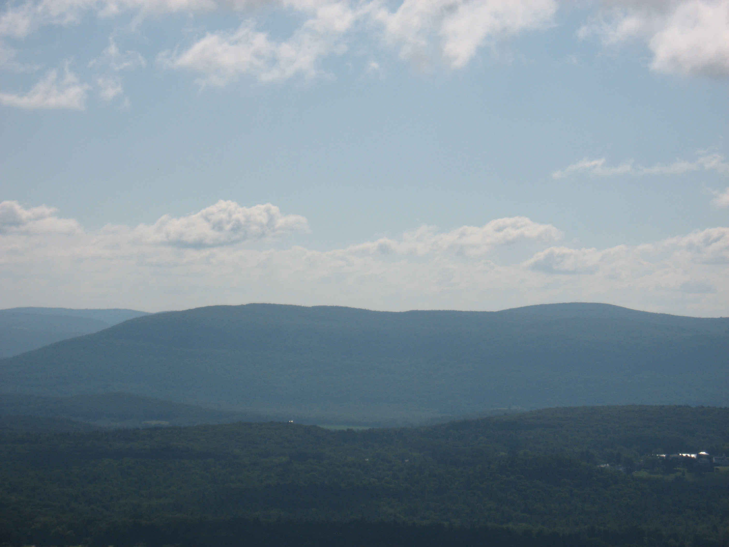
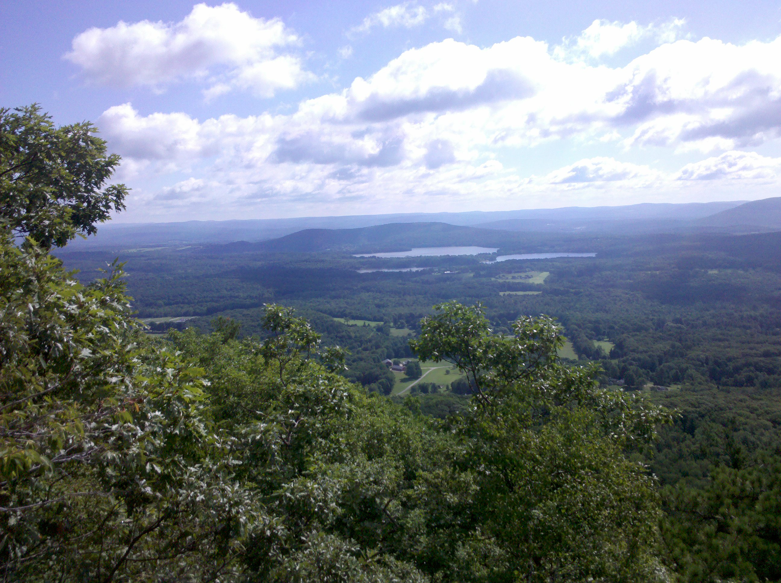
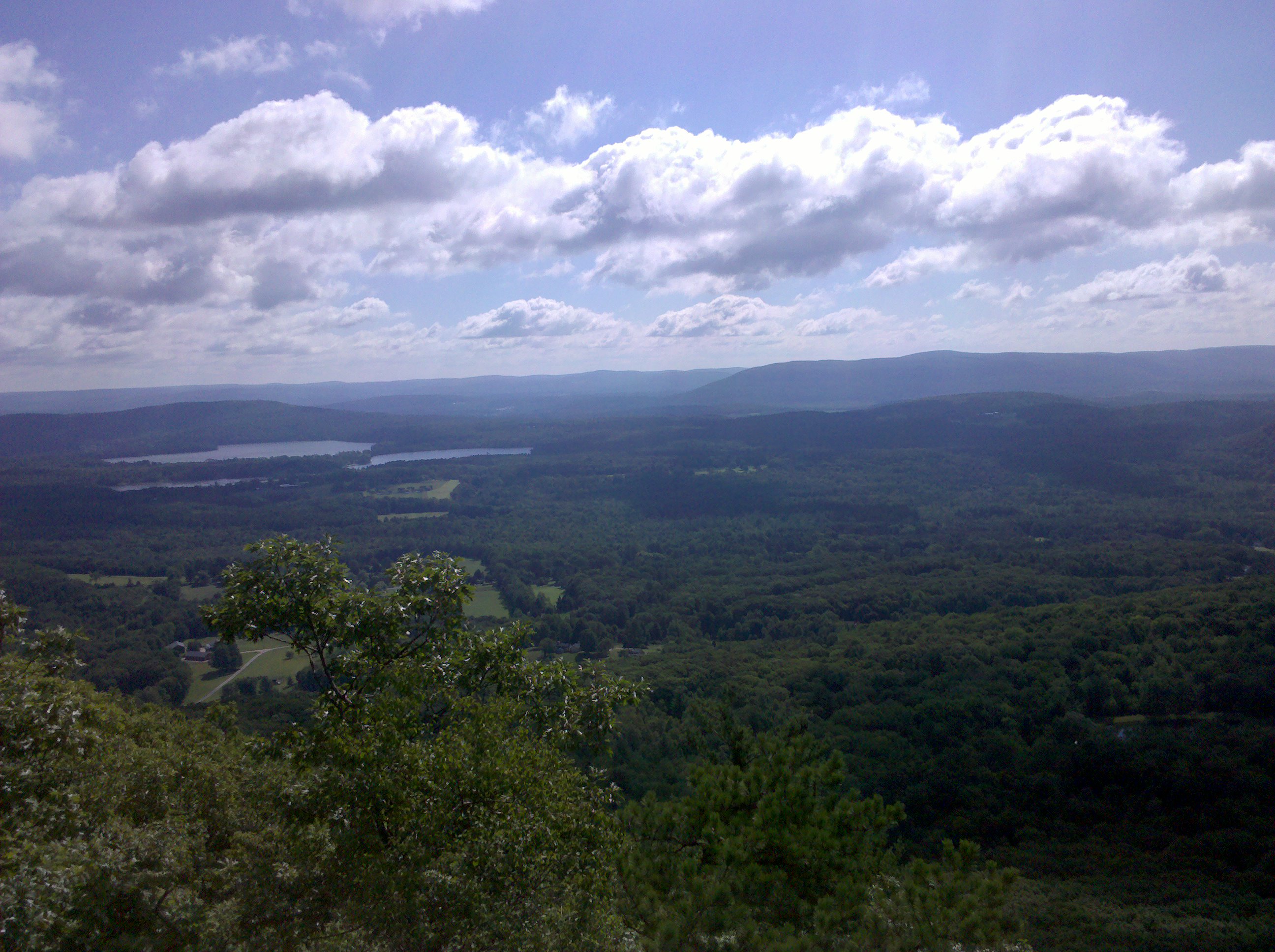
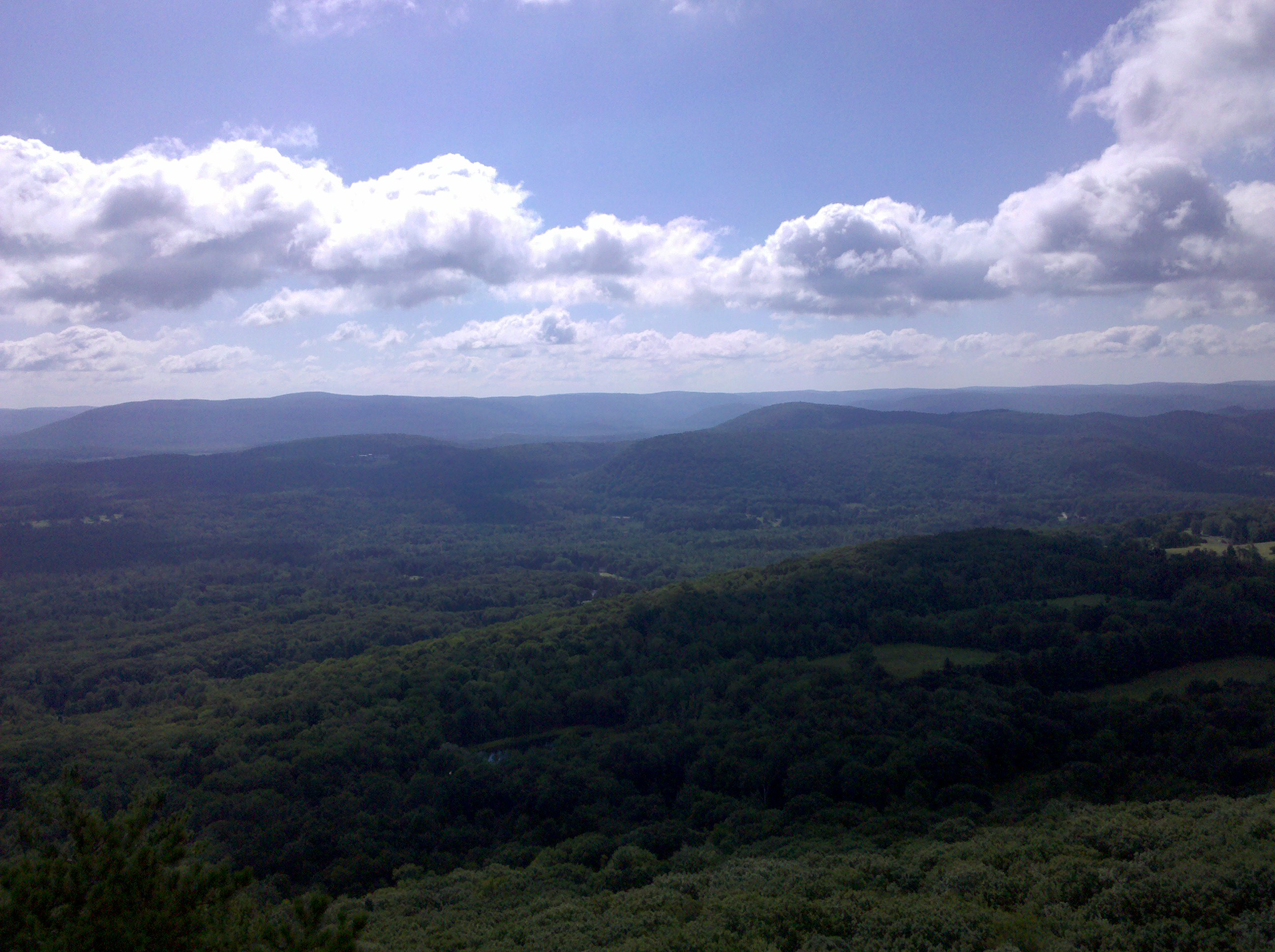
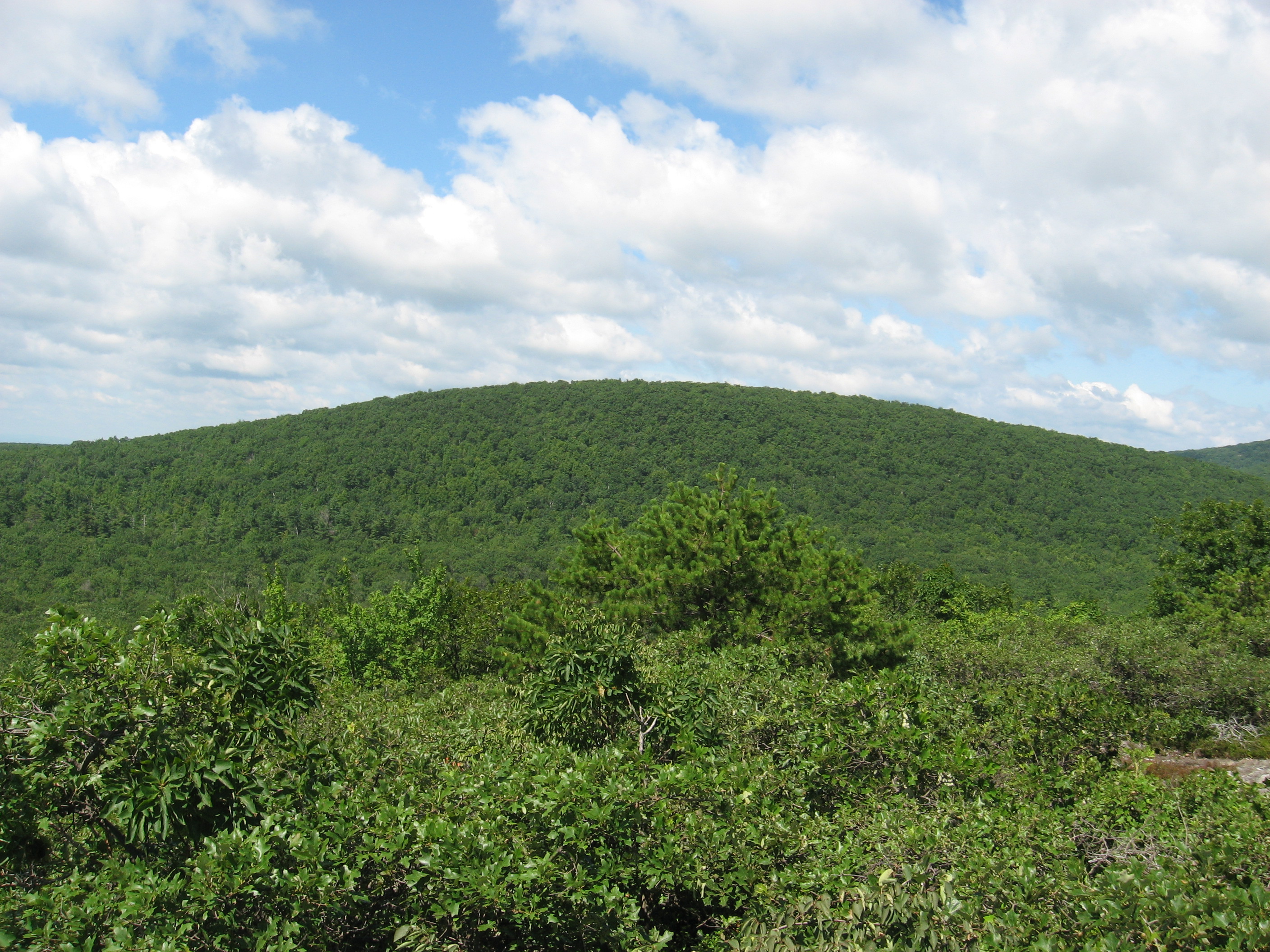
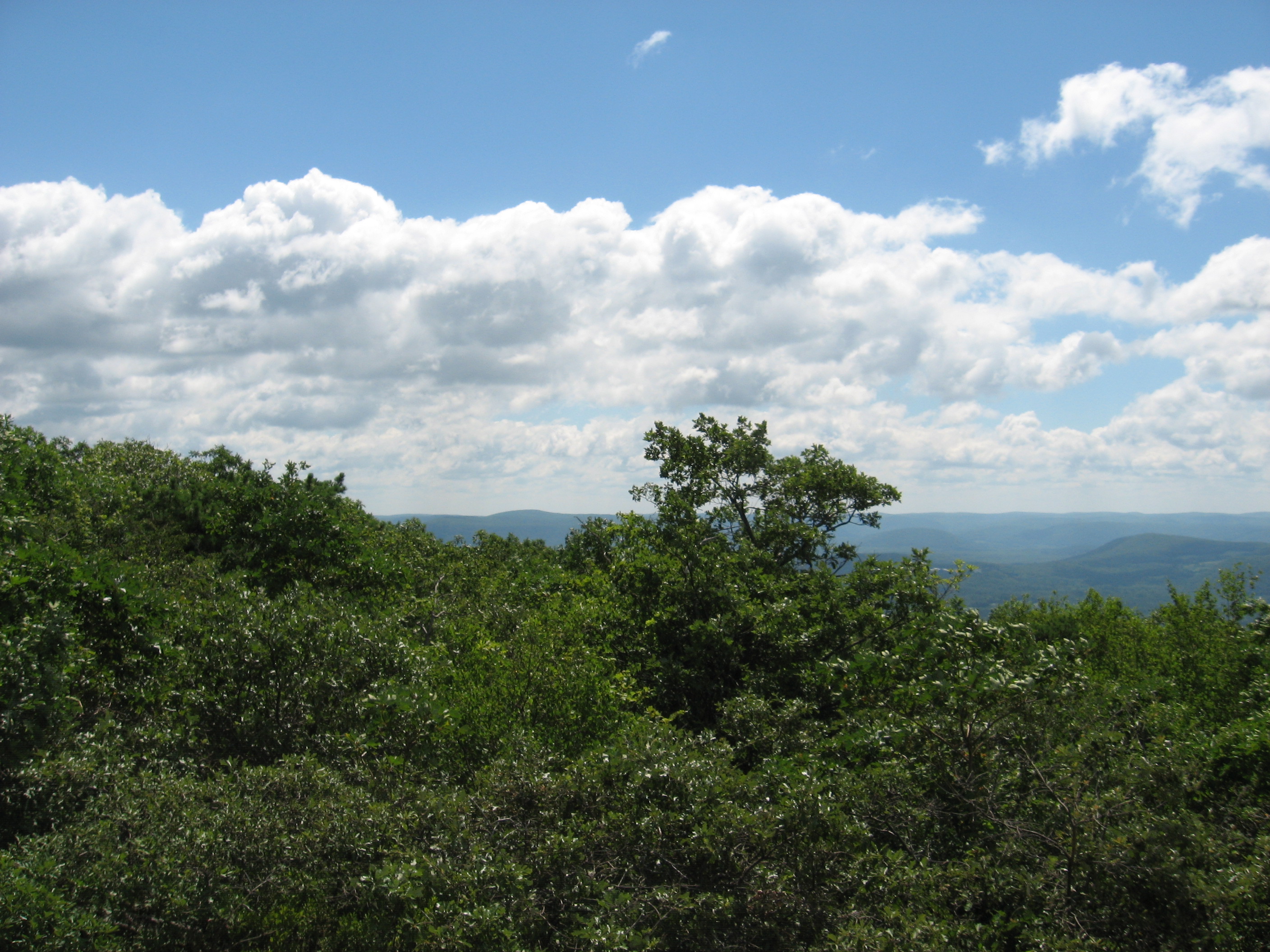
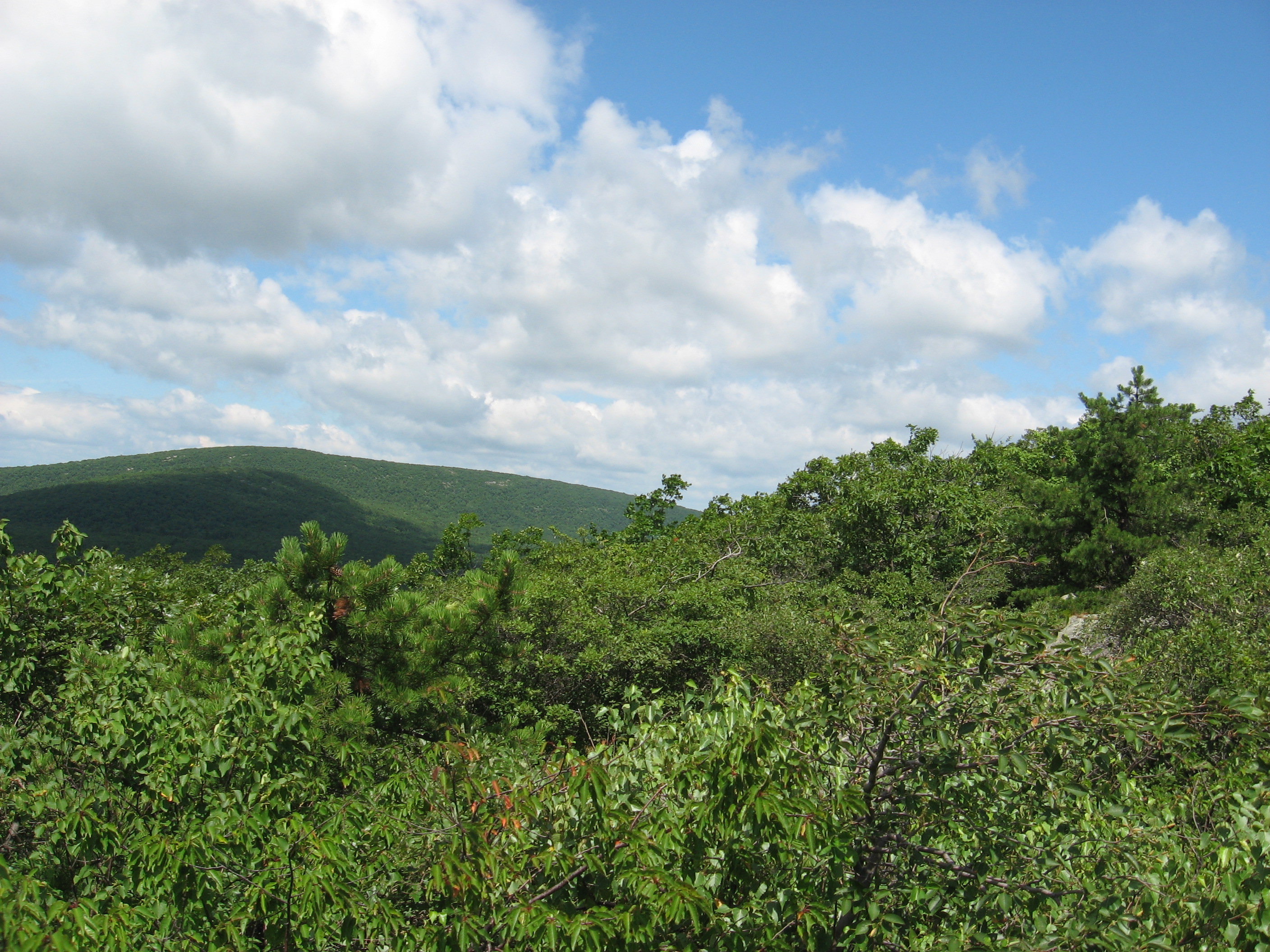
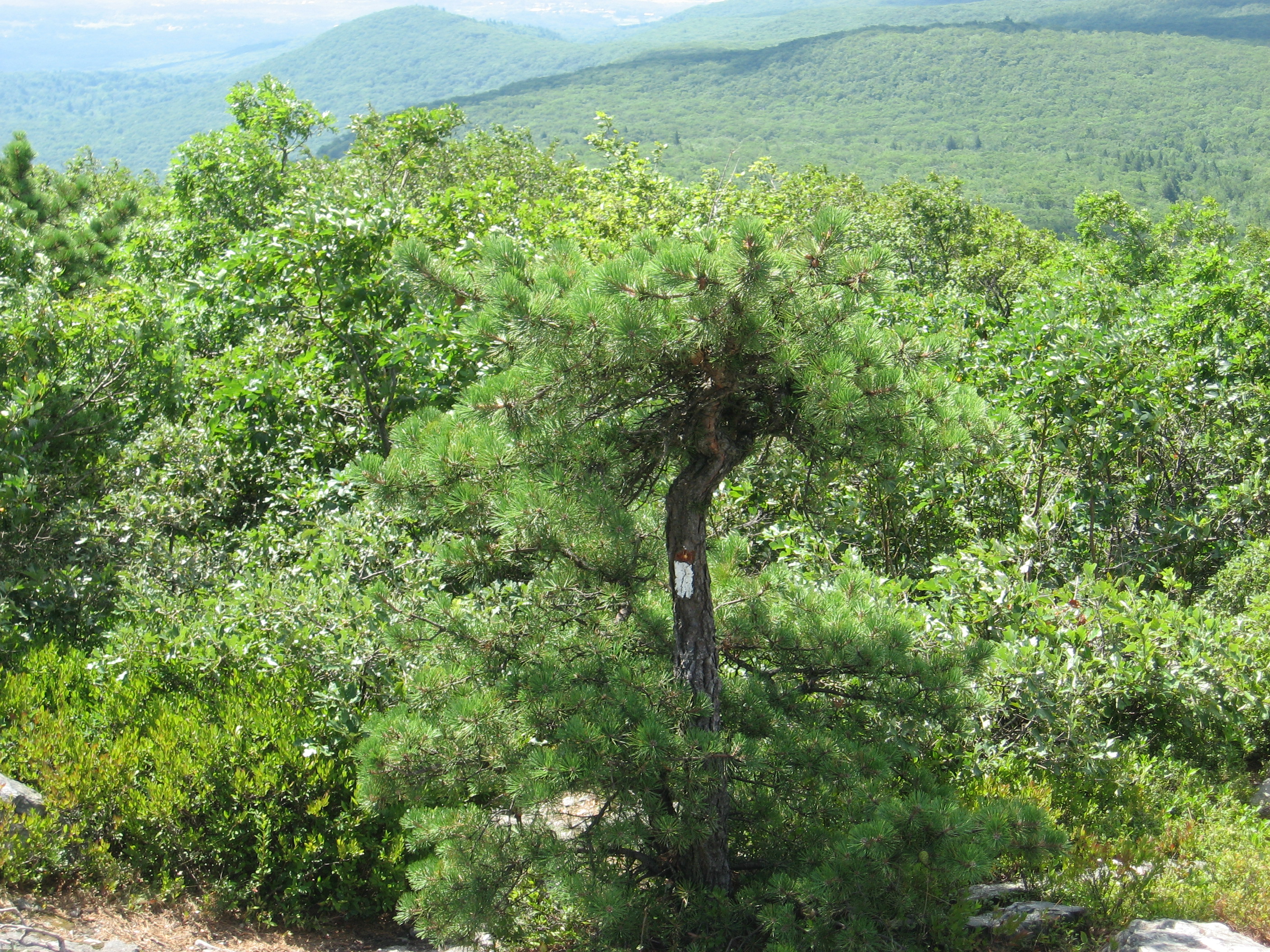
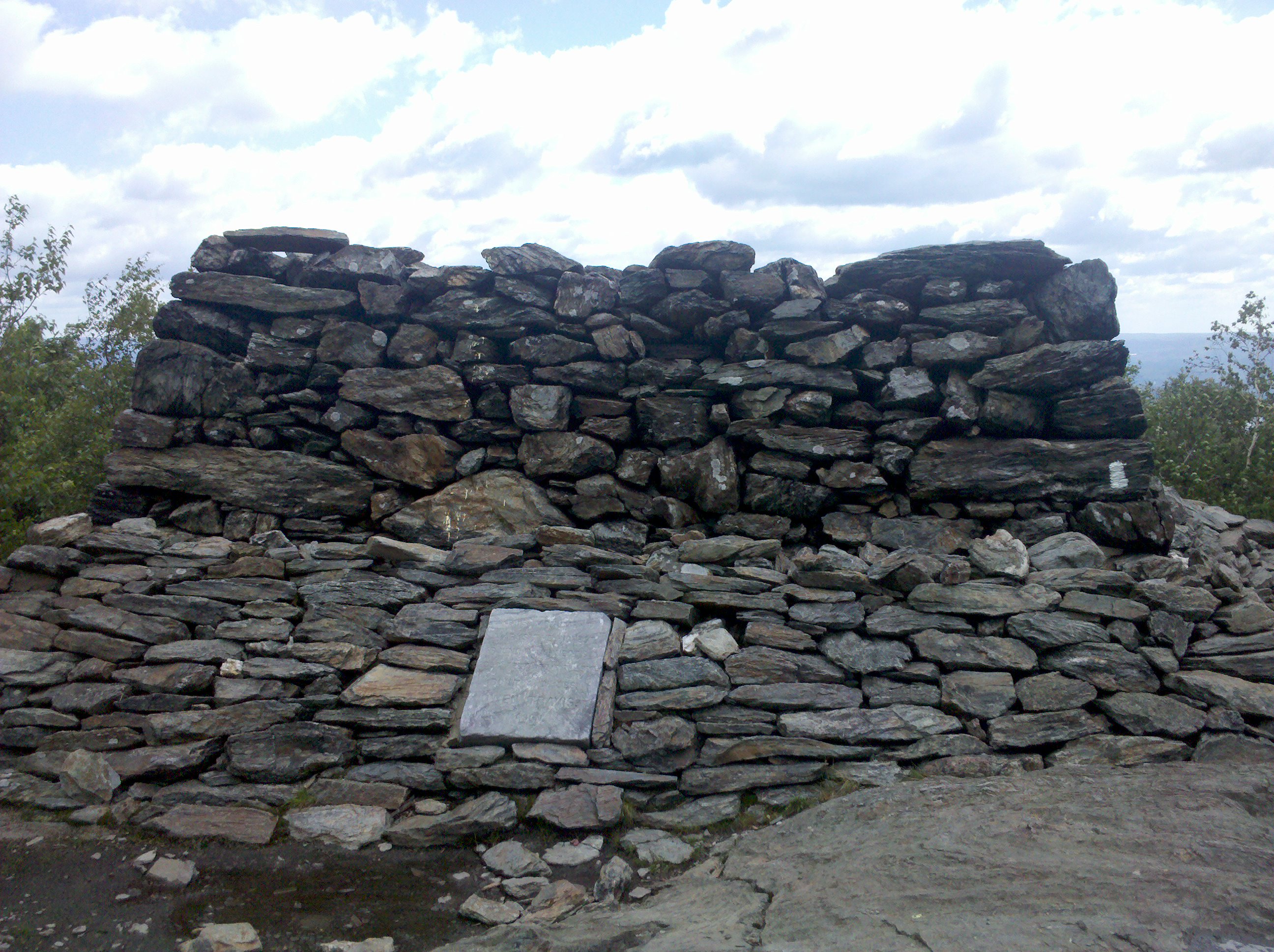
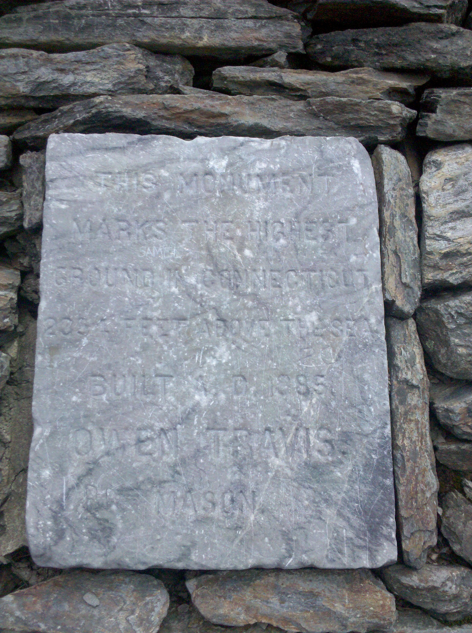
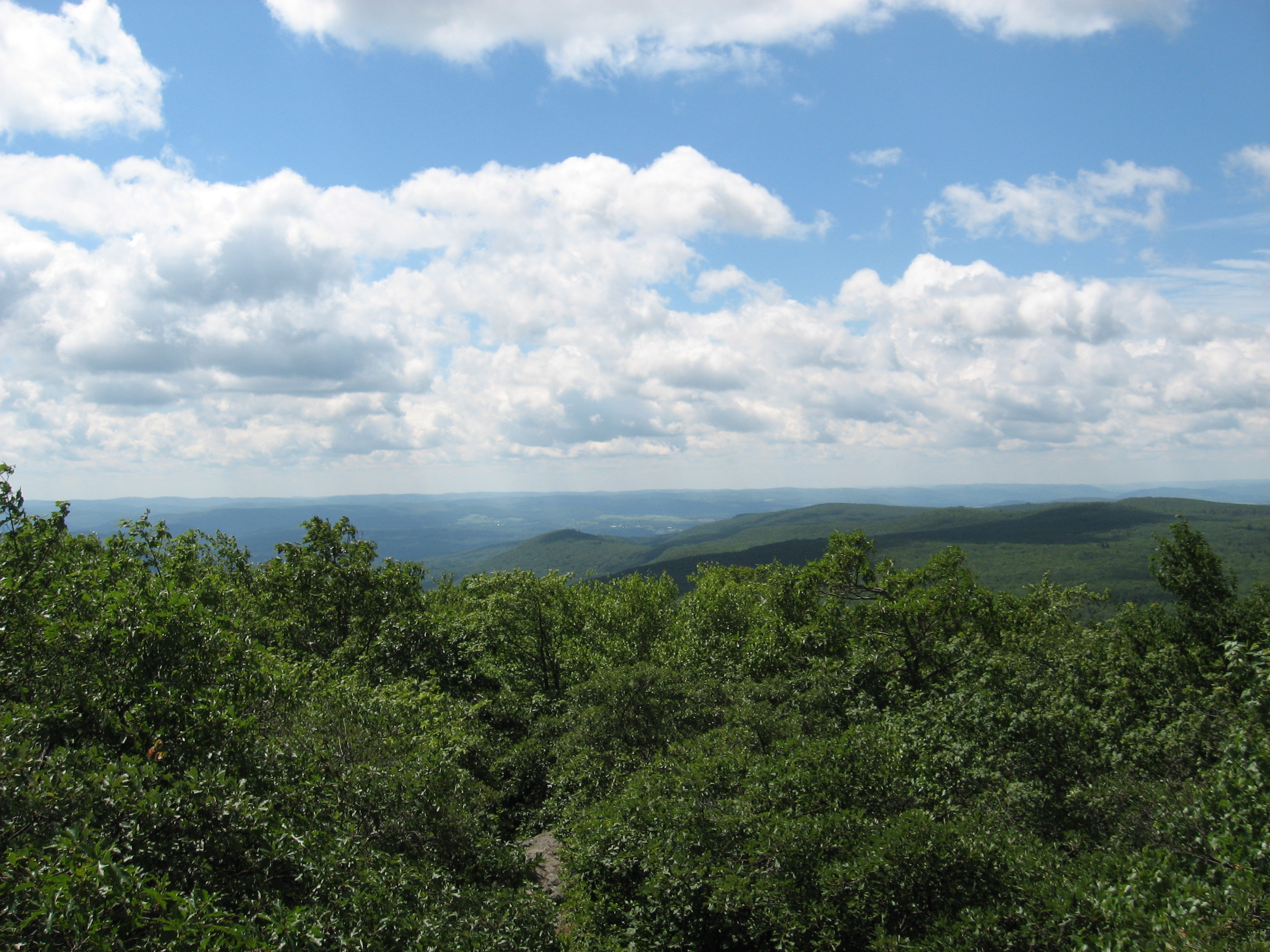
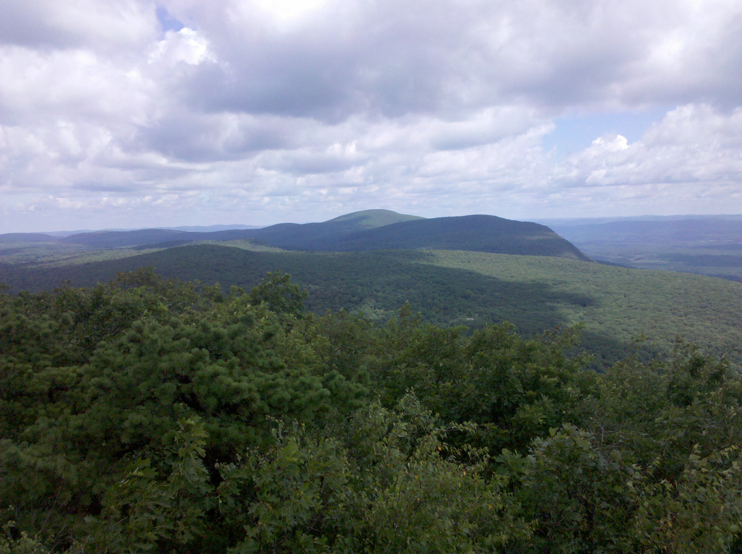
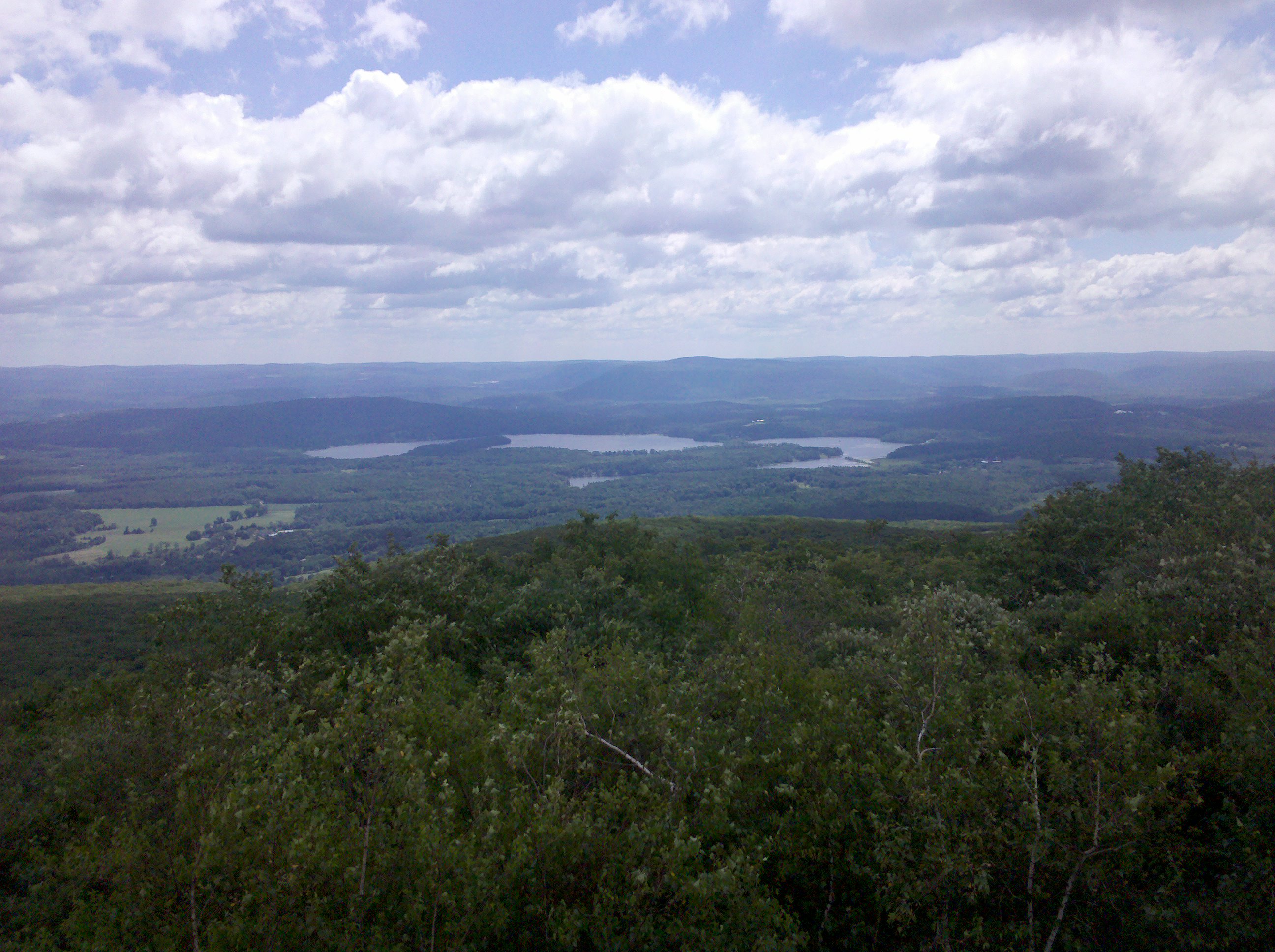
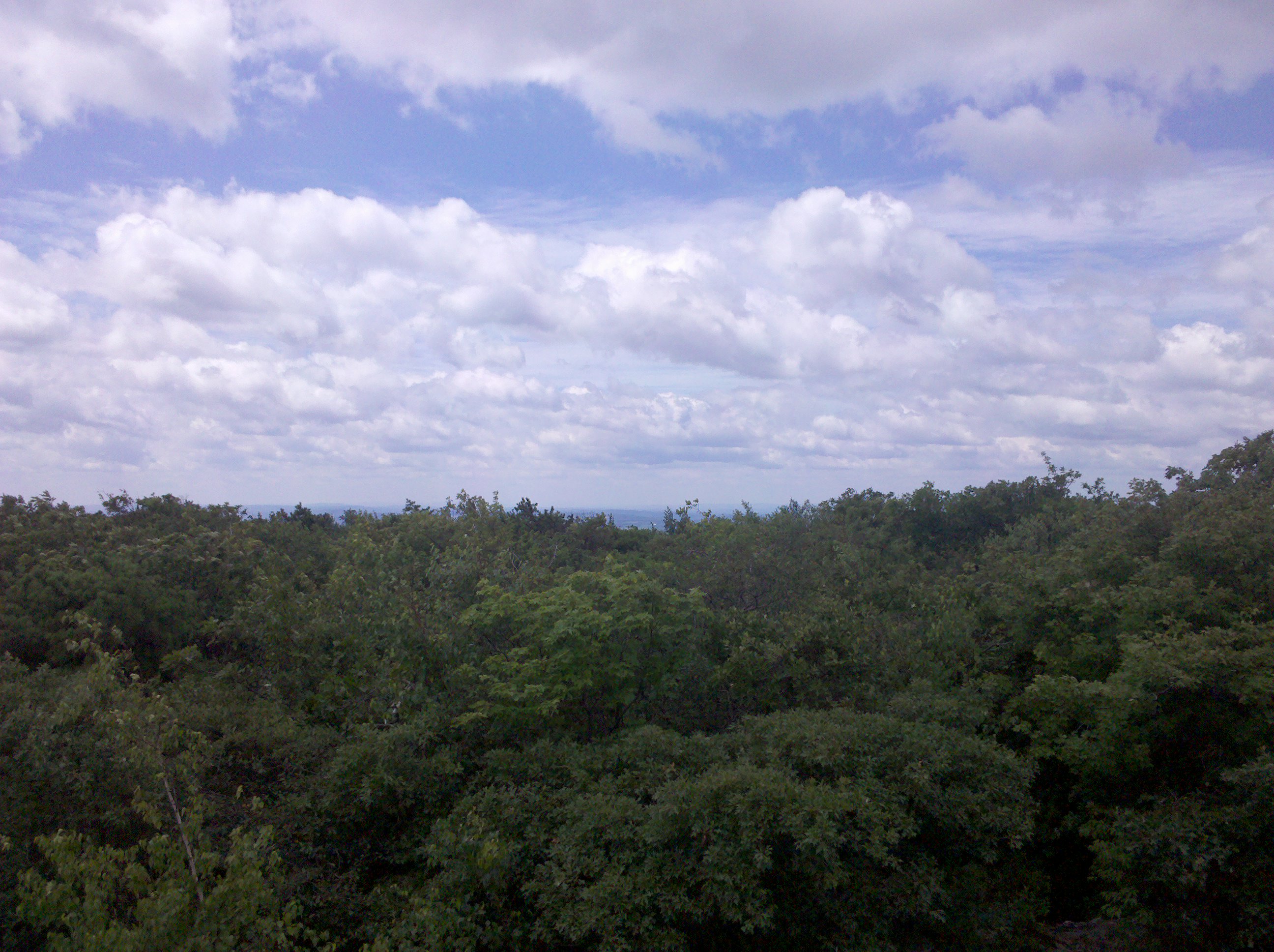
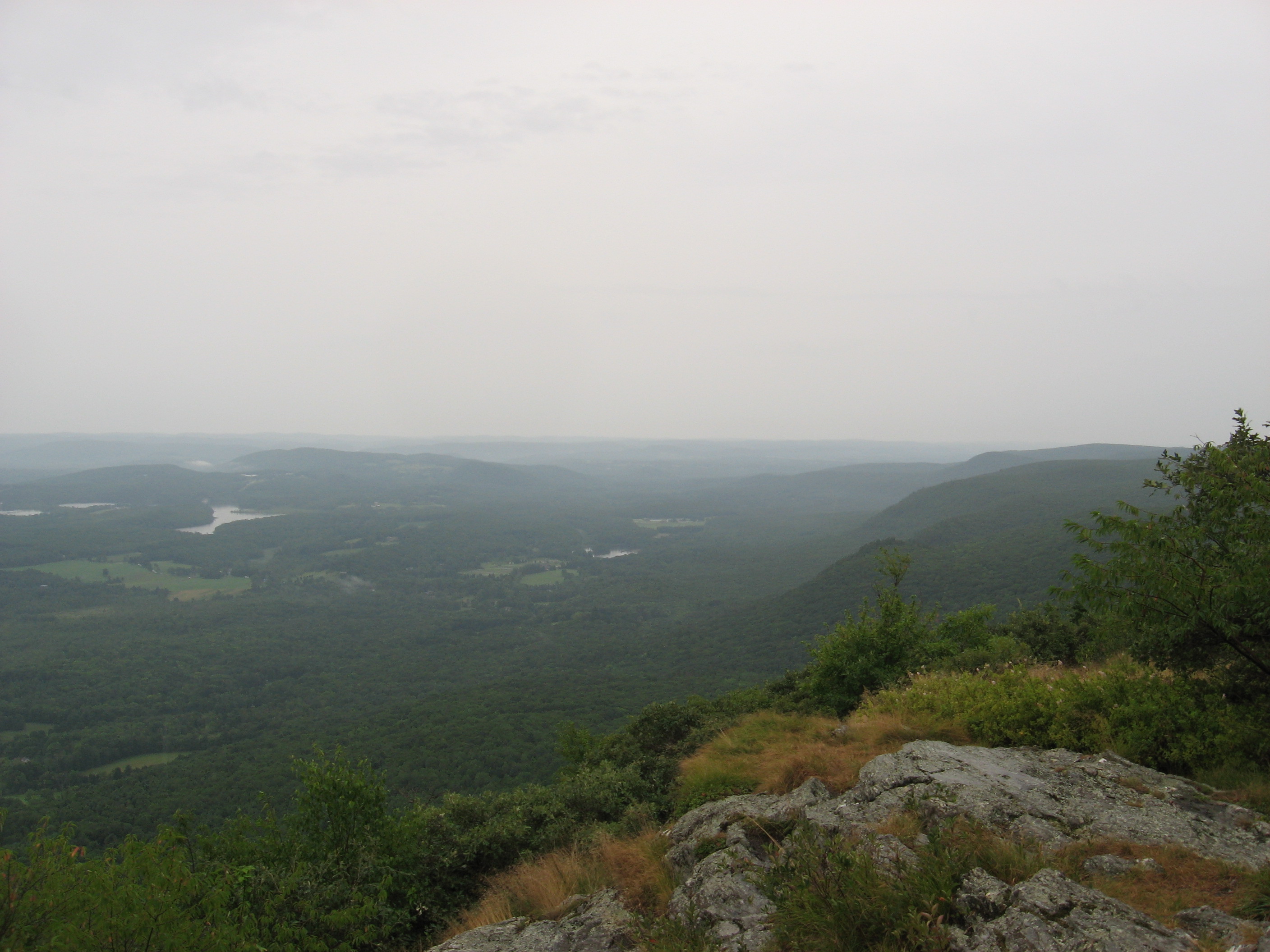
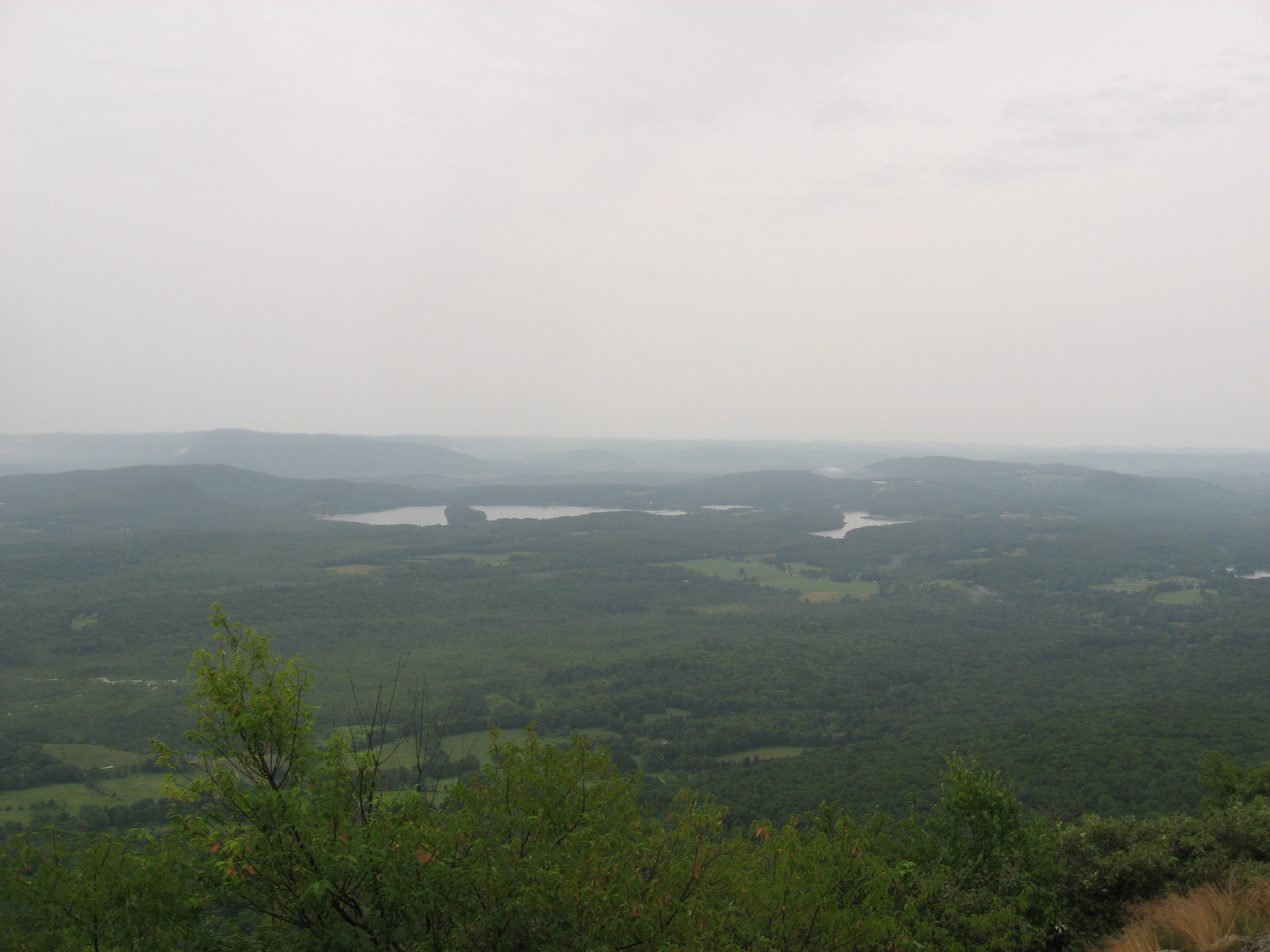
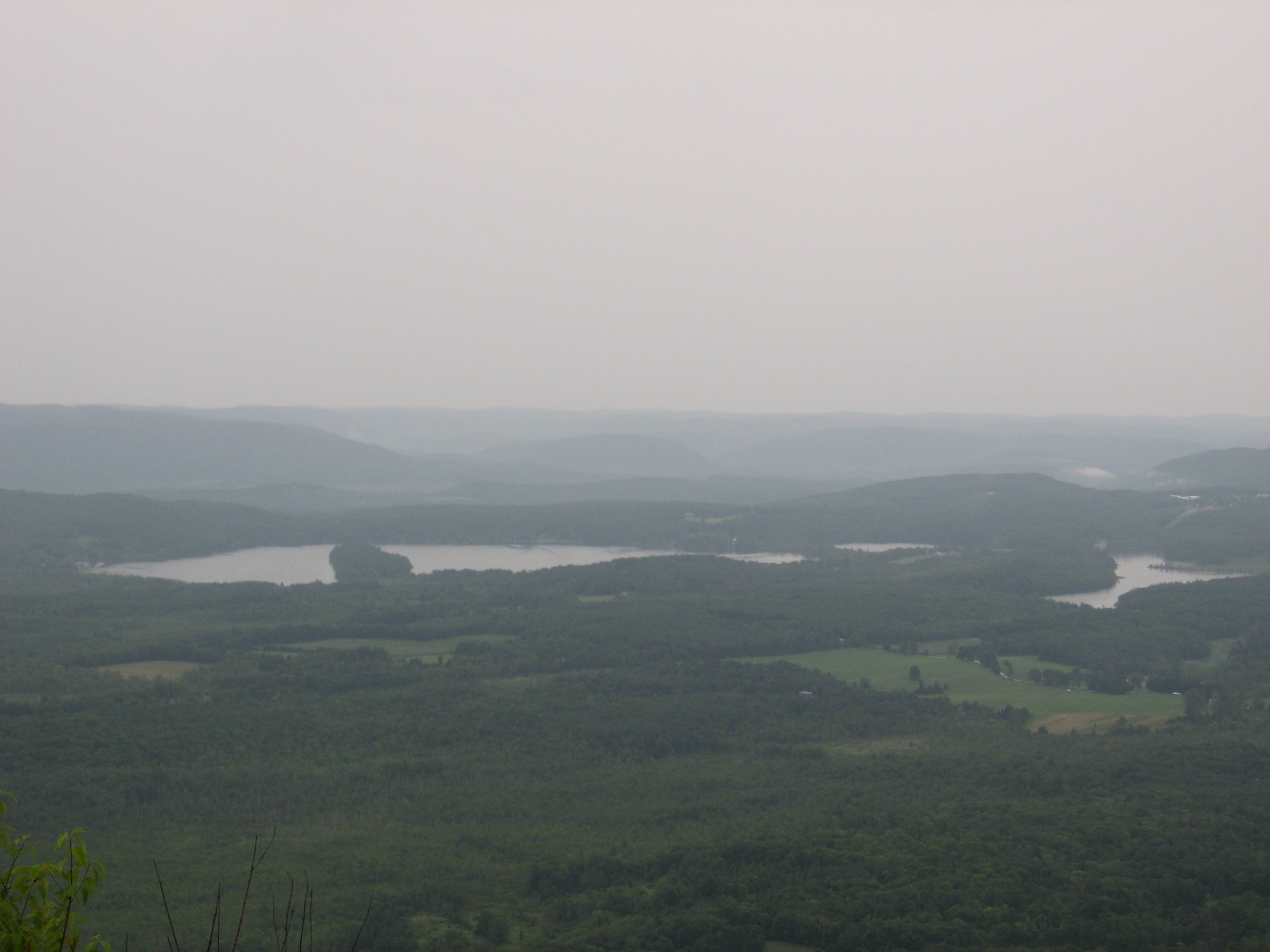
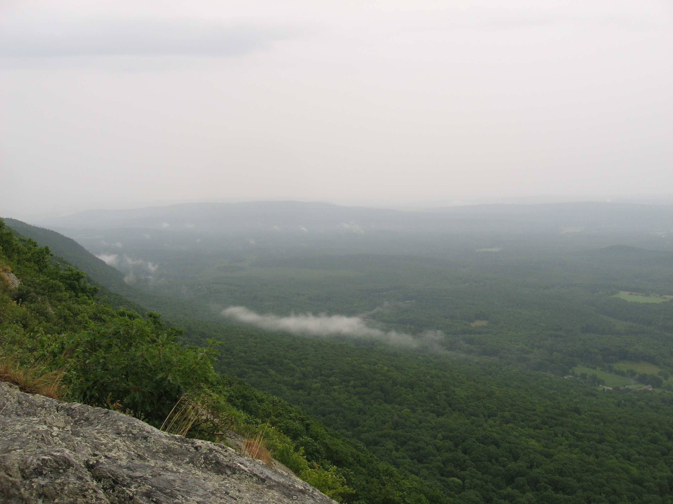
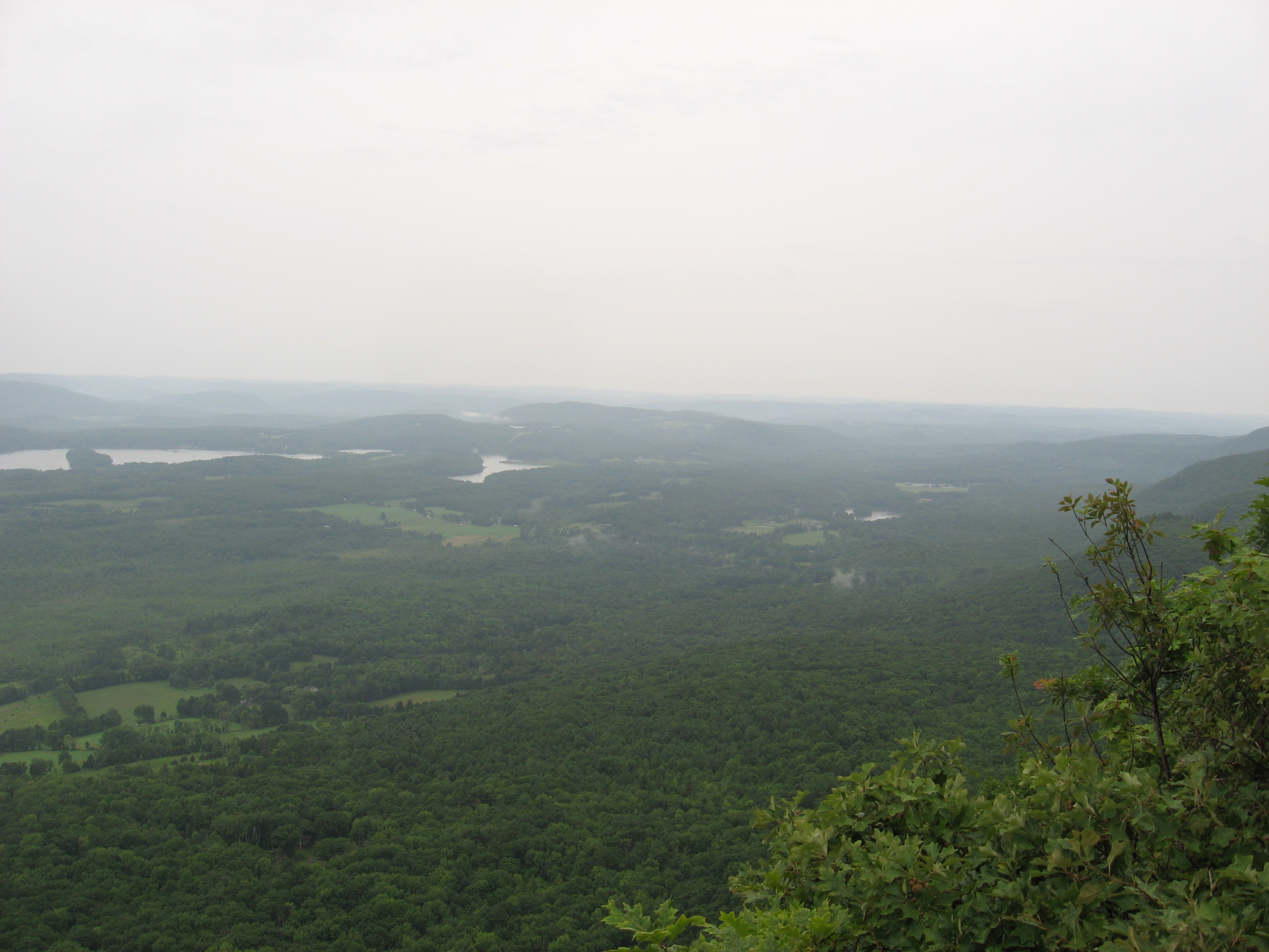
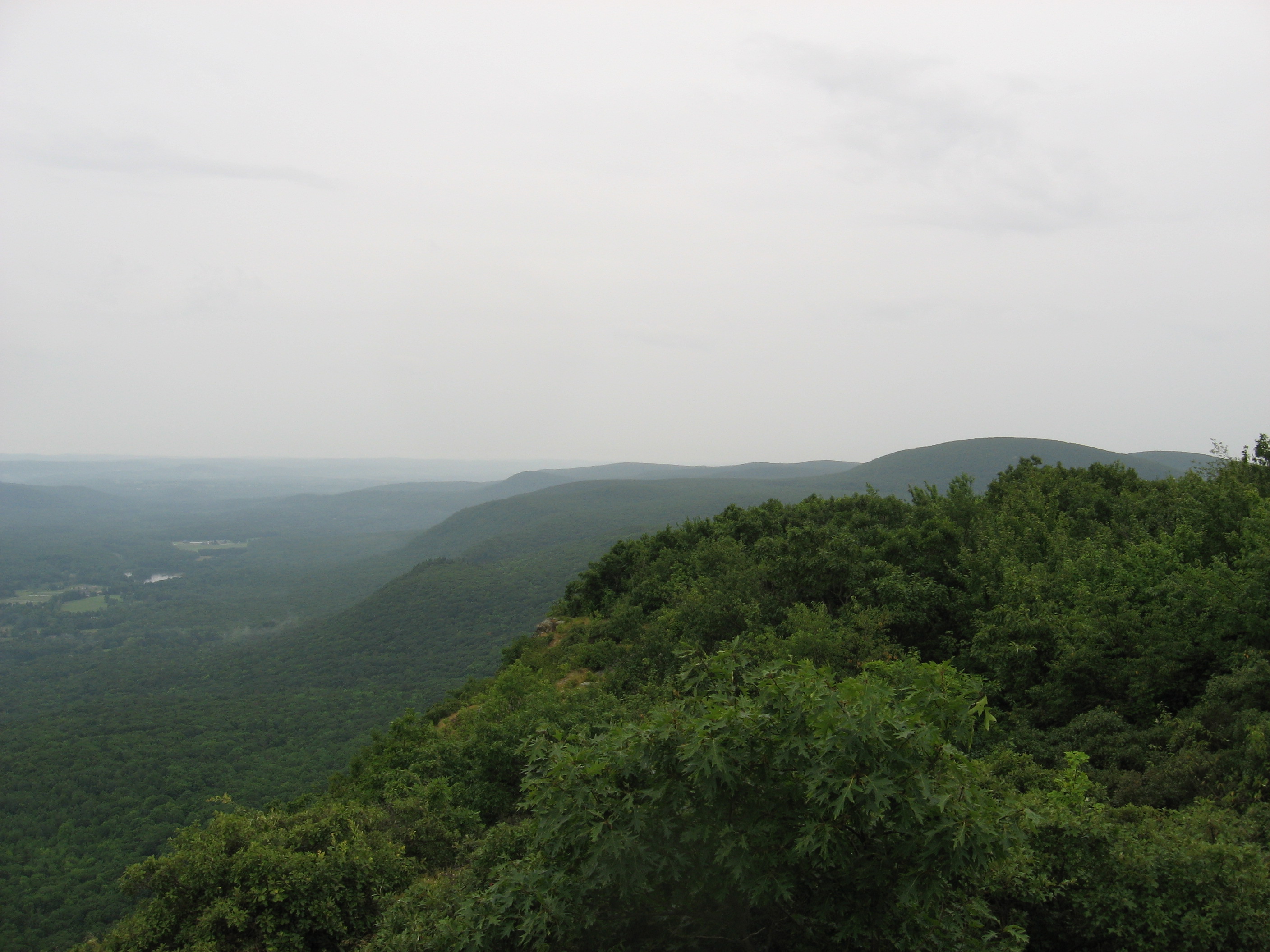
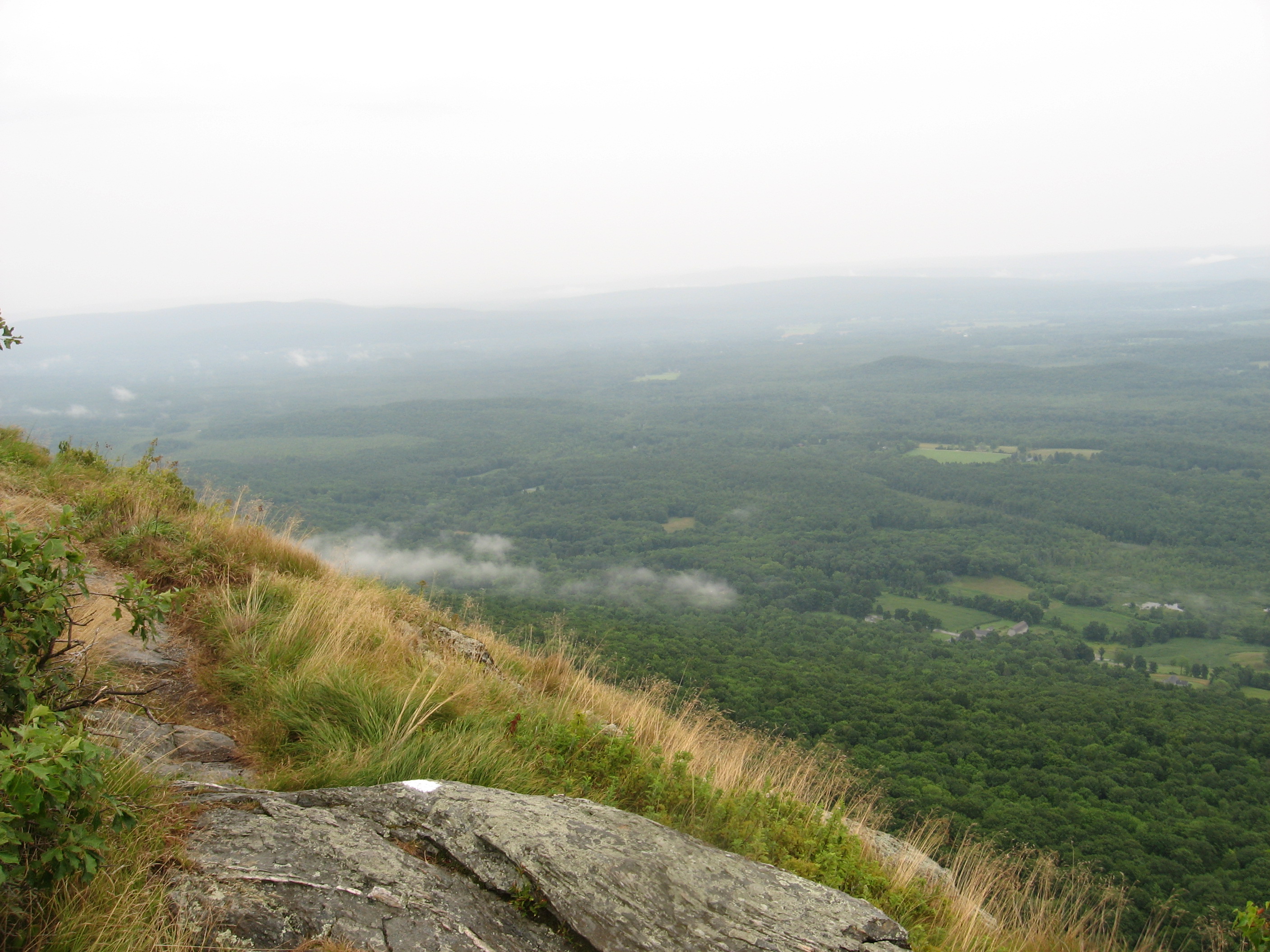
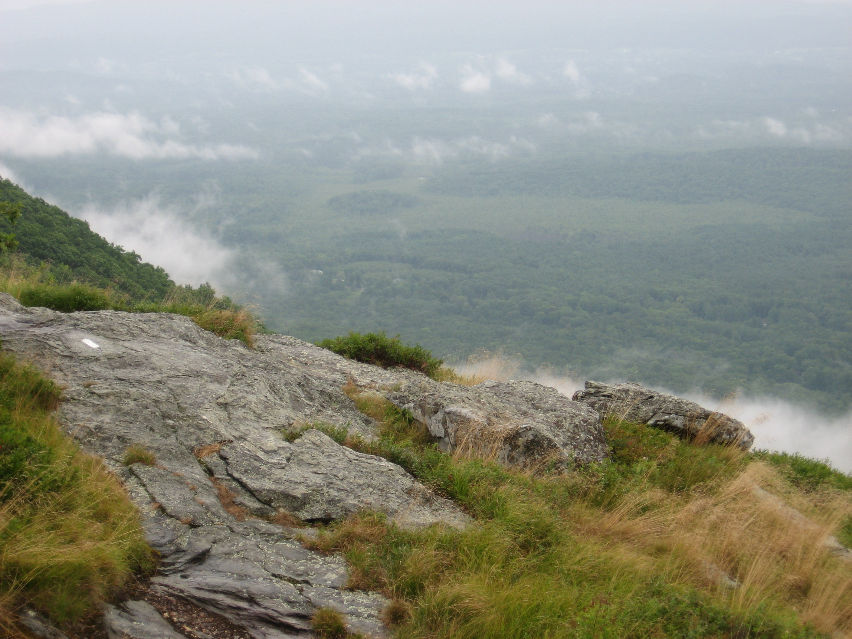
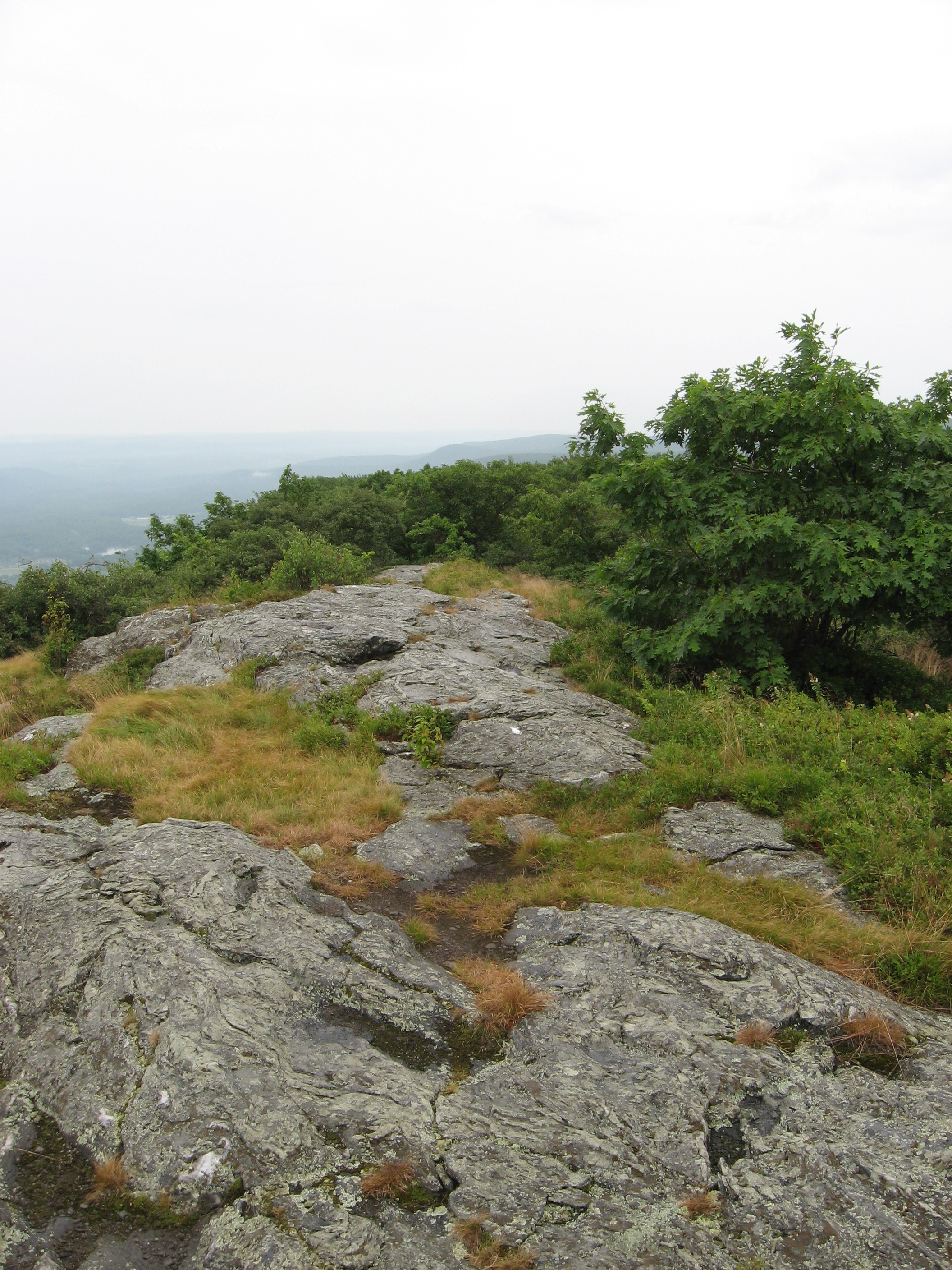
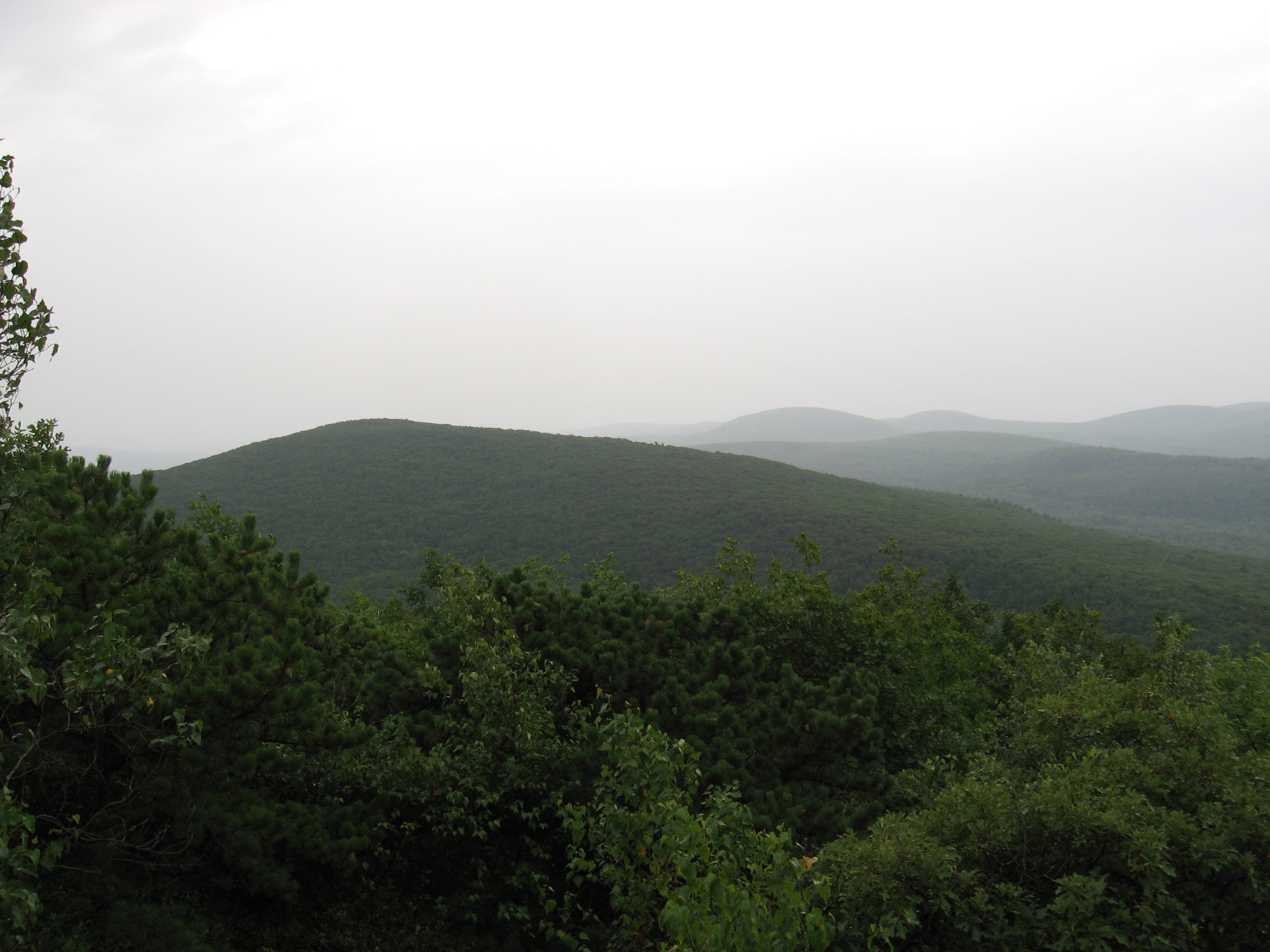
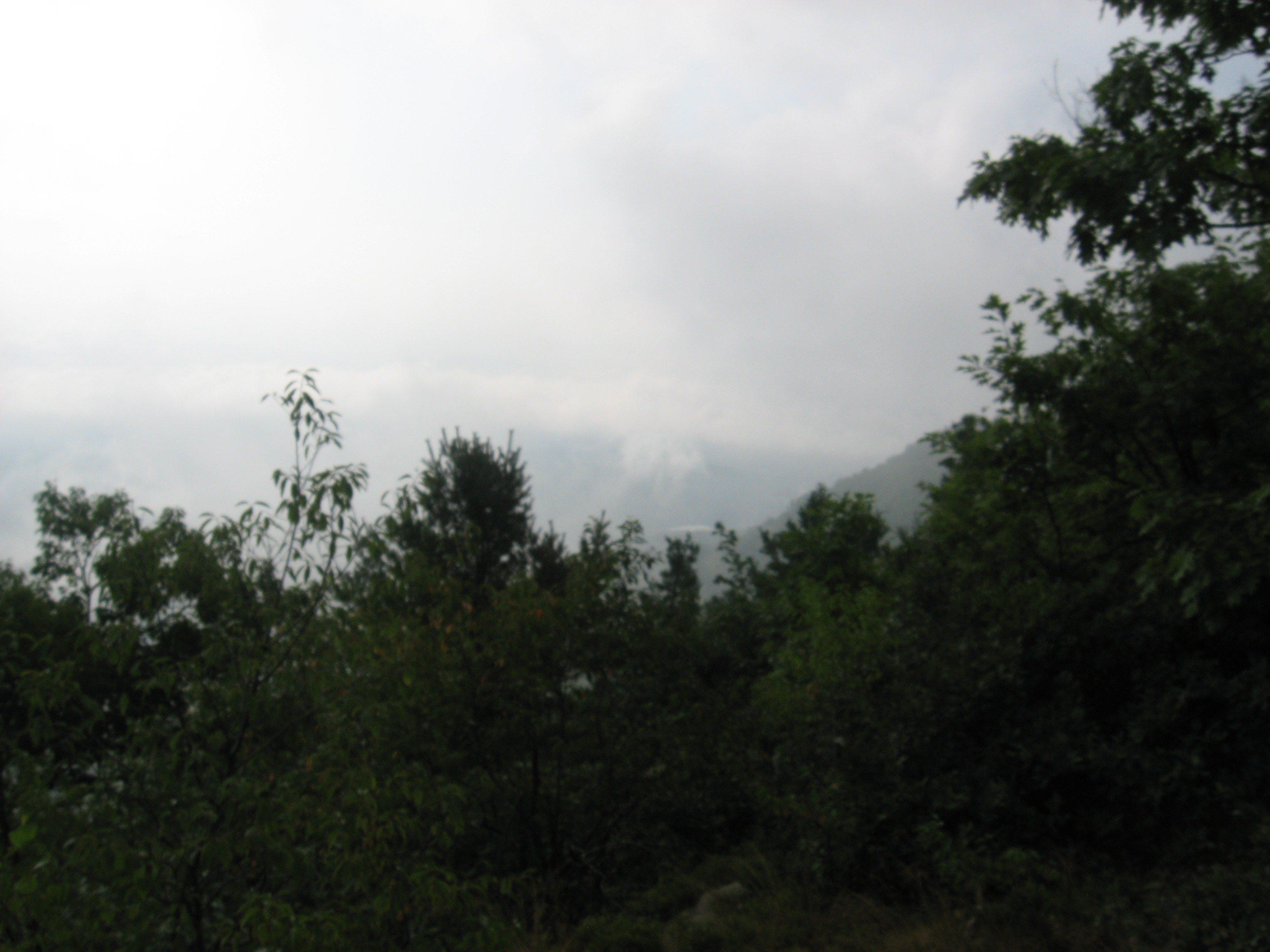
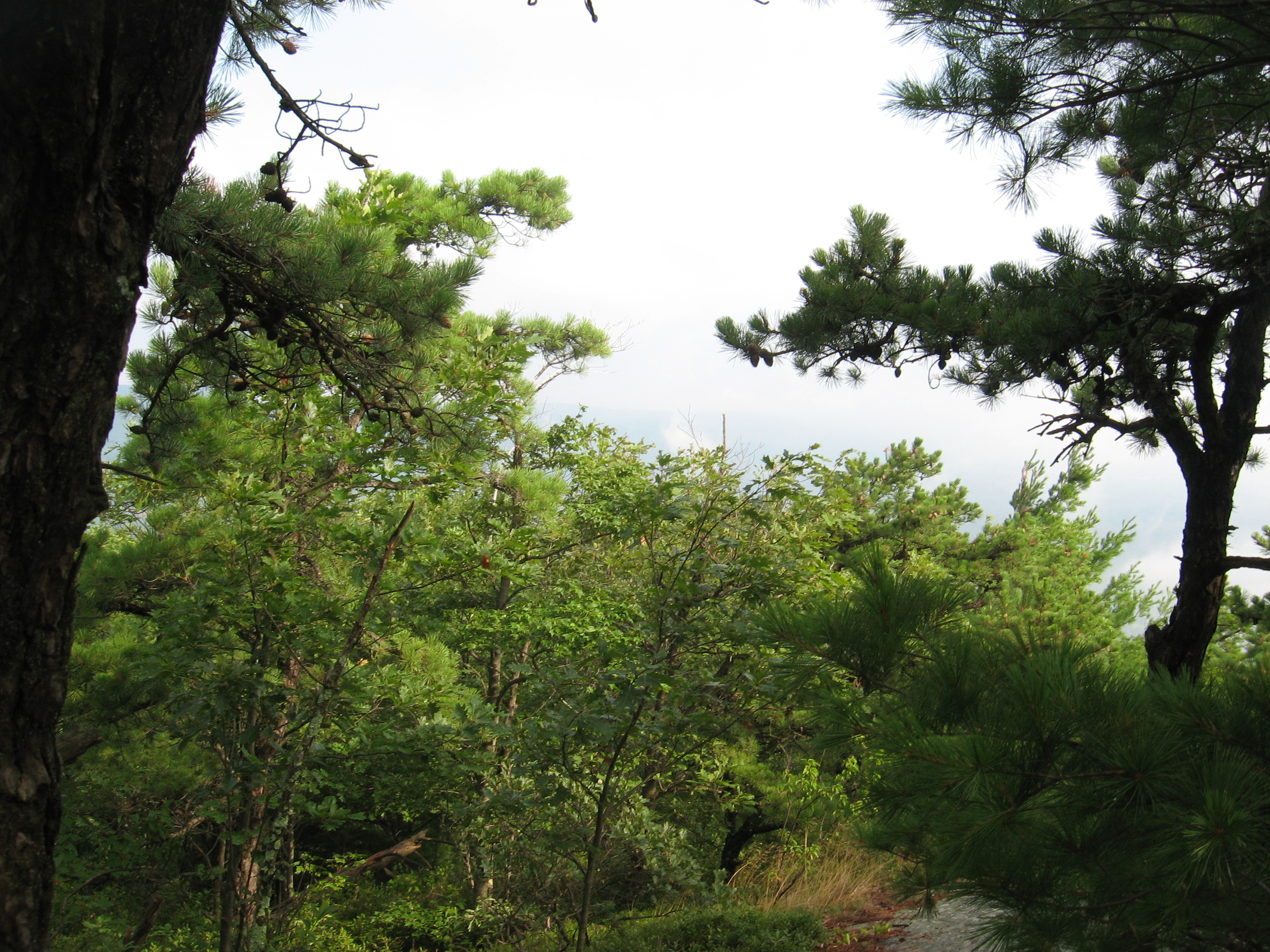
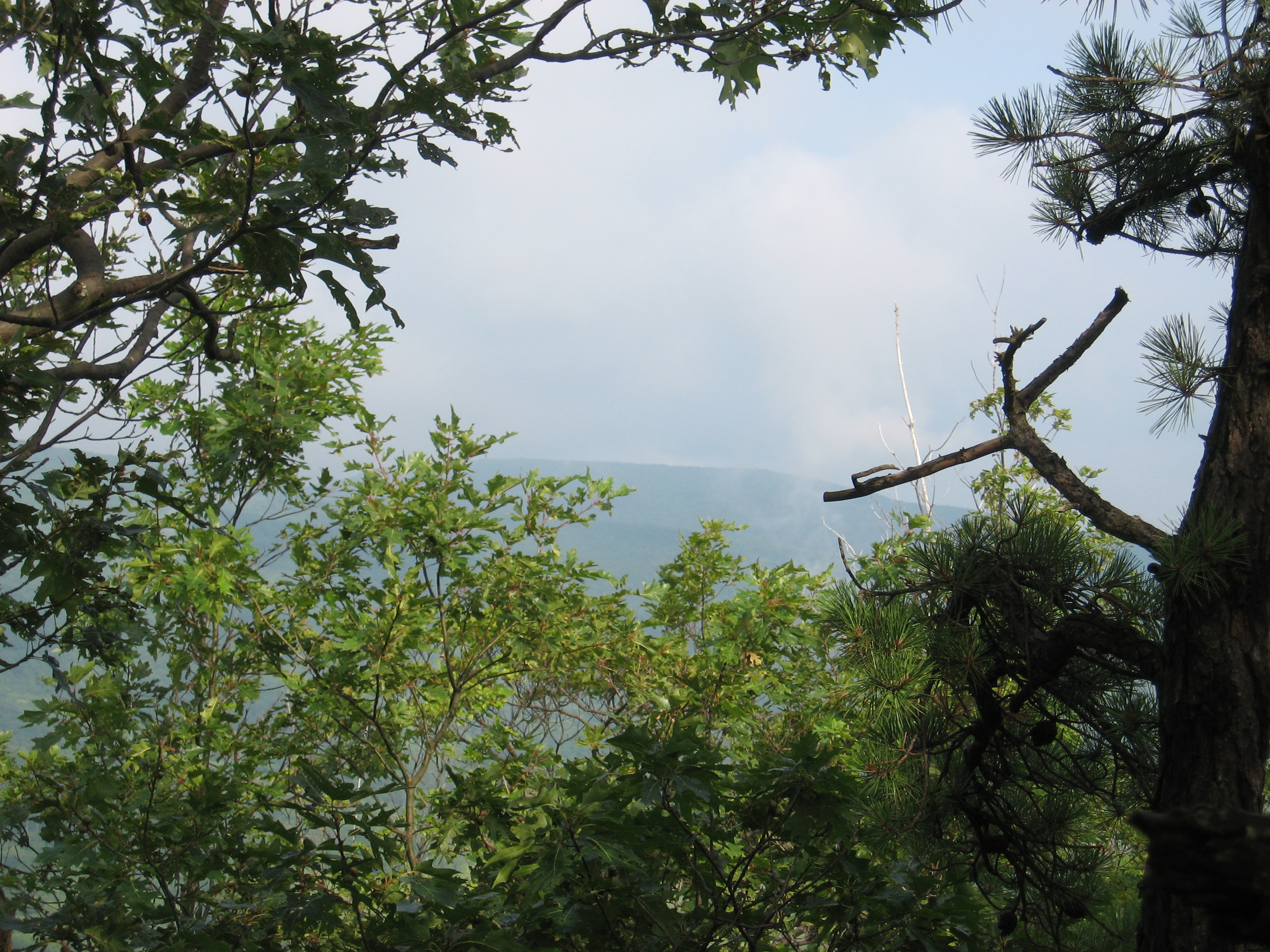
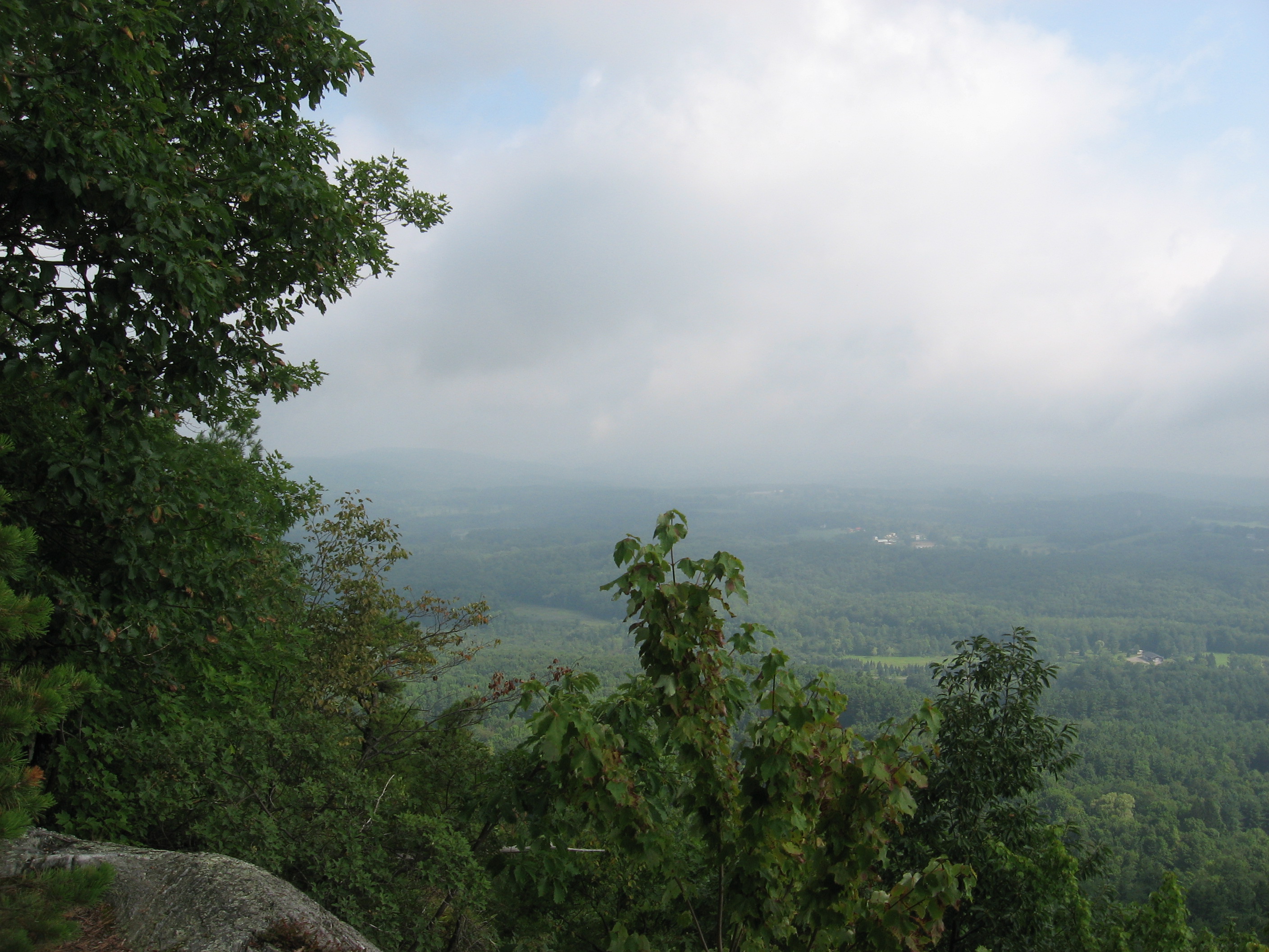
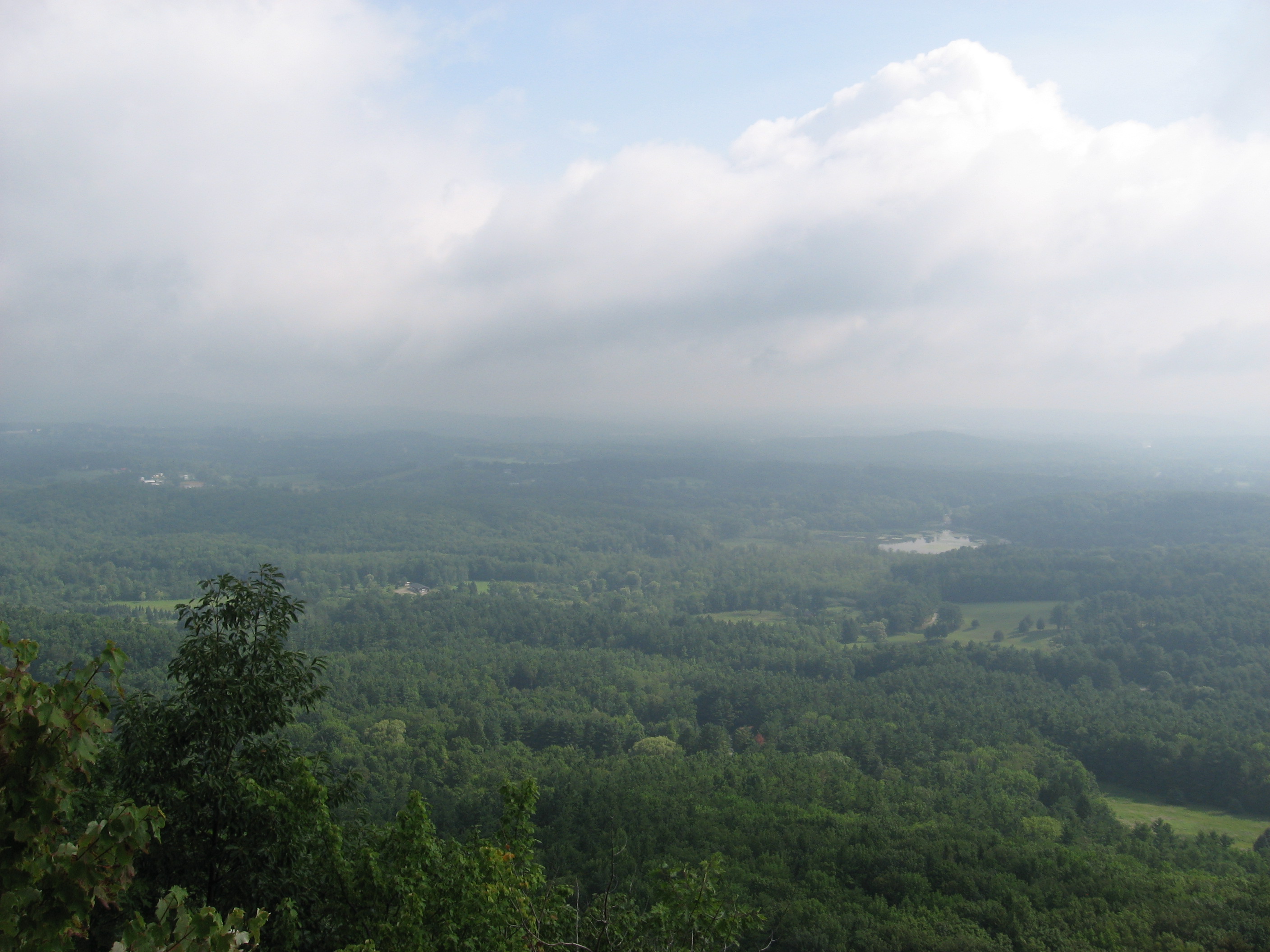
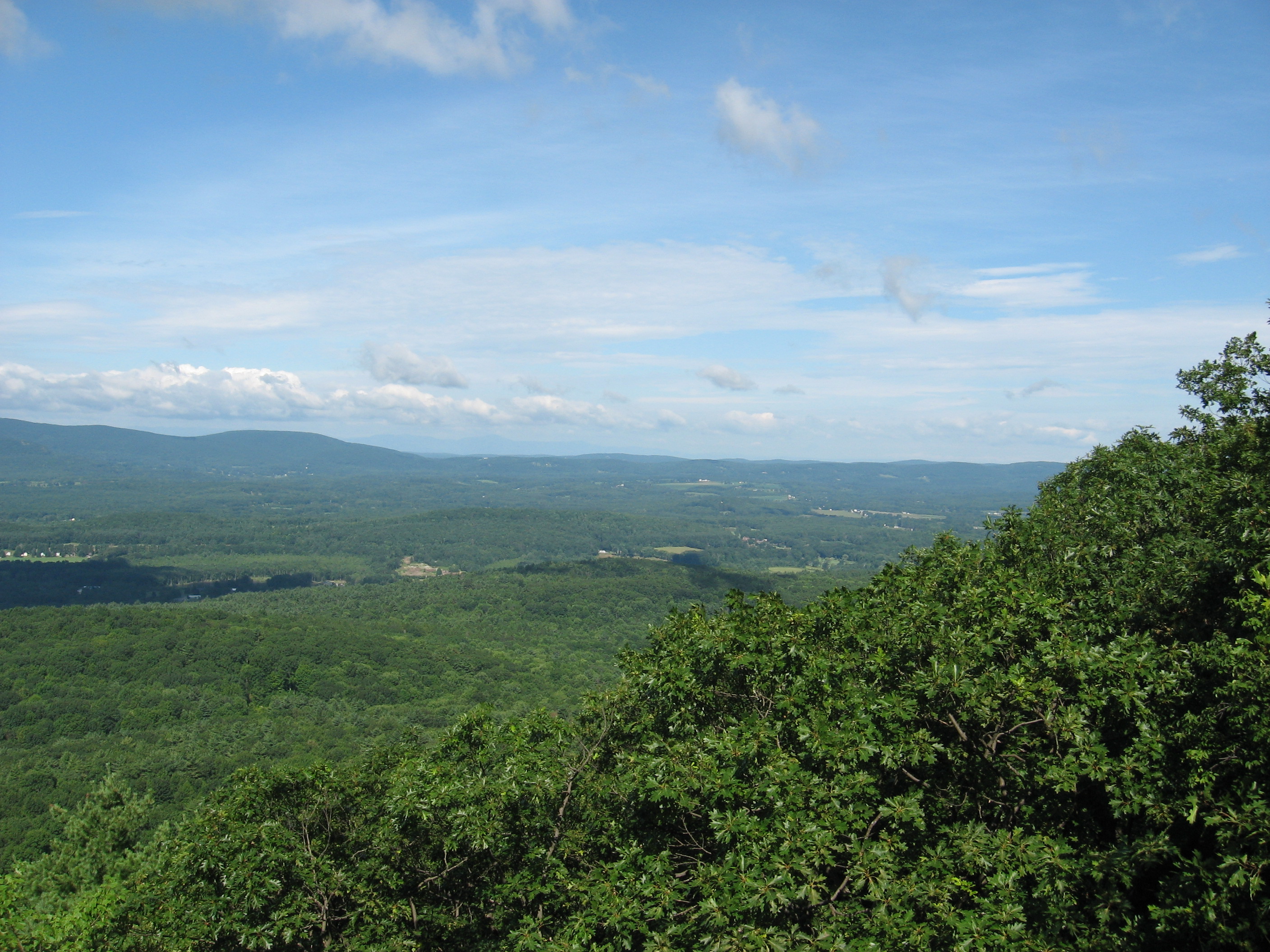
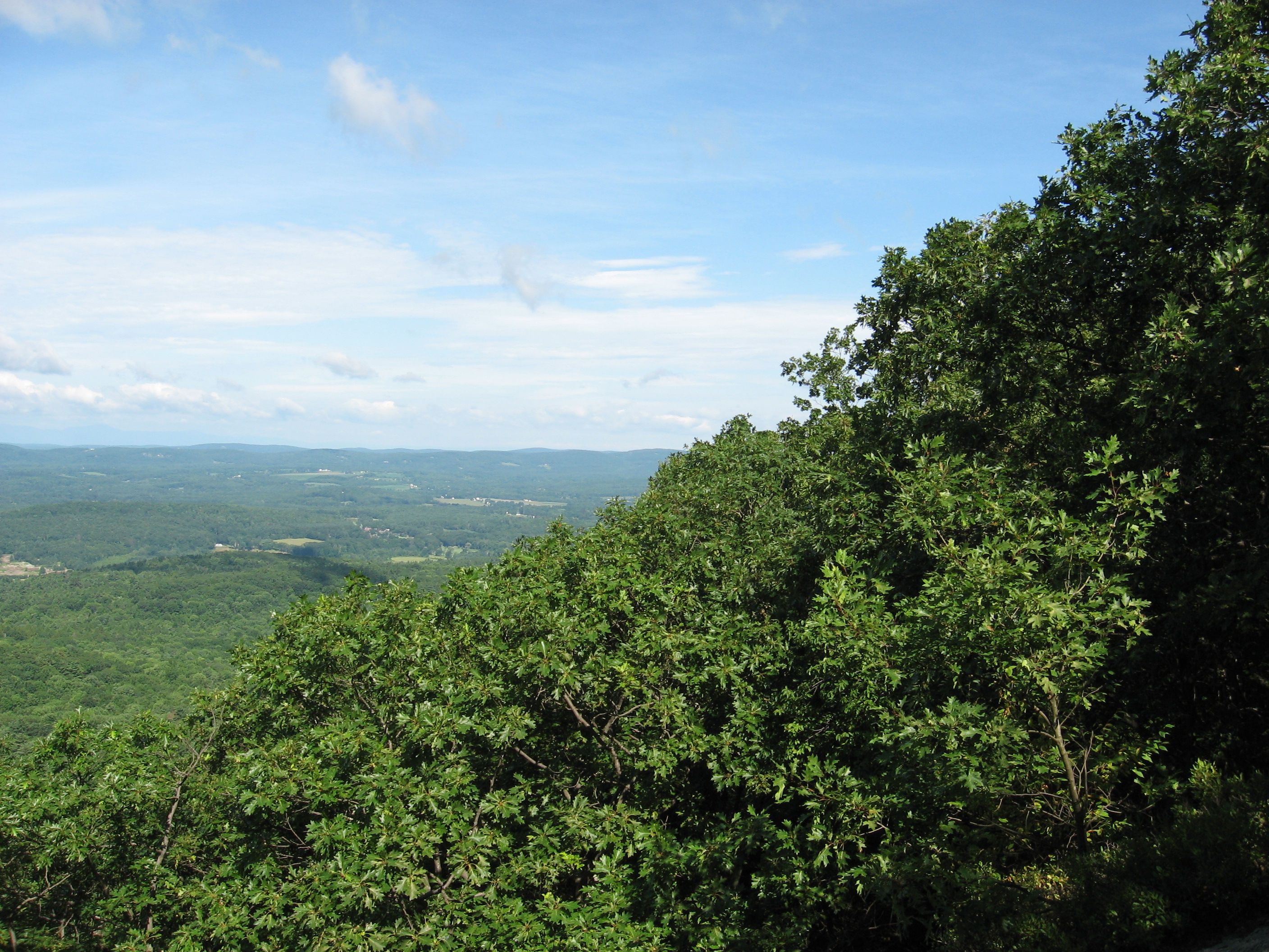
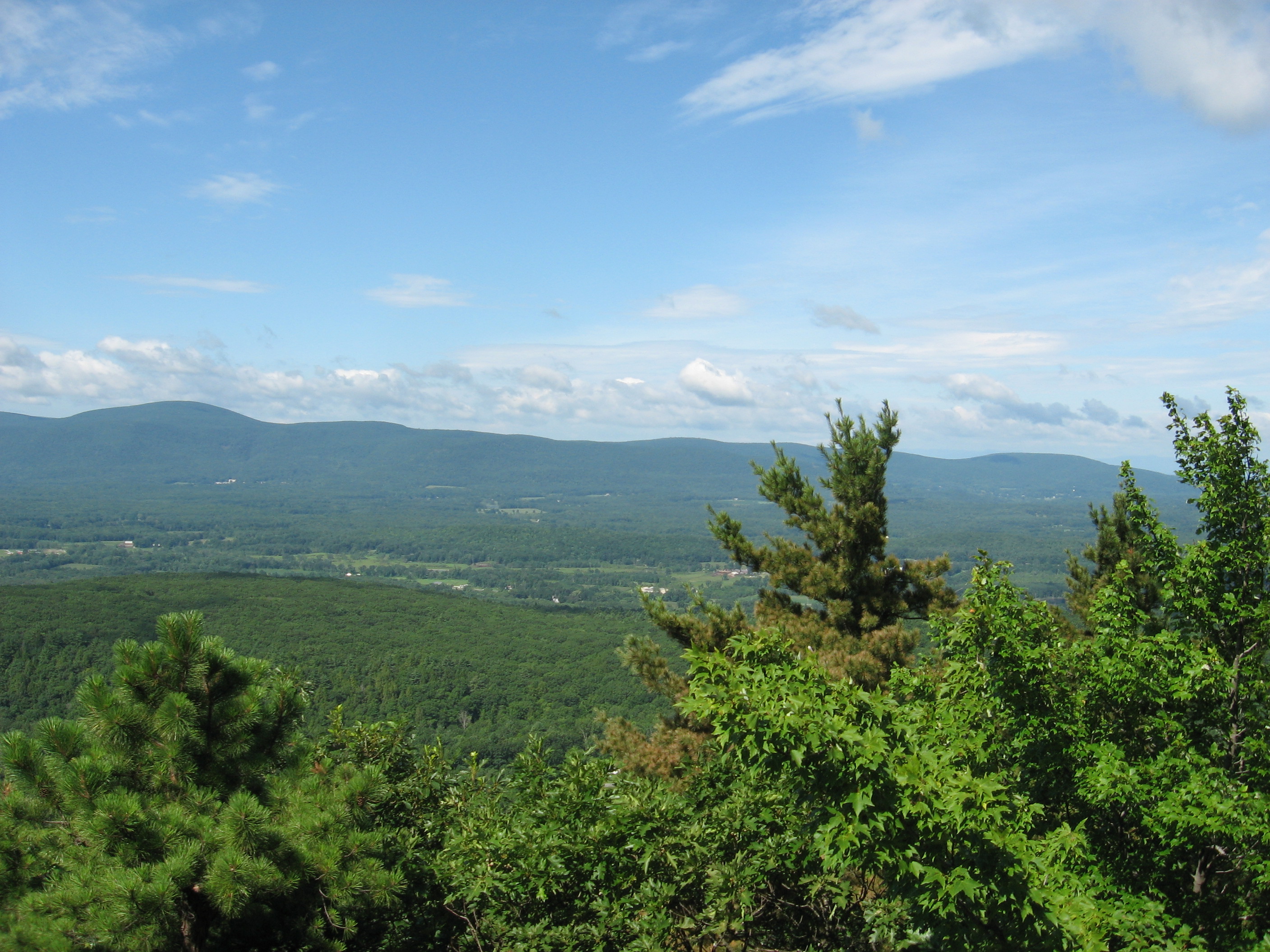
| 1505.2 | Bear Mountain (2,316')?rock observation tower | 2316 |
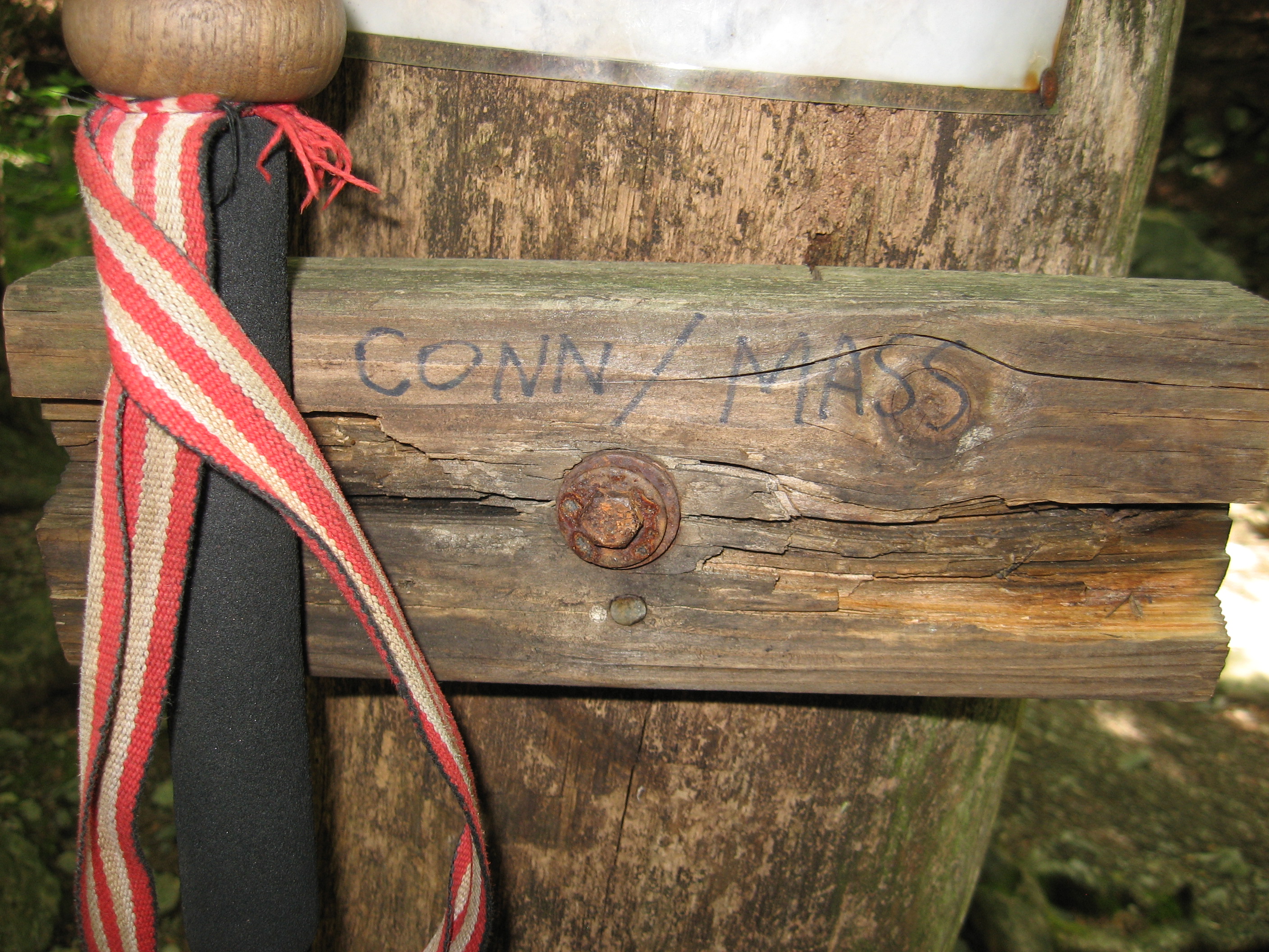
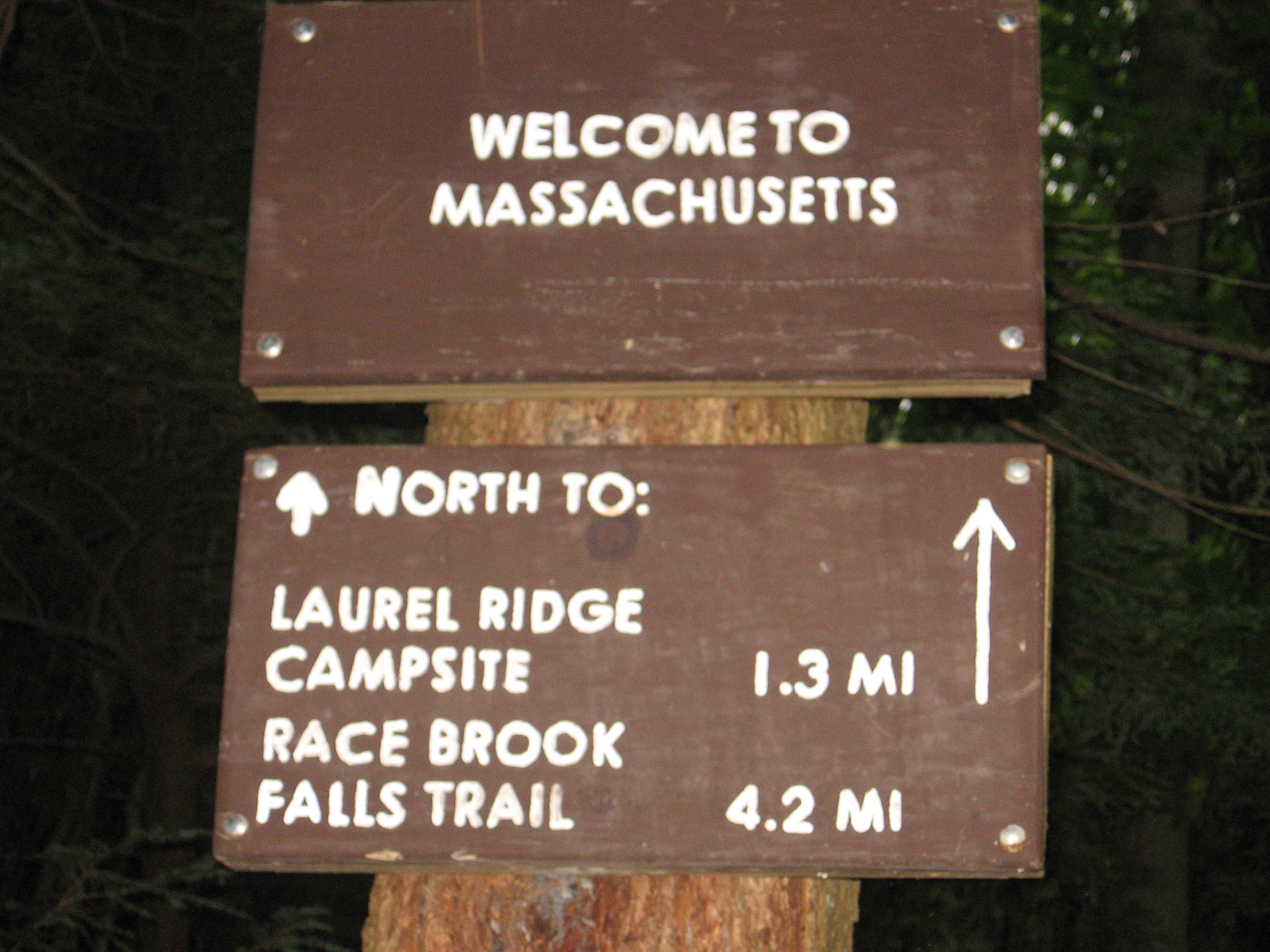
| 1505.9 | Connecticut?Massachusetts State Line (1,800') | 1800 |
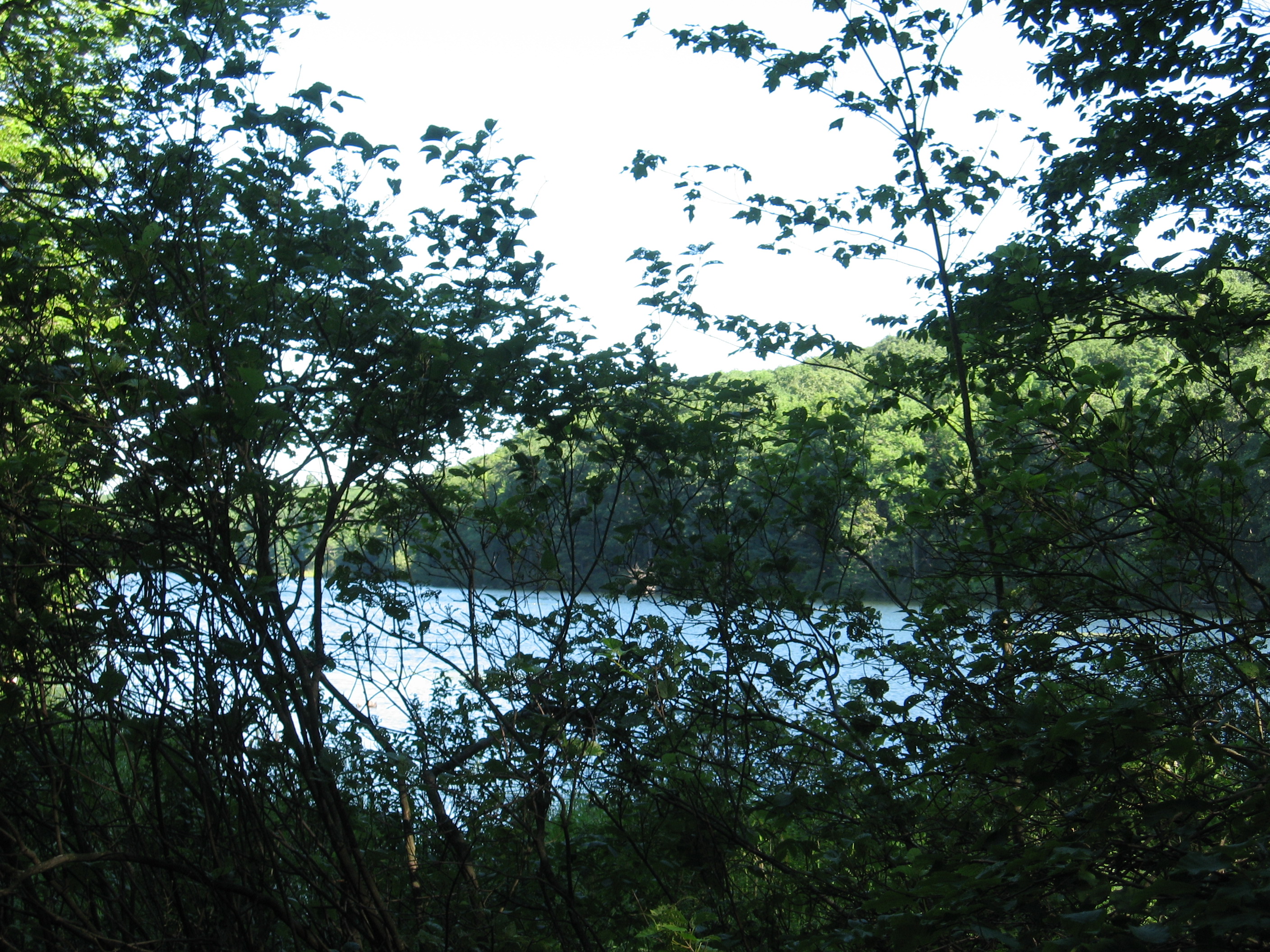
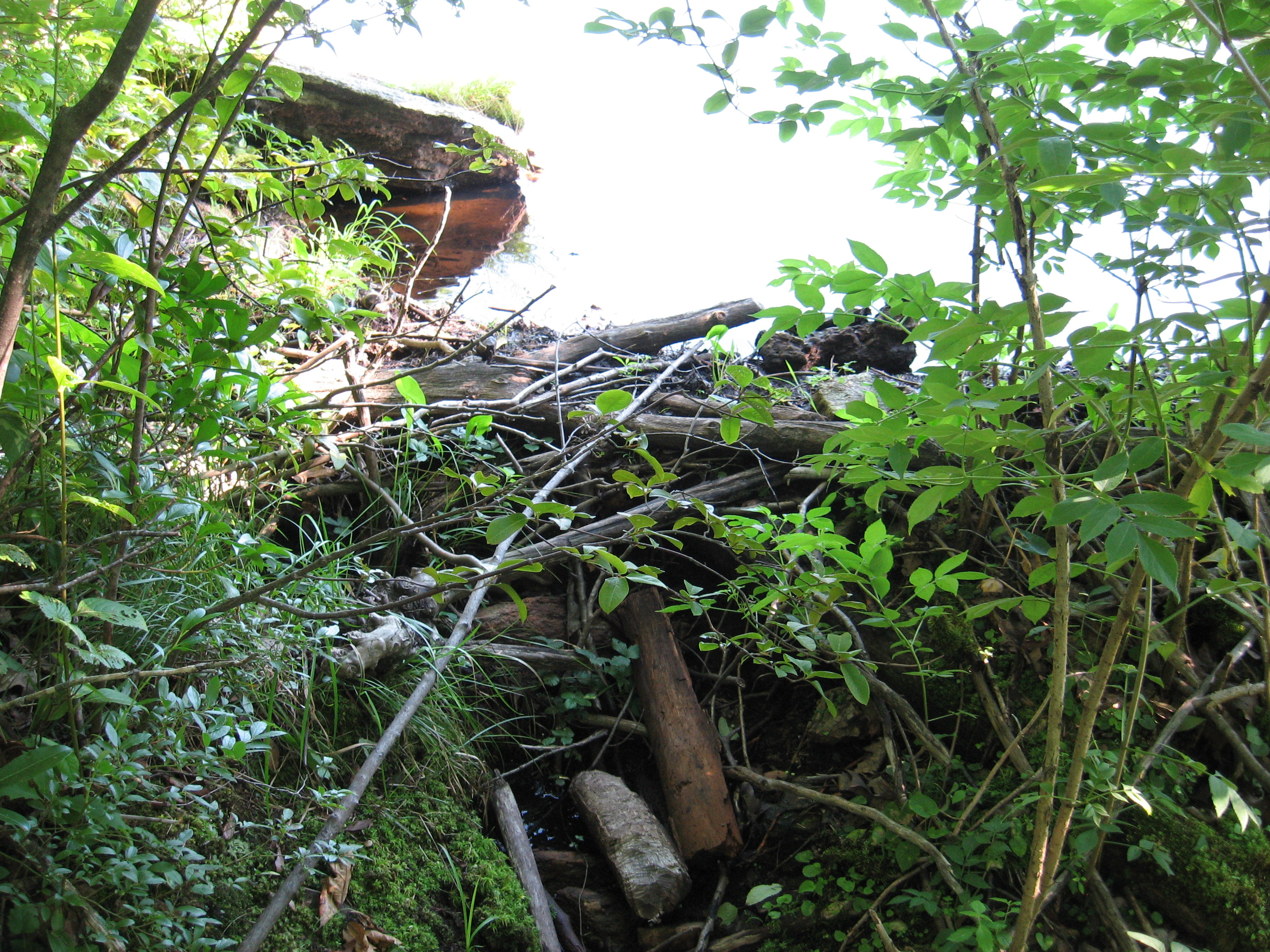
| 1506 | Sages Ravine Brook Campsite (1,360') | 1360 |

| Miles from Springer | Features | Elevation |
|---|---|---|
| 1506 | Sages Ravine Brook Campsite (1,360') | 1360 |
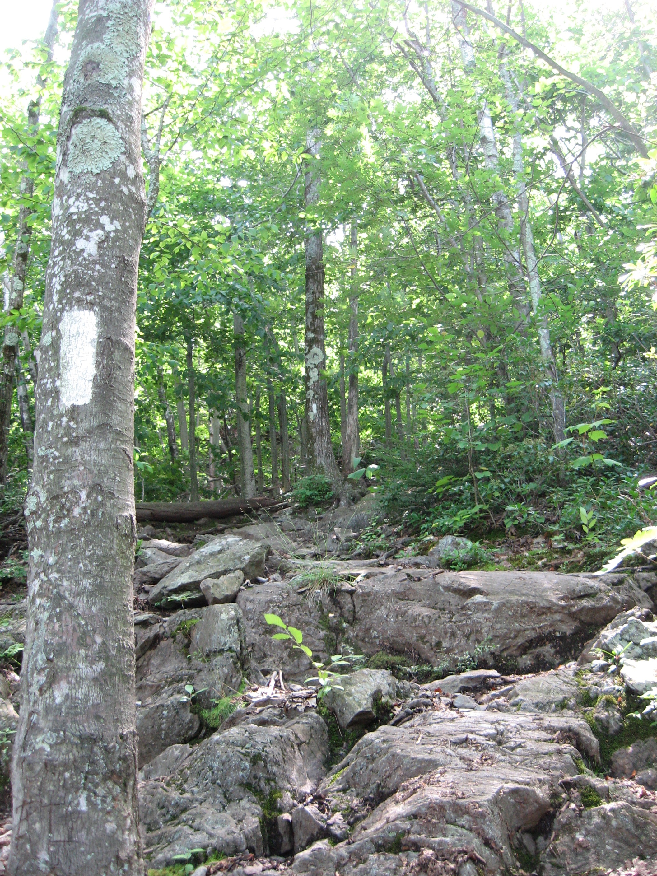
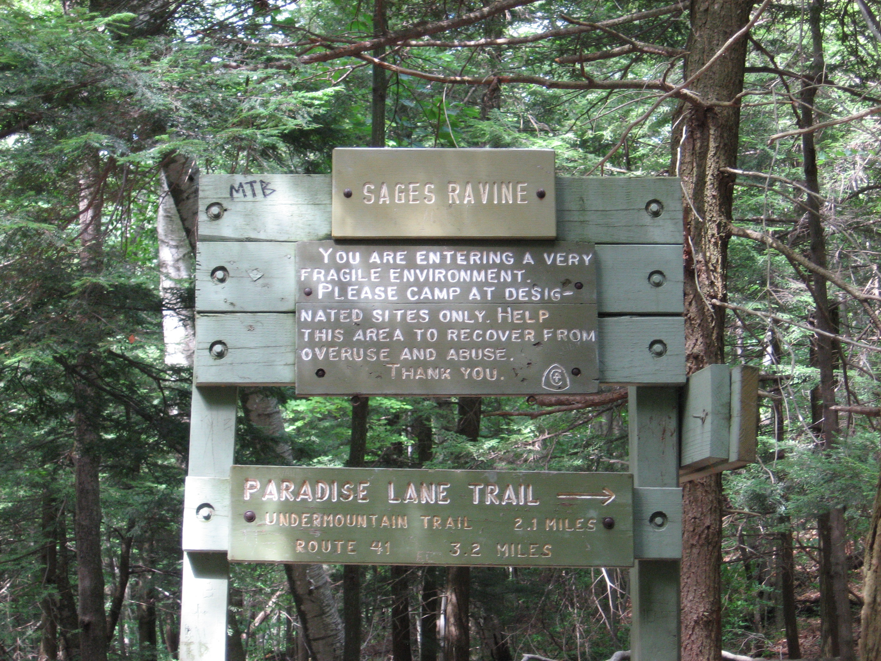
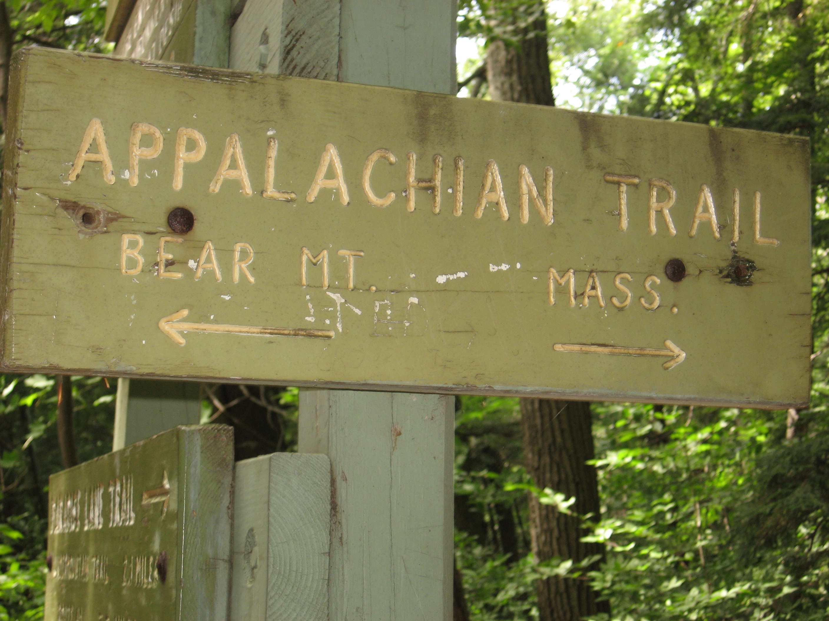
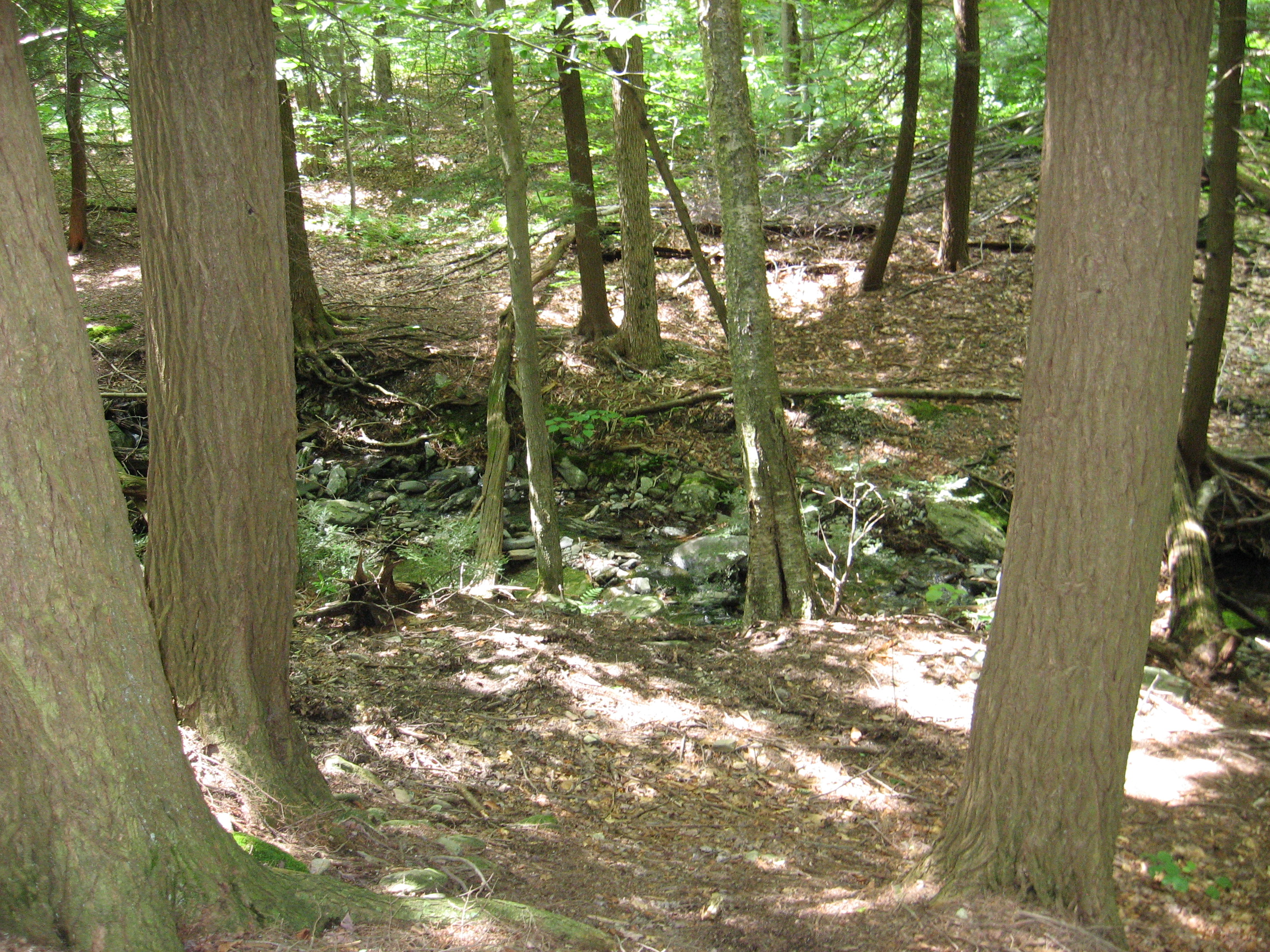
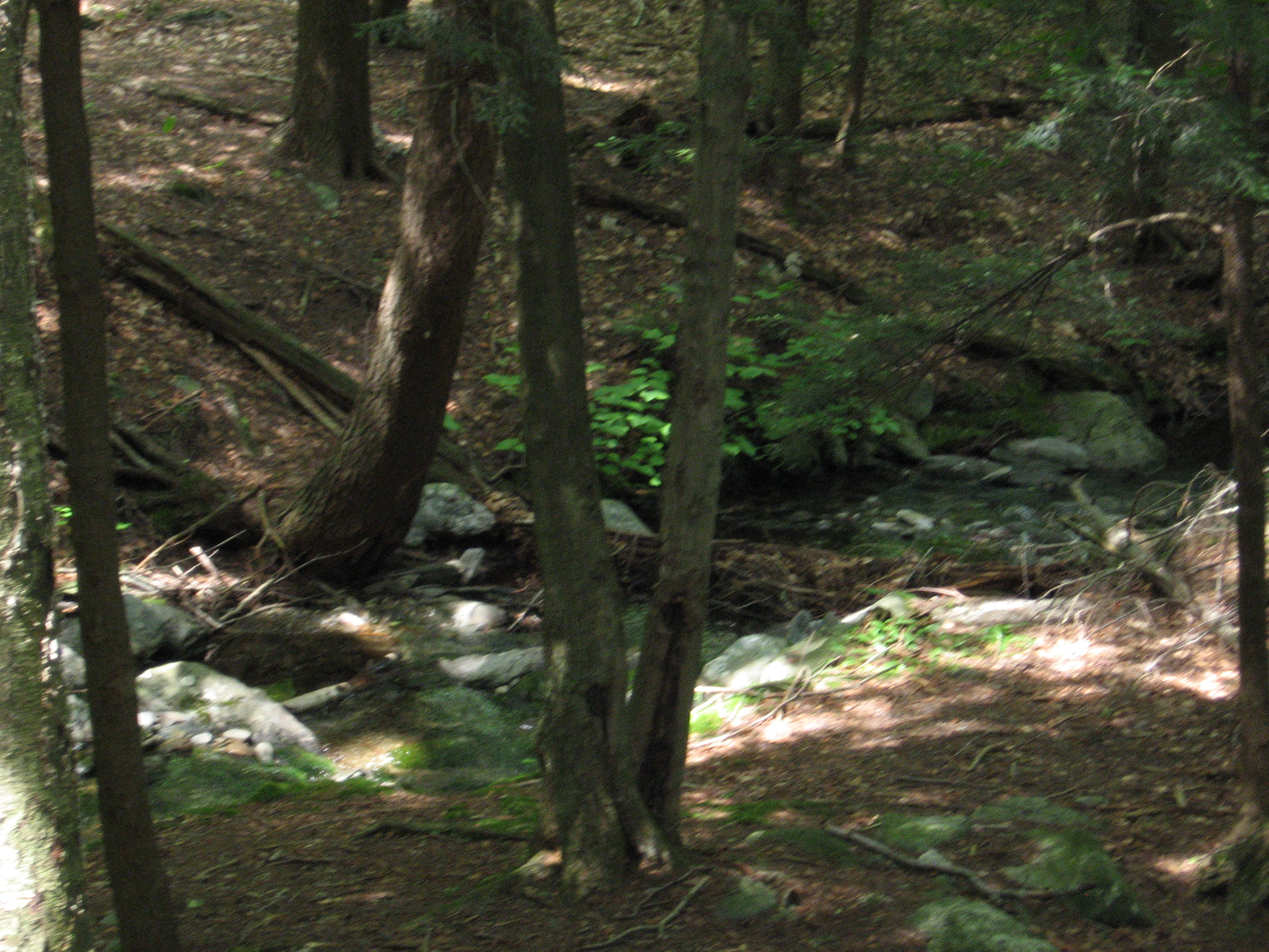
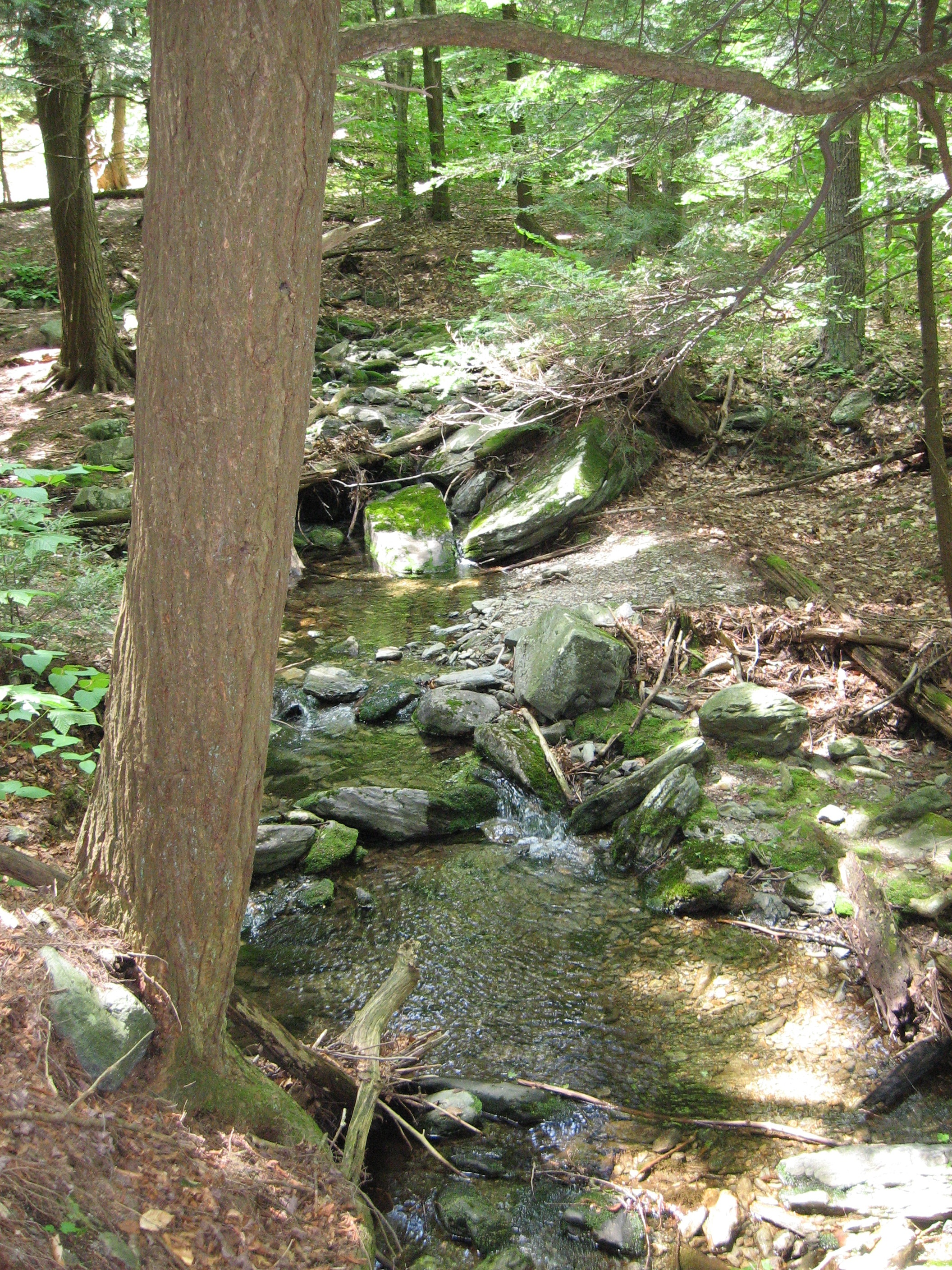
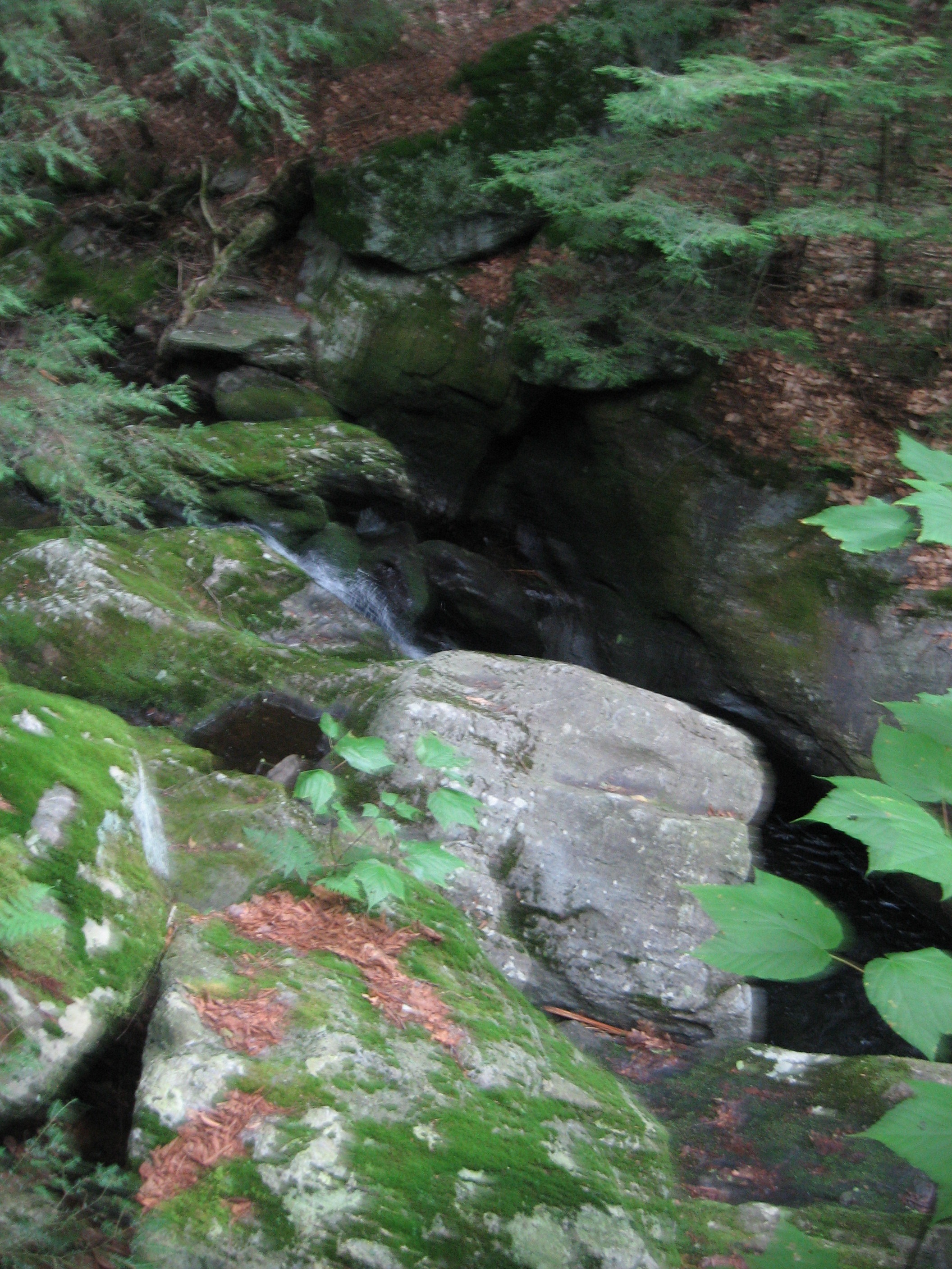
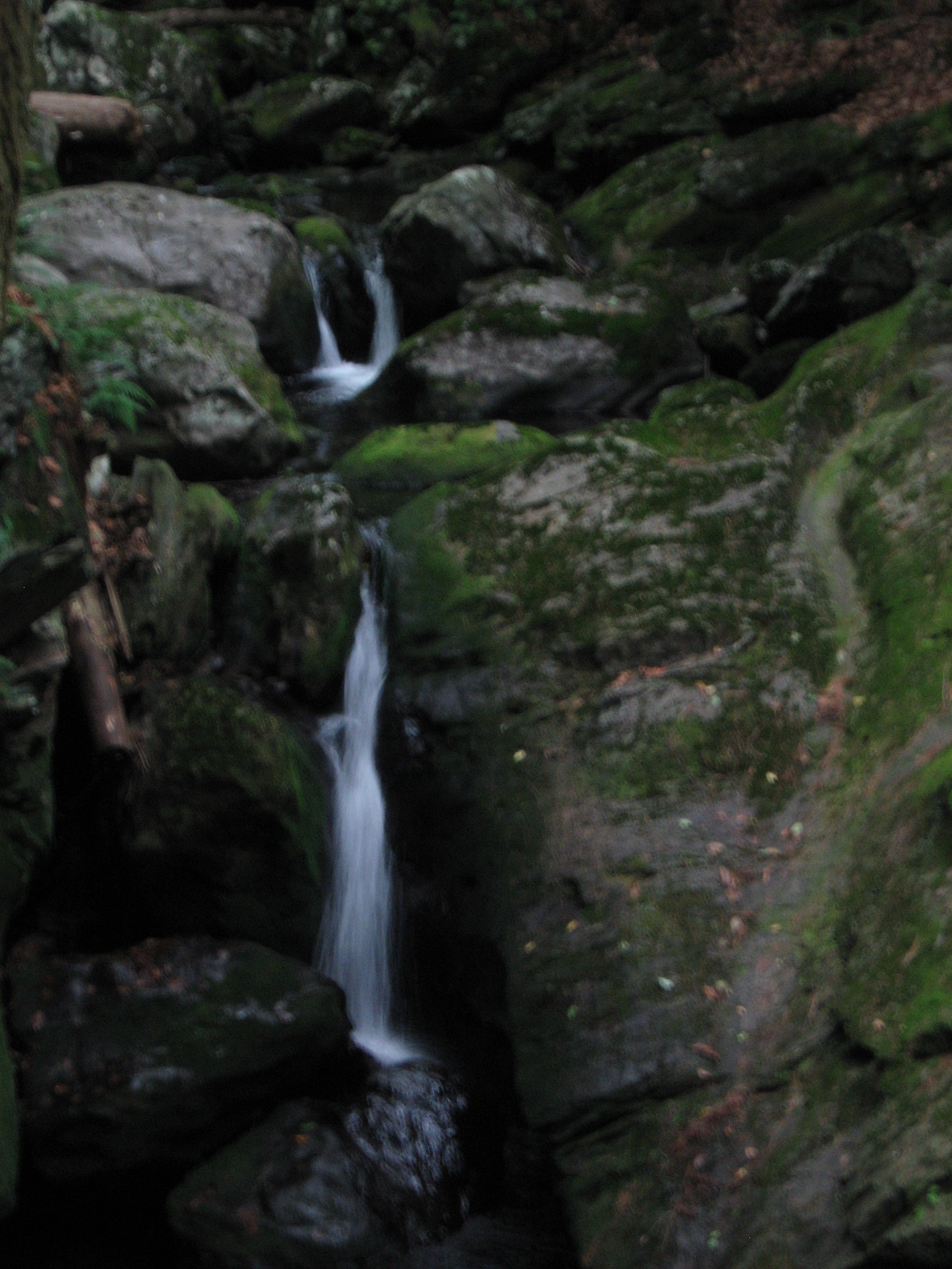
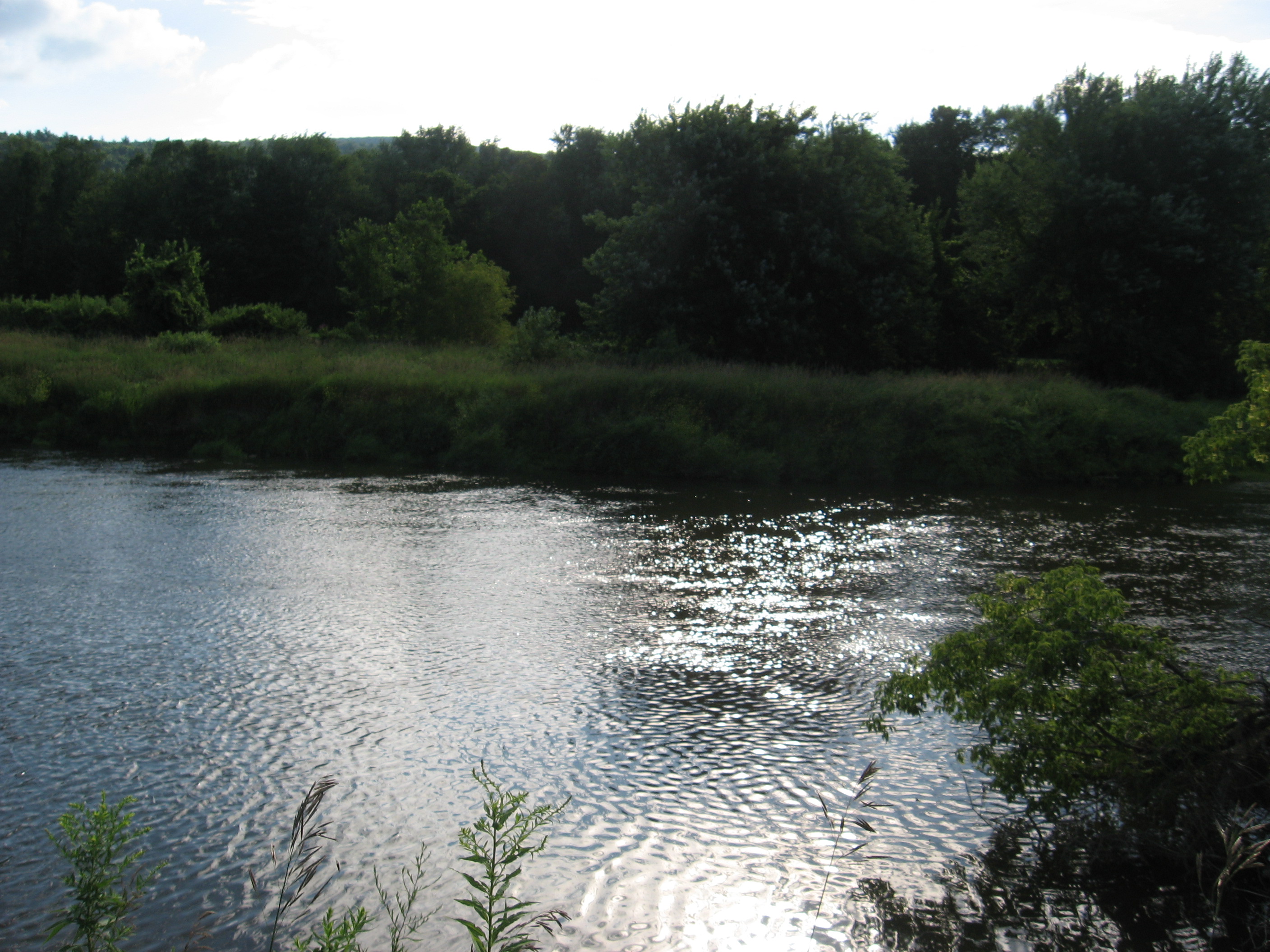
| 1506.6 | Sages Ravine (1,340') | 1340 |
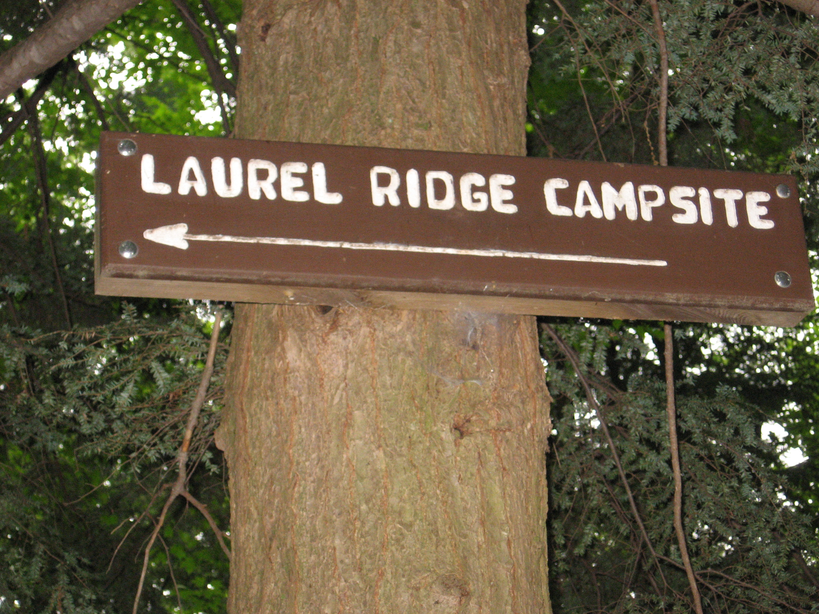
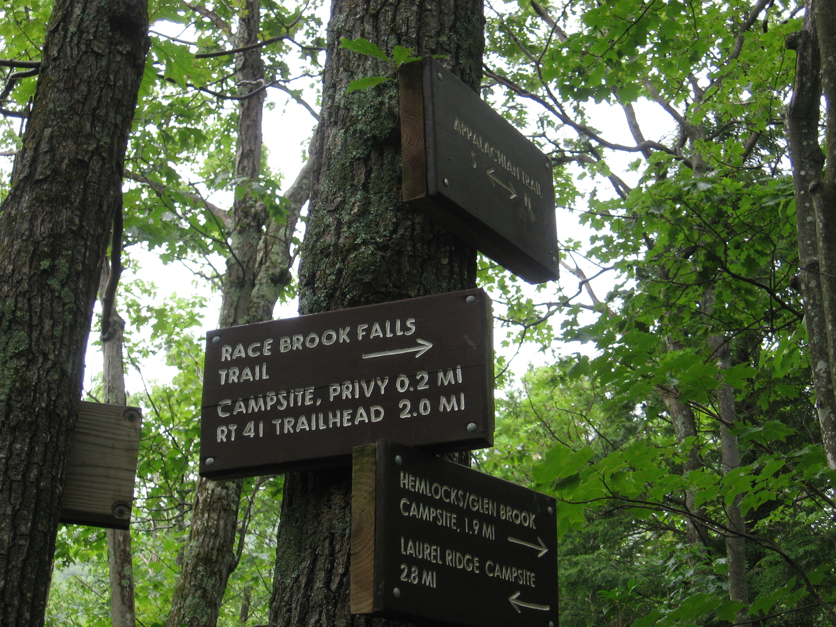
| 1507.9 | Laurel Ridge Campsite (1,750') | 1750 |
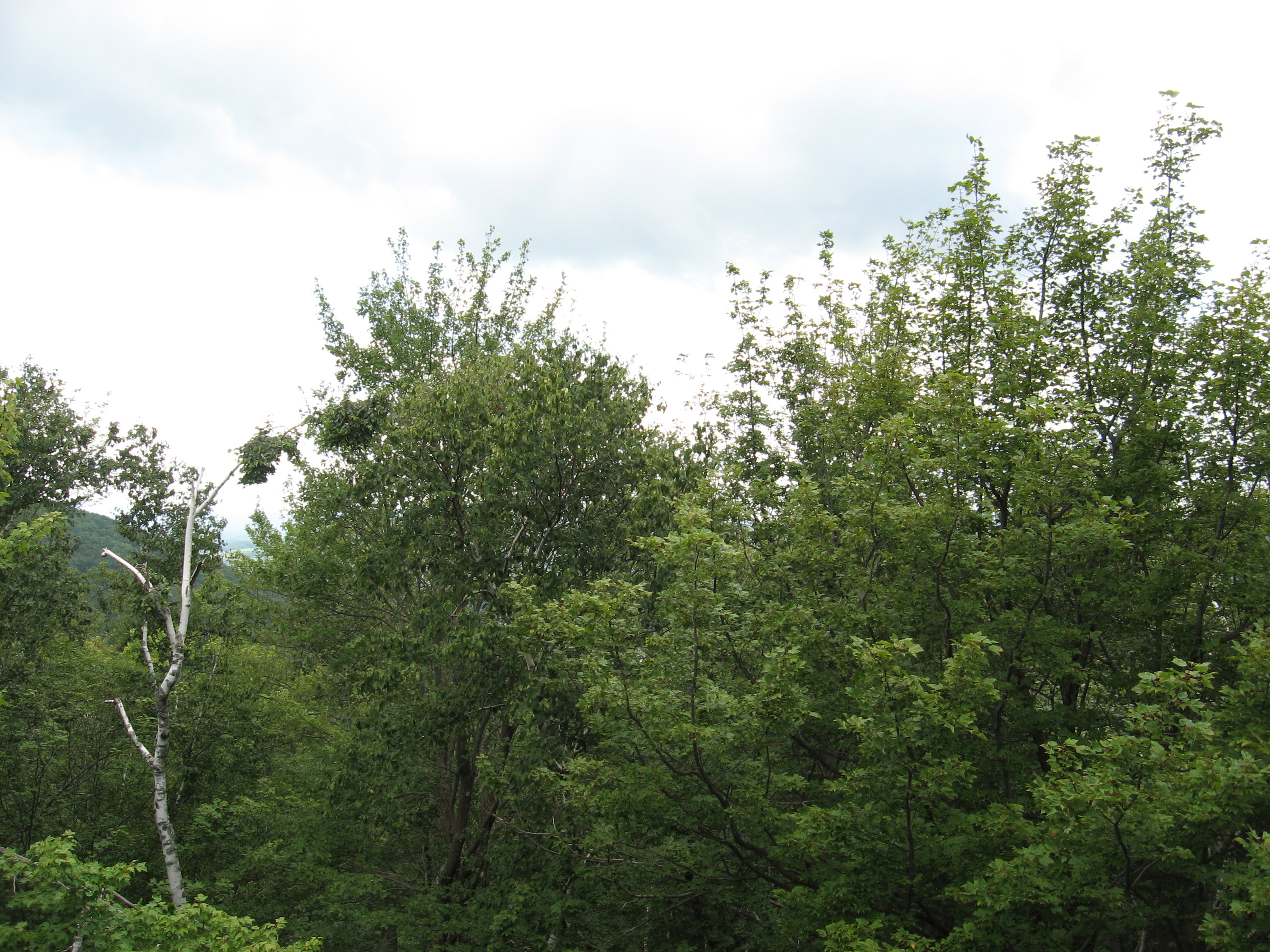
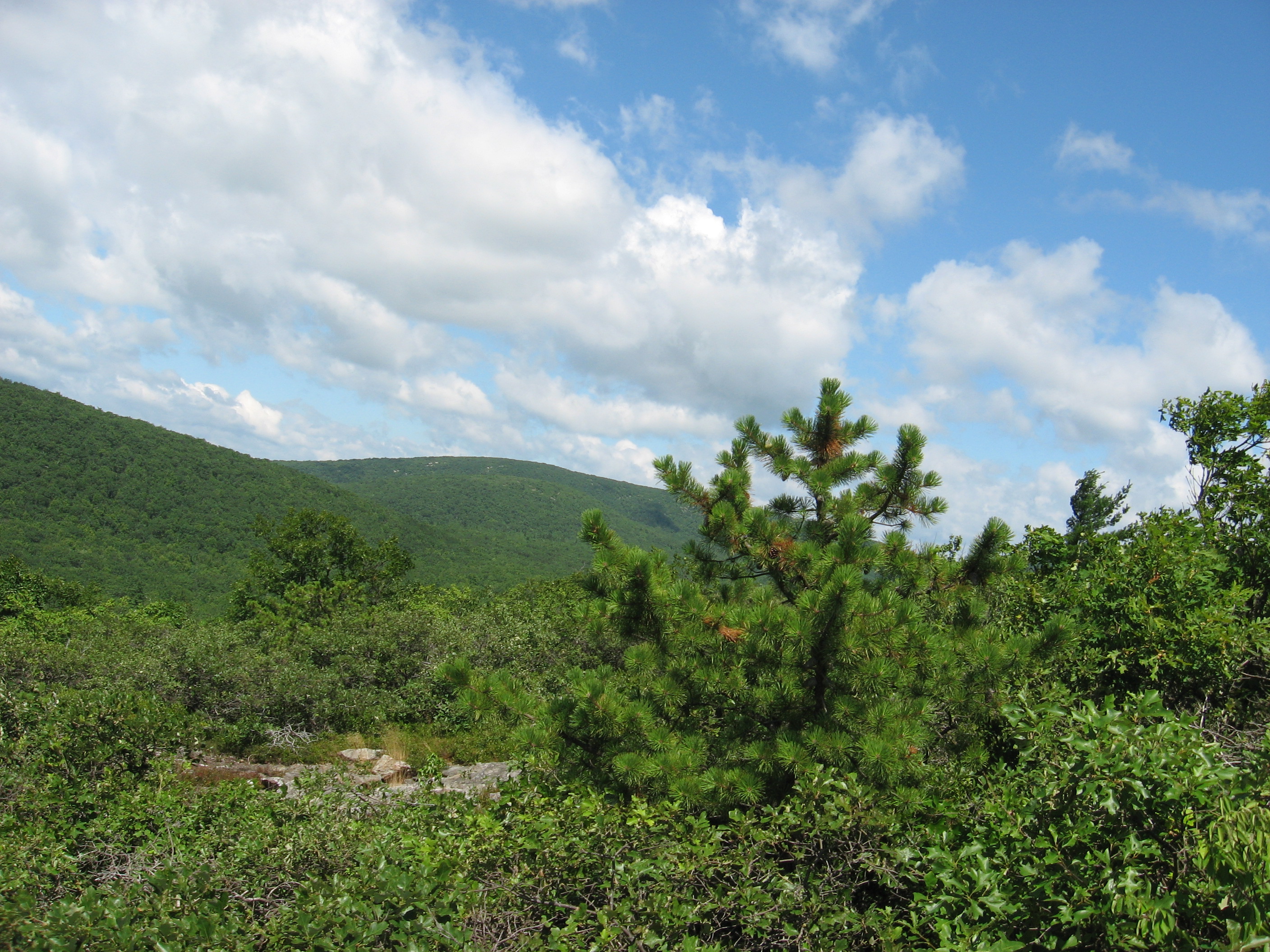
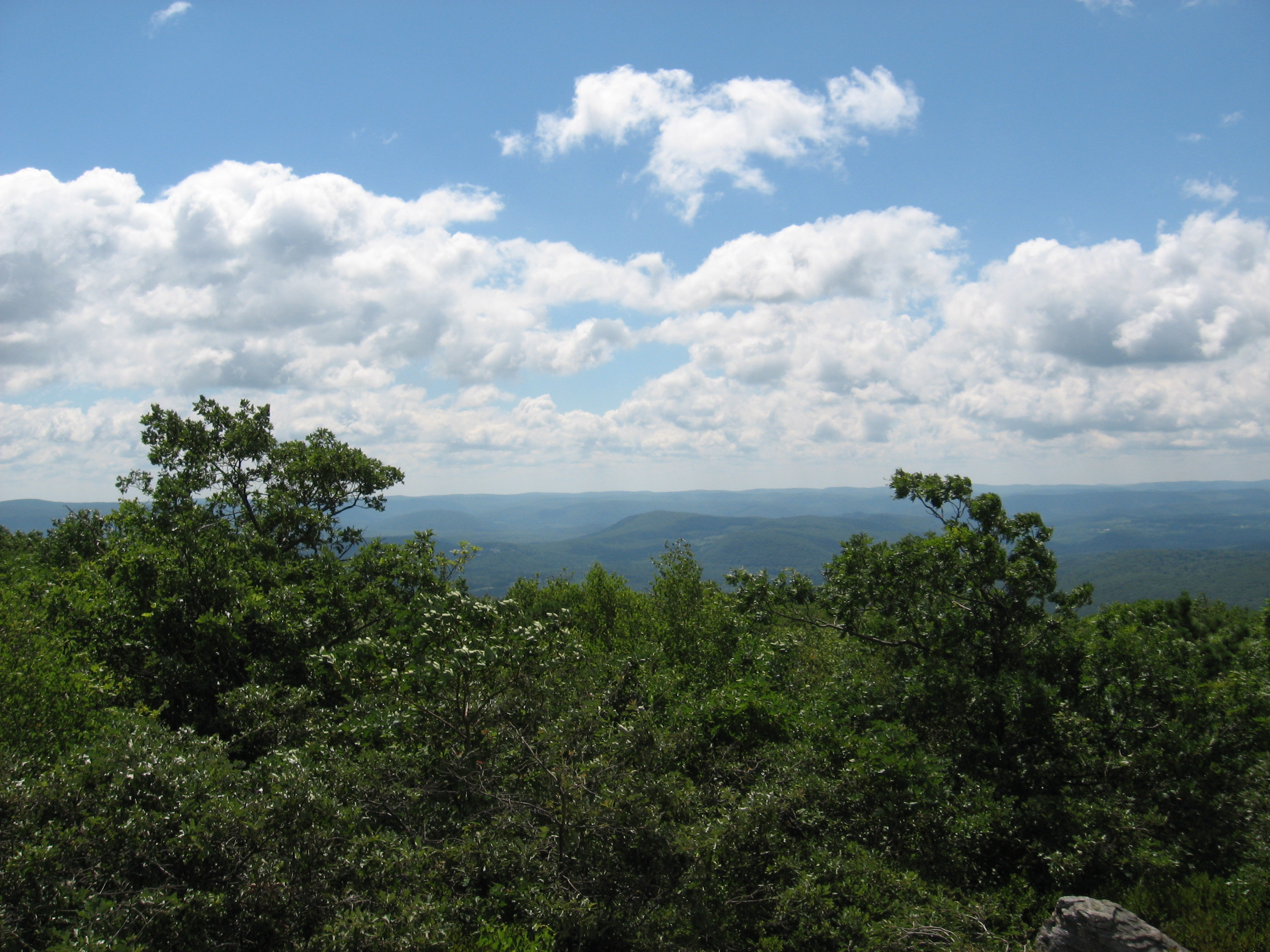
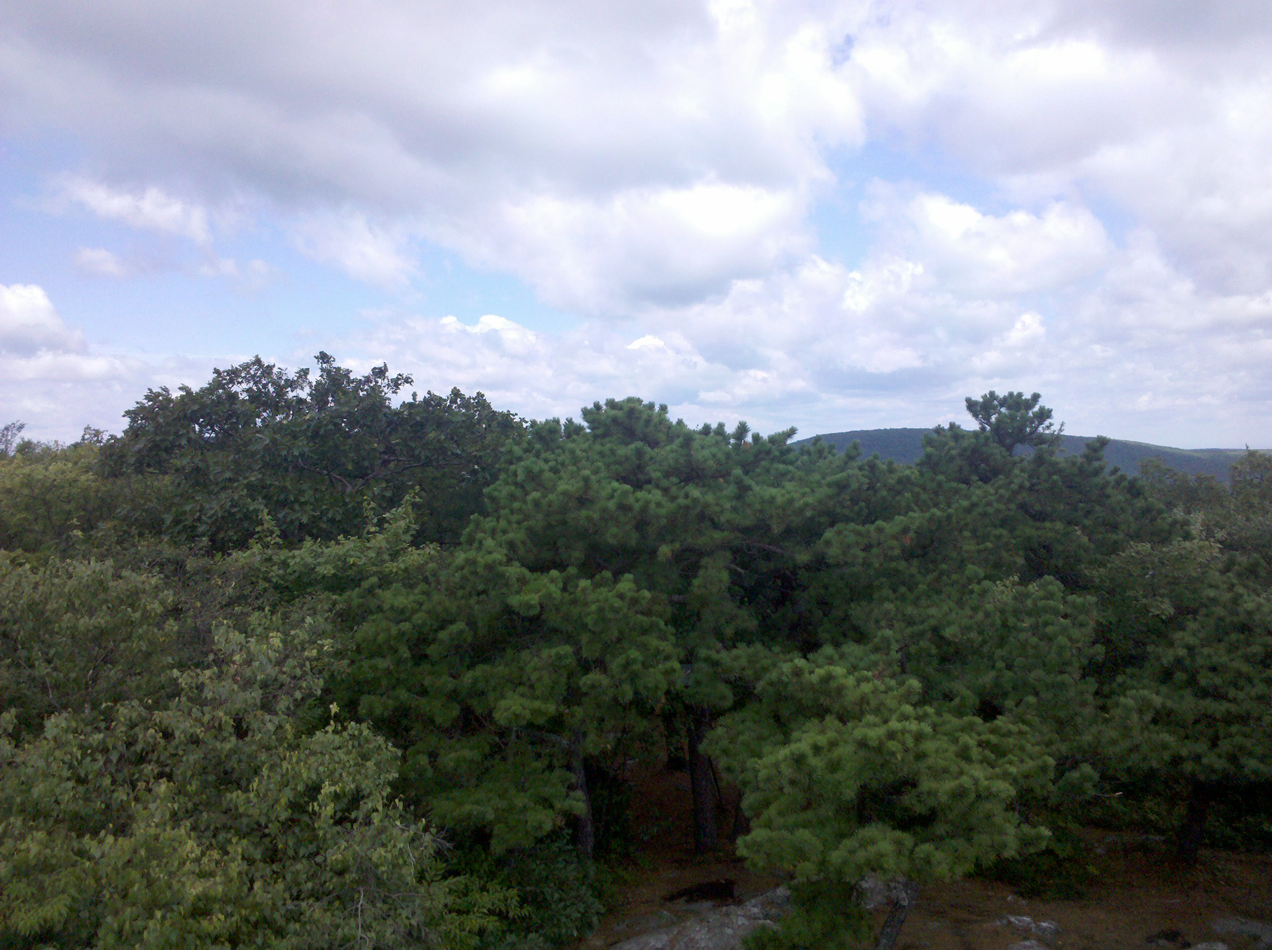
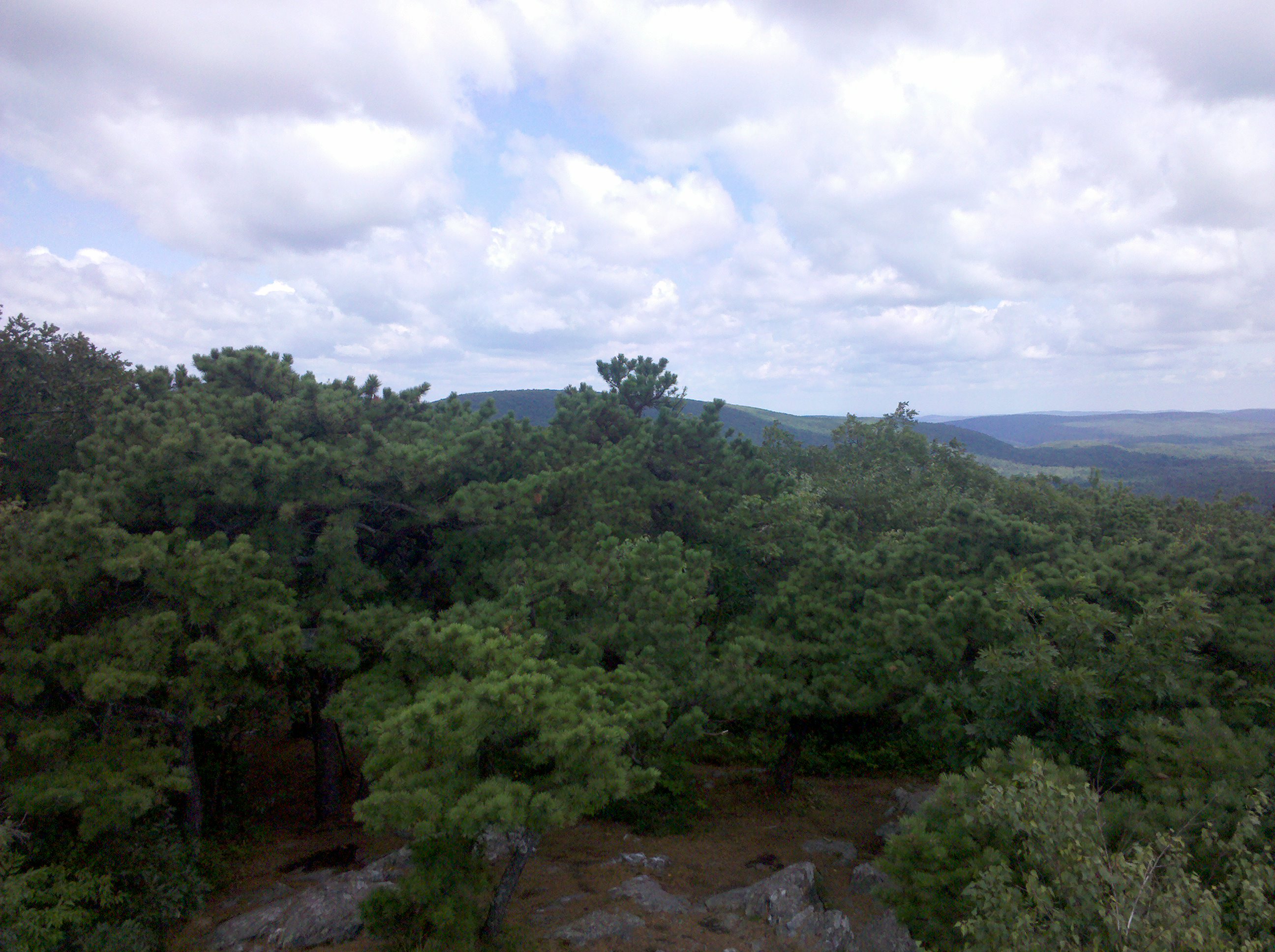
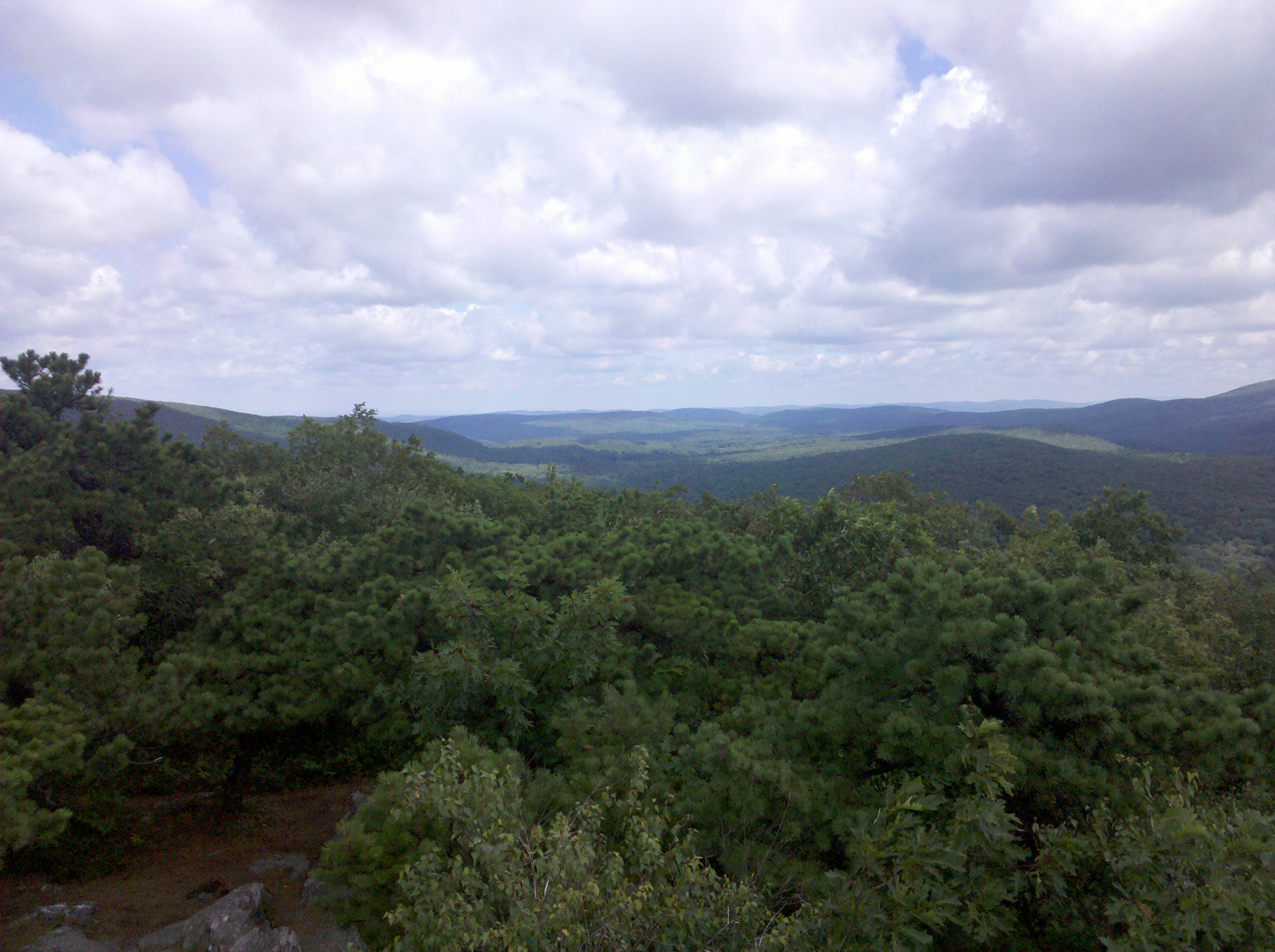
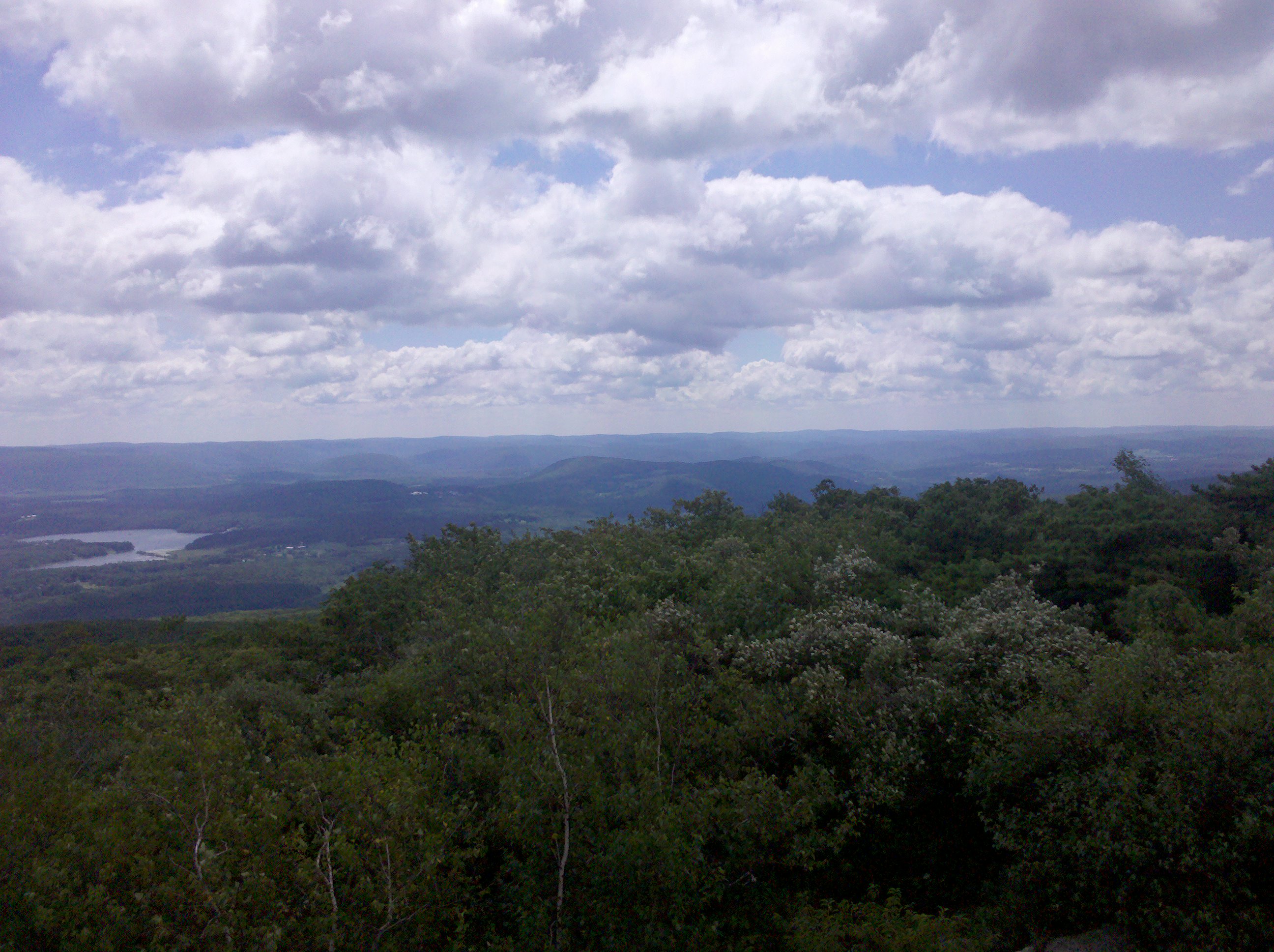
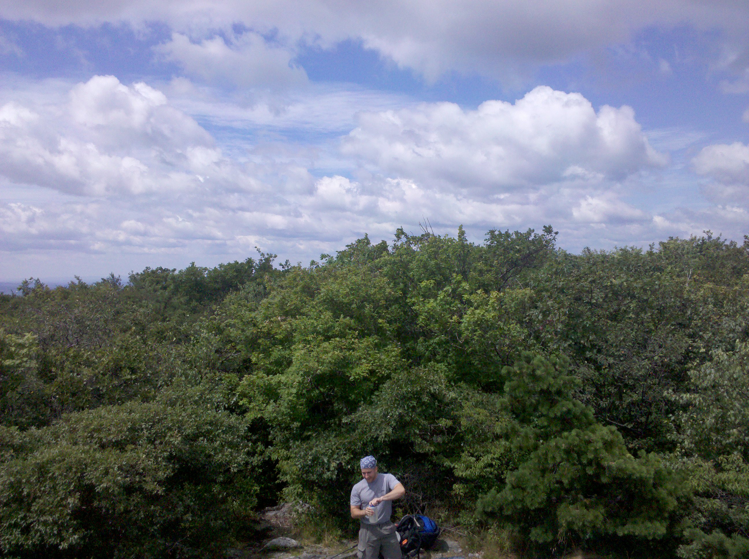
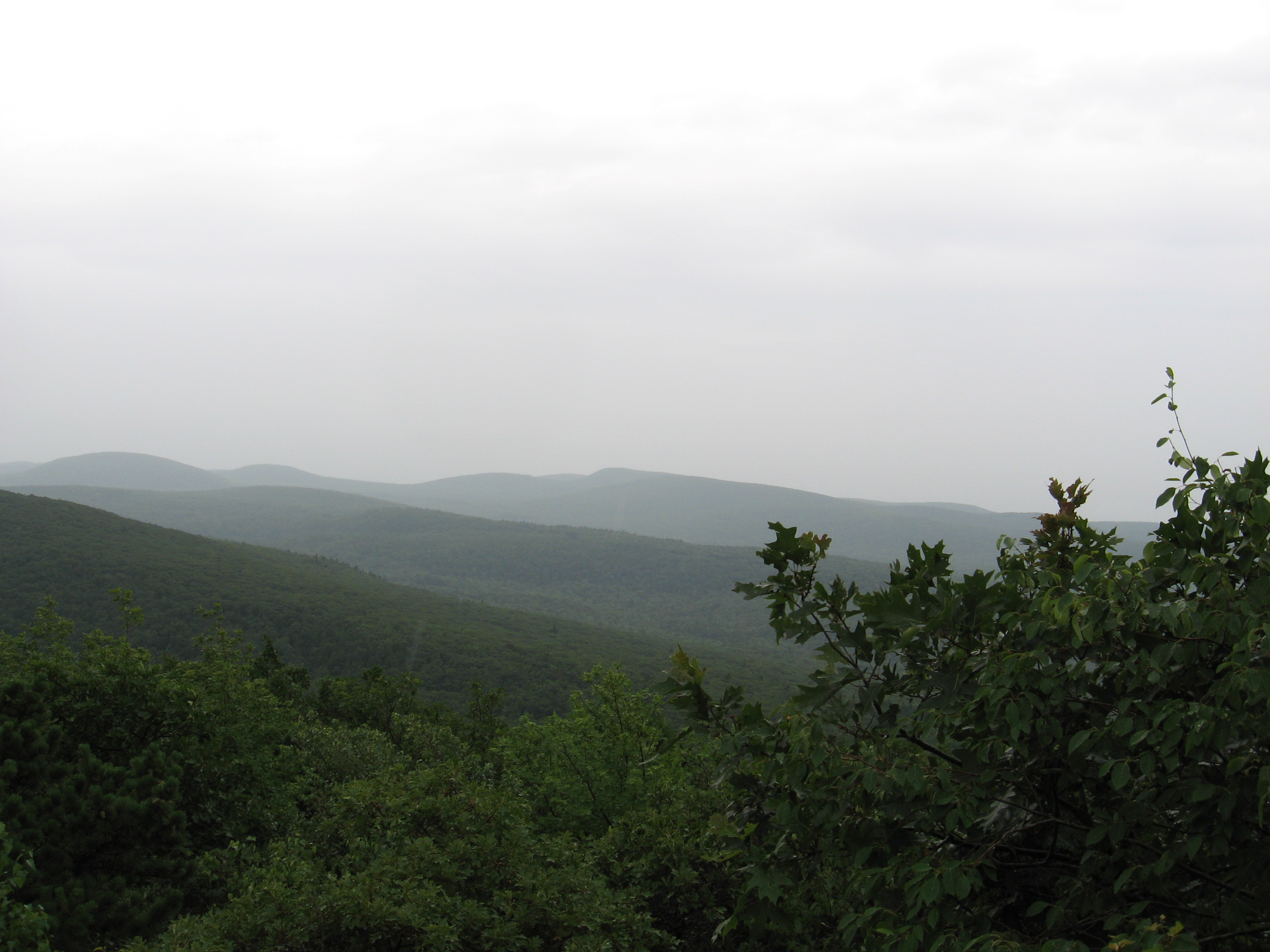
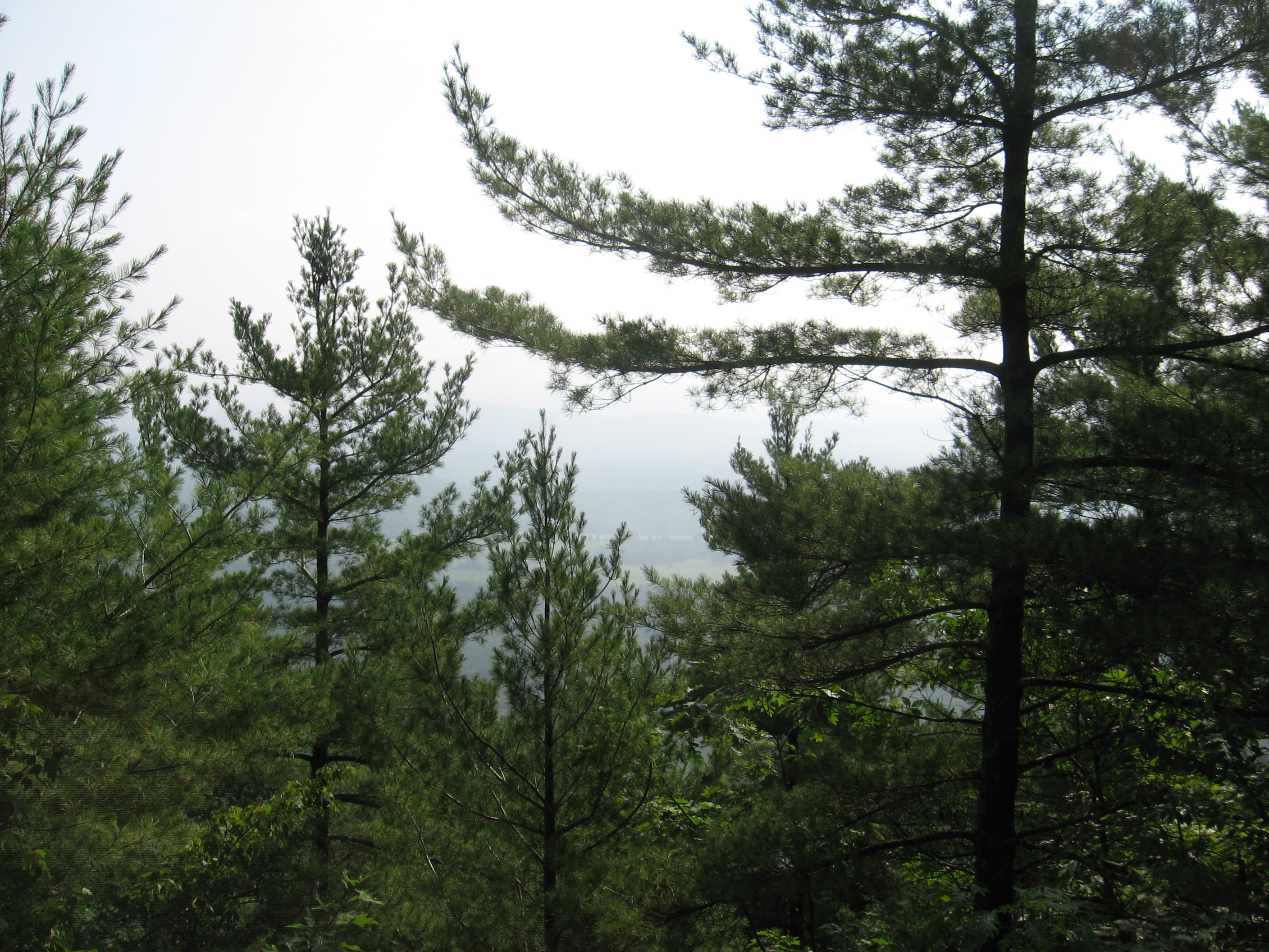
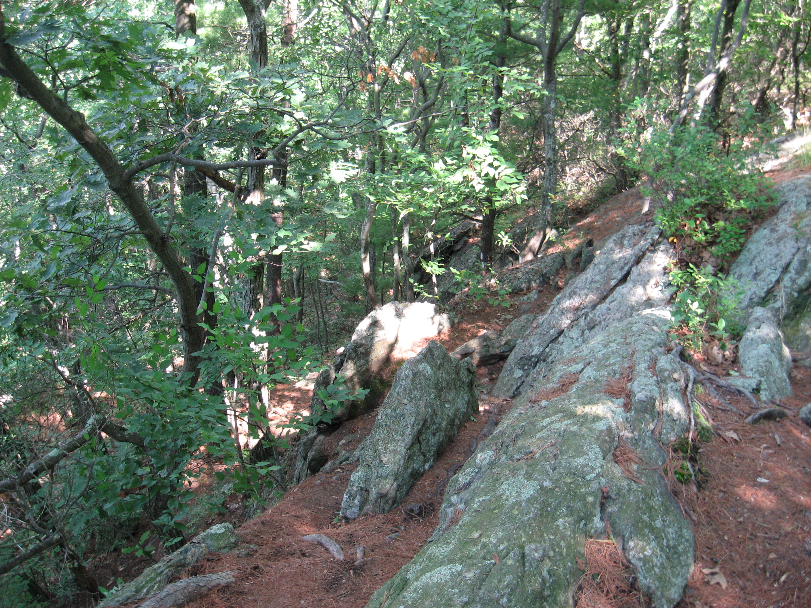
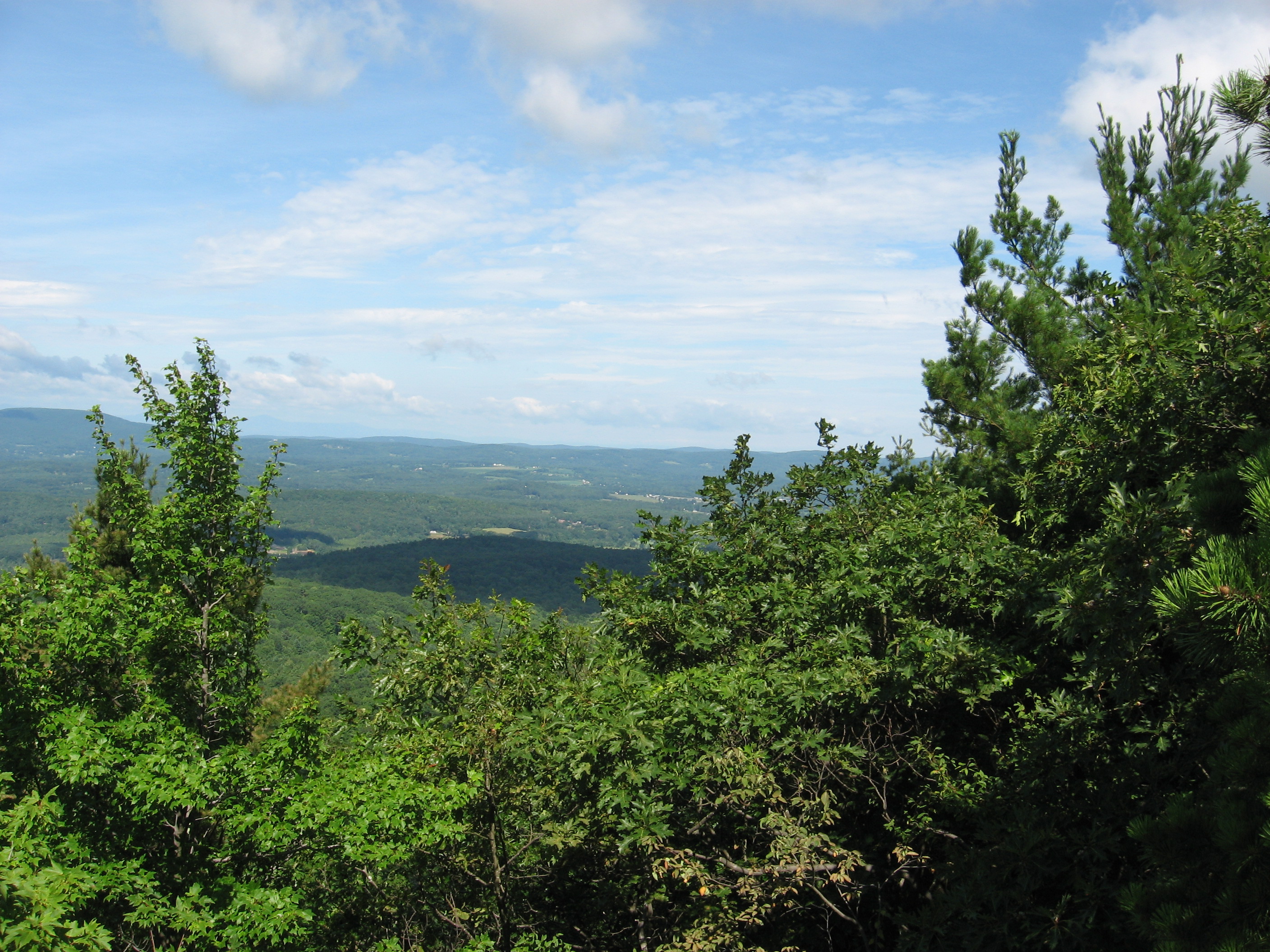
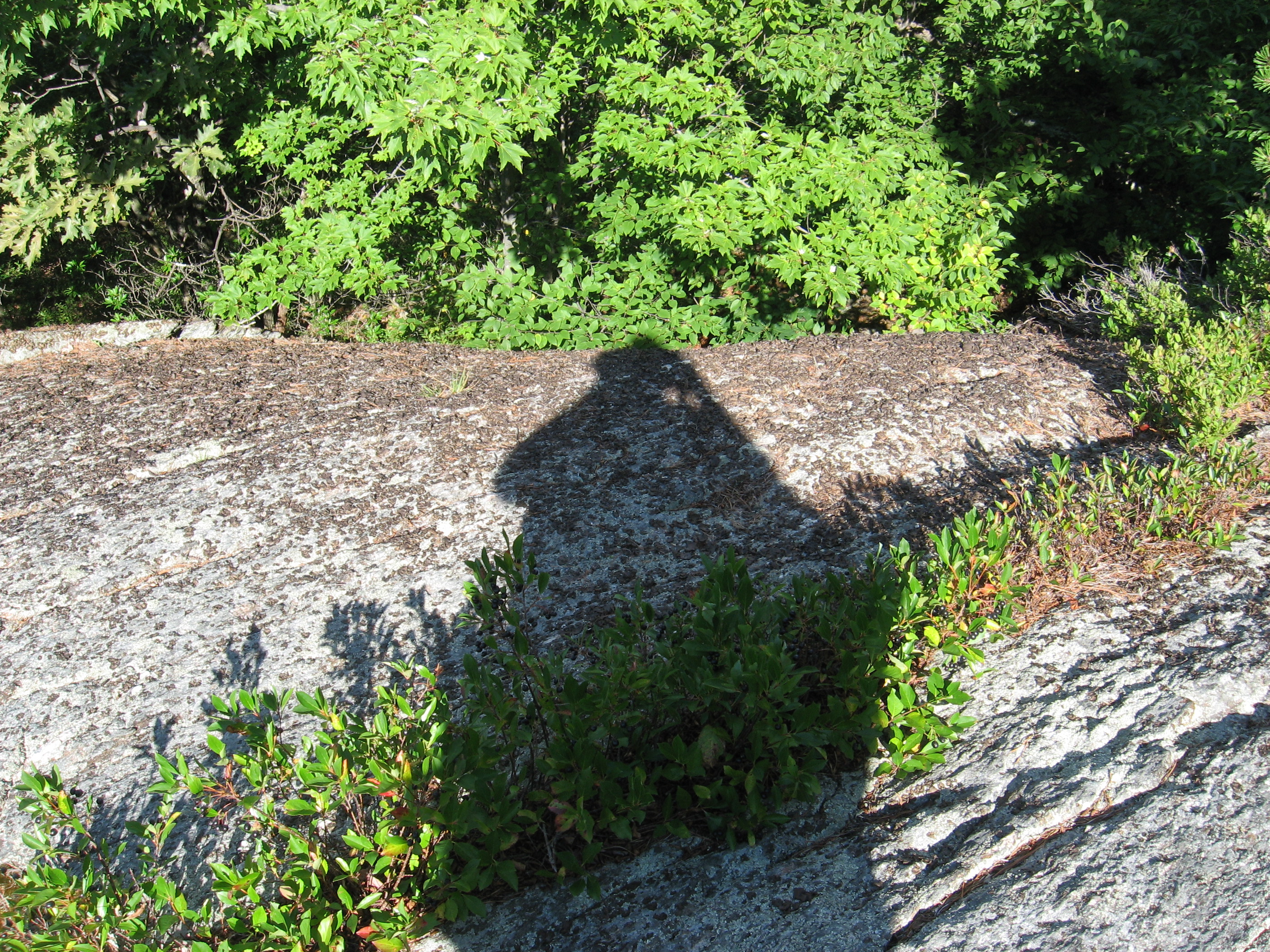
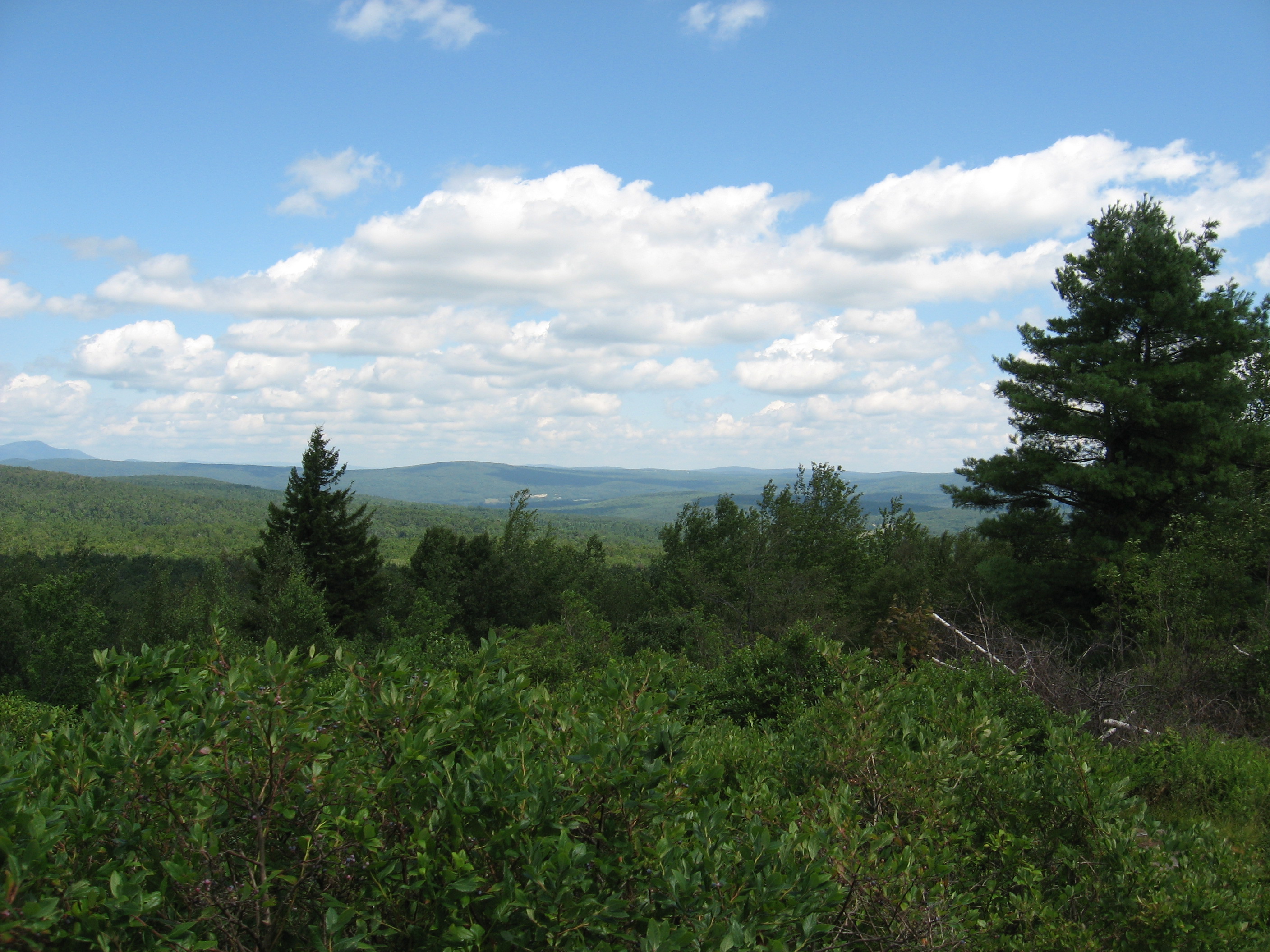
| 1509.7 | Race Mountain (2,365')?open ledges | 2365 |
| 1510.8 | Race Brook Falls Trail (1,950') | 1950 |
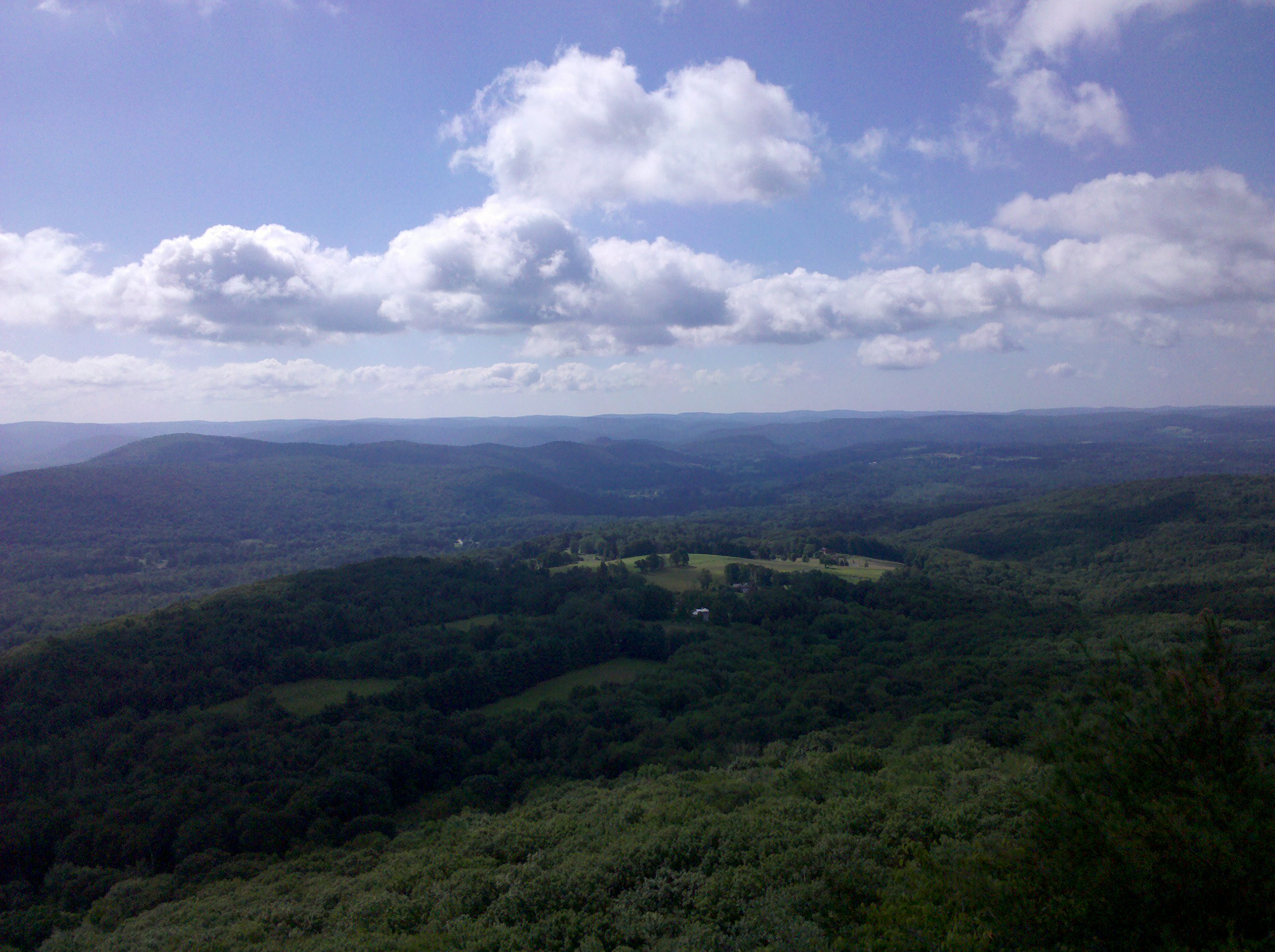
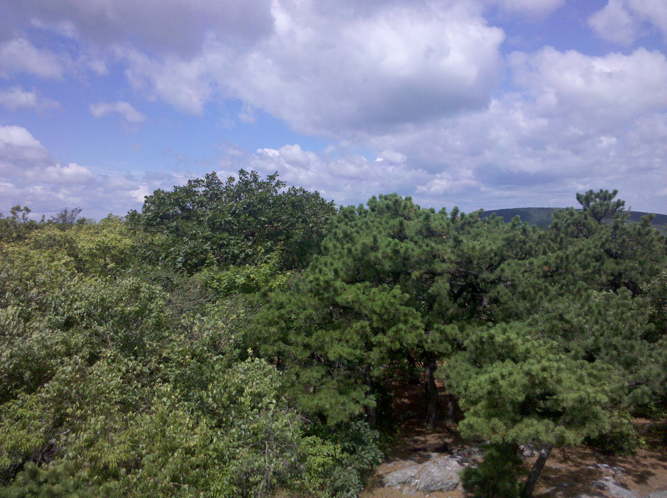
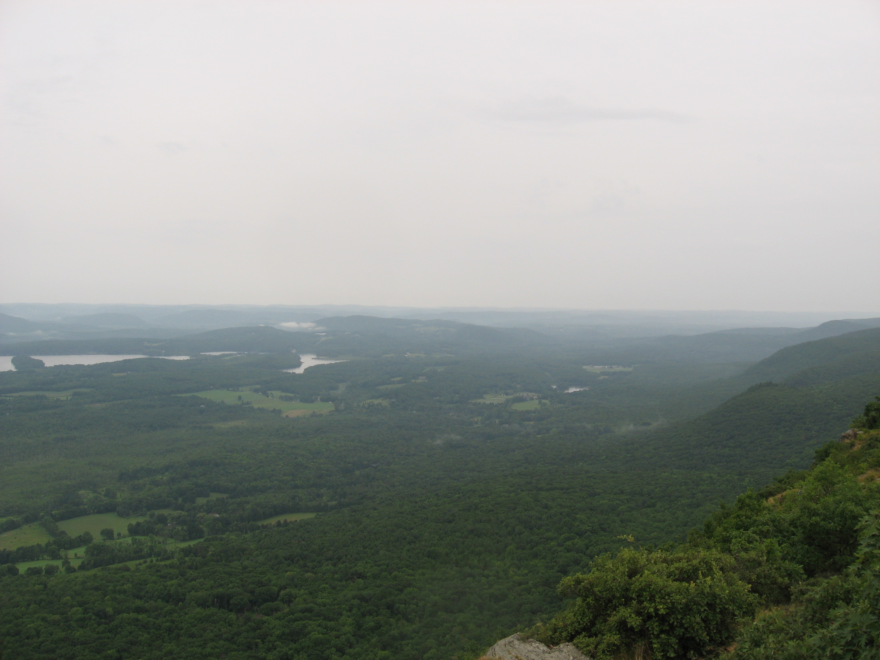
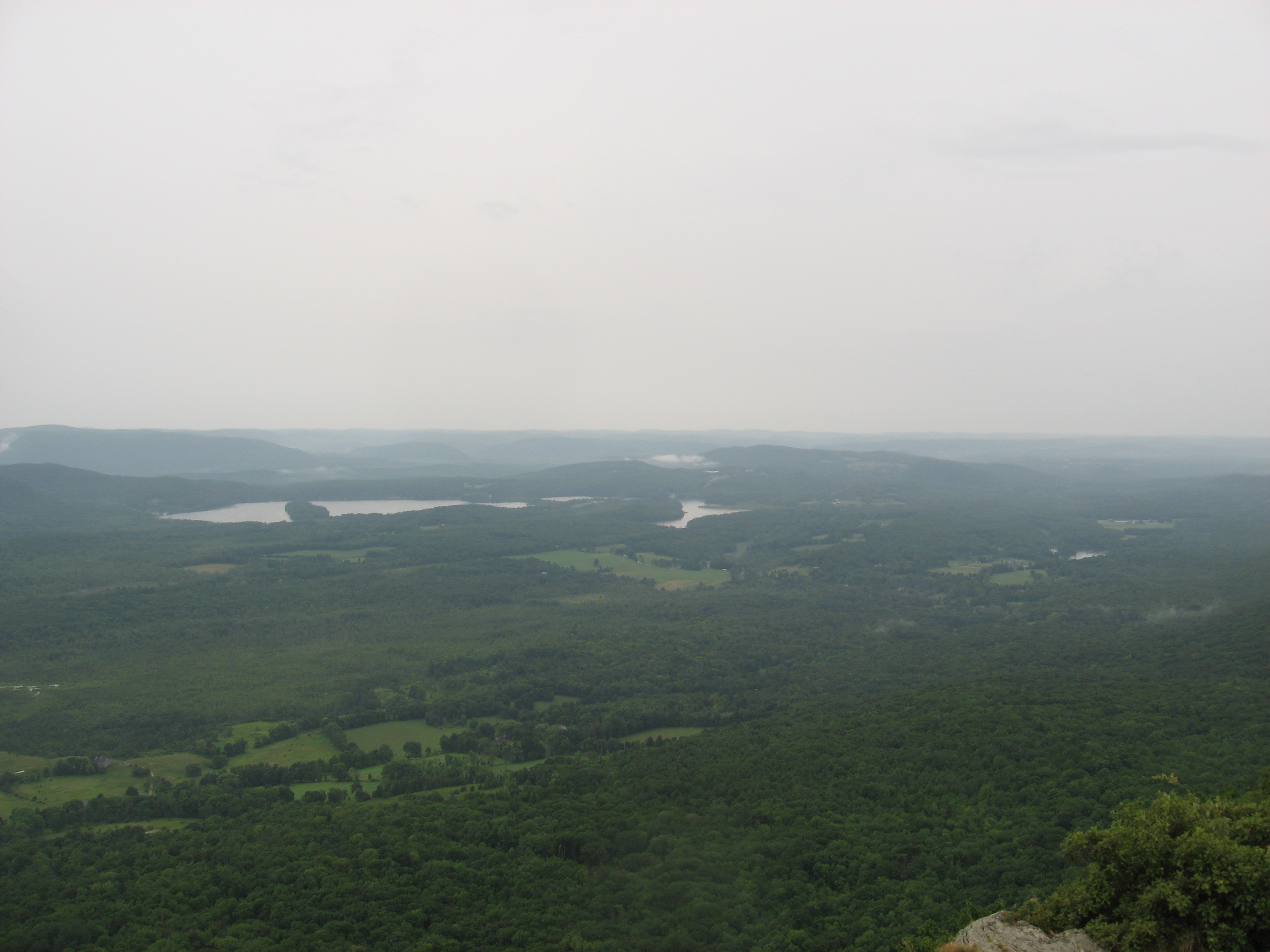
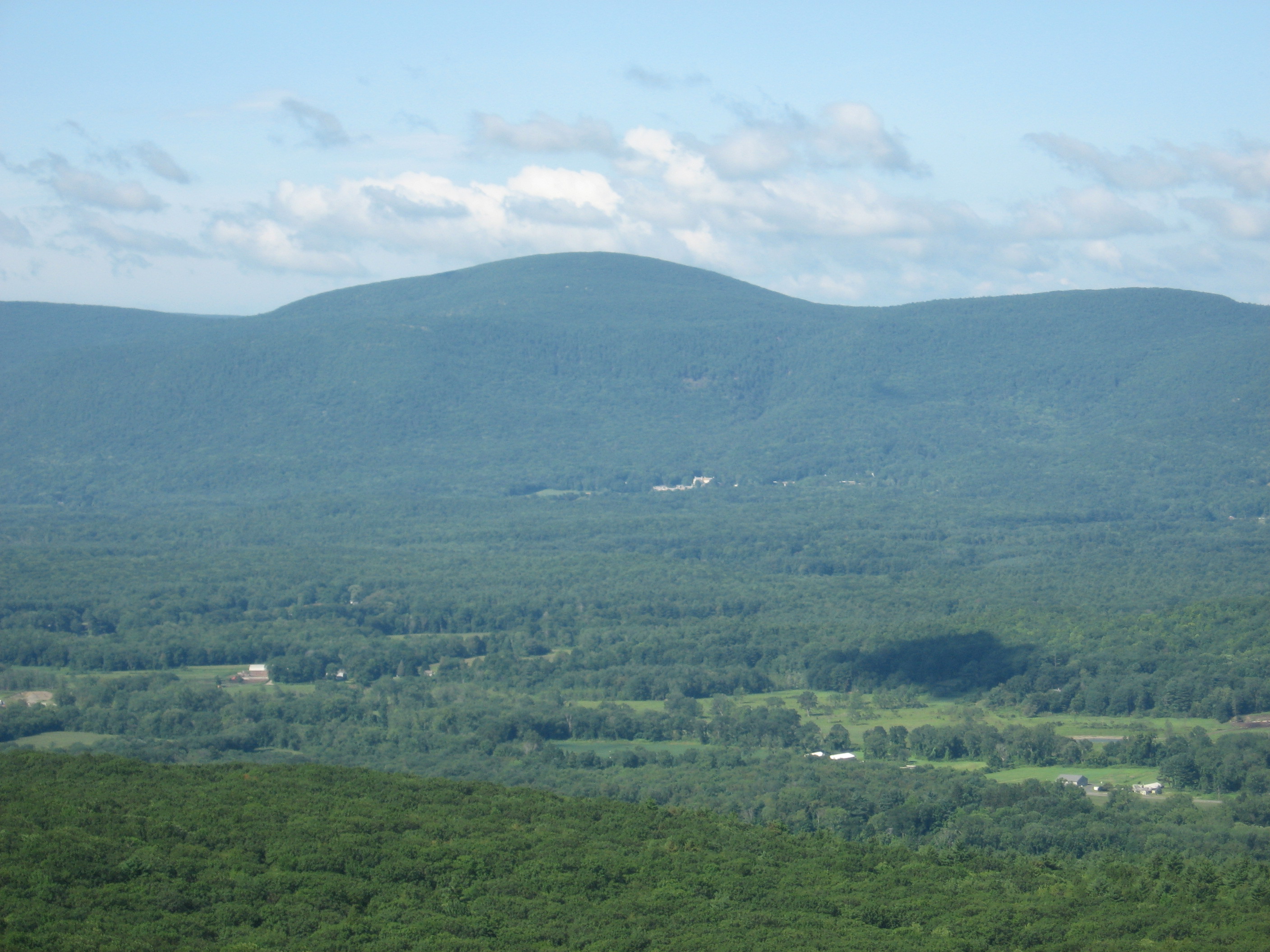
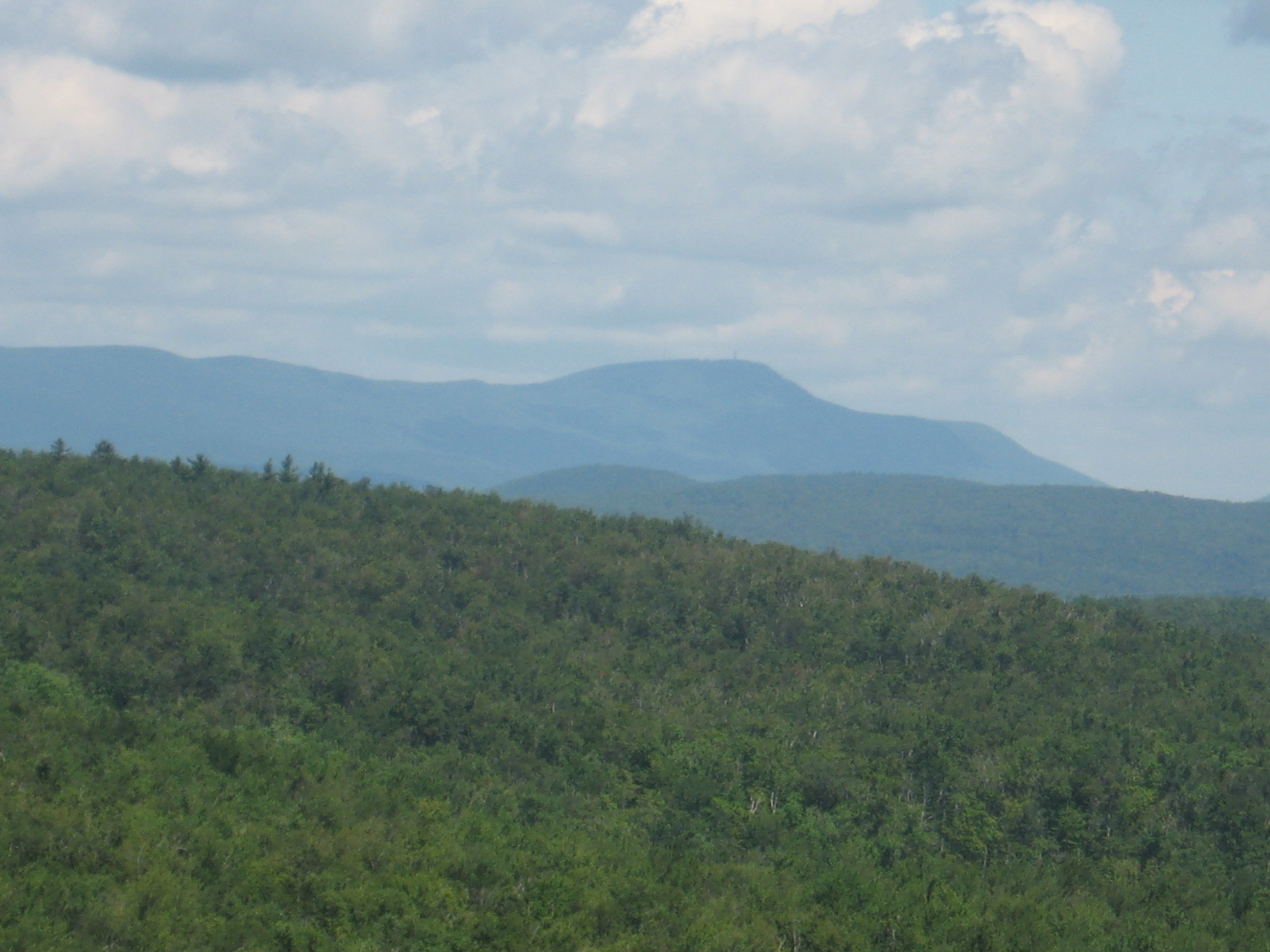
| 1511.5 | Mt. Everett (2,602') | 2602 |
| 1512.2 | Guilder Pond Picnic Area (2,050') | 2050 |
| 1512.6 | The Hemlocks Shelter (1,880') ?8.8mS; 0.1mN | 1880 |


| Miles from Springer | Features | Elevation |
|---|---|---|
| 1512.7 | Glen Brook Shelter (1,885')?0.1mS; 14.3mN | 1885 |
| 1513.3 | Elbow Trail (1,750') | 1750 |
| 1515 | Jug End (1,750') | 1750 |
| 1516.1 | Jug End Road (Curtiss Road) (890') | 890 |
| 1517 | Mass. 41; Undermountain Road (810') ATC Kellogg Conservation CenterSouth Egremont, Mass. 01258 | 810 |
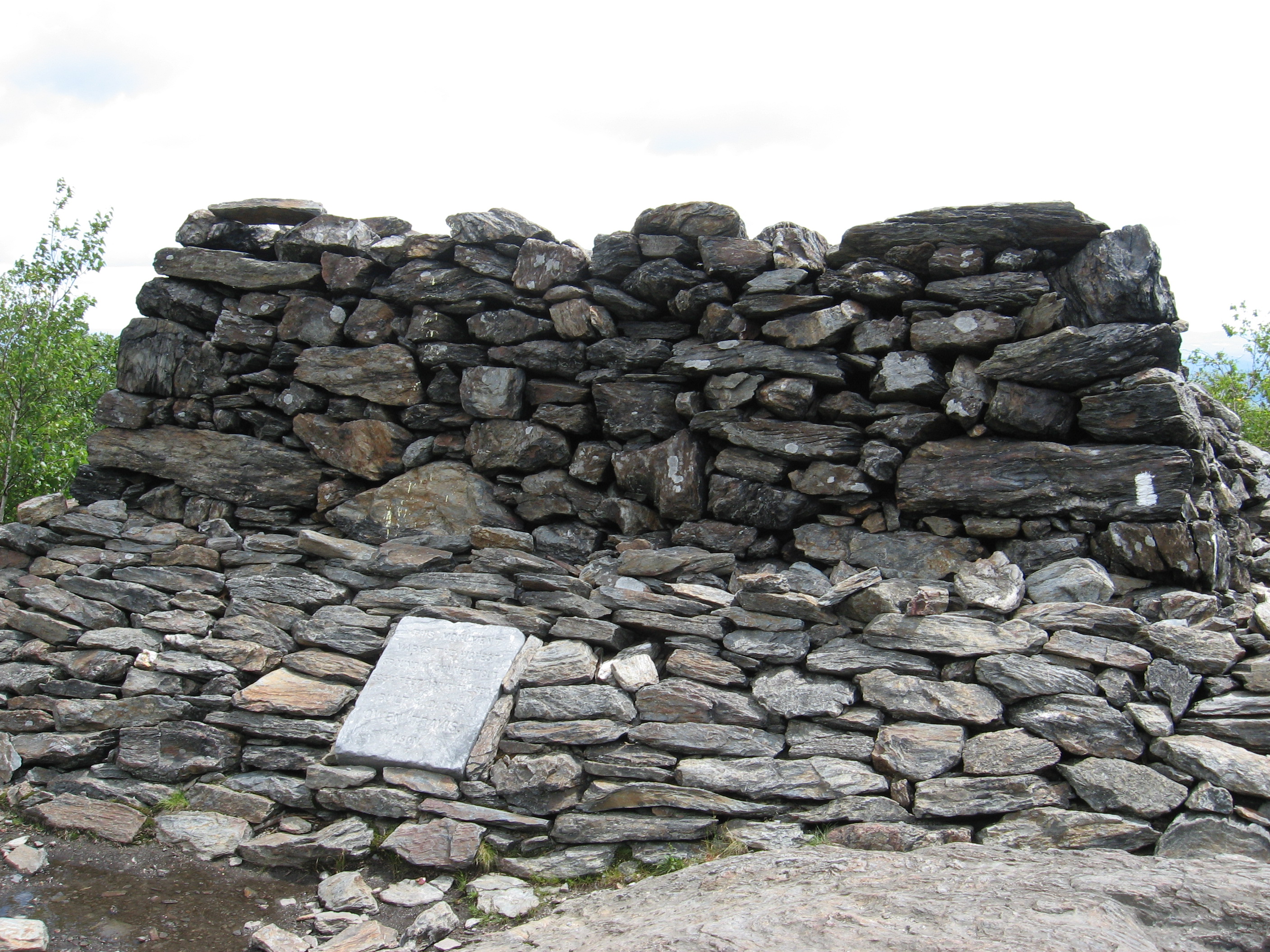
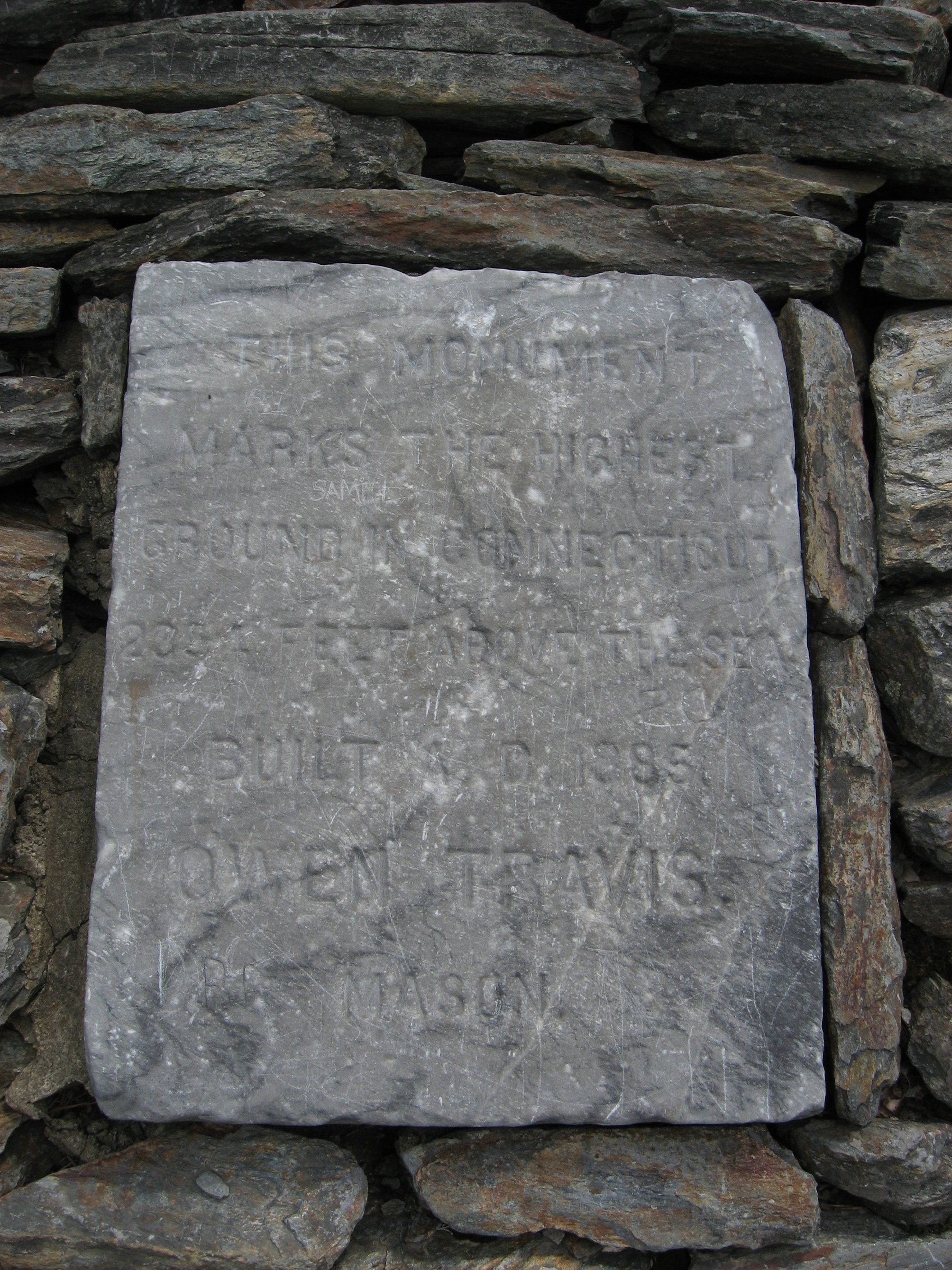
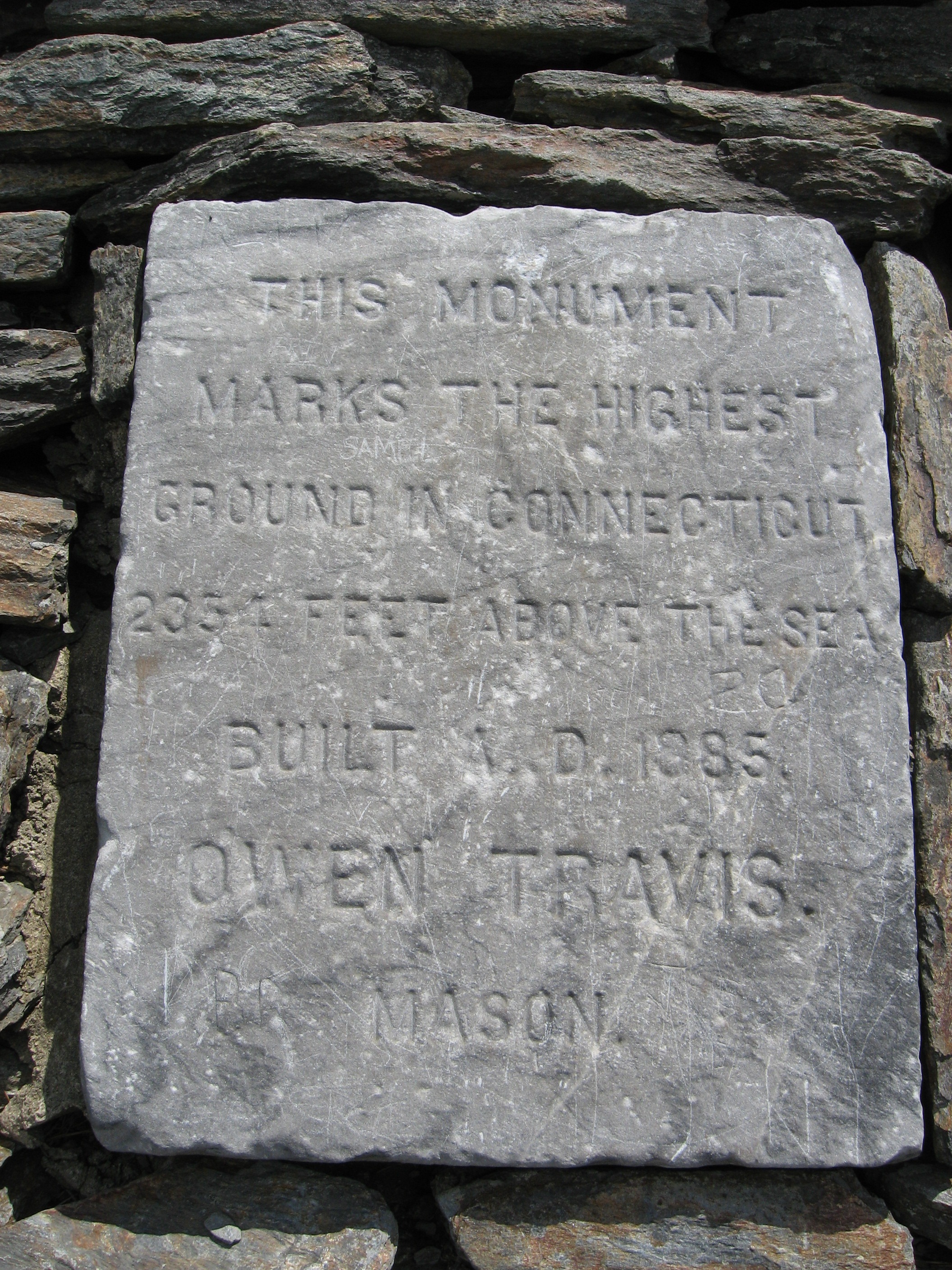
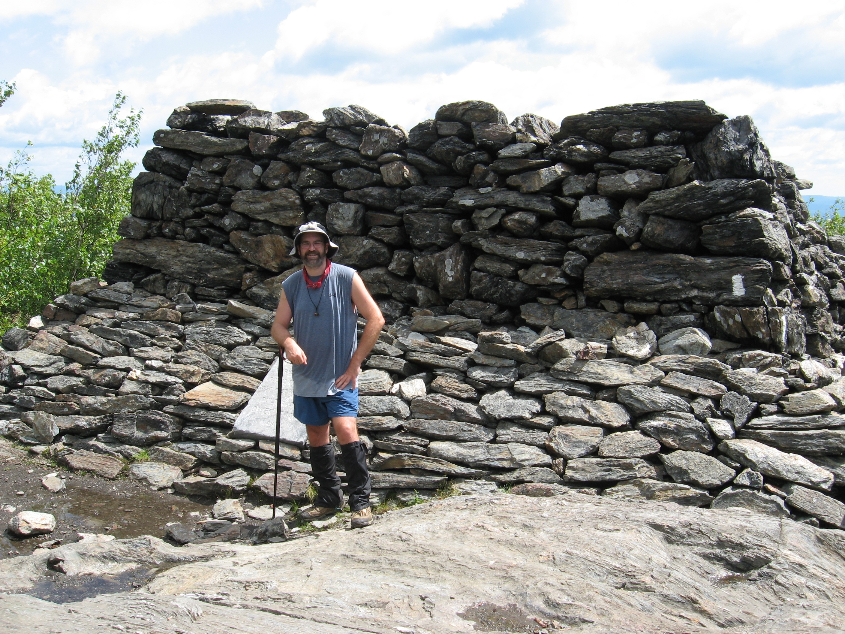
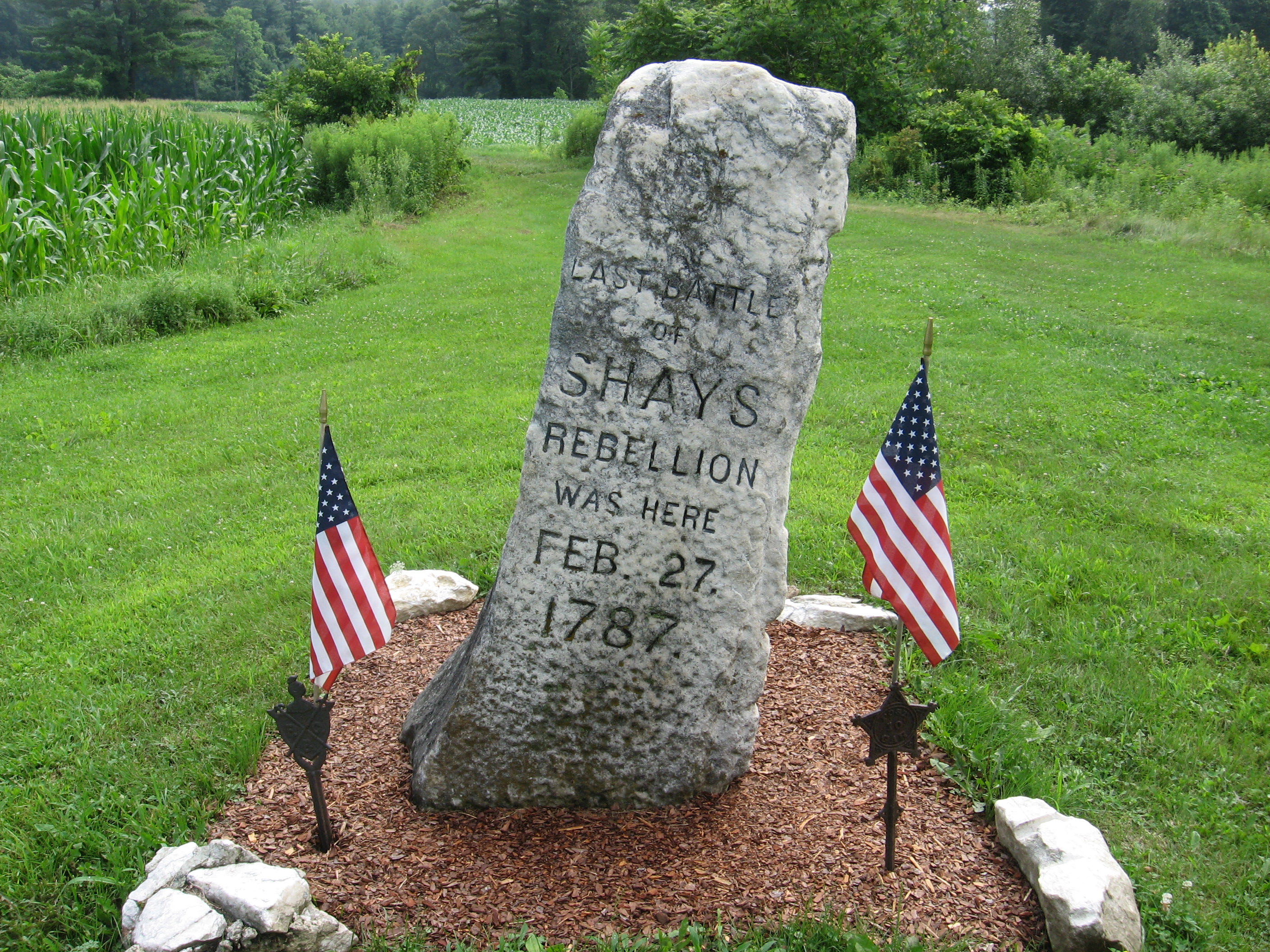
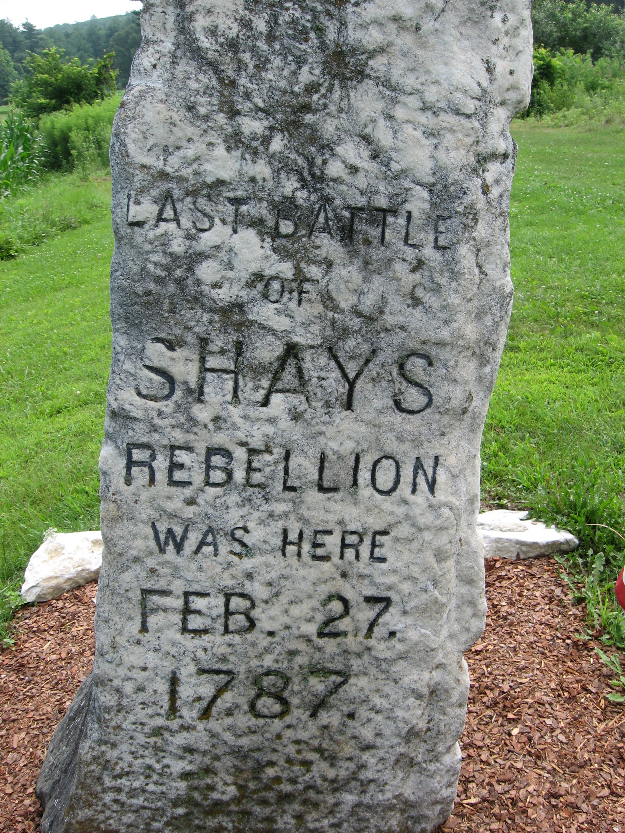
| 1518.8 | Sheffield?Egremont Road (700')Shay's Rebellion Monument | 700 |
| 1520.6 | U.S. 7 (700') Sheffield, Mass. 01257 Great Barrington, Mass. 01230 | 700 |


| Miles from Springer | Features | Elevation |
|---|---|---|
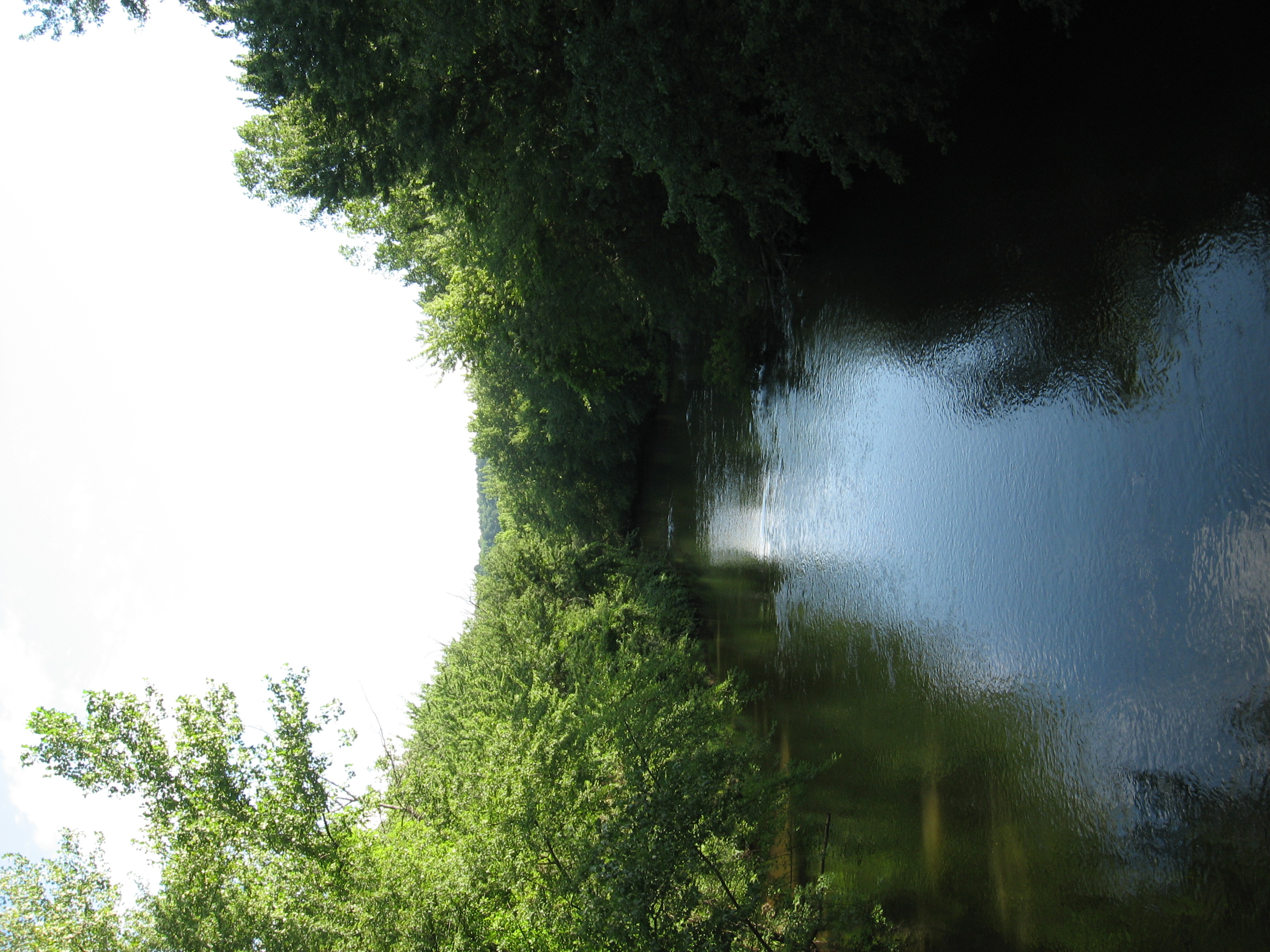
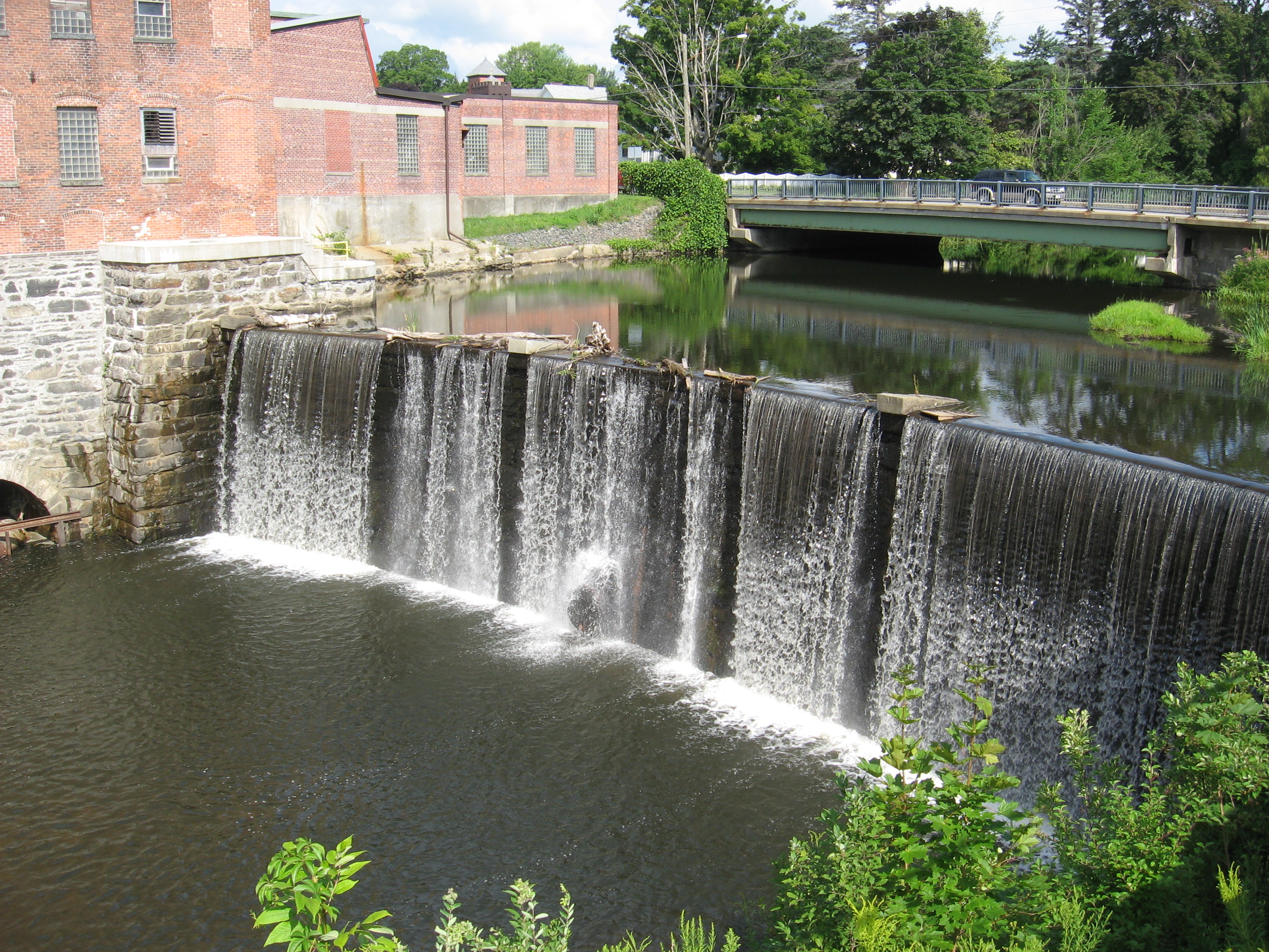
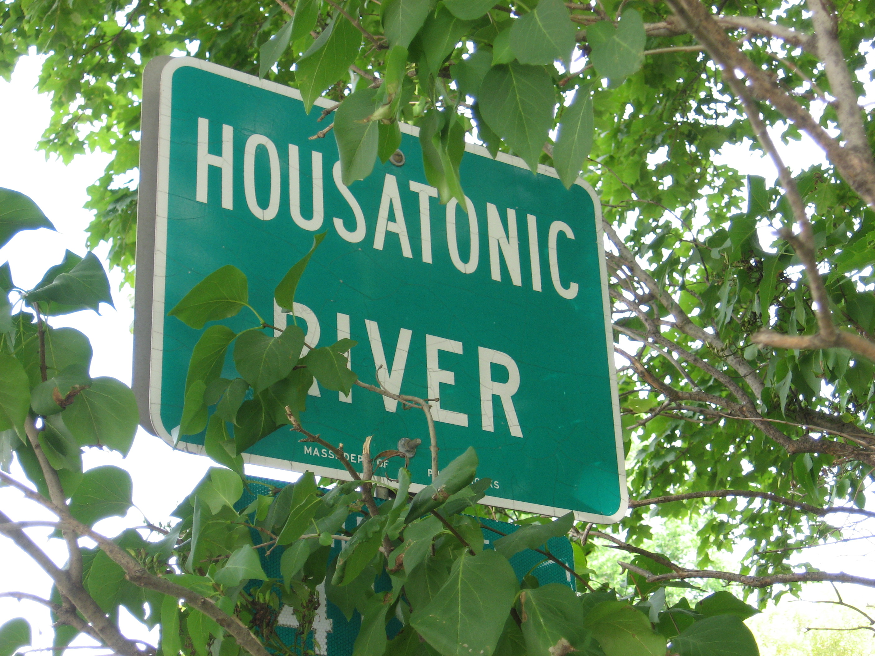
| 1521.5 | Kellogg Road, Housatonic River Bridge (720') | 720 |
| 1523.5 | Home Road (1,150') | 1150 |
| 1524.9 | East Mountain (1,800') | 1800 |
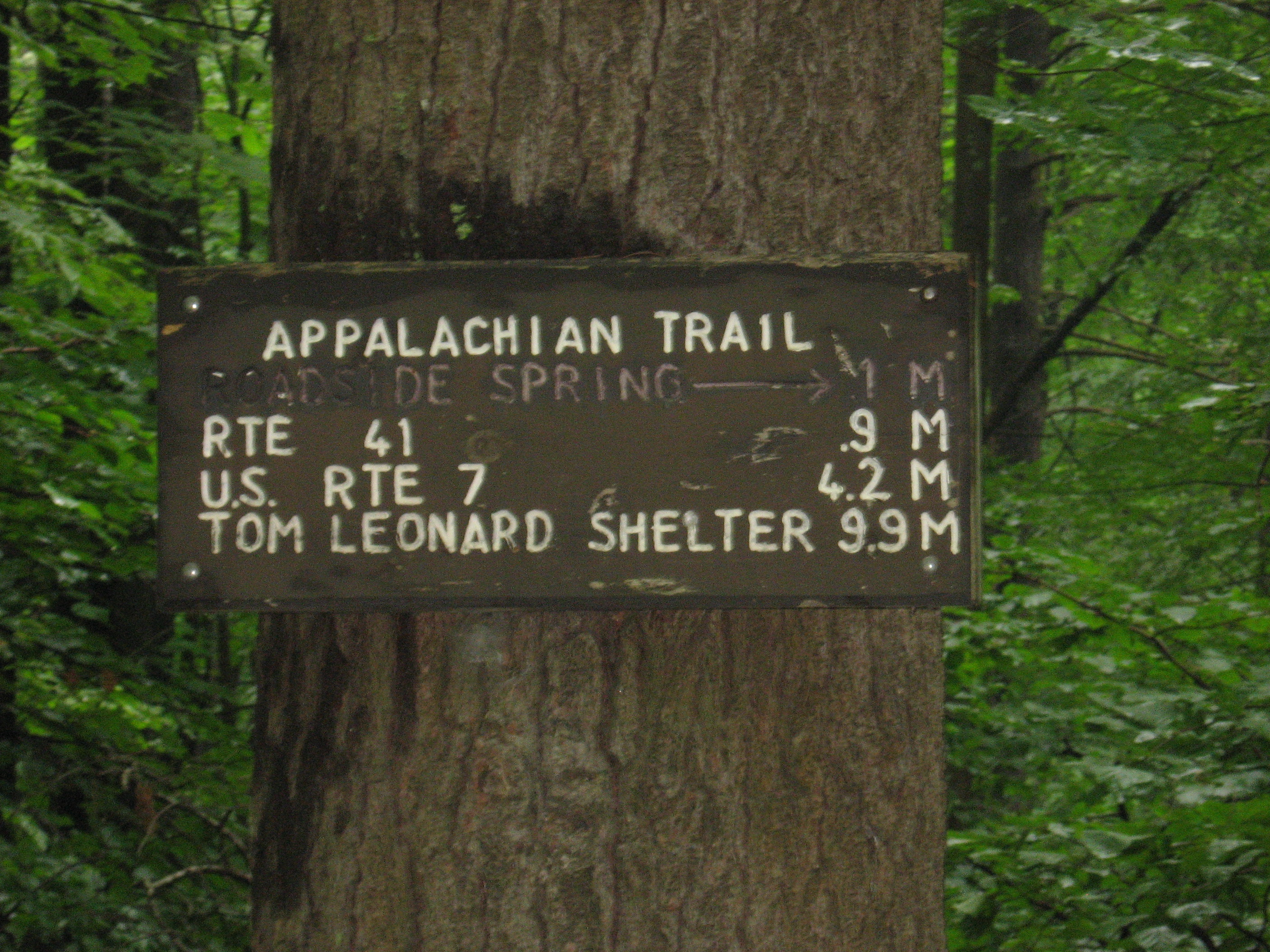
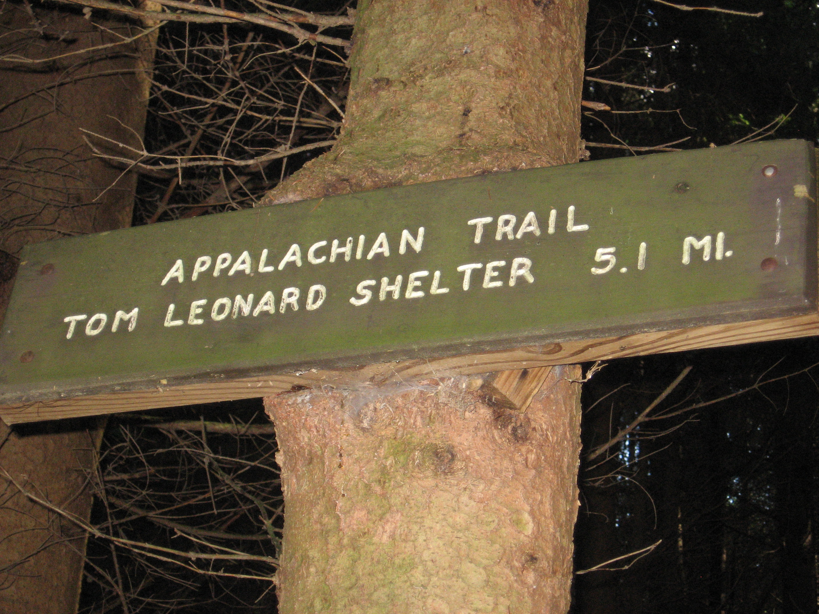
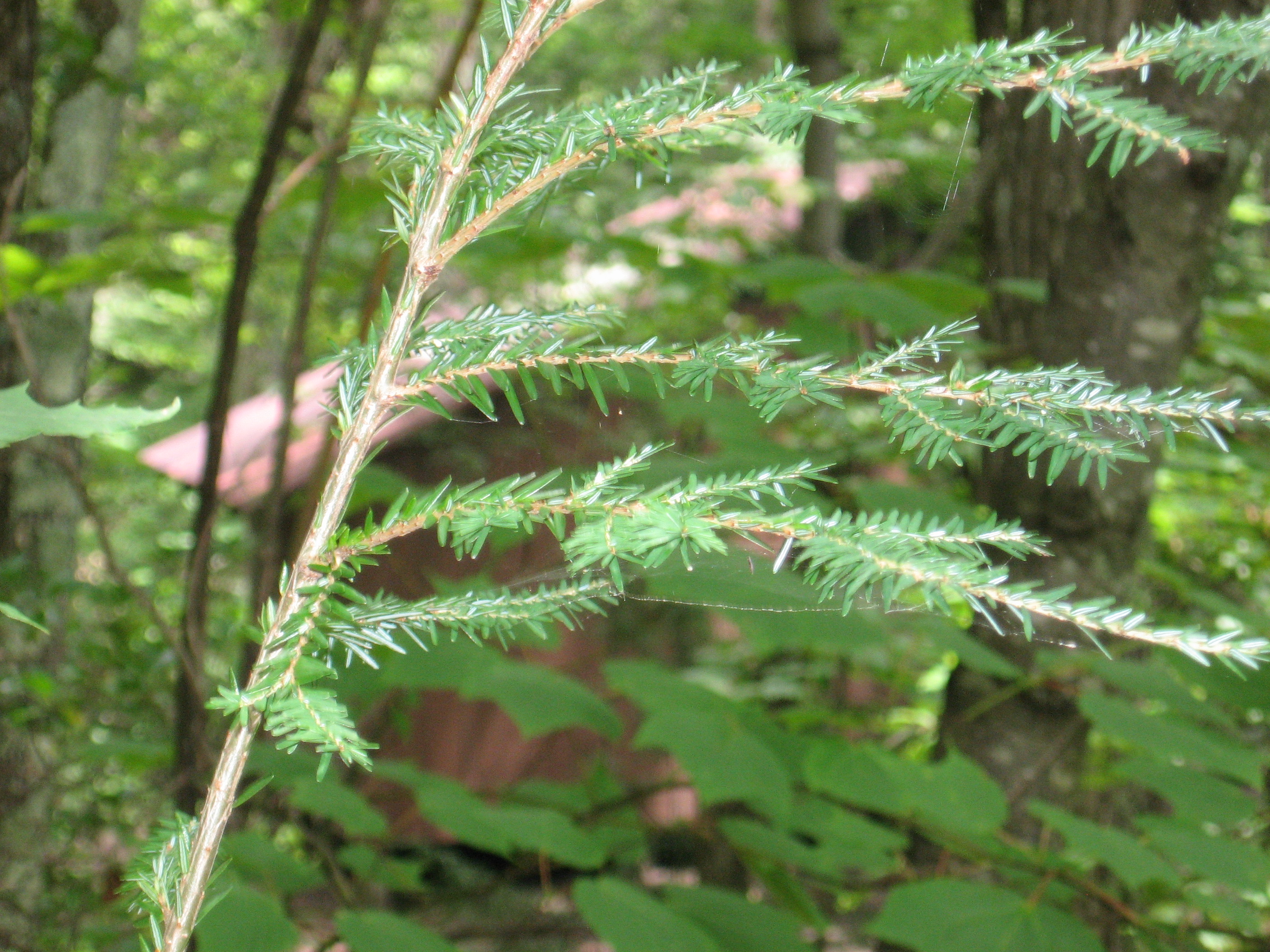
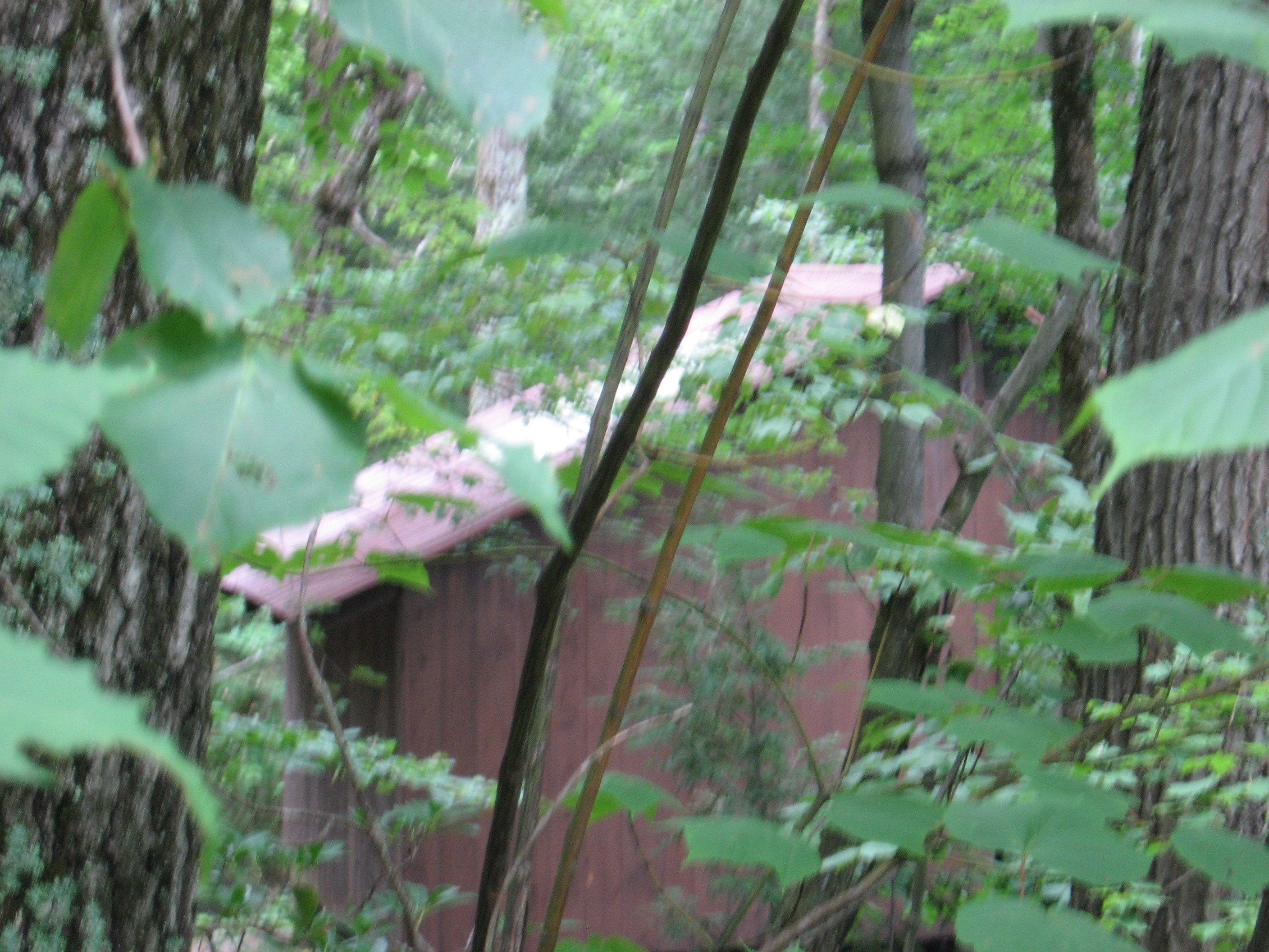
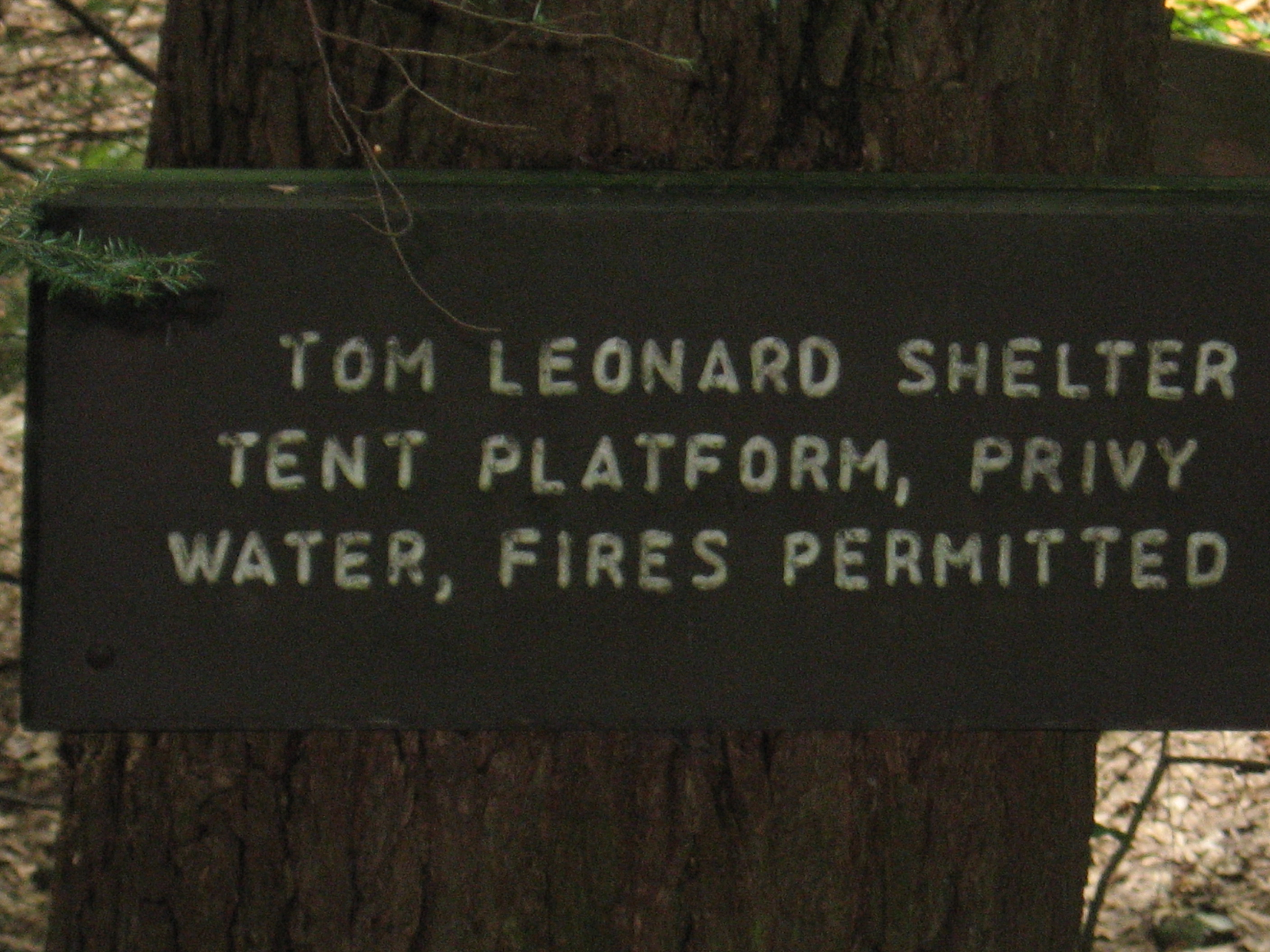
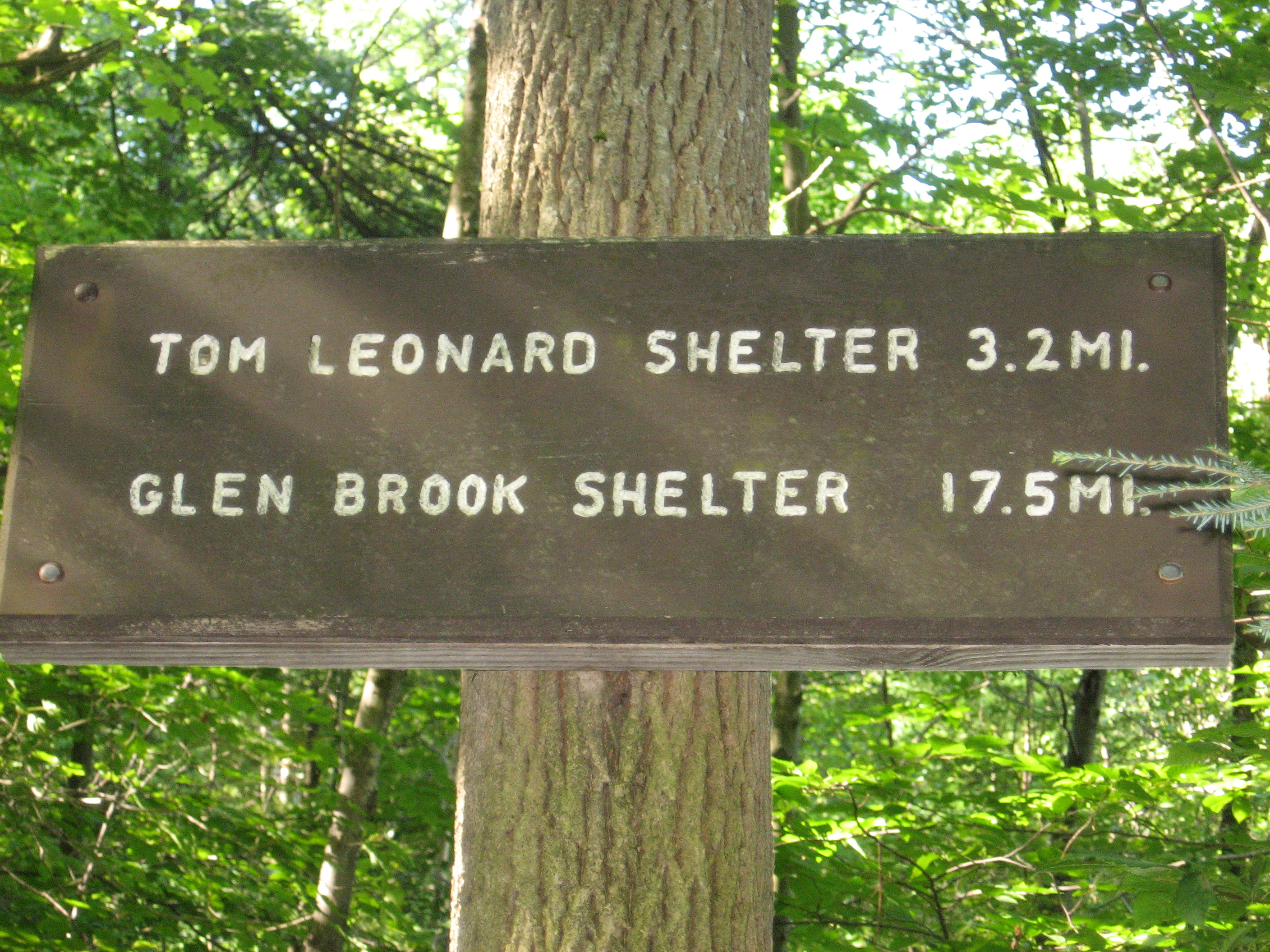
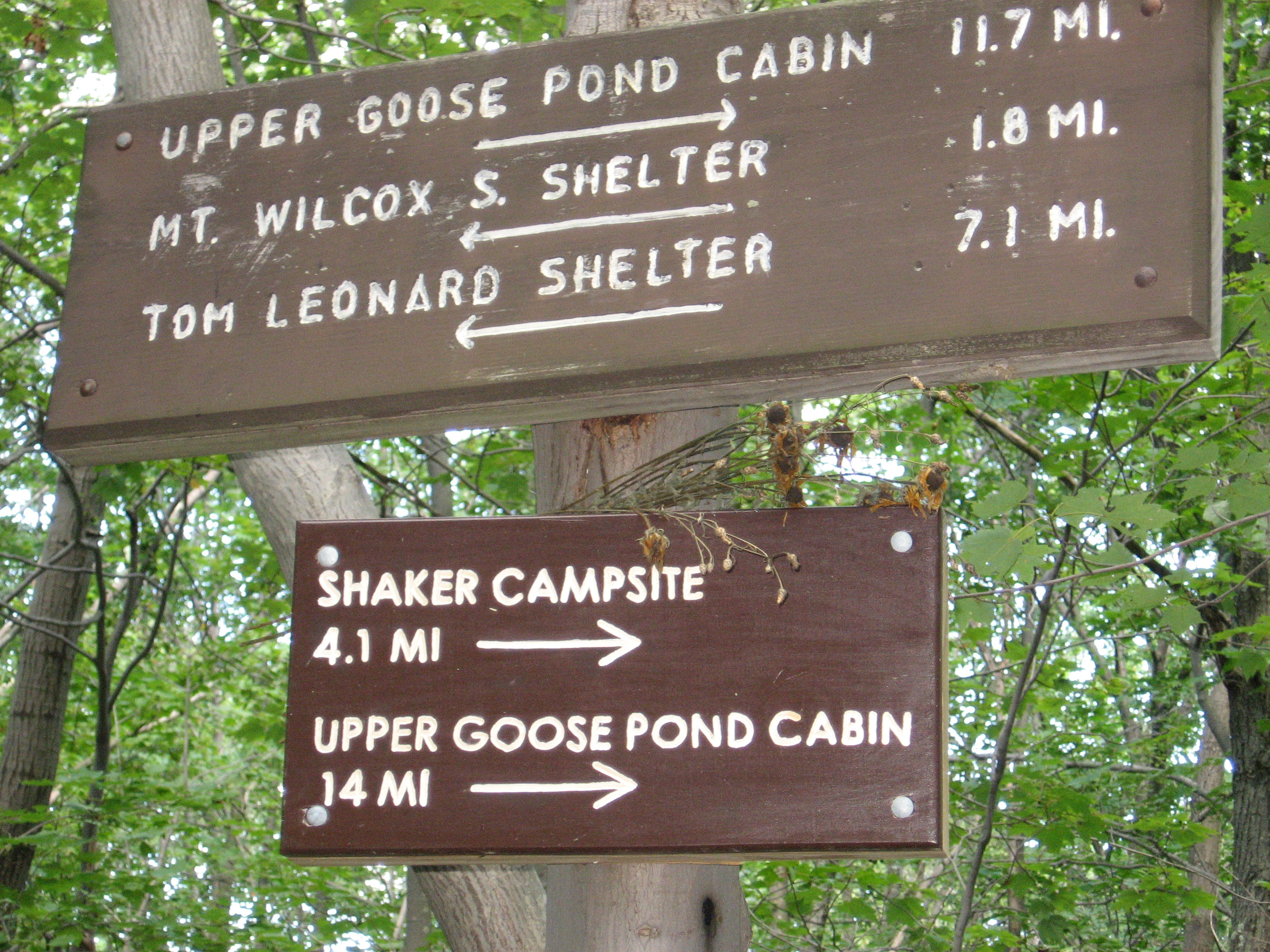
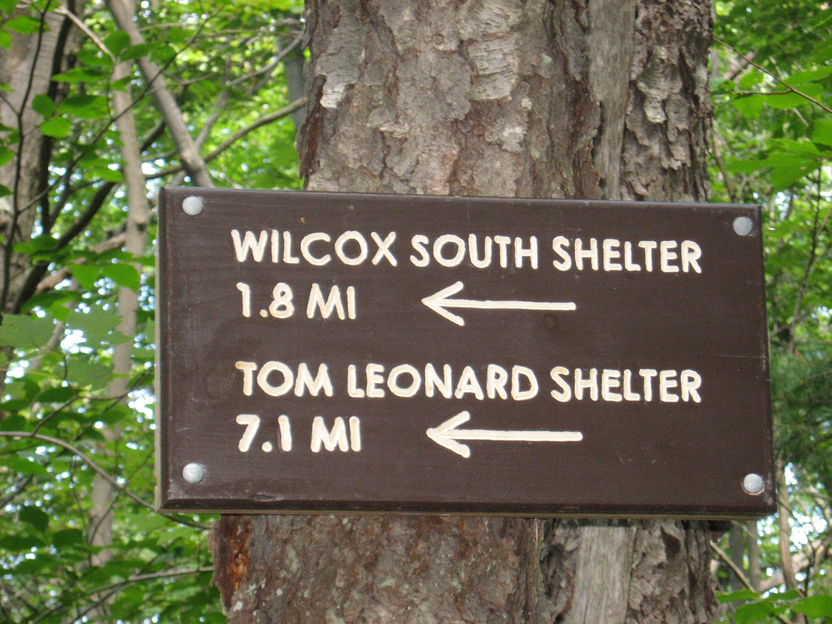
| 1527 | Ice Gulch (1,540') Tom Leonard Shelter?14.3mS; 5.3mN | 1540 |
| 1528.1 | Lake Buel Road (1,150') | 1150 |
| 1529 | Mass. 23 (1,050') Monterey, Mass. 01245 Great Barrington, Mass. 01230 | 1050 |

| Miles from Springer | Features | Elevation |
|---|---|---|
| 1529 | Mass. 23 (1,050') Monterey, Mass. 01245 Great Barrington, Mass. 01230 | 1050 |
| 1530.2 | Blue Hill Road (Stony Brook Road) (1,550') | 1550 |
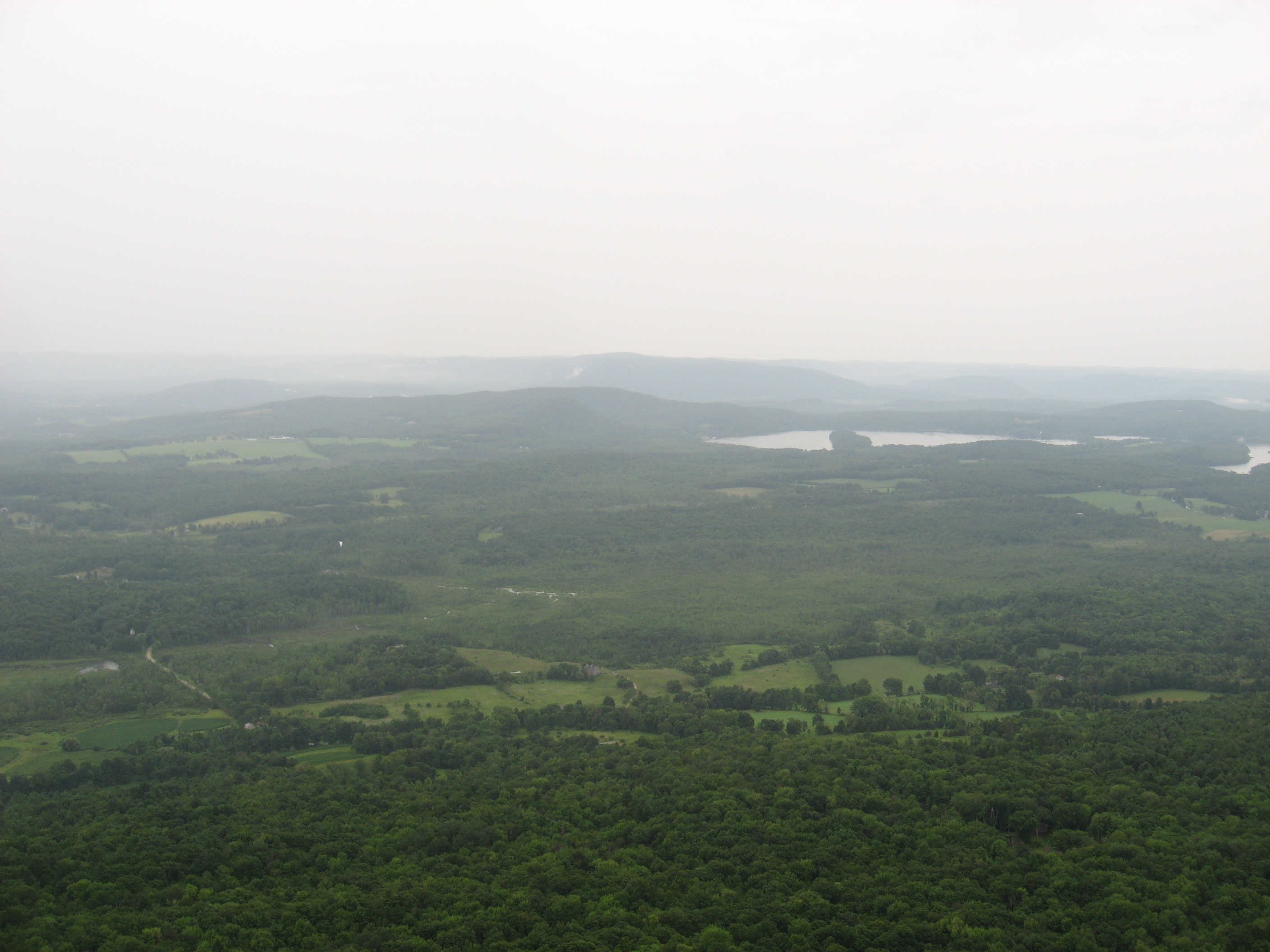
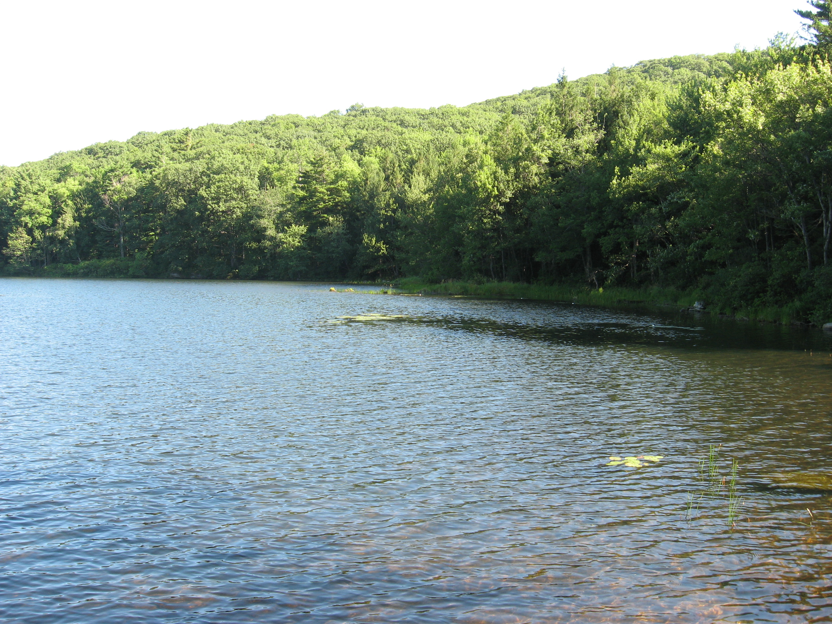
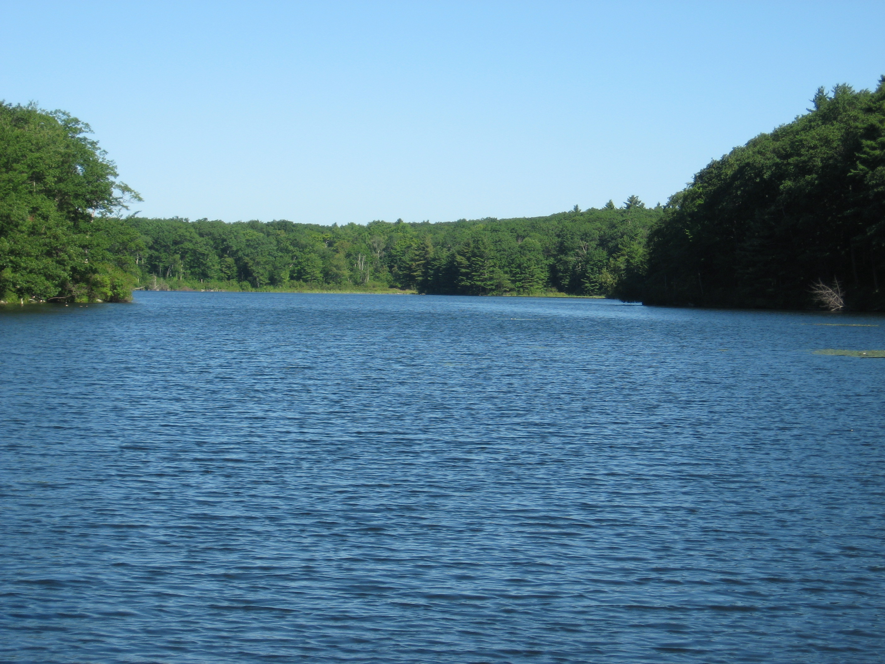
| 1531 | Benedict Pond (1,620') | 1620 |
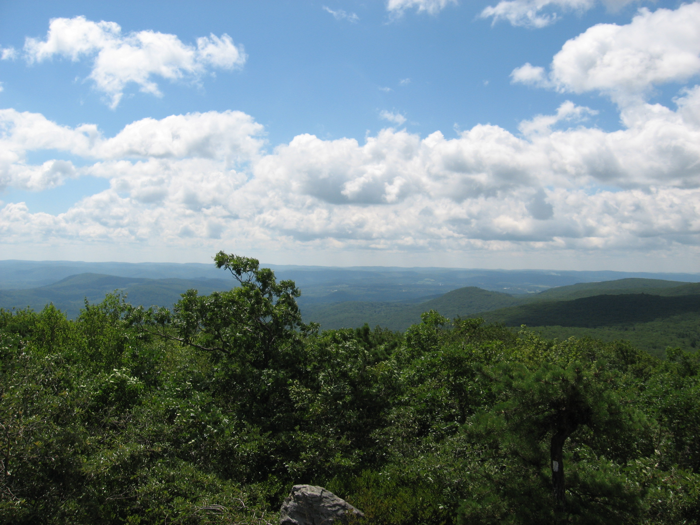
| 1531.6 | The Ledges (1,820') | 1820 |
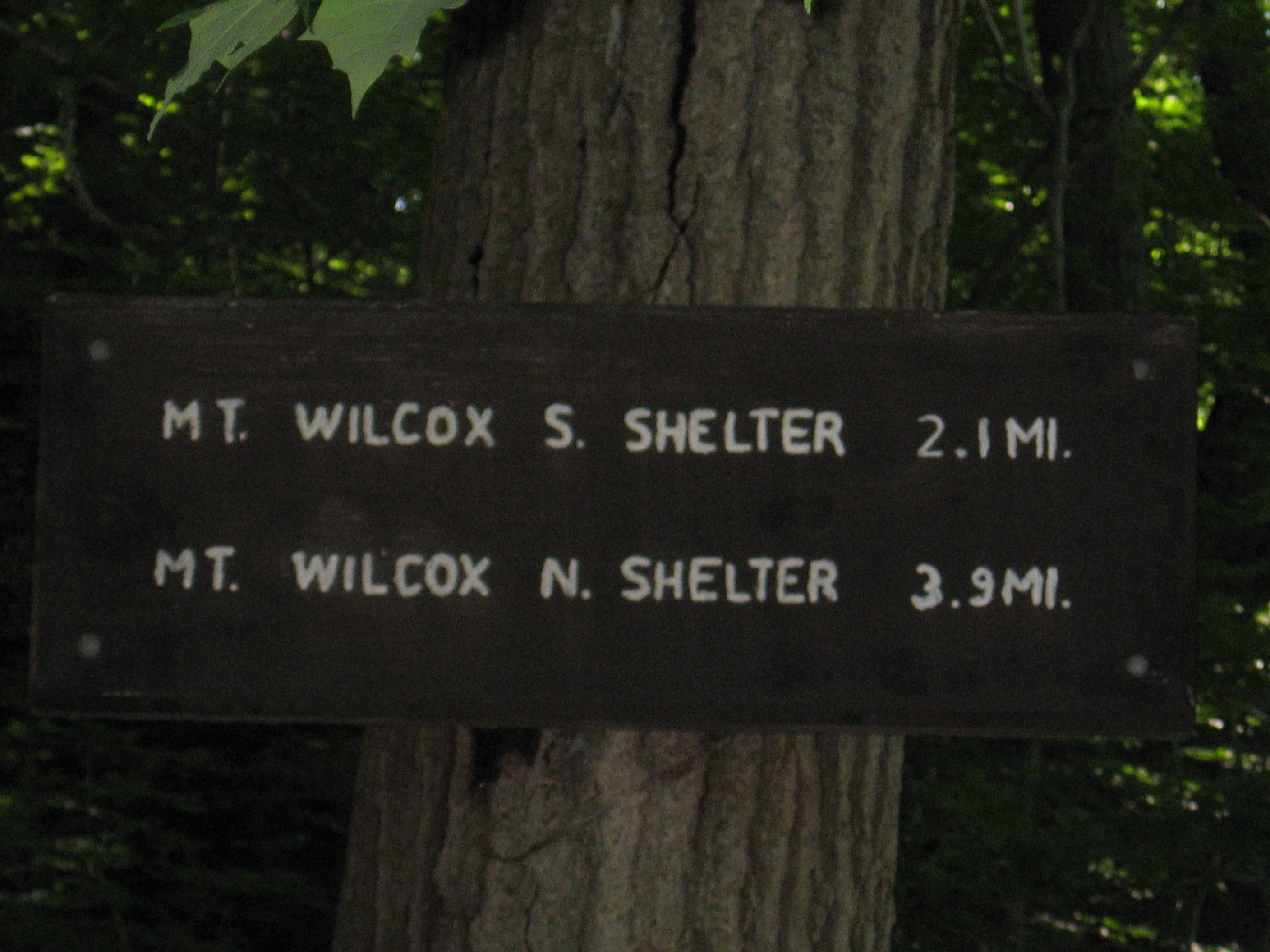
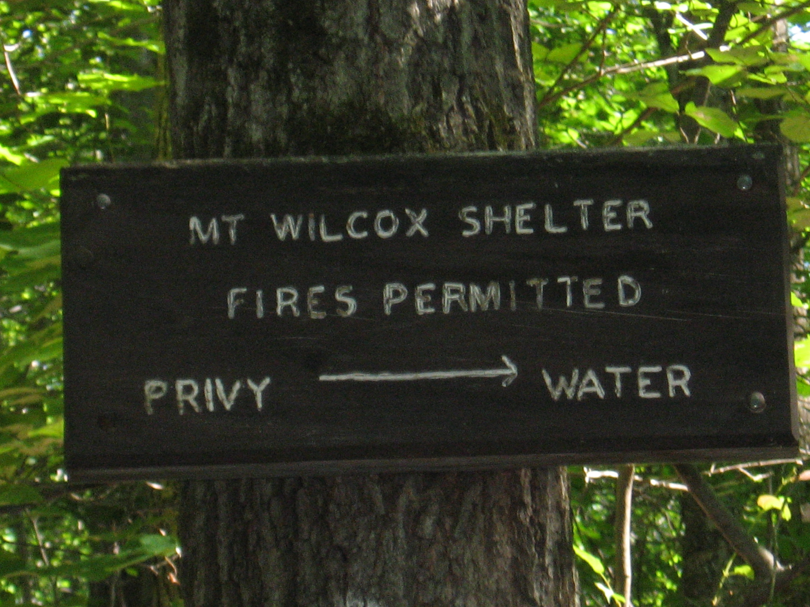
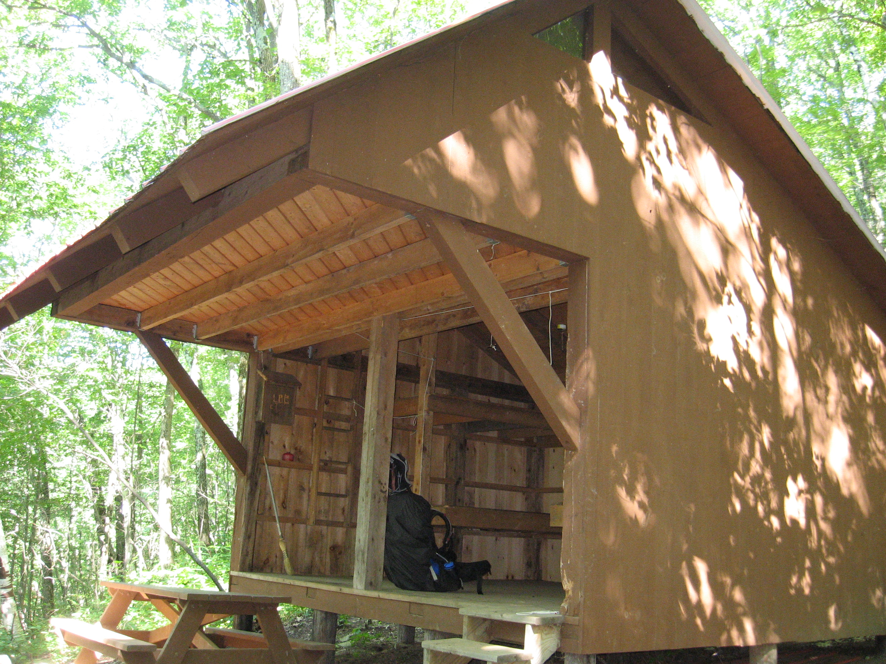
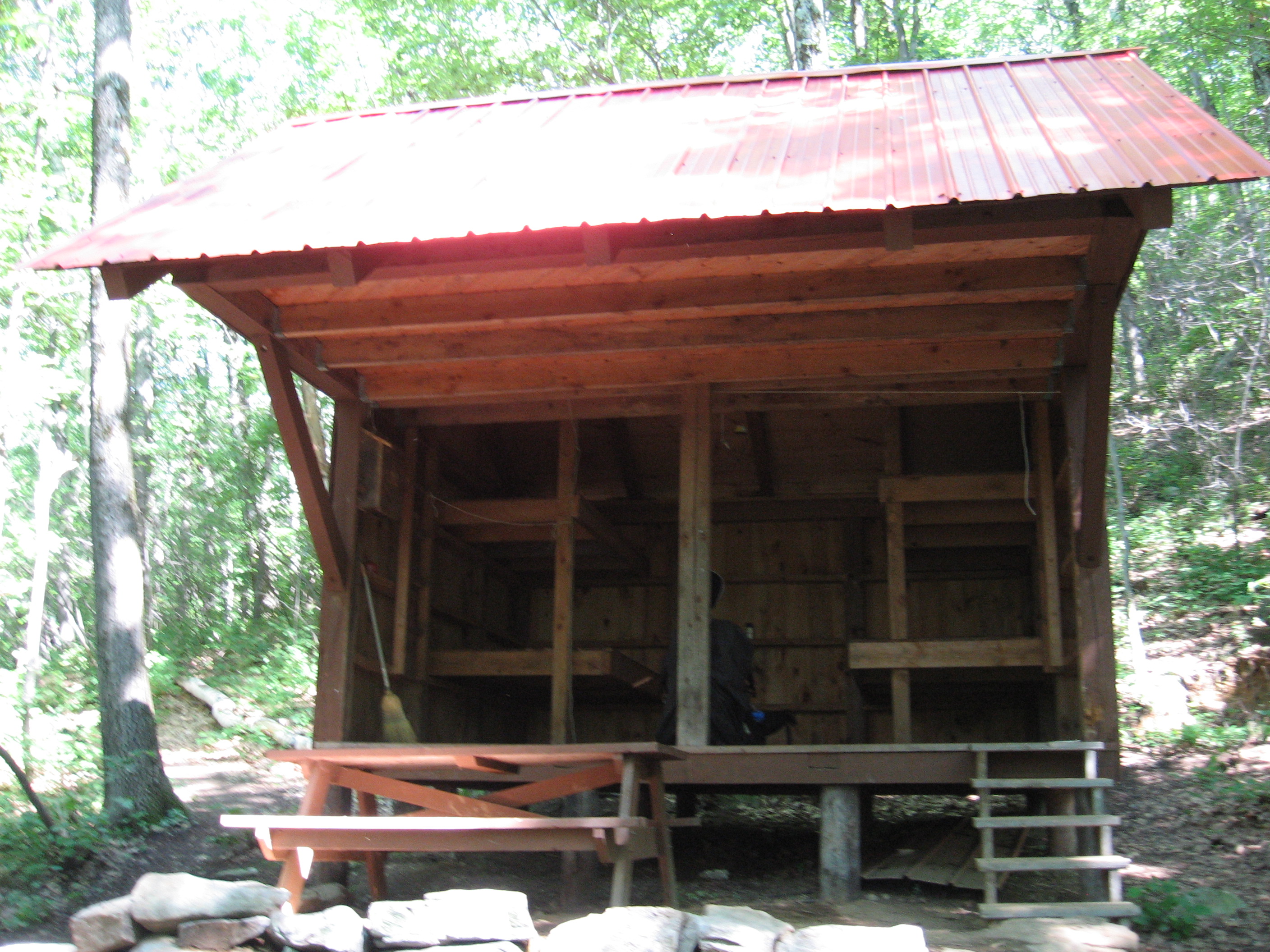
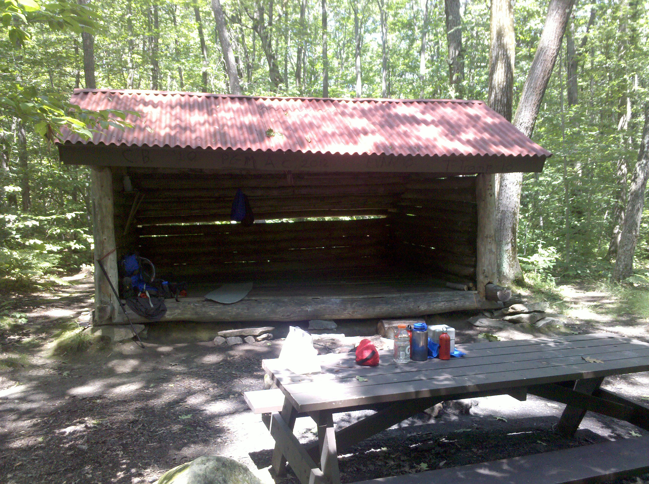
| 1532.3 | Mt. Wilcox South Shelter (1,720') ?5.3mS; 2.1mN | 1720 |
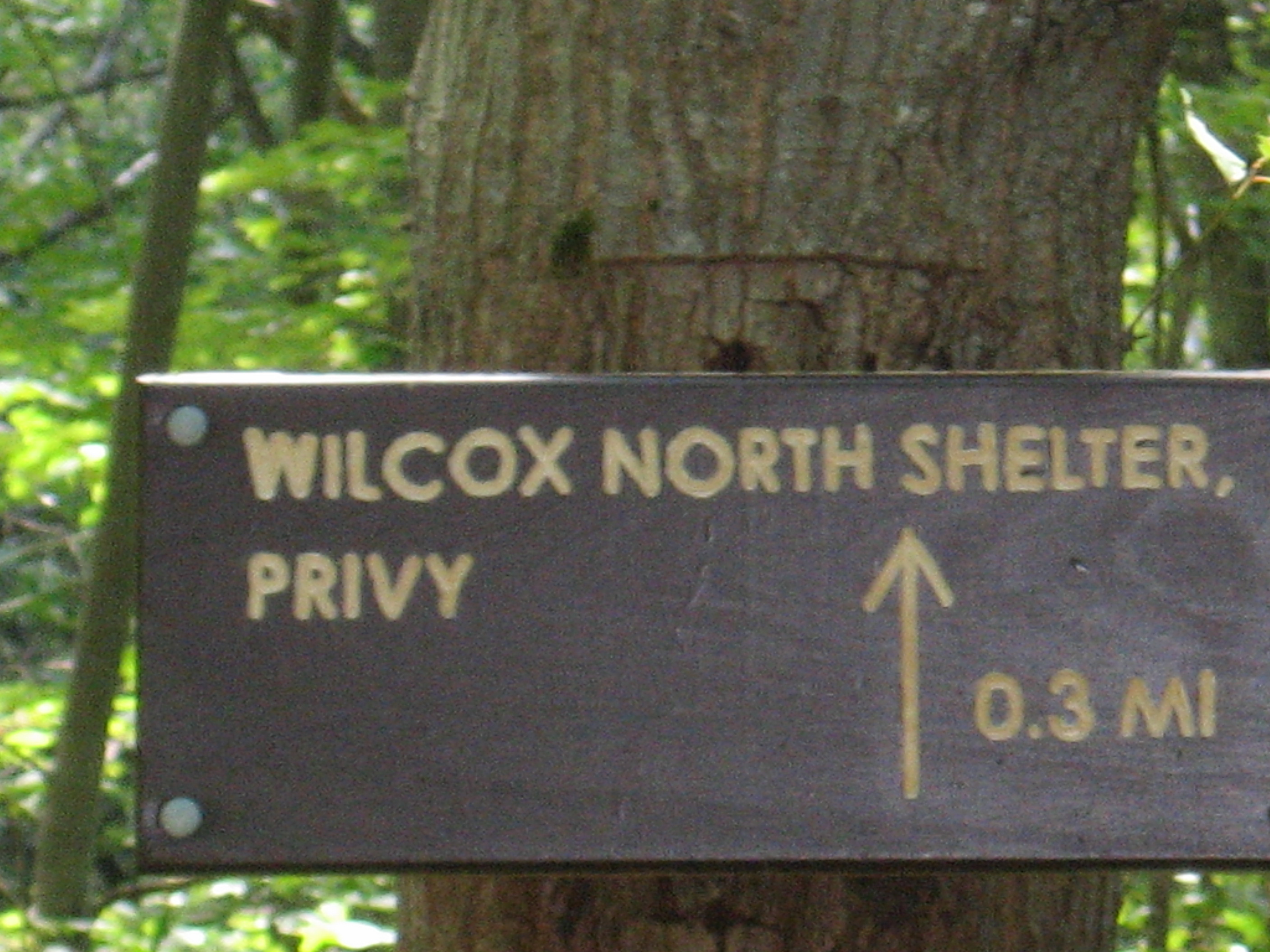
| 1534.1 | Mt. Wilcox North Shelter (2,100') ?2.1mS; 14.8mN | 2100 |


| Miles from Springer | Features | Elevation |
|---|---|---|
| 1534.7 | Beartown Mountain Road (1,800') | 1800 |
| 1537.9 | Fernside Road (1,200') | 1200 |
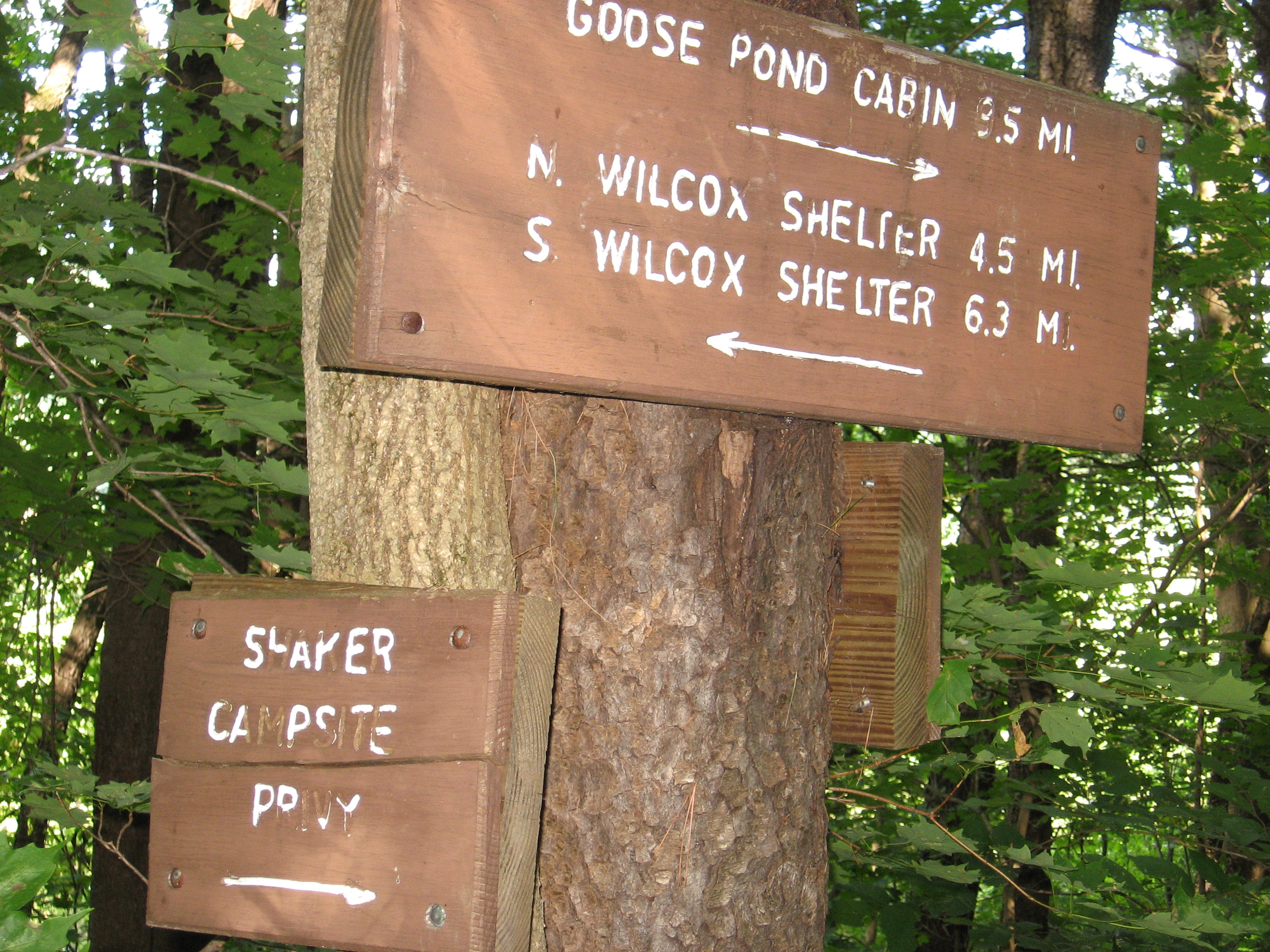
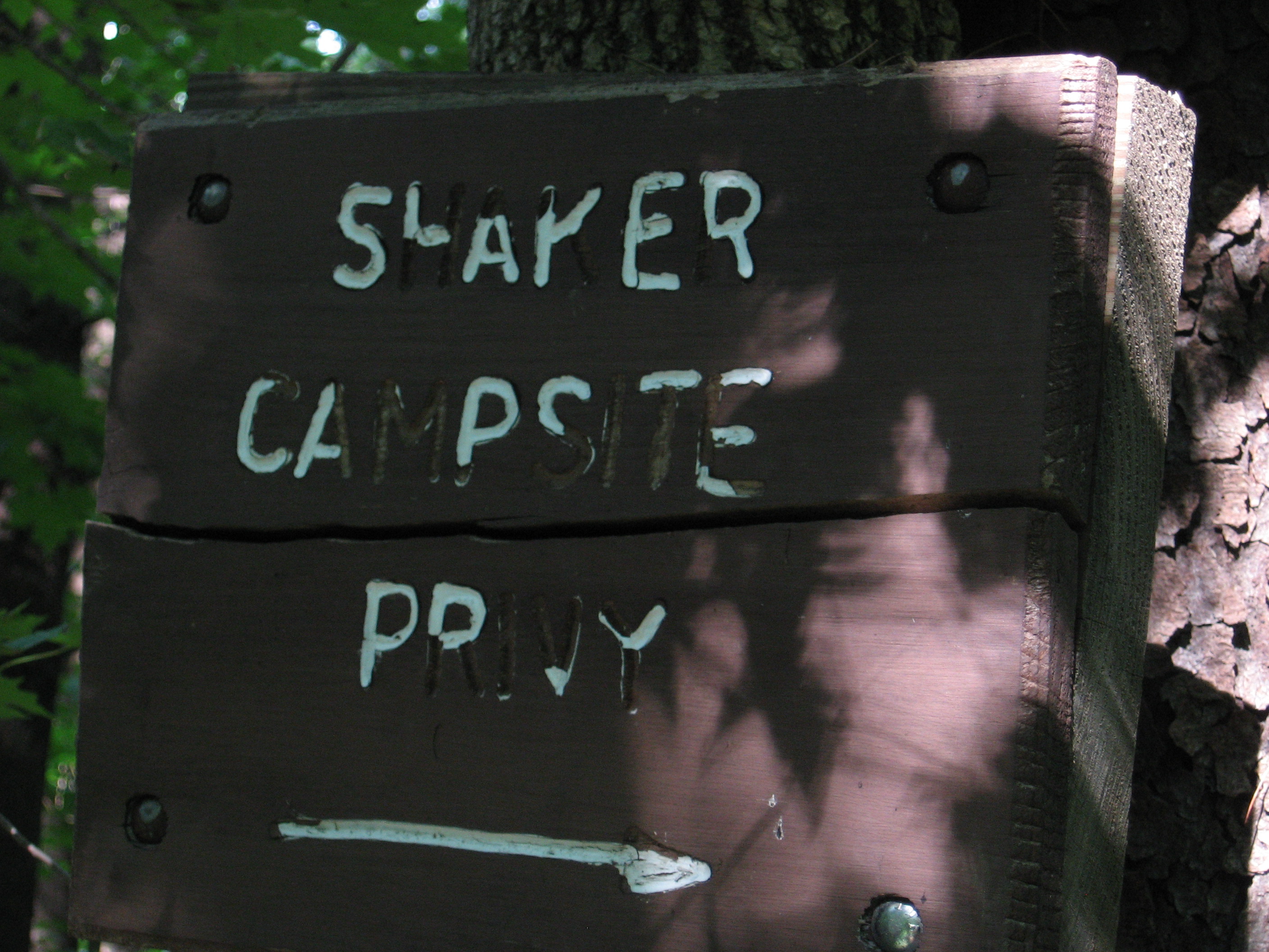
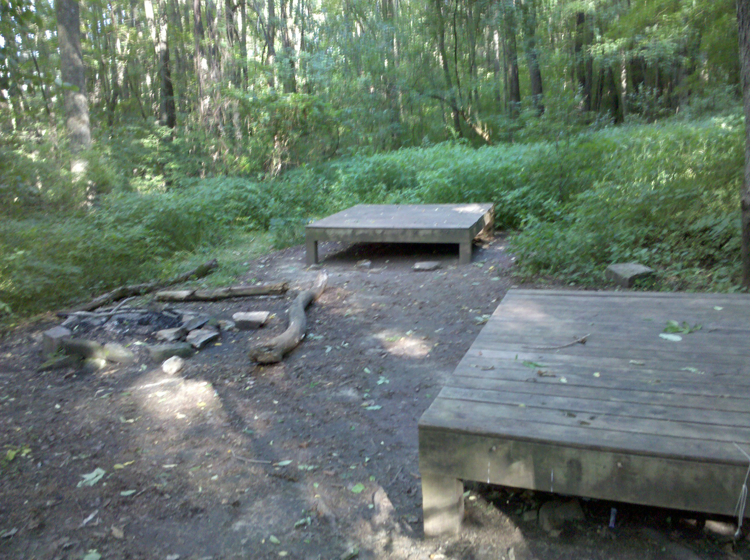
| 1538.2 | Shaker Campsite (1,000') | 1000 |


| Miles from Springer | Features | Elevation |
|---|---|---|
| 1540 | Jerusalem Road (930')?spring Tyringham, Mass. 01264 | 930 |
| 1541.1 | Tyringham Main Road (930') | 930 |
| 1543 | Webster Road (1,800') | 1800 |
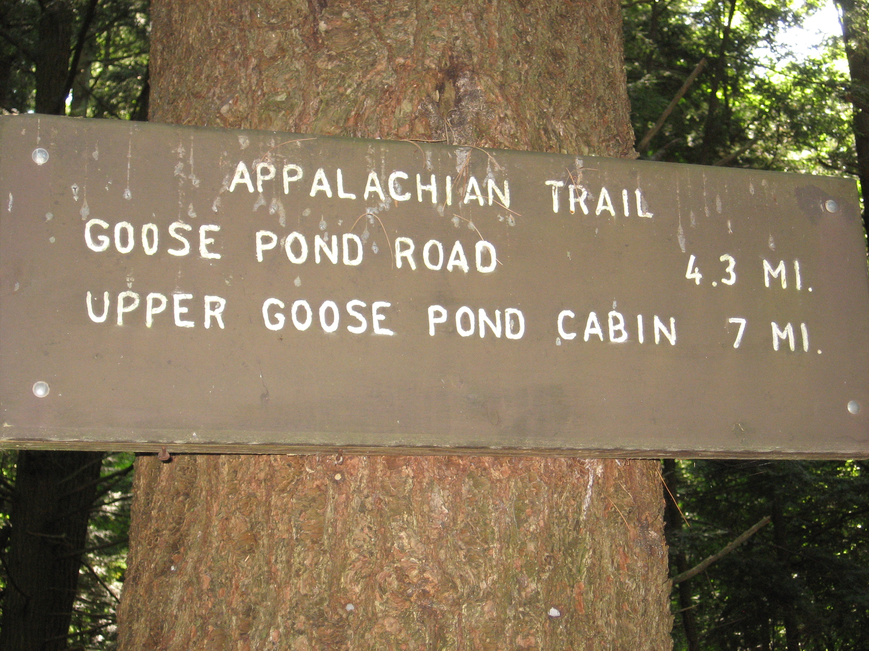
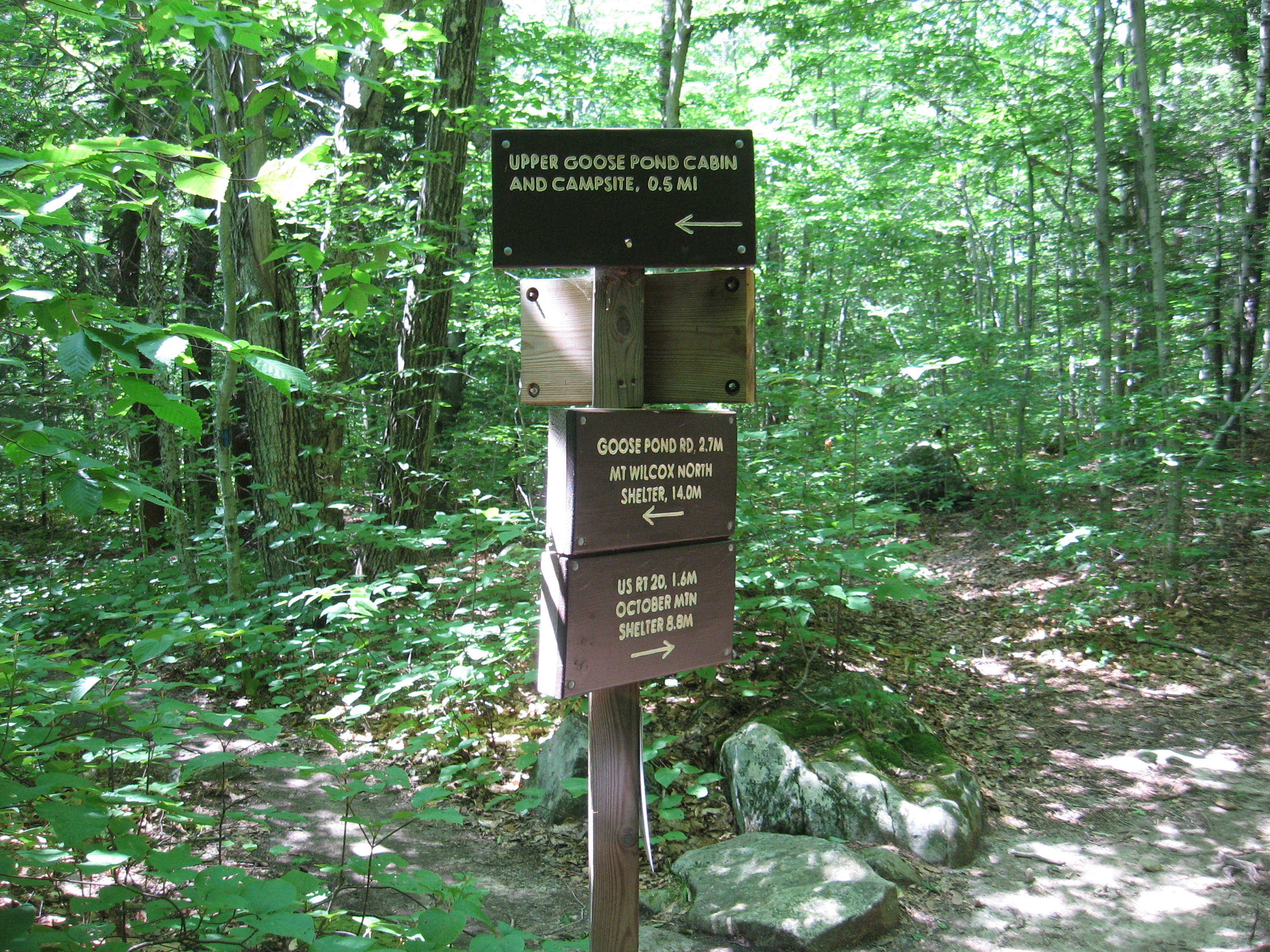
| 1545.4 | Goose Pond Road (1,650') | 1650 |
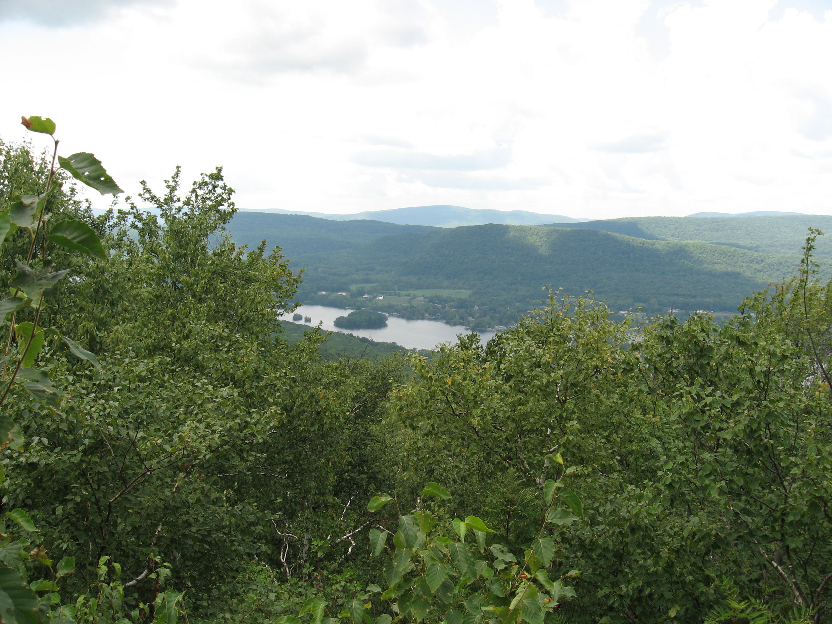
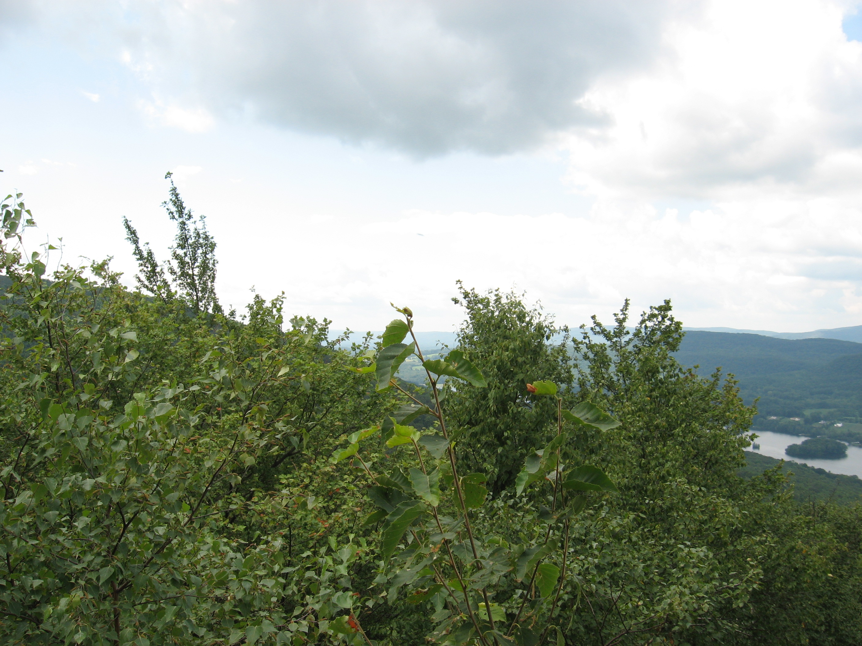
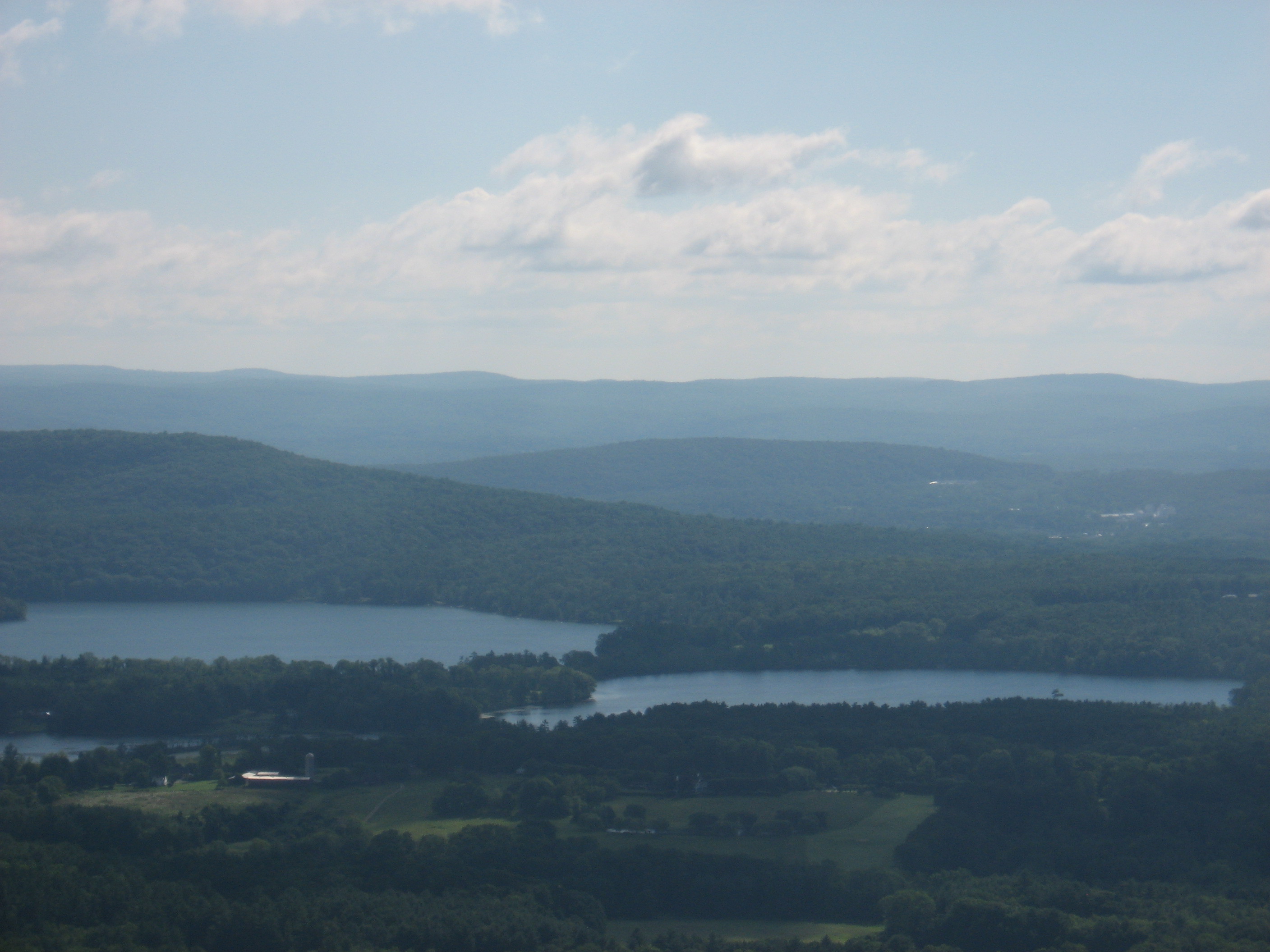
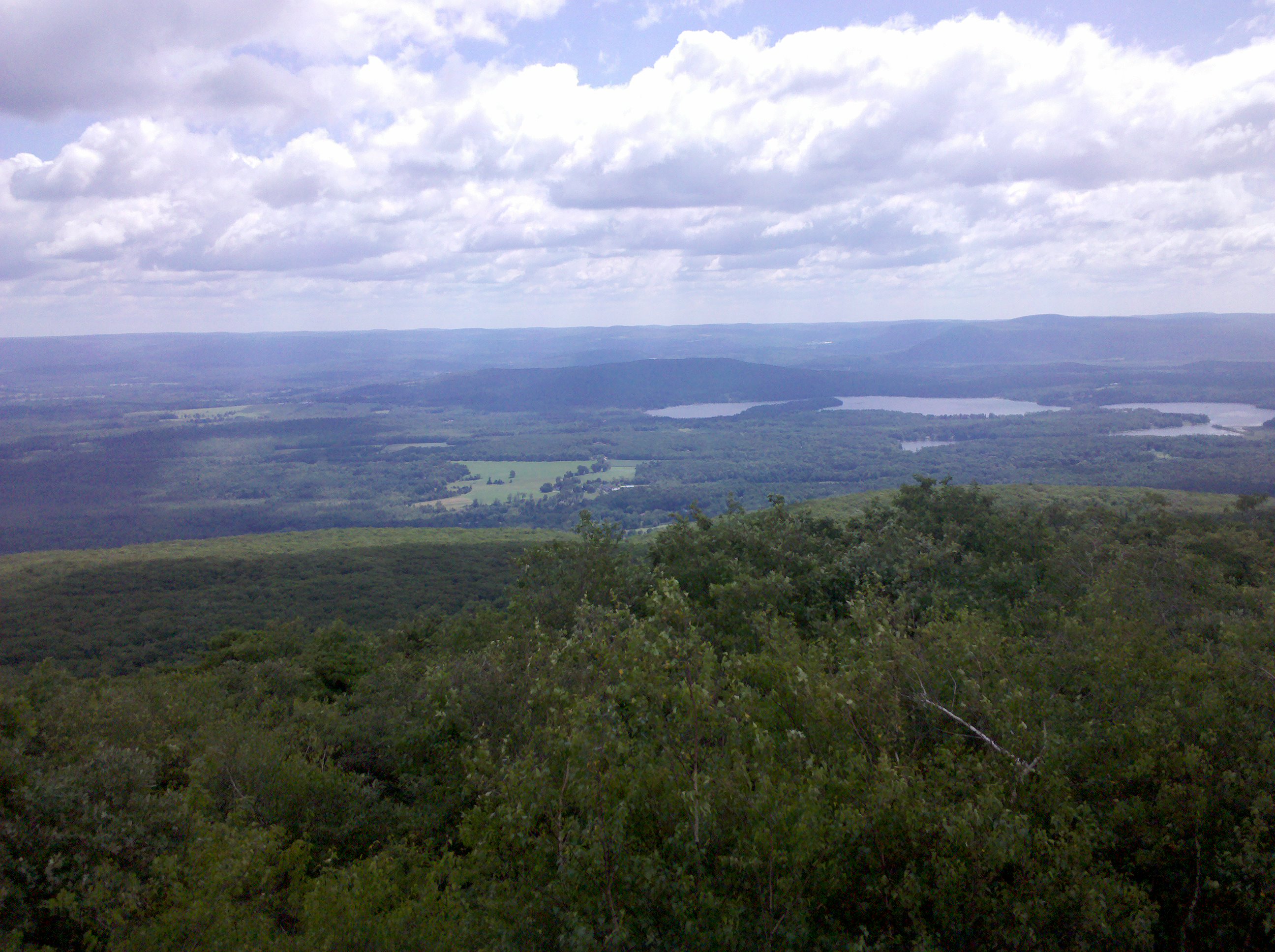
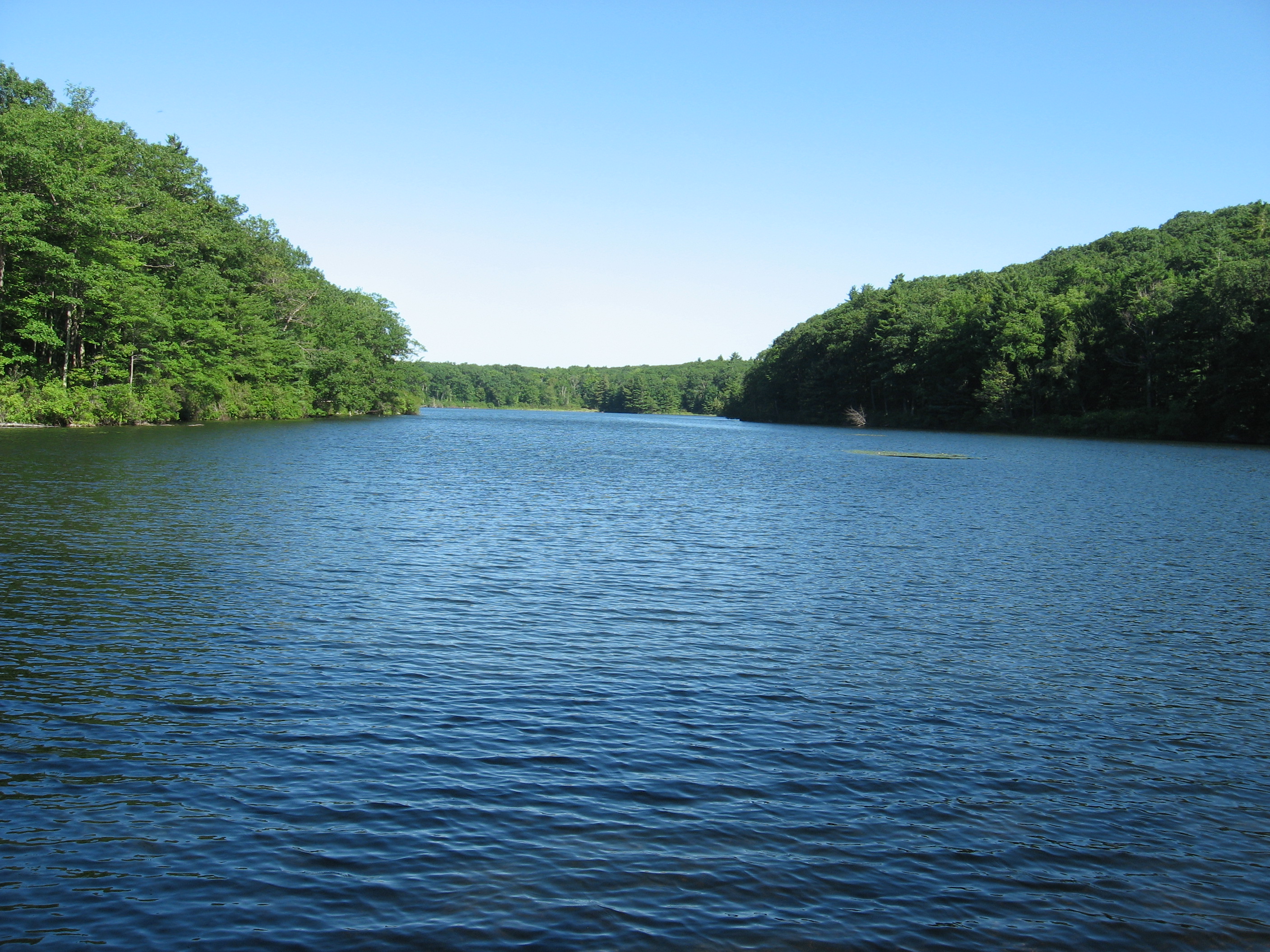
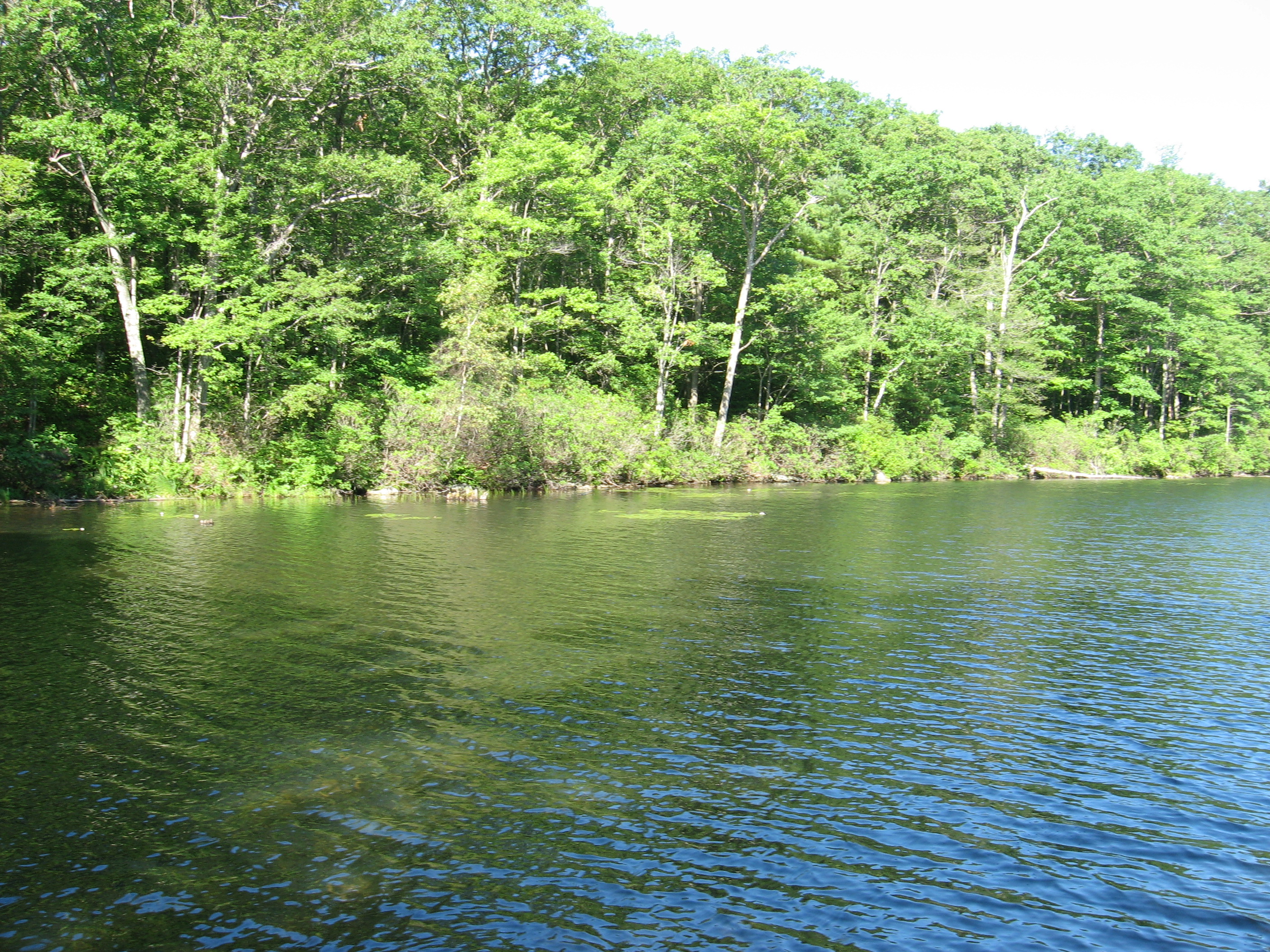
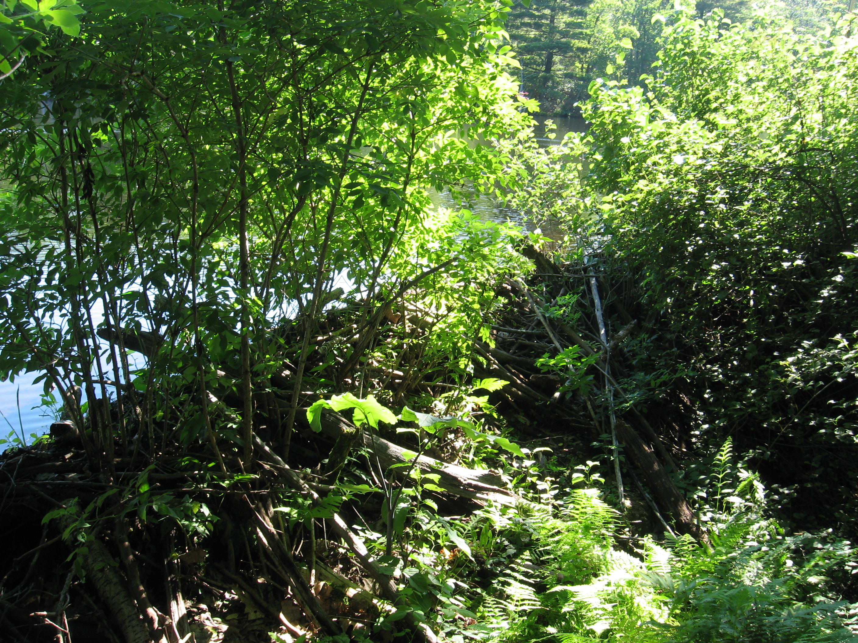
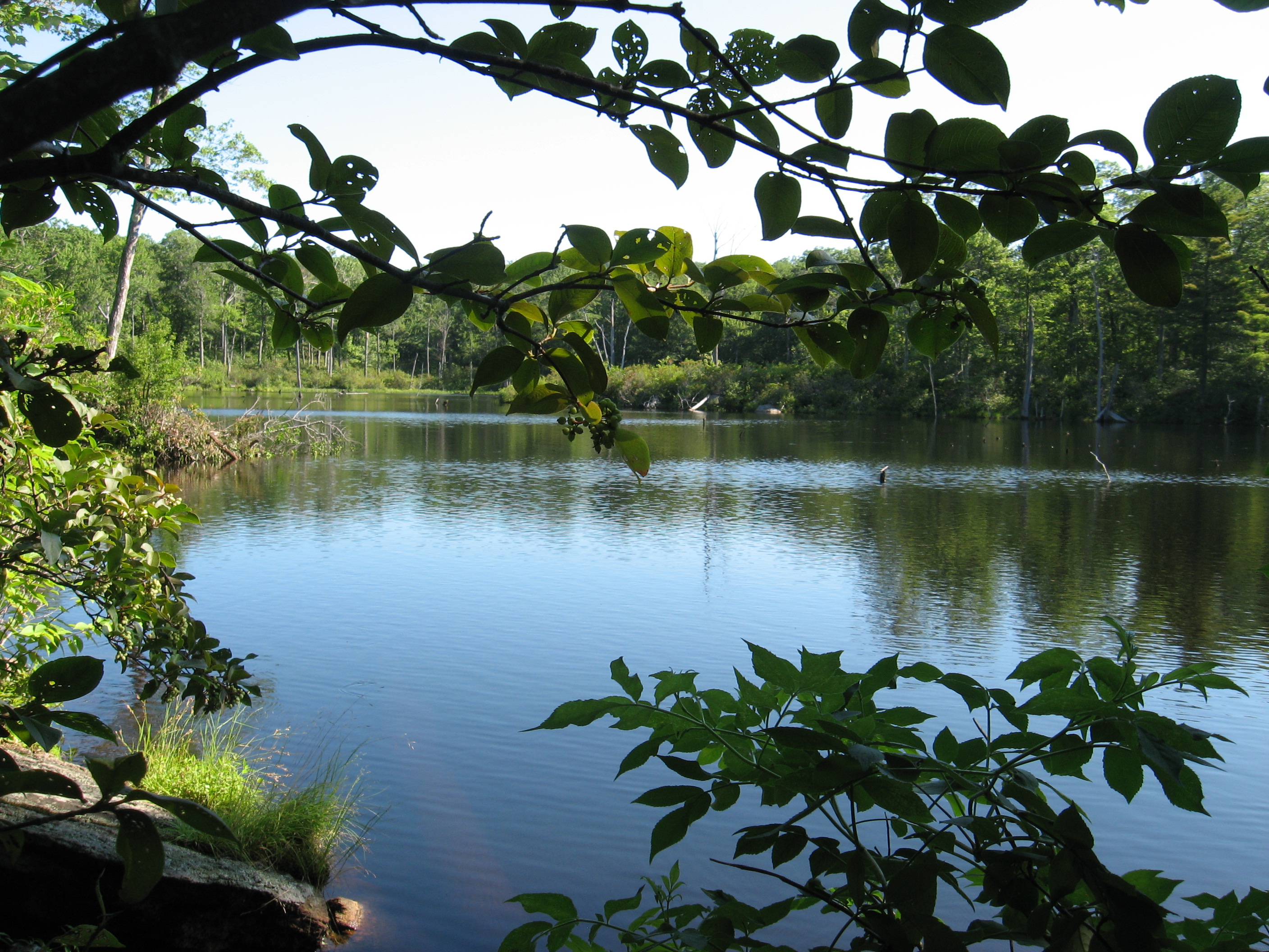
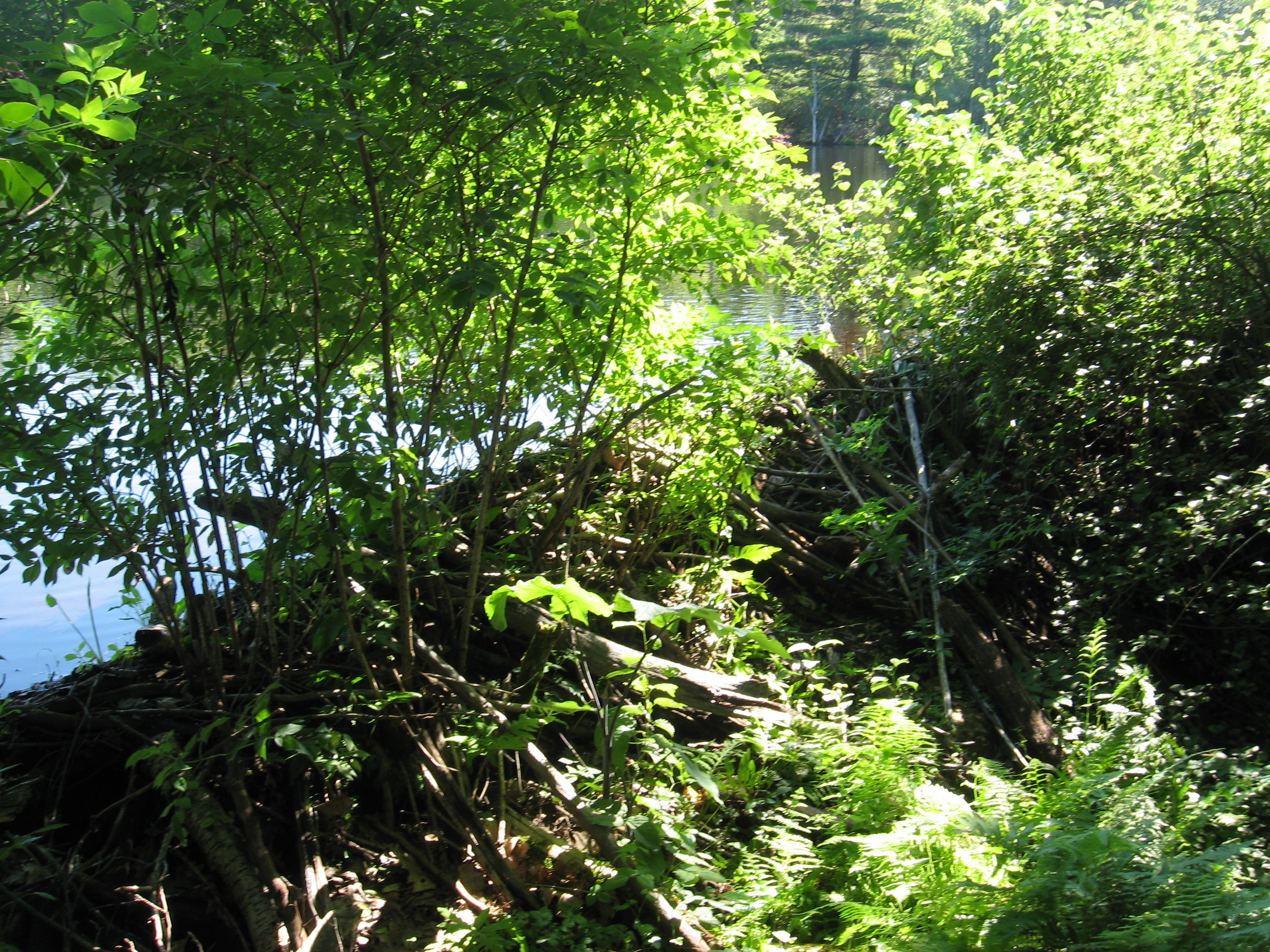
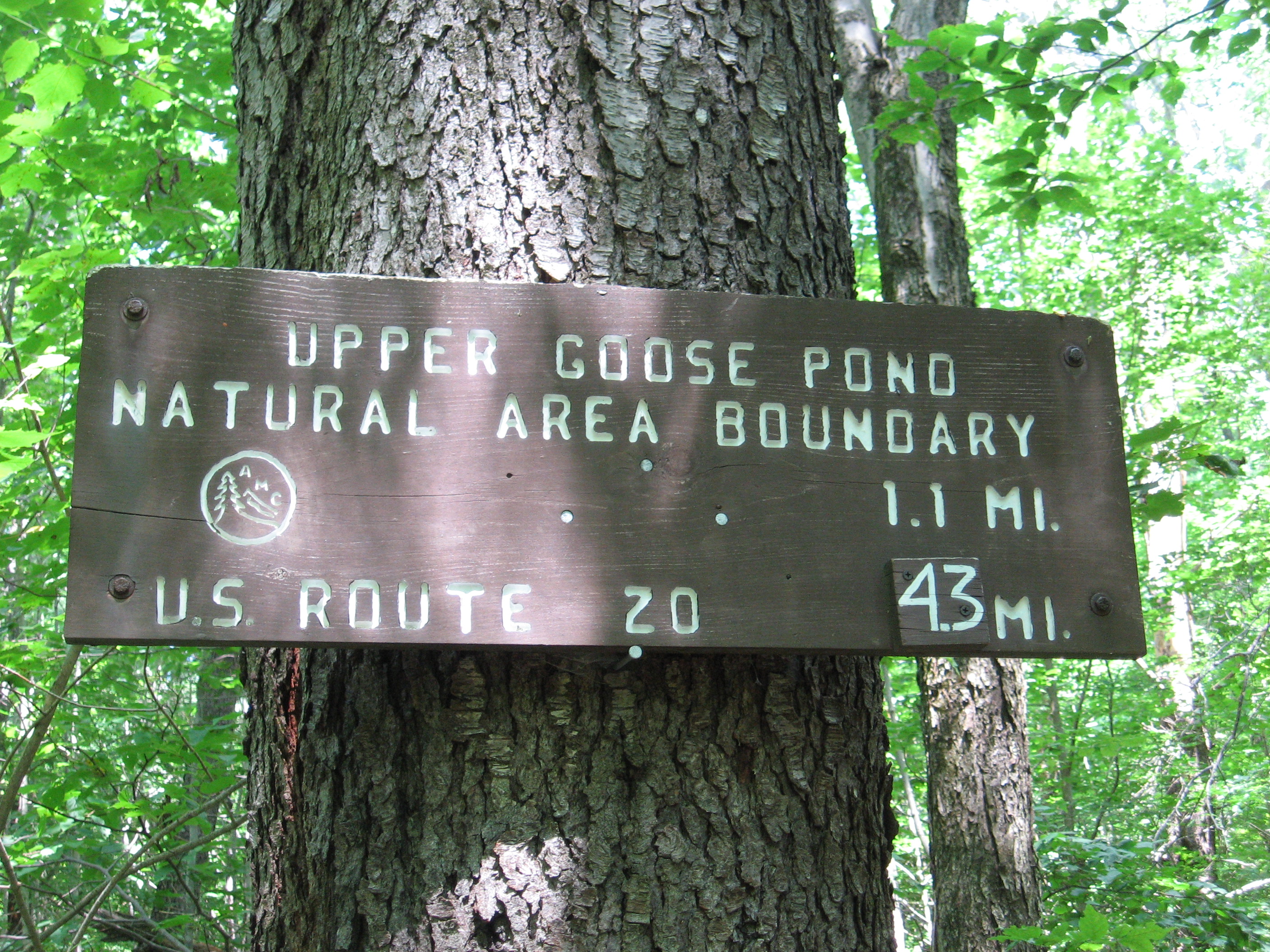
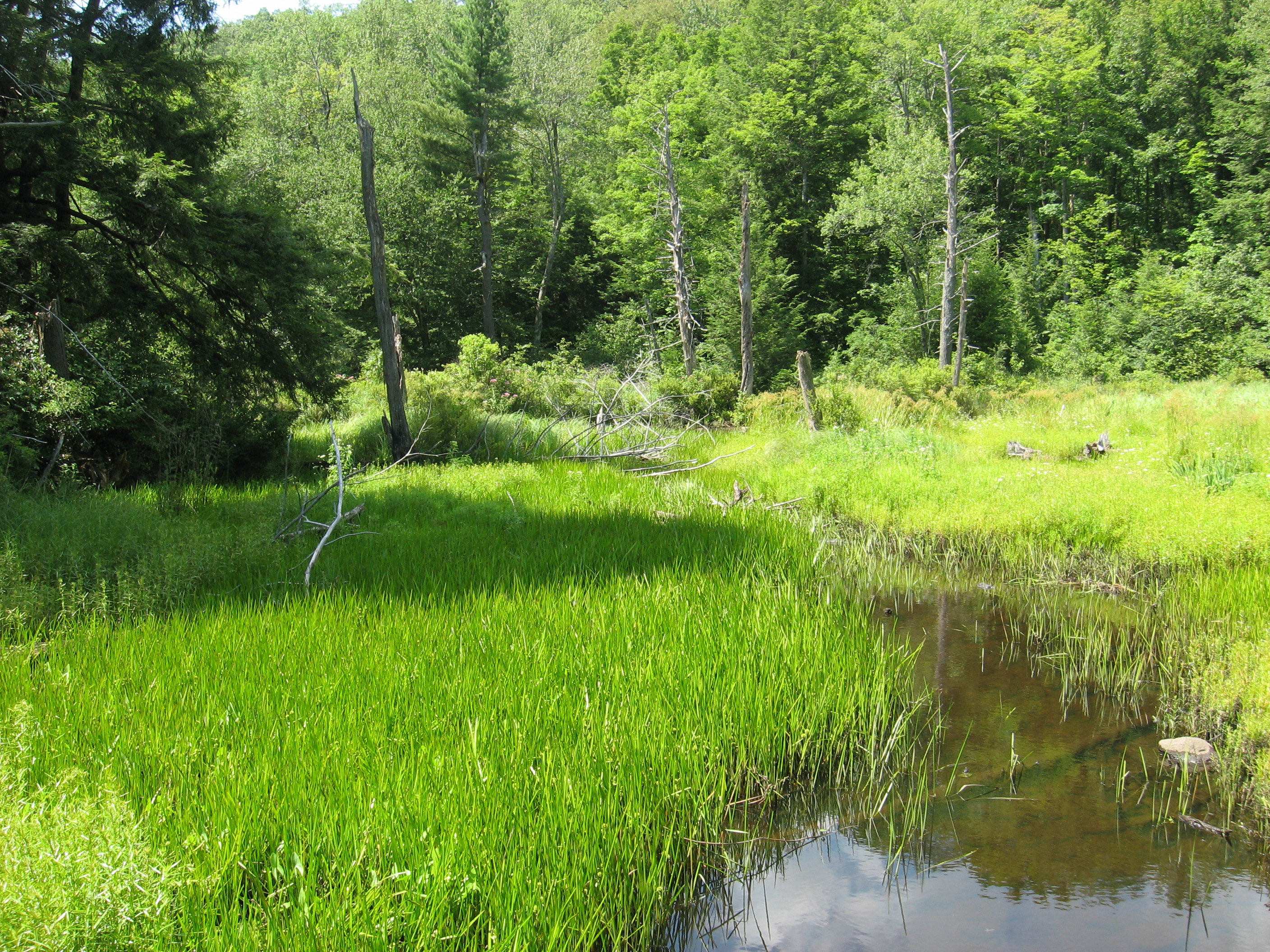
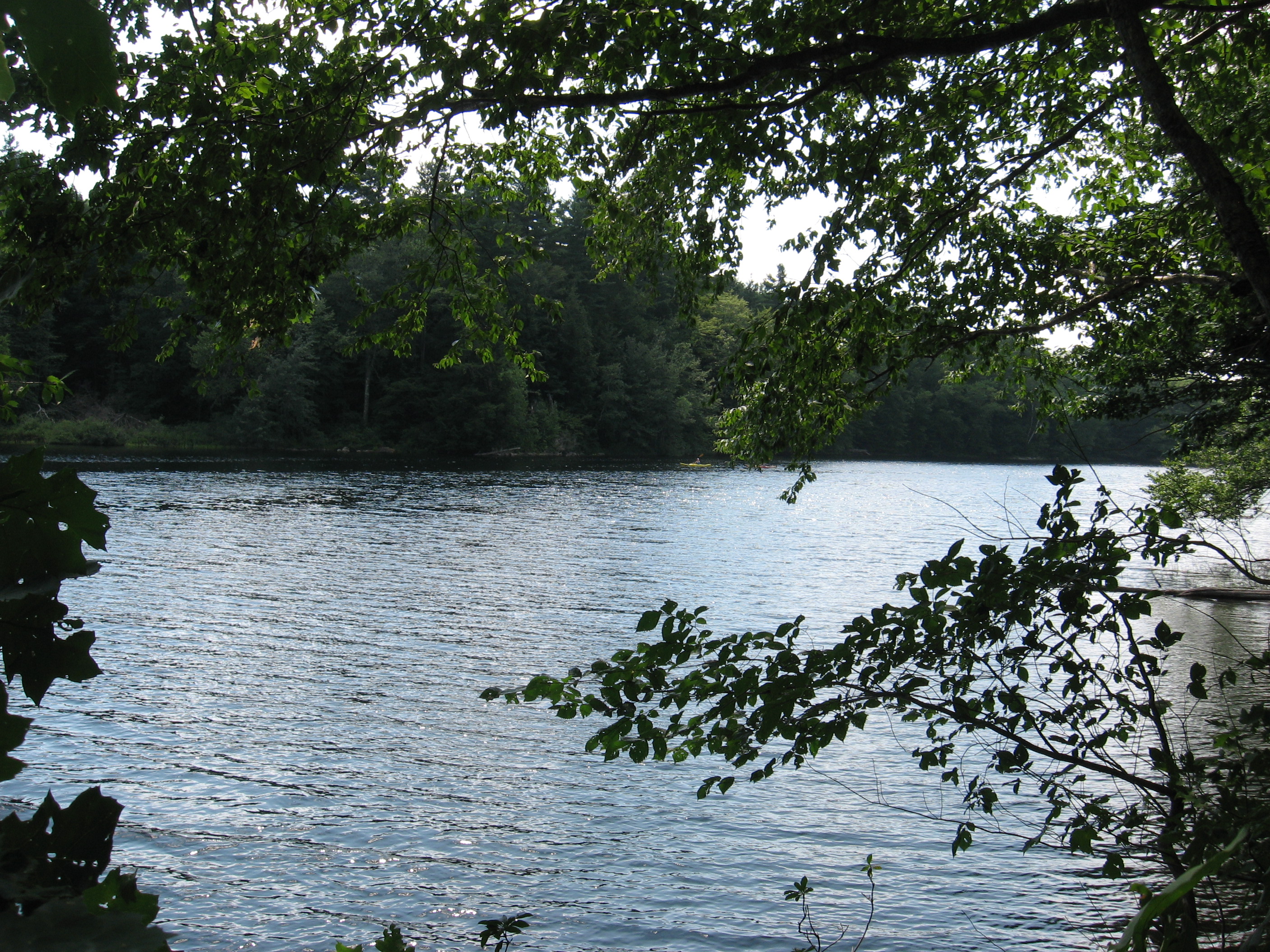
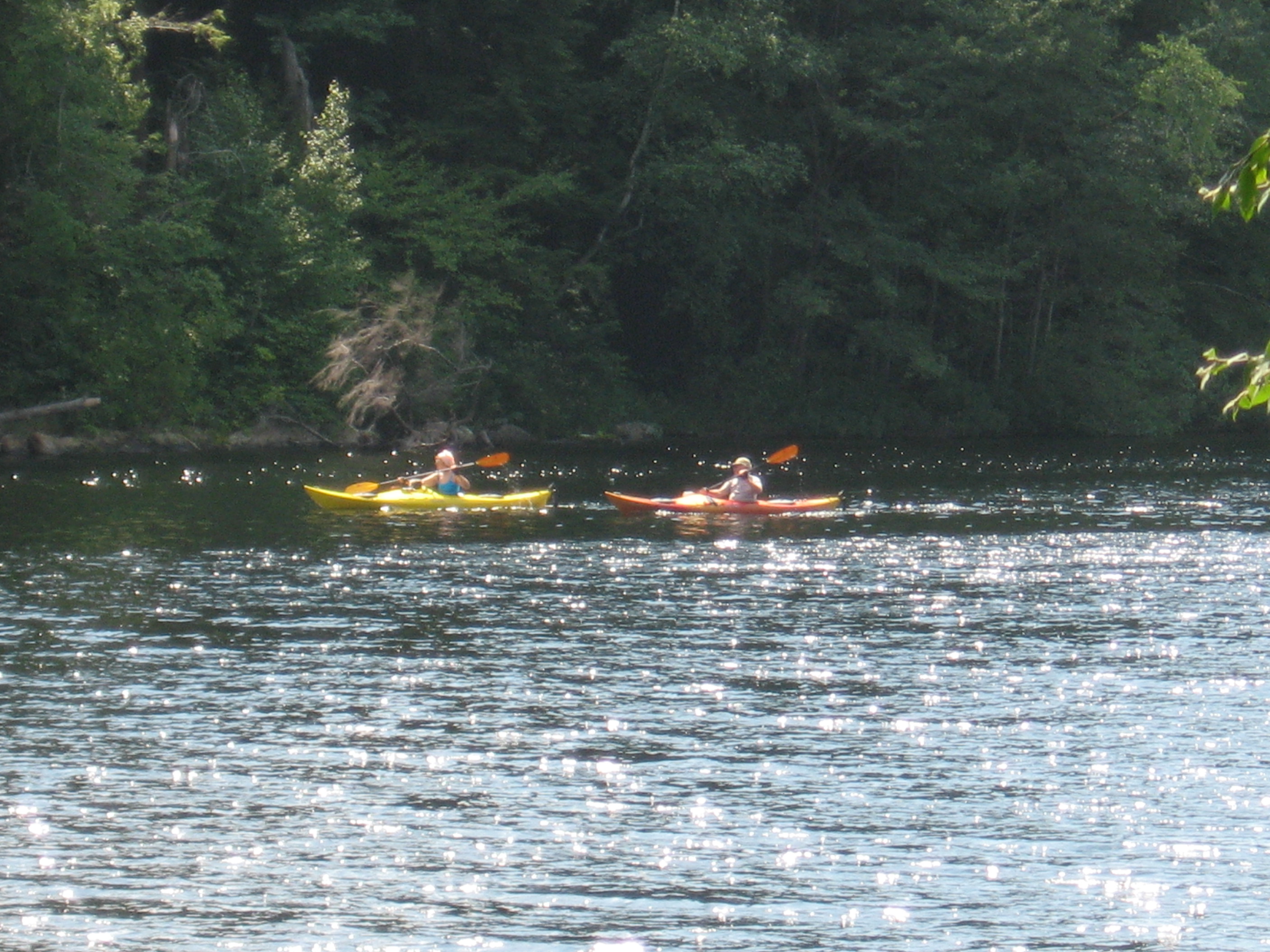
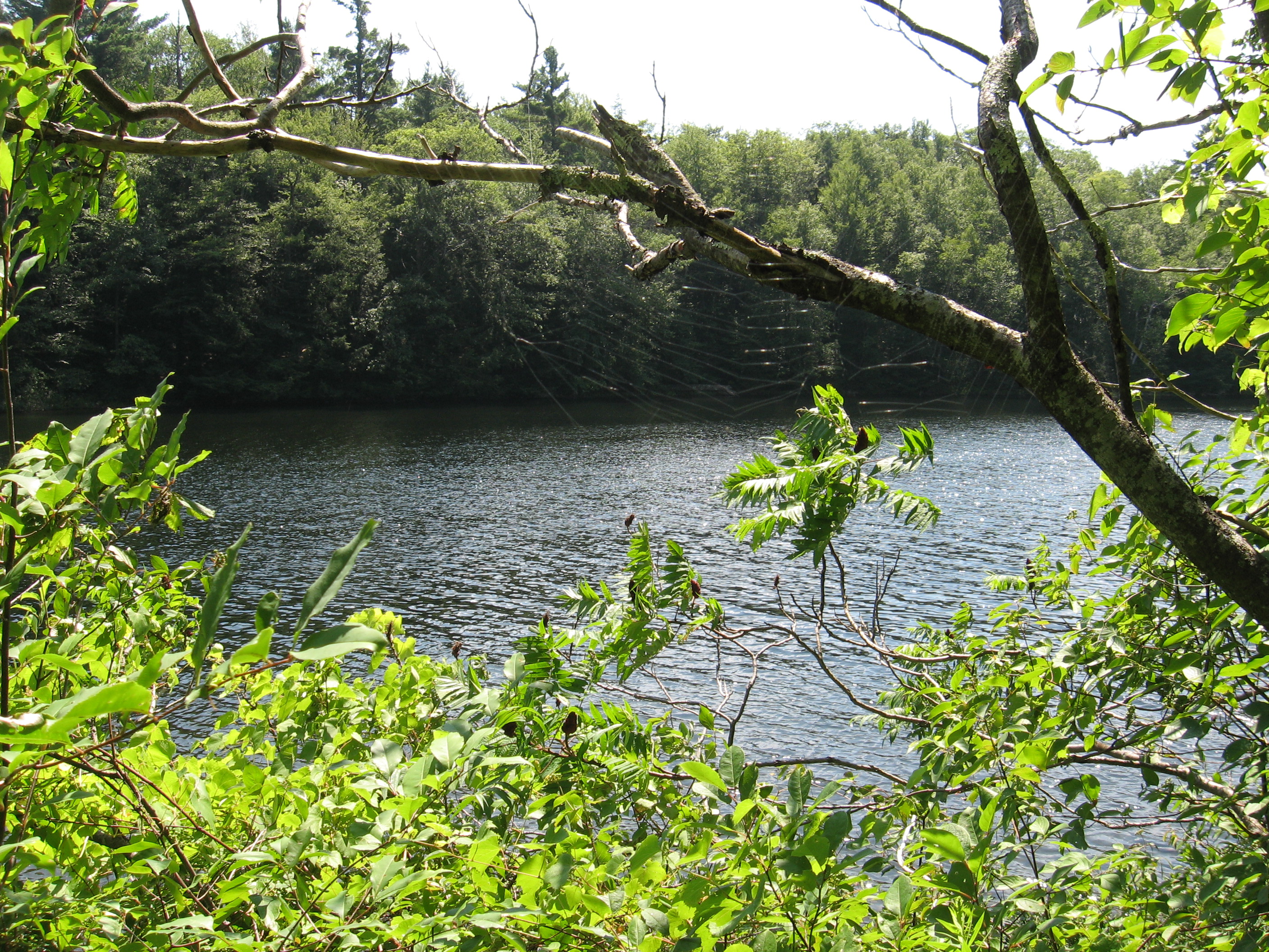
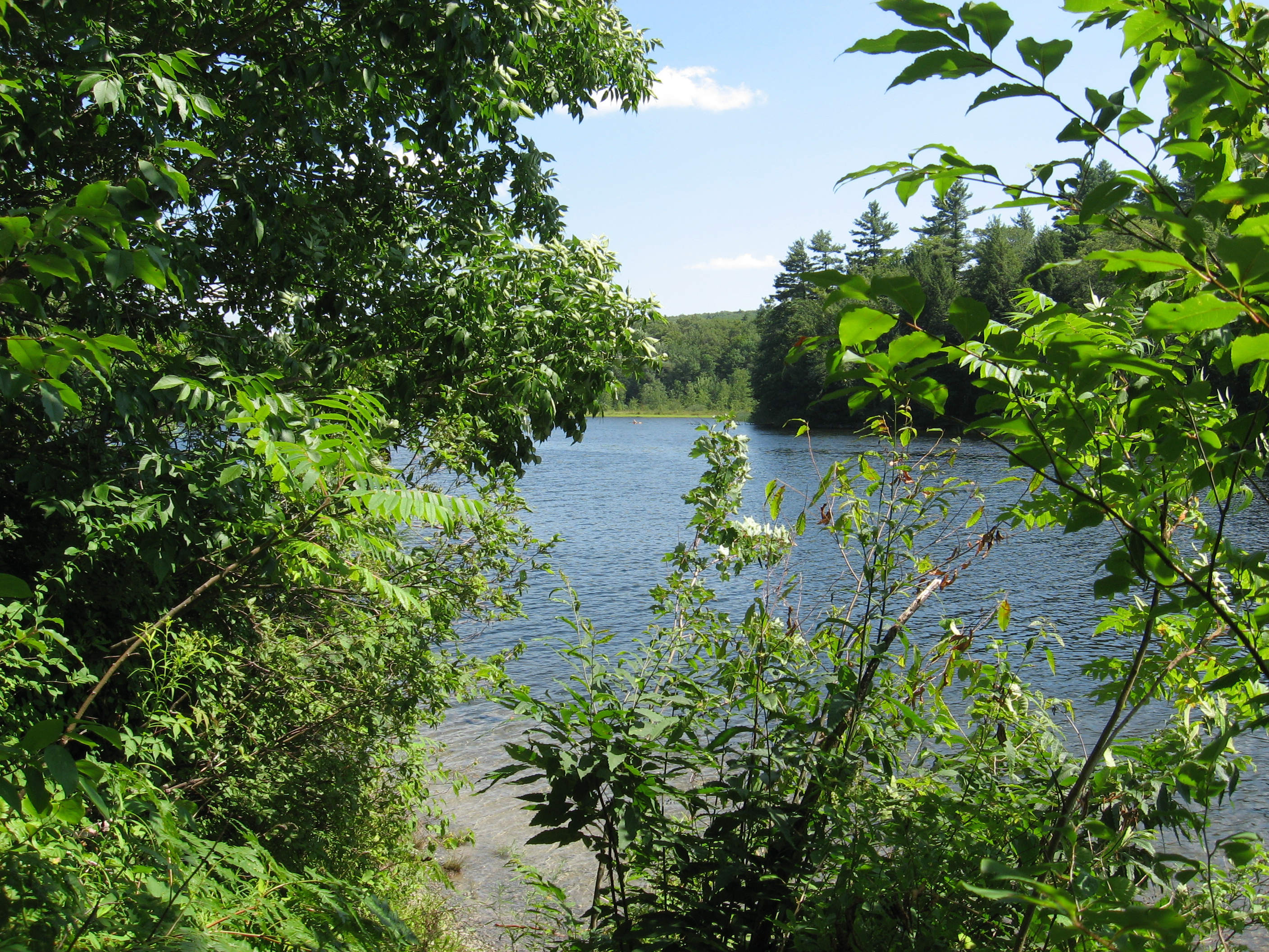
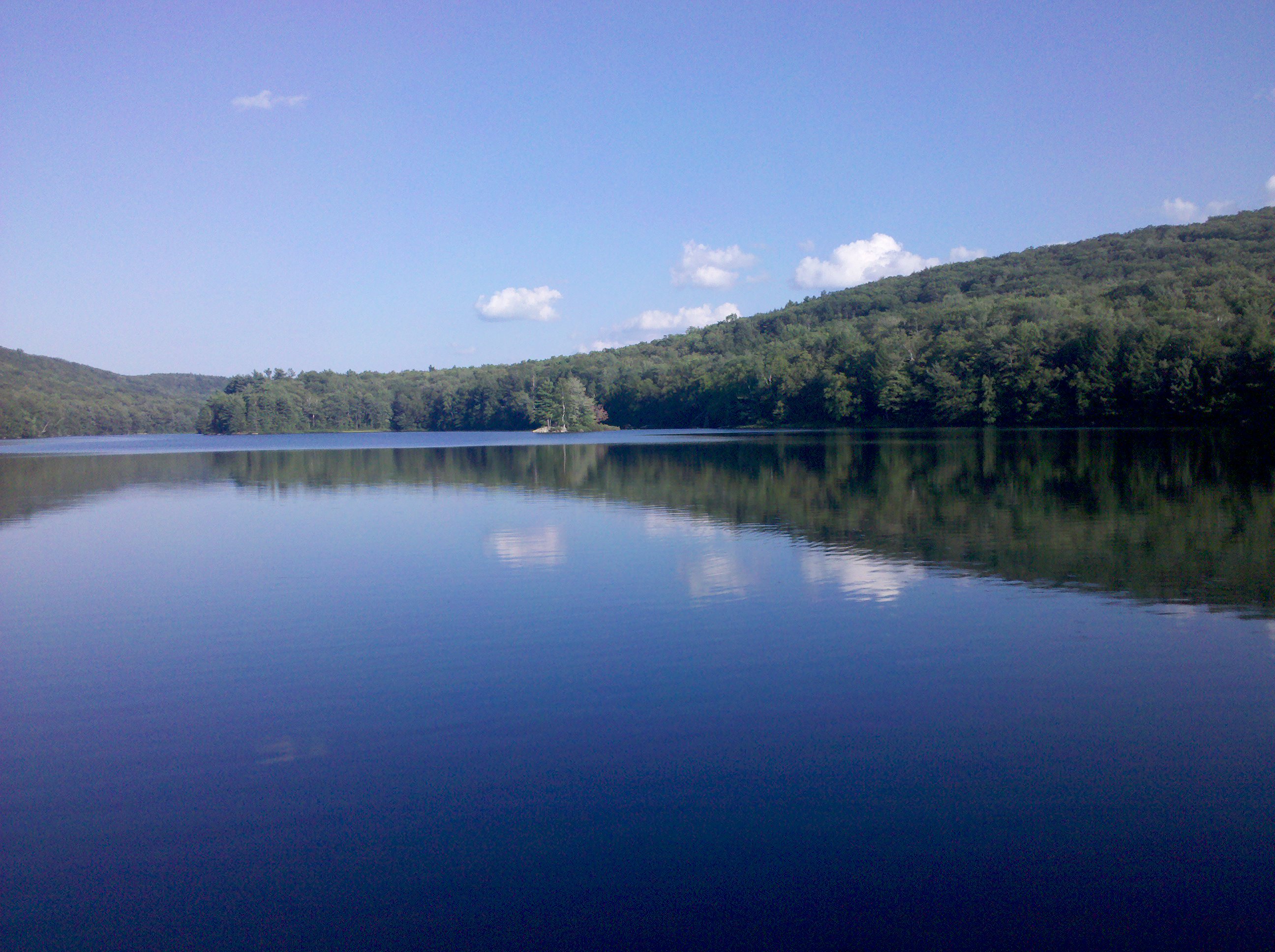
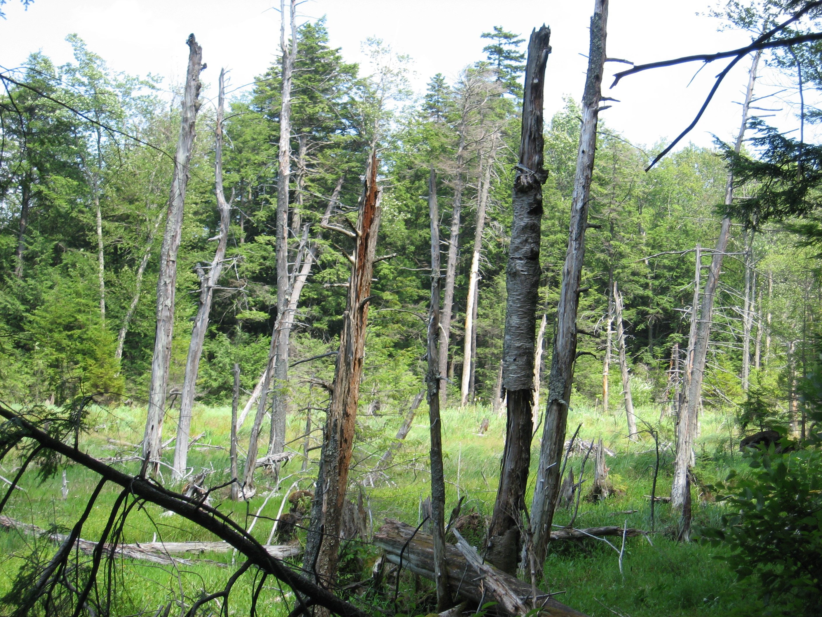
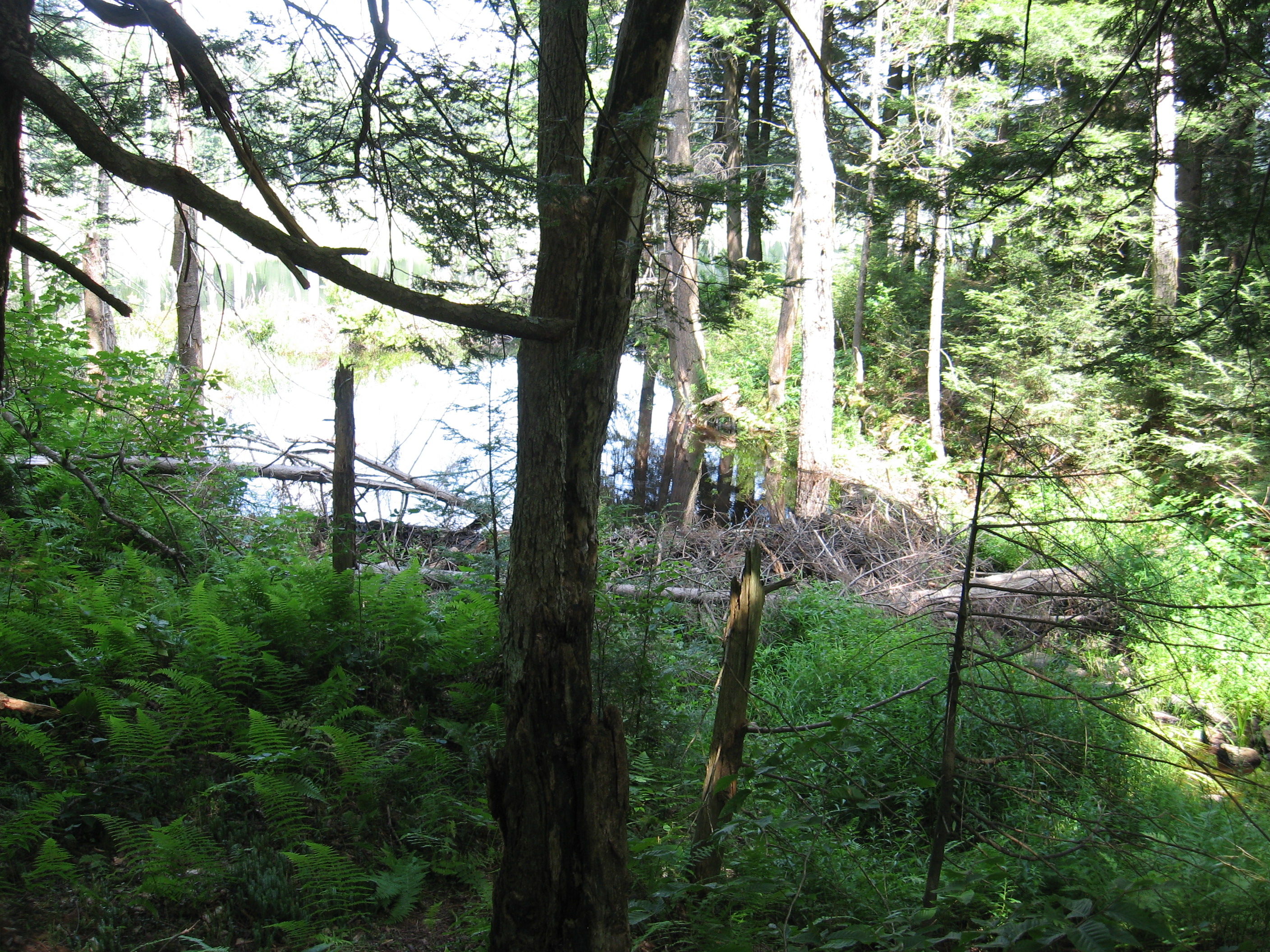
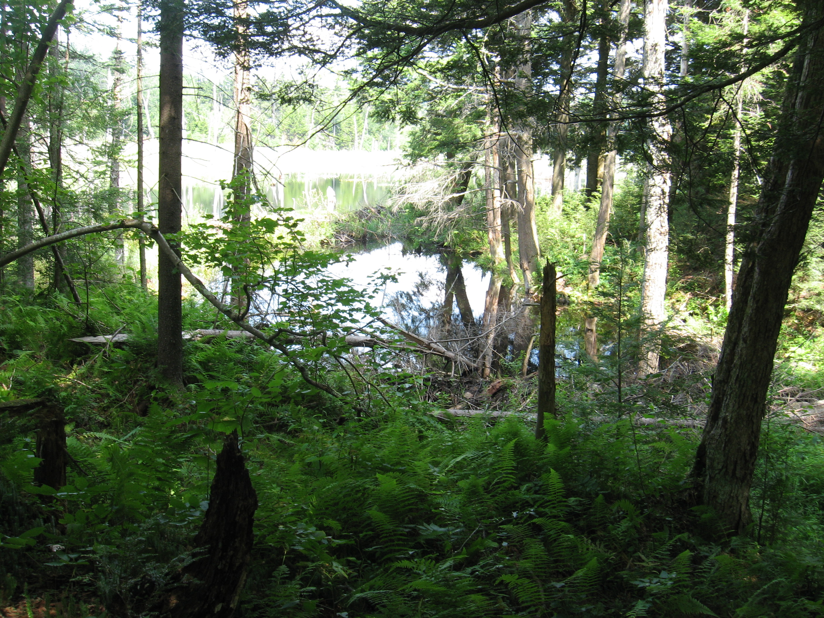
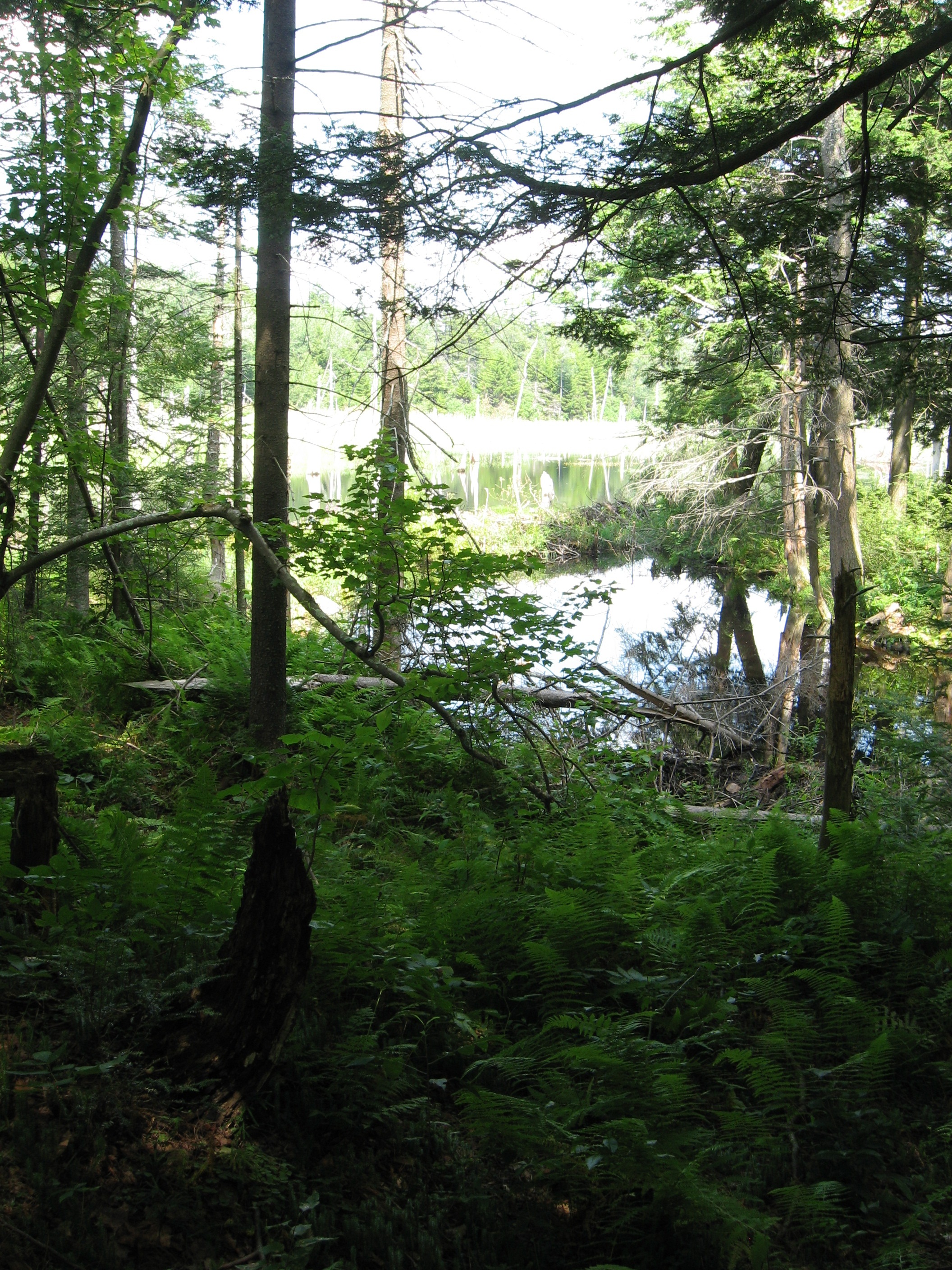
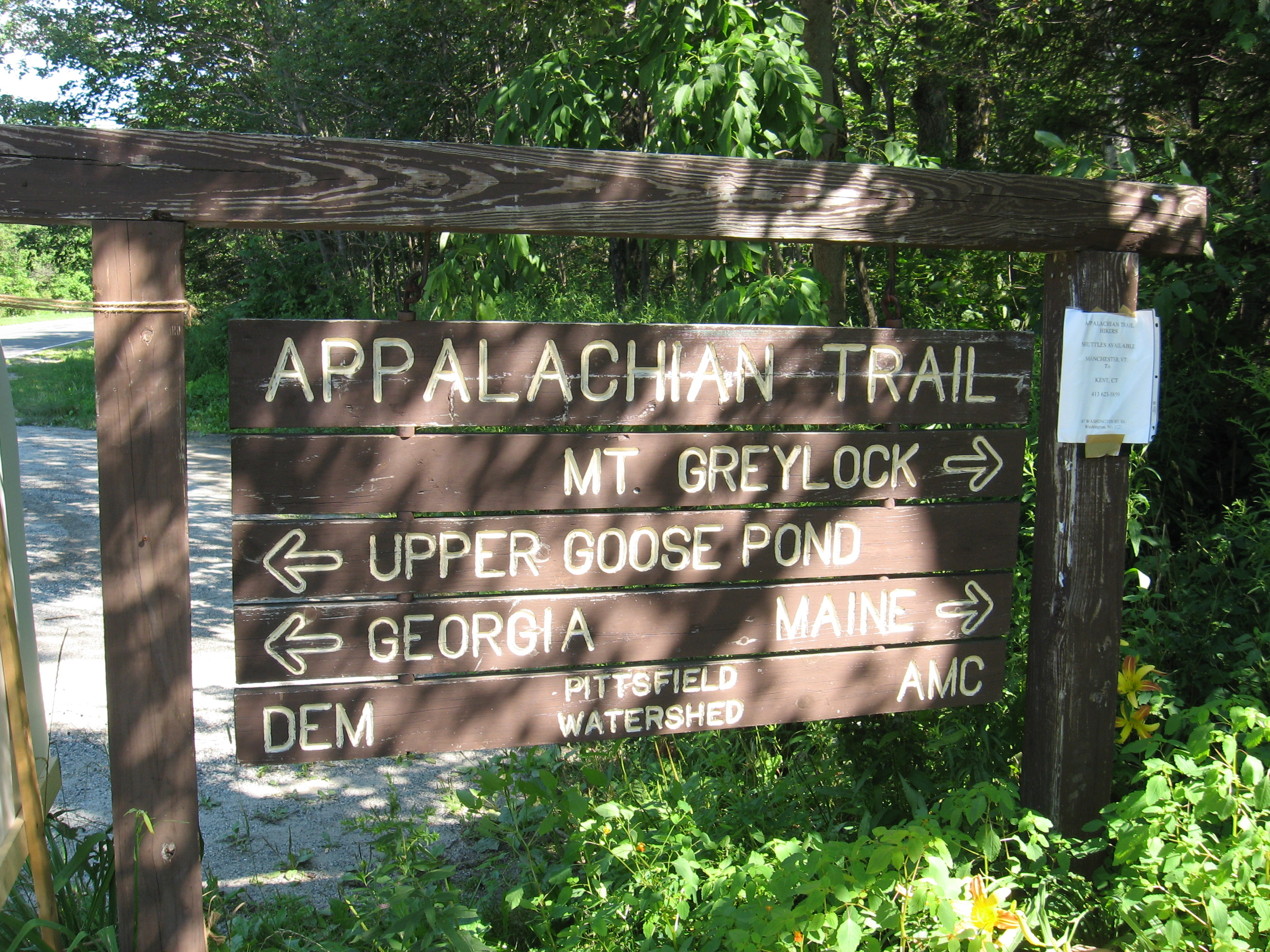
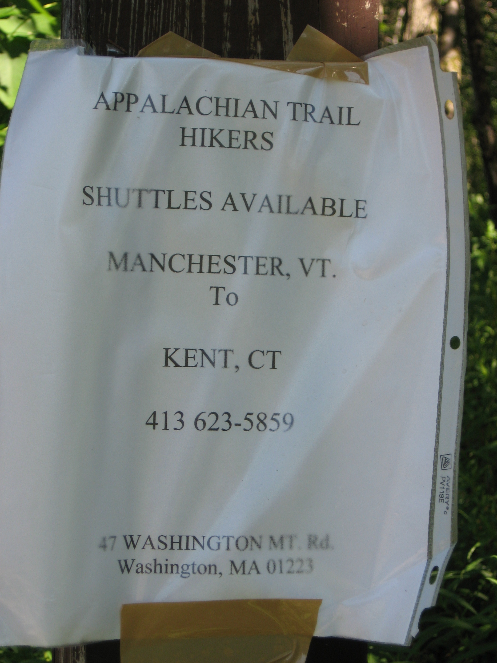
| 1547.3 | Upper Goose Pond (1,500') | 1500 |
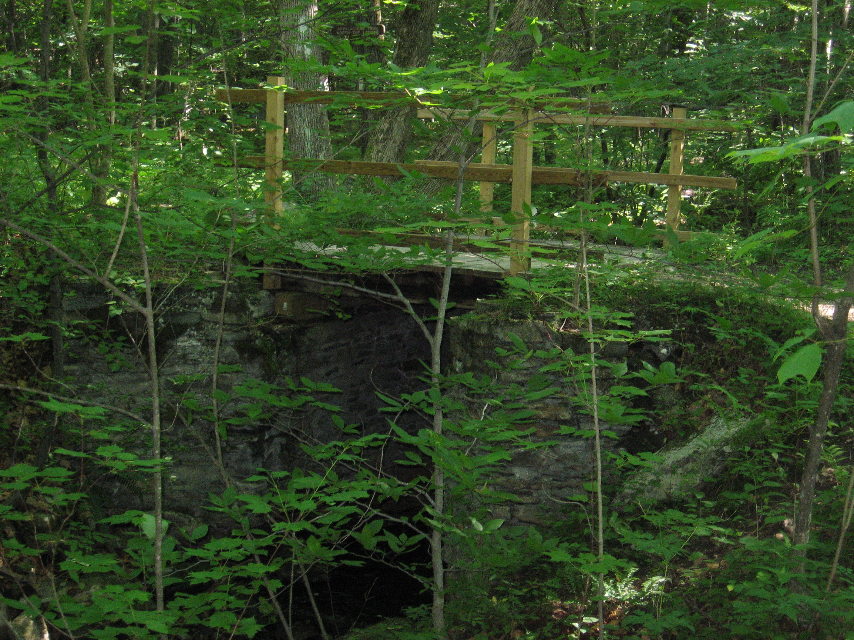
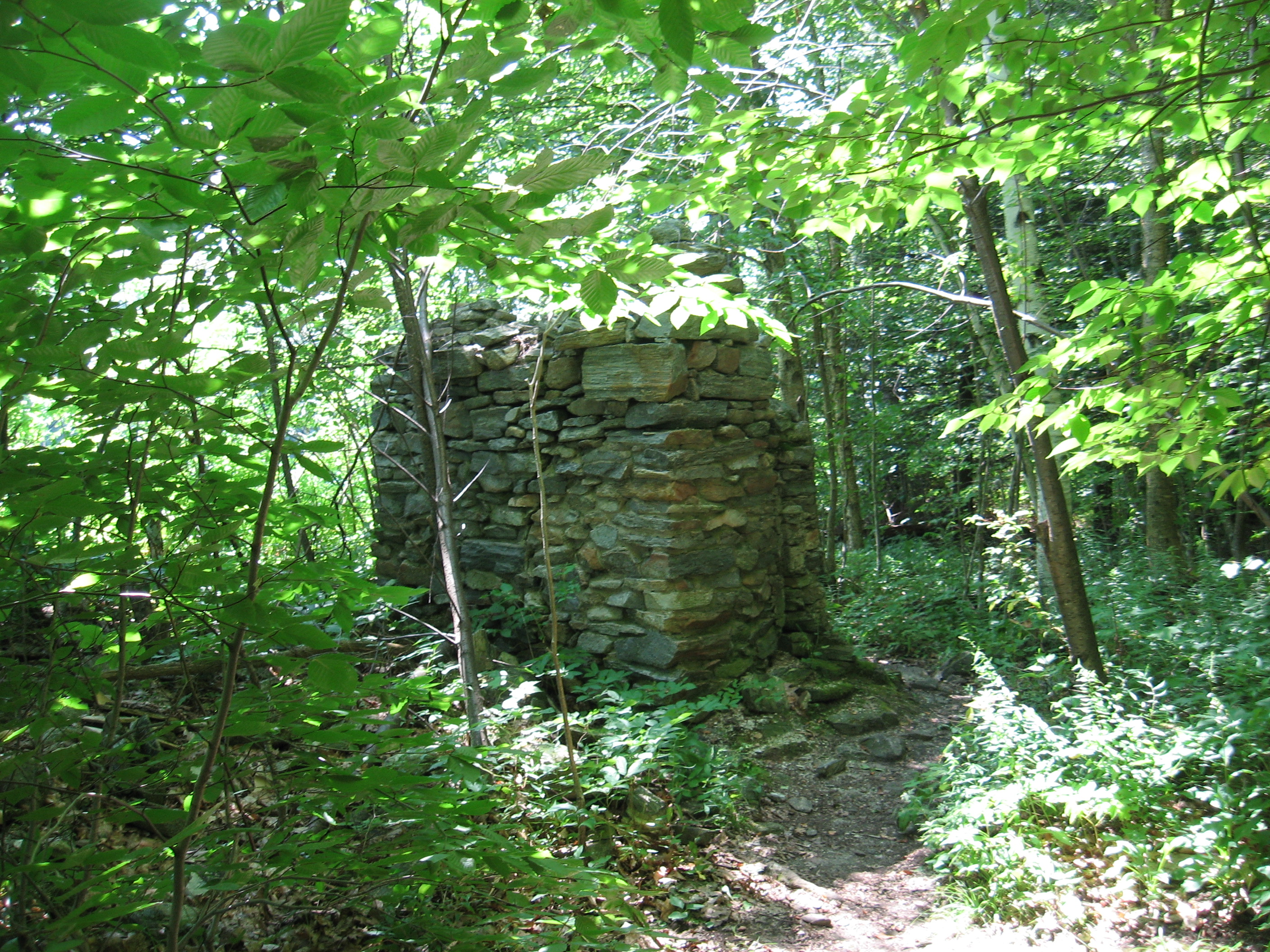
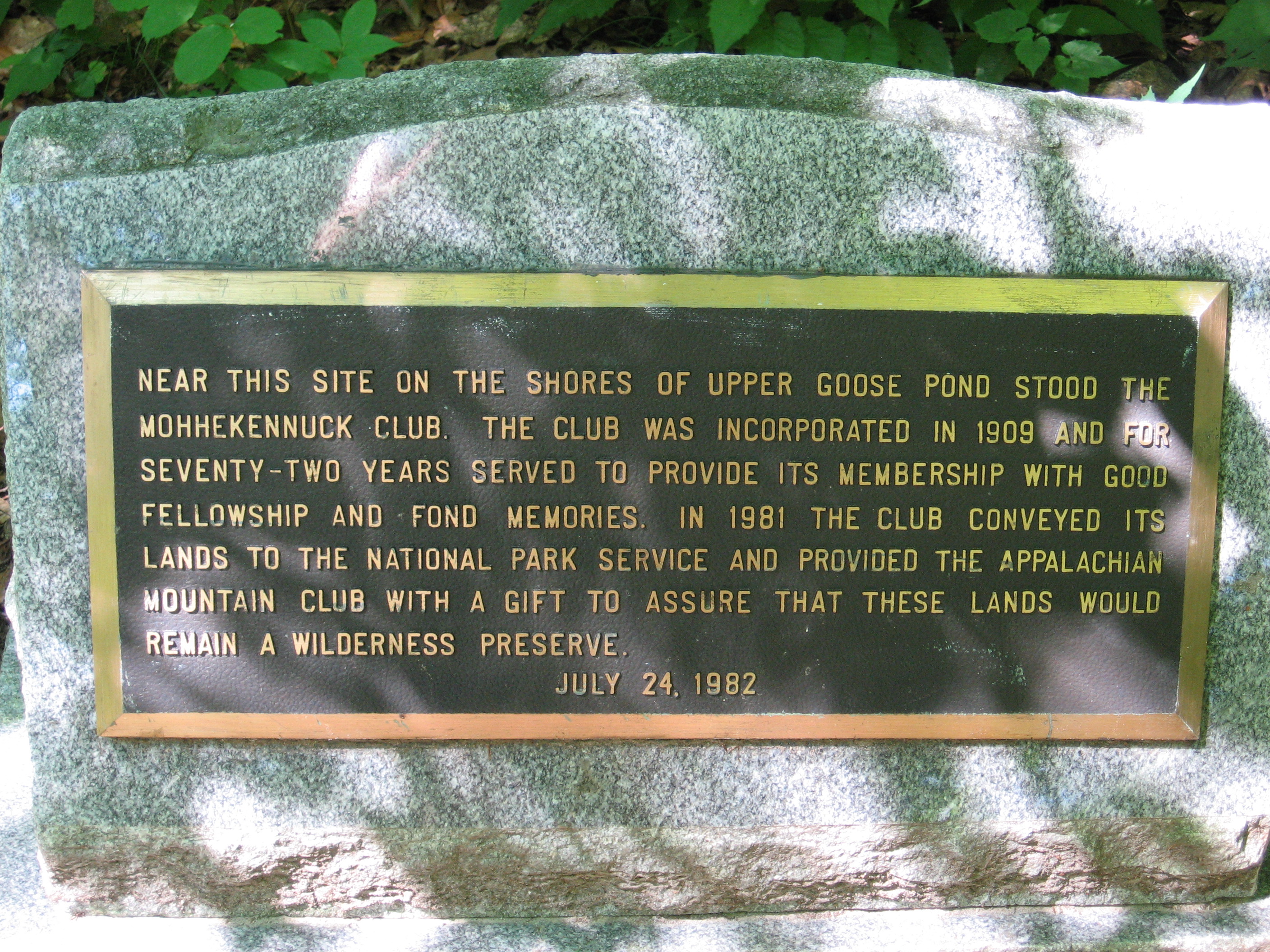
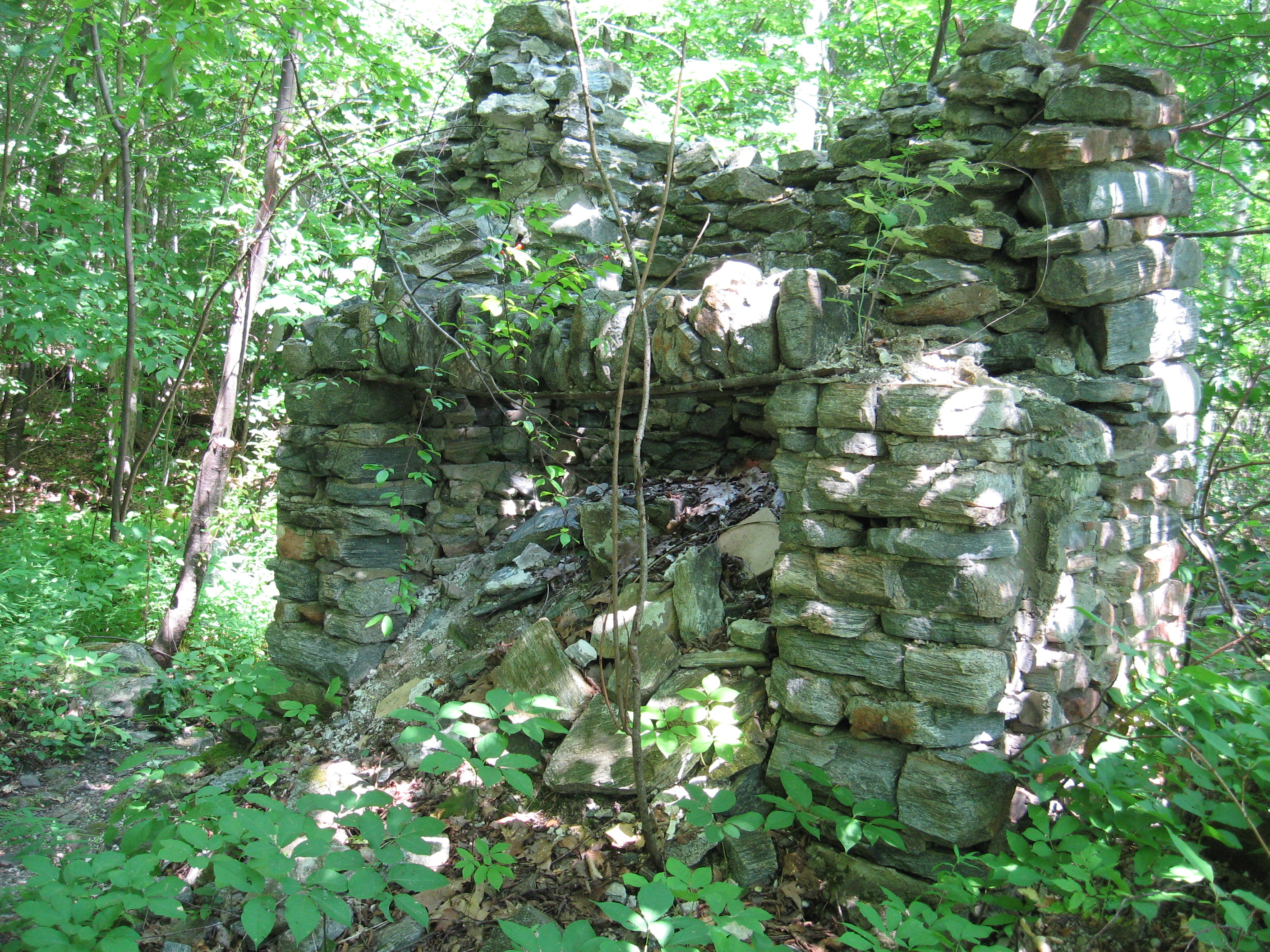
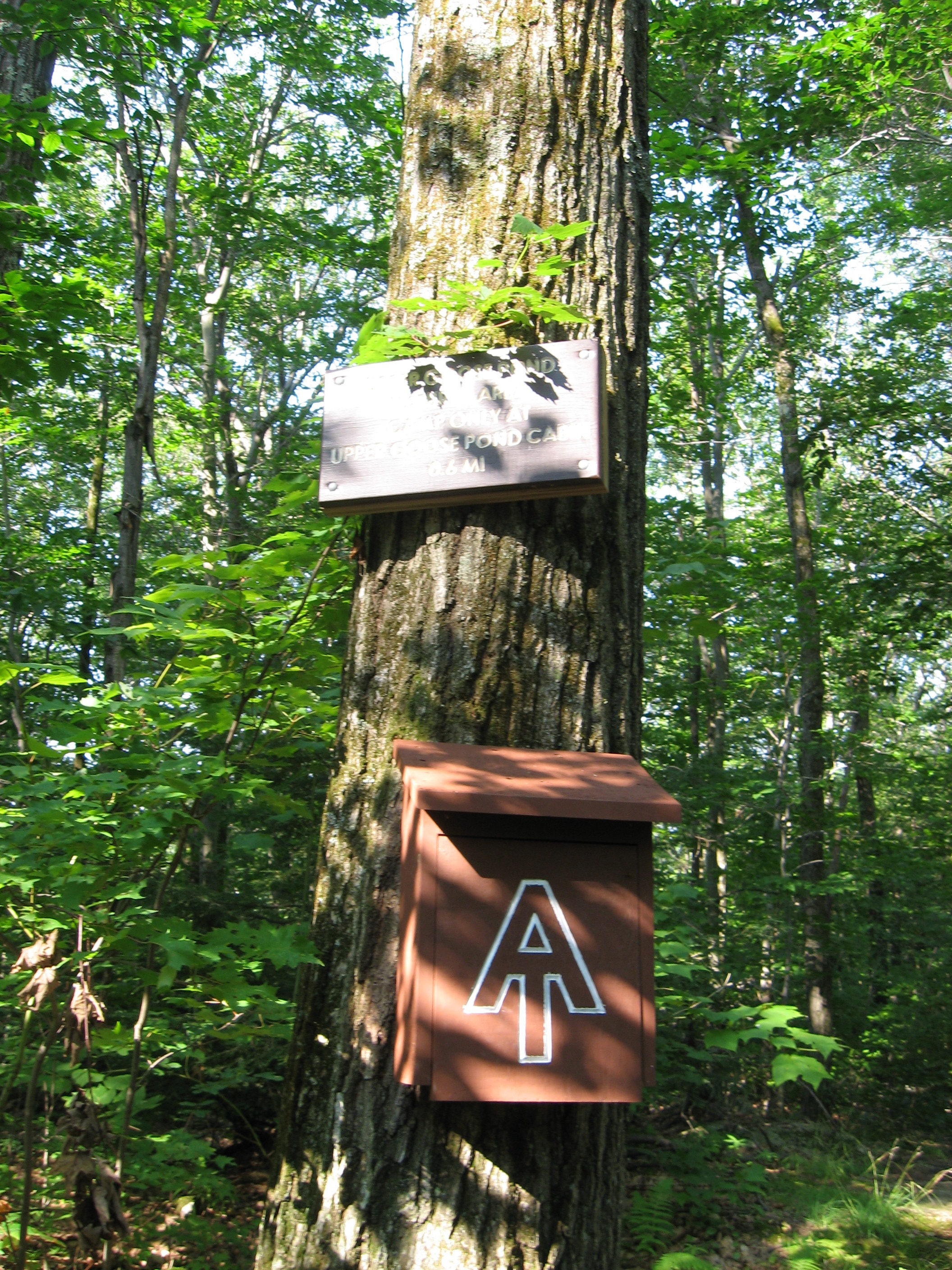
| 1547.8 | Old Chimney and Plaque (1,520') | 1520 |
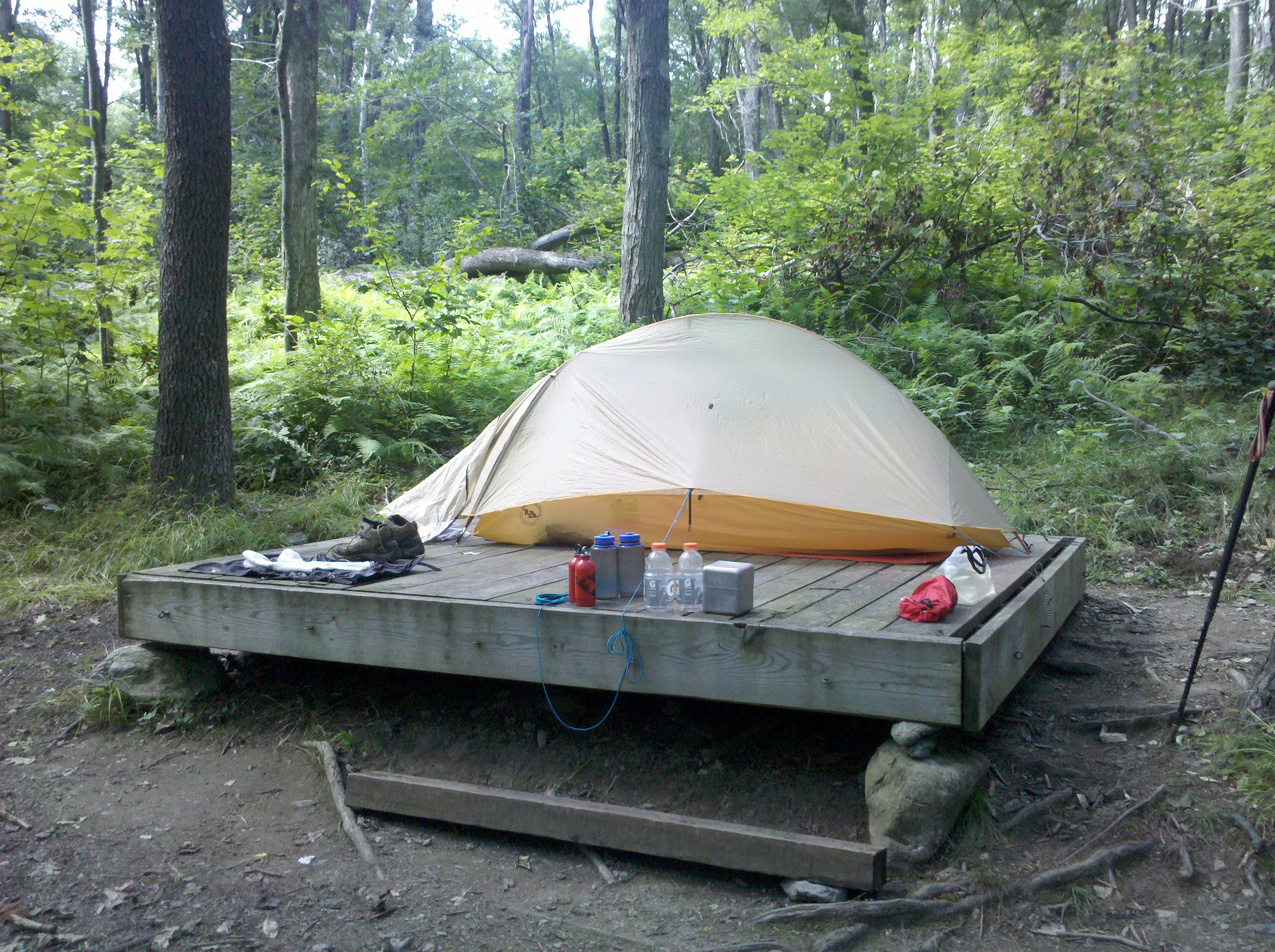
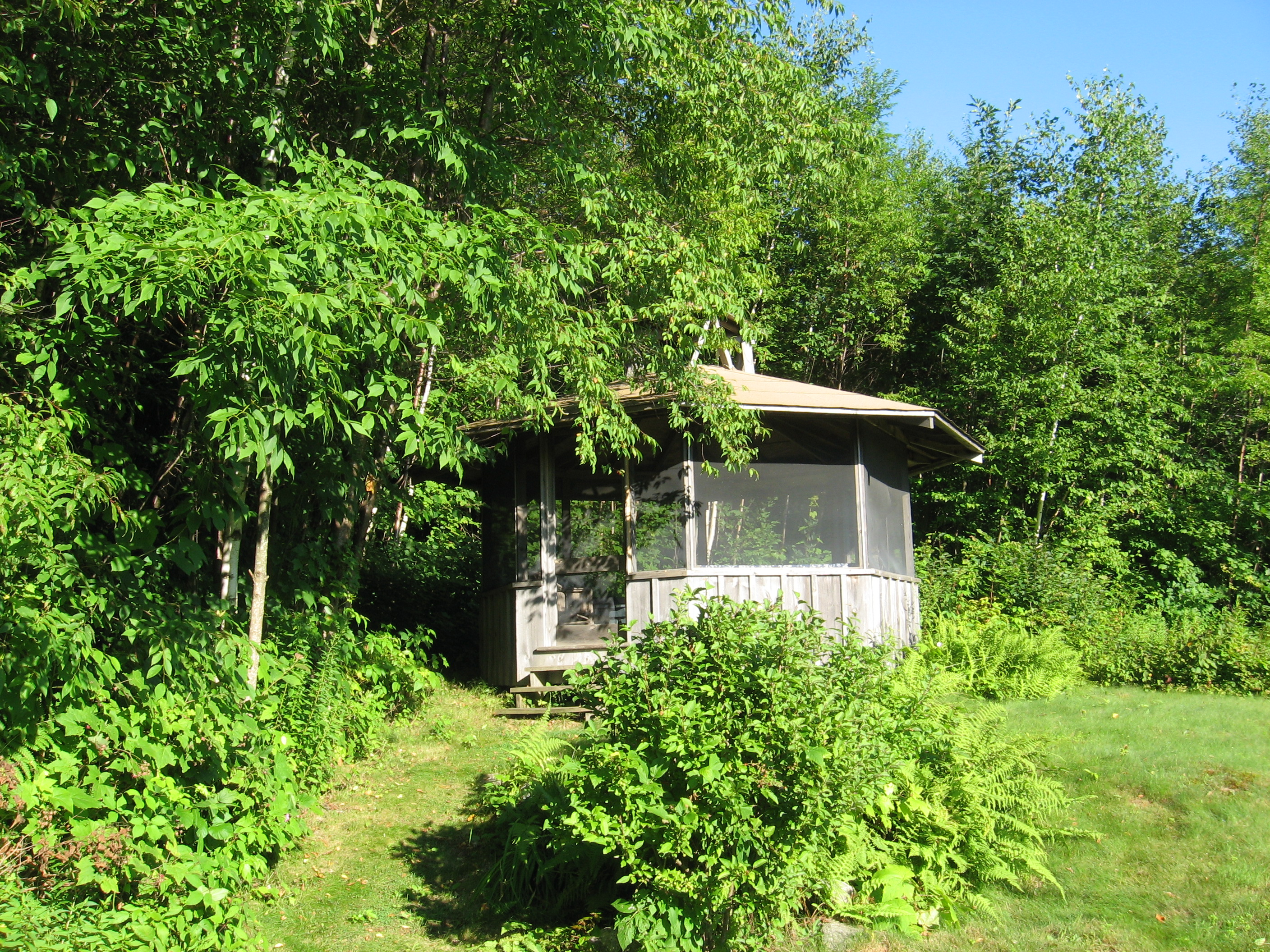
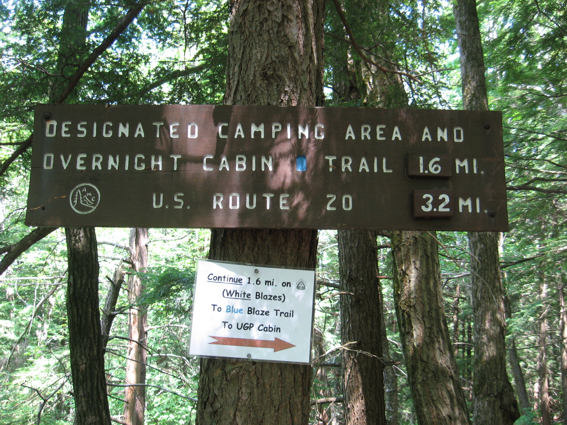
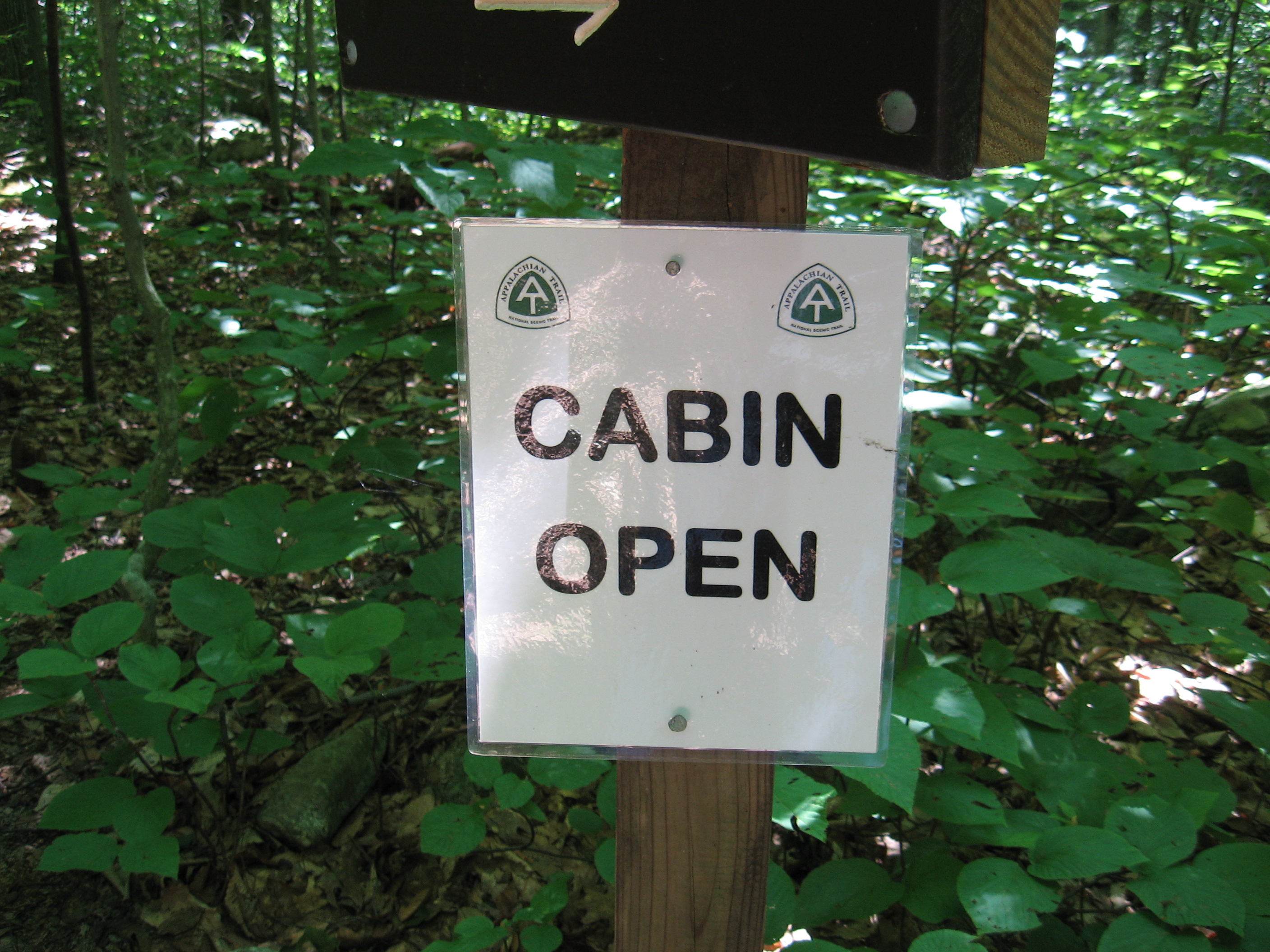
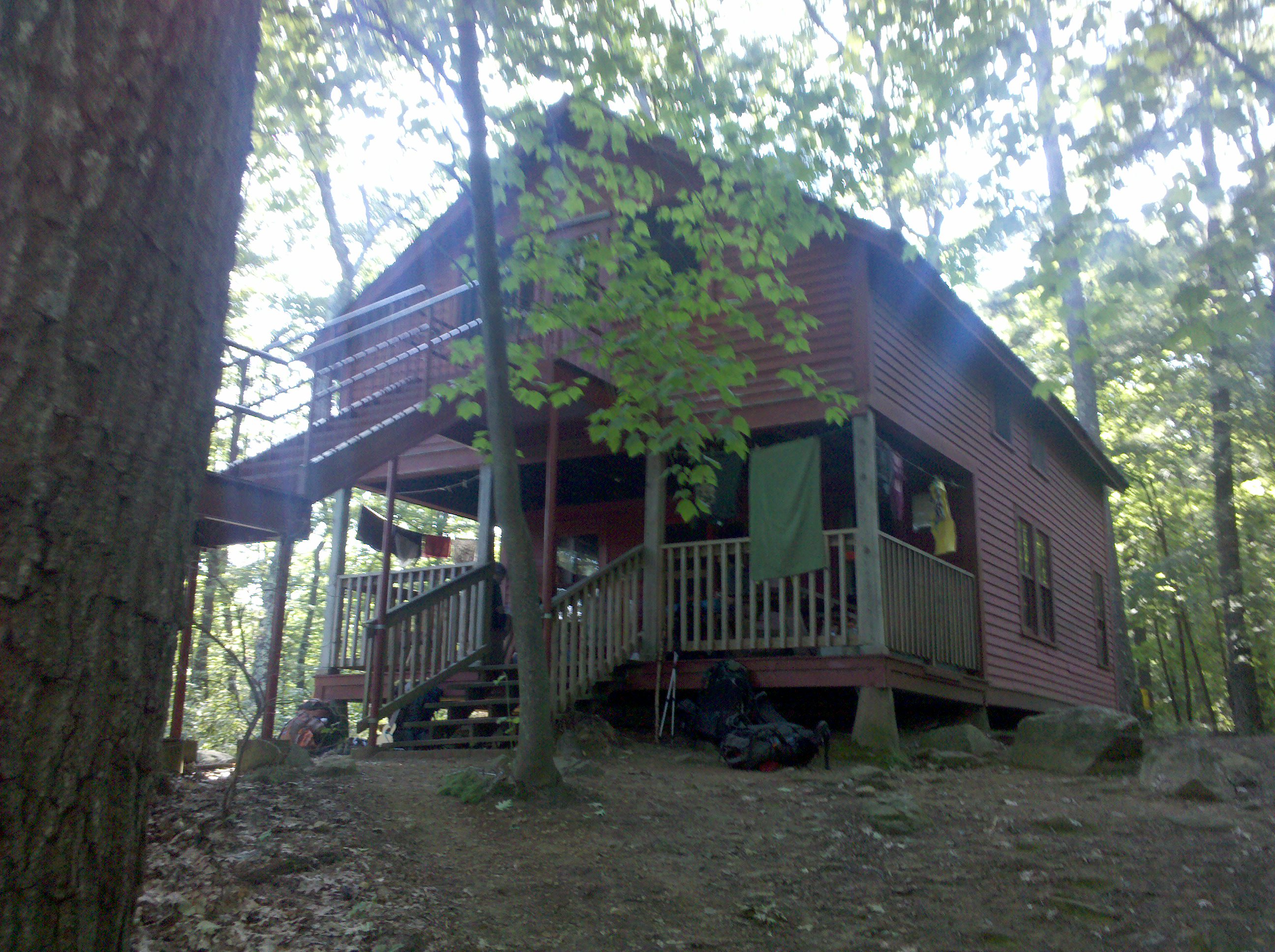
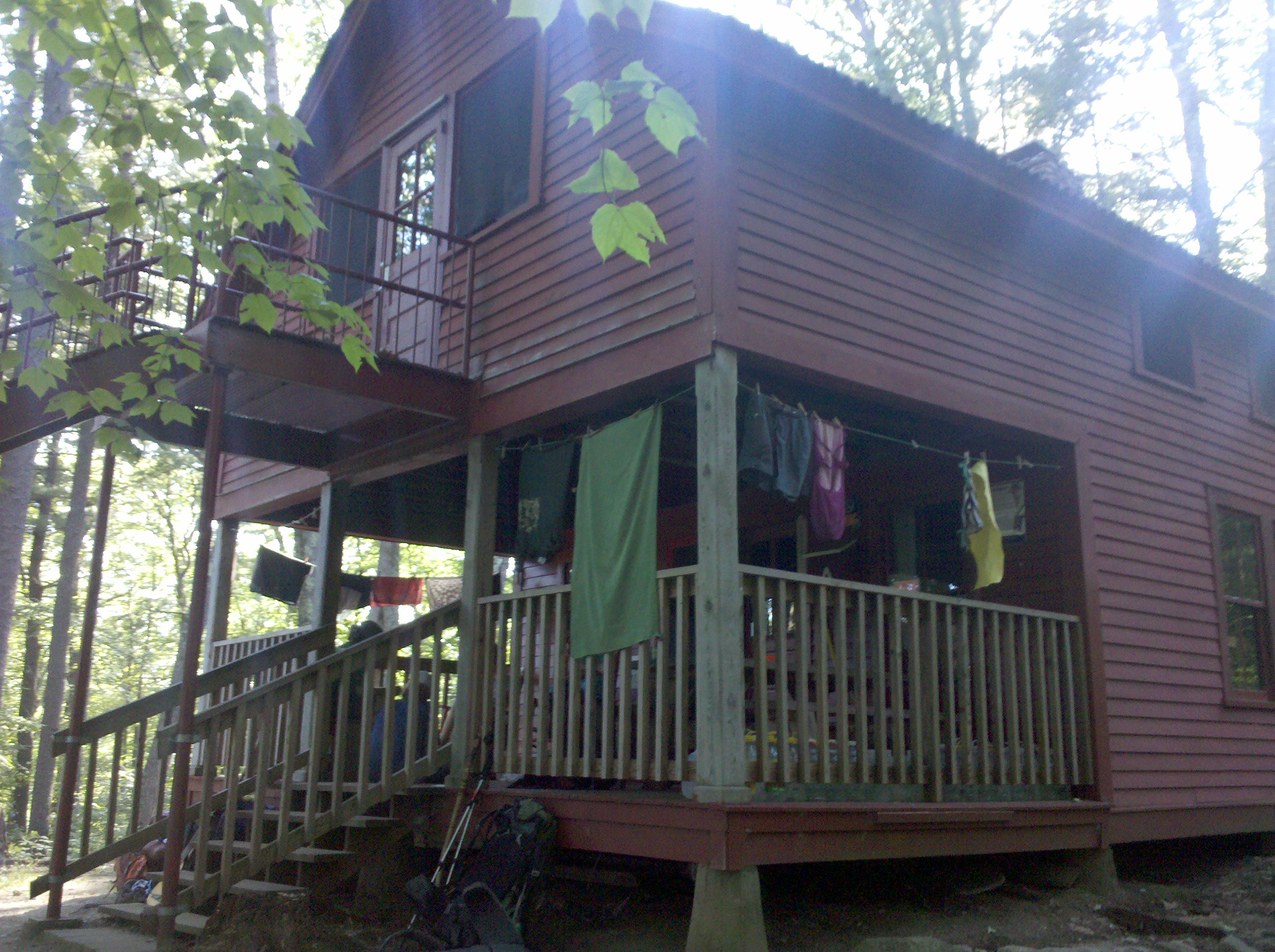
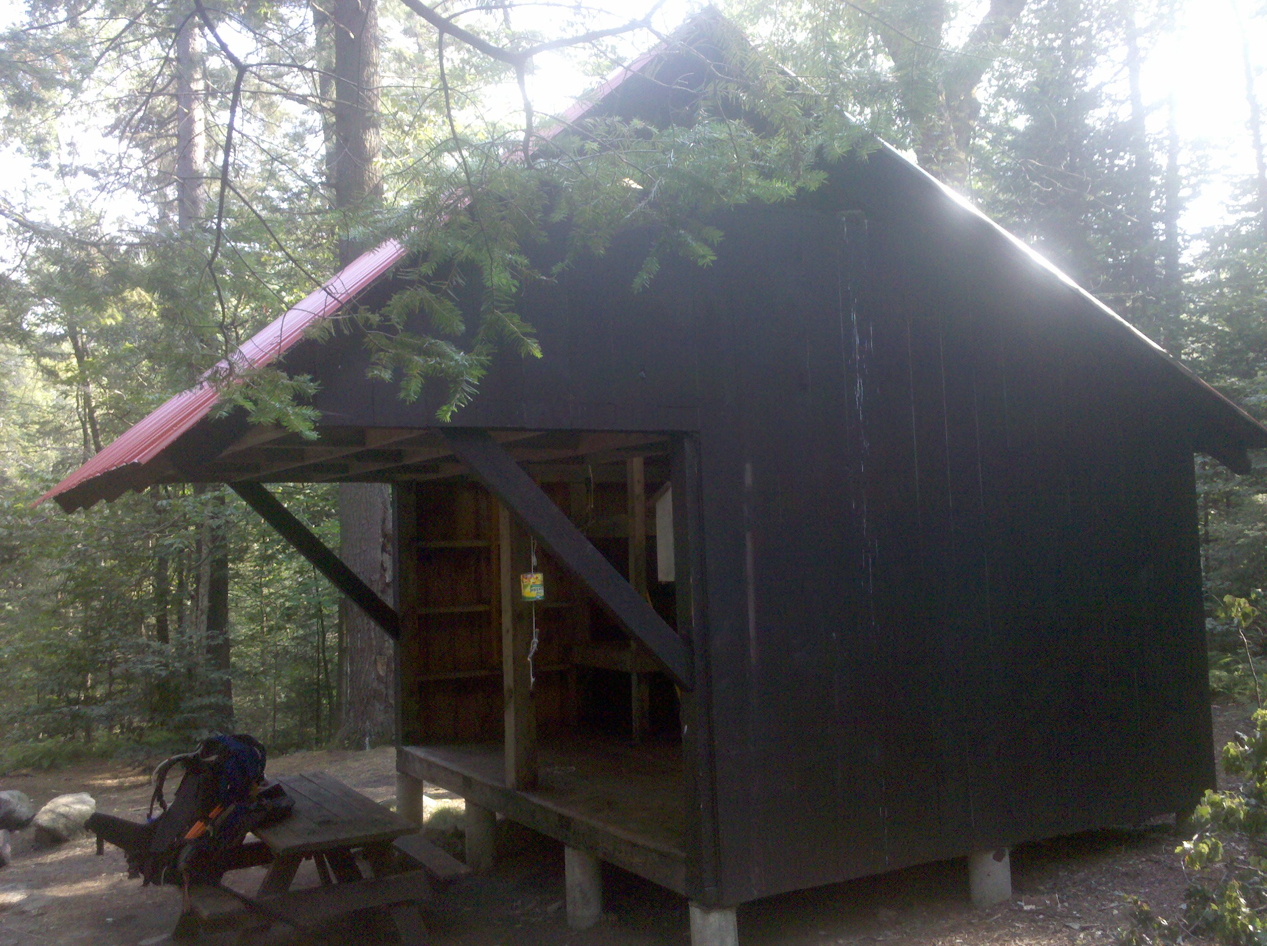
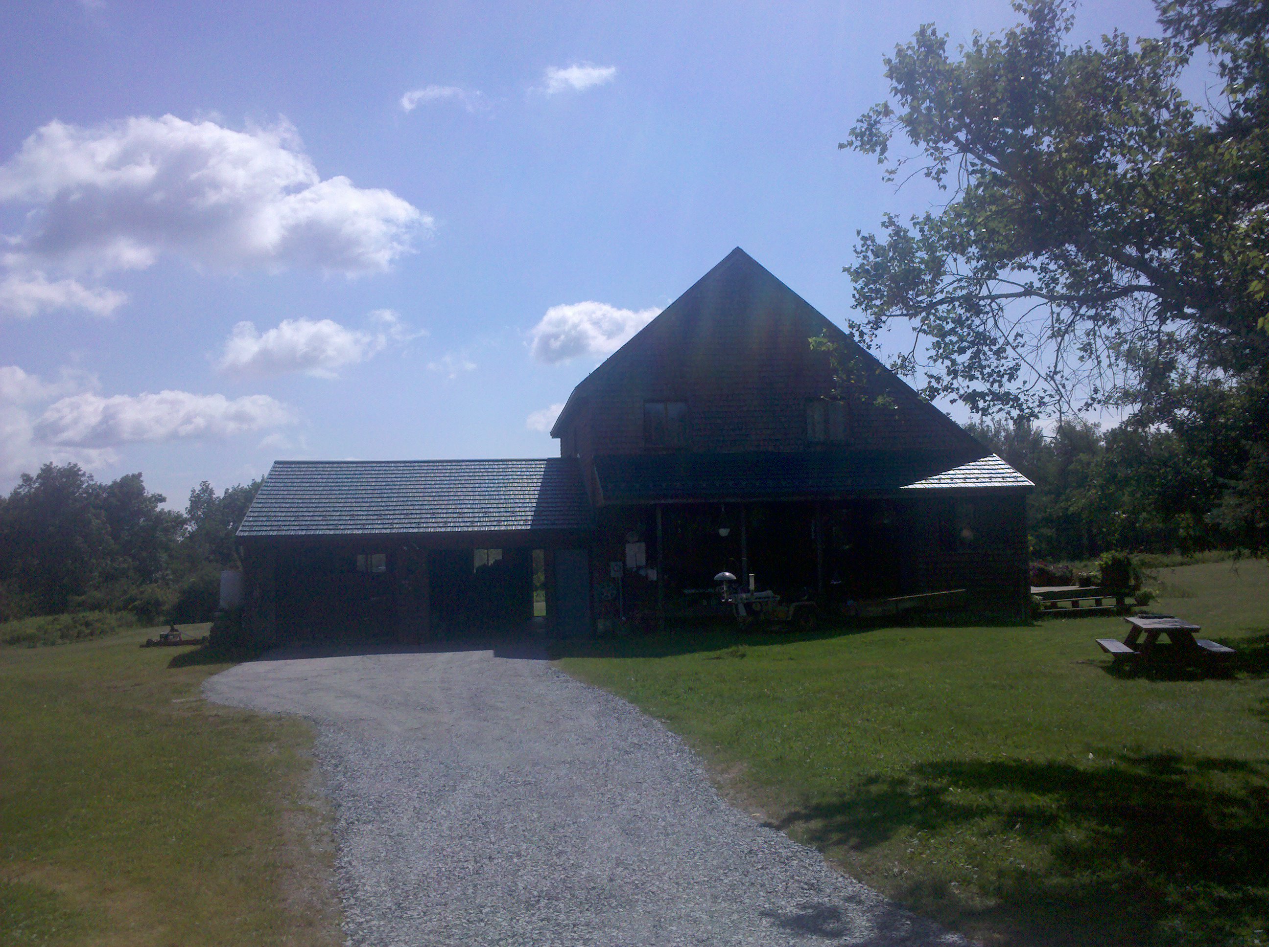
| 1548.1 | Upper Goose Pond Cabin (1,480') ?14.8mS; 9.3mN | 1480 |

| Miles from Springer | Features | Elevation |
|---|---|---|
| 1549.3 | I-90 Mass. Turnpike (1,400')?pedestrian bridge | 1400 |
| 1549.4 | Greenwater Brook (1,400') | 1400 |
| 1549.7 | U.S. 20 (1,400')Lee, Mass. 01238 | 1400 |
| 1550.5 | Tyne Road (1,750') | 1750 |
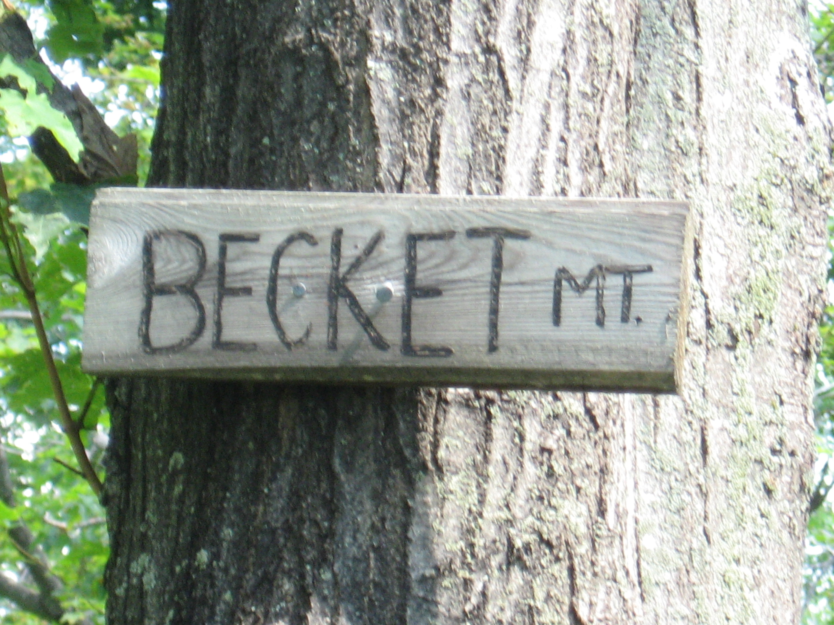
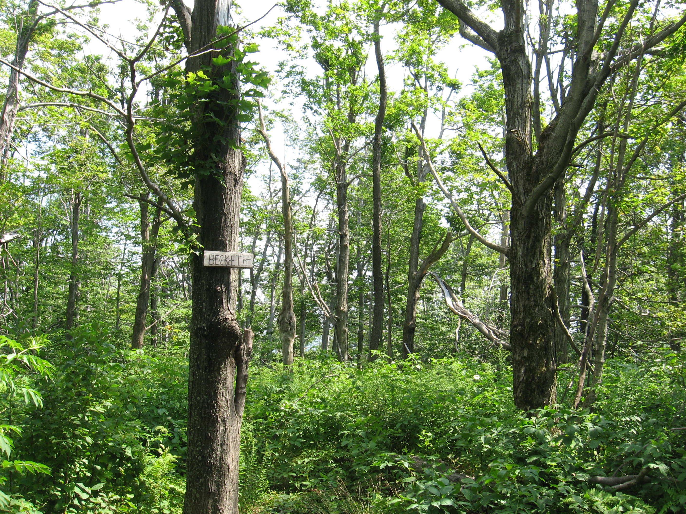
| 1551 | Becket Mountain (2,180') | 2180 |
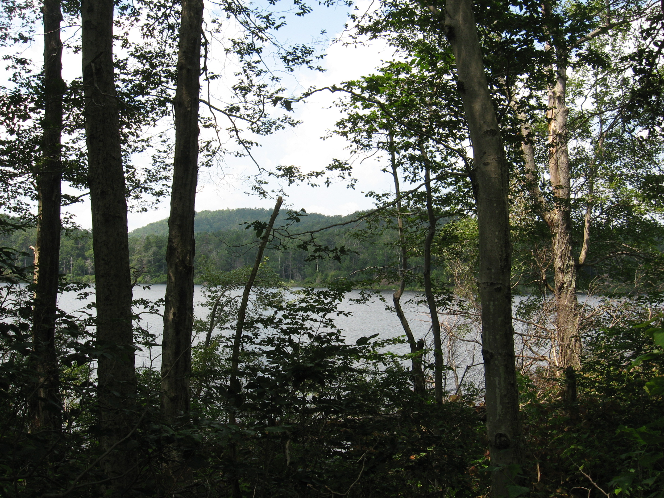
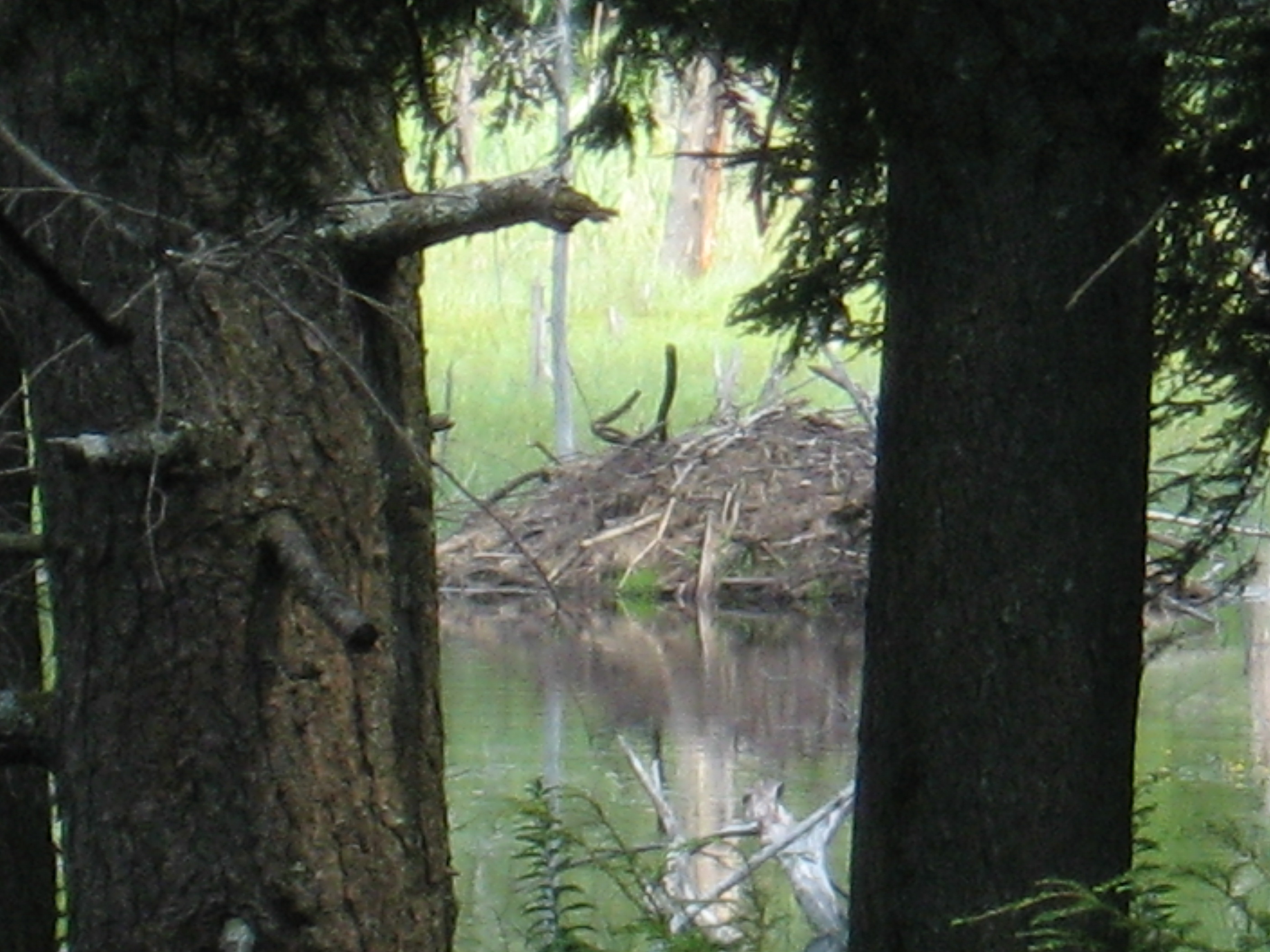
| 1552.8 | Finerty Pond (1,900') | 1900 |
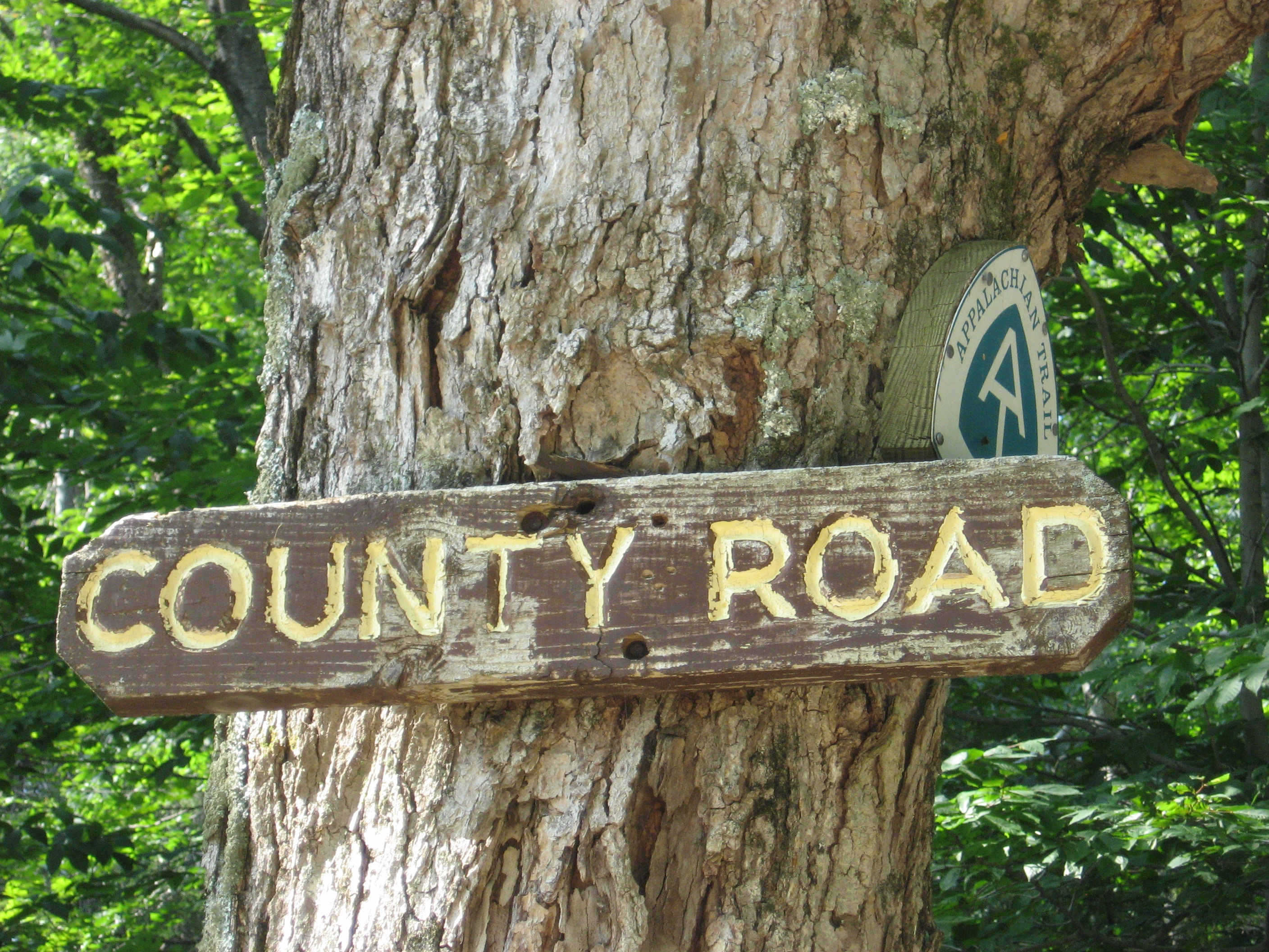
| 1555.1 | County Road (1,850') | 1850 |
| 1555.3 | Bald Top (2,040') | 2040 |
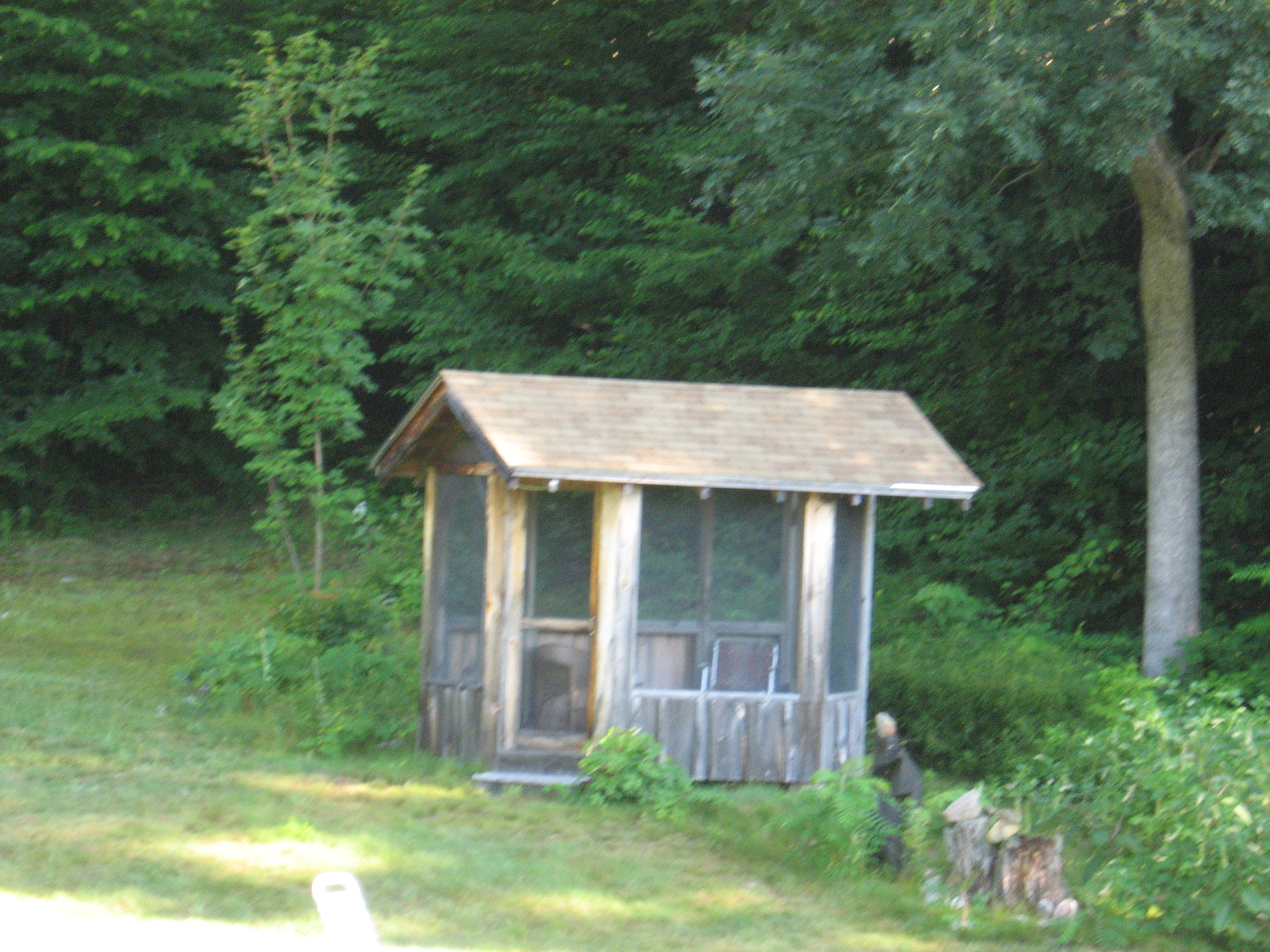
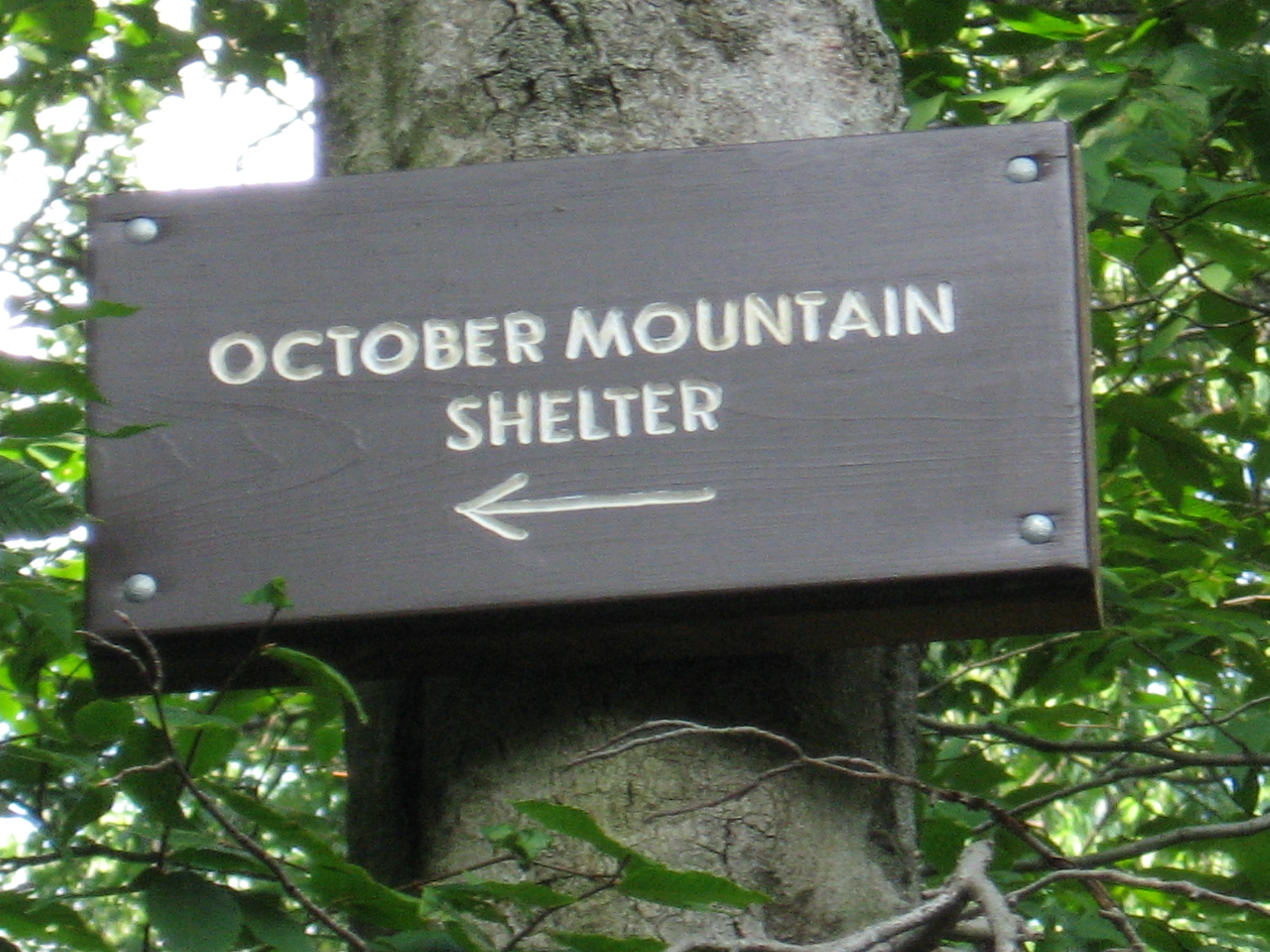
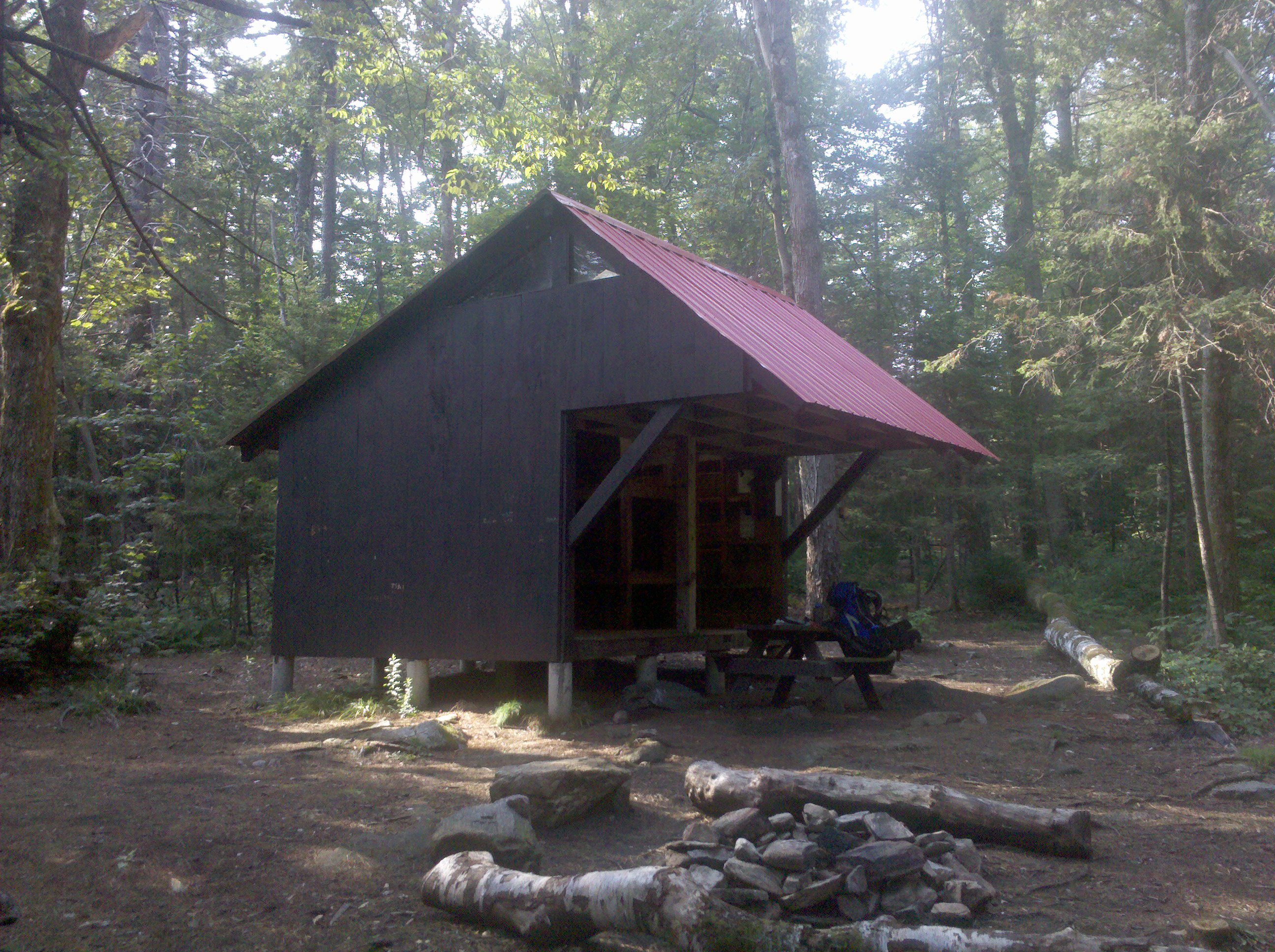
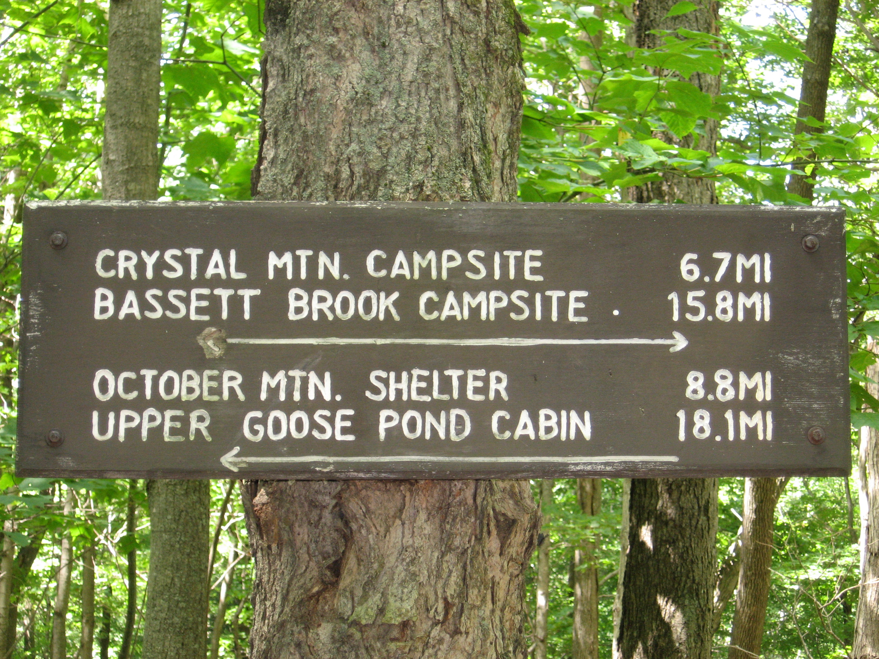
| 1556.9 | October Mountain Shelter (1,950') ?9.3mS; 9mN | 1950 |


| Miles from Springer | Features | Elevation |
|---|---|---|
| 1556.9 | October Mountain Shelter (1,950') ?9.3mS; 9mN | 1950 |
| 1557.6 | West Branch Road (1,960') | 1960 |
| 1559.1 | Washington Mountain Road, Pittsfield Road (2,000') Becket, Mass. 01223 | 2000 |
| 1561.1 | Stream (1,950') | 1950 |
| 1562.3 | Blotz Road (1,850') | 1850 |
| 1563 | Warner Hill (2,050') | 2050 |
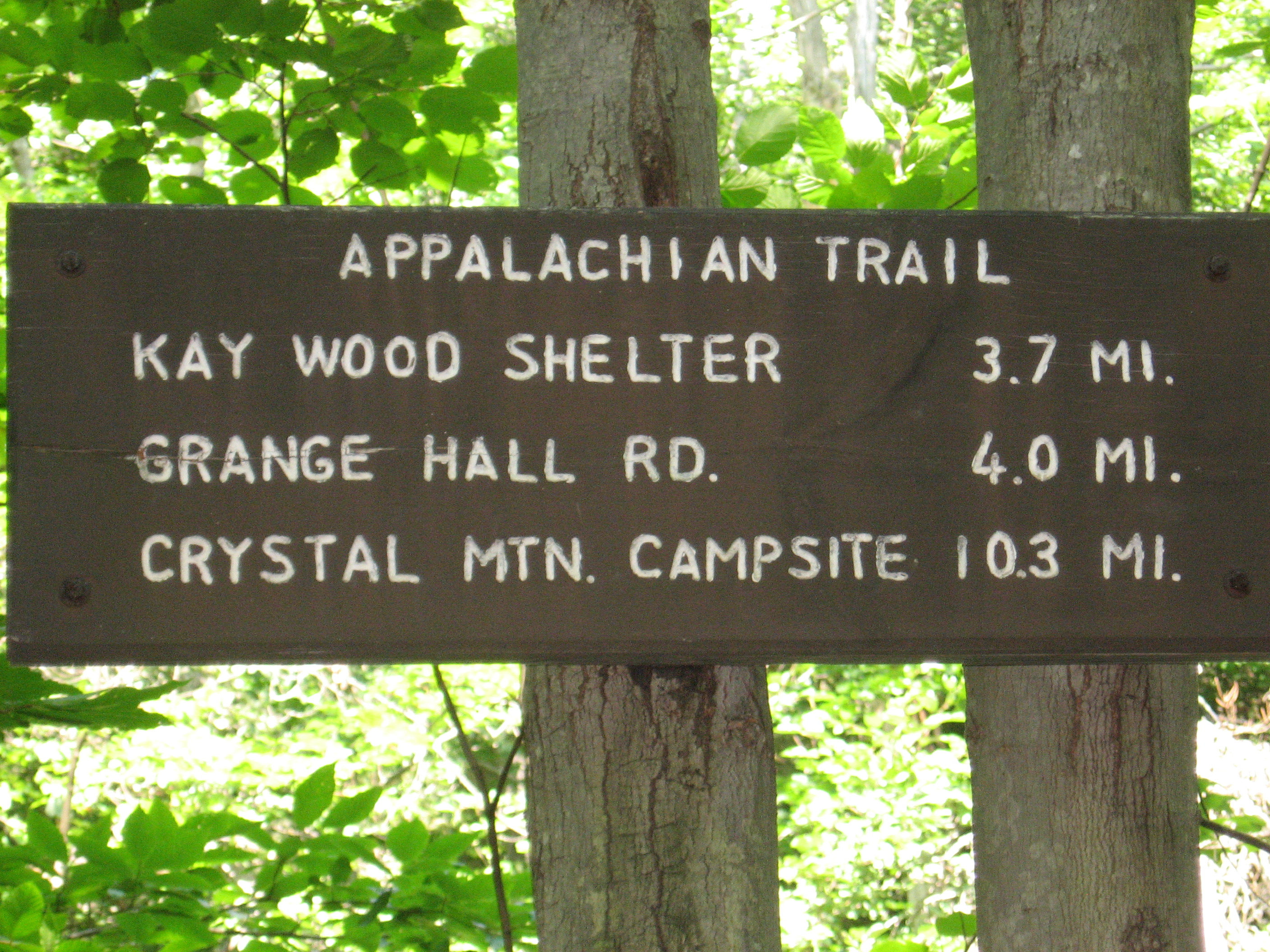
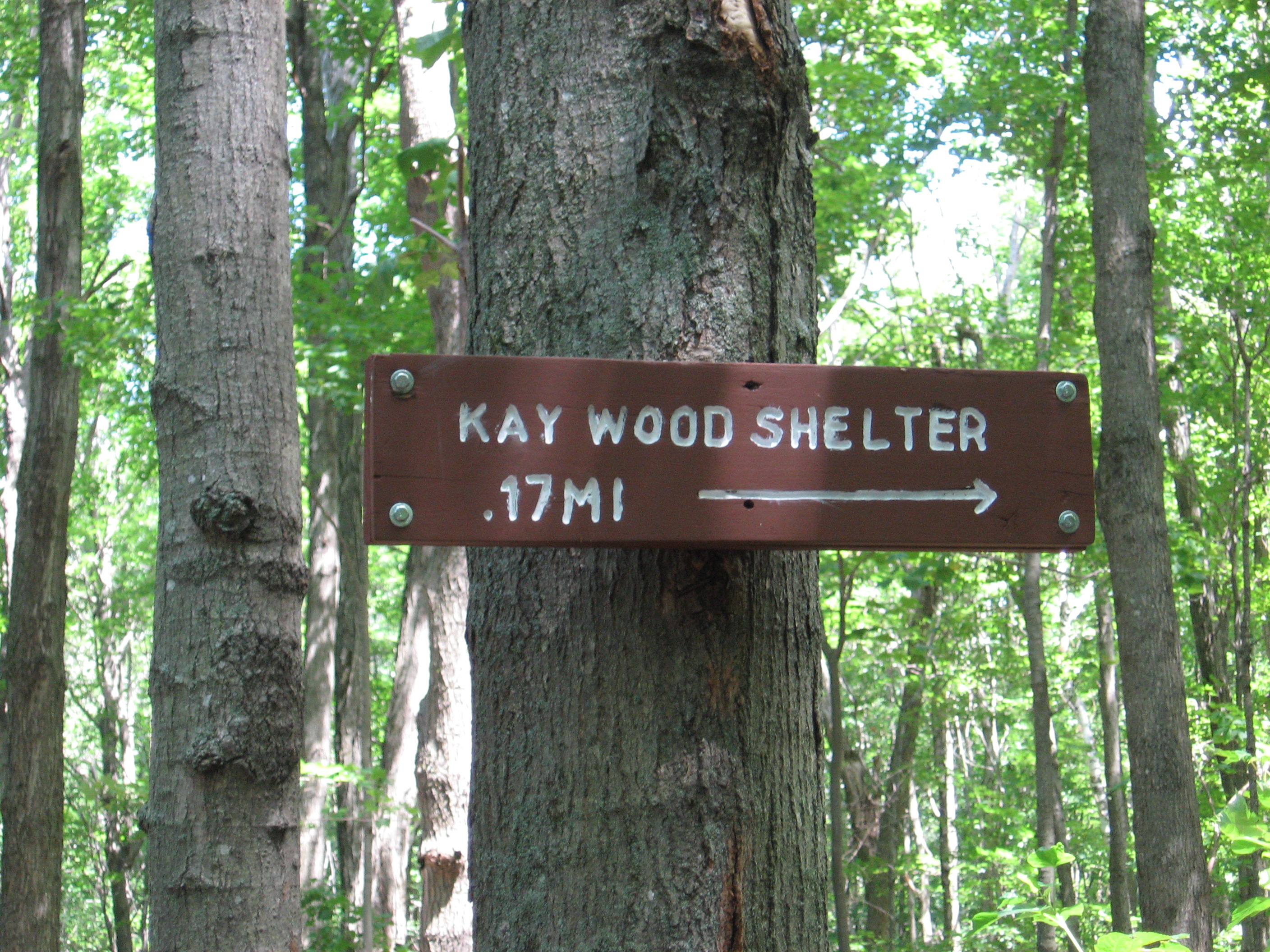
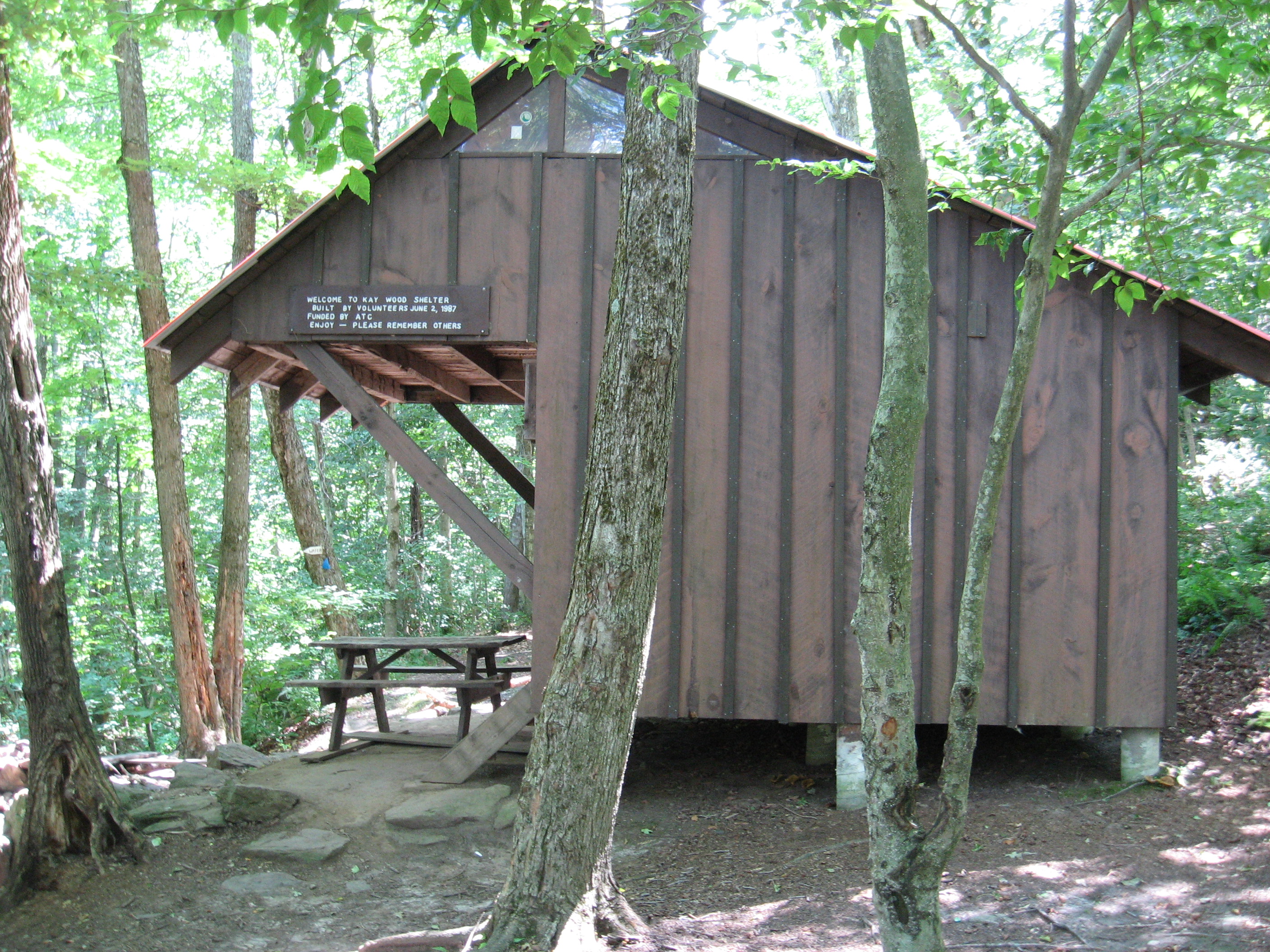
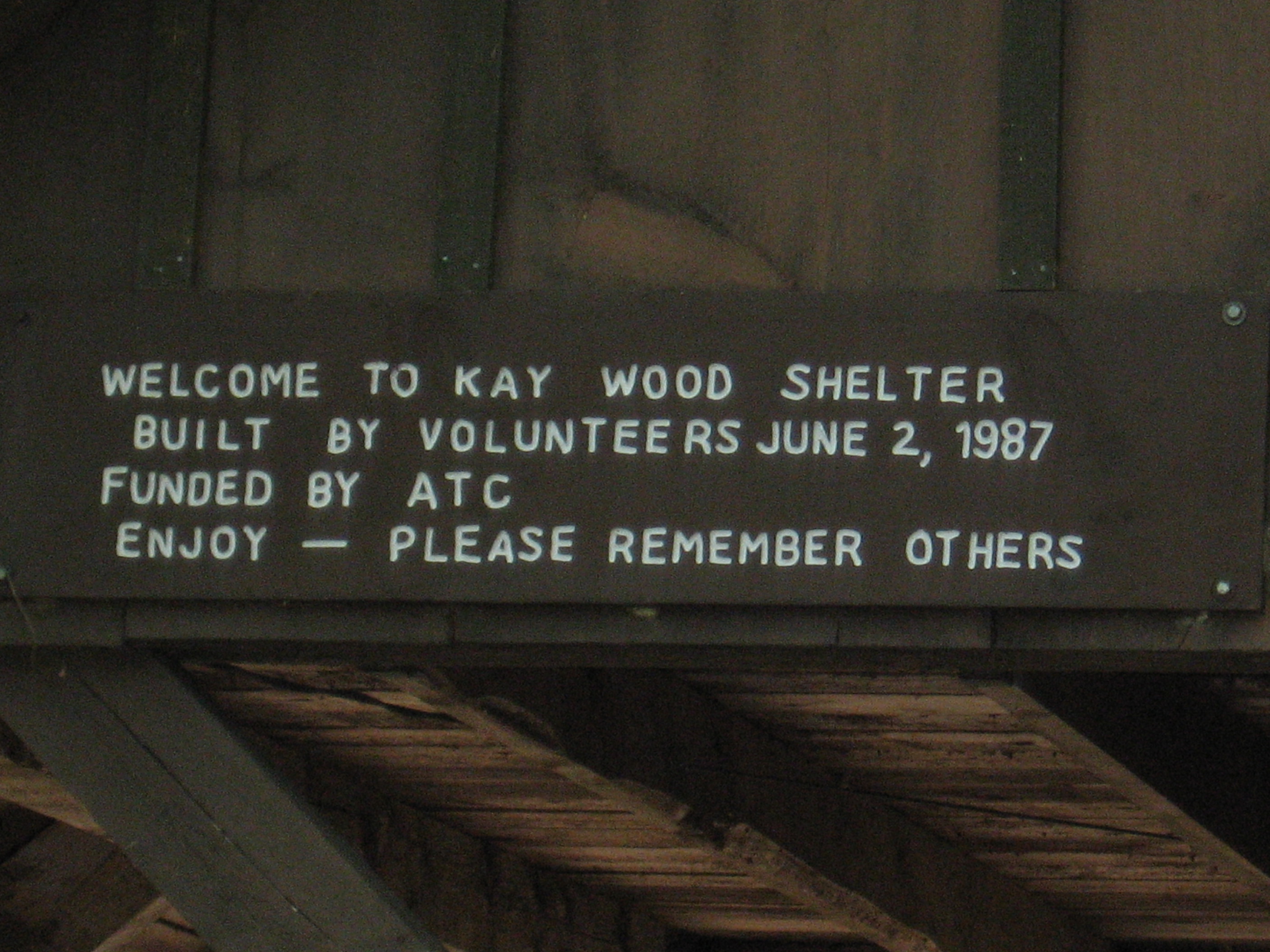
| 1565.7 | Kay Wood Shelter (1,860')?9mS; 17.3mN | 1860 |
| 1566 | Grange Hall Road (1,650') | 1650 |
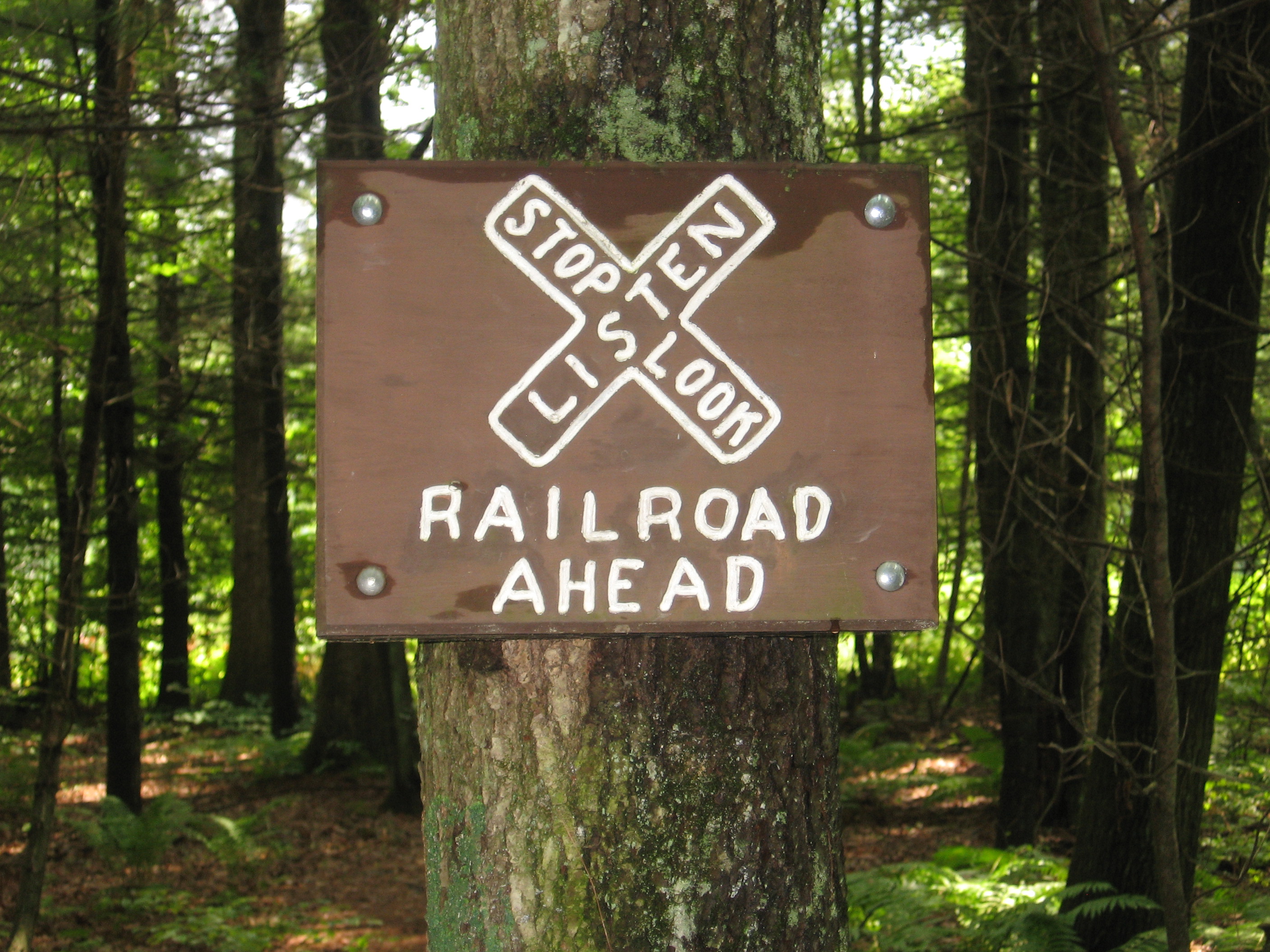
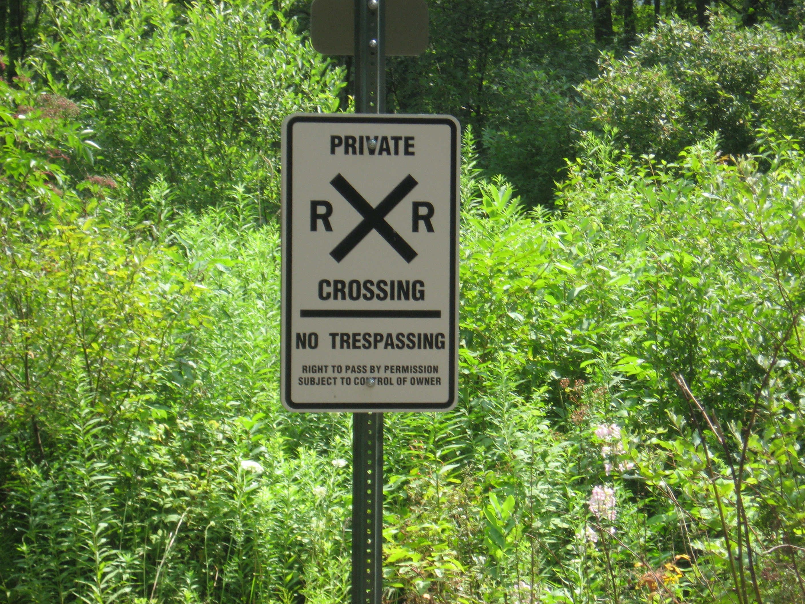
| 1568.1 | CSX Railroad crossing (1,250') | 1250 |
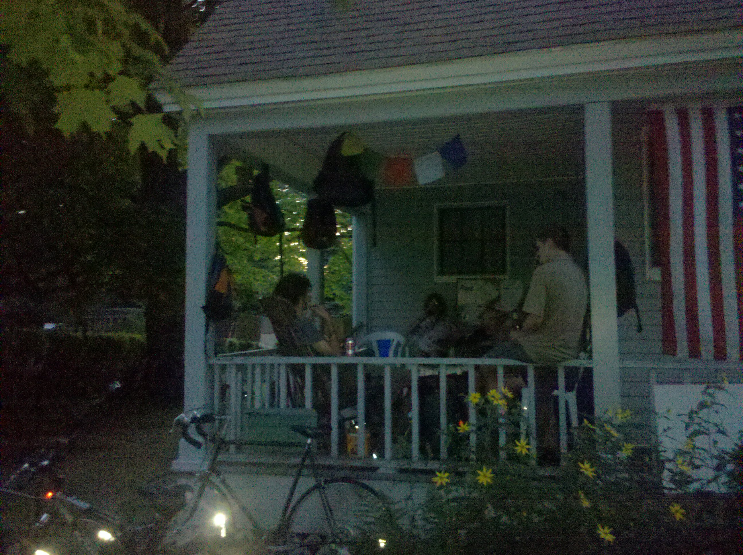
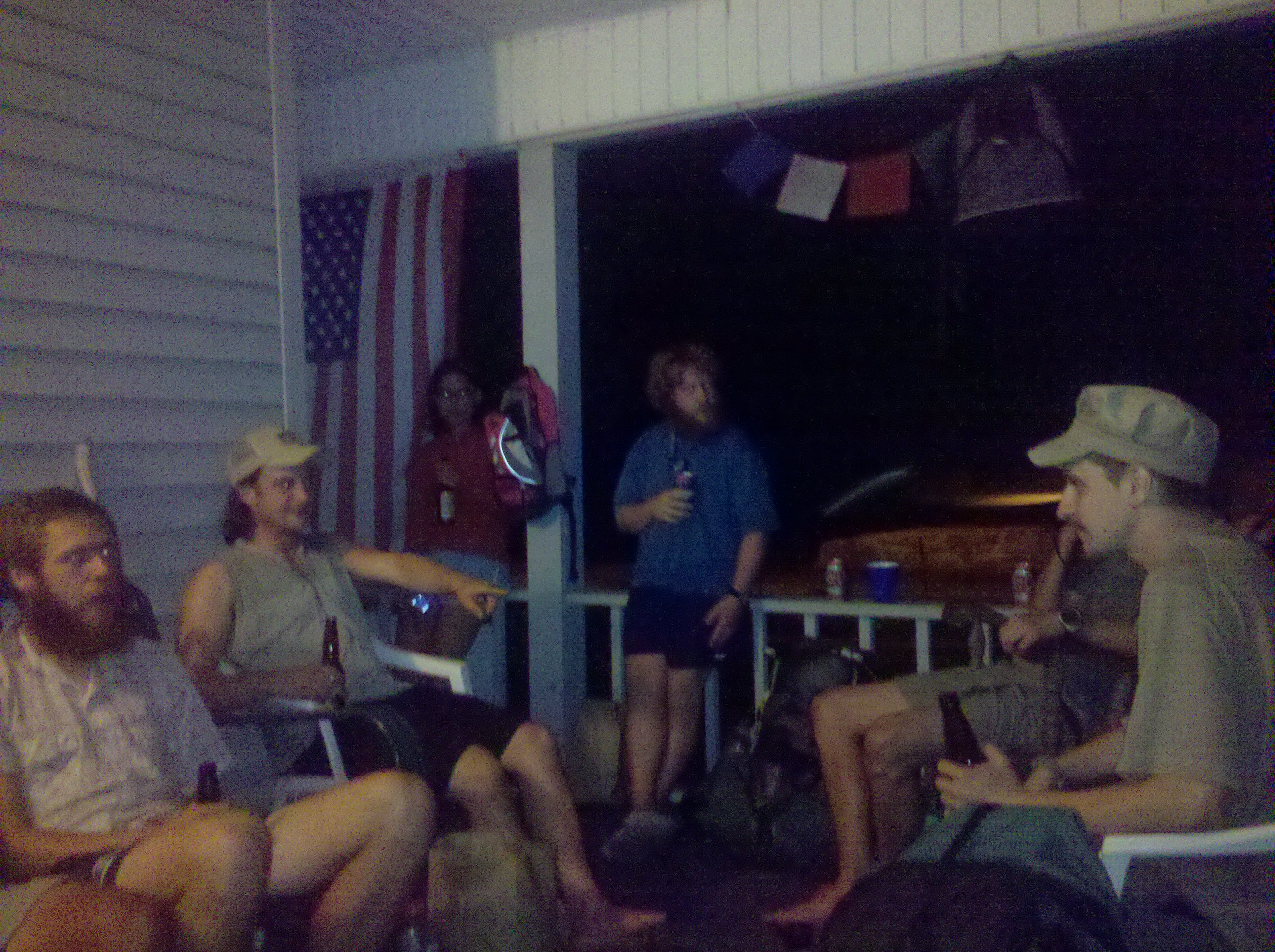
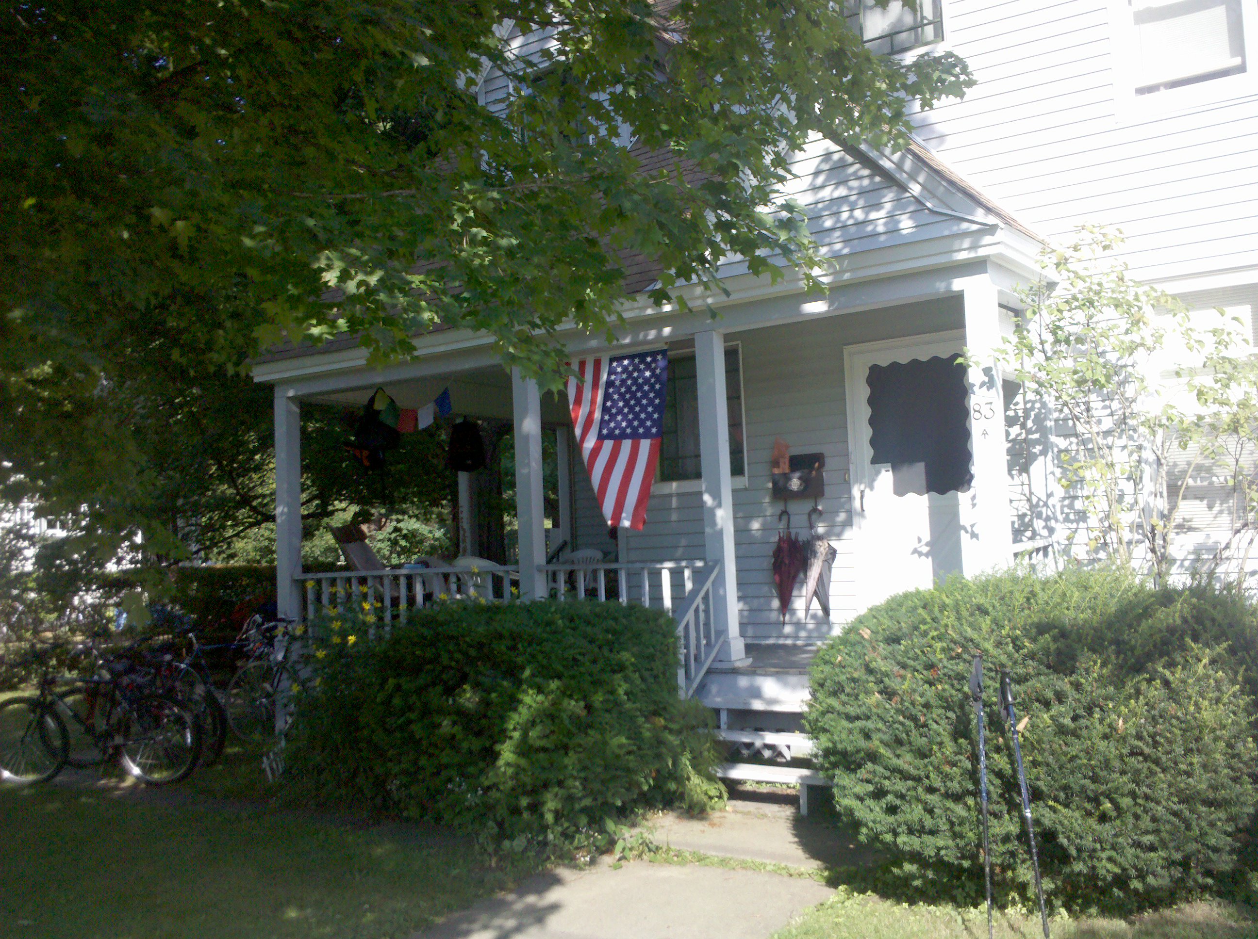
| 1568.2 | Depot St.(1,240')...water at 83 Depot St. | 1240 |
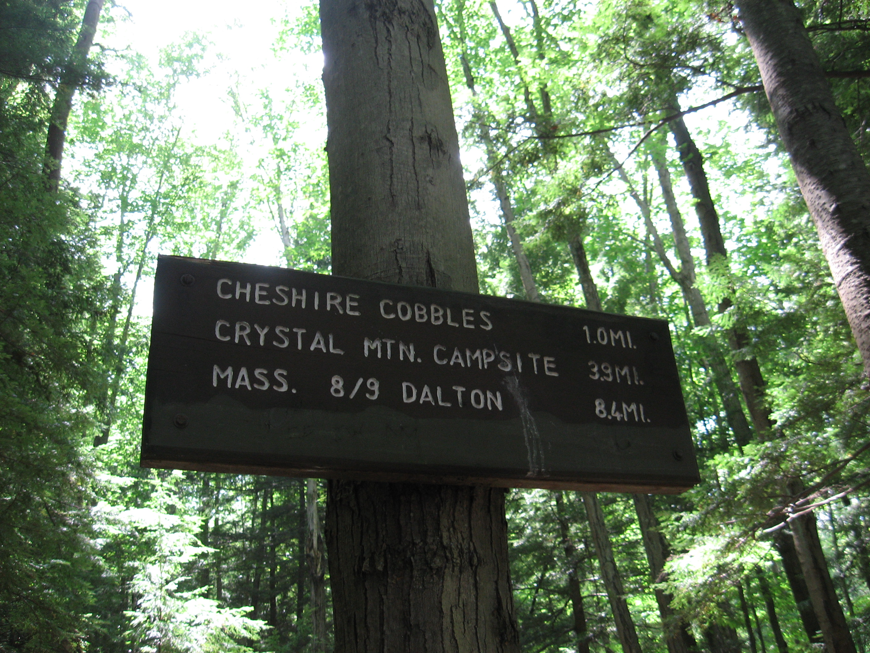
| 1568.7 | Mass. 8, Mass. 9 (1,200')Dalton, Mass. 01226 | 1200 |

| Miles from Springer | Features | Elevation |
|---|---|---|
| 1569.7 | Gulf Road (1,180') | 1180 |
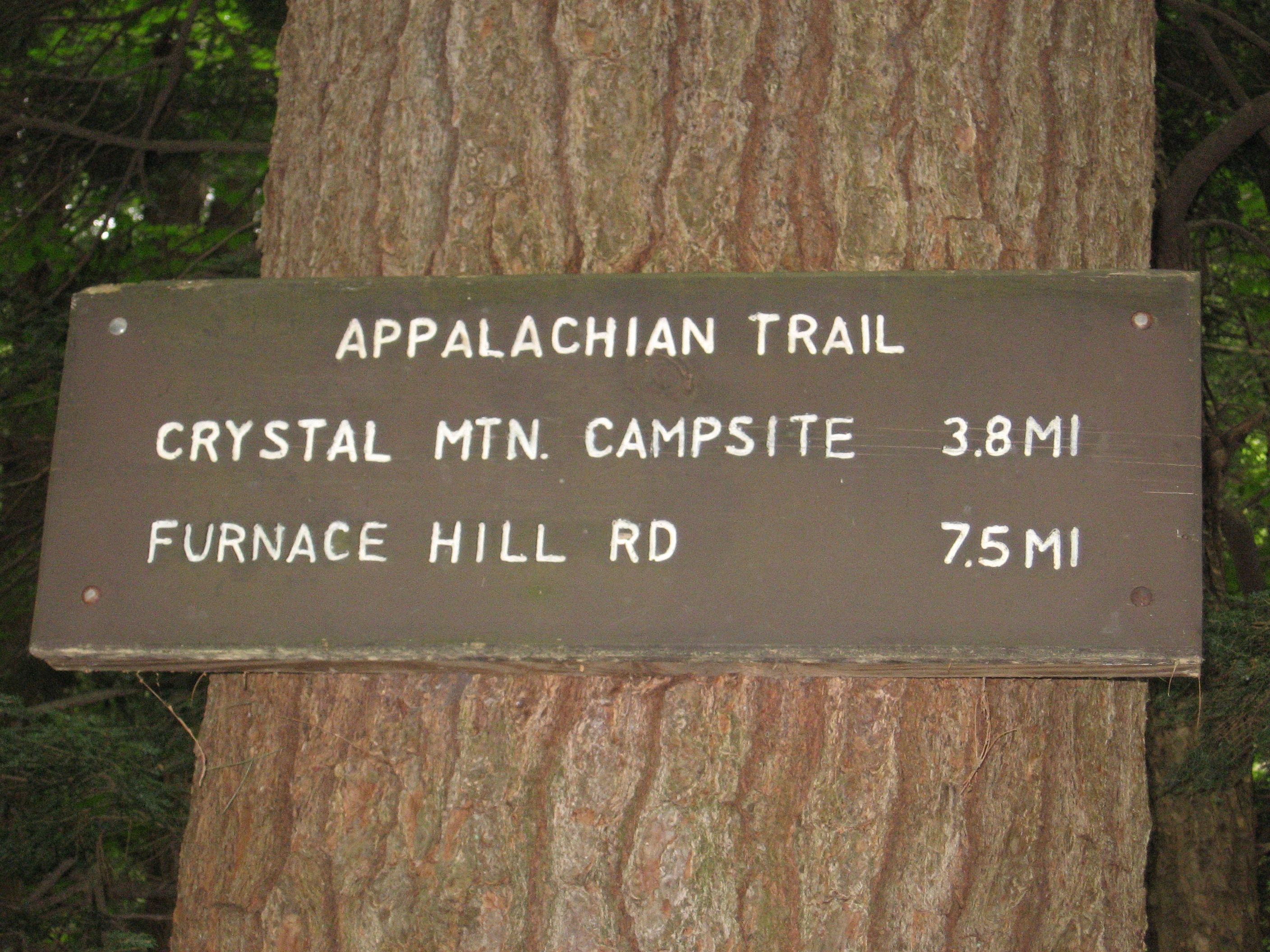
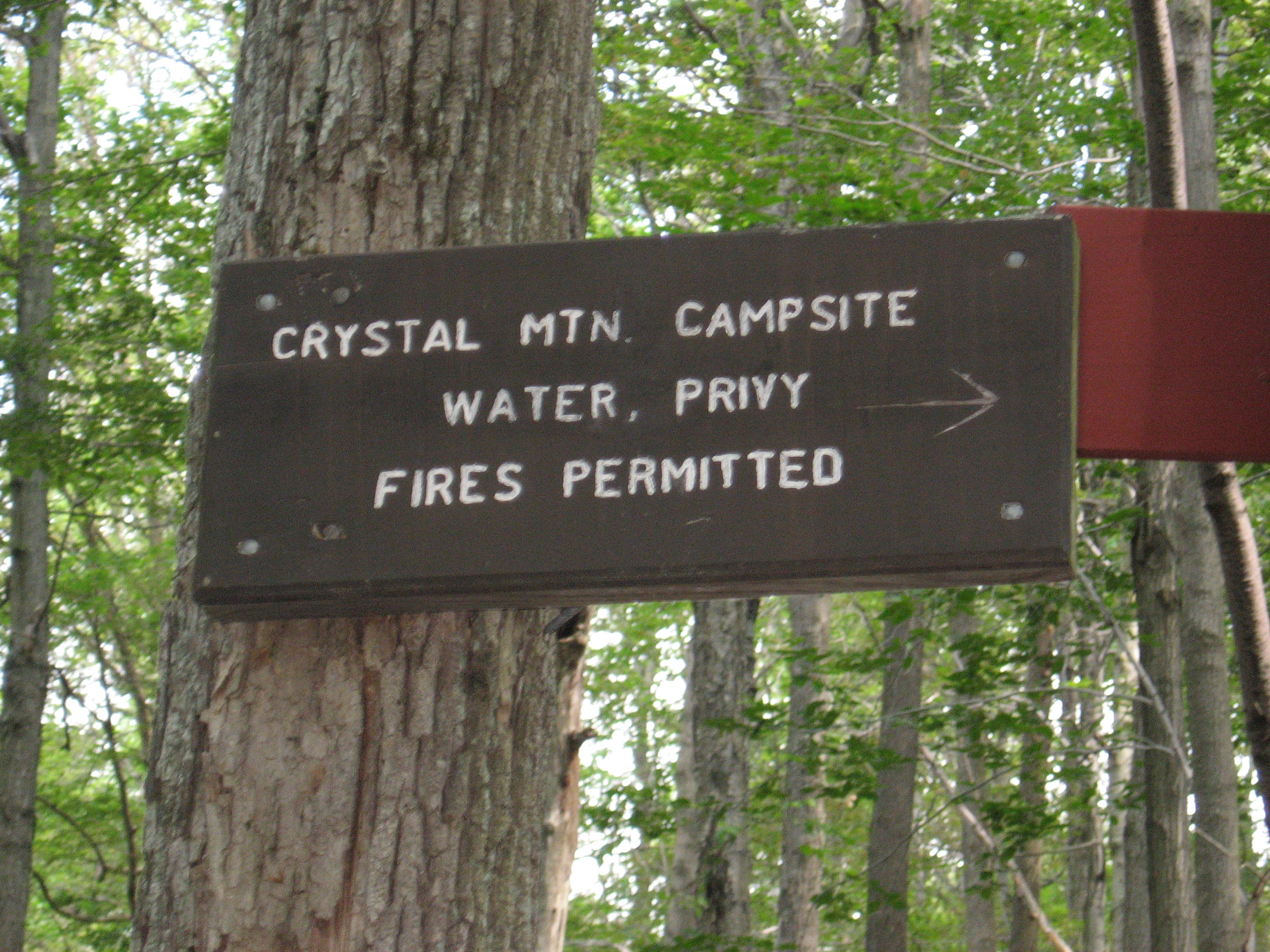
| 1573.4 | Crystal Mountain Campsite (2,100') | 2100 |
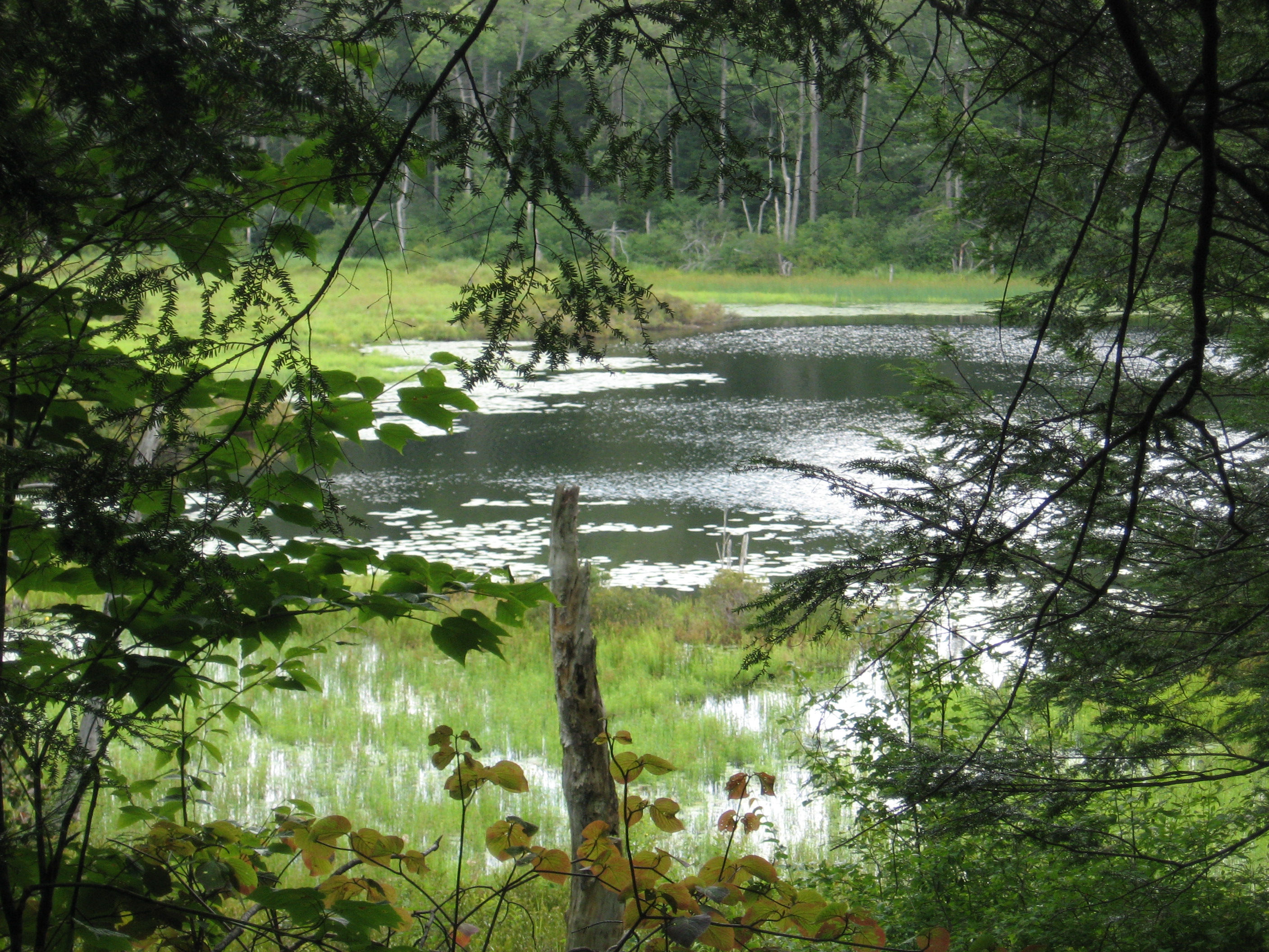
| 1573.8 | Gore Pond (2,050') | 2050 |
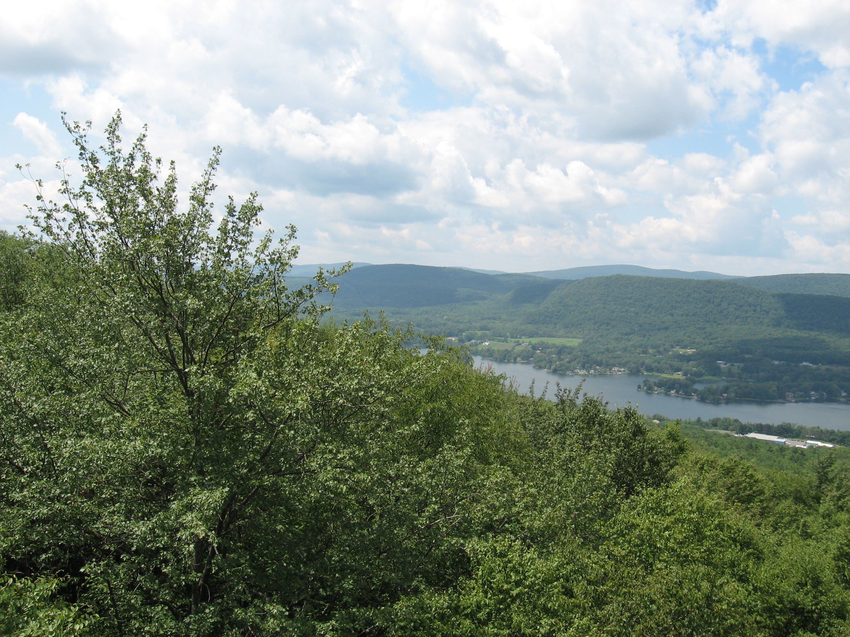
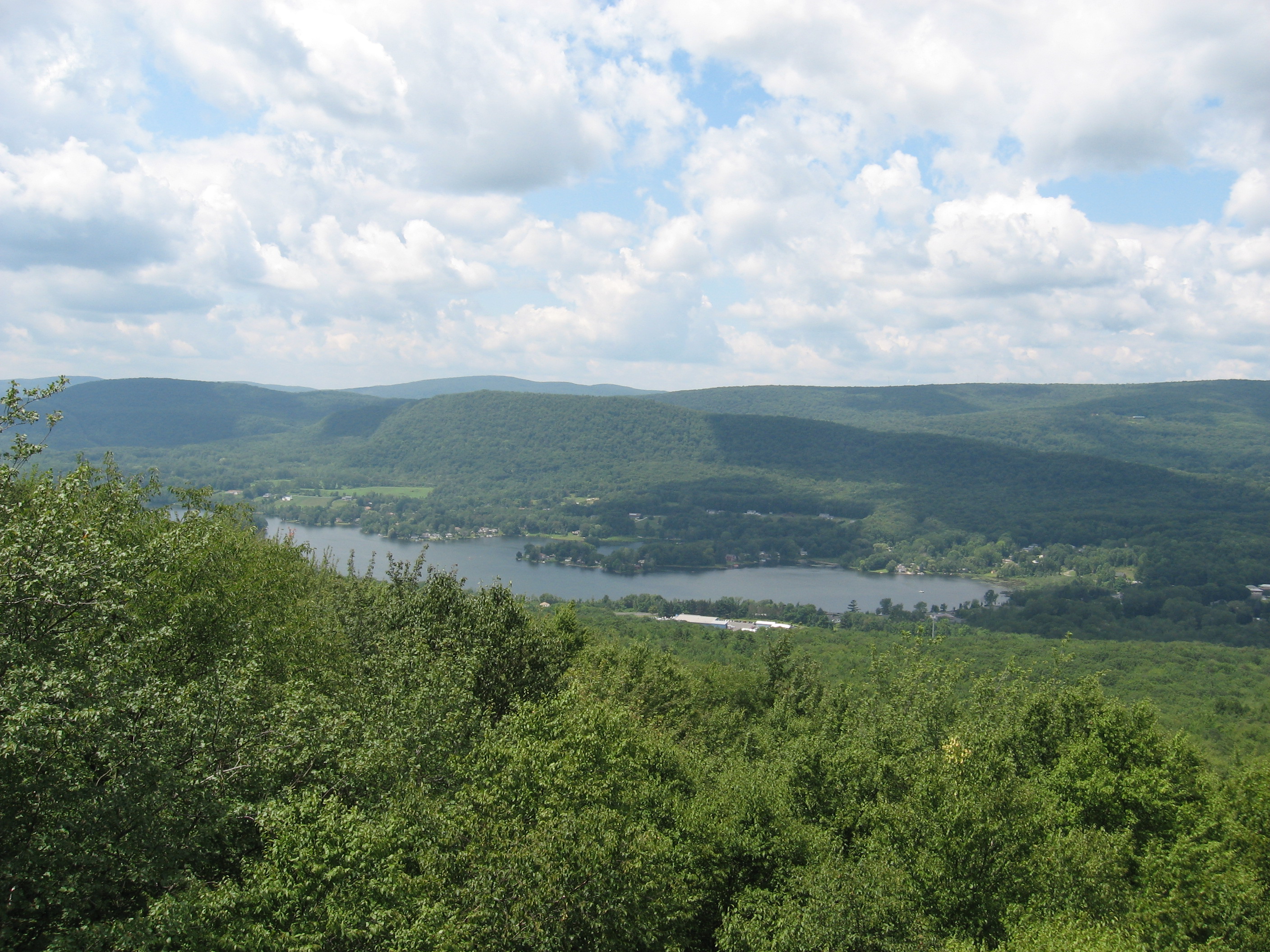
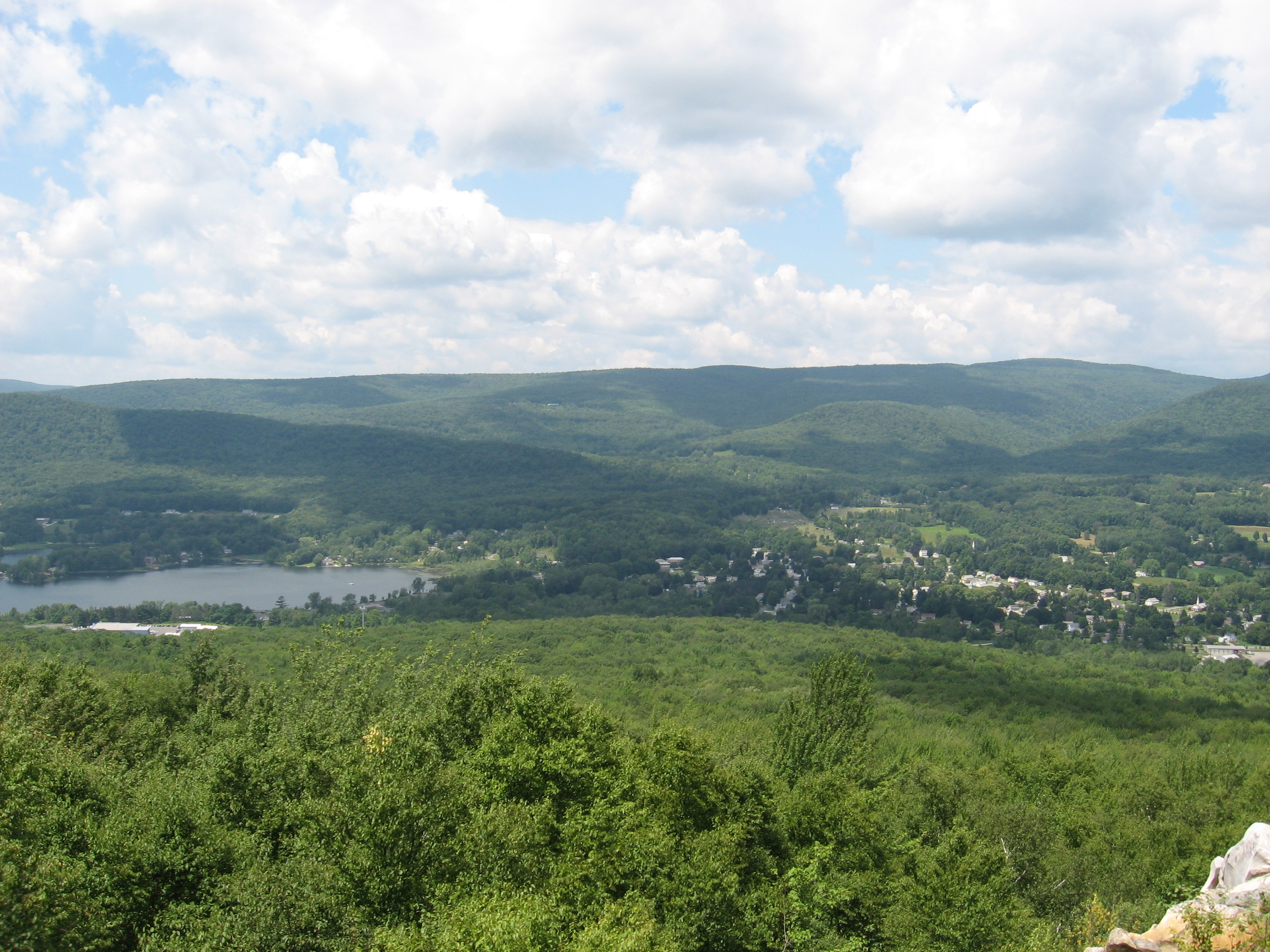
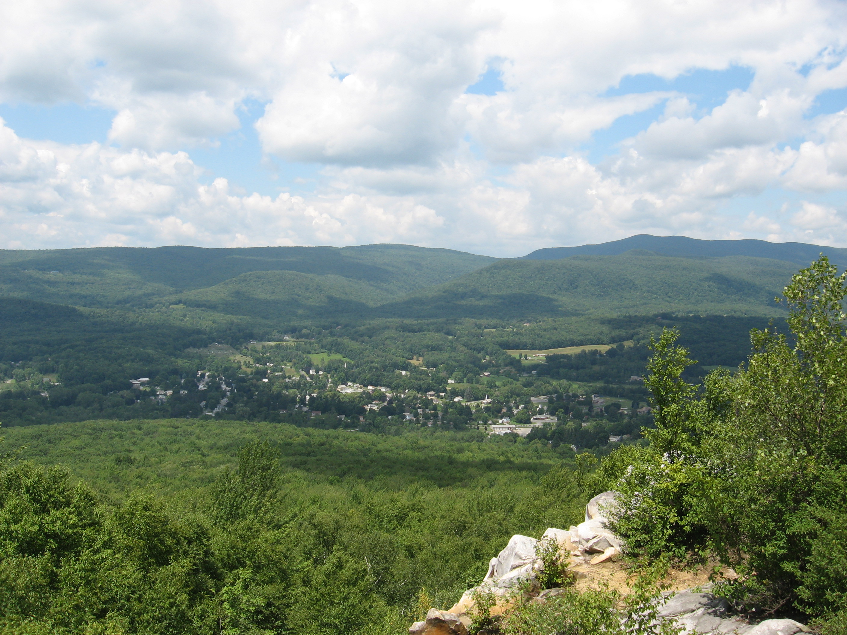
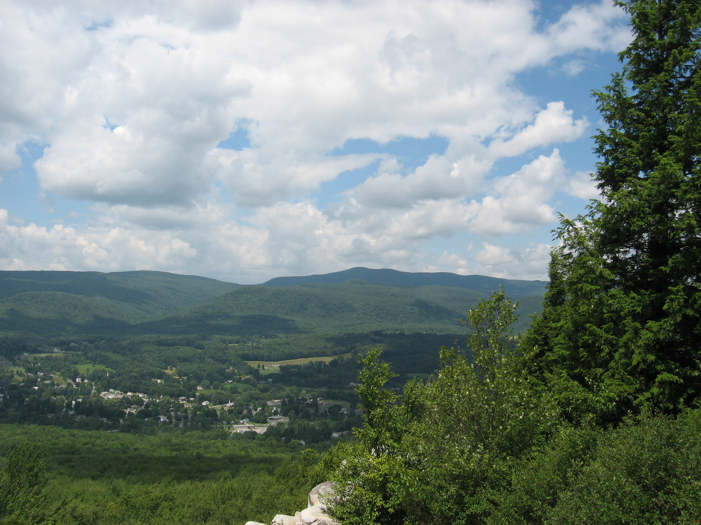
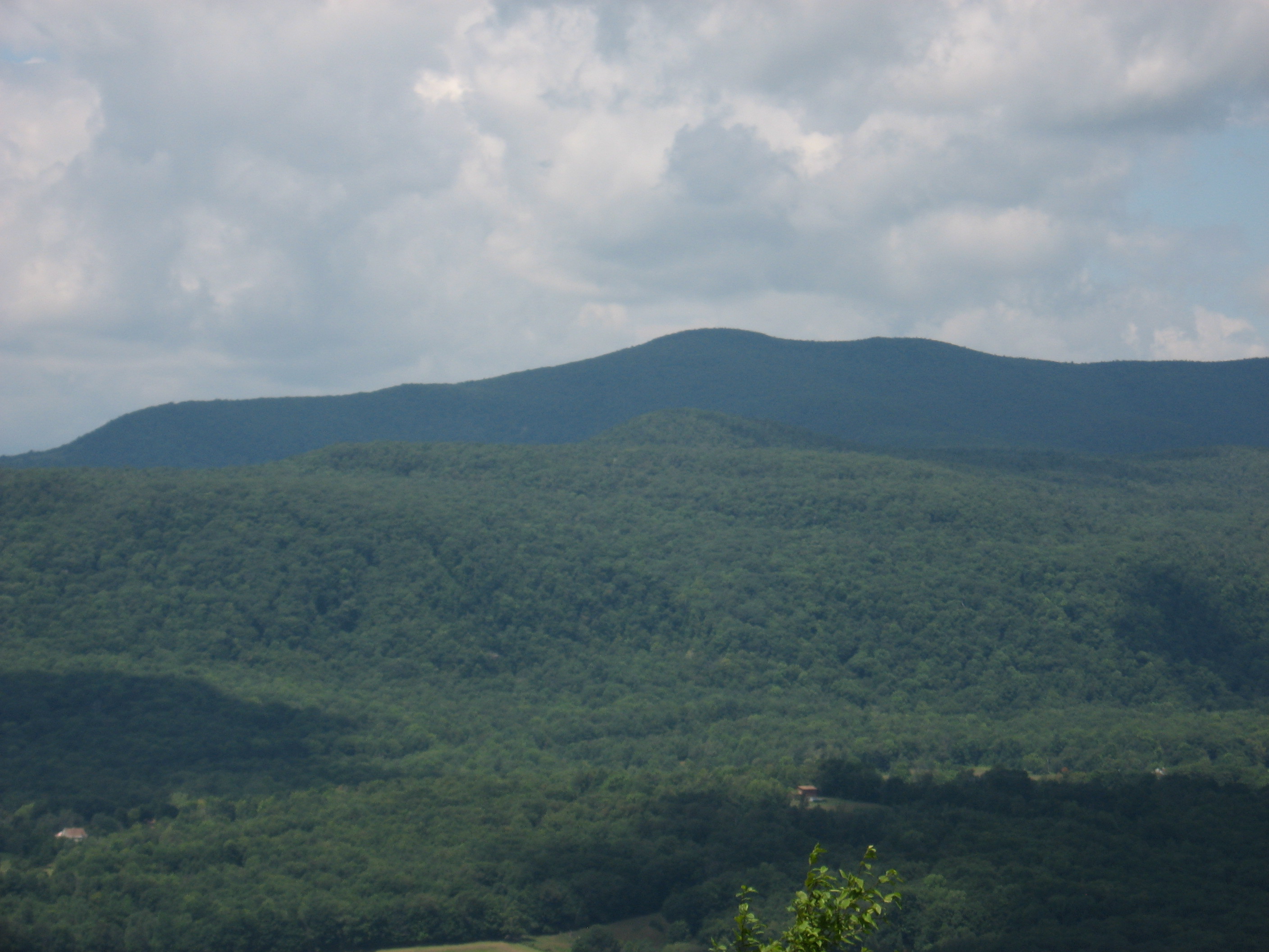
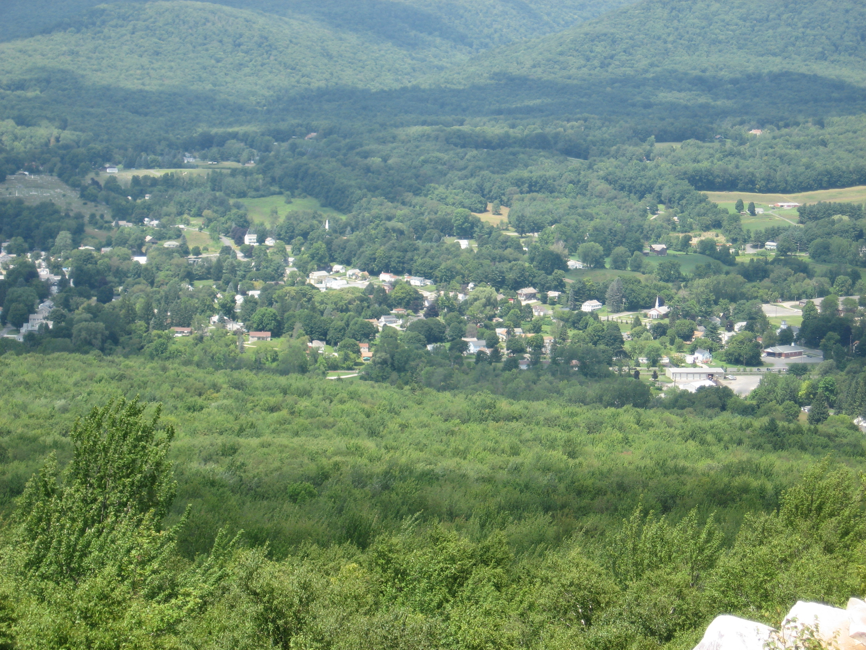
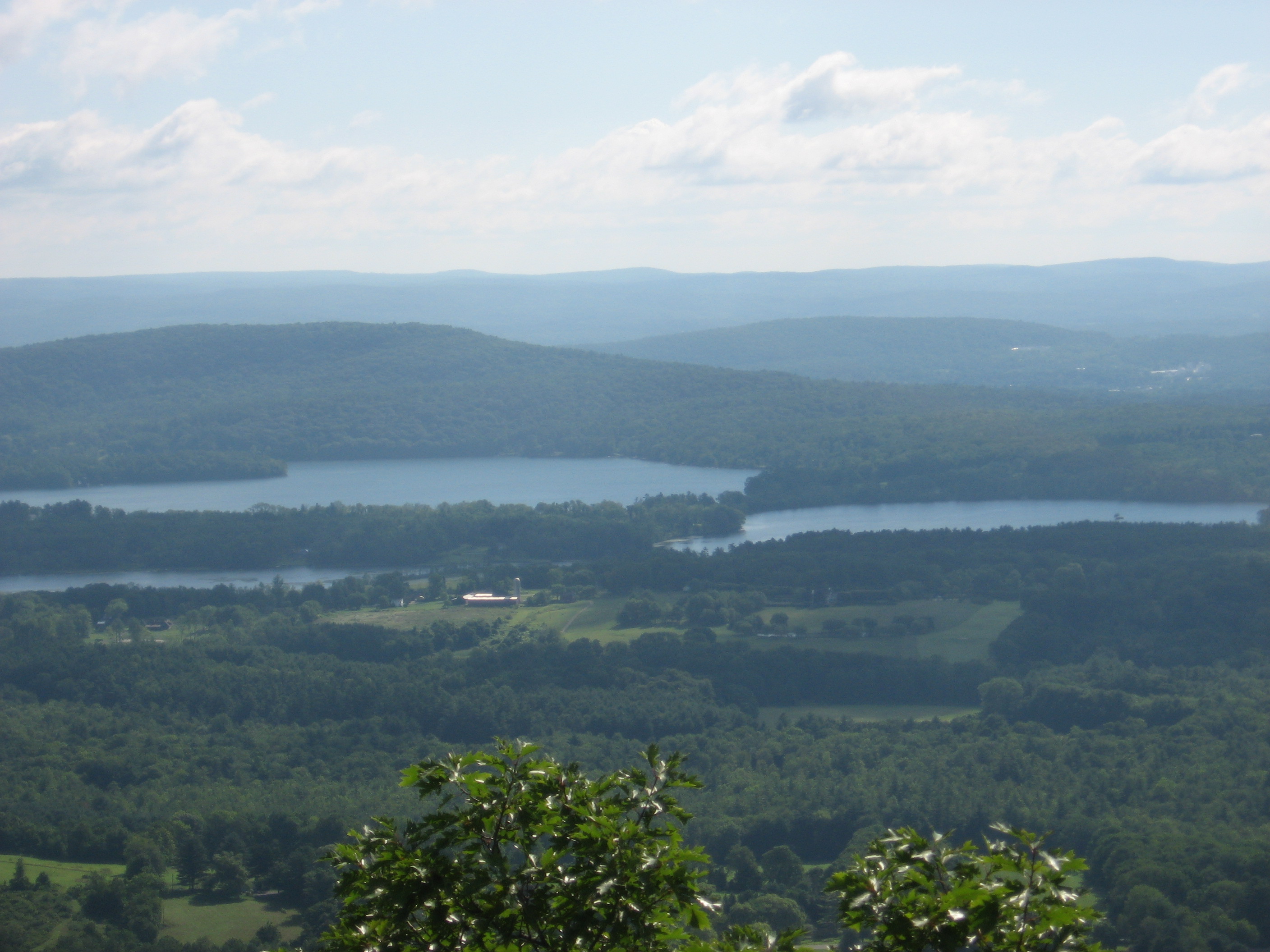
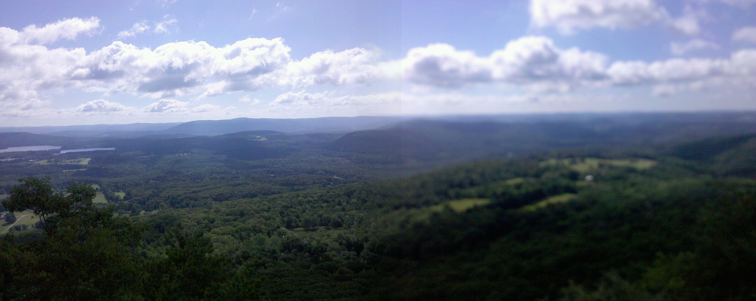
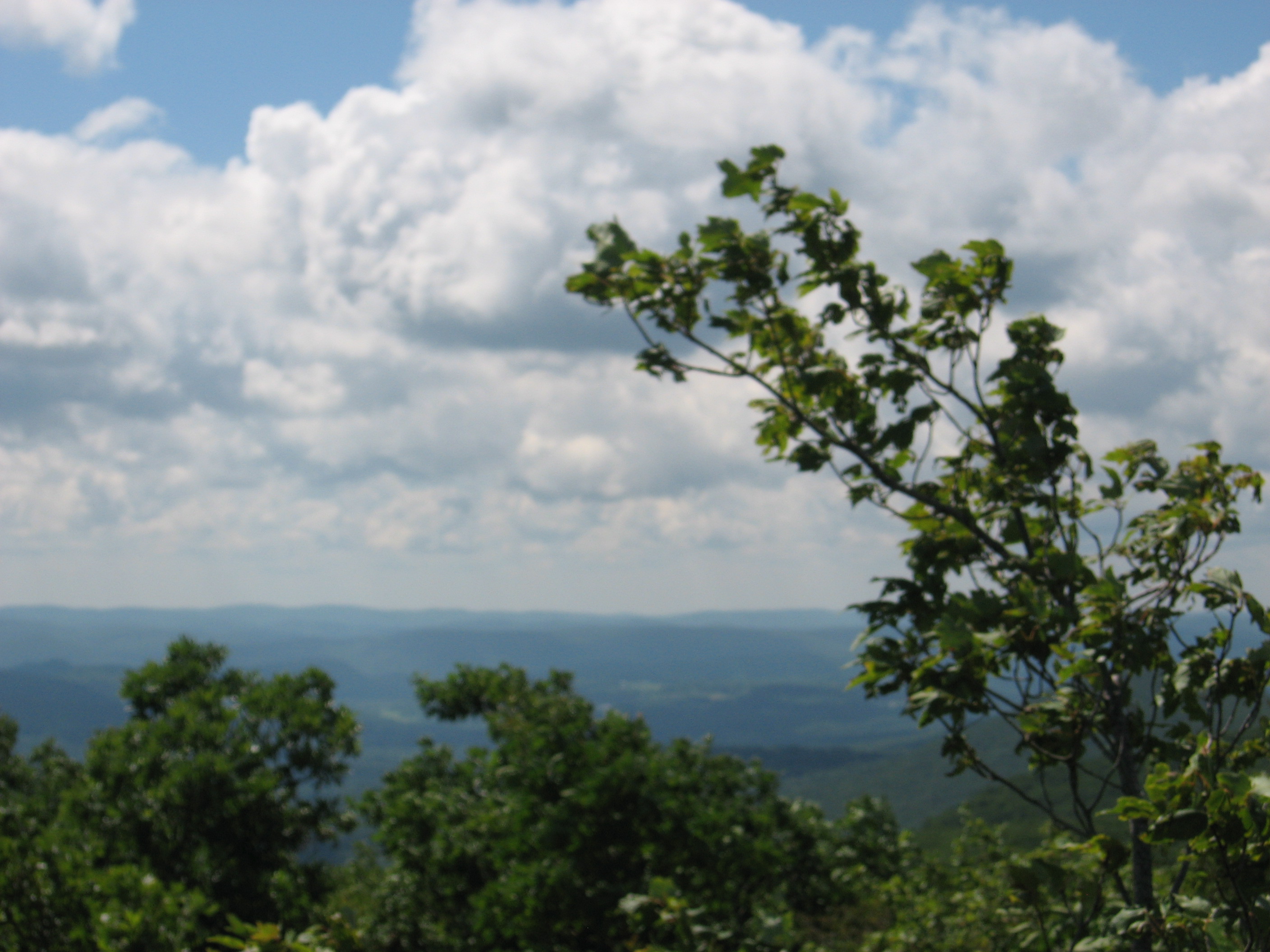
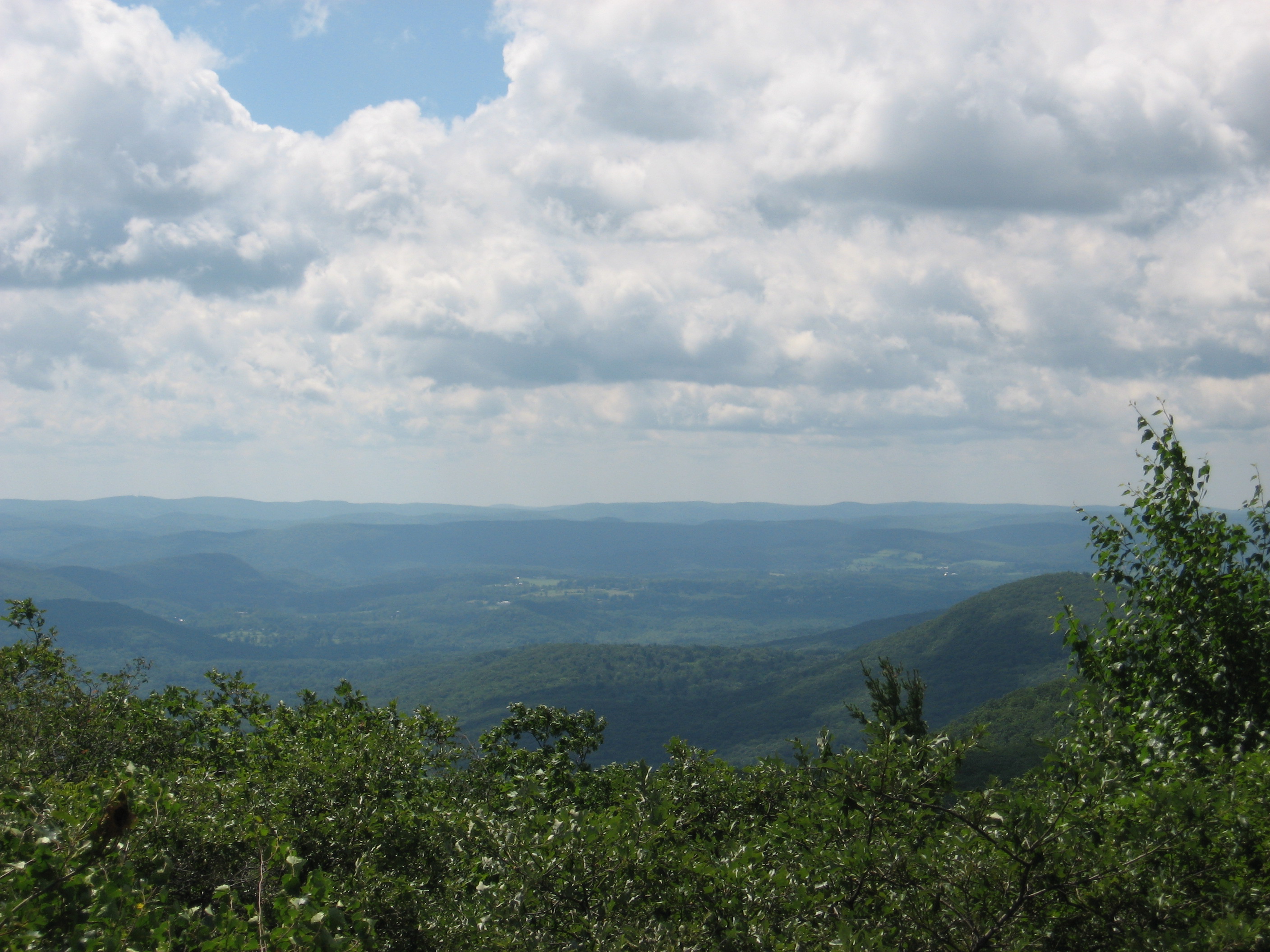
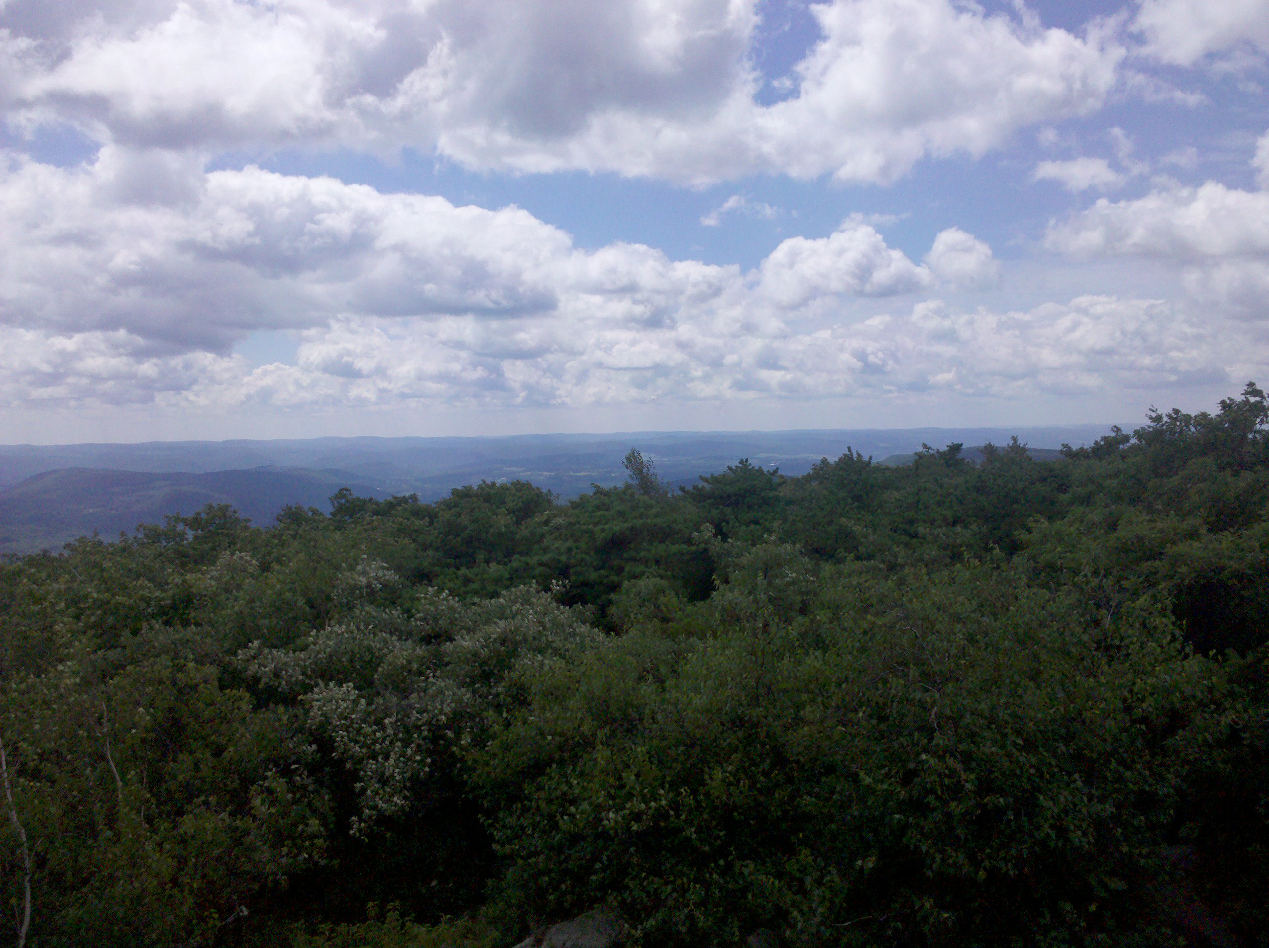
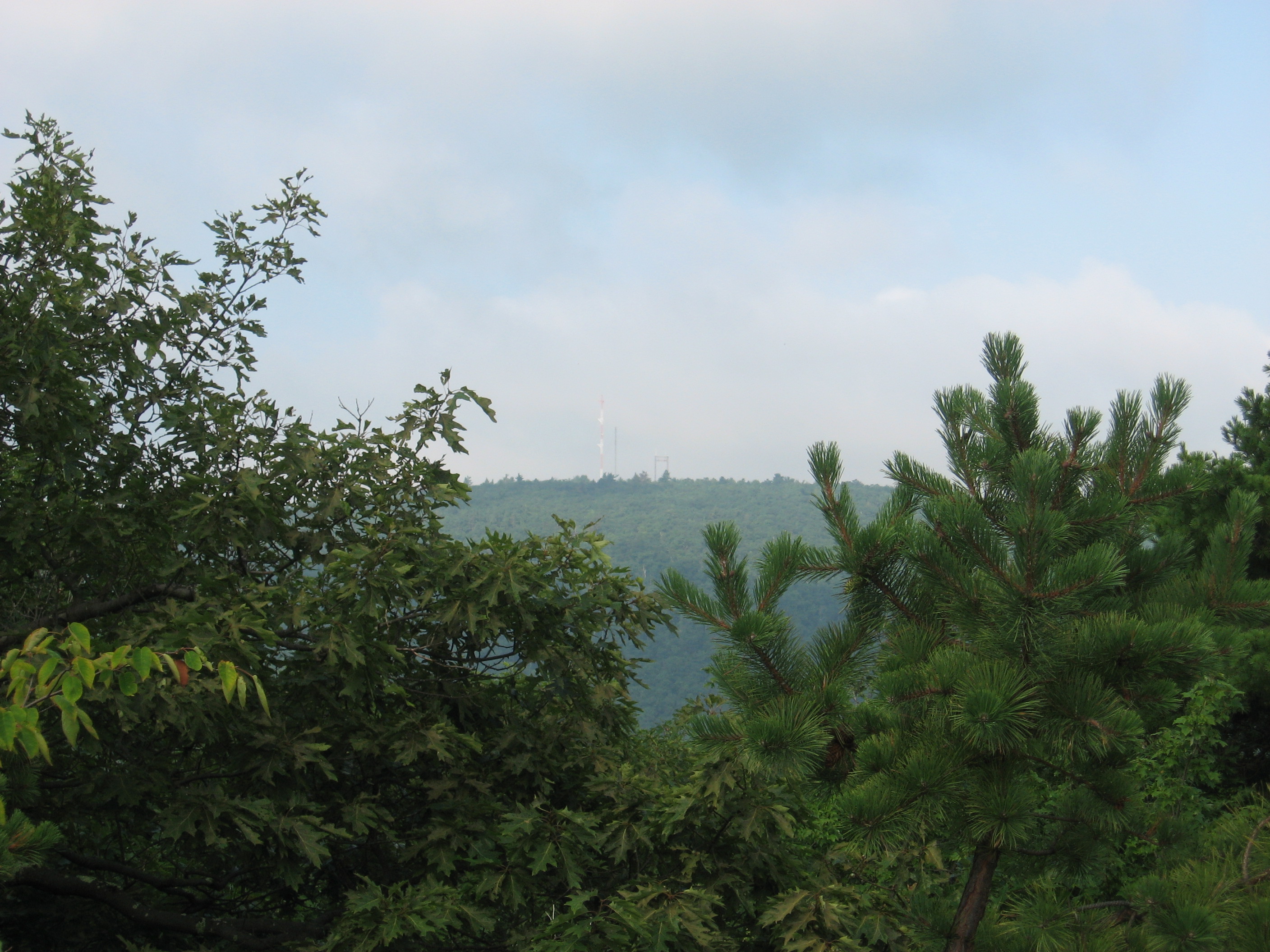
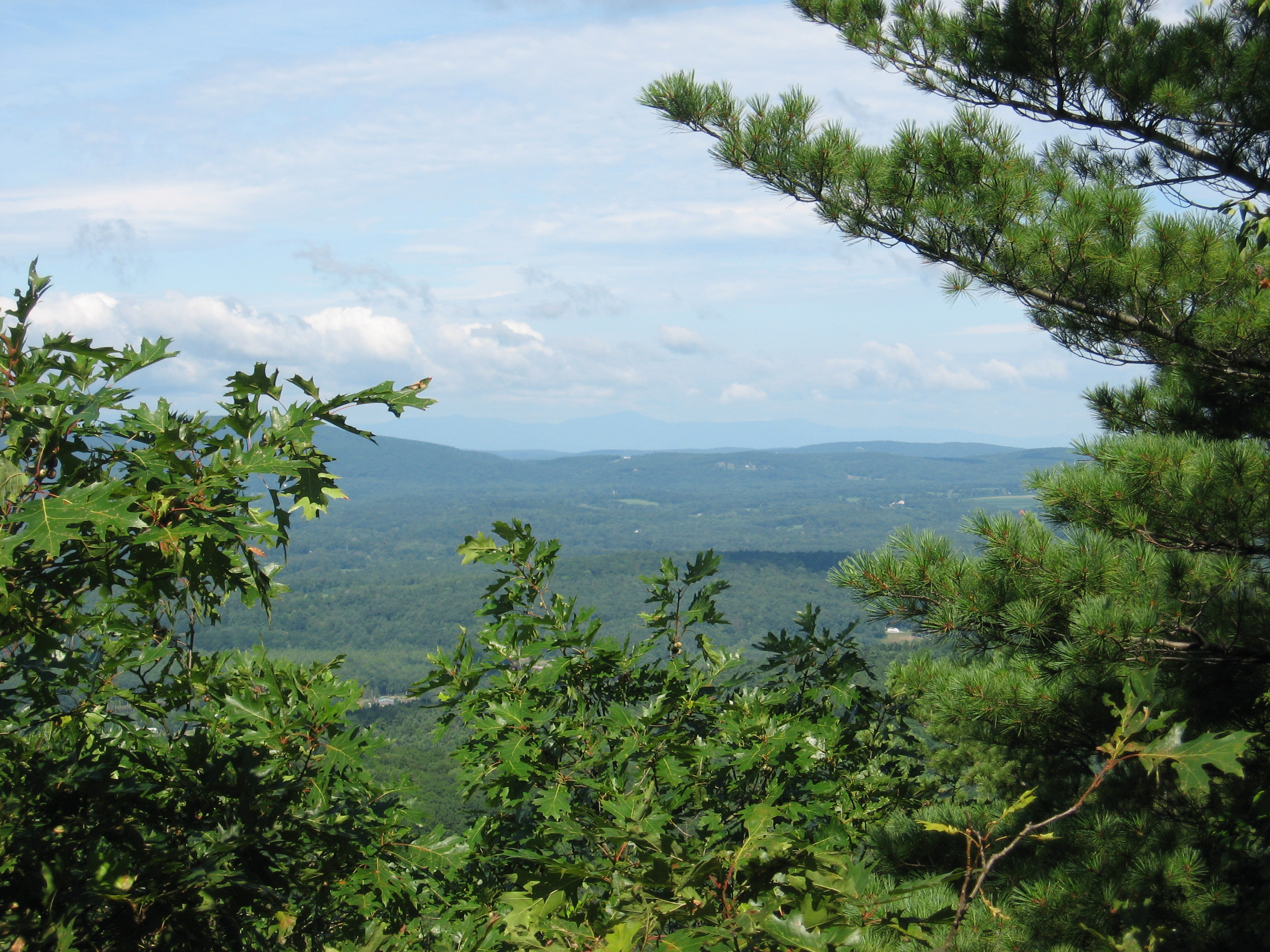
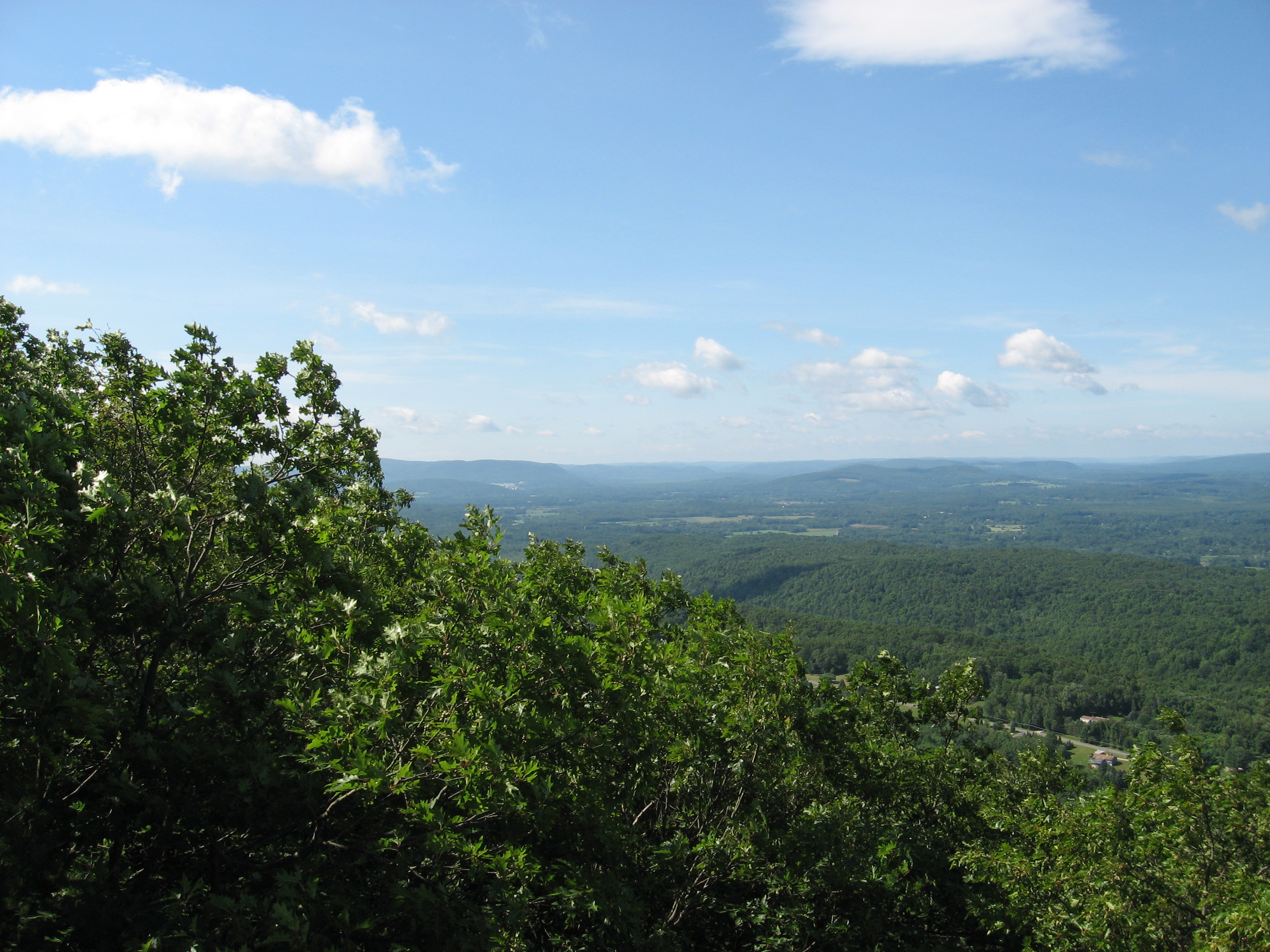
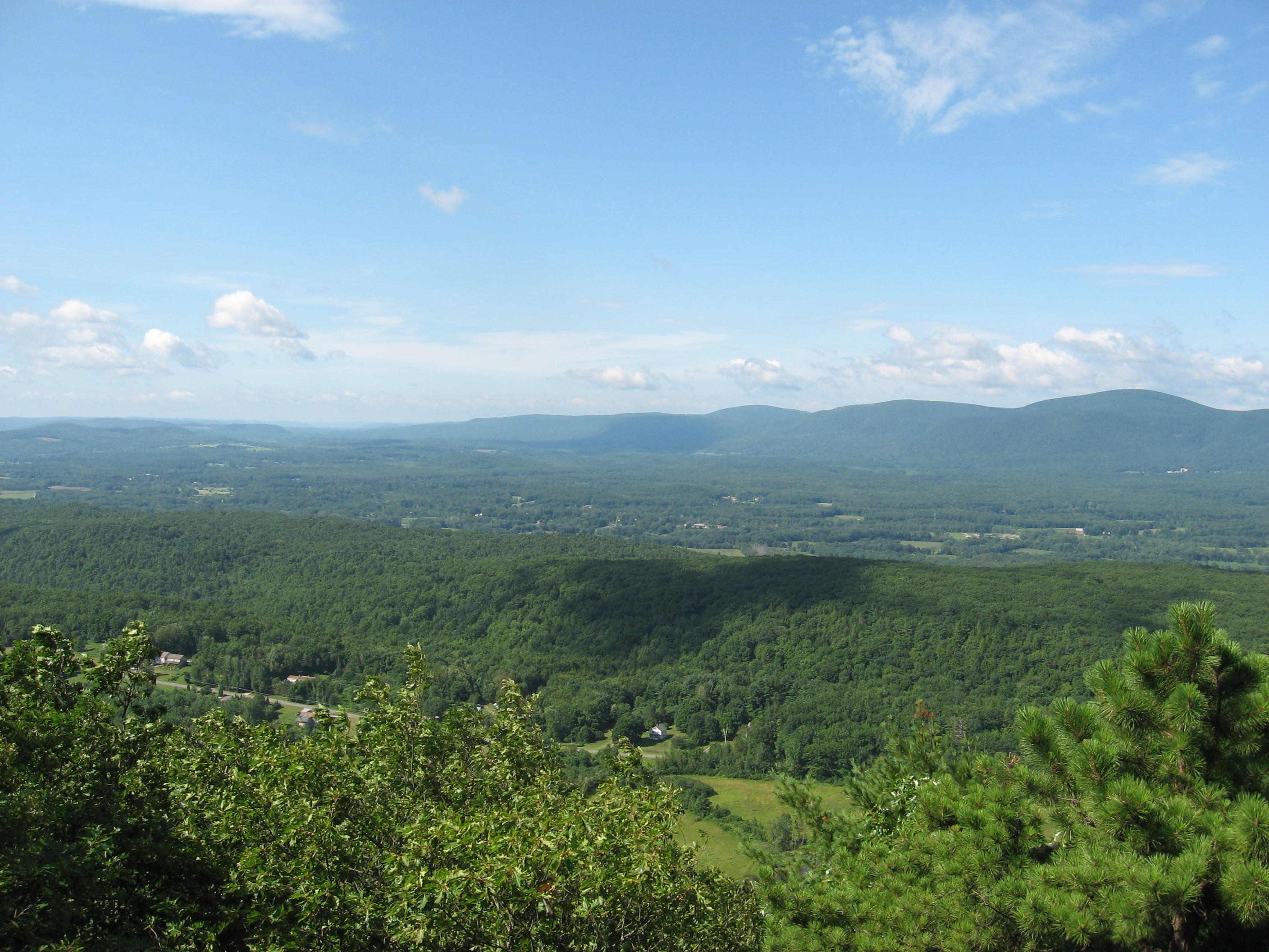
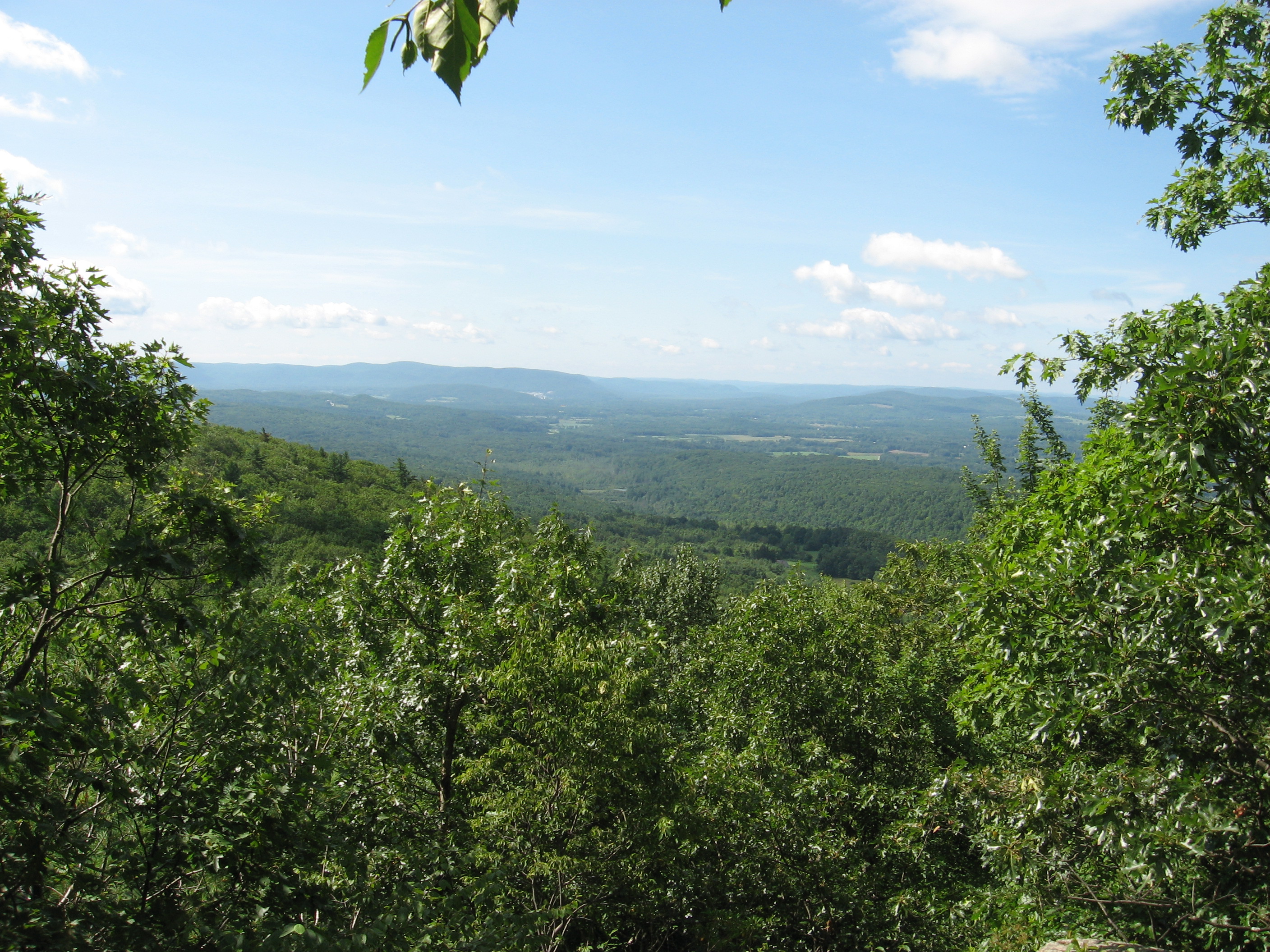
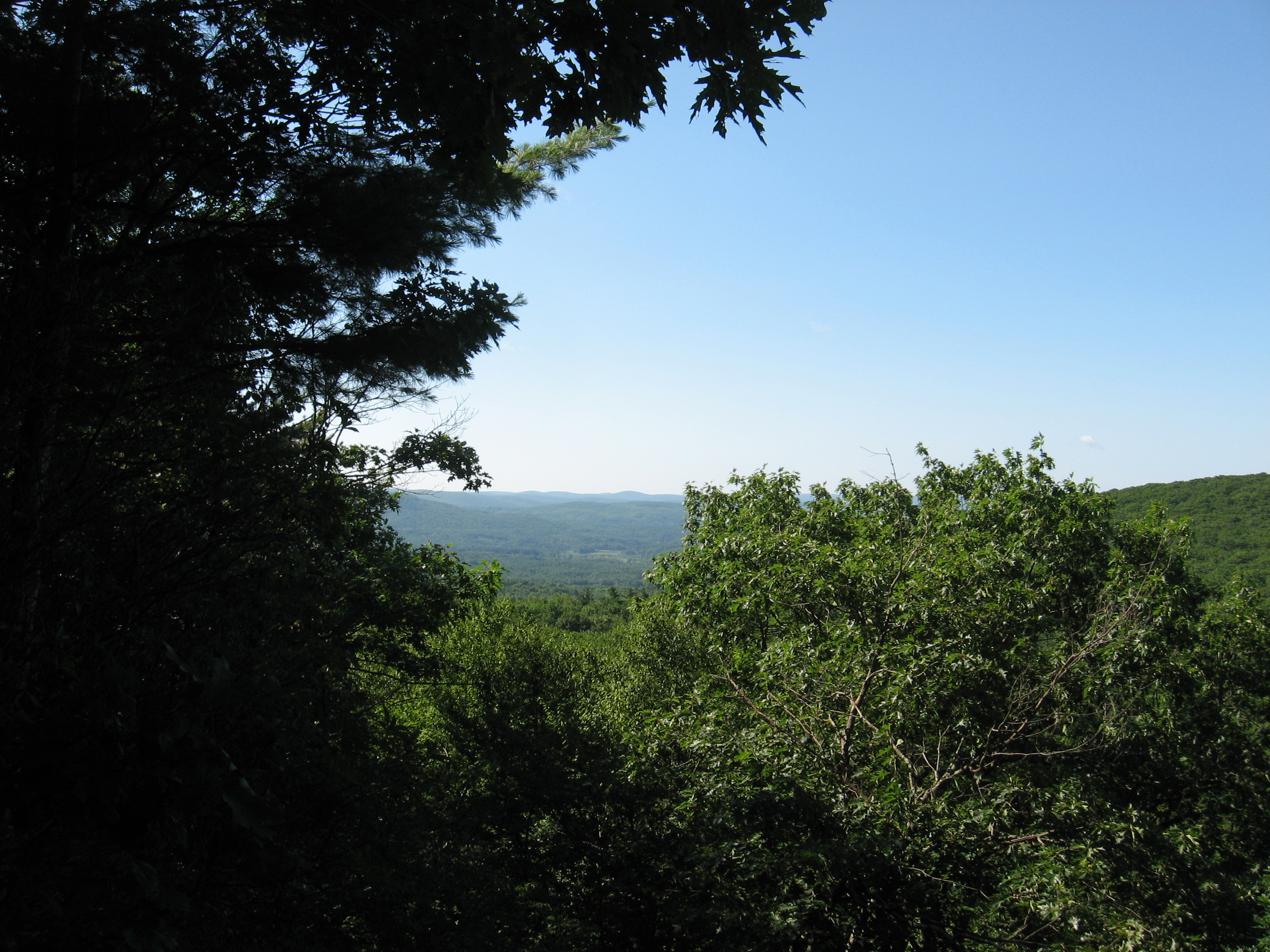
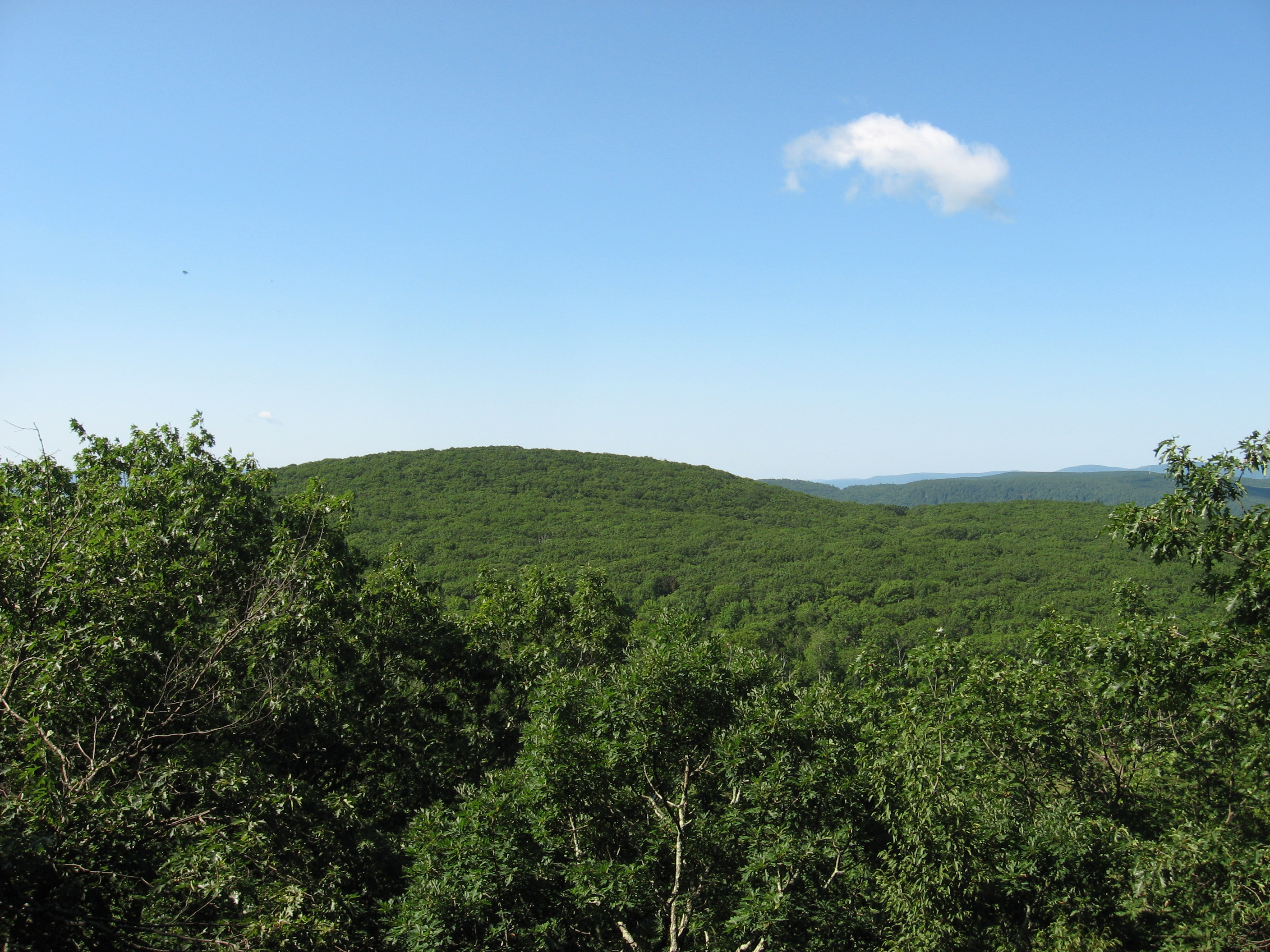
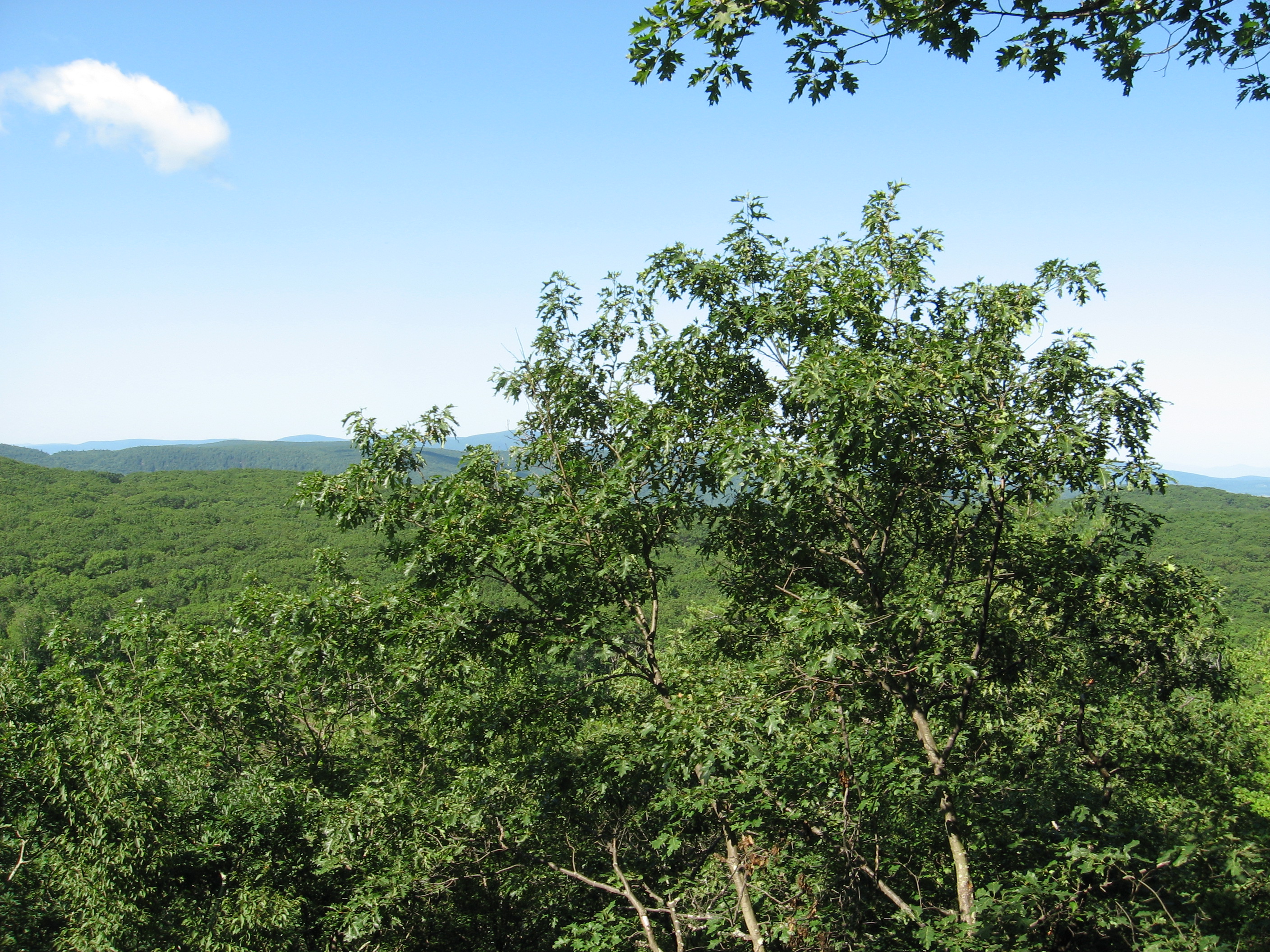
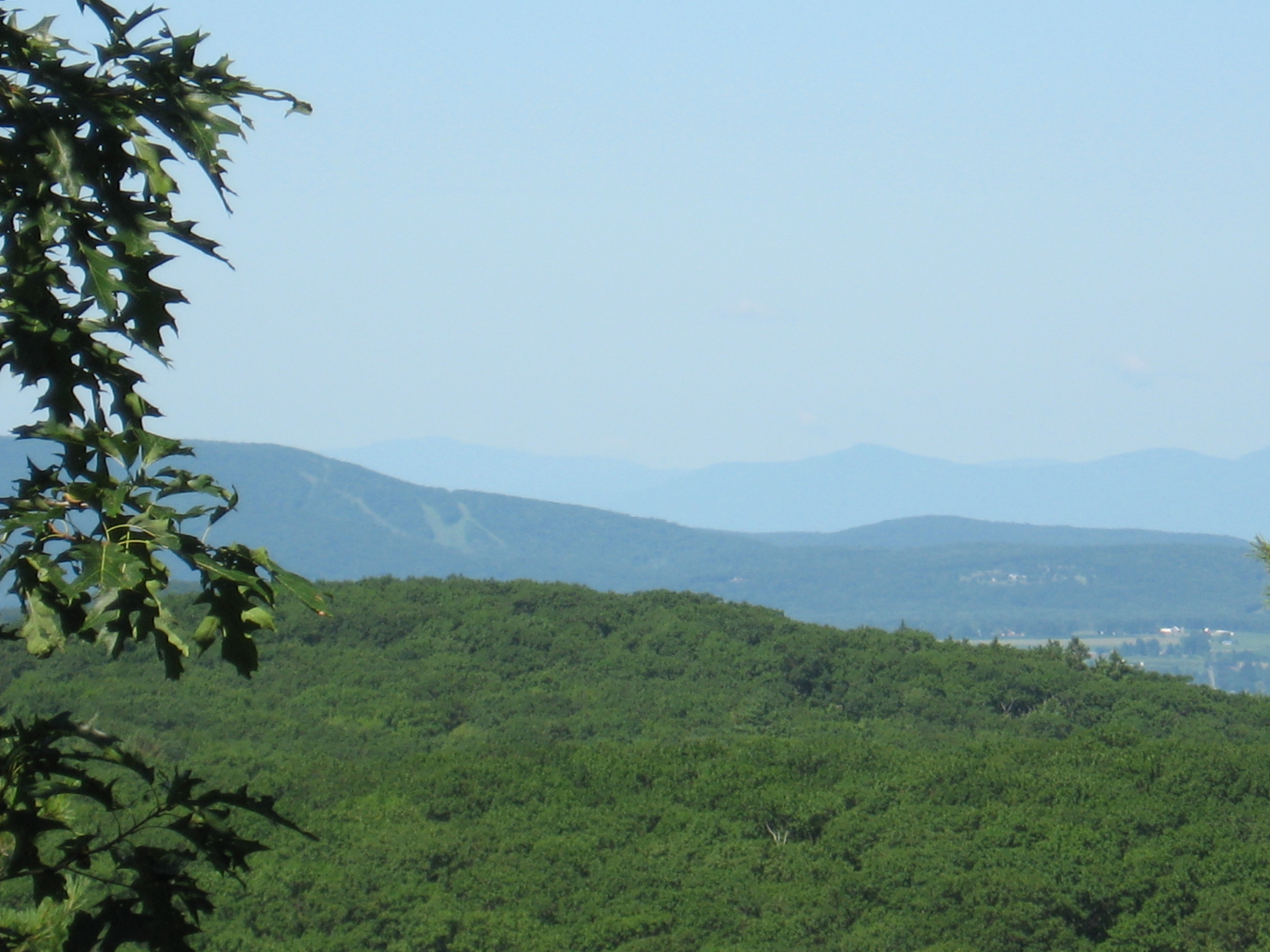
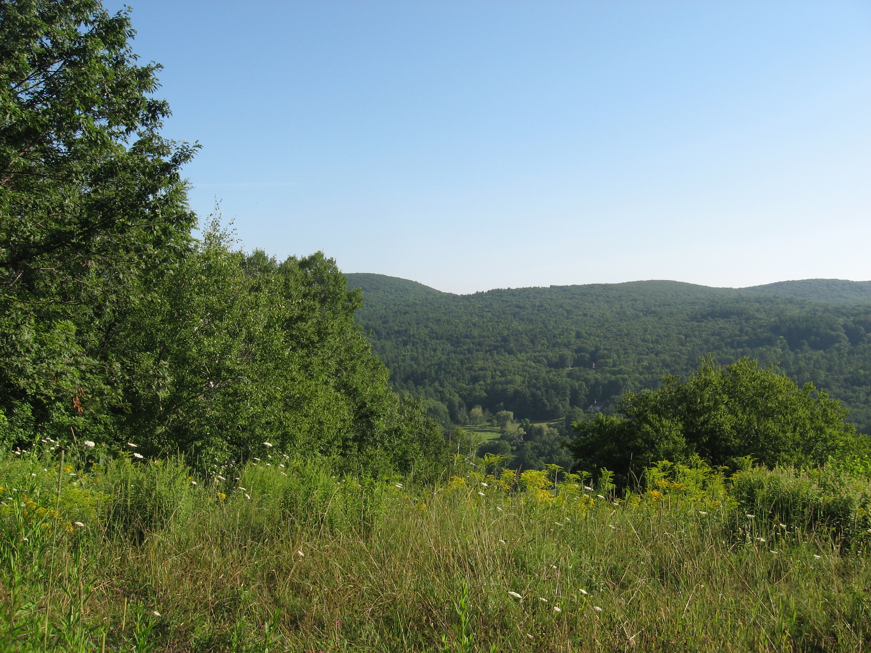
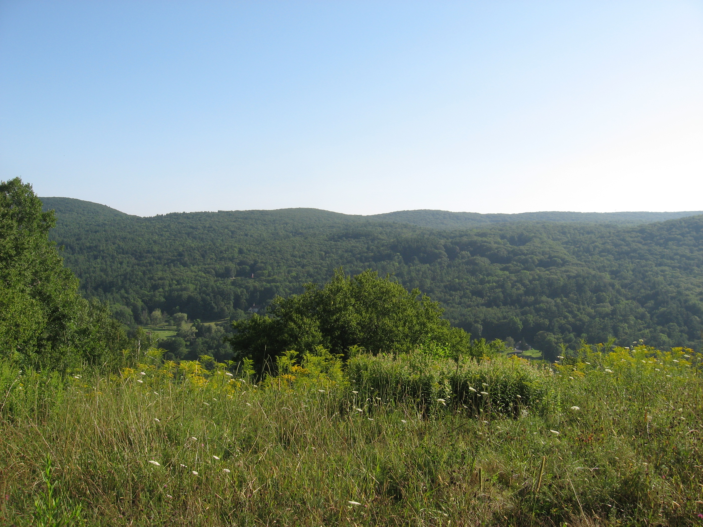
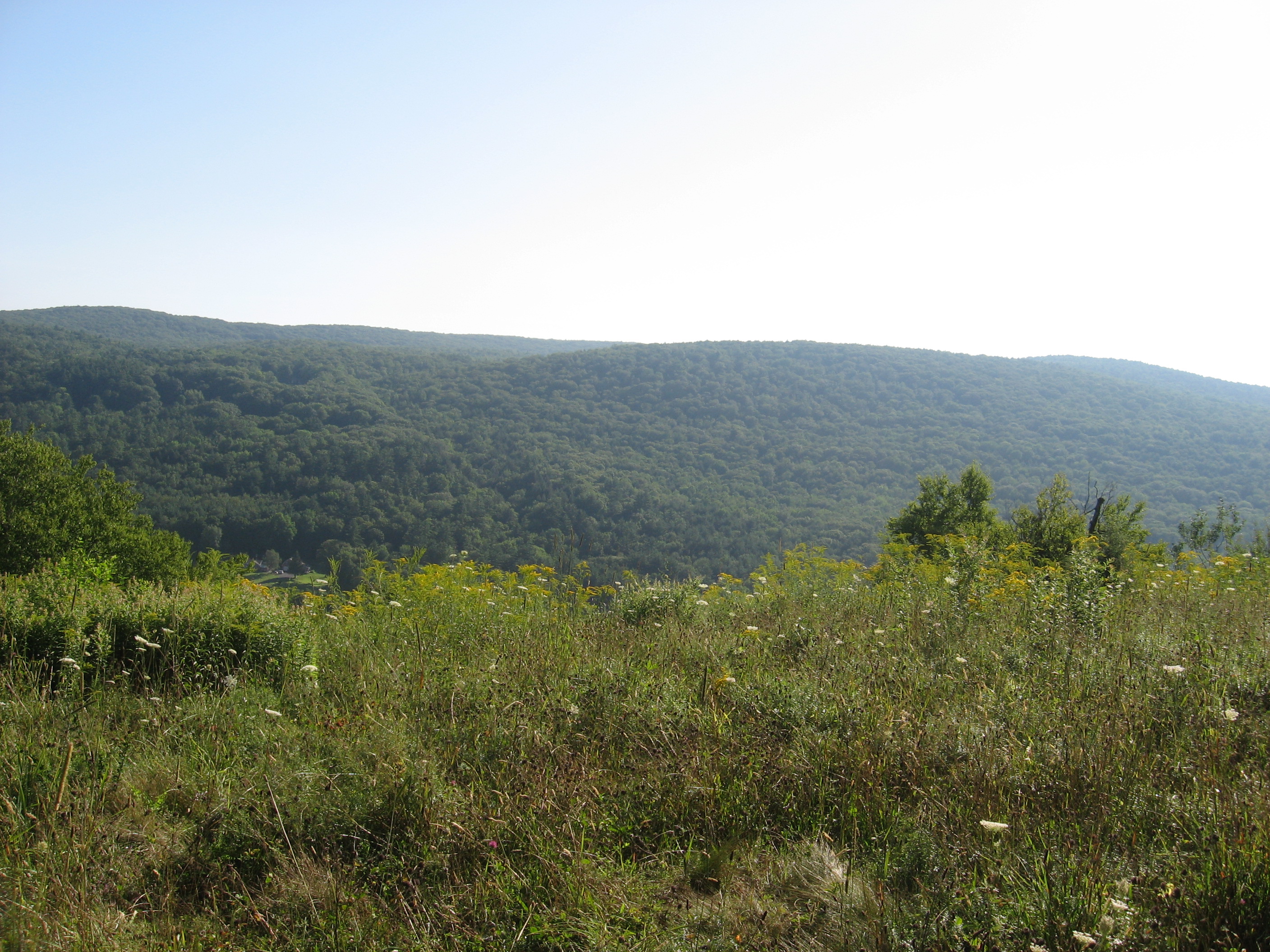
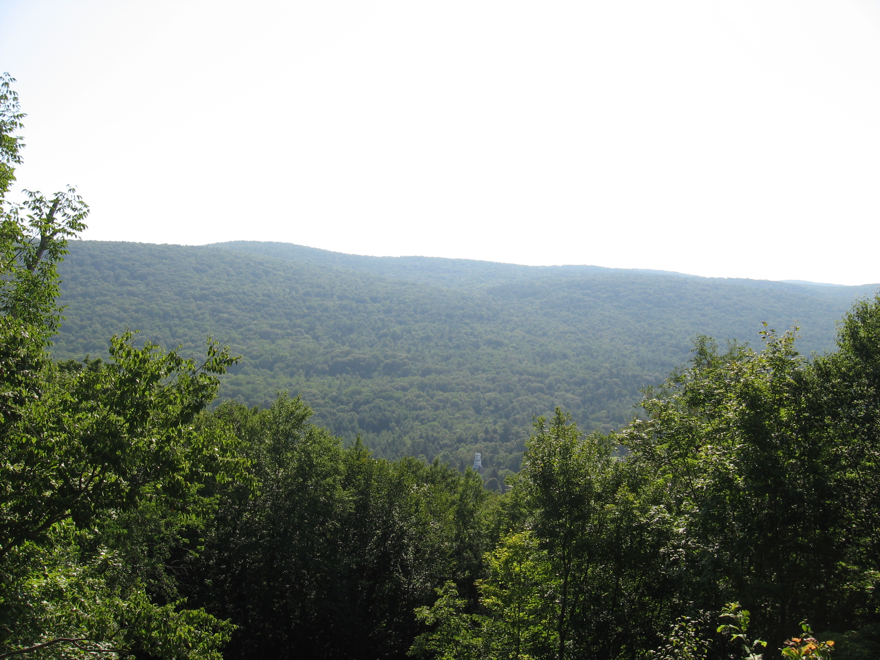
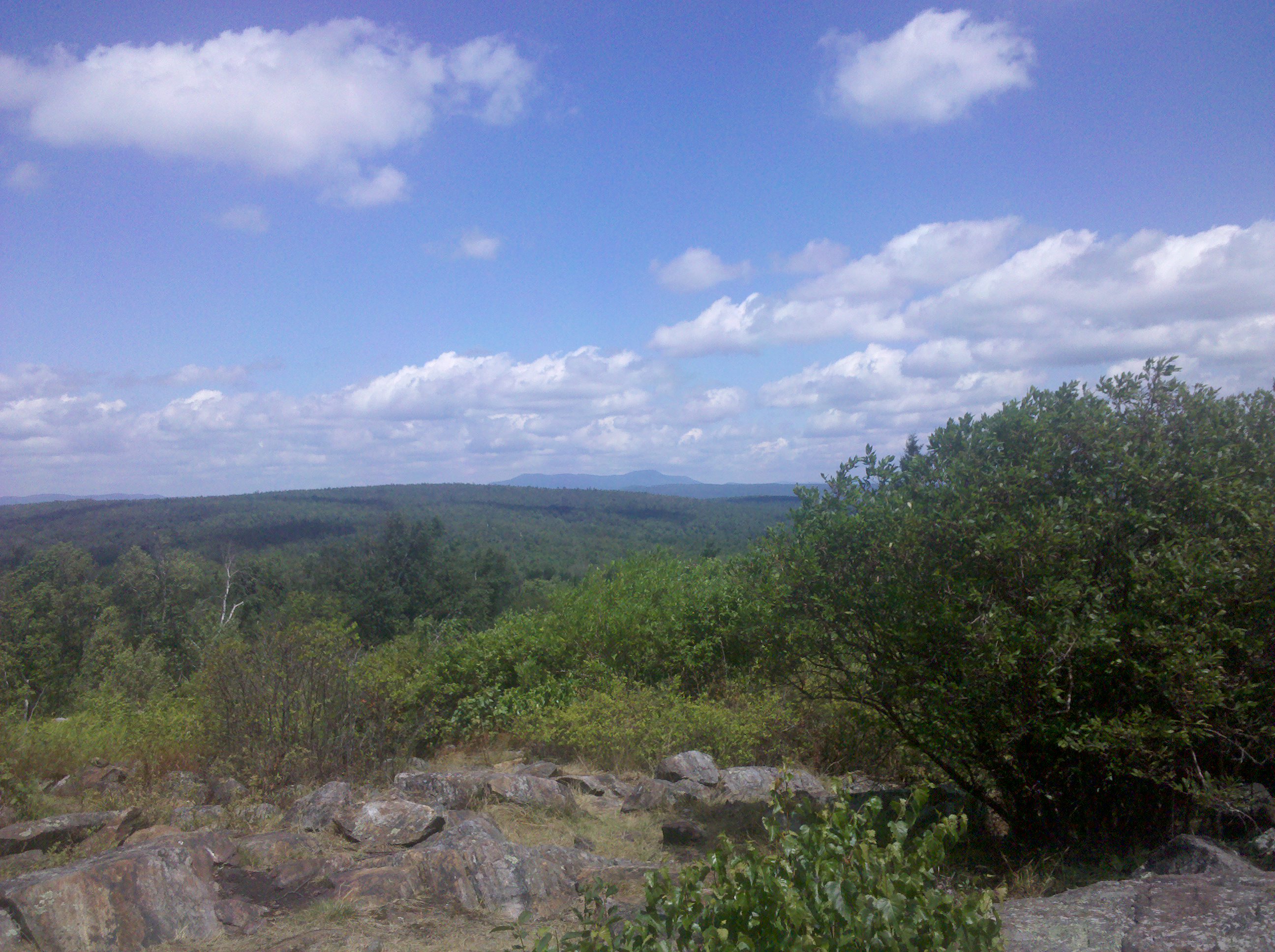
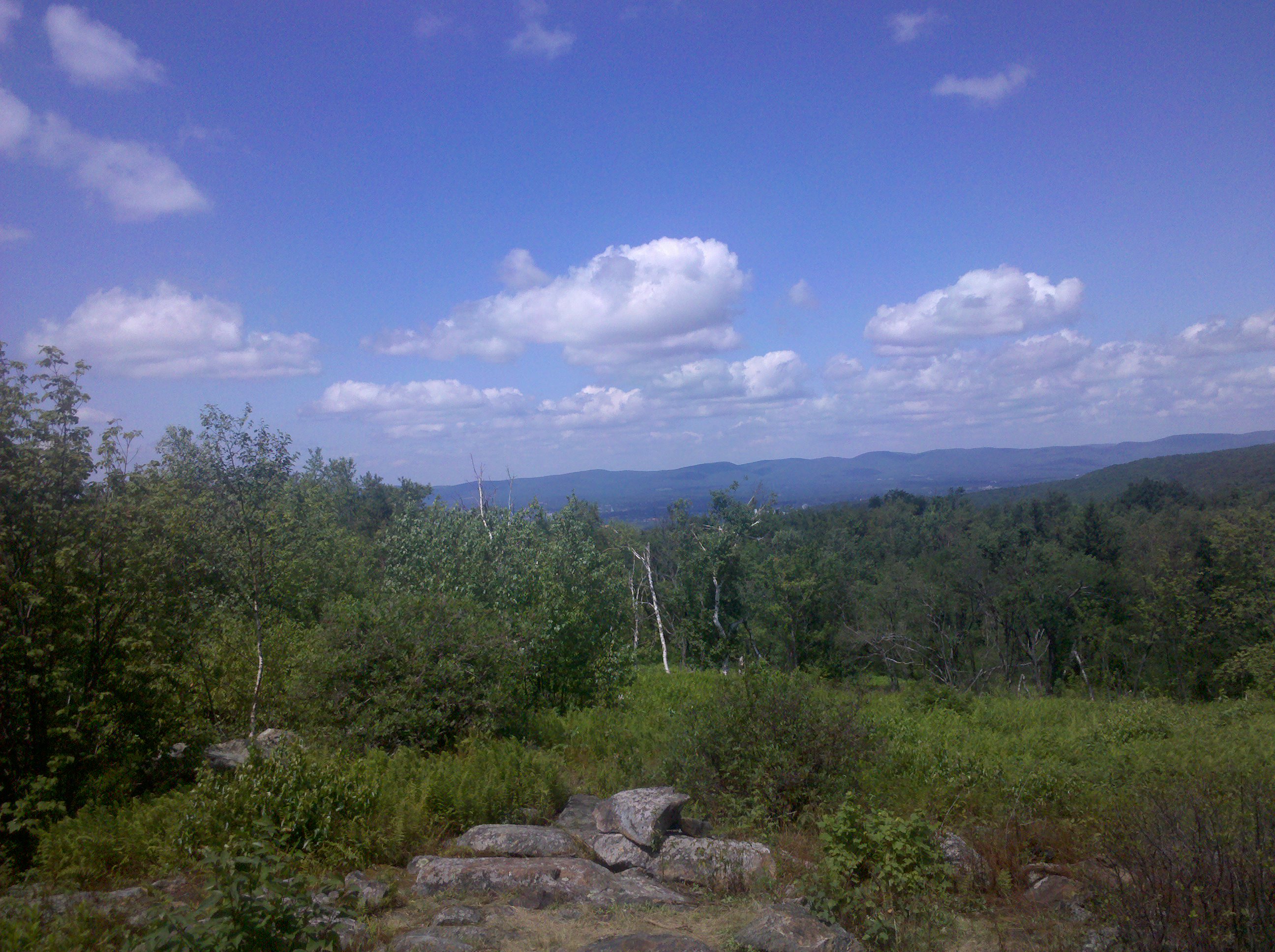
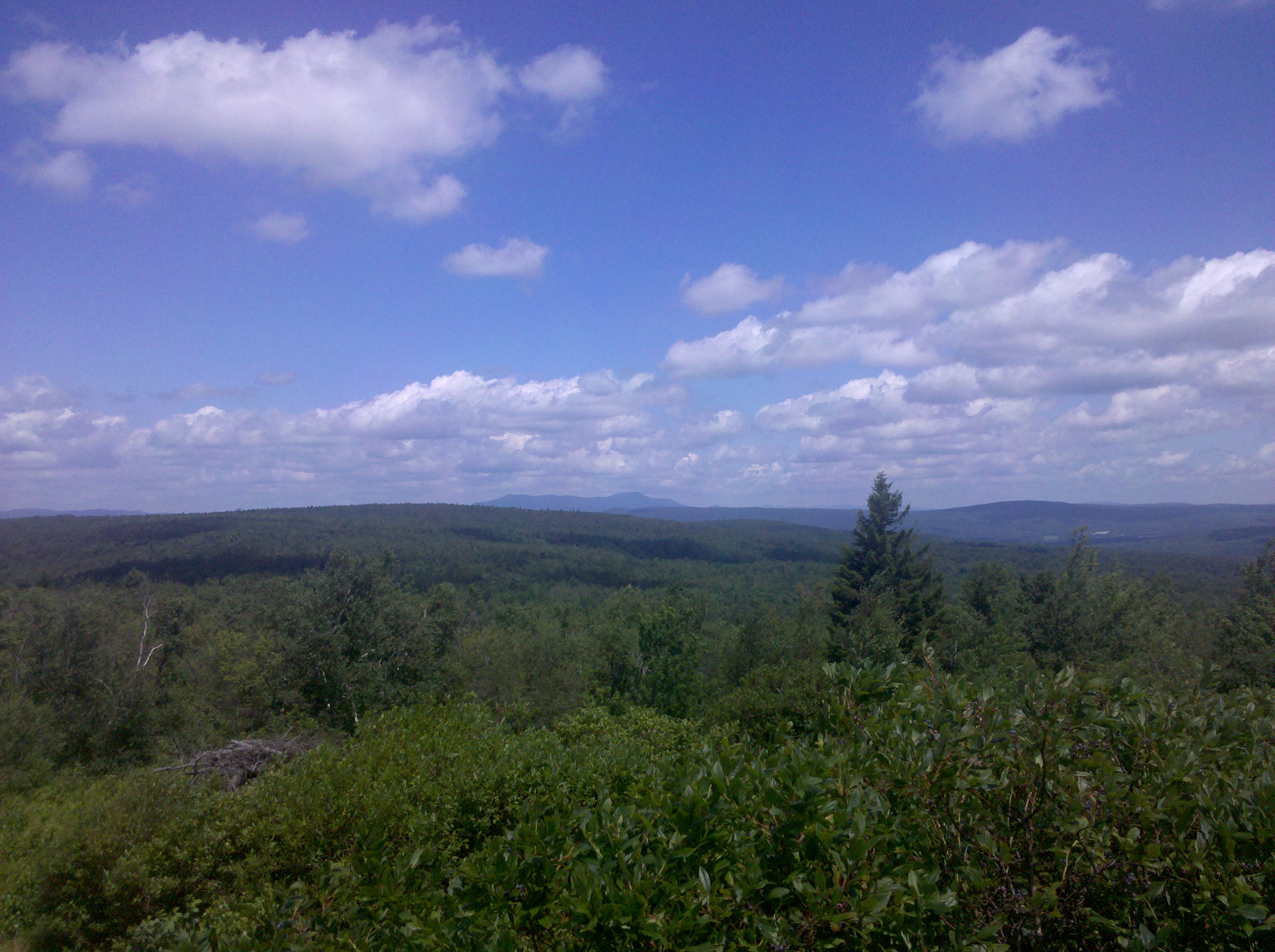
| 1576.3 | The Cobbles (1,850')?views | 1850 |
| 1577.1 | Furnace Hill Road (960') | 960 |
| 1577.6 | Church St., Hoosic River, Ashuwillticook Rail Trail (950') | 950 |
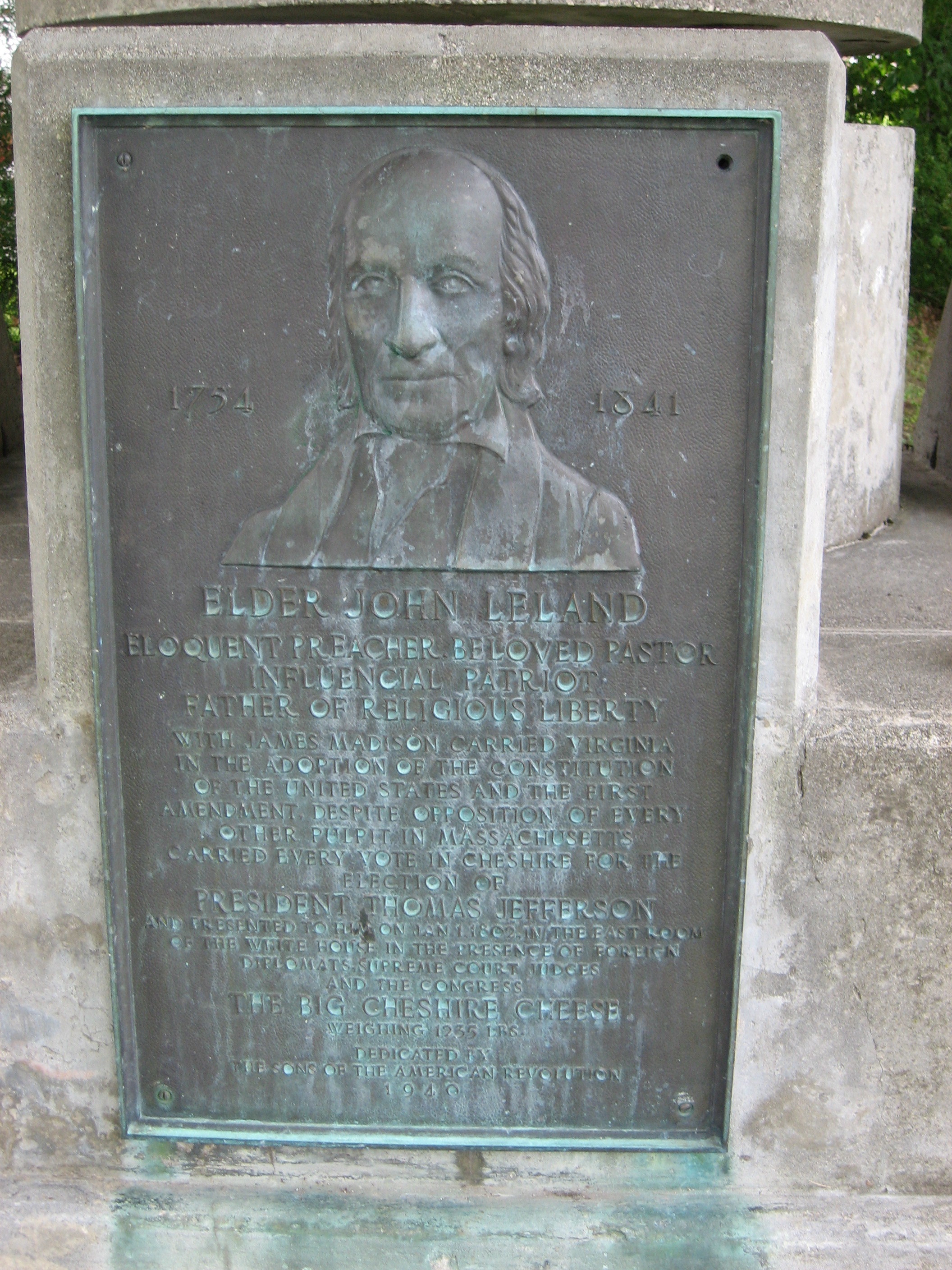
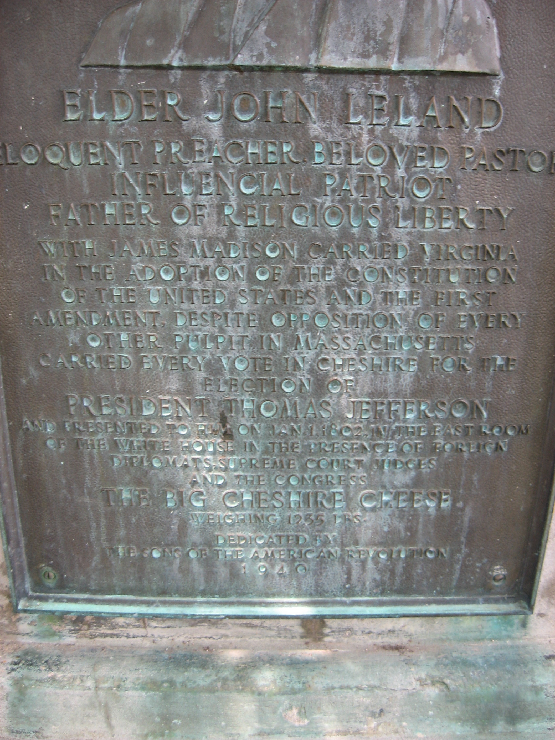
| 1577.7 | Church St., School St., Hiker Kiosk (970') Cheshire, Mass. 01225 | 970 |