| Miles from Springer | Features | Elevation |
|---|---|---|
| 1578.2 | Mass. 8 (1,000') Adams, Mass. 01220 | 1000 |
| 1579 | Outlook Ave. (1,350') | 1350 |
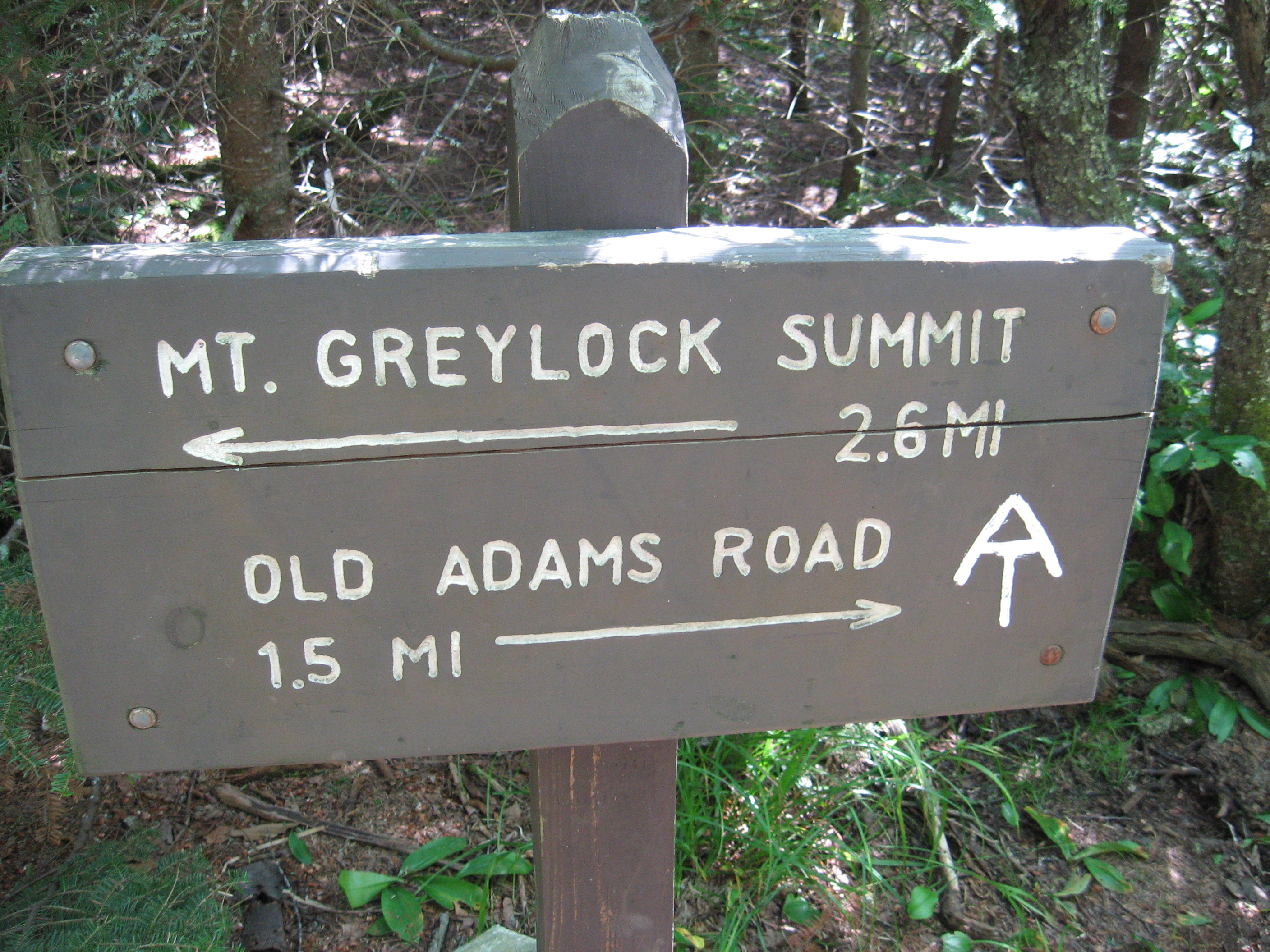
| 1581.7 | Old Adams Road (2,350') | 2350 |
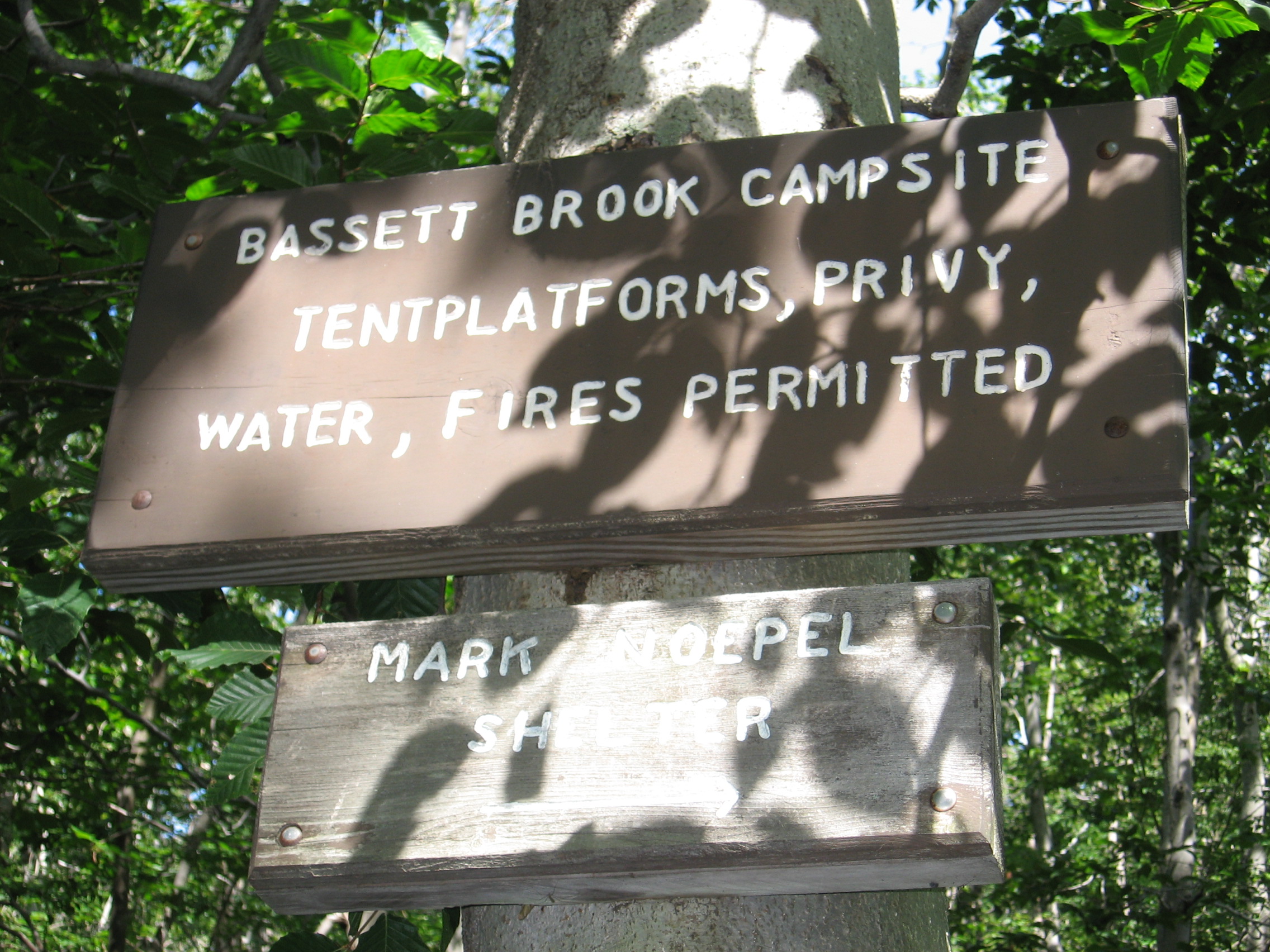
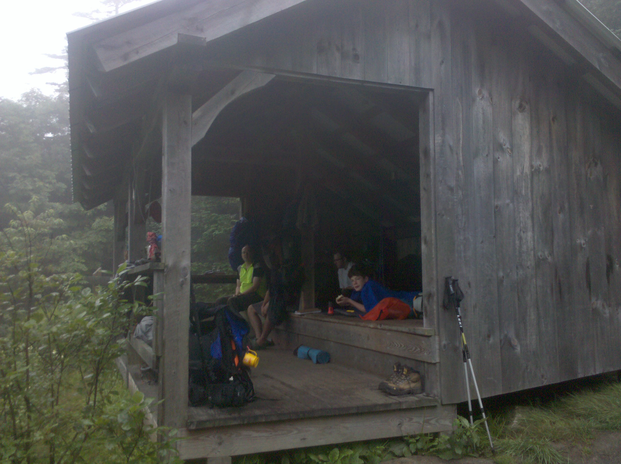
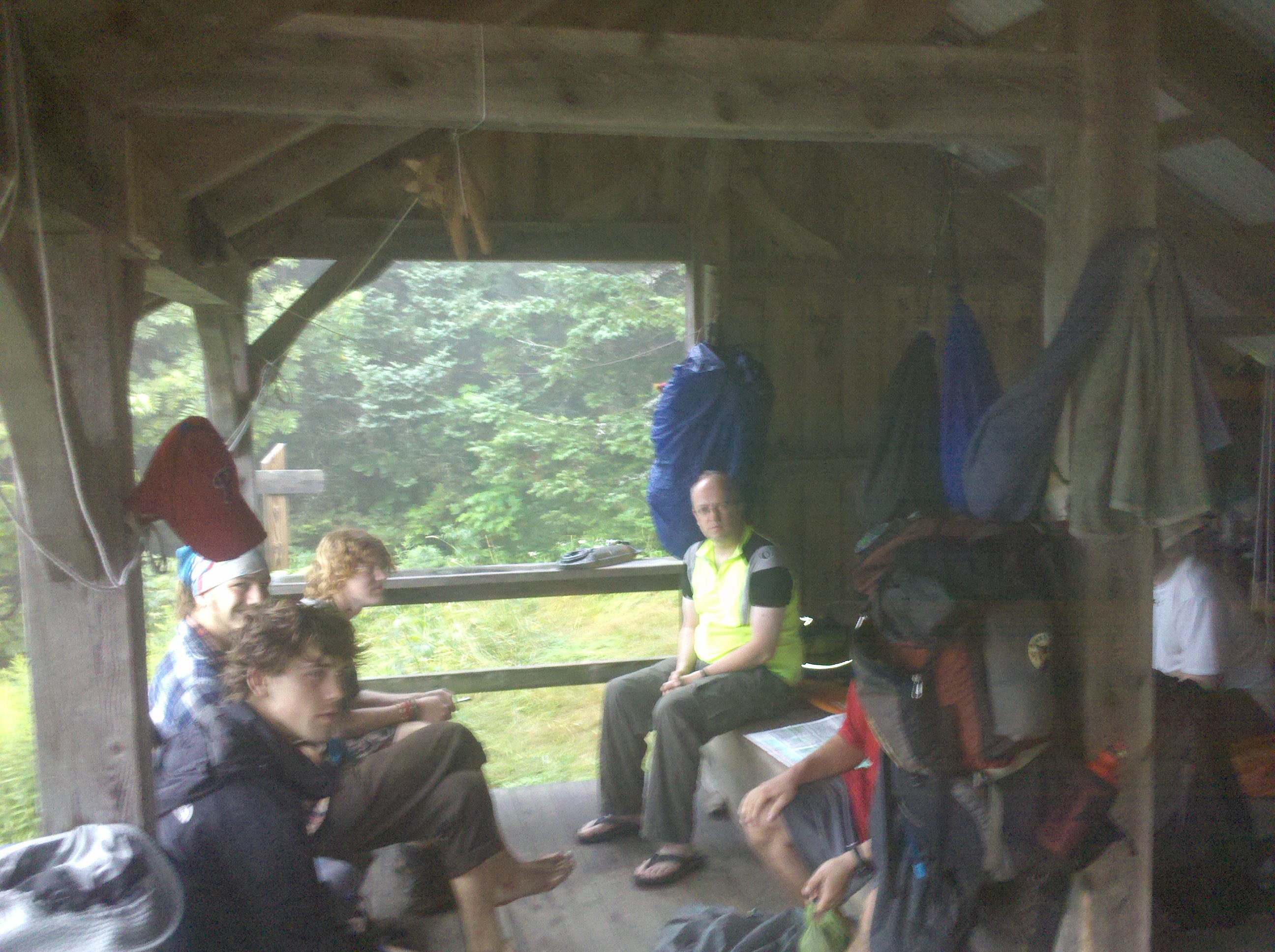
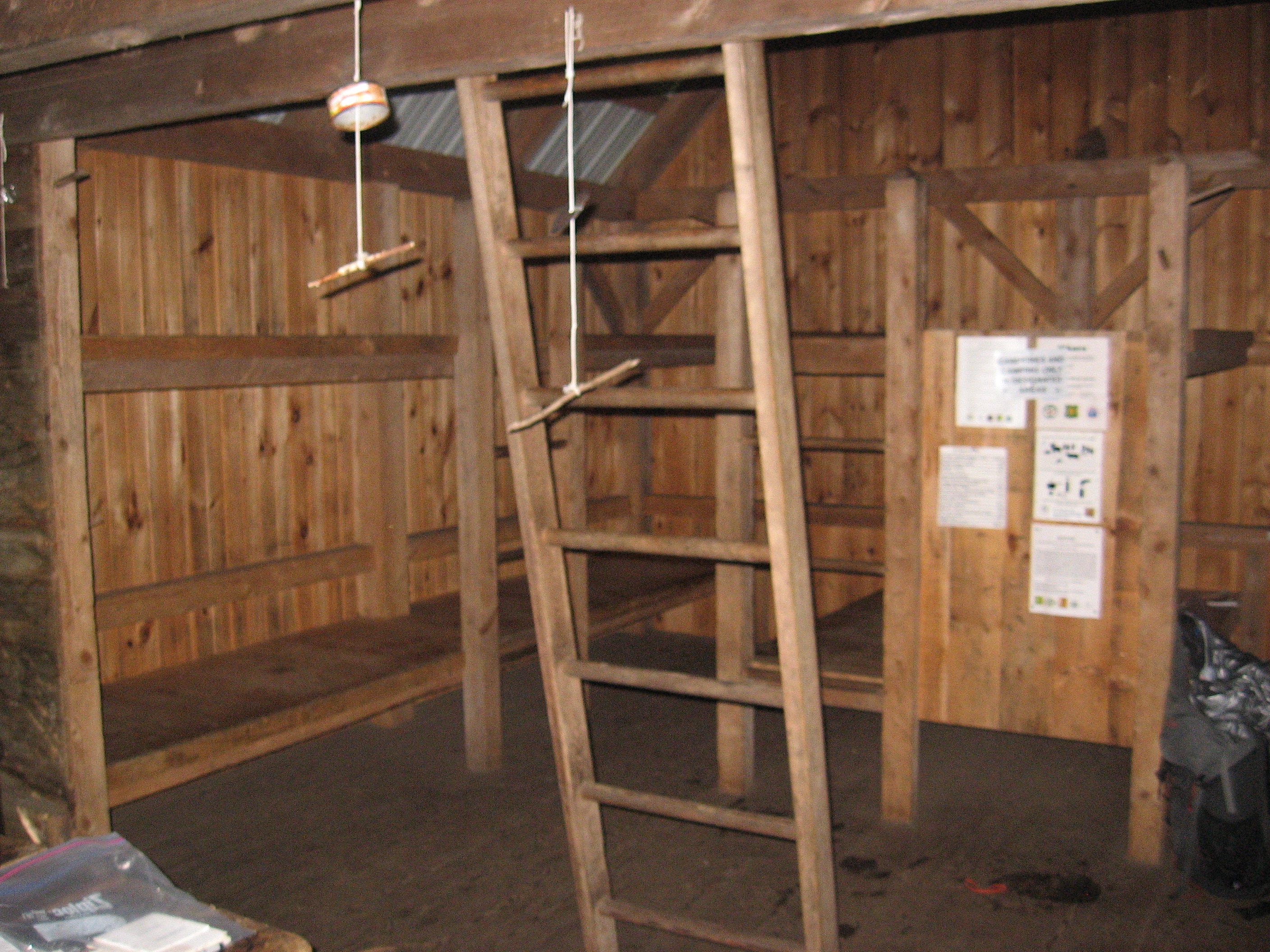
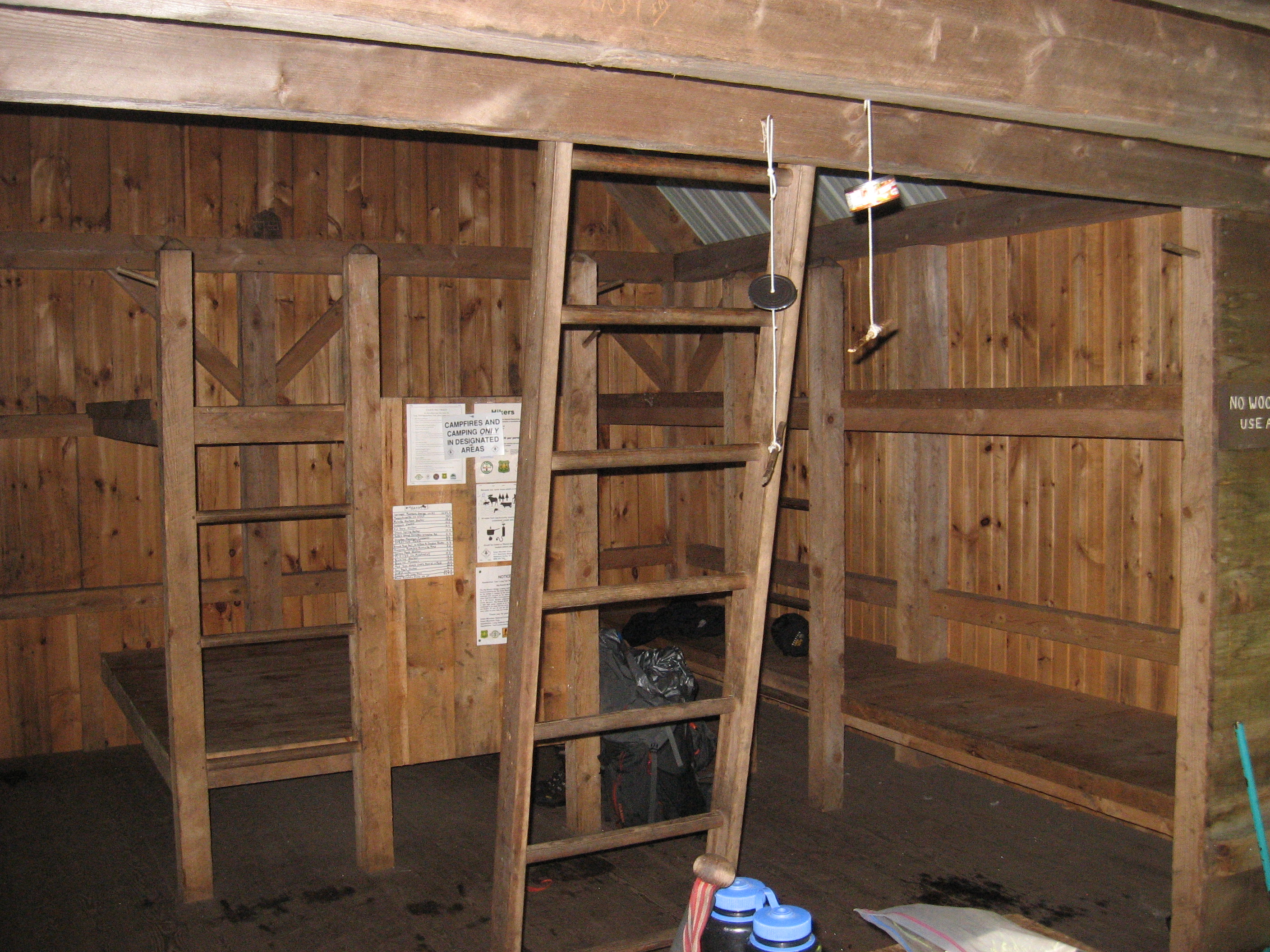
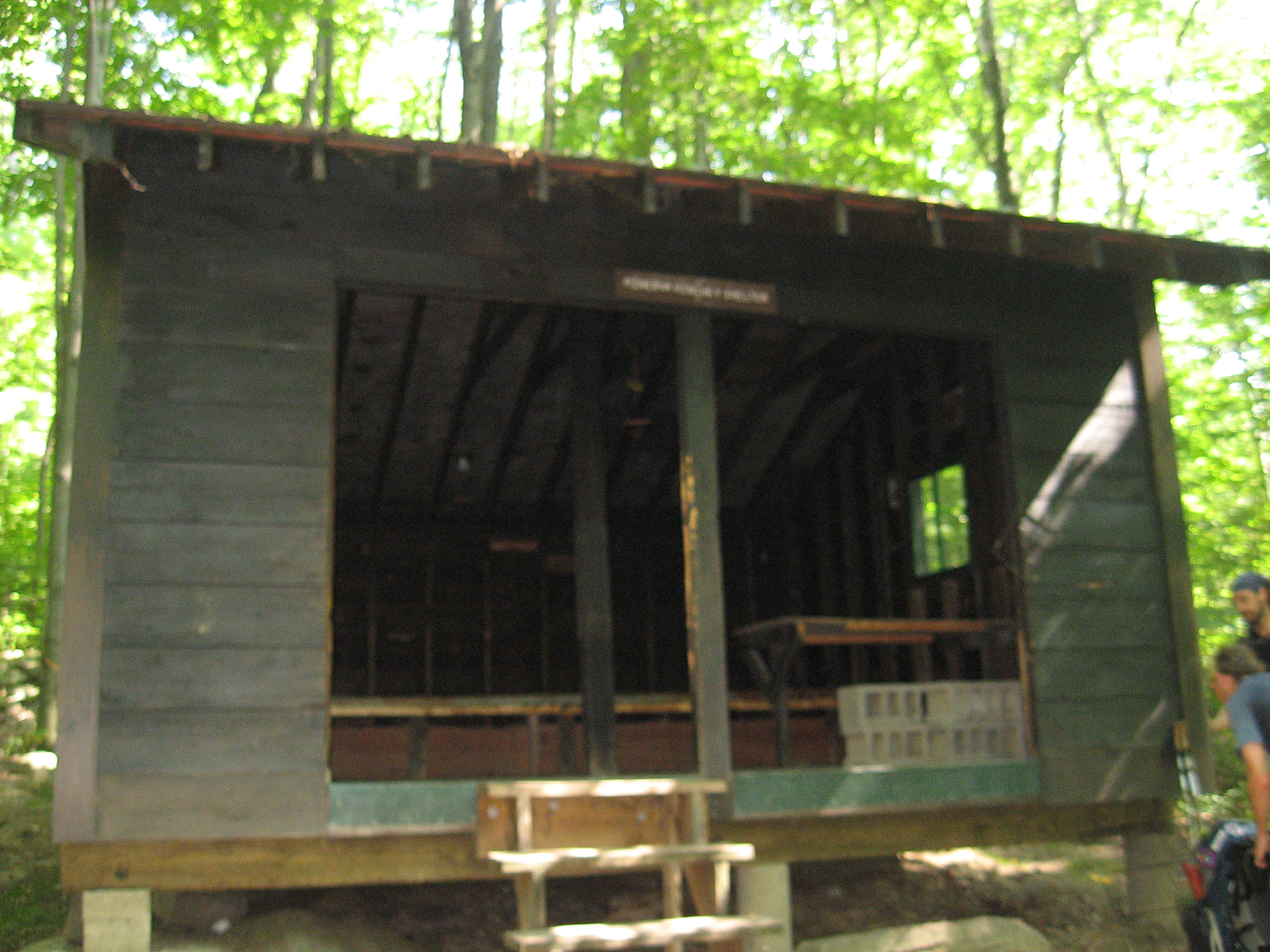
| 1582.6 | Mark Noepel Shelter (2,750') ?17.3mS; 7.1mN | 2750 |
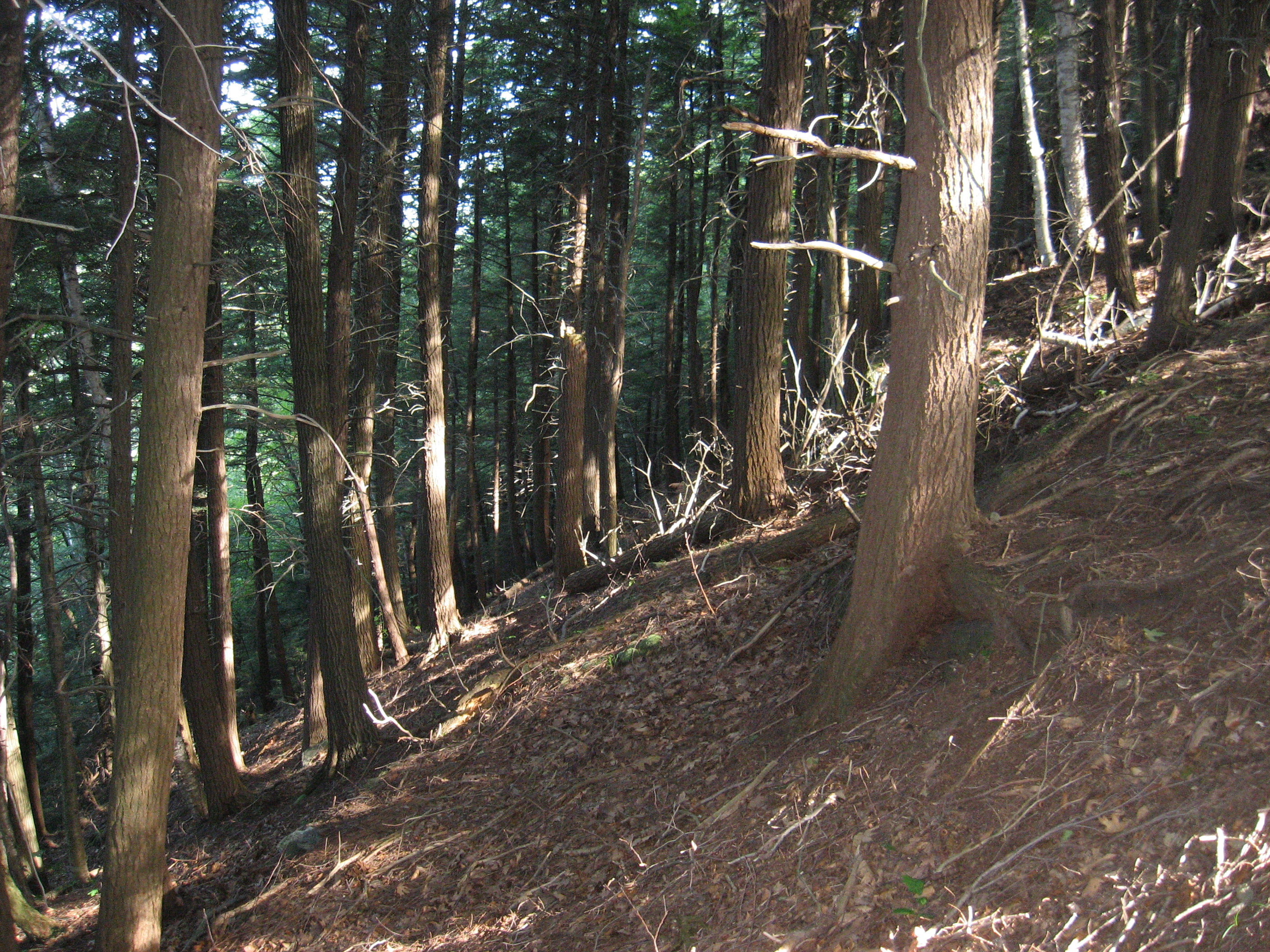
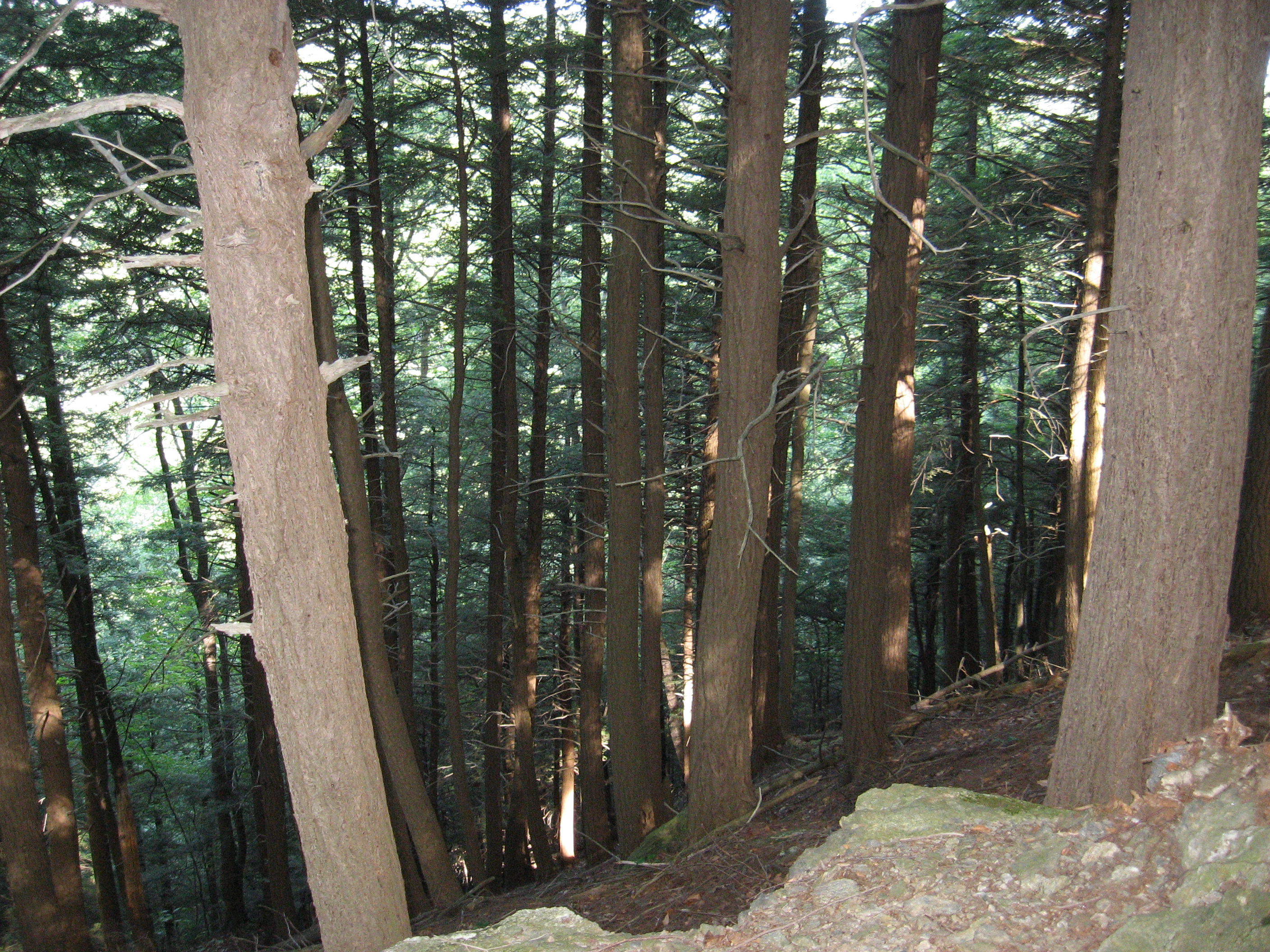
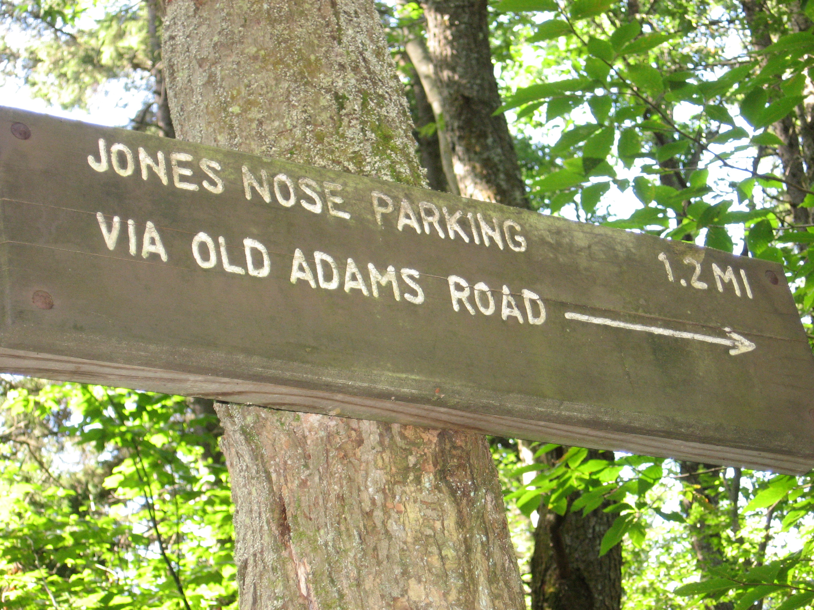
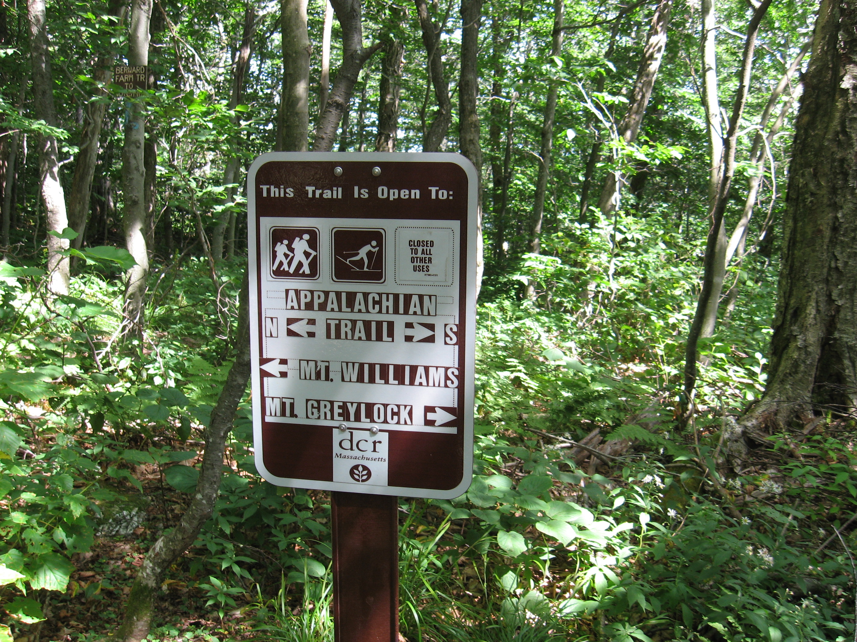
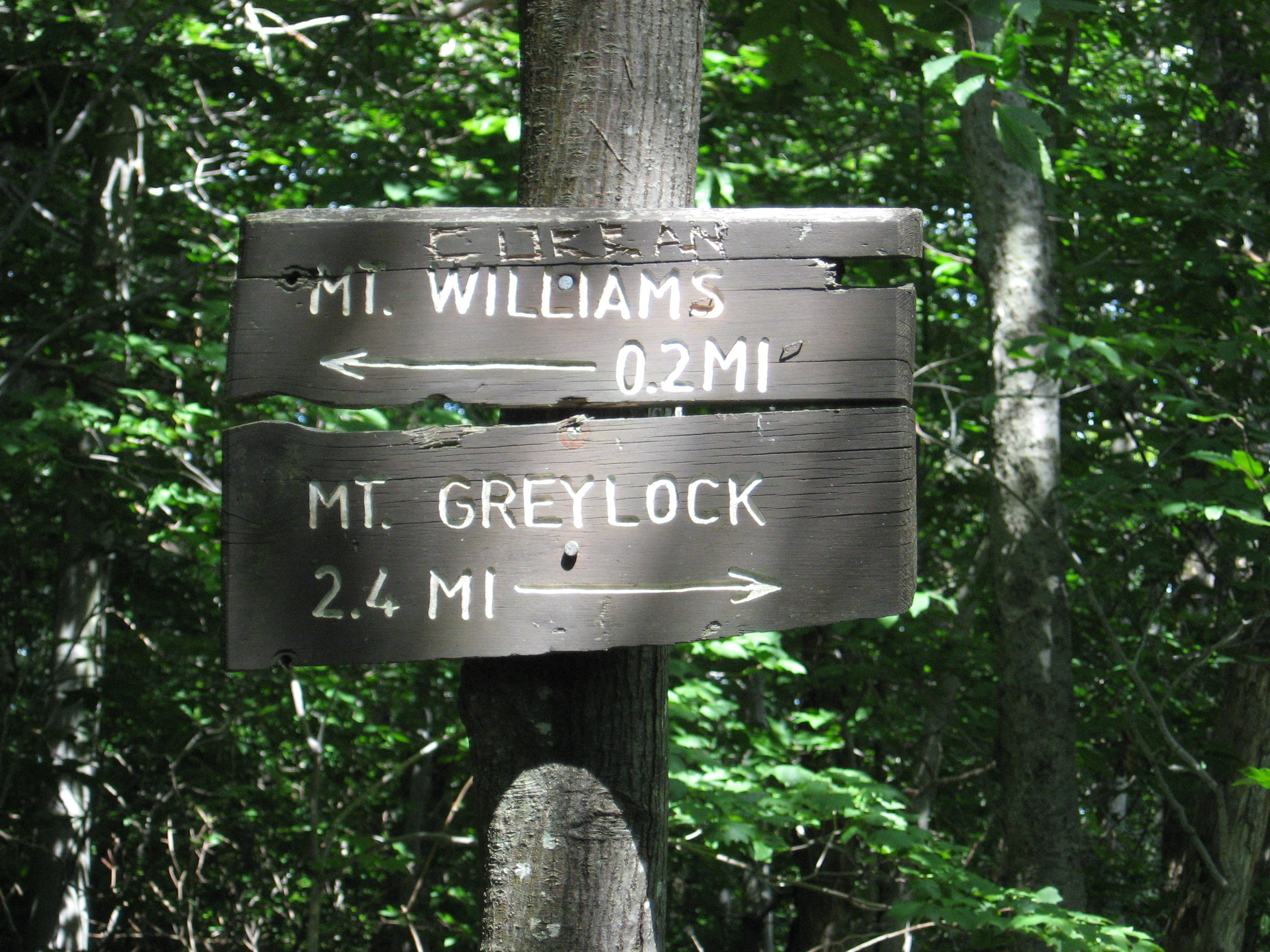
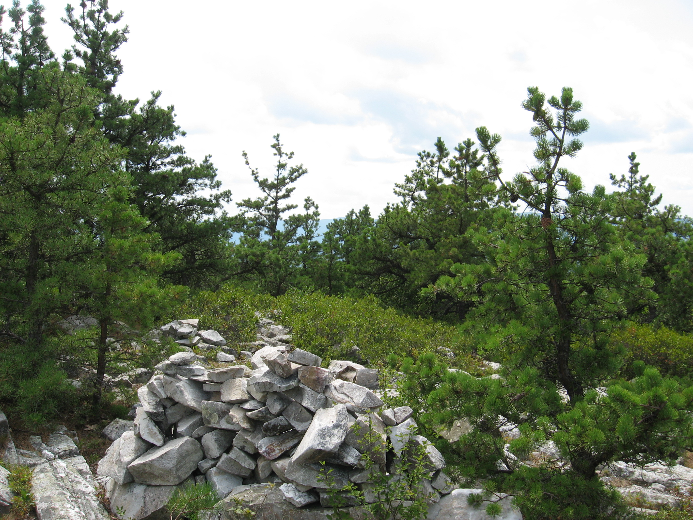
| 1583.2 | Jones Nose Trail, Saddle Ball Mountain (3,150') | 3150 |
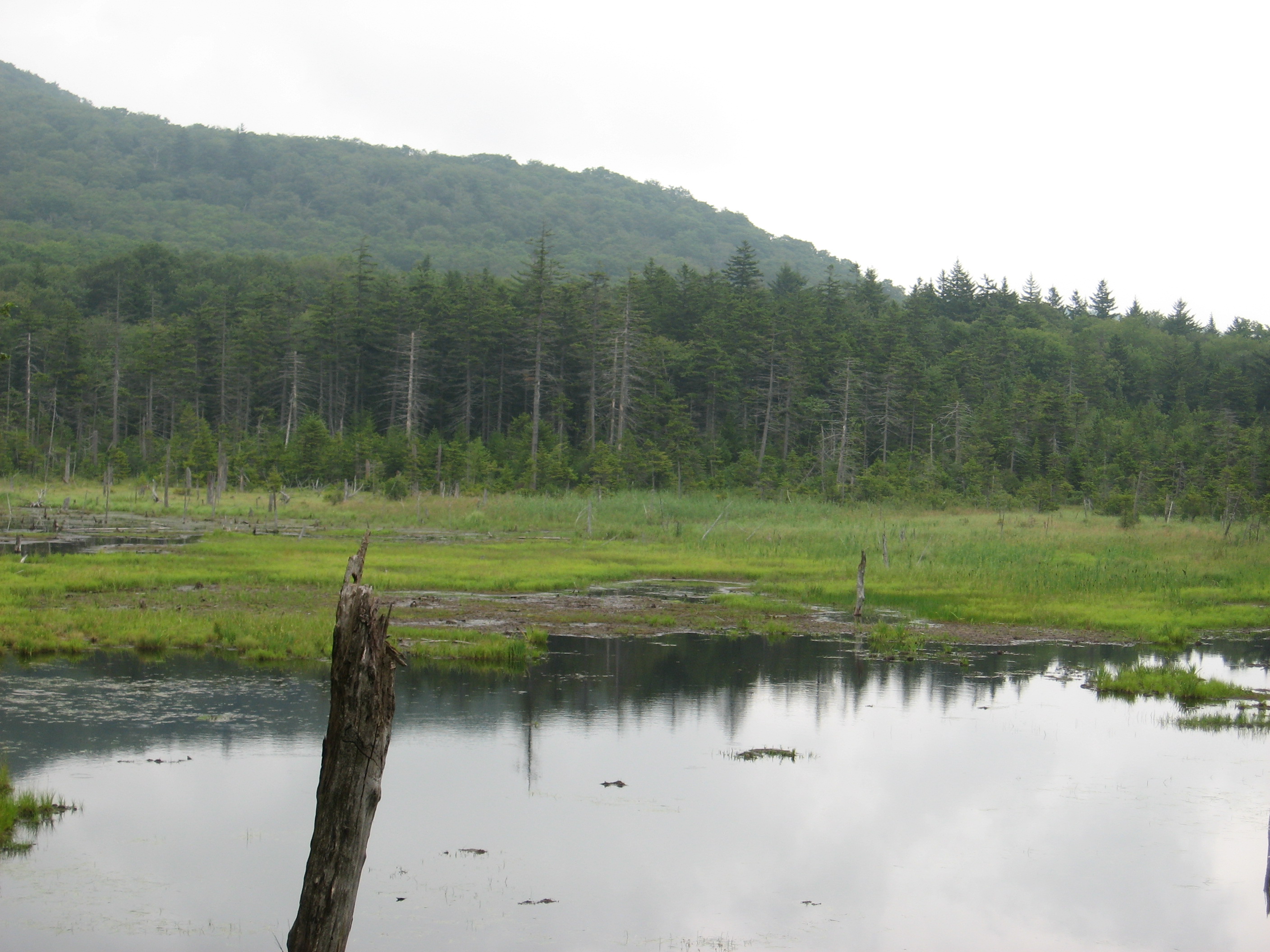
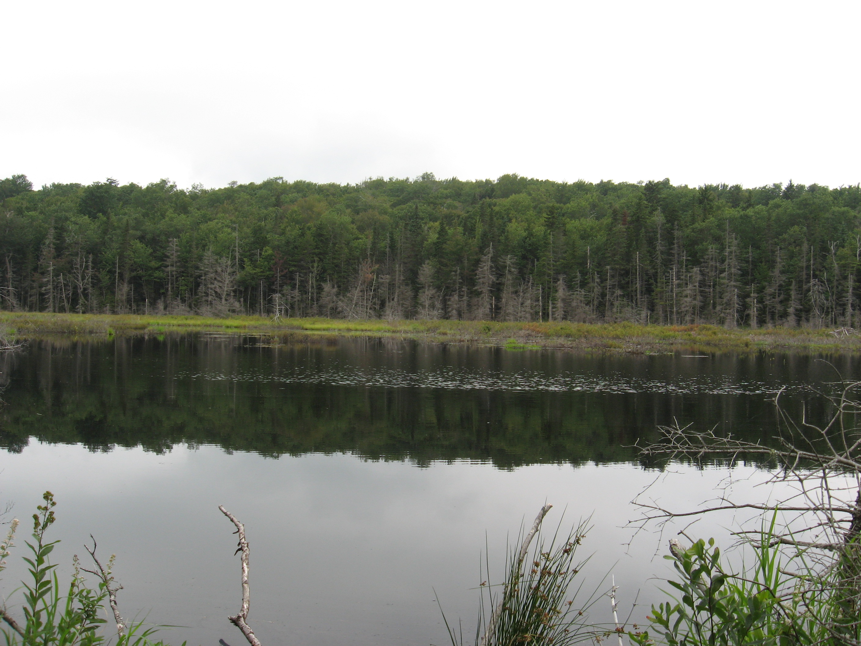
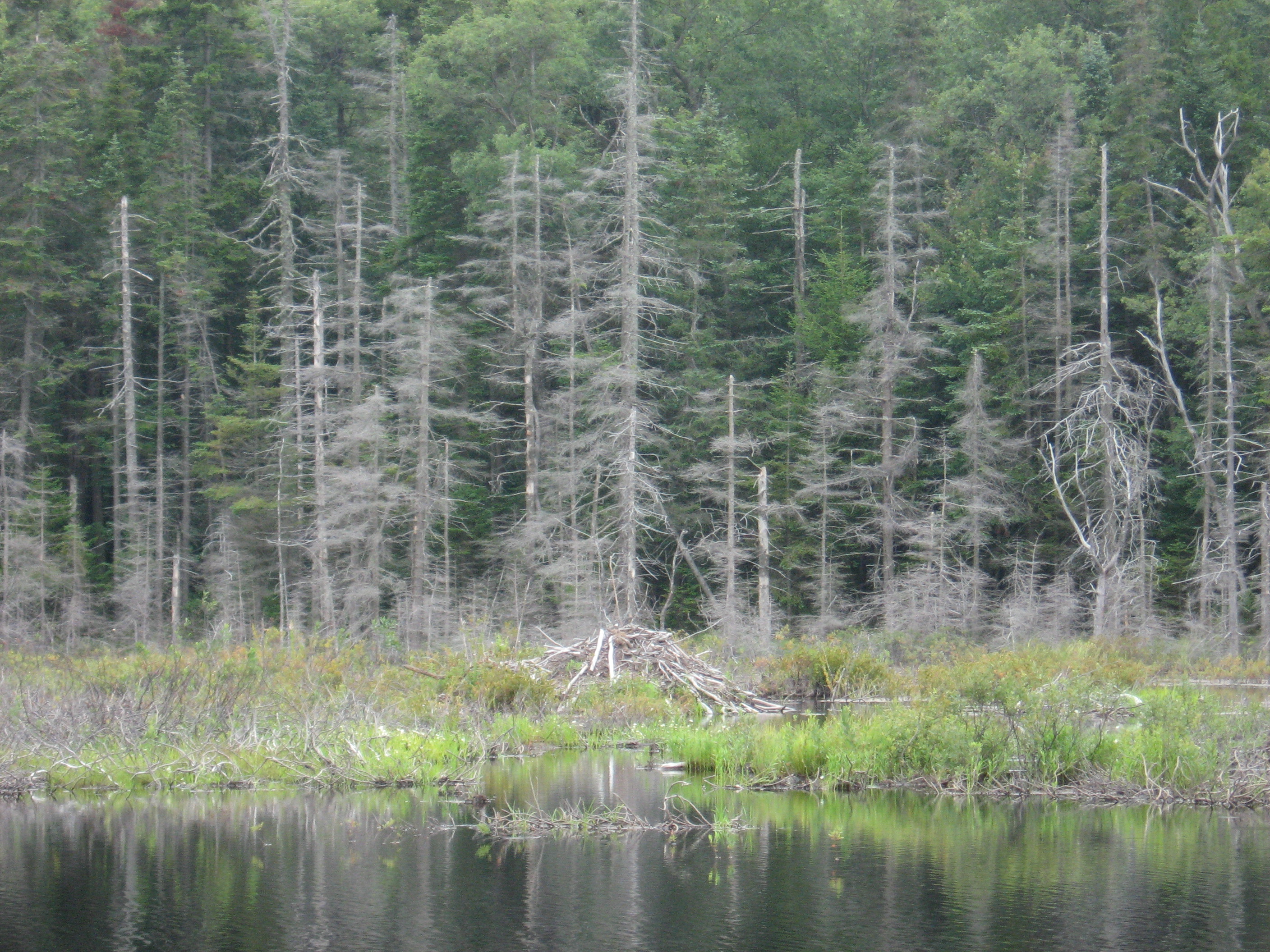
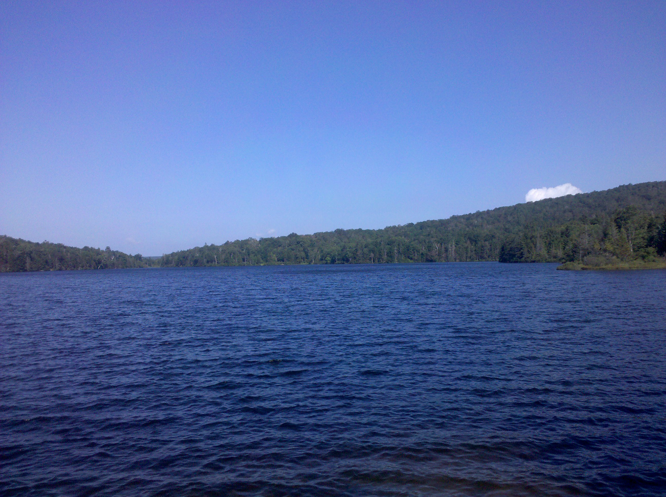
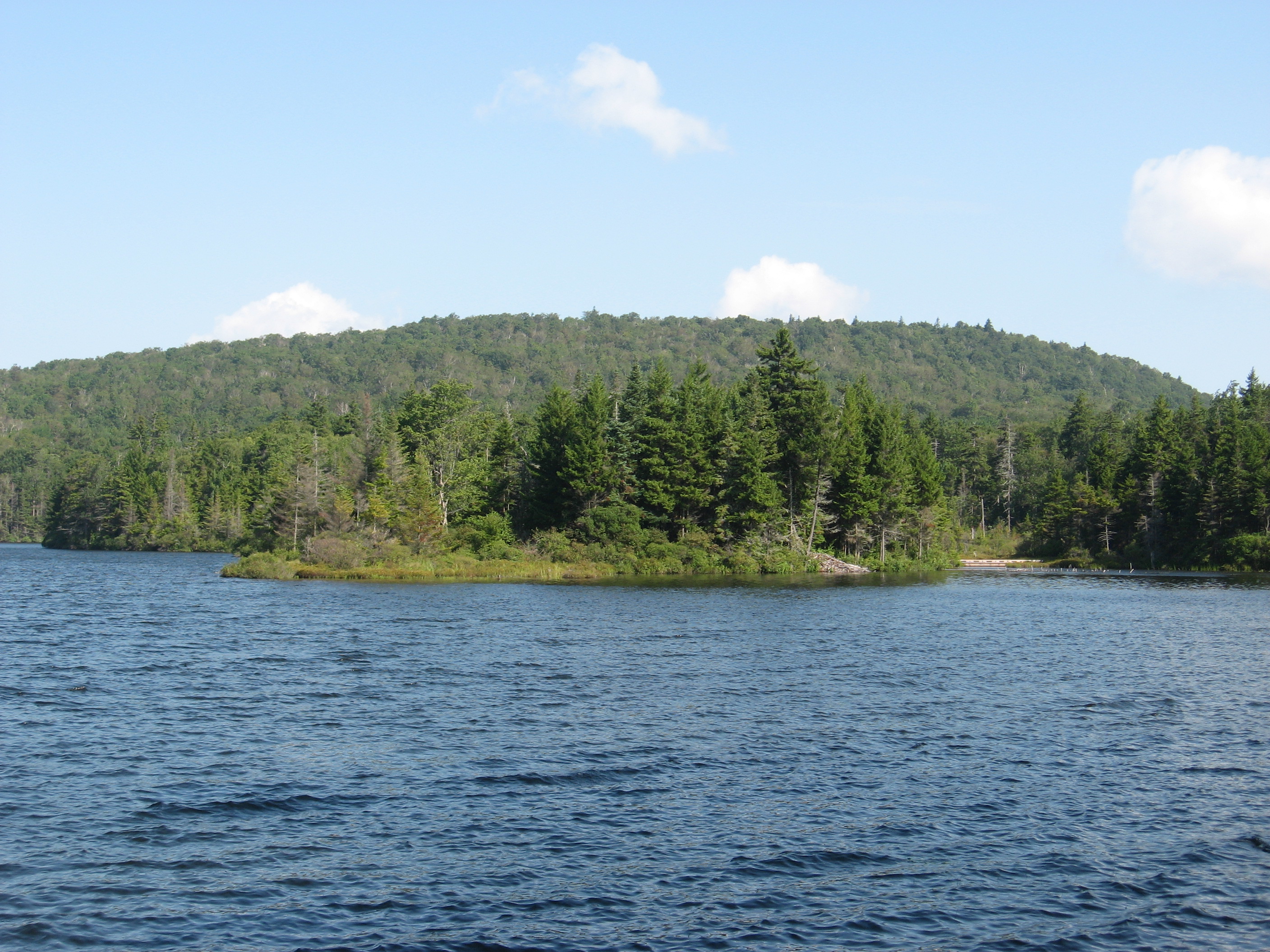
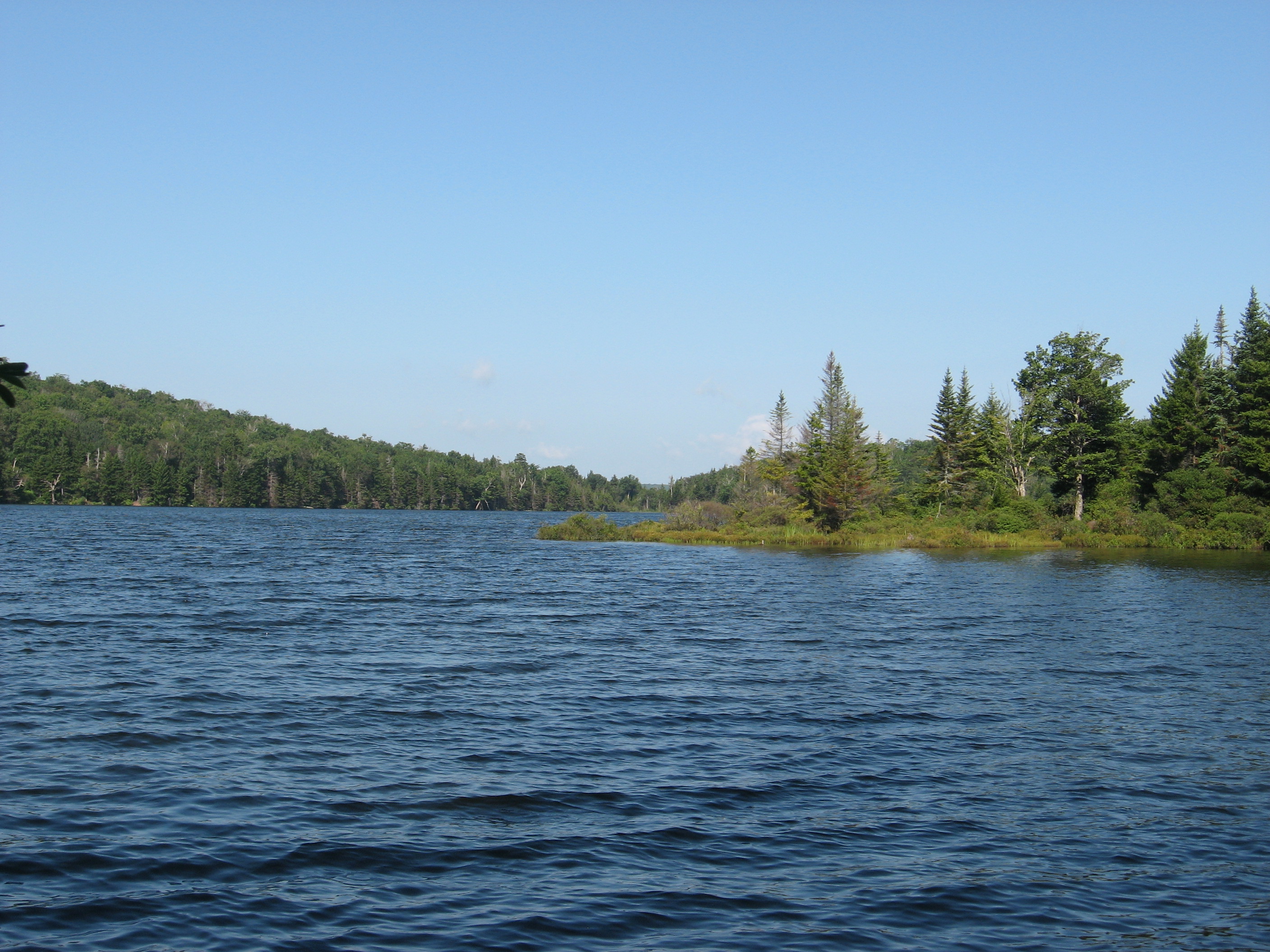
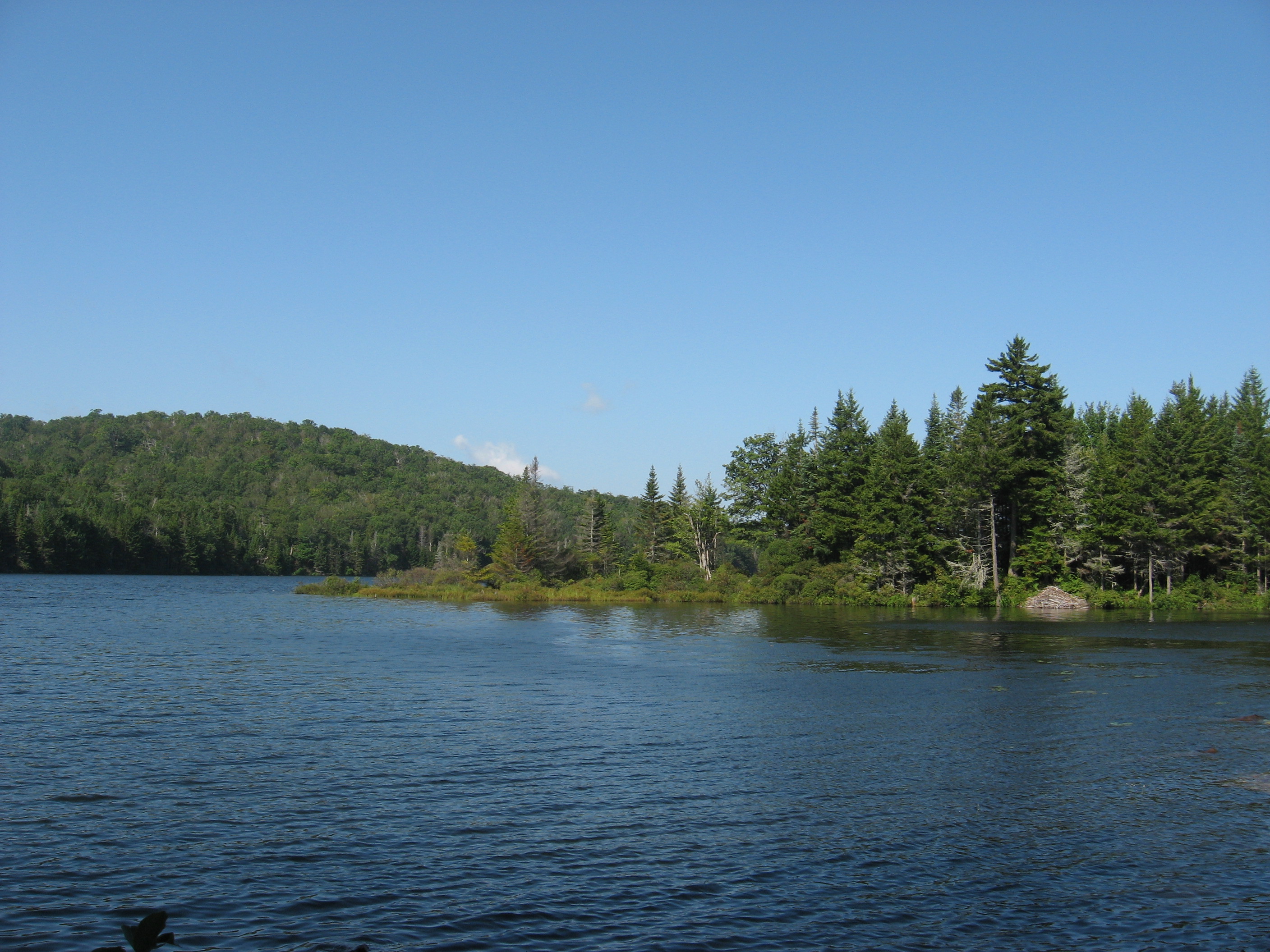
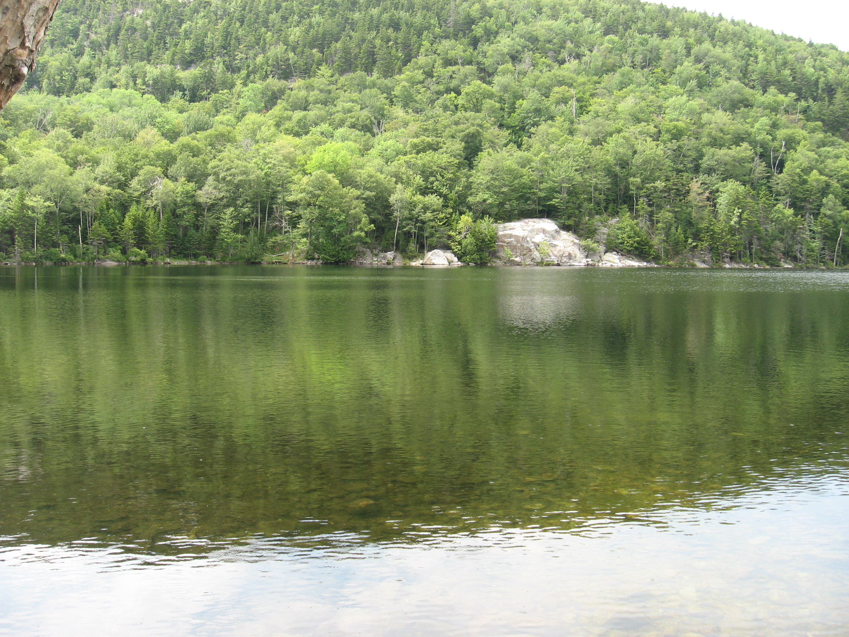
| 1585.4 | Notch Road; Rockwell Road (3,290')?pond | 3290 |
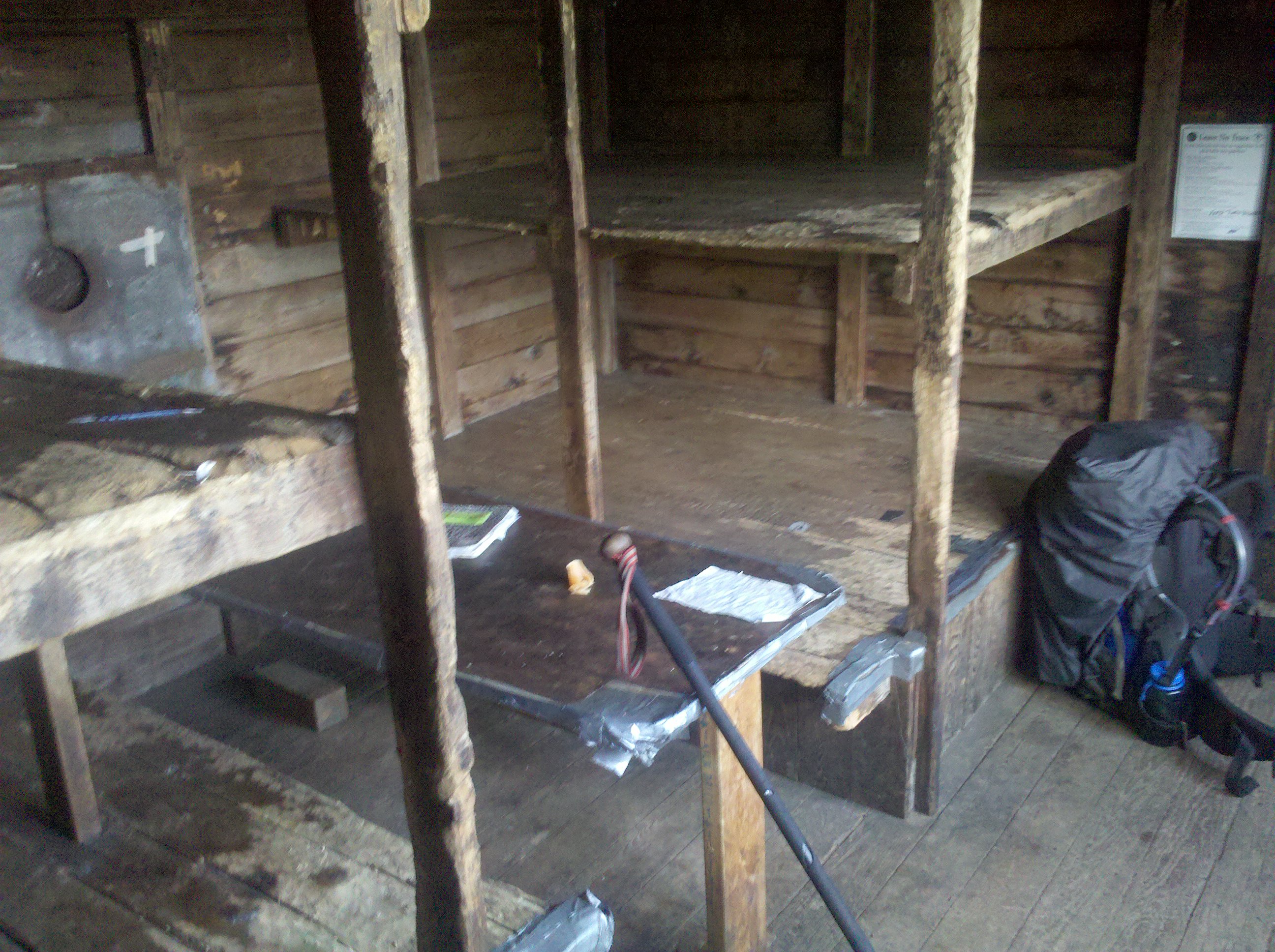
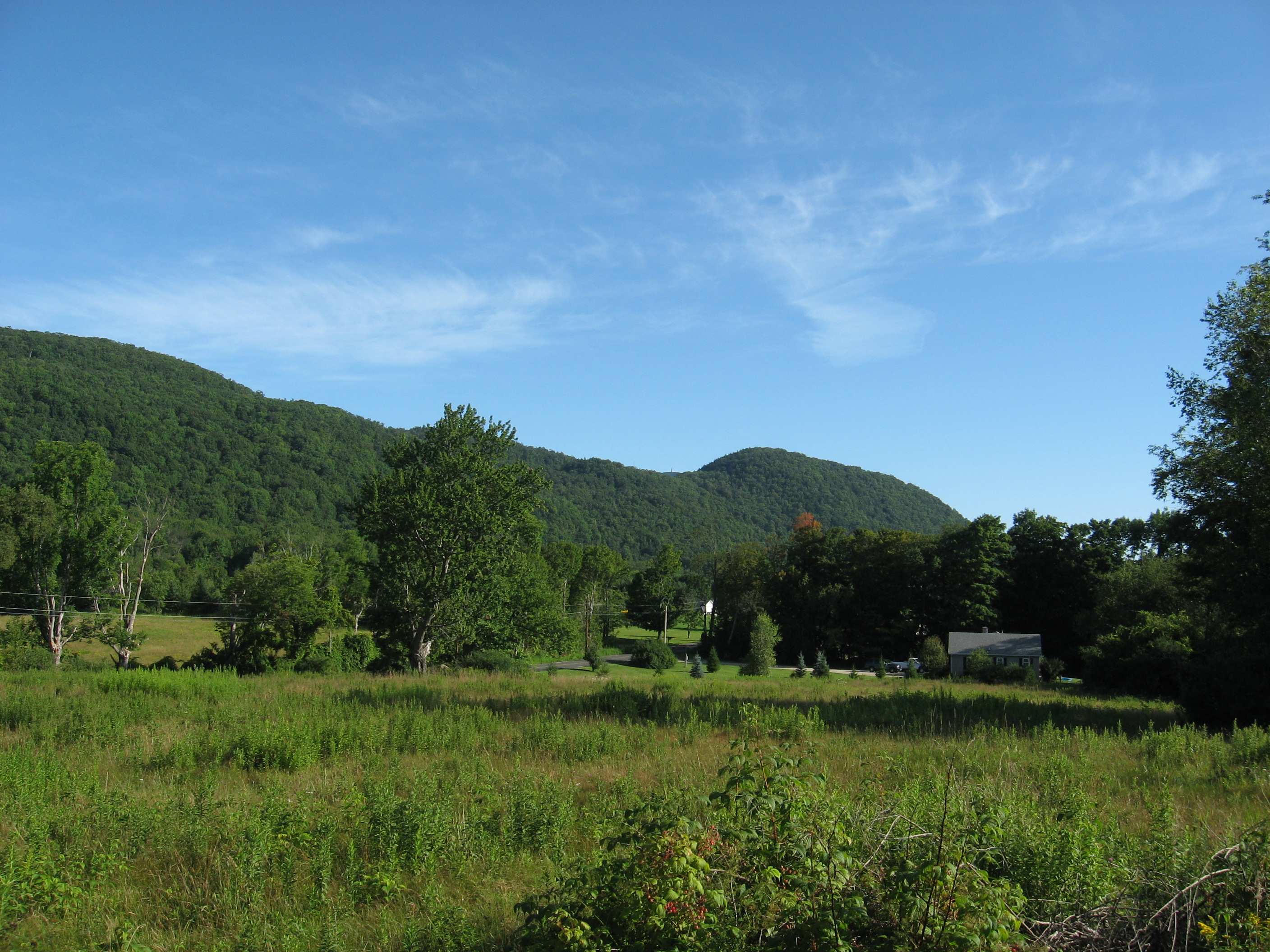
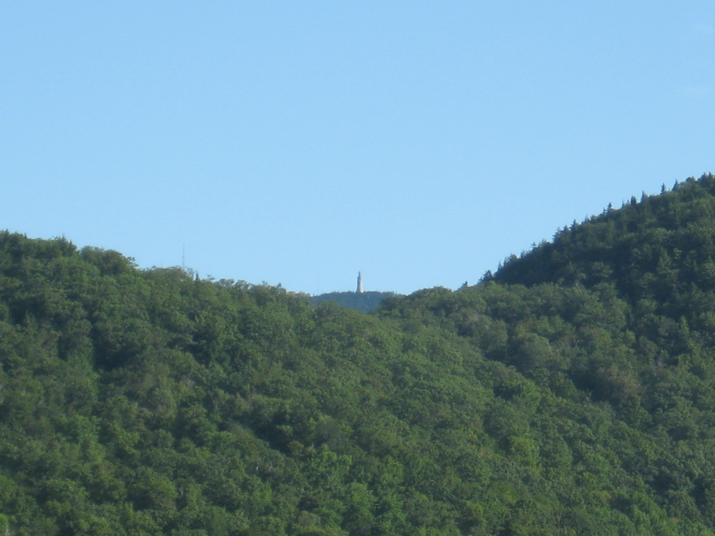
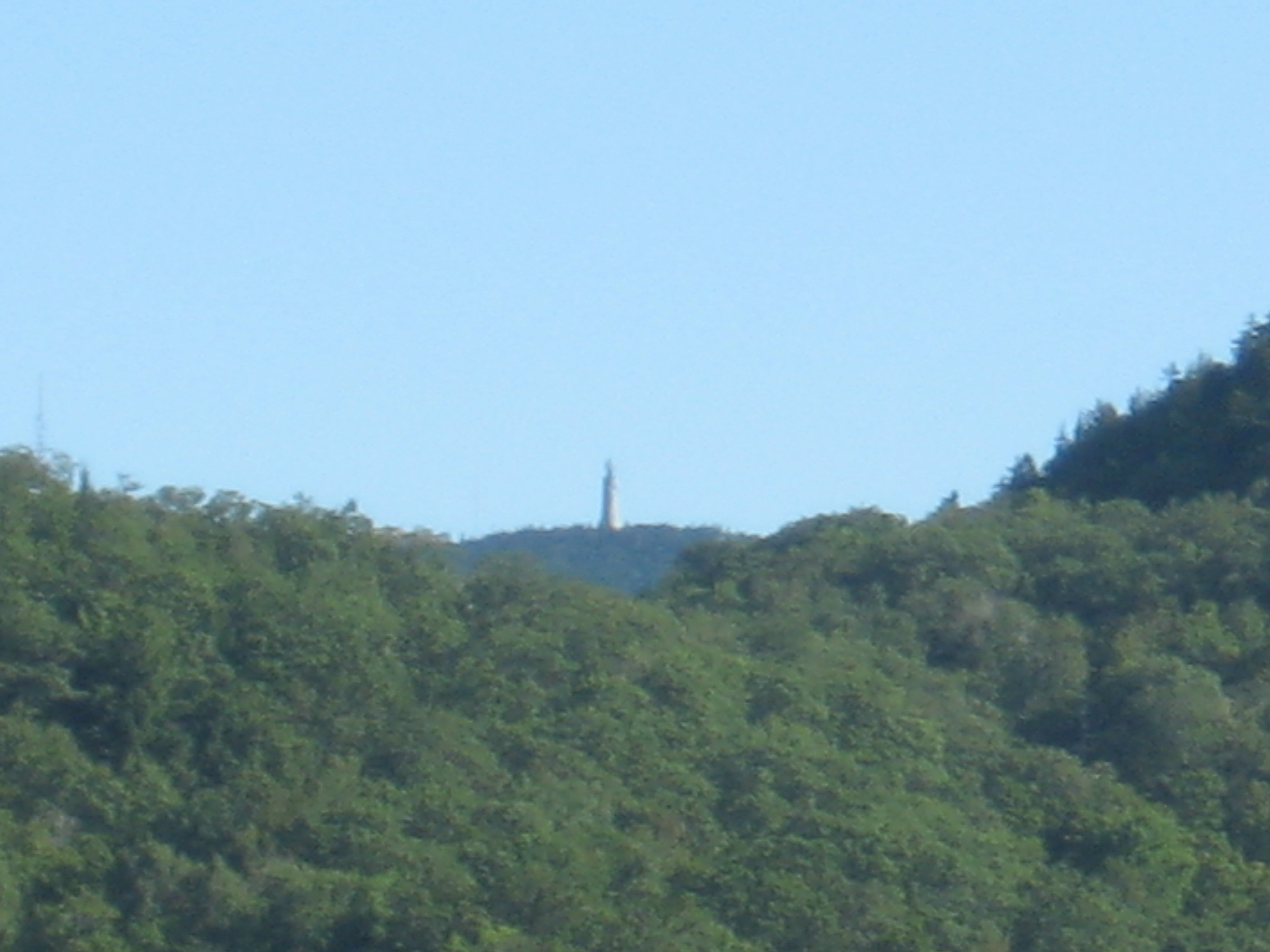
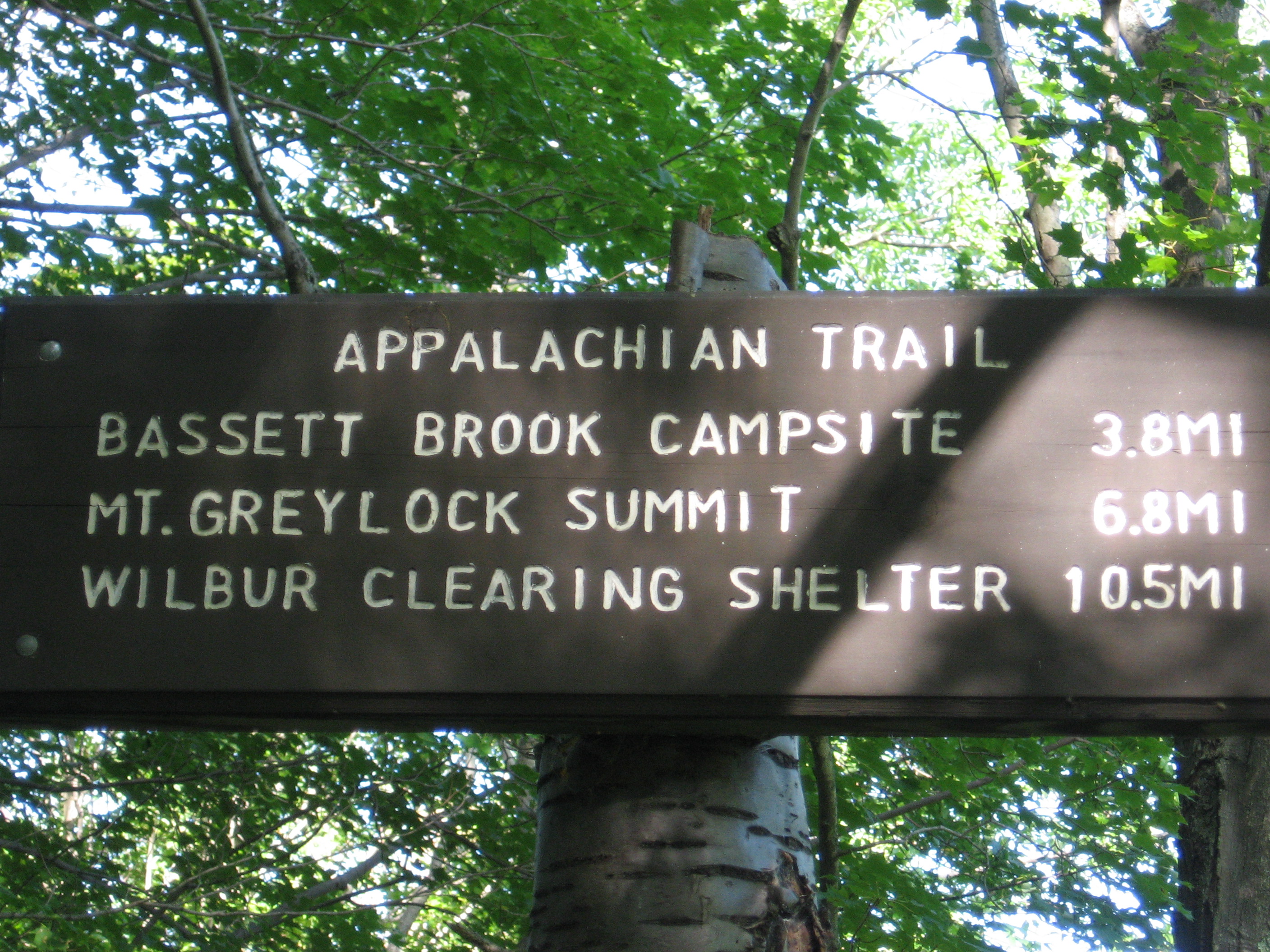
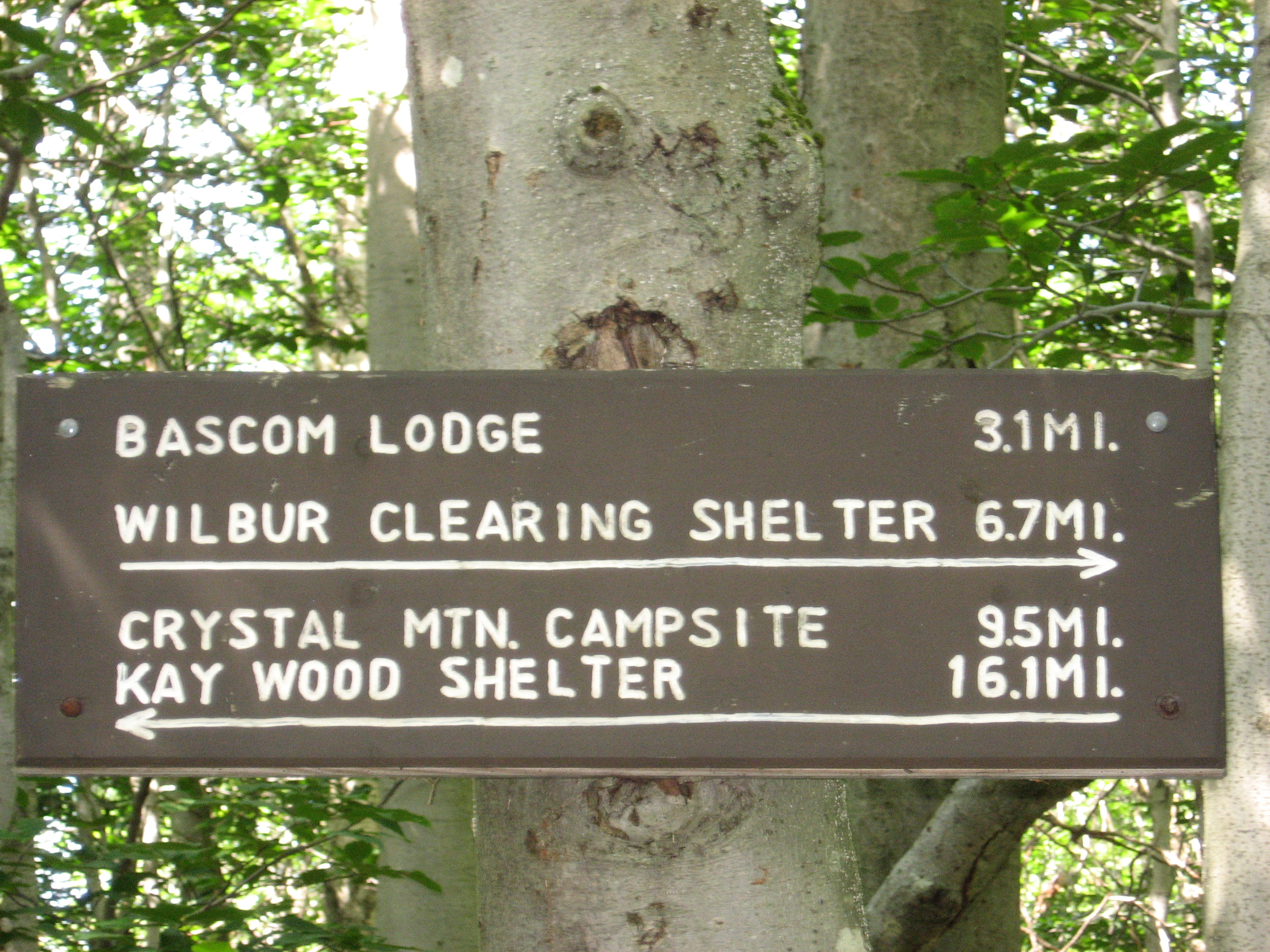
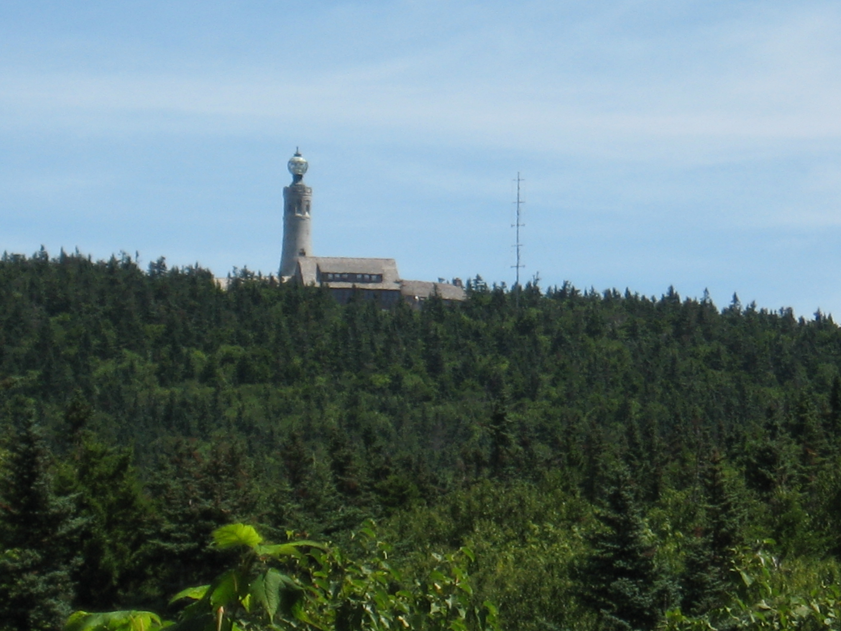
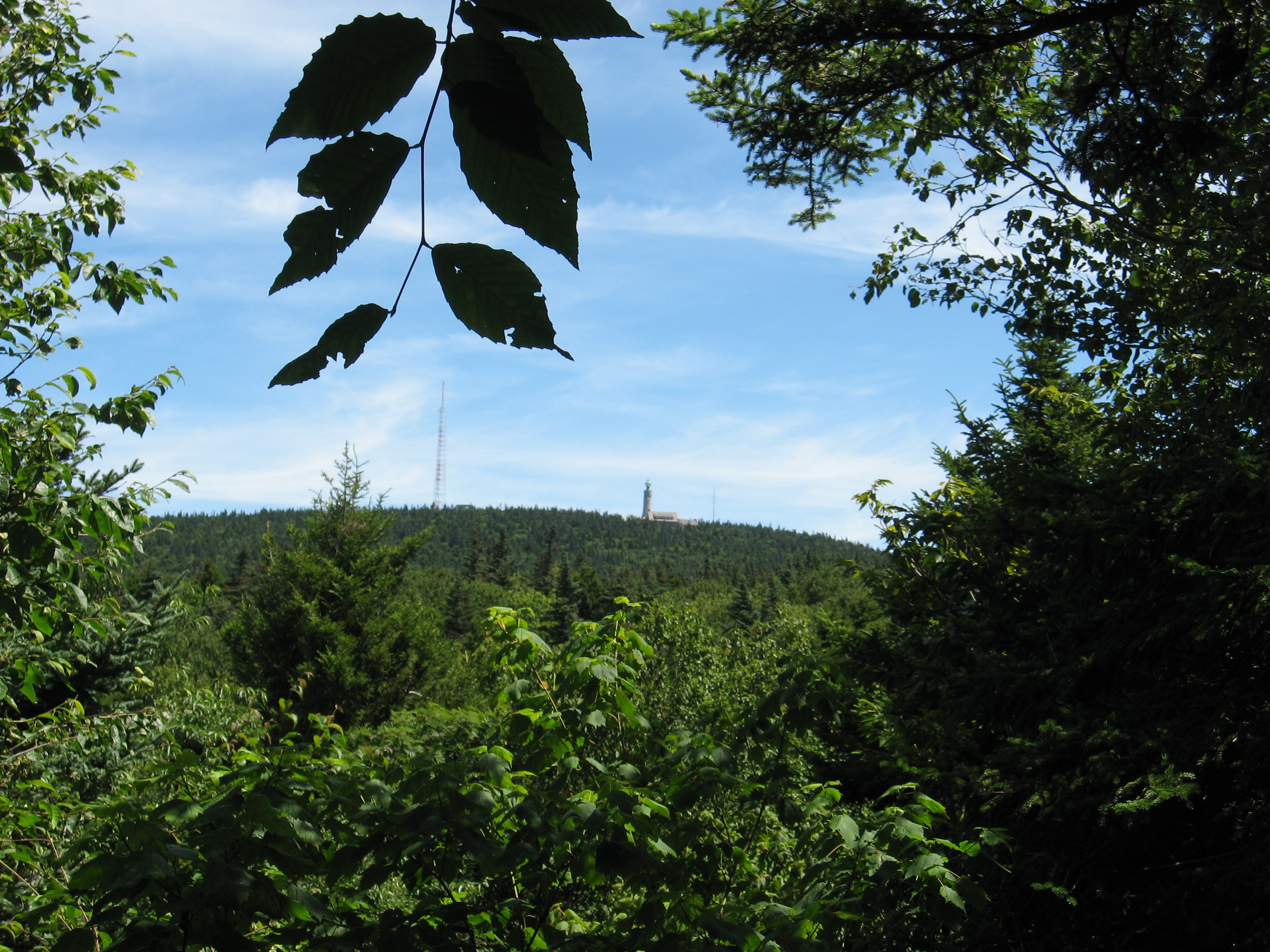
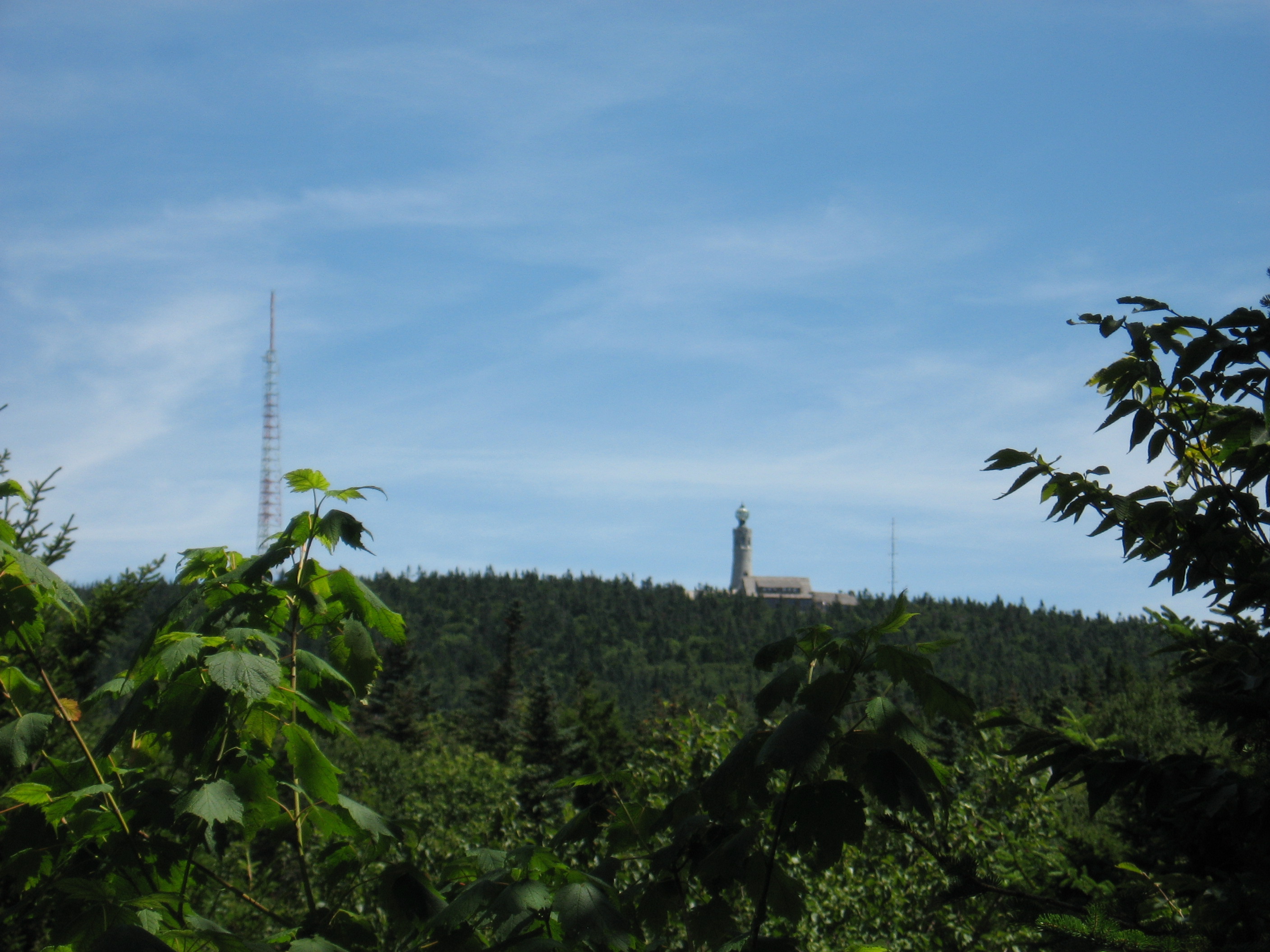
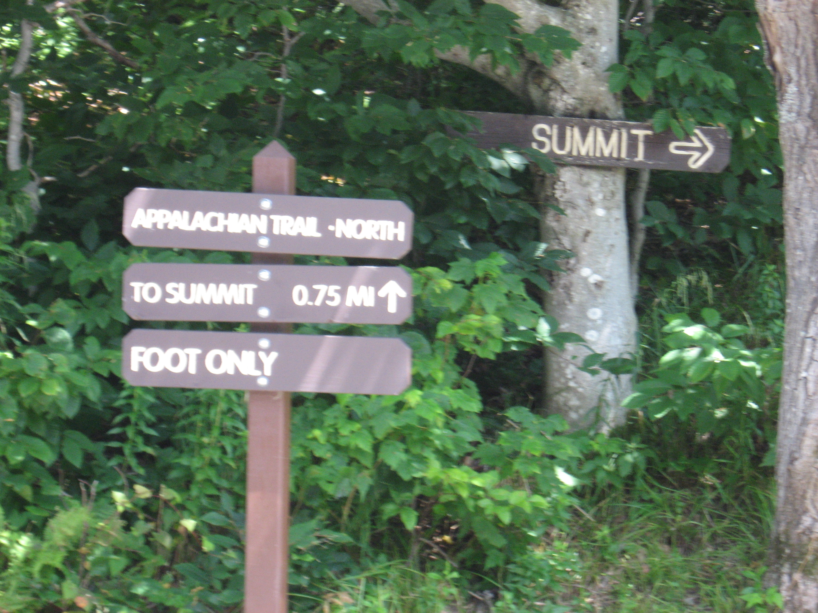
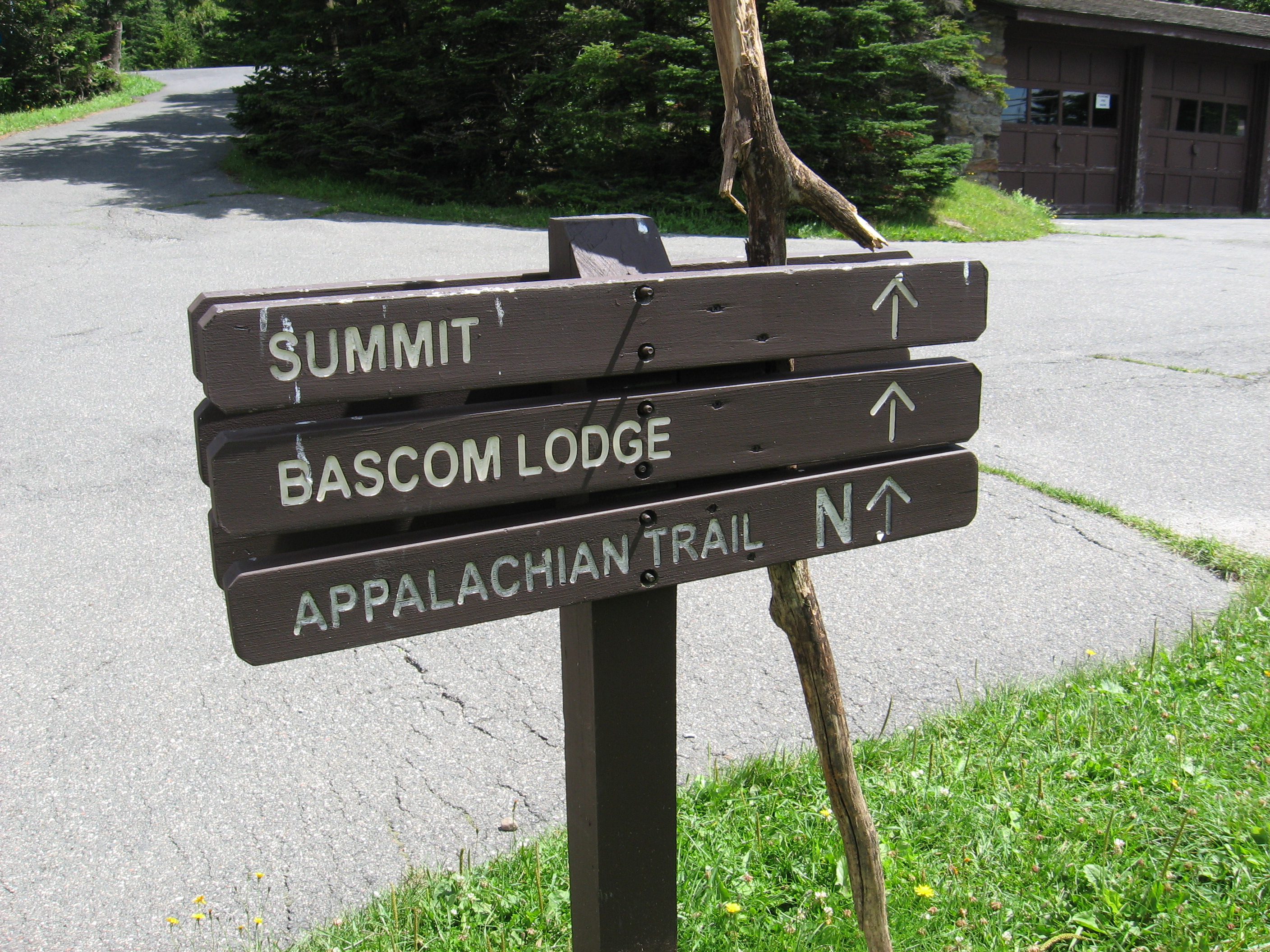
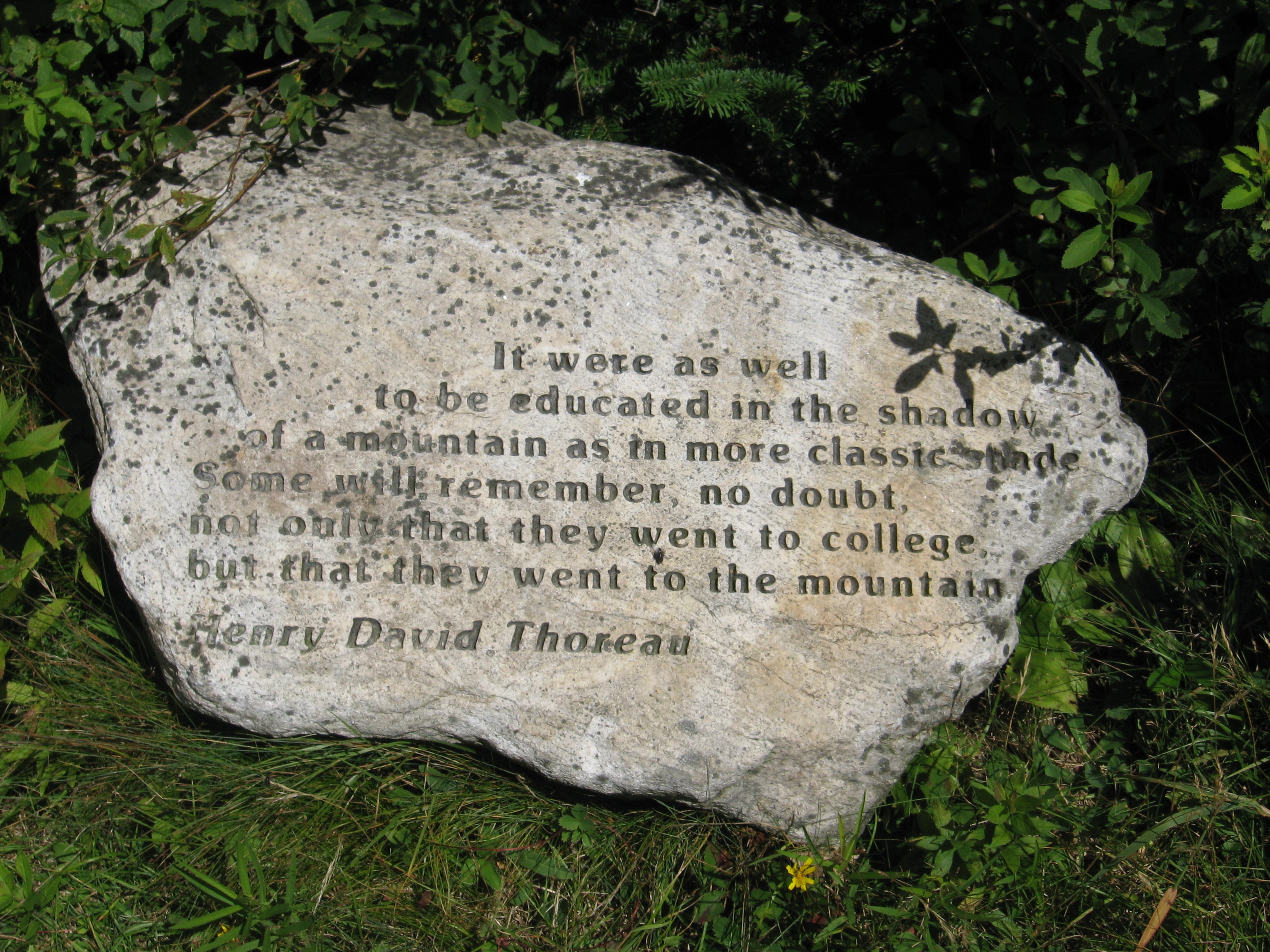
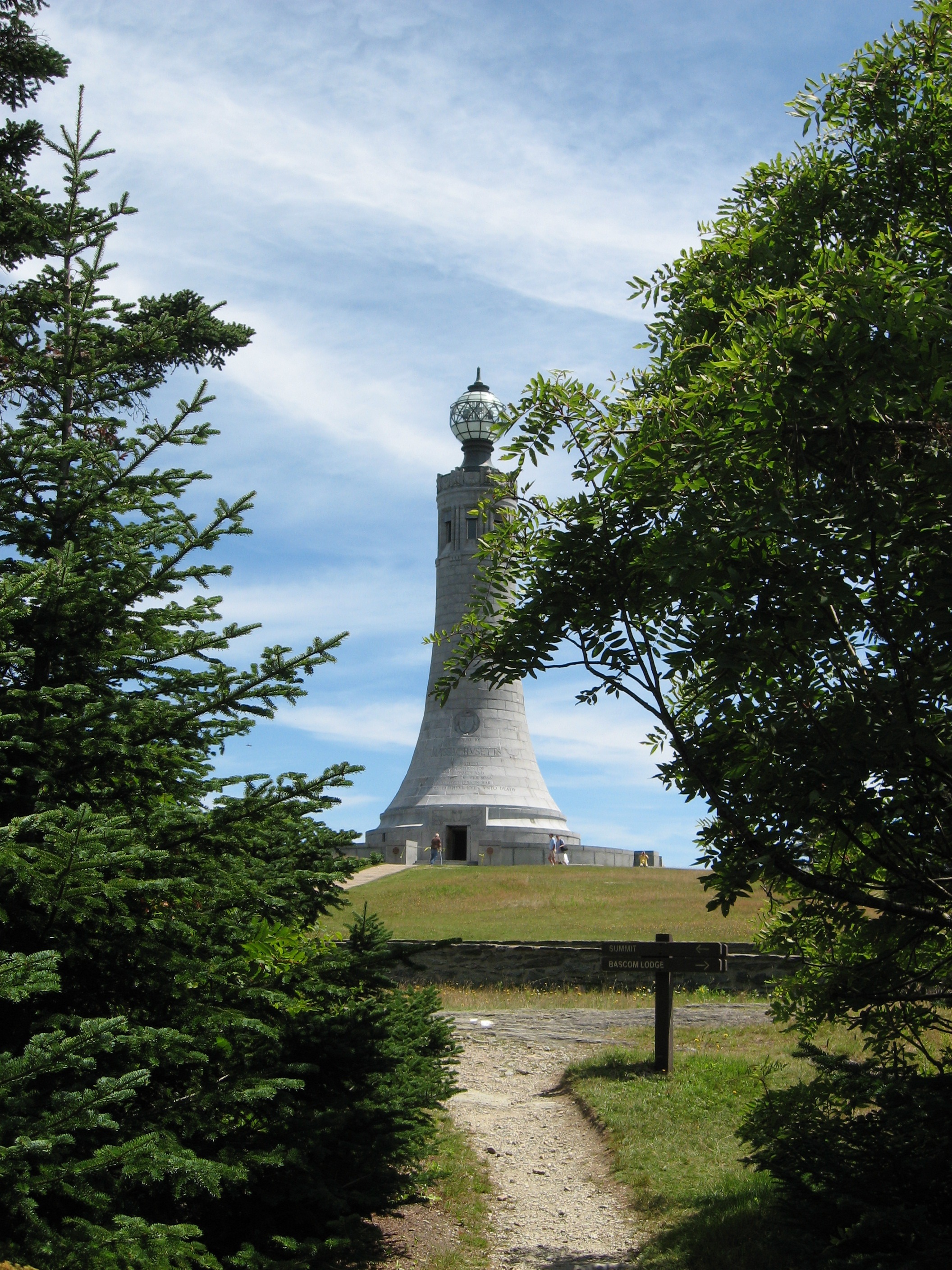
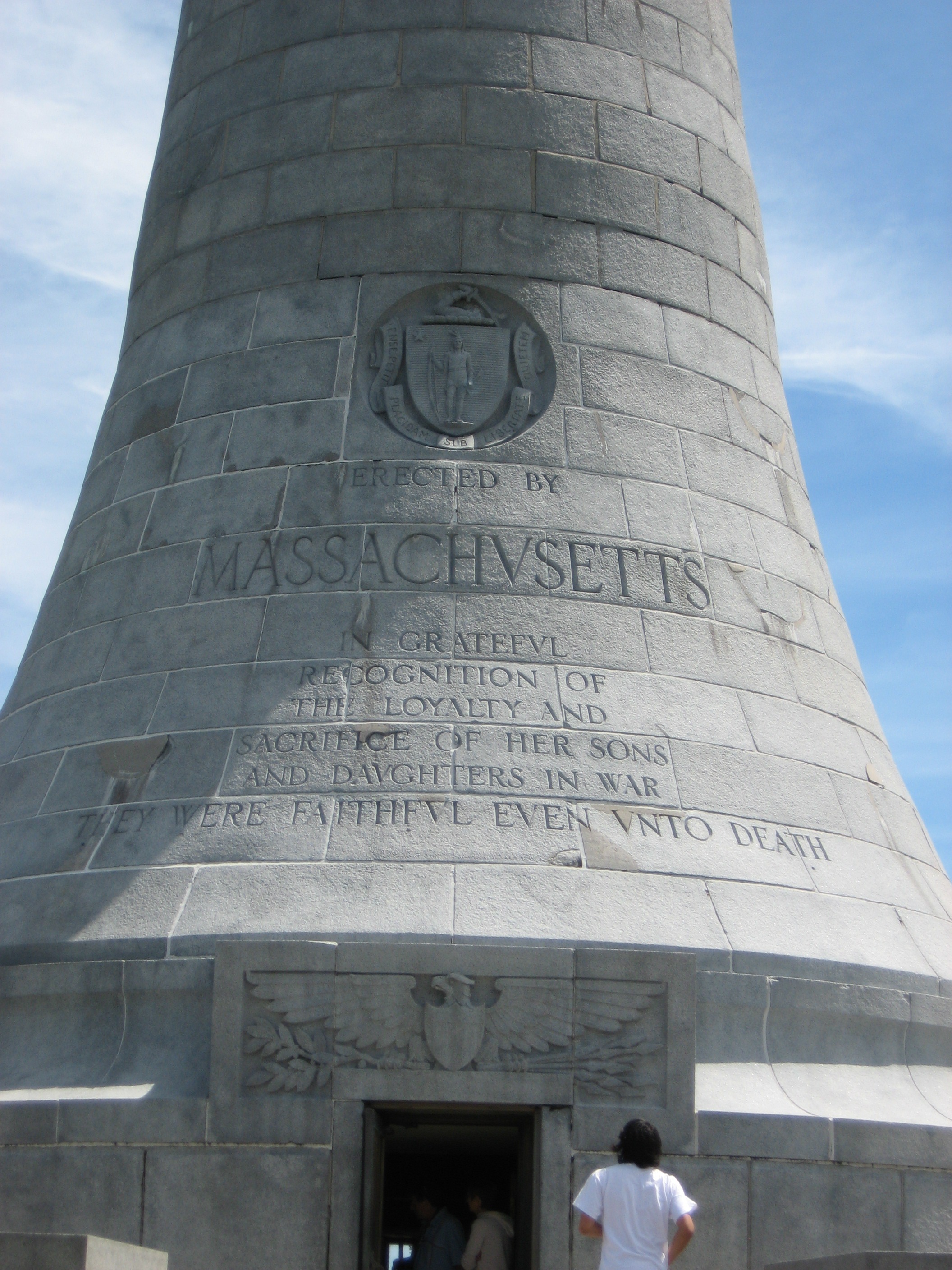
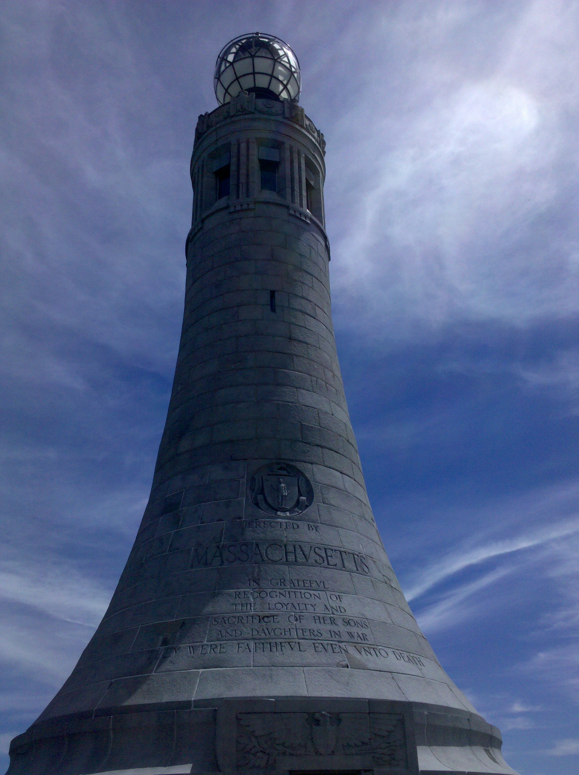
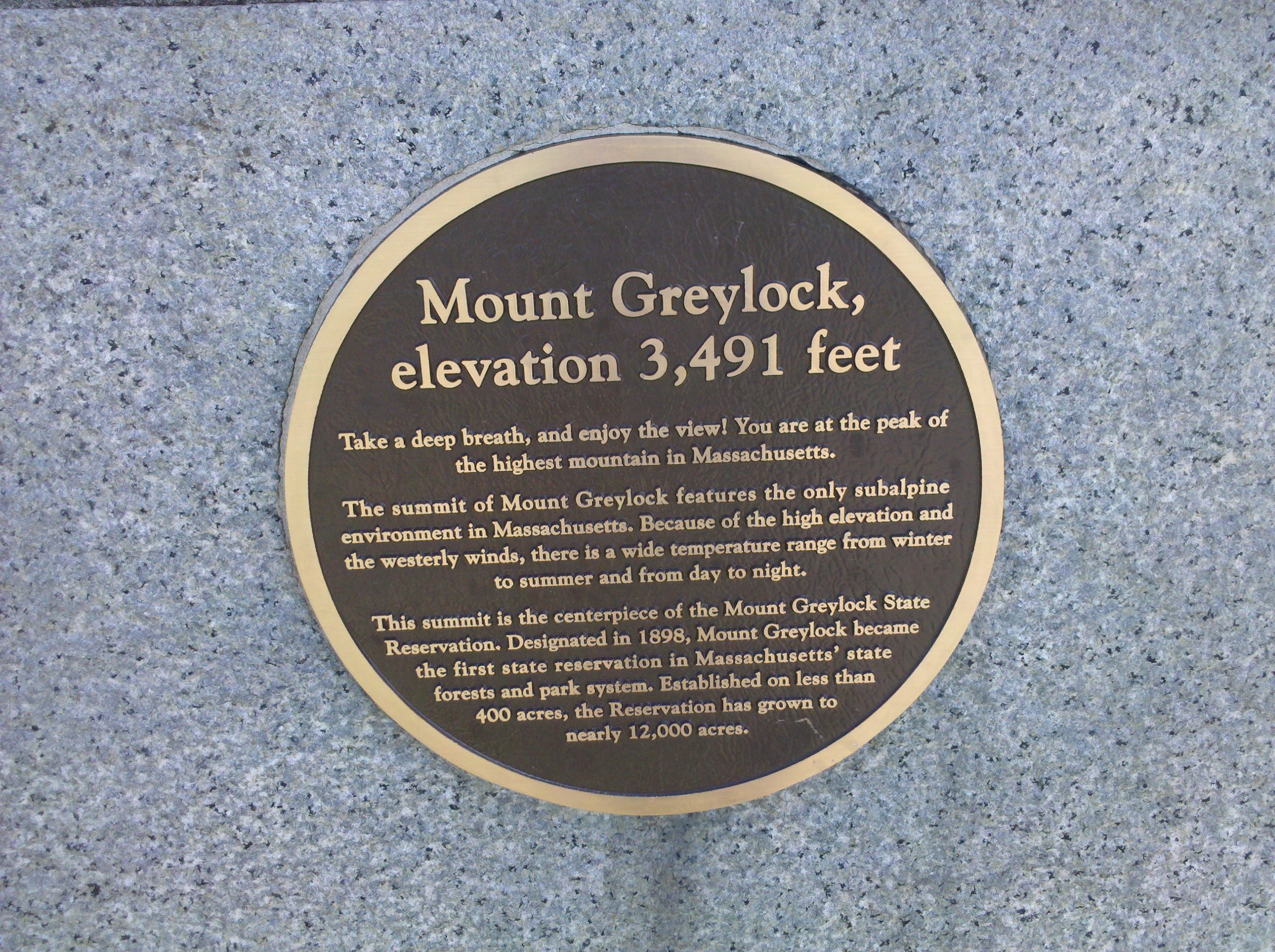
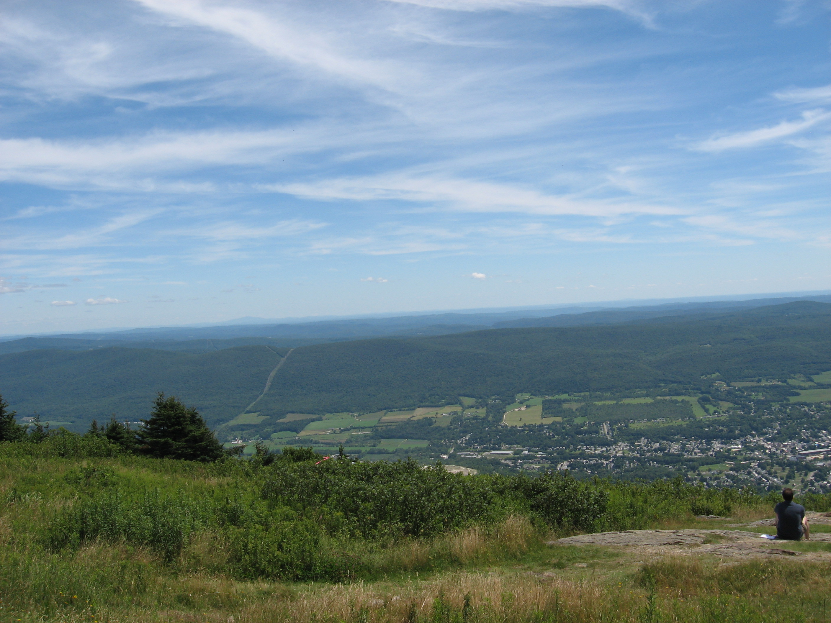
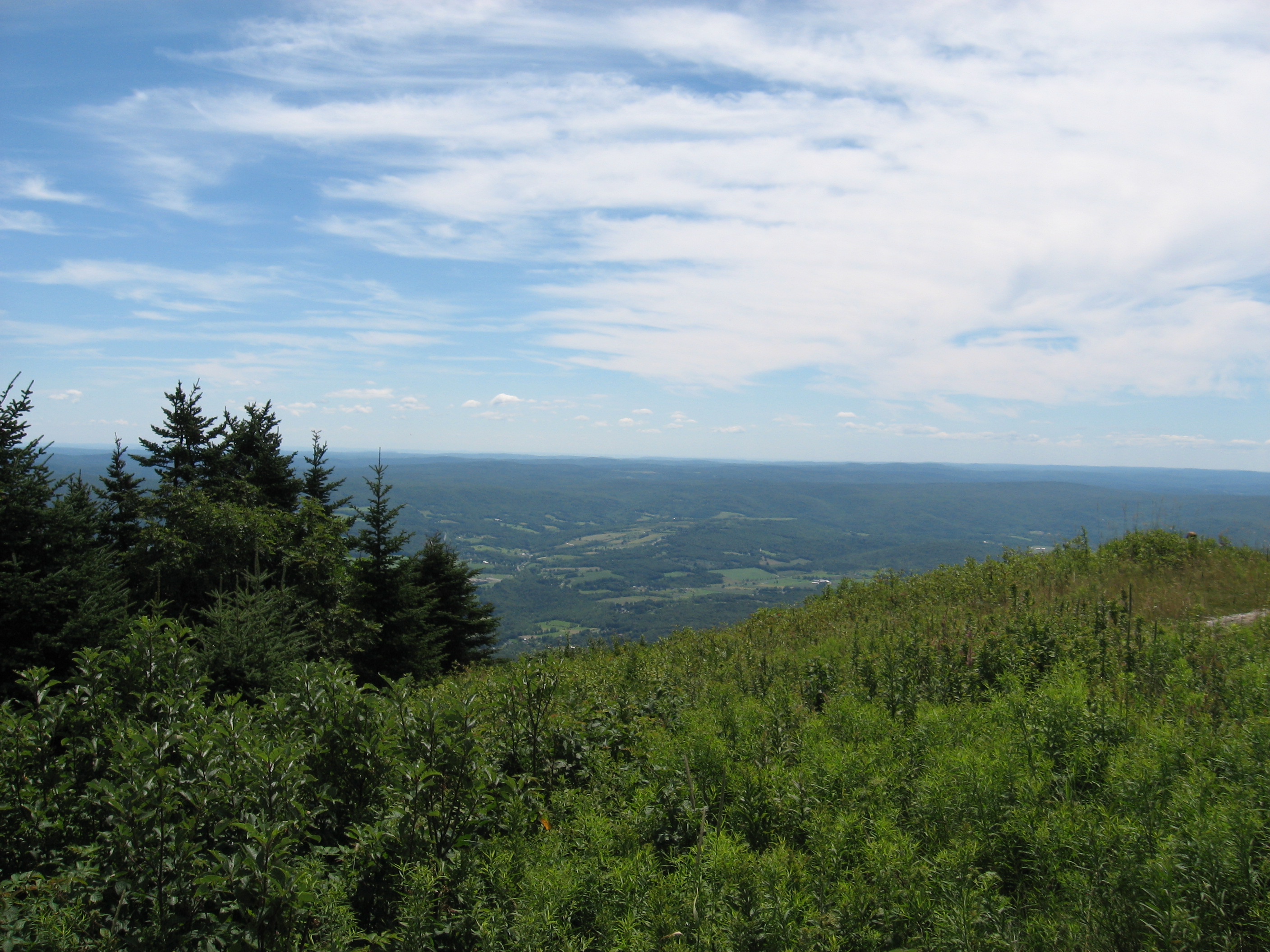
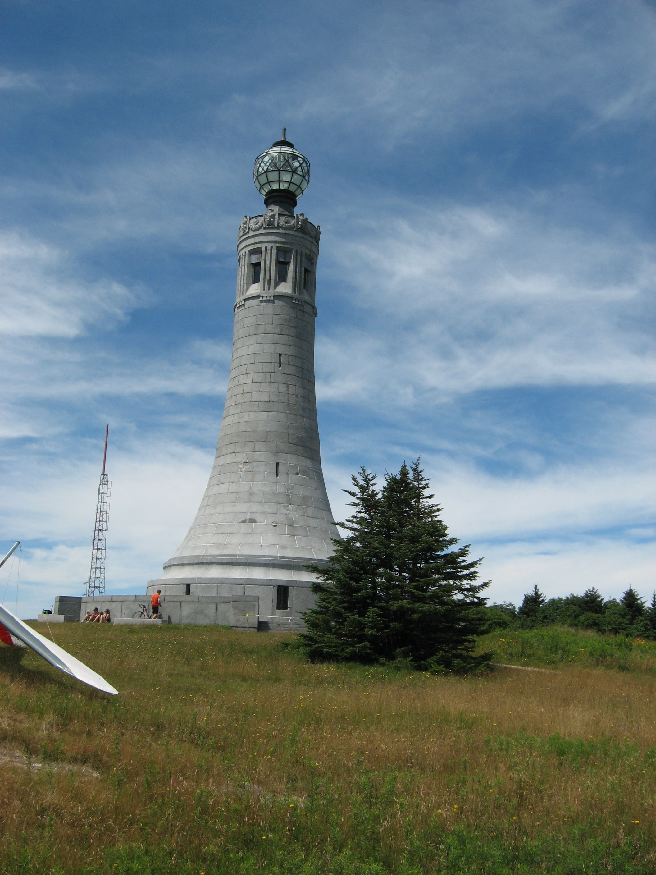
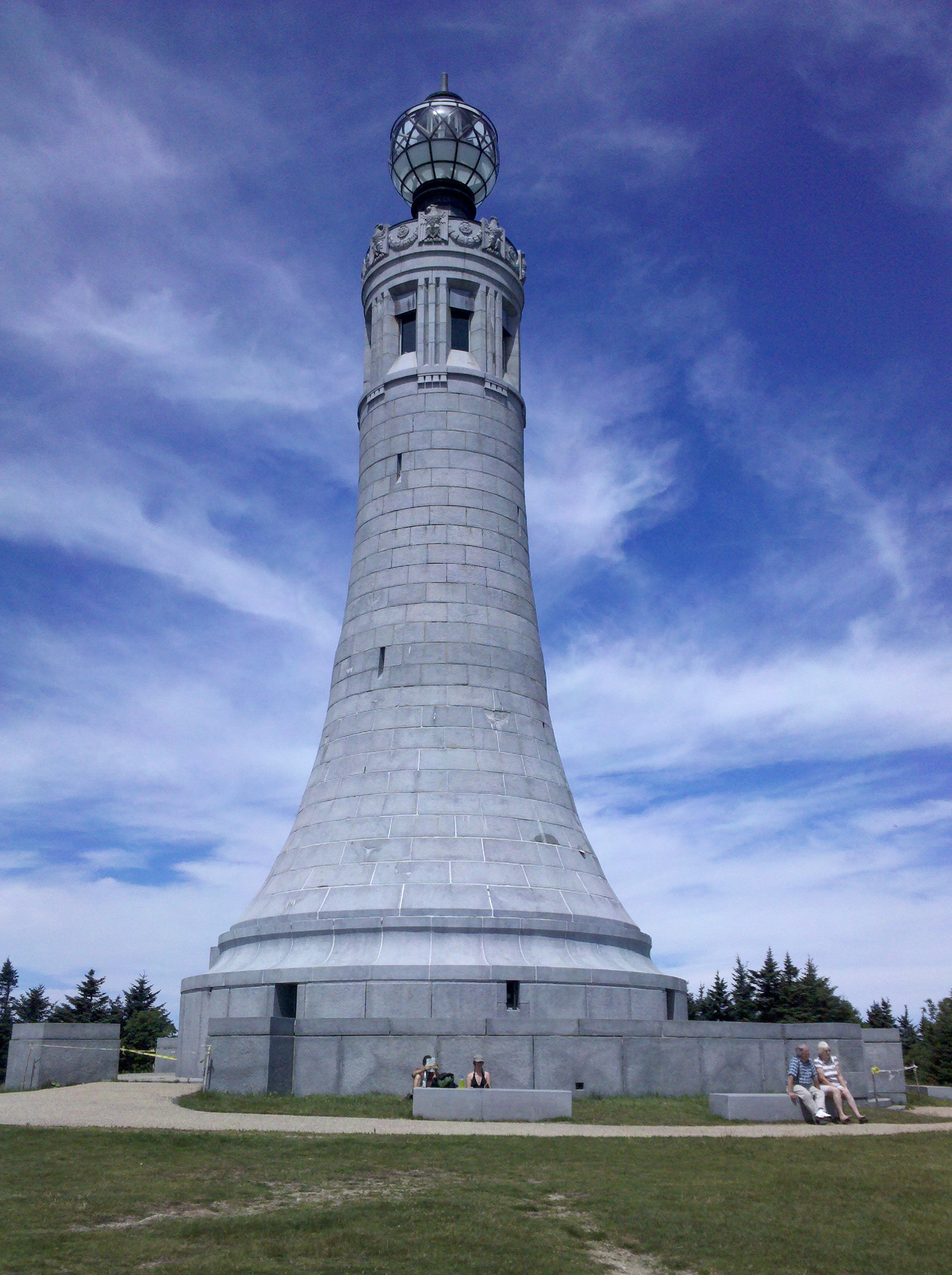
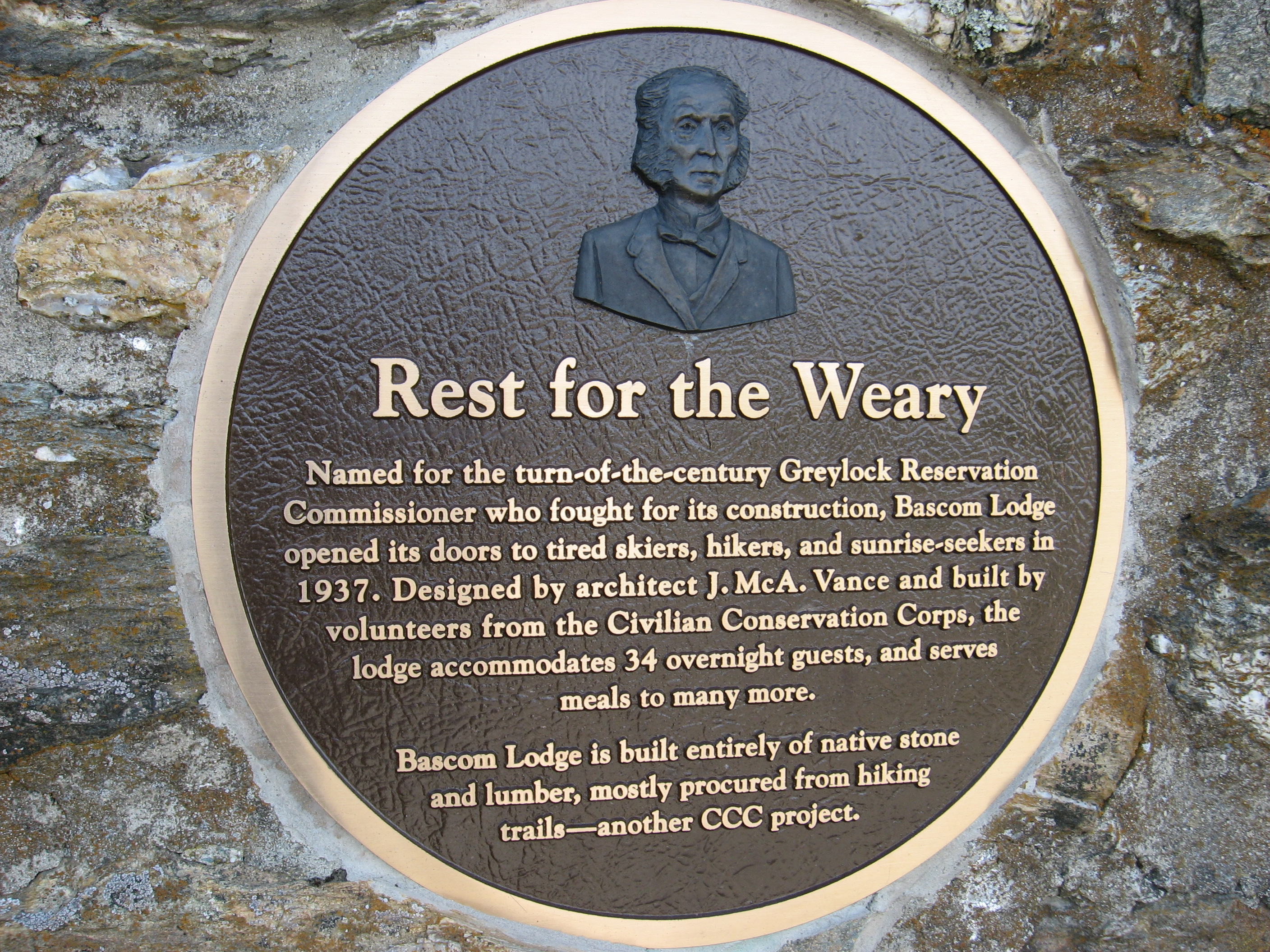
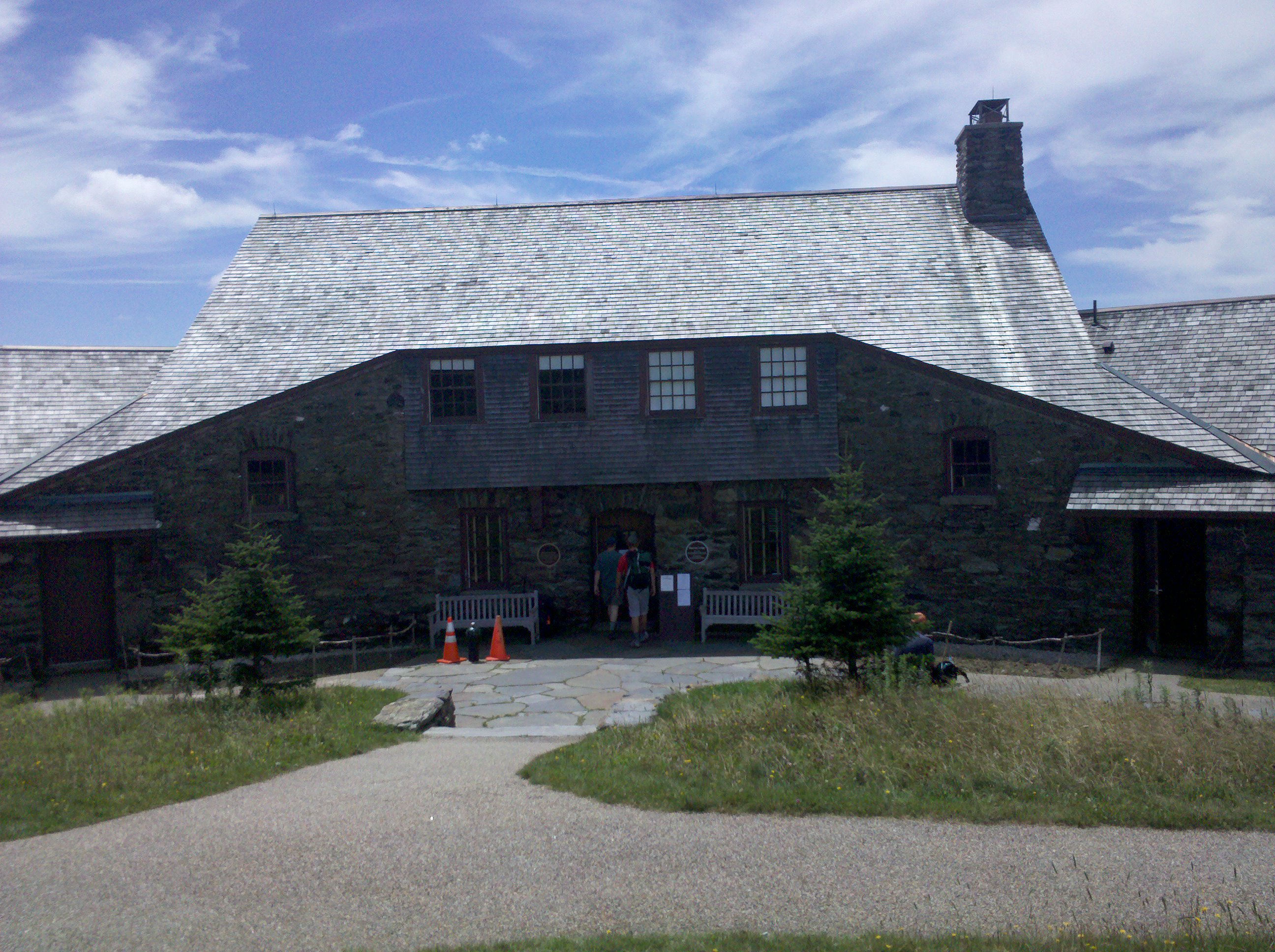
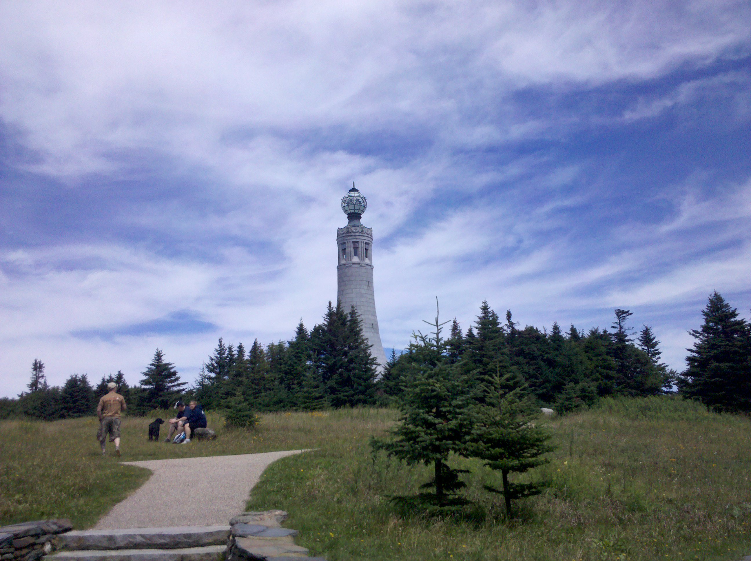
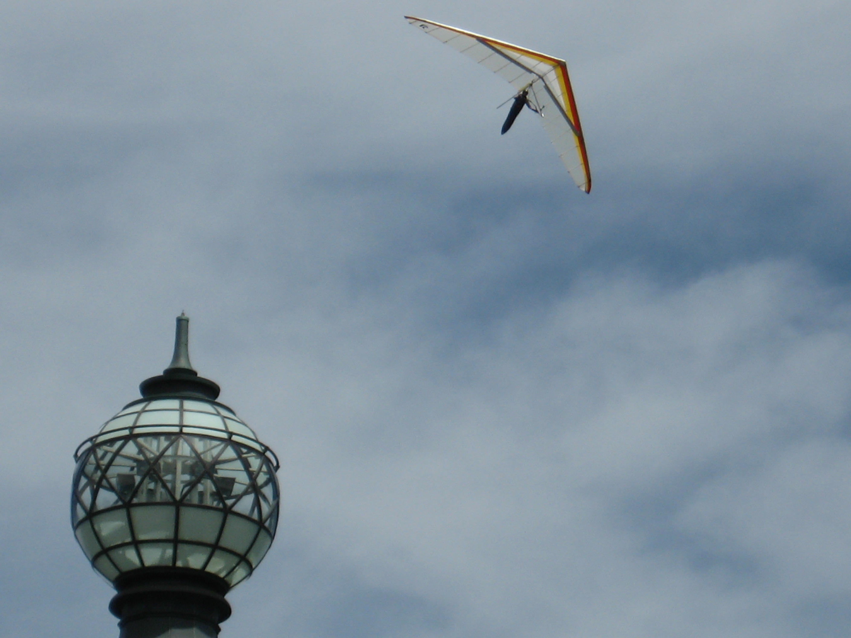
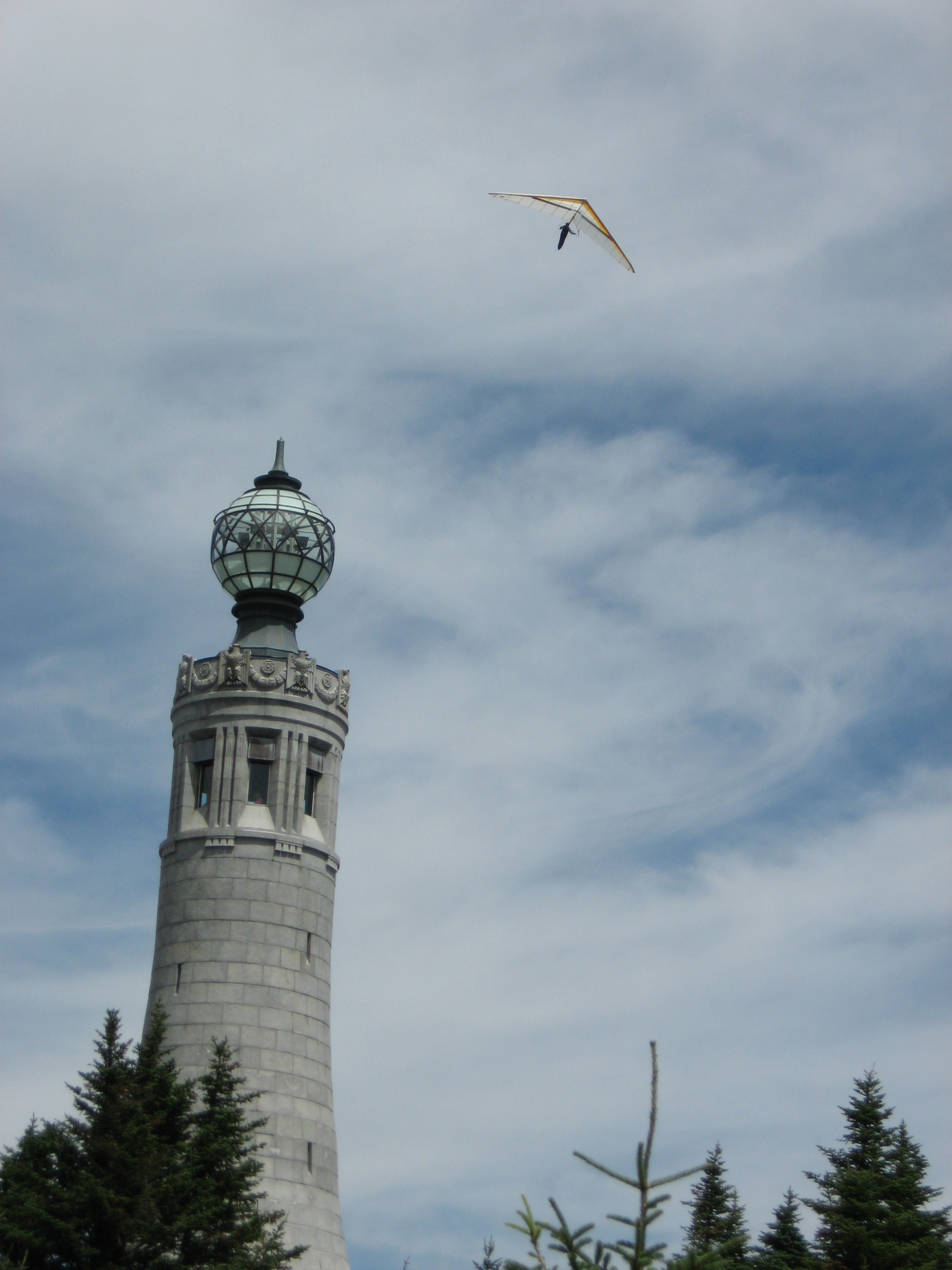
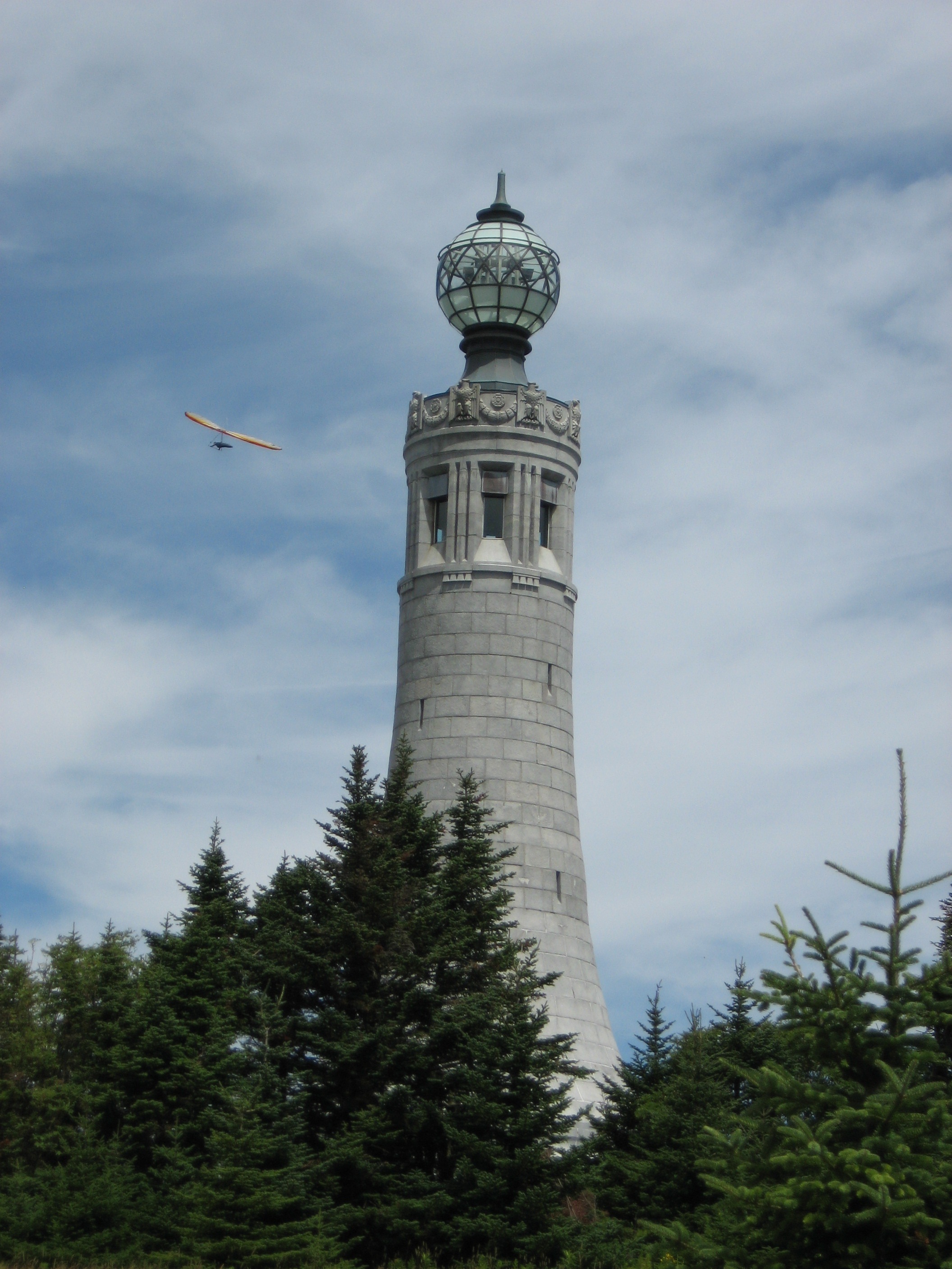
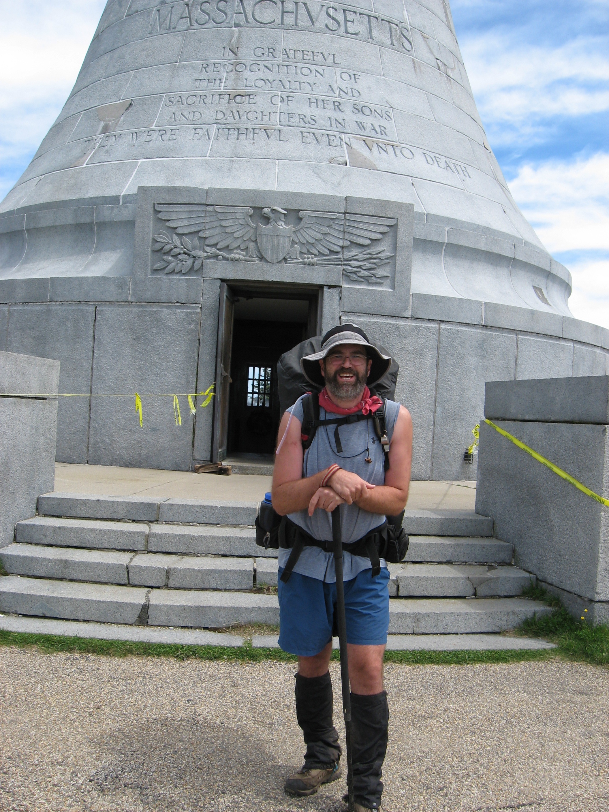
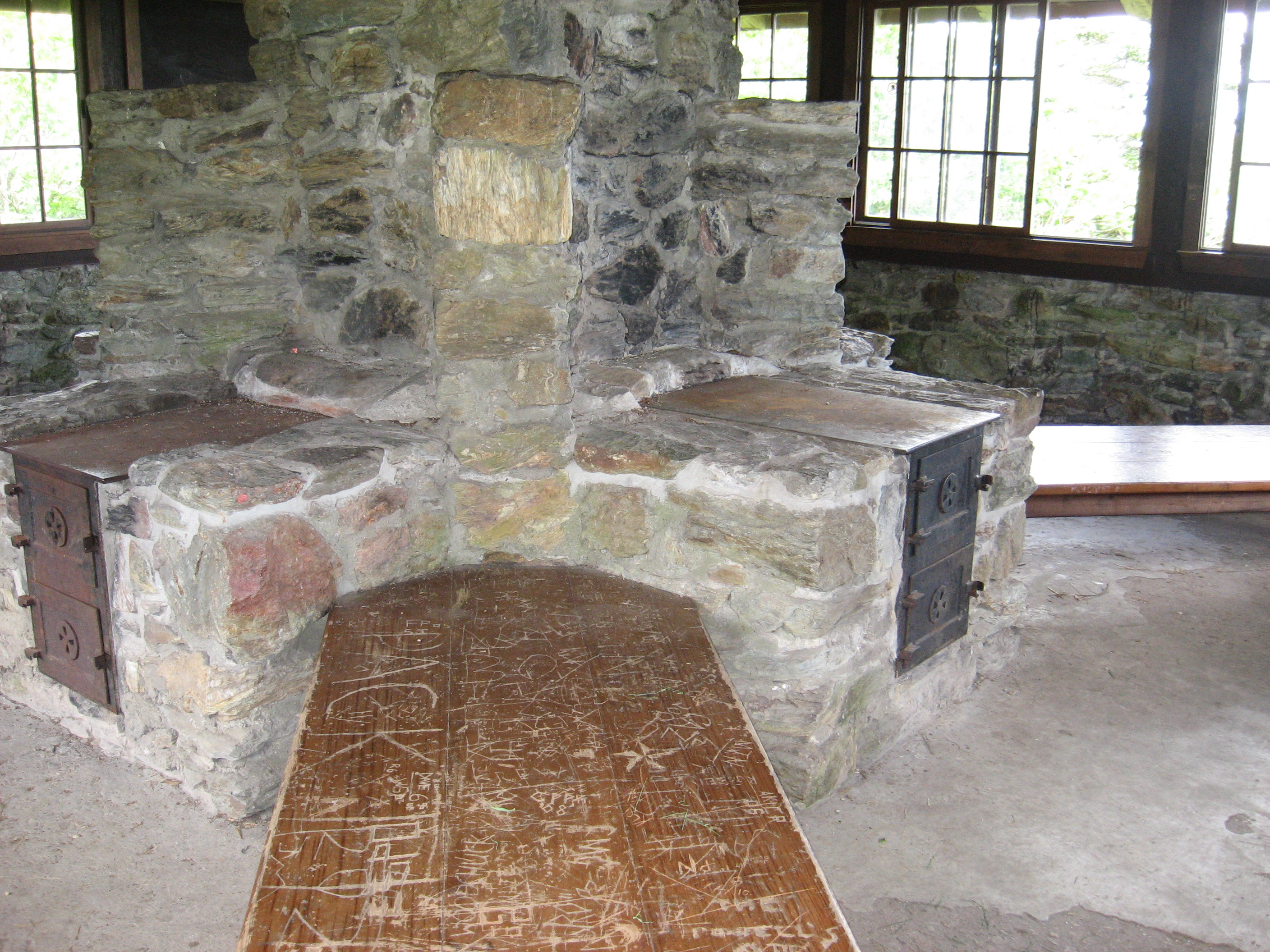
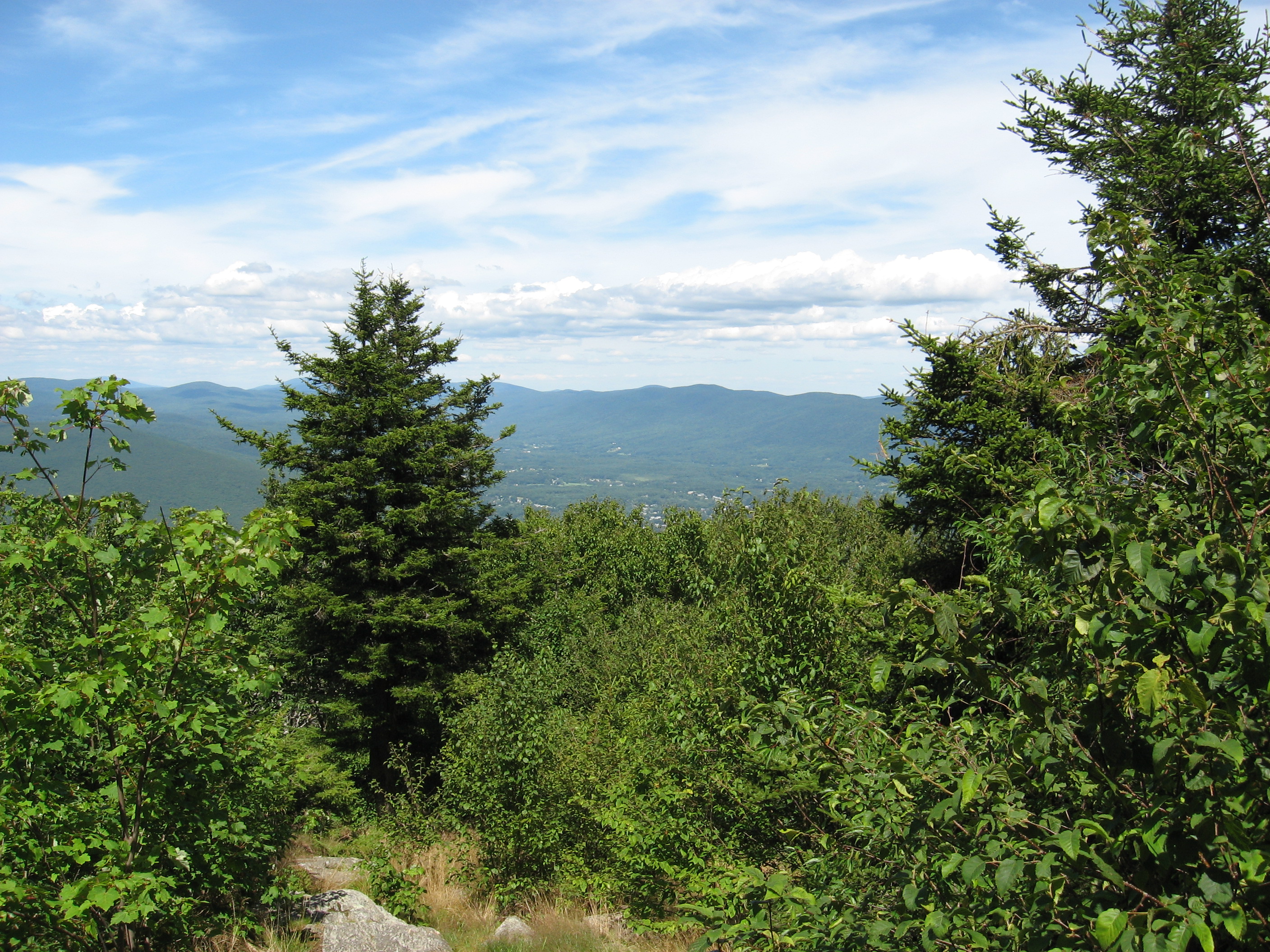
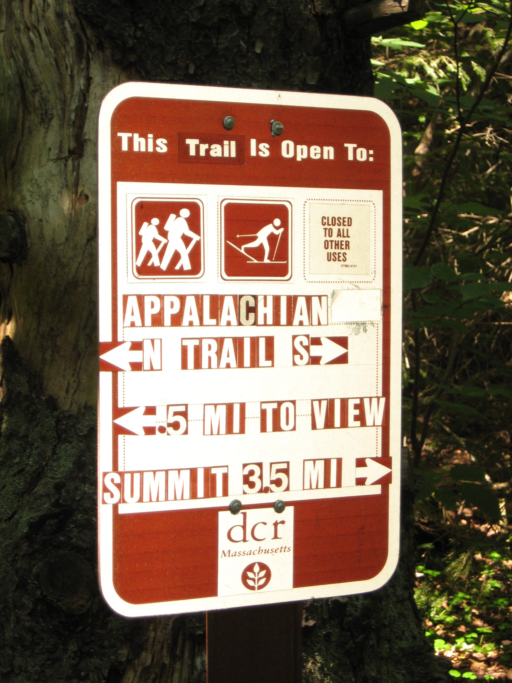
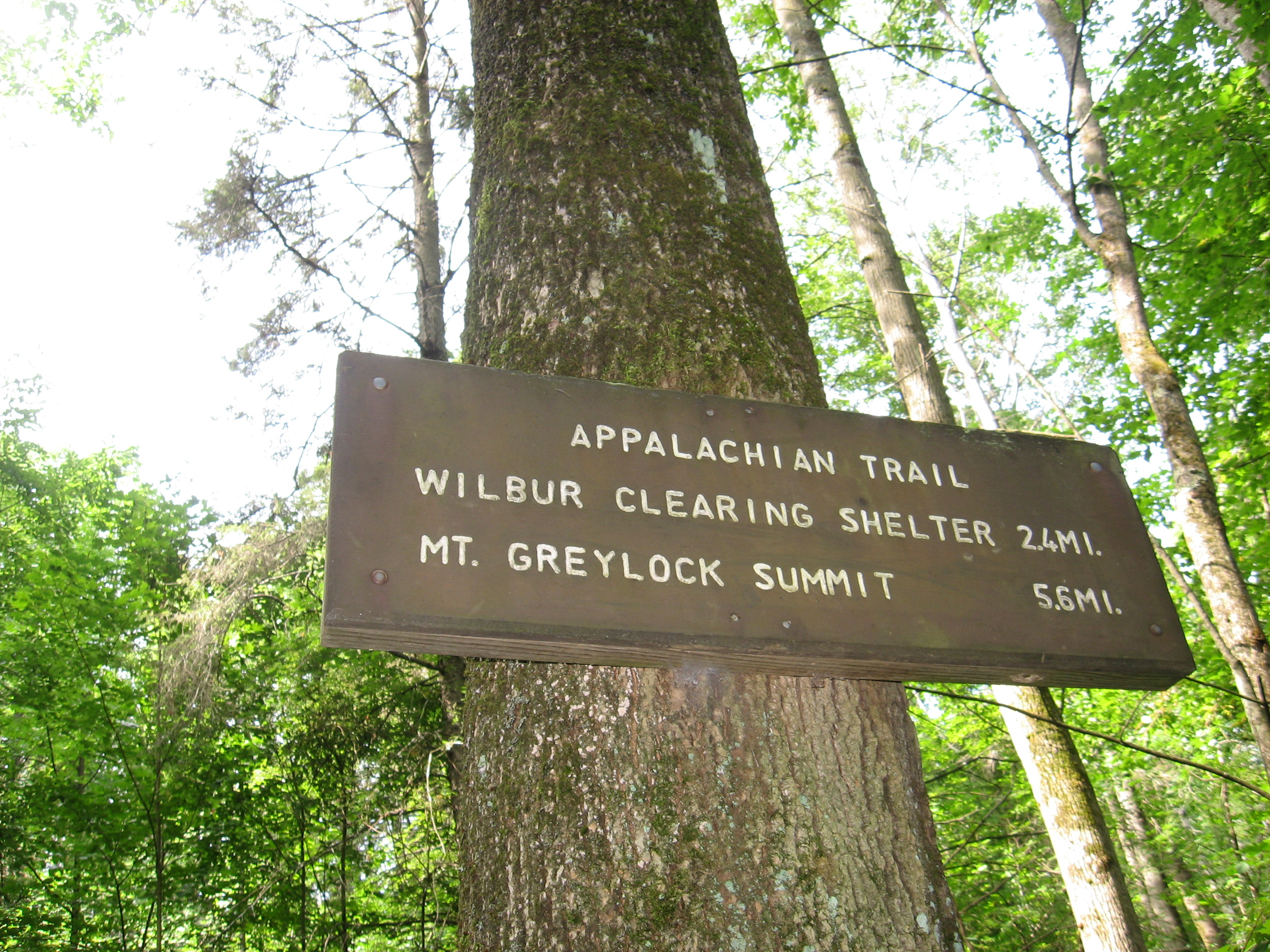
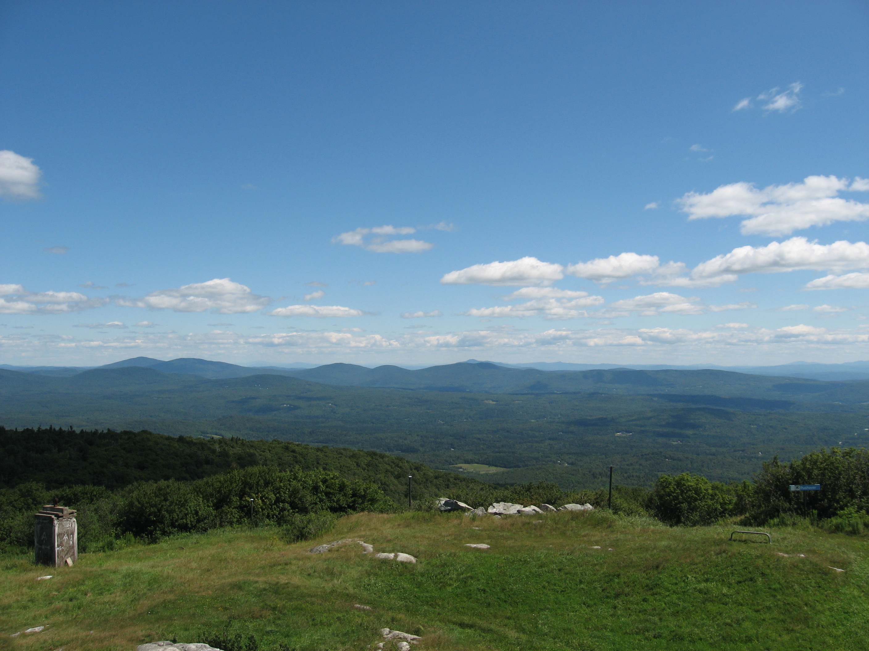
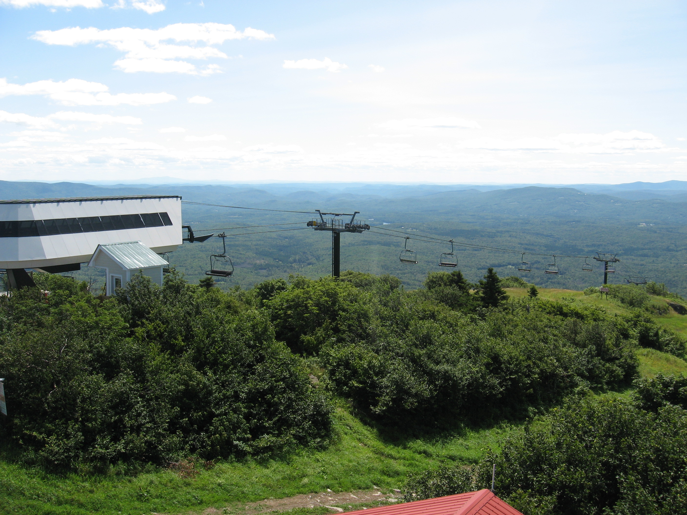
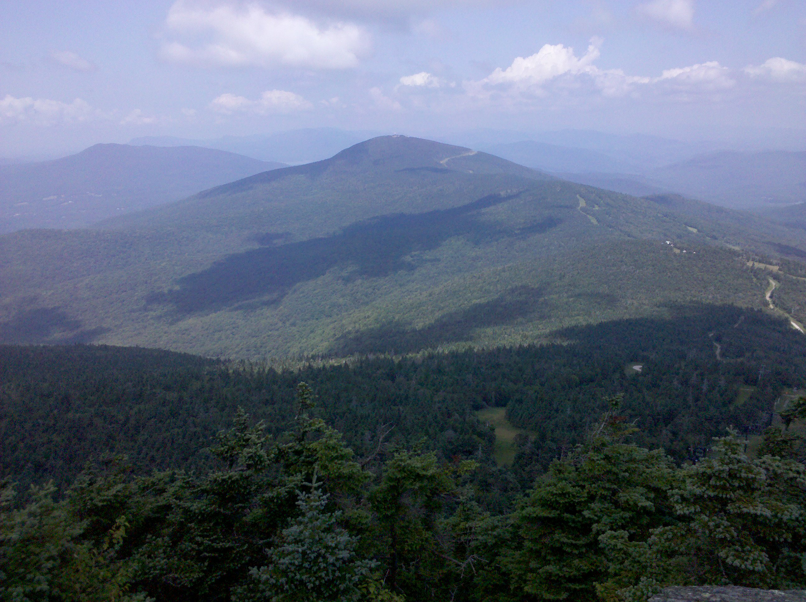
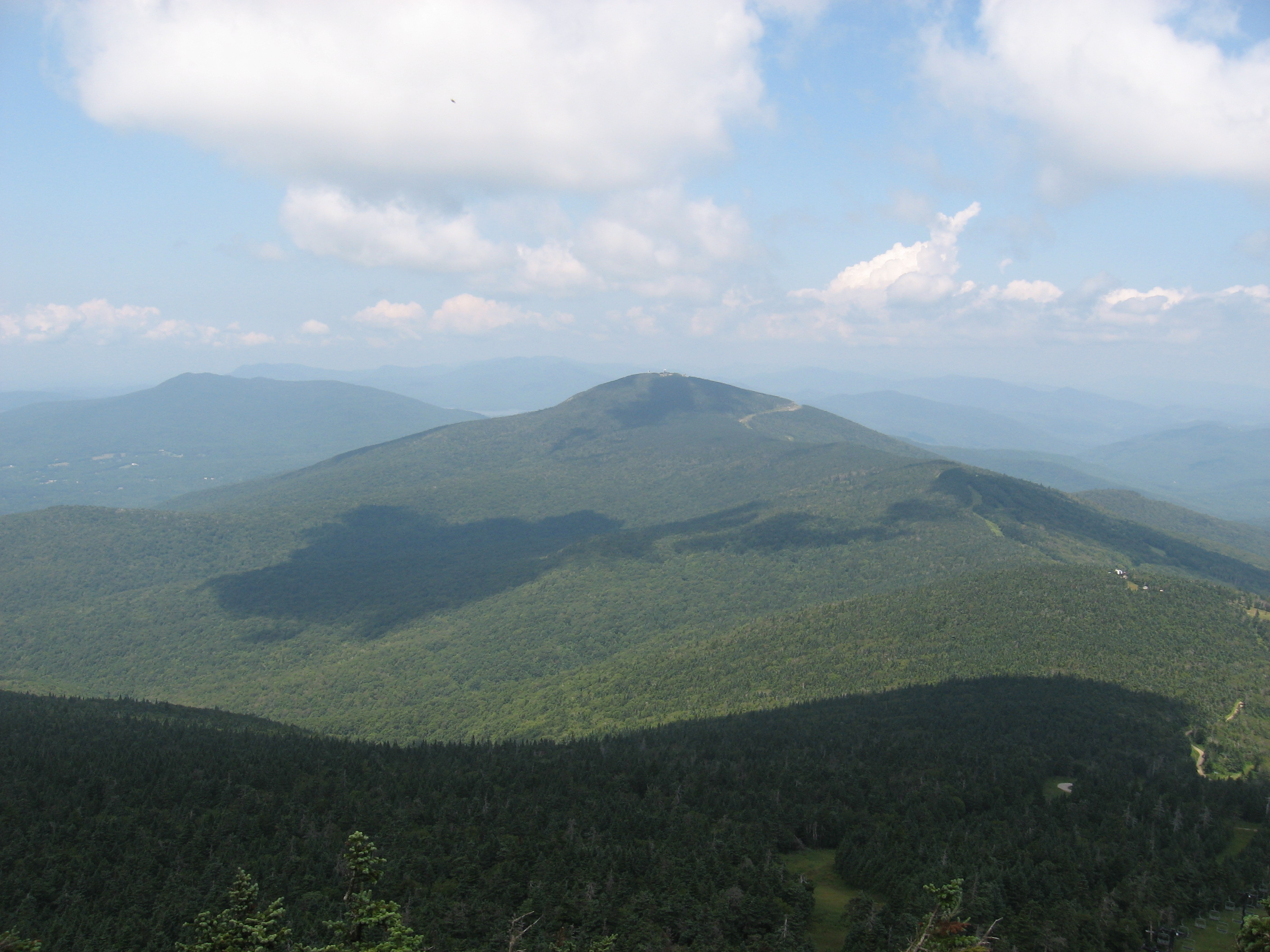
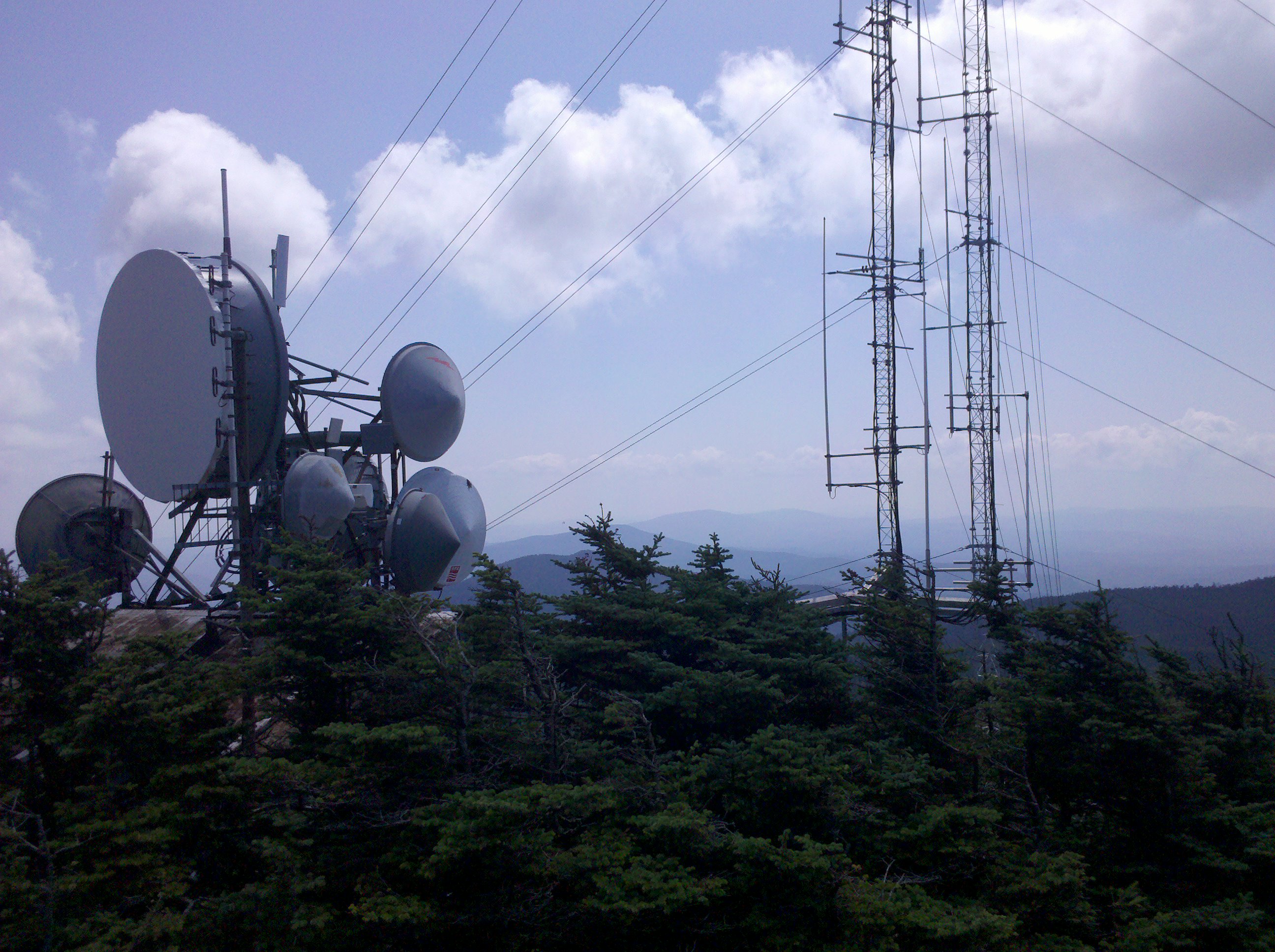
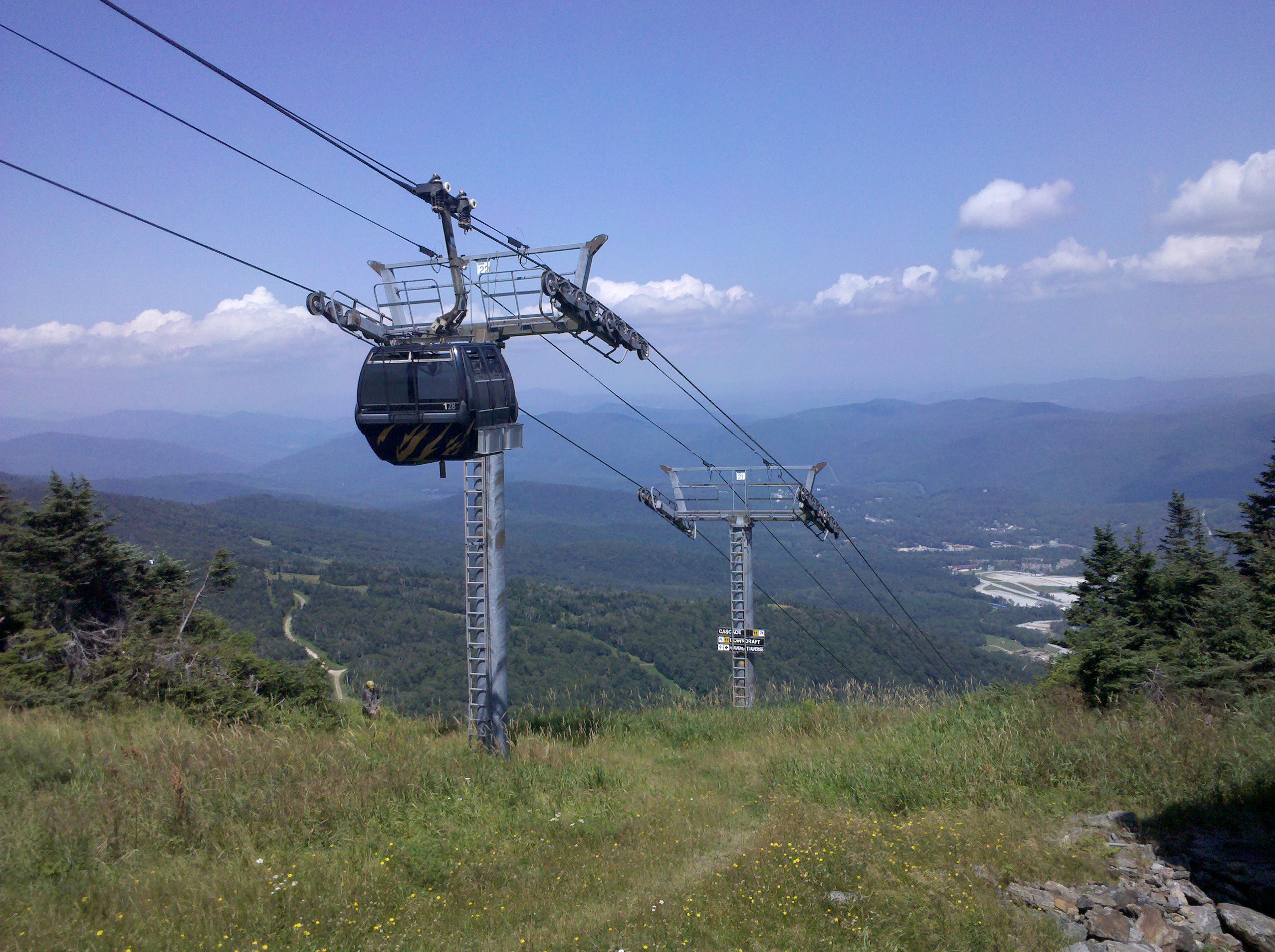
| 1585.9 | Mt. Greylock, Summit Road (3,491') Bascom Lodge, War Memorial | 3491 |
| 1589.1 | Notch Road (2,400') | 2400 |
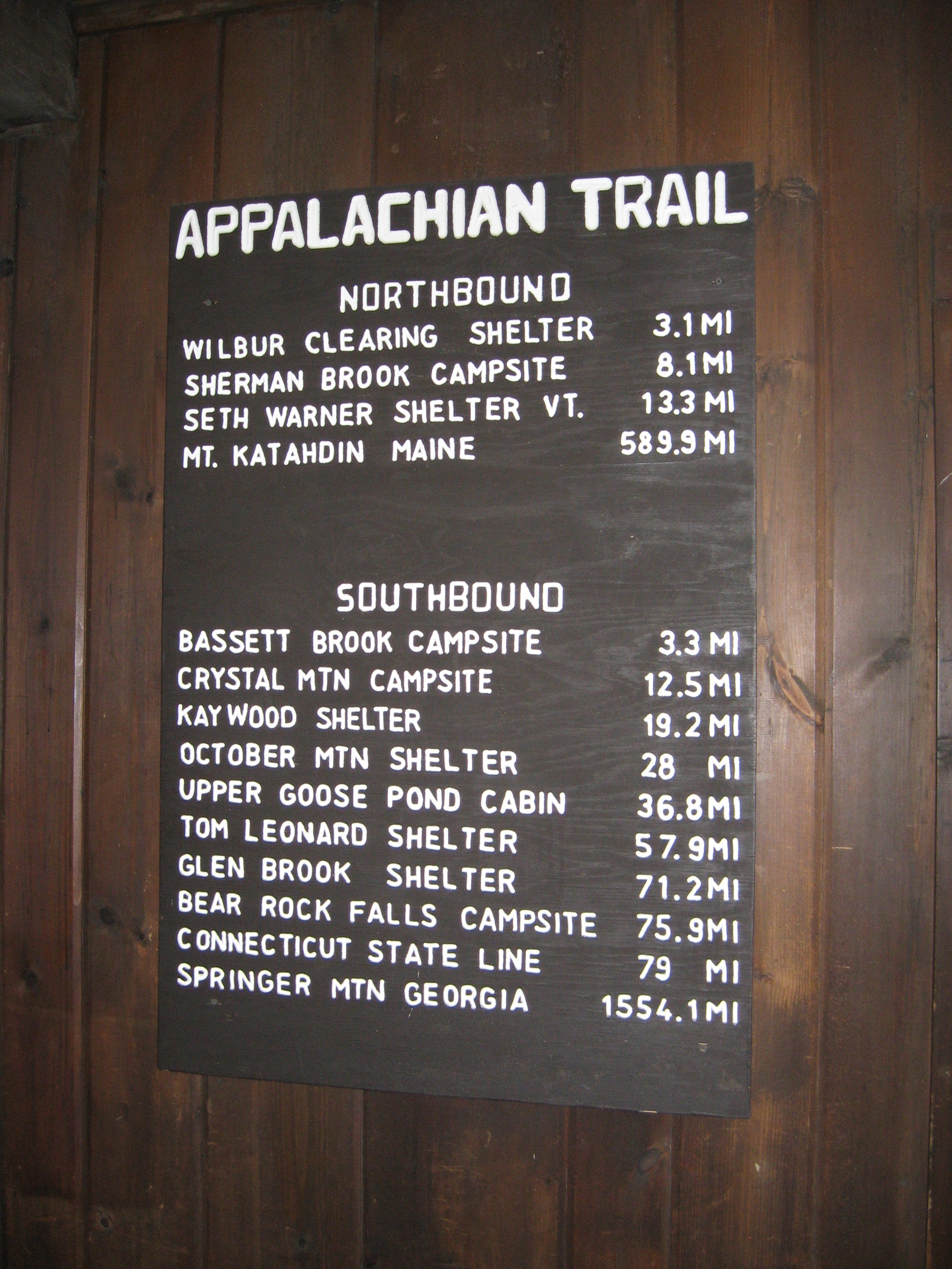
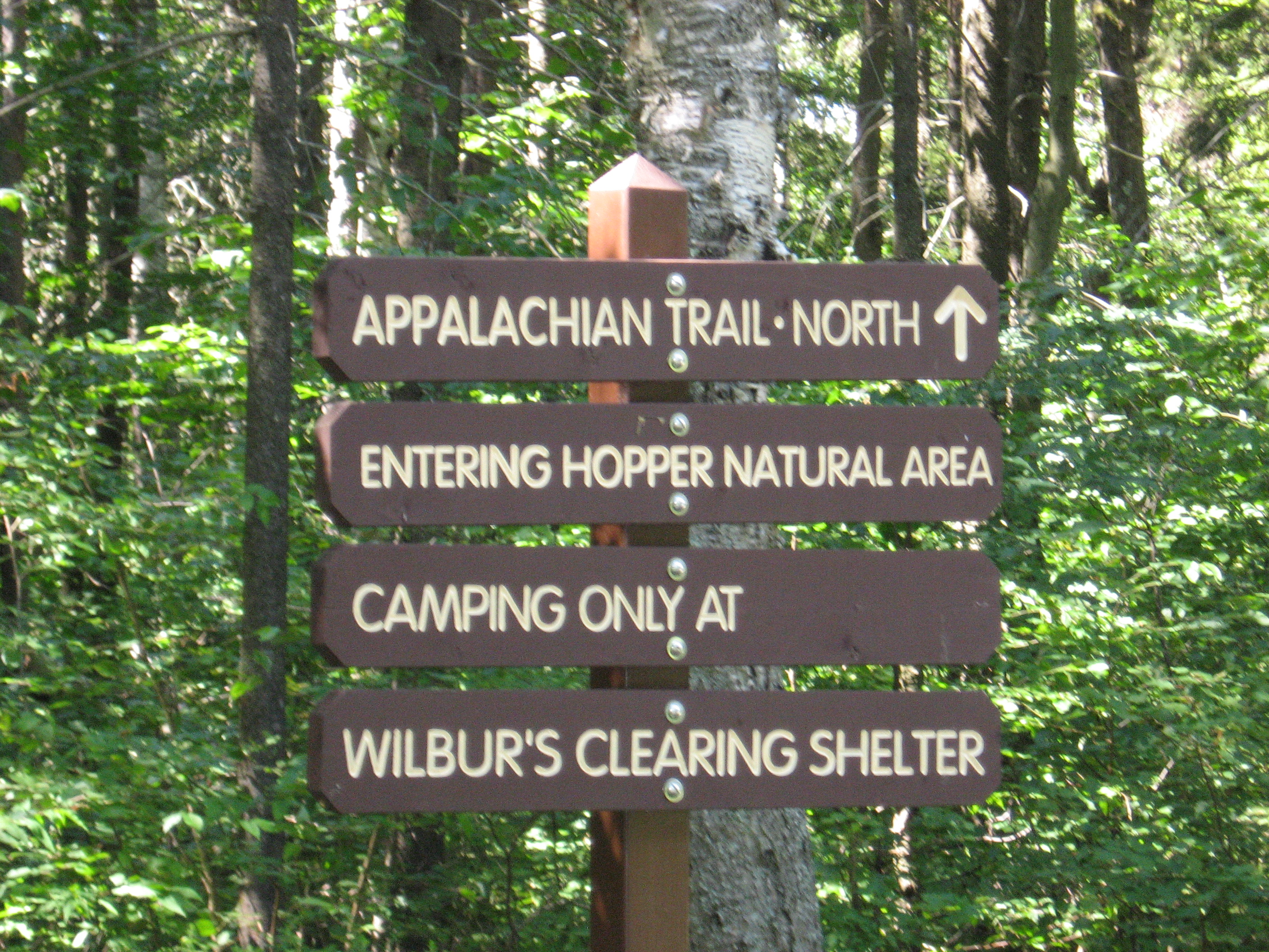
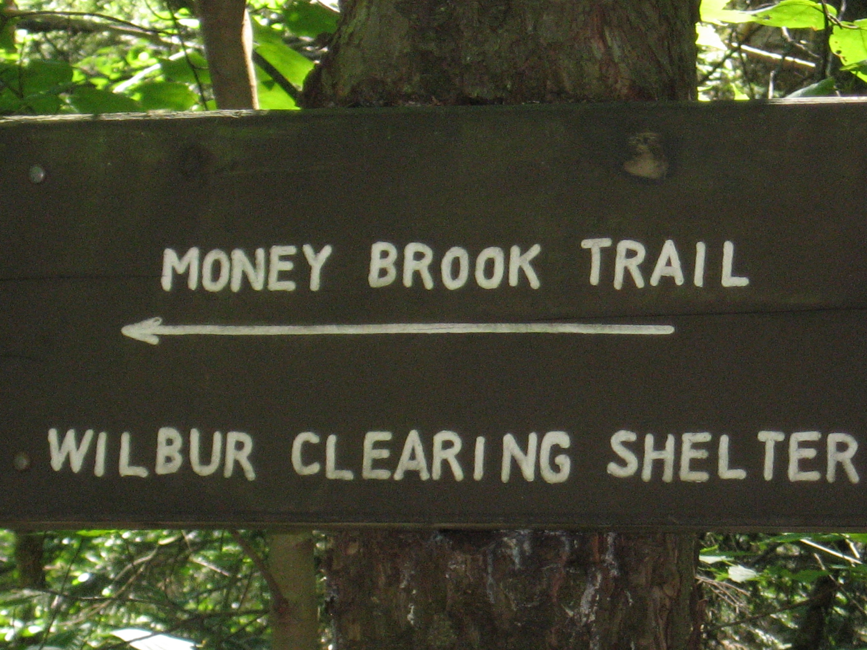
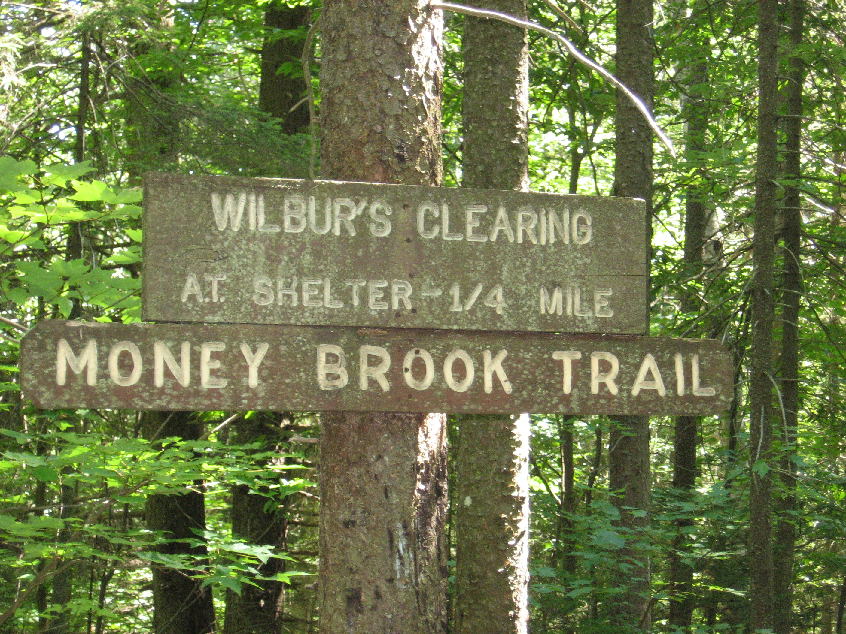
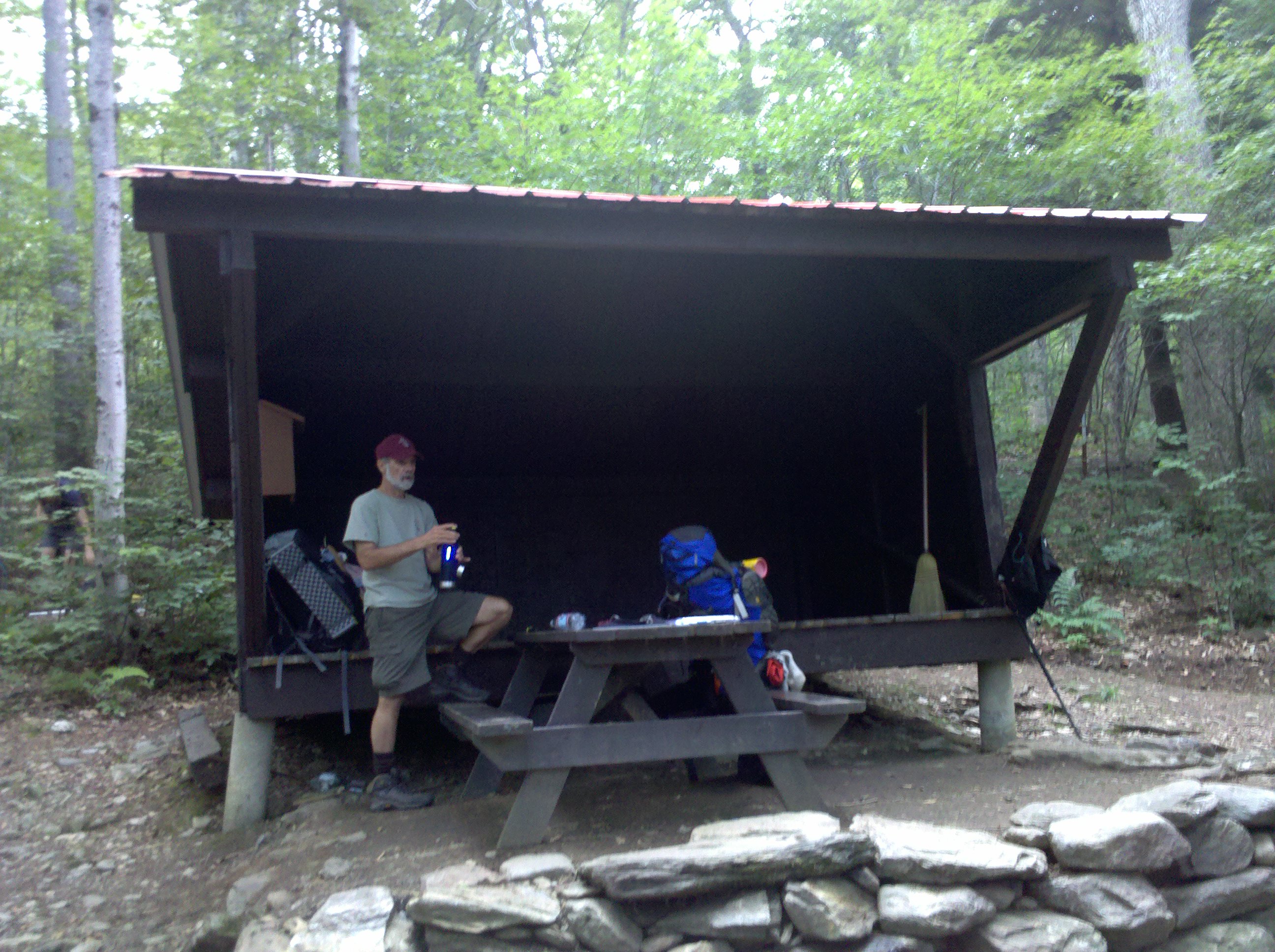
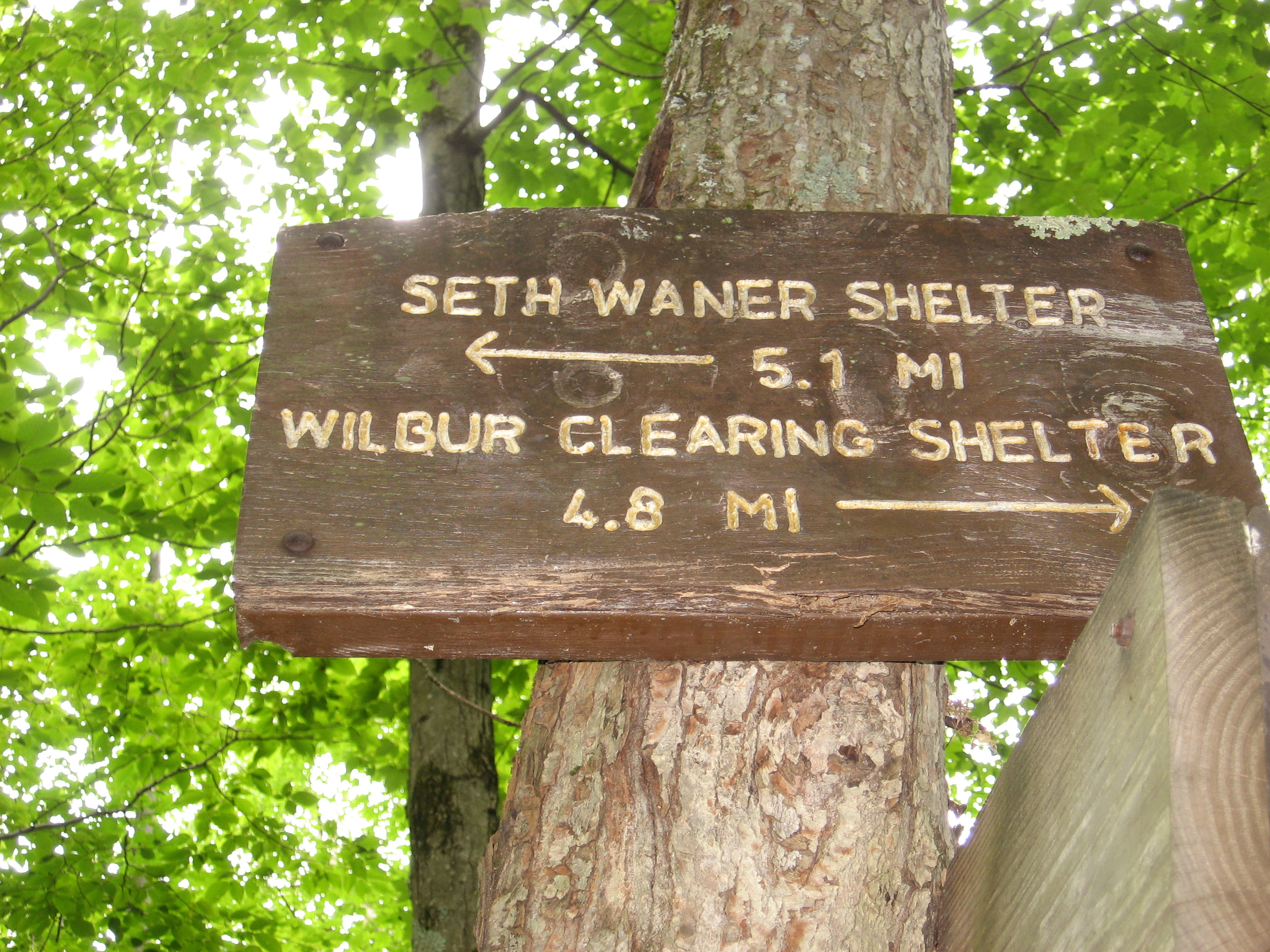
| 1589.2 | Wilbur Clearing Shelter (2,300') ?7.1mS; 10.4mN | 2300 |


| Miles from Springer | Features | Elevation |
|---|---|---|
| 1591.3 | Pattison Road (900') | 900 |
| 1591.8 | Catherine Street-Phelps Road (670') | 670 |
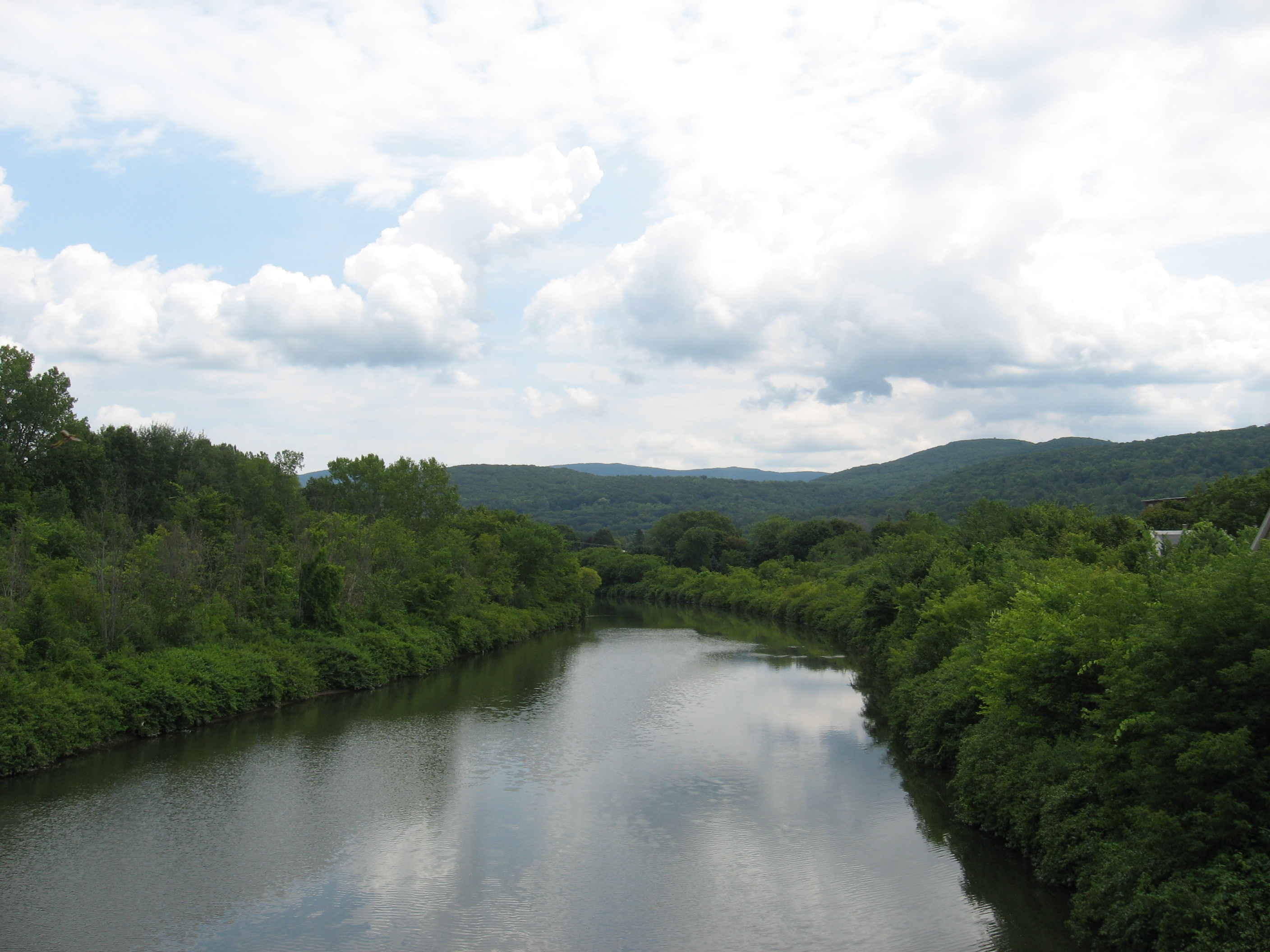
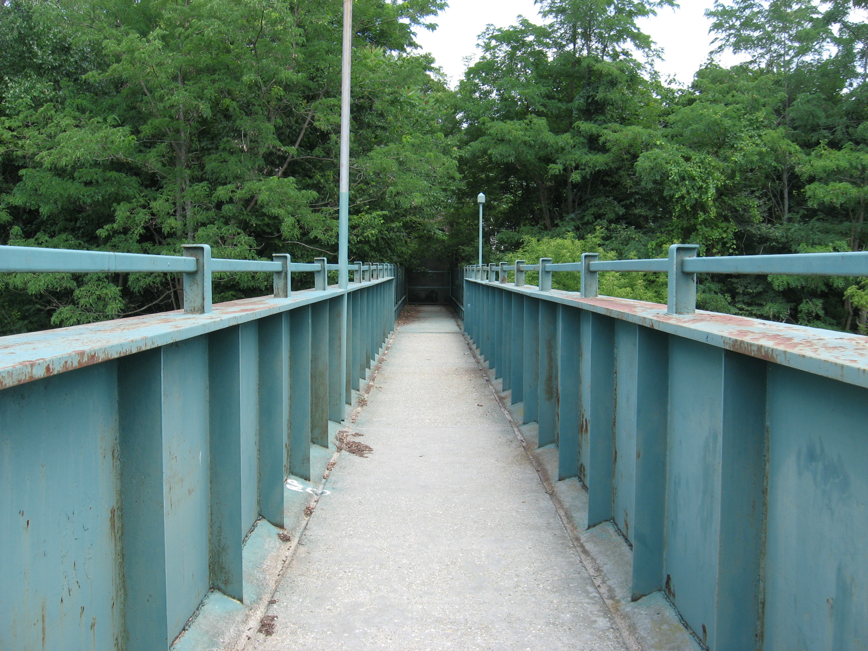
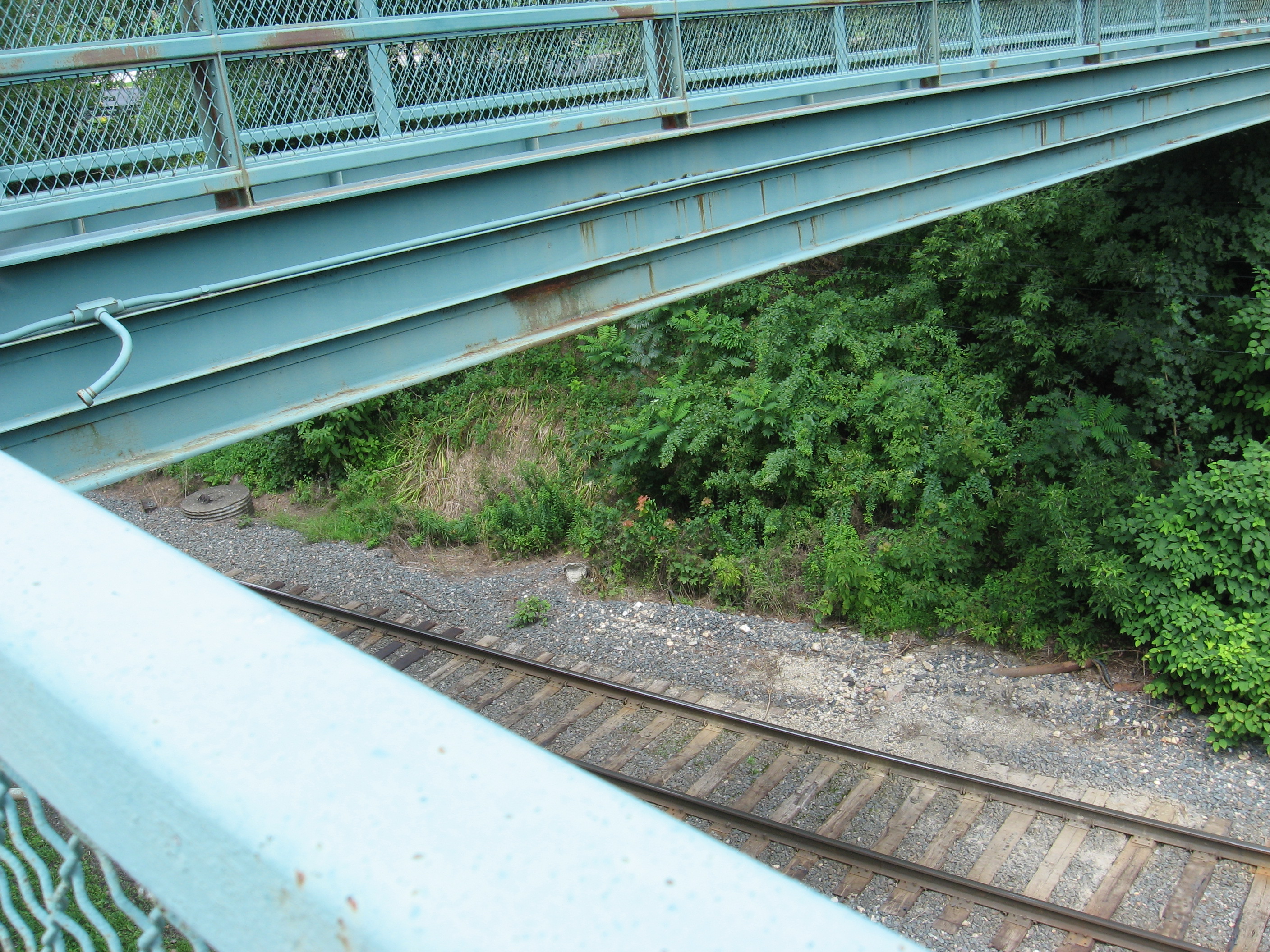
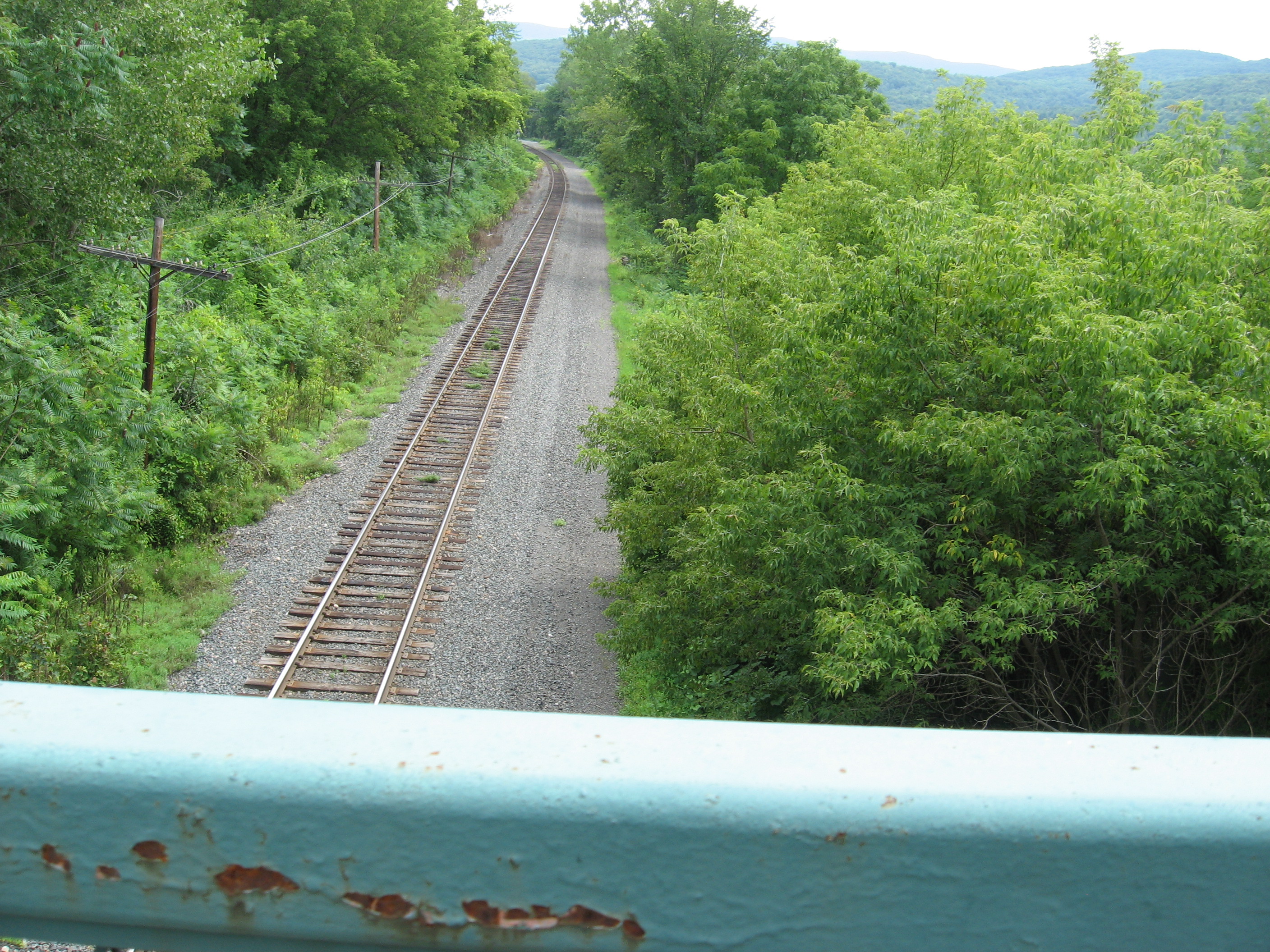
| 1592.2 | Mass. 2 (650')?Hoosic River, railroad tracks overpassNorth Adams, Mass. 01247 Williamstown, Mass. 01267 | 650 |
| 1592.3 | Massachusetts Avenue | |
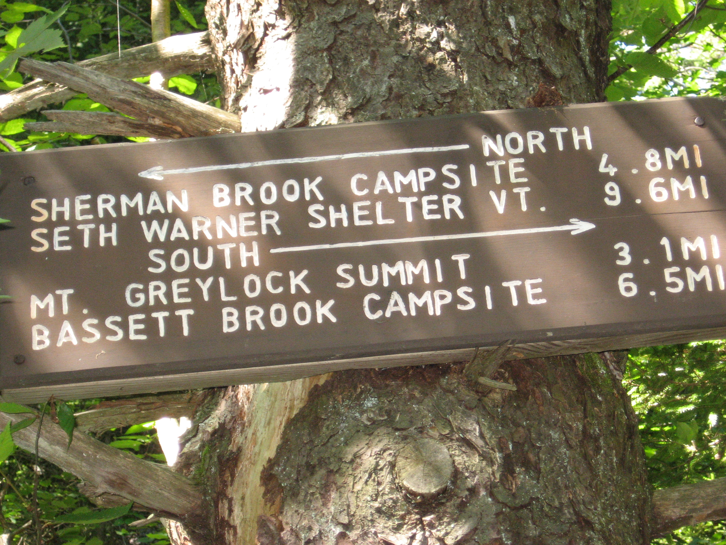
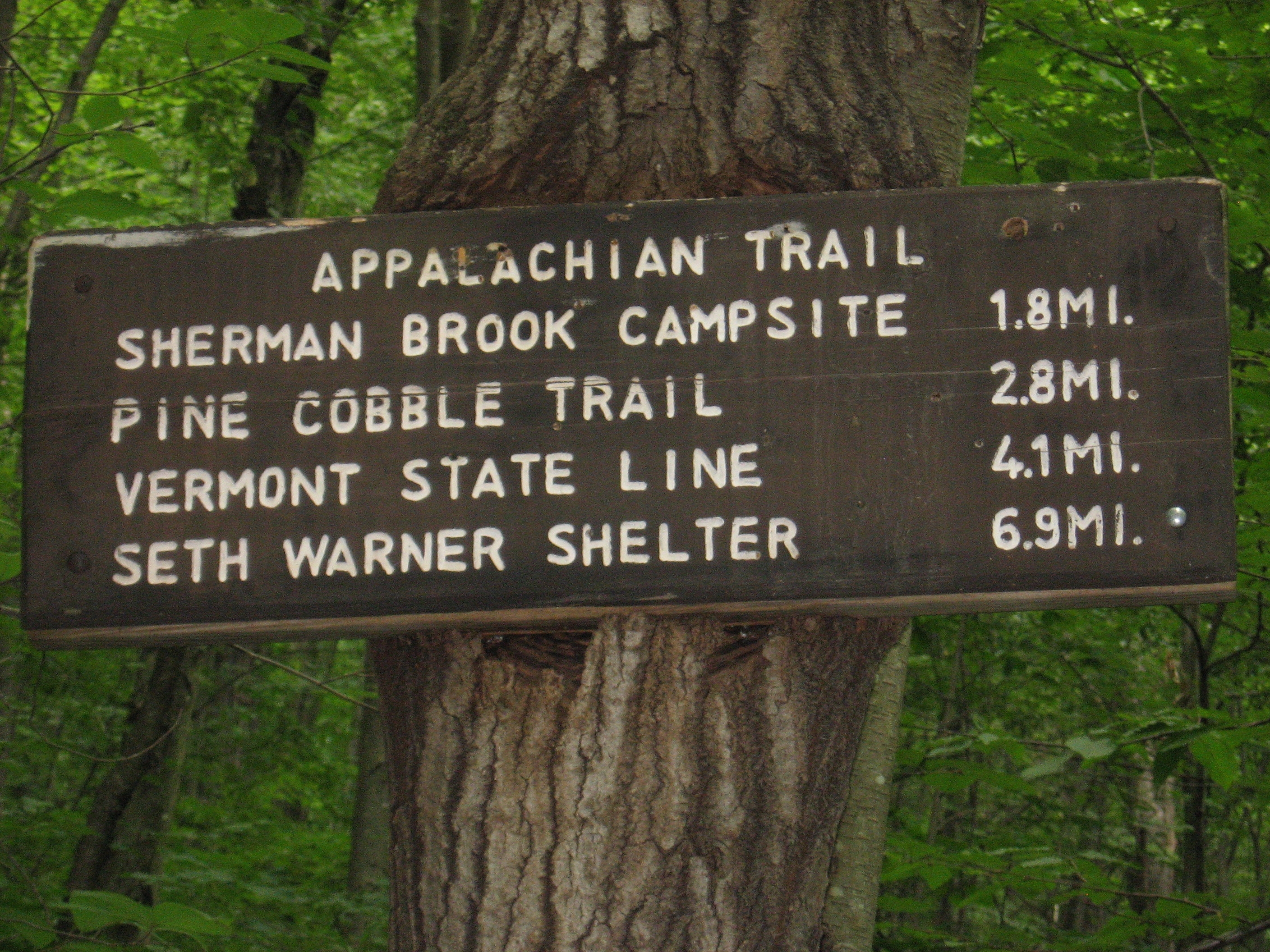
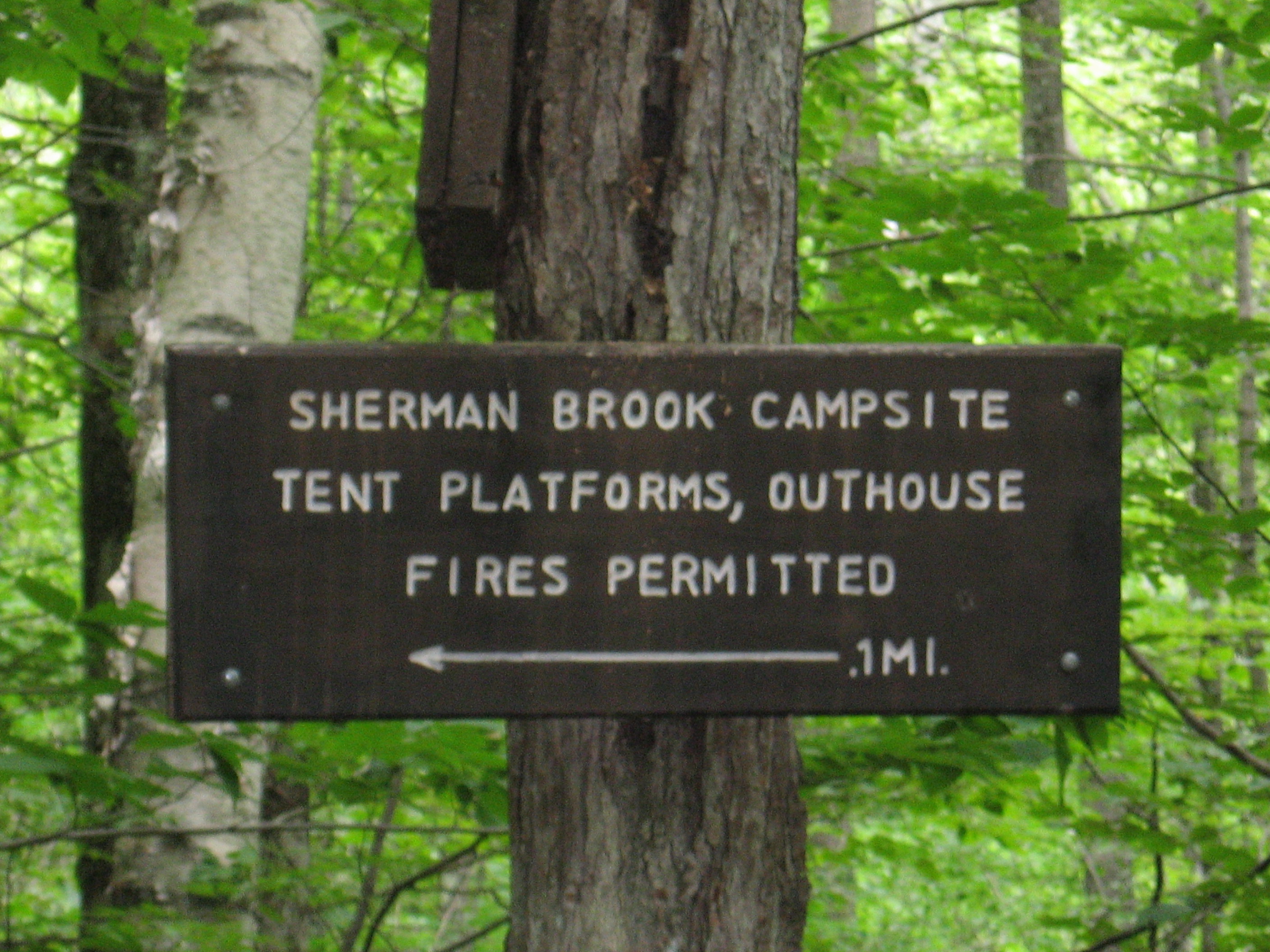
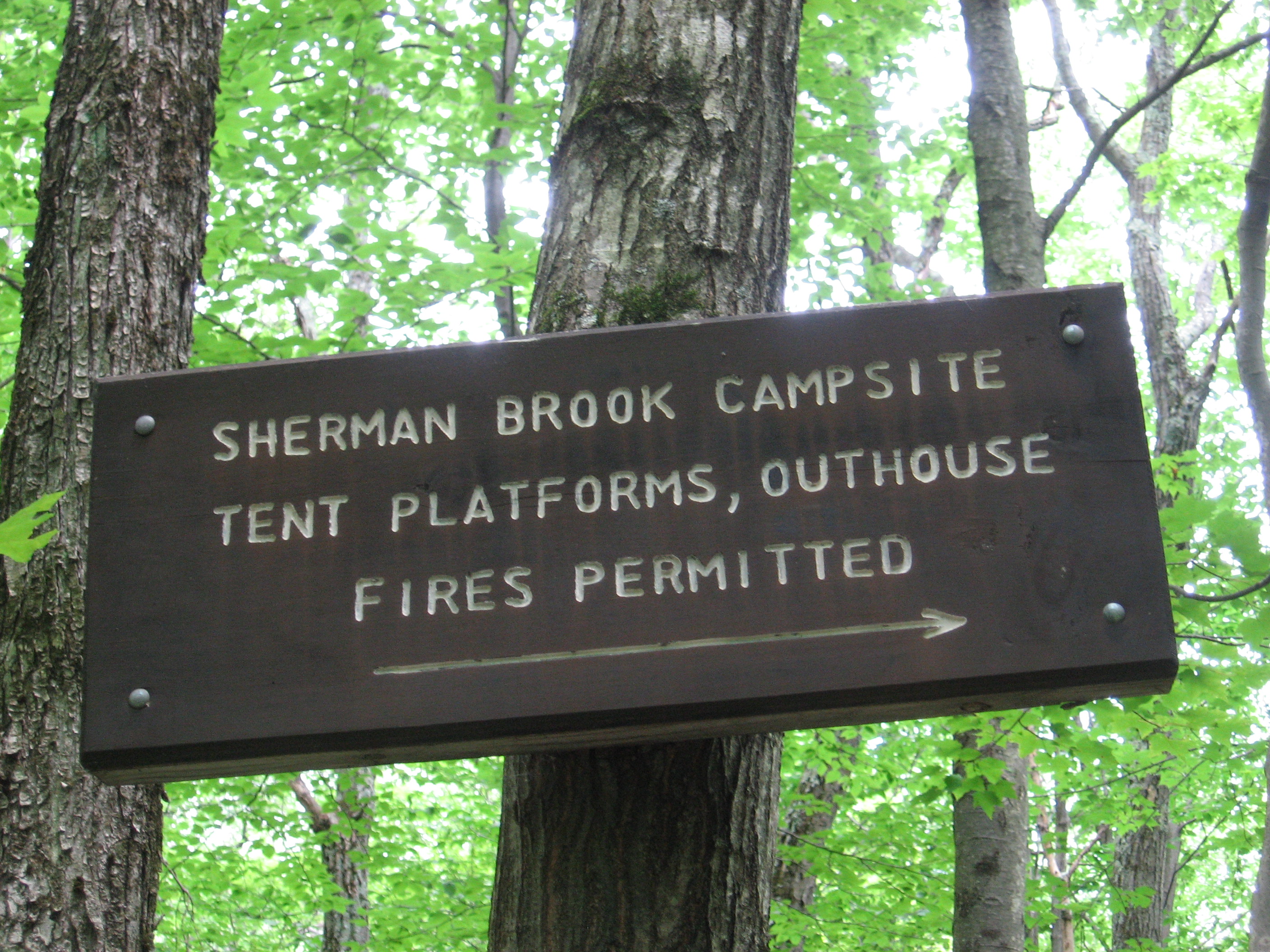
| 1594 | Sherman Brook Primitive Campsite (1,300') | 1300 |
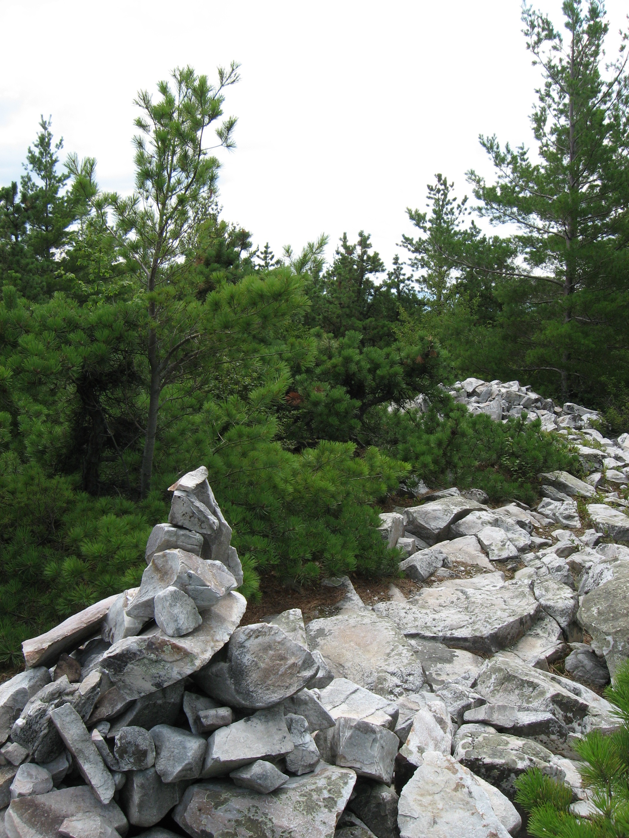
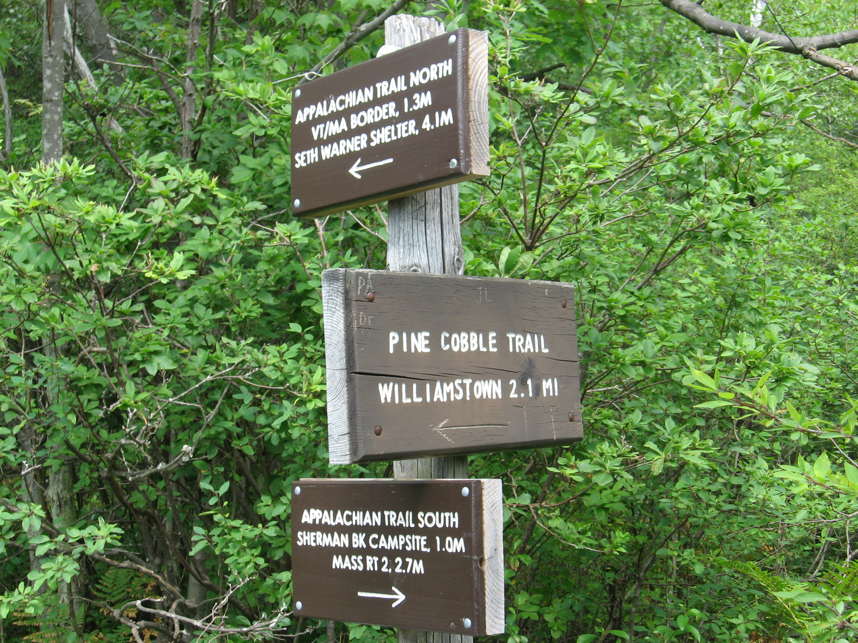
| 1595 | Pine Cobble Trail (2,010') | 2010 |
| 1595.5 | Eph's Lookout (2,254') | 2254 |
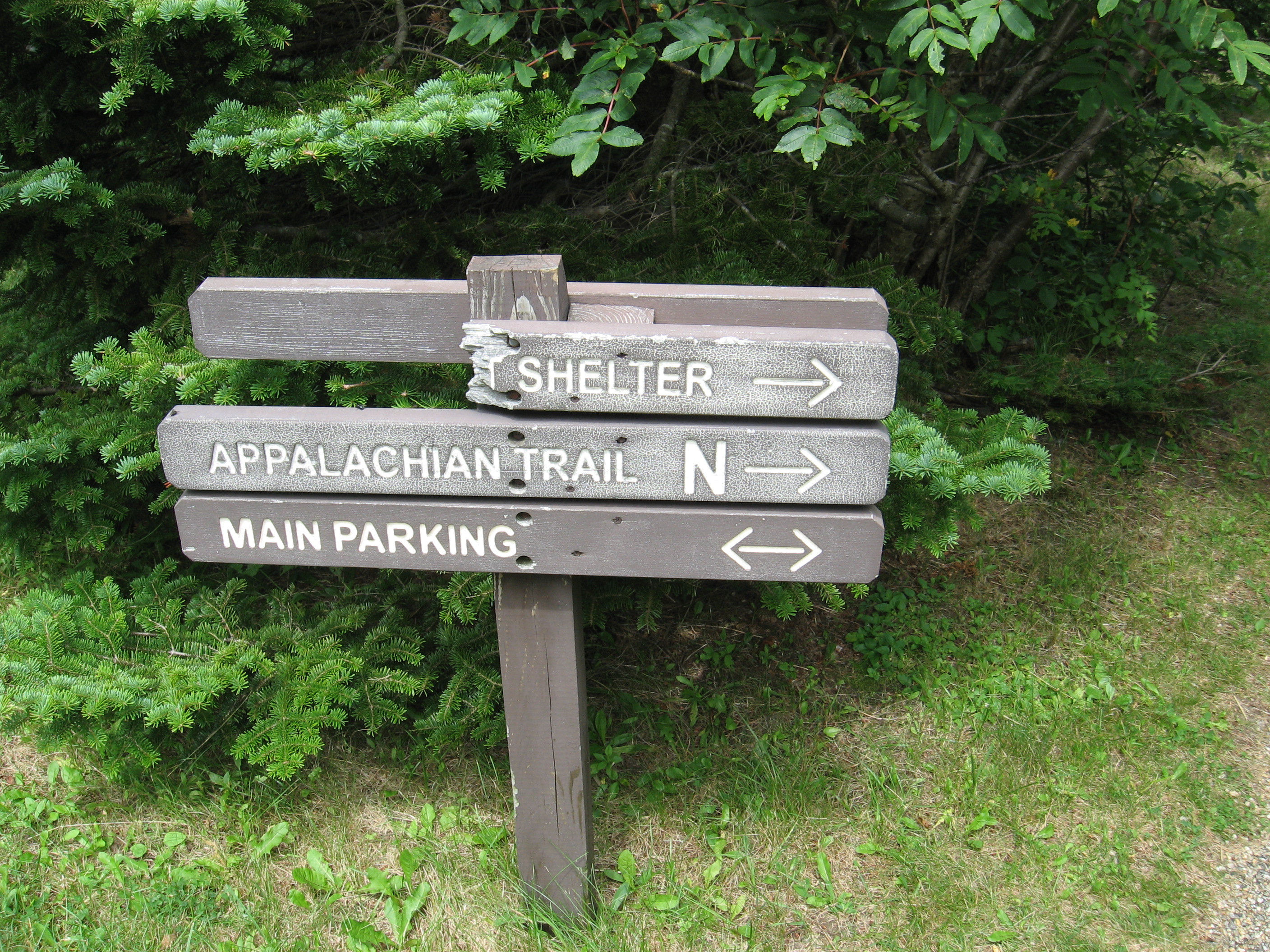
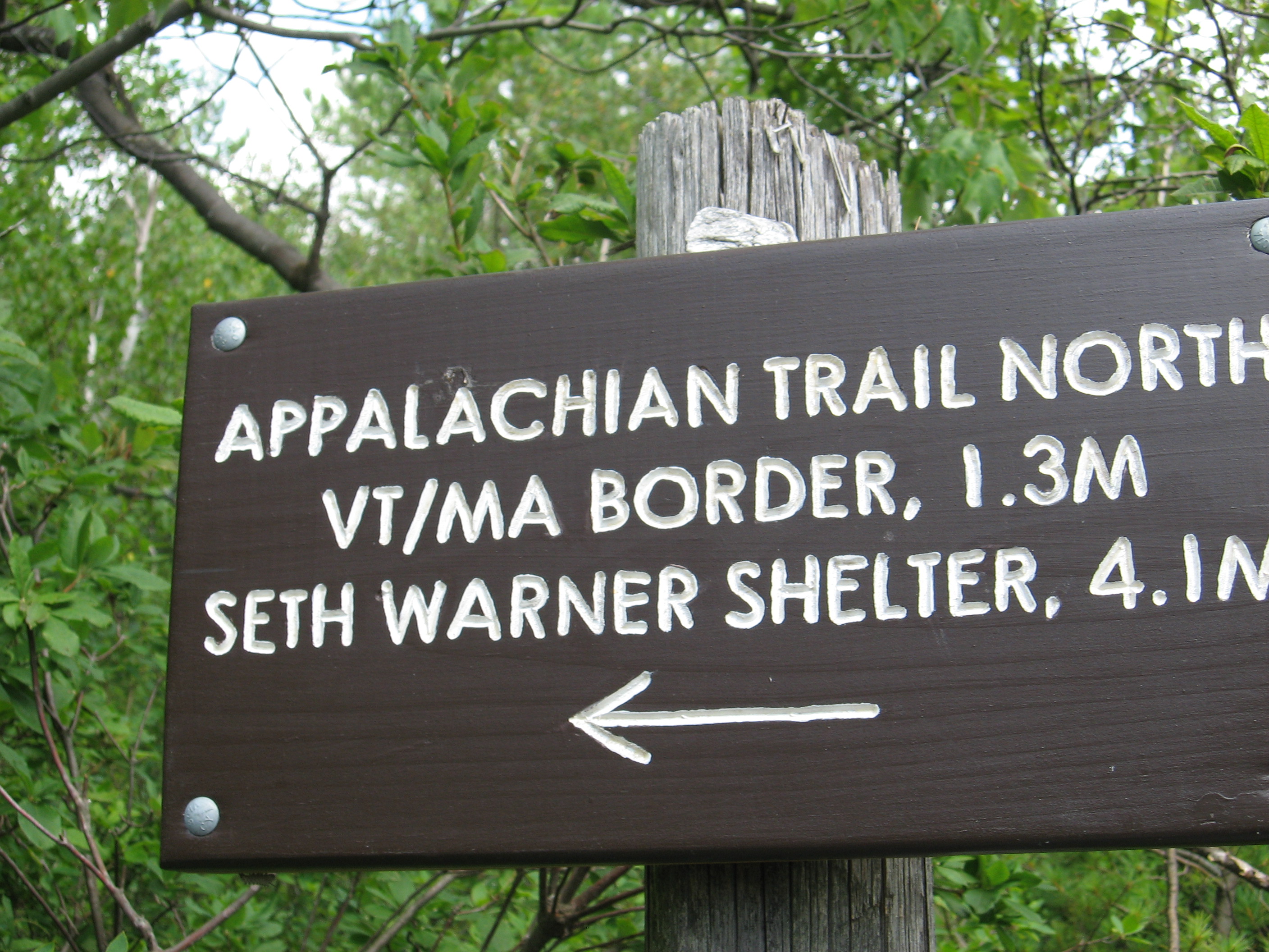
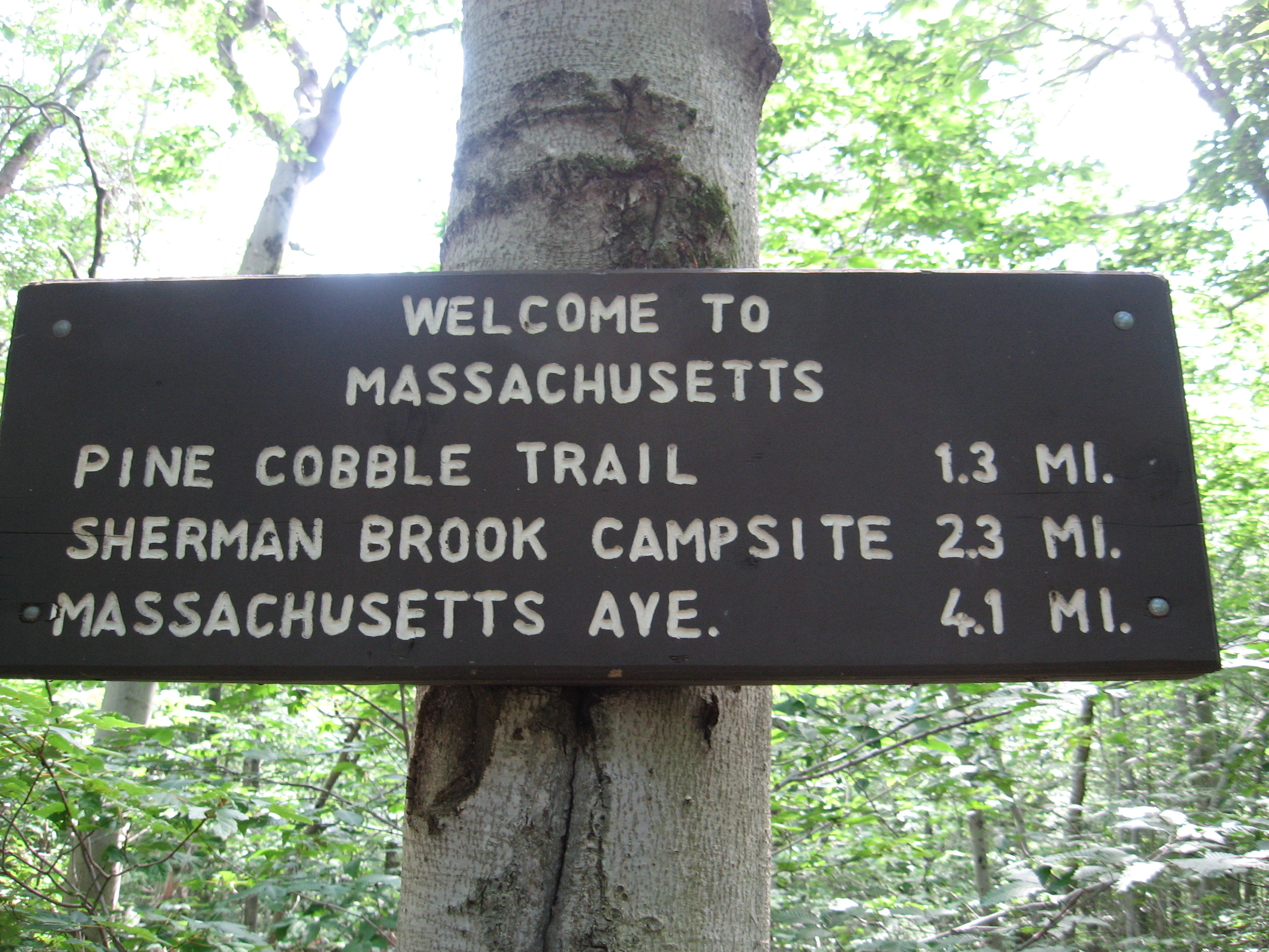
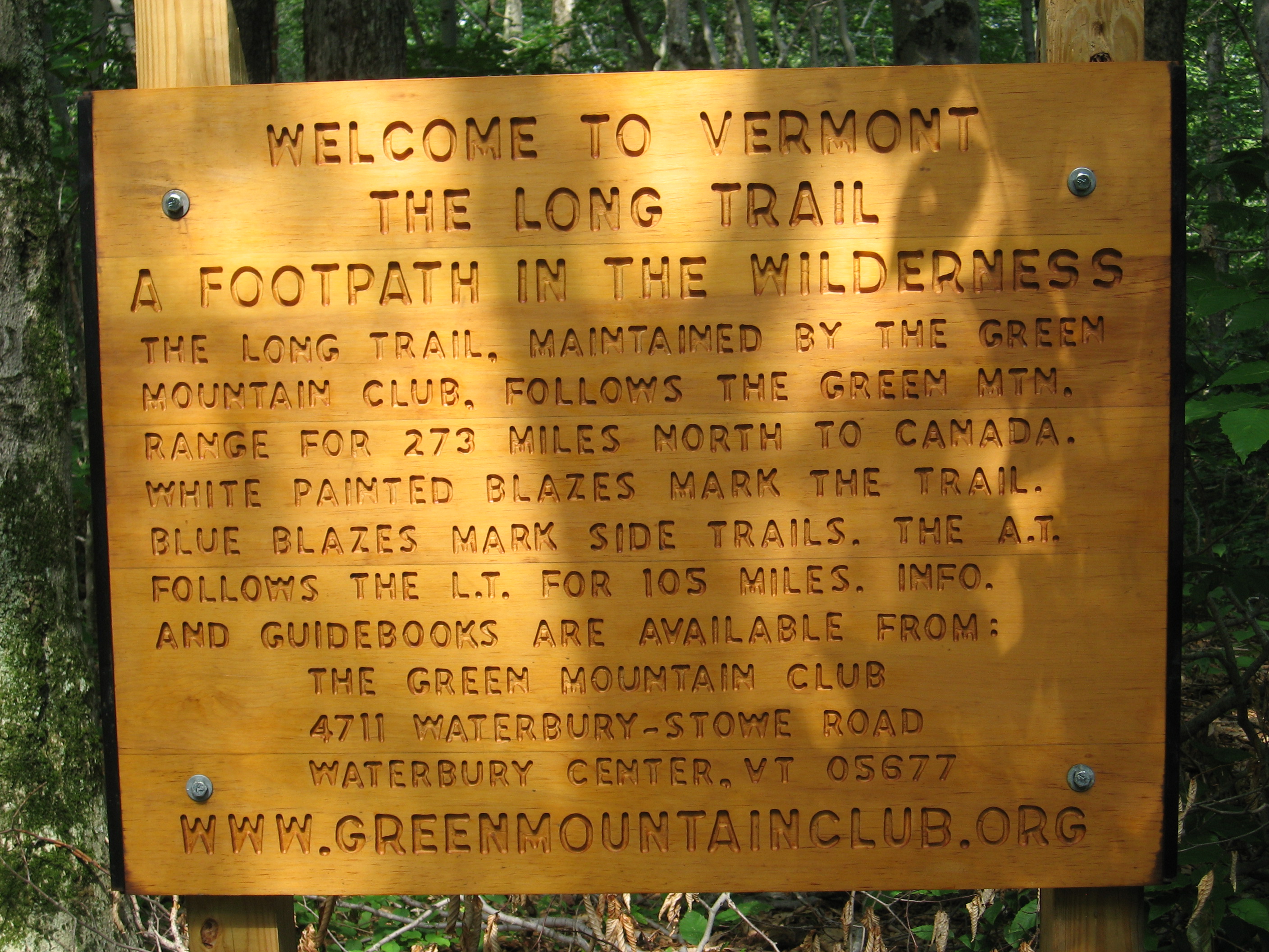
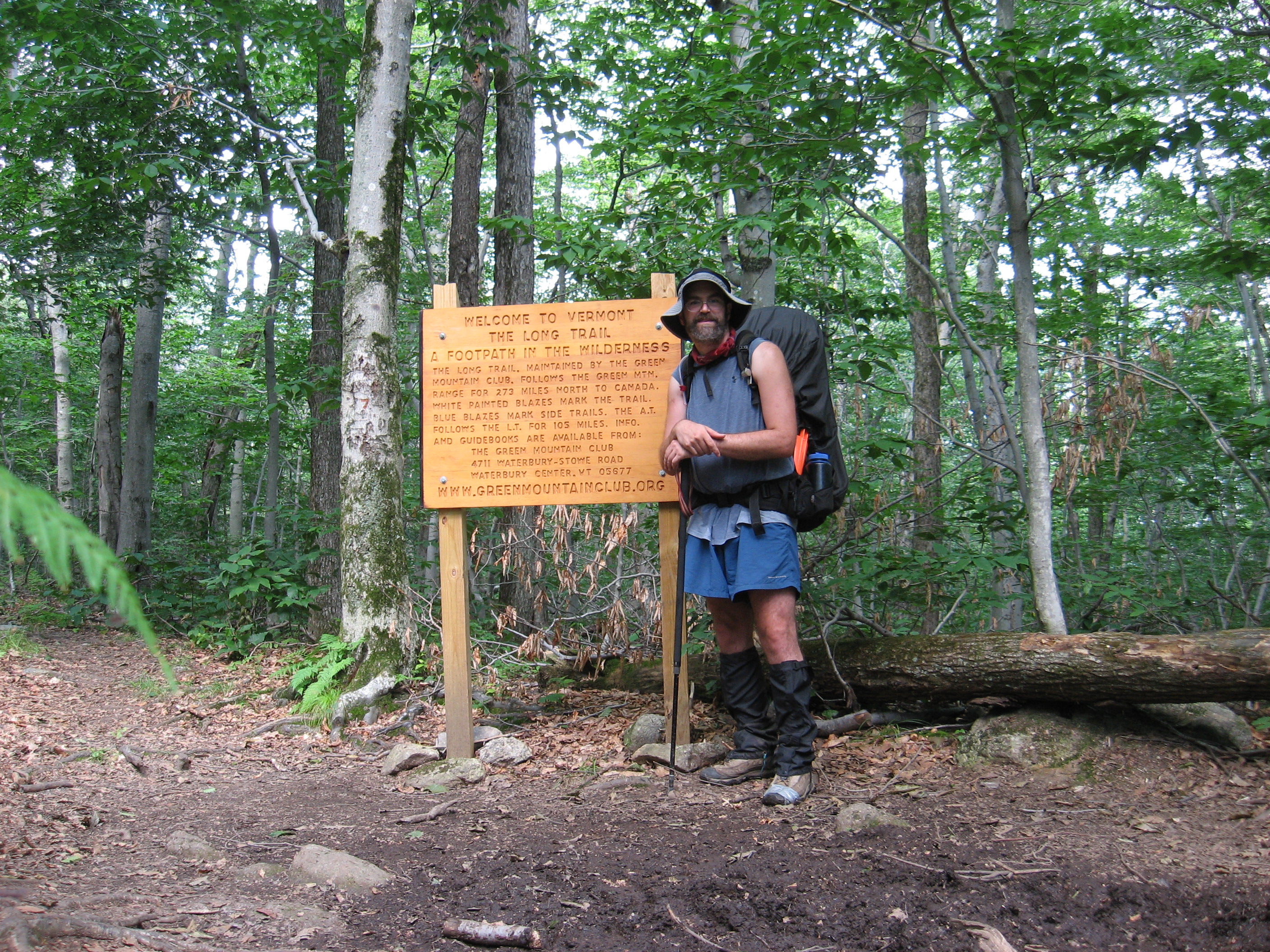
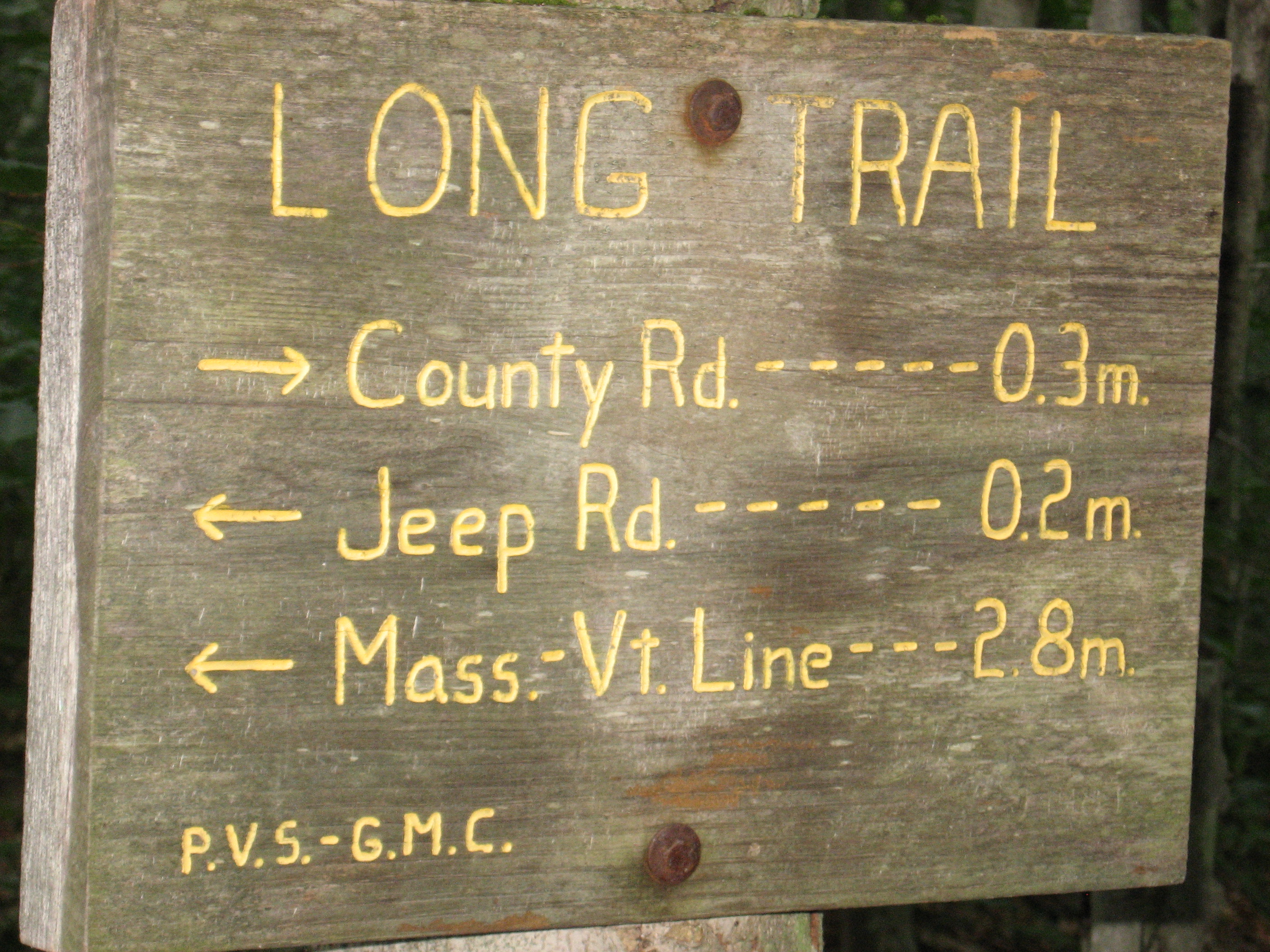
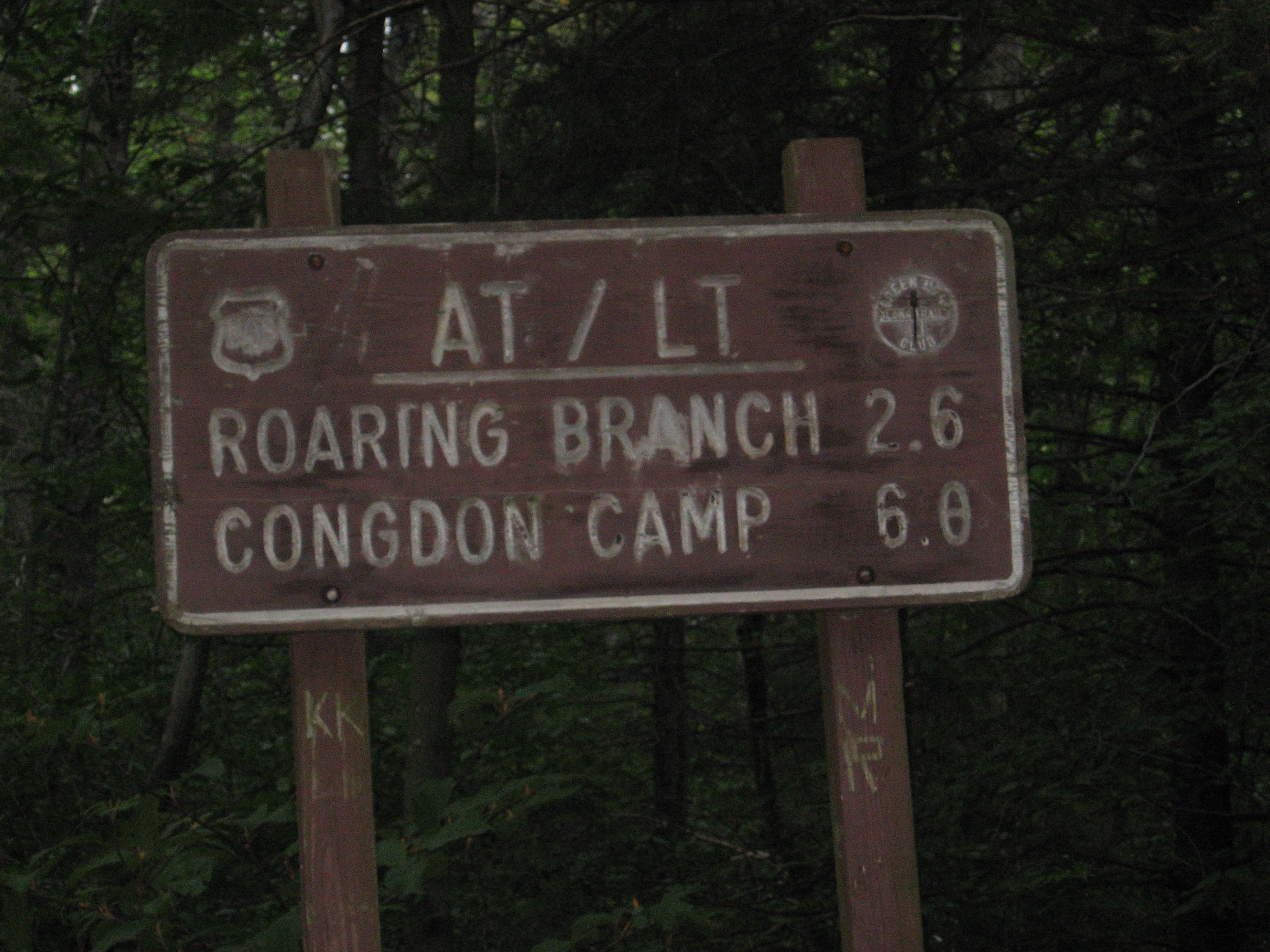
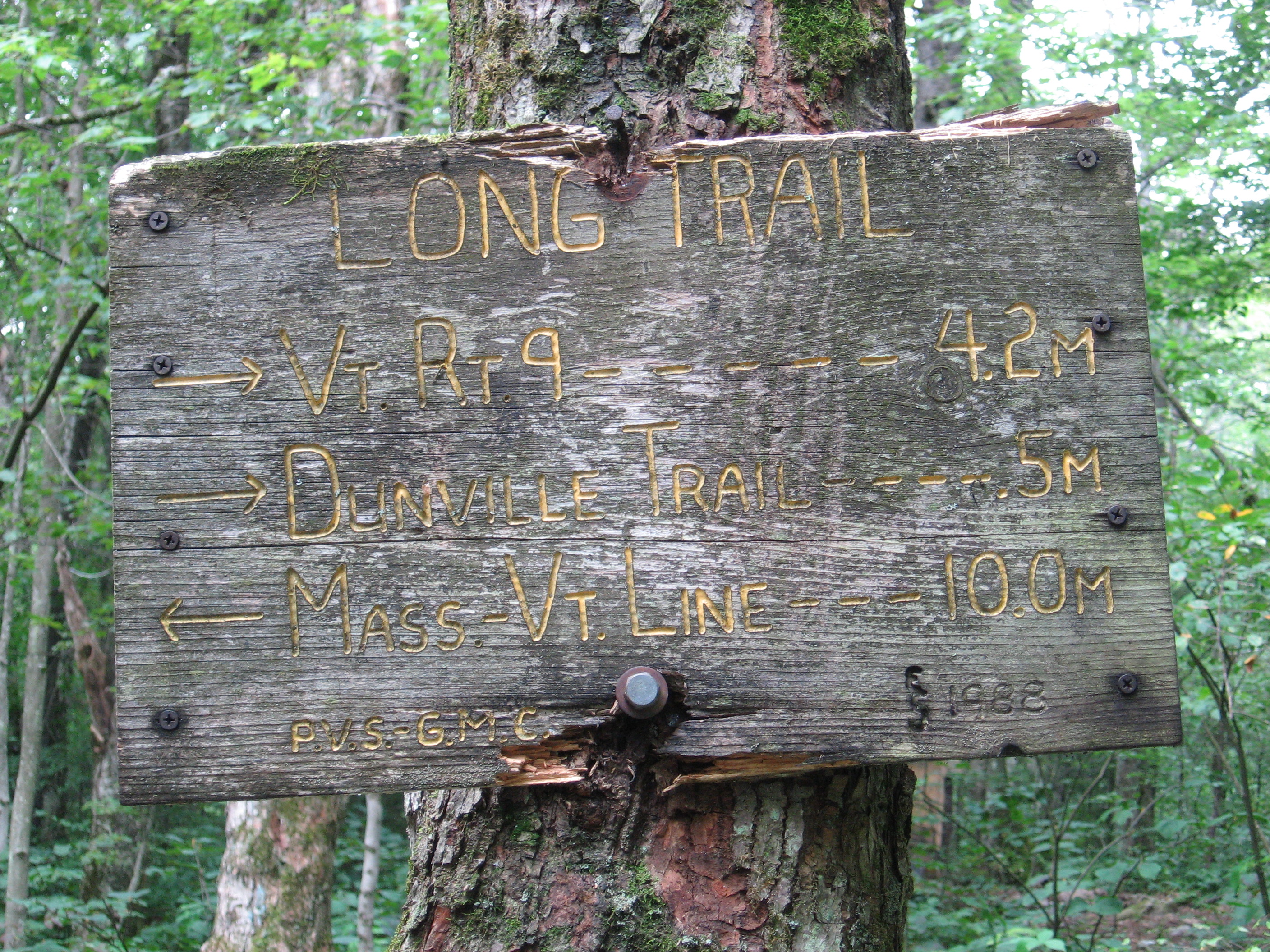
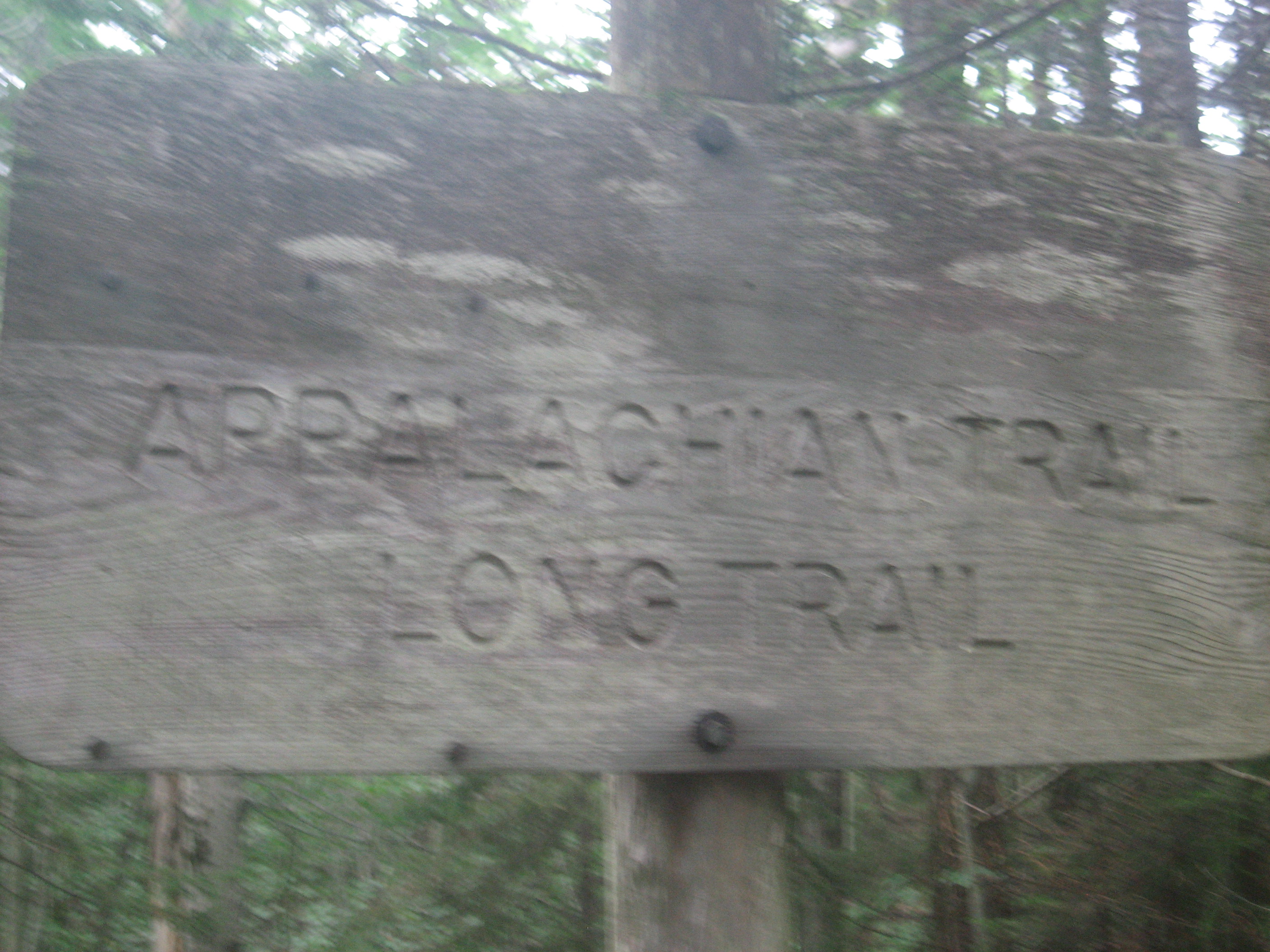
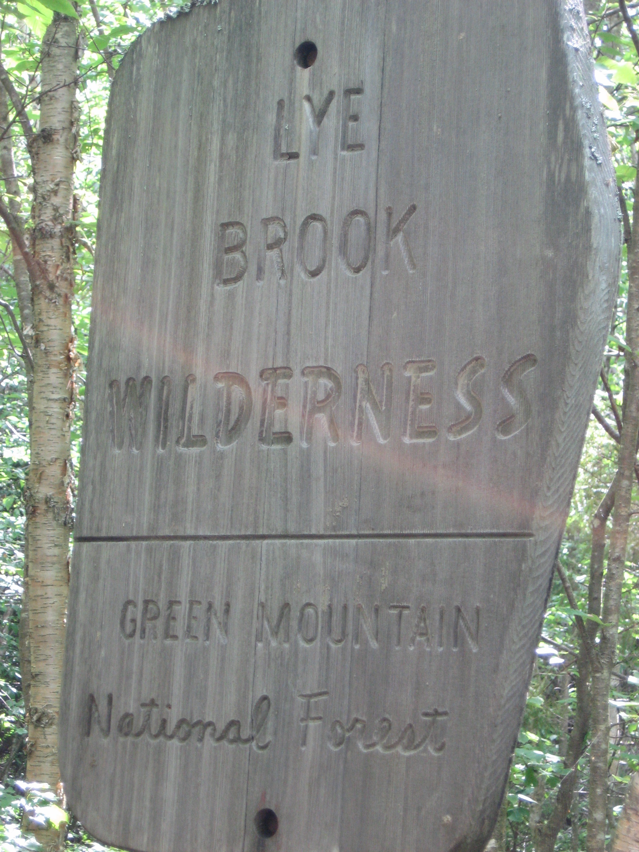
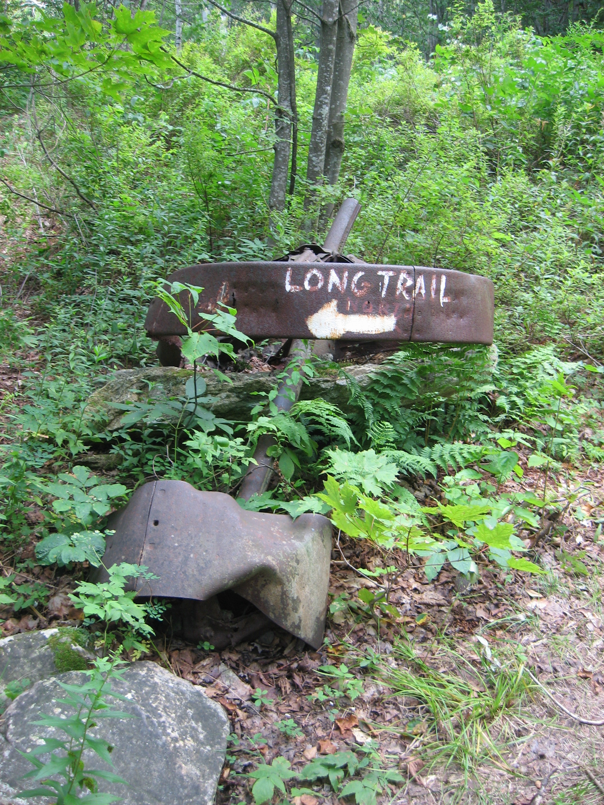
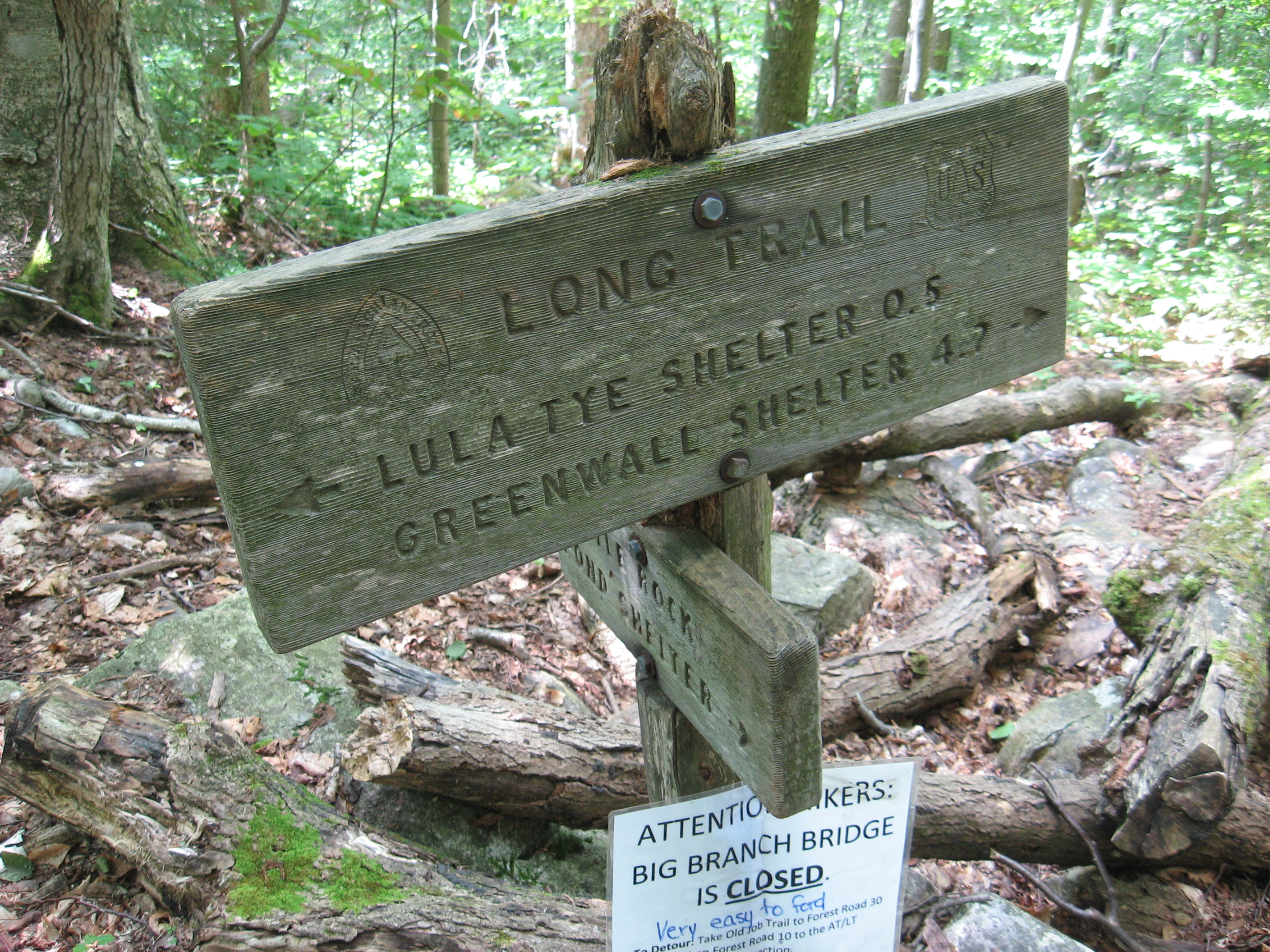
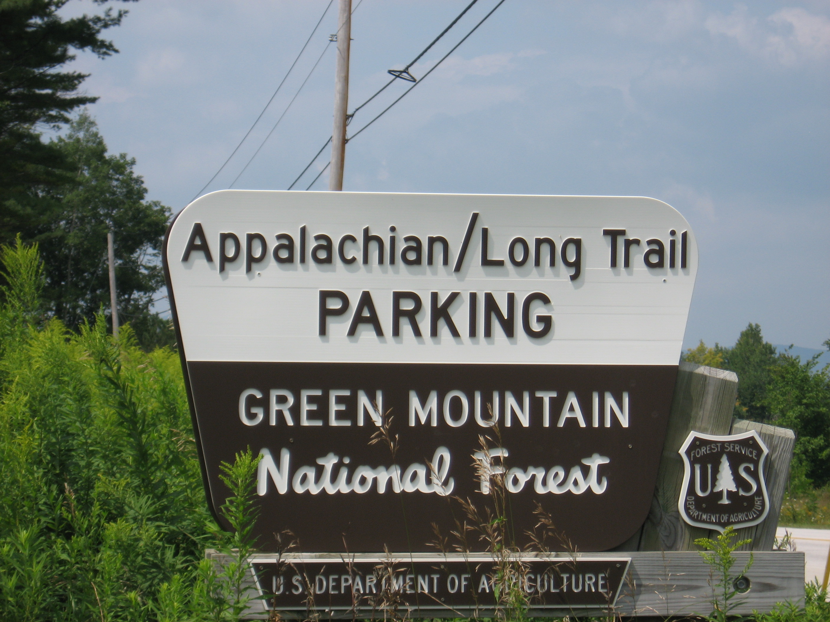
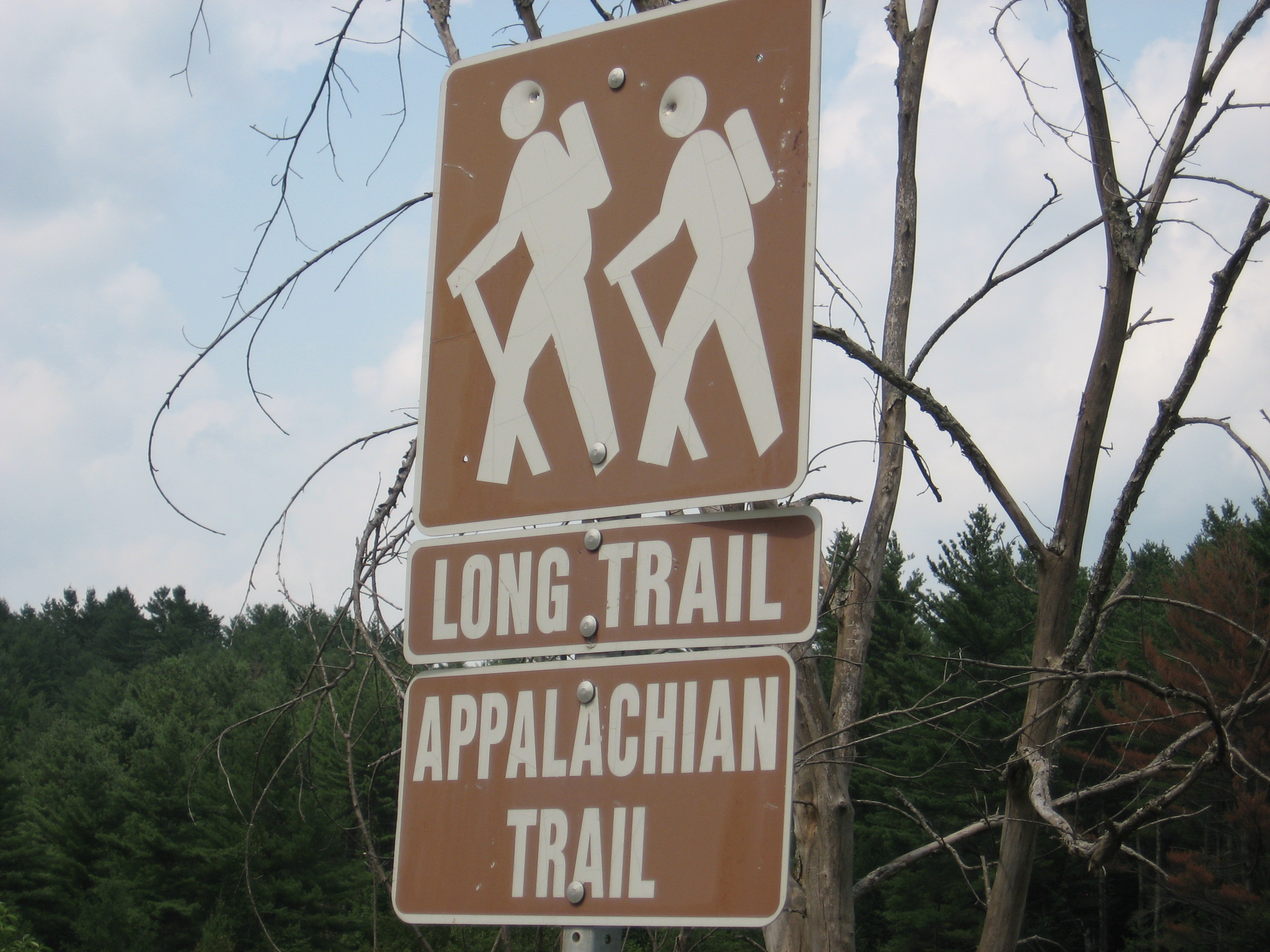
| 1596.3 | Massachusetts?Vermont State Line (2,330') Long Trail (southern terminus)?sign | 2330 |
| 1596.7 | Brook (2,300') | 2300 |
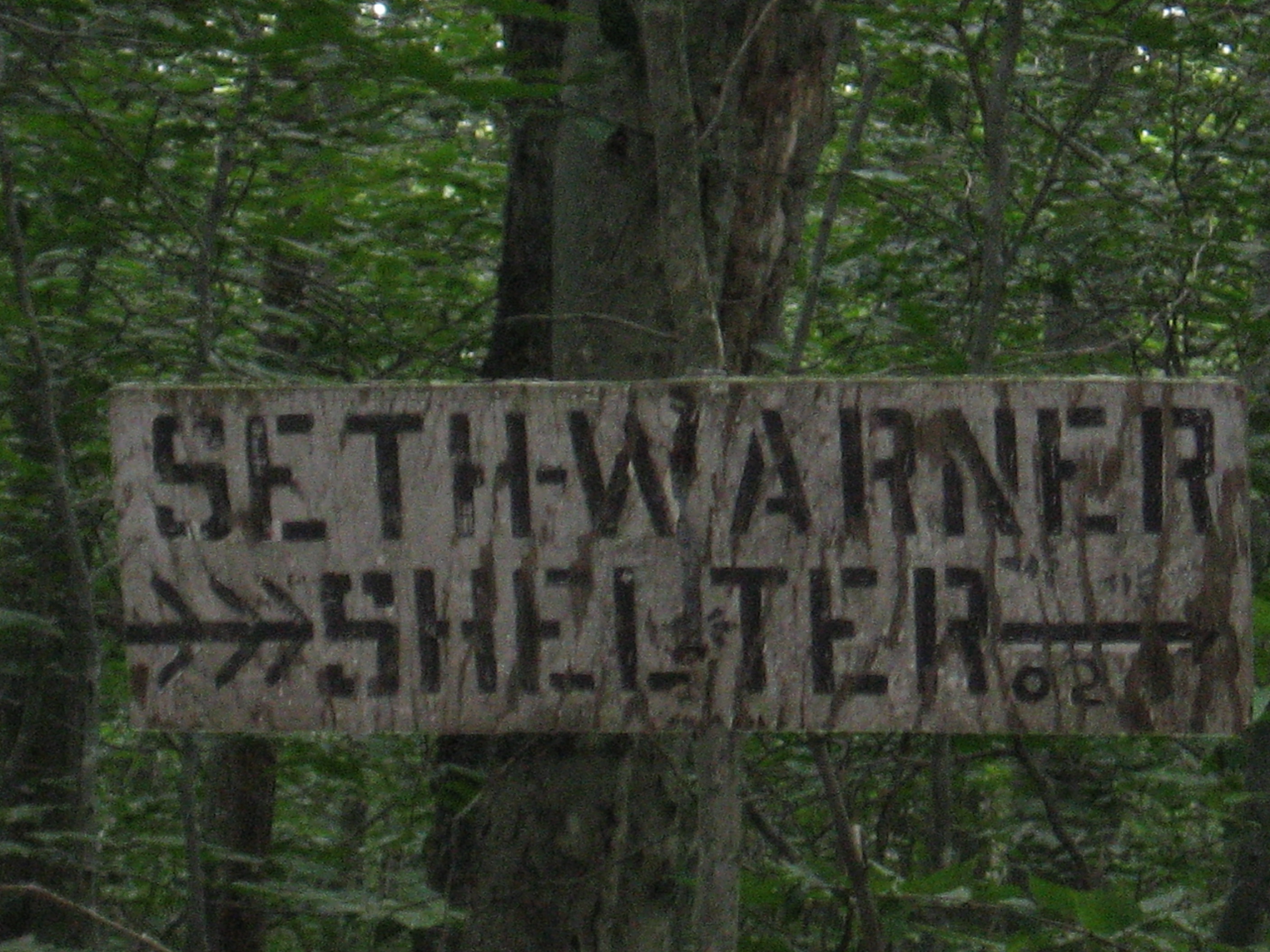
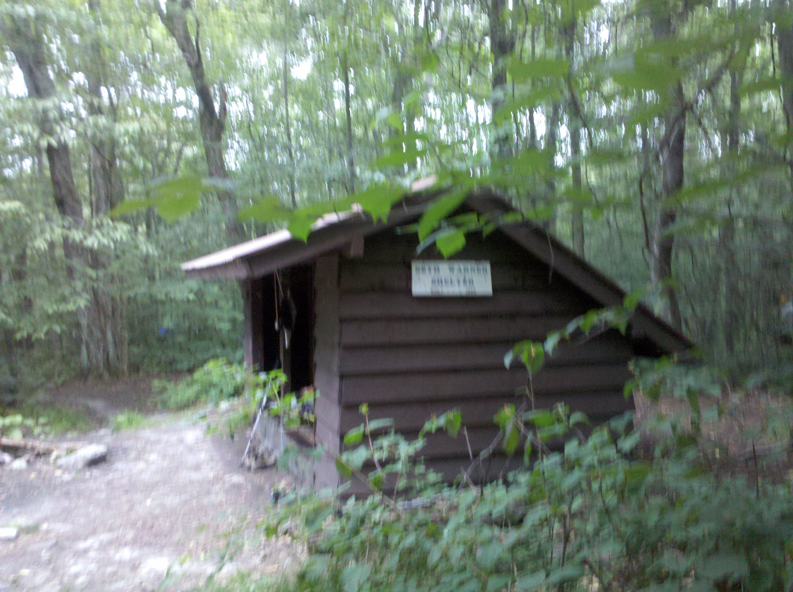
| 1599.1 | Seth Warner Shelter (2,180') ?10.4mS; 7.4mN | 2180 |


| Miles from Springer | Features | Elevation |
|---|---|---|
| 1599.4 | County Road (2,290') | 2290 |
| 1600.5 | Ed's Spring (2,890') | 2890 |
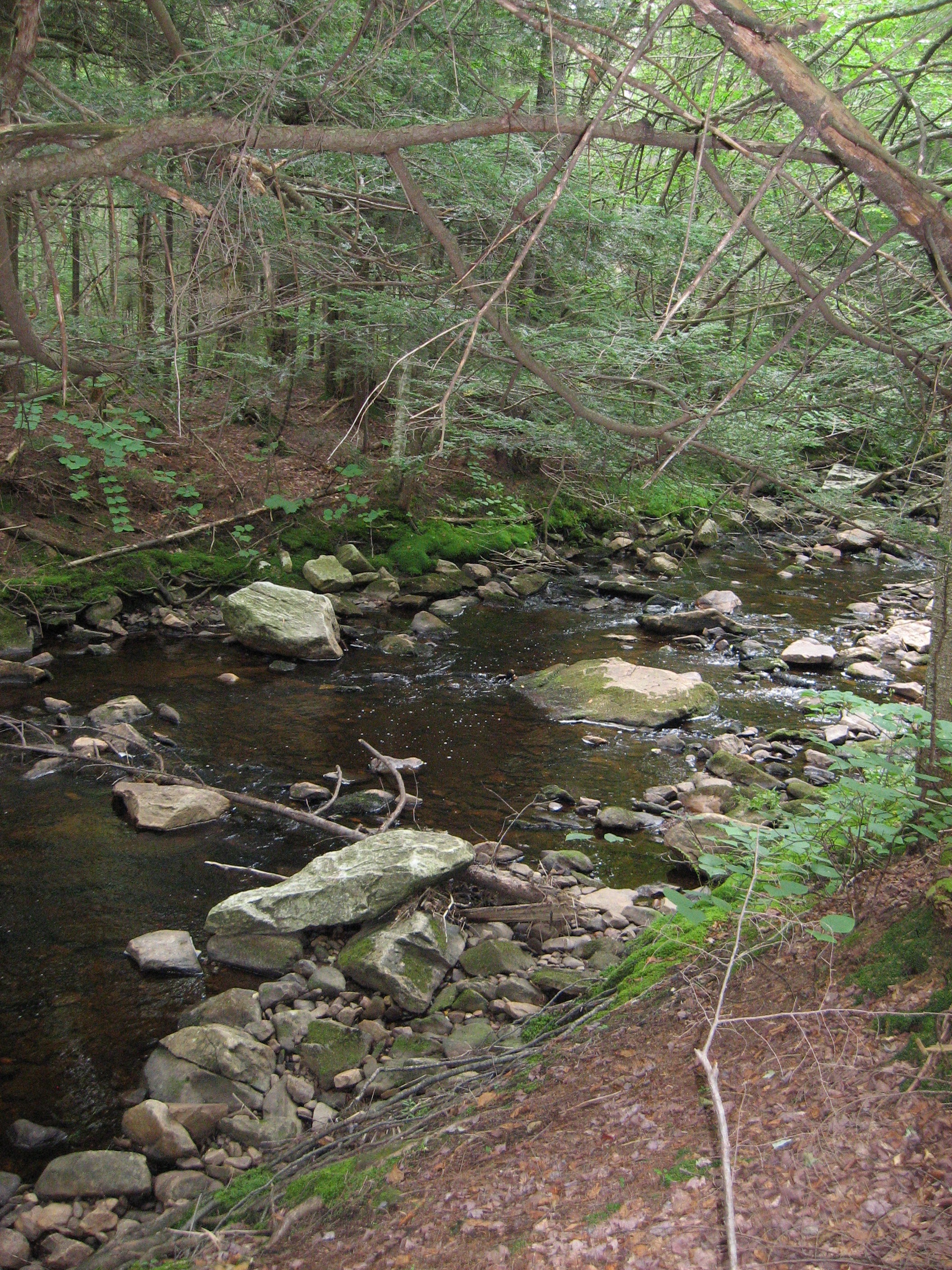
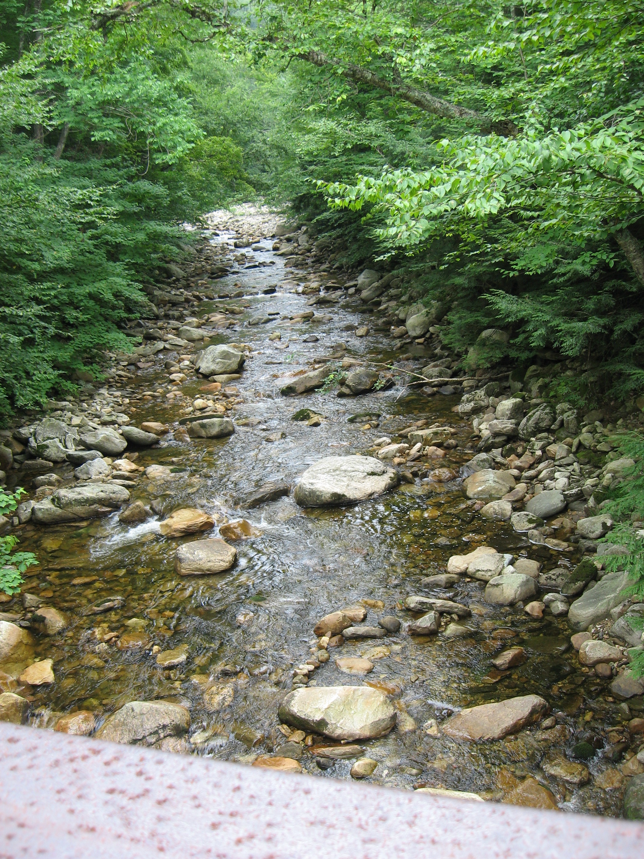
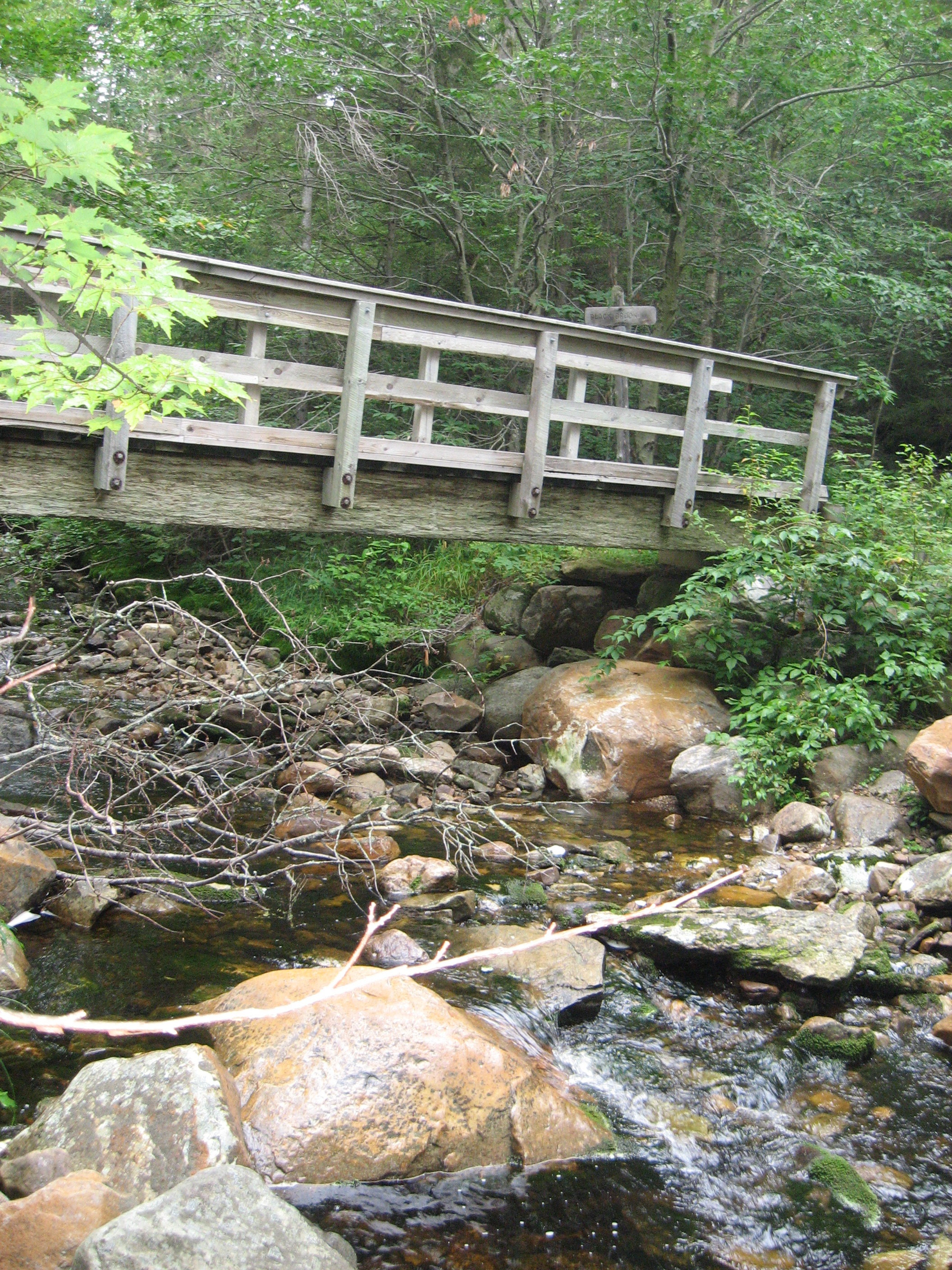
| 1602.1 | Roaring Branch (2,470') | 2470 |
| 1605.8 | Stamford Stream (2,040') | 2040 |
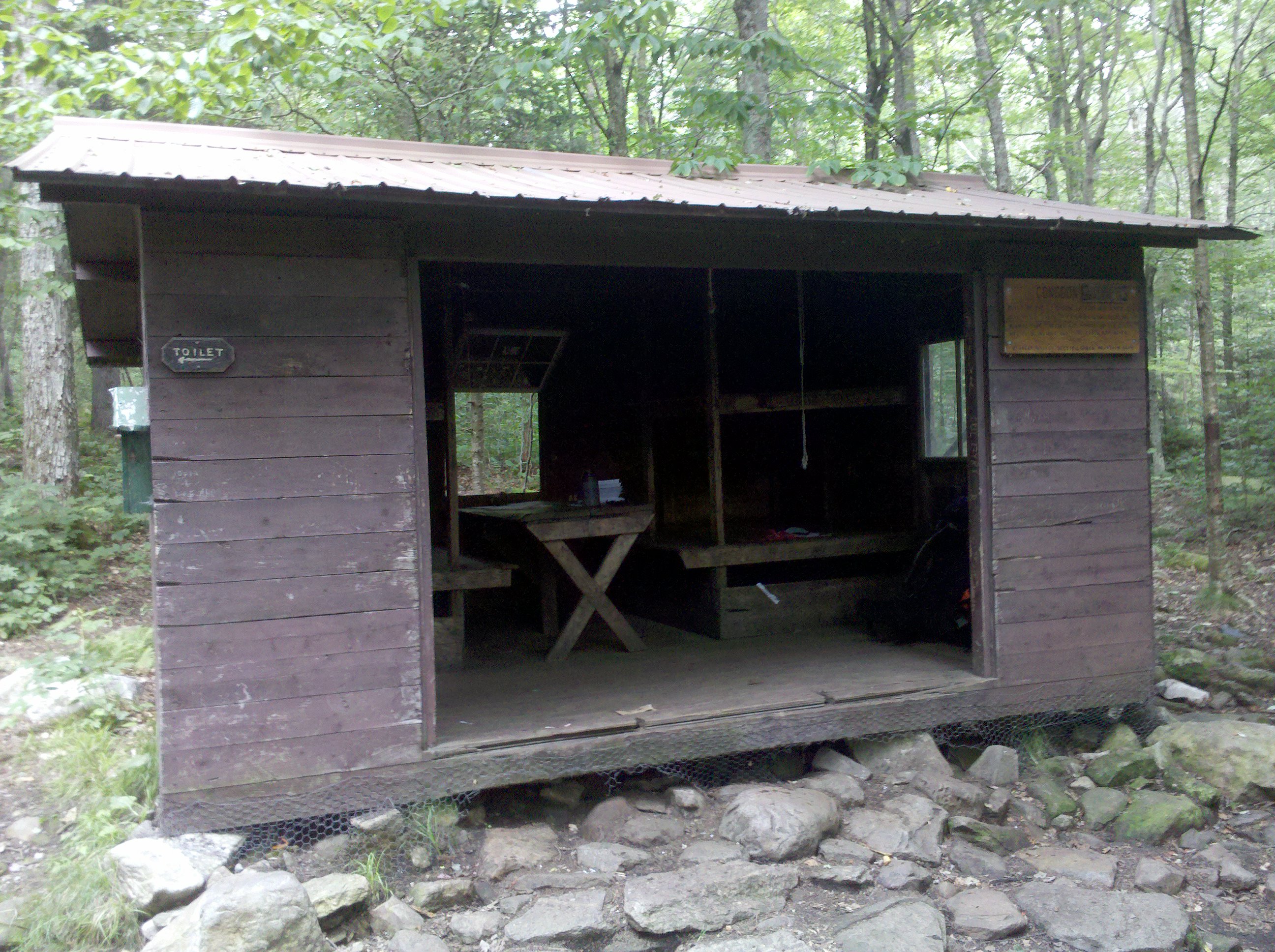
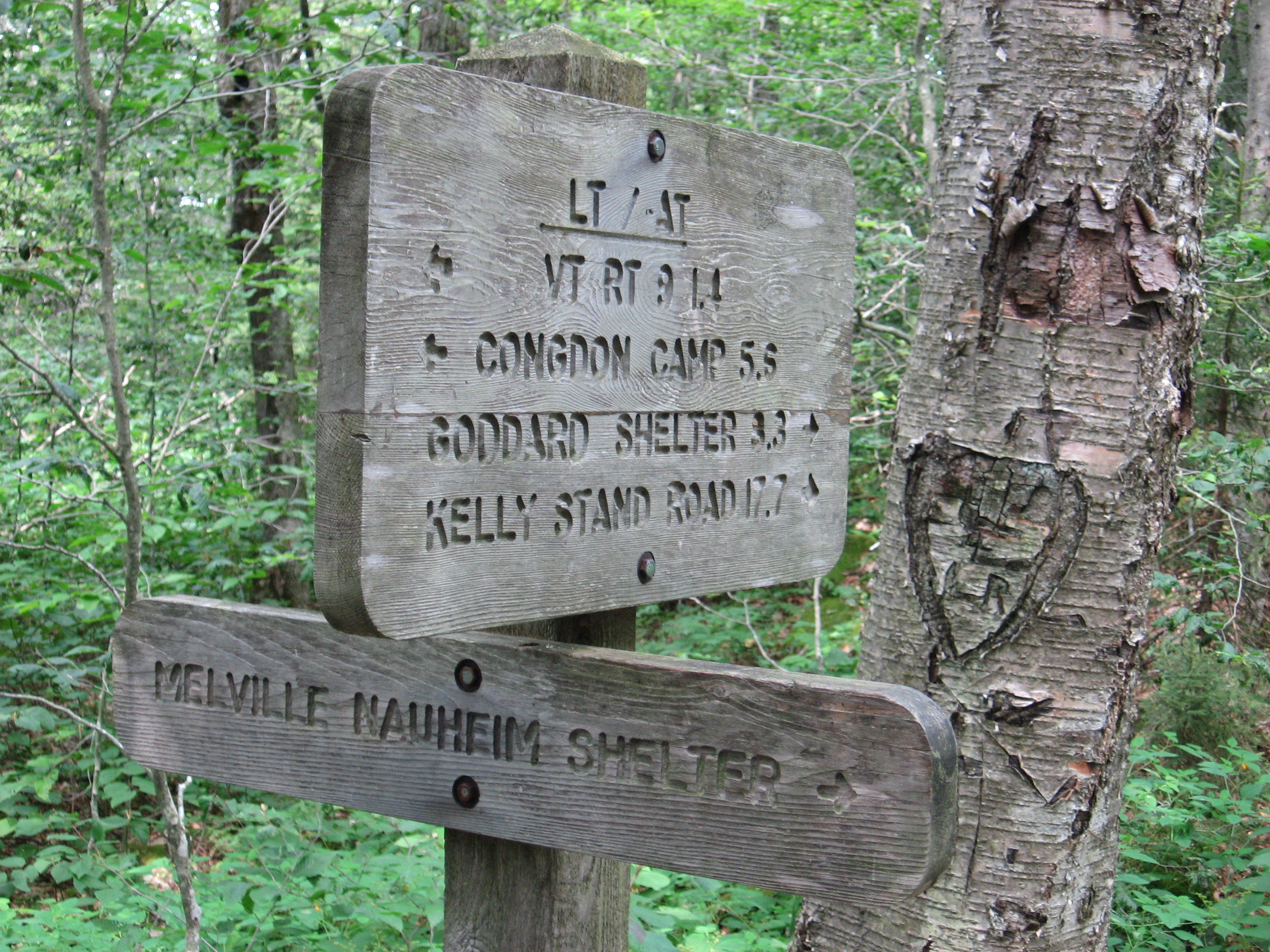
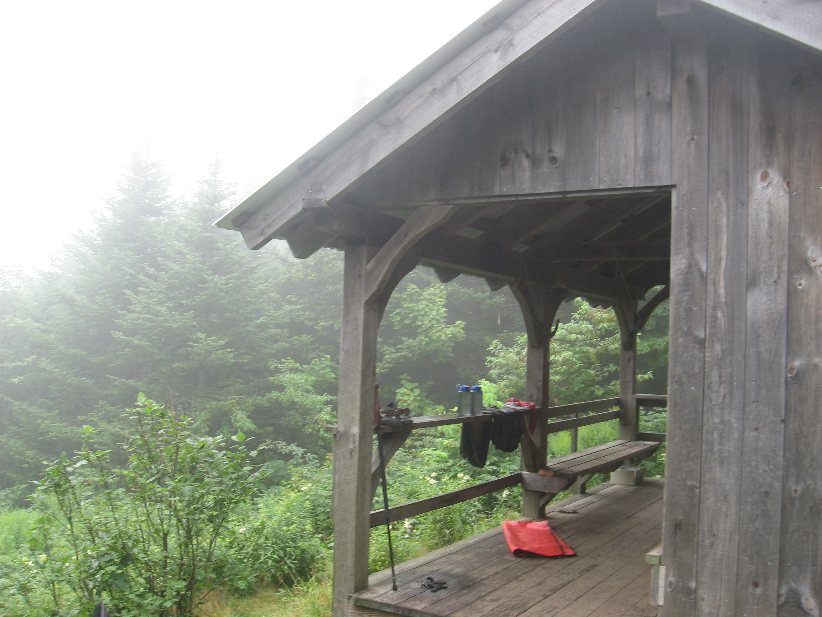
| 1606.3 | Congdon Shelter (2,060')?7.4mS; 5.9mN | 2060 |
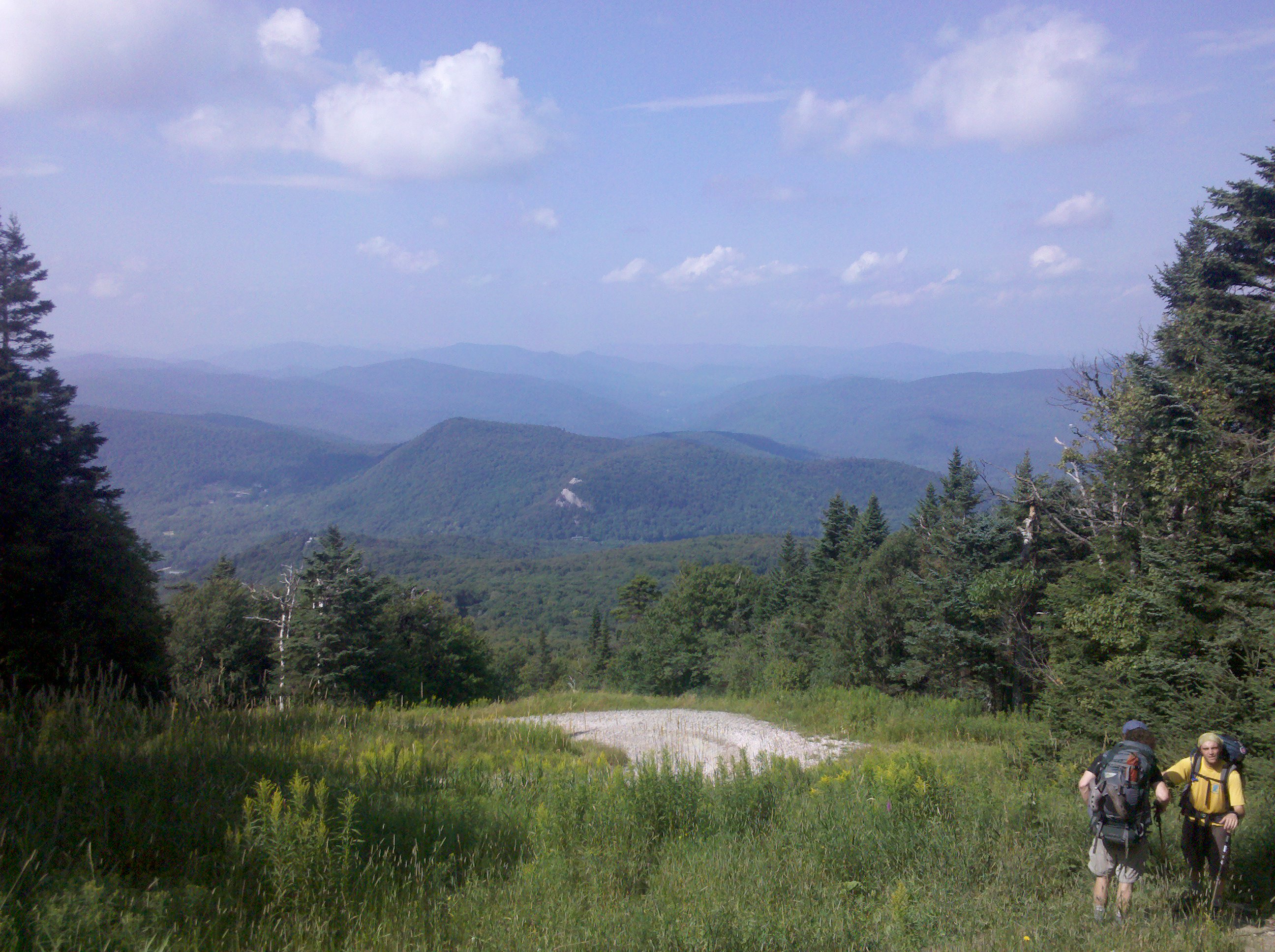
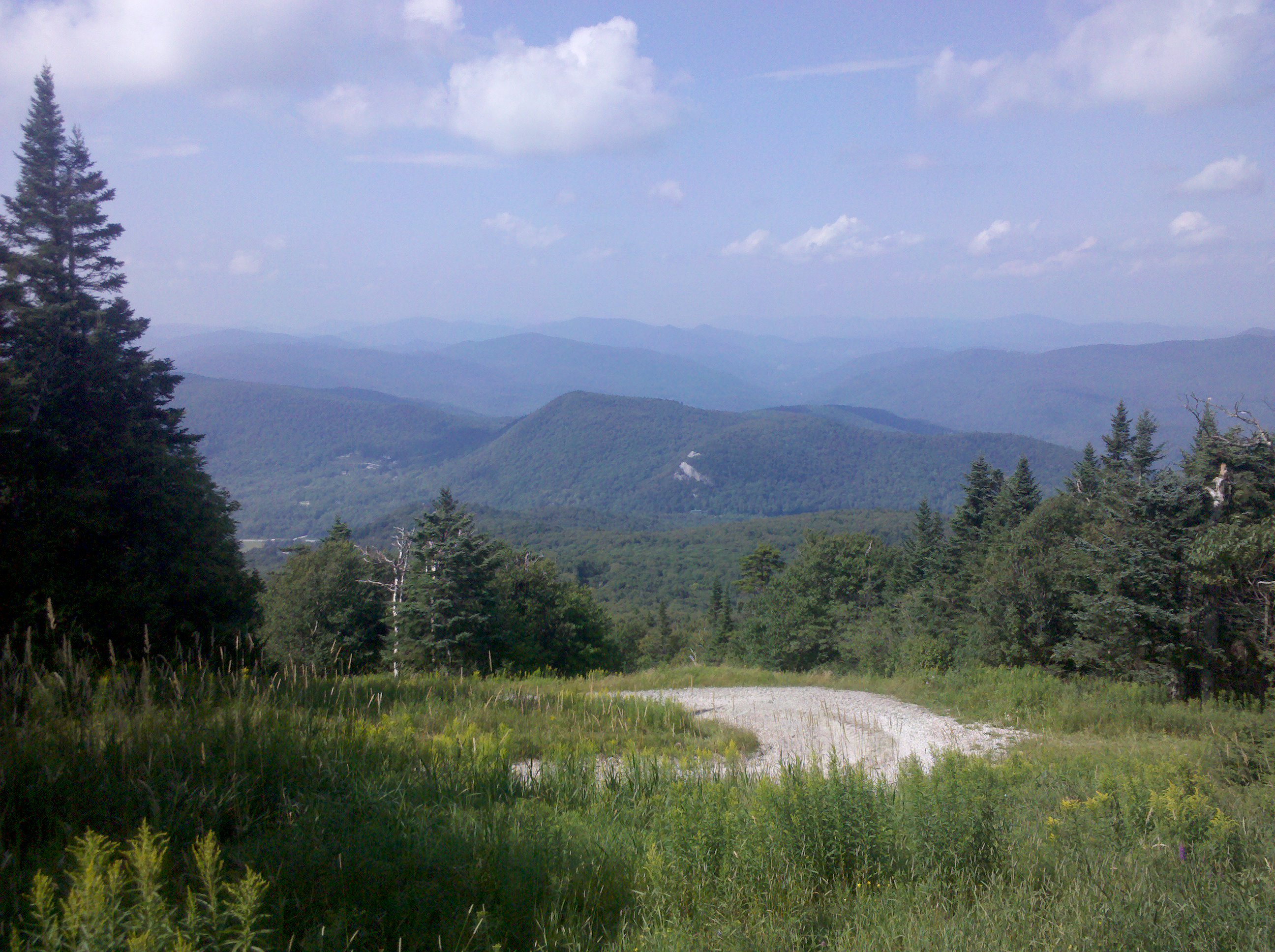
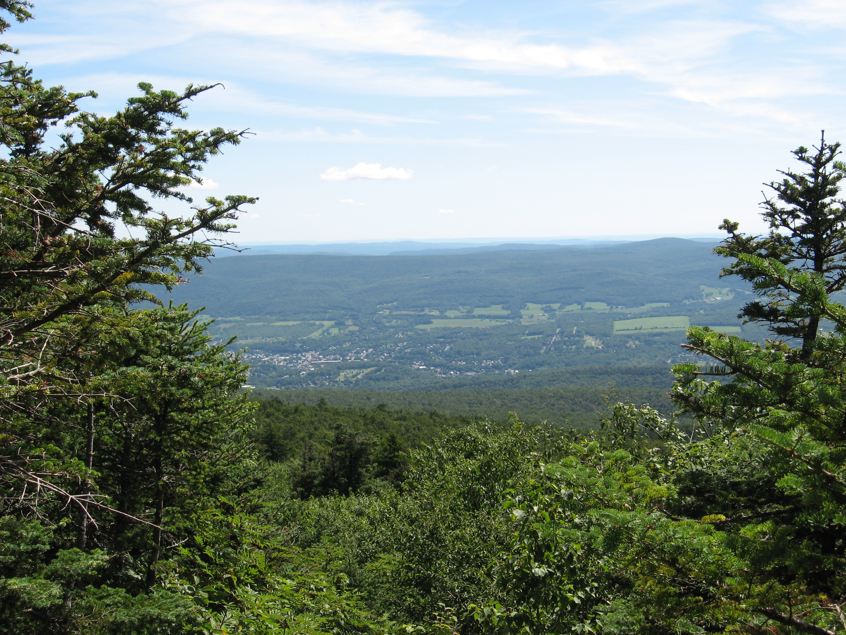
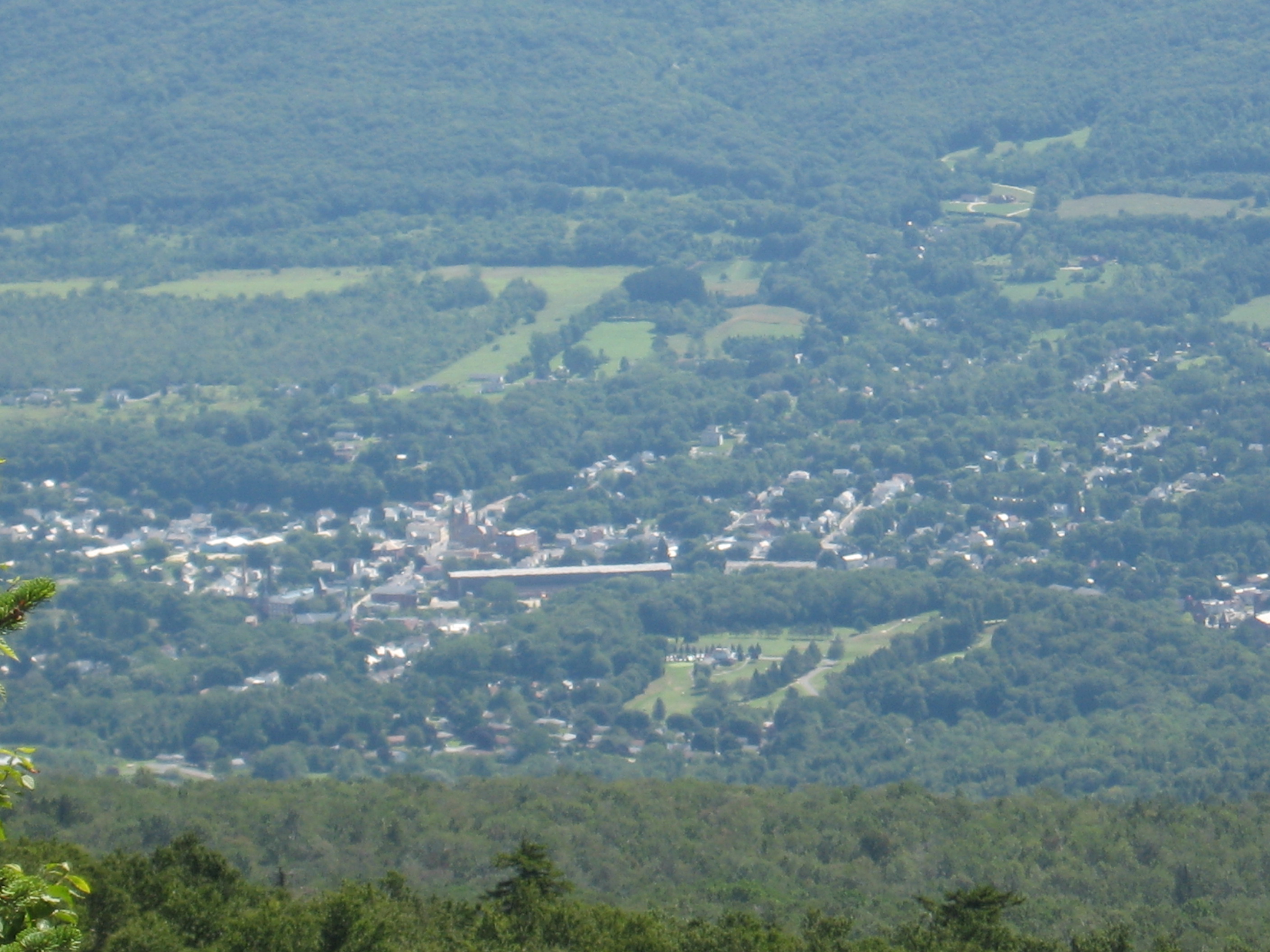
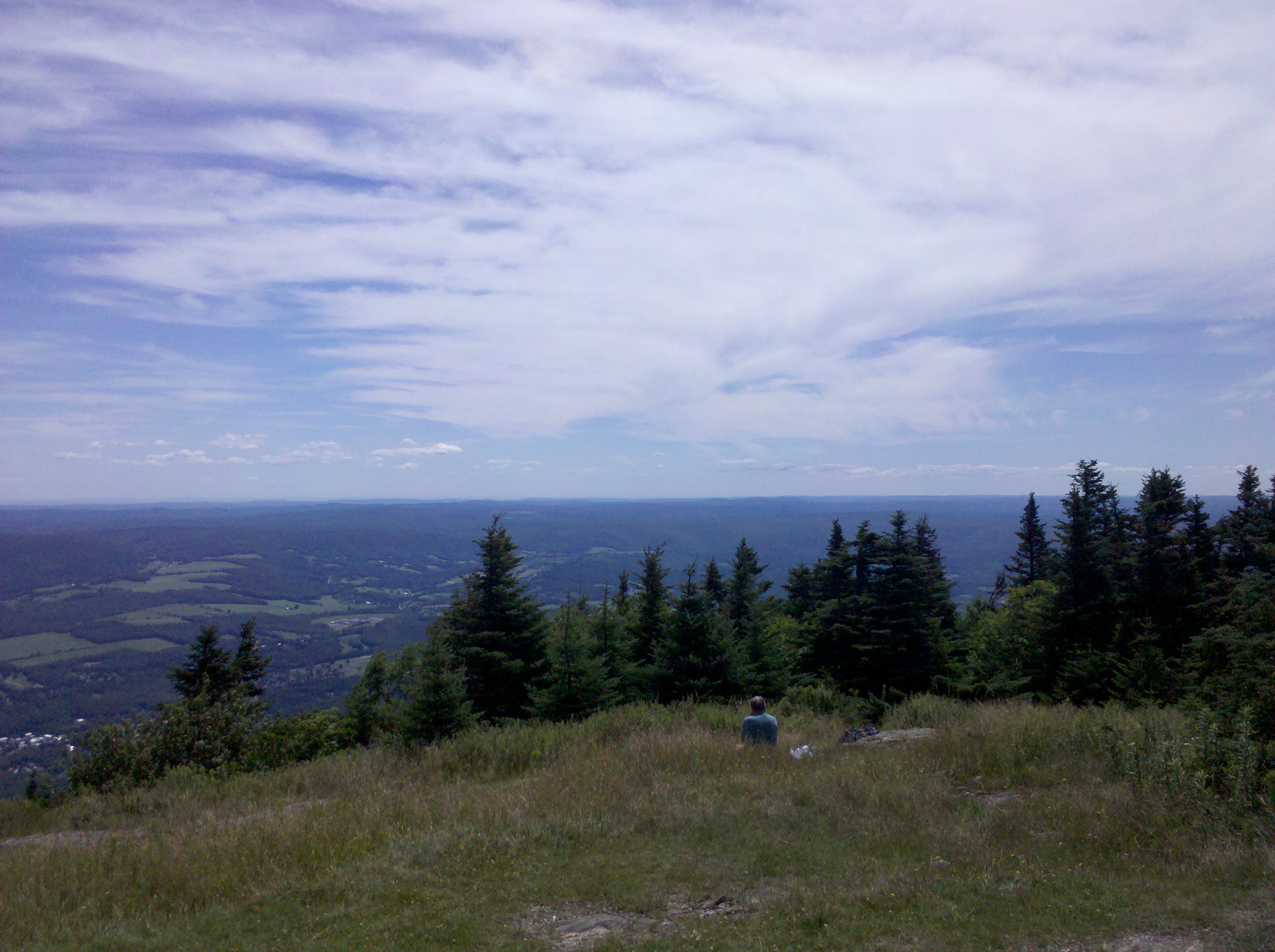
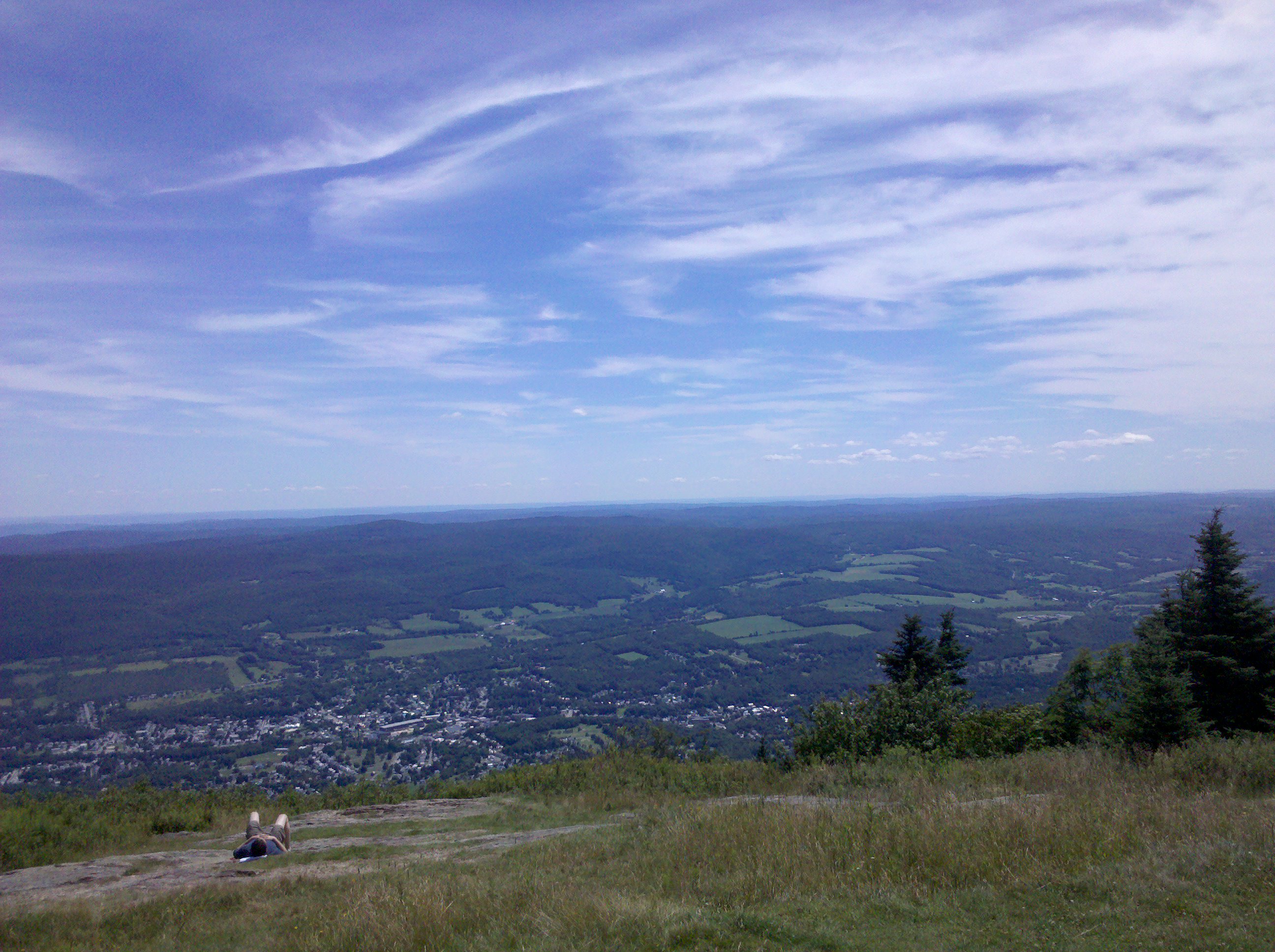
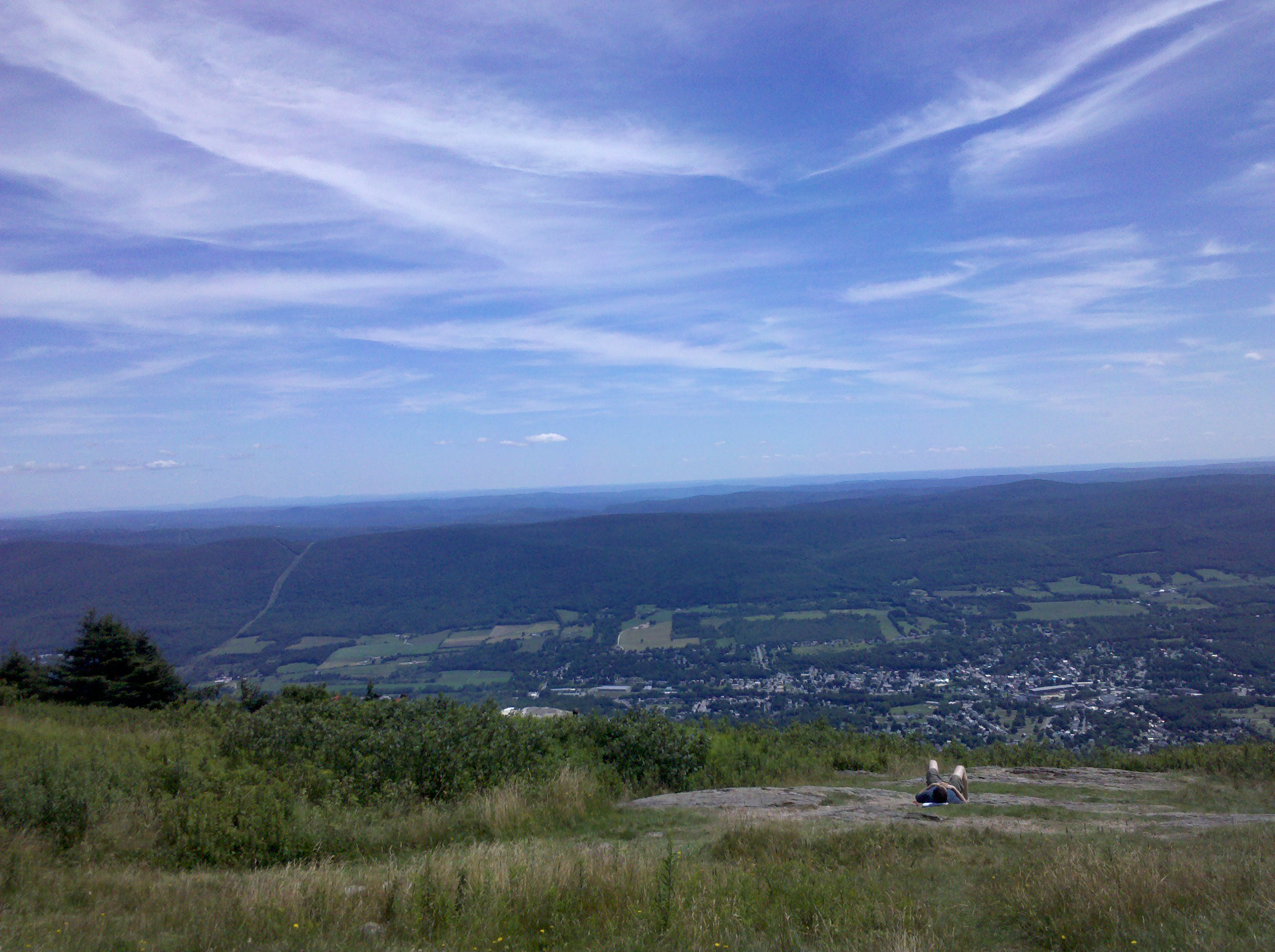
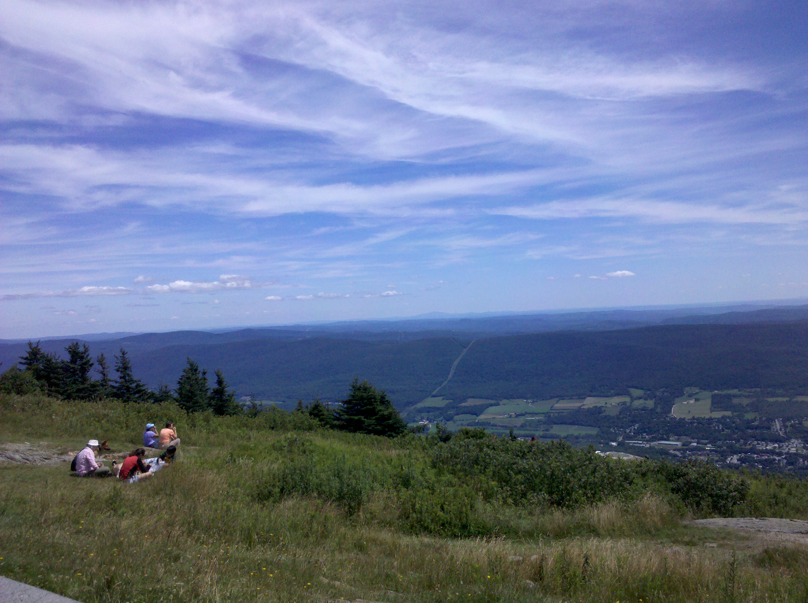
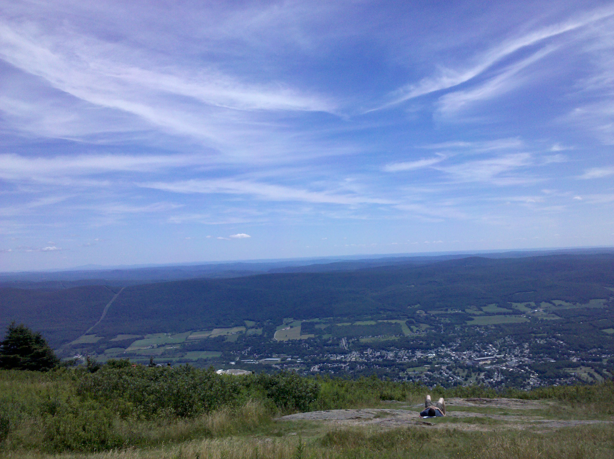
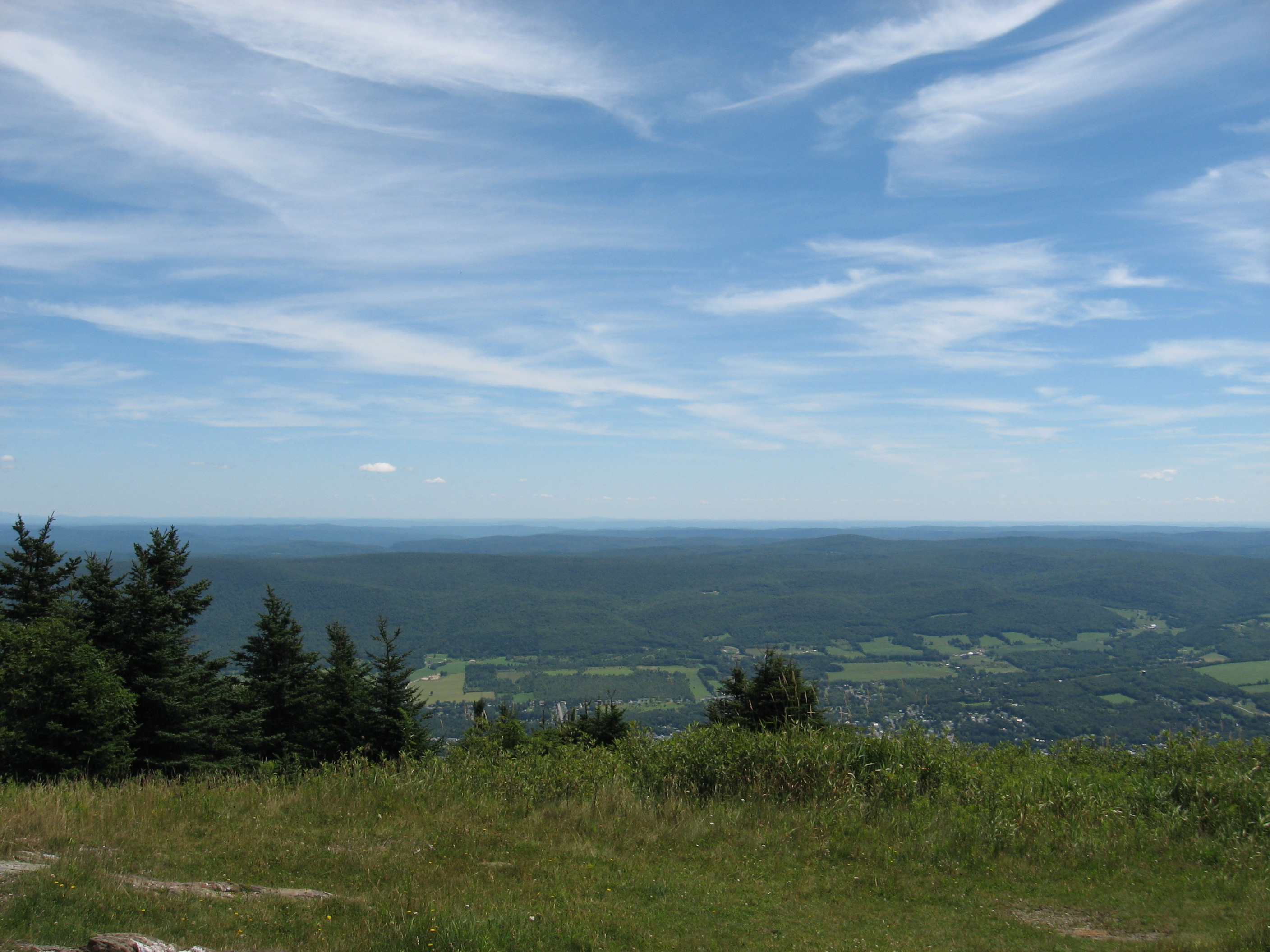
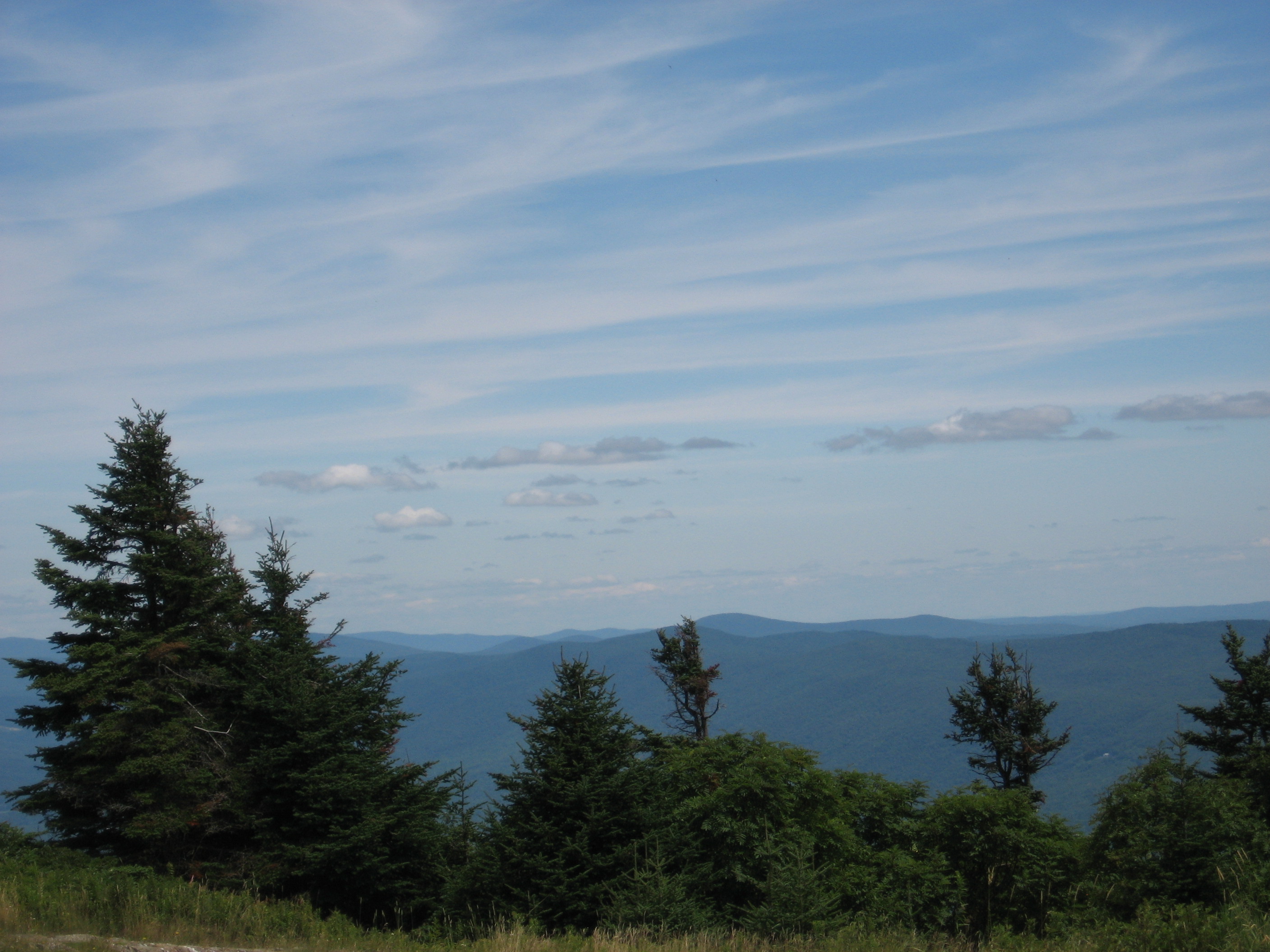
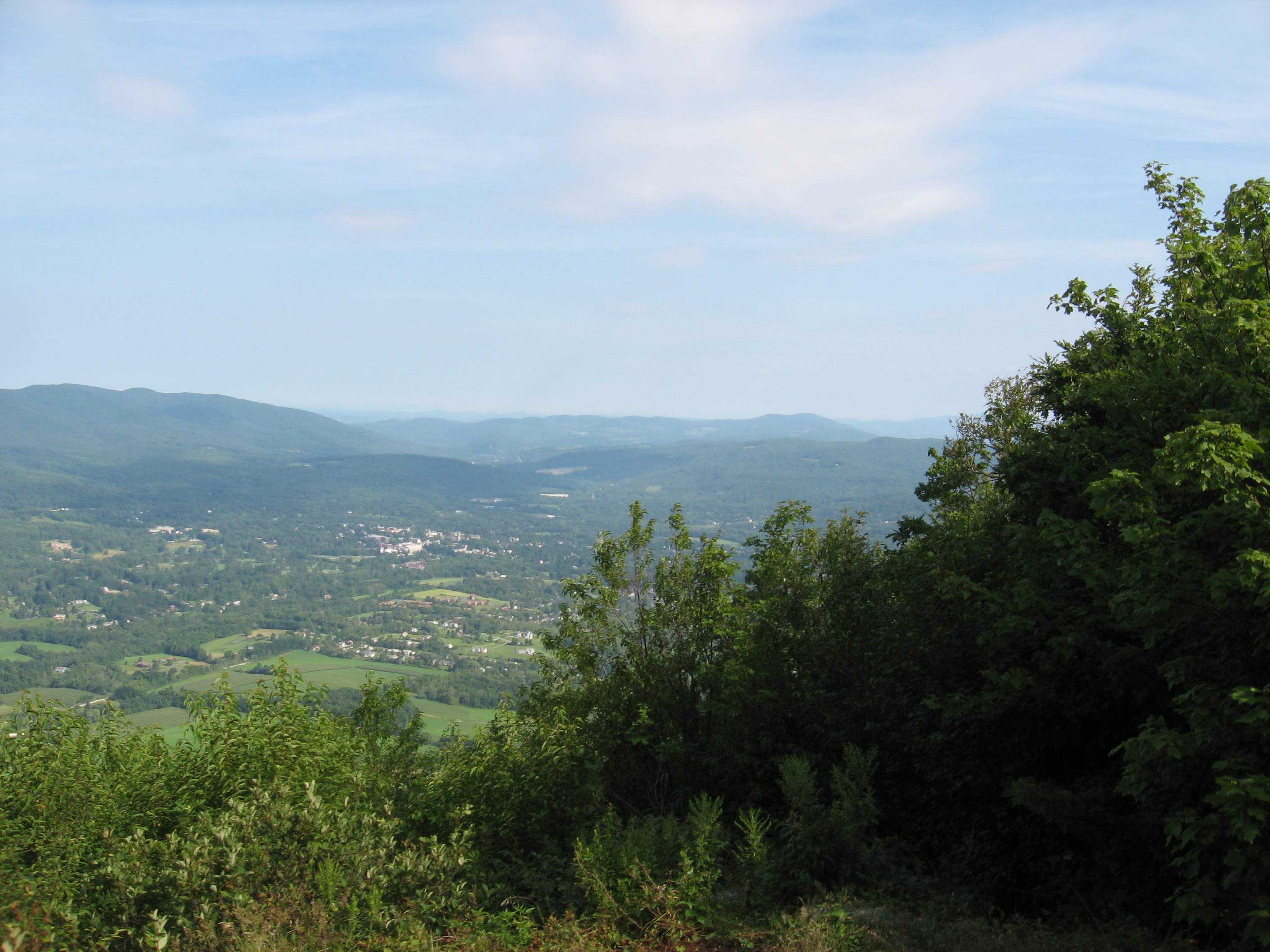
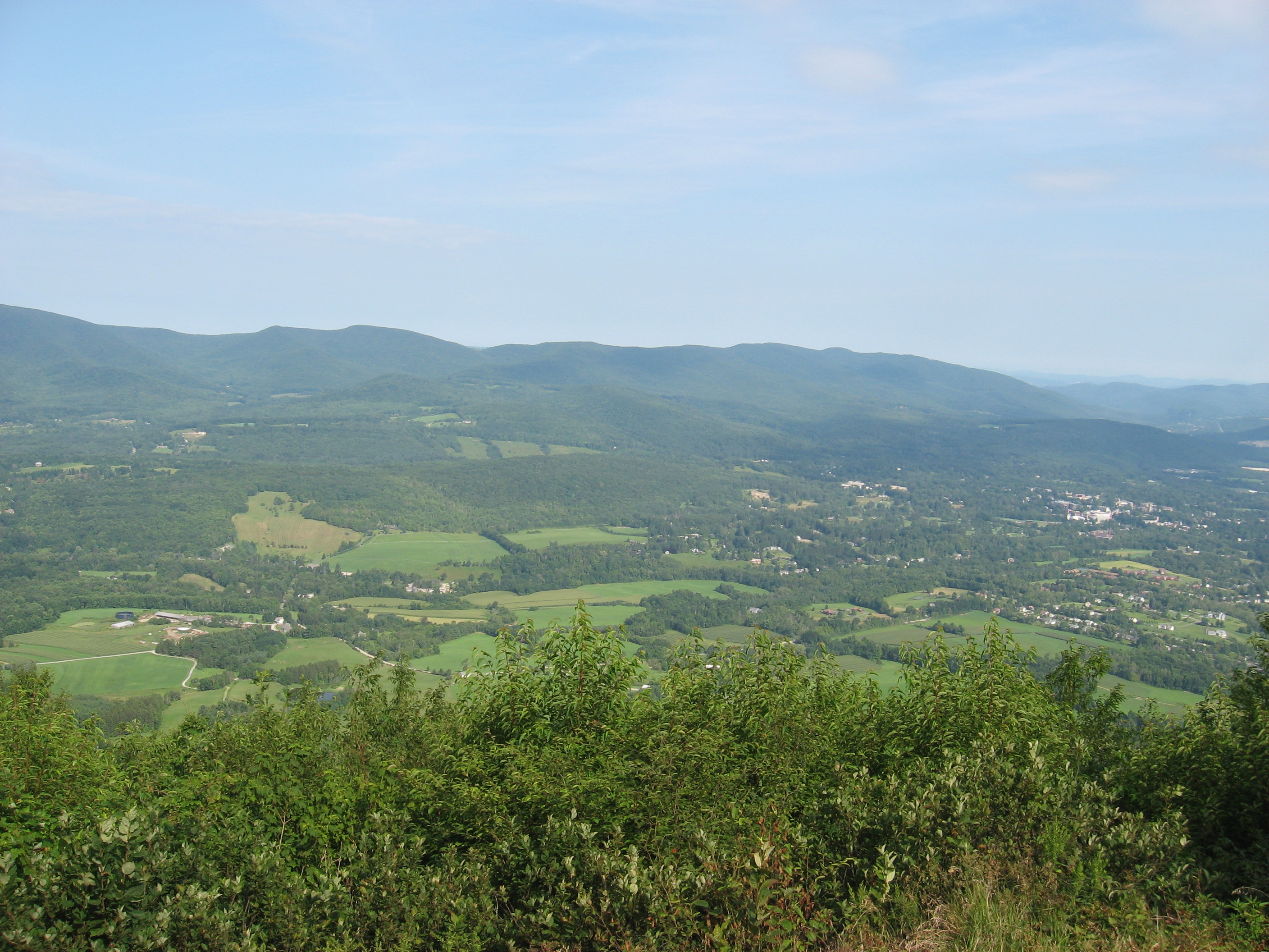
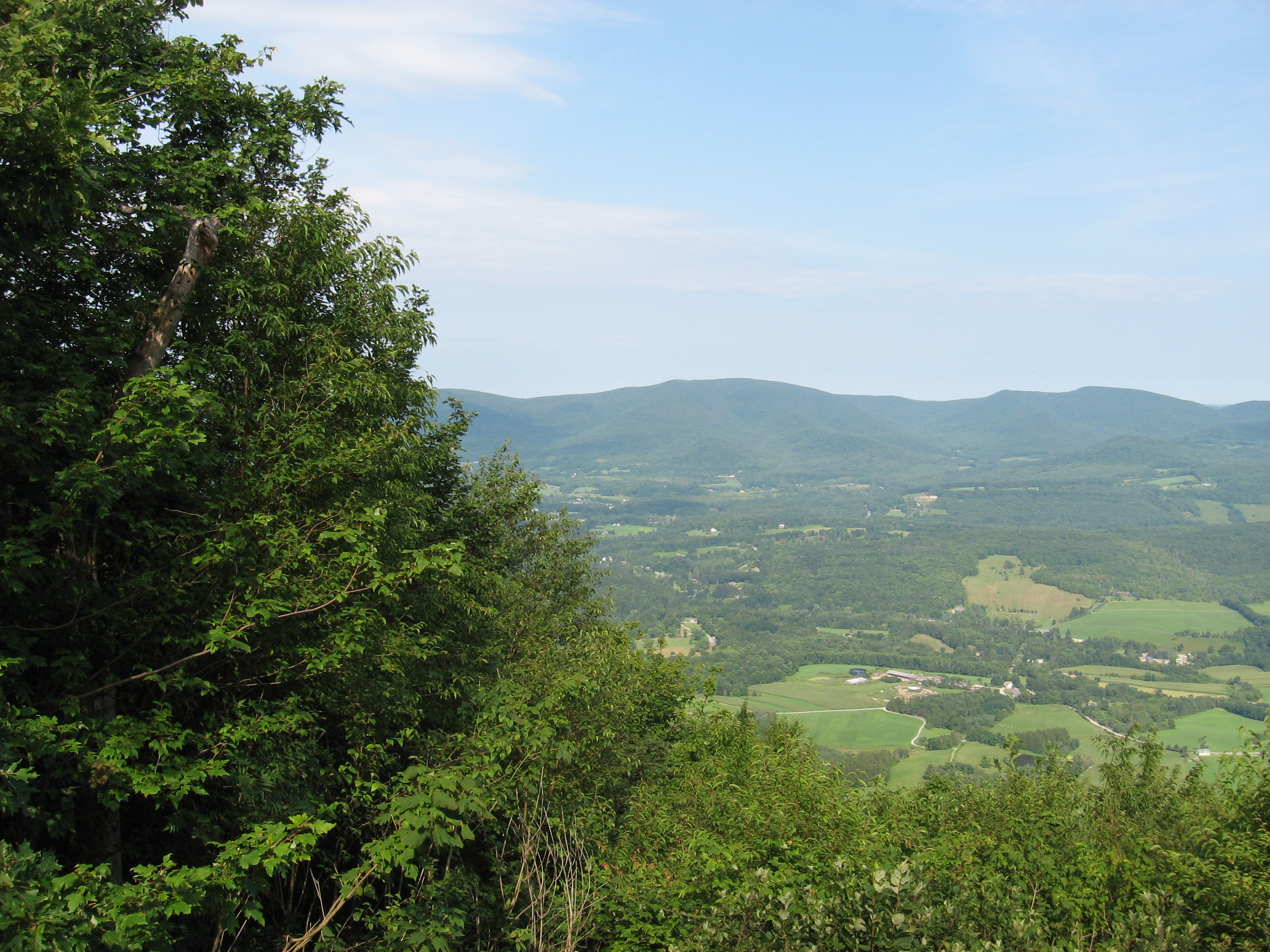
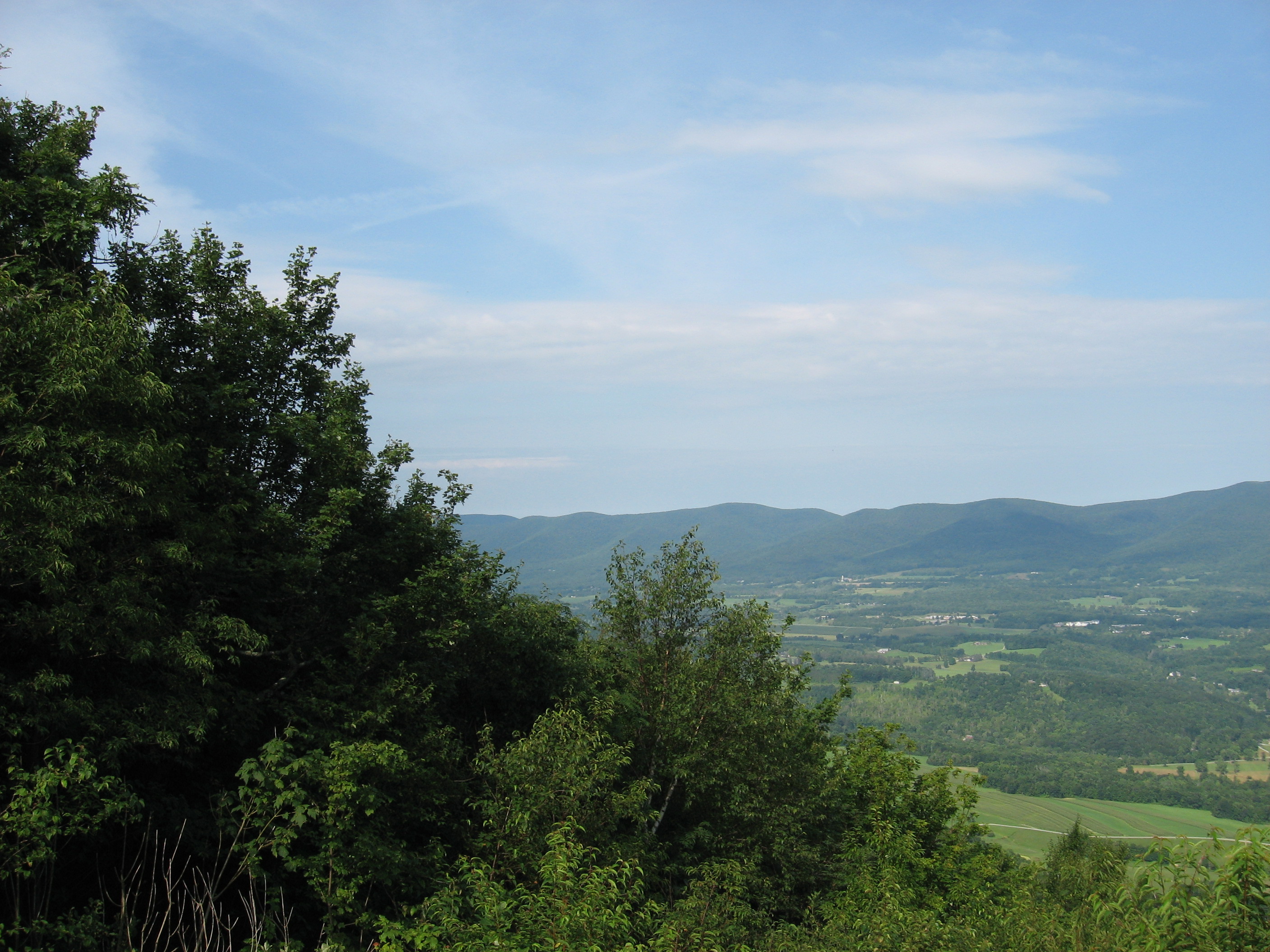
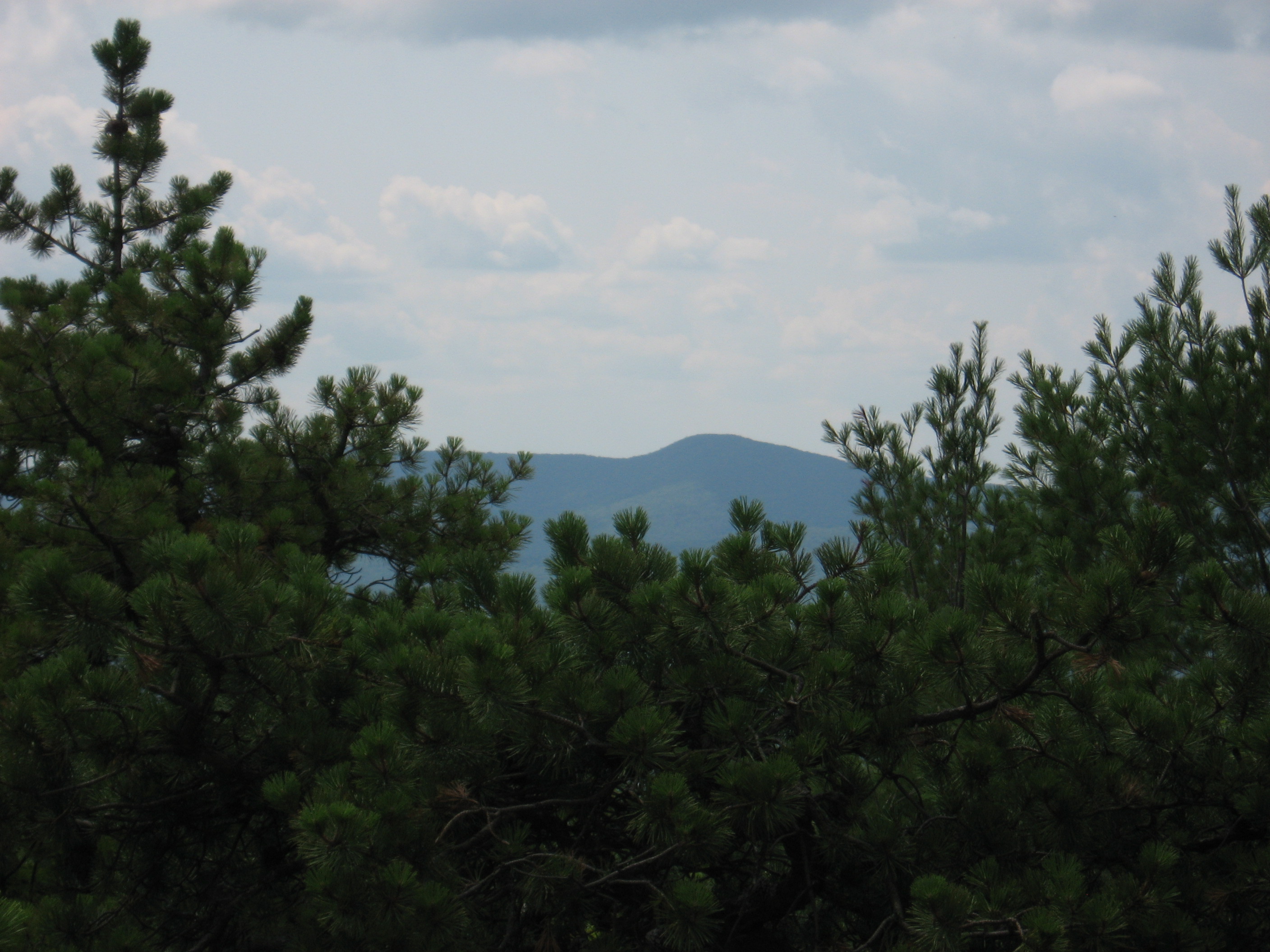
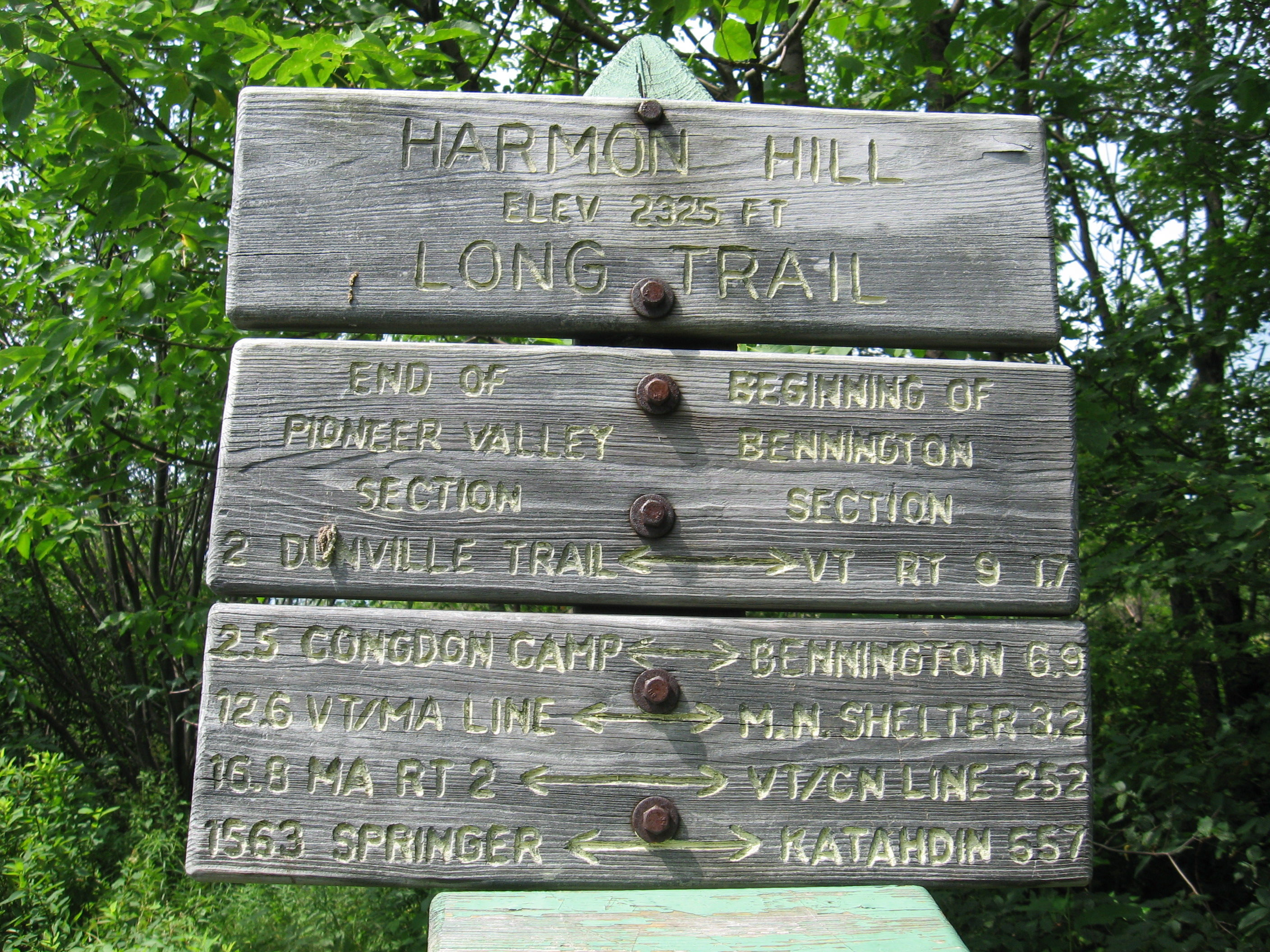
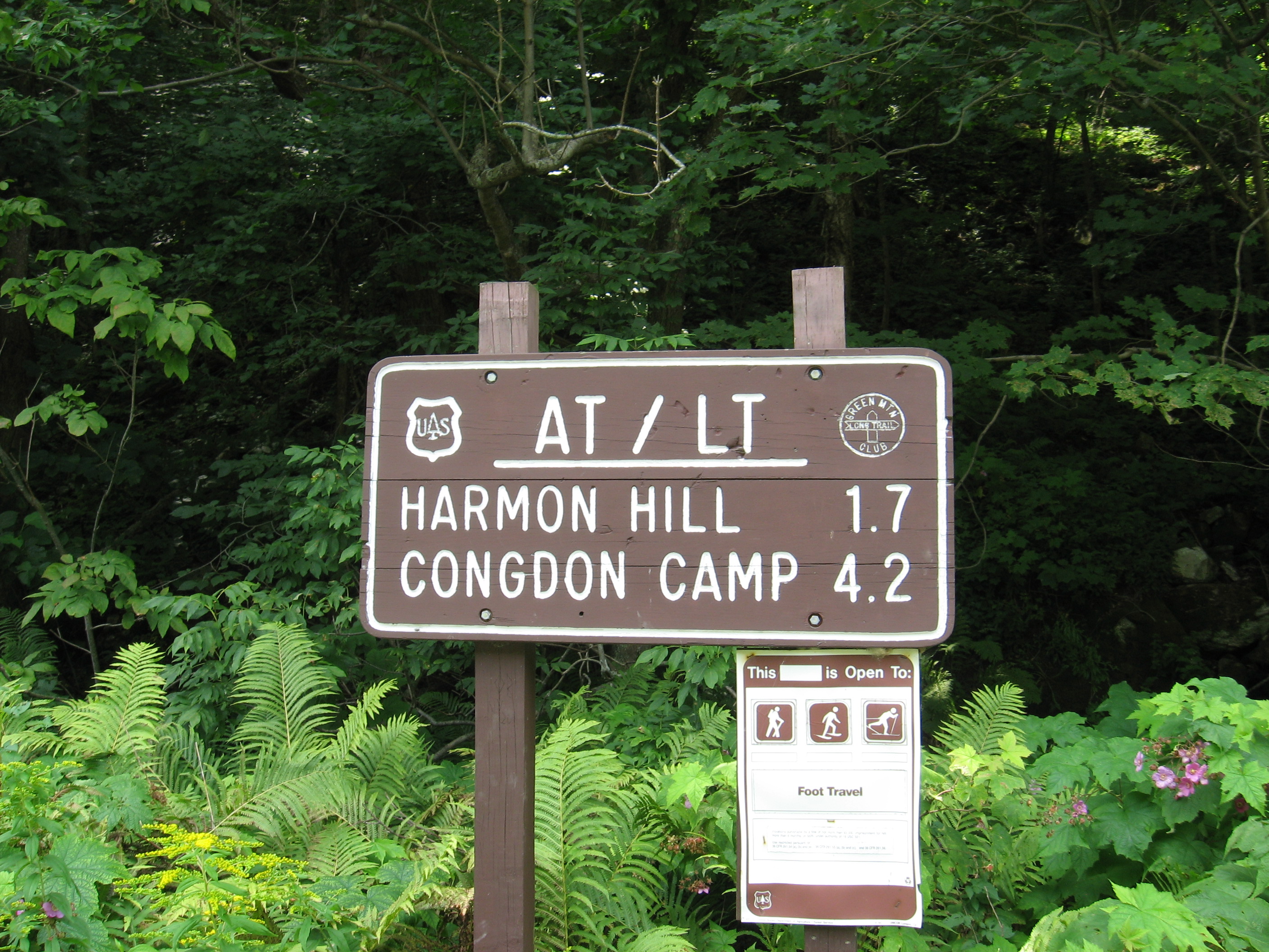
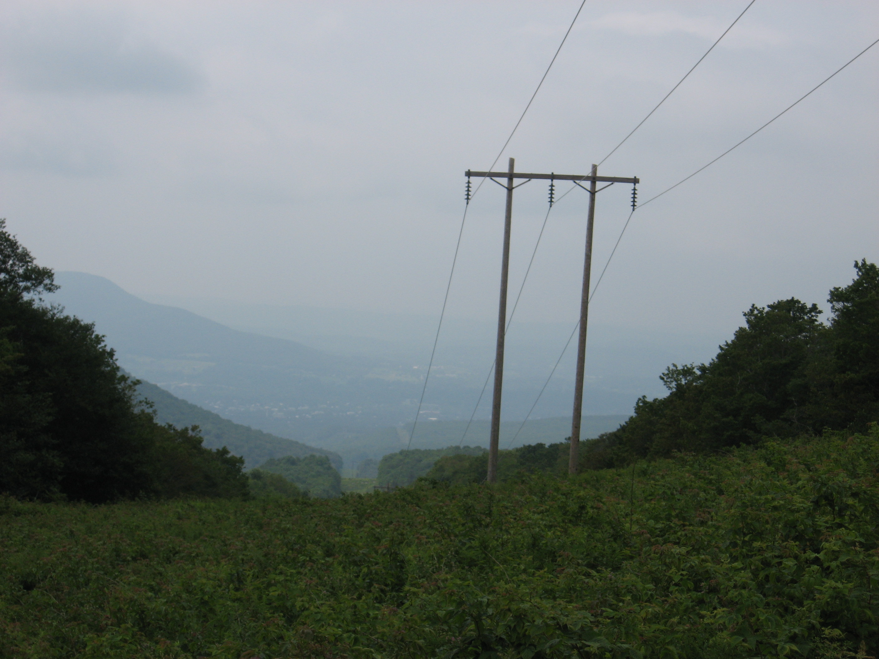
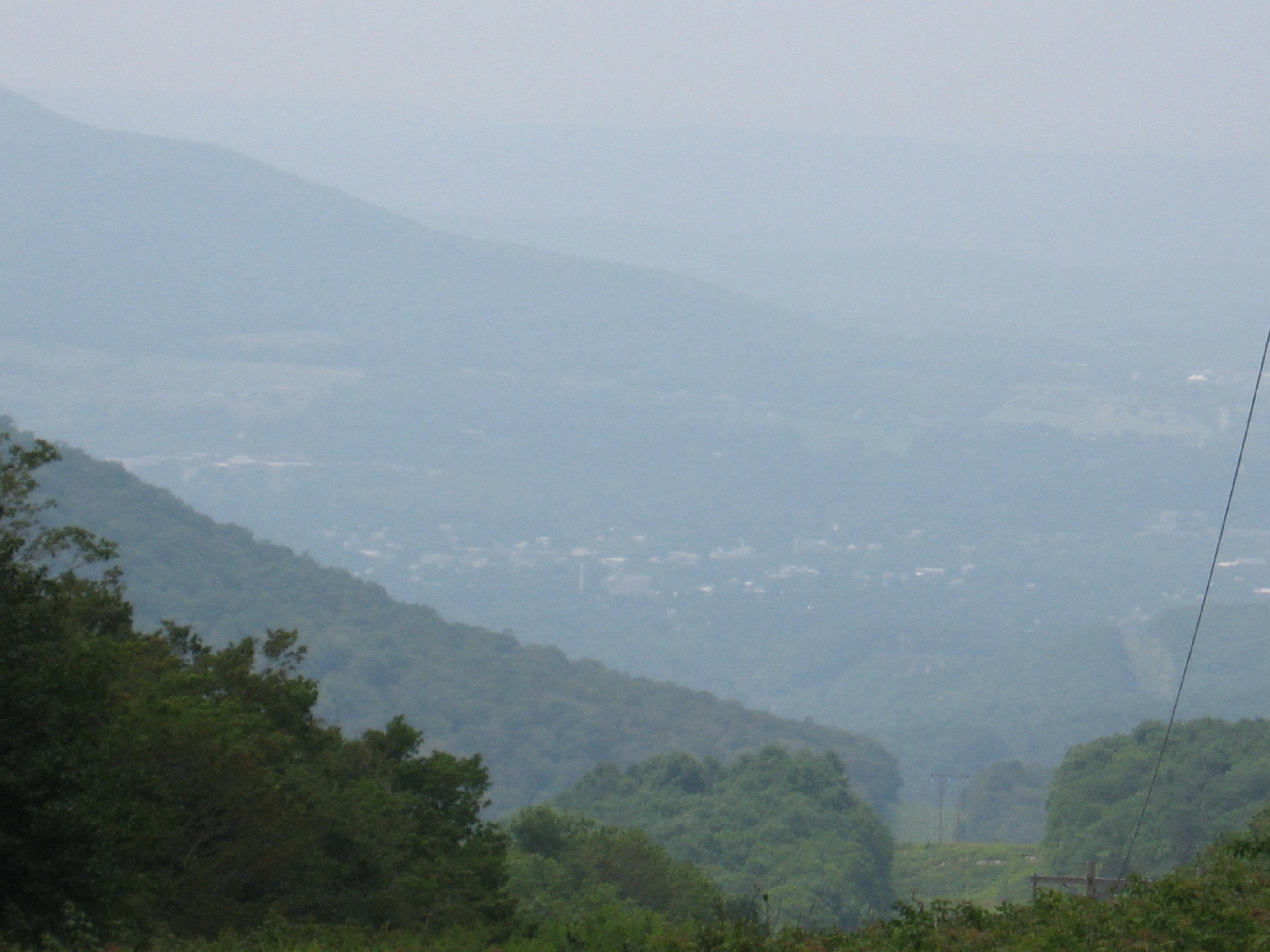
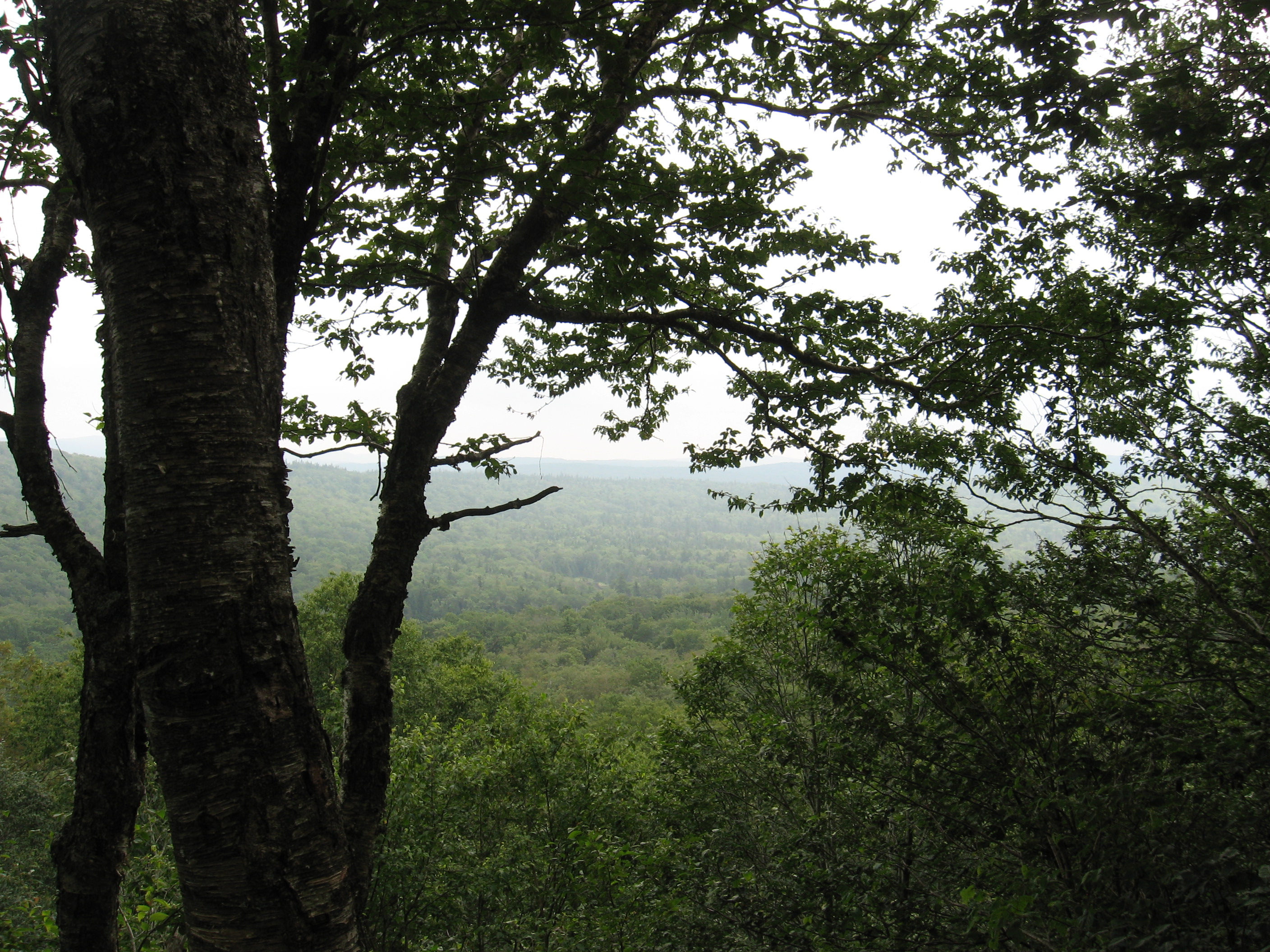
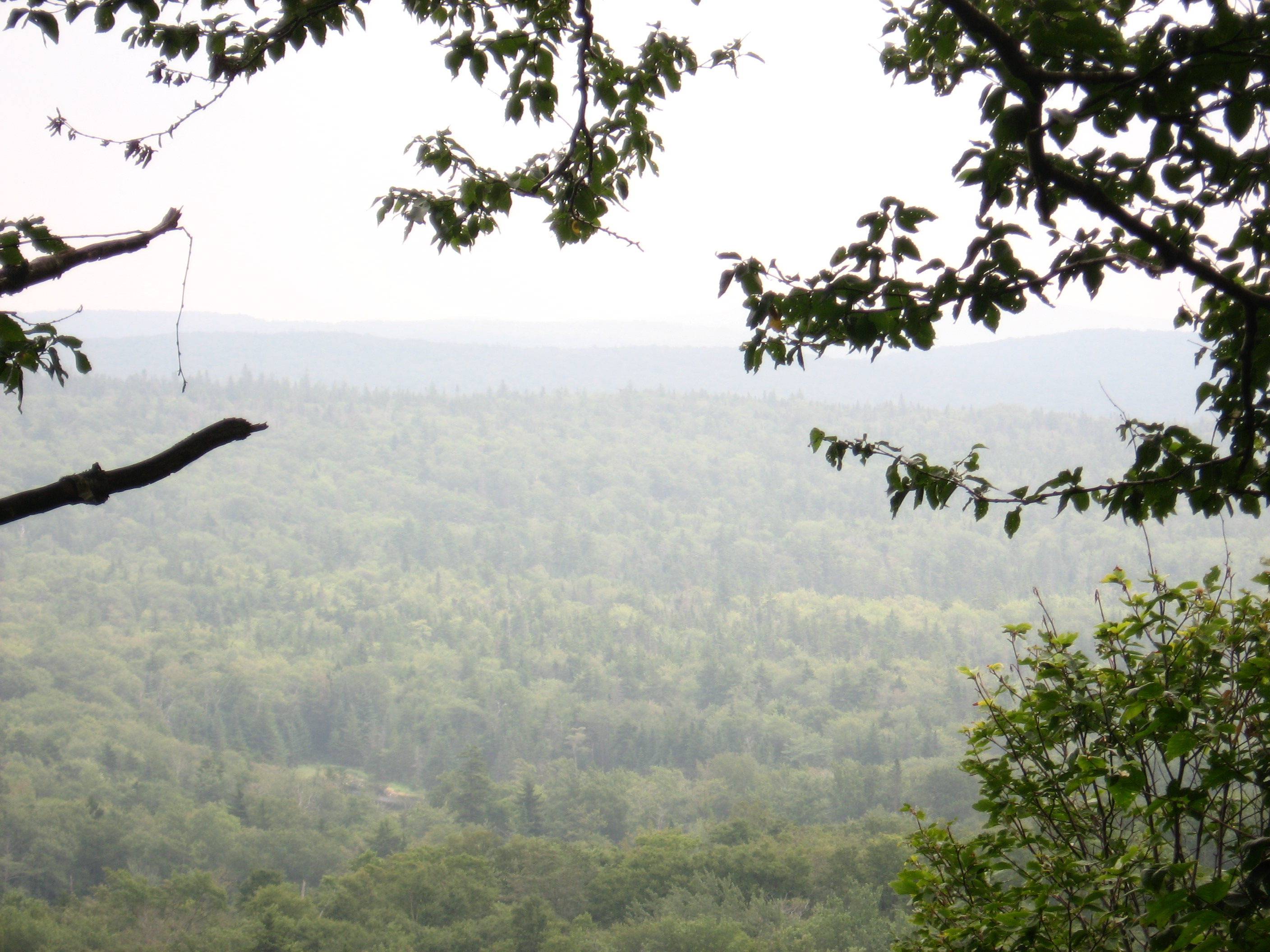
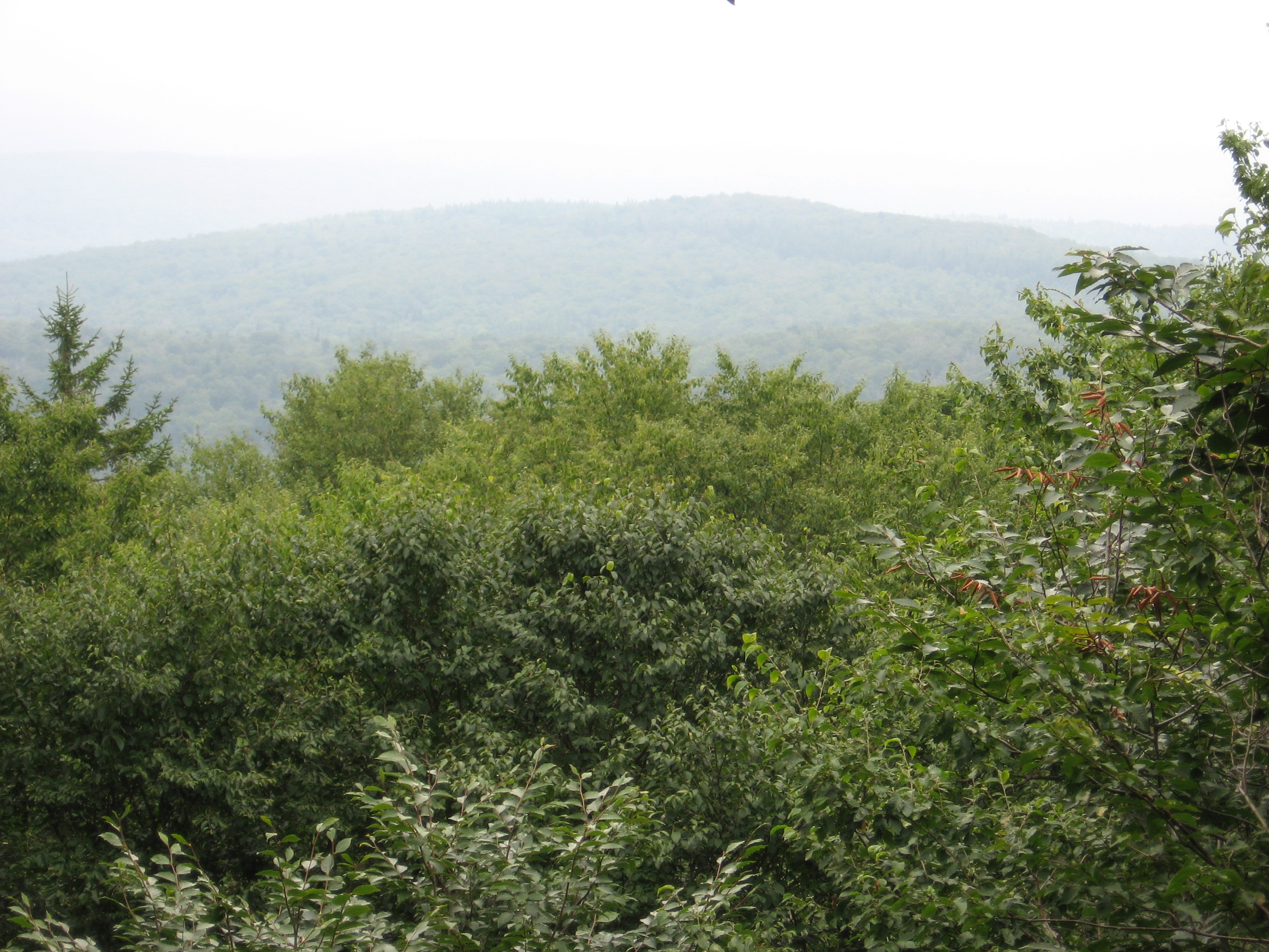
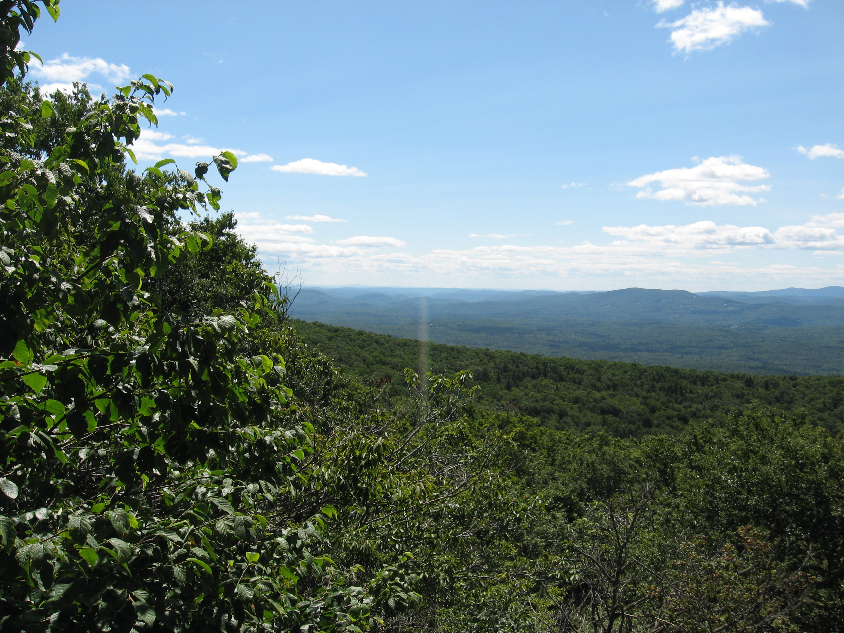
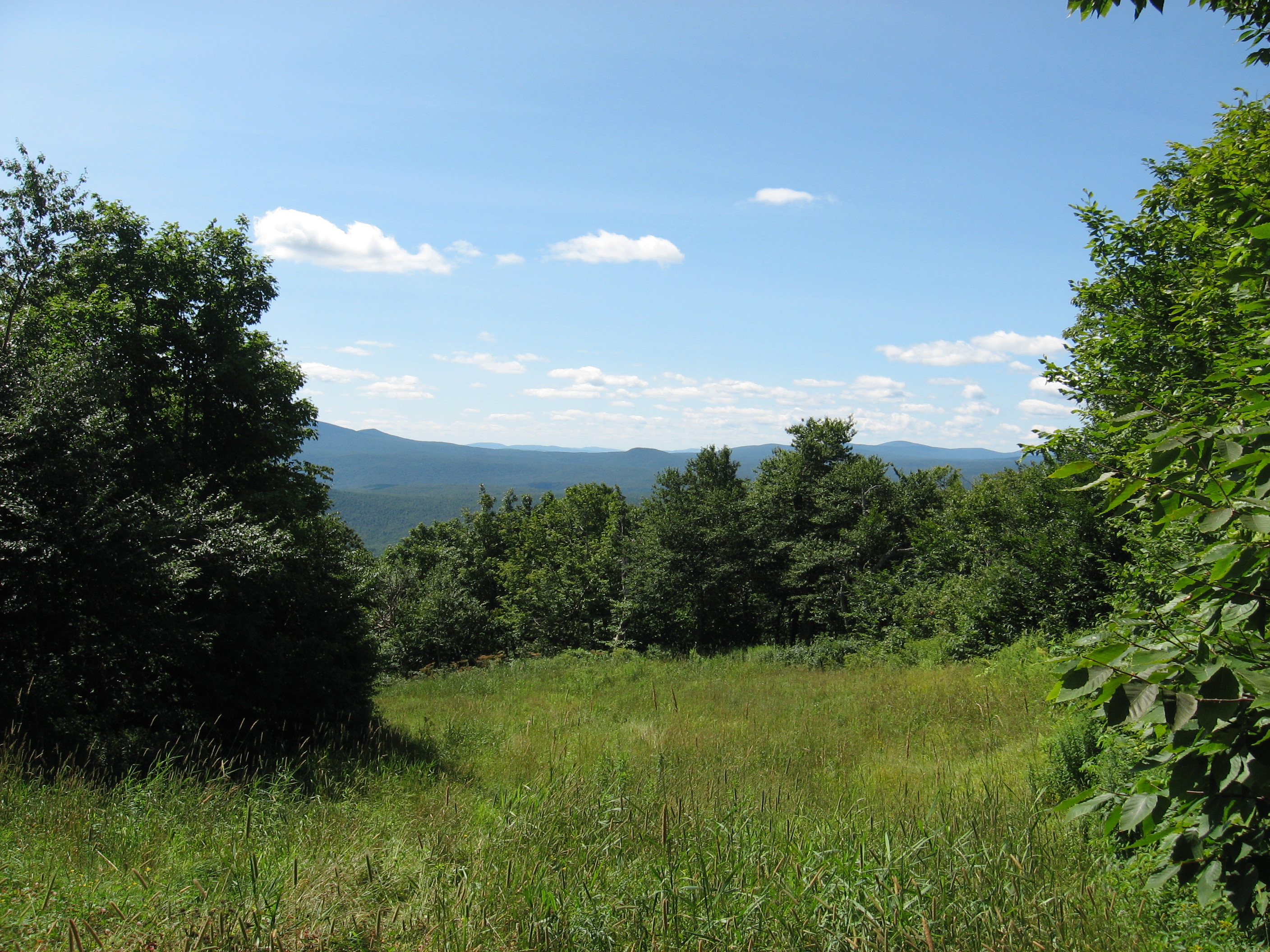
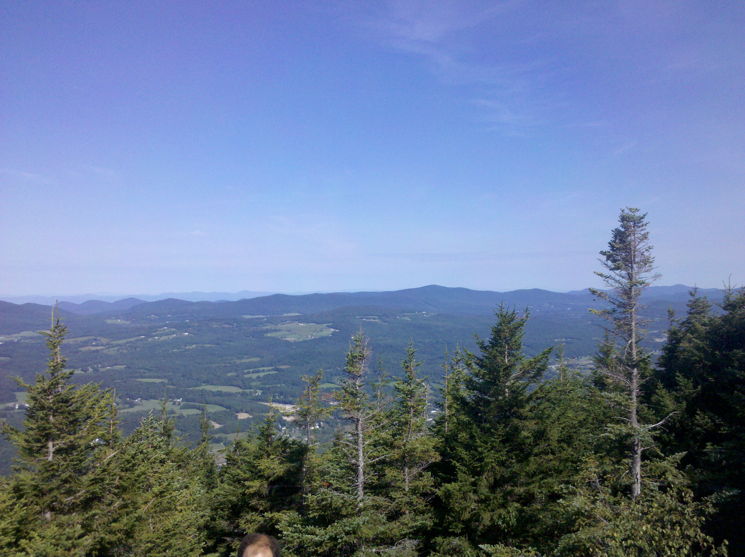
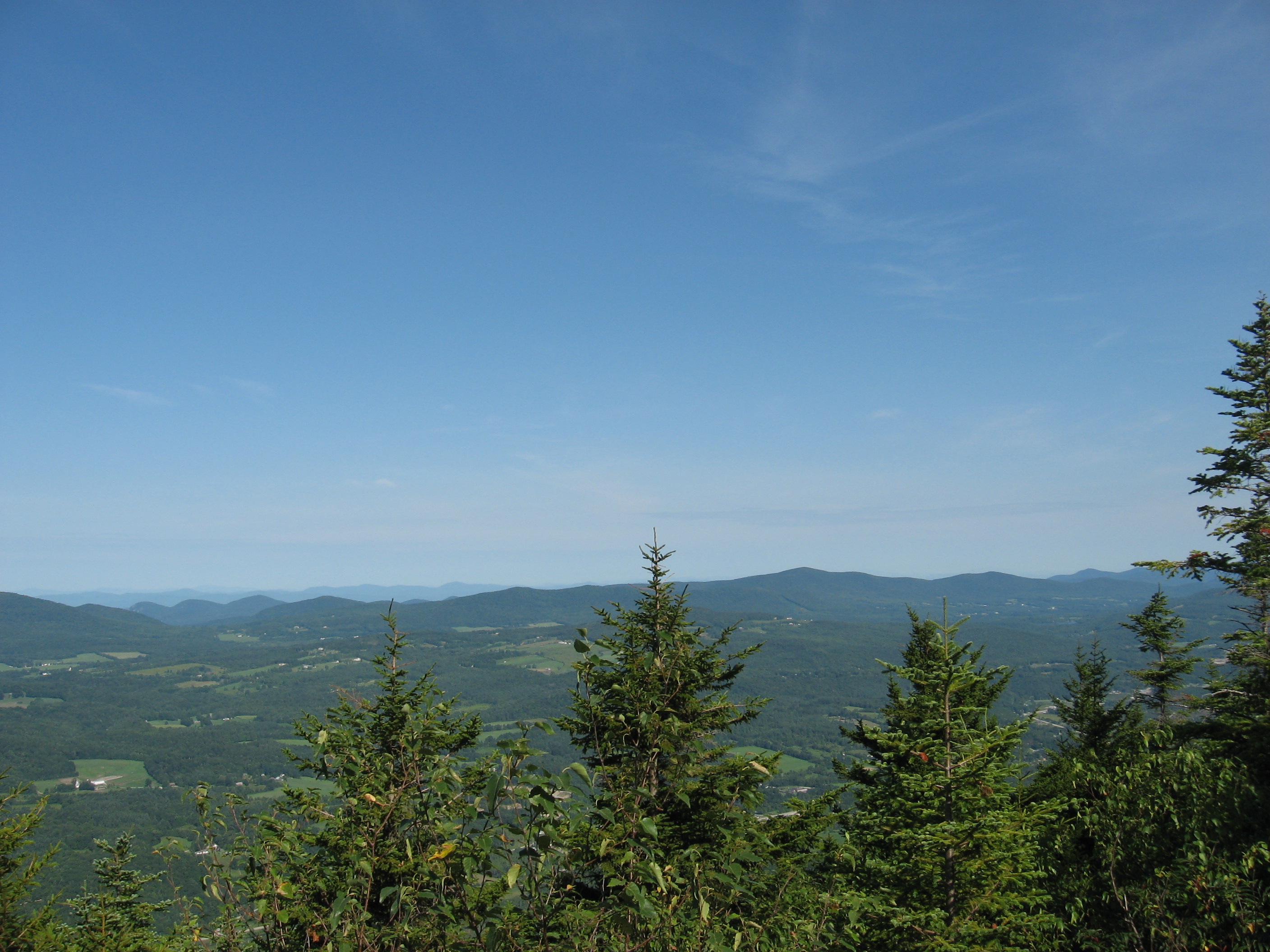
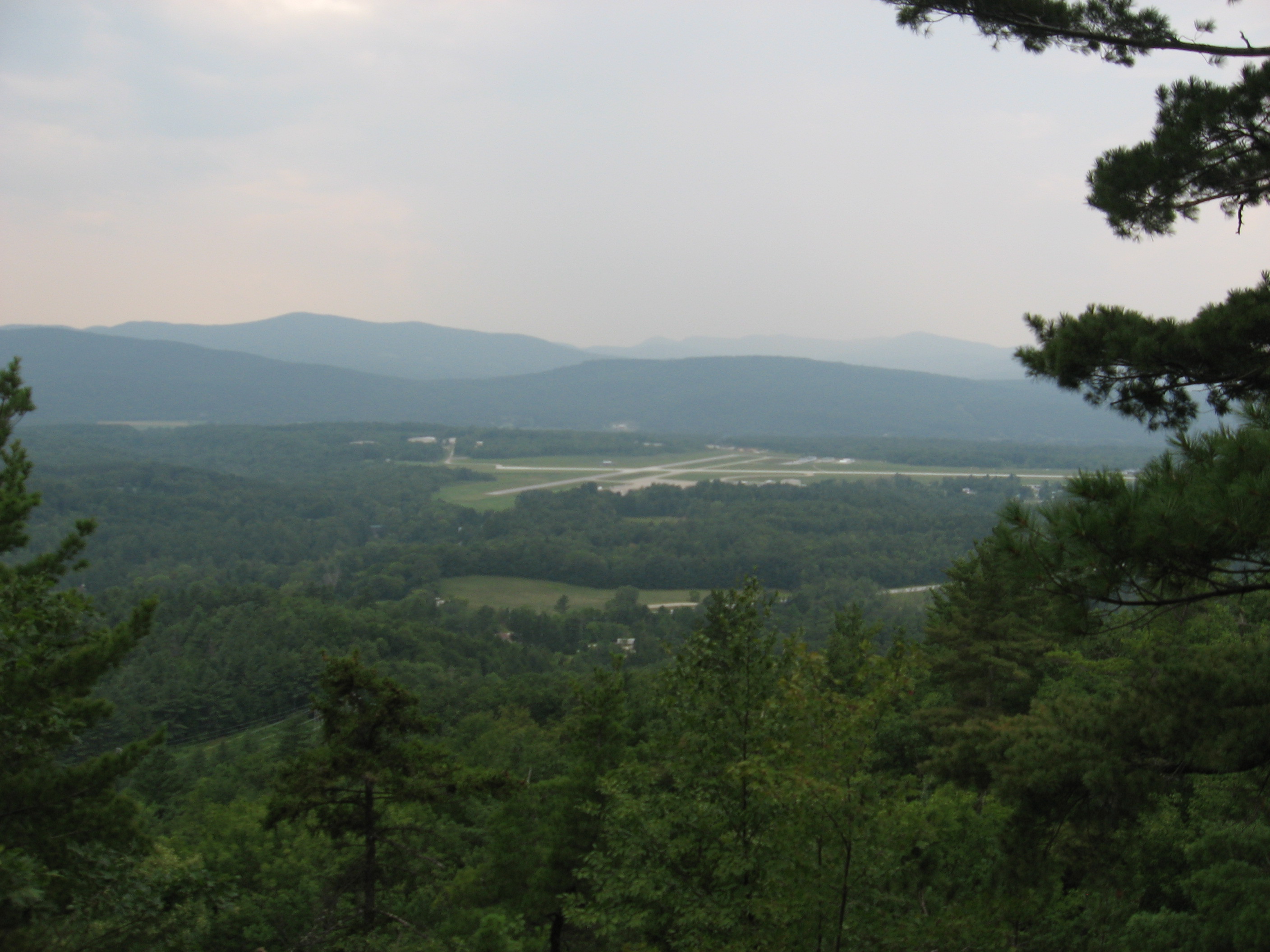
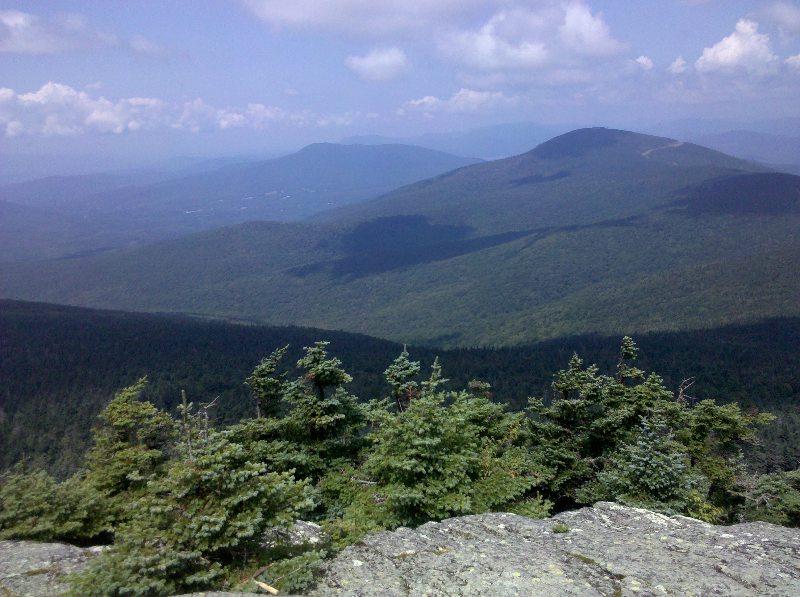
| 1608.8 | Harmon Hill (2,325')?views of Bennington | 2325 |
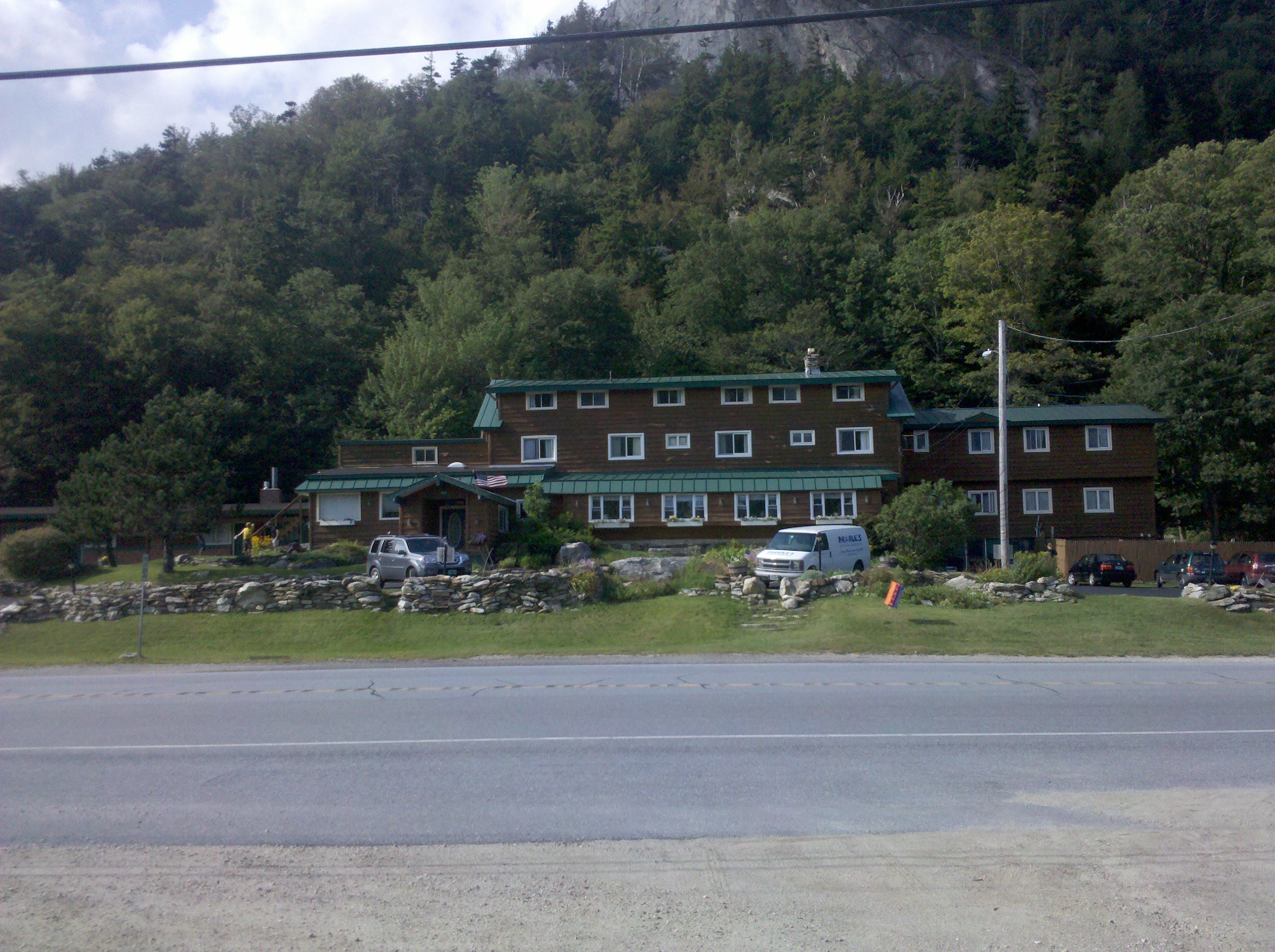
| 1610.6 | Vt. 9, City Stream (1,360') Bennington, Vt. 05201 North Bennington, Vt. | 1360 |


| Miles from Springer | Features | Elevation |
|---|---|---|
| 1612.2 | Melville Nauheim Shelter (2,330') ?5.9mS; 8.5mN | 2330 |
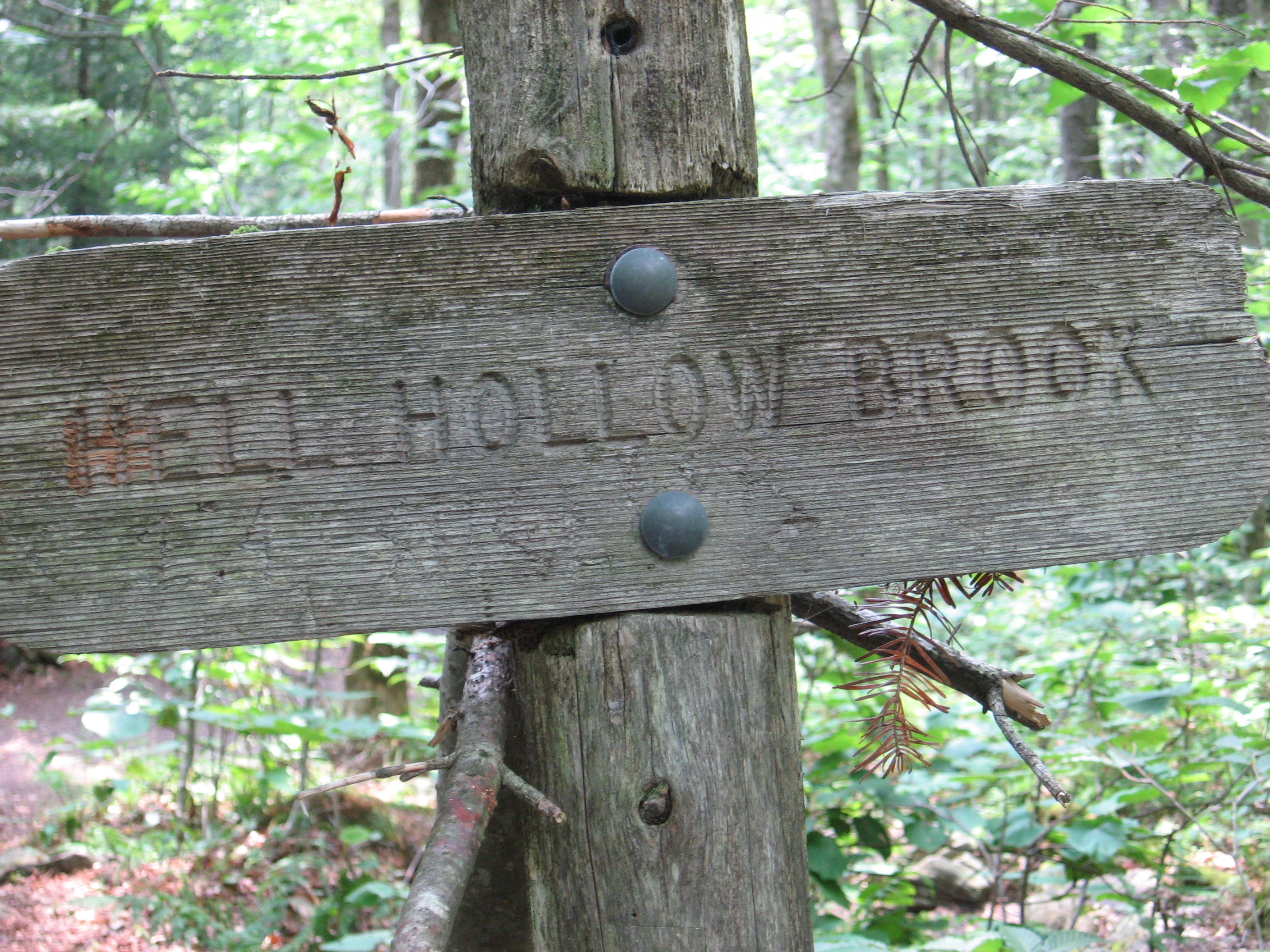
| 1613.8 | Hell Hollow Brook (2,350') | 2350 |
| 1616.4 | Little Pond Lookout (3,060') | 3060 |
| 1618.2 | Glastenbury Lookout (2,920') | 2920 |
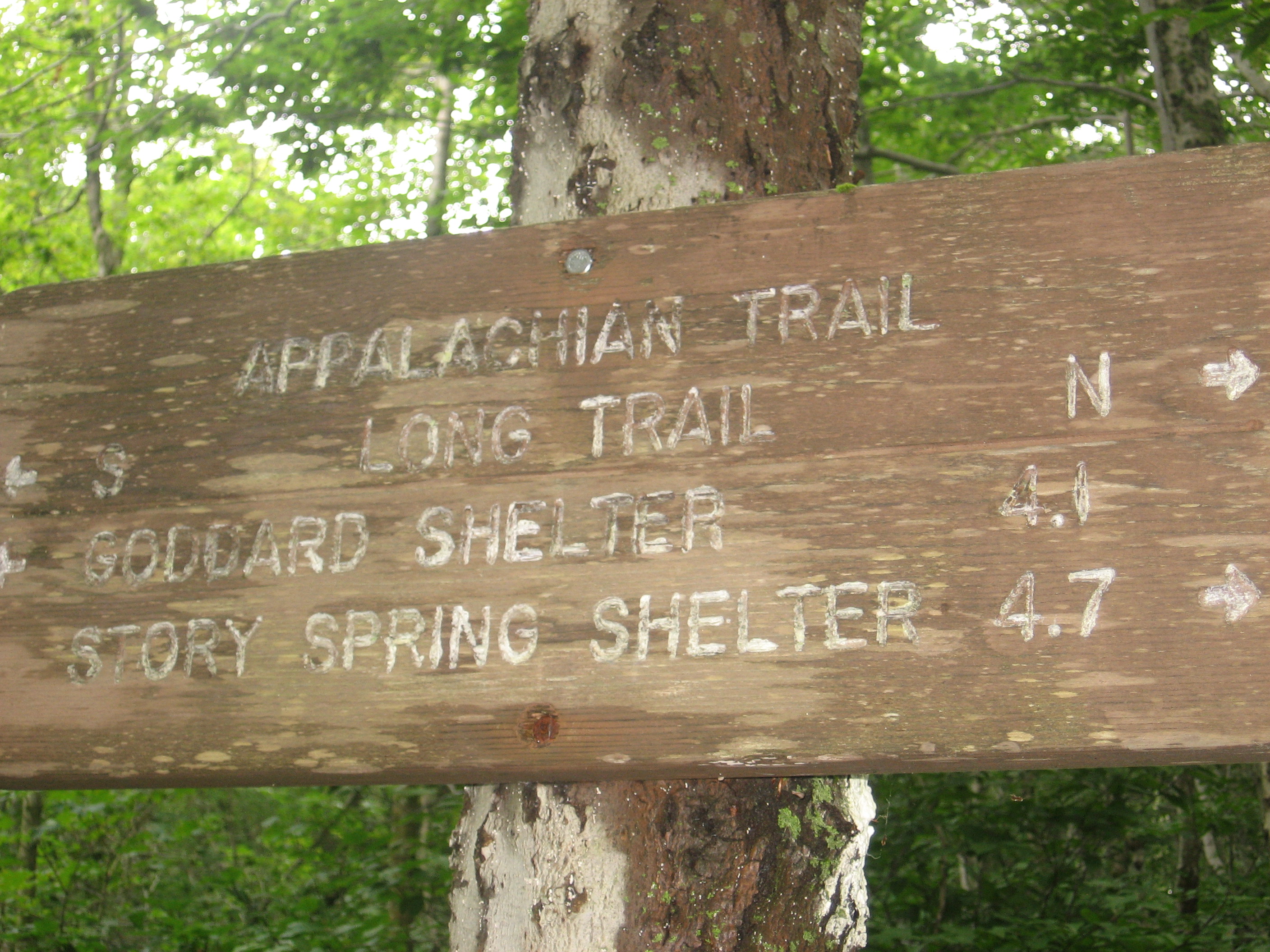
| 1620.7 | Goddard Shelter (3,540')?8.5mS; 4.3mN | 3540 |

| Miles from Springer | Features | Elevation |
|---|---|---|
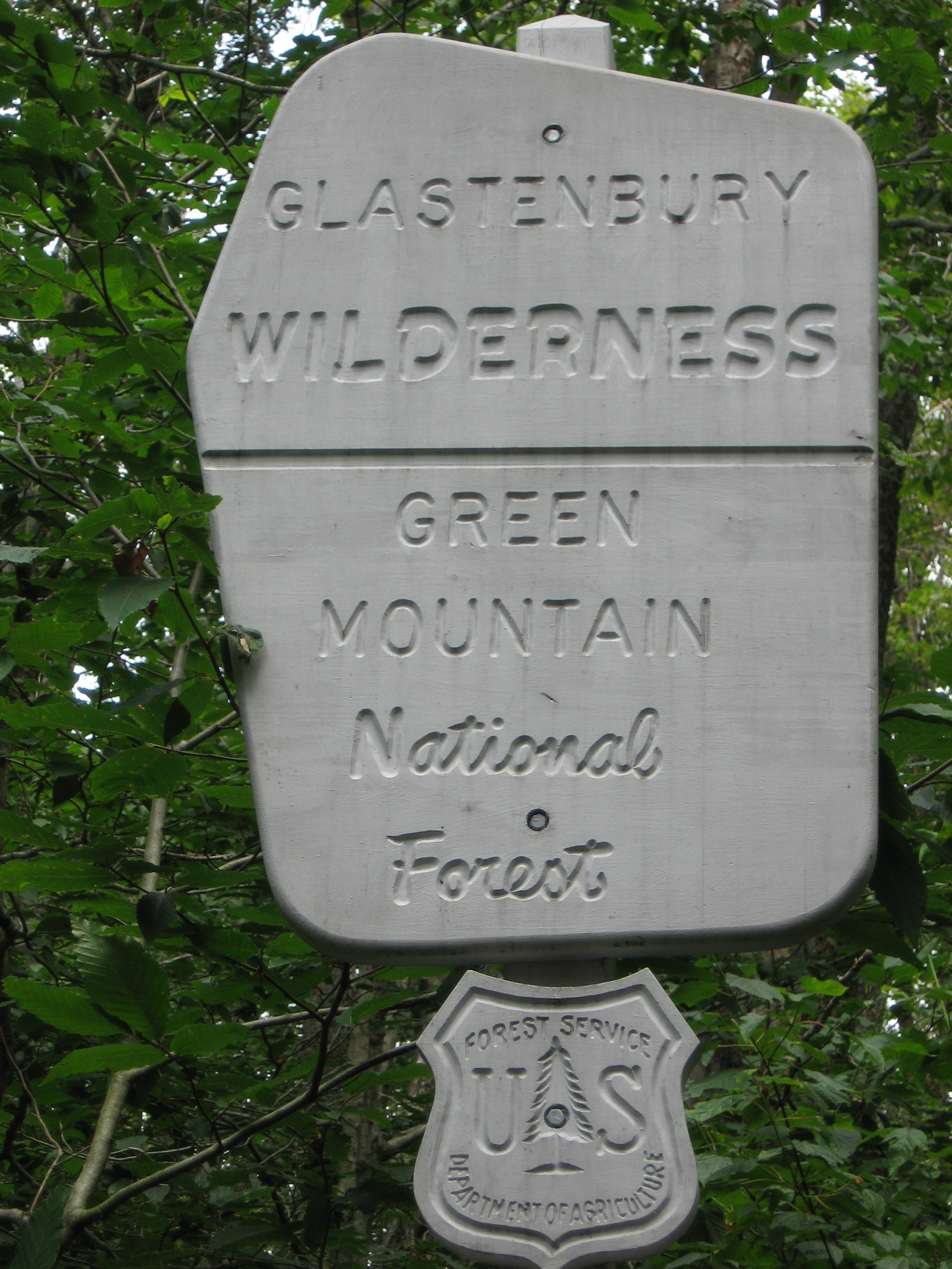
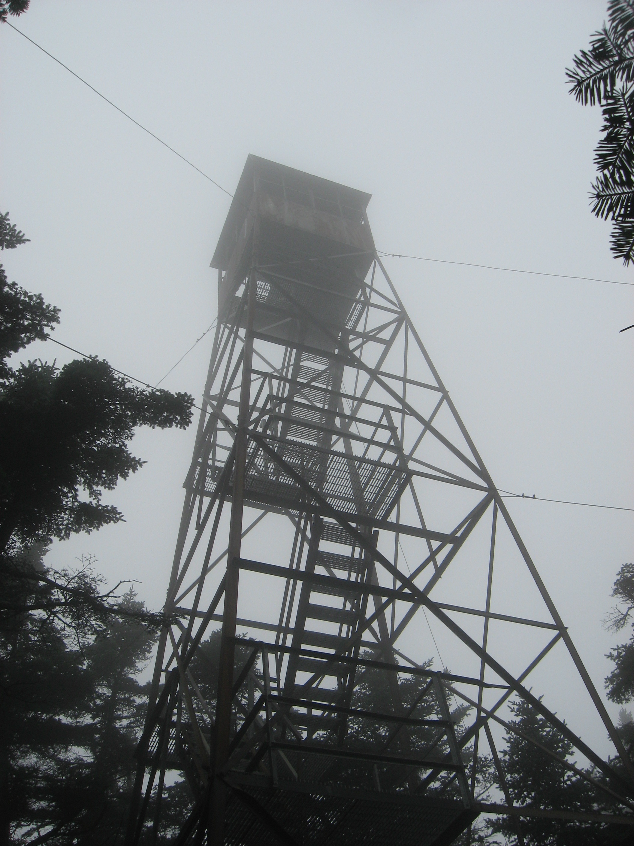
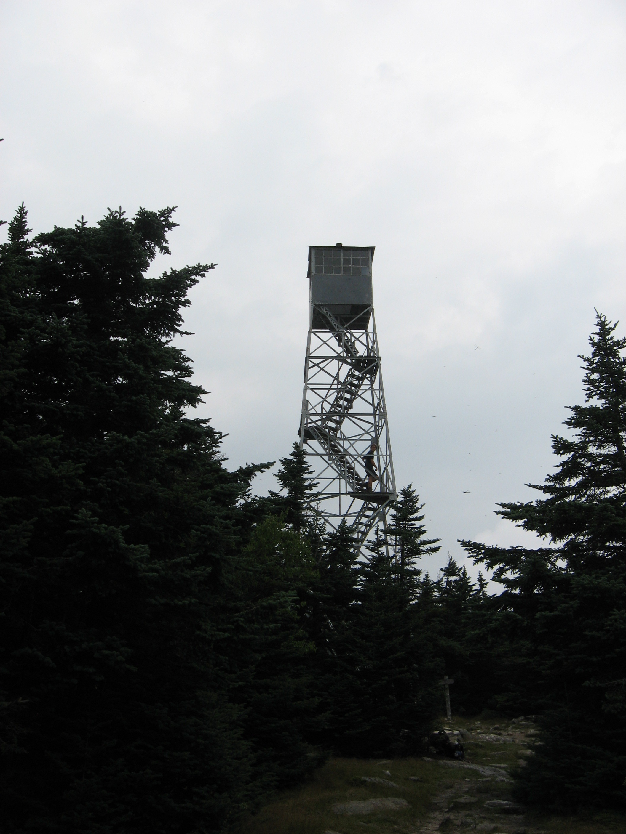
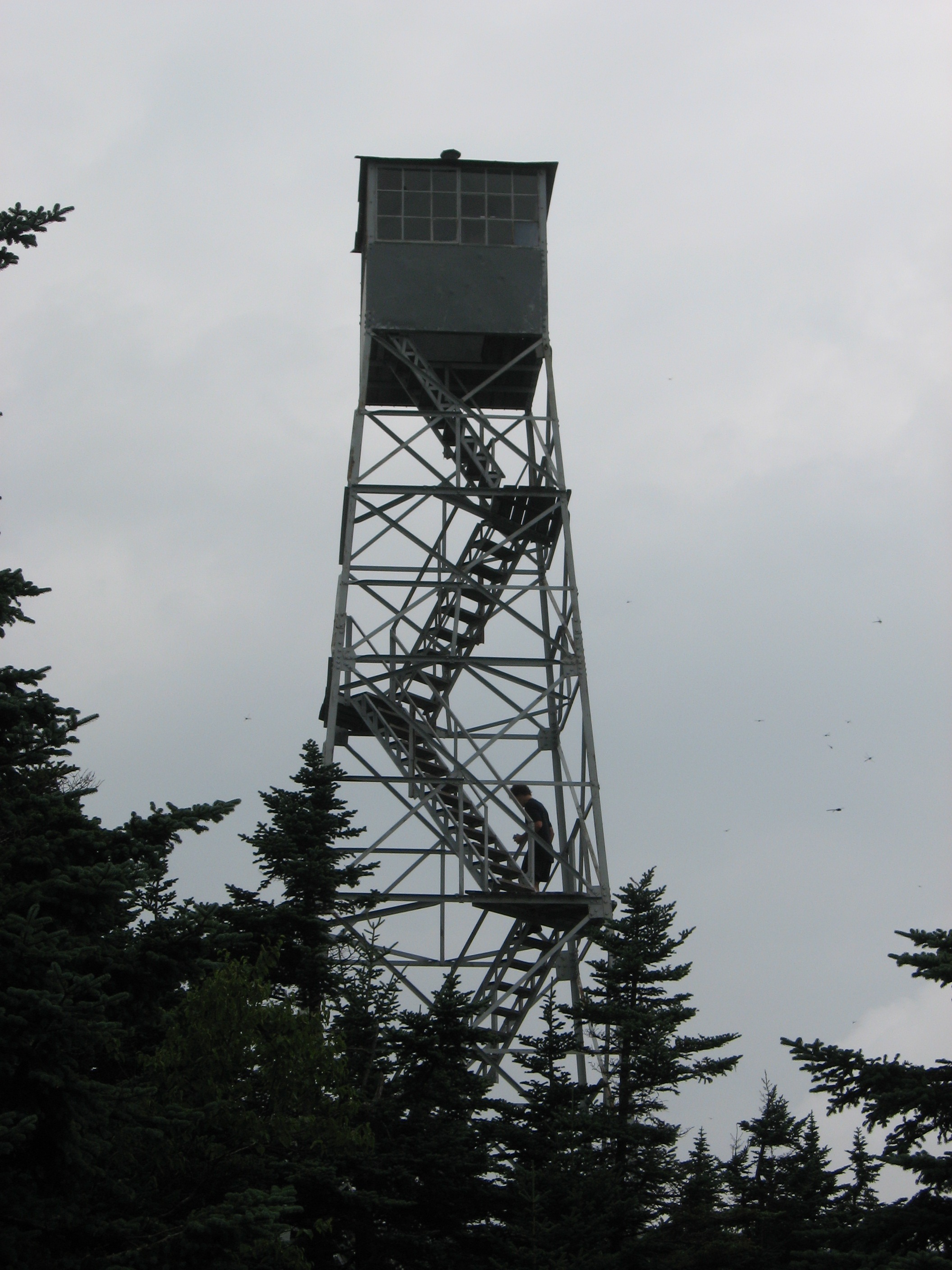
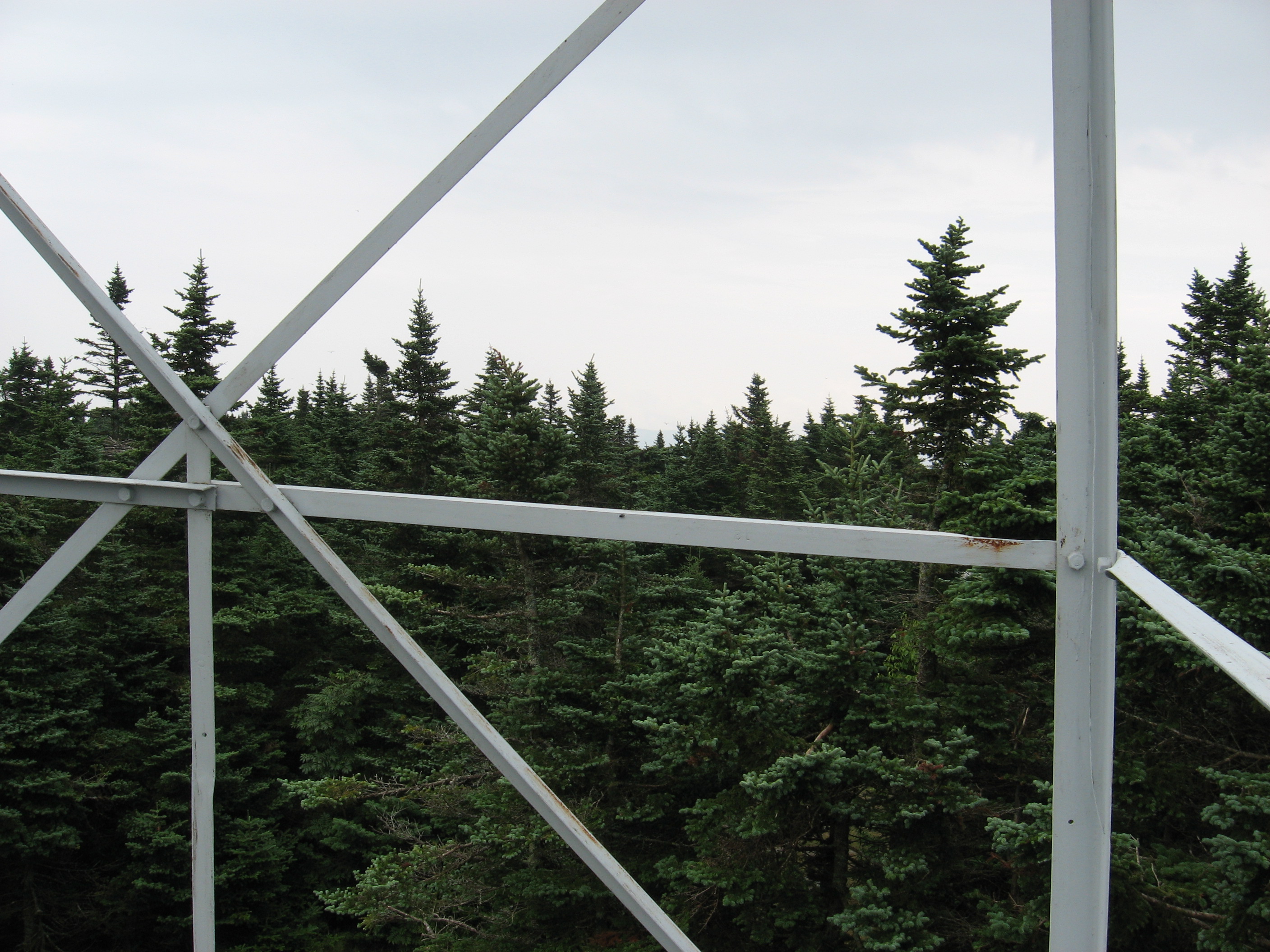
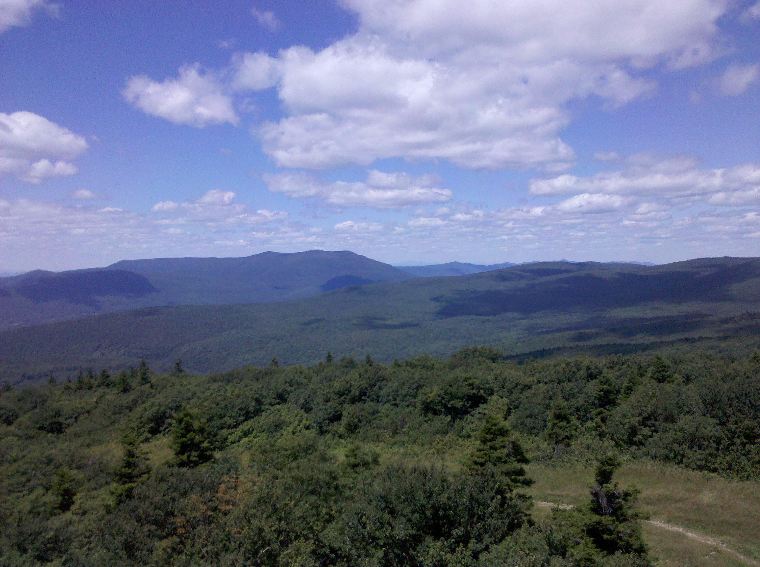
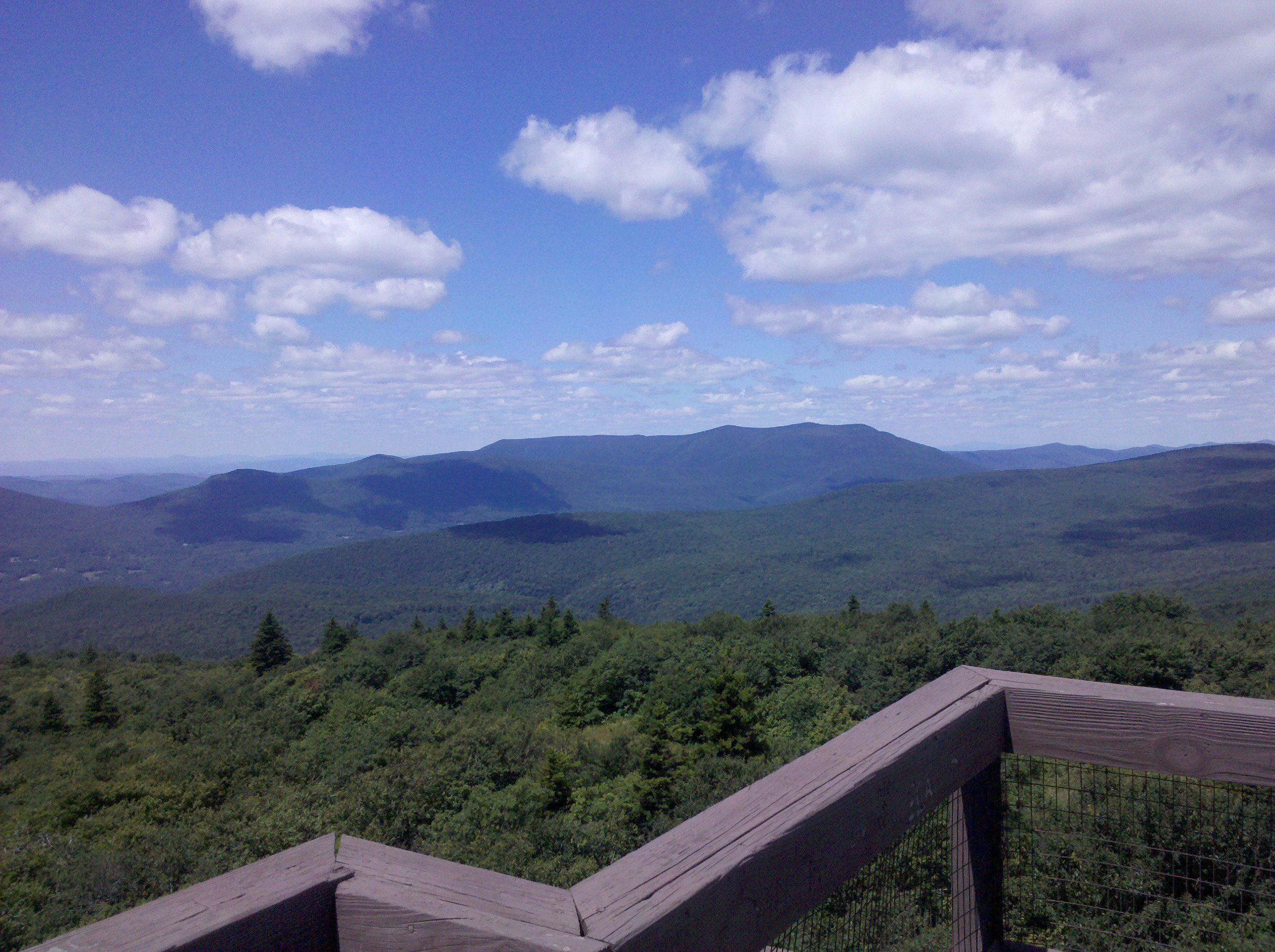
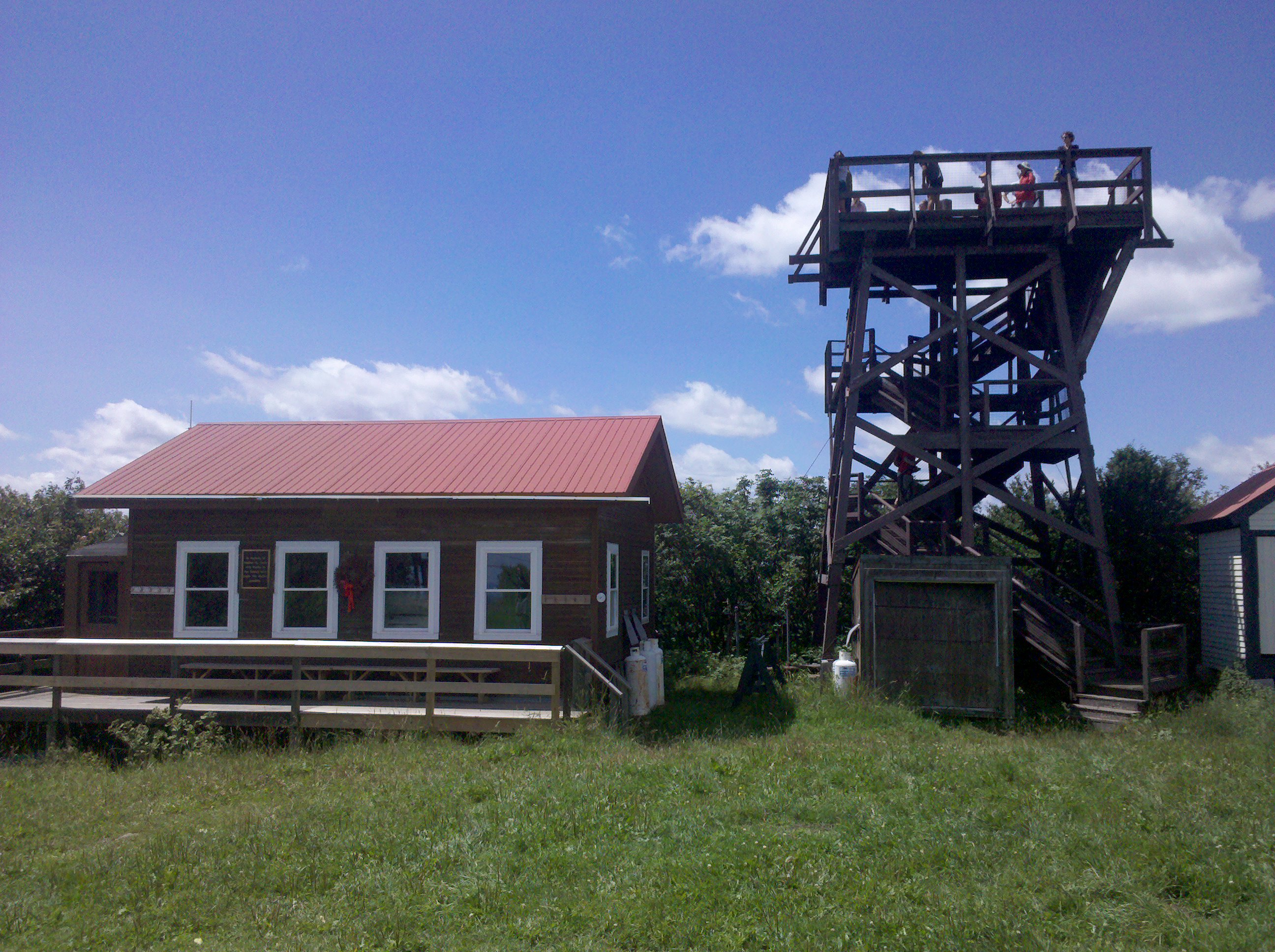
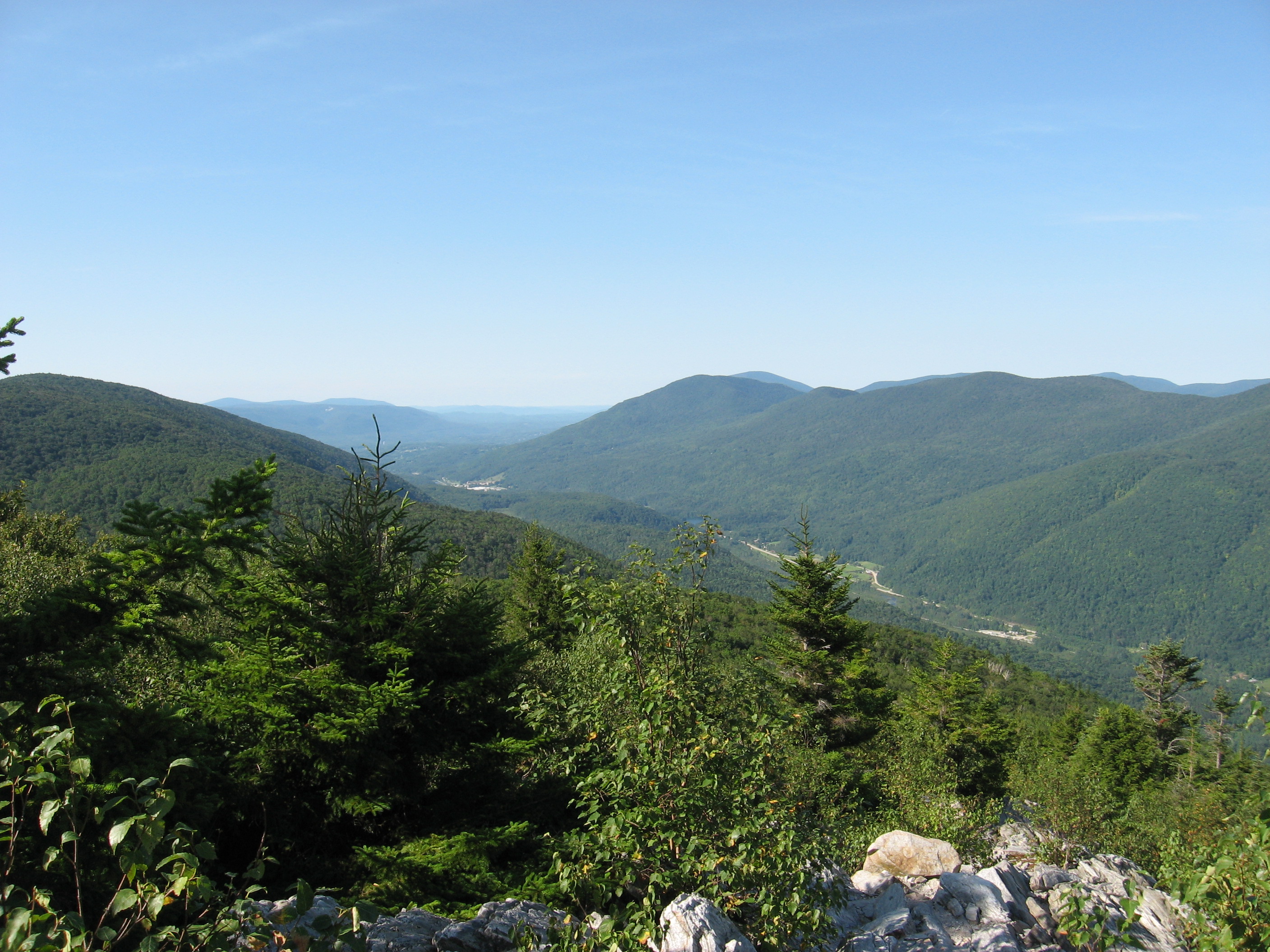
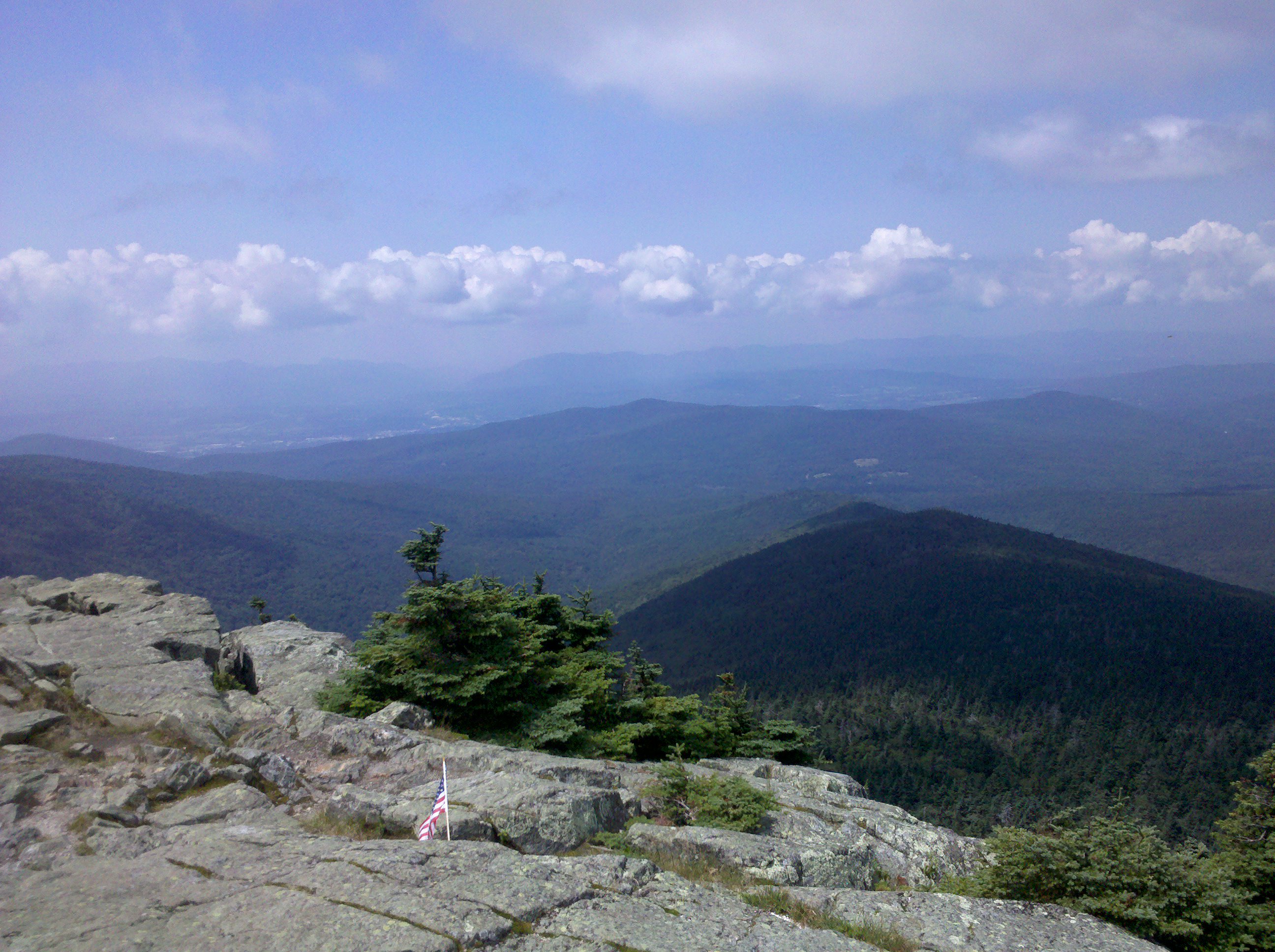
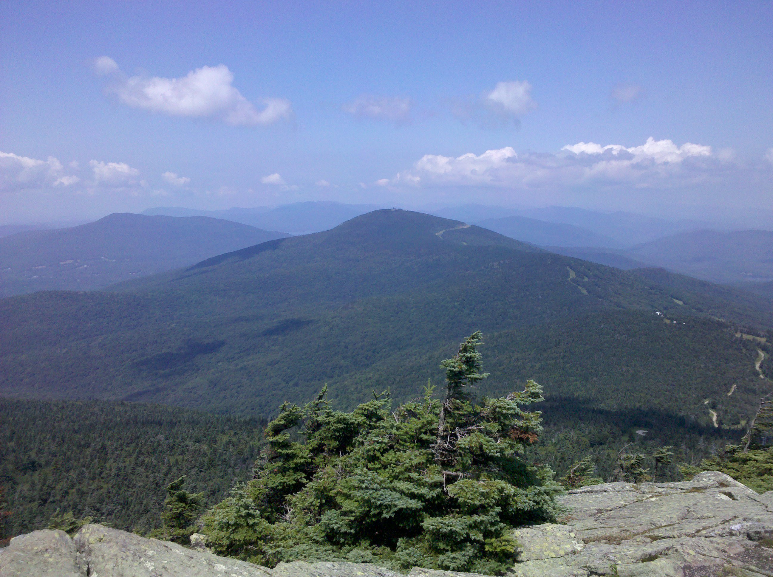
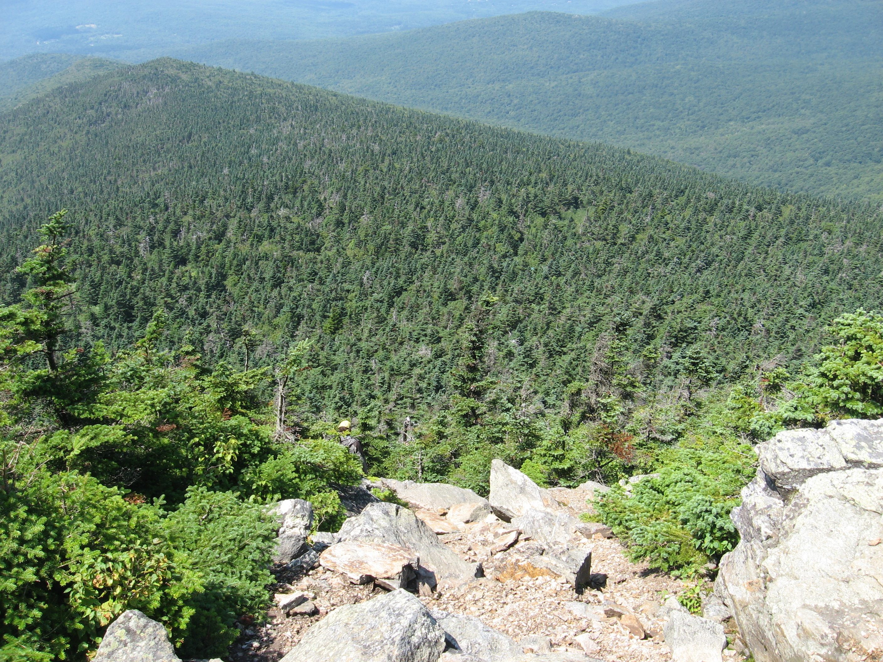
| 1621 | Glastenbury Mountain (3,748') ?observation tower | 3748 |
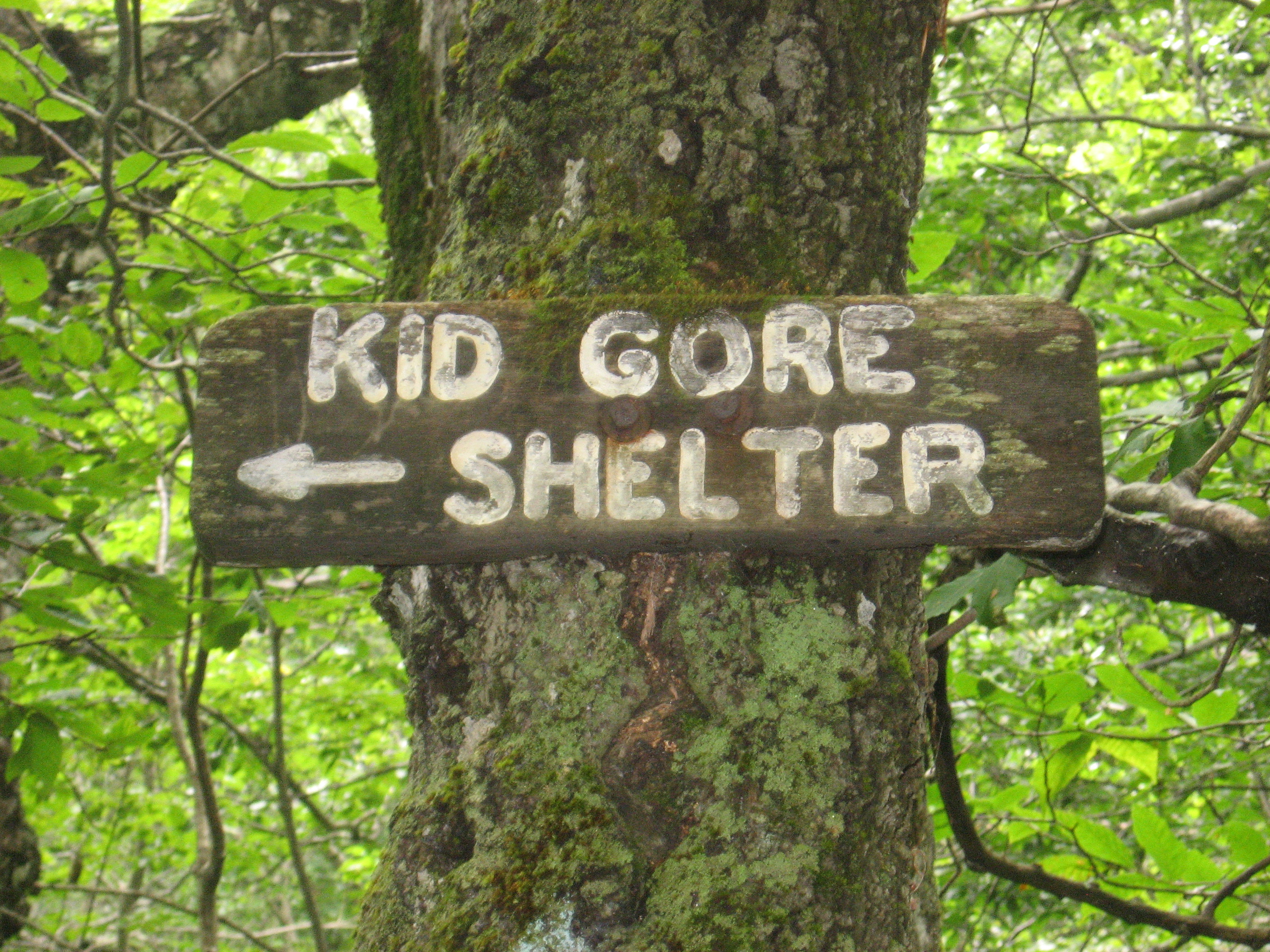
| 1625 | Kid Gore Shelter (2,795')?4.3mS; 4.6mN Caughnawaga Tent sites | 2795 |
| 1628.7 | South Alder Brook (2,600') | 2600 |
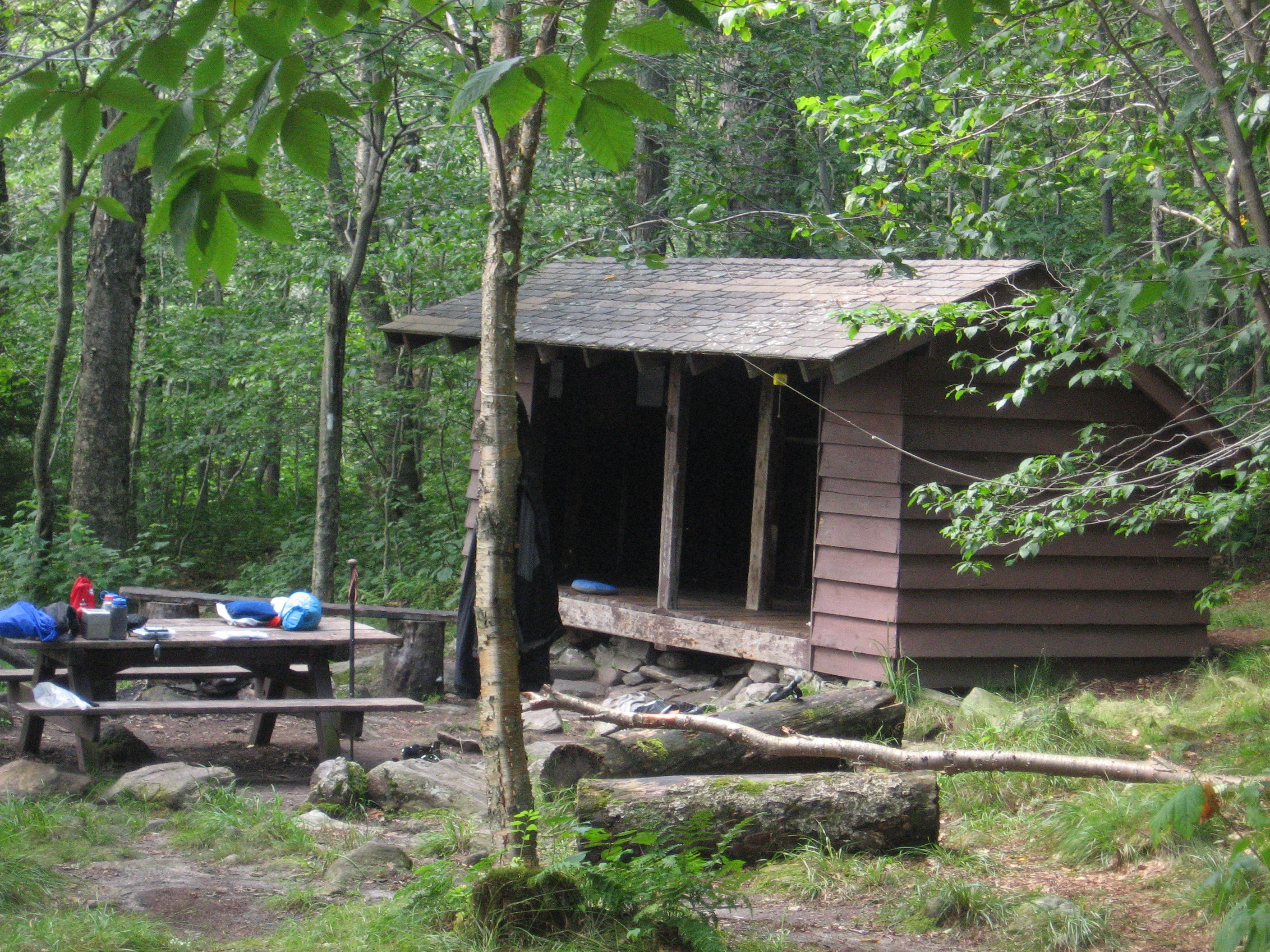
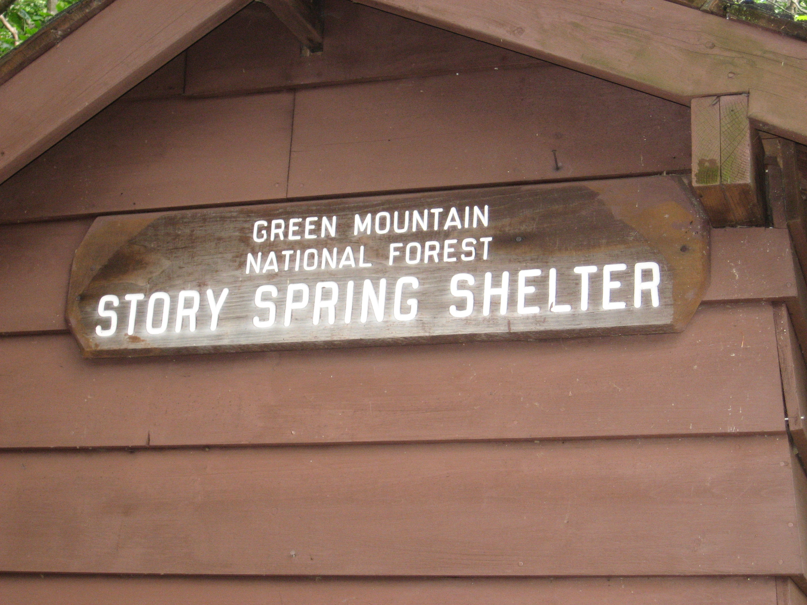
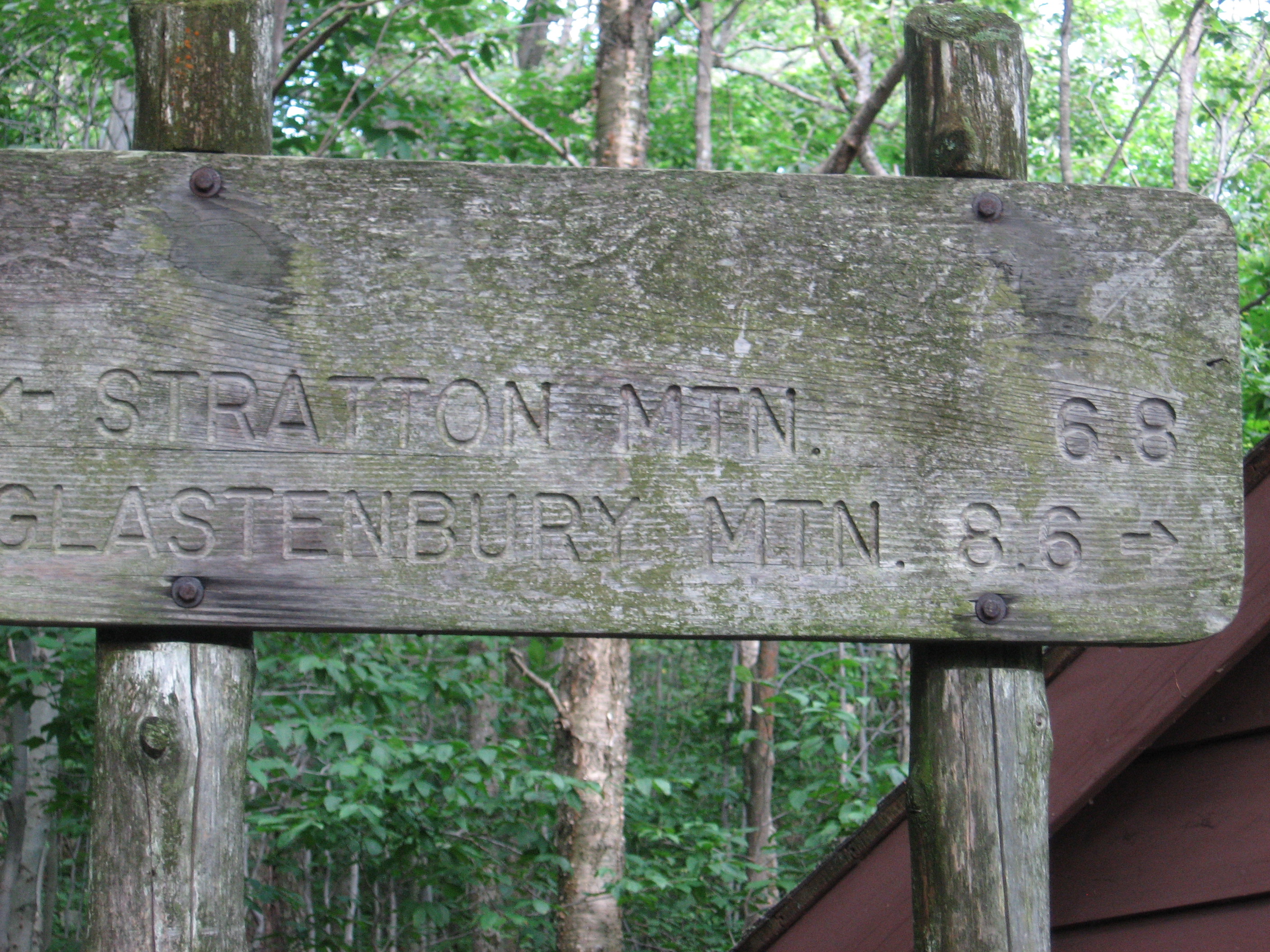
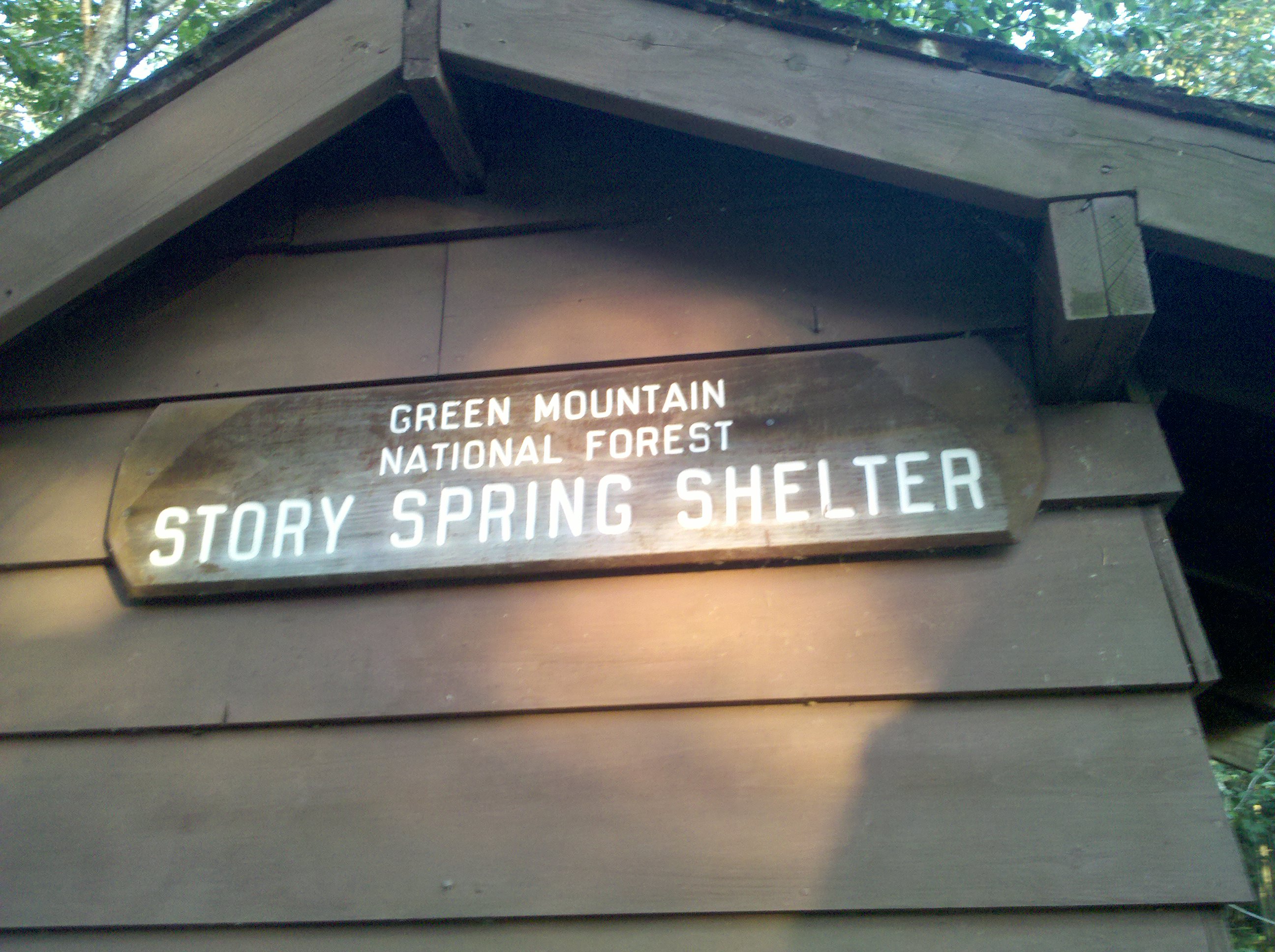
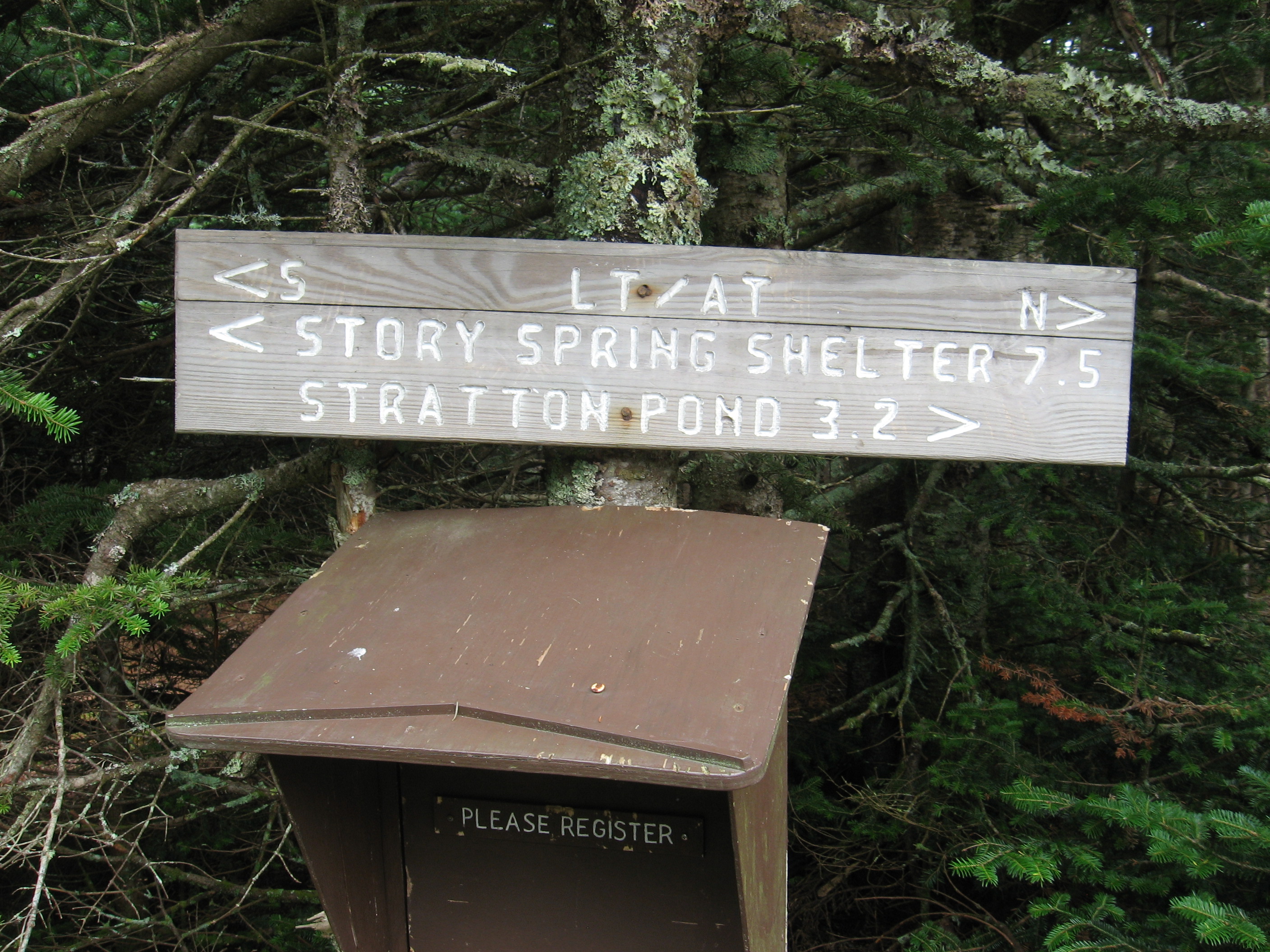
| 1629.6 | Story Spring Shelter (2,810') ?4.6mS; 10.4mN | 2810 |


| Miles from Springer | Features | Elevation |
|---|---|---|
| 1631.1 | USFS 71 (2,500') | 2500 |
| 1633.2 | Stratton?Arlington Road (Kelley Stand Road) (2,230') | 2230 |
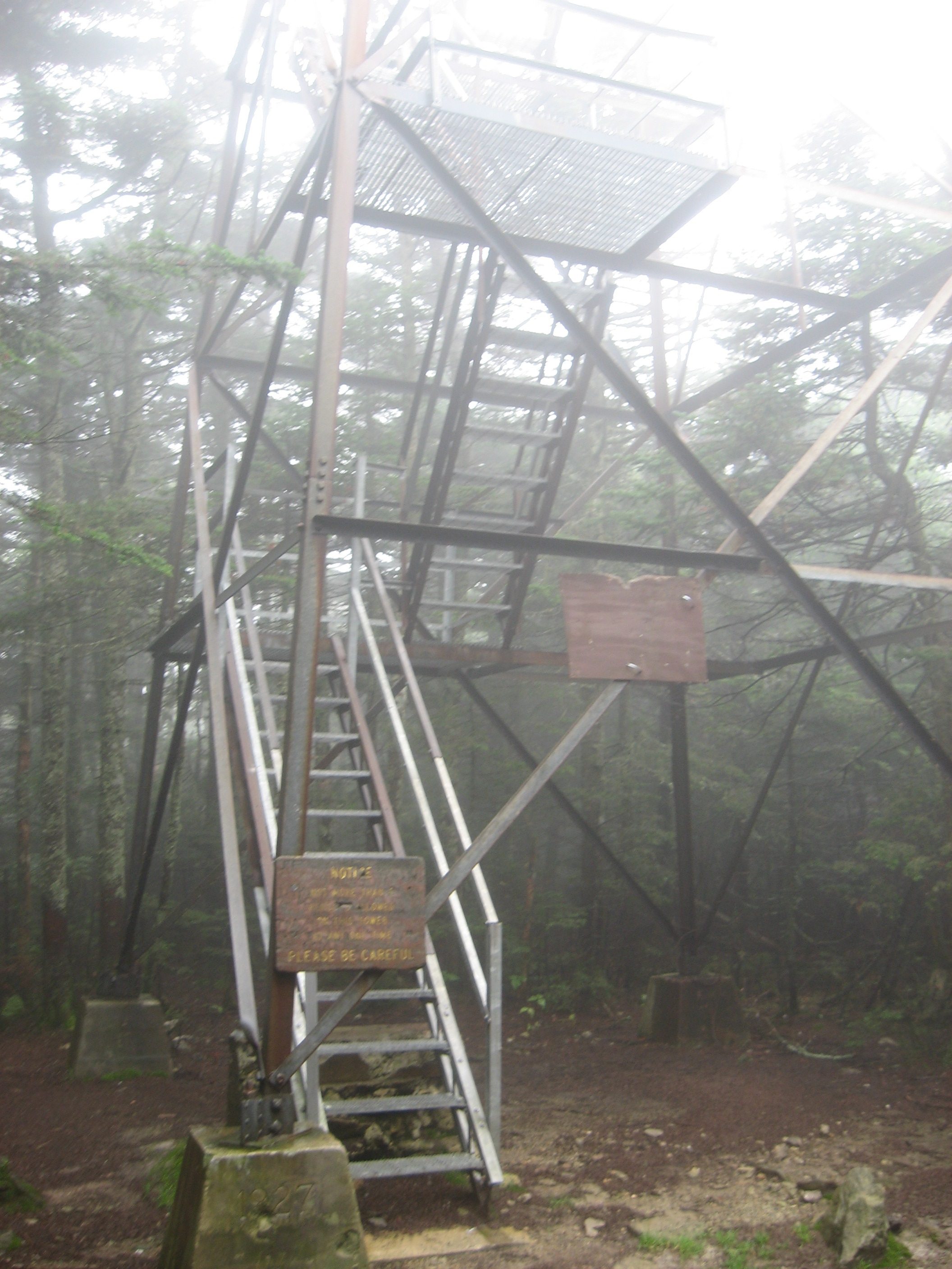
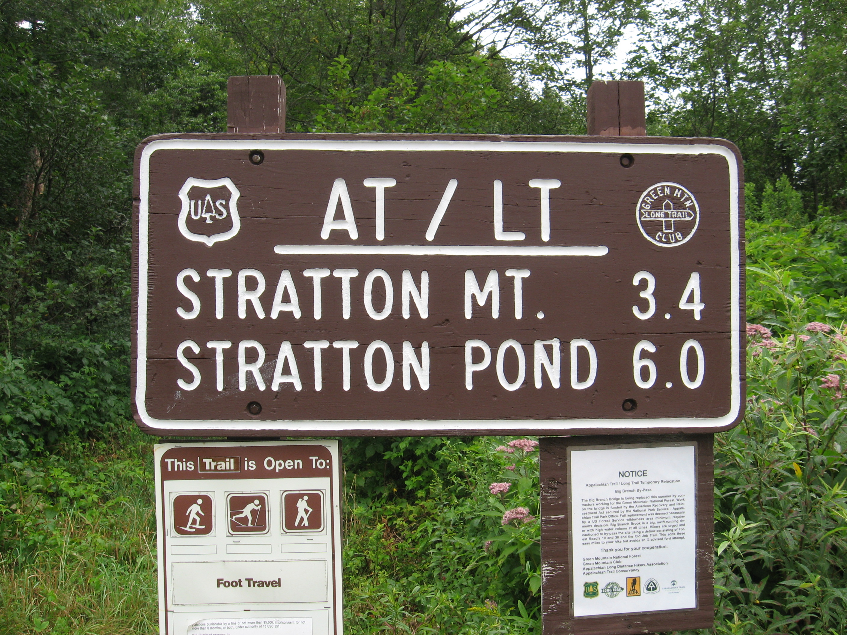
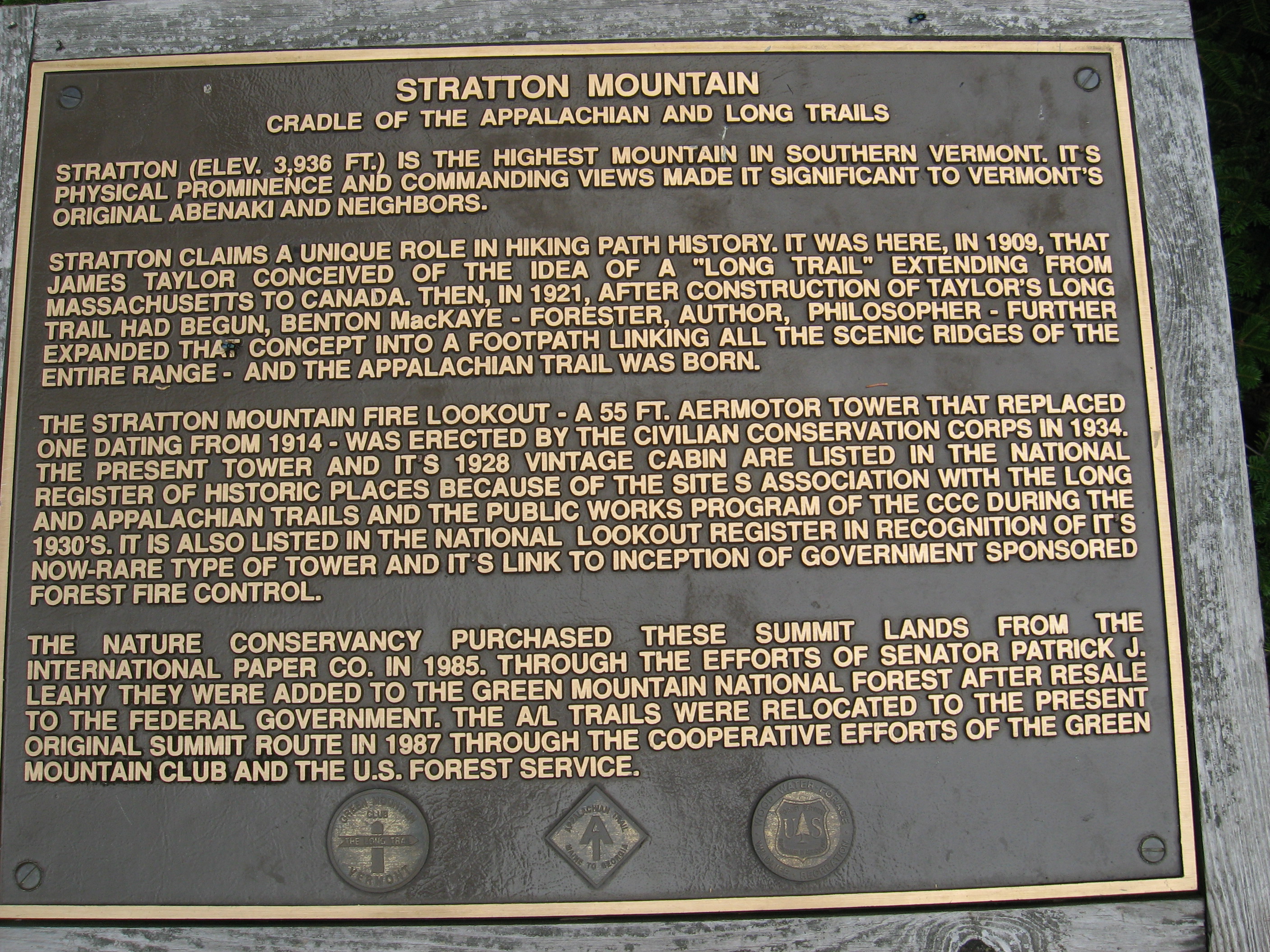
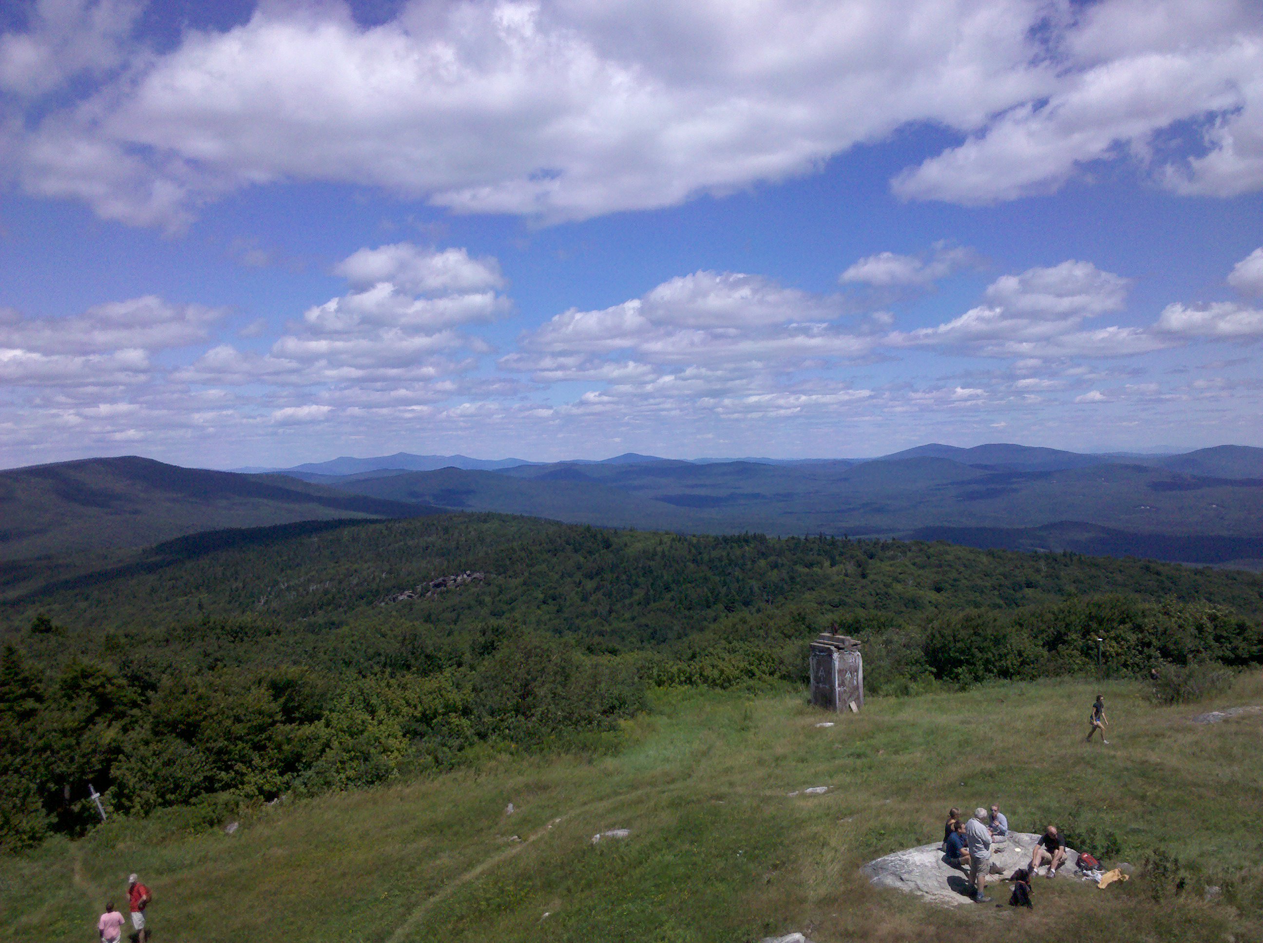
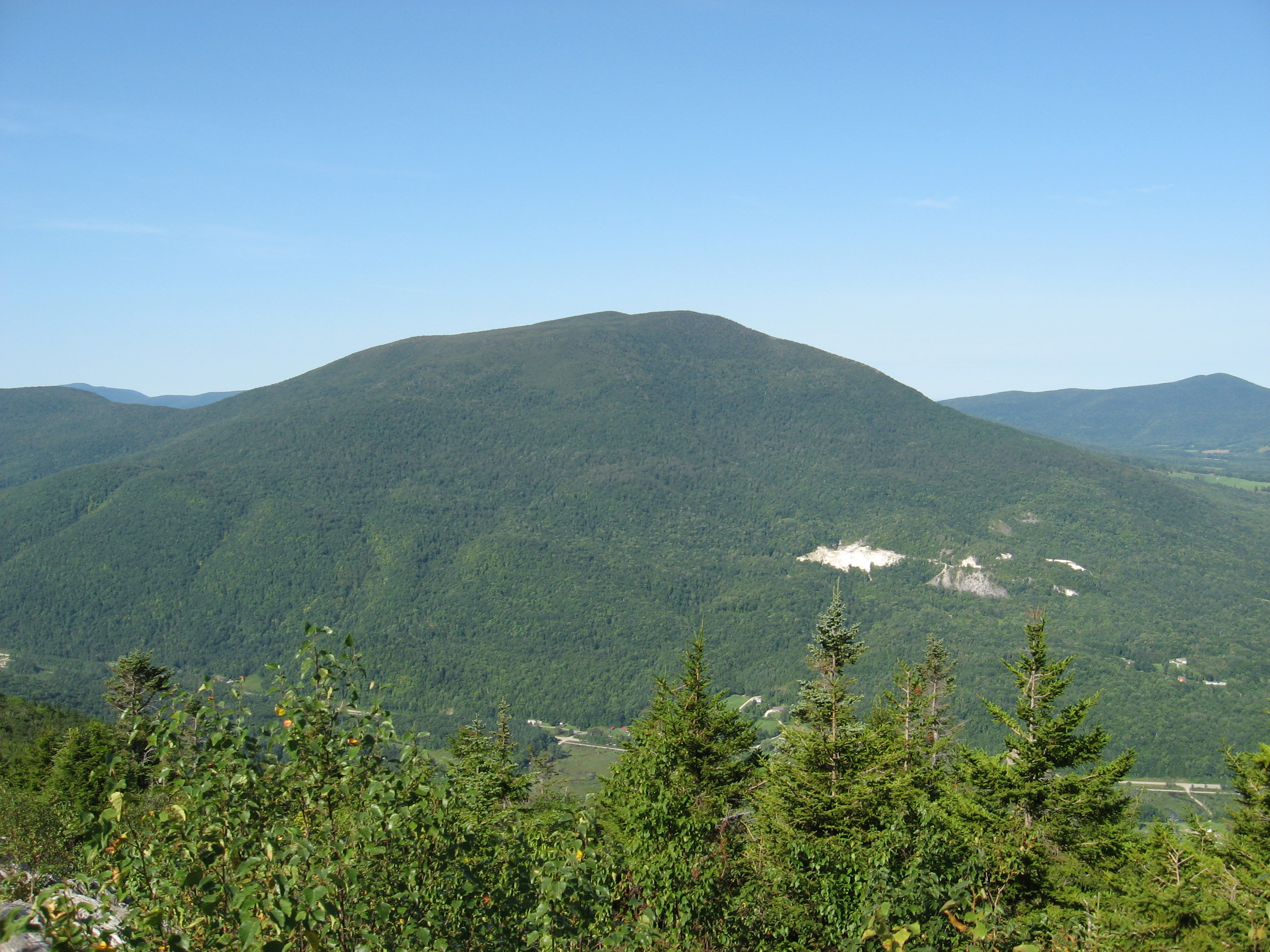
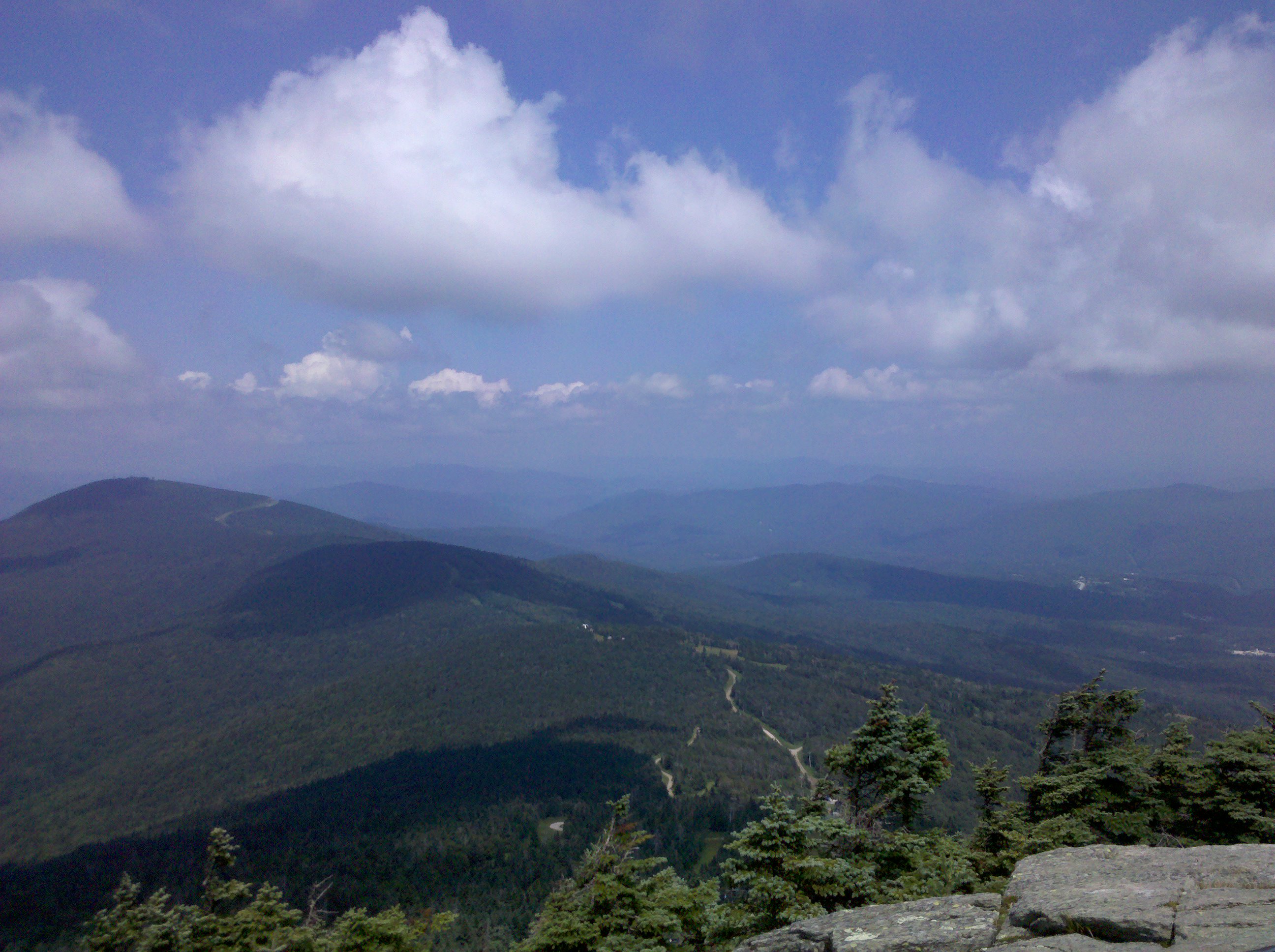
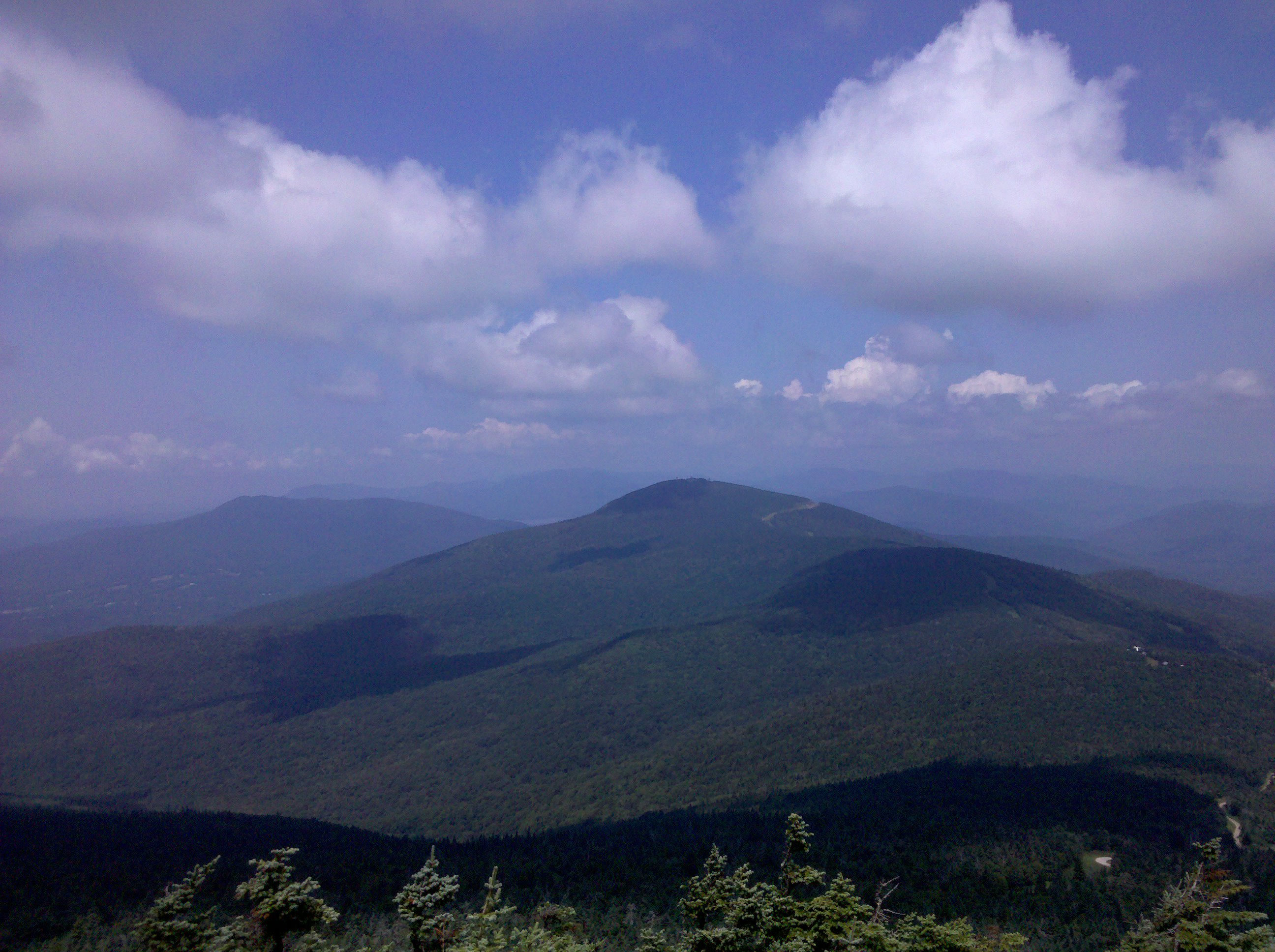
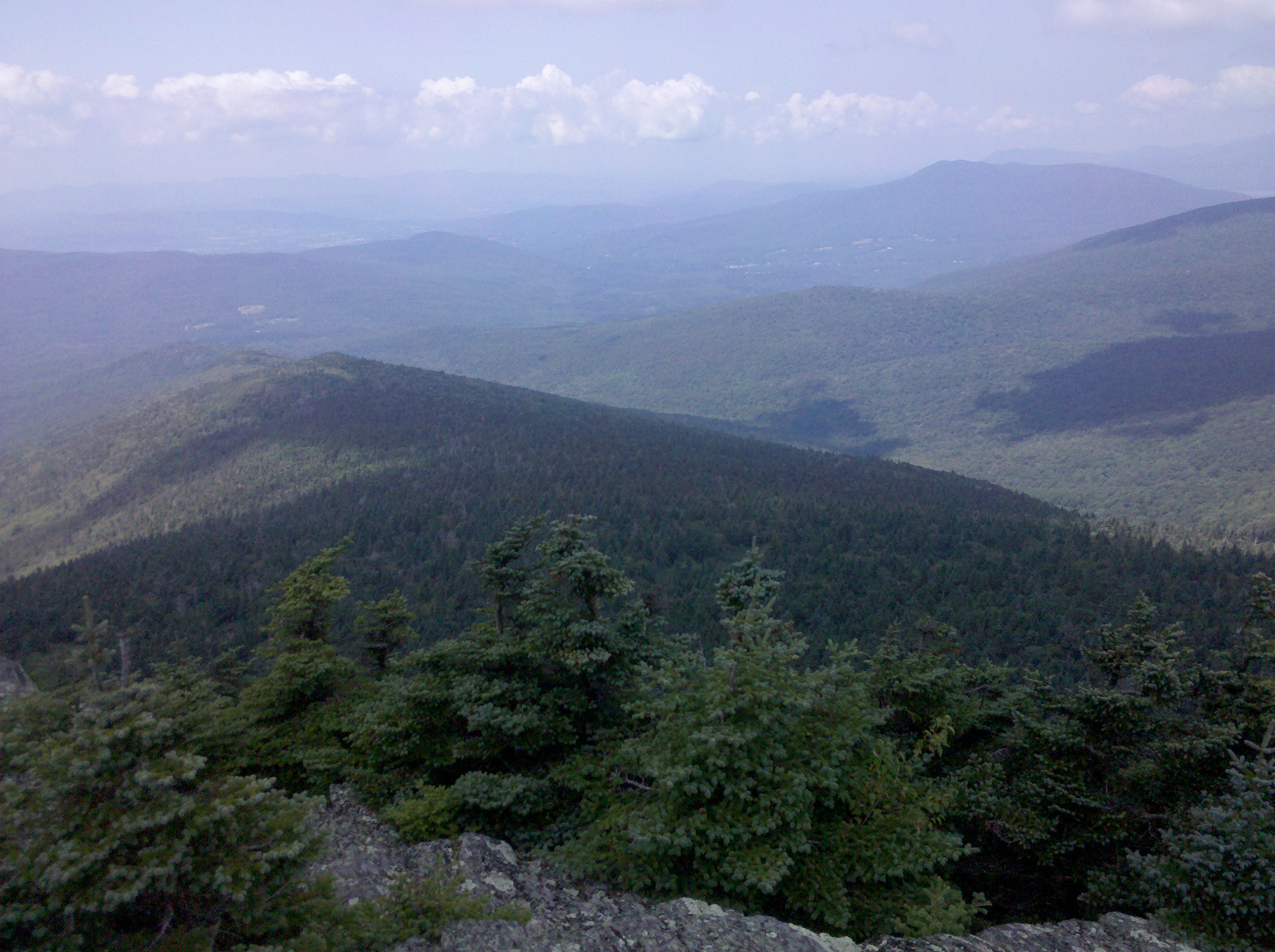
| 1637 | Stratton Mountain (3,936')?fire tower, caretaker cabin | 3936 |
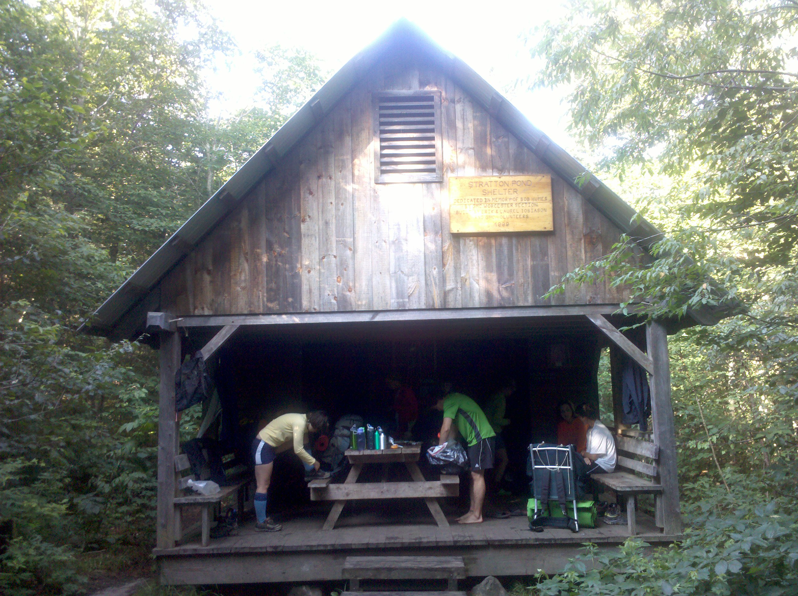
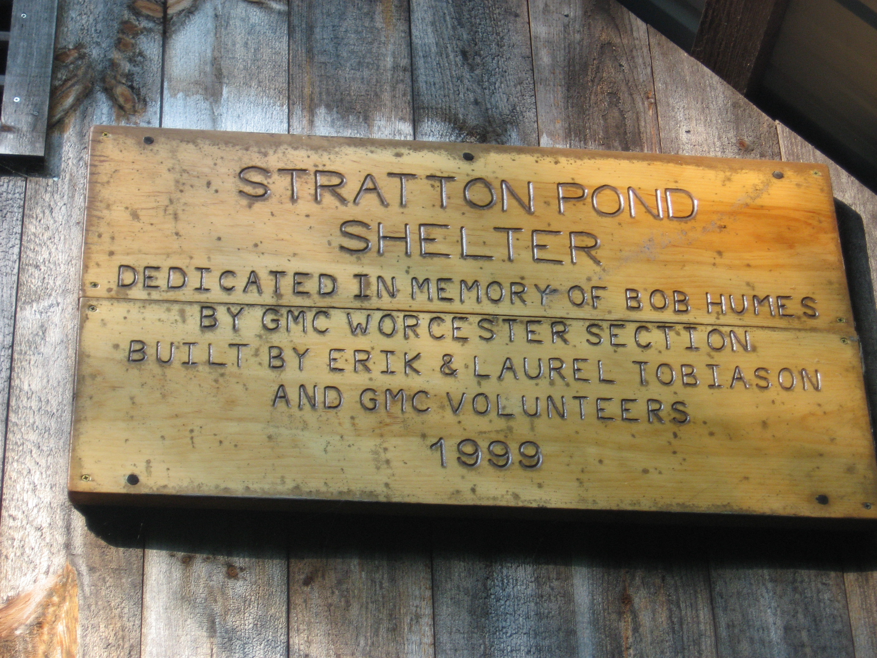
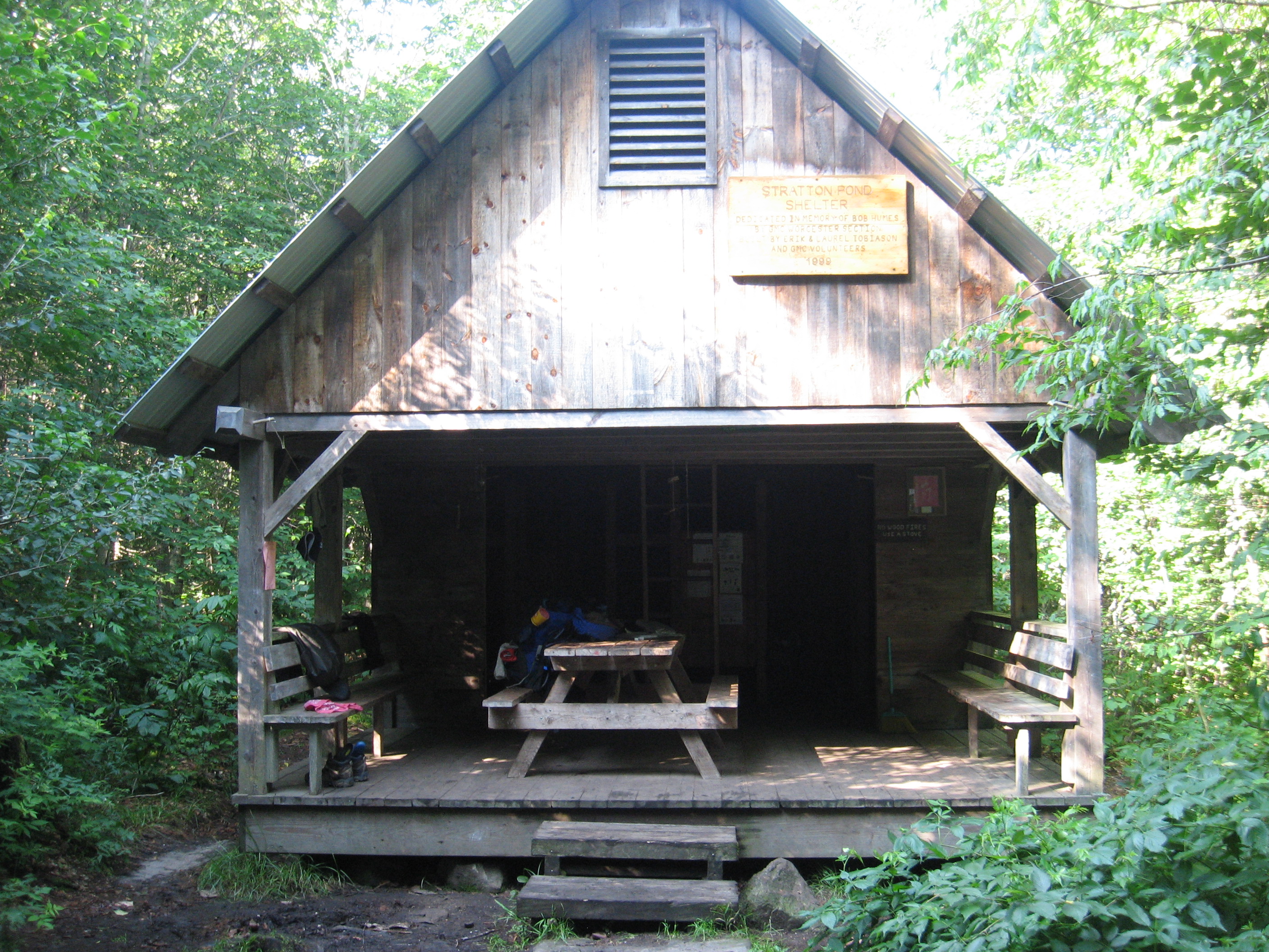
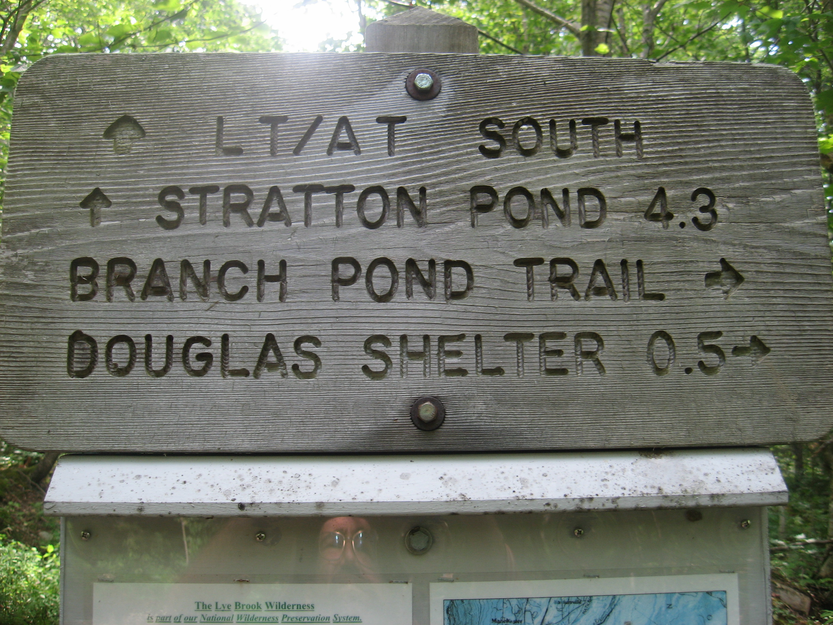
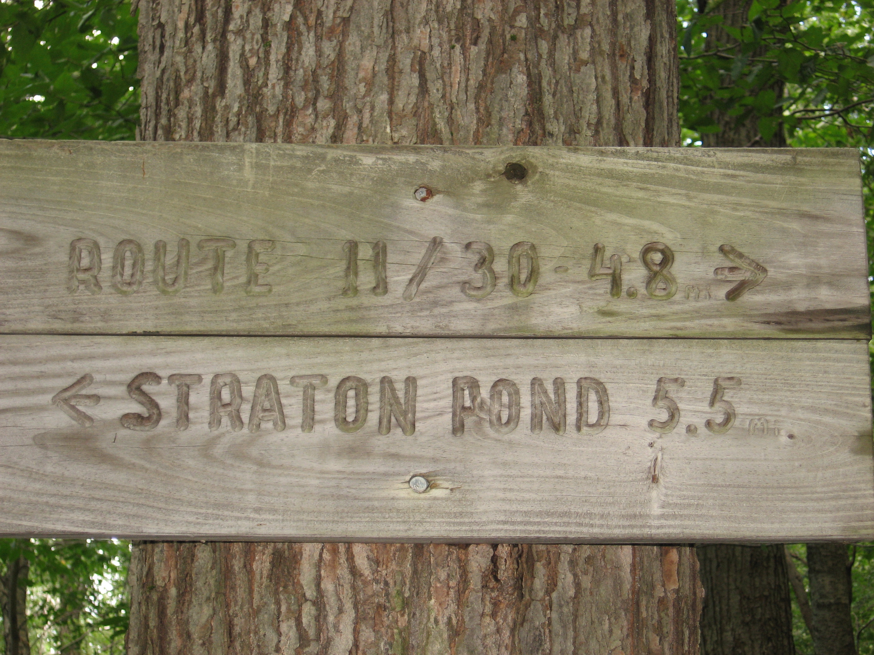
| 1640 | Stratton Pond Trail to (2,565') +Stratton Pond Shelter?10.4mS; 5.4mN | 2565 |


| Miles from Springer | Features | Elevation |
|---|---|---|
| 1640 | Stratton Pond Trail to (2,565') +Stratton Pond Shelter?10.4mS; 5.4mN | 2565 |
| 1640.2 | Stratton Pond, Trail to +North Shore Tenting Area (2,555') | 2555 |
| 1642.1 | Winhall River (2,175')?bridge | 2175 |
| 1644.9 | Branch Pond Trail to William B. Douglas Shelter (2,210') ?5.4mS; 3.6mN | 2210 |
| 1645.8 | Prospect Rock, Old Rootville Road (2,079') | 2079 |
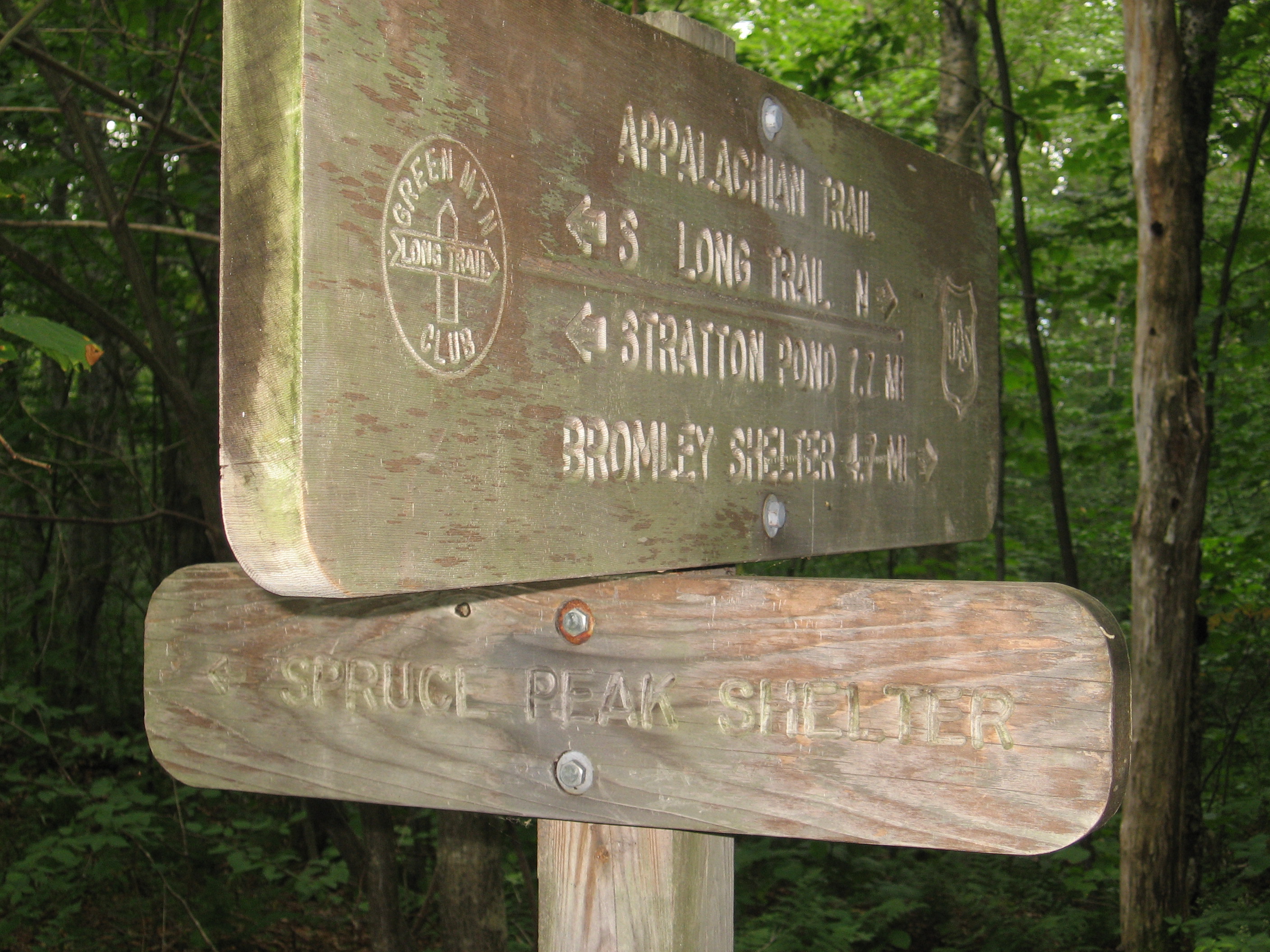
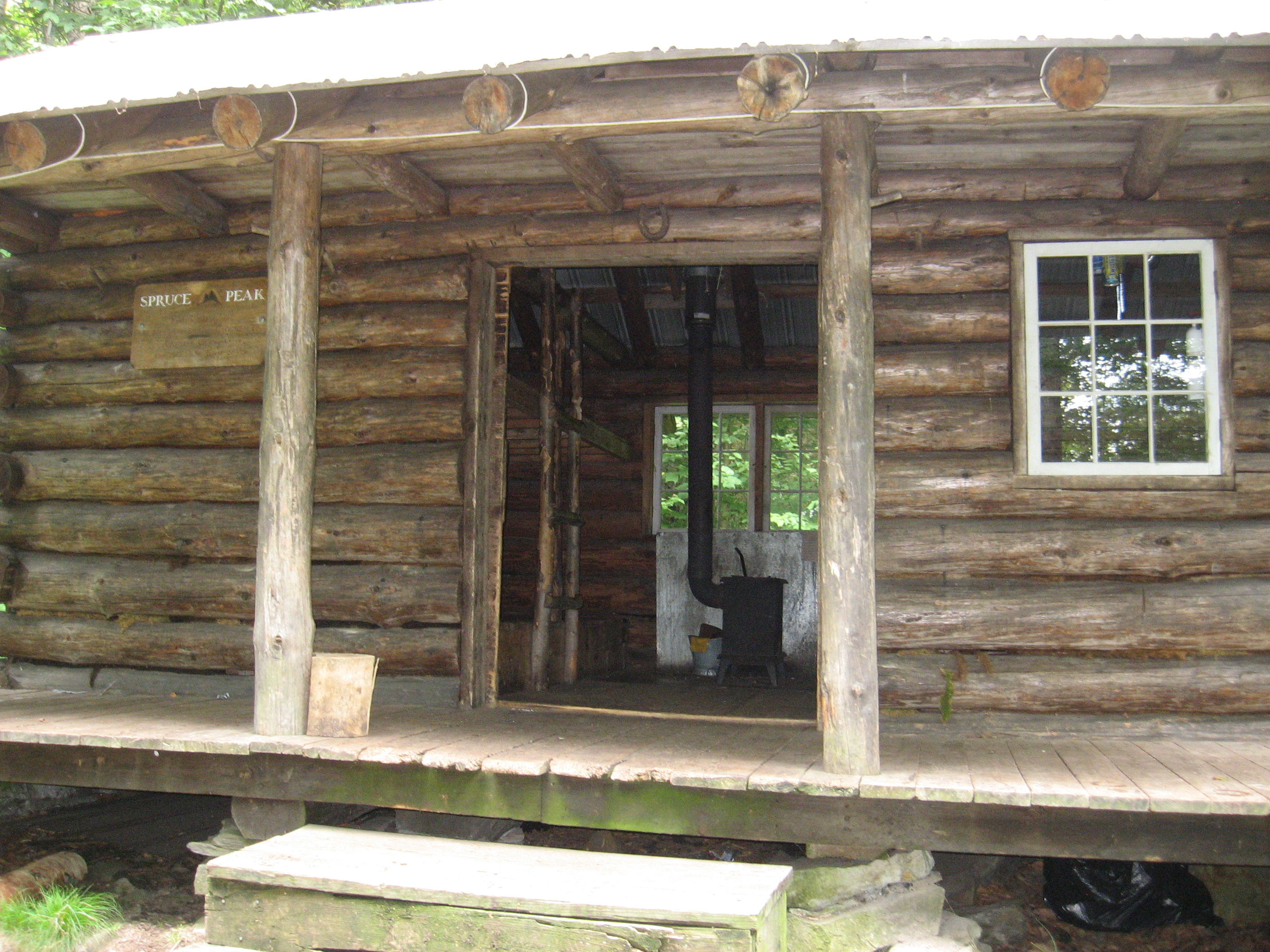
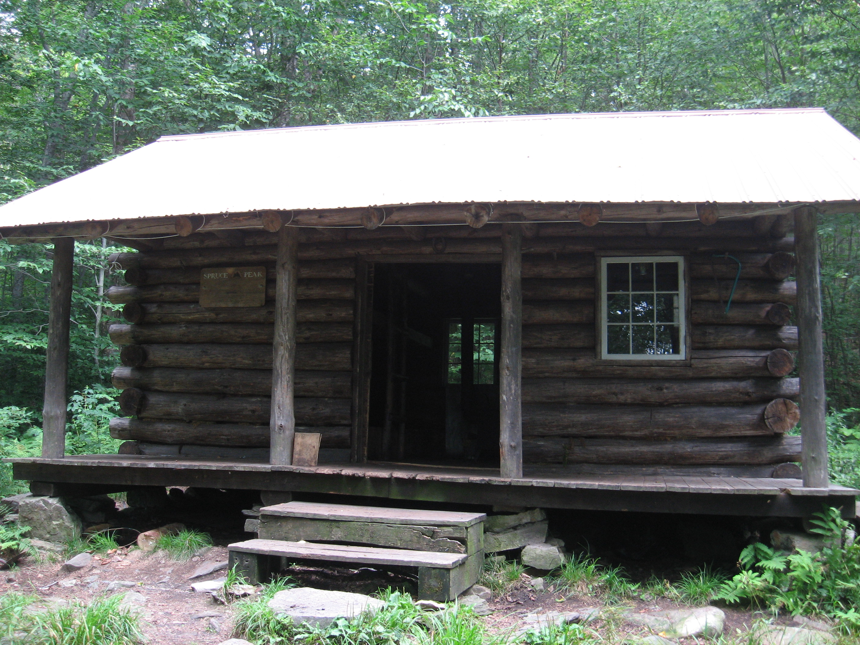
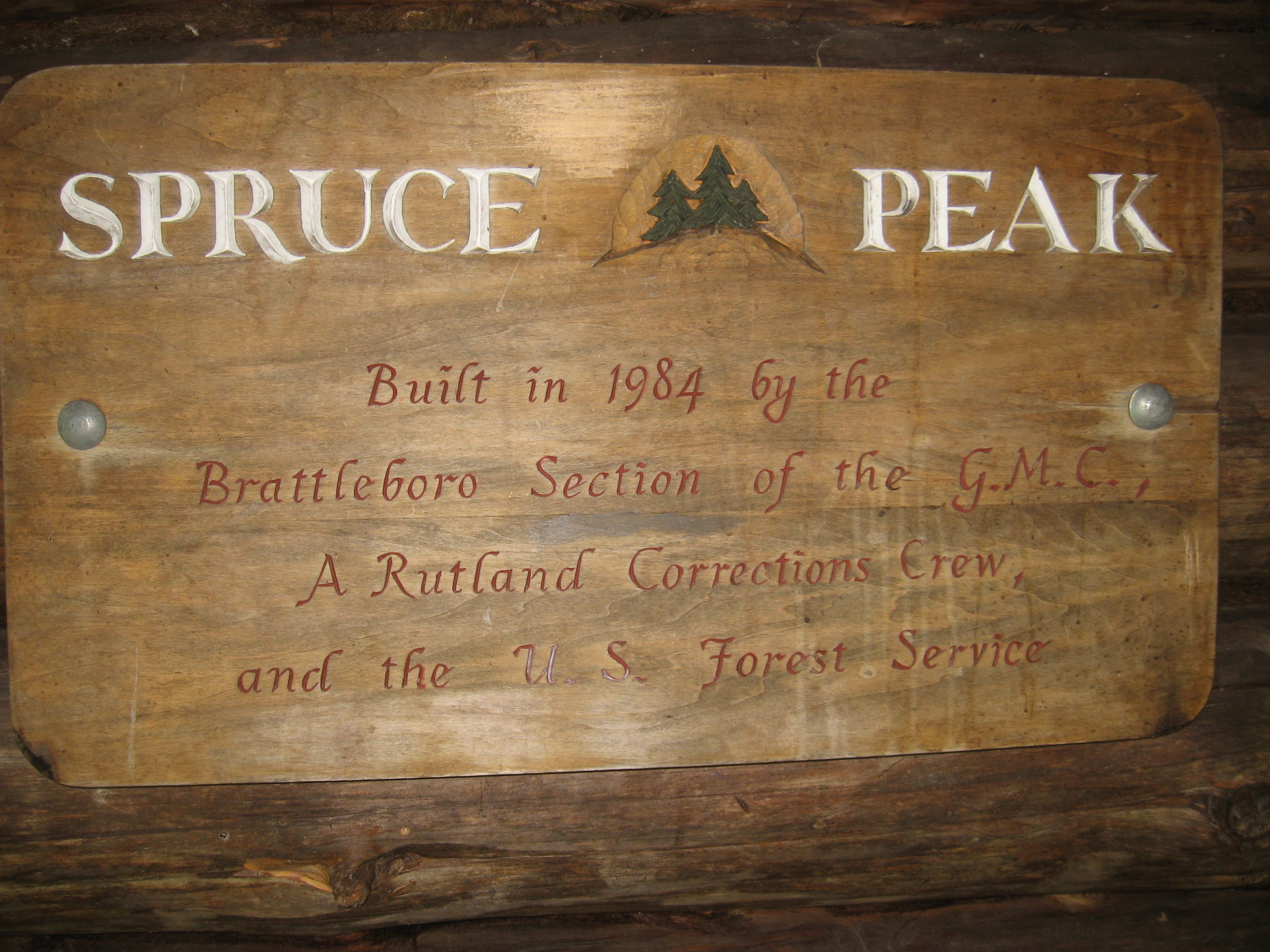
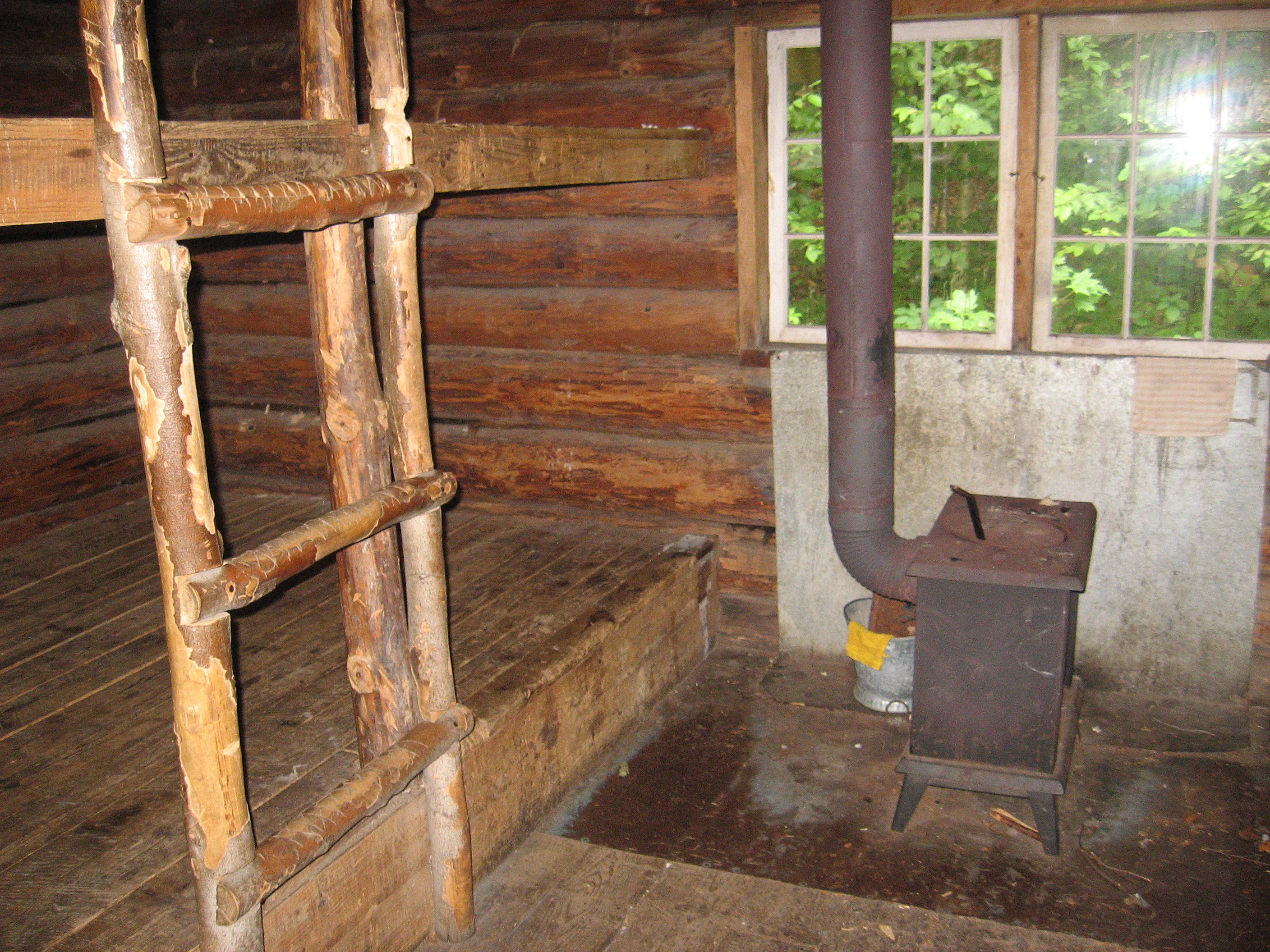
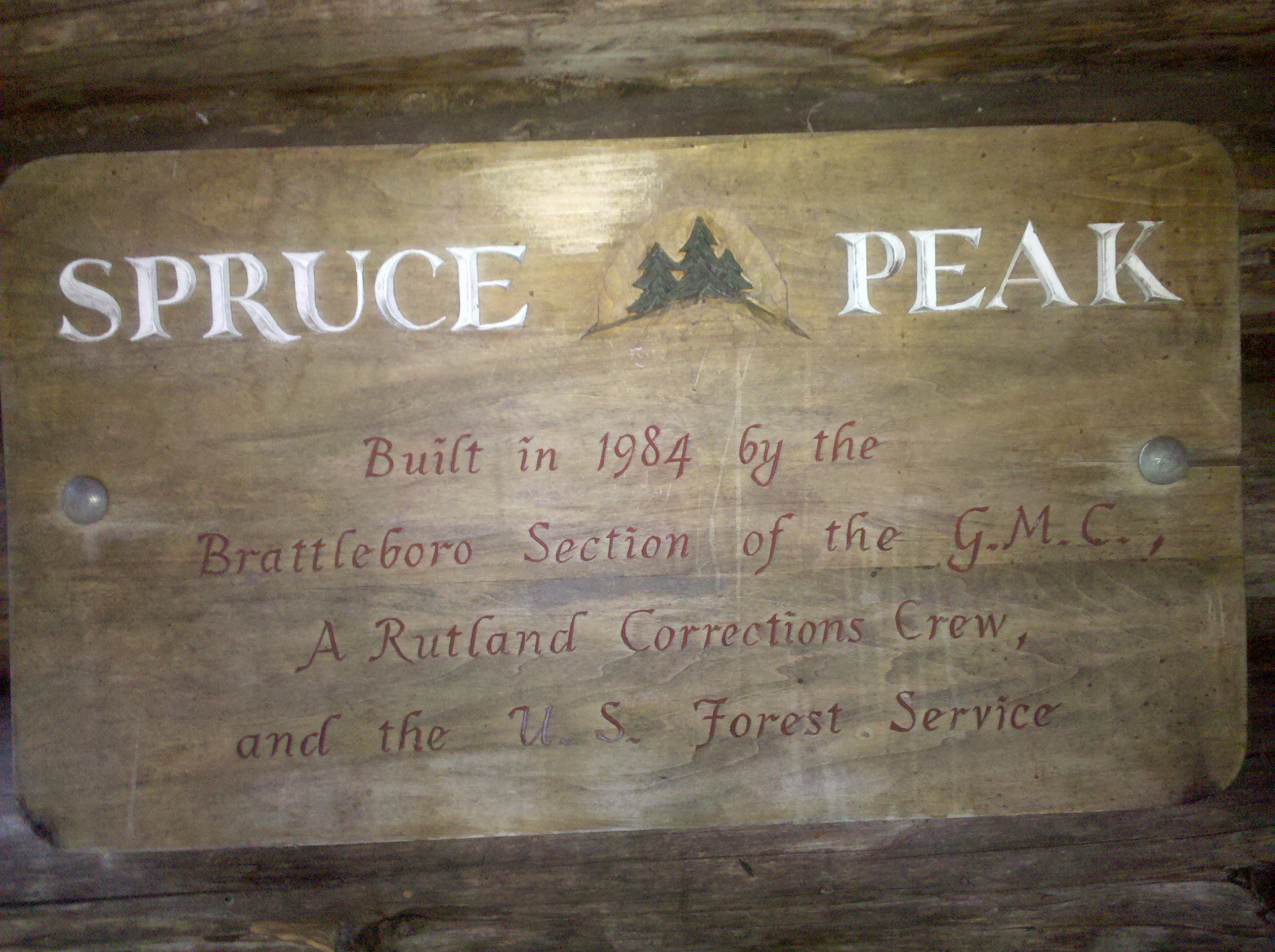
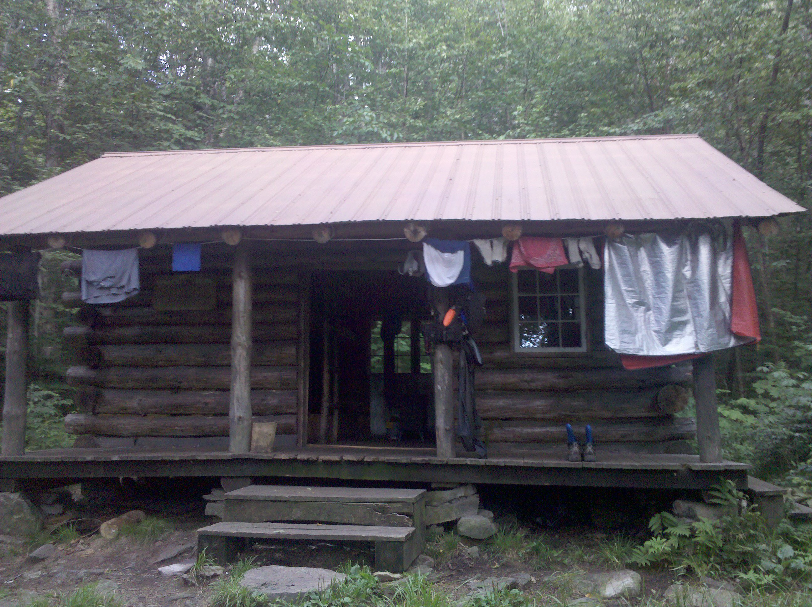
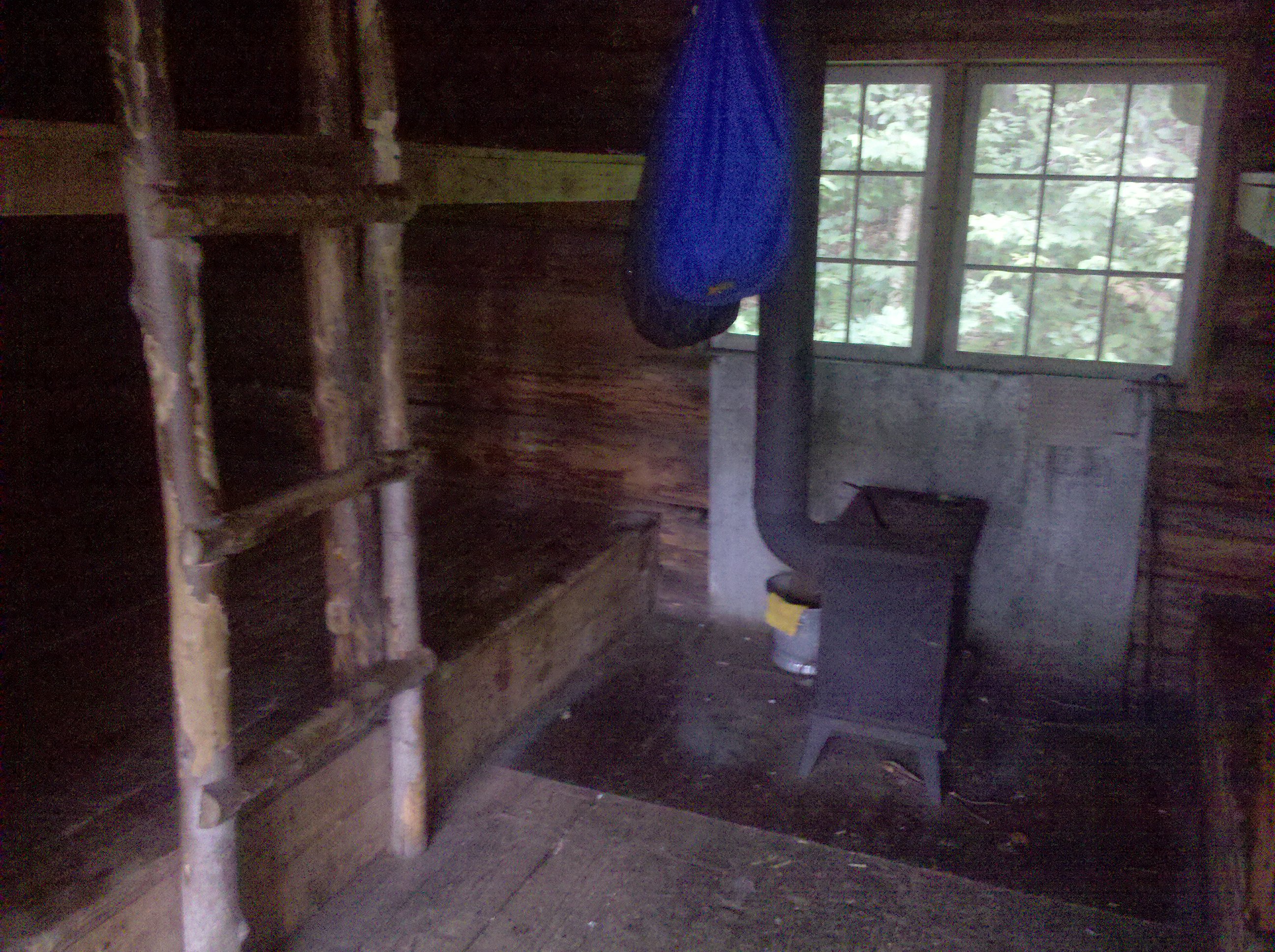
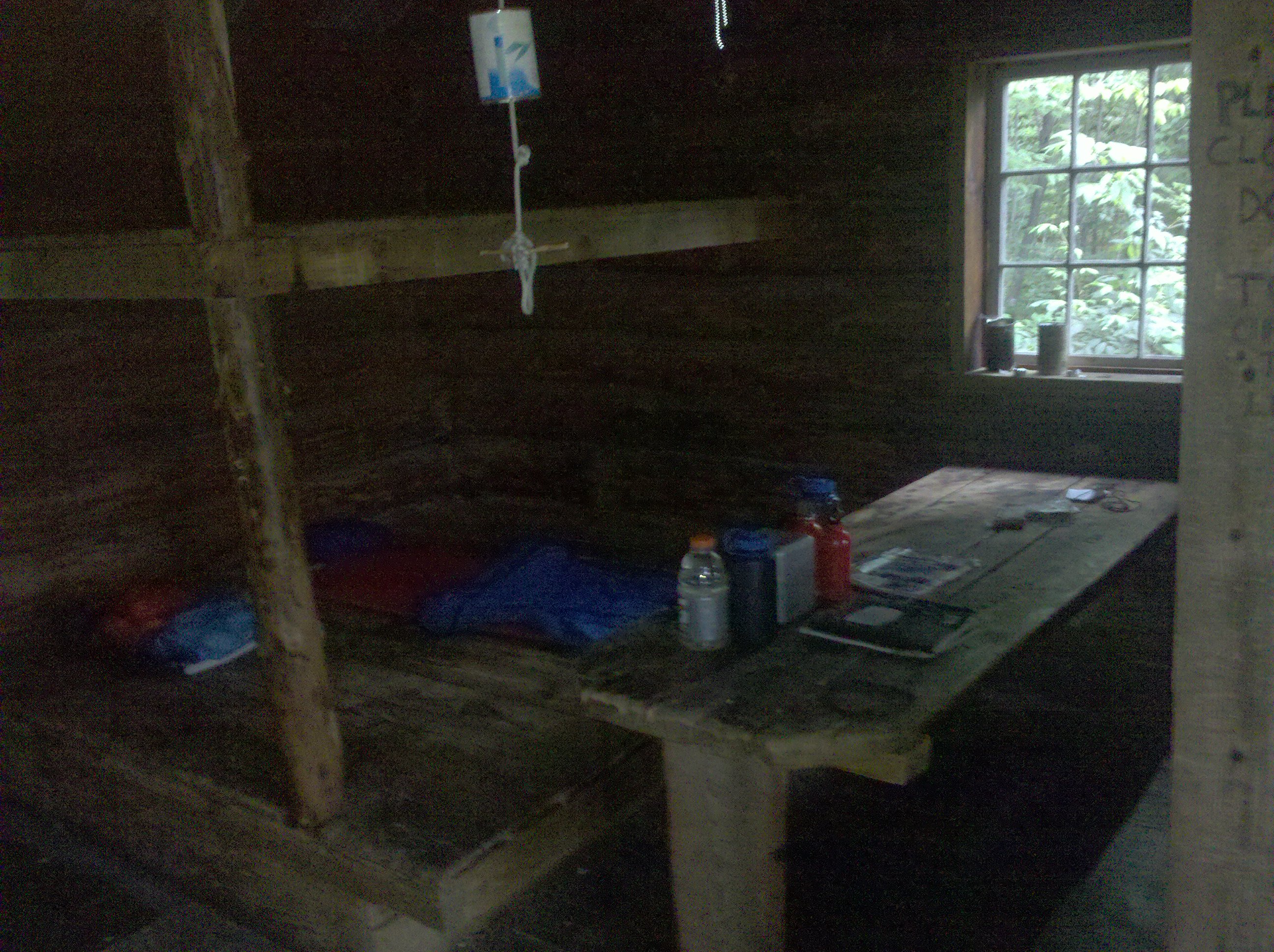
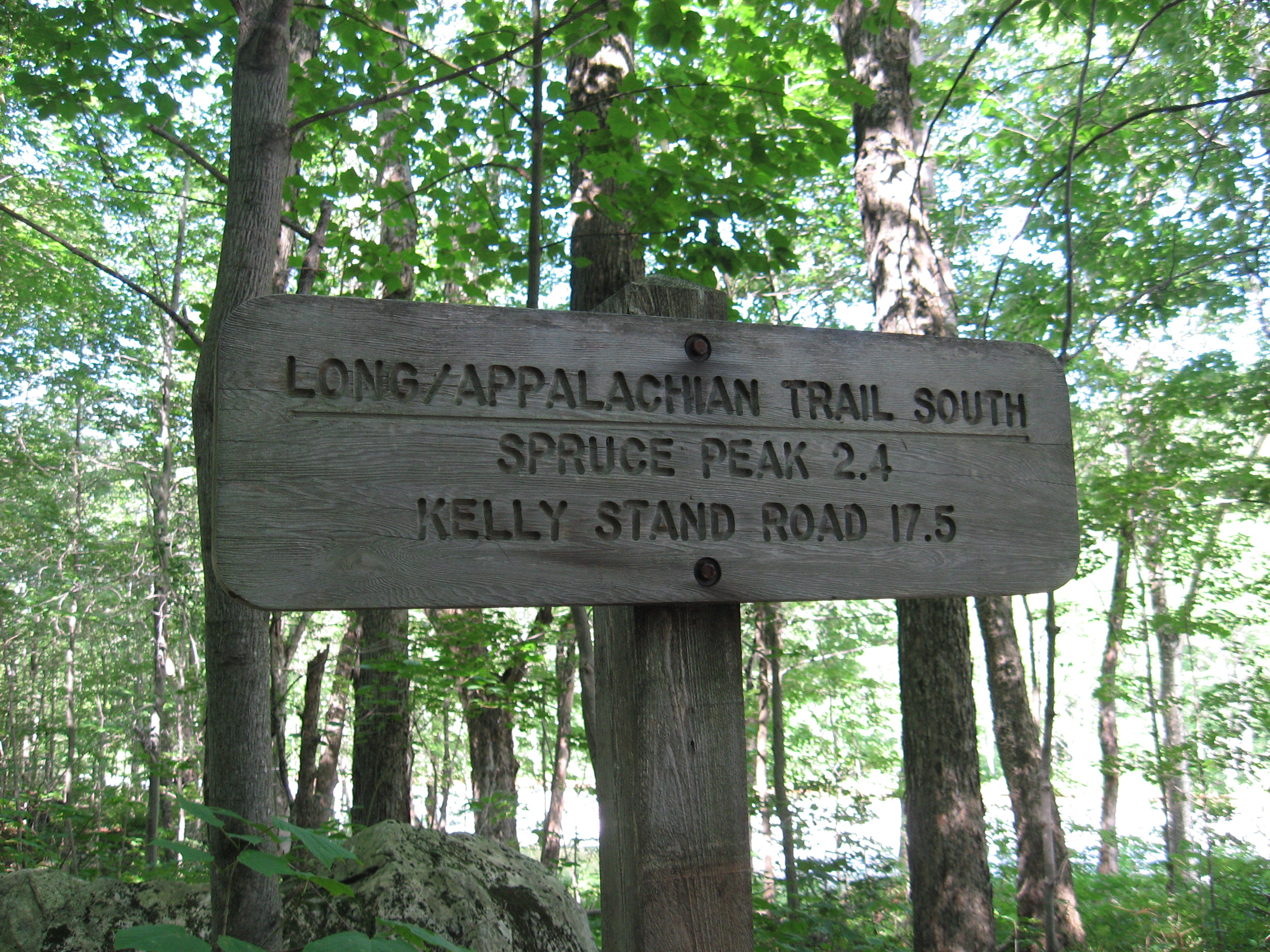
| 1647.9 | Spruce Peak Shelter (2,180')?3.6mS; 5mN | 2180 |


| Miles from Springer | Features | Elevation |
|---|---|---|
| 1647.9 | Spruce Peak Shelter (2,180')?3.6mS; 5mN | 2180 |
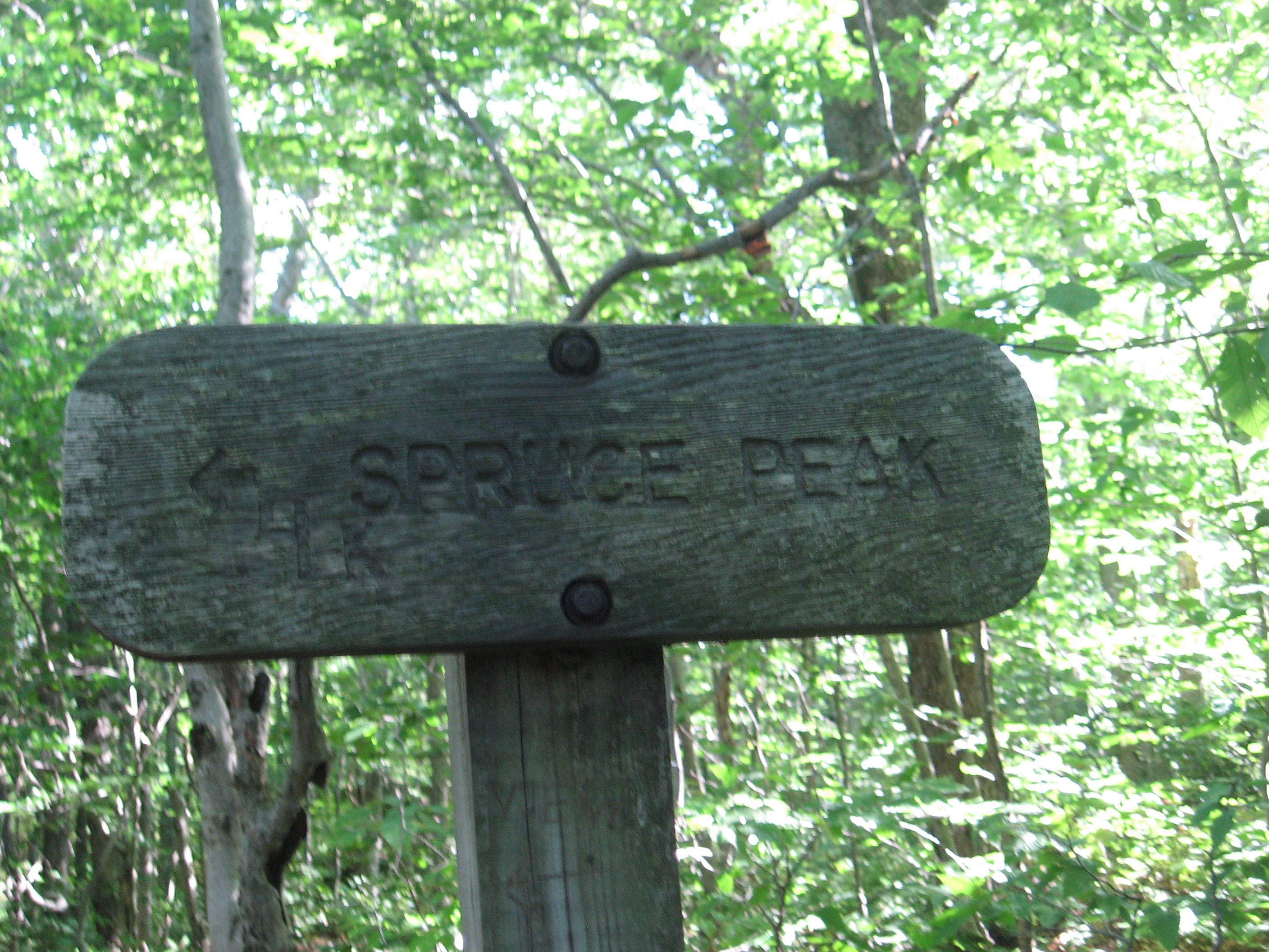
| 1648.3 | Spruce Peak (2,040') | 2040 |
| 1650.7 | Vt. 11 & 30 (1,840') Manchester Center, Vt. 05255 | 1840 |
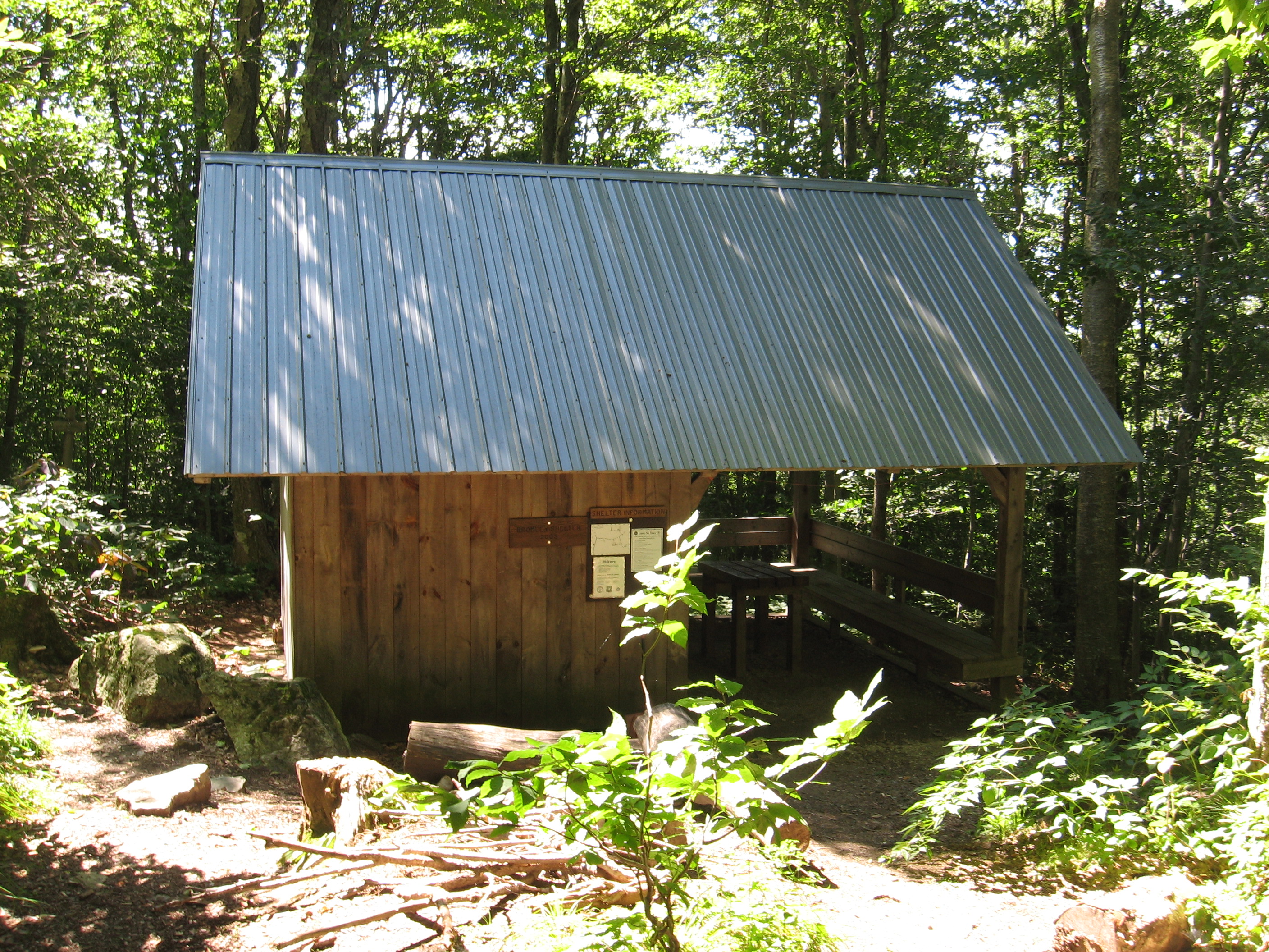
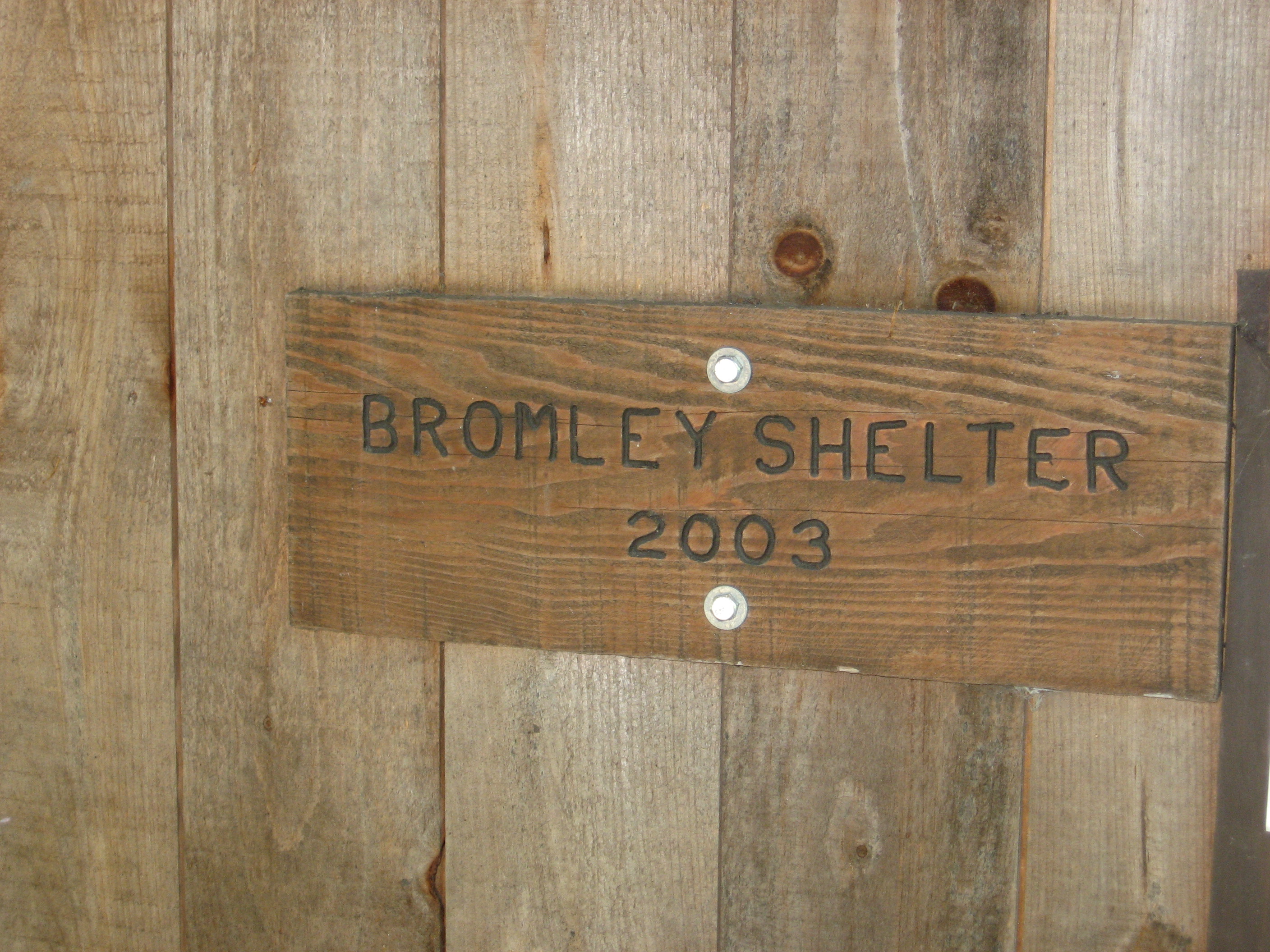
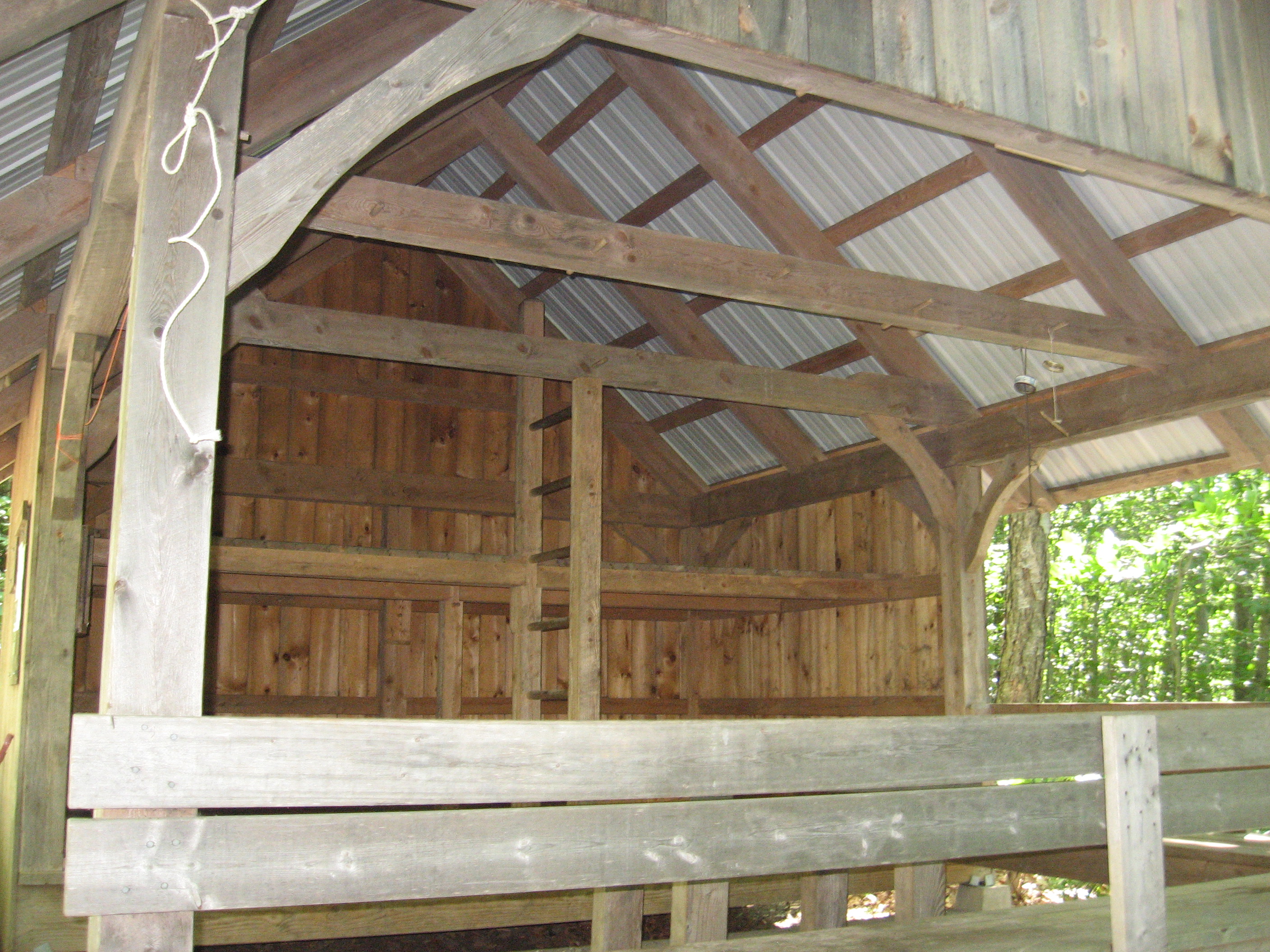
| 1652.7 | Bromley Shelter (2,560')?5mS; 8.2mN | 2560 |
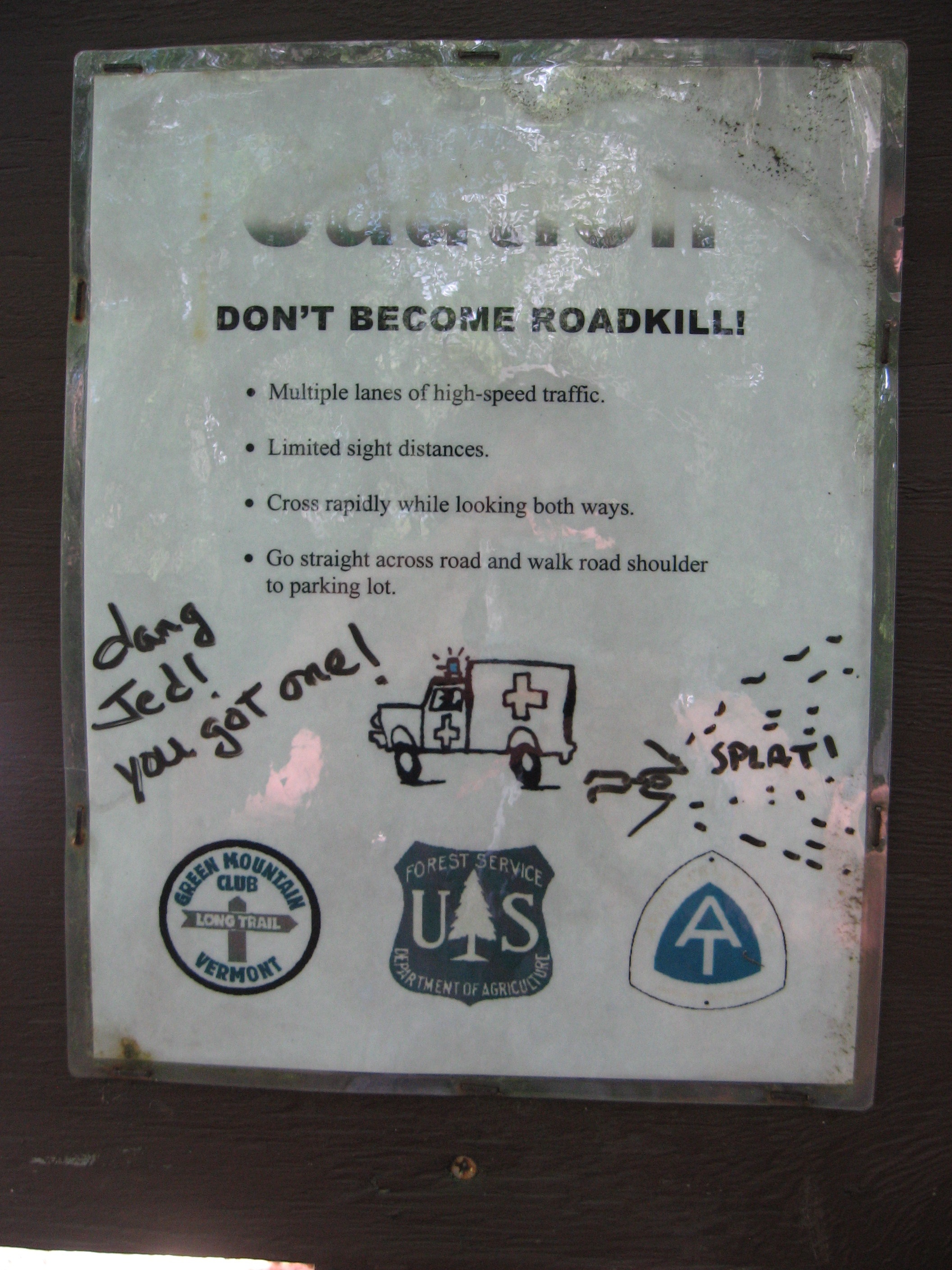
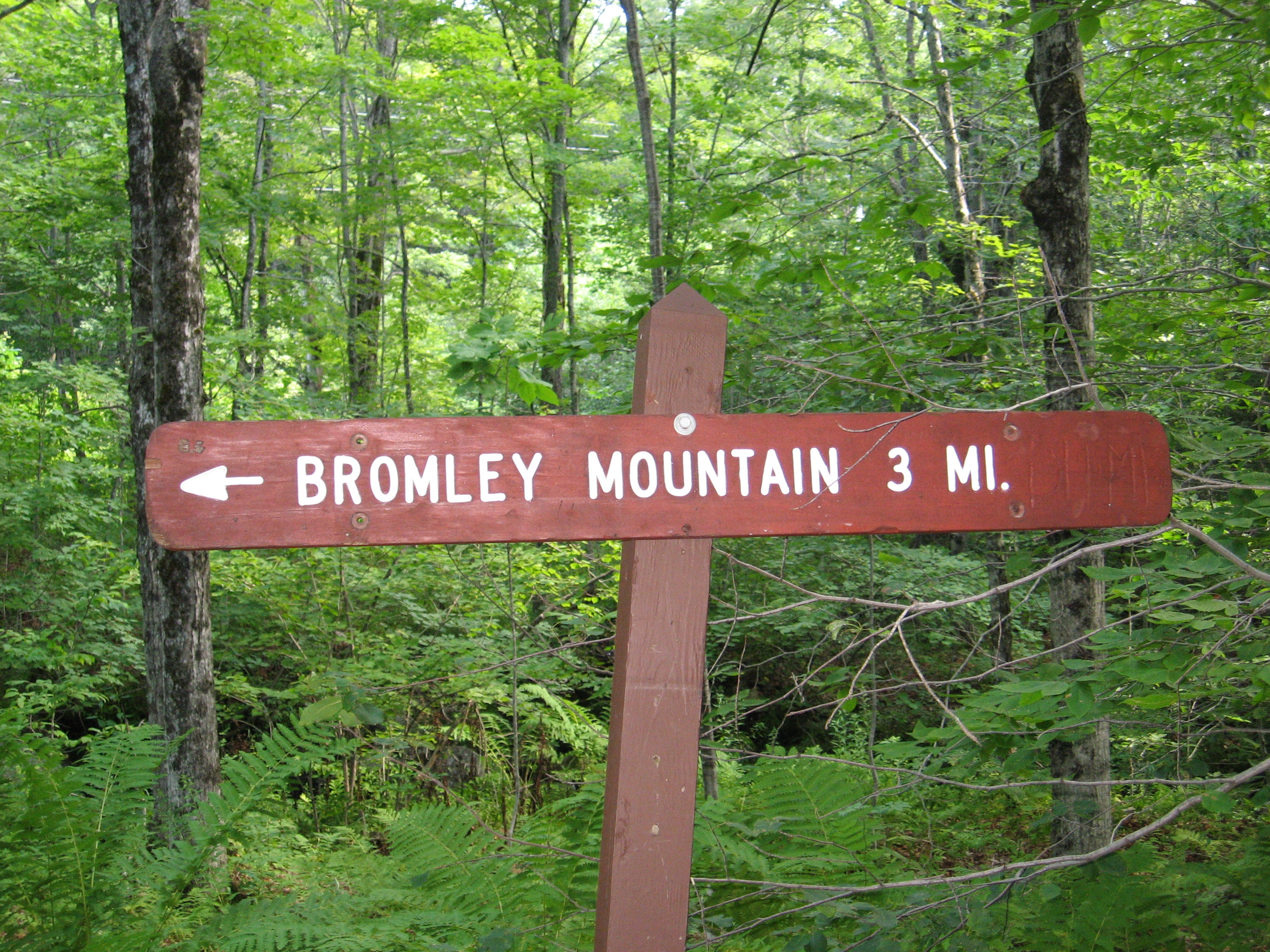
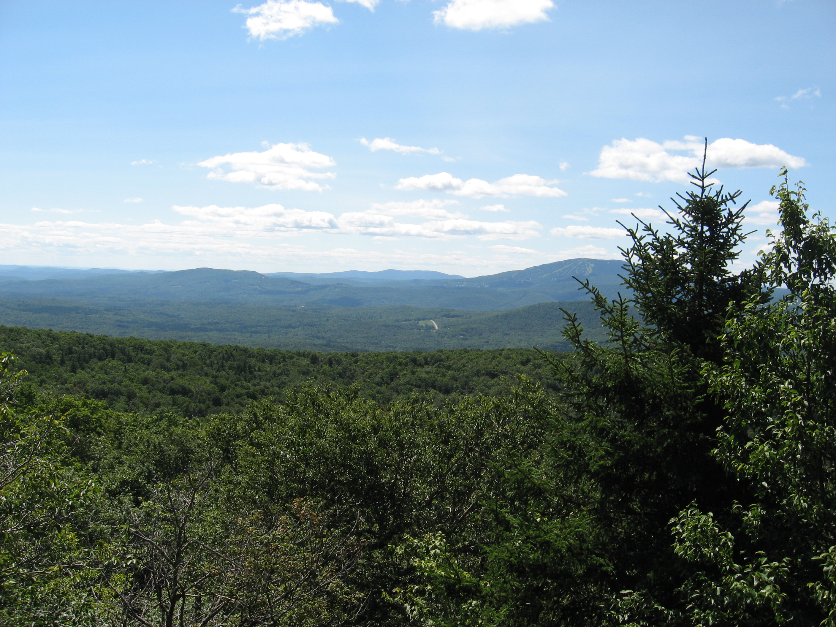
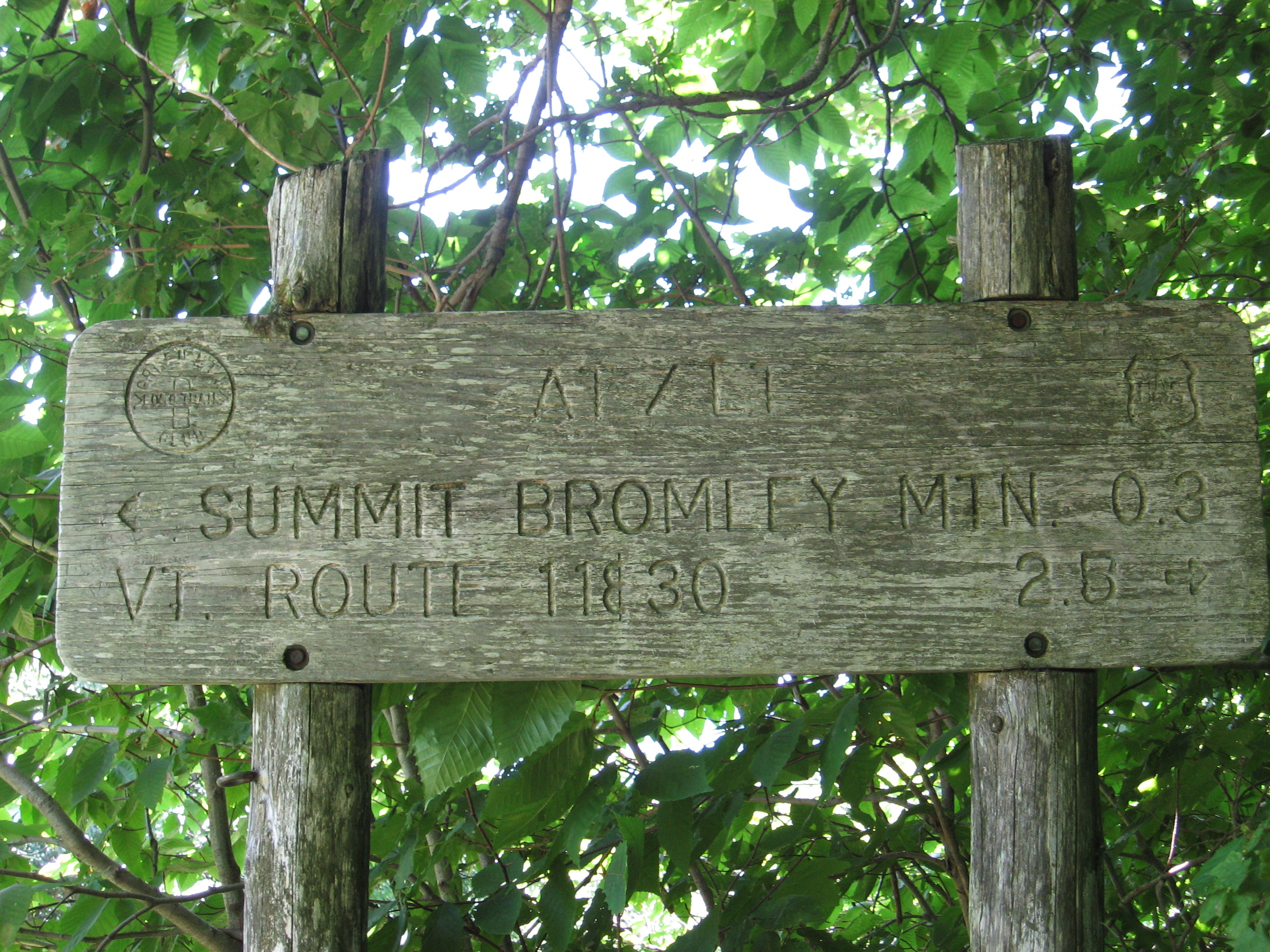
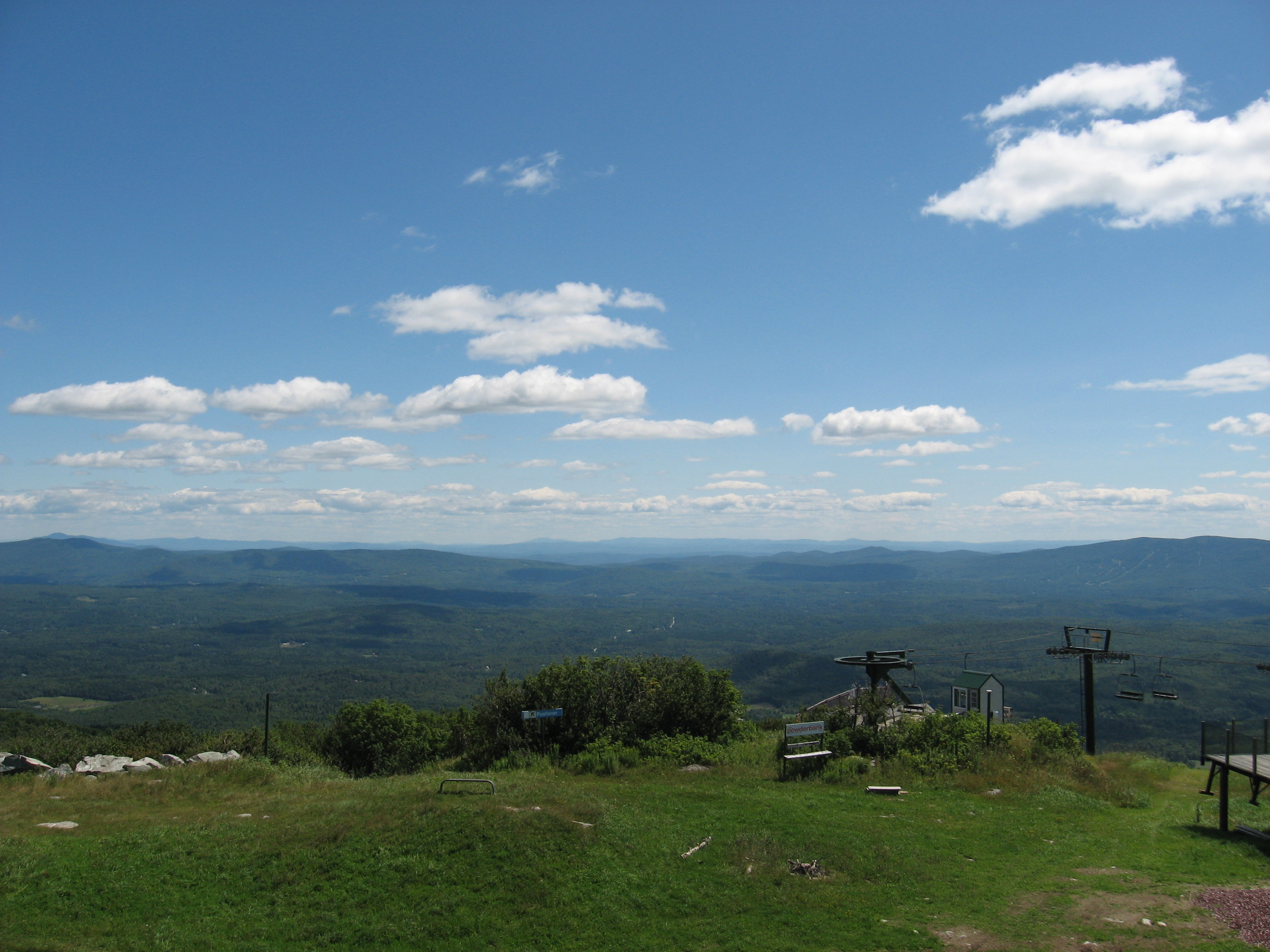
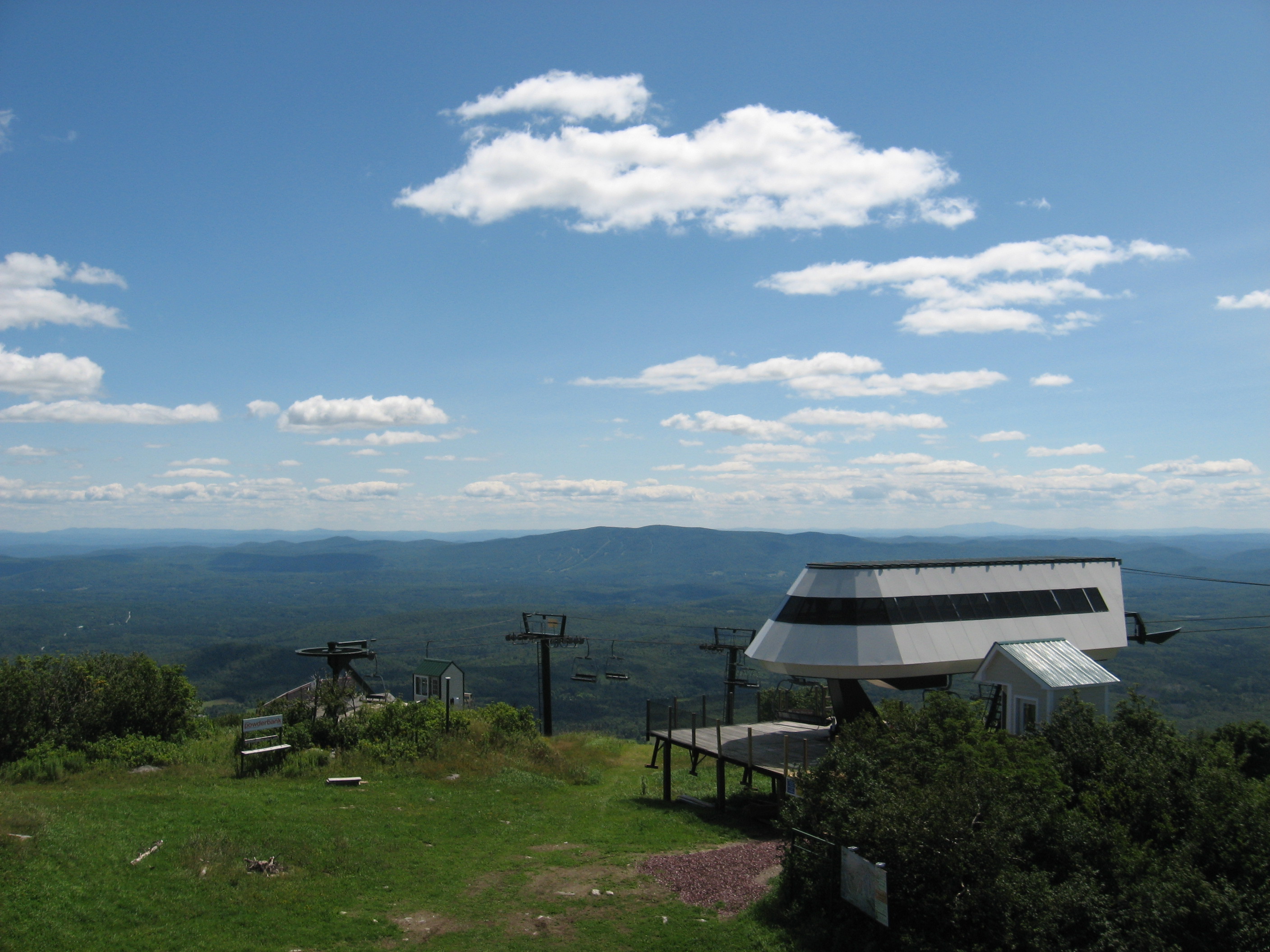
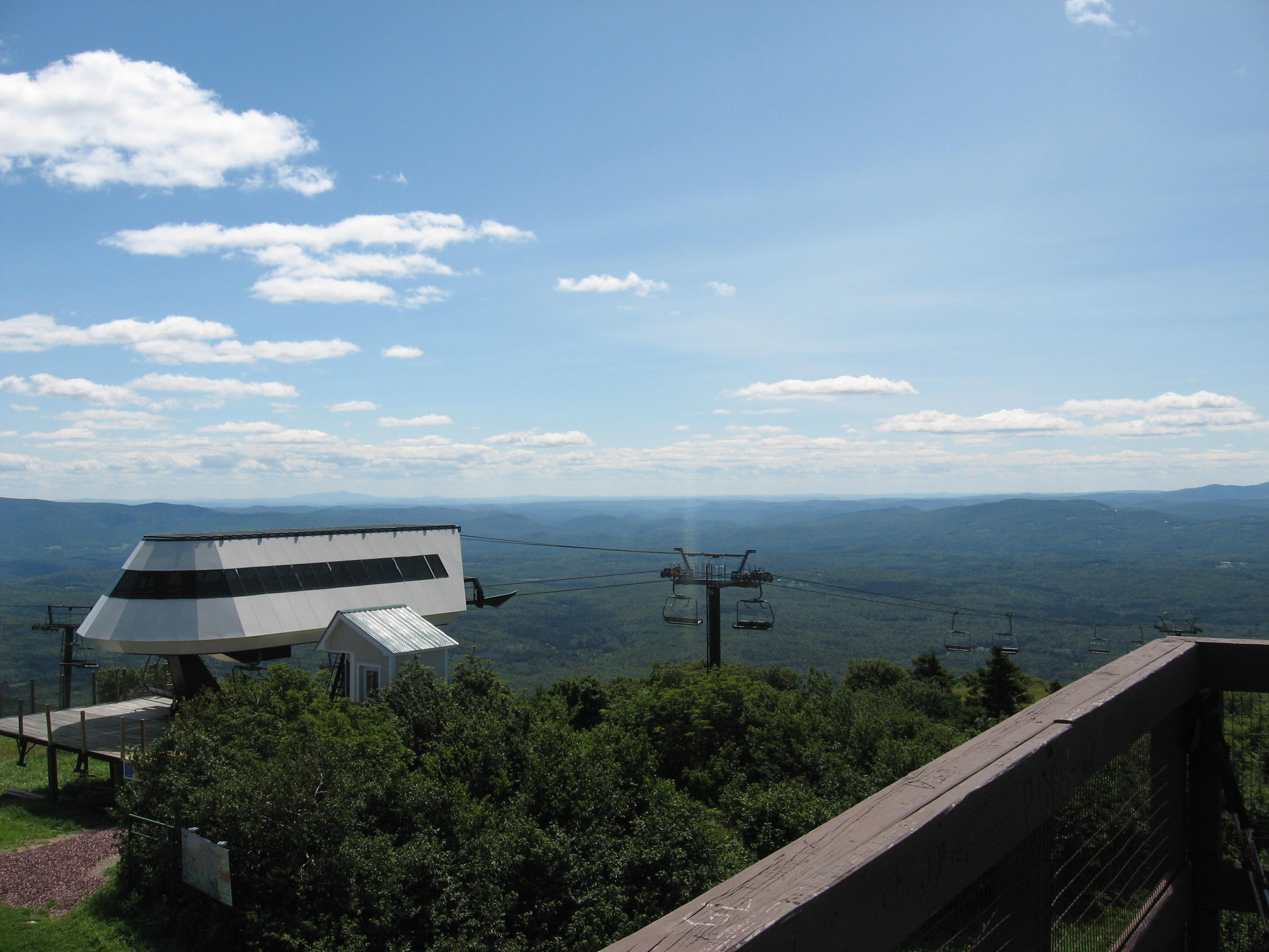
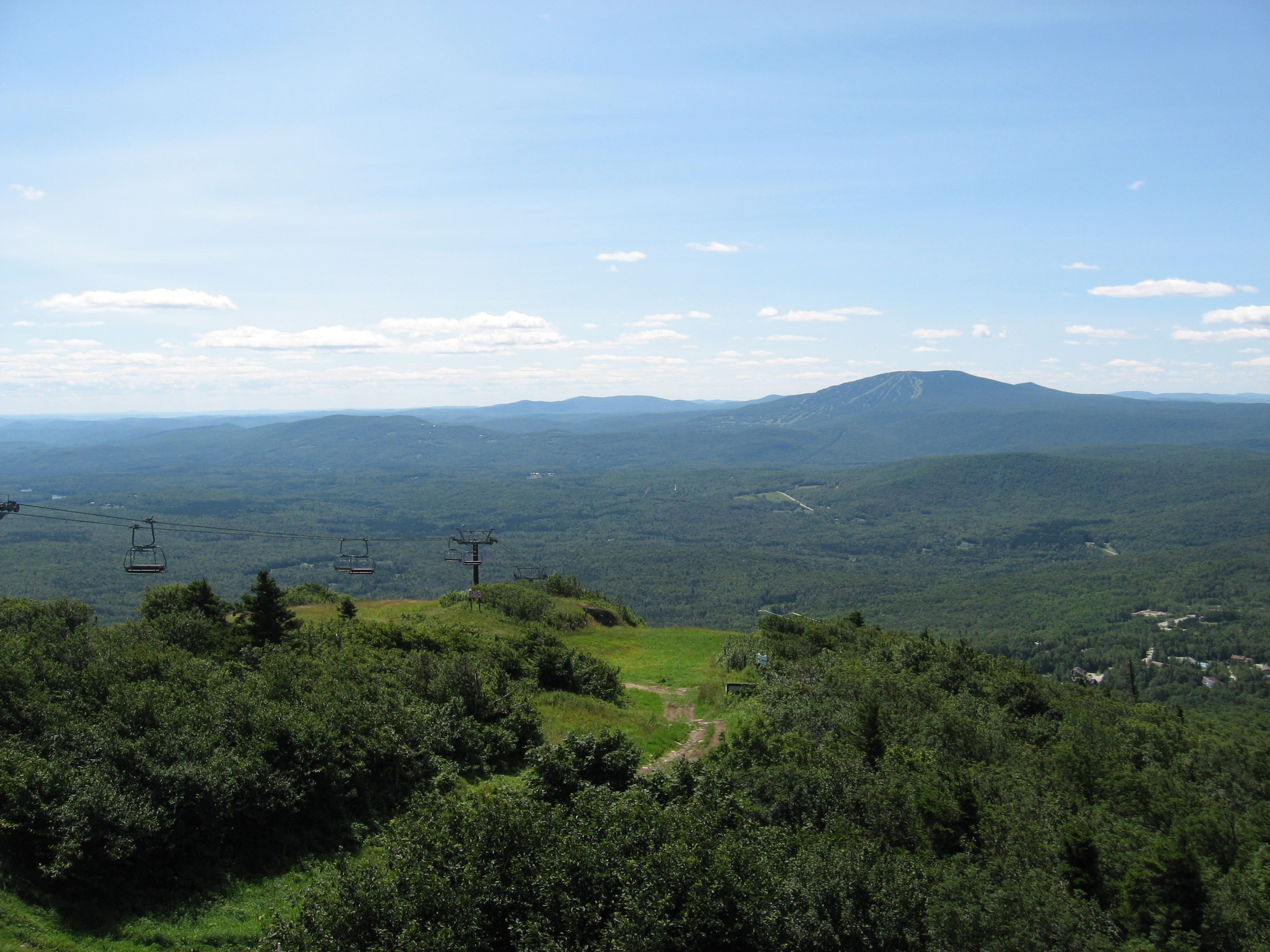
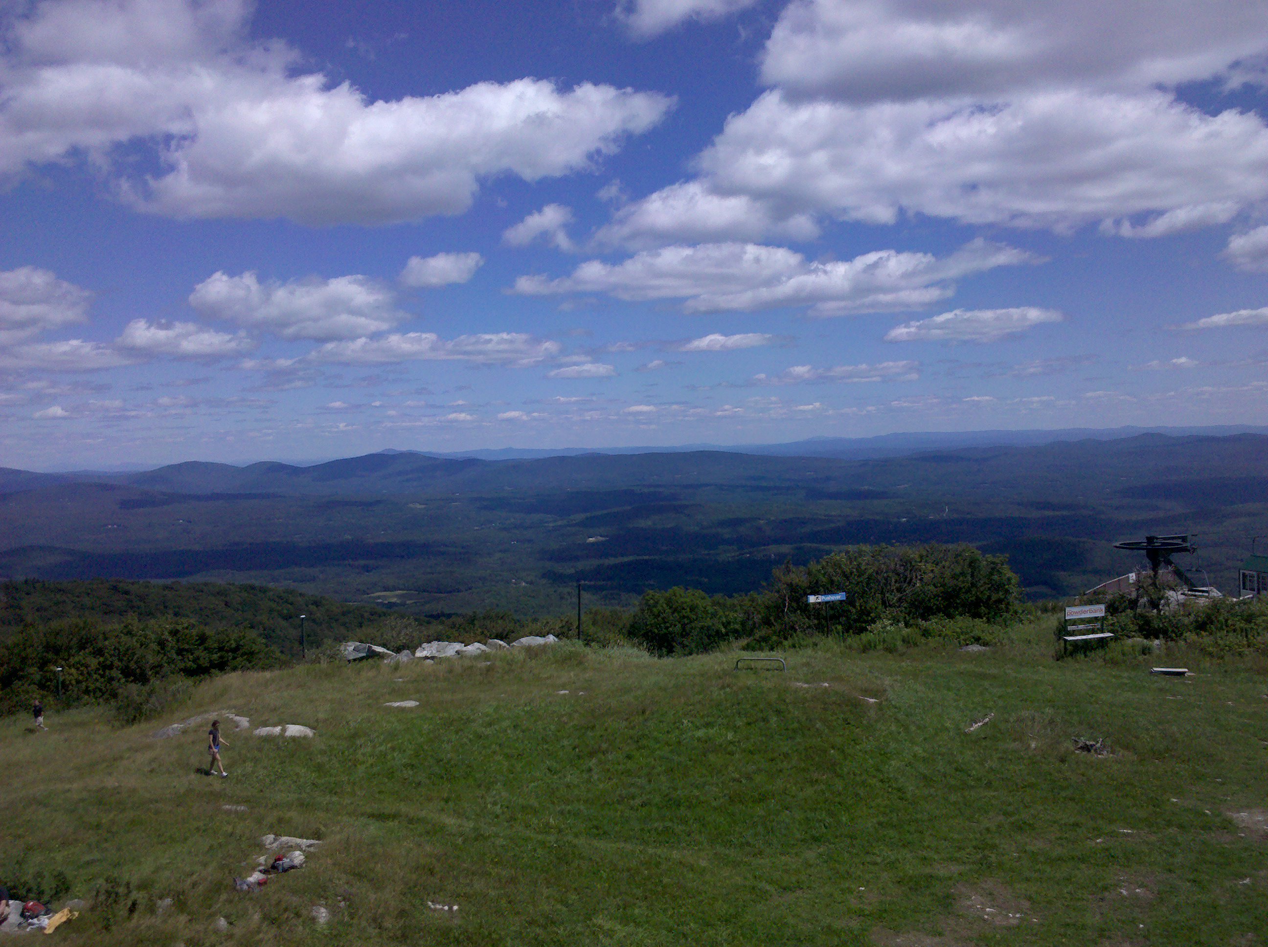
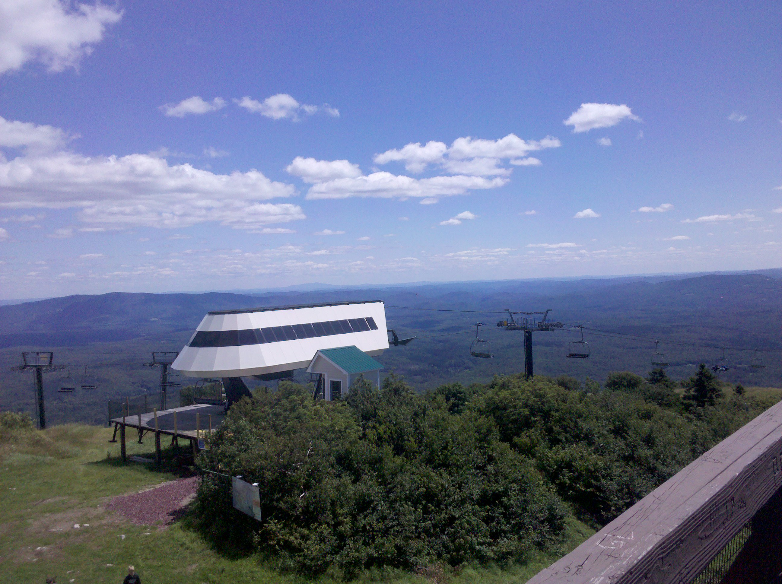
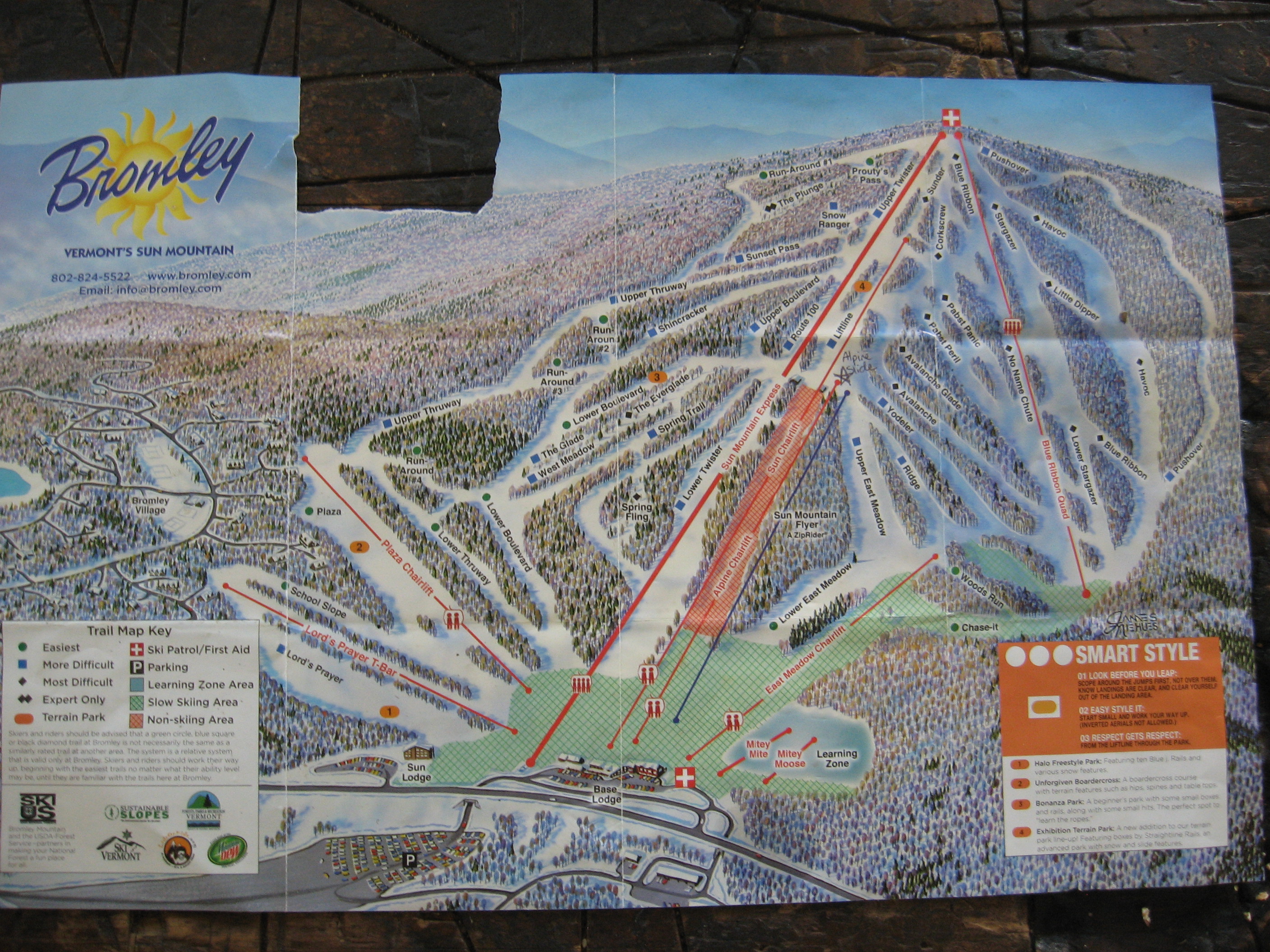
| 1653.7 | Bromley Mountain (3,260')?ski patrol hut | 3260 |
| 1656.2 | USFS 21, Mad Tom Notch; Peru, Vt. (2,446') | 2446 |
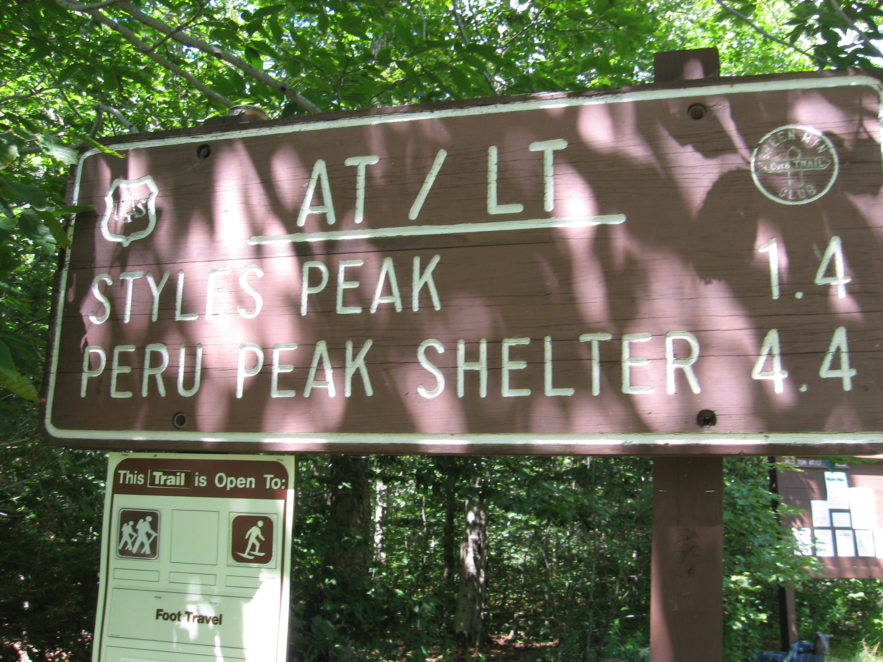
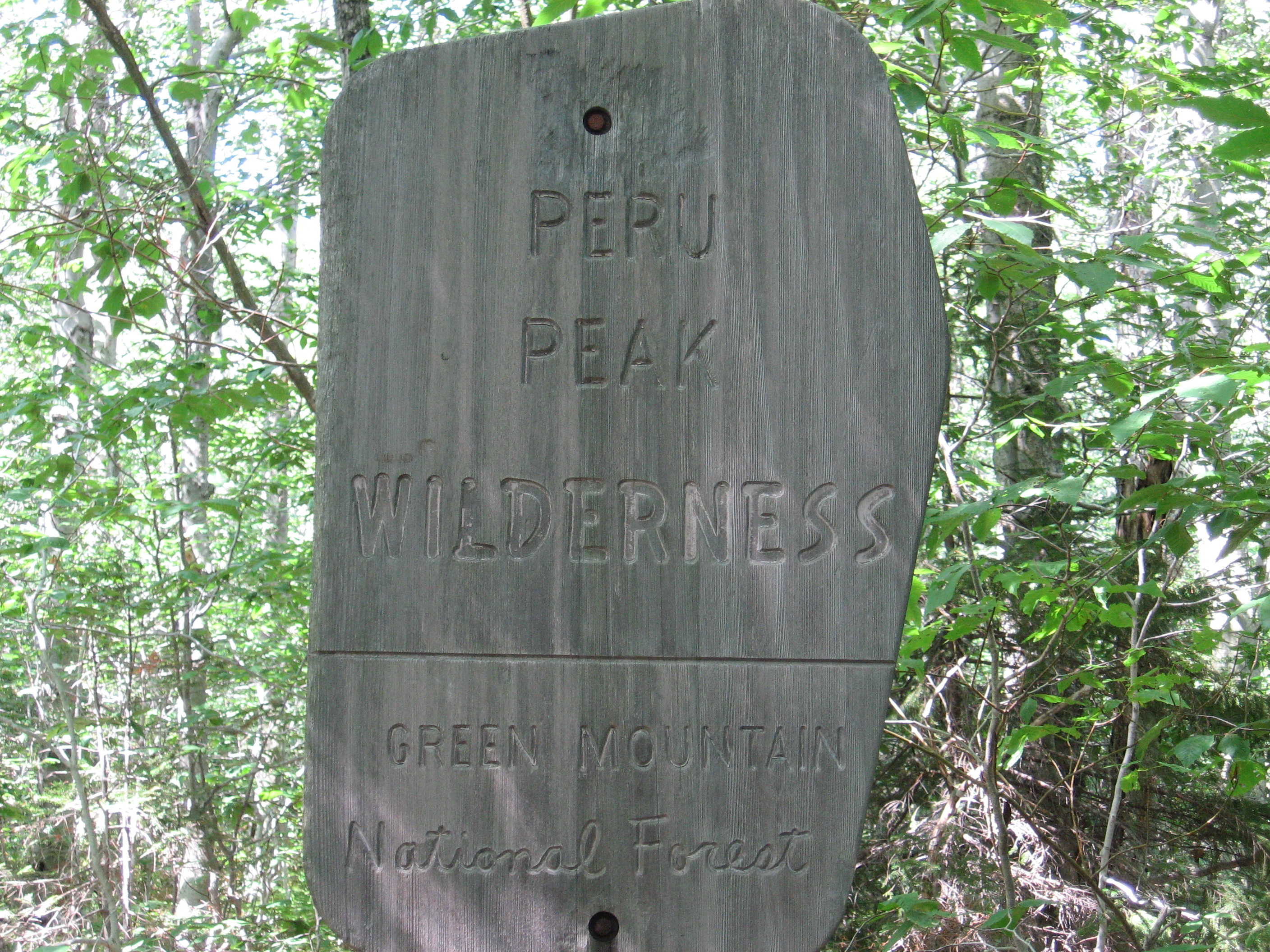
| 1657.8 | Styles Peak (3,394') | 3394 |
| 1659.5 | Peru Peak (3,429') | 3429 |
| 1660.8 | +Peru Peak Shelter (2,605')?8.2mS; 4.7mN | 2605 |
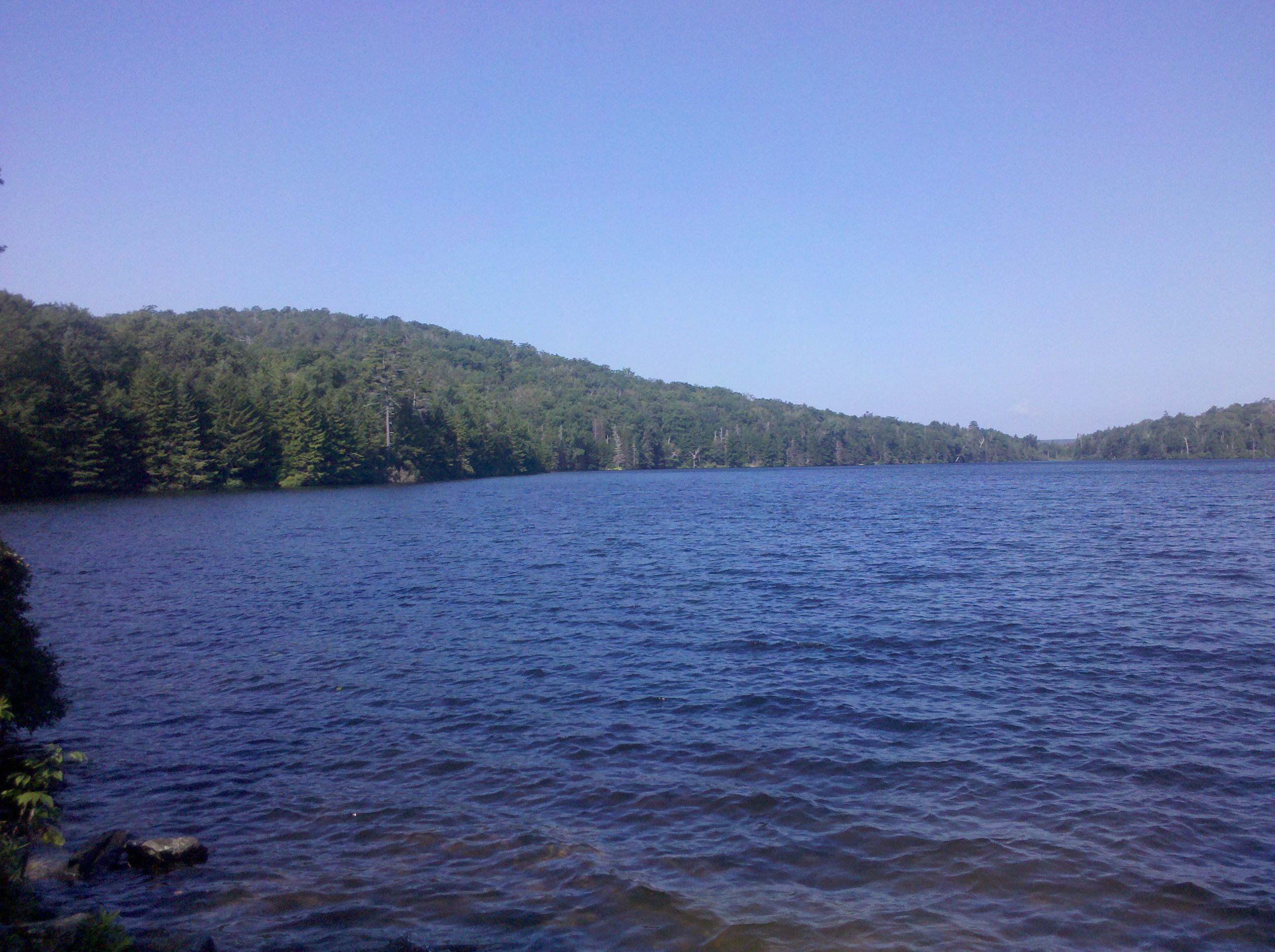
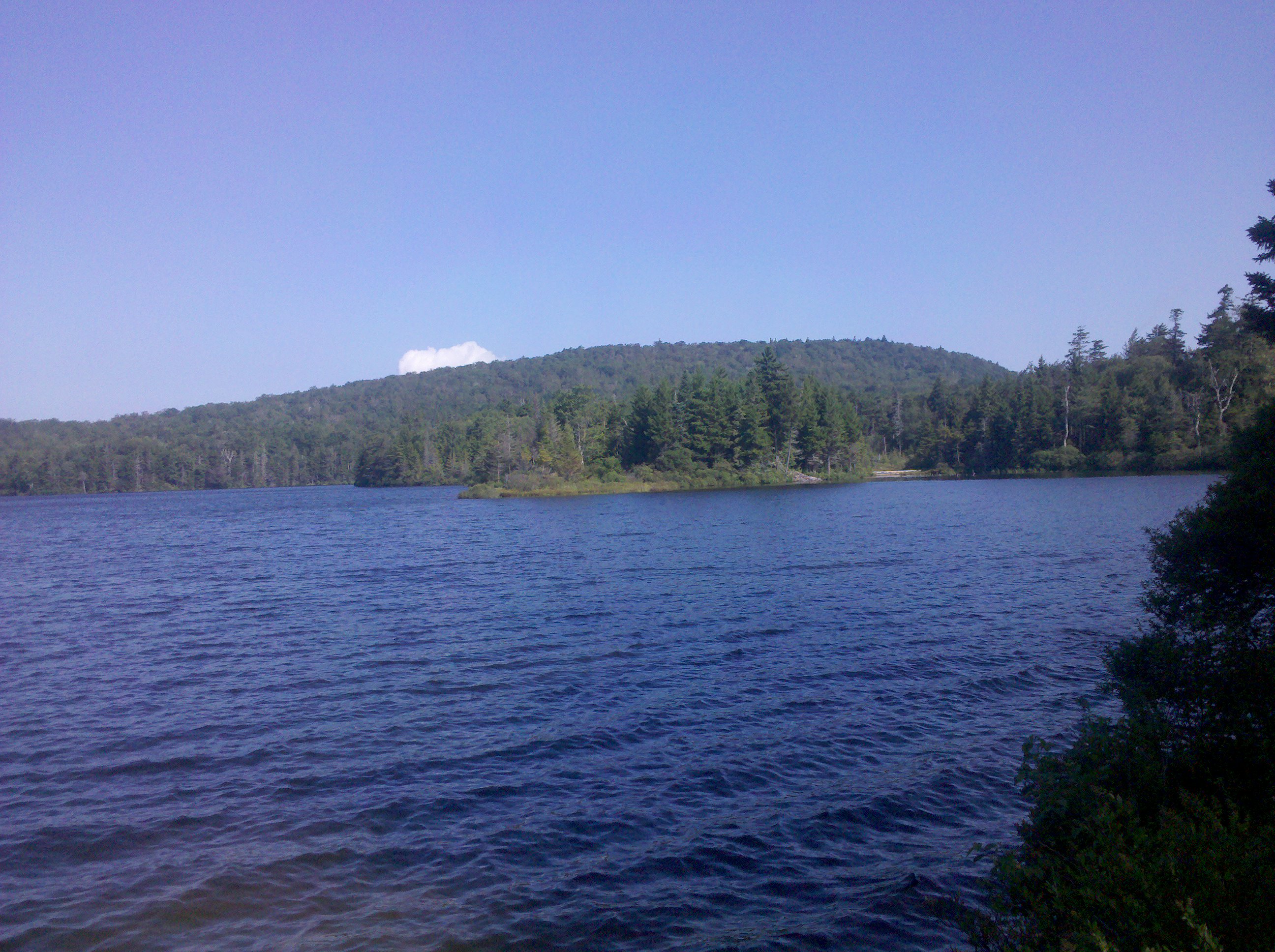
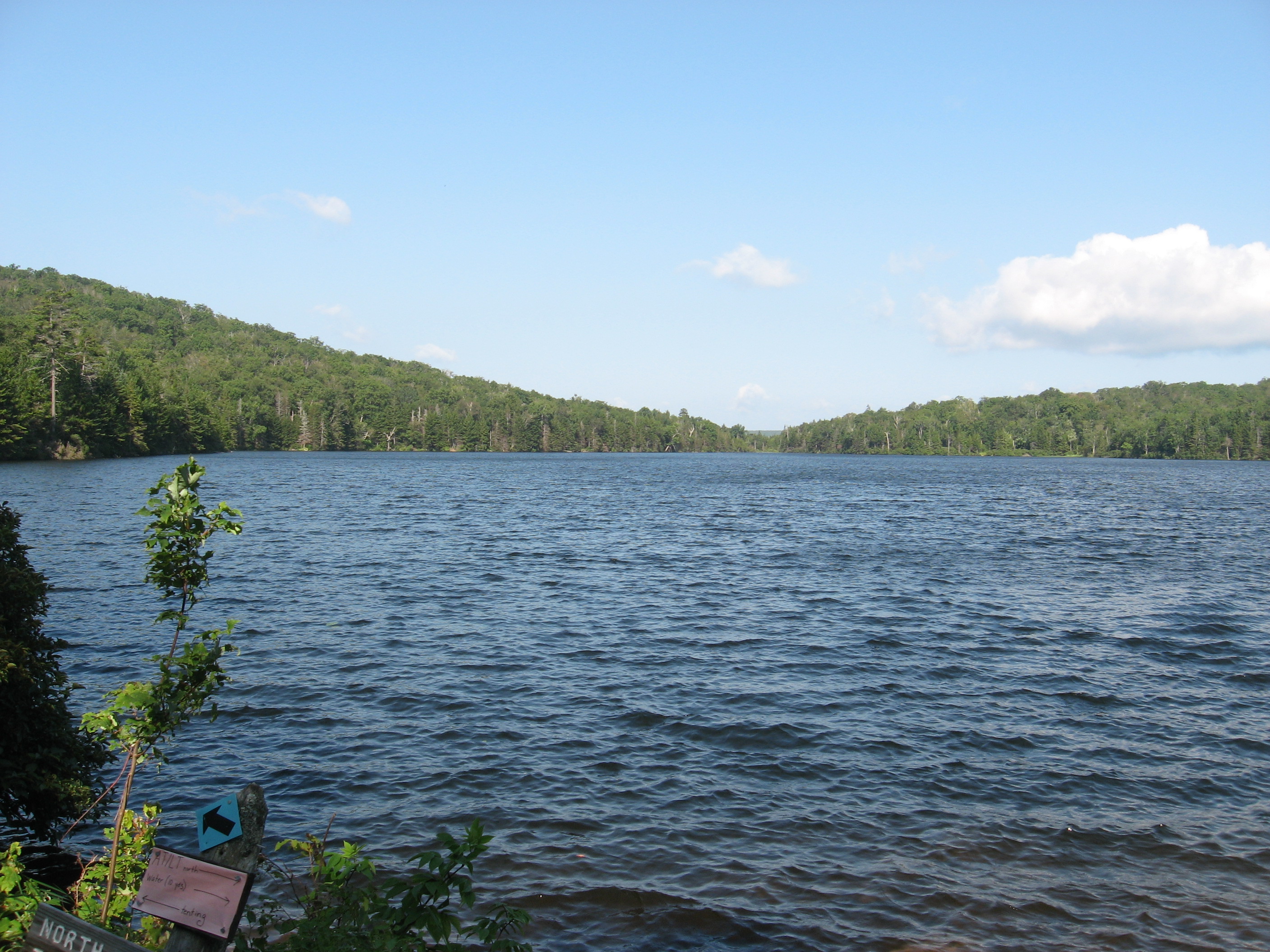
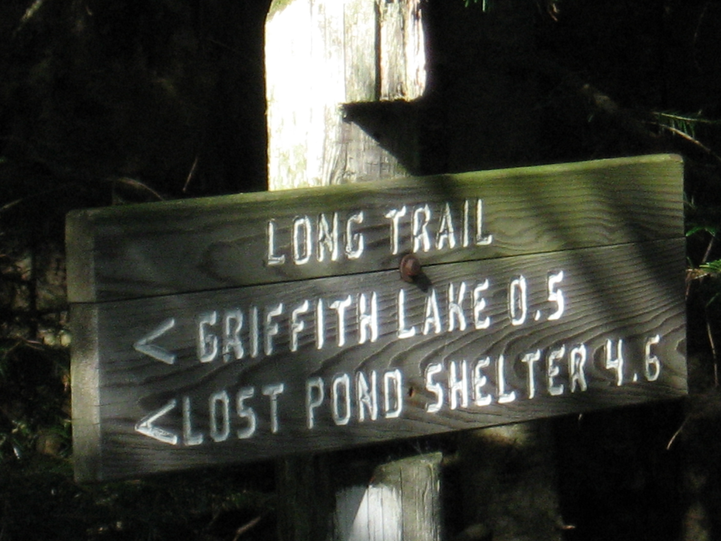
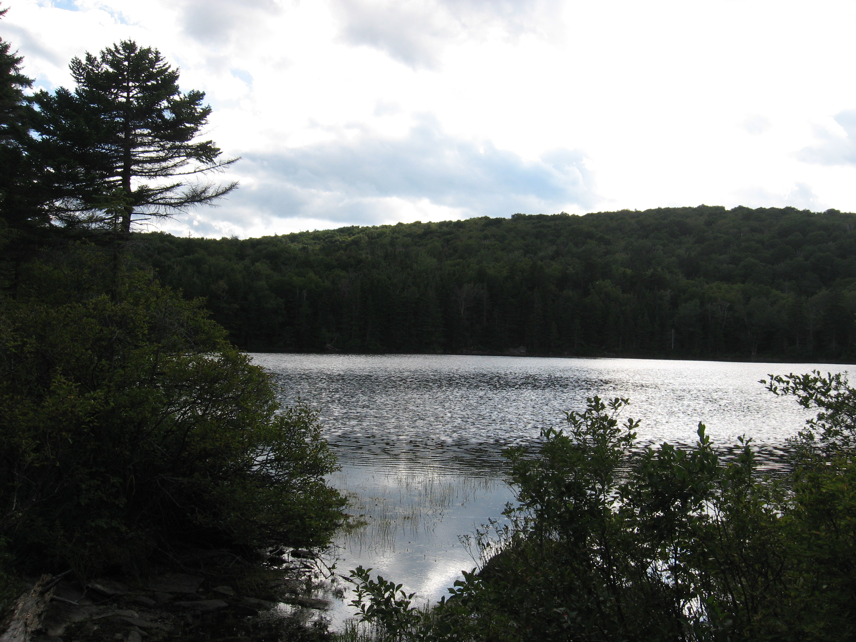
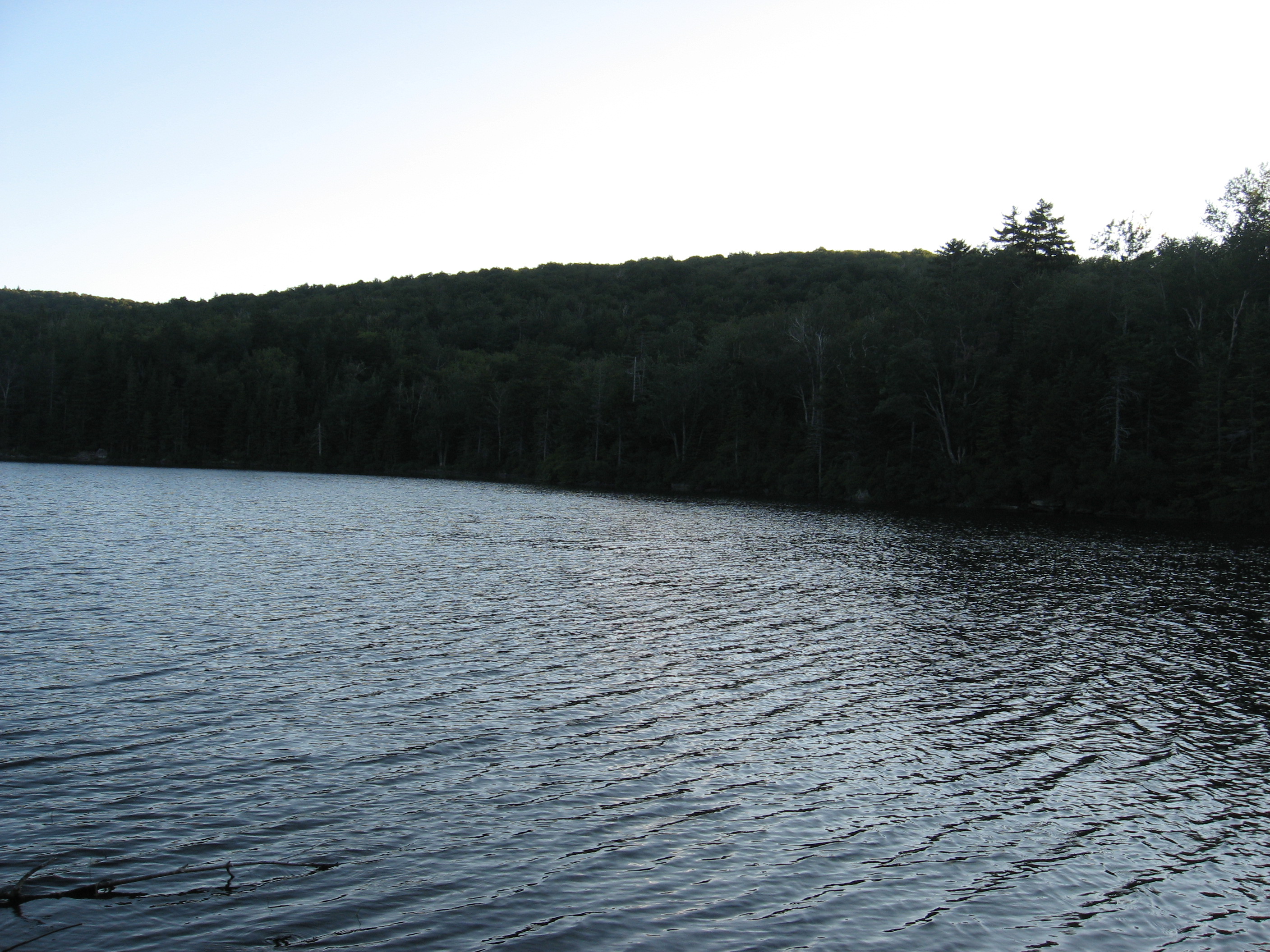
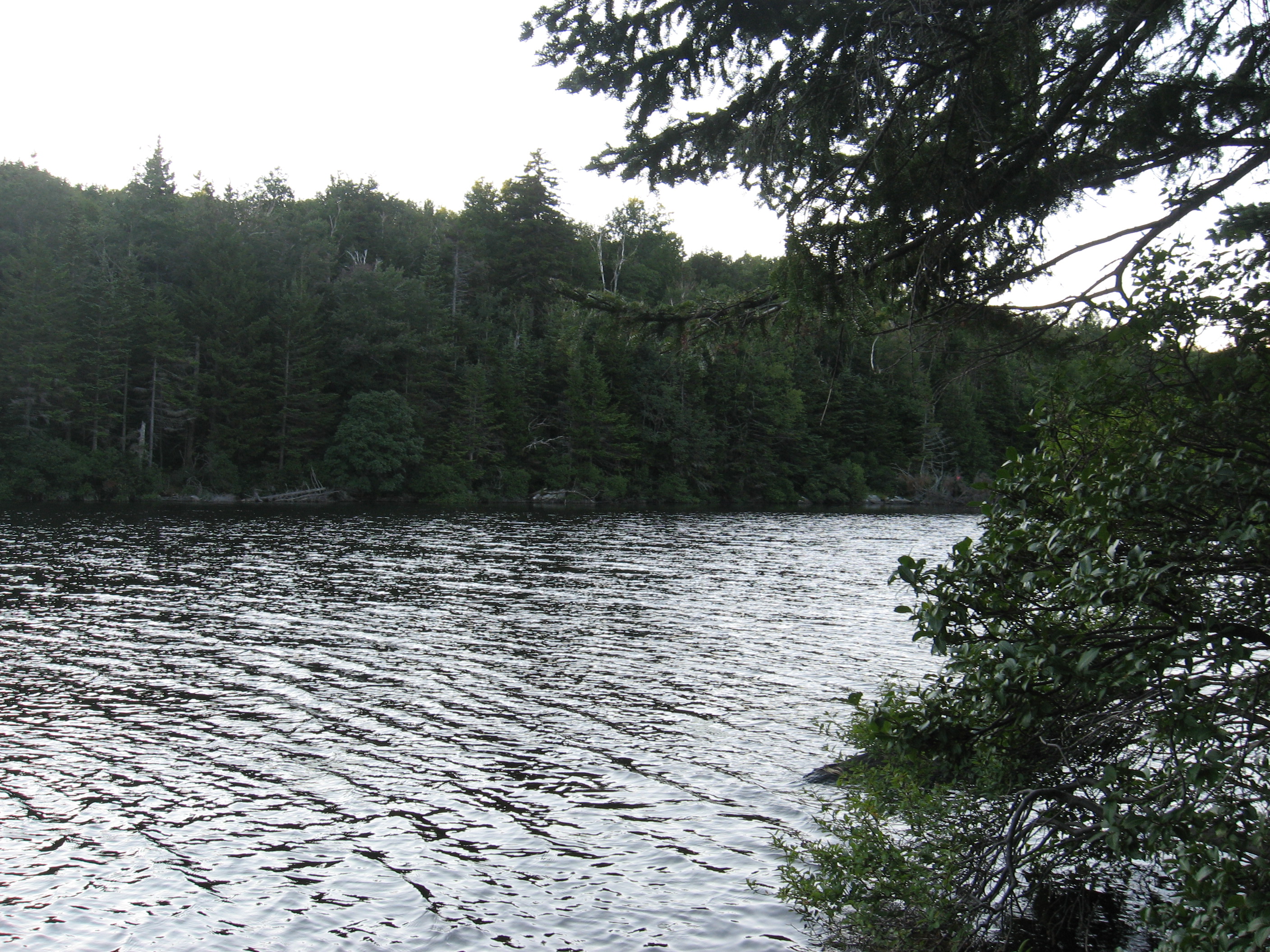
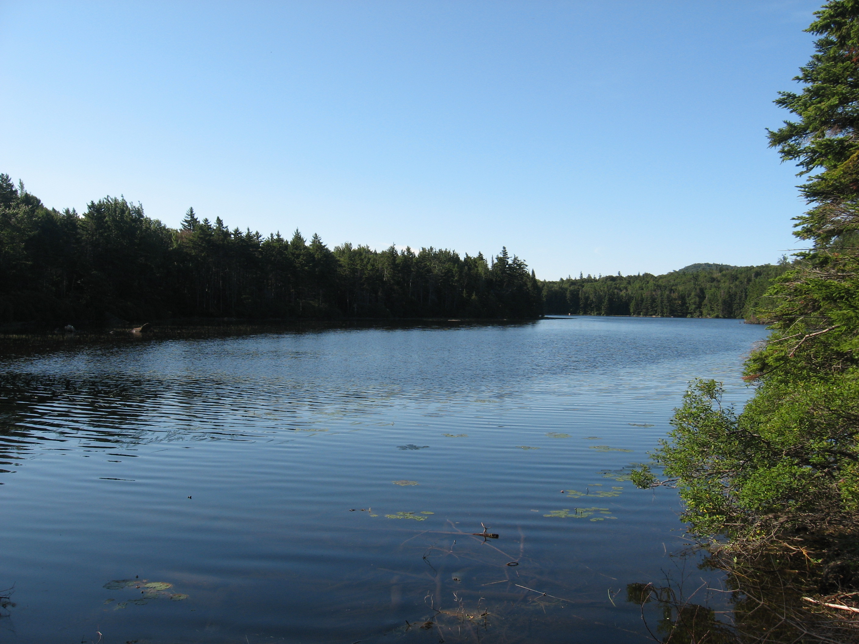
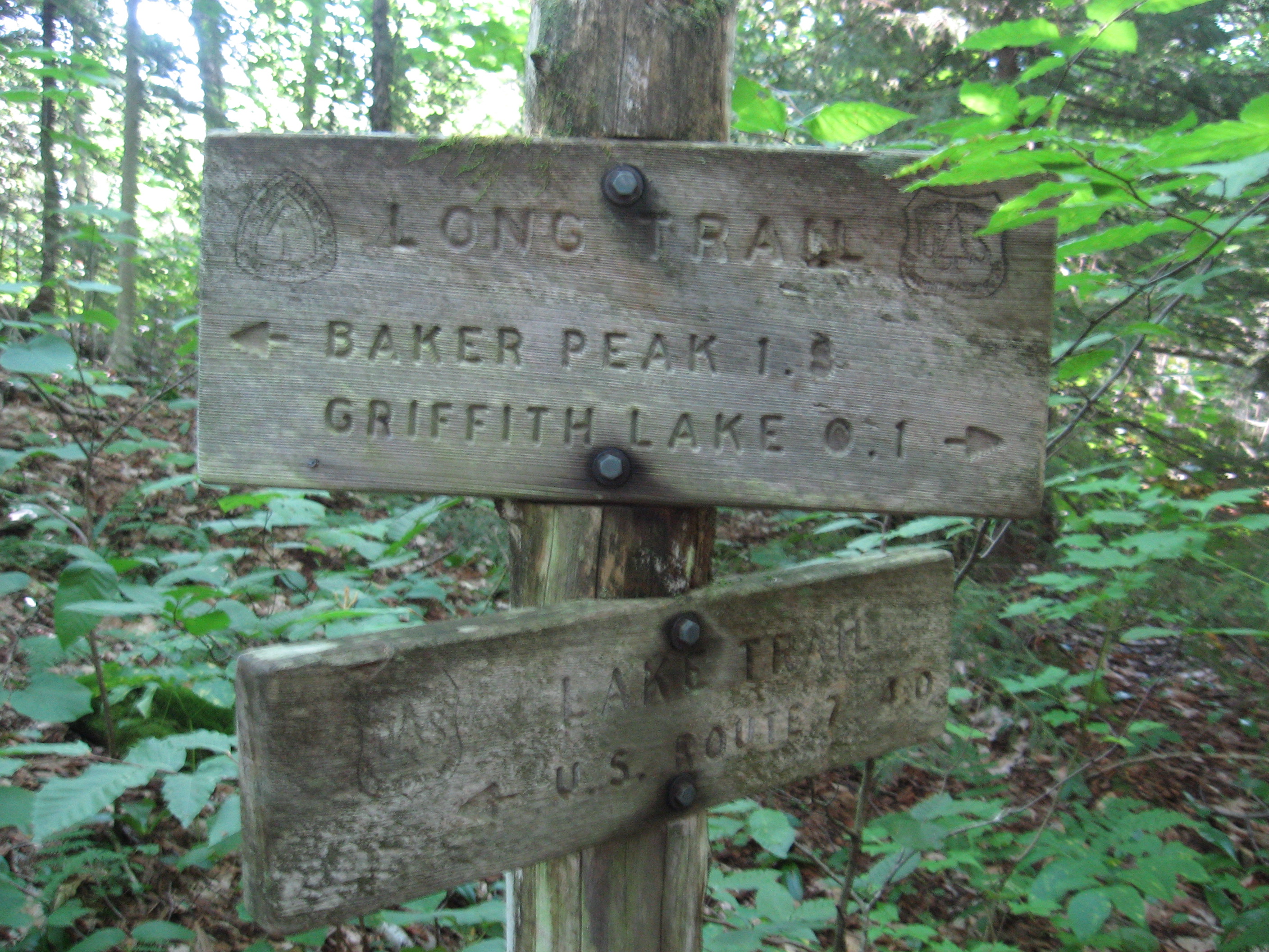
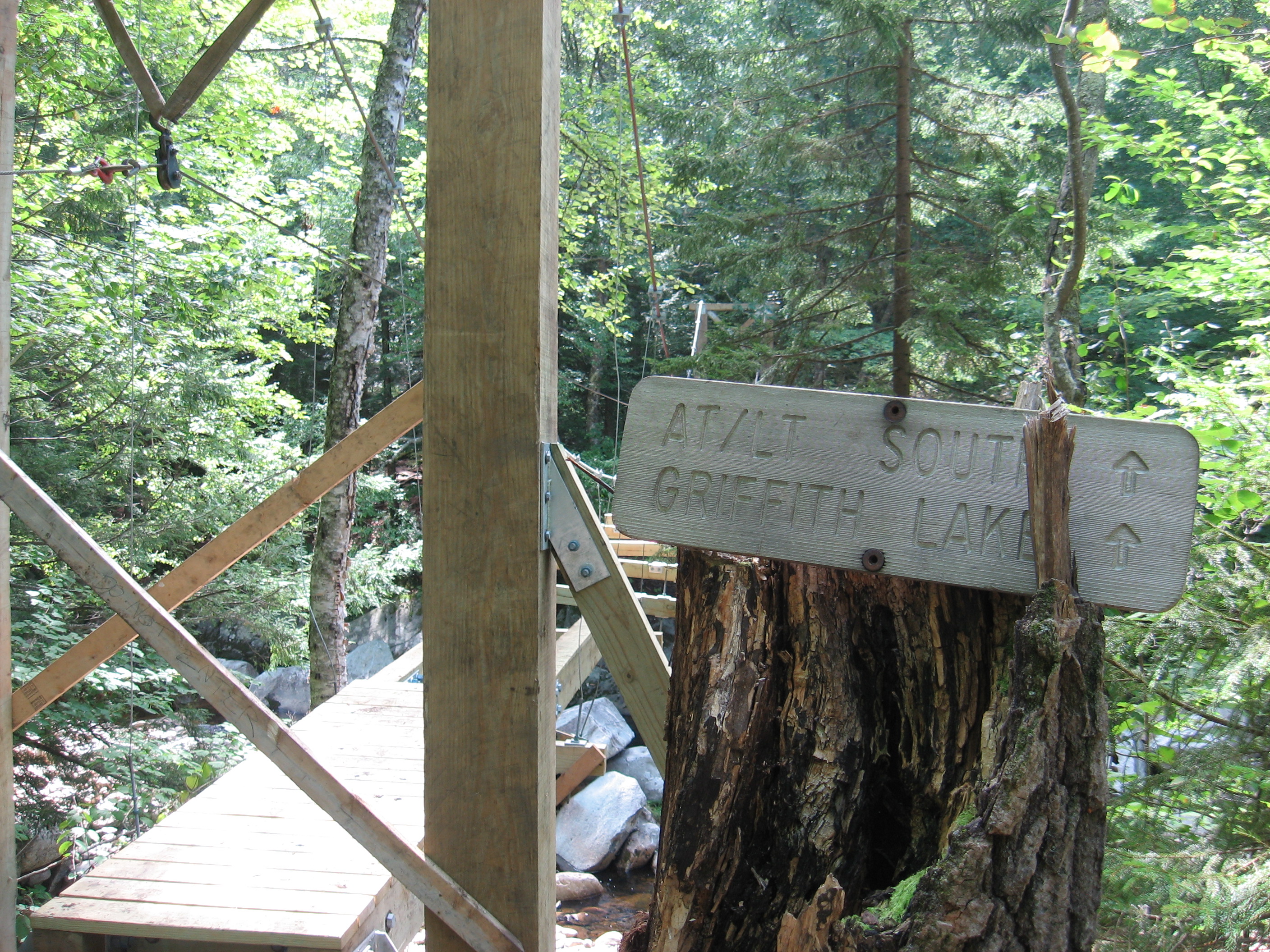
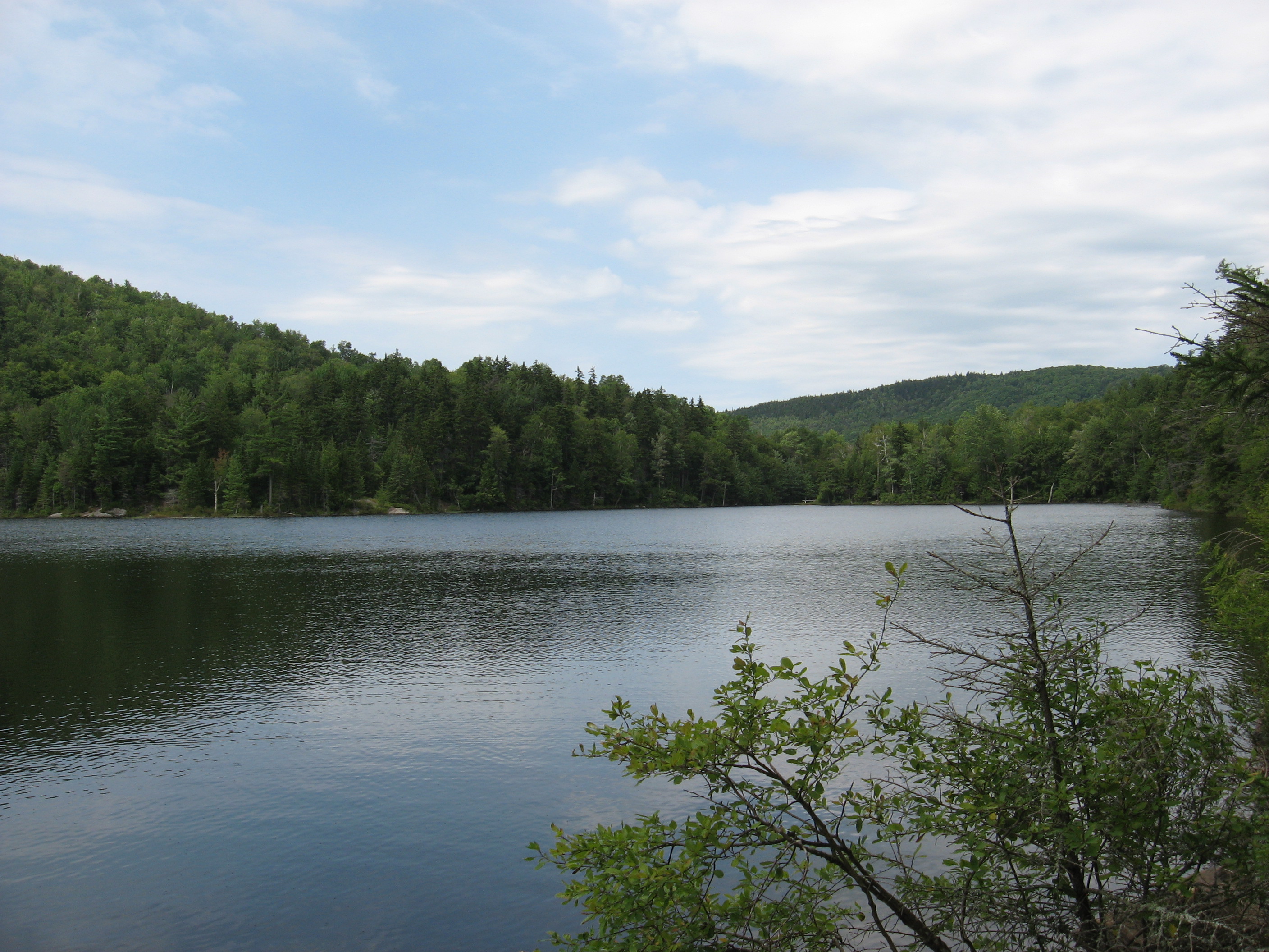
| 1661.3 | Griffith Lake, +Griffith Lake Tenting Area (2,600') | 2600 |

| Miles from Springer | Features | Elevation |
|---|---|---|
| 1661.3 | Griffith Lake, +Griffith Lake Tenting Area (2,600') | 2600 |
| 1661.5 | Griffith Lake (north end) (2,600') | 2600 |
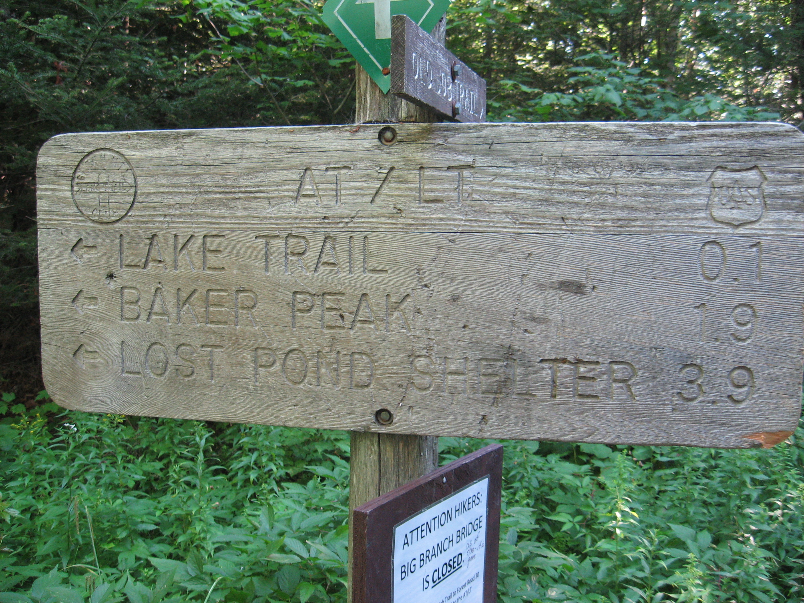
| 1663.5 | Baker Peak (2,850') | 2850 |
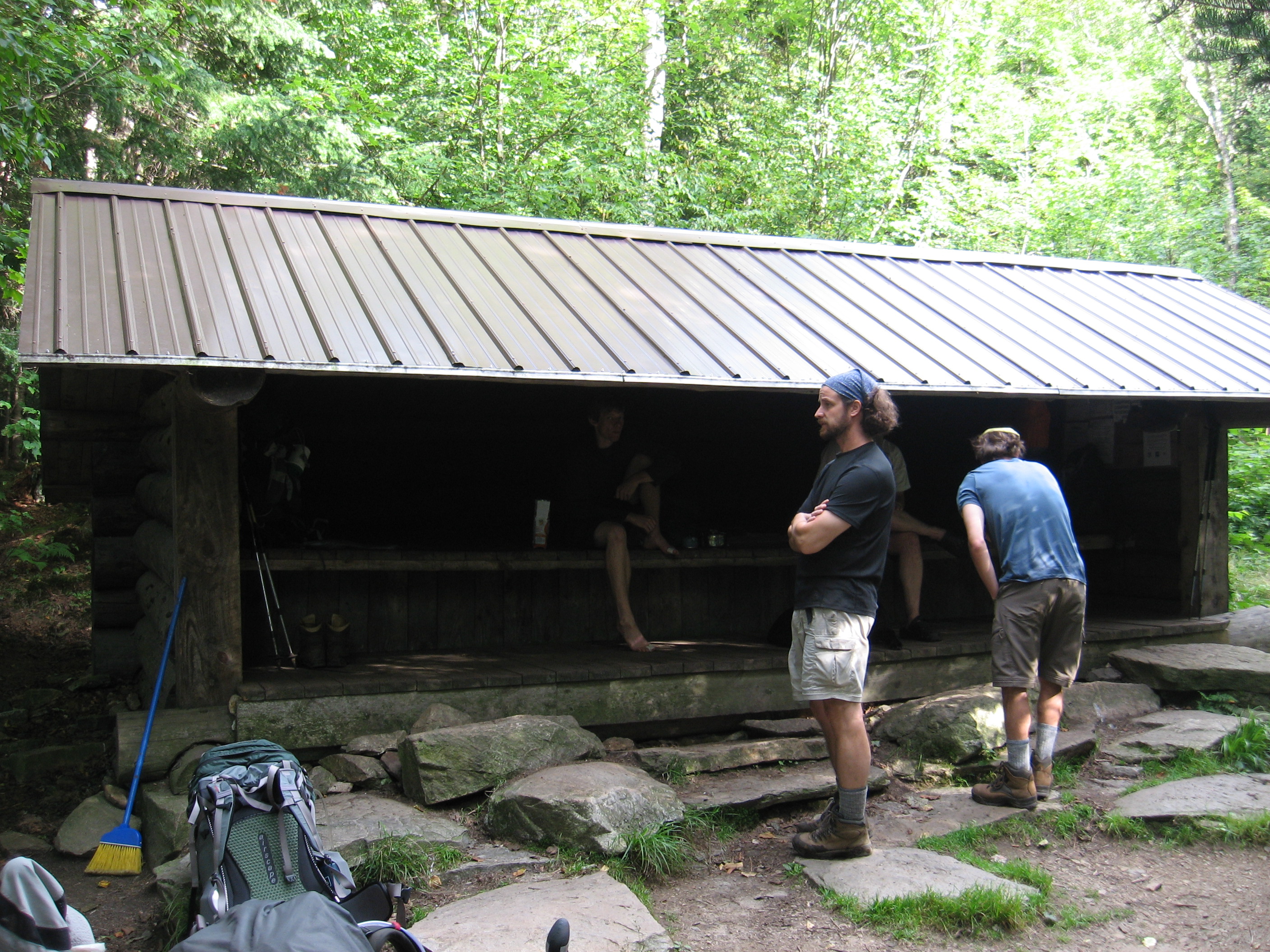
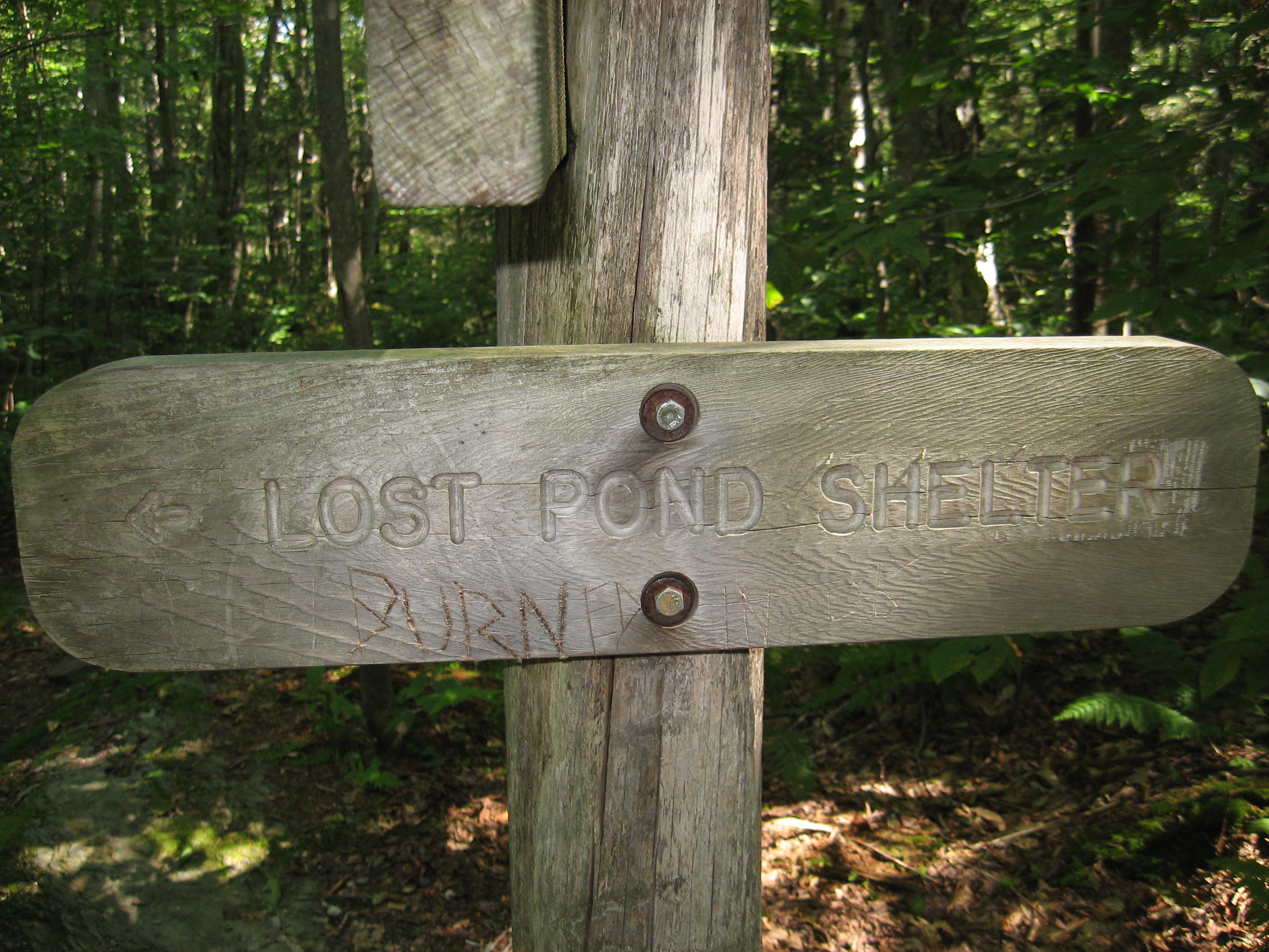
| 1665.5 | Lost Pond Shelter (2,150')?4.7mS; 2.5mN | 2150 |
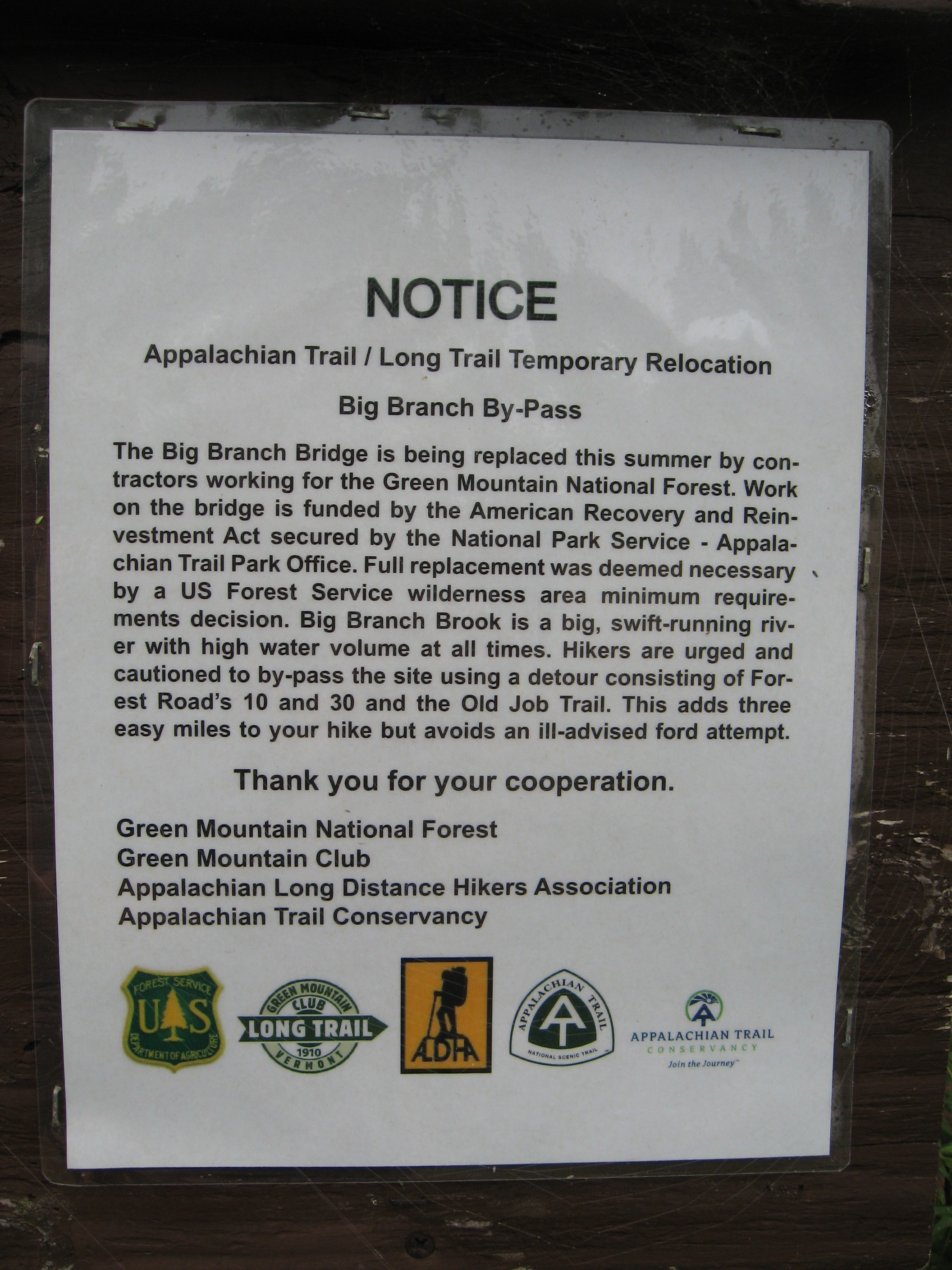
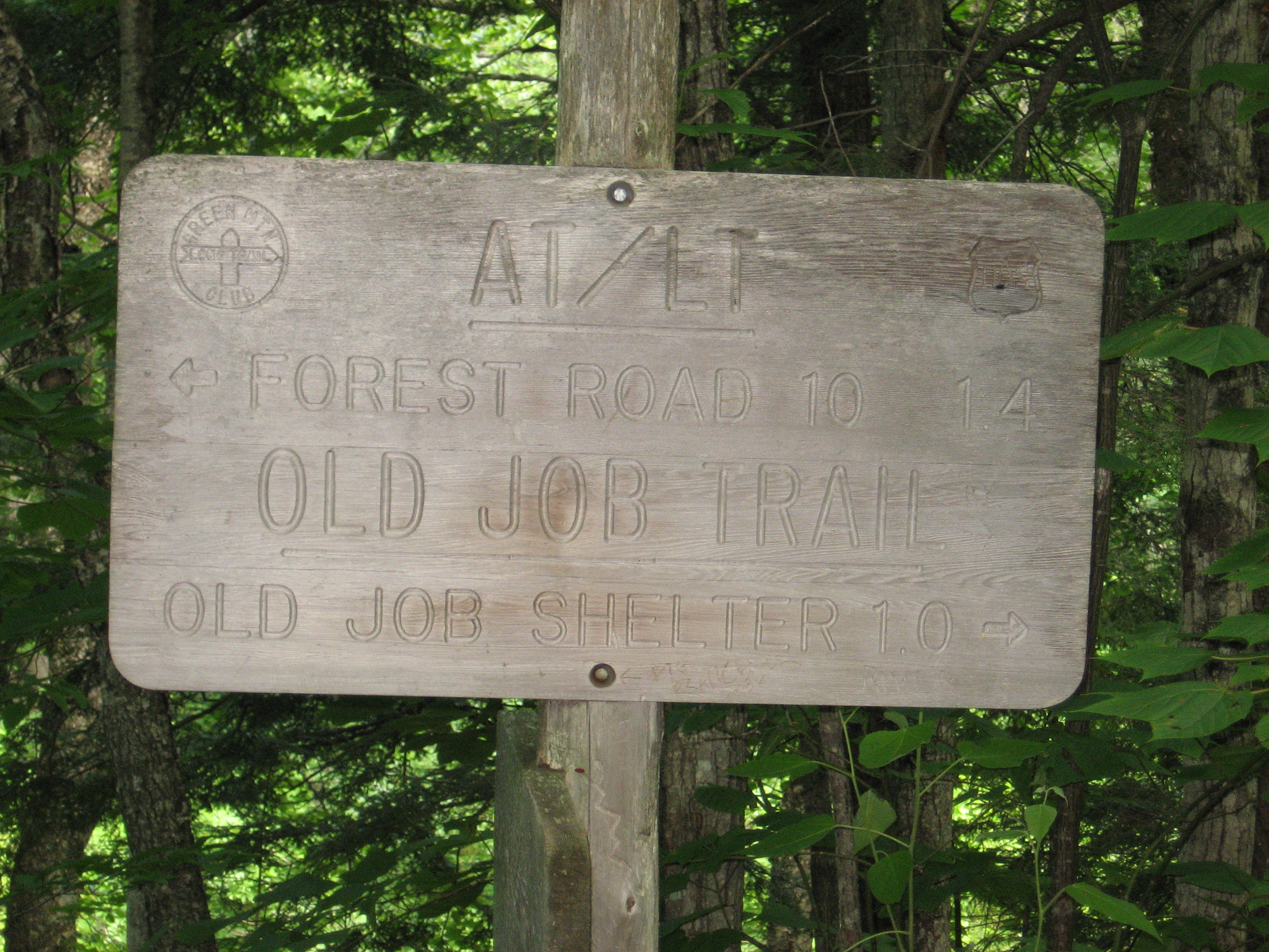
| 1667 | Old Job Trail to (1,525') Old Job Shelter?2.5mS; 1.2mN | 1525 |
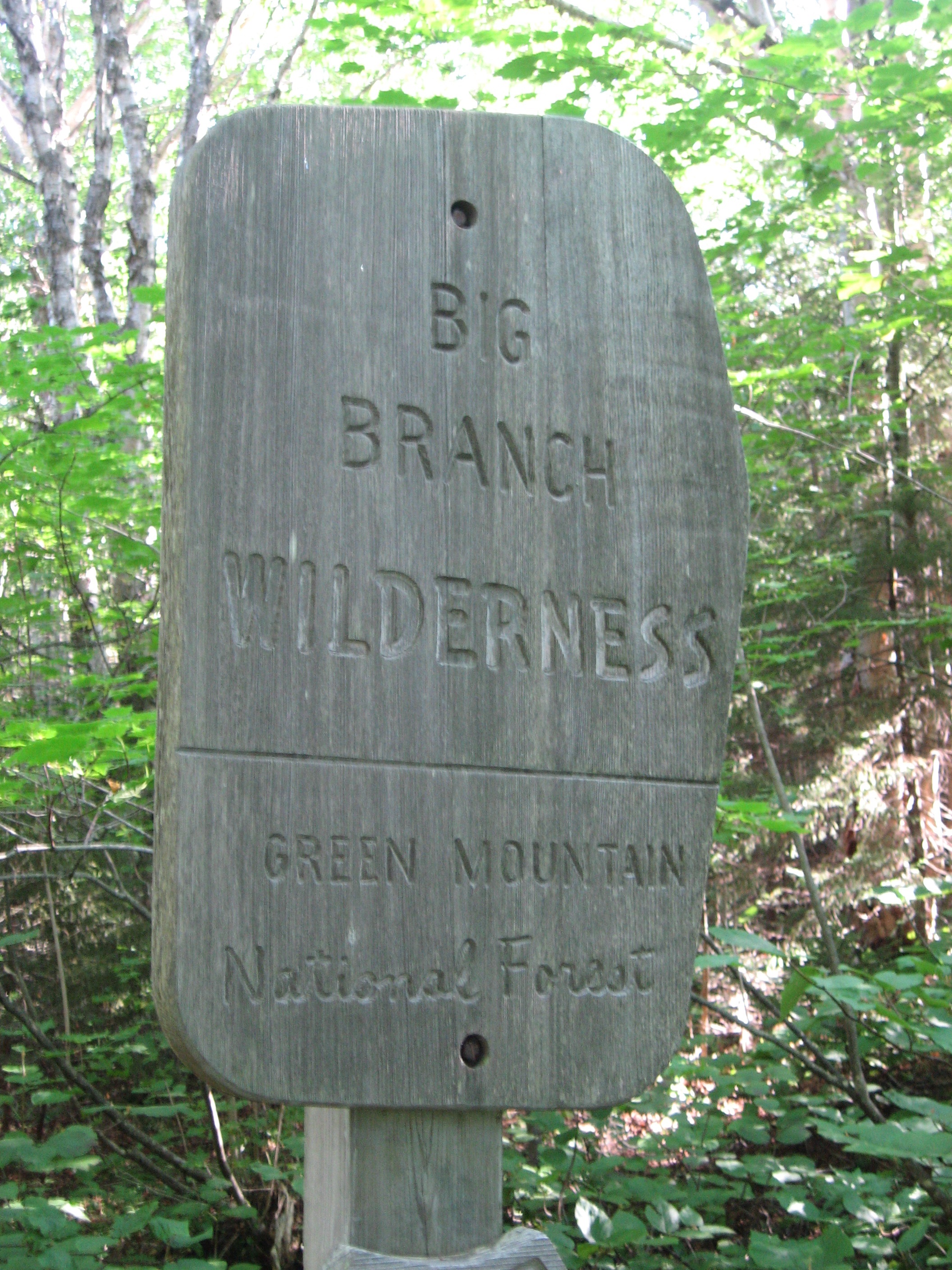
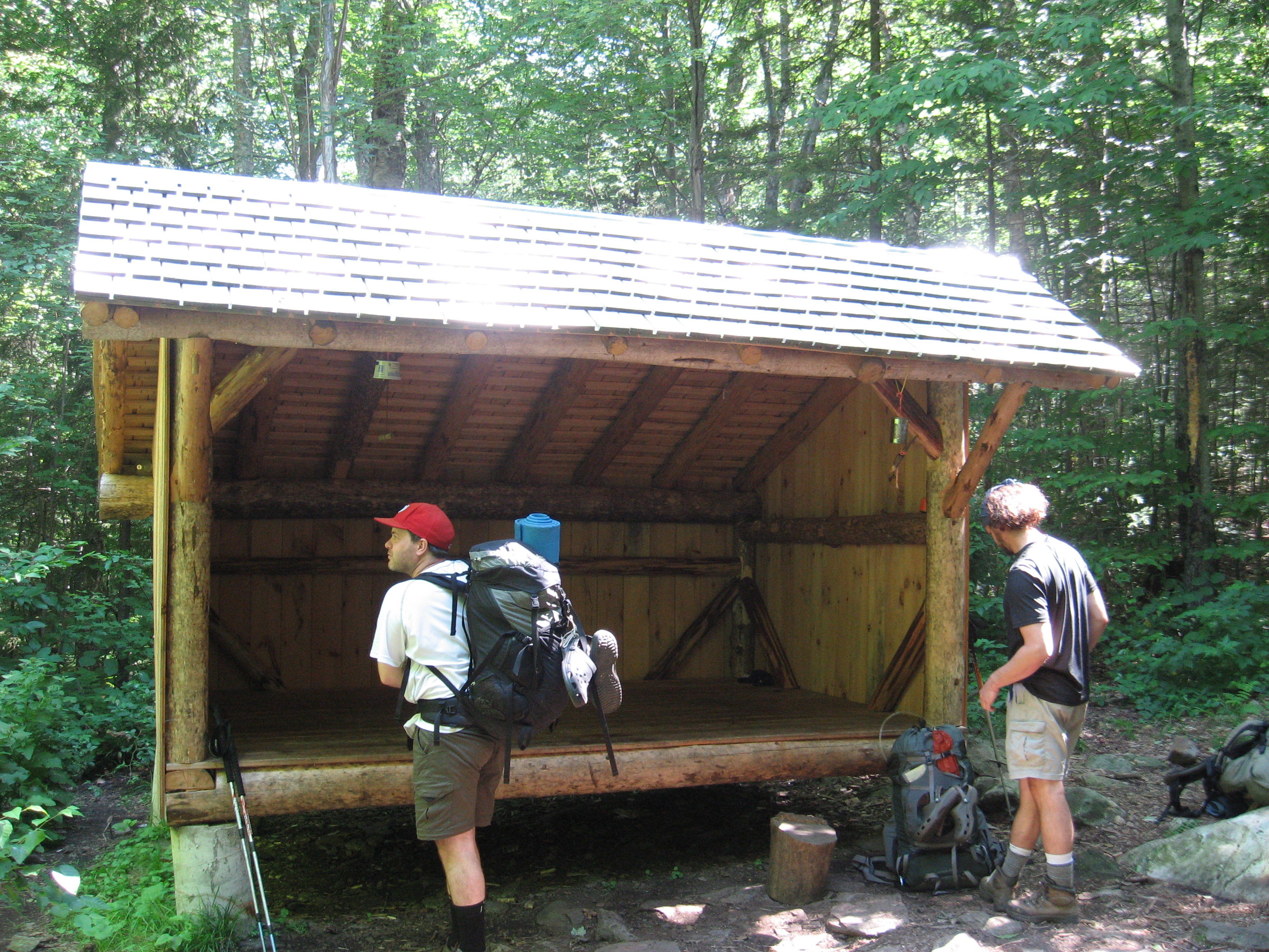
| 1667.2 | Big Branch Shelter (1,460')?1.2mS; 3.3mN | 1460 |
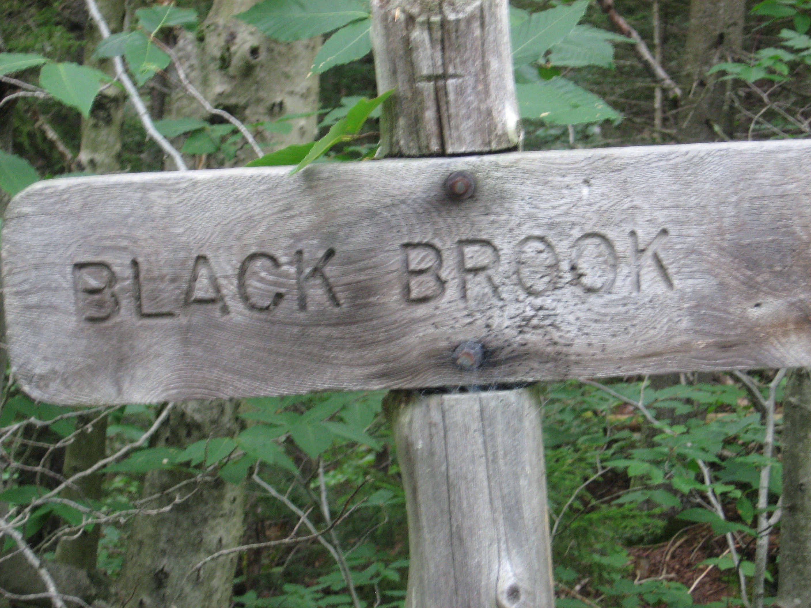
| 1668.5 | USFS 10, Danby?Landgrove Road (1,500') Black Branch Danby, Vt. 05739 | 1500 |
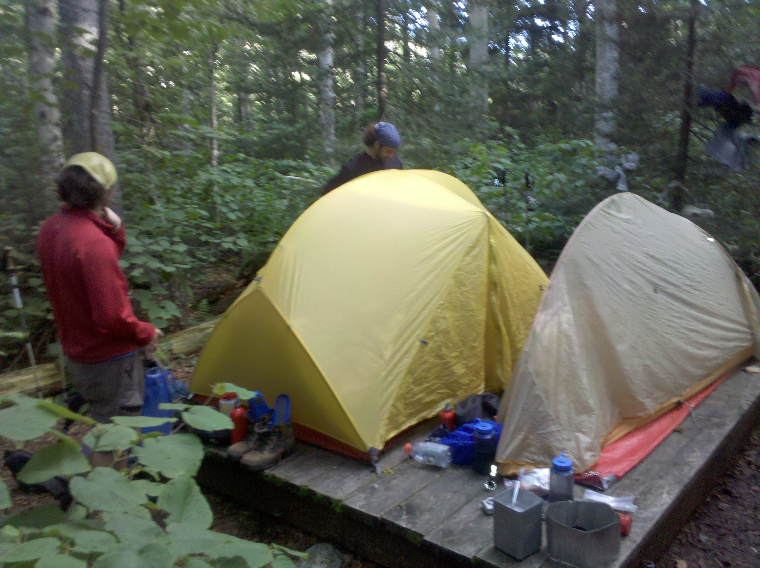
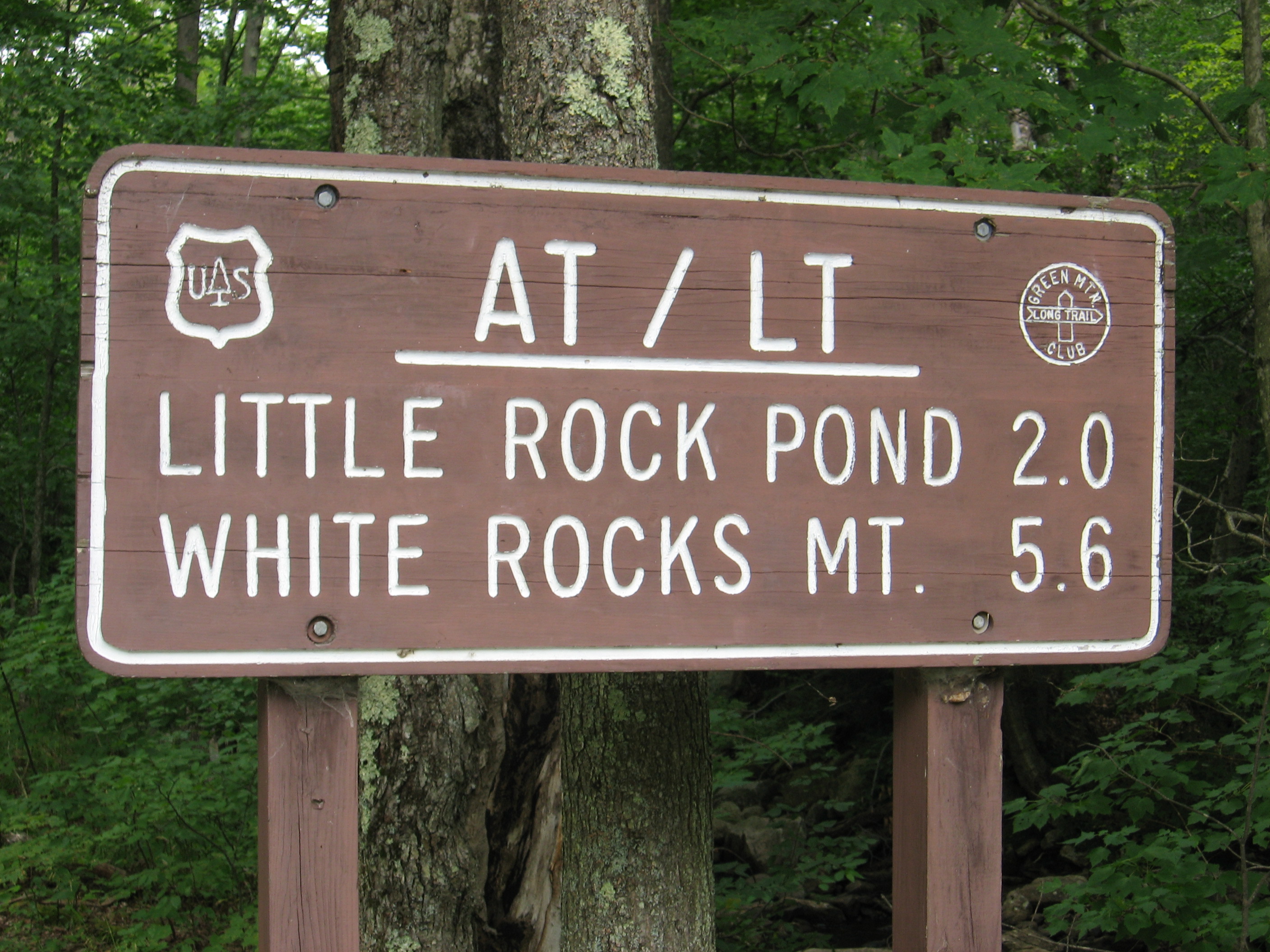
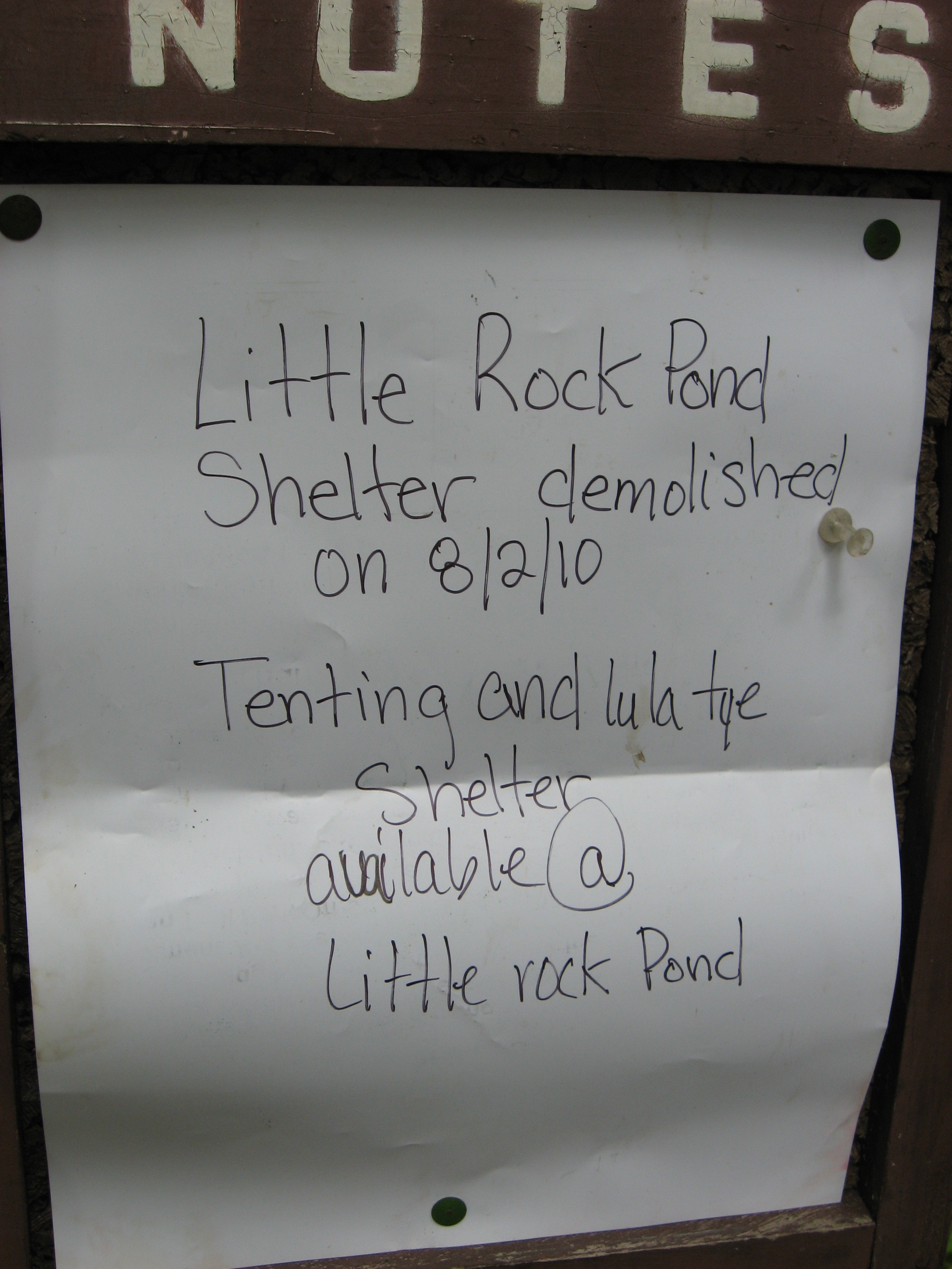
| 1670.5 | +Little Rock Pond Shelter and Tenting Area (1,920')?3.3mS; 5mN | 1920 |
| 1670.6 | Spring (1,854')?water for LRP Shelter | 1854 |
| 1670.8 | Green Mountain Trail to Homer Stone Brook Trail (1,854') | 1854 |
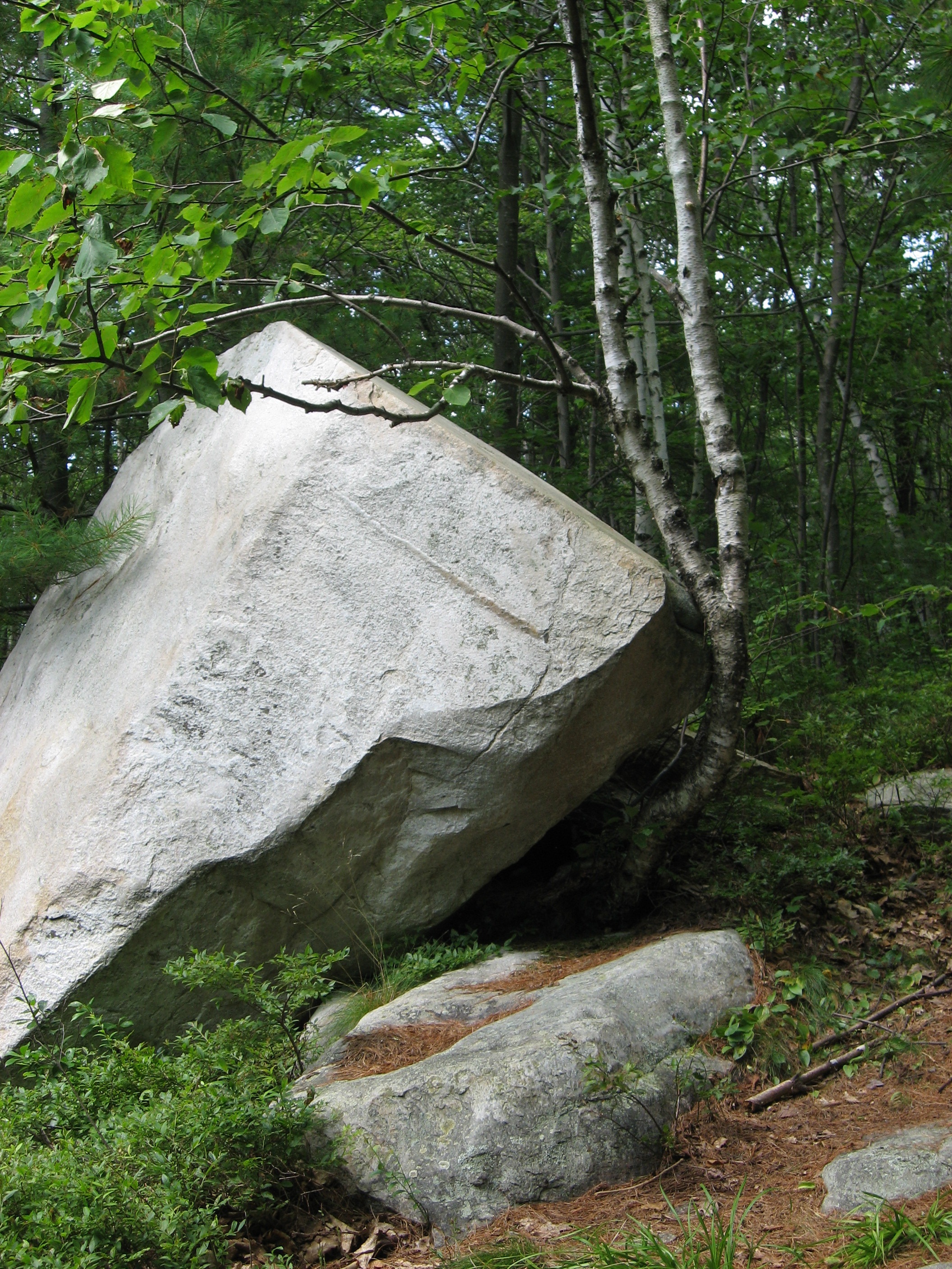
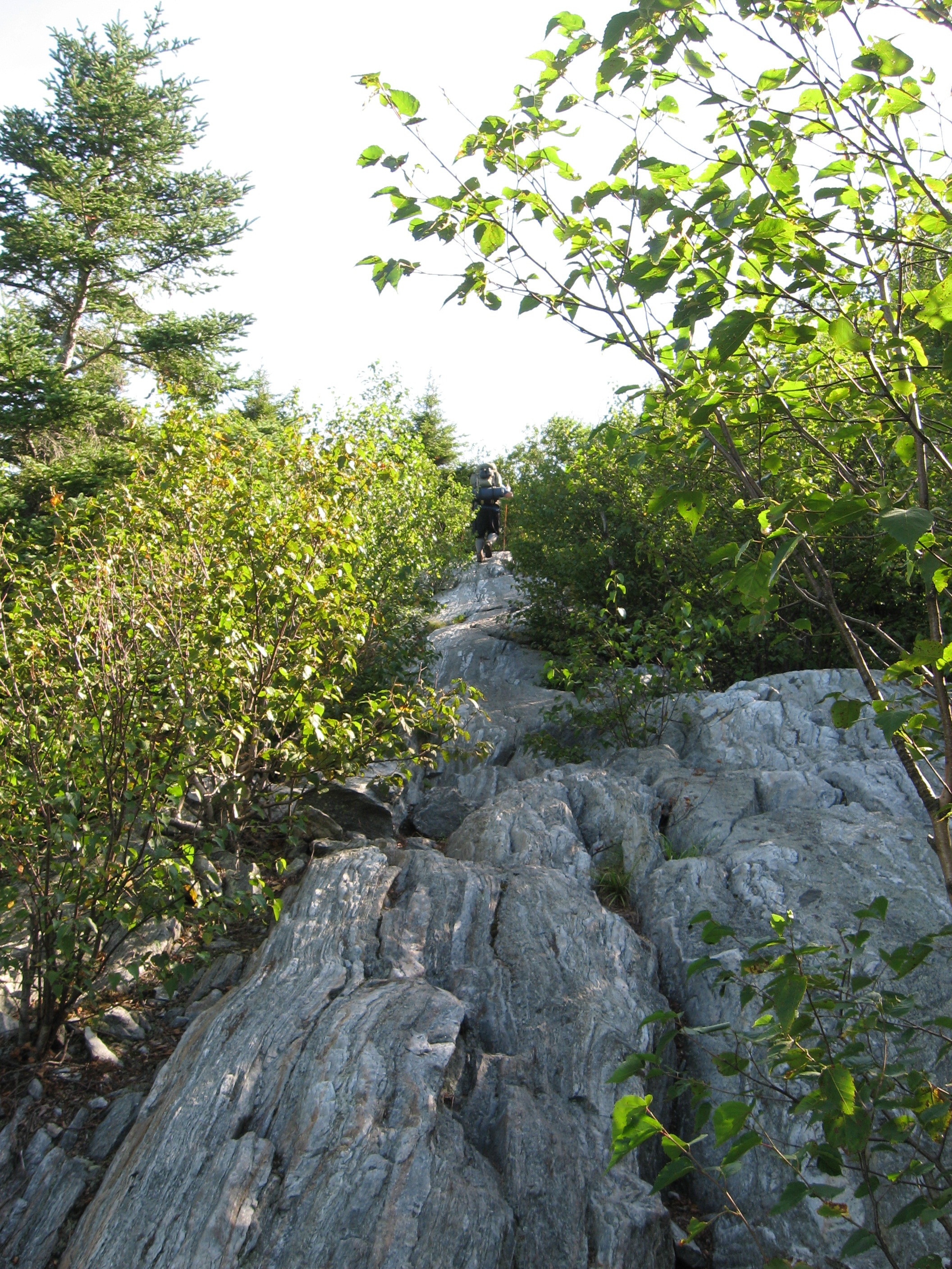
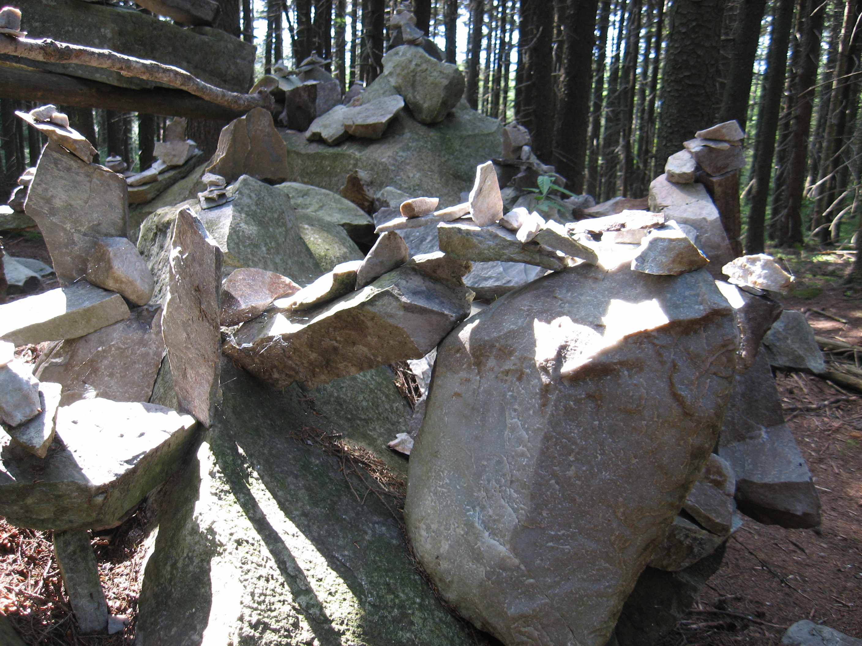
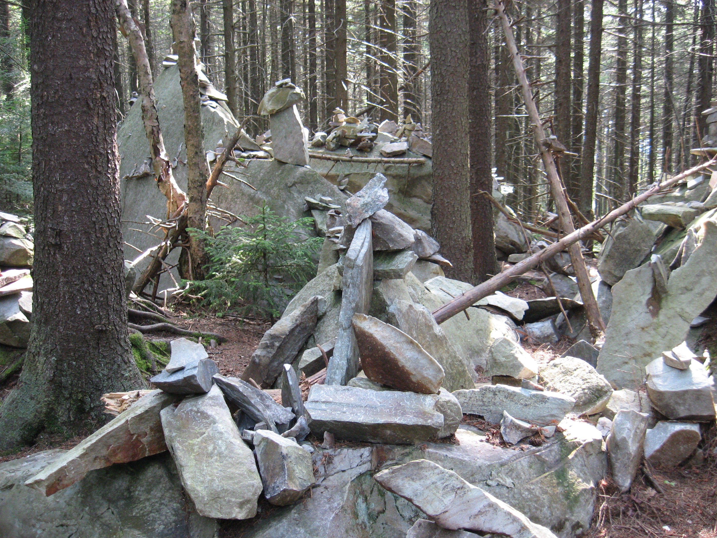
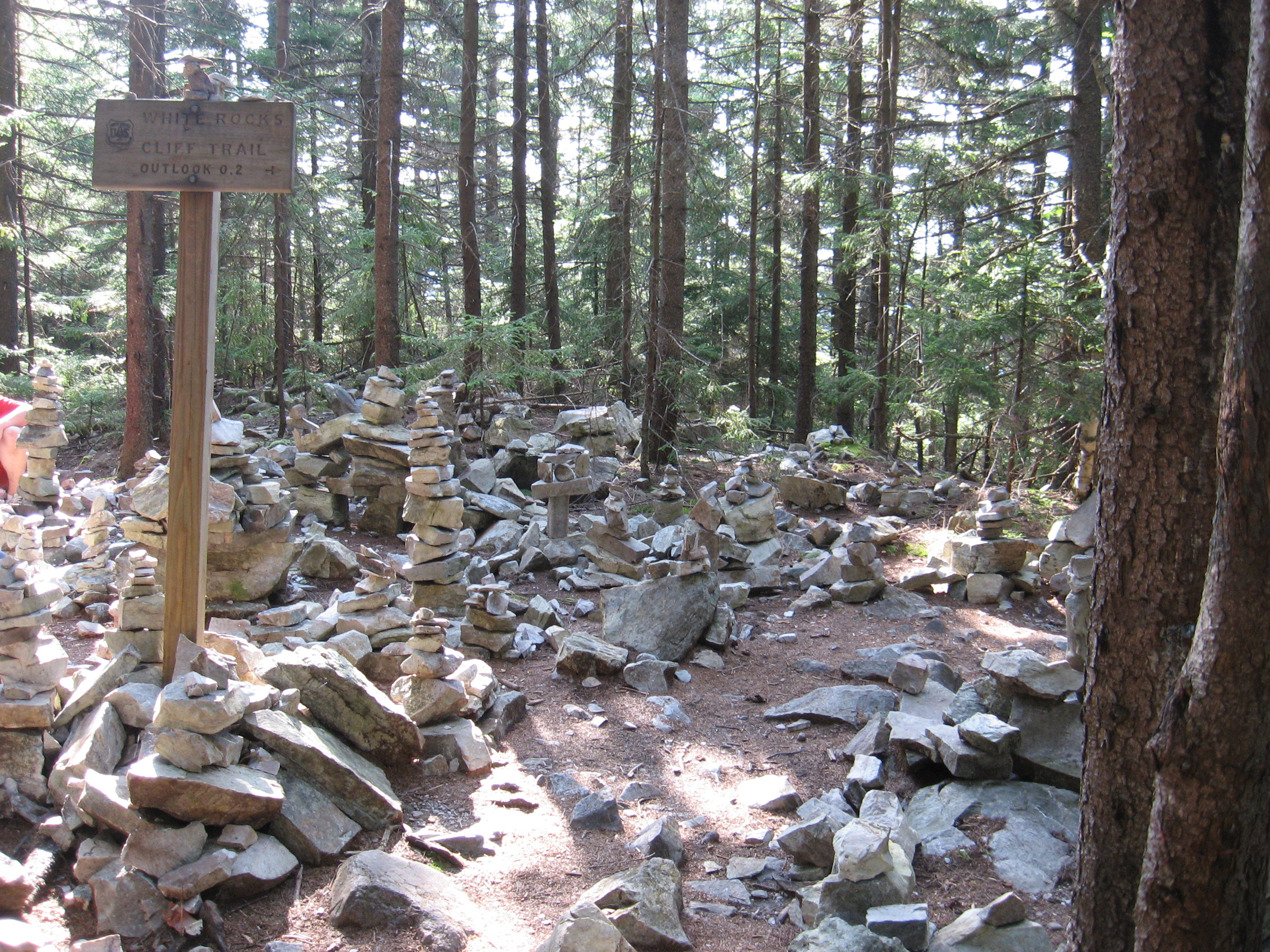
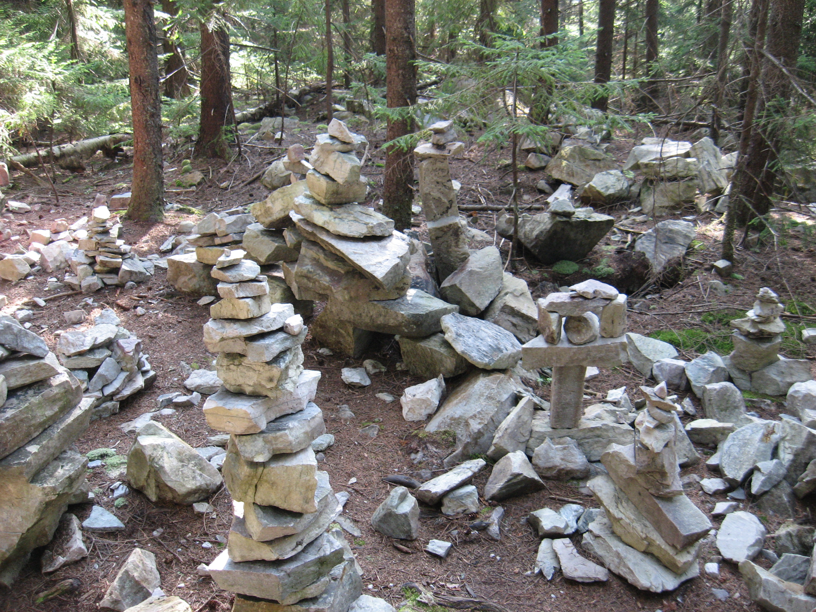
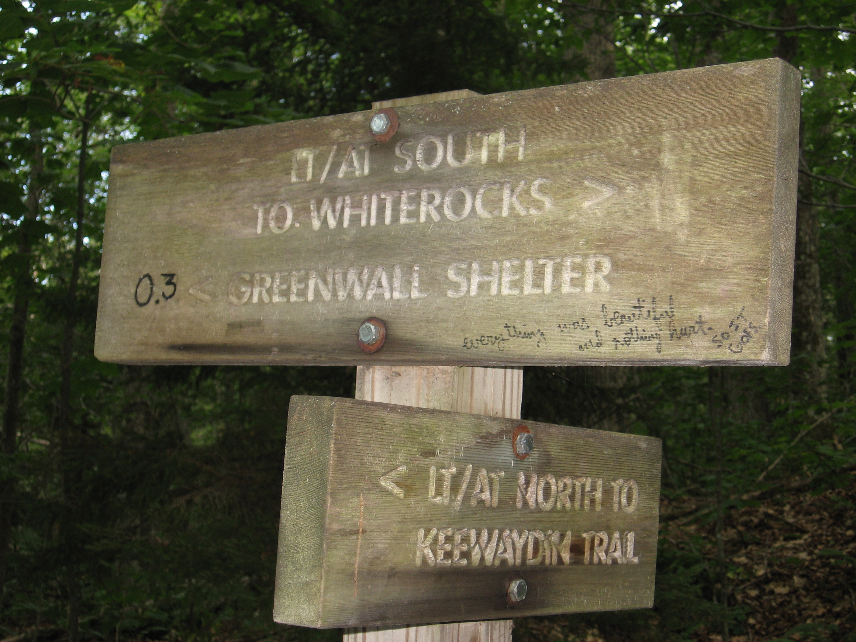
| 1674.8 | Trail to White Rocks Cliffs (2,400')?vista | 2400 |
| 1675.3 | Greenwall Shelter (2,025')?5mS; 5.3mN | 2025 |
| 1675.9 | Bully Brook (1,760') | 1760 |
| 1676.7 | Sugar Hill Road (1,260') | 1260 |
| 1676.8 | Vt. 140, Roaring Brook (1,160') Wallingford, Vt. 05773 | 1160 |


| Miles from Springer | Features | Elevation |
|---|---|---|
| 1676.8 | Vt. 140, Roaring Brook (1,160') Wallingford, Vt. 05773 | 1160 |
| 1678.9 | Bear Mountain (2,240') | 2240 |
| 1680.4 | Minerva Hinchey Shelter (1,605') ?5.3mS; 3.8mN | 1605 |
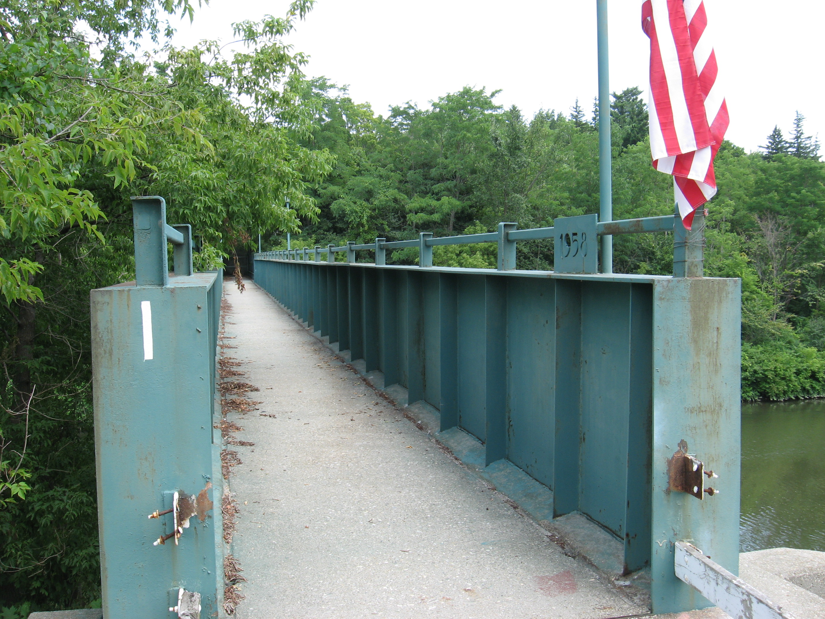
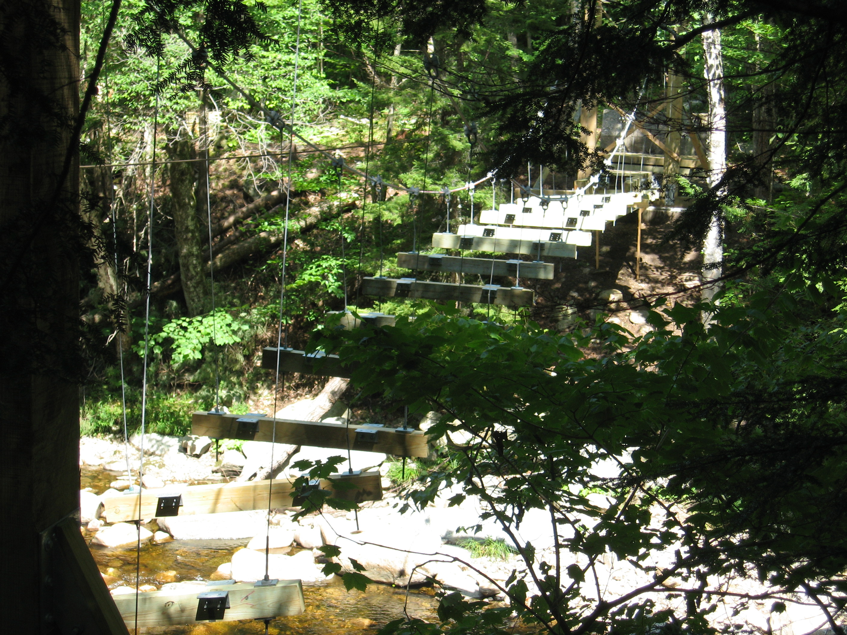
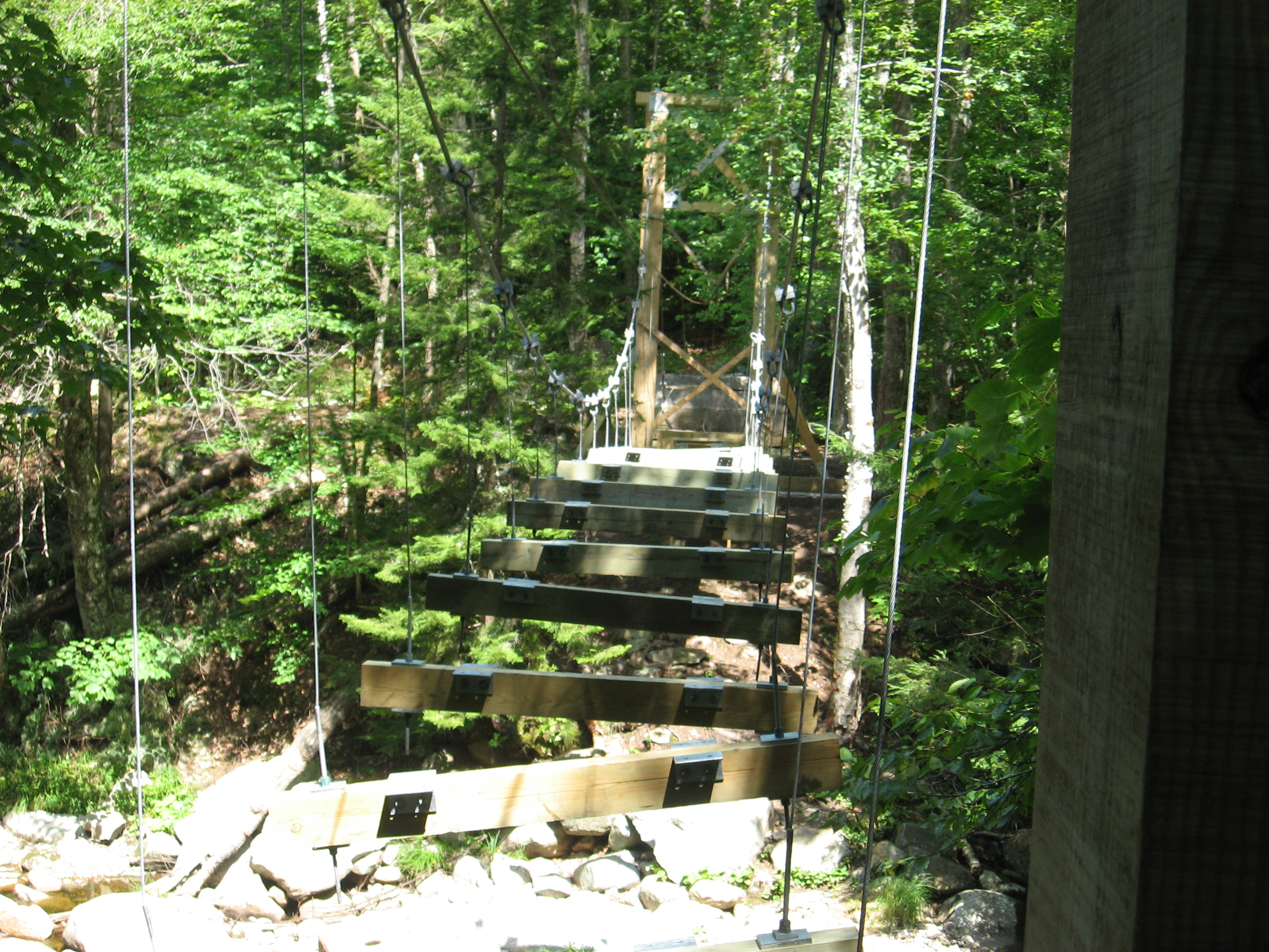
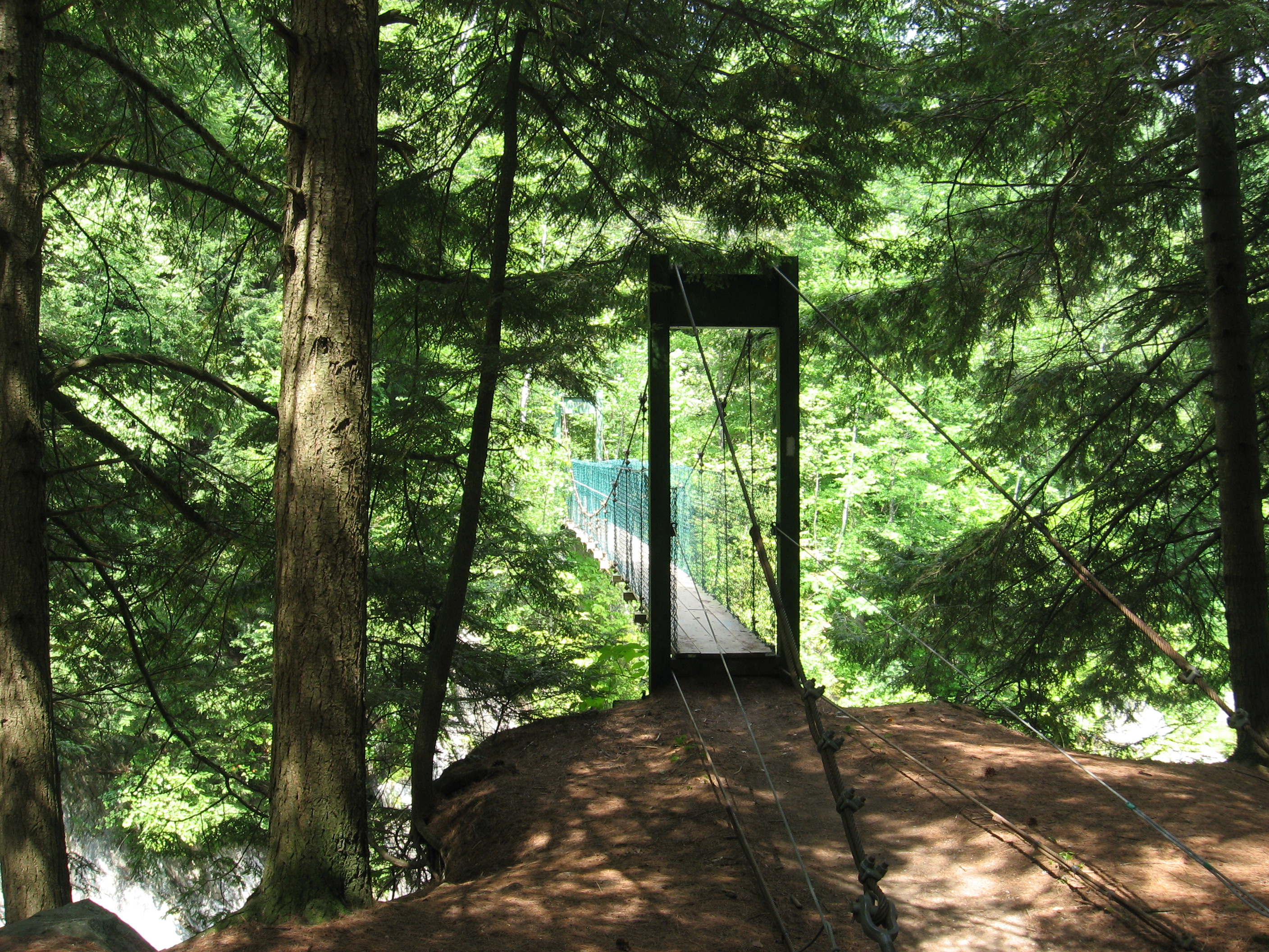
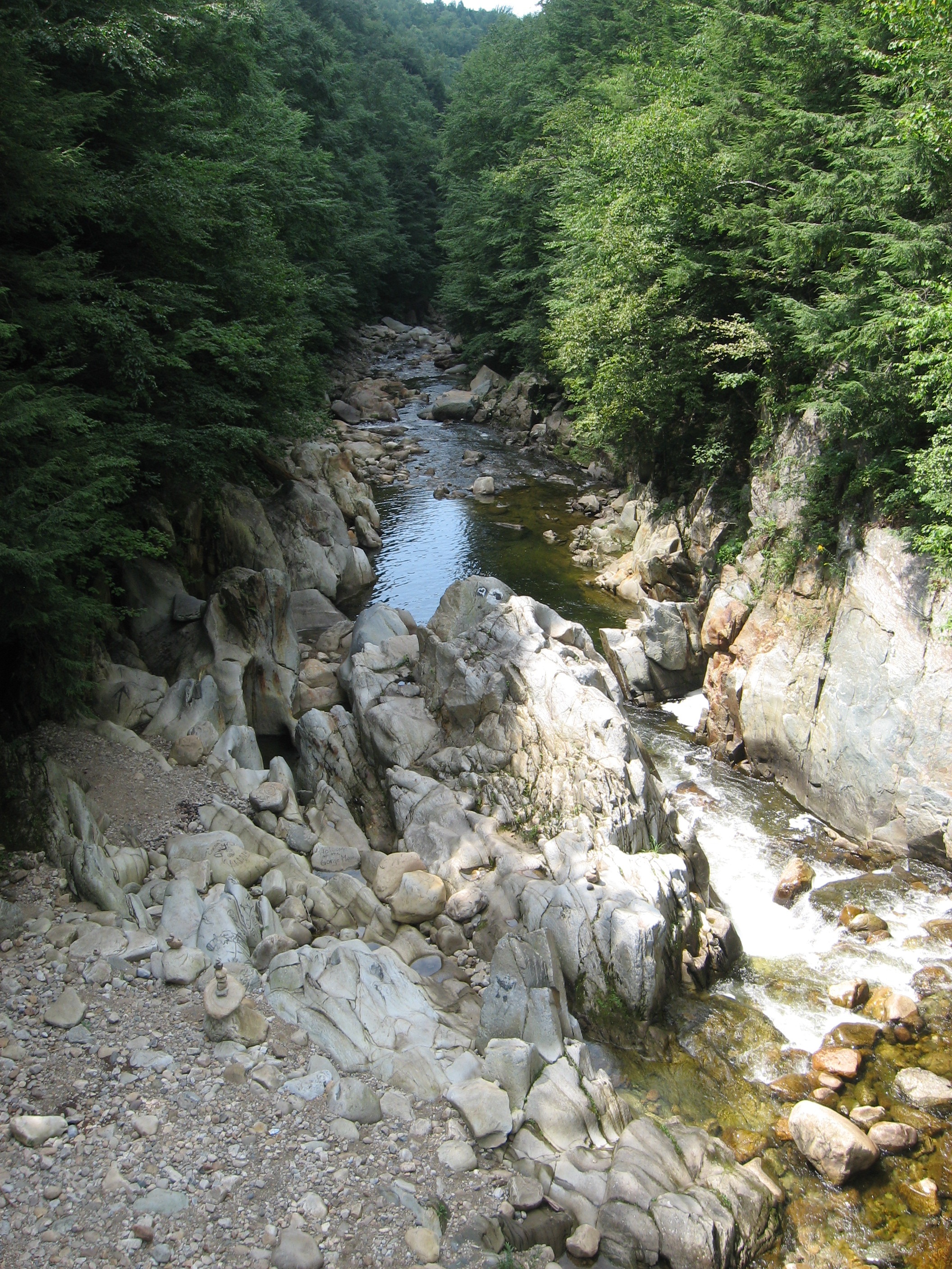
| 1683 | Clarendon Gorge WMA (800') Mill River Suspension Bridge | 800 |
| 1683.1 | Vt. 103 (860')?railroad tracks | 860 |
| 1684.1 | Clarendon Shelter (1,190')?3.8mS; 6.2mN | 1190 |
| 1684.6 | Beacon Hill (1,740') | 1740 |
| 1685 | Lottery Road (1,720') | 1720 |
| 1687 | Cold River Road (1,400')?paved | 1400 |
| 1687.8 | Gould Brook (1,480')?ford | 1480 |
| 1688.6 | Upper Cold River Road (1,630')?gravel road | 1630 |


| Miles from Springer | Features | Elevation |
|---|---|---|
| 1689.3 | Sargent Brook Bridge (1,730')?gravel road | 1730 |
| 1690.2 | Governor Clement Shelter (1,900') ?6.2mS; 4.3mN | 1900 |
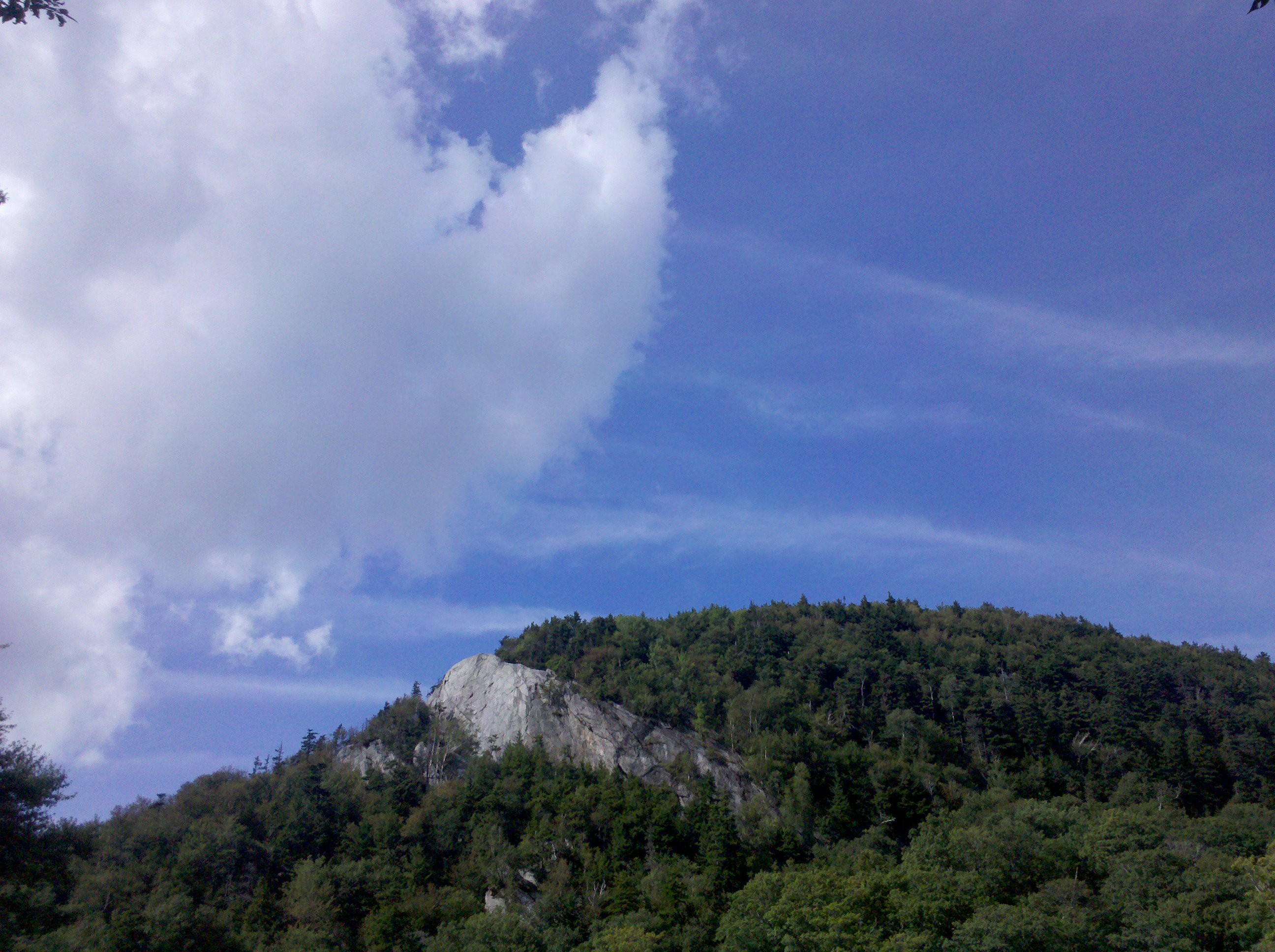
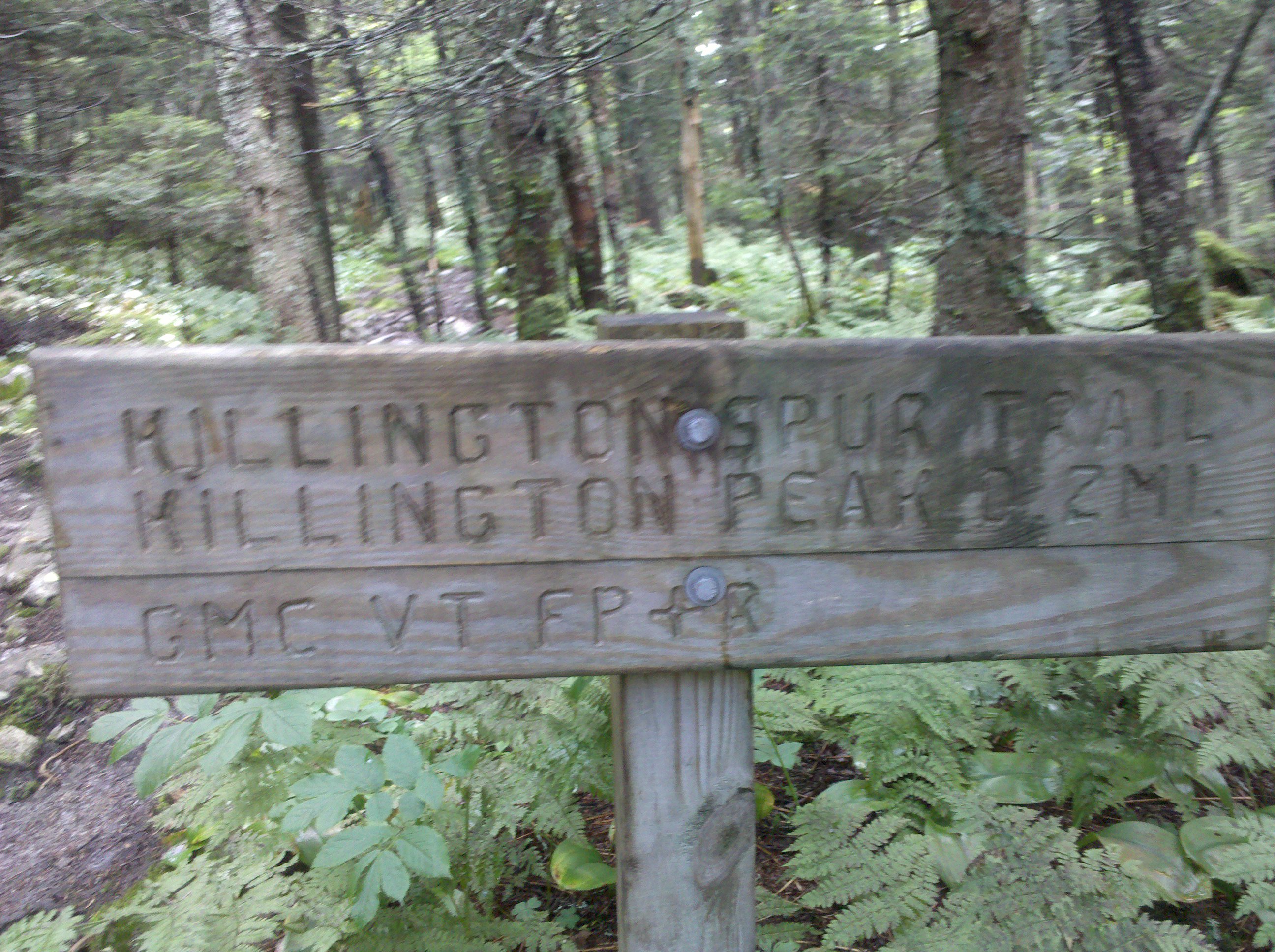
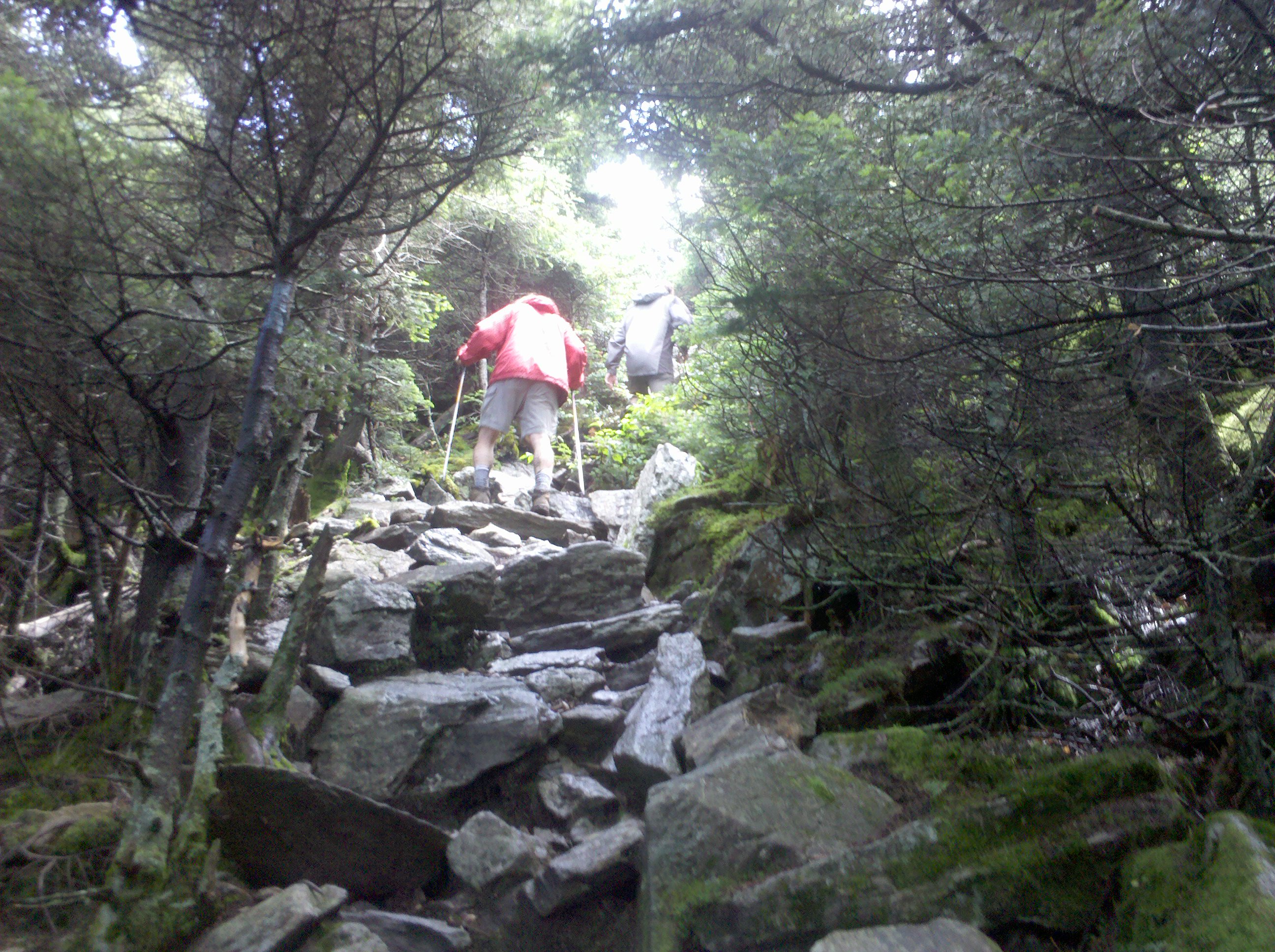
| 1694.5 | Blue-blaze Trail to Killington Peak (3,900') | 3900 |
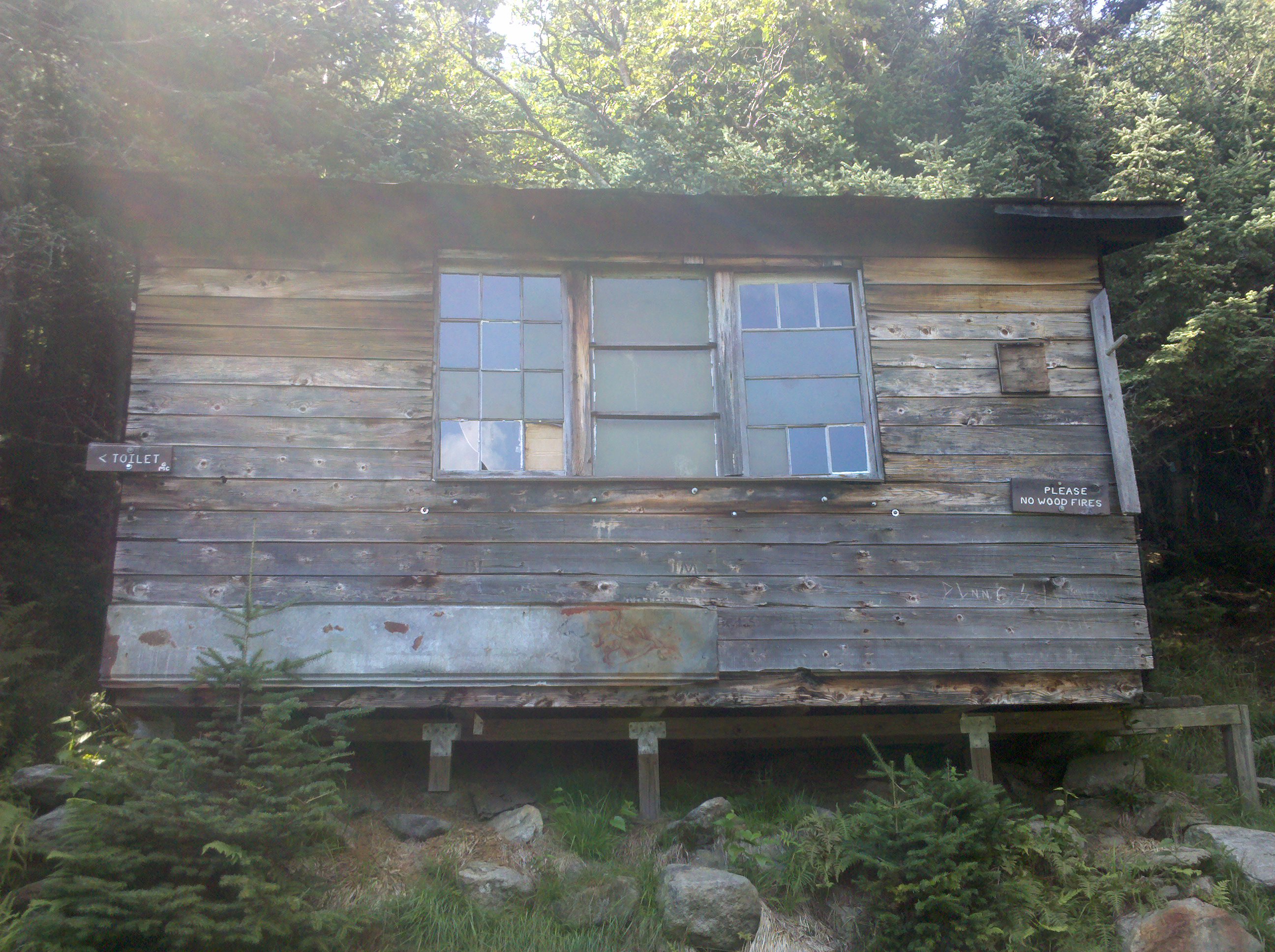
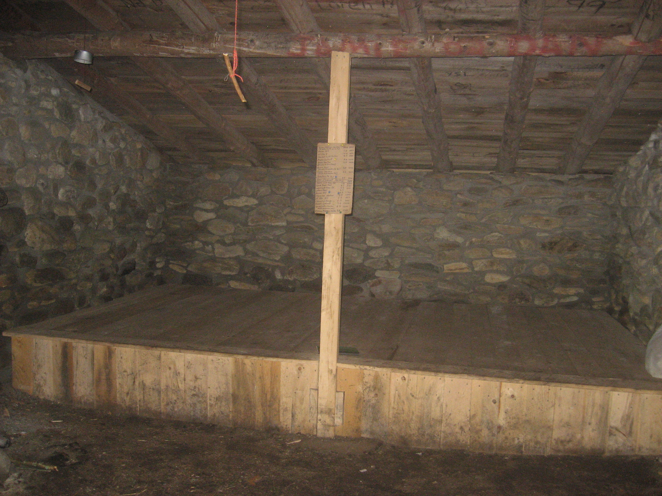
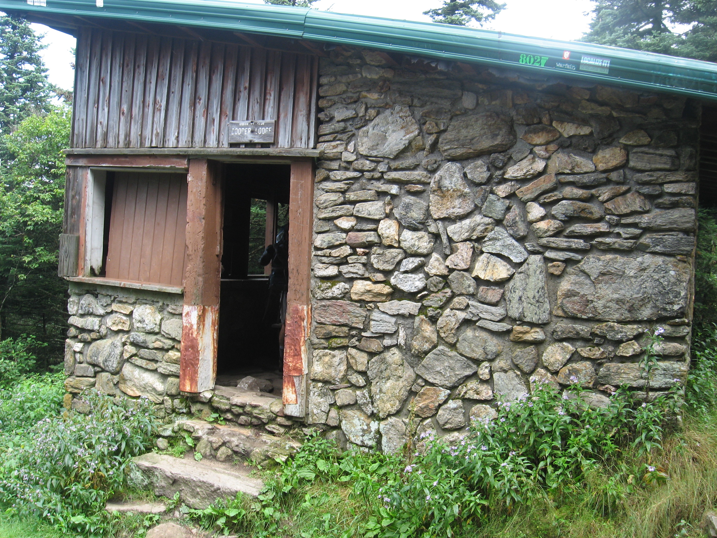
| 1694.5 | Cooper Lodge (3,900')?4.3mS; 3mN | 3900 |
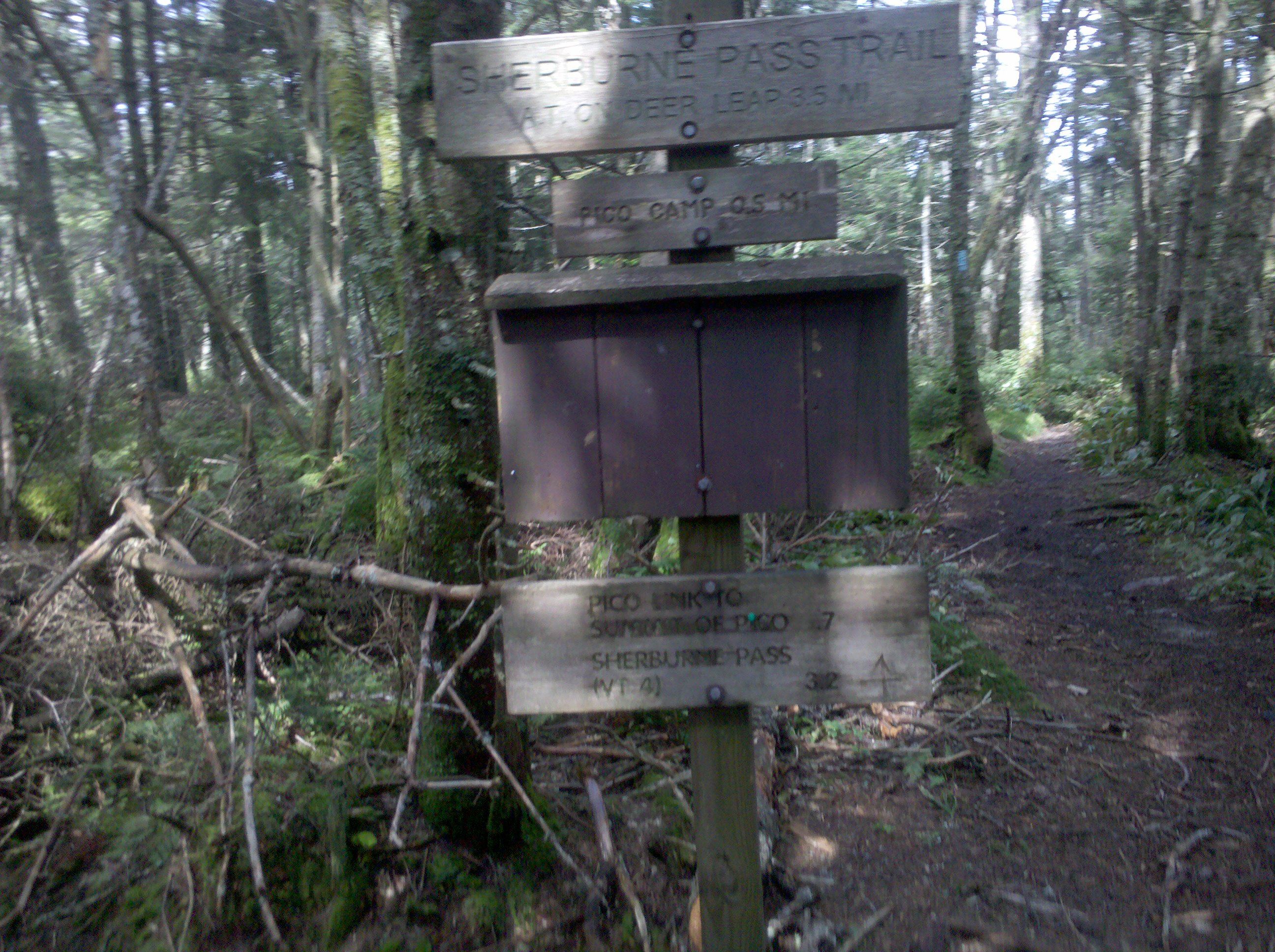
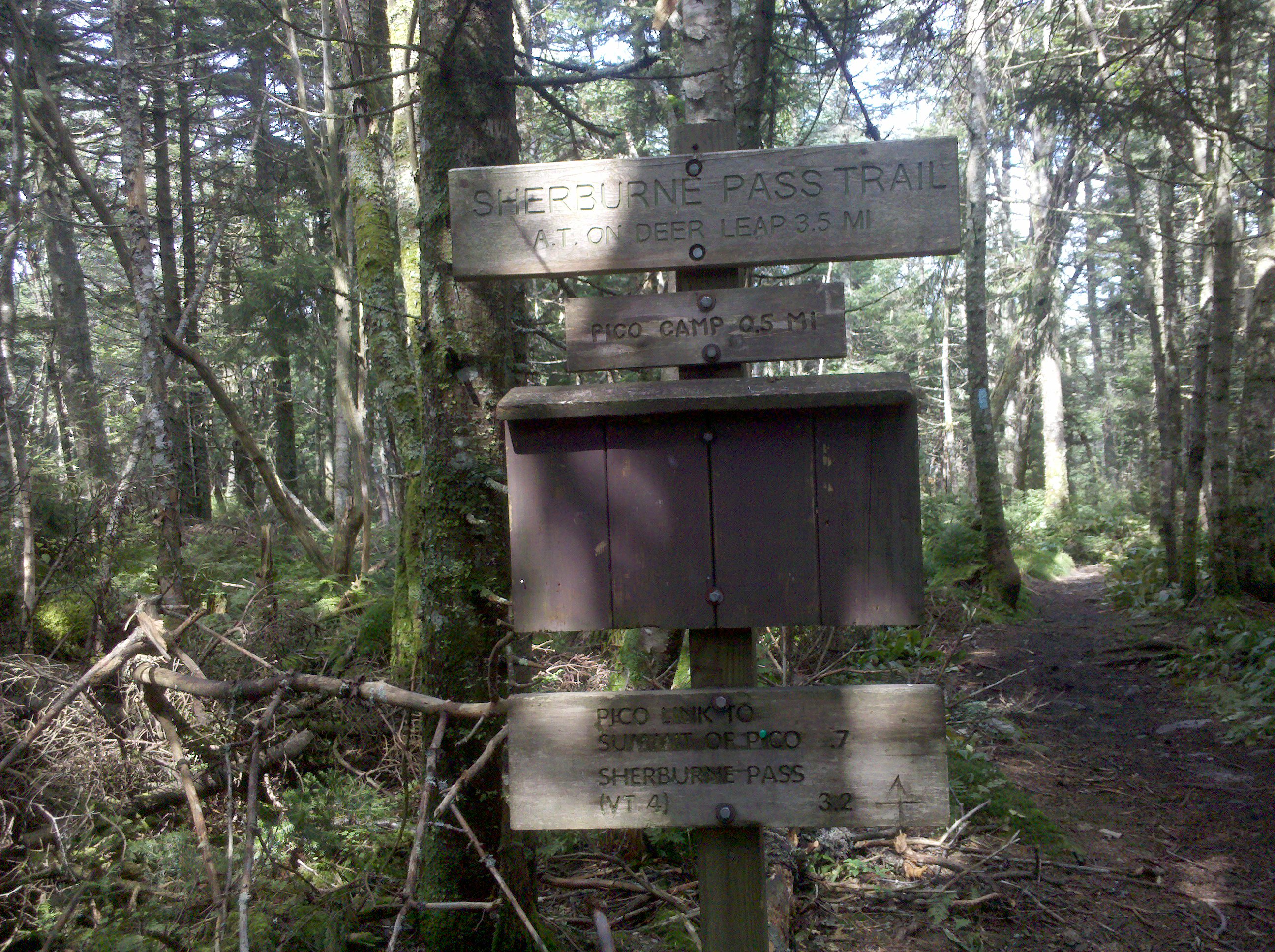
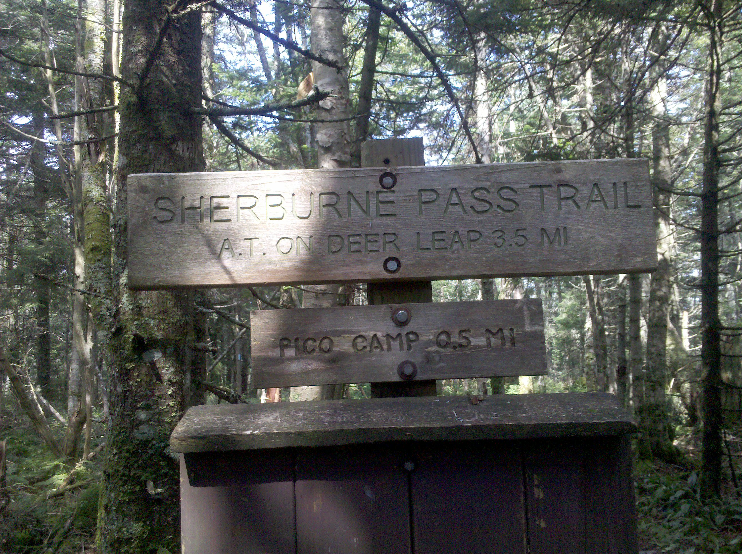
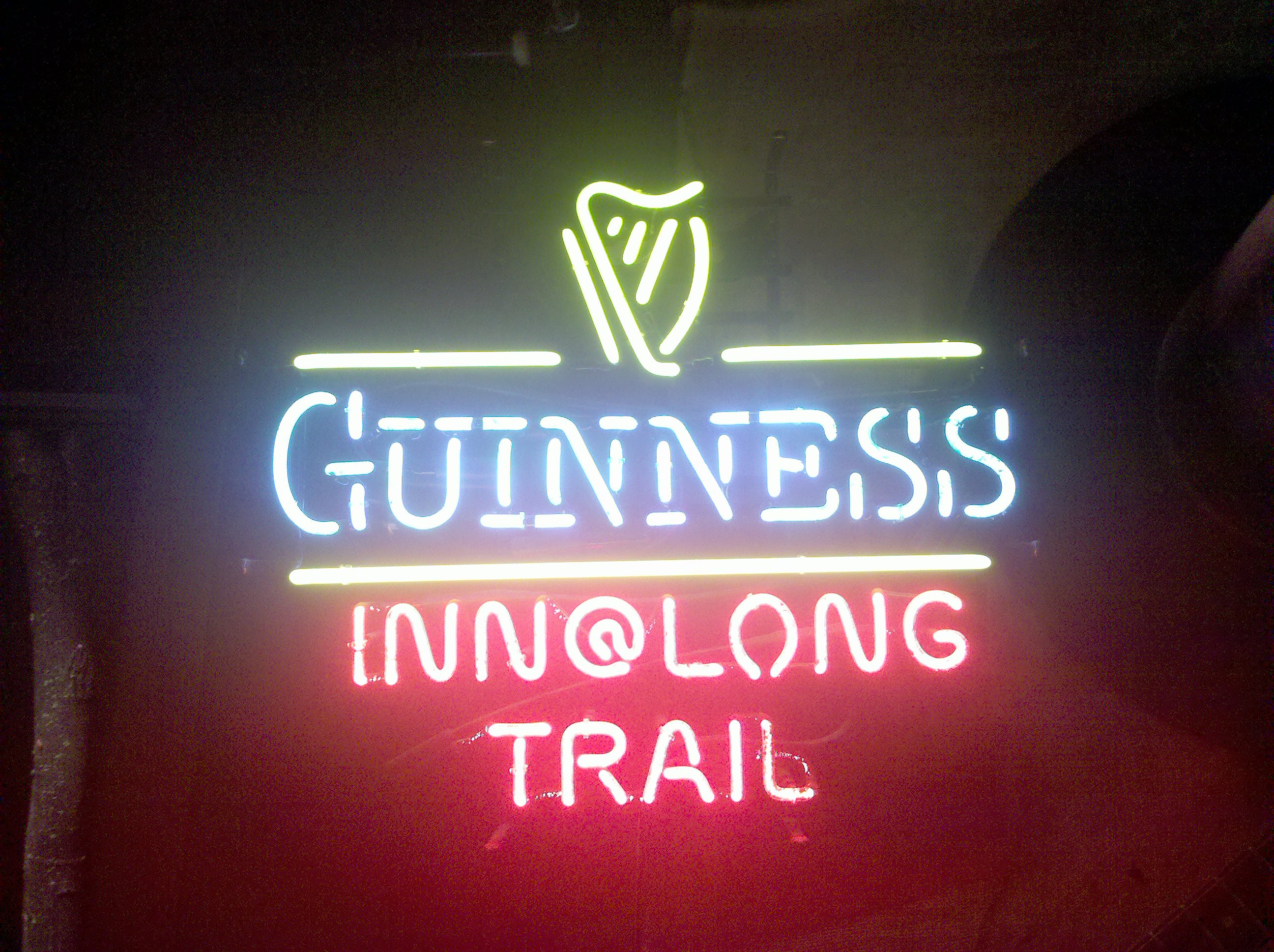
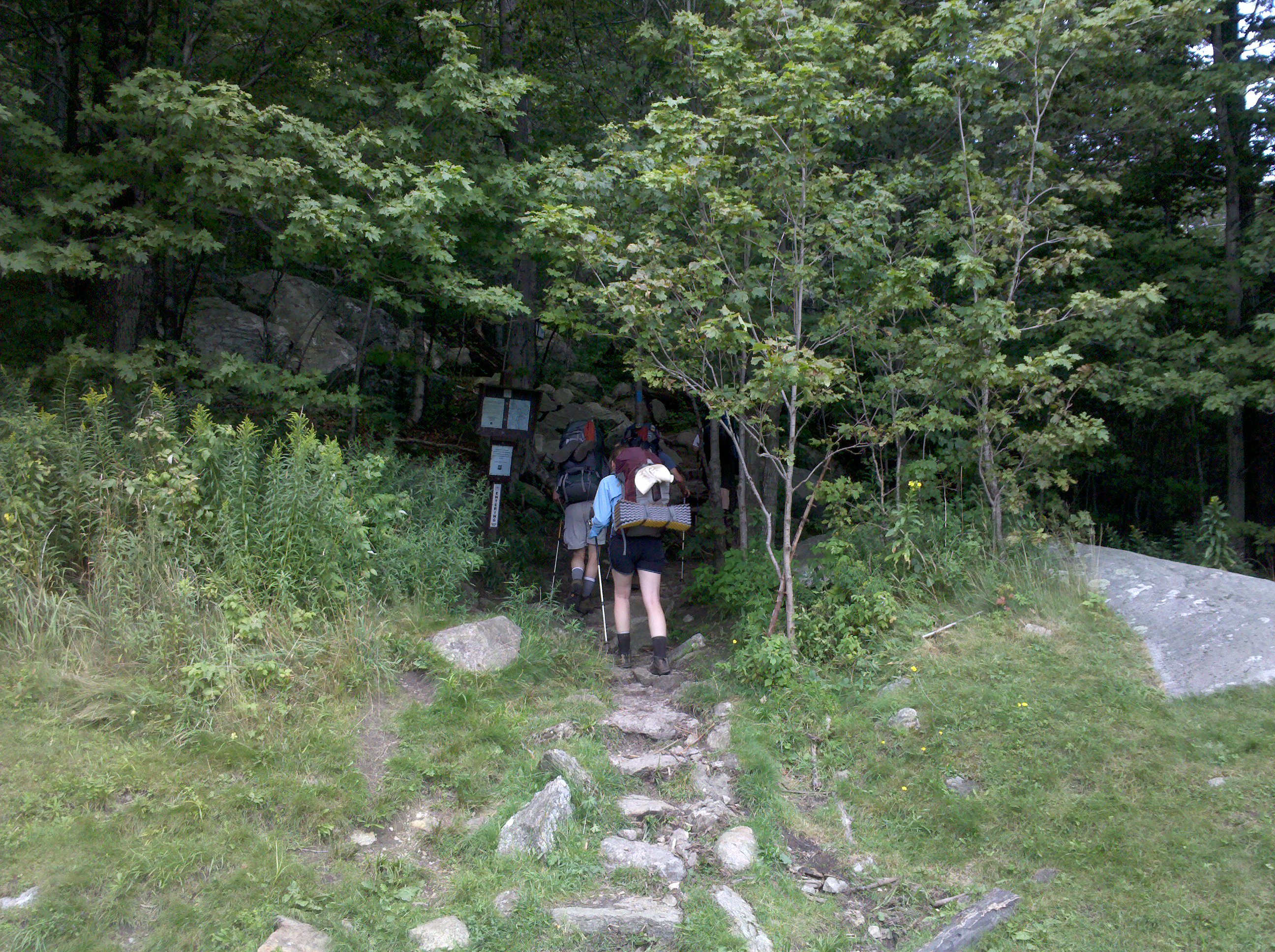
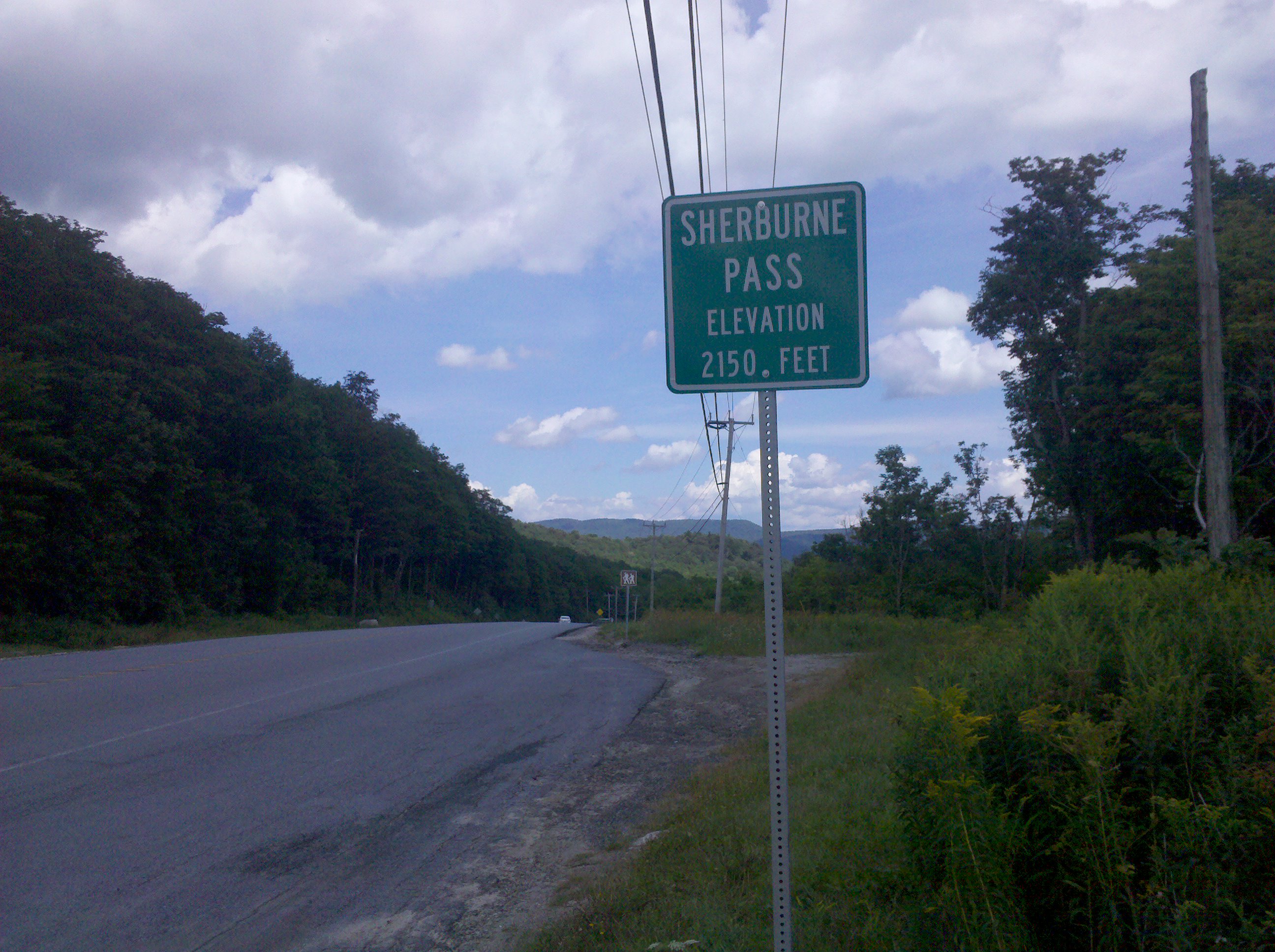
| 1697 | Jungle Jct.; Sherburne Pass Trail to (3,480') Pico Camp?3mS; 2.5mN | 3480 |
| 1698.9 | Churchill Scott Shelter (2,560') ?2.5mS; 12.1mN | 2560 |
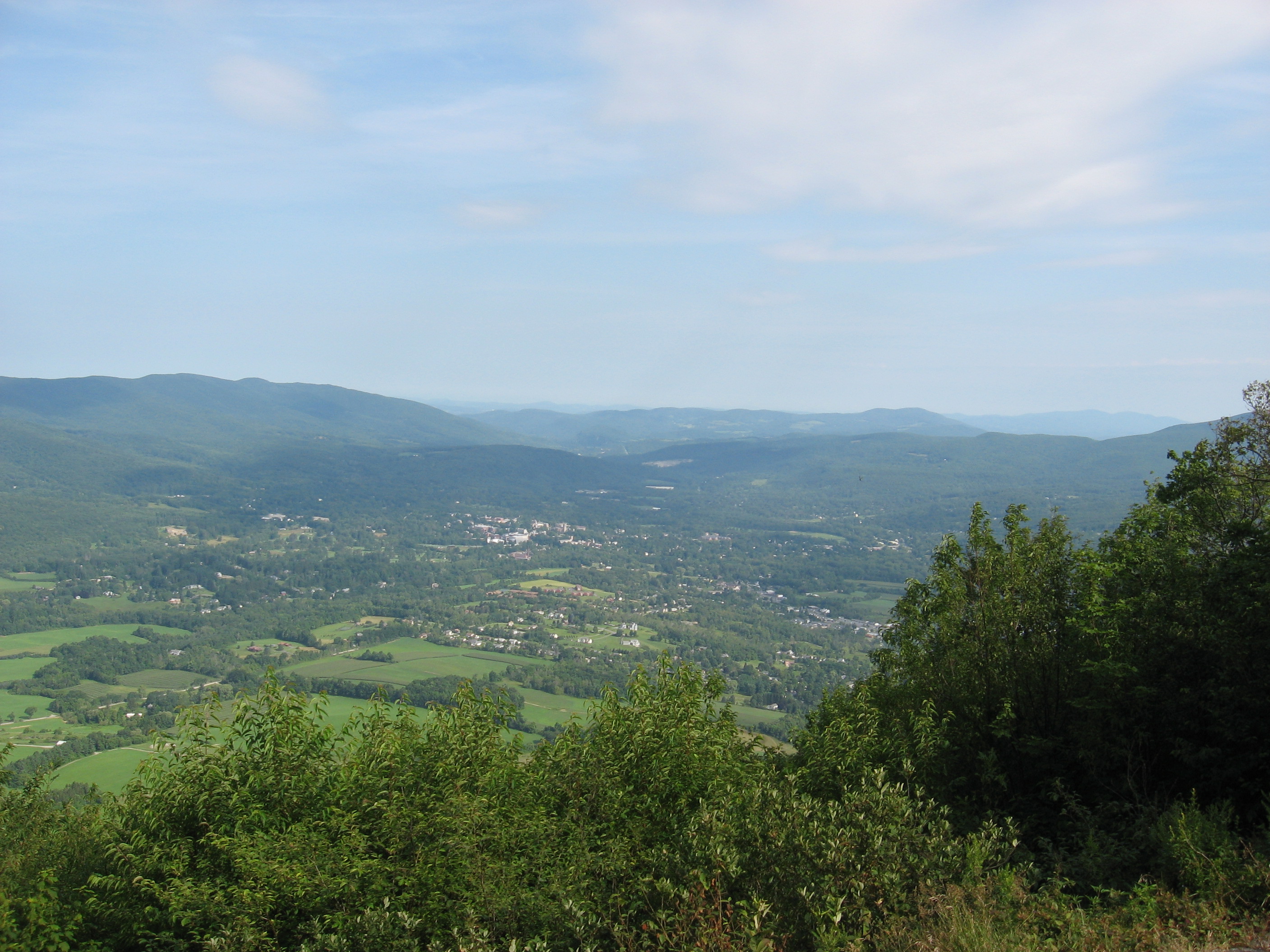
| 1700.8 | U.S. 4 (1,880') Rutland, Vt. 05701 | 1880 |
| 1701.8 | Maine Junction at Willard Gap, Long Trail to Tucker Johnson Tenting Area (2,250') | 2250 |
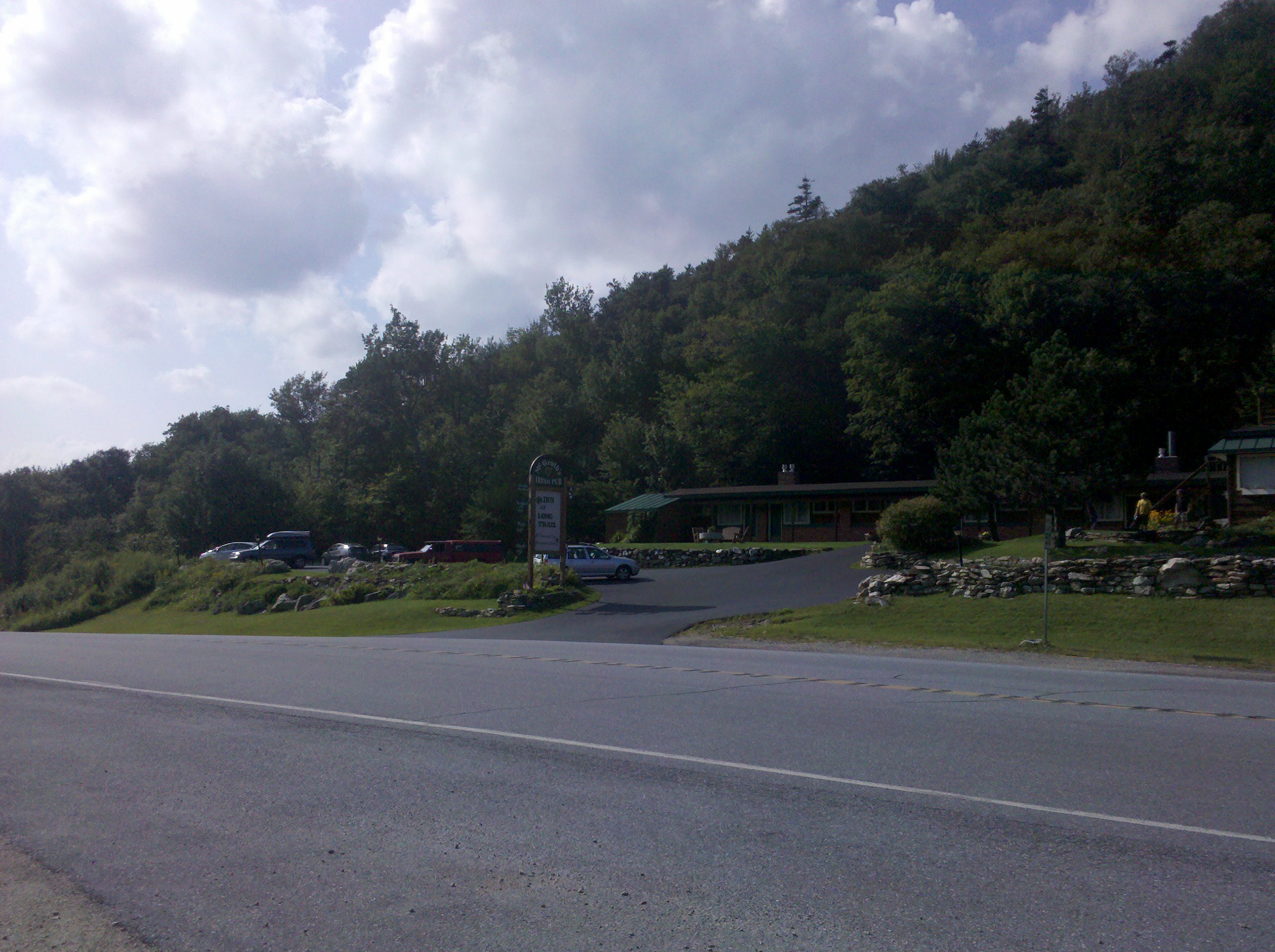
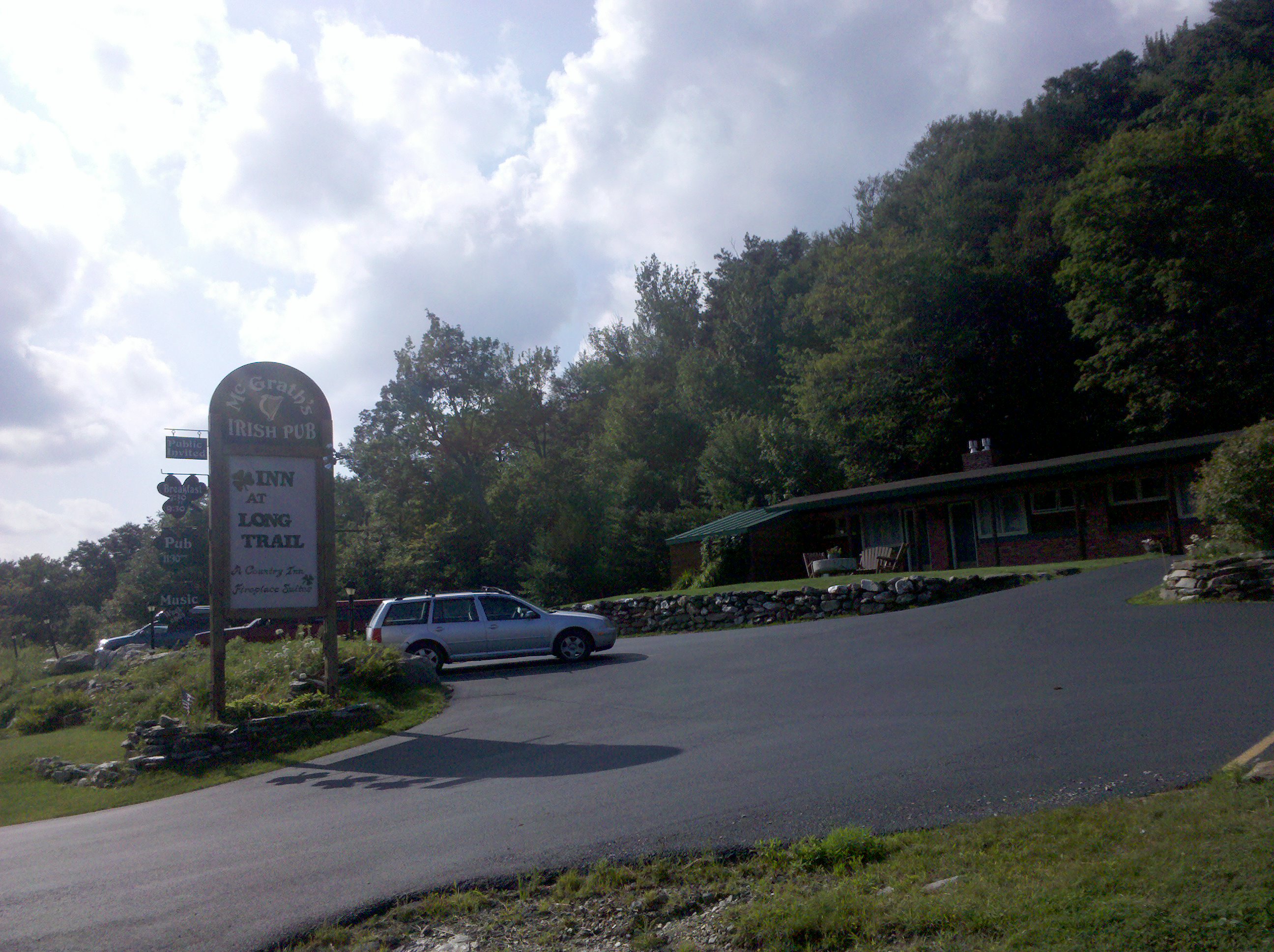
| 1702.7 | Sherburne Pass Trail (2,440')?to Inn at Long Trail | 2440 |