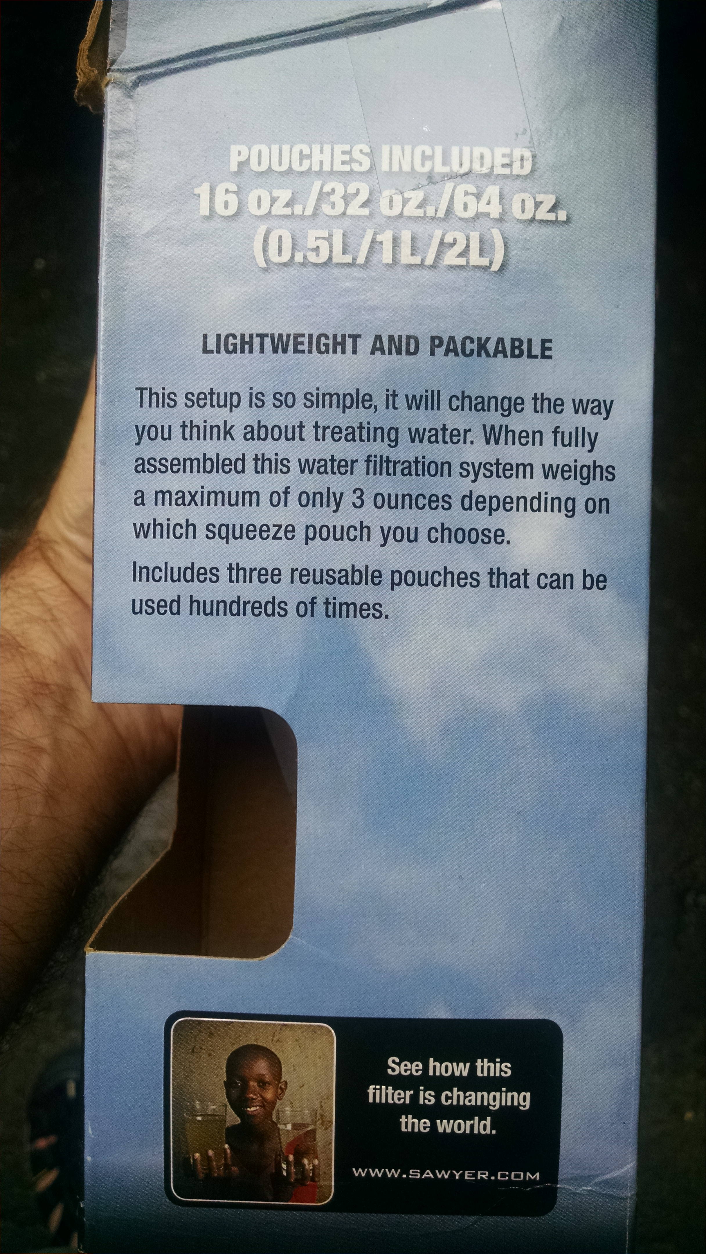
| Miles from Springer | Features | Elevation |
|---|---|---|
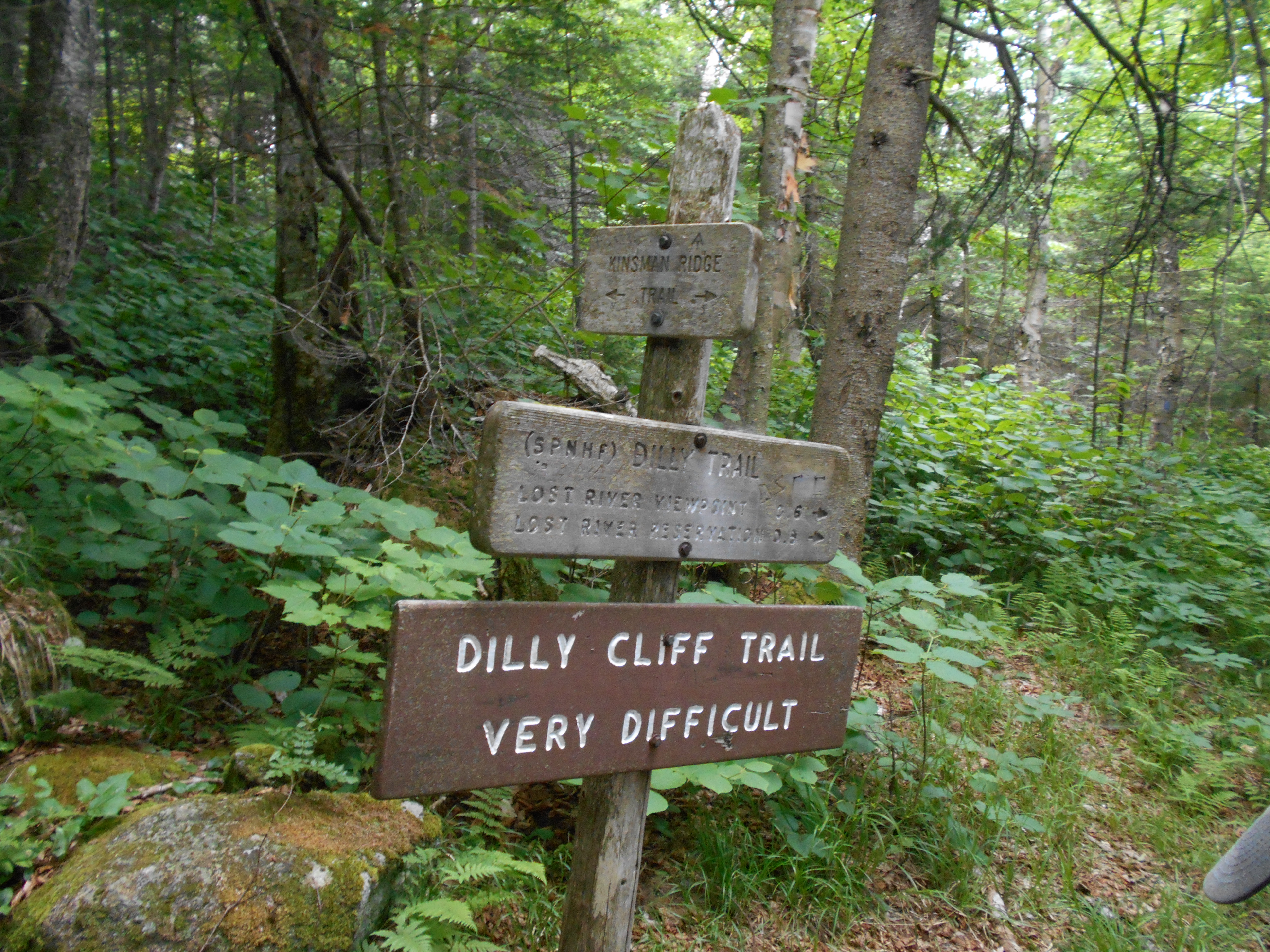
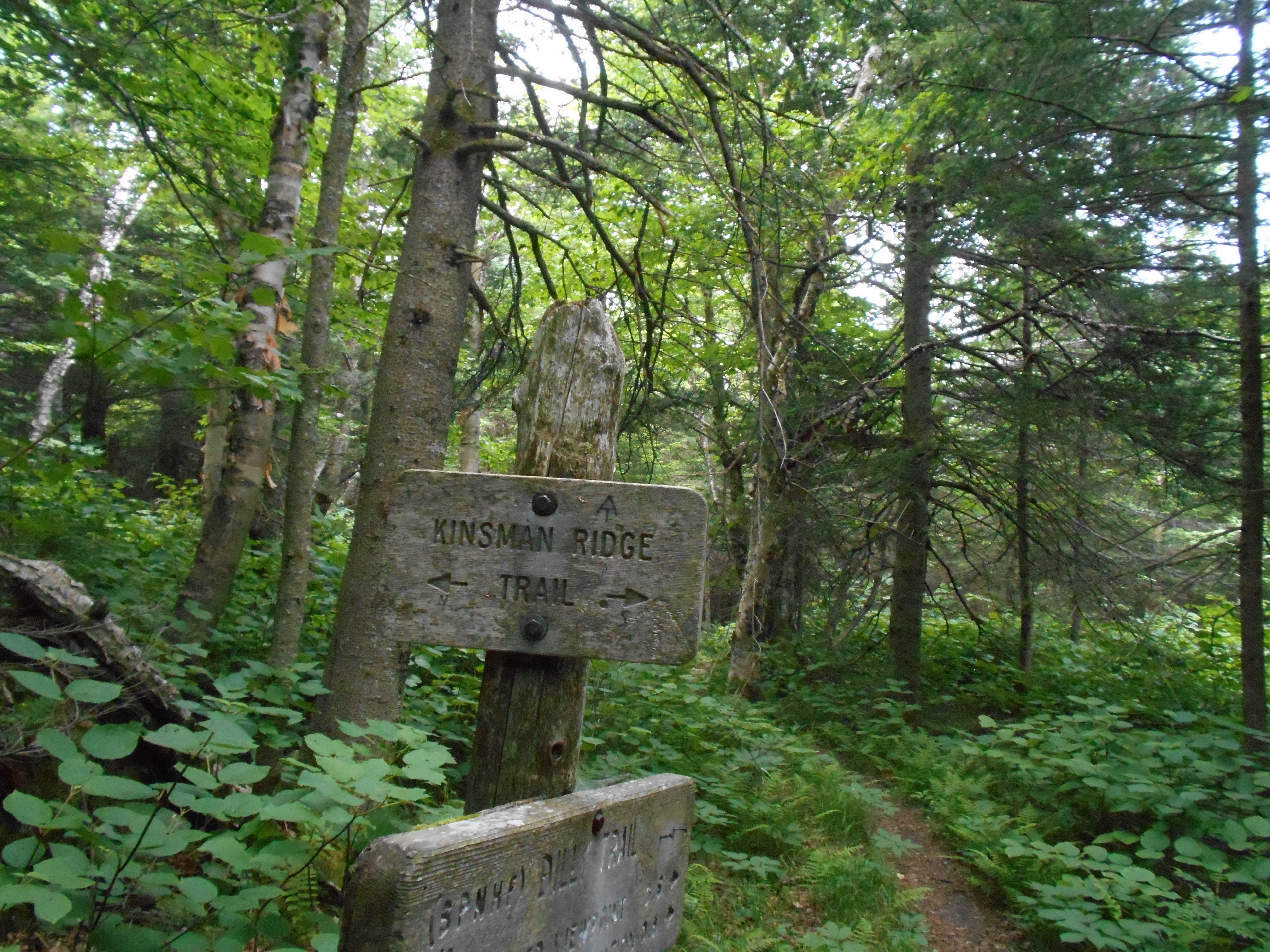
| 1800.3 | Dilly Trail (2,650') | 2650 |
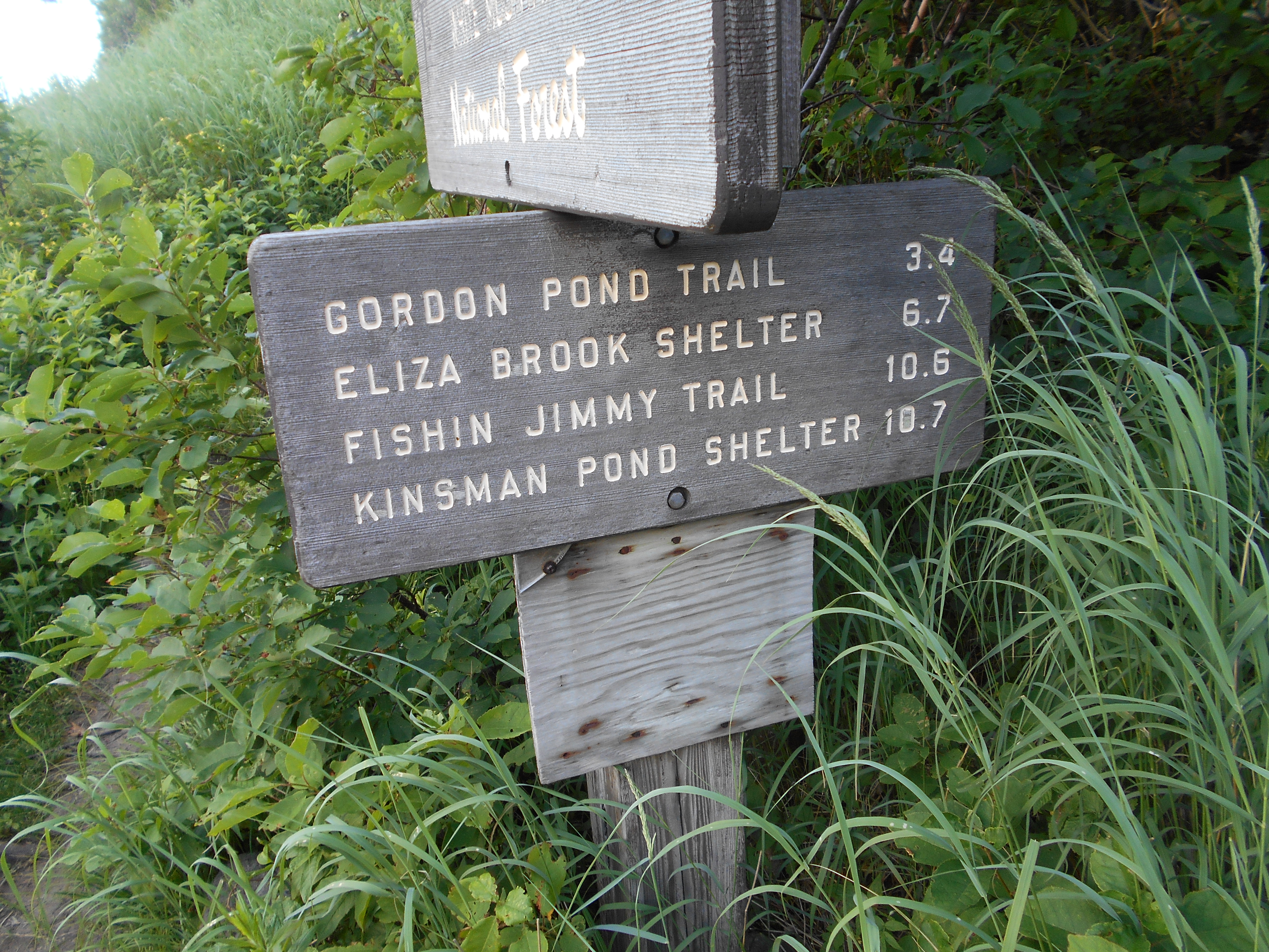
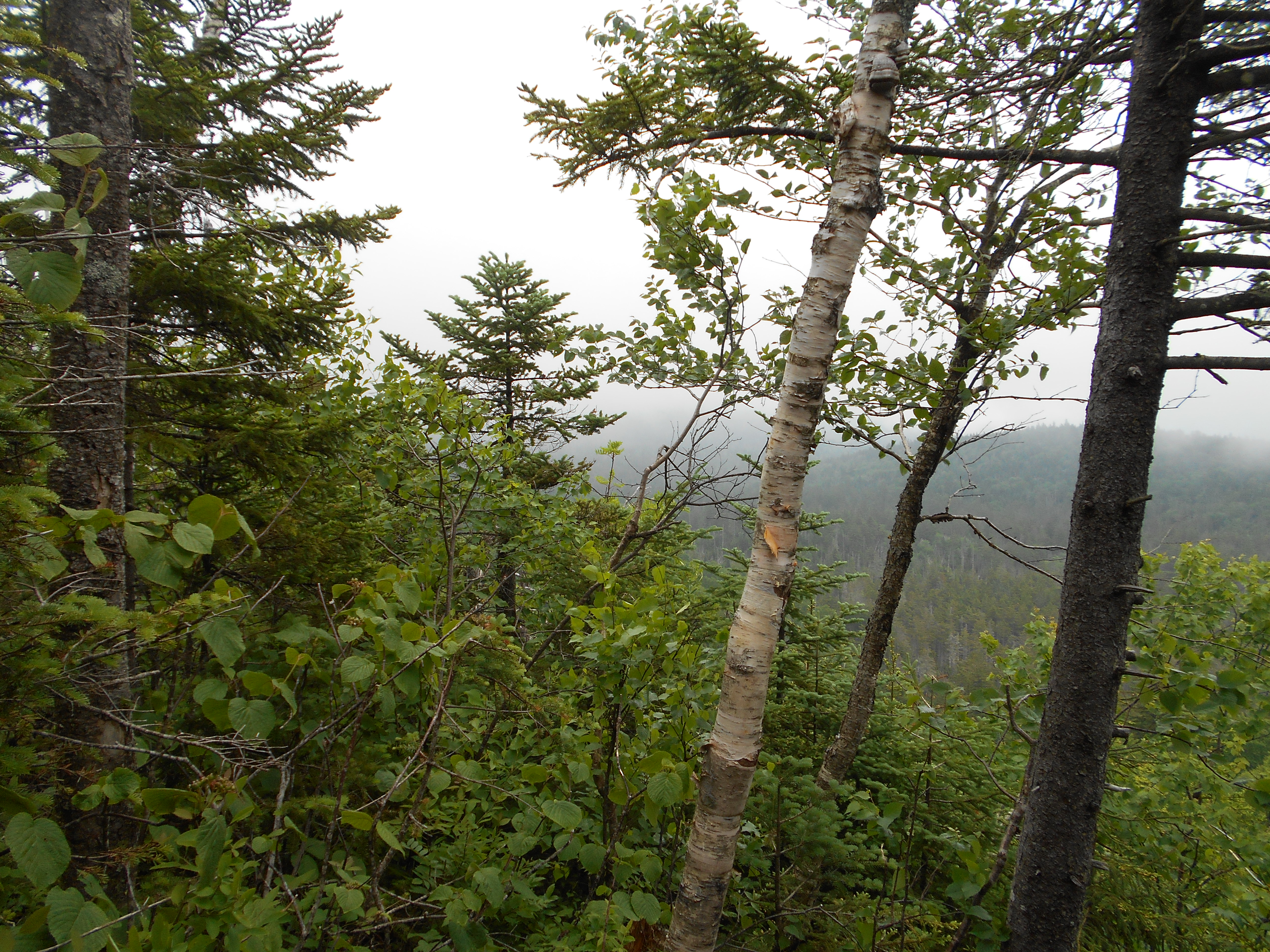
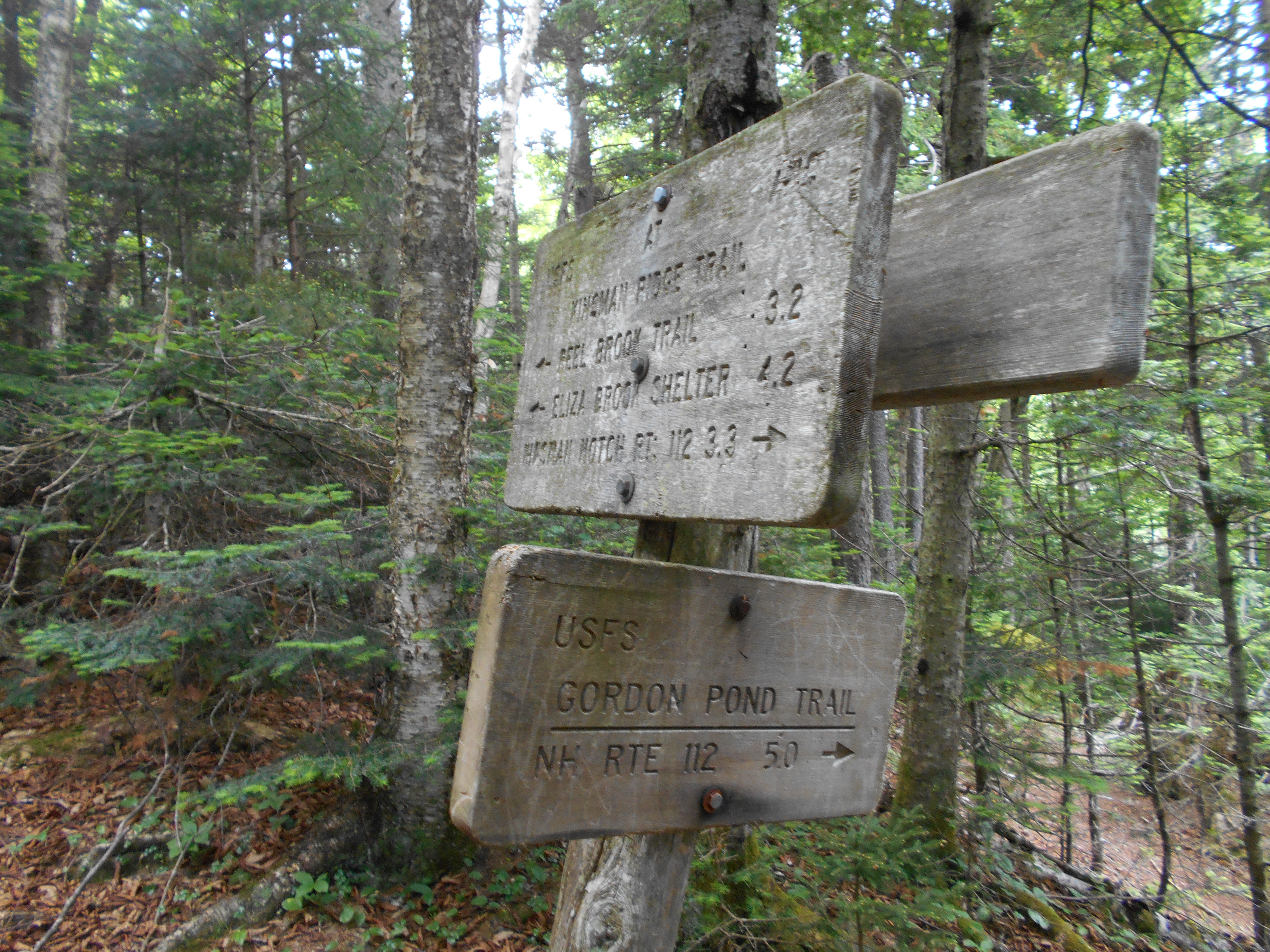
| 1803 | Gordon Pond Trail (2,700') | 2700 |
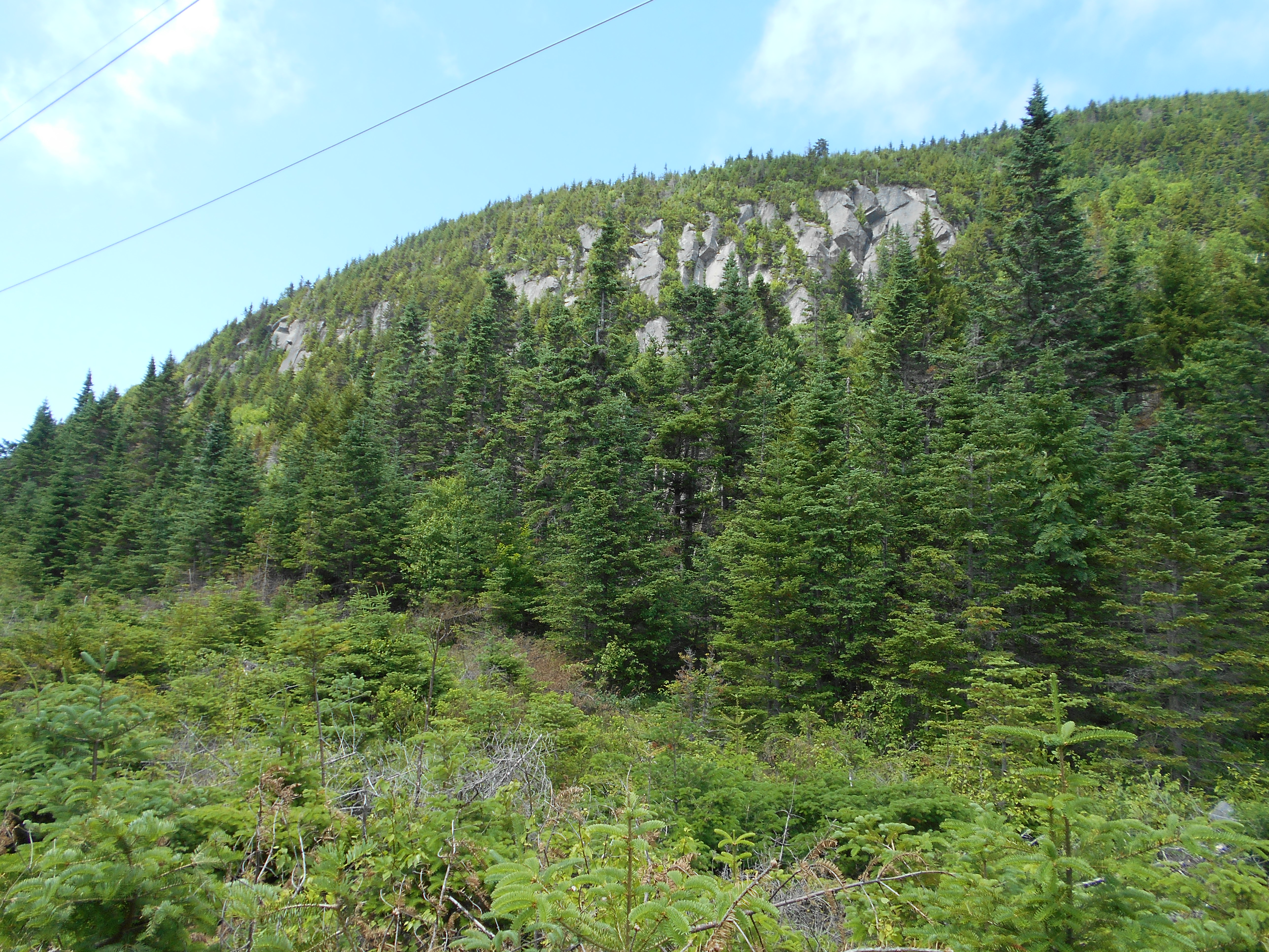
| 1804.3 | Mt. Wolf (East Peak) (3,478') | 3478 |
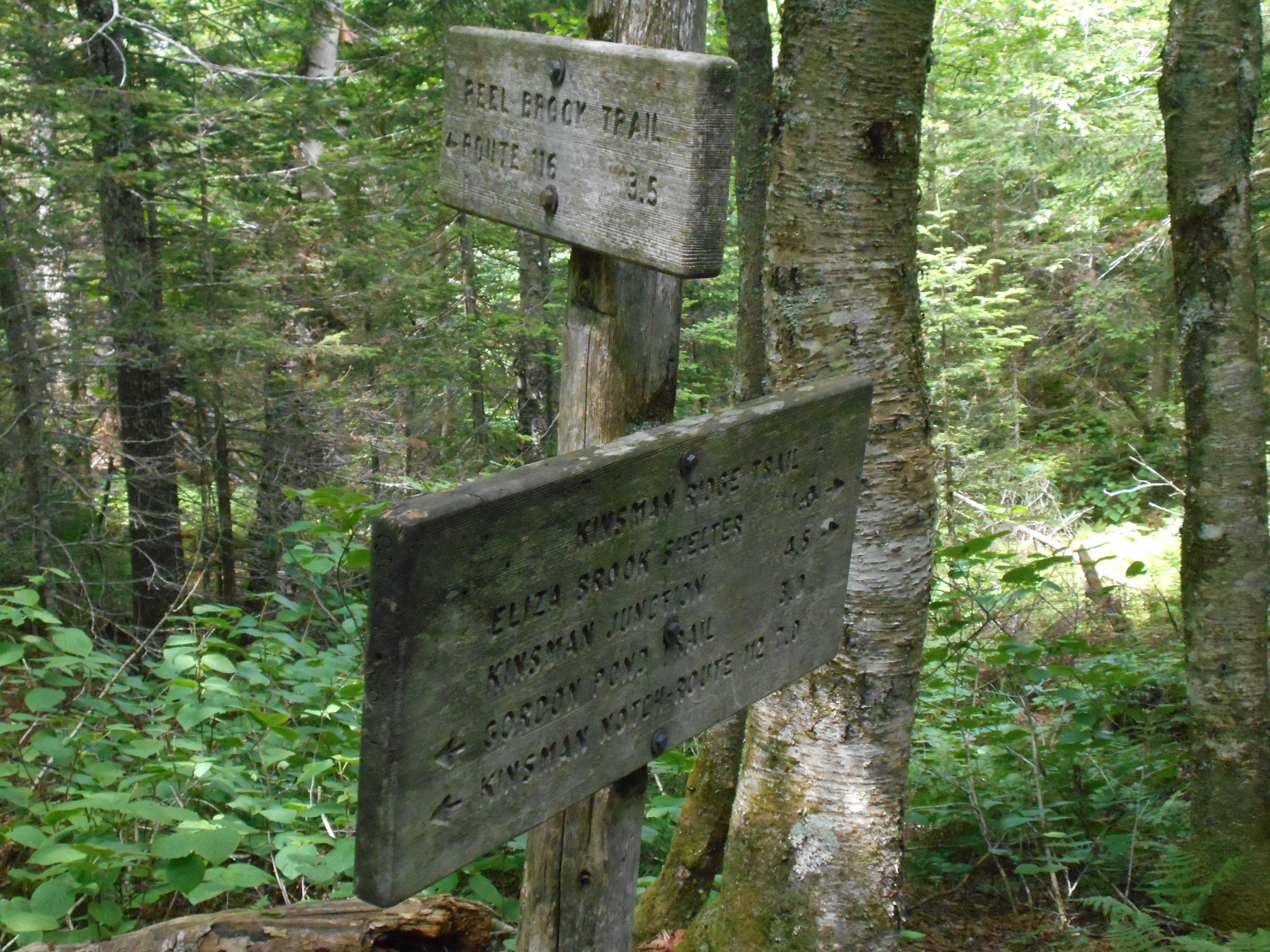
| 1806.2 | Reel Brook Trail (2,600') | 2600 |
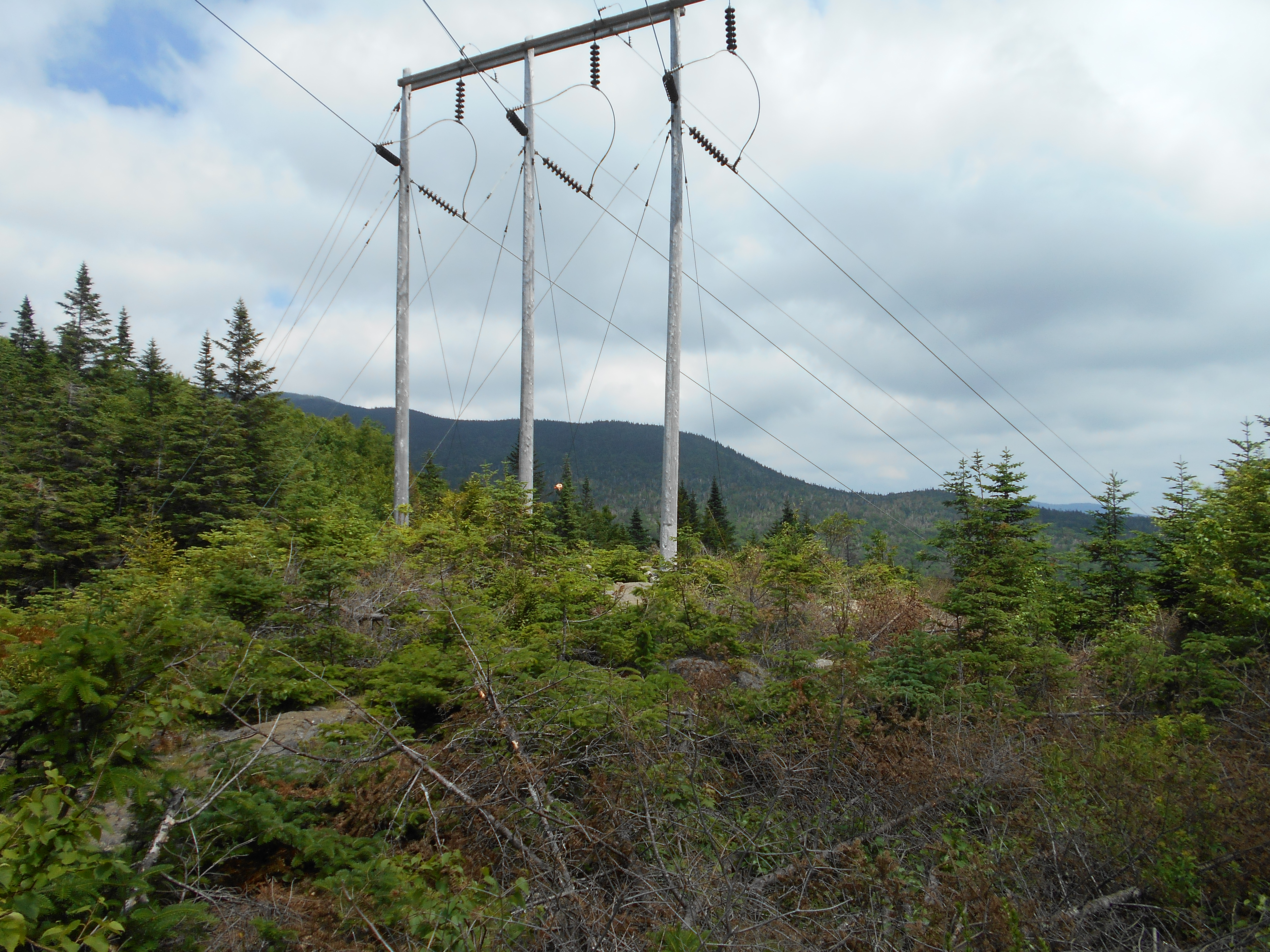
| 1806.7 | Power Line (2,625') | 2625 |
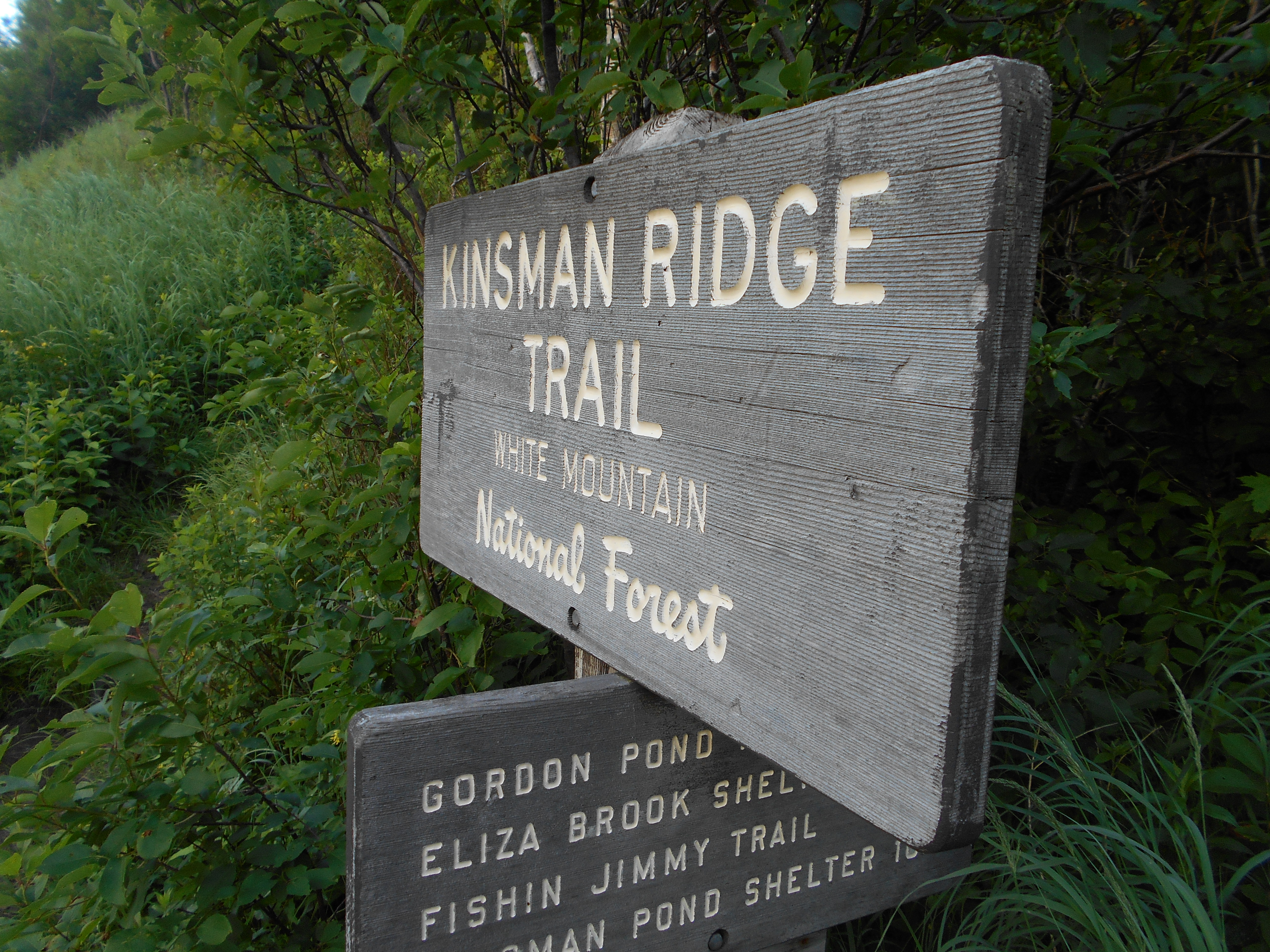
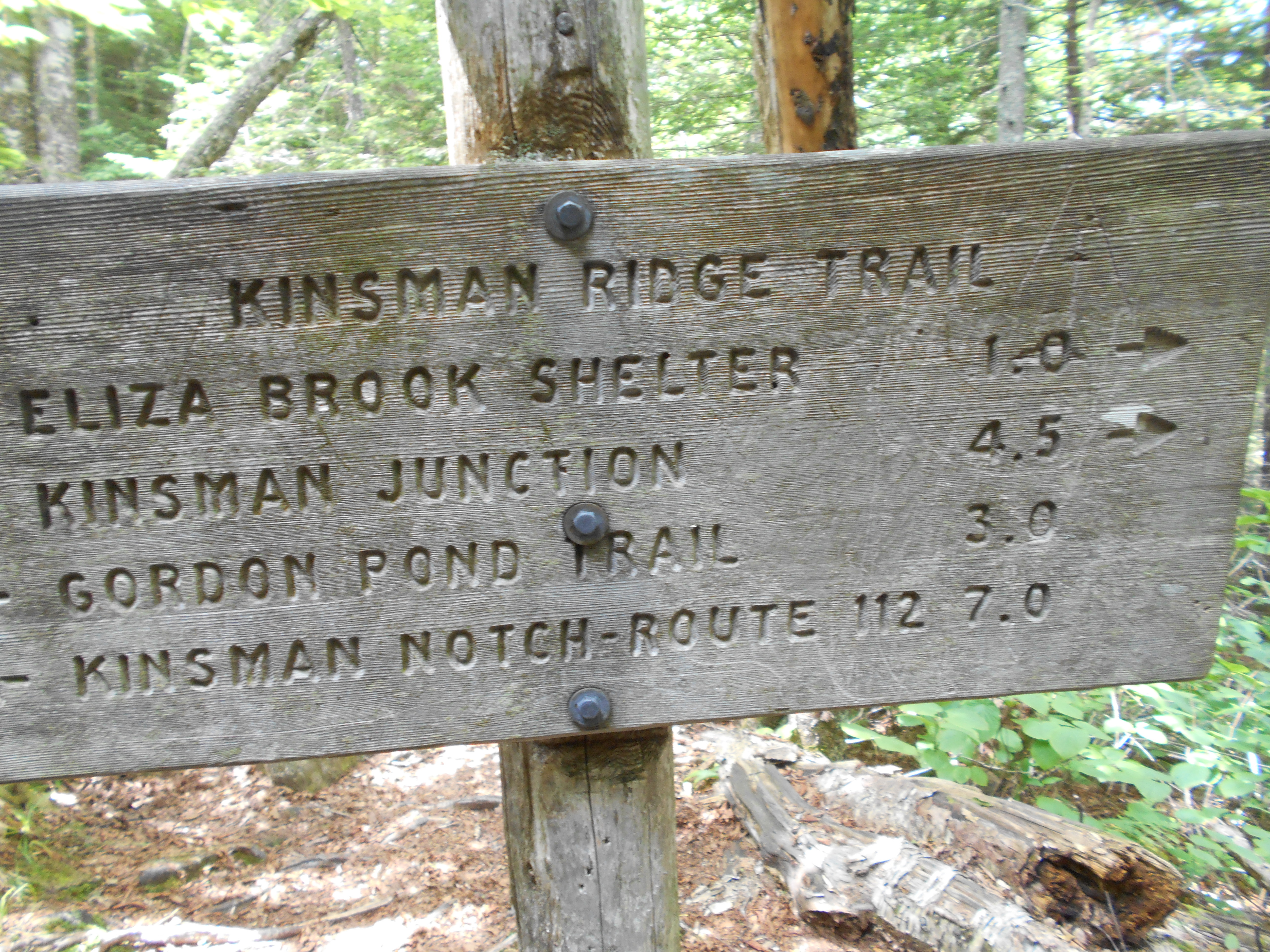
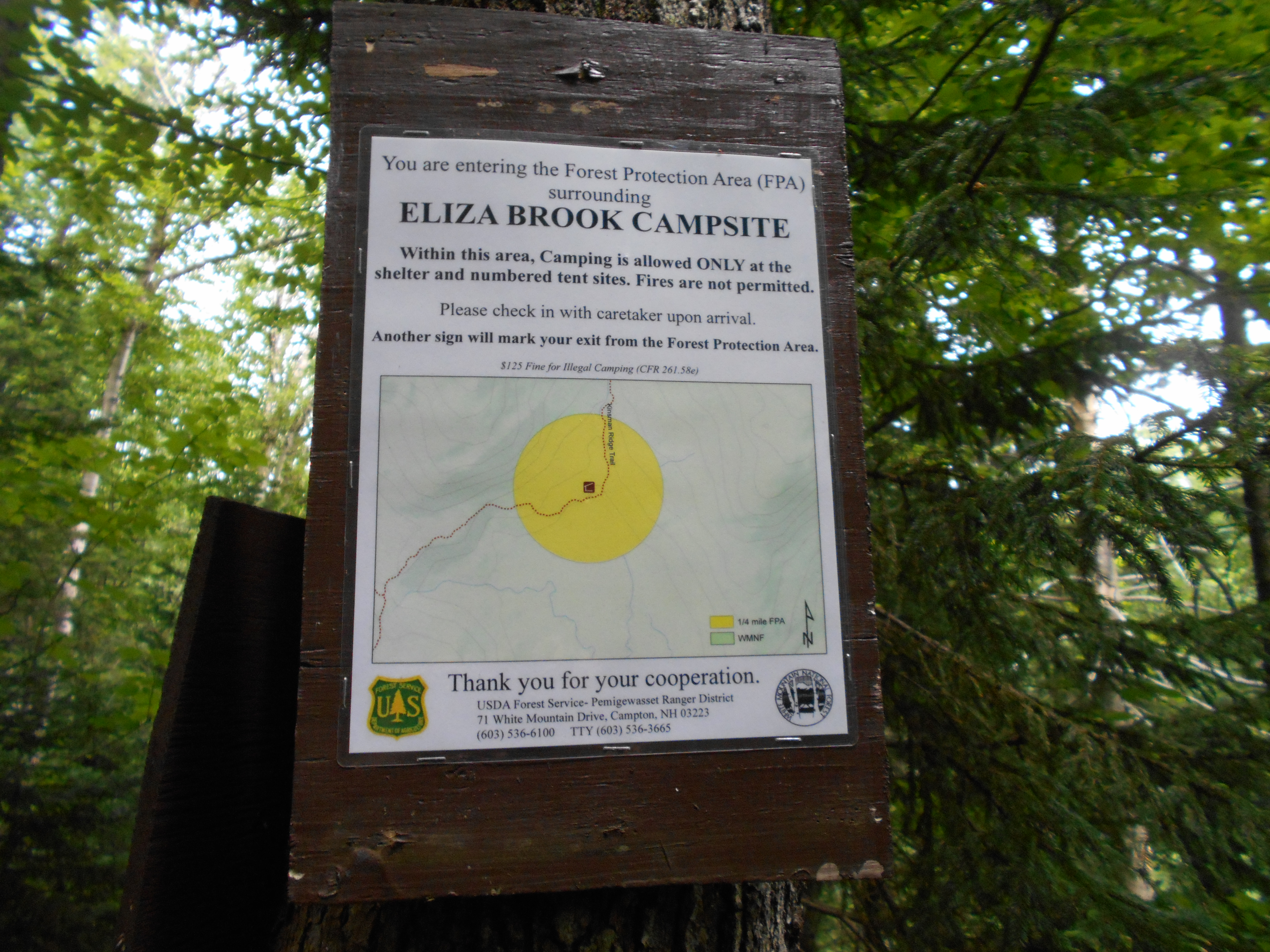
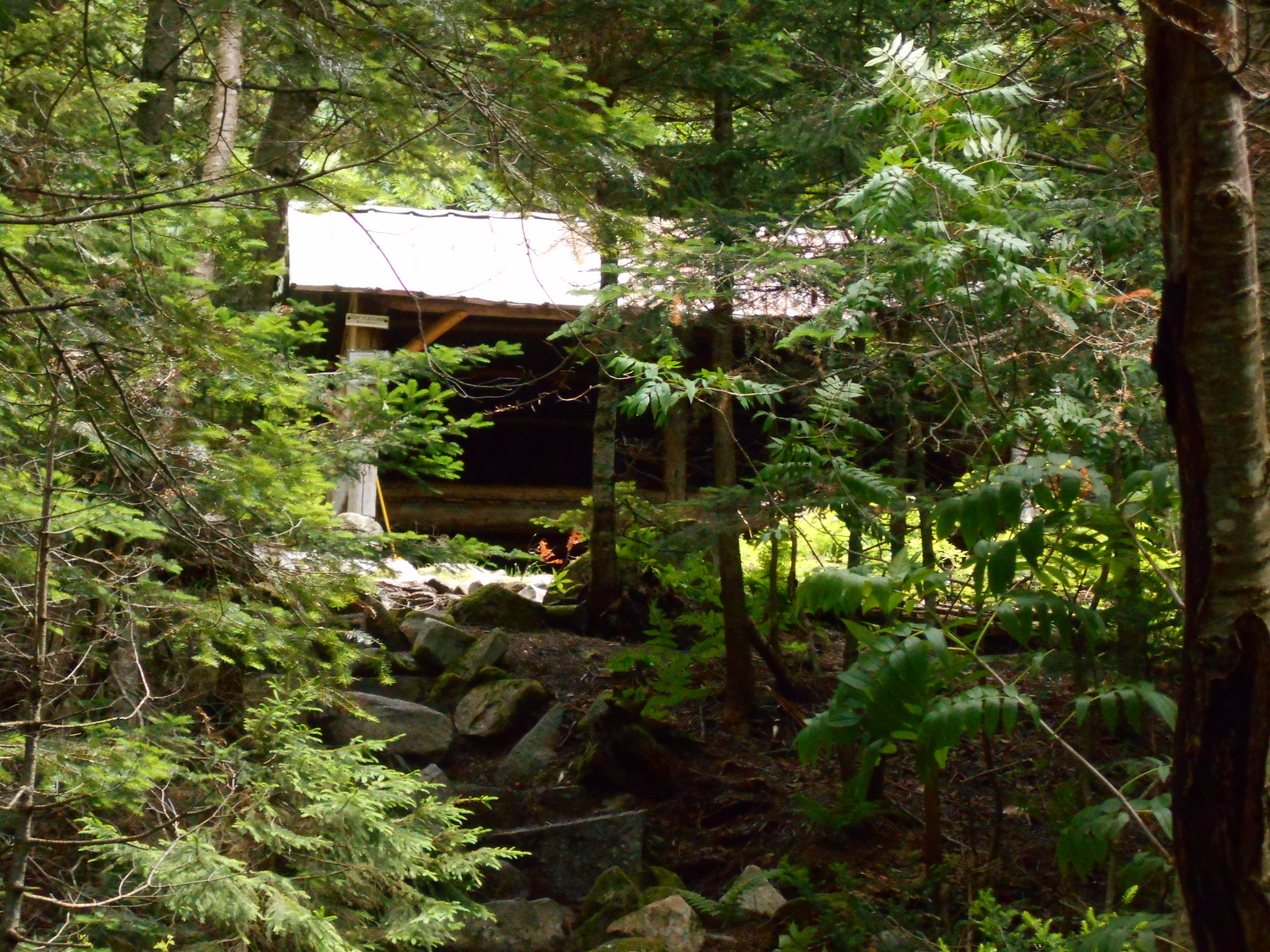
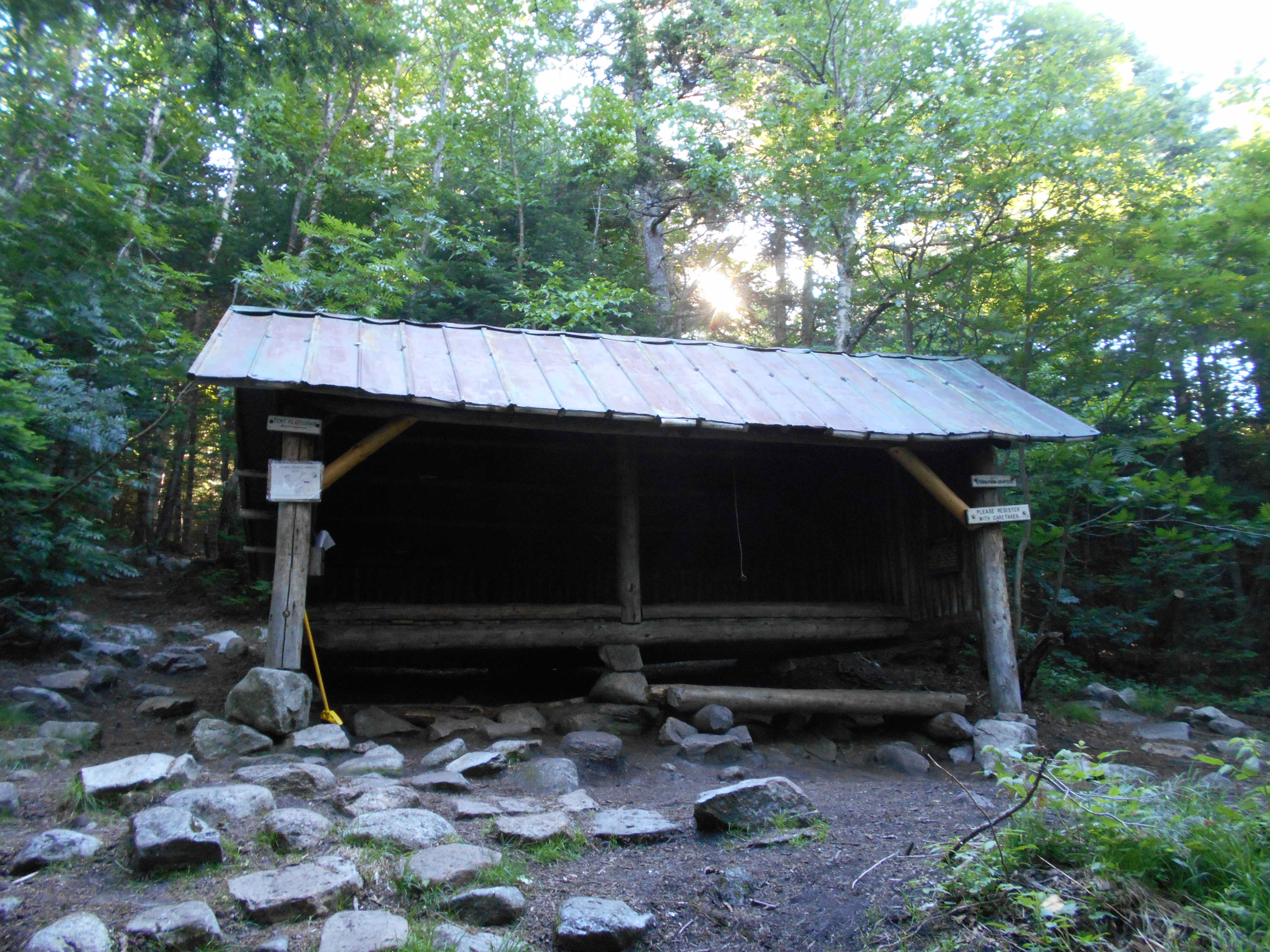
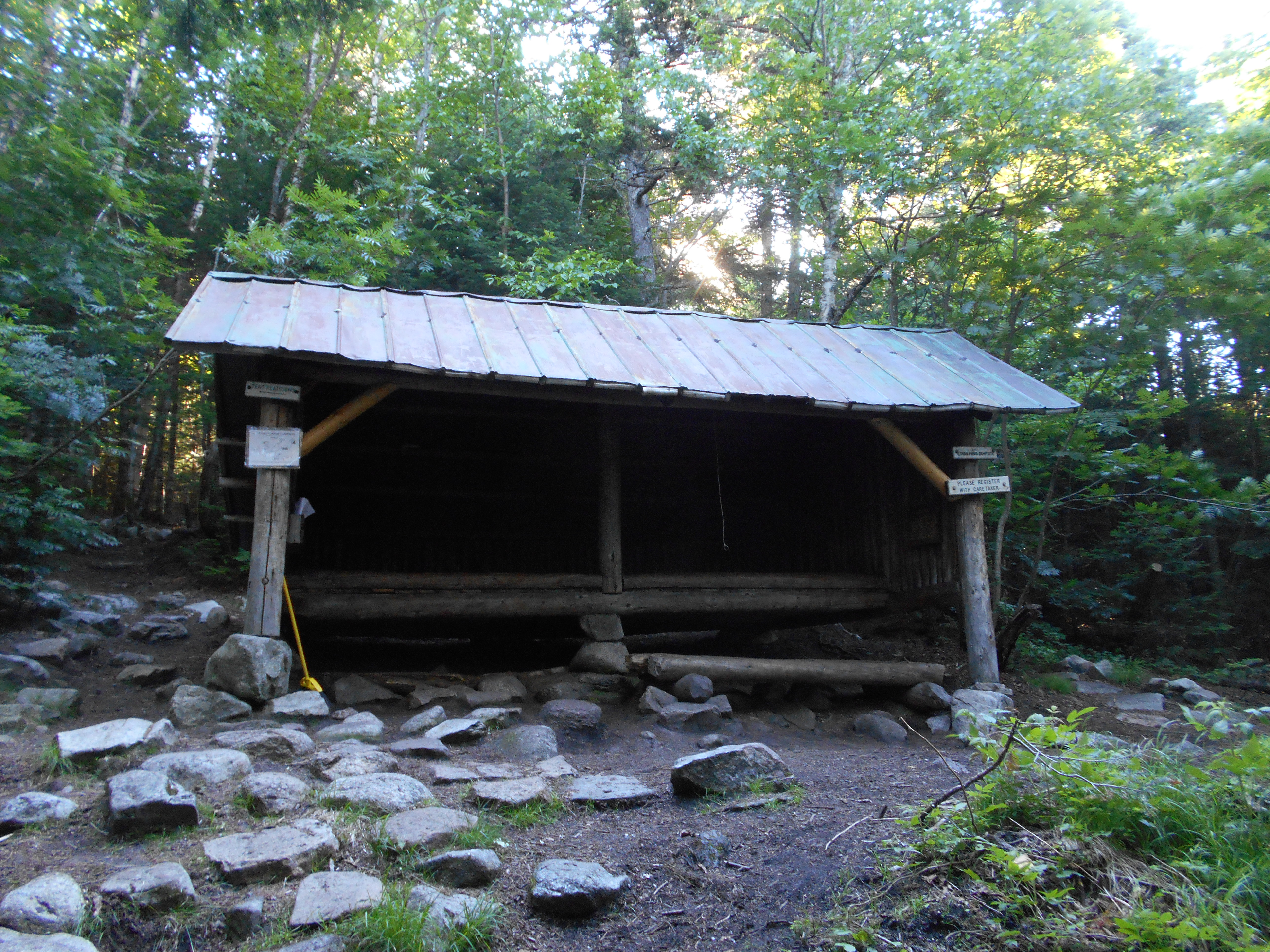
| 1807.2 | Eliza Brook Shelter and Campsite (2,400')?9mS; 4.1mN | 2400 |


| Miles from Springer | Features | Elevation |
|---|---|---|
| 1808.6 | Harrington Pond (3,400') | 3400 |
| 1809.7 | South Kinsman Mountain (4,358') | 4358 |
| 1810.6 | North Kinsman Mountain (4,293') | 4293 |
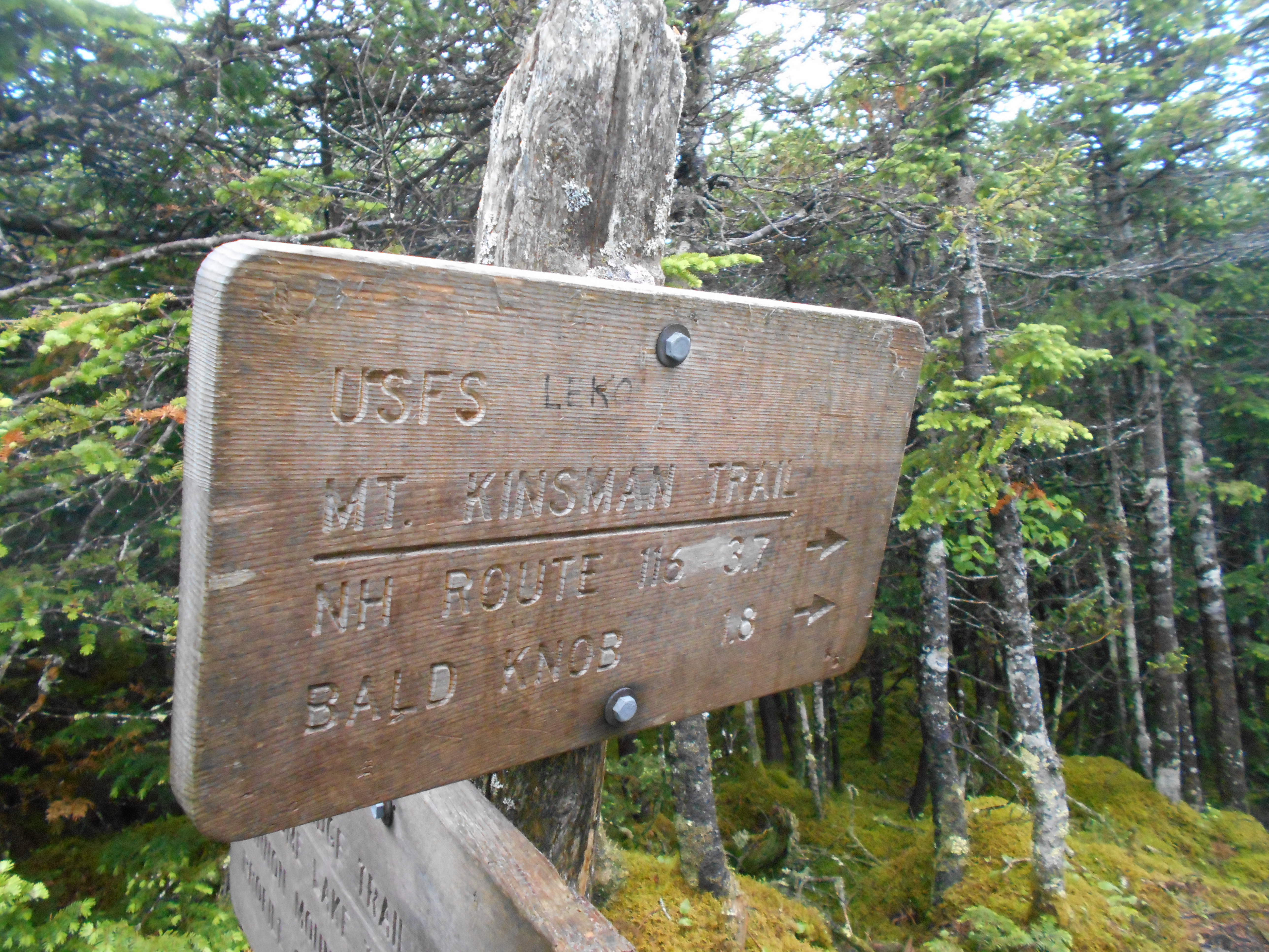
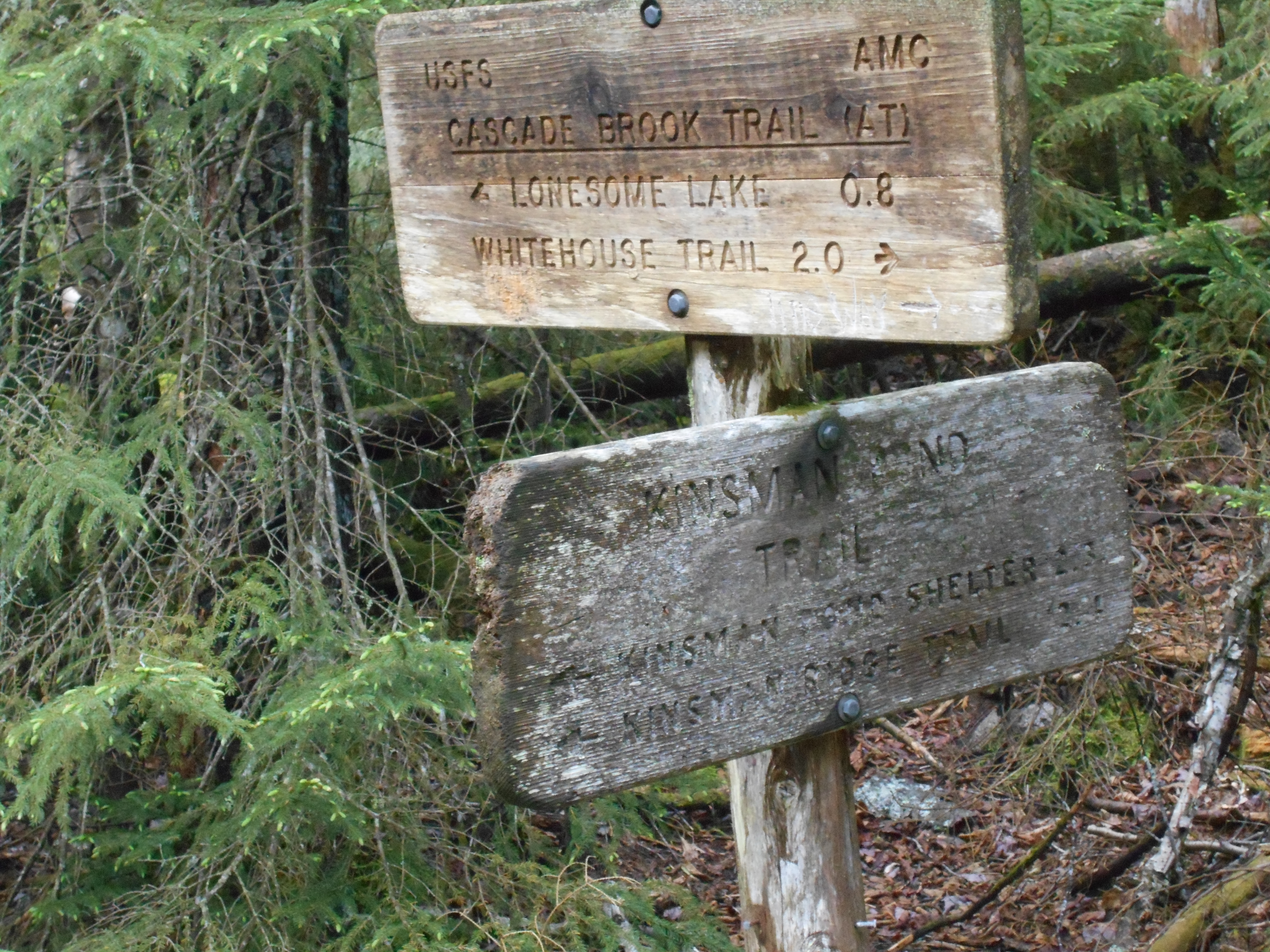
| 1811 | Mt. Kinsman Trail (3,900') | 3900 |
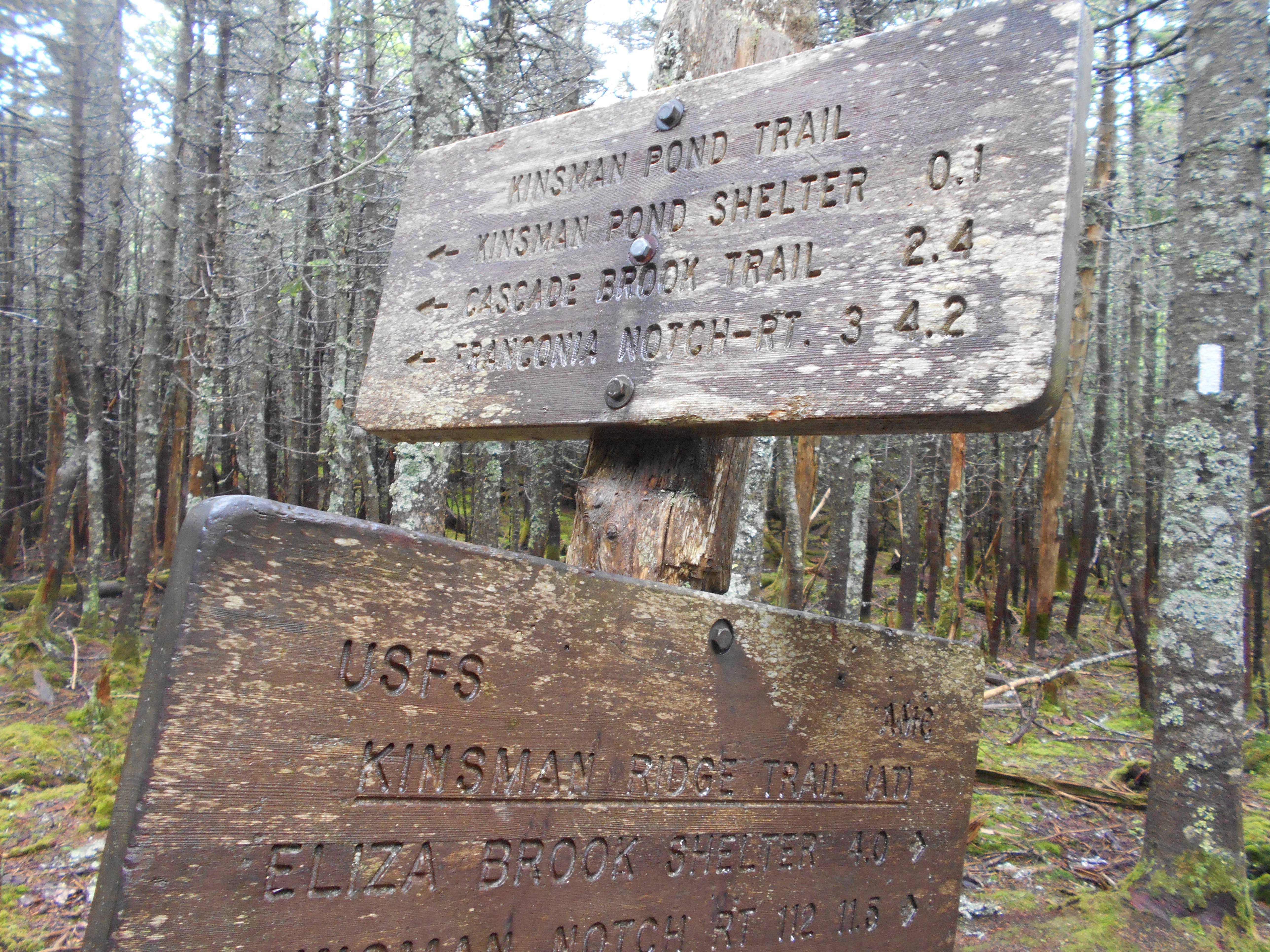
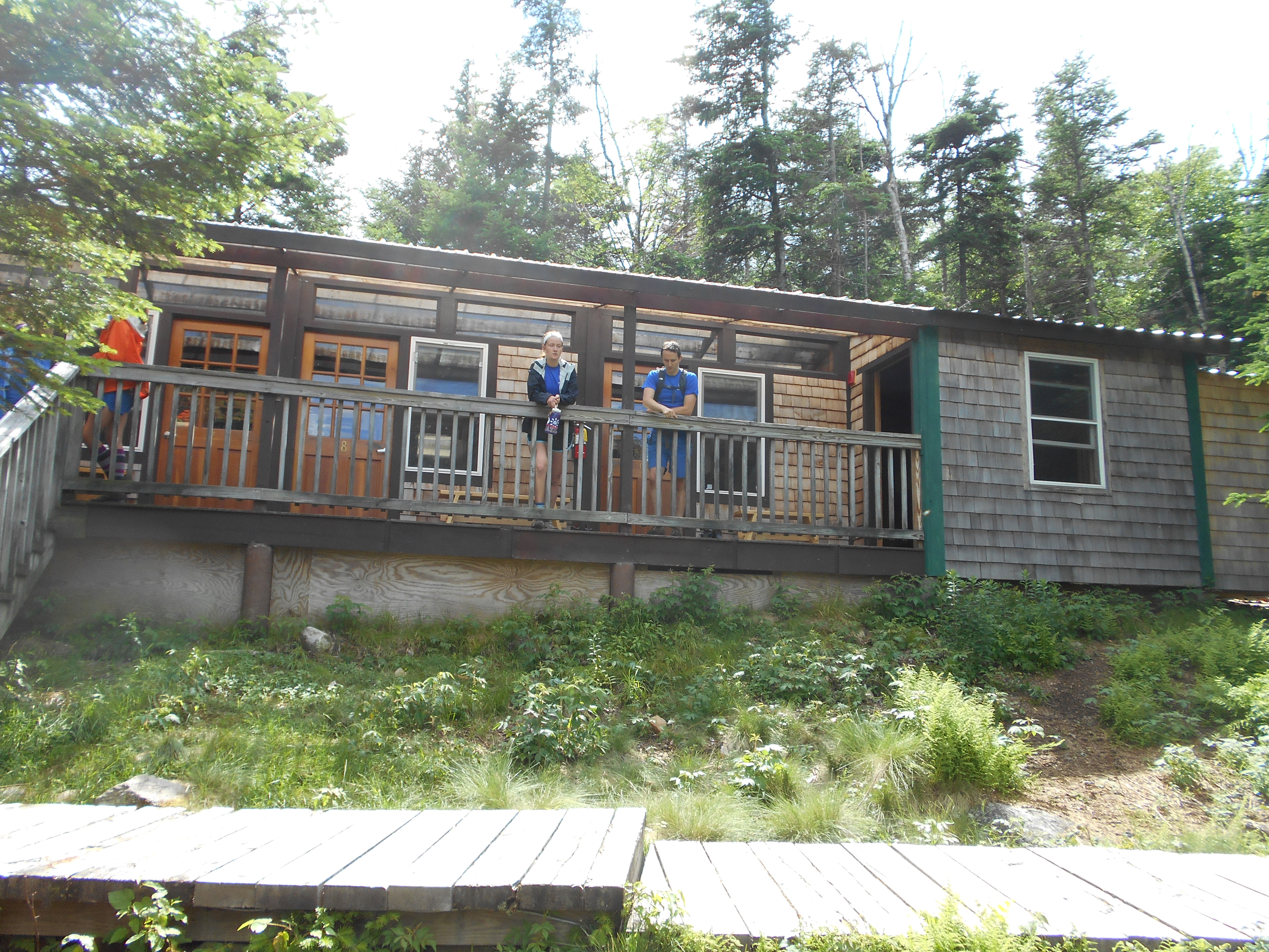
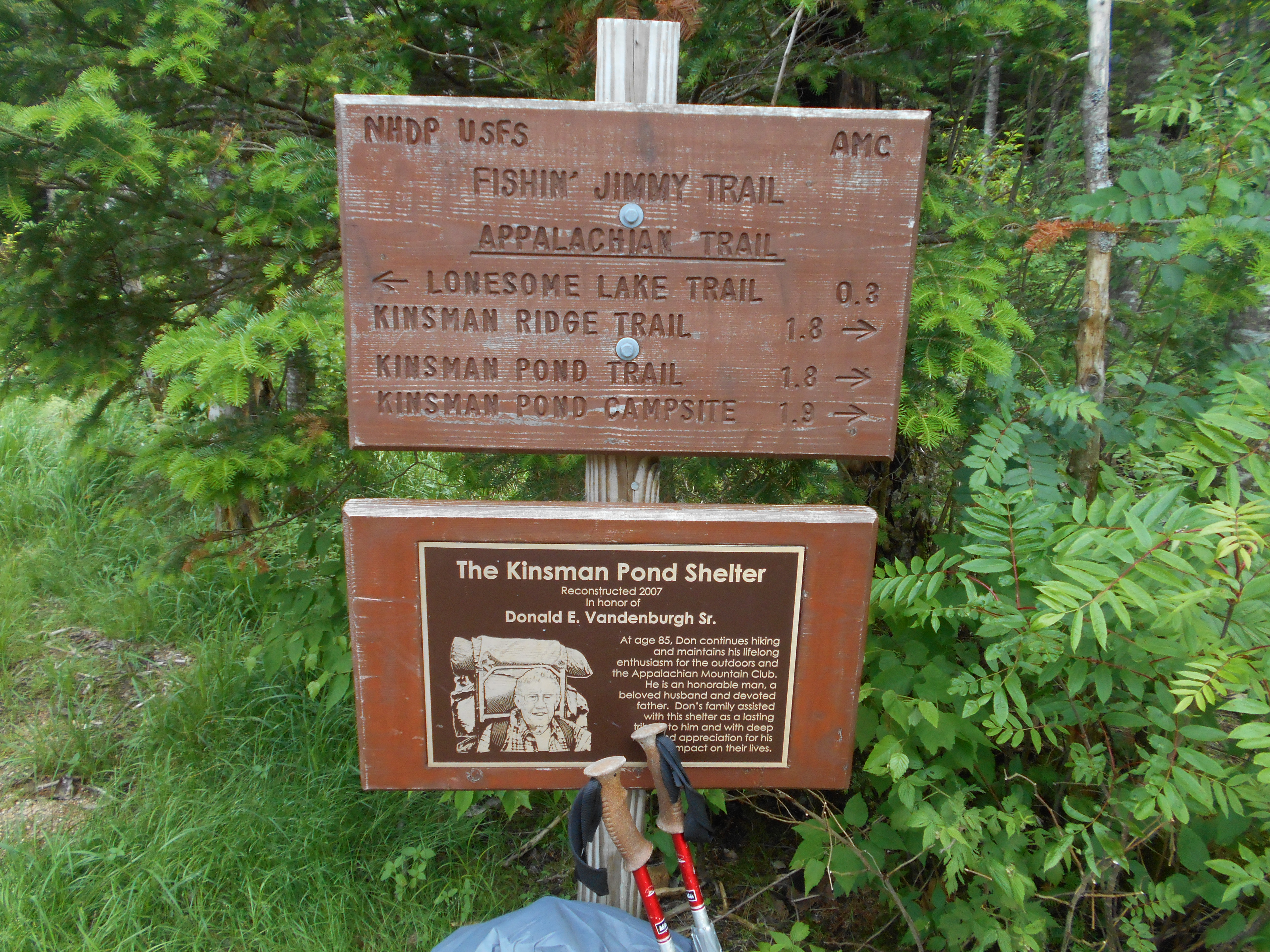
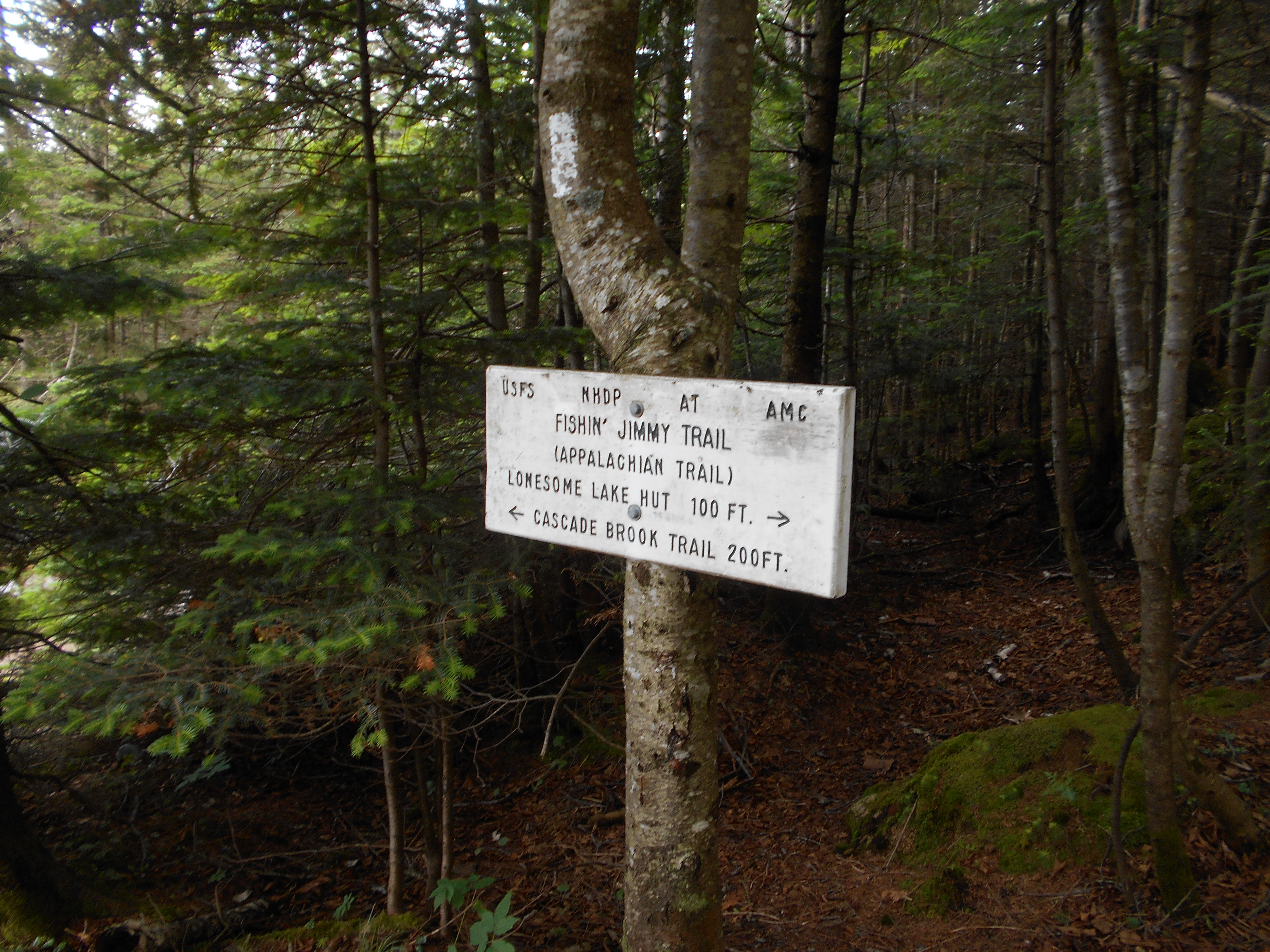
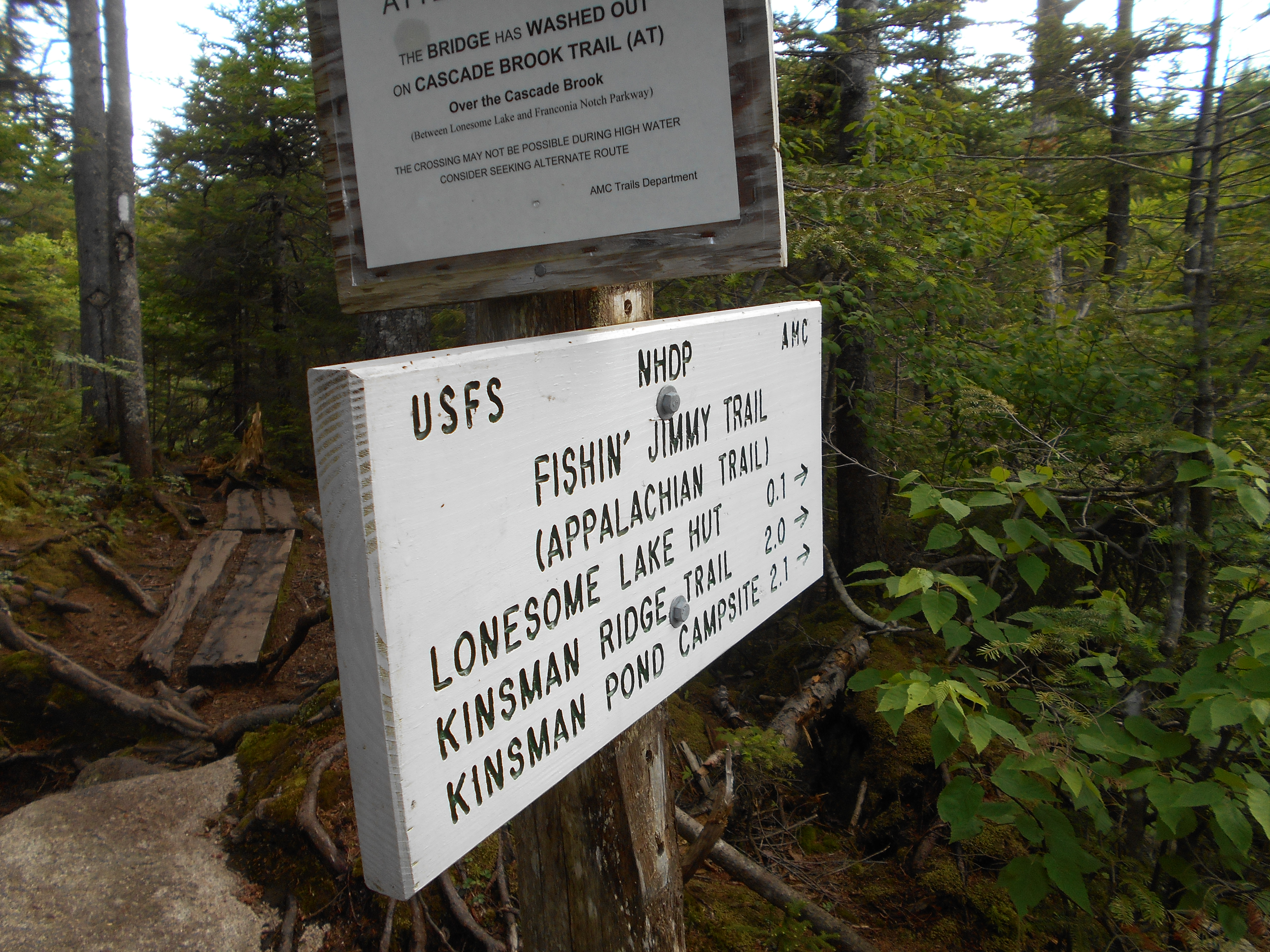
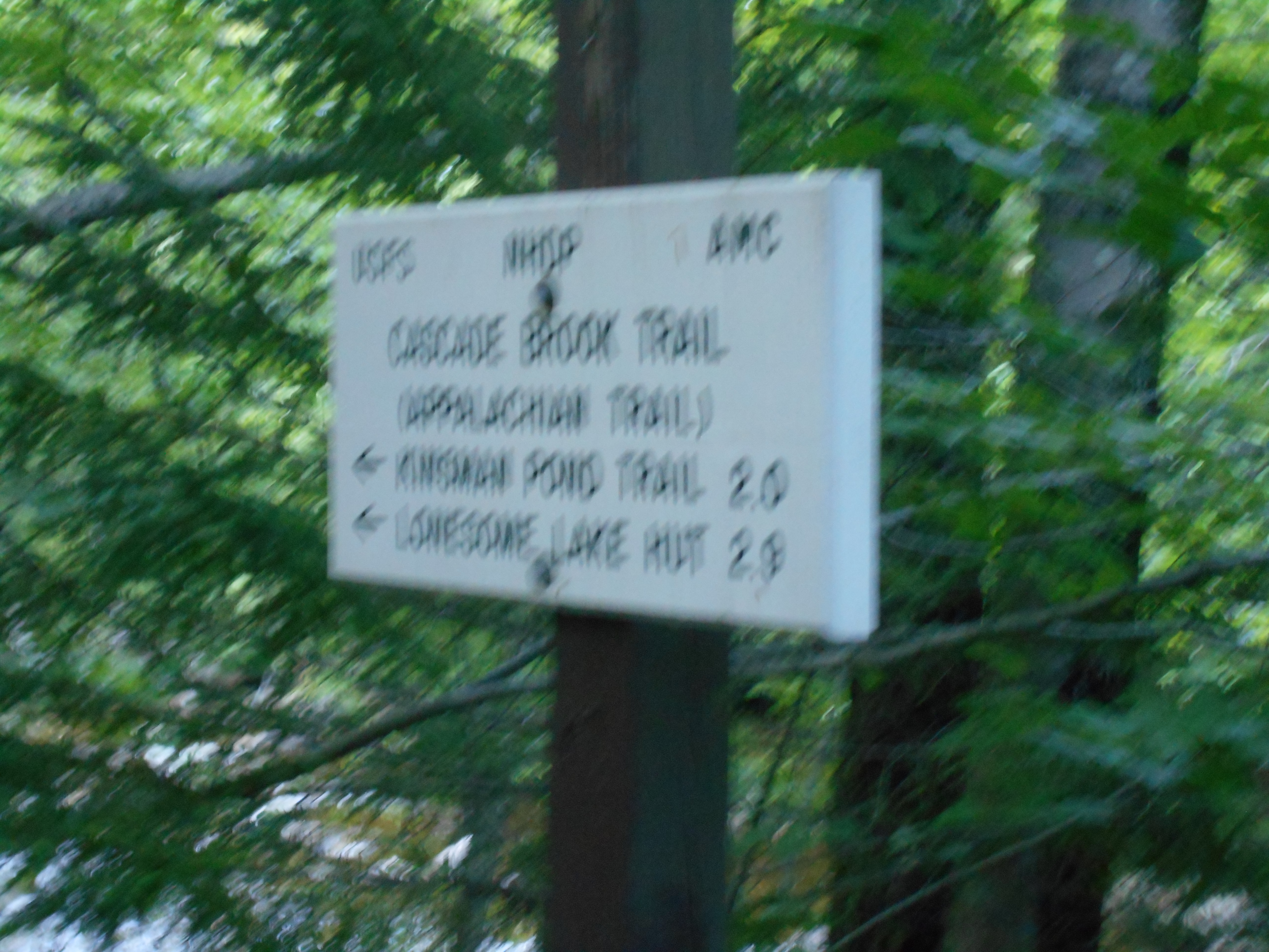
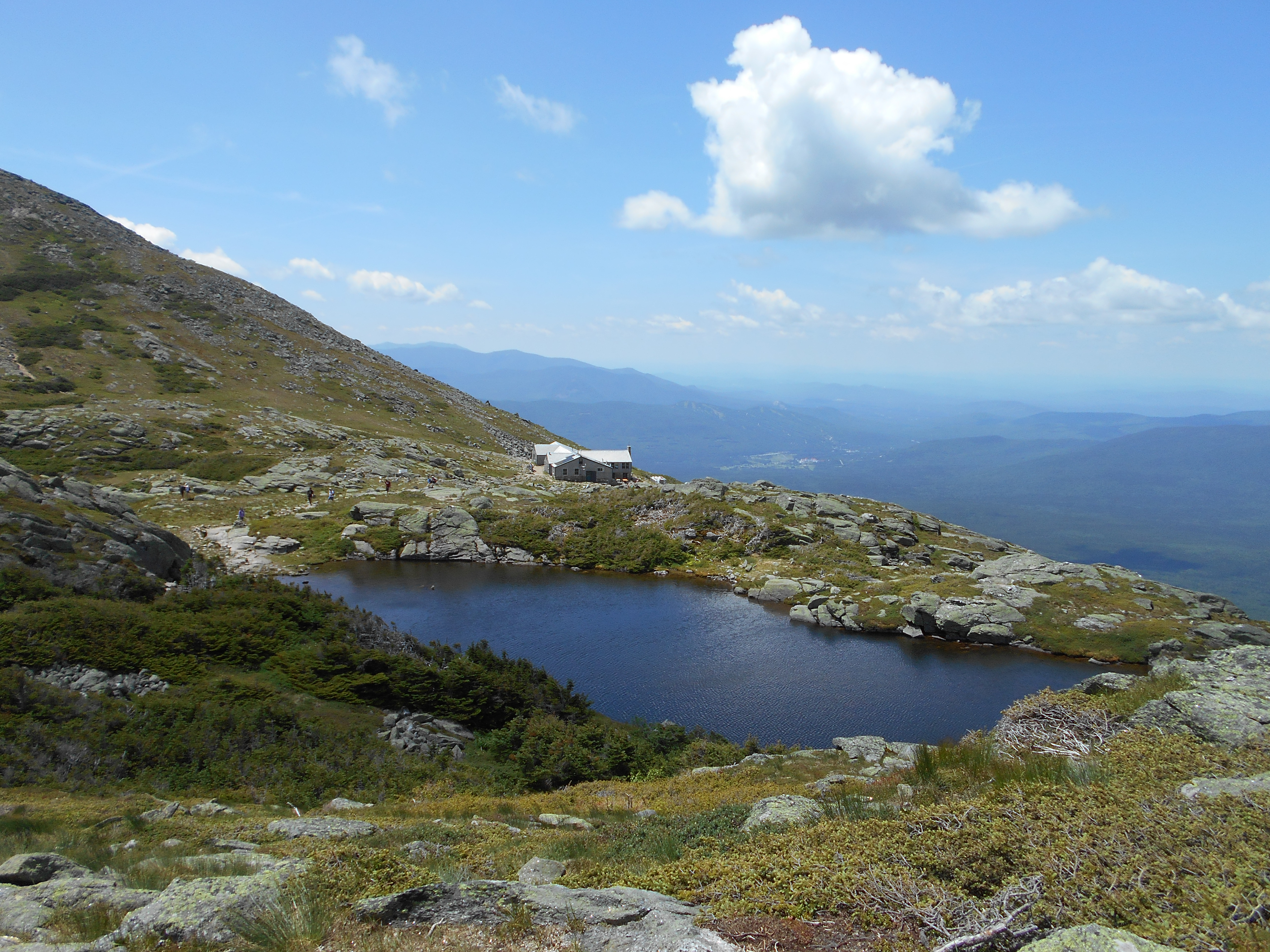
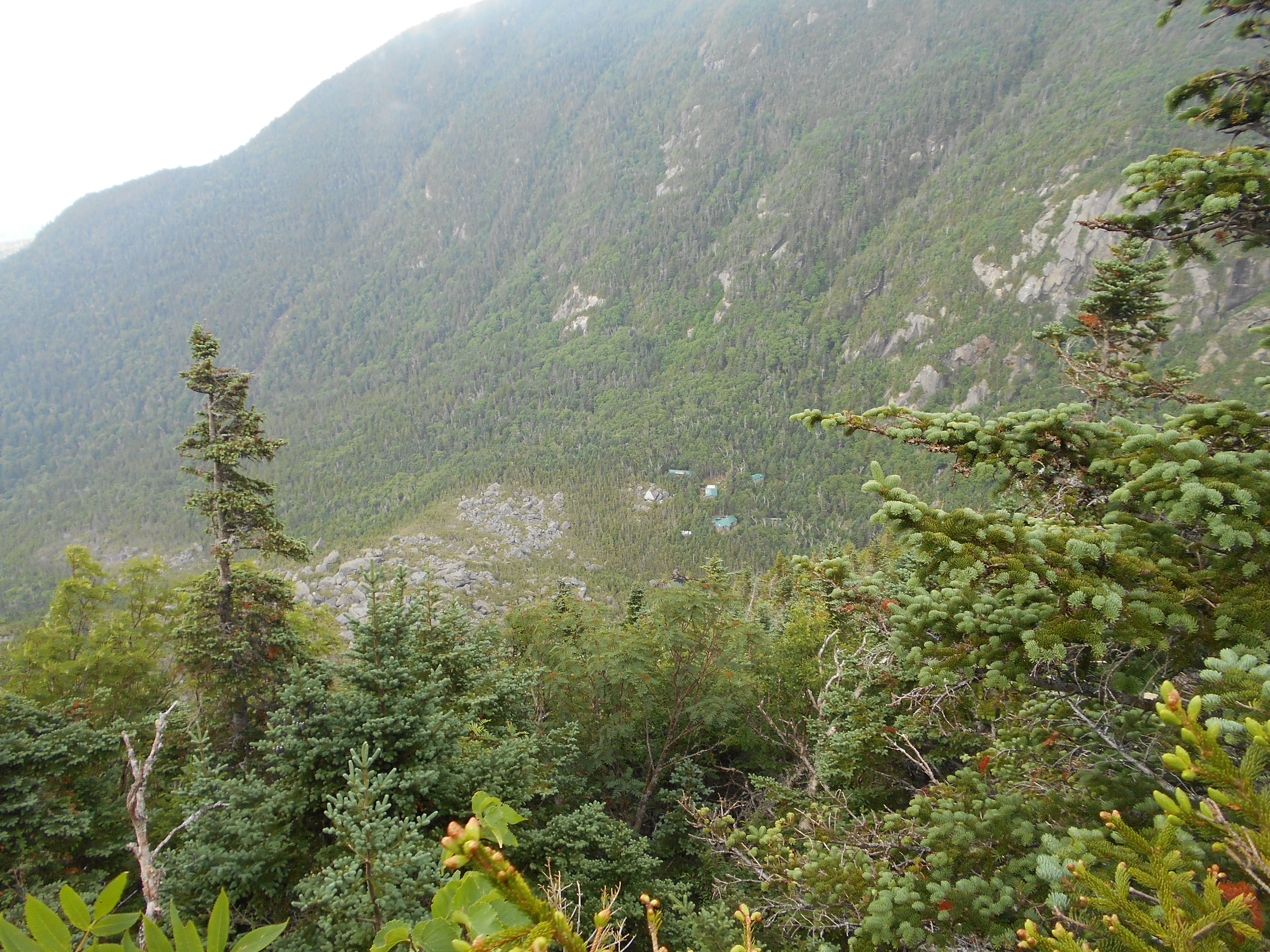
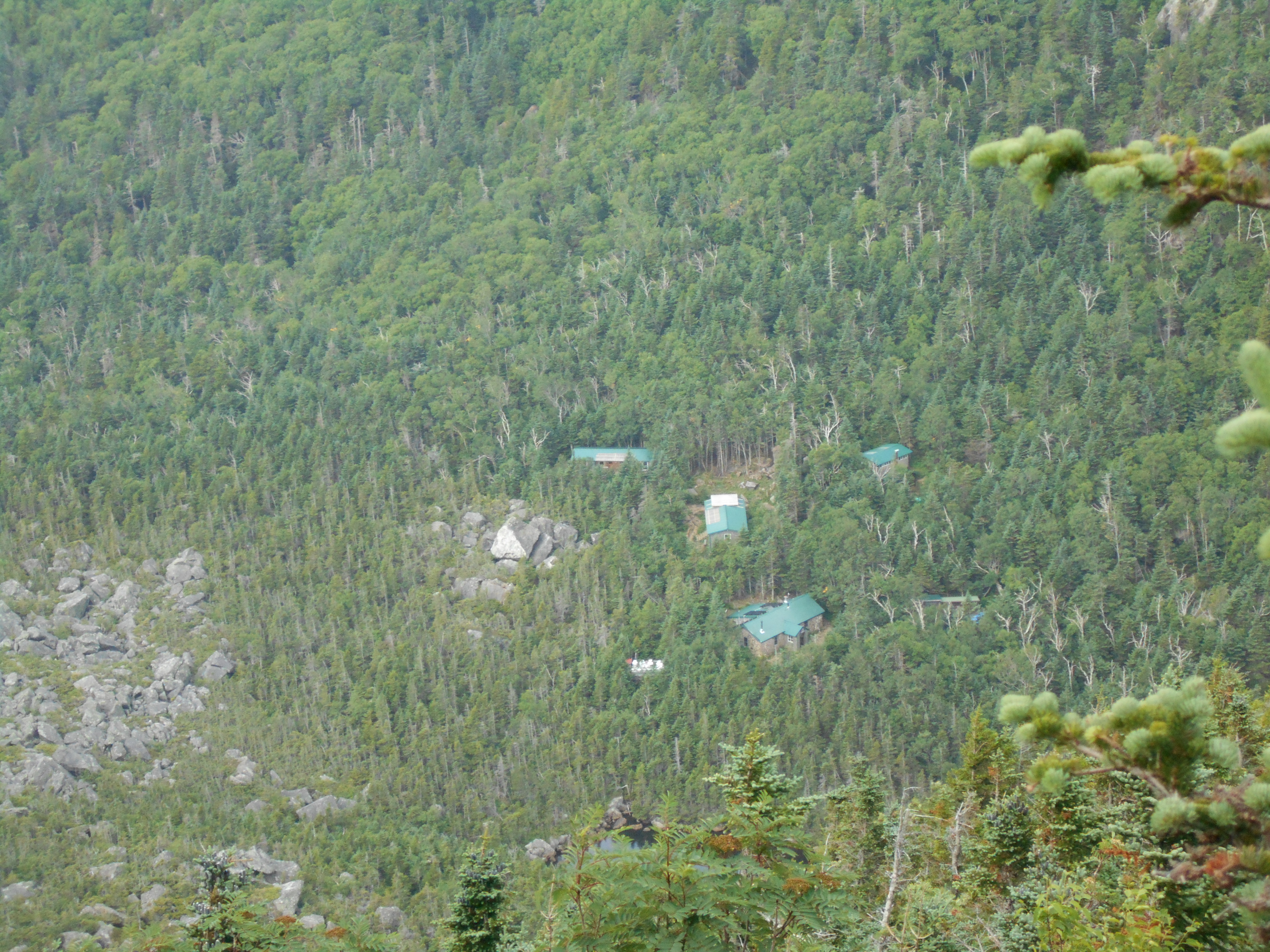
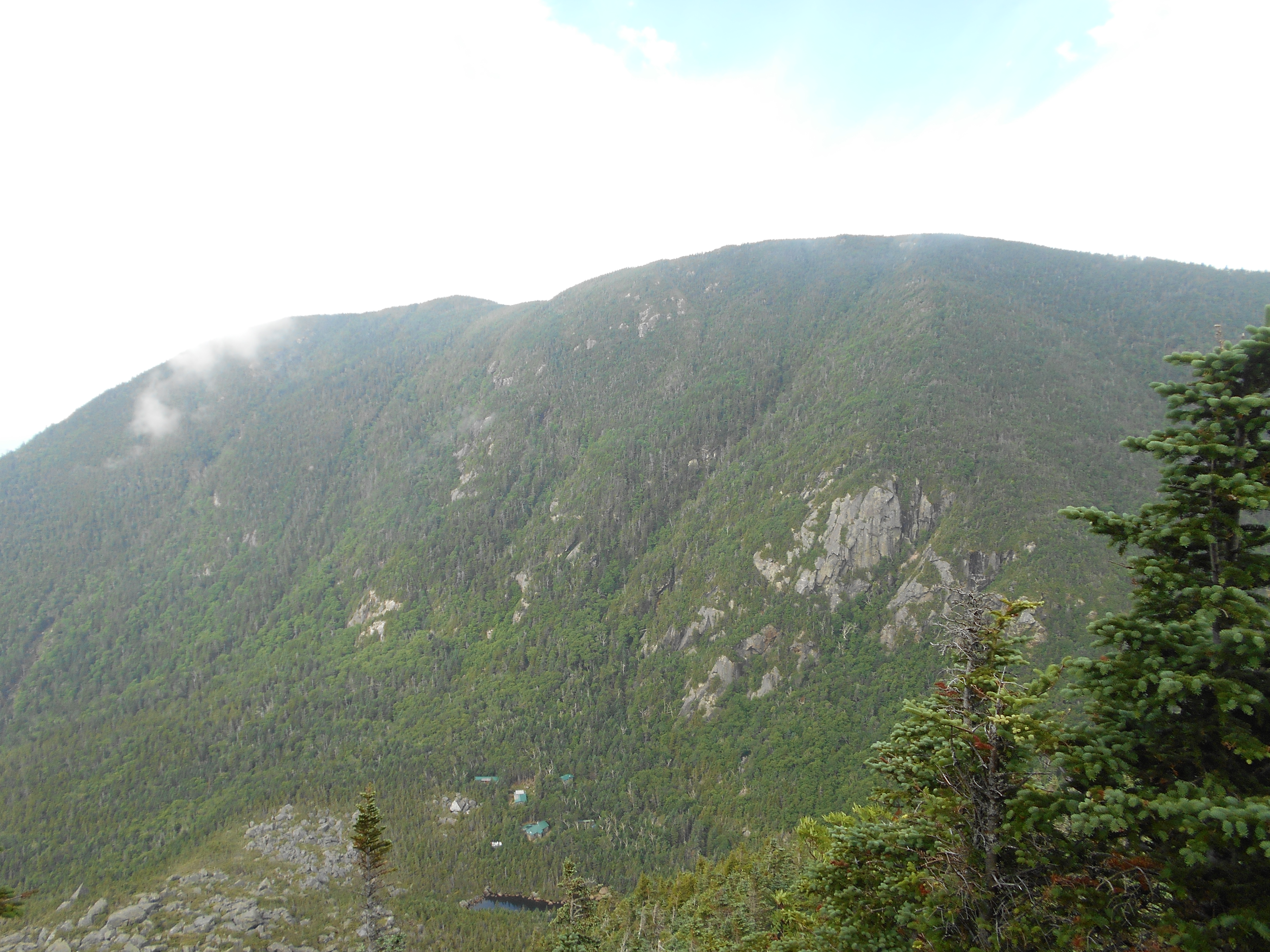
| 1811.2 | Kinsman Pond Trail (south) to +AMC Kinsman Pond Shelter and Campsite (3,750')?4.1mS; 15.3mN | 3750 |
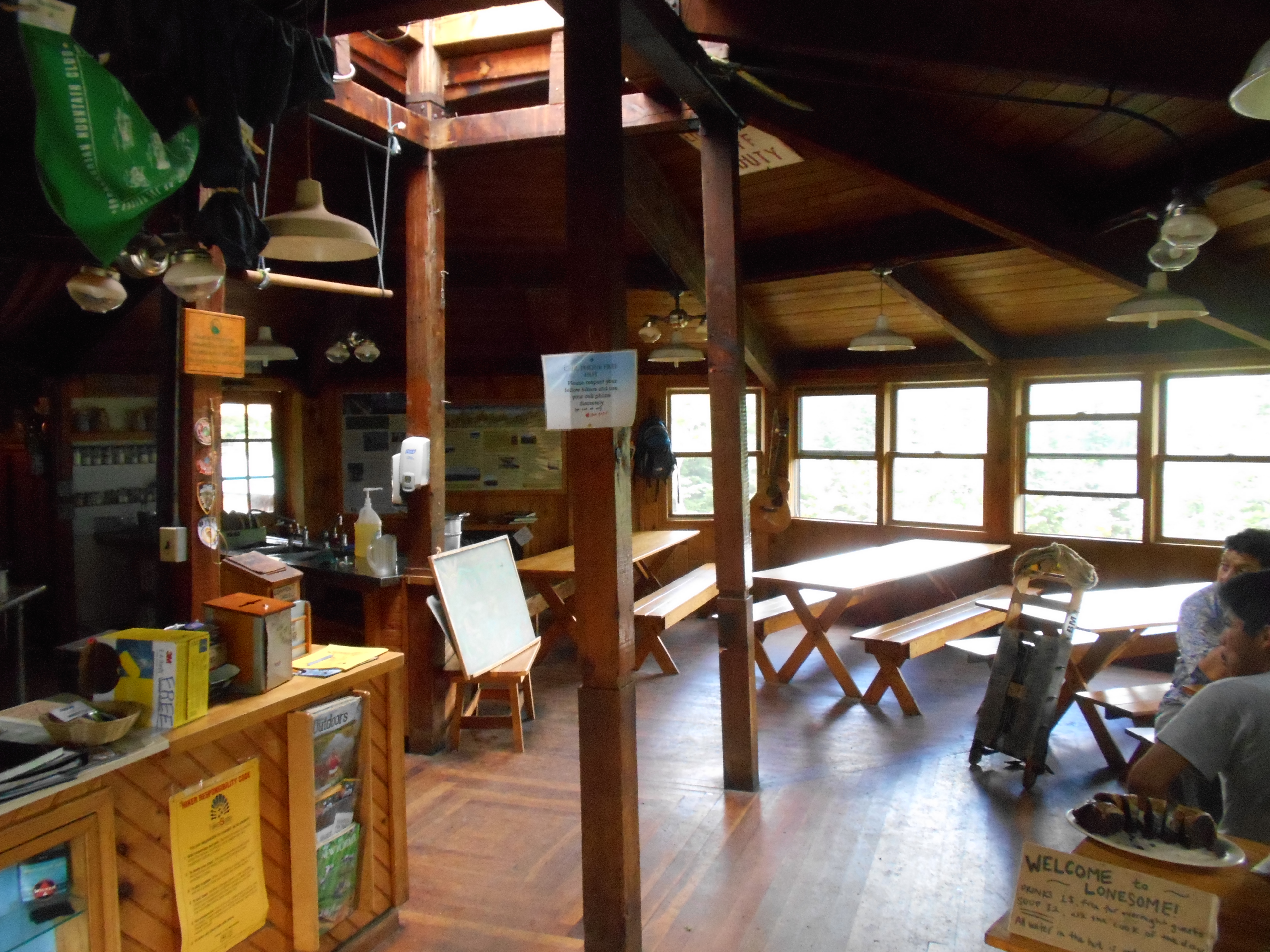
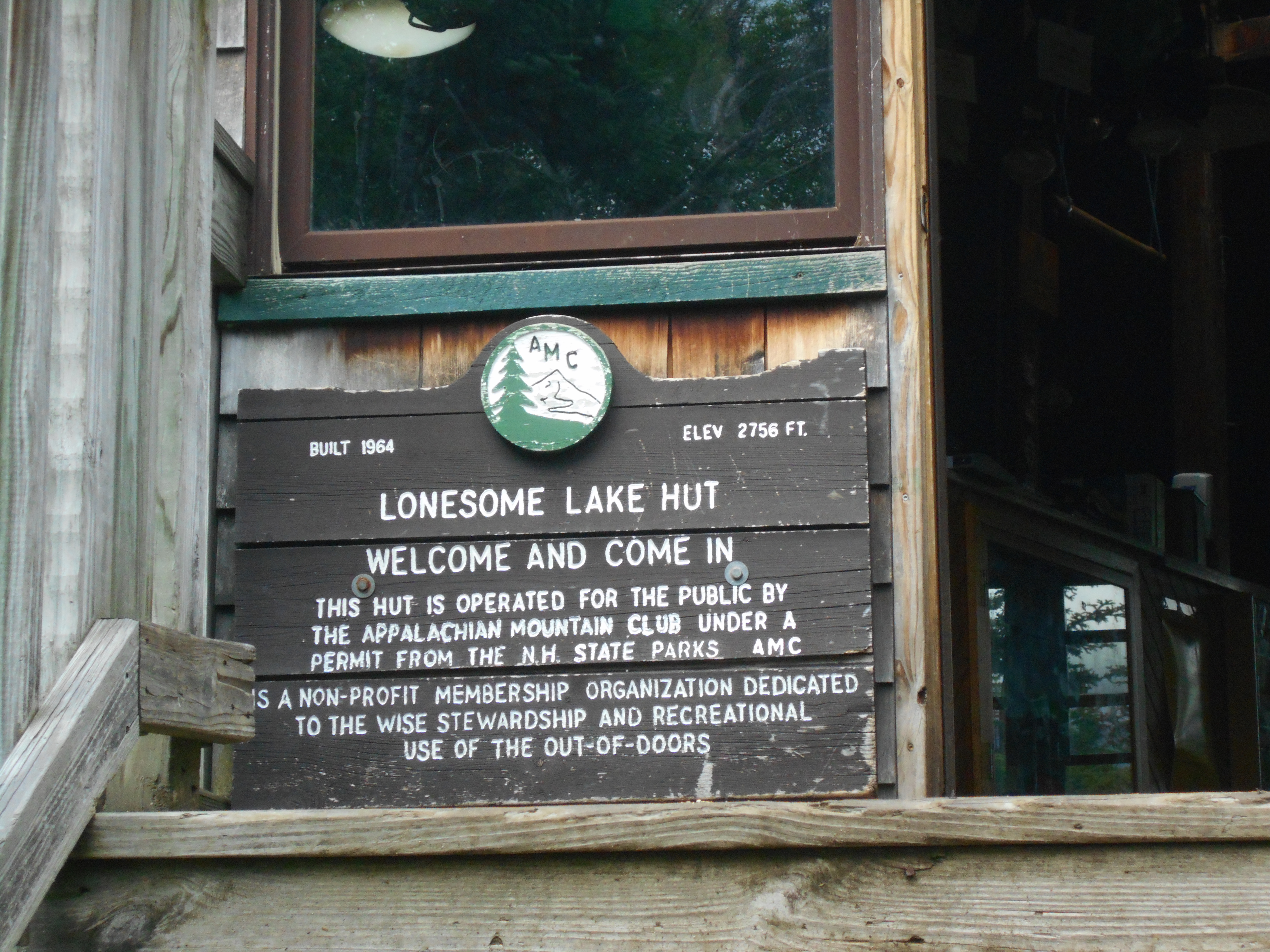
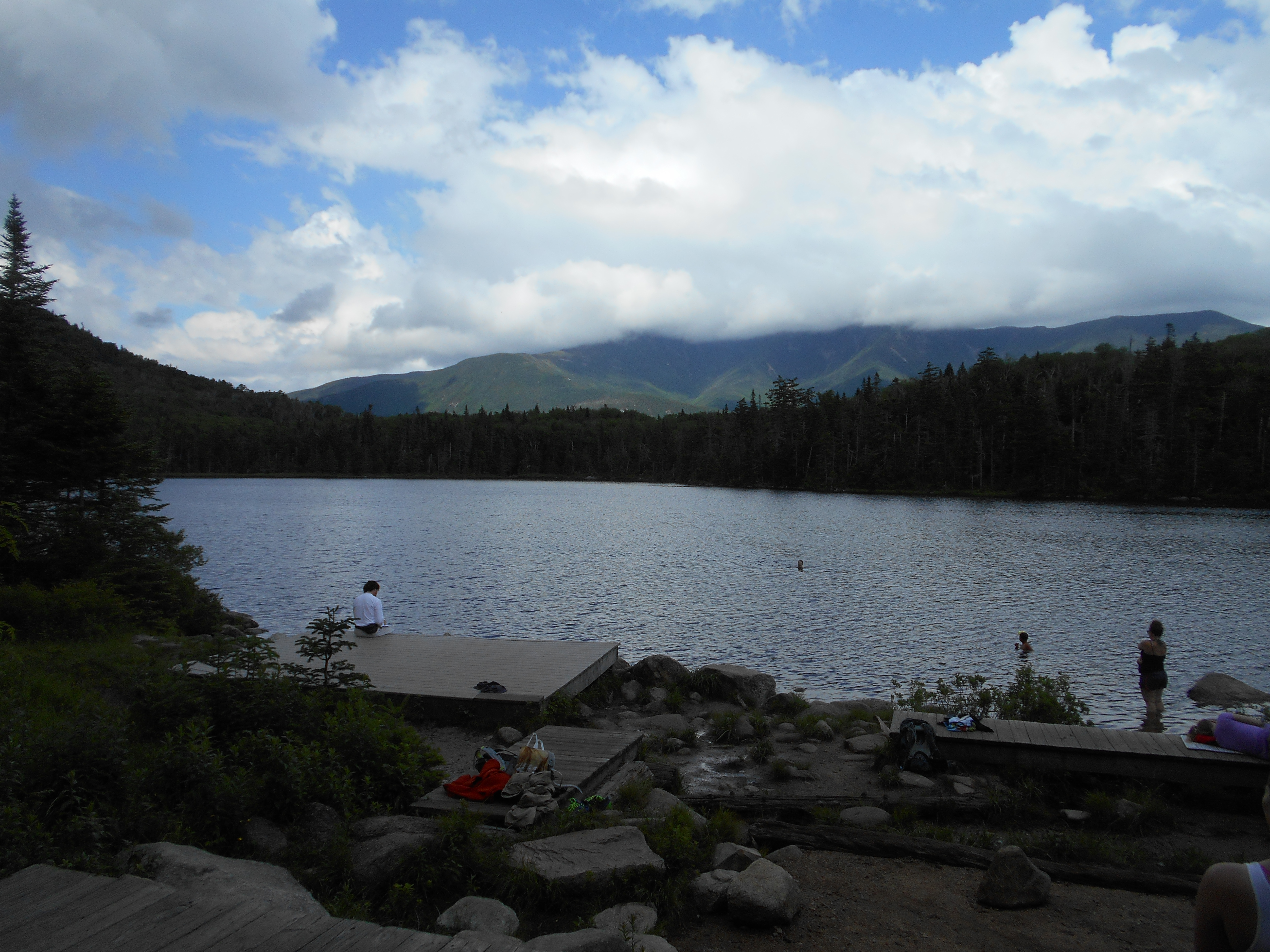
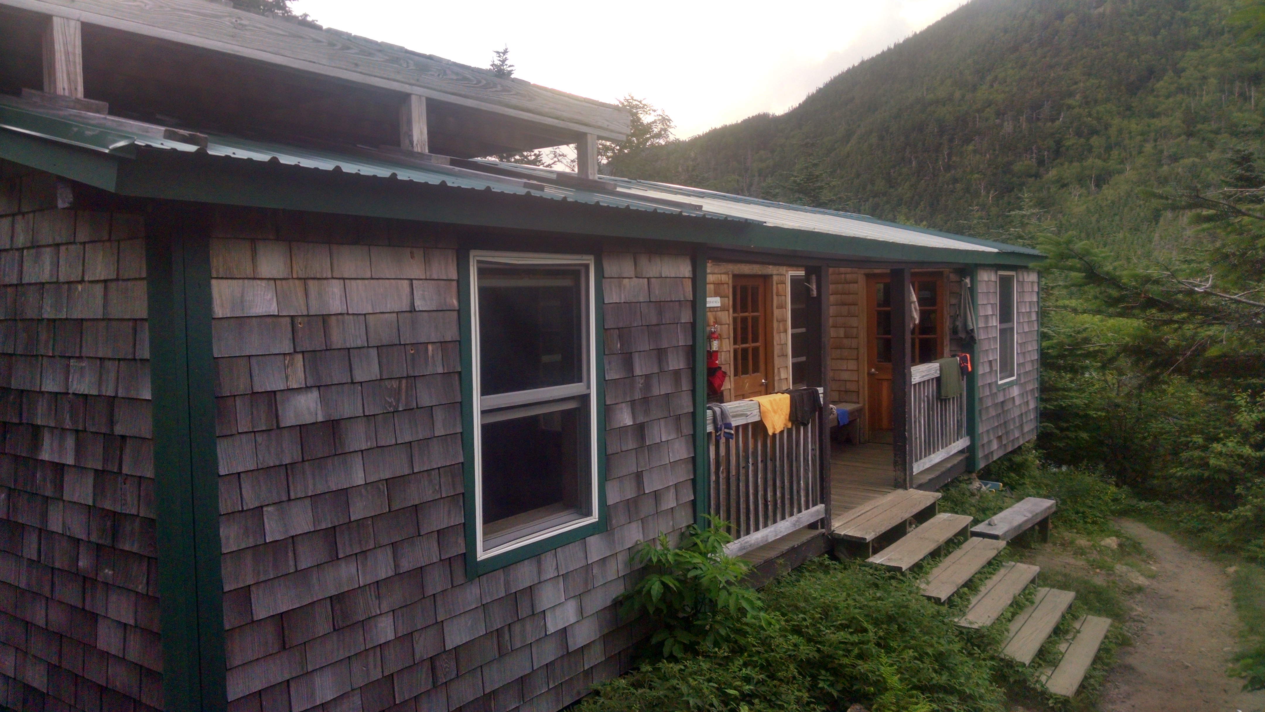
| 1813.1 | +AMC Lonesome Lake Hut (2,760') | 2760 |
| 1814 | Kinsman Pond Trail (north) (2,294') | 2294 |
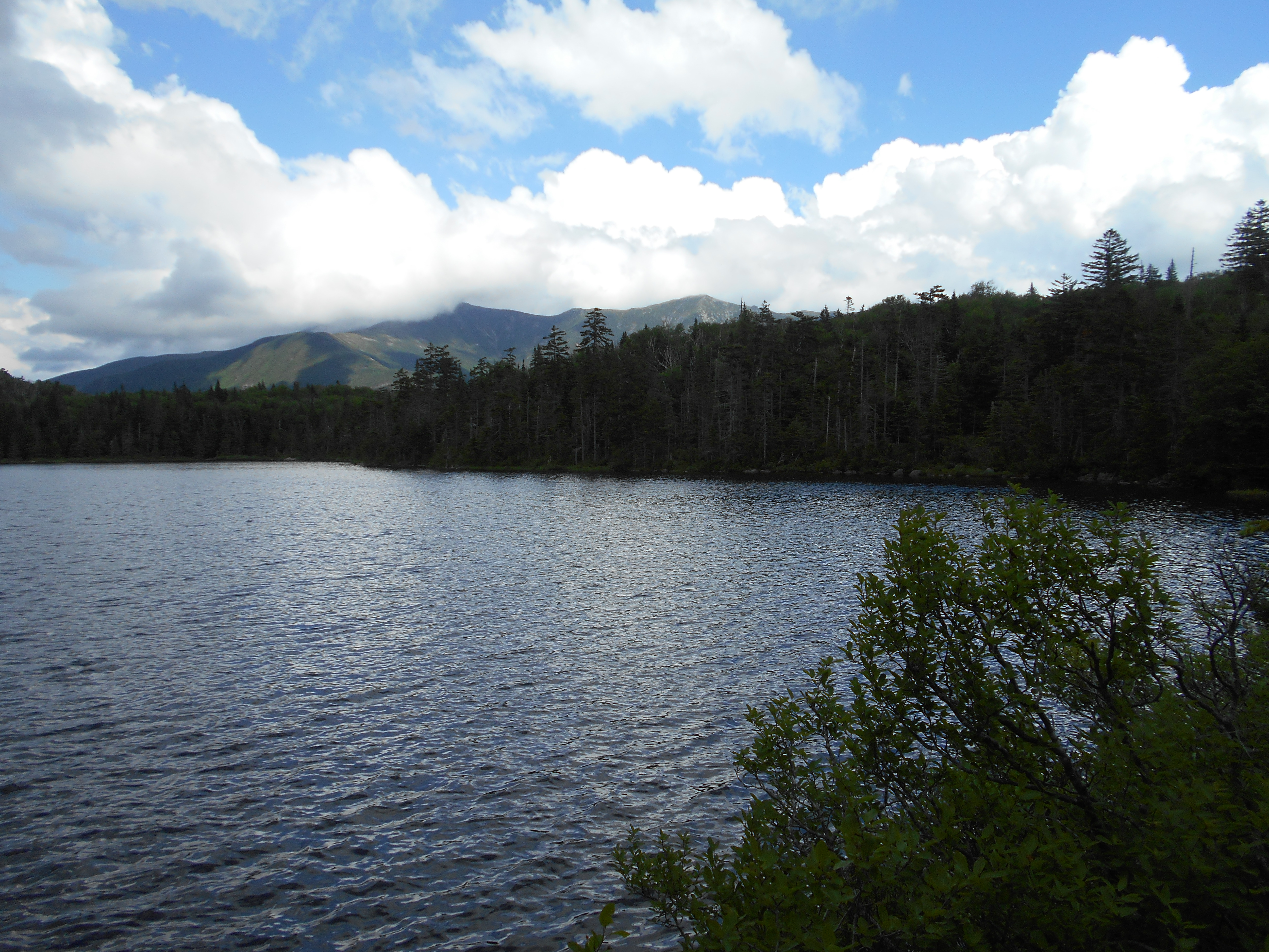
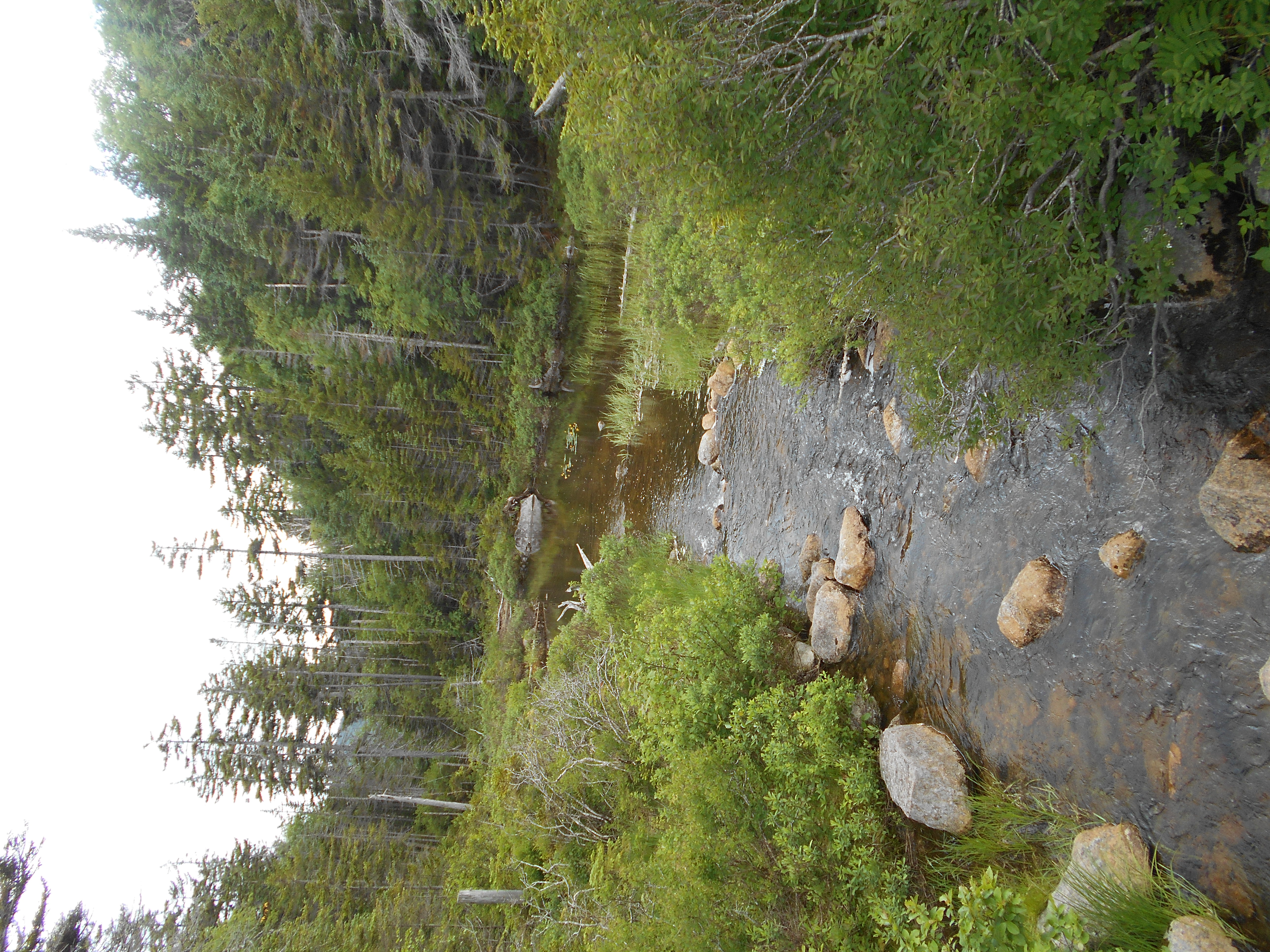
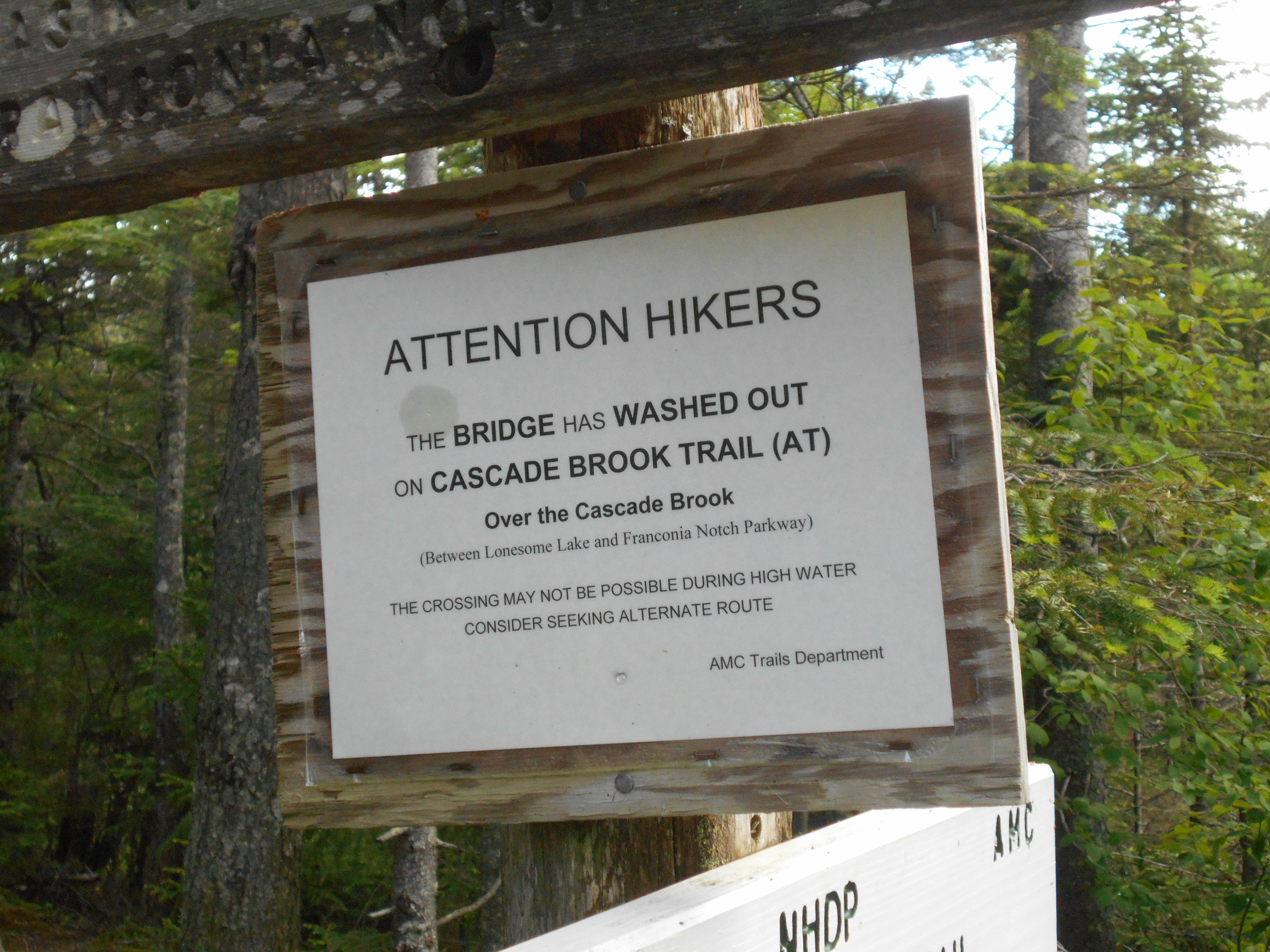
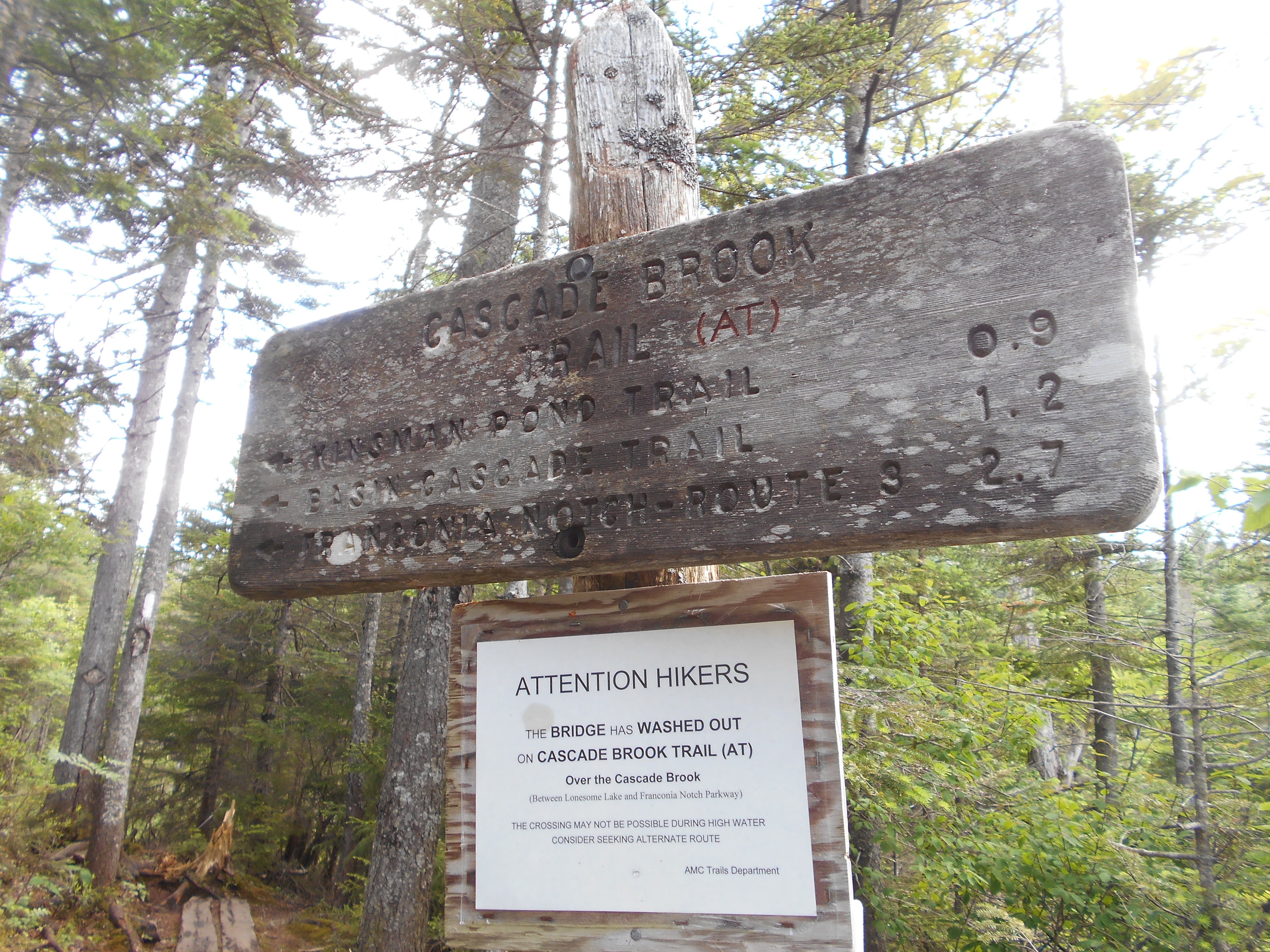
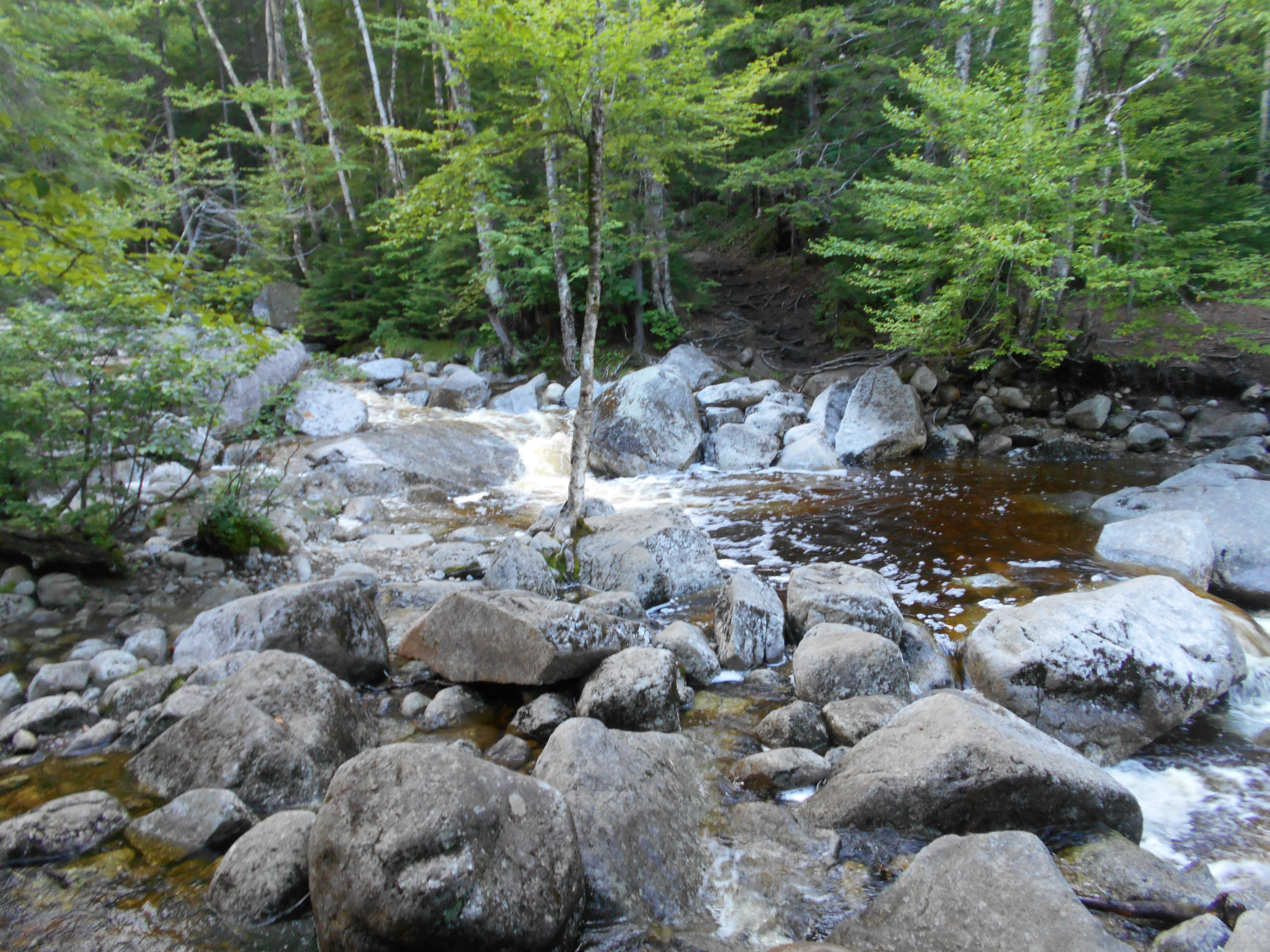
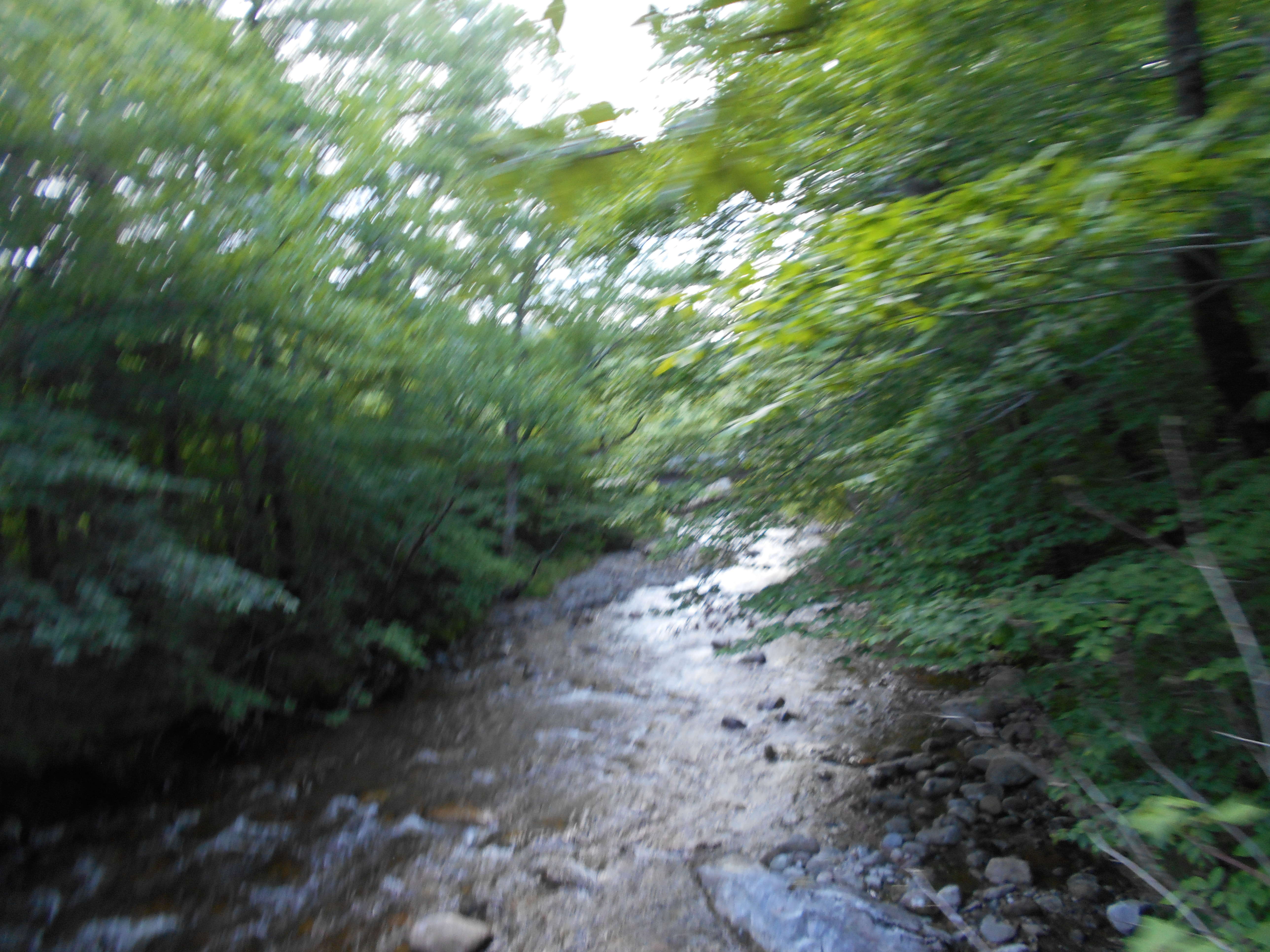
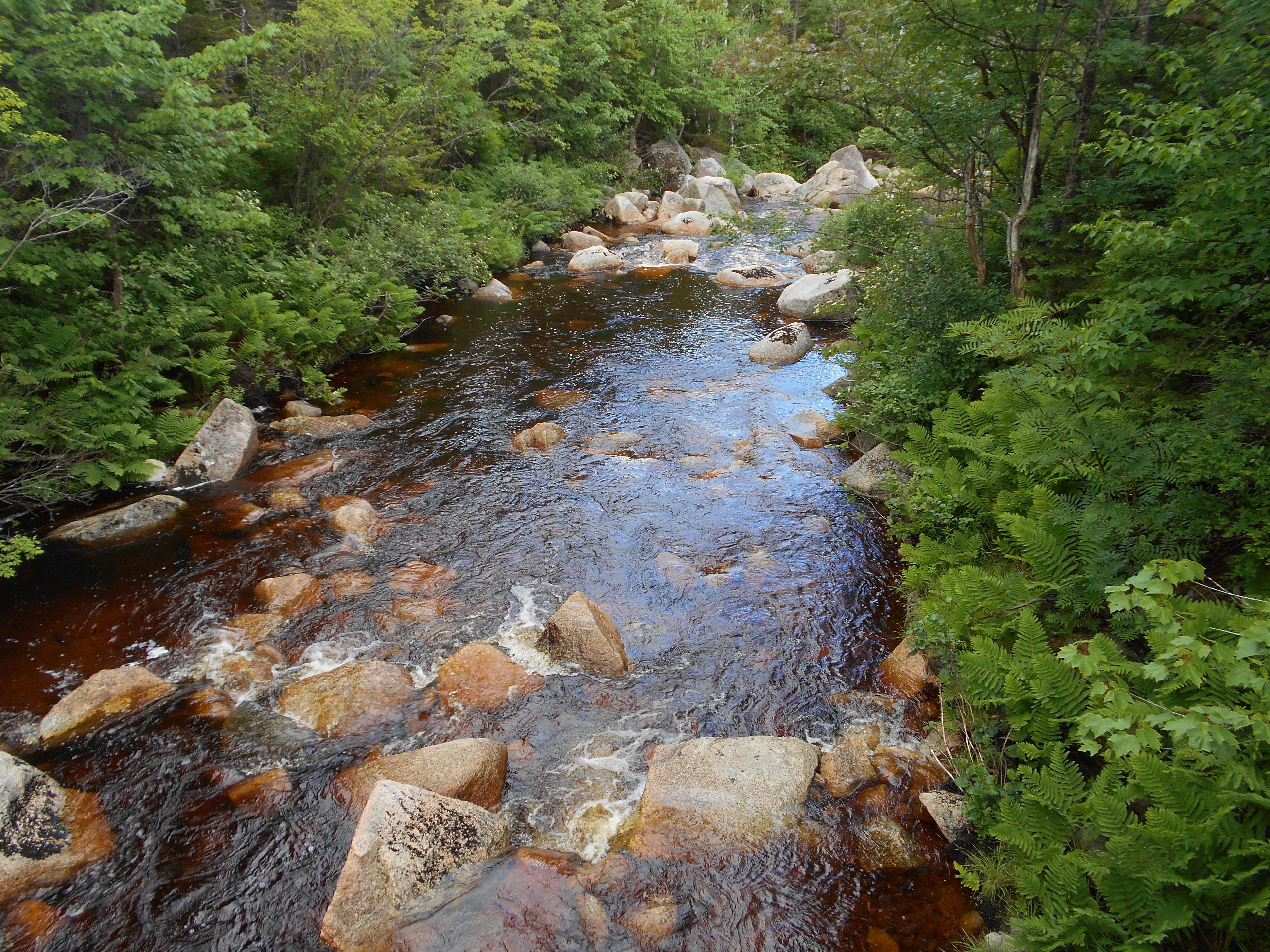
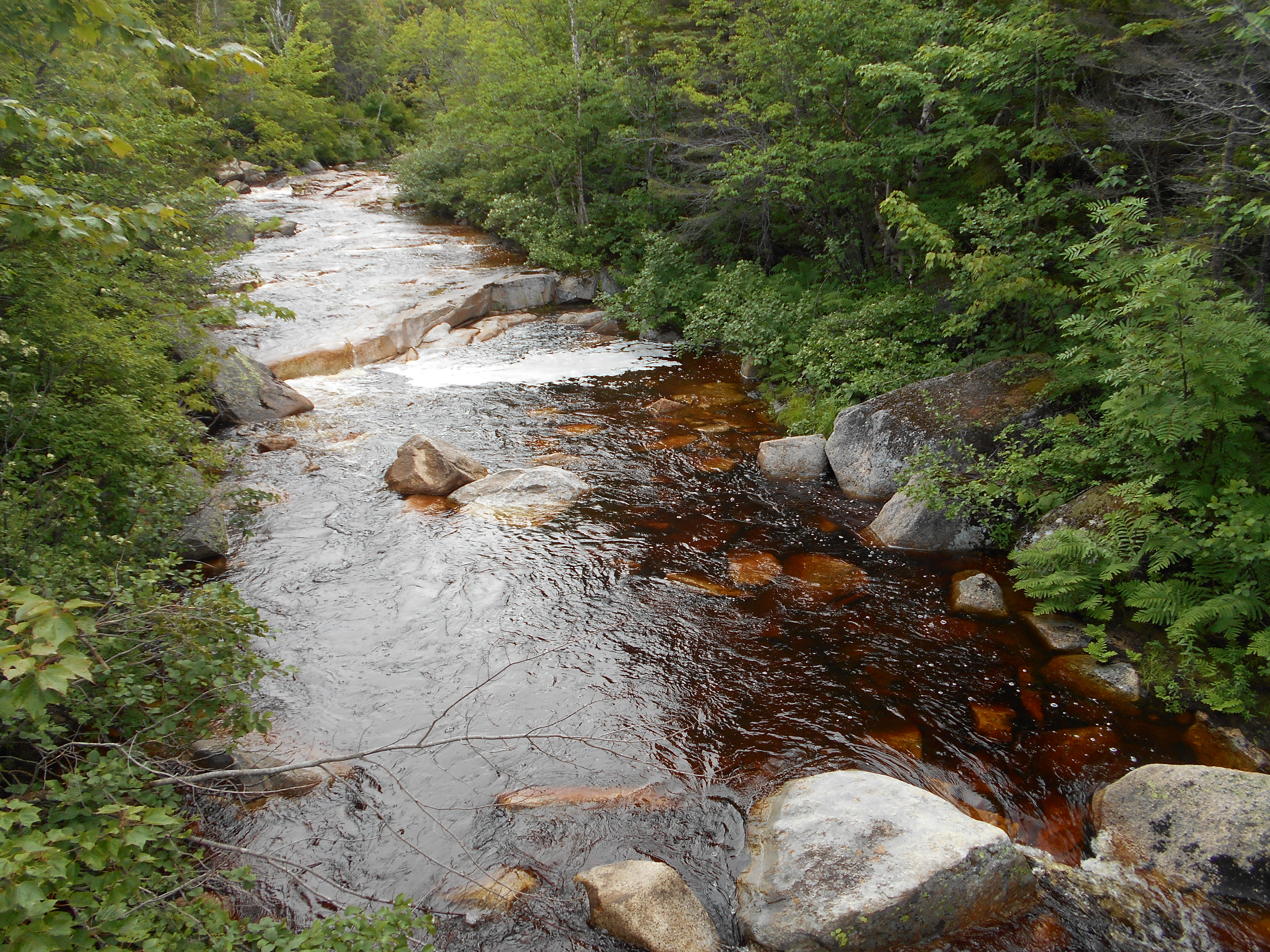
| 1814.5 | Basin?Cascade Trail; Cascade Brook (2,084')?ford | 2084 |
| 1815.6 | Whitehouse Brook (1,610') | 1610 |
| 1815.8 | Pemi Trail (1,520') | 1520 |
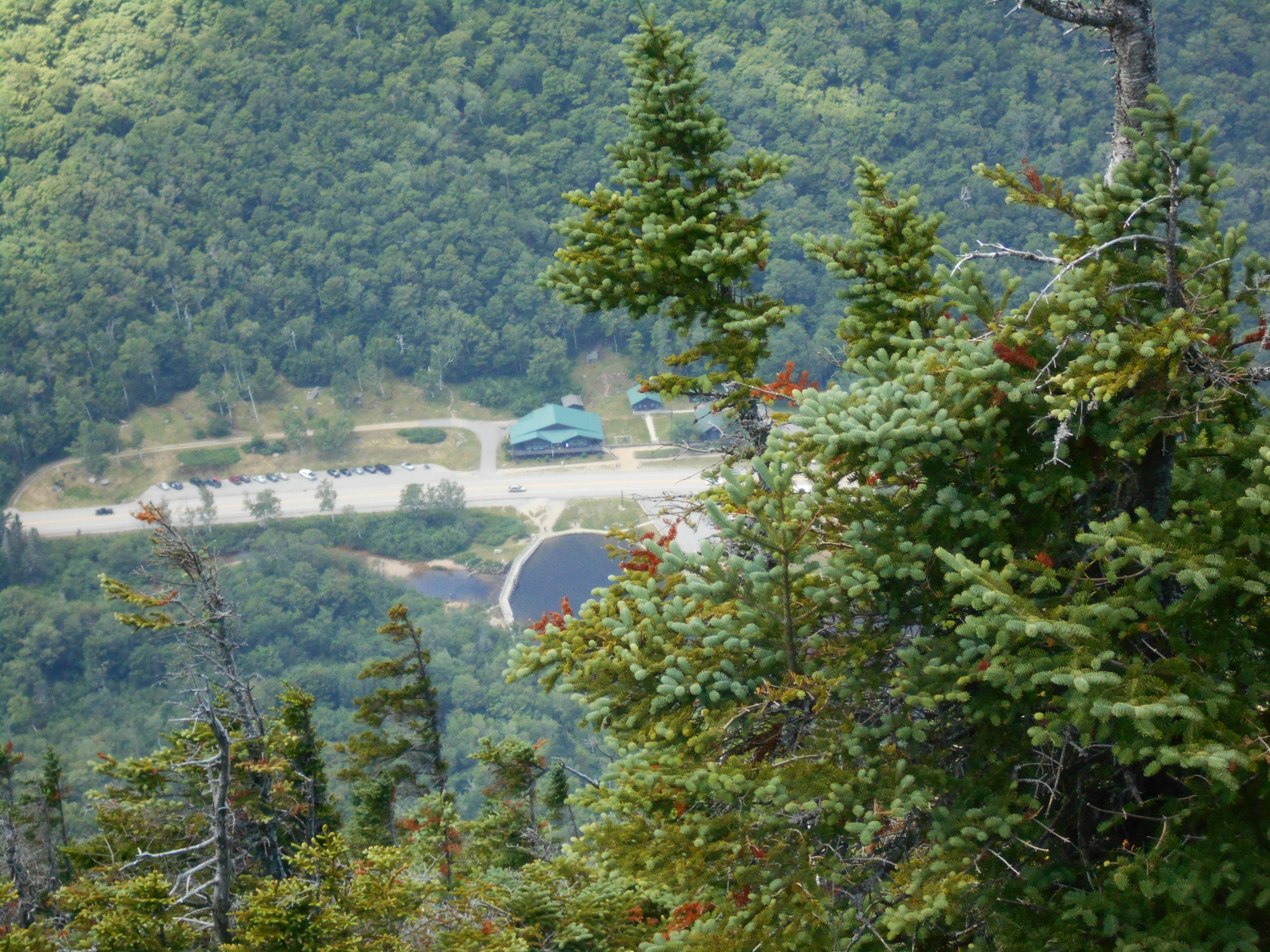
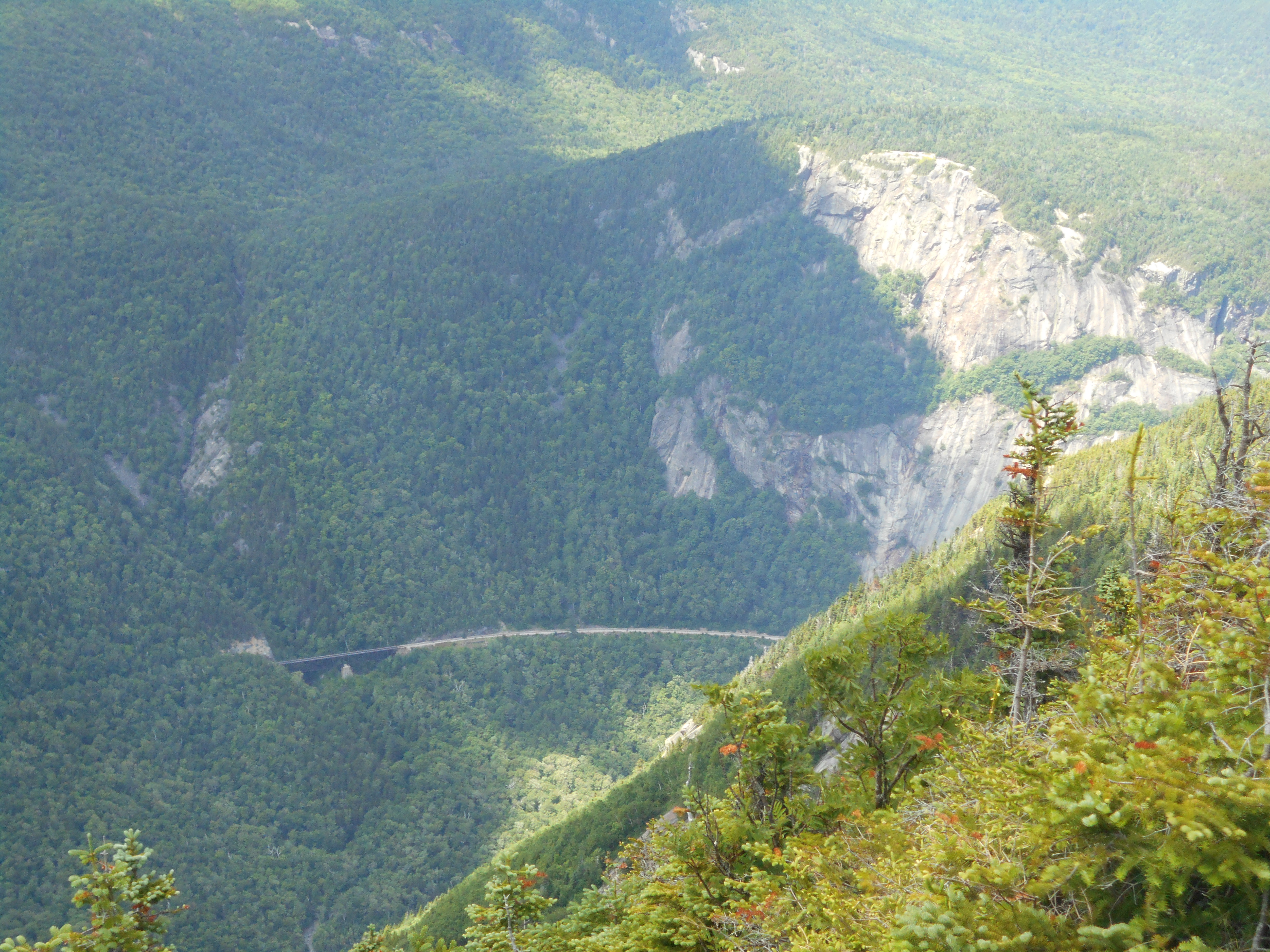
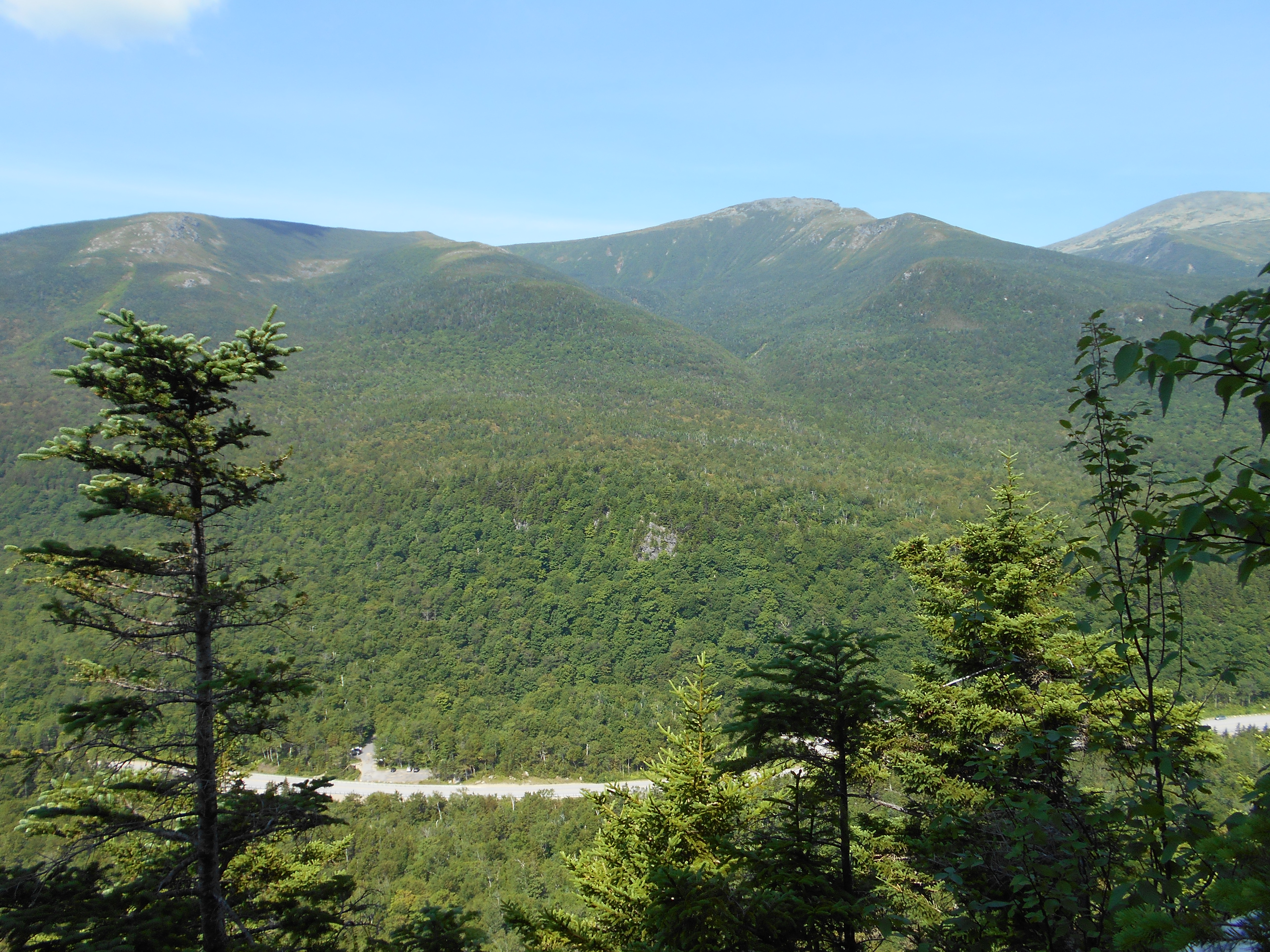
| 1816 | I-93, U.S. 3,Franconia Notch (1,450') ?underpass Pemigawasset River North Woodstock, N.H. 03262 Lincoln, N.H. 03251 Franconia, N.H. | 1450 |
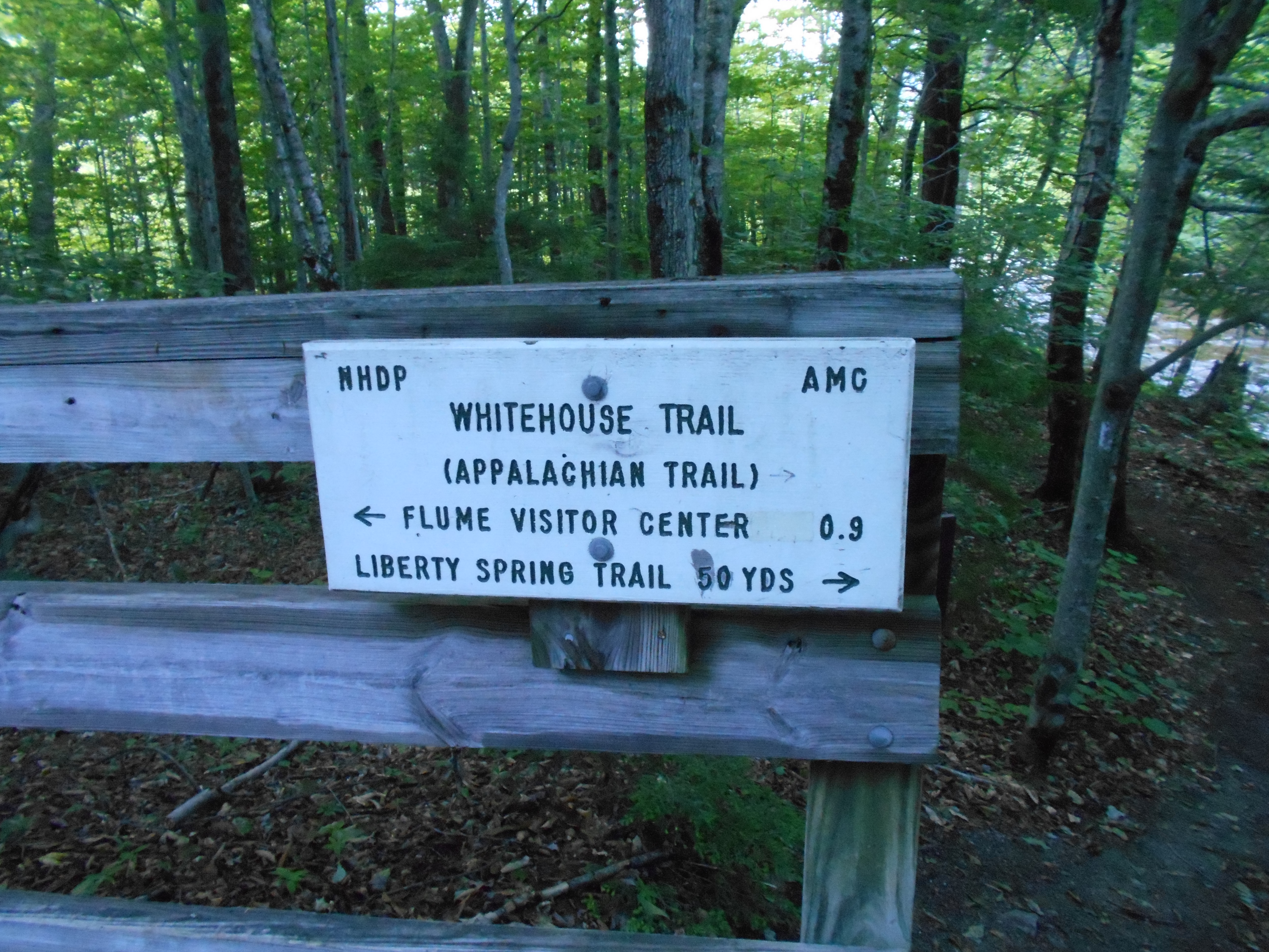
| 1816 | Franconia Notch paved bike path east to Liberty Springs hiker parking and shuttle; and beyond to The Flume Visitor Center; west to +Lafayette Place Campground (1,450') | 1450 |


| Miles from Springer | Features | Elevation |
|---|---|---|
| 1816 | I-93, U.S. 3,Franconia Notch (1,450') ?underpass Pemigawasset River North Woodstock, N.H. 03262 Lincoln, N.H. 03251 Franconia, N.H. | 1450 |
| 1816 | Franconia Notch paved bike path east to Liberty Springs hiker parking and shuttle; and beyond to The Flume Visitor Center; west to +Lafayette Place Campground (1,450') | 1450 |
| 1816.6 | Flume Side Trail (1,800') | 1800 |
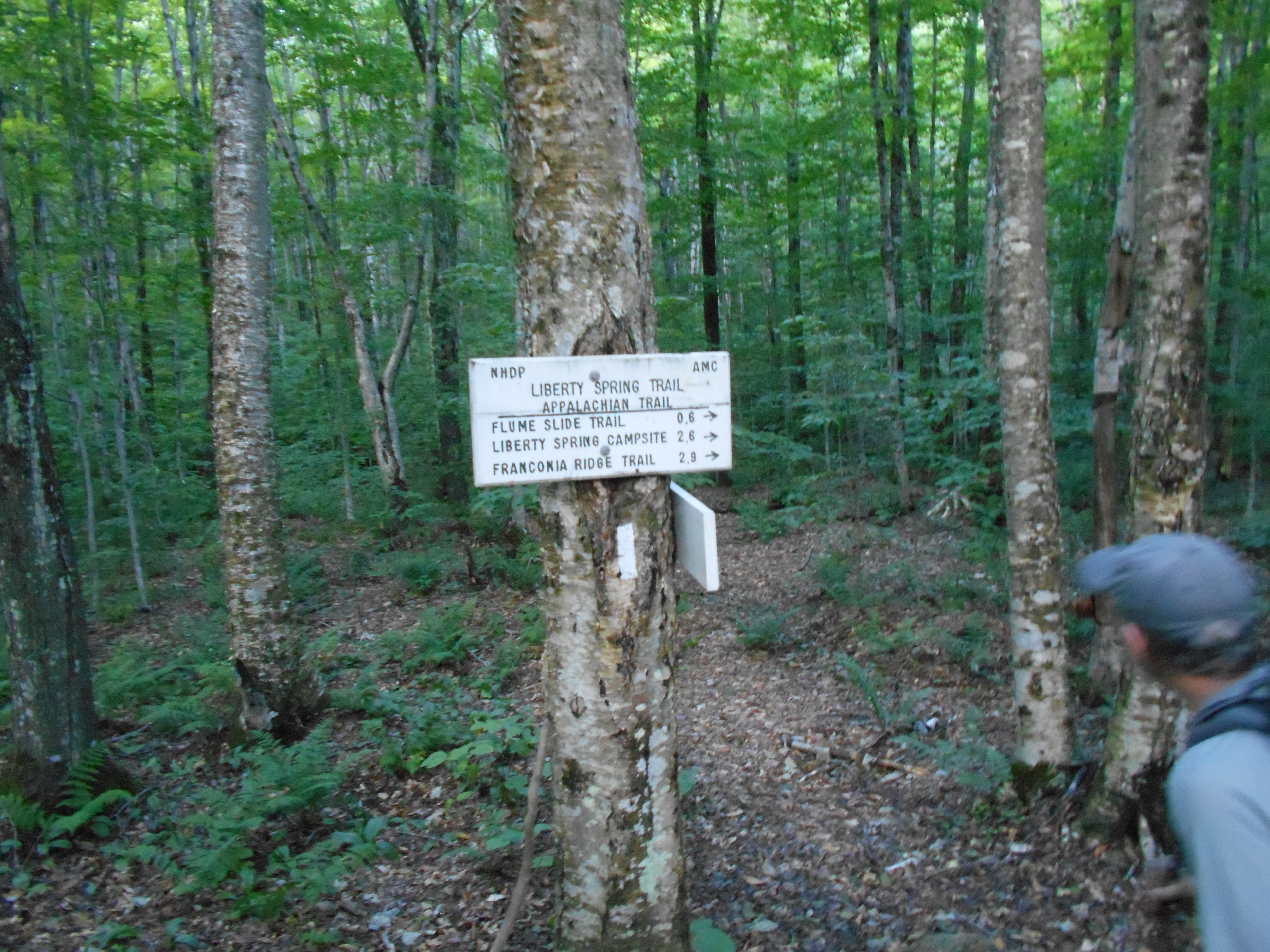
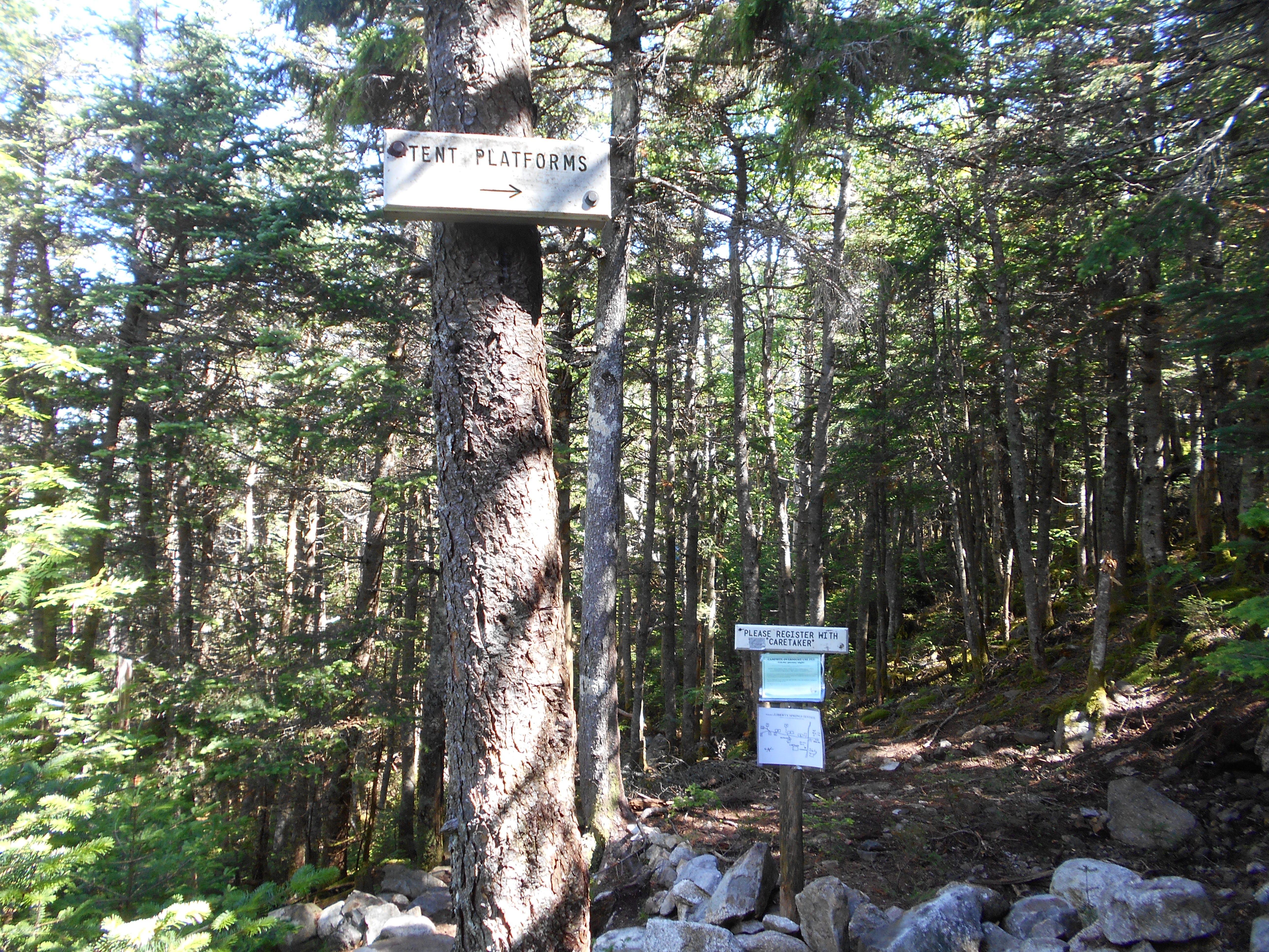
| 1818.6 | +AMC Liberty Springs Tentsite (3,870') | 3870 |
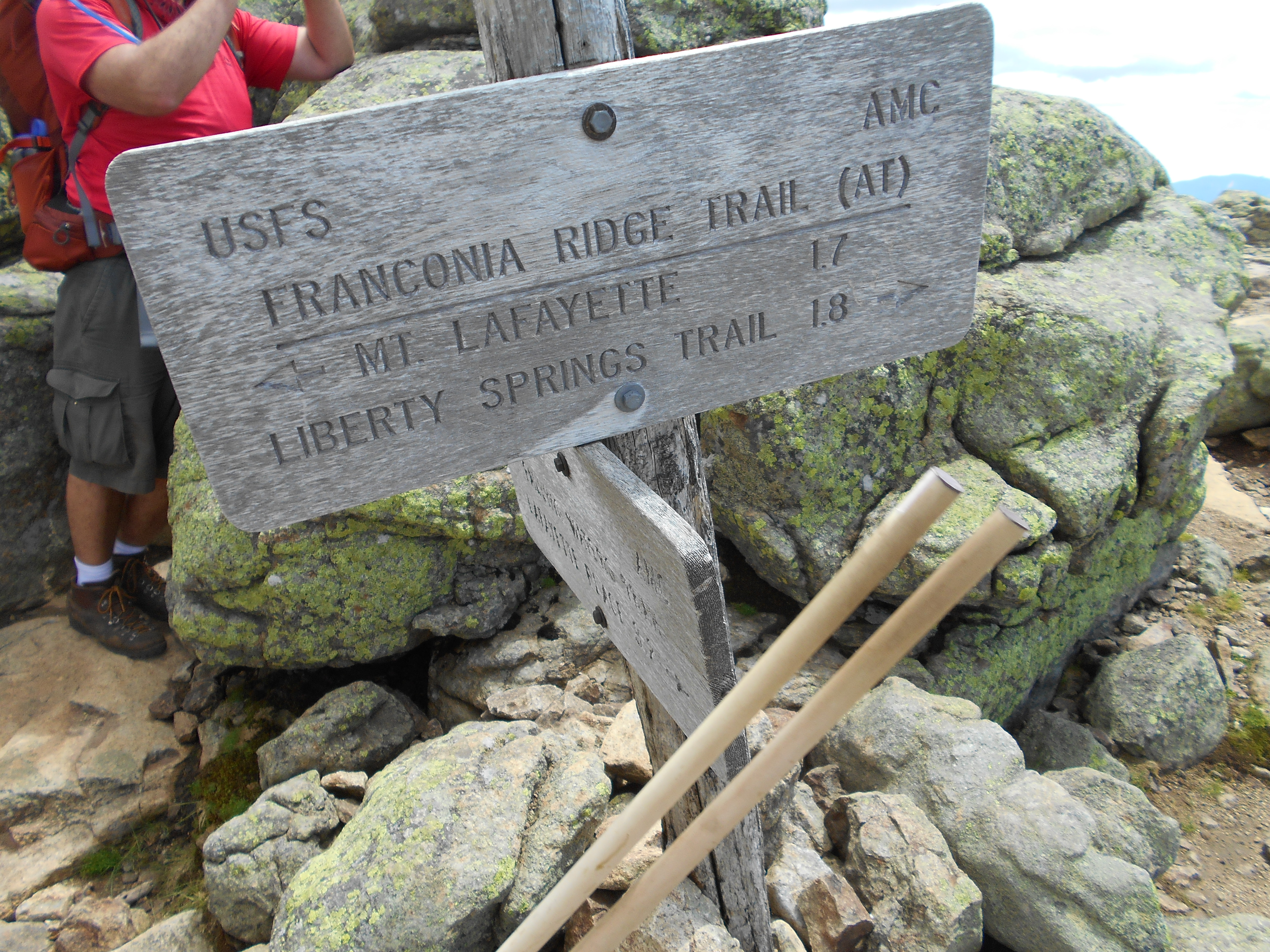
| 1818.9 | Franconia Ridge Trail (4,260') ?0.3m to Mt. Liberty | 4260 |
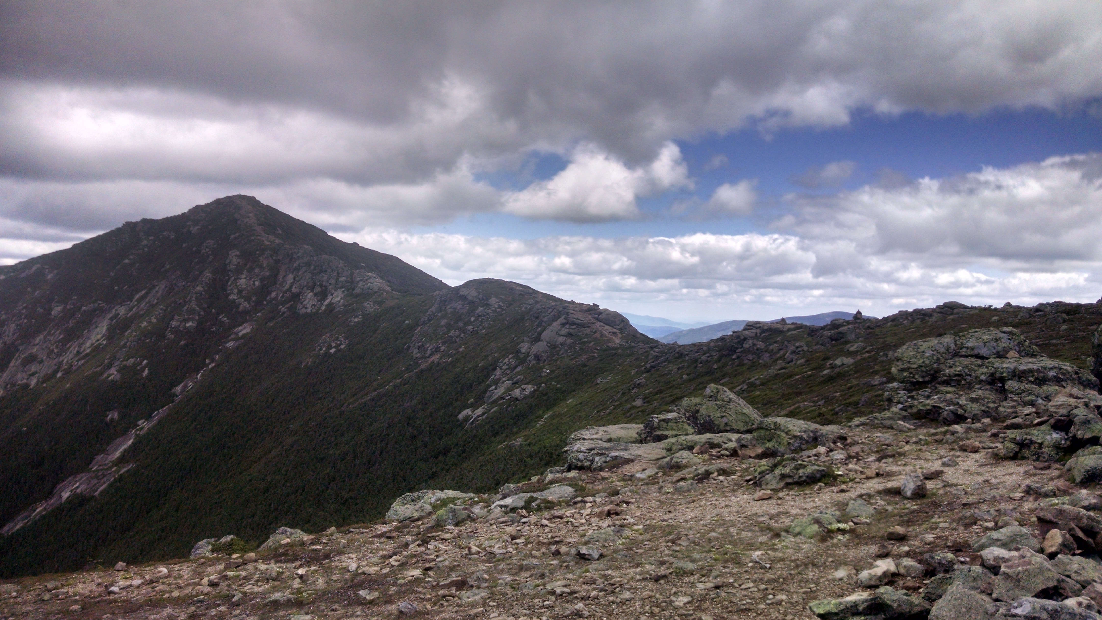
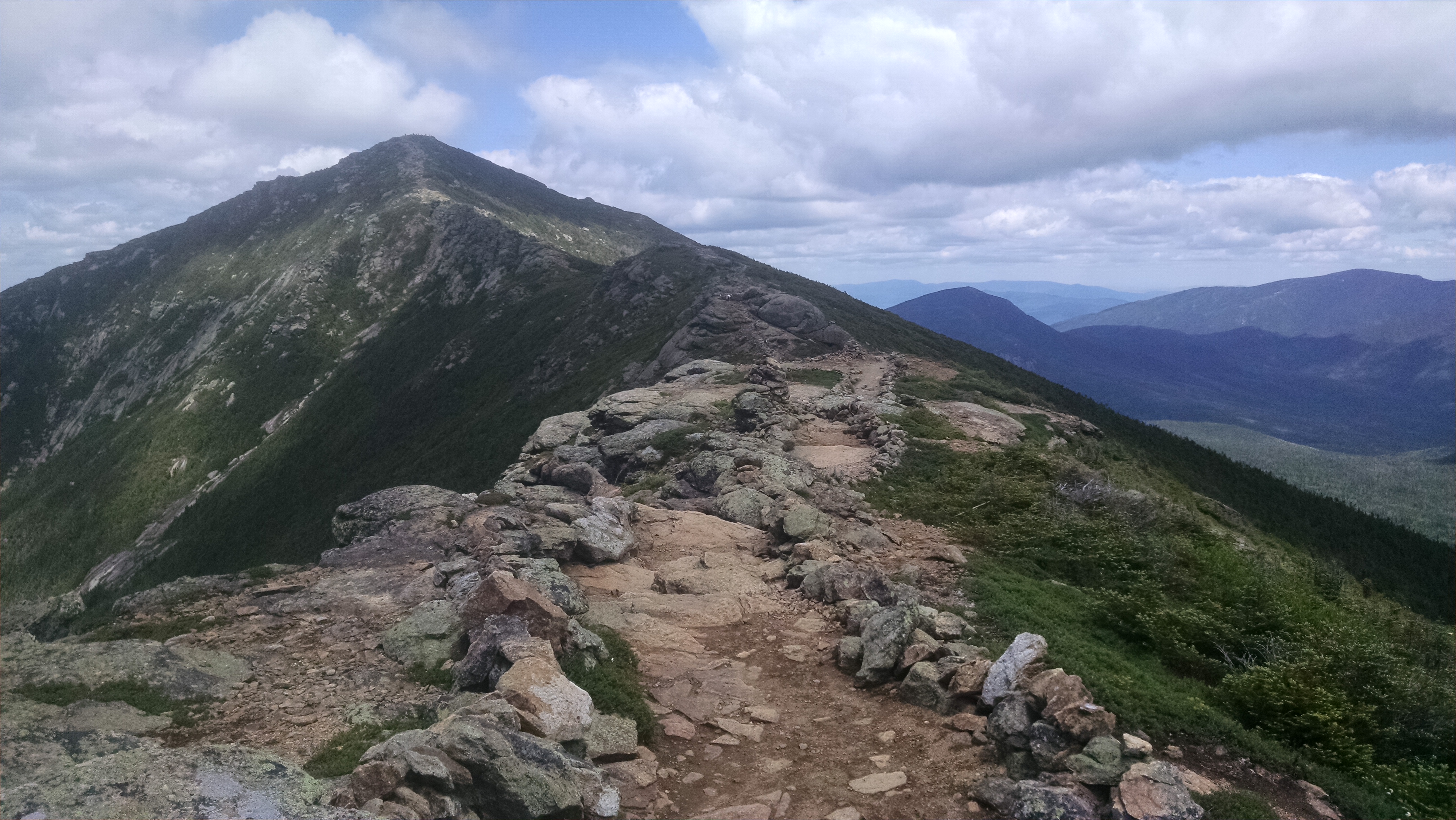
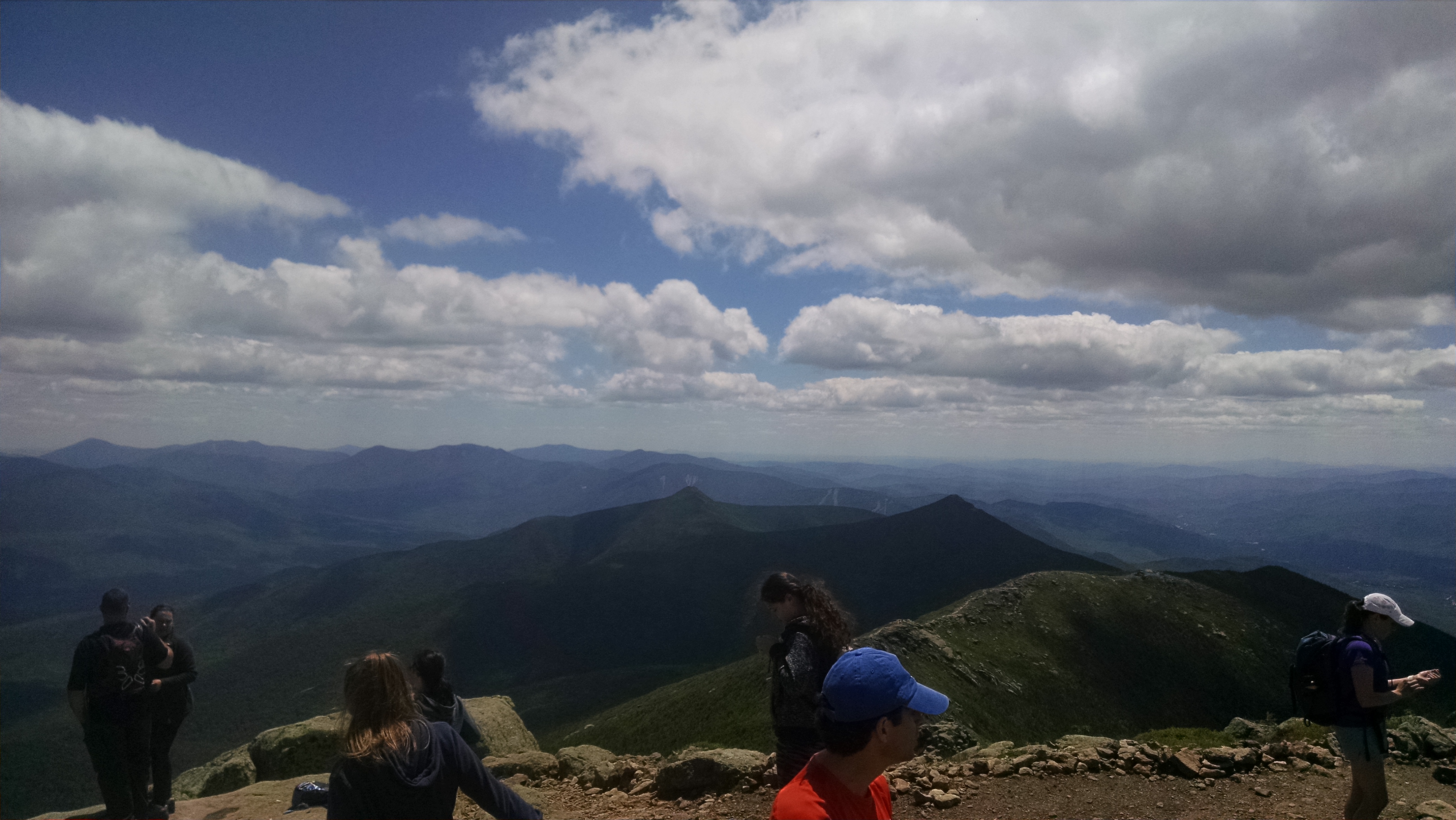
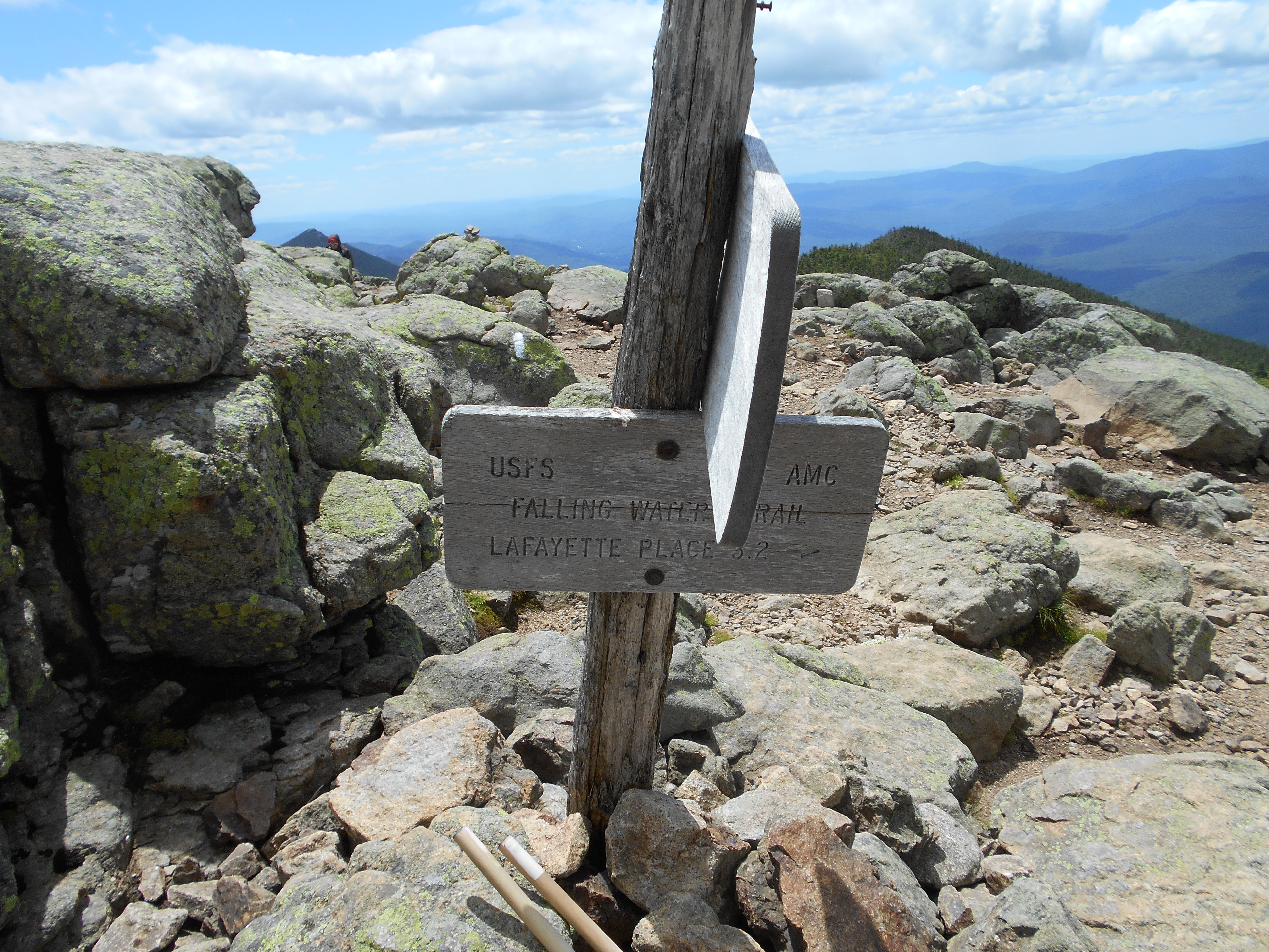
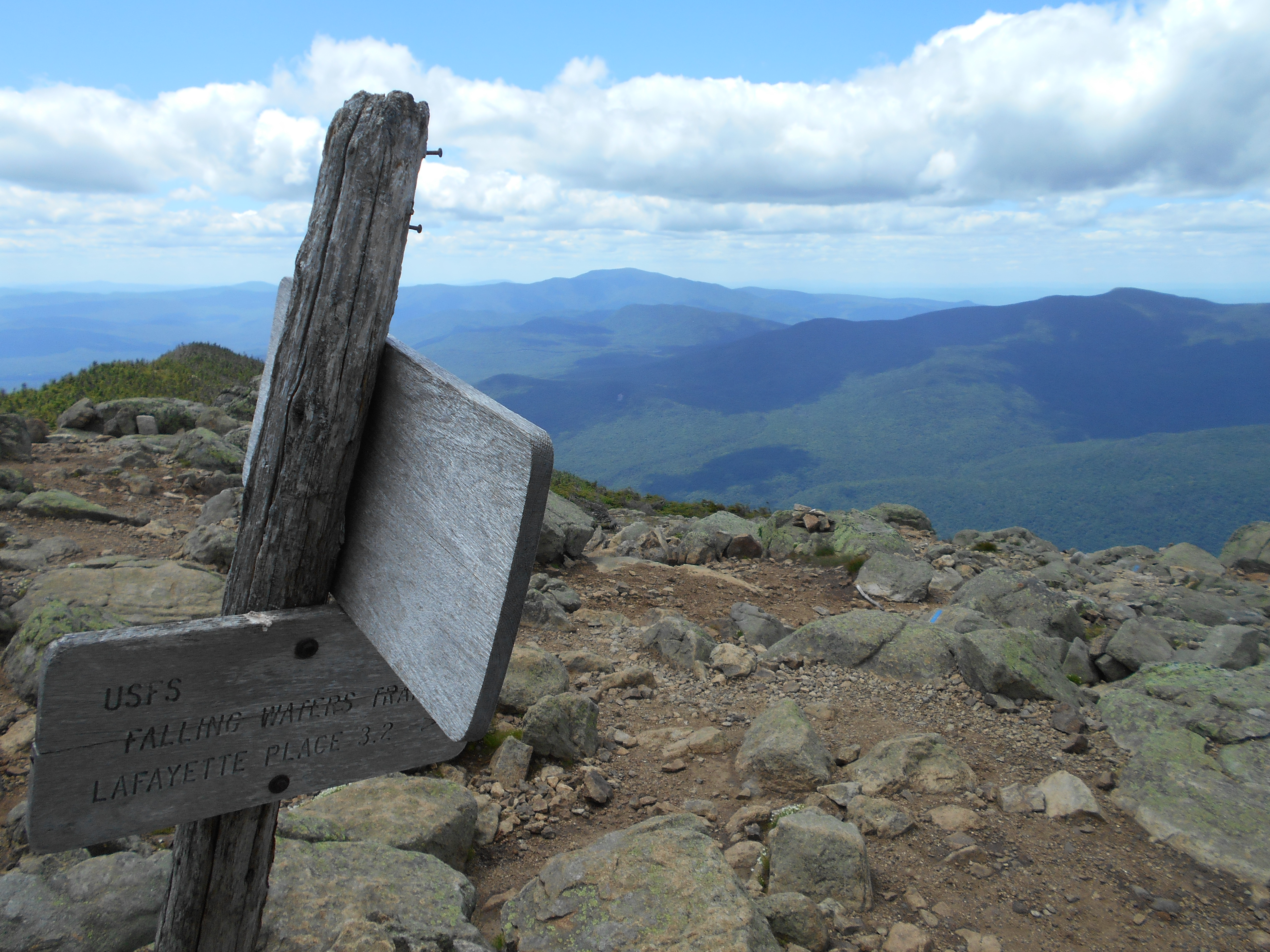
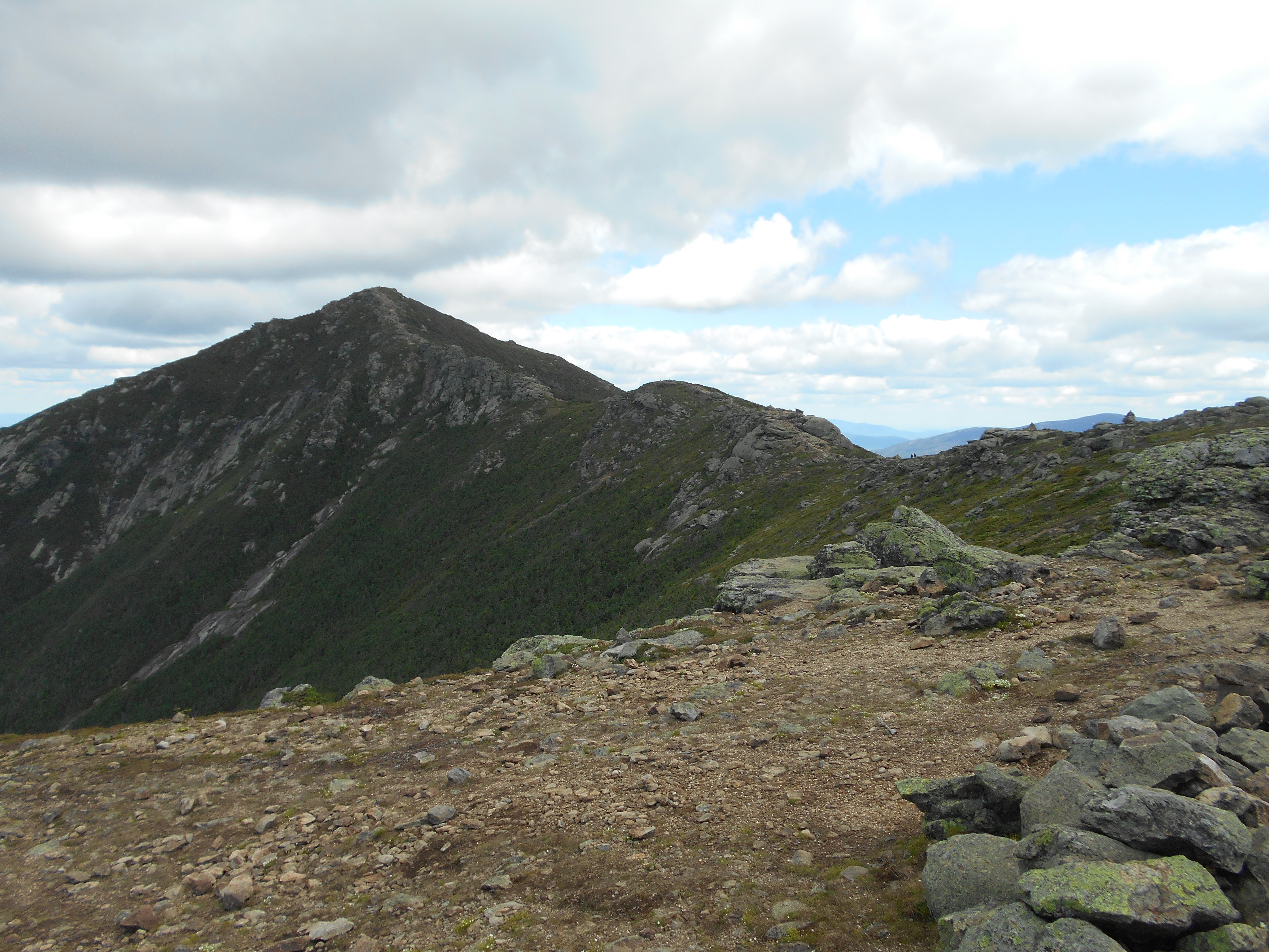
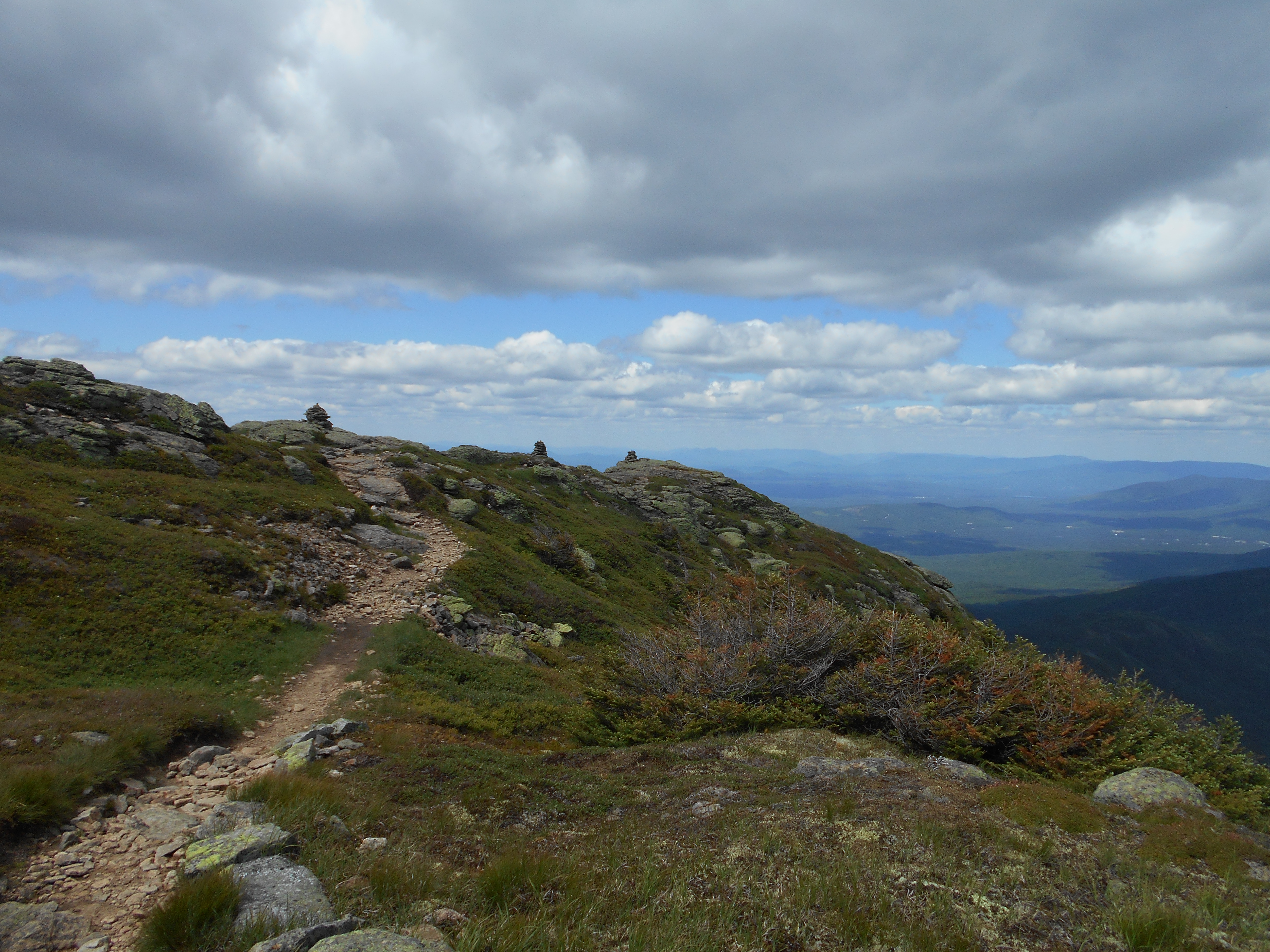
| 1820.7 | Little Haystack Mountain; Falling Waters Trail (4,800')?above treeline for next 2.5 miles north on Franconia Ridge | 4800 |
| 1821.4 | Mt. Lincoln (5,089') | 5089 |
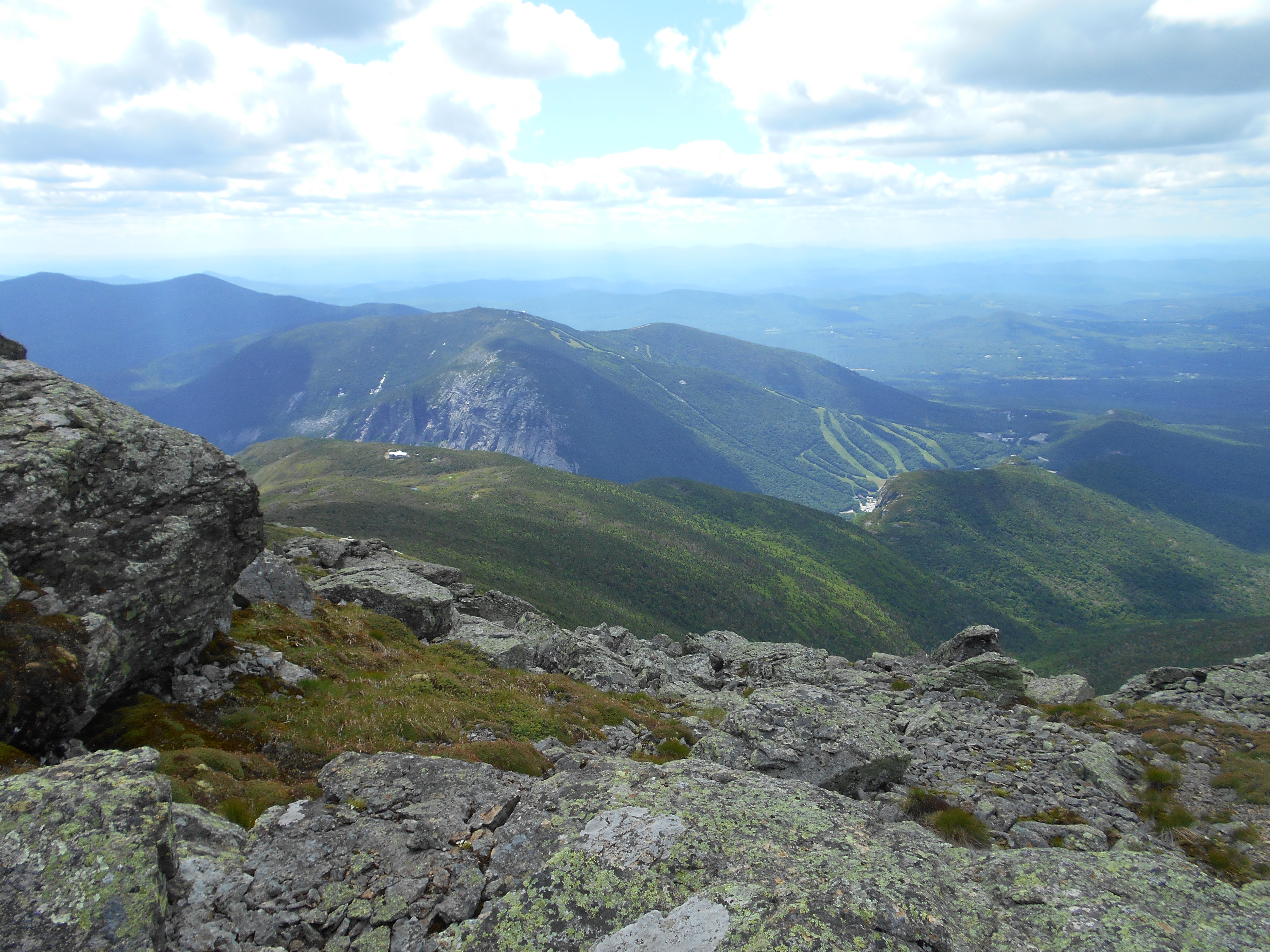
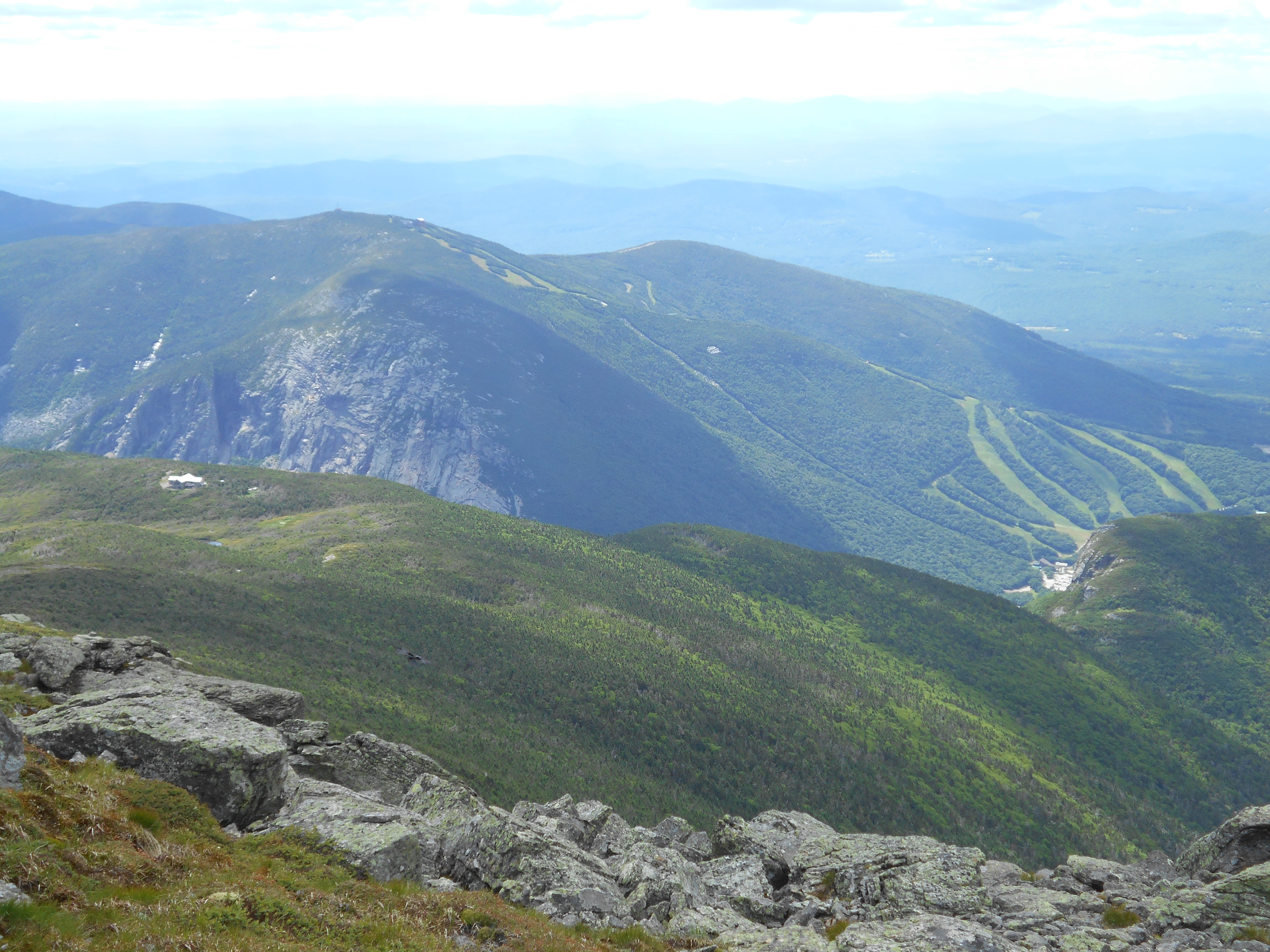
| 1822.4 | Mt. Lafayette; Greenleaf Trail to +AMC Greenleaf Hut (5,260') | 5260 |
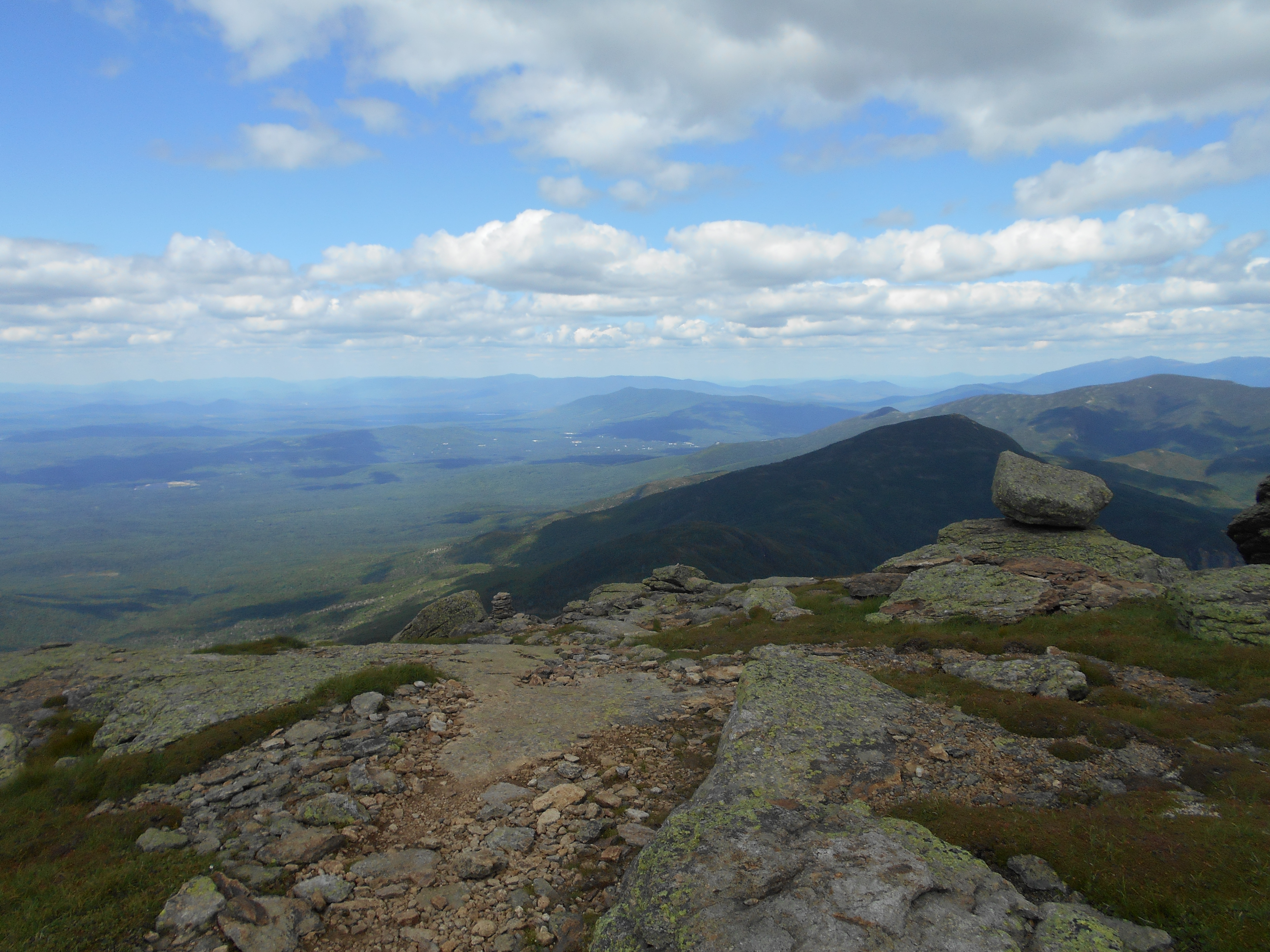
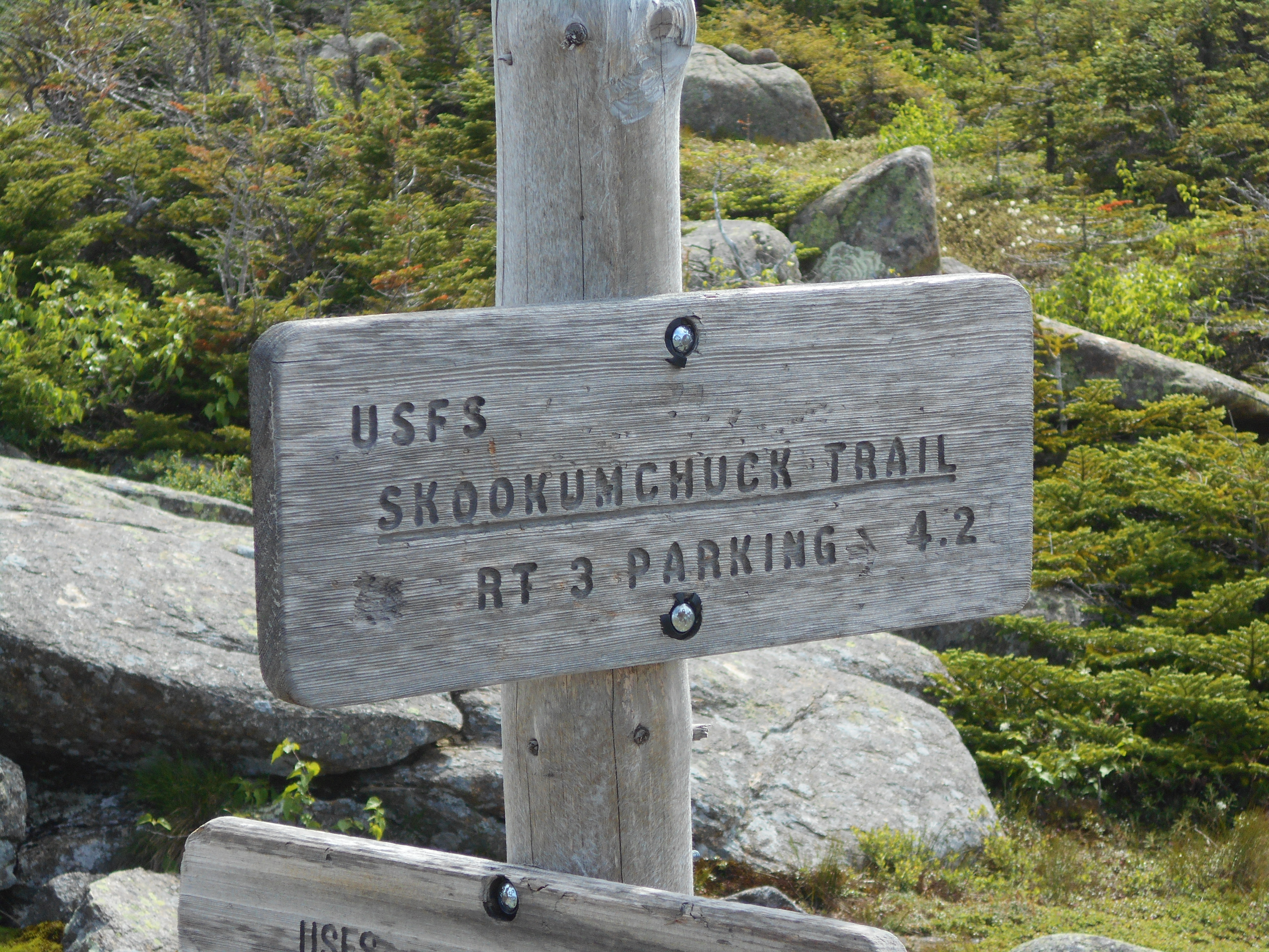
| 1823.2 | Skookumchuck Trail Jct. (4,680')? above treeline for the next 2.5 miles south on Franconia Ridge | 4680 |
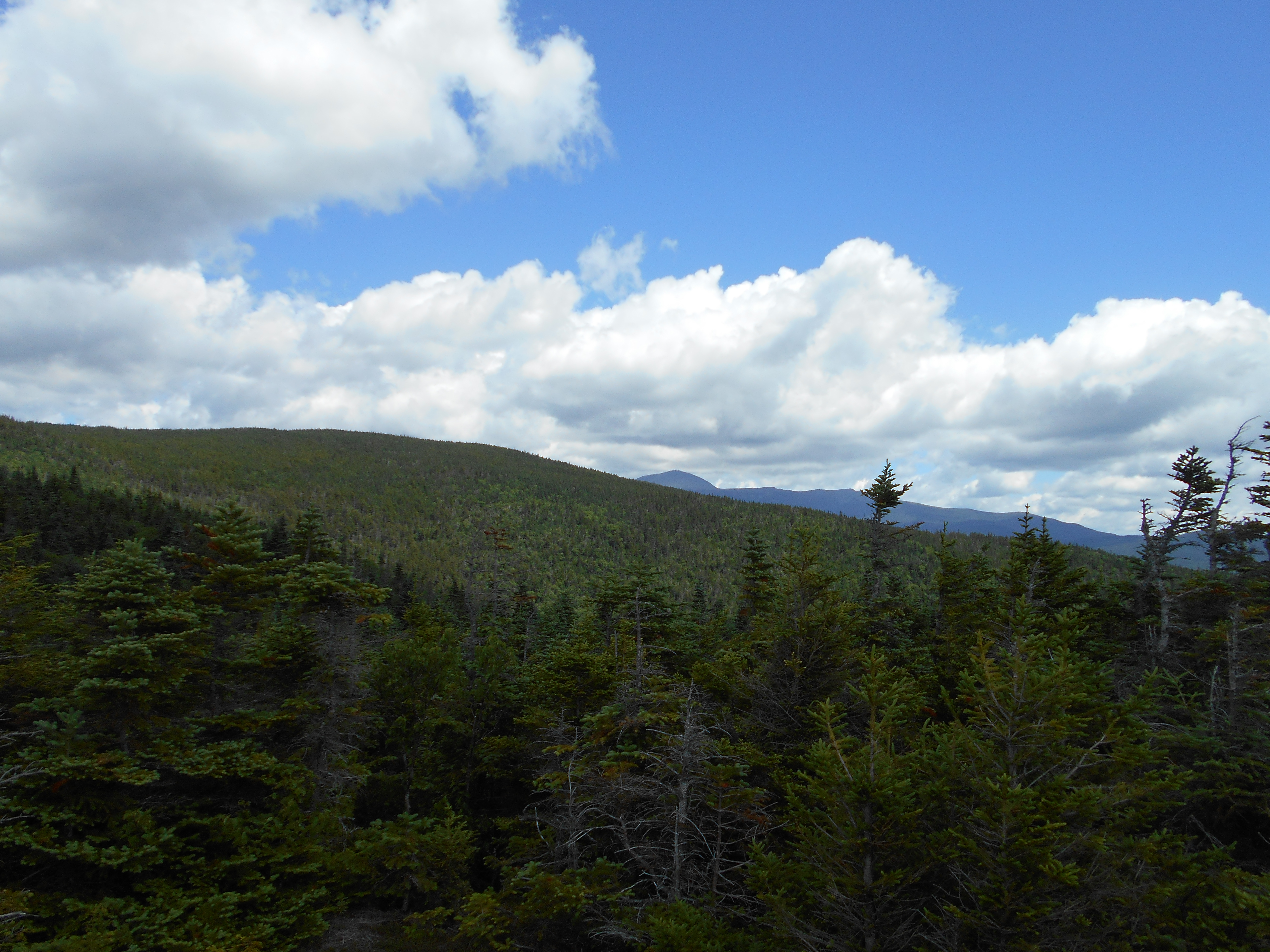
| 1825.2 | Garfield Pond (3,860') | 3860 |
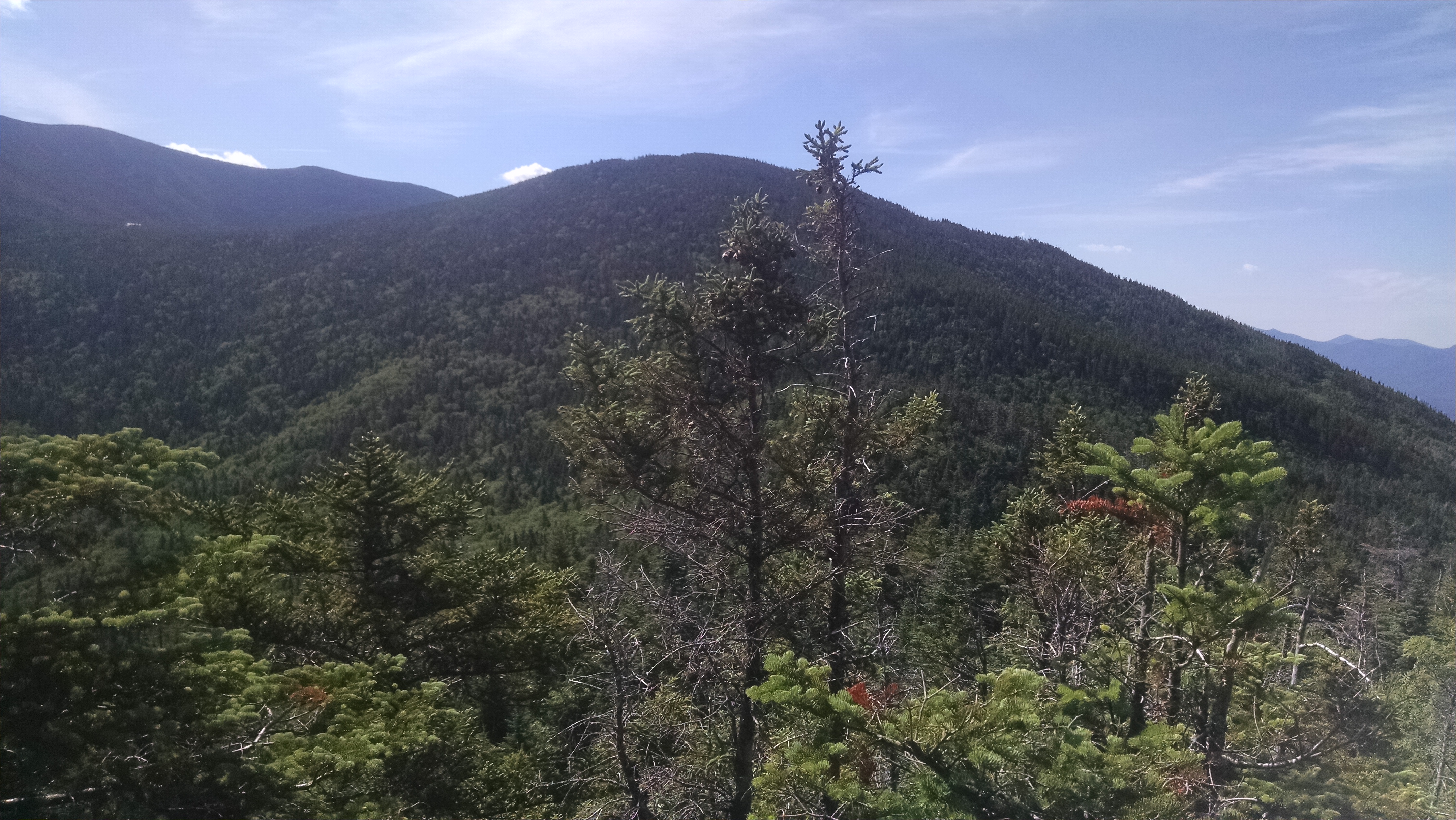
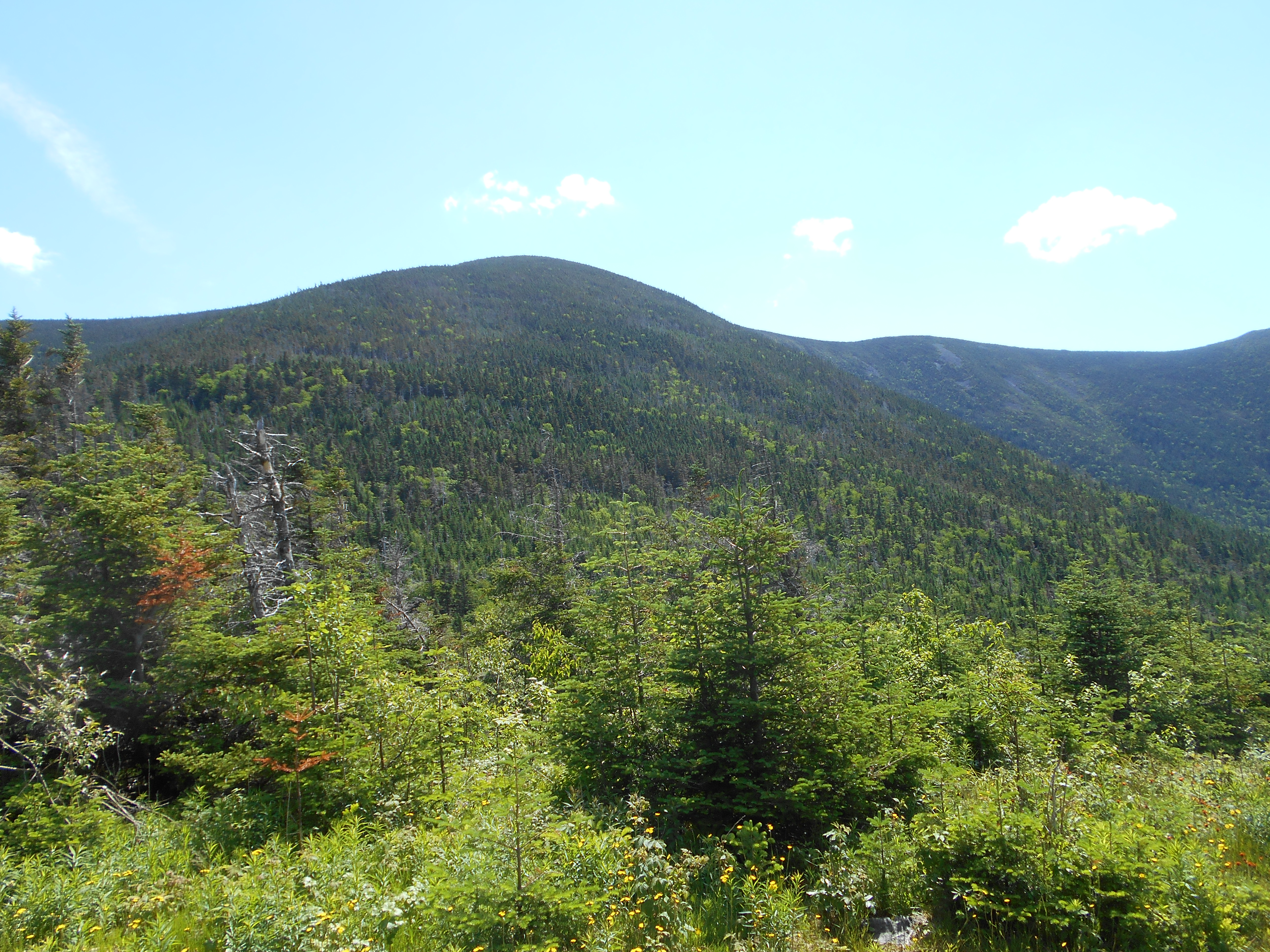
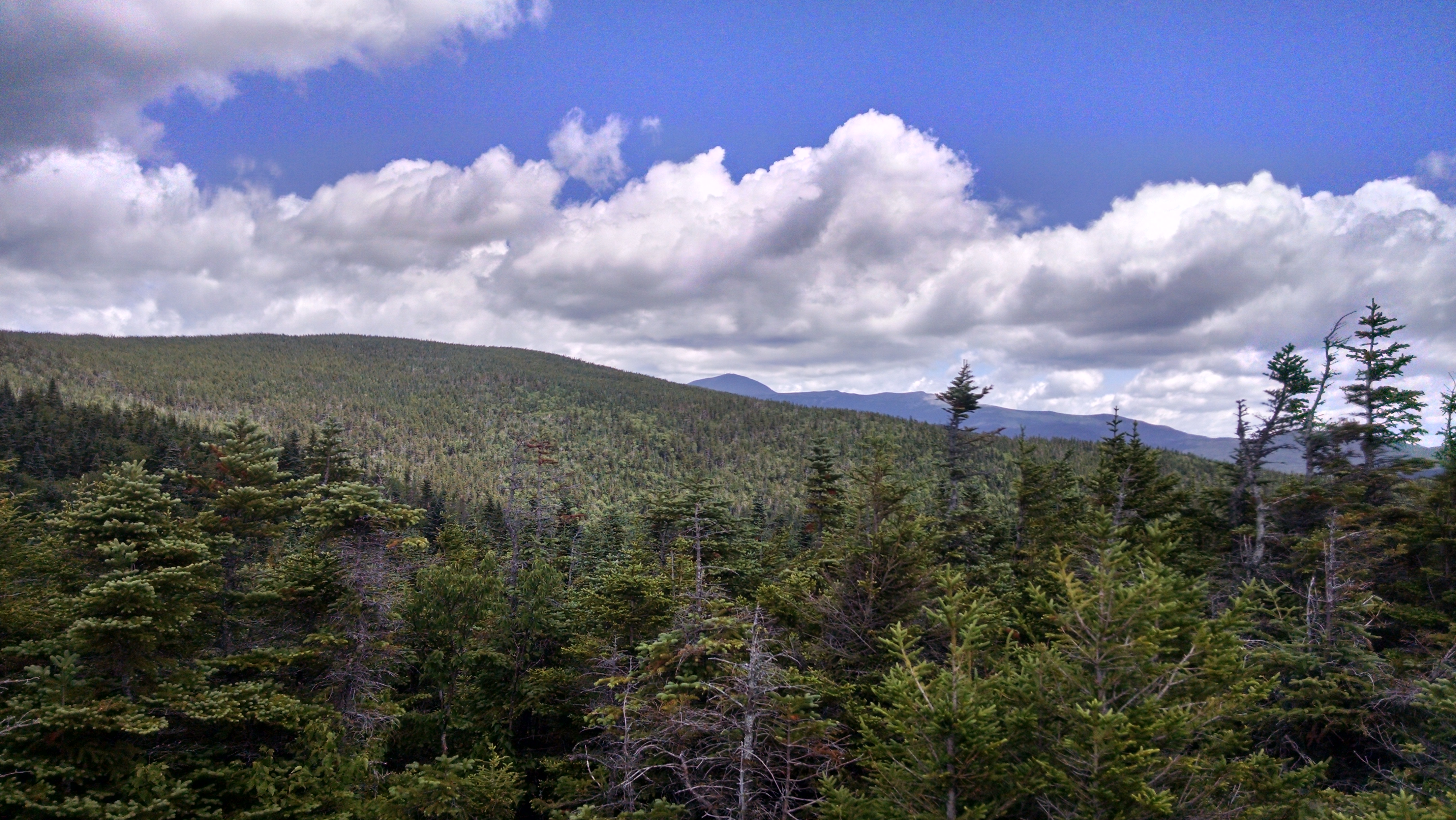
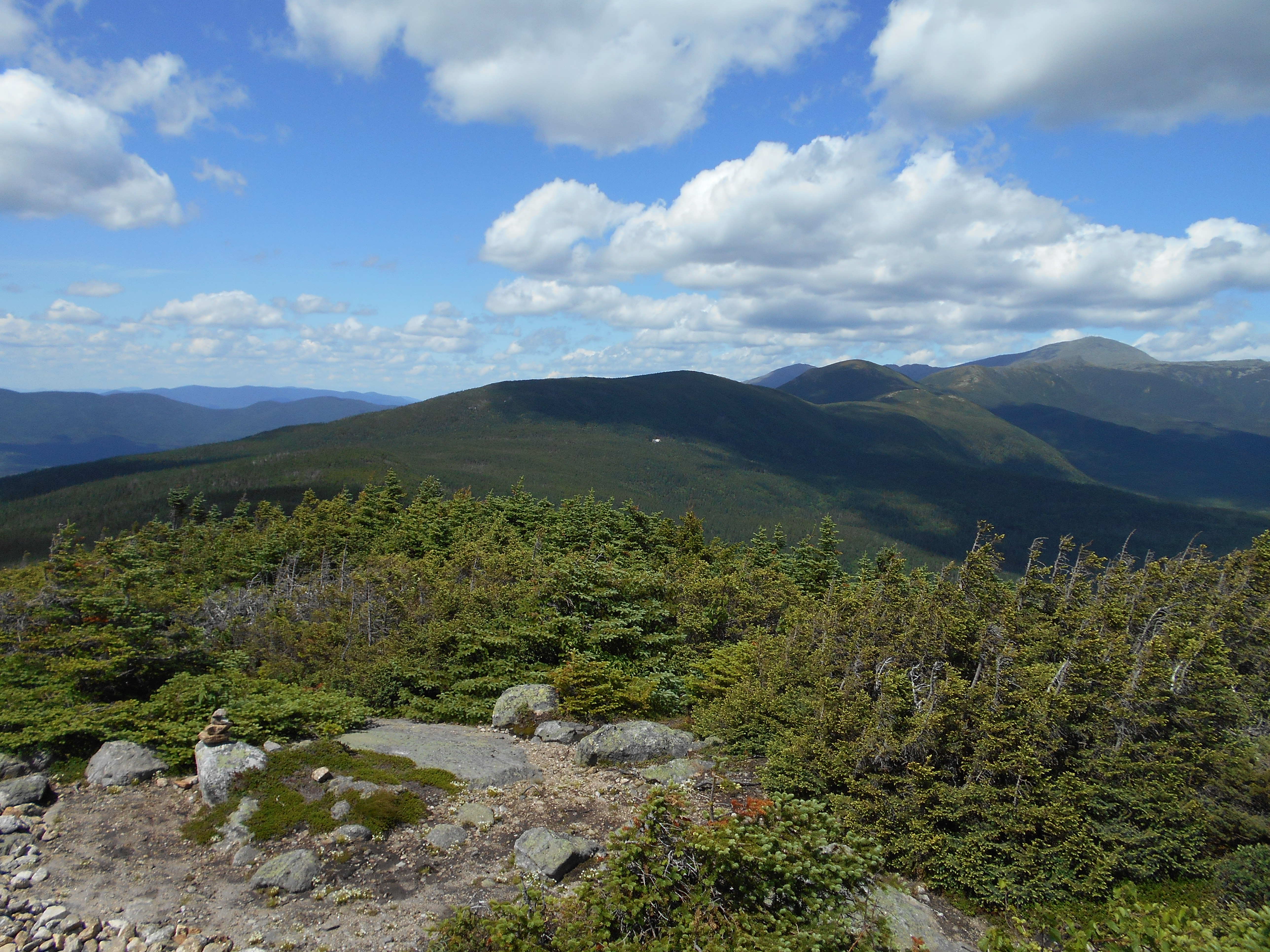
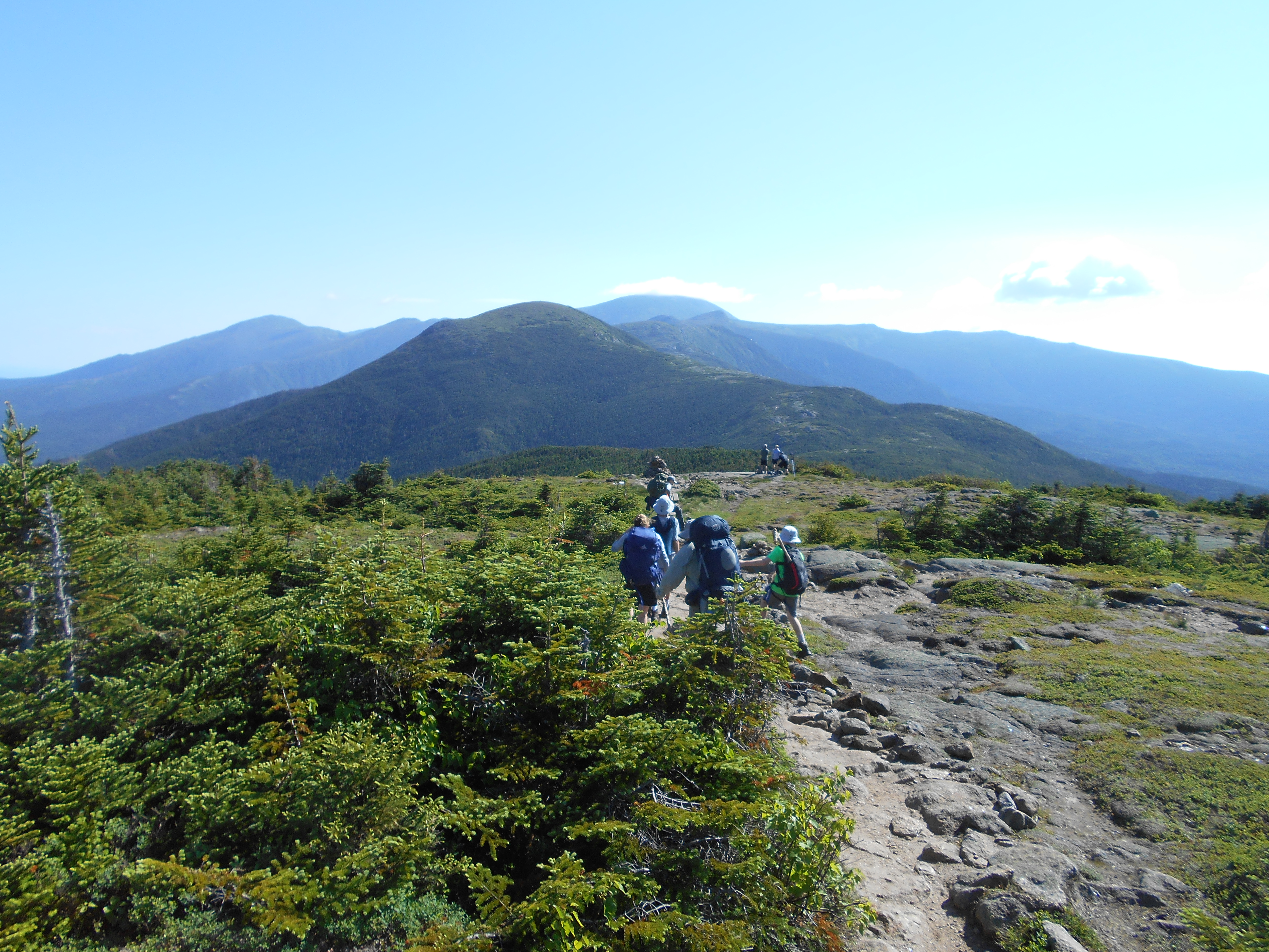
| 1825.9 | Mt. Garfield (4,500') | 4500 |
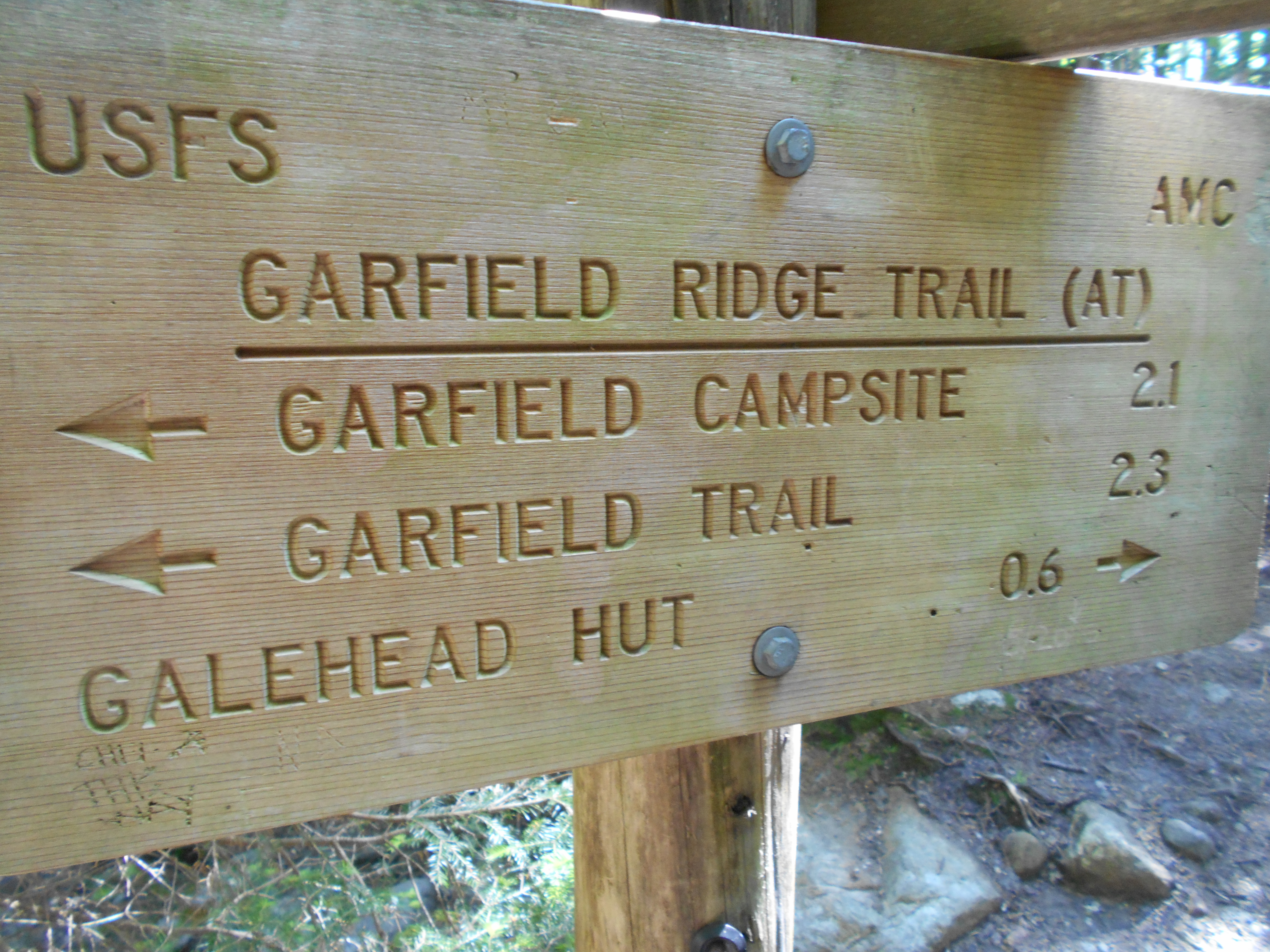
| 1826.1 | Garfield Trail (4,180') | 4180 |
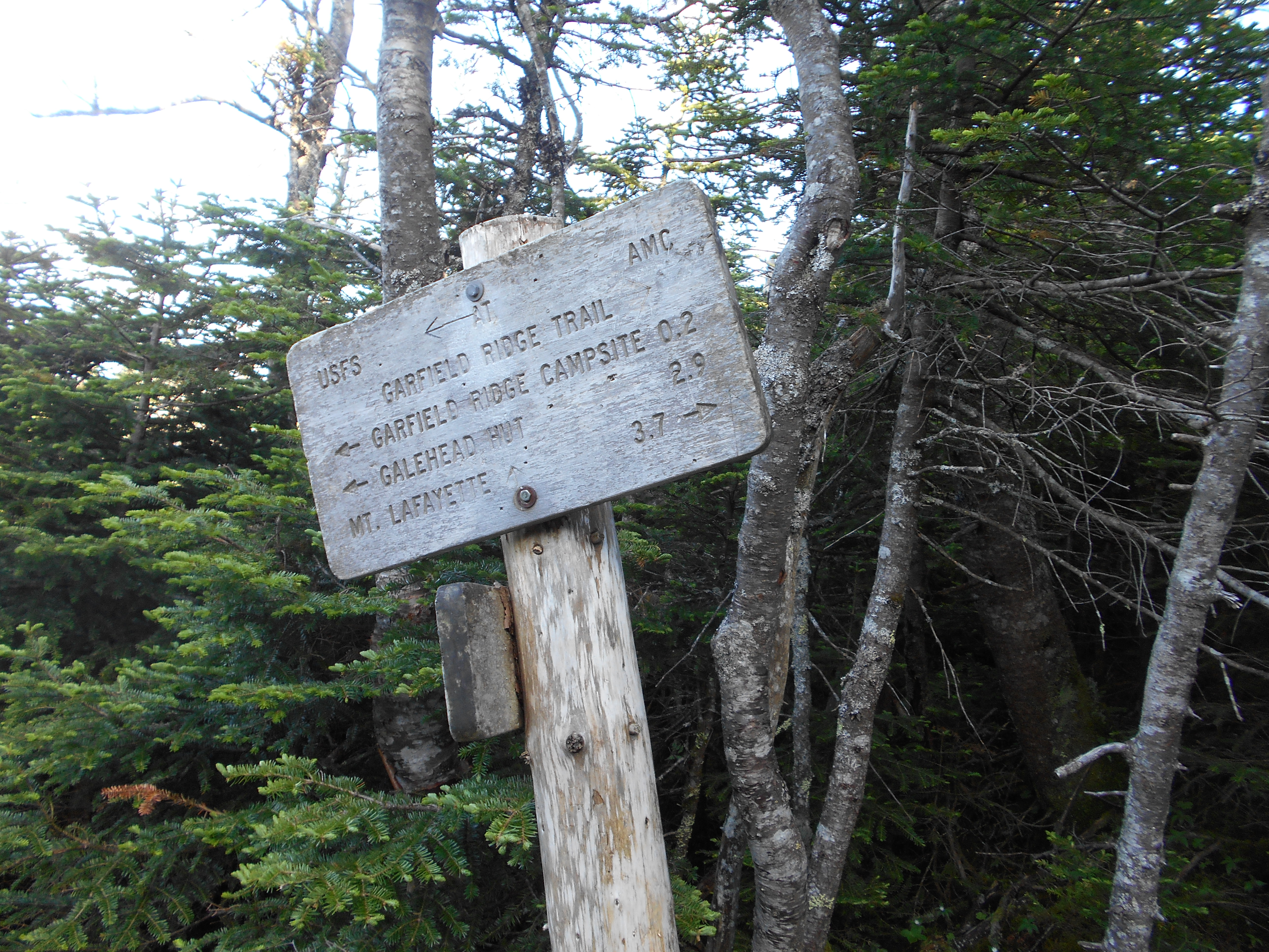
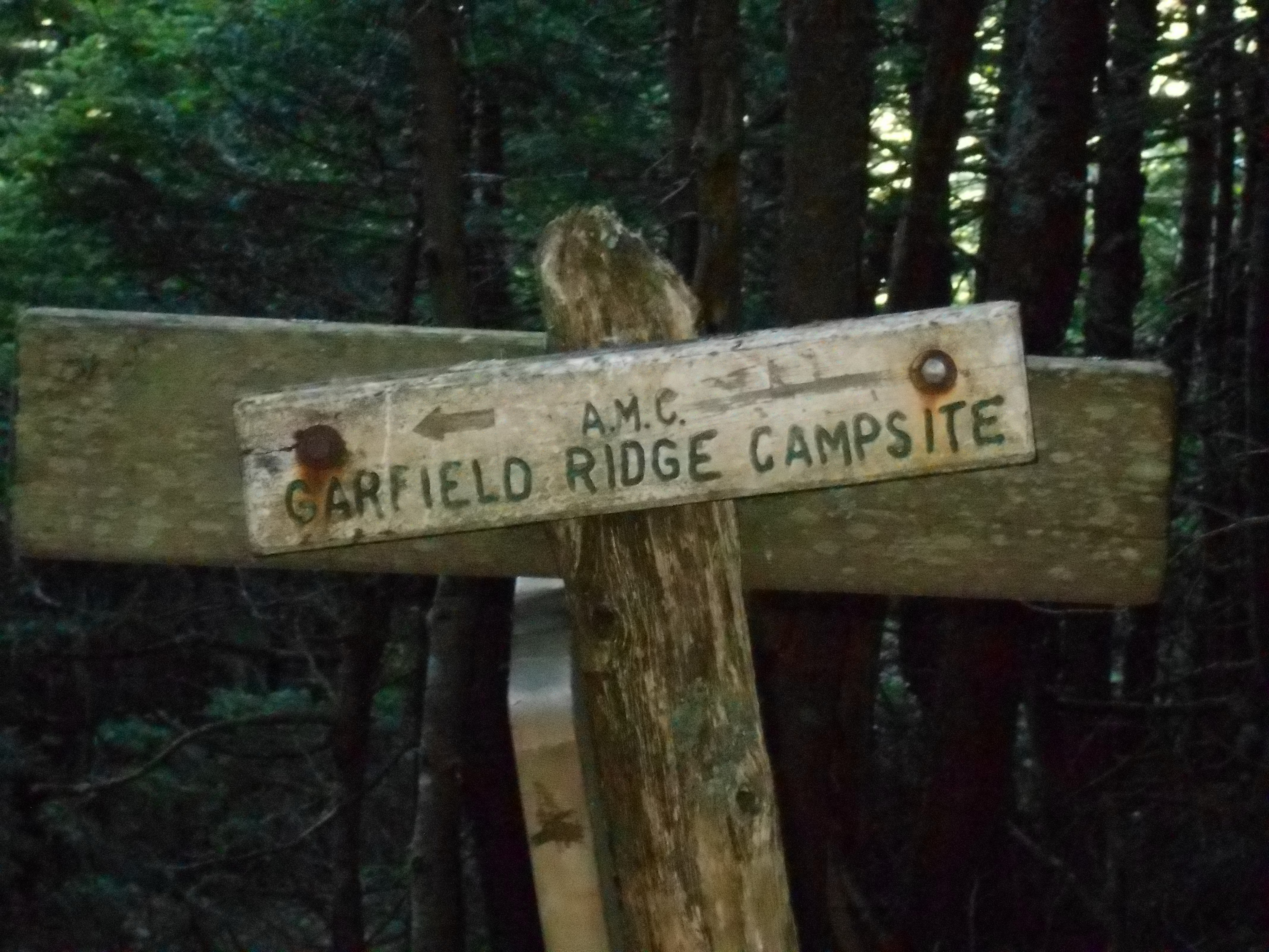
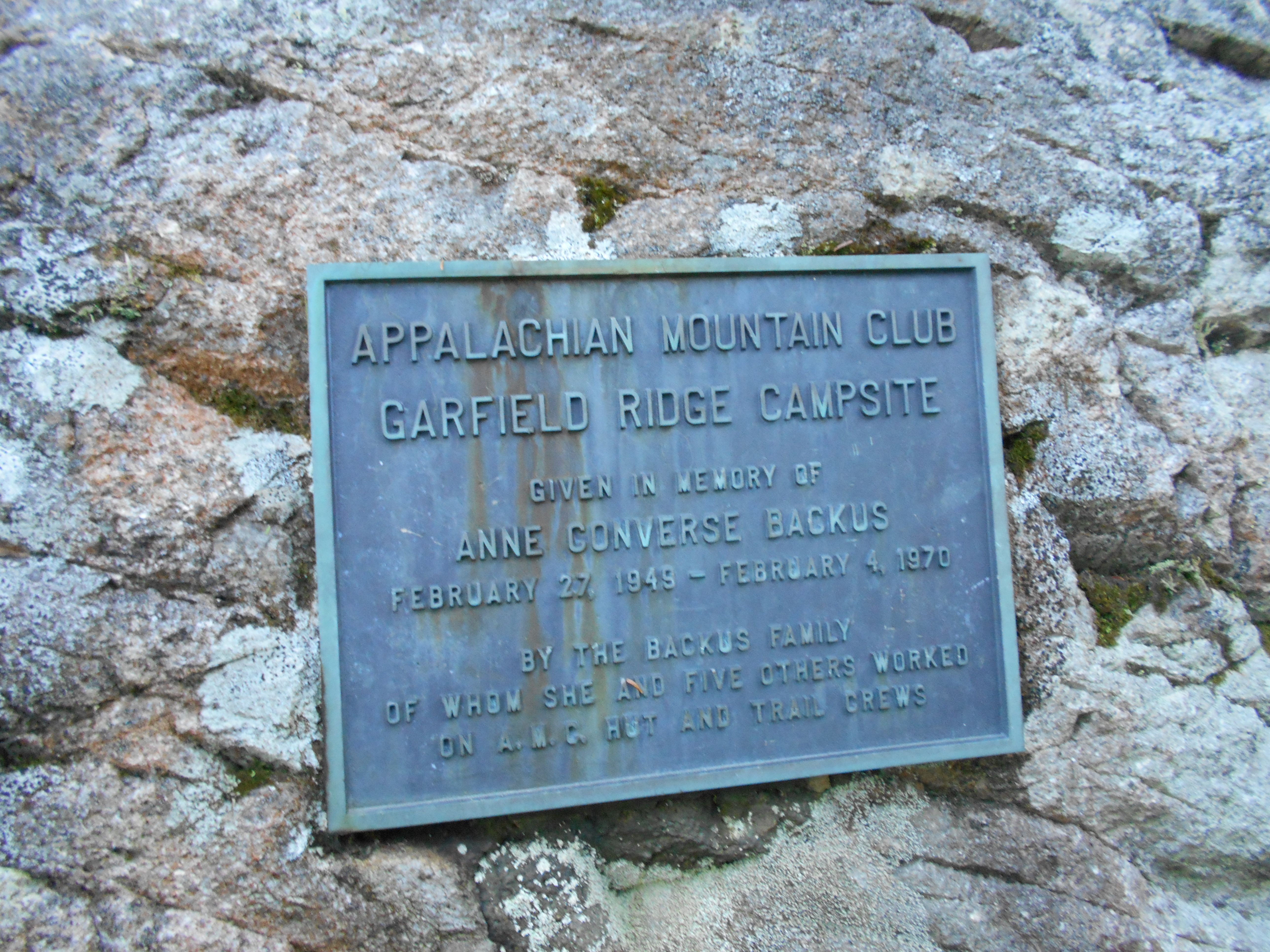
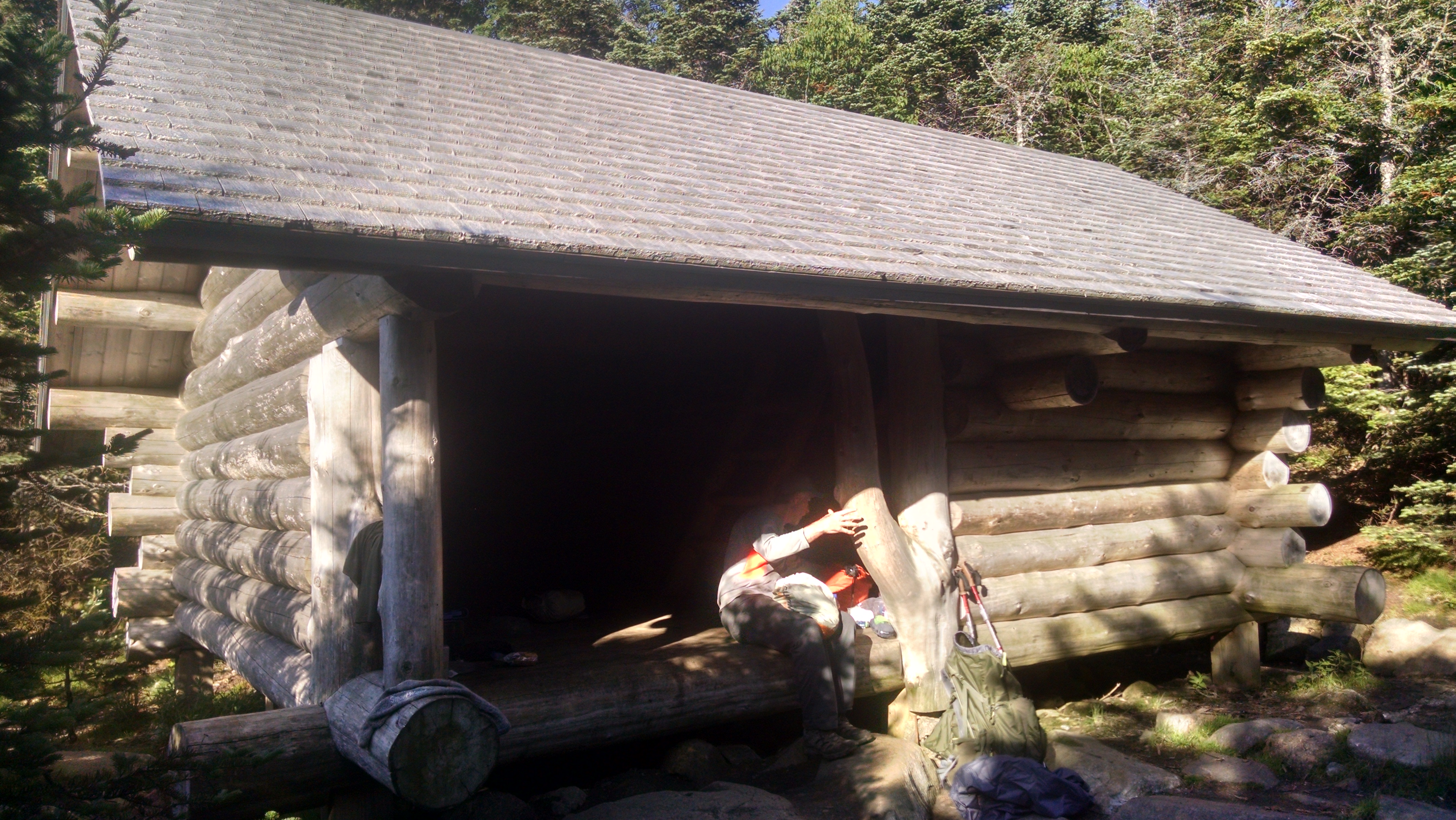
| 1826.3 | +AMC Garfield Ridge Shelter and Campsite (3,900')?15.3mS; 6.4mN | 3900 |


| Miles from Springer | Features | Elevation |
|---|---|---|
| 1826.3 | +AMC Garfield Ridge Shelter and Campsite (3,900')?15.3mS; 6.4mN | 3900 |
| 1826.8 | Franconia Brook Trail (3,420') | 3420 |
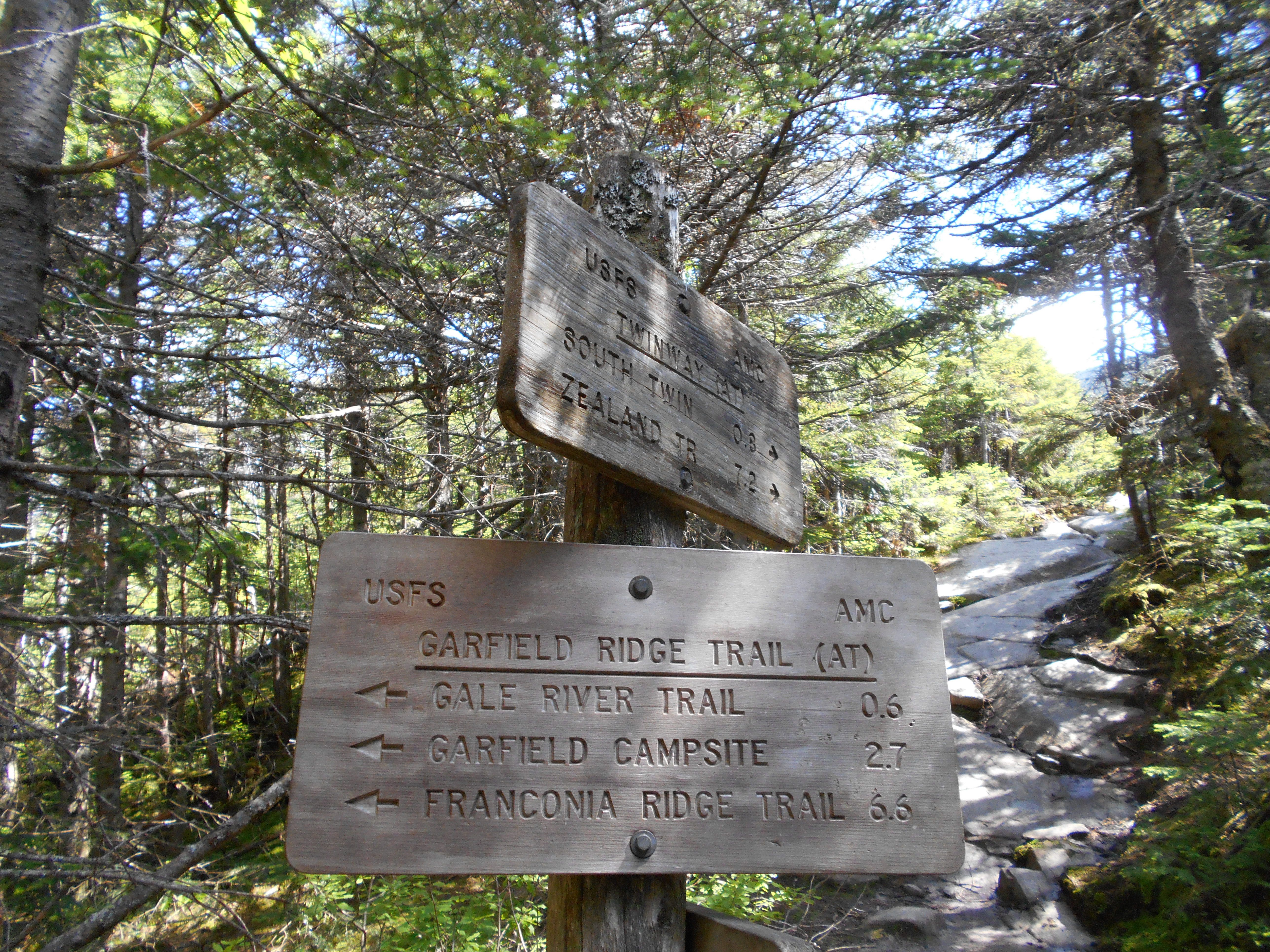
| 1828.4 | Gale River Trail (3,390') | 3390 |
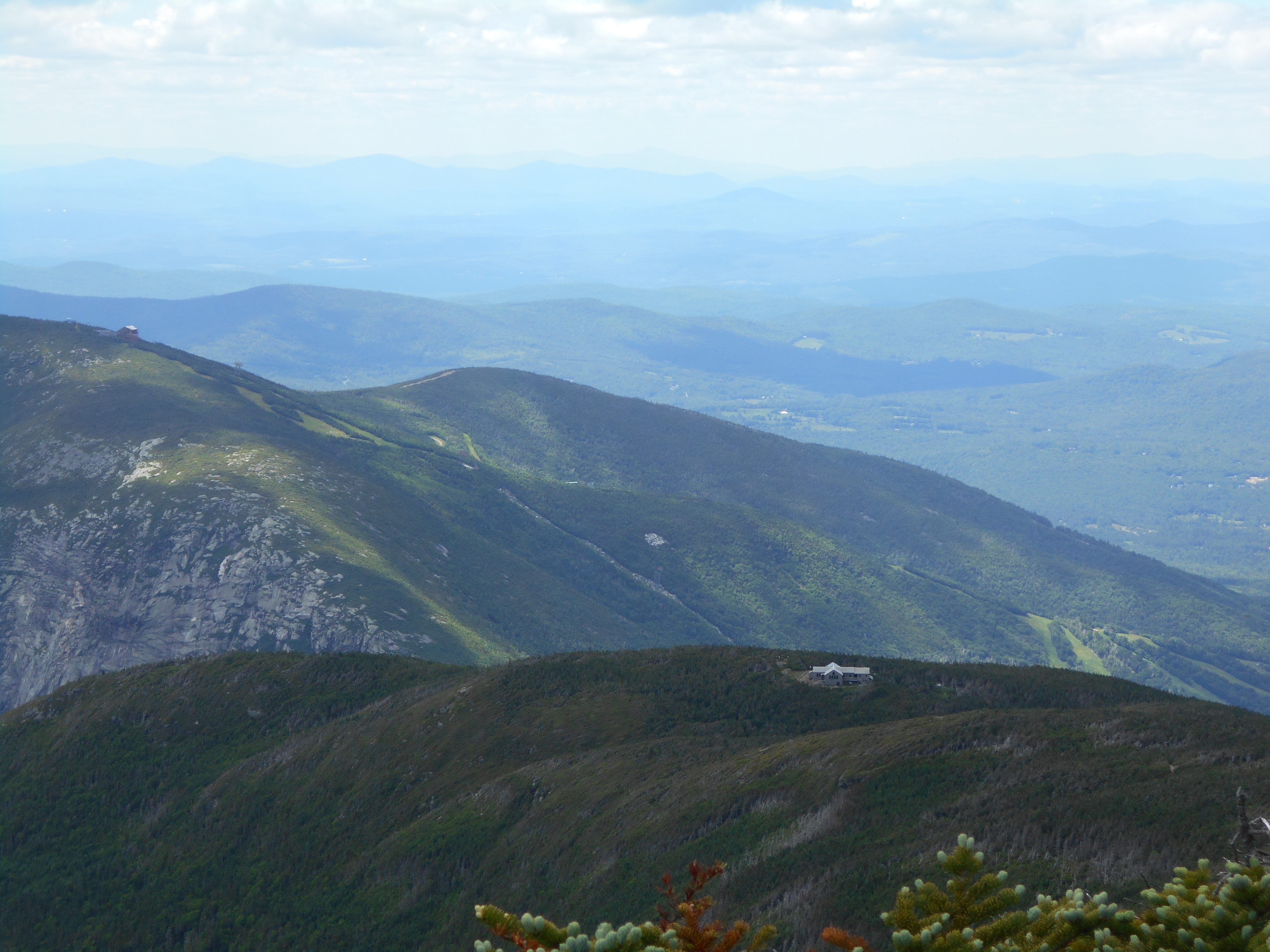
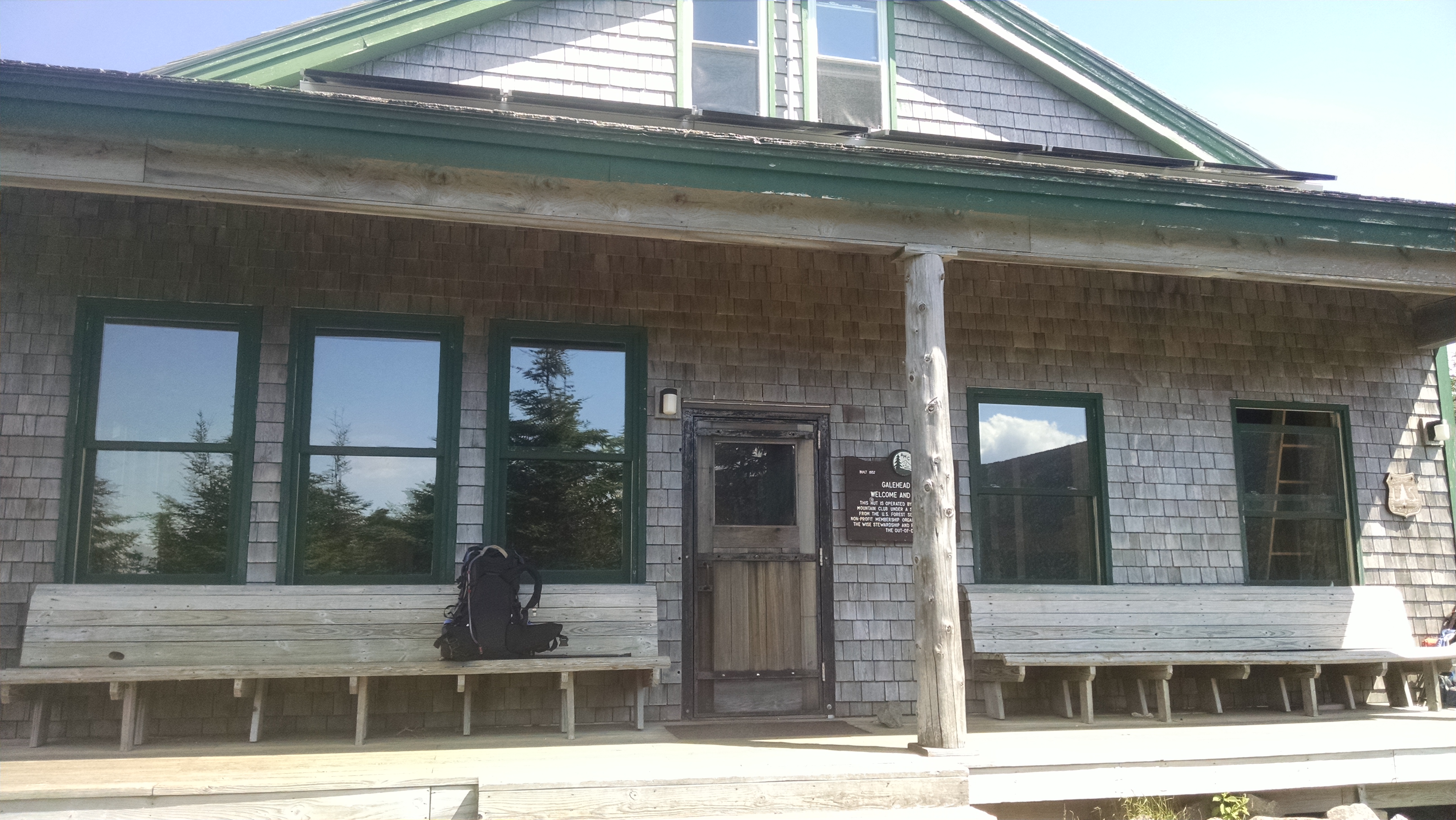
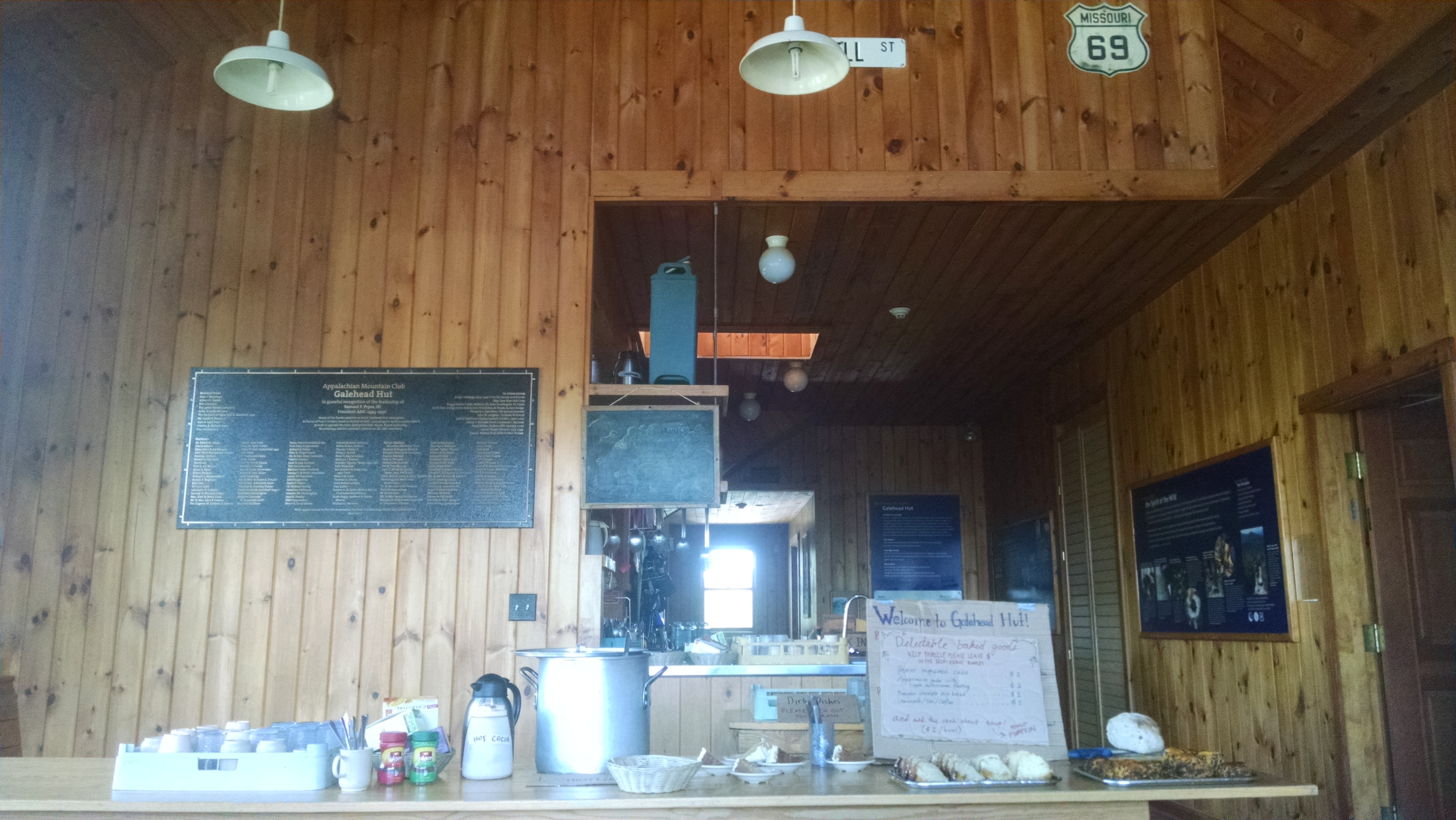
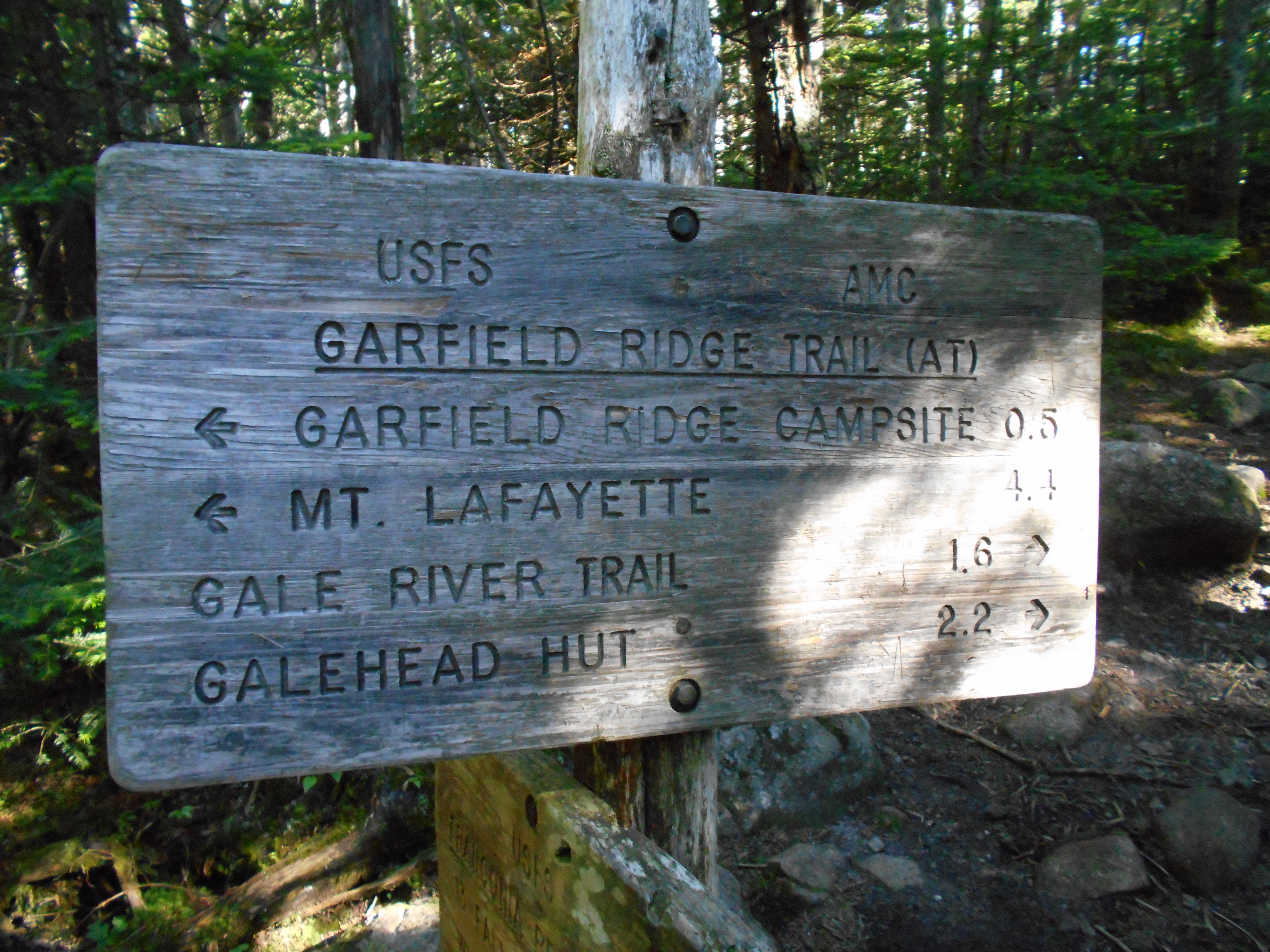
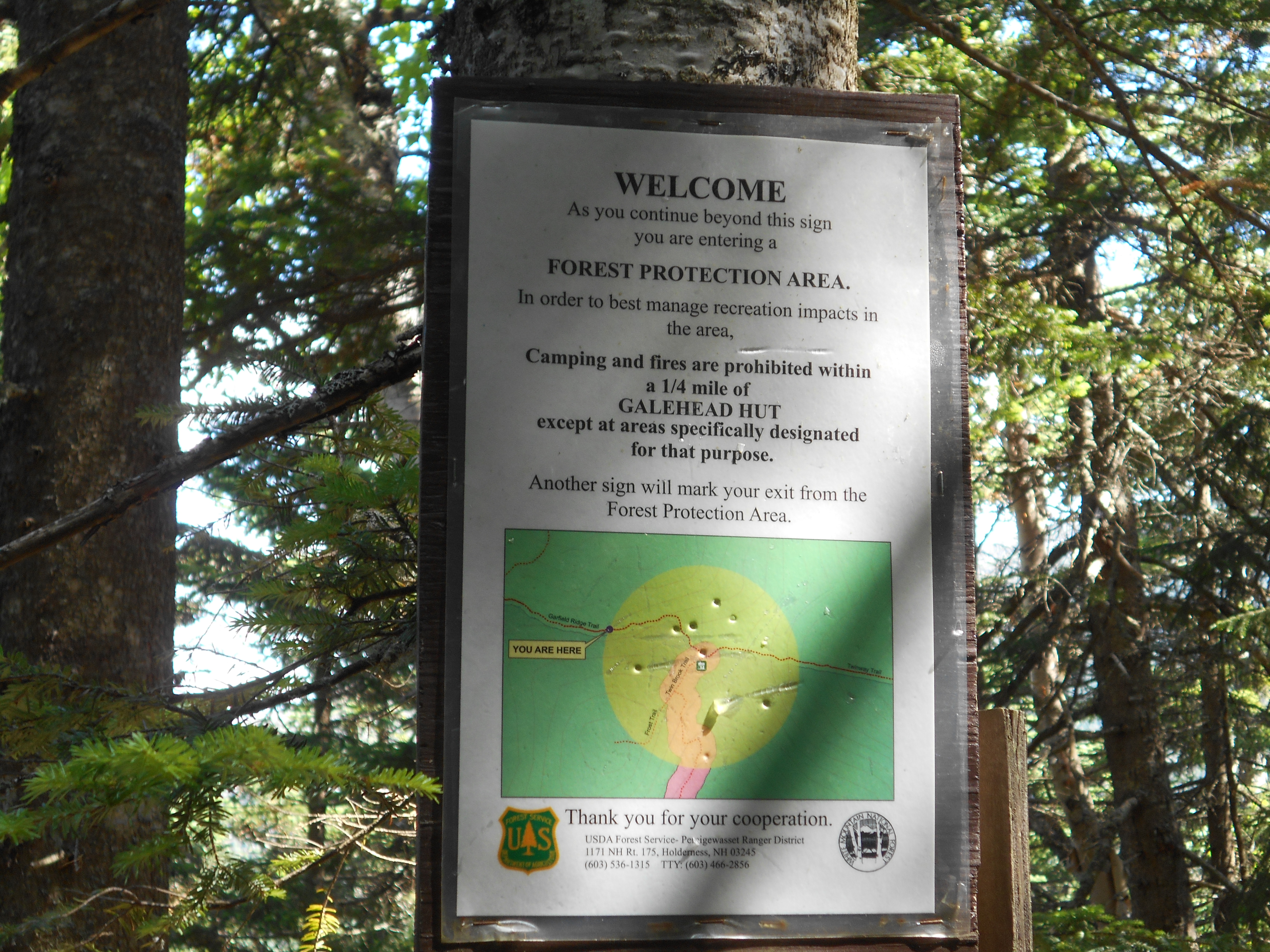
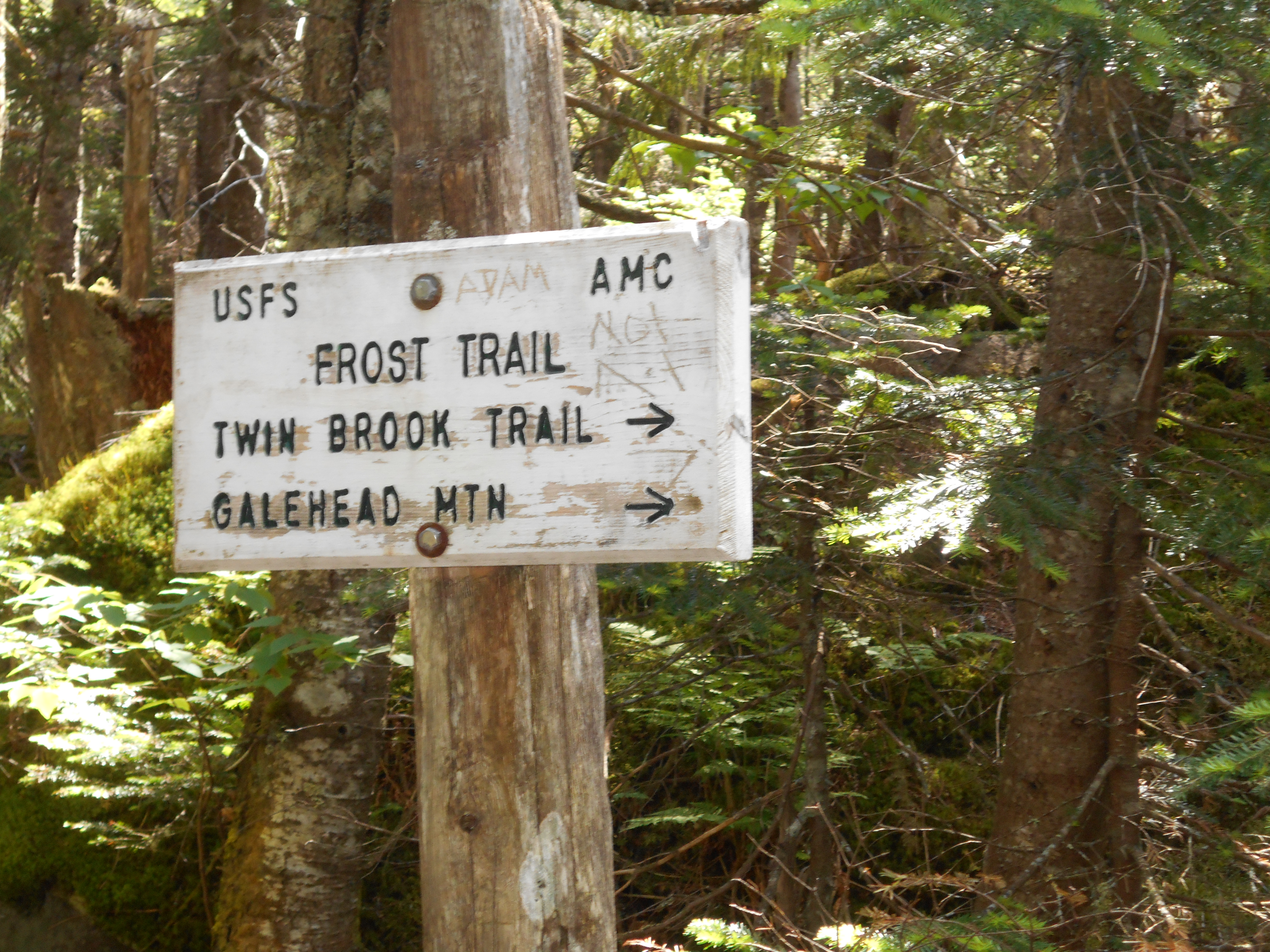
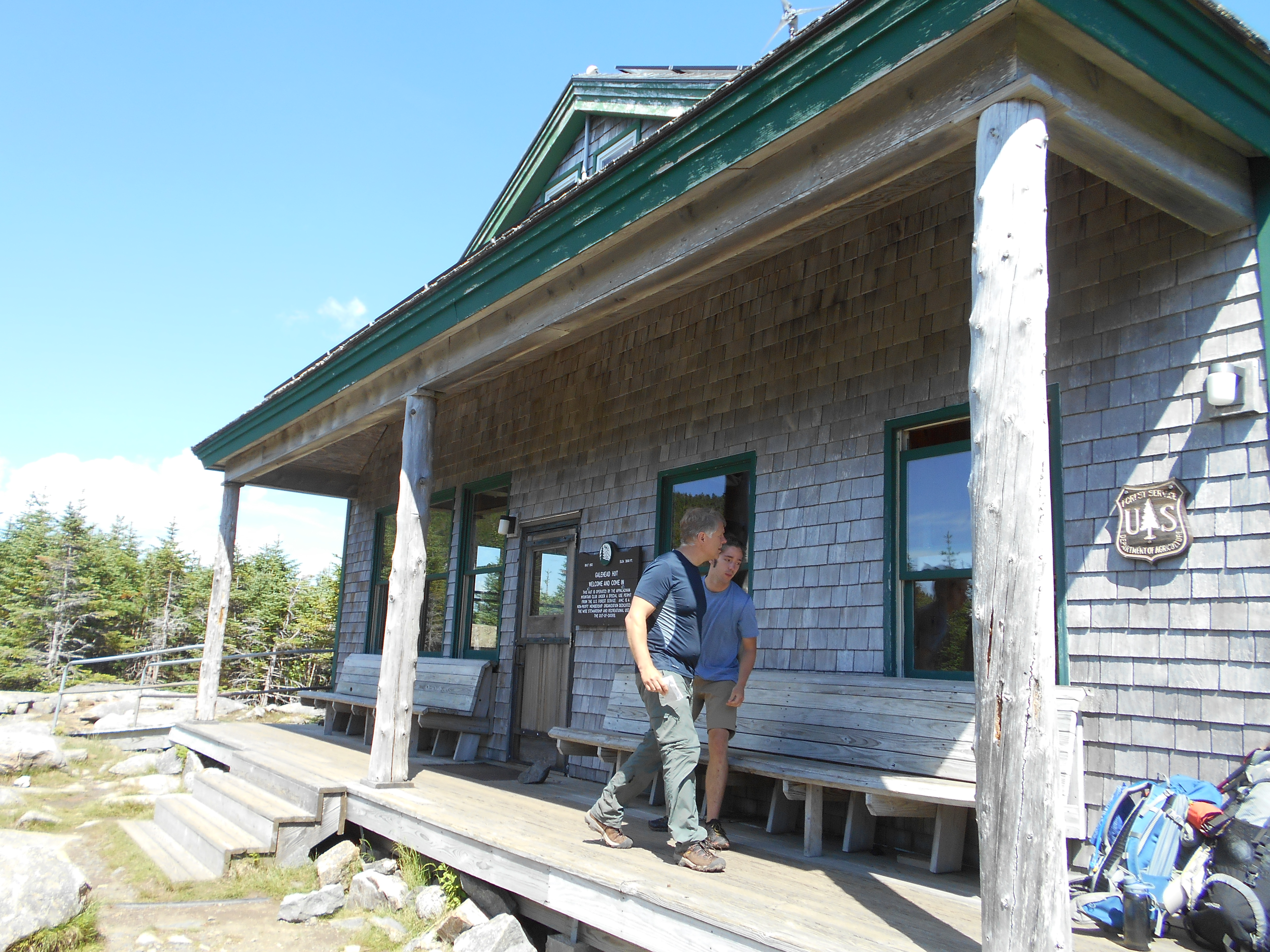
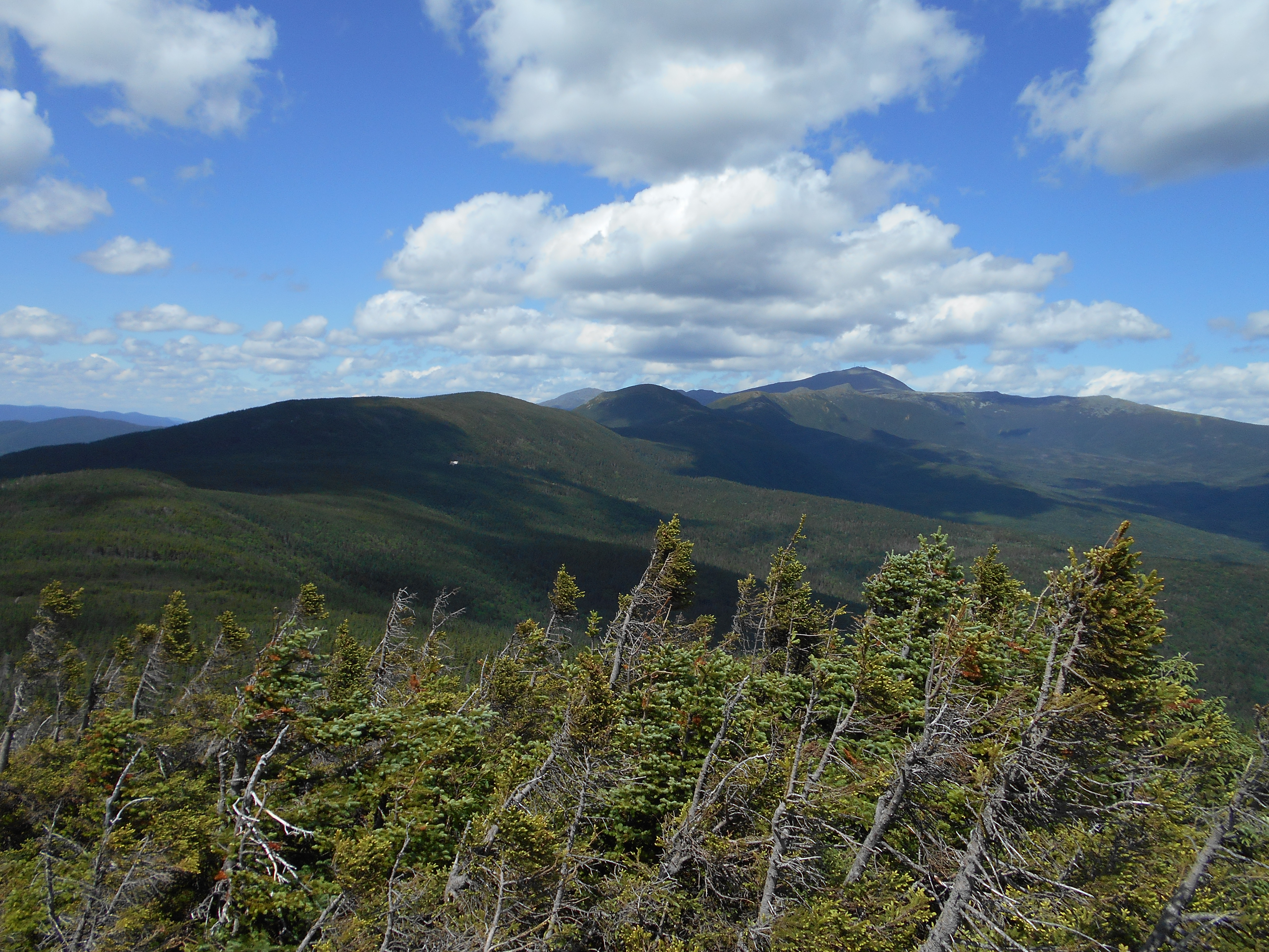
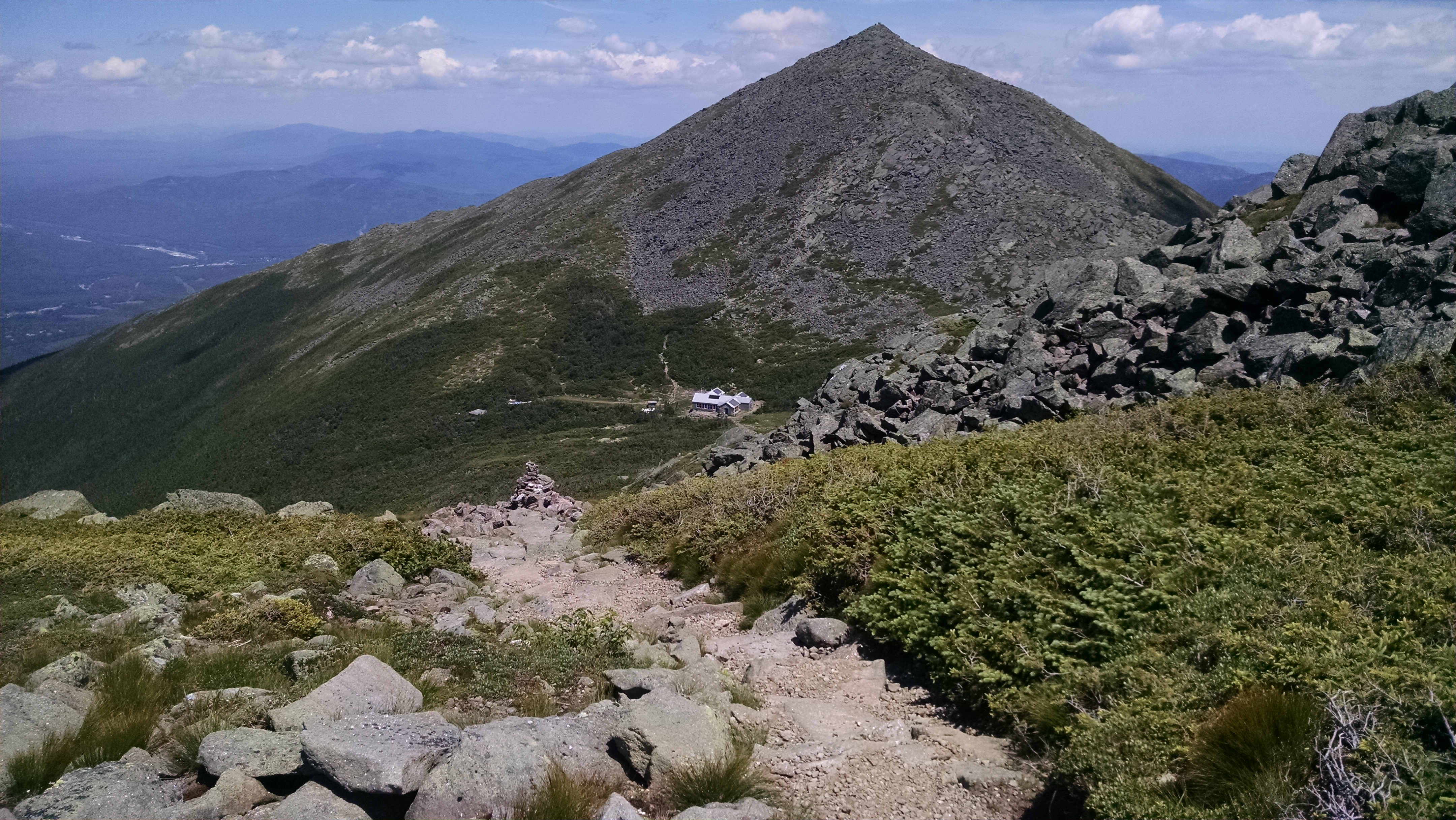
| 1829 | +AMC Galehead Hut, Twin Brook Trail (3,780') | 3780 |
| 1829.8 | South Twin Mountain, North Twin Spur (4,902') | 4902 |
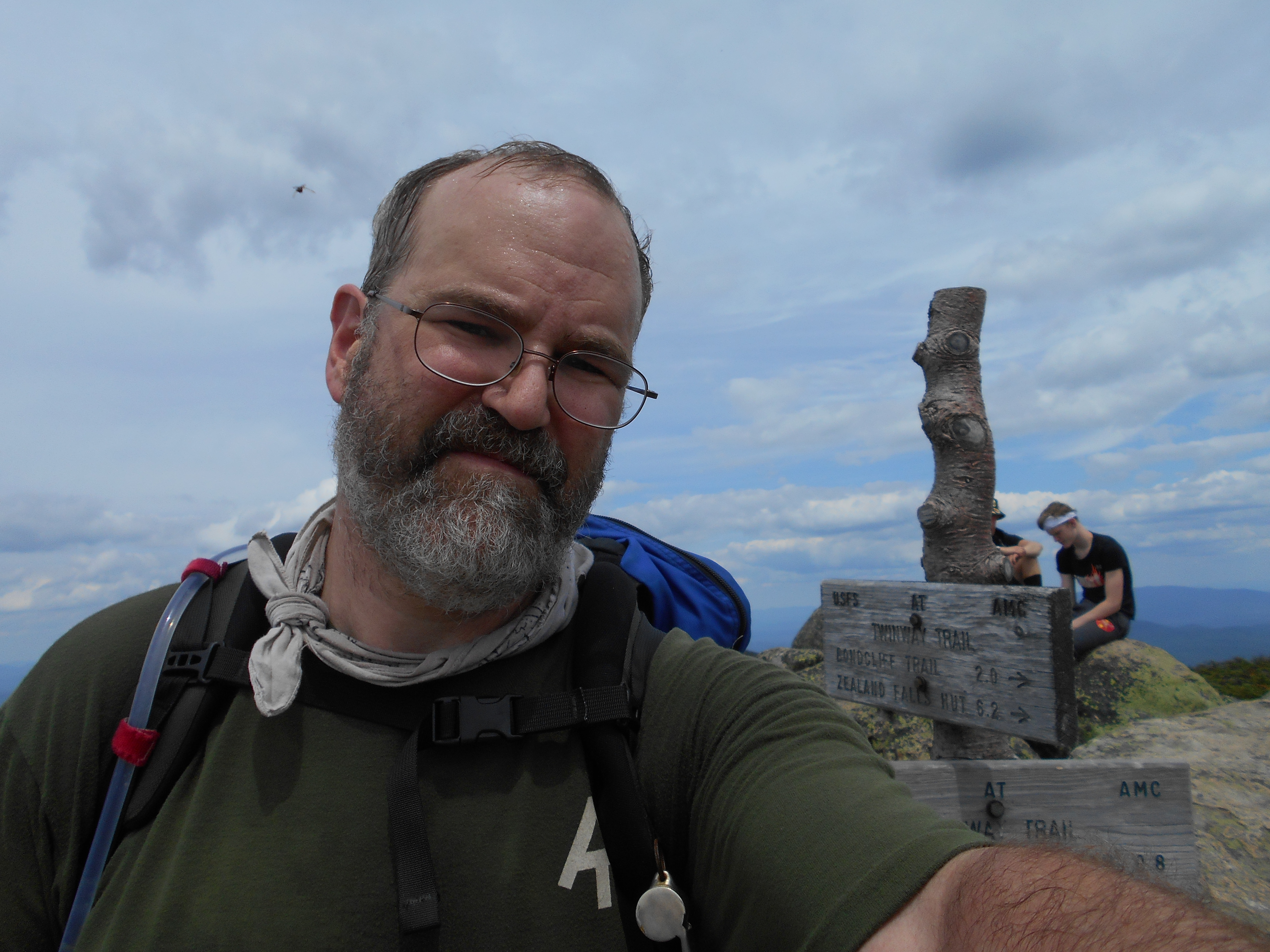
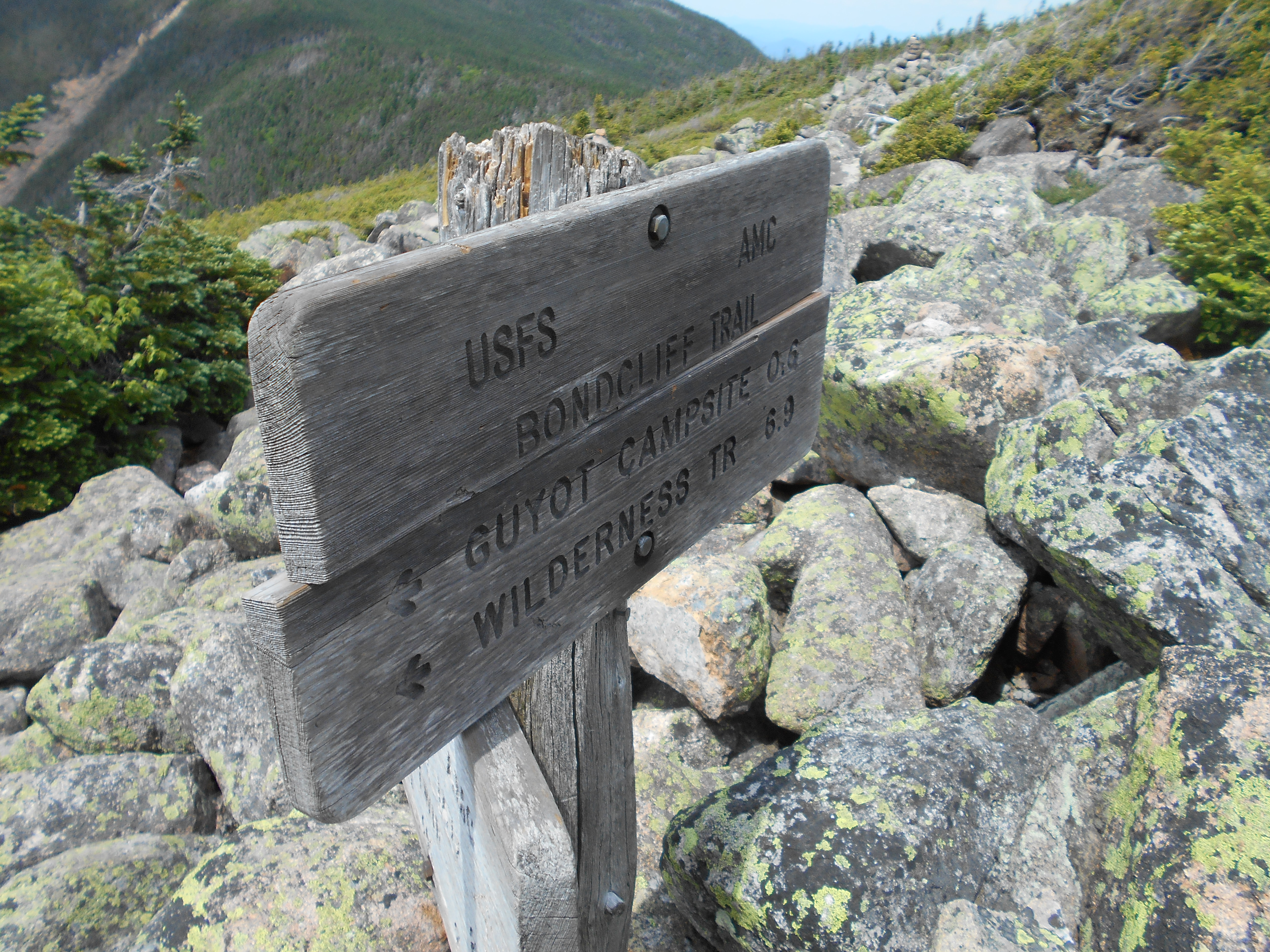
| 1831.8 | Mt. Guyot (4,580'); +AMC Guyot Shelter and Campsite on Bondcliff Trail?6.4mS; 9.8mN | 4580 |
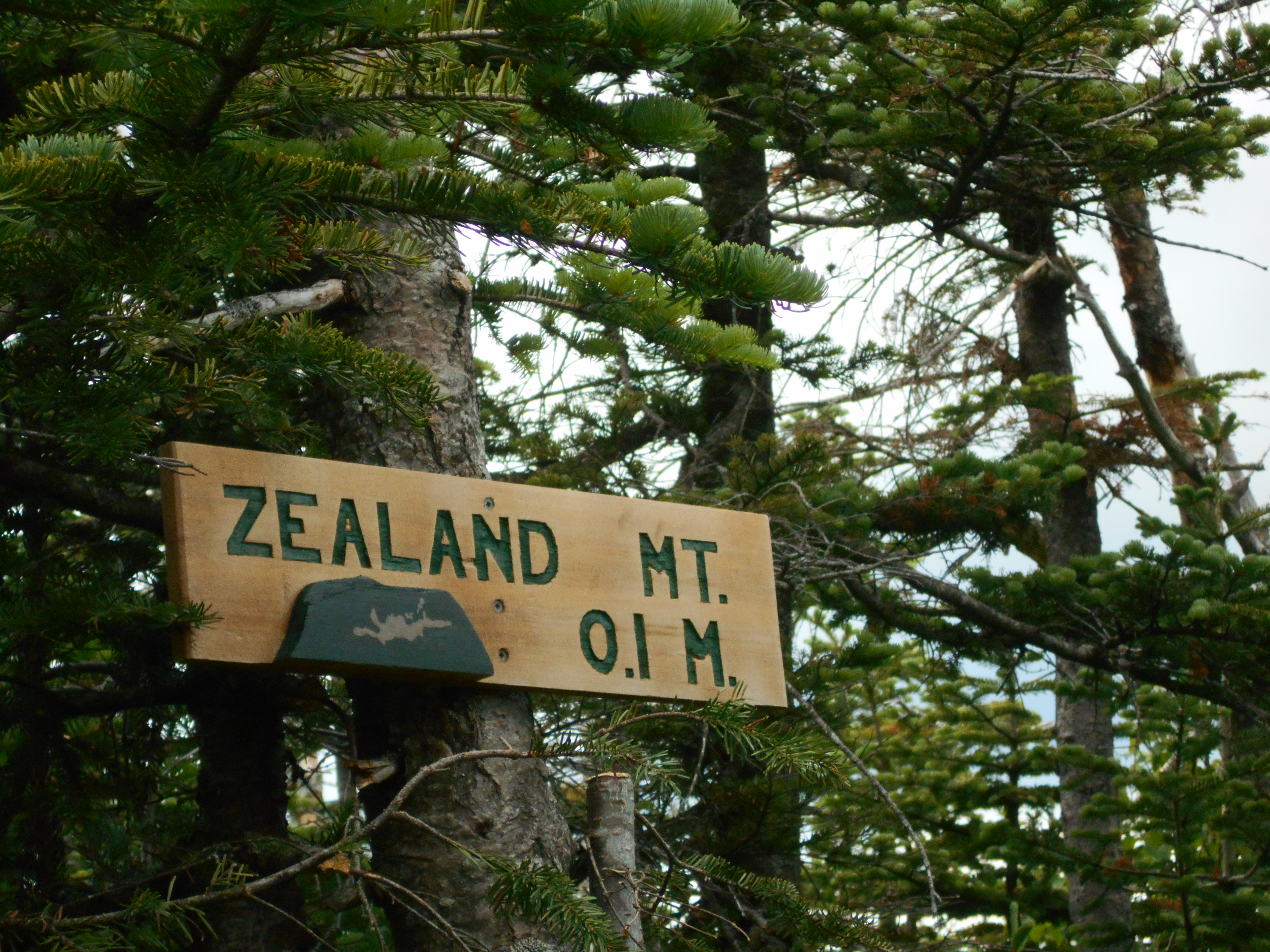
| 1833.1 | Zealand Mountain (4,250') | 4250 |
| 1834.3 | Zeacliff Pond Trail (3,800') | 3800 |
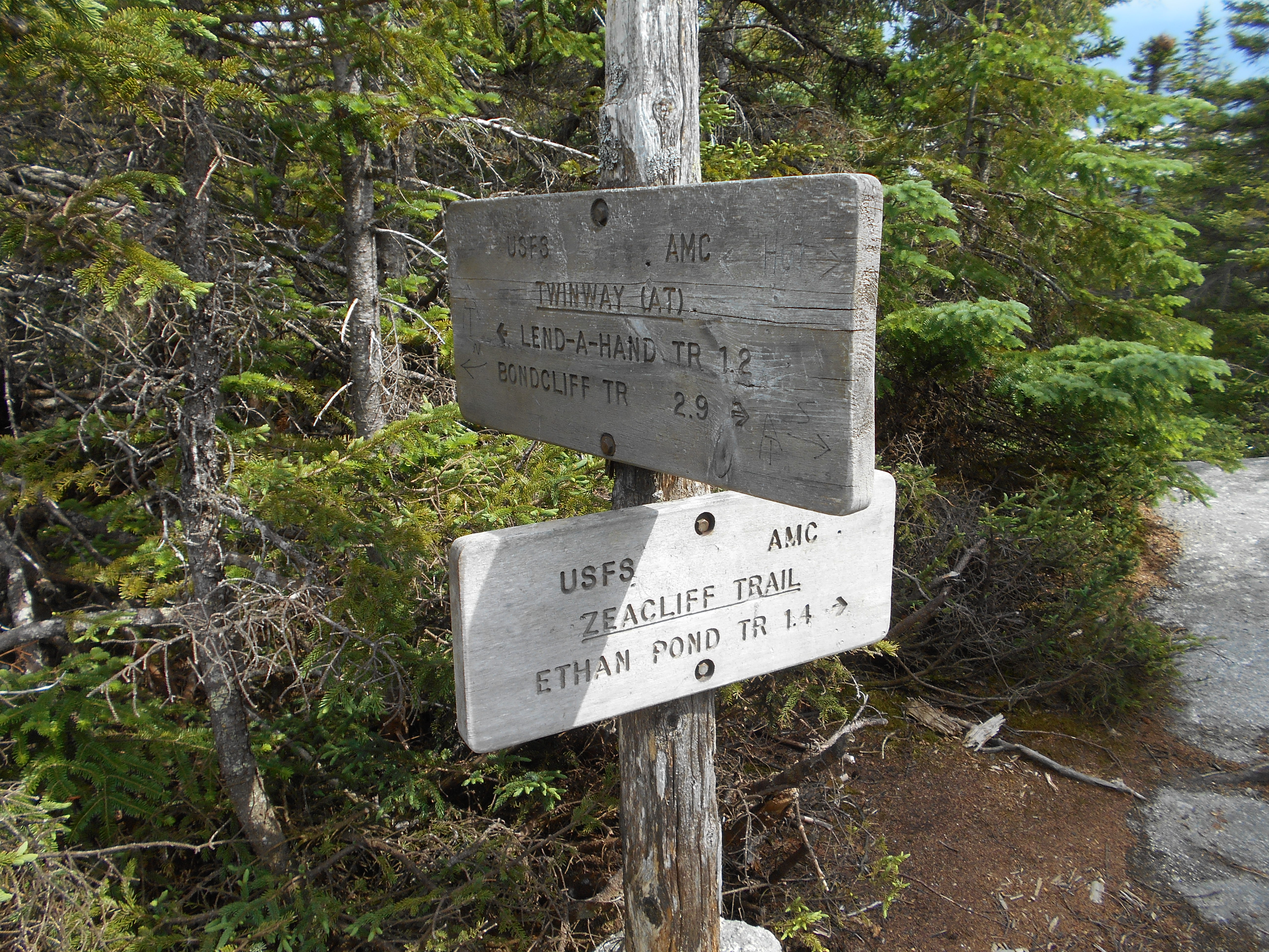
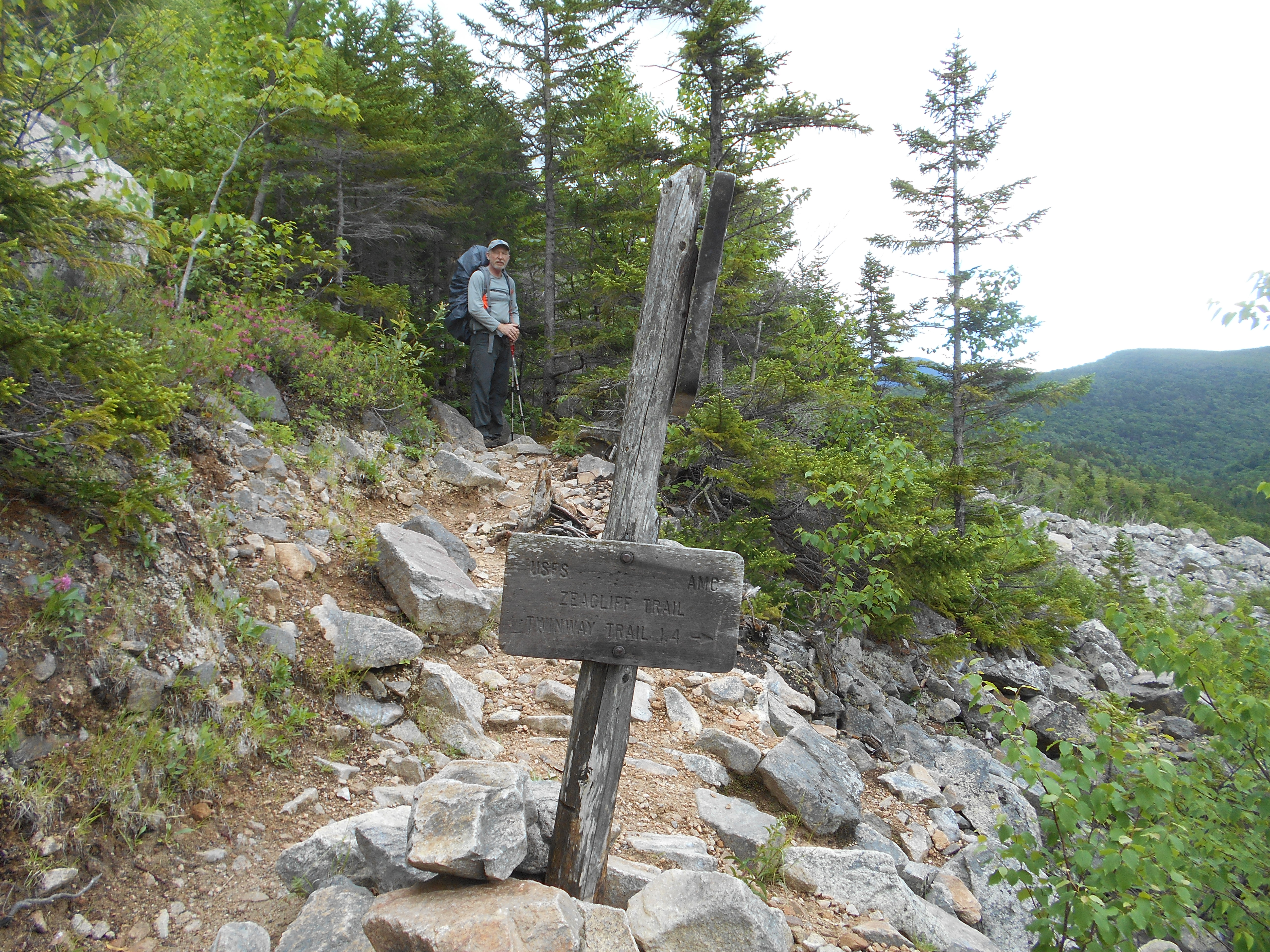
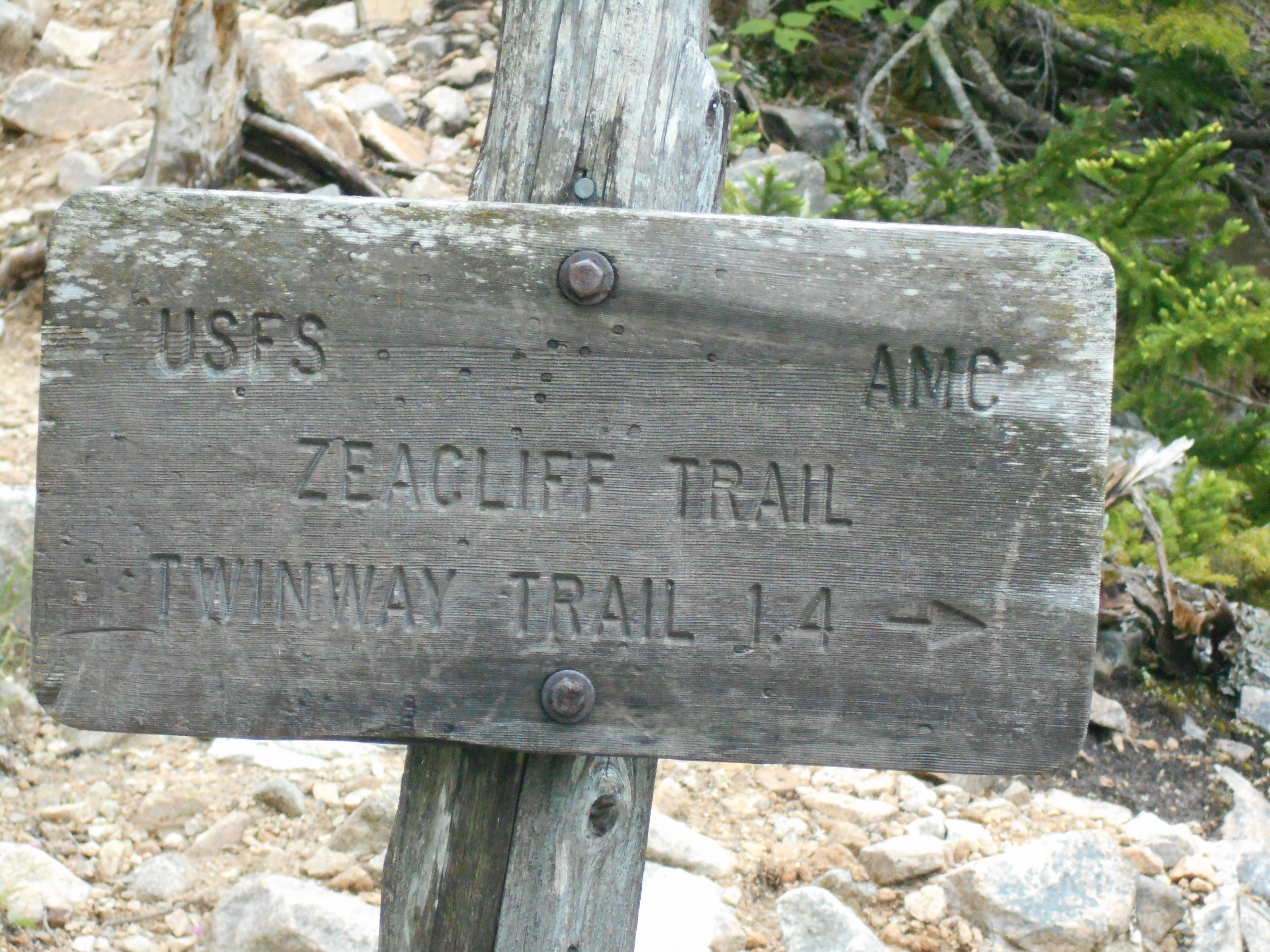
| 1834.7 | Zeacliff Trail (south) (3,700') | 3700 |
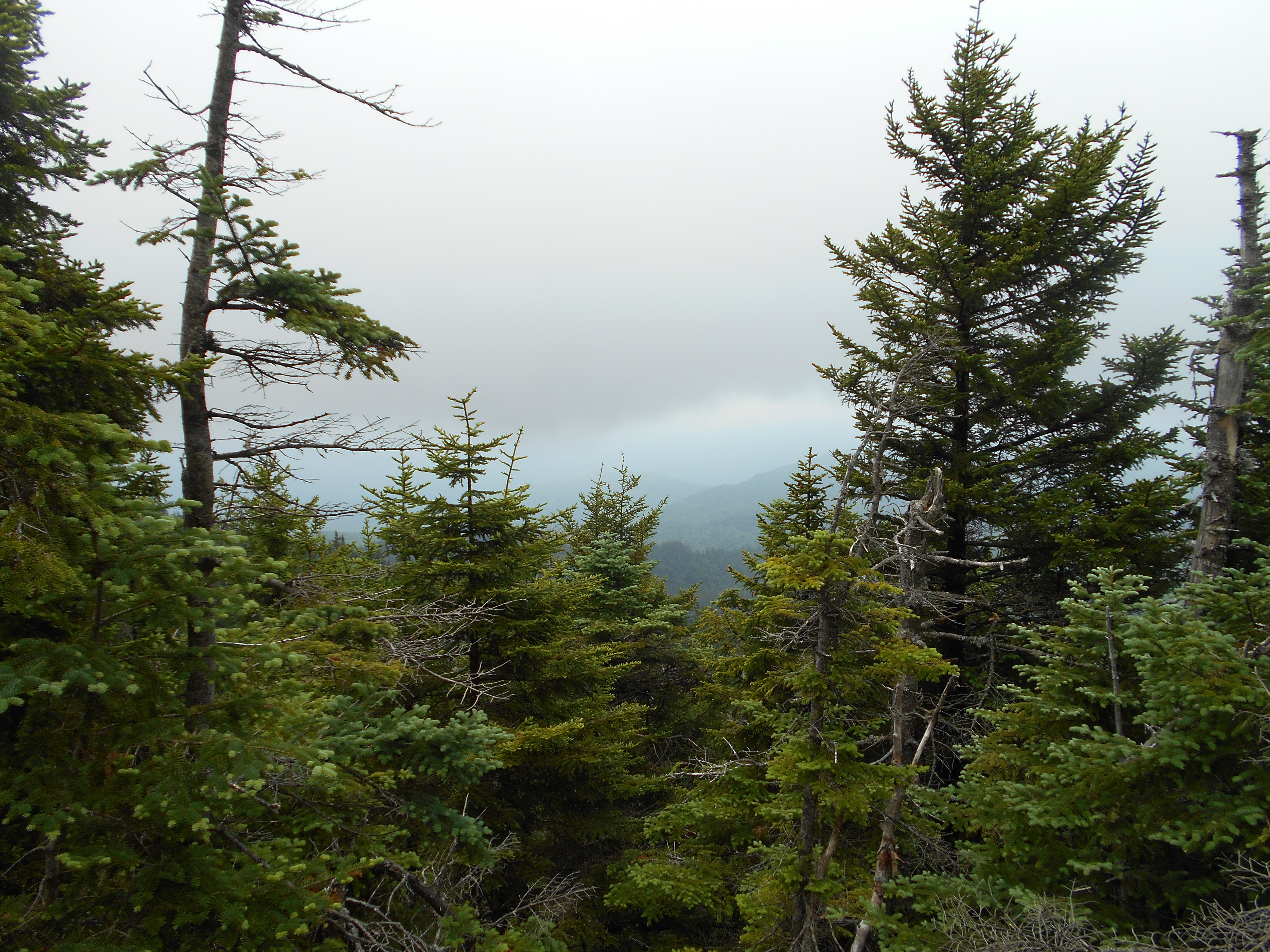
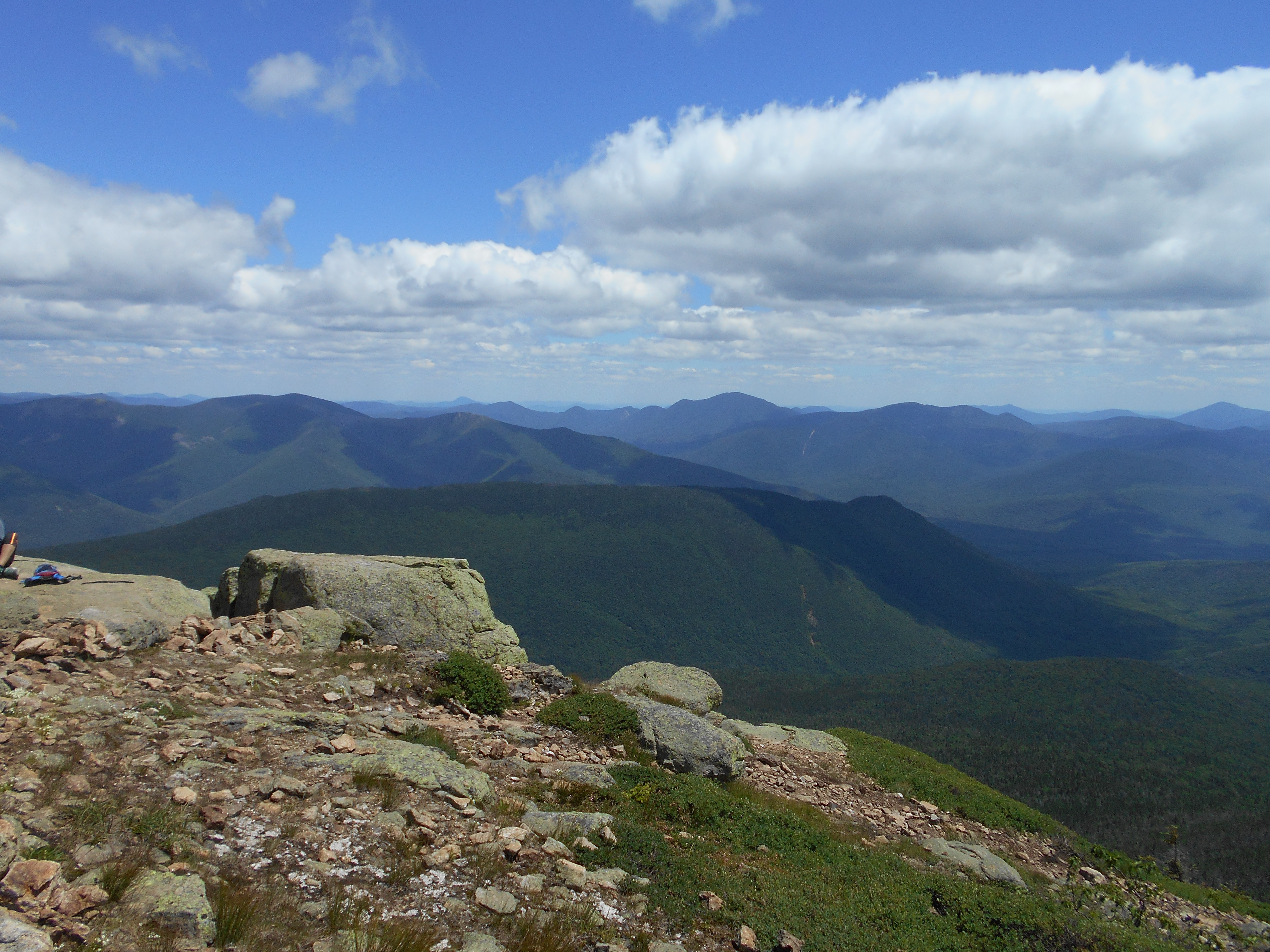
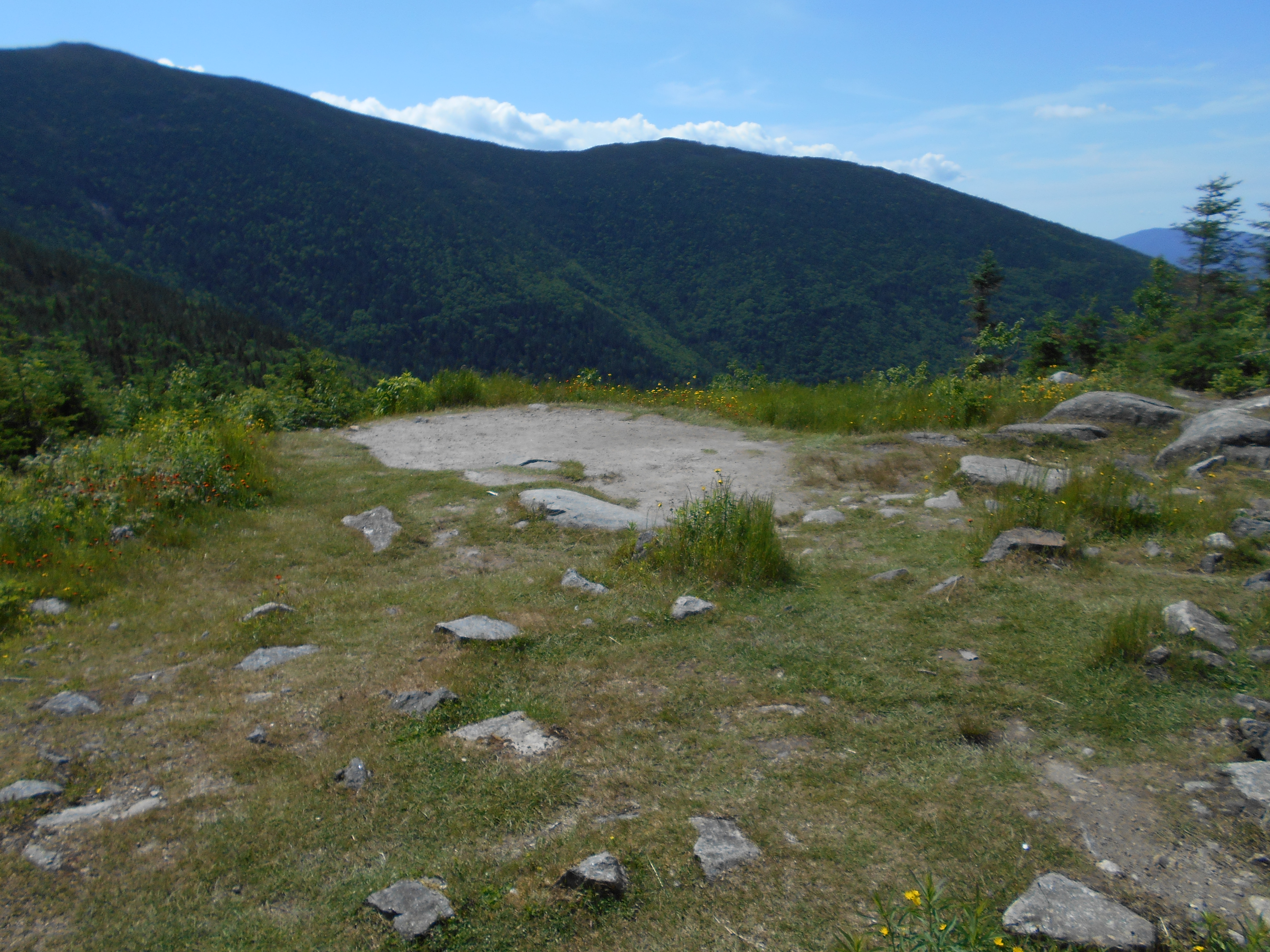
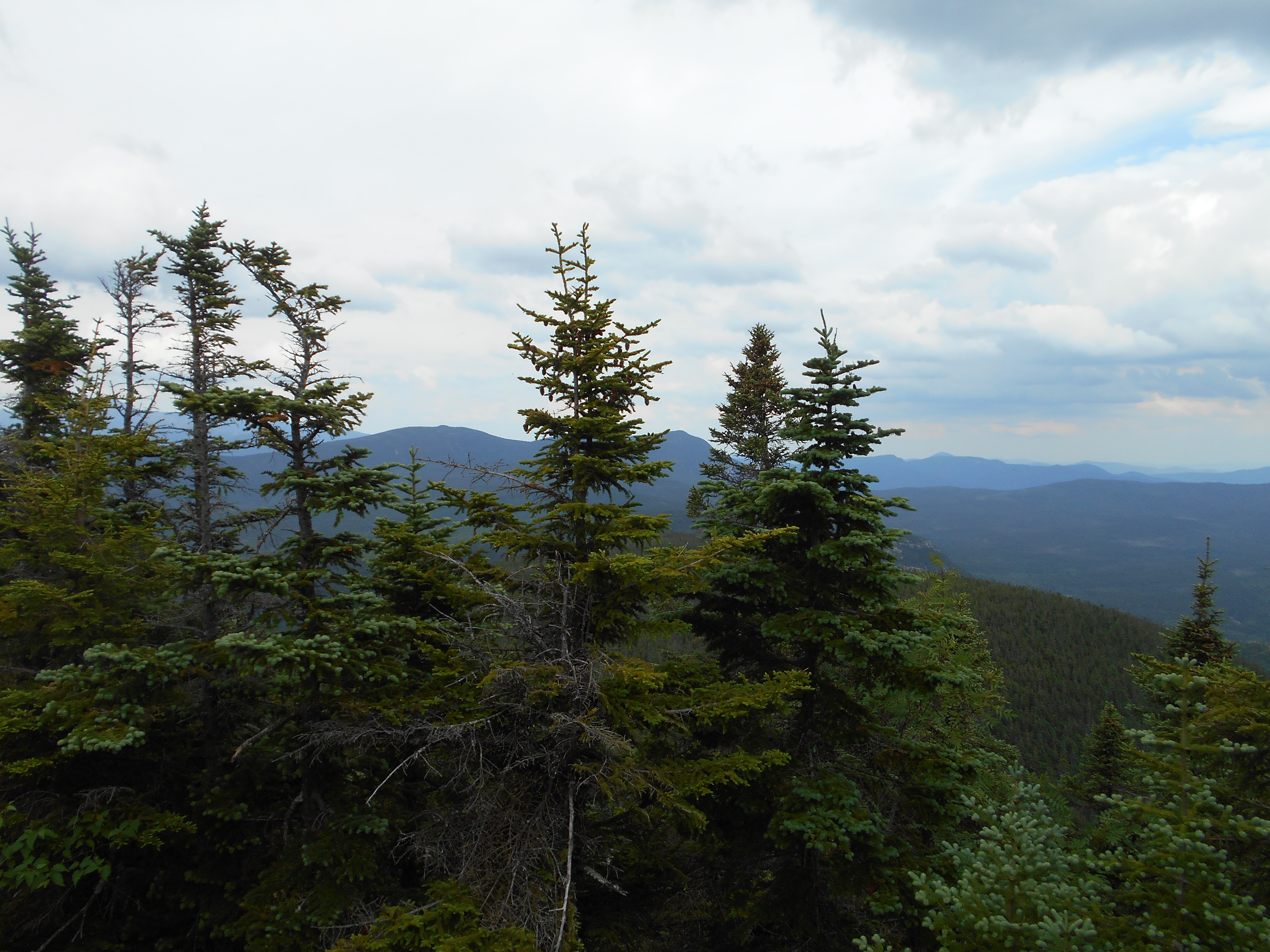
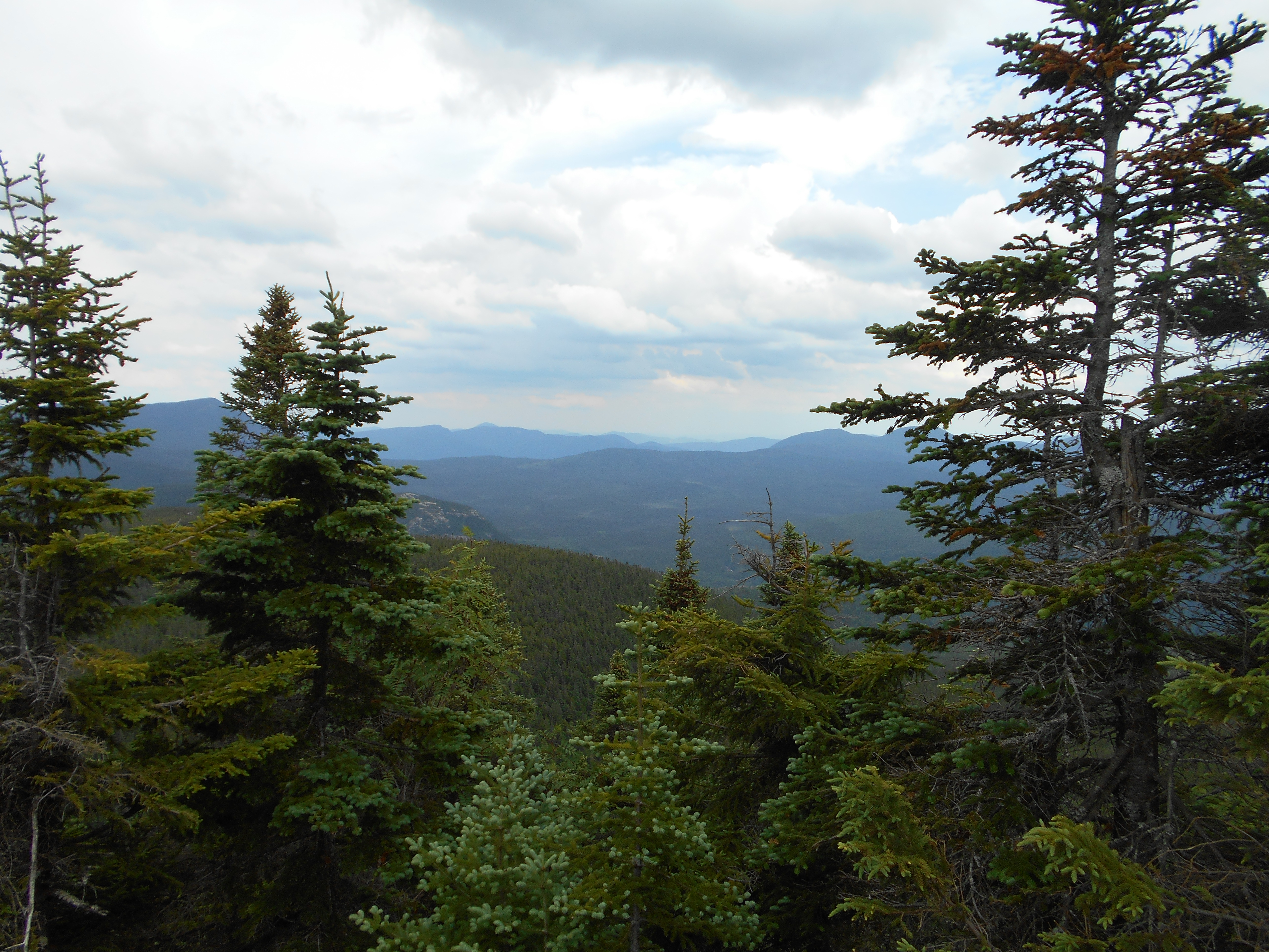
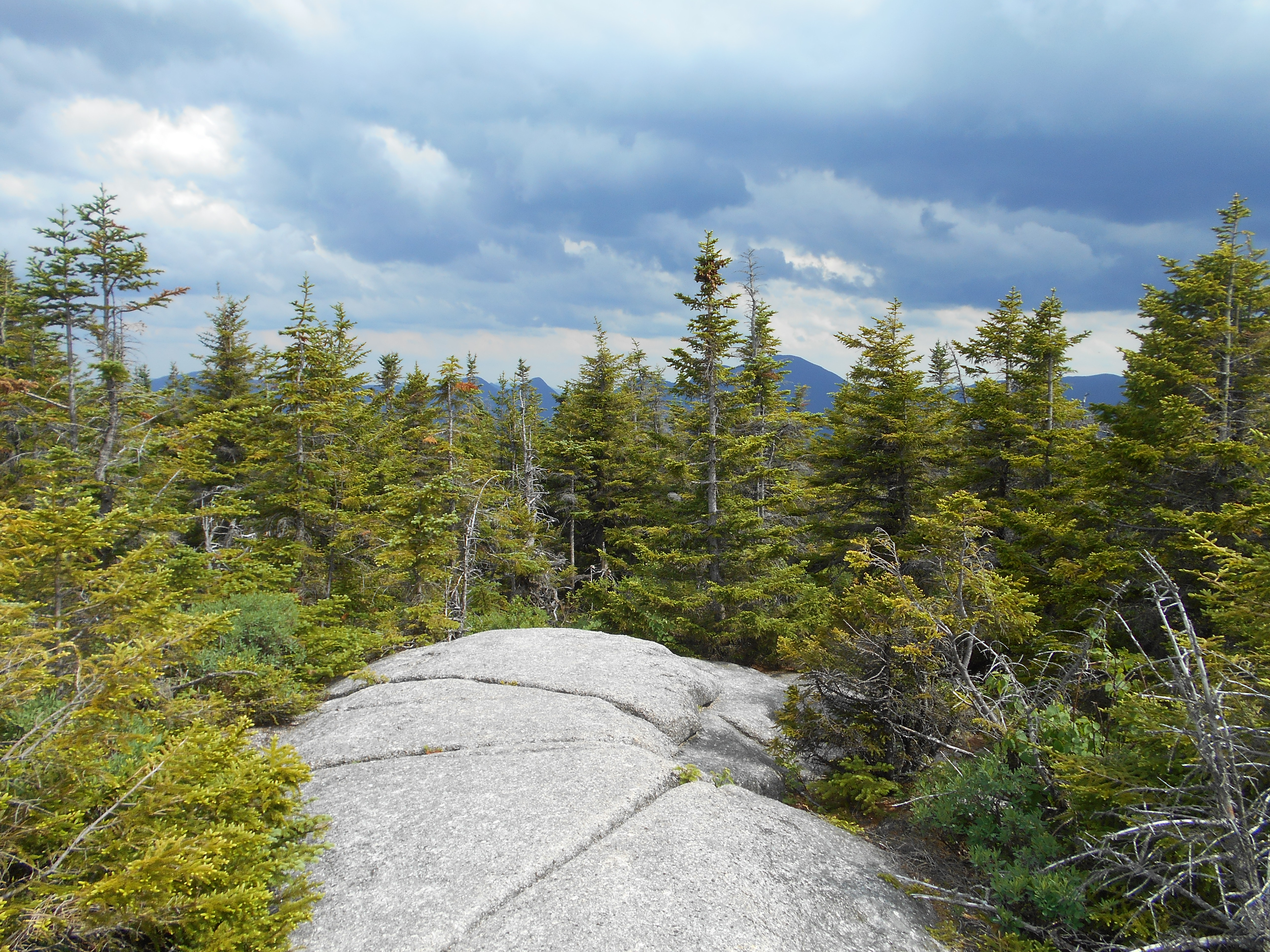
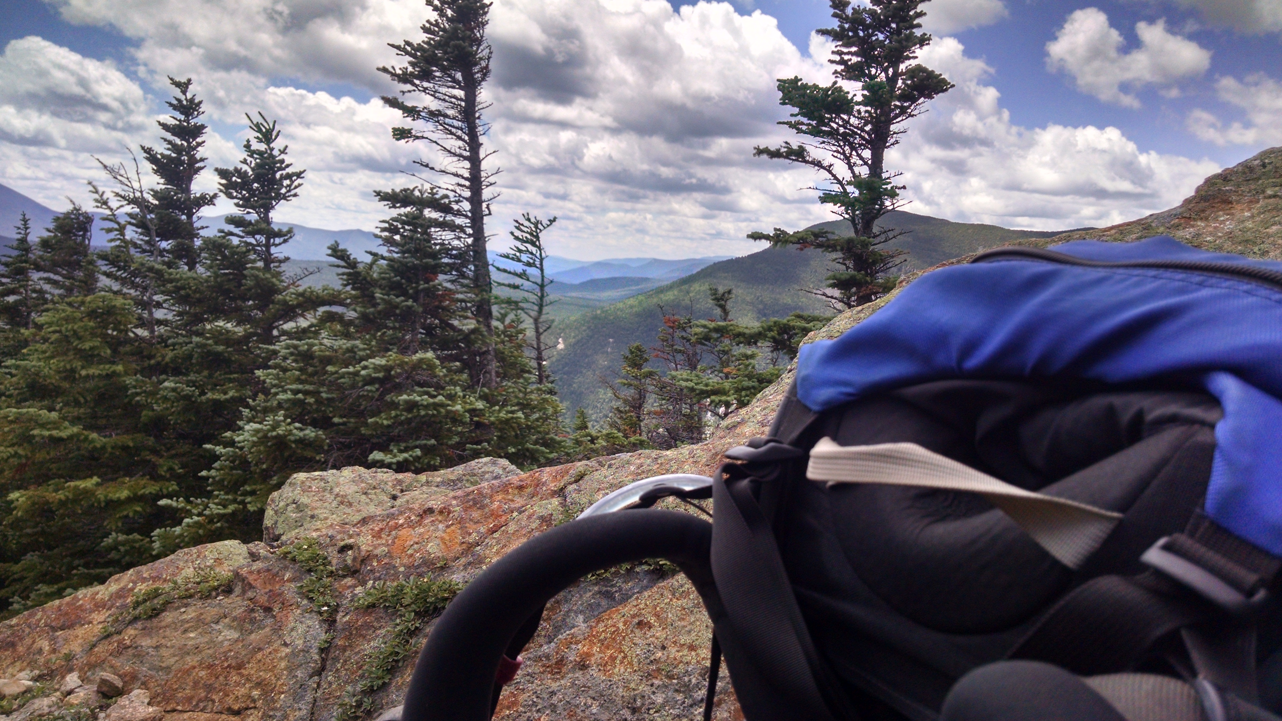
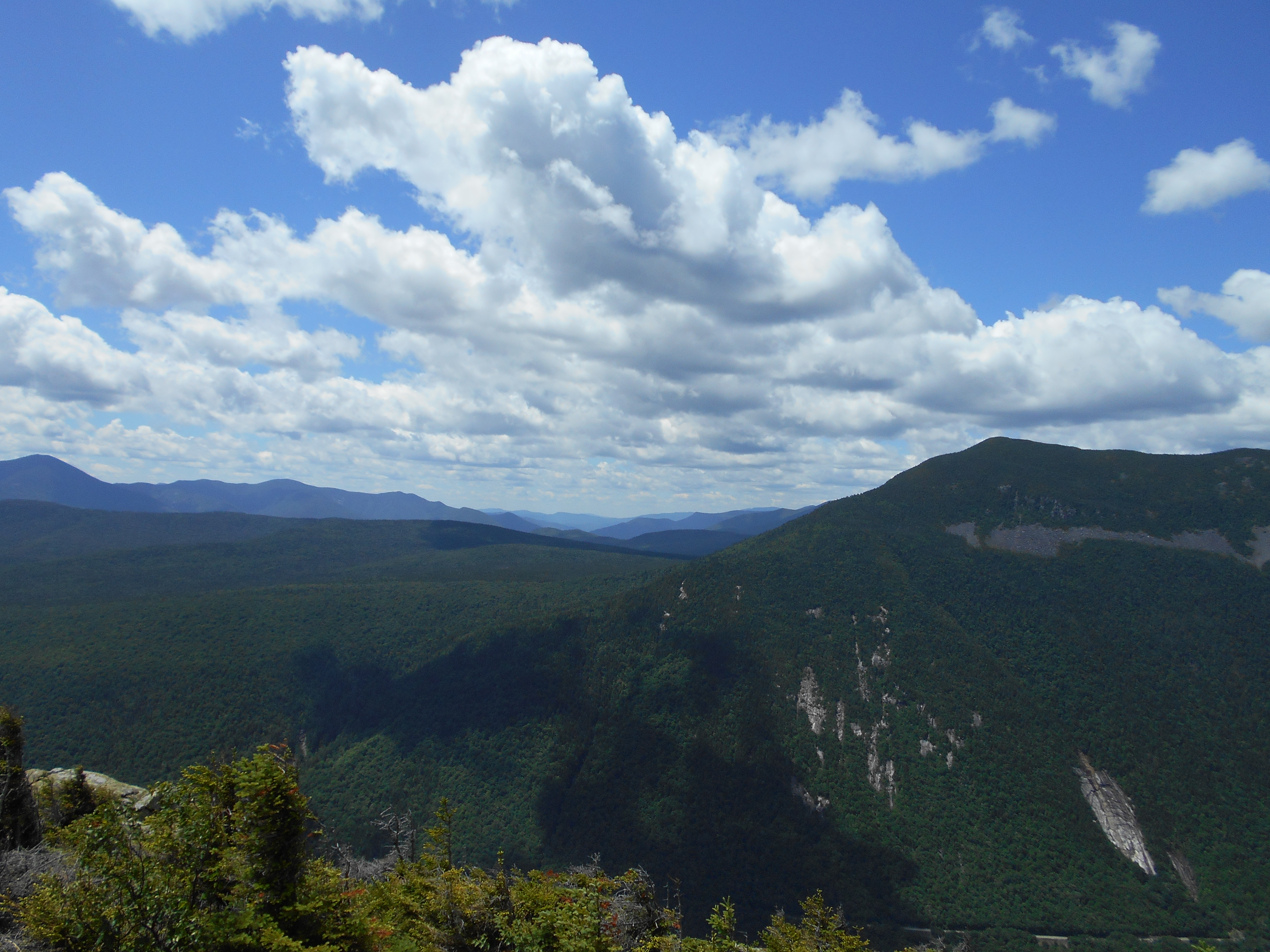
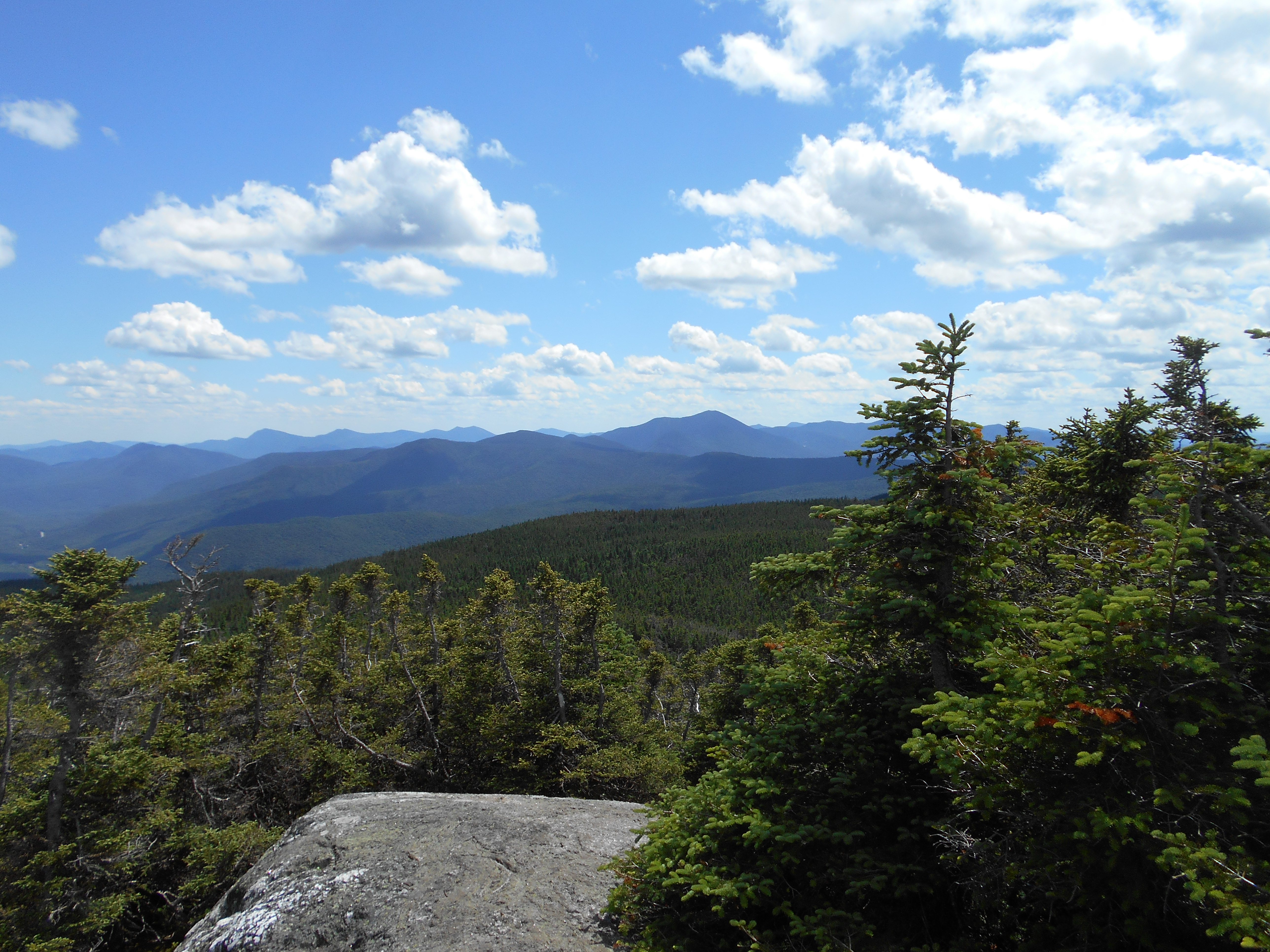
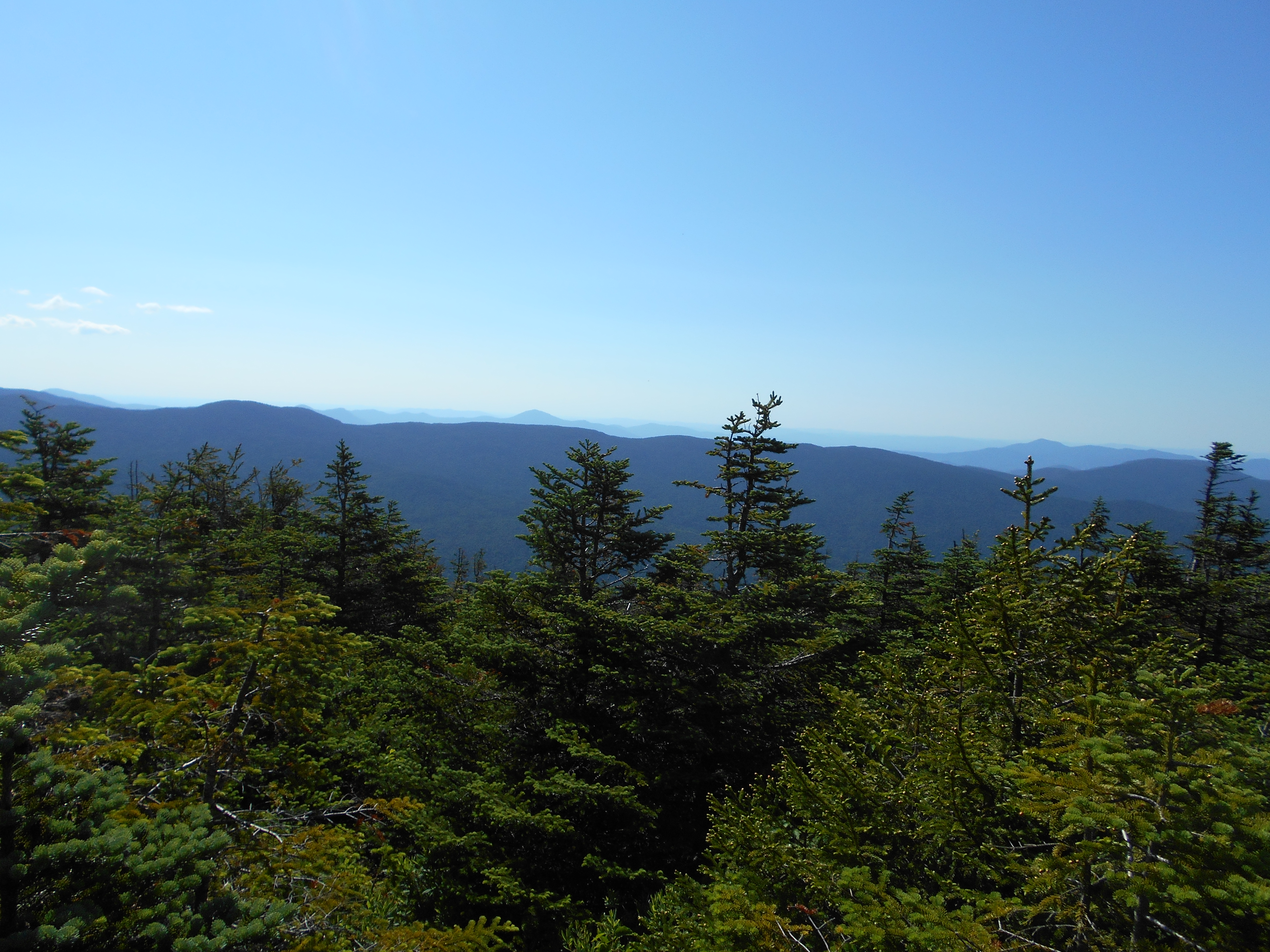
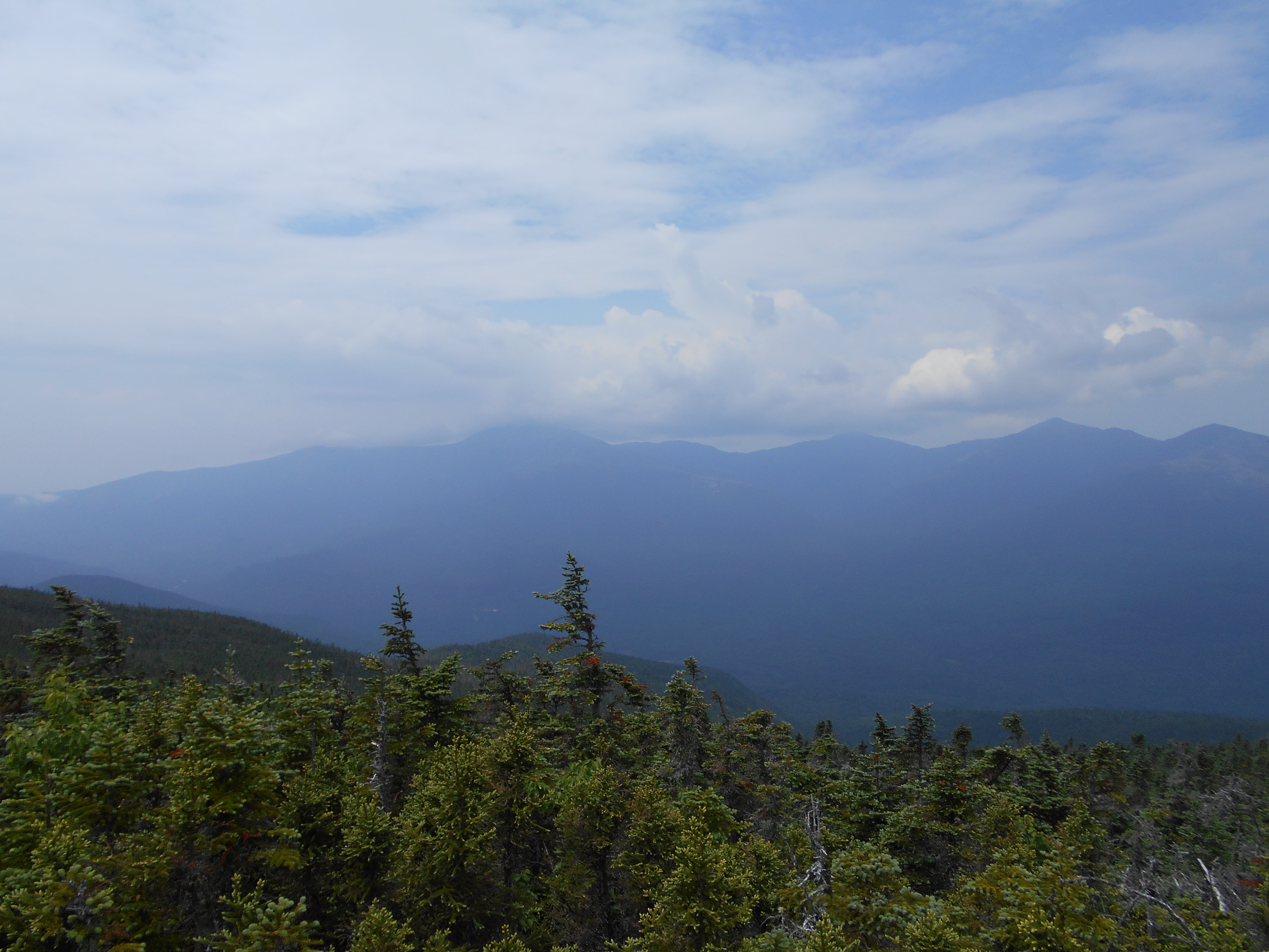
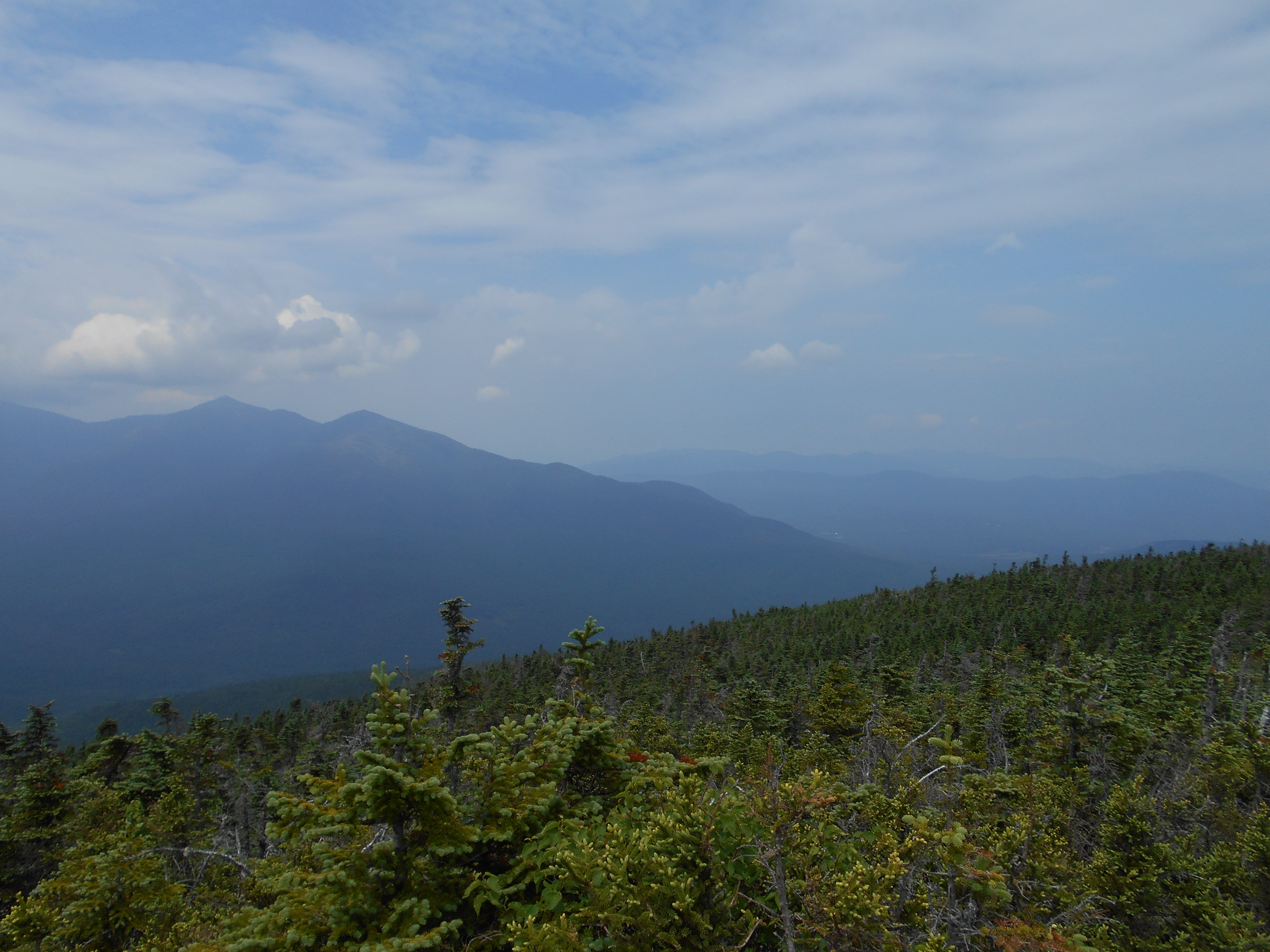
| 1834.8 | Zeacliff (3,700')?overlook to the east | 3700 |
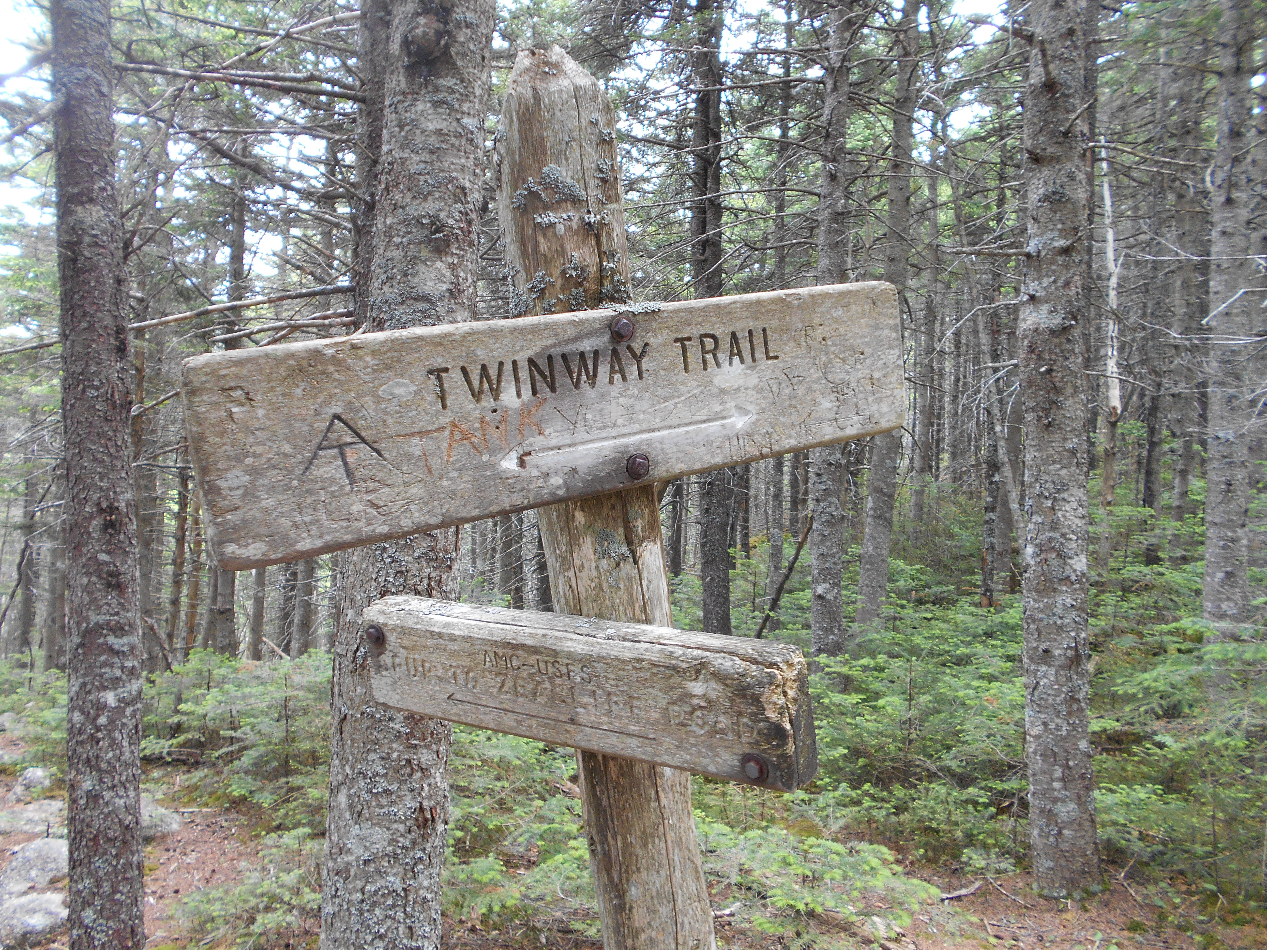
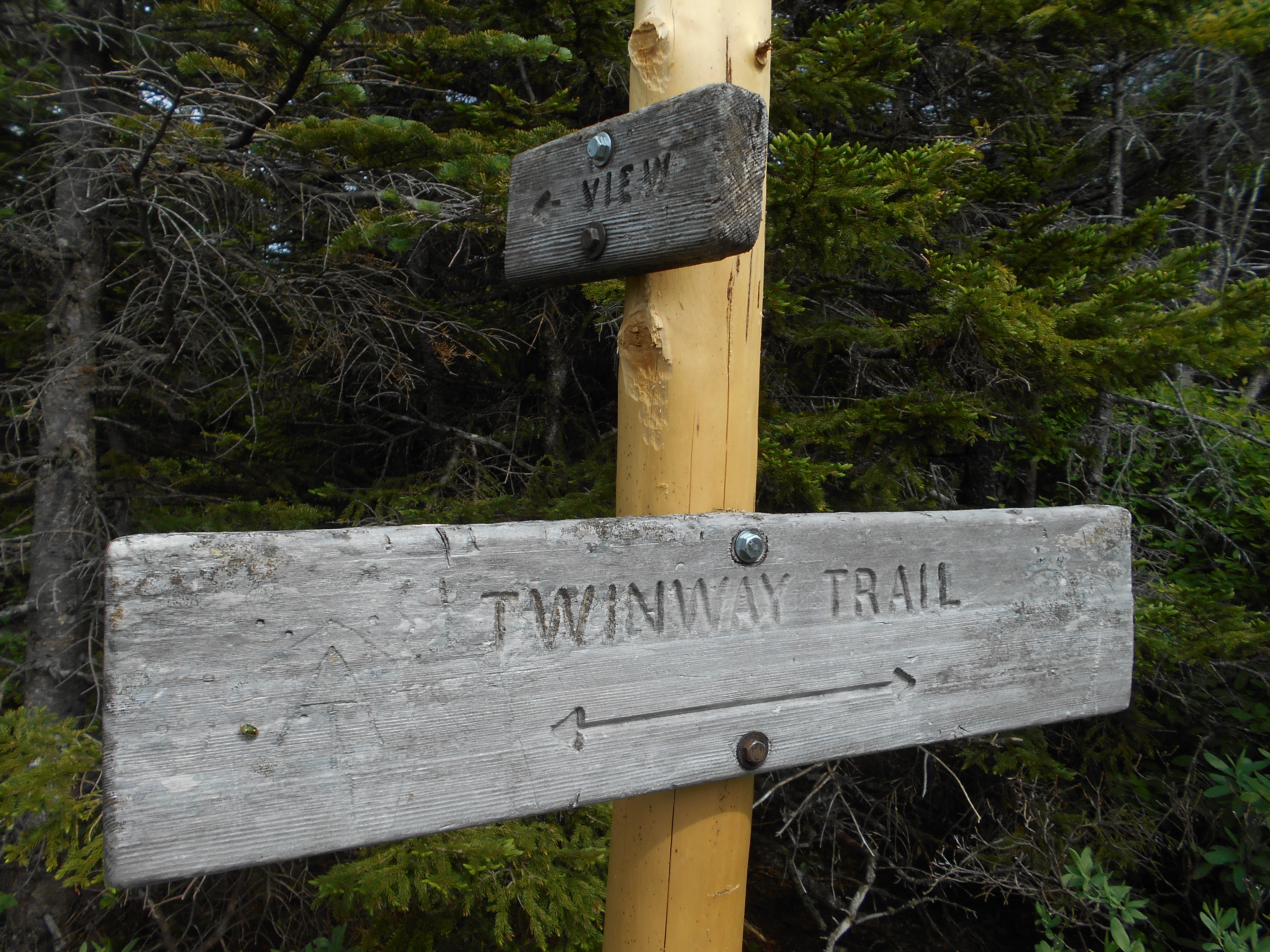
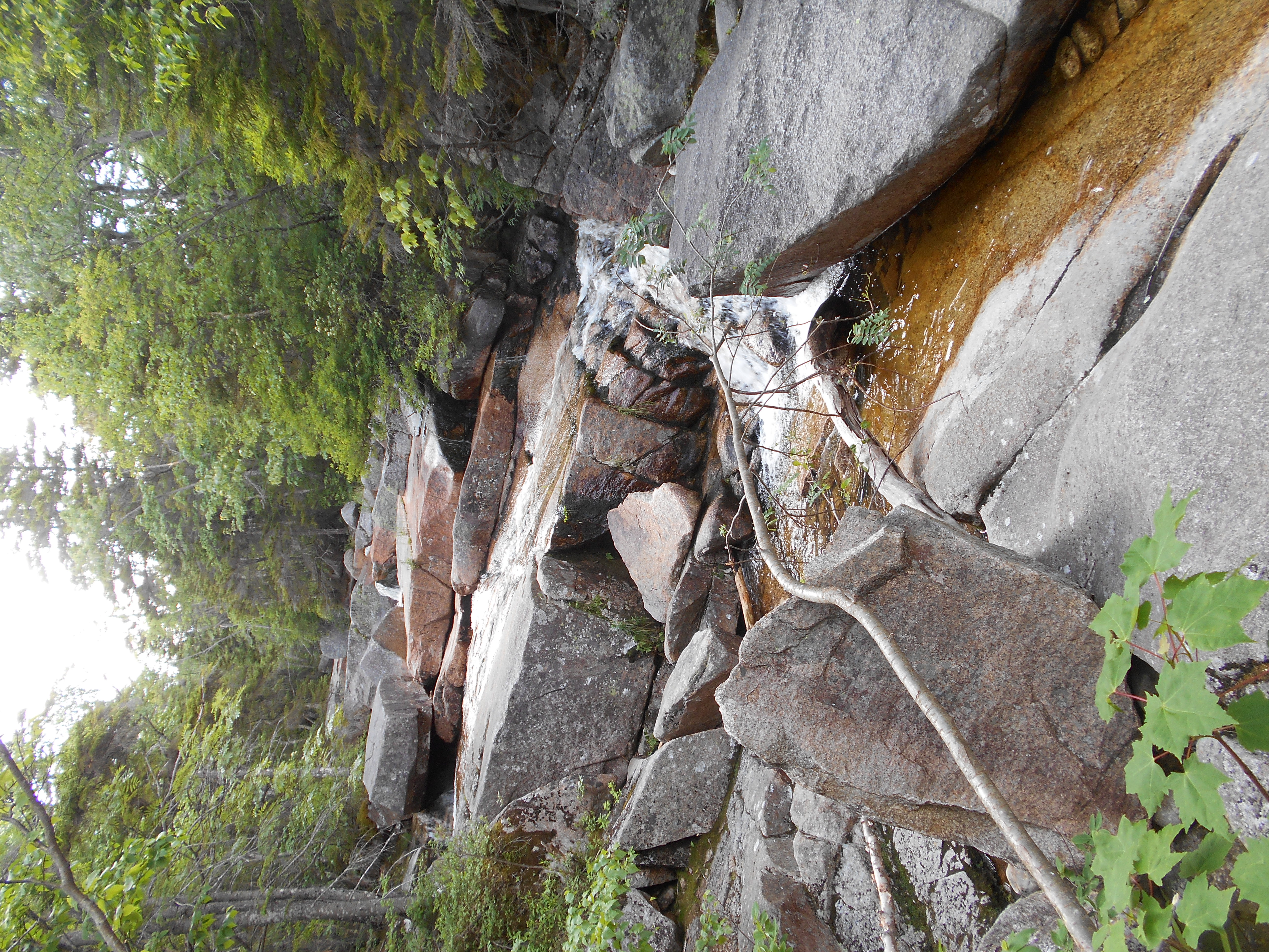
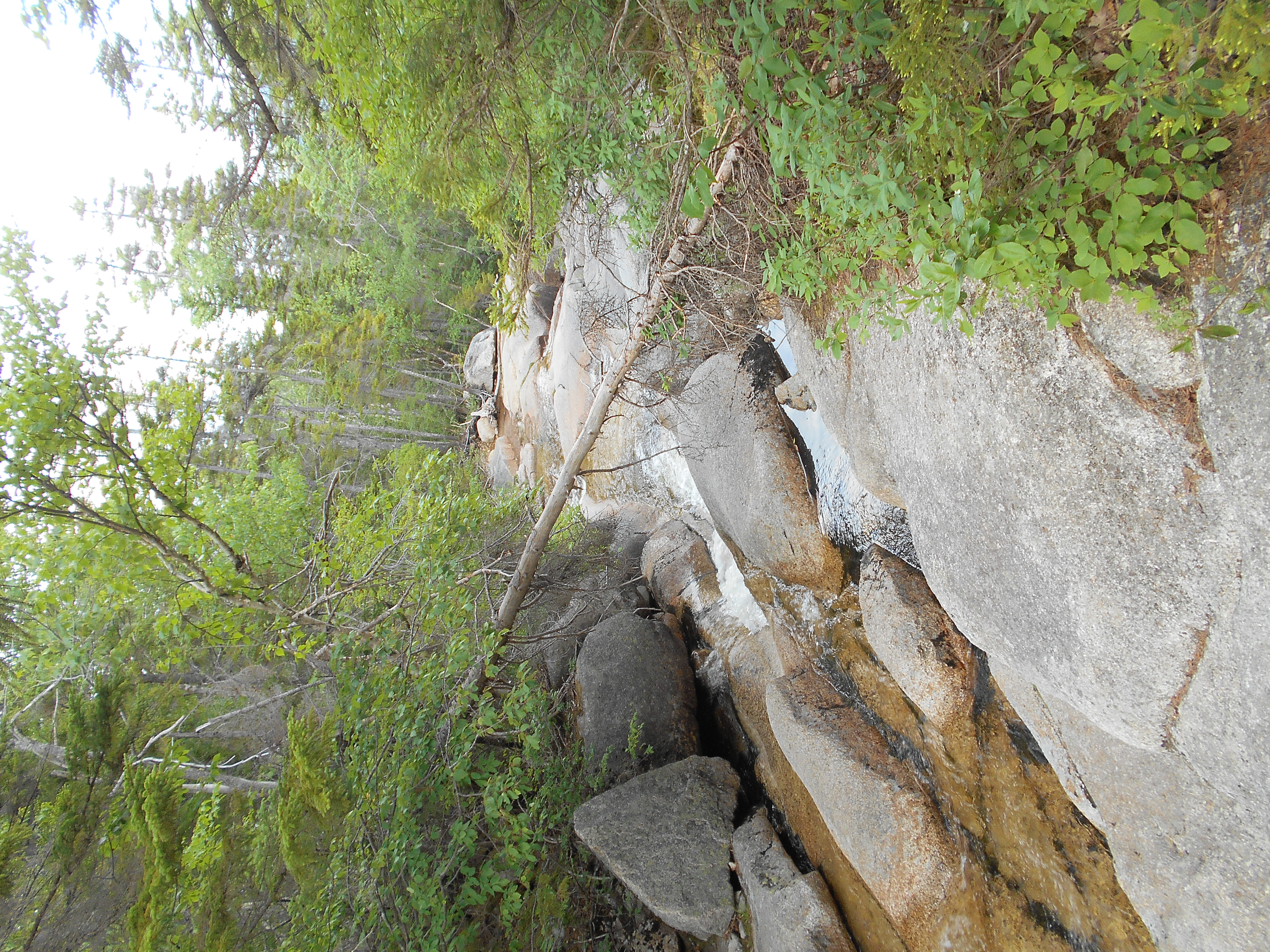
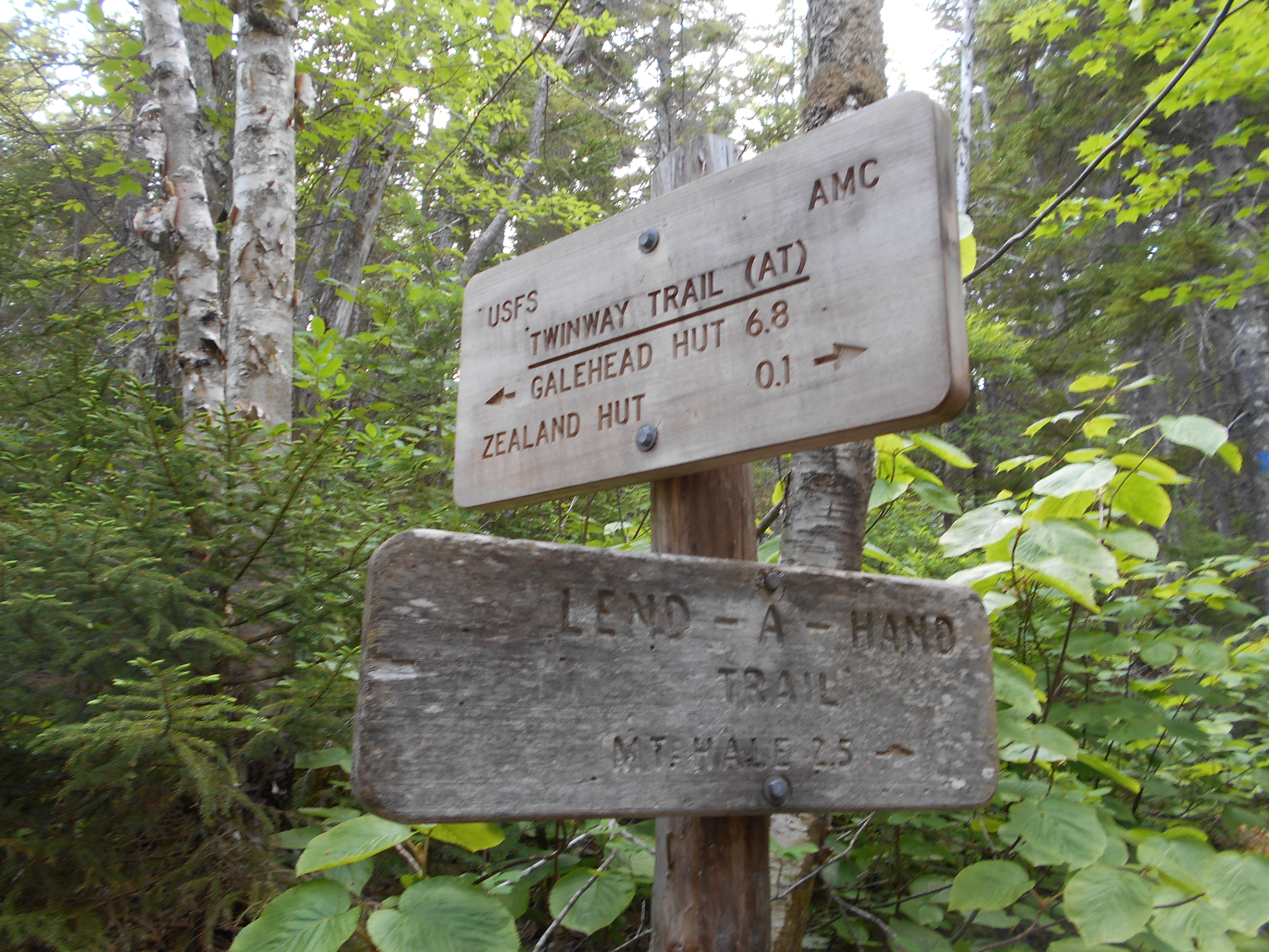
| 1835.9 | Lend-a-Hand Trail, Whitewall Brook (2,750') | 2750 |
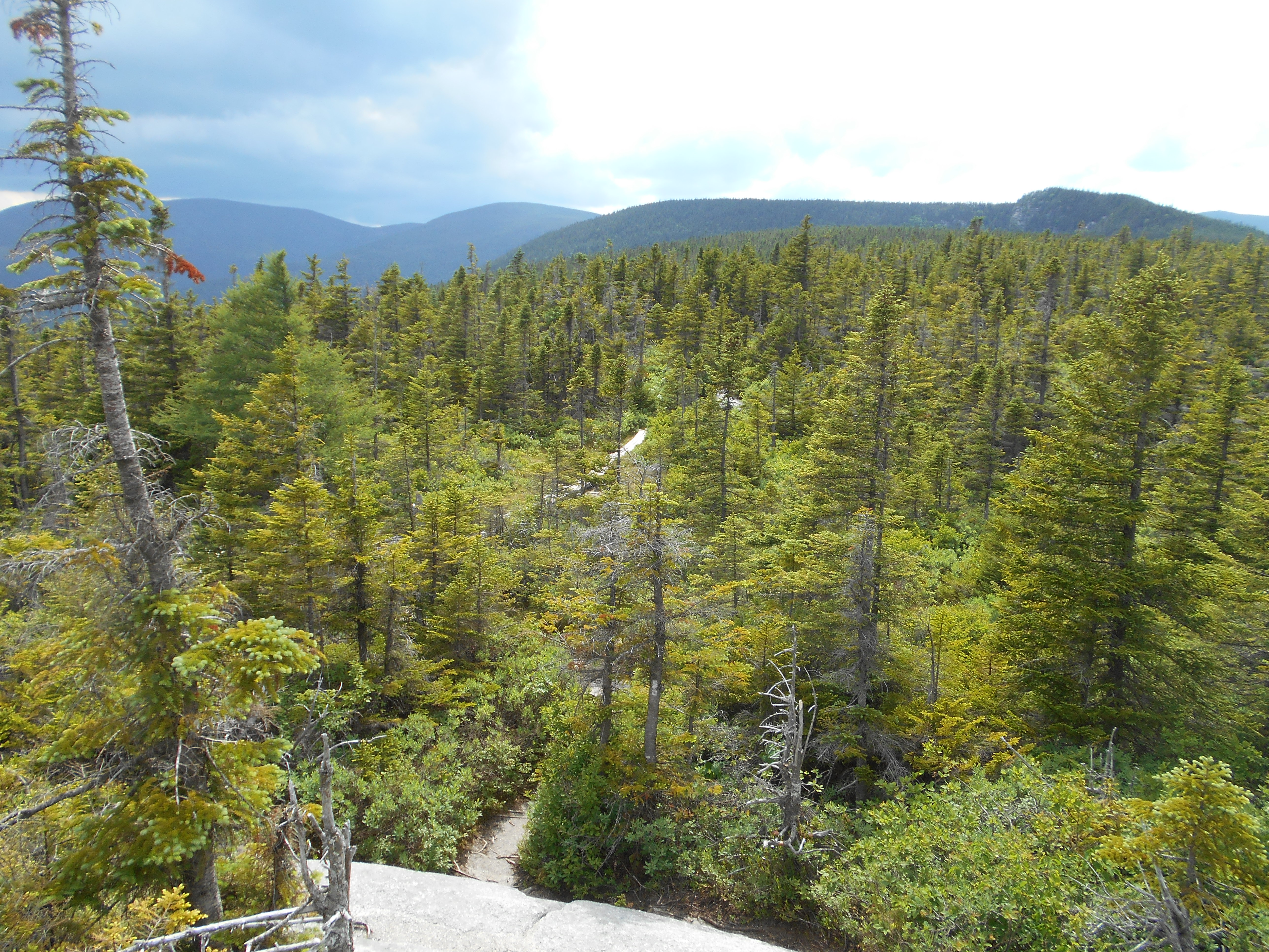
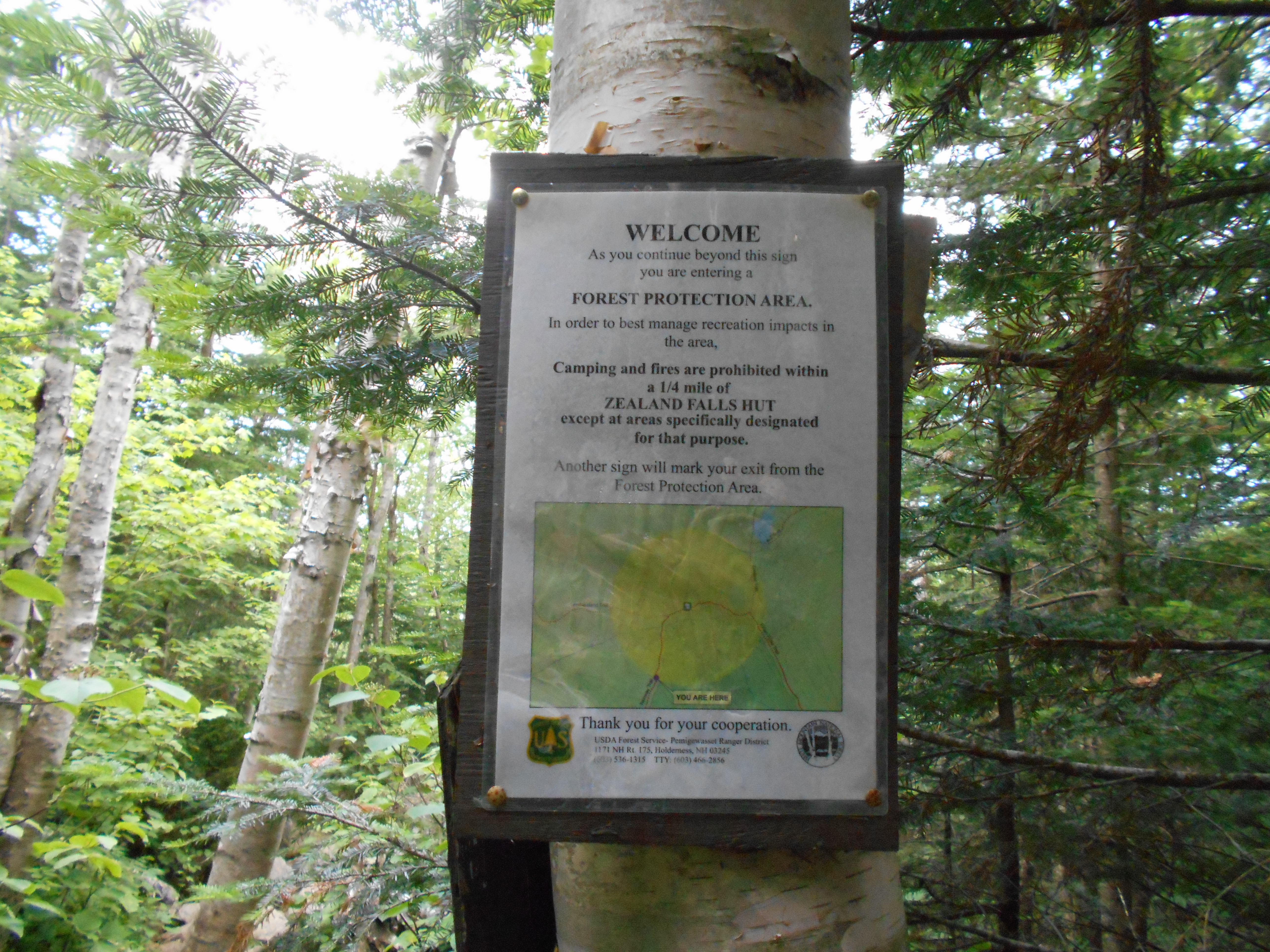
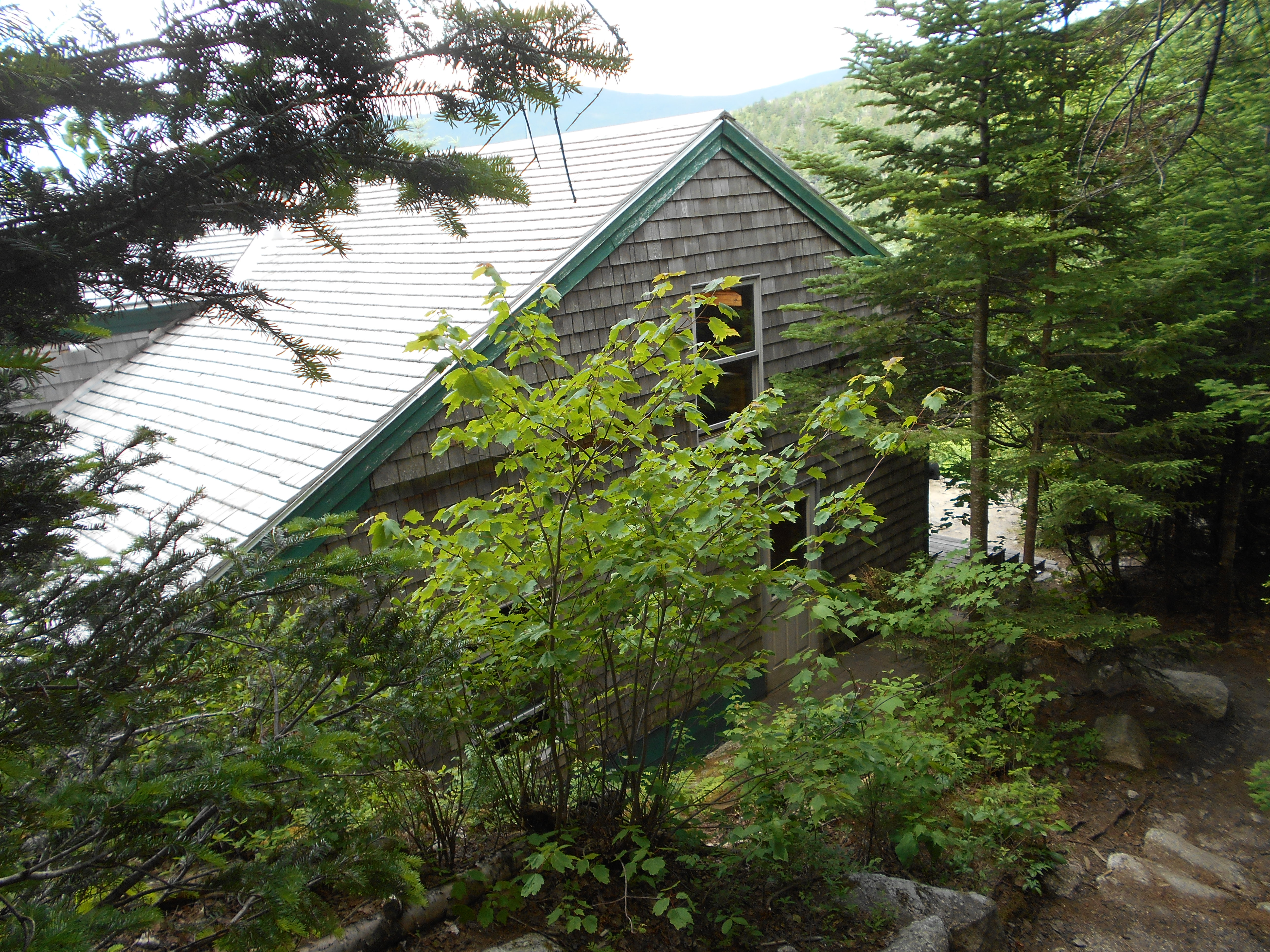
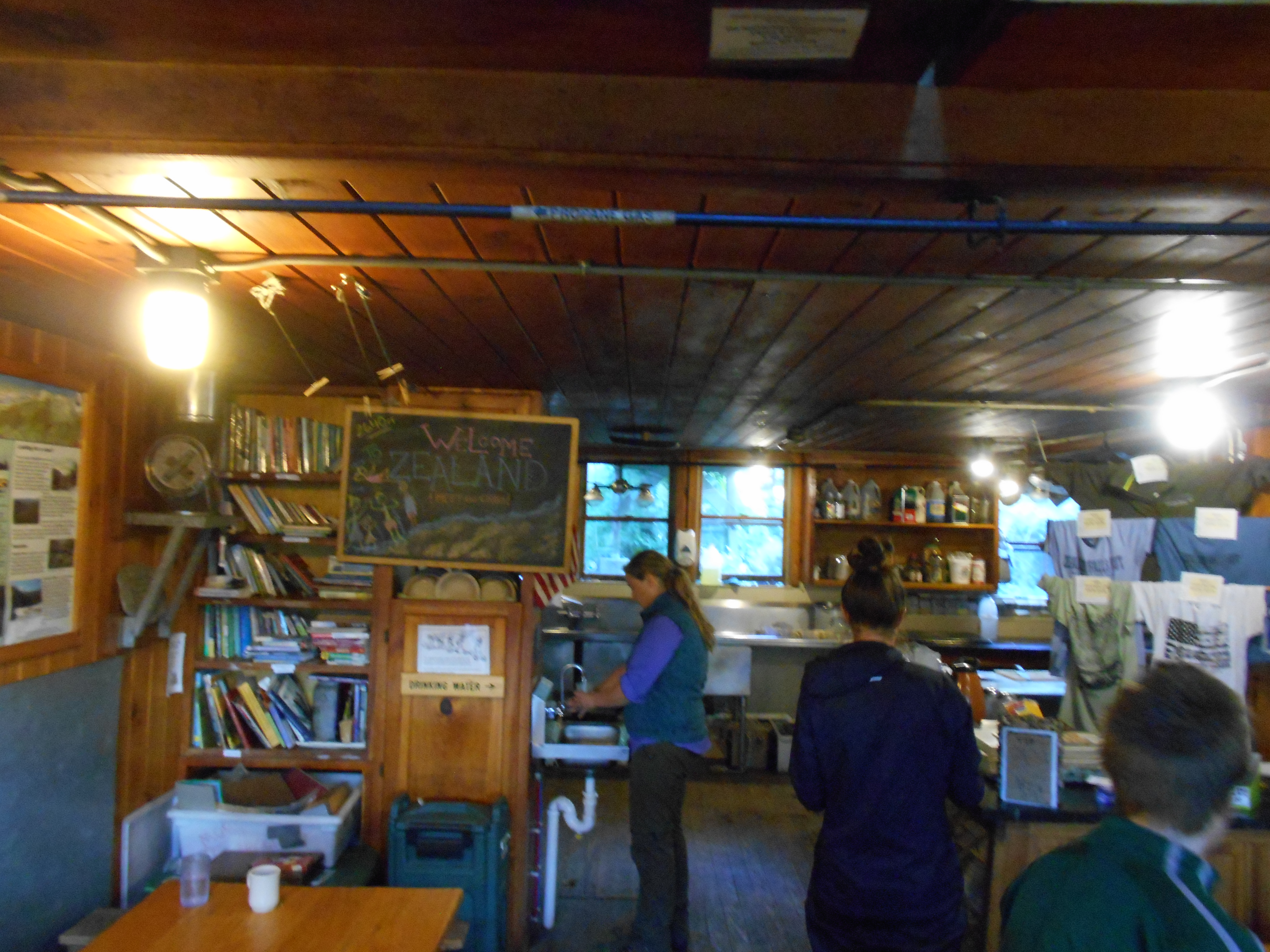
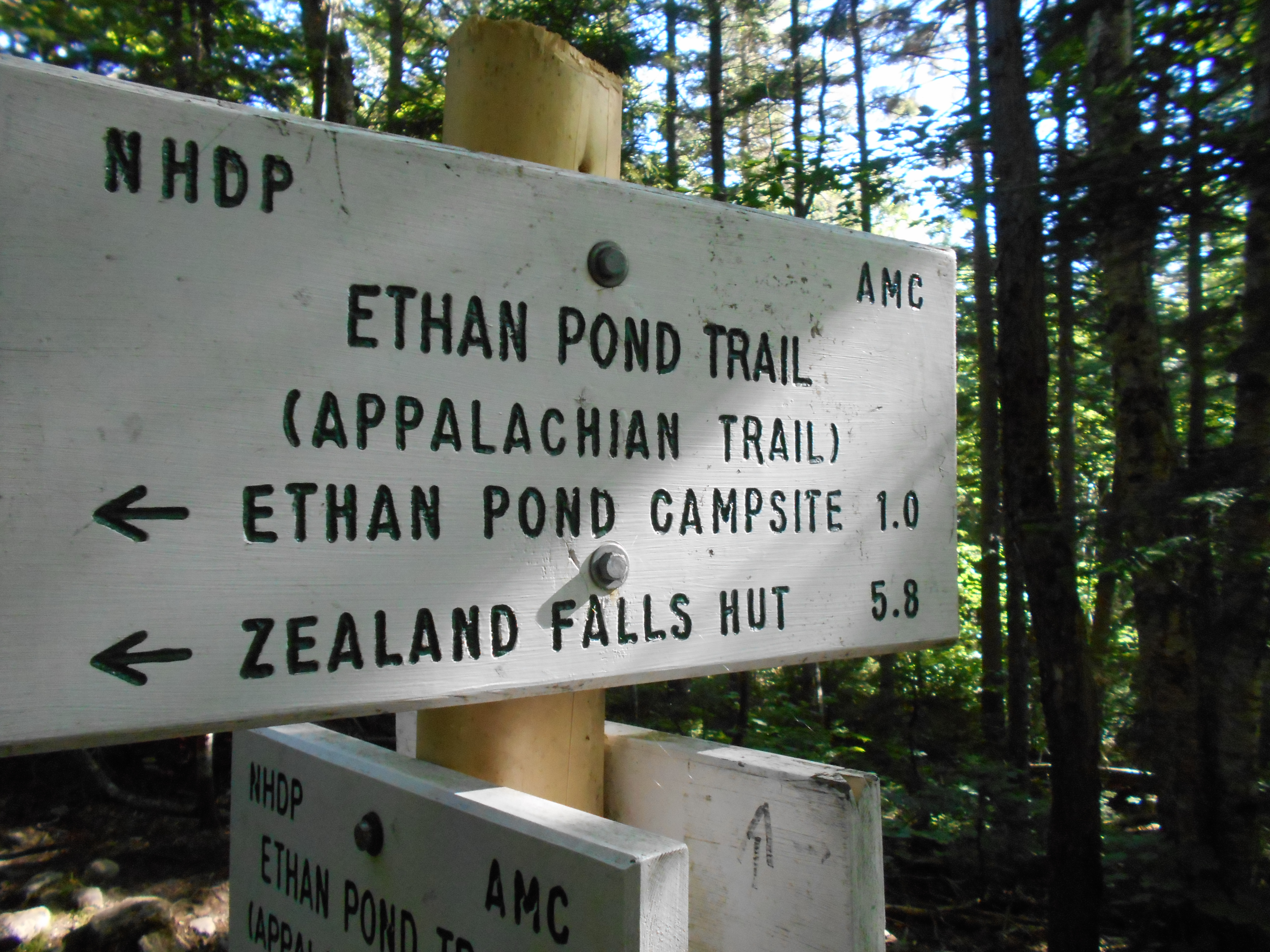
| 1836 | +AMC Zealand Falls Hut (2,630') | 2630 |


| Miles from Springer | Features | Elevation |
|---|---|---|
| 1836 | +AMC Zealand Falls Hut (2,630') | 2630 |
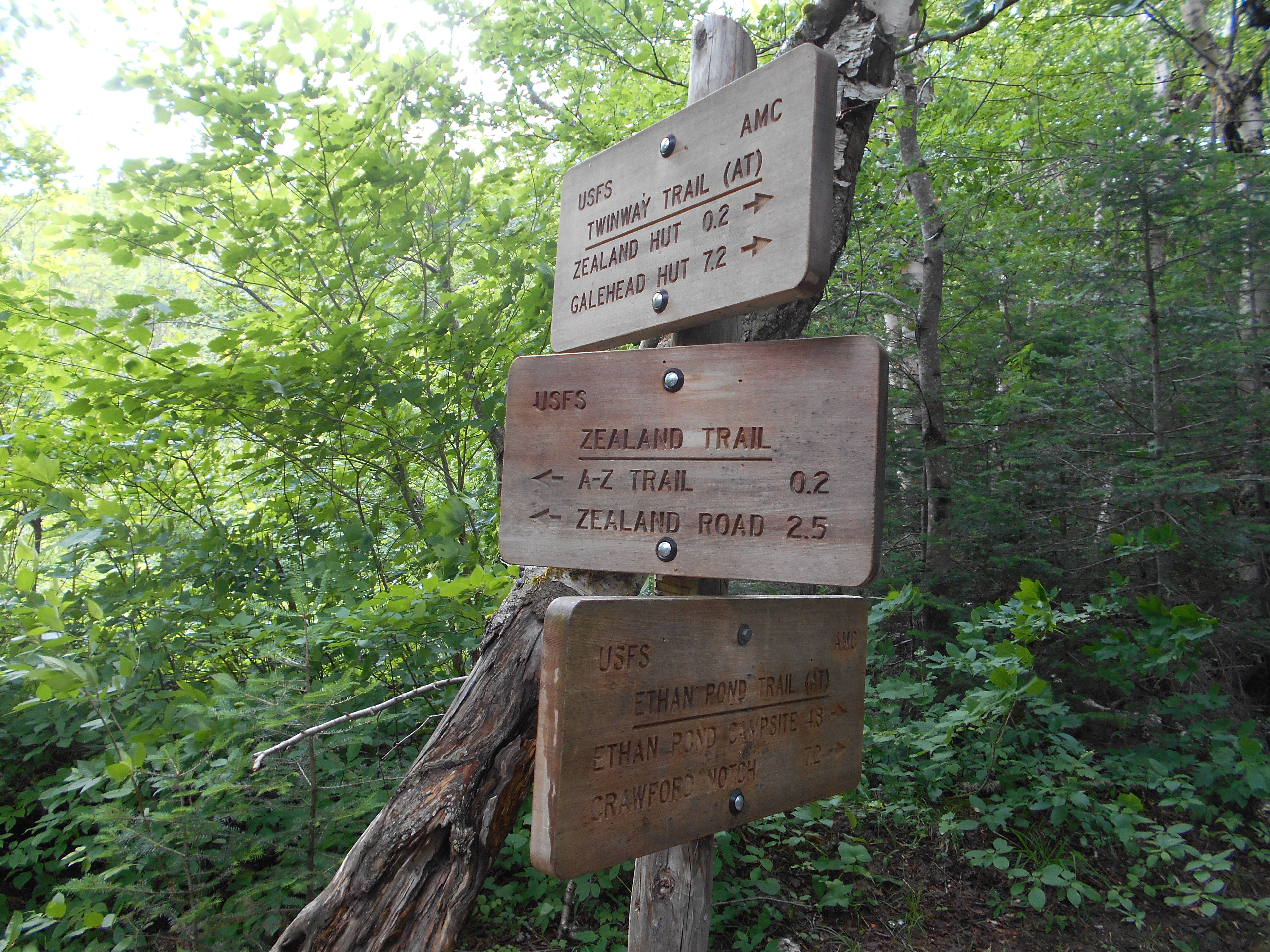
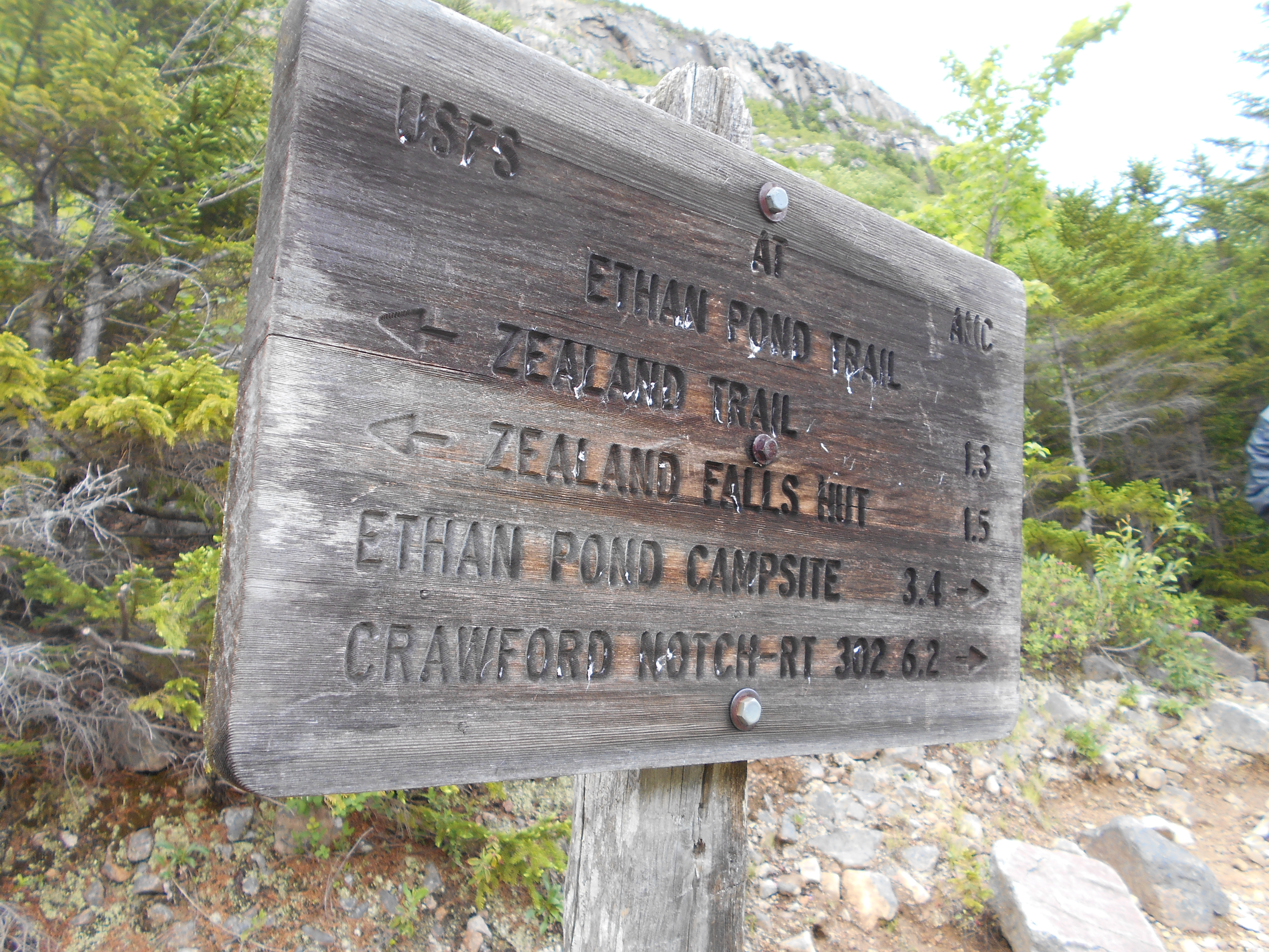
| 1836.2 | Zealand Trail Jct. (2,460')?former railroad bed | 2460 |
| 1837.5 | Zeacliff Trail (north) (2,448') | 2448 |
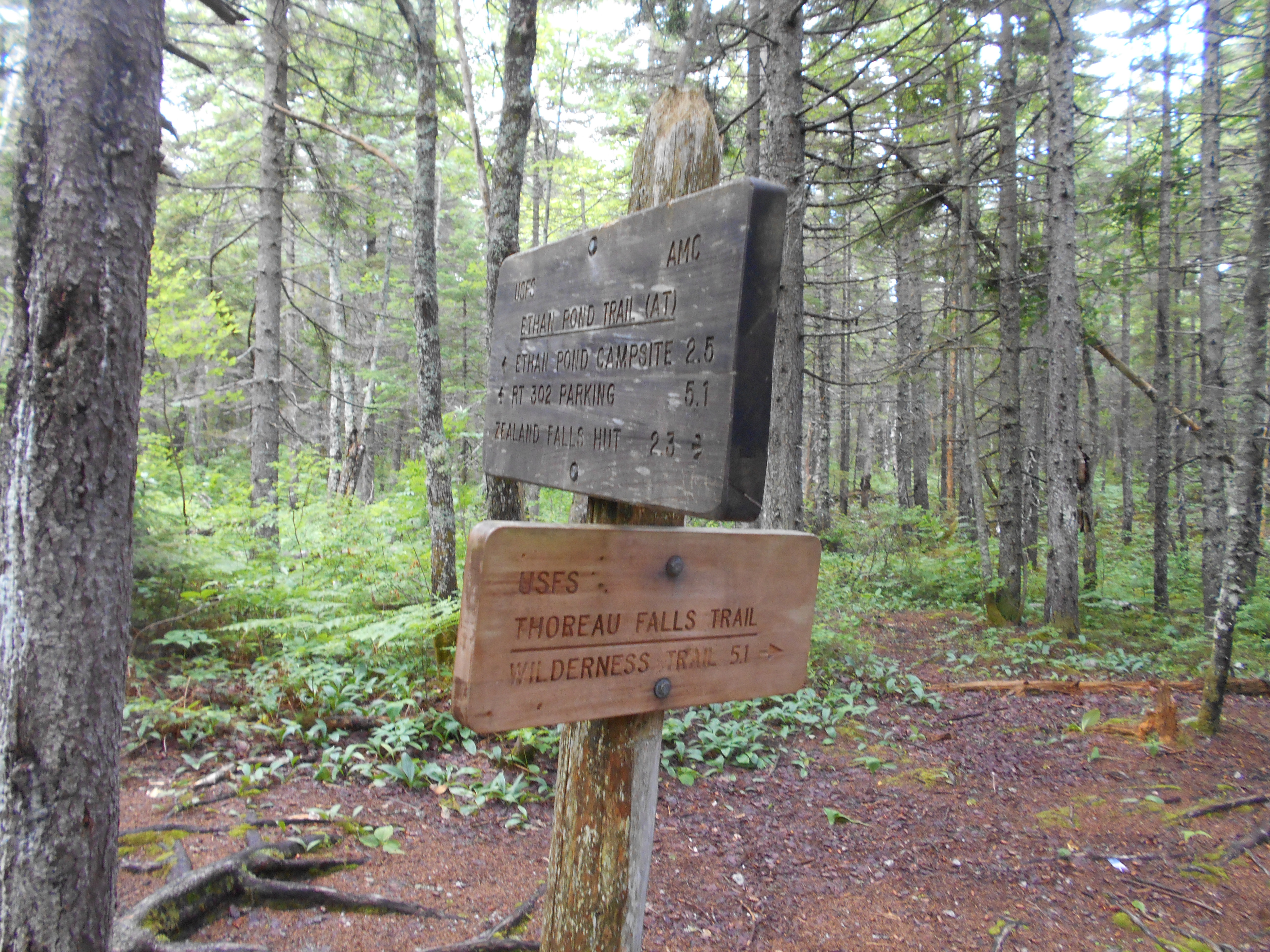
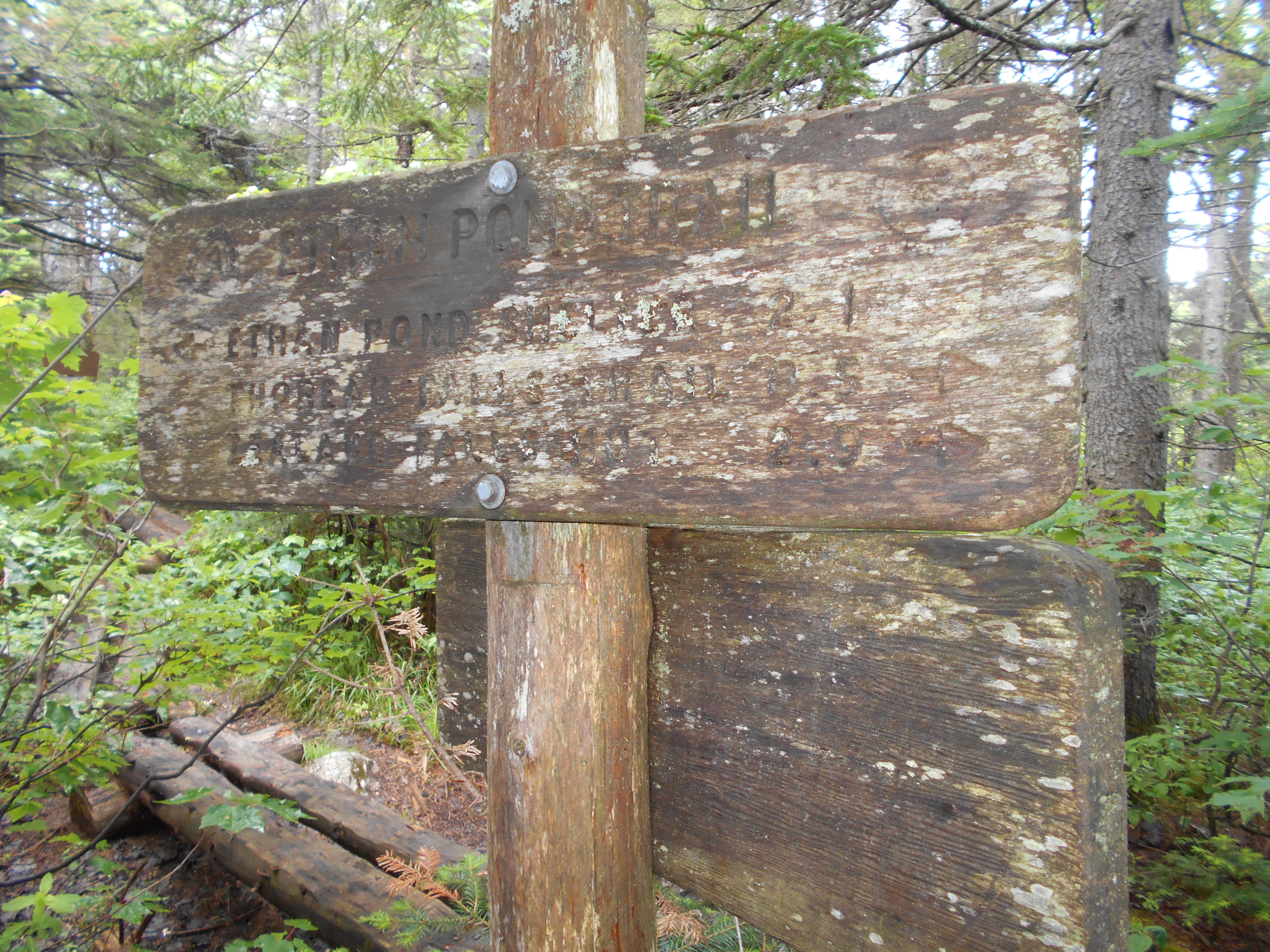
| 1838.3 | Thoreau Falls Trail (2,460') | 2460 |
| 1838.8 | Shoal Pond Trail (2,500') | 2500 |
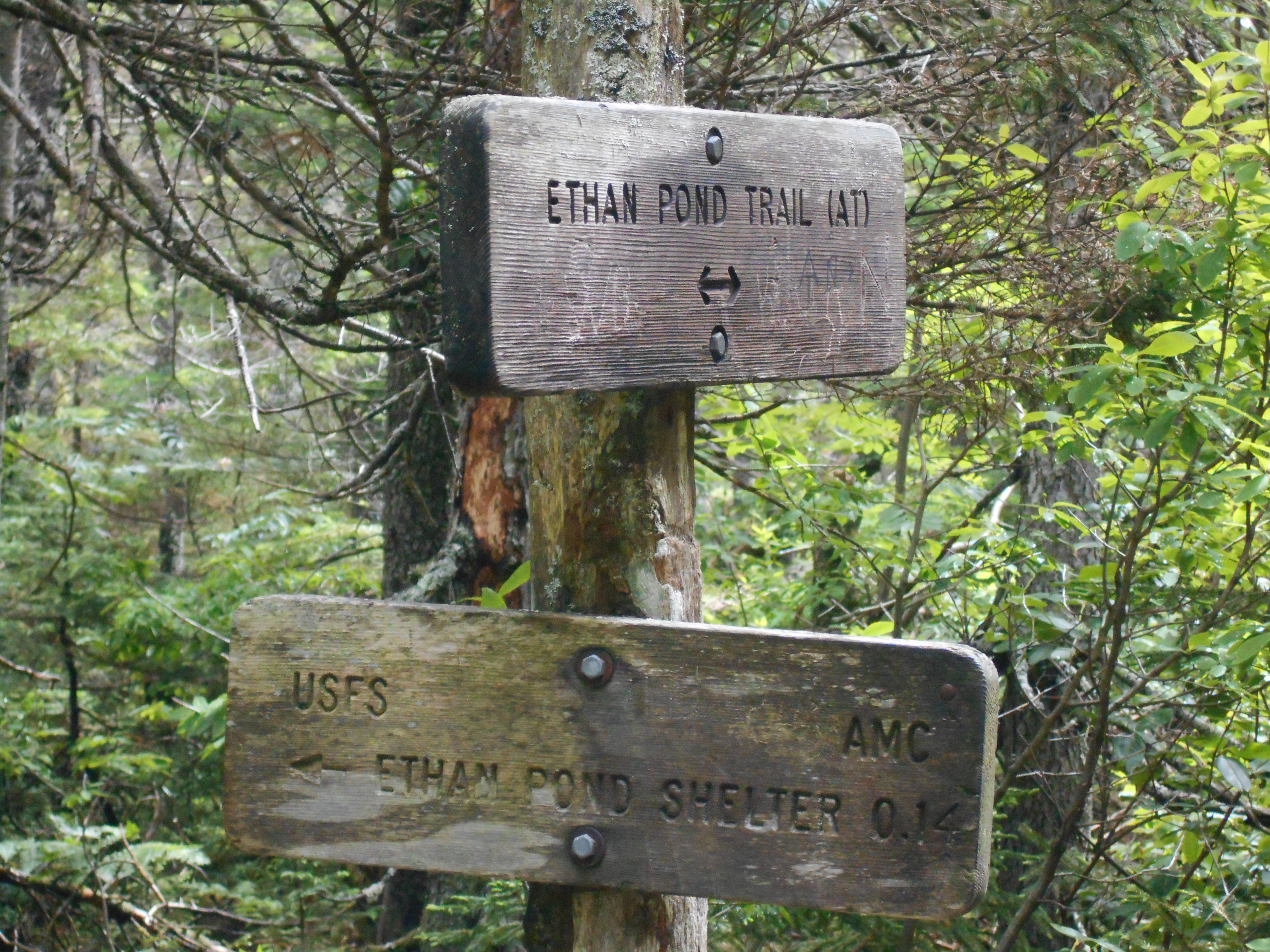
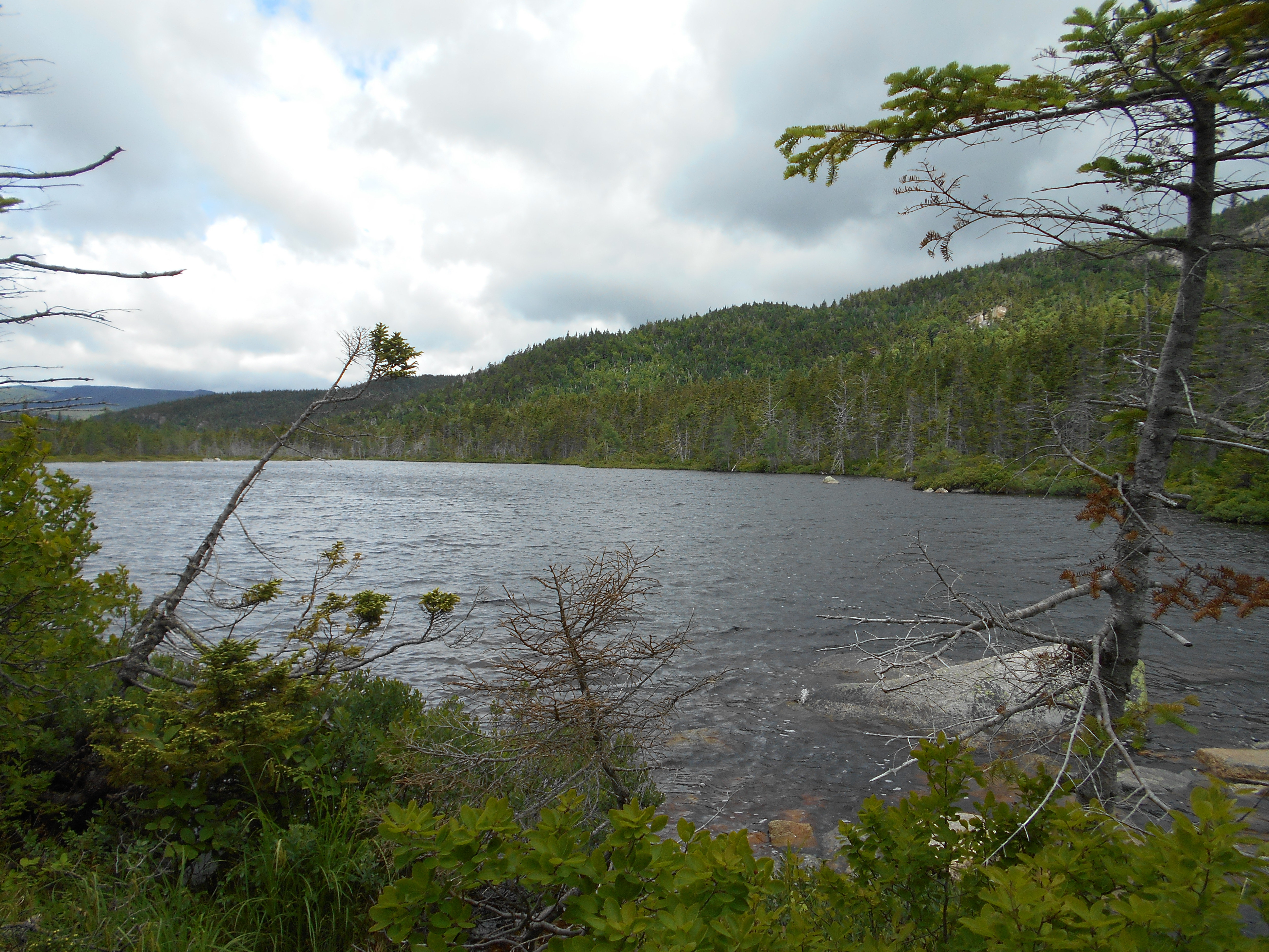
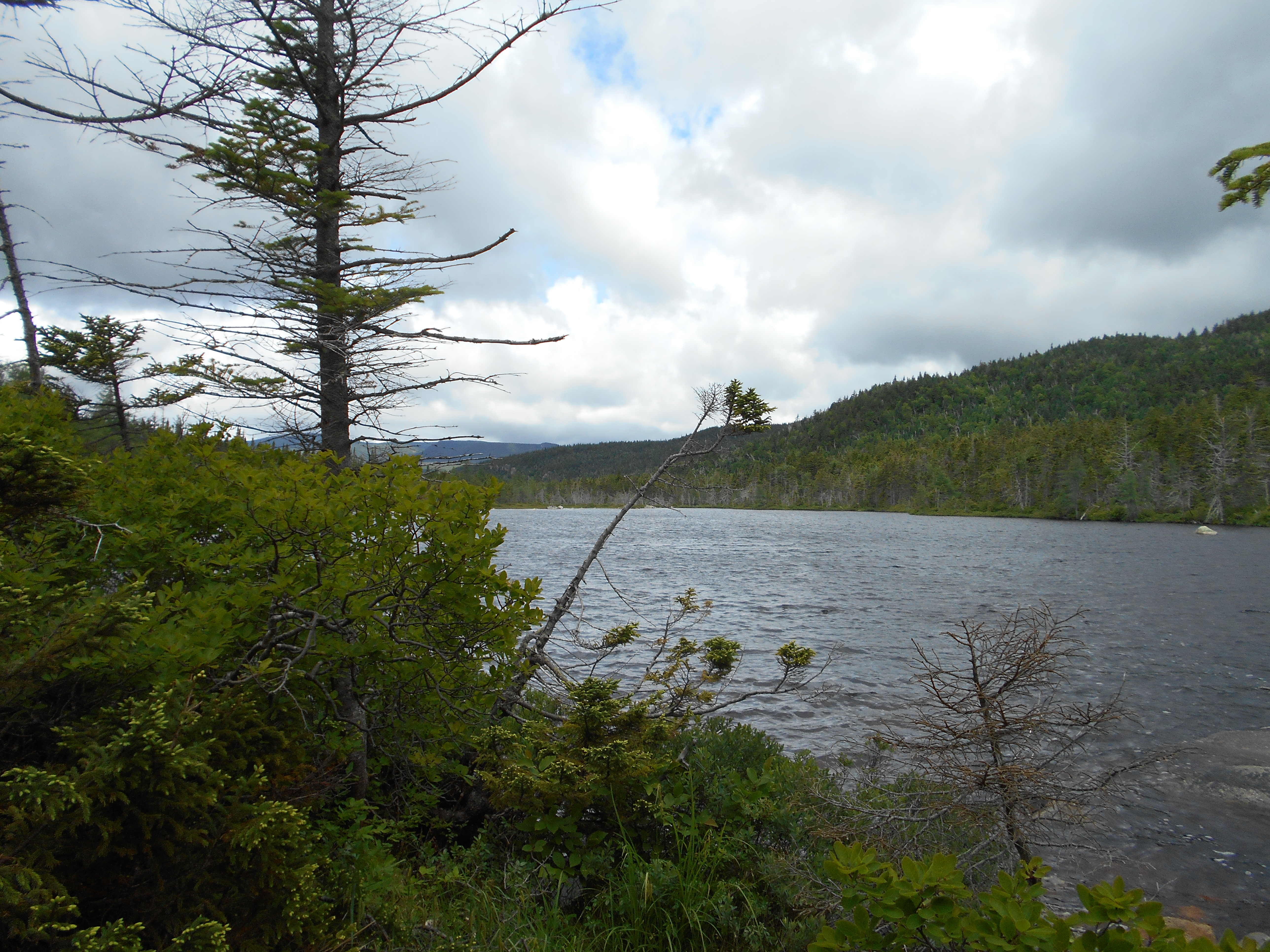
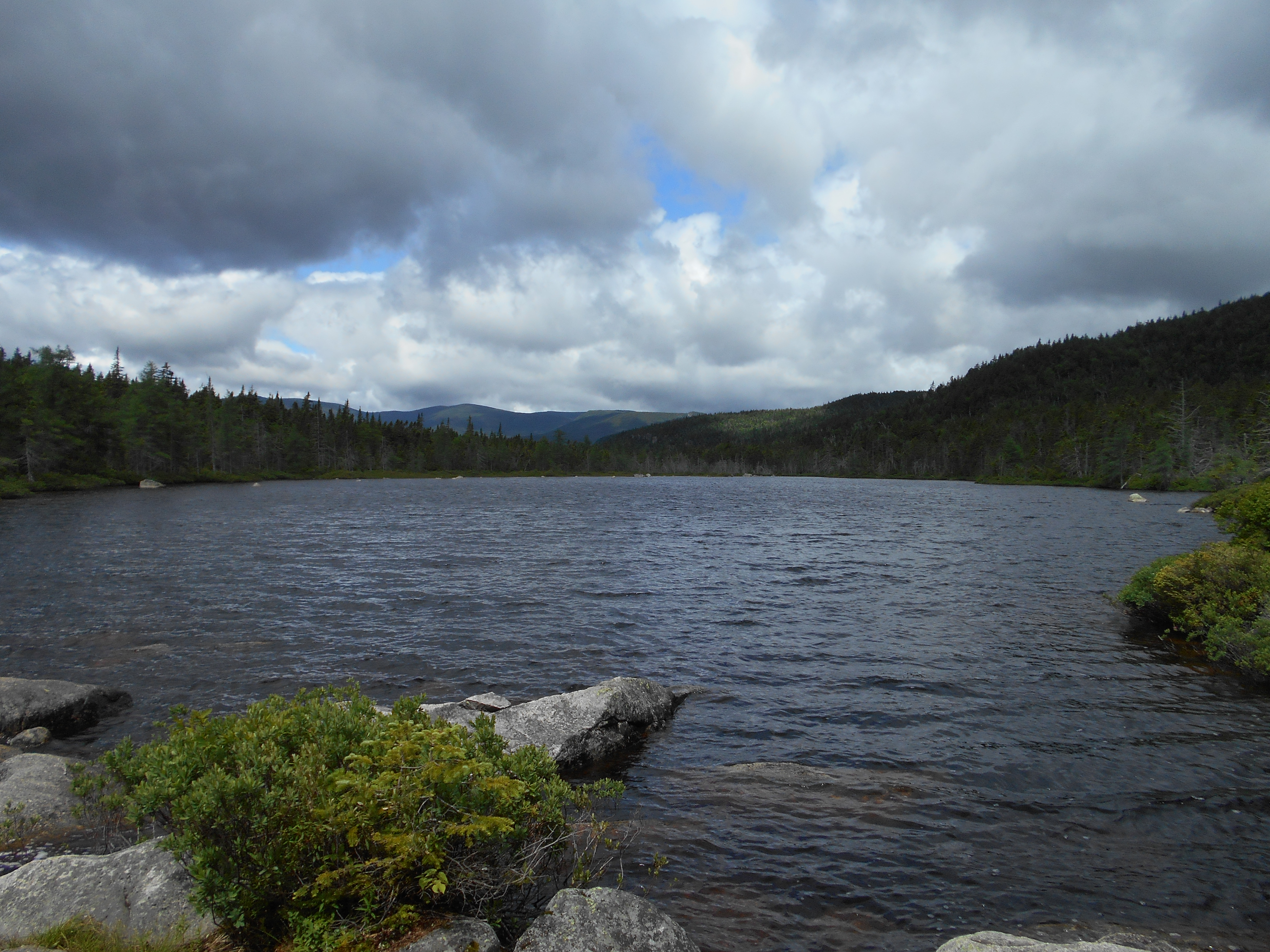
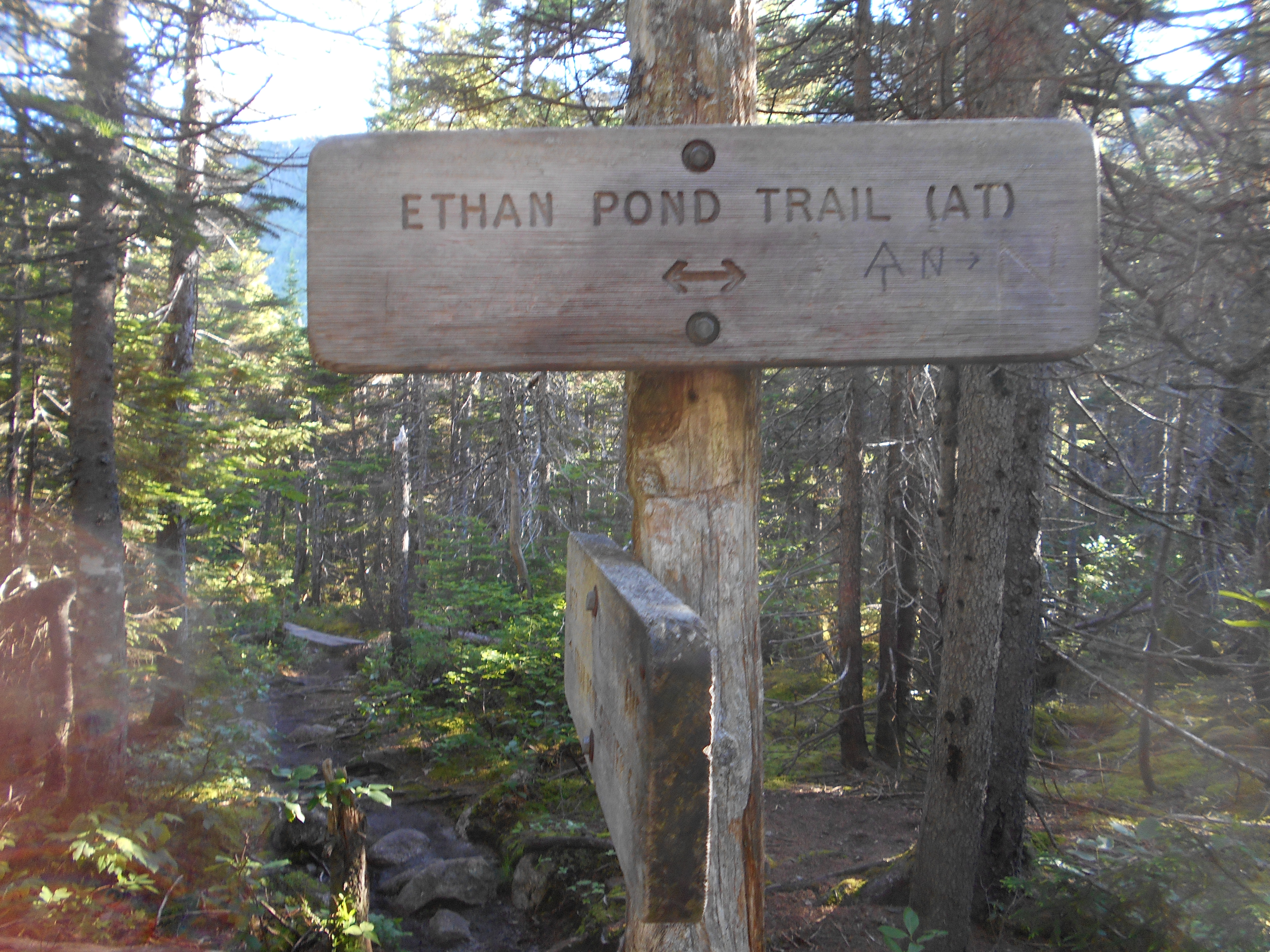
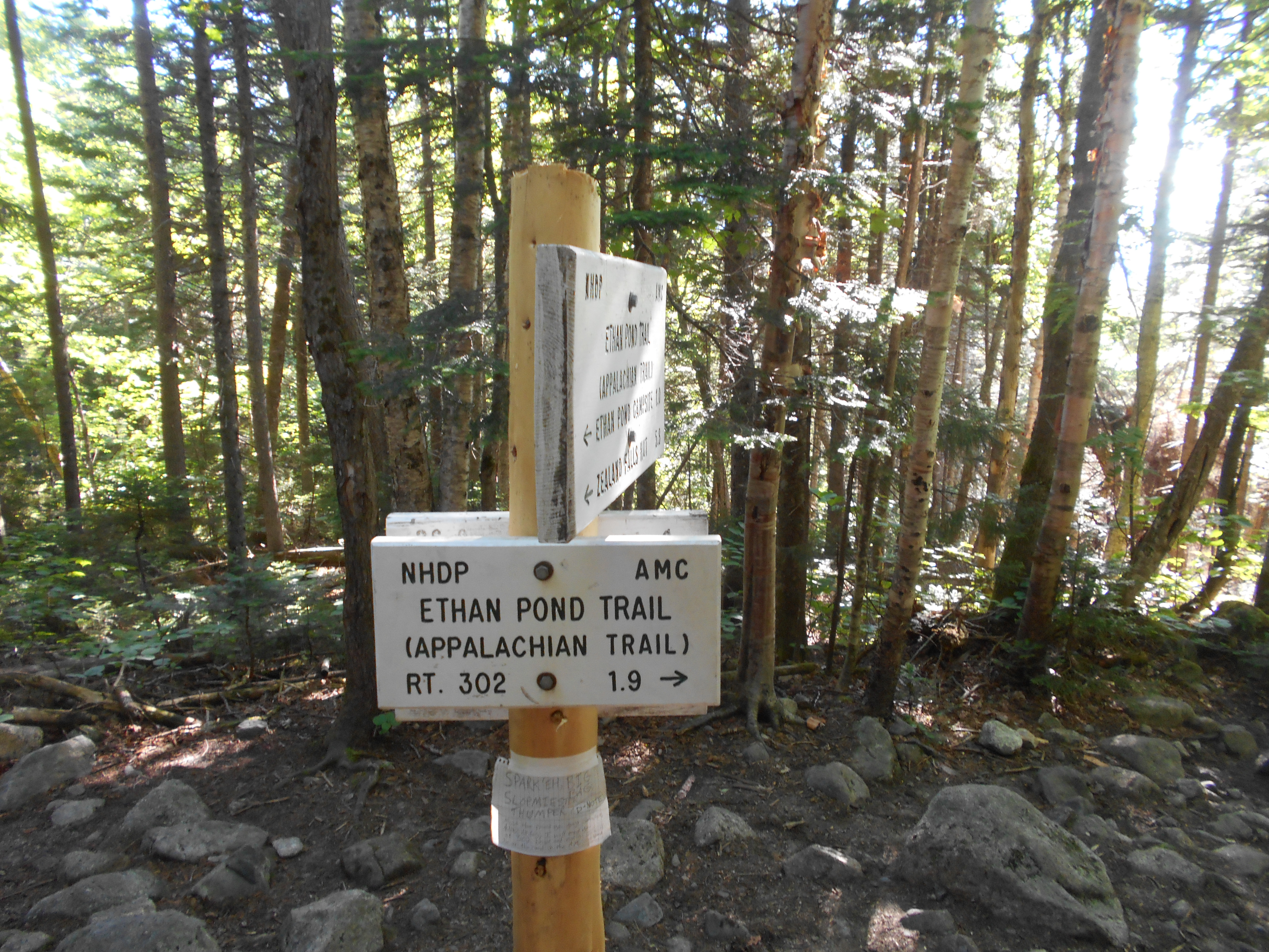
| 1840.8 | +AMC Ethan Pond Shelter and Campsite (2,860')?9.8mS; 17.4mN | 2860 |


| Miles from Springer | Features | Elevation |
|---|---|---|
| 1840.8 | +AMC Ethan Pond Shelter and Campsite (2,860')?9.8mS; 17.4mN | 2860 |
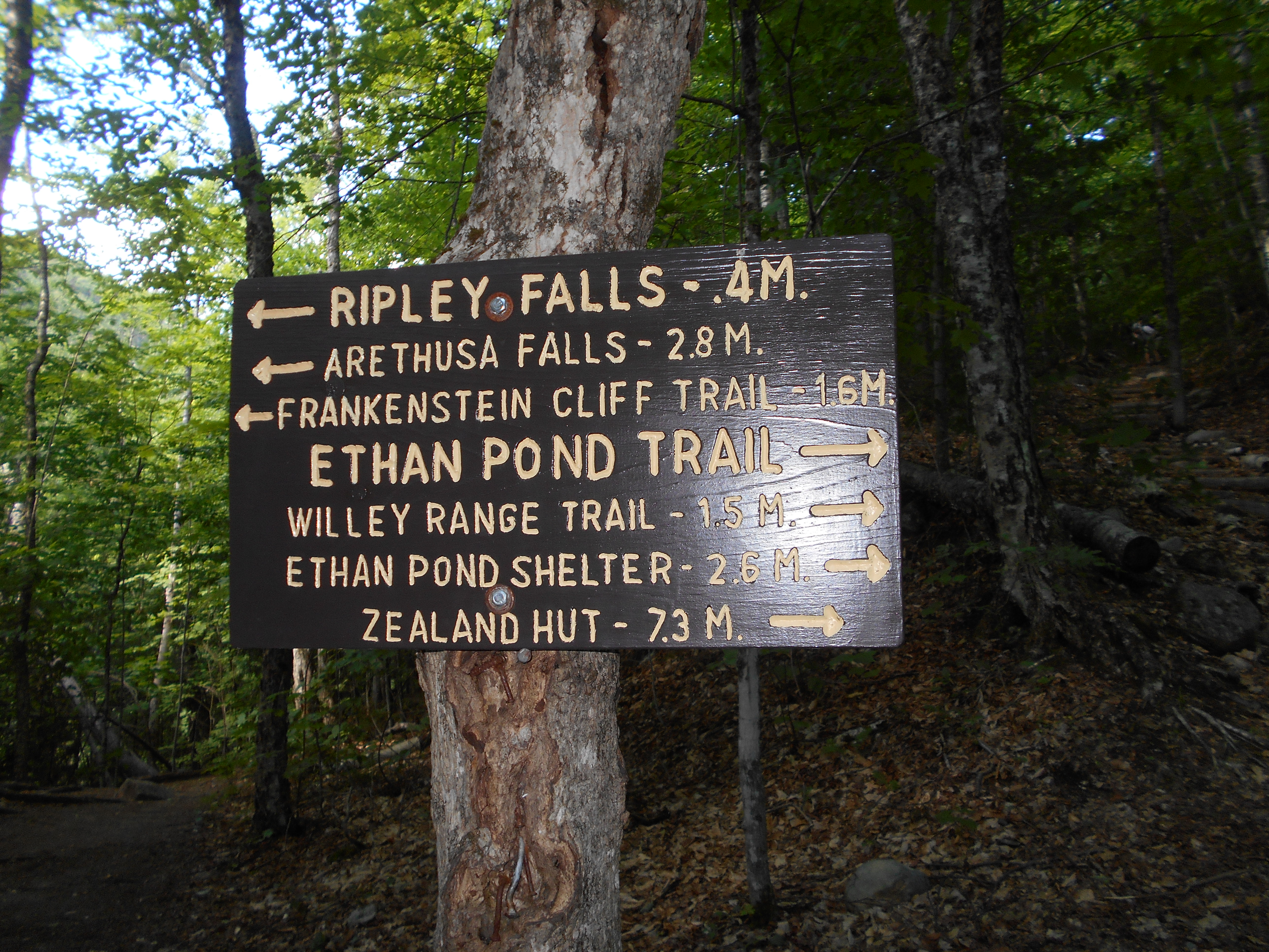
| 1841.8 | Willey Range Trail (2,680') | 2680 |
| 1842.1 | Kedron Flume Trail (2,450') | 2450 |
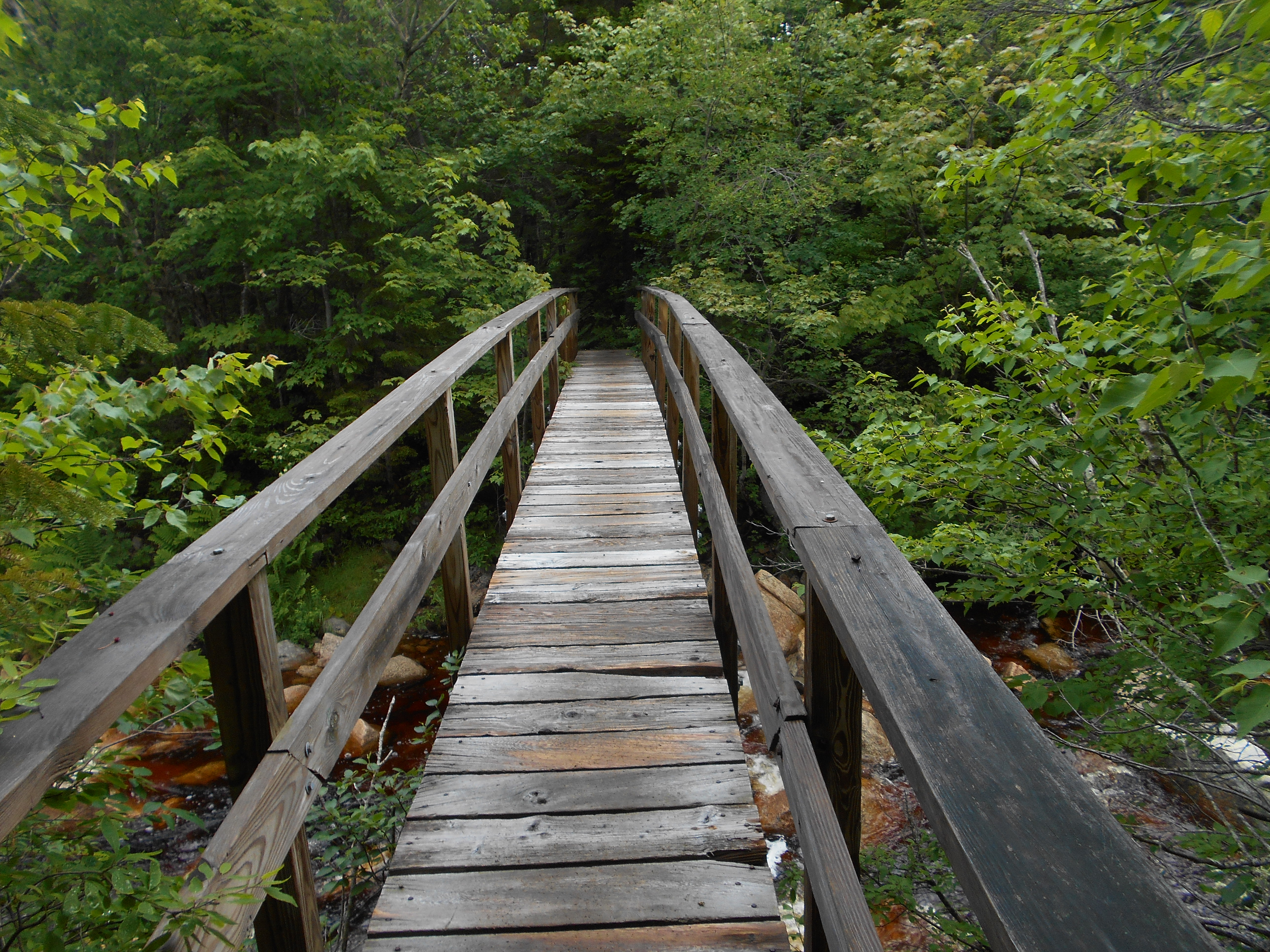
| 1843.2 | Arethusa?Ripley Falls Trail (1,600') | 1600 |
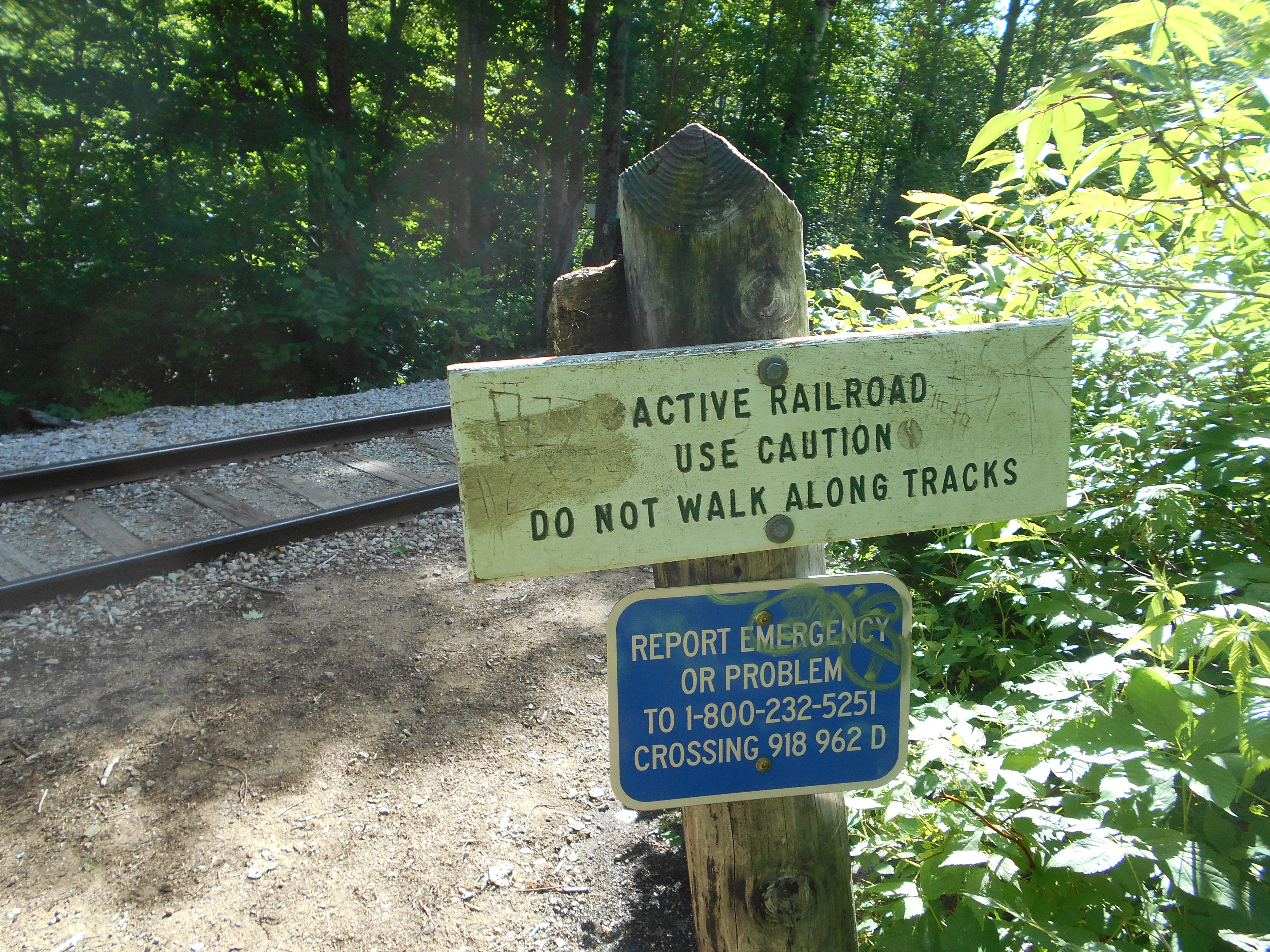
| 1843.4 | Railroad Tracks, Willey House Station Road (1,440') | 1440 |
| 1843.7 | U.S. 302, Crawford Notch, Presidential Range (1,275')Bartlett, N.H. 03812 | 1275 |
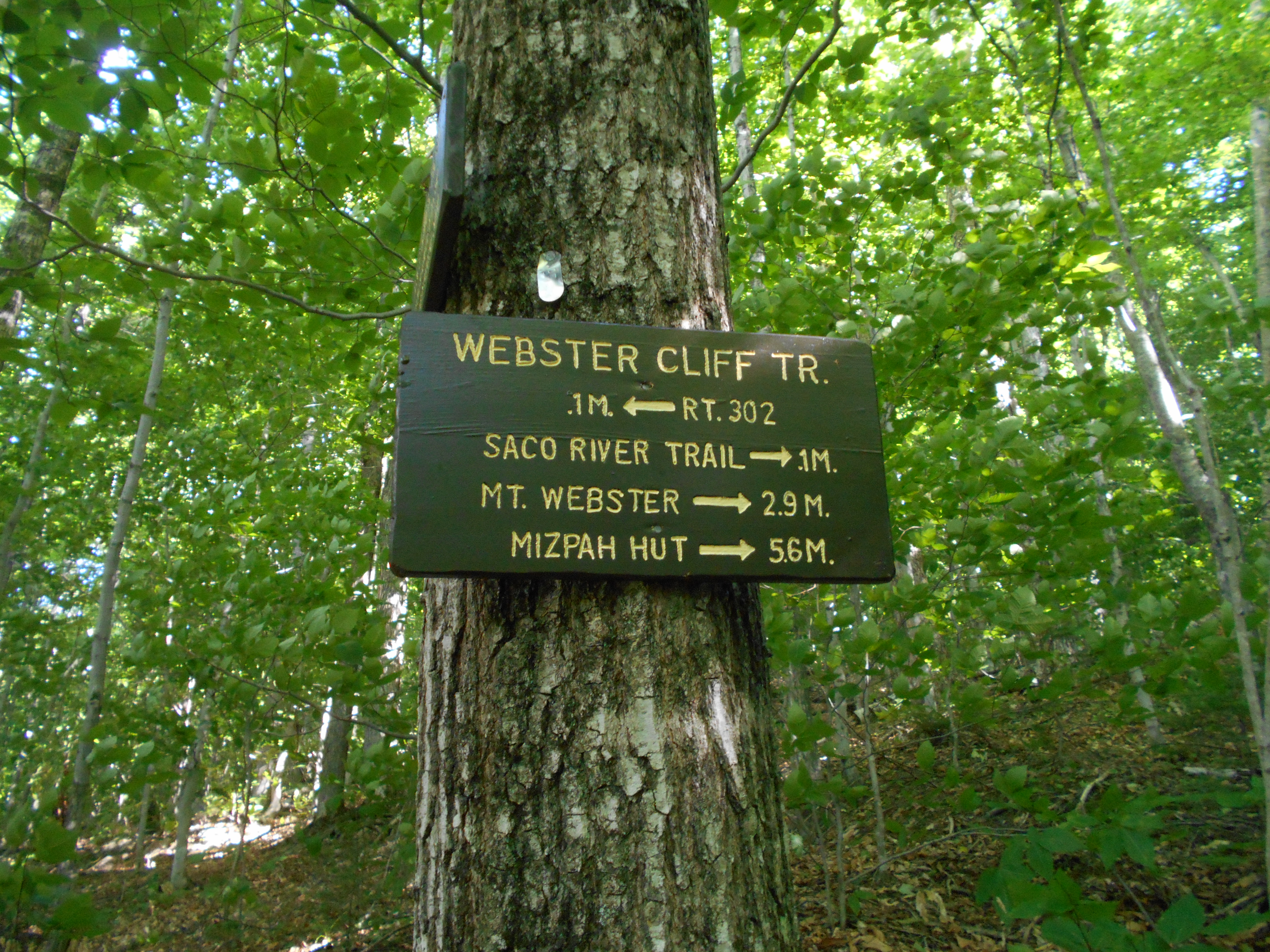
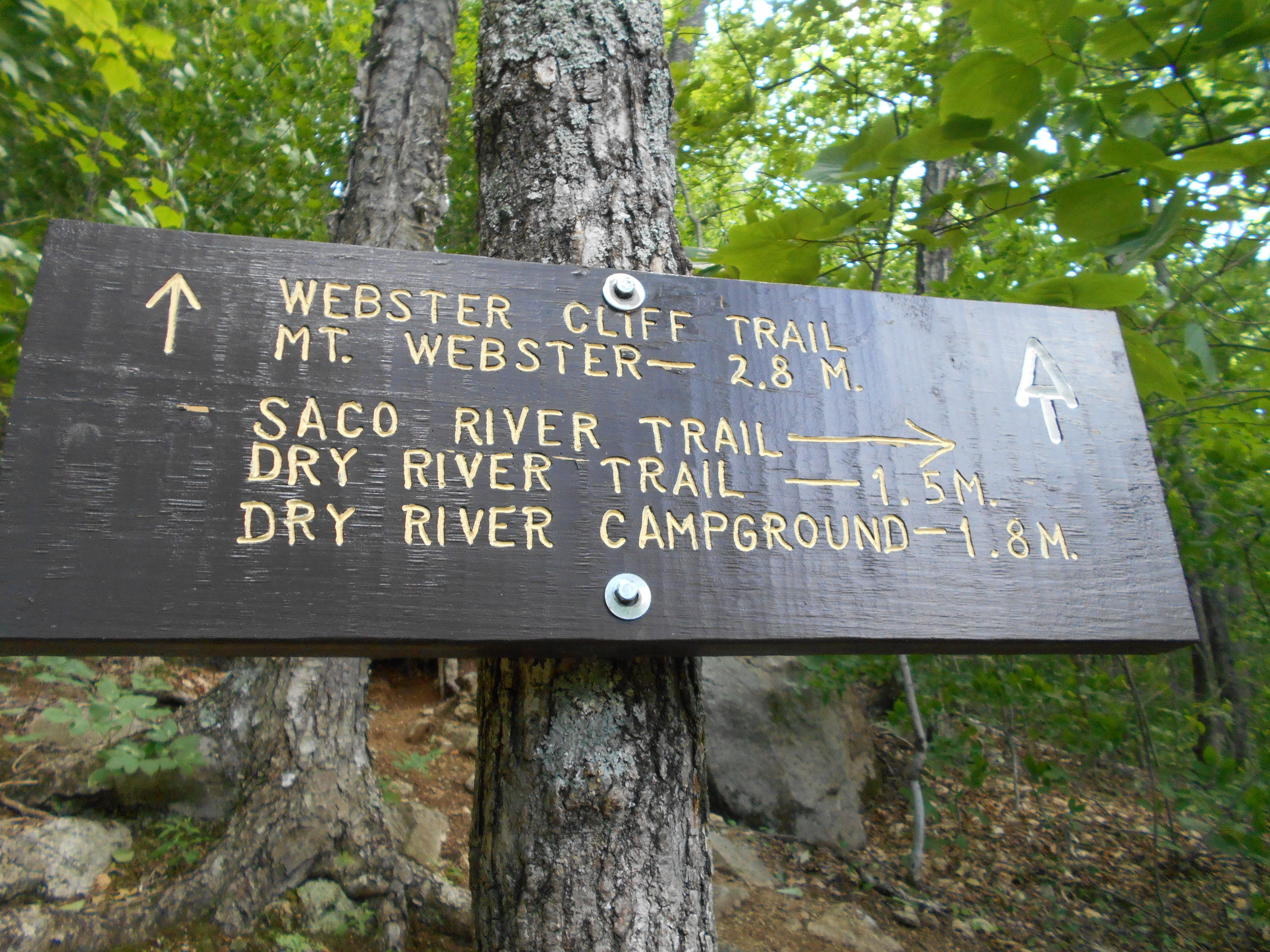
| 1843.8 | Saco River (1,350')?footbridge | 1350 |
| 1843.9 | Saco River Trail (south) (1,350') | 1350 |
| 1844 | Saco River Trail (north) (1,400') | 1400 |
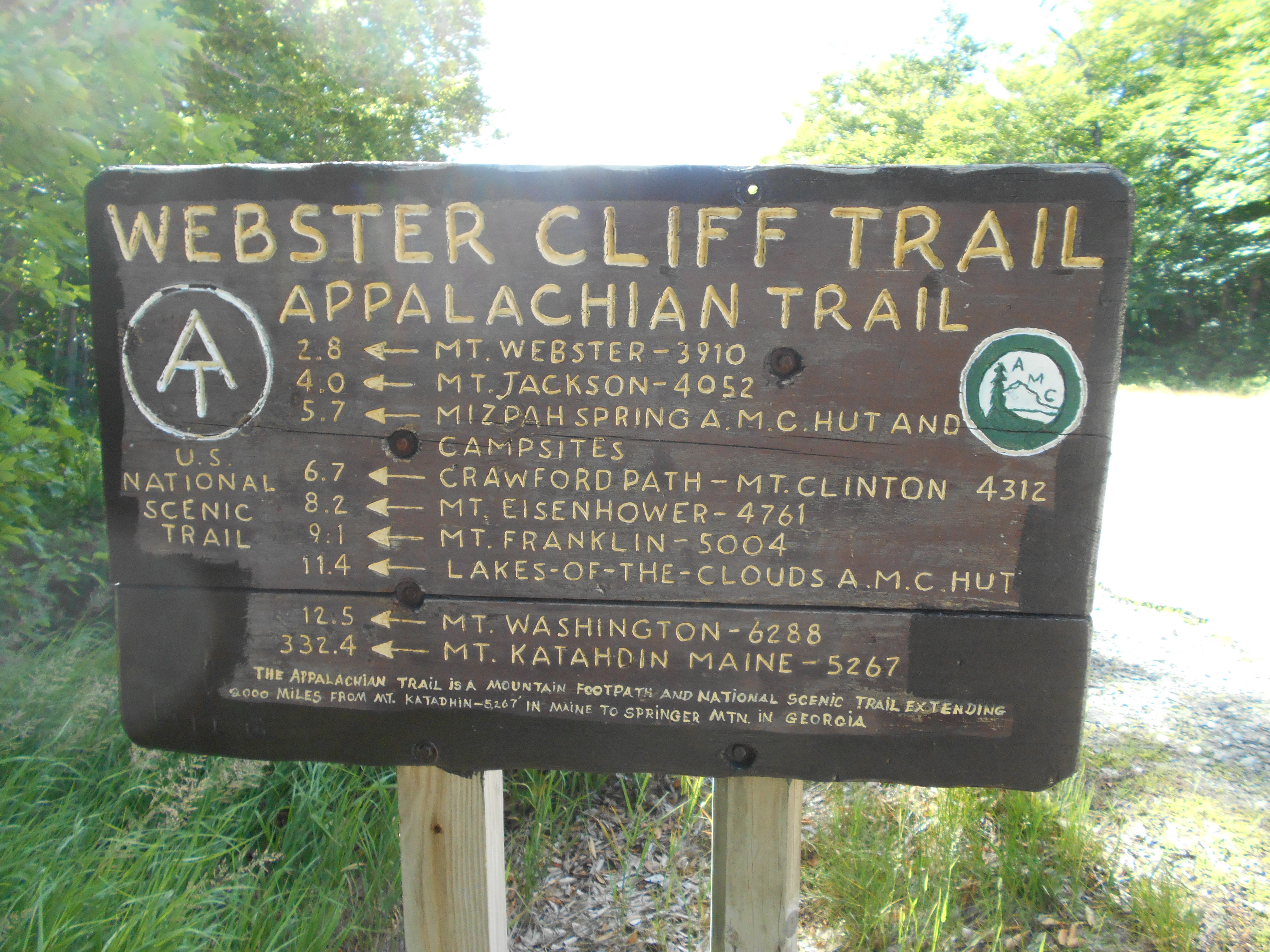
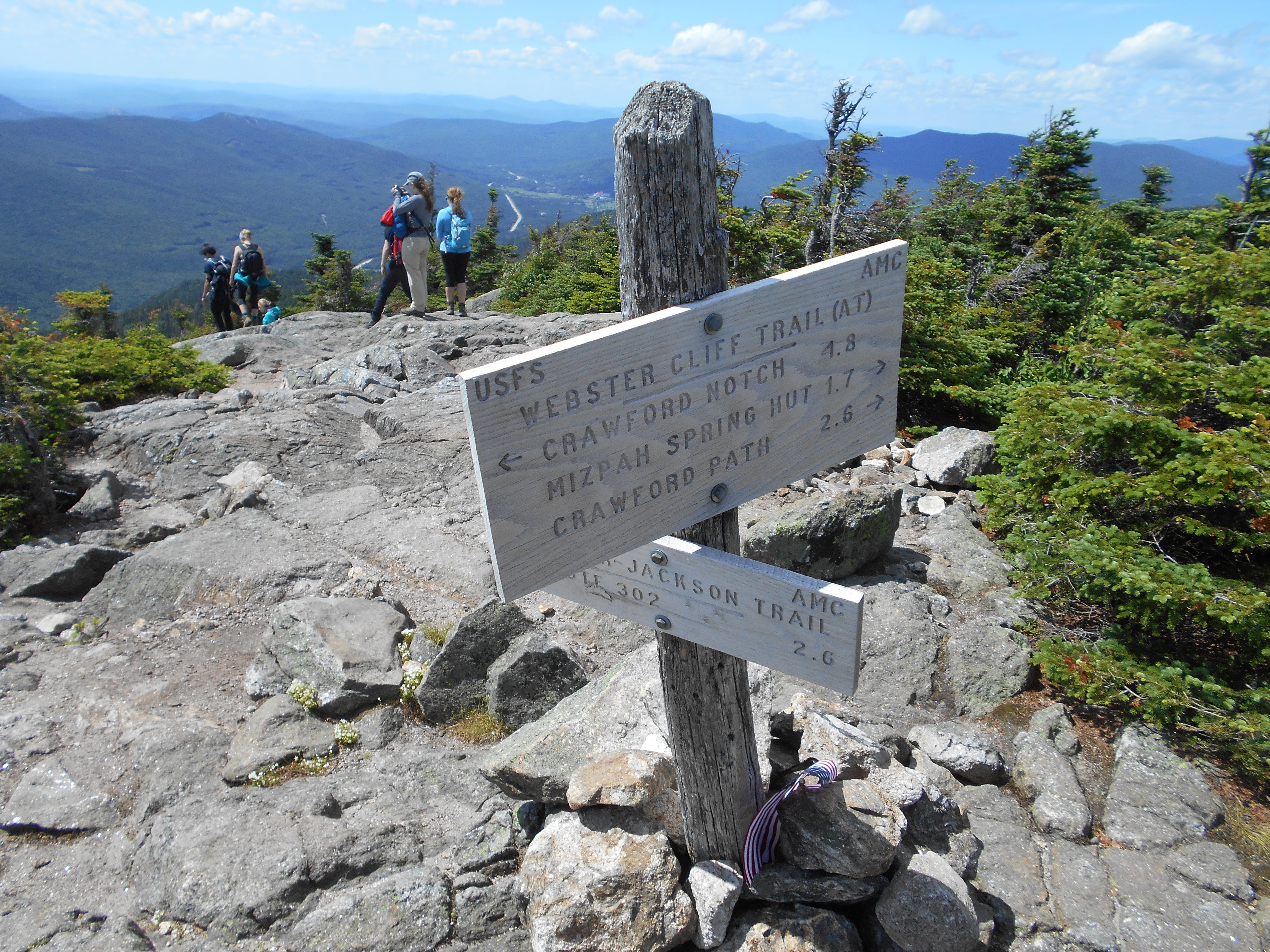
| 1845.6 | Webster Cliffs (3,025') | 3025 |
| 1847 | Mt. Webster (3,910') | 3910 |
| 1848.4 | Mt. Jackson (4,052') | 4052 |
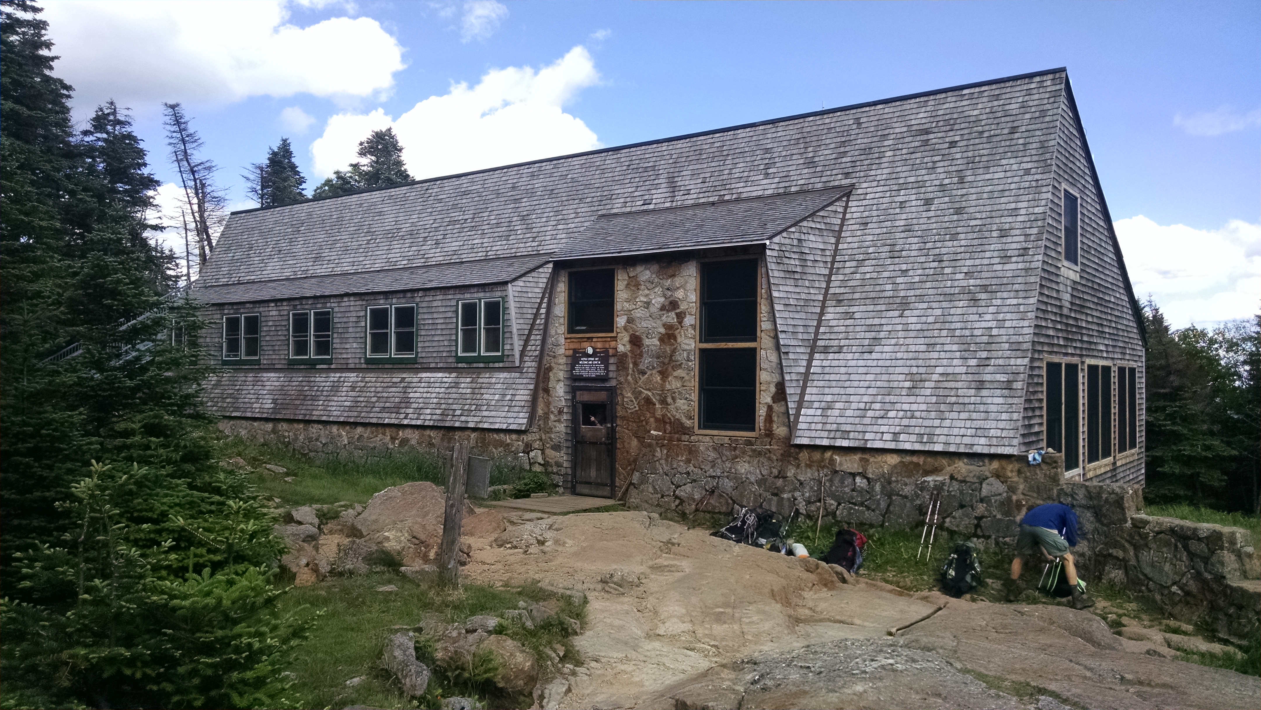
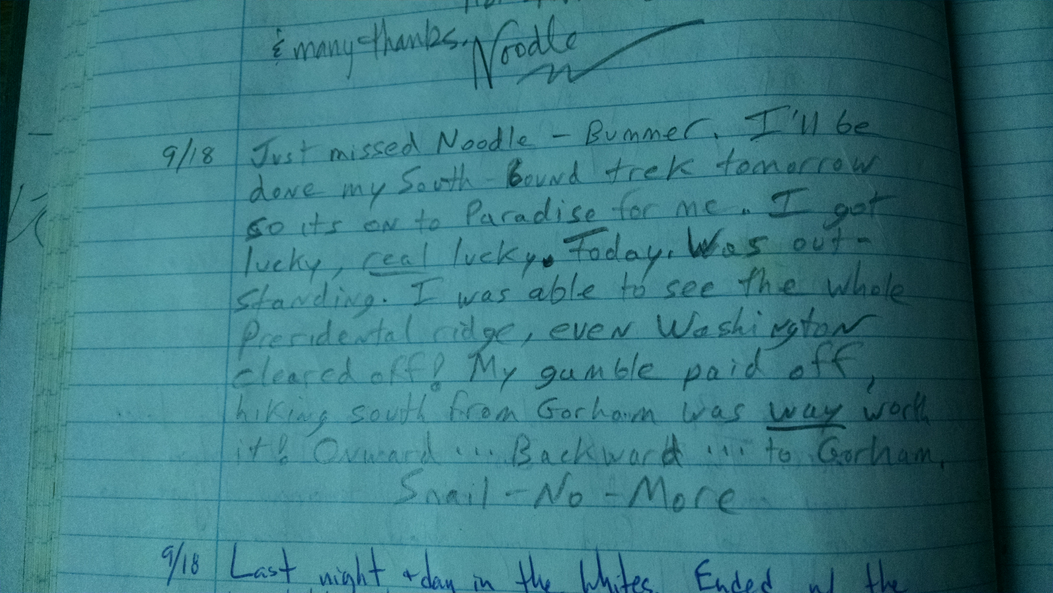
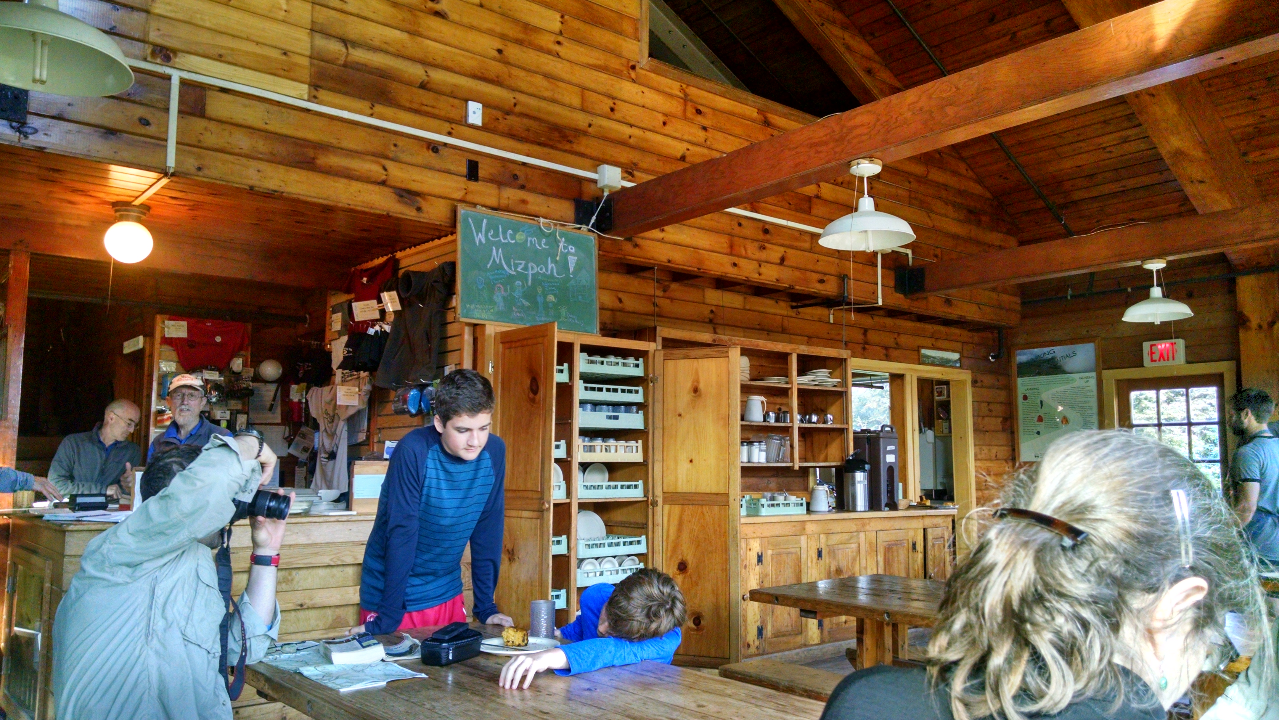
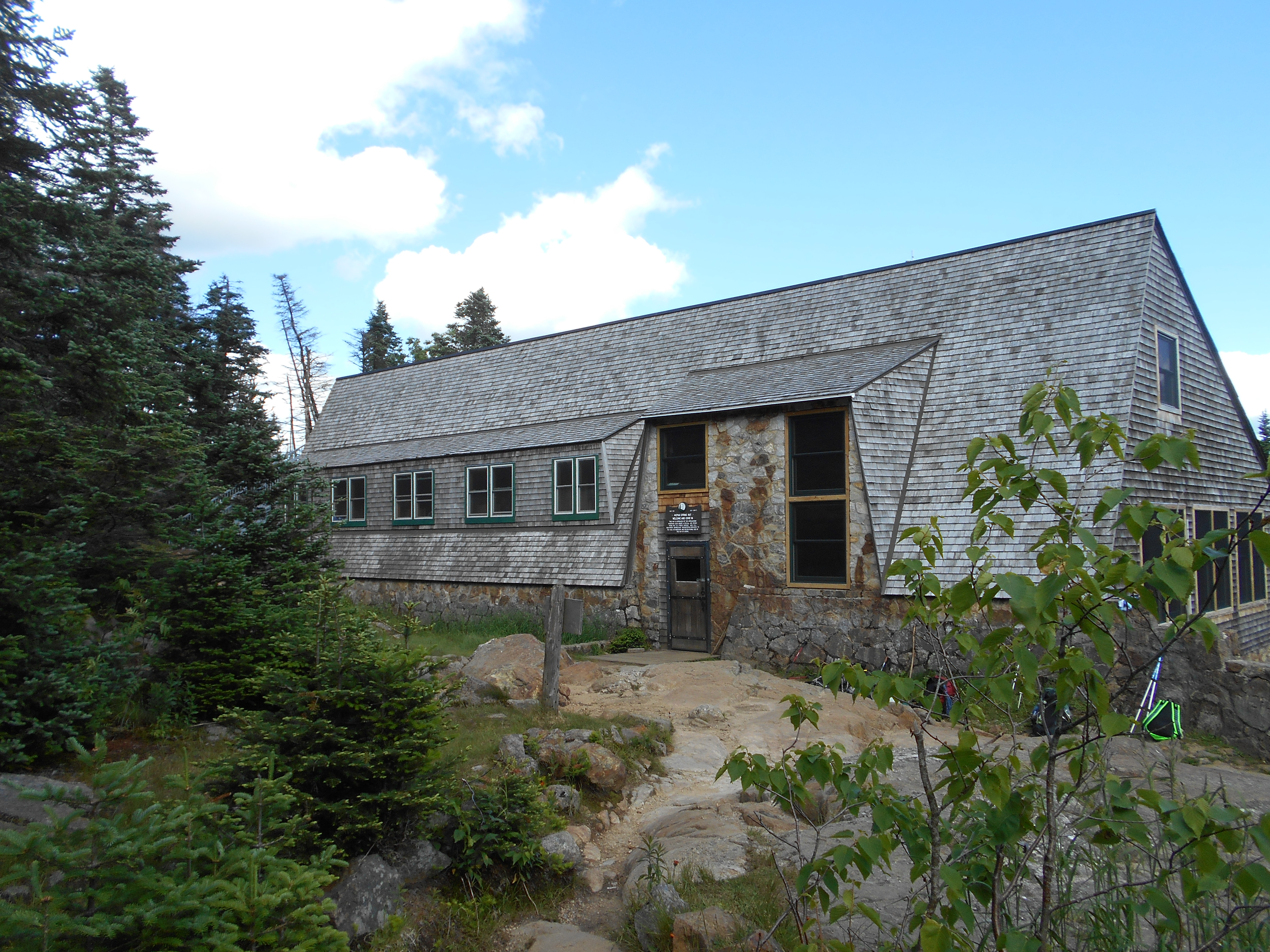
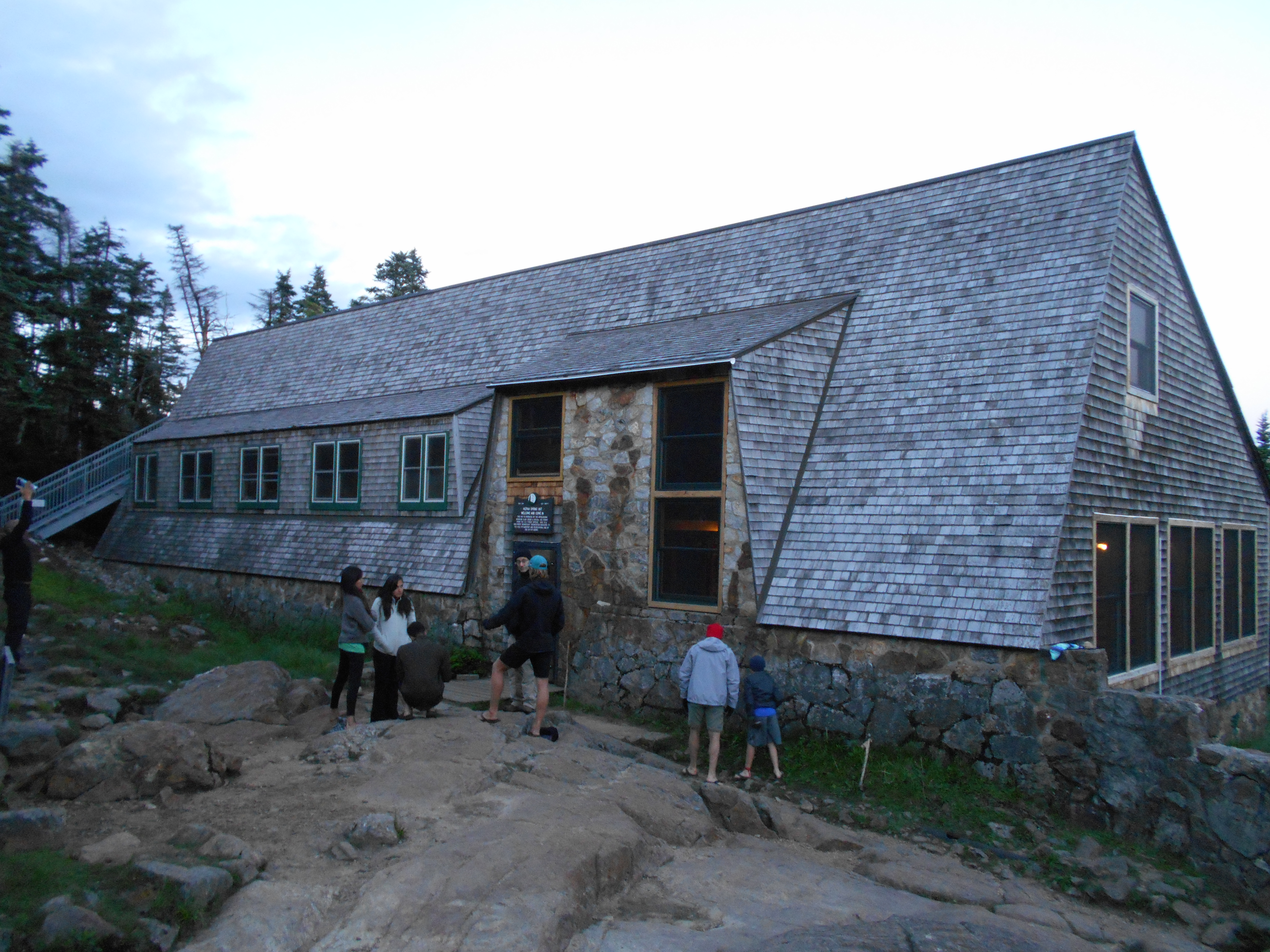
| 1850.1 | +AMC Mizpah Spring Hut, +AMC Nauman Tentsite (3,800') | 3800 |


| Miles from Springer | Features | Elevation |
|---|---|---|
| 1850.9 | Mt. Pierce (Mt. Clinton) (4,312')? above treeline for the next 12.7 miles north | 4312 |
| 1851.8 | Spring (4,350') | 4350 |
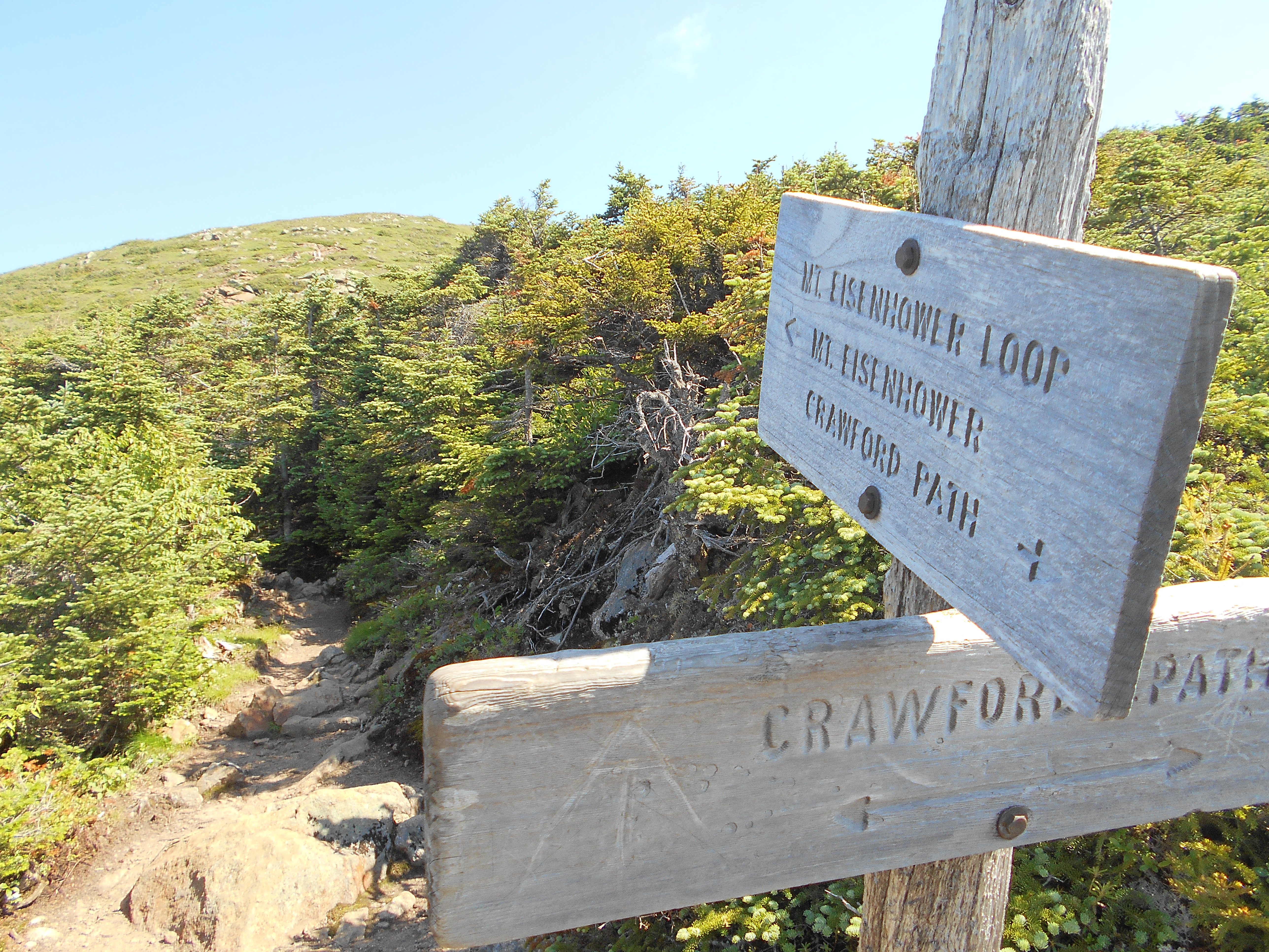
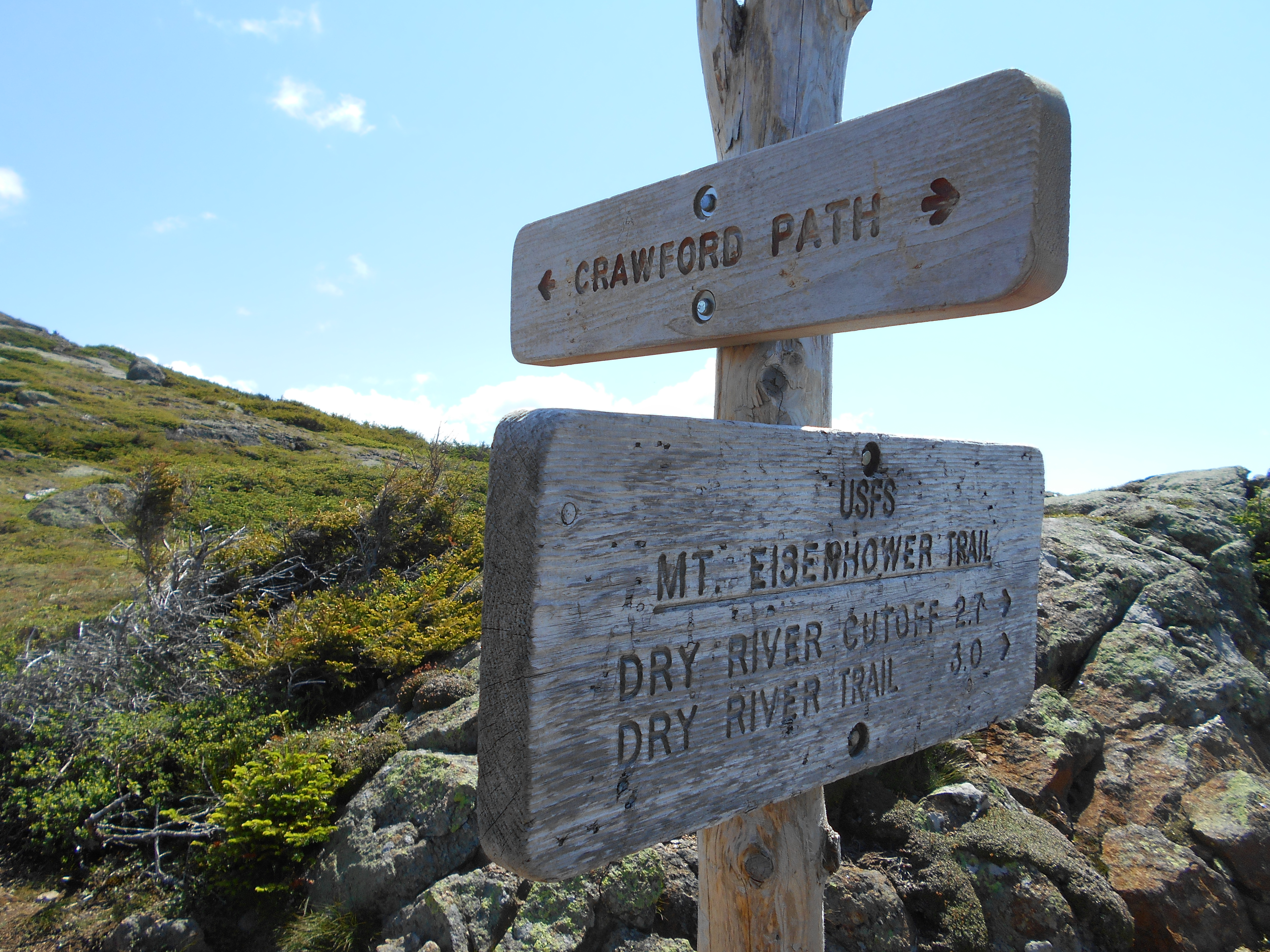
| 1852.6 | Mt. Eisenhower Loop Trail (north); Edmonds Path (4,475') | 4475 |
| 1853.1 | Spring (4,480') | 4480 |
| 1853.7 | Mt. Franklin (5,004') | 5004 |
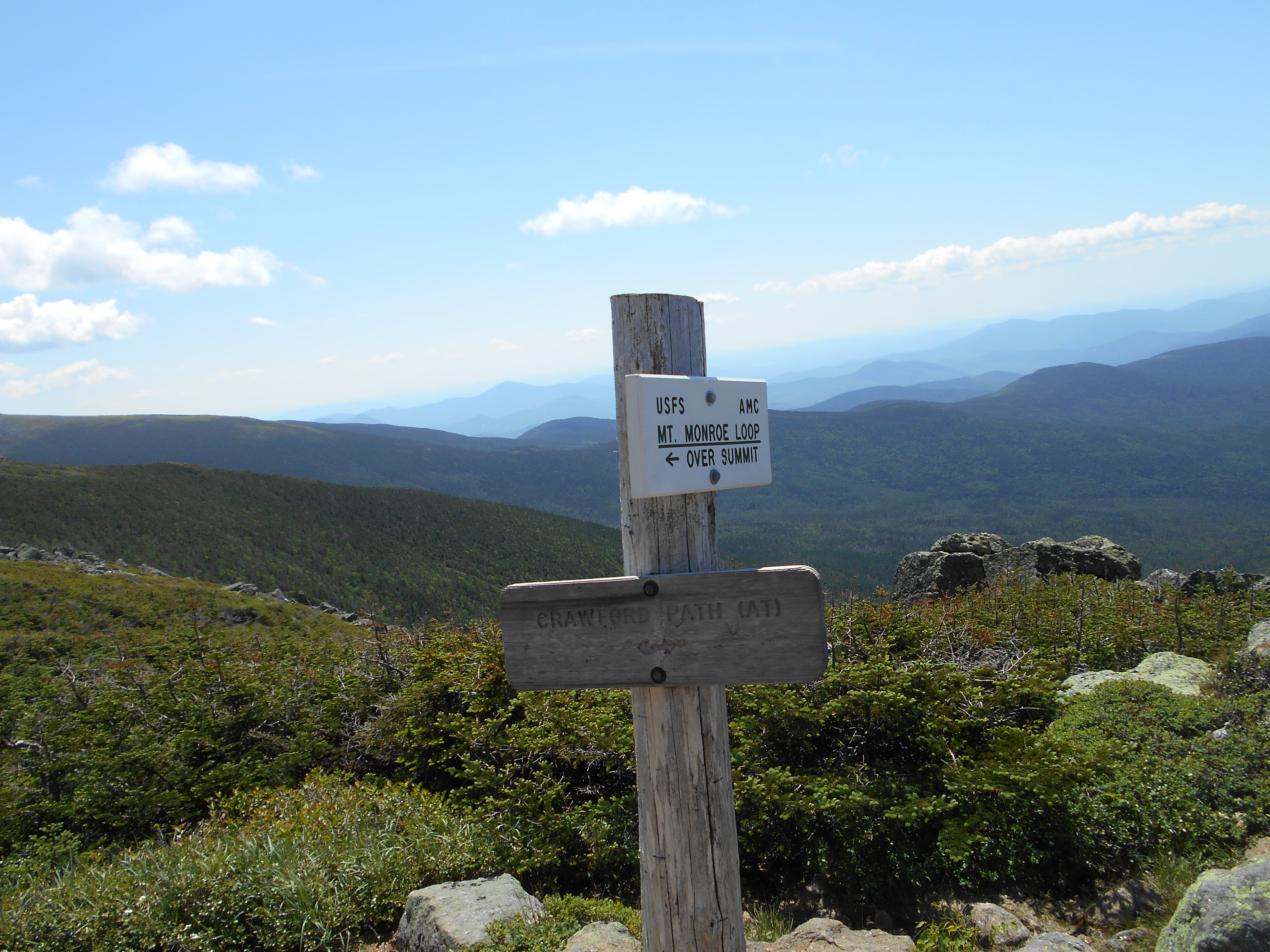
| 1854.7 | Mt. Monroe Loop Trail (north) (5,075') | 5075 |
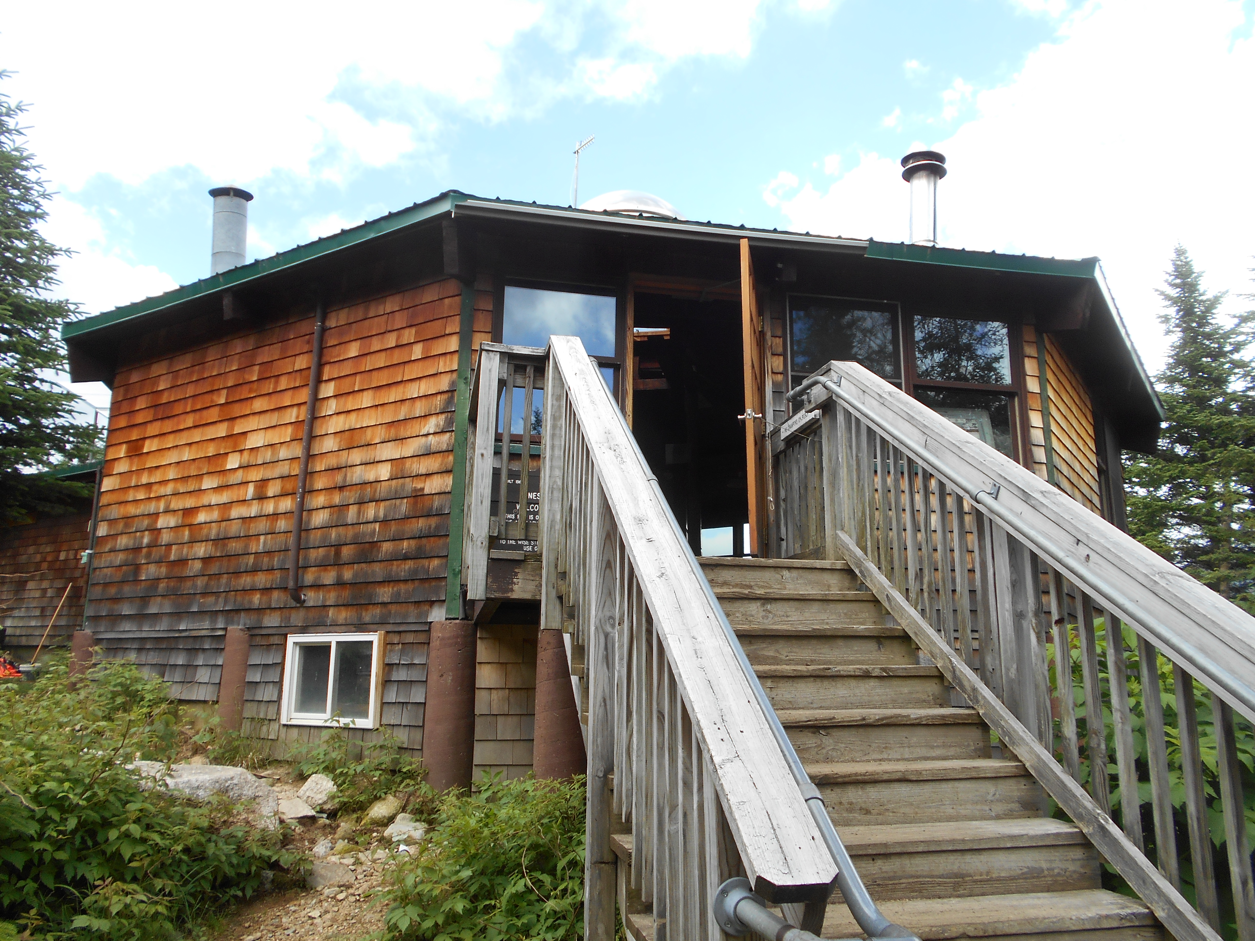
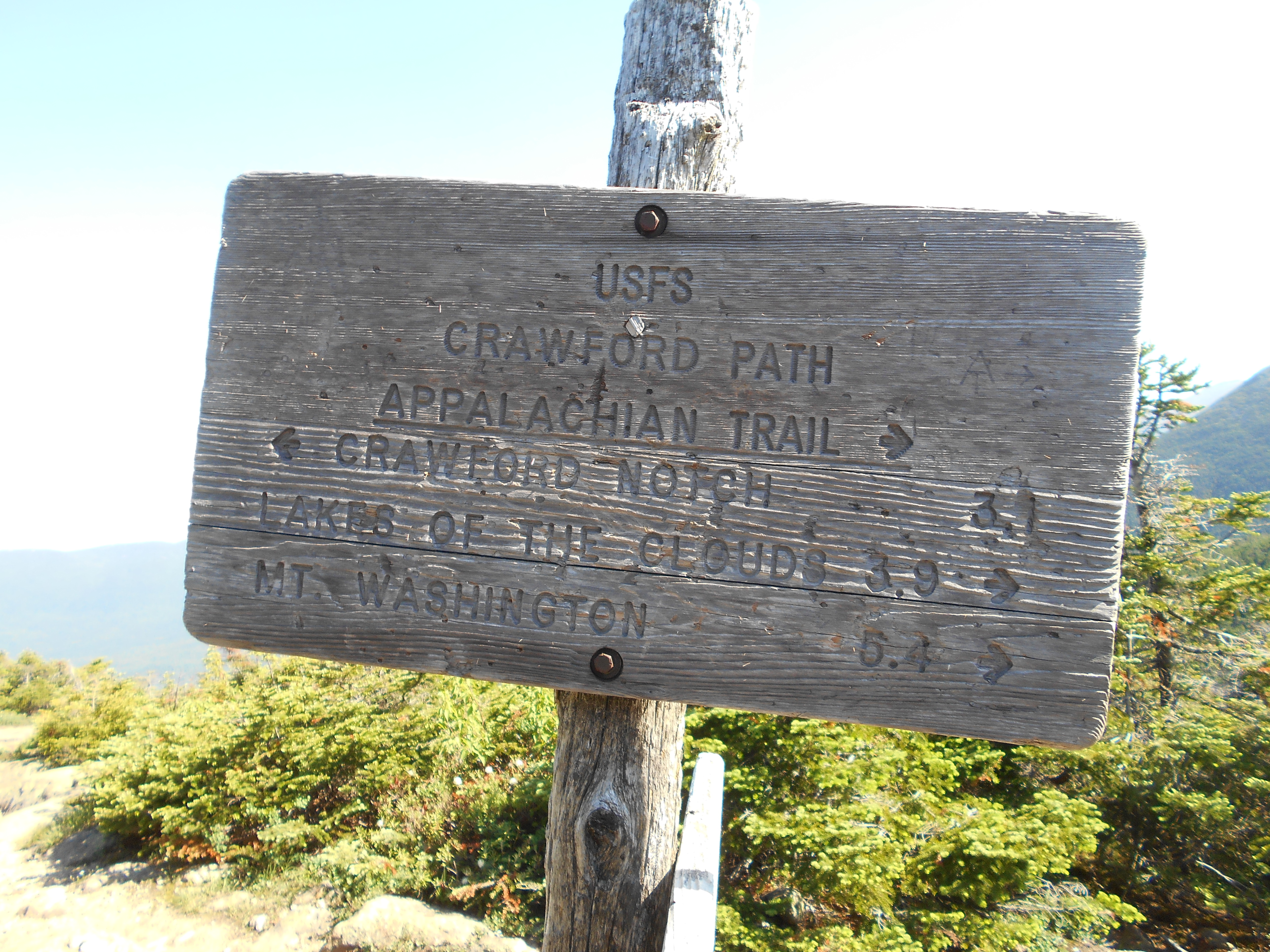
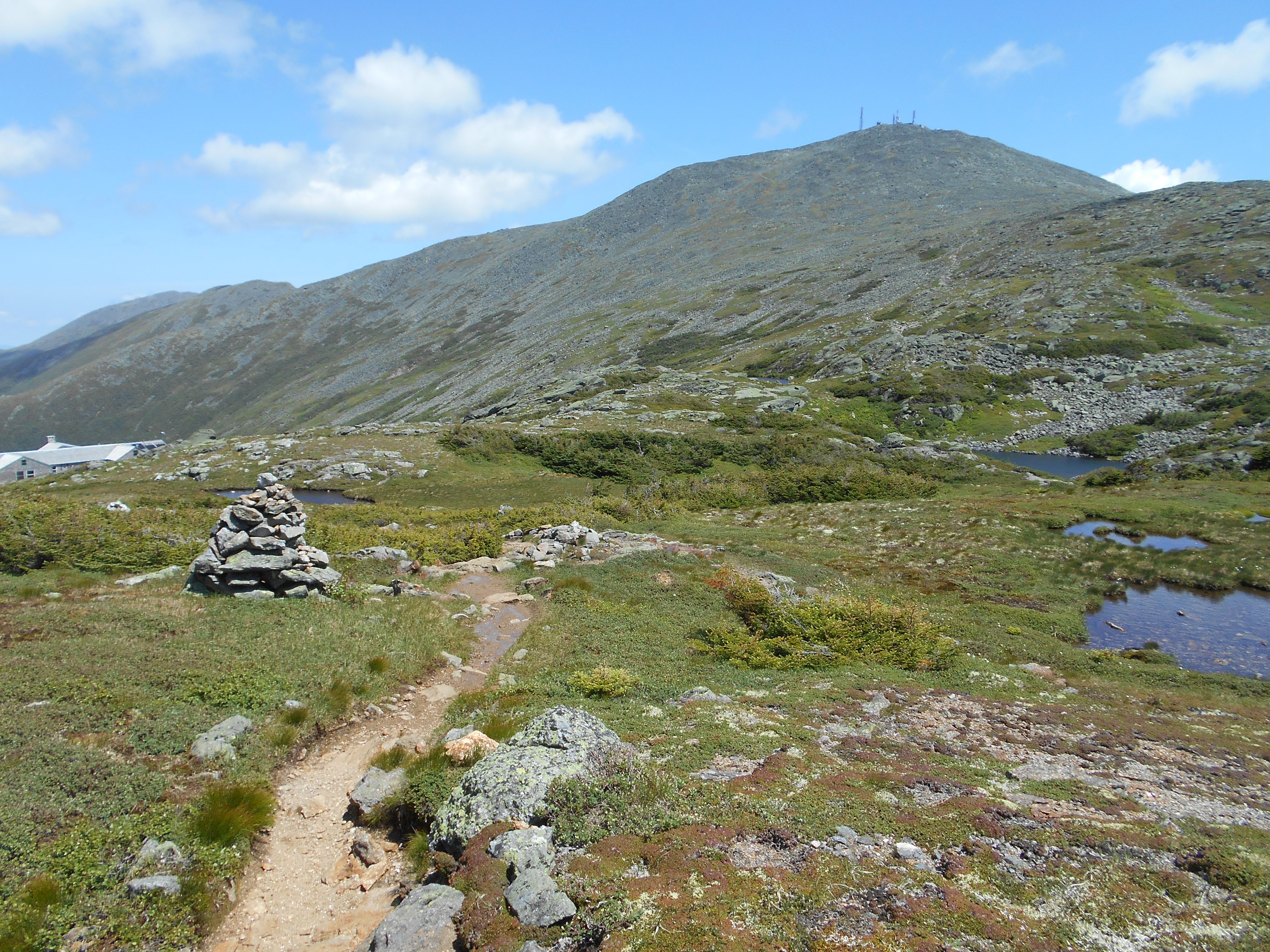
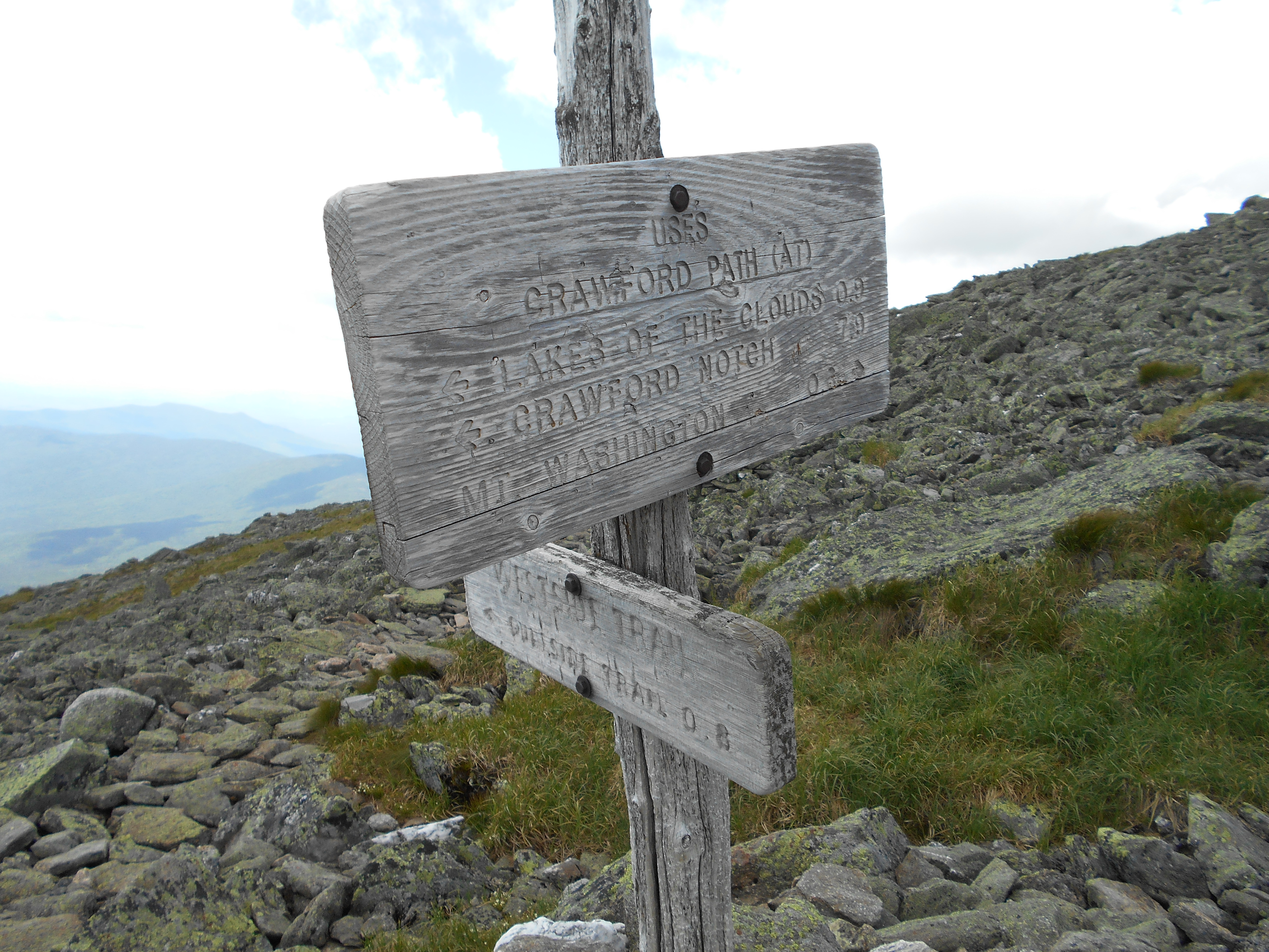
| 1854.8 | +AMC Lakes of the Clouds Hut (5,125')??The Dungeon? | 5125 |
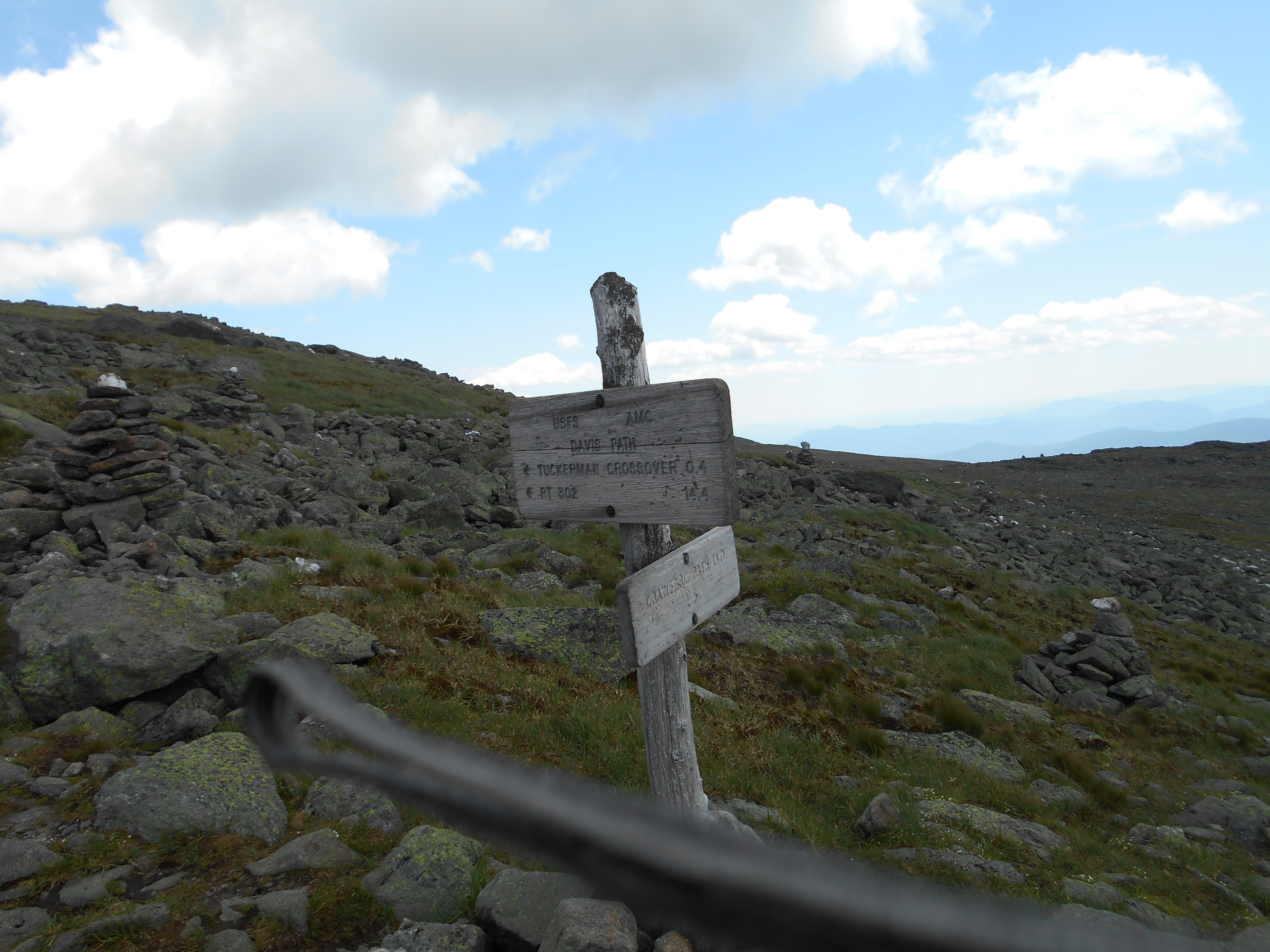
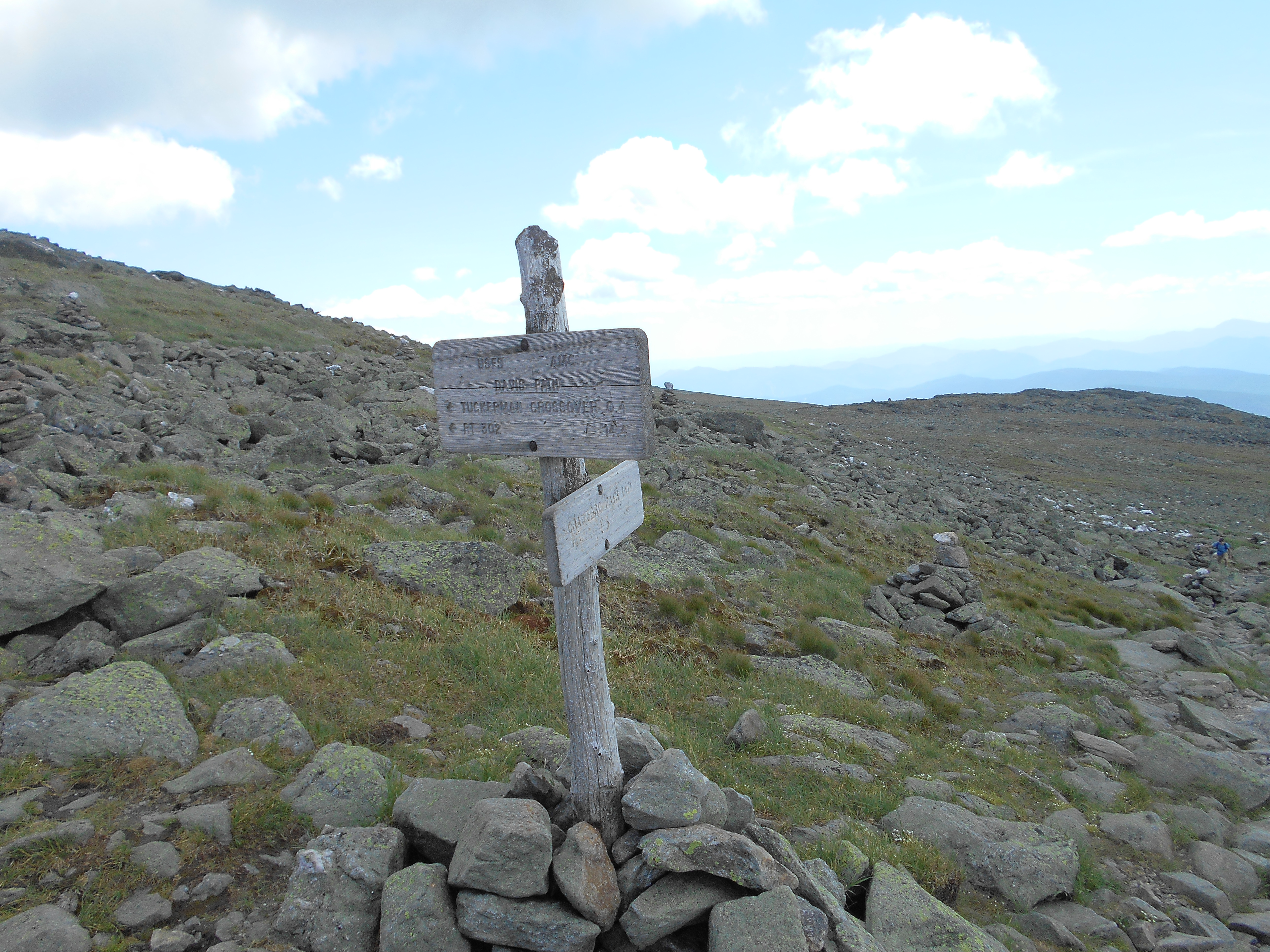
| 1855.6 | Davis Path; Westside Trail (south) (5,625') | 5625 |
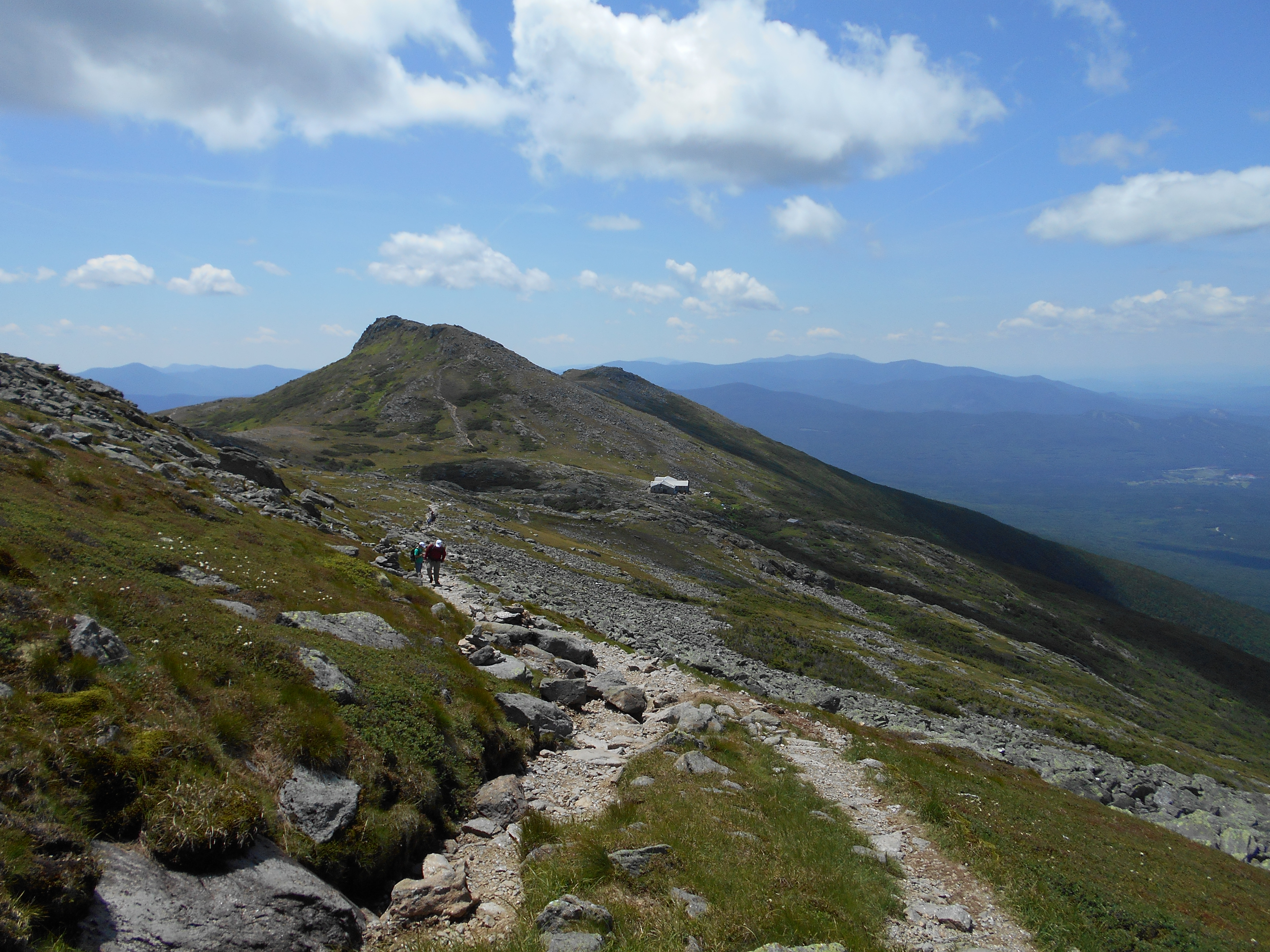
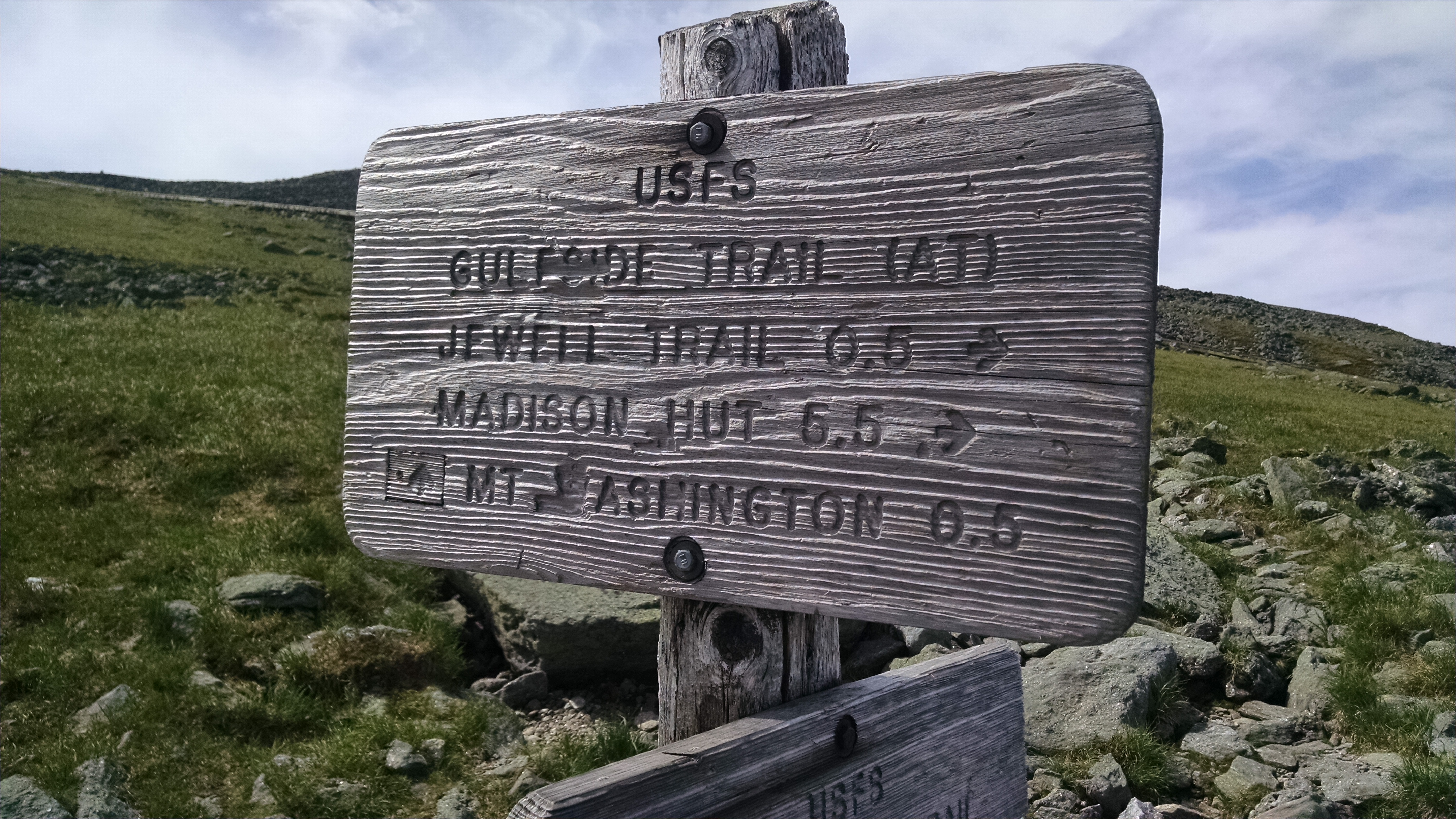
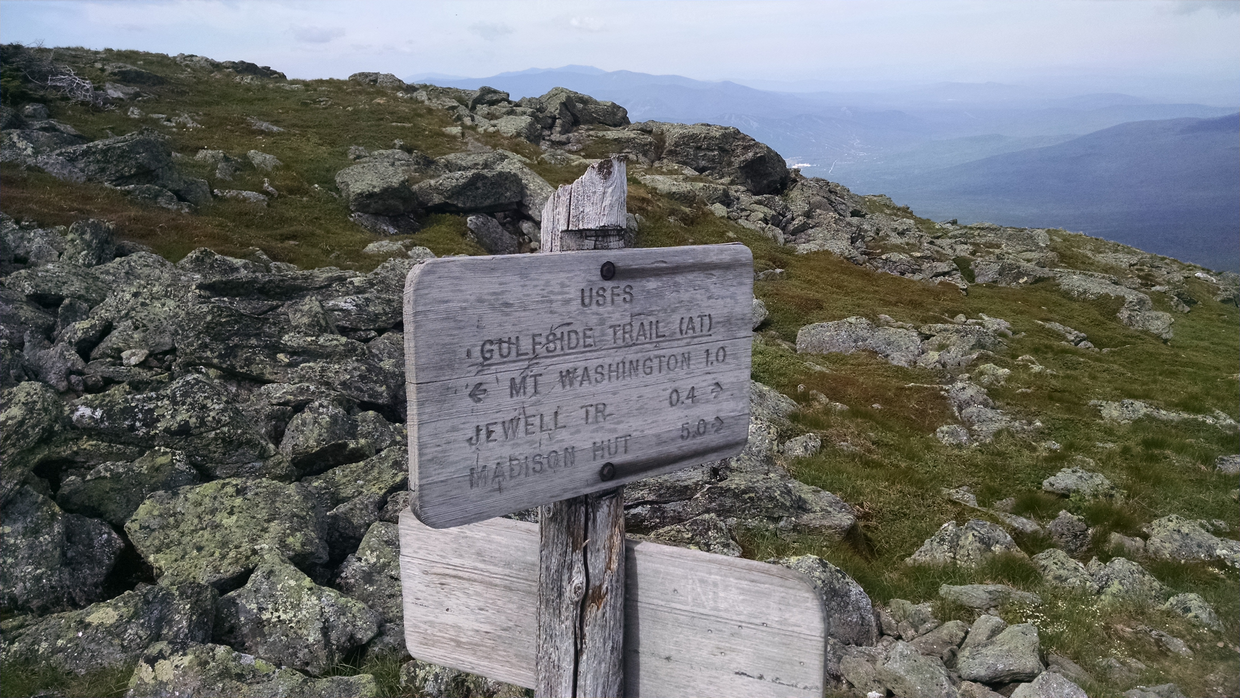
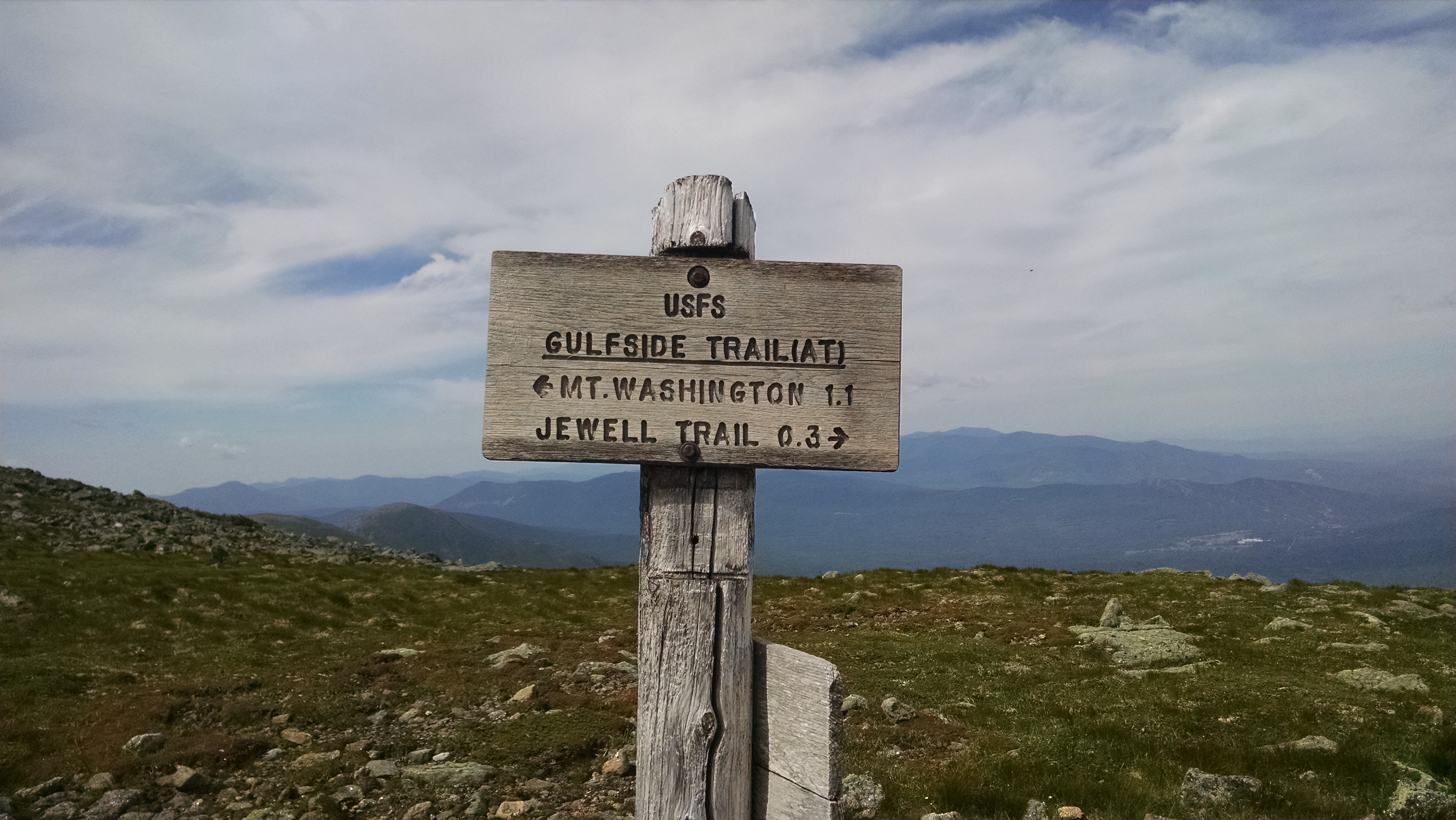
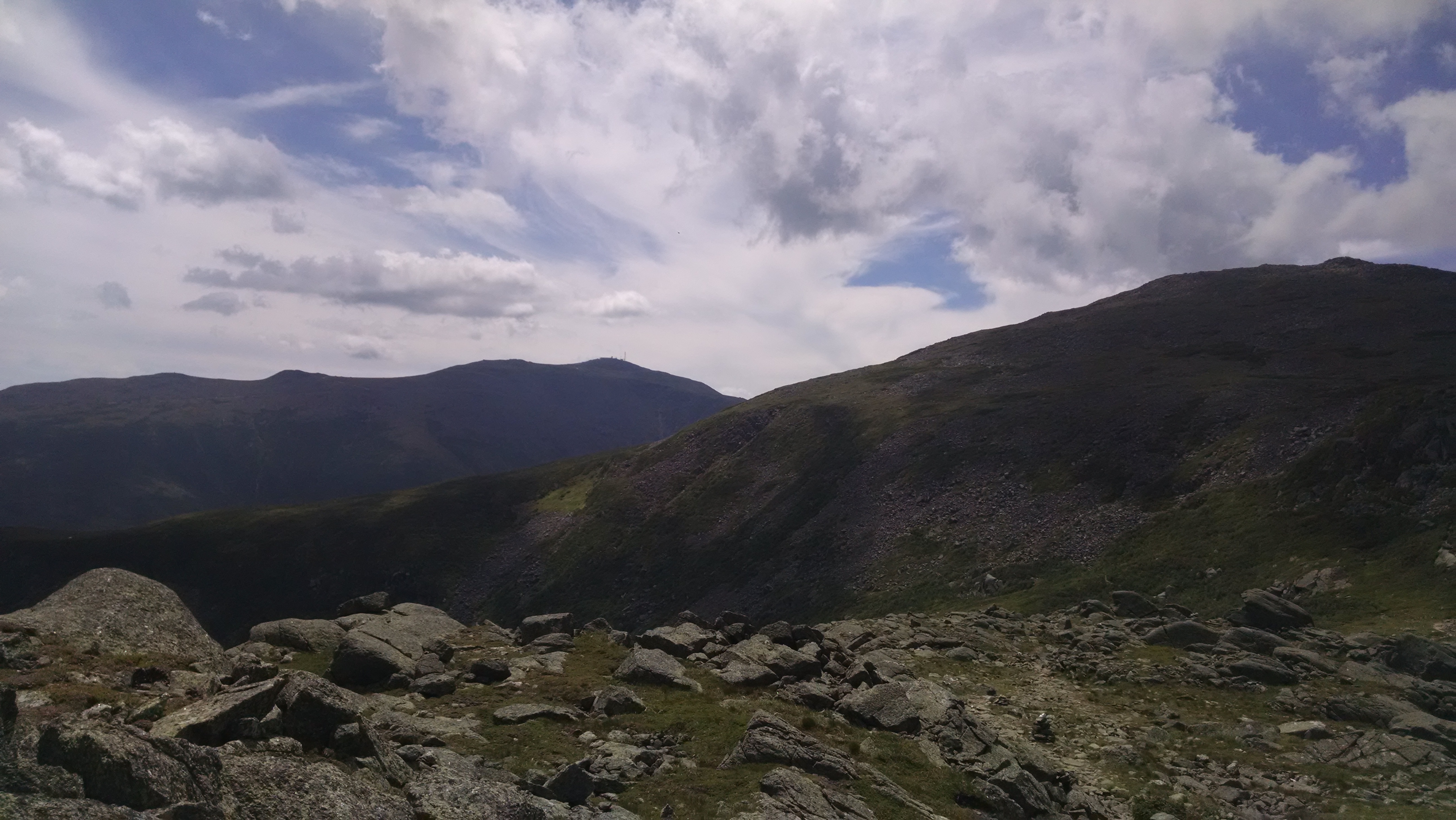
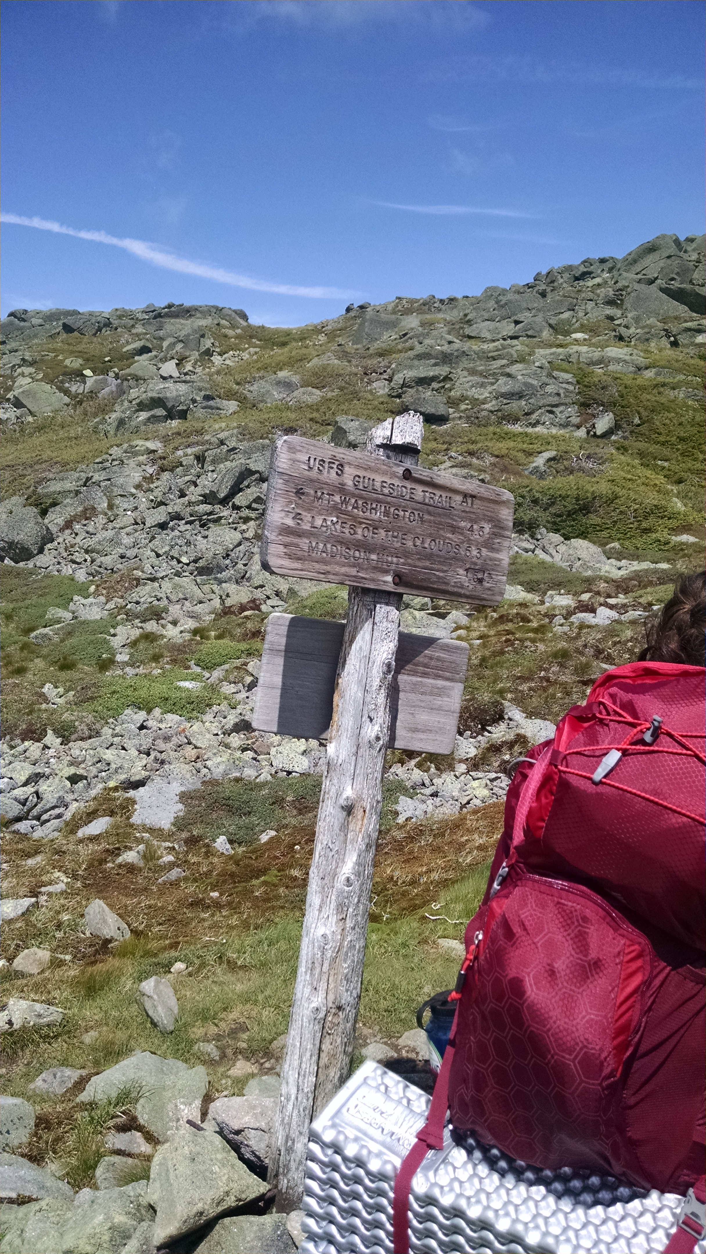
| 1856 | Gulfside Trail (6,150') | 6150 |
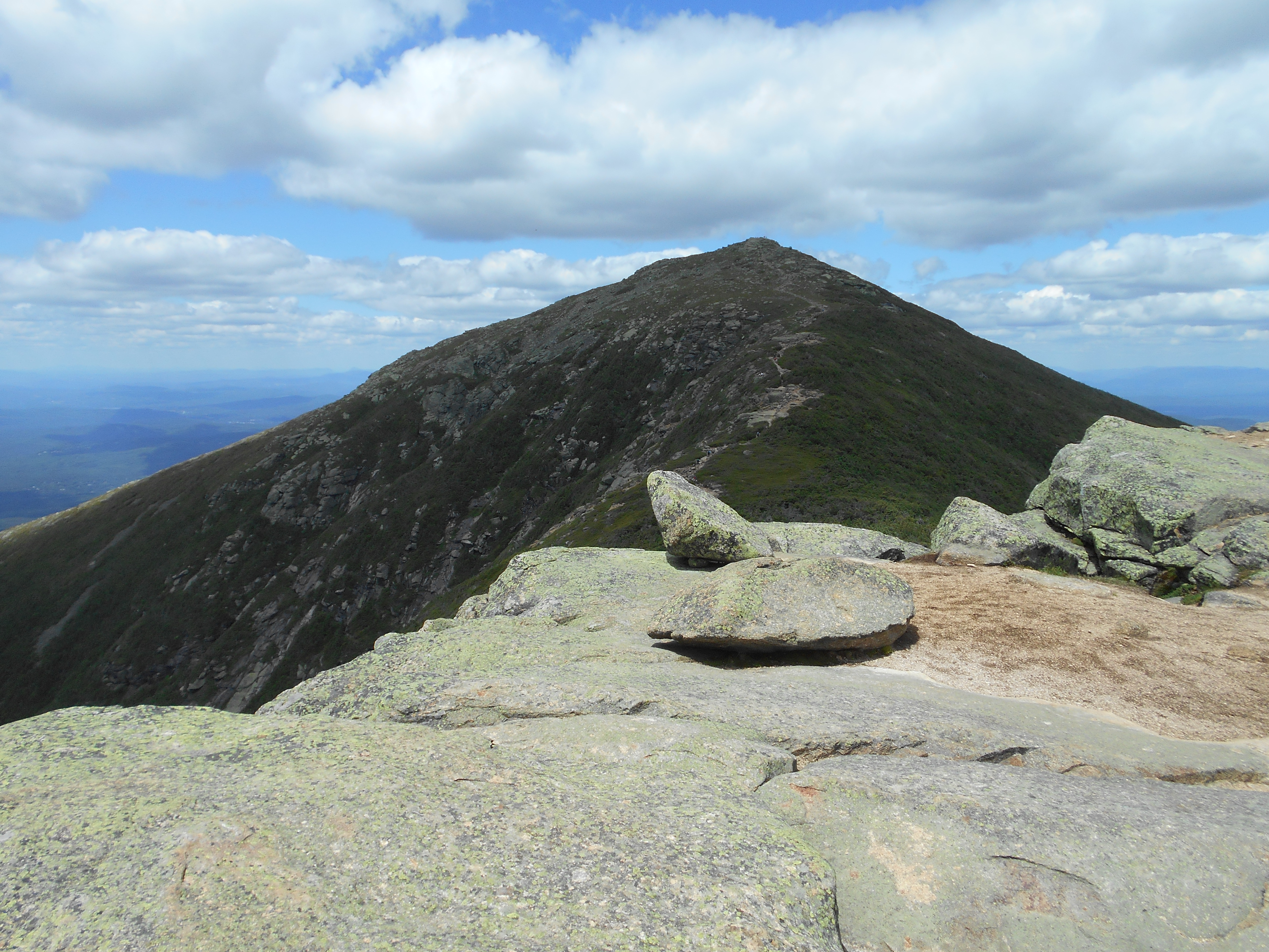
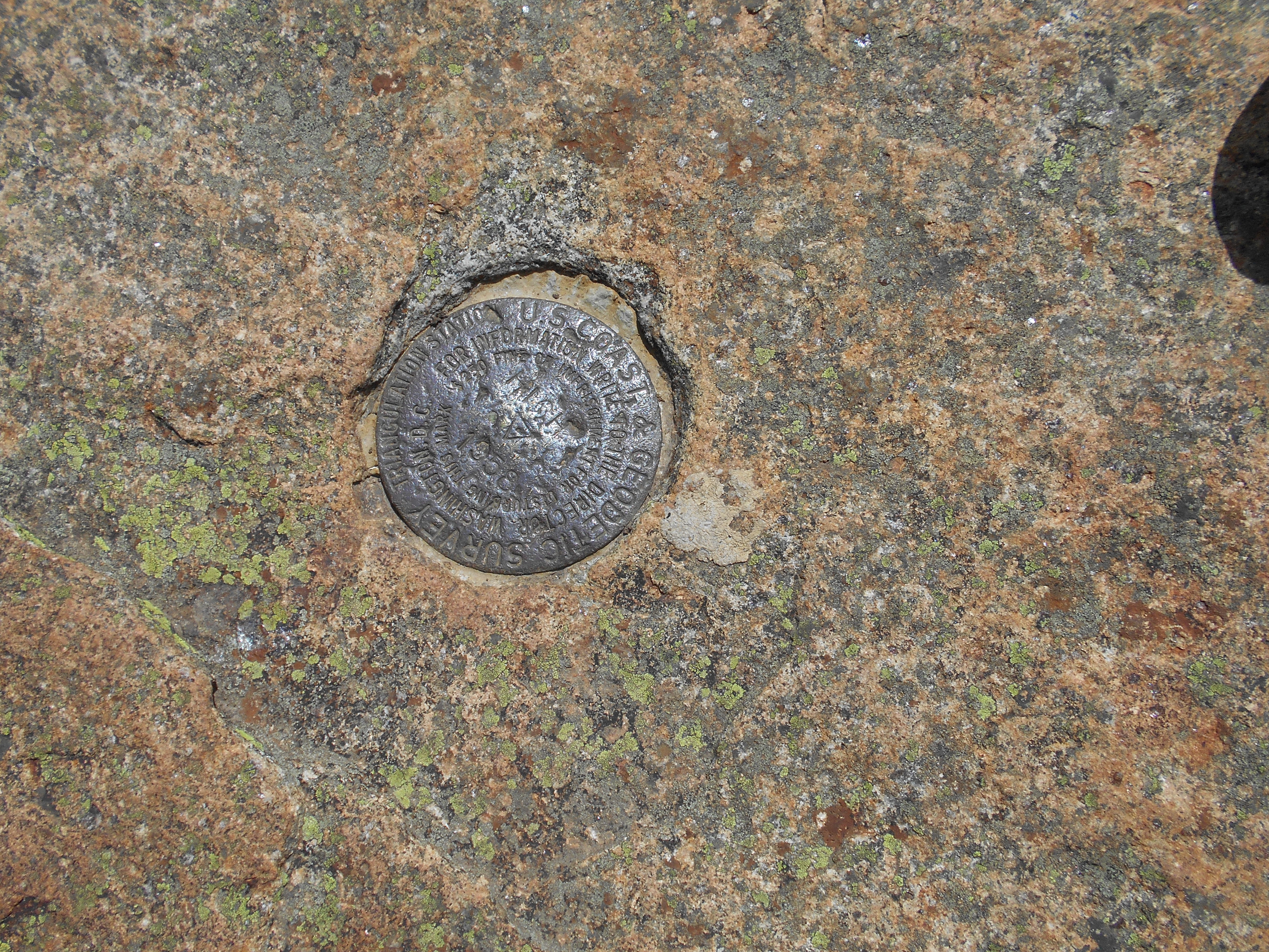
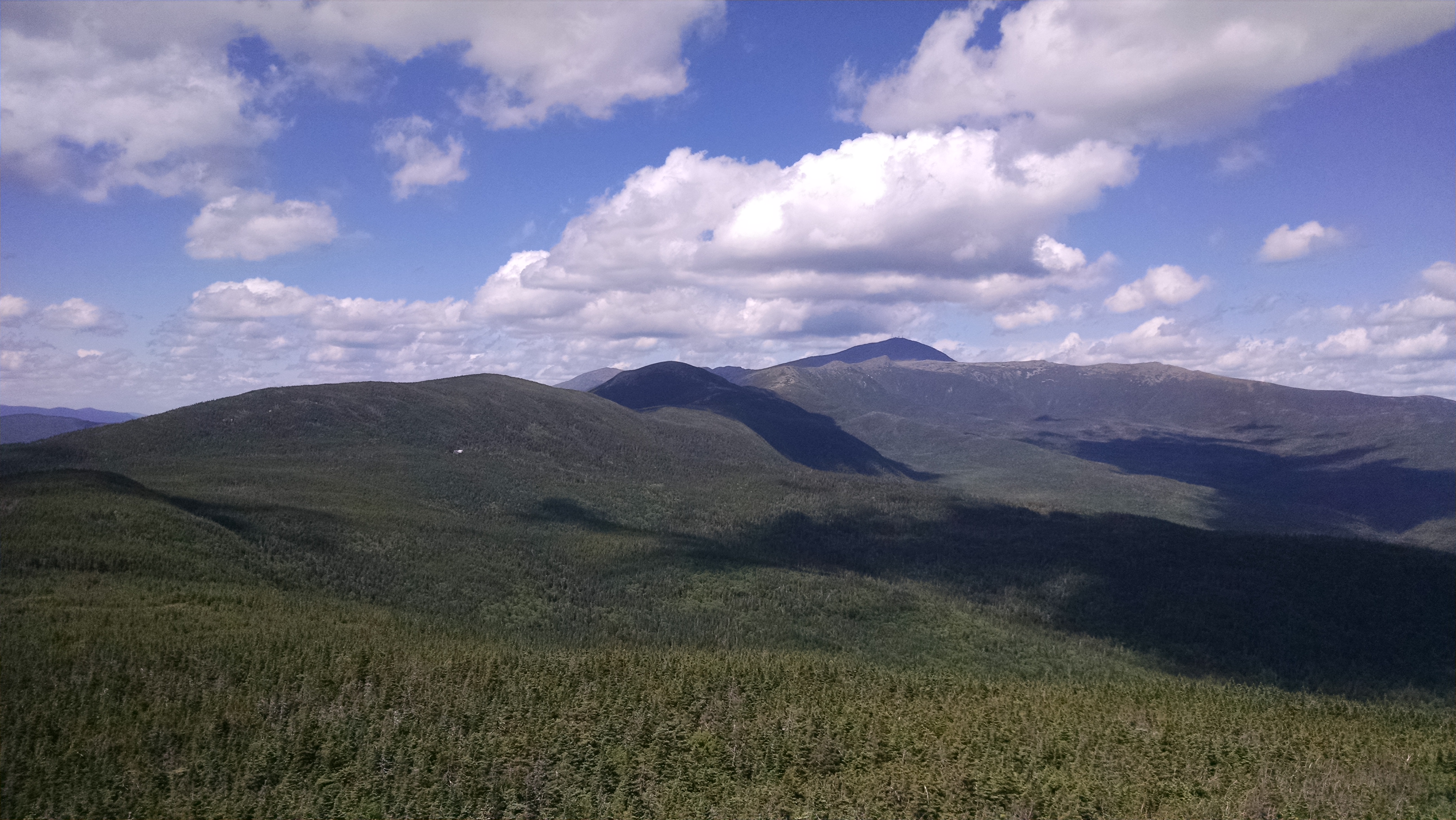
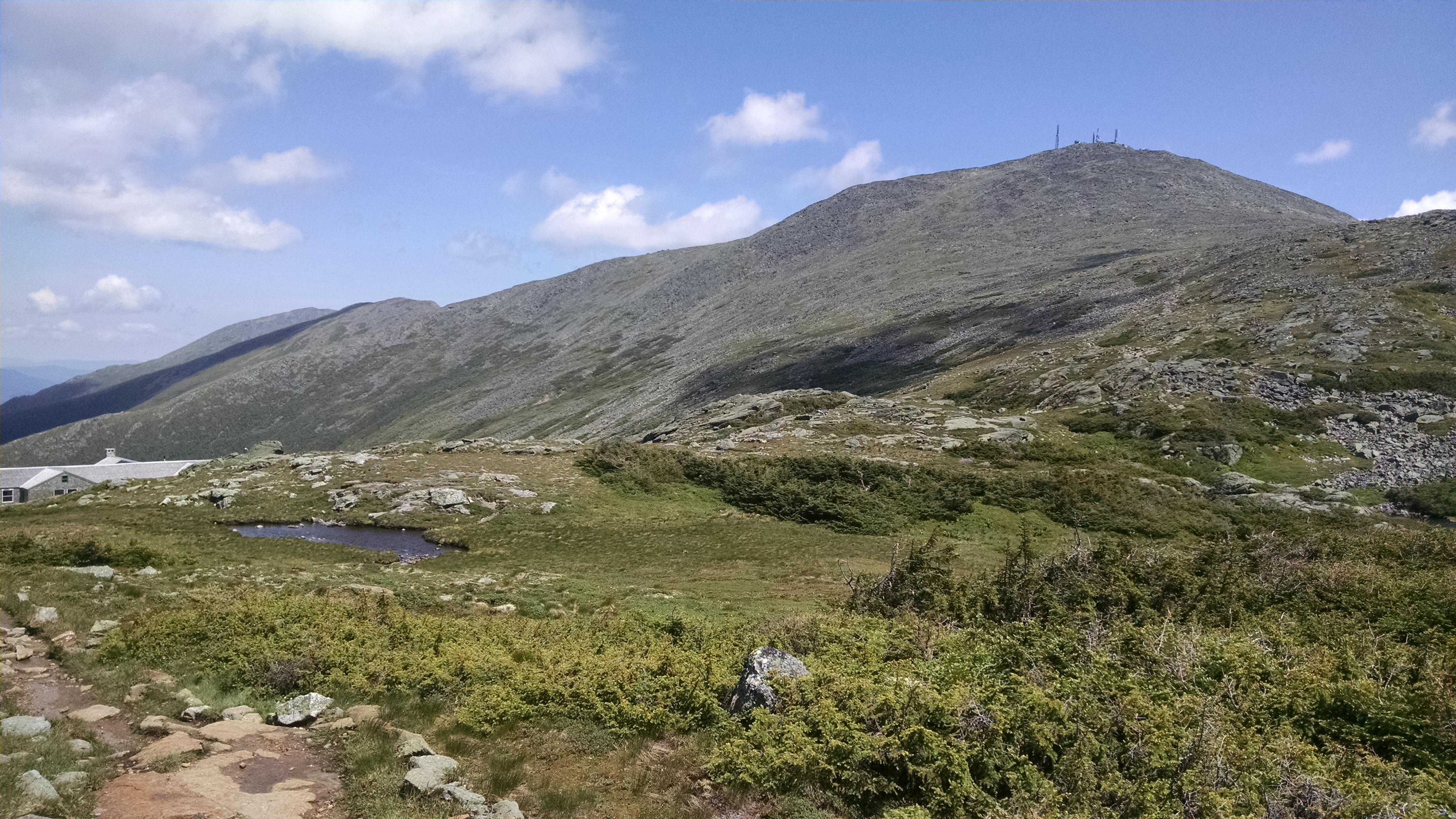
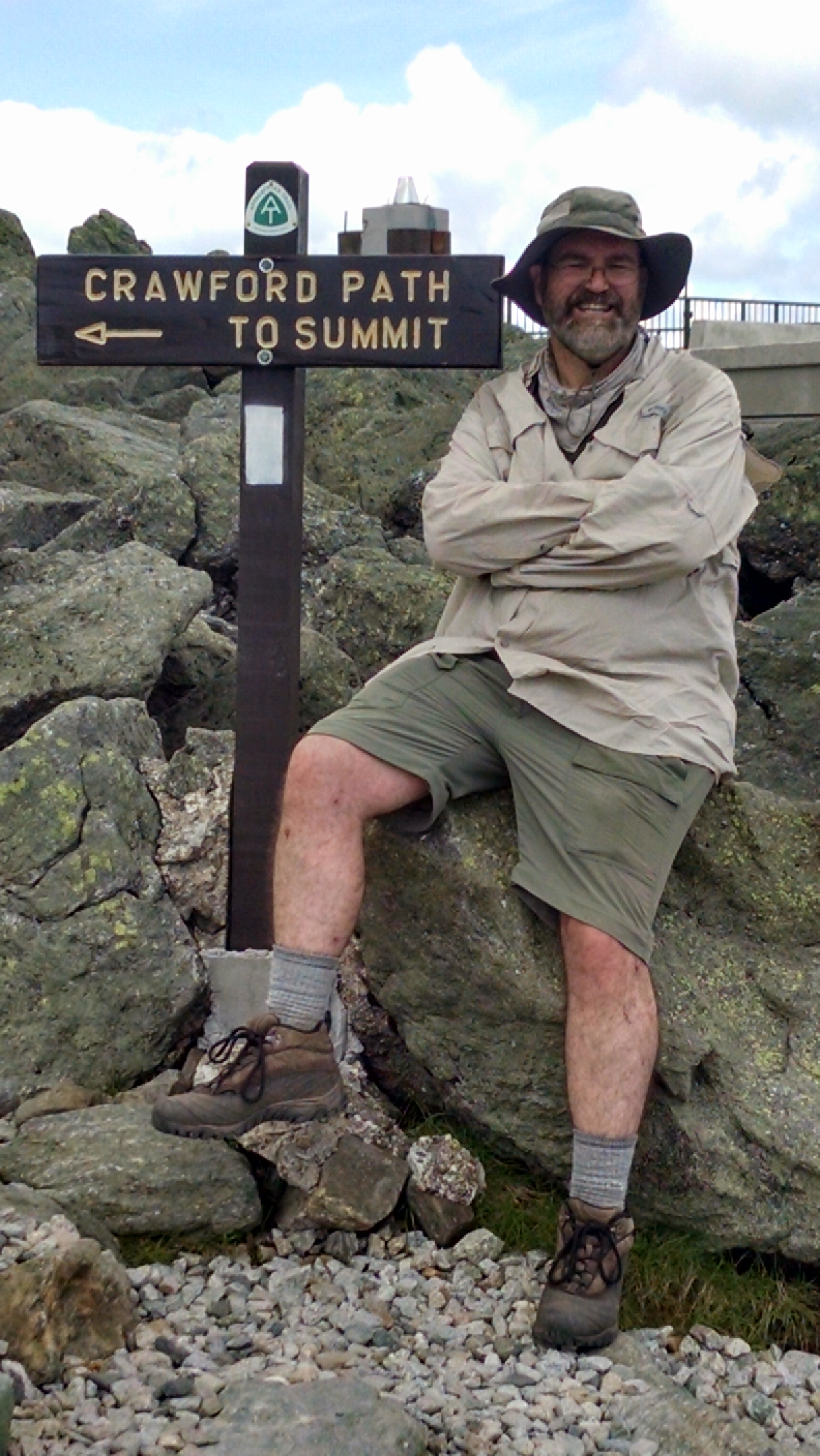
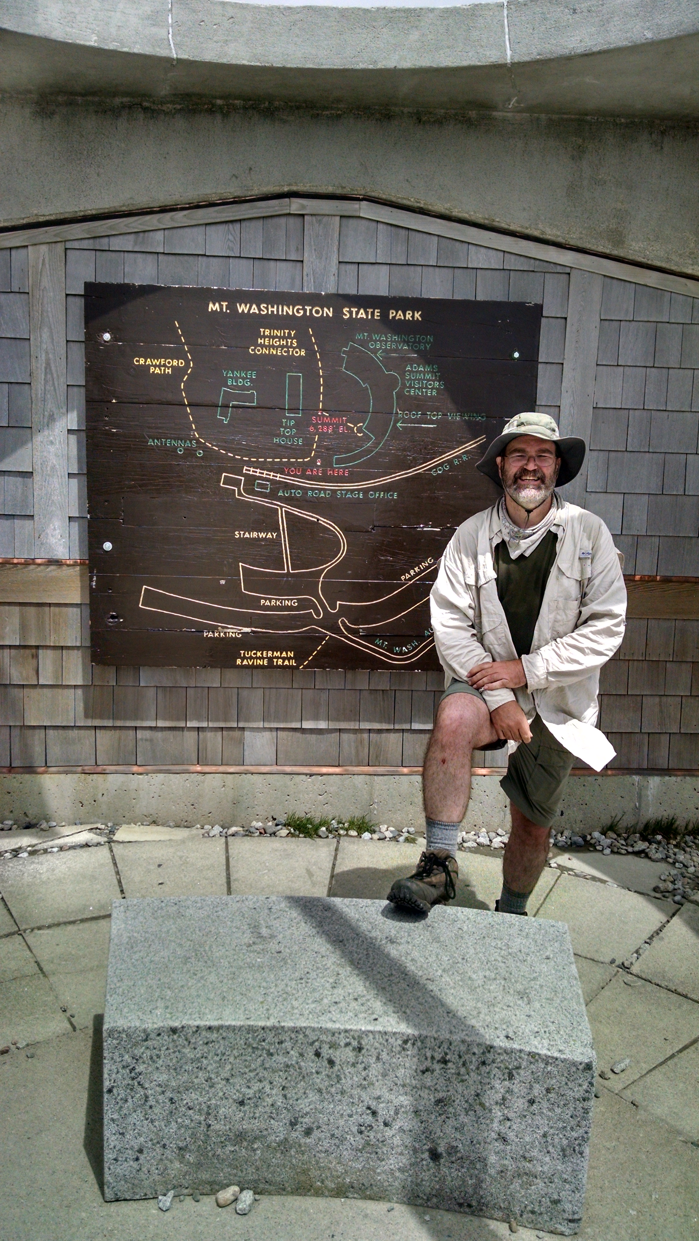
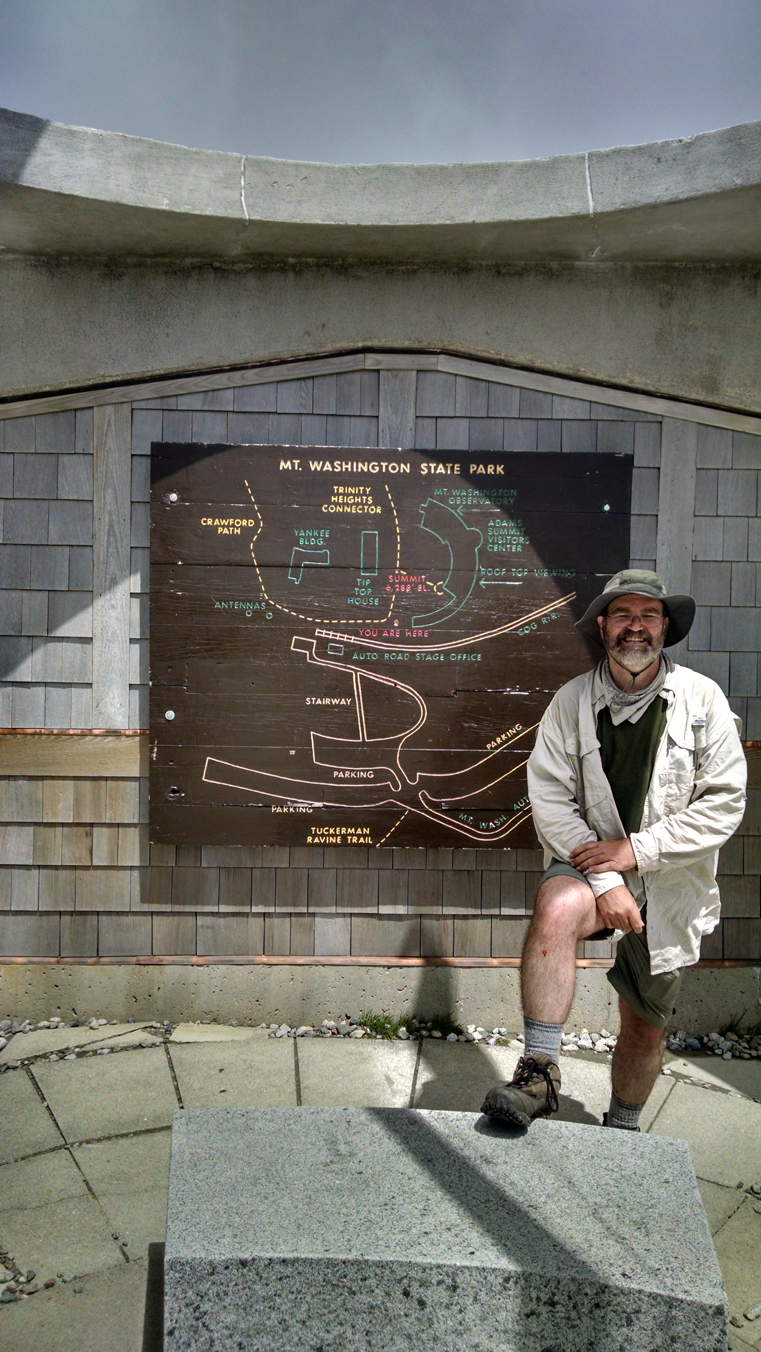
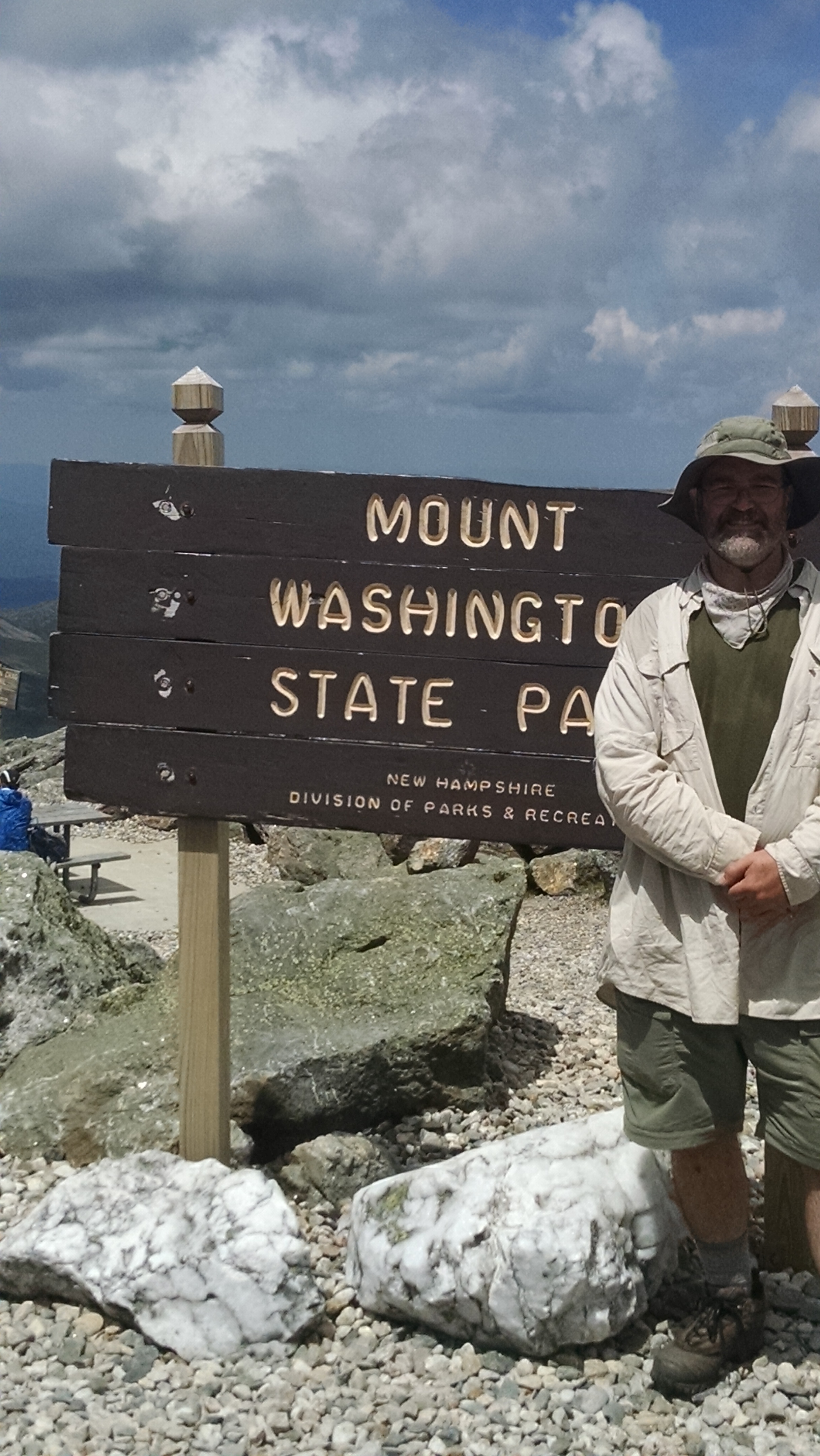
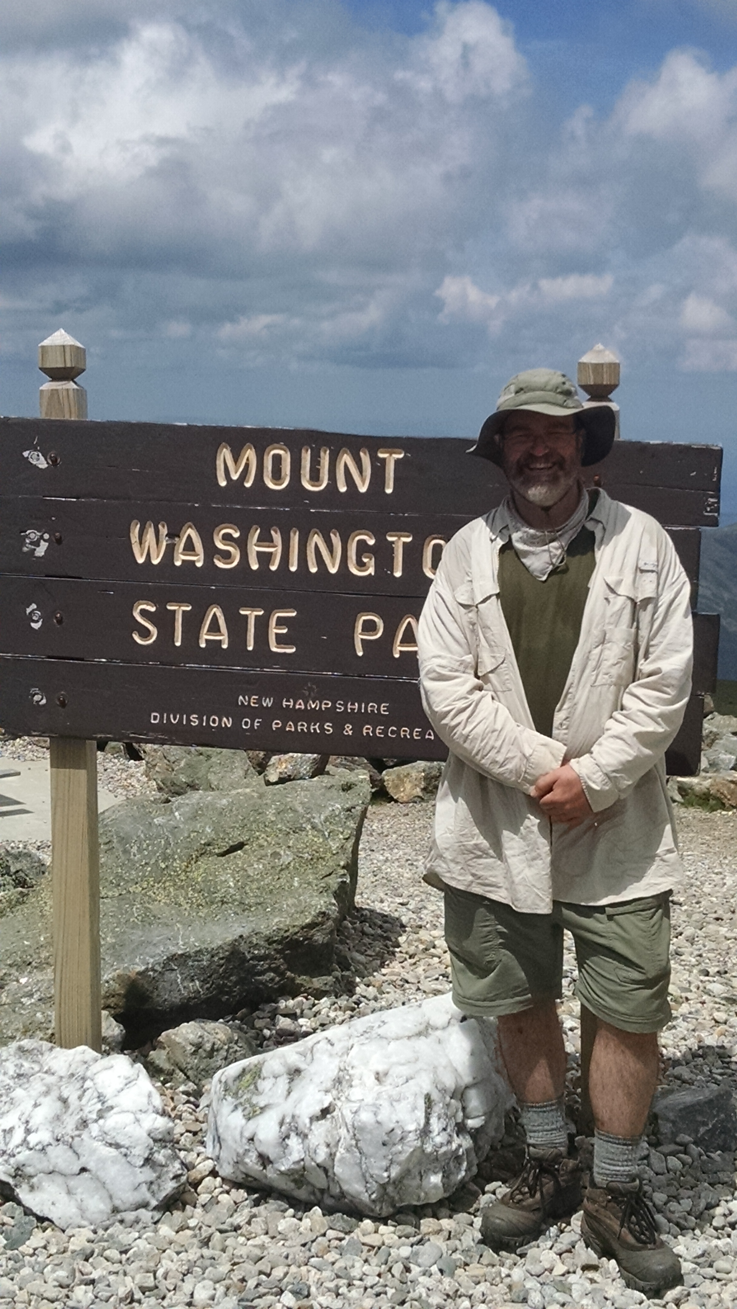
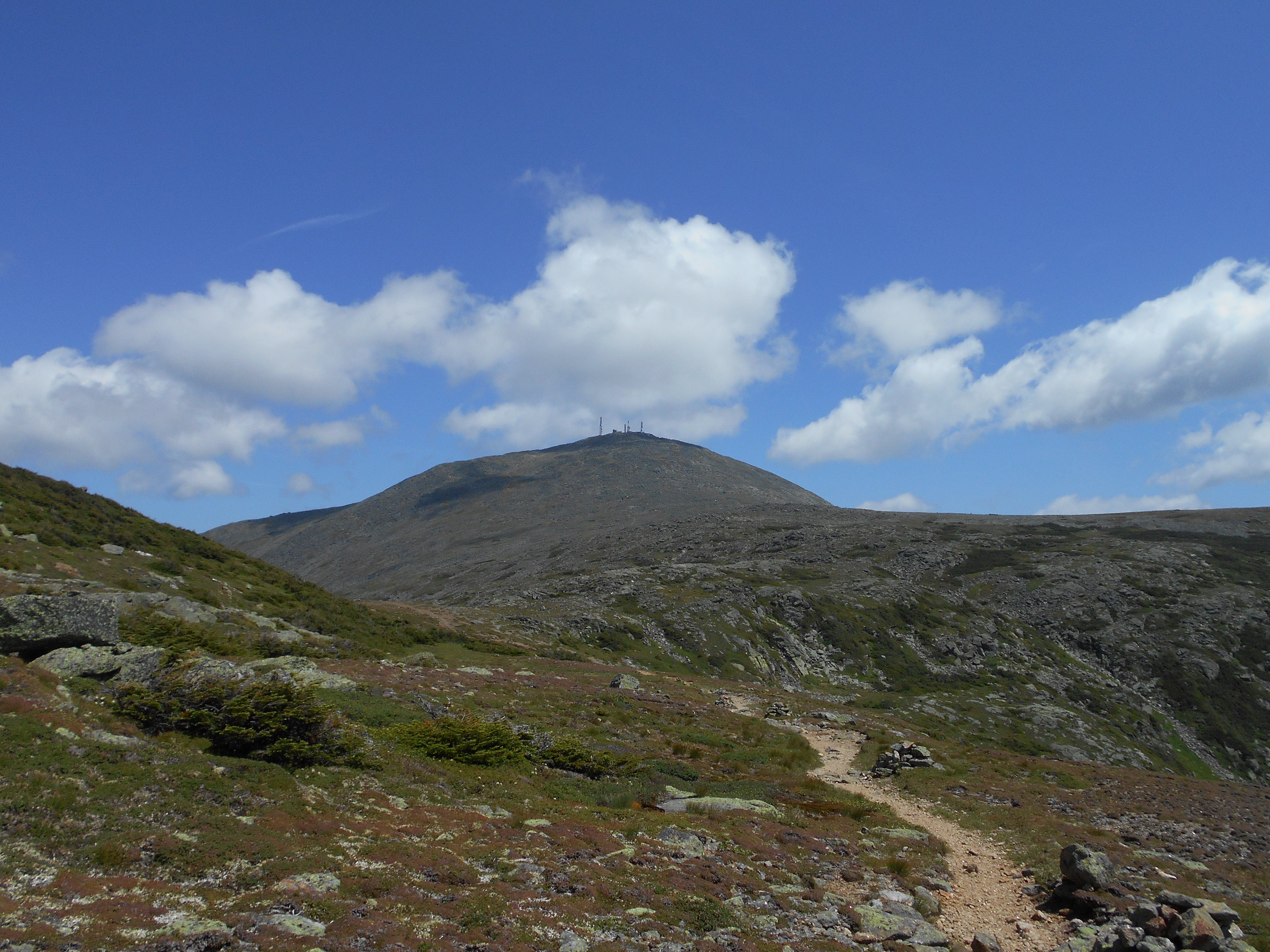
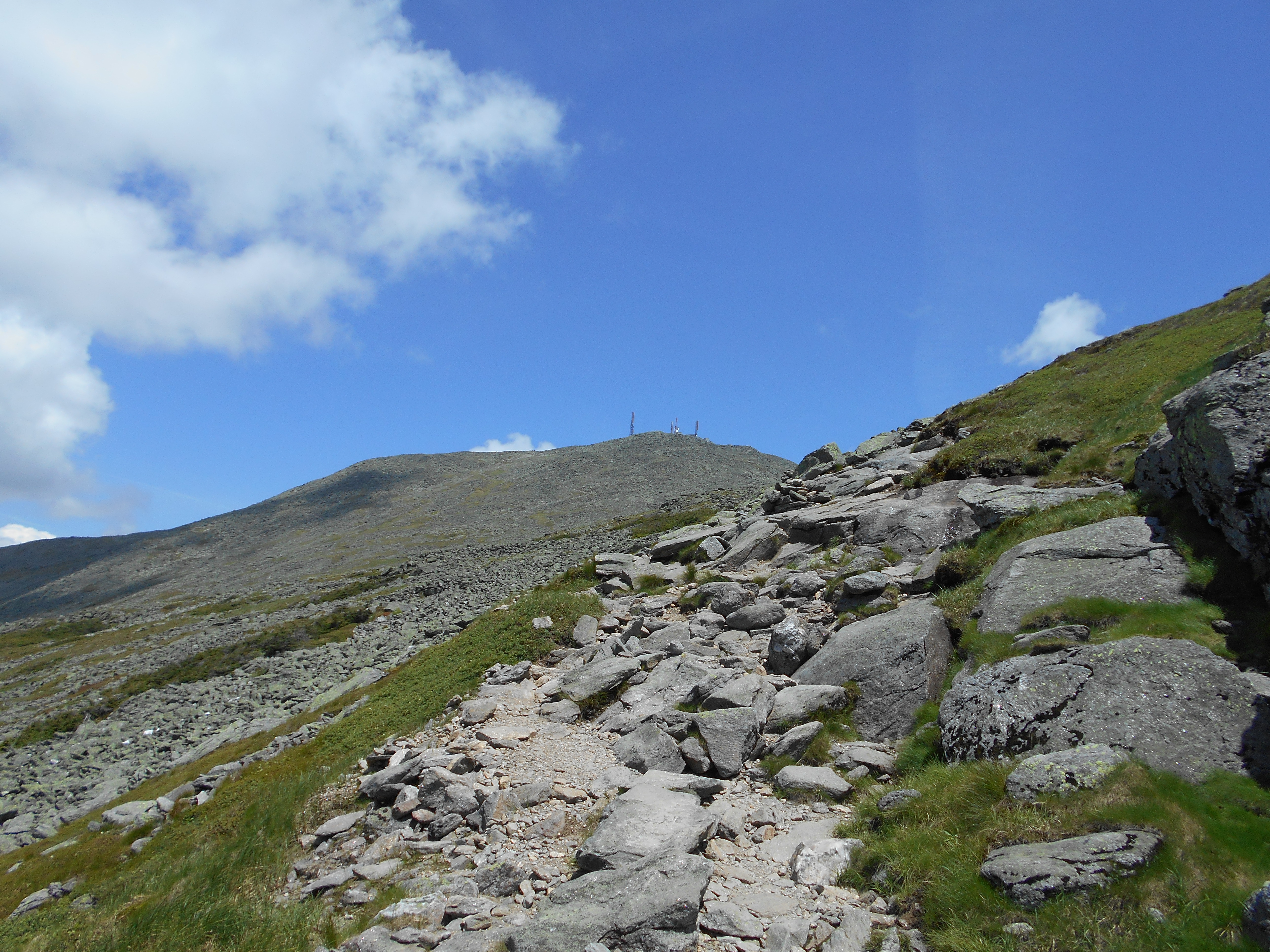
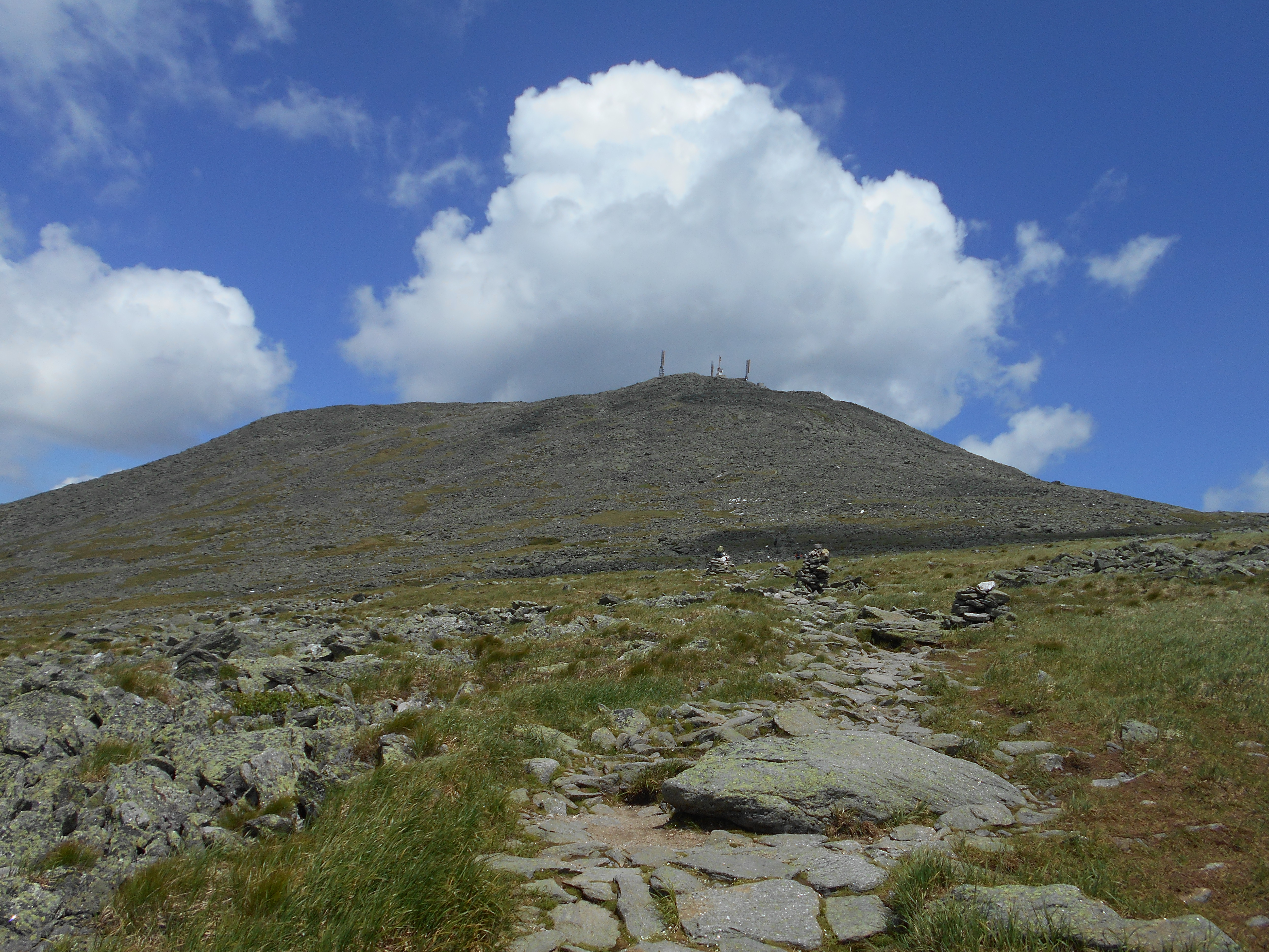
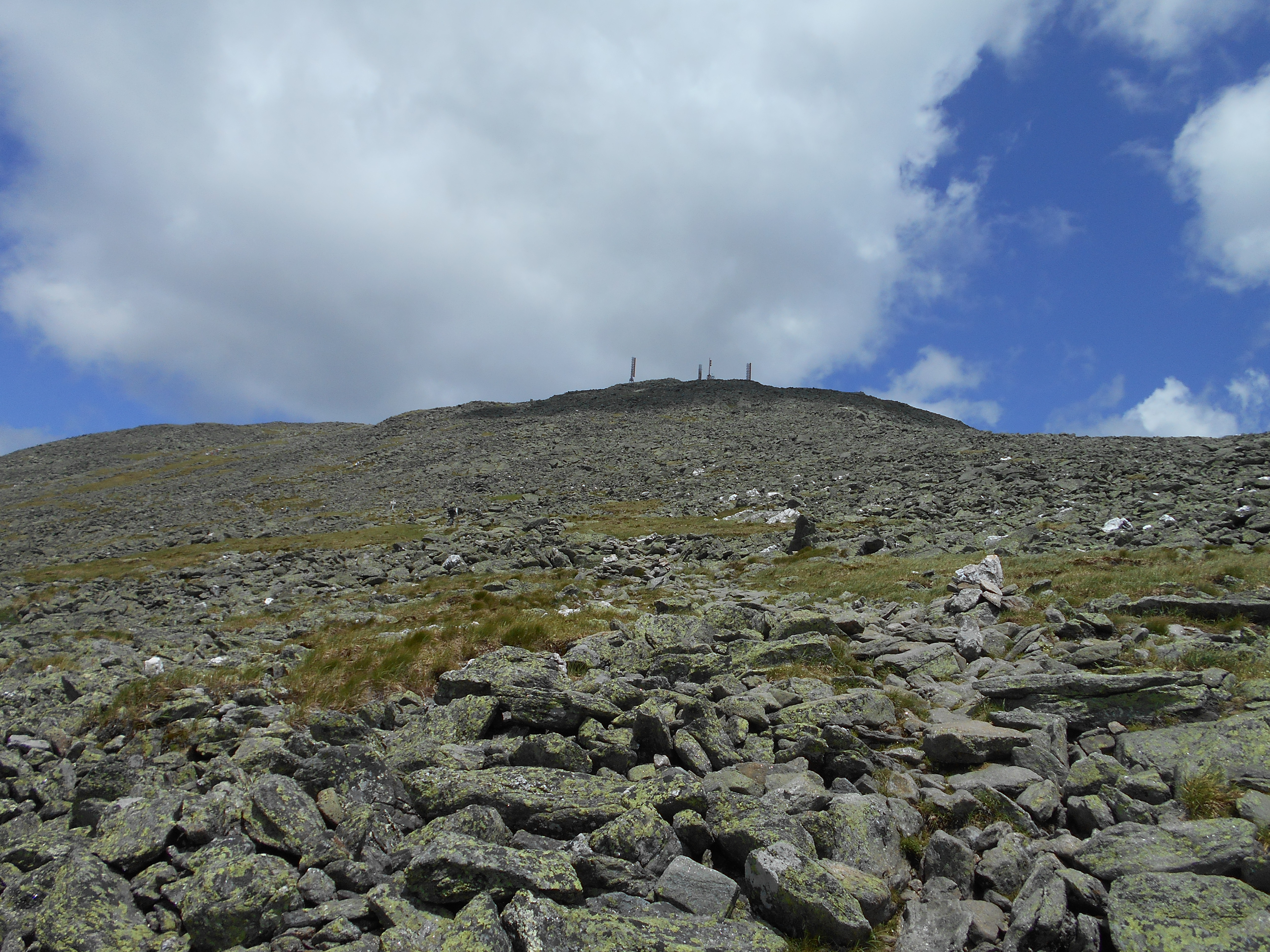
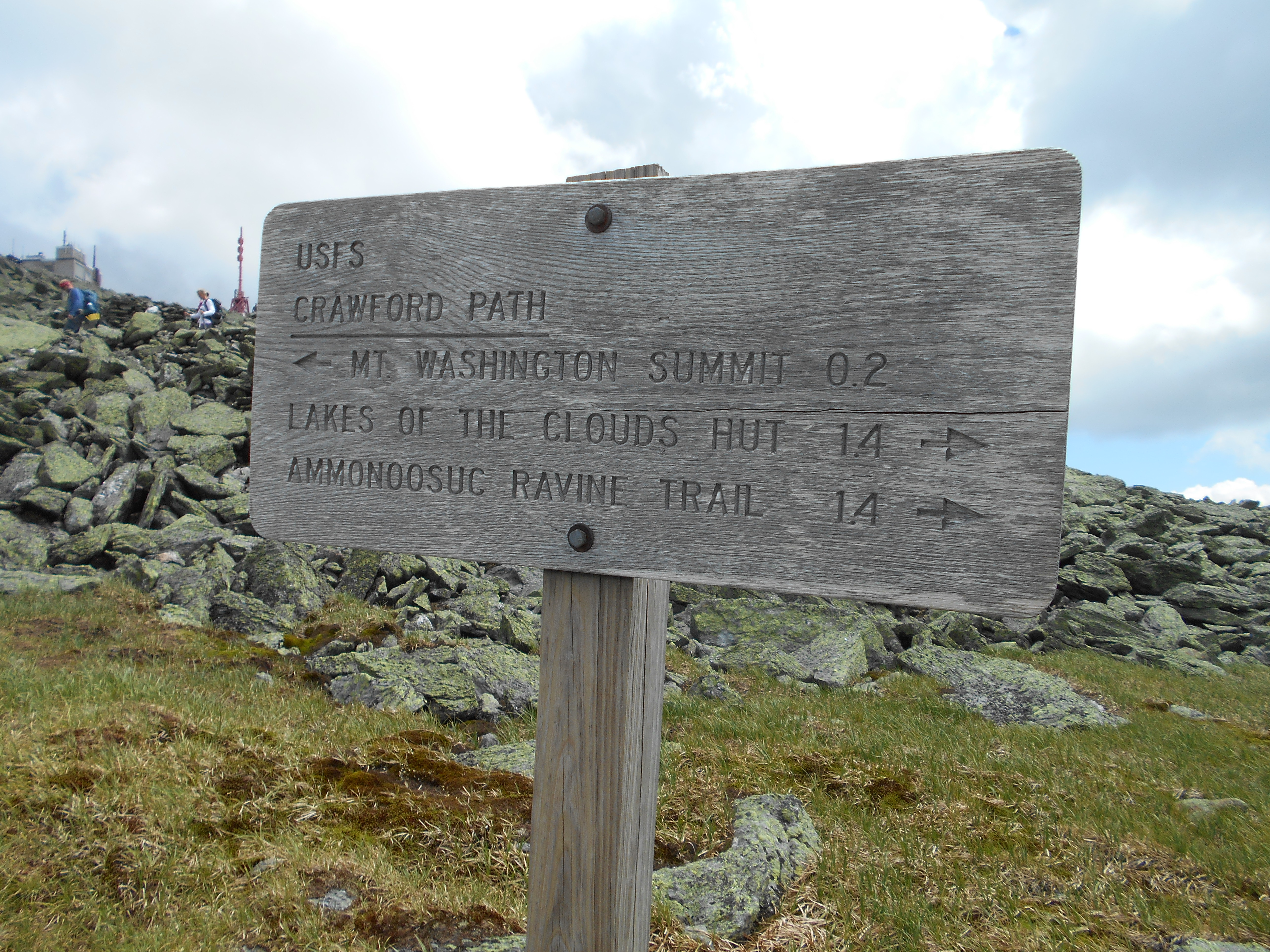
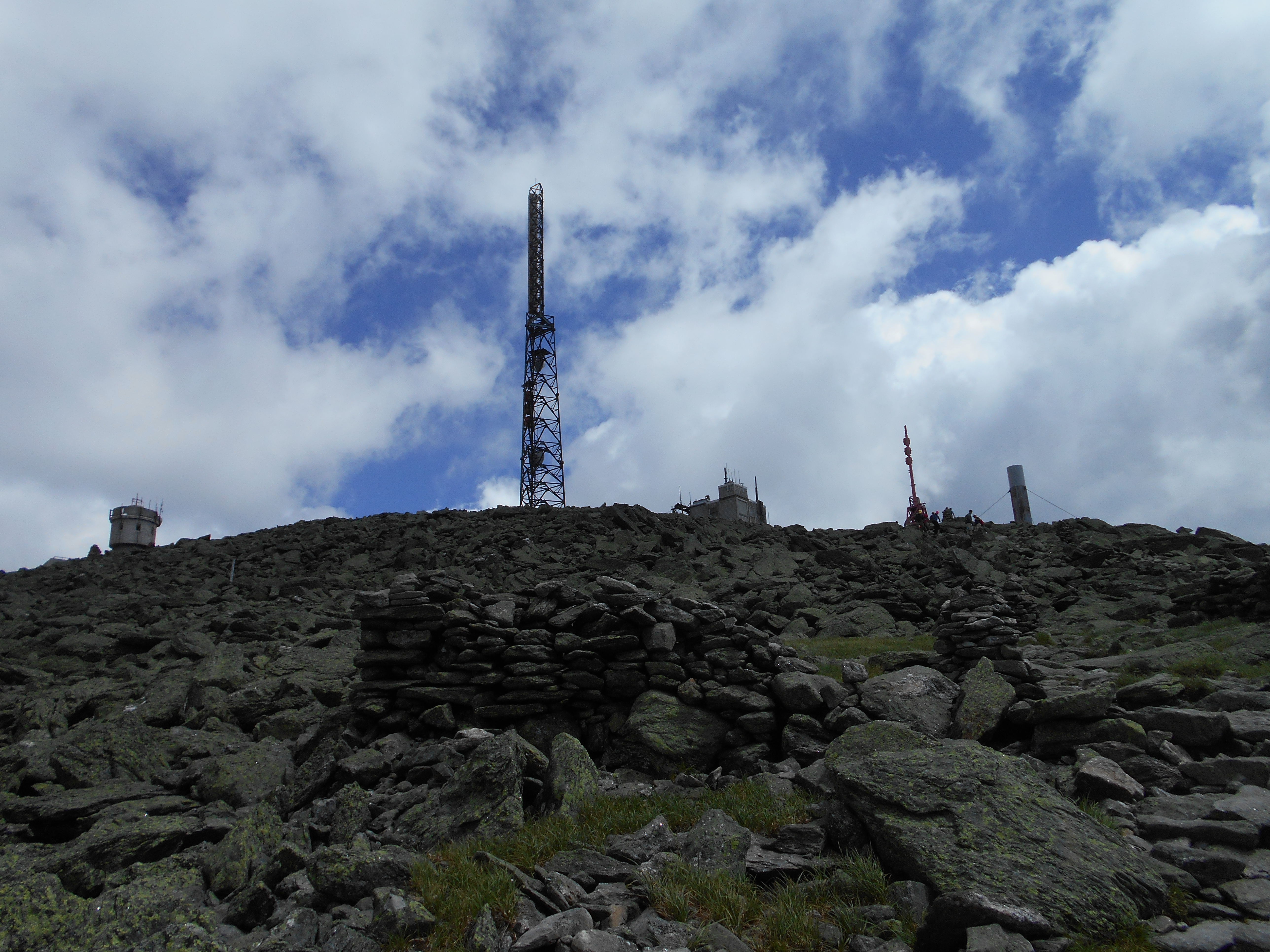
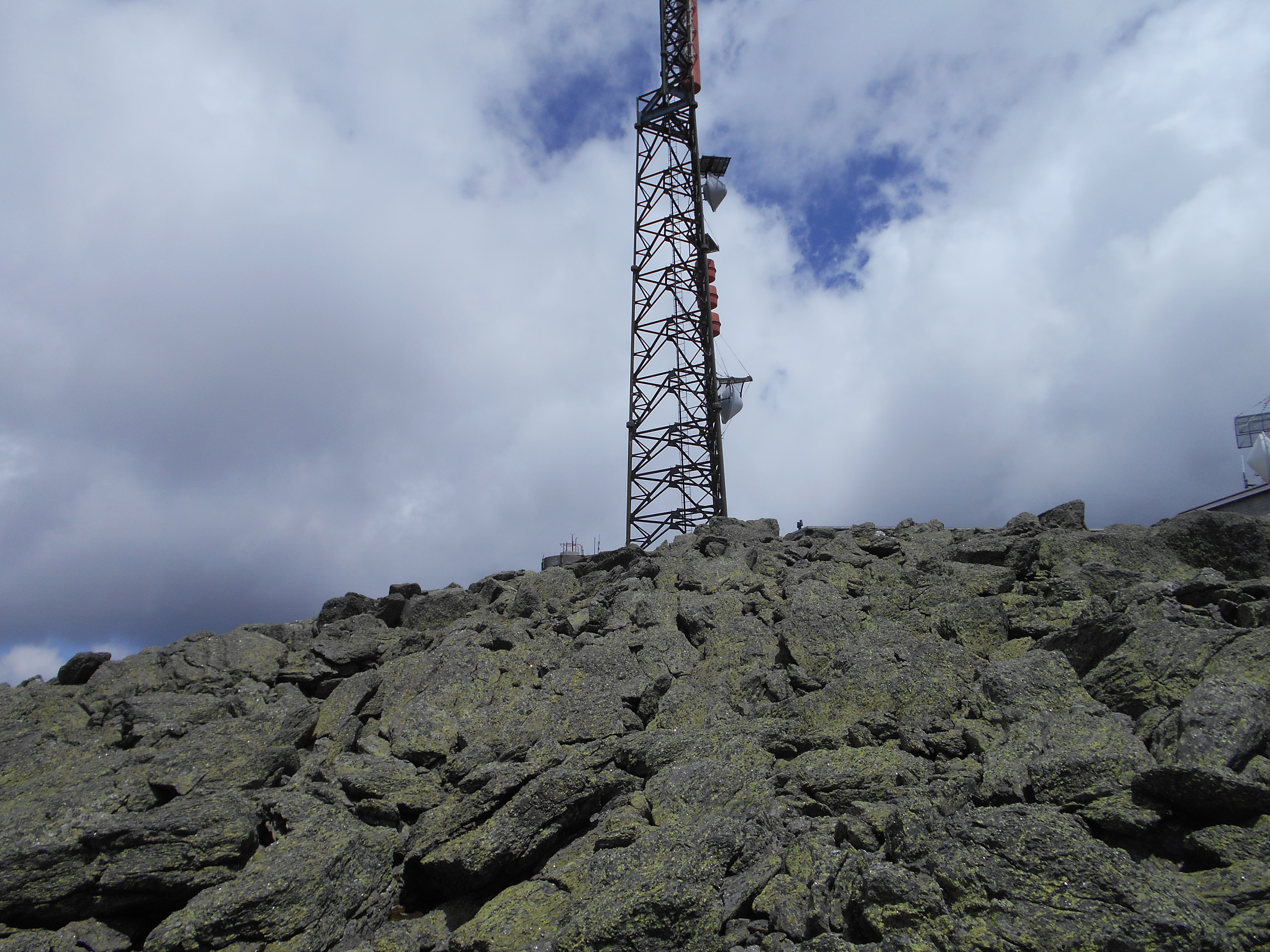
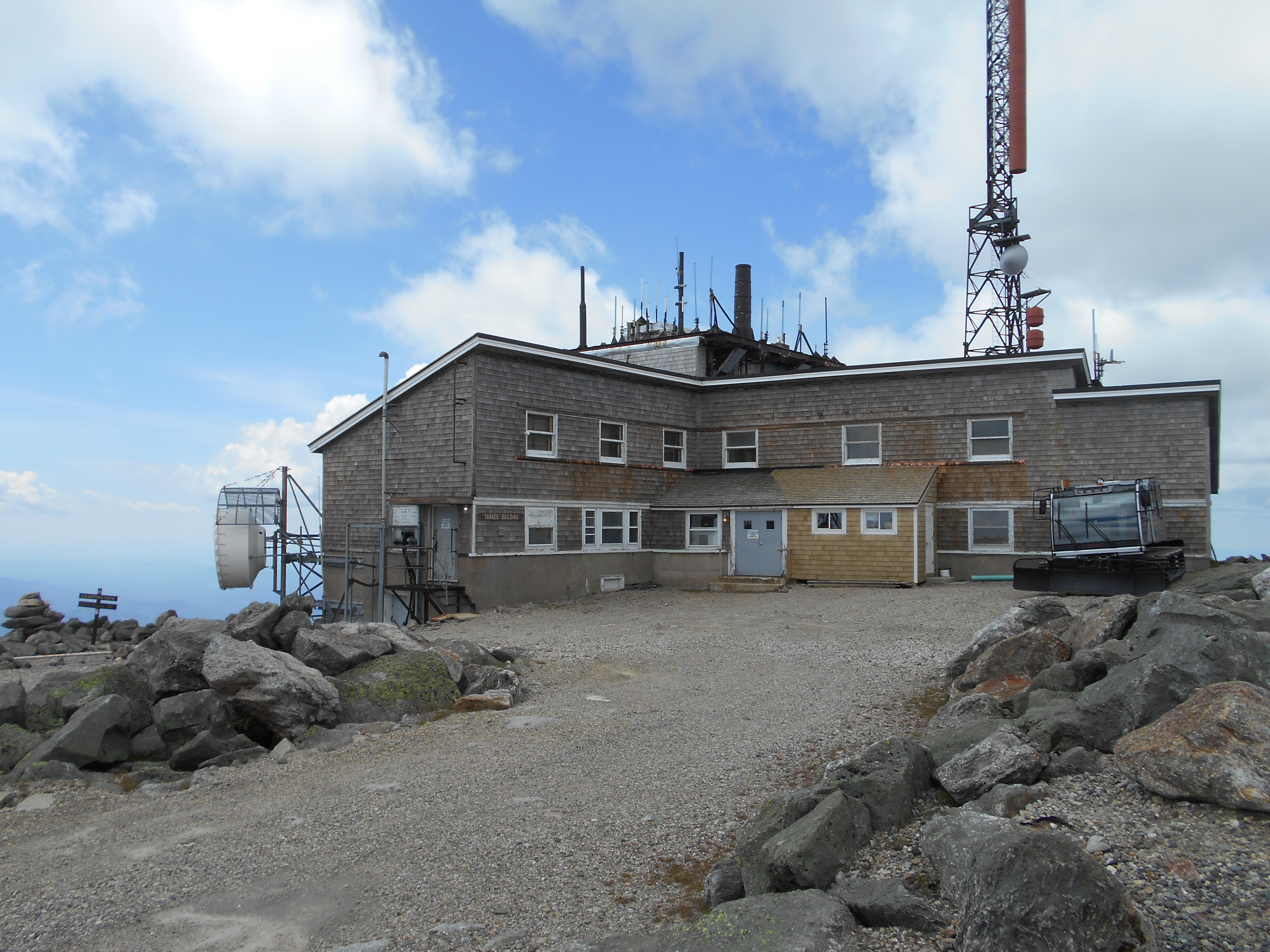
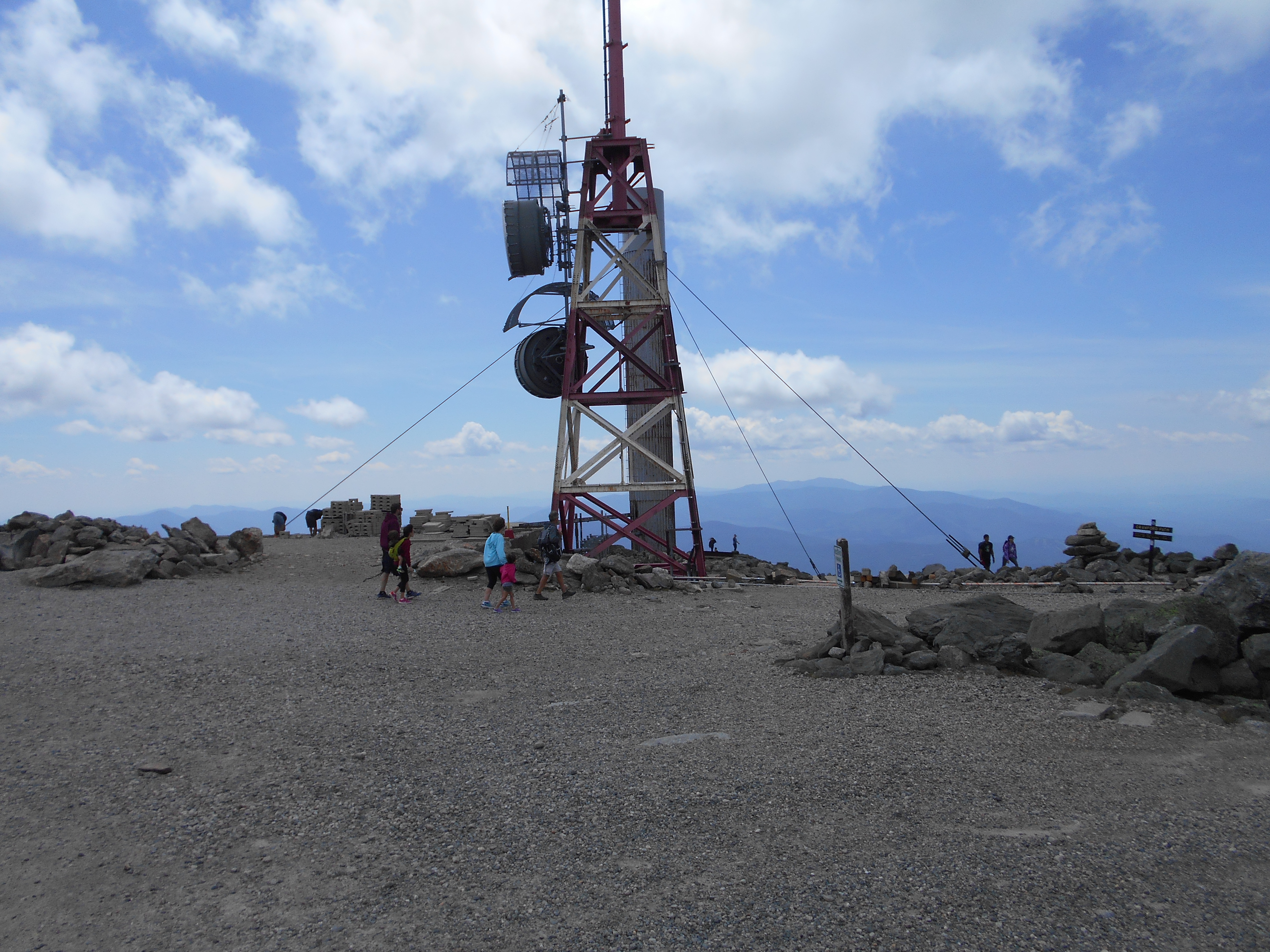
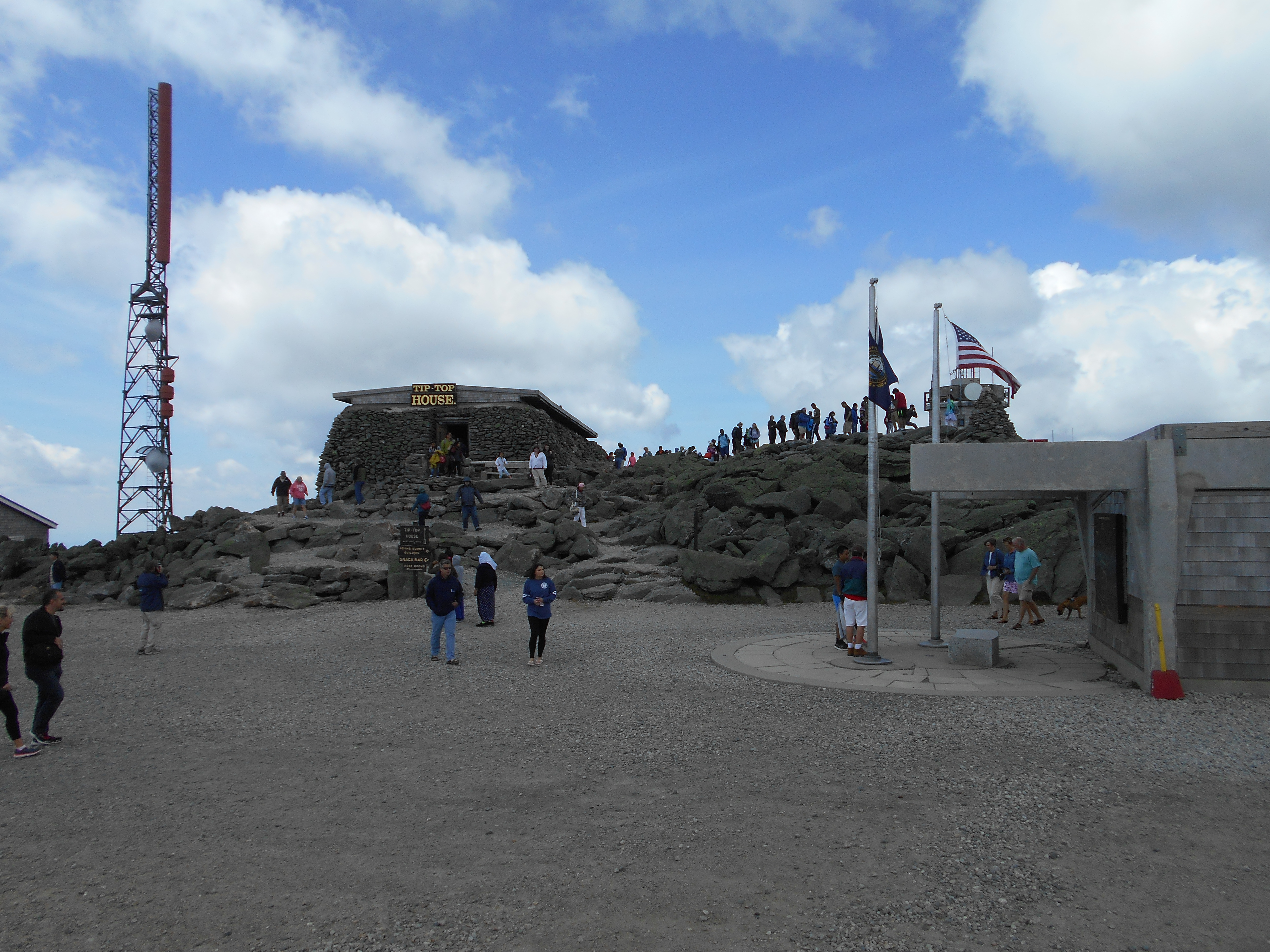
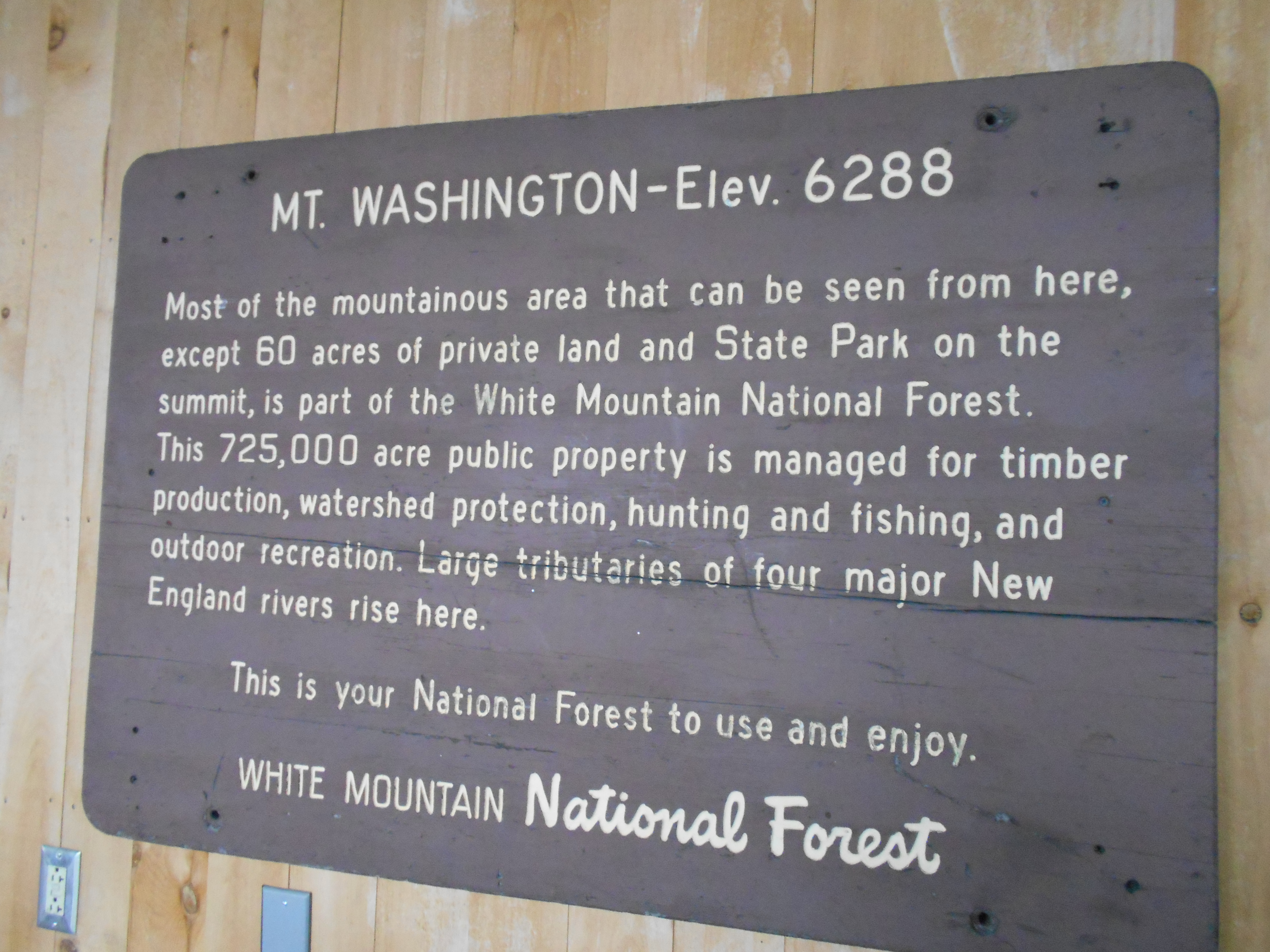
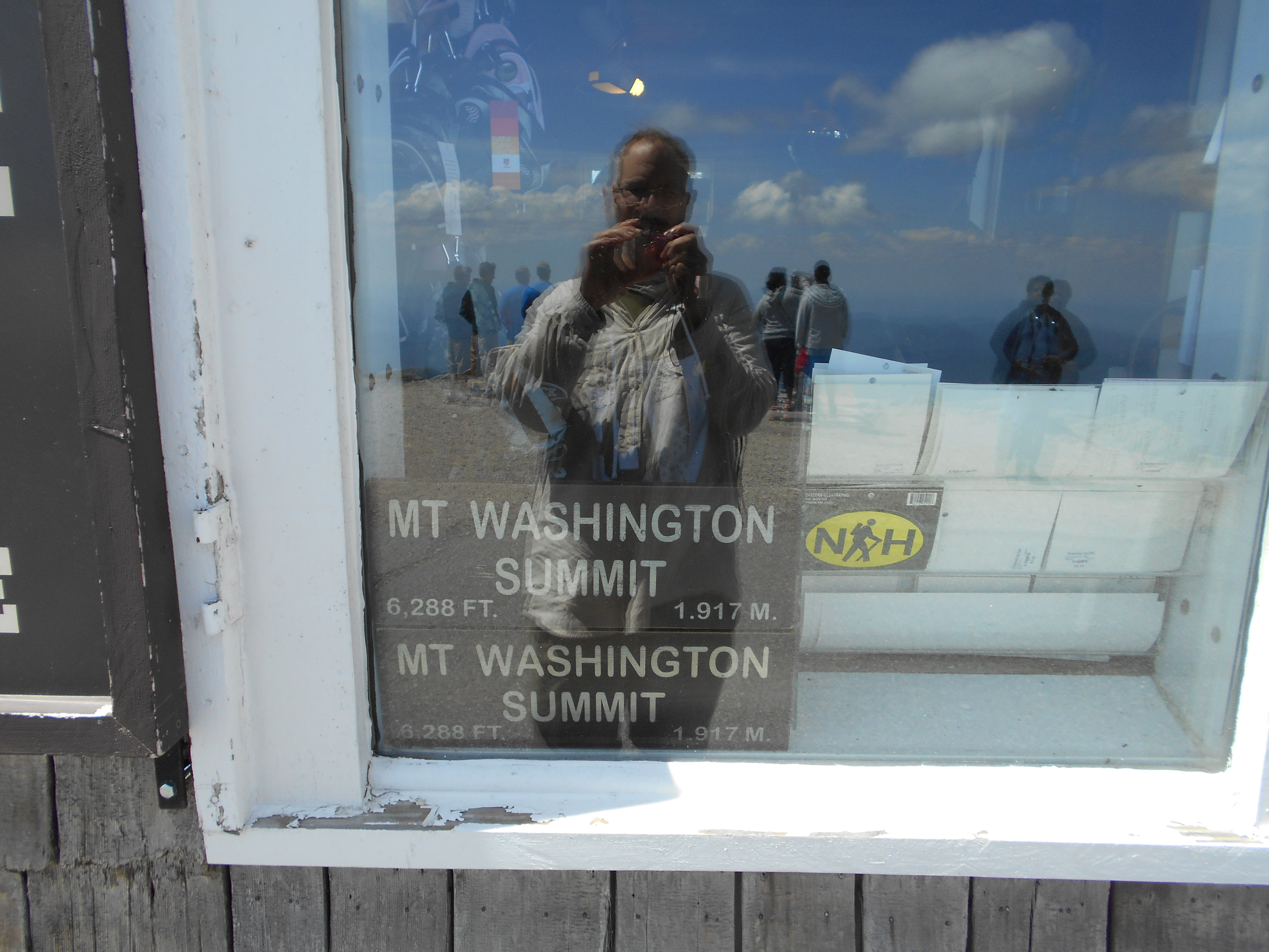
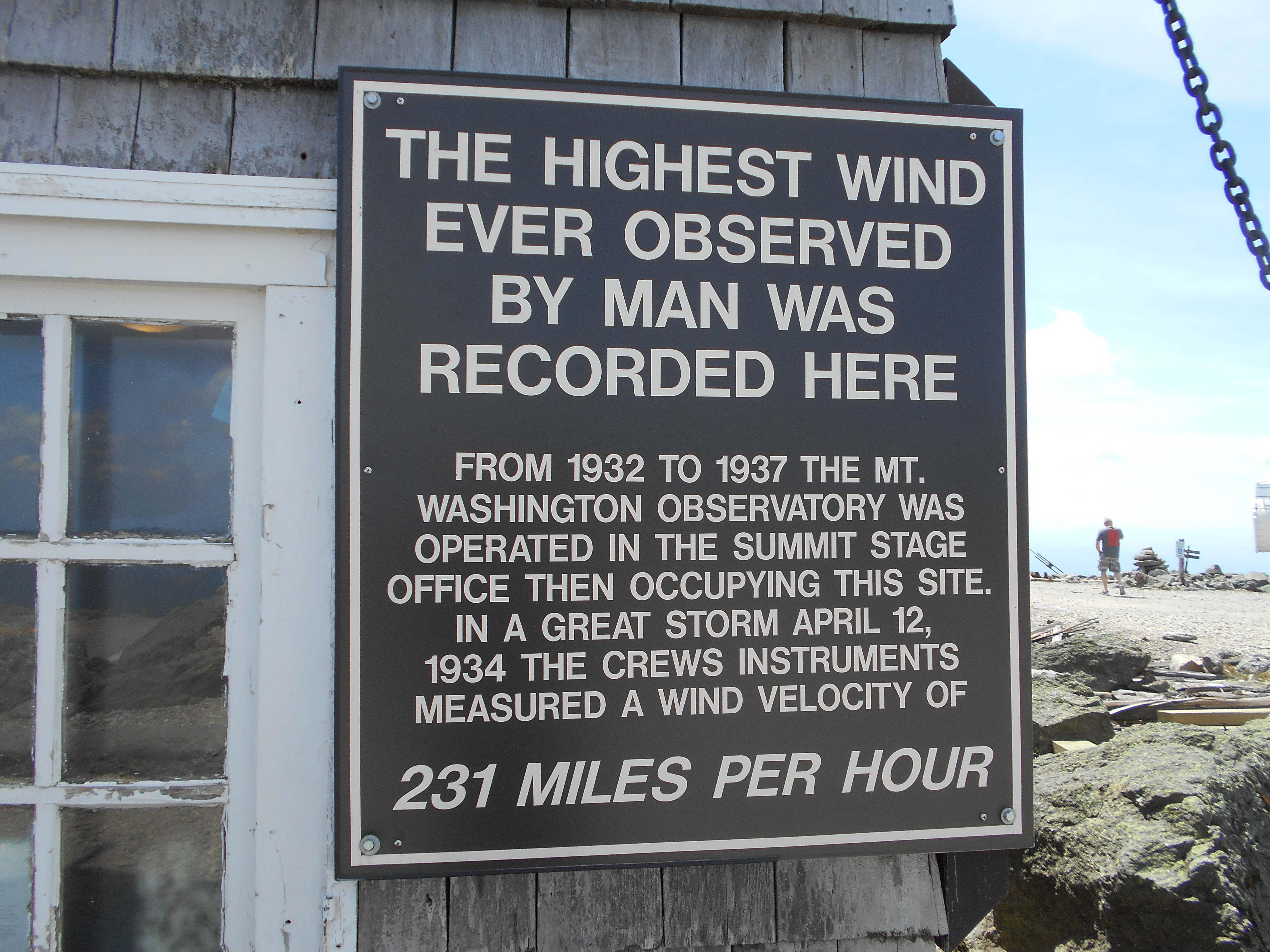
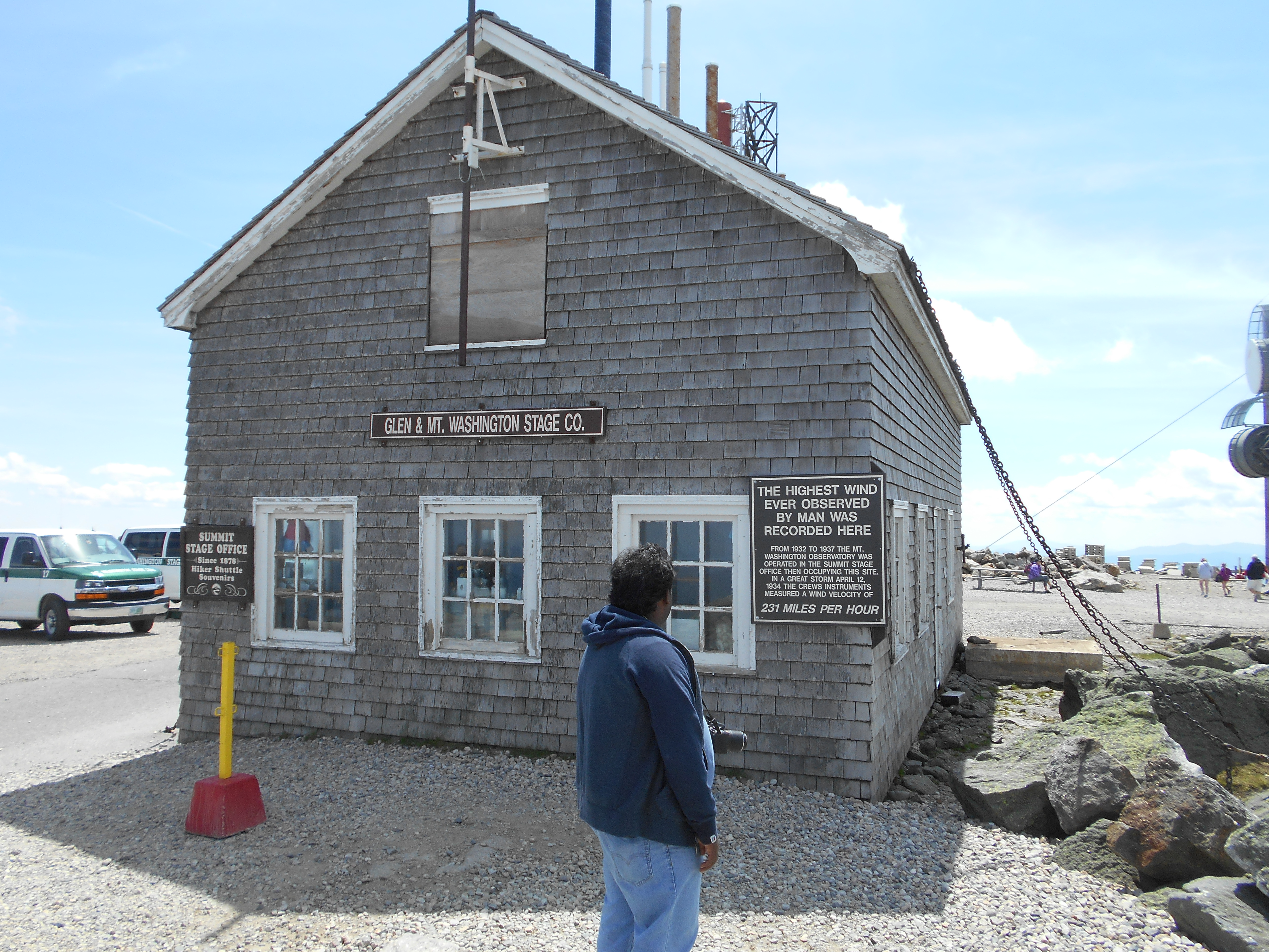
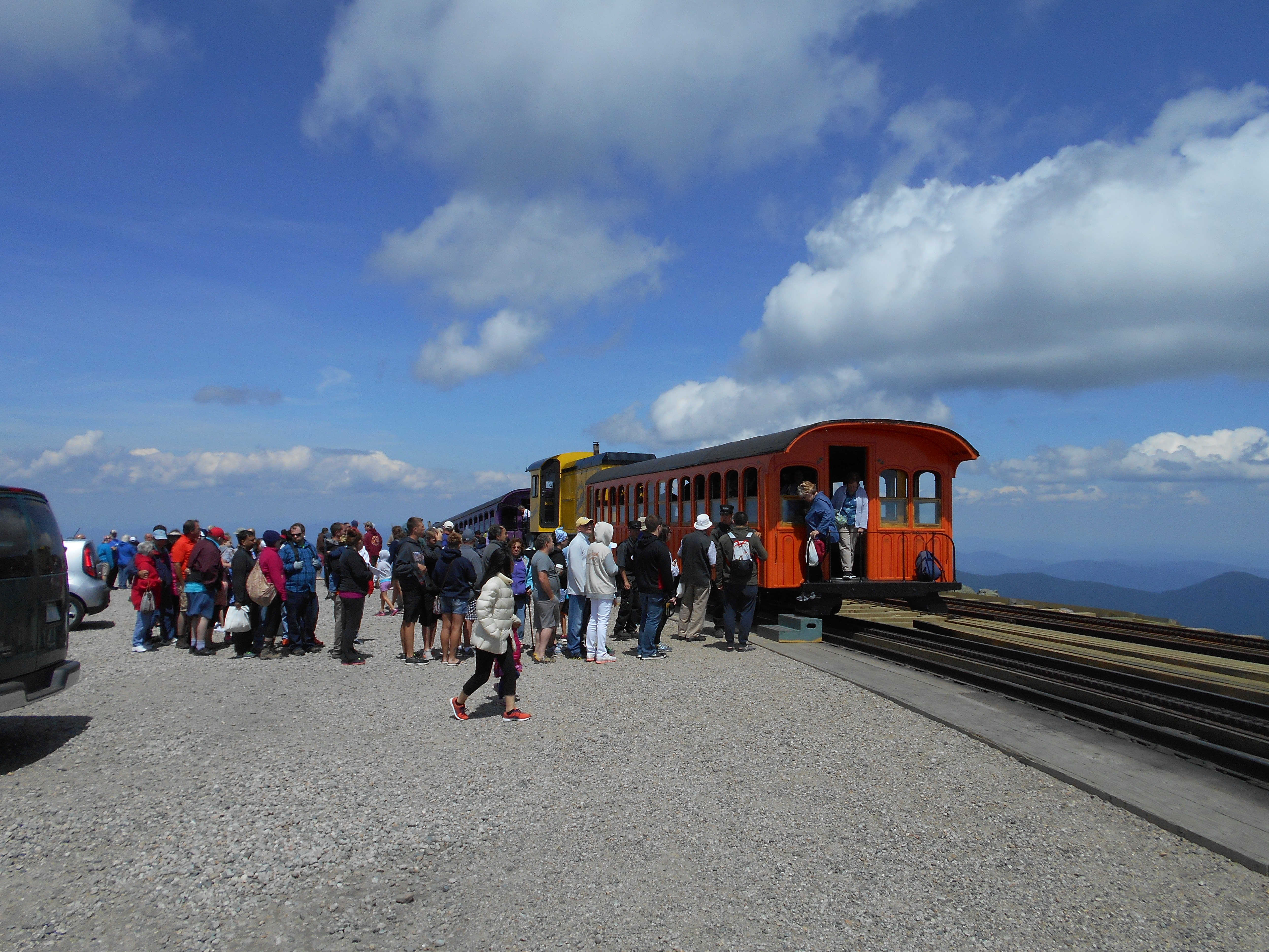
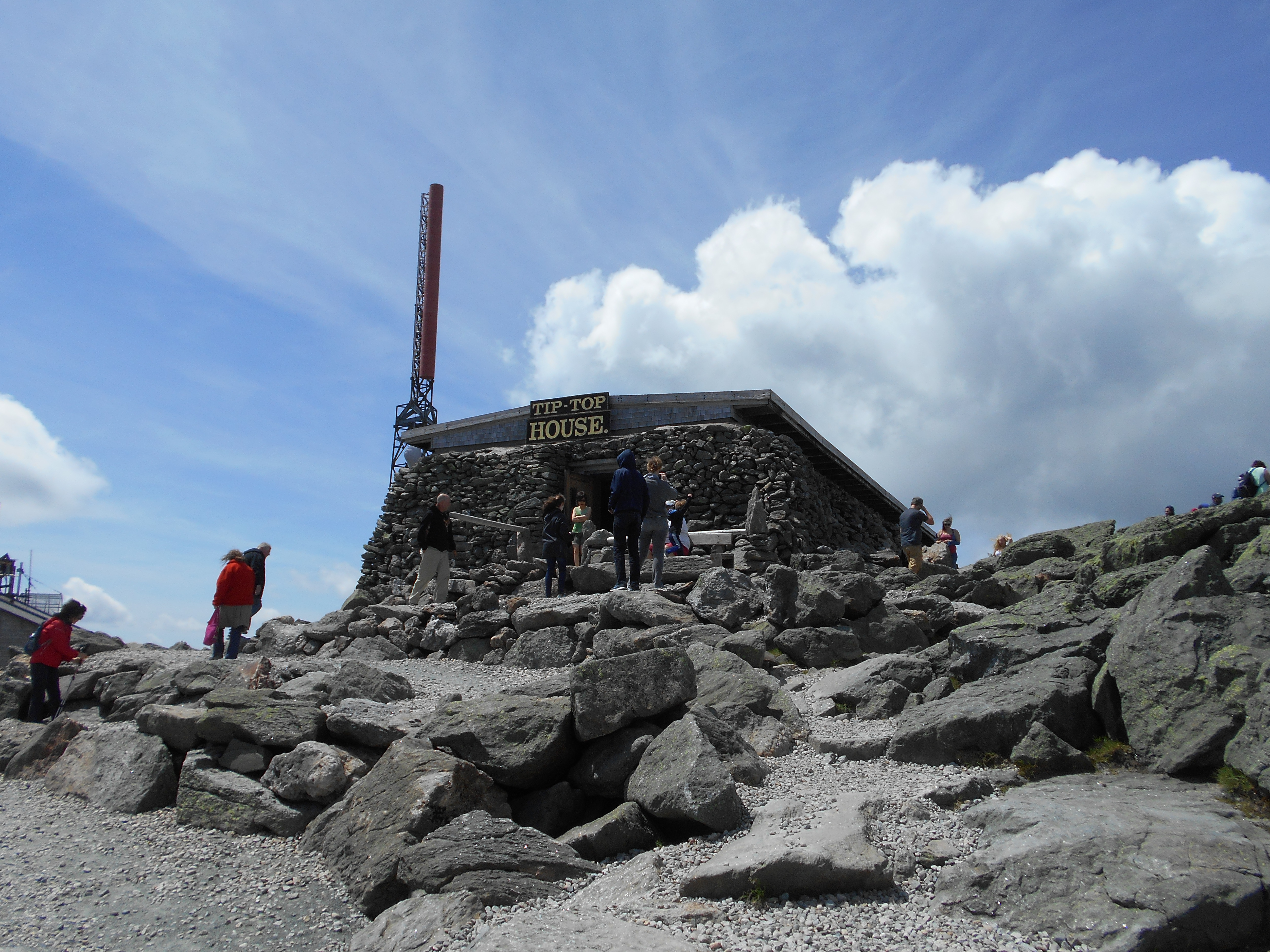
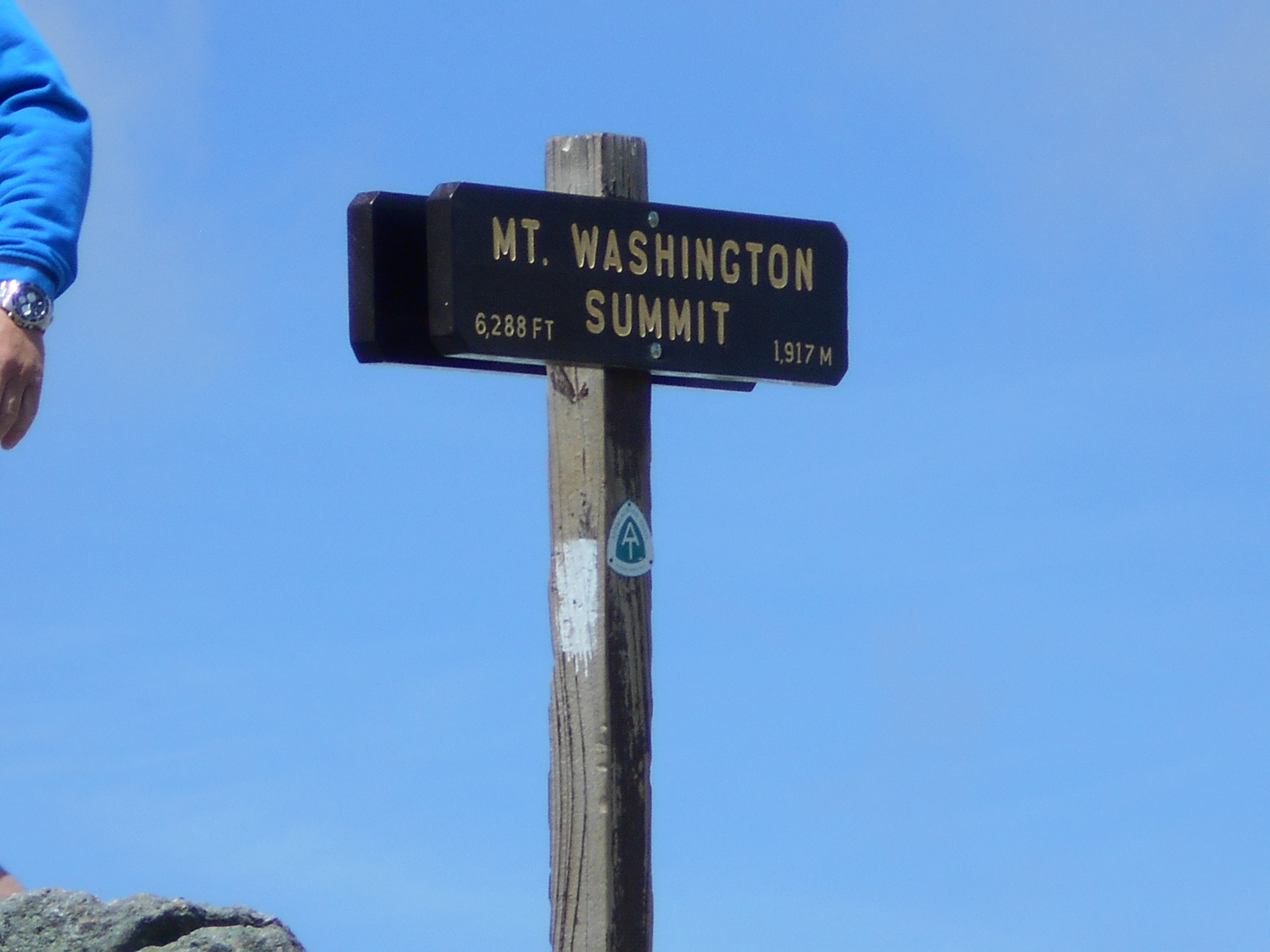
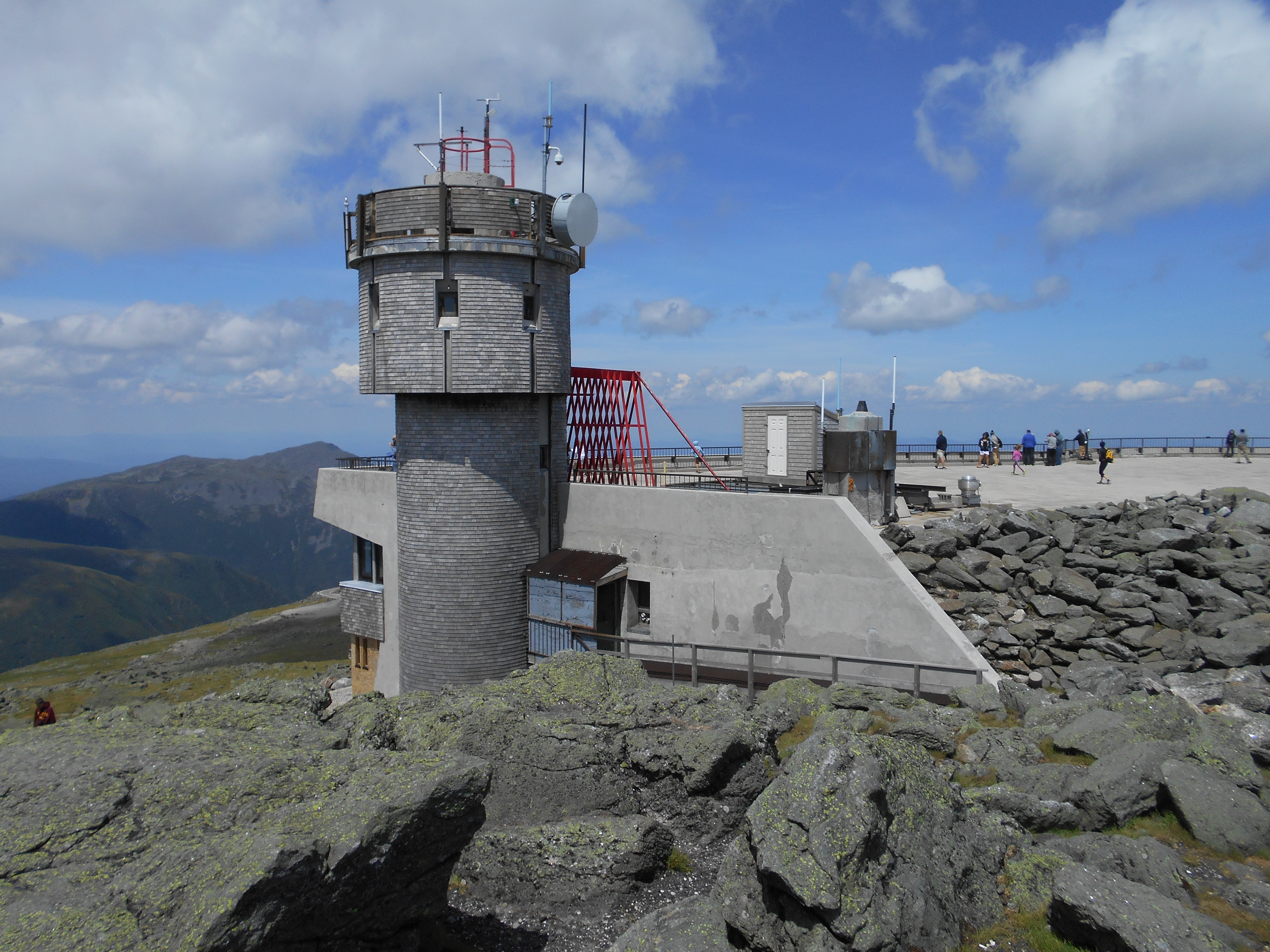
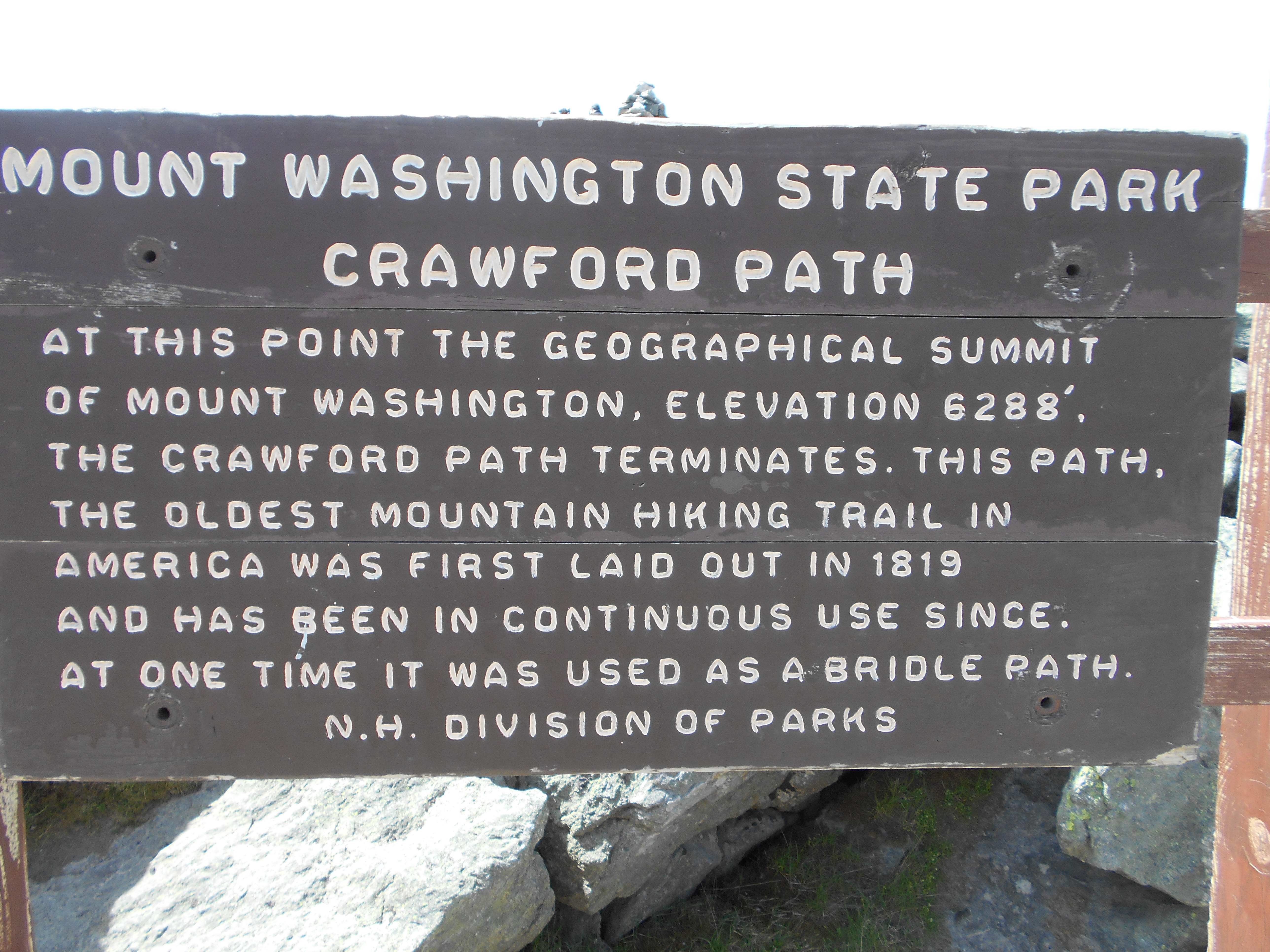
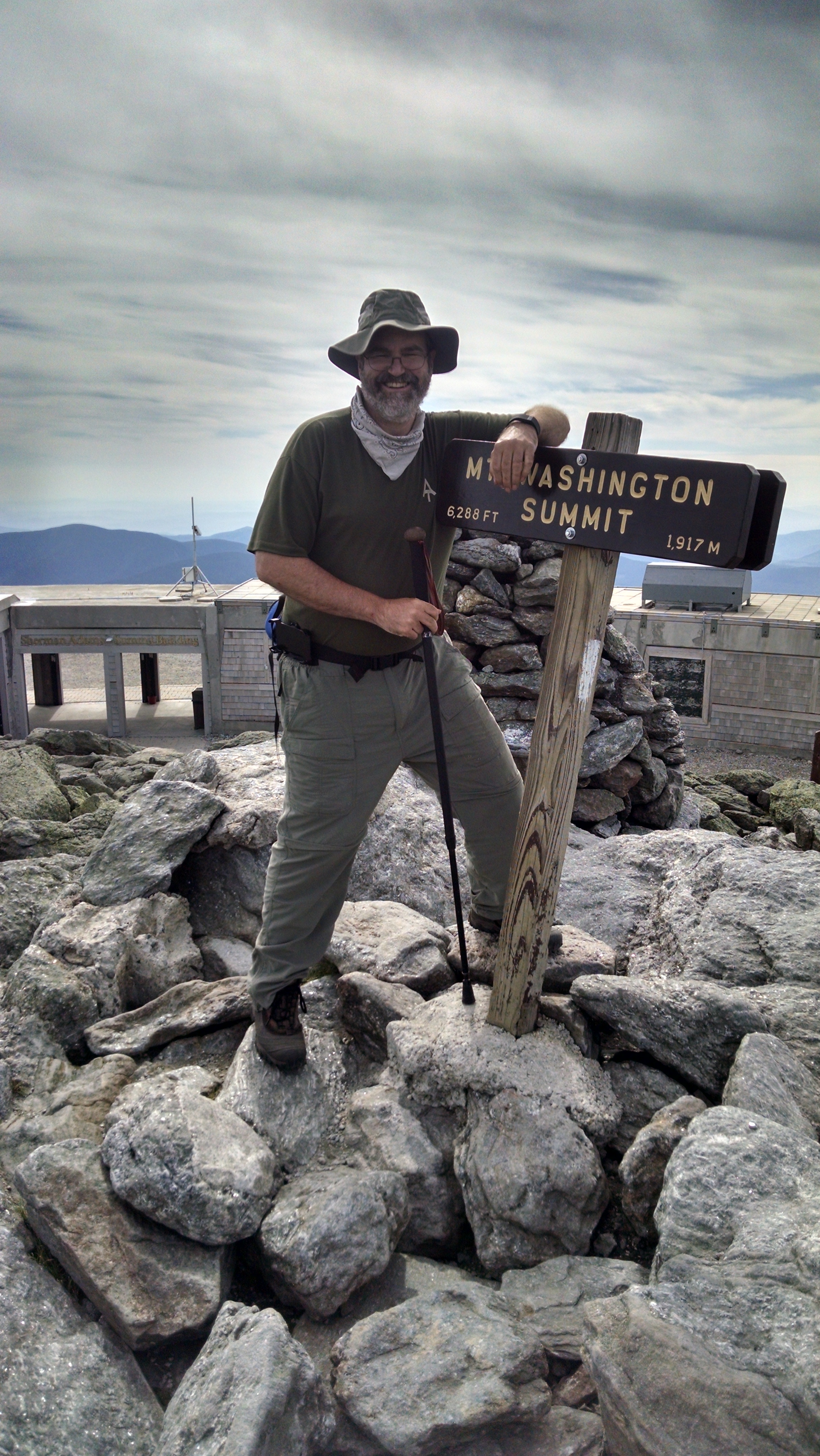
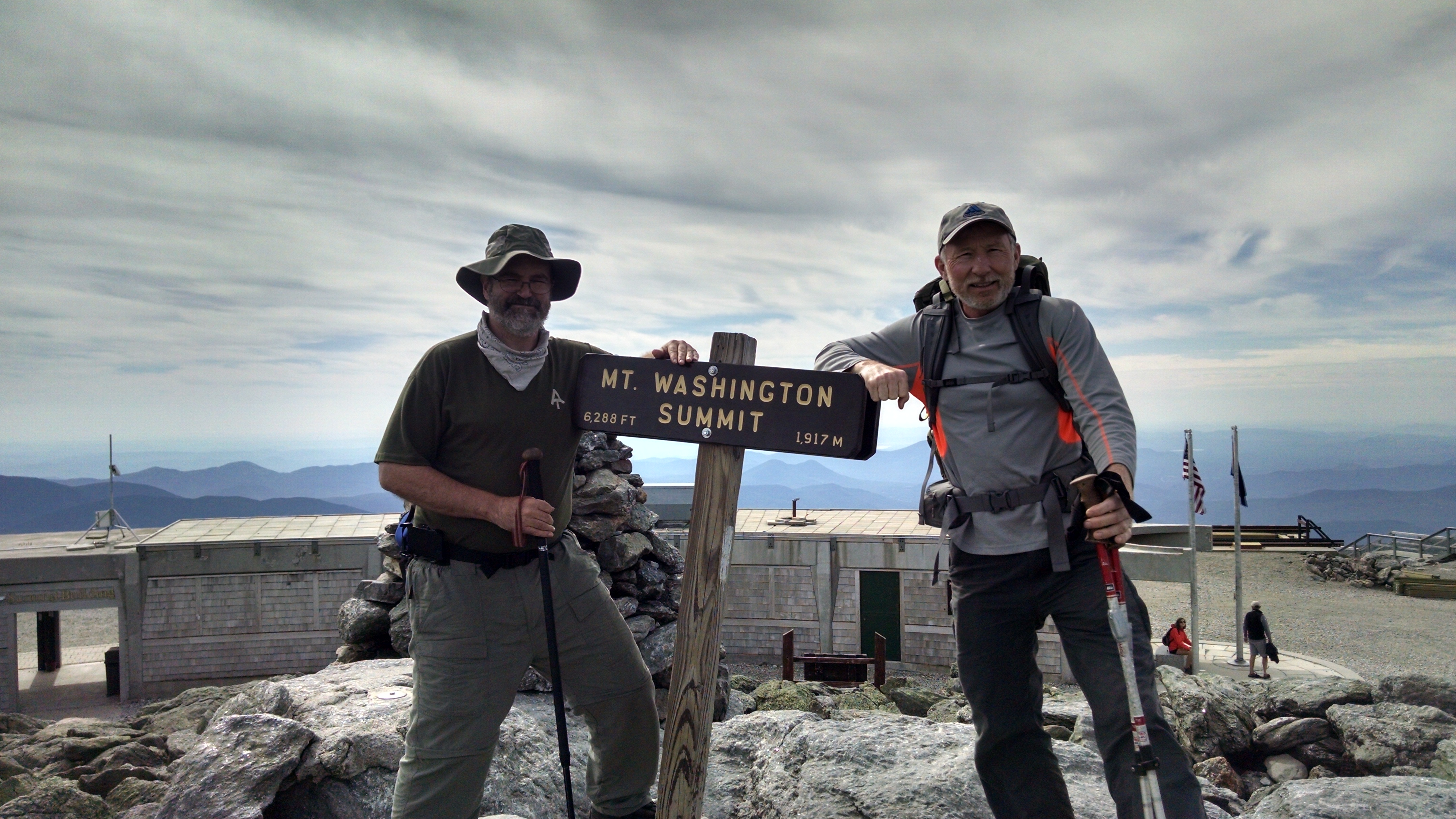
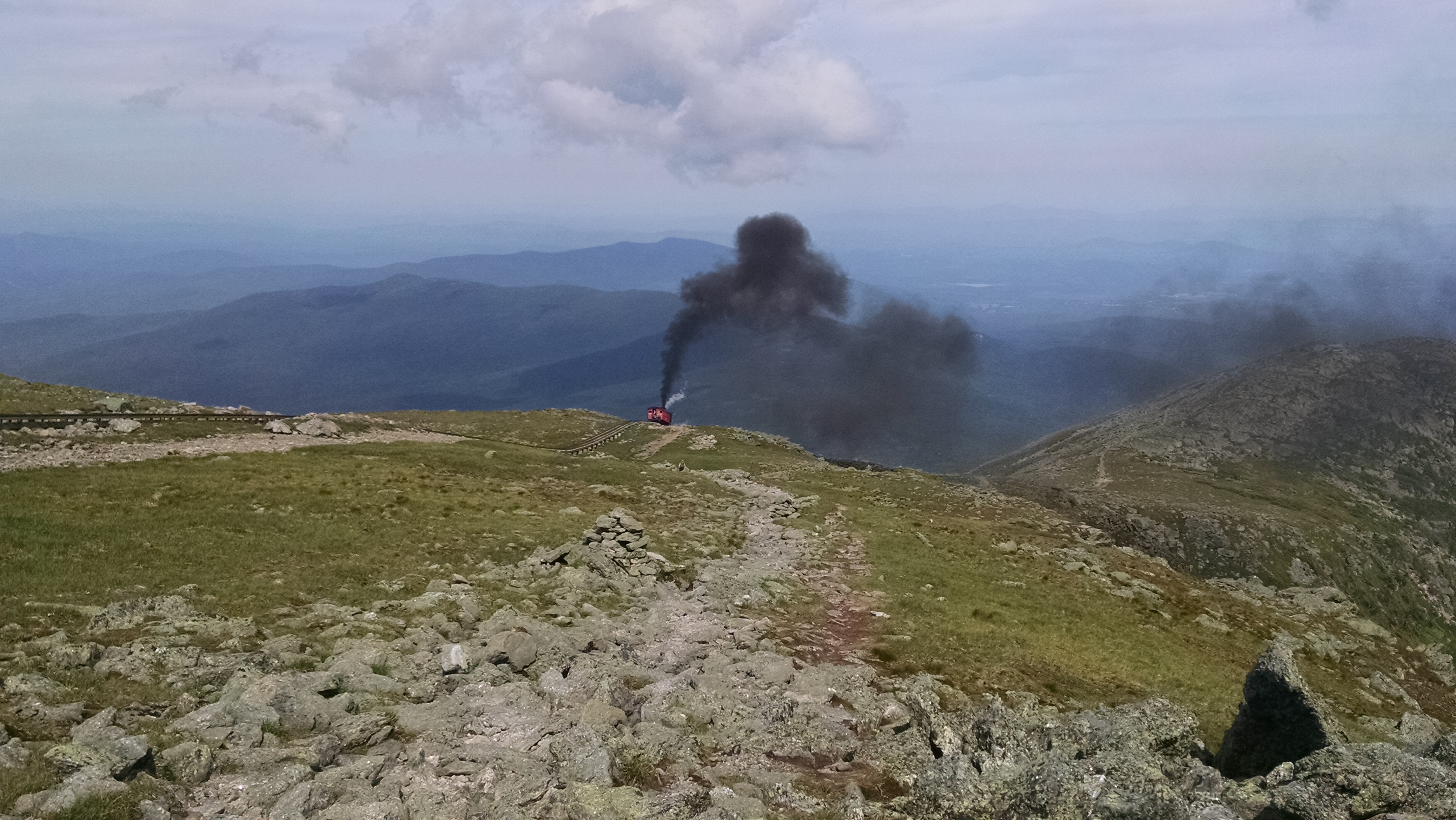
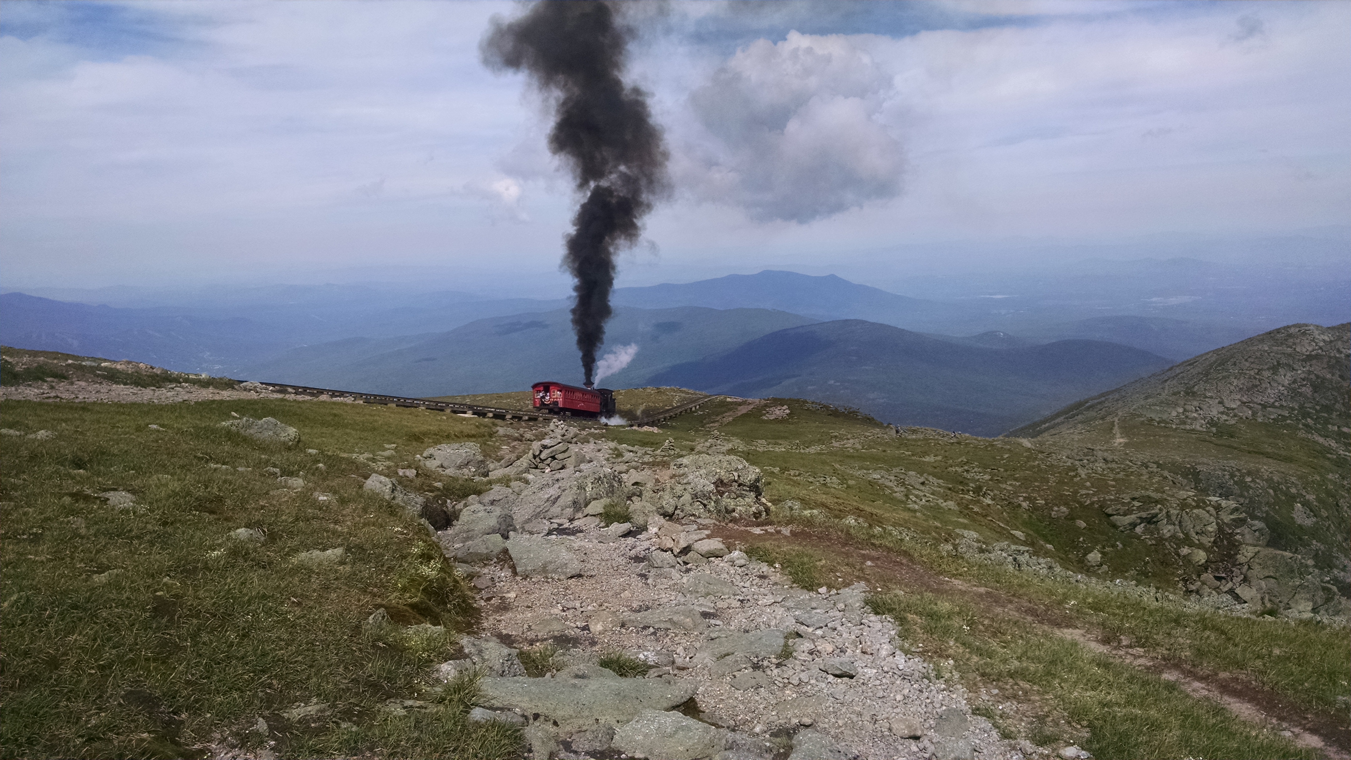
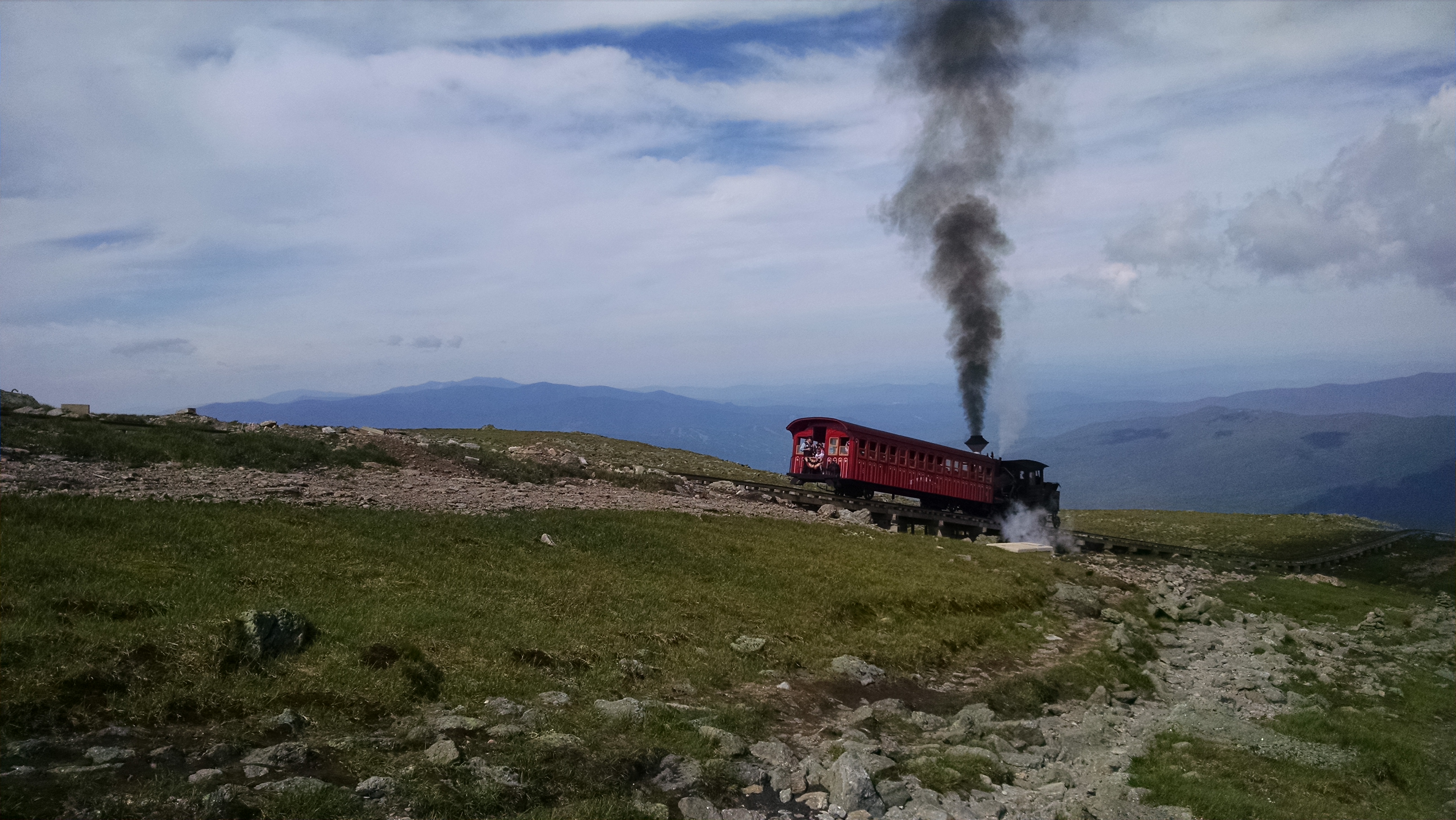
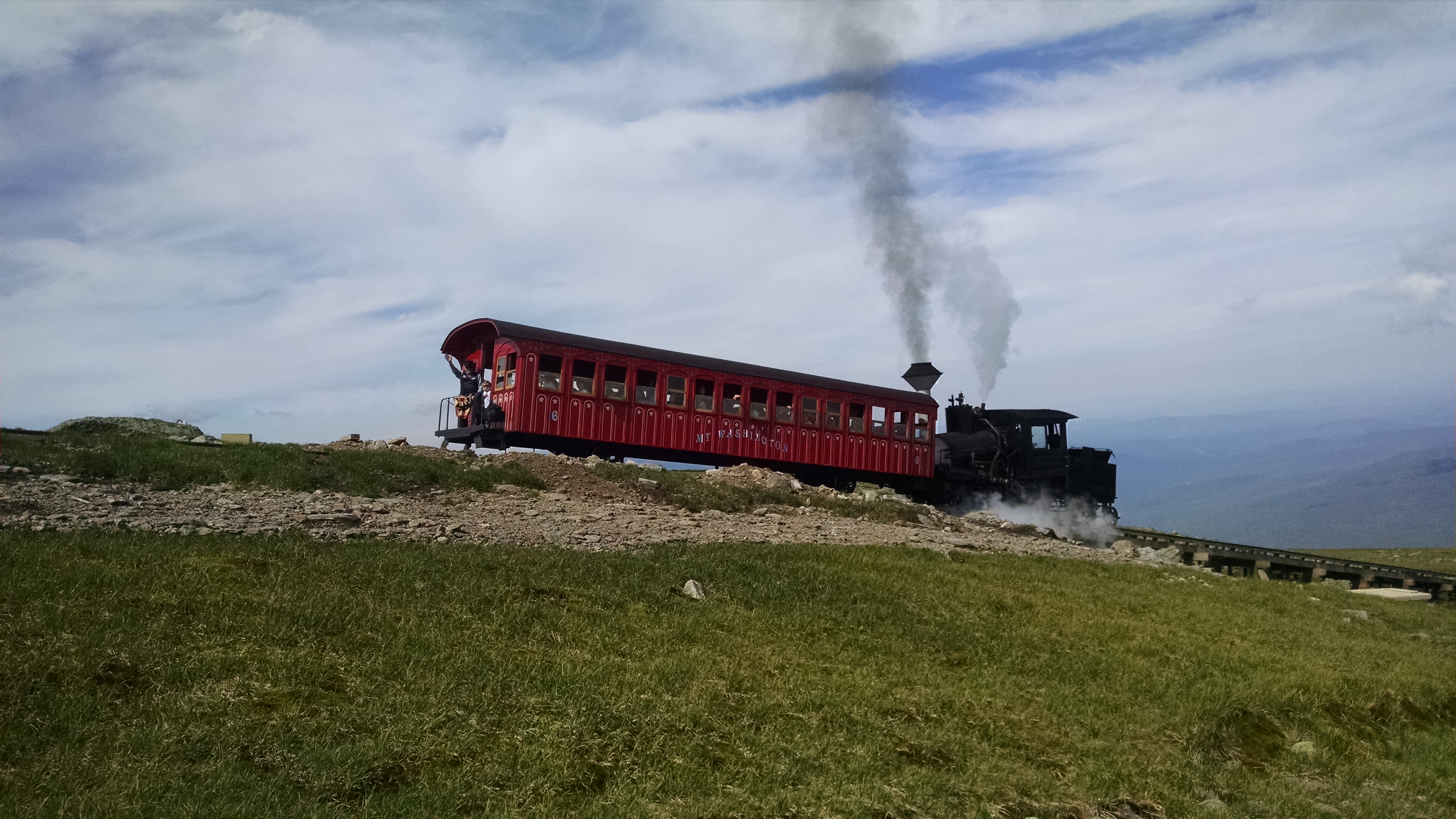
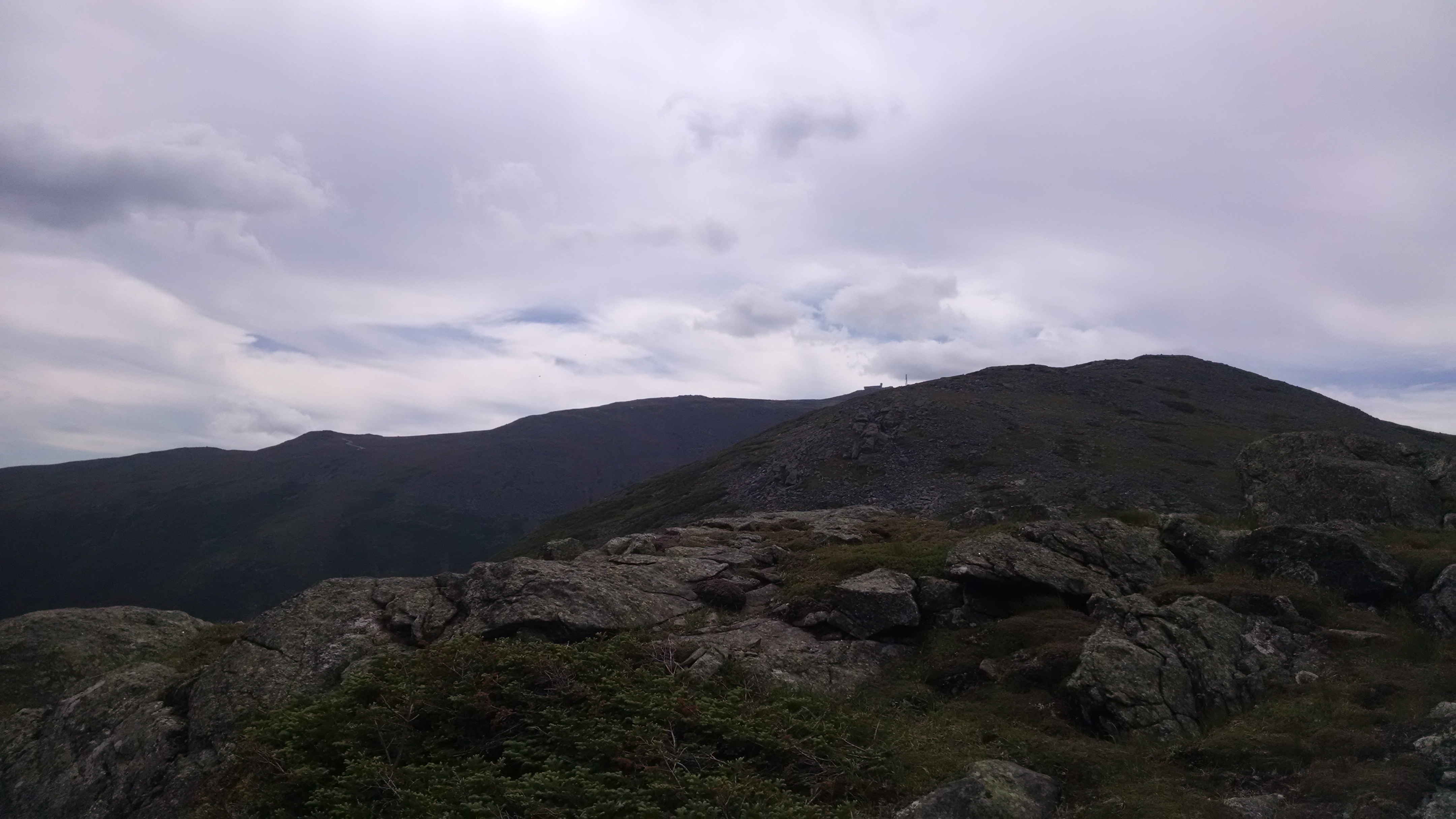
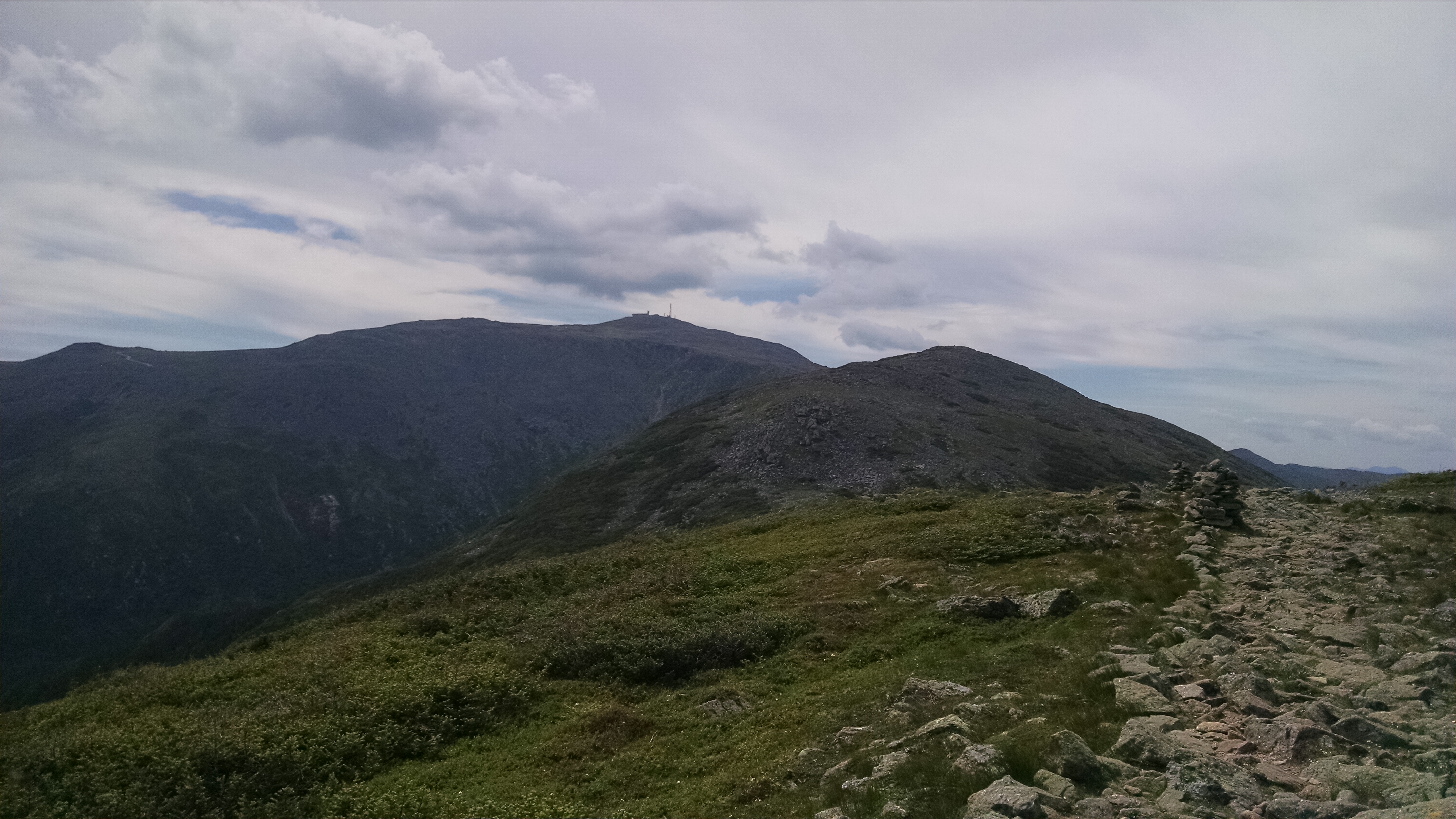
| 1856.2 | Mt. Washington (6,288'), Mt. Washington Auto Road Mt. Washington, N.H. 03589 | 6288 |


| Miles from Springer | Features | Elevation |
|---|---|---|
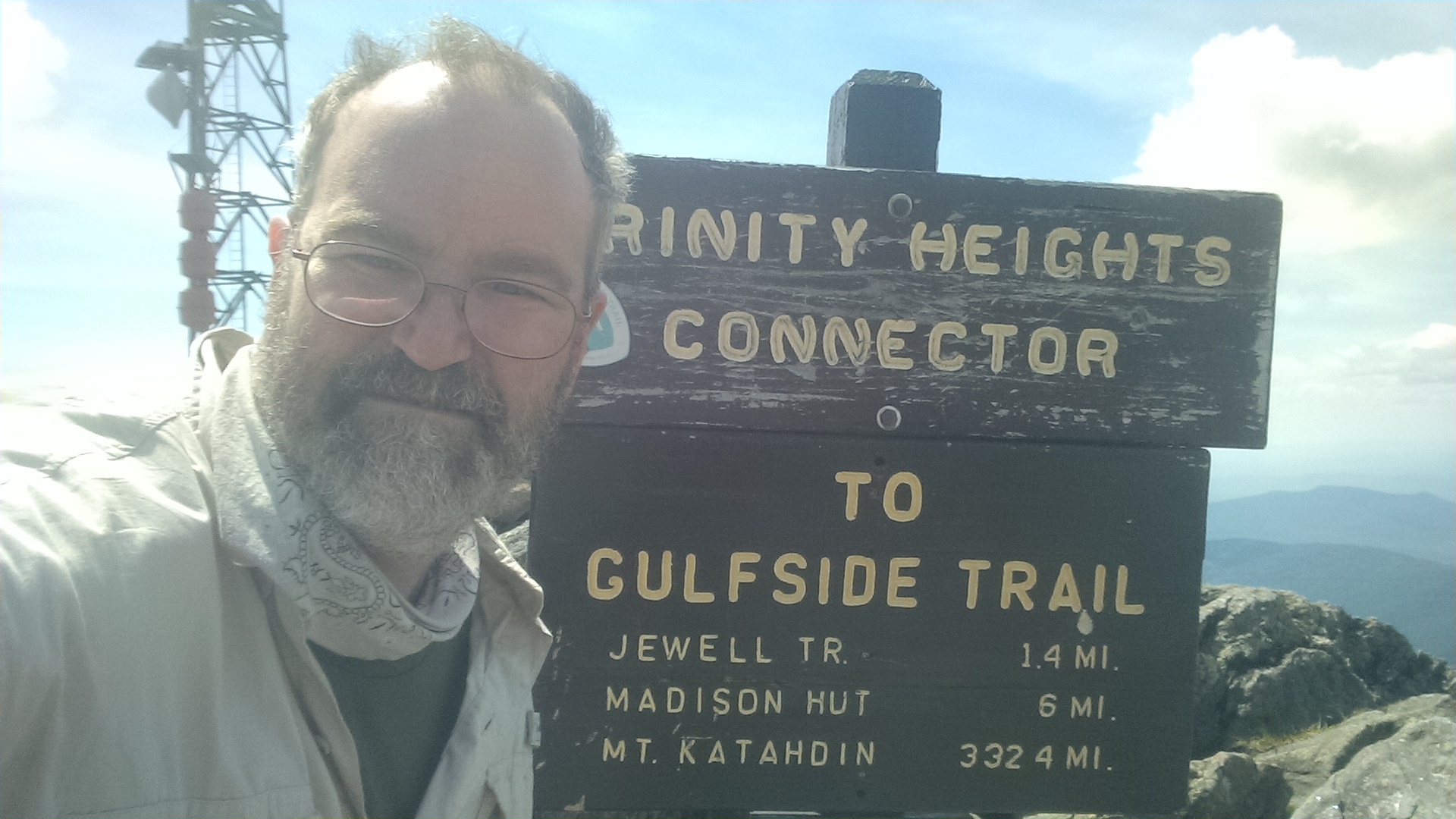
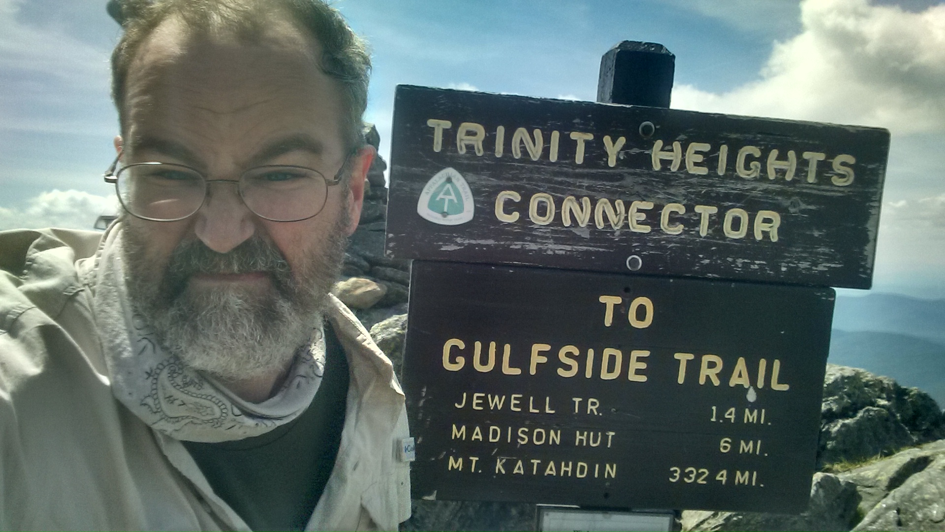
| 1856.4 | Trinity Heights Connector (6,100') | 6100 |
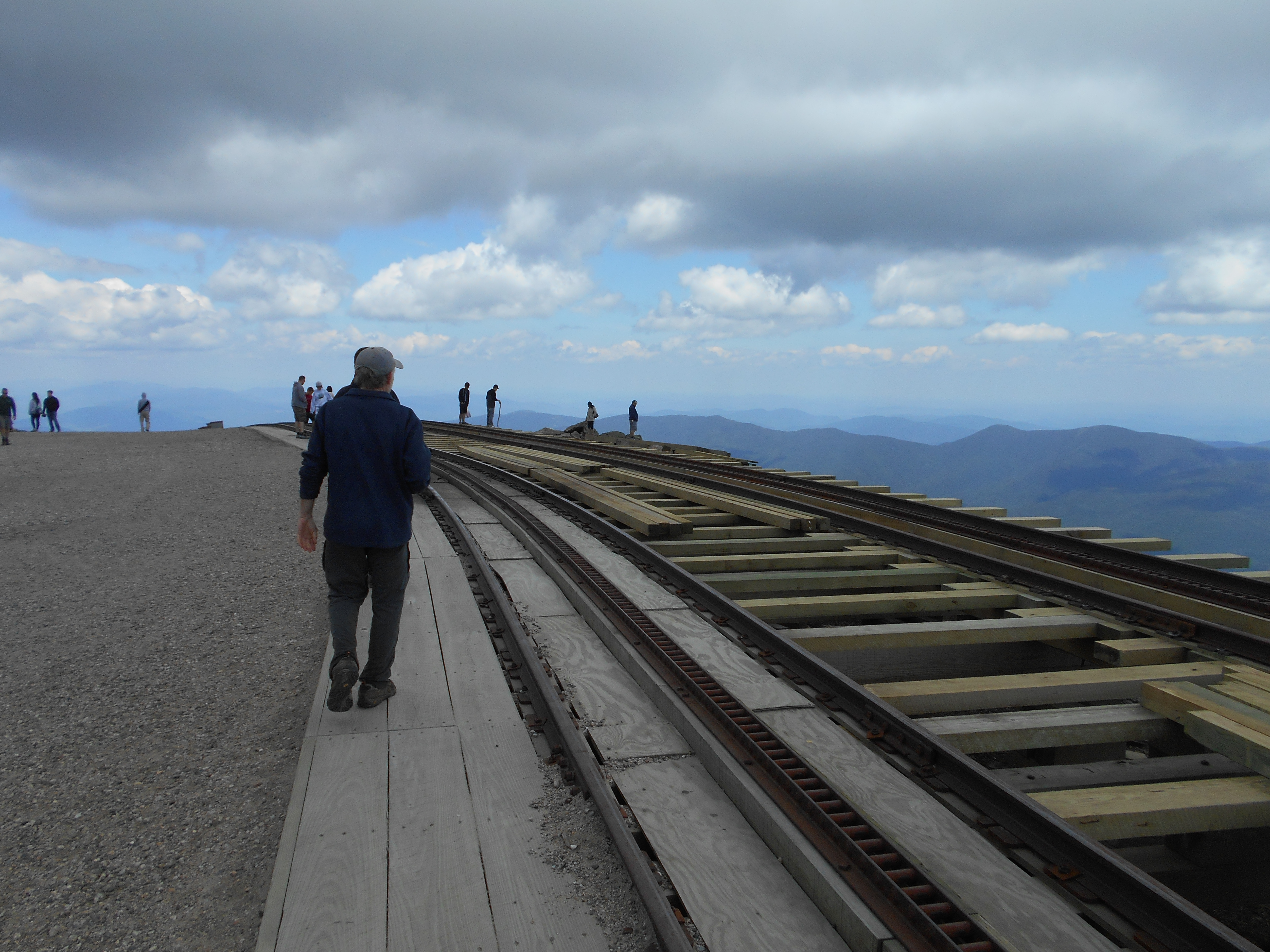
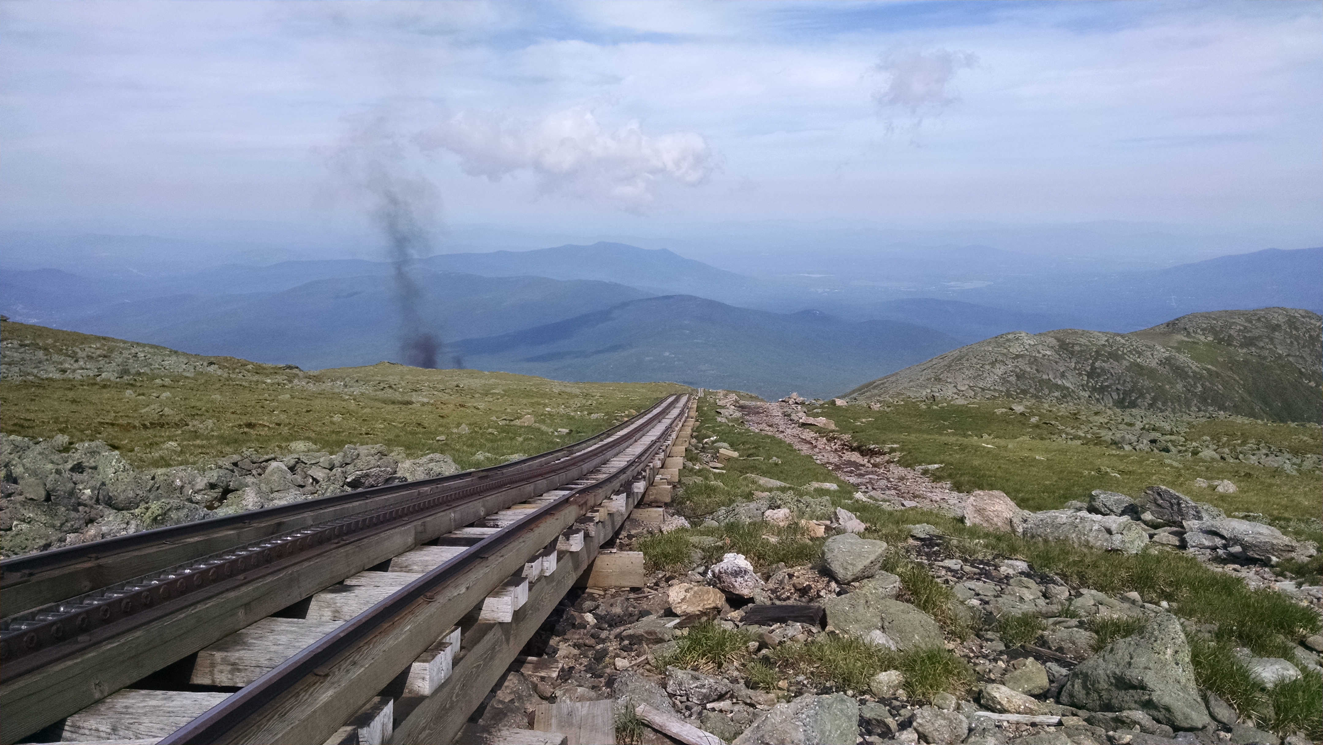
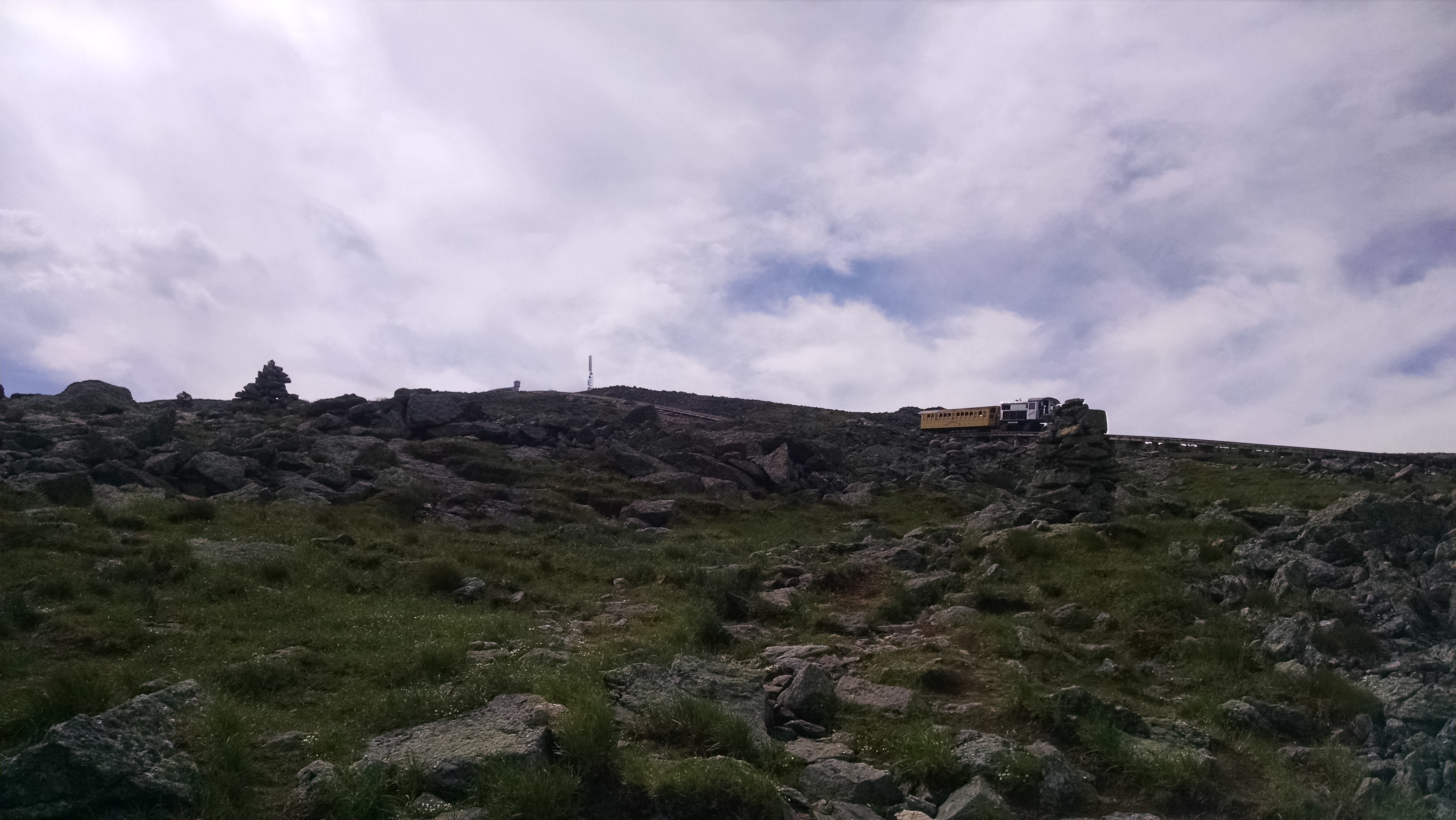
| 1856.5 | Cog Railroad Tracks (6,090') | 6090 |
| 1856.6 | Great Gulf Trail (5,925') | 5925 |
| 1857.1 | Westside Trail (5,500') | 5500 |
| 1857.2 | Mt. Clay Loop Trail (south) (5,400') | 5400 |
| 1857.5 | Jewell Trail (5,400') | 5400 |
| 1858 | Greenough Spring (5,100') | 5100 |
| 1858.1 | Sphinx Col; Mt. Clay Loop Trail (north) (5,025') | 5025 |
| 1858.2 | Sphinx Trail (4,975') | 4975 |
| 1858.7 | Cornice Trail; Monticello Lawn (5,325') | 5325 |
| 1859.2 | Six Husbands Trail (5,325') | 5325 |
| 1859.5 | Mt. Jefferson Loop (north) (5,125') | 5125 |
| 1859.7 | Edmands Col; Gulfside Spring; Spaulding Spring (4,938') | 4938 |
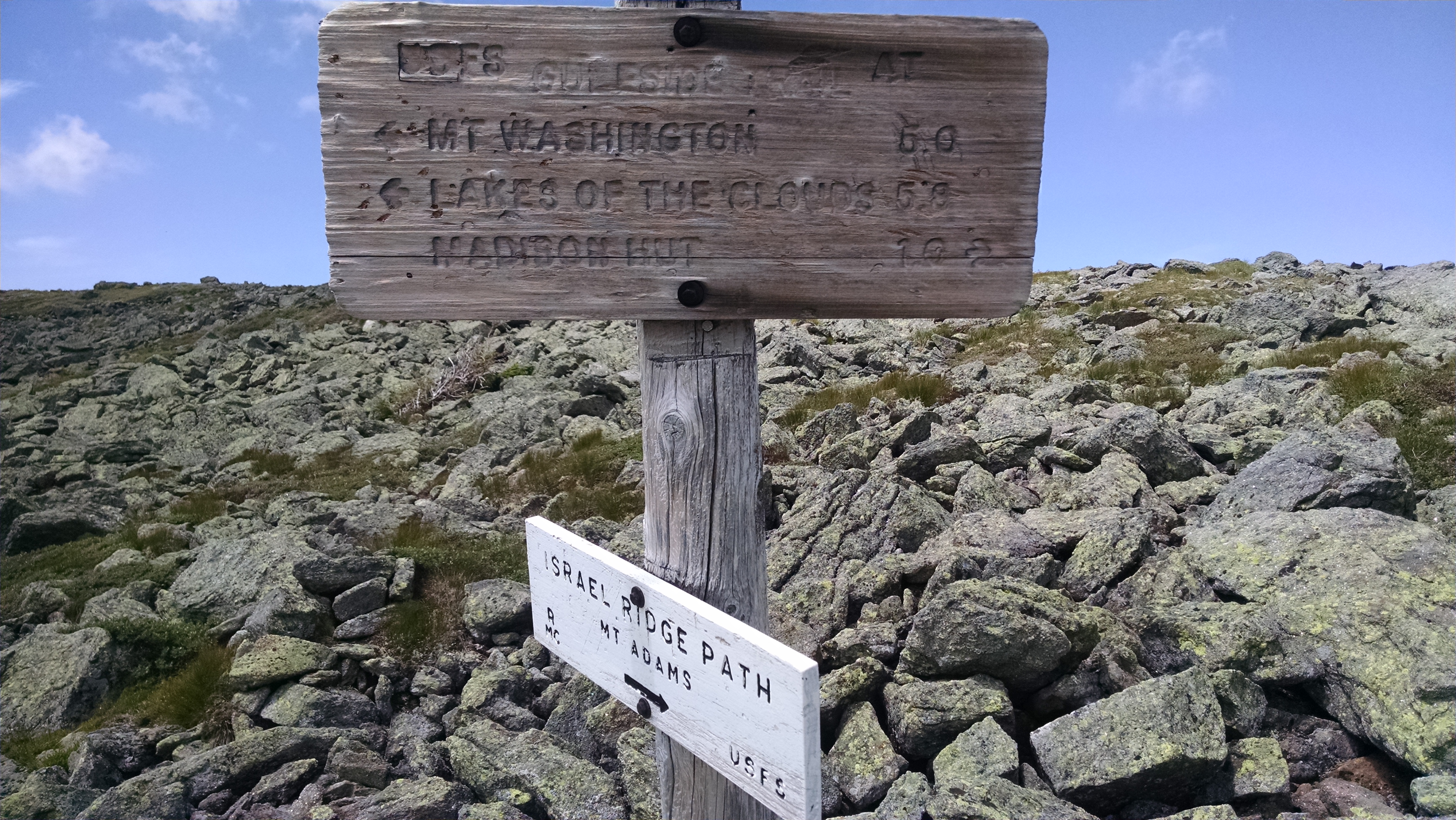
| 1860.4 | Israel Ridge Path (5,475') to +RMC The Perch Shelter and Campsite? 7.1mS; 2.7mN | 5475 |
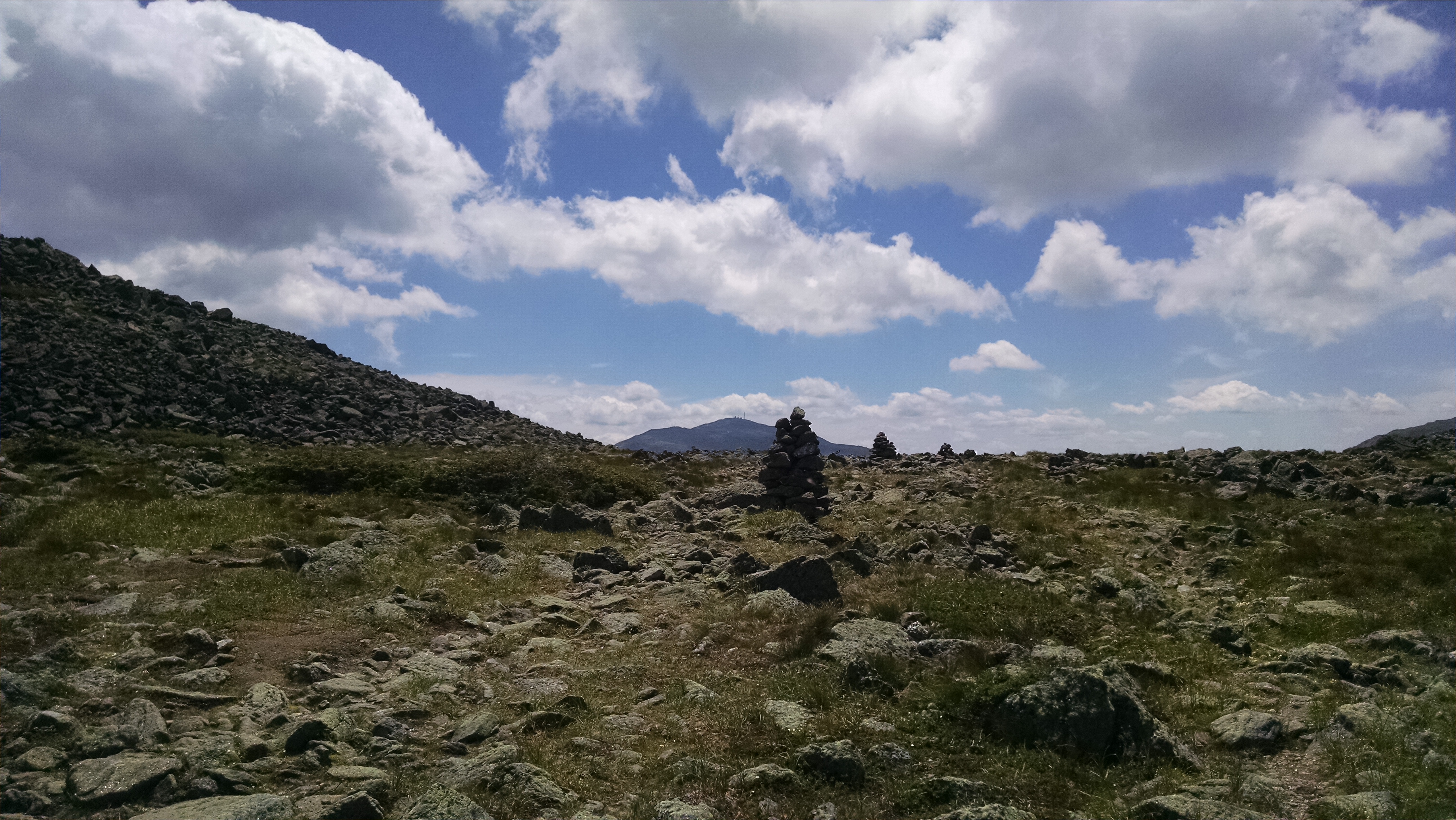
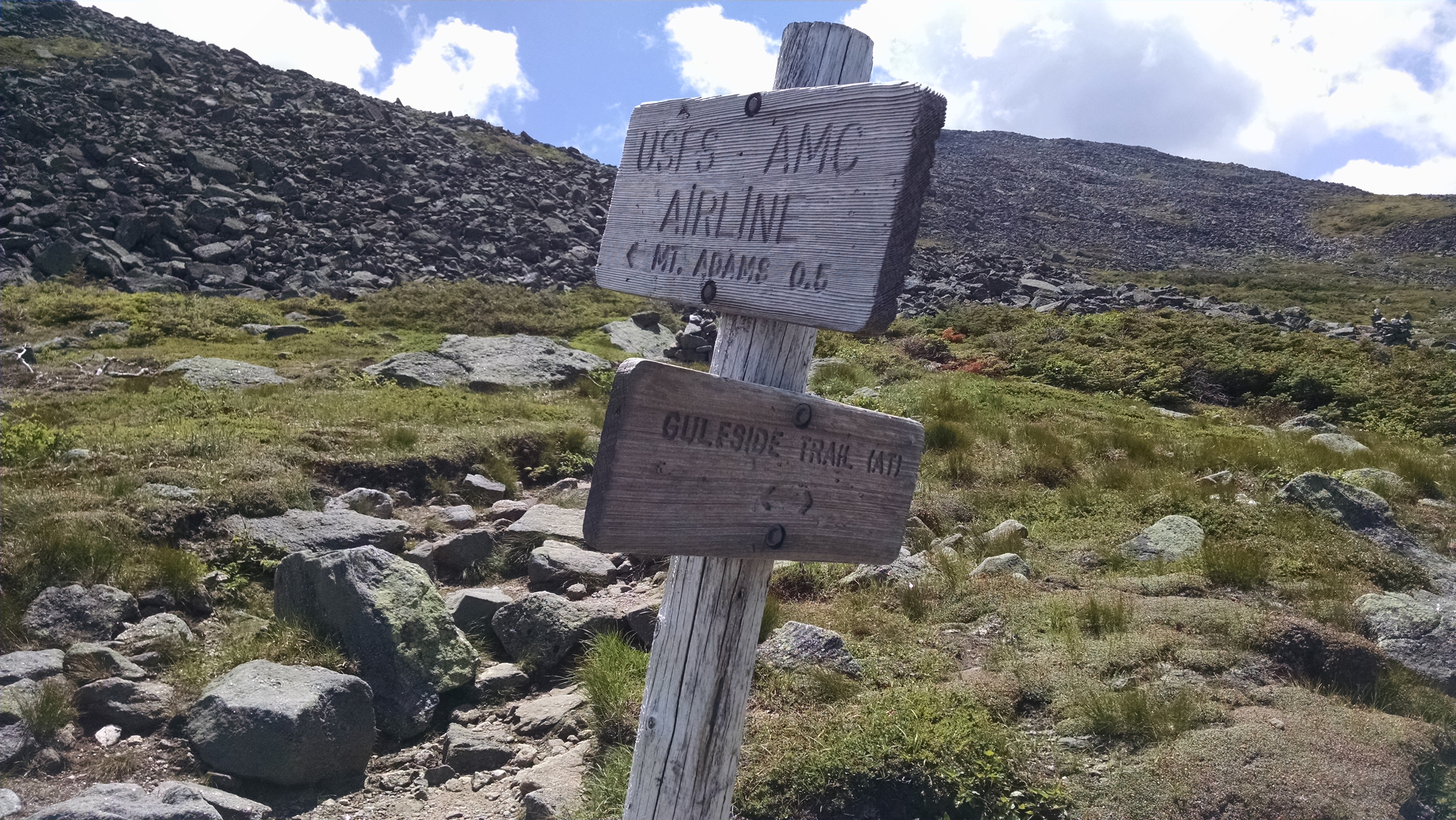
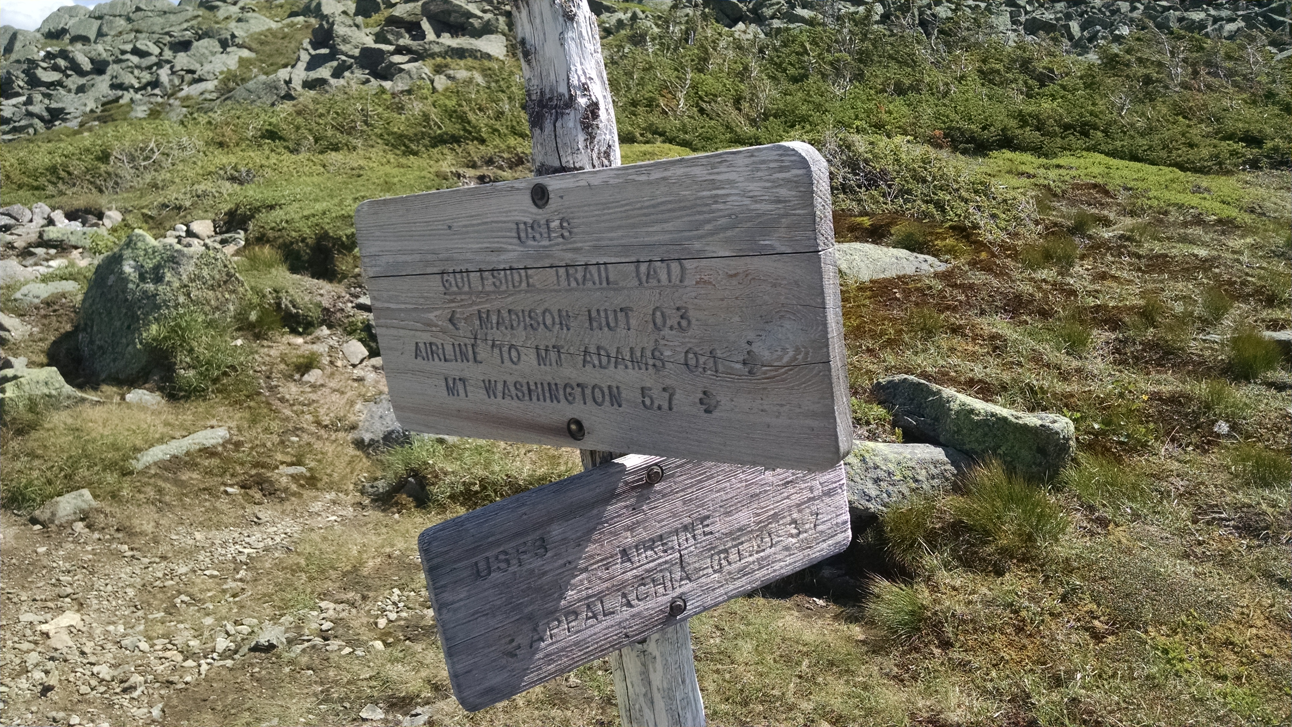
| 1861 | Thunderstorm Junction (5,490'); Trail to +RMC Crag Camp Cabin; Lowe's Path to Mt. Adams and +RMC Gray Knob Cabin?2.7mS; 23.2mN | 5490 |
| 1861.5 | Air Line Trail (south) (5,125') | 5125 |
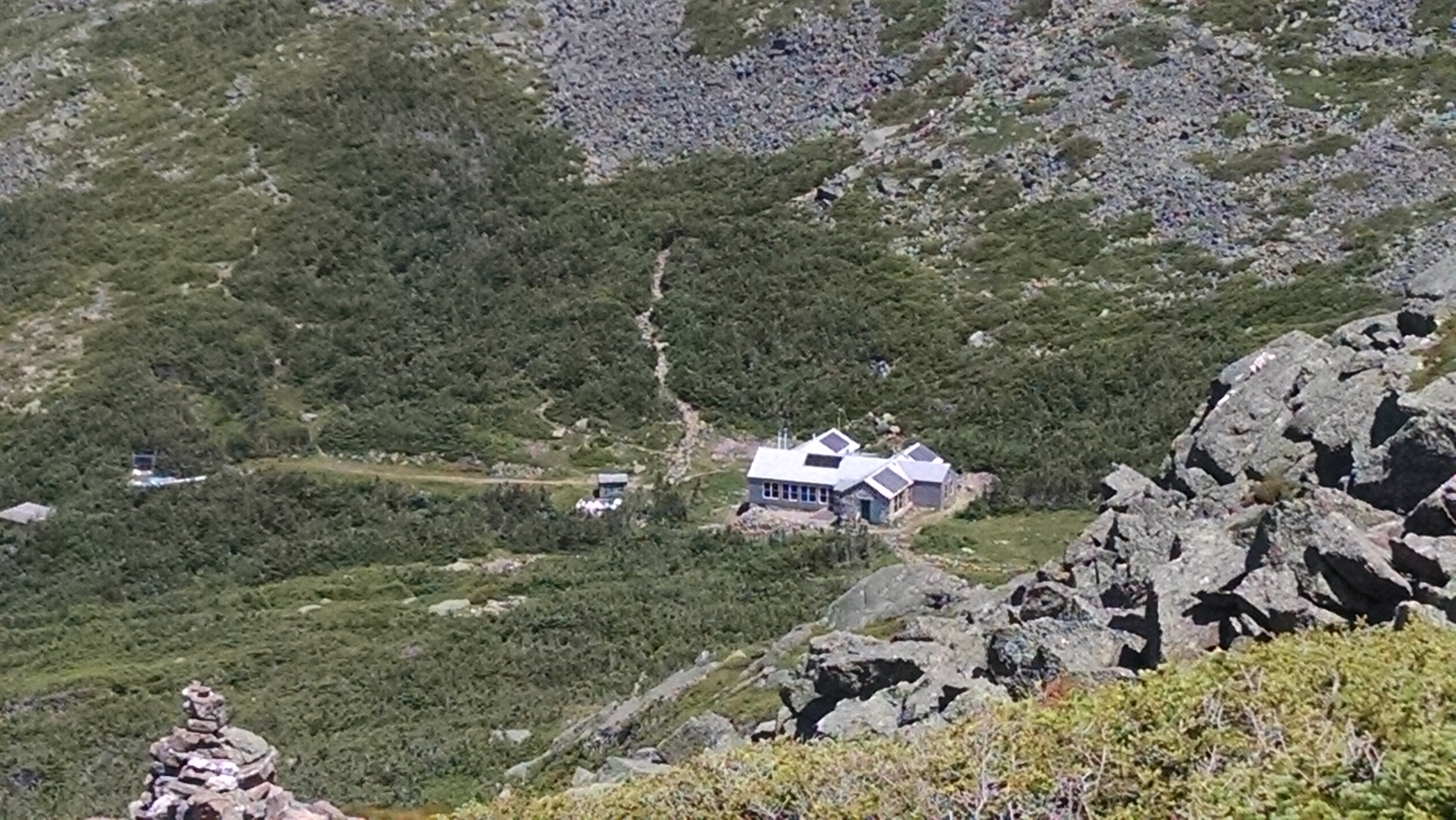
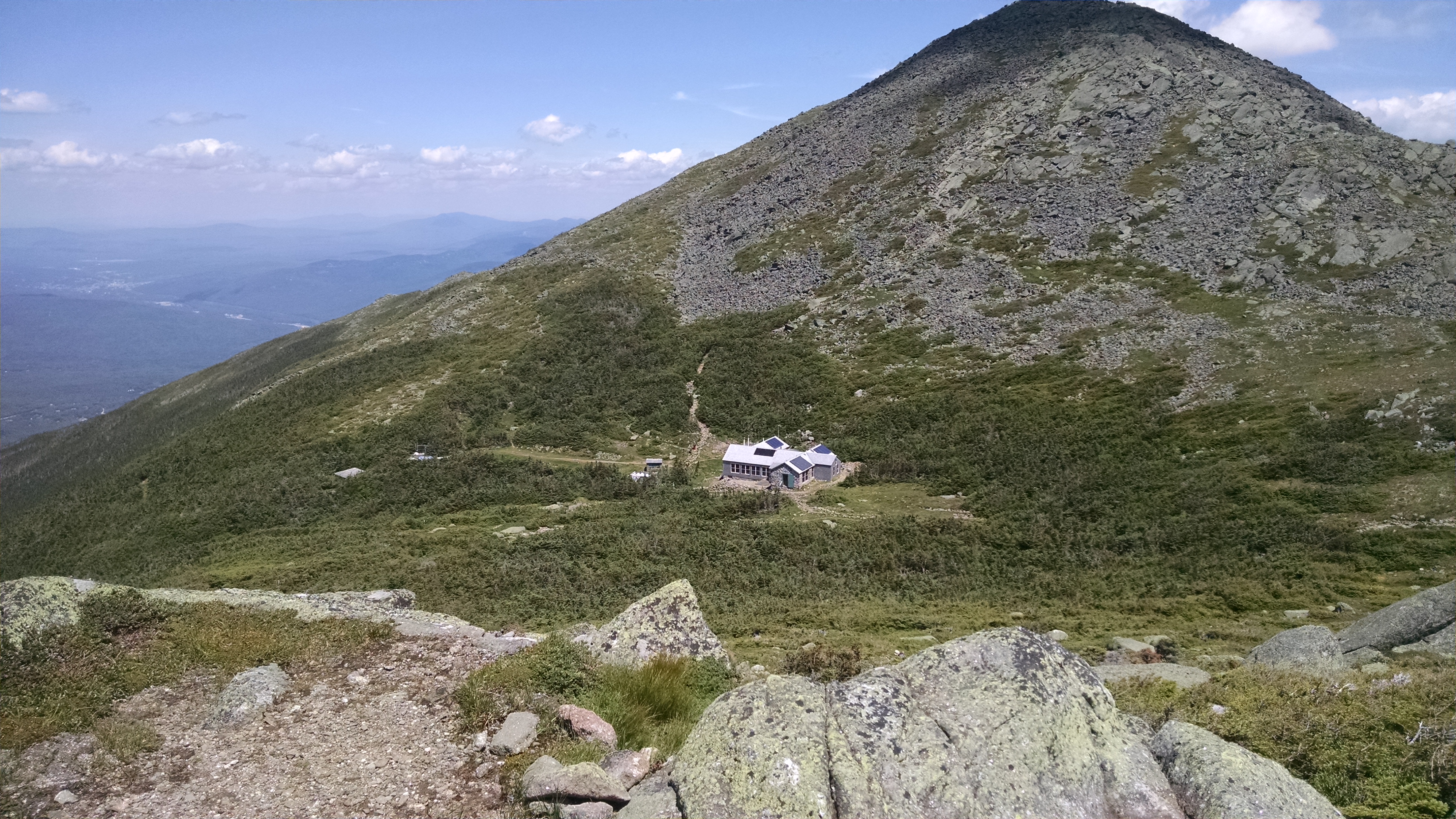
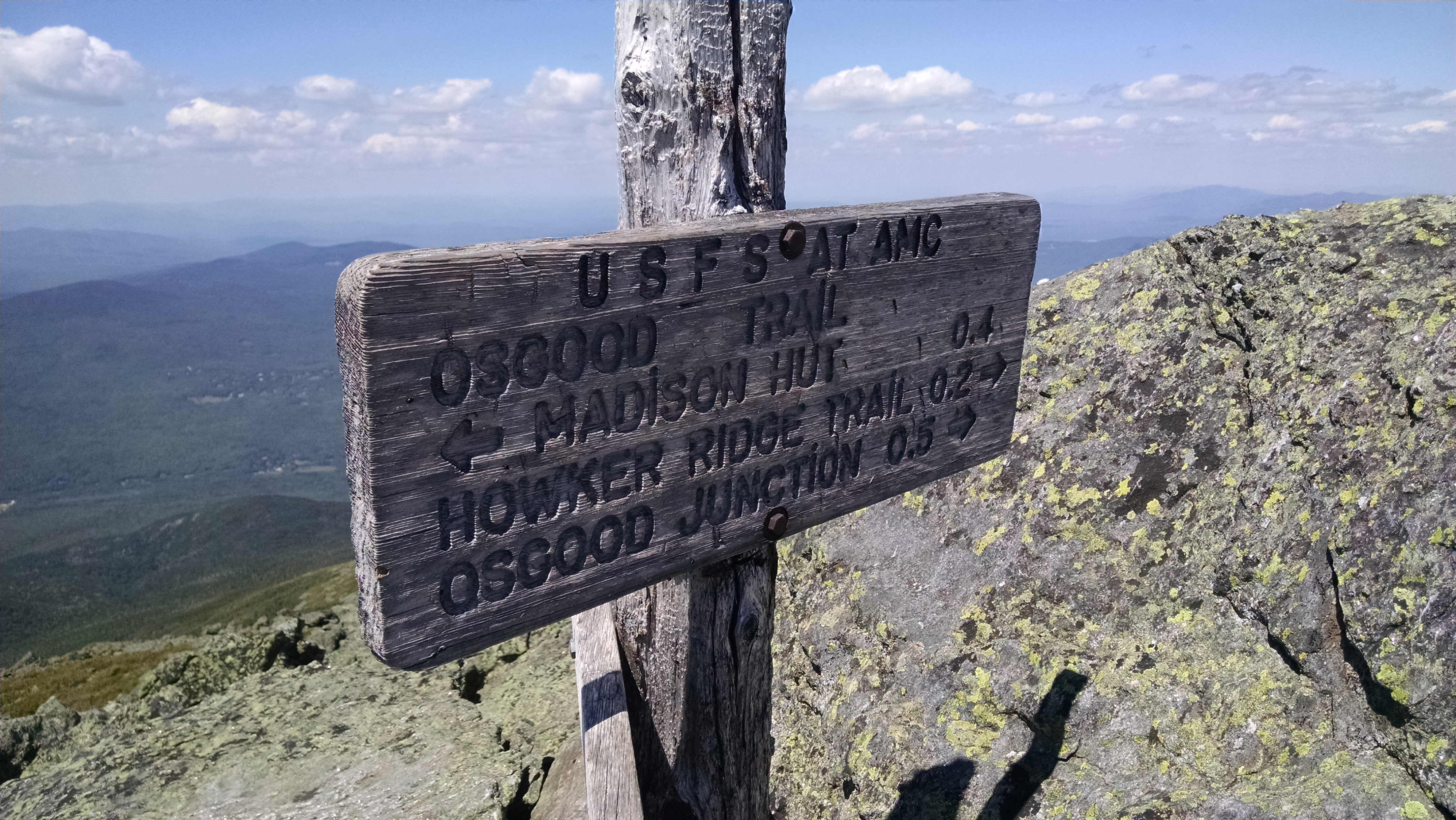
| 1861.9 | +AMC Madison Spring Hut (4,825') | 4825 |
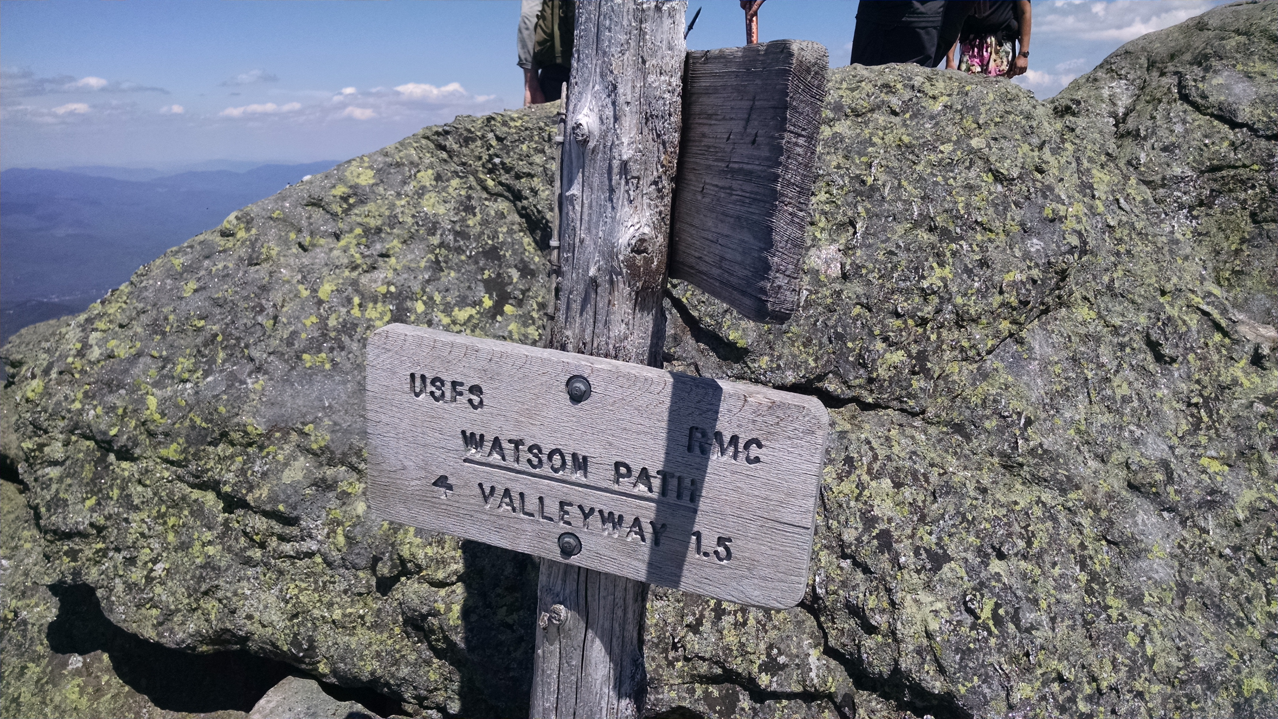
| 1861.9 | USFS Valley Way Tentsite (3,900') | 3900 |
| 1862.4 | Mt. Madison (5,366') | 5366 |
| 1862.6 | Howker Ridge Trail (5,100') | 5100 |
| 1862.9 | Osgood Junction; Parapet Trail; Daniel Webster Scout Trail (4,822') | 4822 |
| 1863.6 | Osgood Ridge (4,300')?above treeline for the next 12.7 miles south | 4300 |
| 1864.9 | USFS Osgood Campsite (2,540') Osgood Cutoff | 2540 |
| 1865.5 | The Bluff at Parapet Brook (2,450') Great Gulf Trail | 2450 |
| 1865.7 | Madison Gulf Trail (2,300') West Branch of the Peabody River | 2300 |
| 1865.8 | Great Gulf Trail (north) (2,290') | 2290 |
| 1867.6 | Low's Bald Spot (2,875')?rock dome | 2875 |
| 1867.8 | Mt. Washington Auto Road (2,675') | 2675 |
| 1867.9 | Raymond Path (2,625') | 2625 |
| 1868.7 | George's Gorge Trail (2,525') | 2525 |
| 1869.2 | Crew Cutoff Trail (2,075') | 2075 |
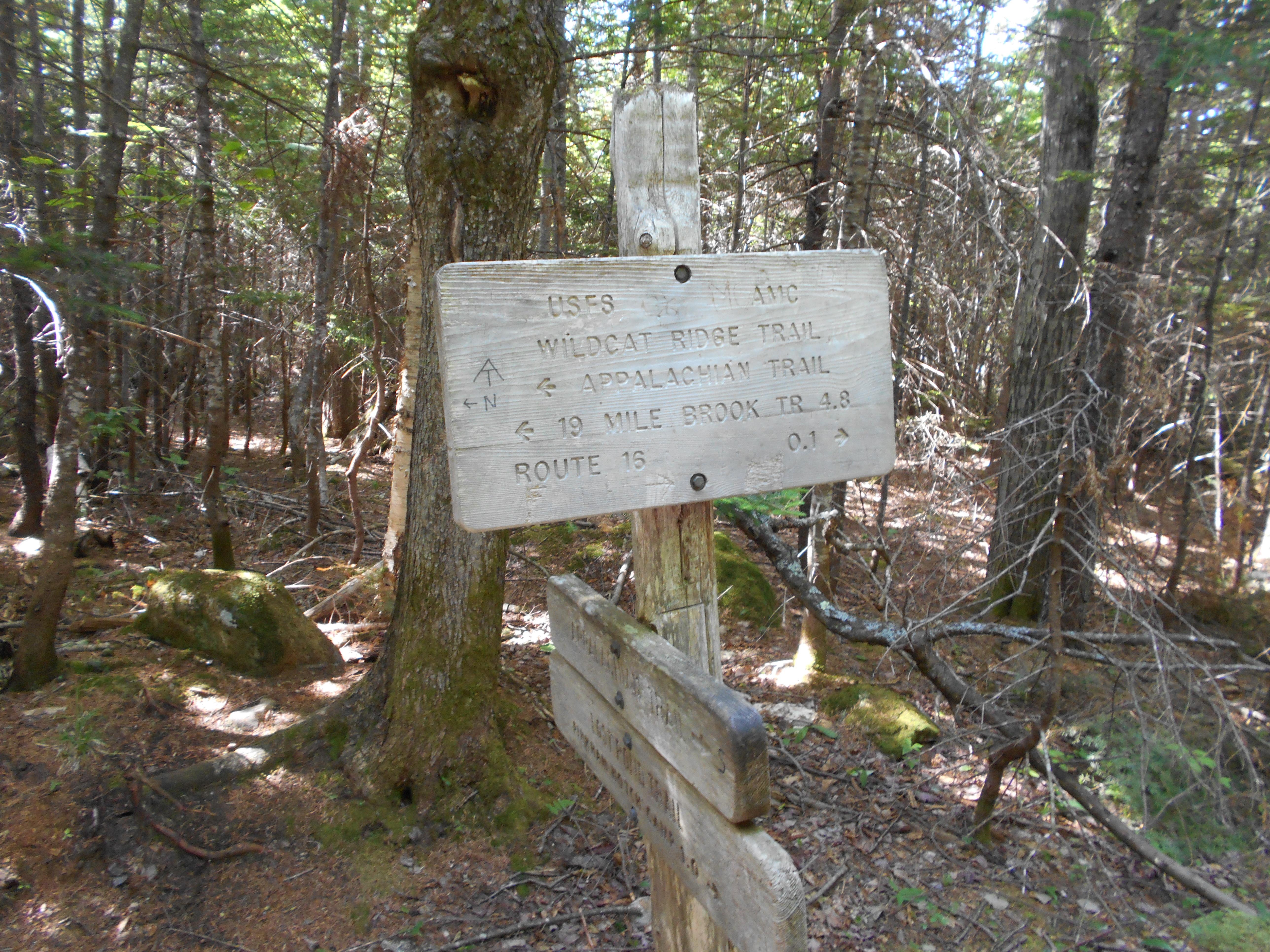
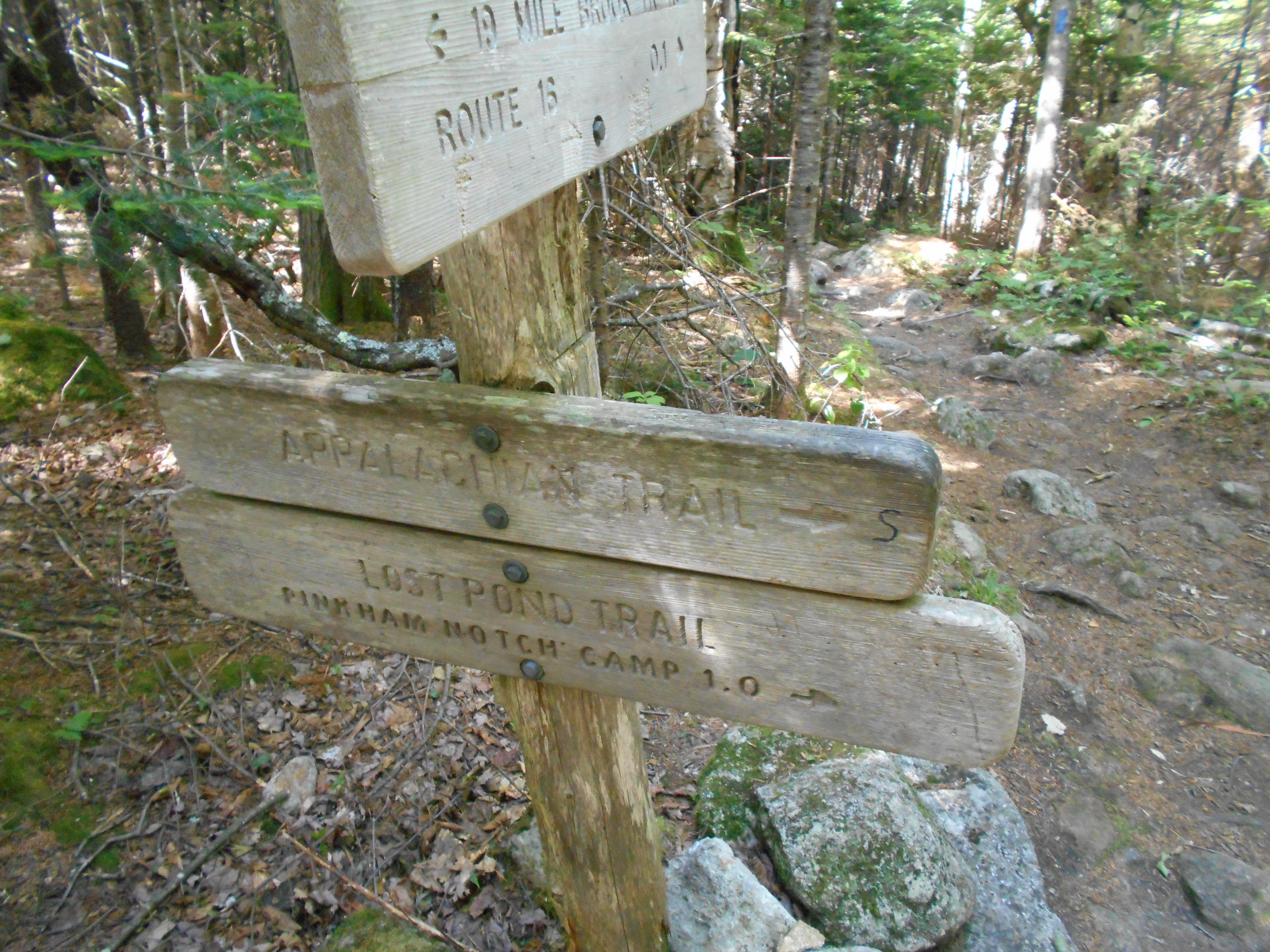
| 1869.7 | N.H. 16, Pinkham Notch, Pinkham Notch Visitor Center, +AMC Joe Dodge Lodge (2,050')Intervale, N.H. North Conway, N.H. Gorham, N.H. 03581 | 2050 |

| Miles from Springer | Features | Elevation |
|---|---|---|
| 1869.8 | Square Ledge Trail (2,020') | 2020 |
| 1870.6 | Wildcat Ridge Trail to Glen Ellis Falls (1,990') | 1990 |
| 1871.4 | Open Ledge, Sarge's Crag (3,000') | 3000 |
| 1871.7 | Spring (3,250') | 3250 |
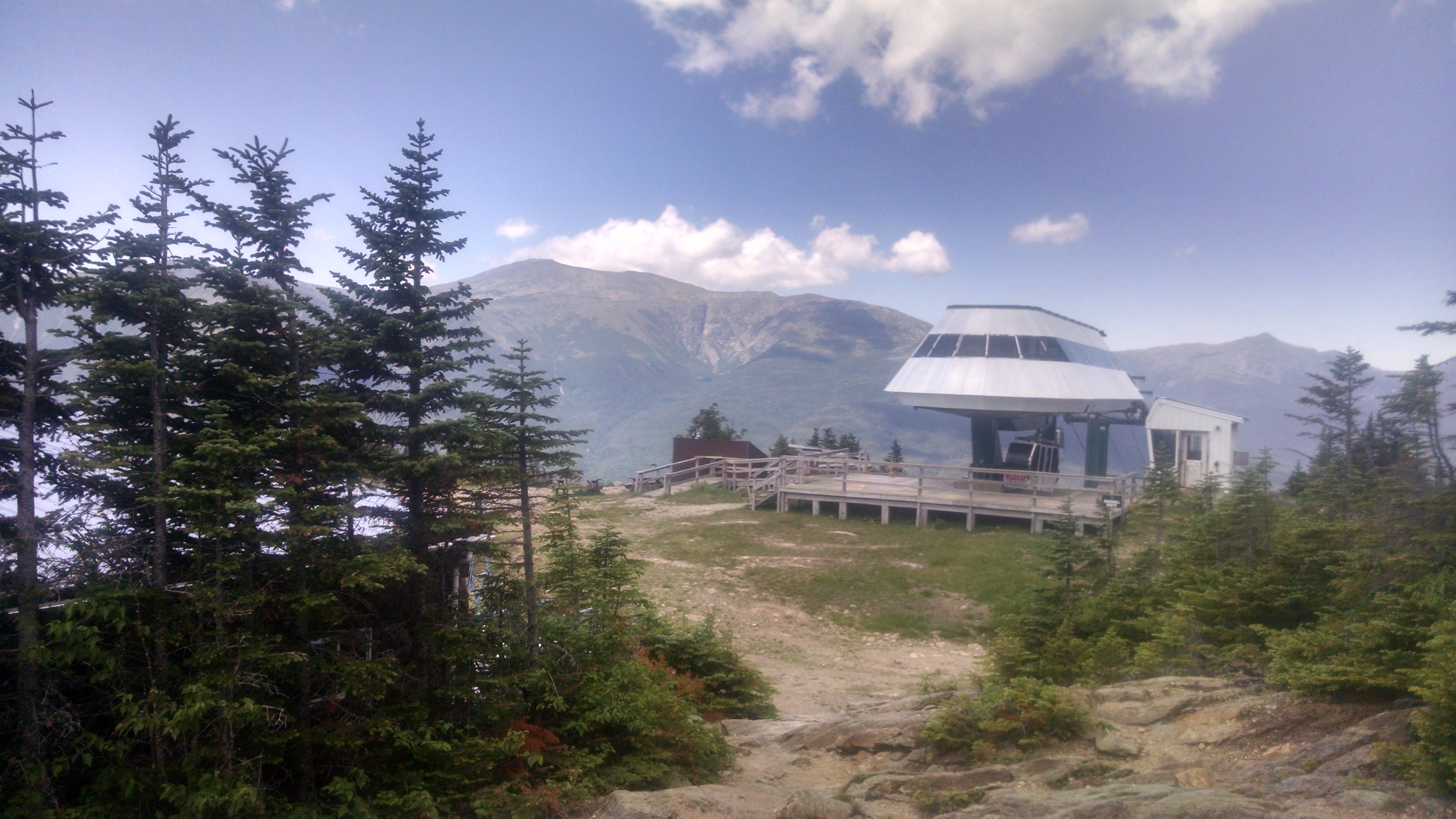
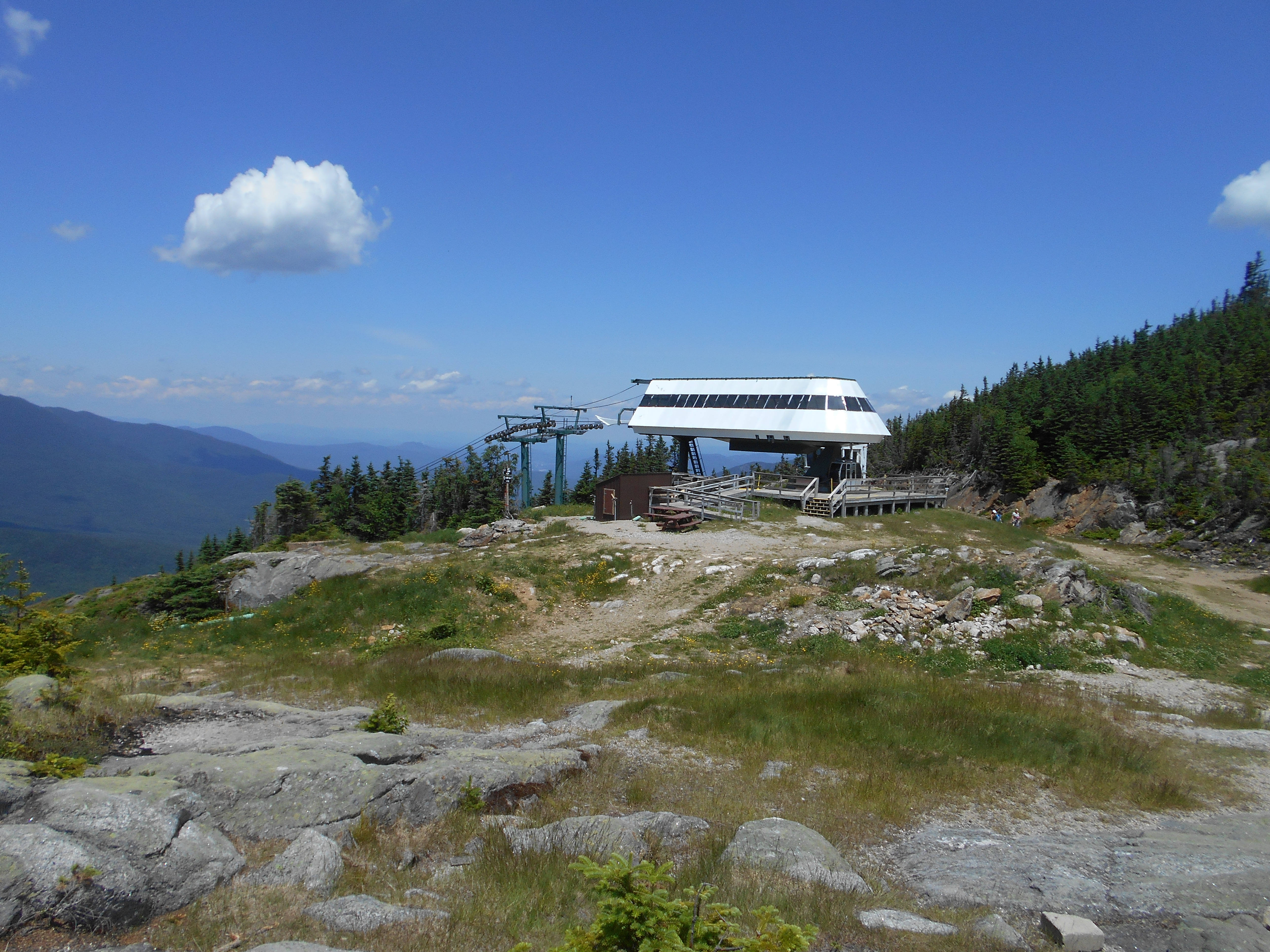
| 1872.7 | Wildcat Mountain, Peak D (4,020')?gondola | 4020 |
| 1873.8 | Wildcat Mountain, Peak C (4,298') | 4298 |
| 1874.2 | Wildcat Mountain, Peak B (4,330') | 4330 |
| 1874.7 | Wildcat Mountain, Peak A (4,442') | 4442 |
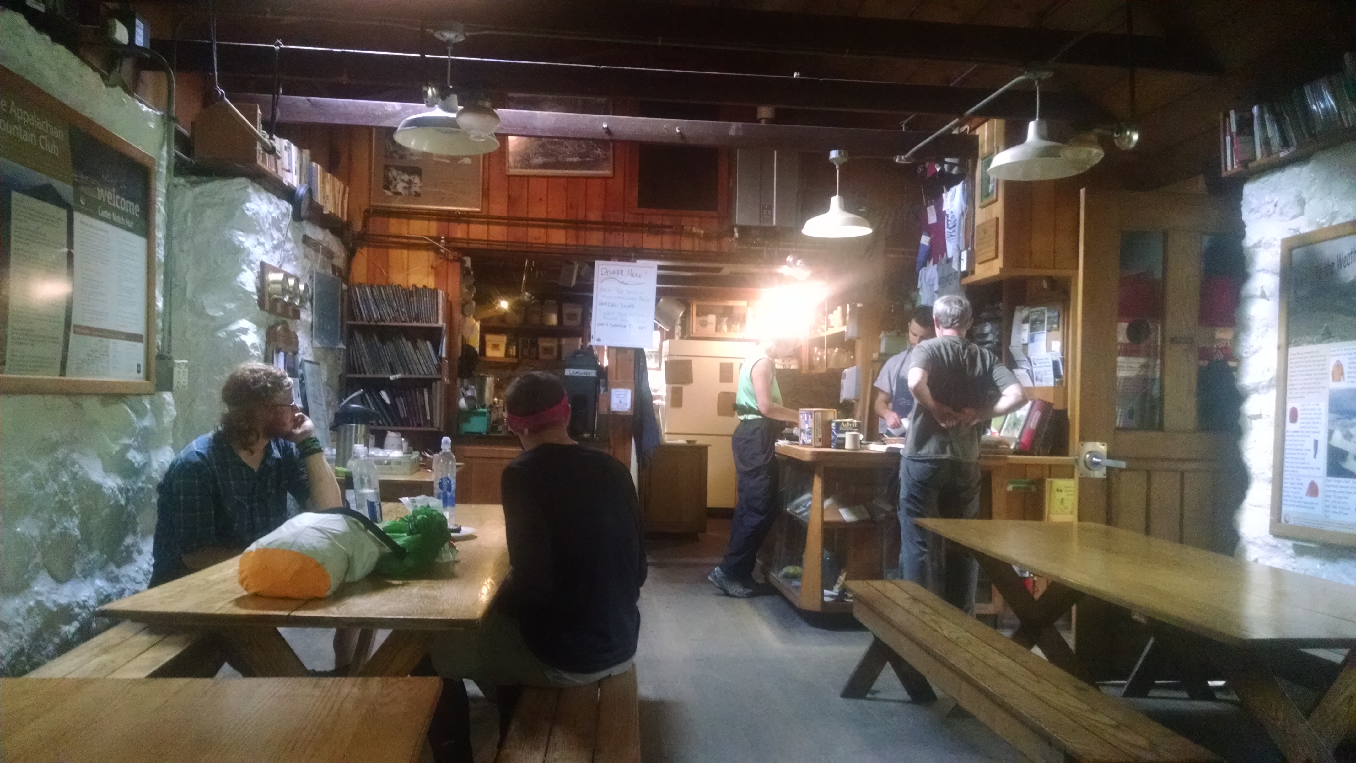
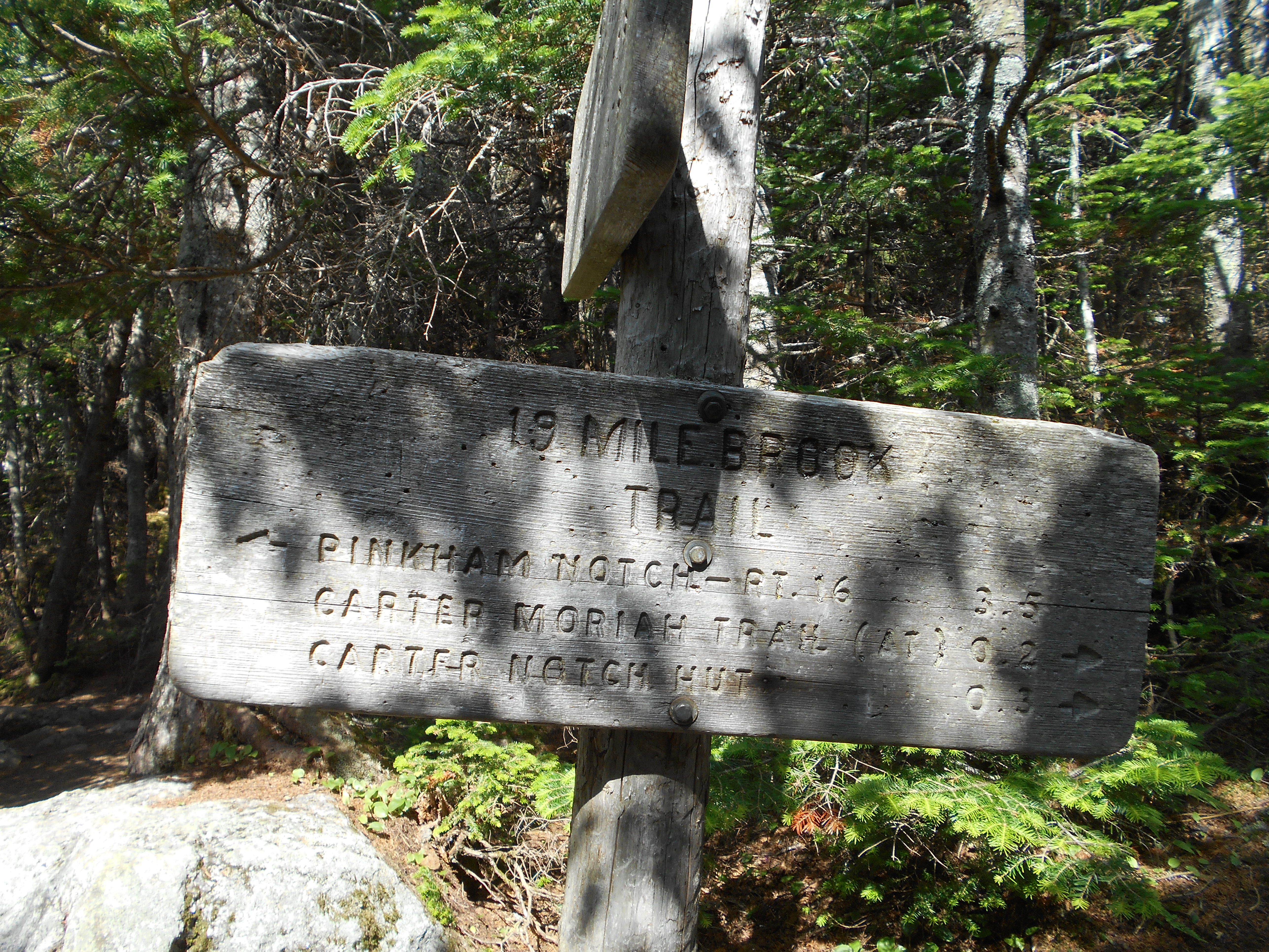
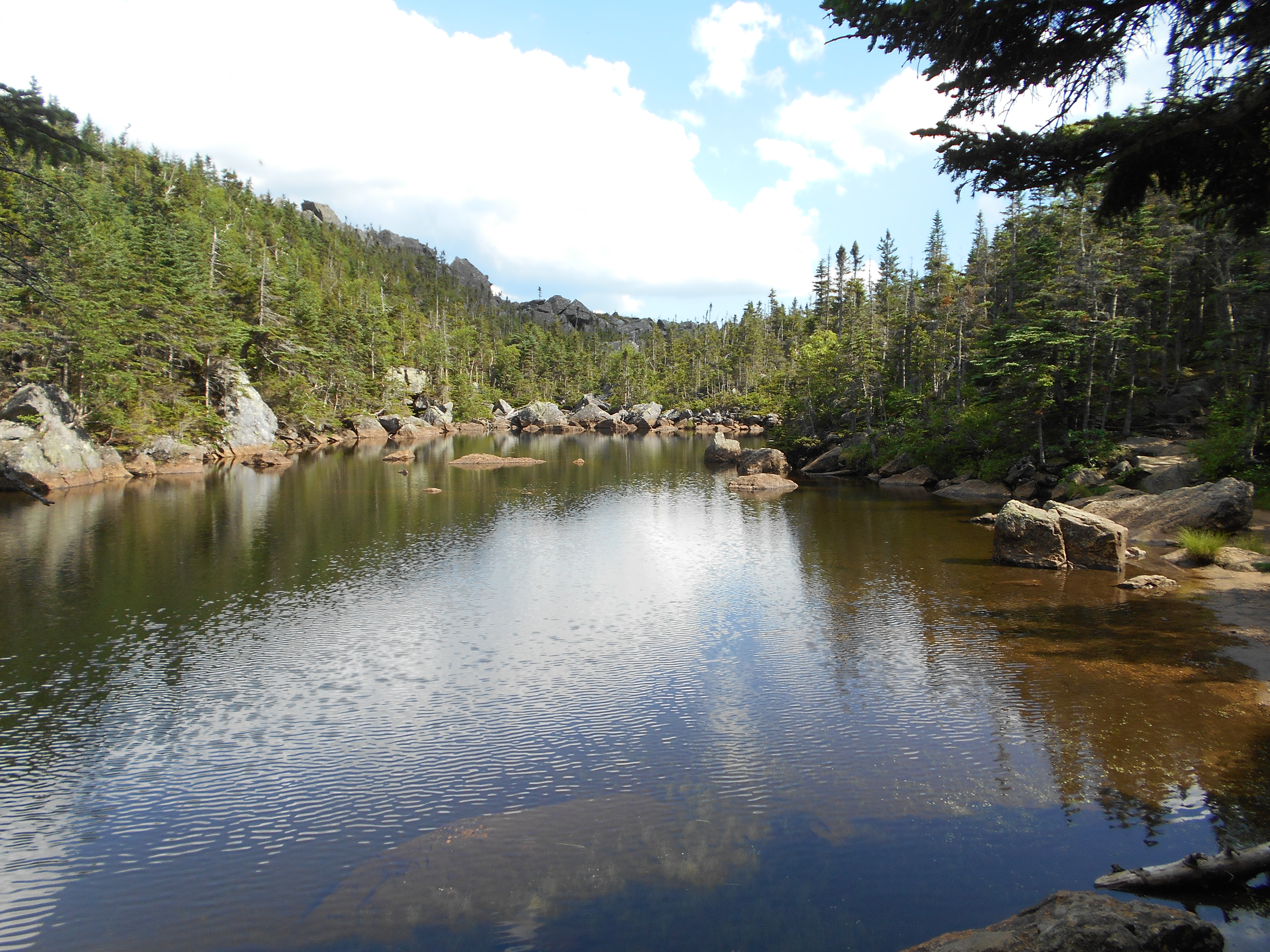
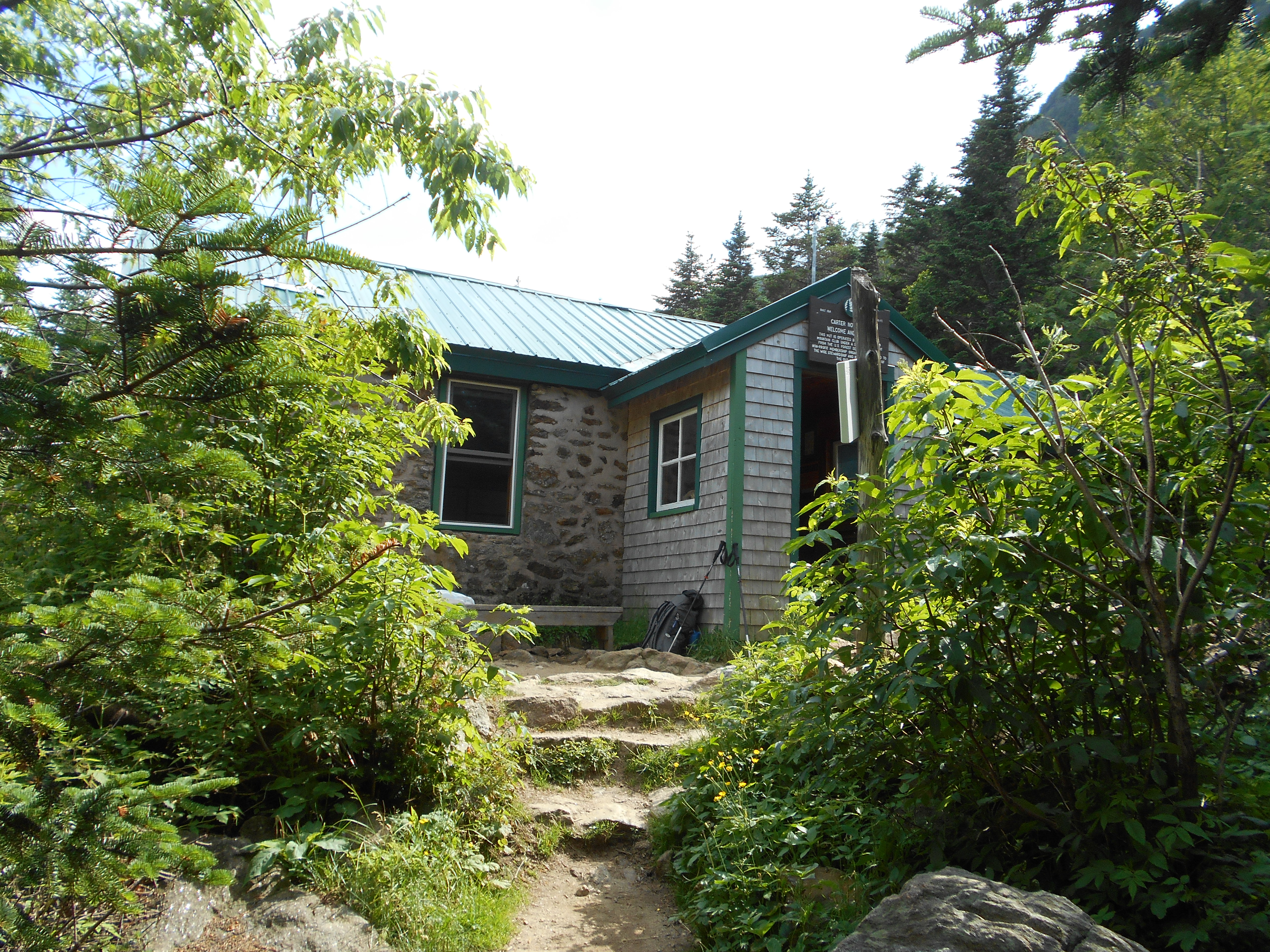
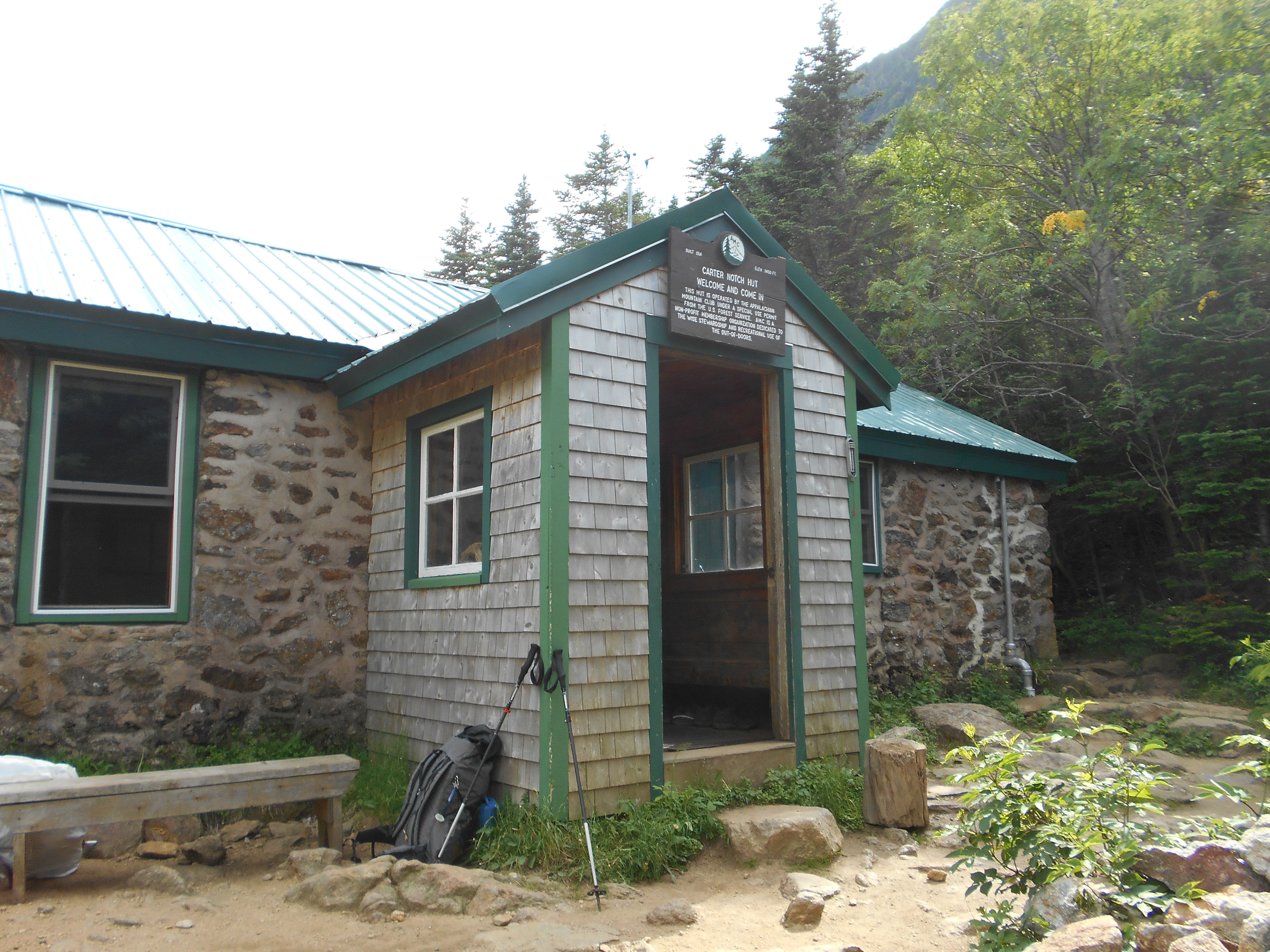
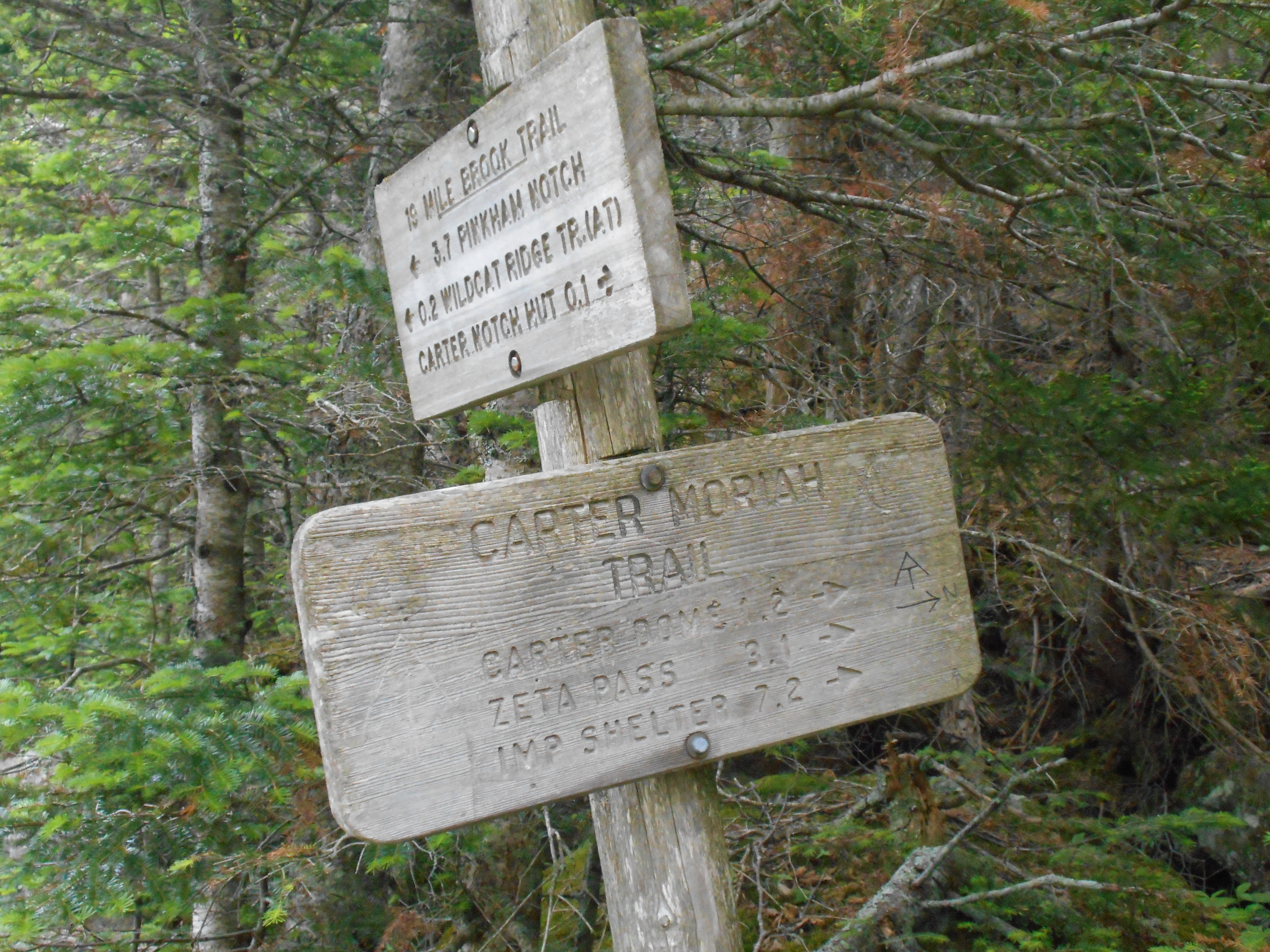
| 1875.6 | Nineteen Mile Brook Trail (3,350') Carter Notch, +AMC Carter Notch Hut | 3350 |


| Miles from Springer | Features | Elevation |
|---|---|---|
| 1876.3 | Spring (4,300') | 4300 |
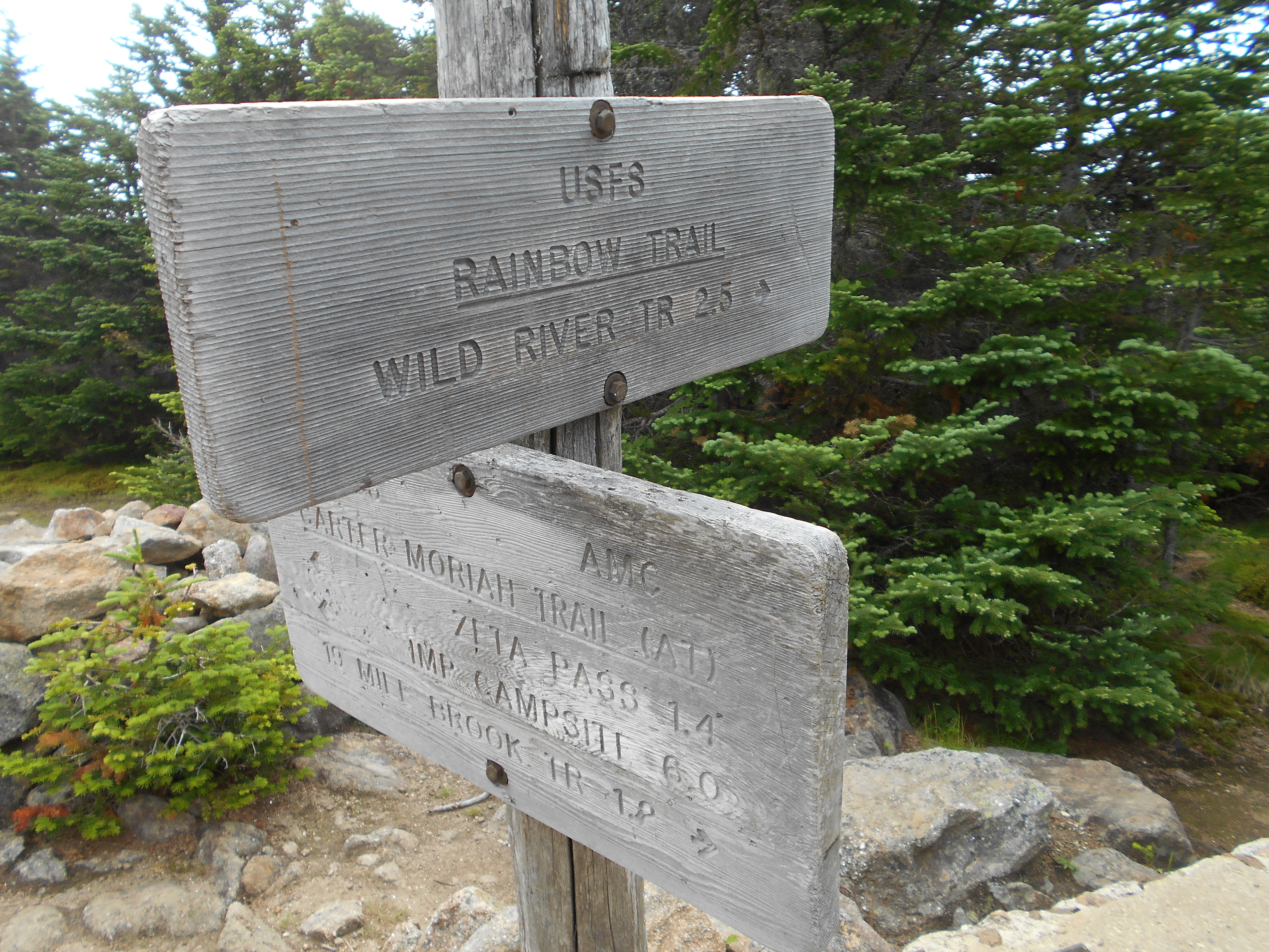
| 1876.8 | Carter Dome, Rainbow Trail (4,832') | 4832 |
| 1877.2 | Black Angel Trail (4,600') | 4600 |
| 1877.6 | Mt. Hight (4,675') | 4675 |
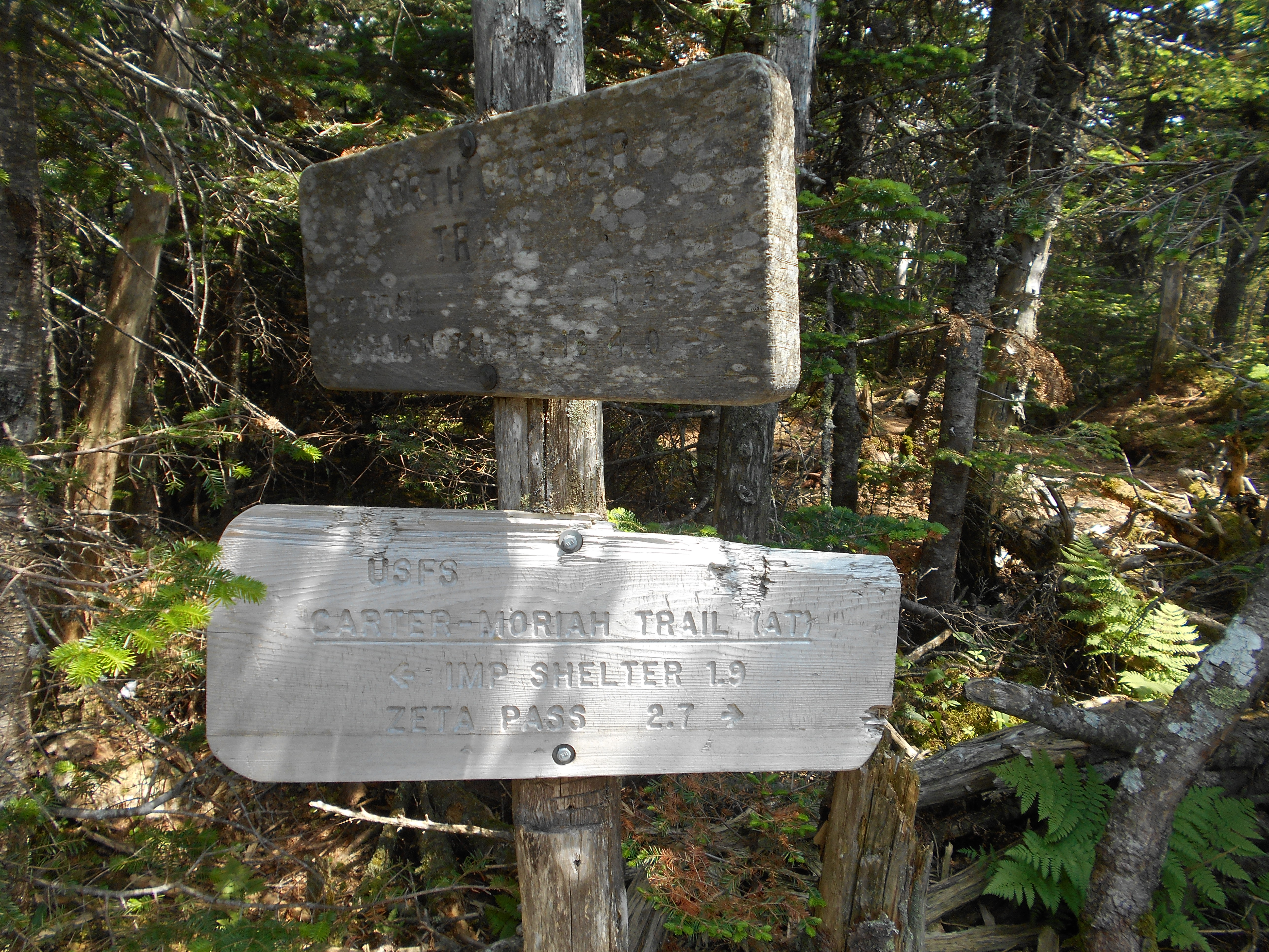
| 1878.2 | Zeta Pass (3,890') | 3890 |
| 1879 | South Carter Mountain (4,458') | 4458 |
| 1880.3 | Middle Carter Mountain (4,610') | 4610 |
| 1880.6 | Mt. Lethe (4,584') | 4584 |
| 1880.9 | North Carter Mountain (4,539') | 4539 |
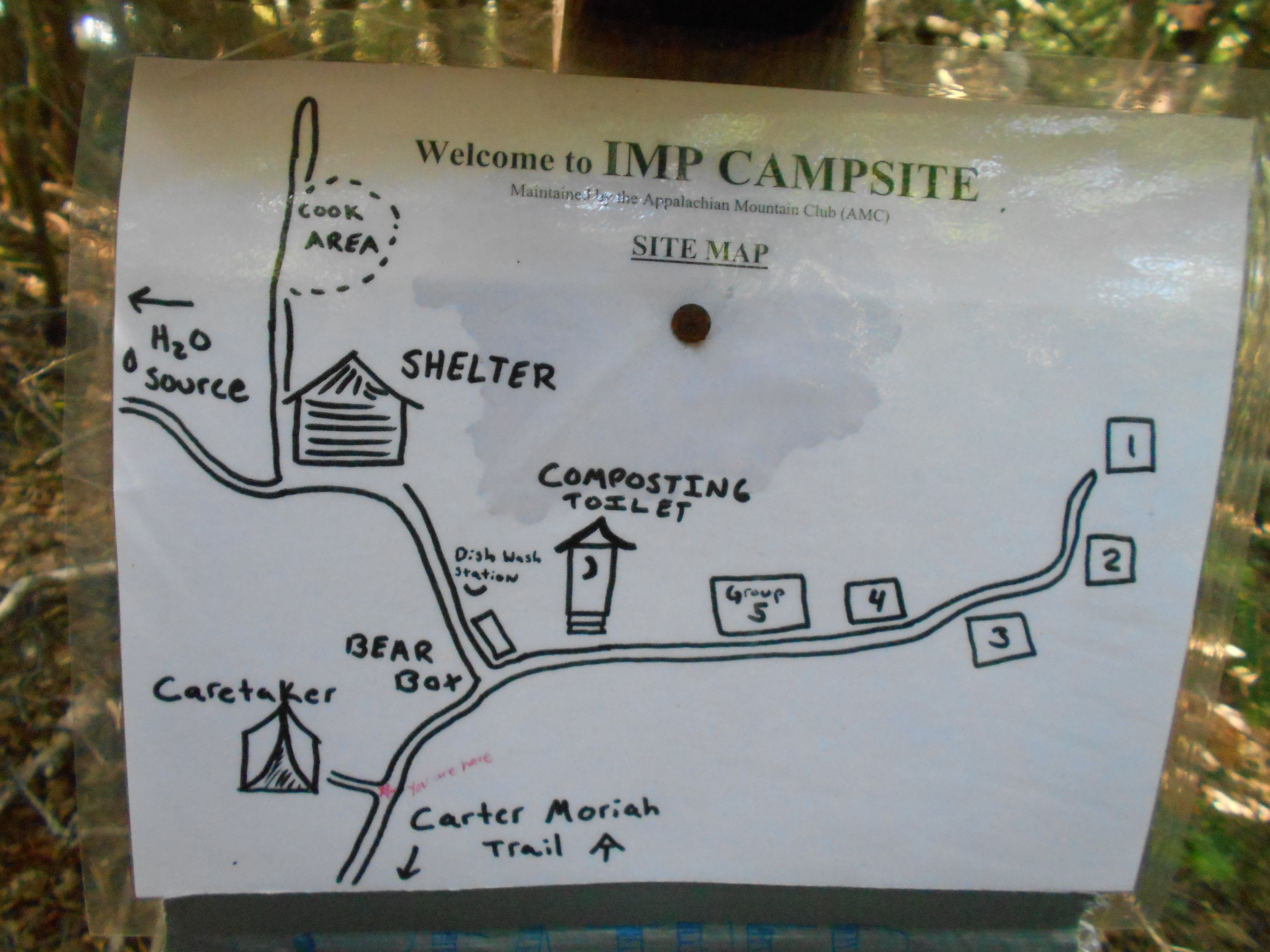
| 1882.8 | +AMC Imp Shelter and Campsite (3,250')?23.2mS; 6.3mN | 3250 |


| Miles from Springer | Features | Elevation |
|---|---|---|
| 1882.8 | +AMC Imp Shelter and Campsite (3,250')?23.2mS; 6.3mN | 3250 |
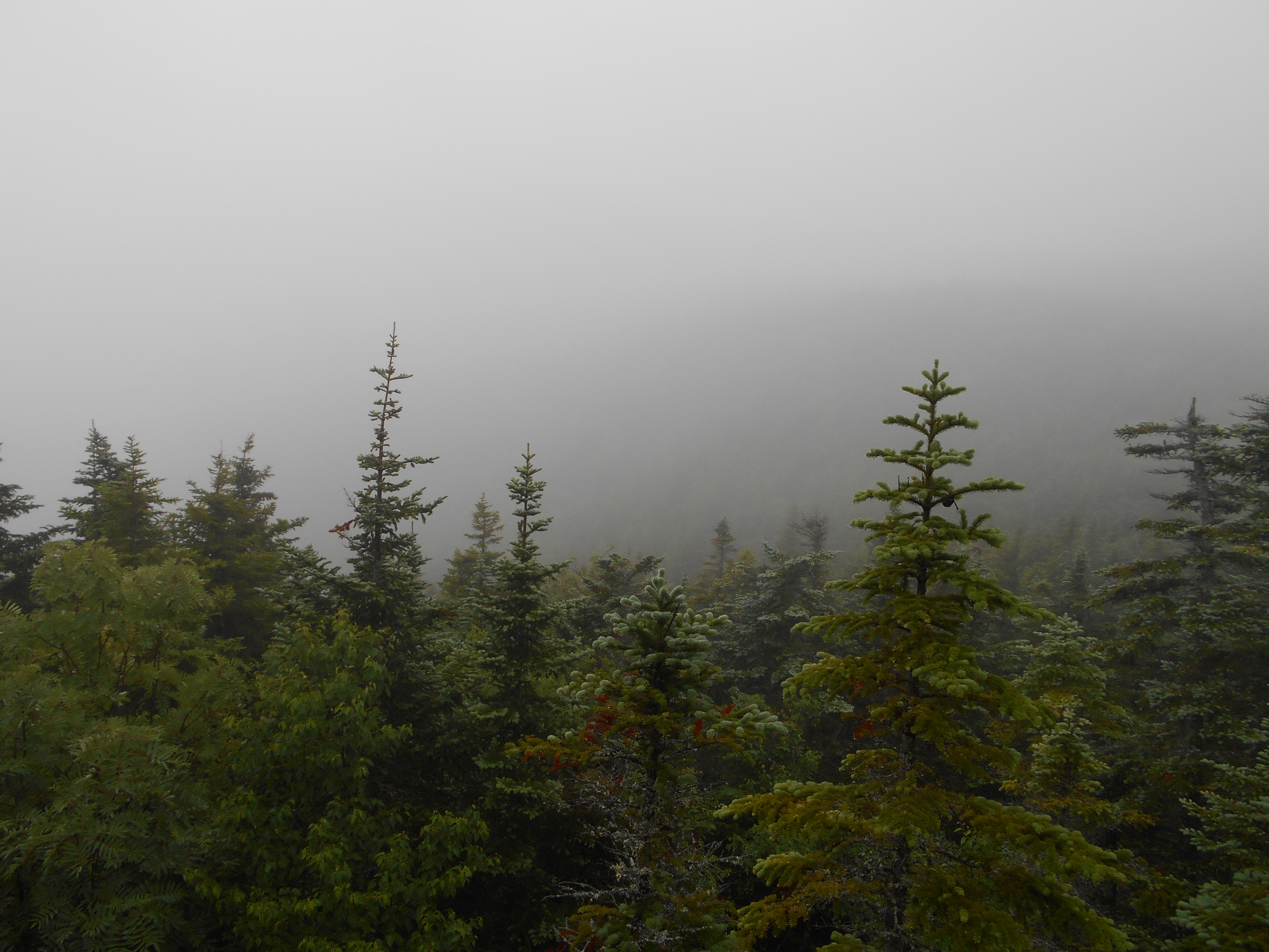
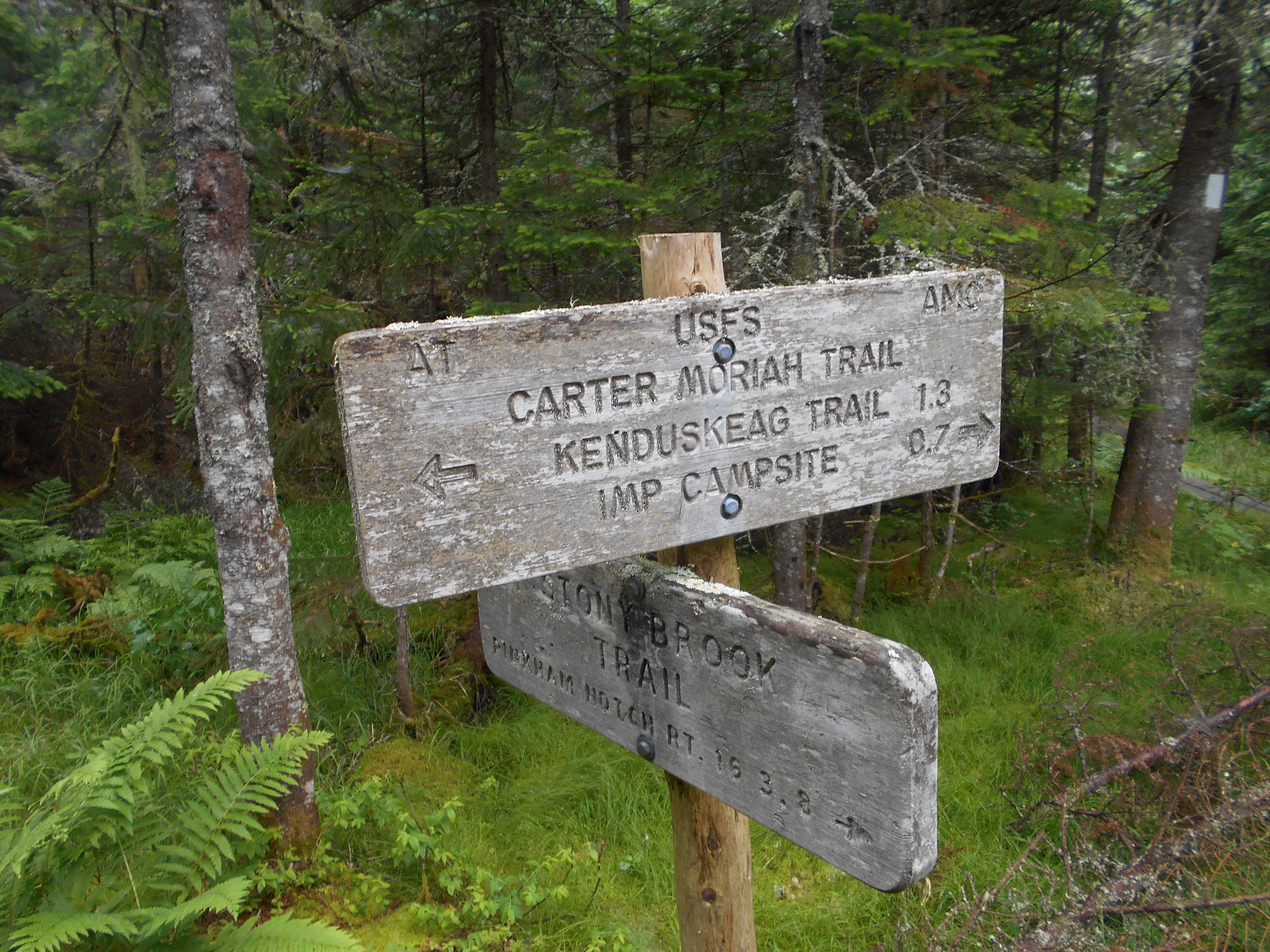
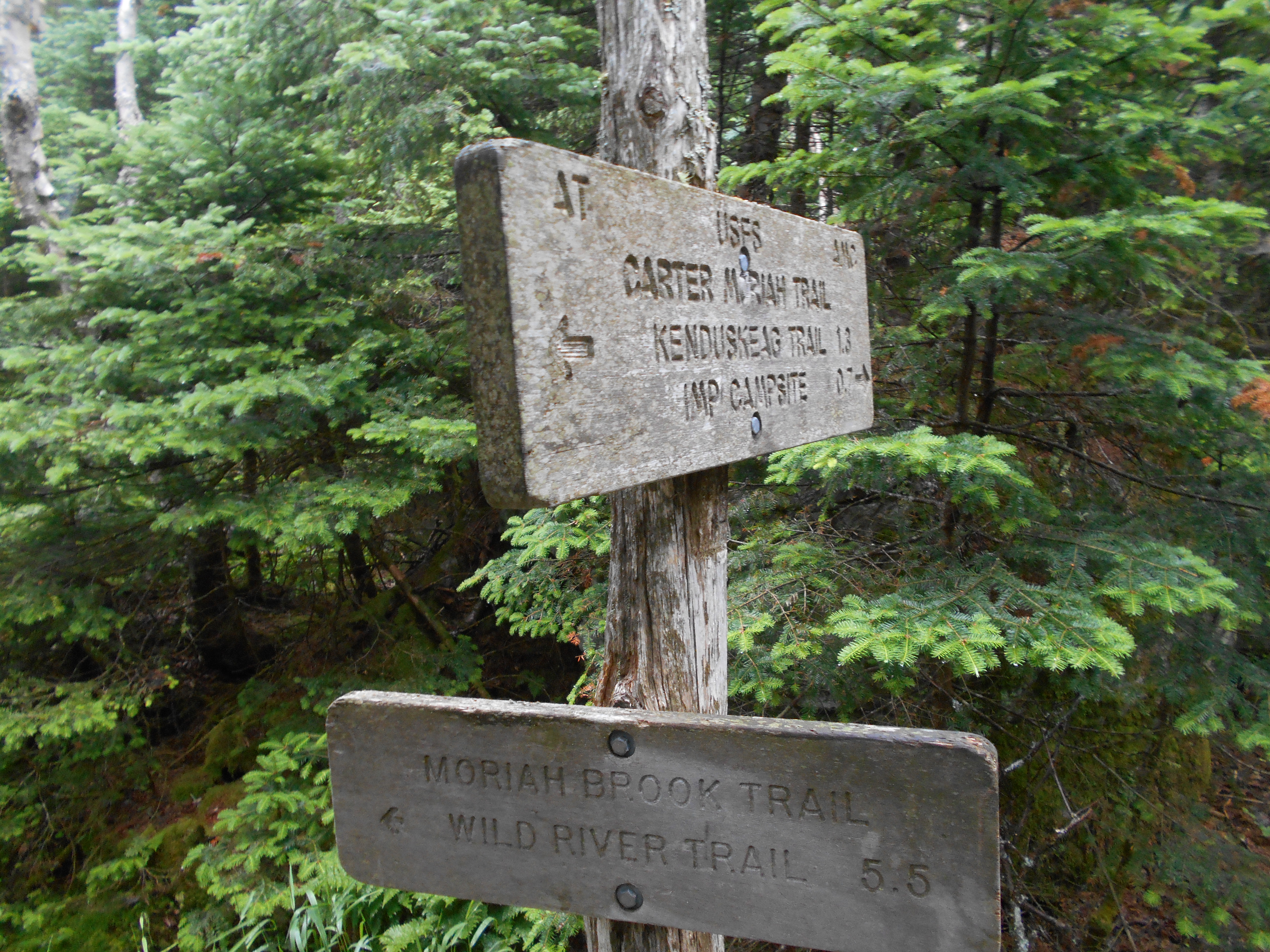
| 1883.5 | Stony Brook Trail; Moriah Brook Trail (3,127') | 3127 |
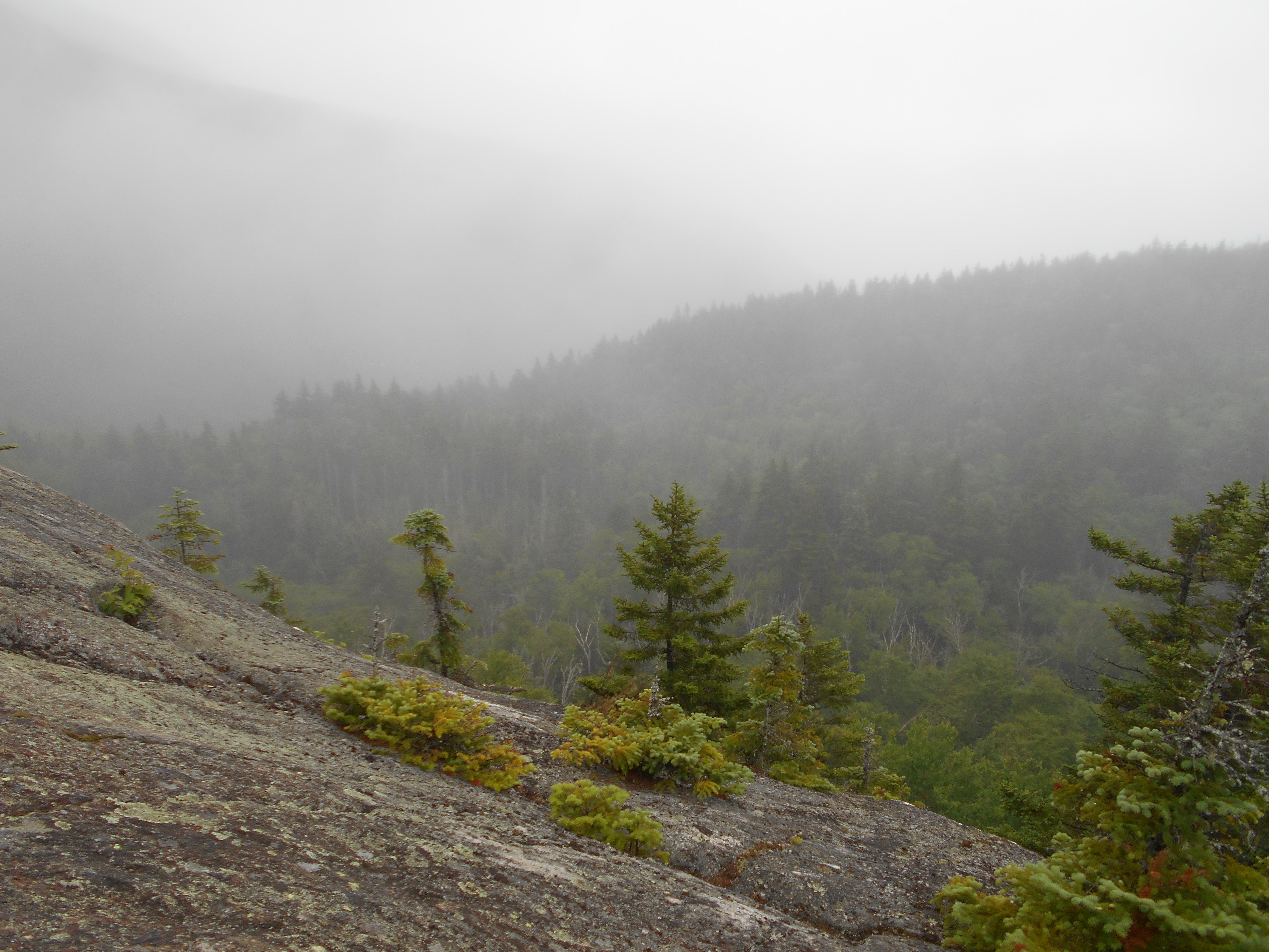
| 1884.9 | Carter Moriah Trail to Mt. Moriah (4,000') | 4000 |
| 1886.1 | Middle Moriah (3,640') | 3640 |
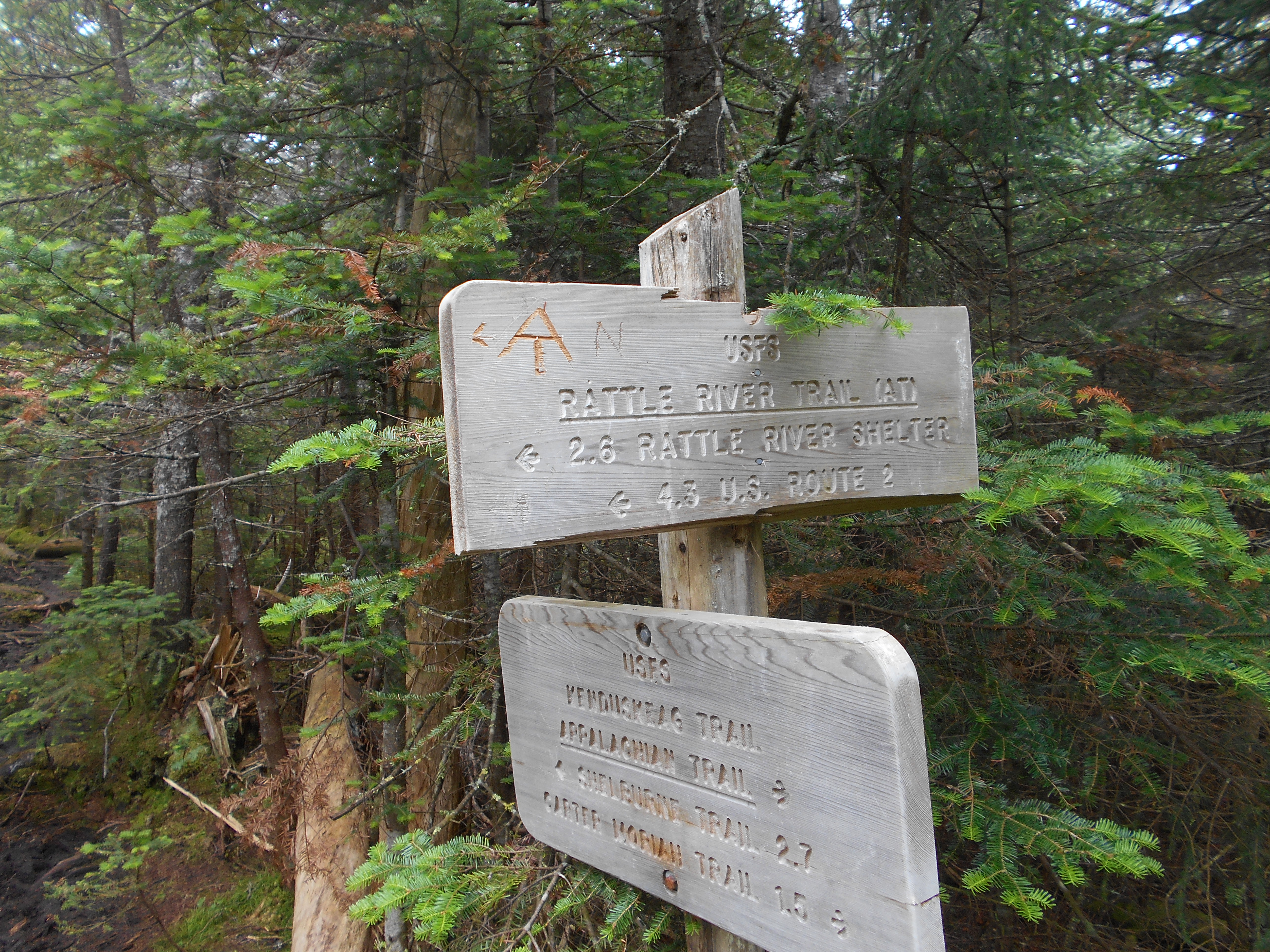
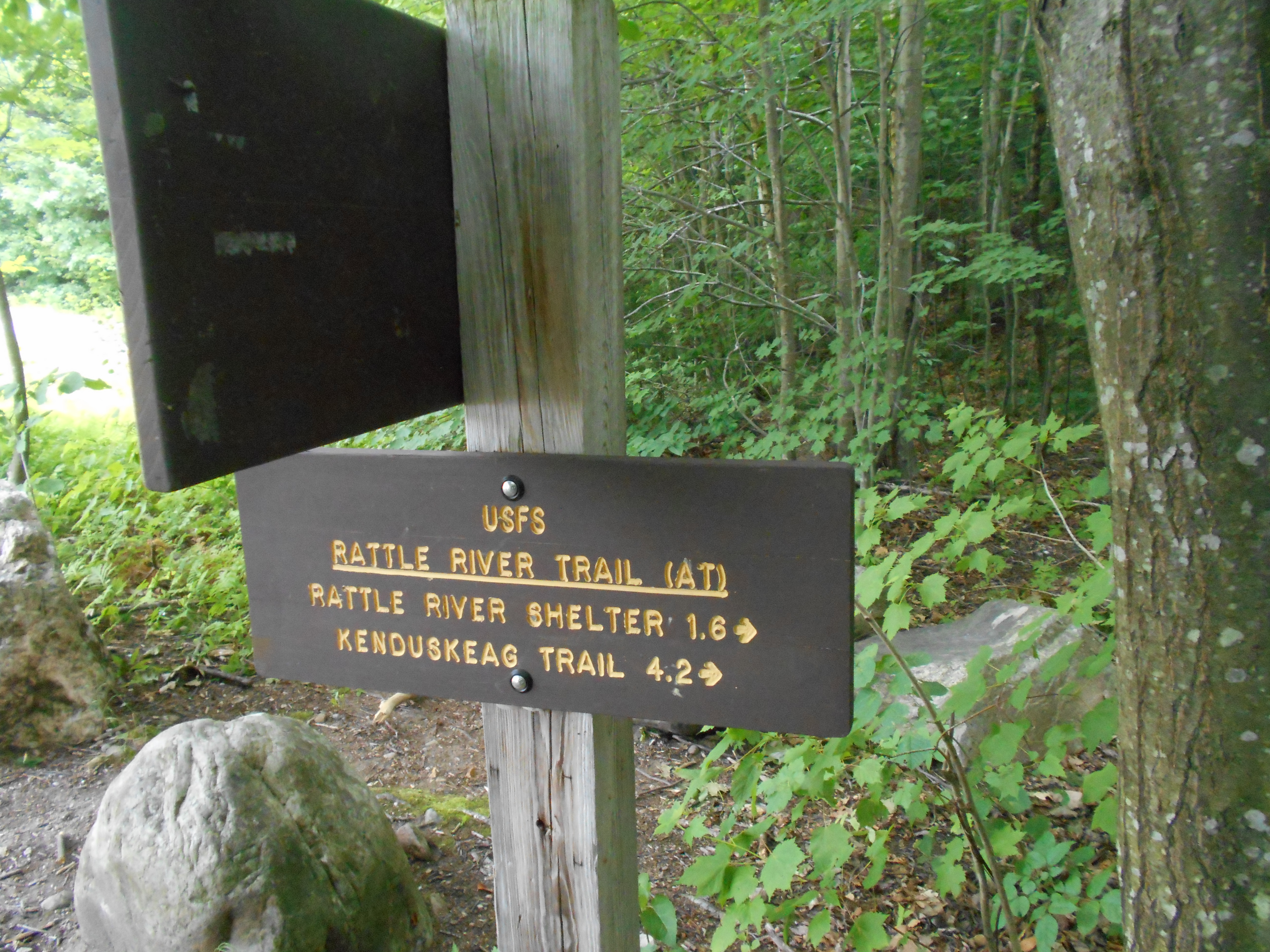
| 1886.3 | Kenduskeag Trail (3,300') | 3300 |
| 1887.4 | Rattle River (1,700') | 1700 |
| 1888.5 | East Rattle River (1,500')?difficult in high water | 1500 |
| 1888.9 | Rattle River Shelter and Campsite (1,260')?6.3mS; 13.9mN | 1260 |
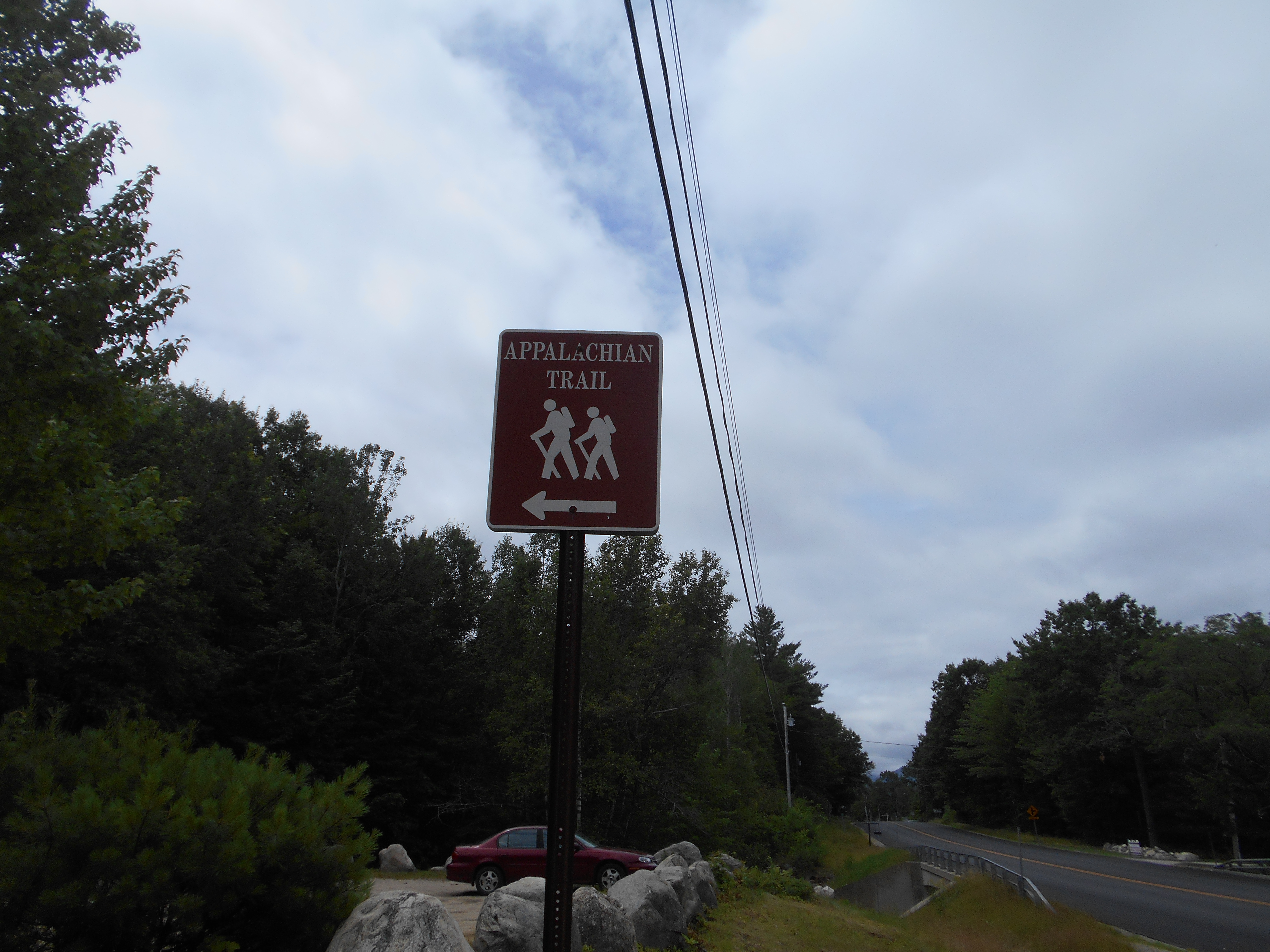
| 1890.8 | U.S. 2 (780')Shelburne, N.H. Gorham, N.H. 03581 Berlin, N.H. | 780 |