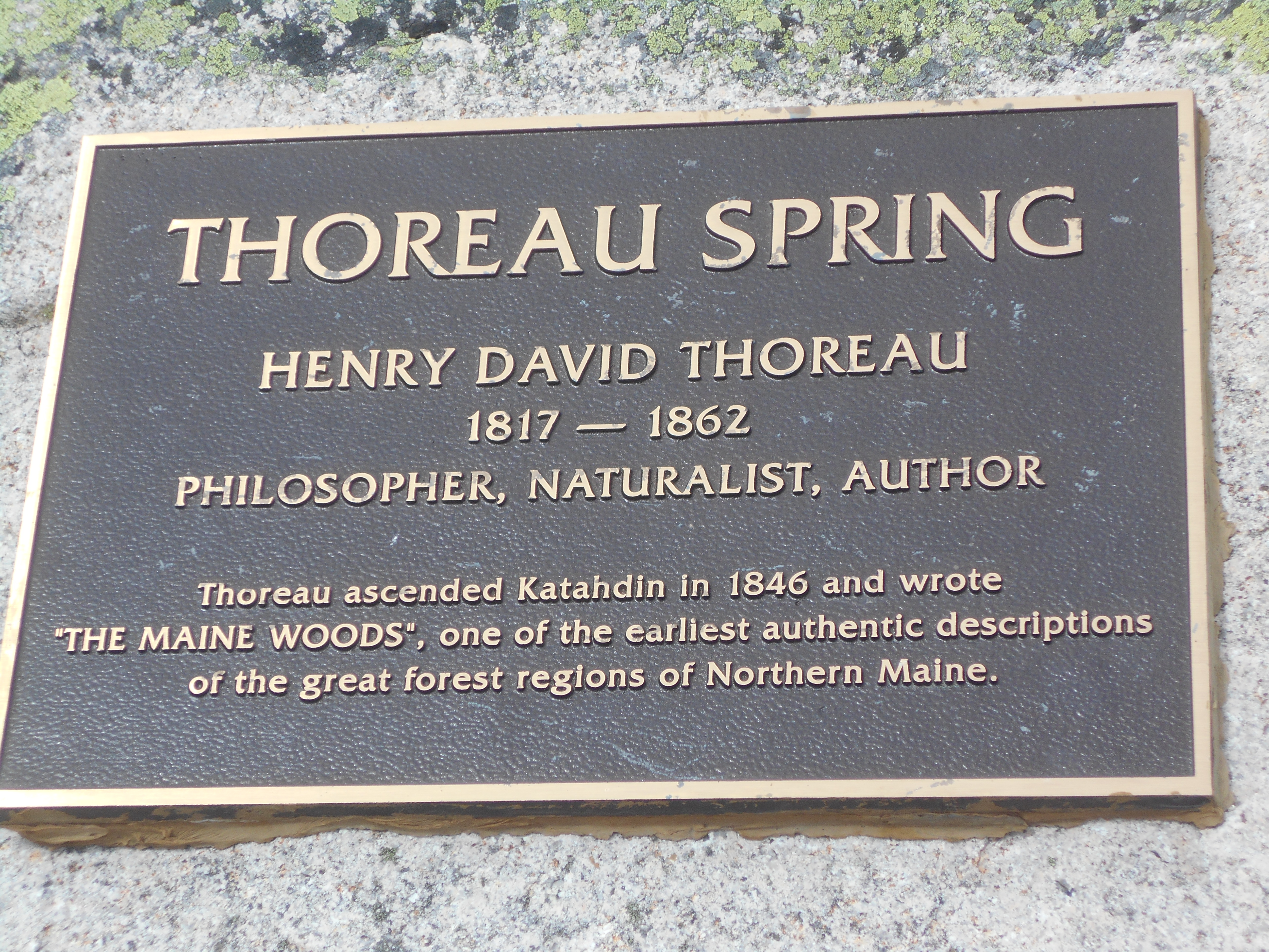
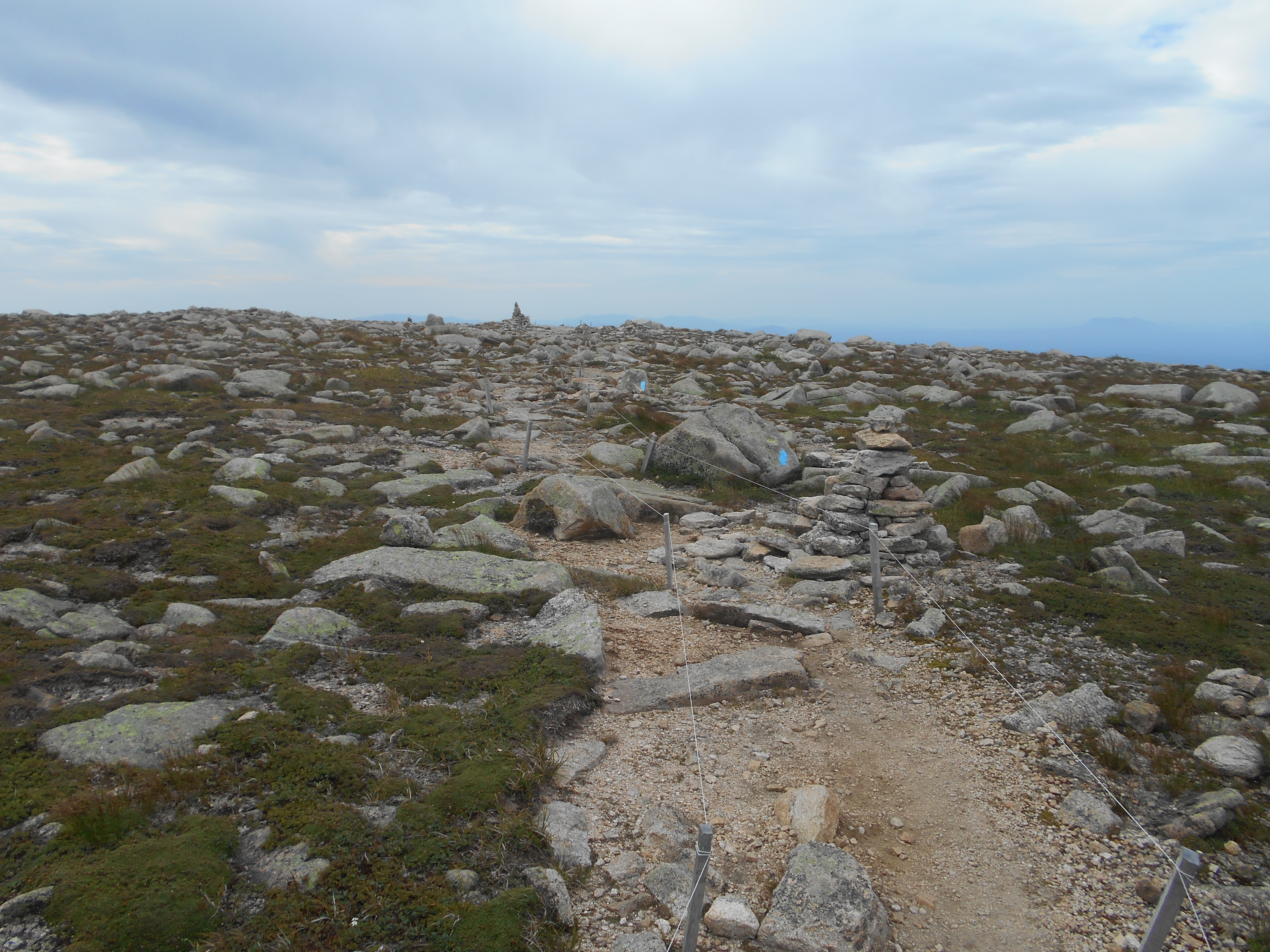
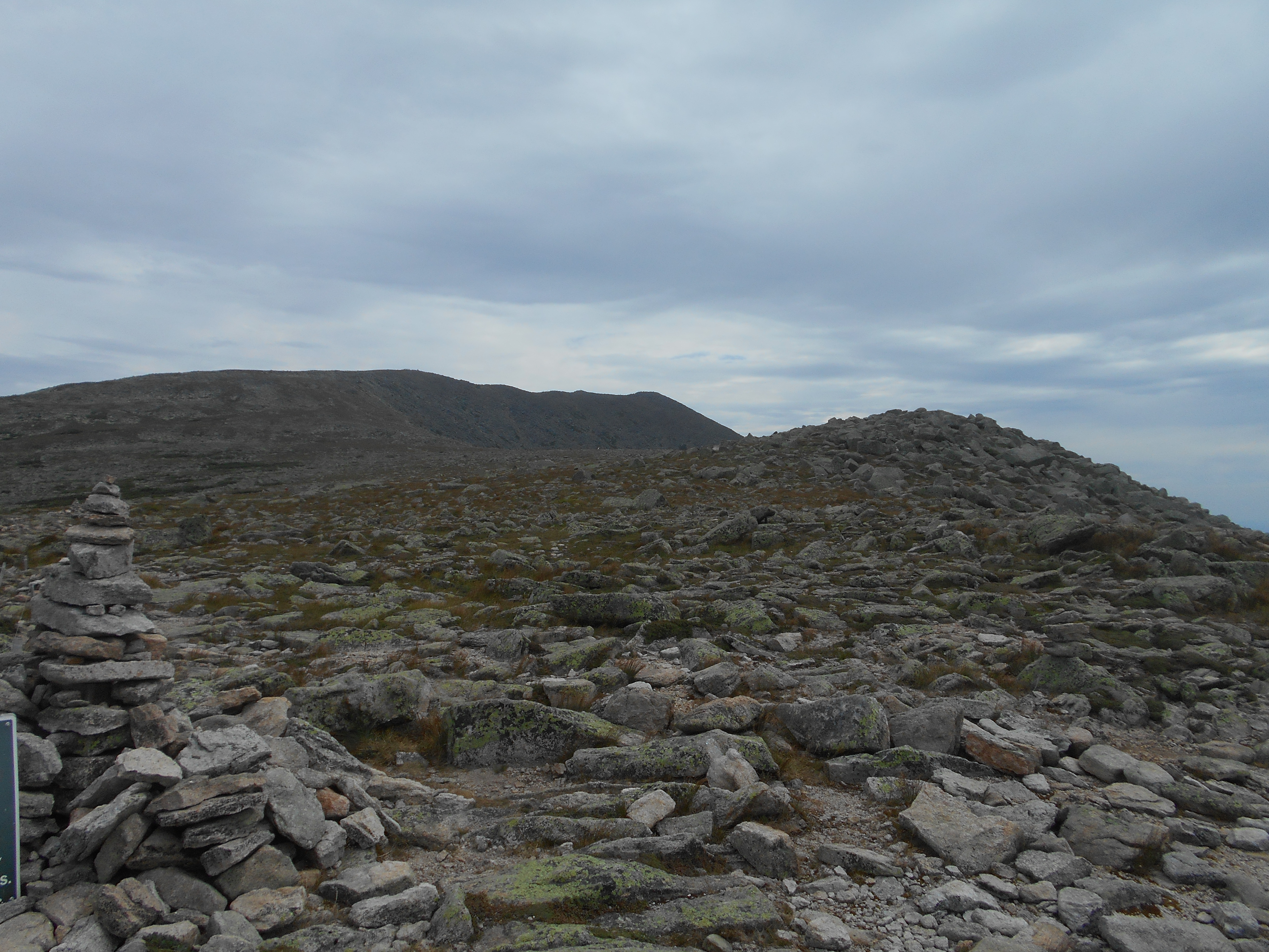
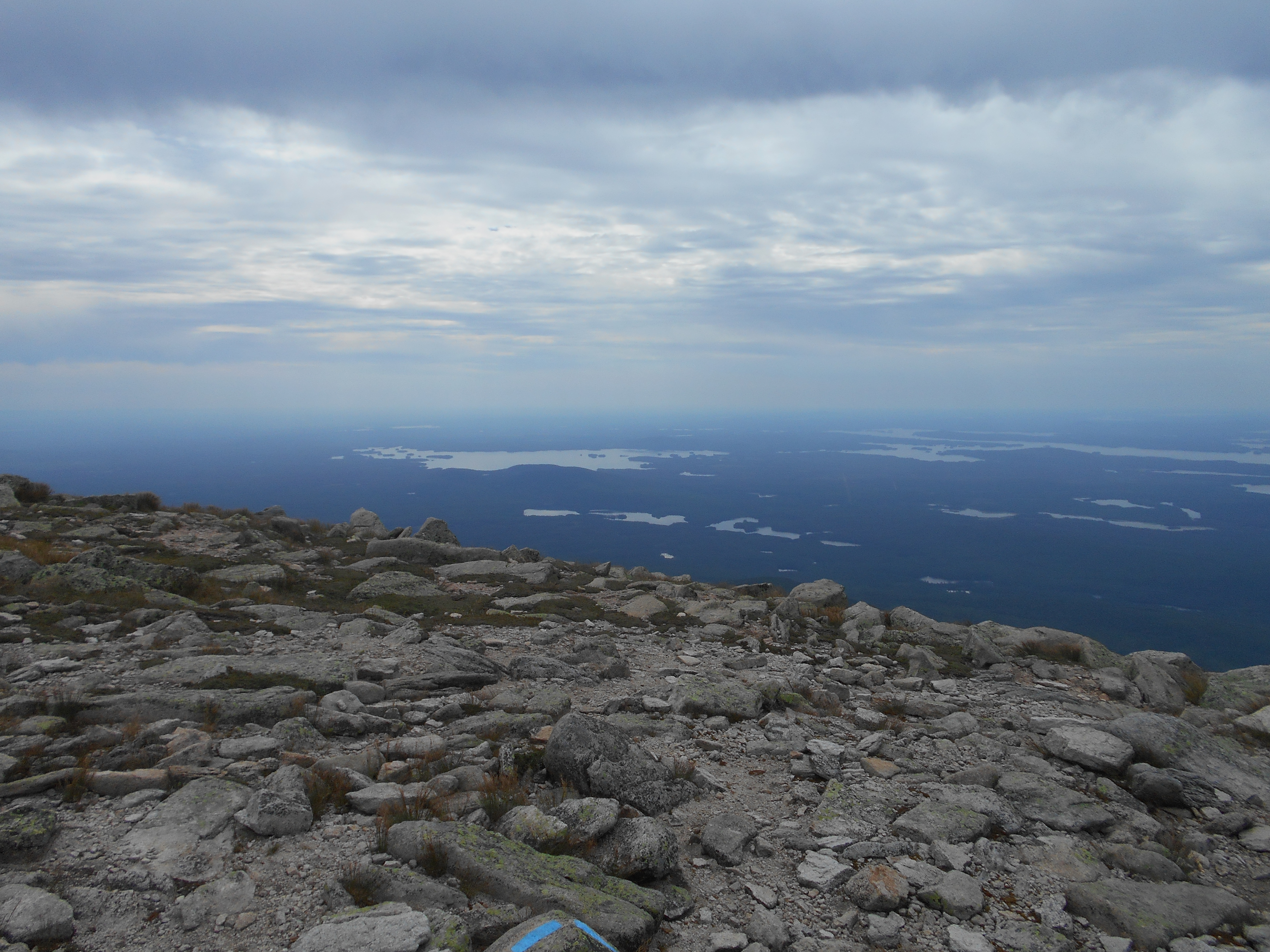
July 31, 2016
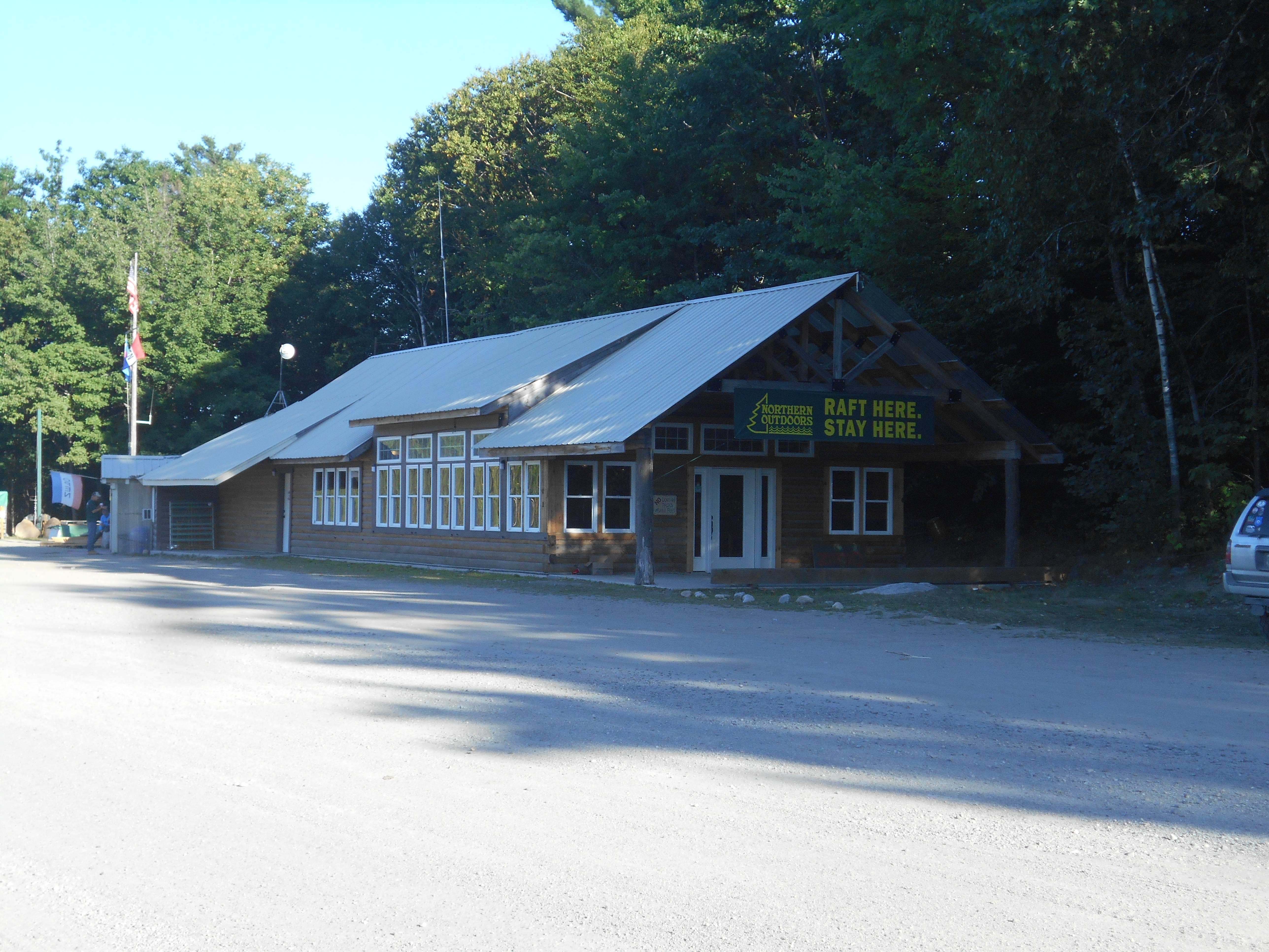
Monson, ME to Wilson Valley Lean-to (tenting)
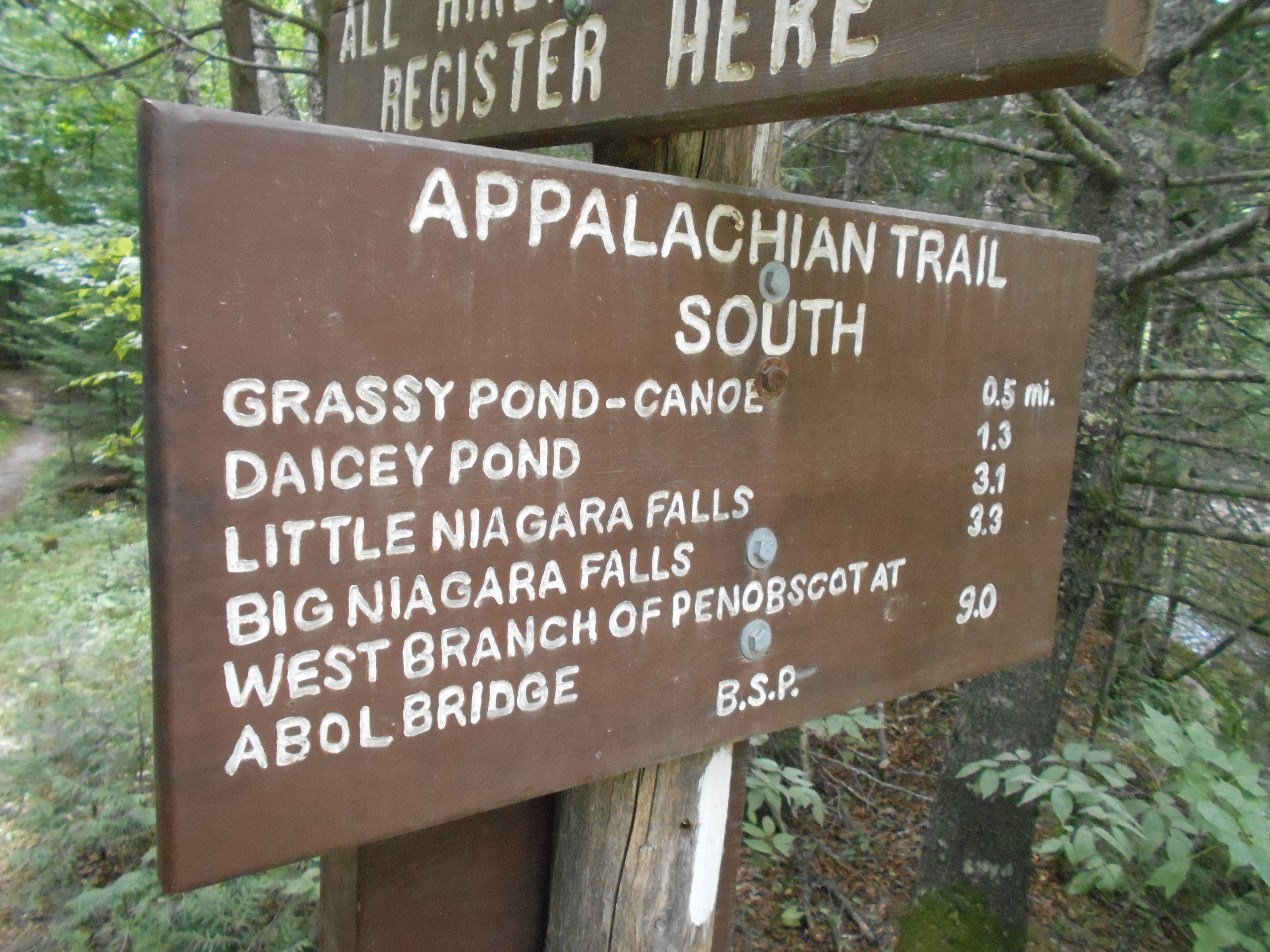
Milage 10.4
Miles from Springer
Features
Elevation
2074.6
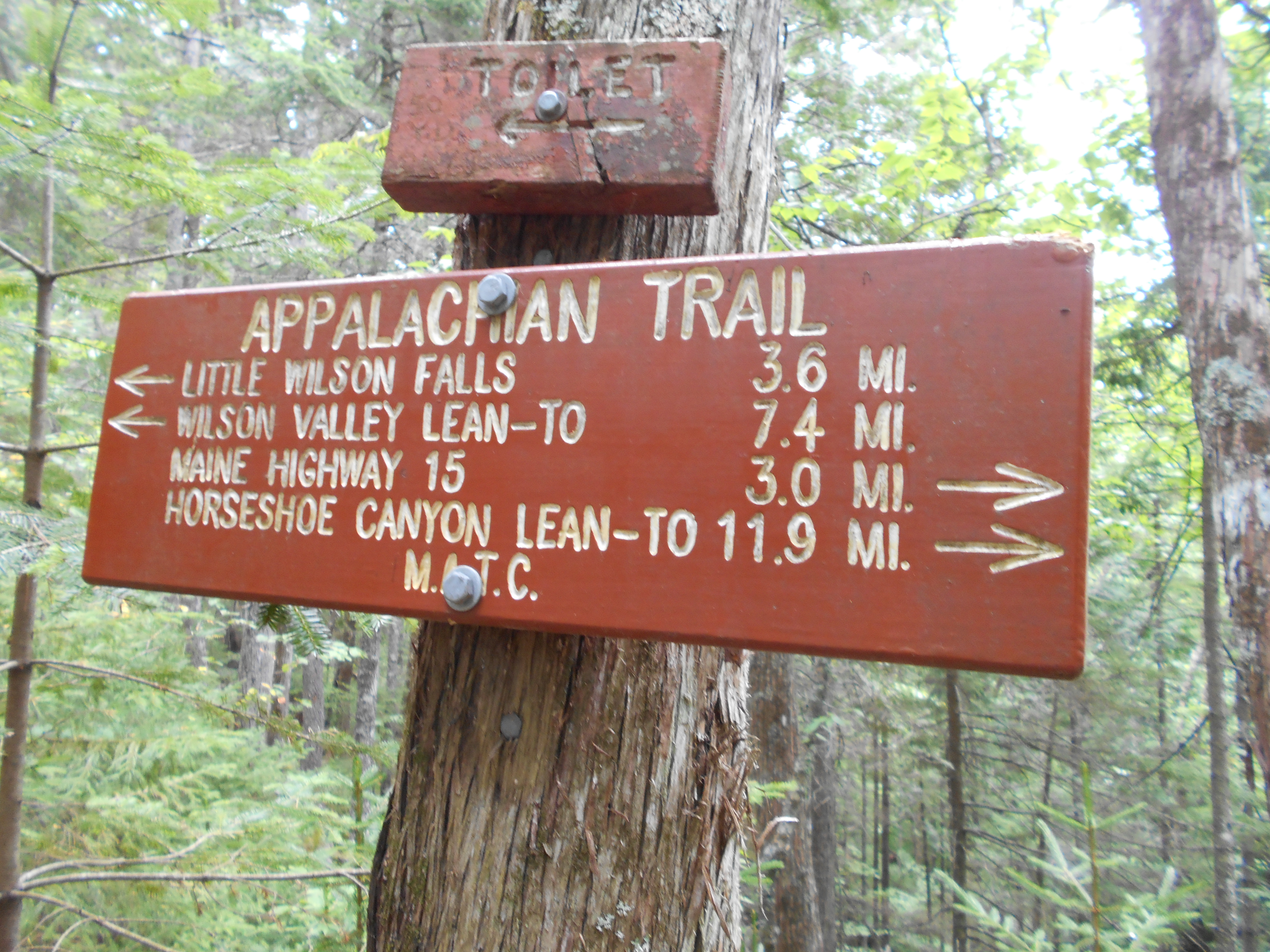
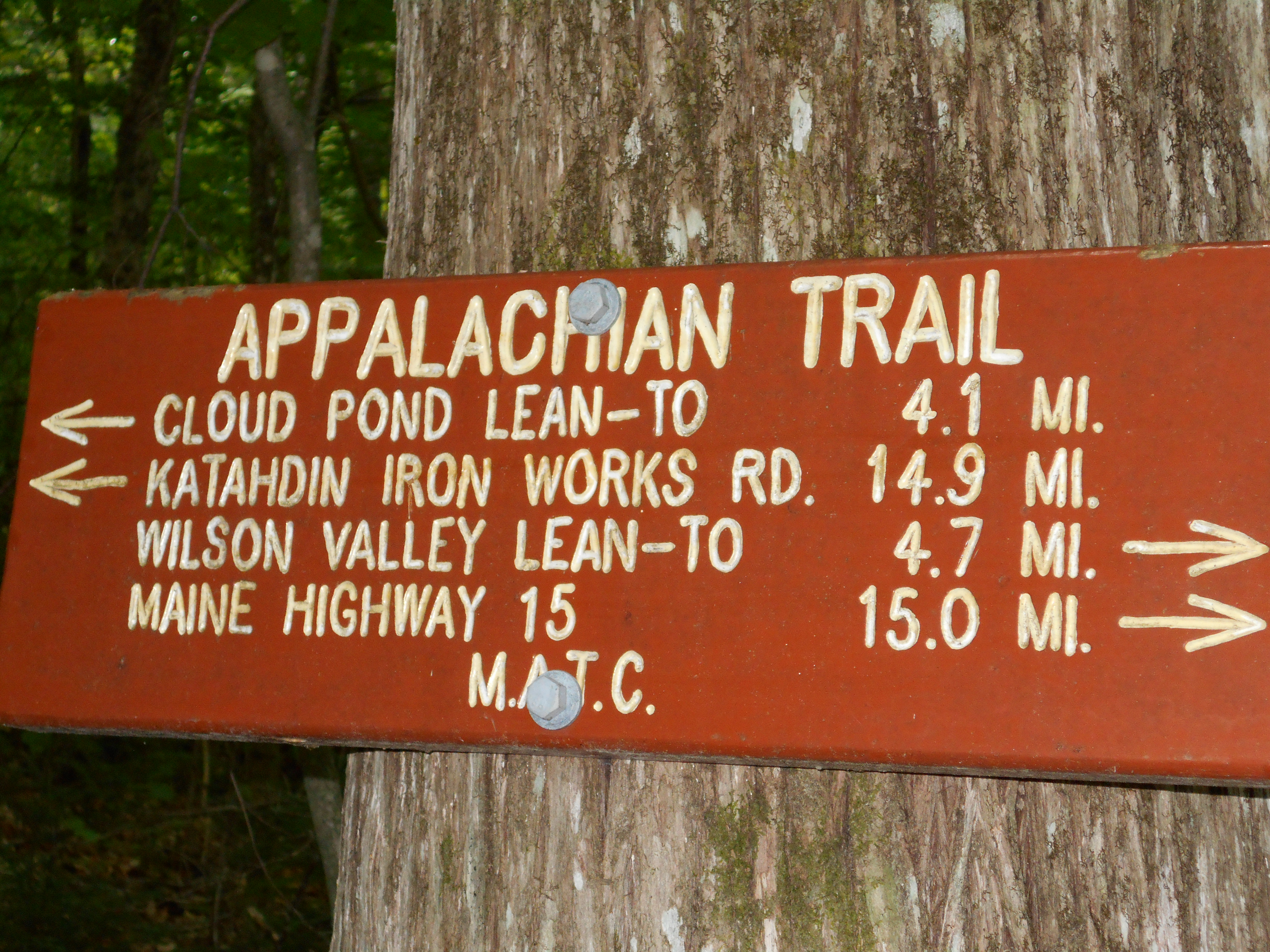
Maine 15 (1,215') Monson, Maine 04464 Greenville, Maine
1215
2074.7
Goodell Brook, Spectacle Pond Outlet (1,163')
1163
2075.8
Bell Pond (1,278')
1278
2076.5
Lily Pond (1,130')
1130
2077.6
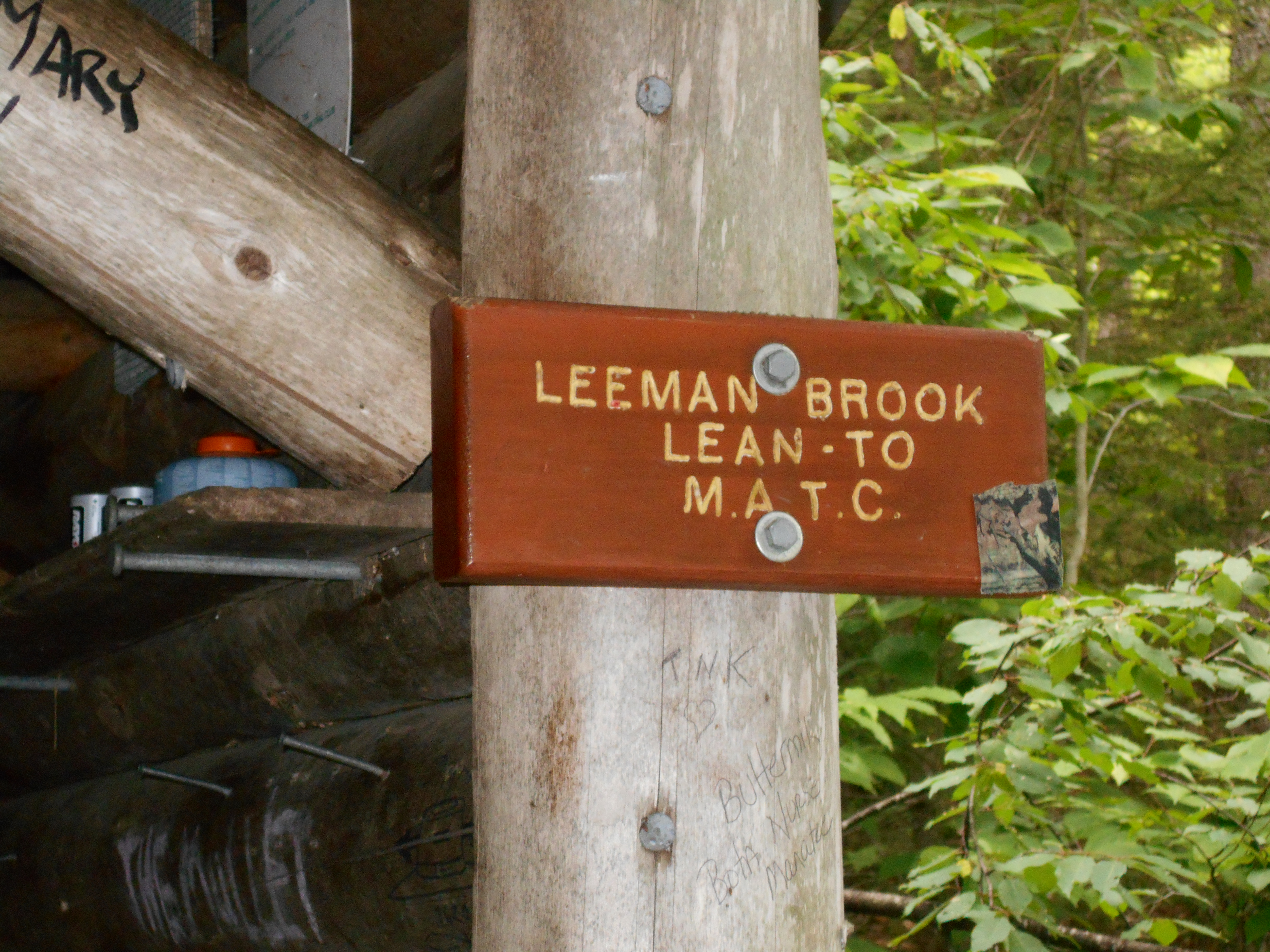
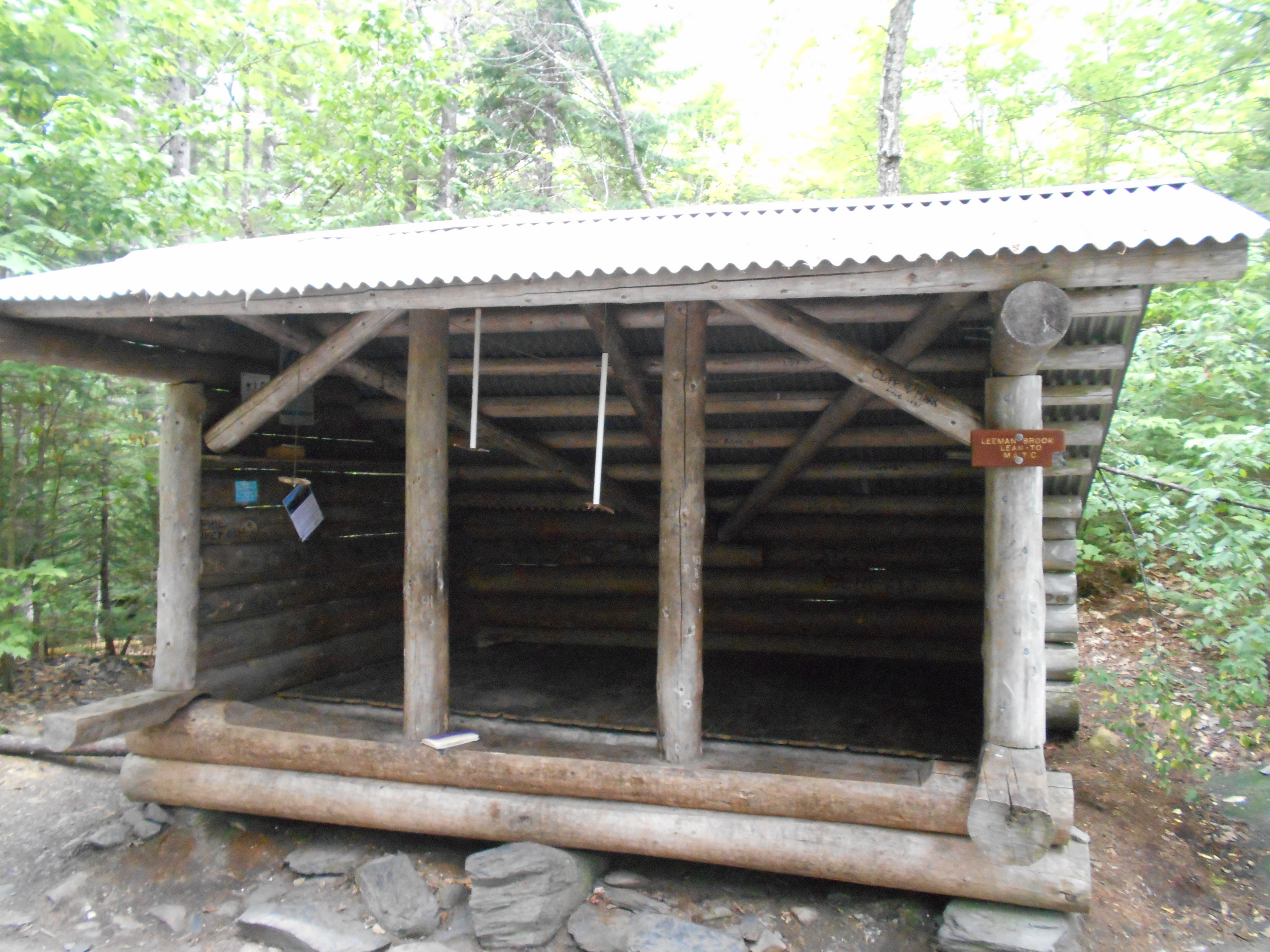
Leeman Brook Lean-to (1,060')?12mS; 7.4mN
1060
2078.4
North Pond (1,000')?outlet
1000
2078.8
North Pond Tote Road (1,100')
1100
2080.1
Rim of Bear Pond Ledges (1,200')
1200
2080.9
James Brook (950')
950
2081.1
Gravel Haul Road (1000')
1000
2081.2
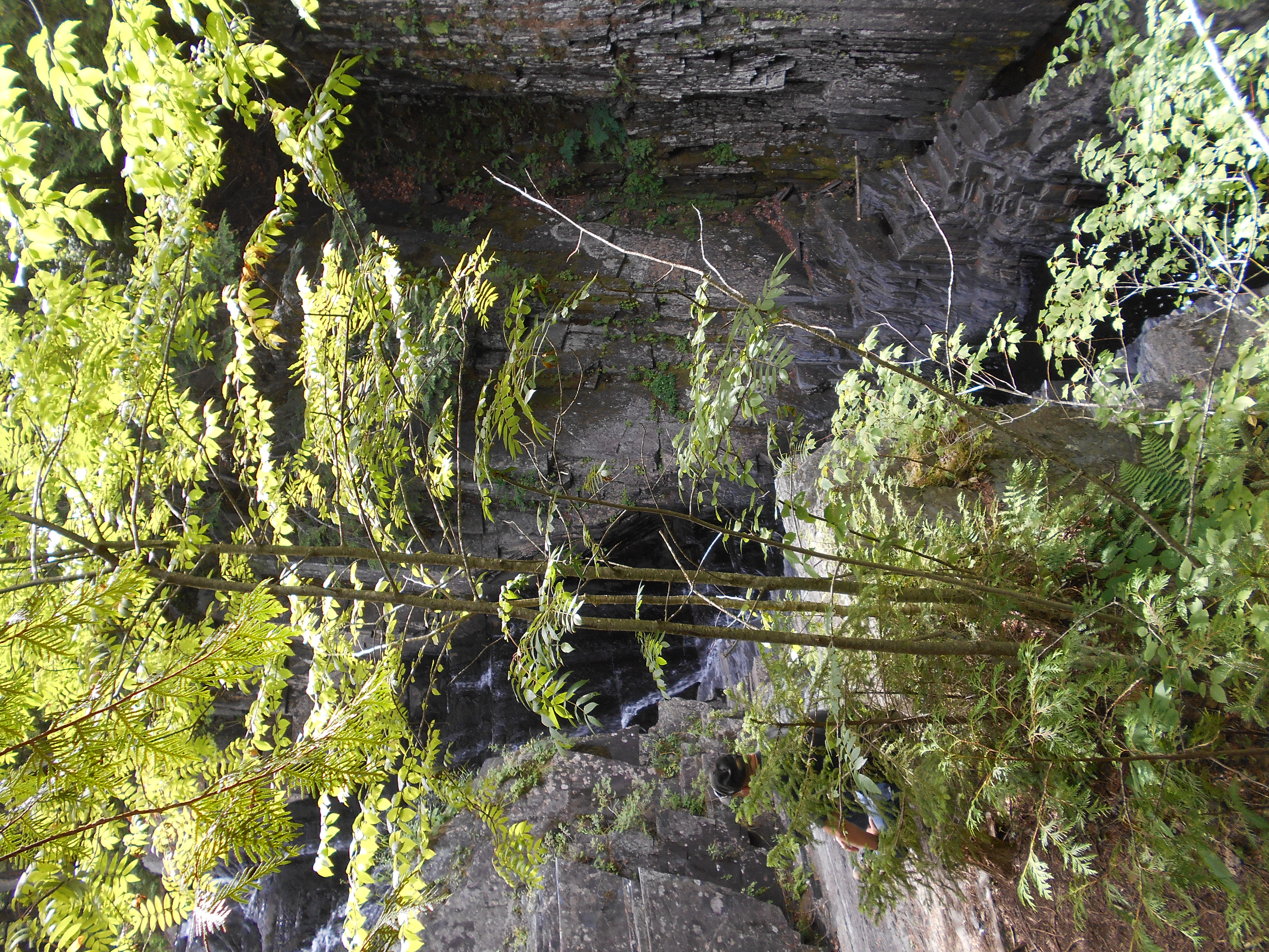
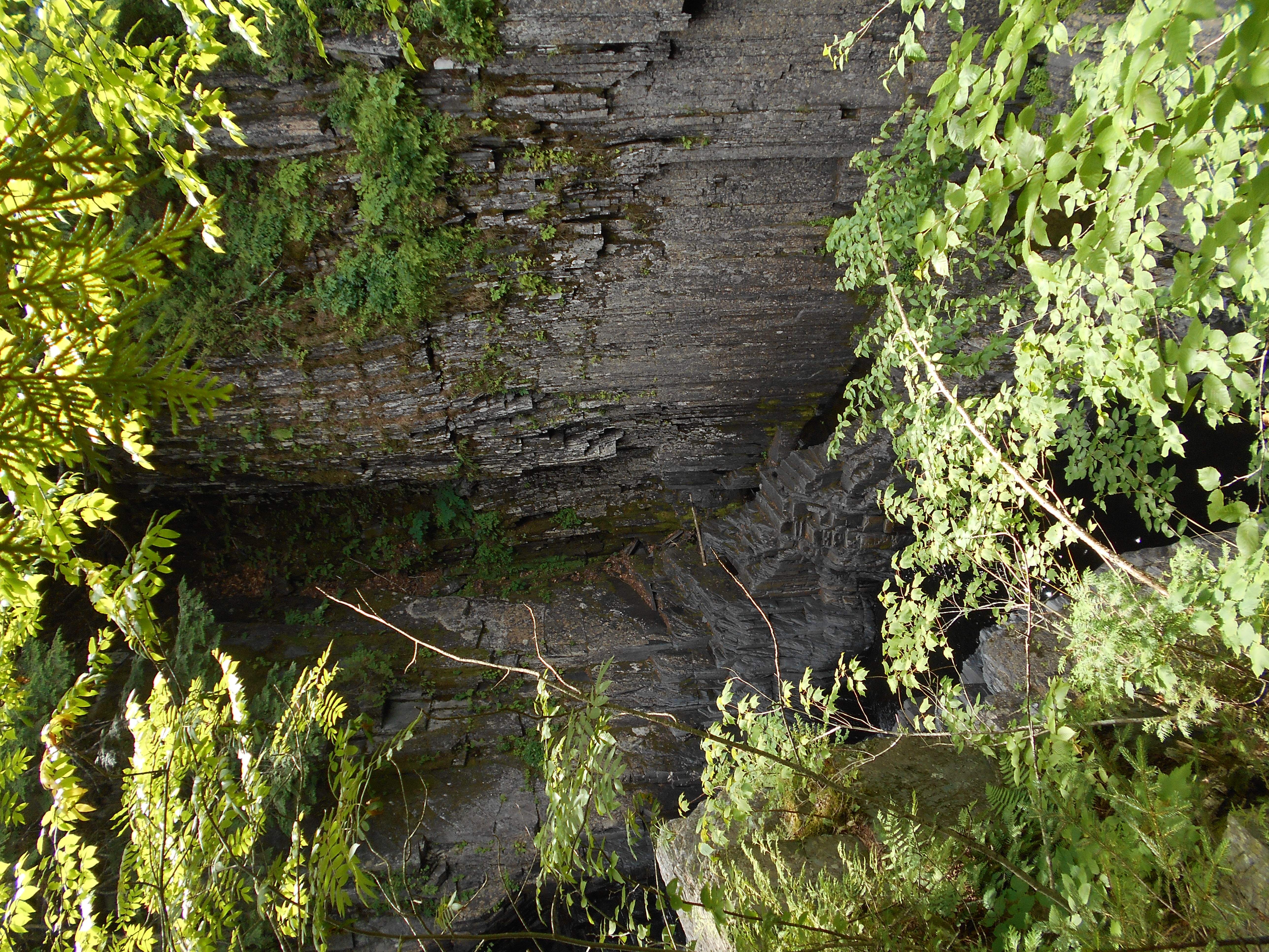
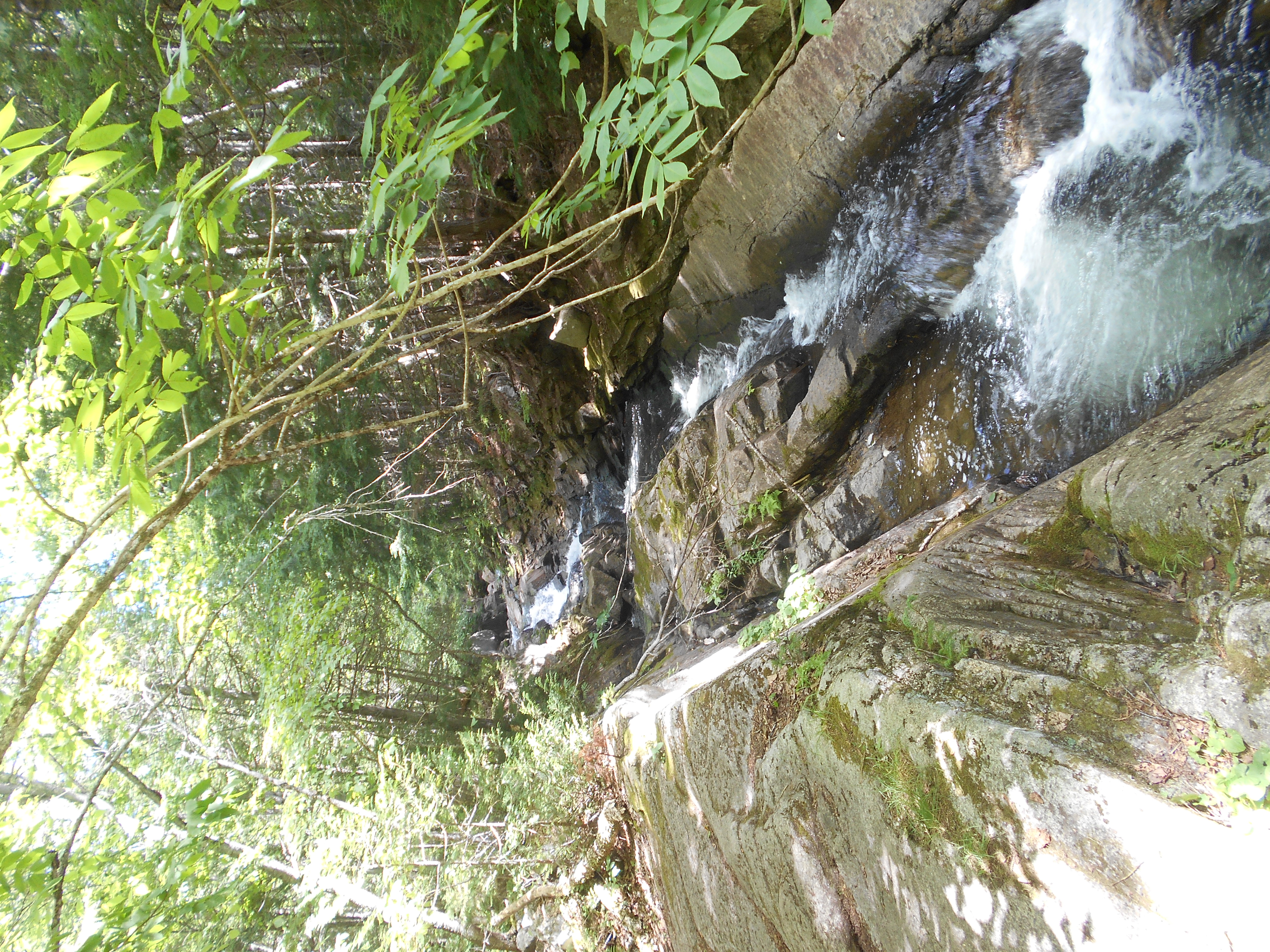
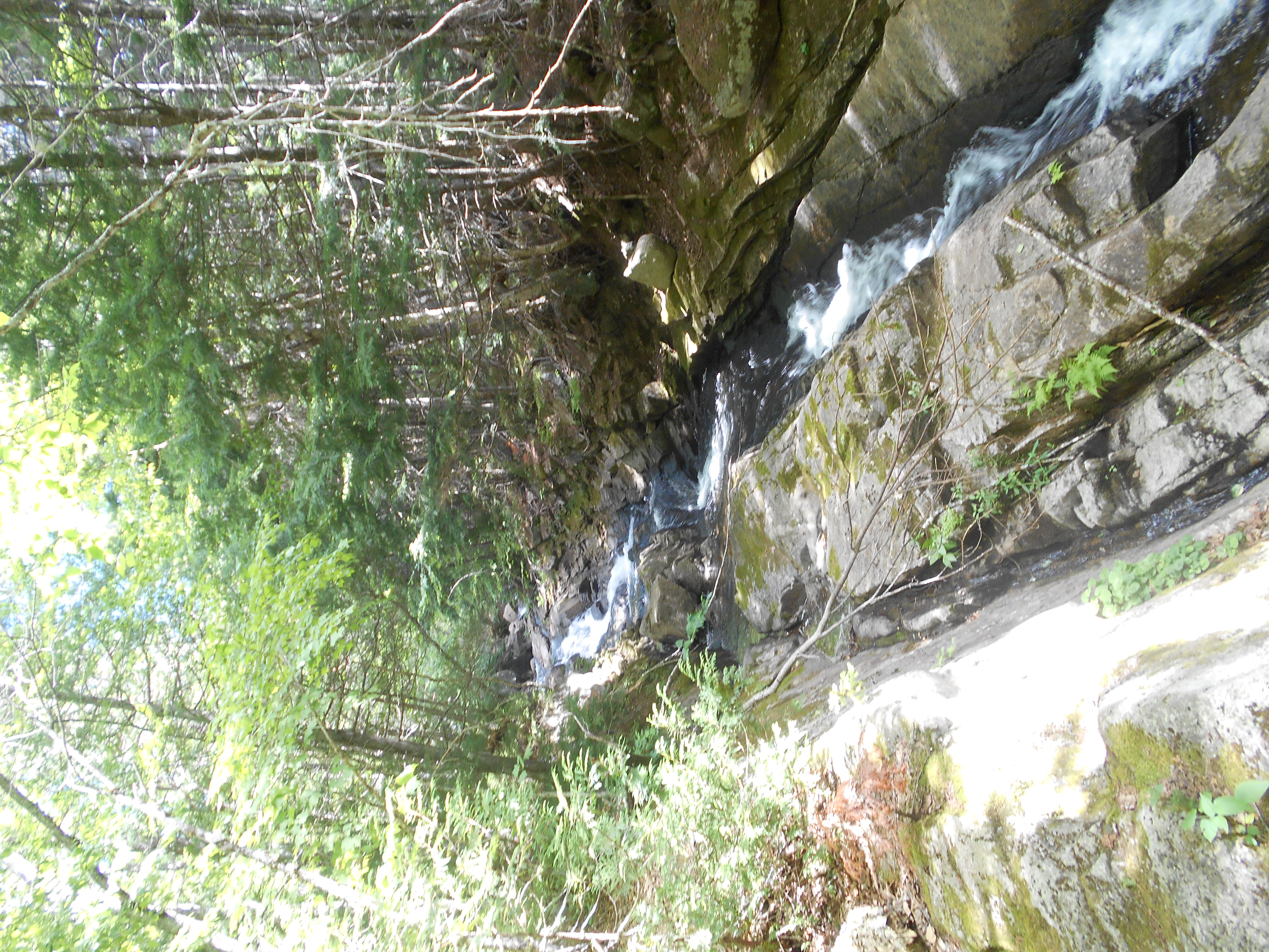
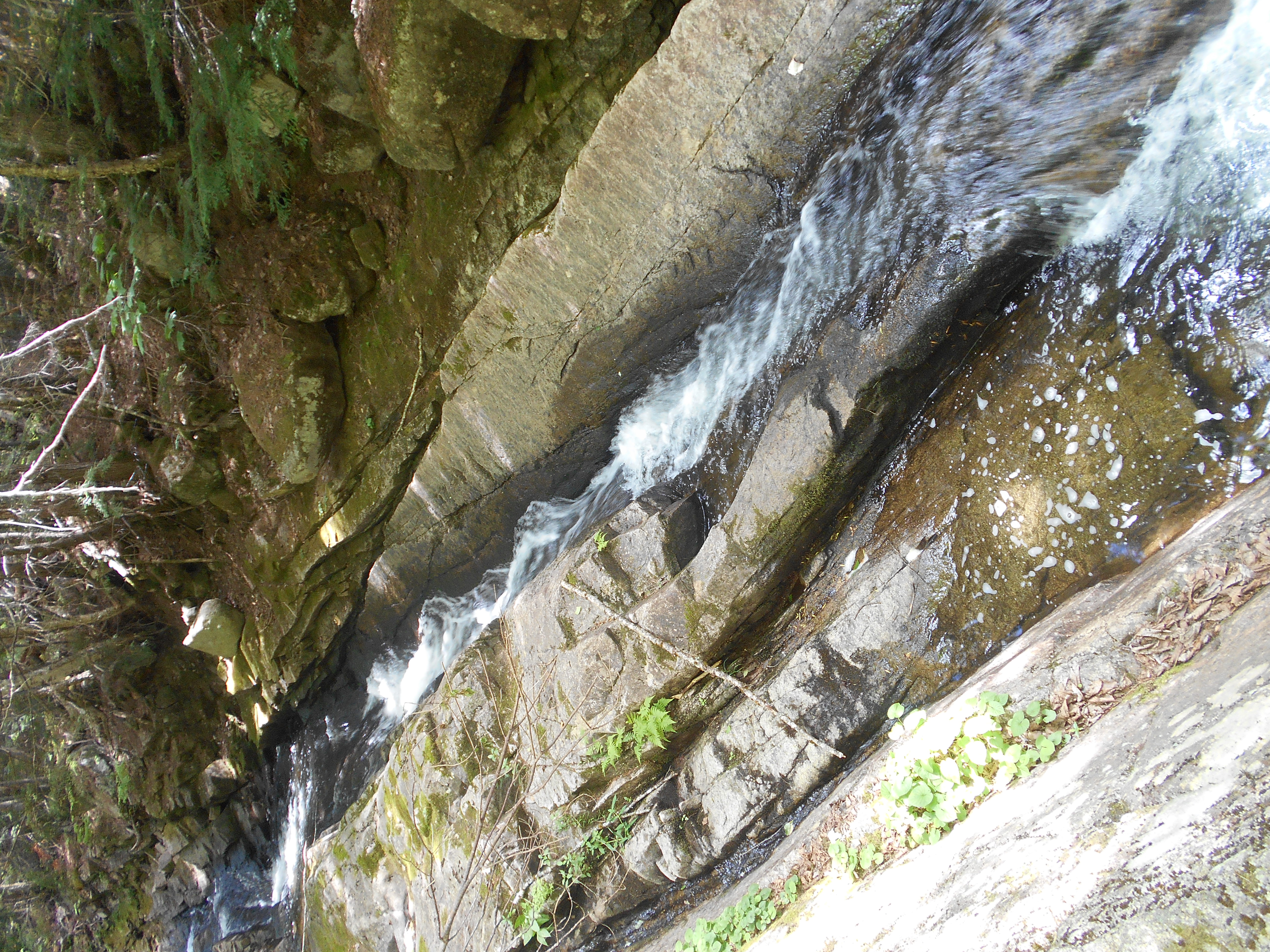
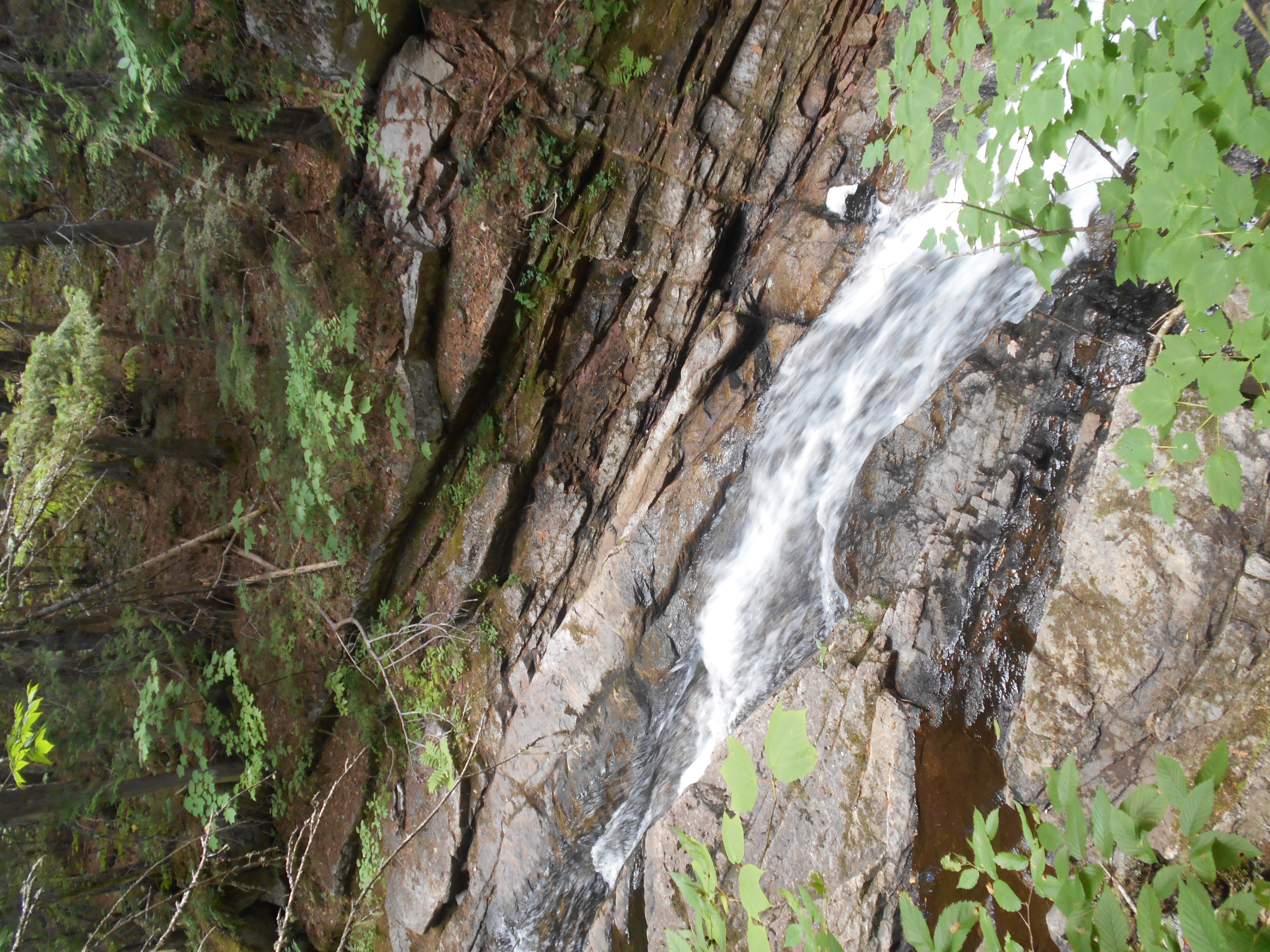
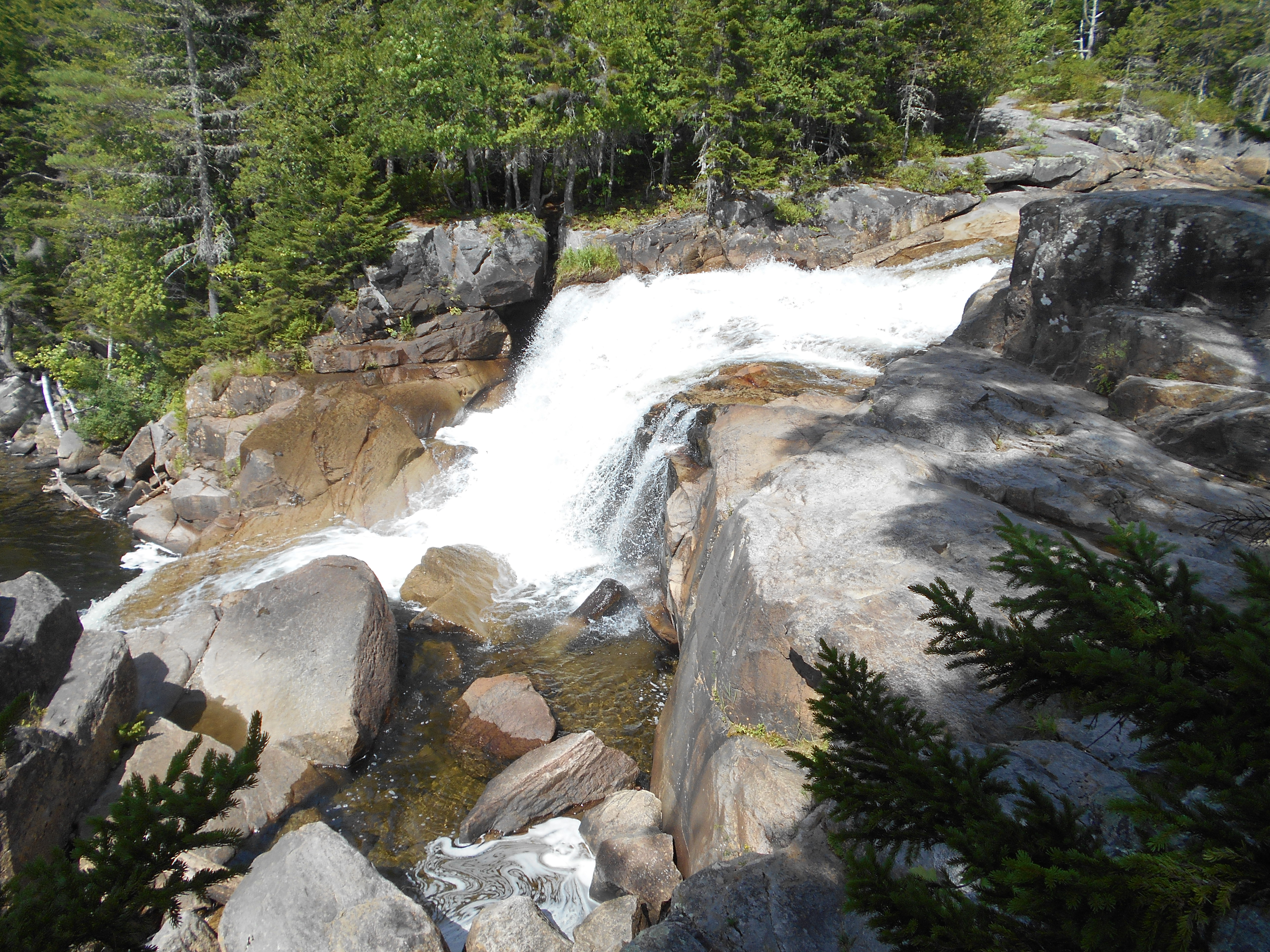
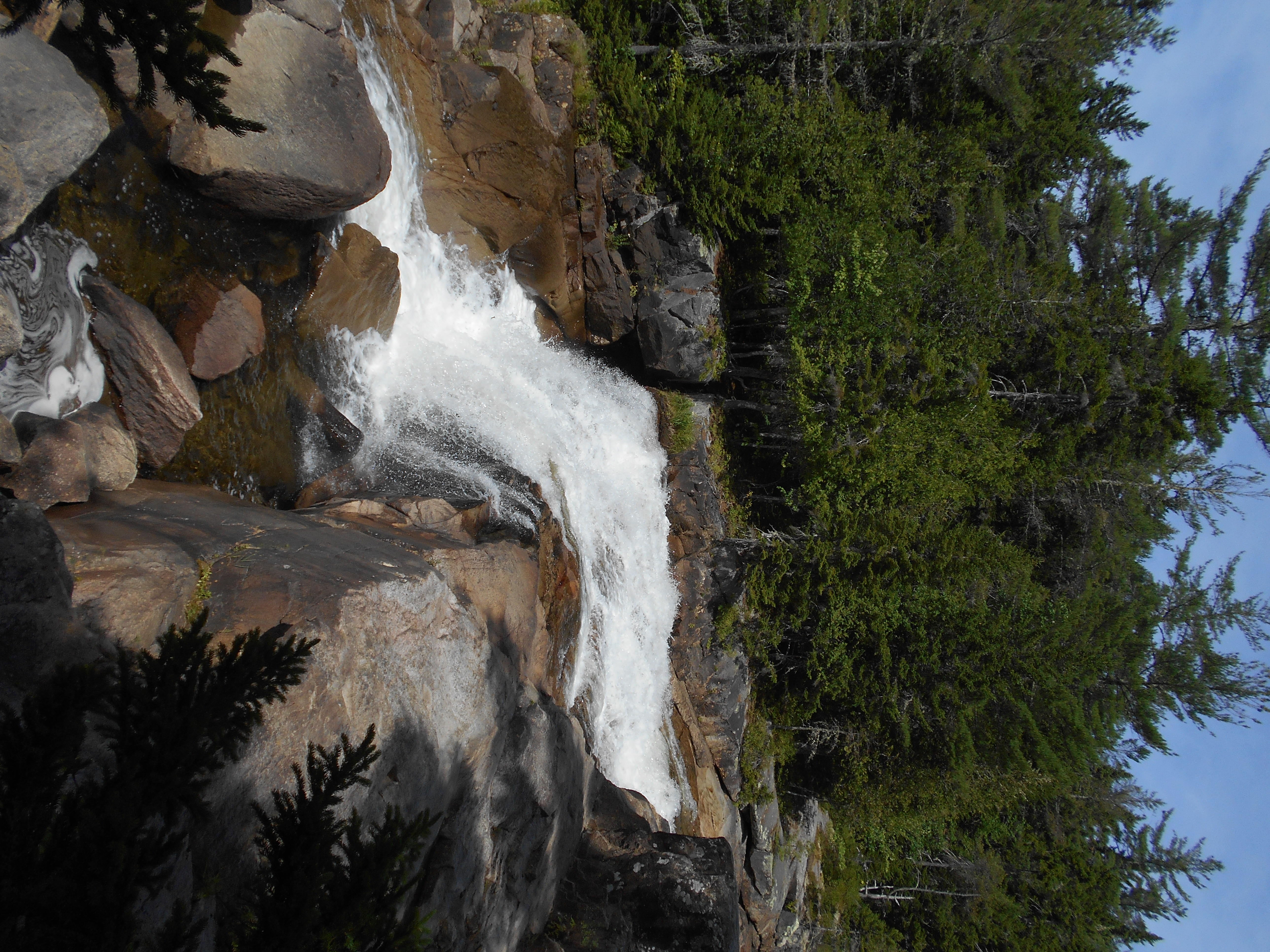
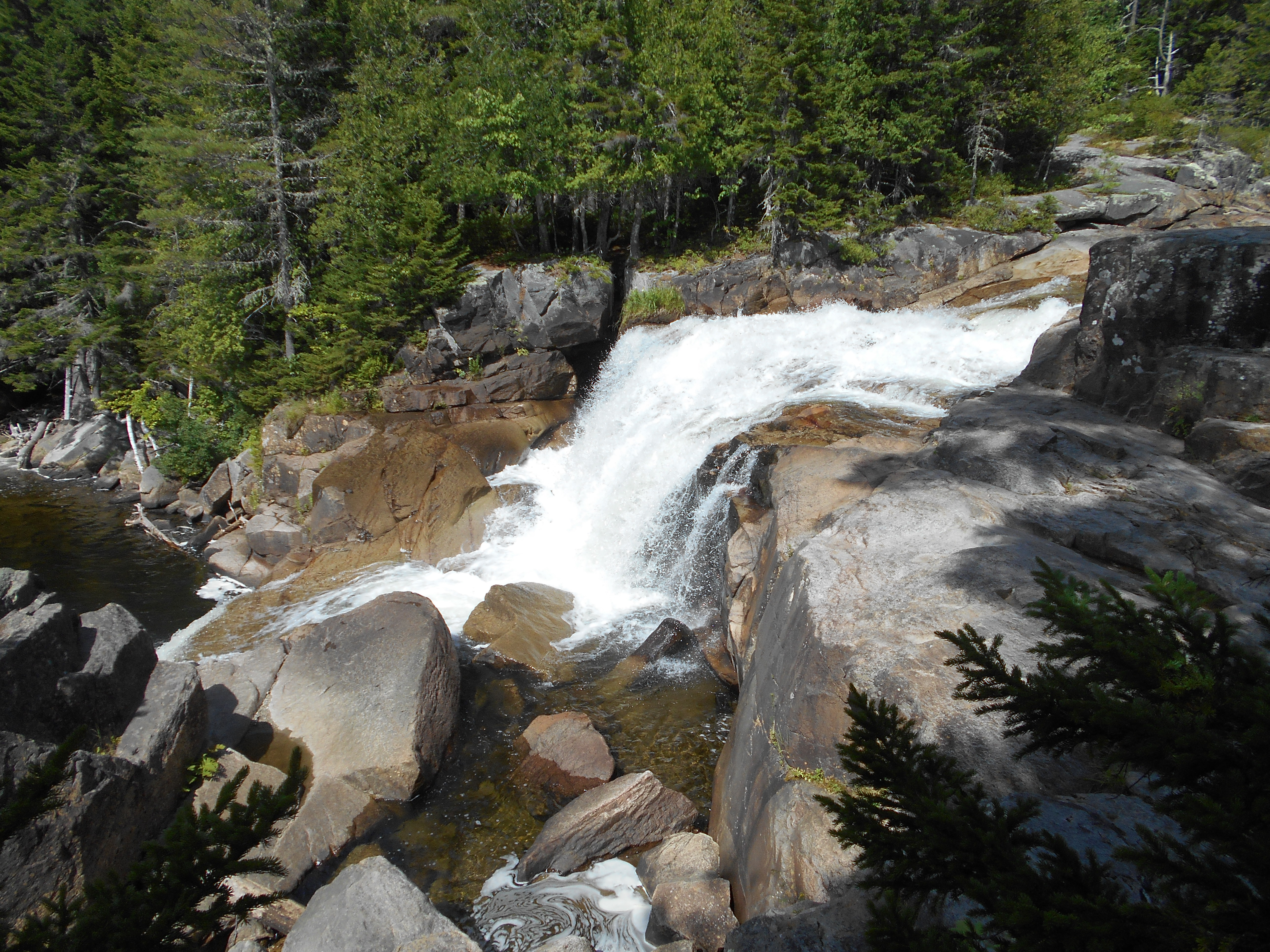
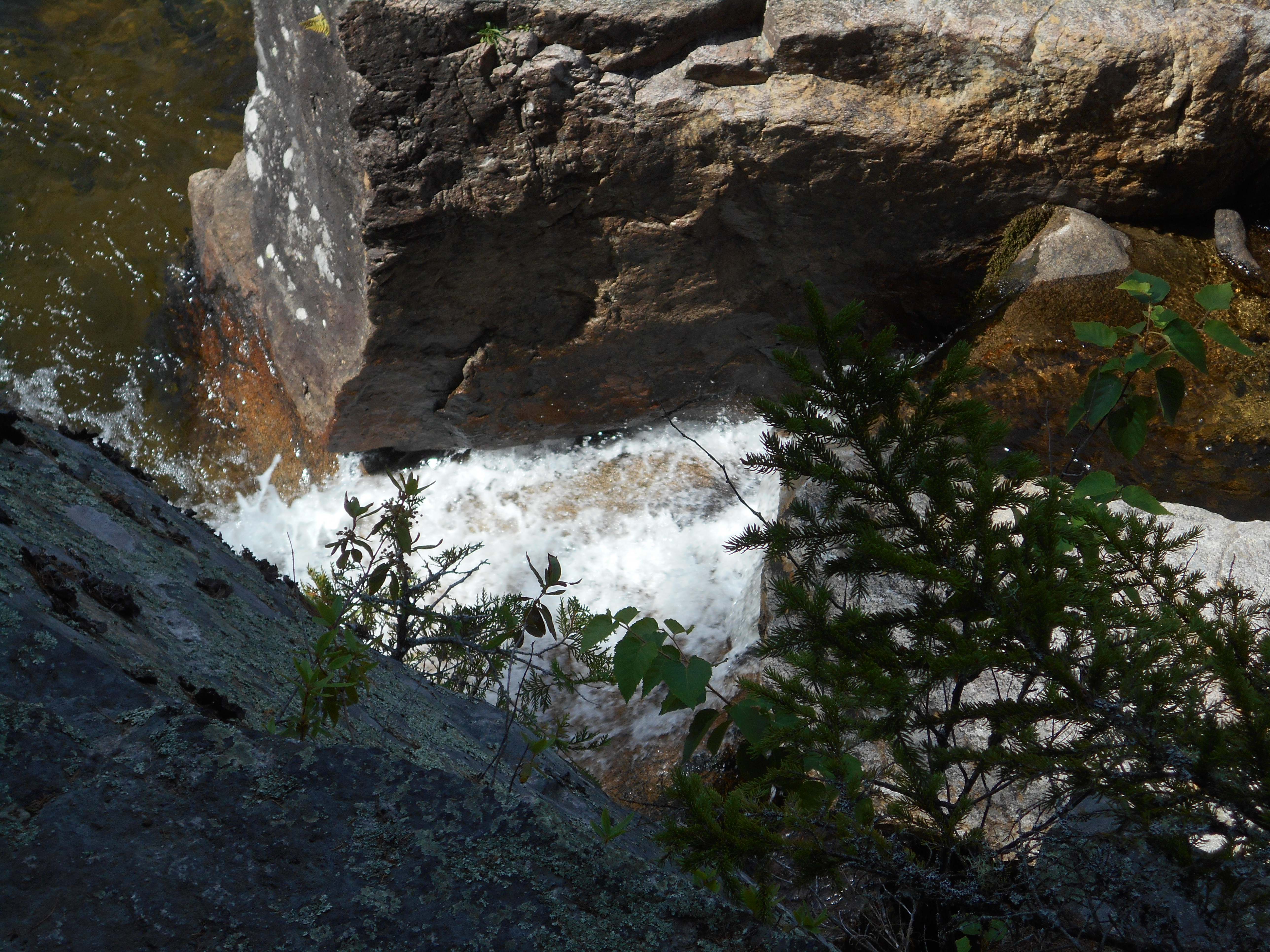
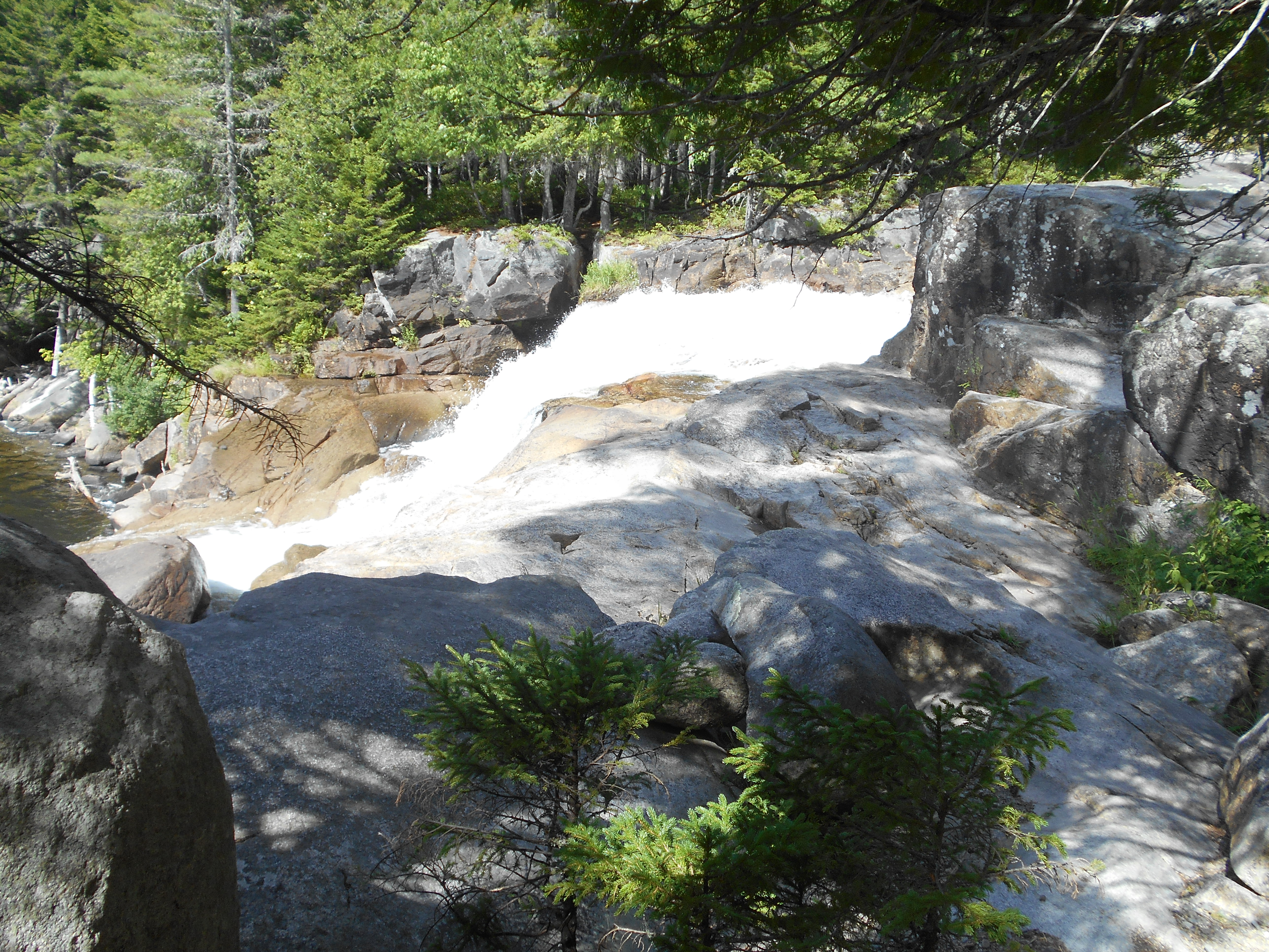
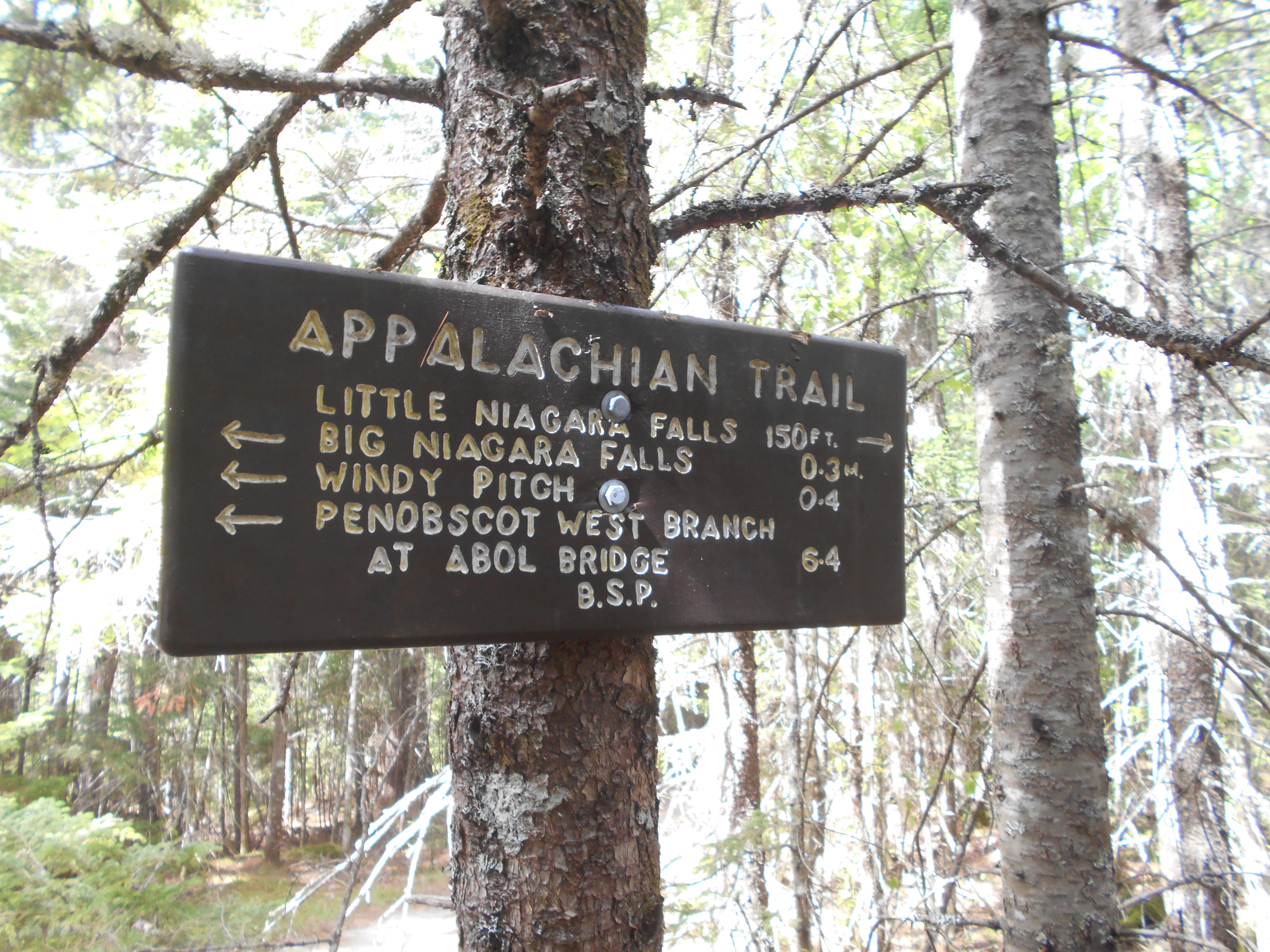
Little Wilson Falls (850')?60 ft. high
850
2081.4
Little Wilson Stream (750')?ford
750
2081.8
Gravel Road (900')?follow for 100 yds.
900
2083.7
Big Wilson Tote Road (620')
620
2083.8
Thompson Brook (620')
620
2084.3
Big Wilson Stream (600')?ford
600
2084.6
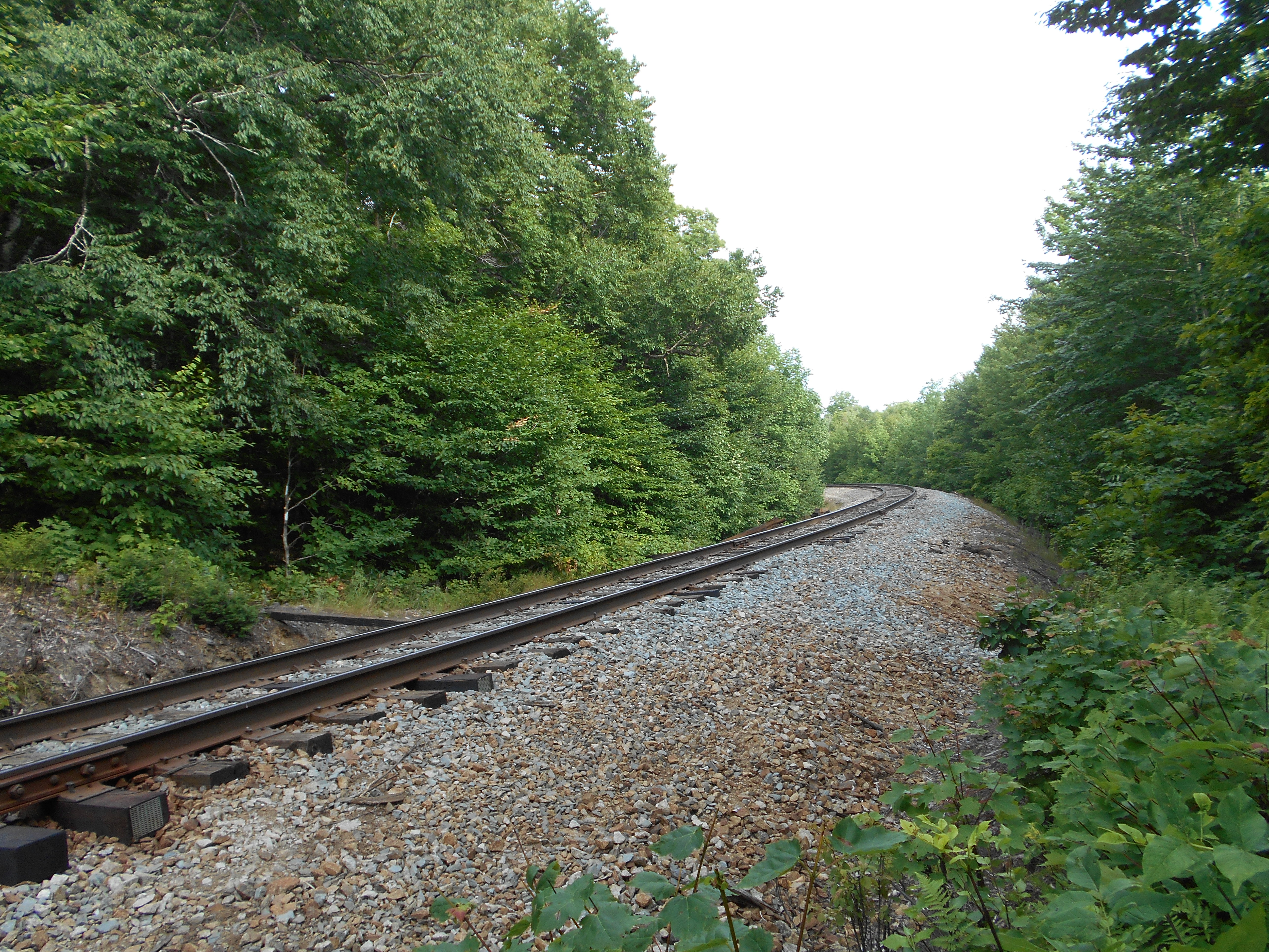
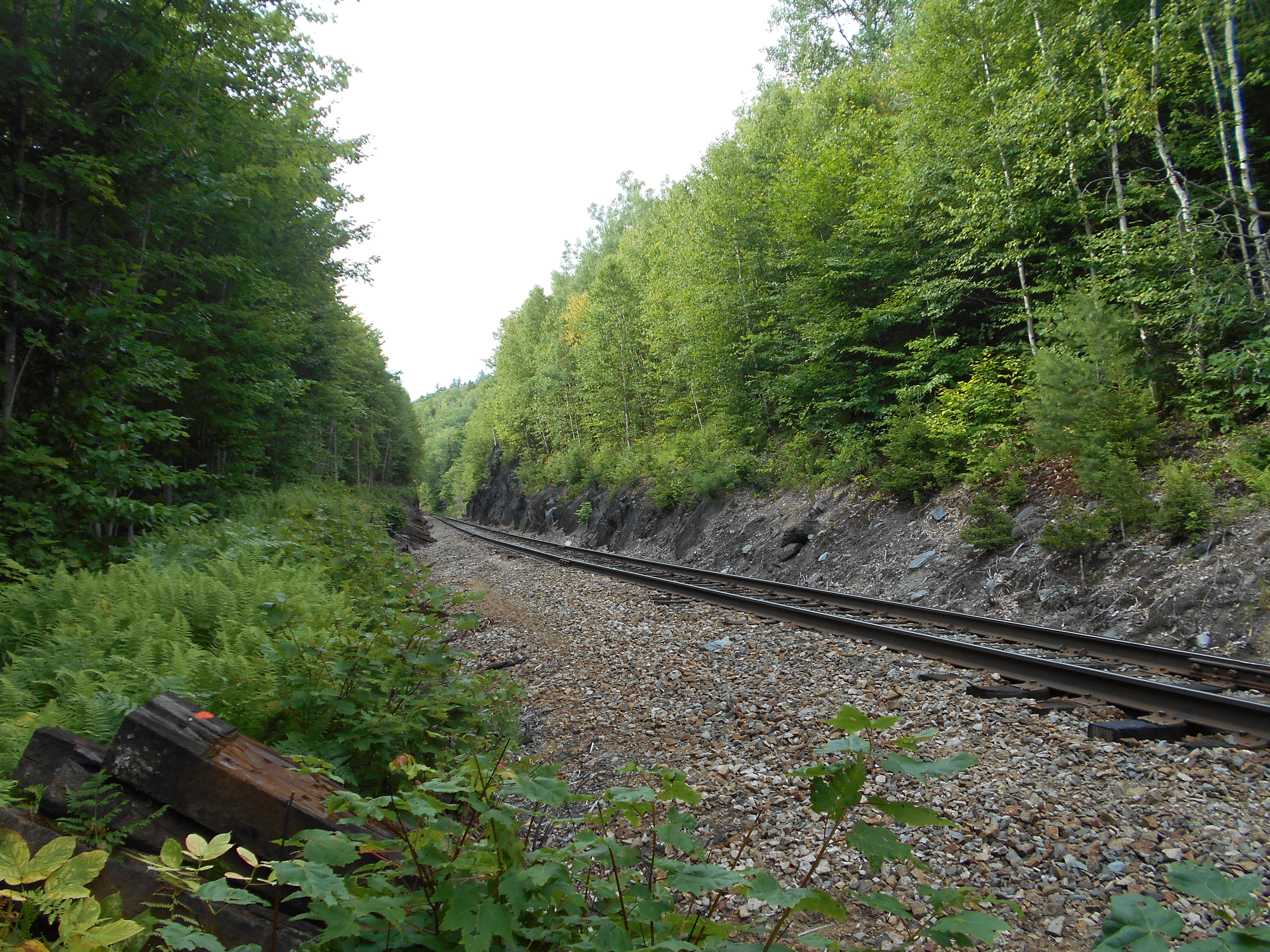
Montreal, Maine & Atlantic RR Tracks (850')
850
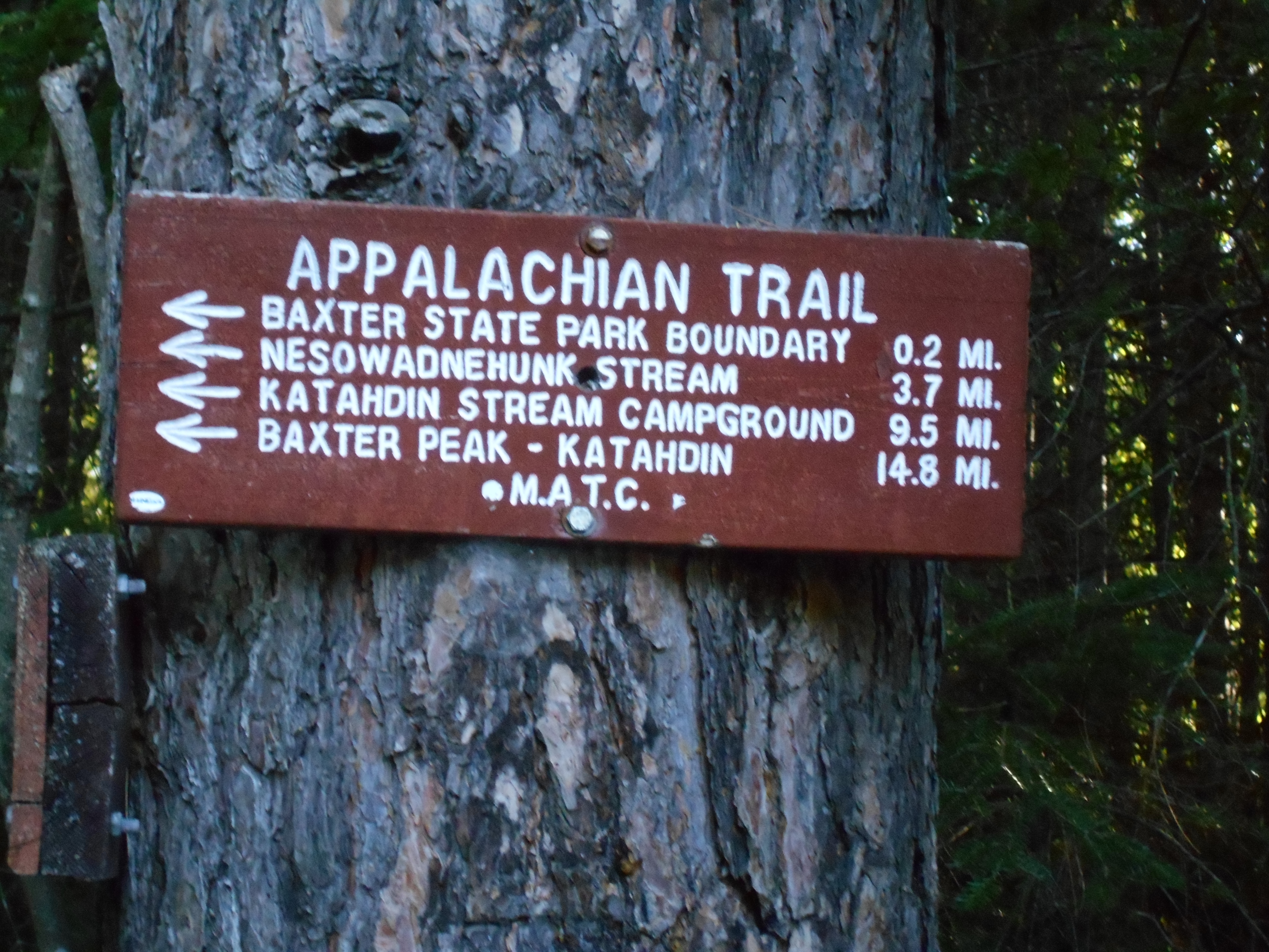
2085
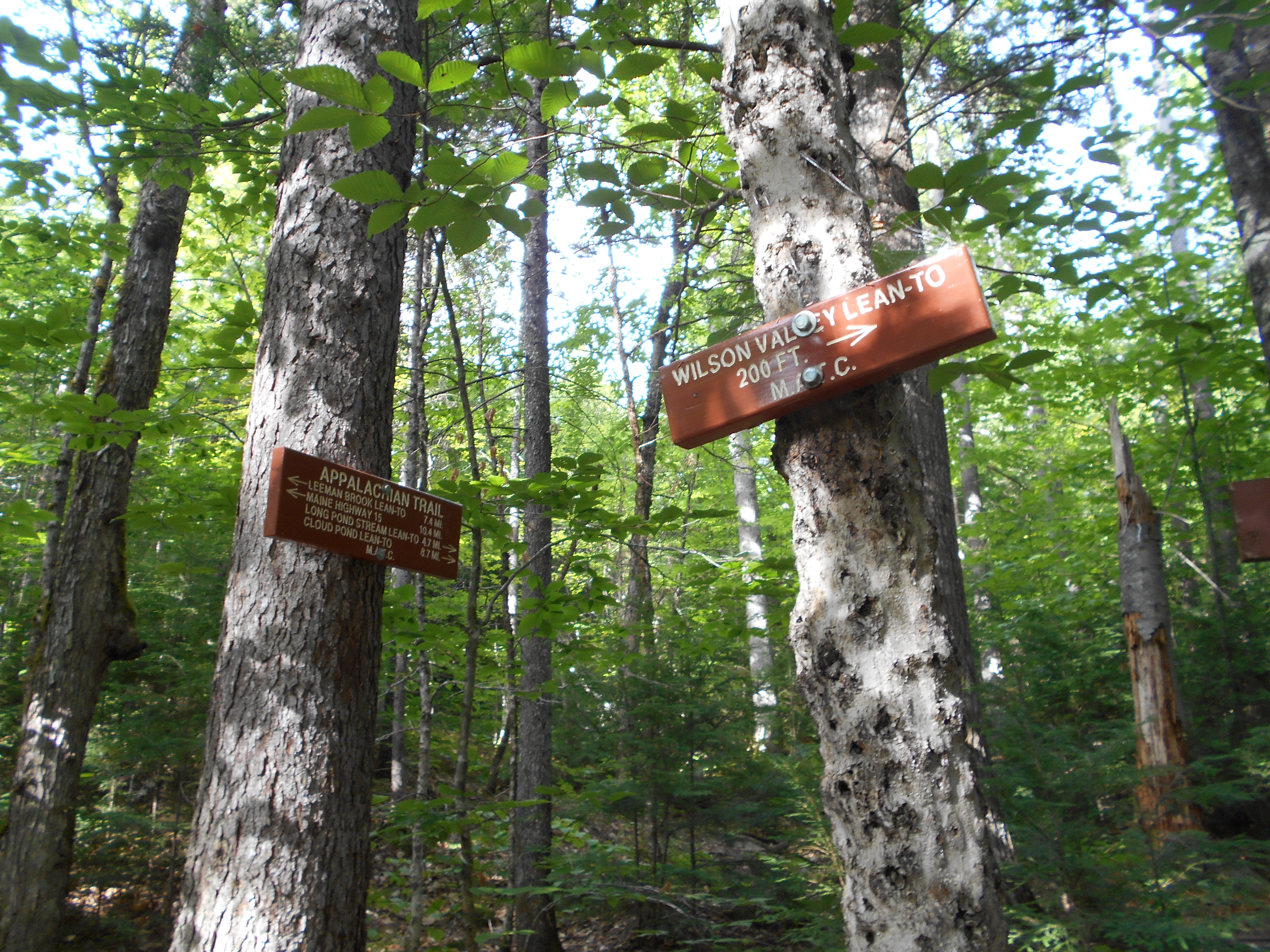
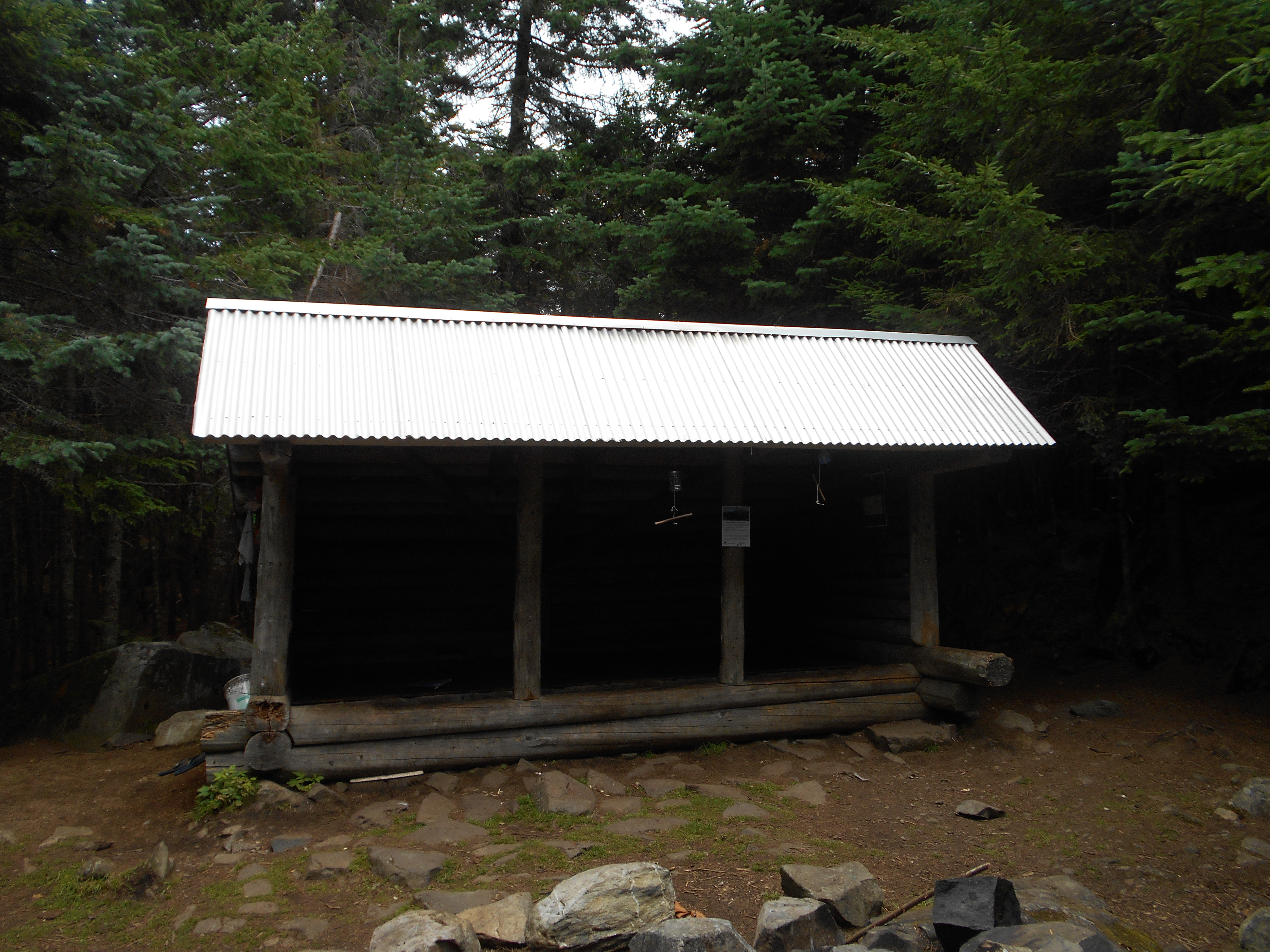
Wilson Valley Lean-to (1,000')?7.4mS; 4.7mN
1000
7:45pm
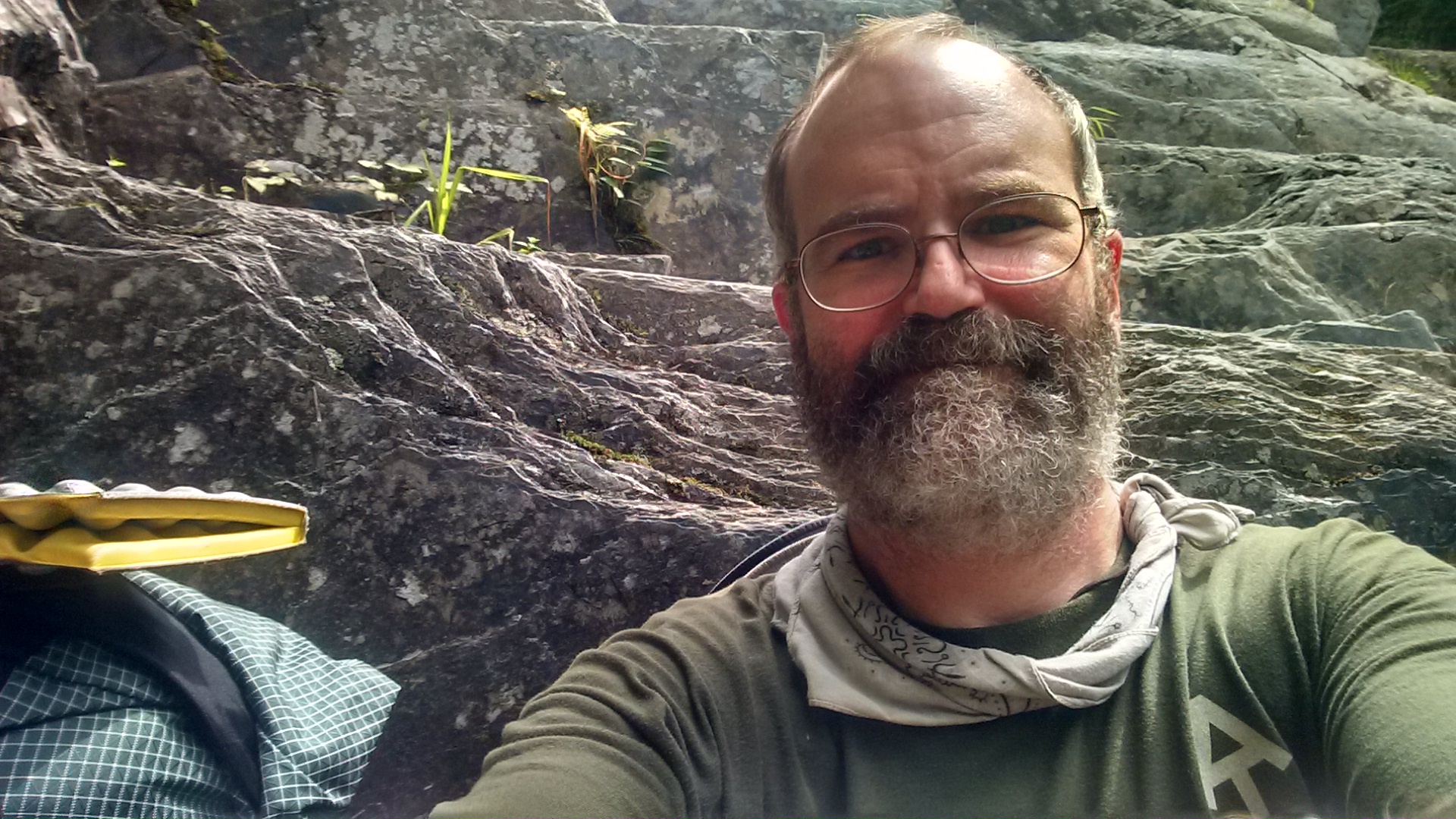
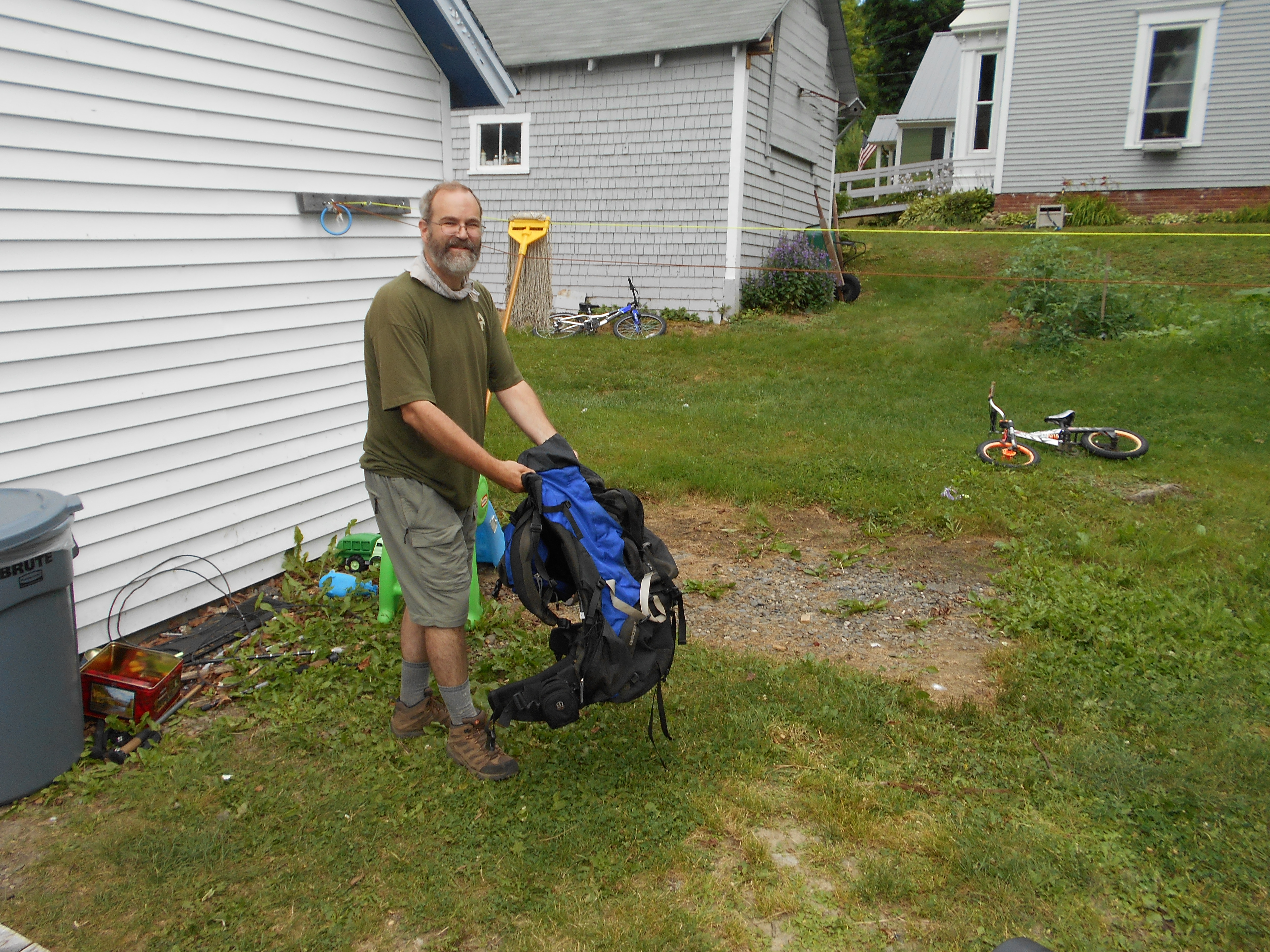
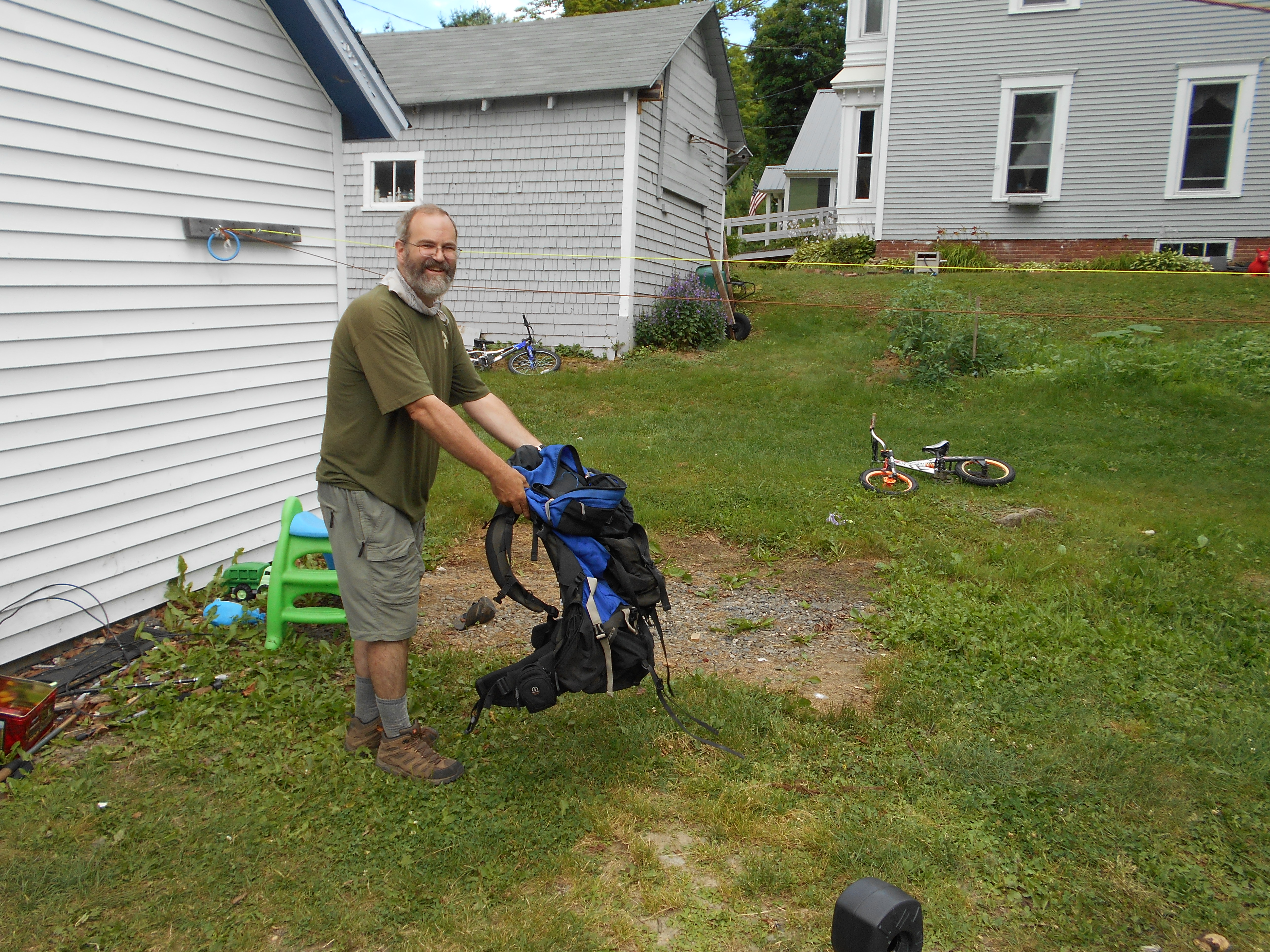
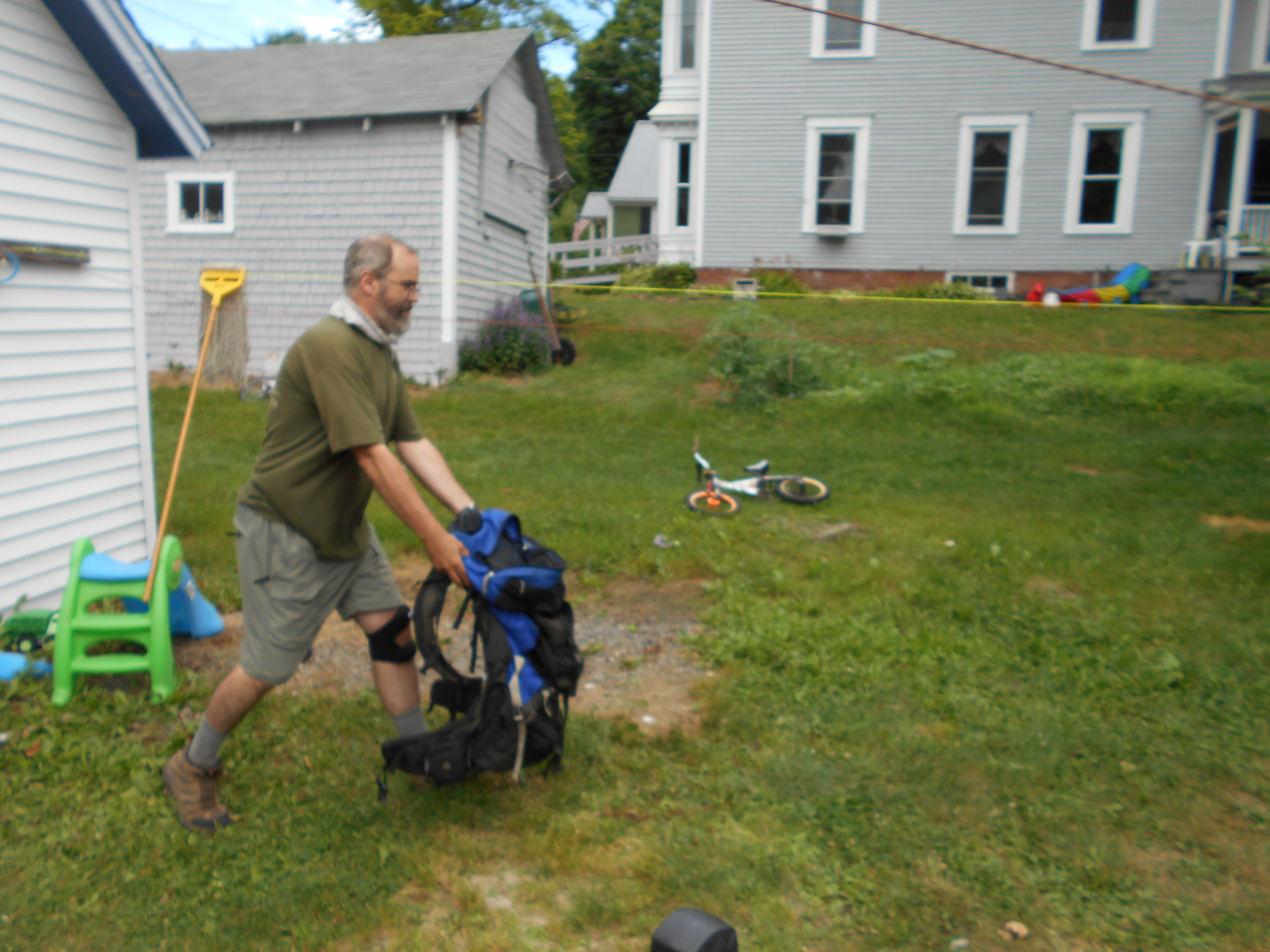
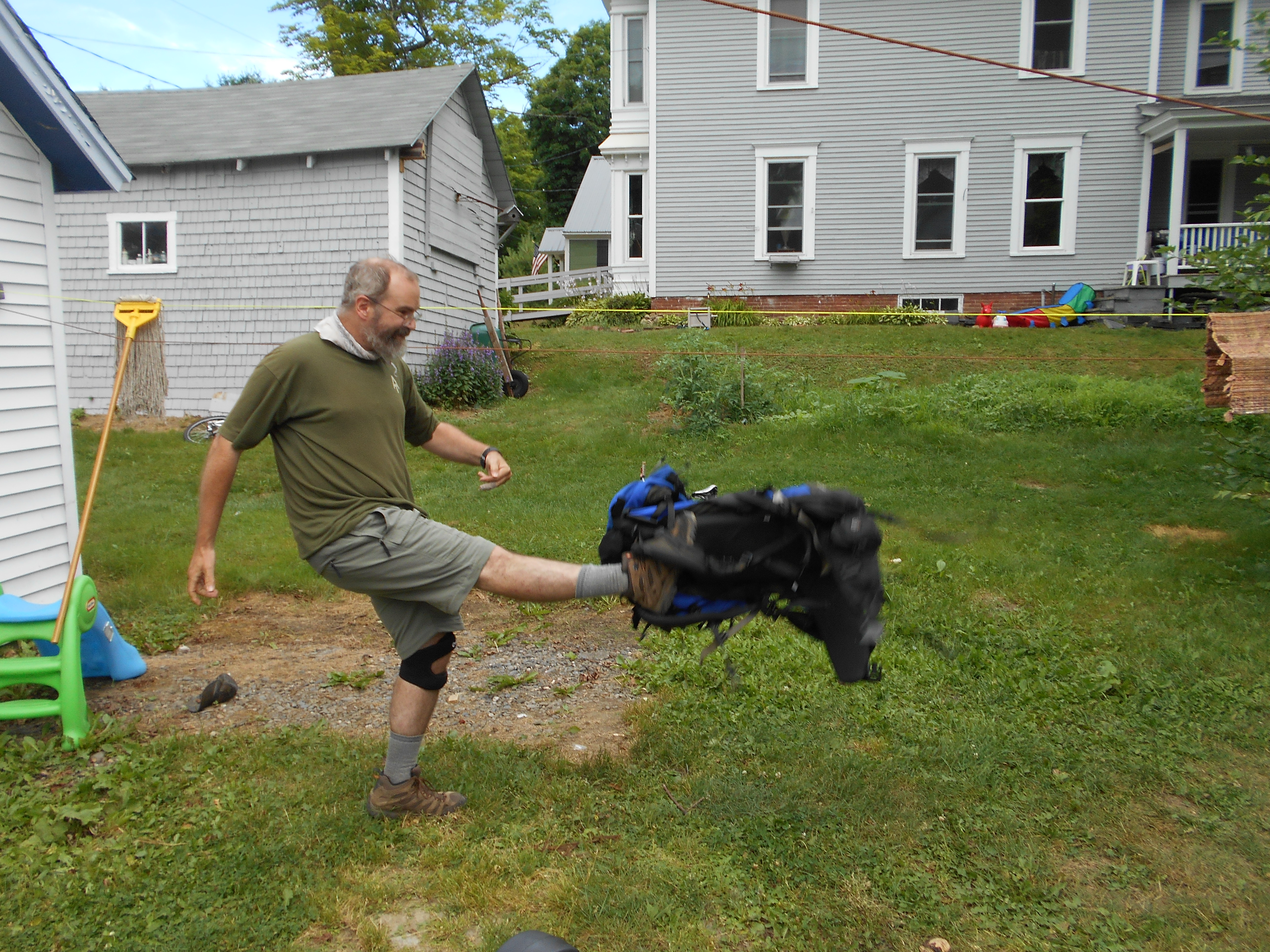
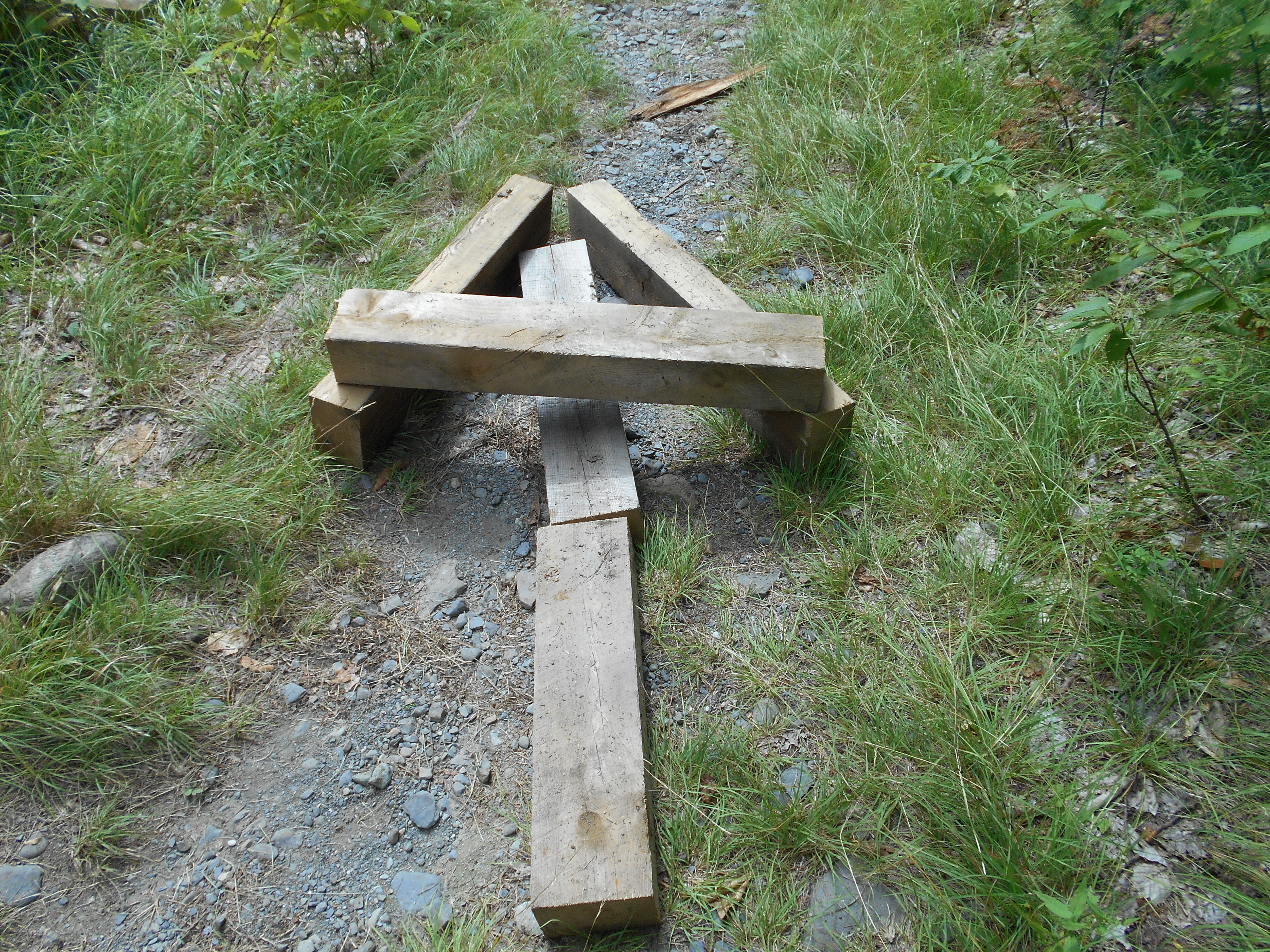
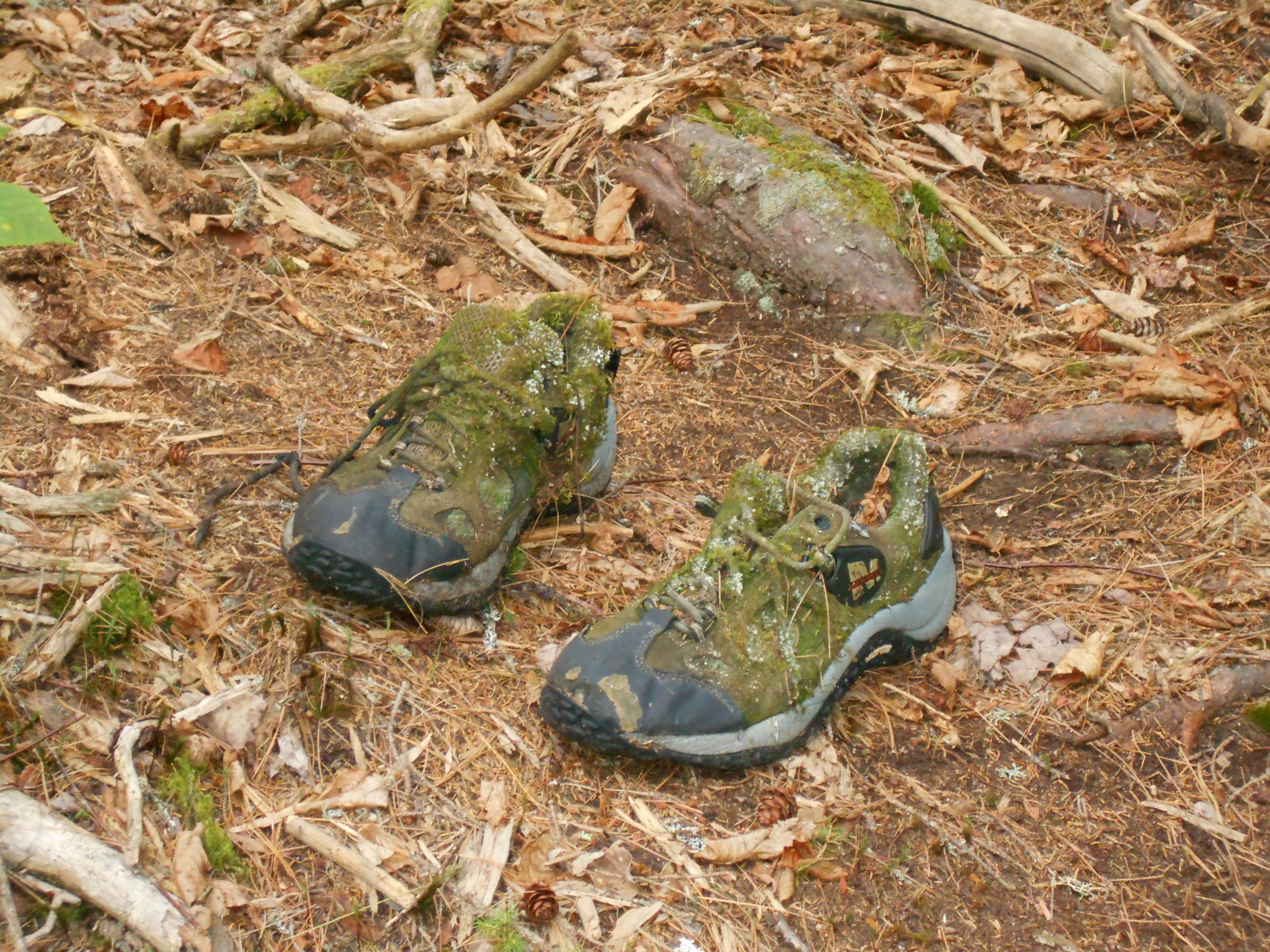
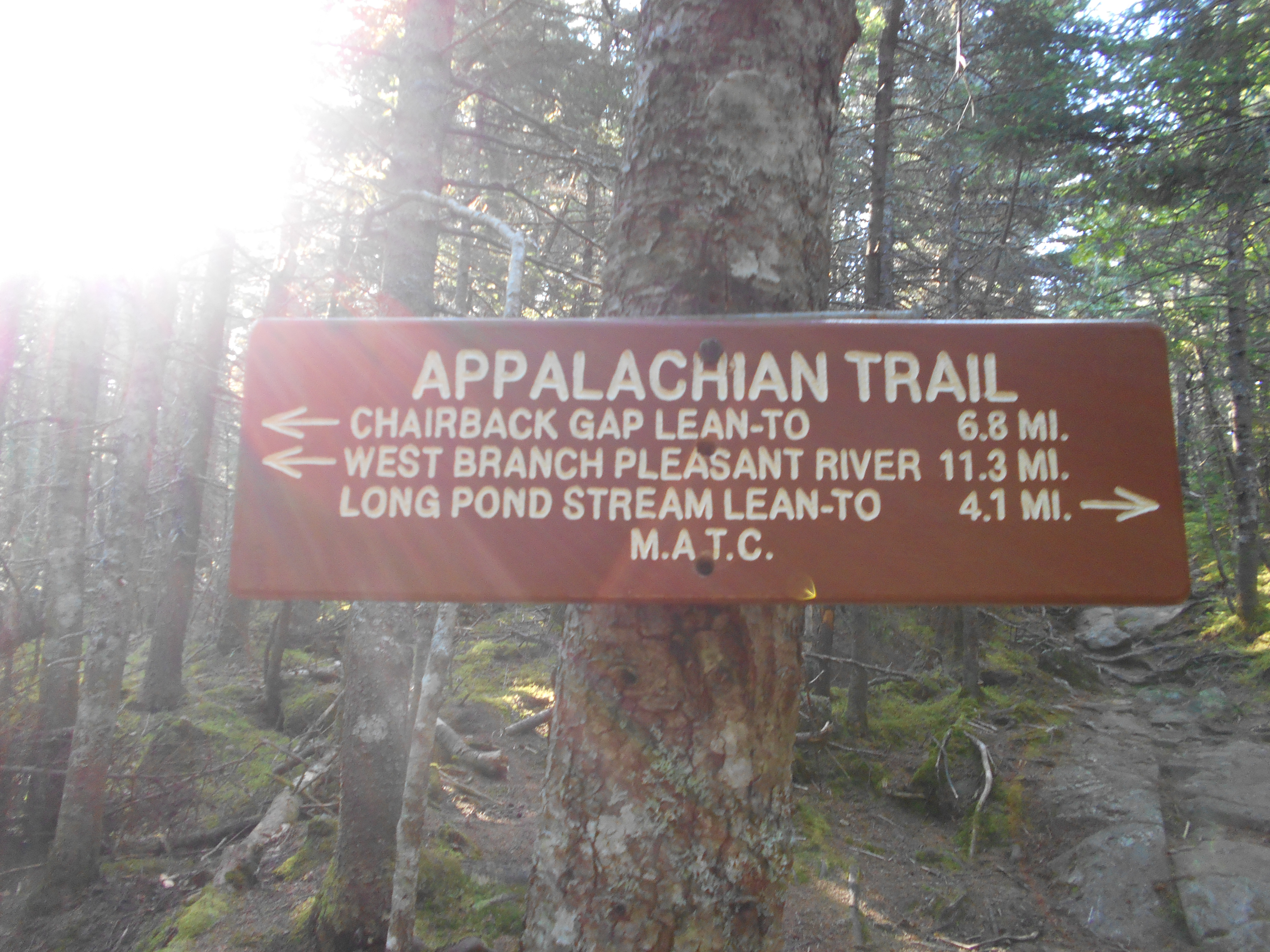
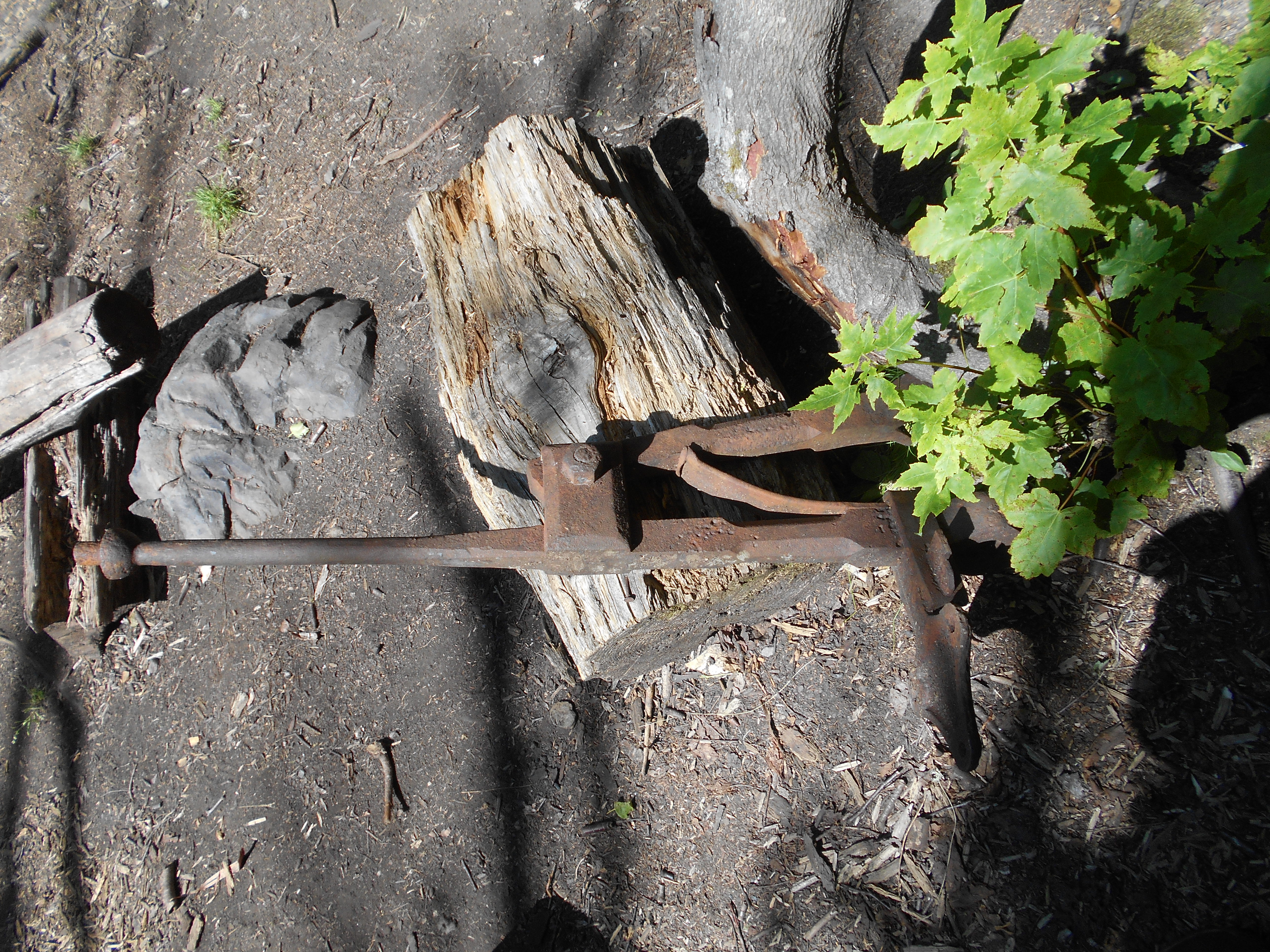
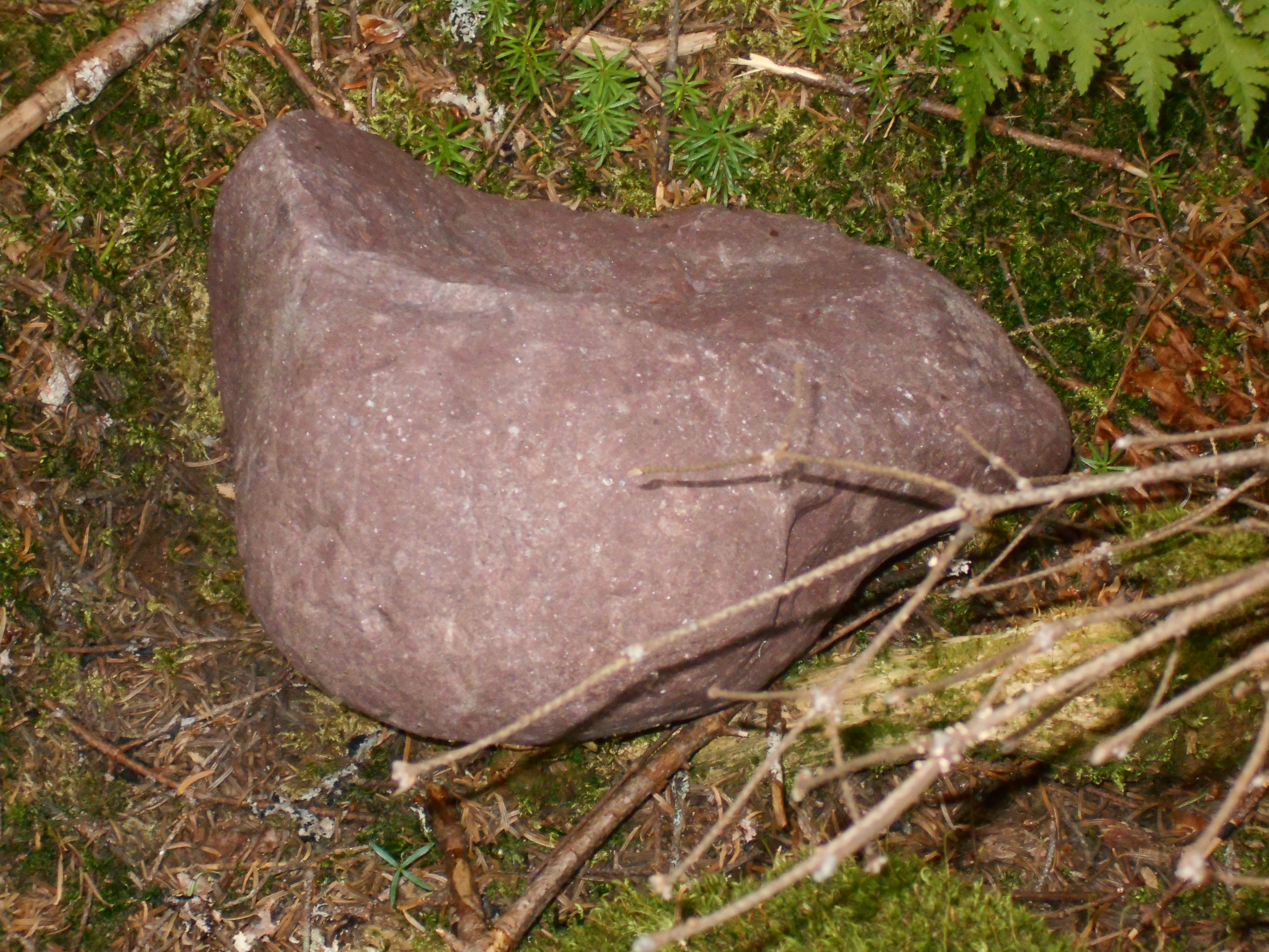
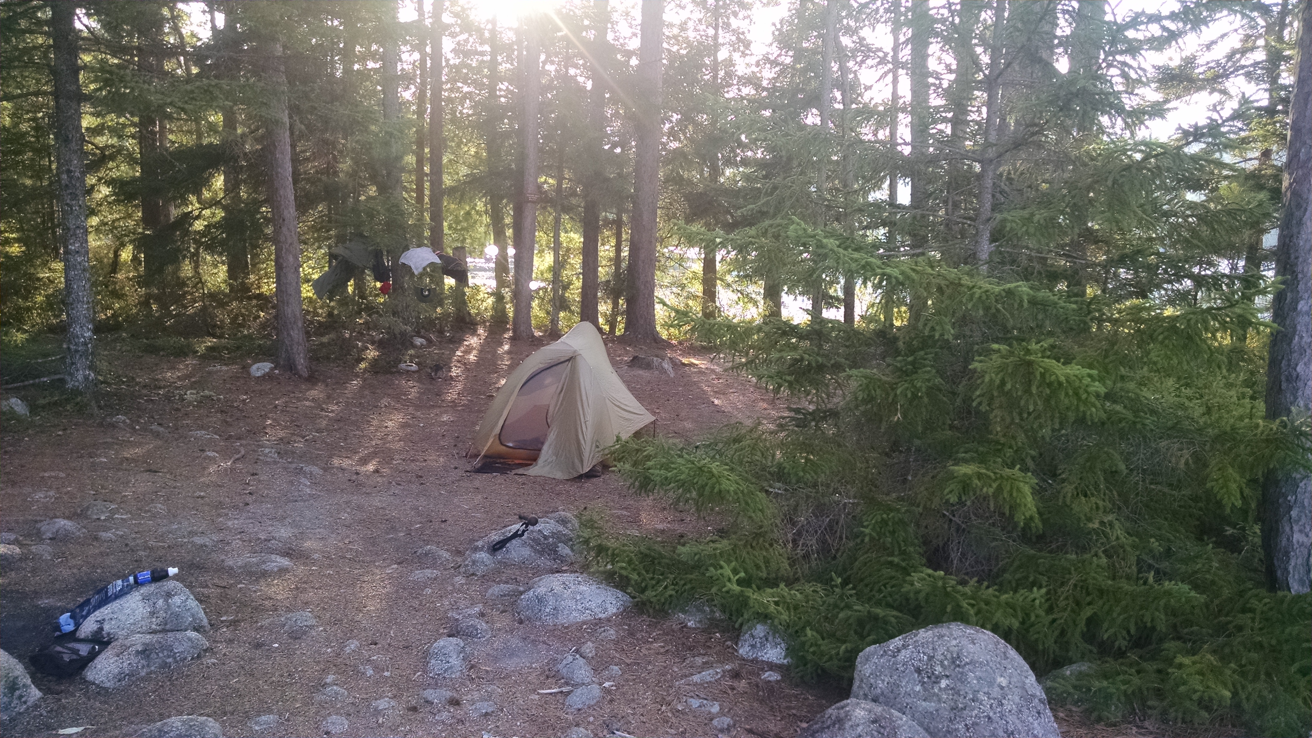
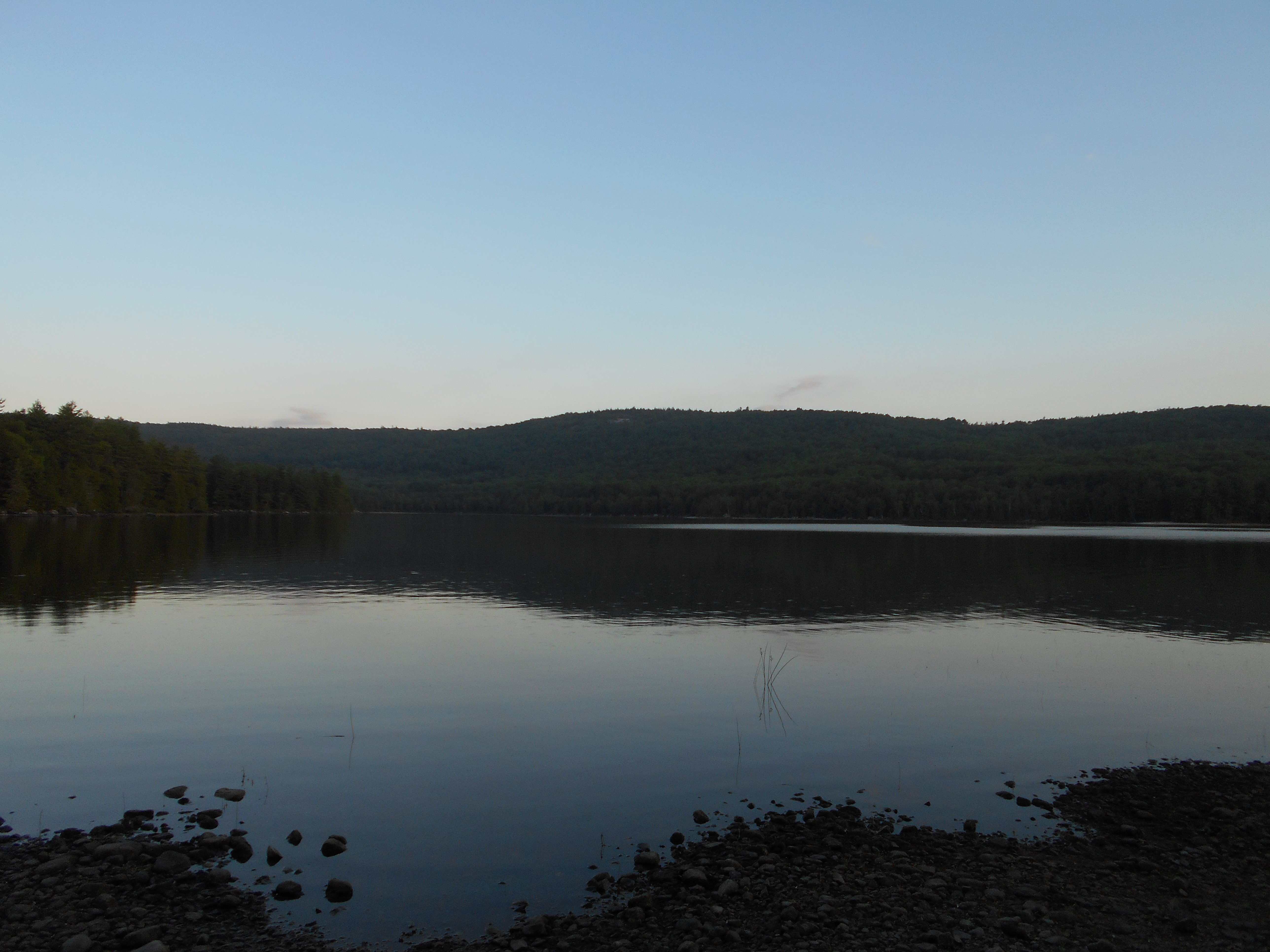
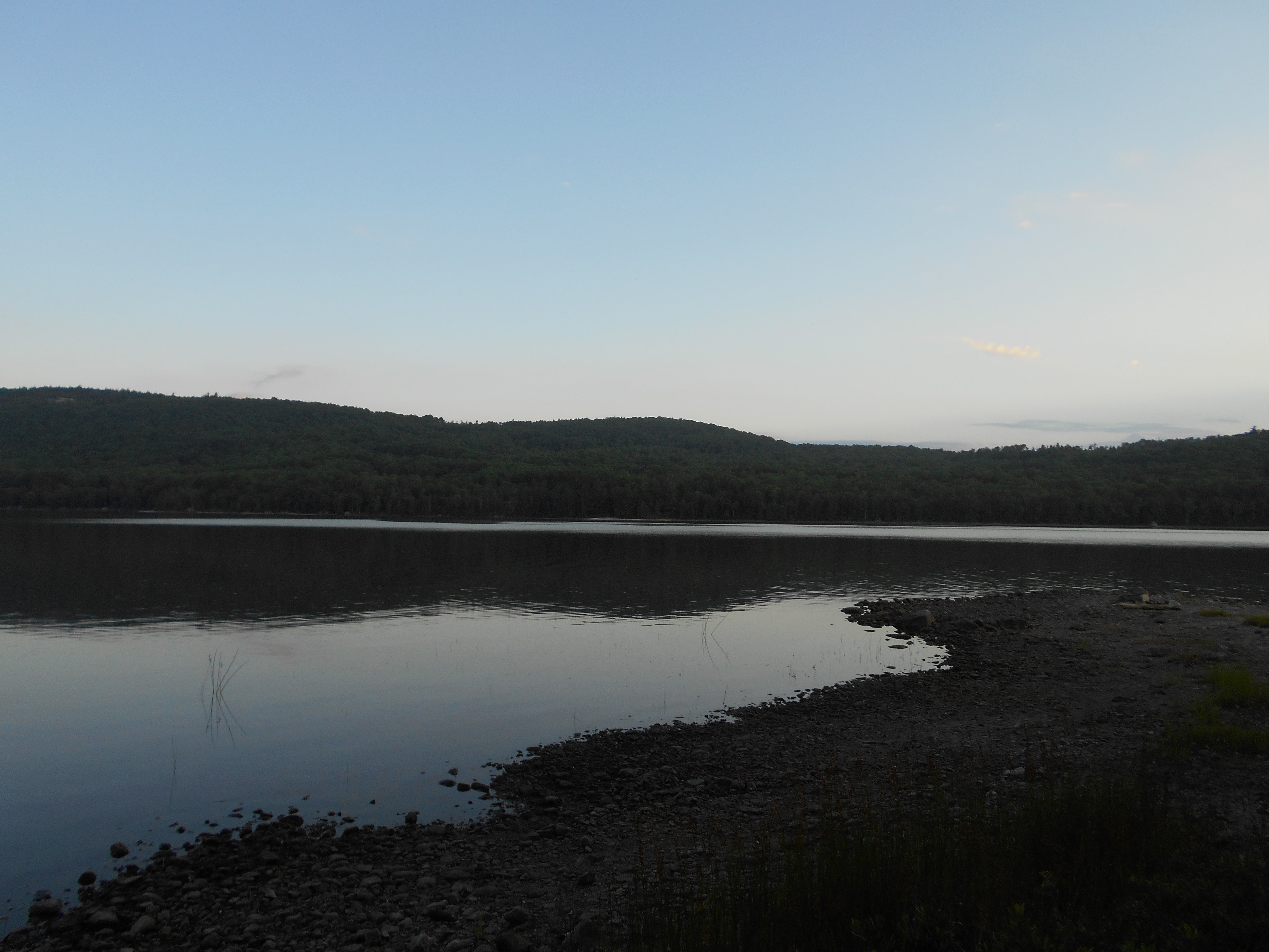
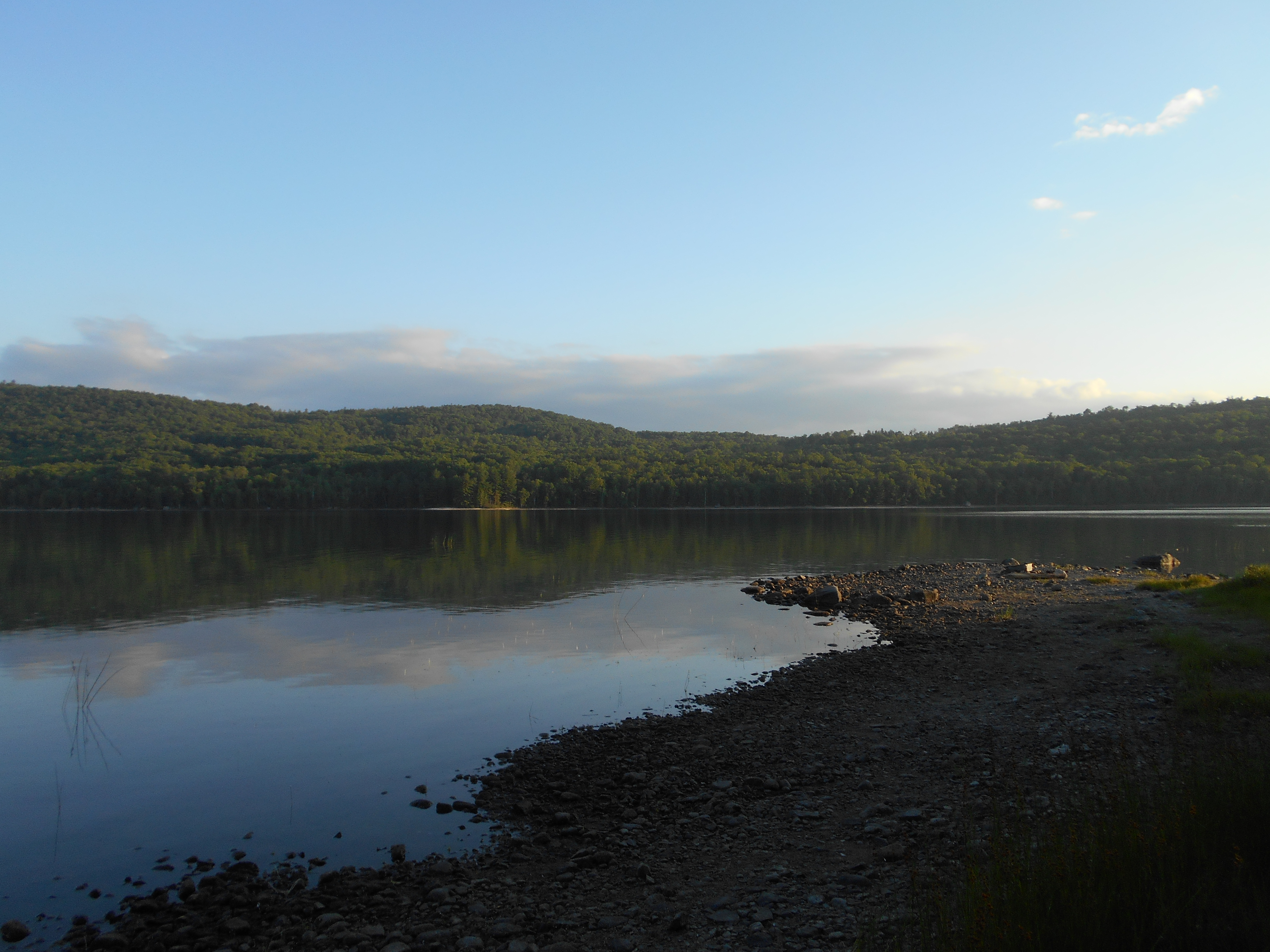
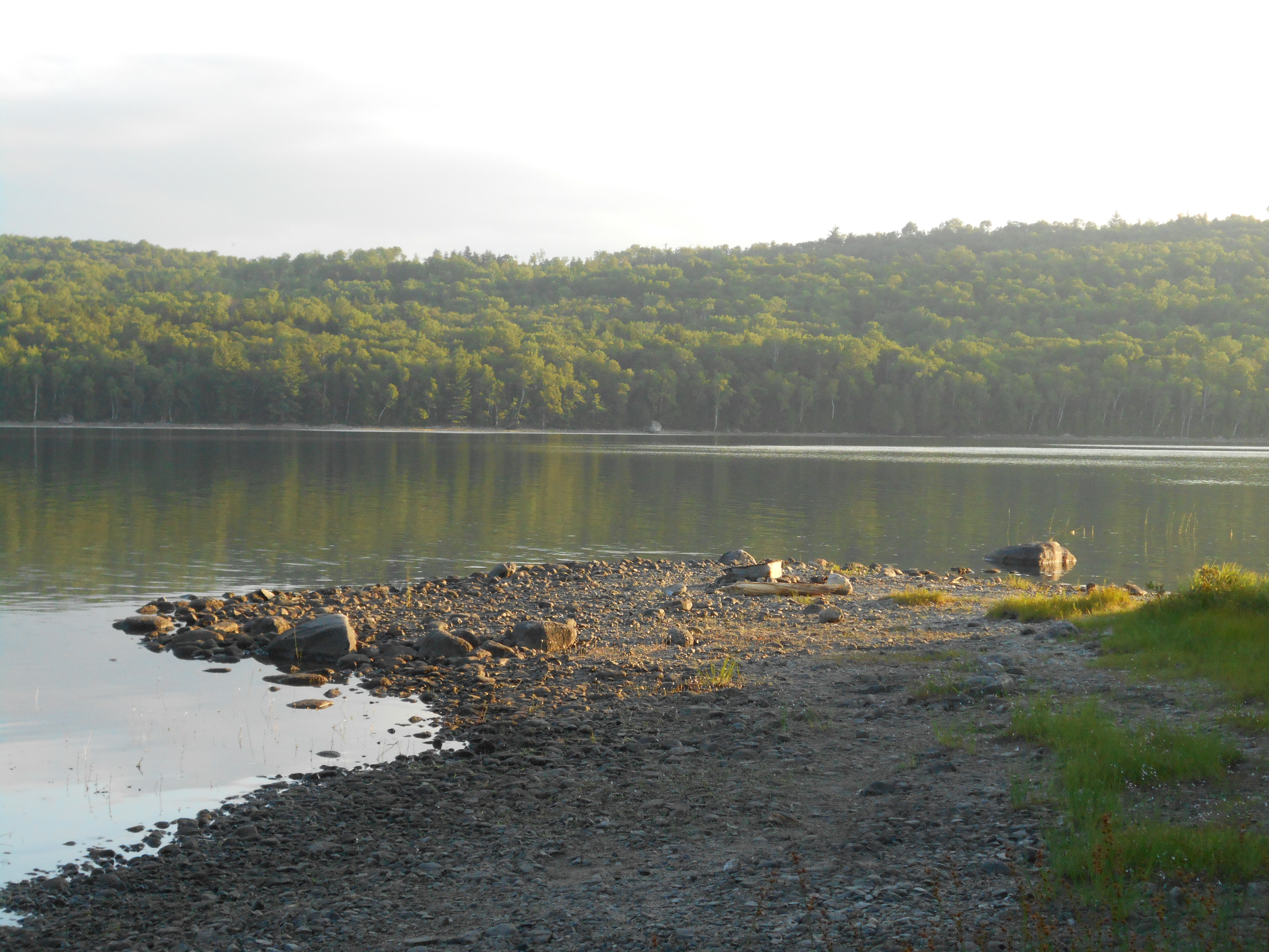
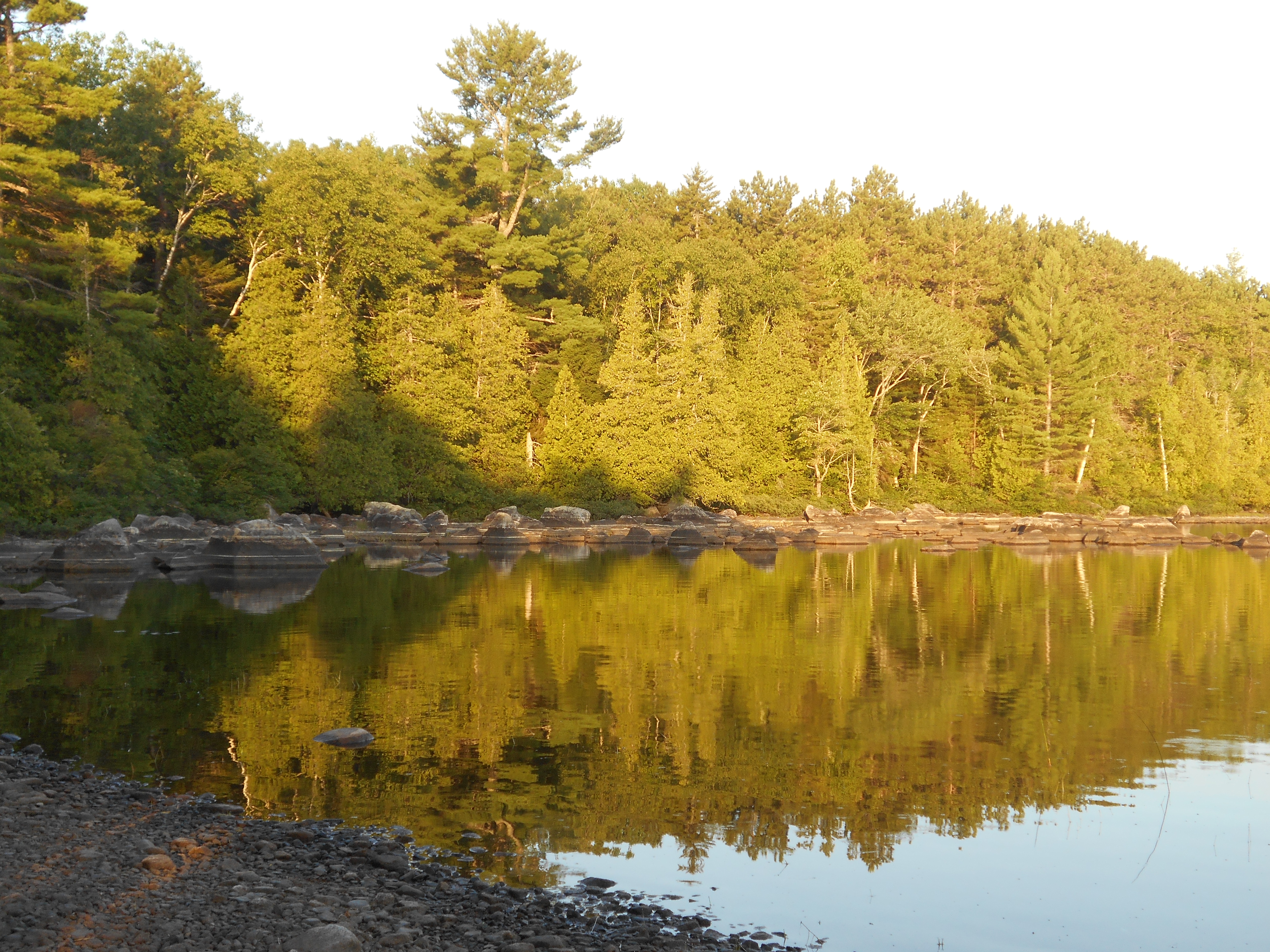
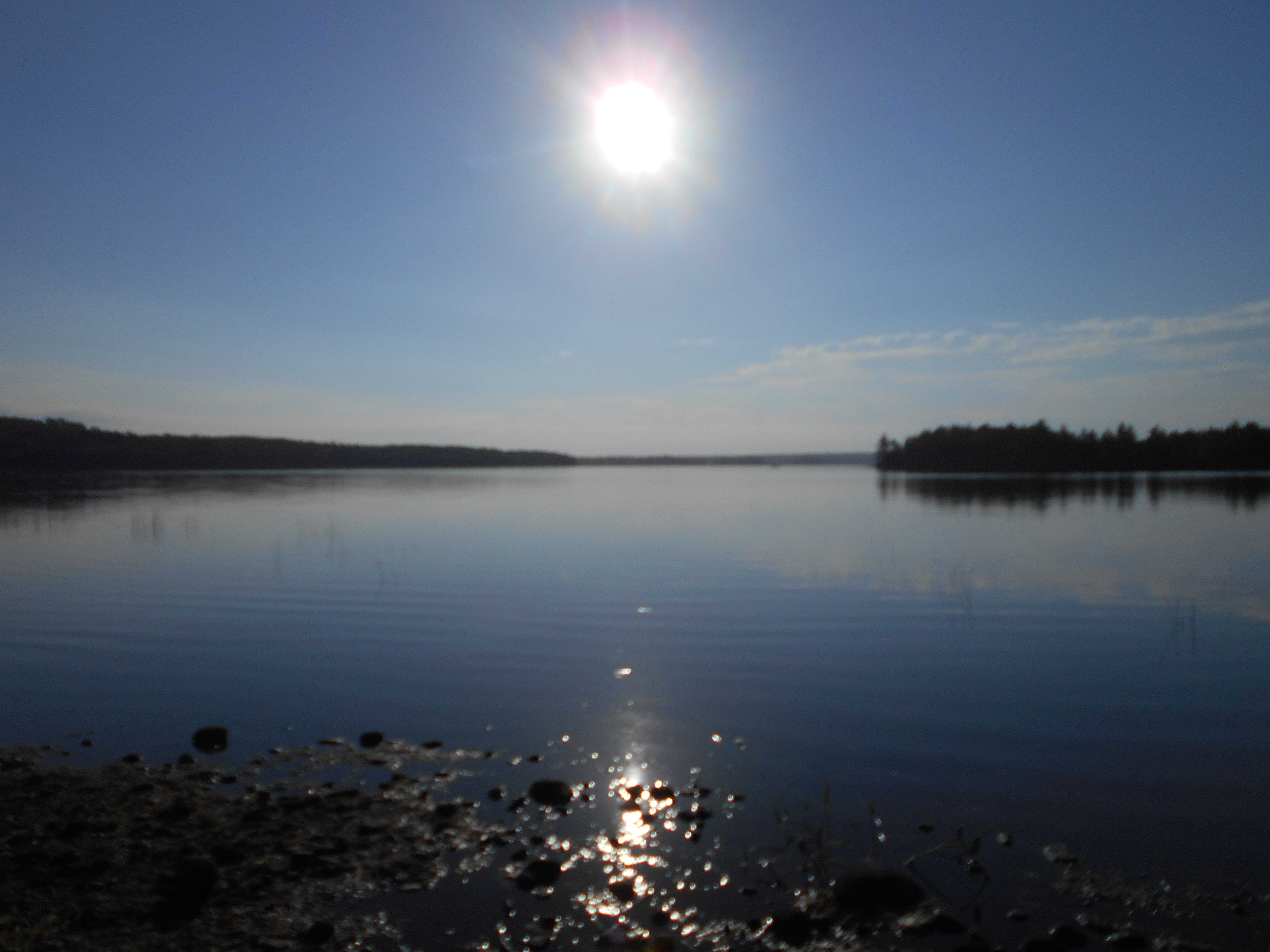
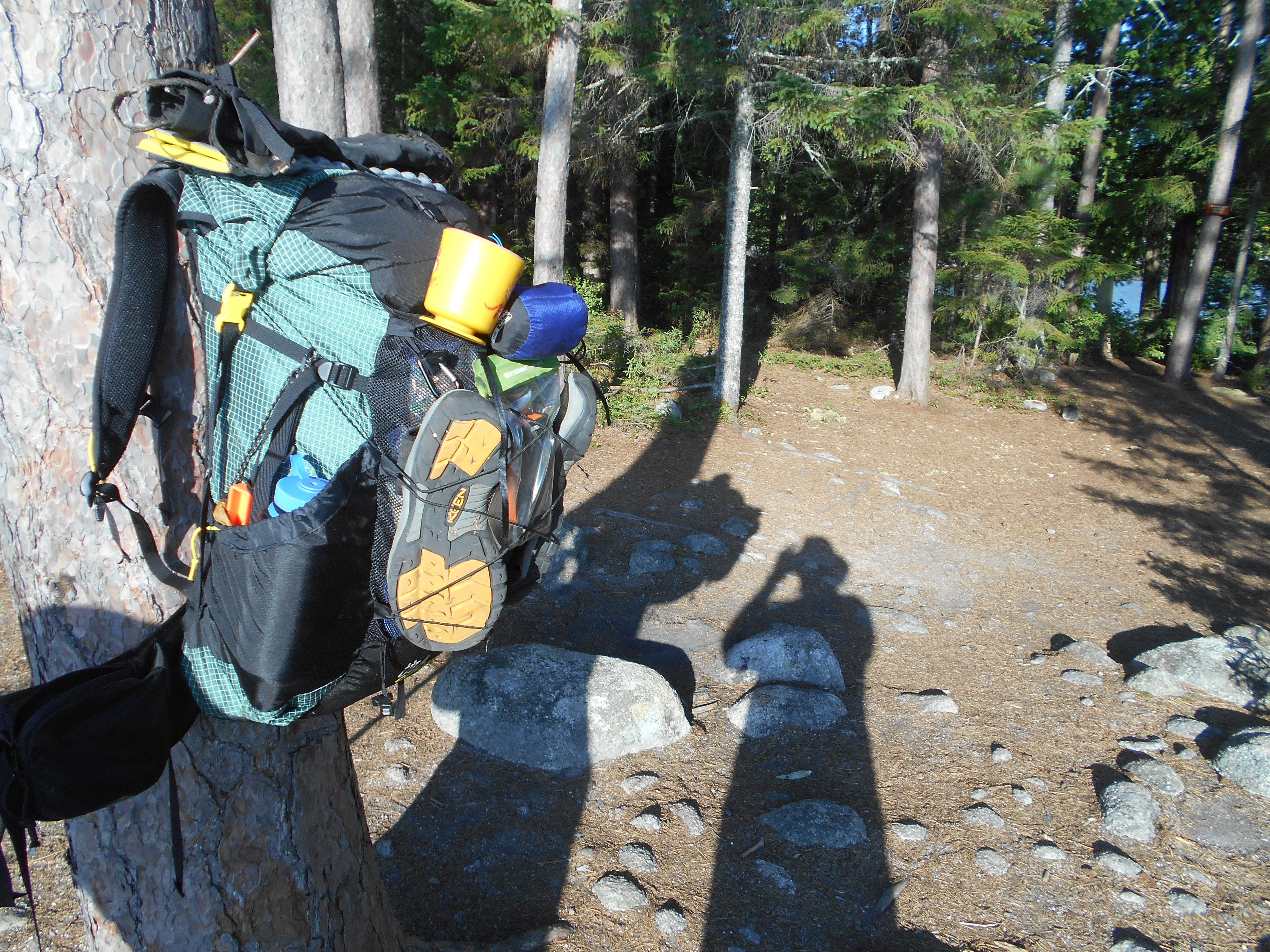
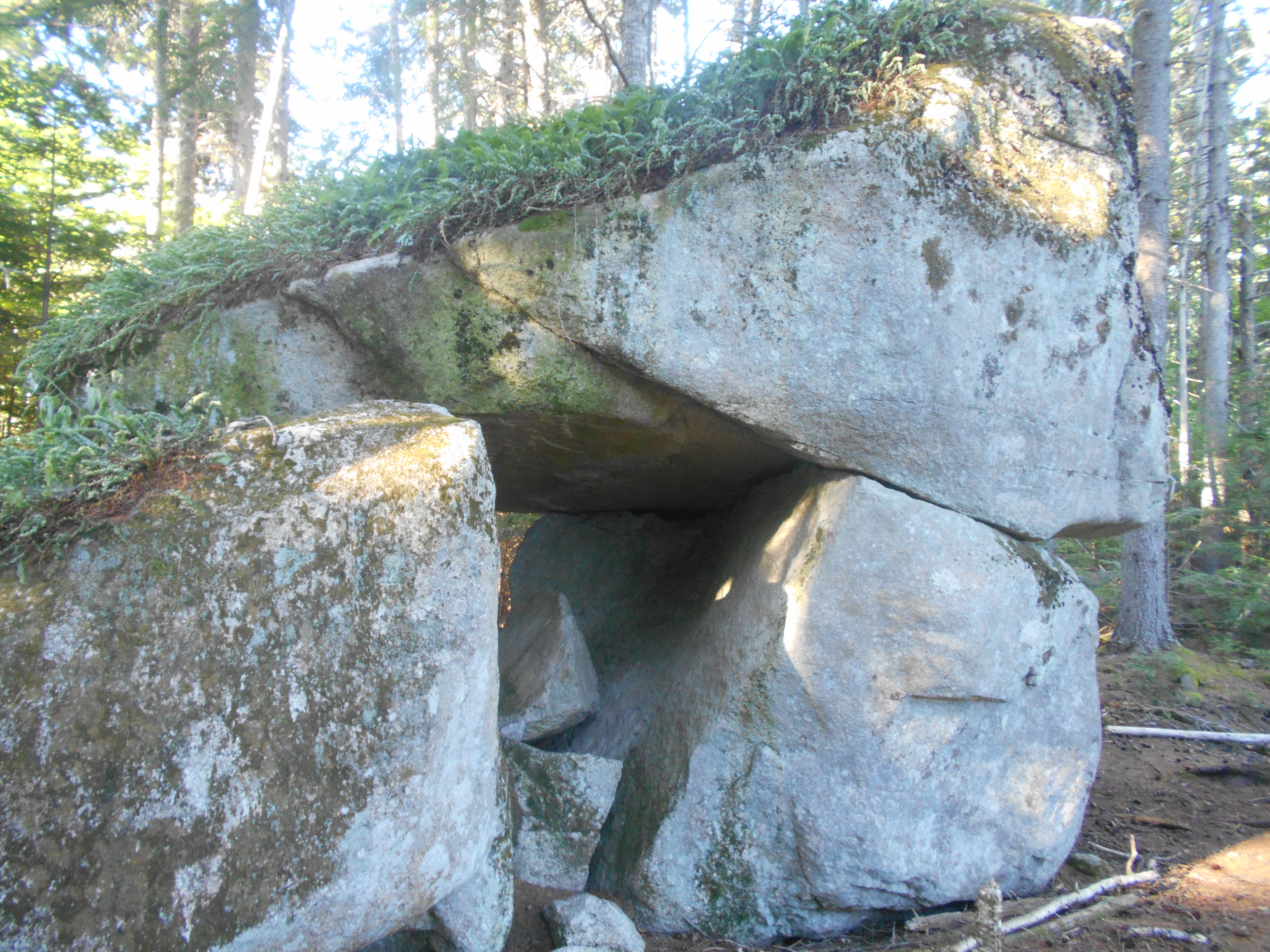
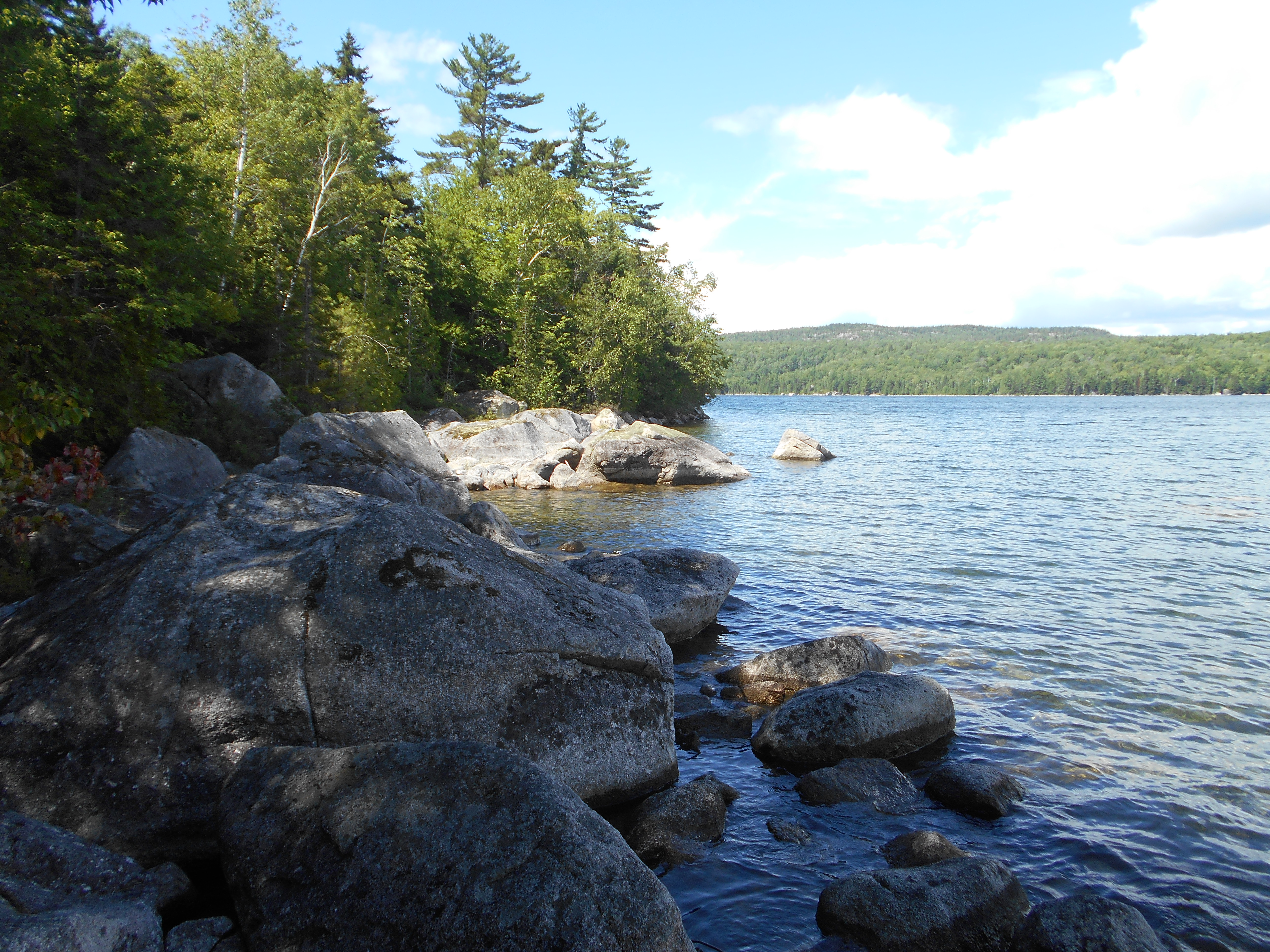
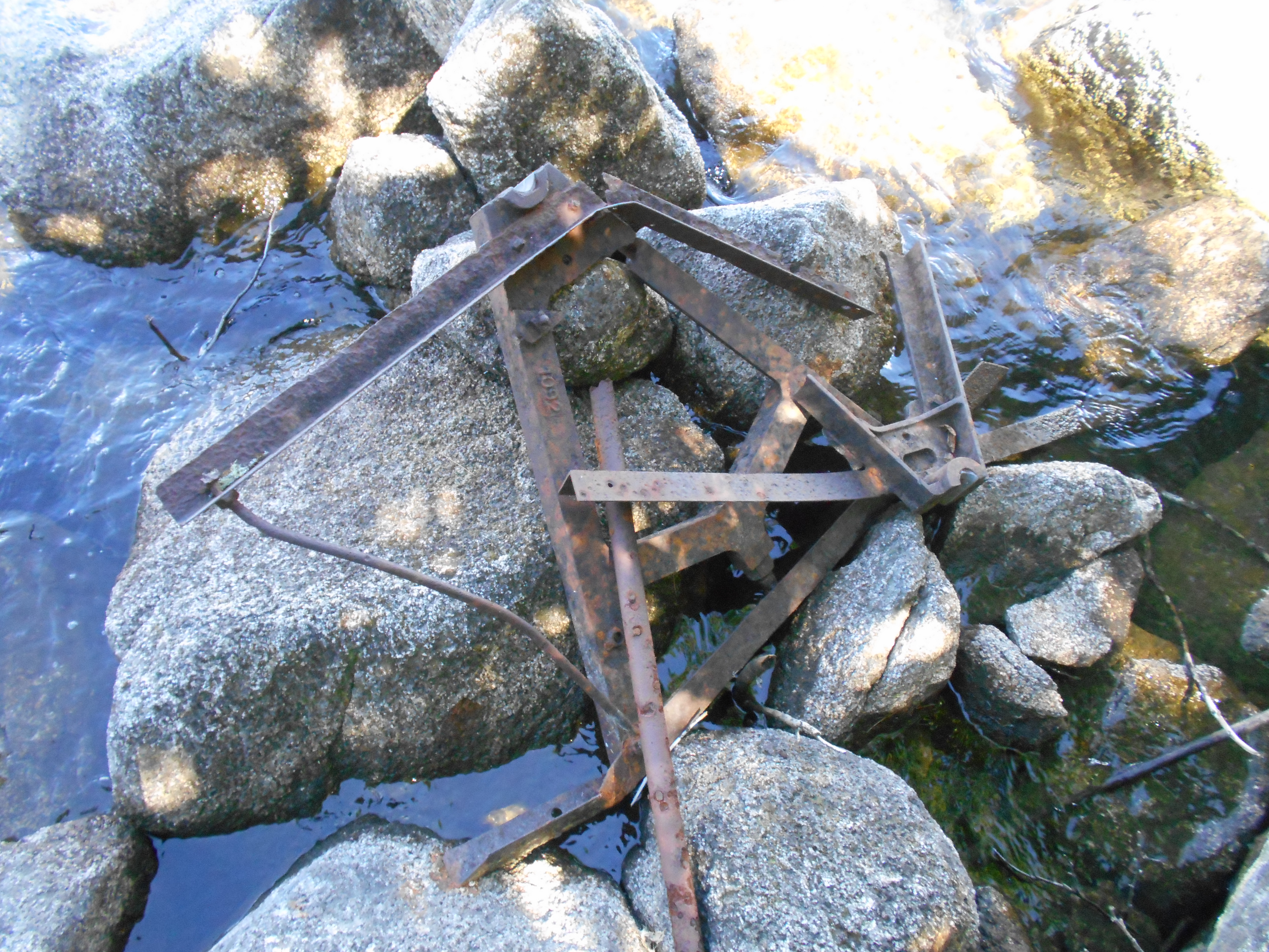
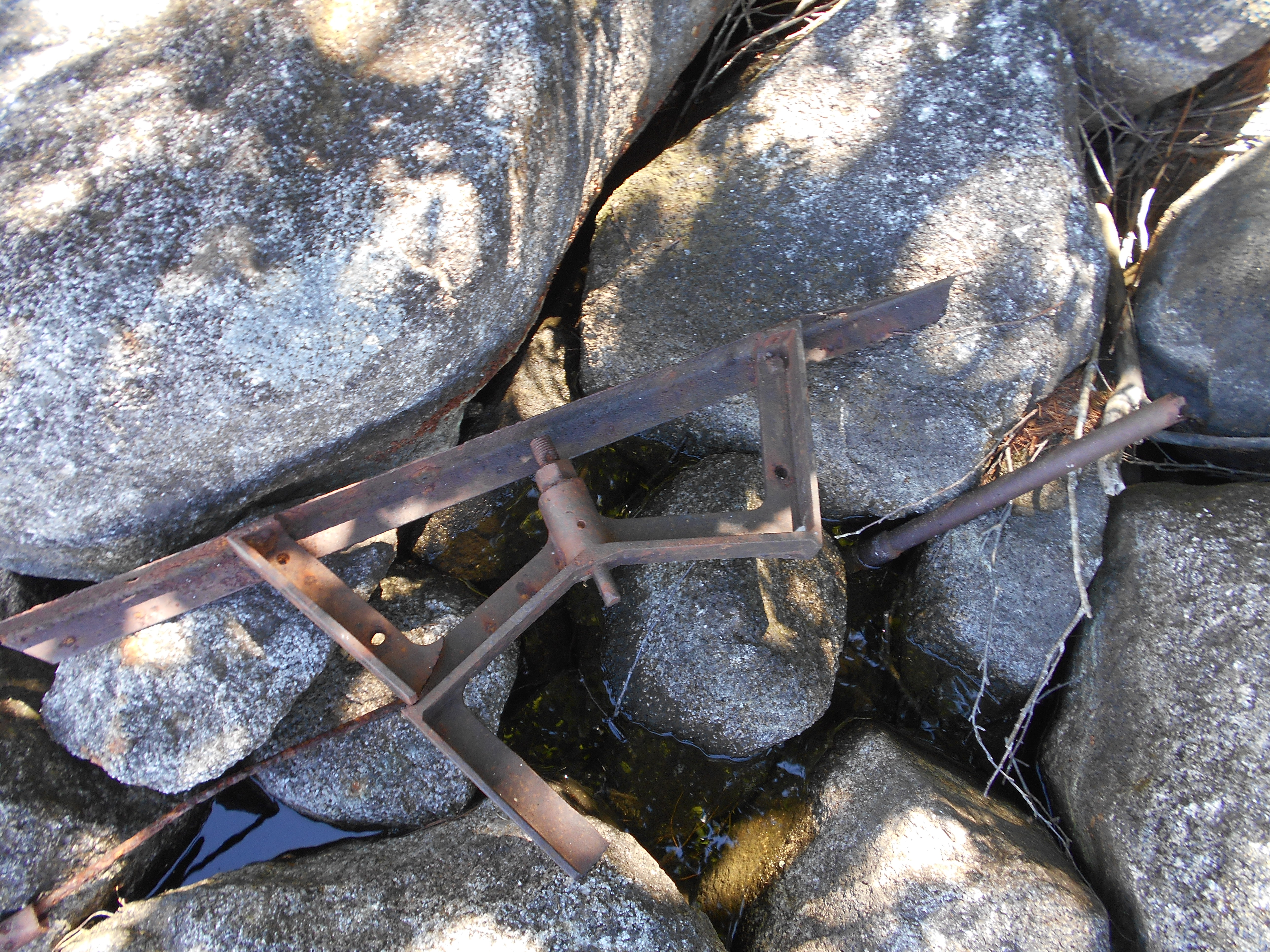
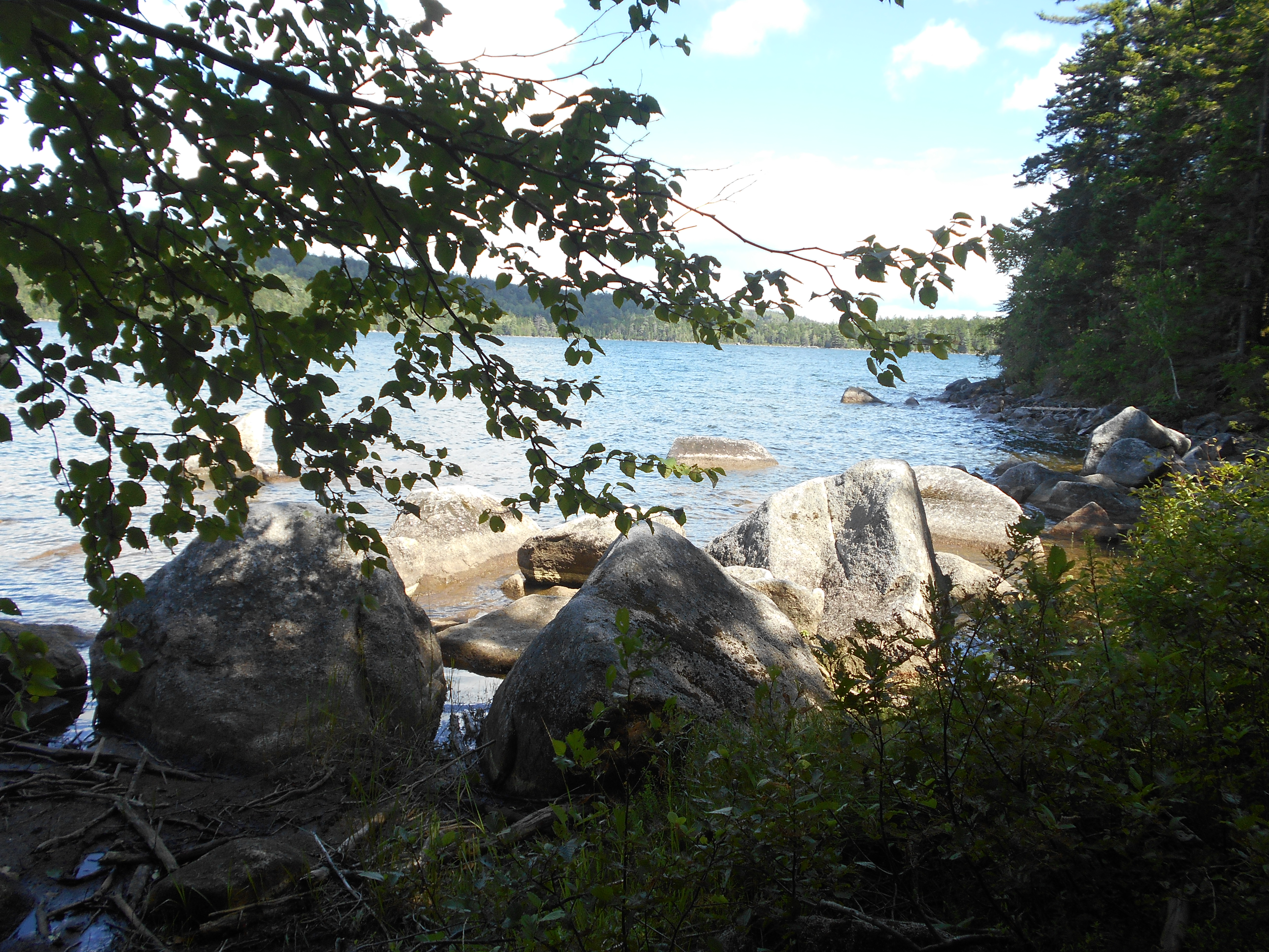
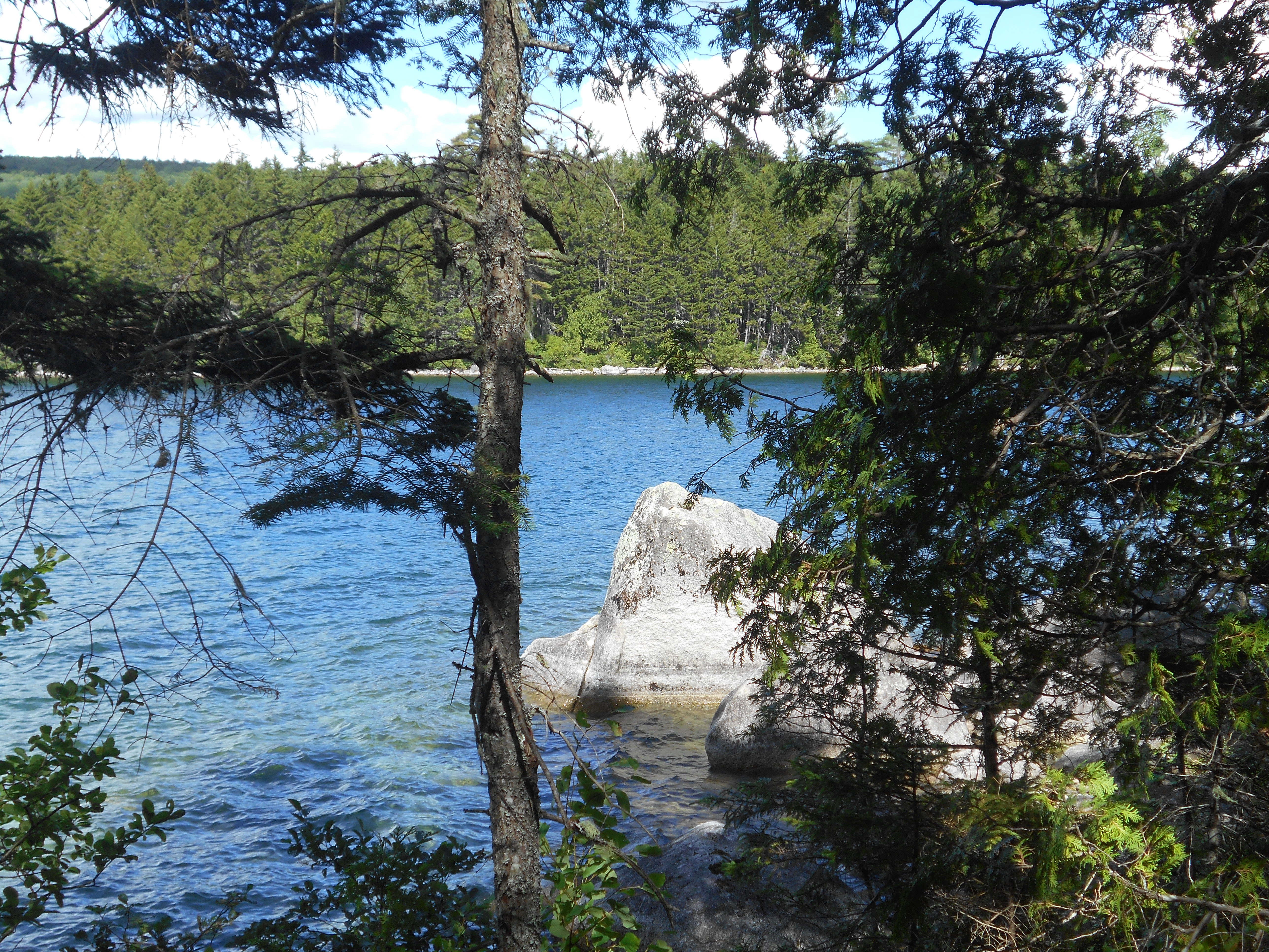
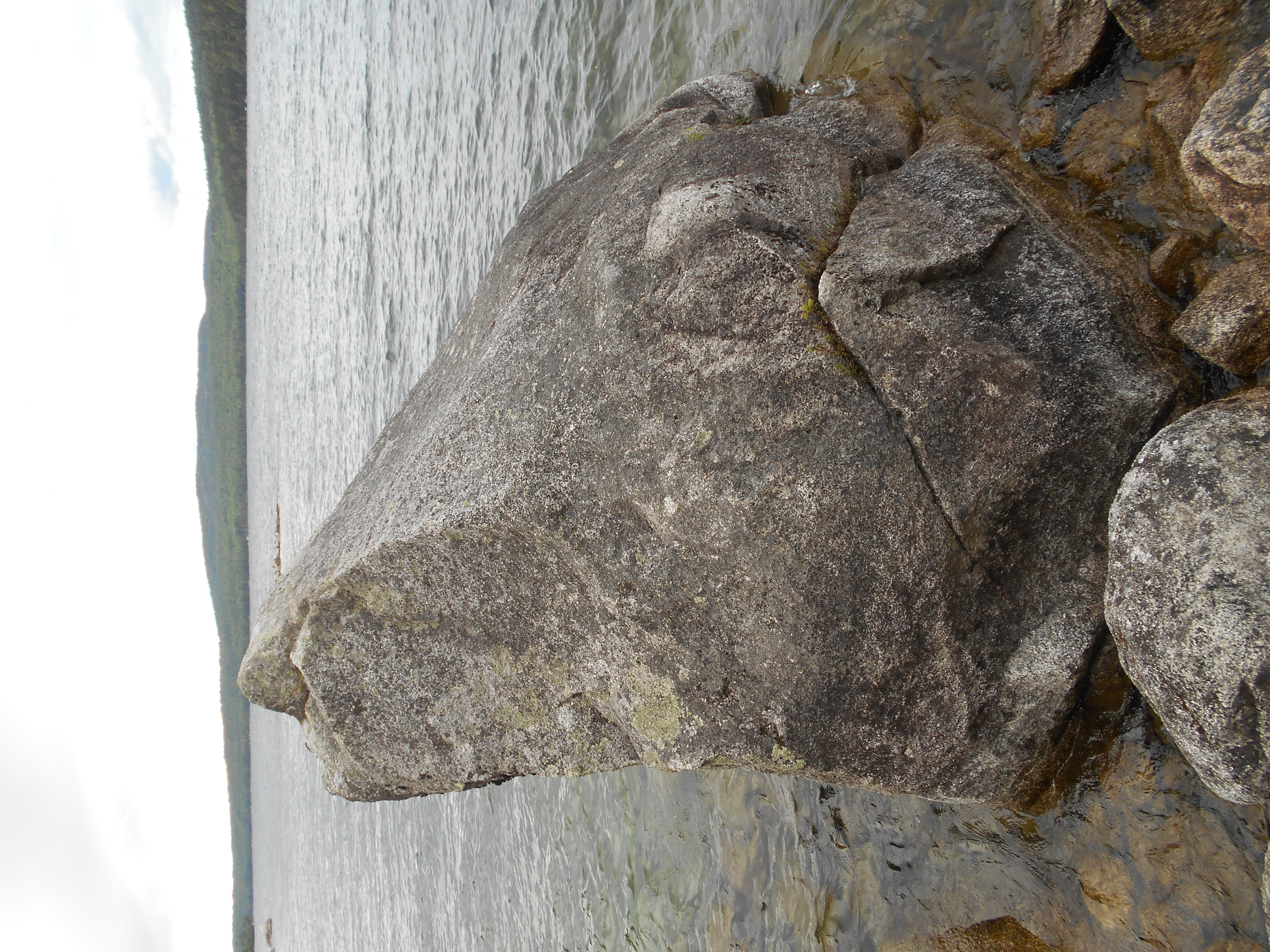
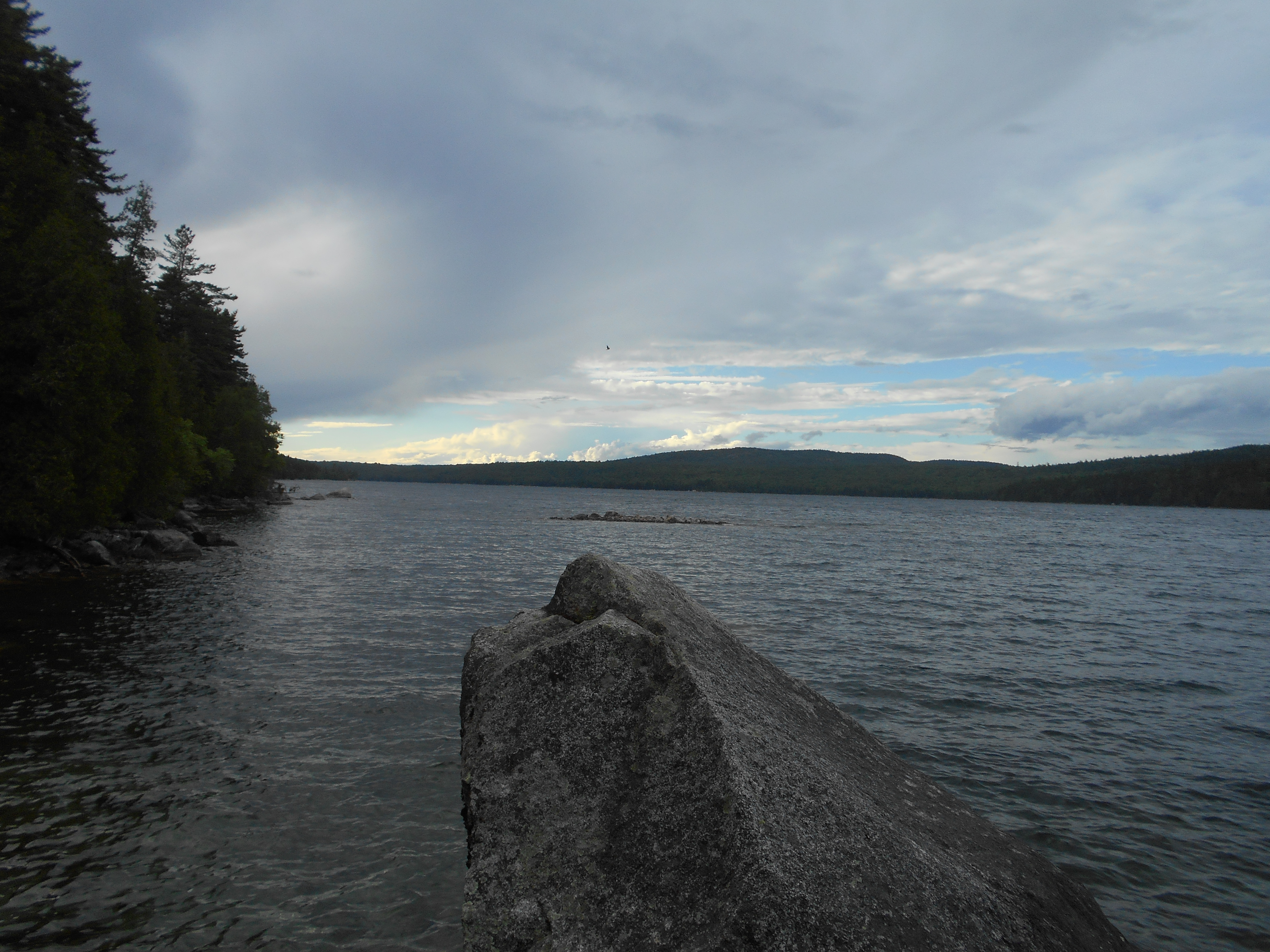
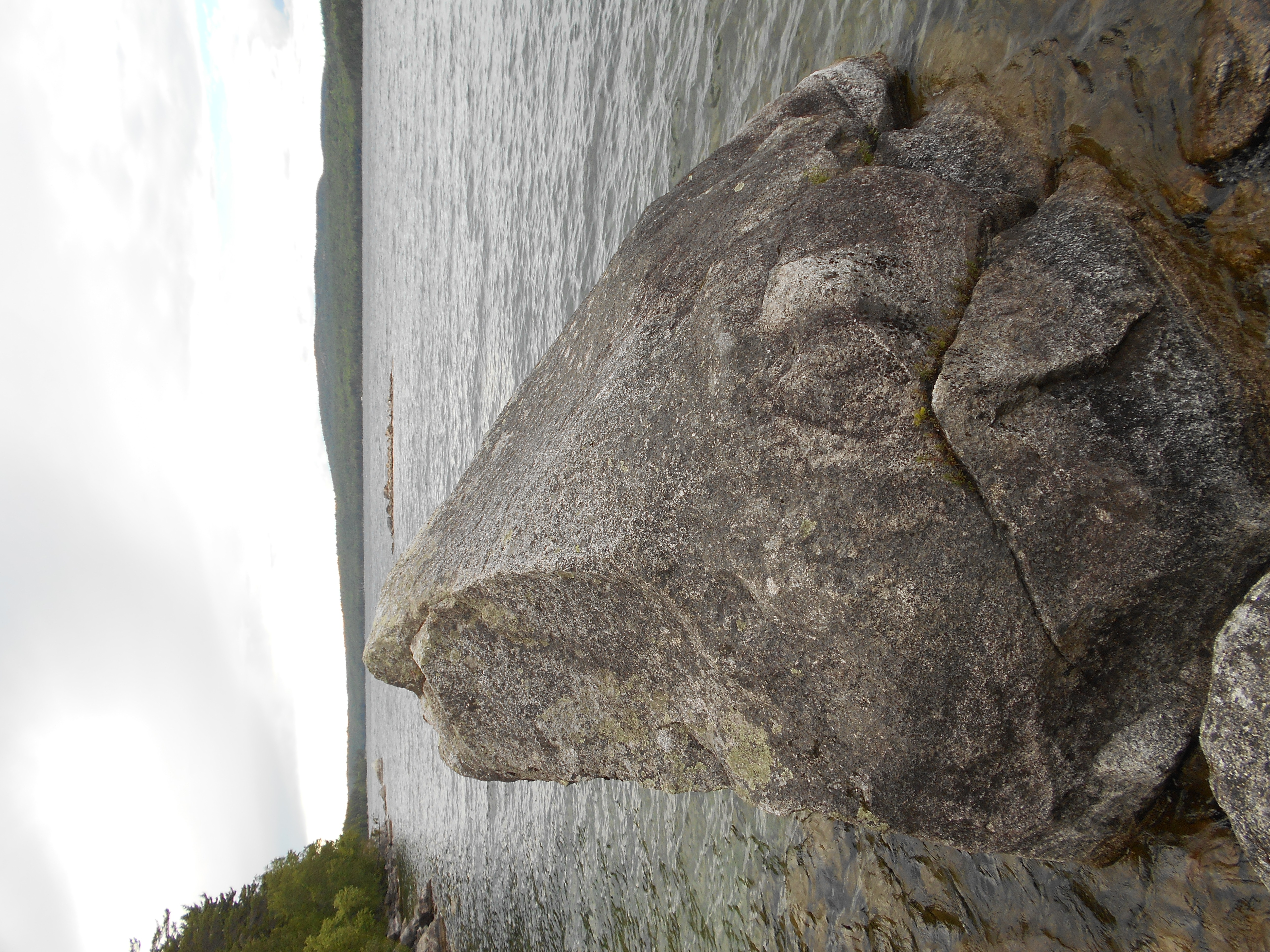
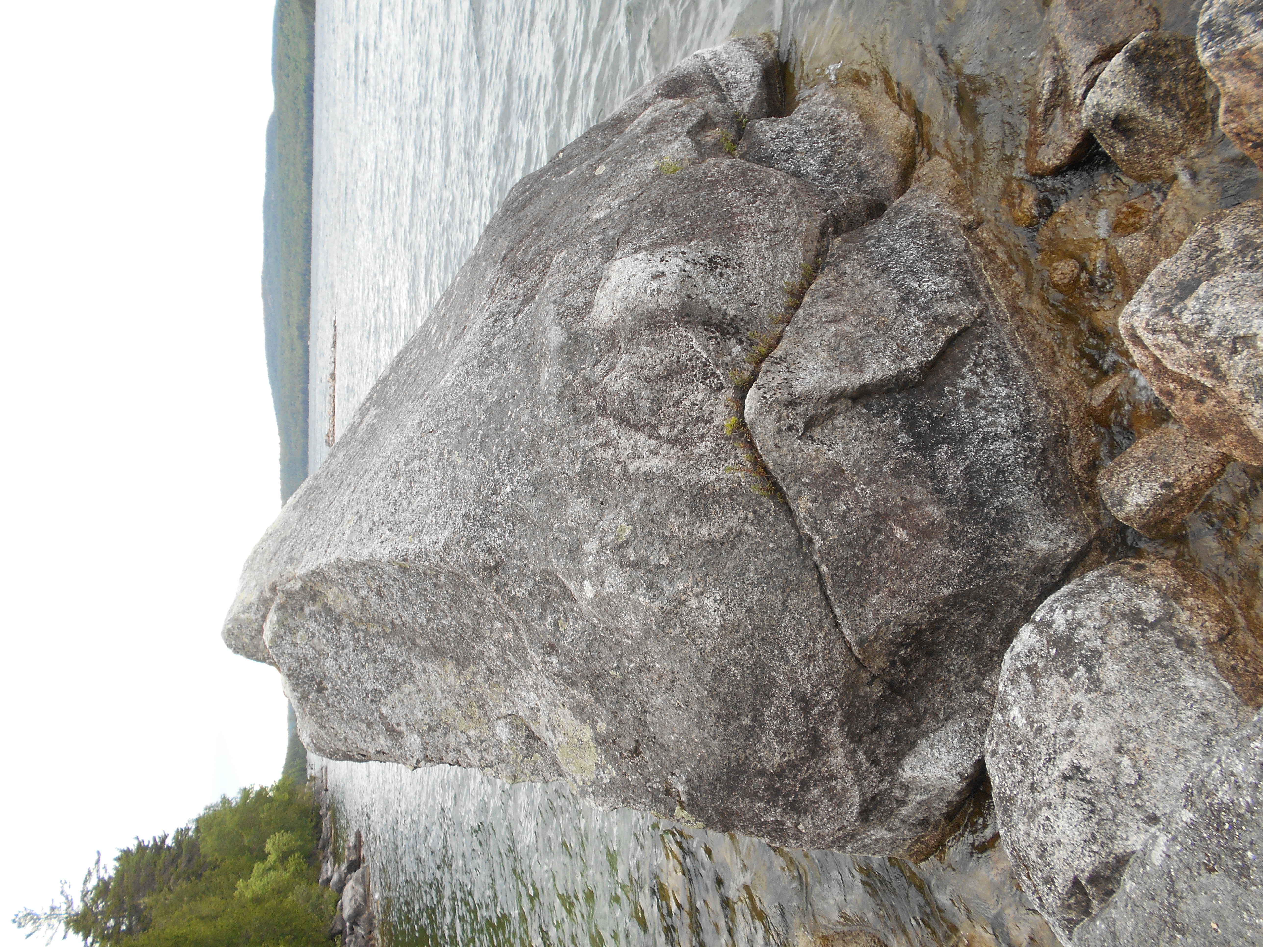
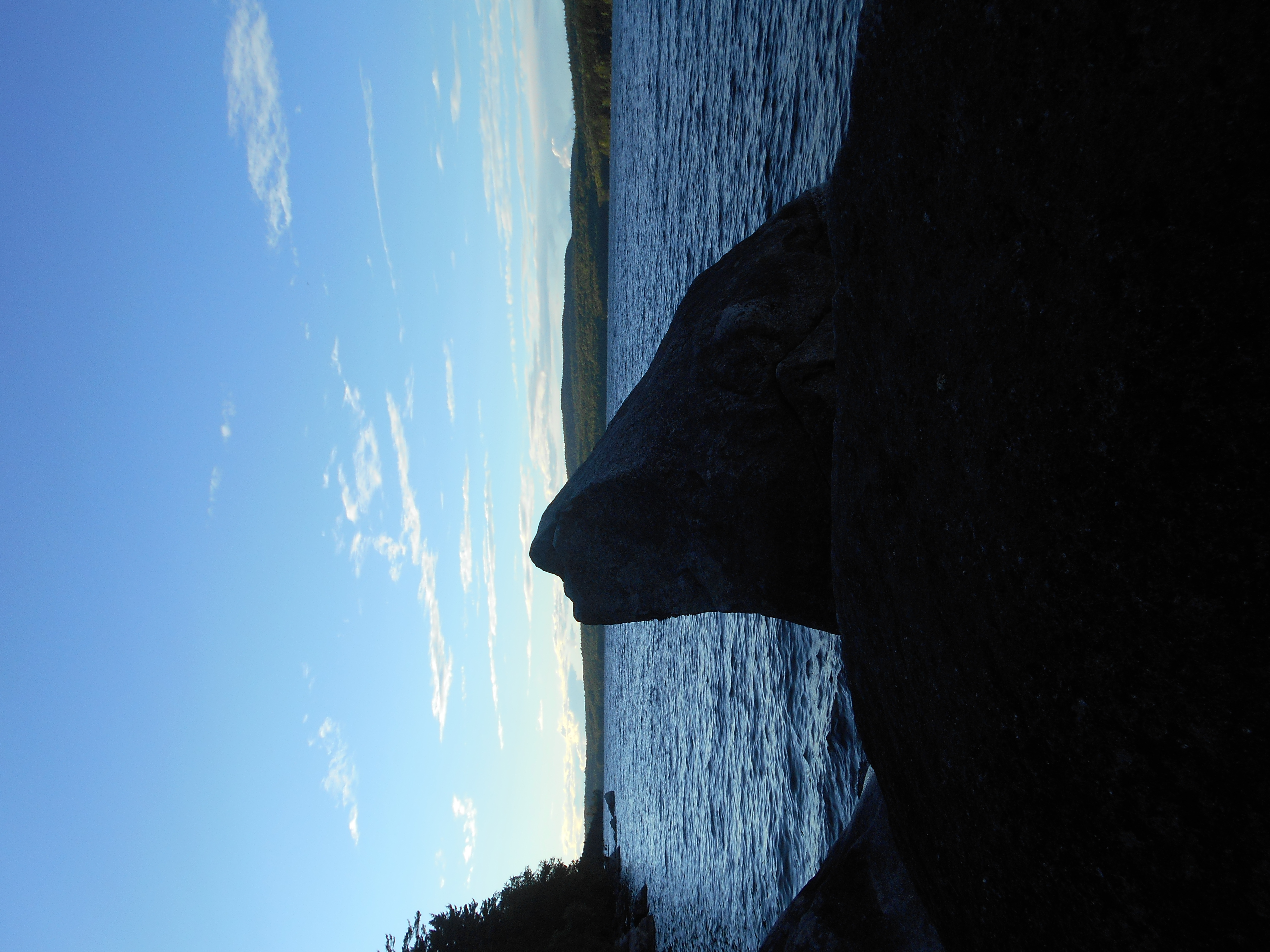
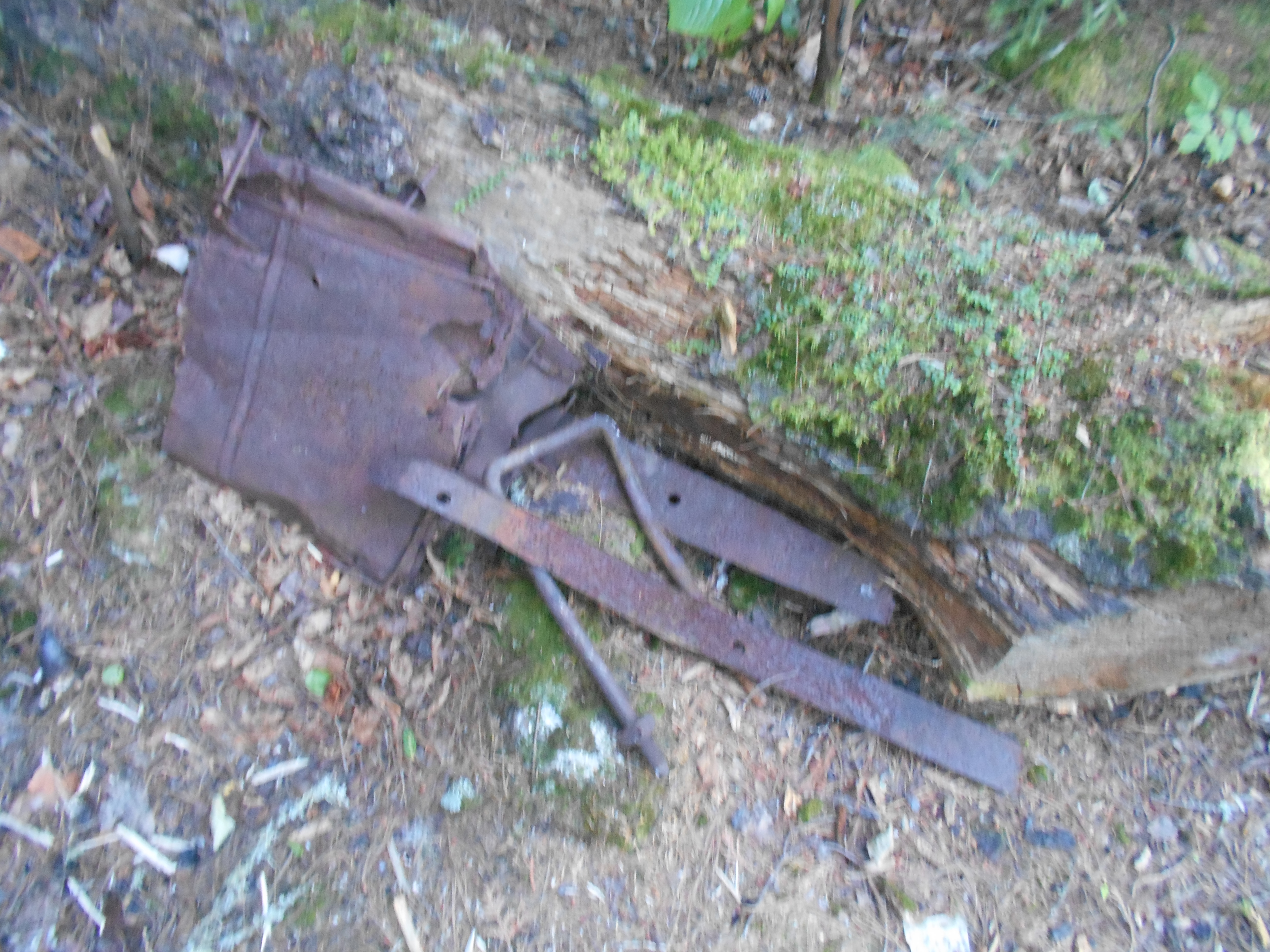
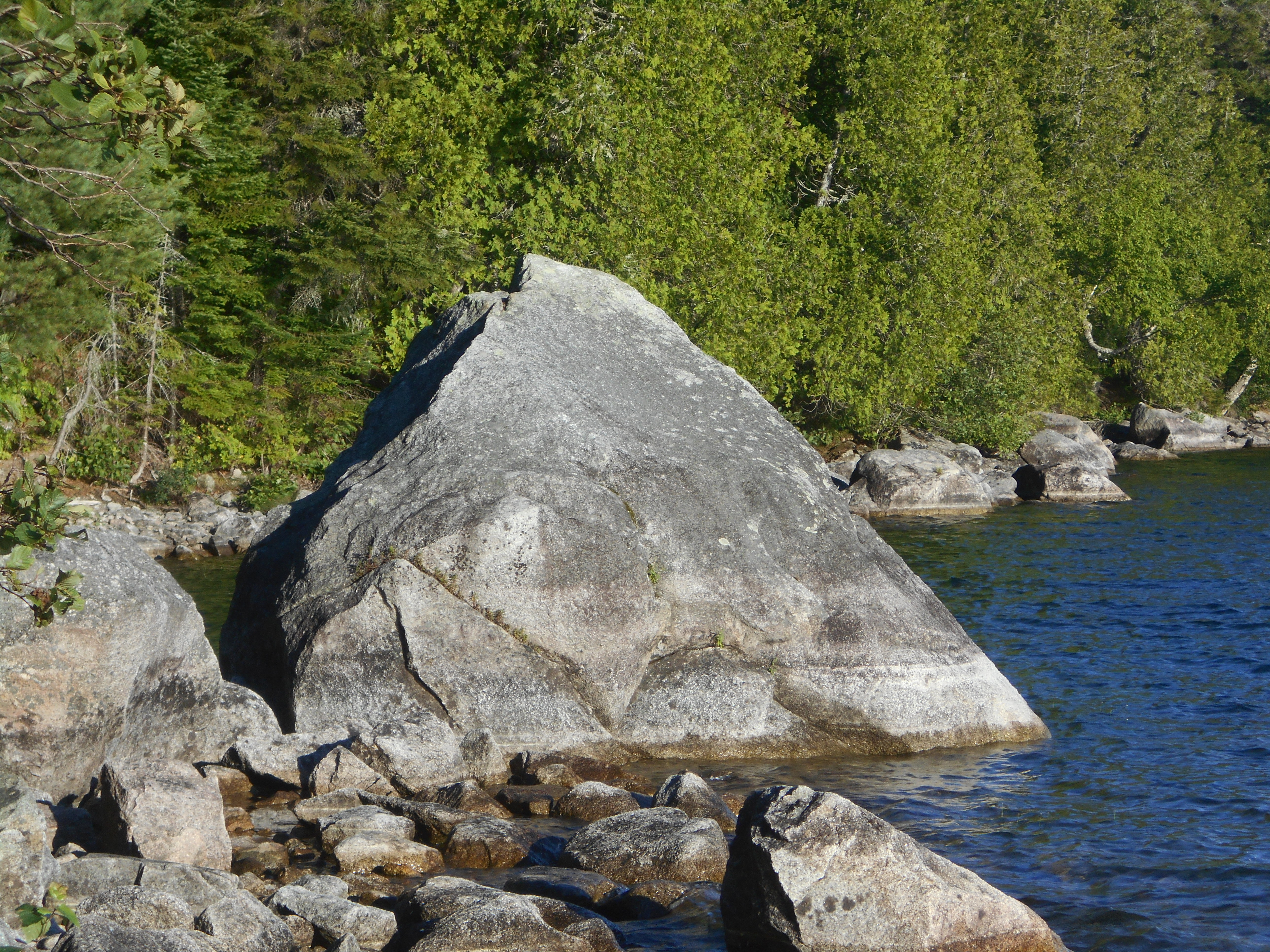
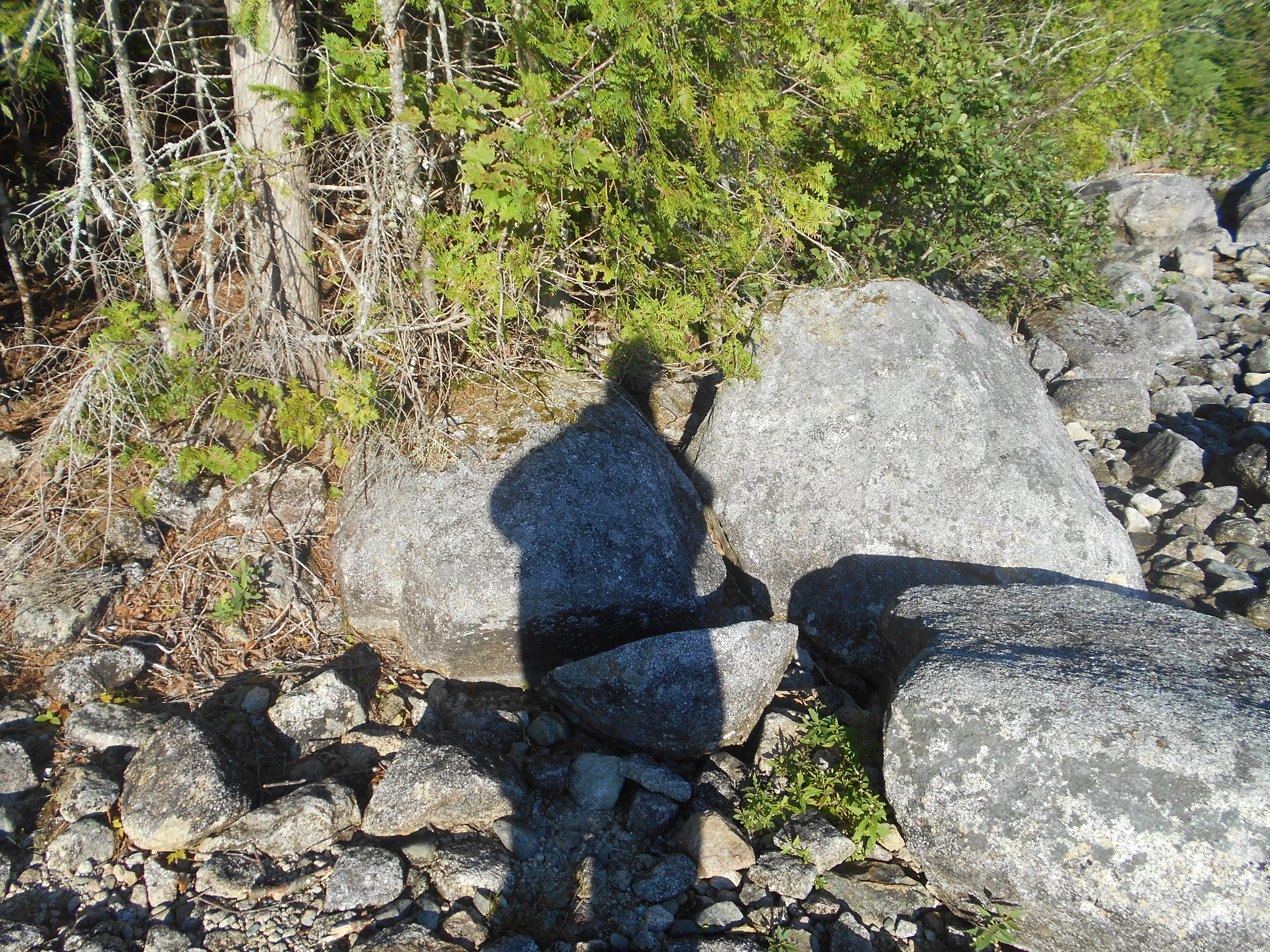
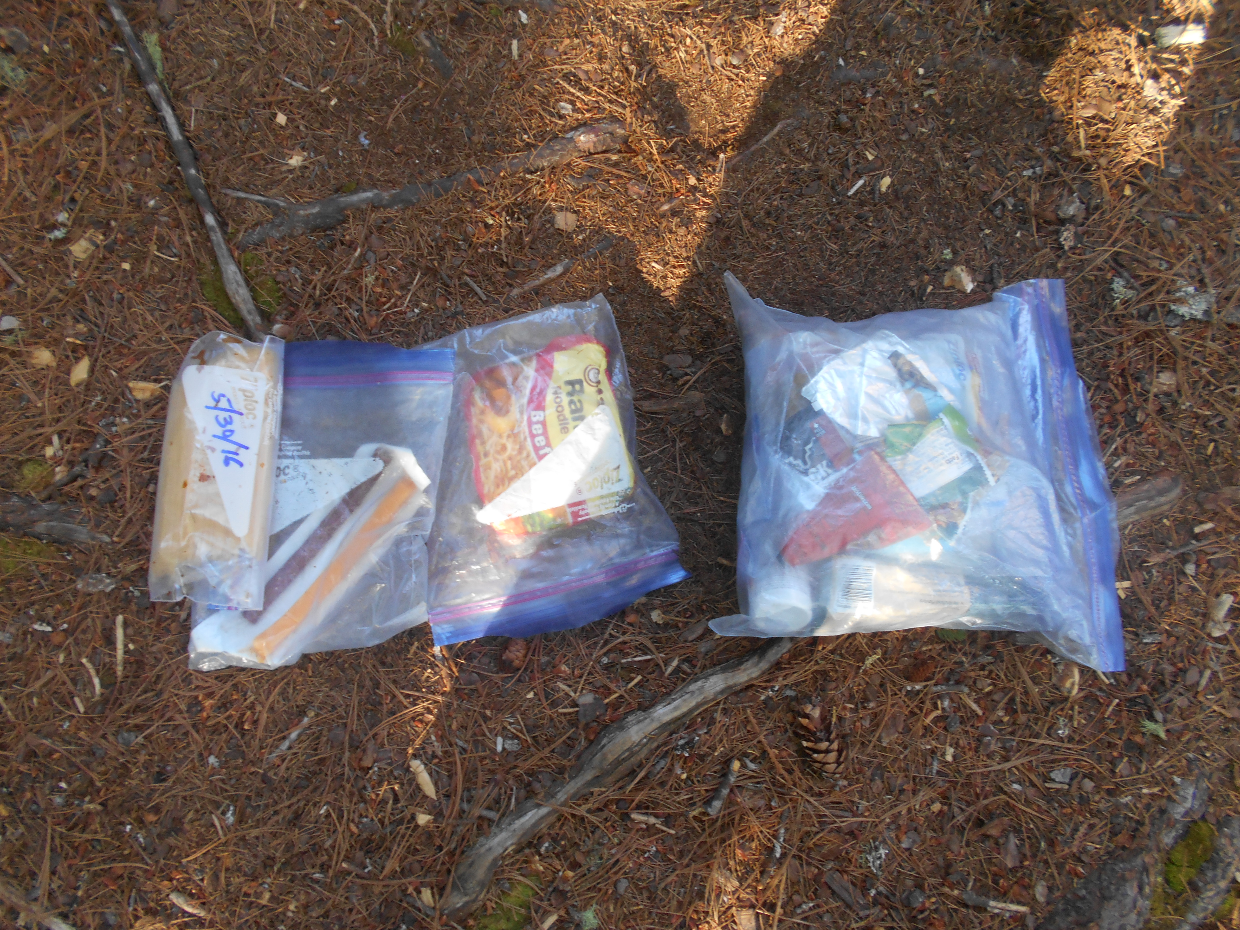
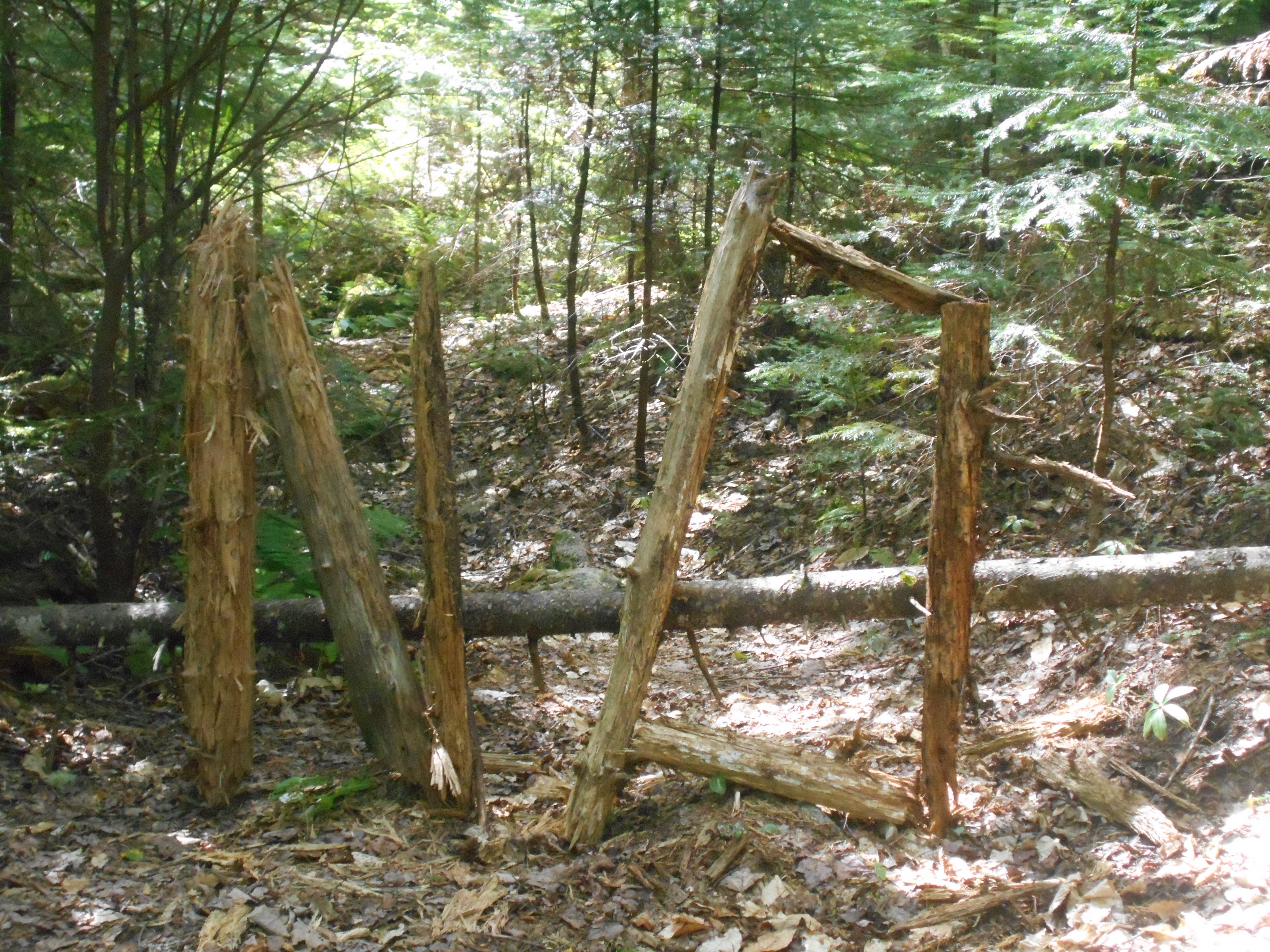
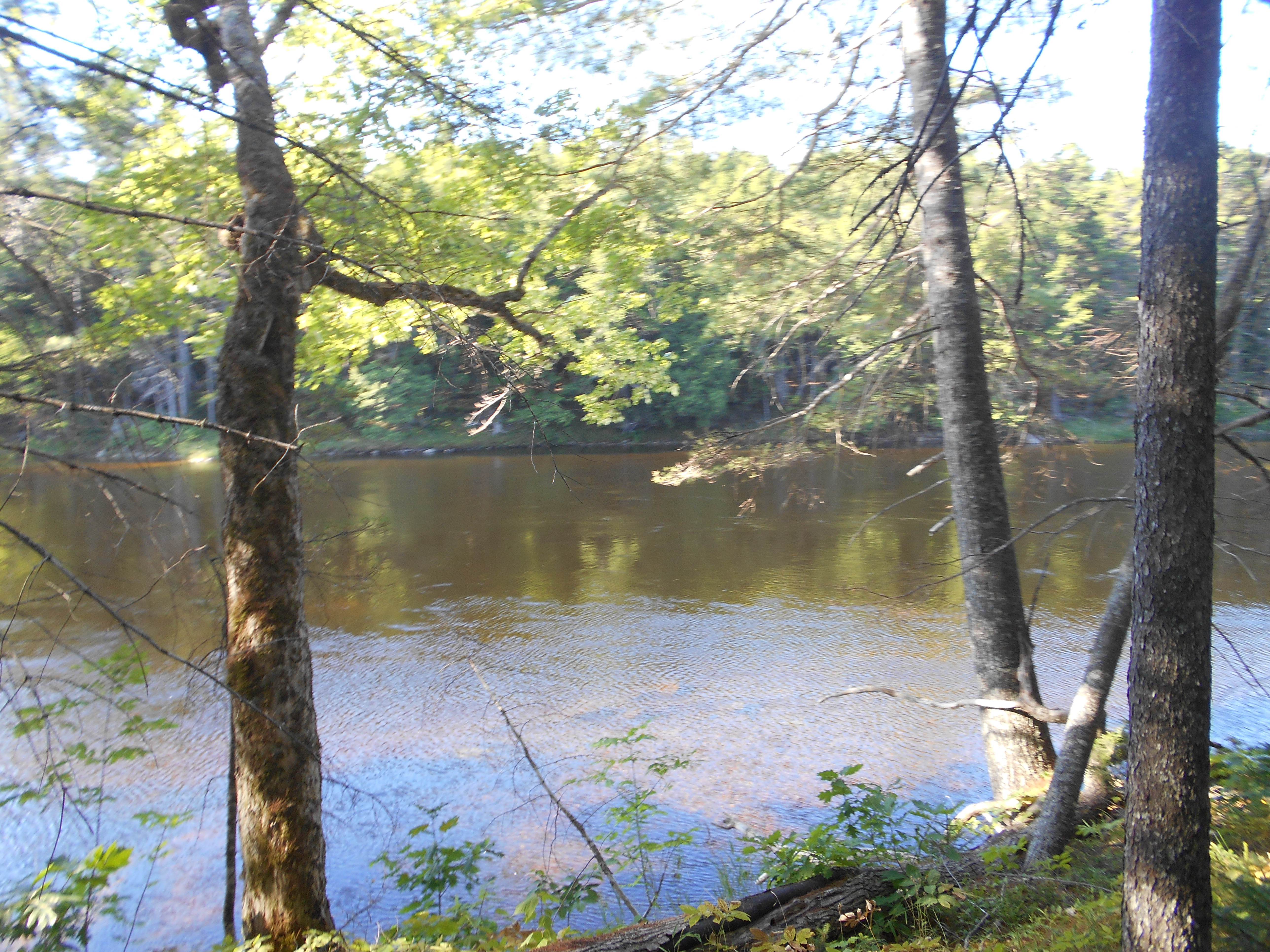
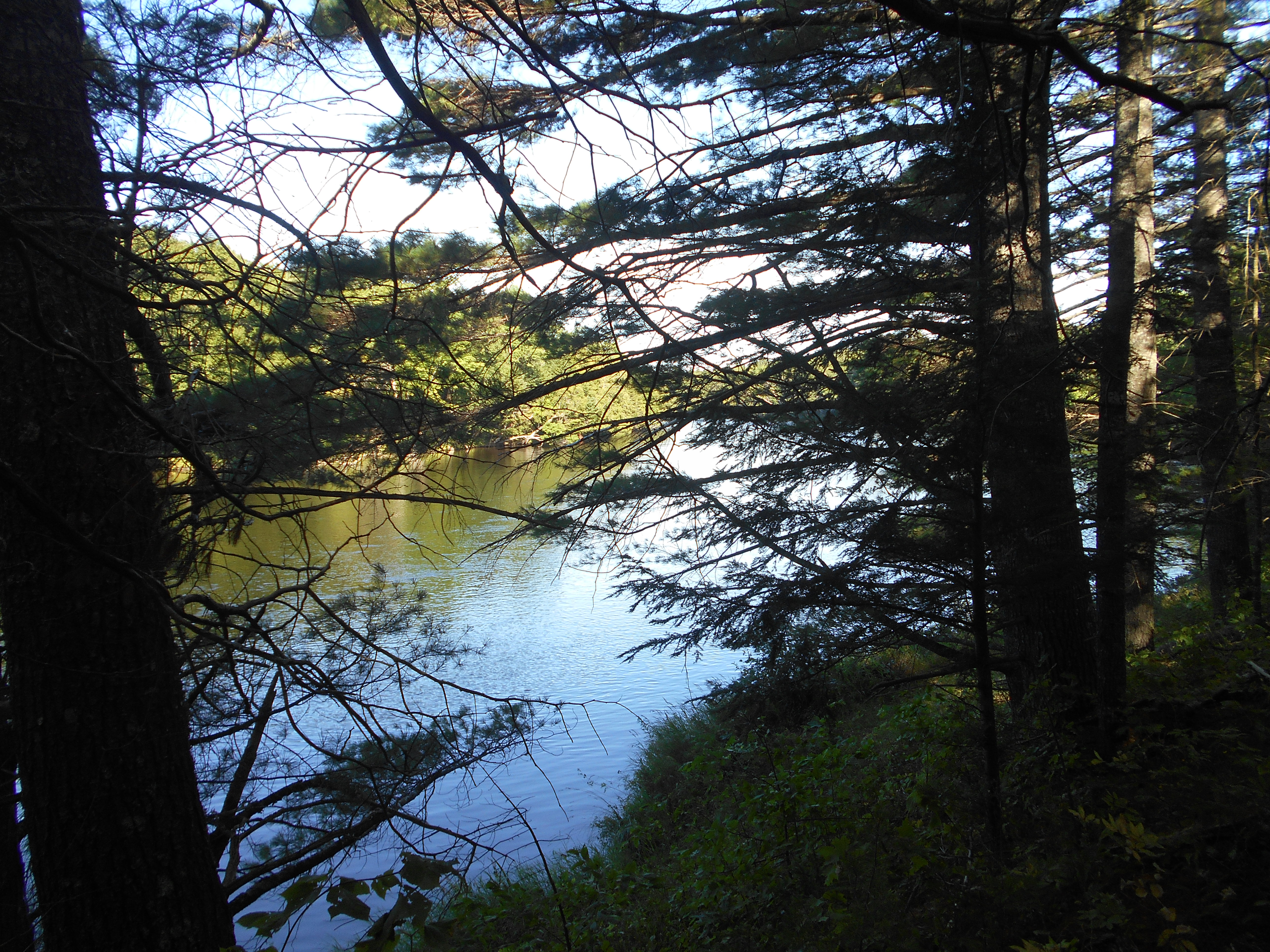
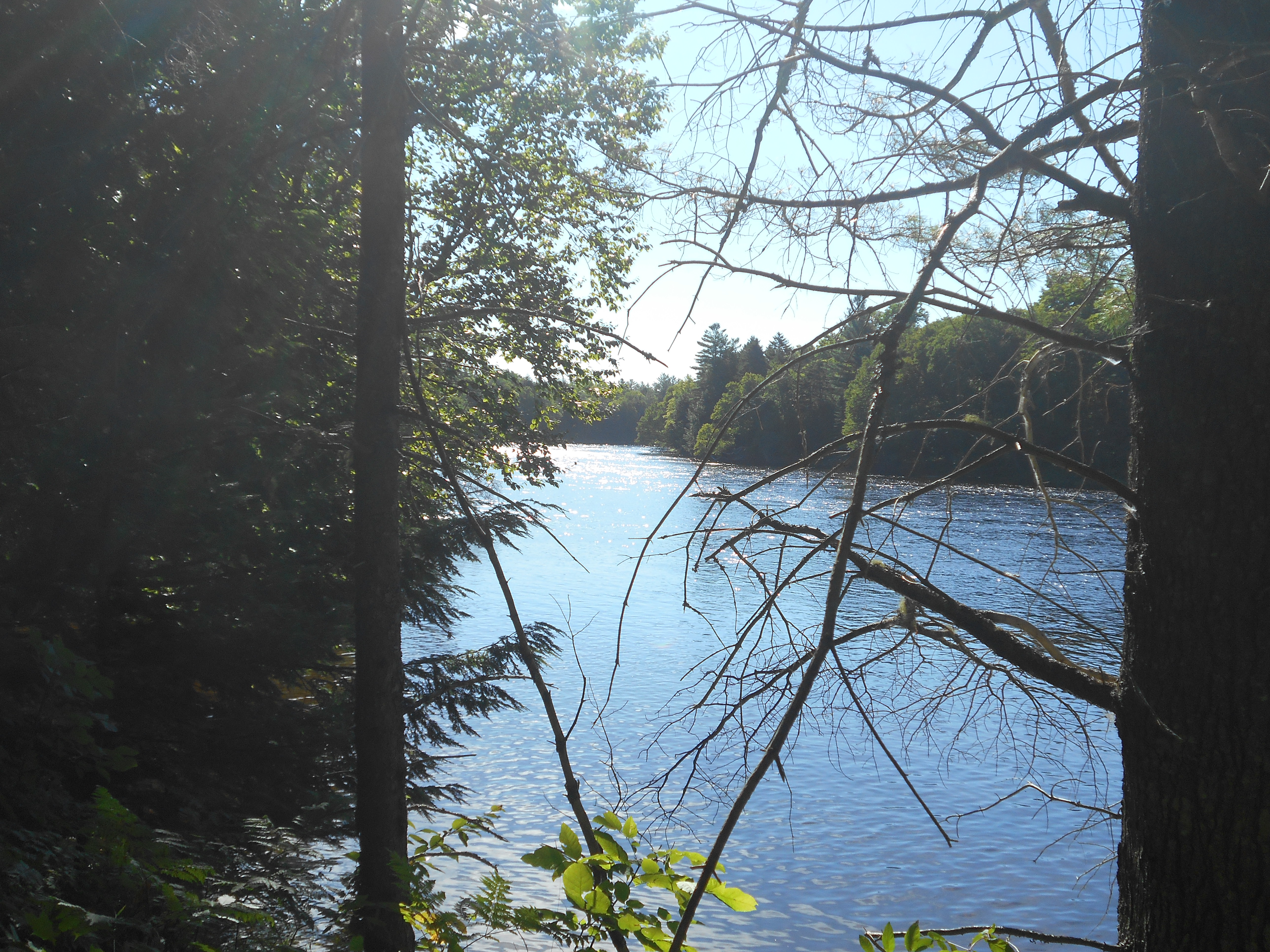
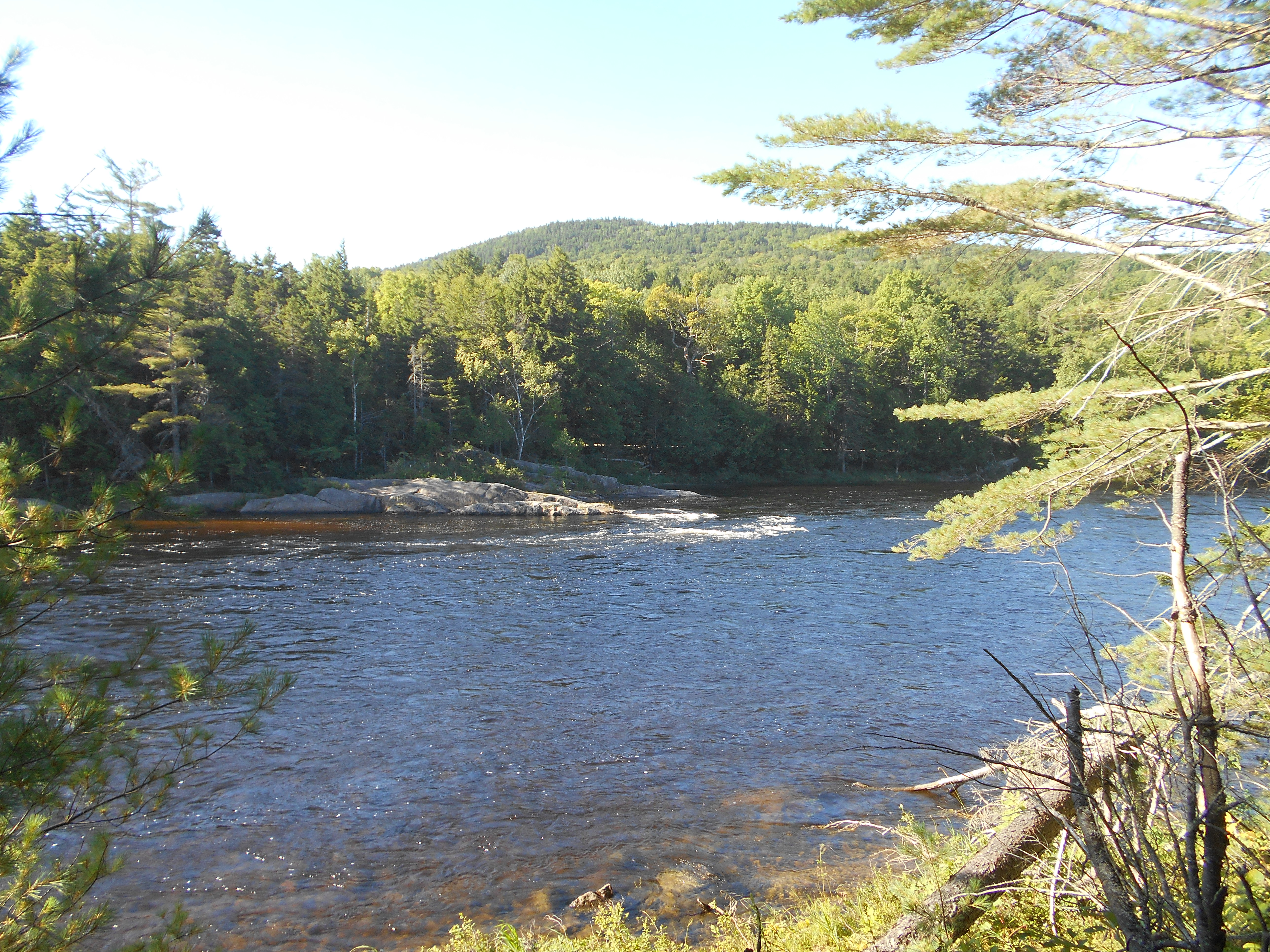
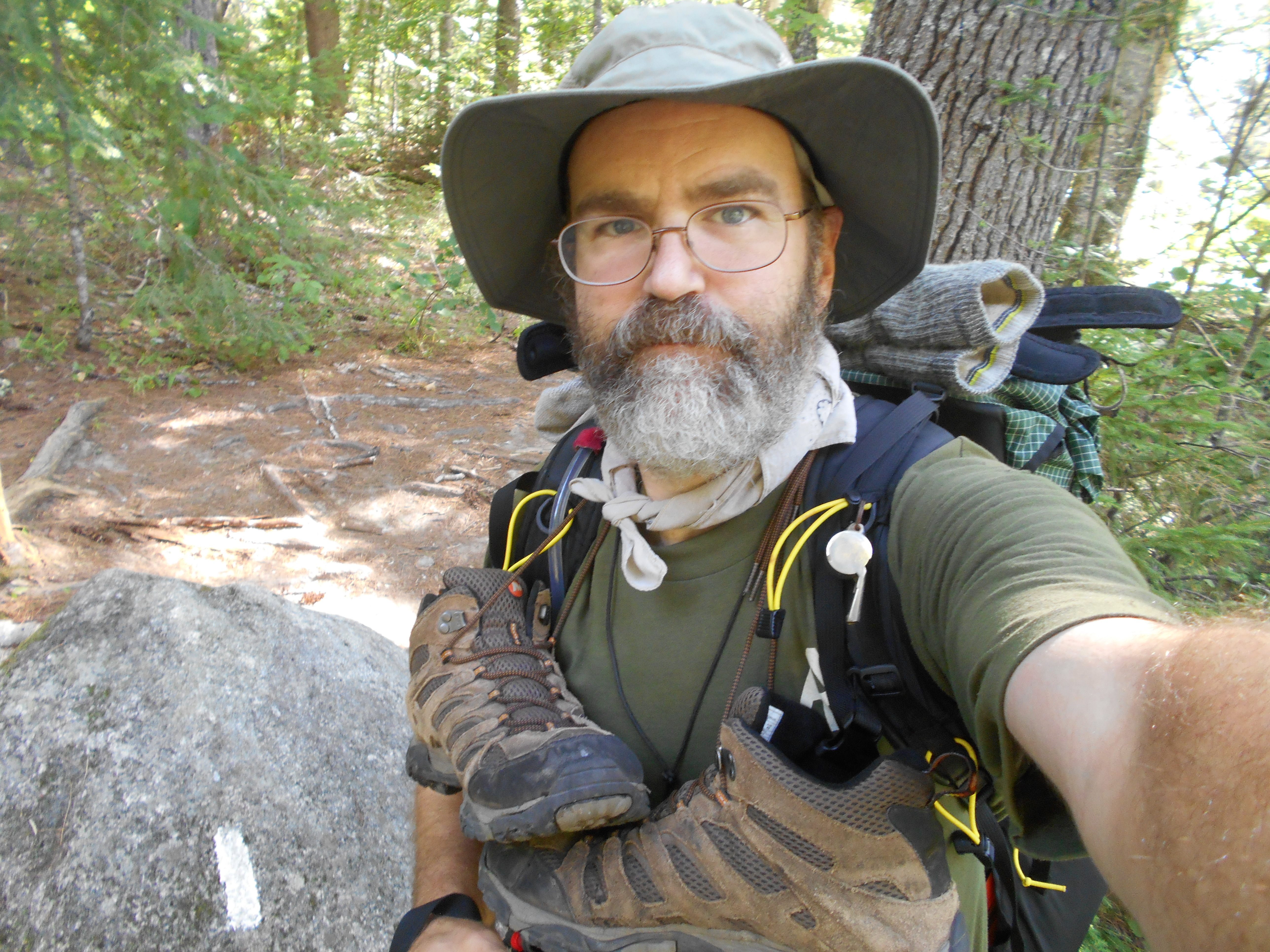
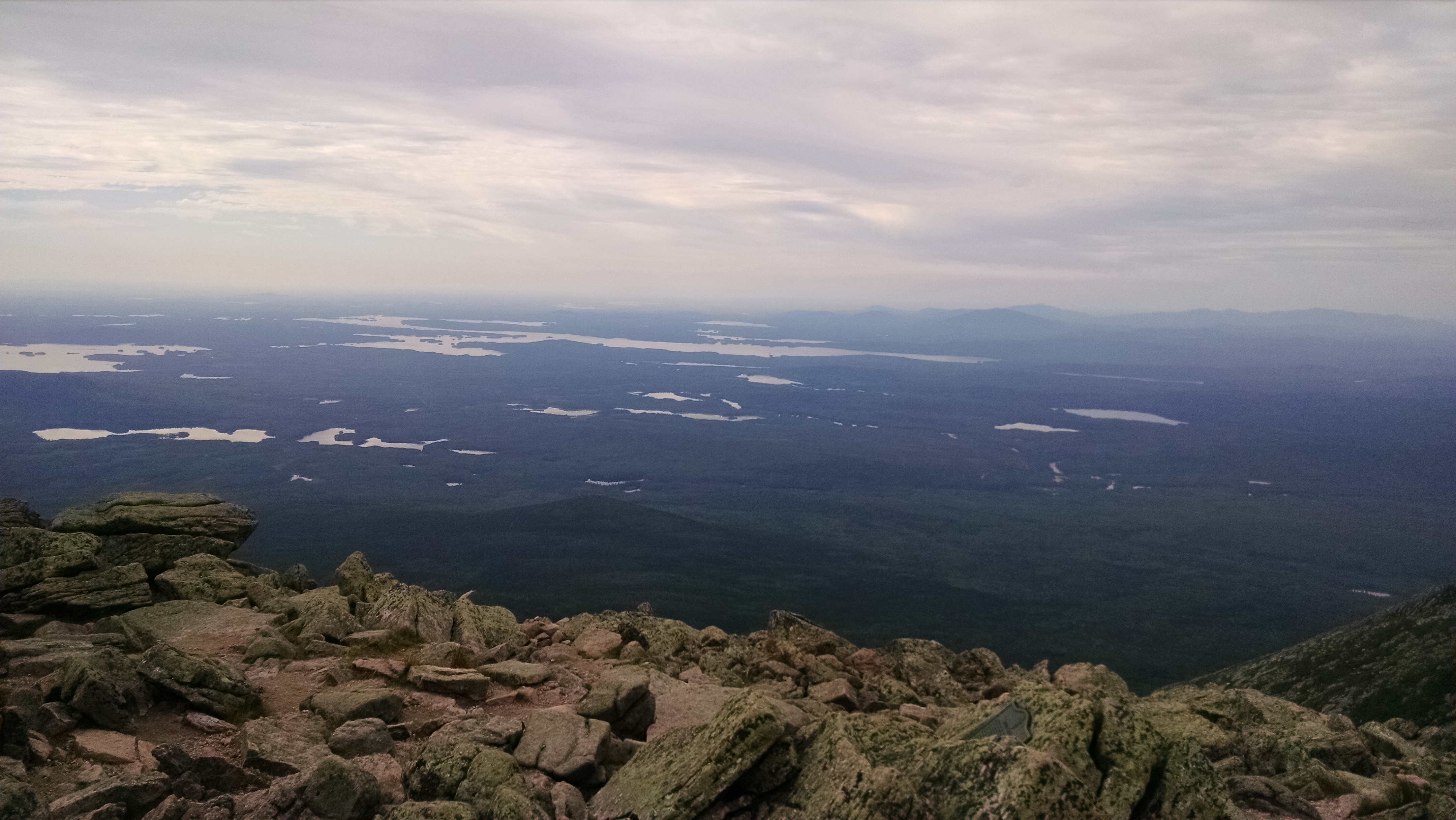
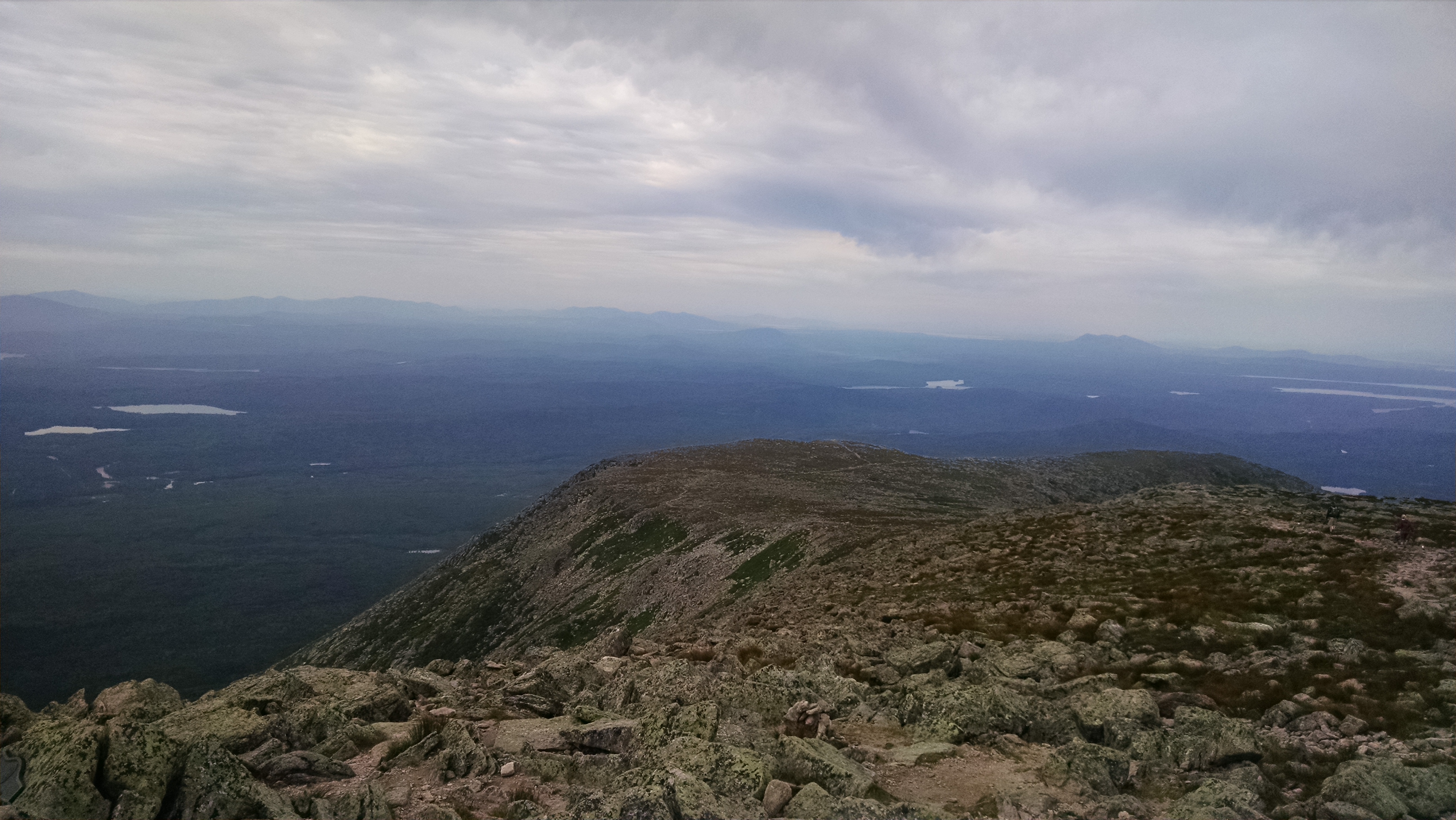
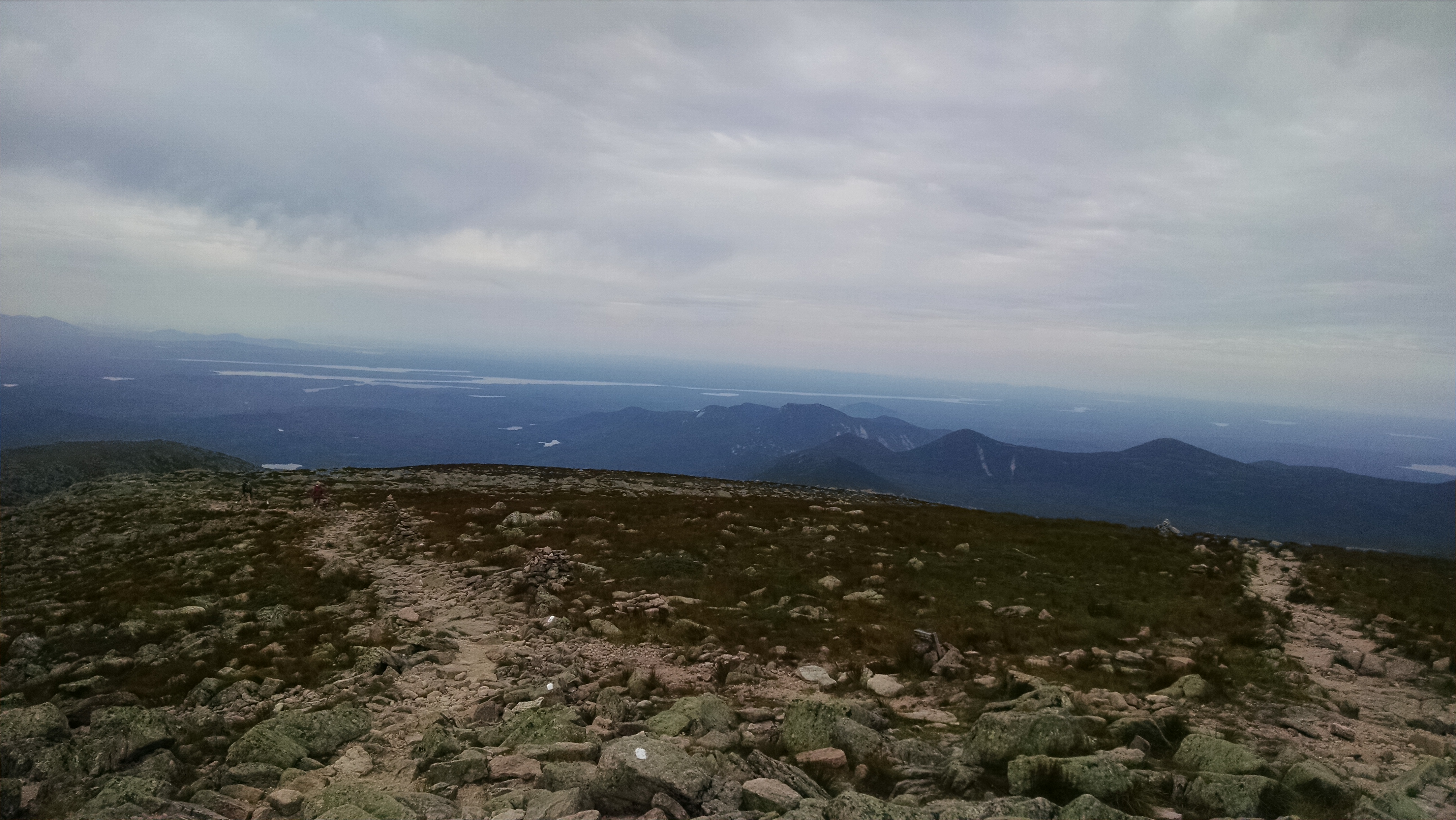
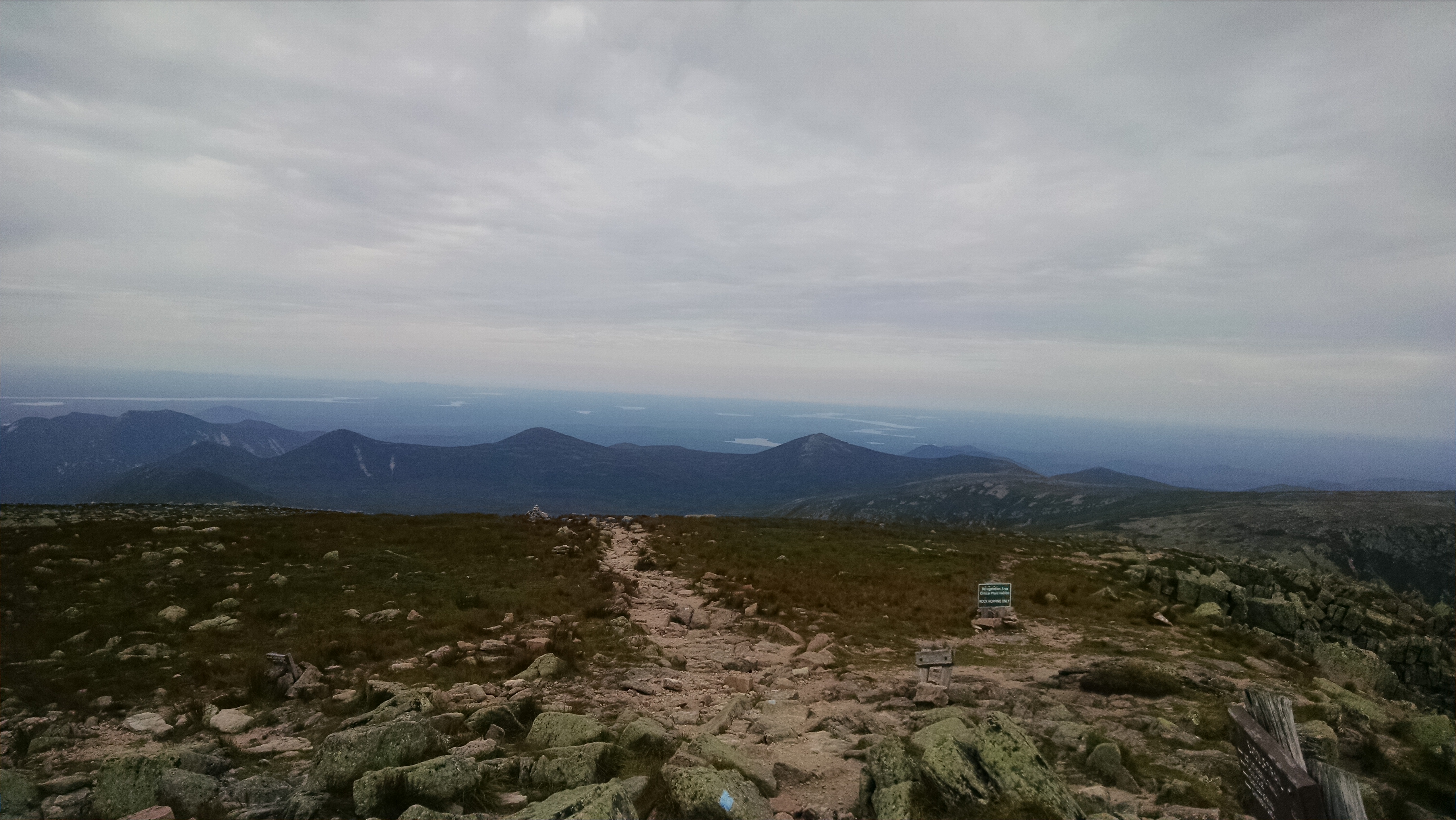
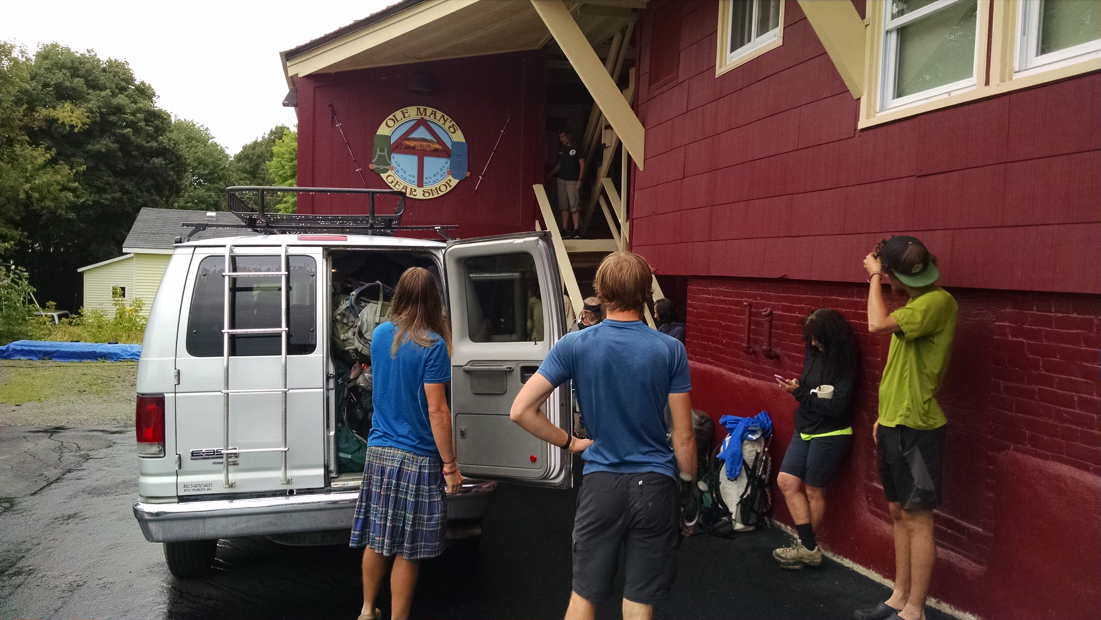
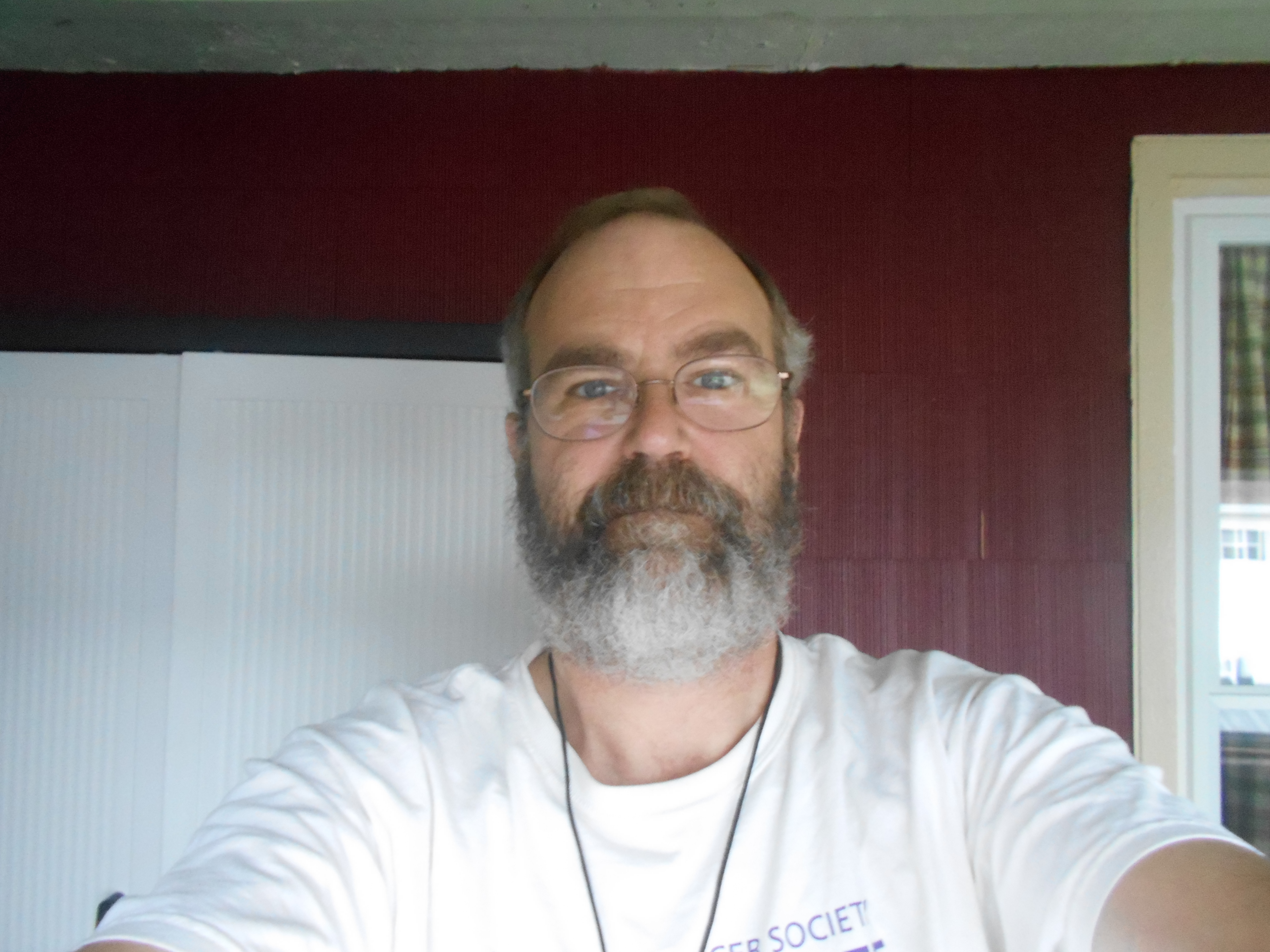
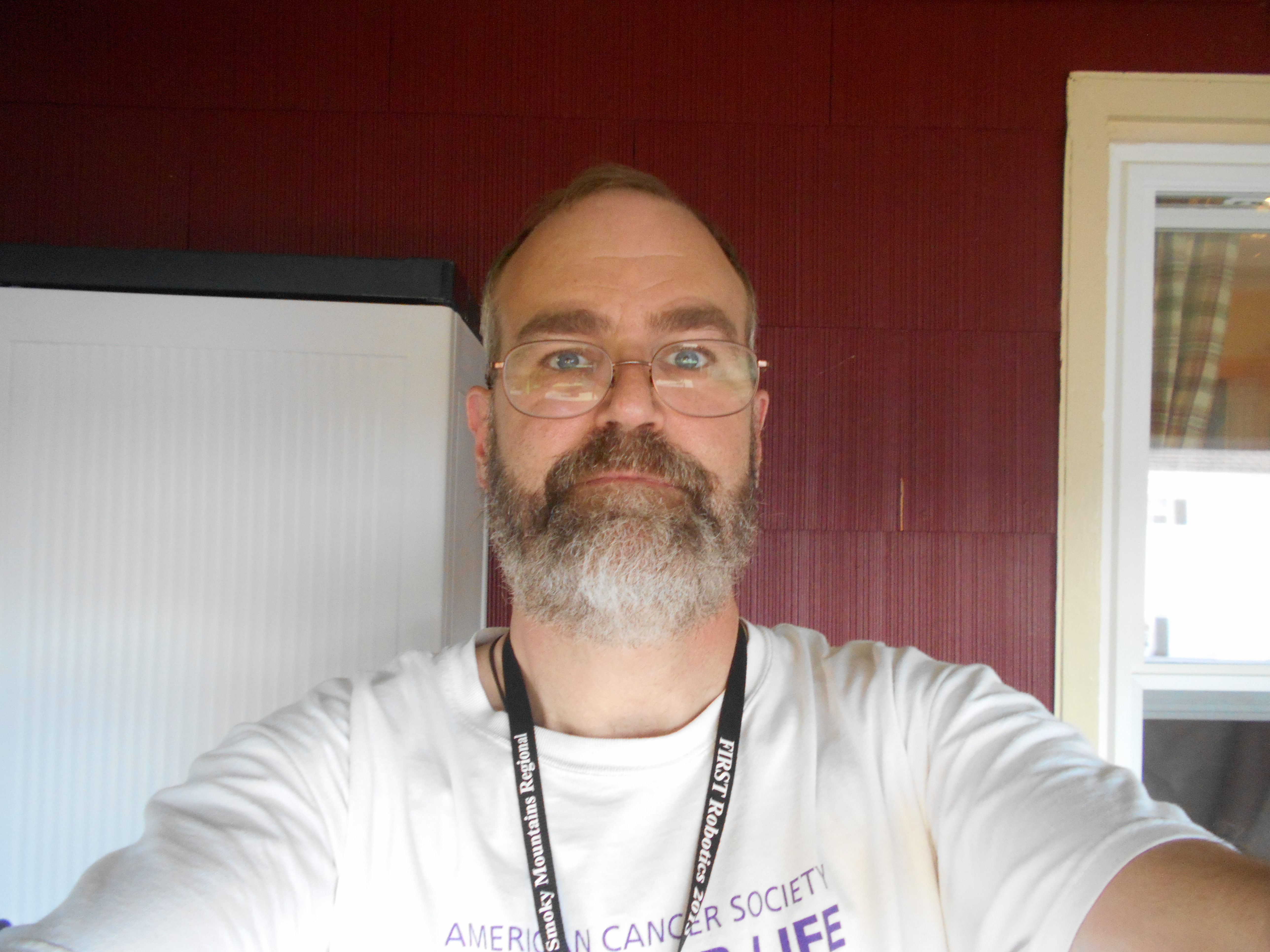
woke up at Shaws and had breakfast and then fooled around with the new pack for a bit. Poet talked me into leaving the old pack so he could give it to a down and out hiker if needed...sounded like a good idea, but I had to give the pack a proper sendoff with a swift kick (see pics).
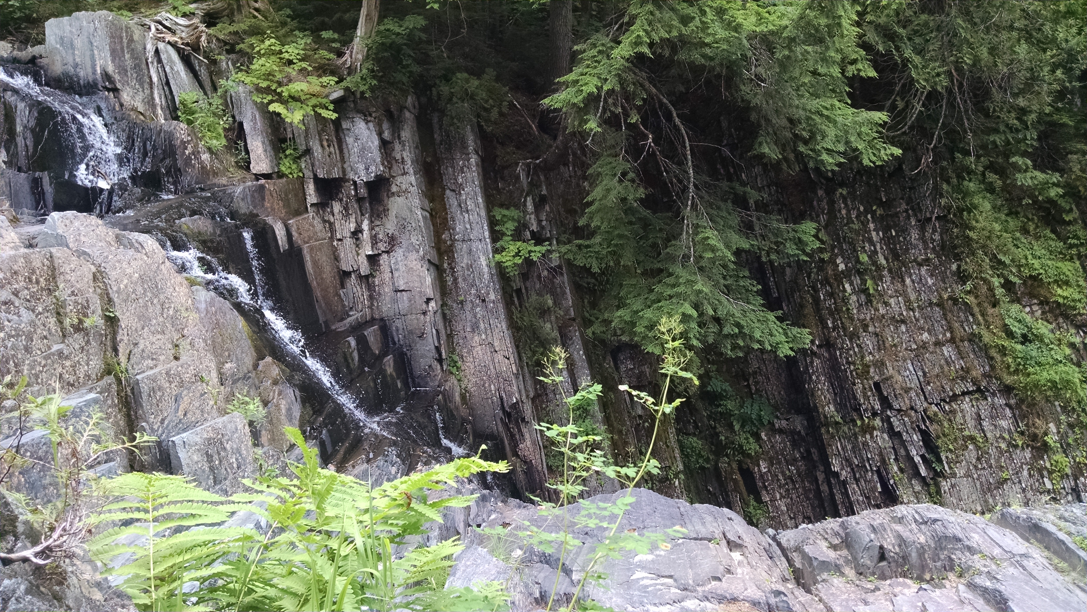
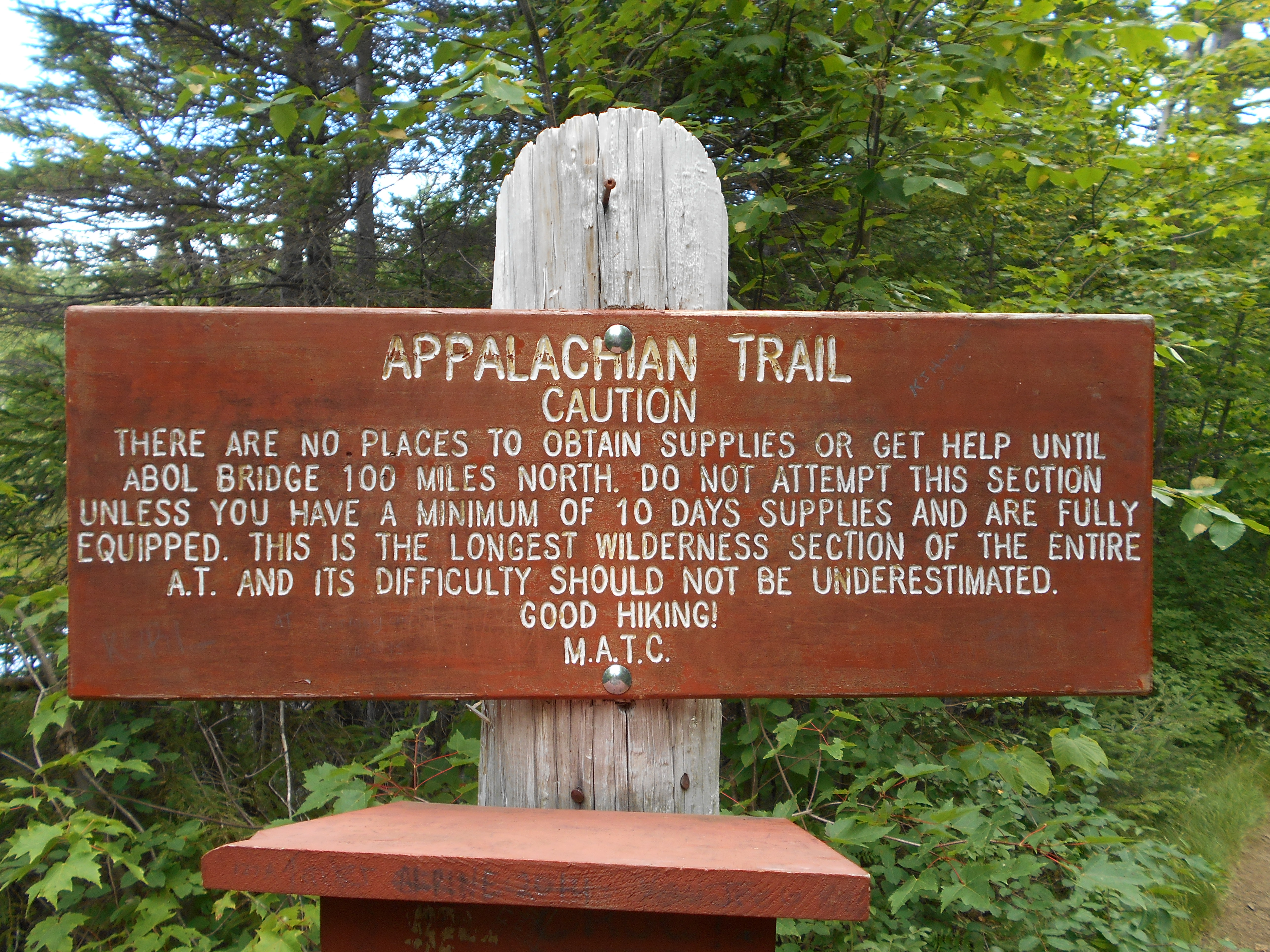
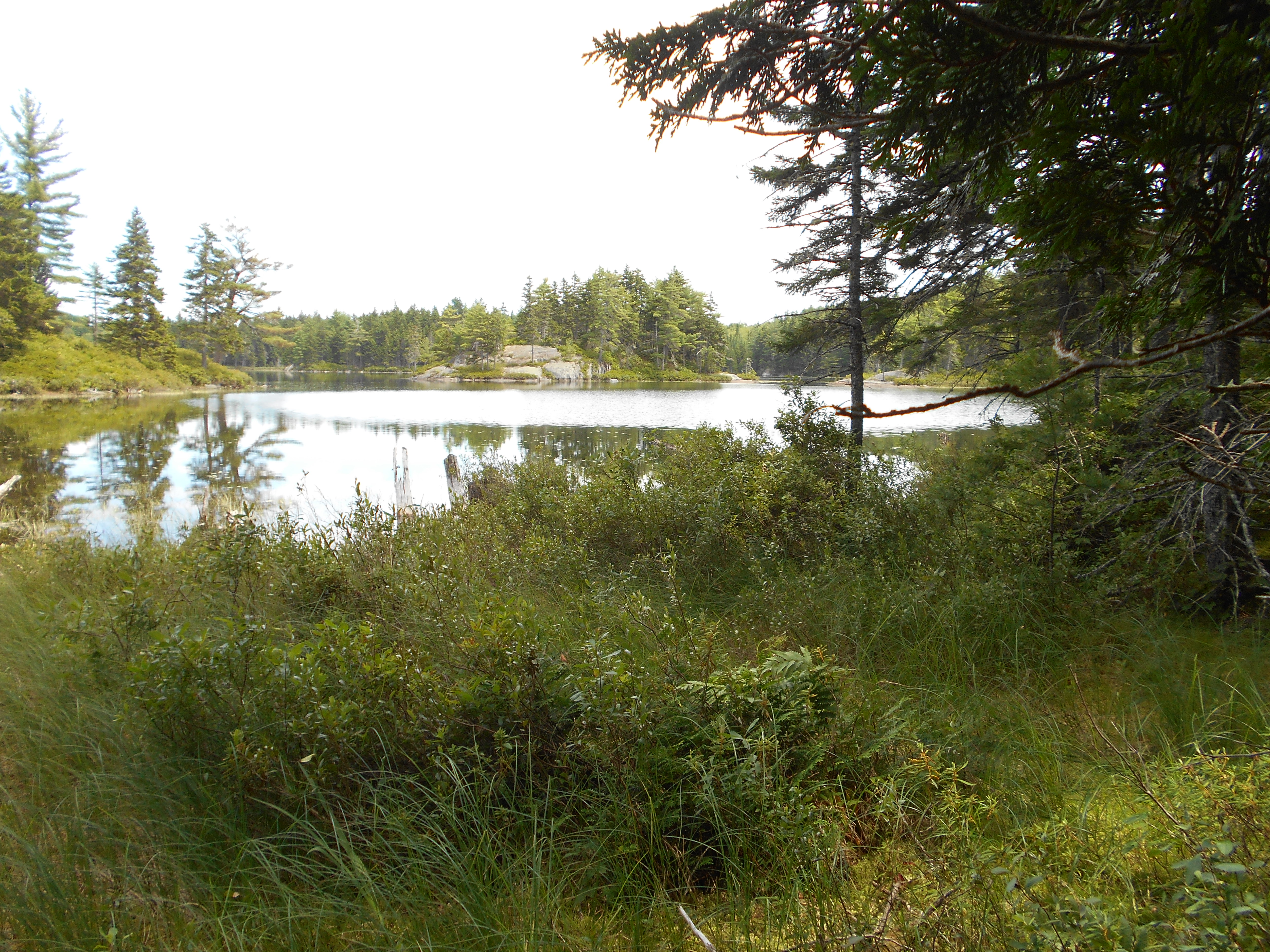
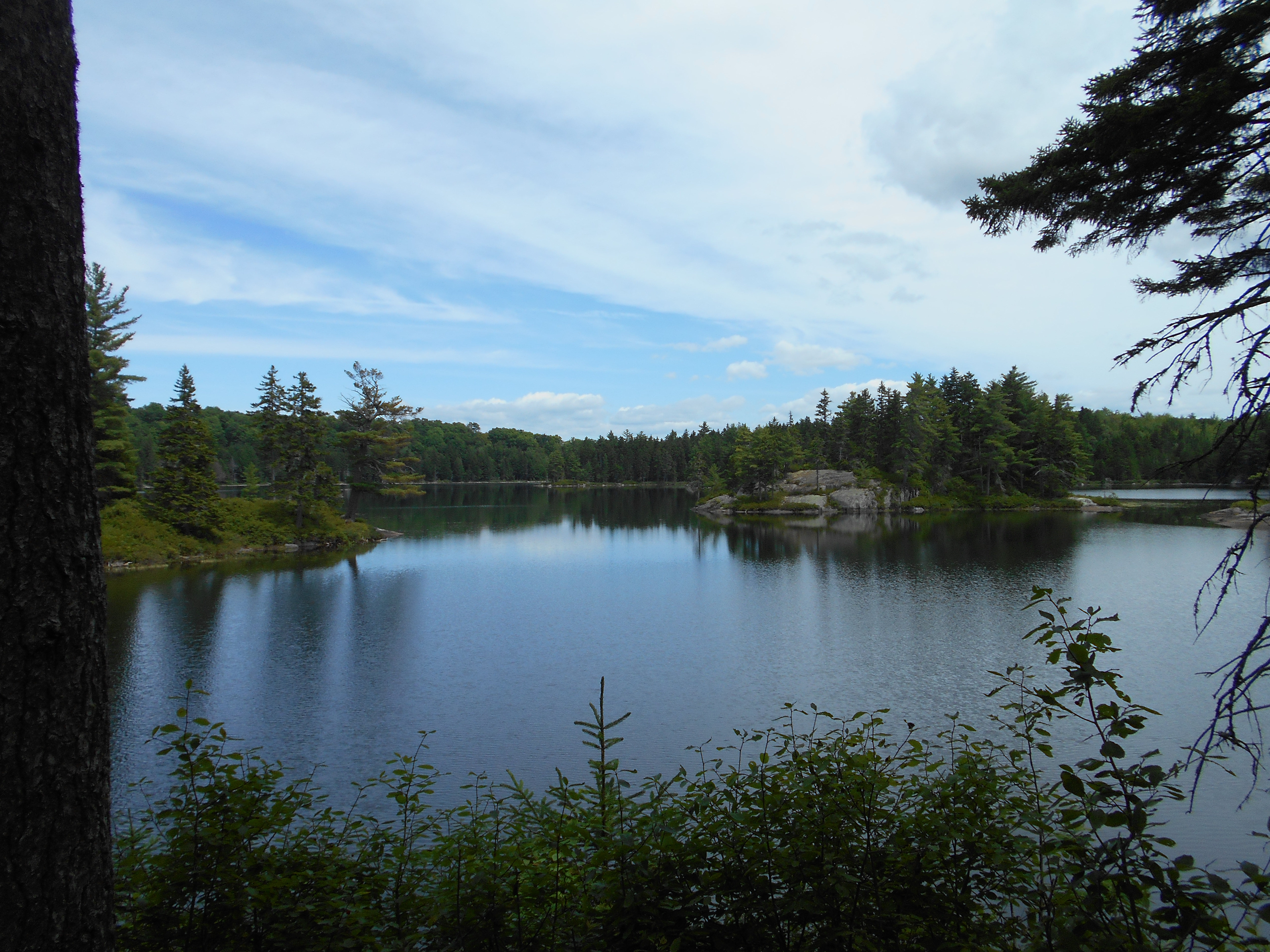
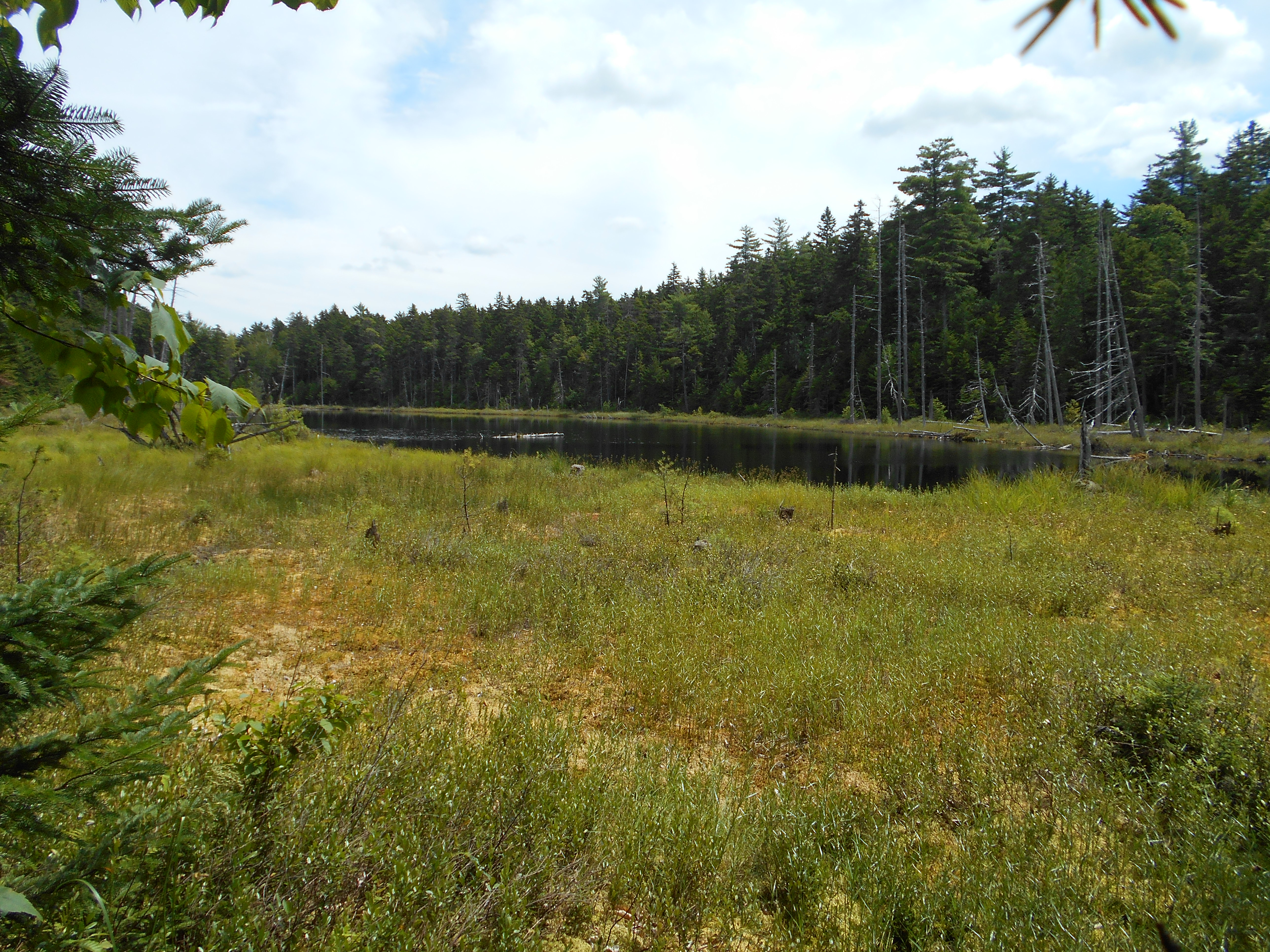
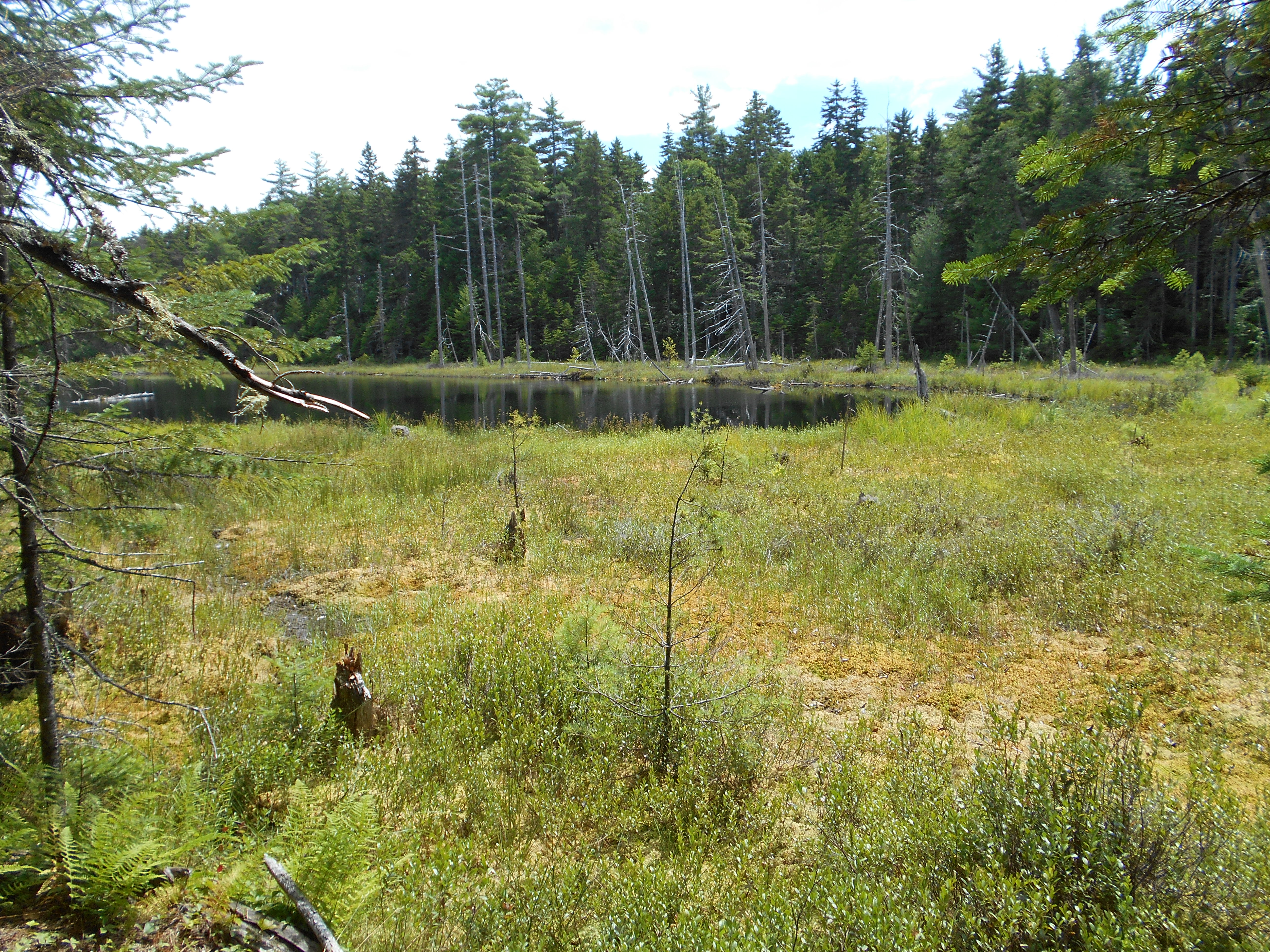
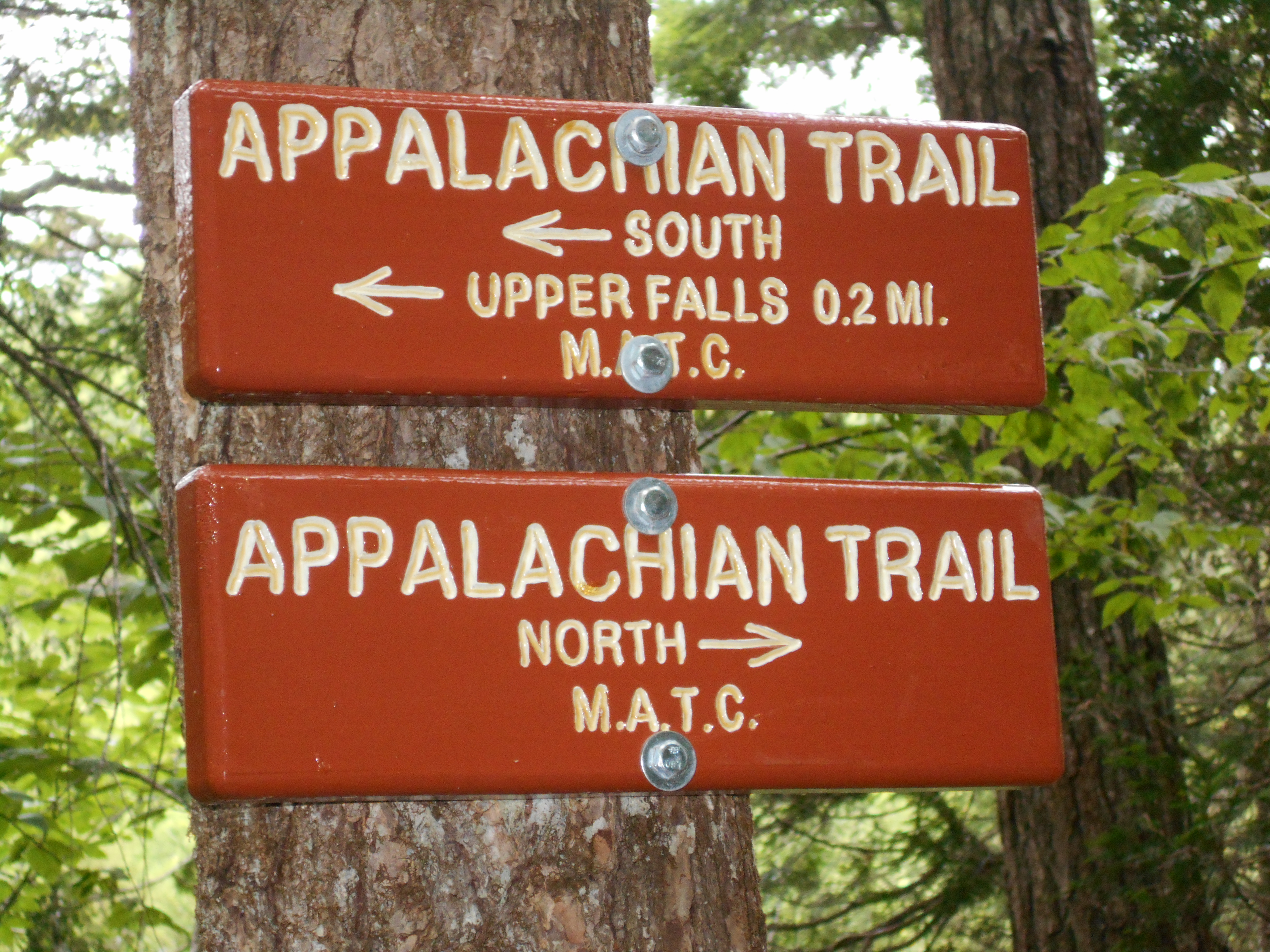
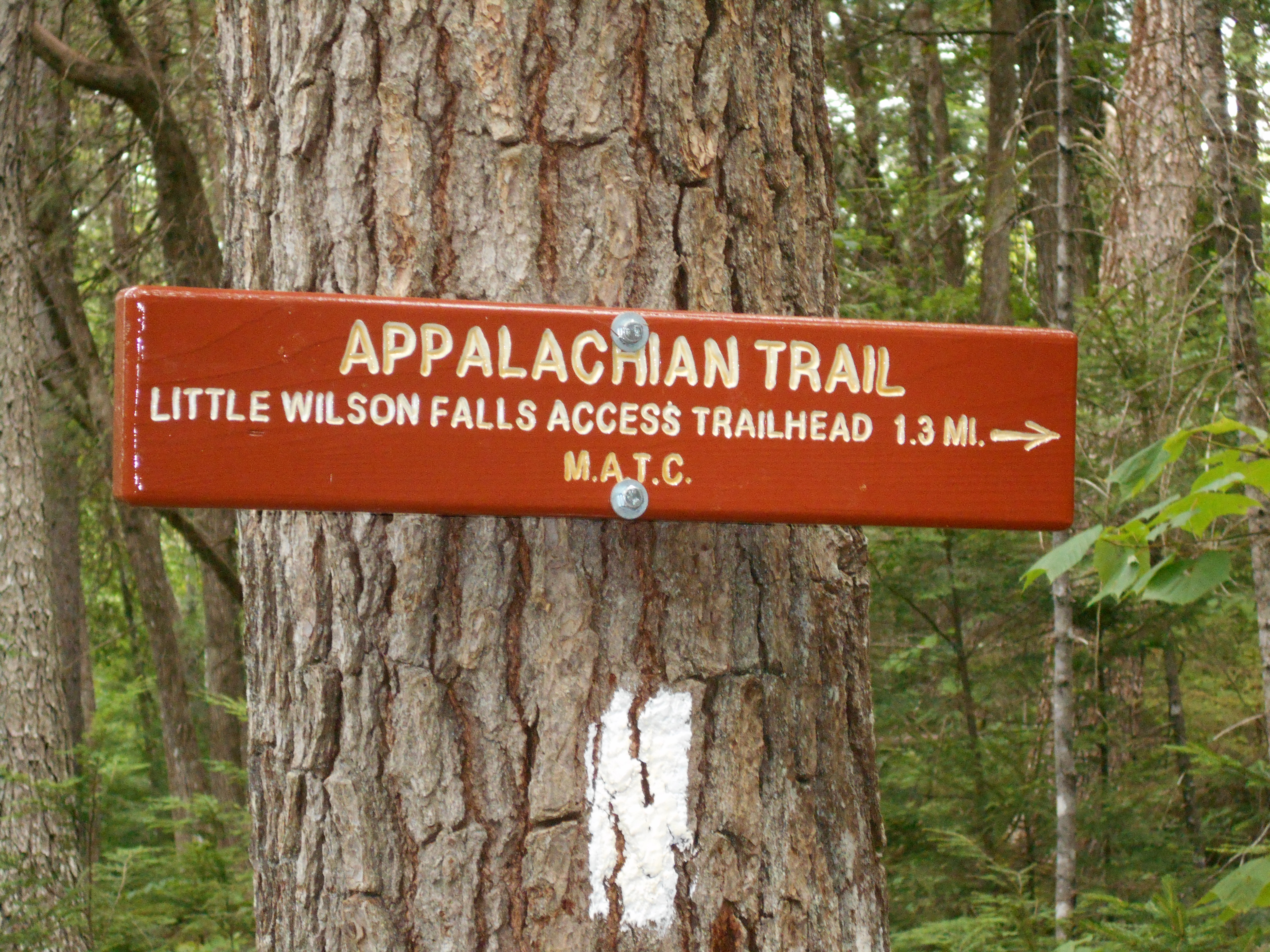
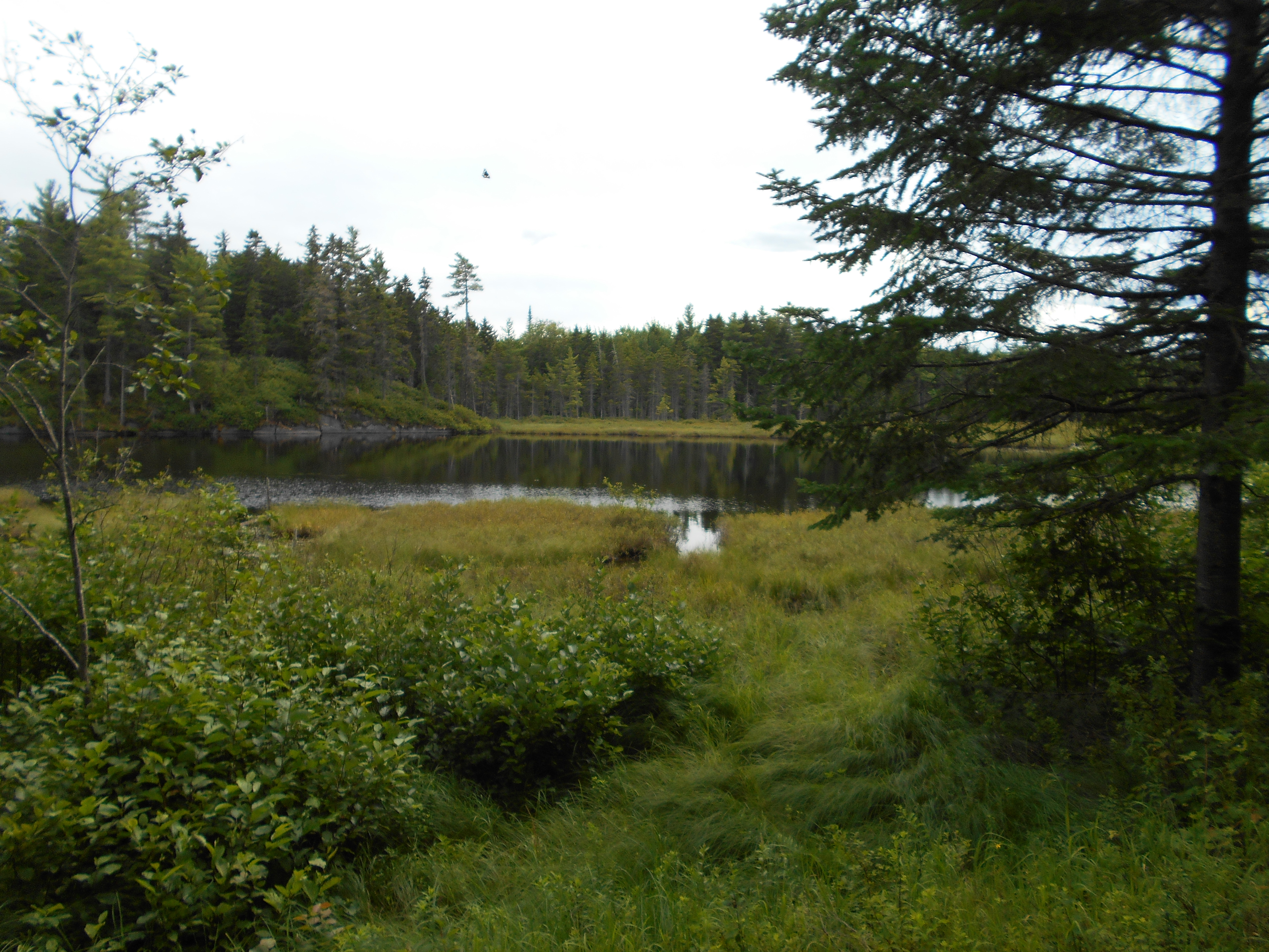
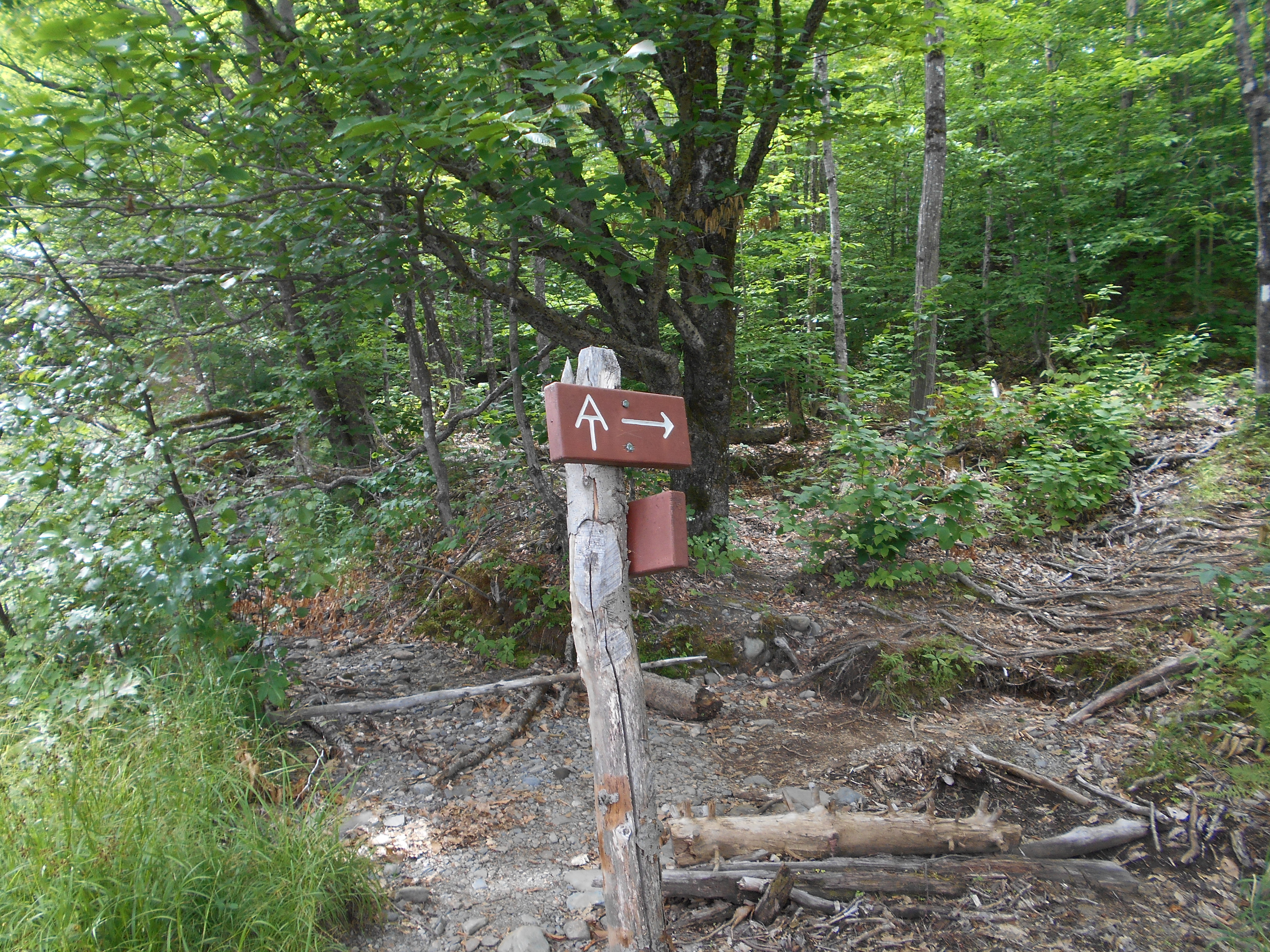
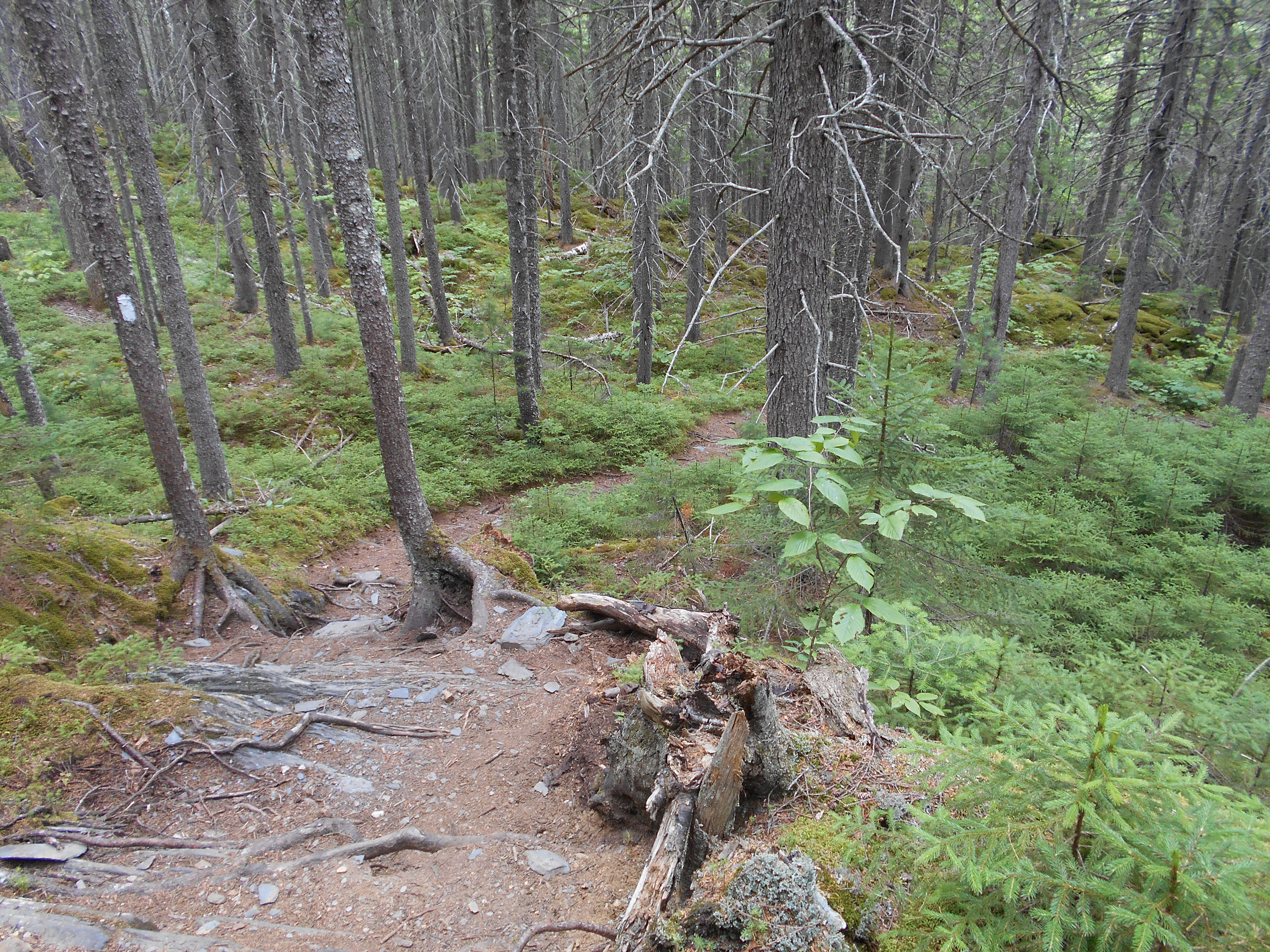
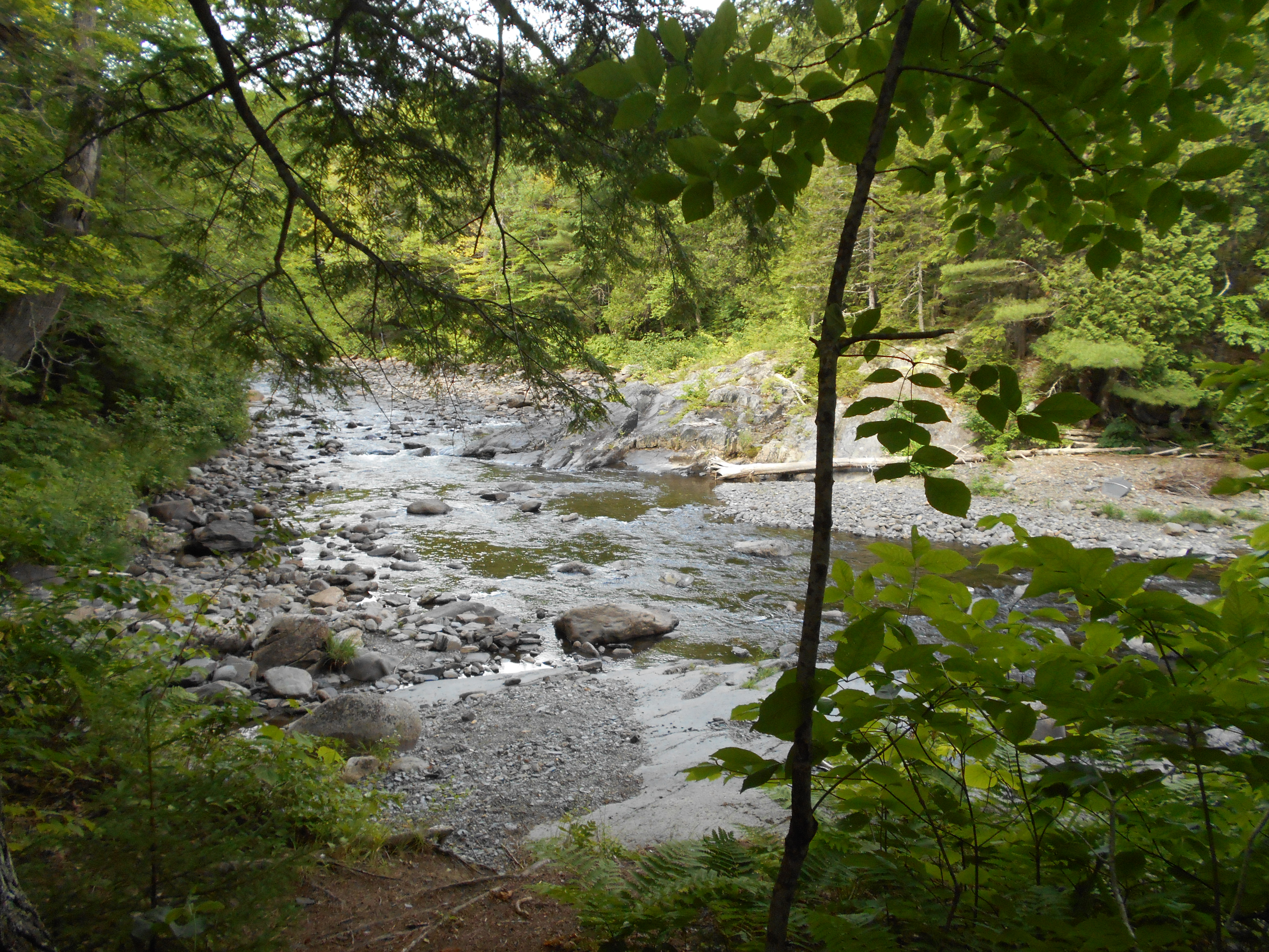
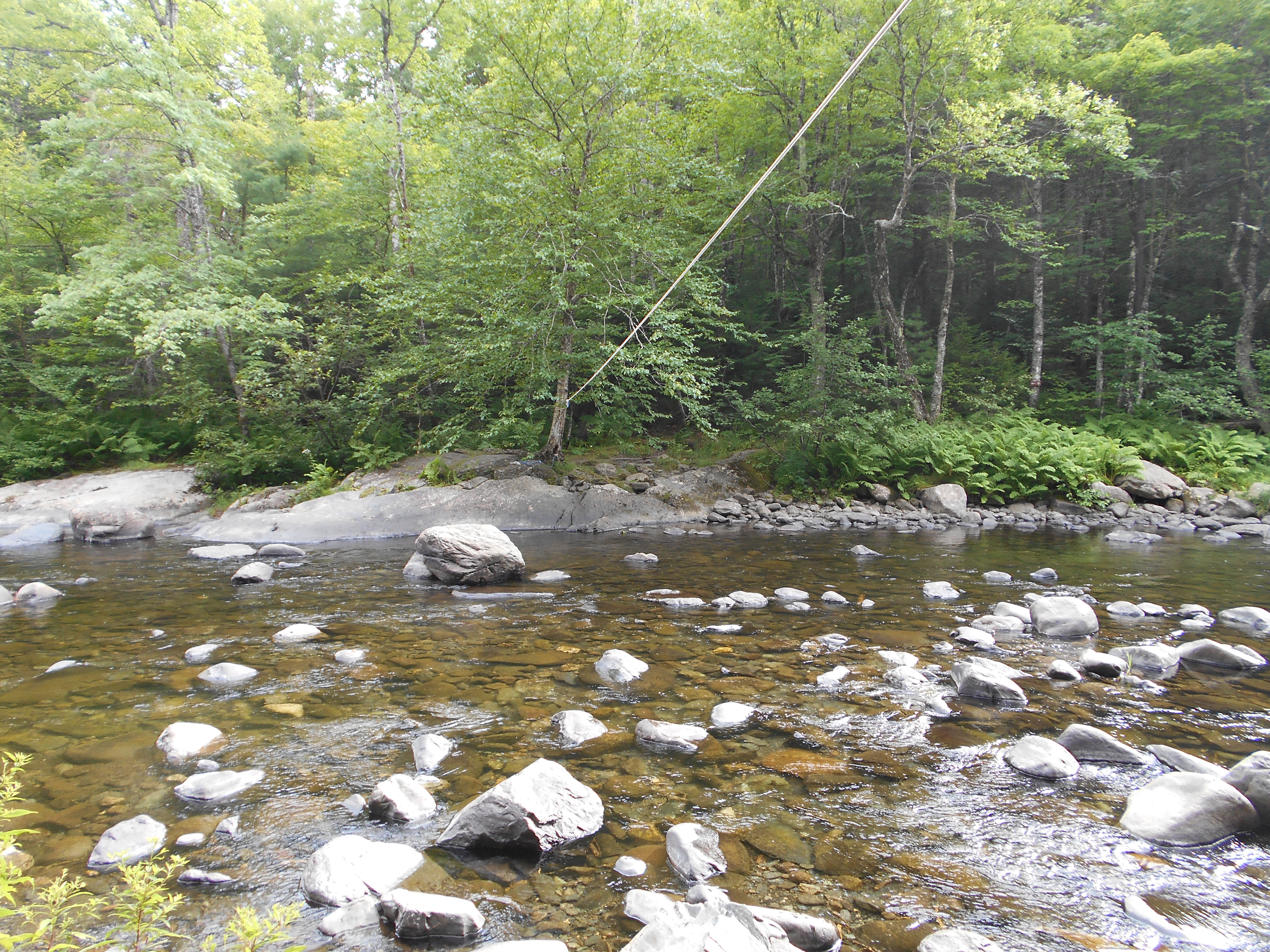
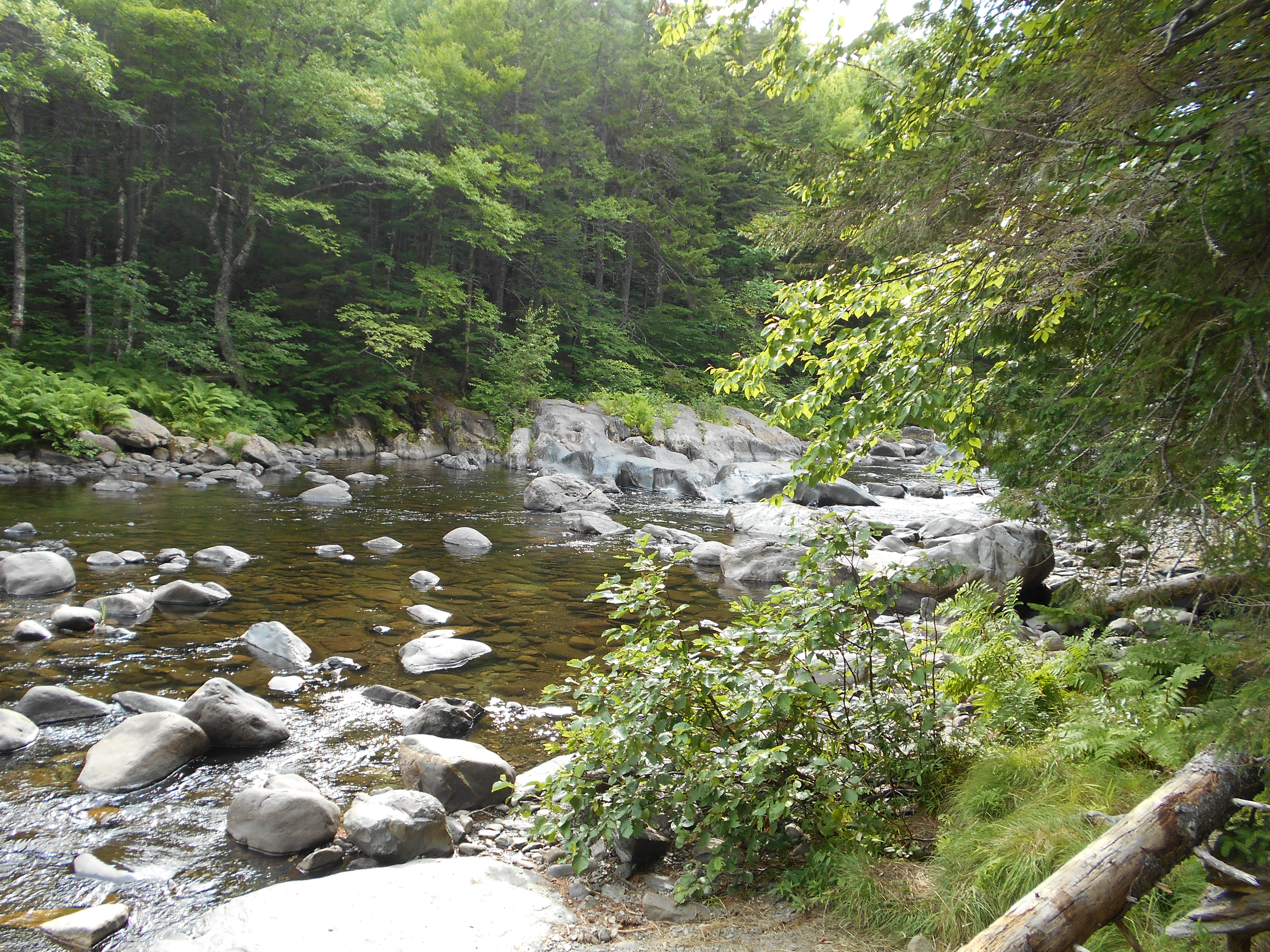
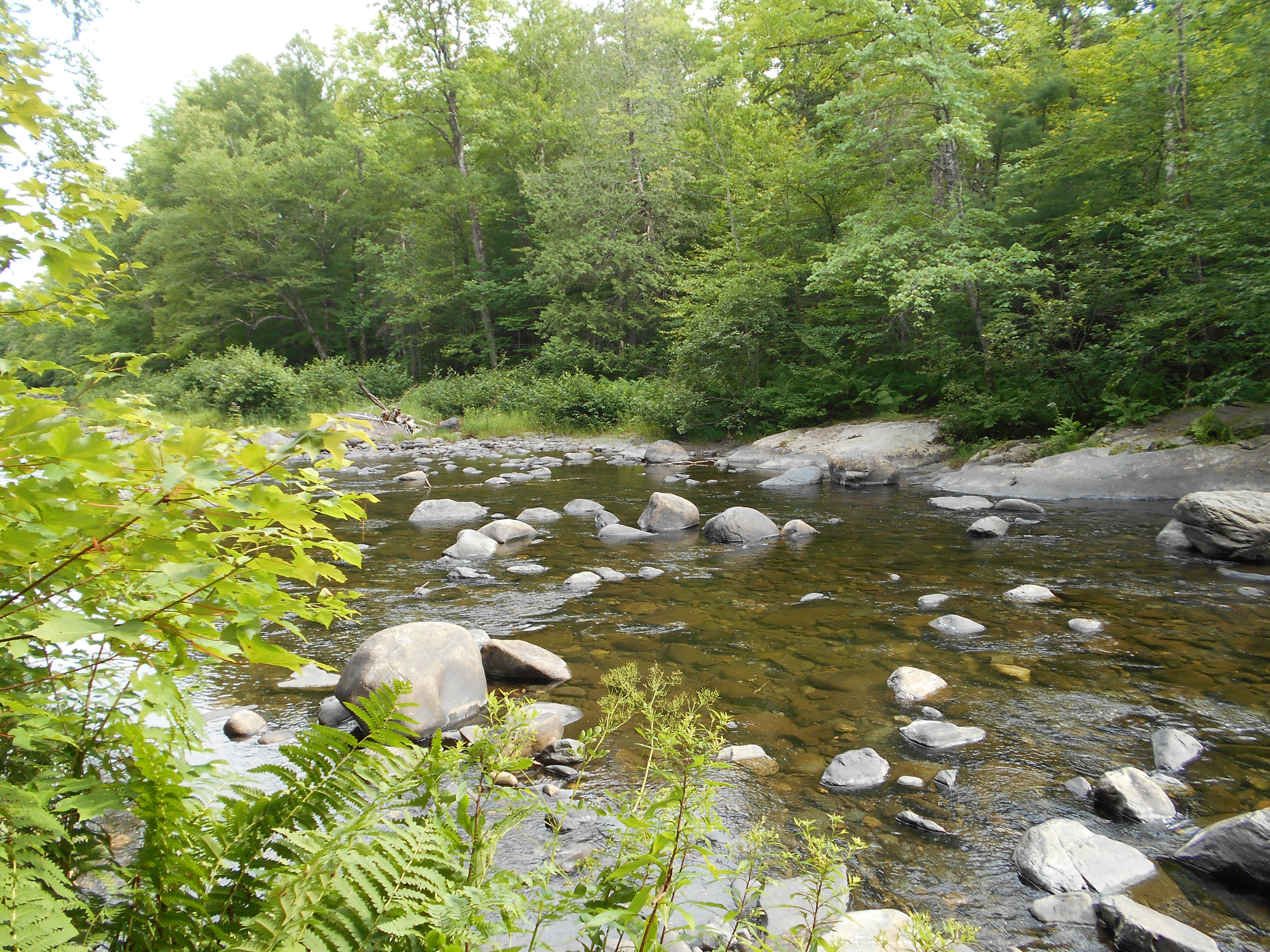
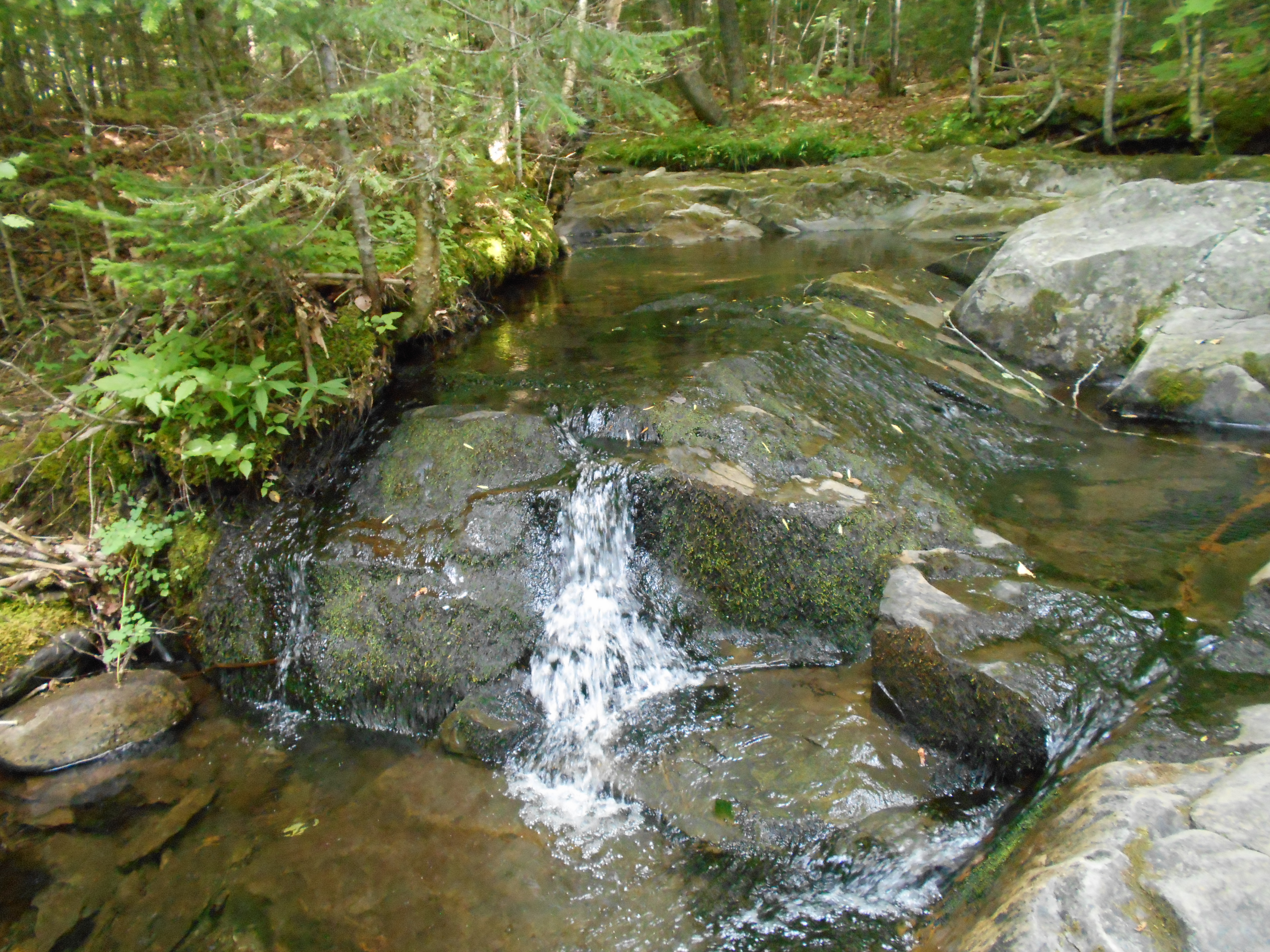
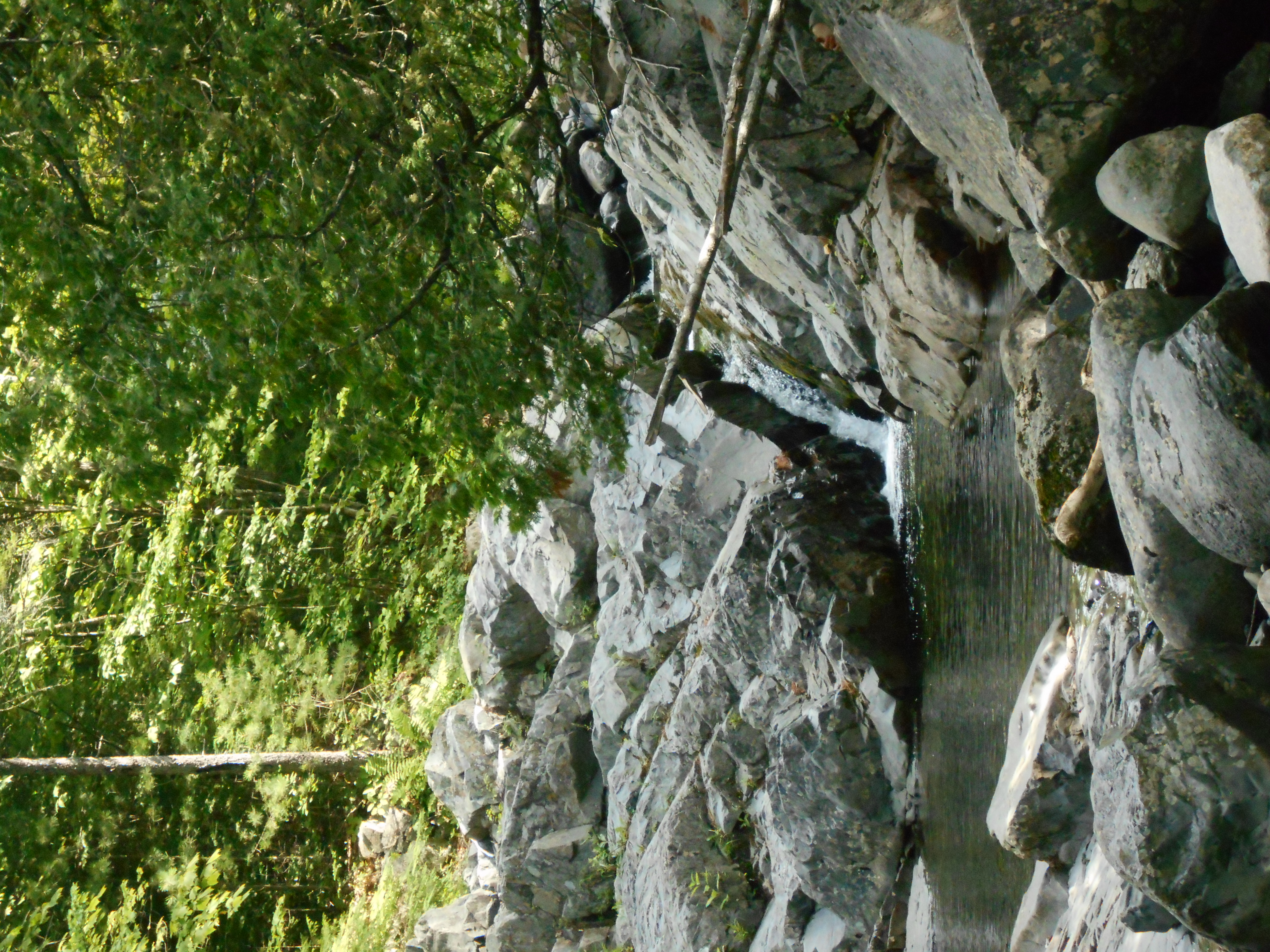
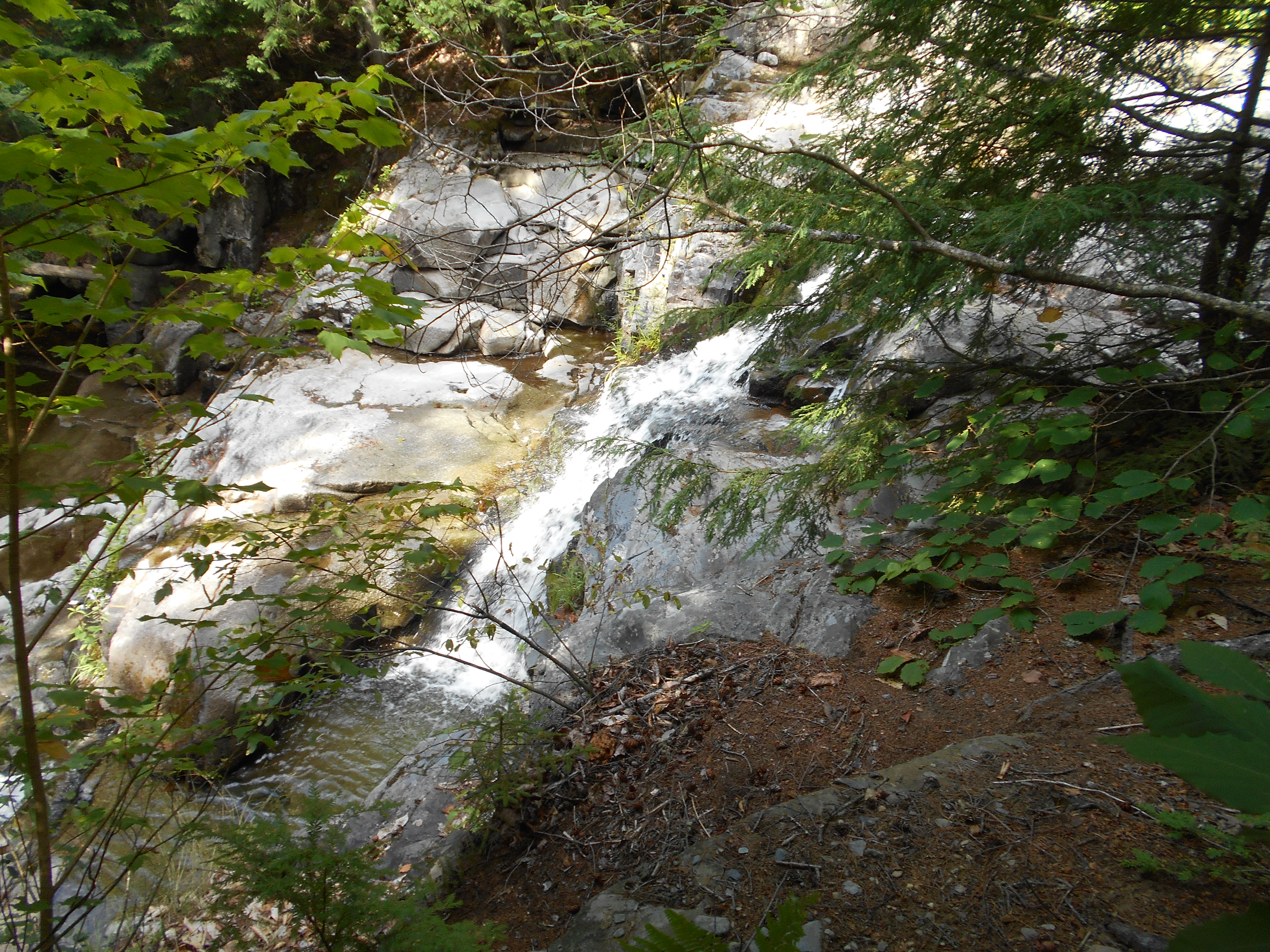
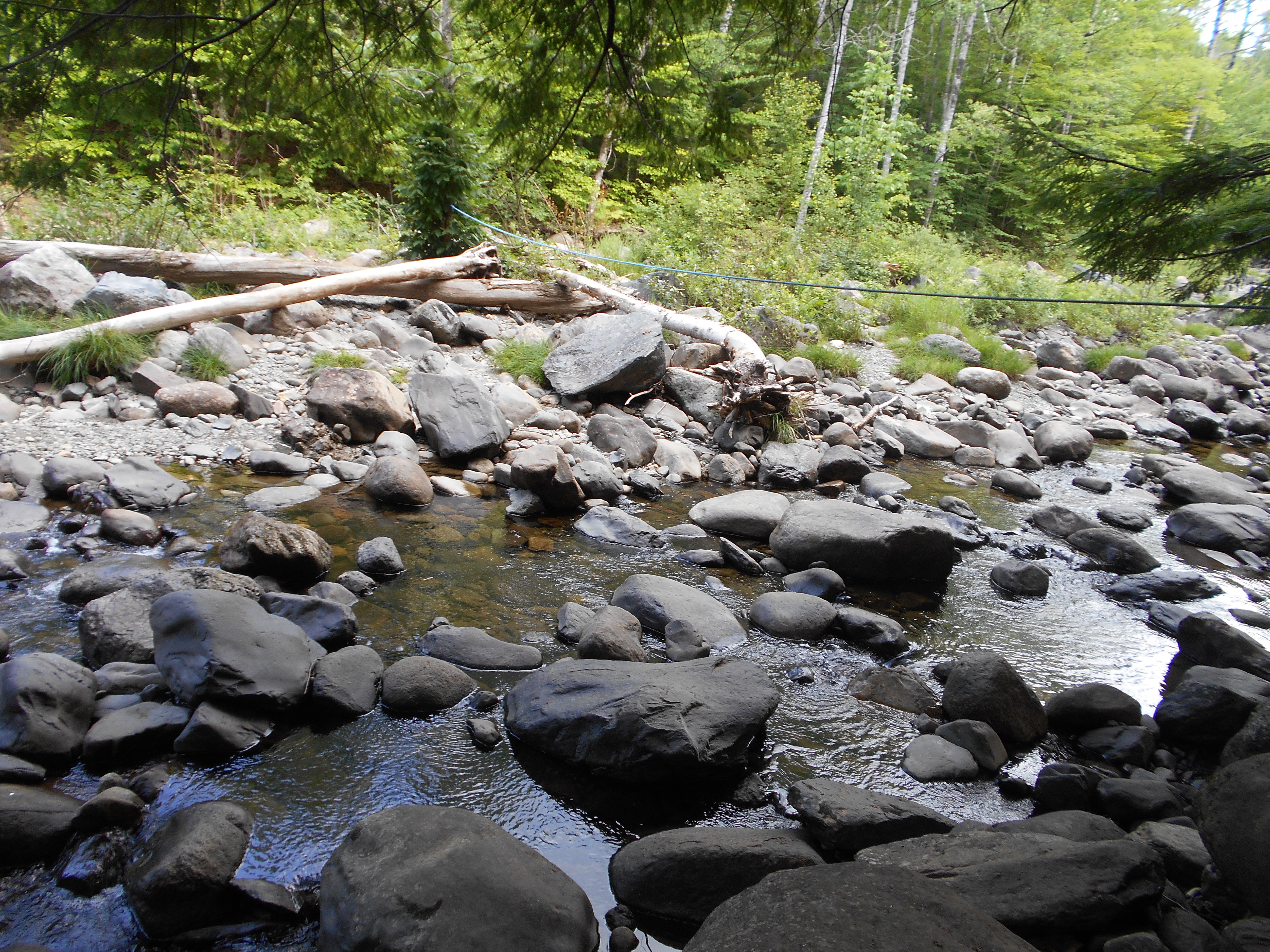
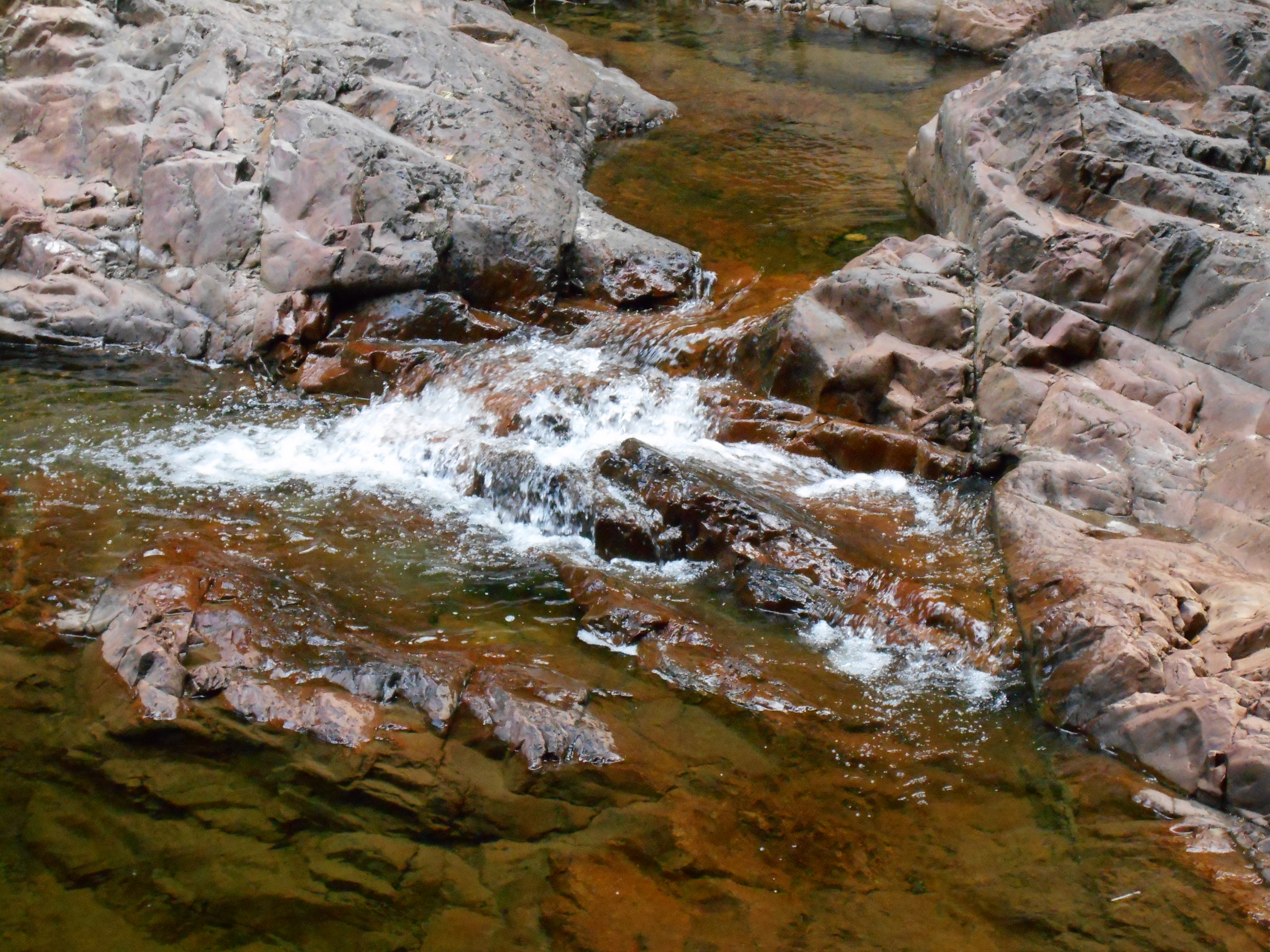
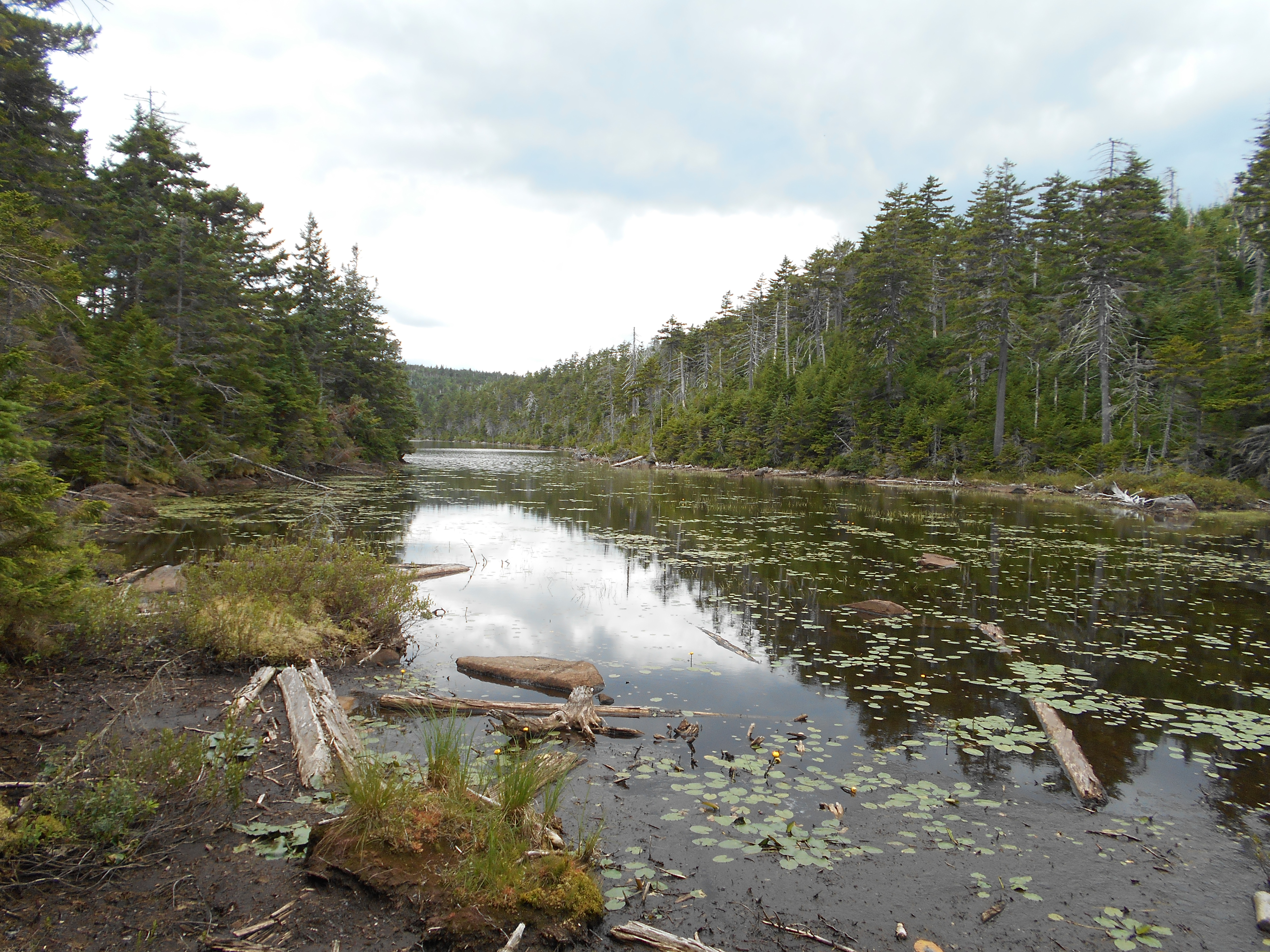
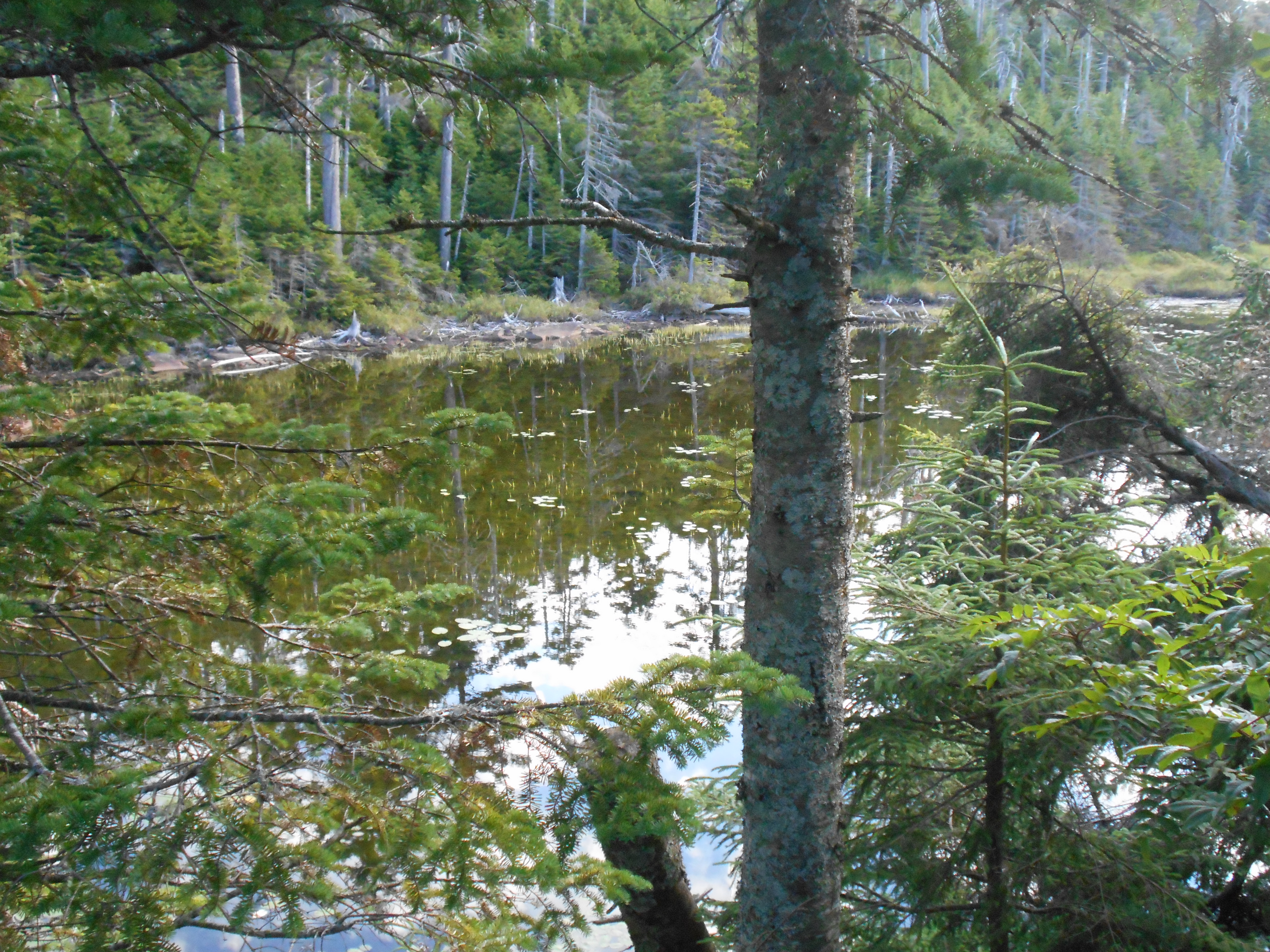
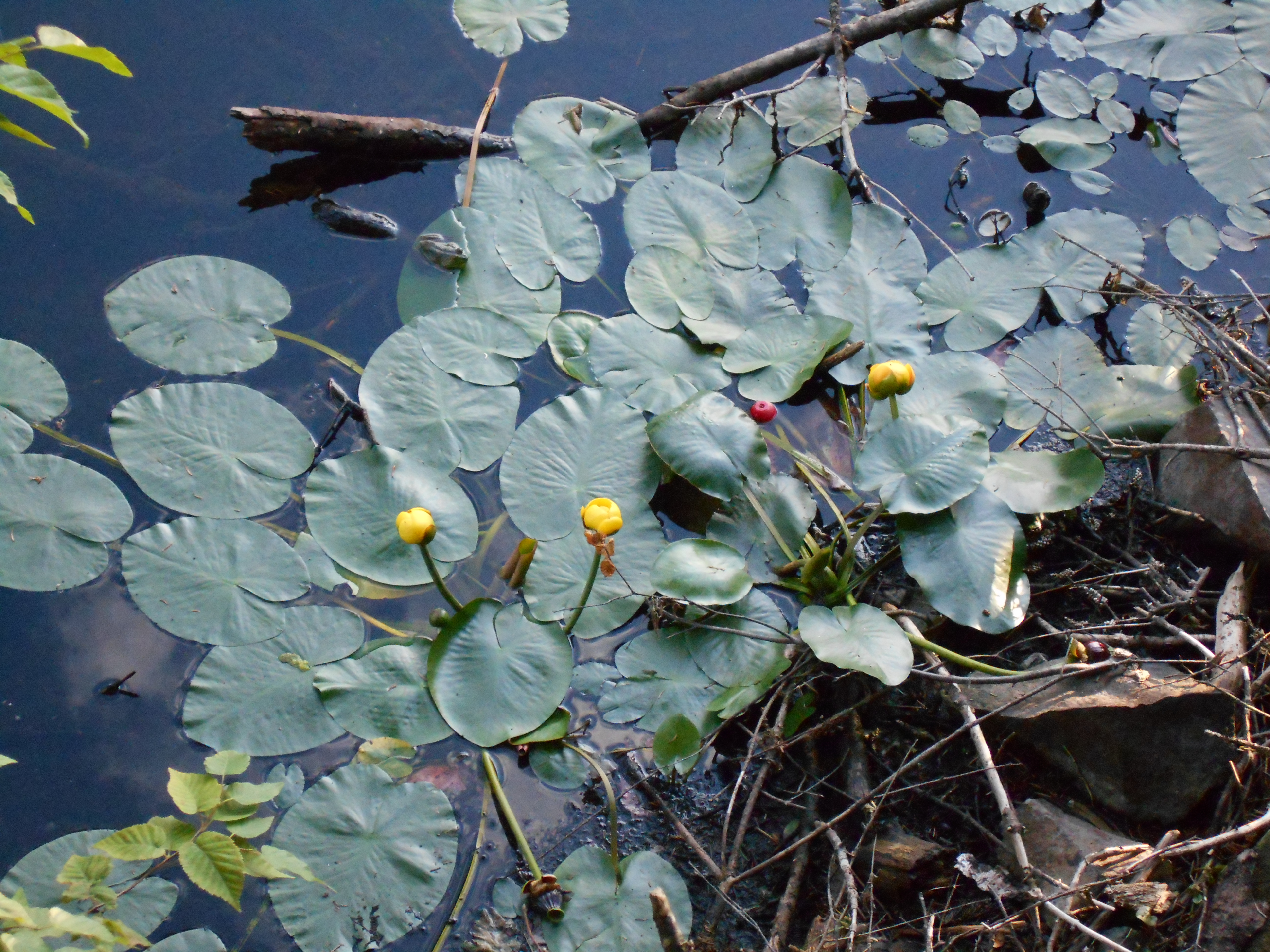
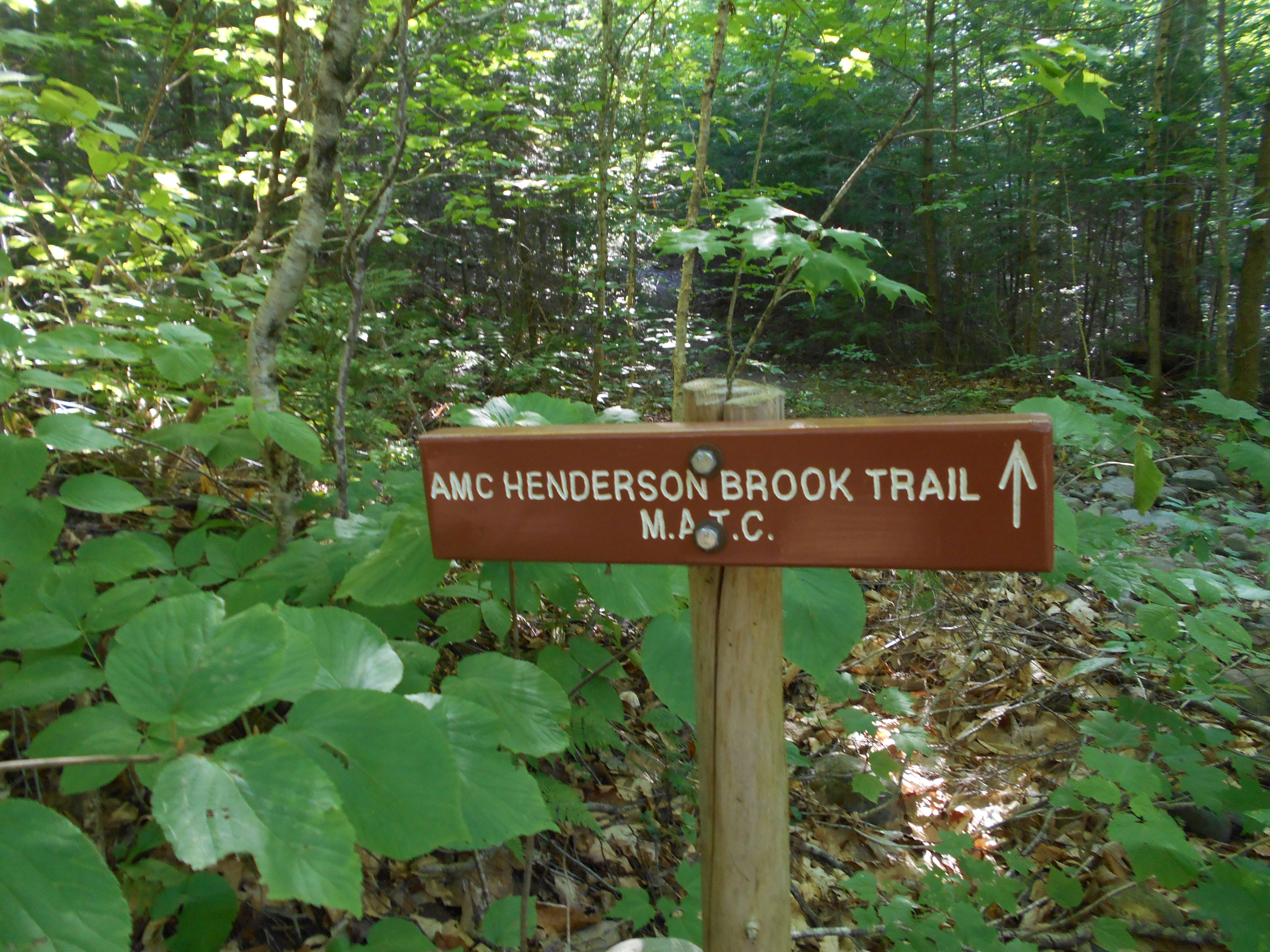
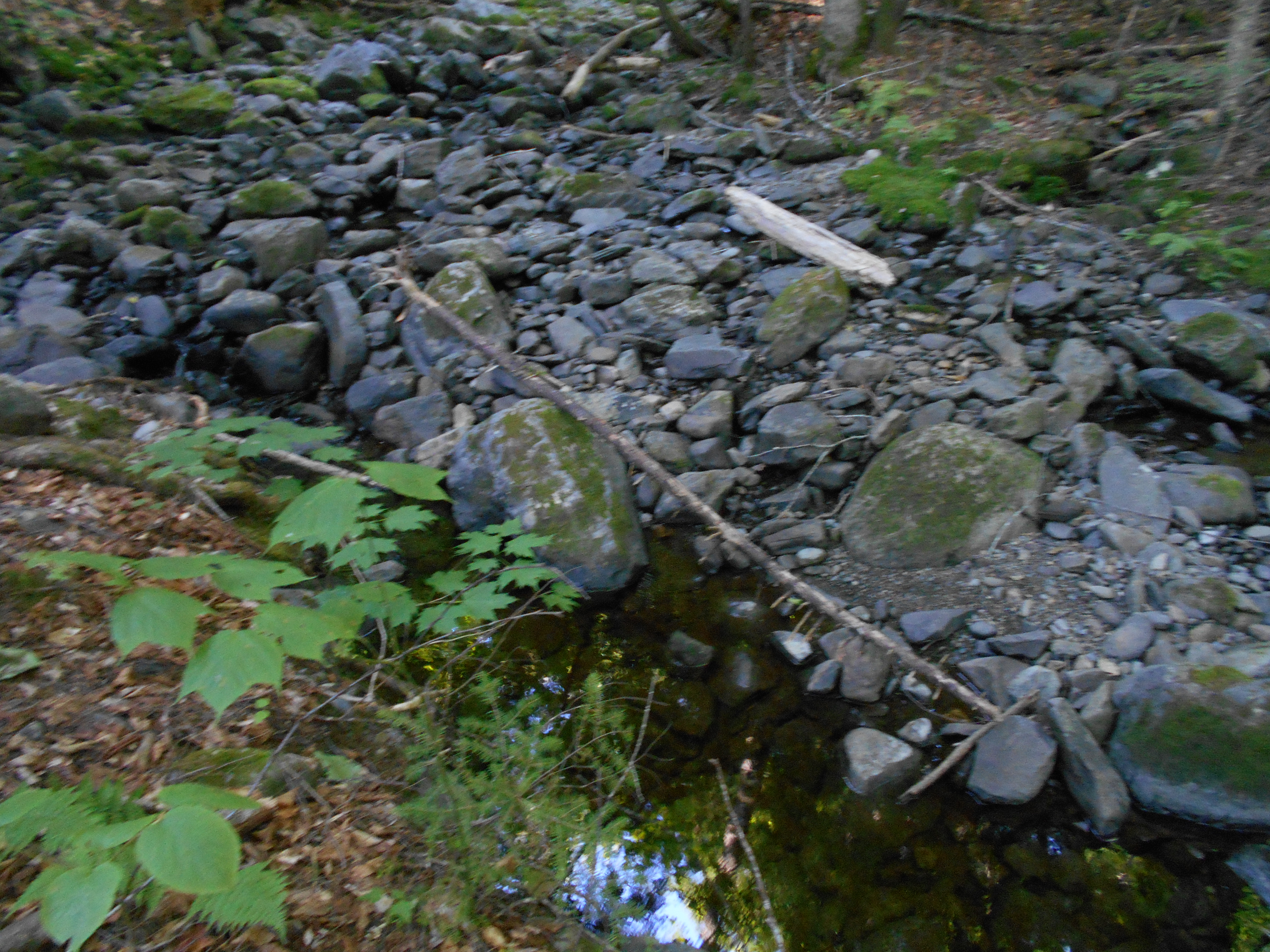
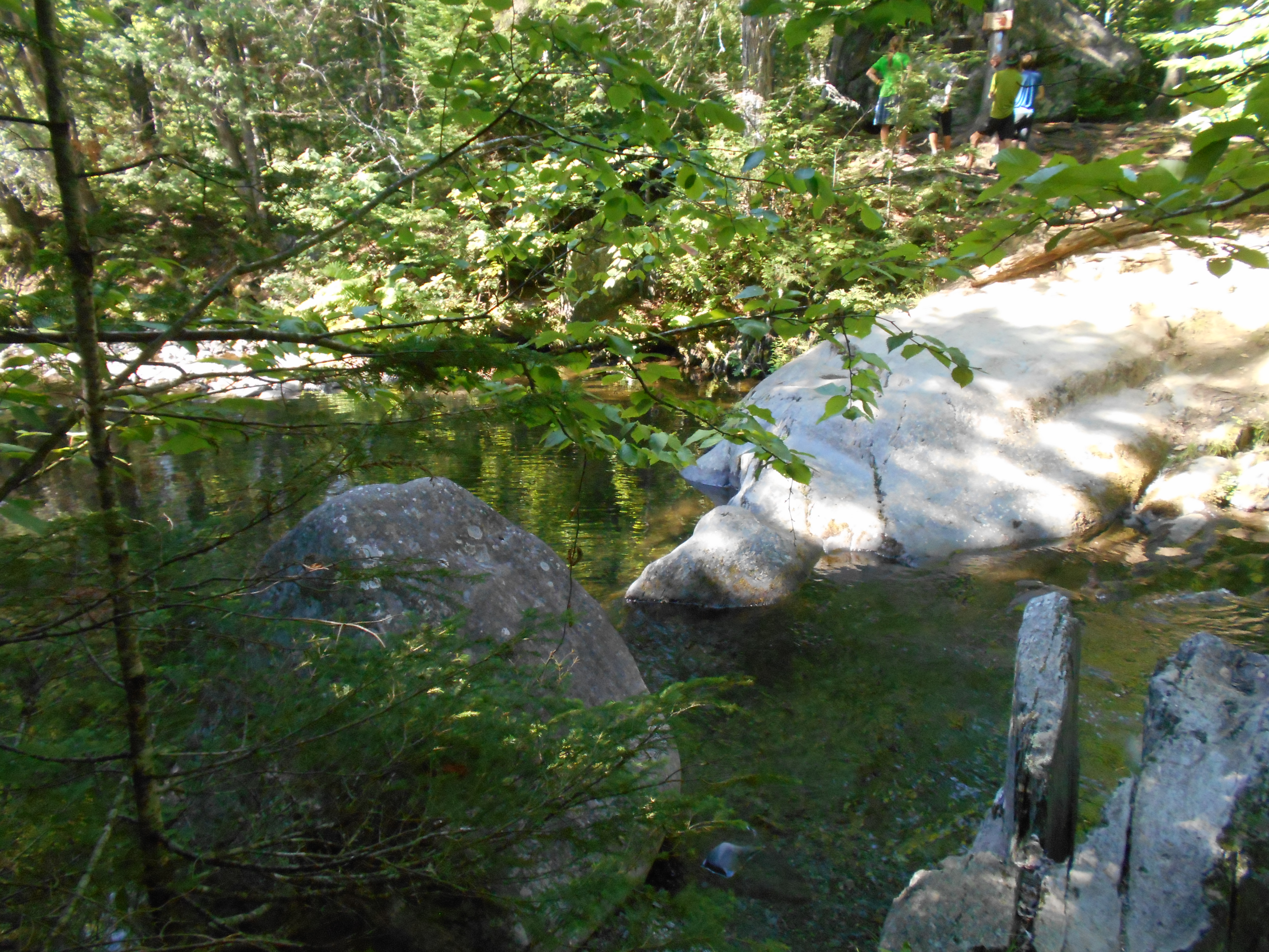
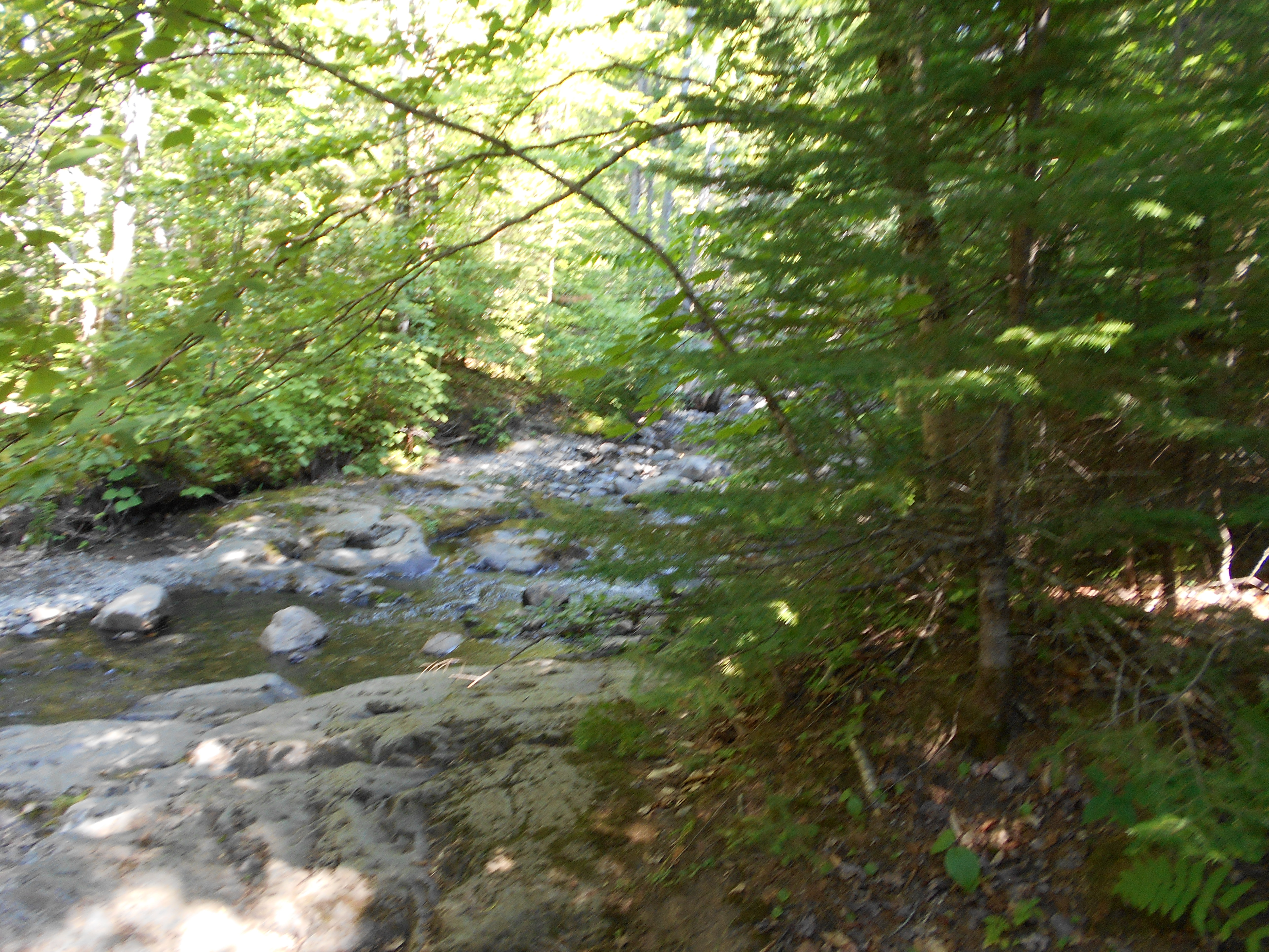
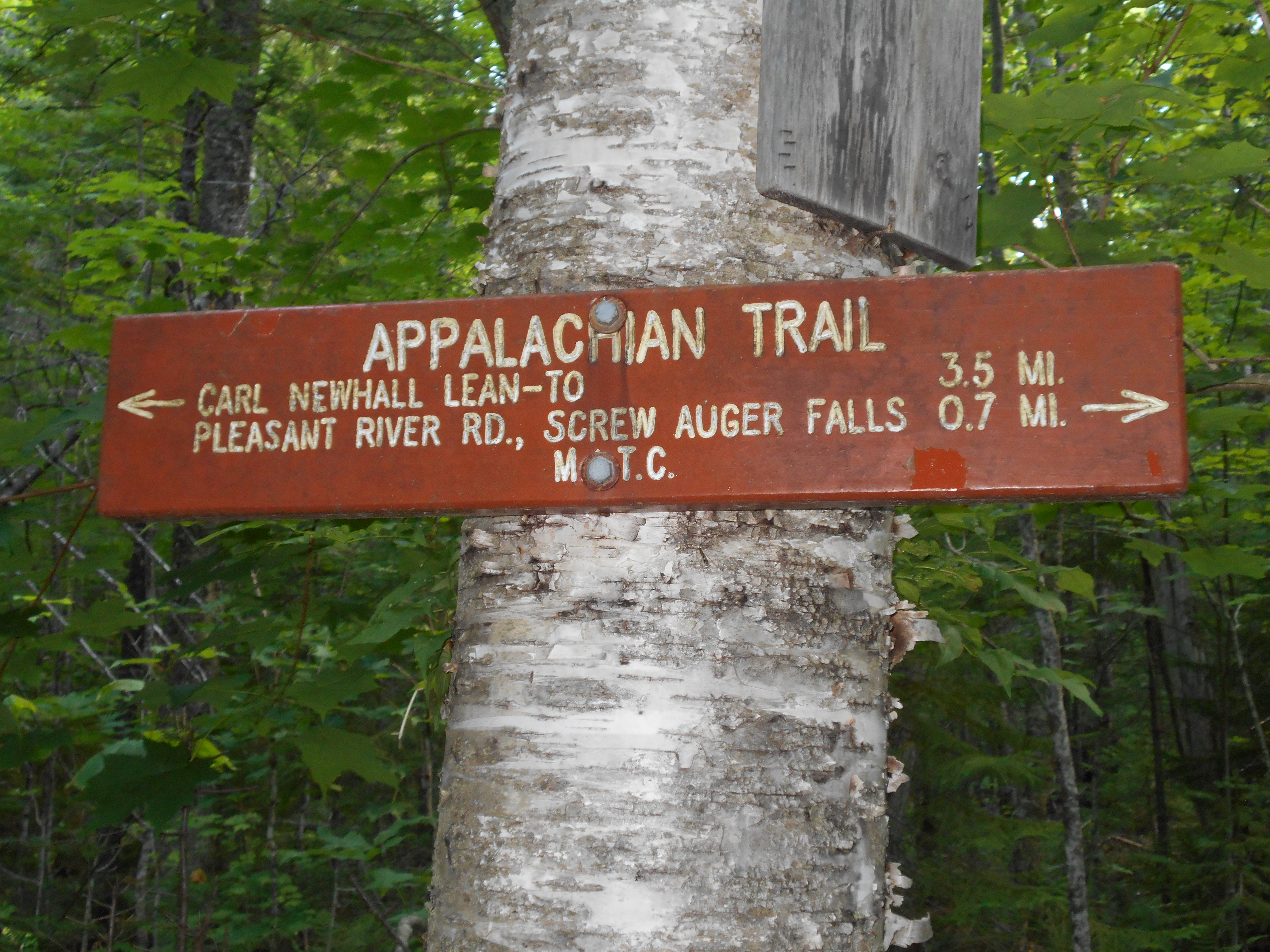
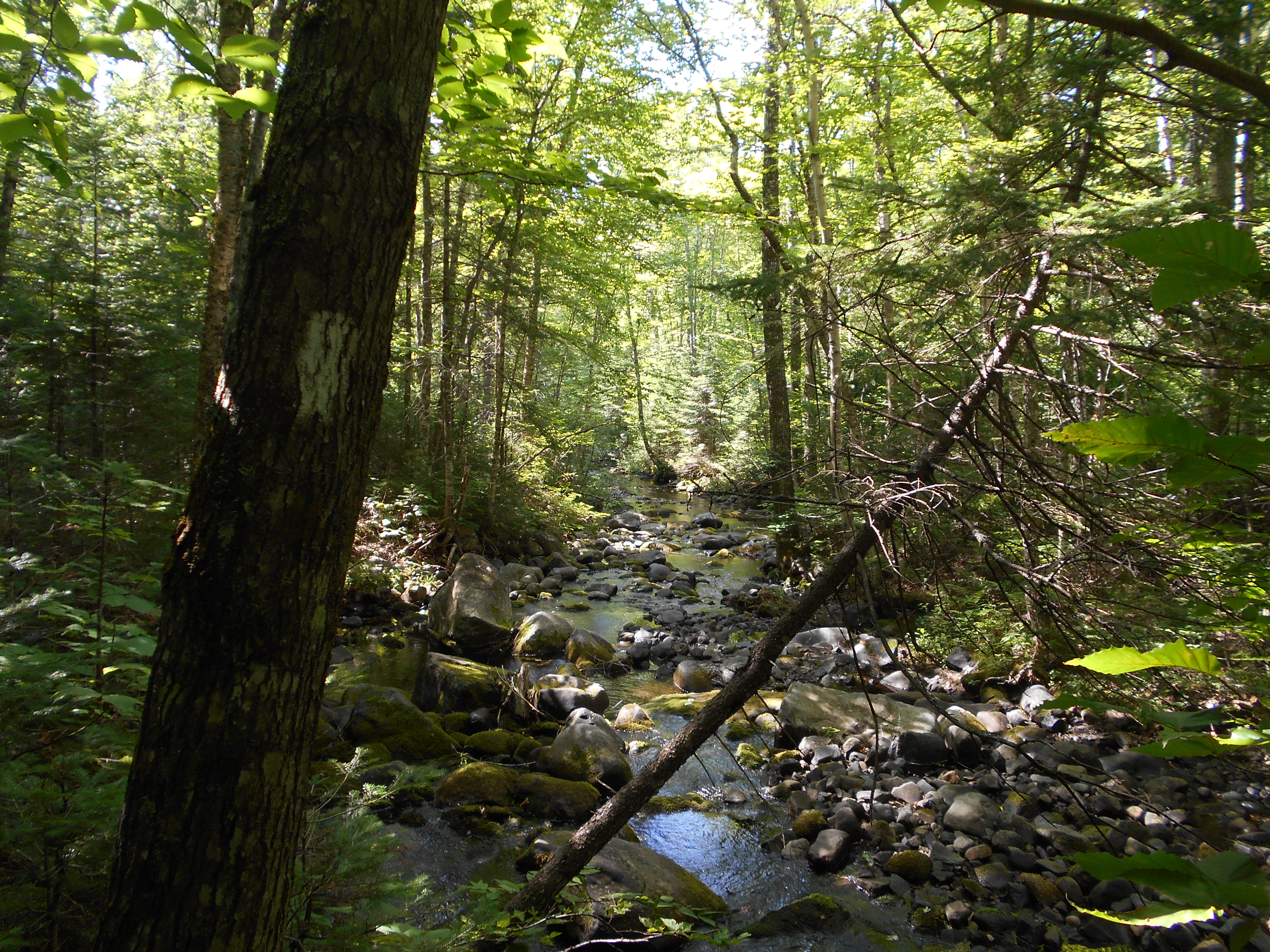
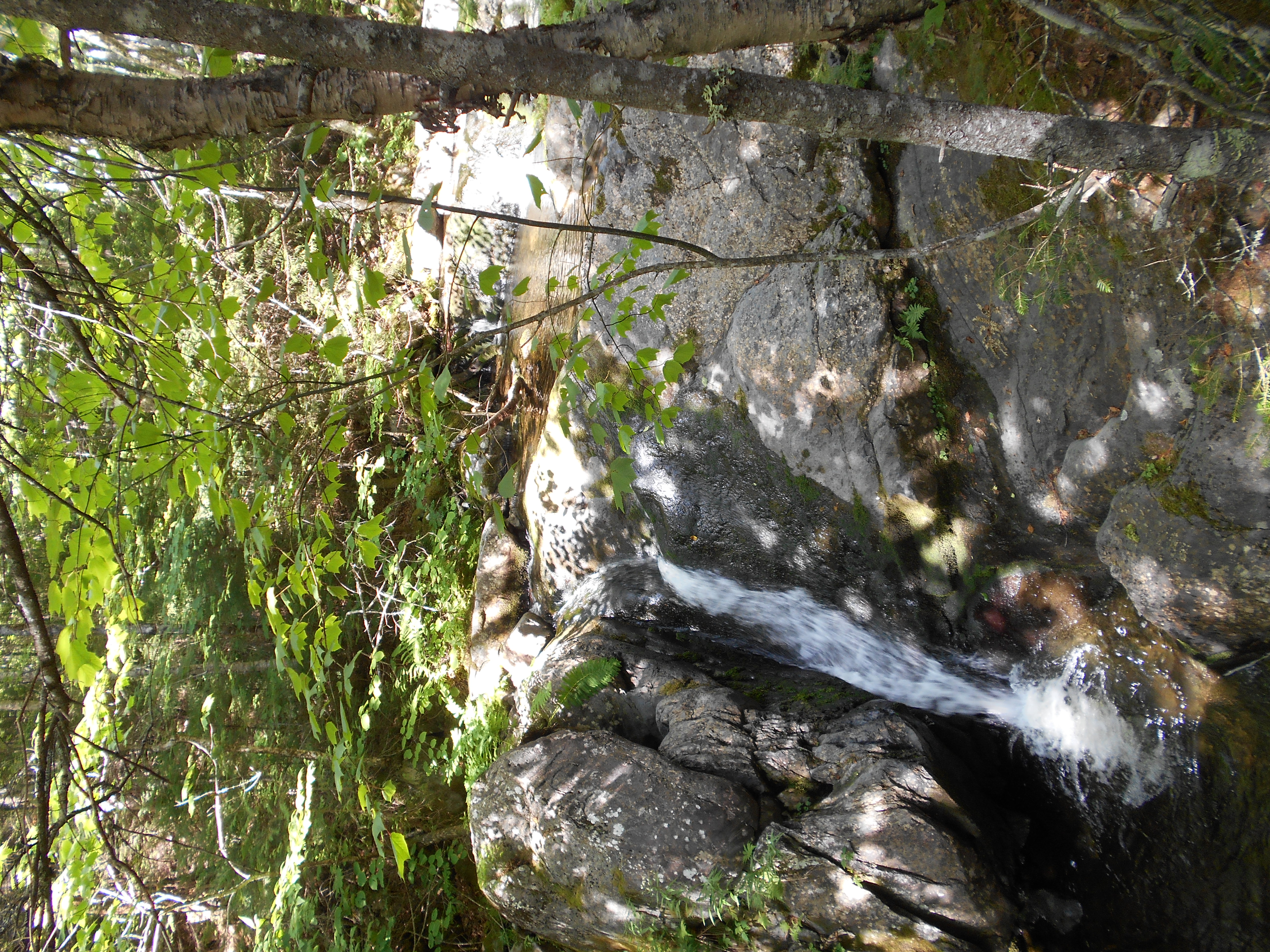
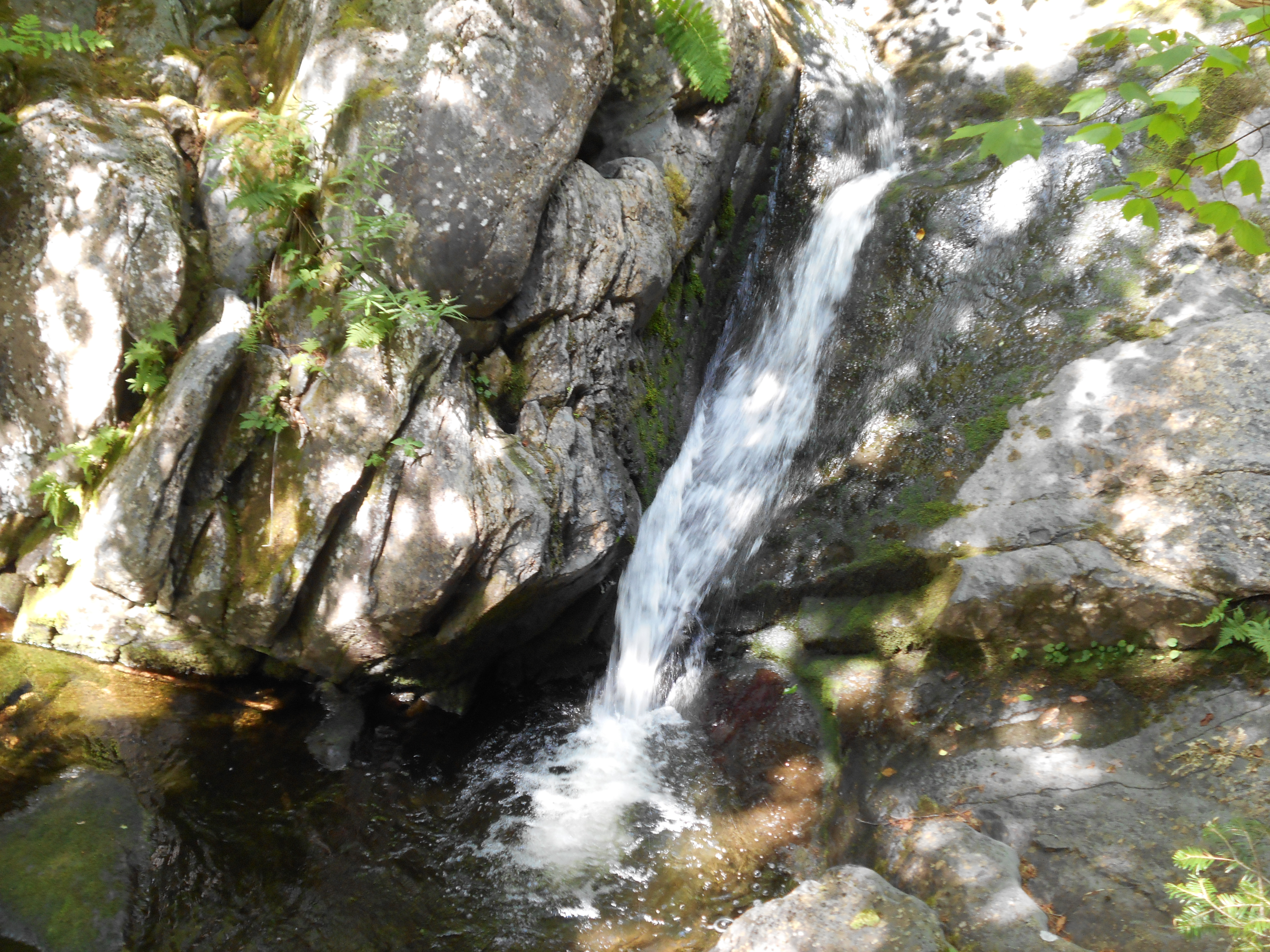
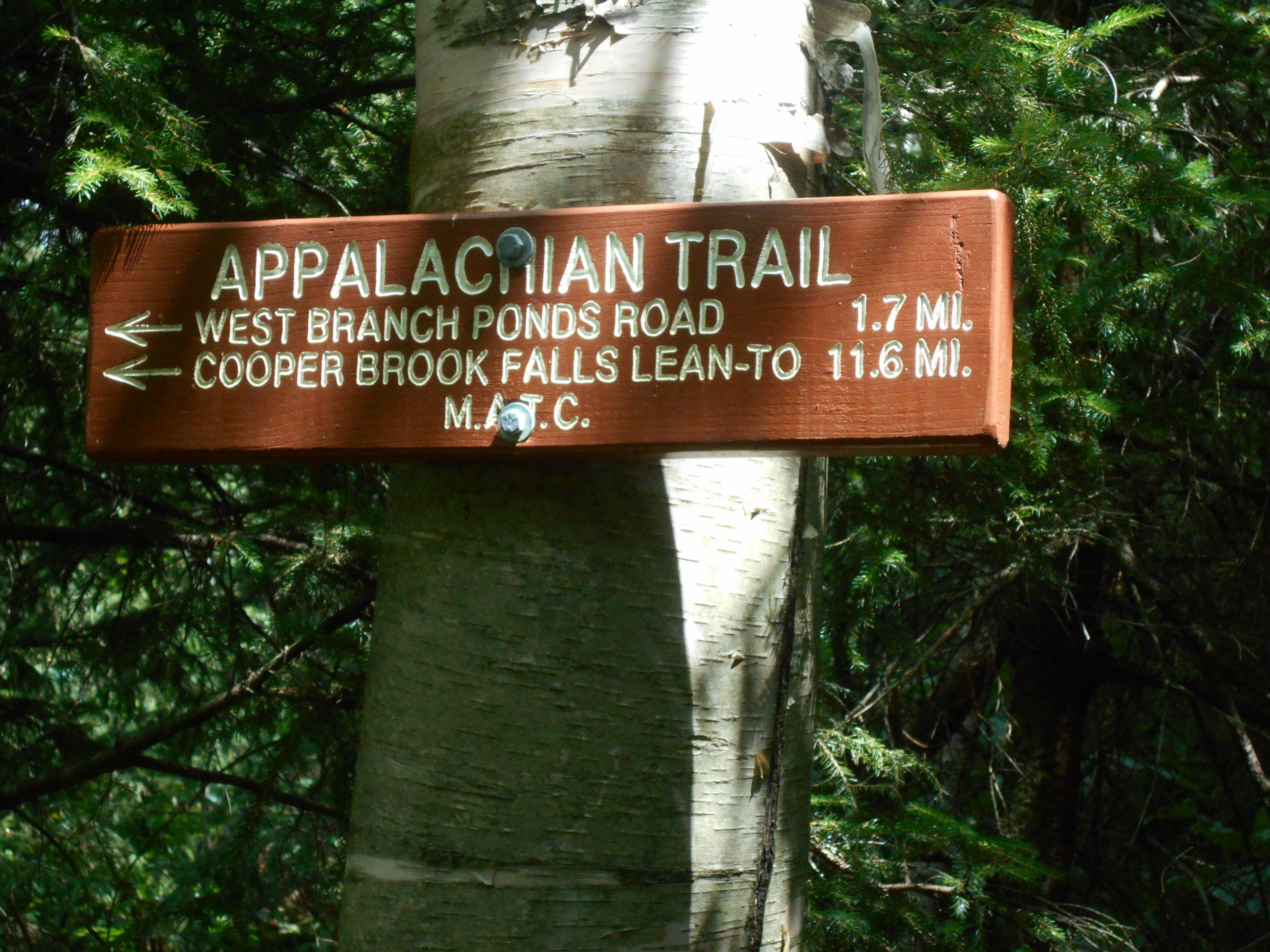
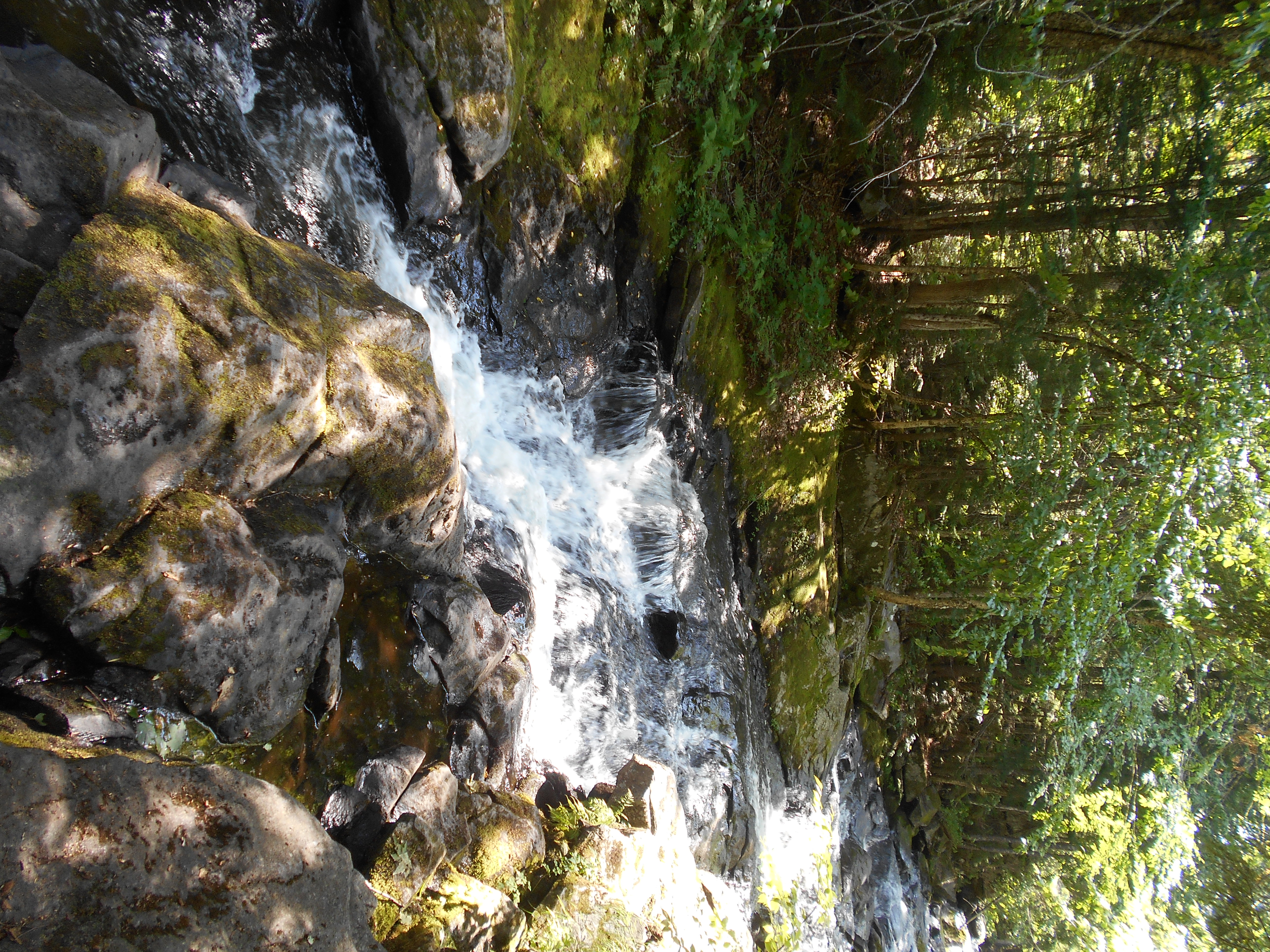
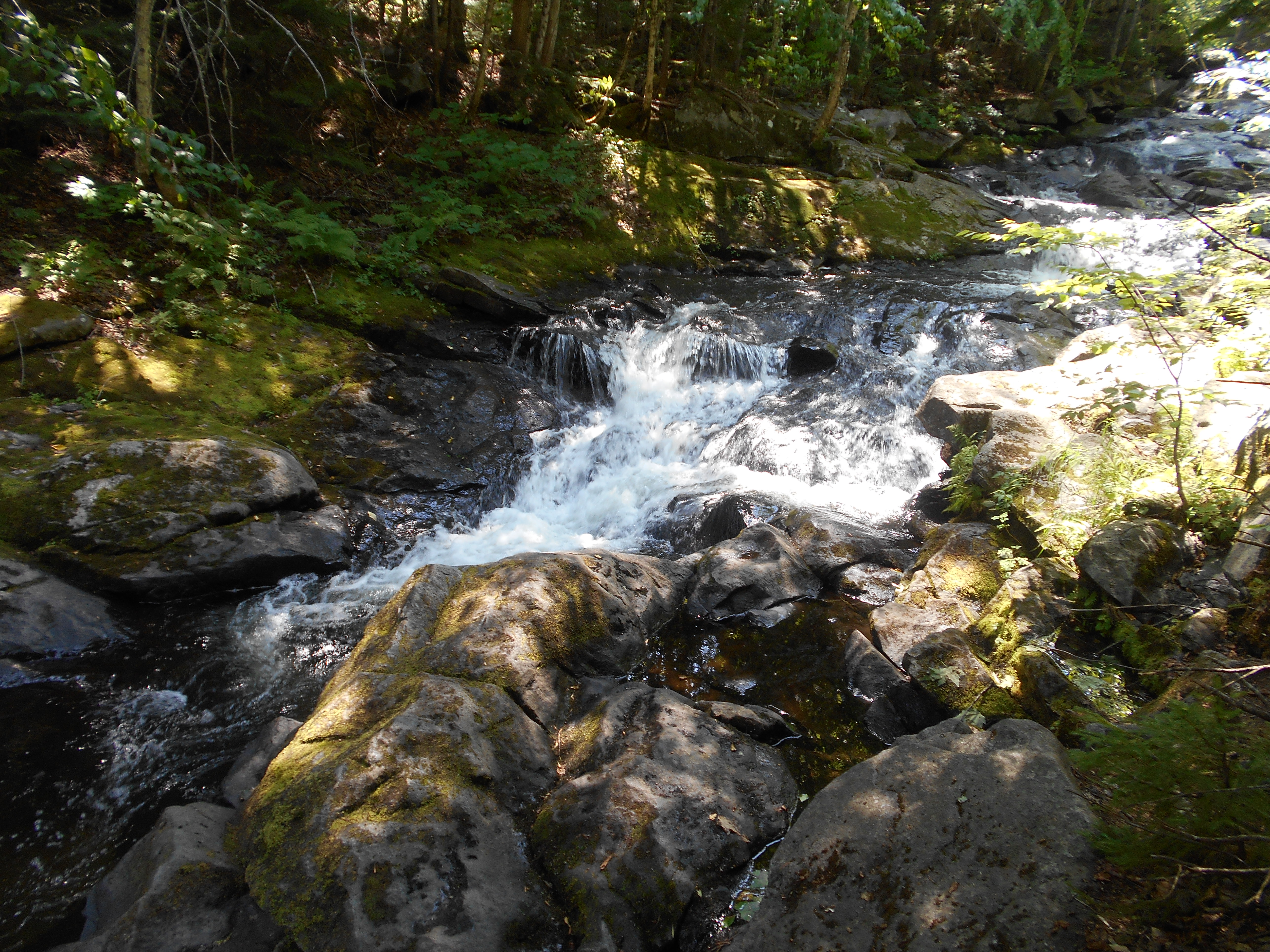
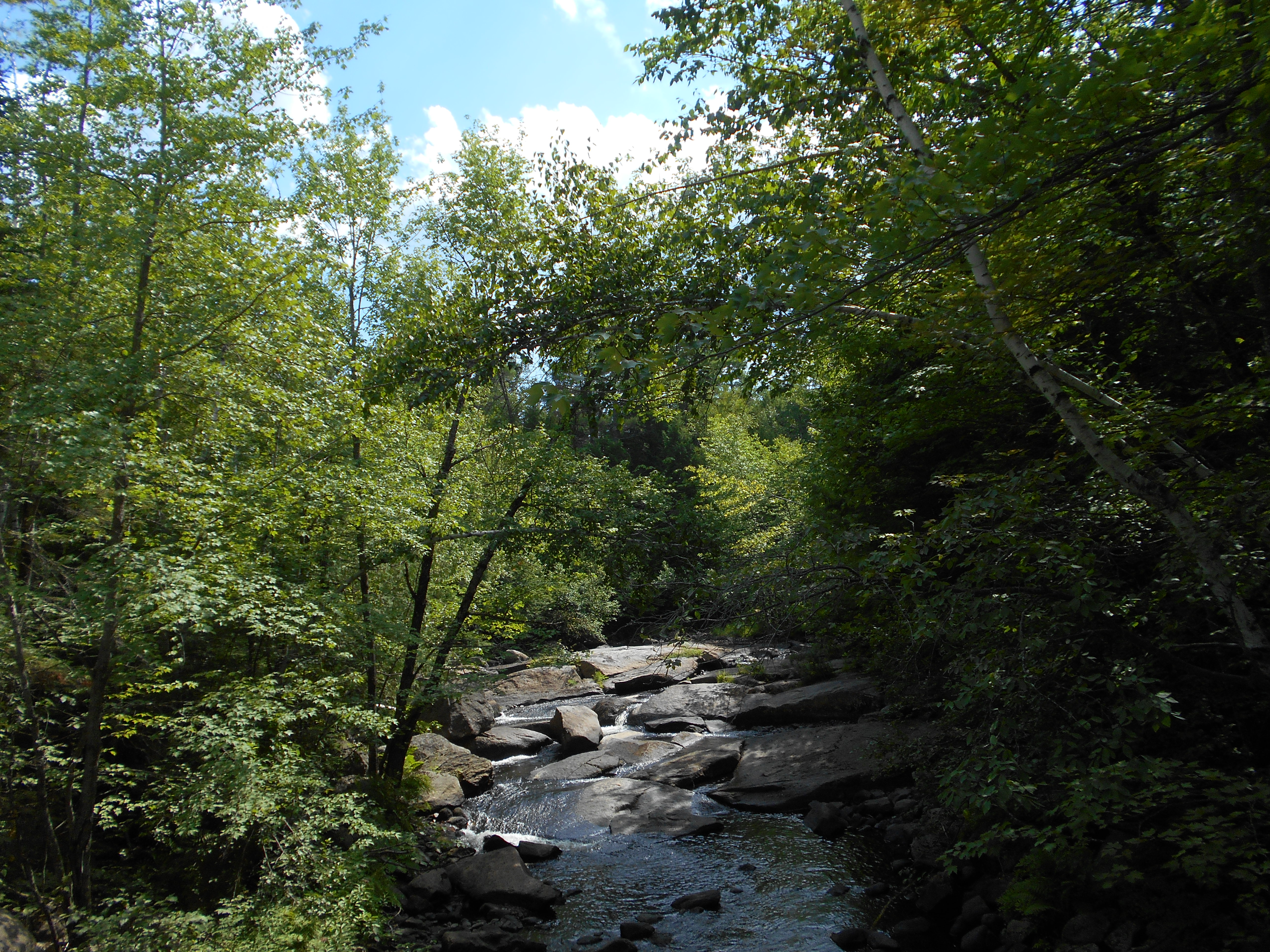
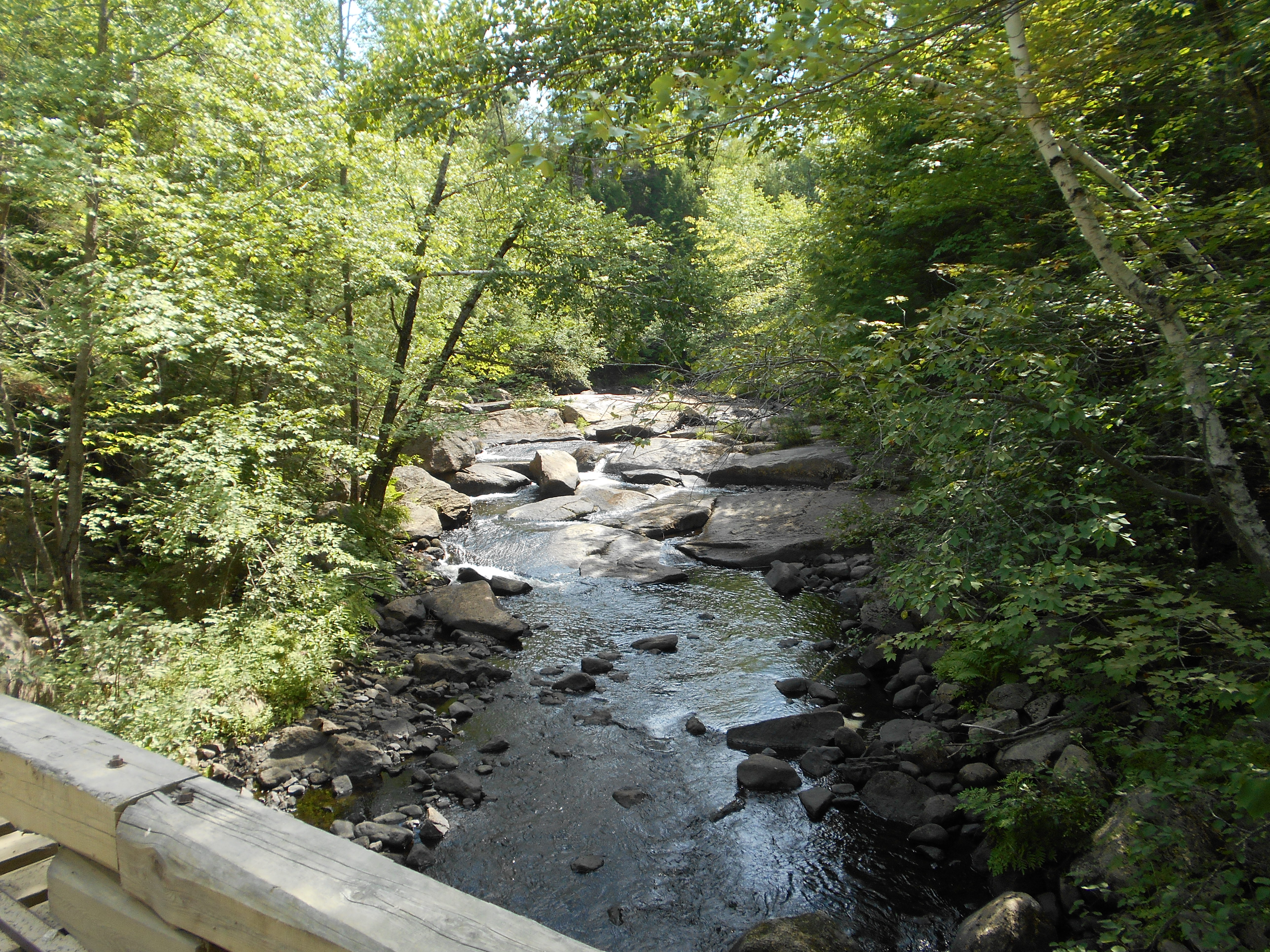
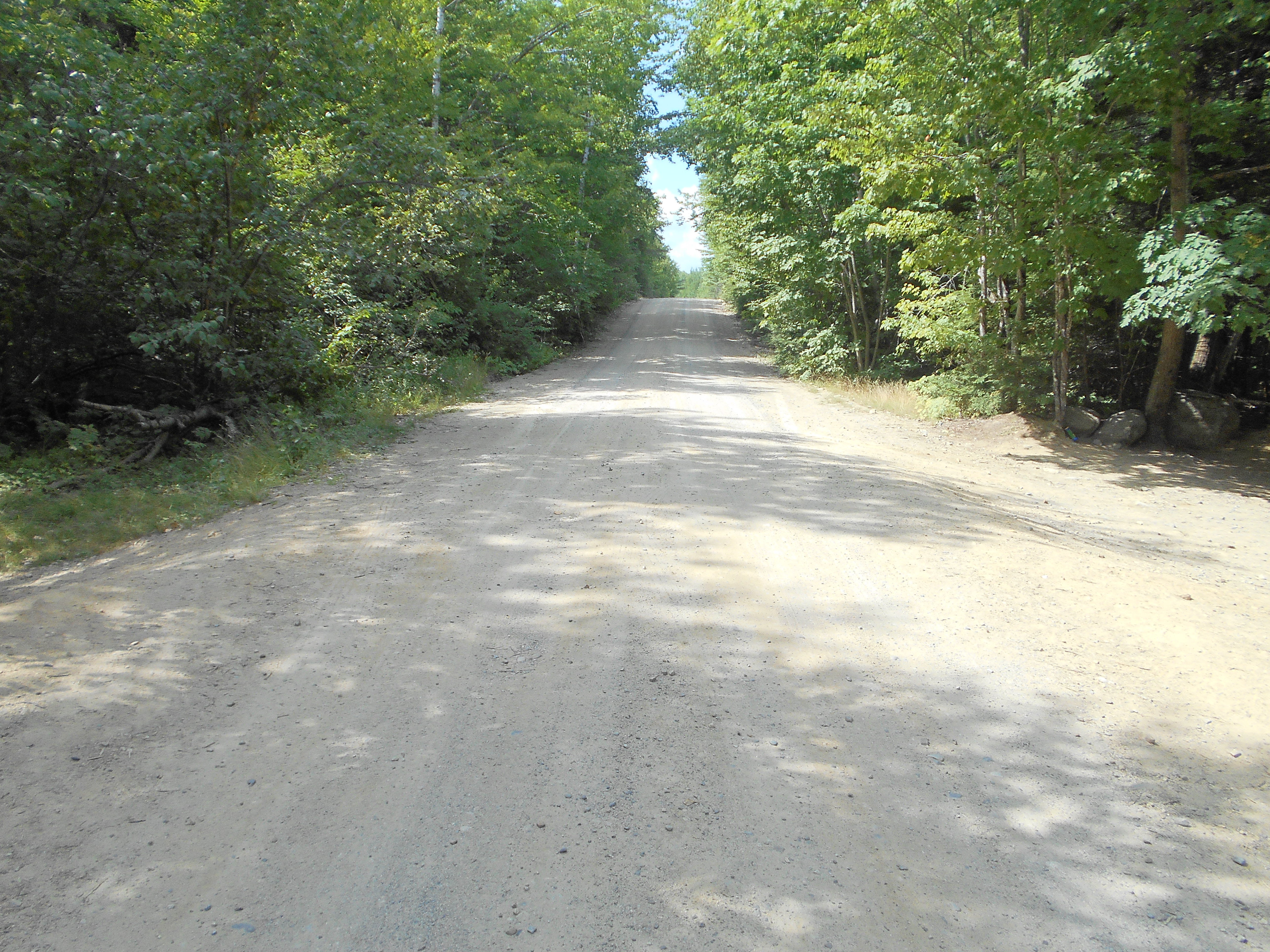
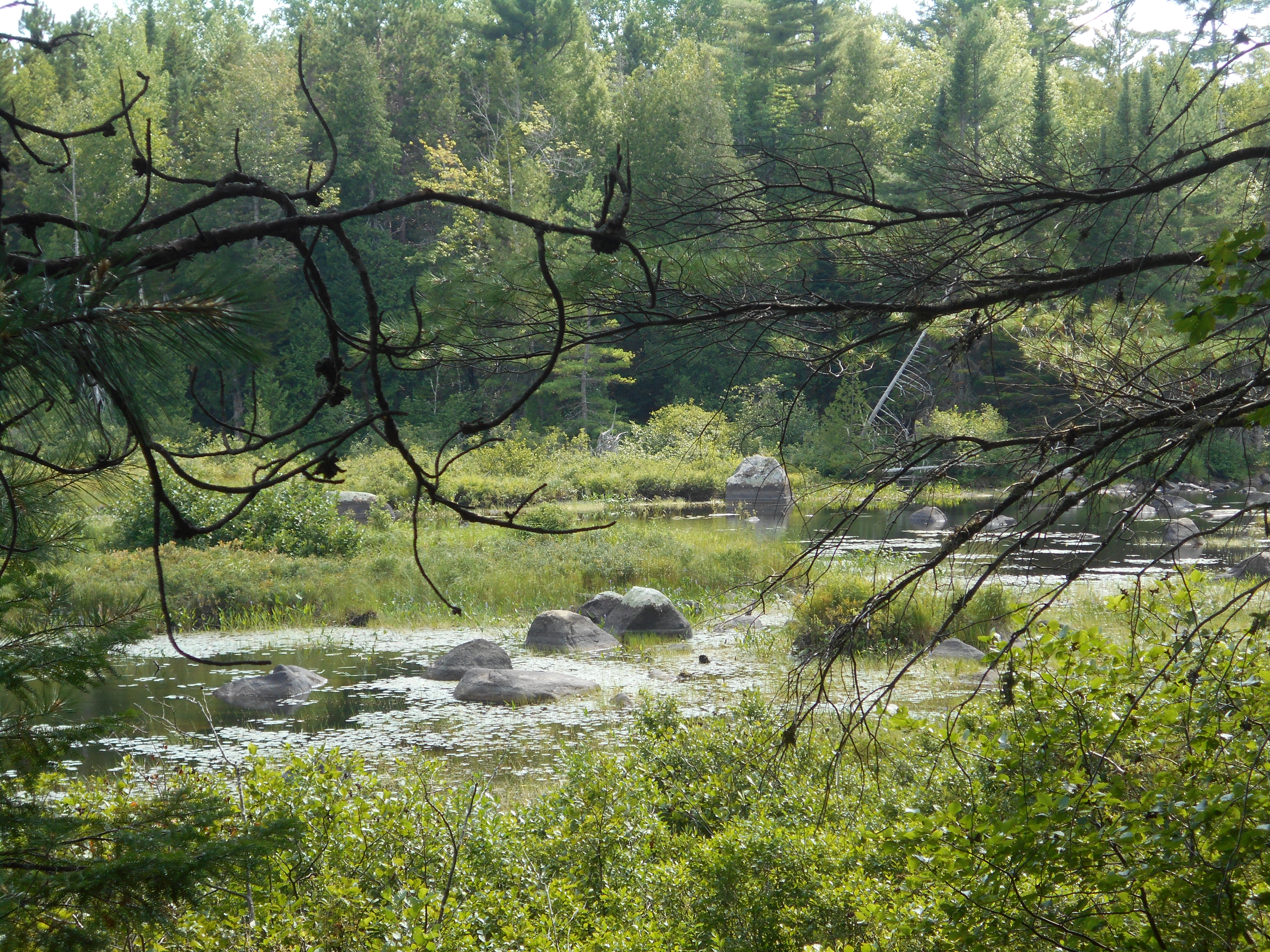
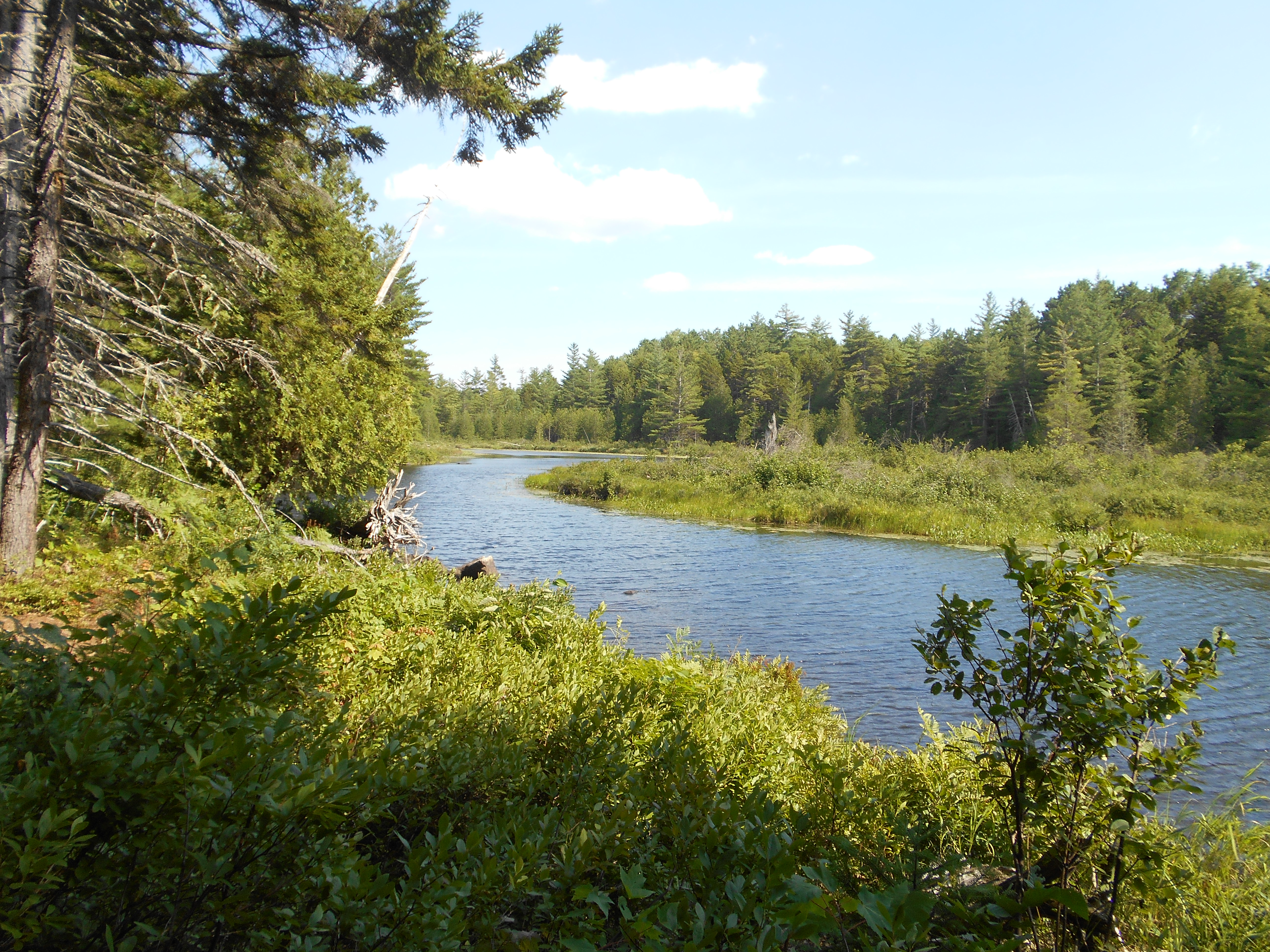
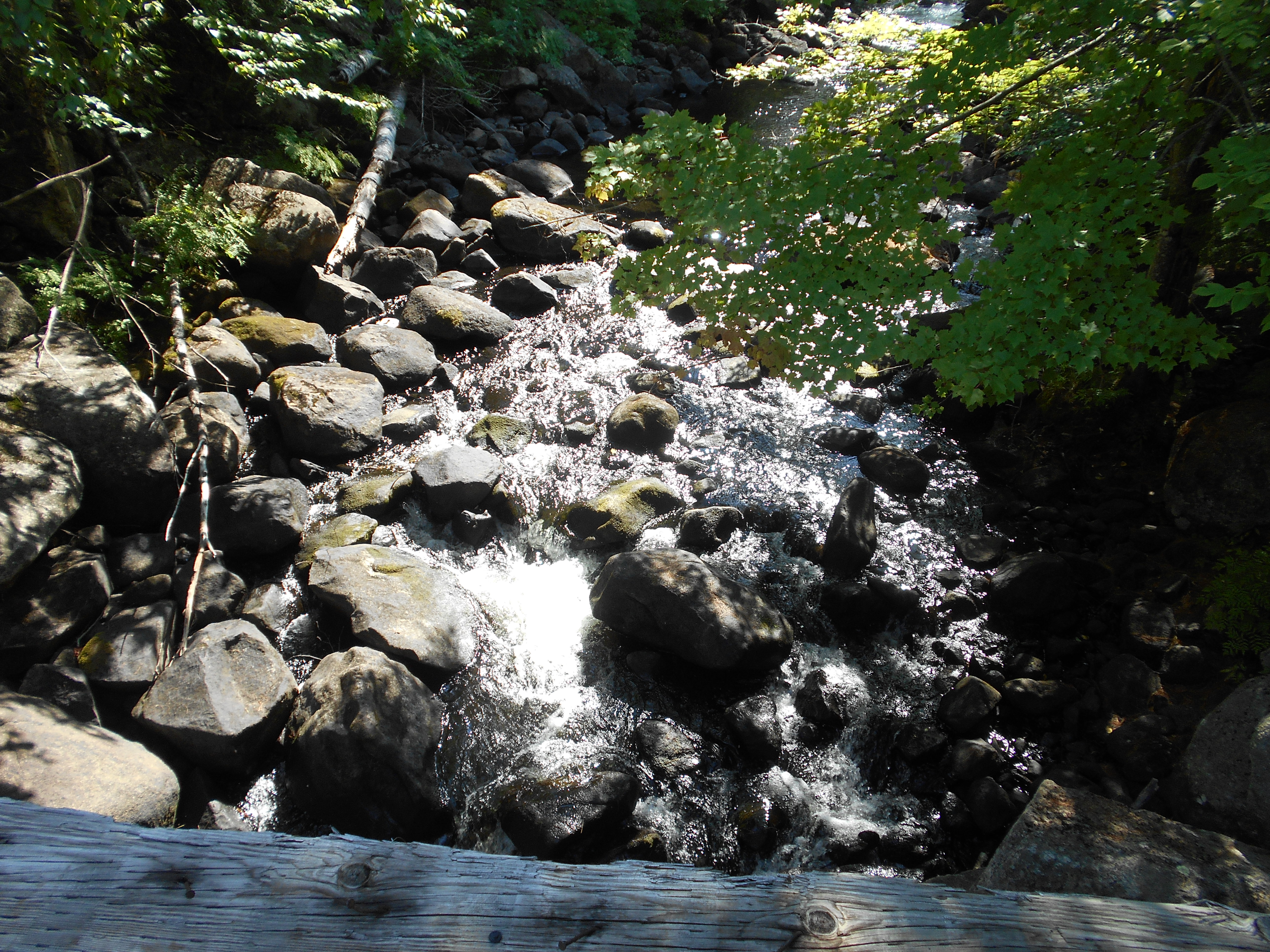
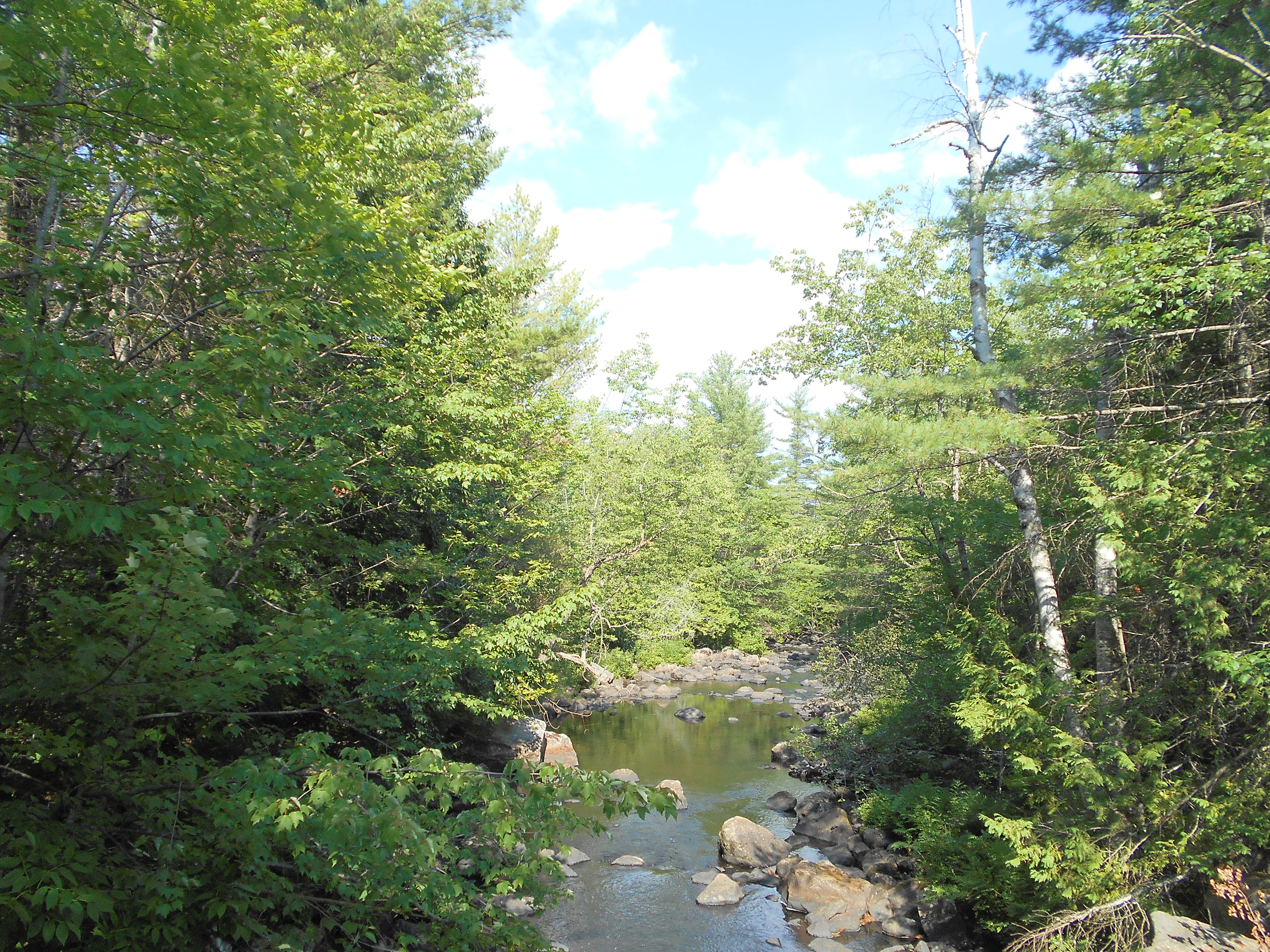
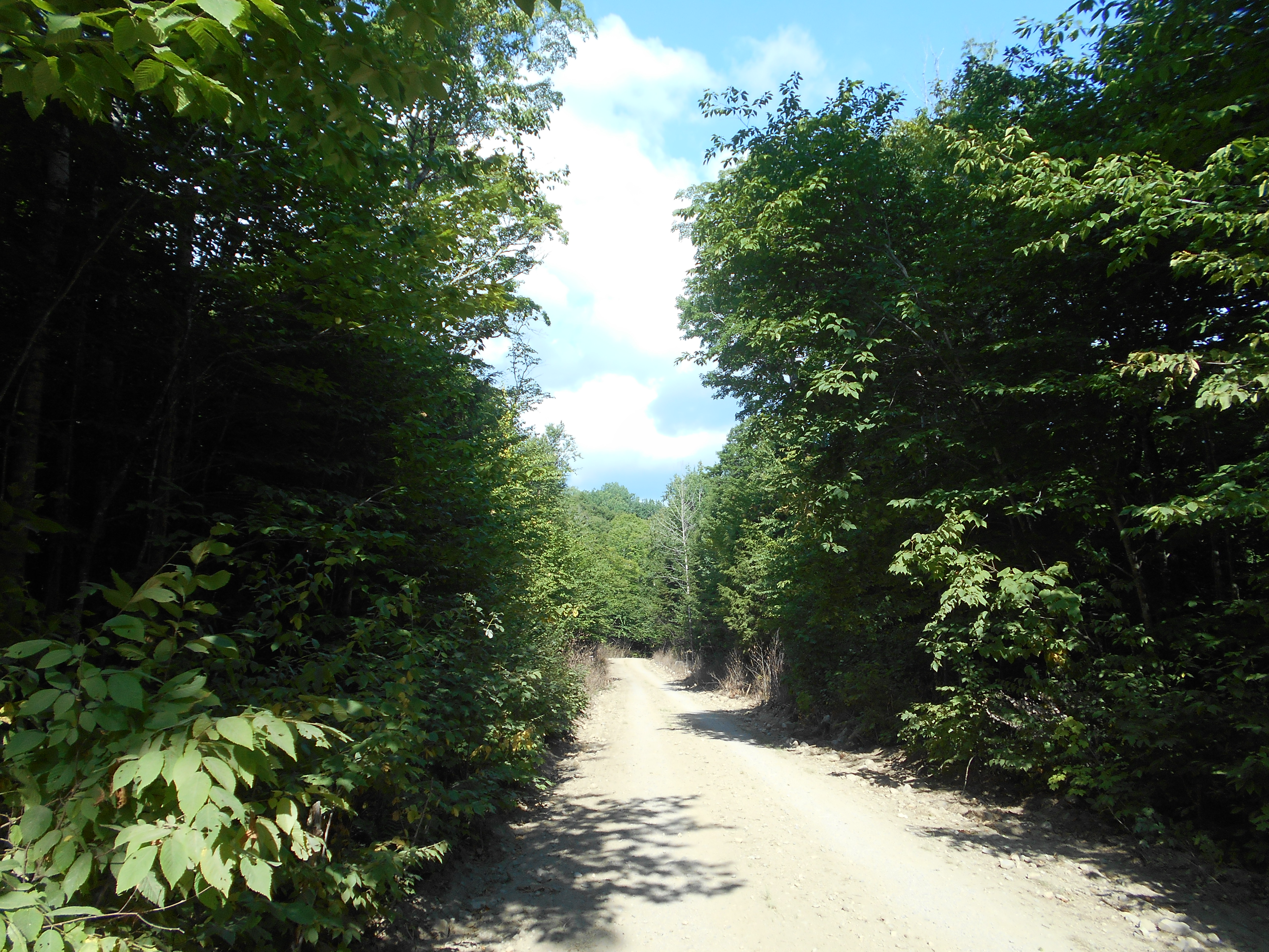
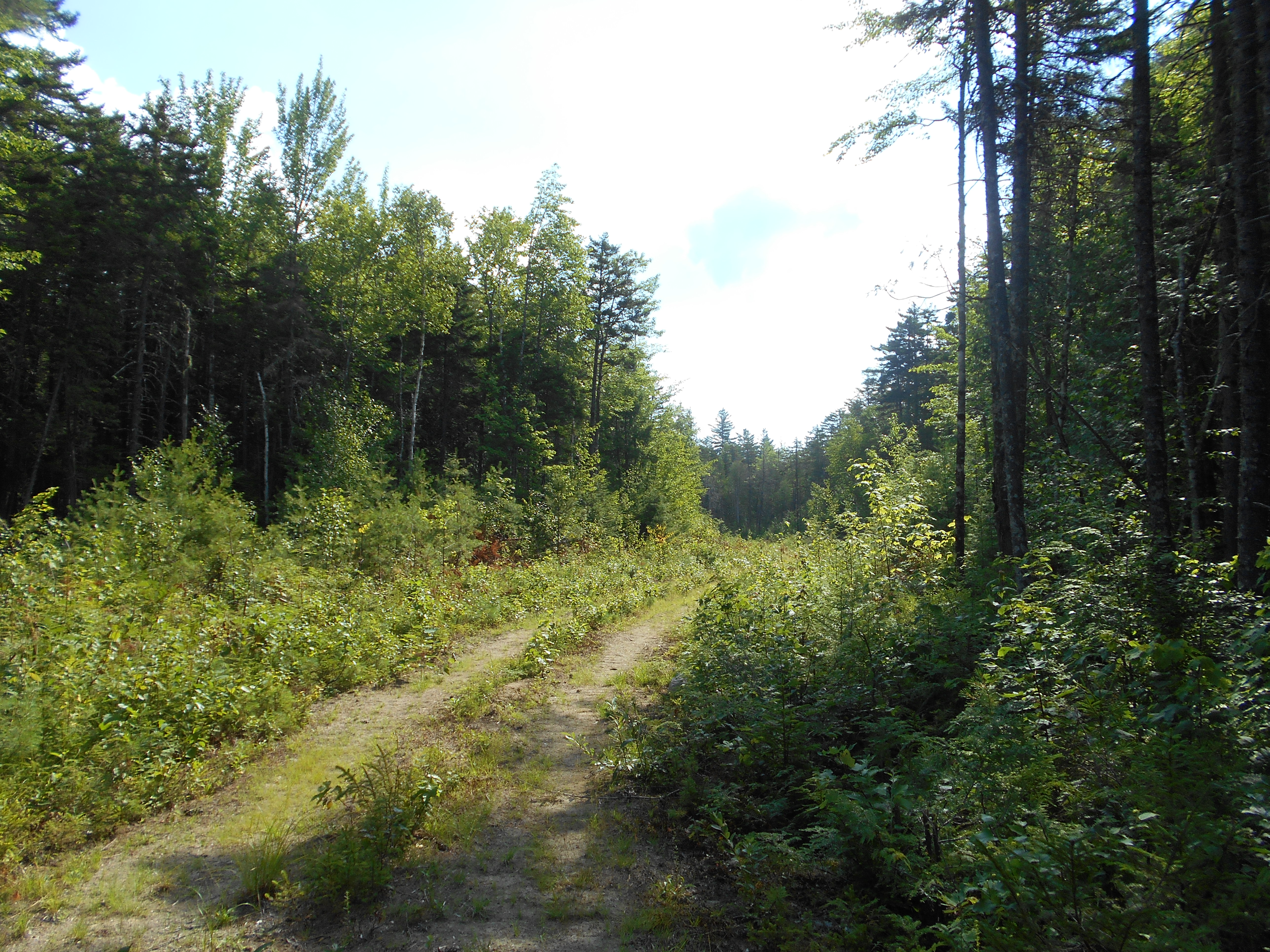
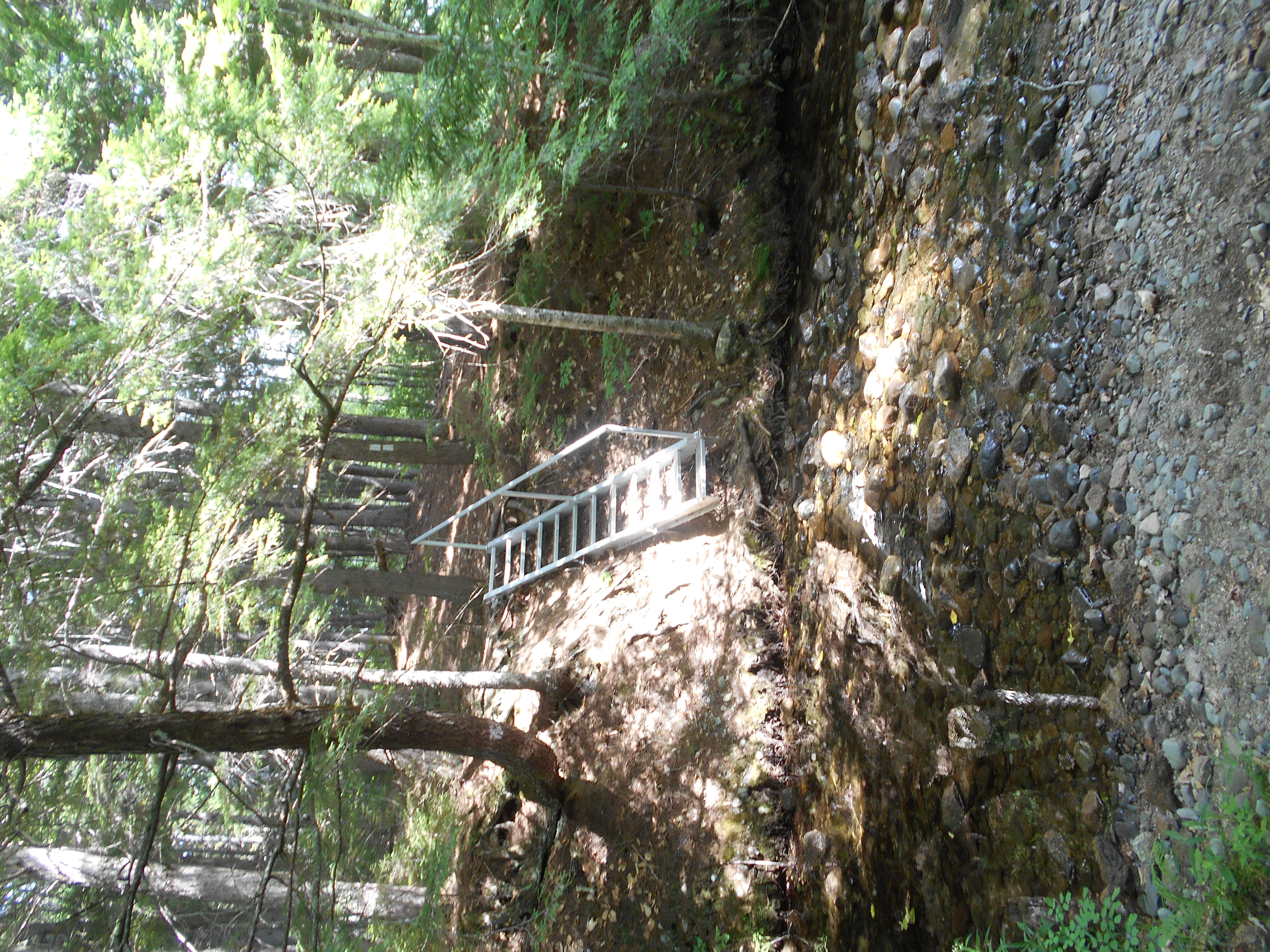
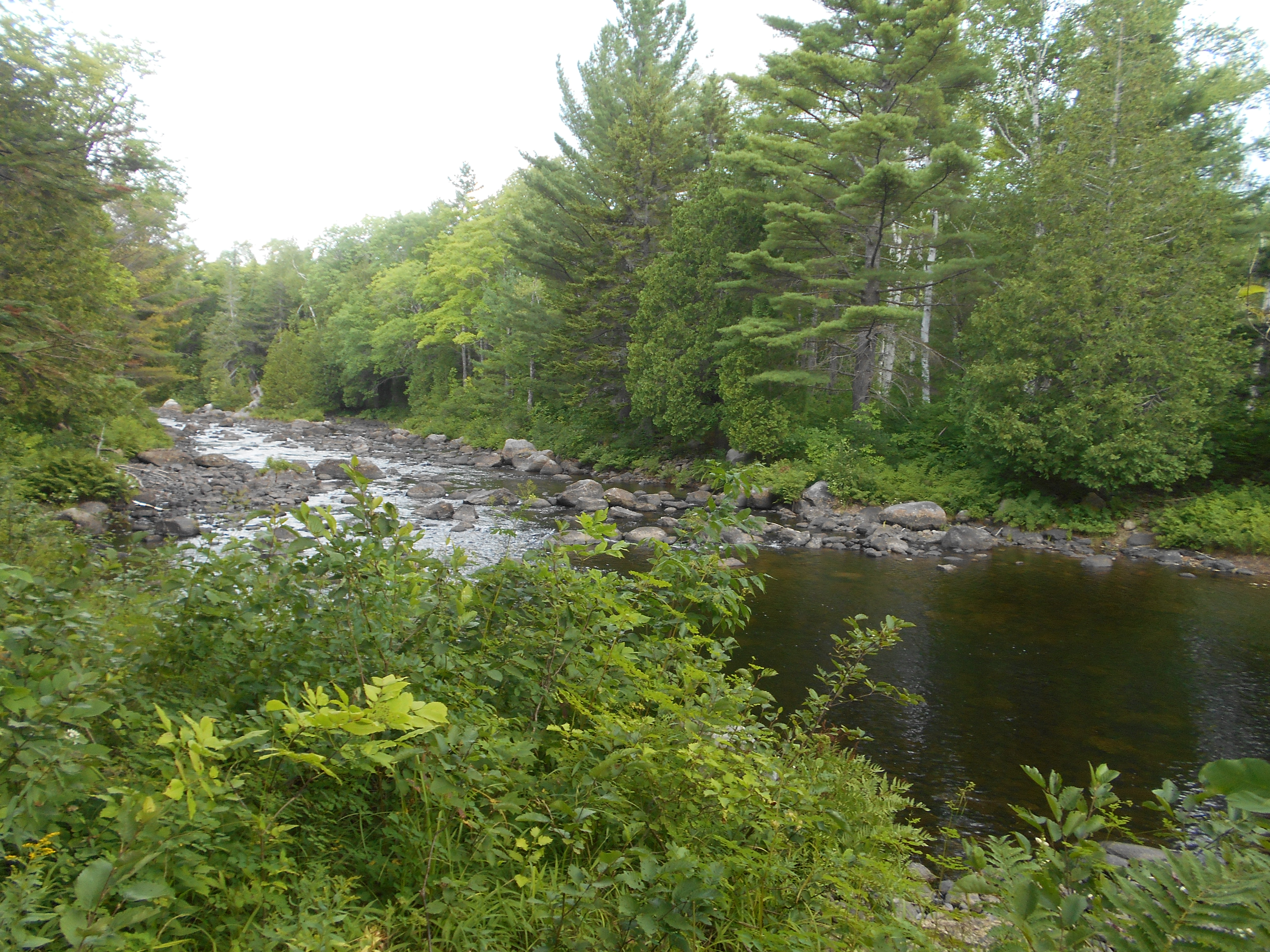
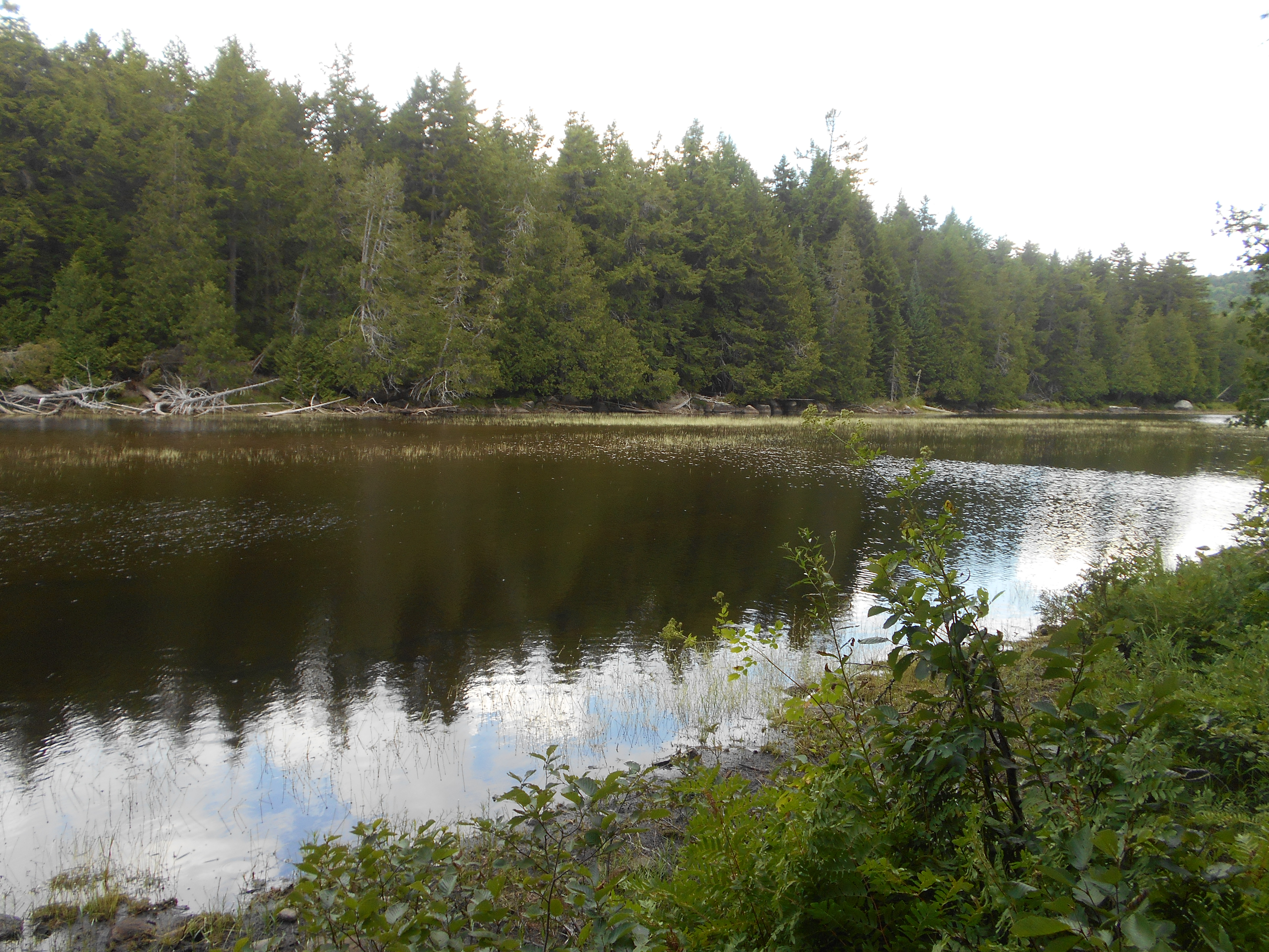
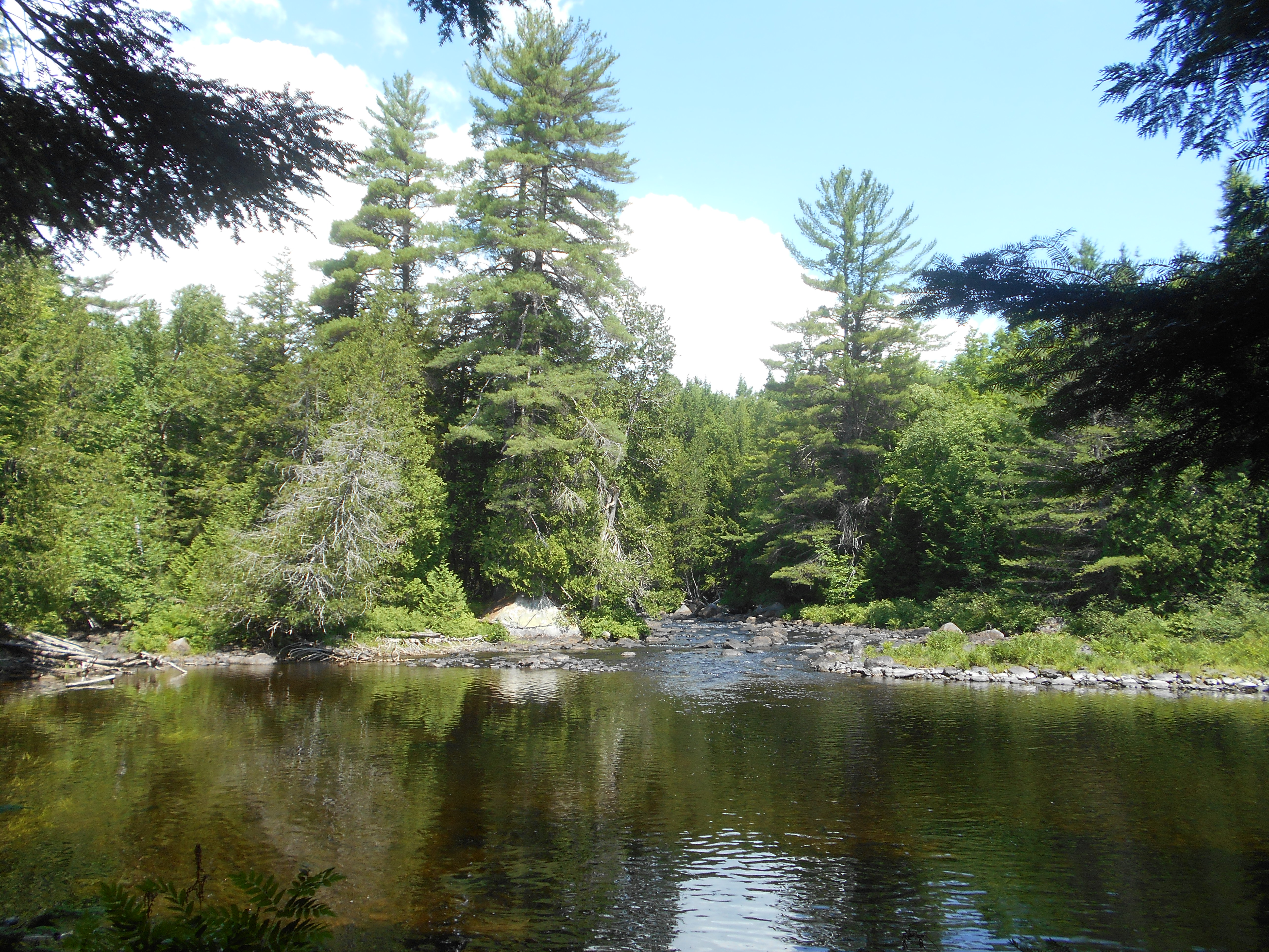
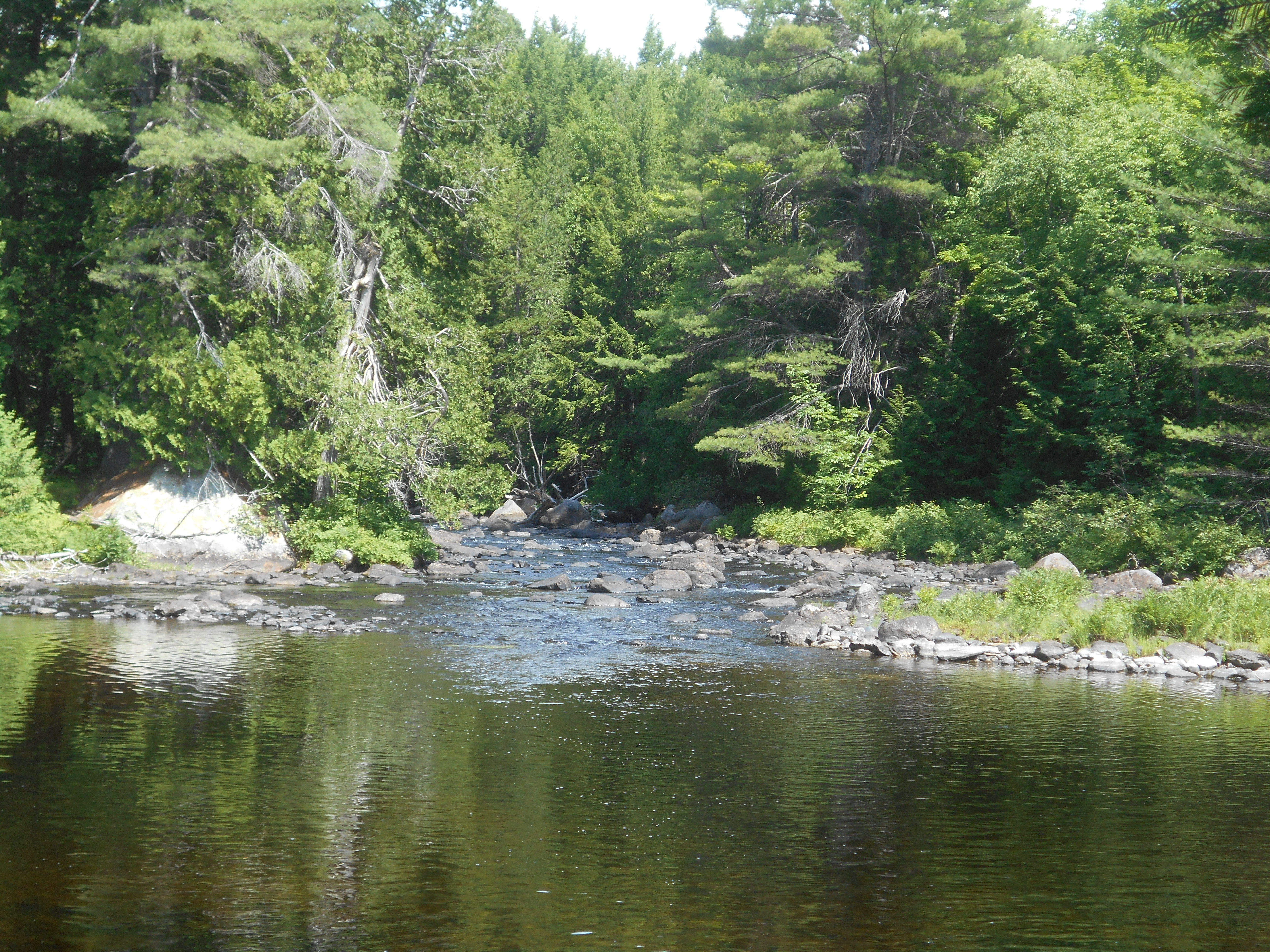
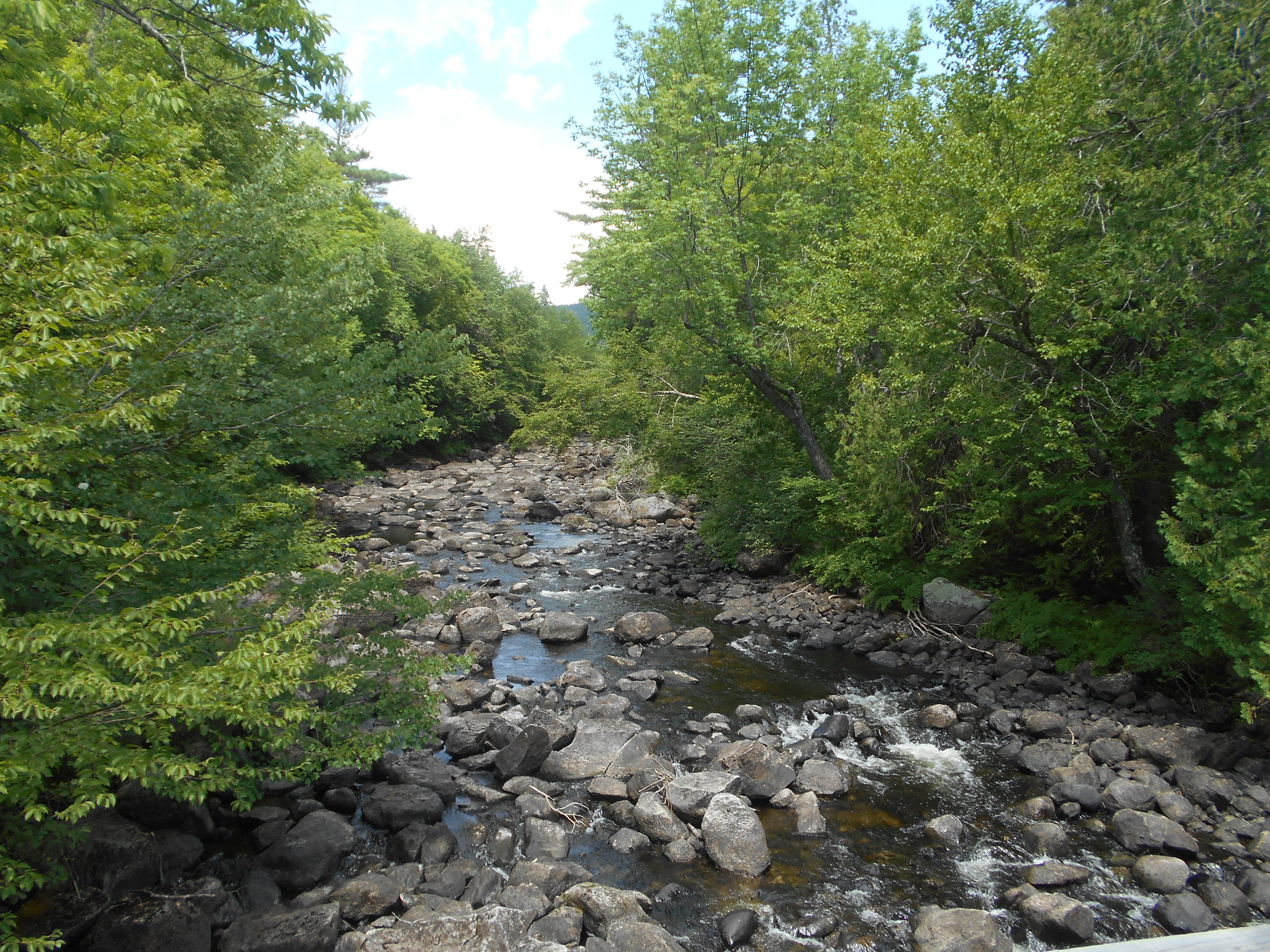
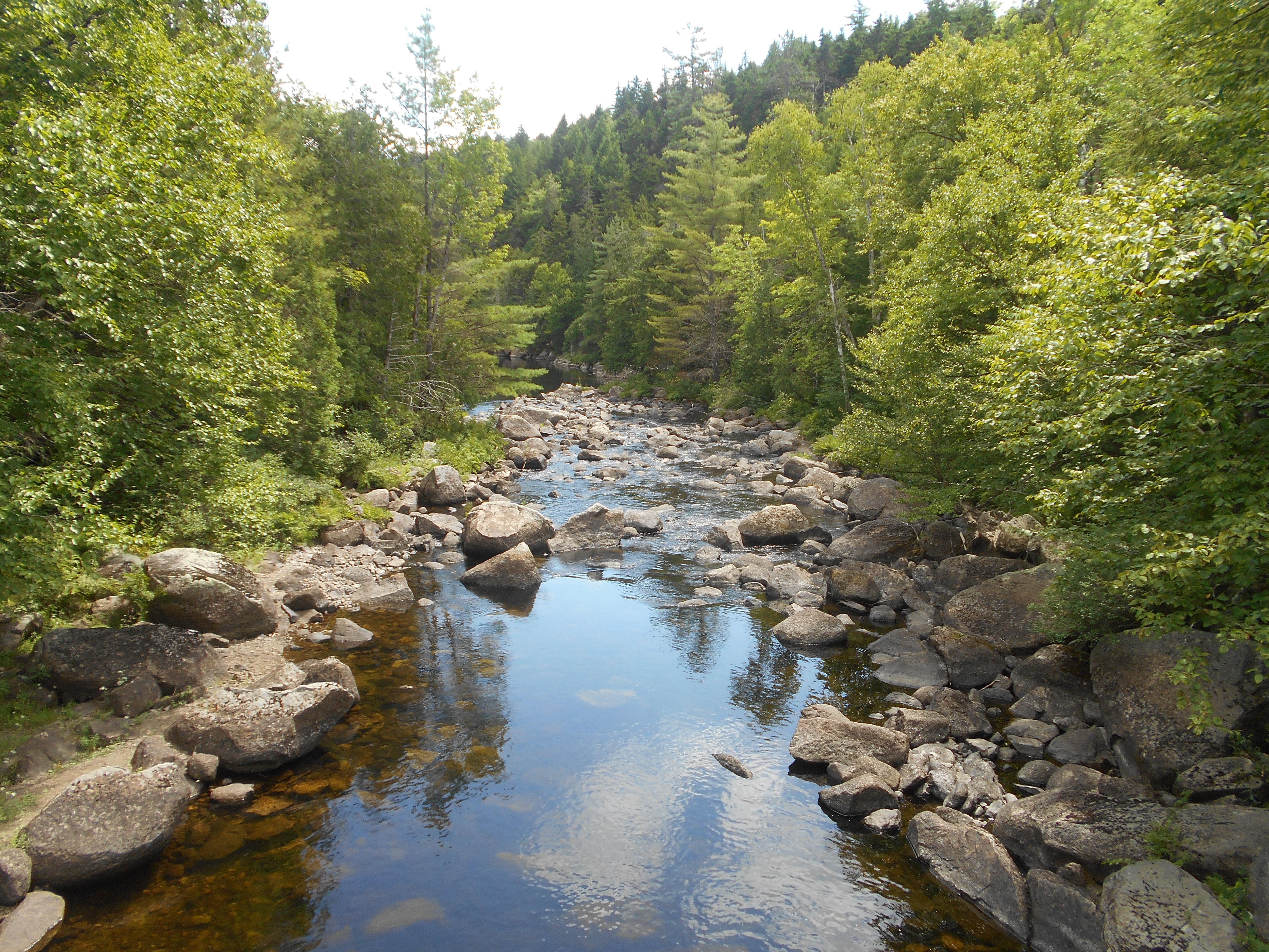
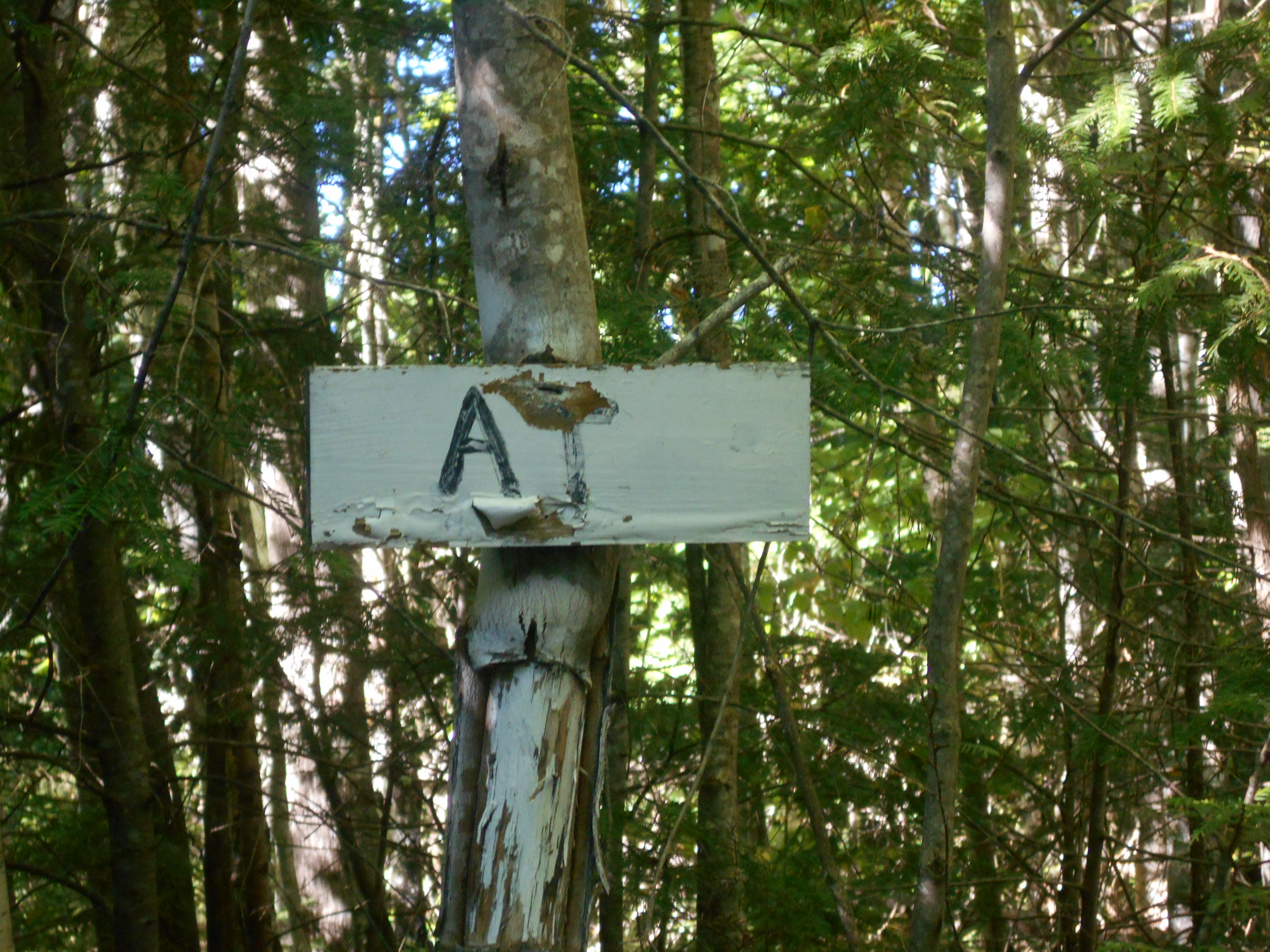
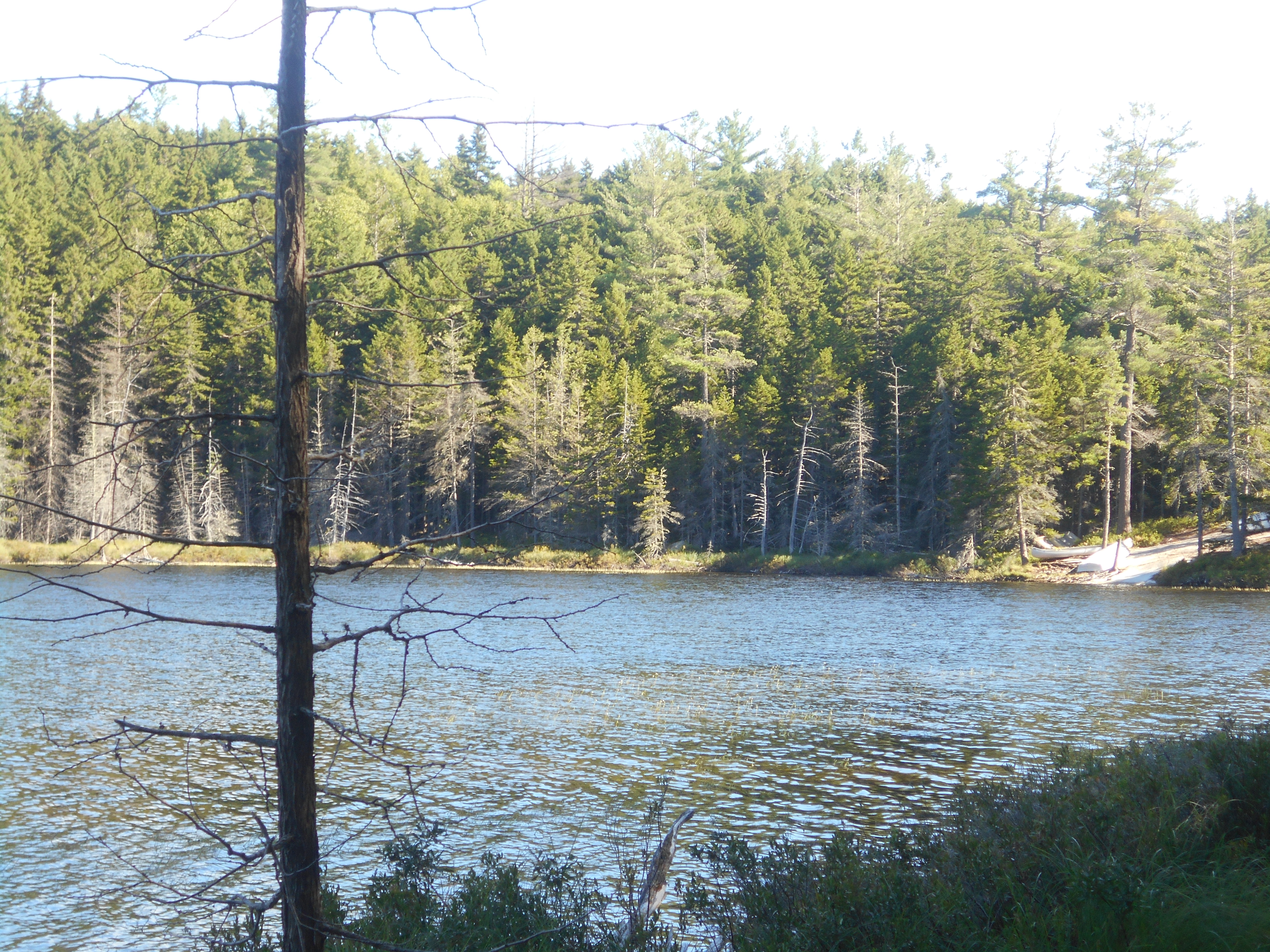
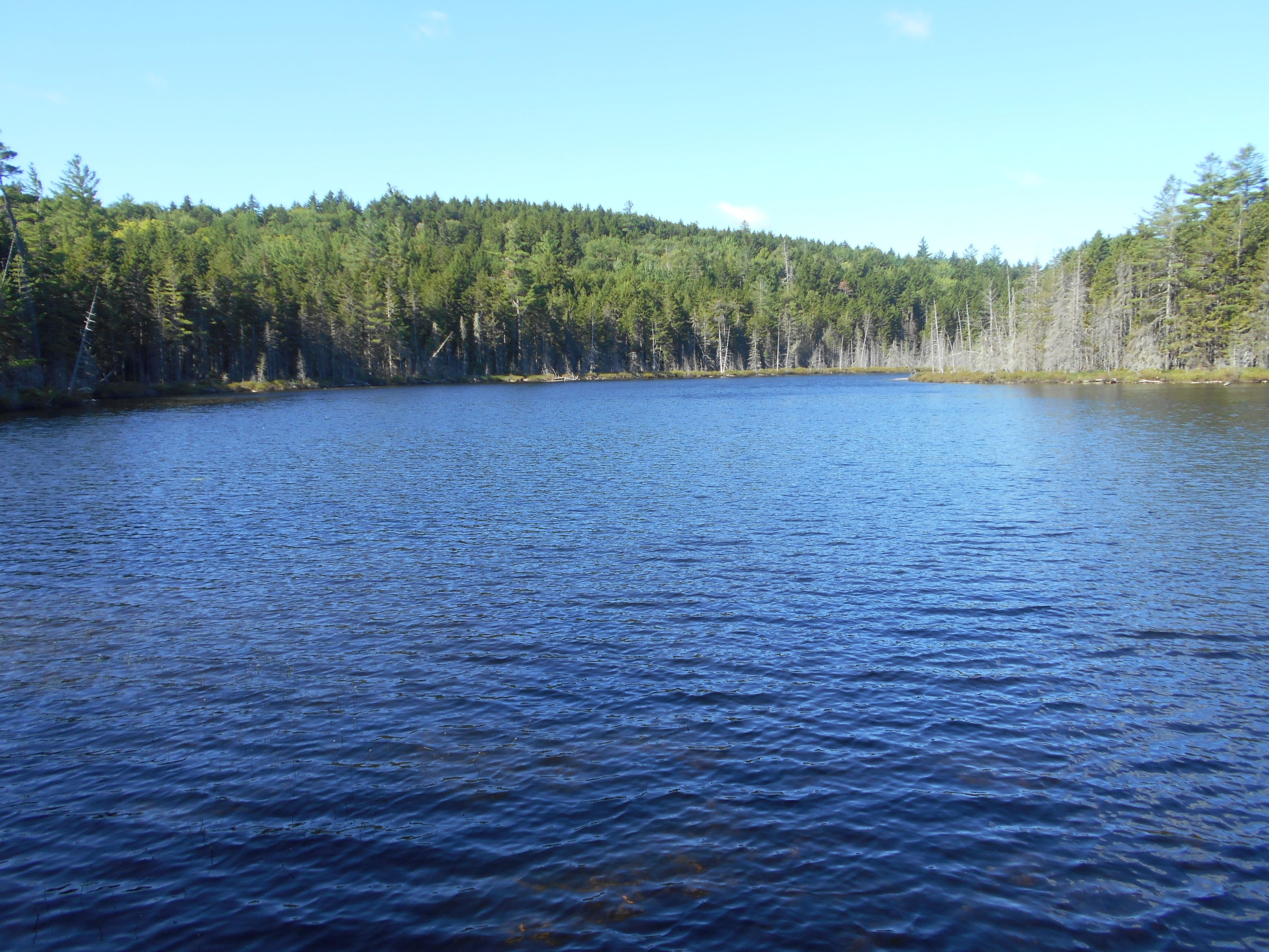
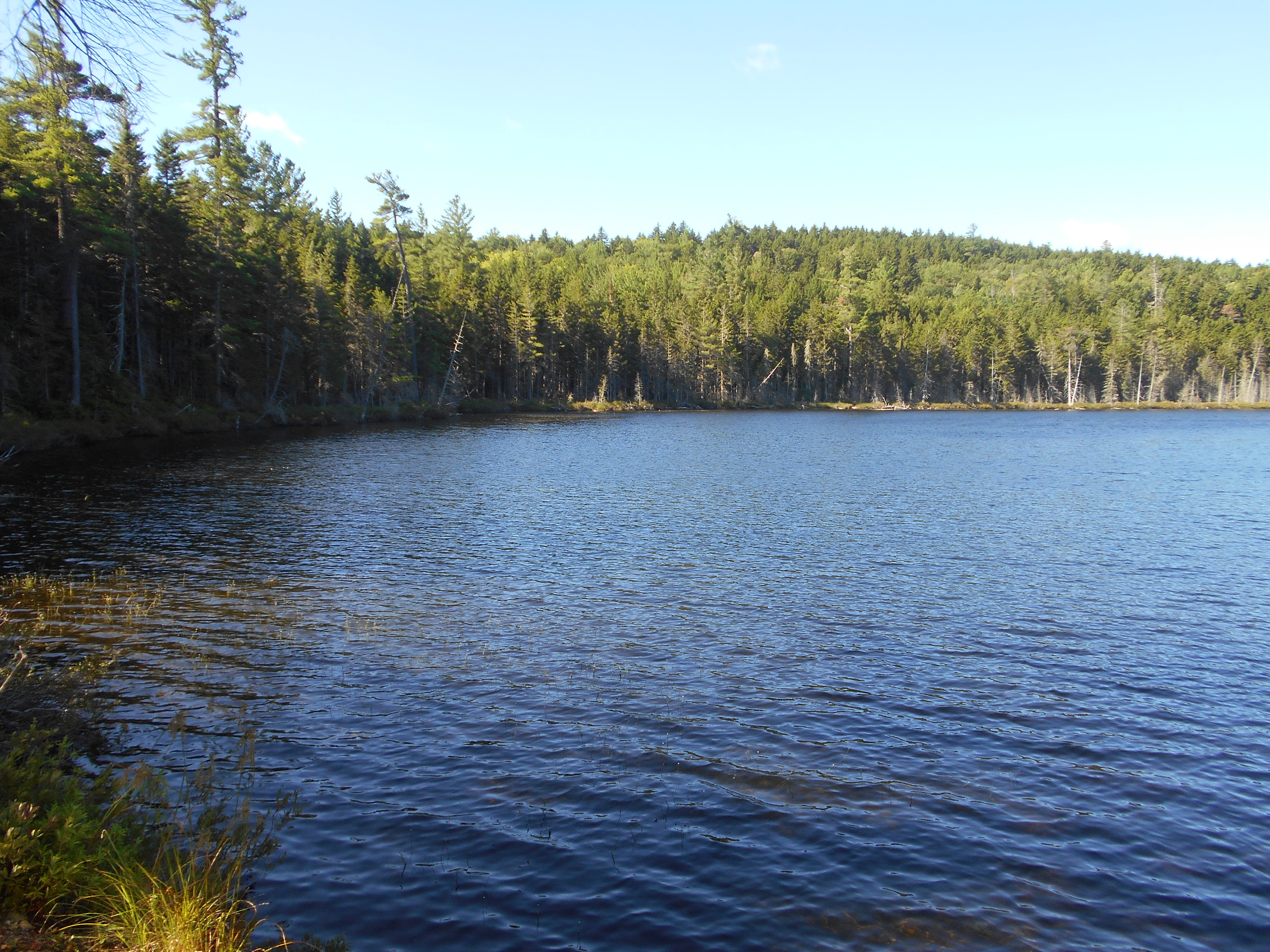
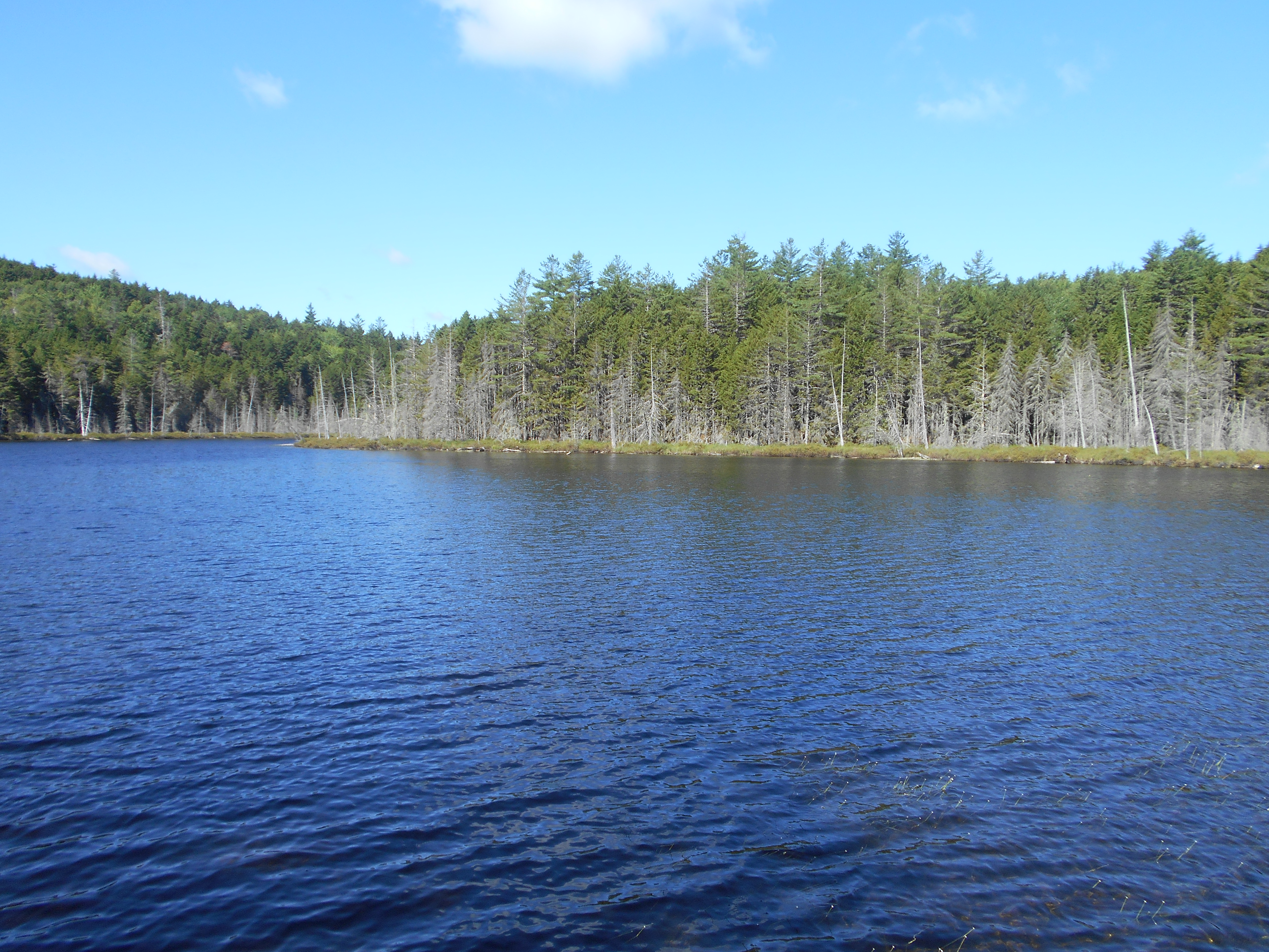
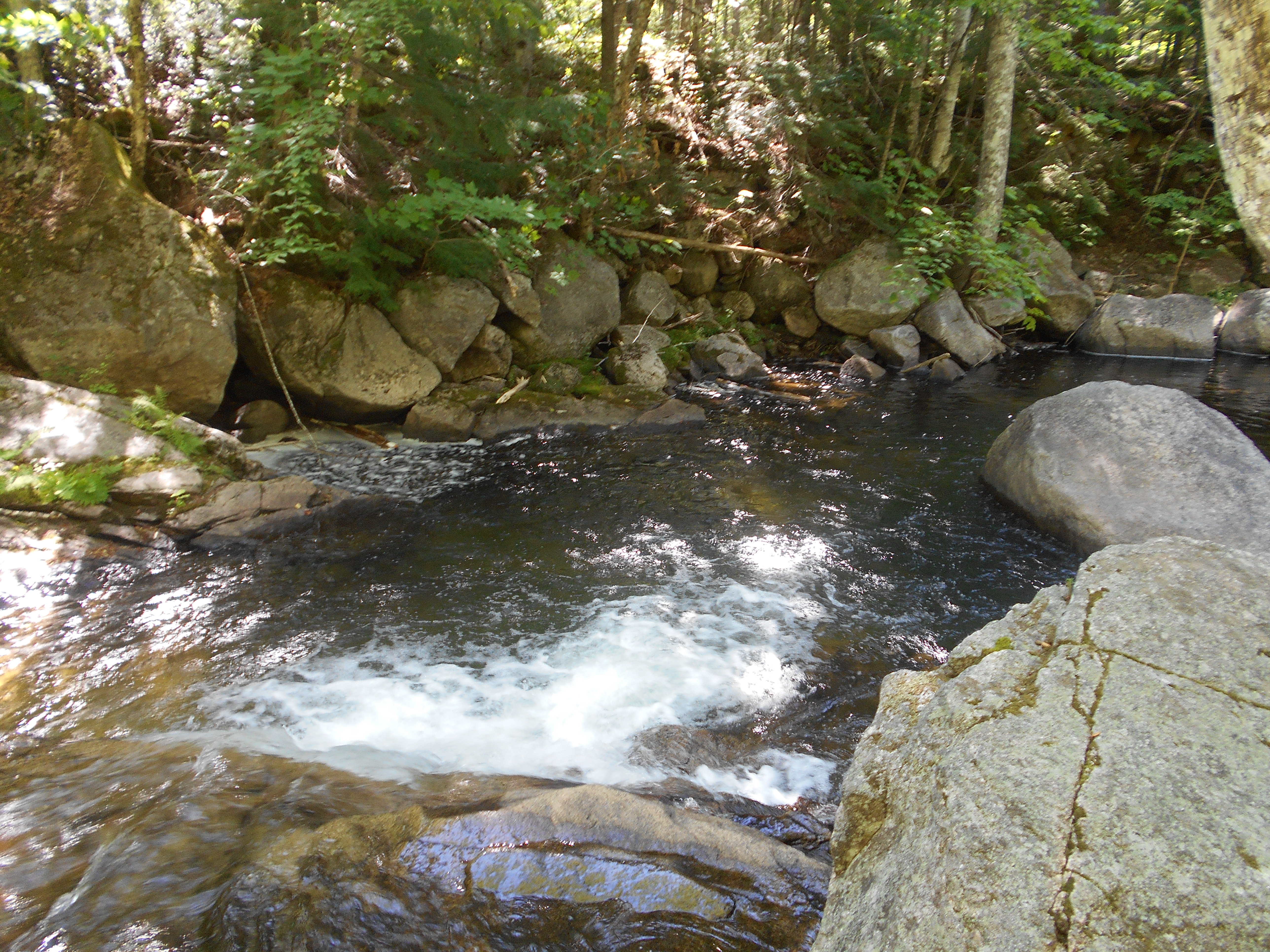
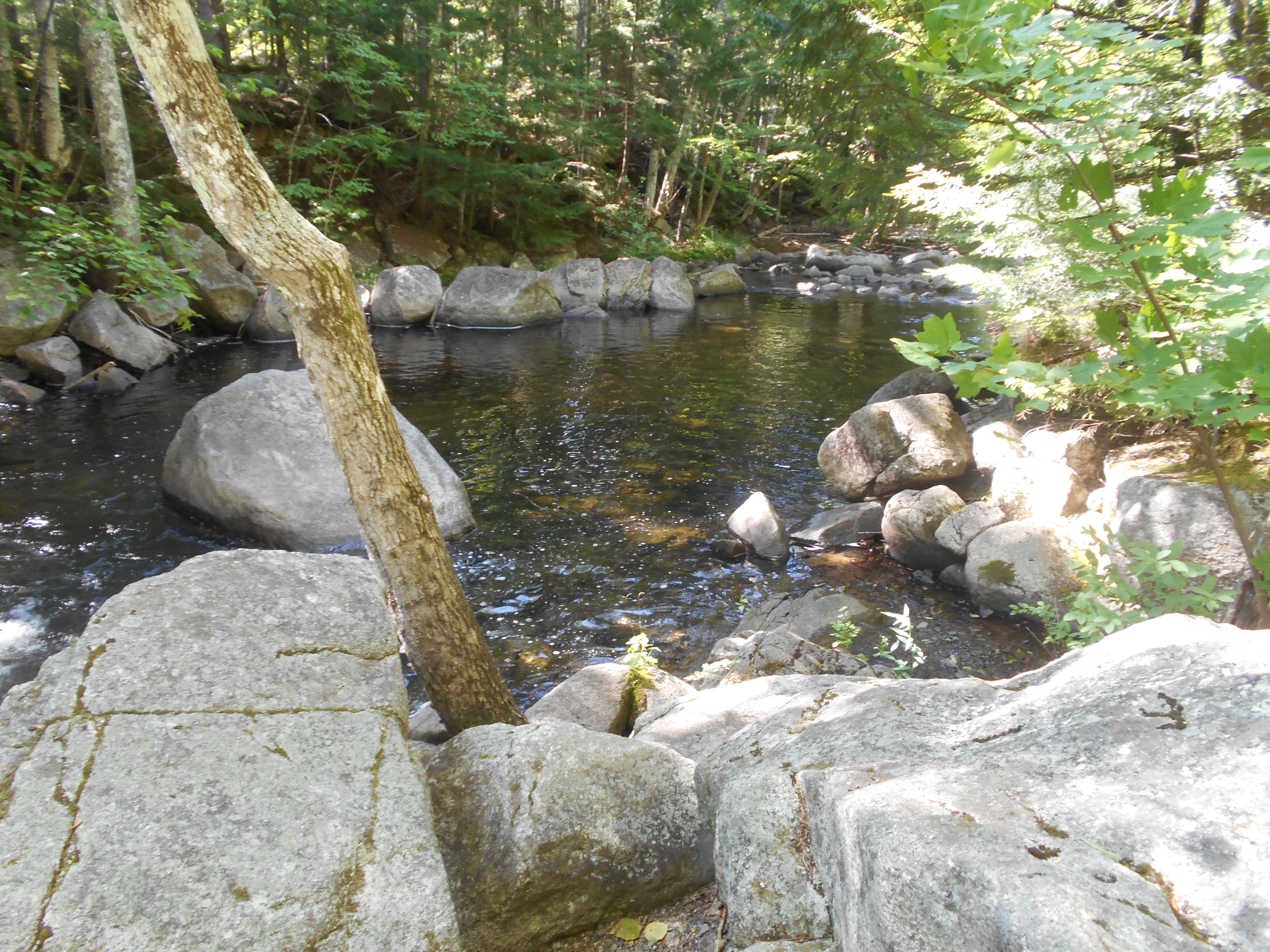
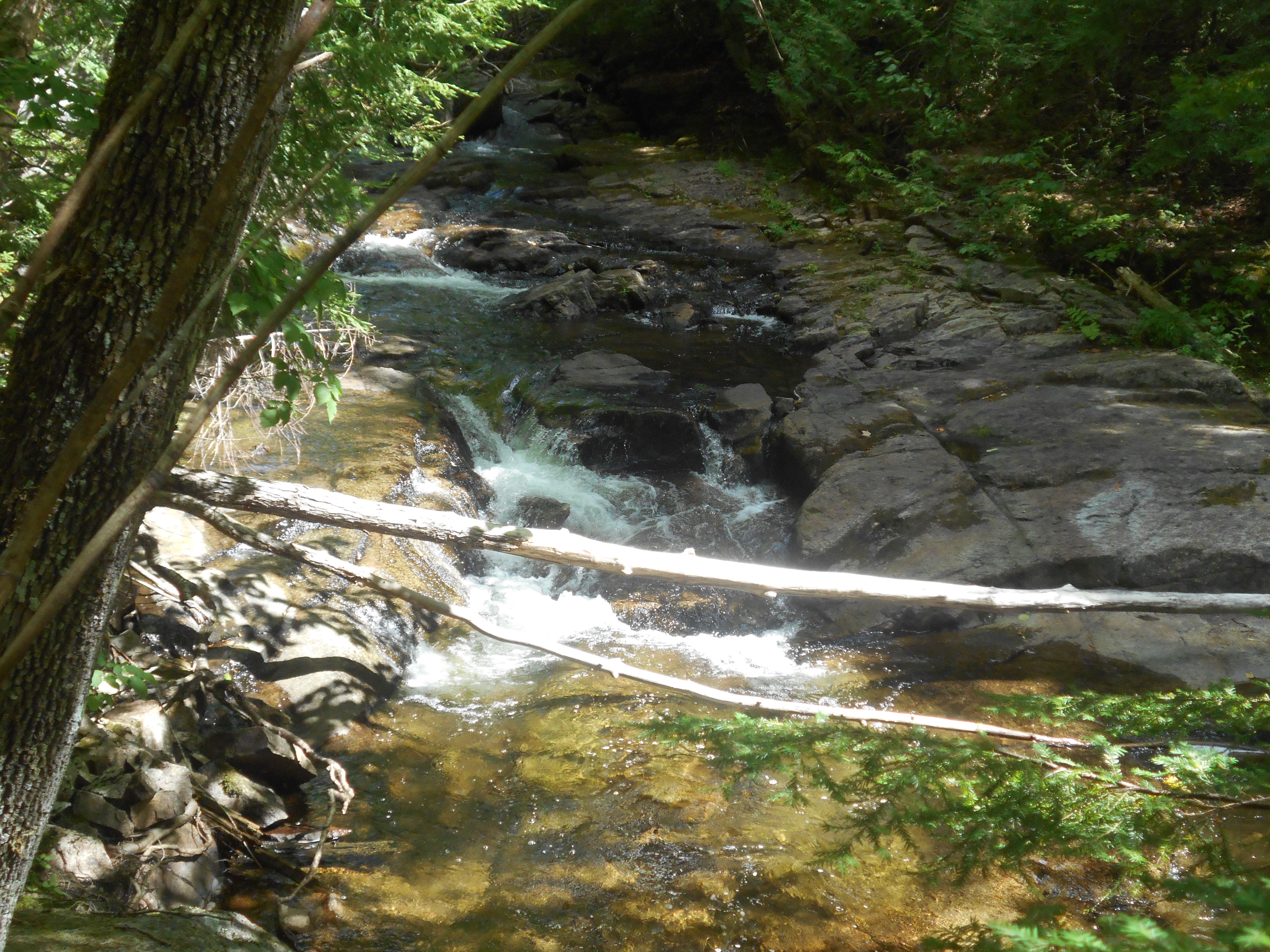
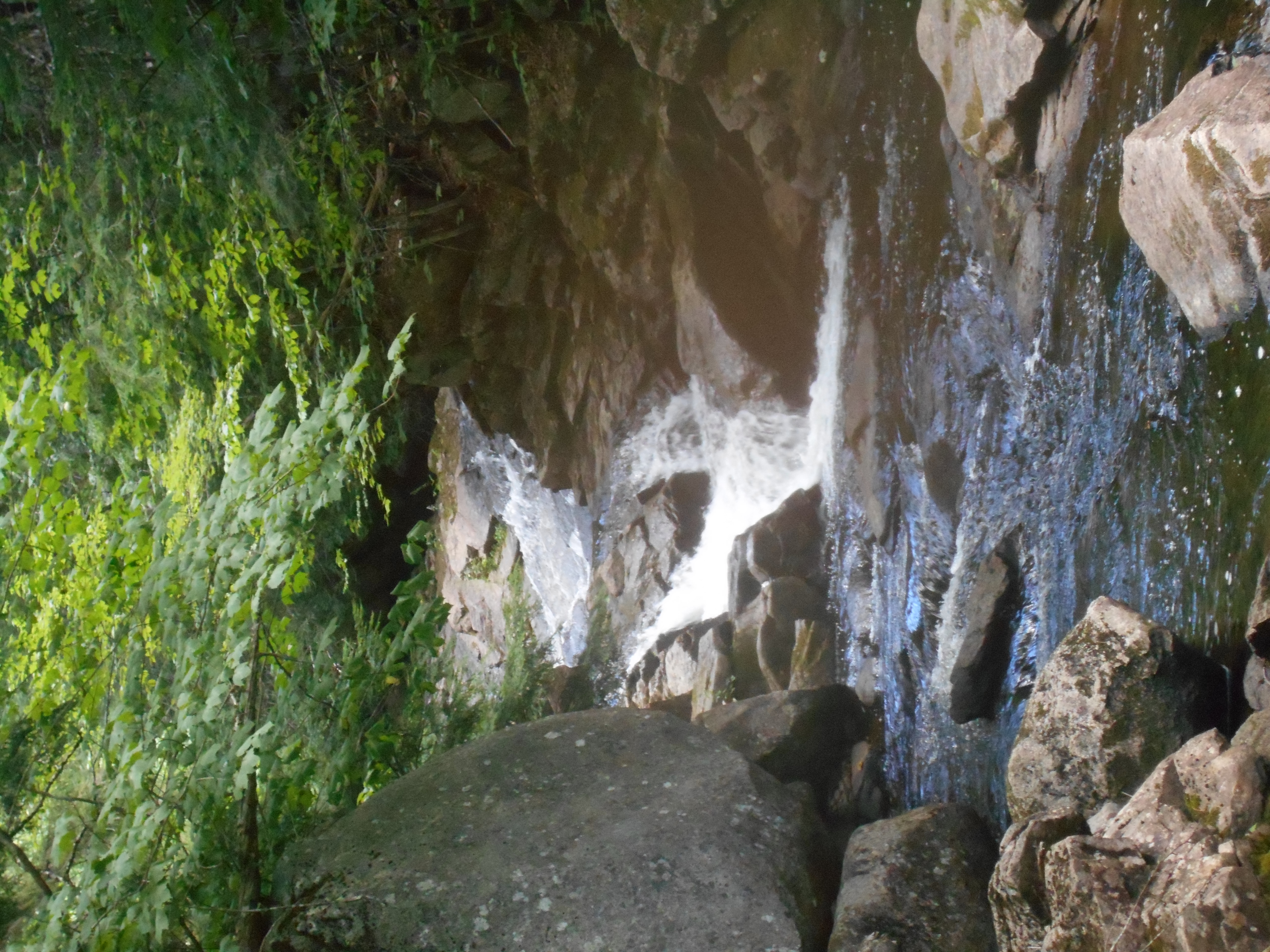
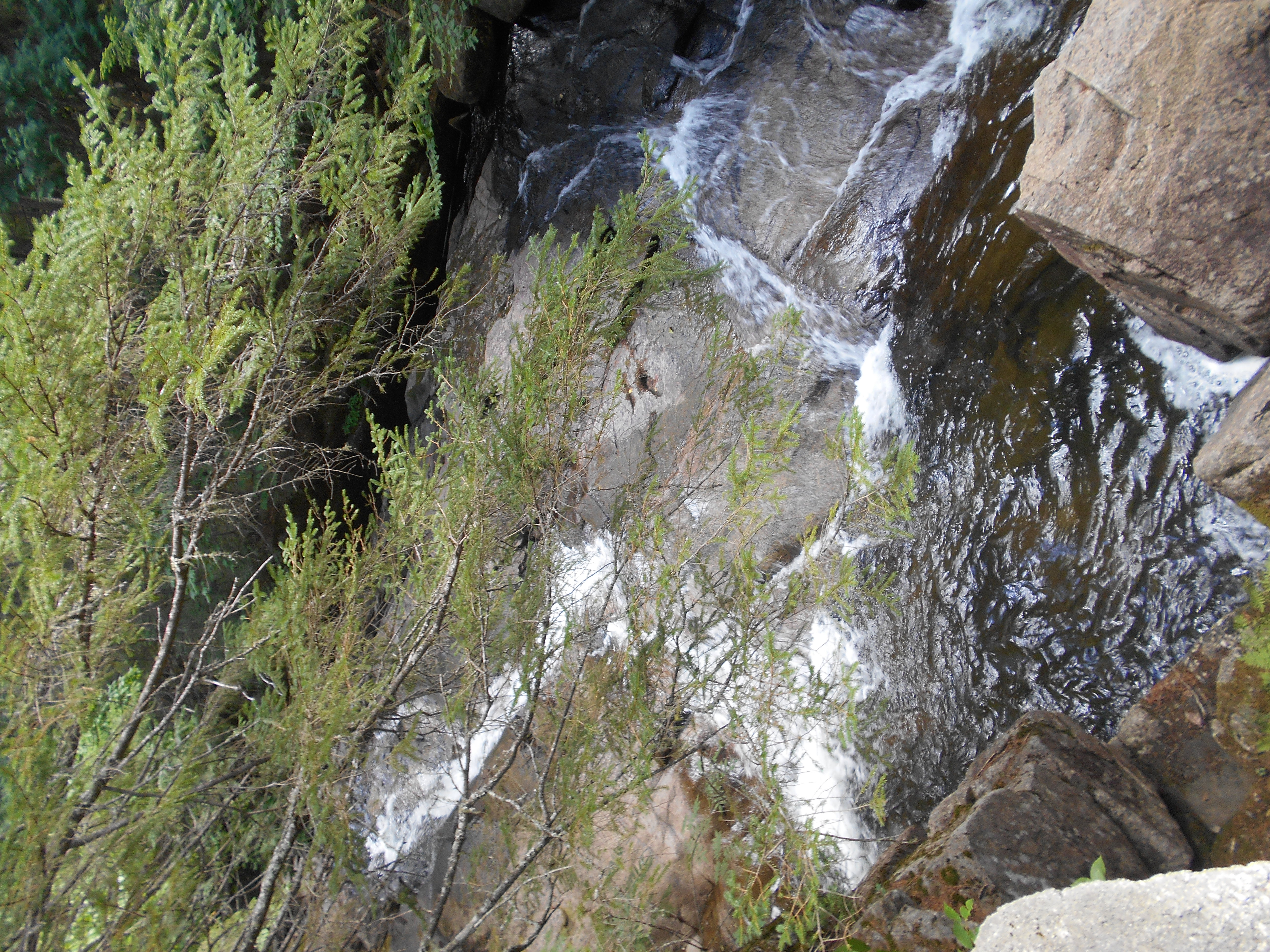
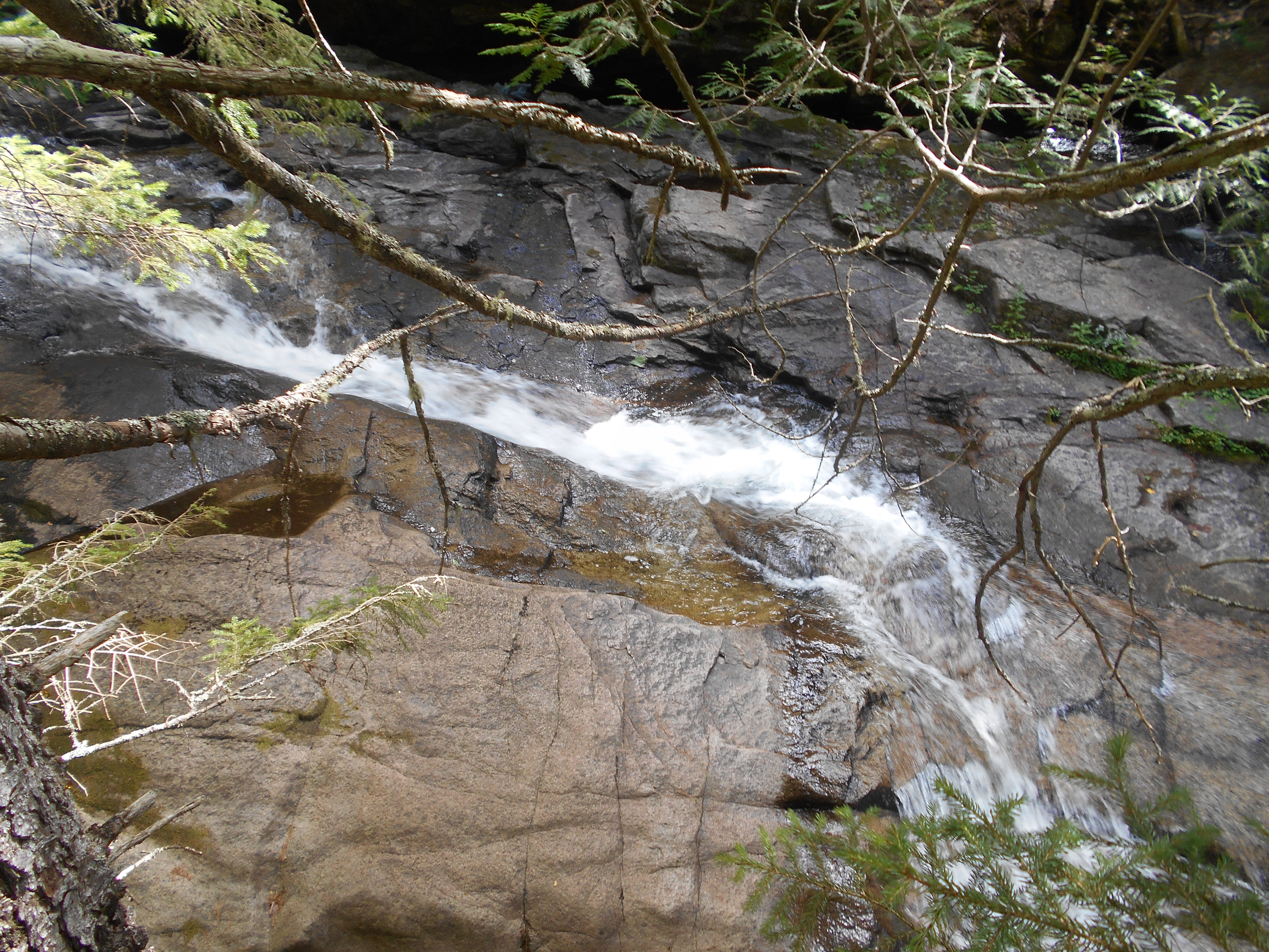
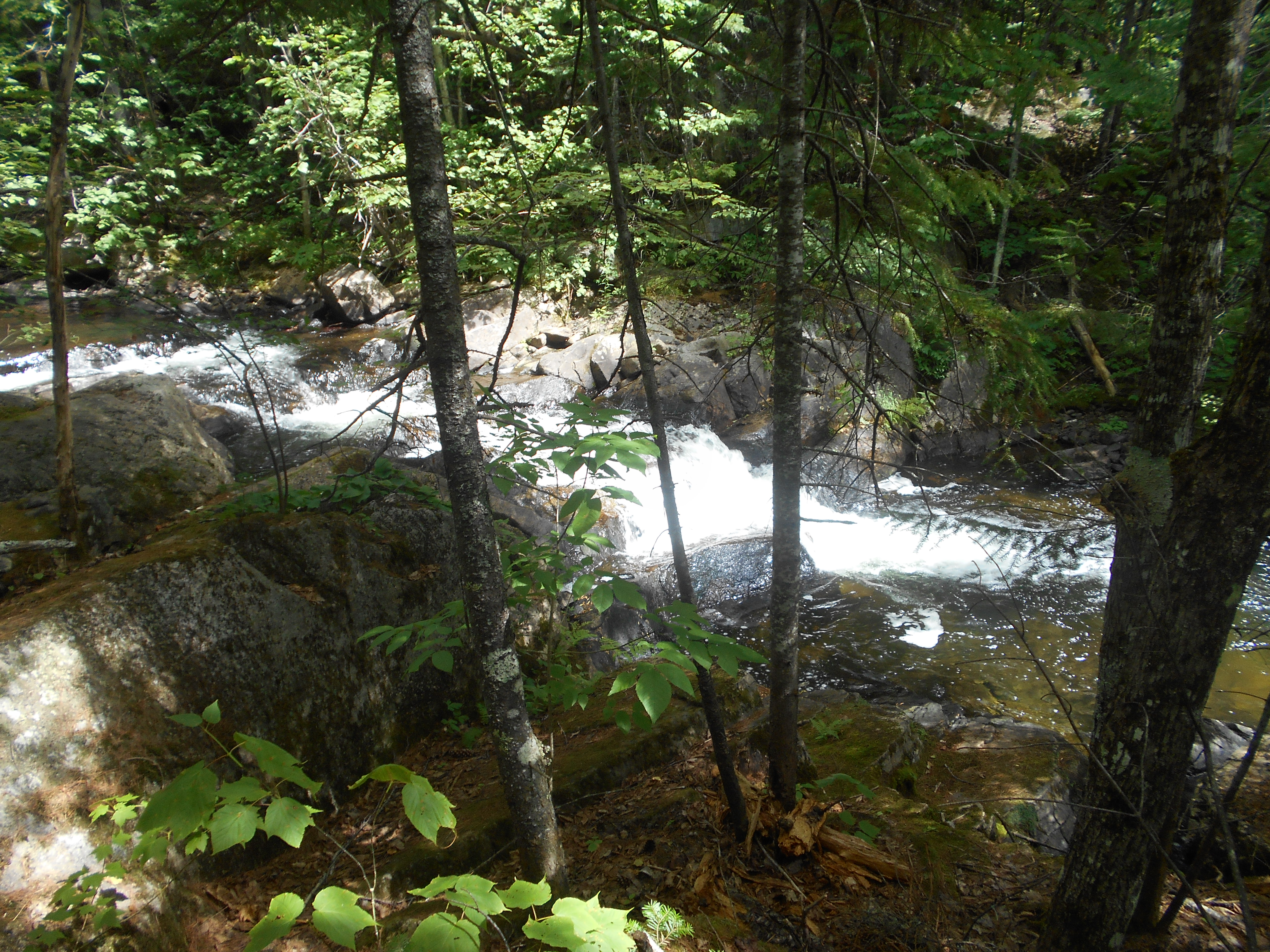
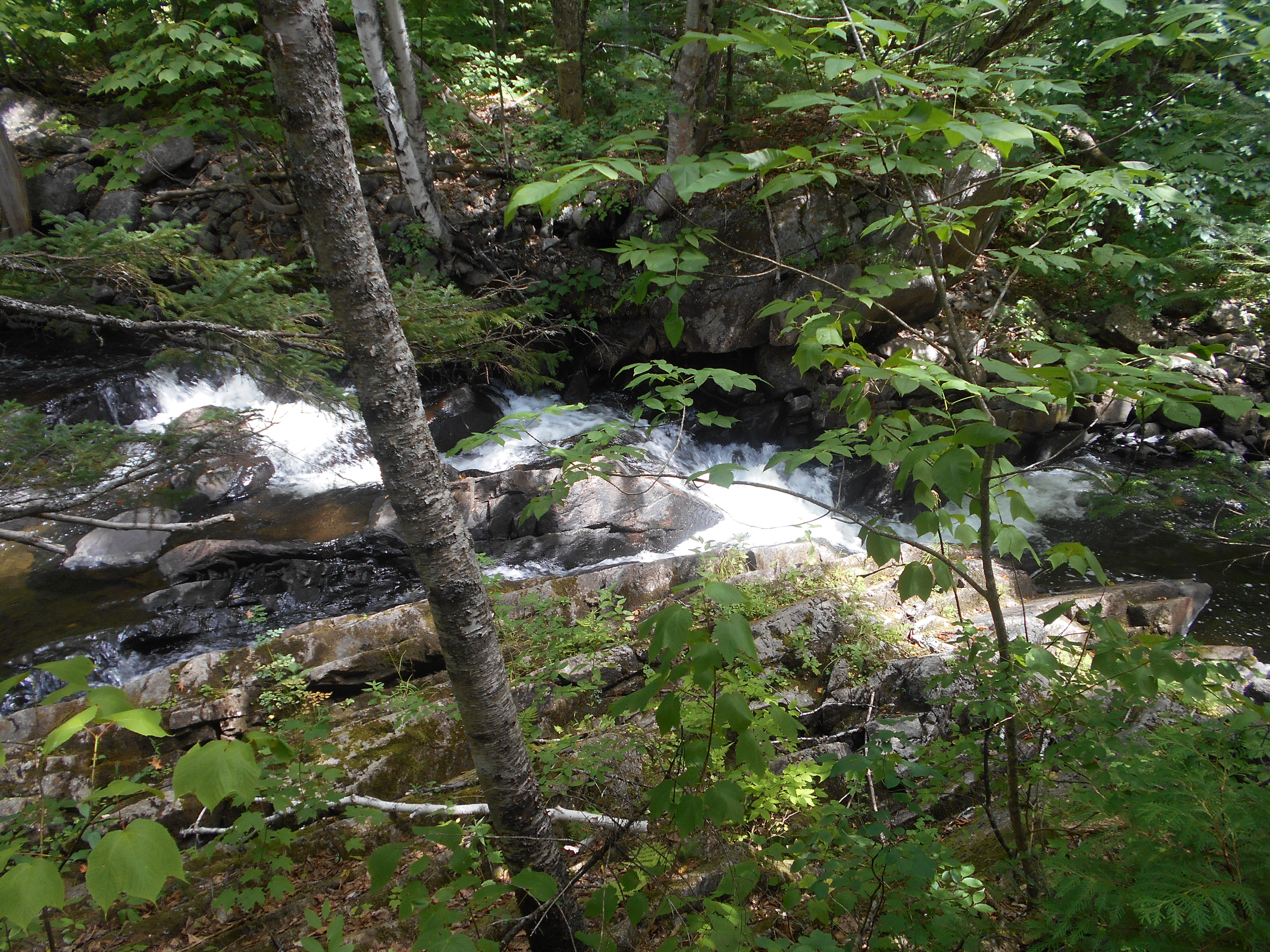
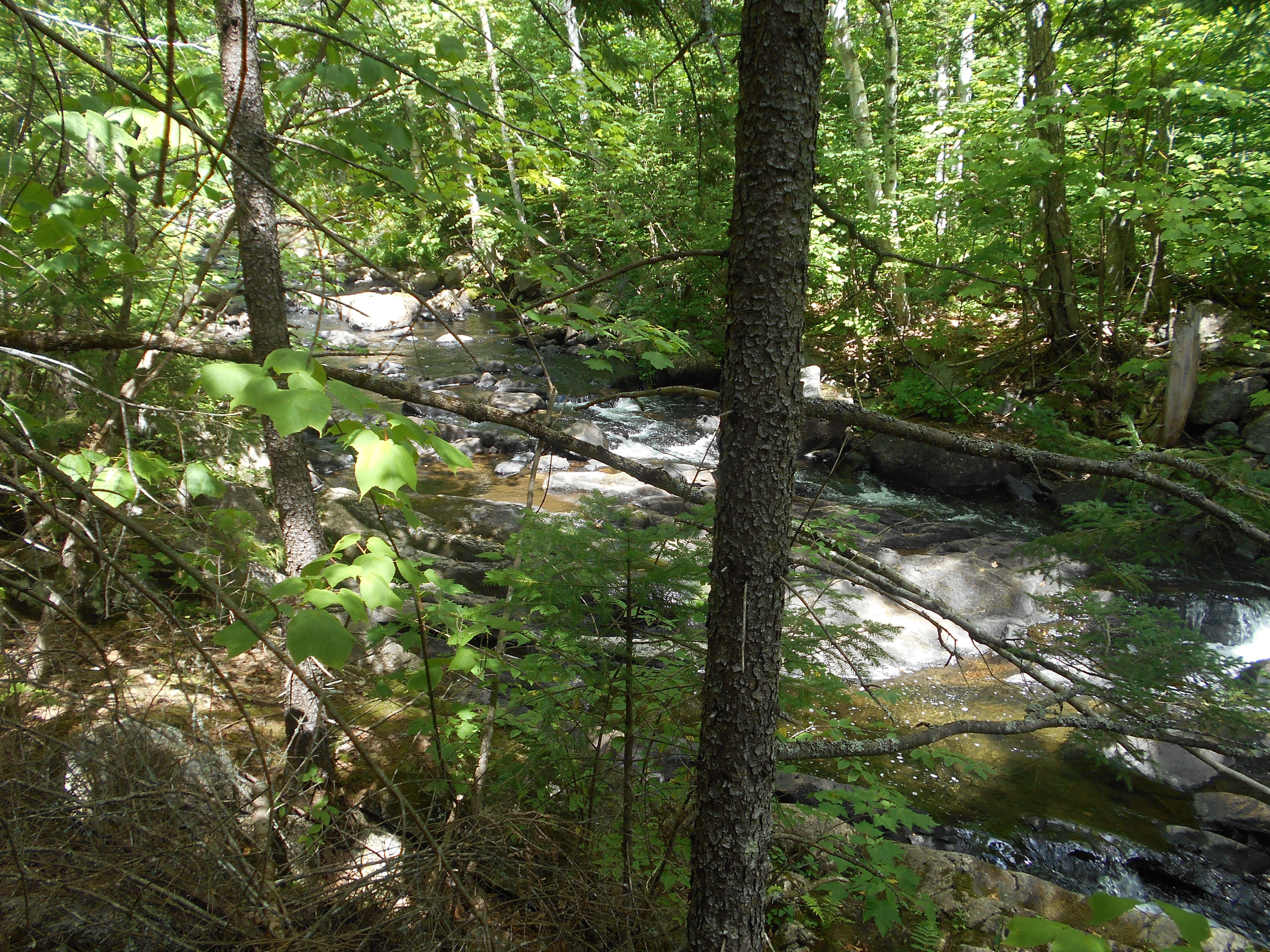
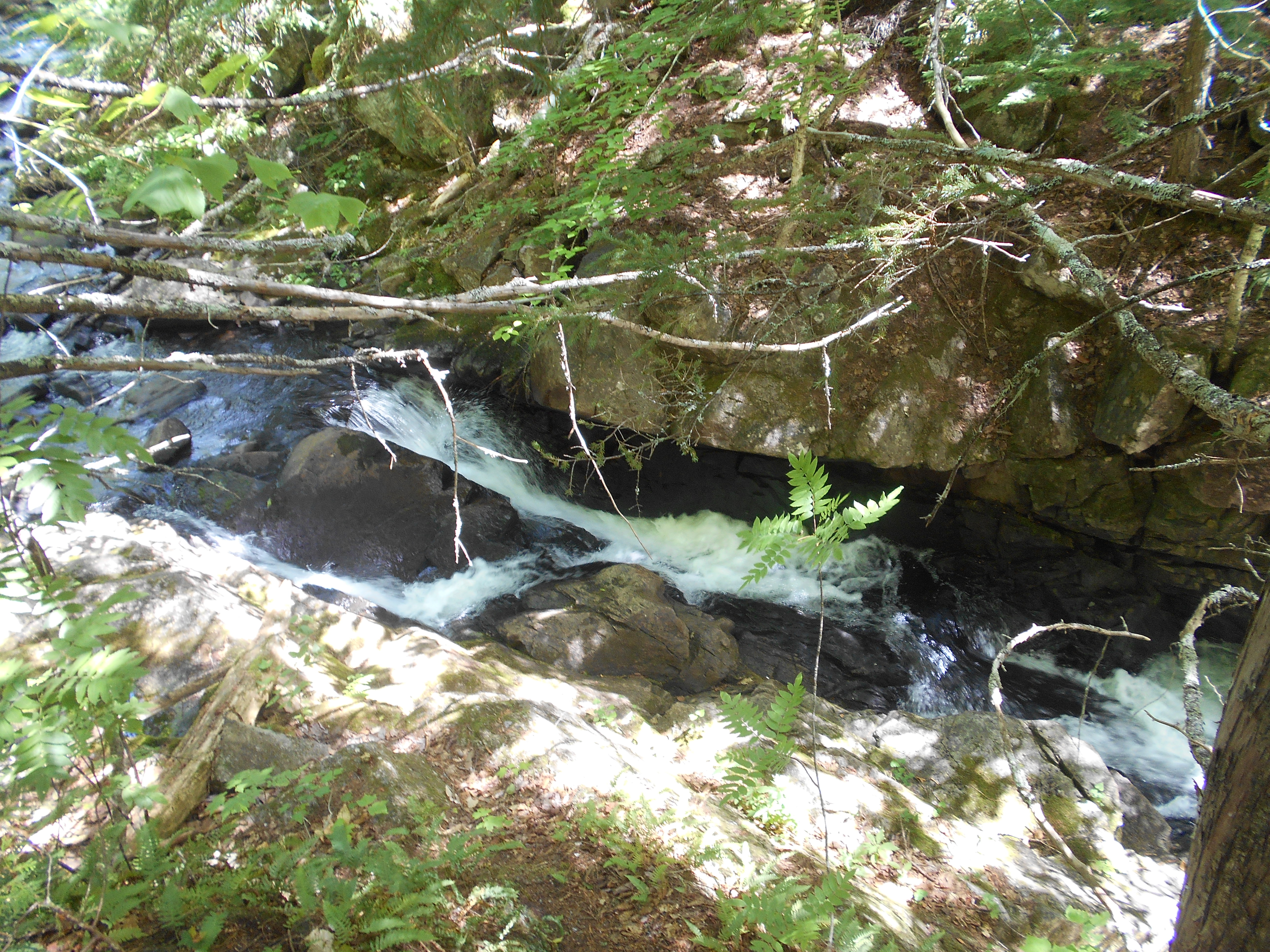
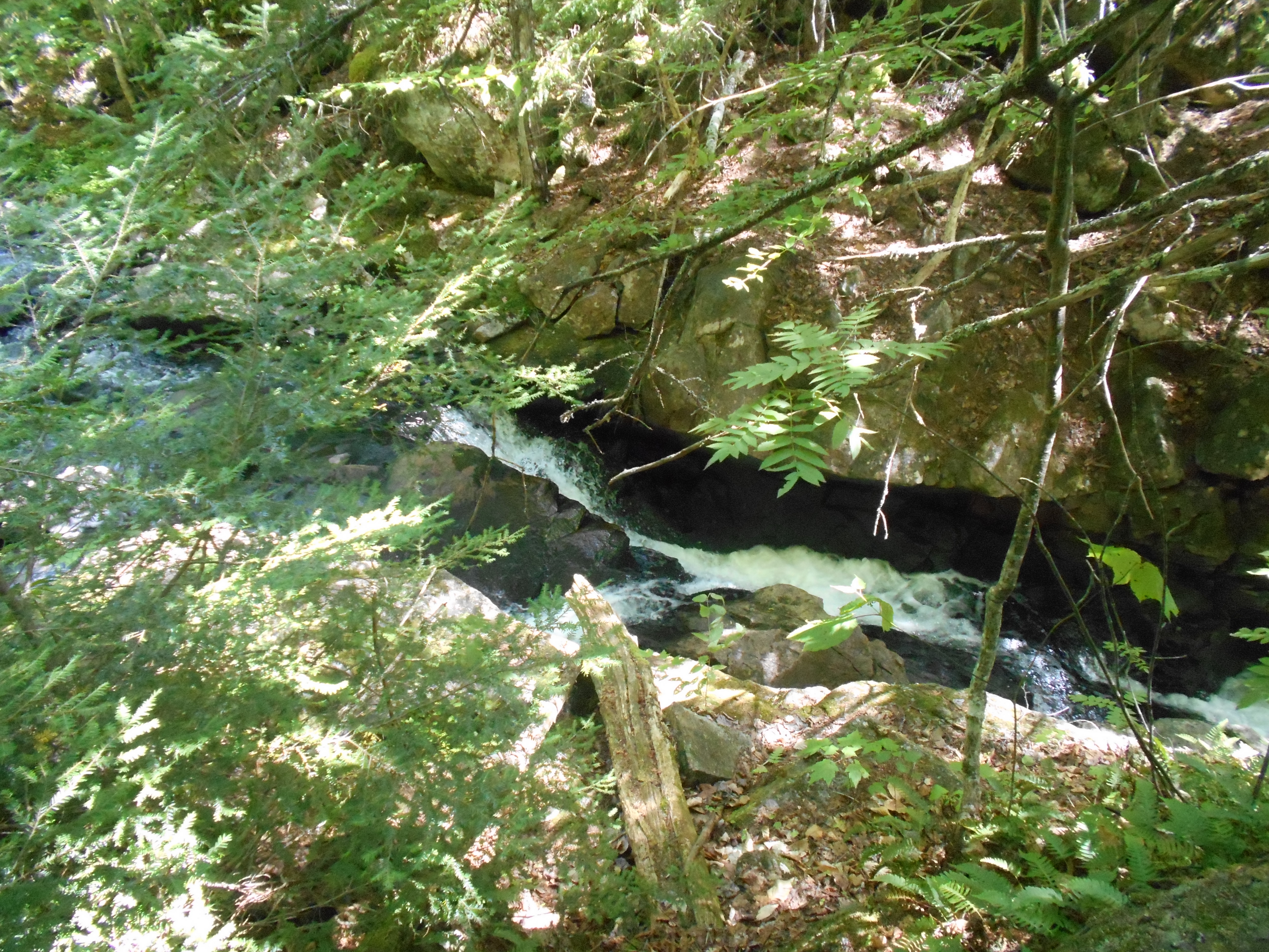
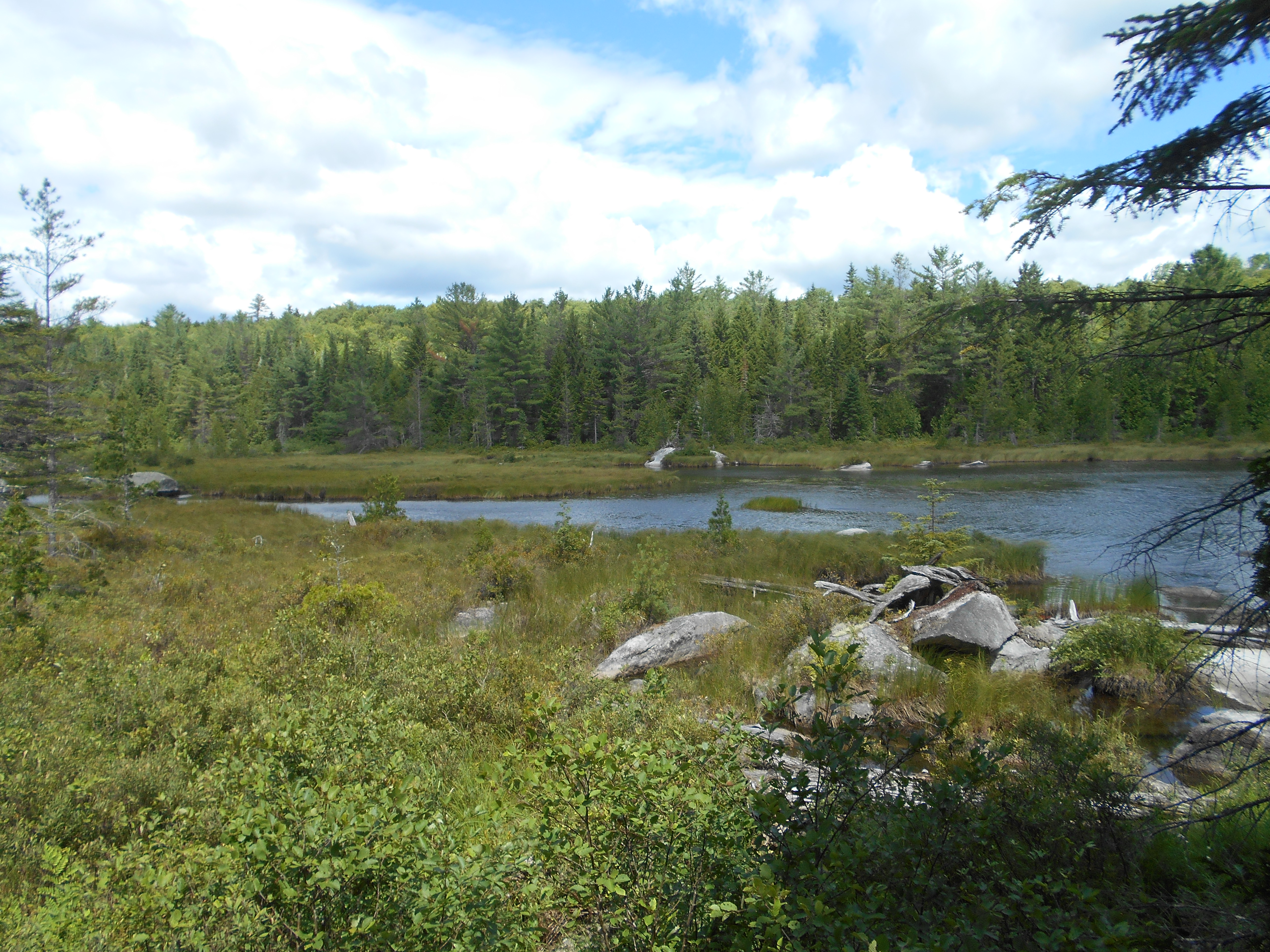
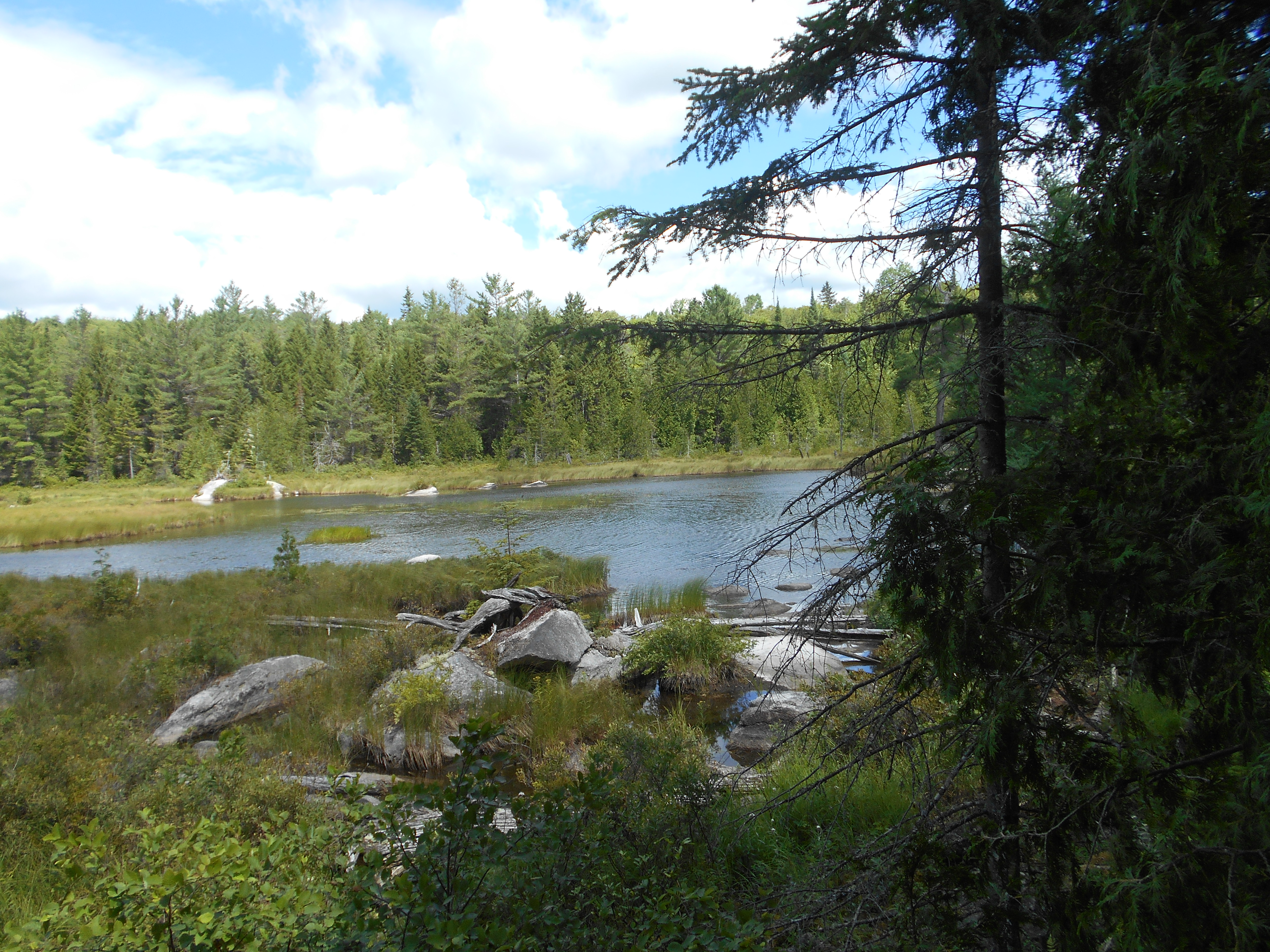
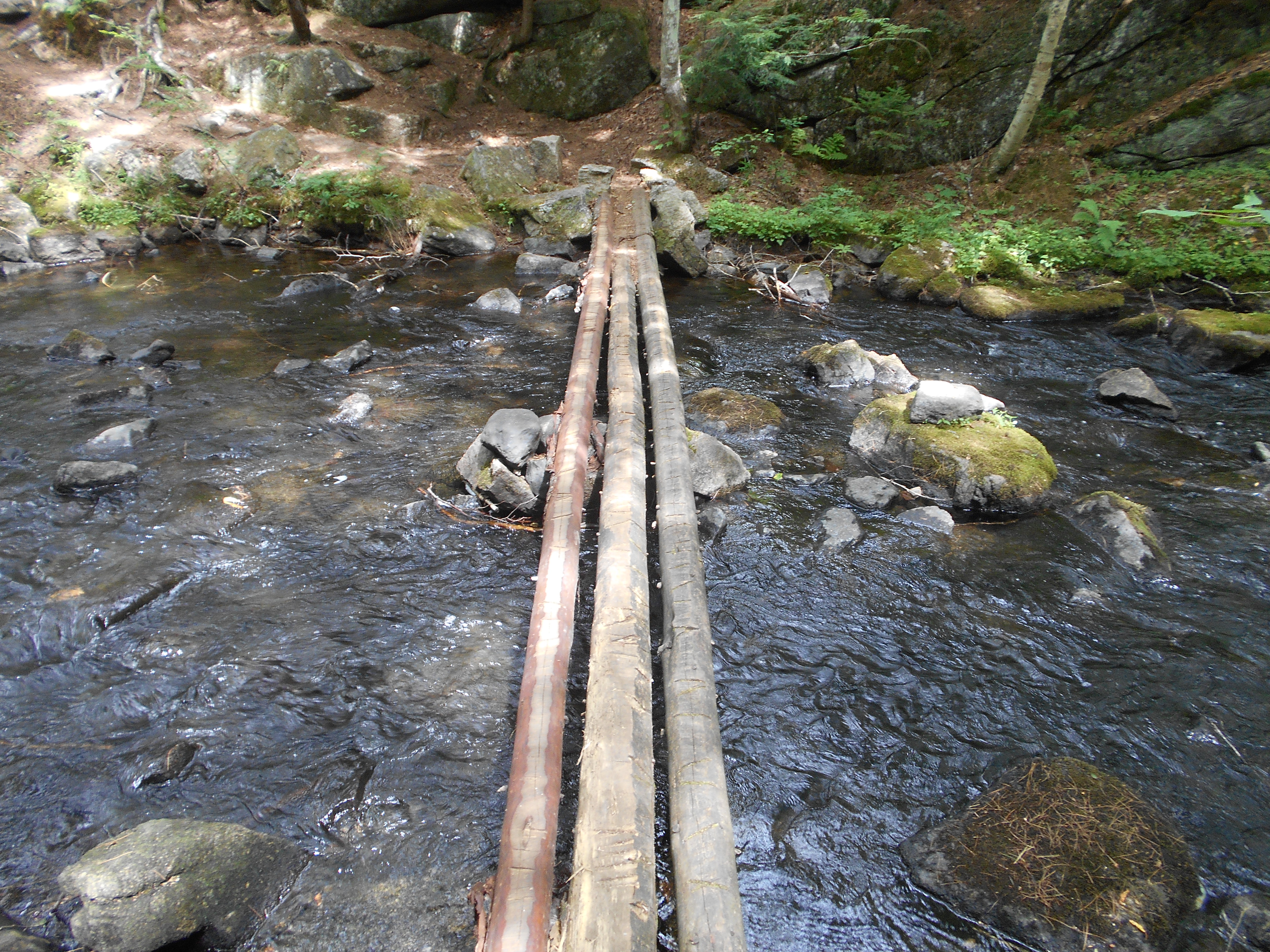
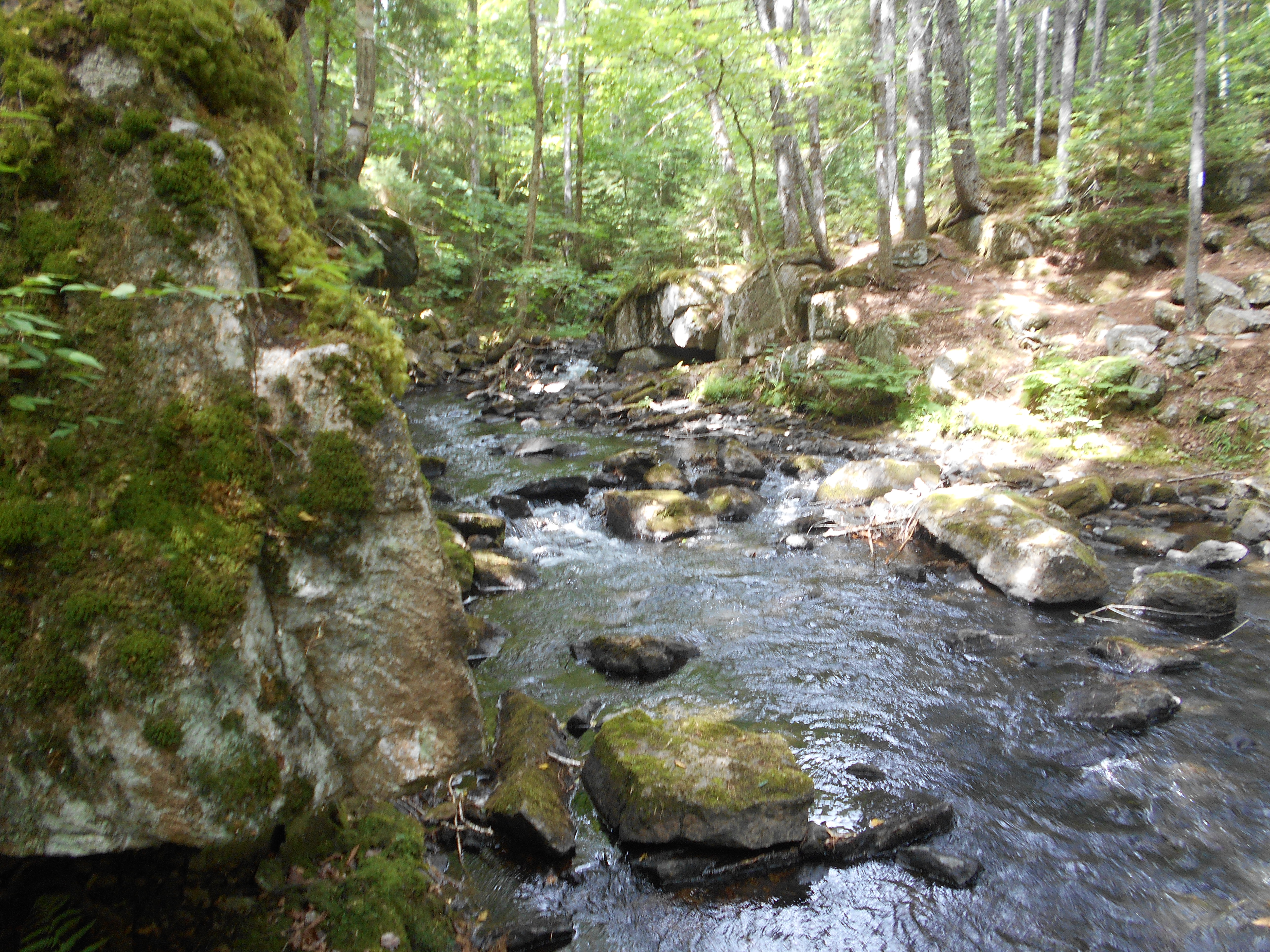
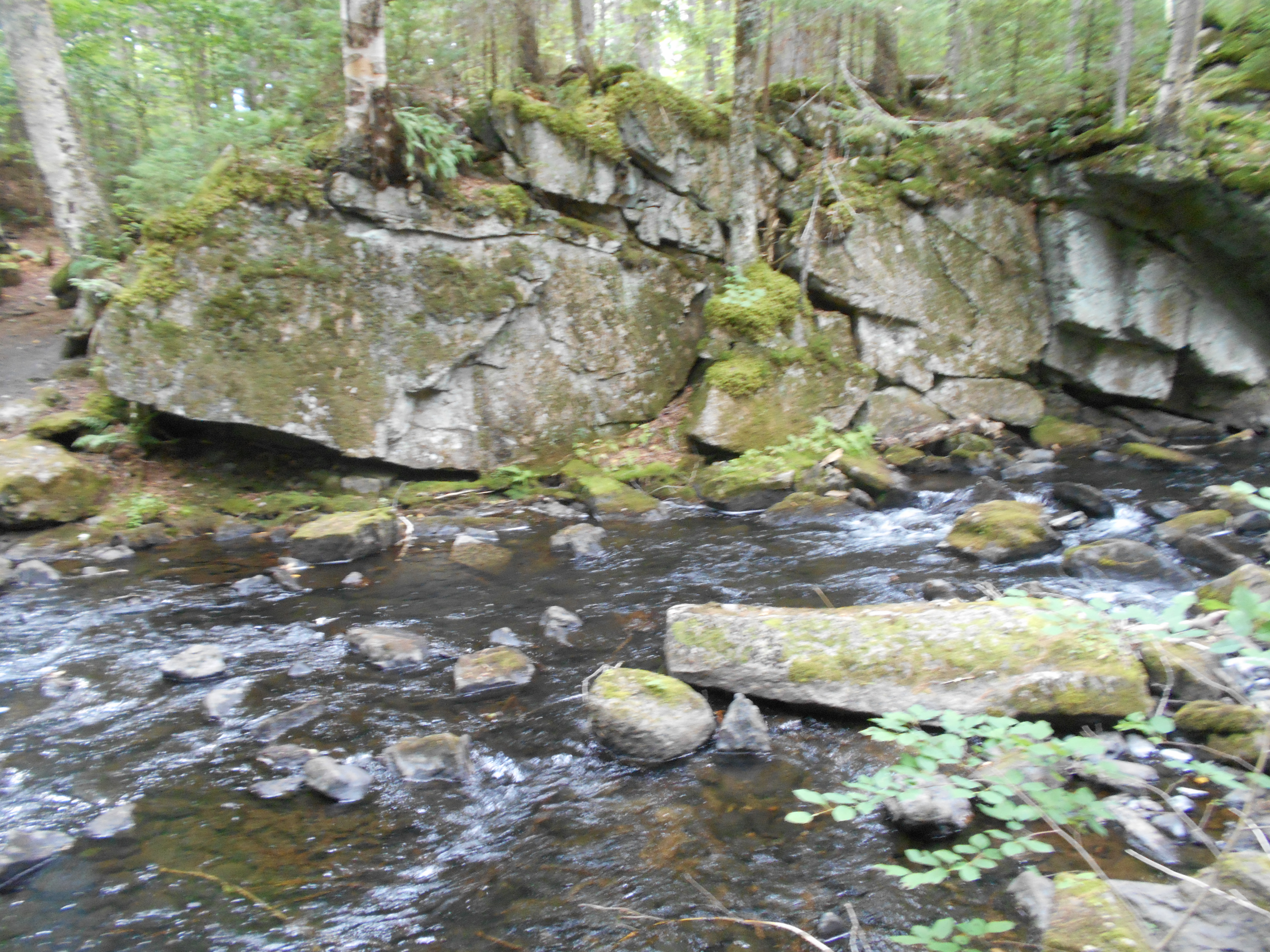
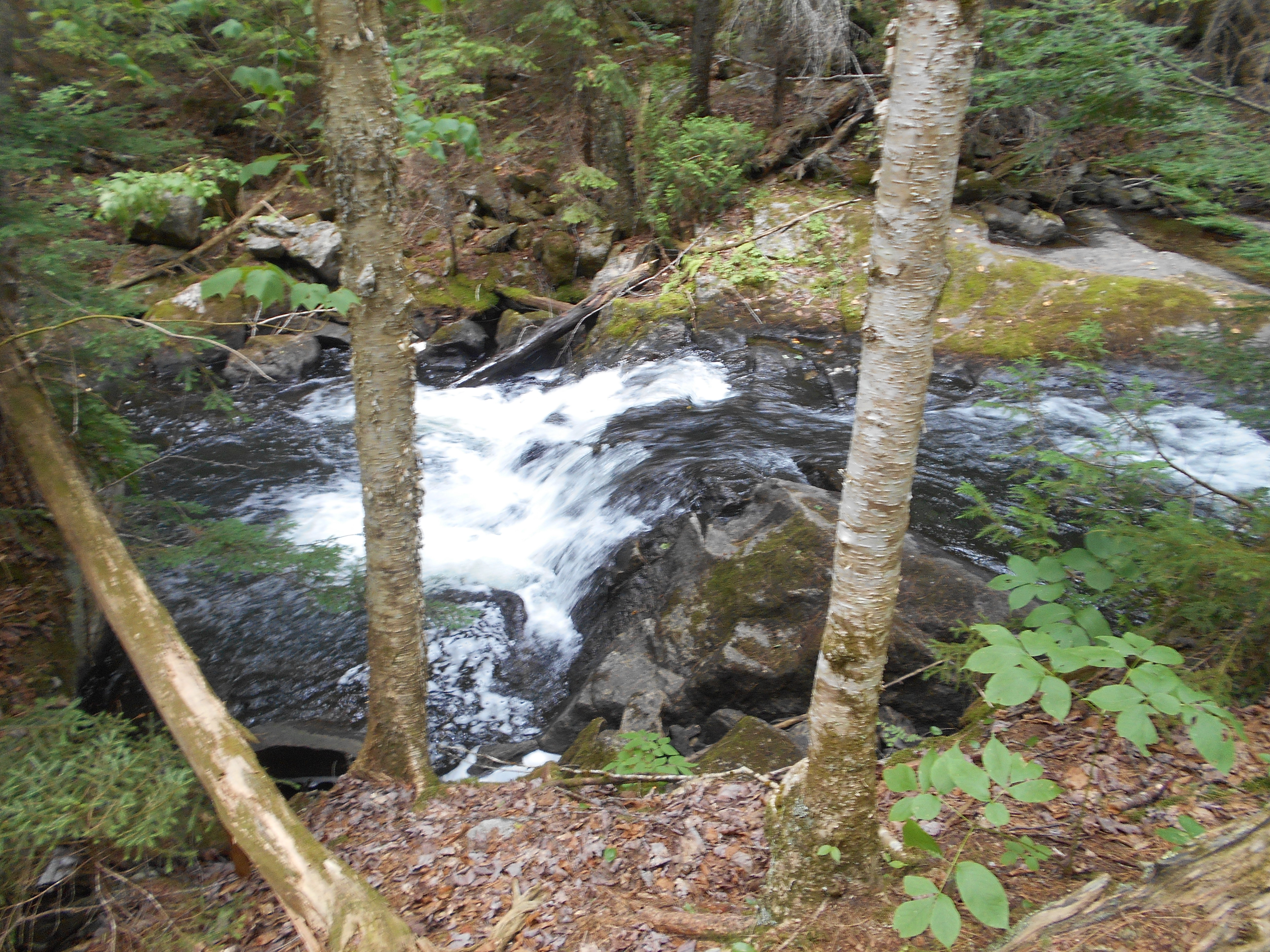
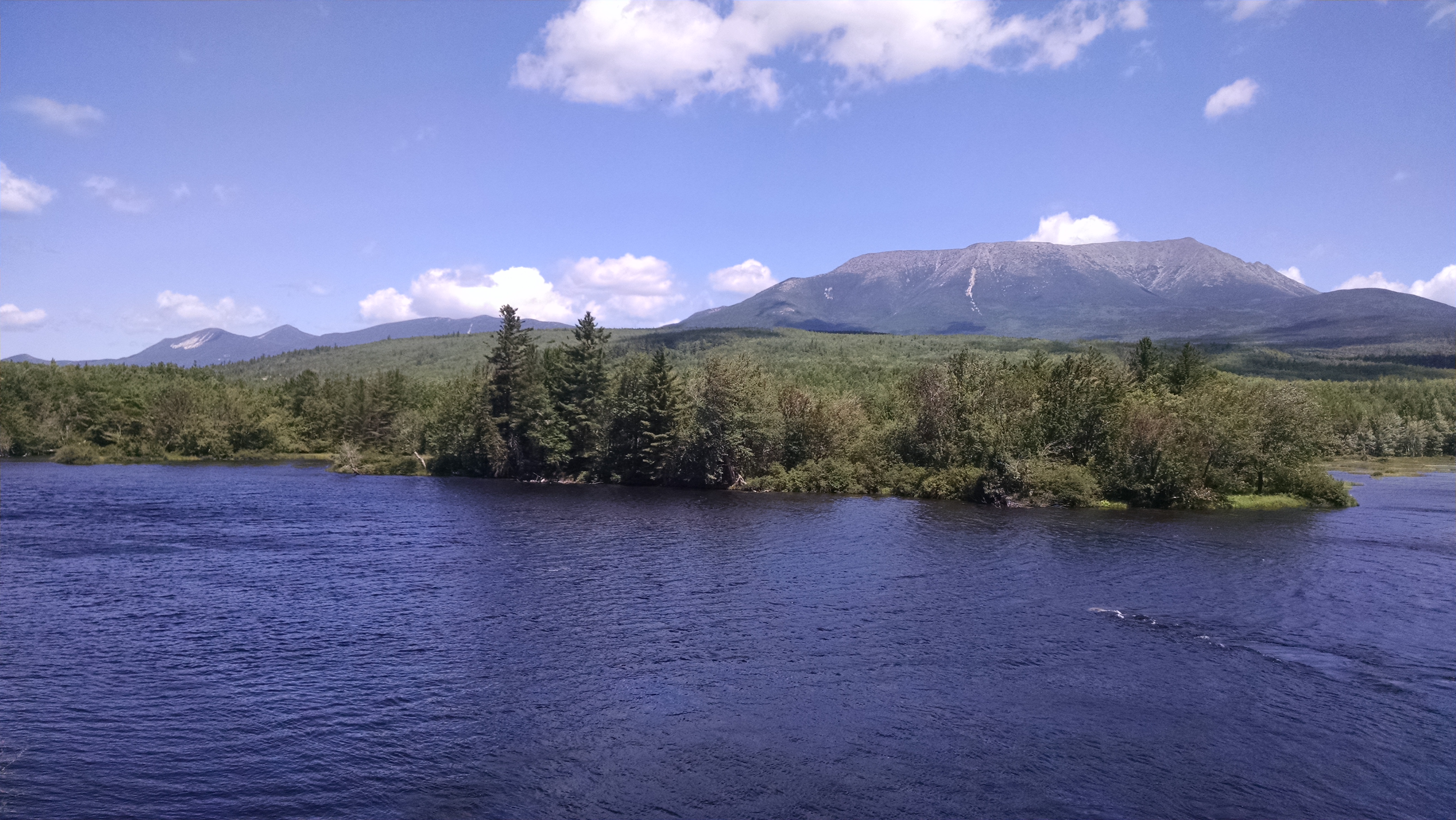
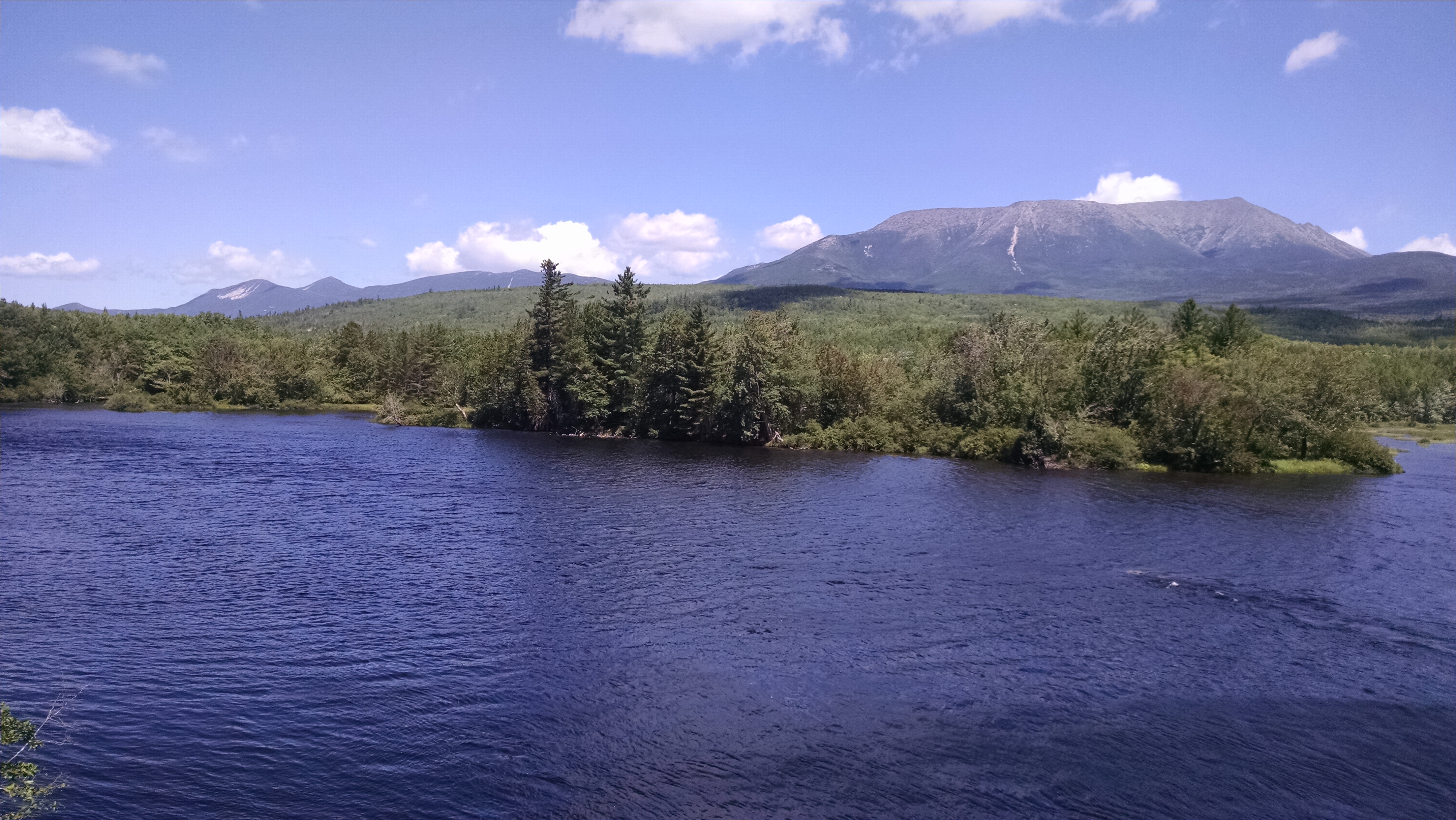
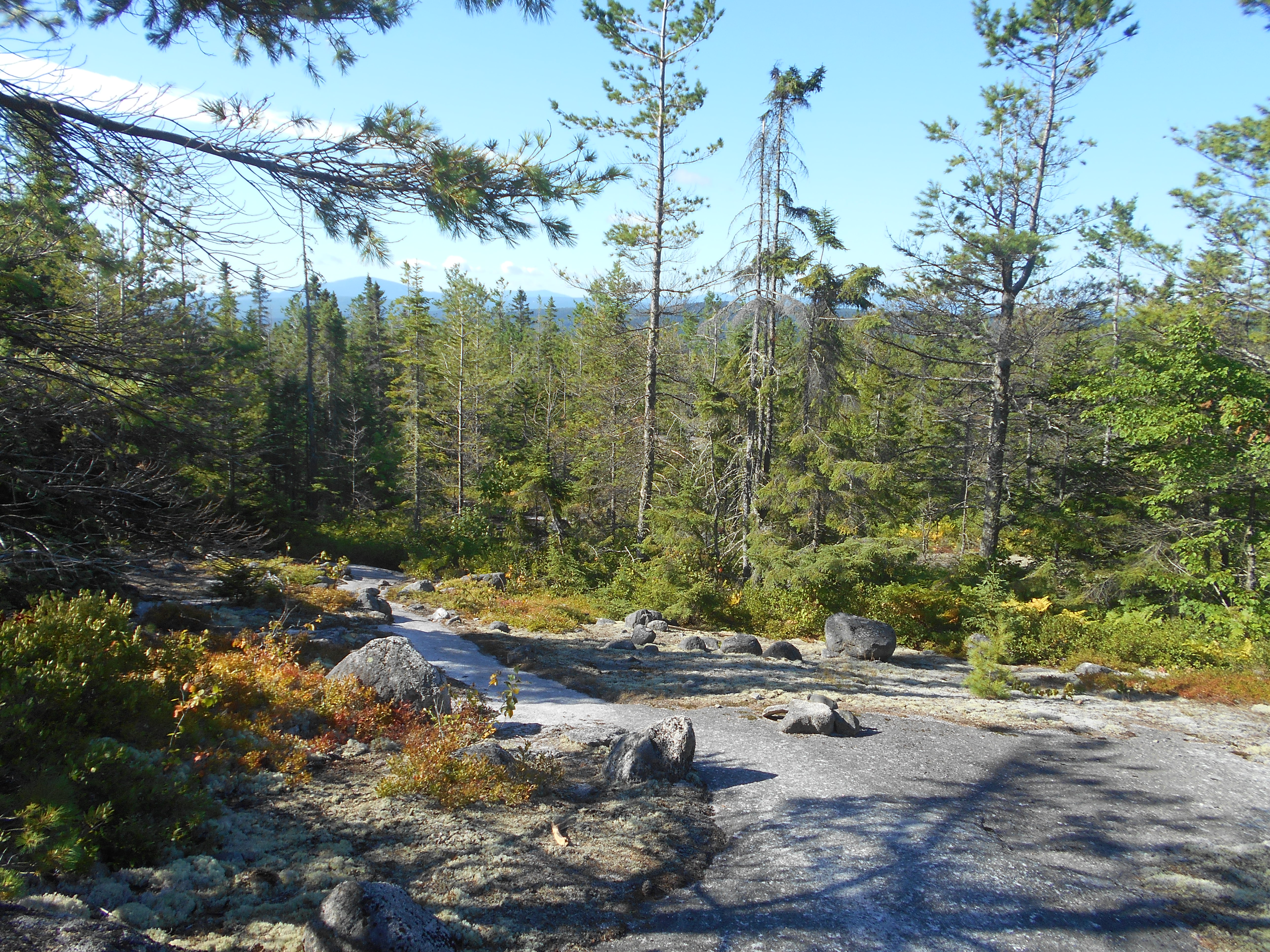
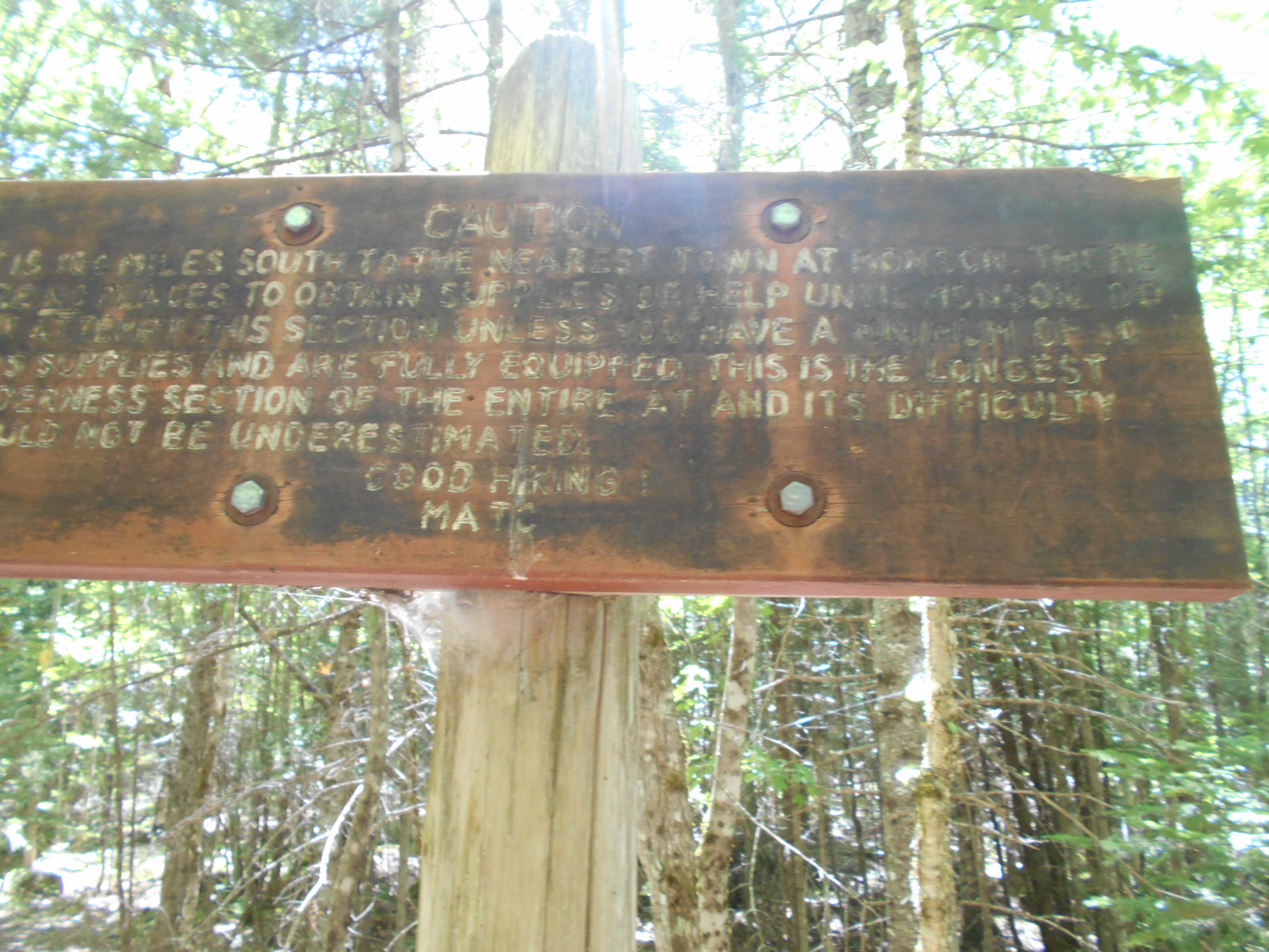
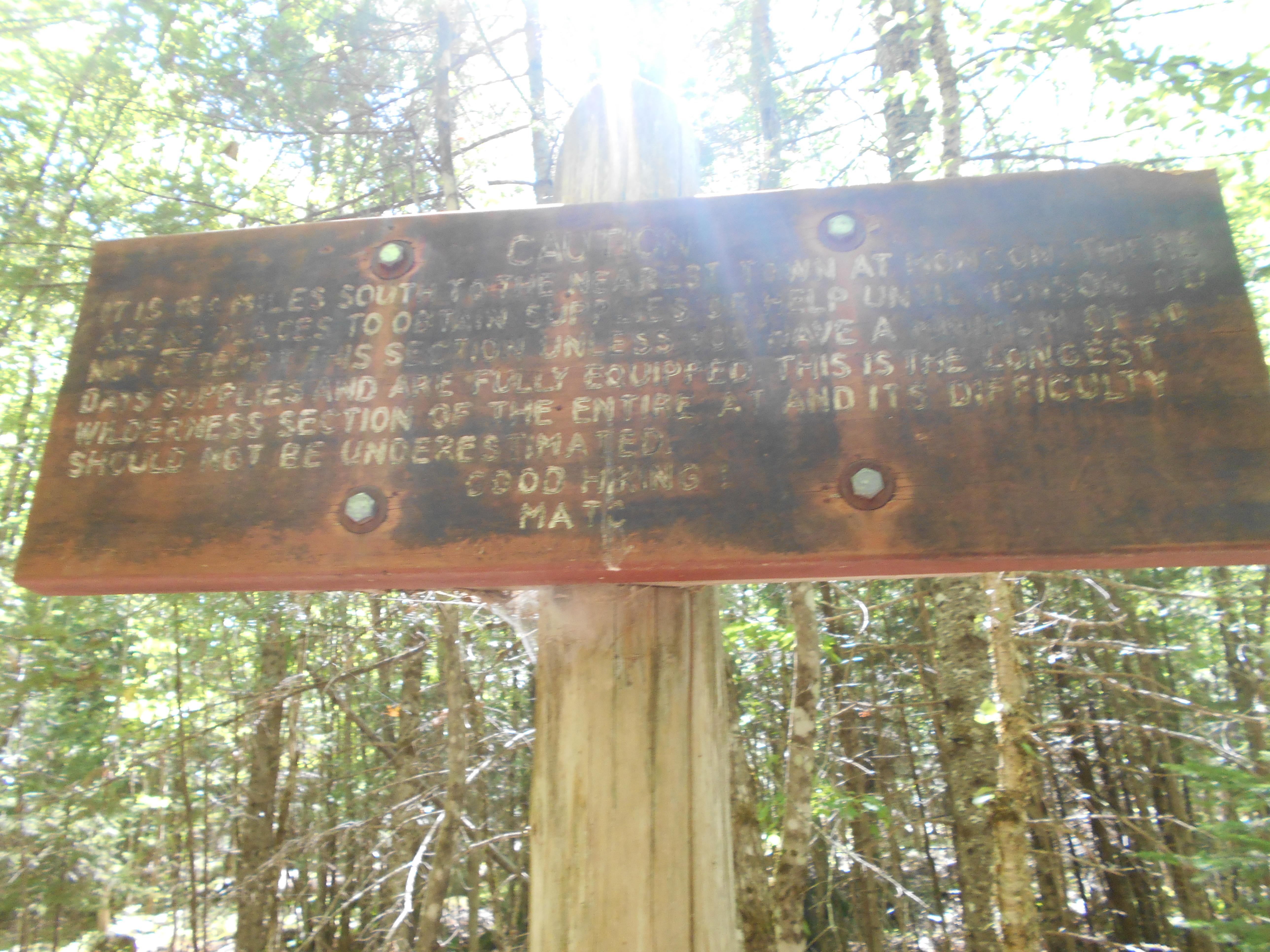
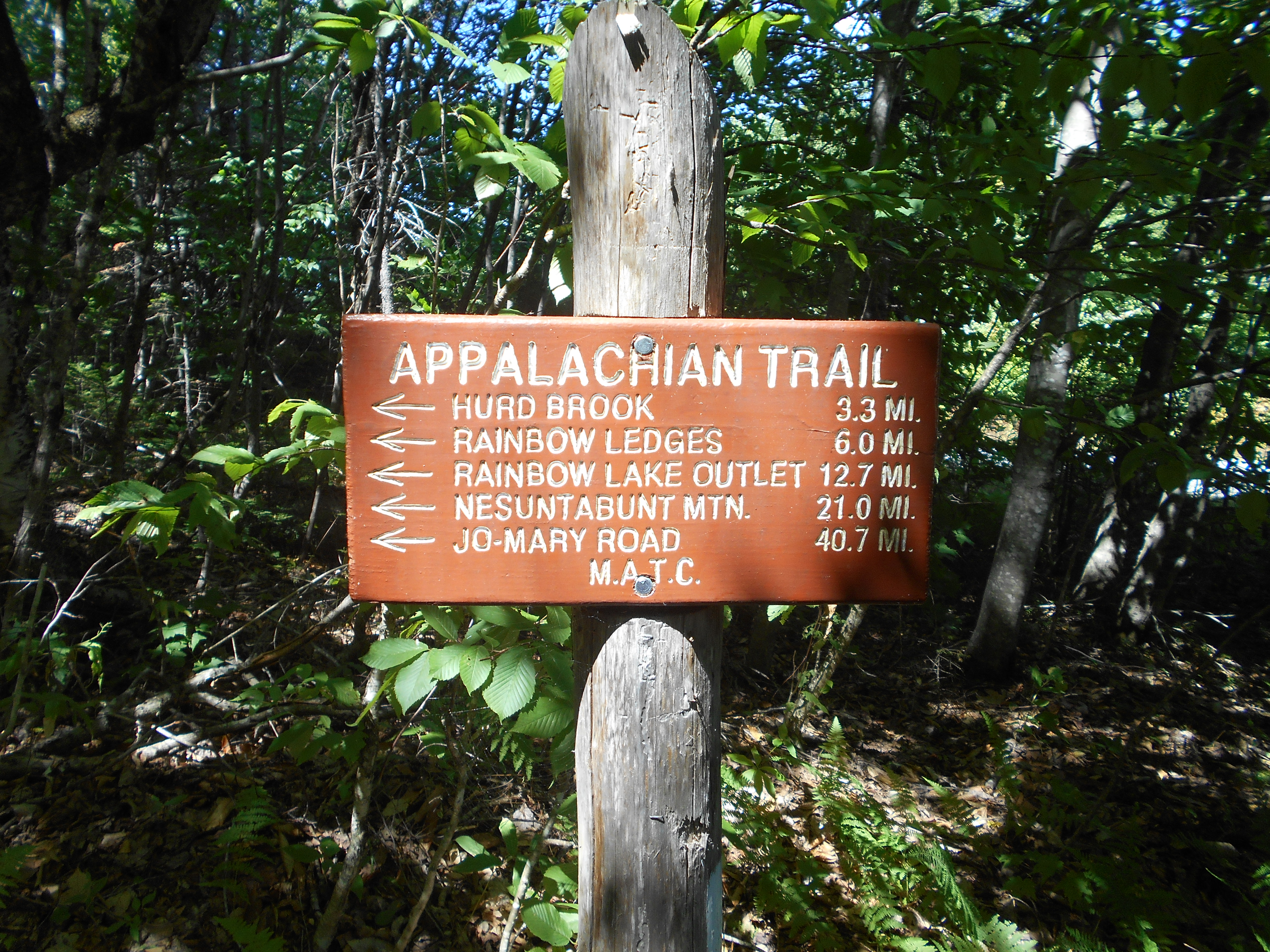
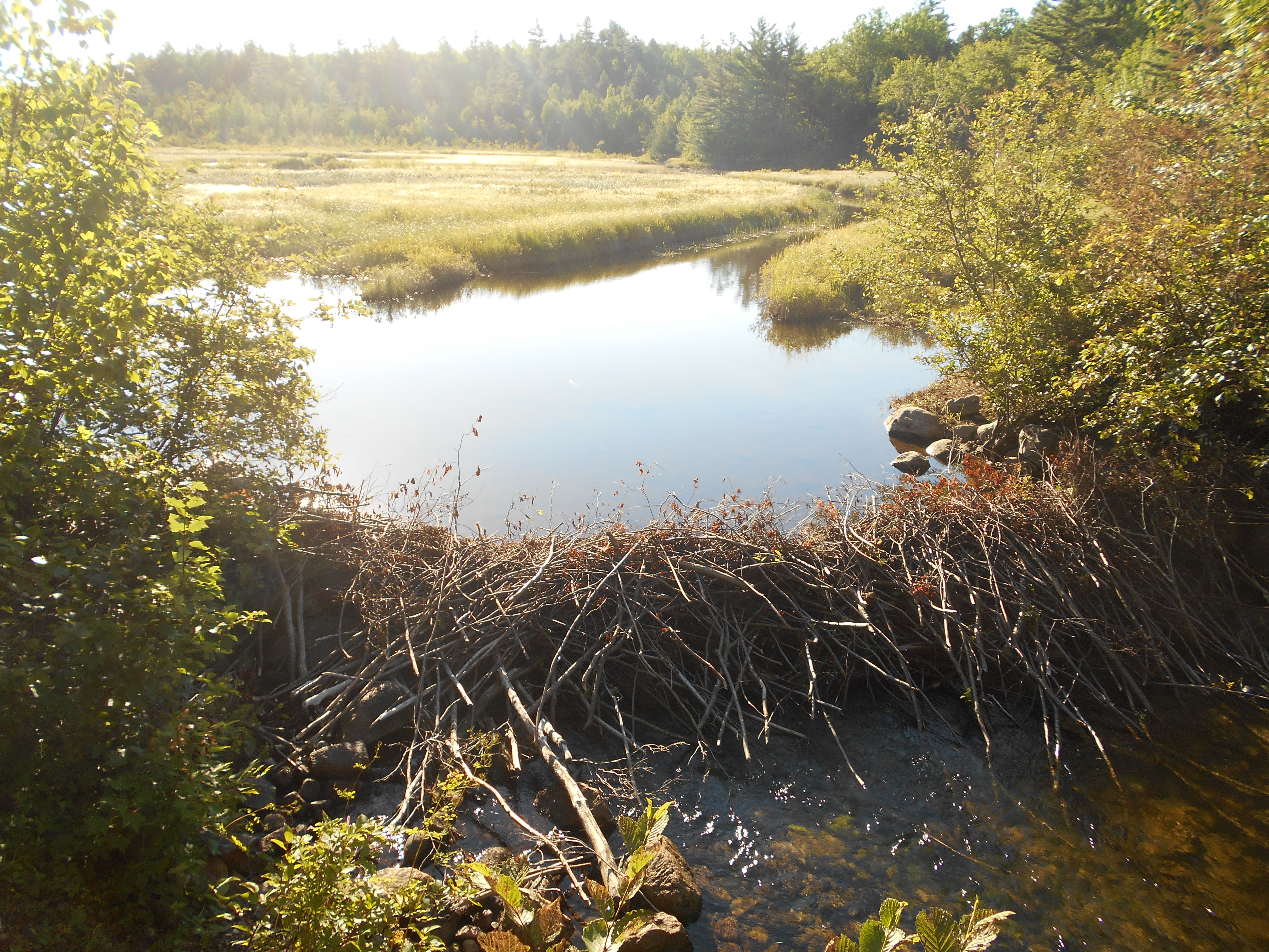
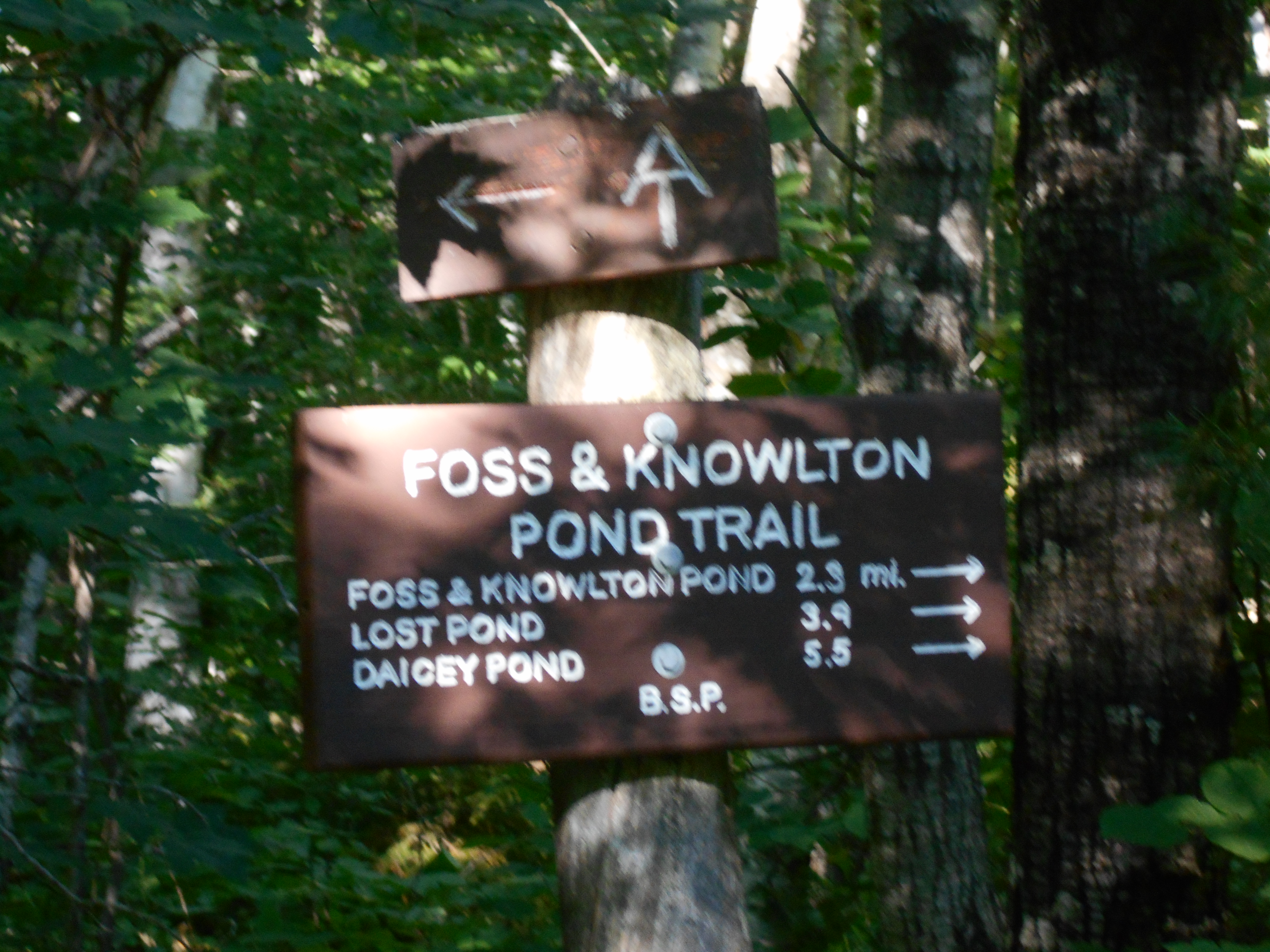
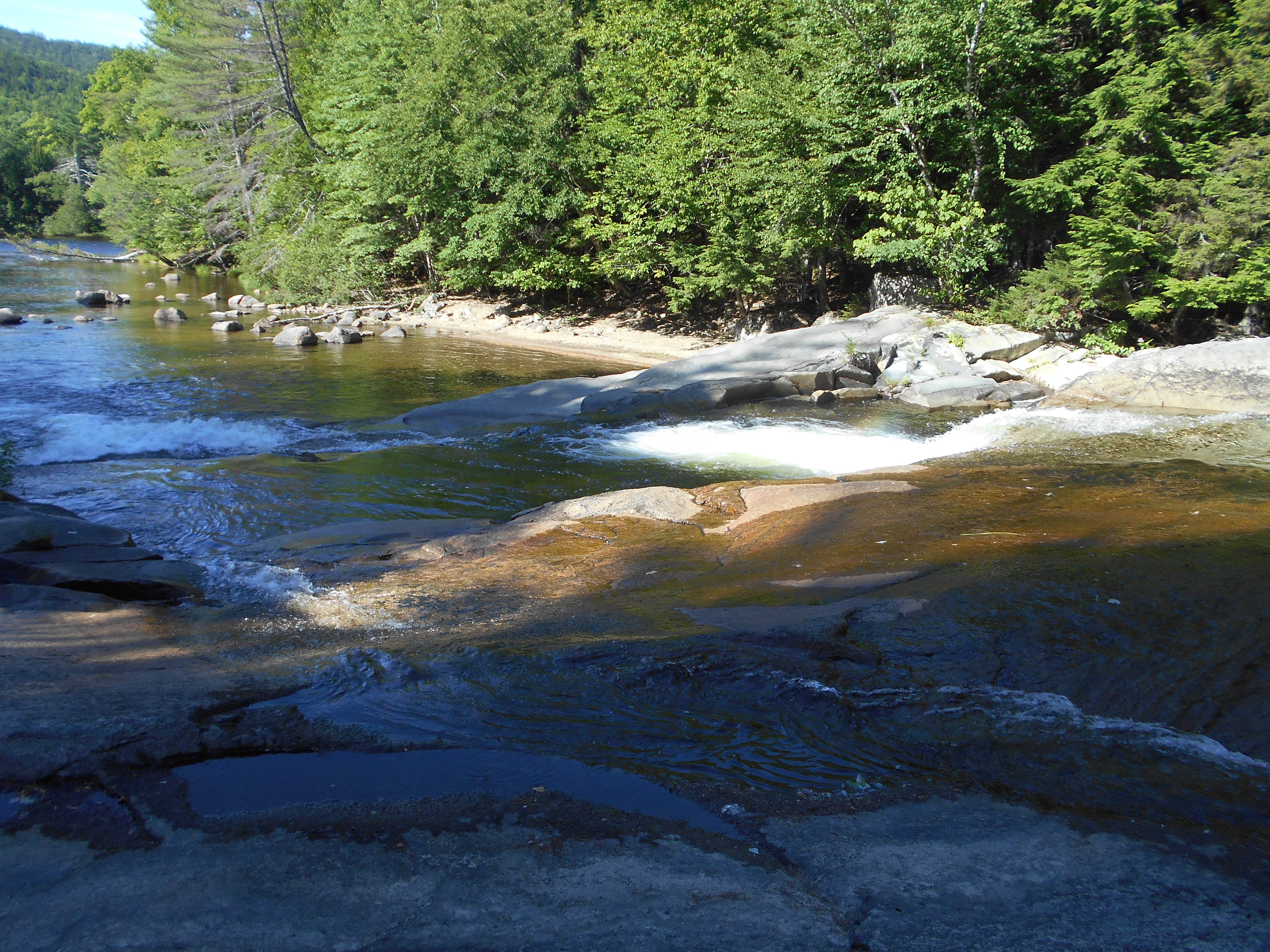
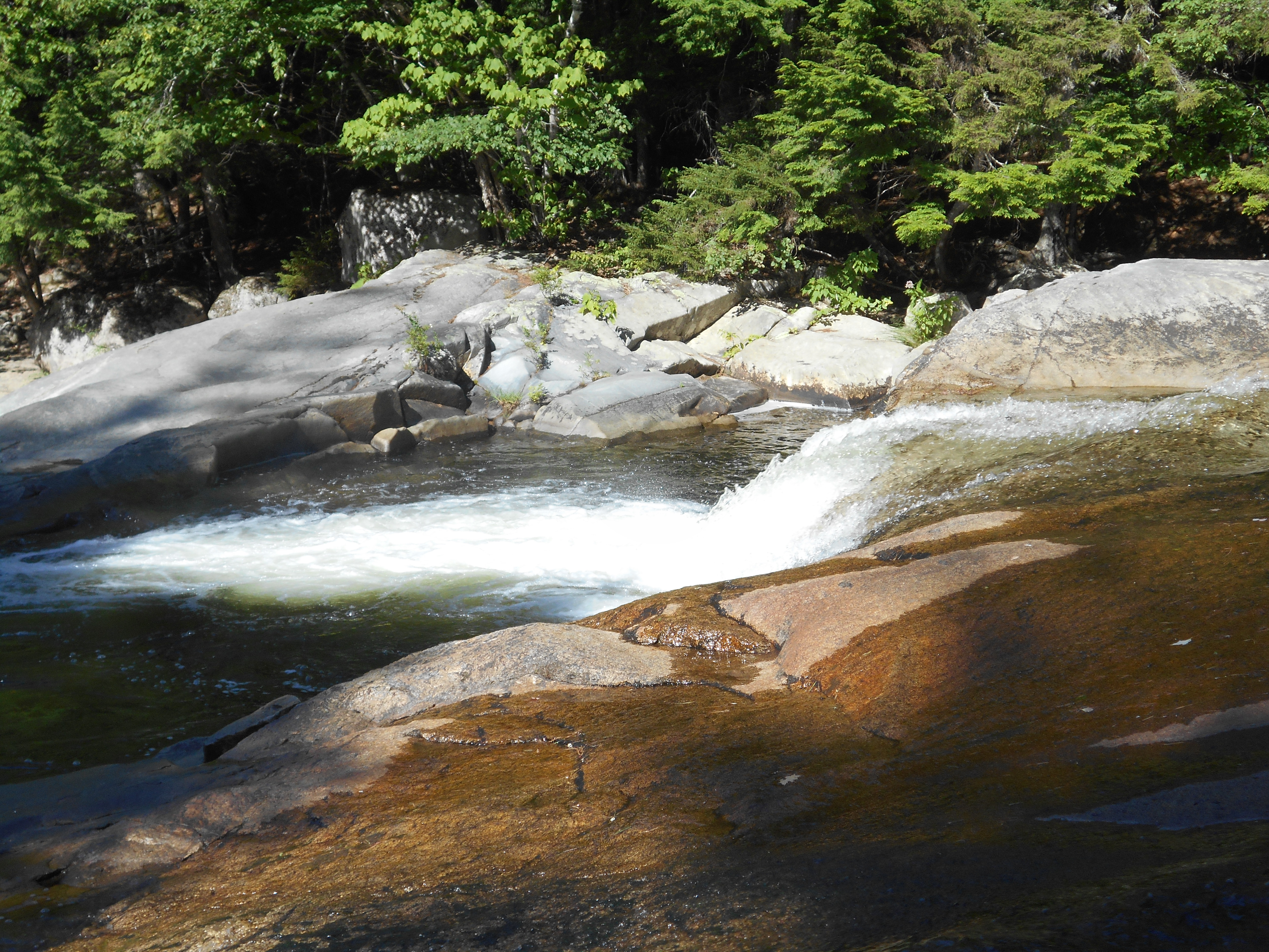
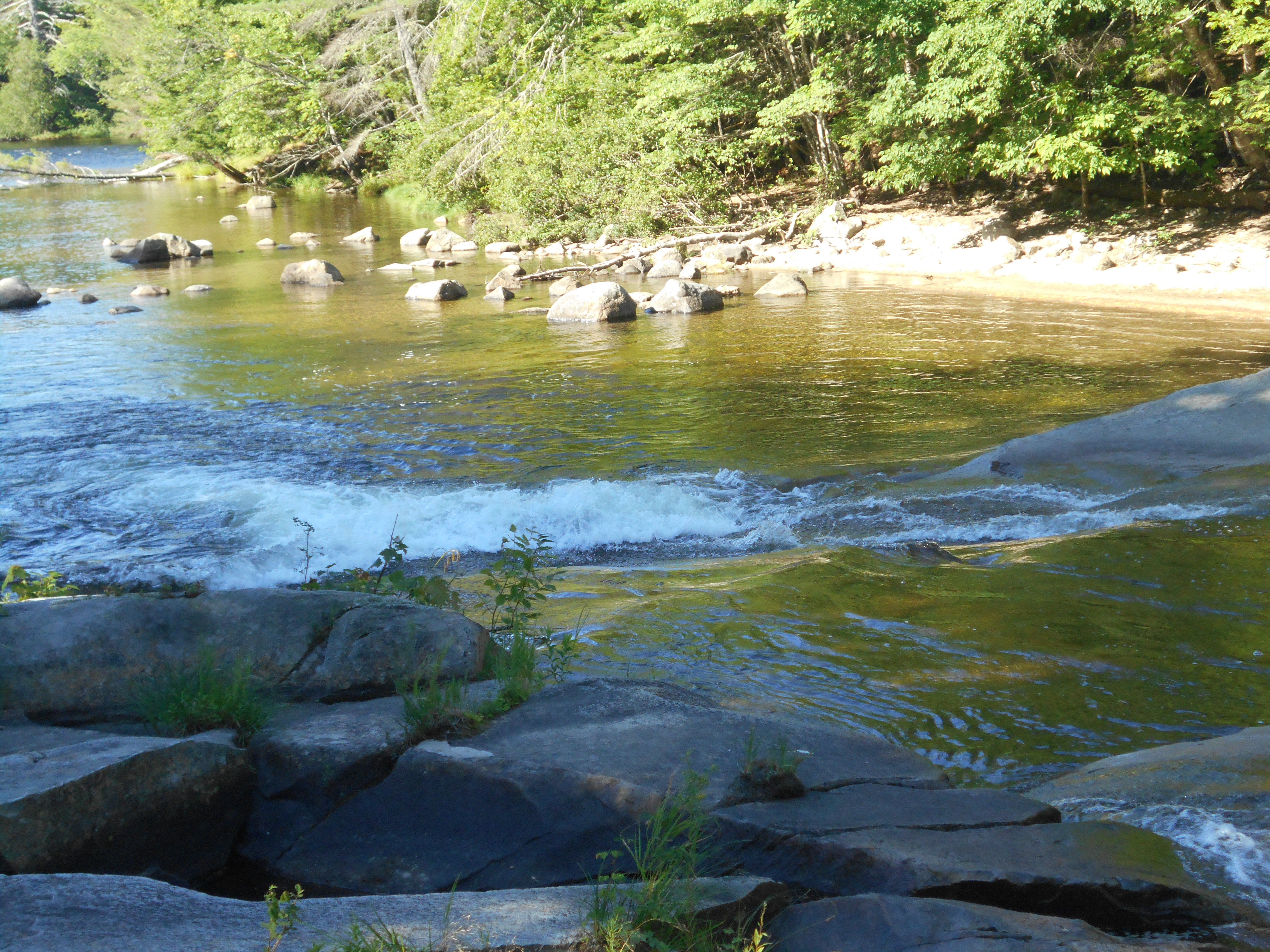
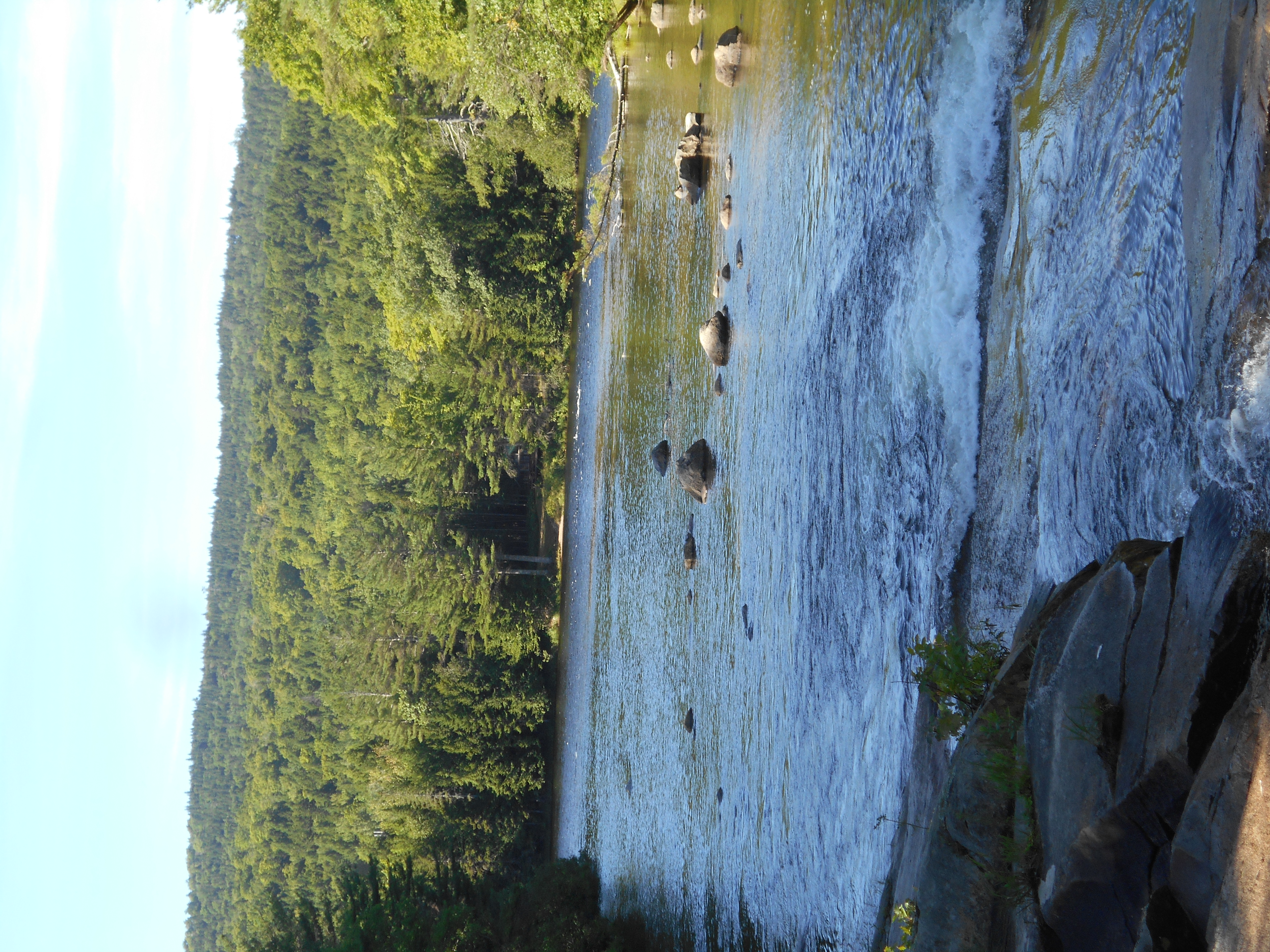
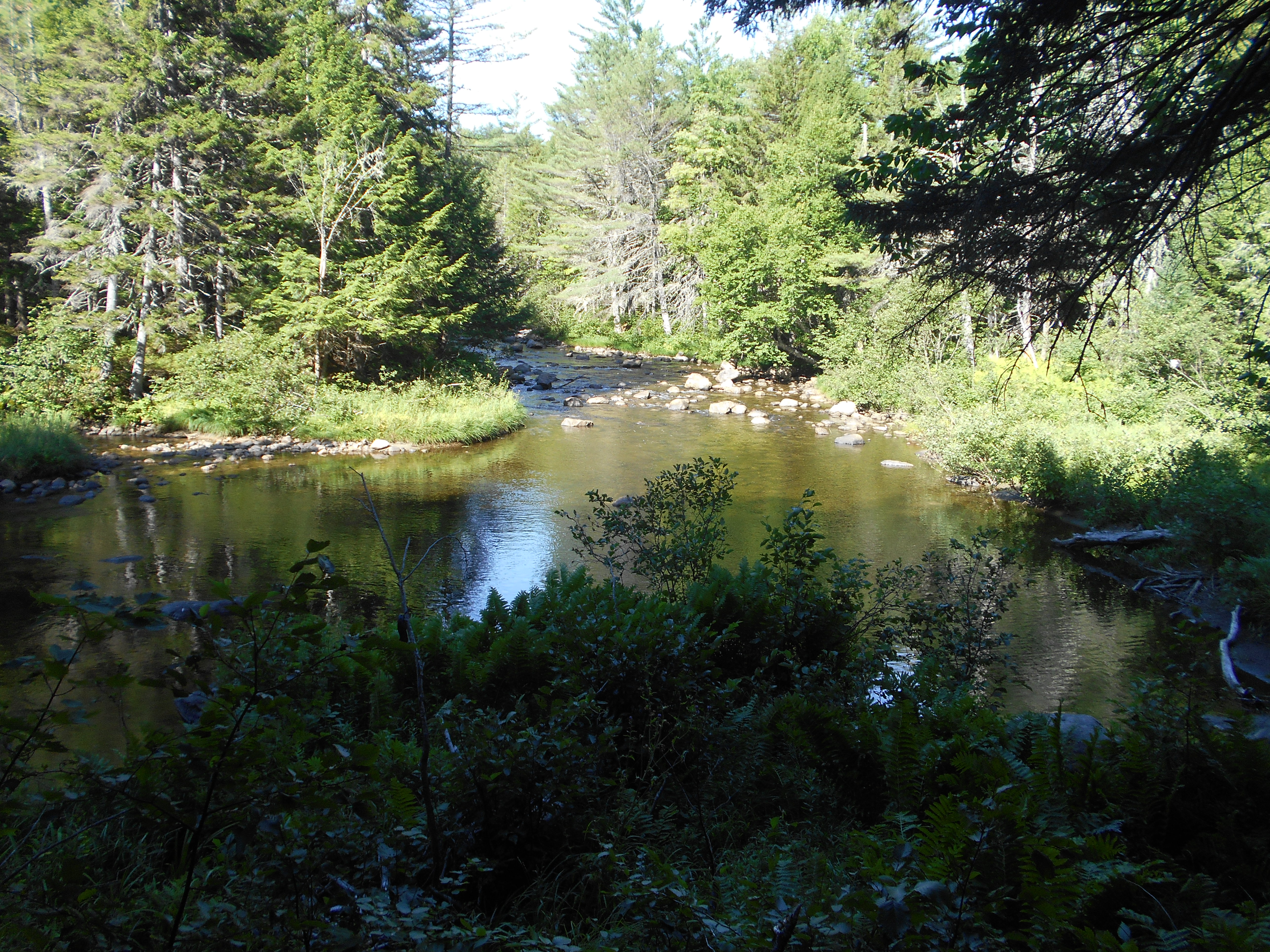
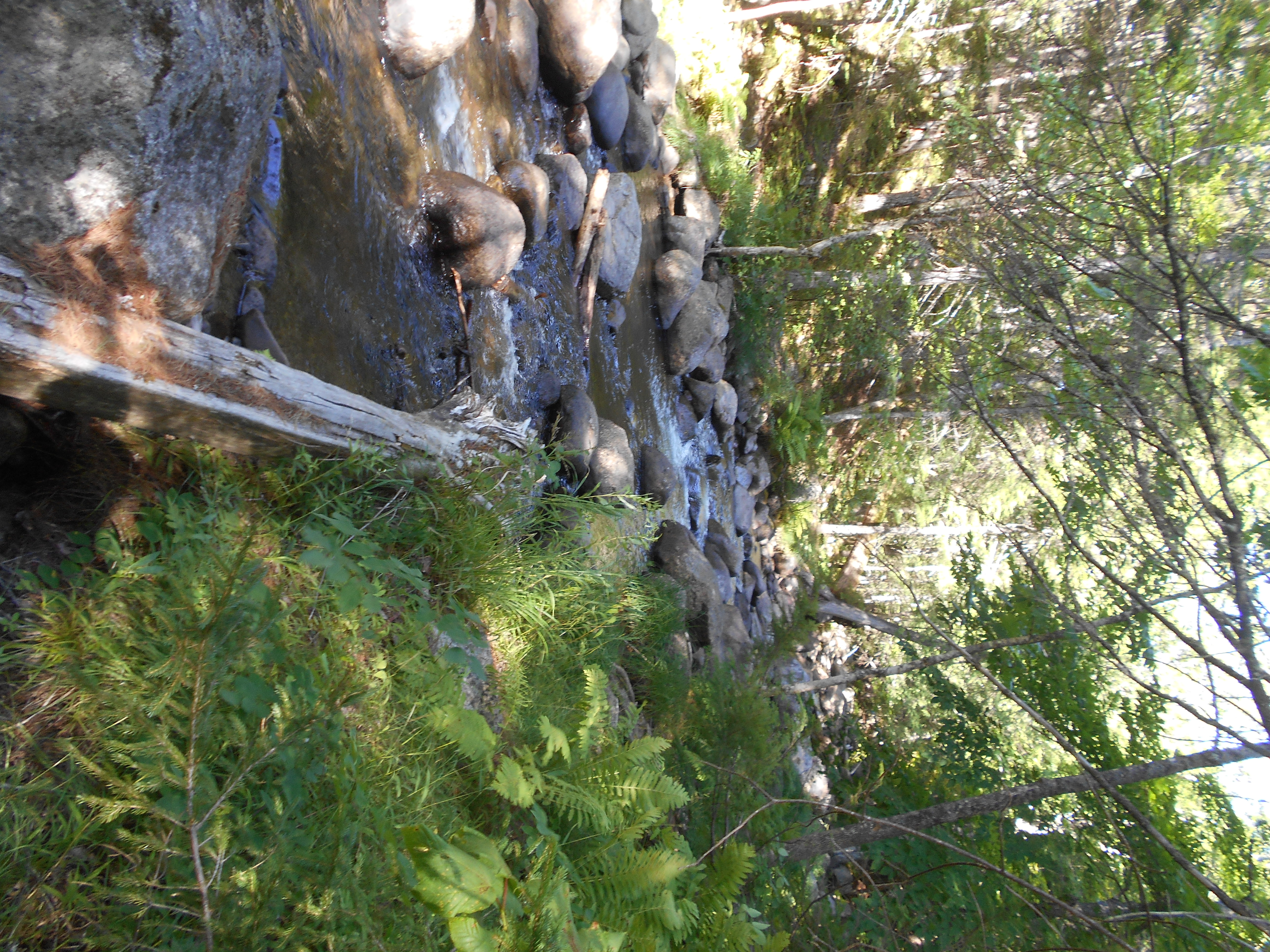
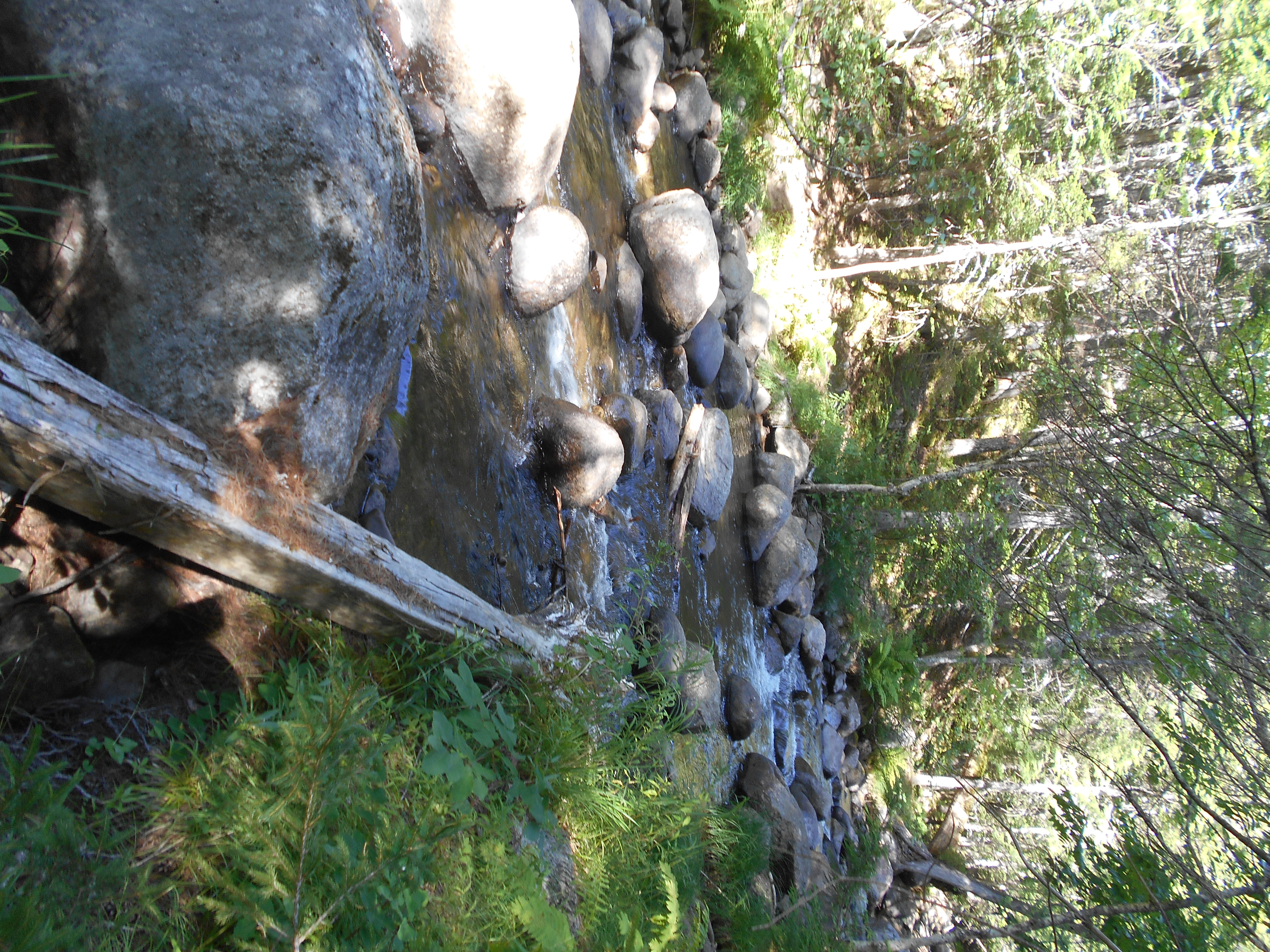
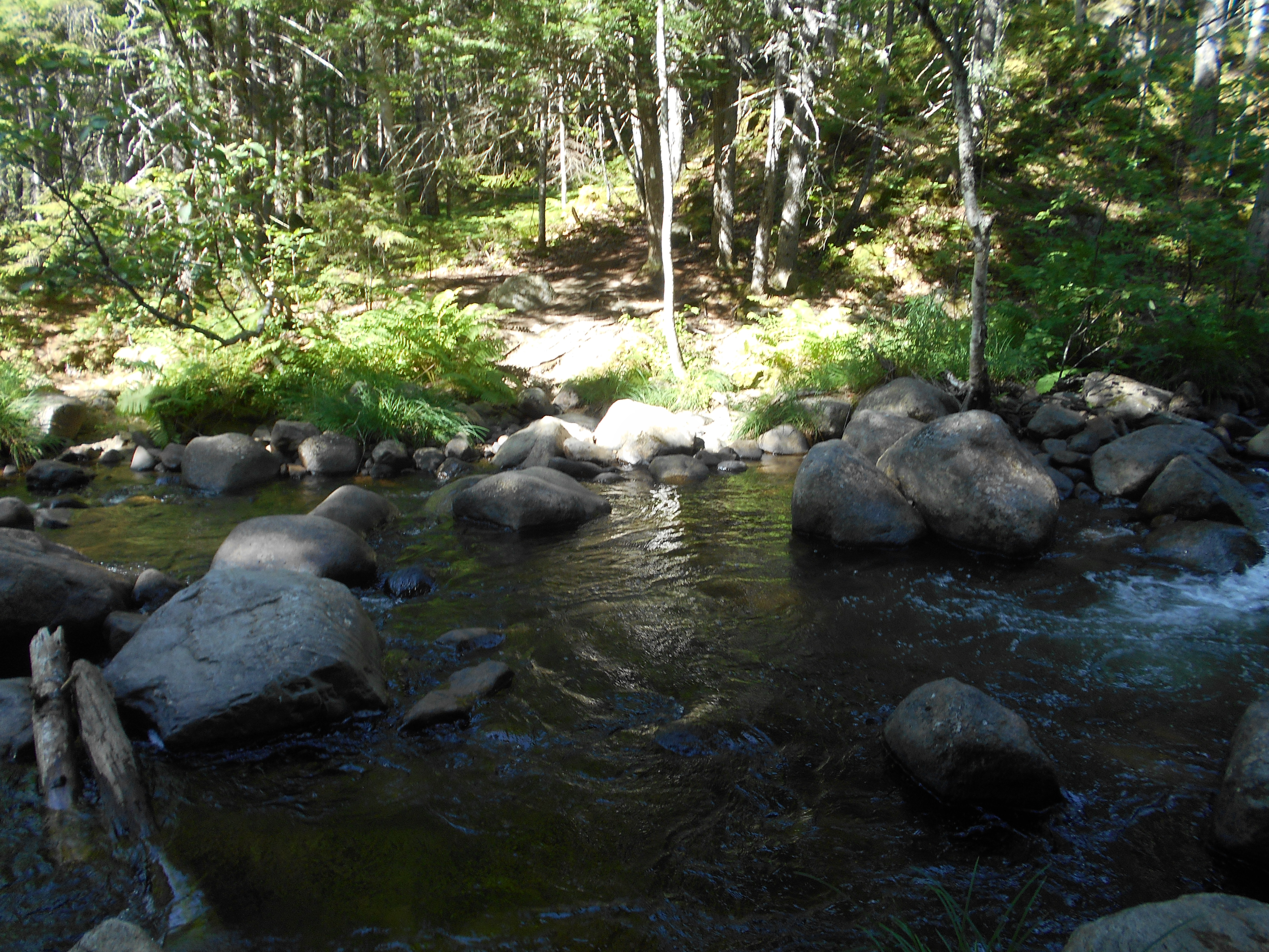
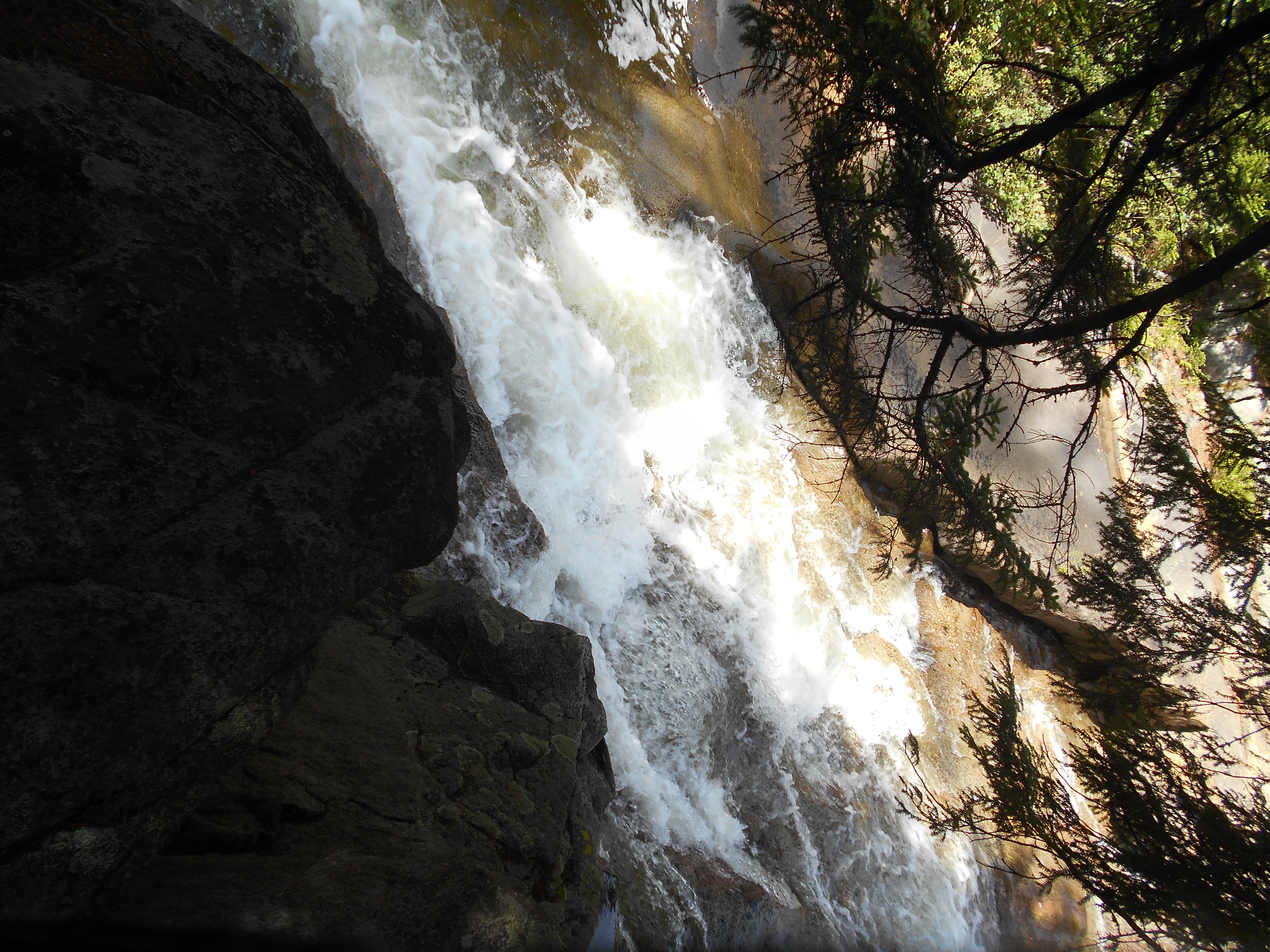
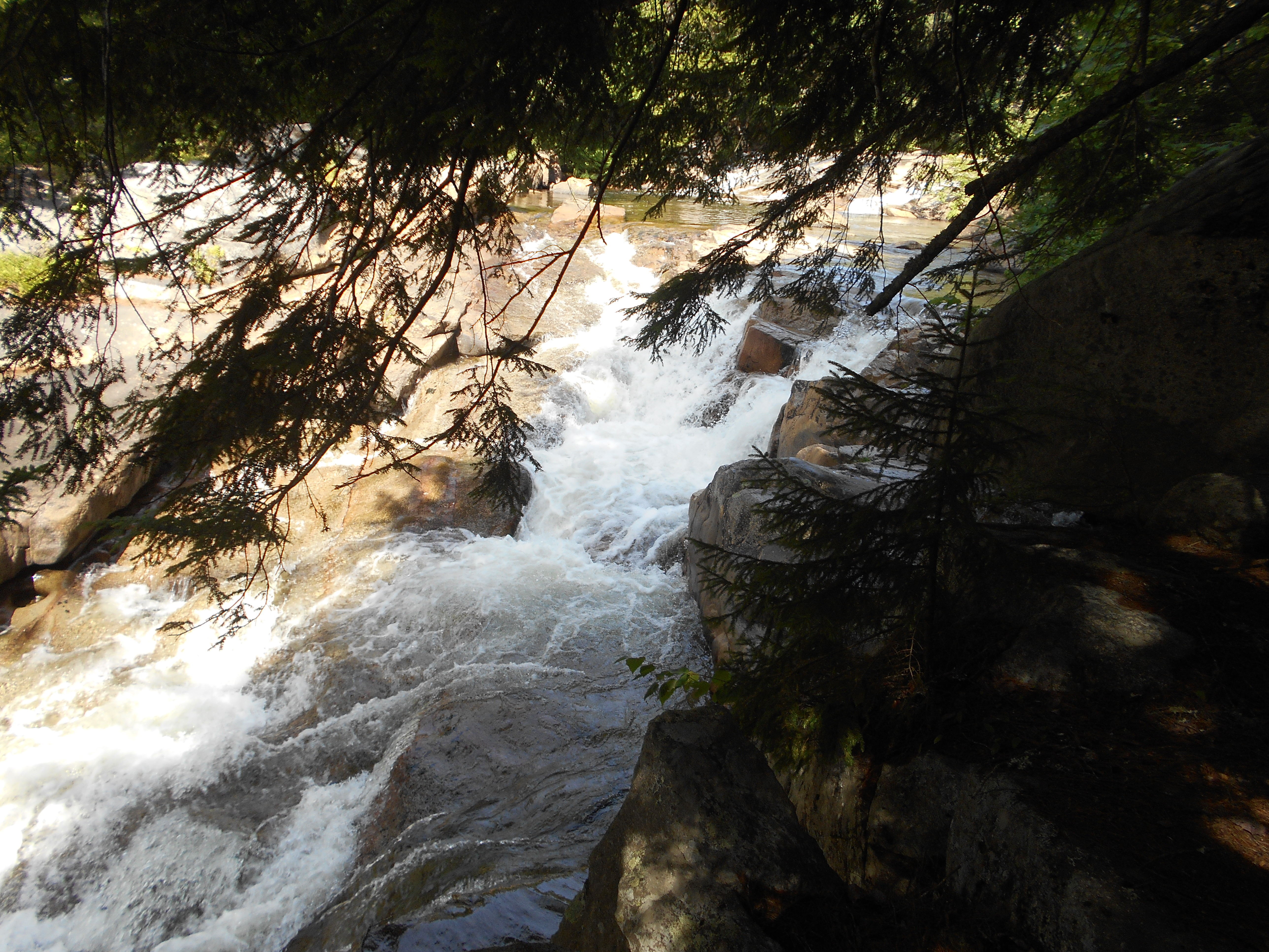
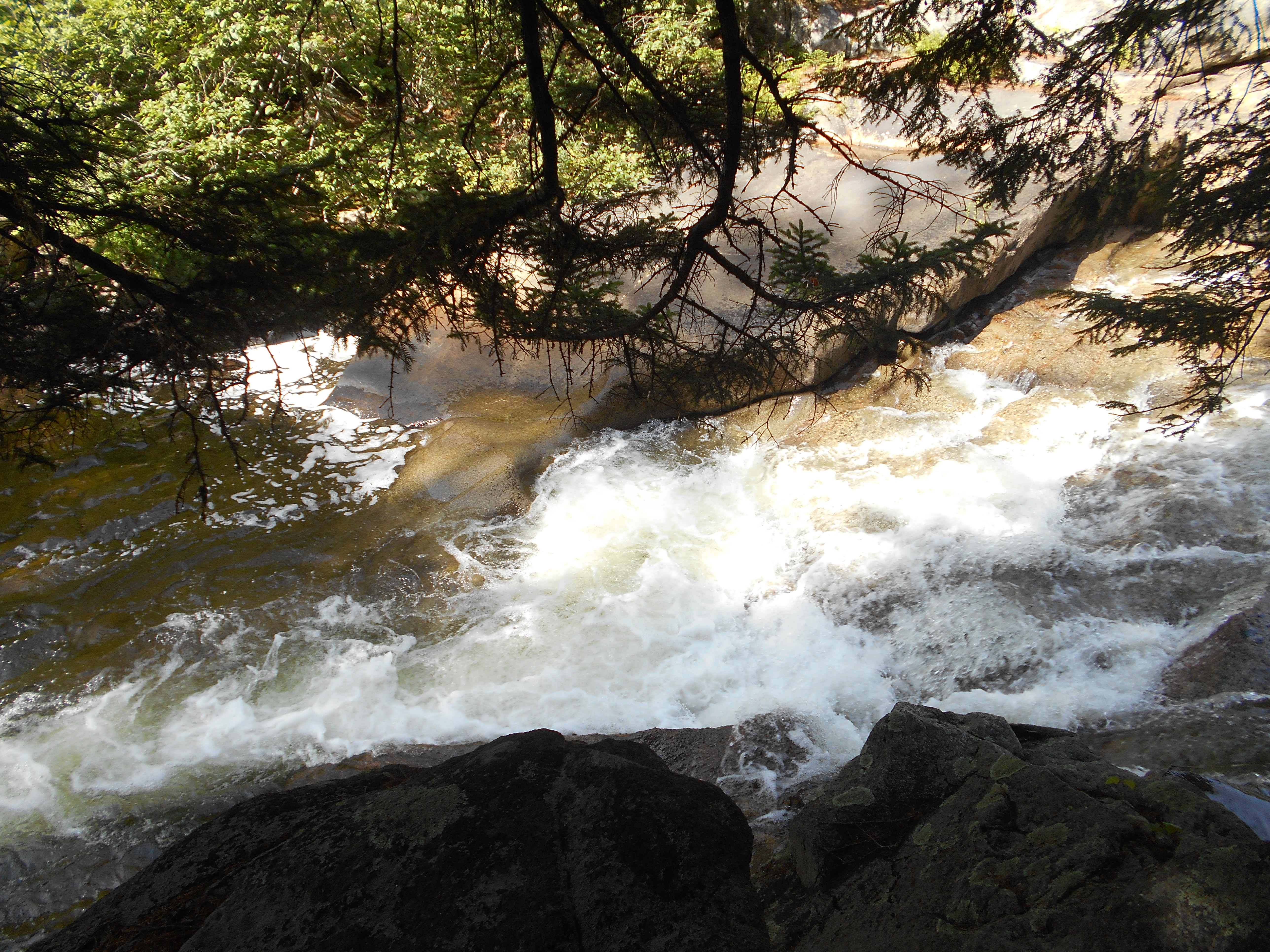
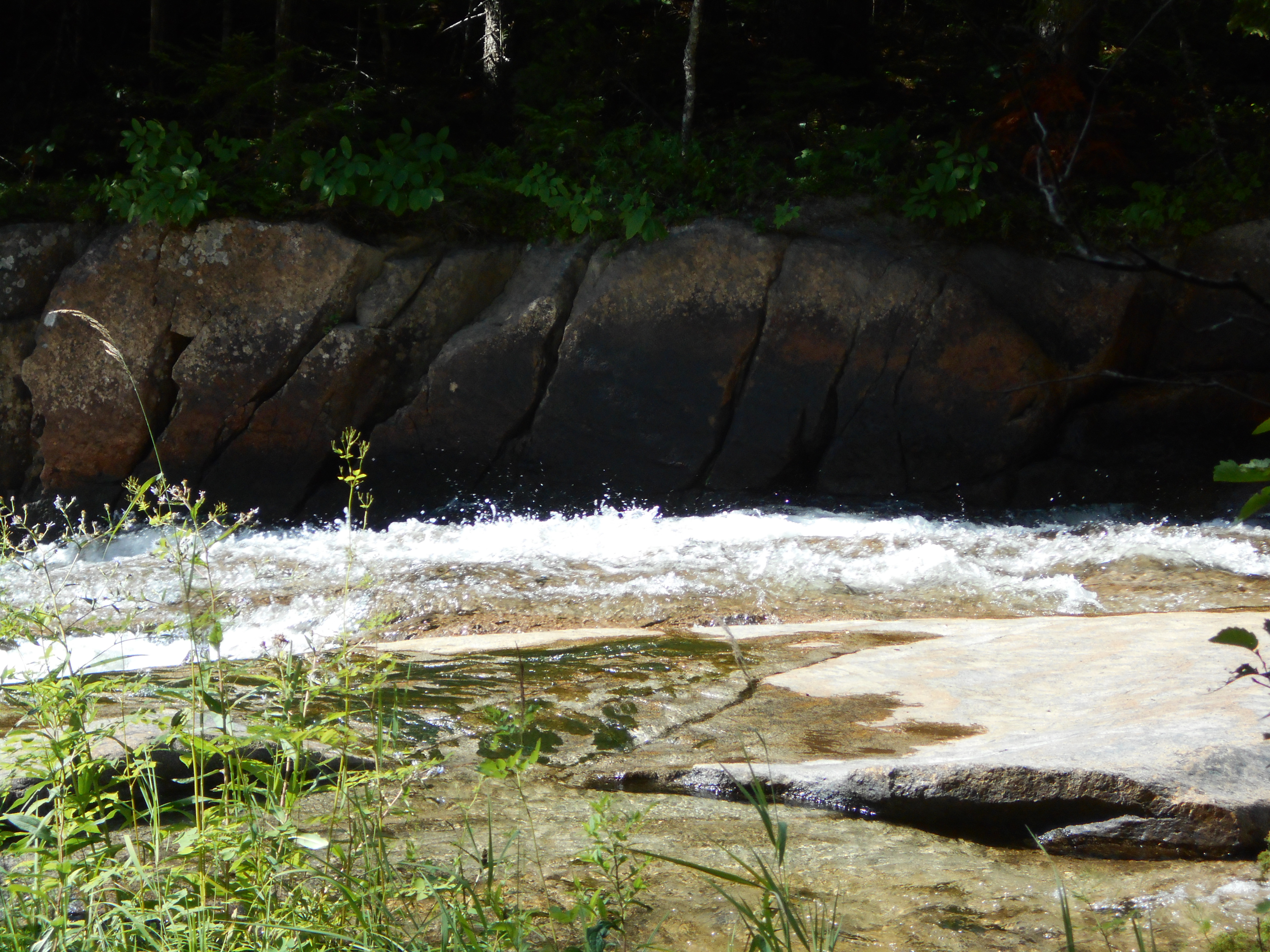
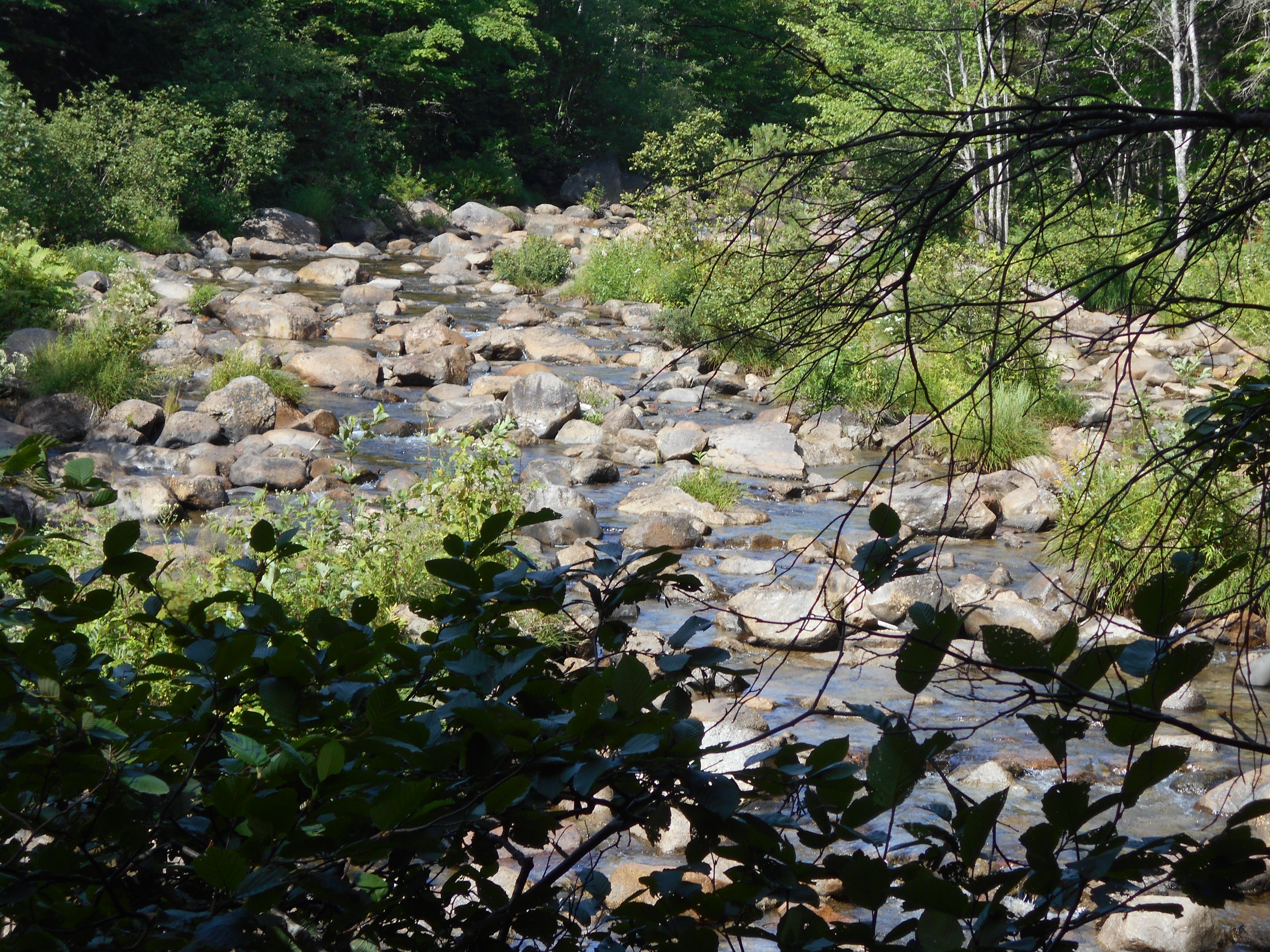
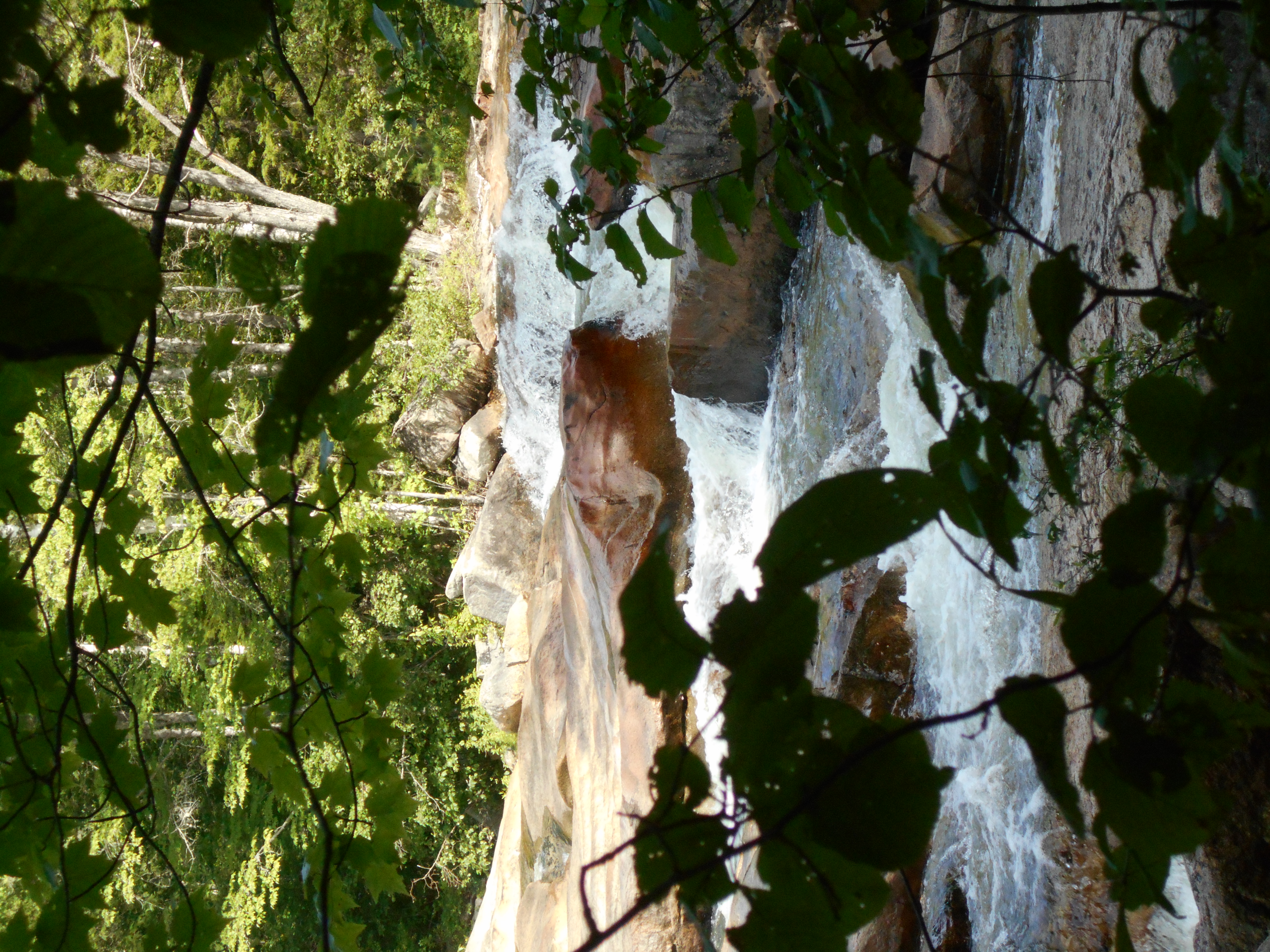
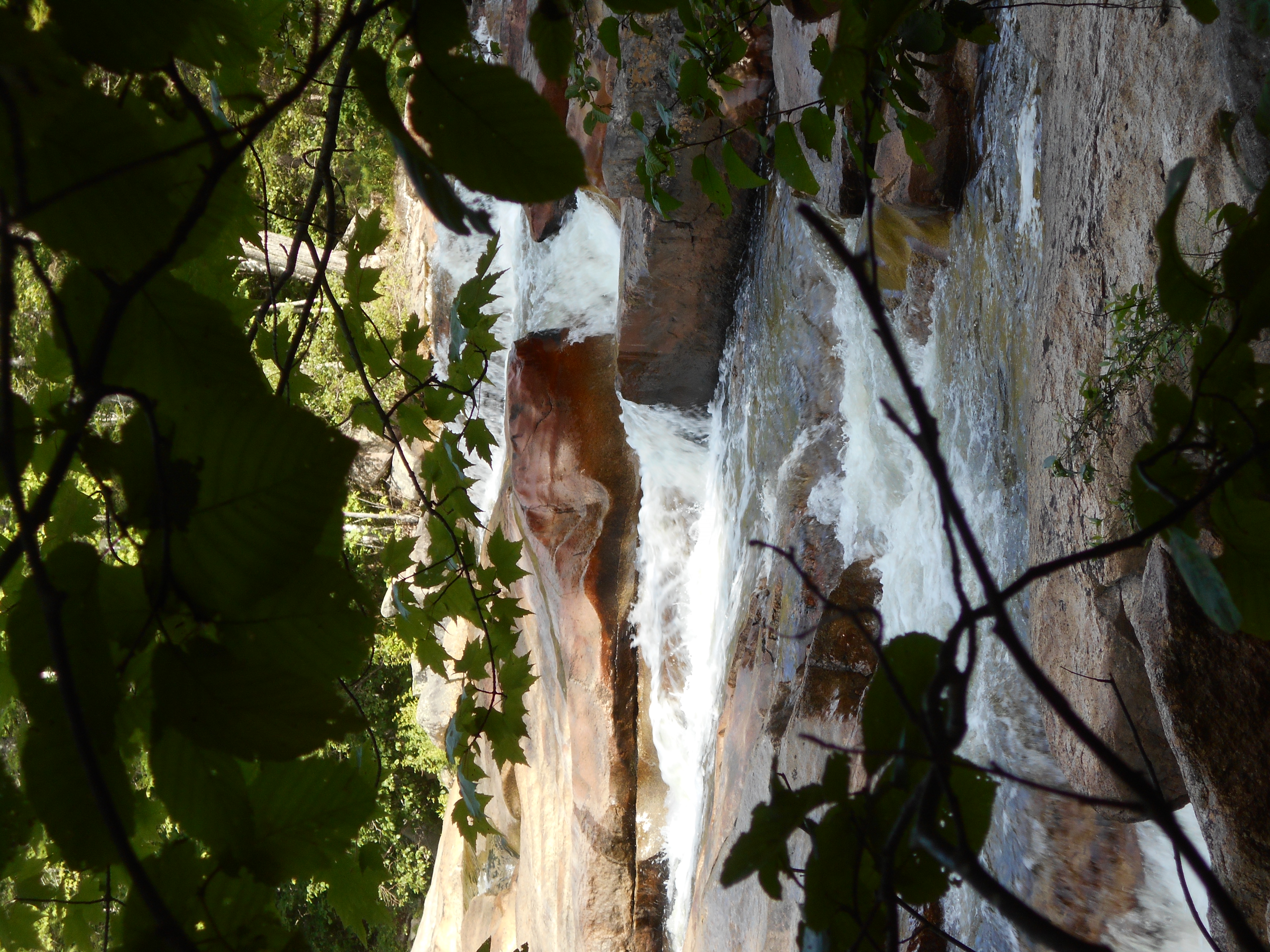
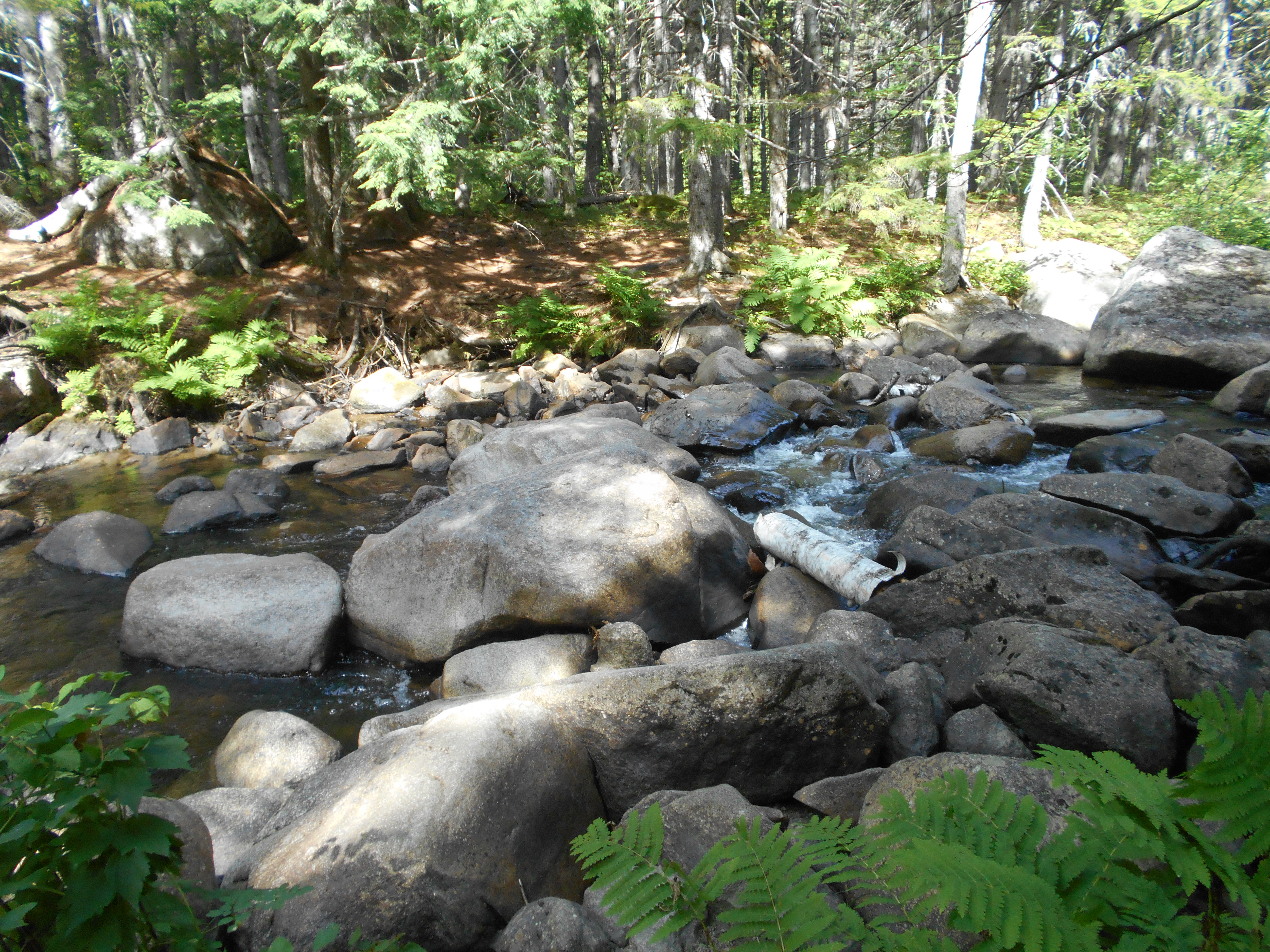
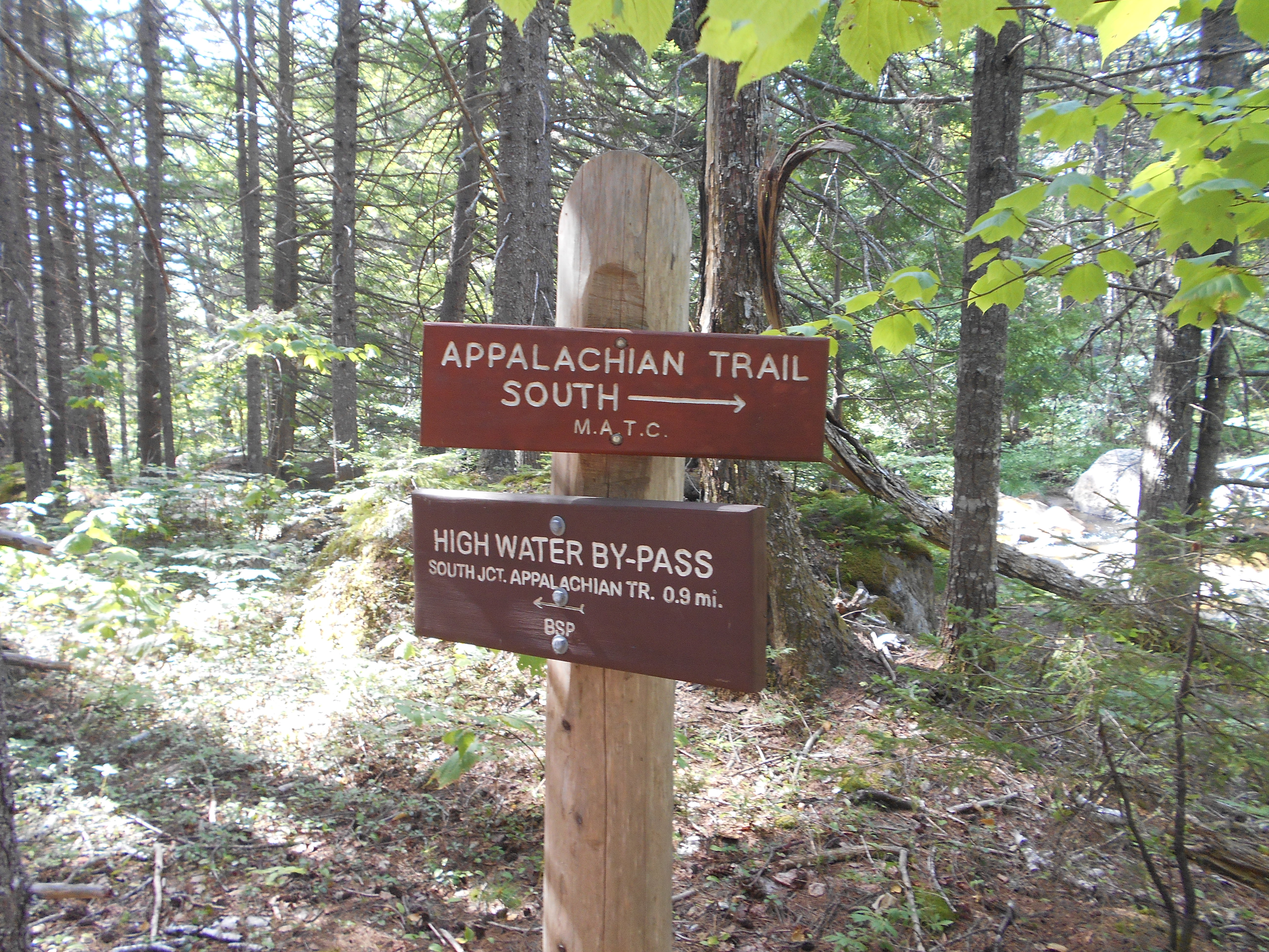
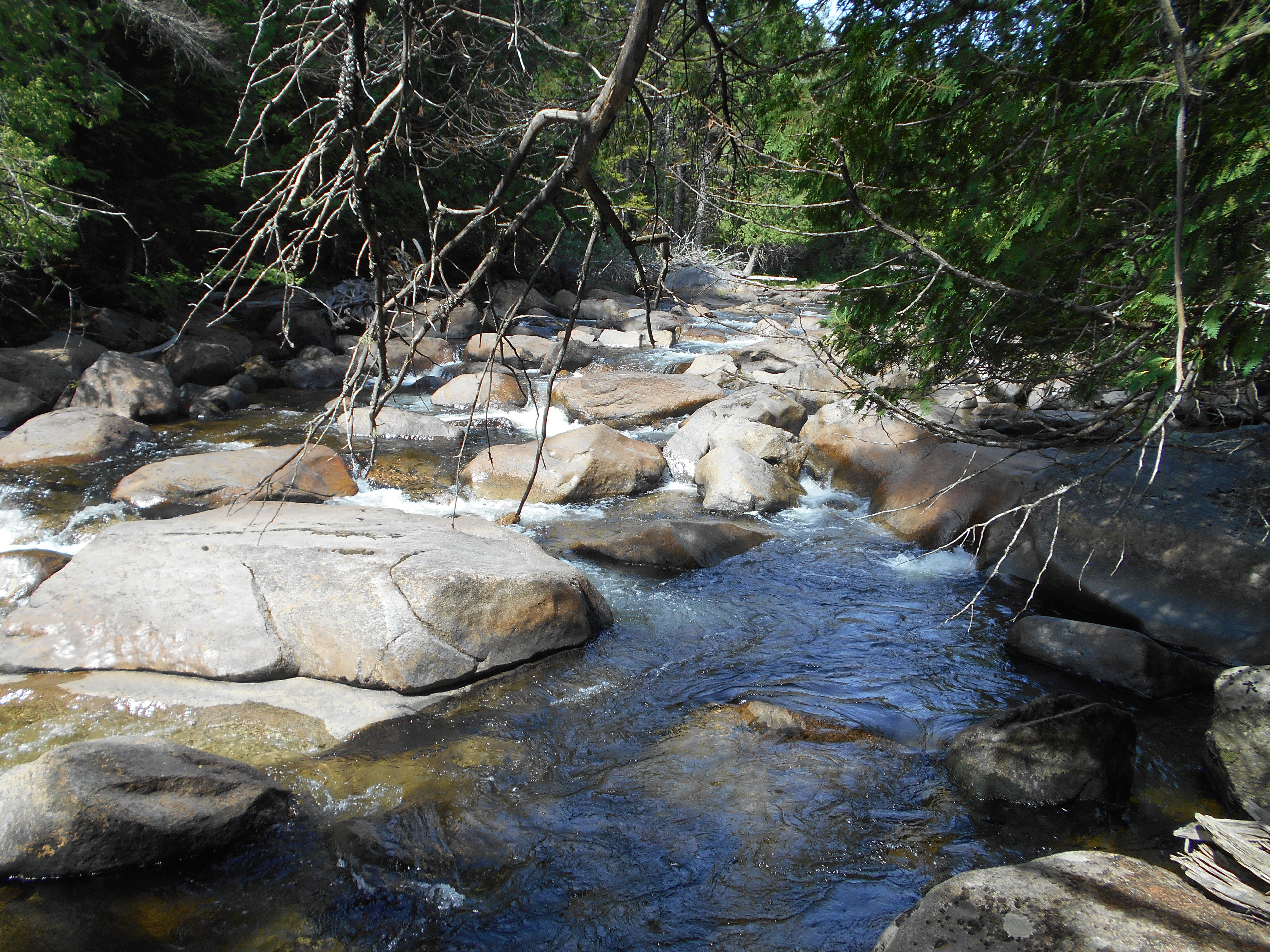
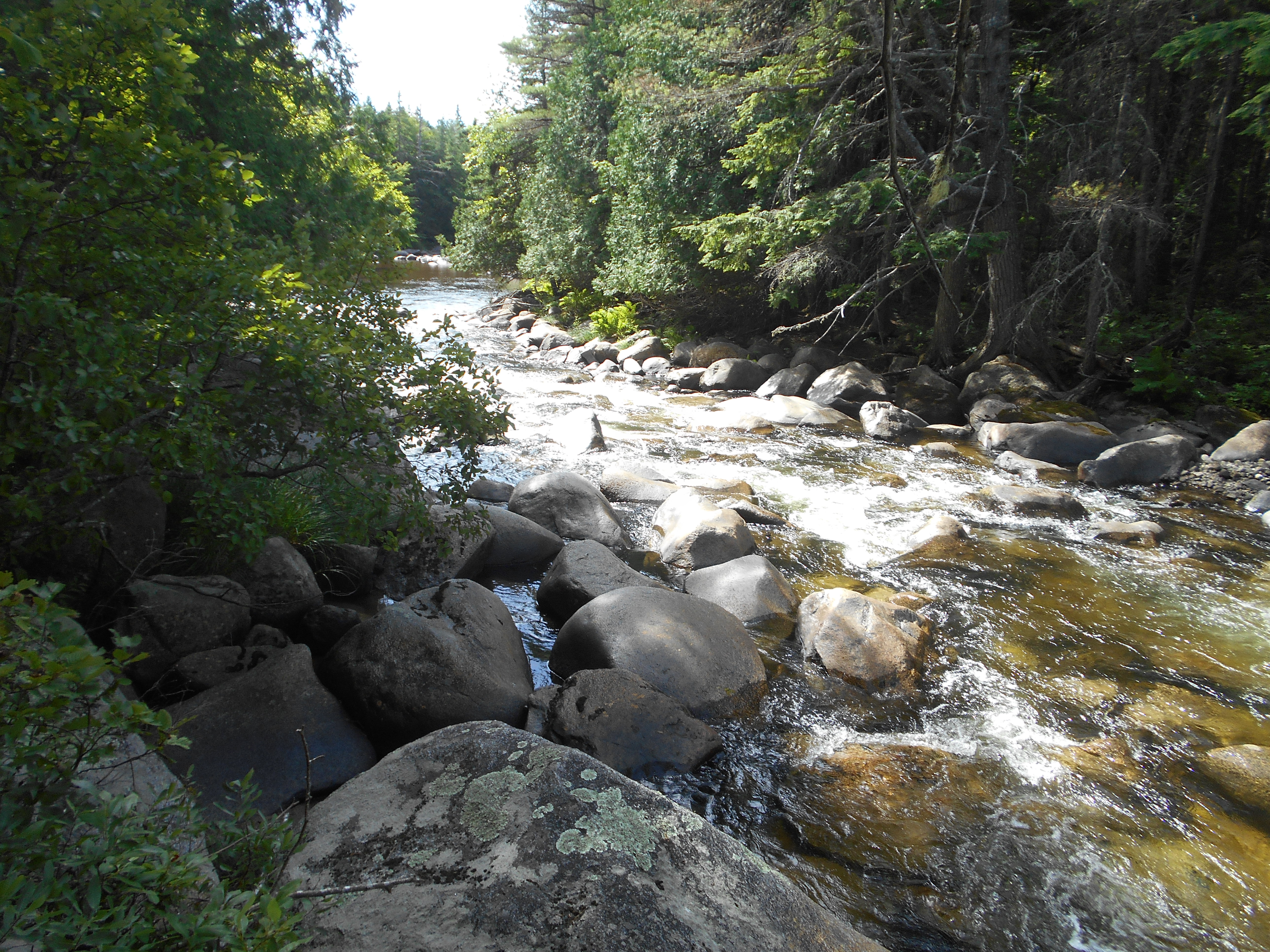
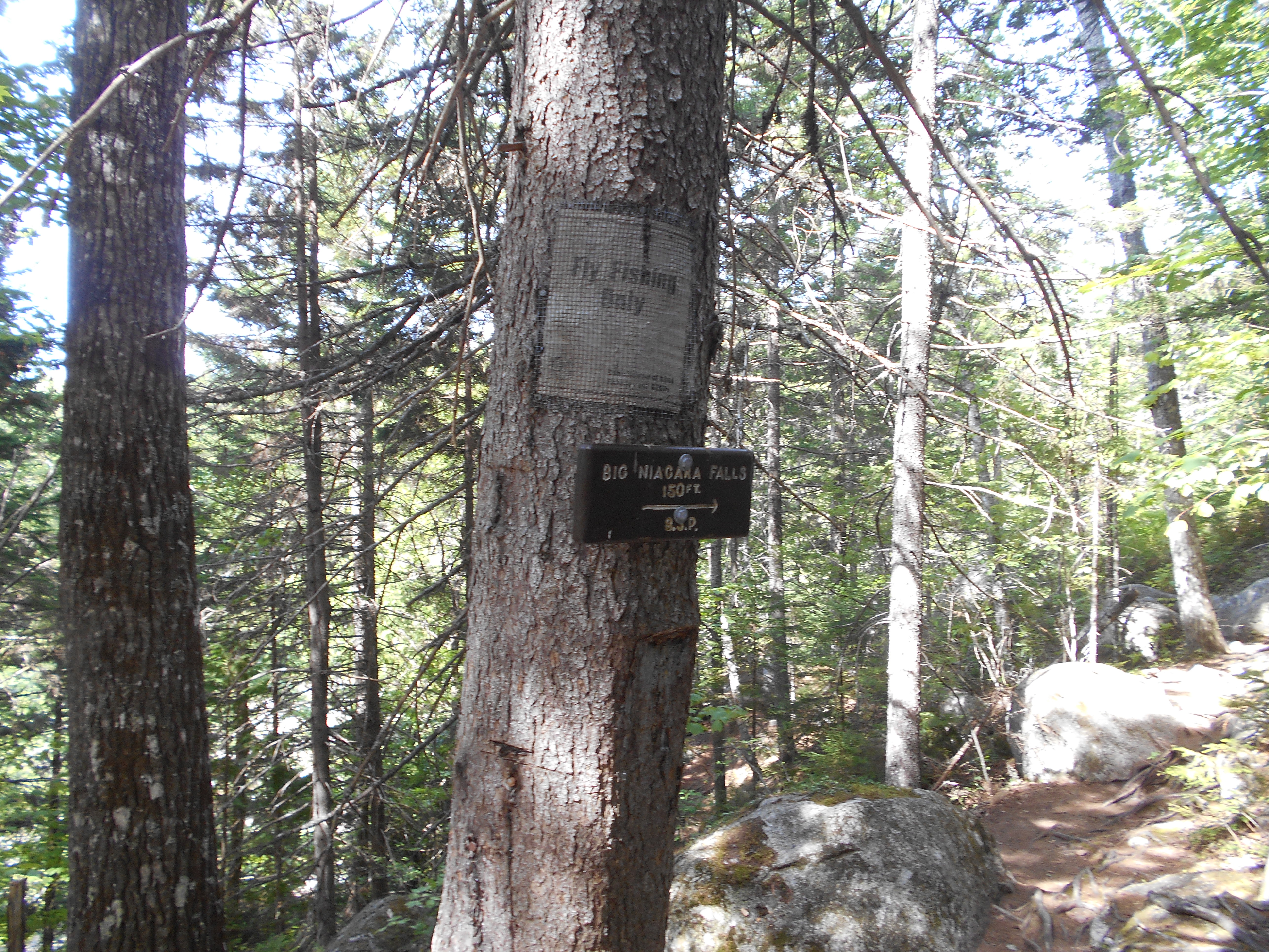
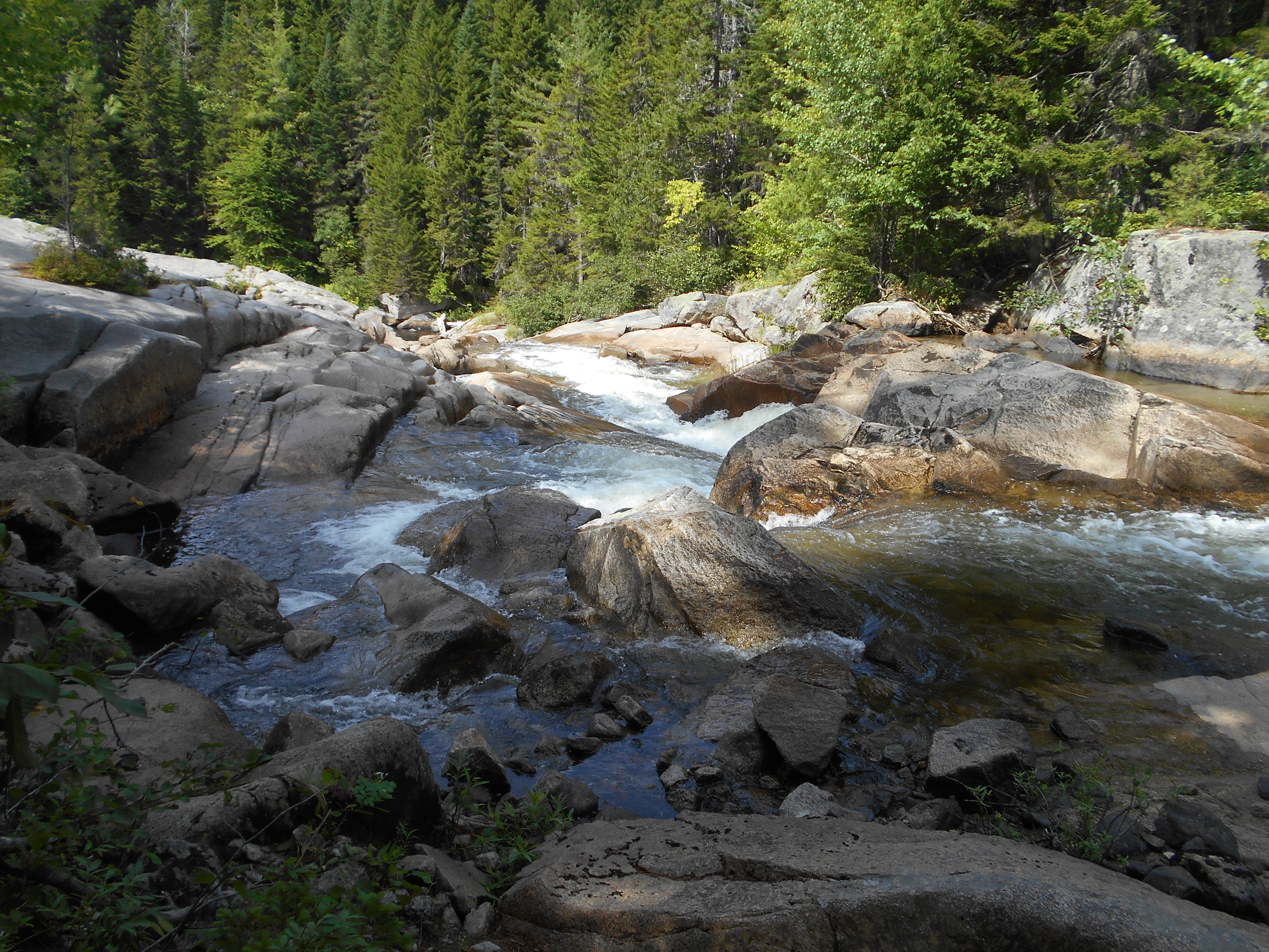
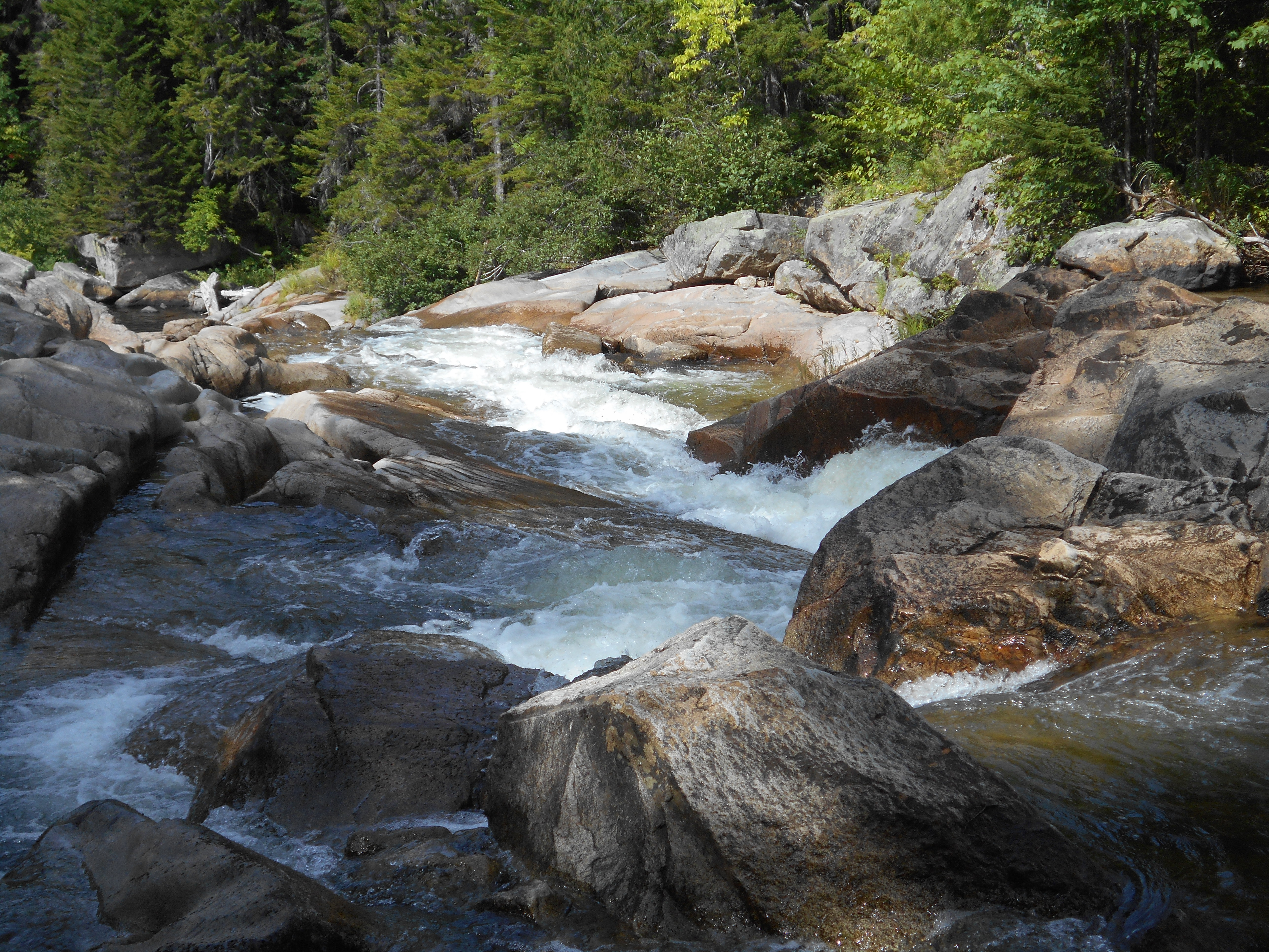
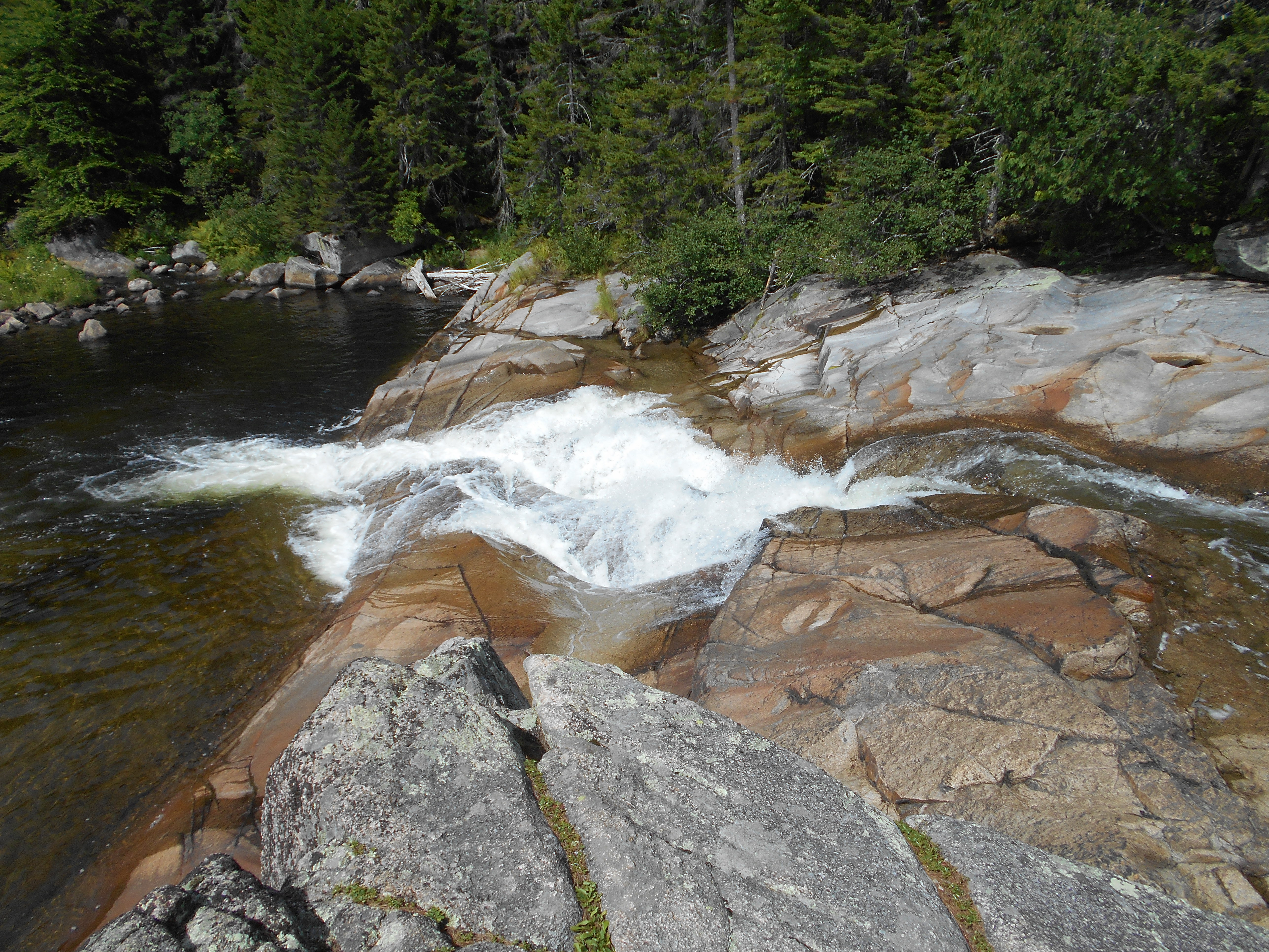
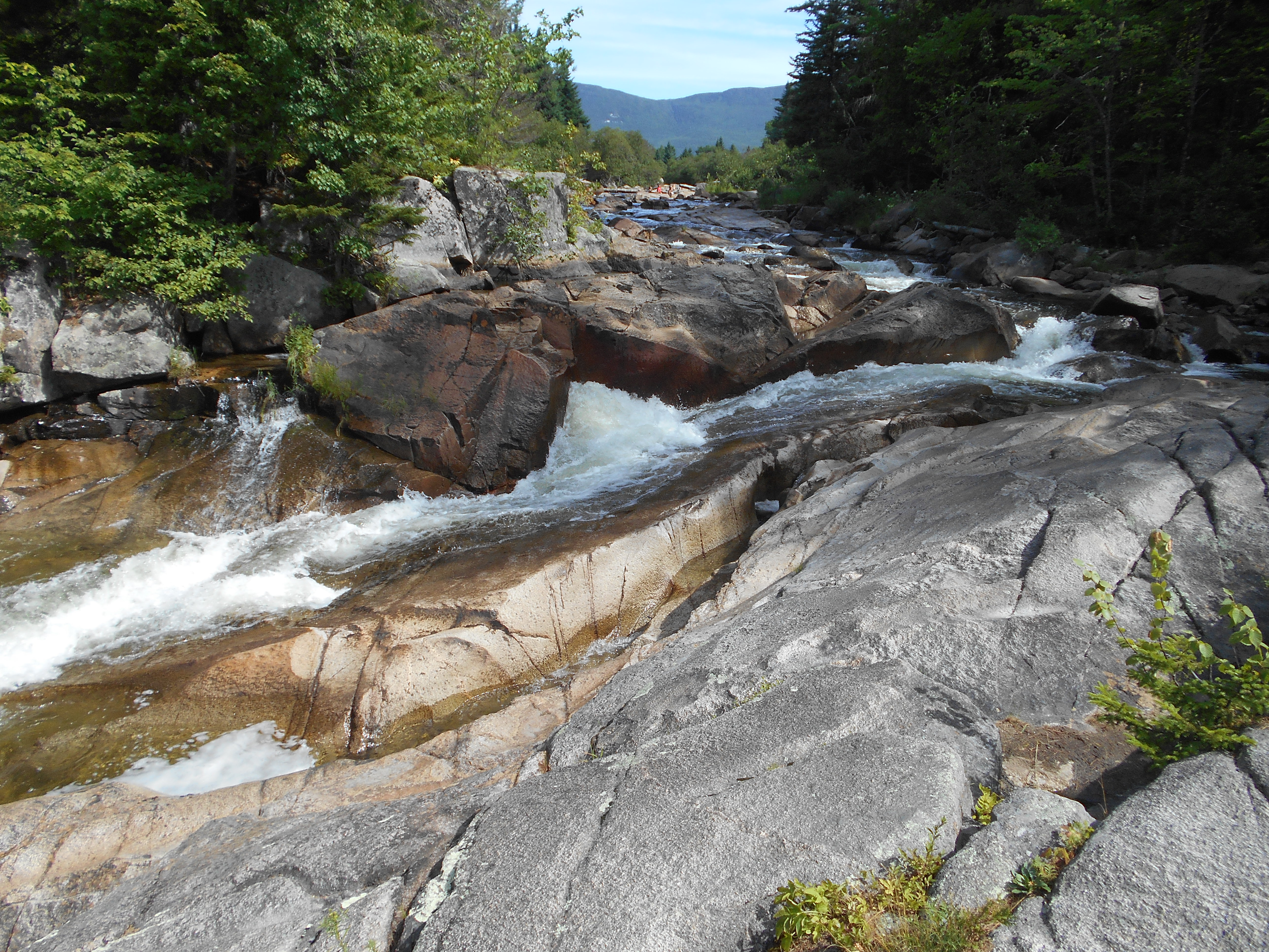
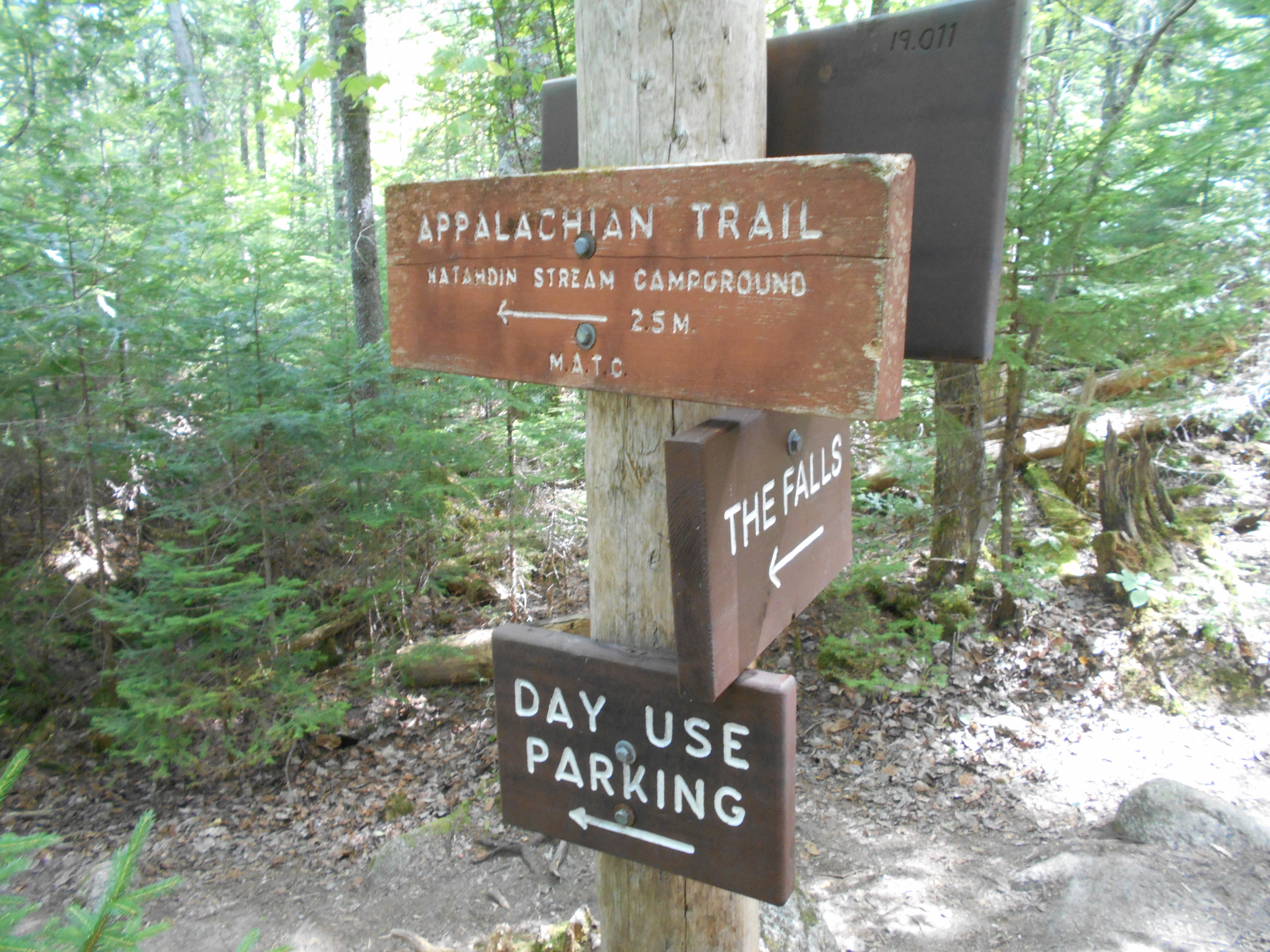
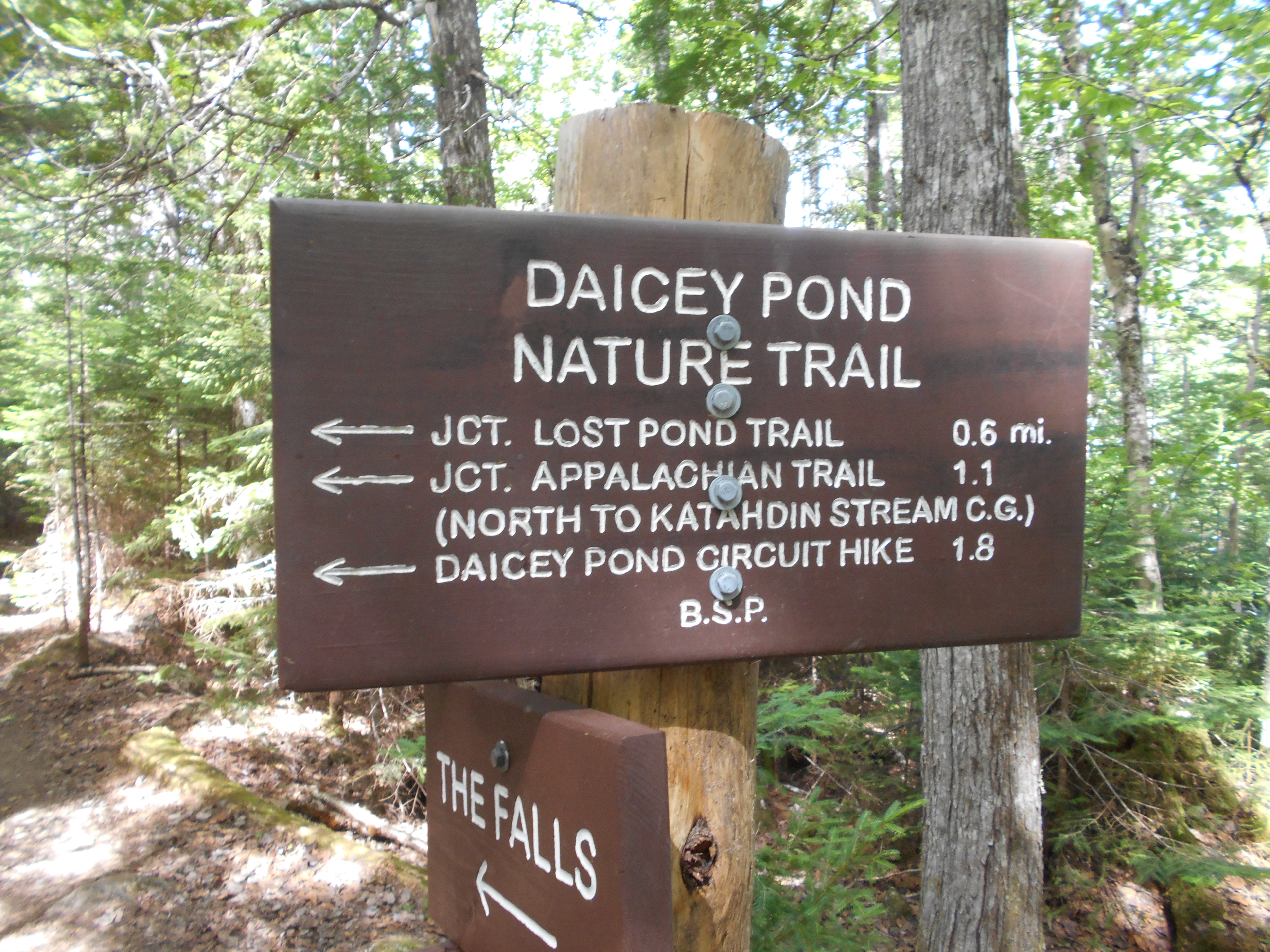
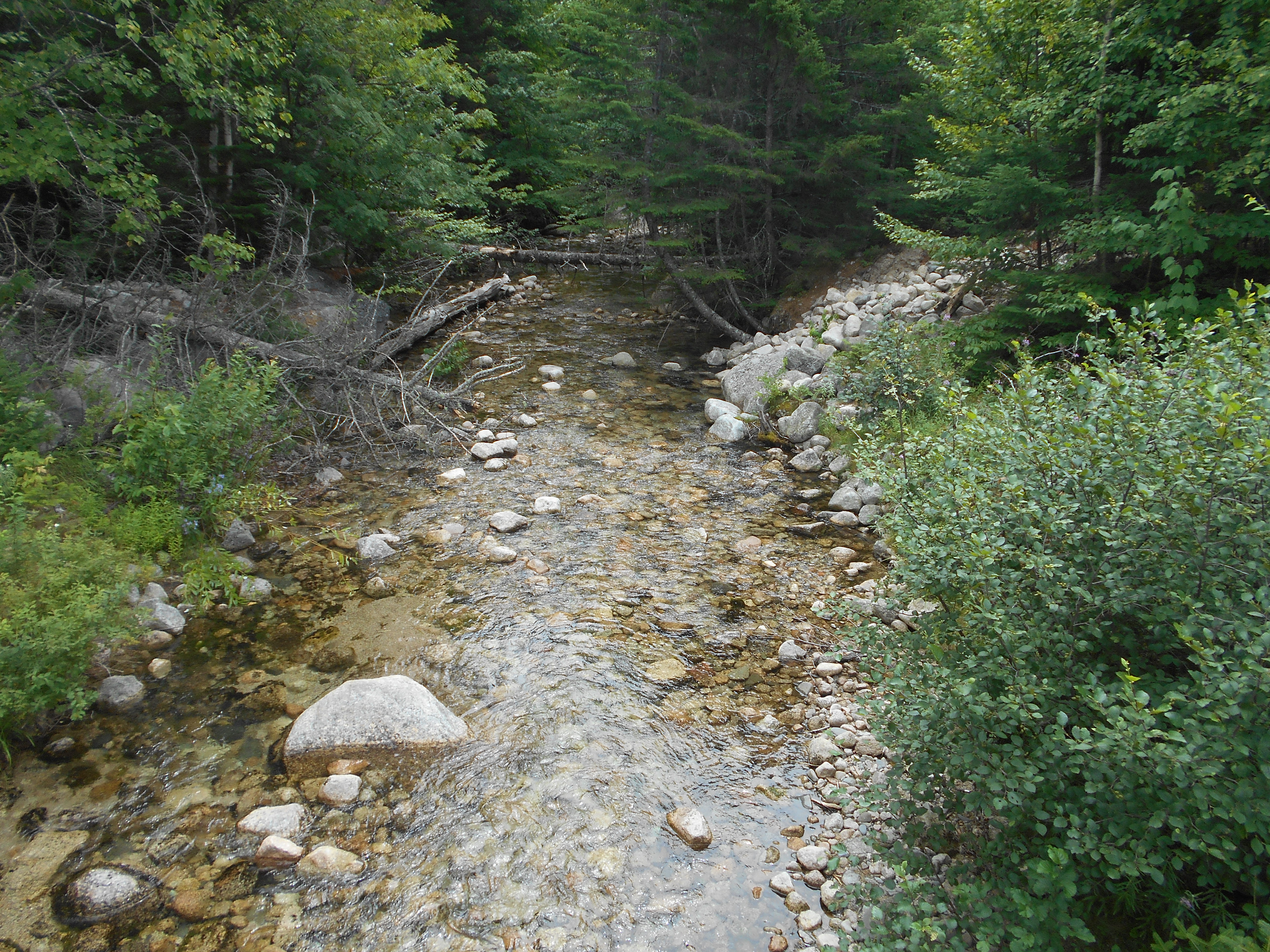
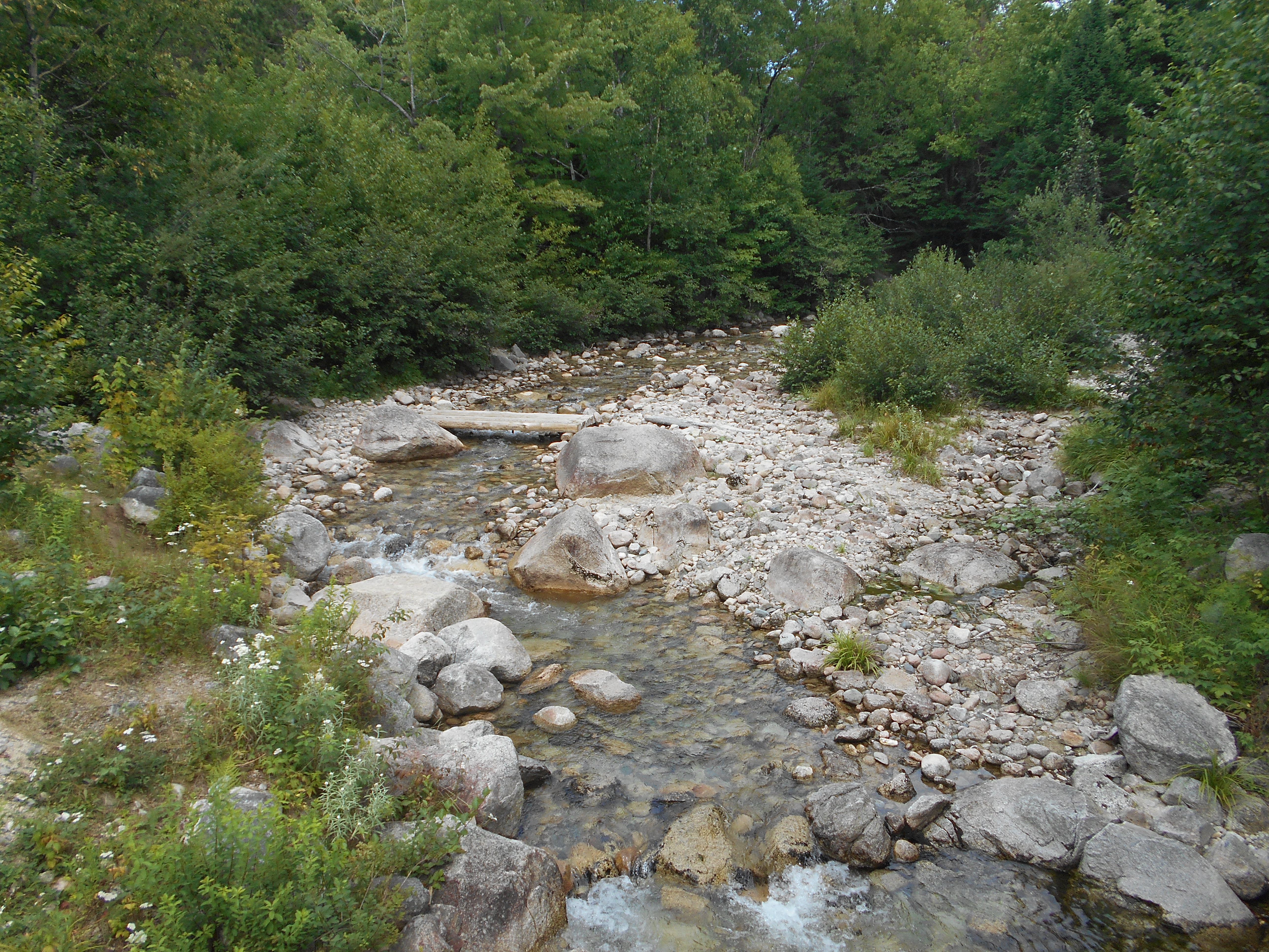
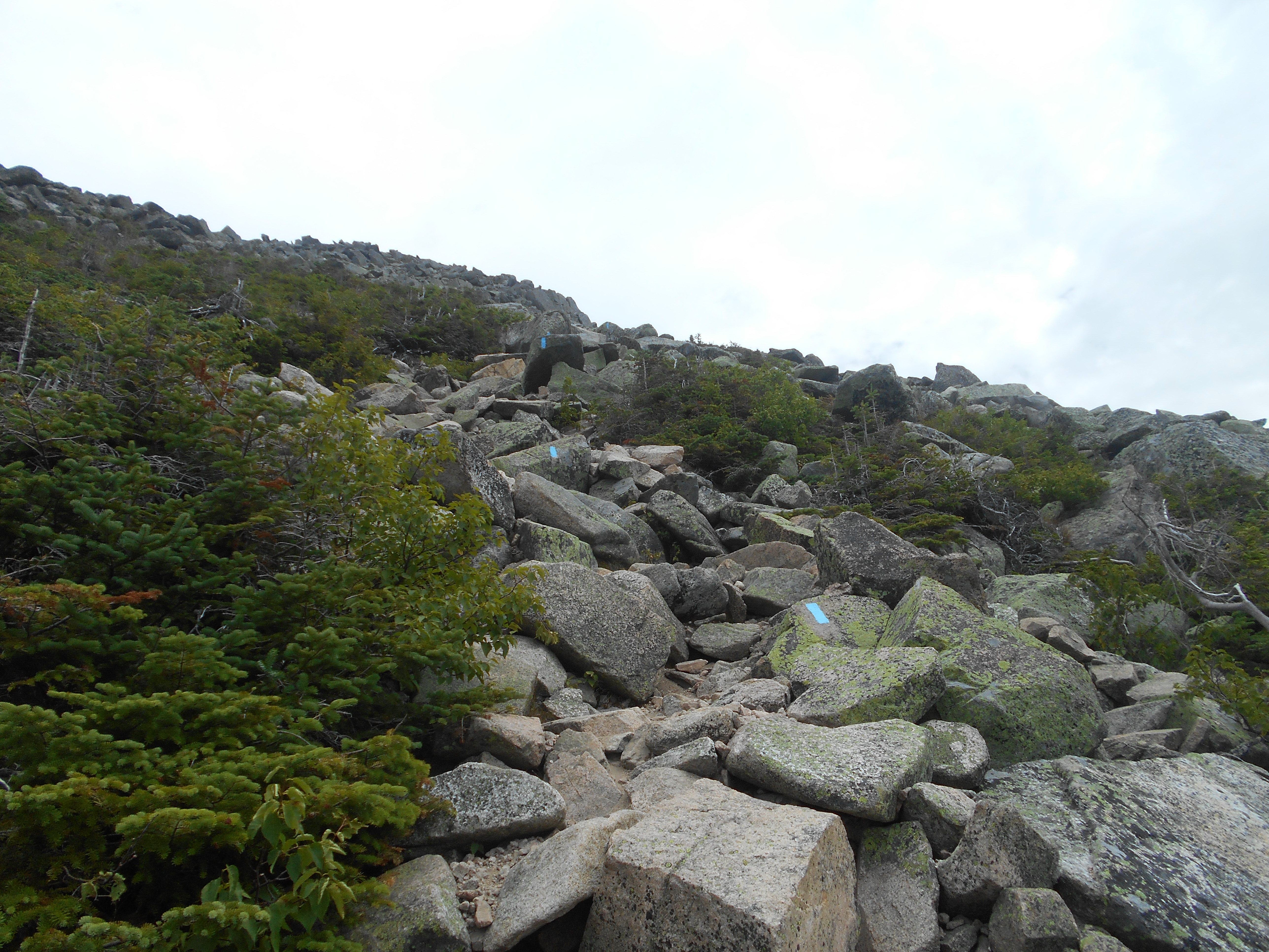
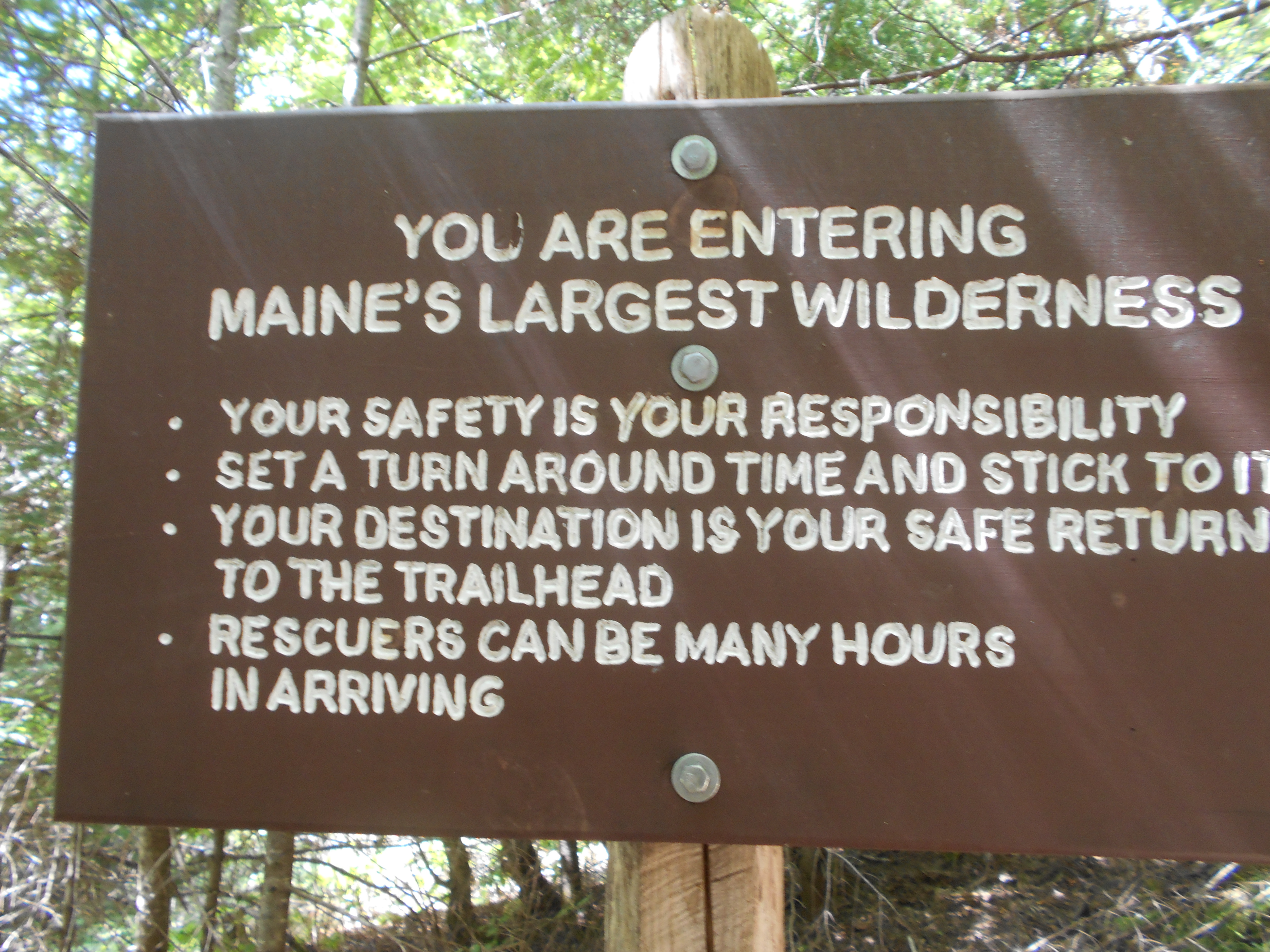
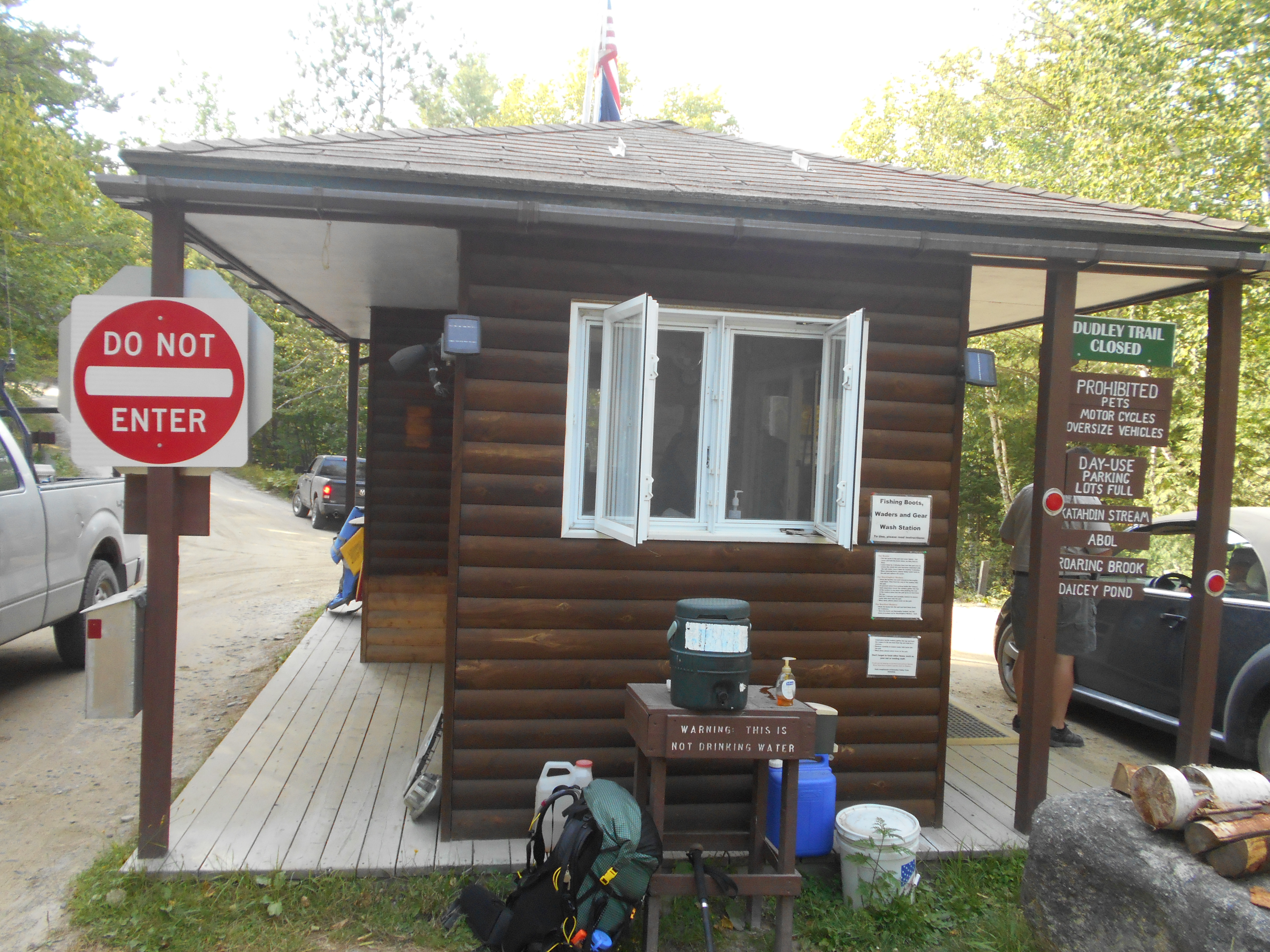
then the shuttle to ME 15 and the 100 mile wilderness. the hike had multiple ponds, a river ford, a river crossing (rockhop) and a waterfall, were I had a lunch and fell asleep for a bit then, coming down from the falls, the AT goes to a camp site by the river from the falls, a white blazed trail goes back to the parking lot cut off, so the first time I did a loop, not knowing the AT went across the stream.
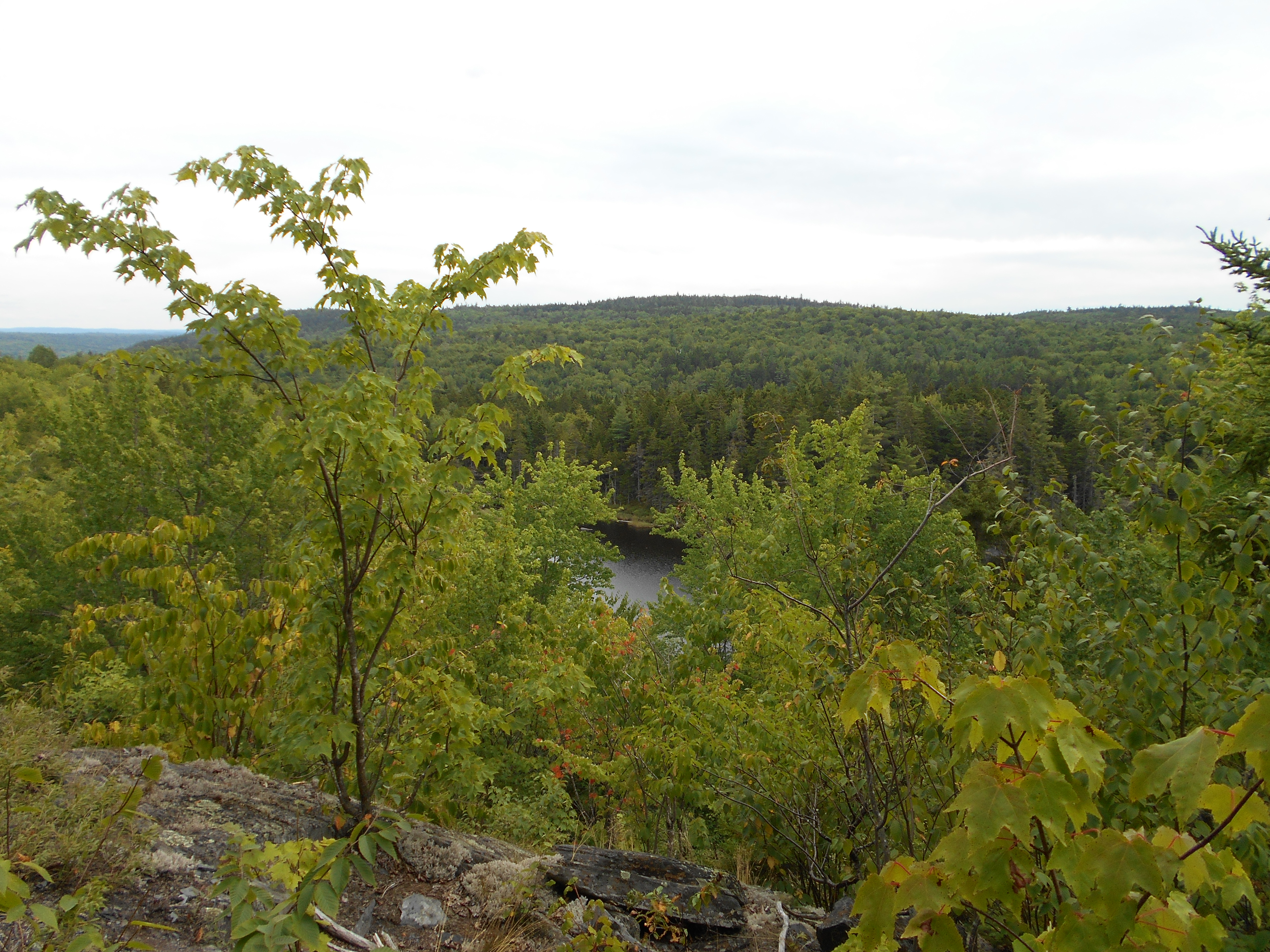
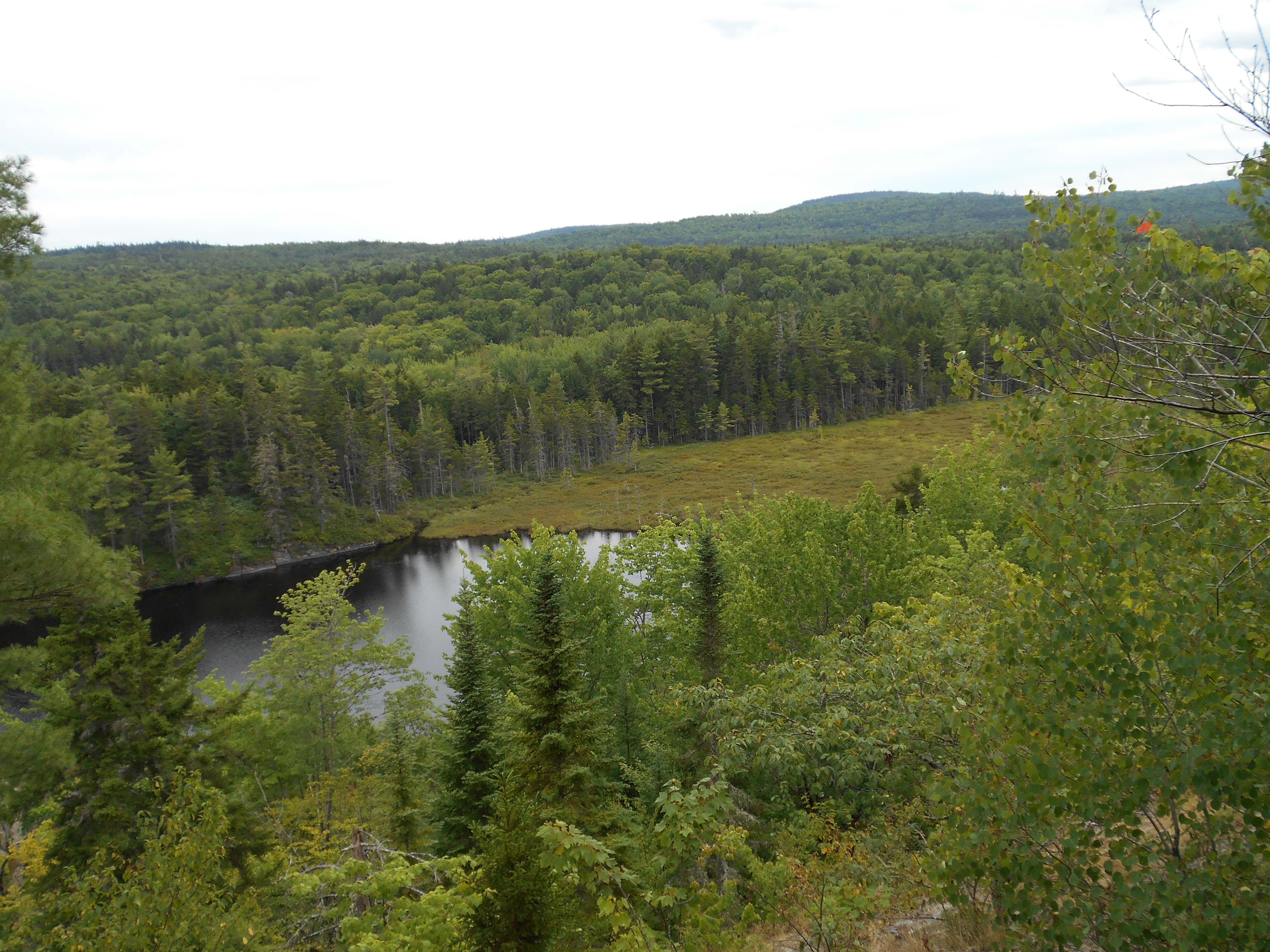
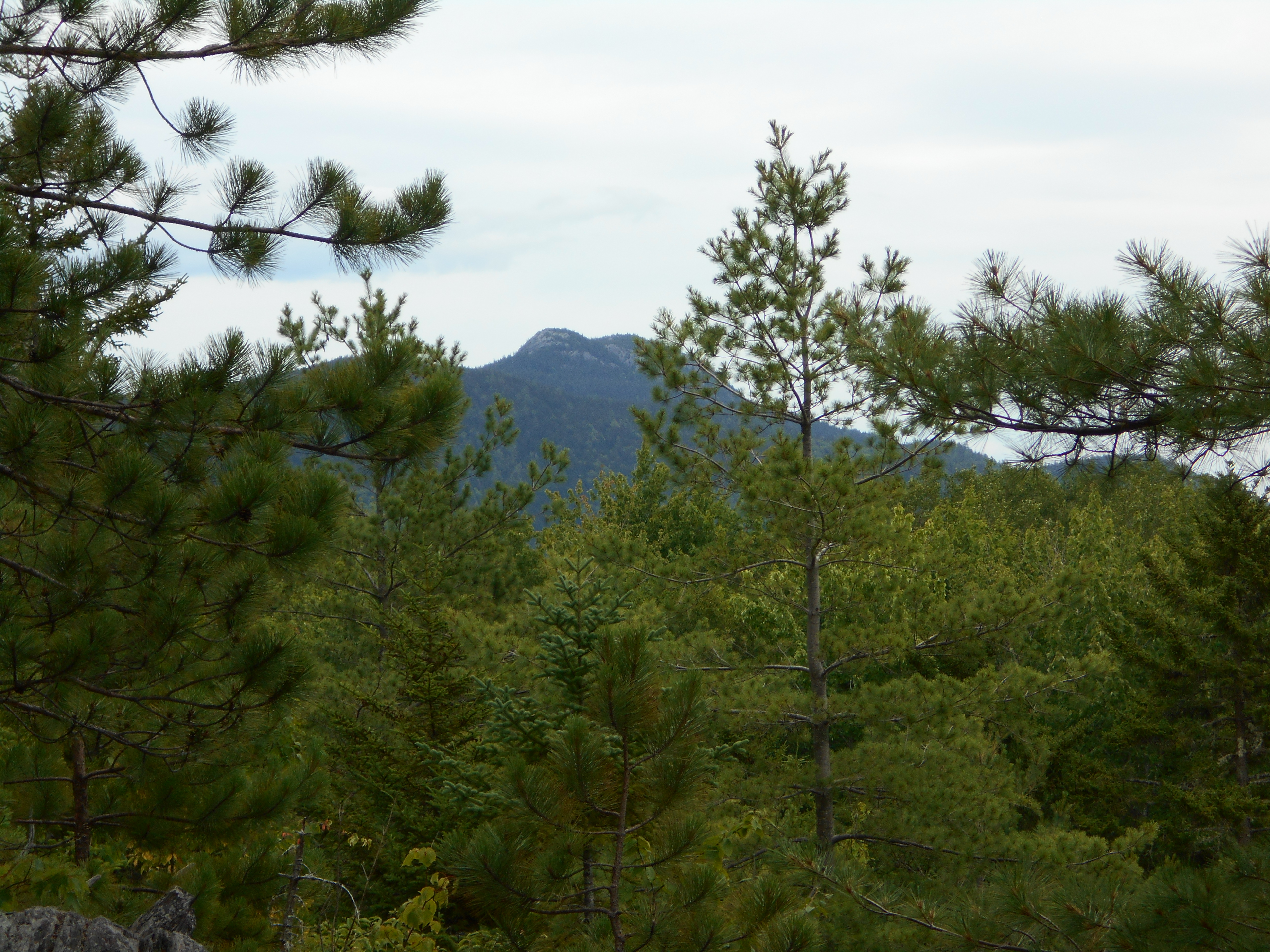
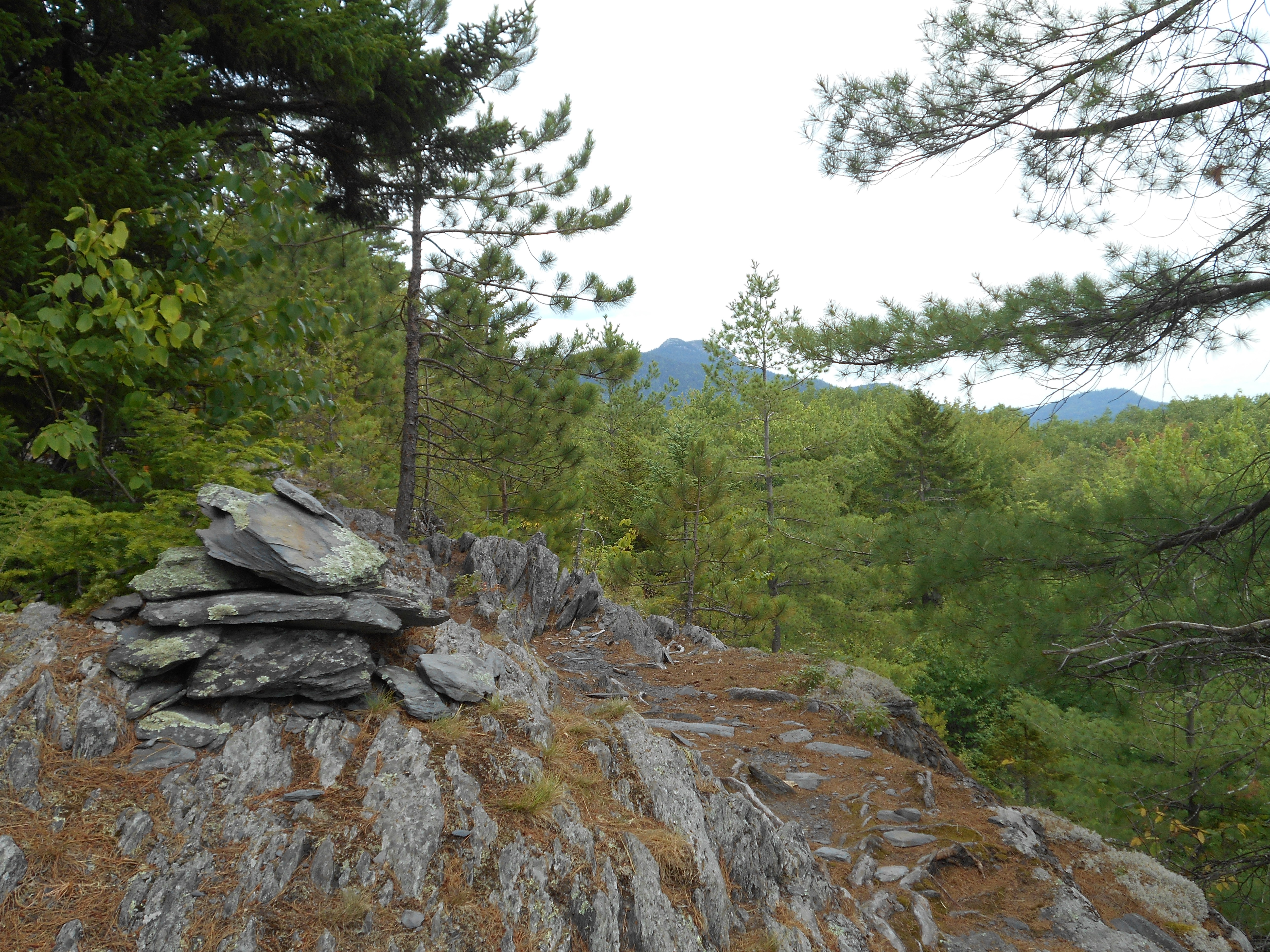
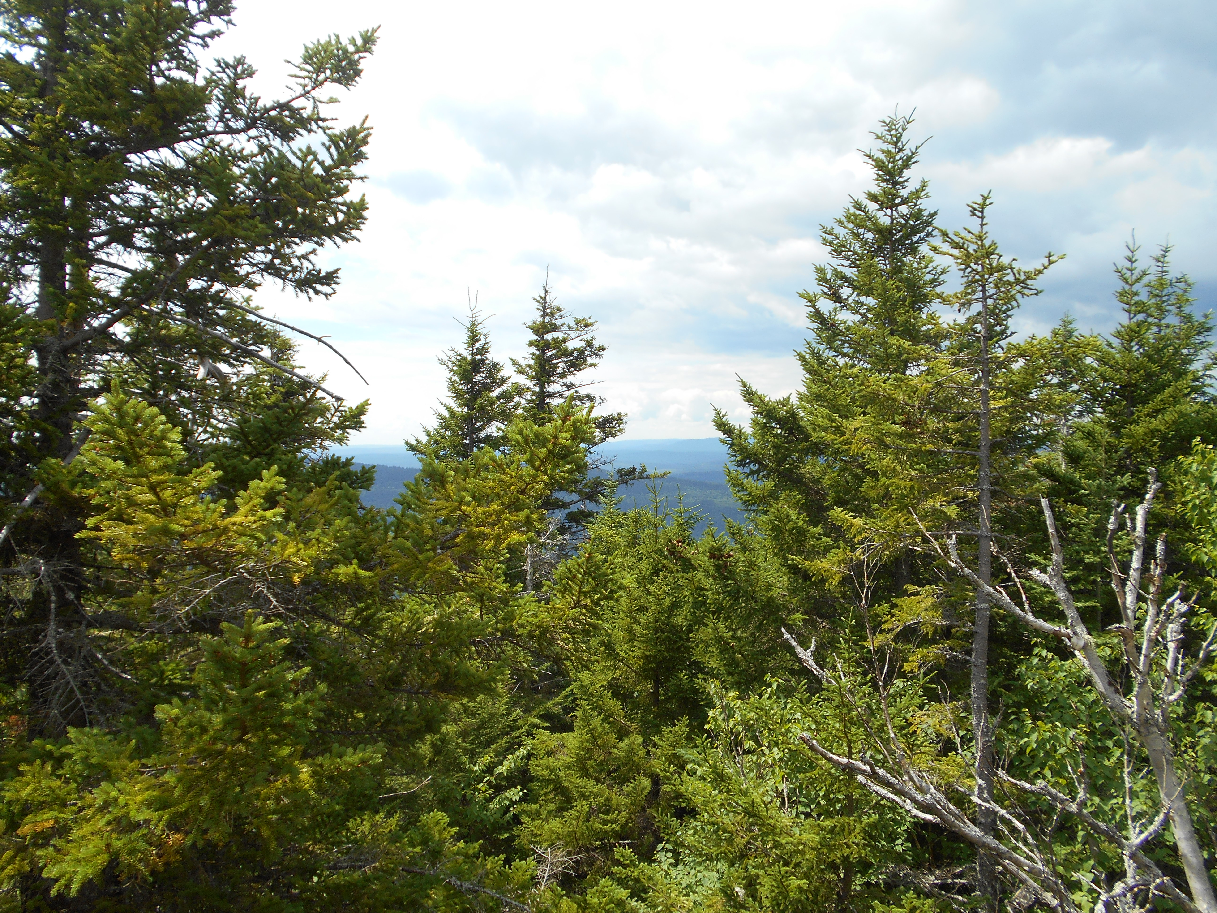
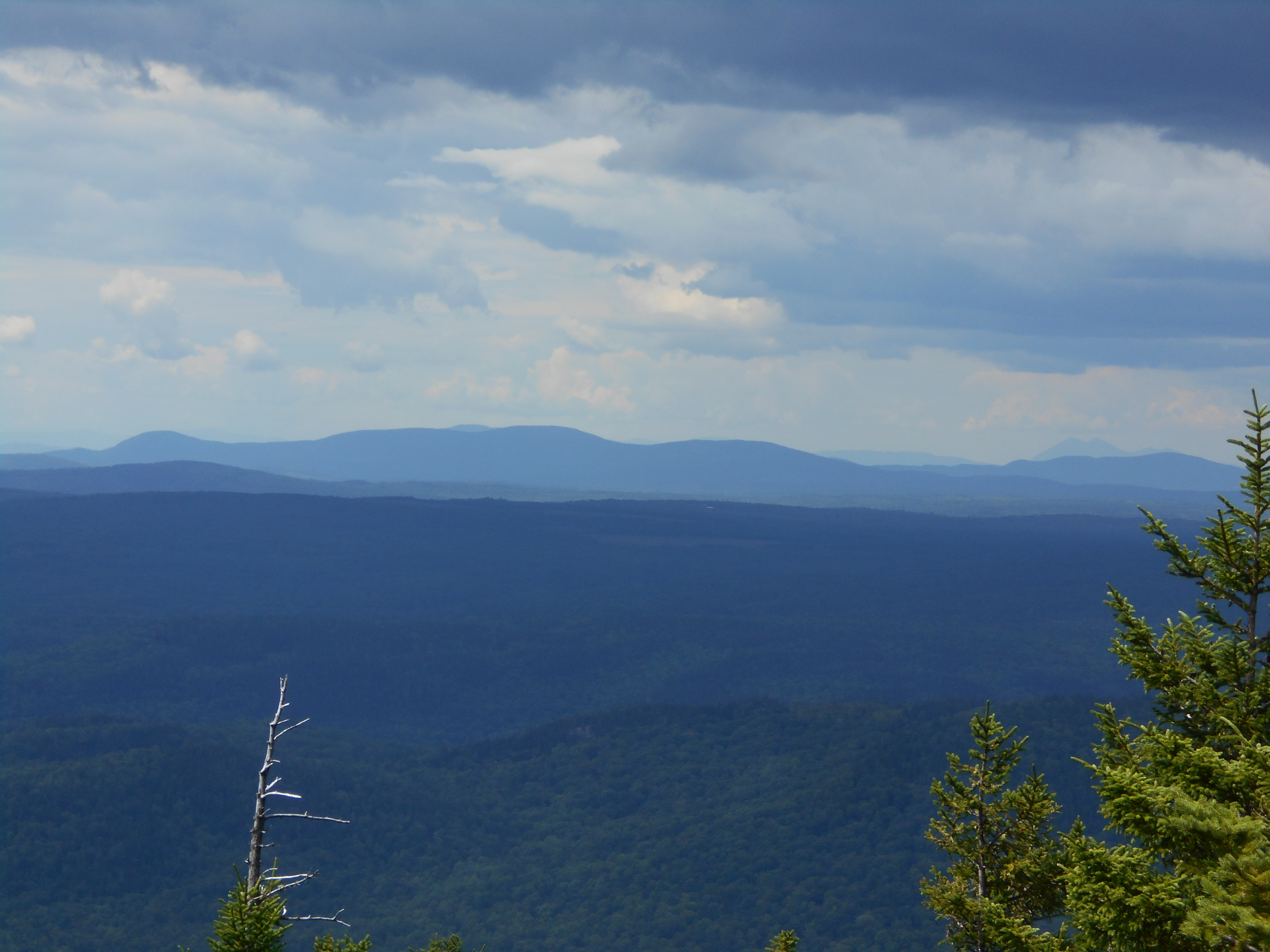
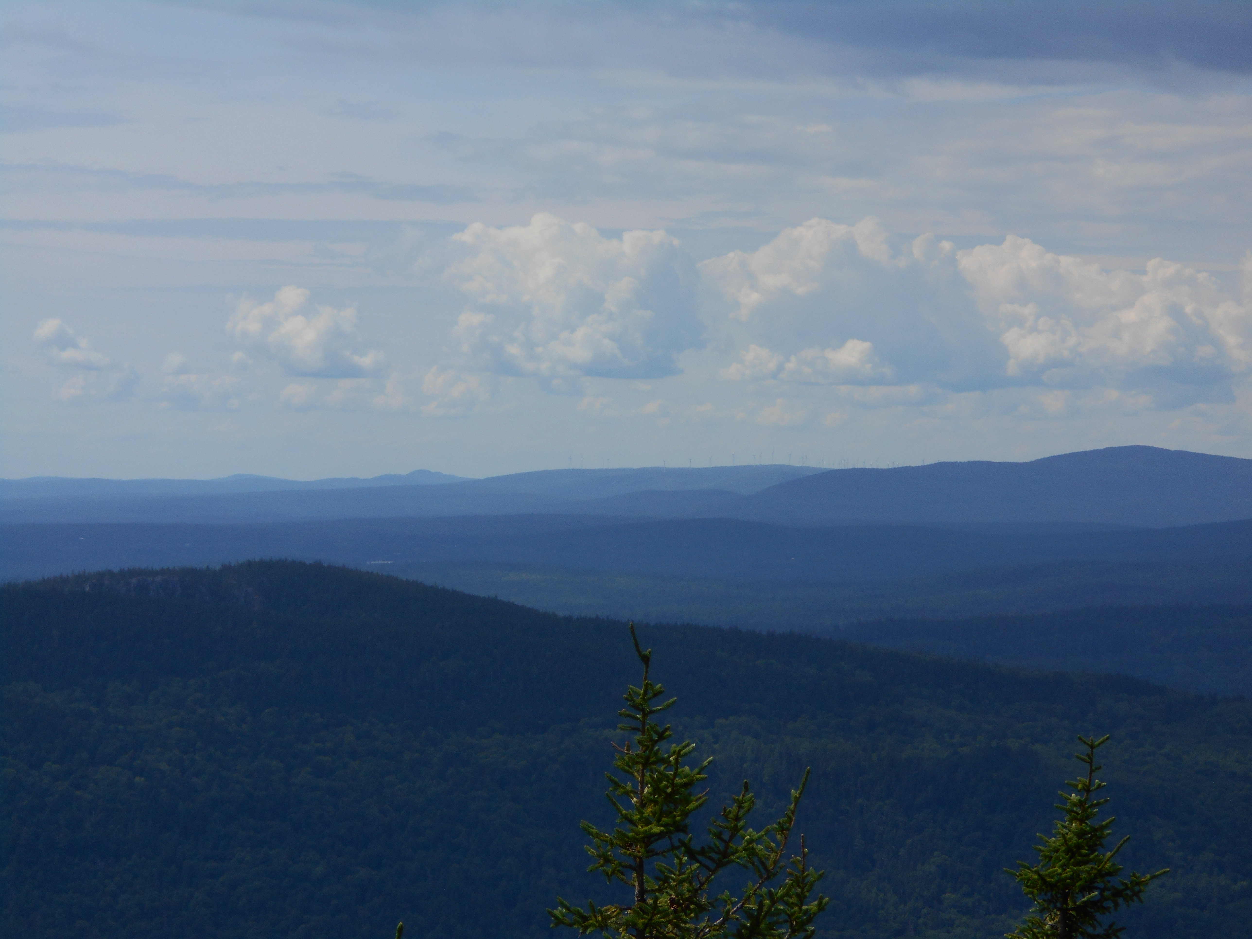
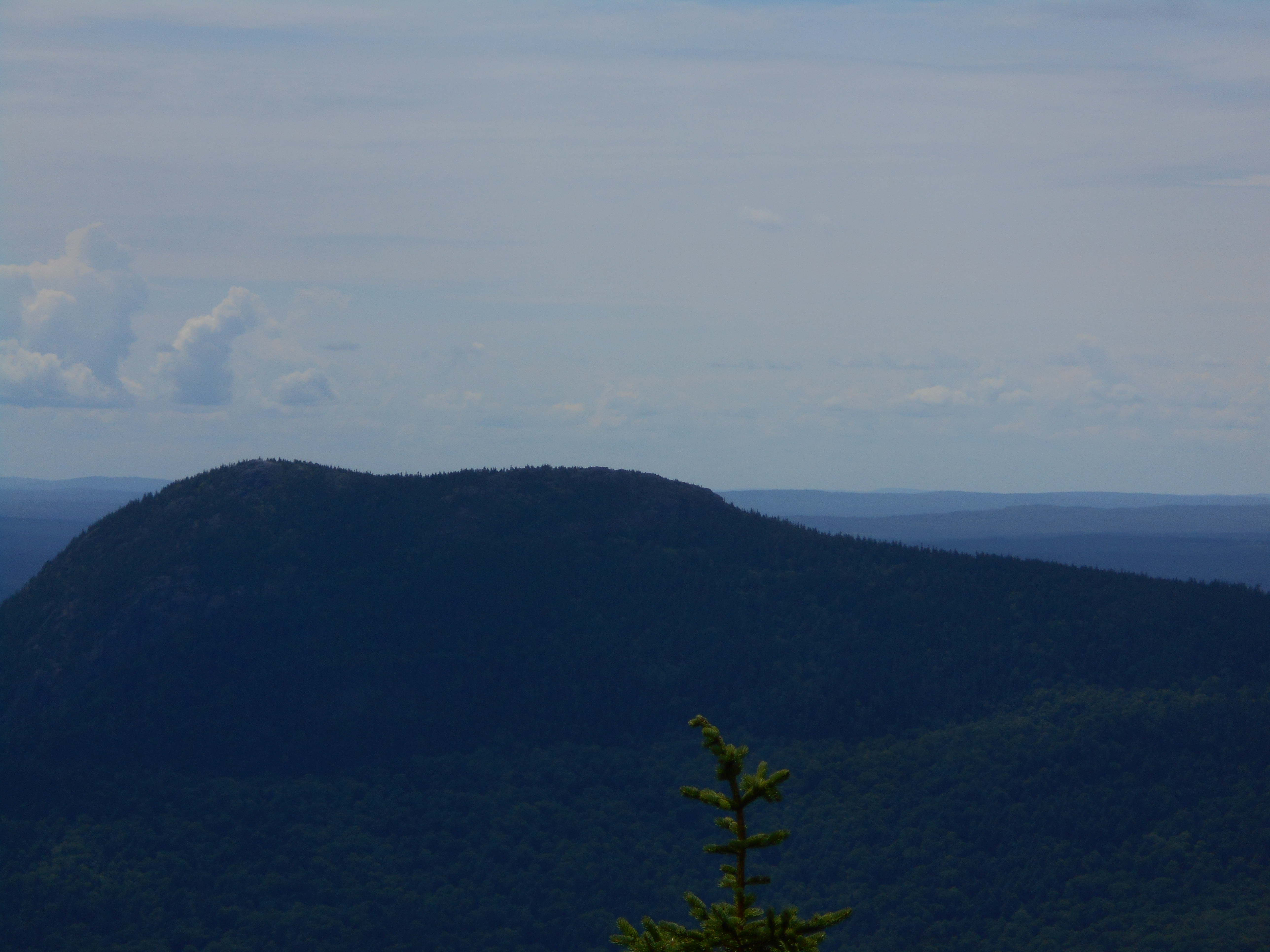
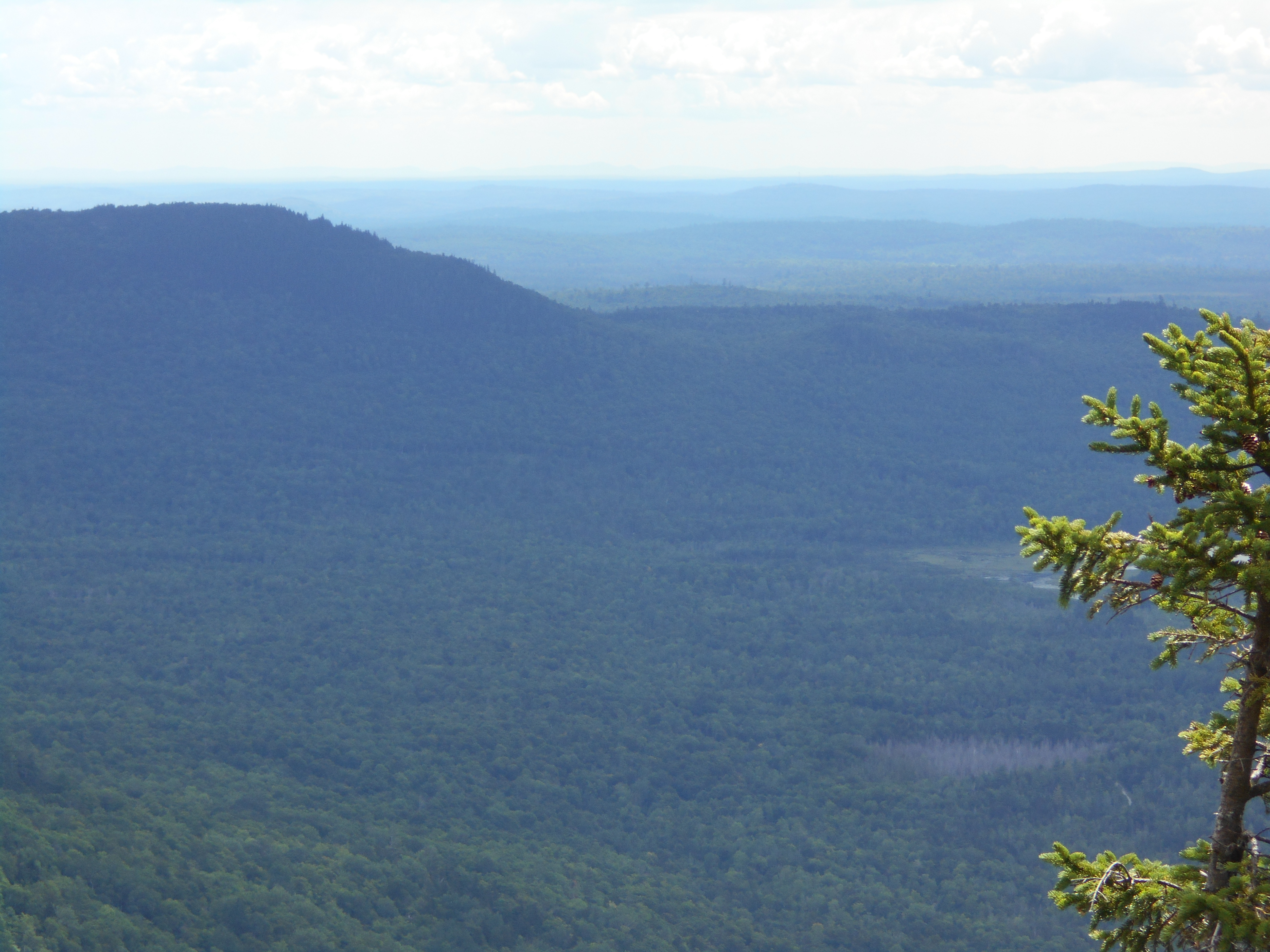
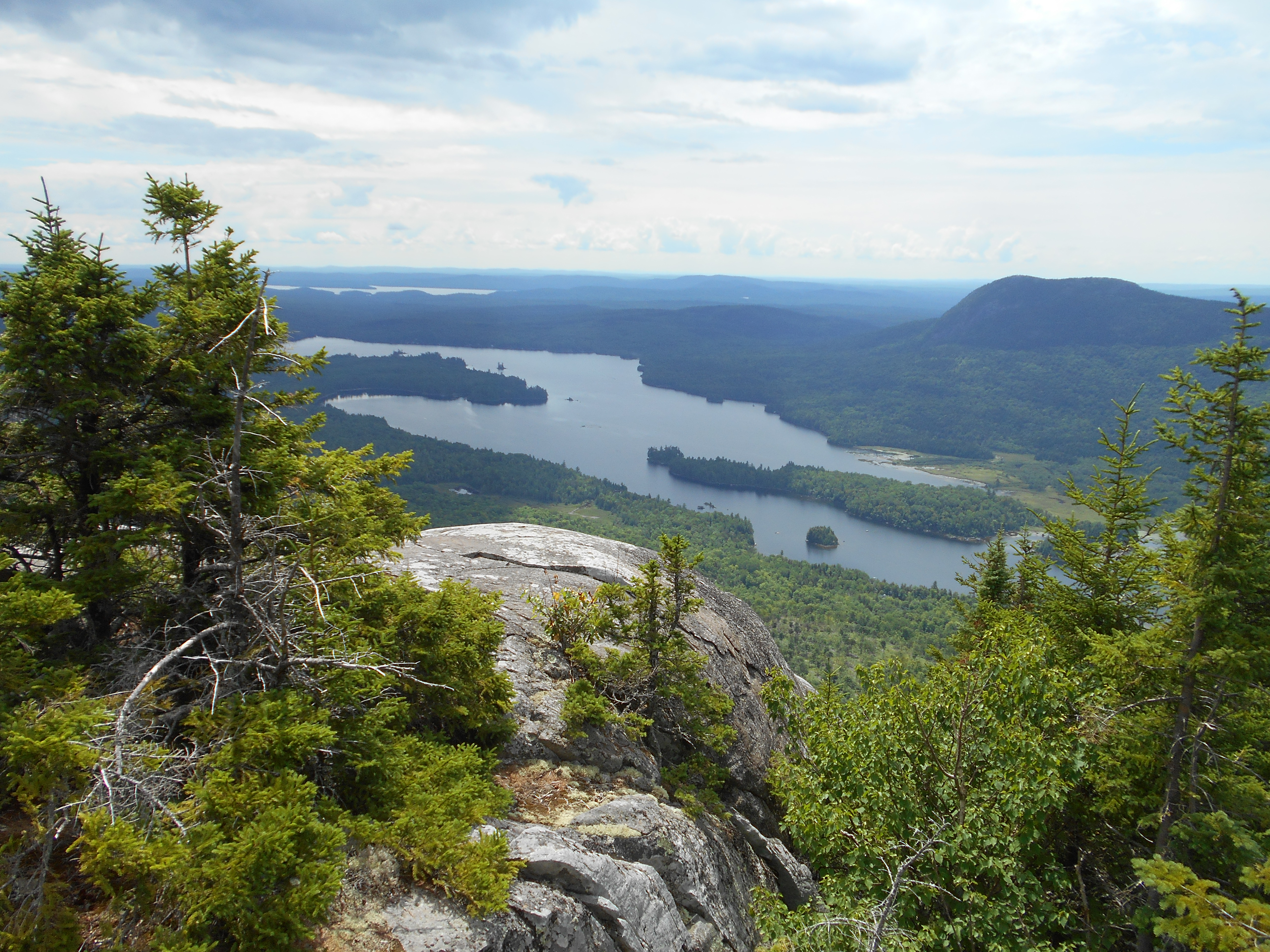
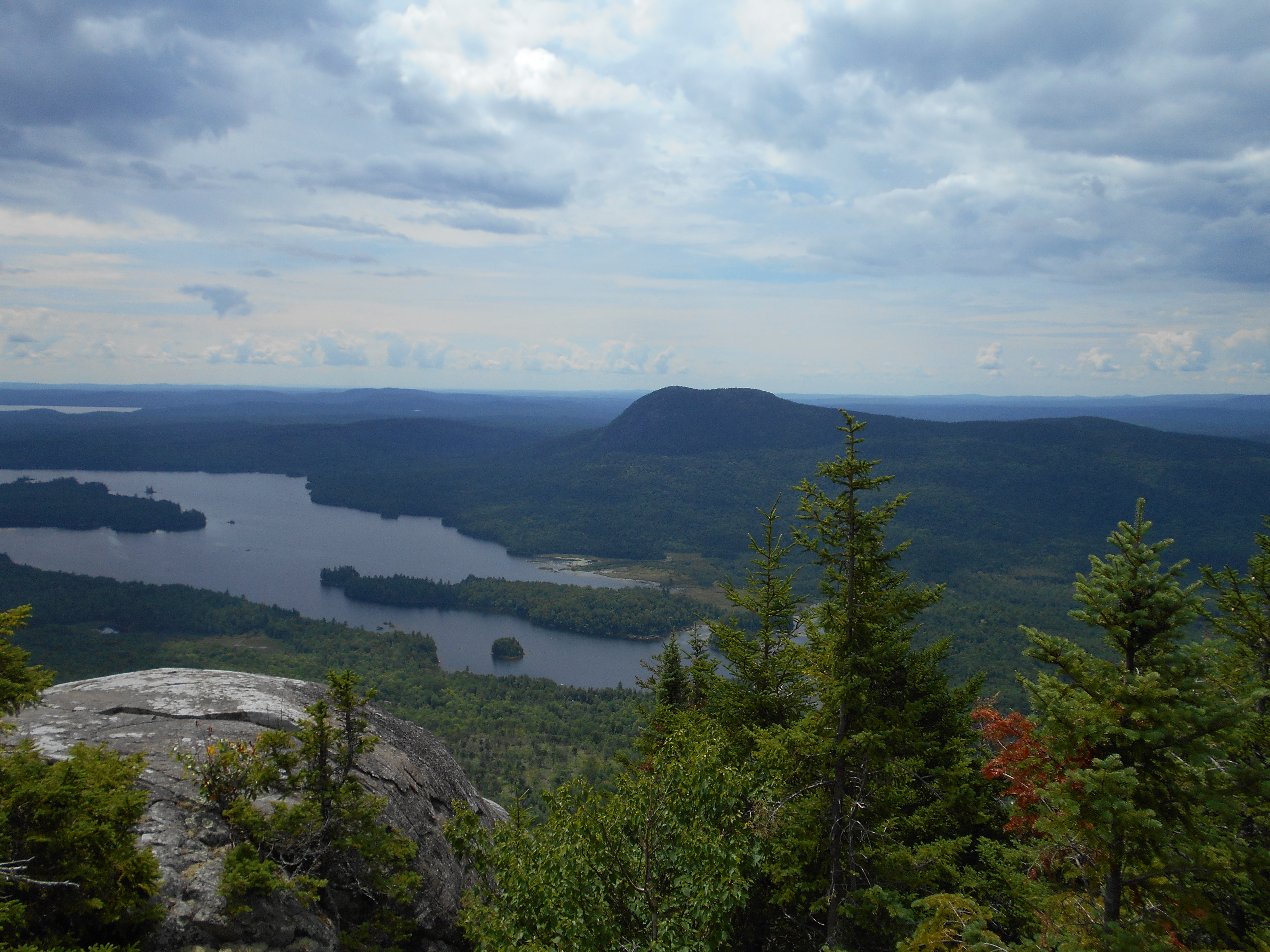
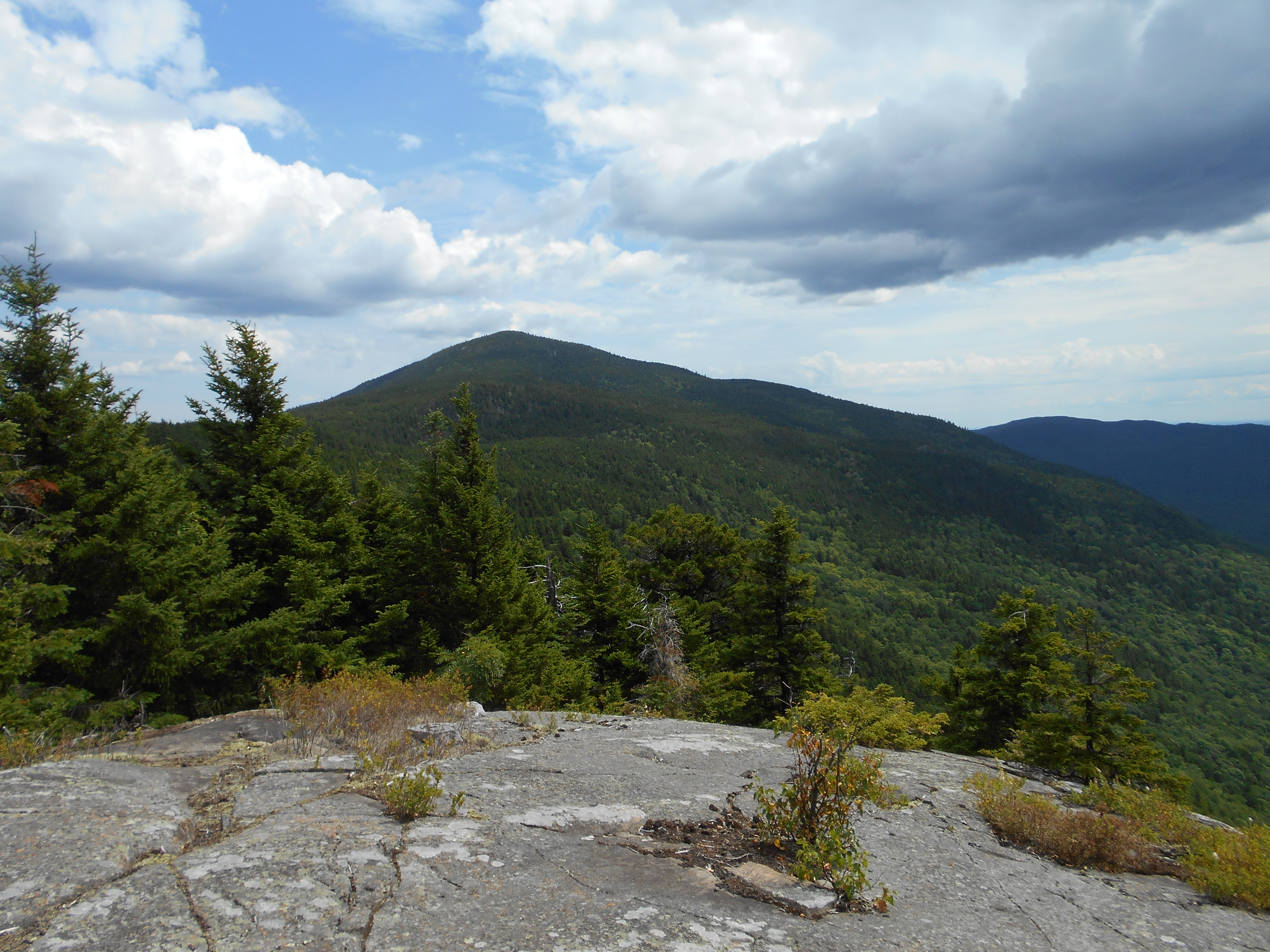
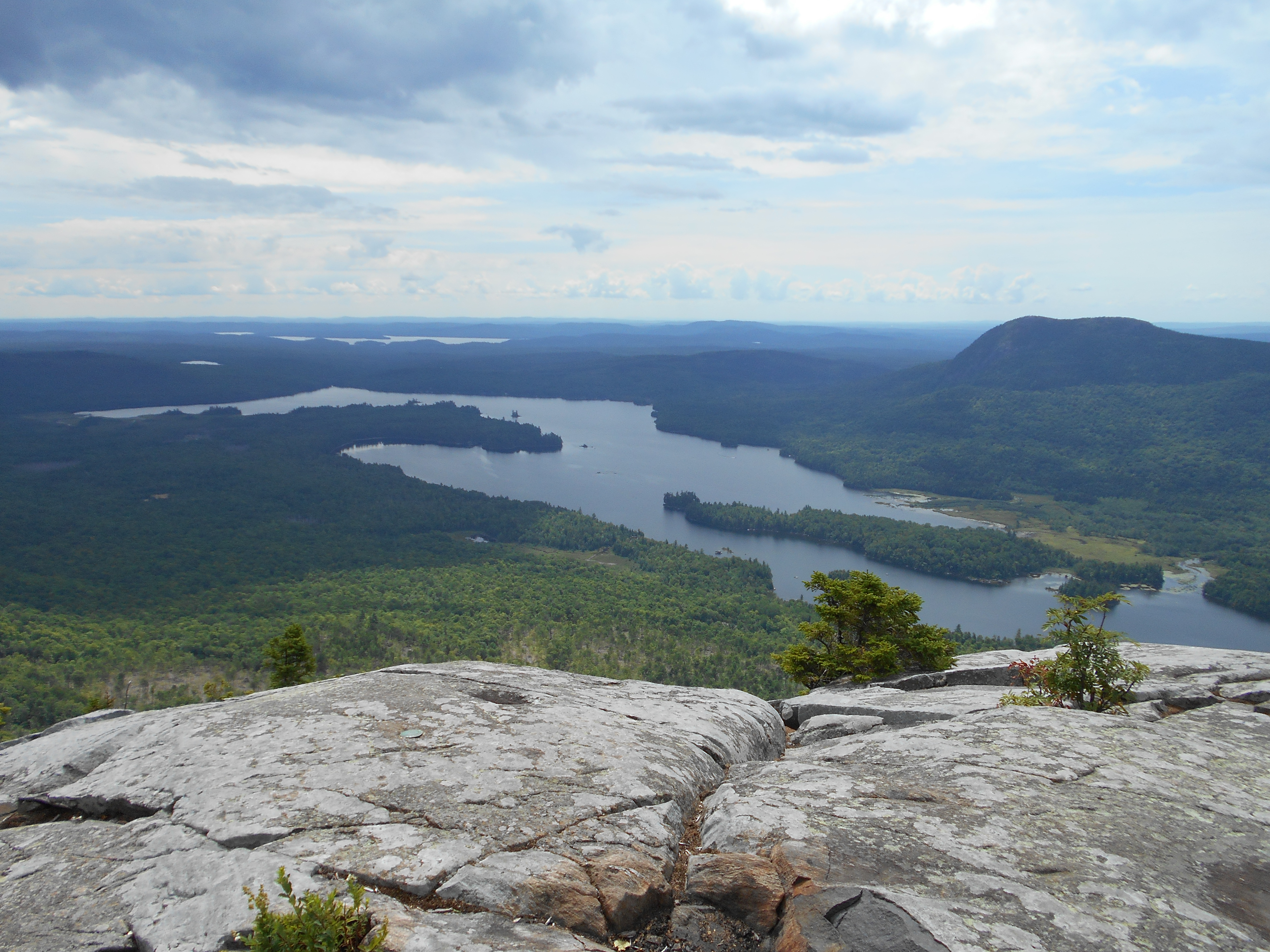
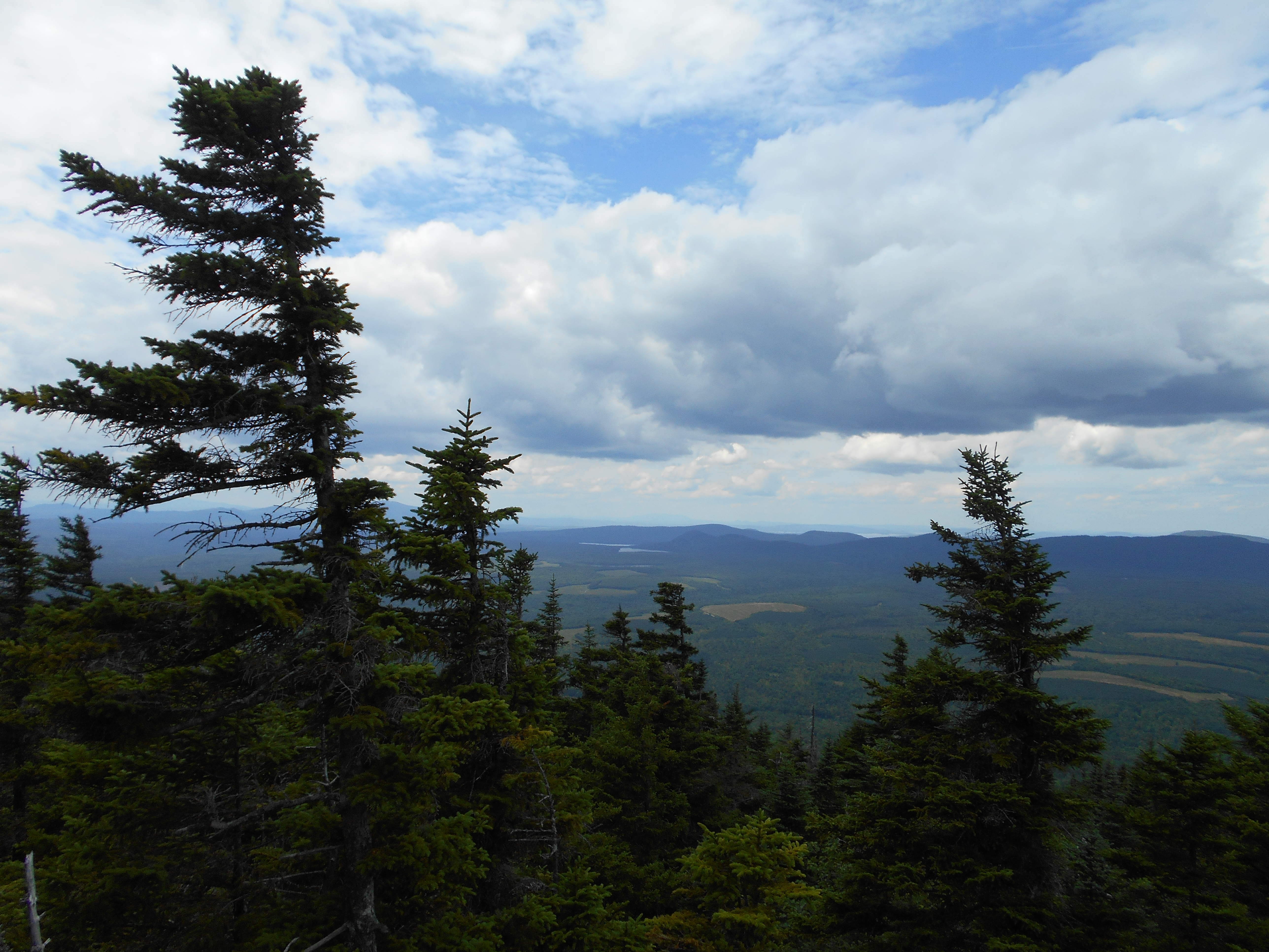
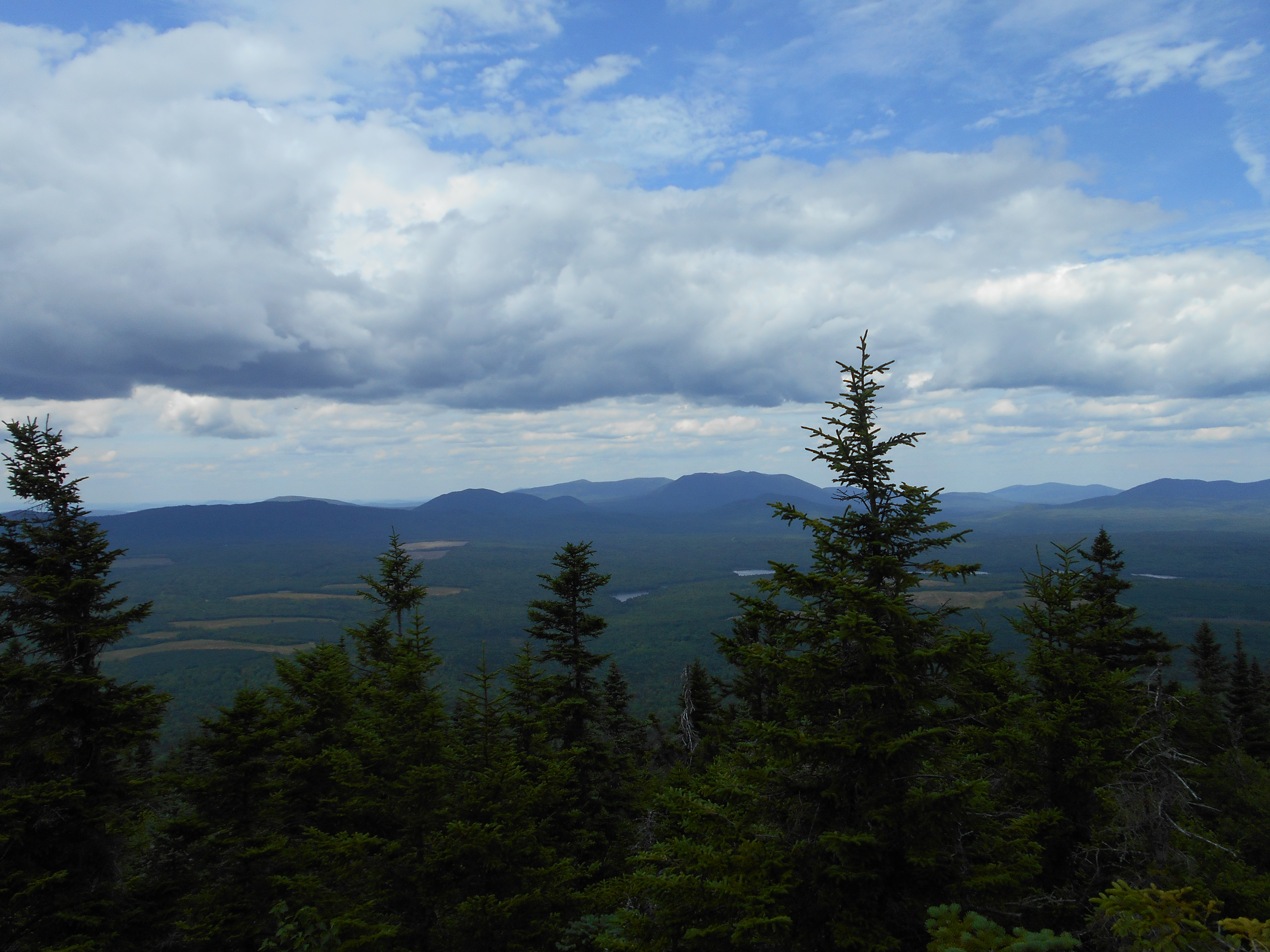
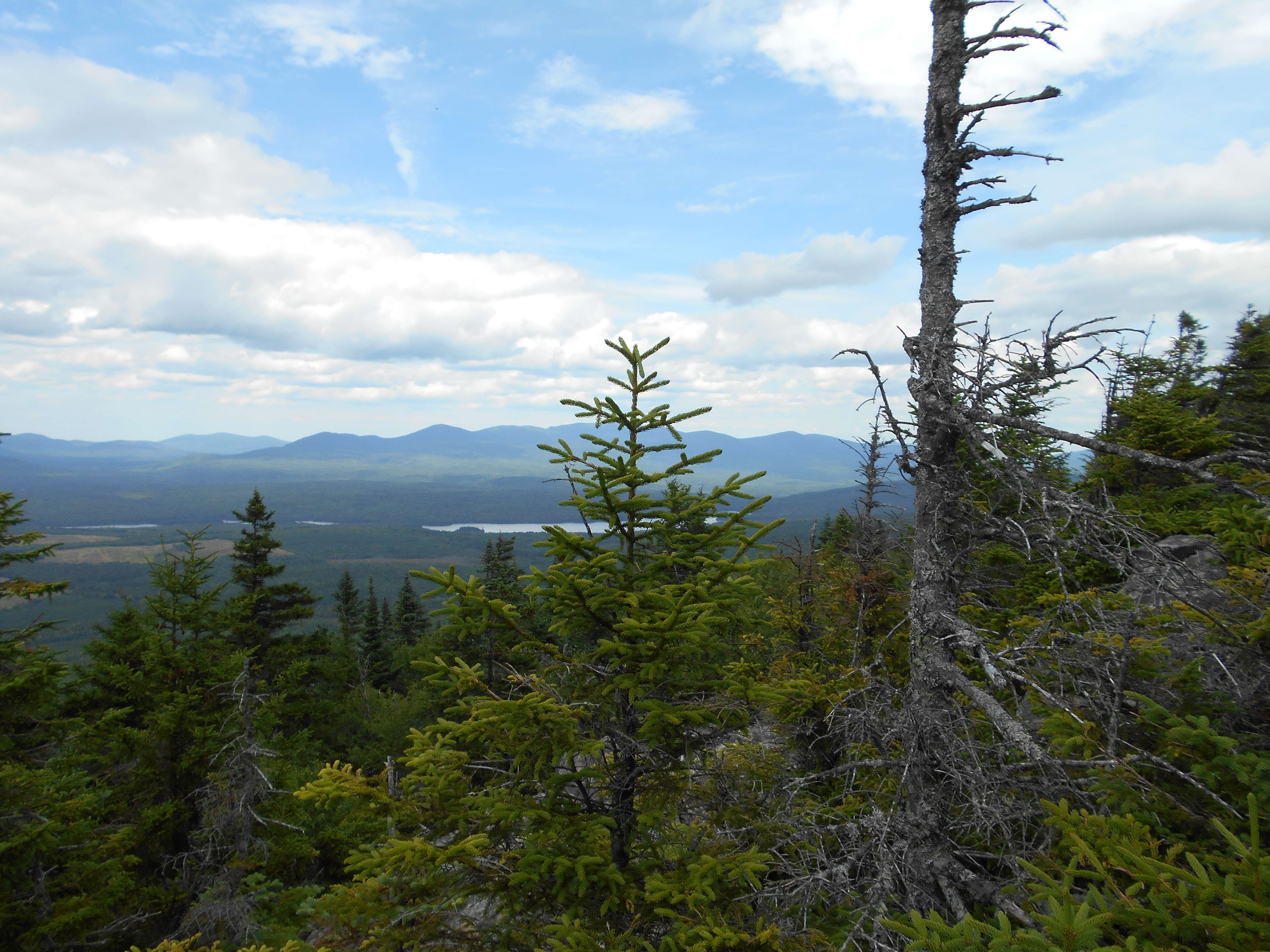
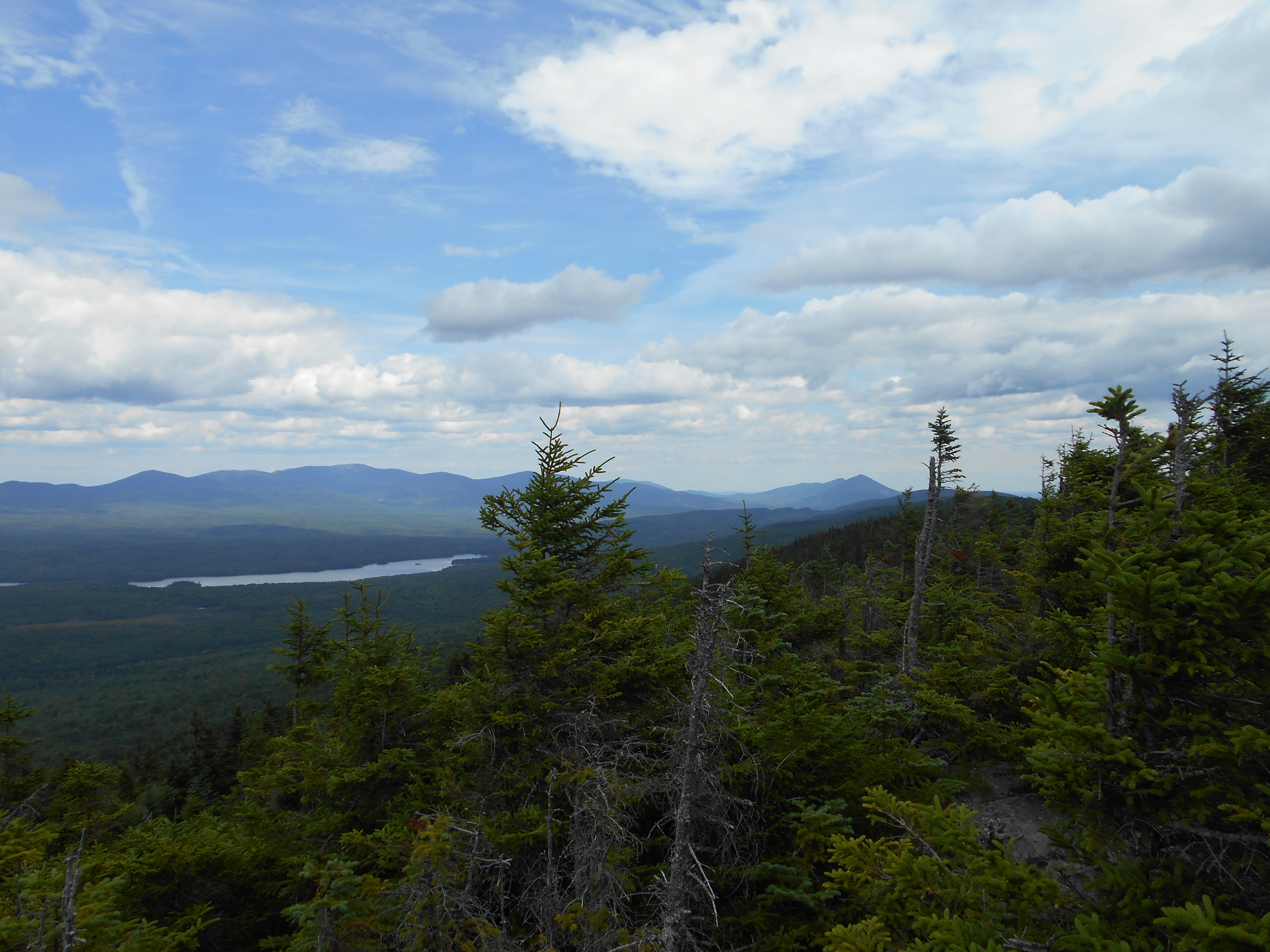
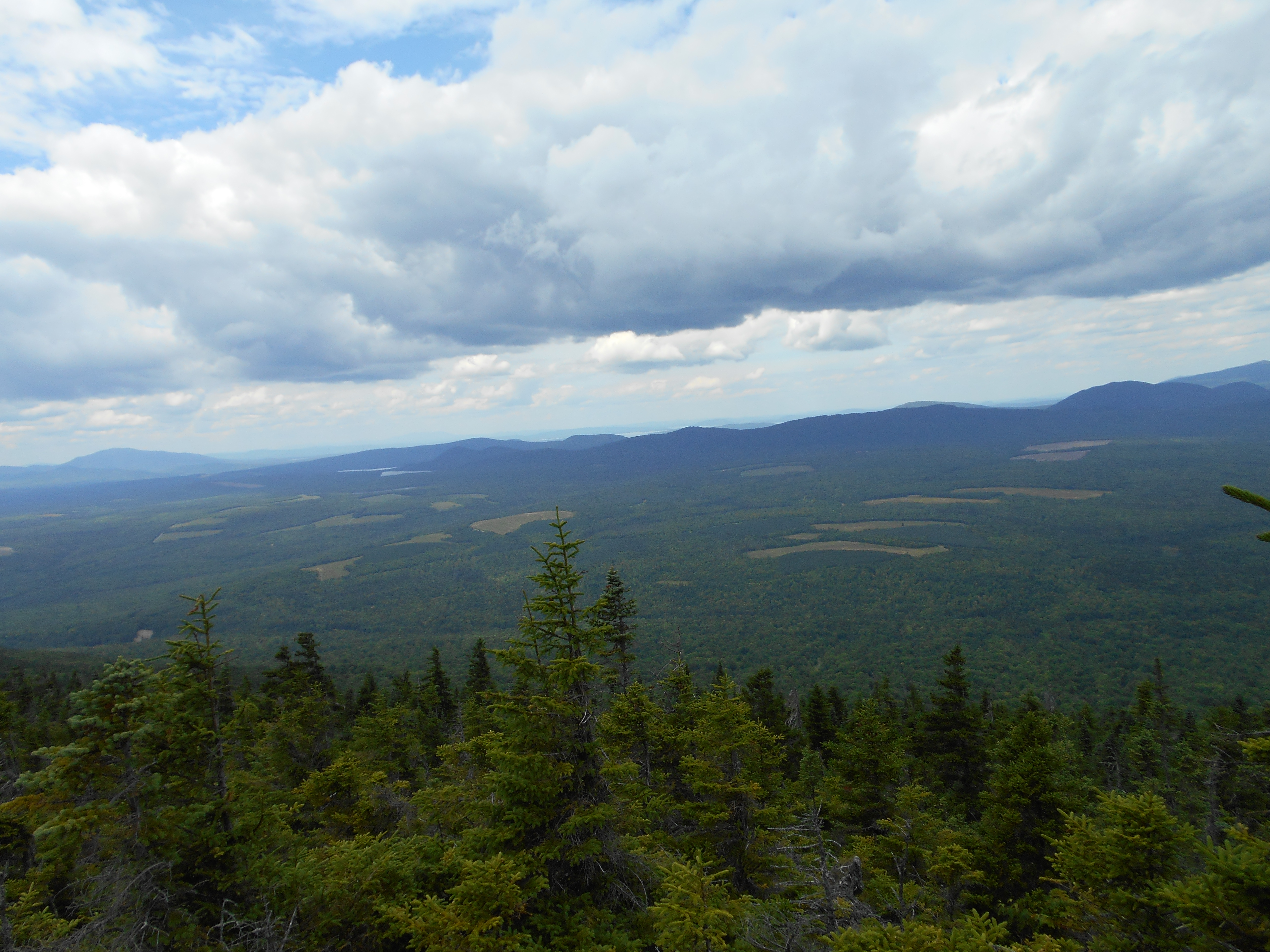
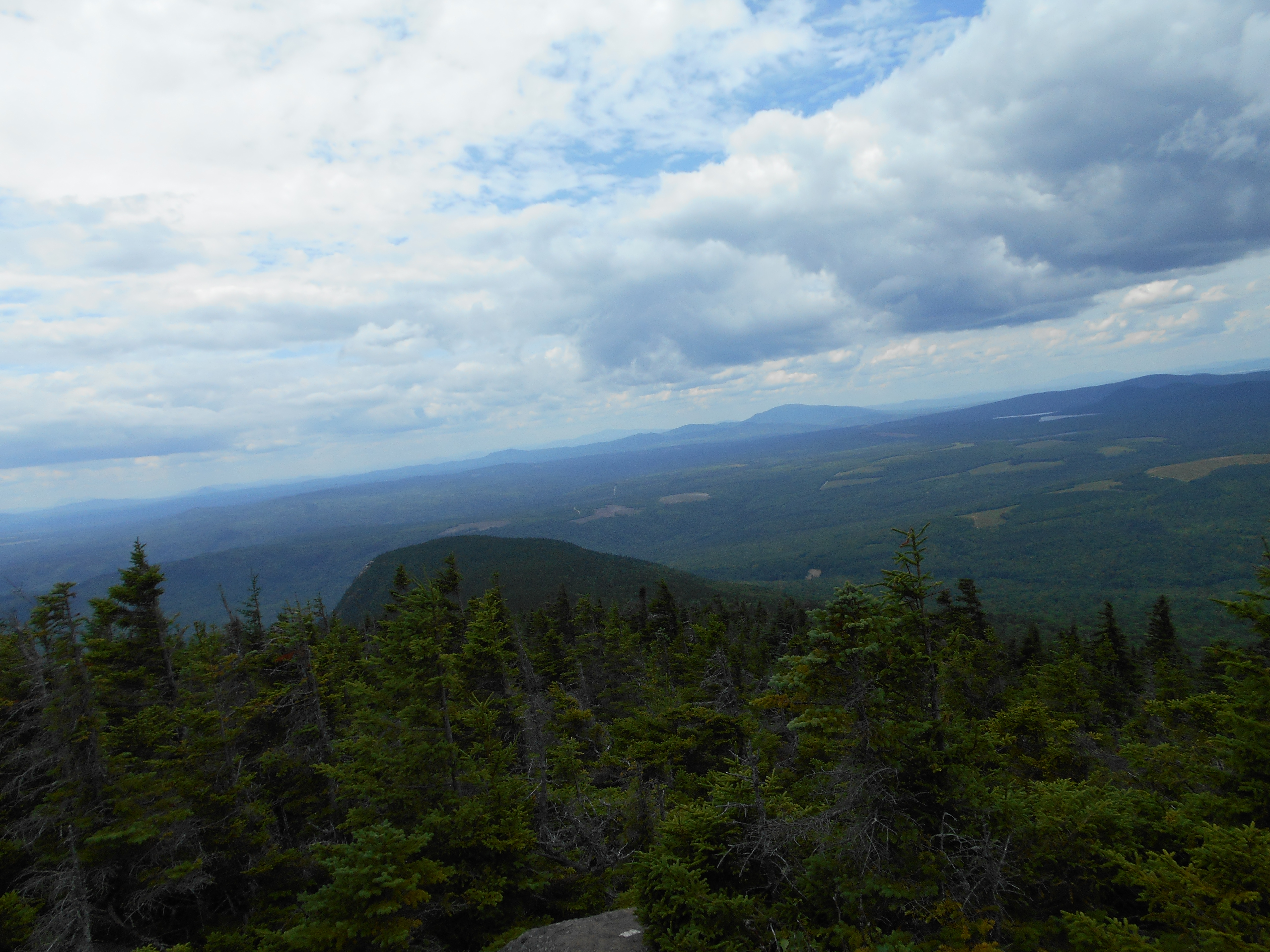
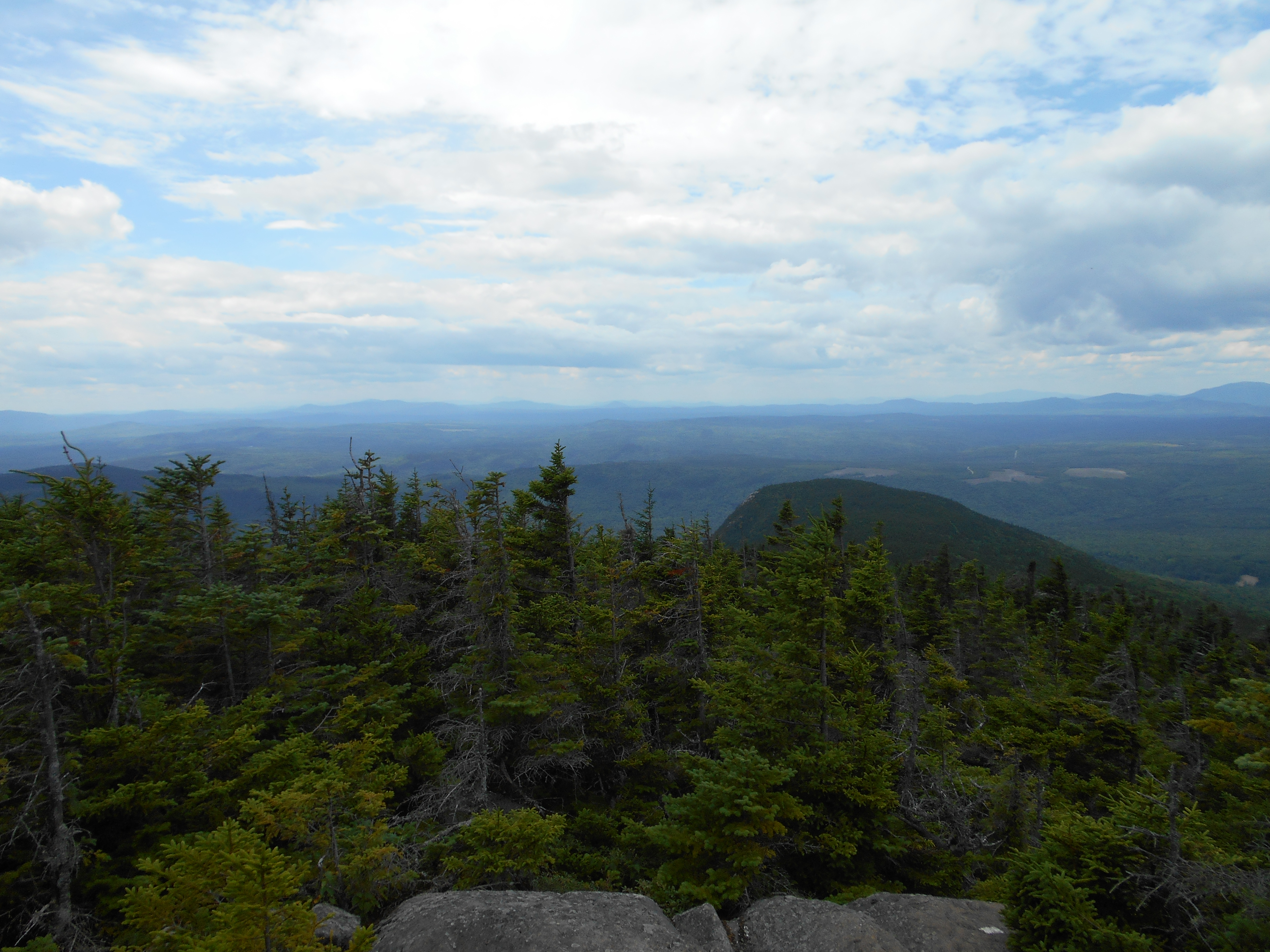
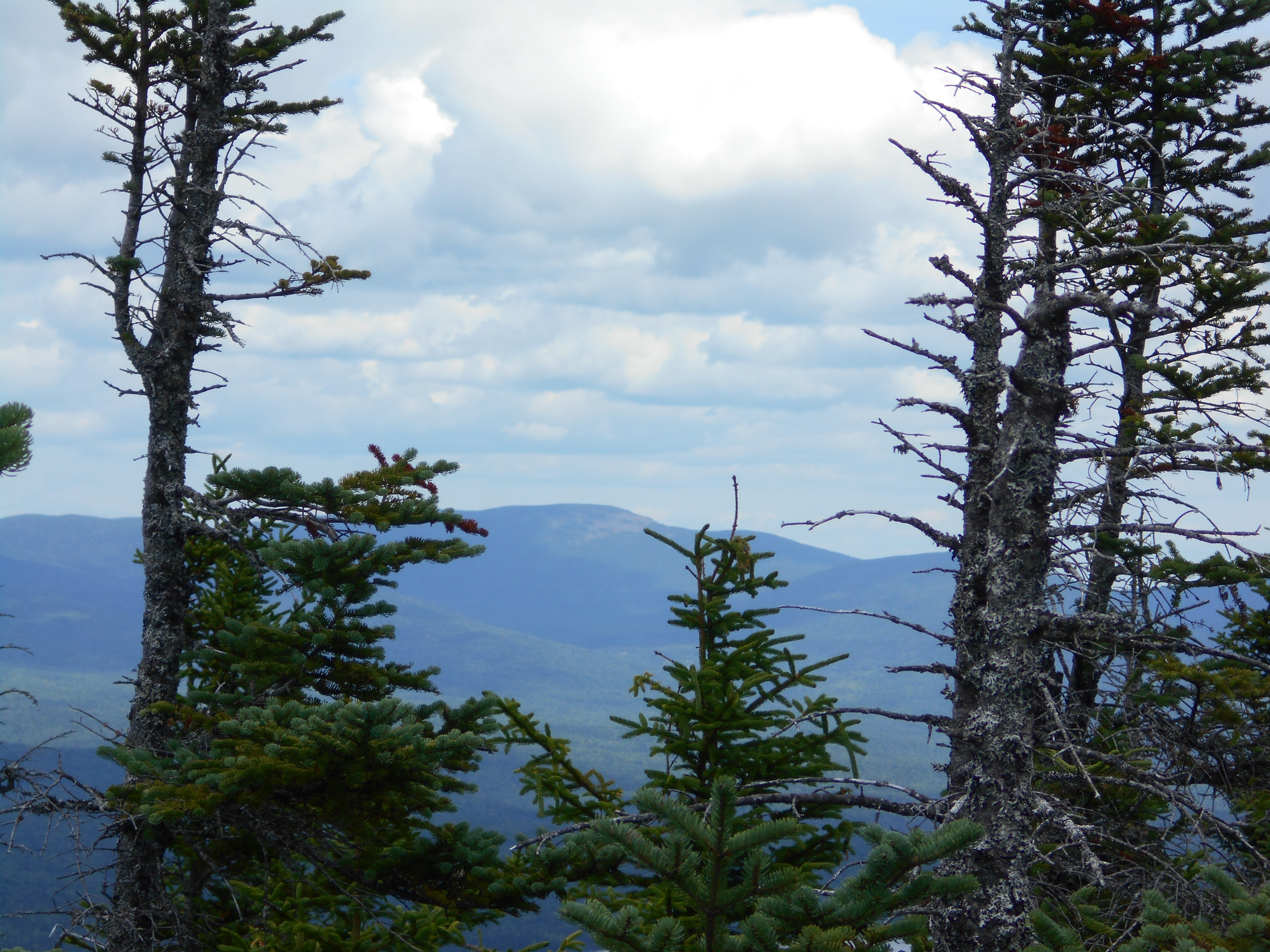
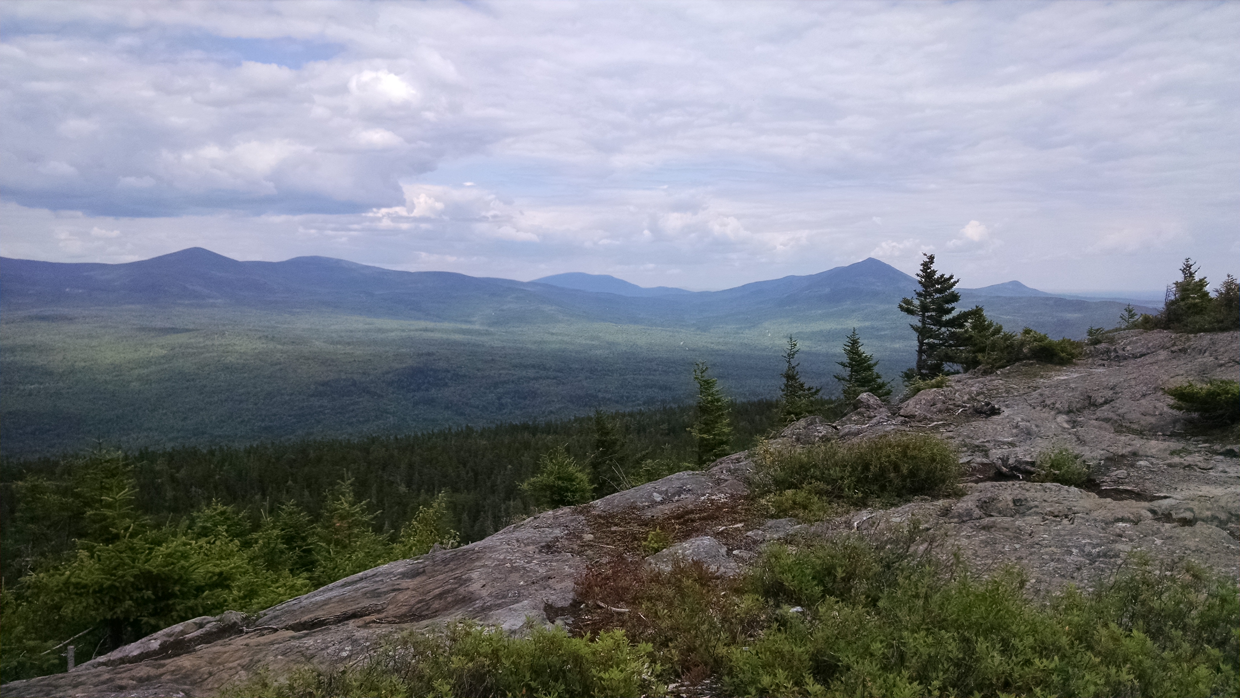
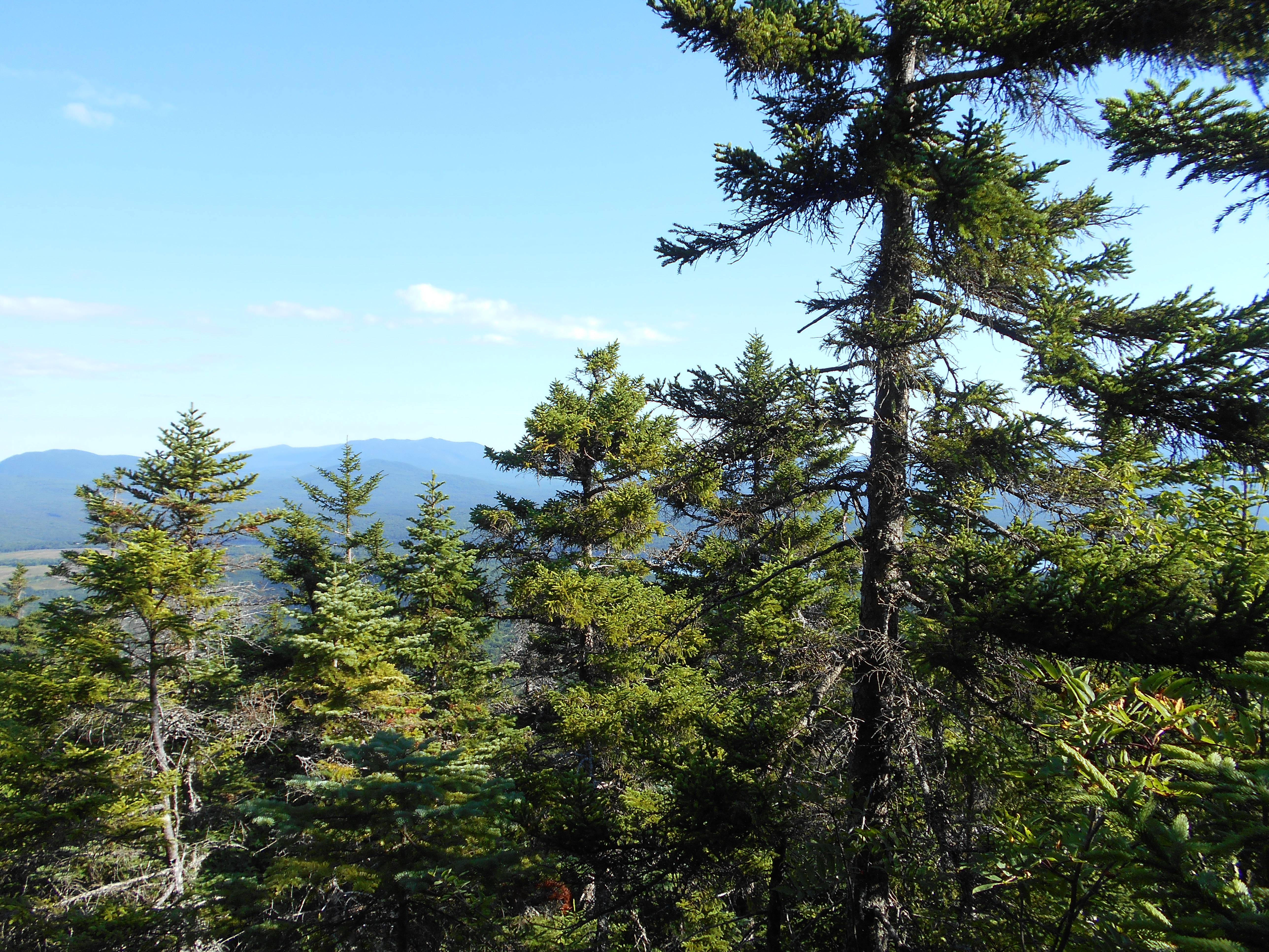
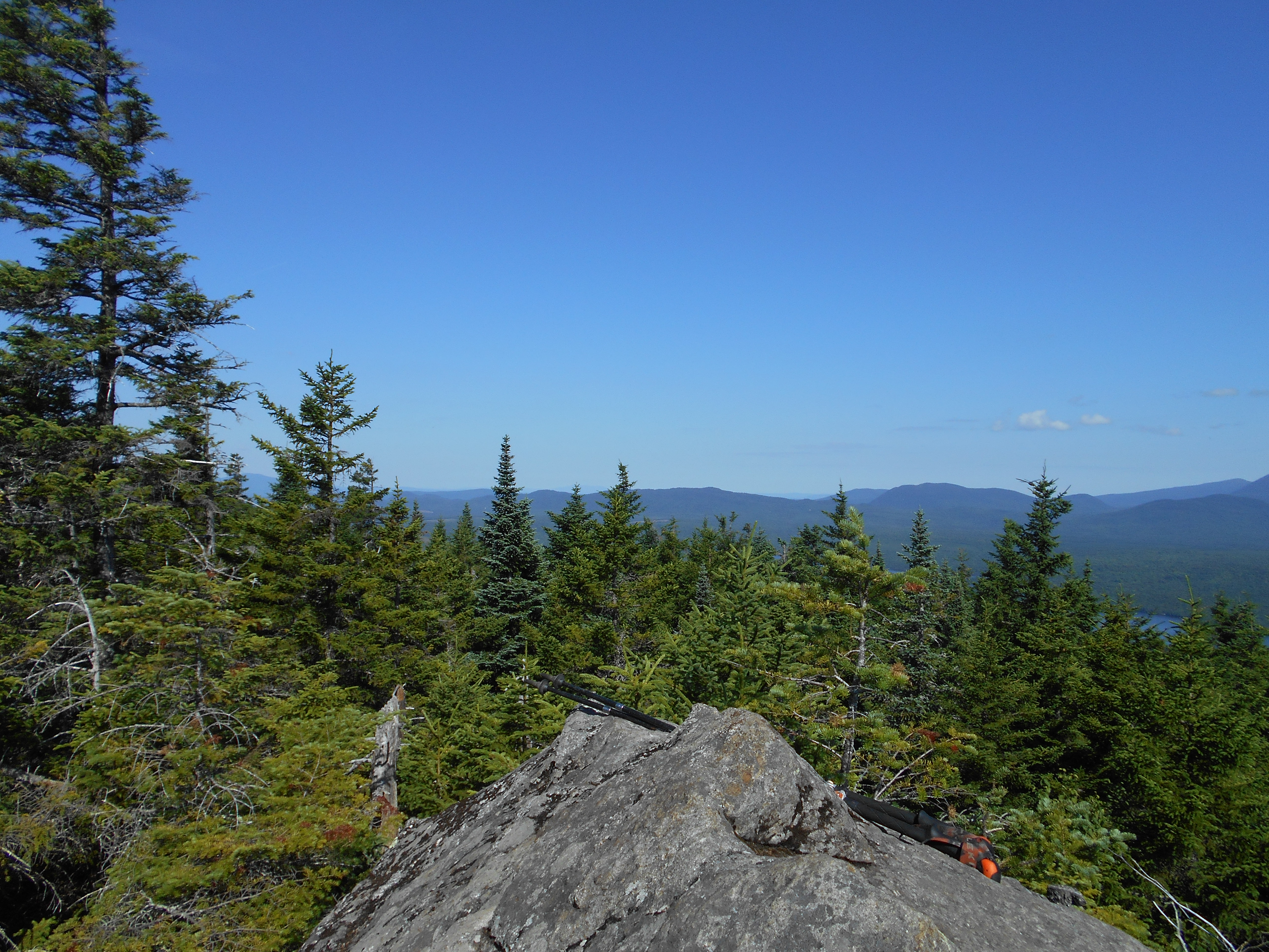
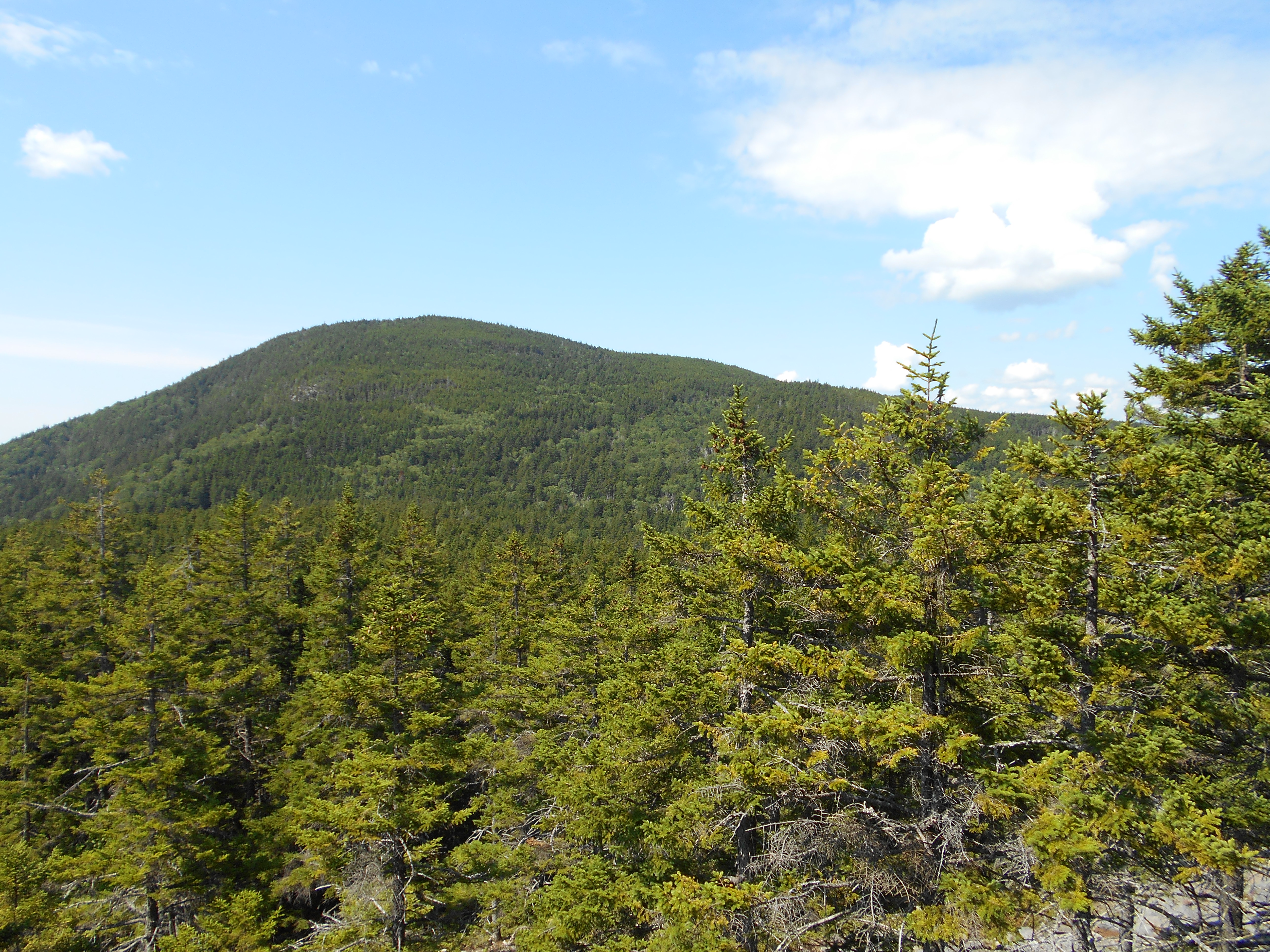
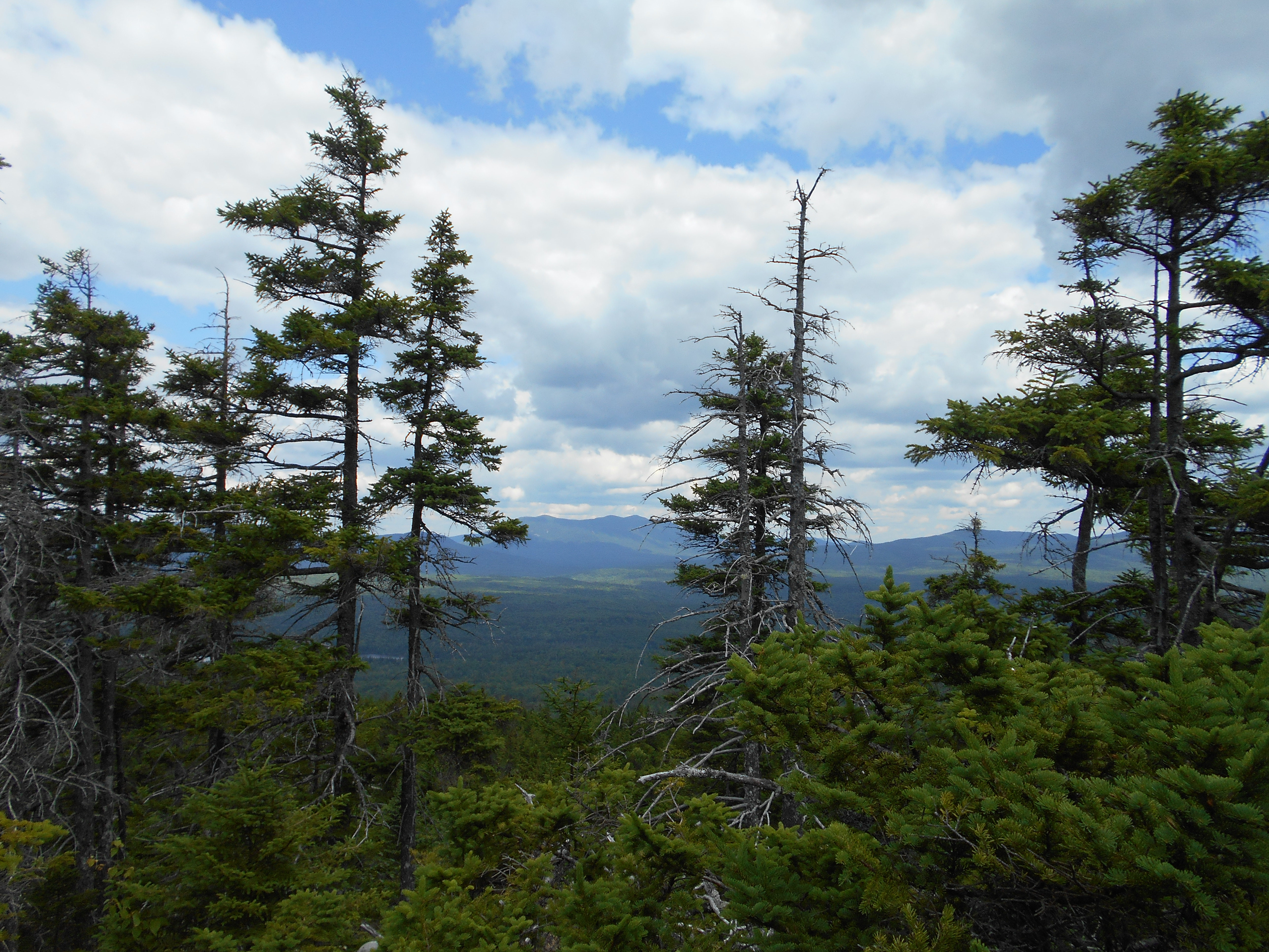
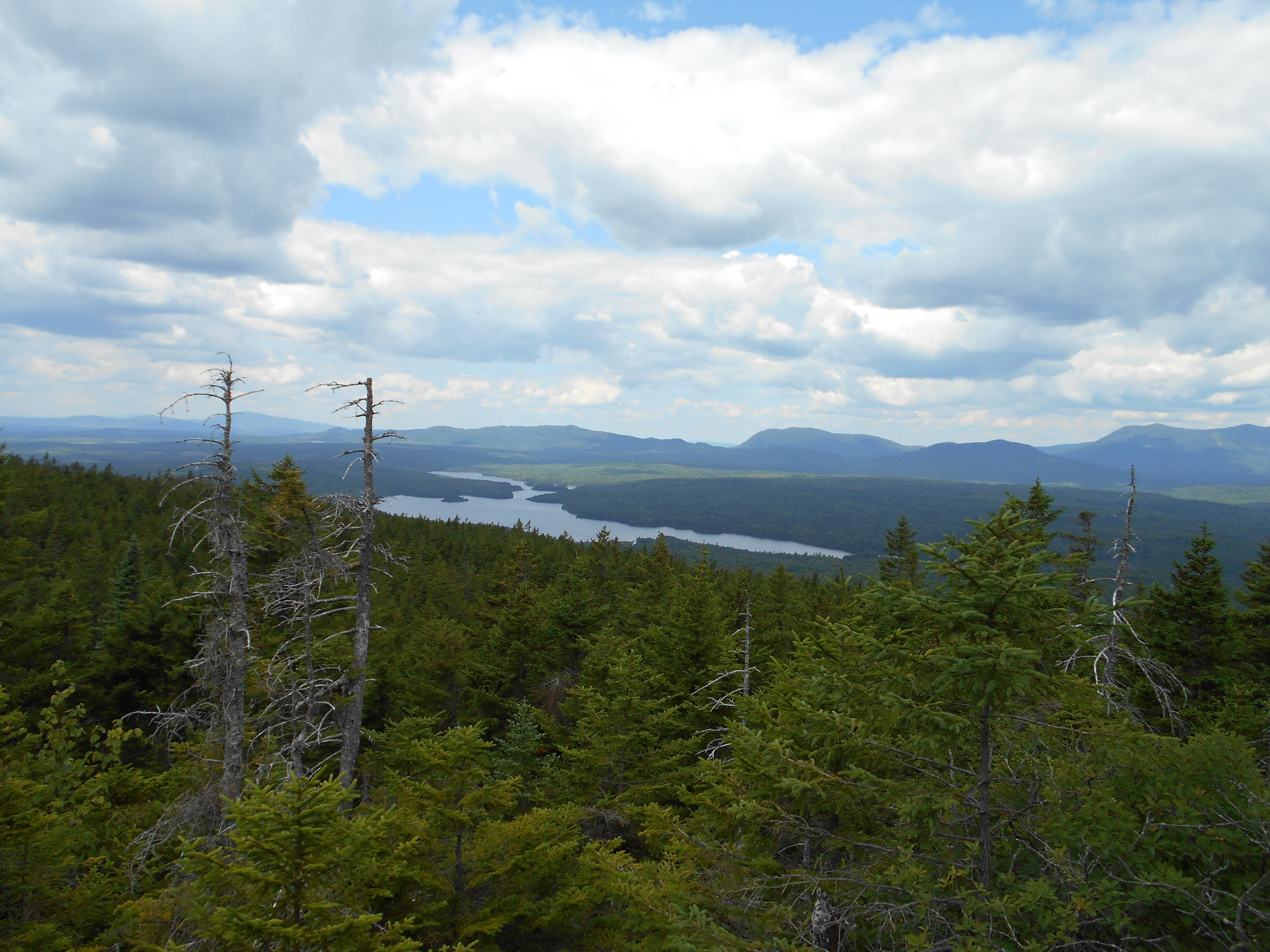
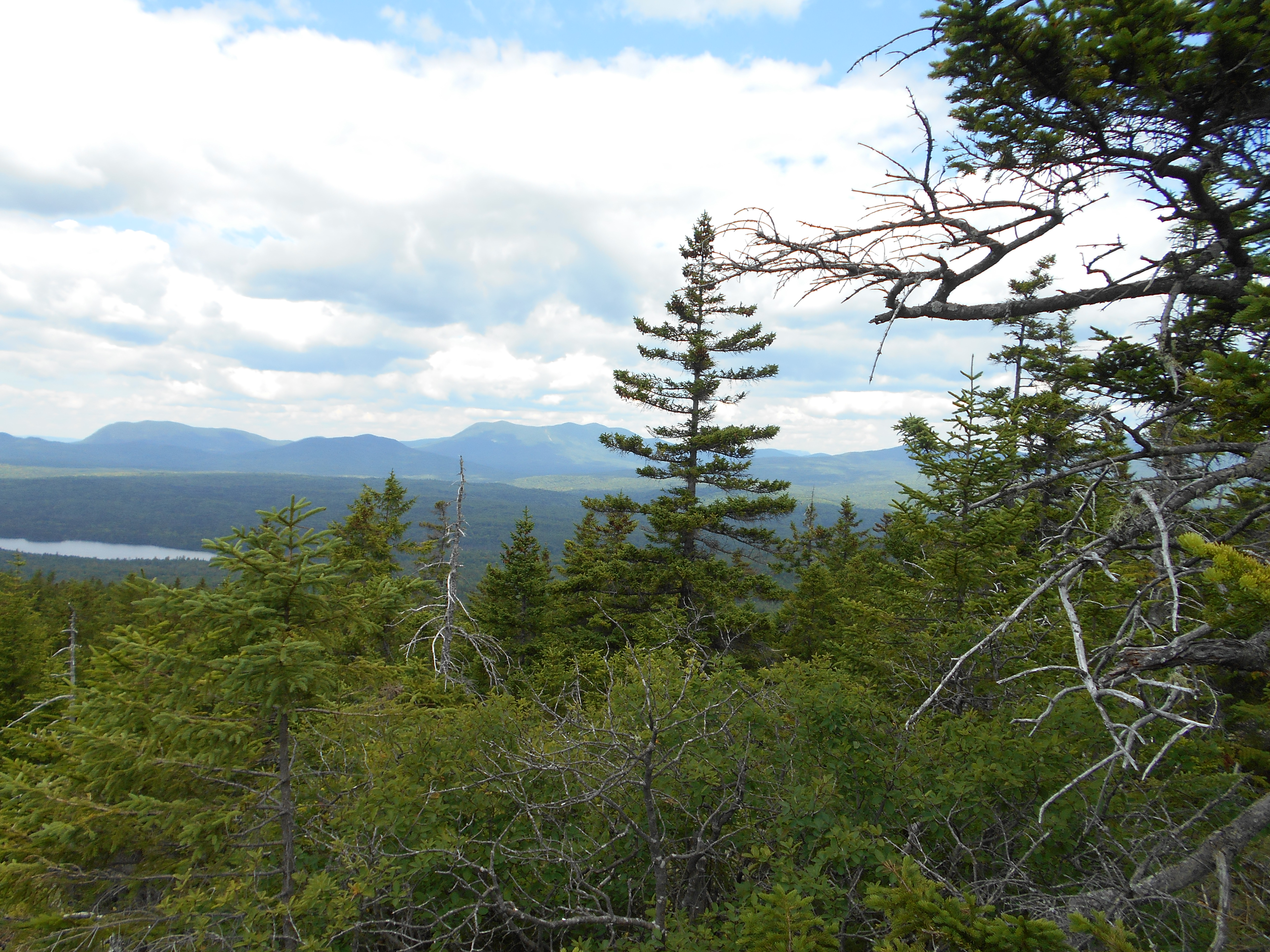
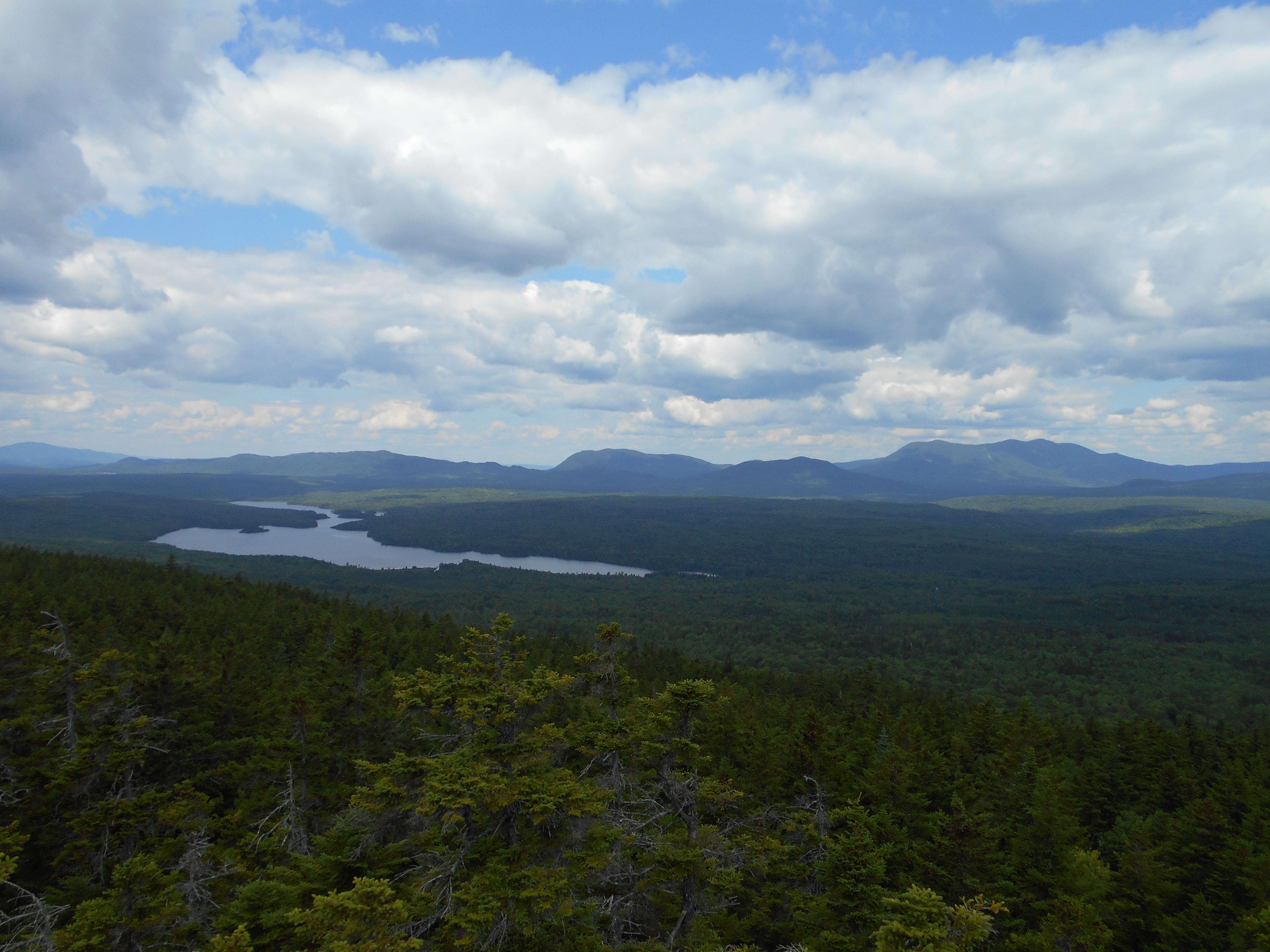
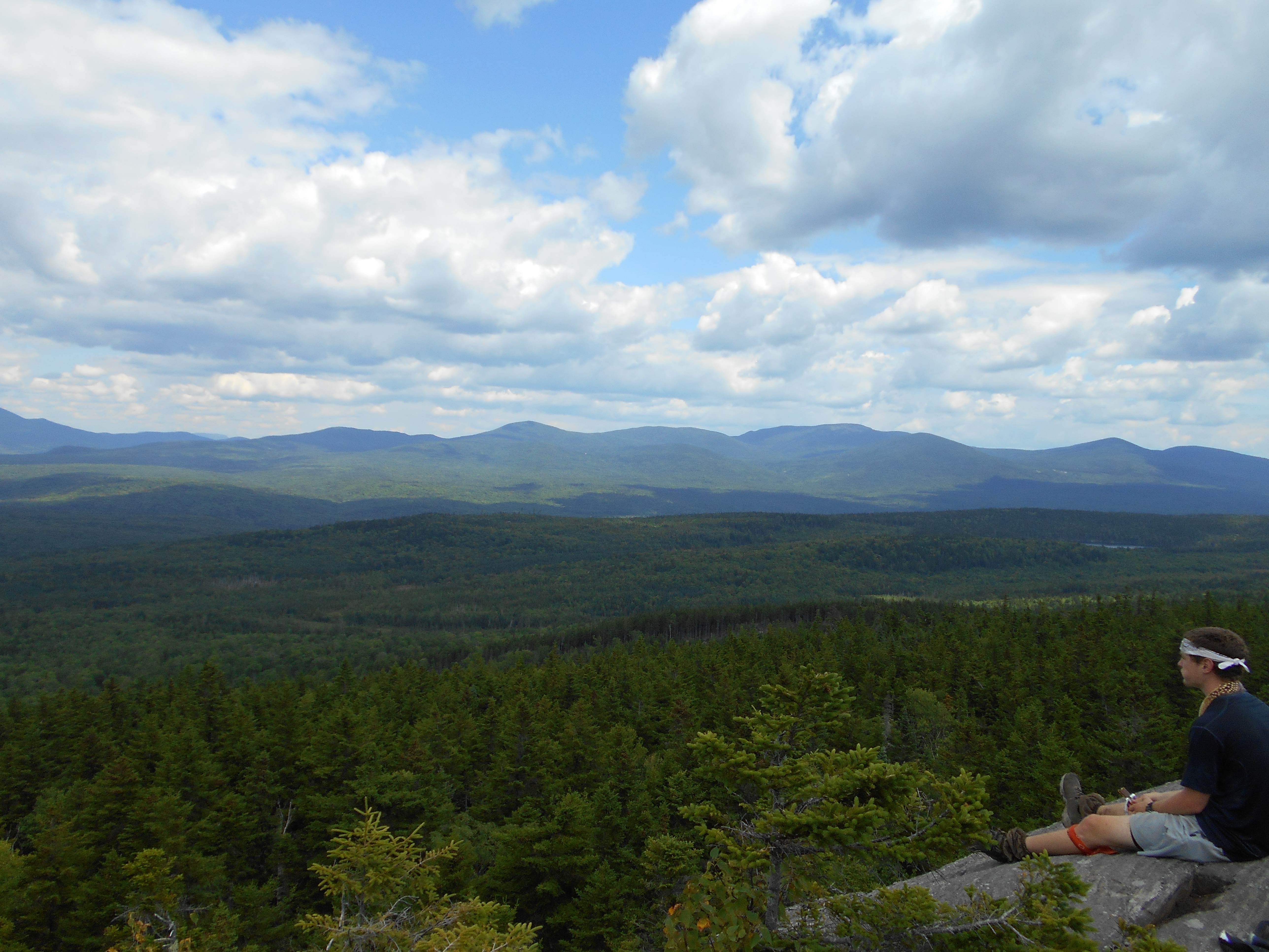
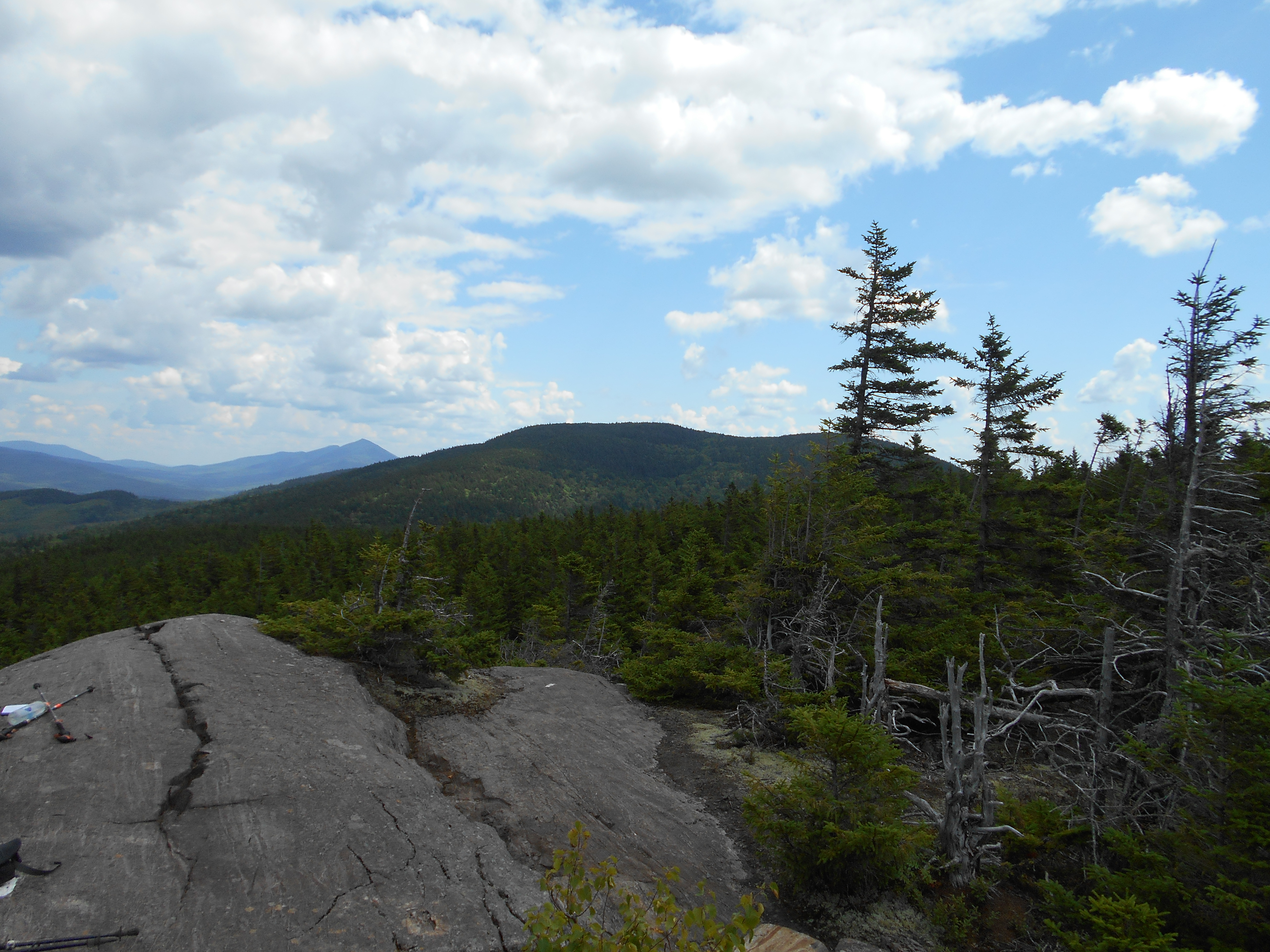
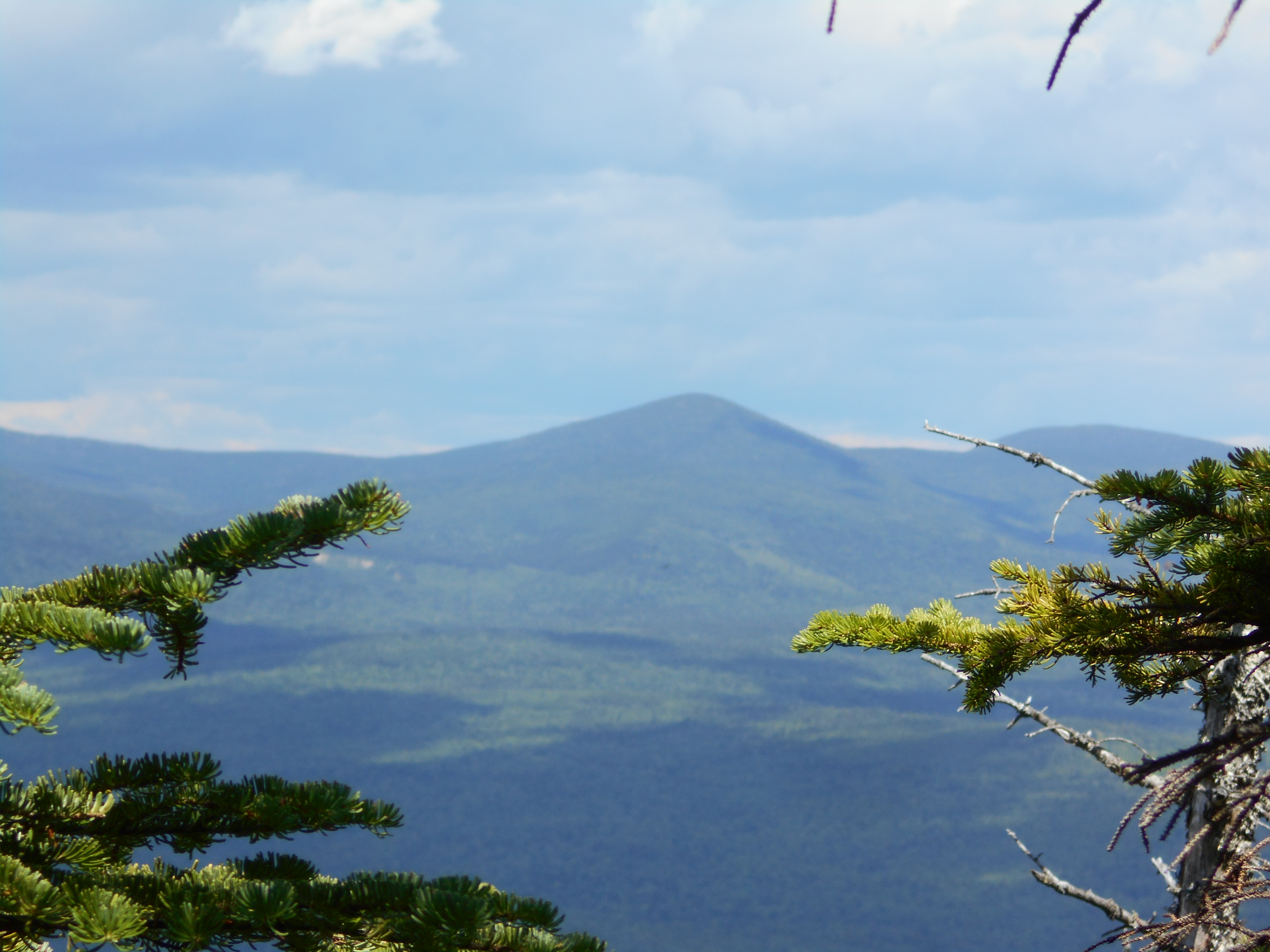
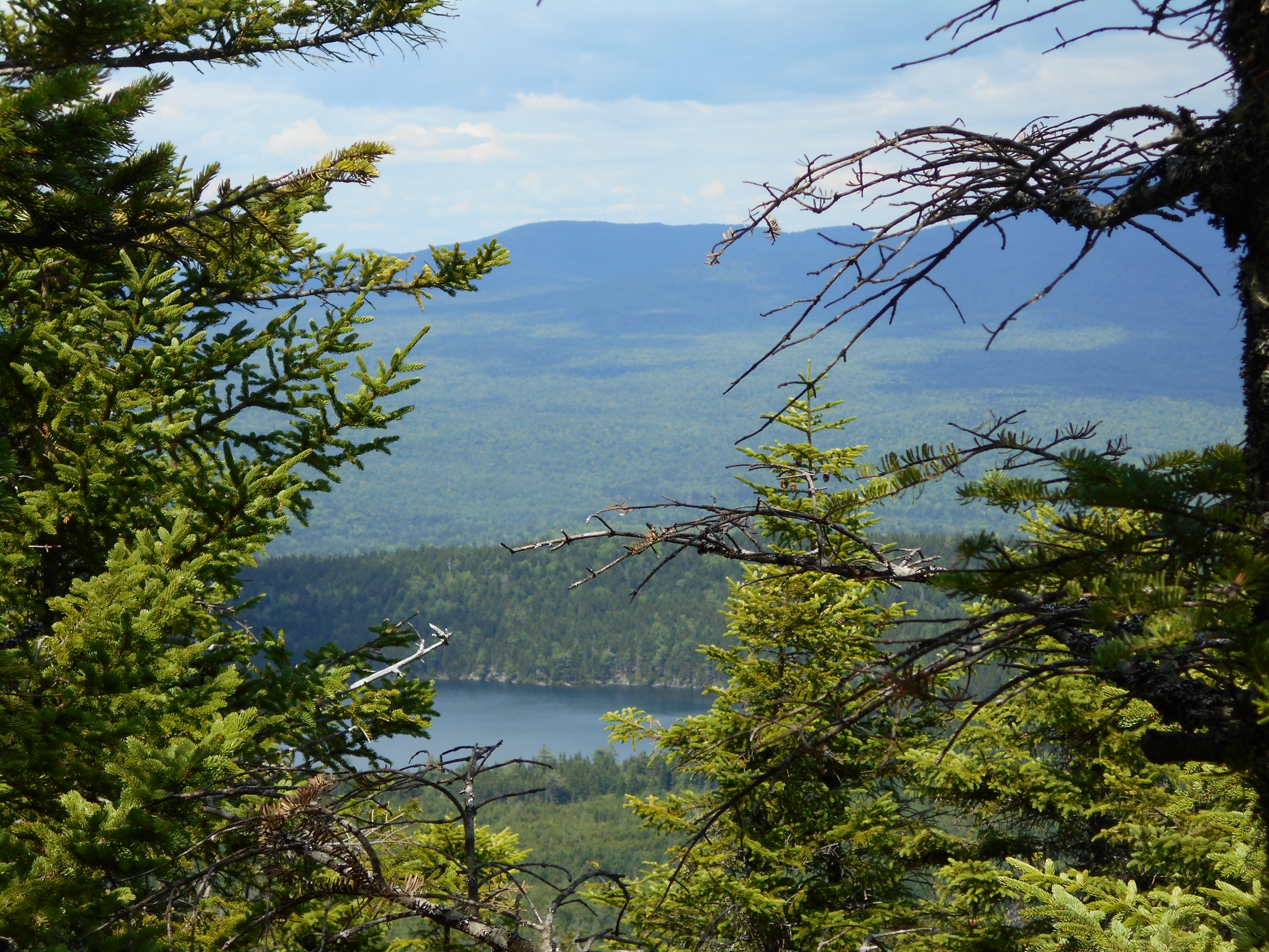
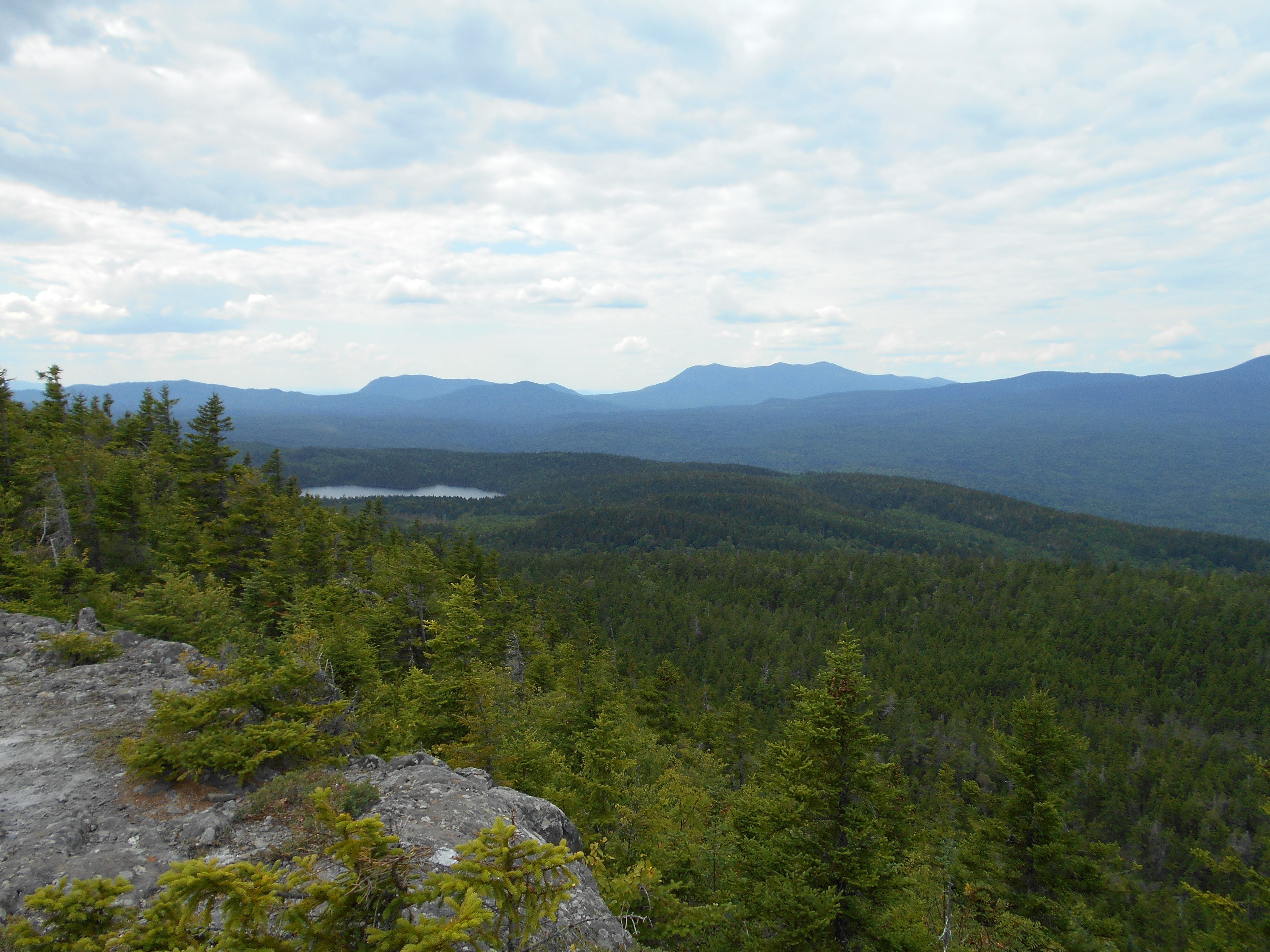
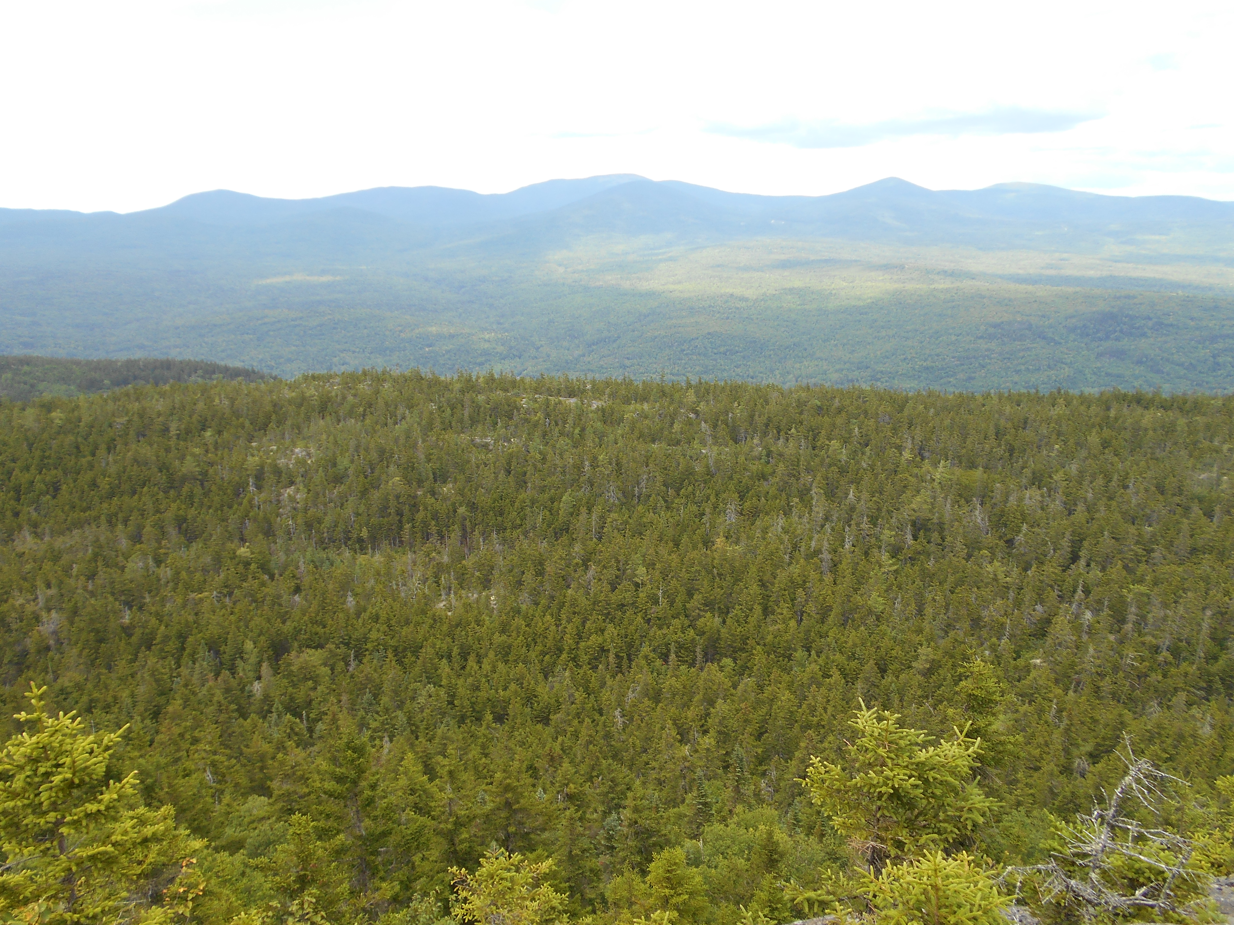
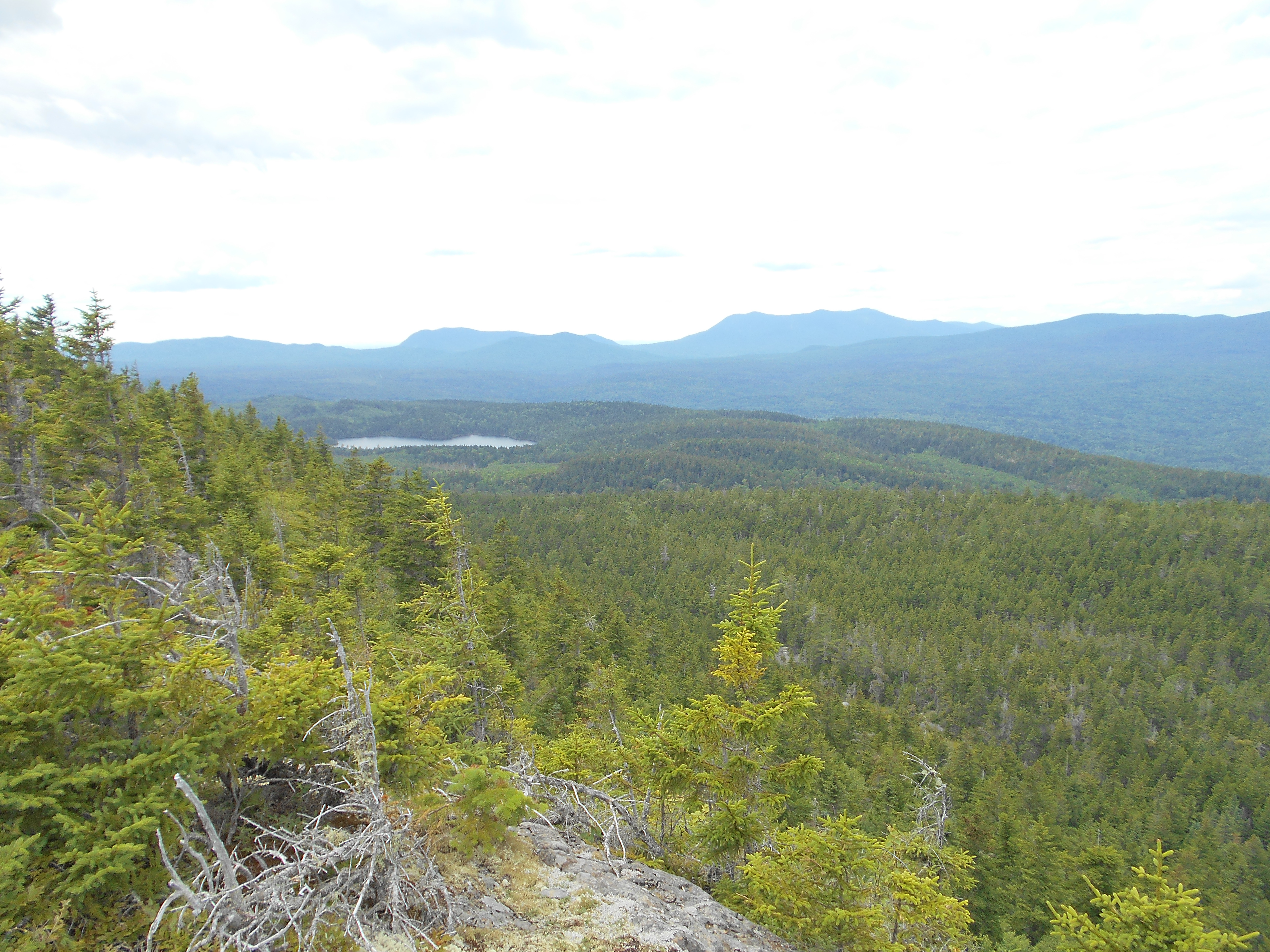
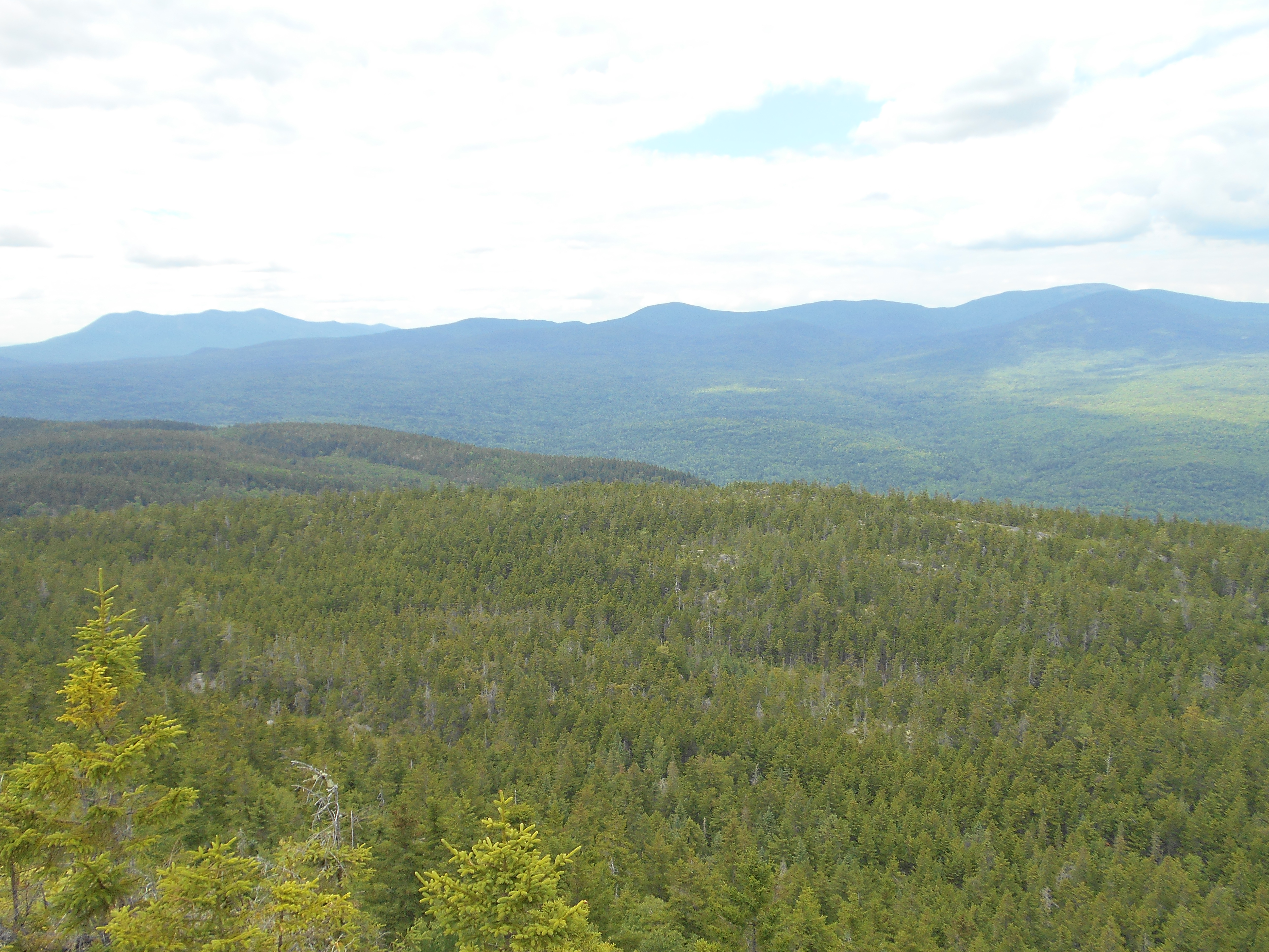
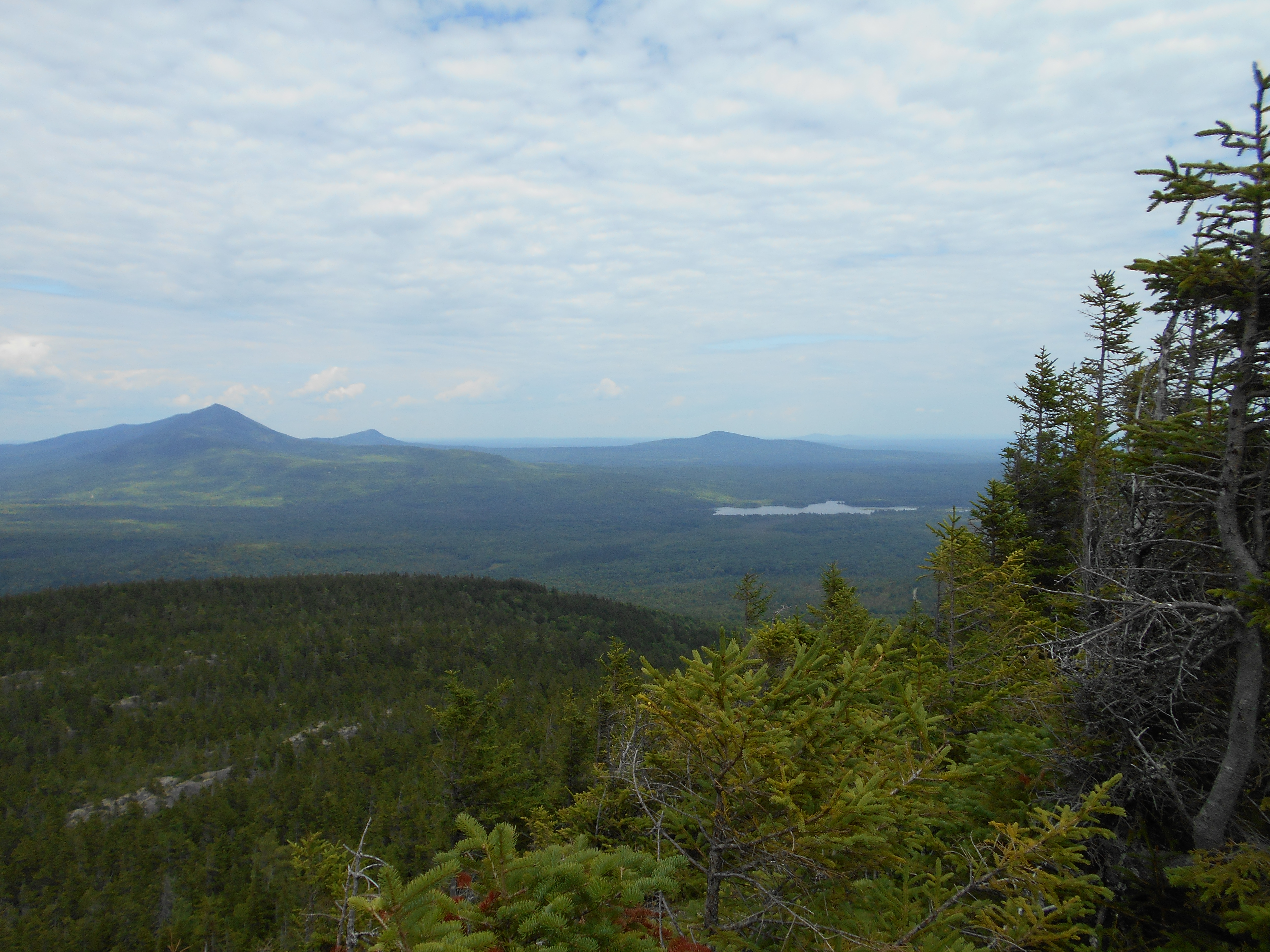
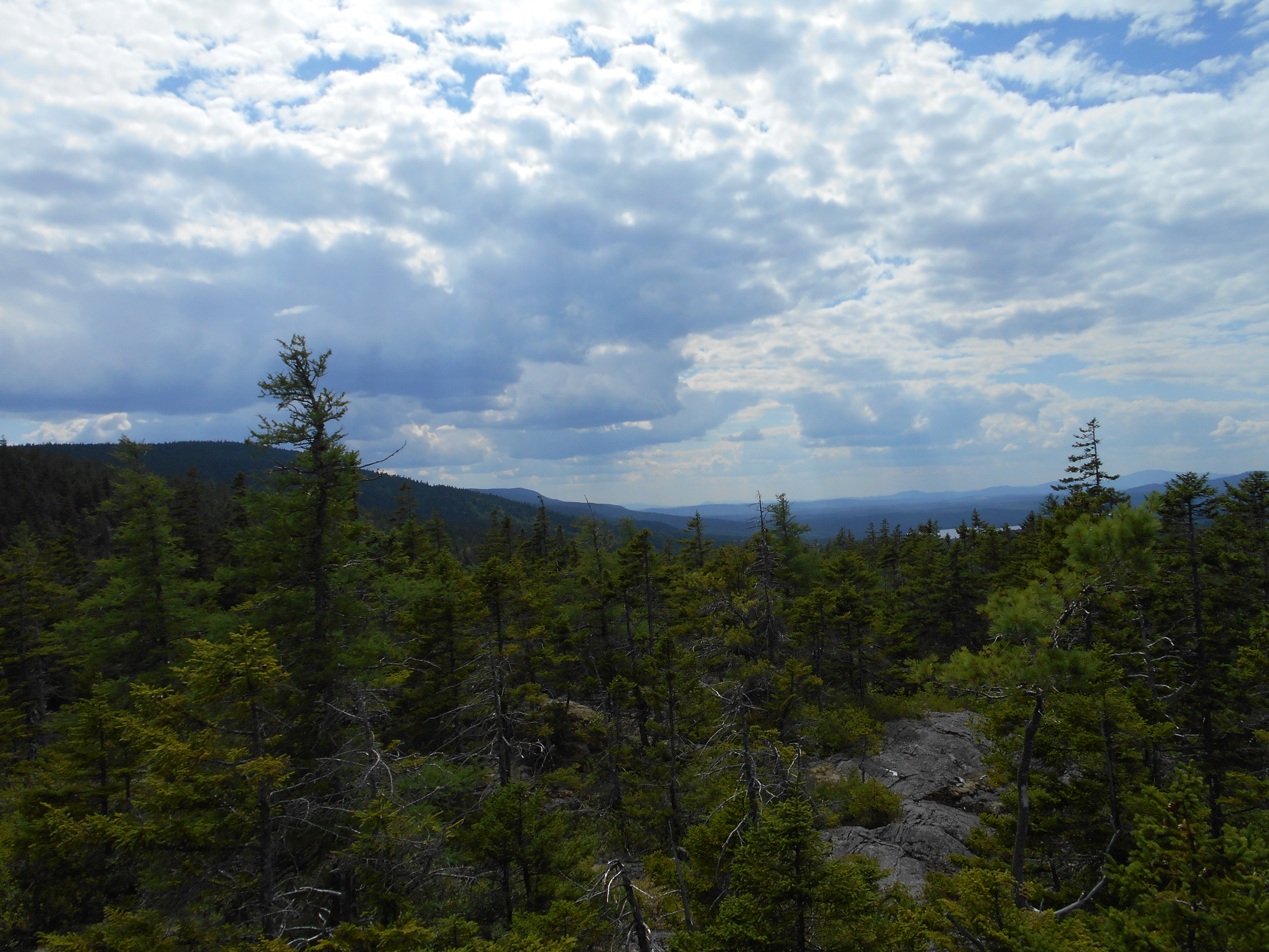
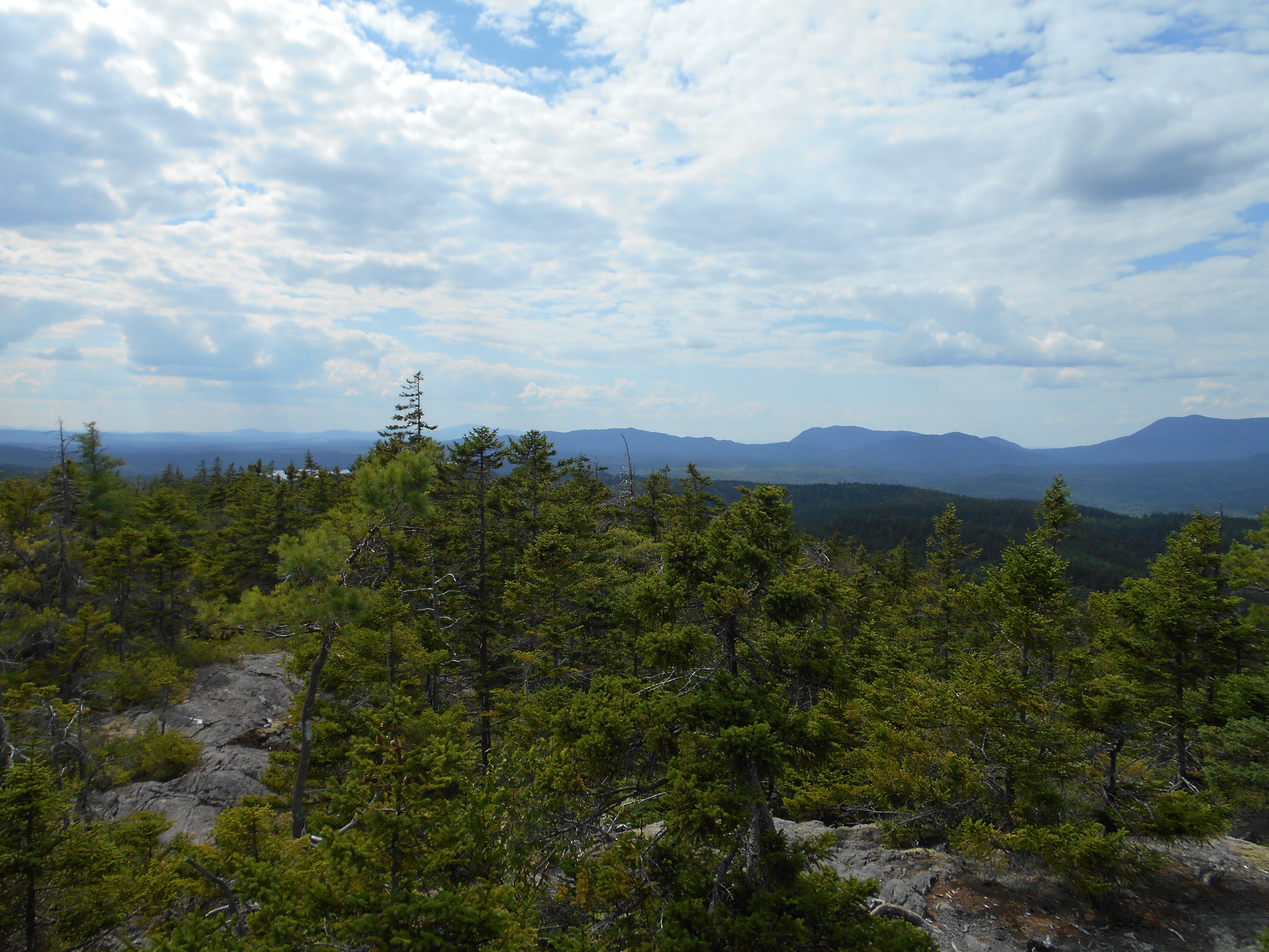
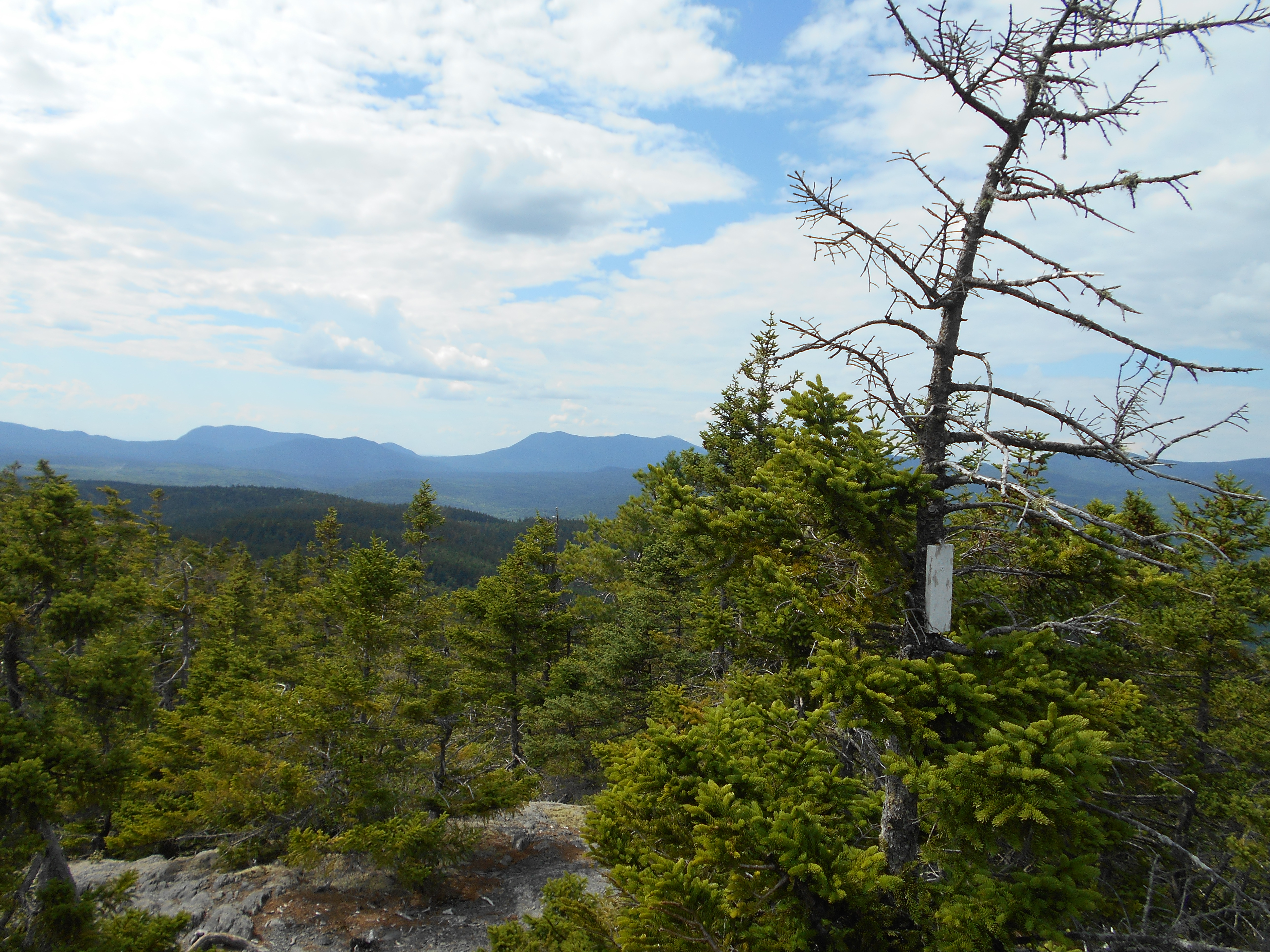
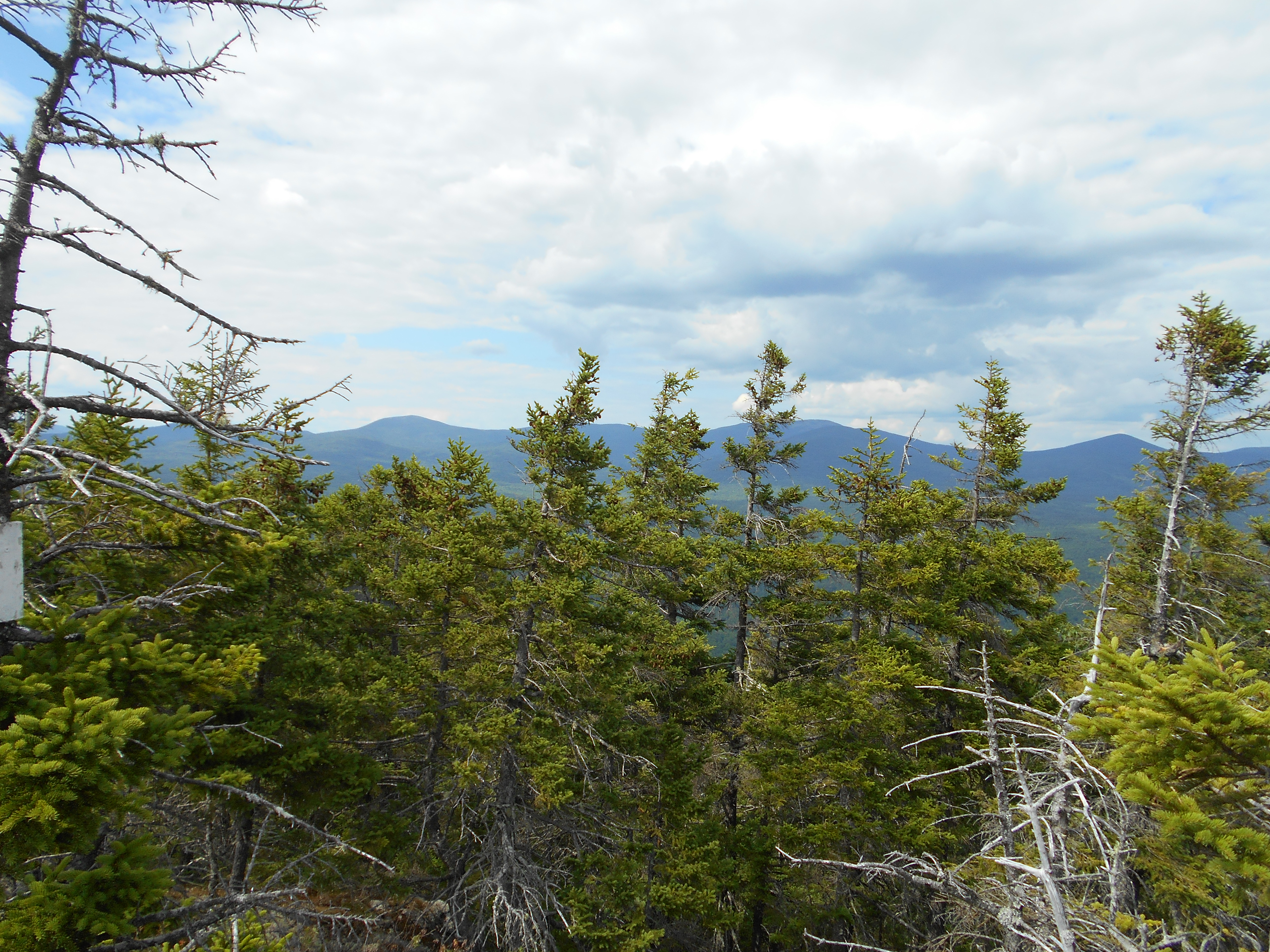
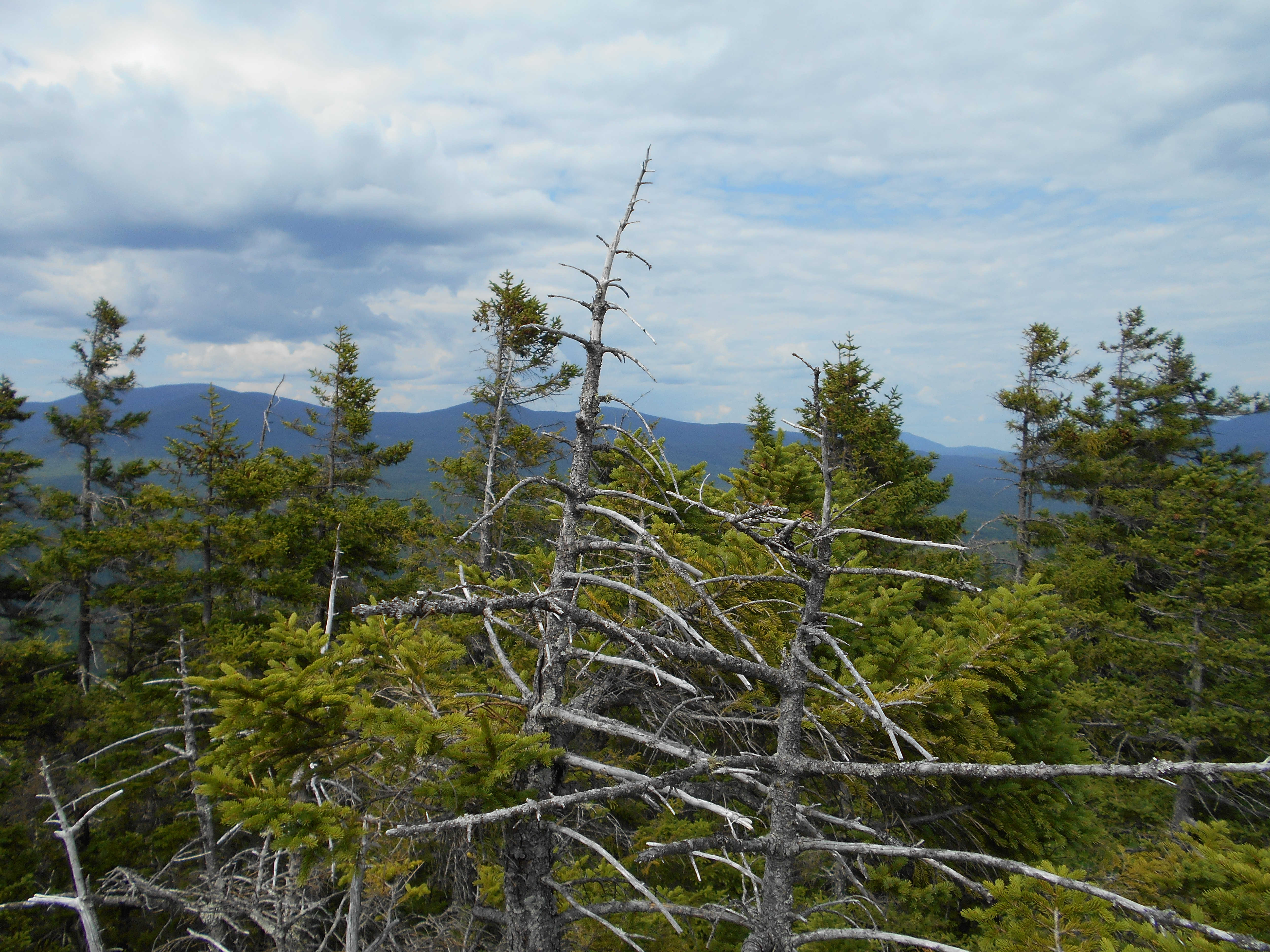
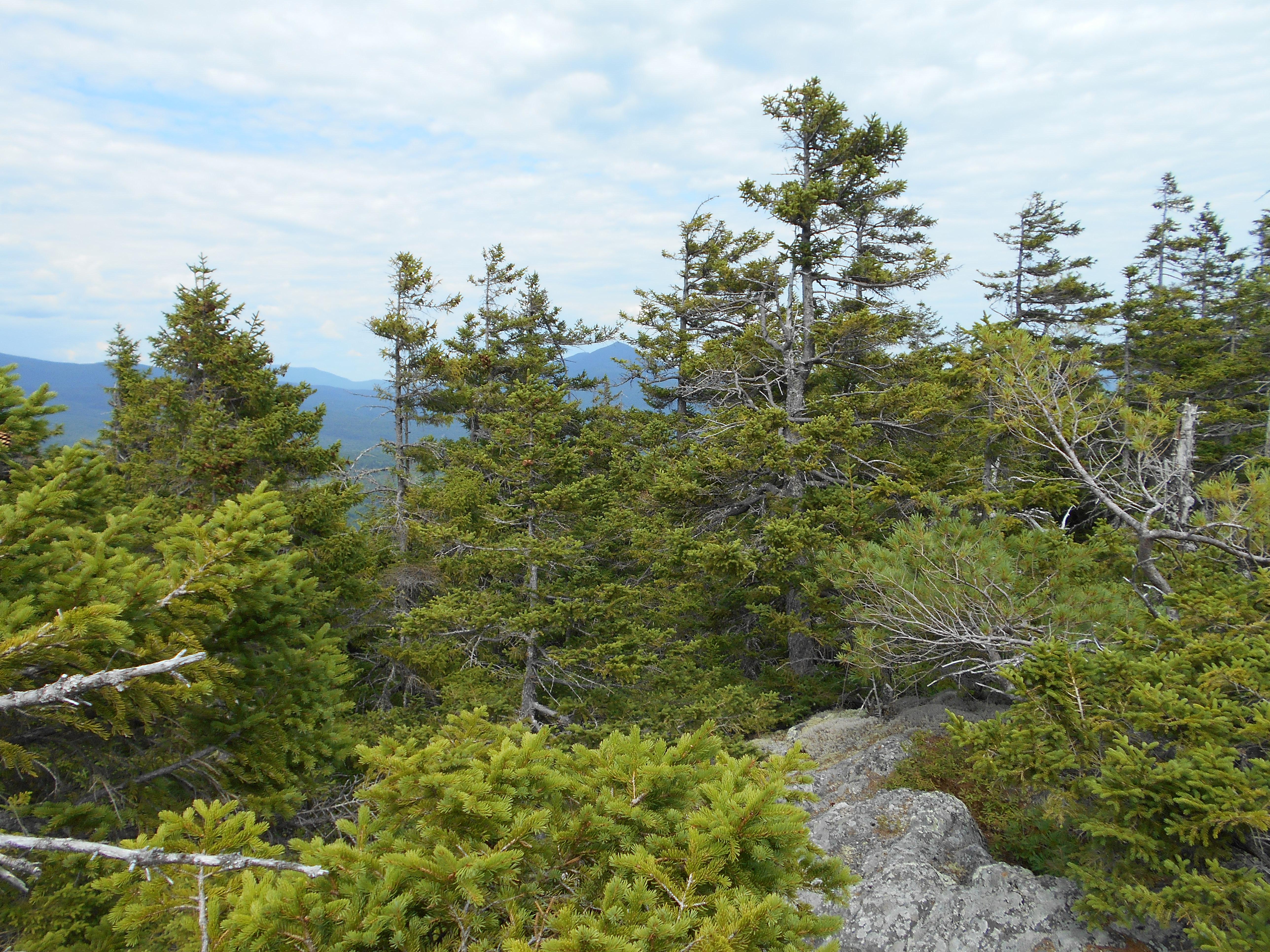
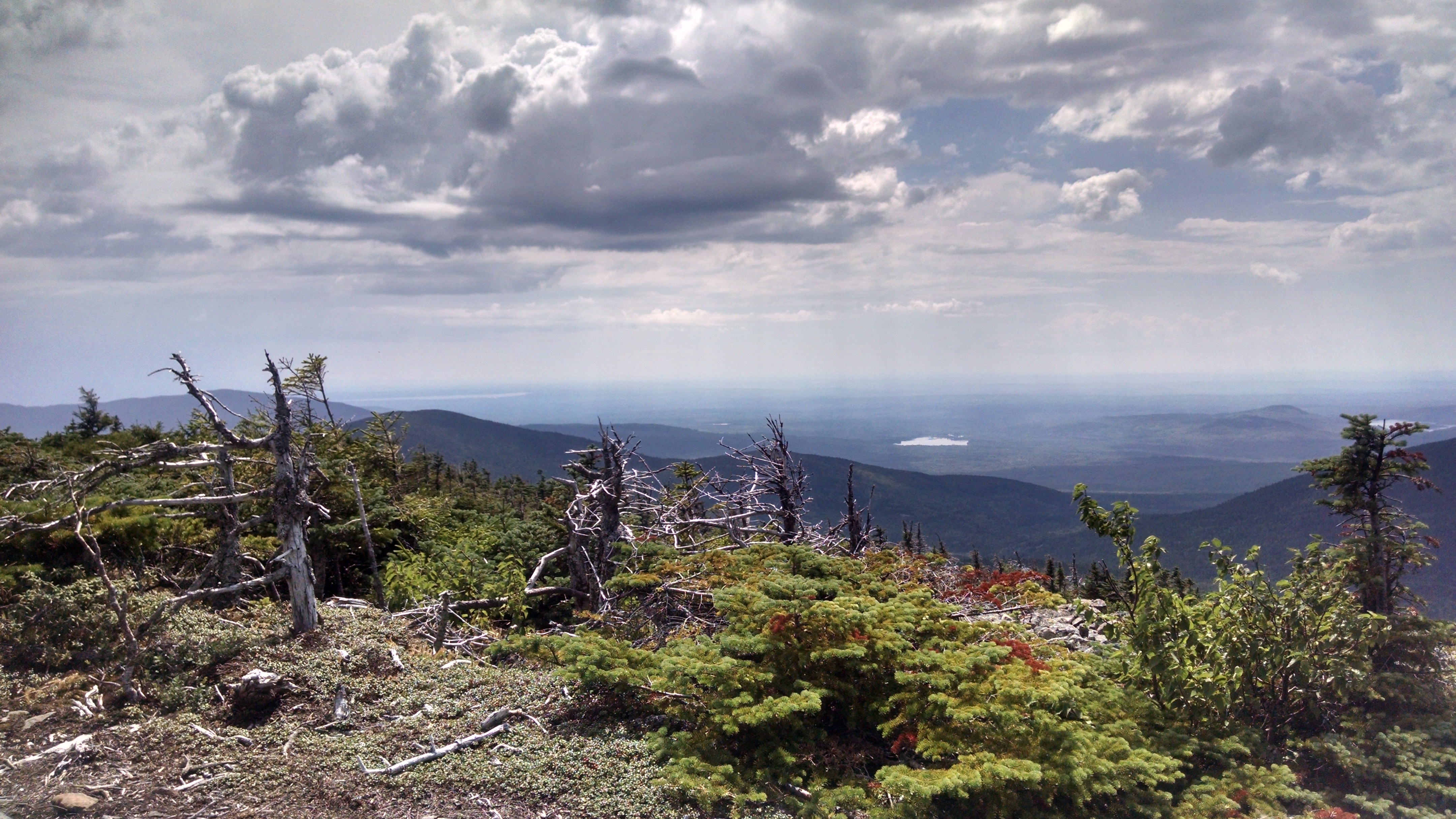
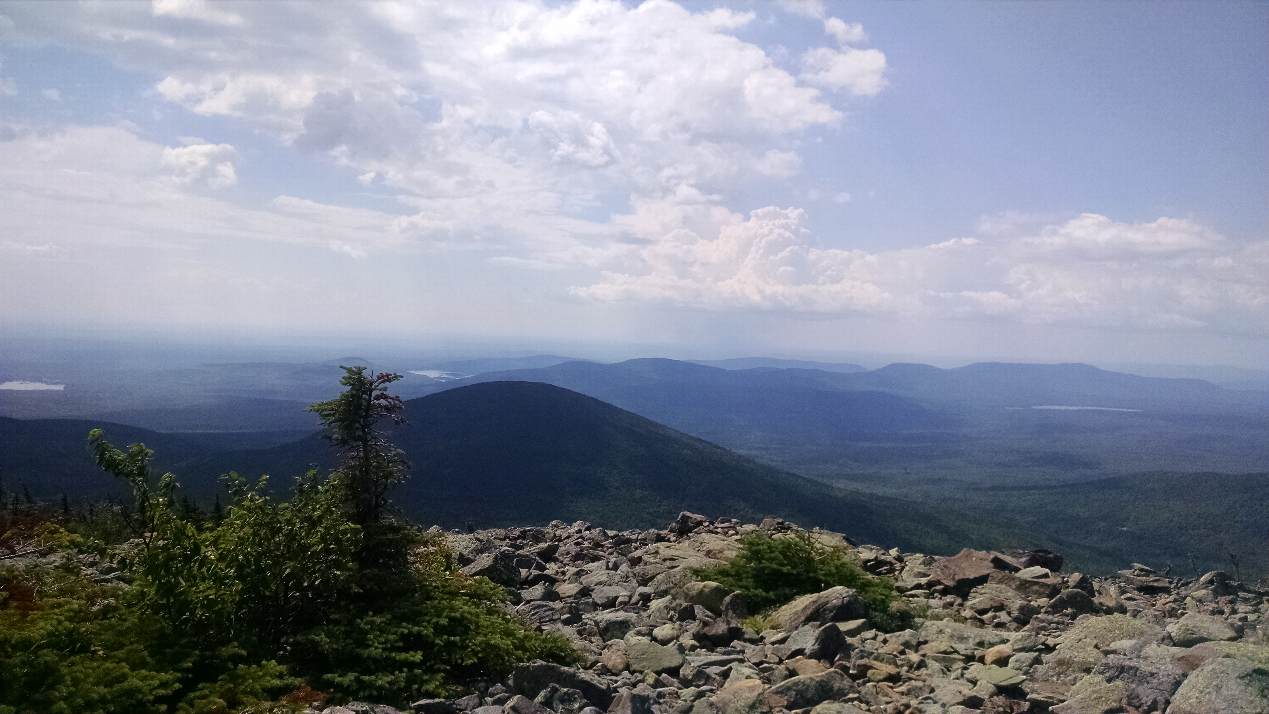
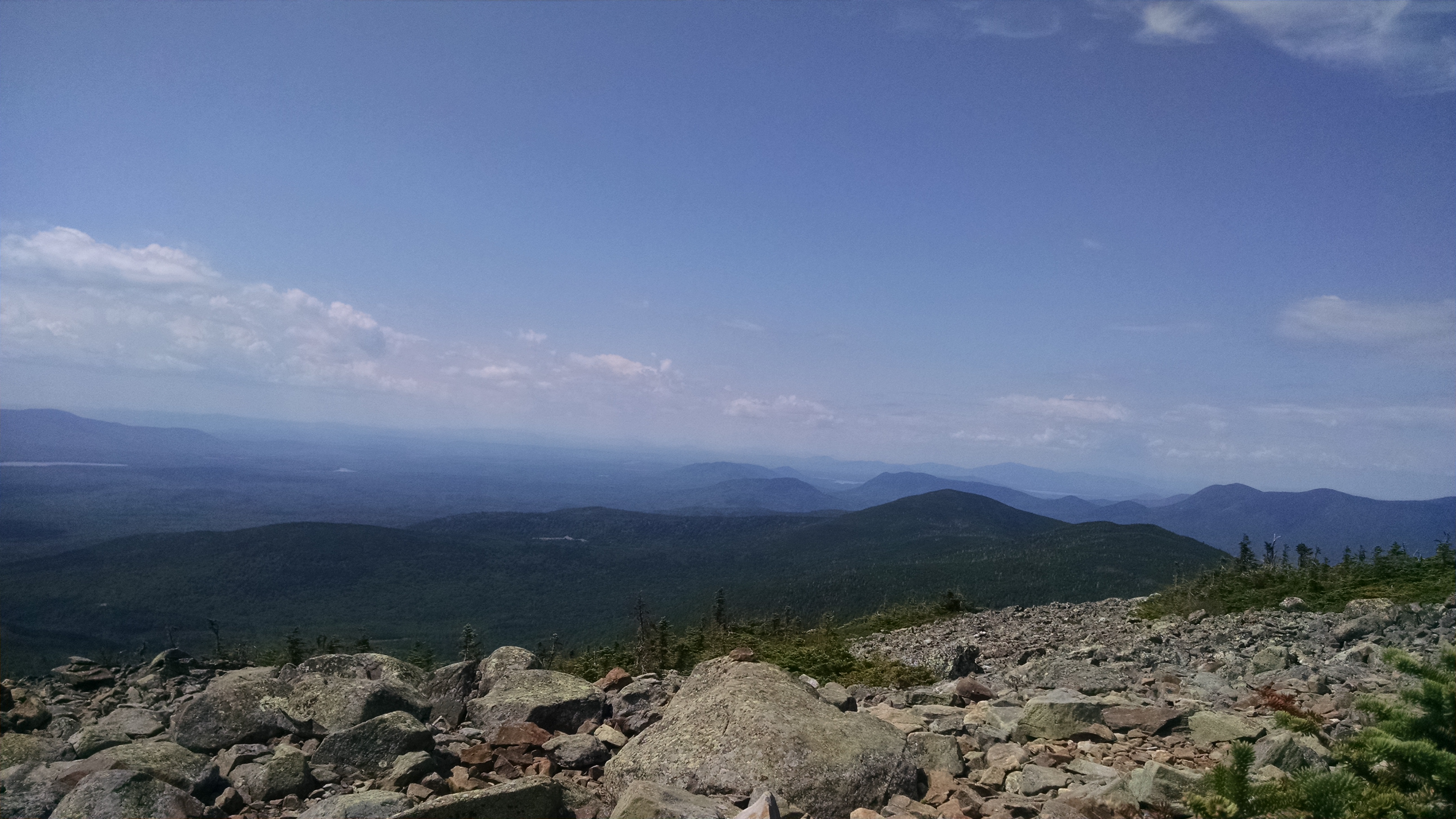
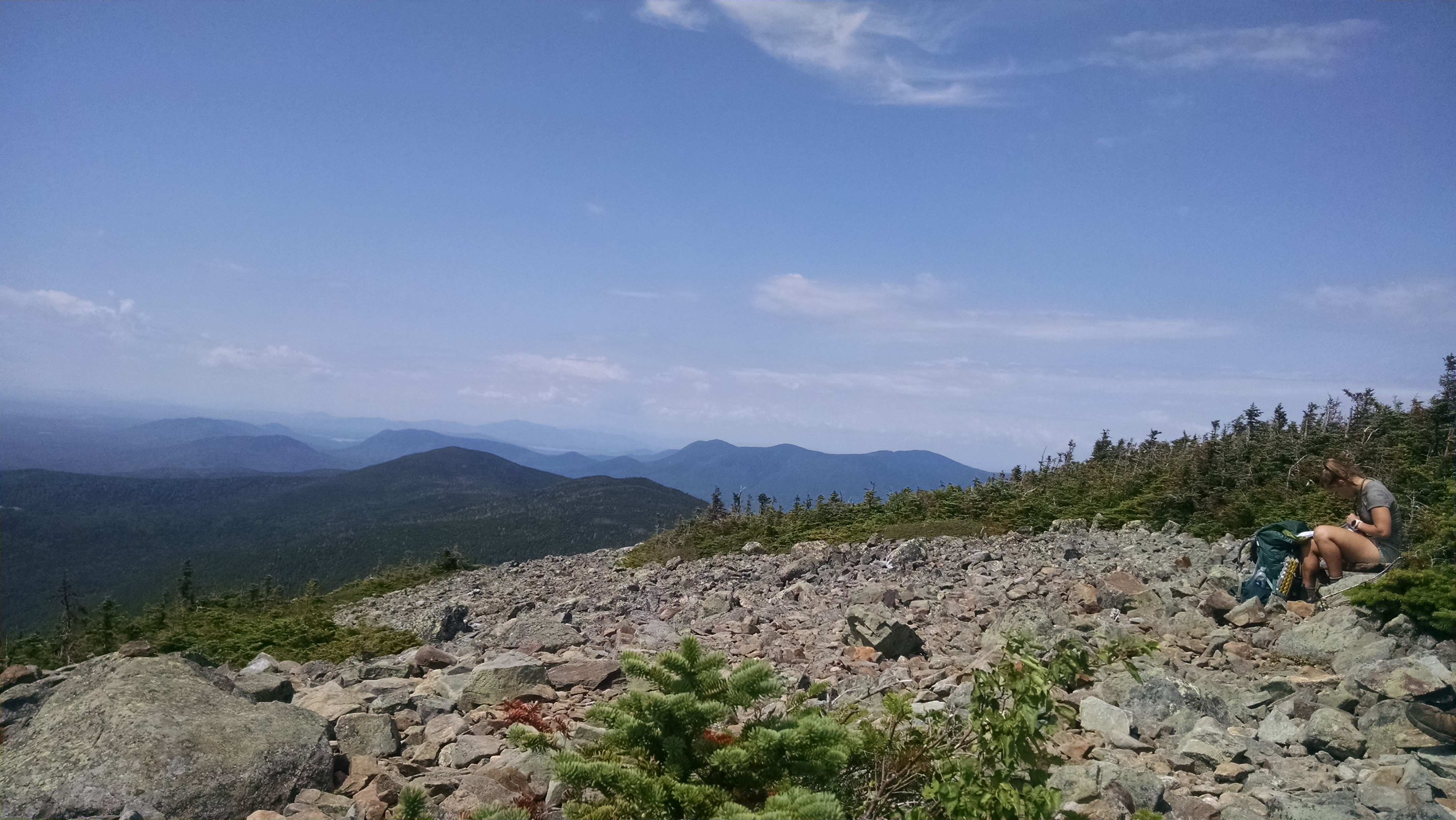
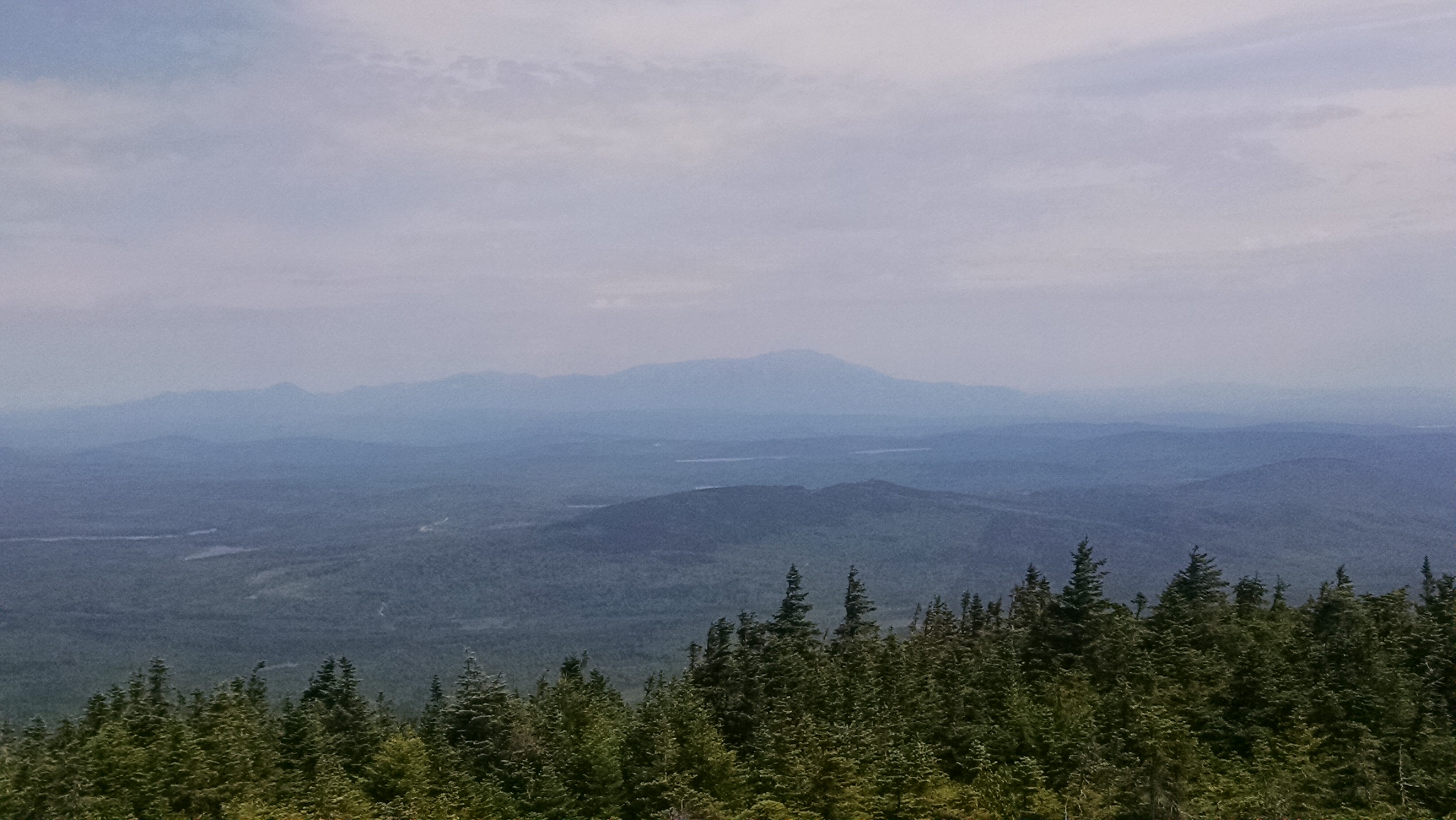
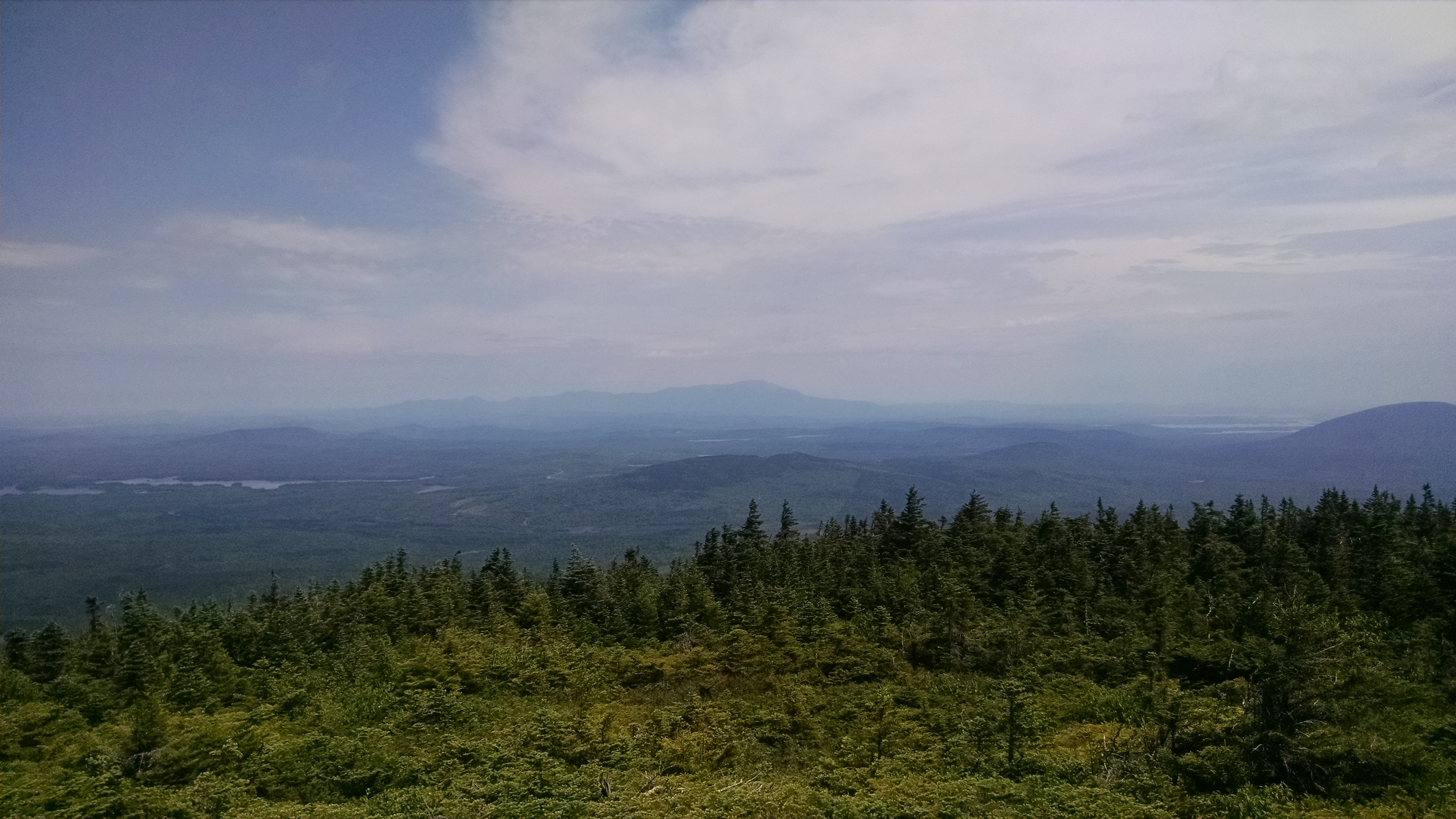
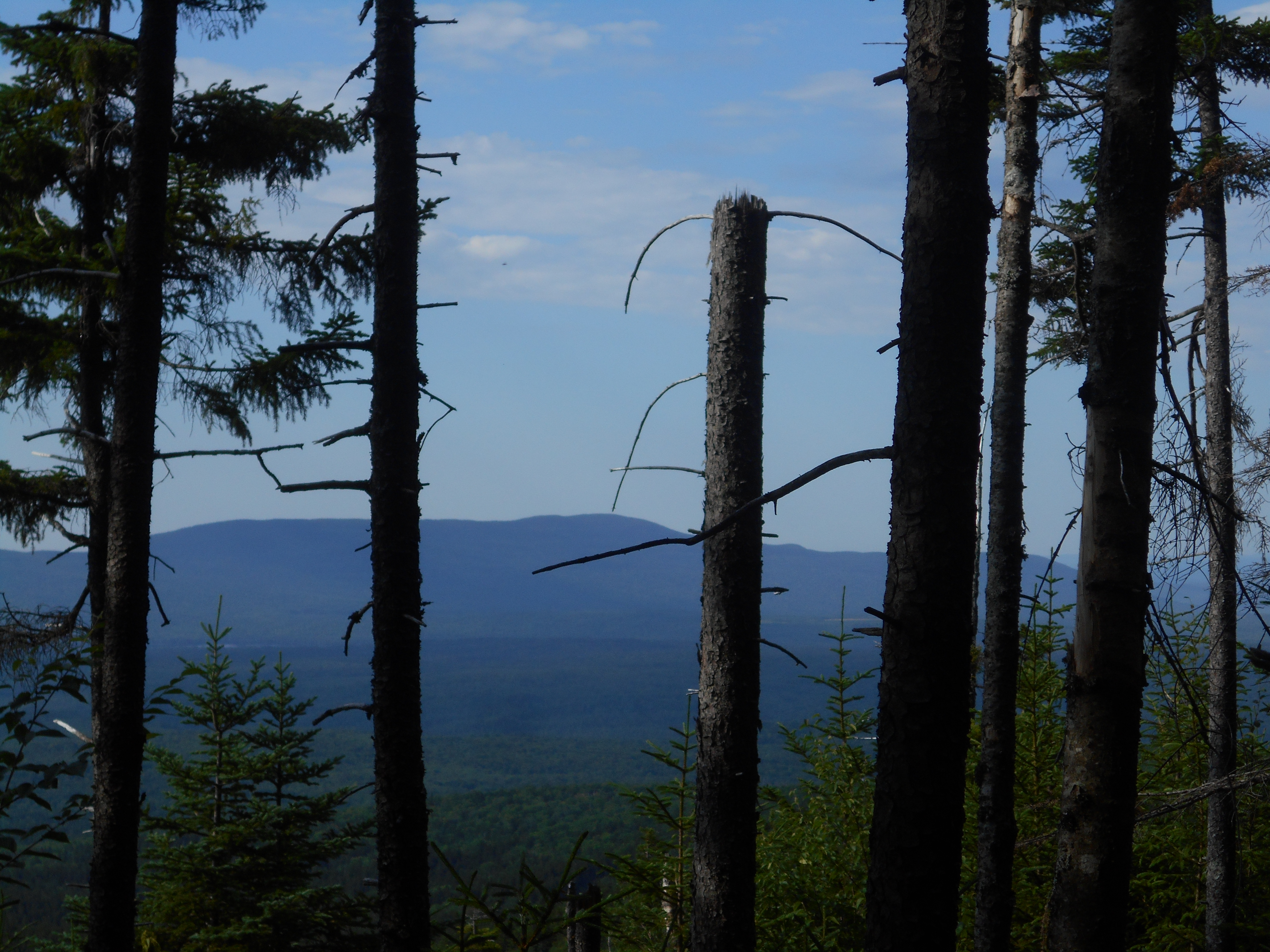
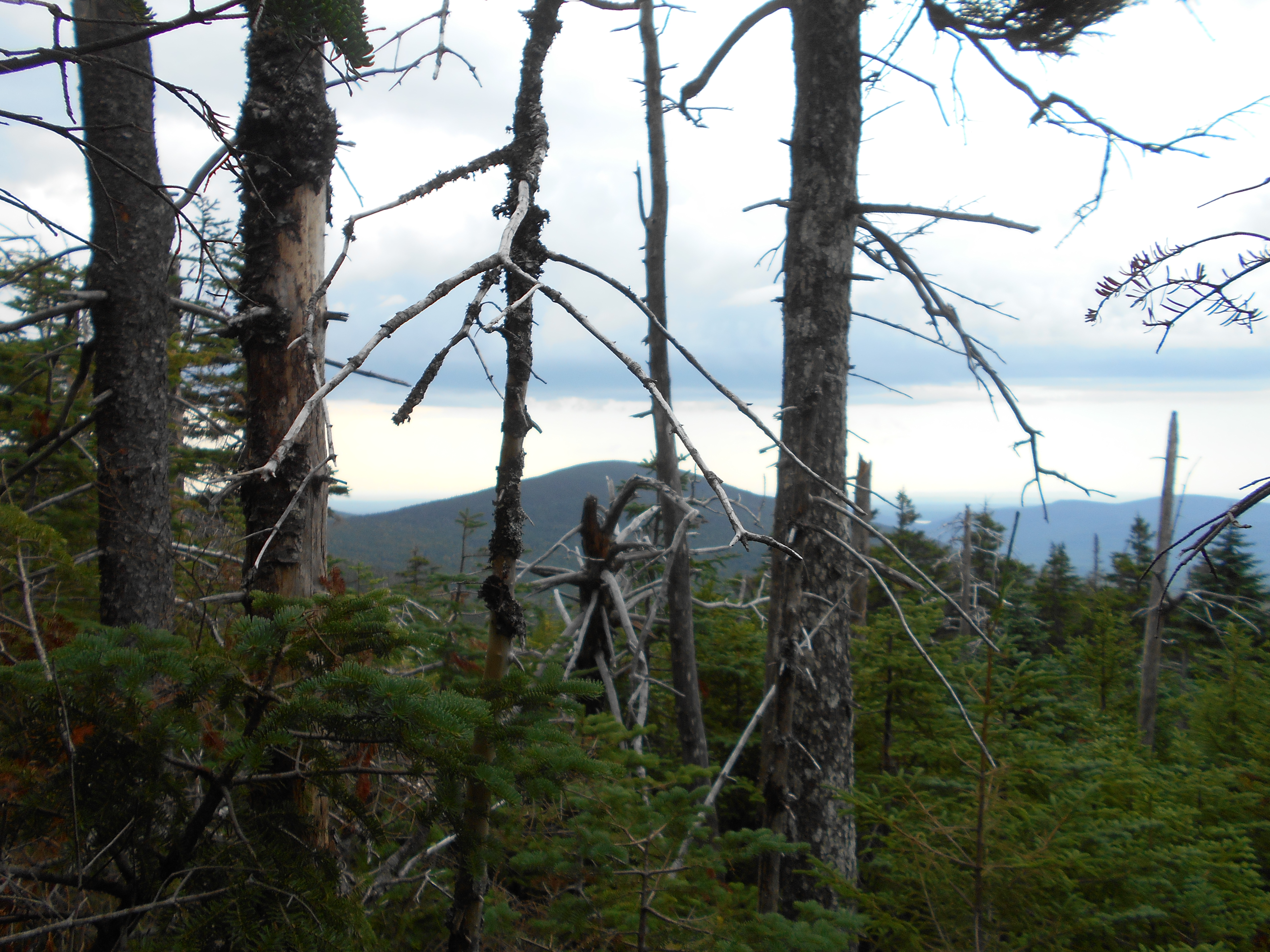
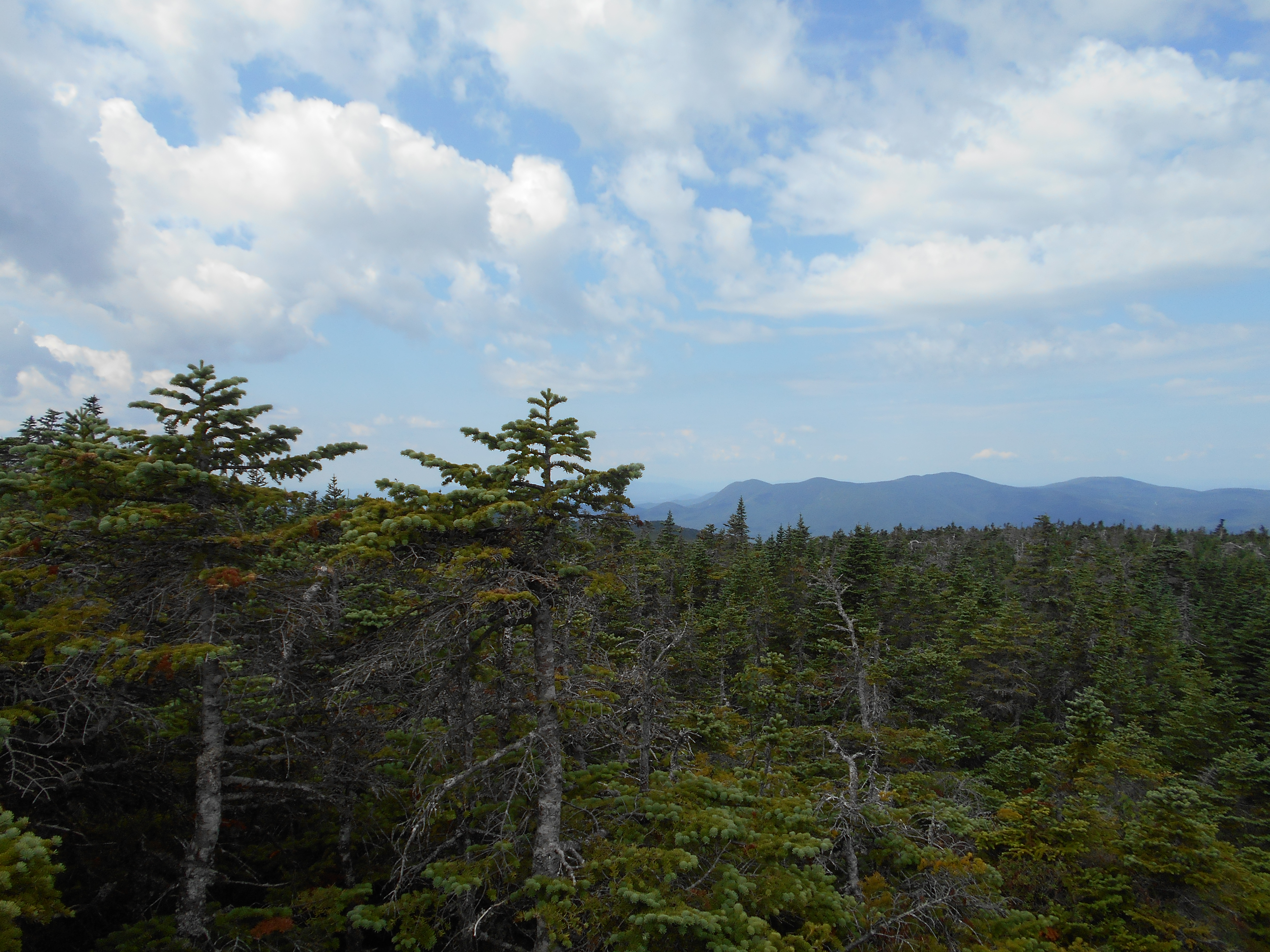
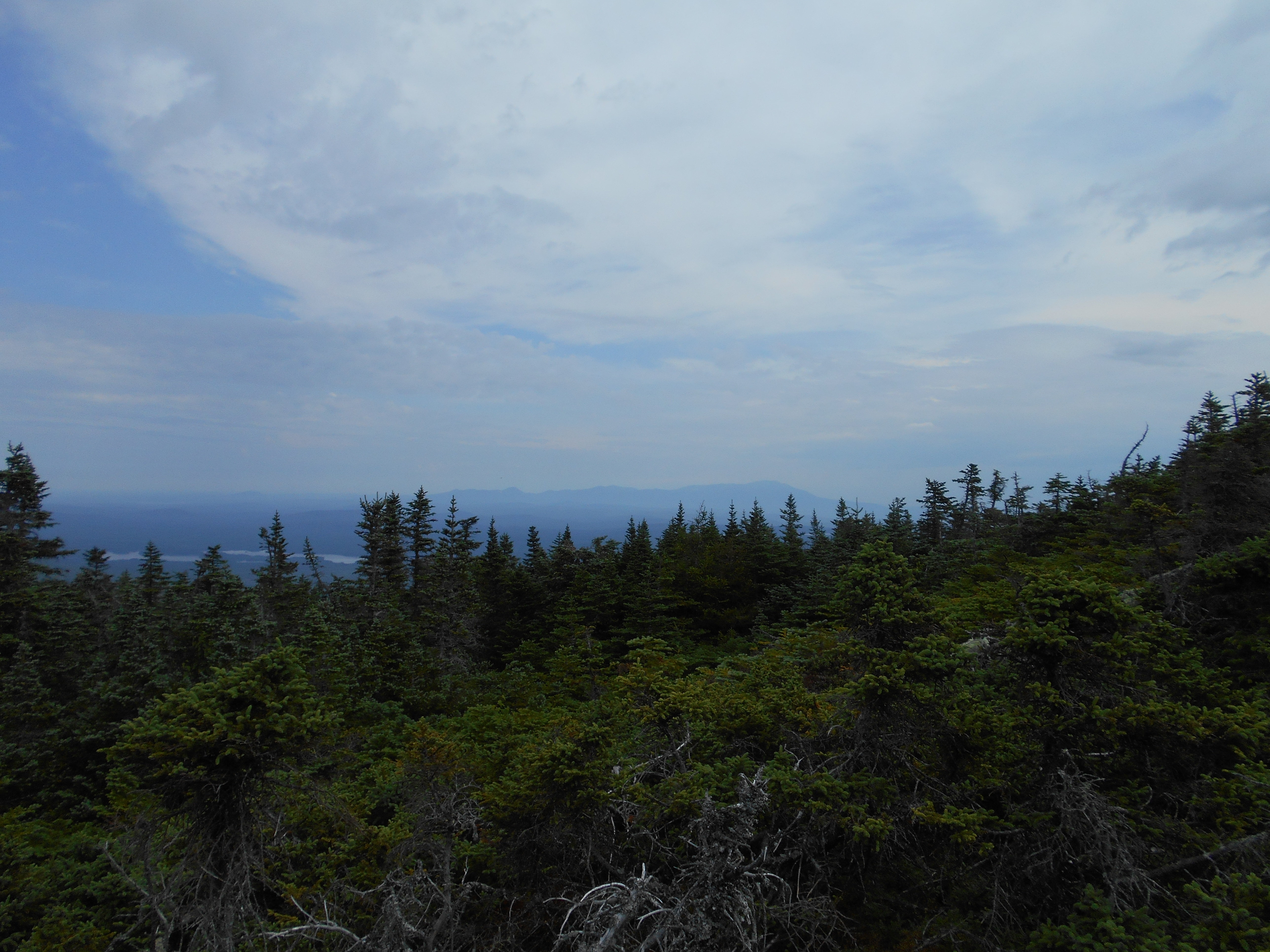
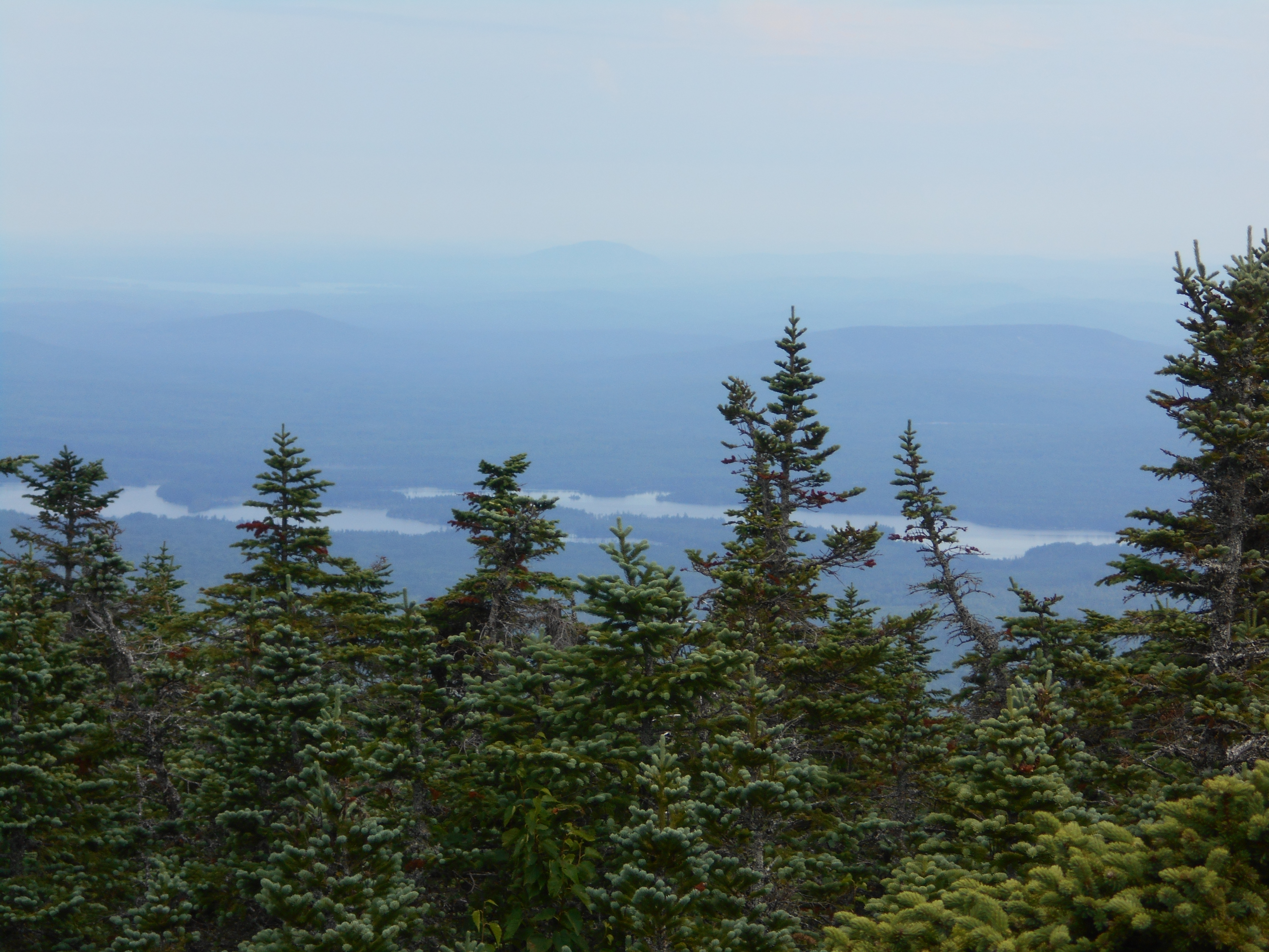
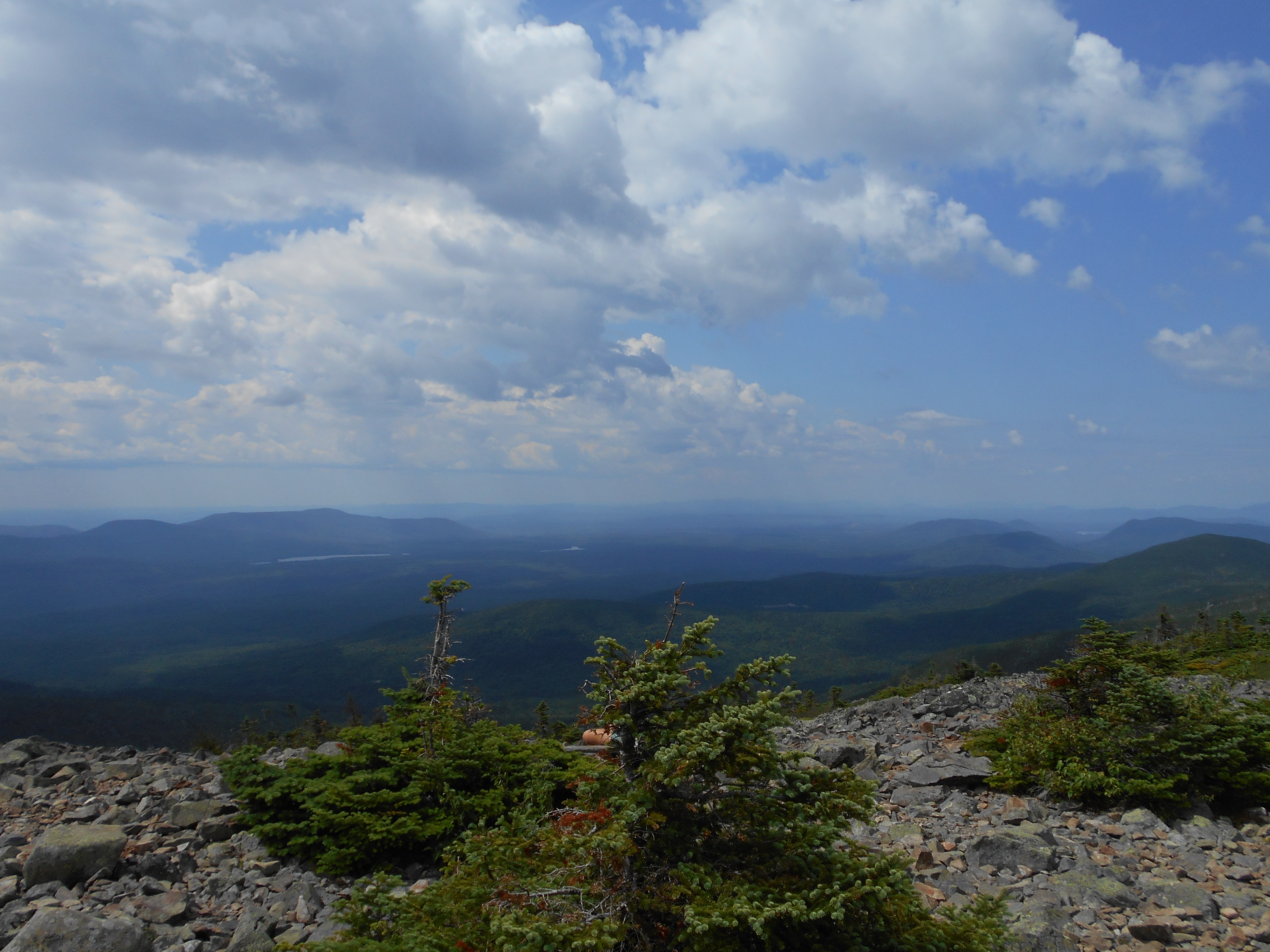
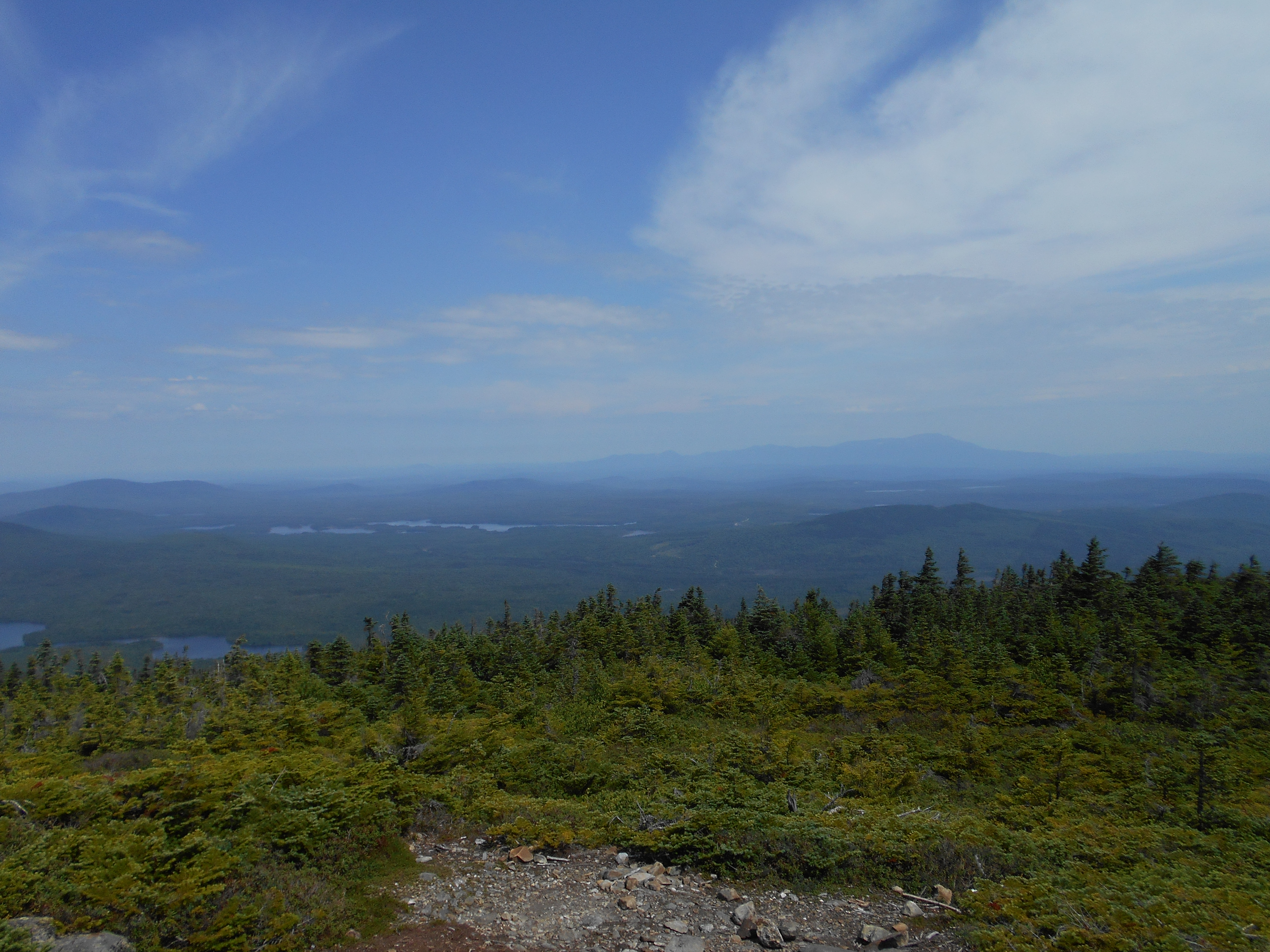
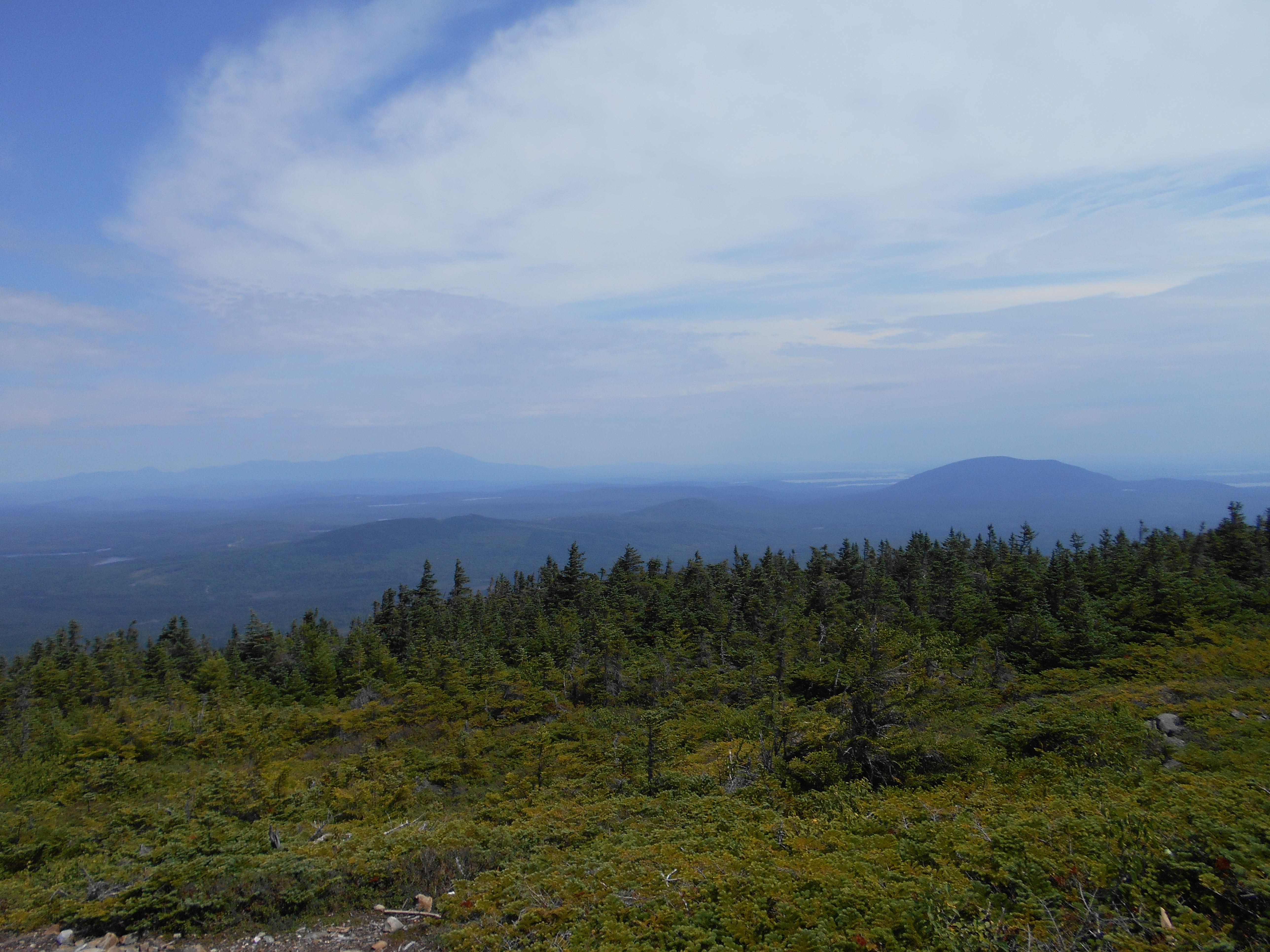
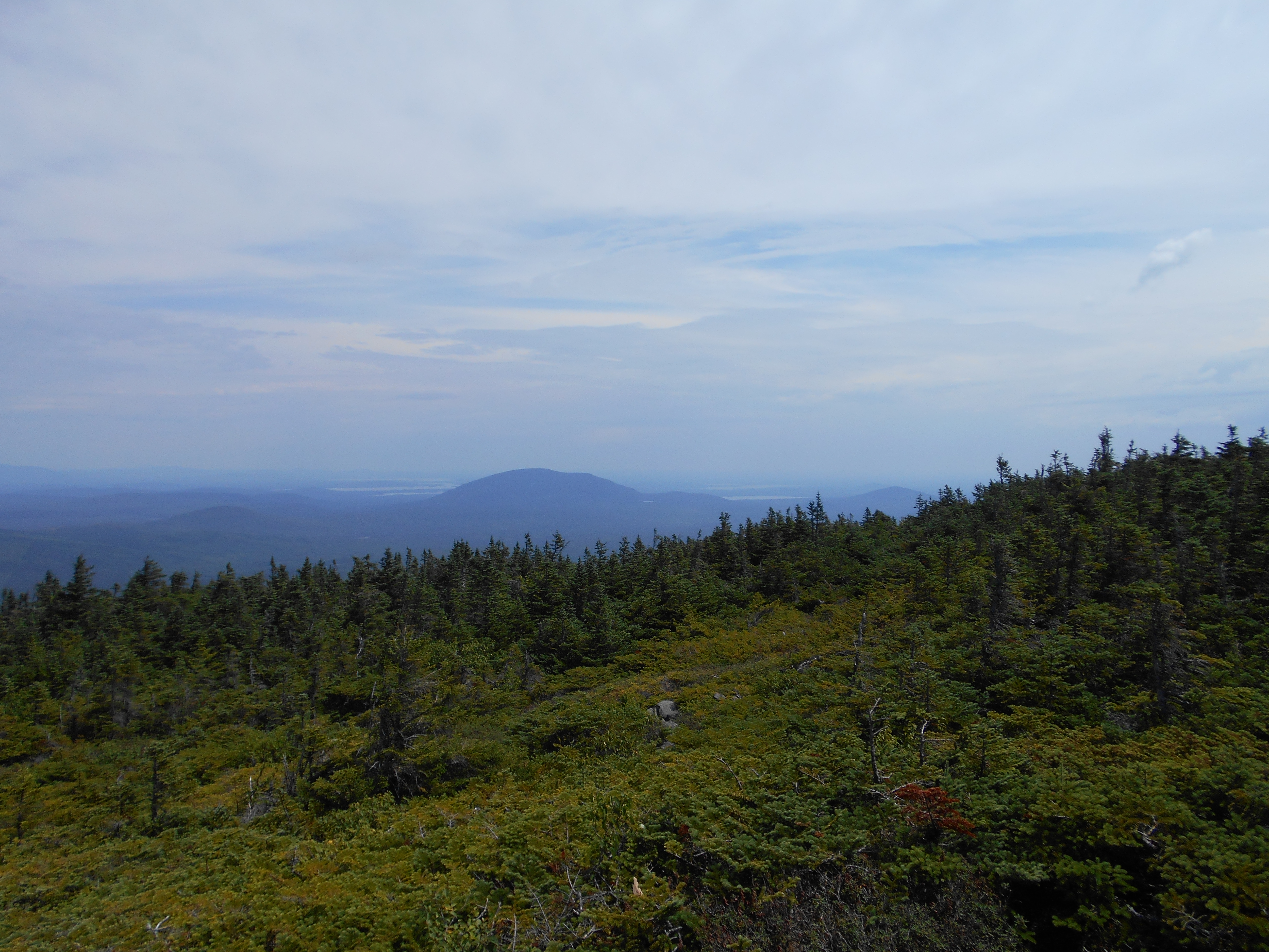
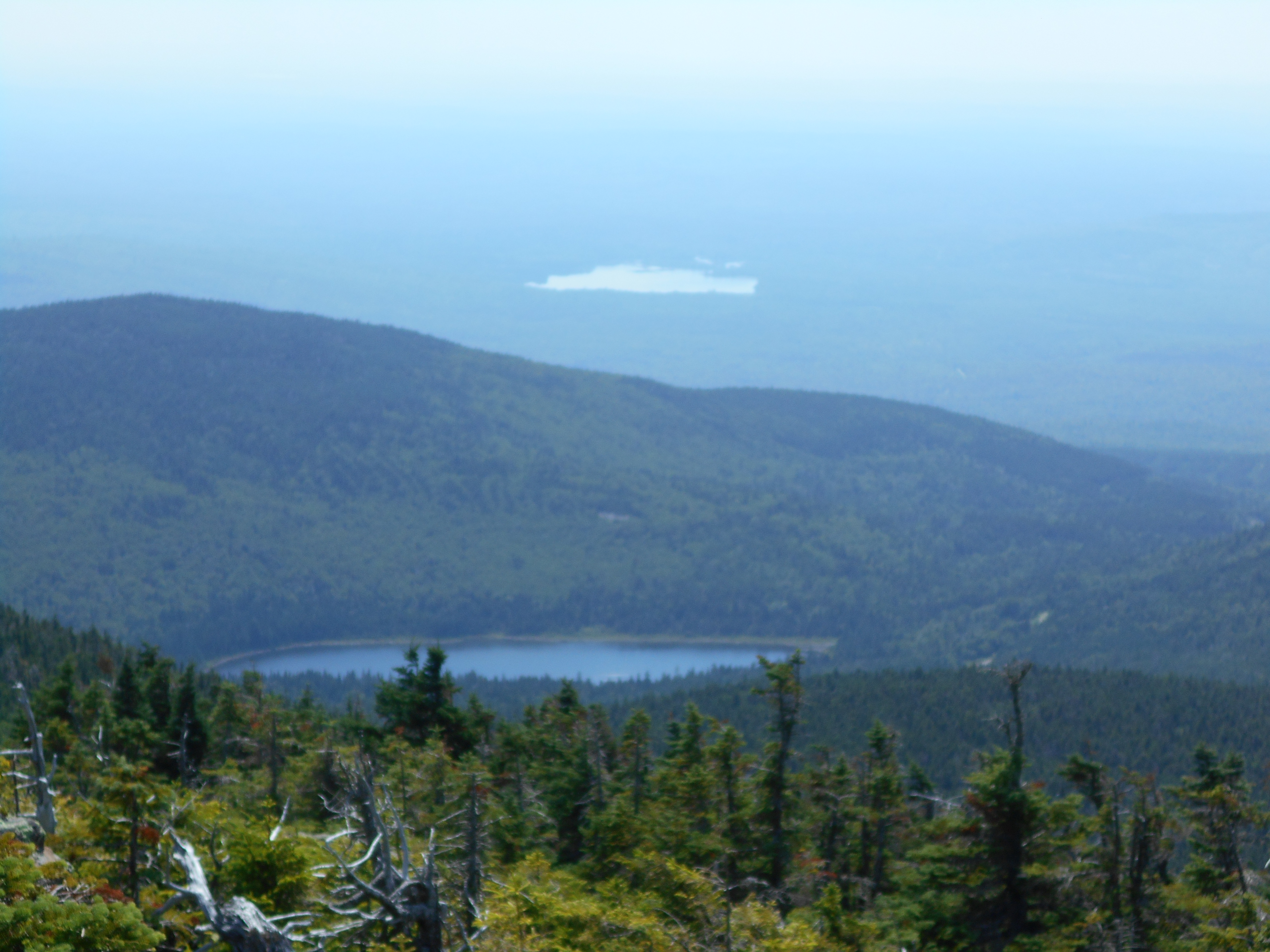
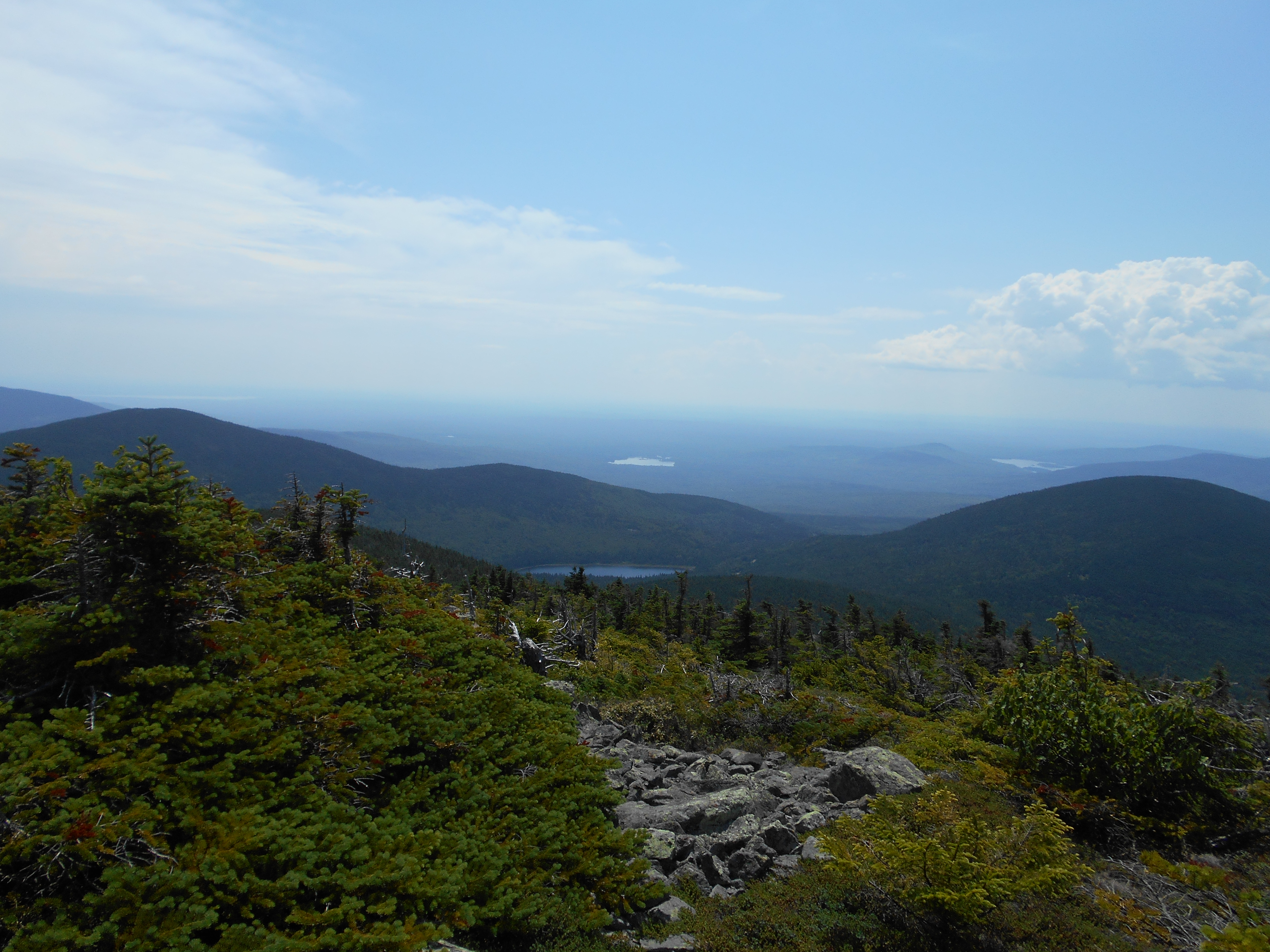
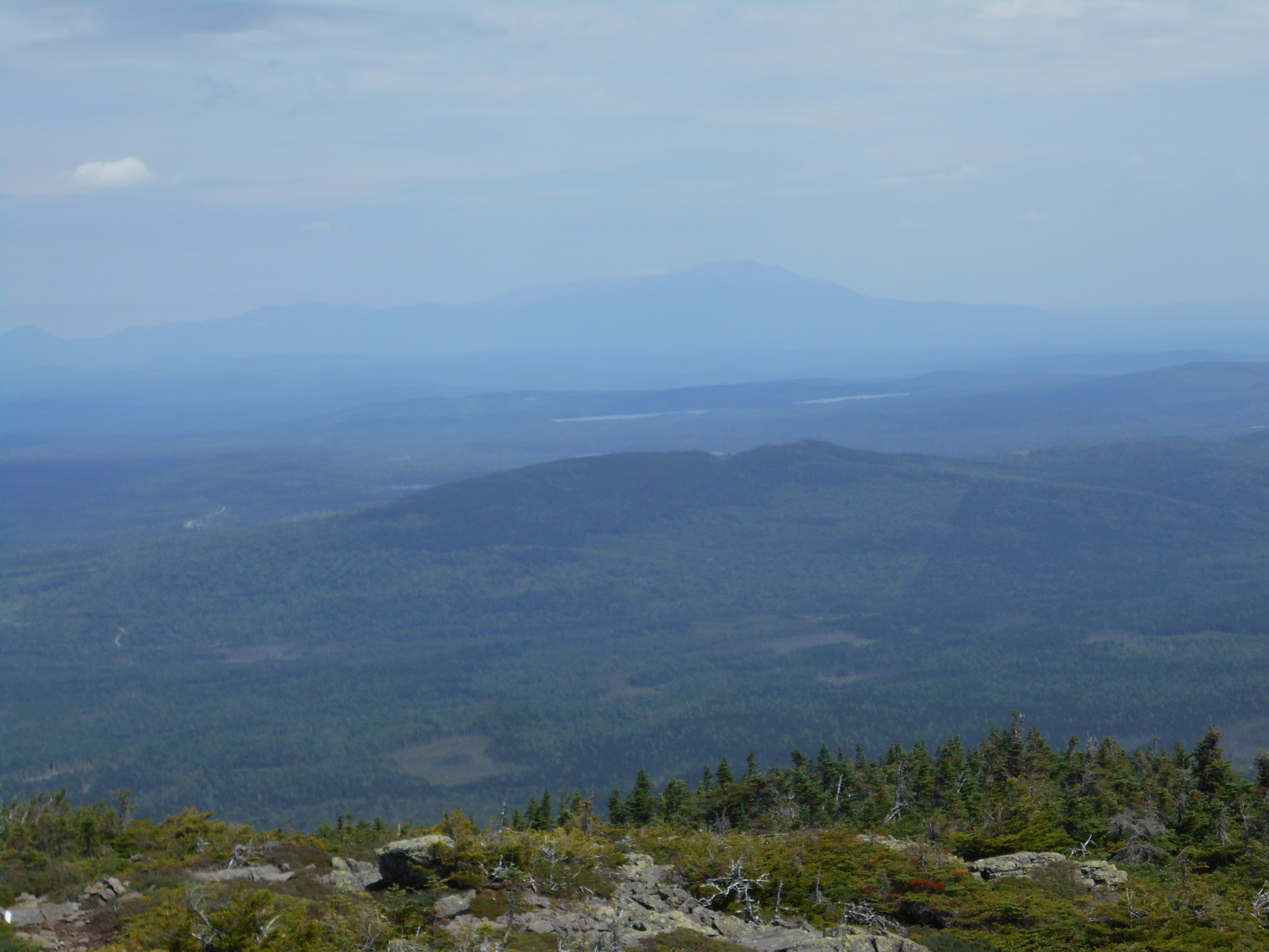
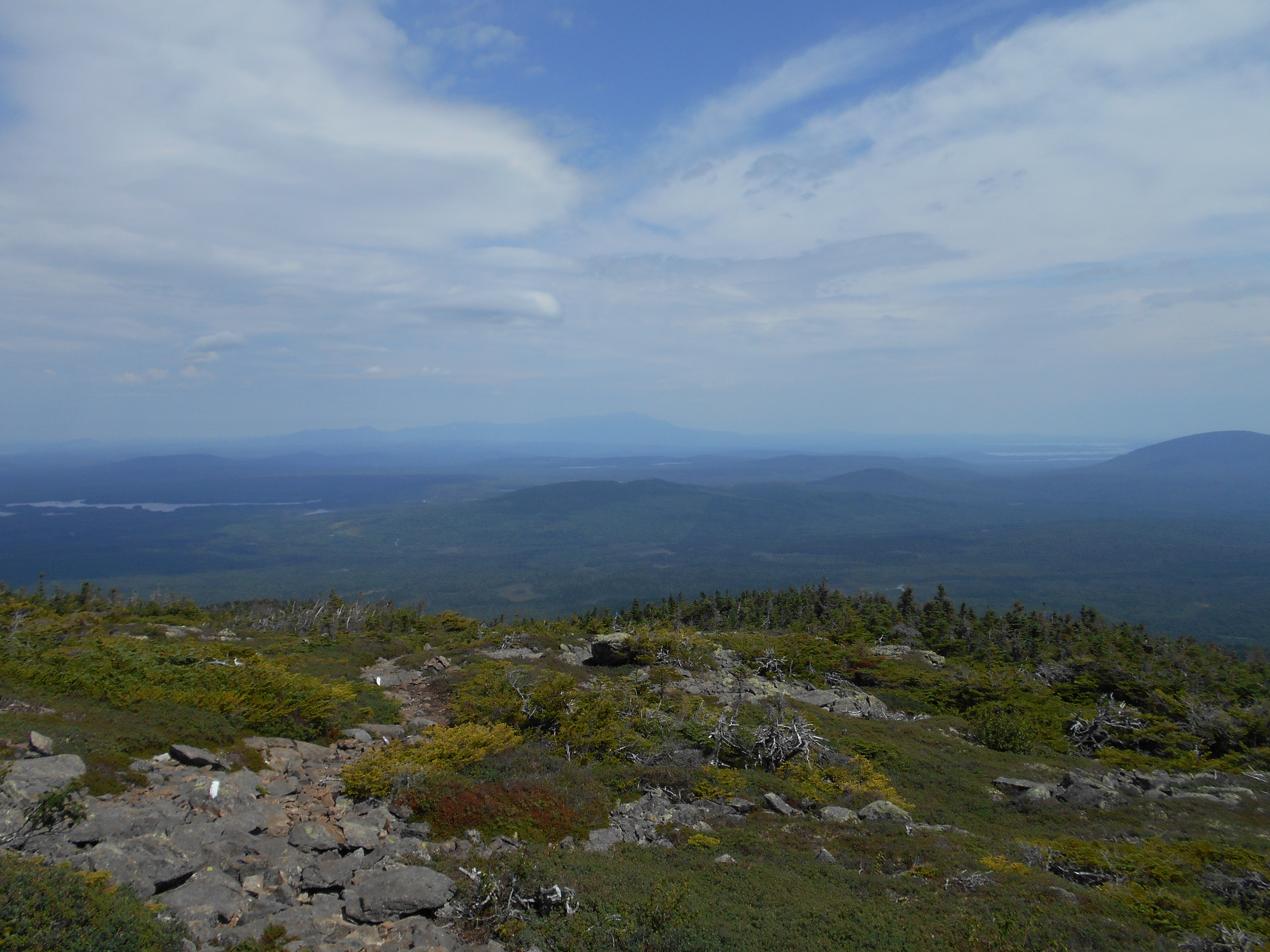
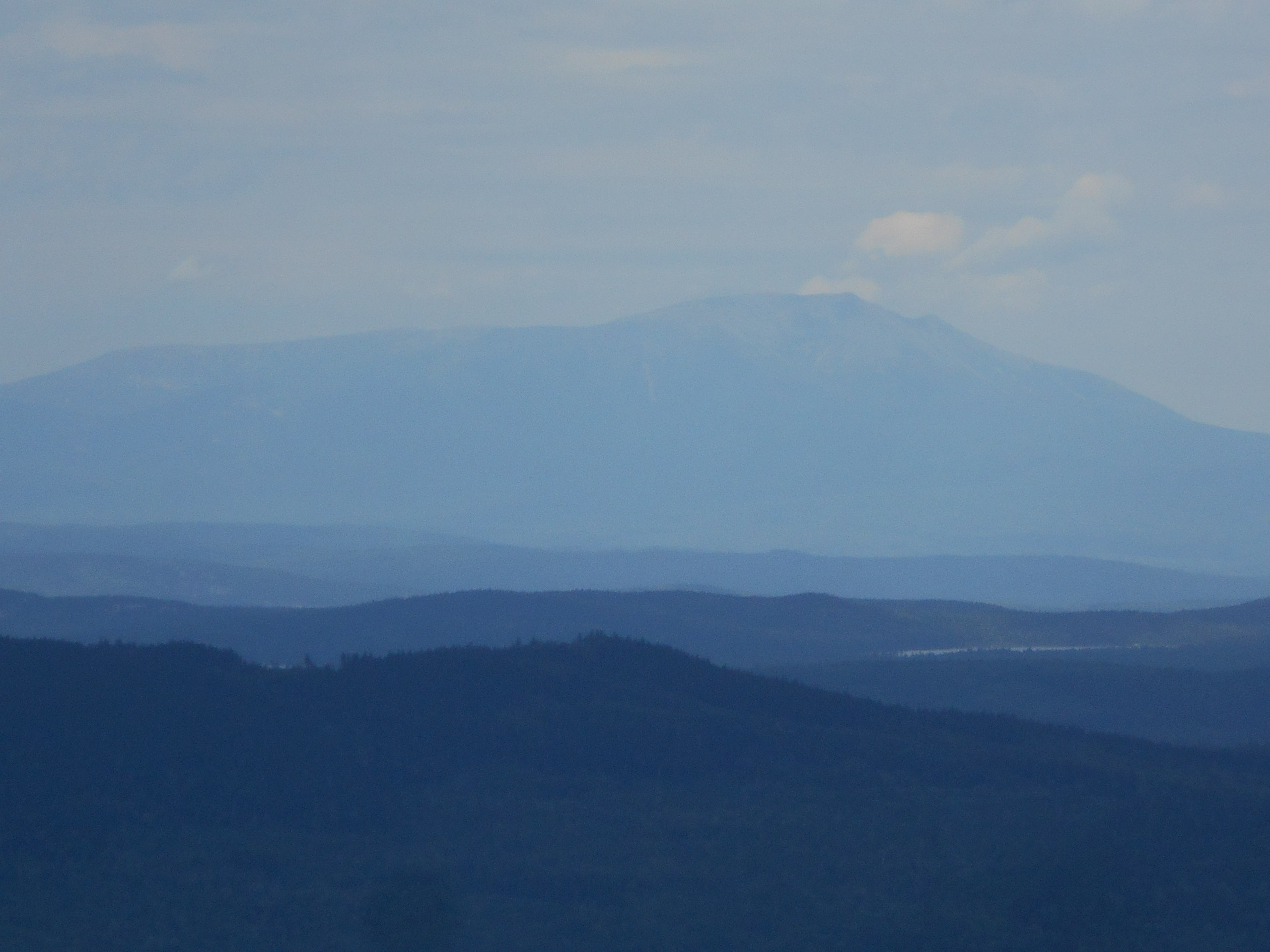
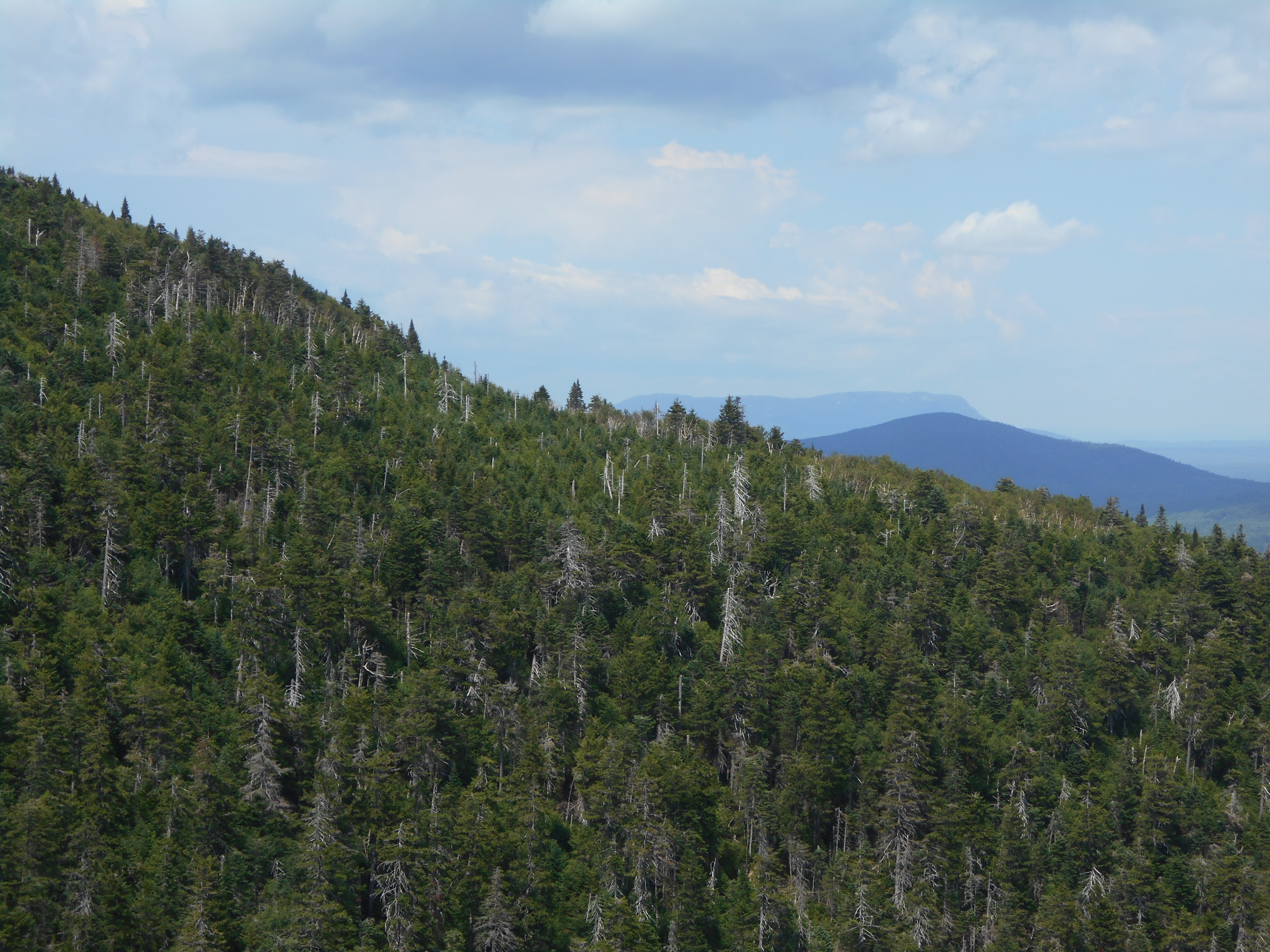
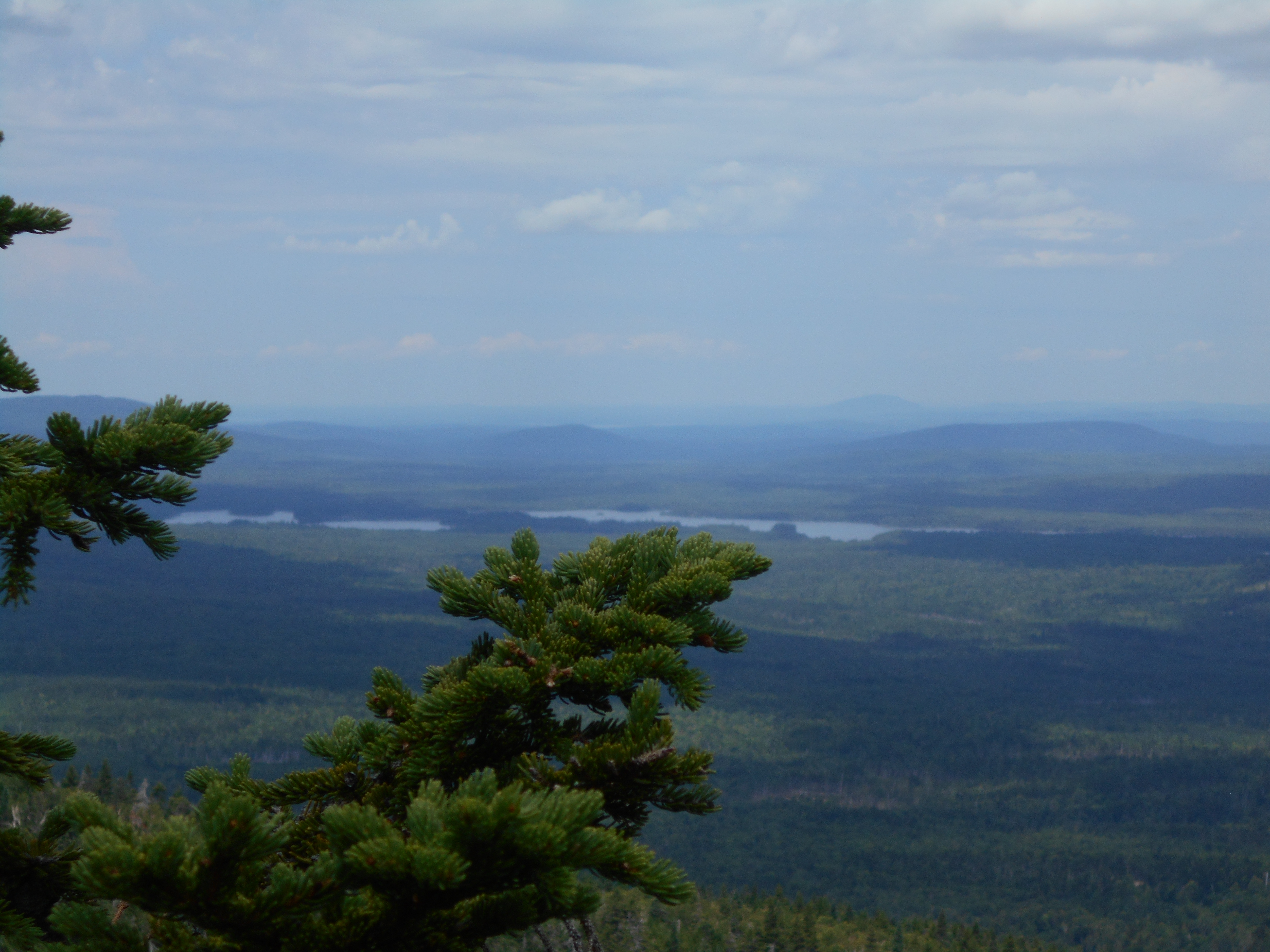
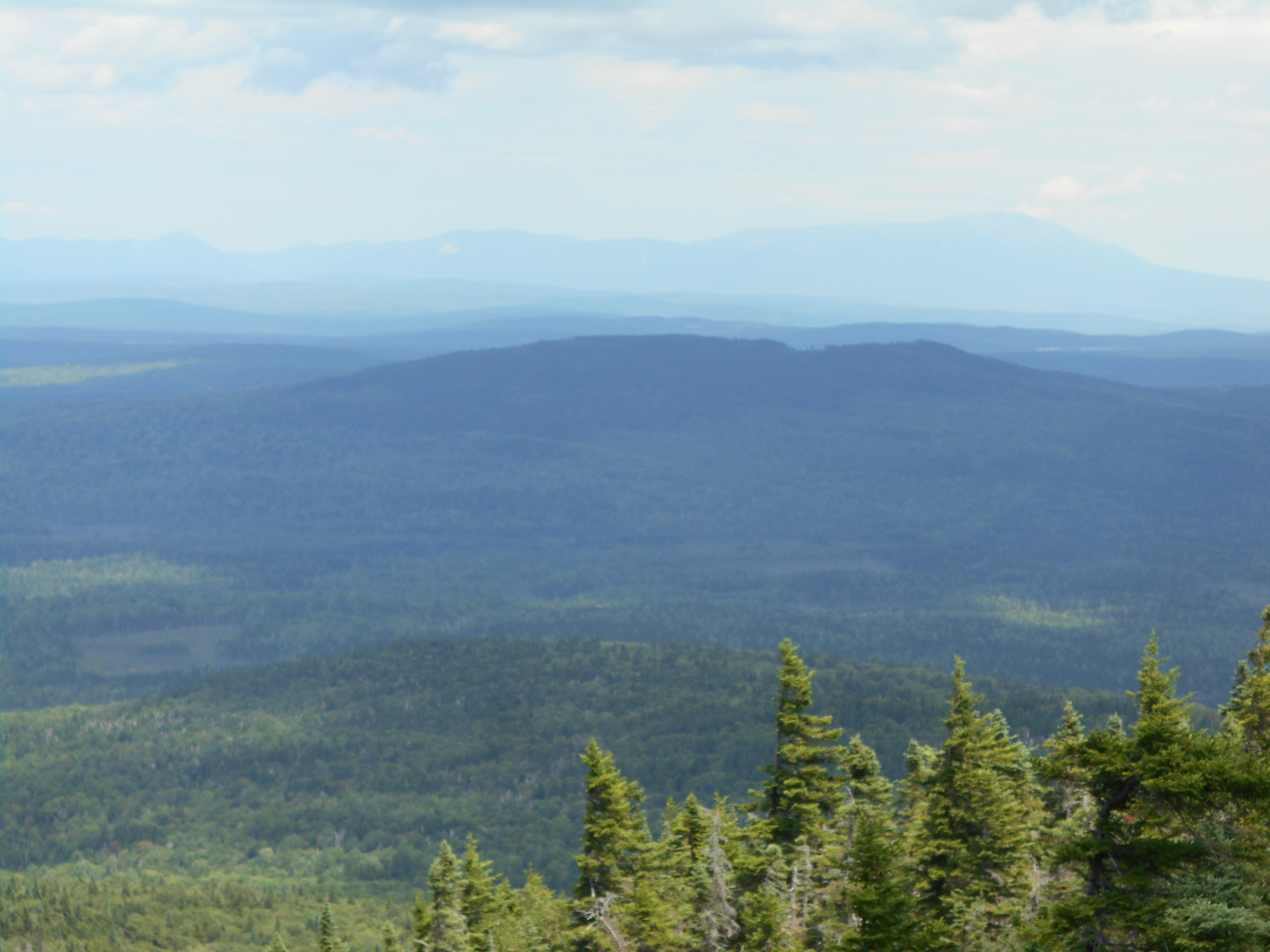
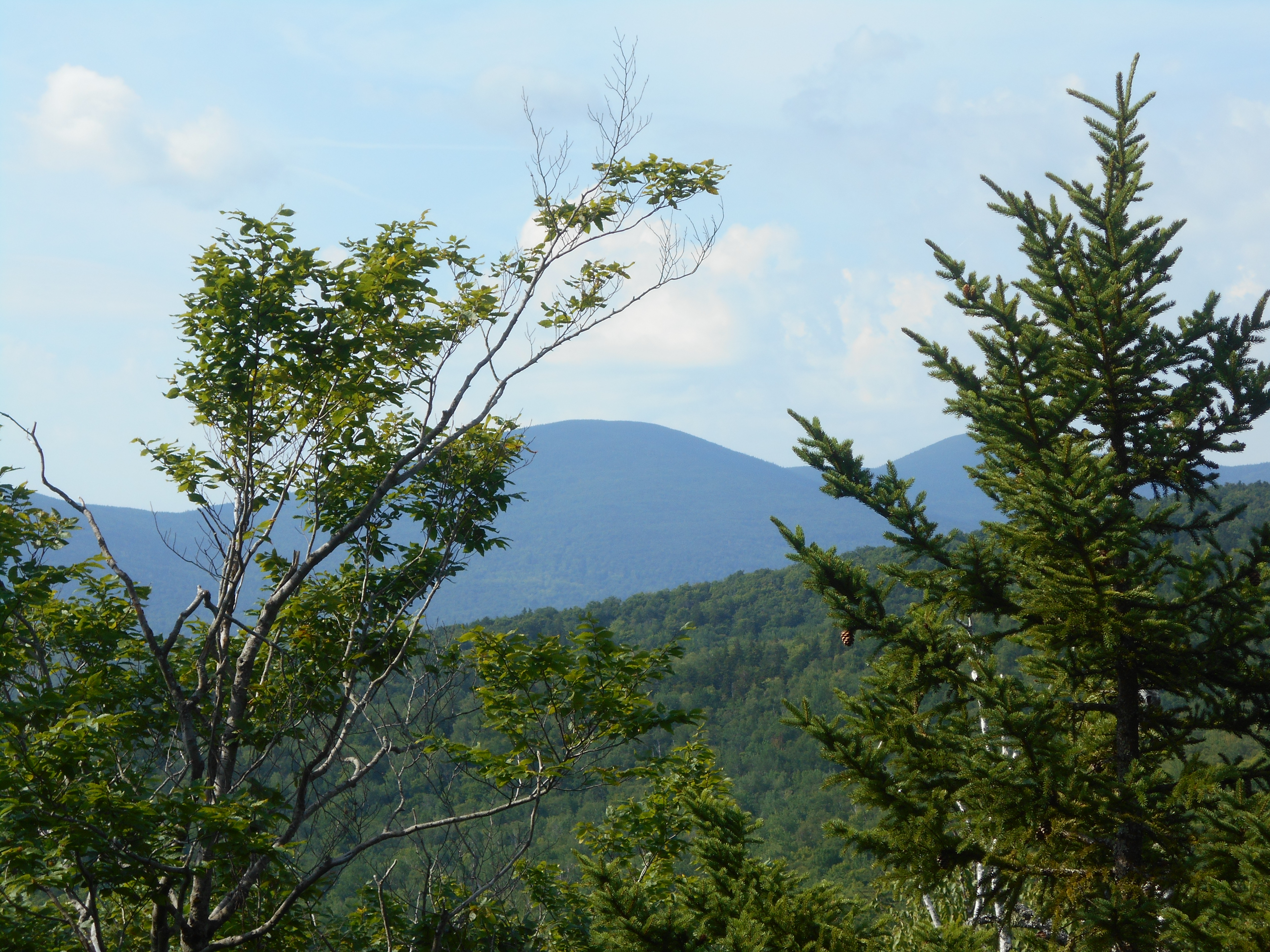
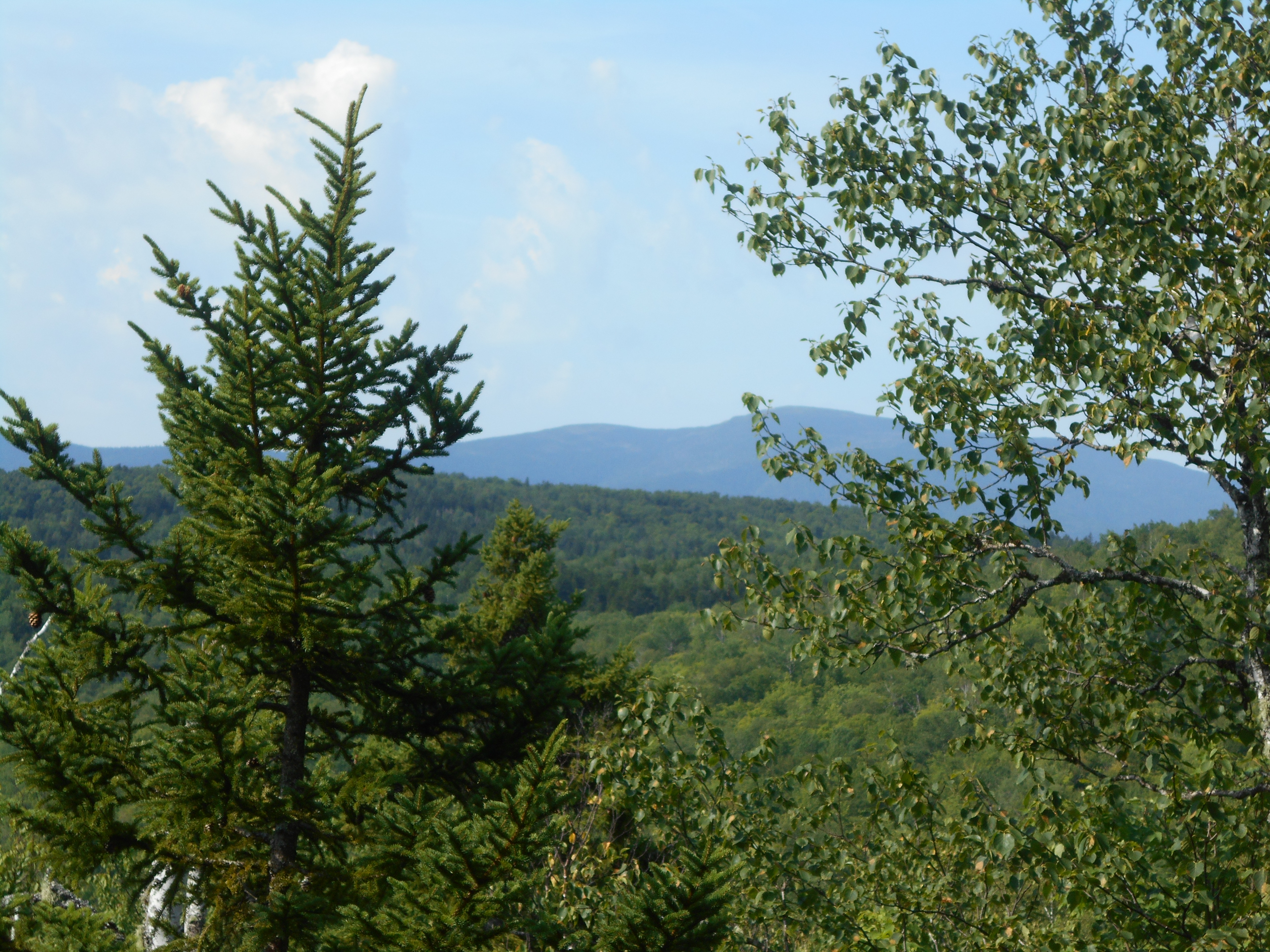
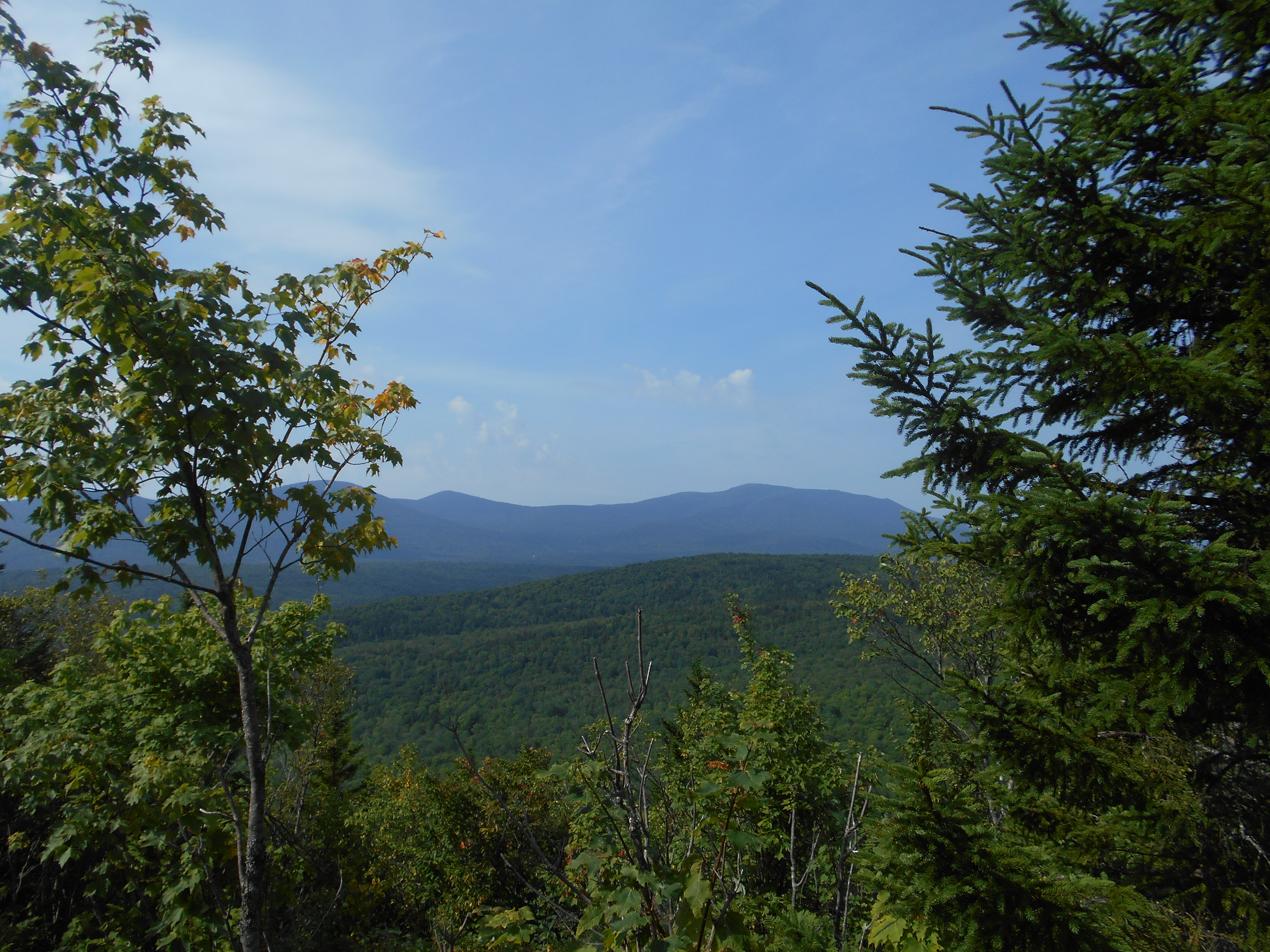
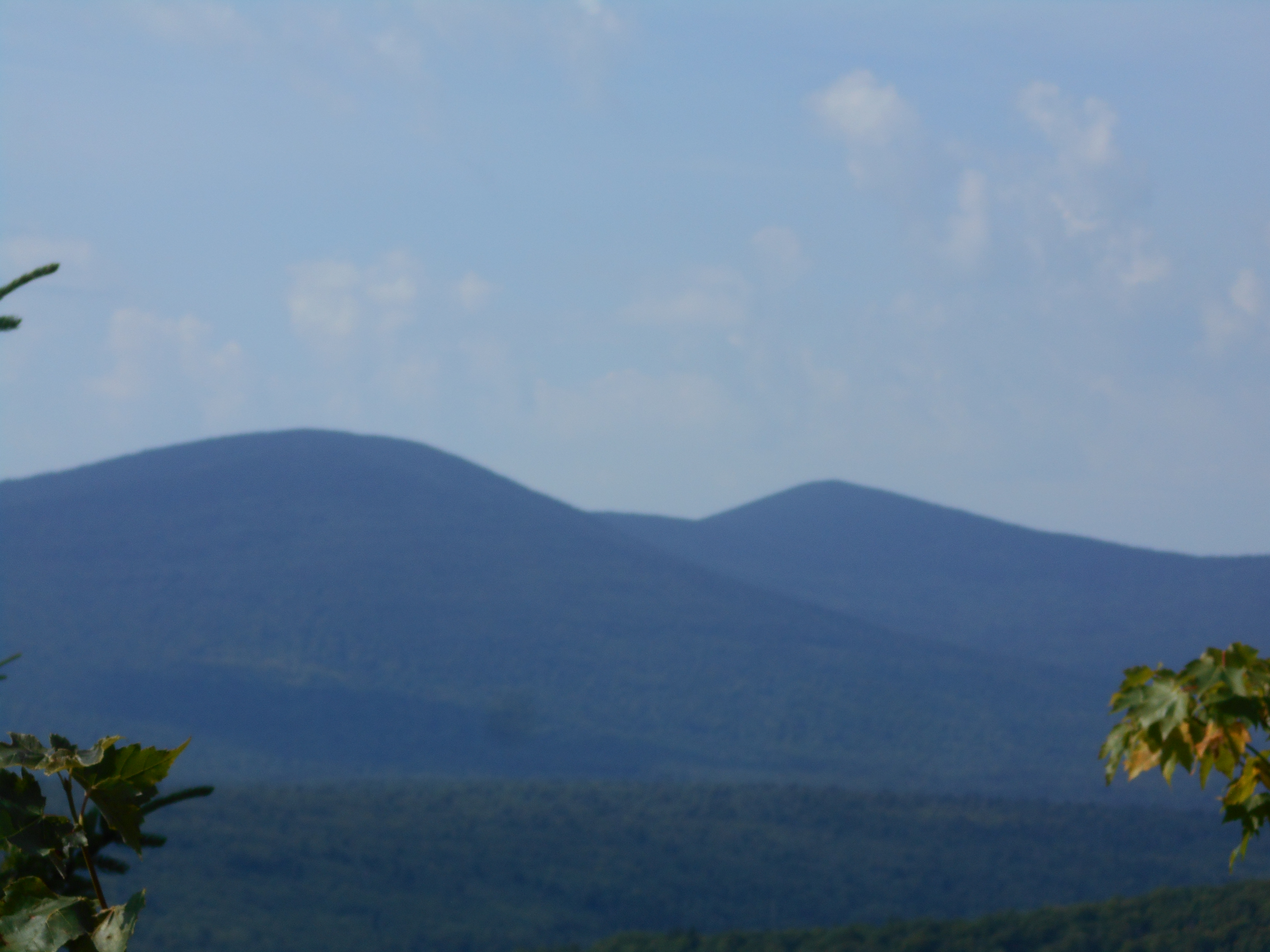
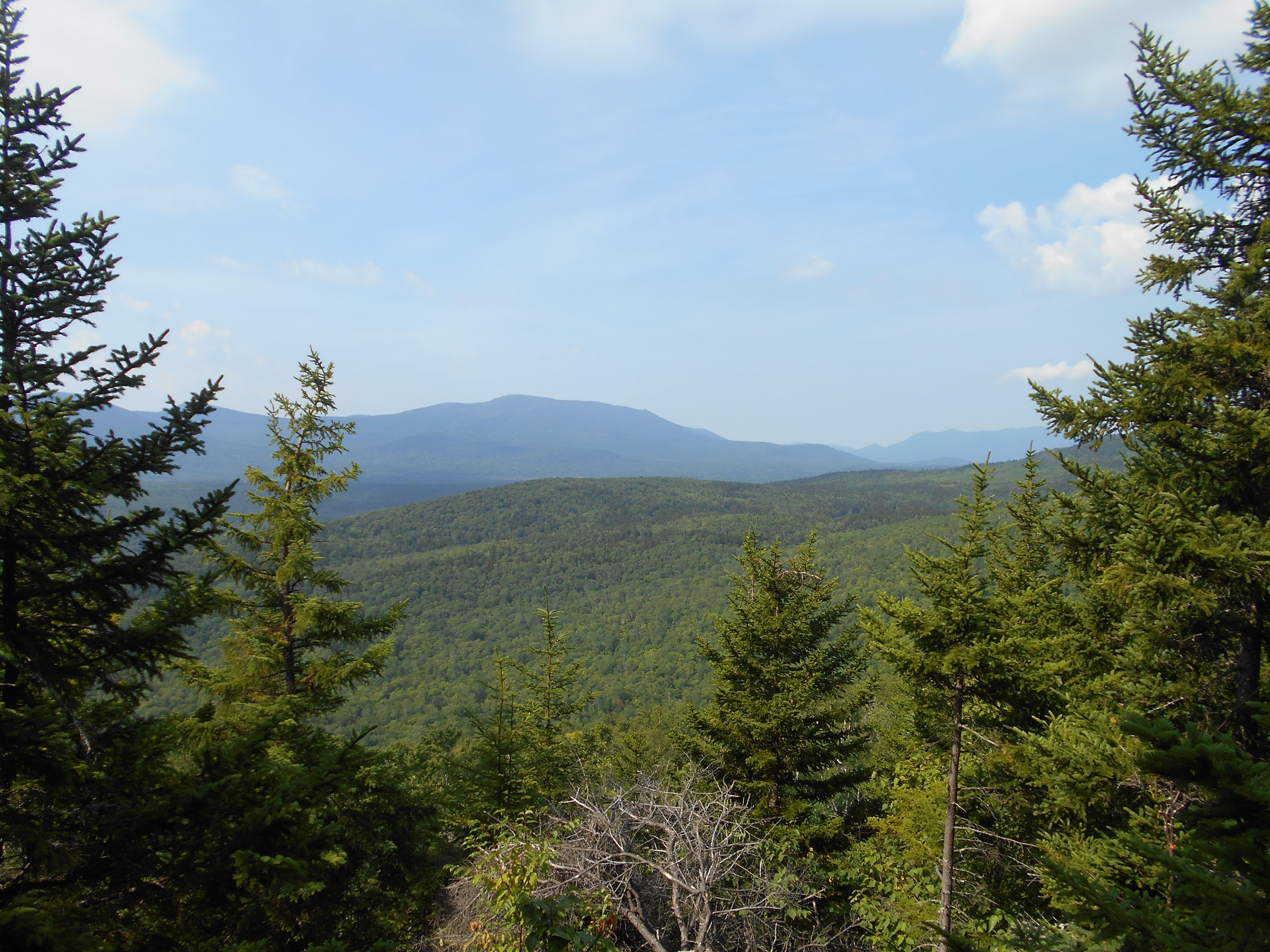
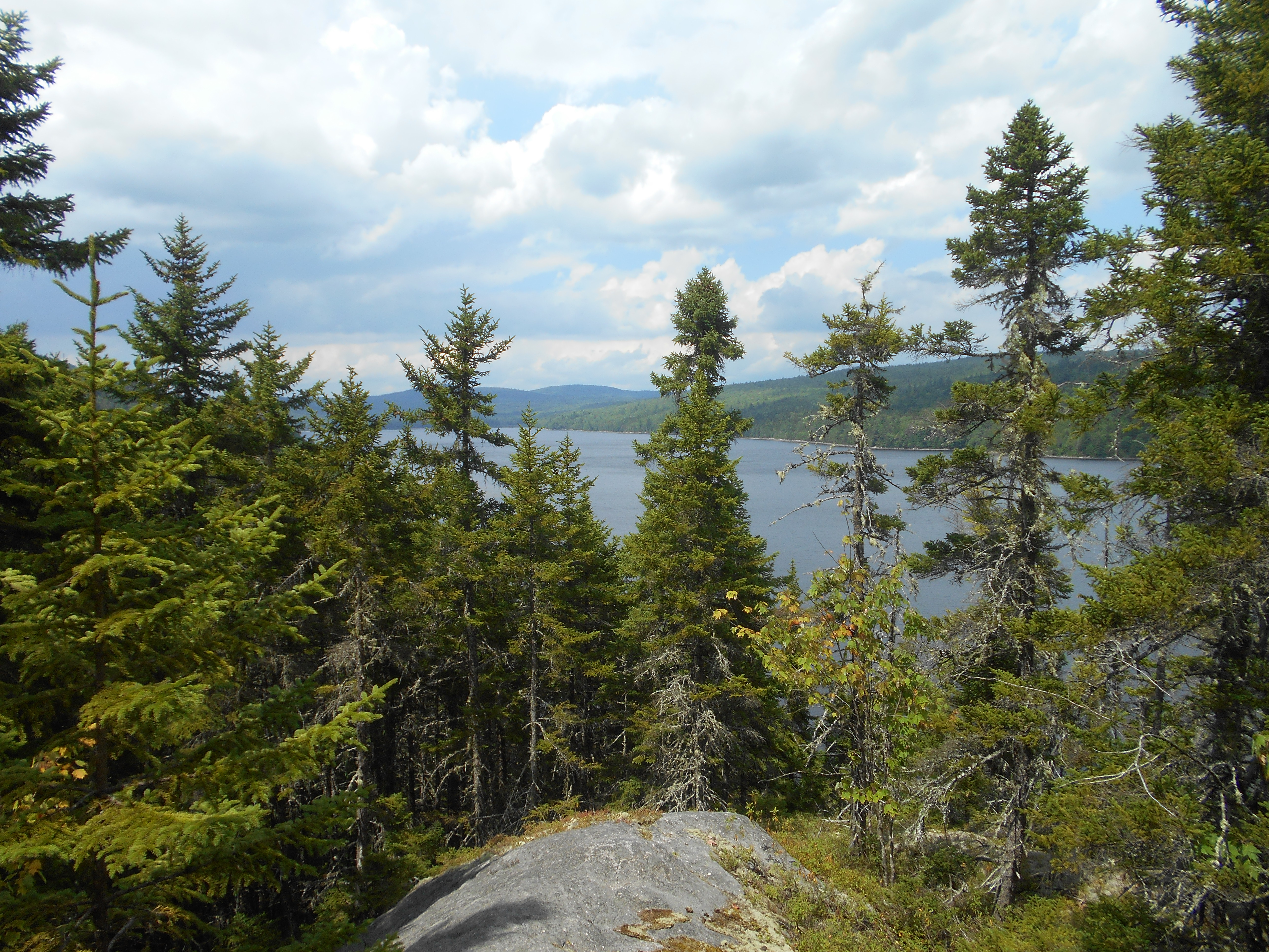
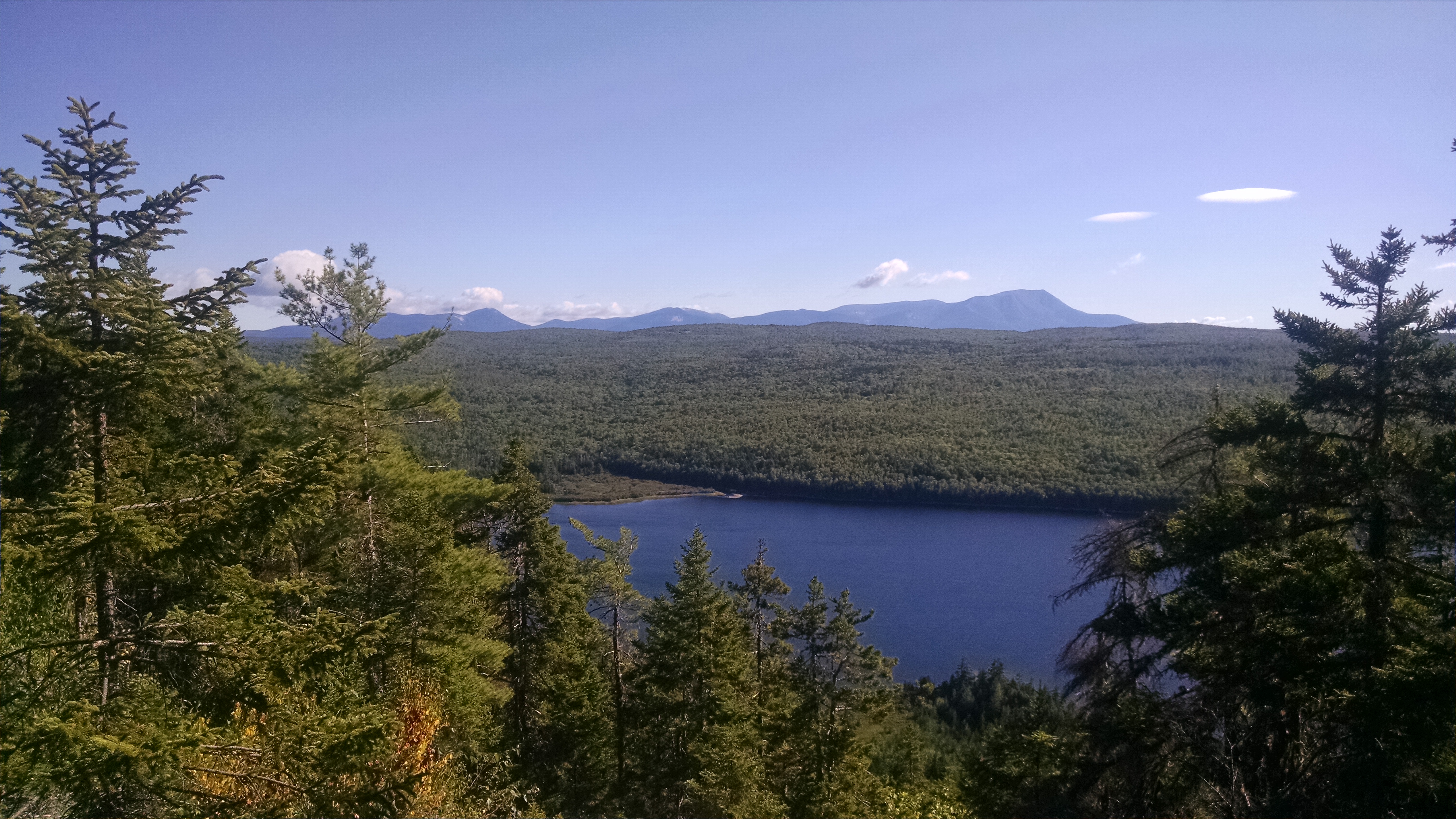
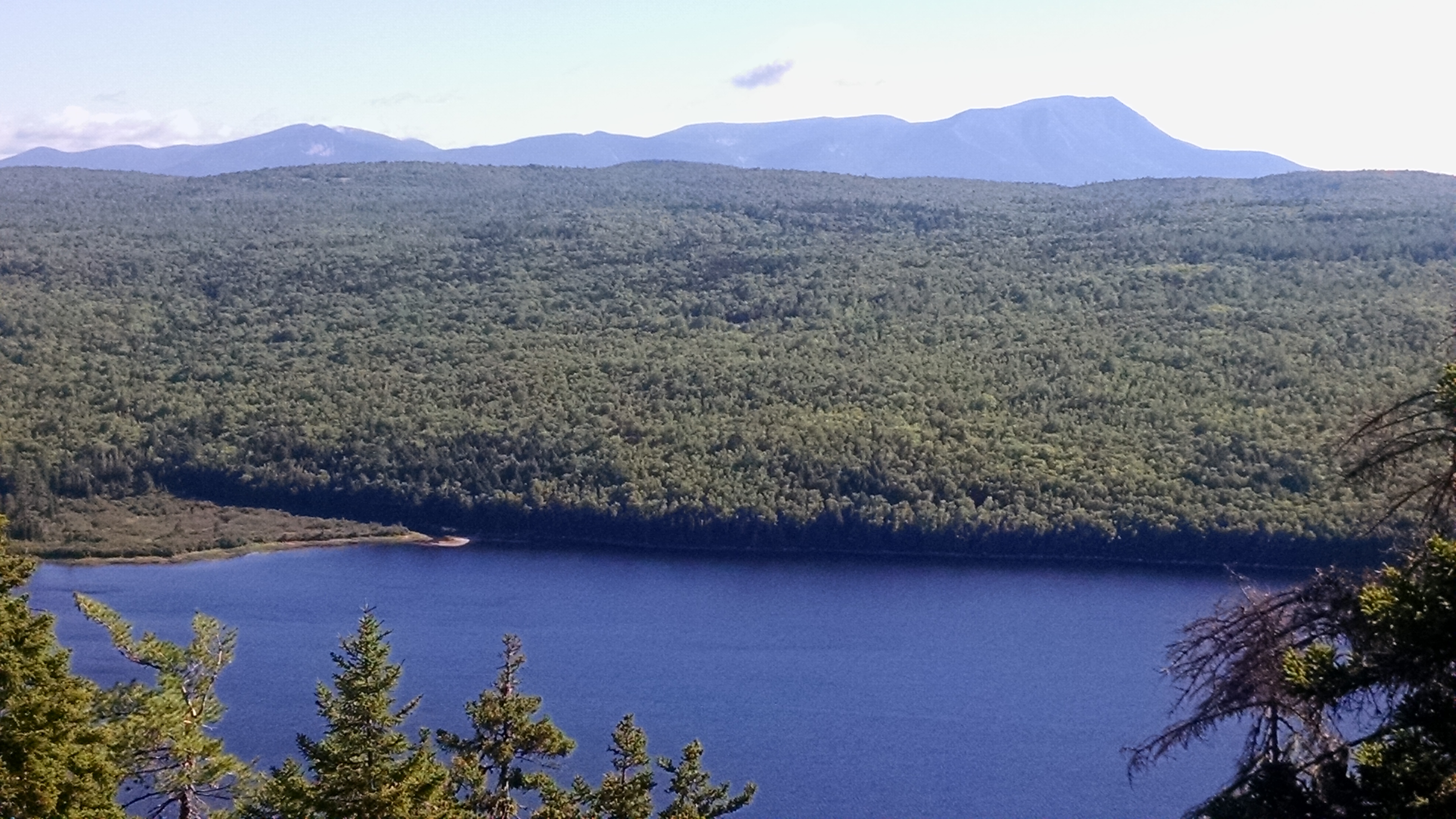
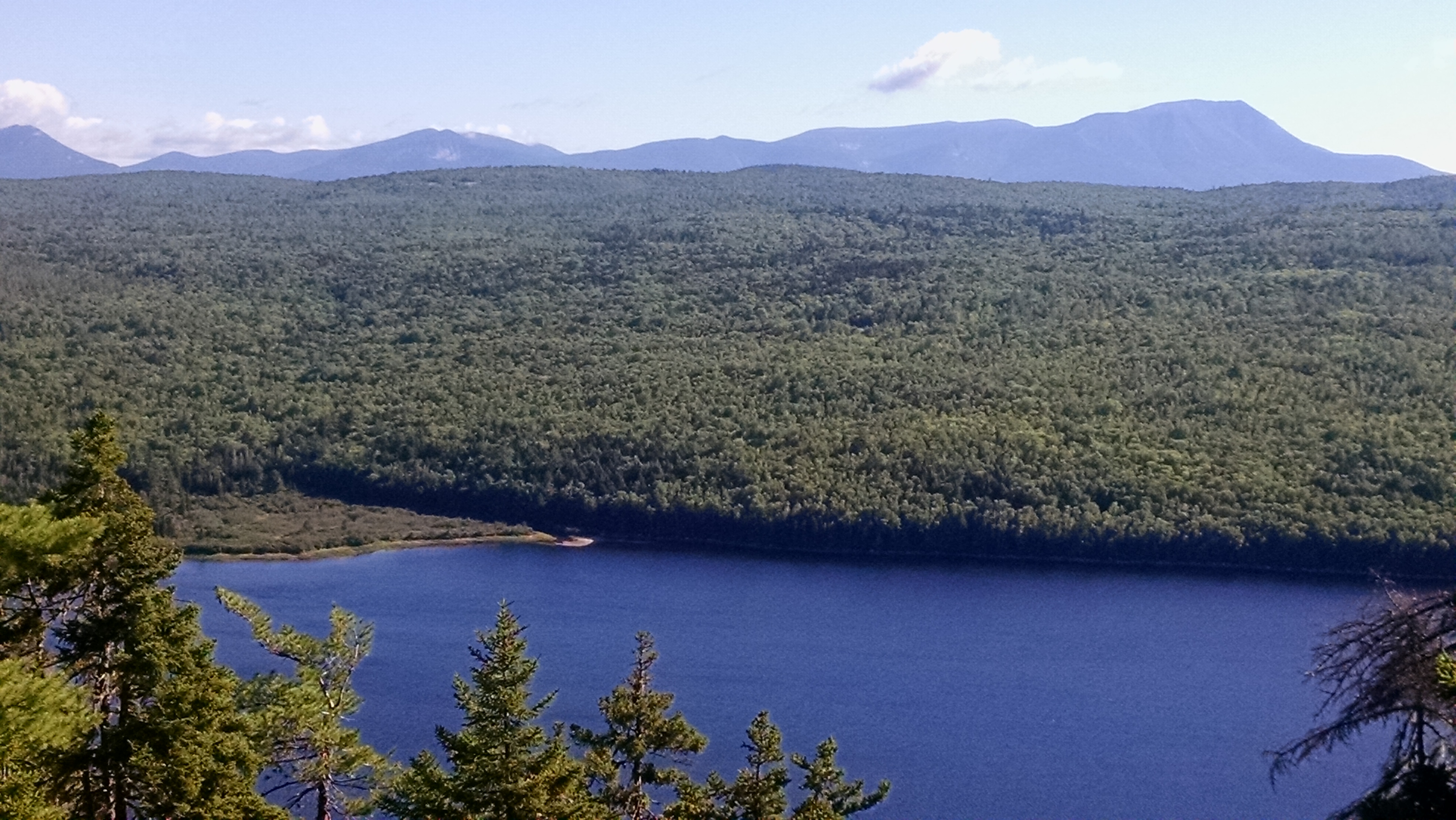
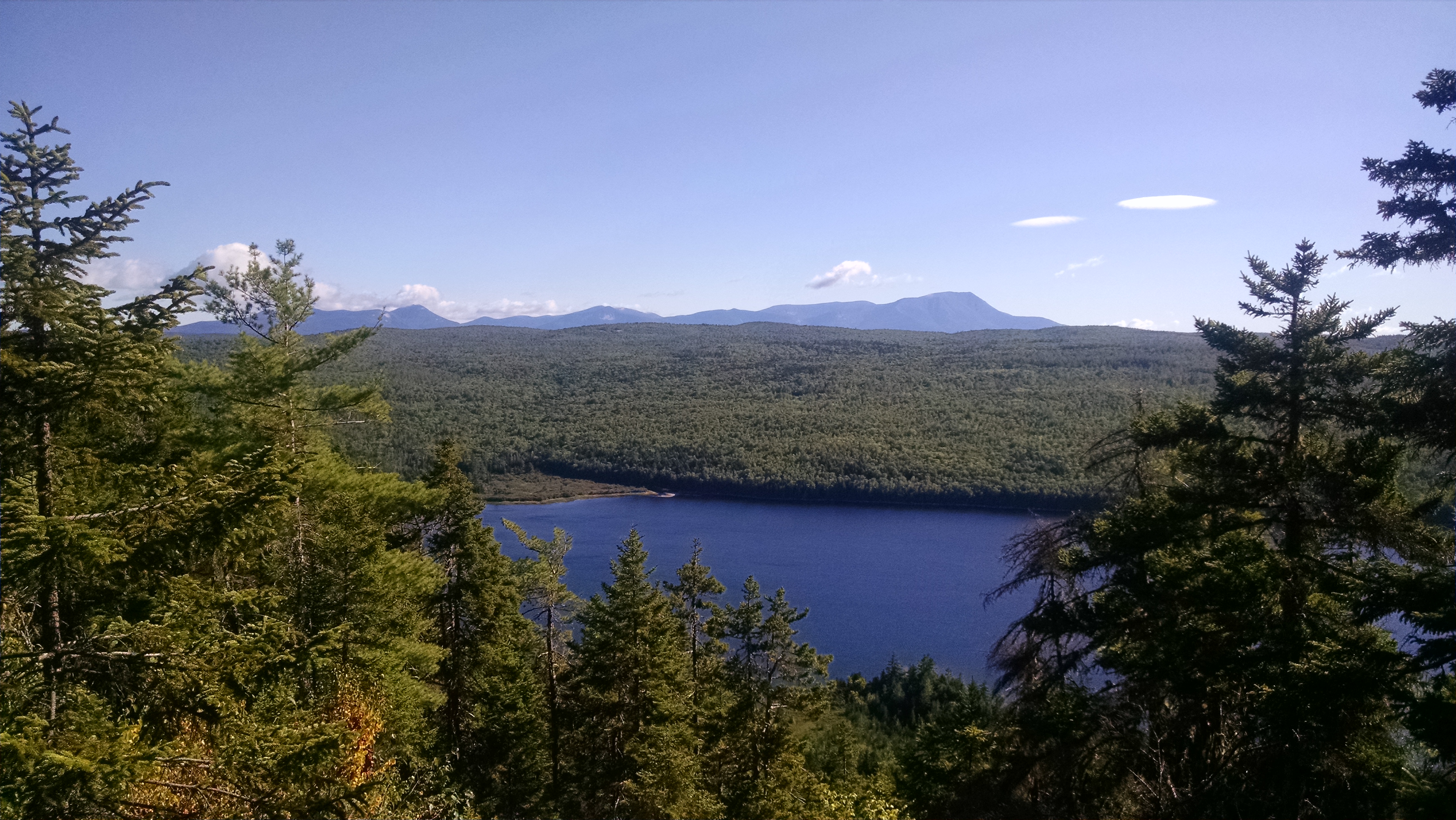
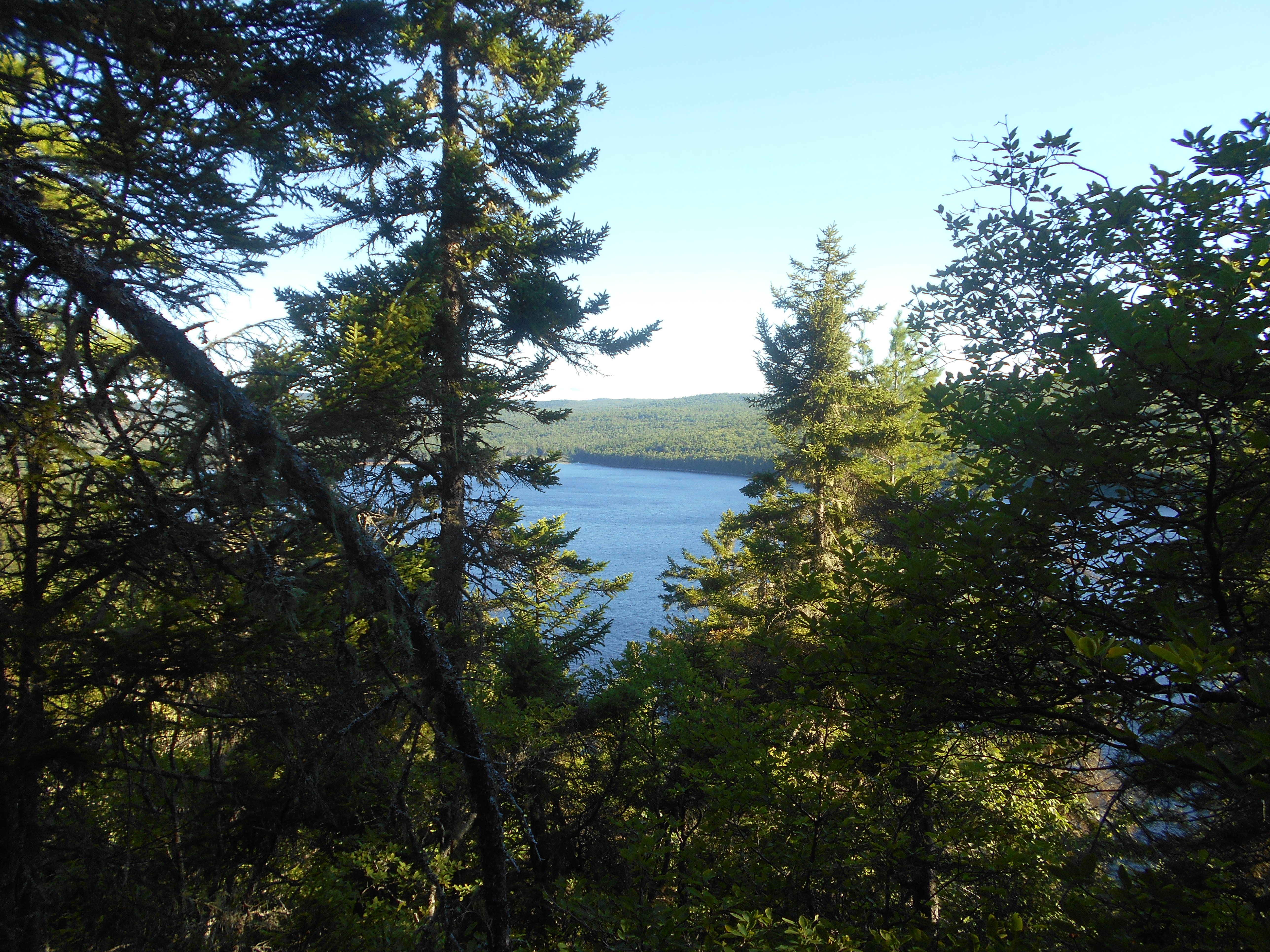
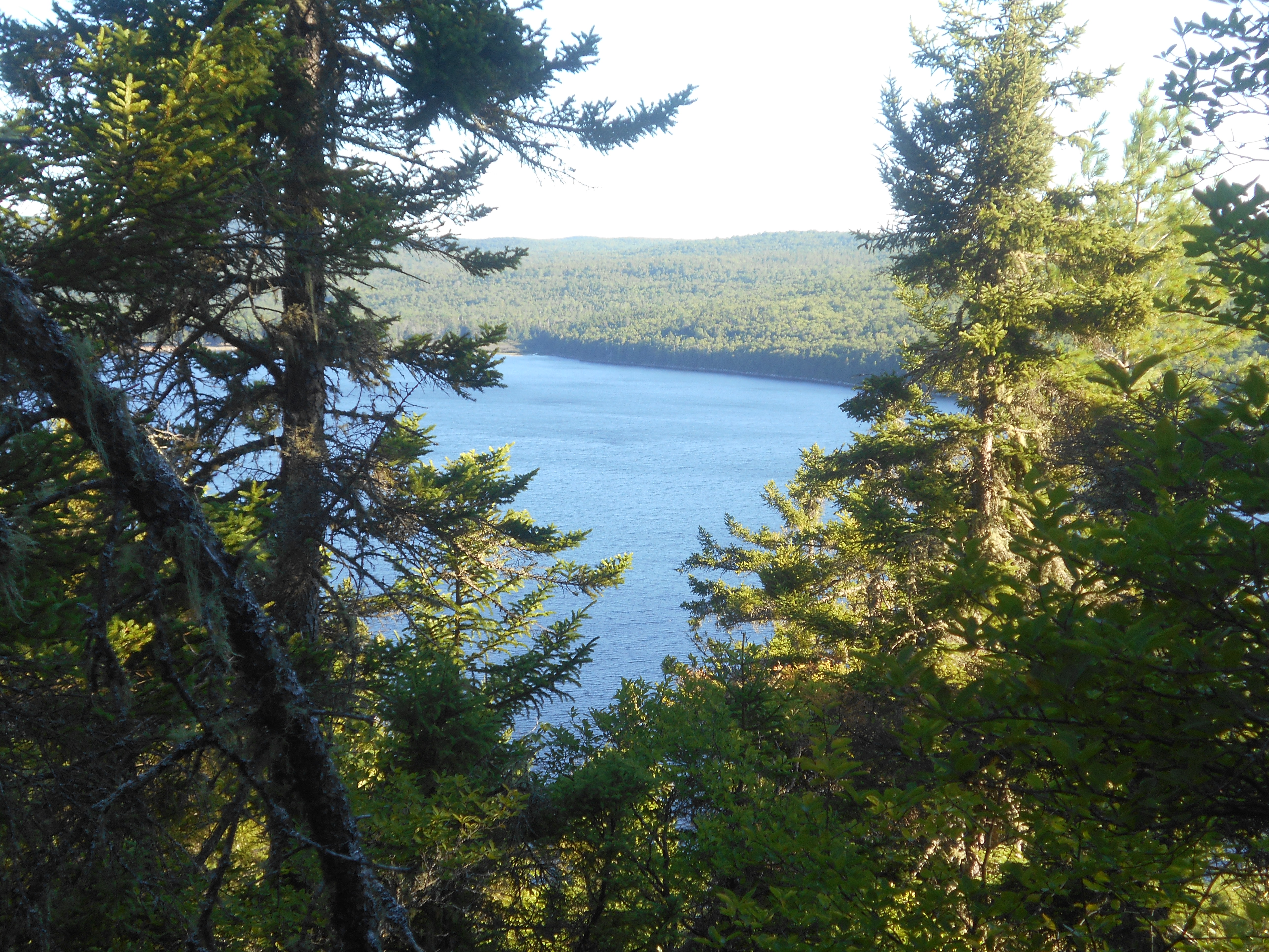
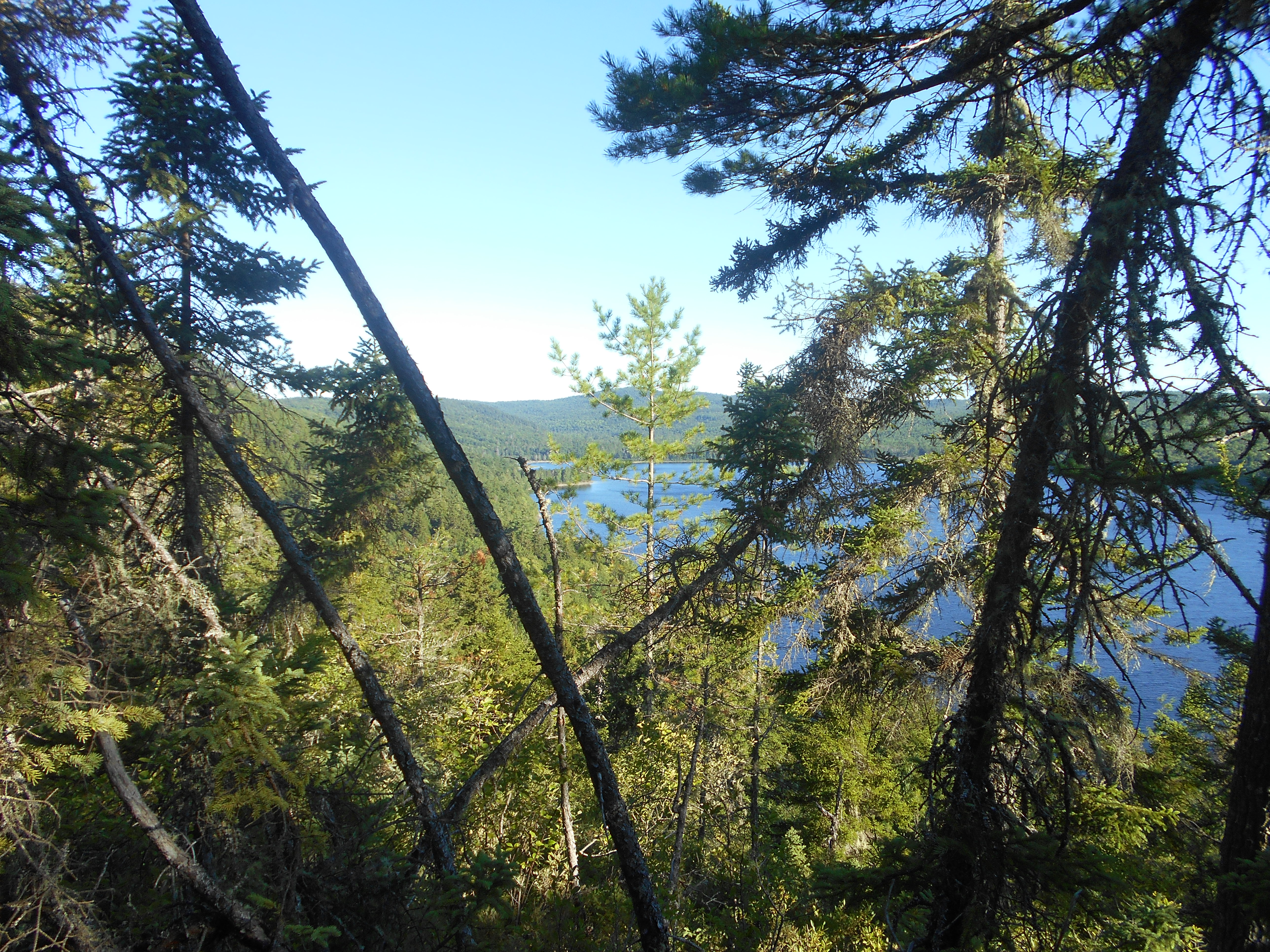
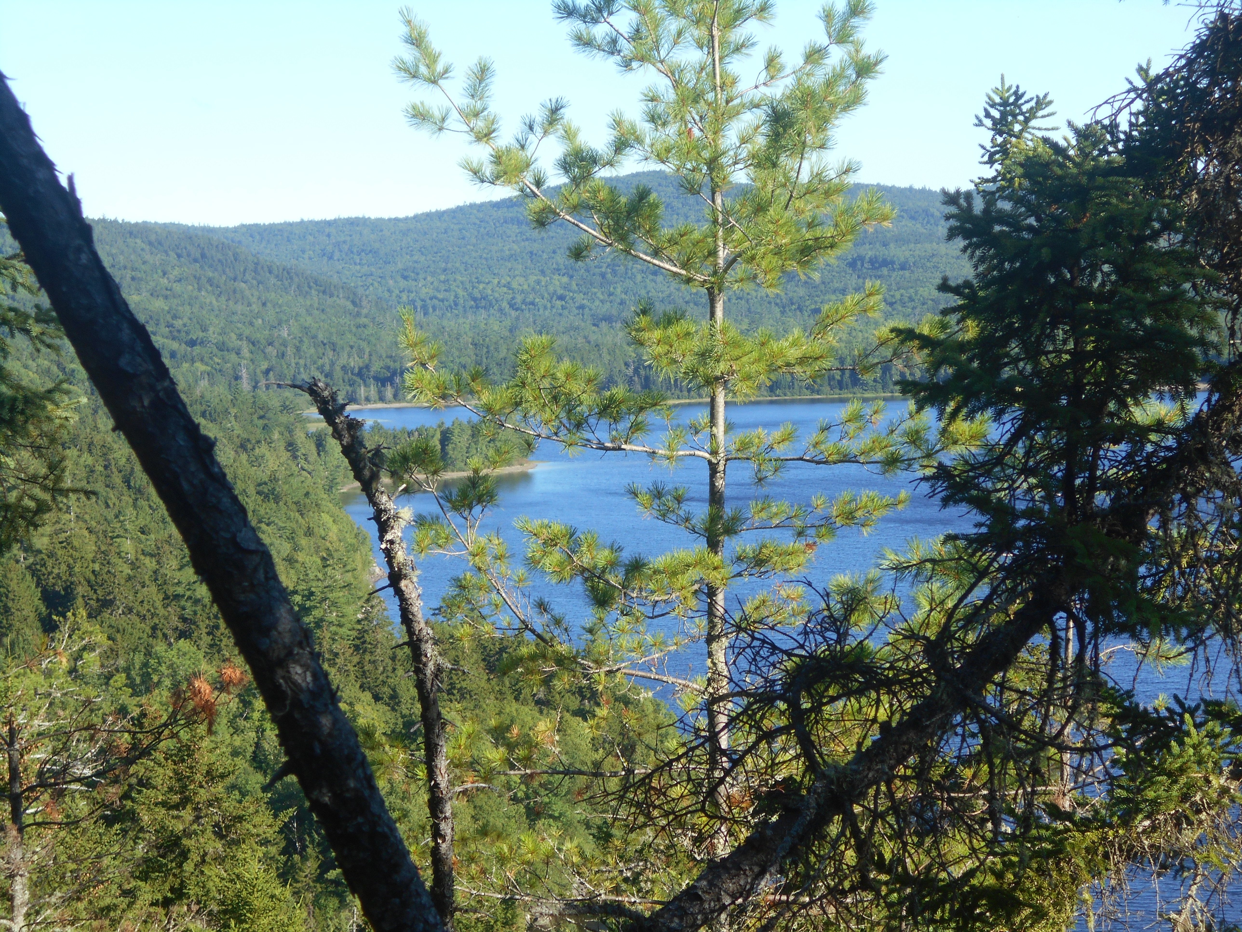
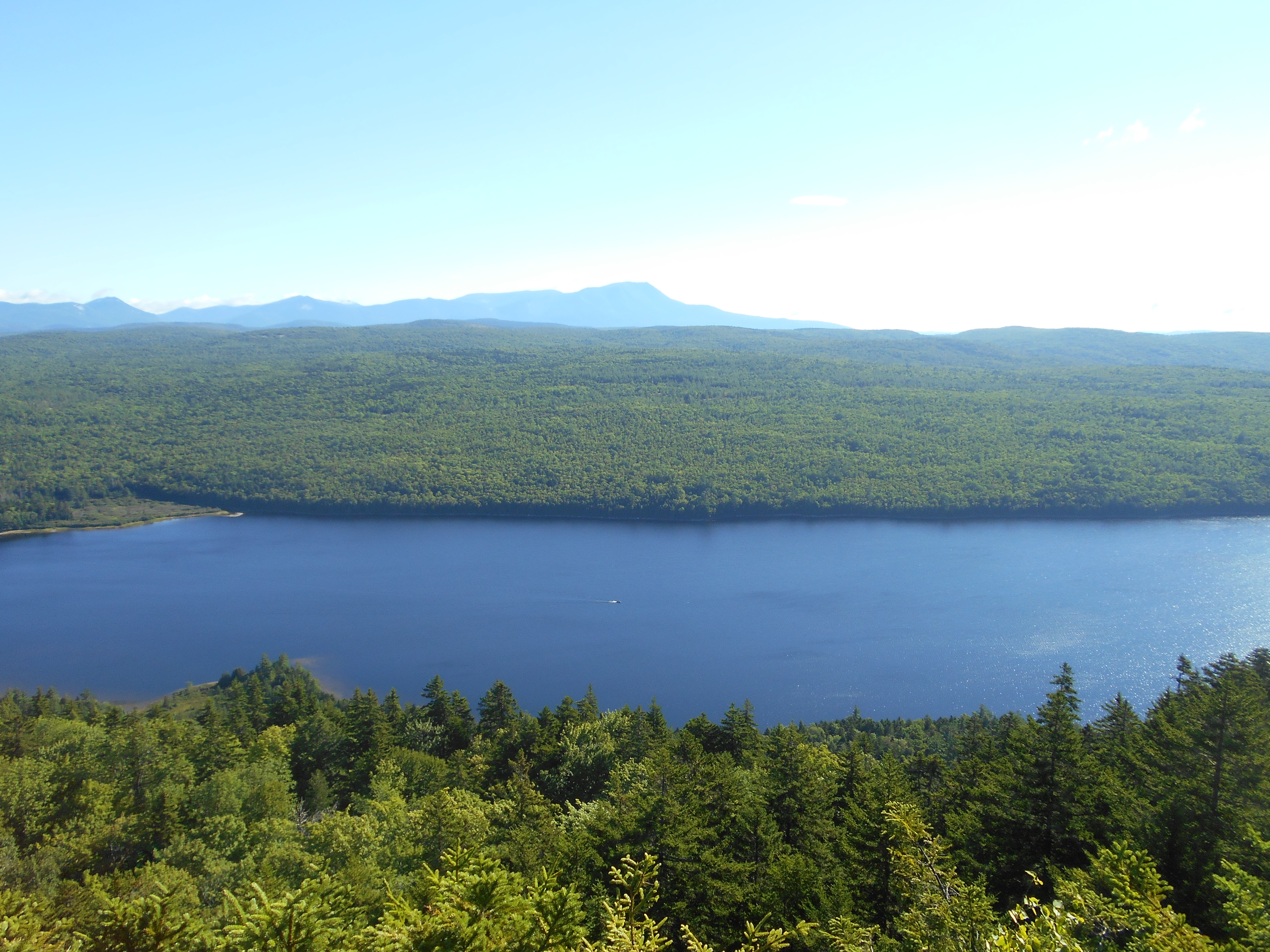
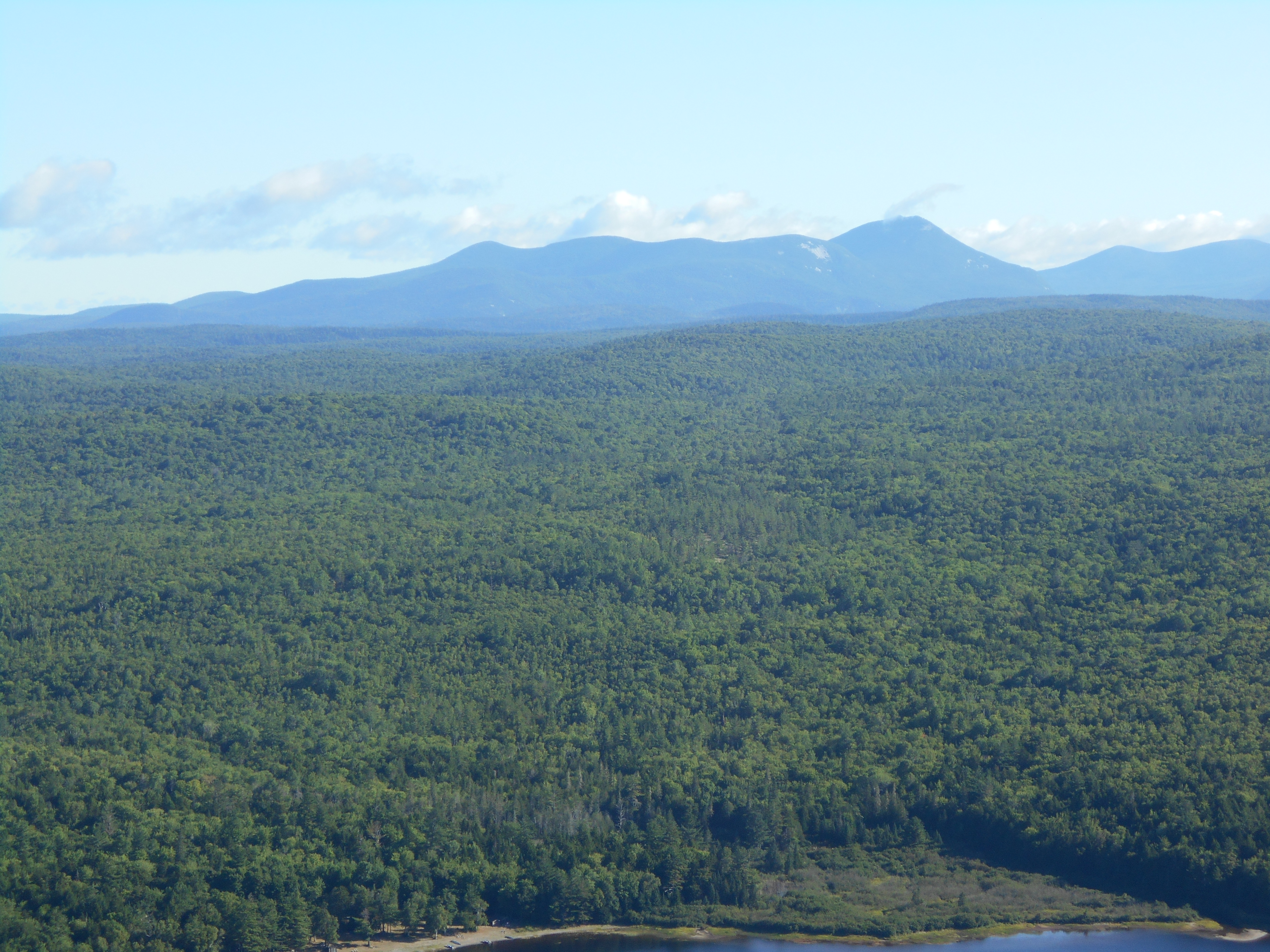
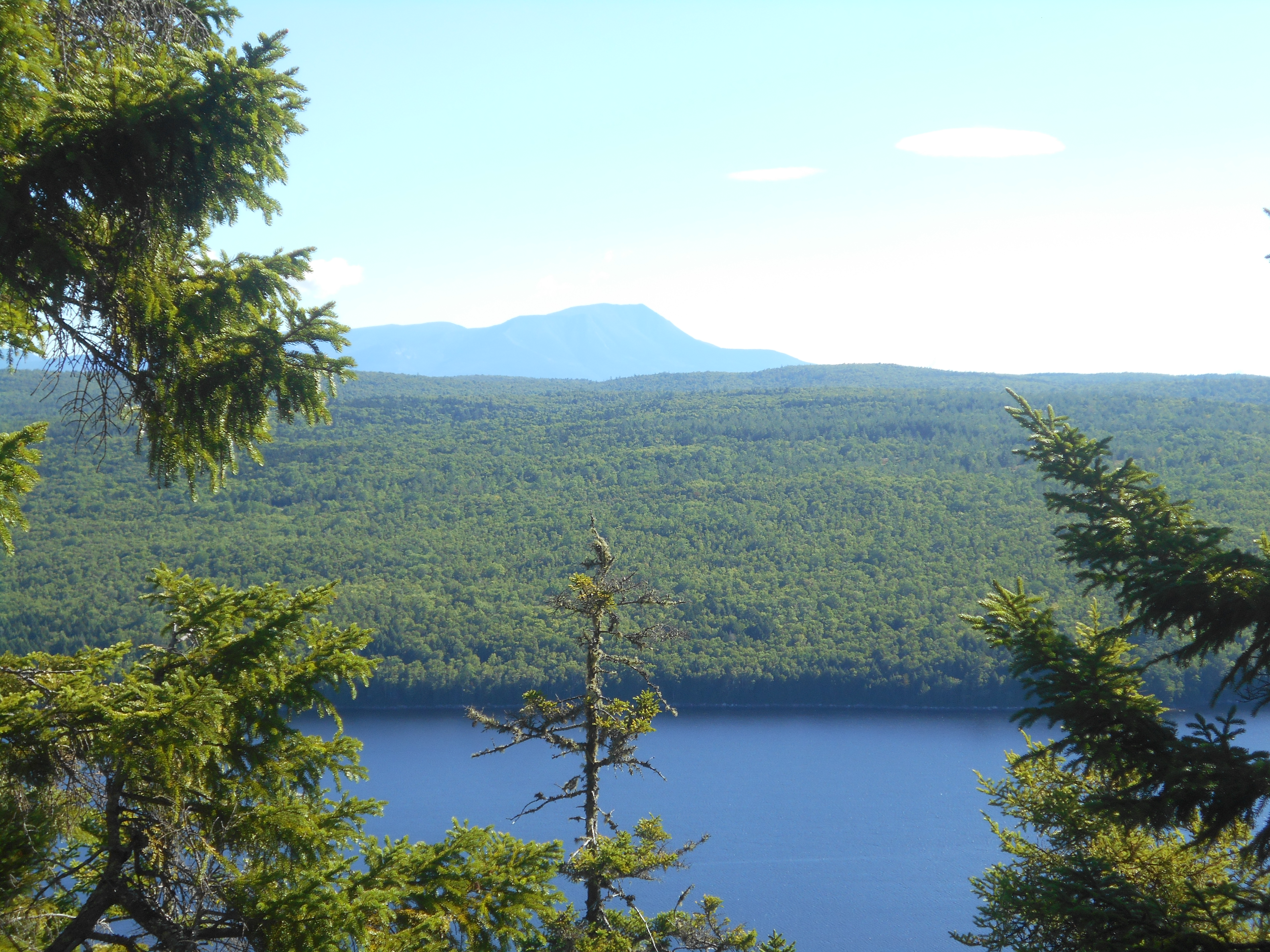
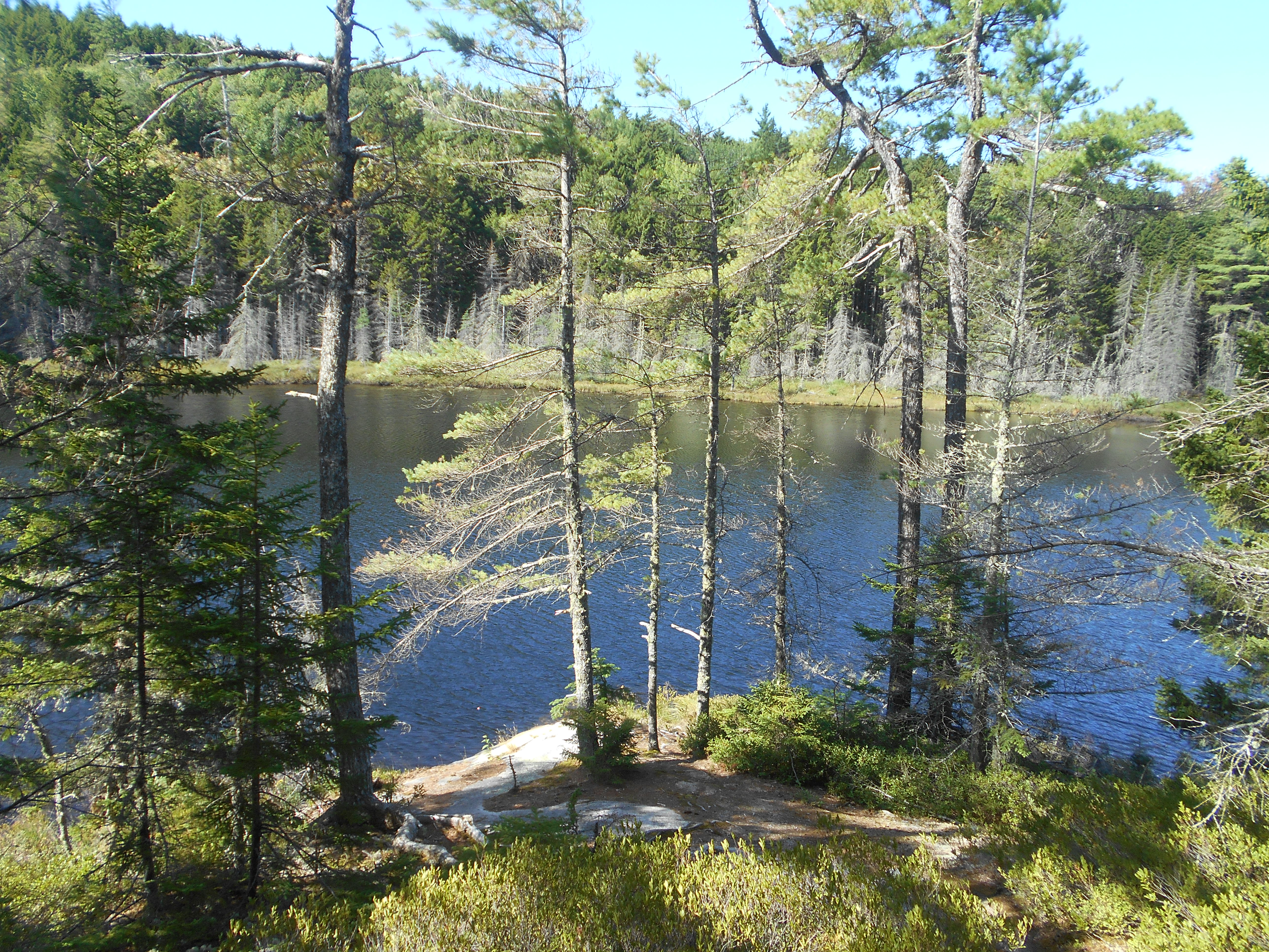
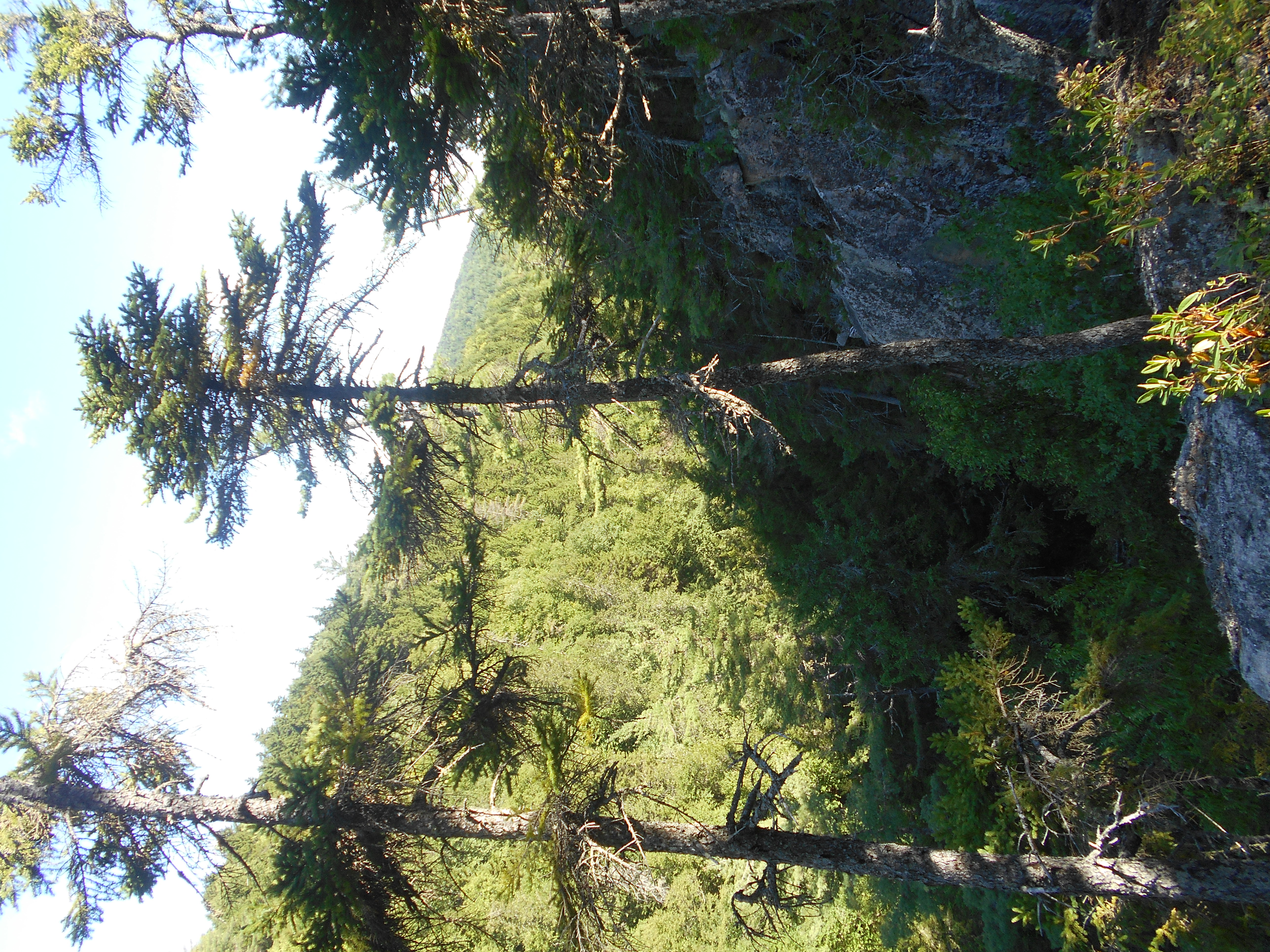
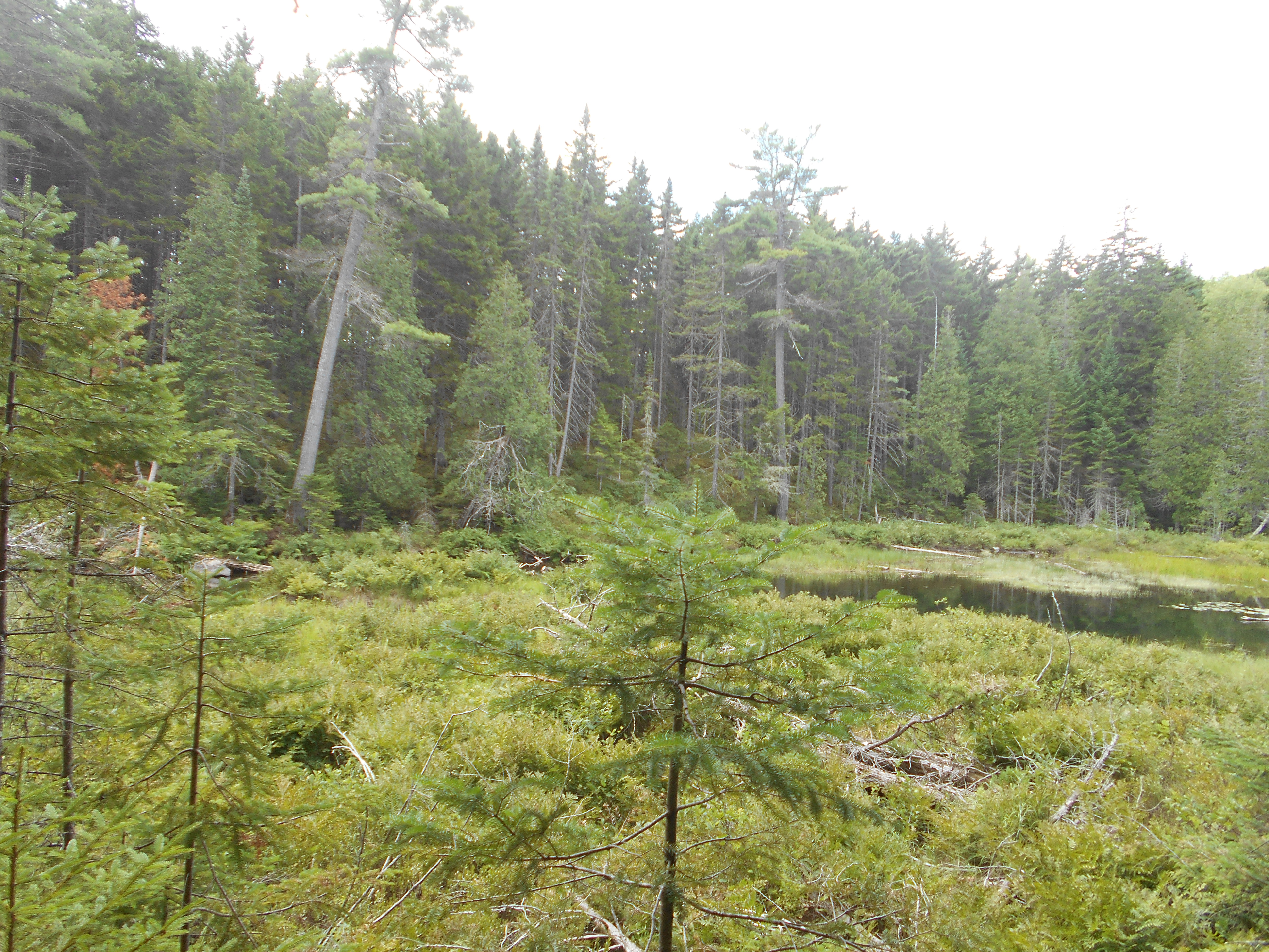
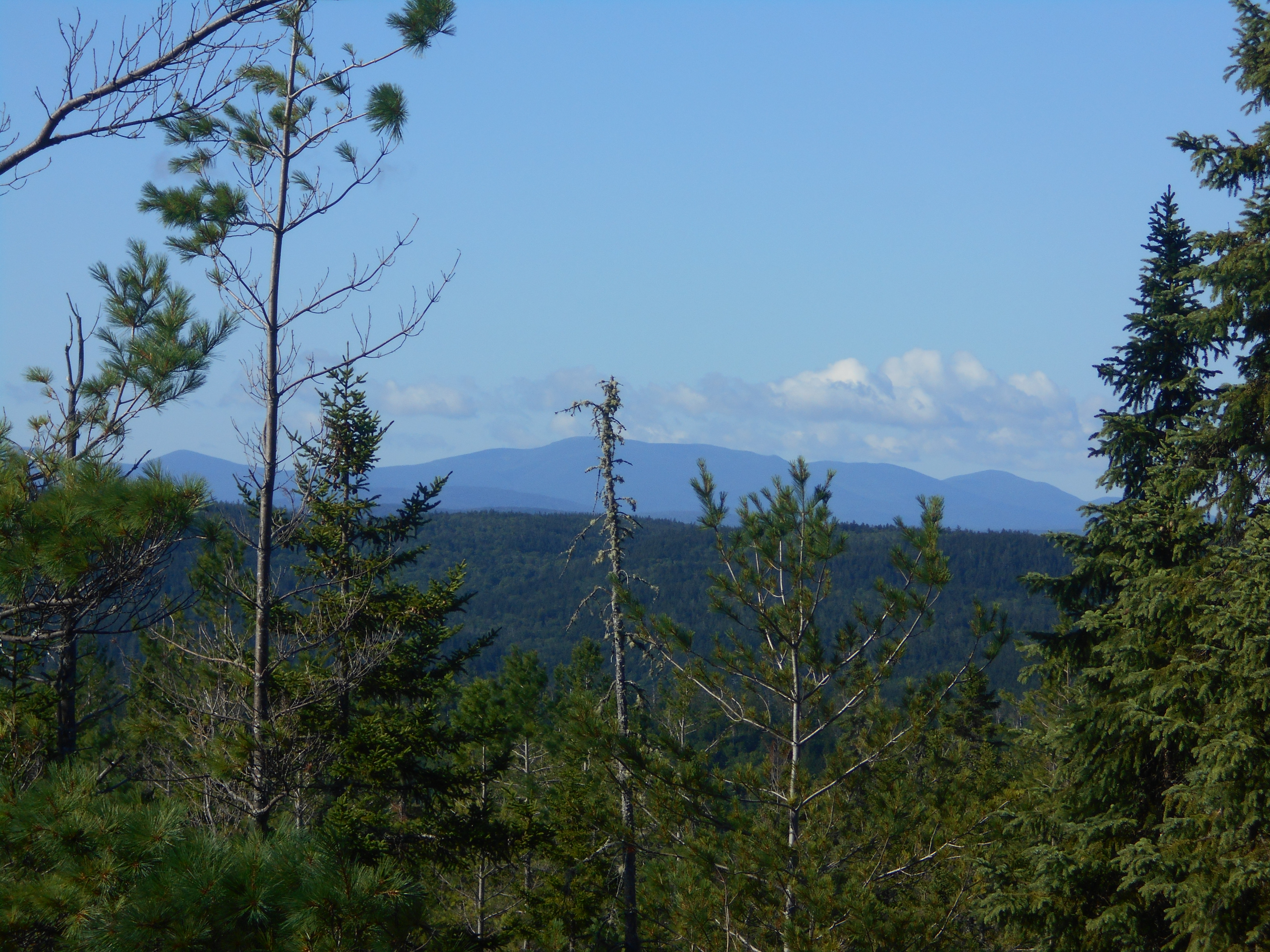
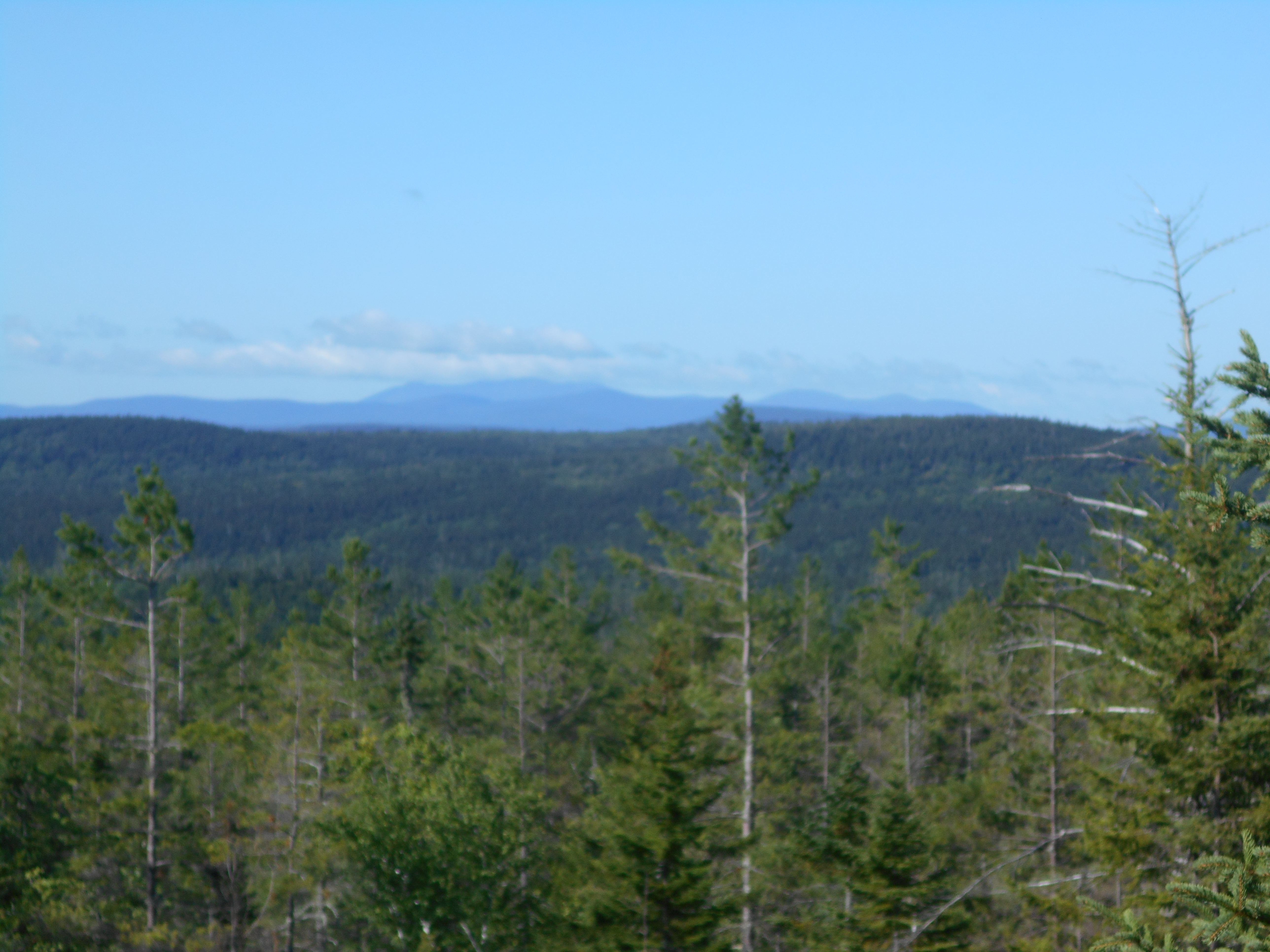
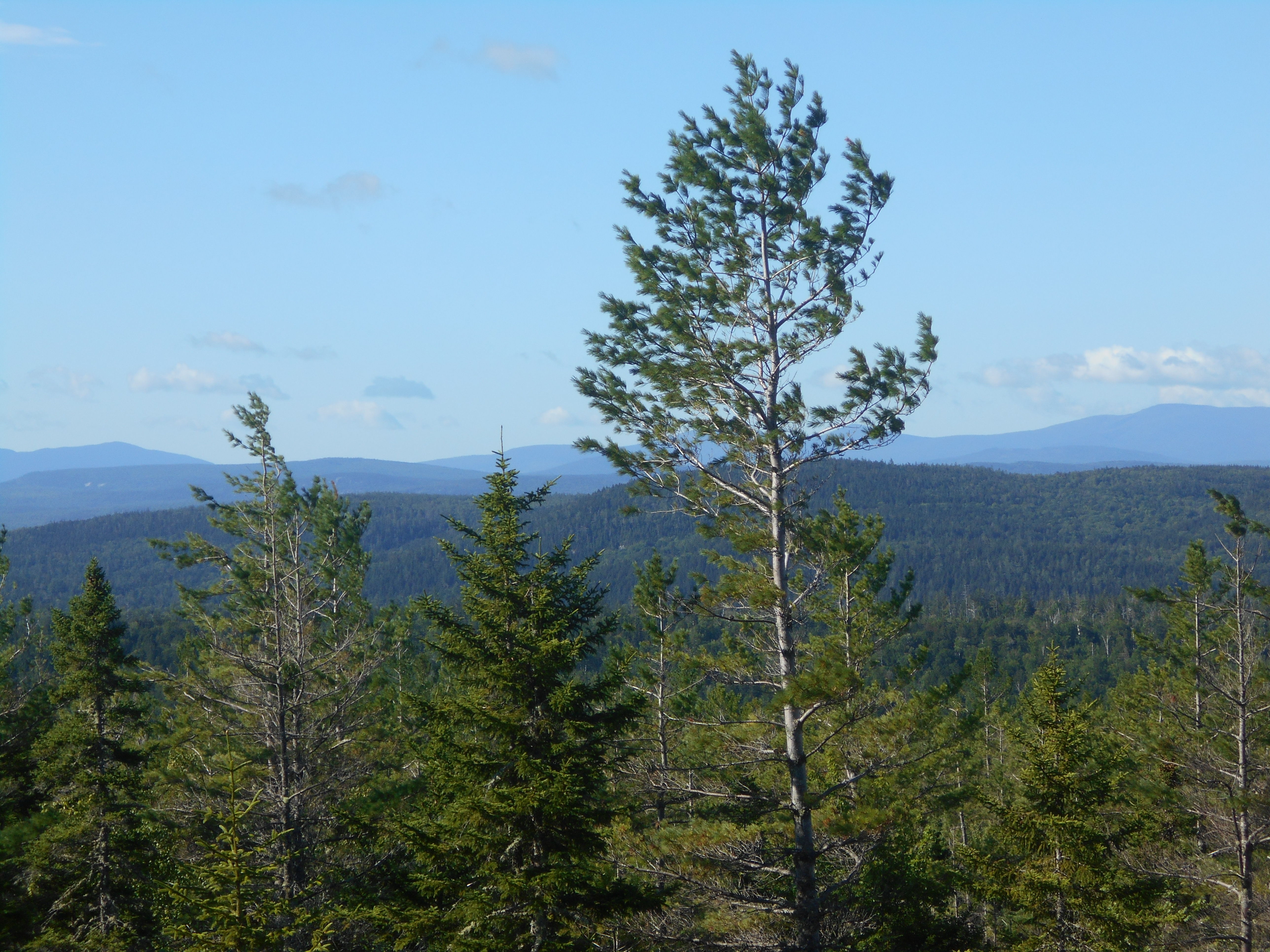
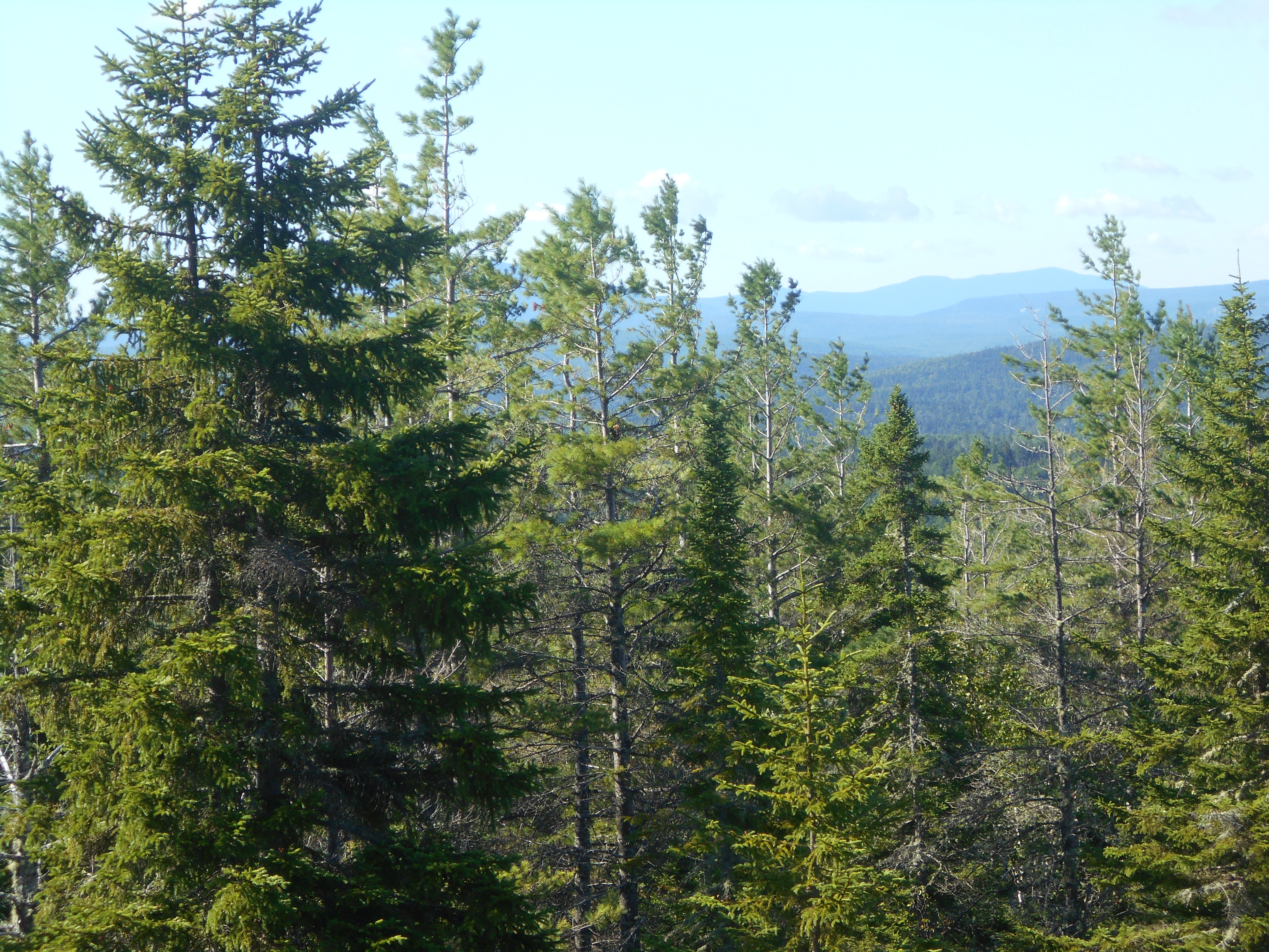
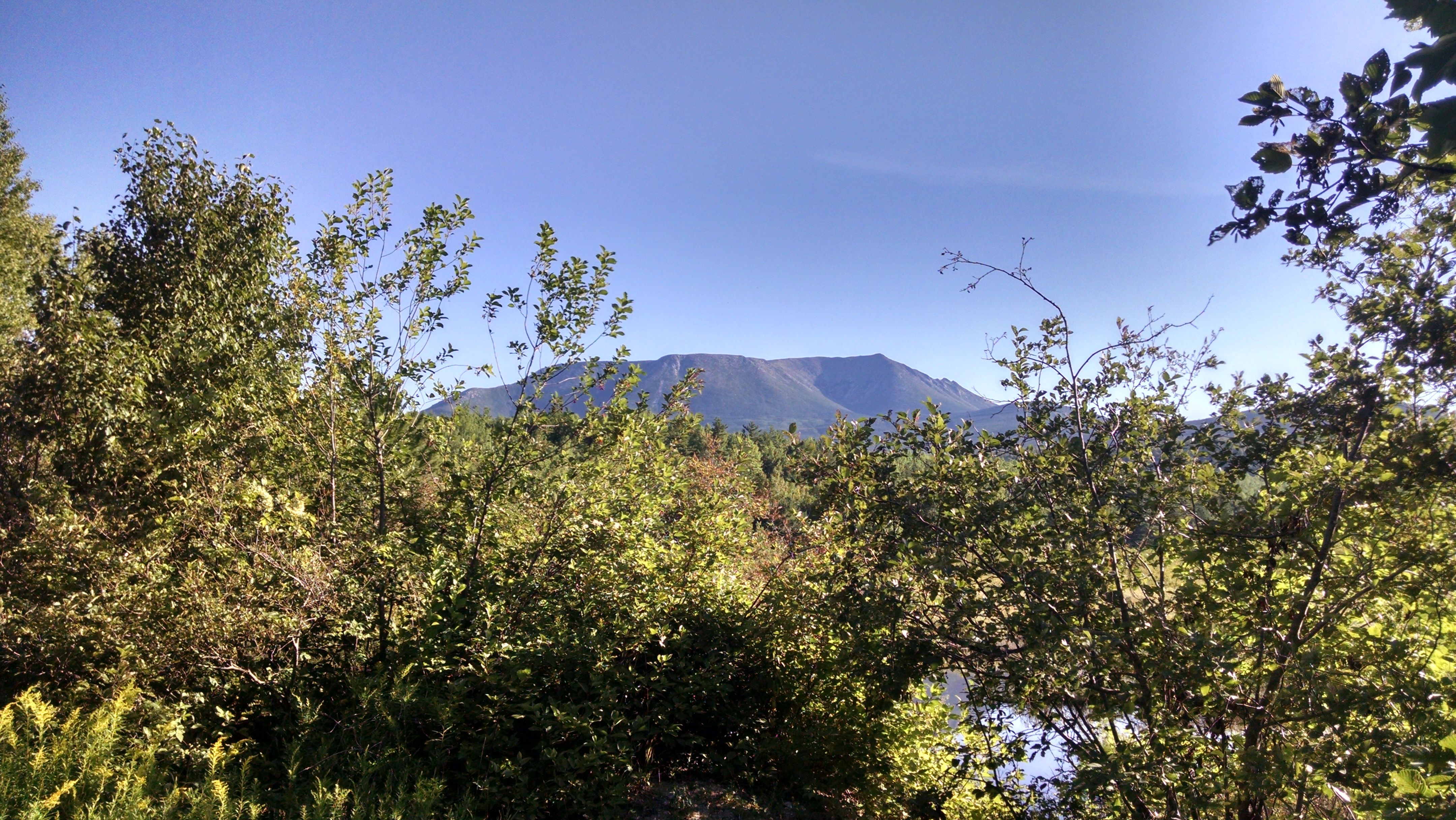
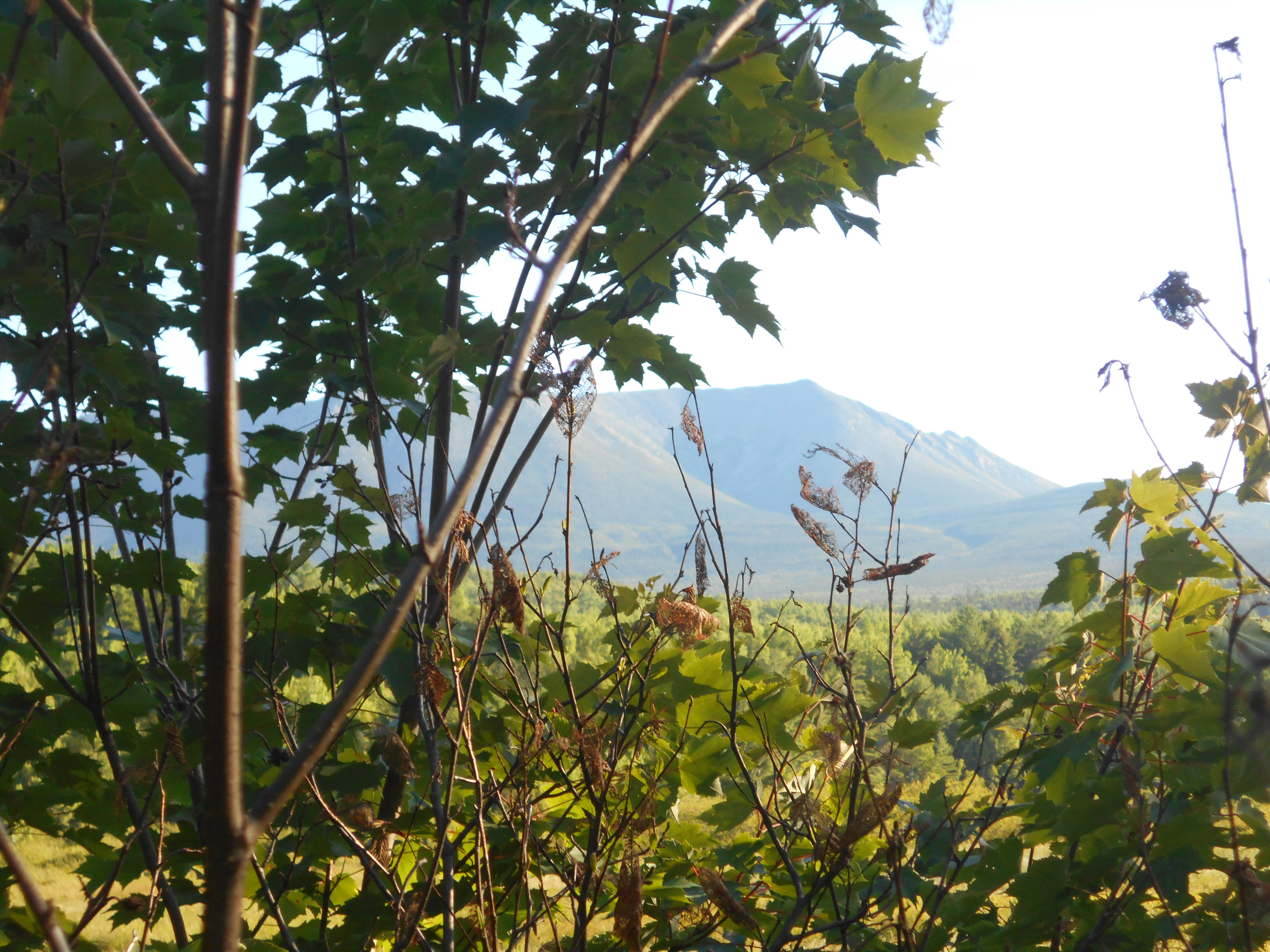
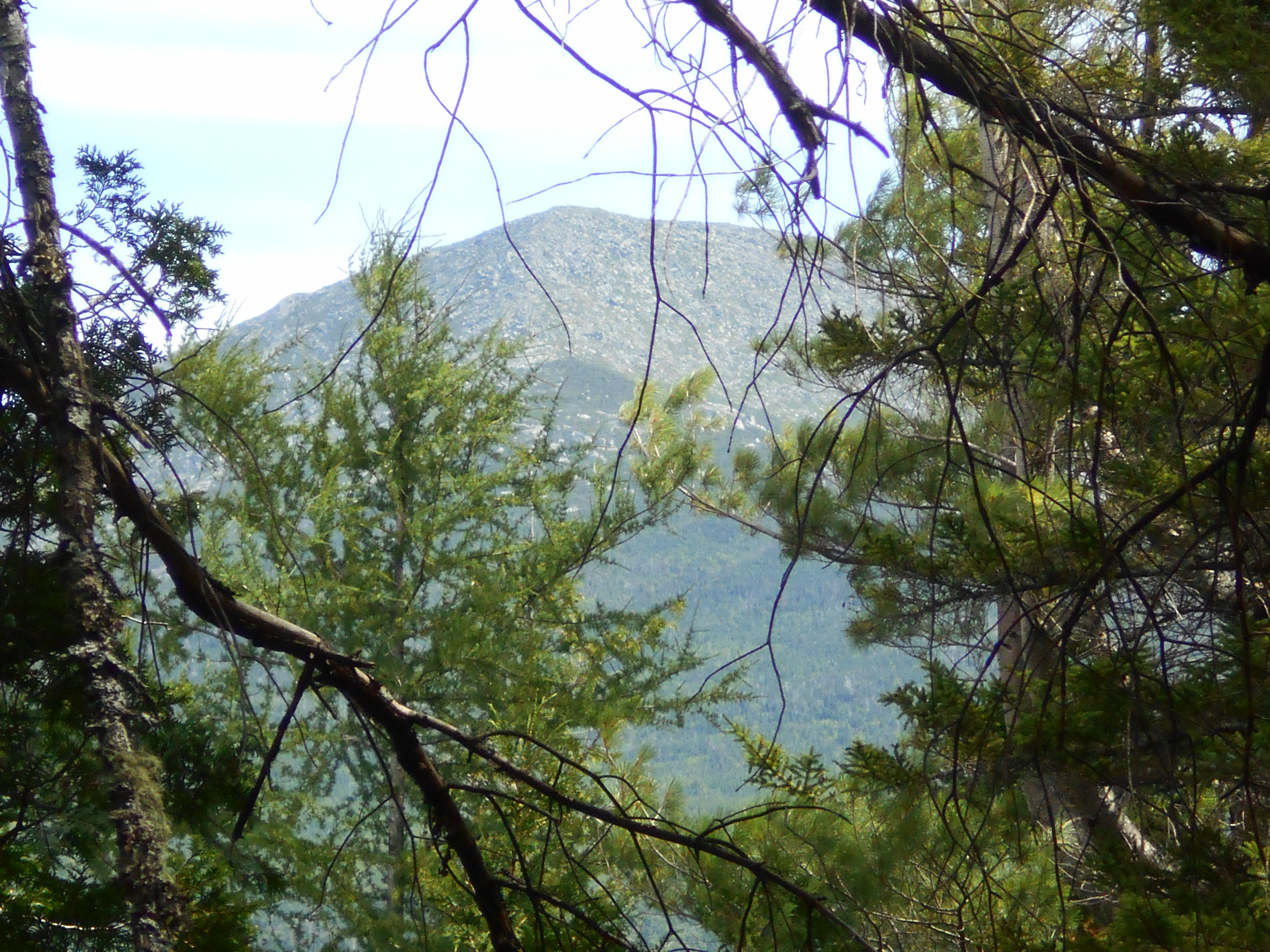
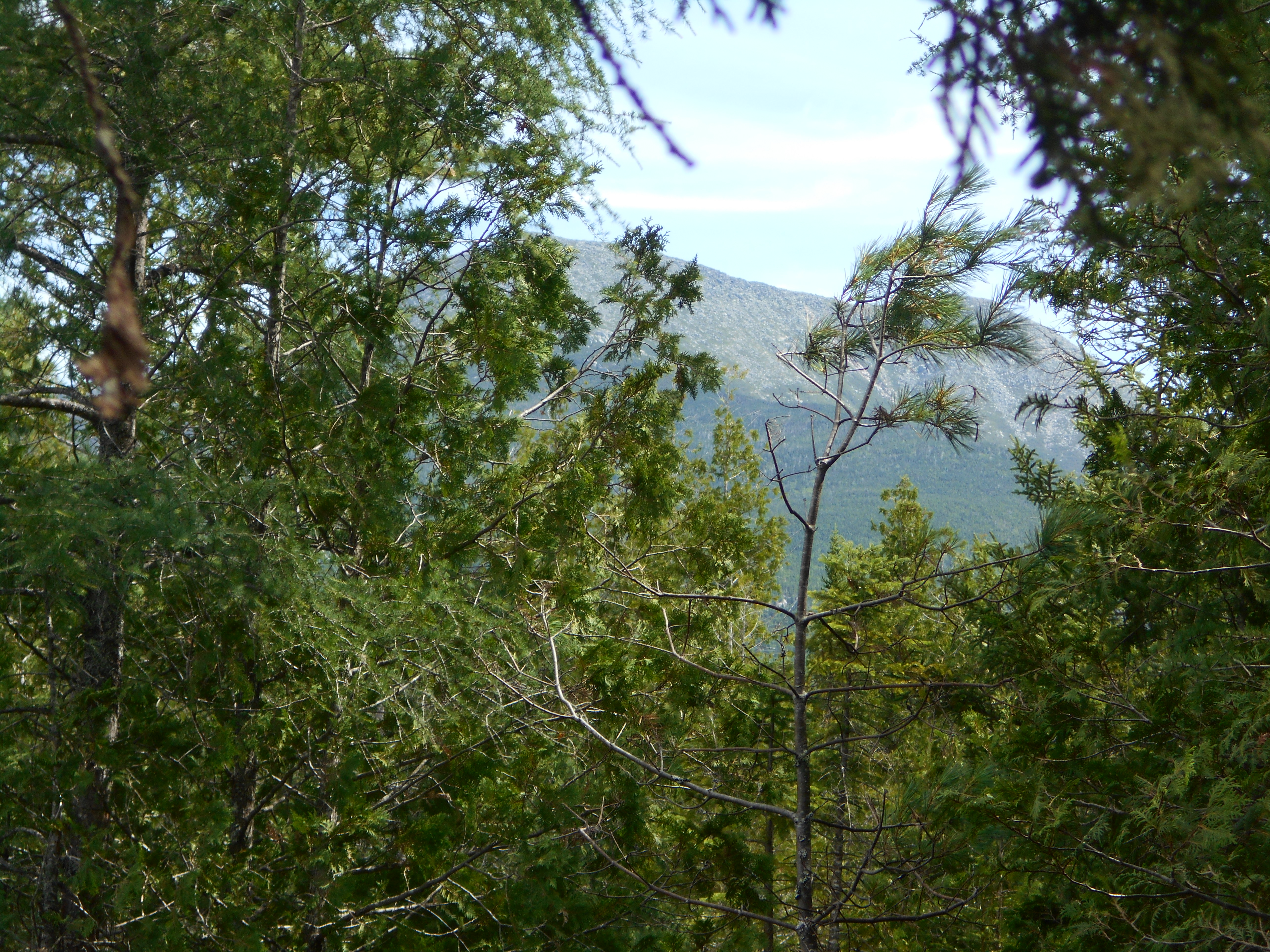
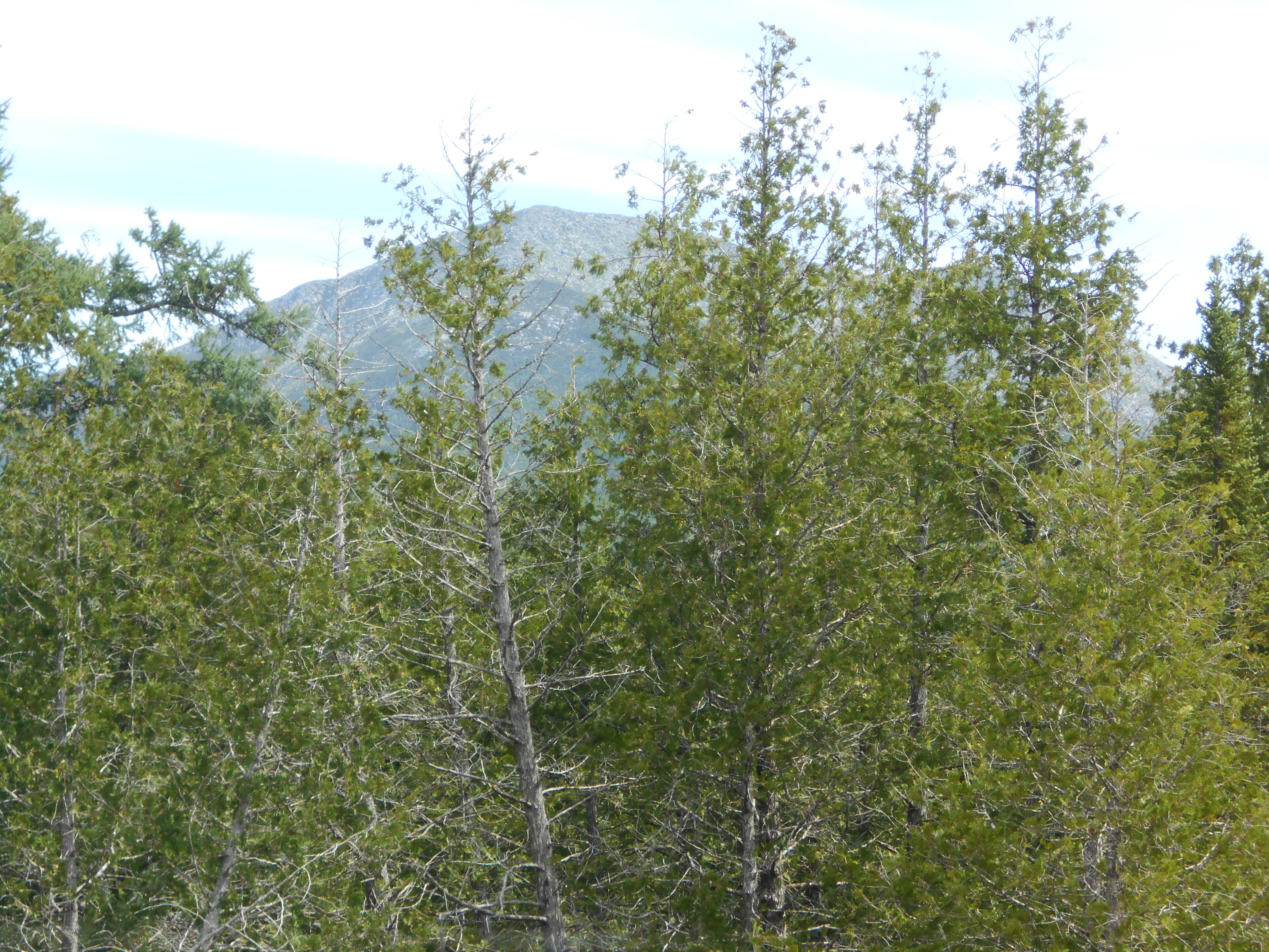
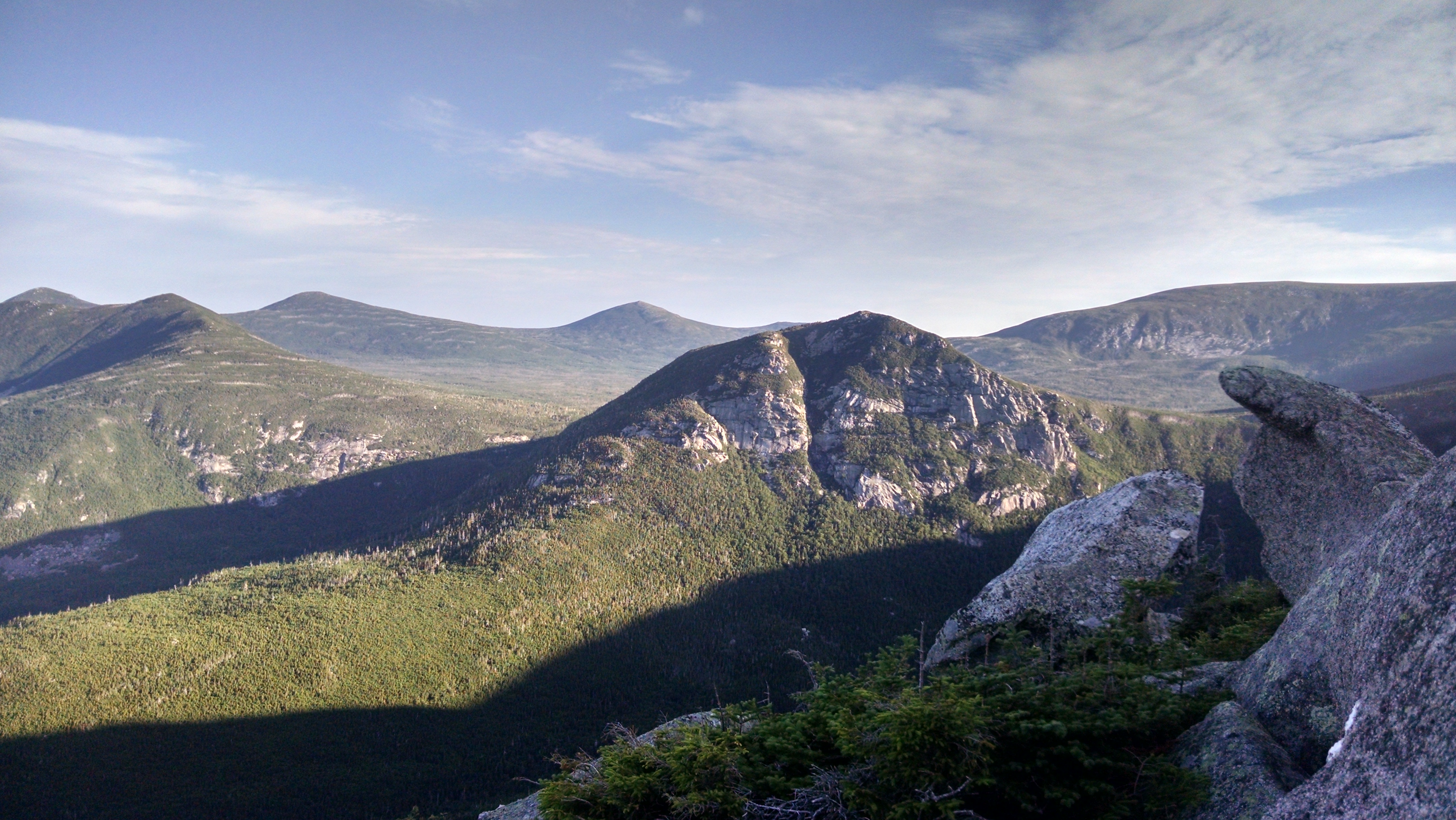
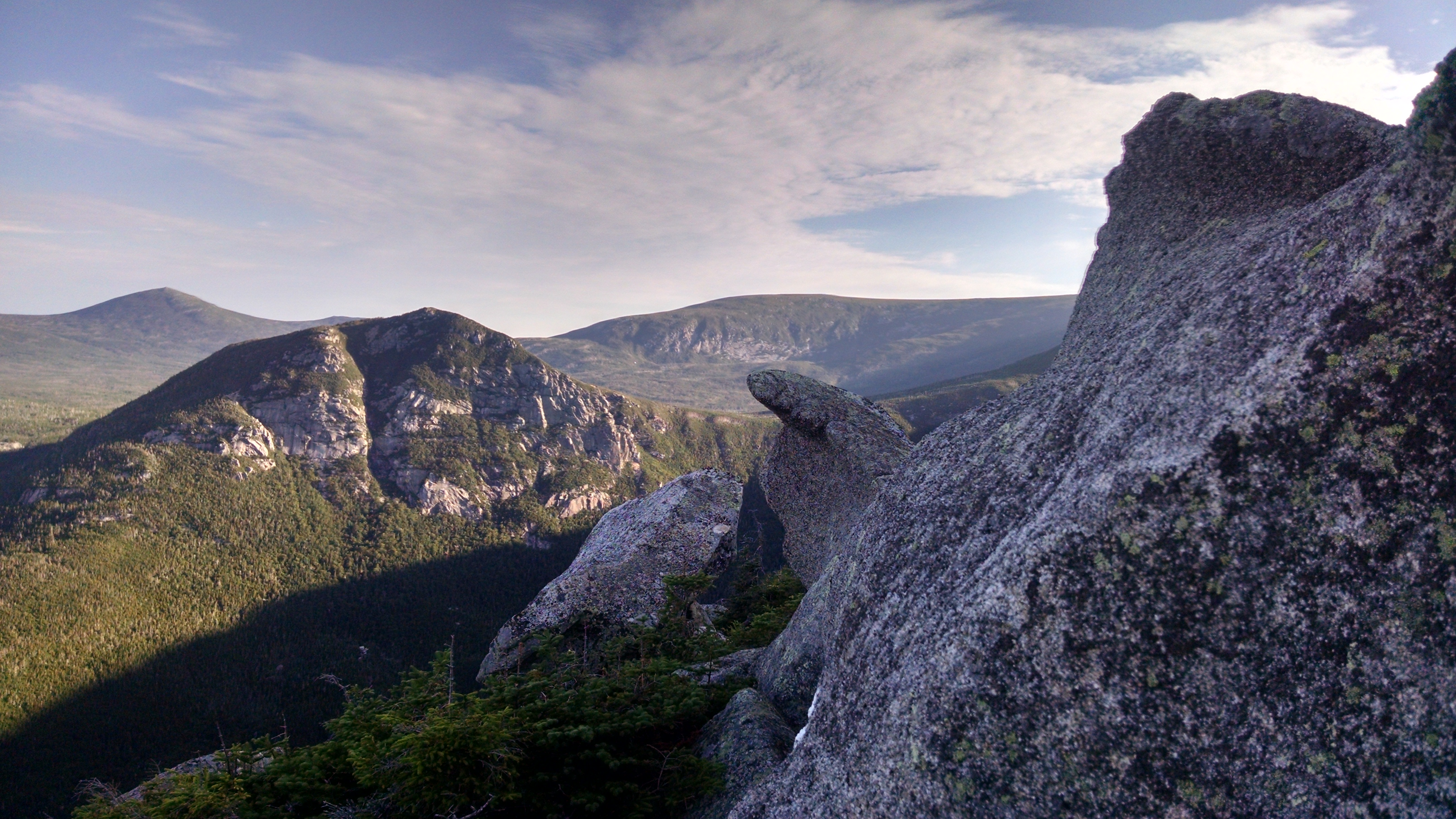
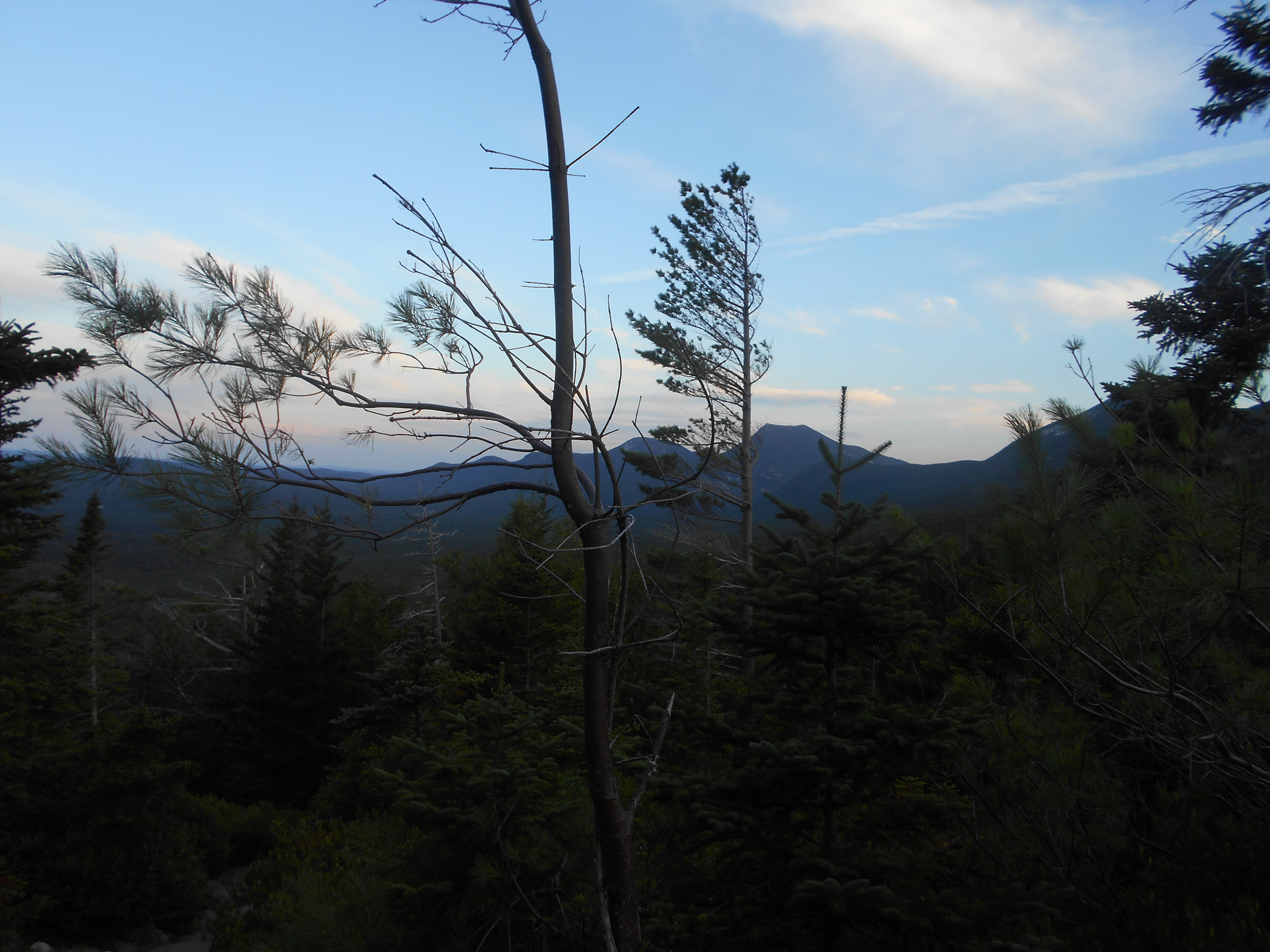
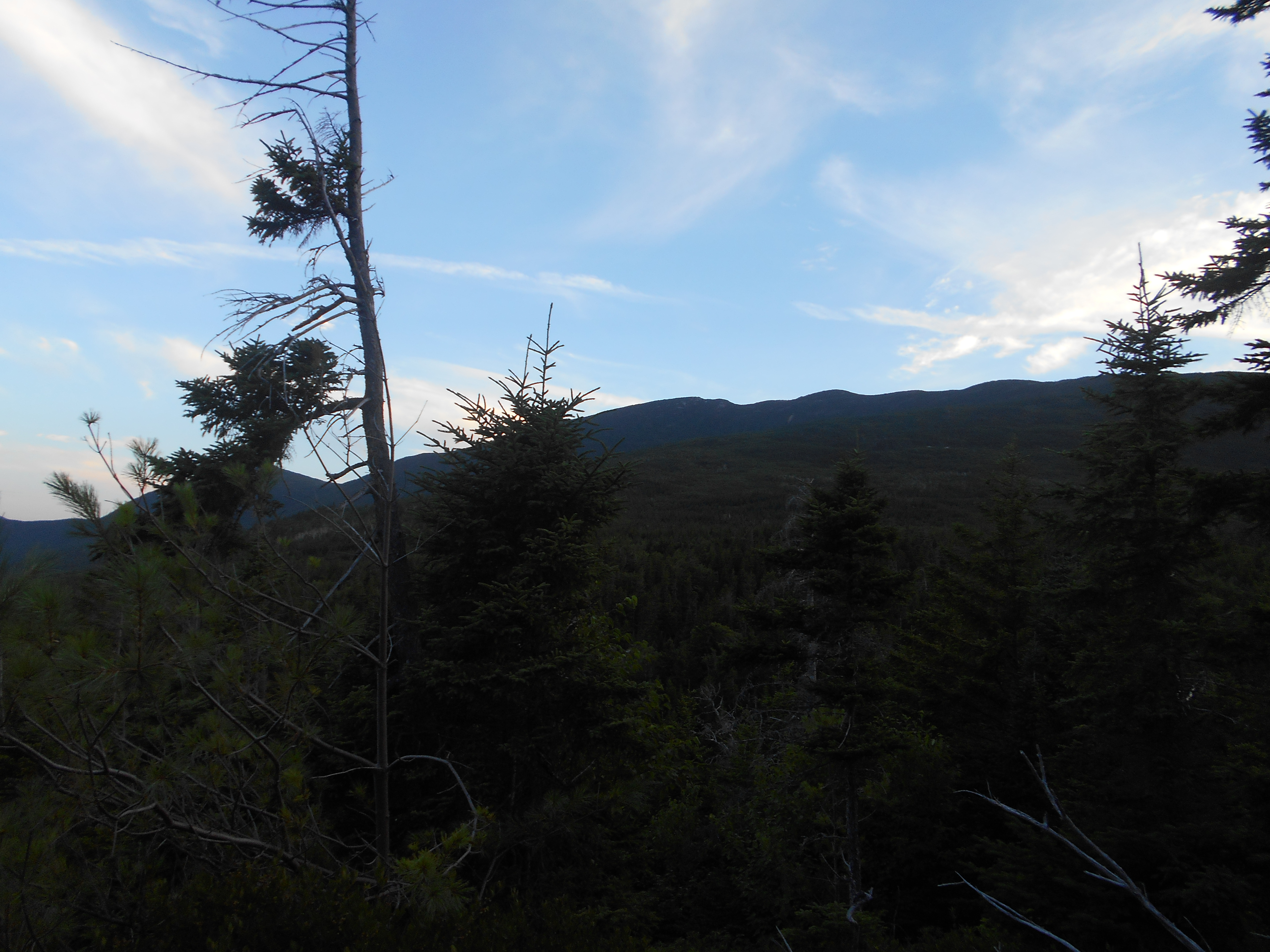
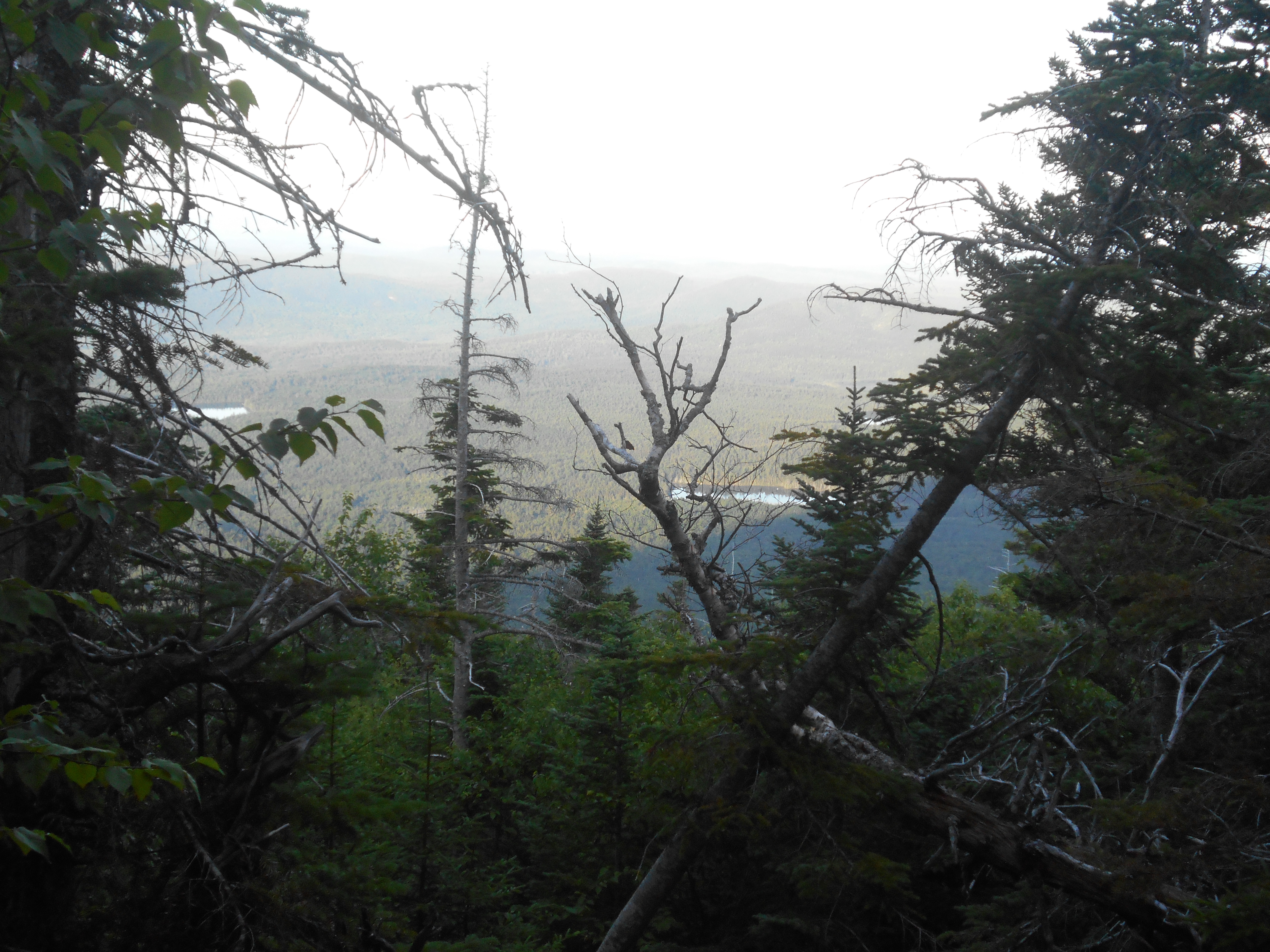
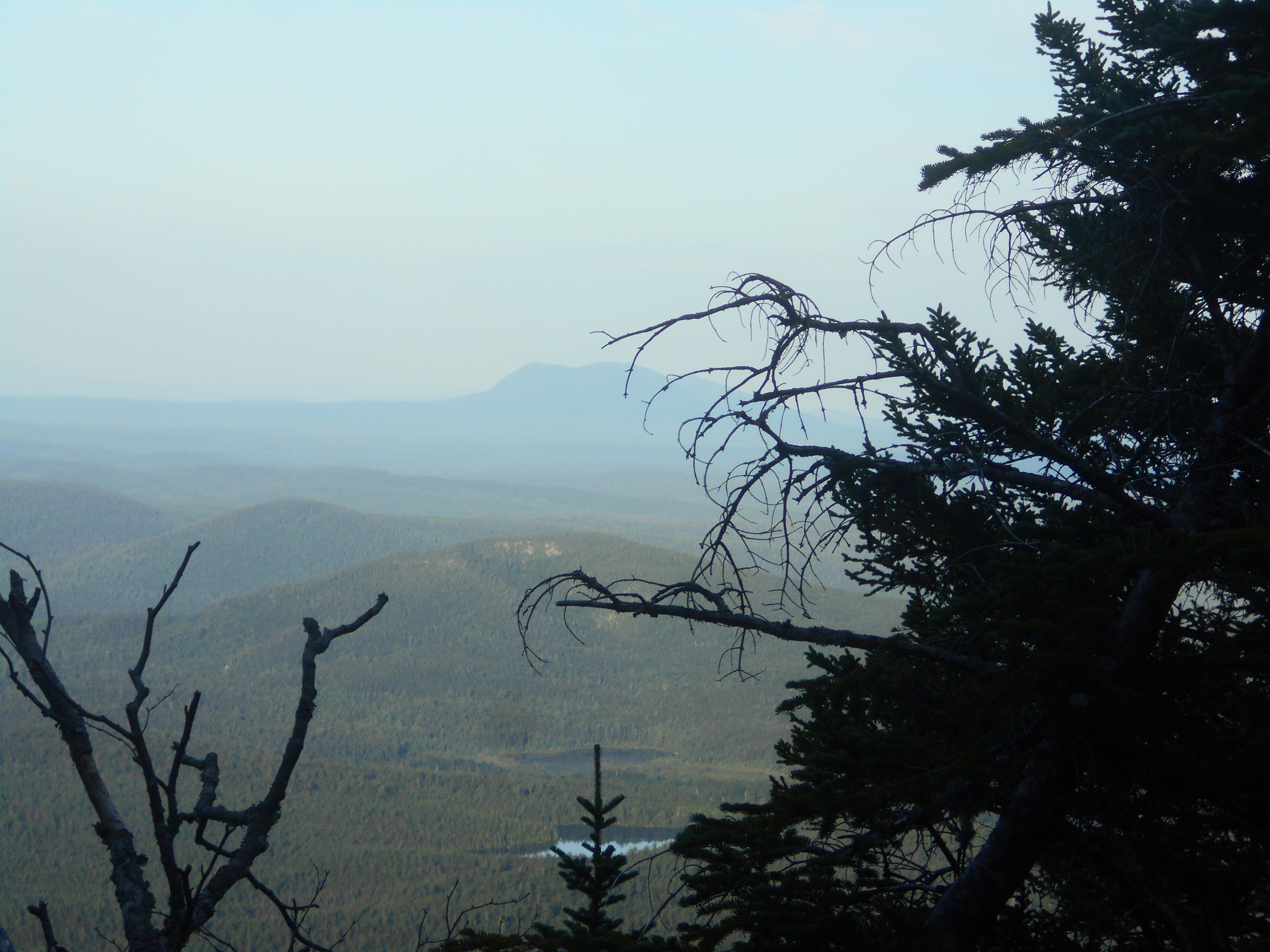
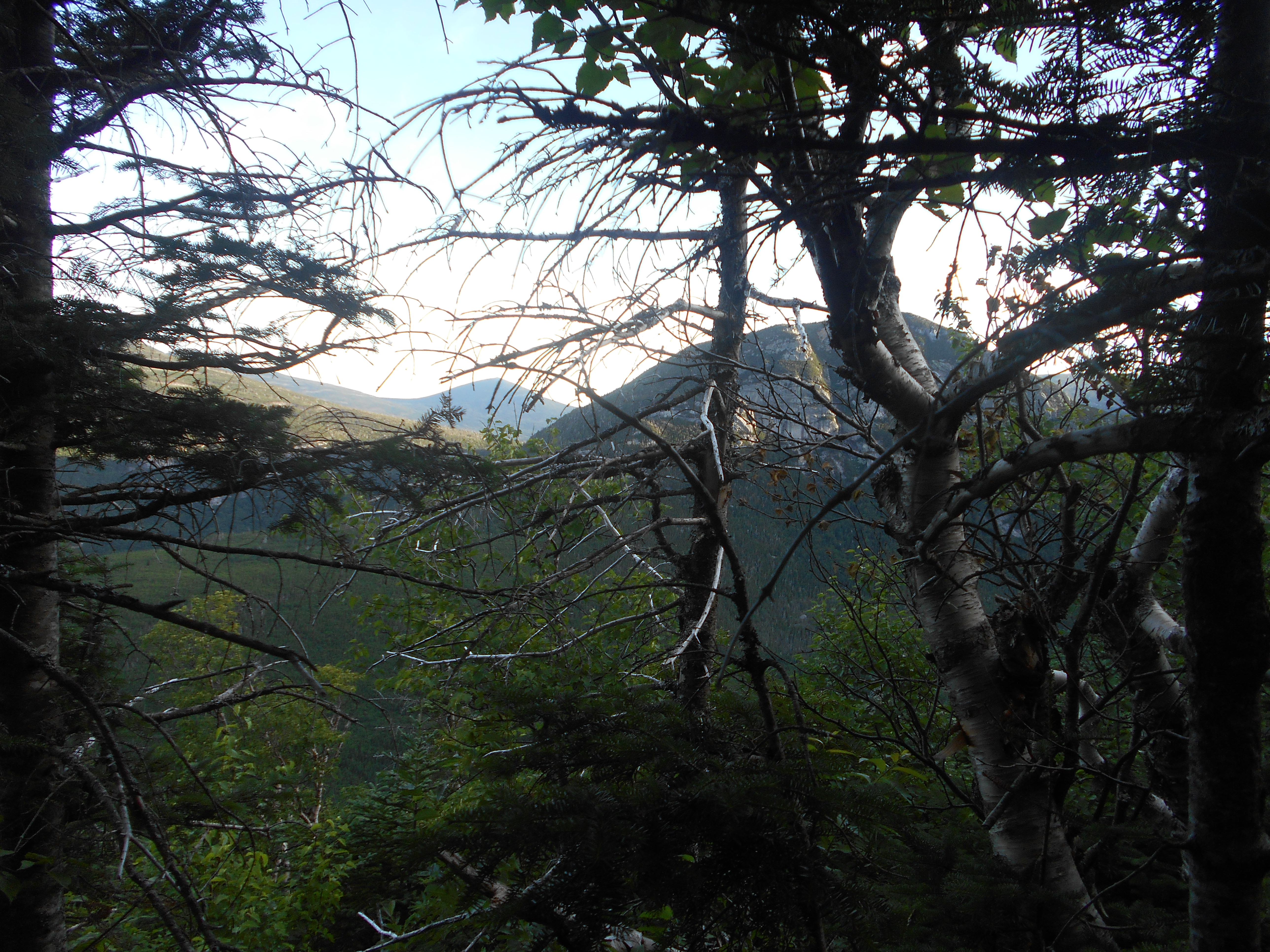
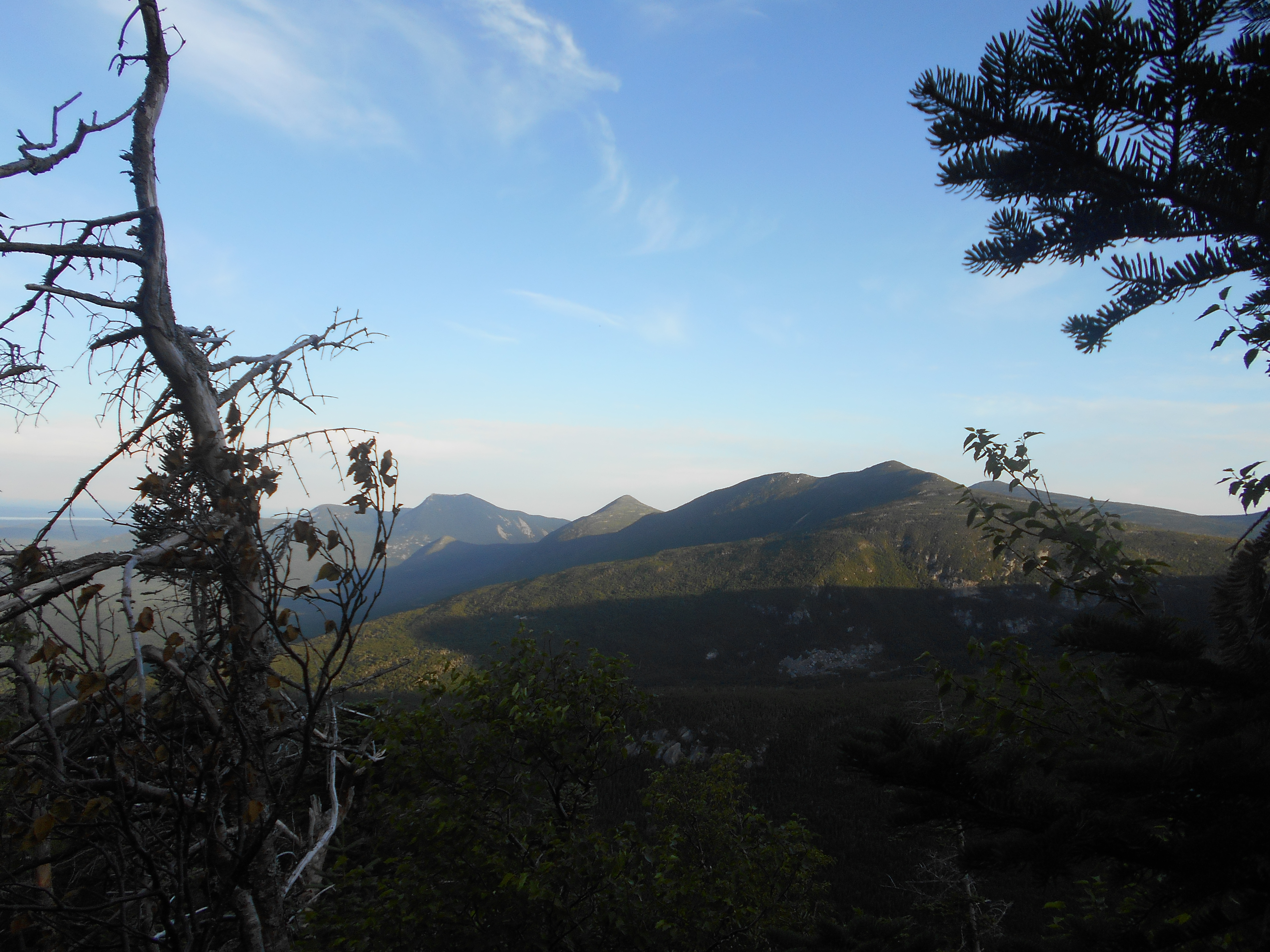
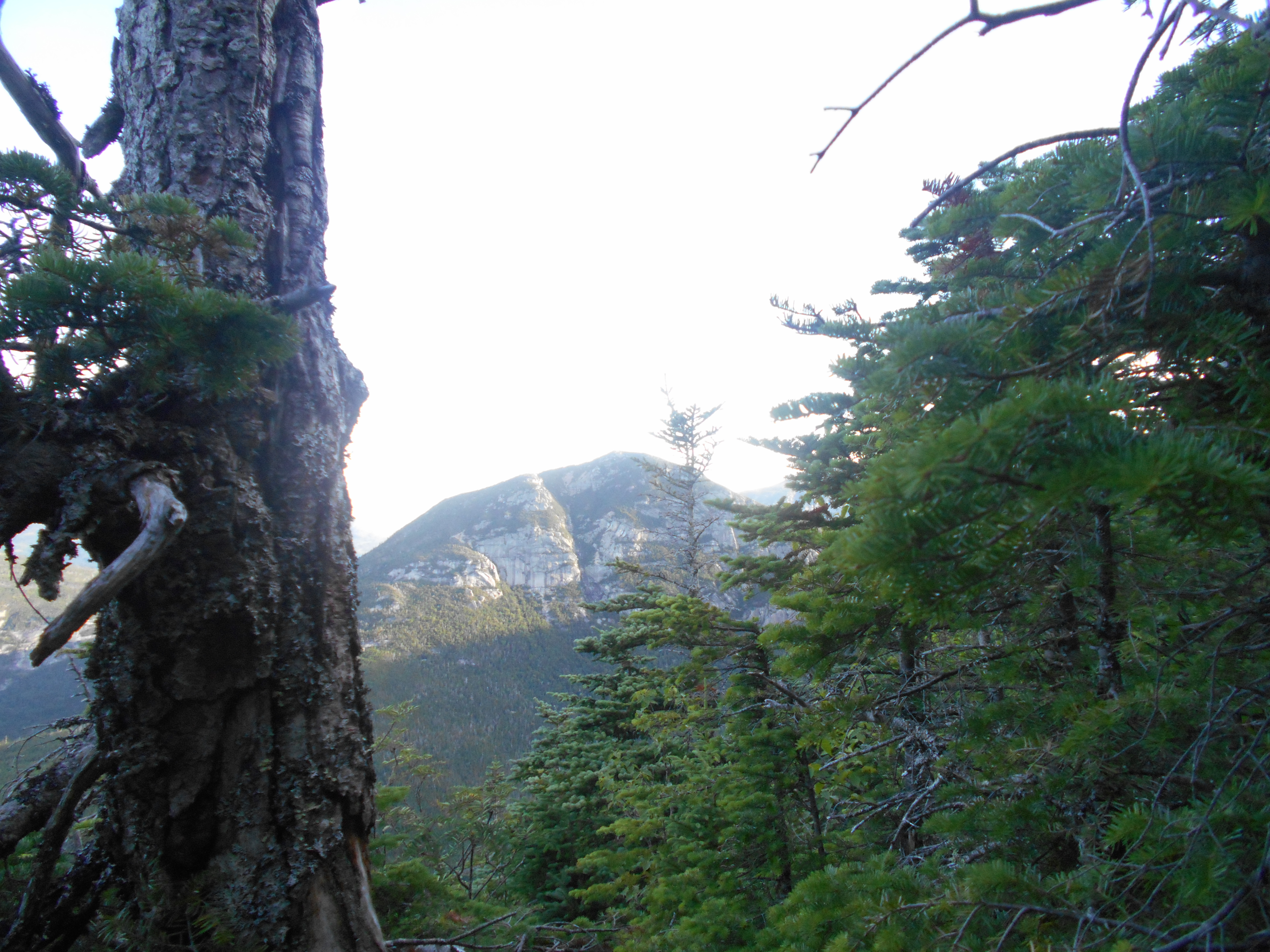
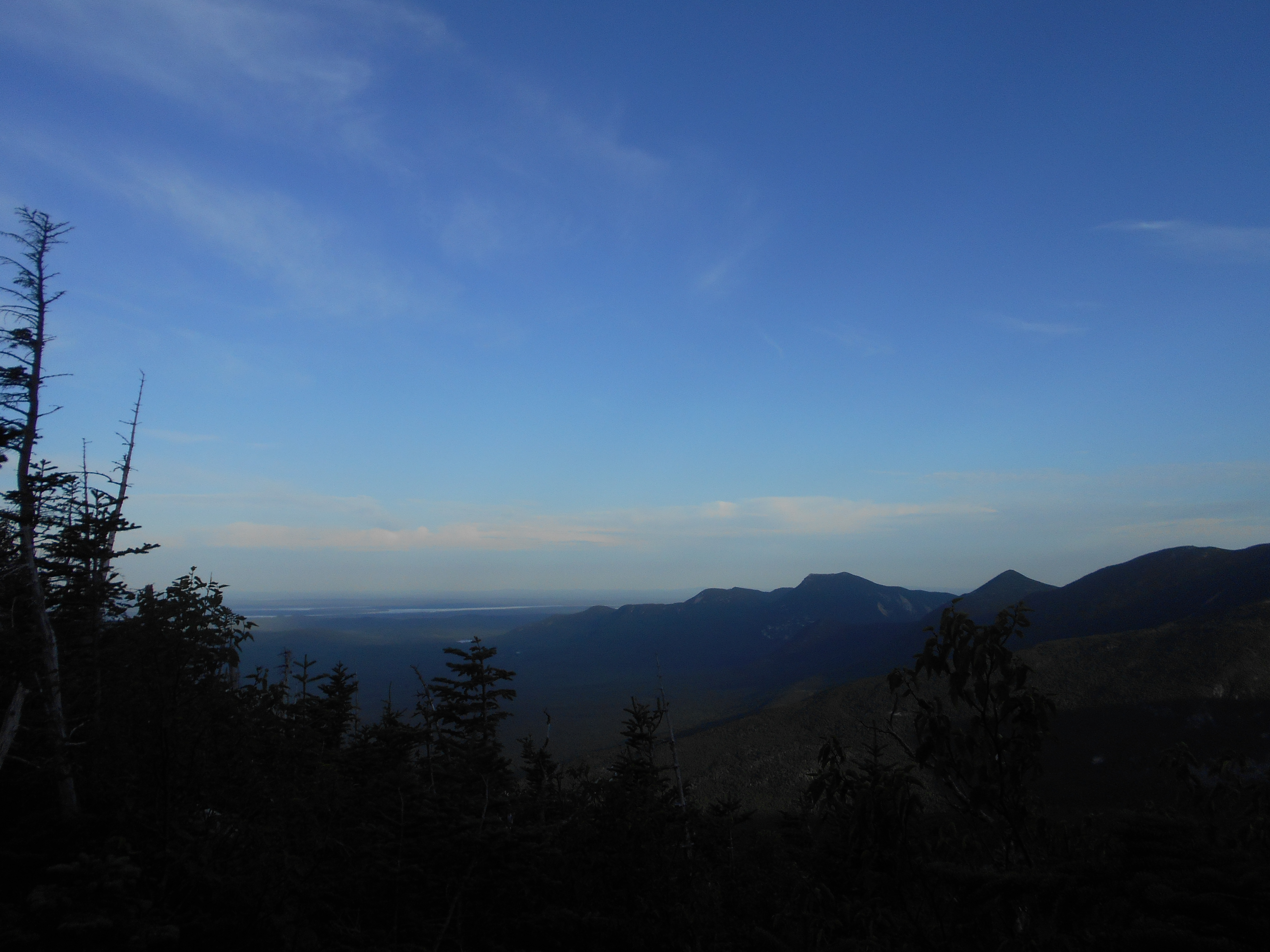
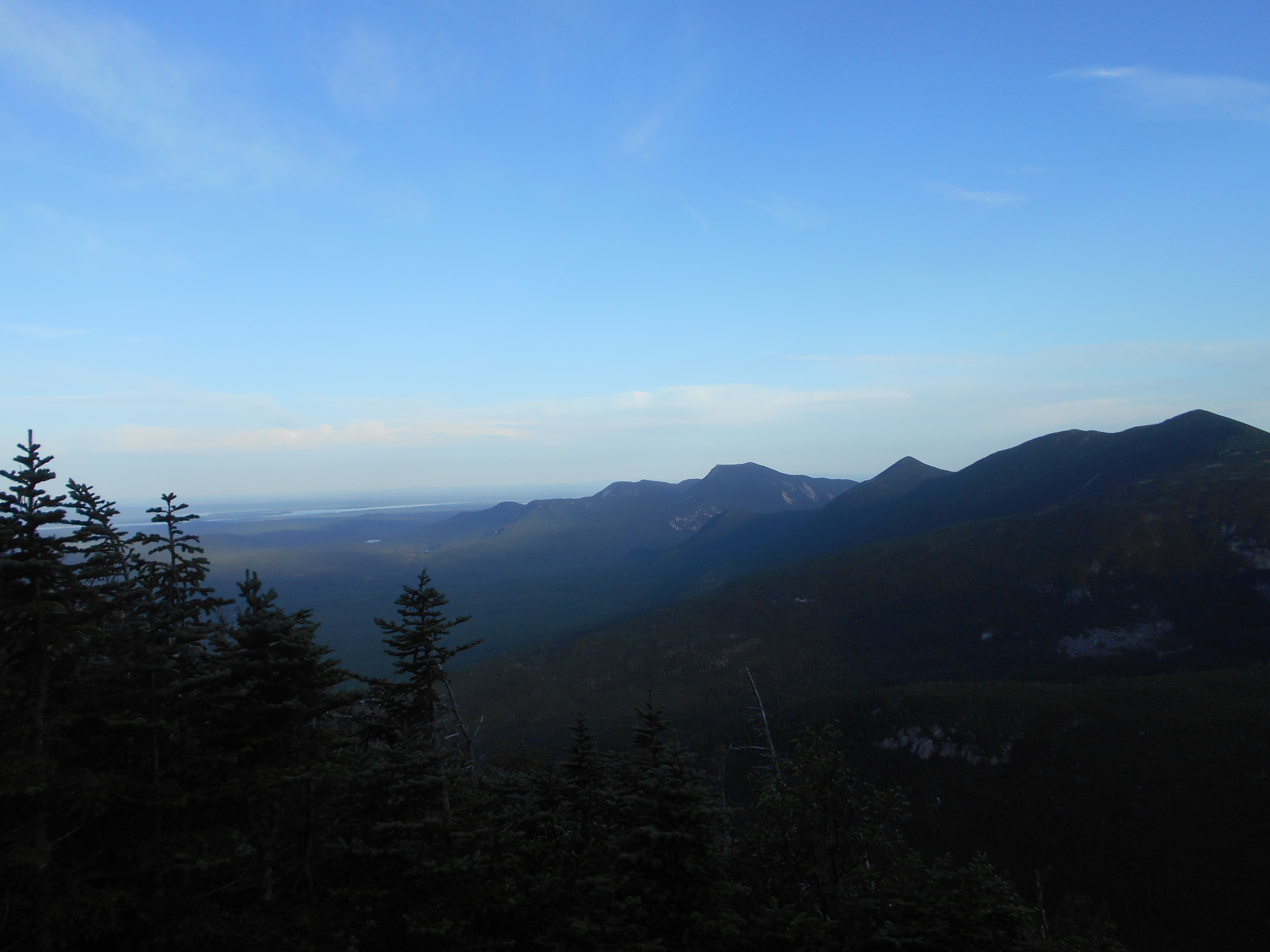
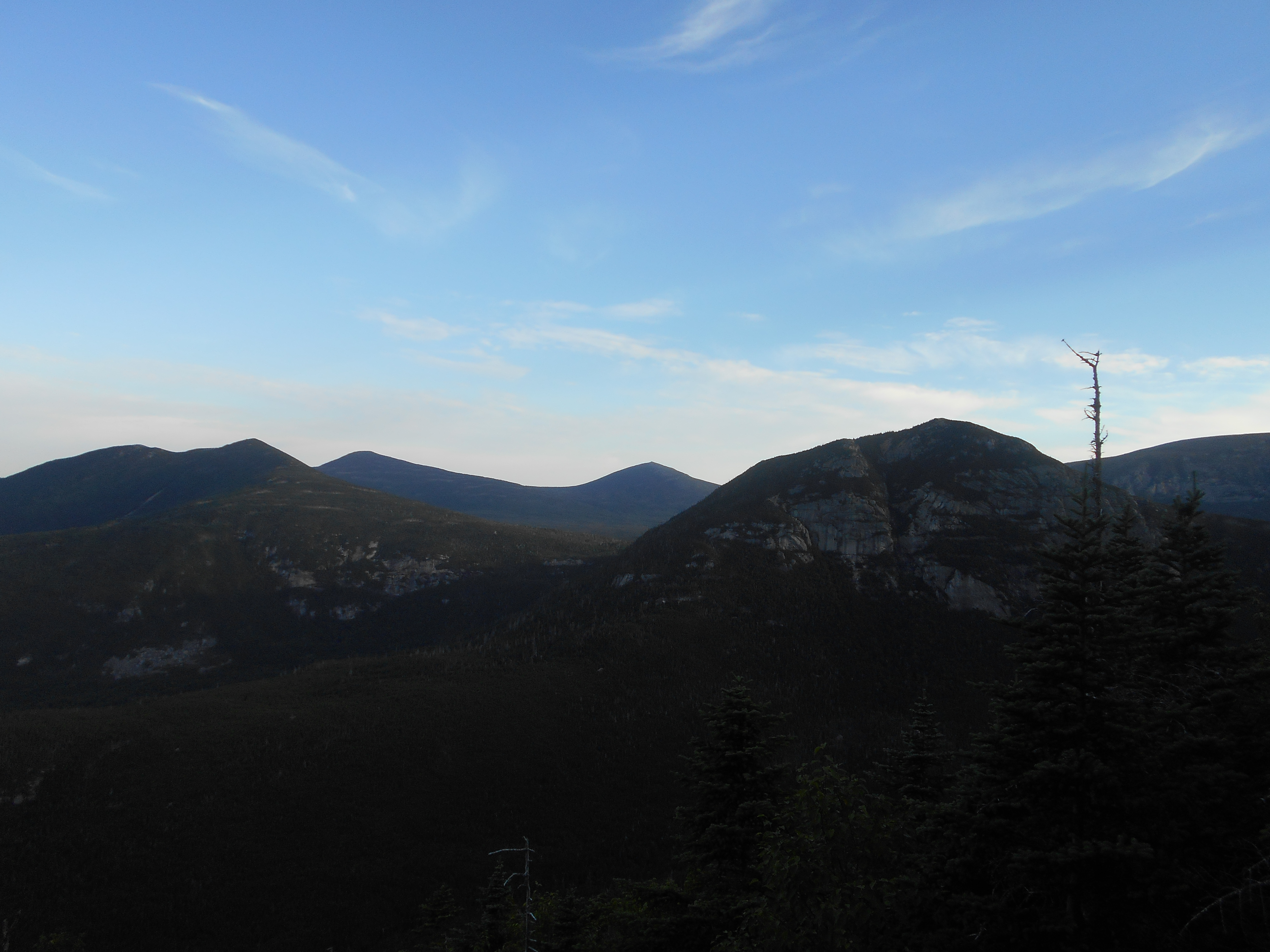
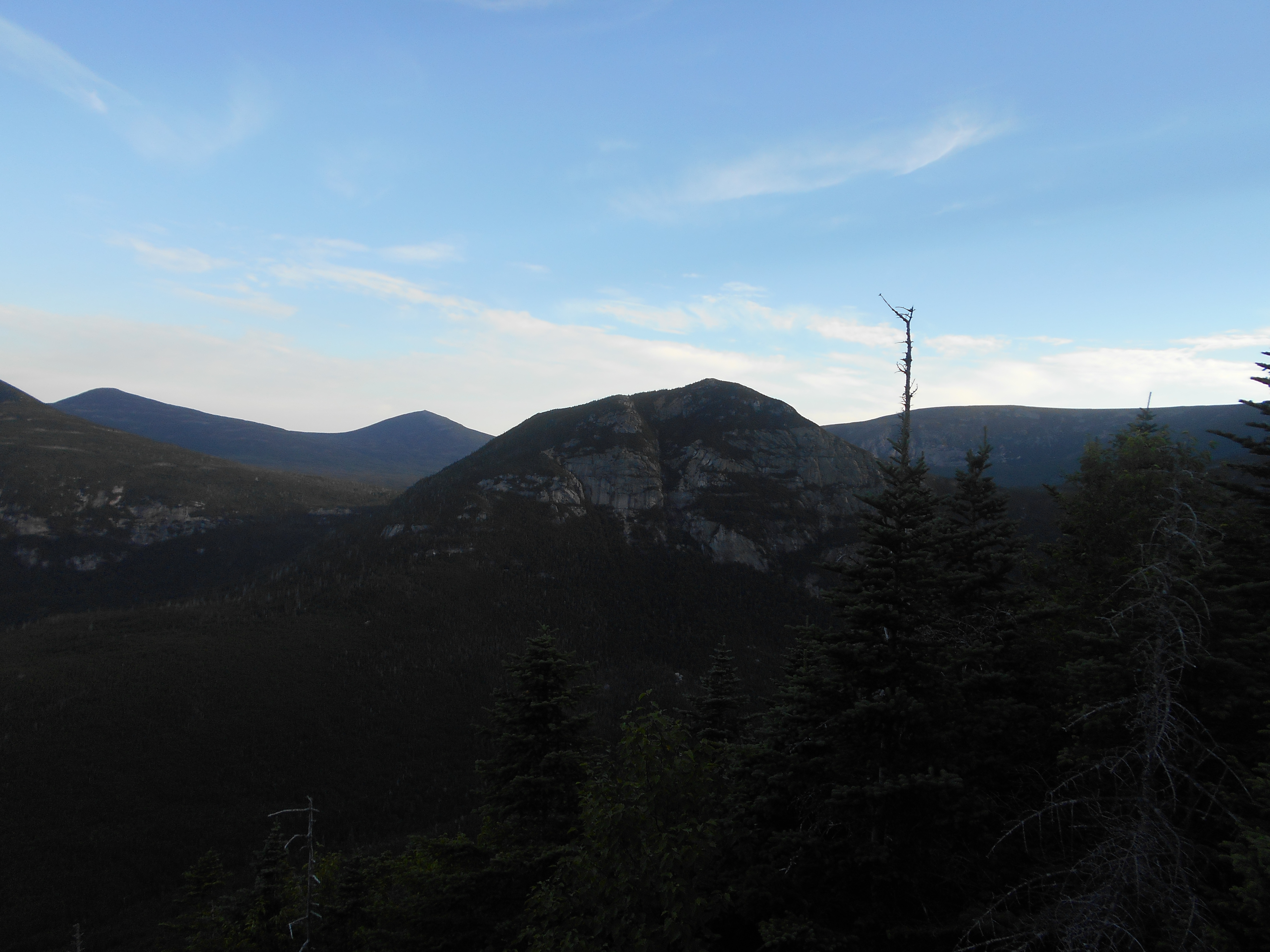
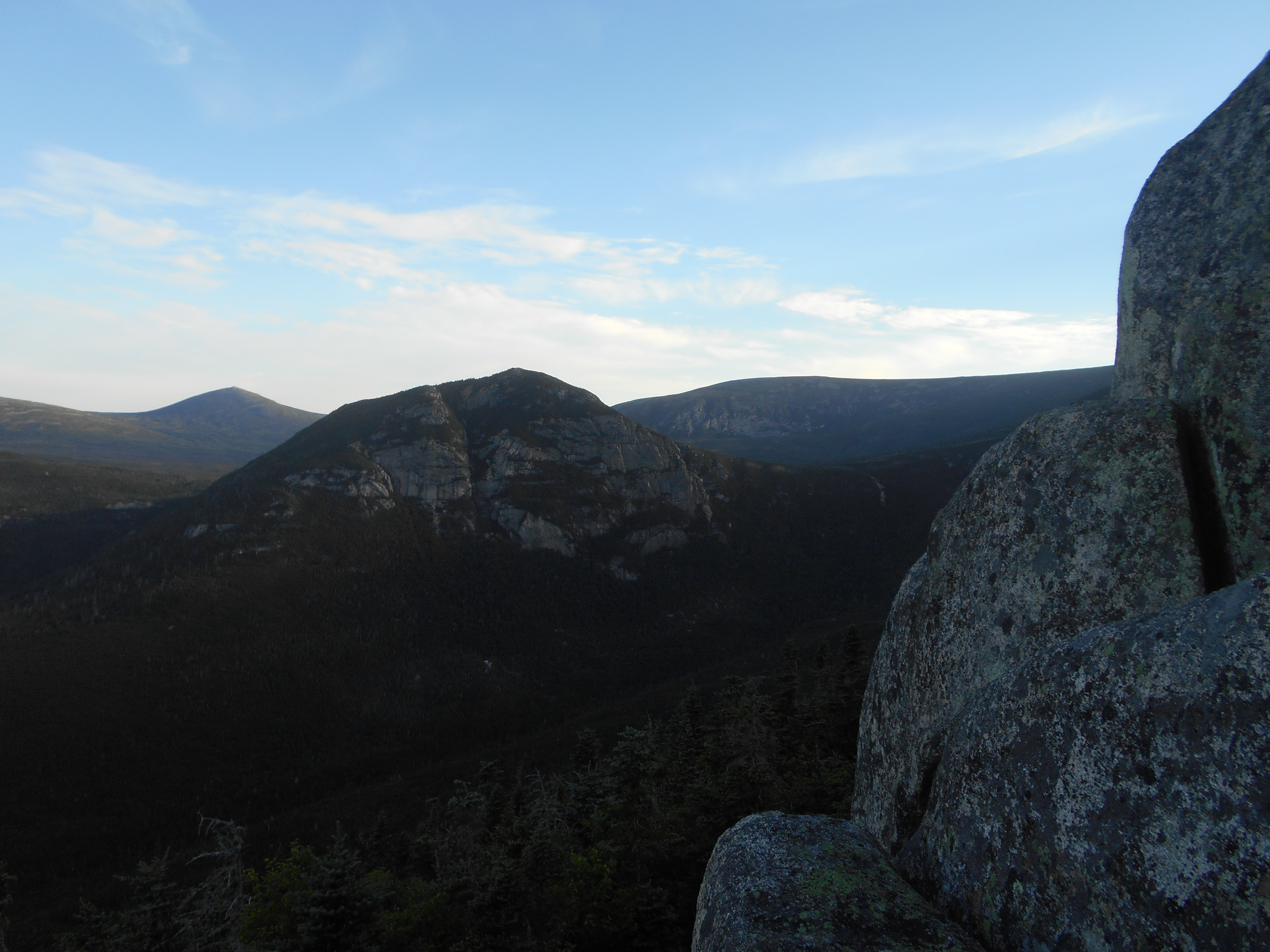
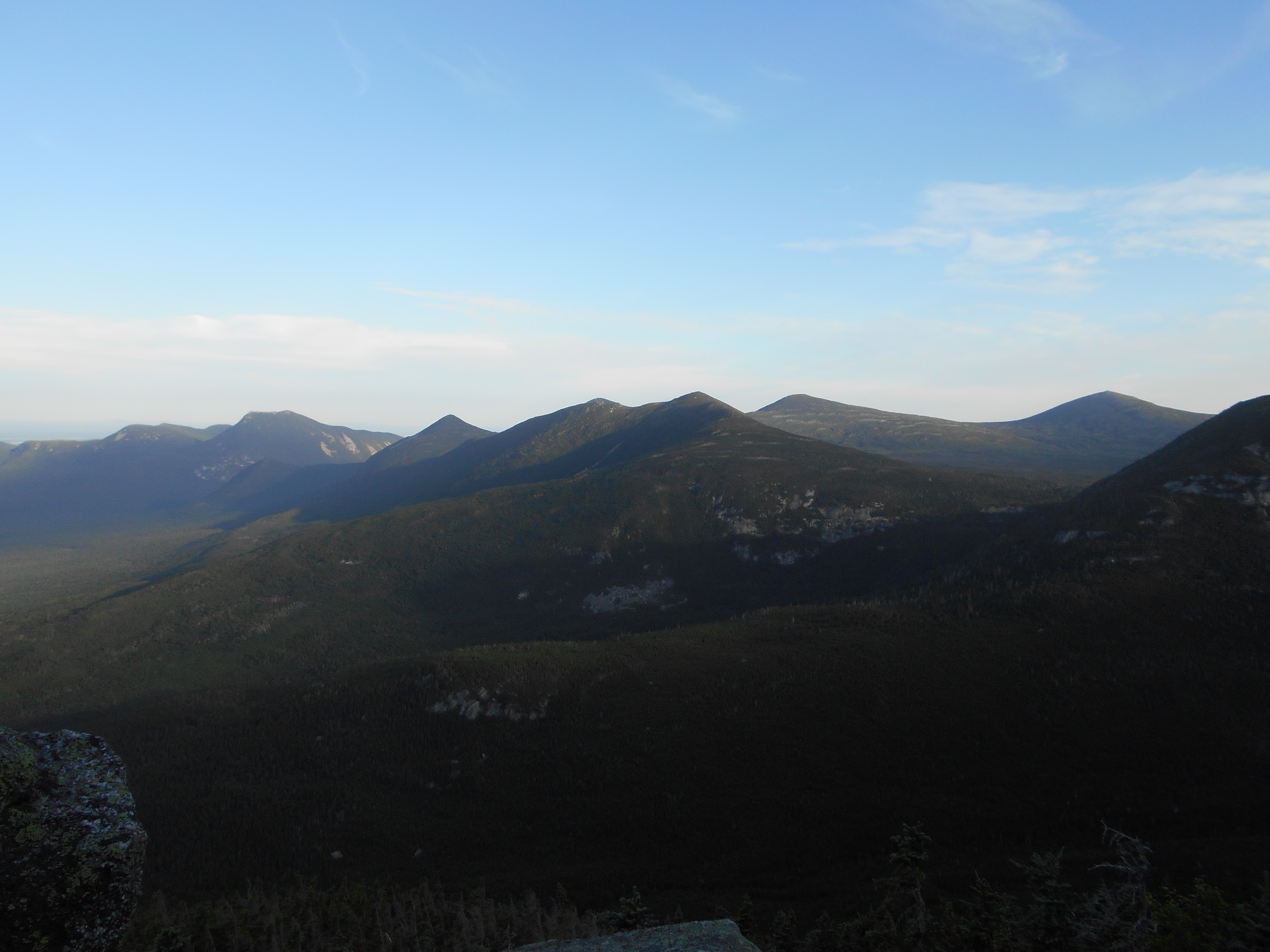
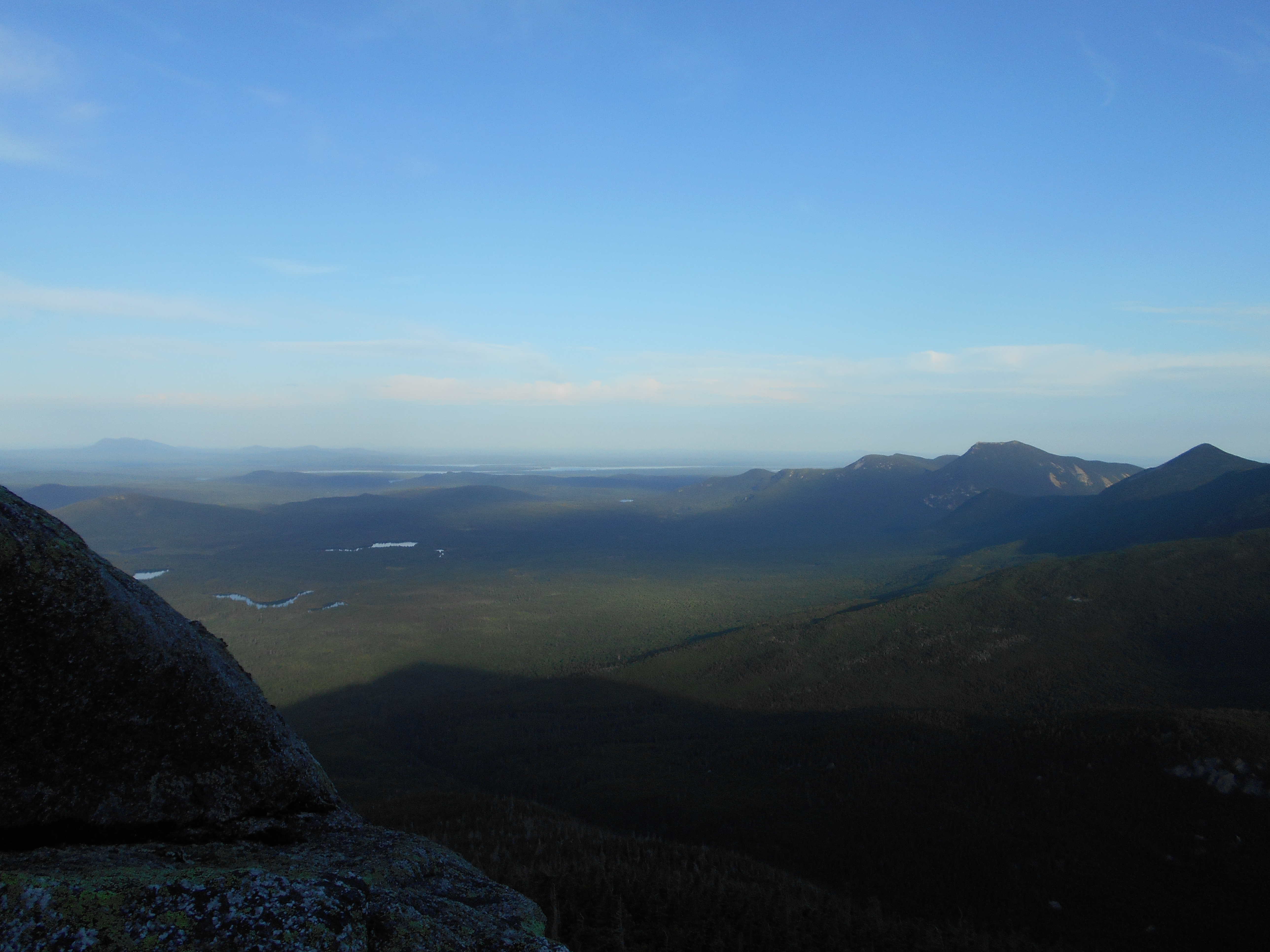
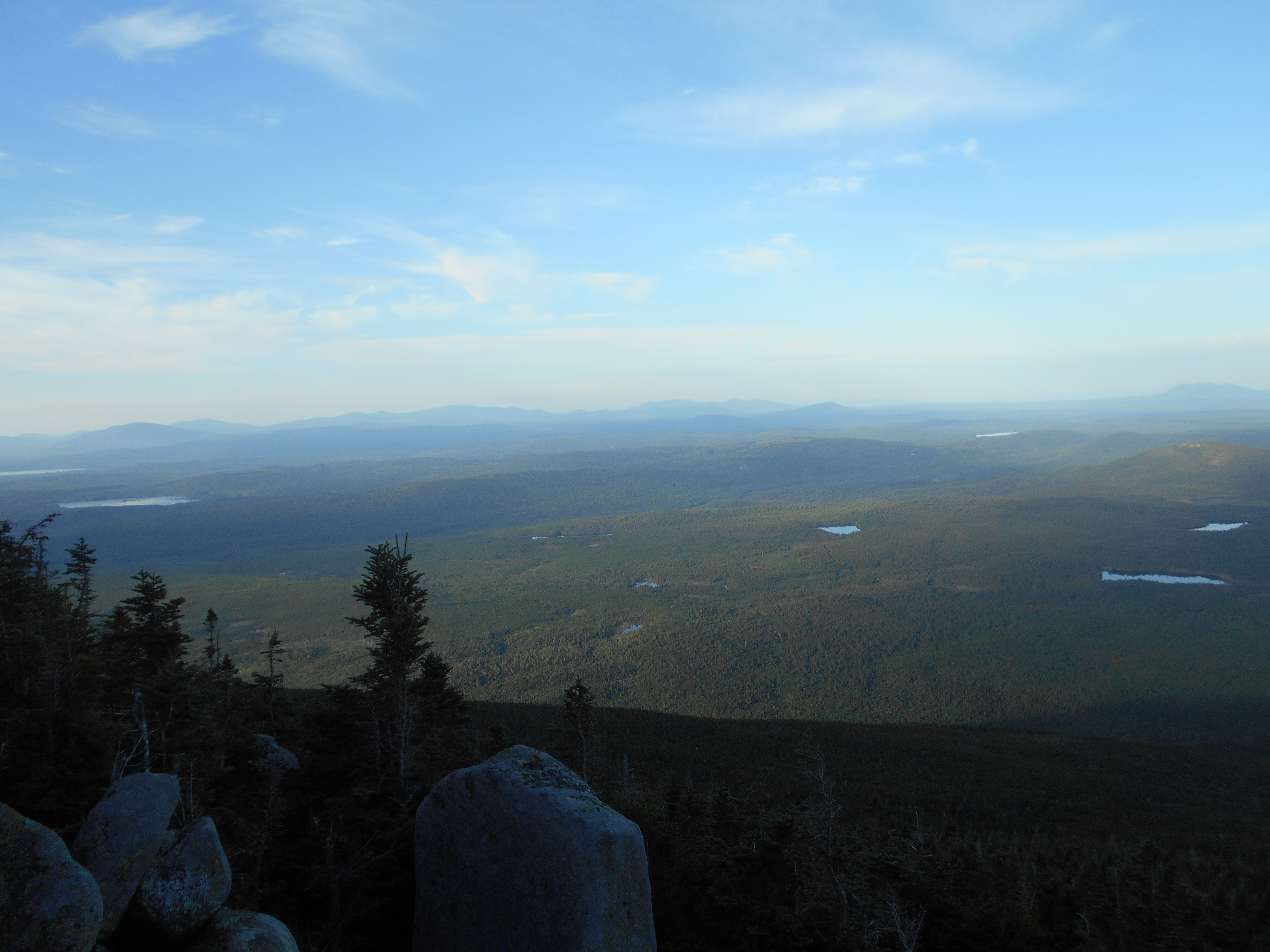
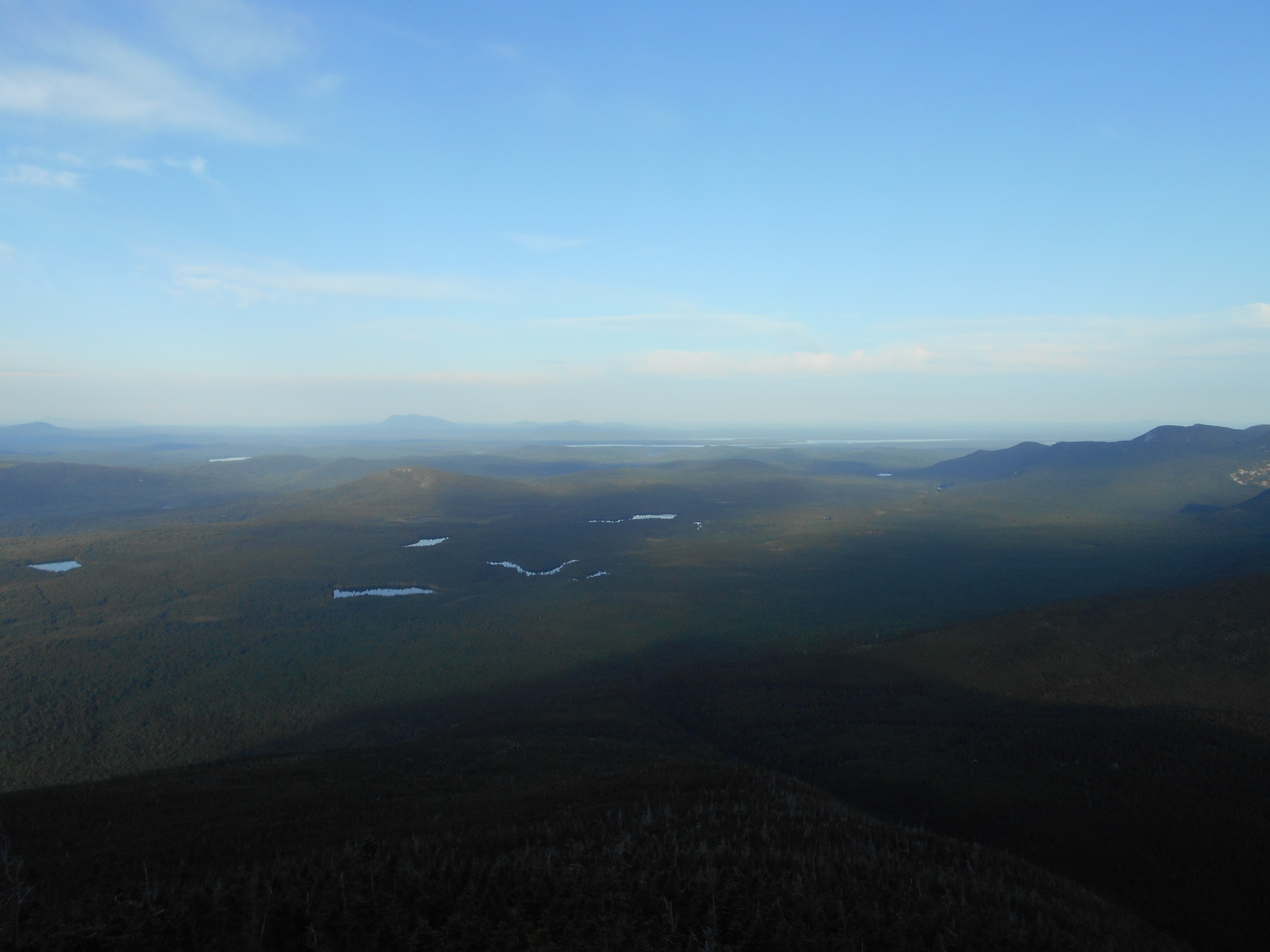
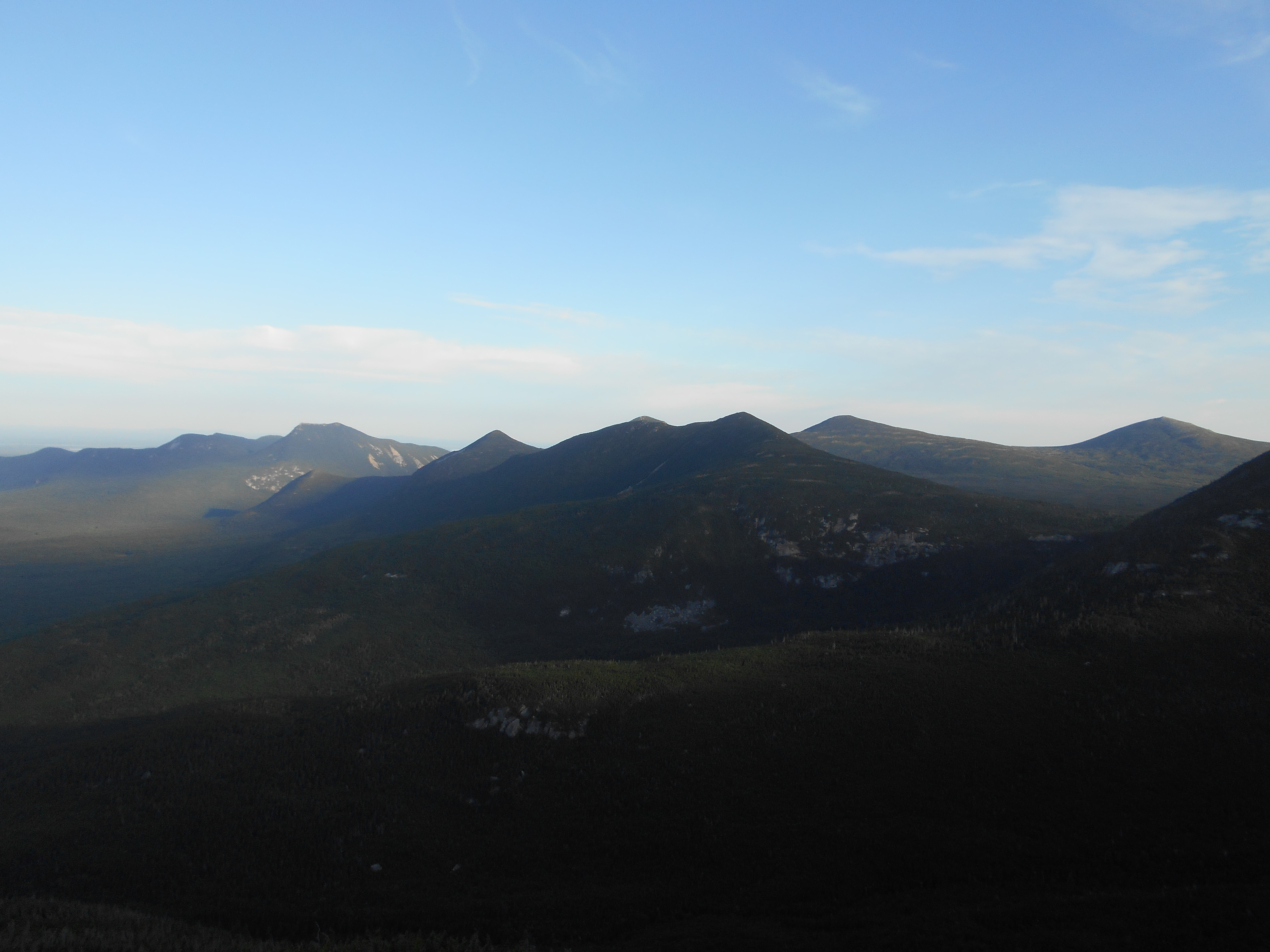
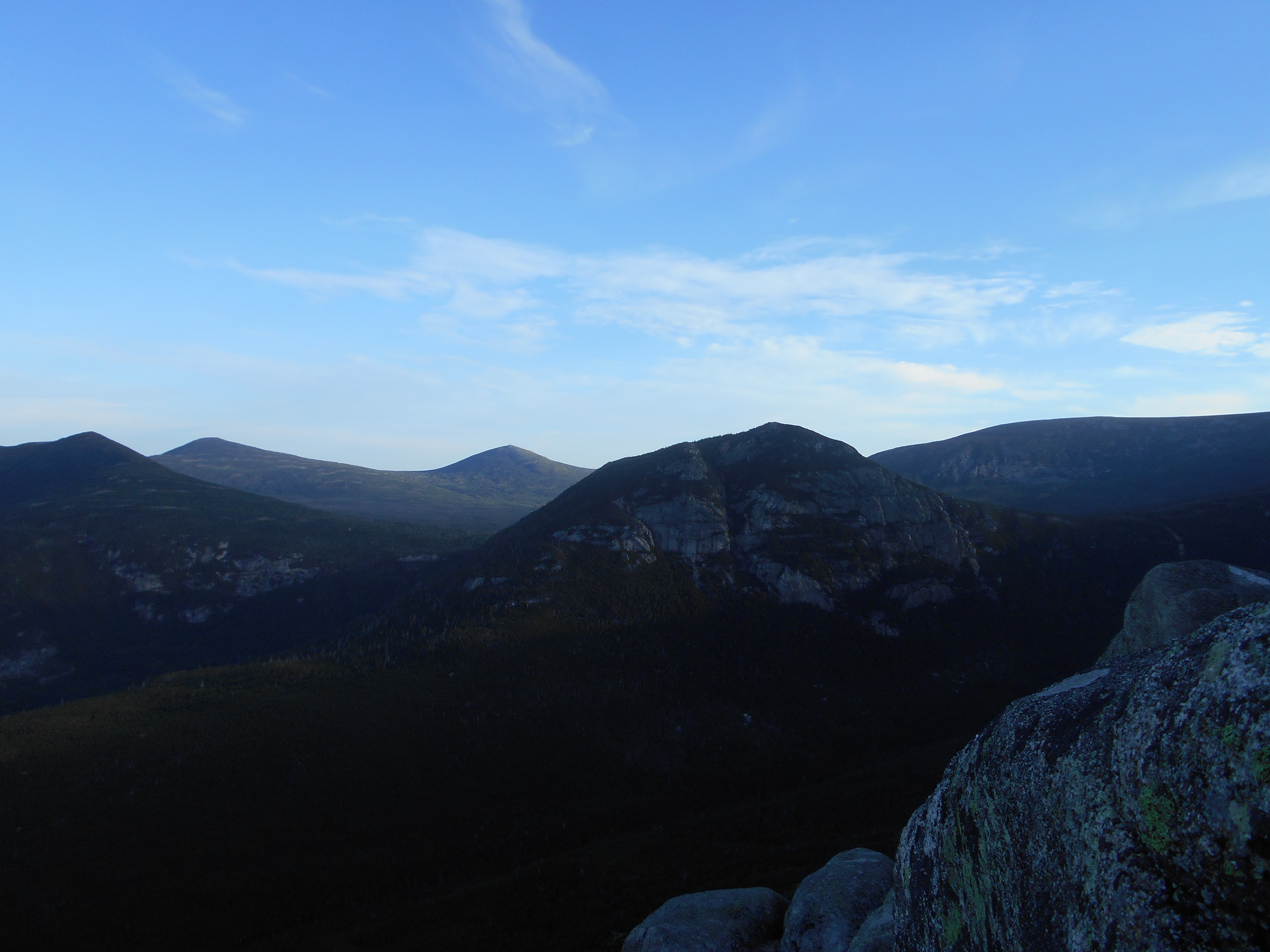
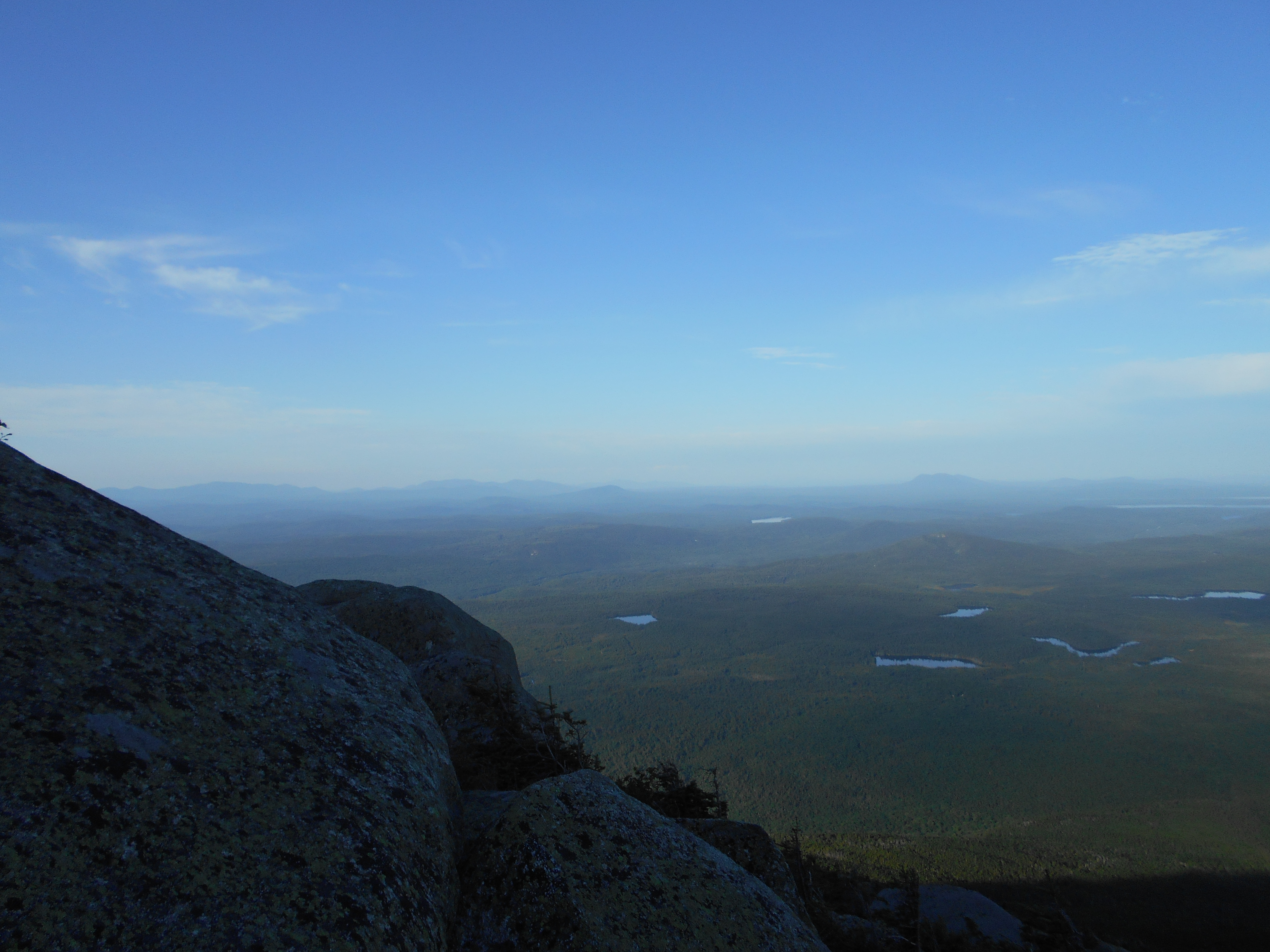
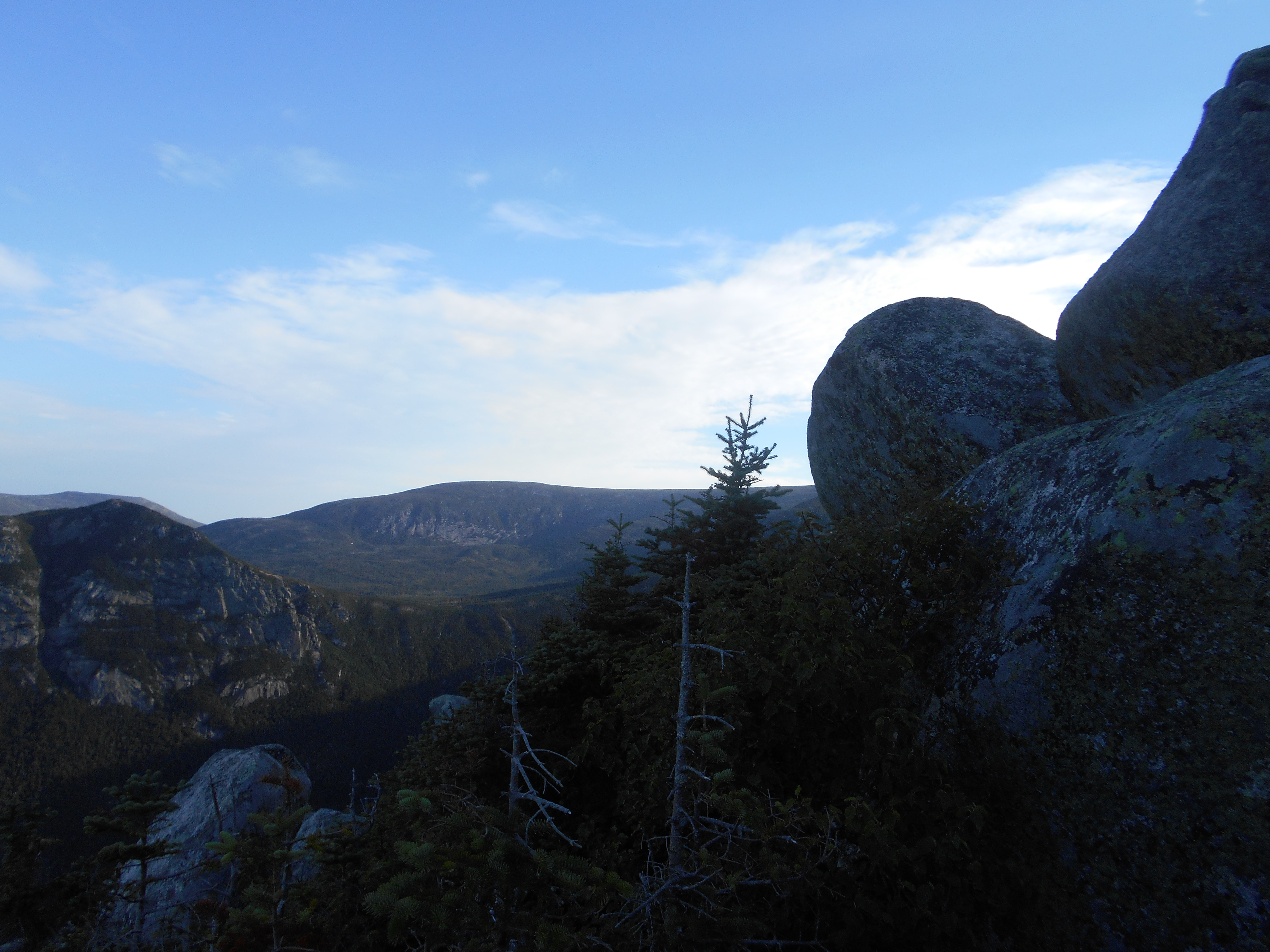
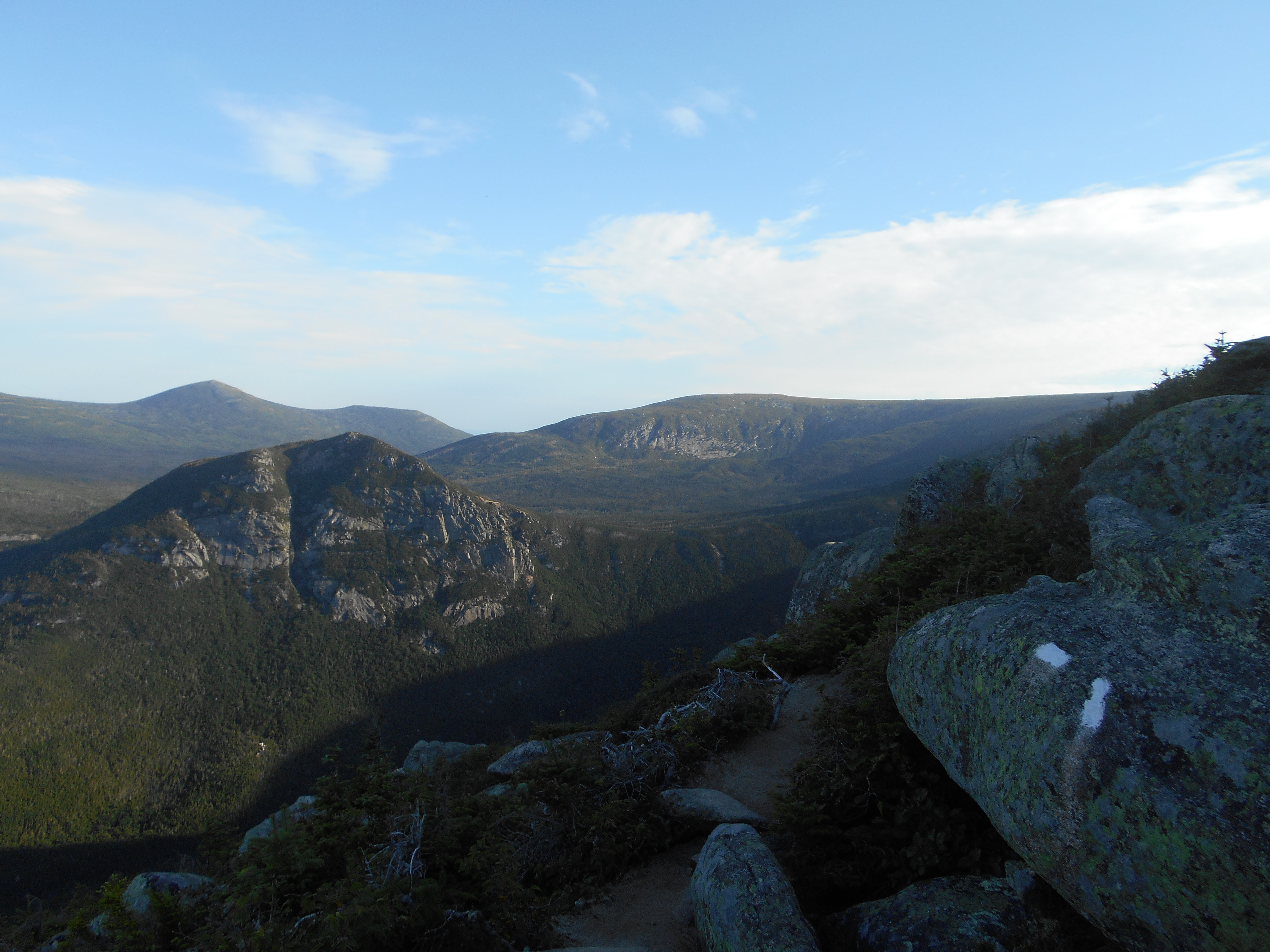
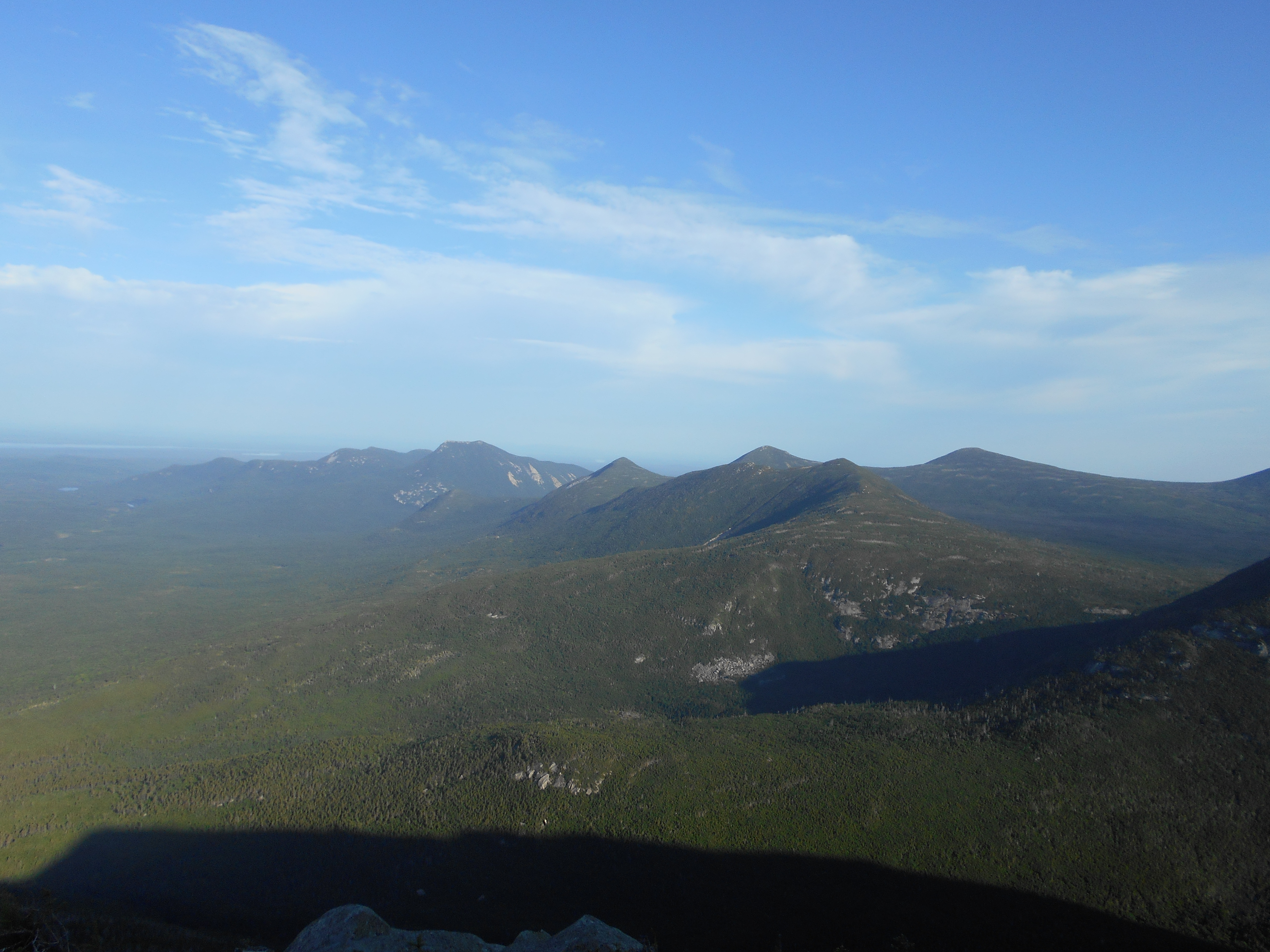
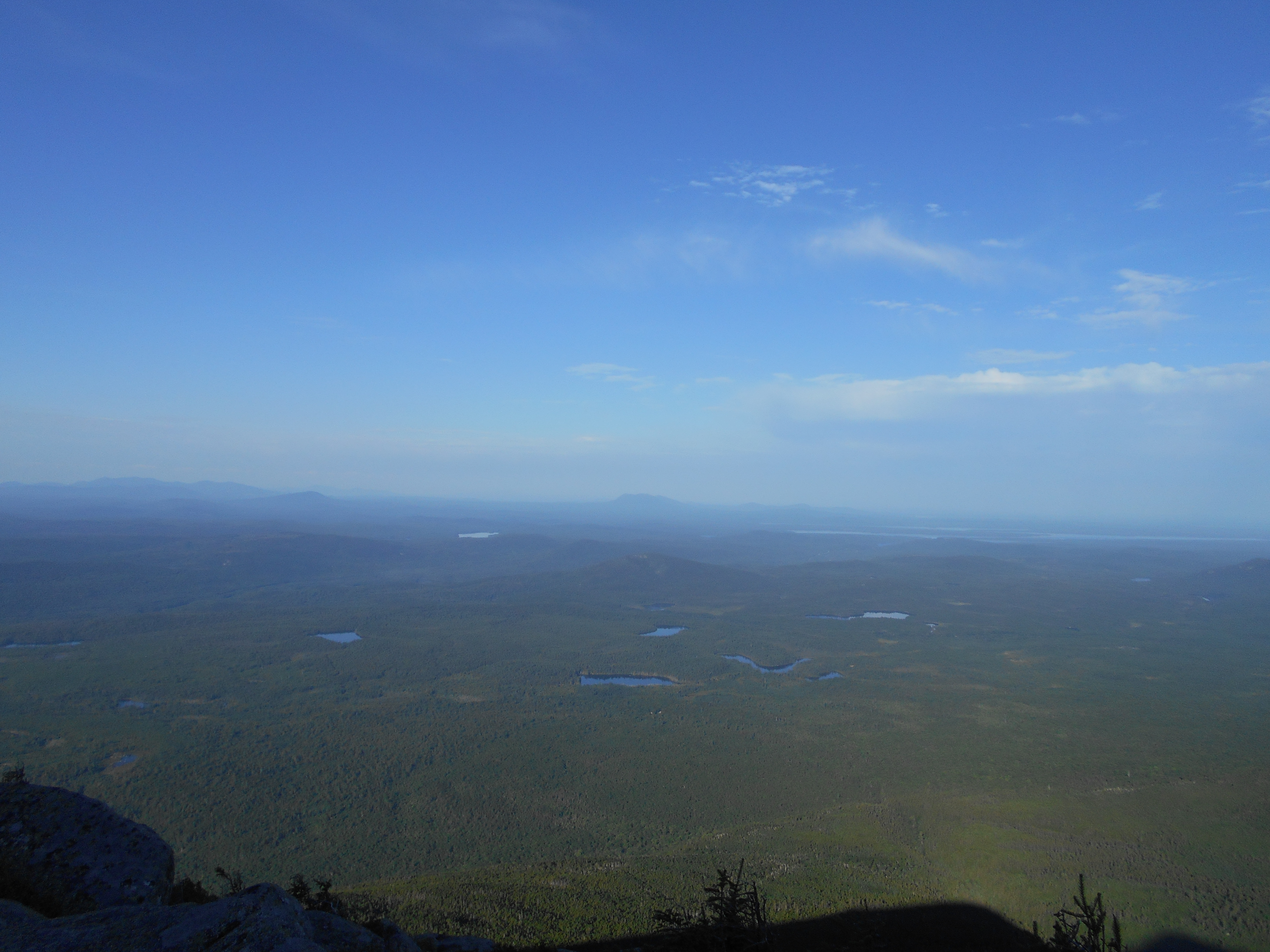
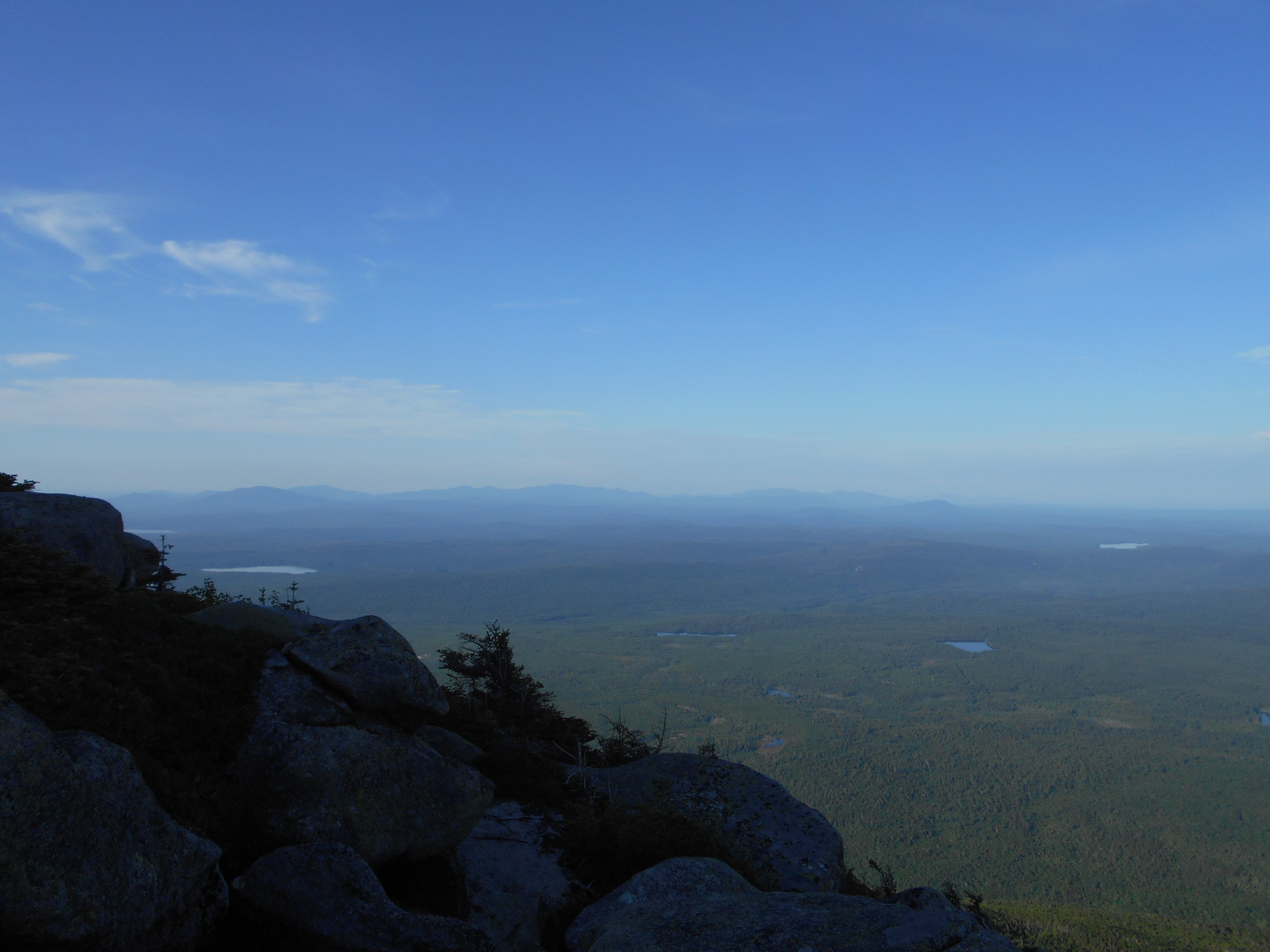
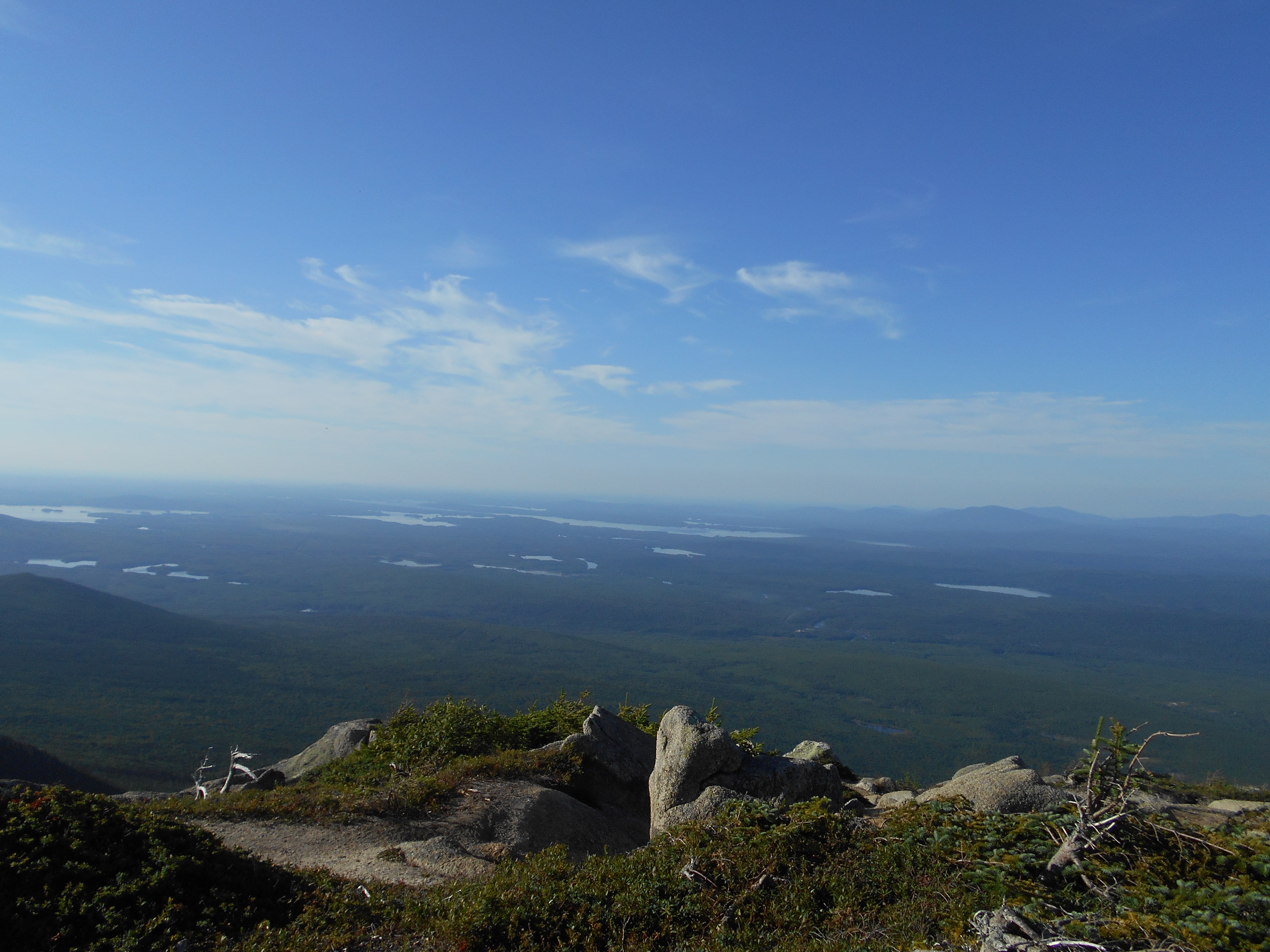
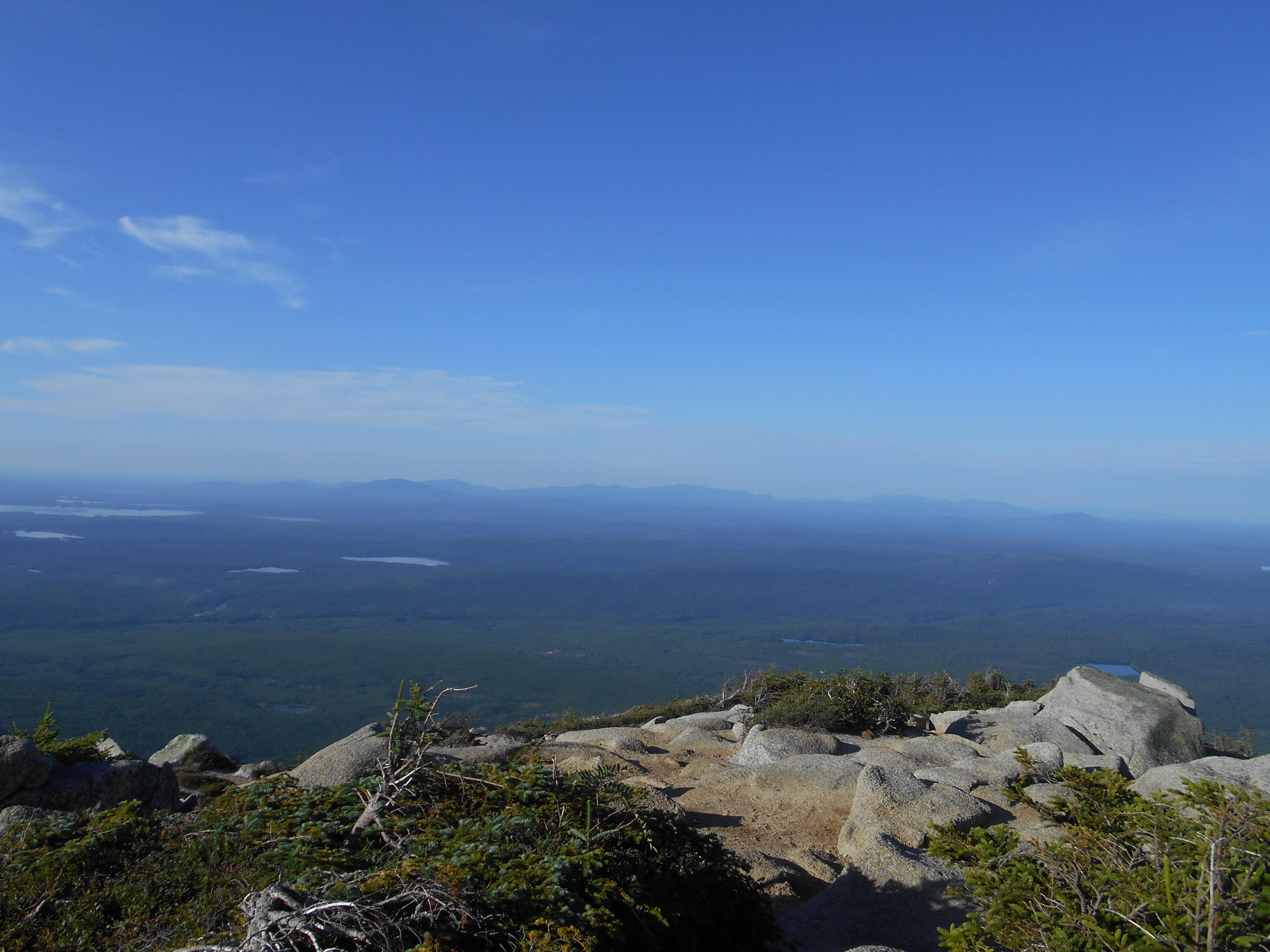
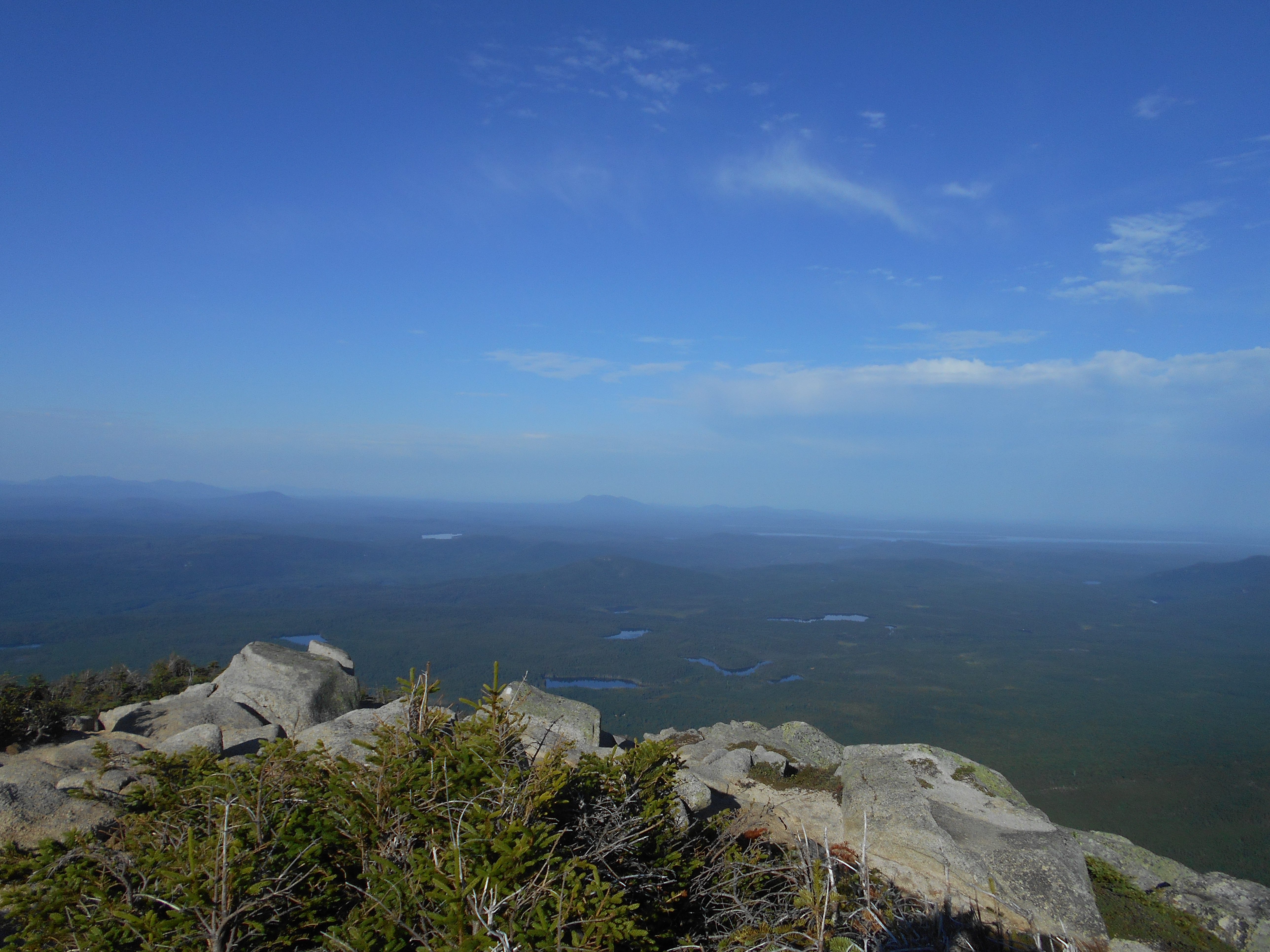
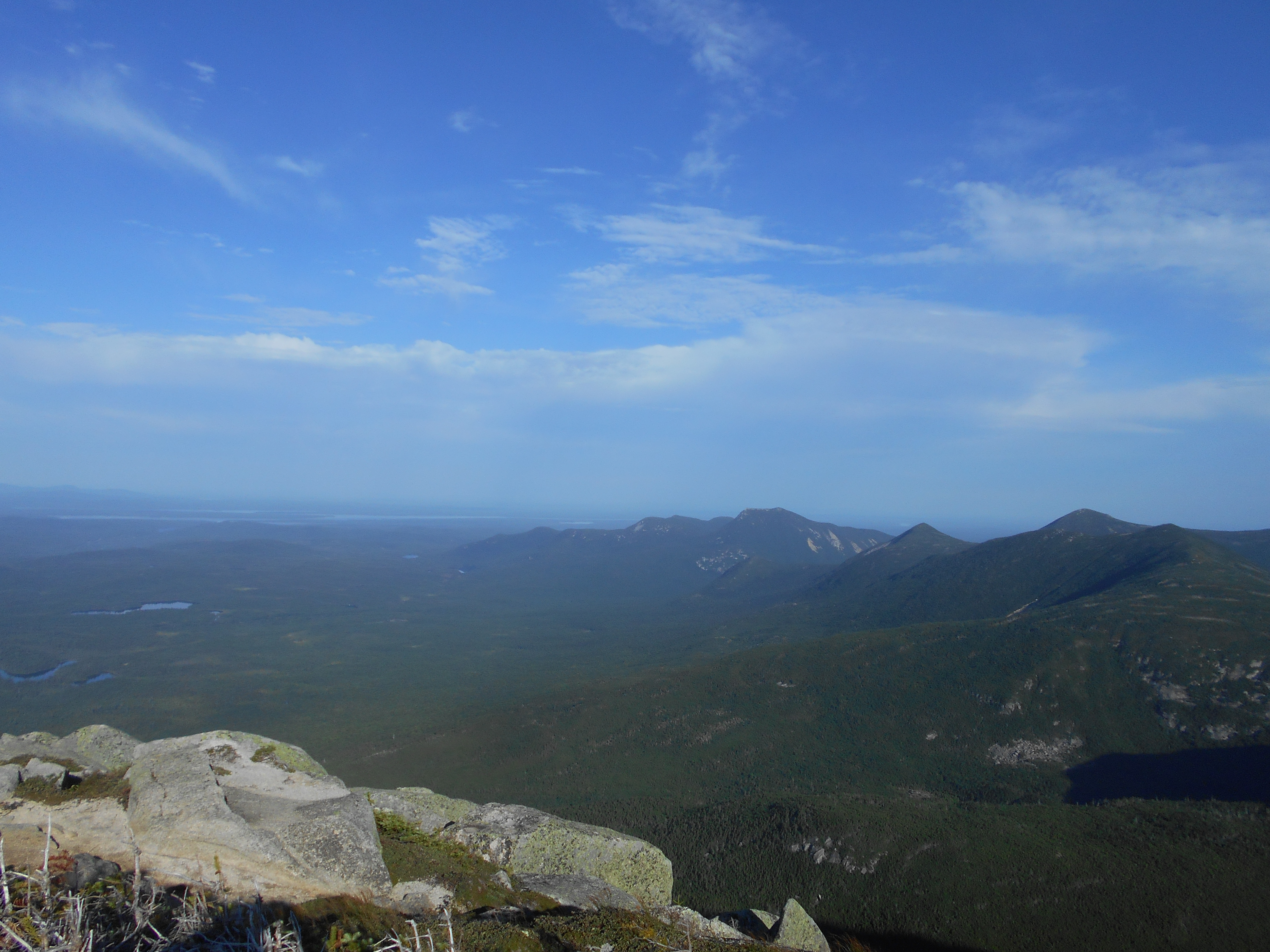
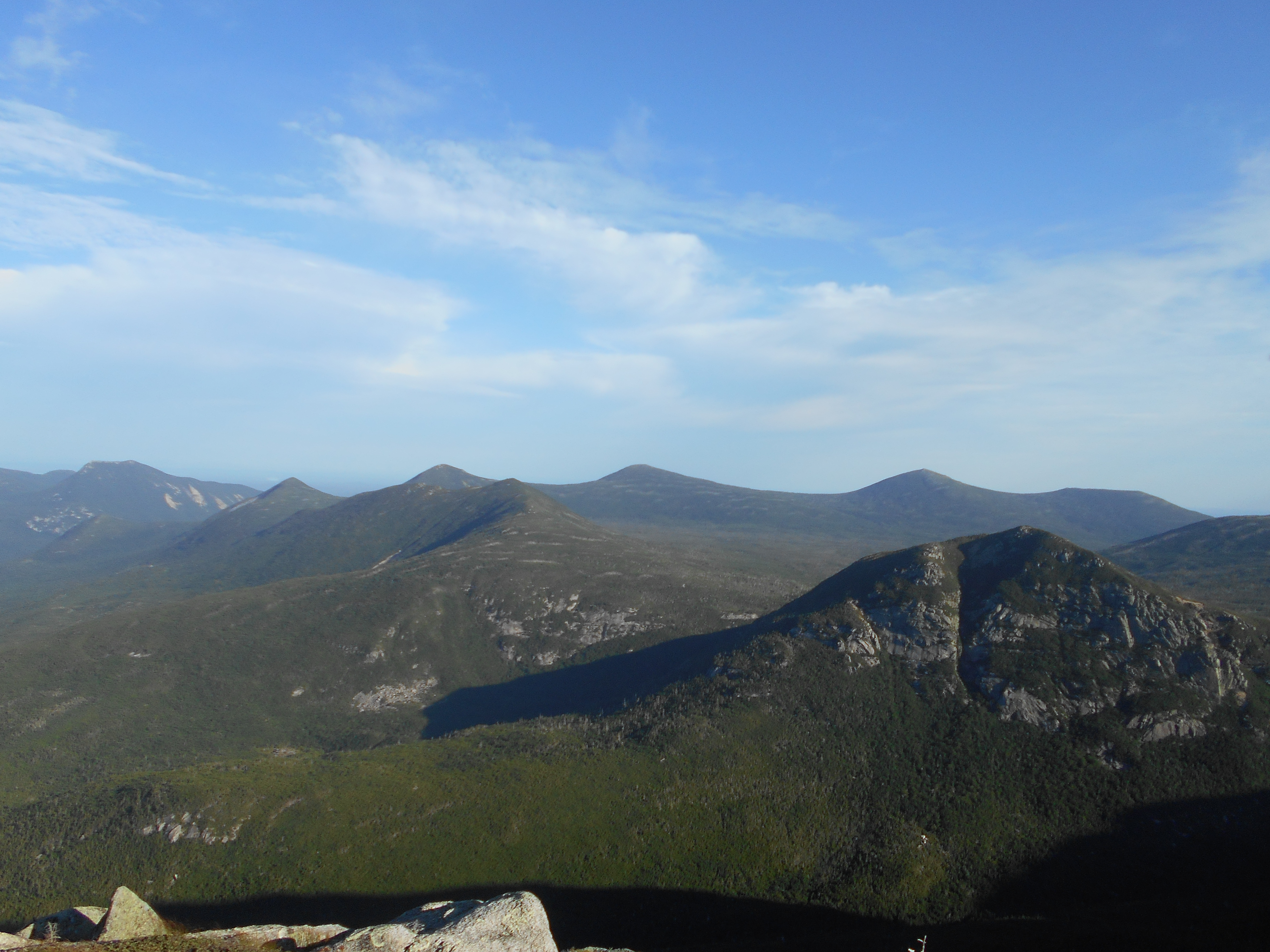
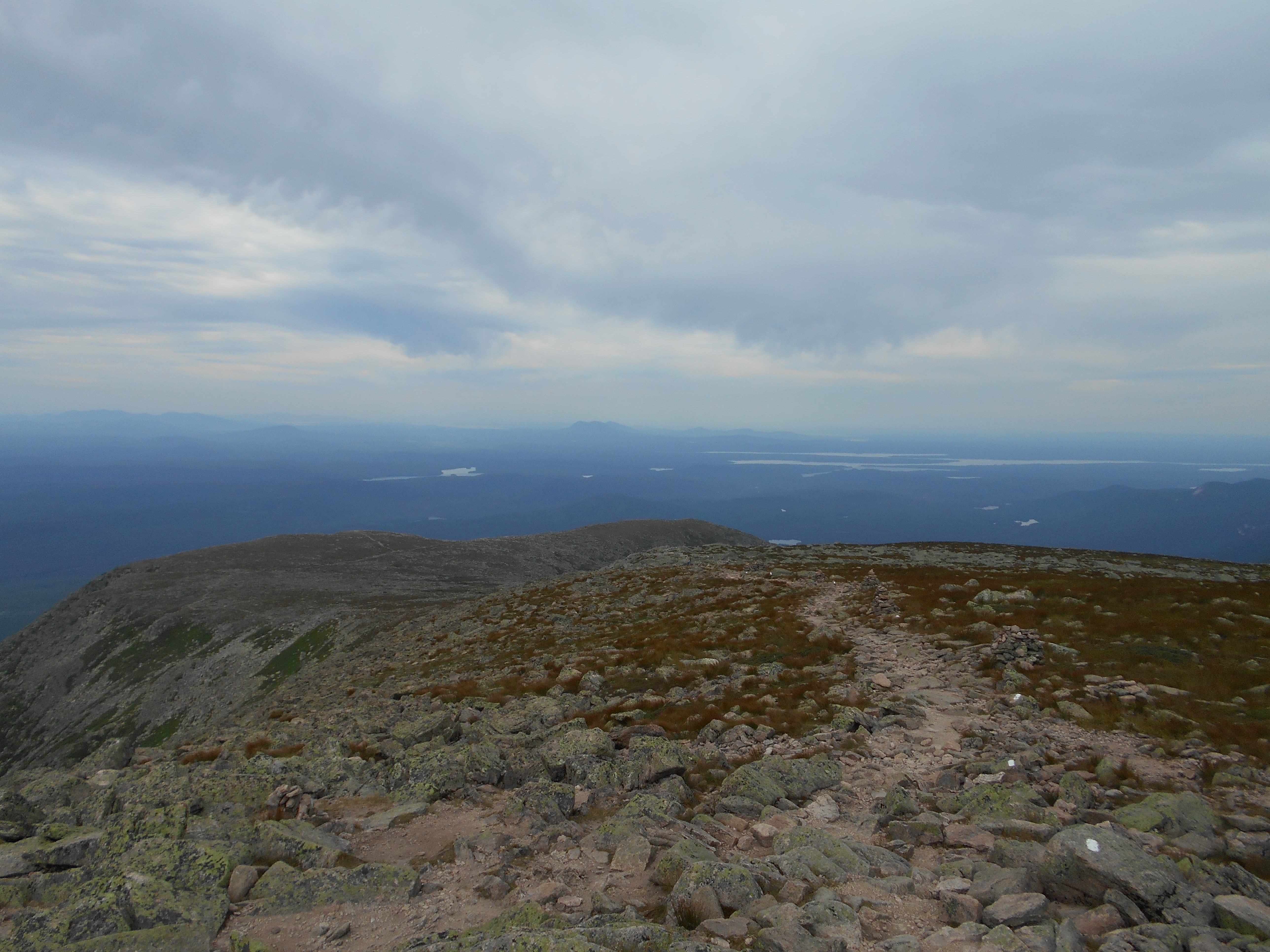
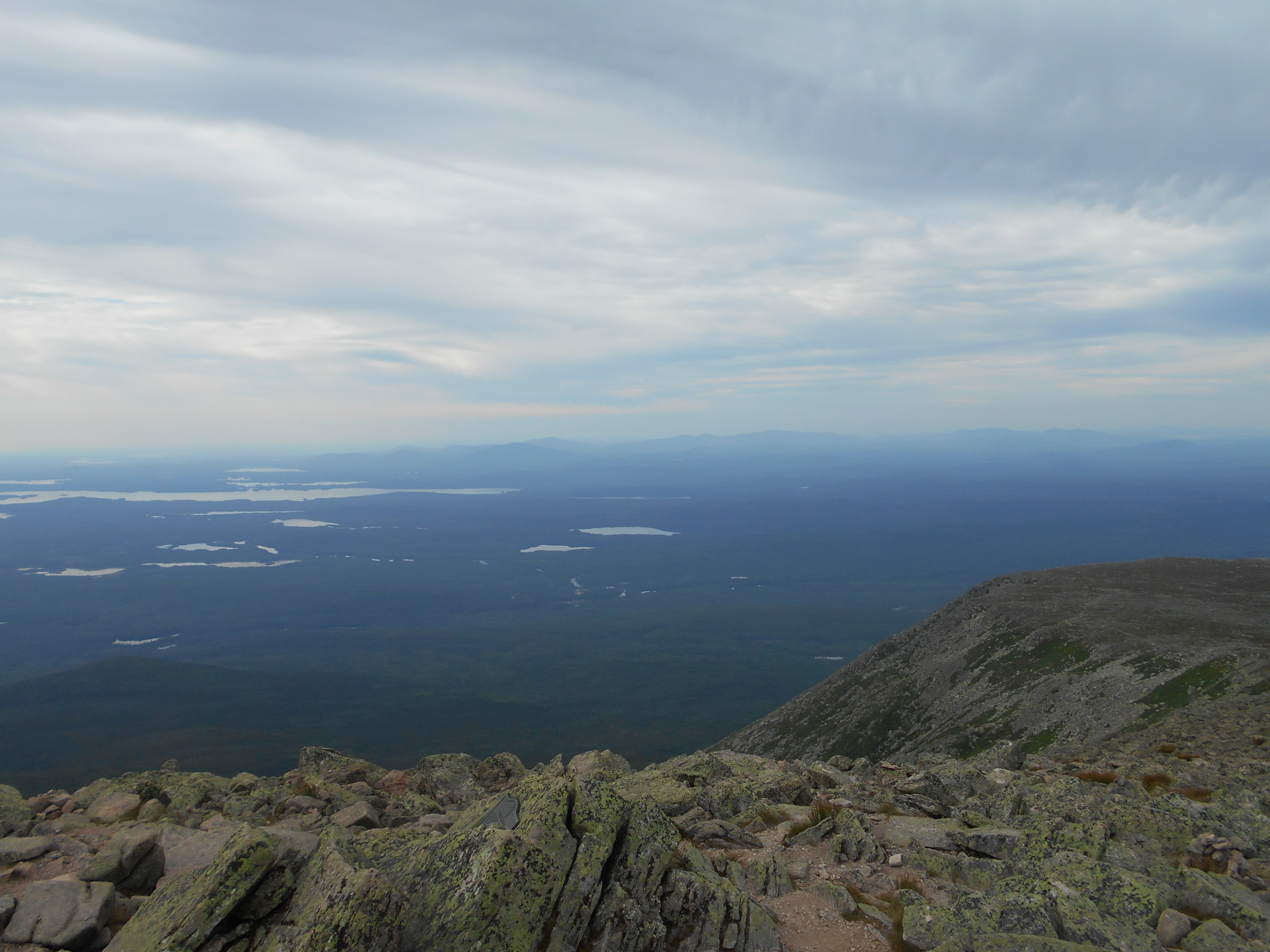
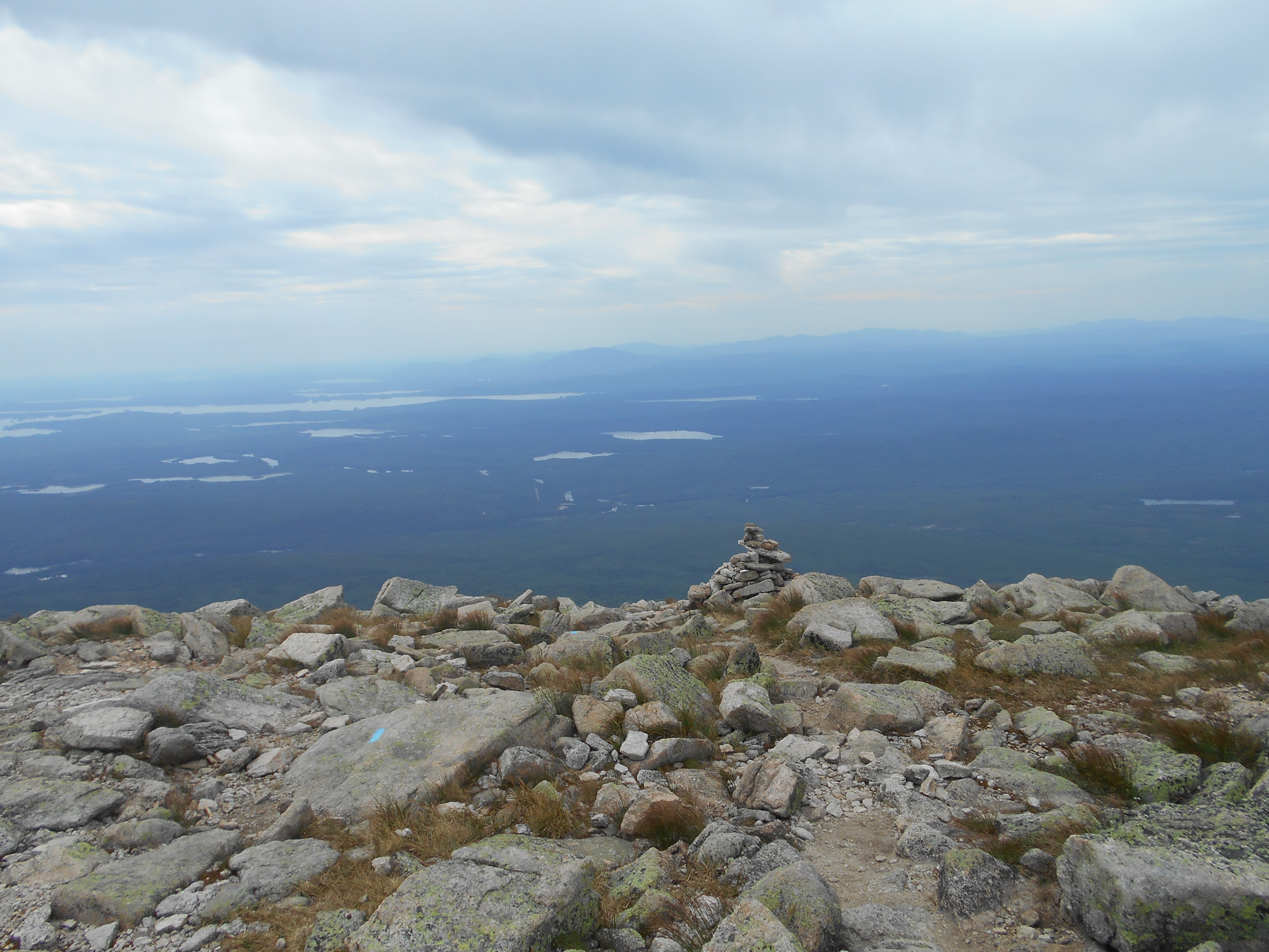
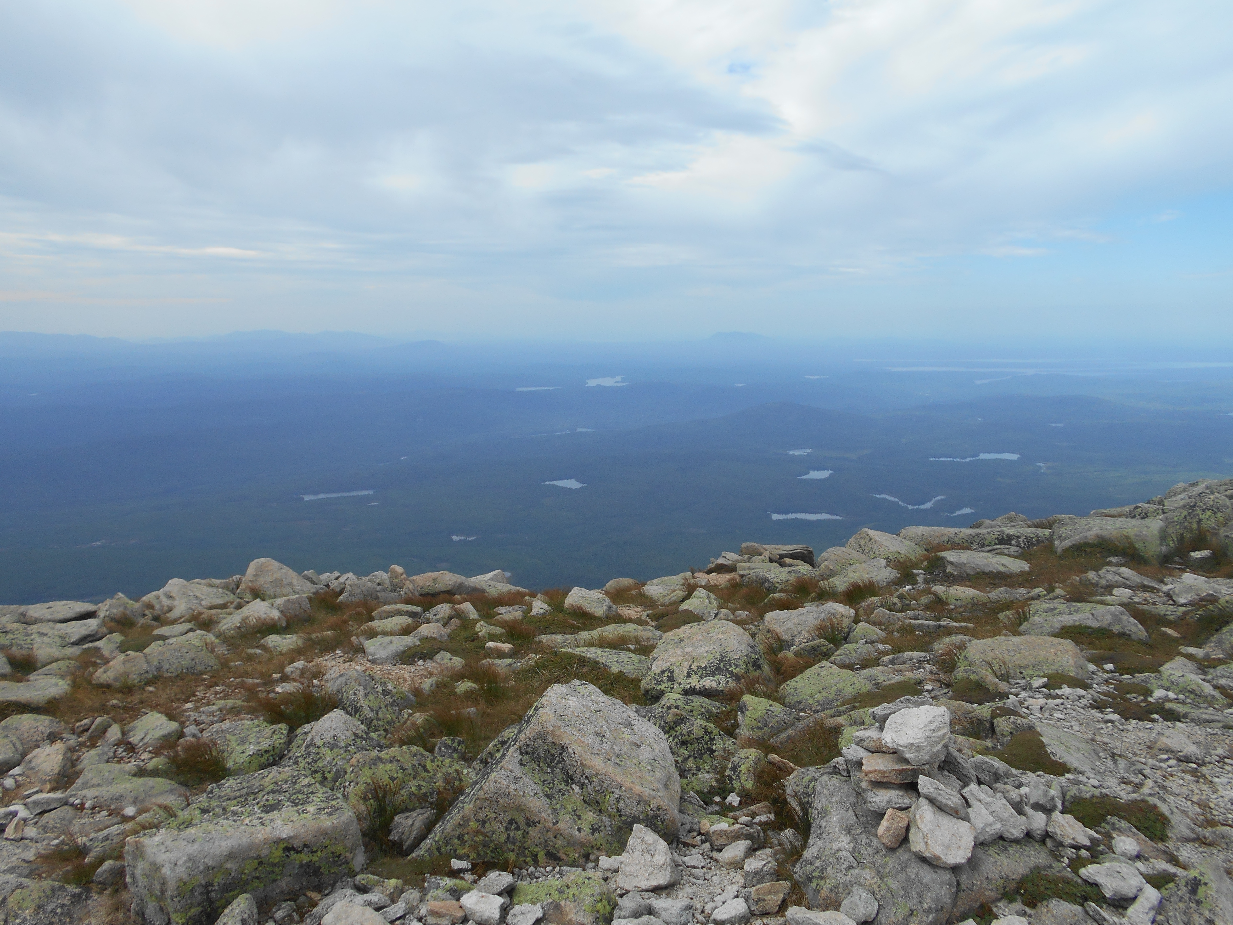
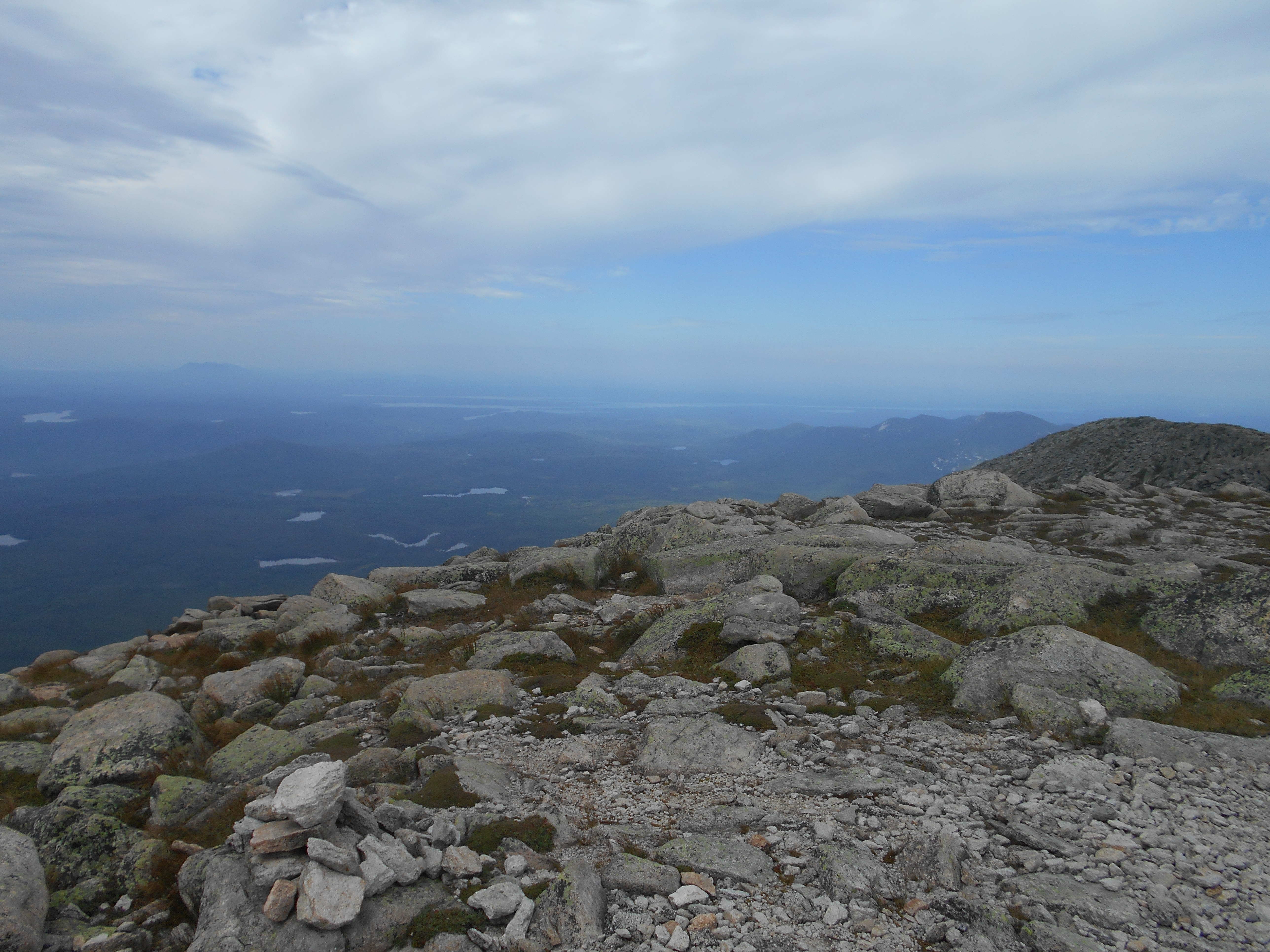
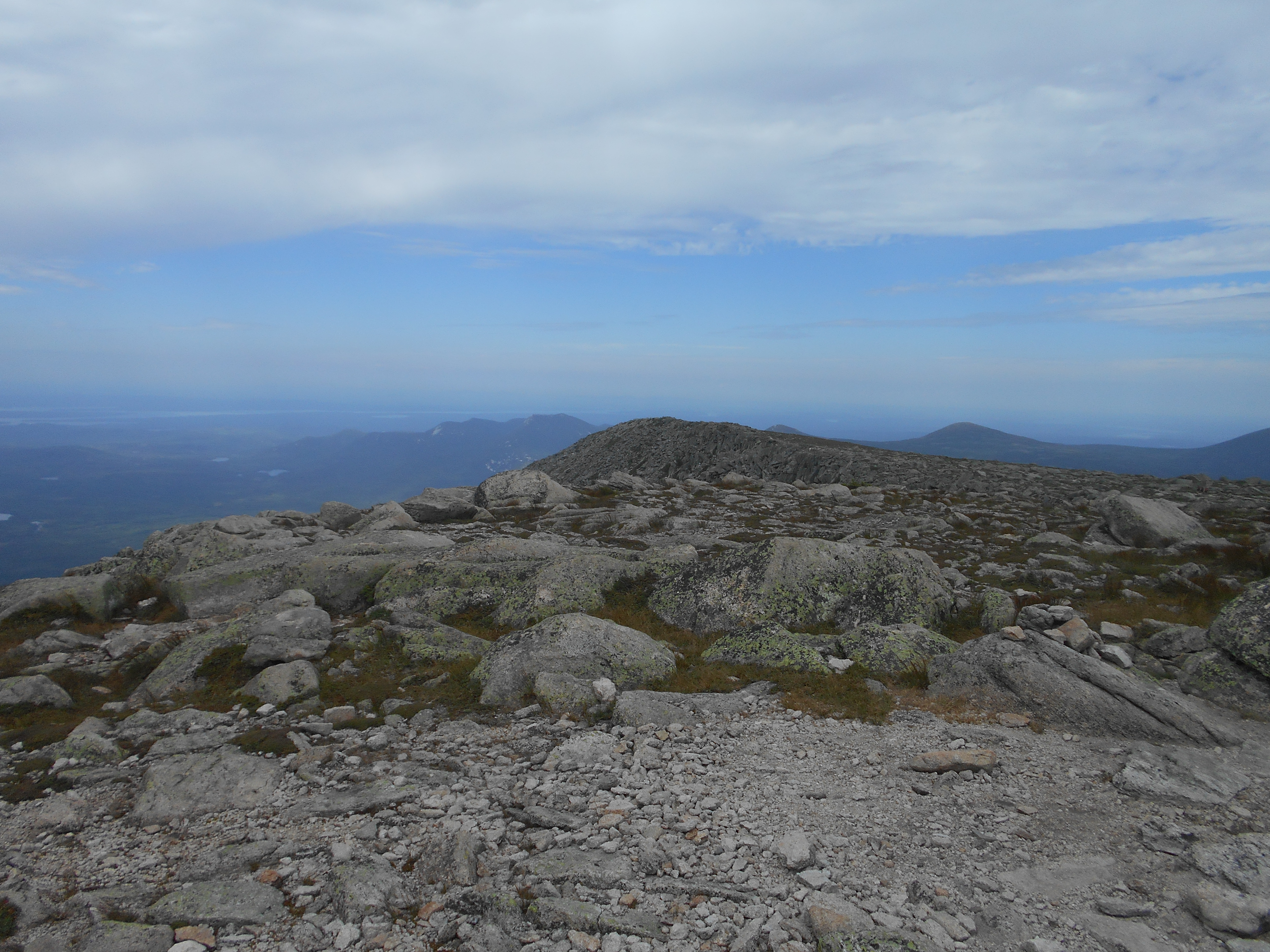
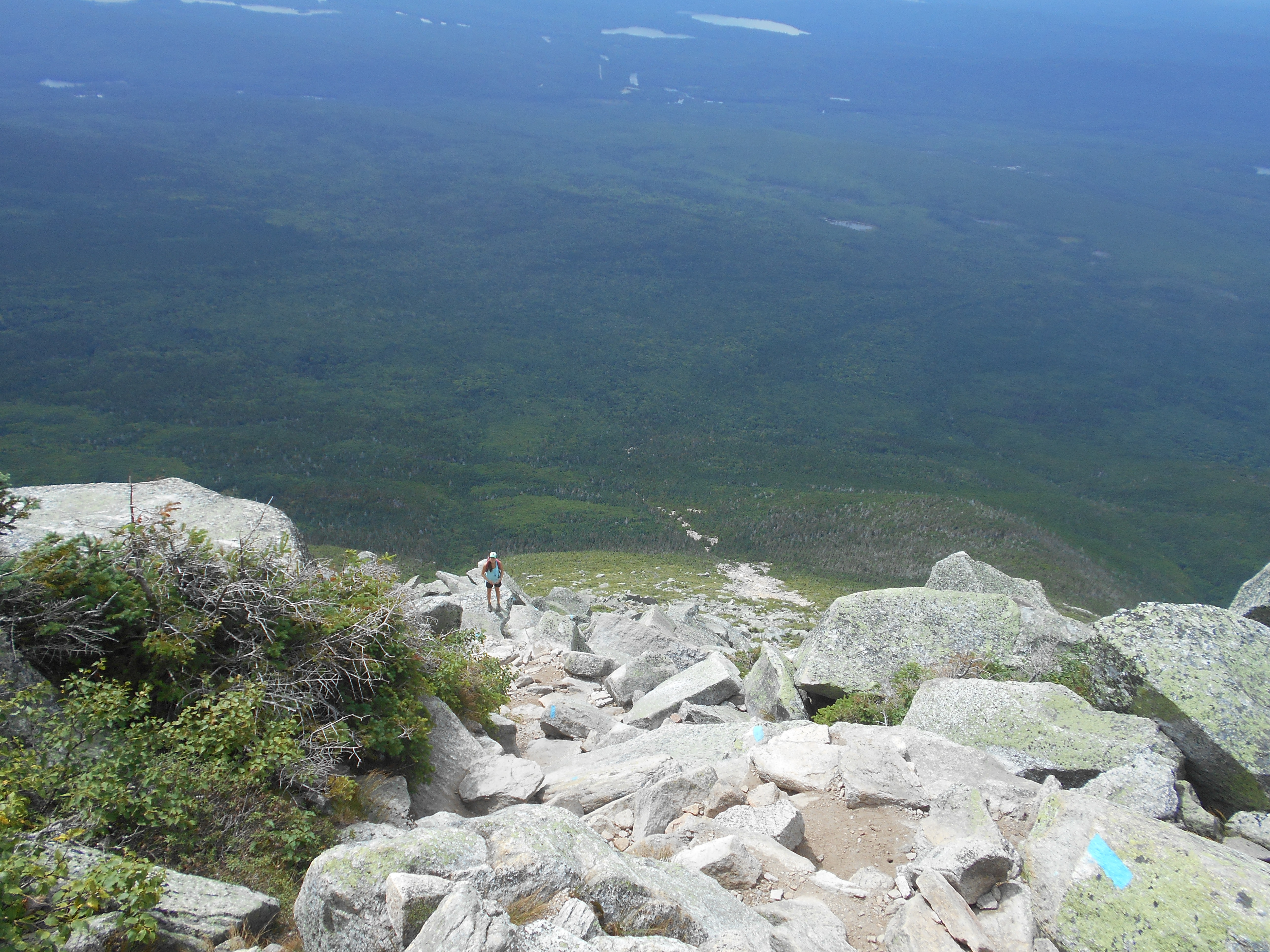
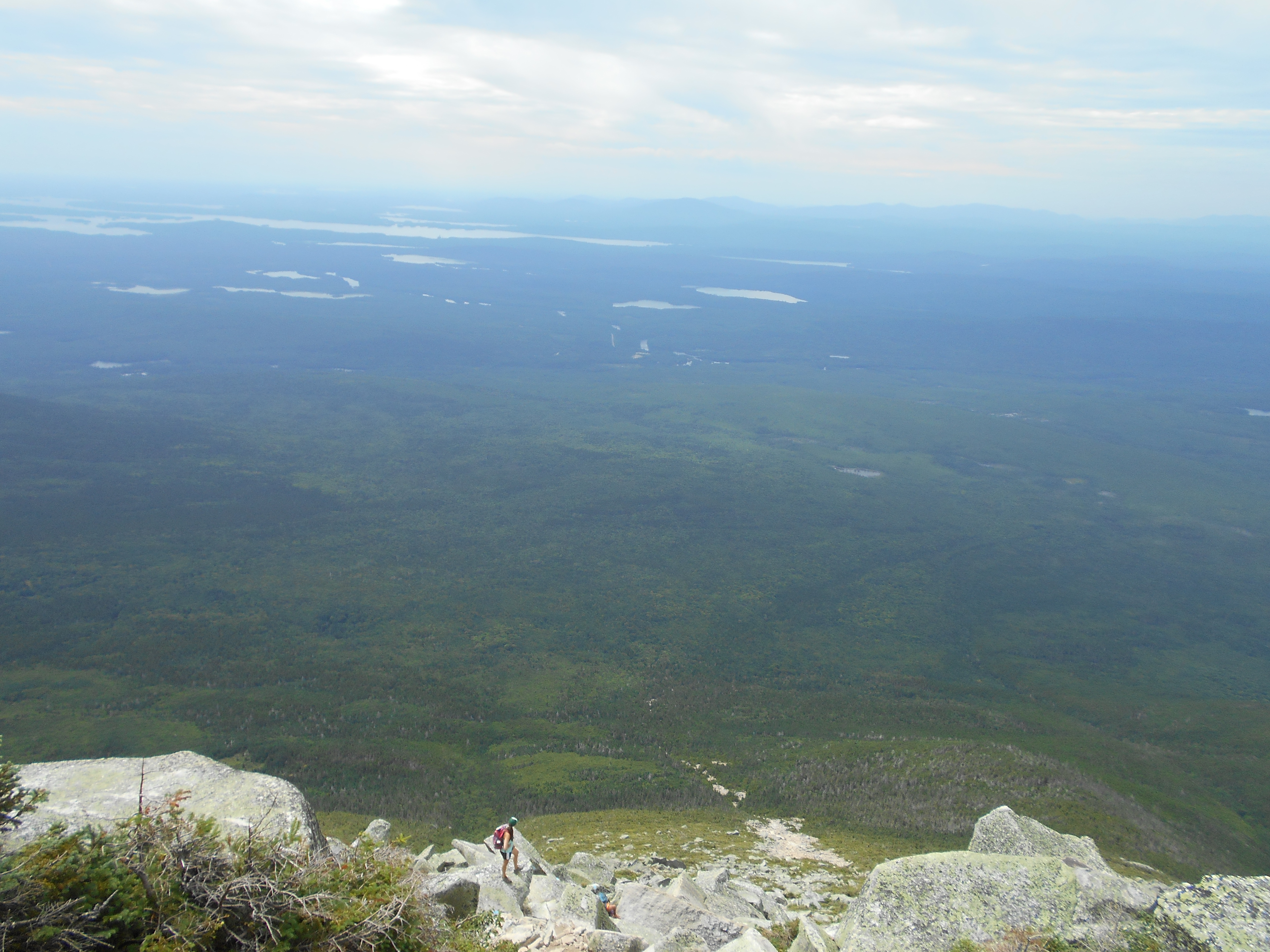
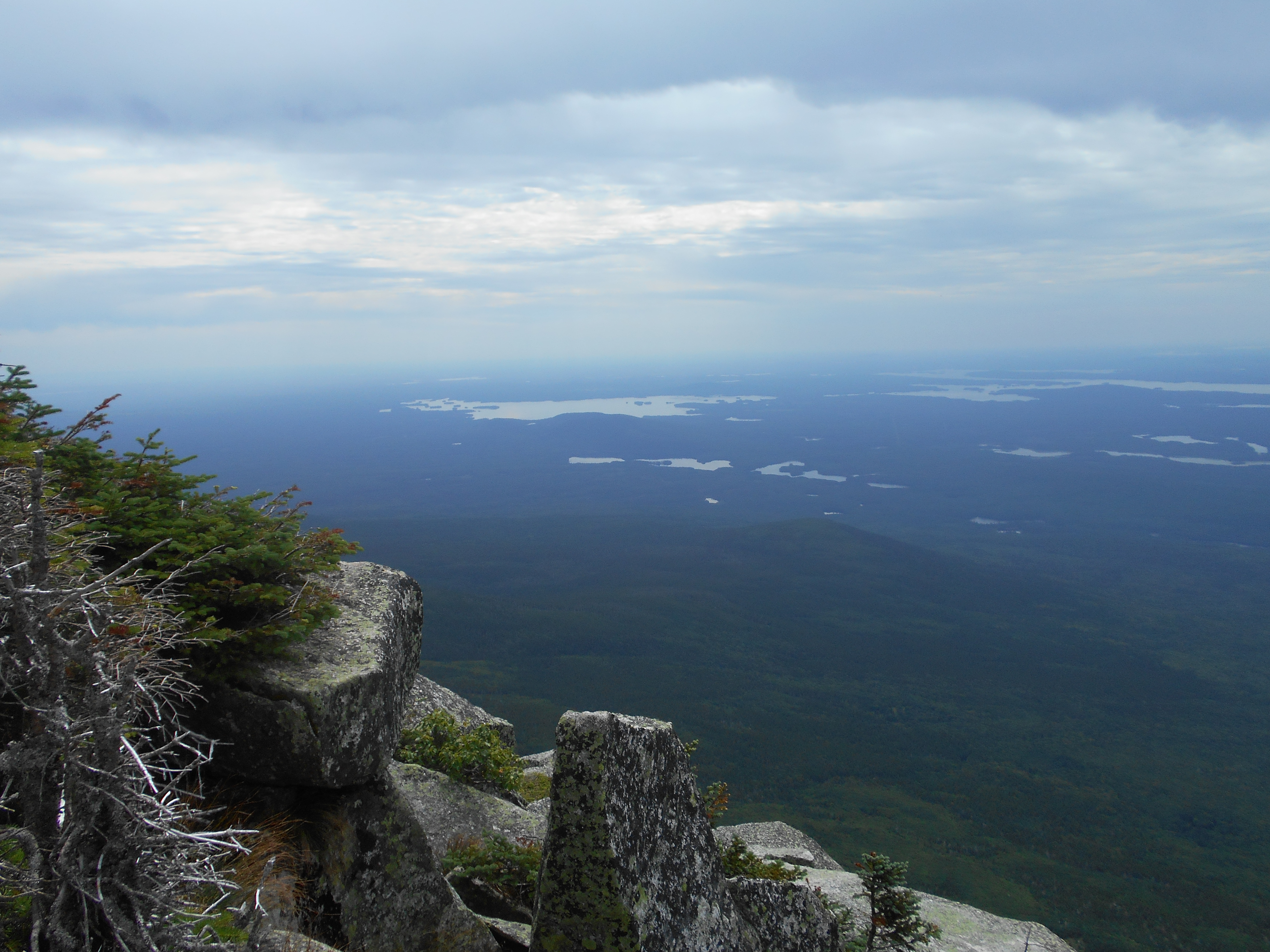
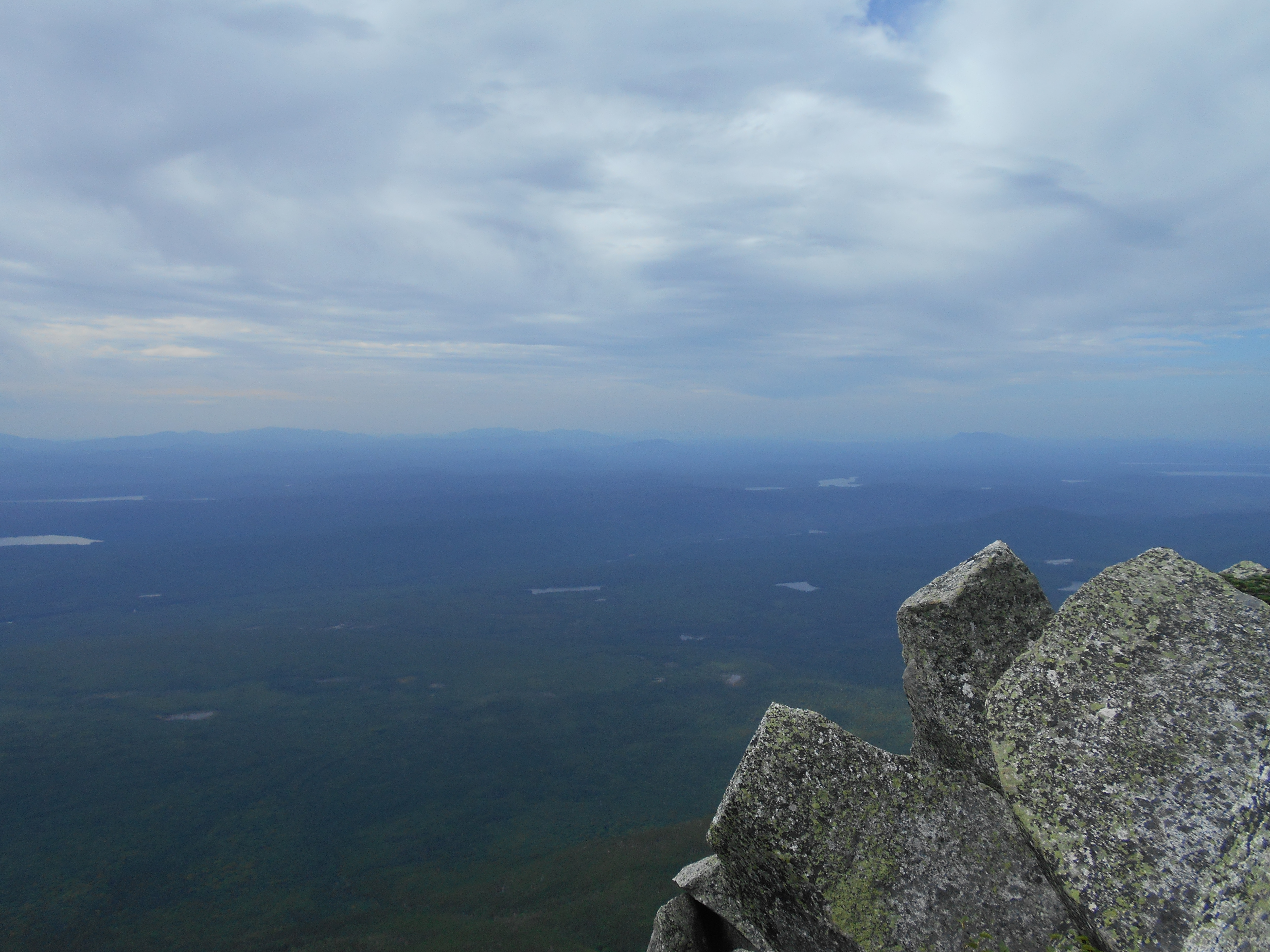
lot of pointless ups and downs today. did get views at bear pond ledge though (think I saw the chairbacks I will do tomarrow).
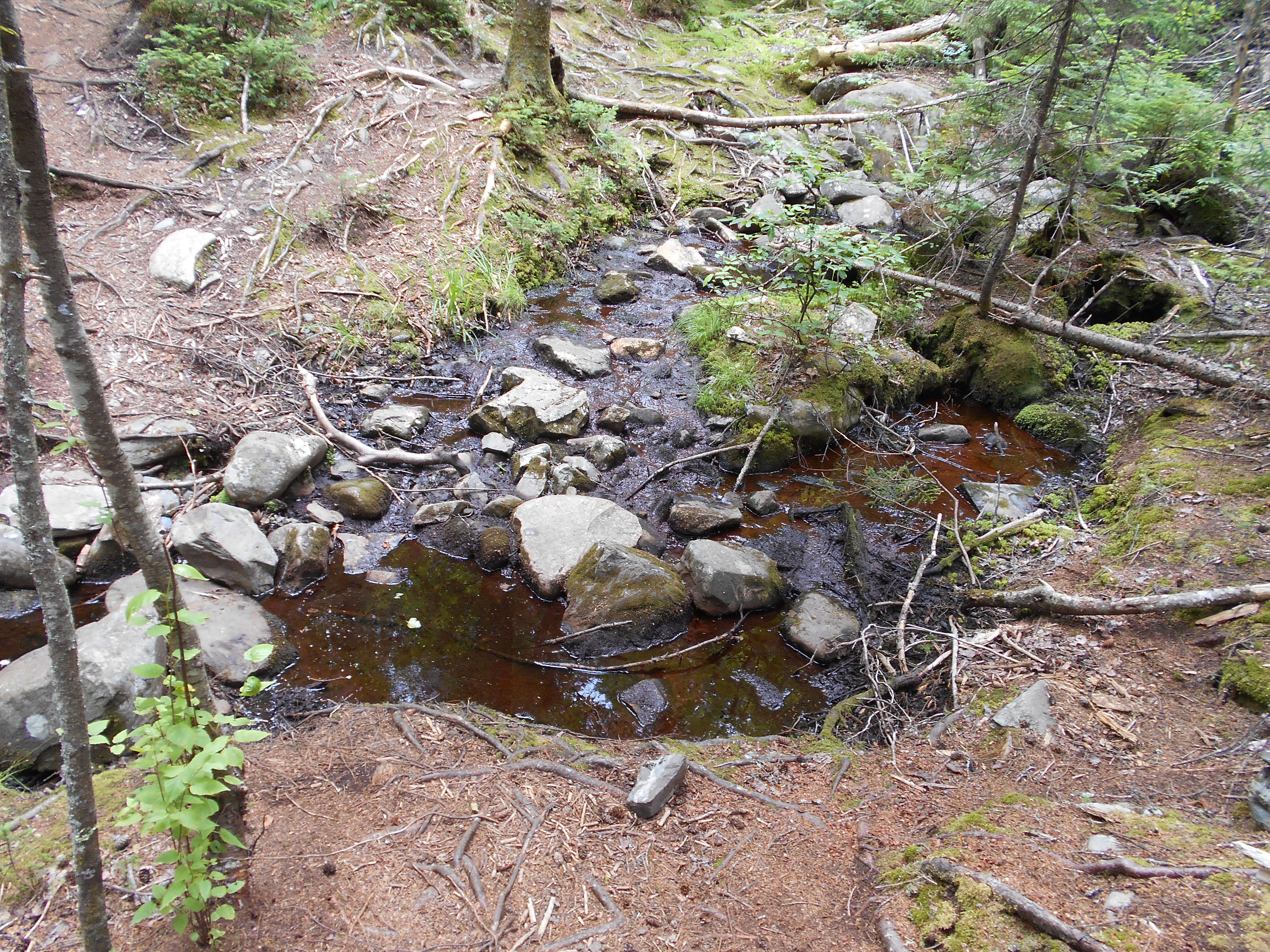
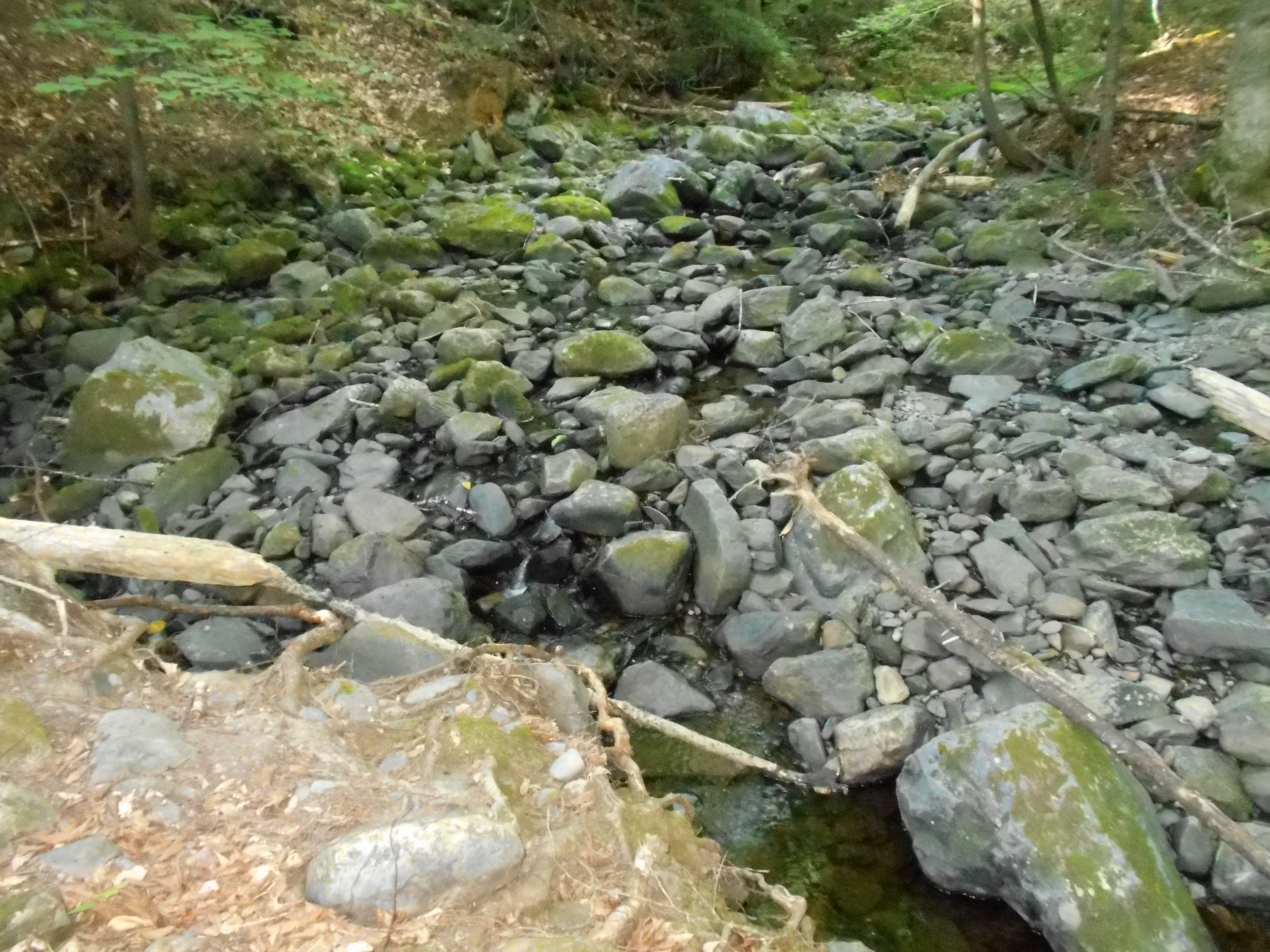
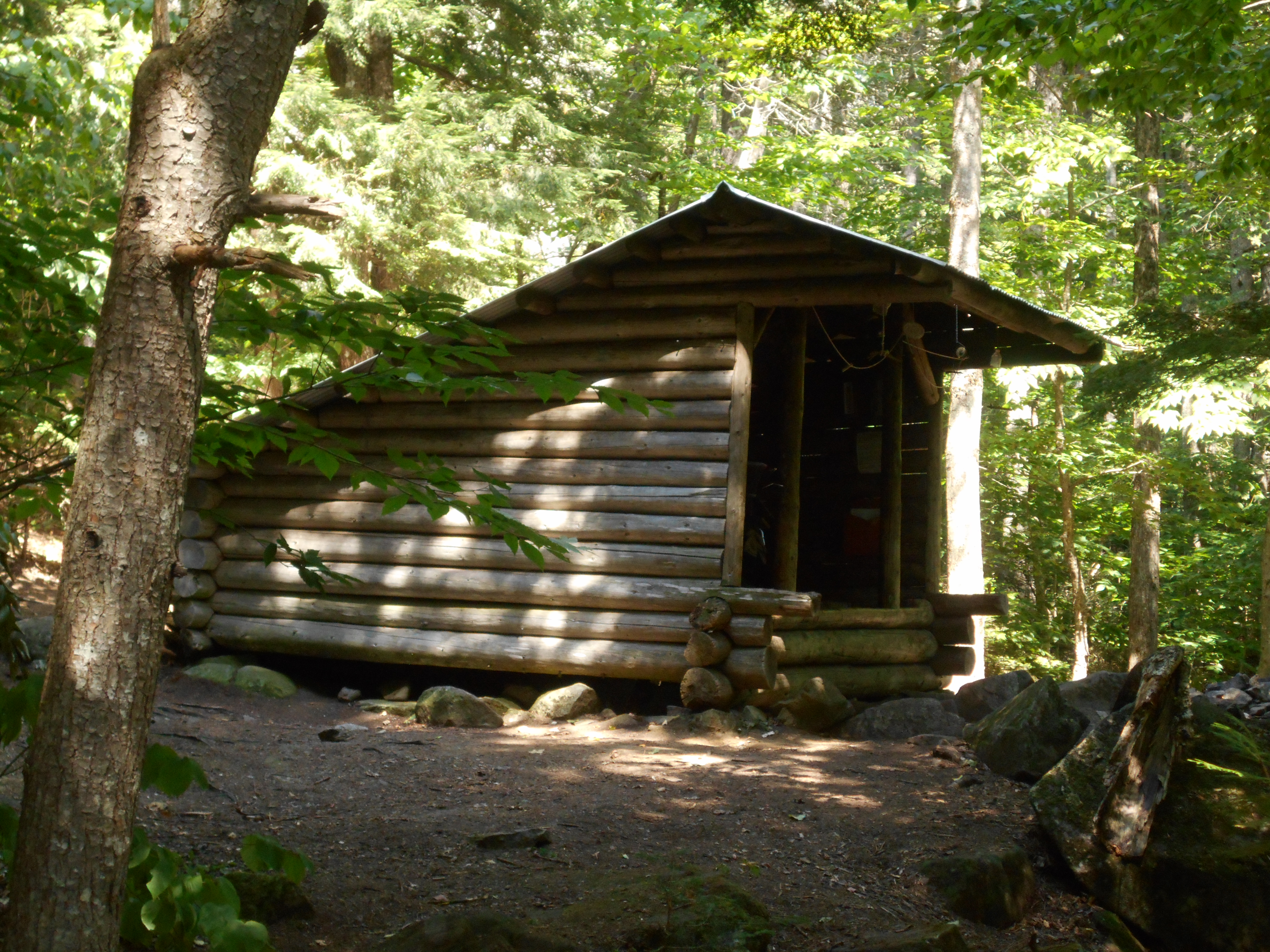
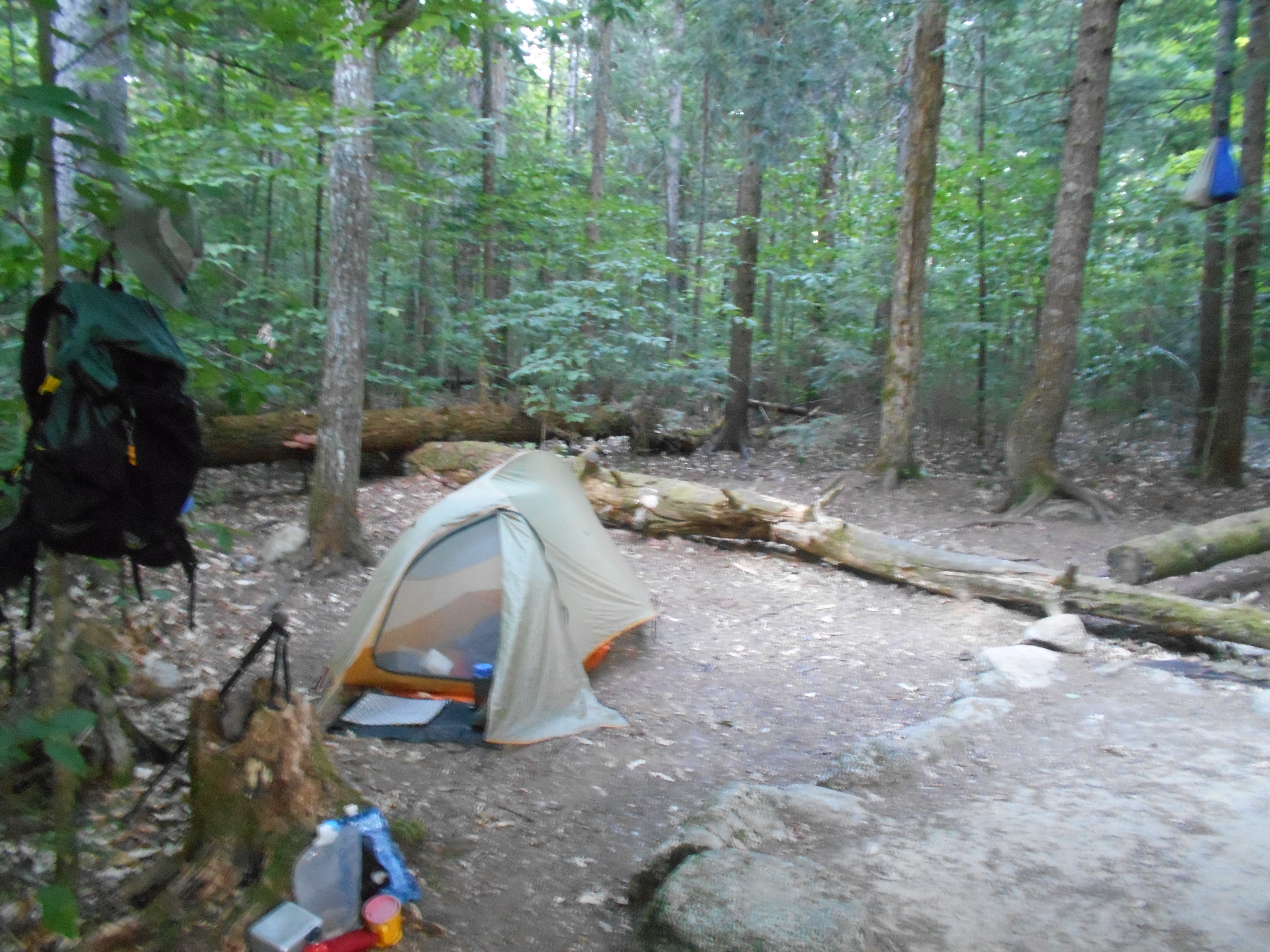
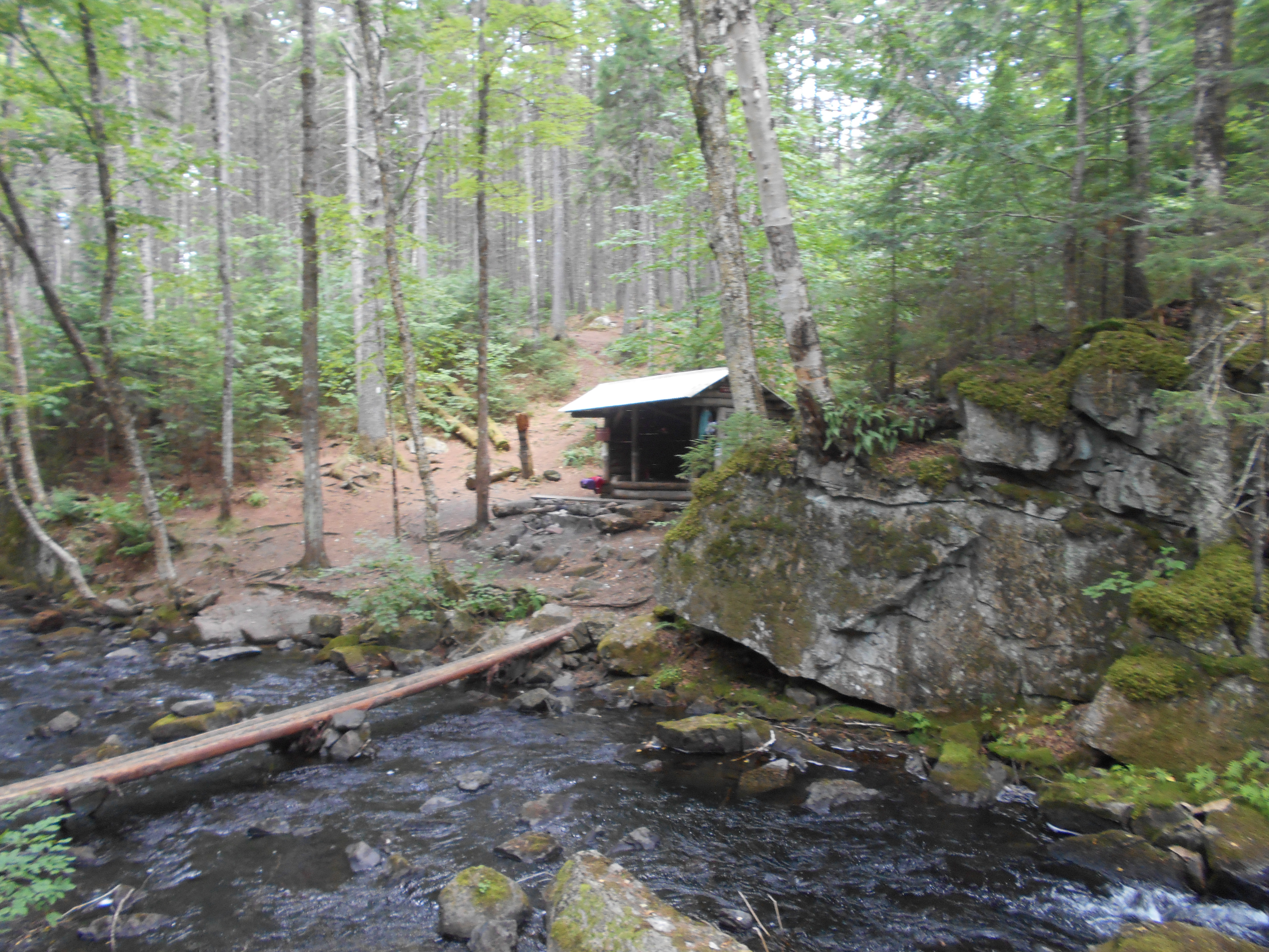
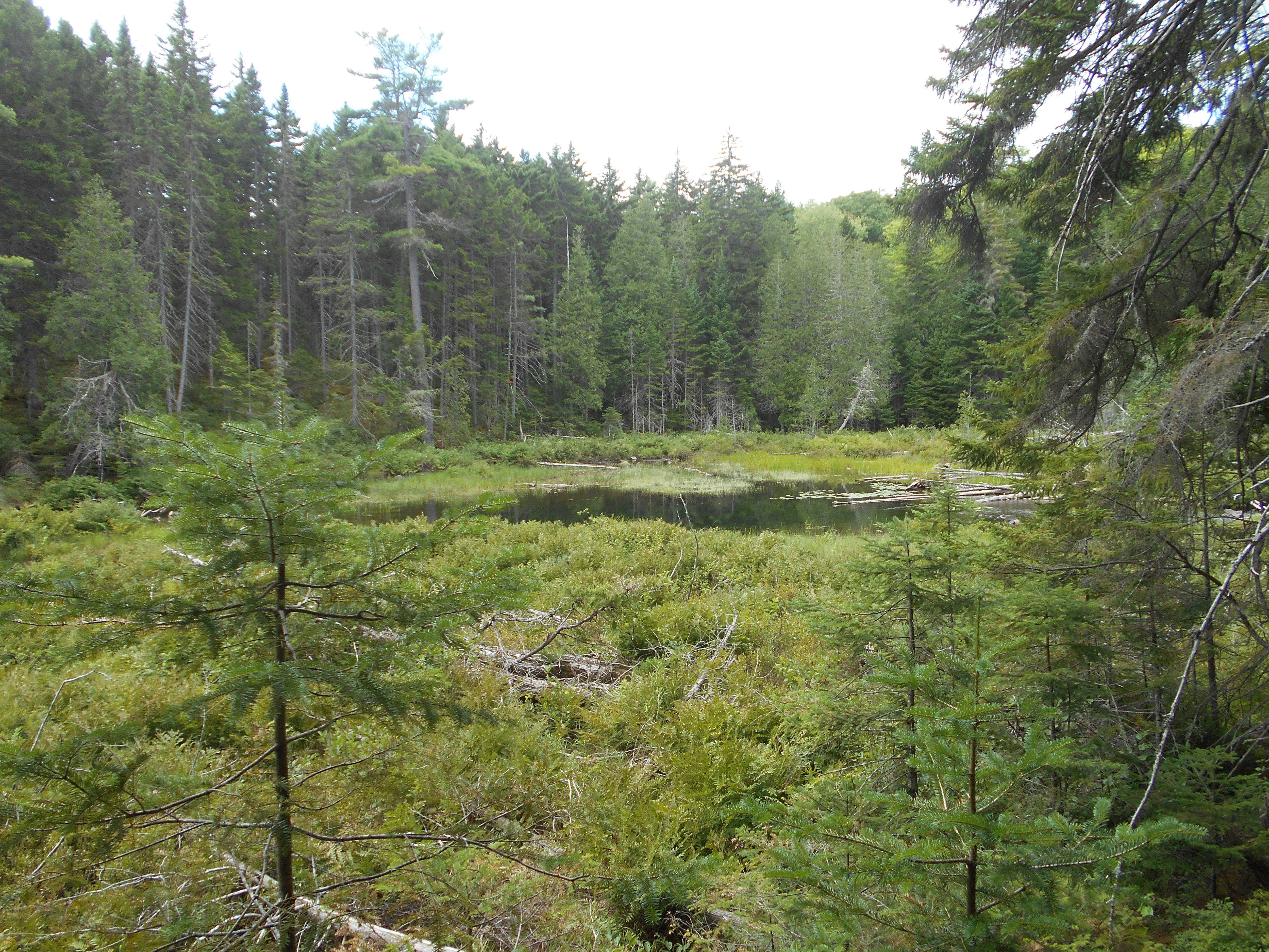
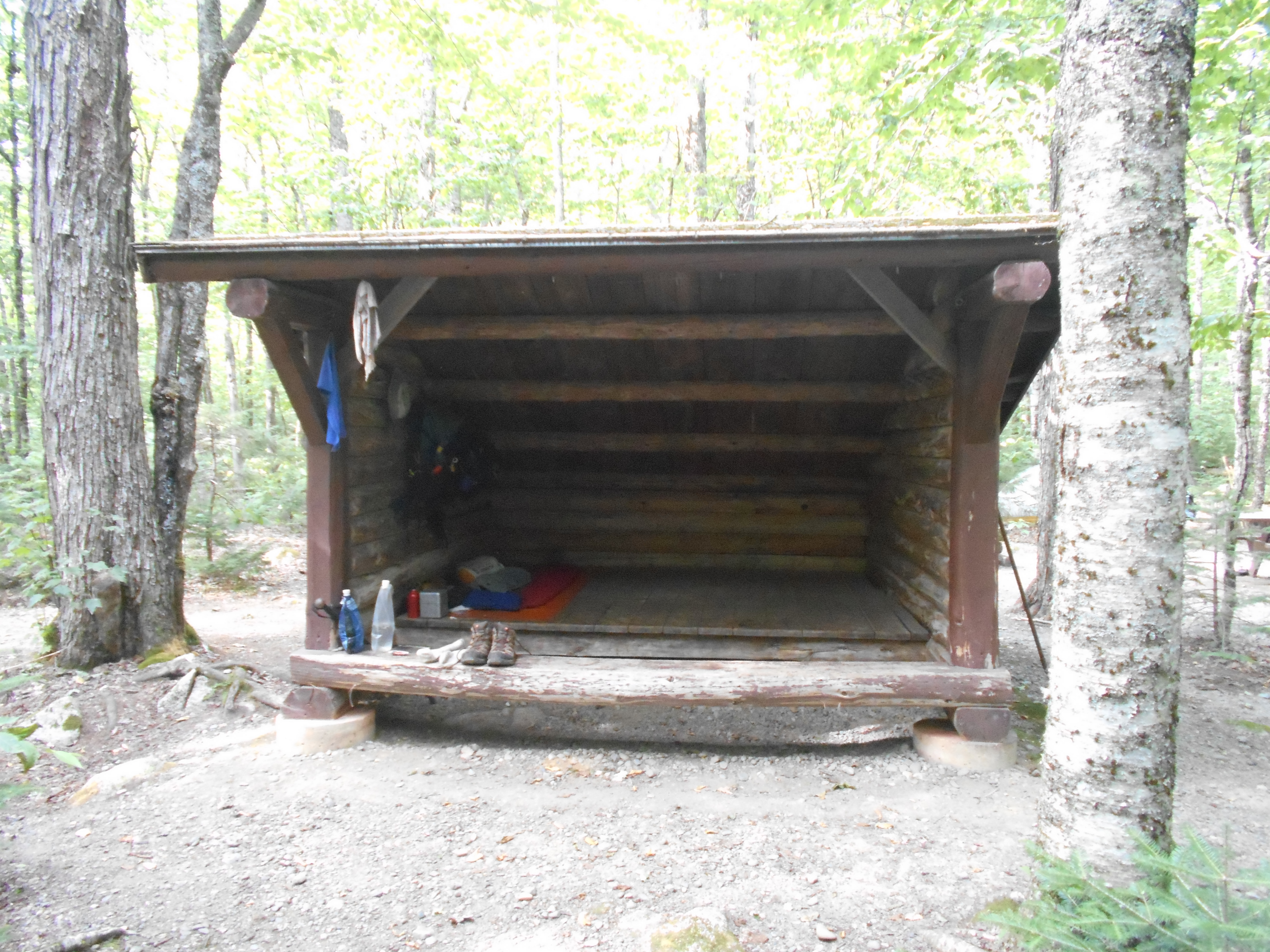
water source here is brearly moving, but is clear, but the dry conditions are a concern (sobos said a lot of watet sources are dry and I beleive them).
tired. i think the new pack helped, but knees and back still hurt a bit from the stress of carying all the food for 7+ days. took some vitimin I to help me sleep...goodnight.
Aug 1, 2016
Wilson Valley Lean-to to cloud pond lean-to (tenting)
Milage 8.7
Miles from Springer
Features
Elevation
2085
Wilson Valley Lean-to (1,000')?7.4mS; 4.7mN
1000
2085.6
Old Winter Logging Road (1,190')
1190
2088.2
Wilber Brook (660')
660
2088.3
Vaughn Stream (670')?top of 20 ft. waterfall
670
2088.8
Bodfish Farm?Long Pond Tote Road (650')
650
2088.9
Long Pond Stream (620')?ford
620
2089.6
Side Trail to Slugundy Gorge and Falls (870')
870
2089.7
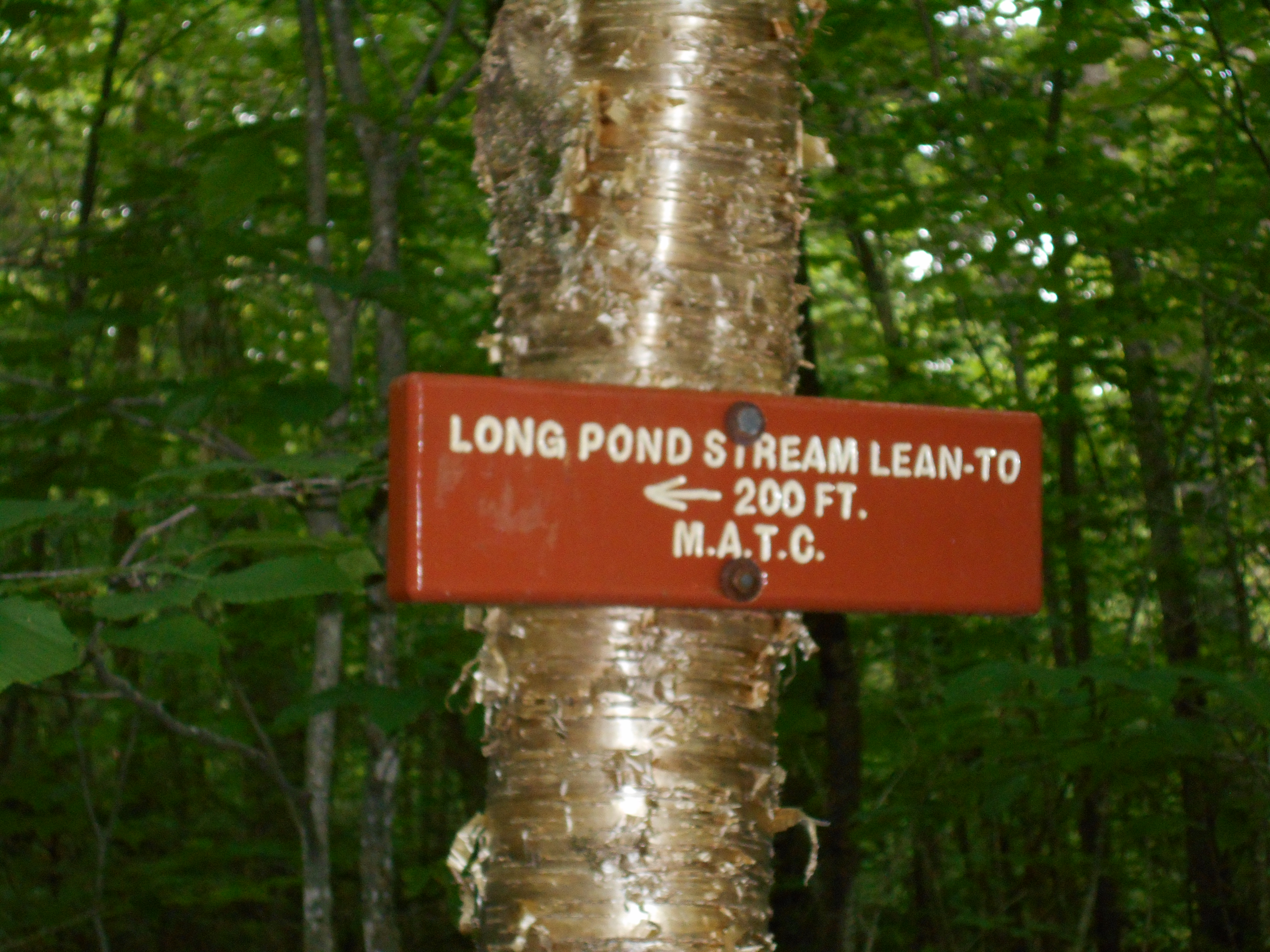
Long Pond Lean-to (930')?4.7mS; 4.4mN
930
2092.8
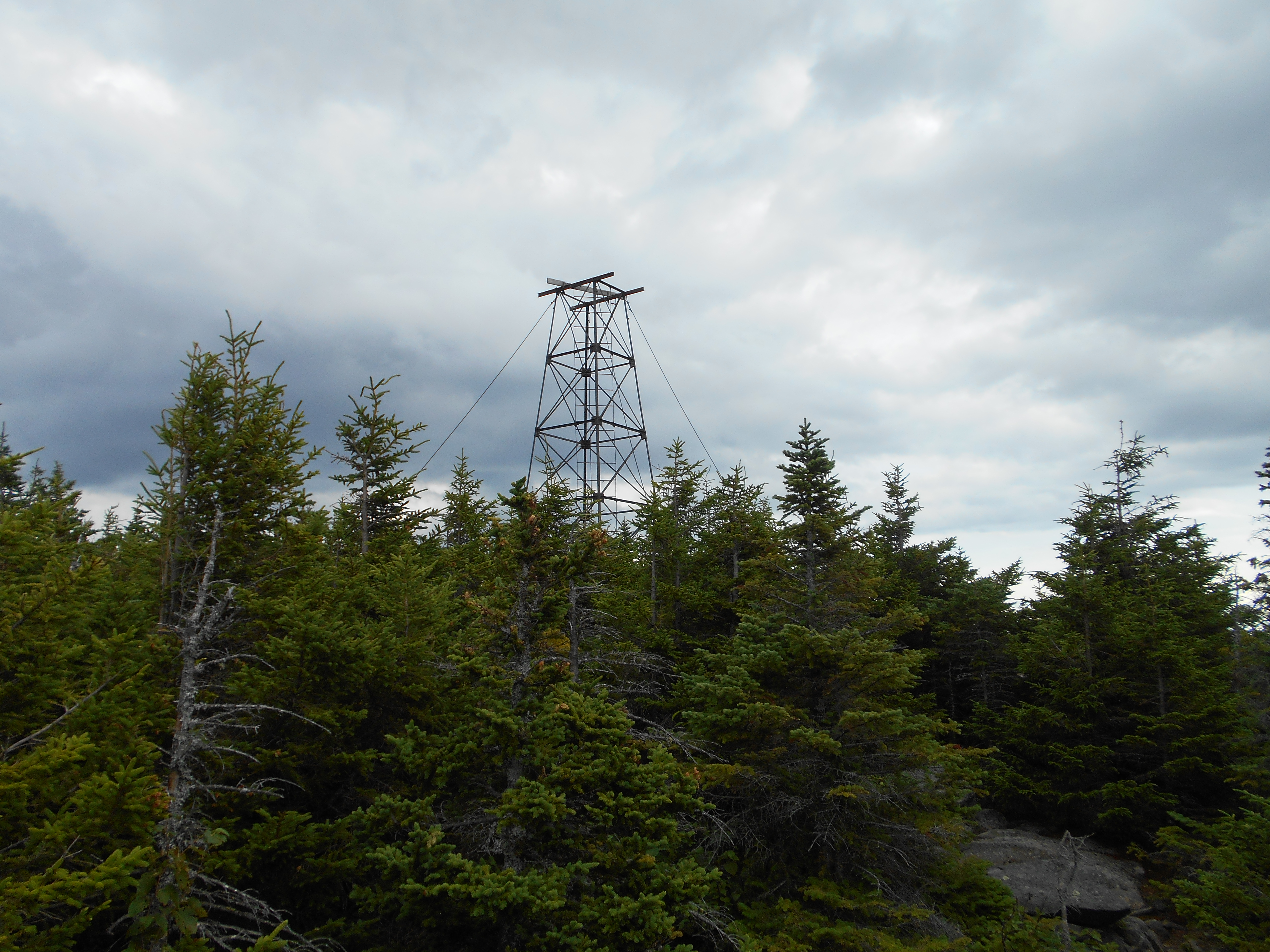
Barren Mountain (2,670')?abandoned firetower
2670
2093.7
Cloud Pond Lean-to (2,420')?4.4mS; 7.3mN
2420
7:45pm
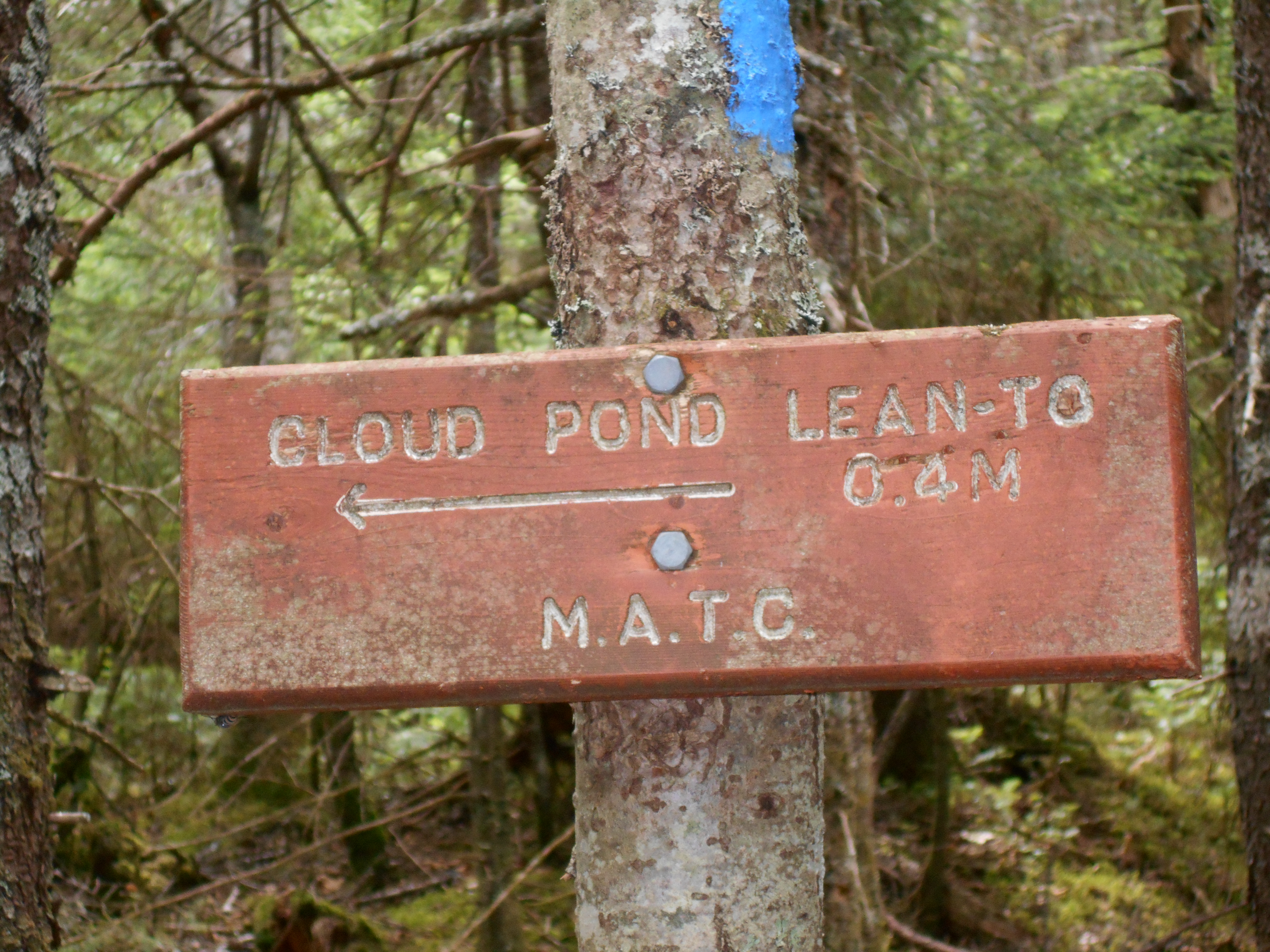
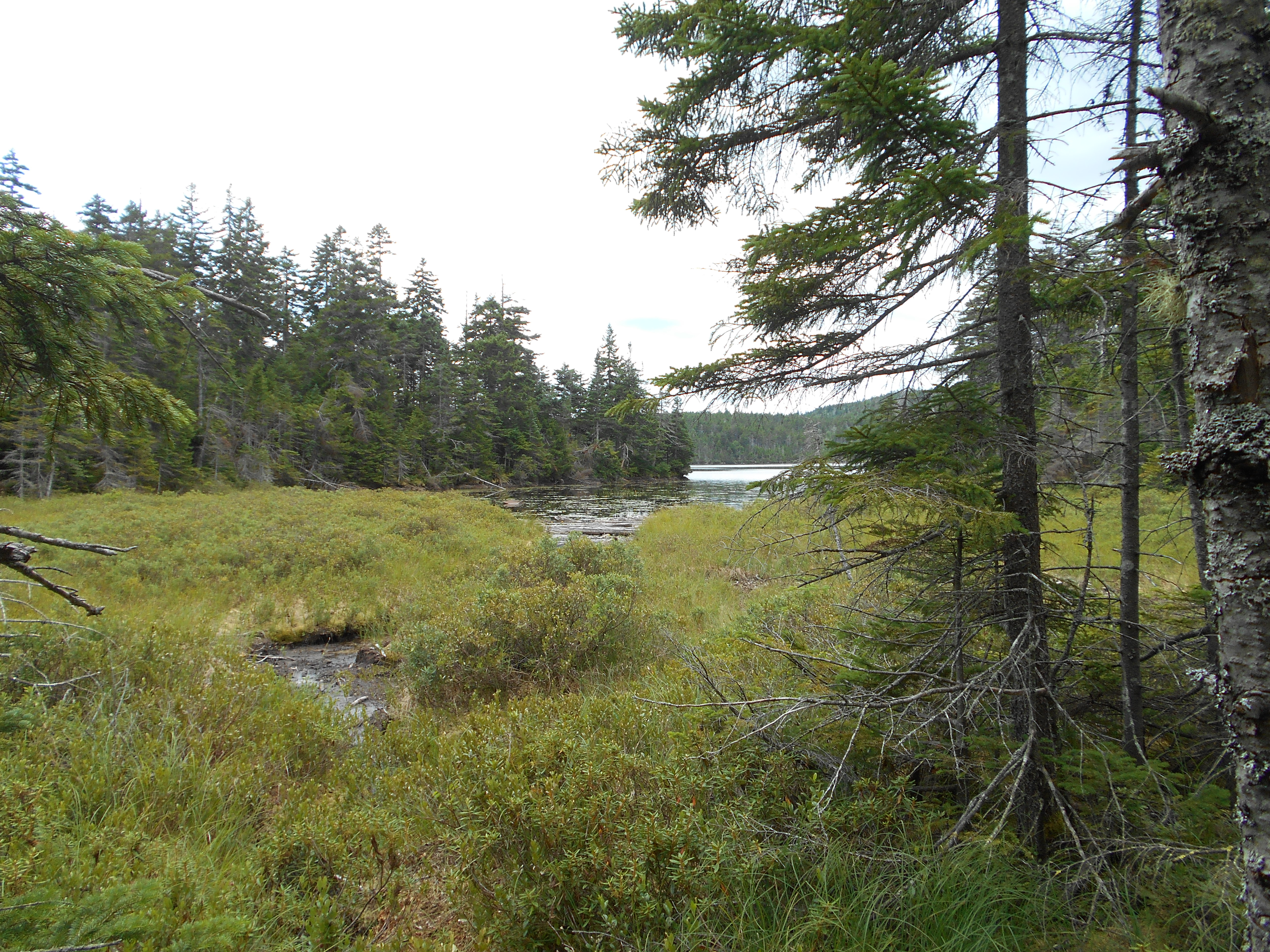
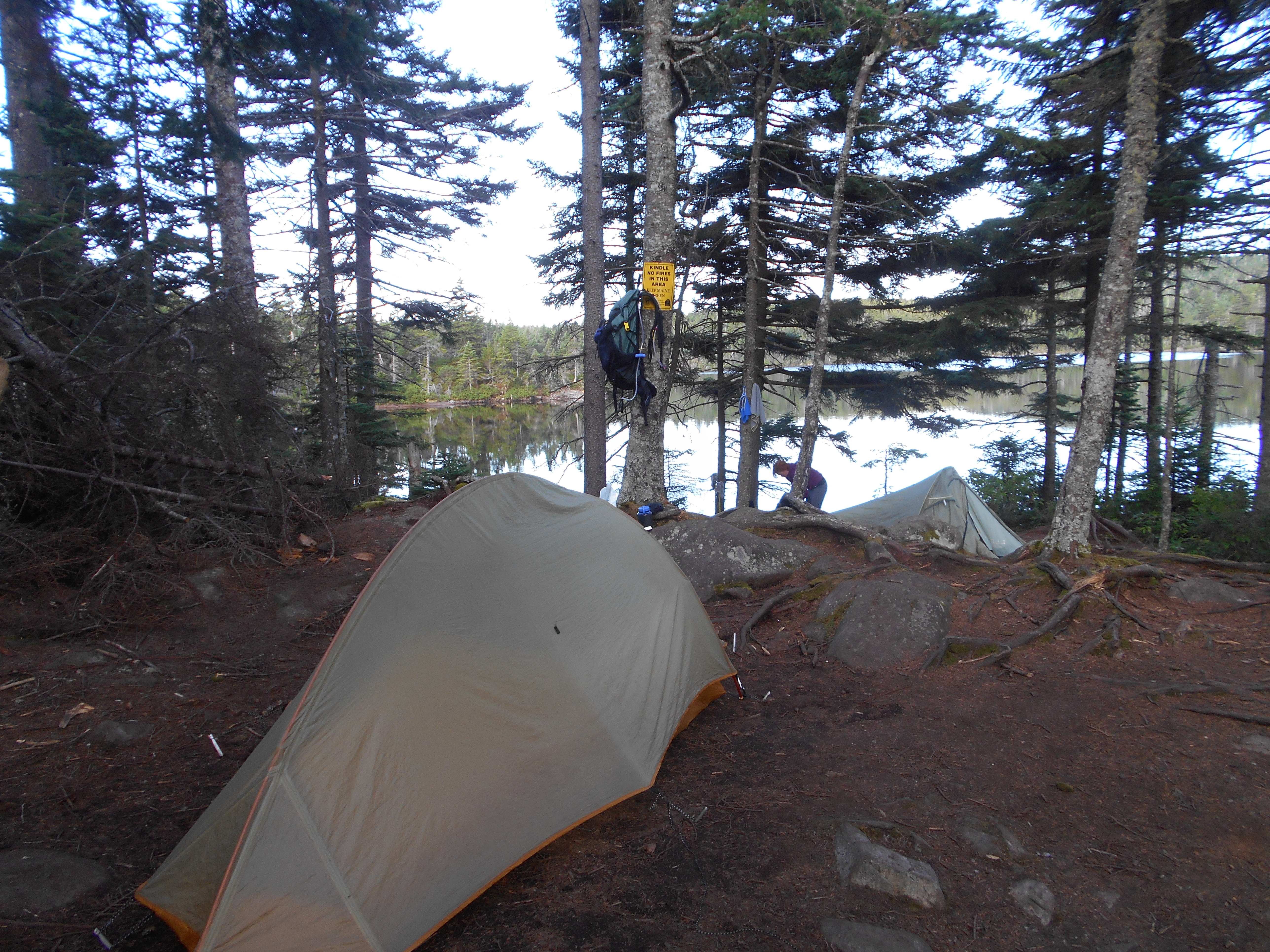
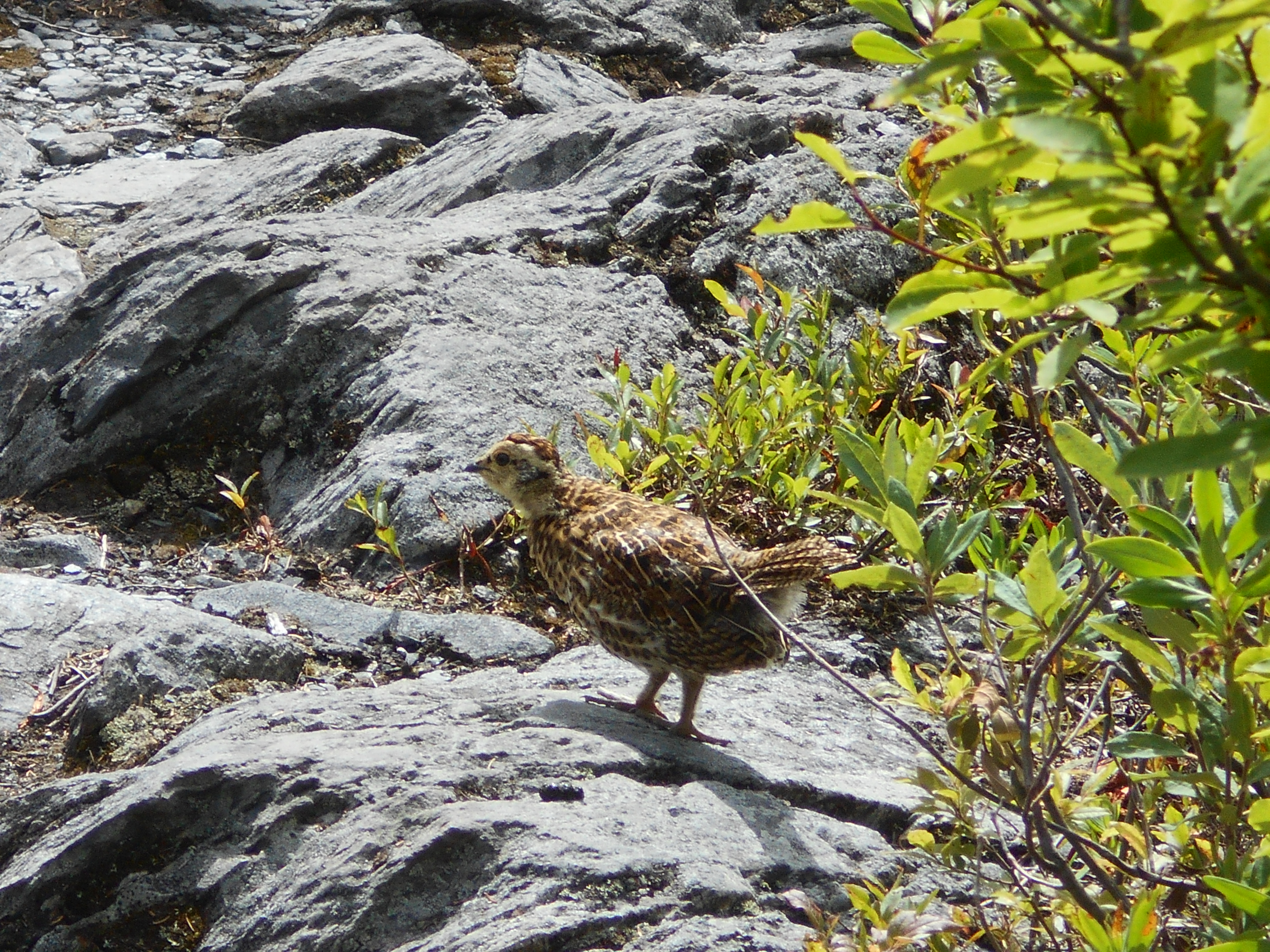
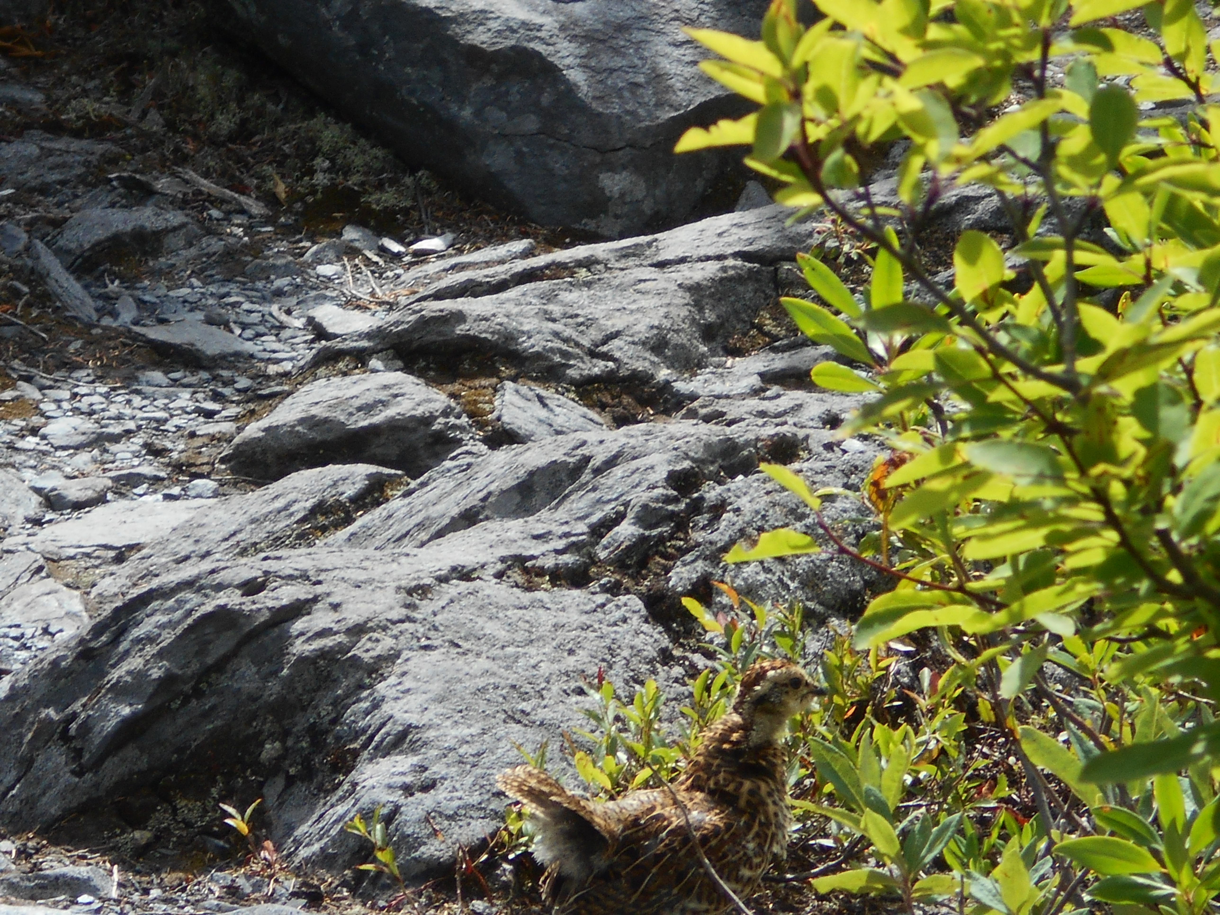
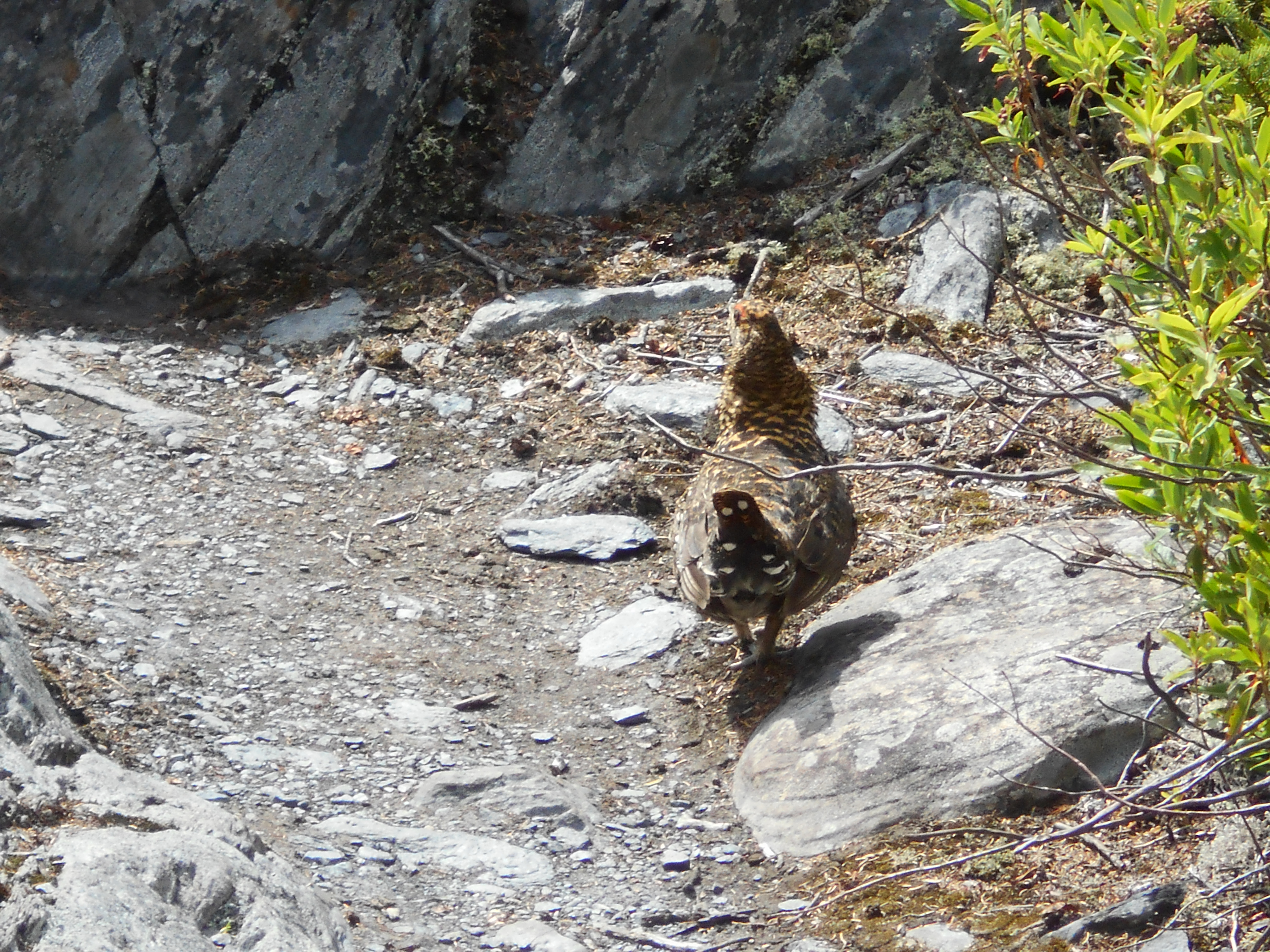
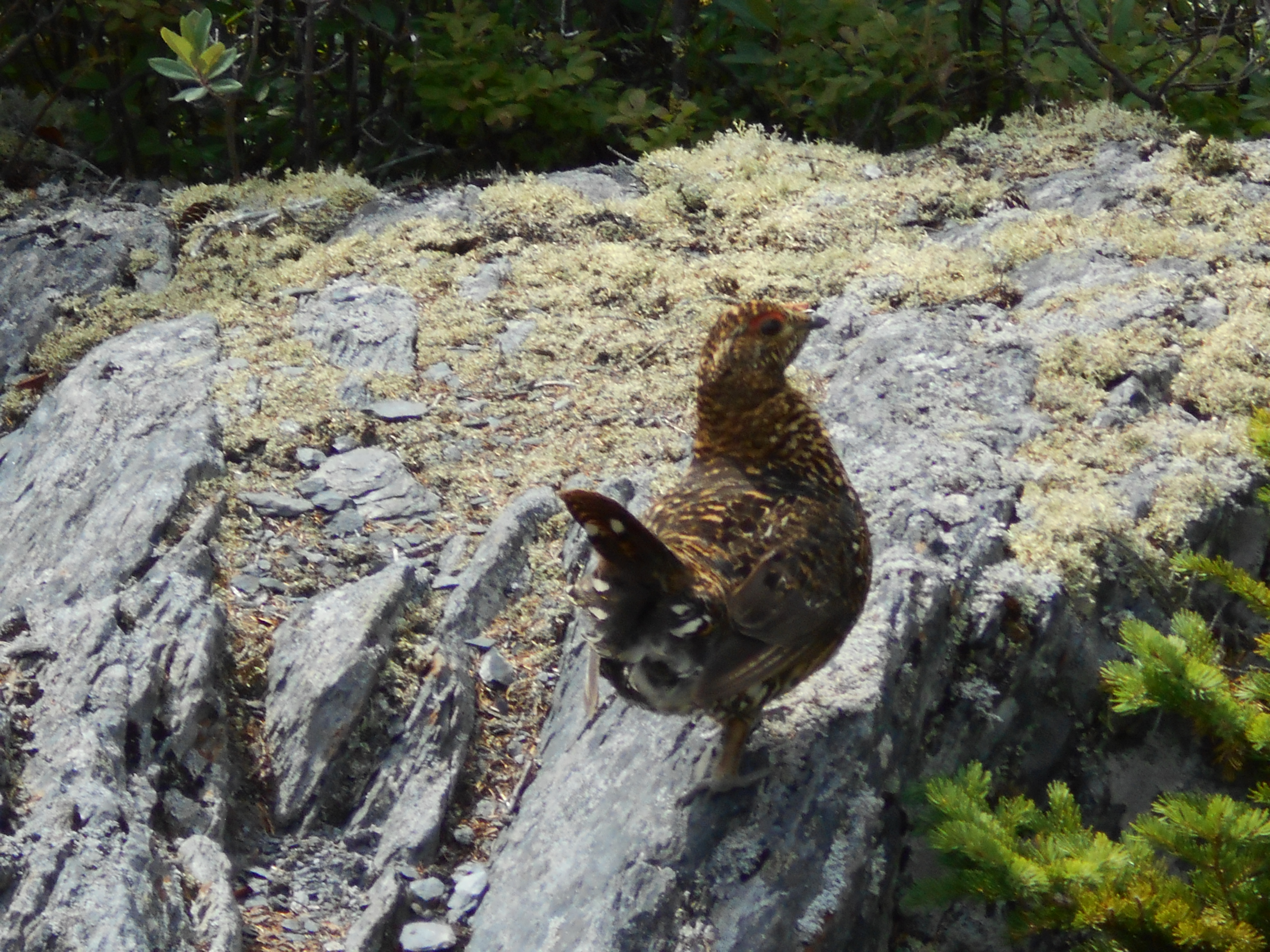
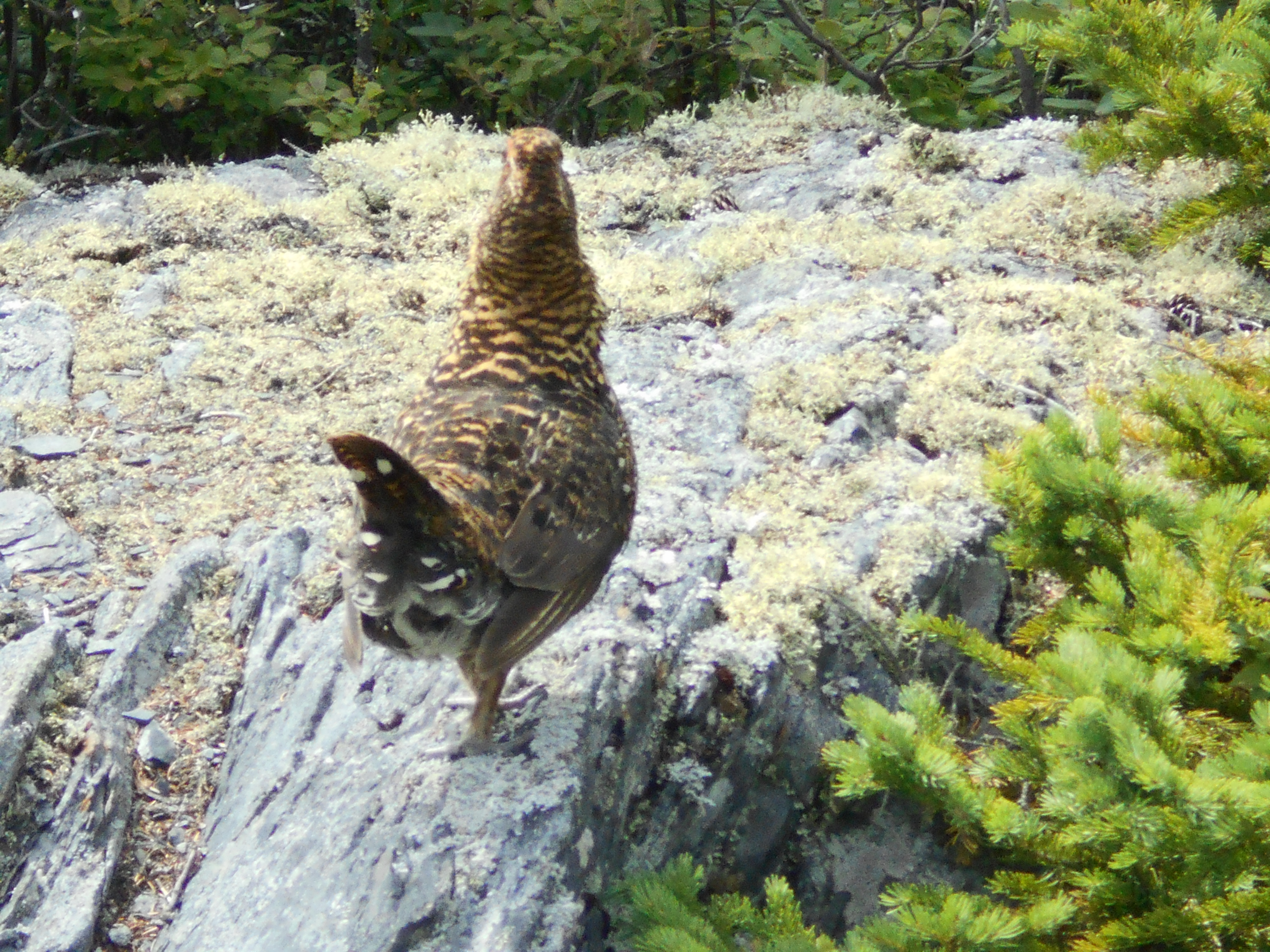
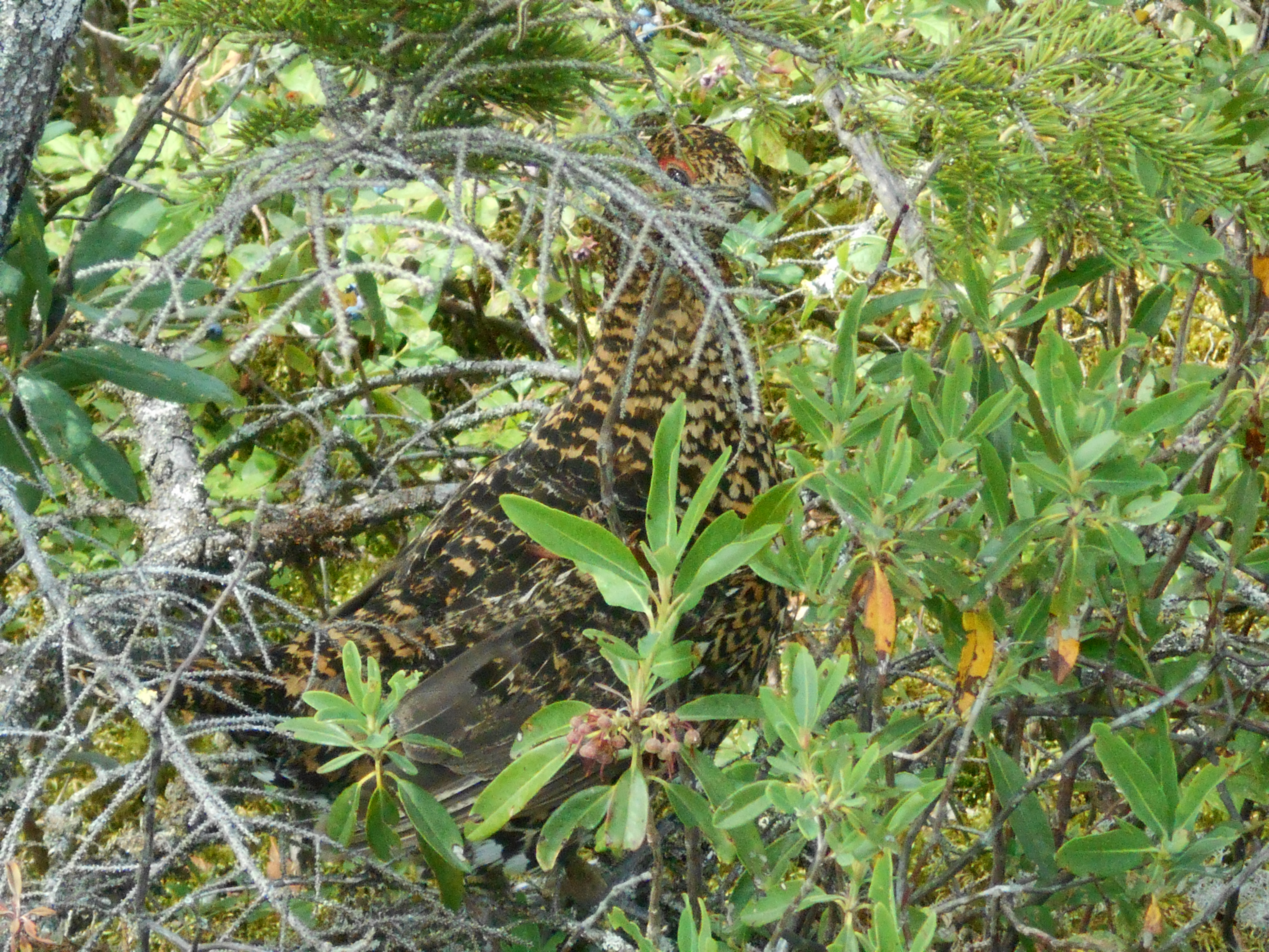
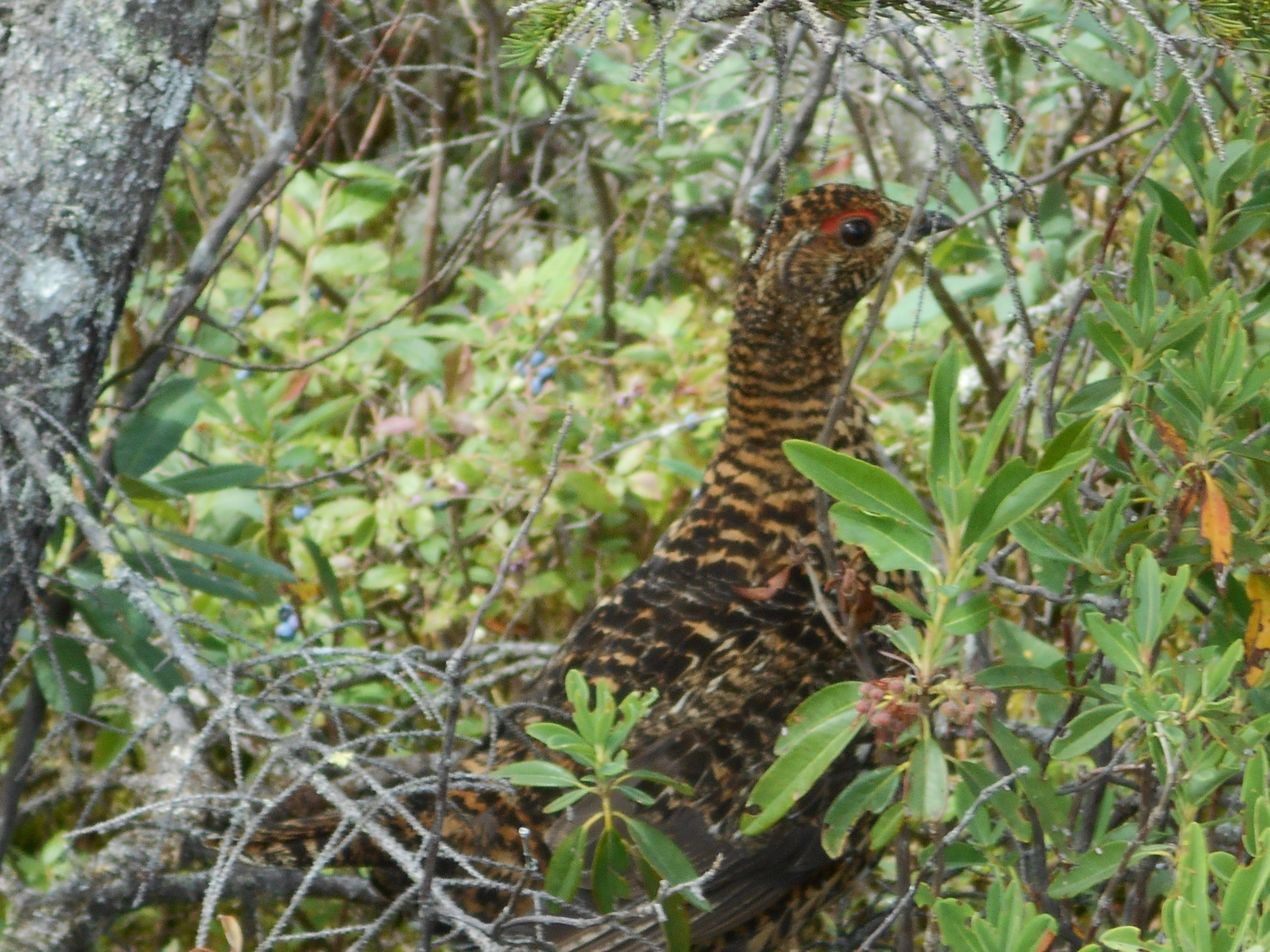
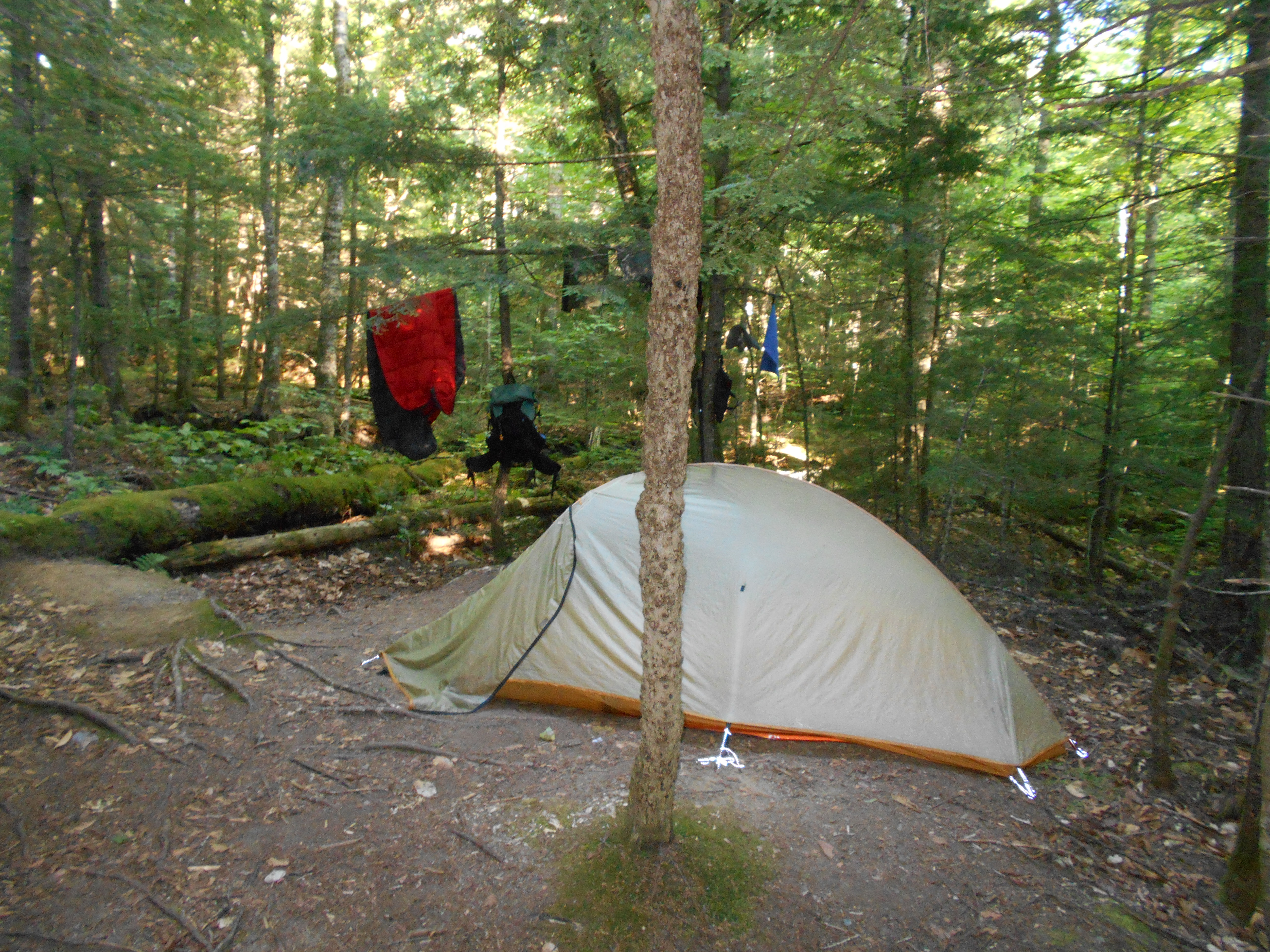
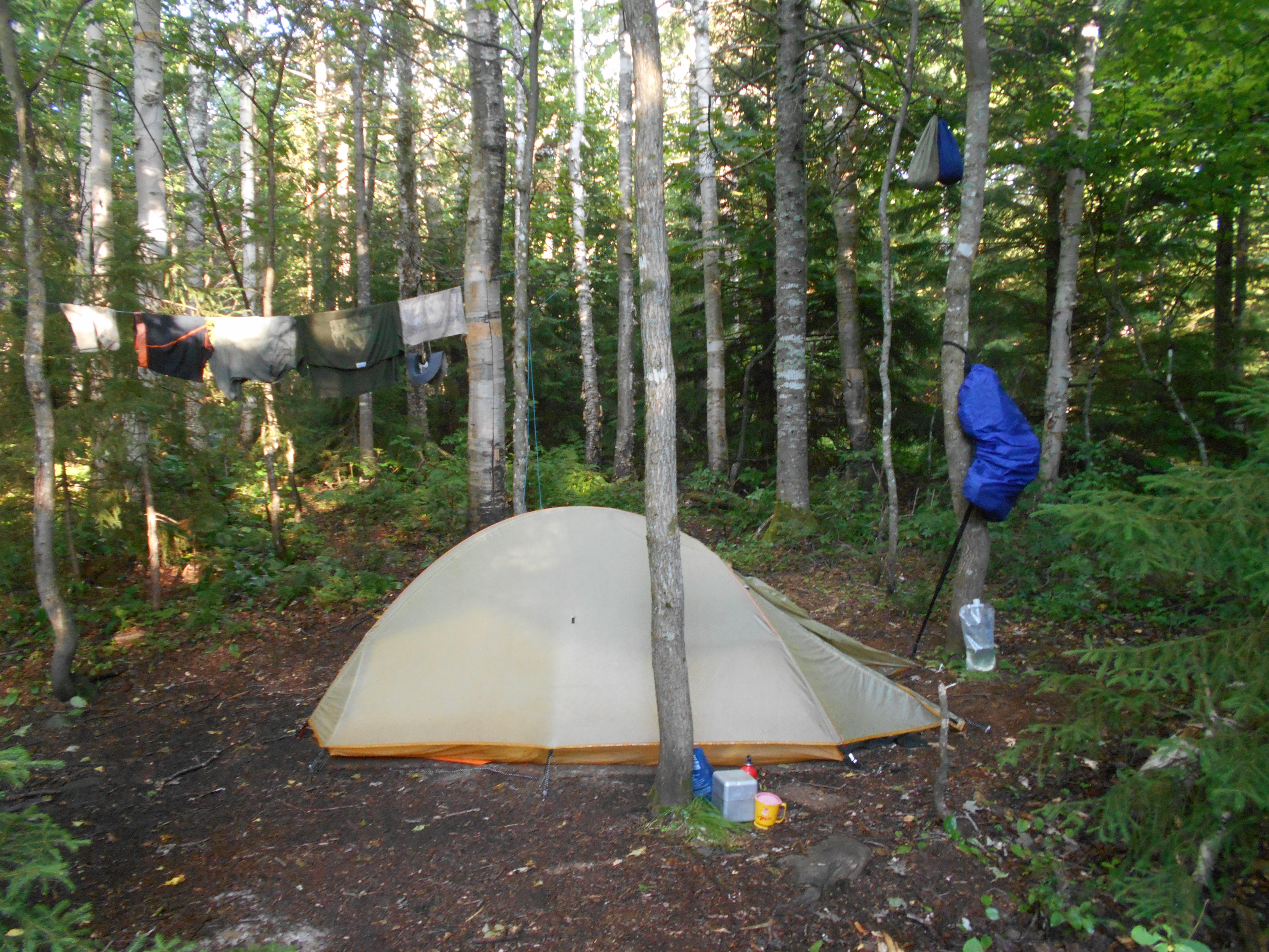
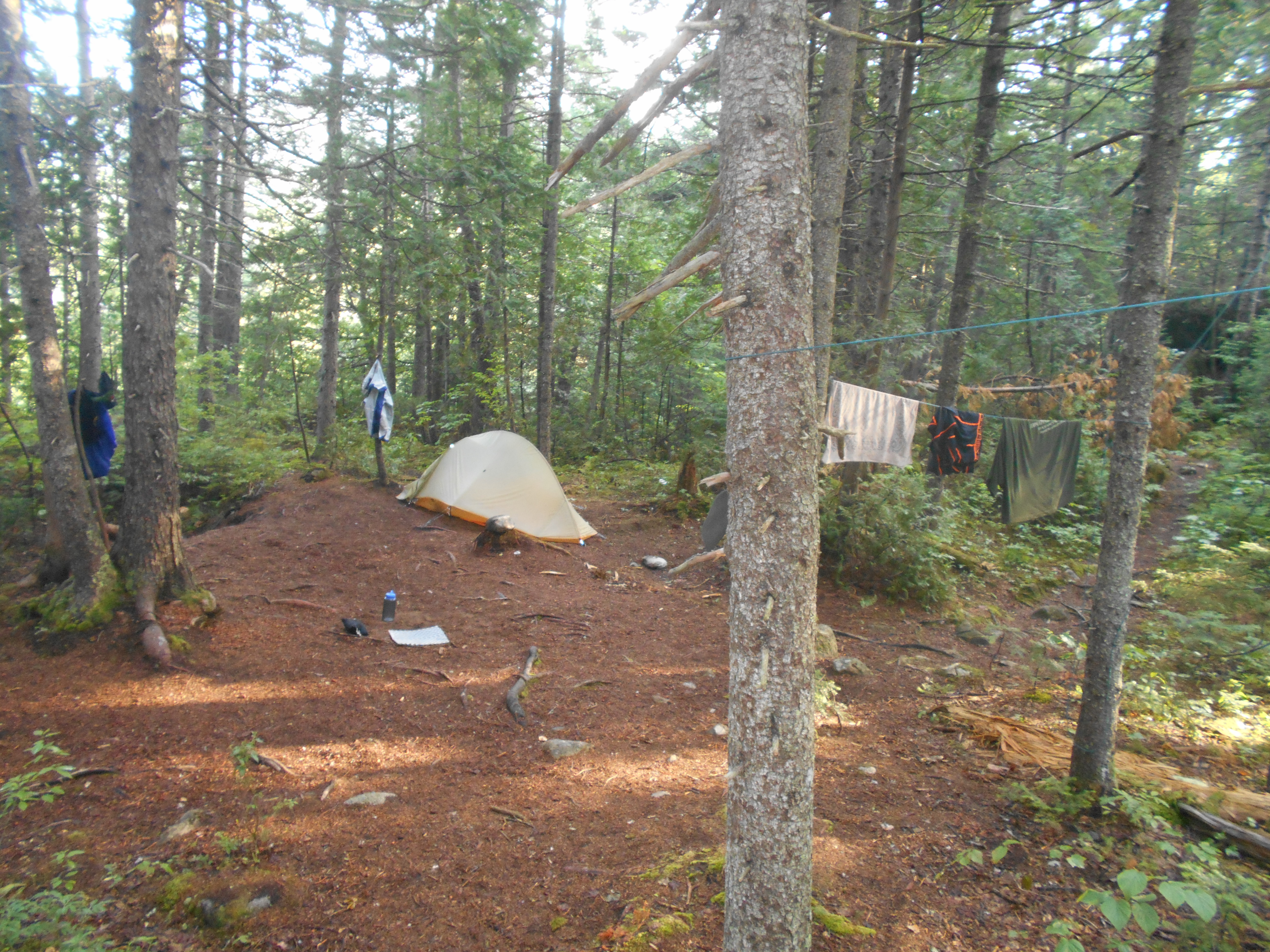
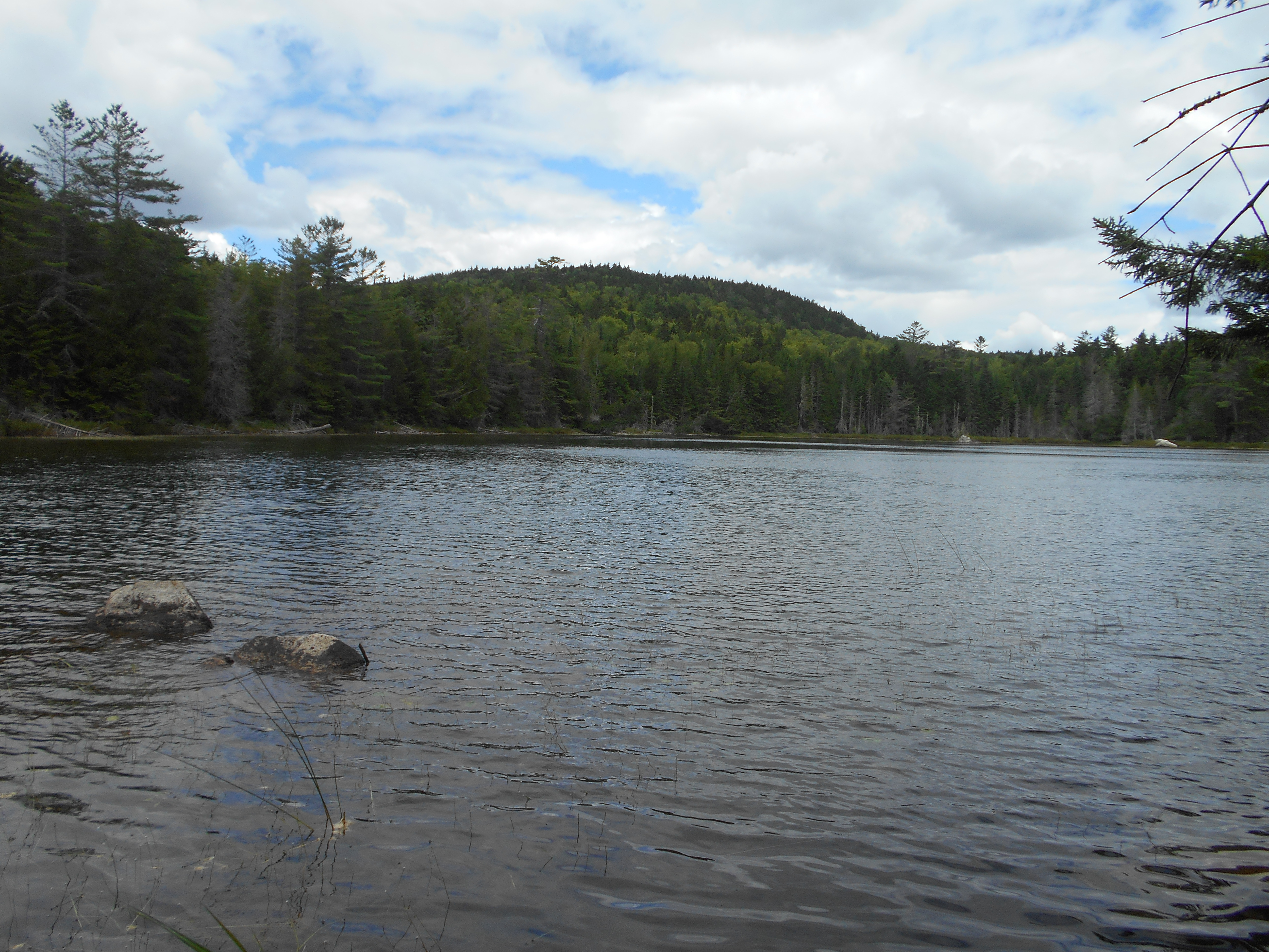
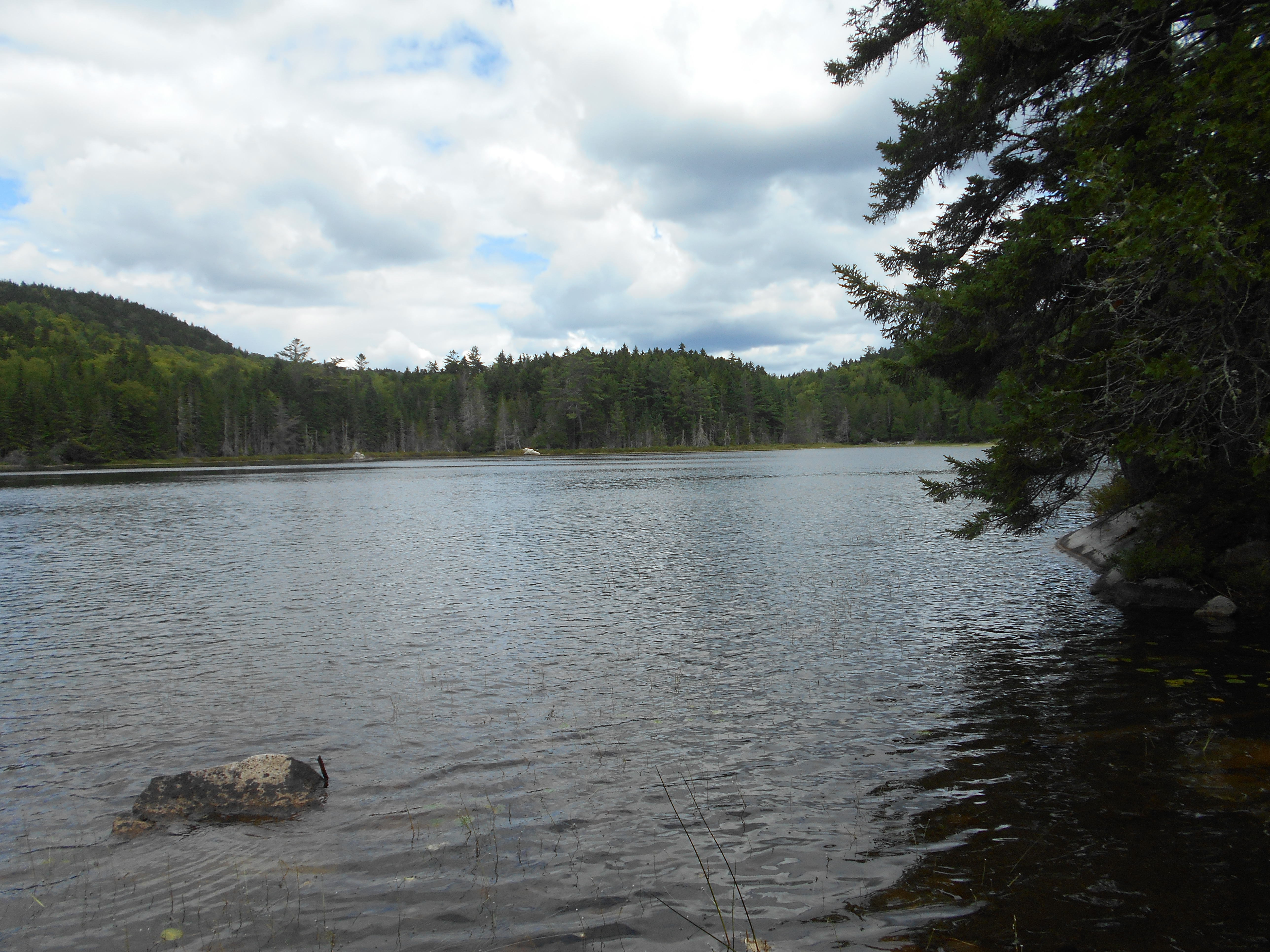
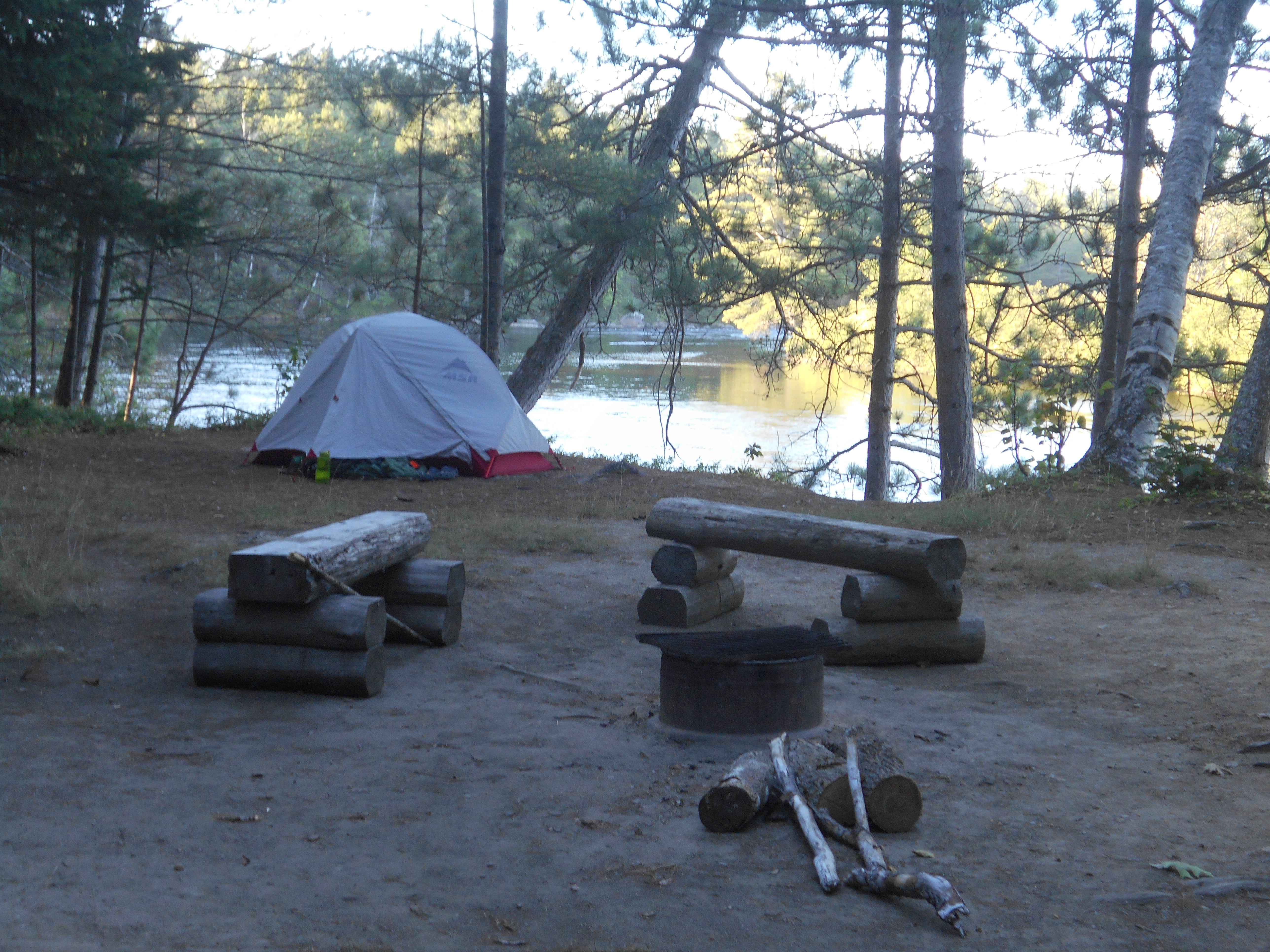
tenting for the second day in a row. hike here a little harder than I expected, especially barren mountain. crowded here, but all section hikers, including a large group of french canadians, who just now, quieted down. buetiful pond here and my tent is within yards of the shore. also today I saw two snakes, a rabbit and a patridge. could have hiked further, but decided to save my knees and back for tonarrow and the chairbacks.
Aug 2, 2016
cloud pond lean-to just beyond katahdin Ironworks road (tenting)
Milage ~10.7 (reroute)
Miles from Springer
Features
Elevation
2095.8
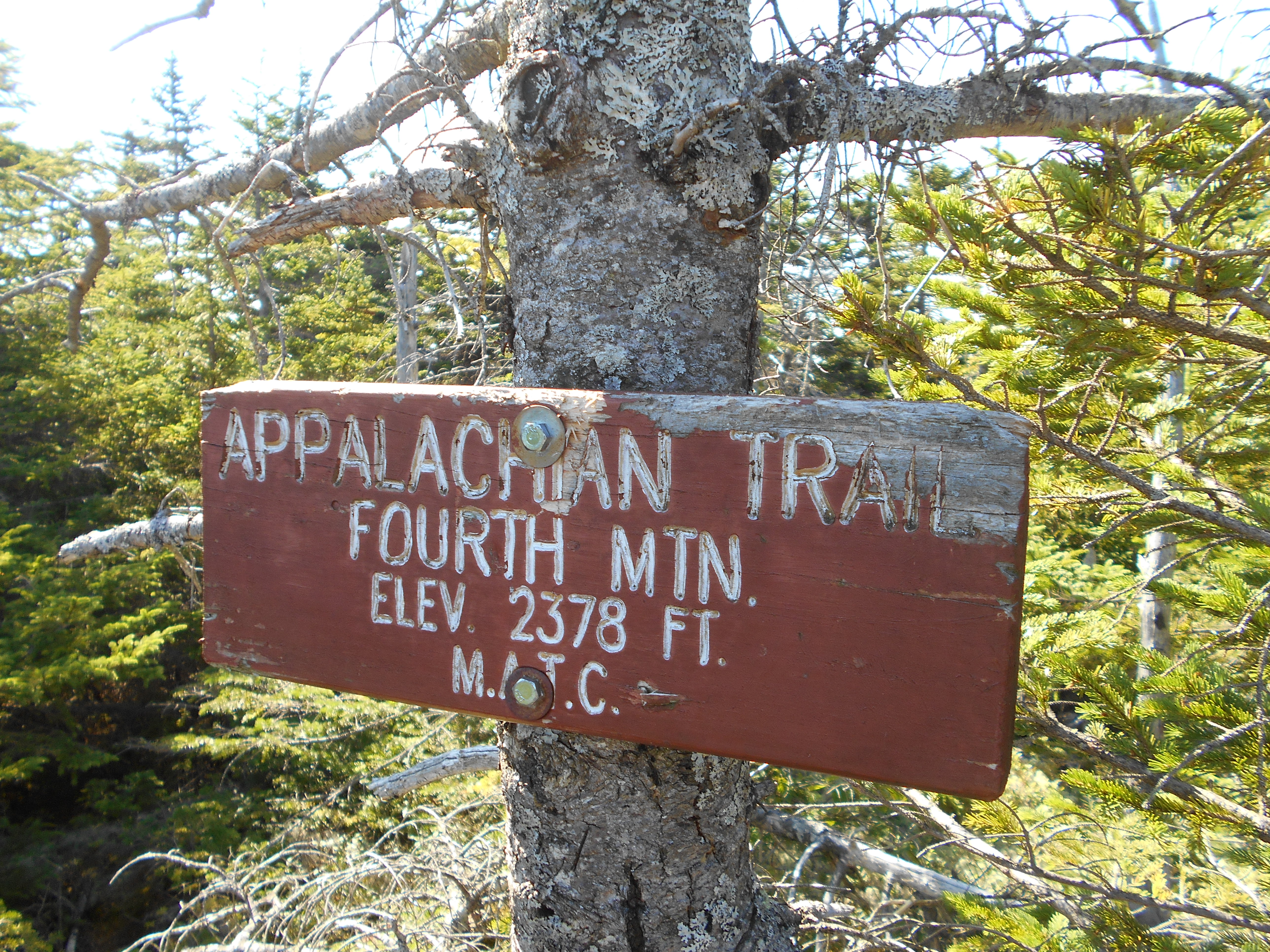
Fourth Mountain (2,383')
2383
2098.3
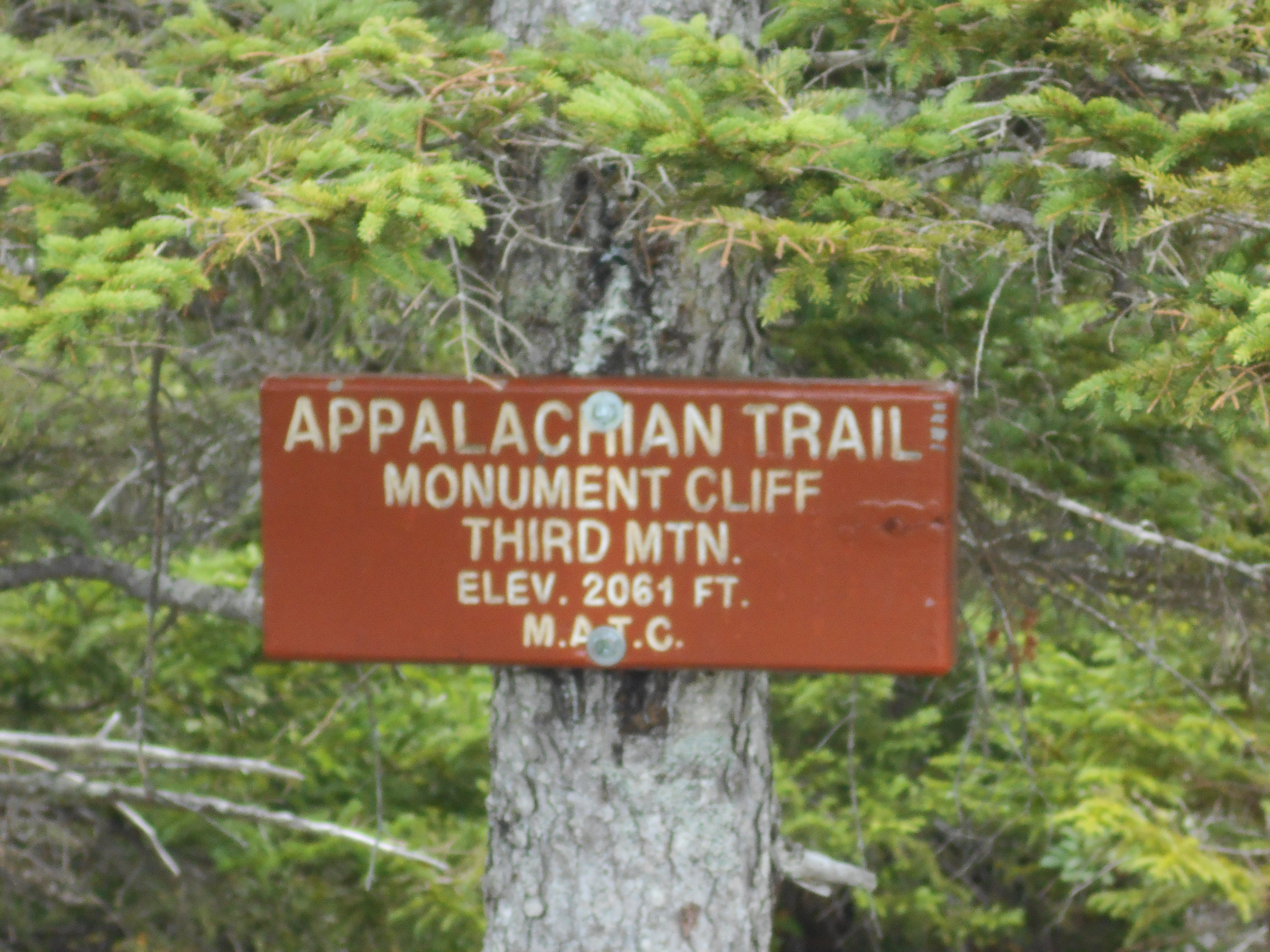
Third Mountain, Monument Cliff (2,061')
2061
2098.9
West Chairback Pond Side Trail (1,770')
1770
2100.2
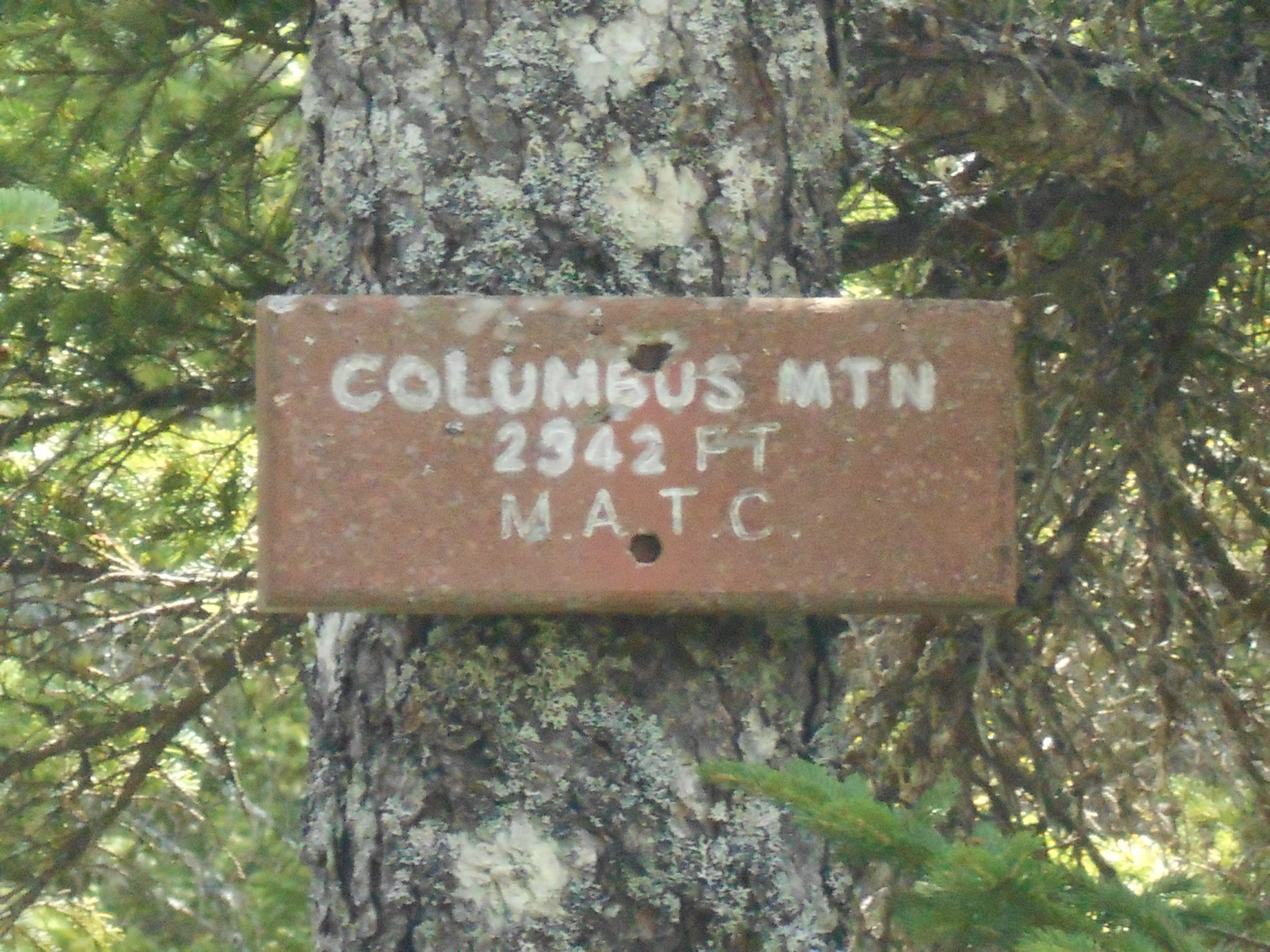
Columbus Mountain (2,325')?open ledge
2325
2100.6
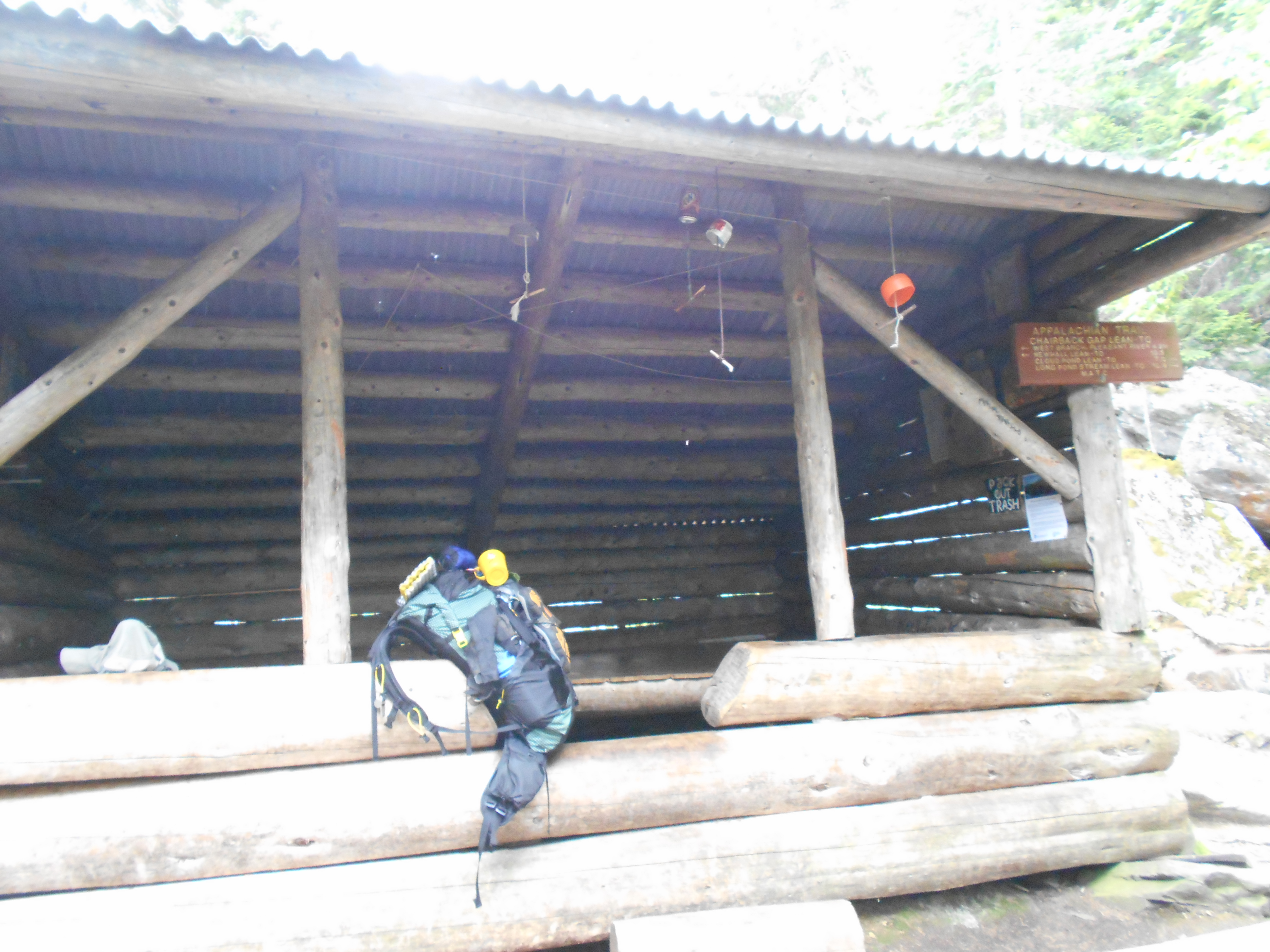
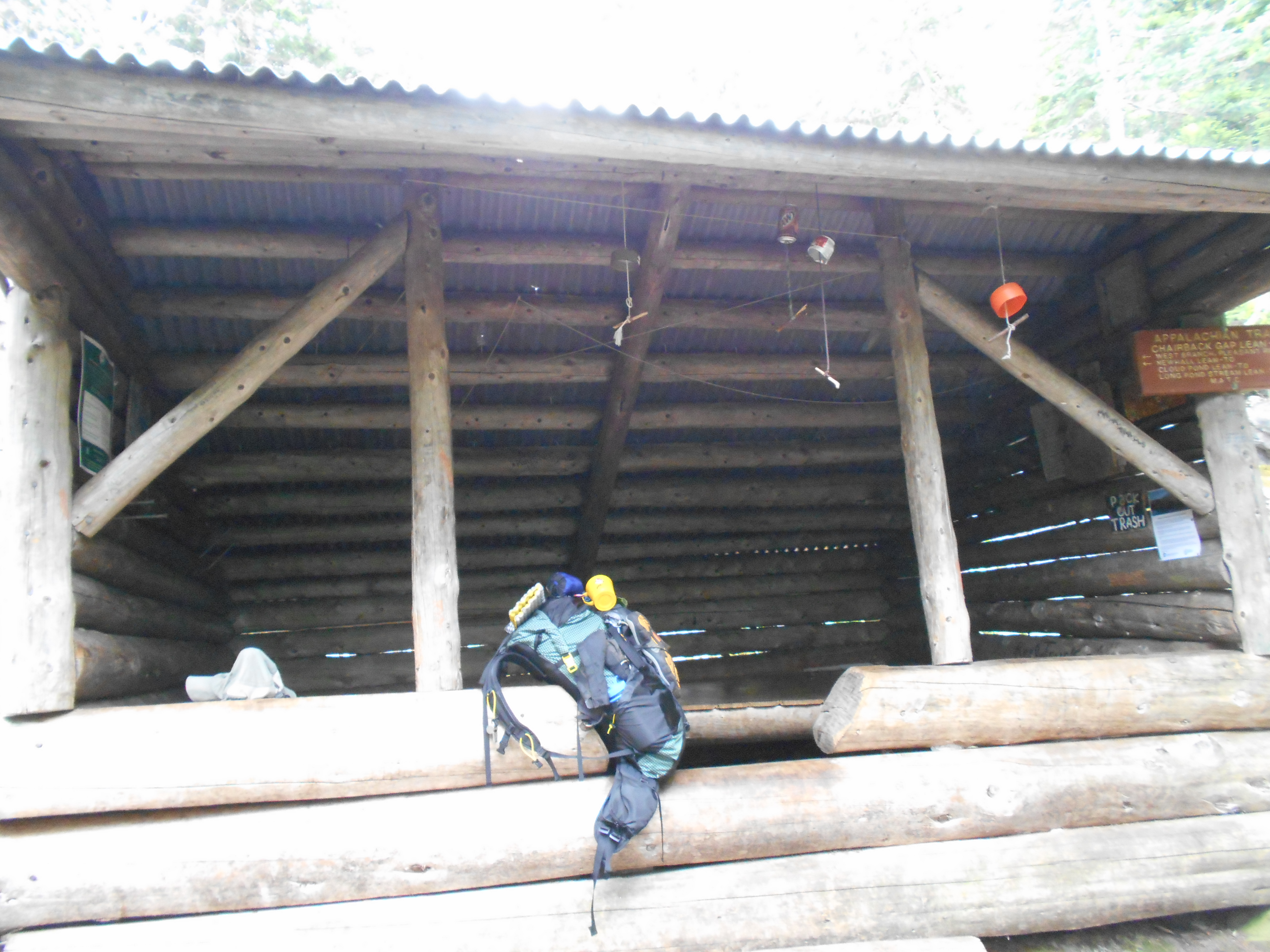
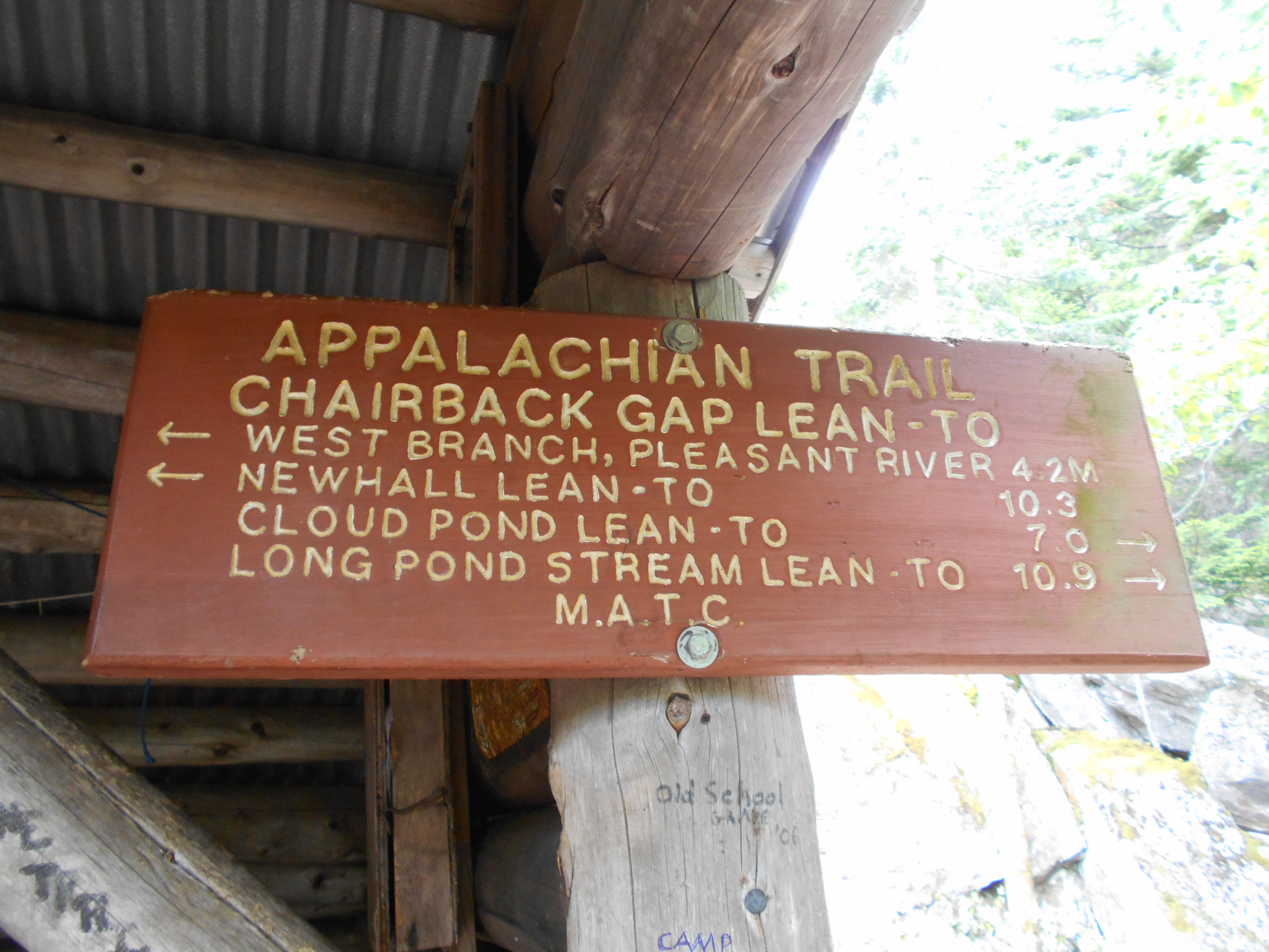
Chairback Gap Lean-to (2,000')?7.3mS; 9.9mN
2000
2101.1
Chairback Mountain (2,219')
2219
2101.5
Semi-open Ledges (2,000')?views
2000
2103.3
East Chairback Pond Side Trail (1,630')
1630
2103.8
Small stream and spring (1,250')
1250
2104.5
Katahdin Iron Works Road (750')
750
7:50pm
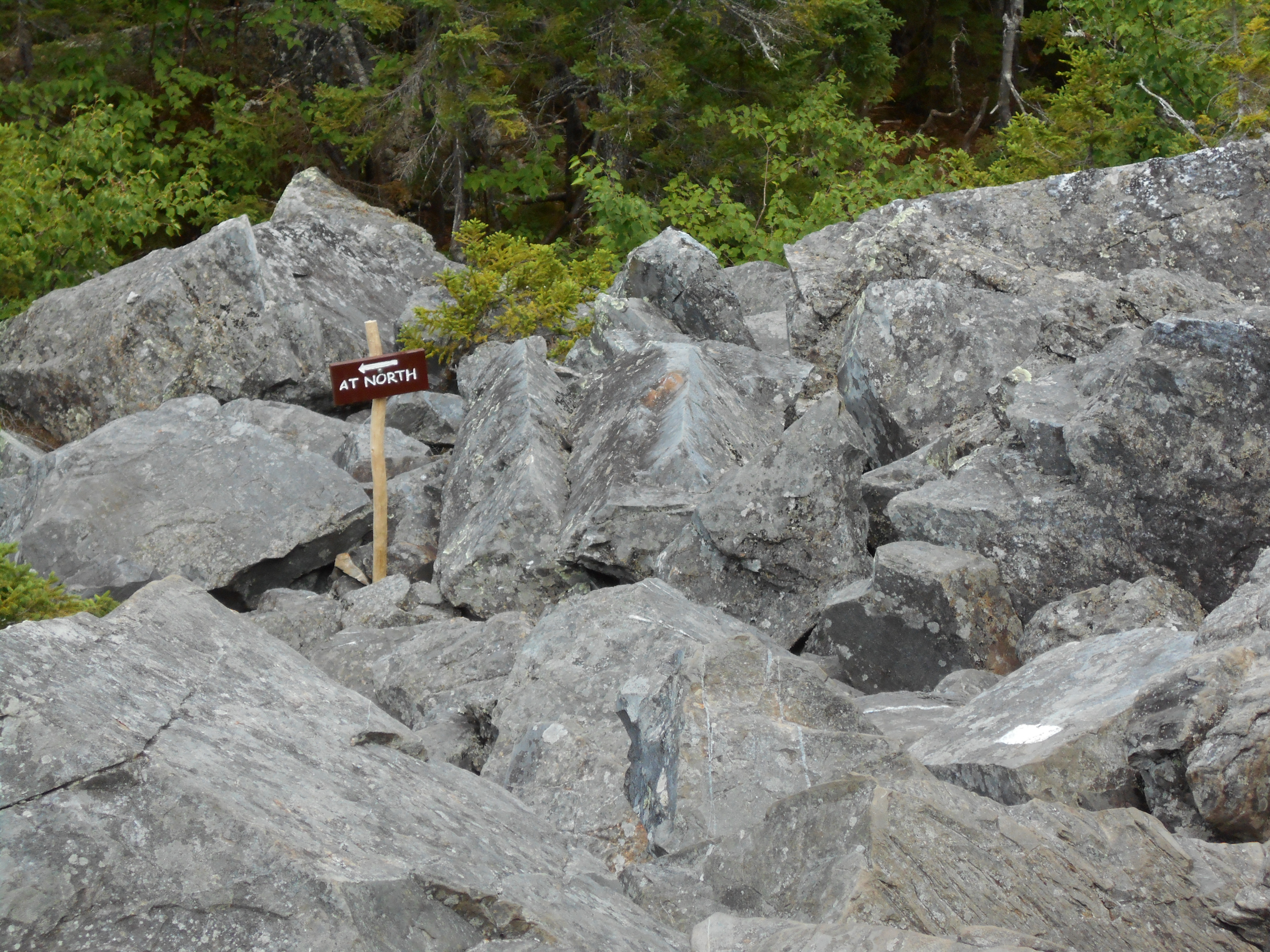
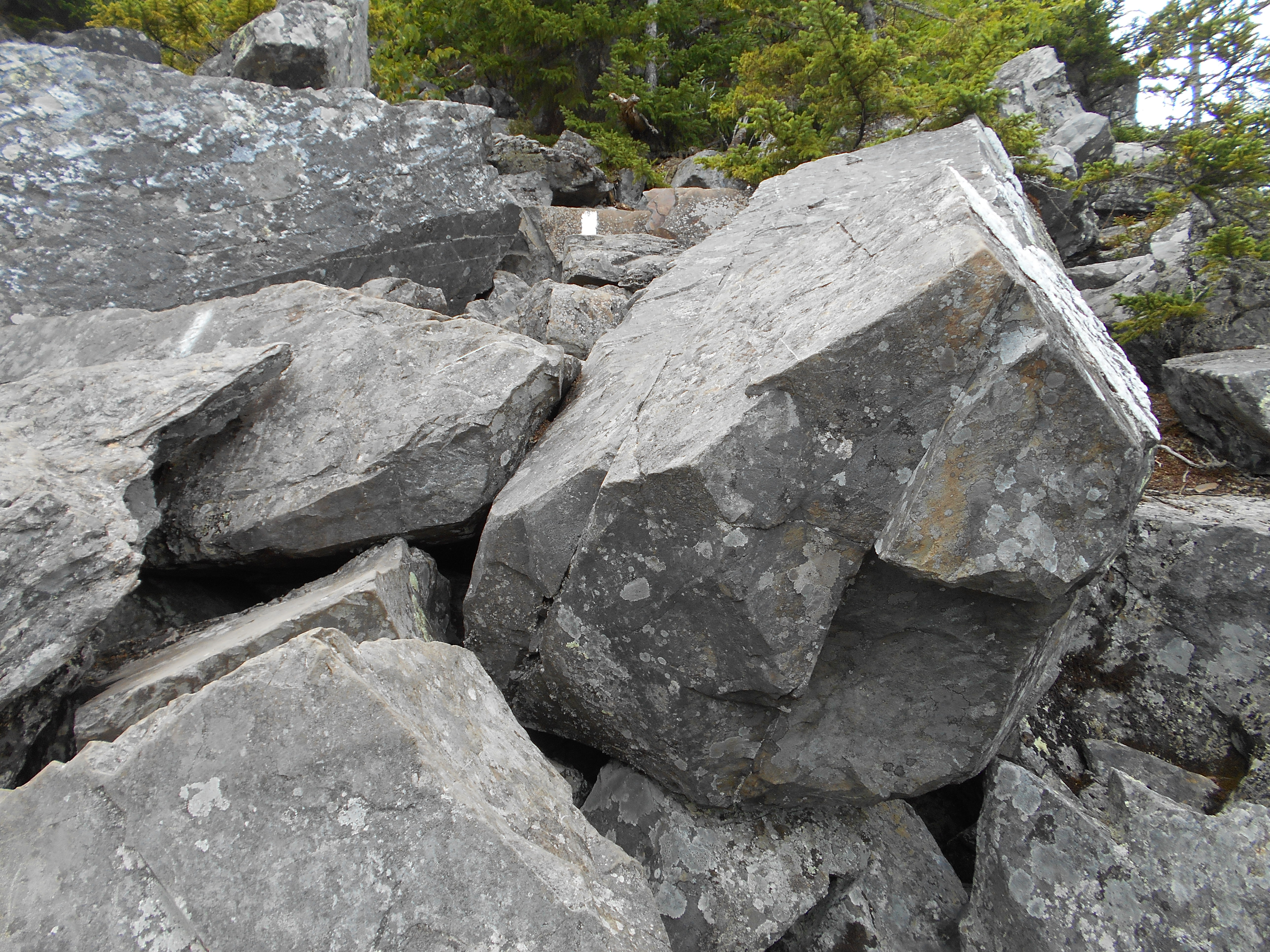
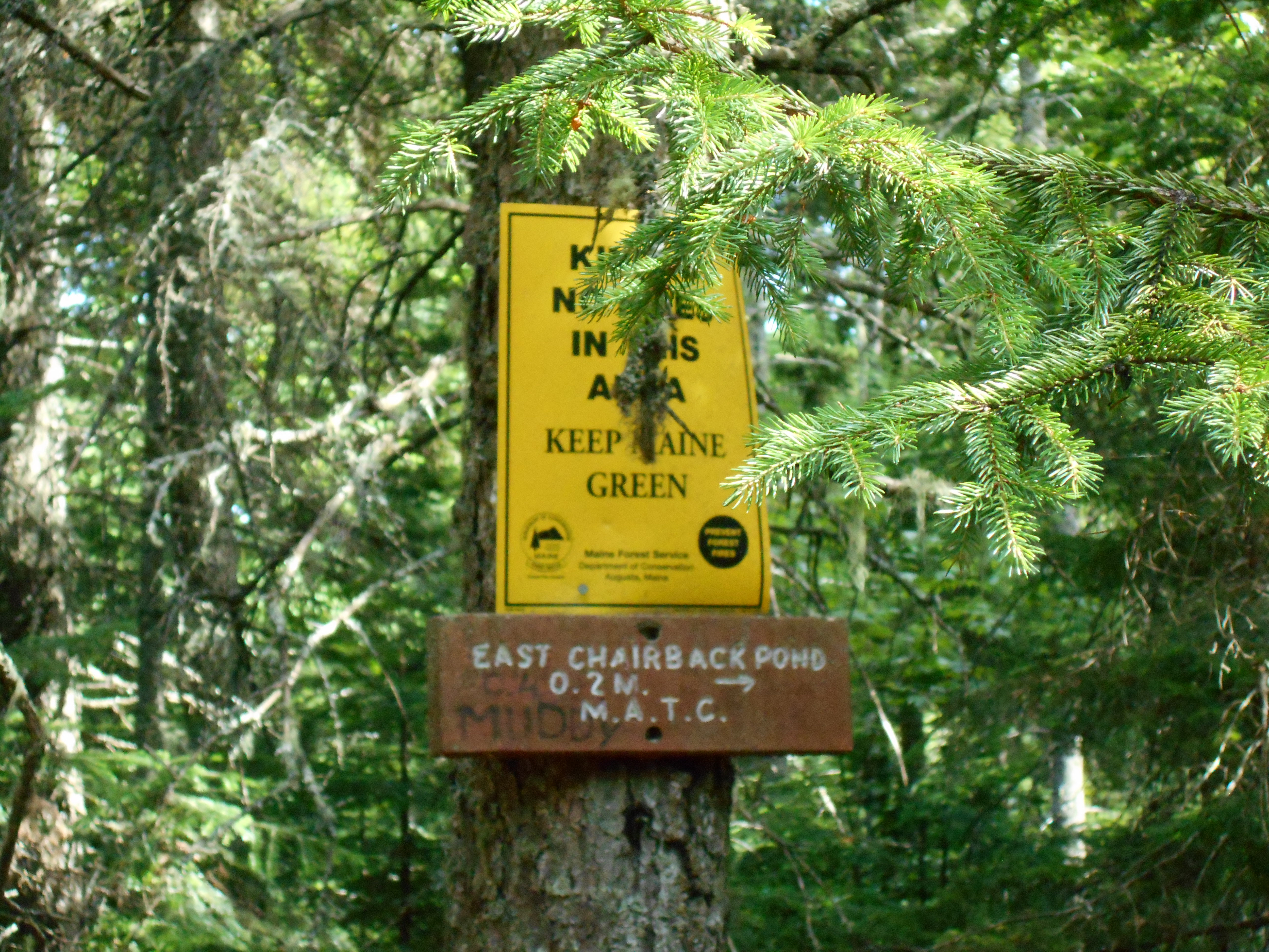
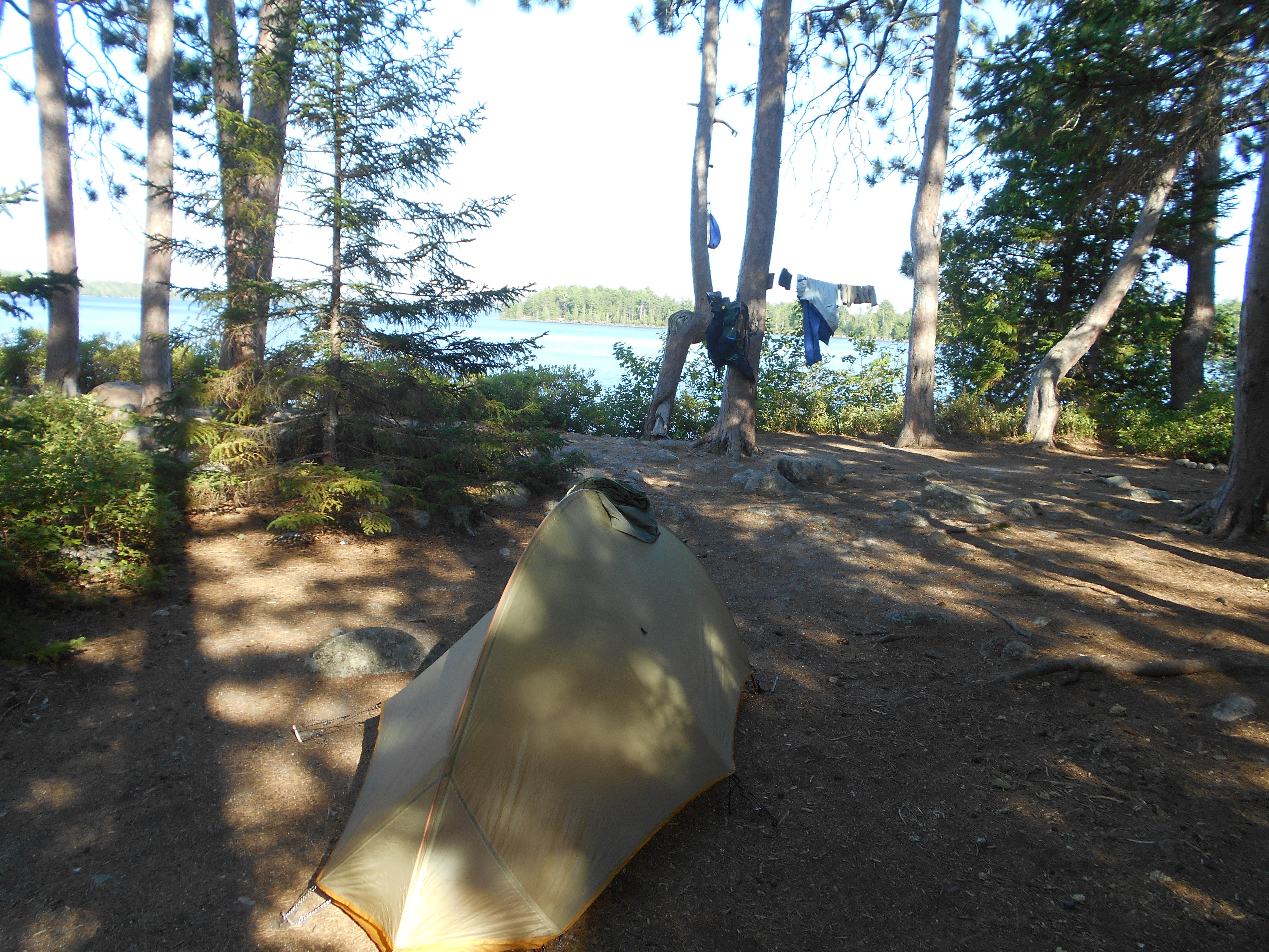
today was the Chairbacks and it was a hard day with lots of ups and downs. also water was scarce. coming down Chairback Mnt was as advertised, steep bolder feild. decided to camp at the first site I saw after the road crossing to avoid the noise from yesterday. four older hikers asked it they could join me and I said "olny if your quiet" and they said they were so they are camped here as well. Had good conversation over dinner and now everyone is in there tents getting settled in for the night.
Knees and back still giving me some issues on downhills. the back issues are more related to me not being use to the new pack, adjusting it often seems to be helping, but i keep forgeting to tighten the straps after ups/downs since I wasnt able to do it on the osprey pack. knees are just old, but vitimin I and a few longer breaks helped today.
tomarrow I get my first view of Katahdin off of white cap mnt....cant wait!
two notes:
100 wildernes....ha. the road I am camped by has had over a dozen cars on it. I have seen more people here than on some of the other sections of the AT (mostly section hikers and some day hikers)
Aug 3. 2016
beyond katahdin Ironworks road to carl a newman lean-to (tenting)
Milage 6.1
Miles from Springer
Features
Elevation
2104.5
Katahdin Iron Works Road (750')
750
2105
West Branch Pleasant River (680')?ford
680
2105.2
Trail to Pugwash Pond, Pleasant River Campsites, Hay Brook Parking Area (680')
680
2105.3
The Hermitage (695')
695
2106.3
Gulf Hagas Trail (950')
950
2107
Gulf Hagas Cut-off Trail (1,050')
1050
2110.5
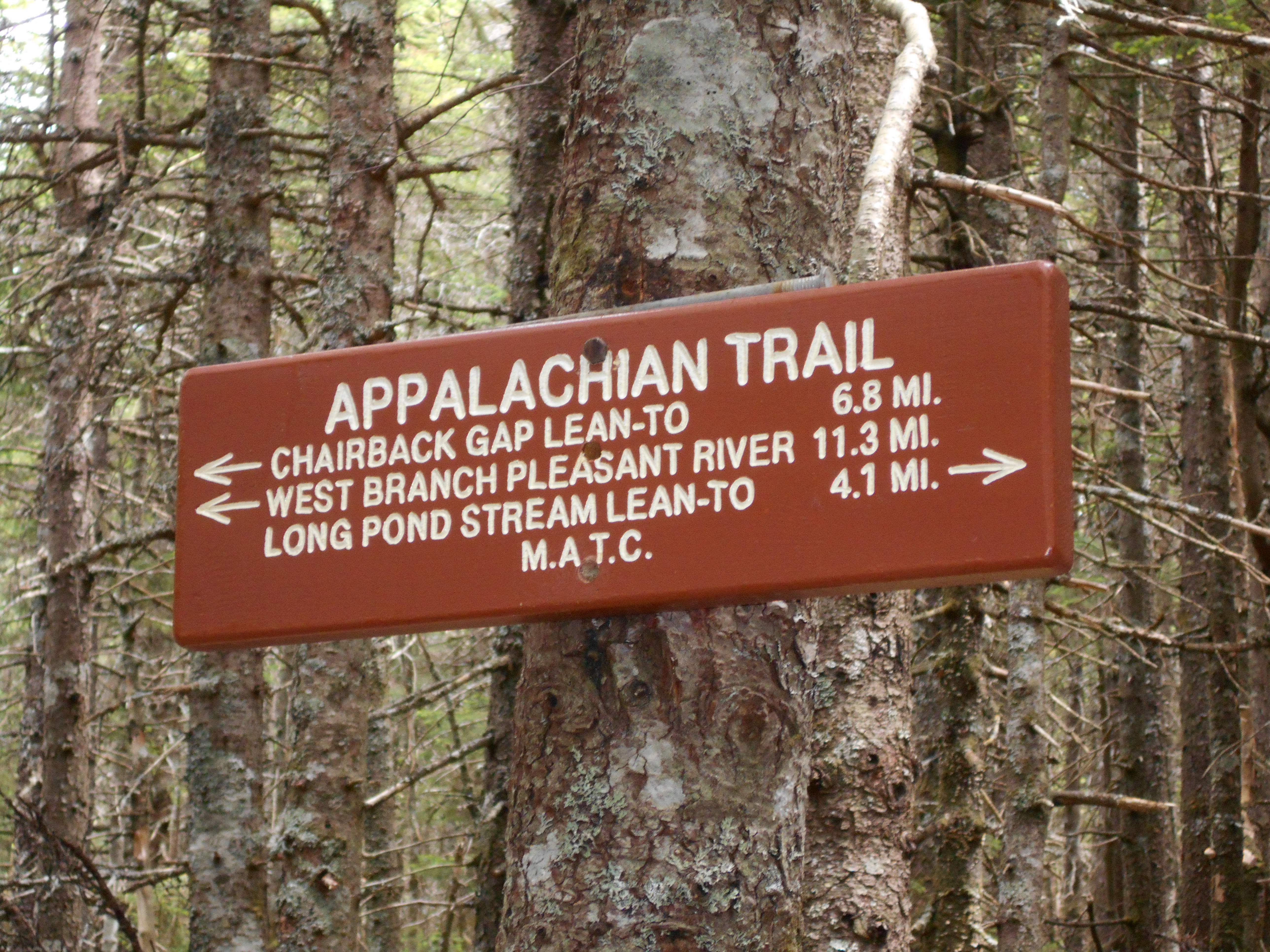
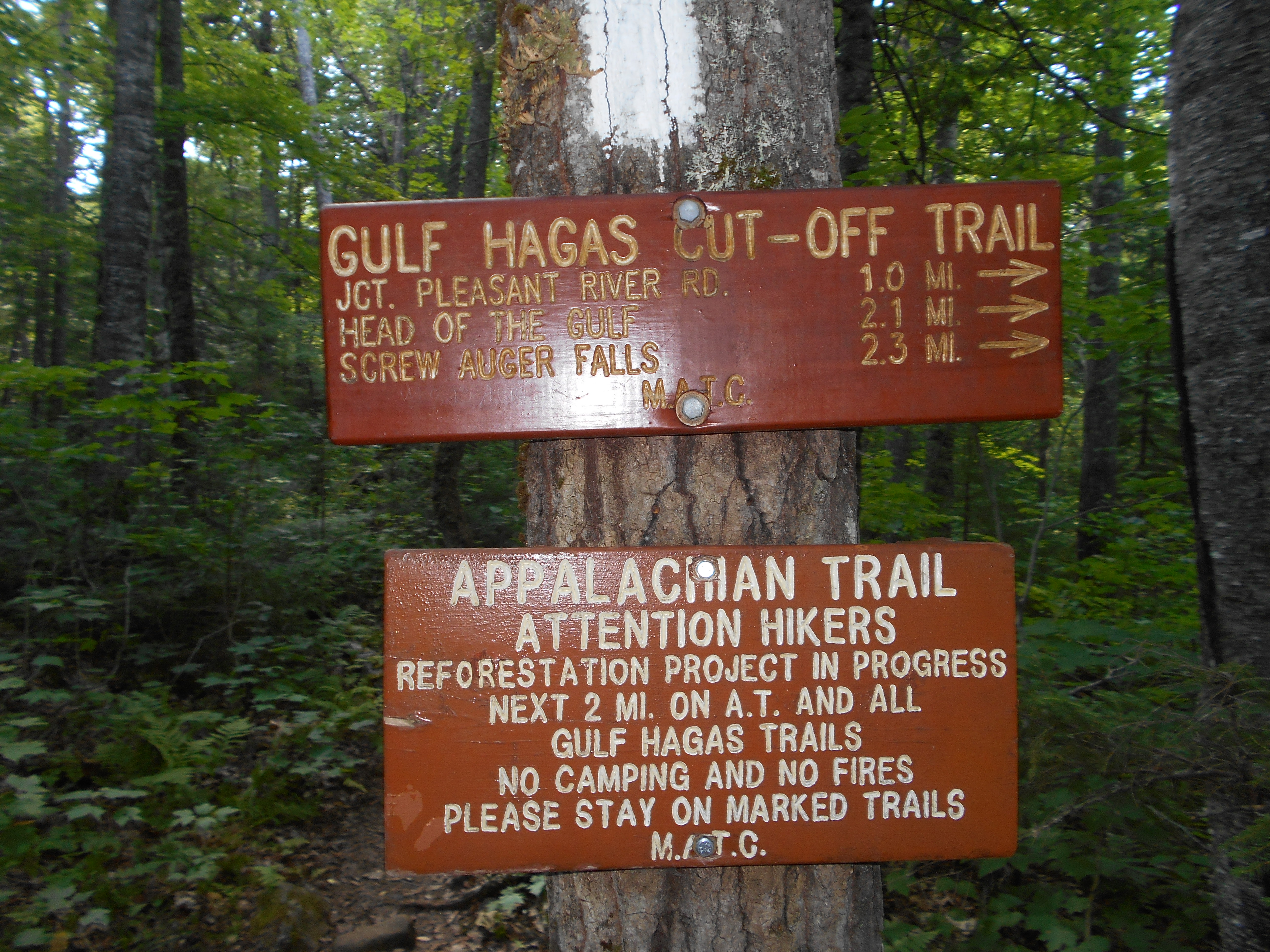
Gulf Hagas Brook, Carl A. Newhall Lean-to (1,860') ?9.9mS; 7.2mN
1860
4:15pm
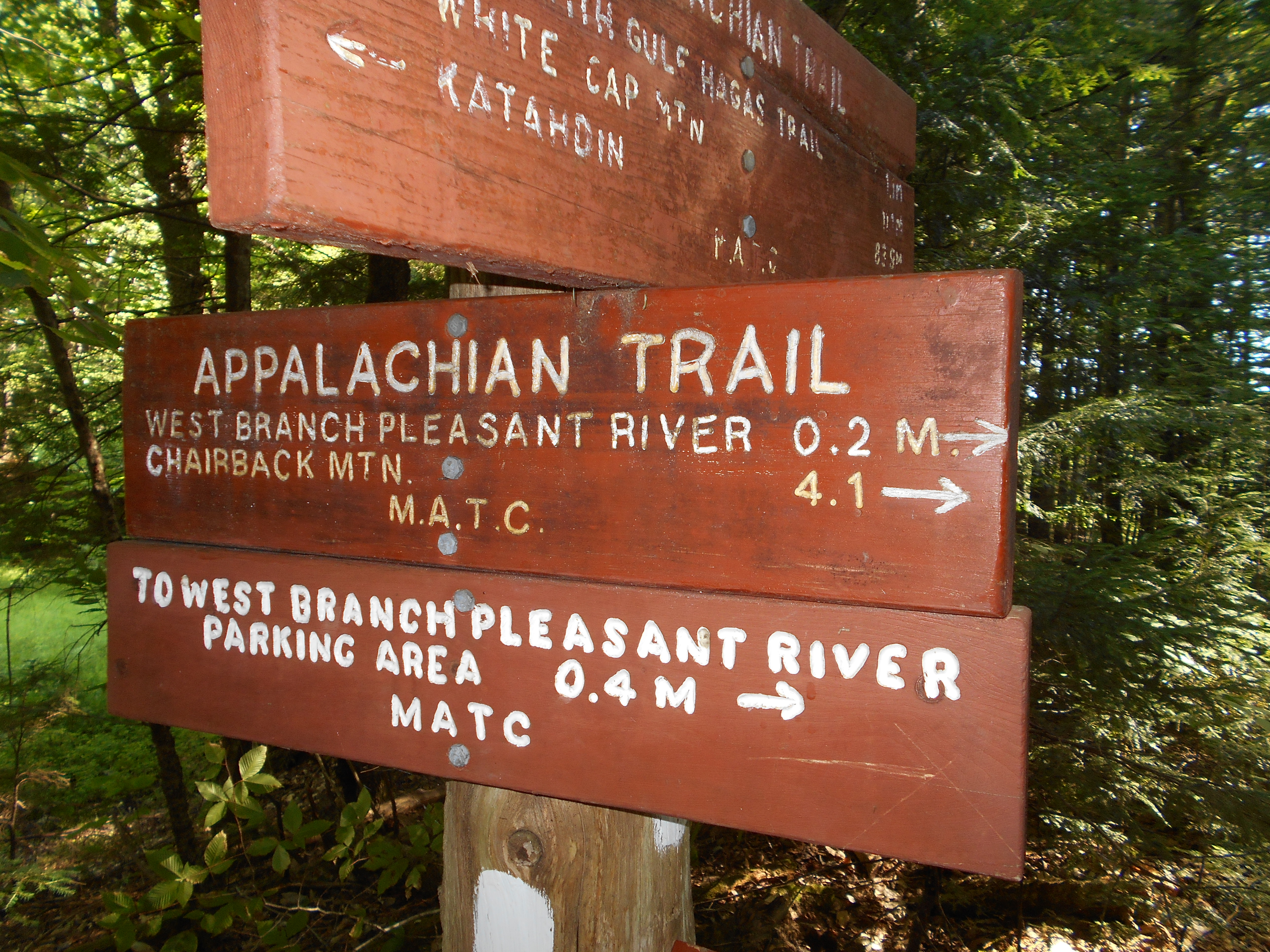
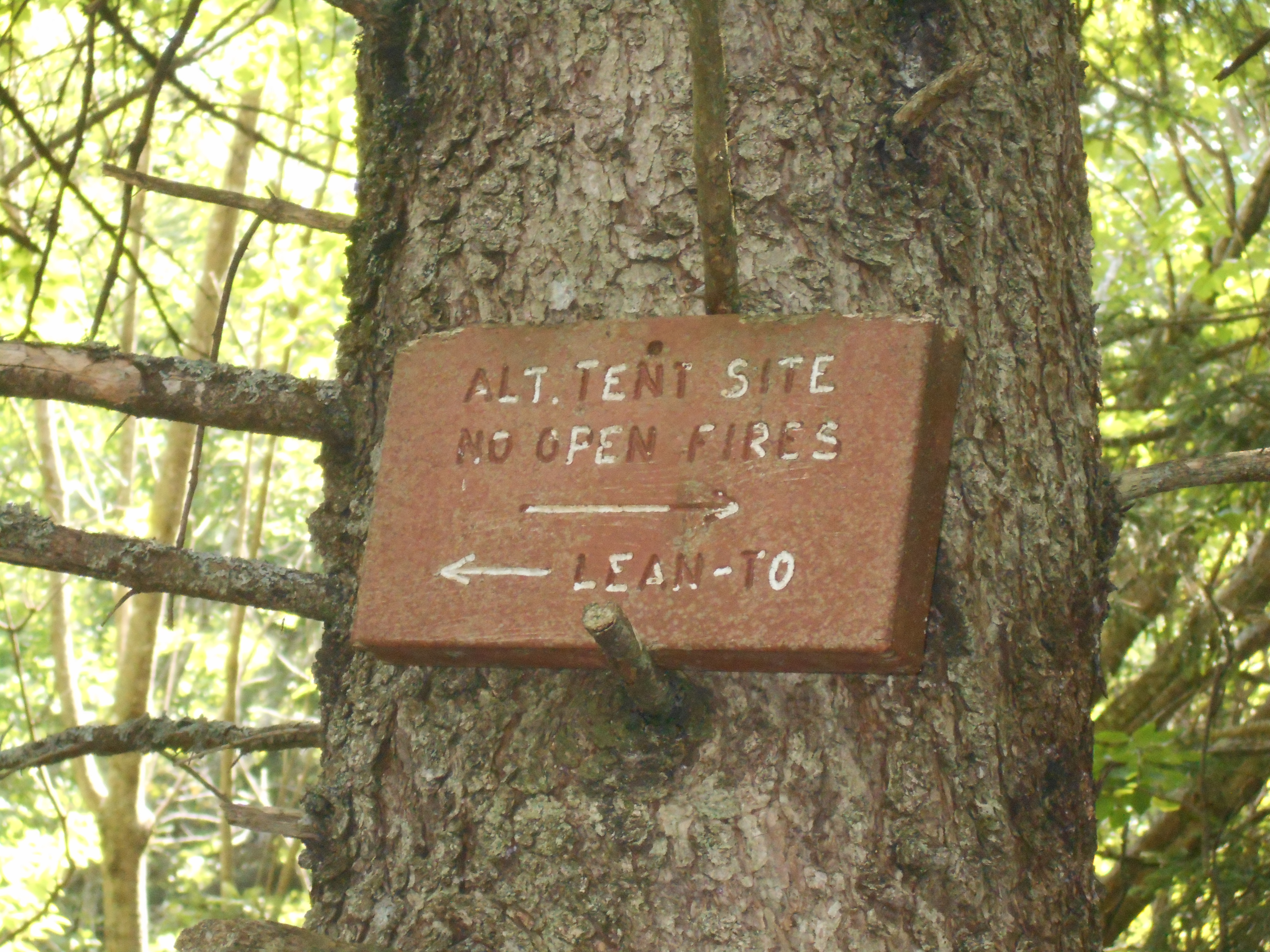
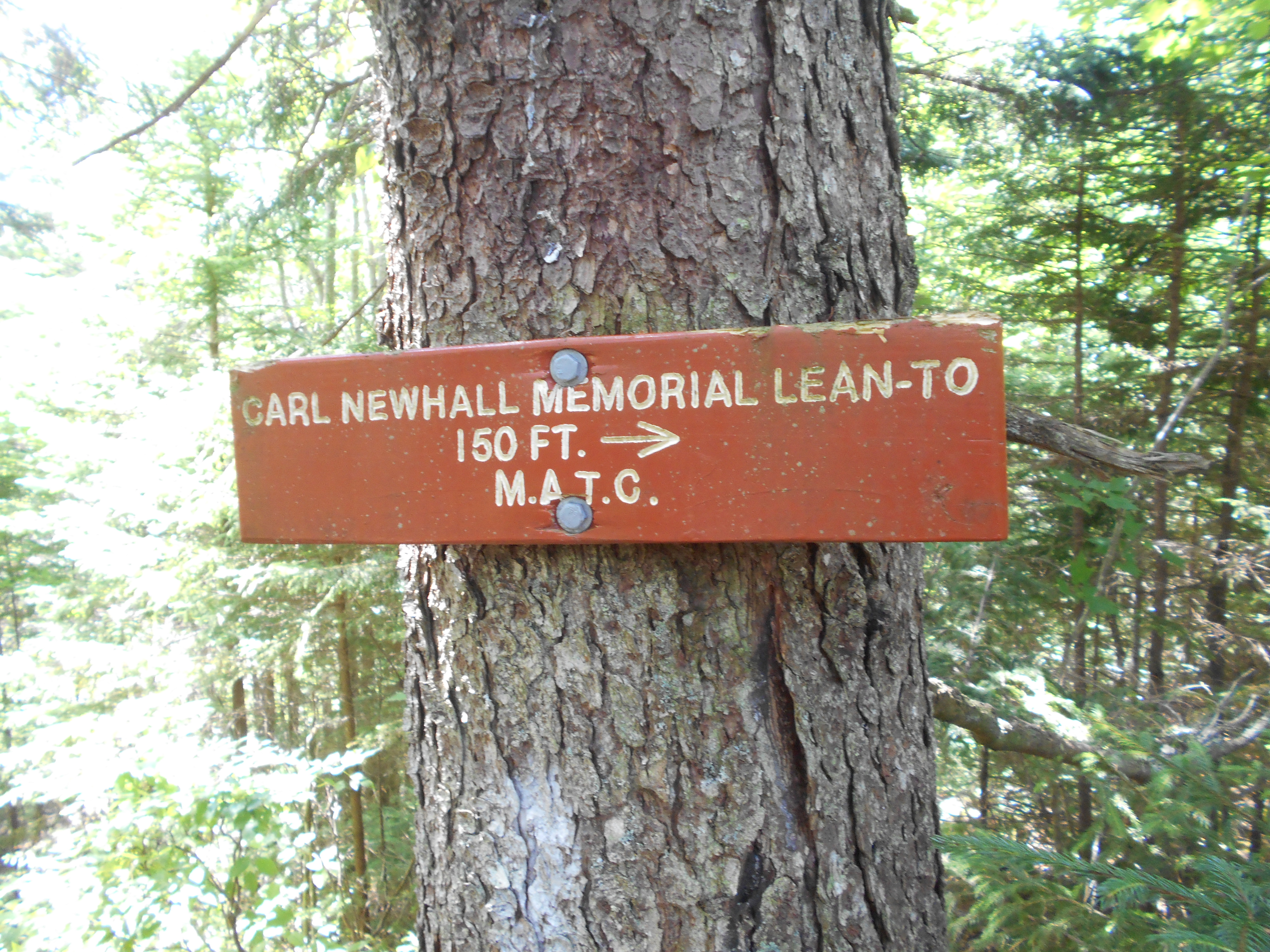
dont know what hapened, but got to the shelter for lunch and lost all motivation to hike on. slept and ate well yesterday, just didnt want to hike on. I was just getting myself motivated to try to get to the campsite 1.8 miles down the trail, but then that french canadian group pulled in and said that was their destination (and that the spring might be dry) and that did me in....so here I am. Did take a nice camp shower, which felt great, and washed my hiking cloths, airing out my sleeping bag, made zipper pulls for my backpack camera pouches out of some parachute cord I found at the ford at West Branch Pleasant River in the morning. hope to adjust the backpack stays a bit latter on. I think it will help my back a bit....right now I have to keep the hip and shoulder straps extreamly tight to keep my back happy.
4:50
wtf, it is sunny out, i see no clouds but it is drizzing. got my sleeping just in case it really starts raining. just cant see the cloud(s) causing the rain.
5:15
sprinkle stopped as mysteriously as it begain, never saw a cloud. thinking about my lack of motivation.....maybe I am just not ready to see Katahdin yet?
5:18
wtf more sprinkles?
5:30
now it is raining and the temperature is dropping noticeably.
6:35
had a cold dinner of summer sausage, ritz crackers and a brownie between rain showers. now i do see the rain clouds moving in overhead.
Aug 4. 2016
carl a newman lean-to to east branch lean-to (tenting)
Milage 10.8
Miles from Springer
Features
Elevation
2110.5
Gulf Hagas Brook, Carl A. Newhall Lean-to (1,860') ?9.9mS; 7.2mN
1860
2111.4
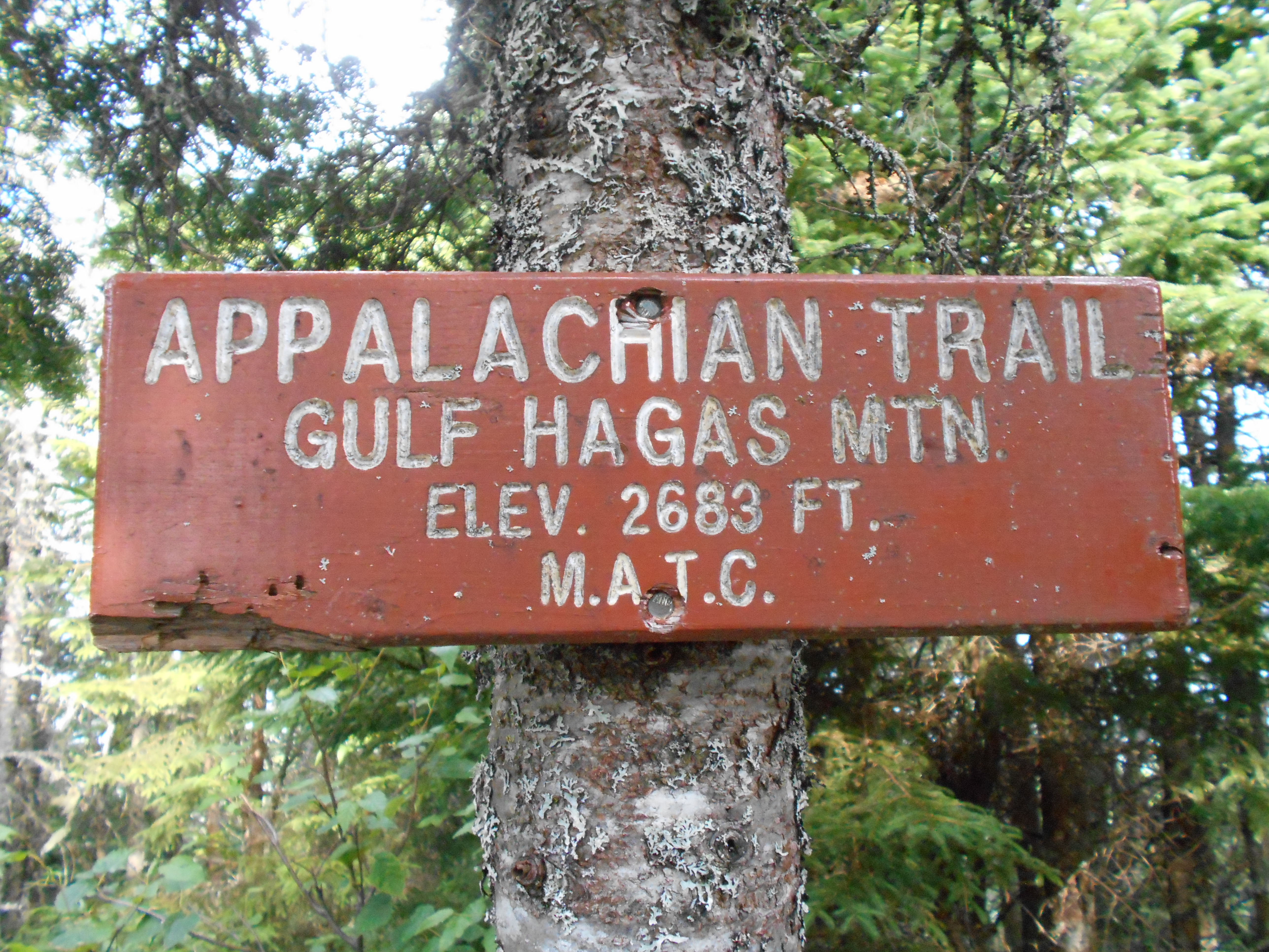
Gulf Hagas Mountain (2,683')
2683
2112.3
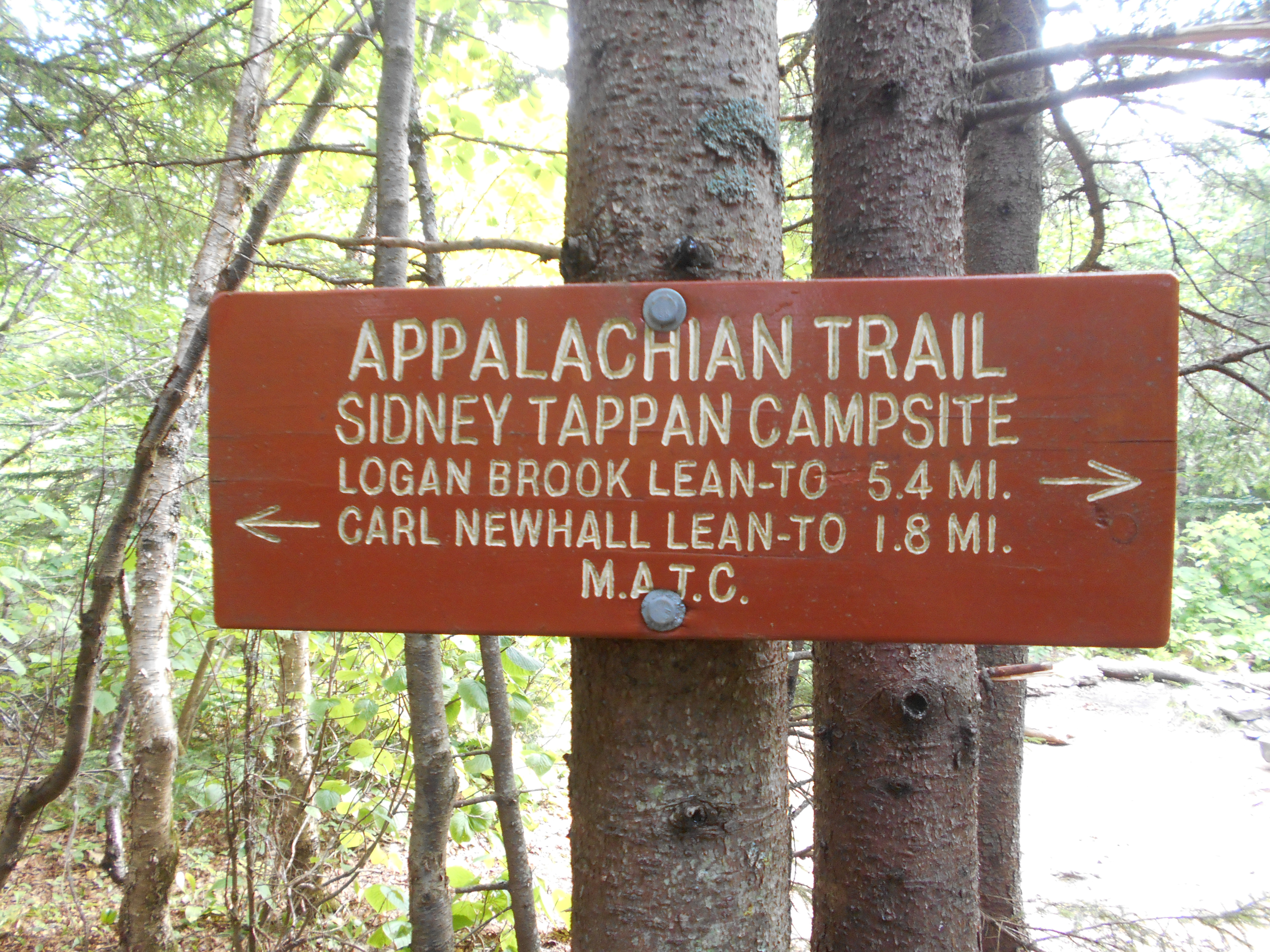
Sidney Tappan Campsite (2,425')?spring
2425
2113
West Peak (3,178')
3178
2114.6
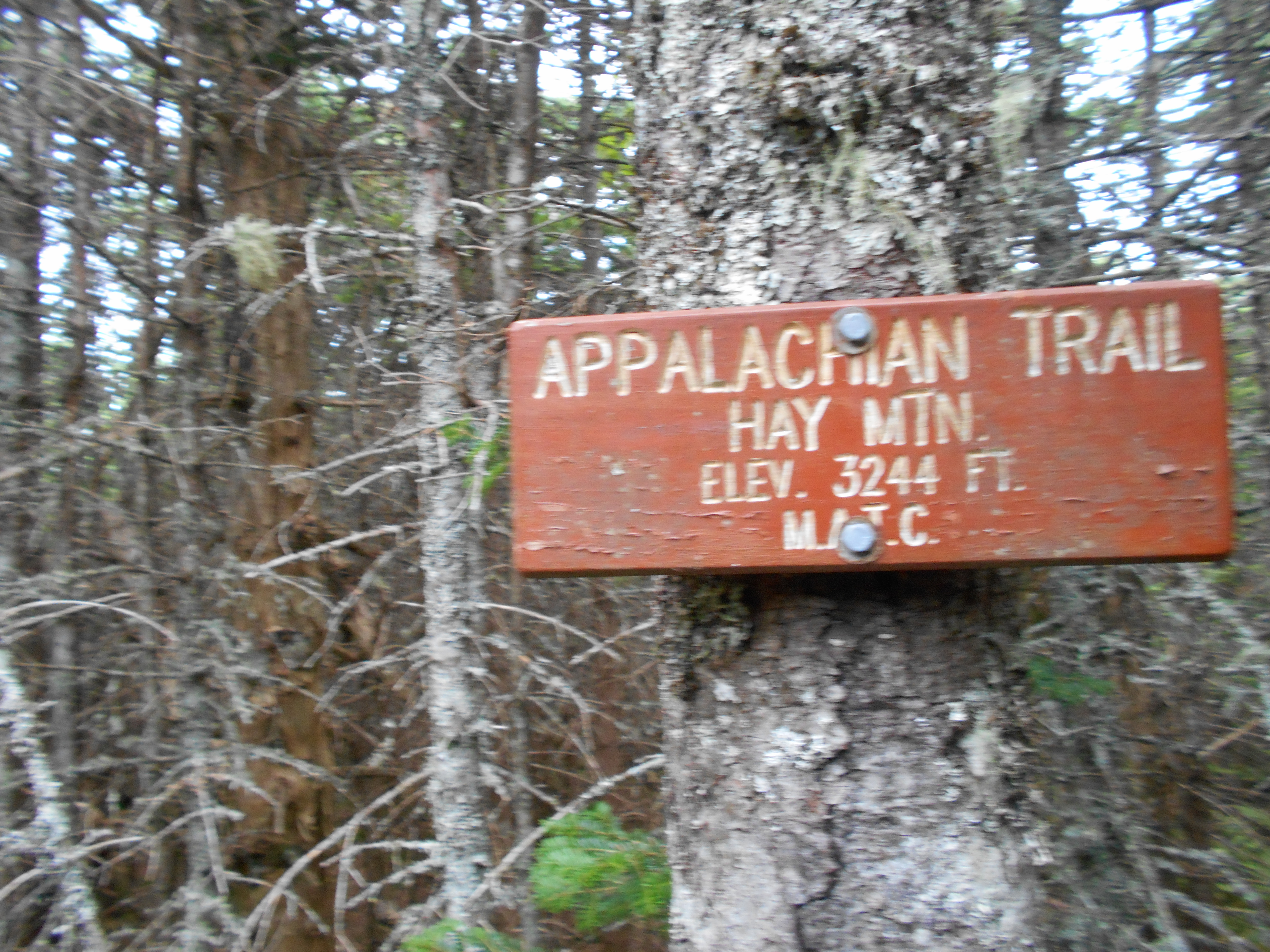
Hay Mountain (3,244')
3244
2115.2
White Brook Trail (3,125')
3125
2116.3
White Cap Mountain (3,654')?view of Katahdin
3654
2117.7
Logan Brook Lean-to (2,480')?7.2mS; 3.6mN
2480
2119.3
West Branch Ponds Road (1,650')
1650
2121.3
East Branch Lean-to (1,225')?3.6mS; 8.1mN
1225
4:15pm
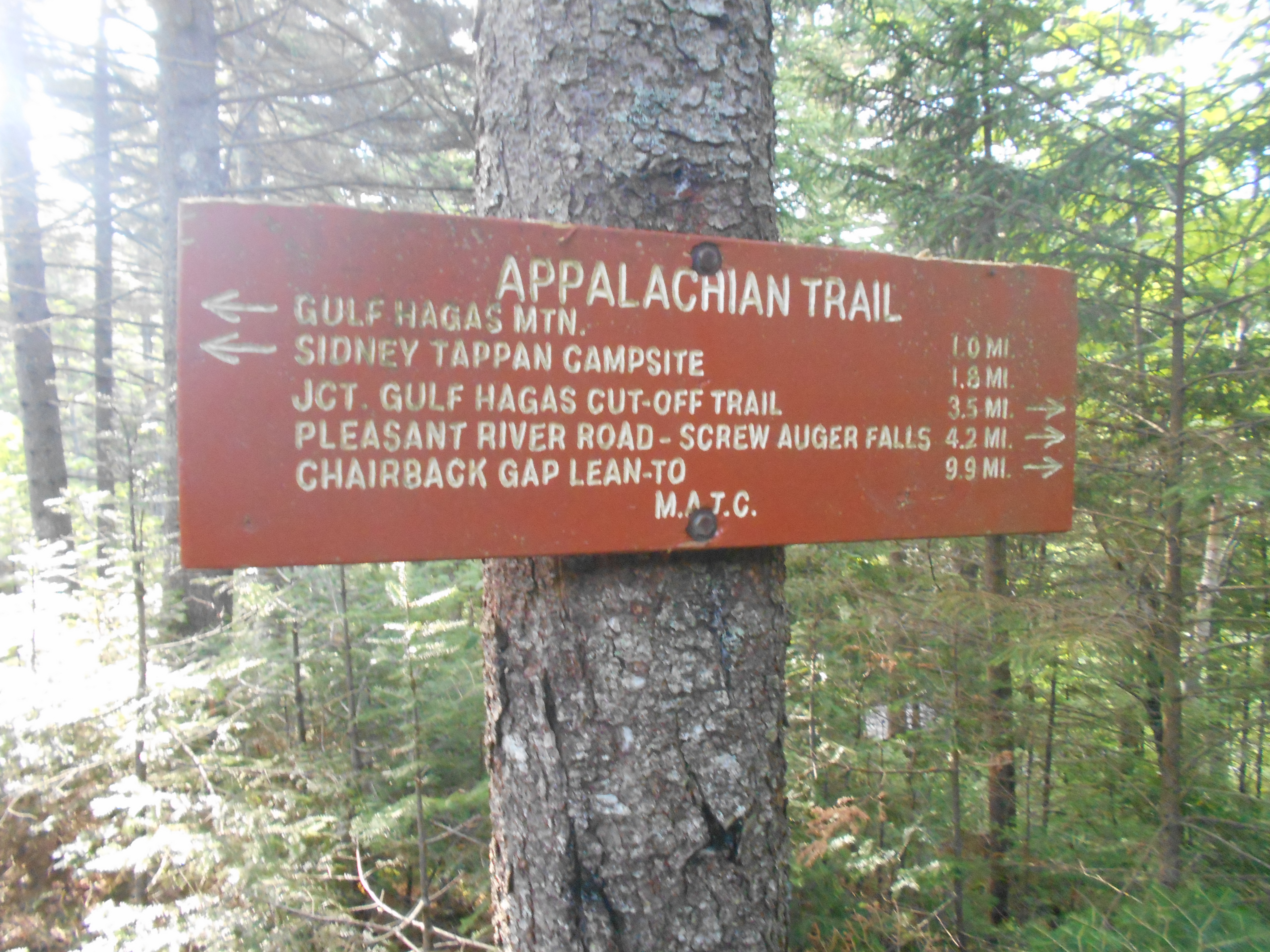
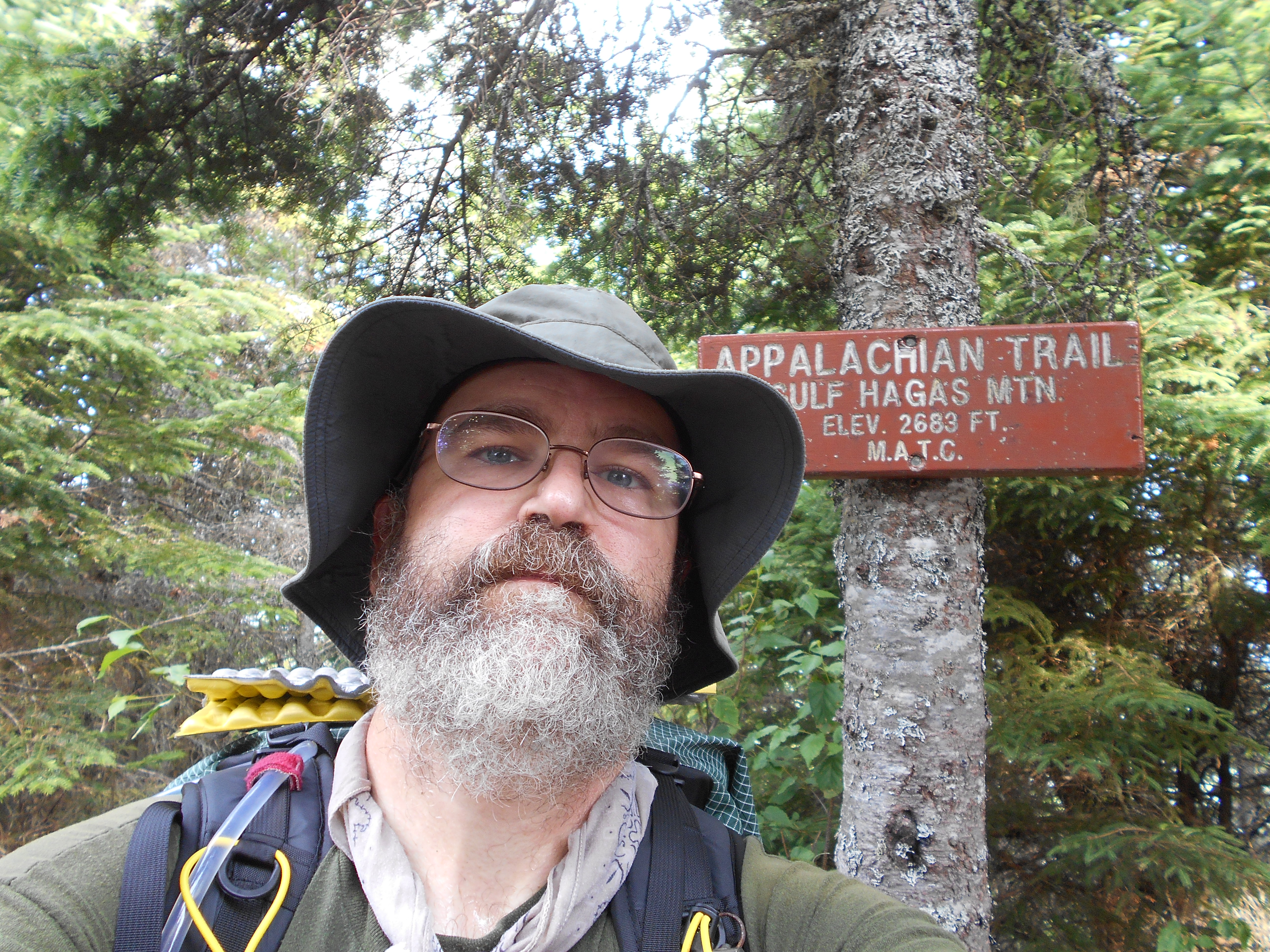
last night no one camped near me, the inly people I heard were up at the shelter. slept well and woke up ready for mountains to come. still didnt get out of camp to early because of packing wet gear. Gulf Hagus mountain was the first climb and decent. past the sidney tappan tentsite sooner than
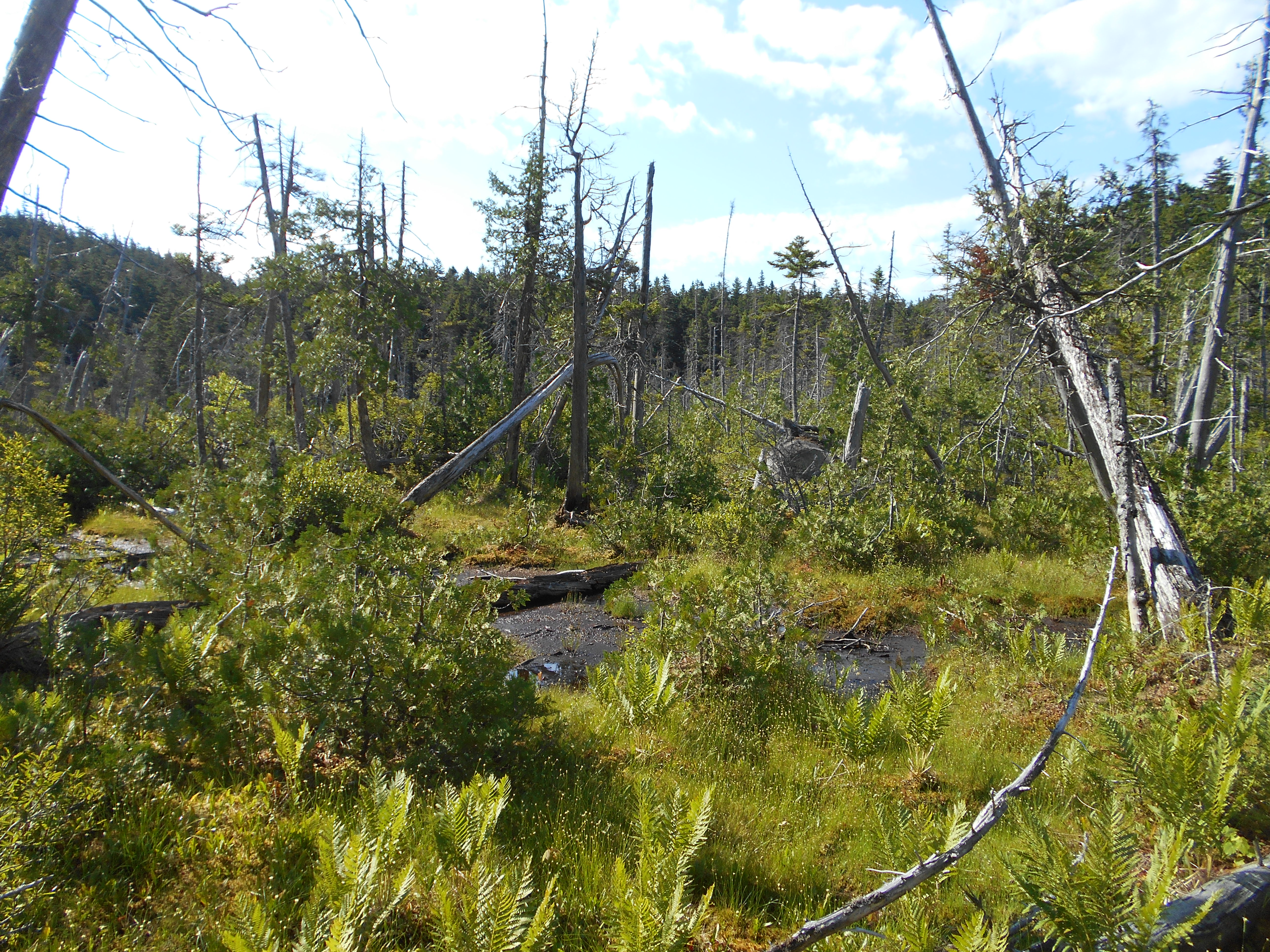
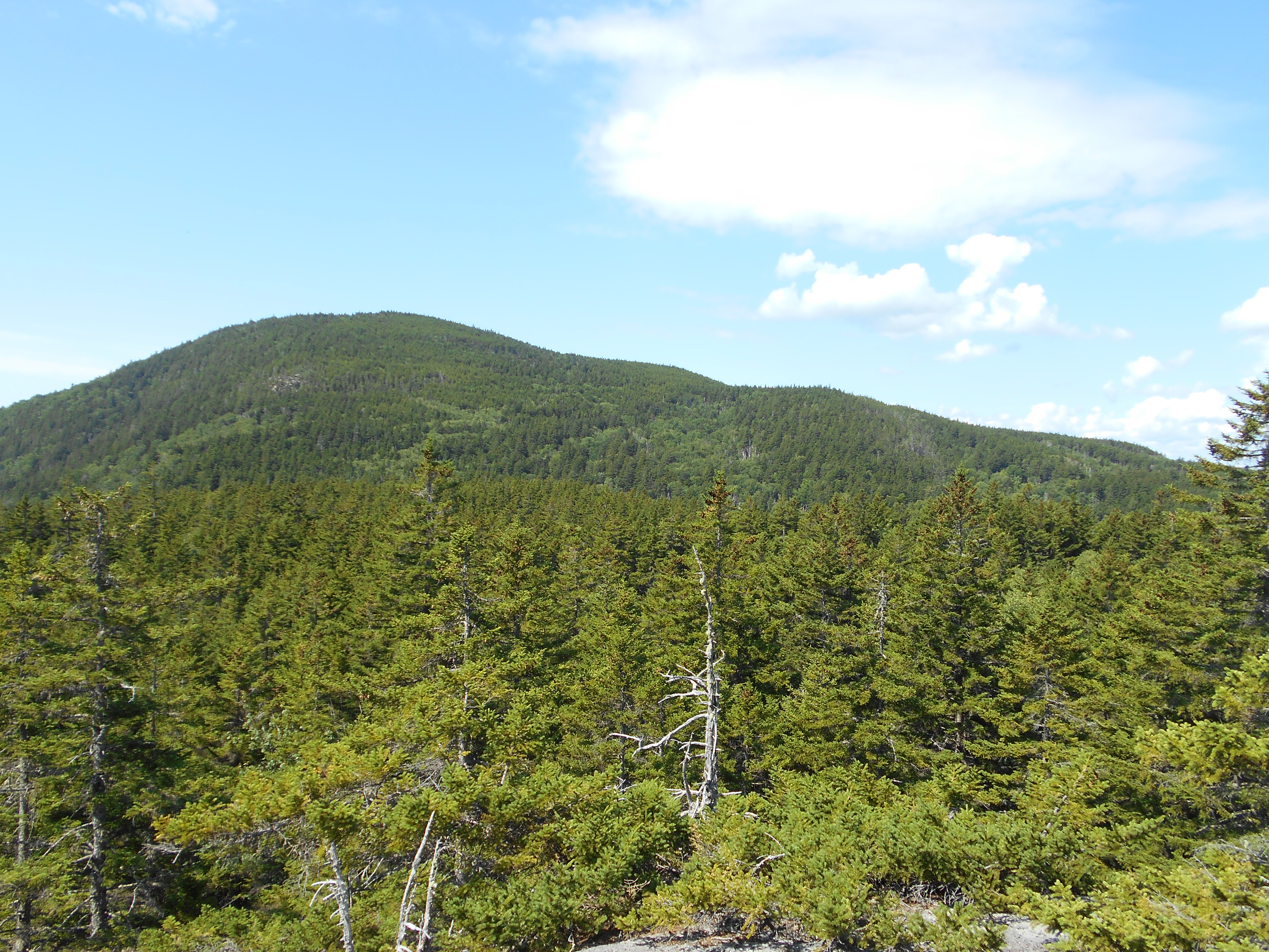
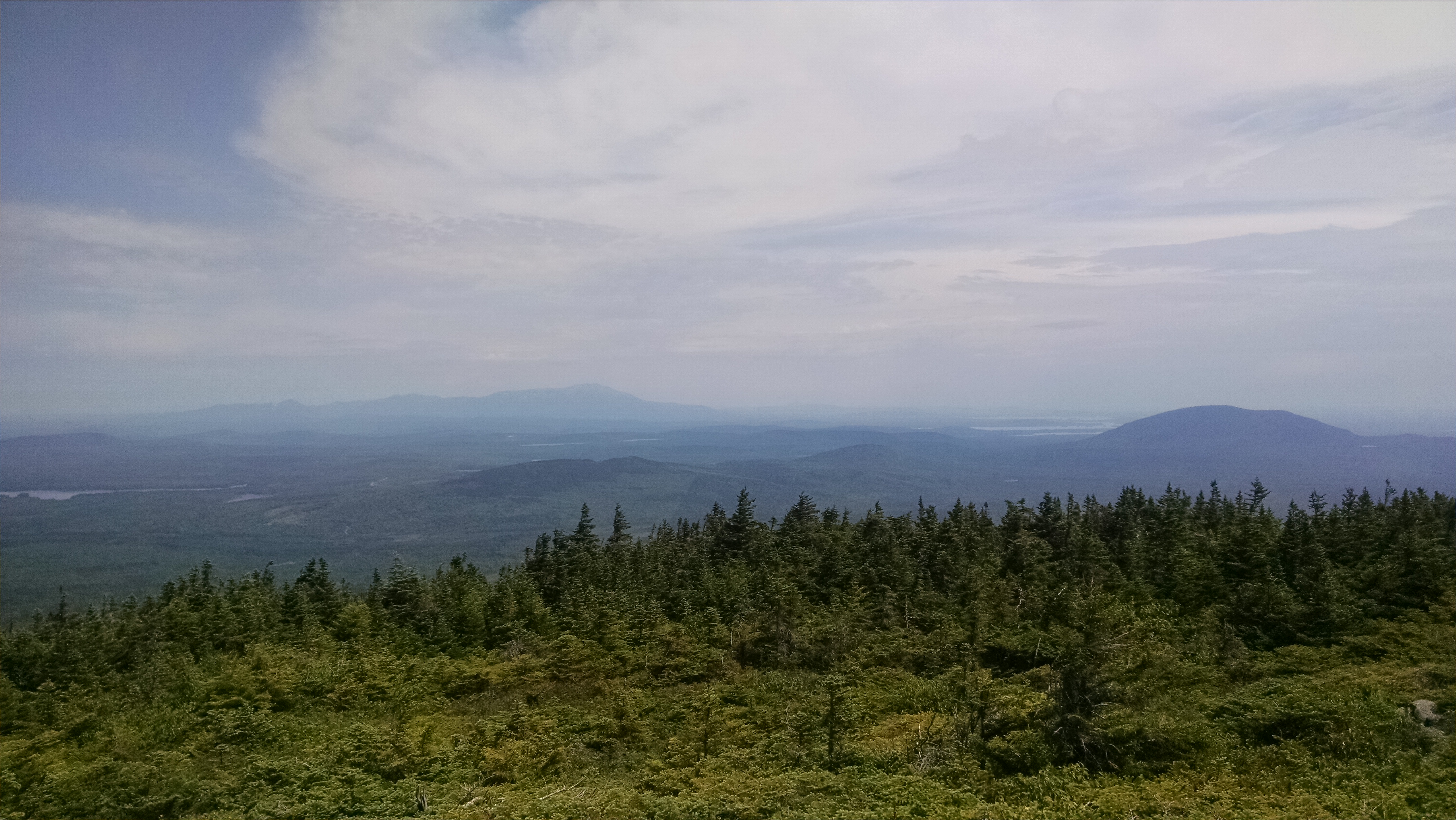
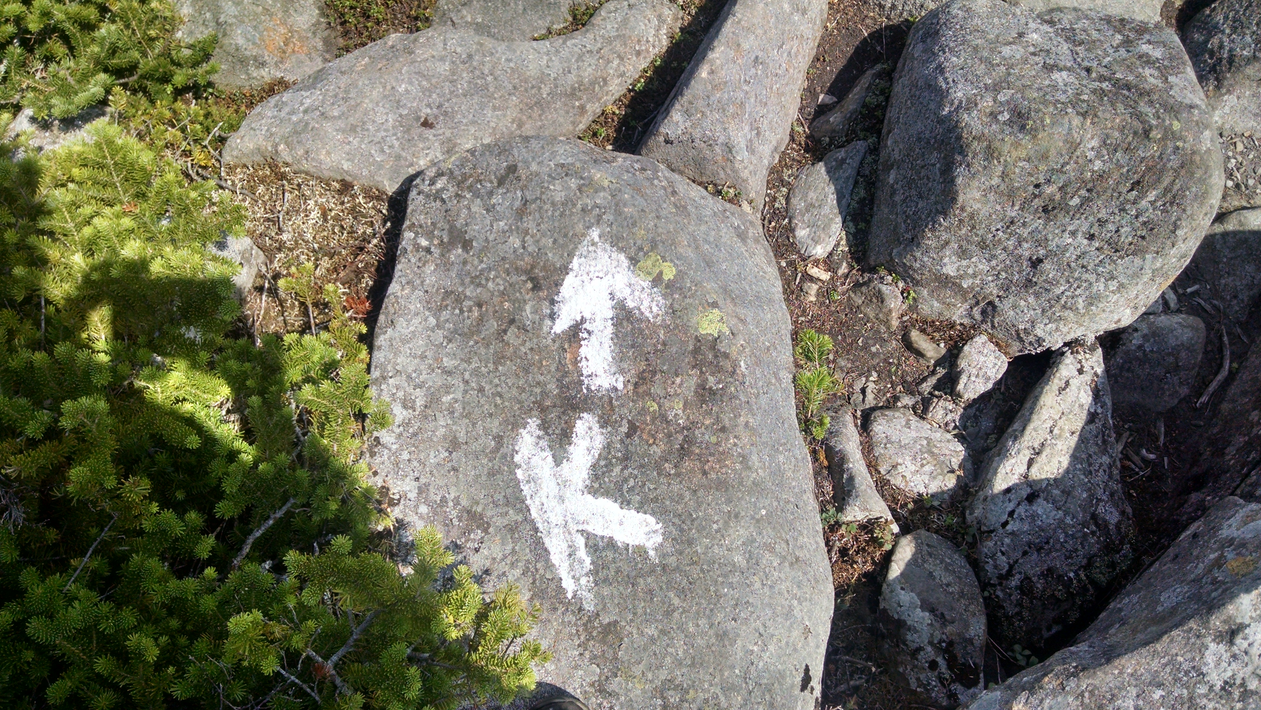
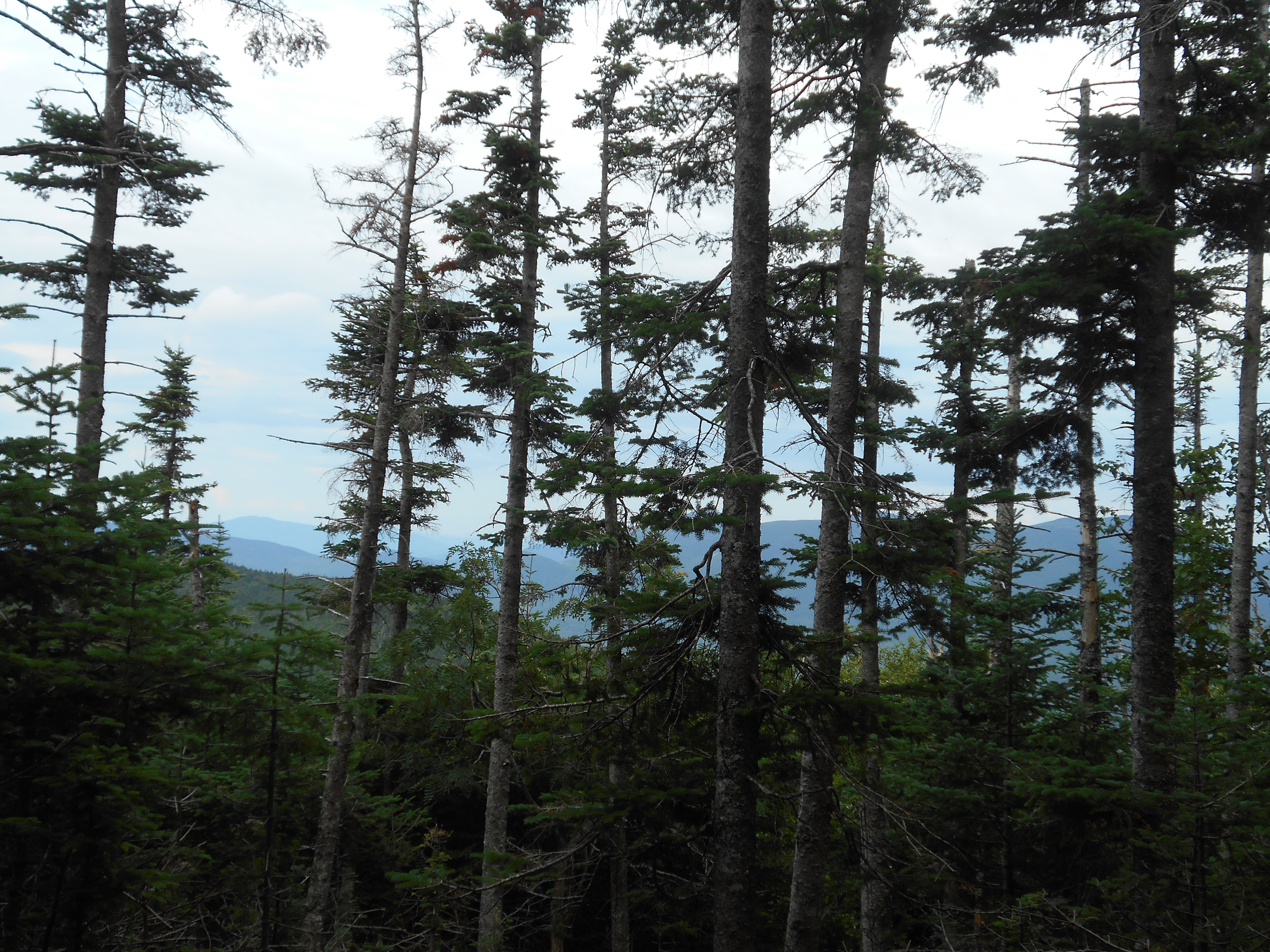
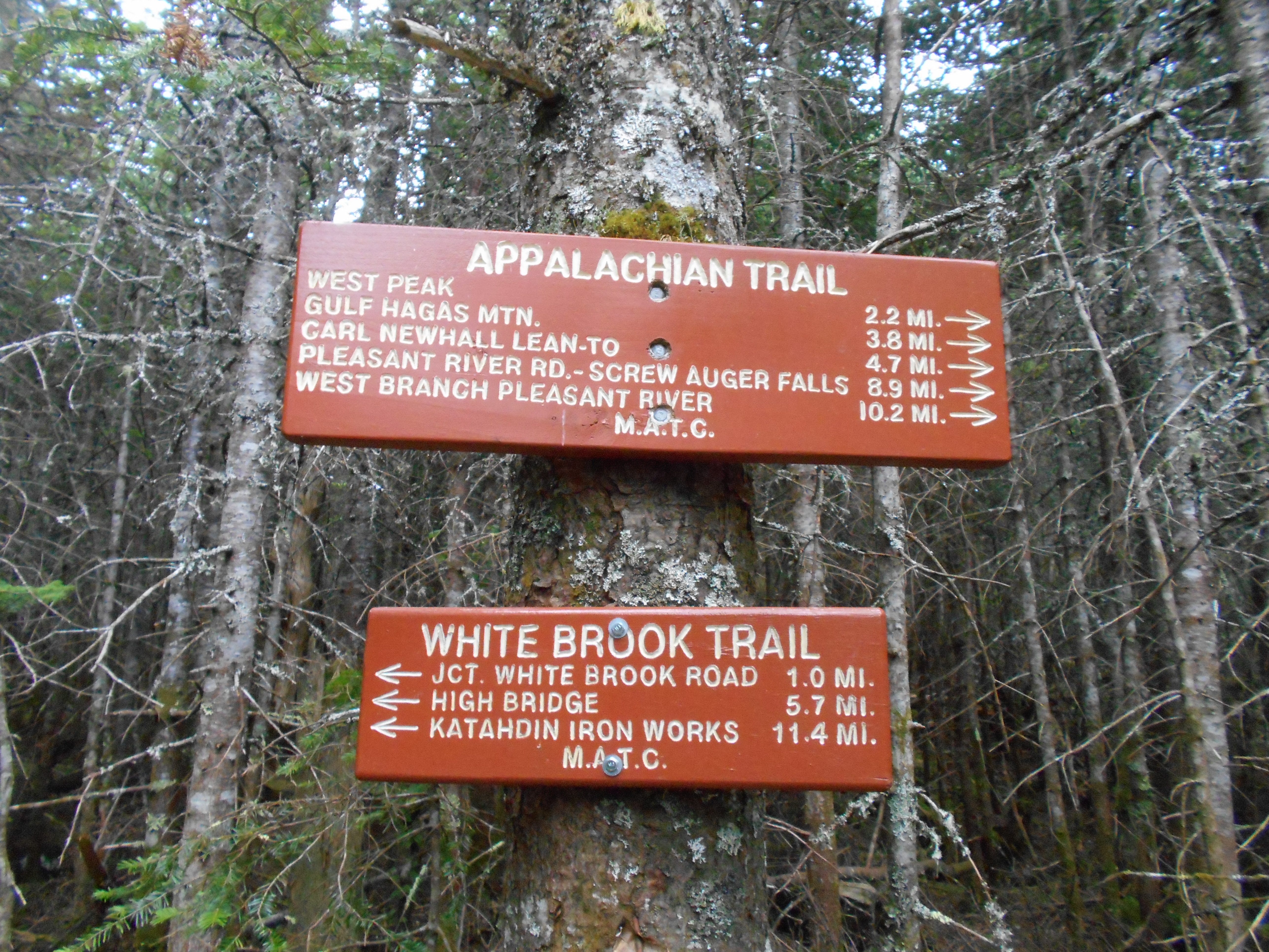
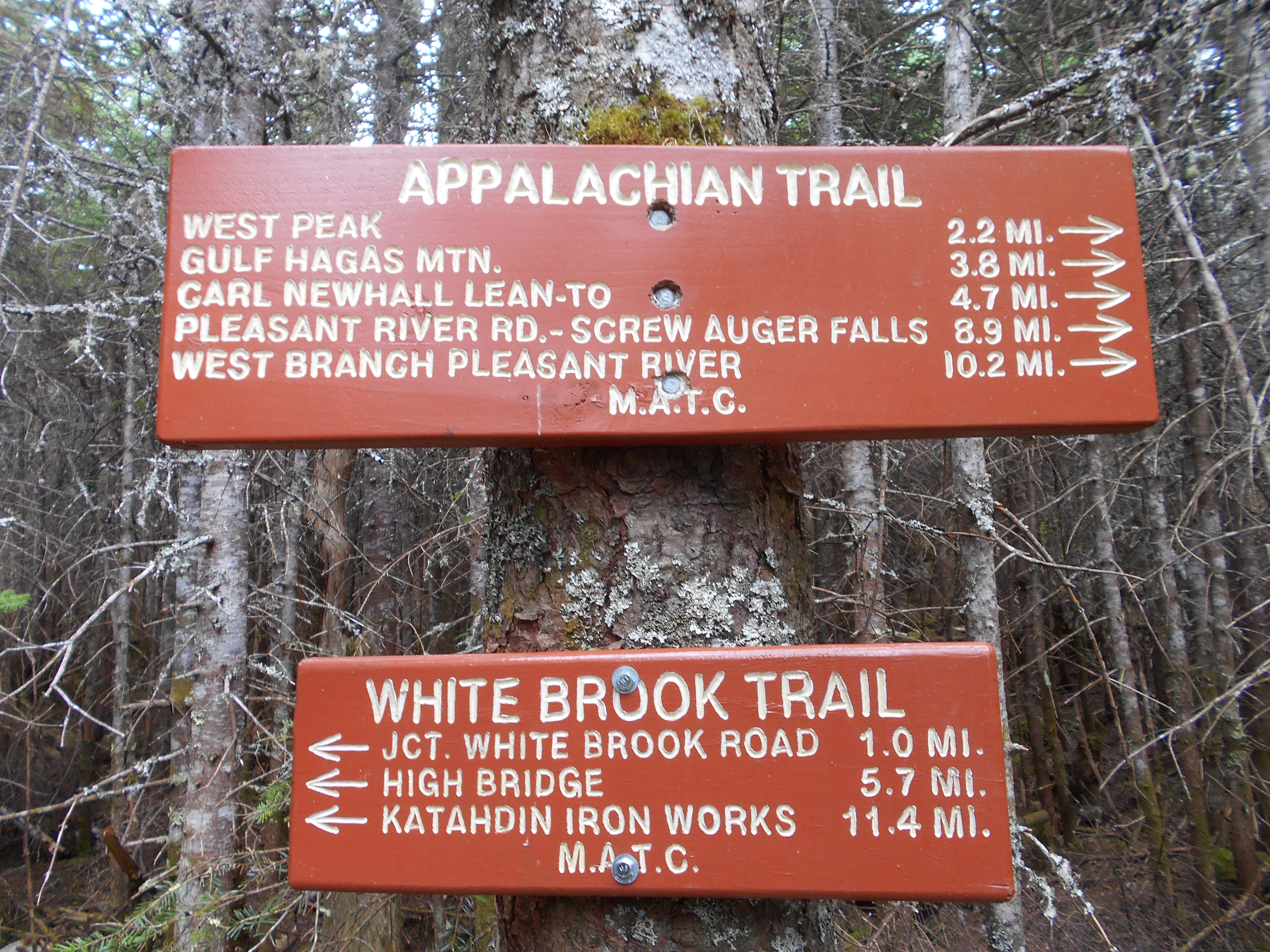
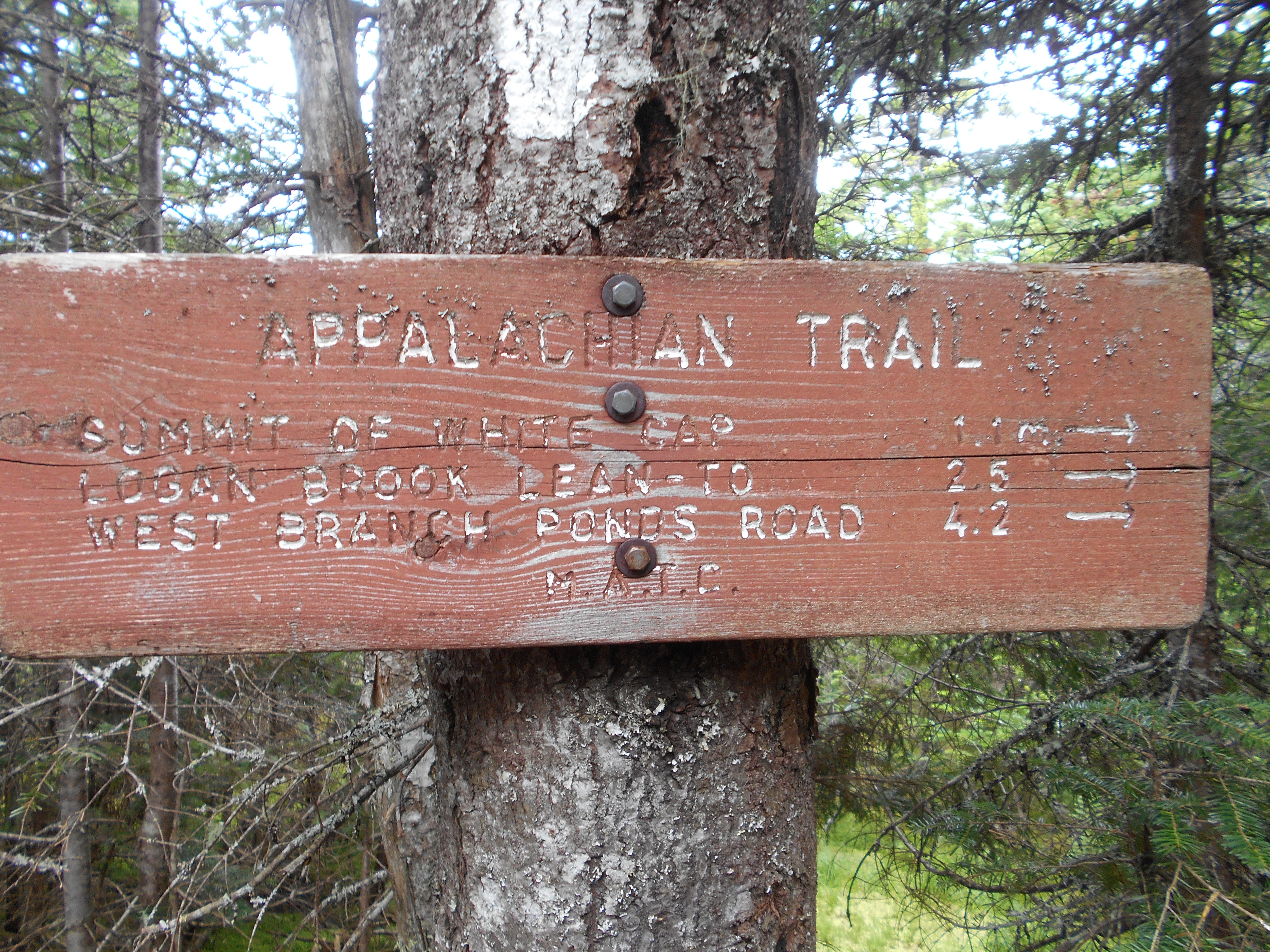
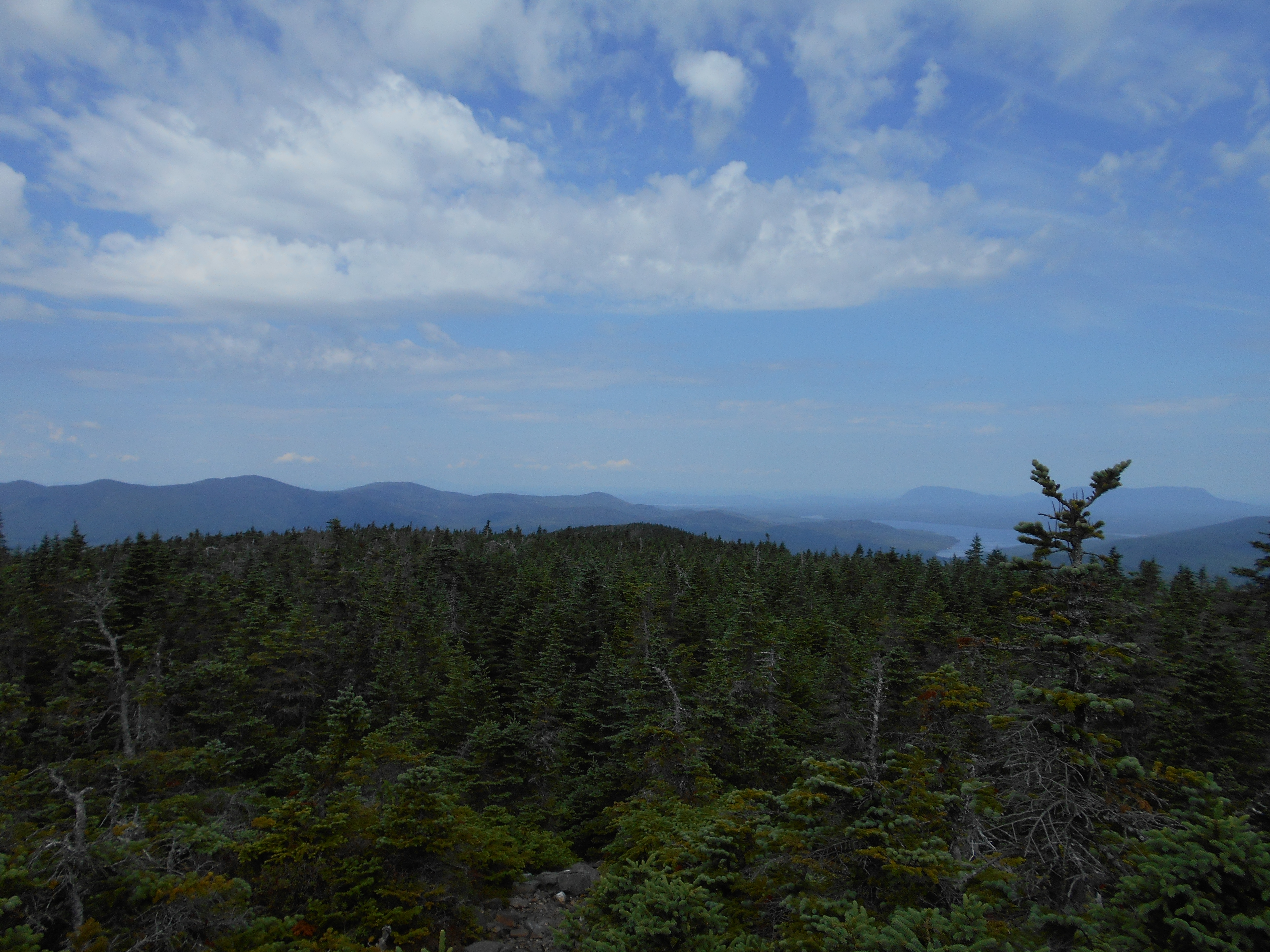
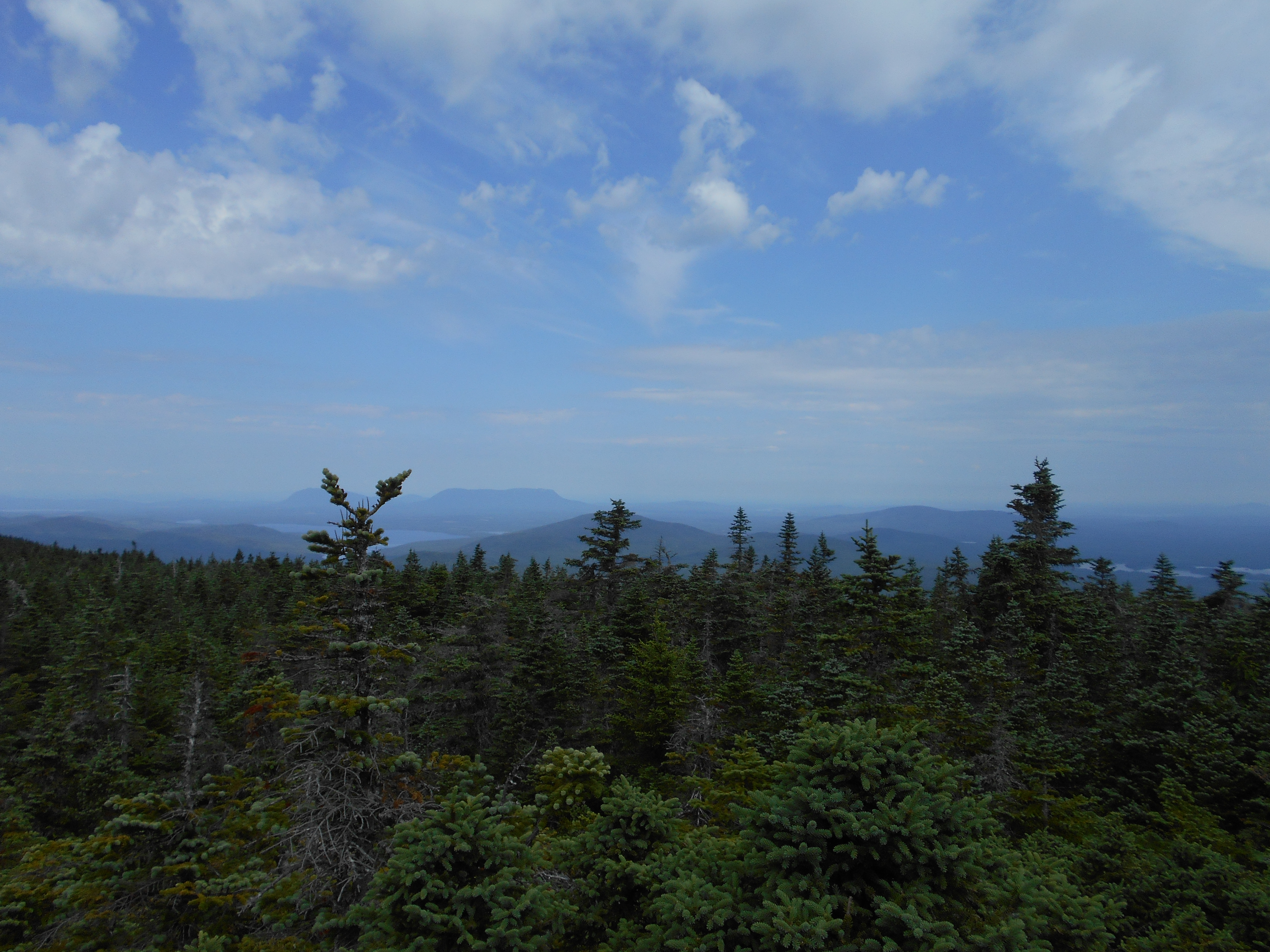
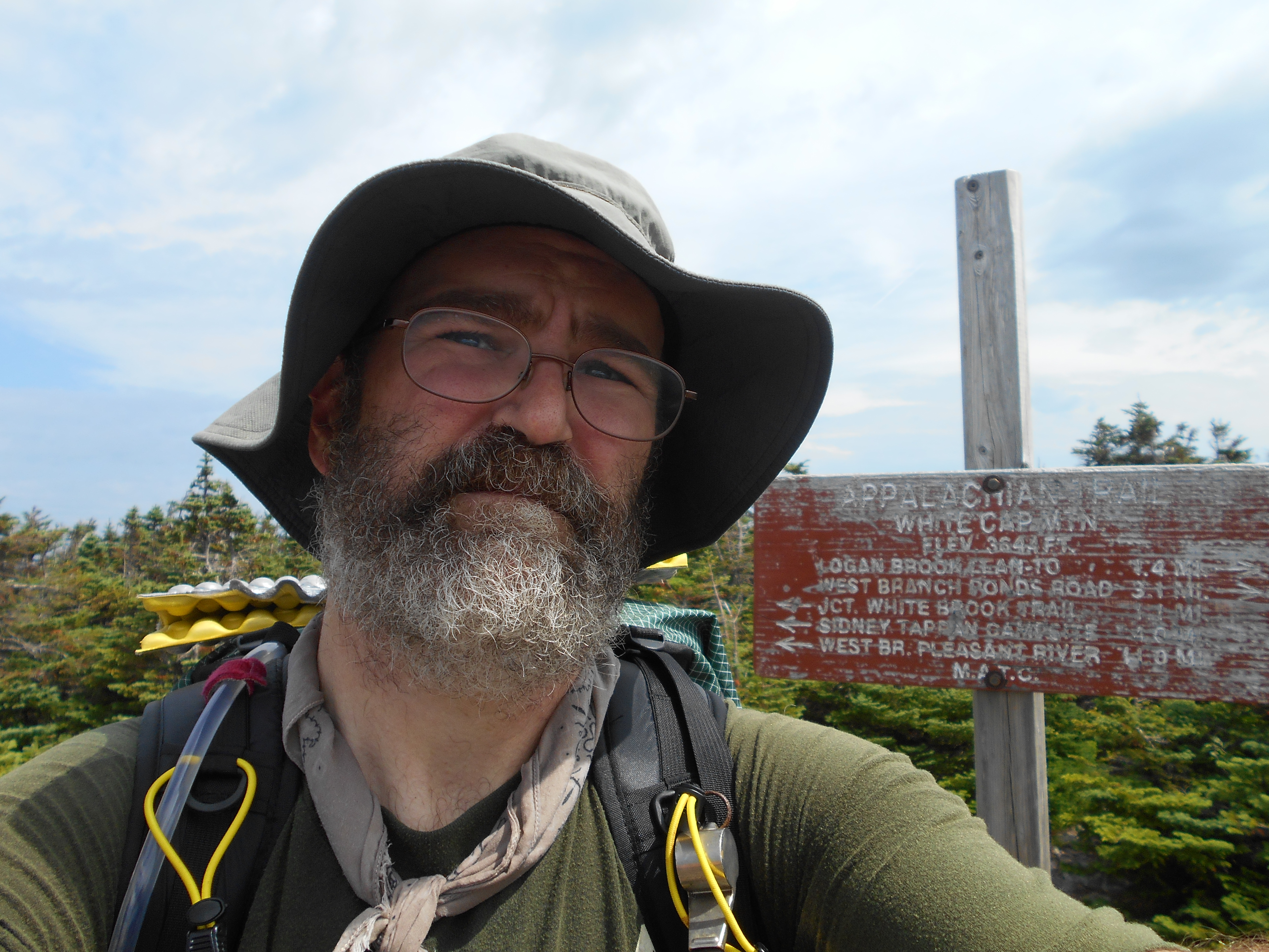
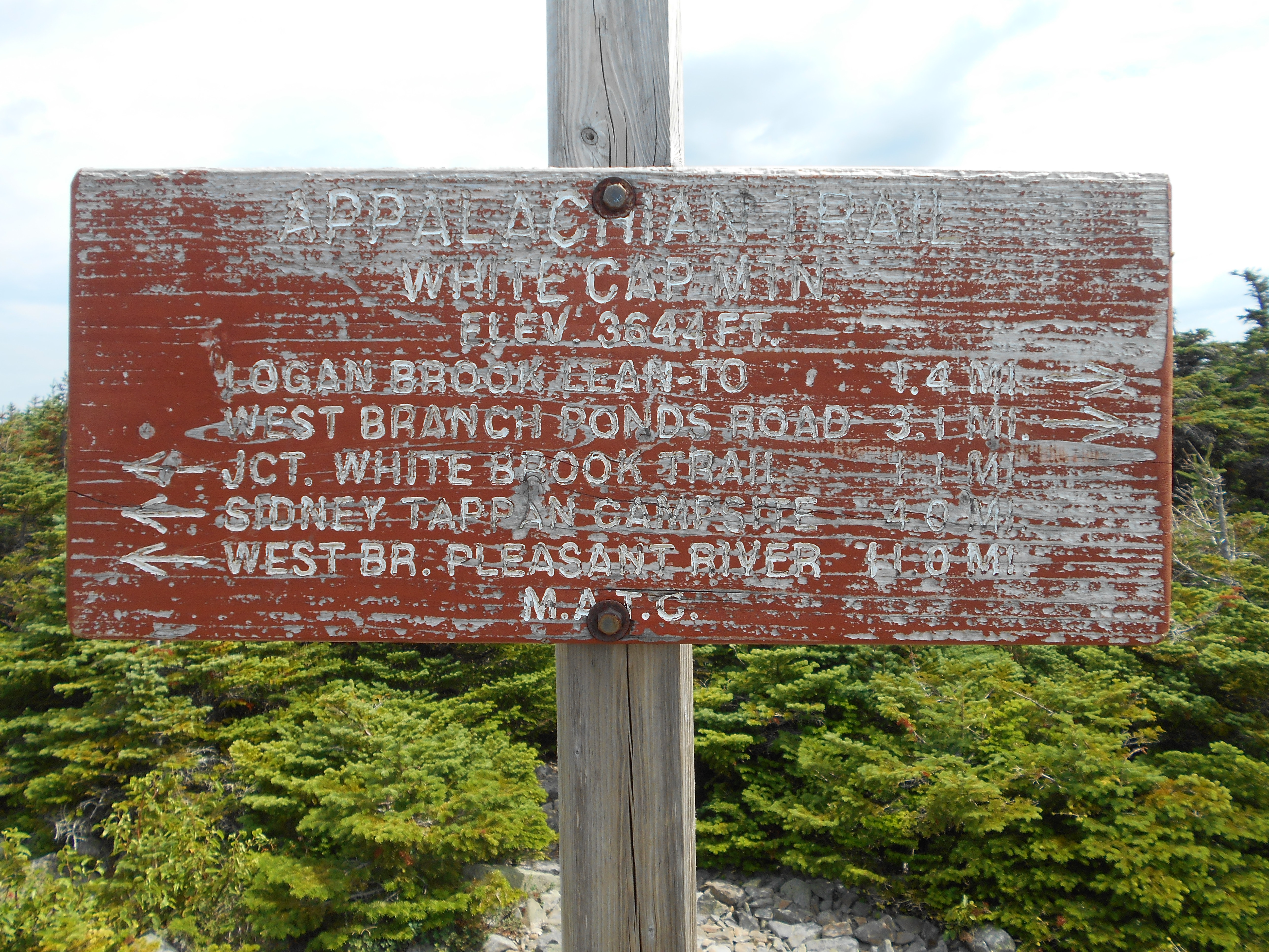
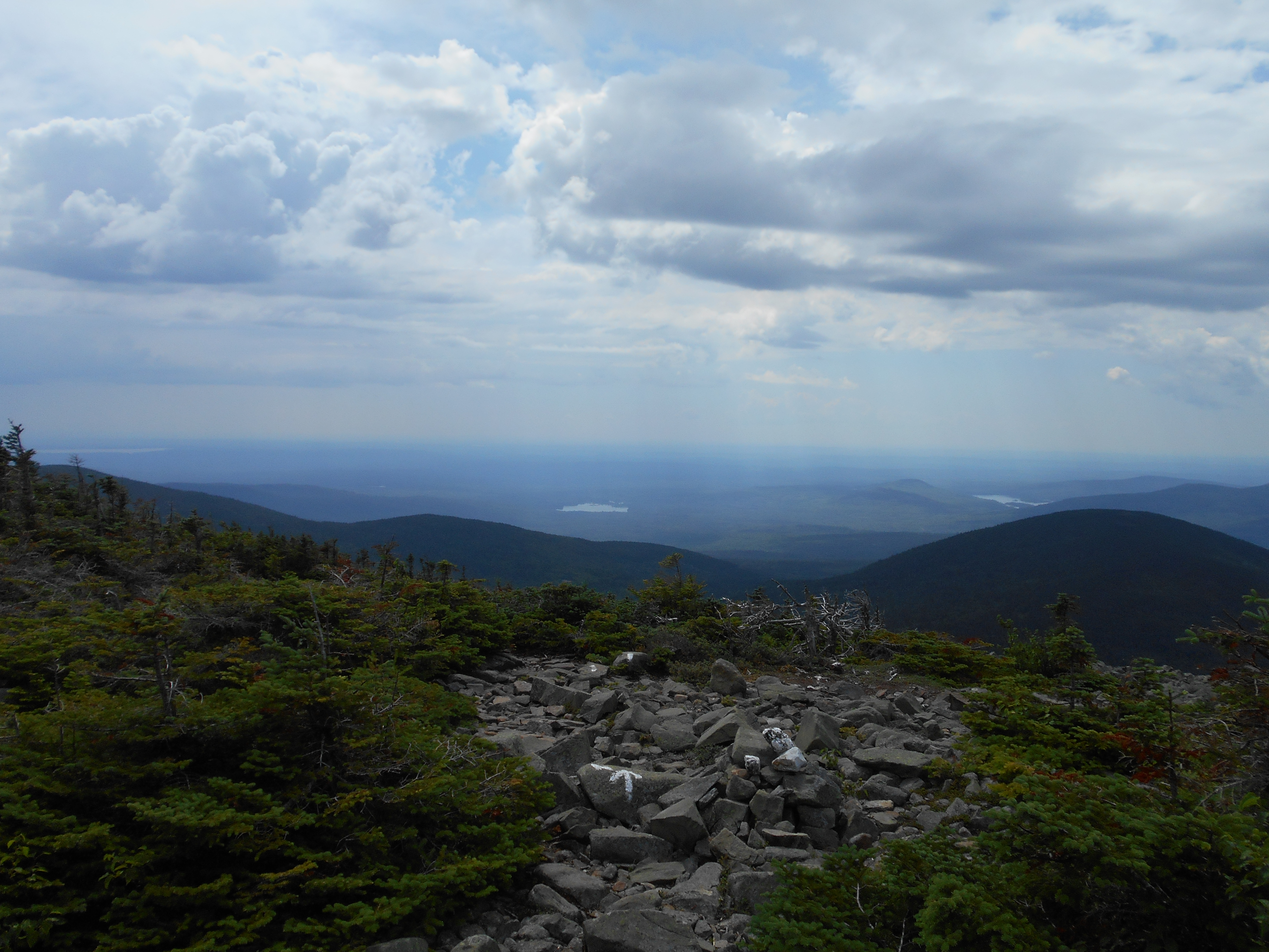
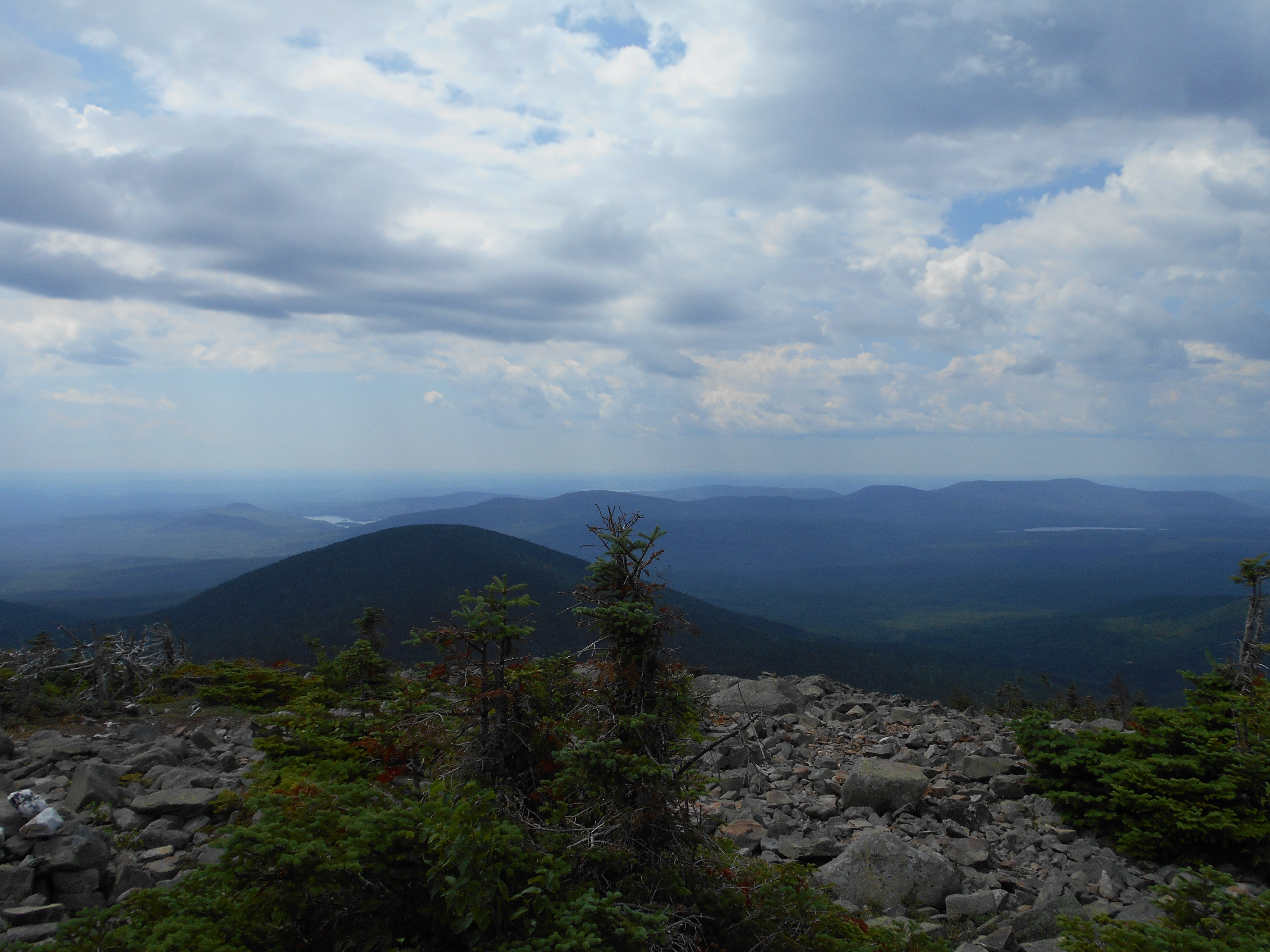
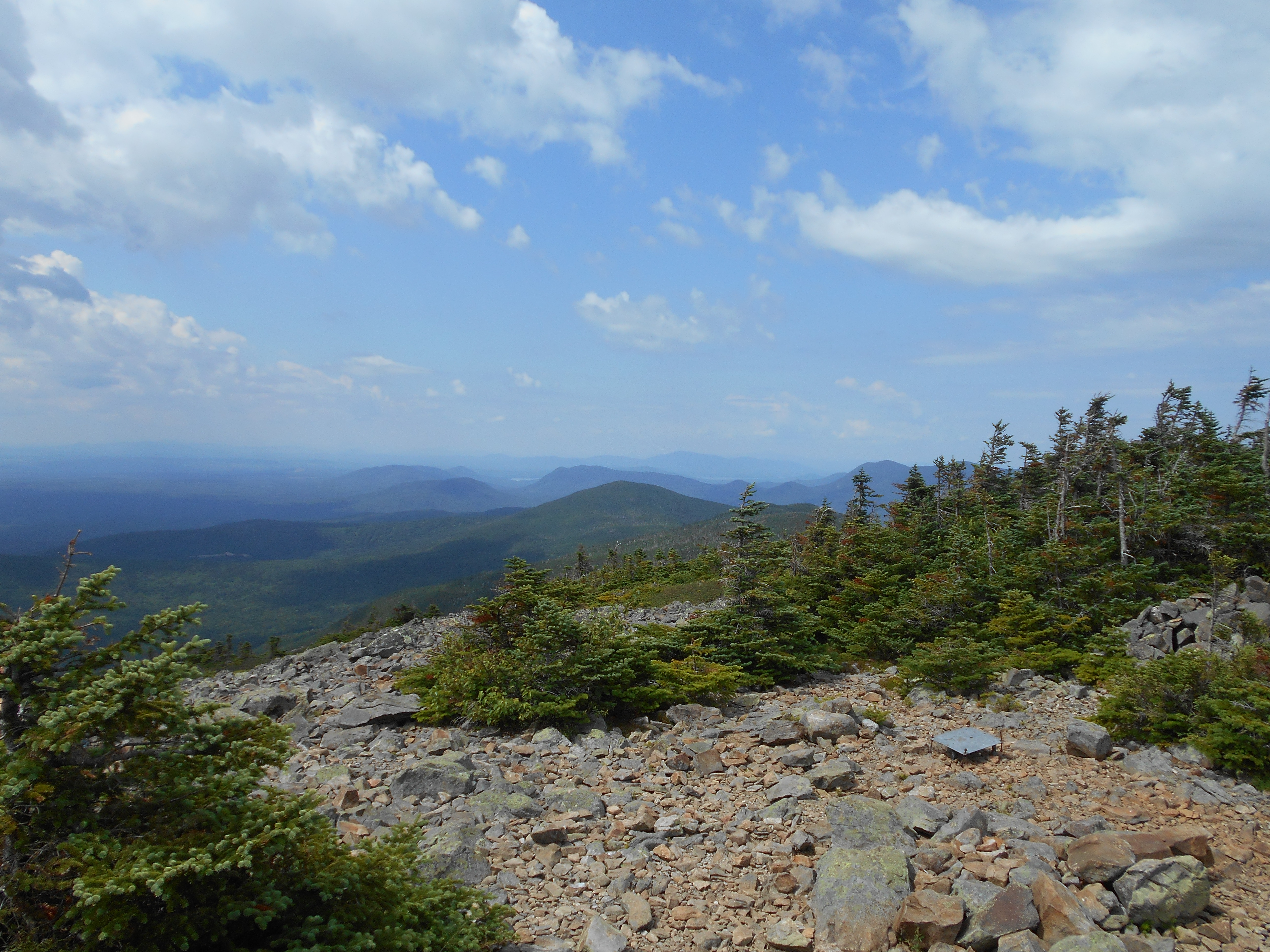
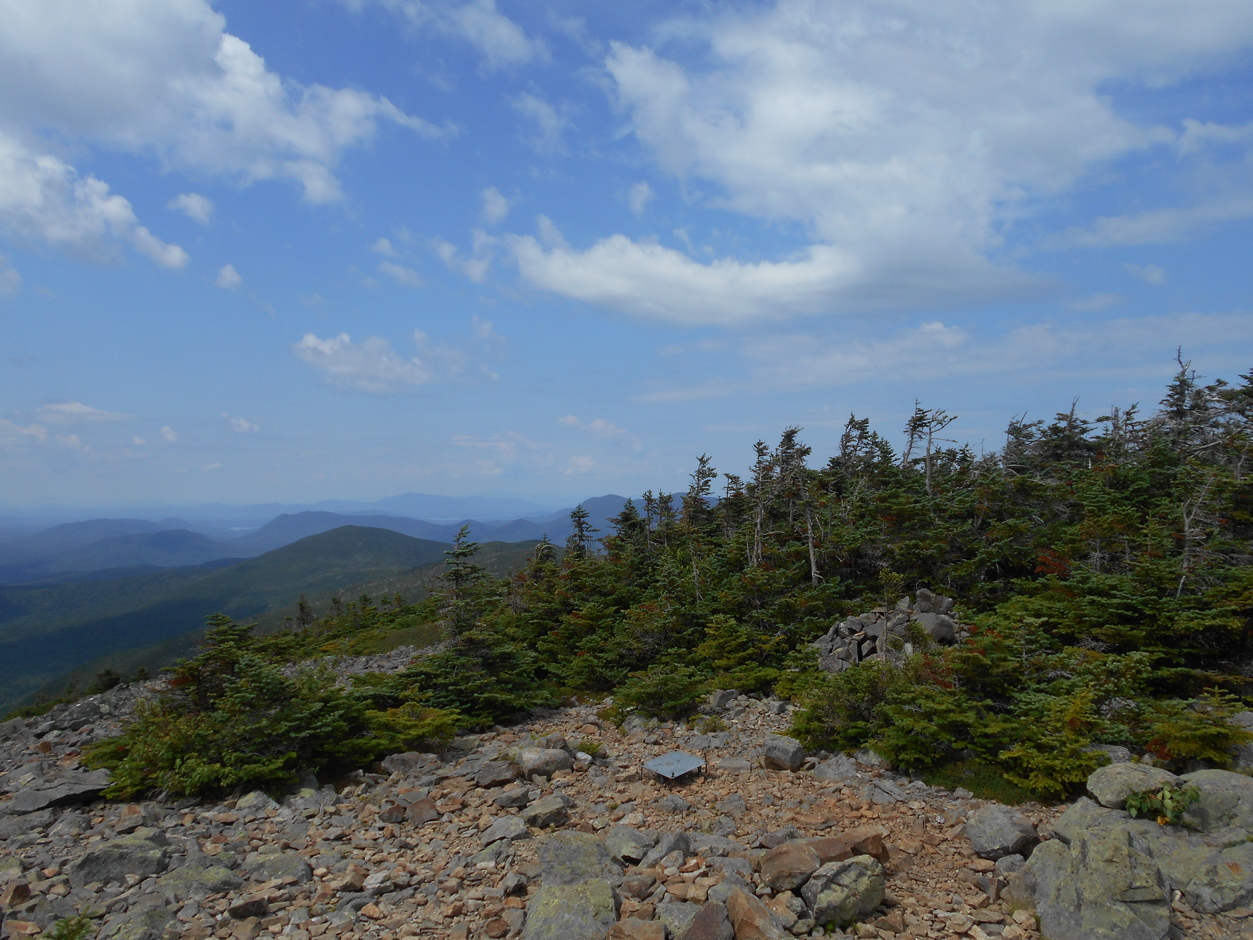
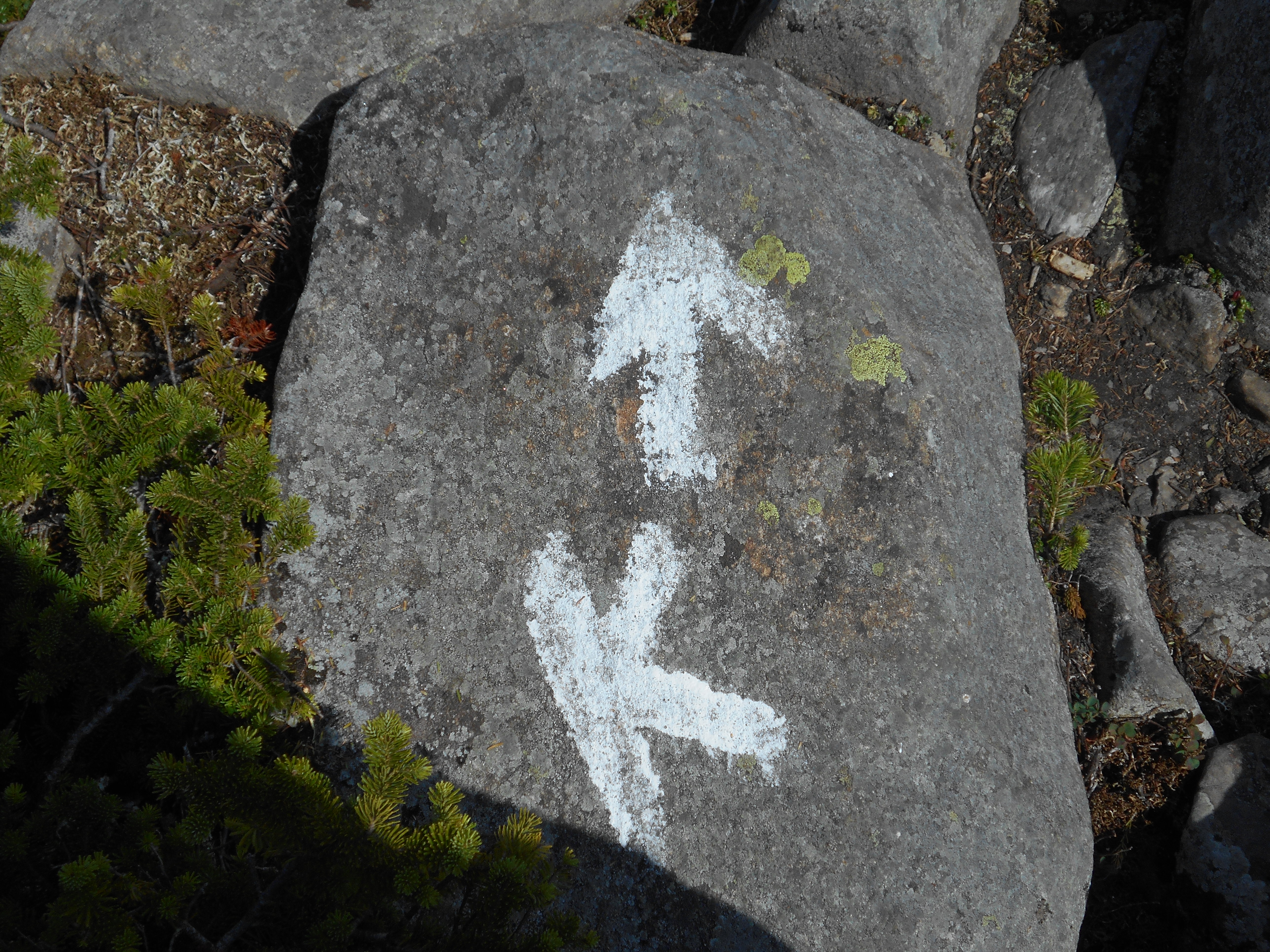
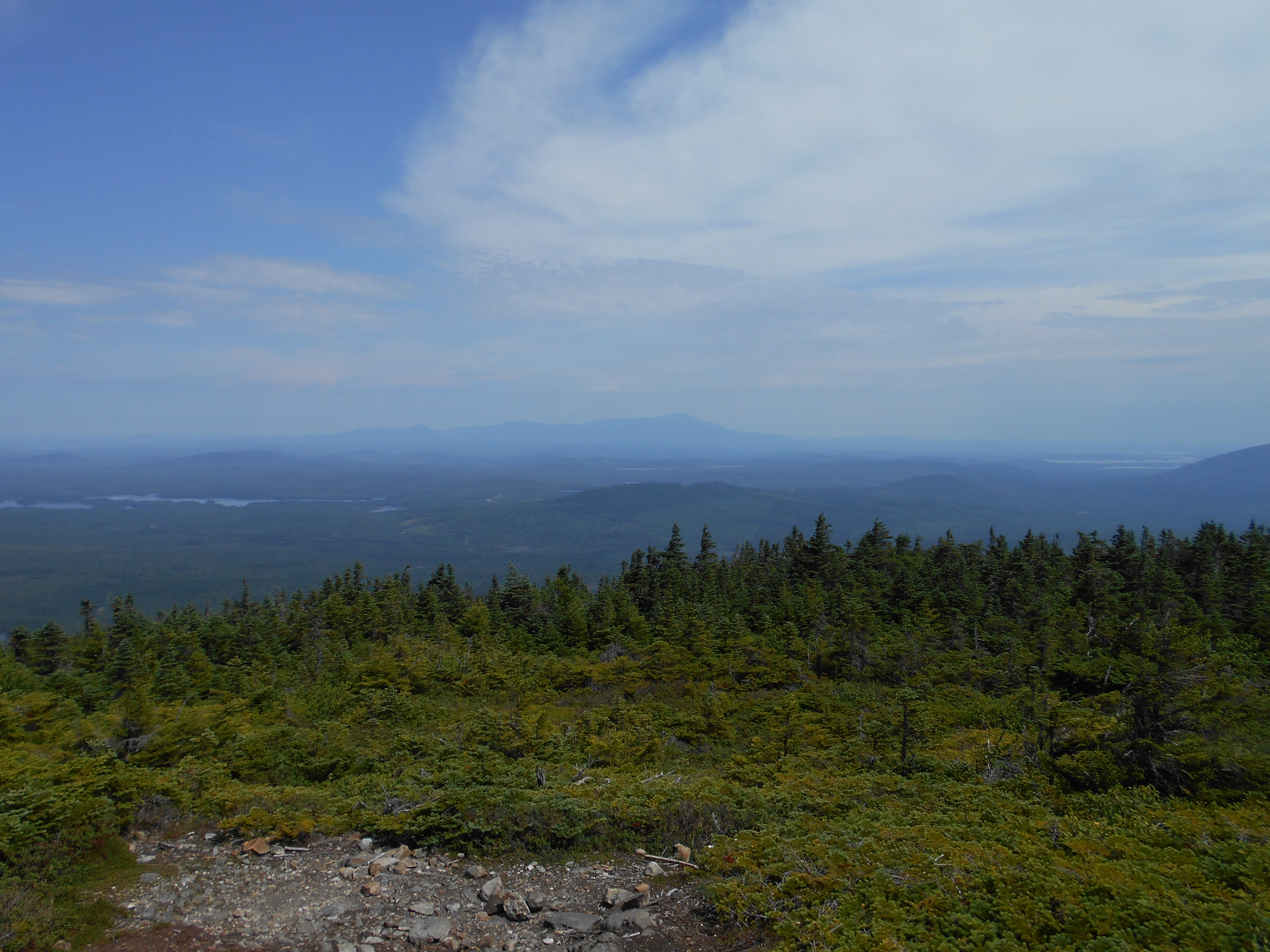
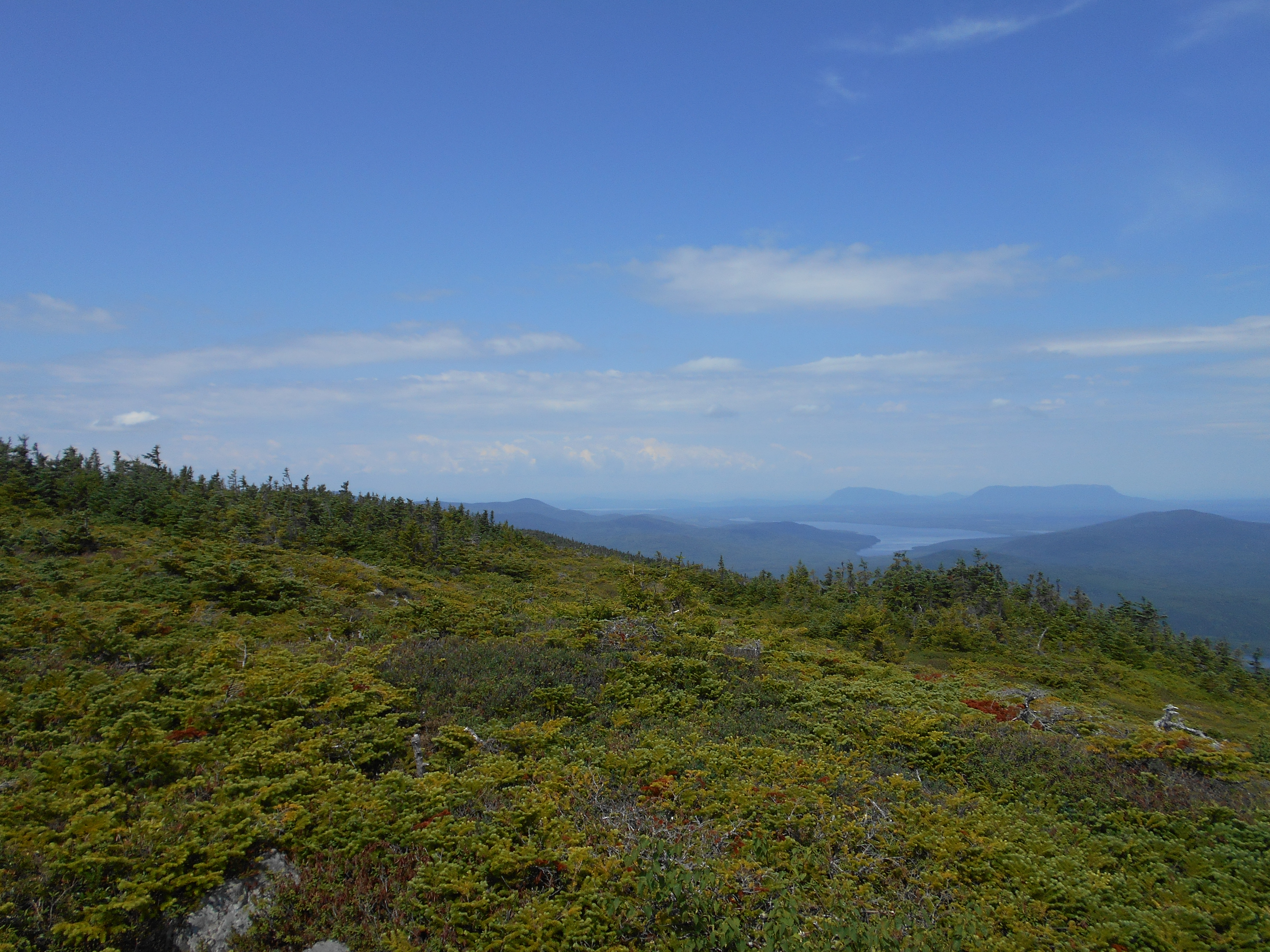
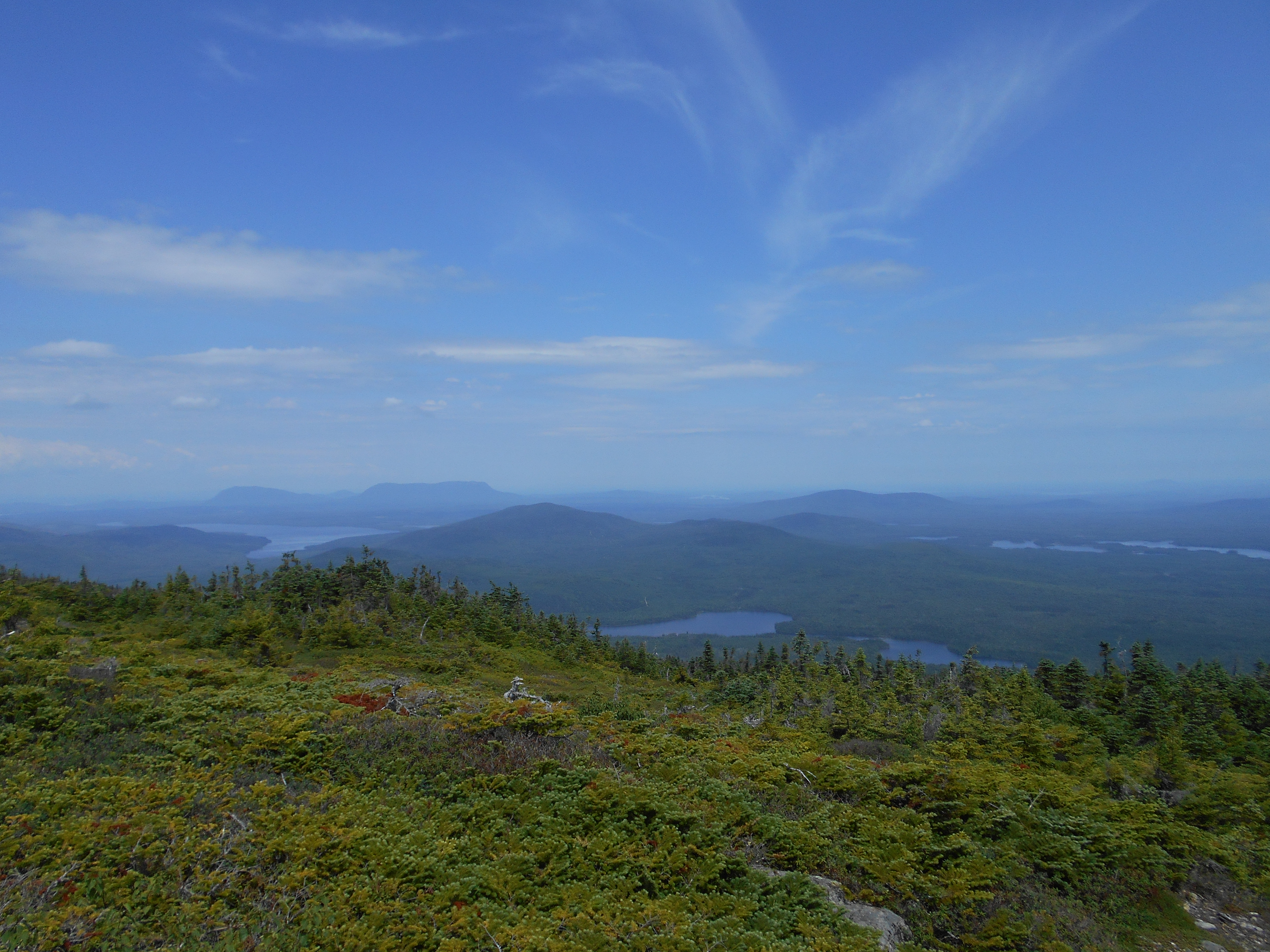
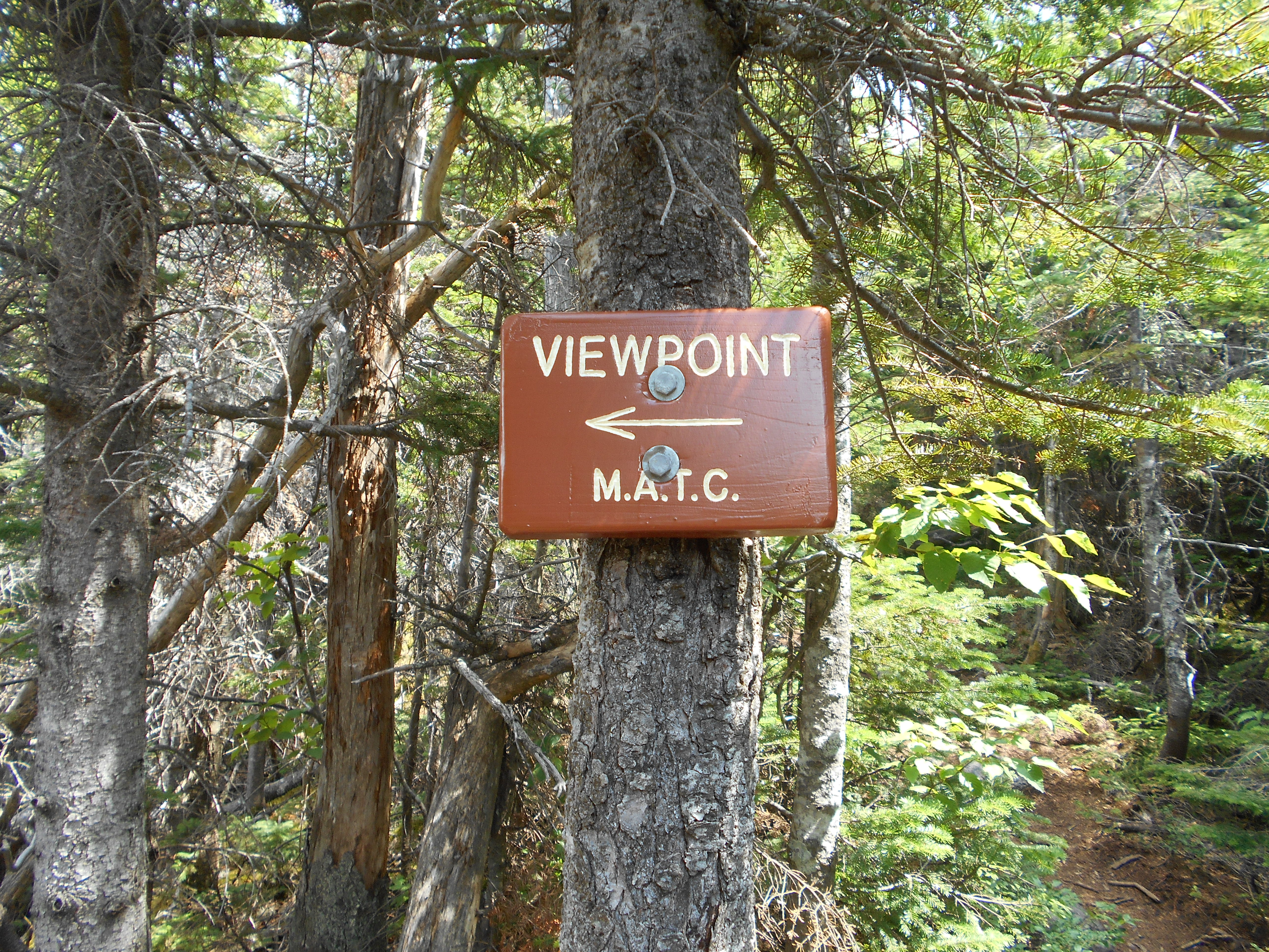
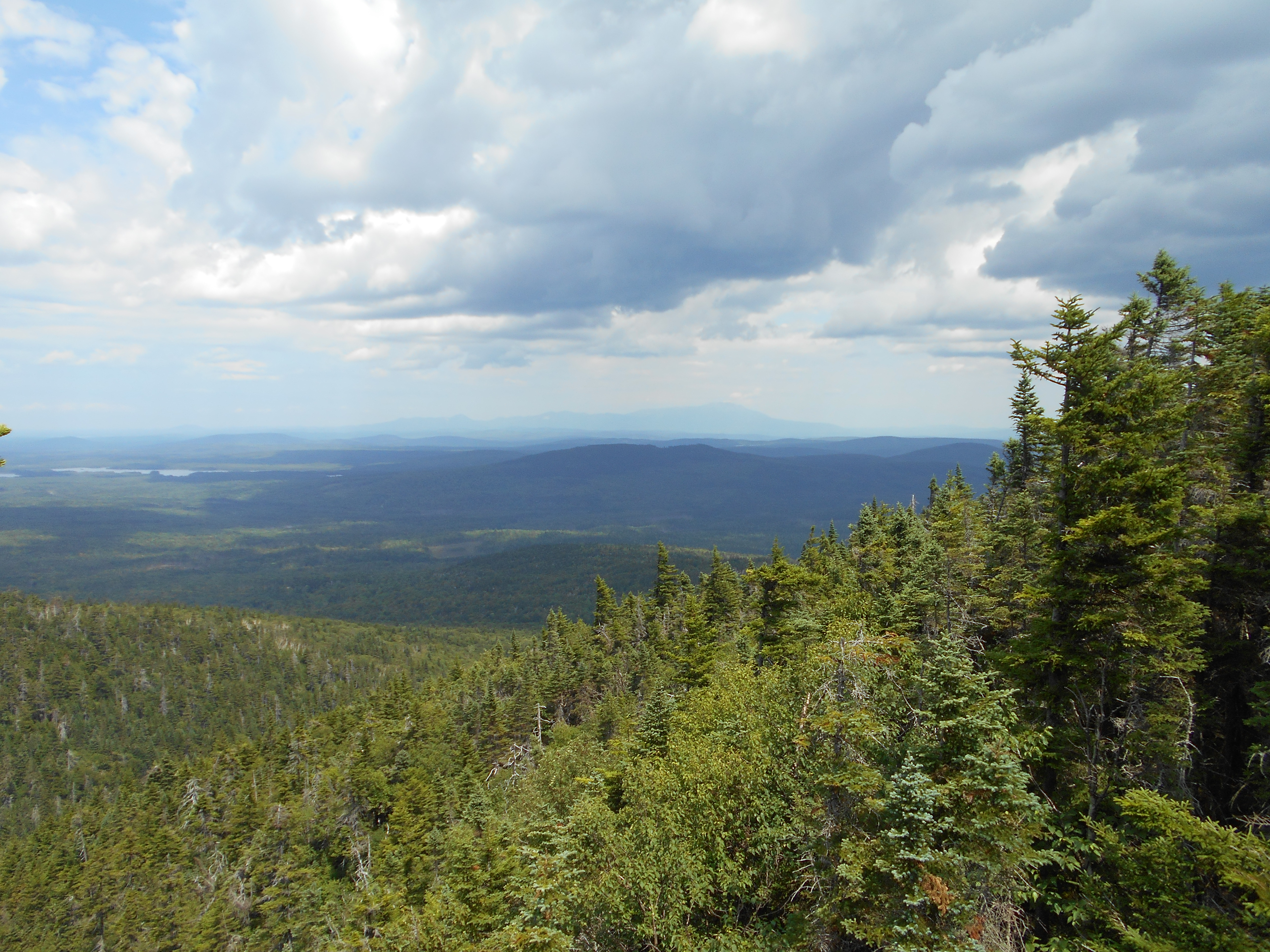
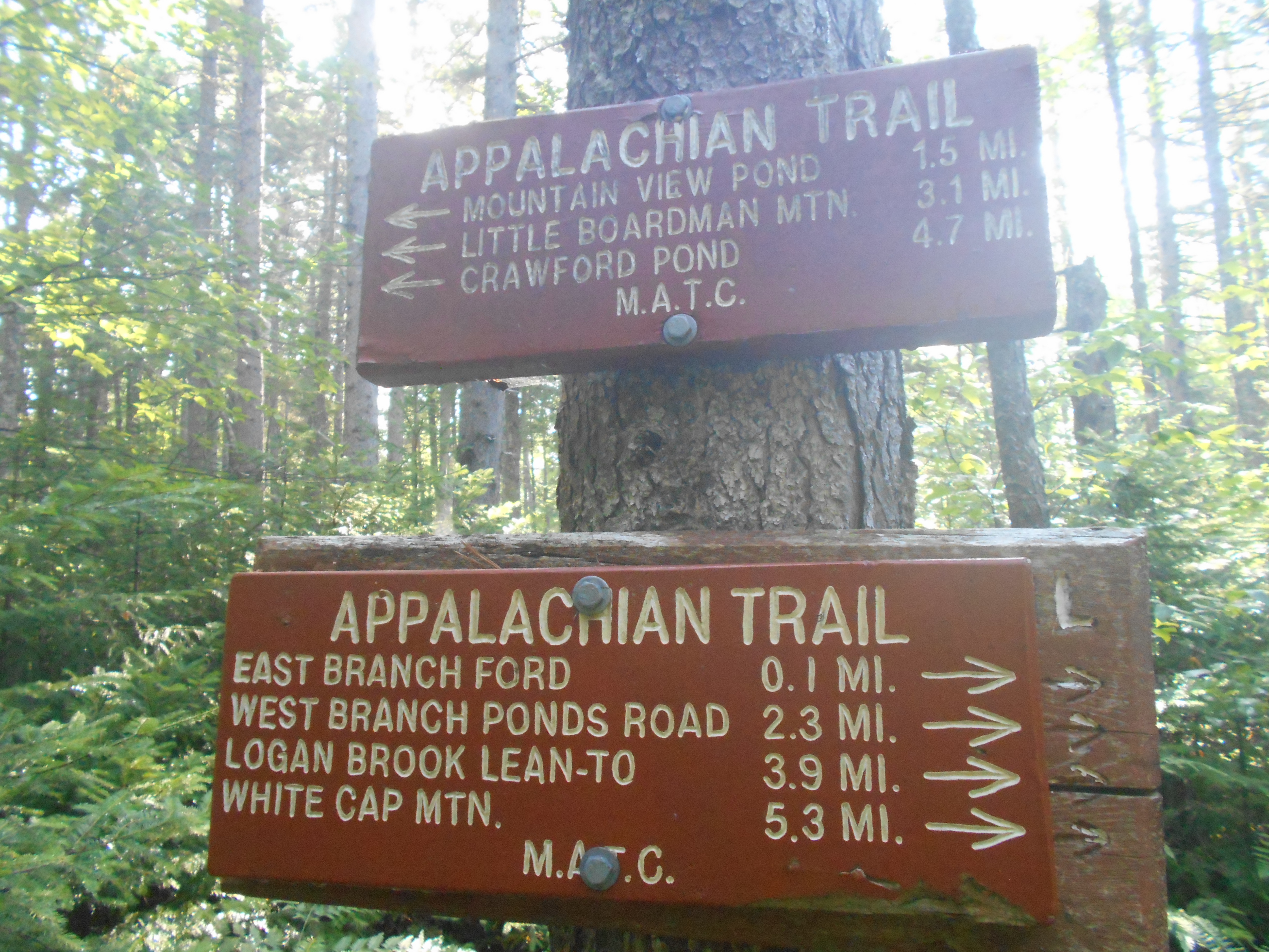
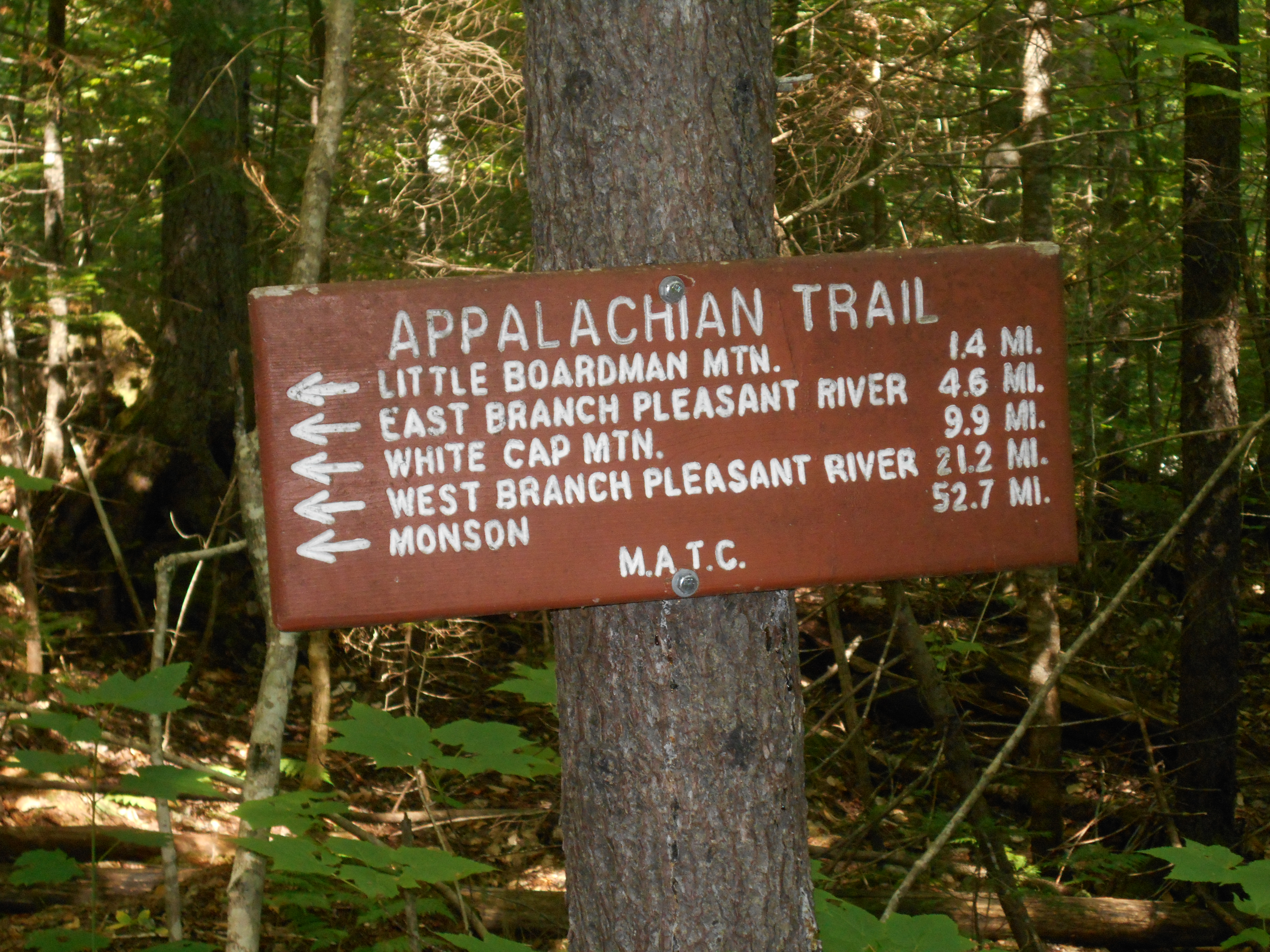
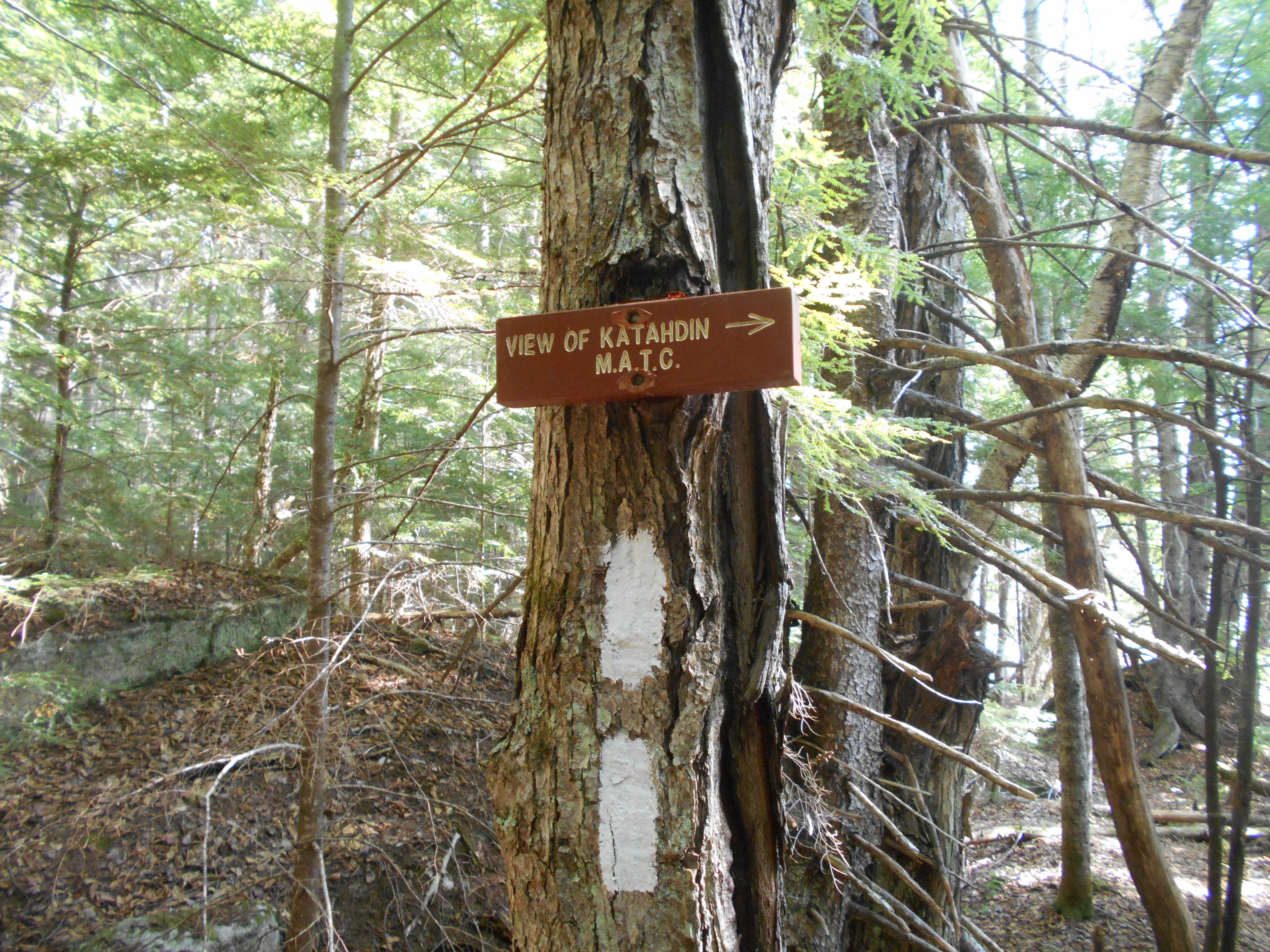
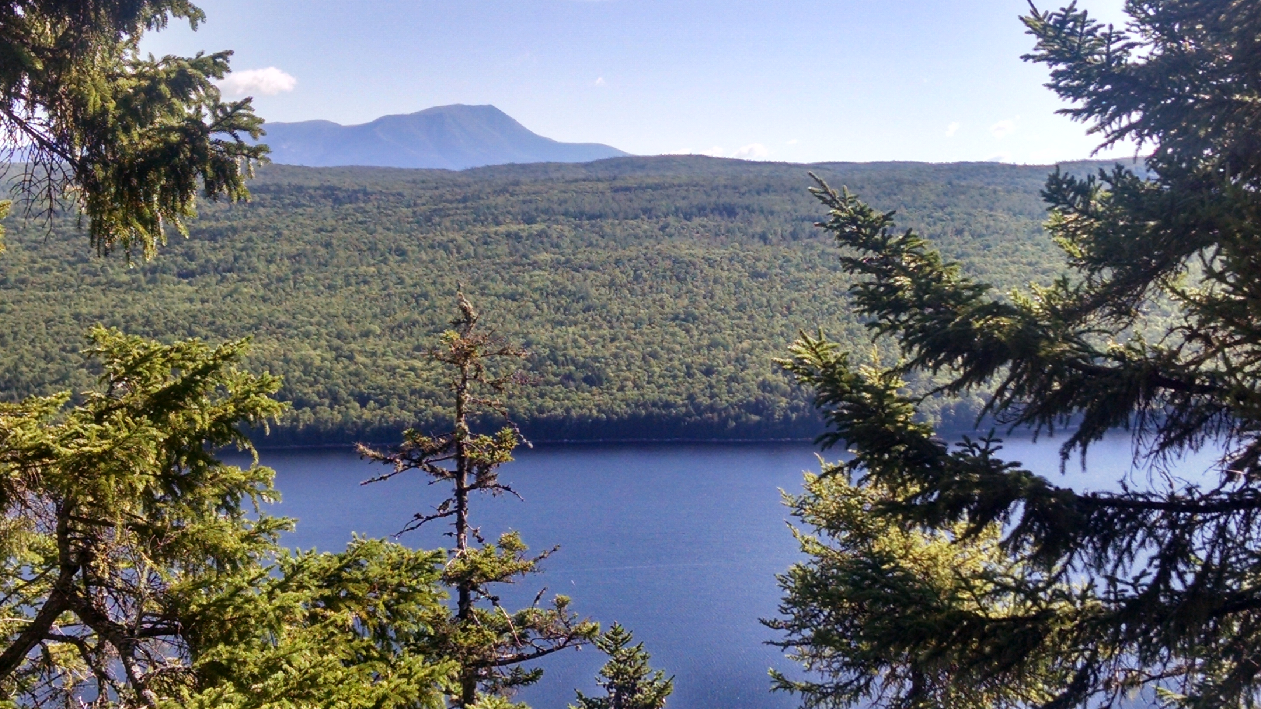
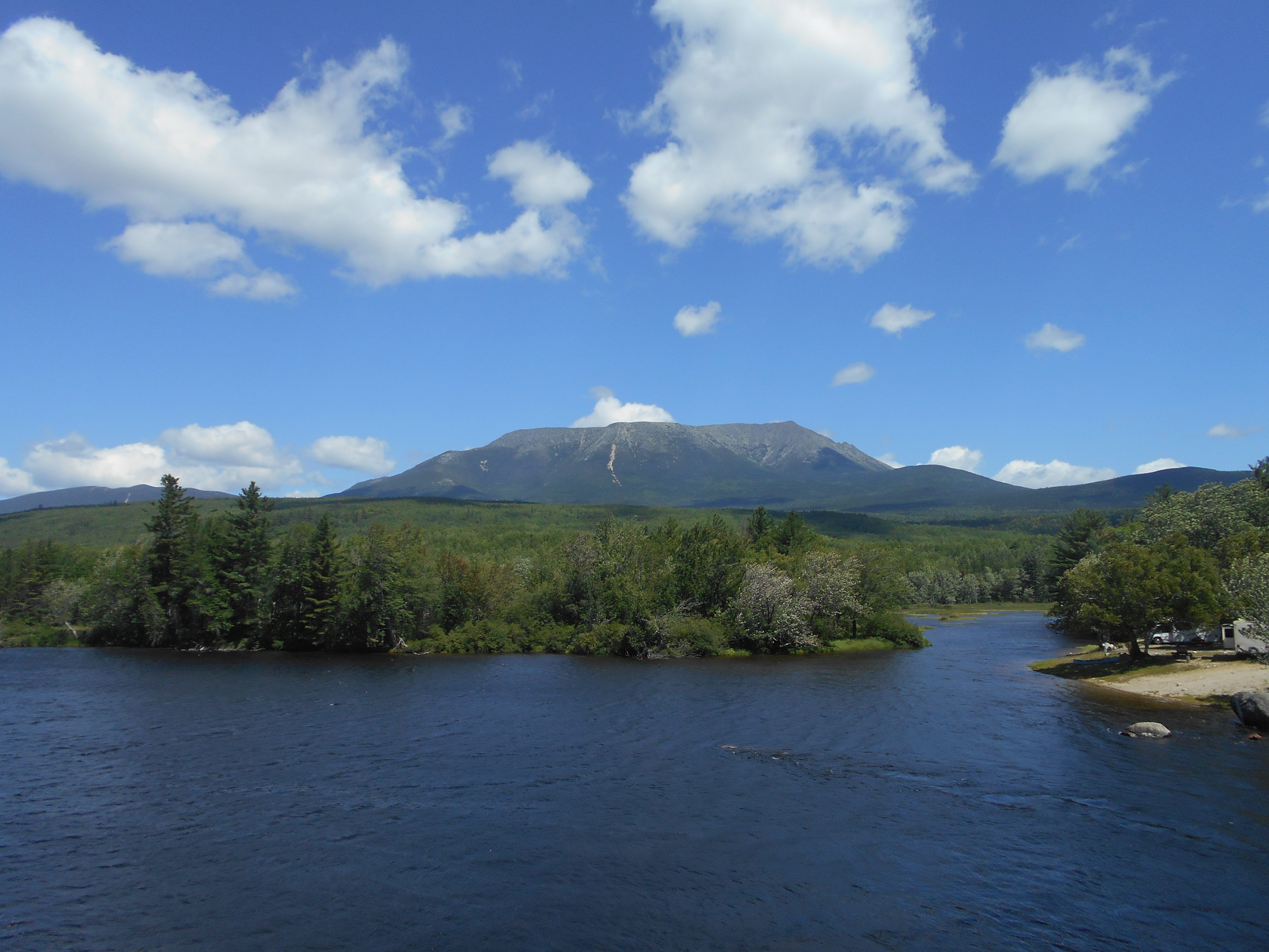
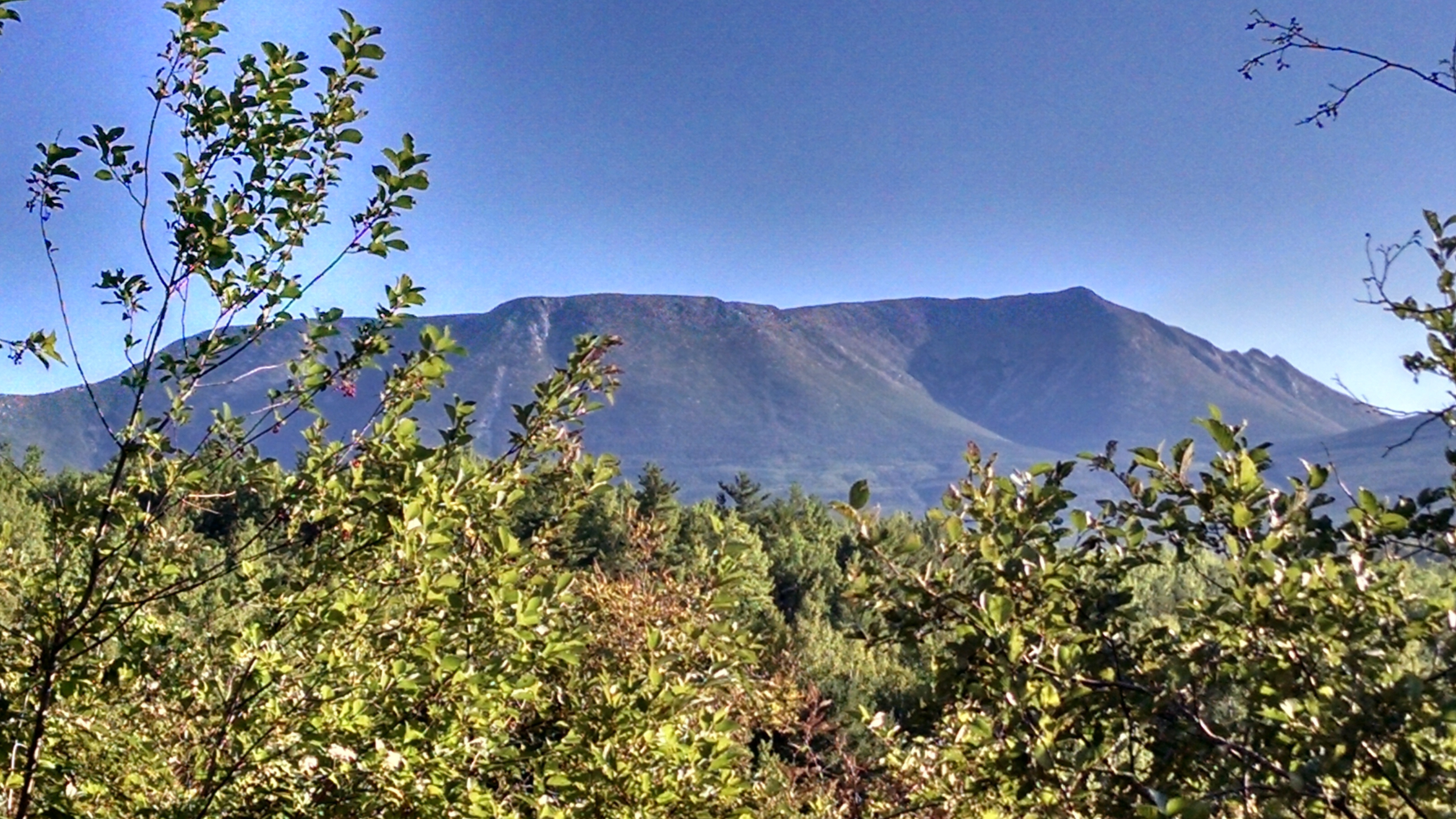
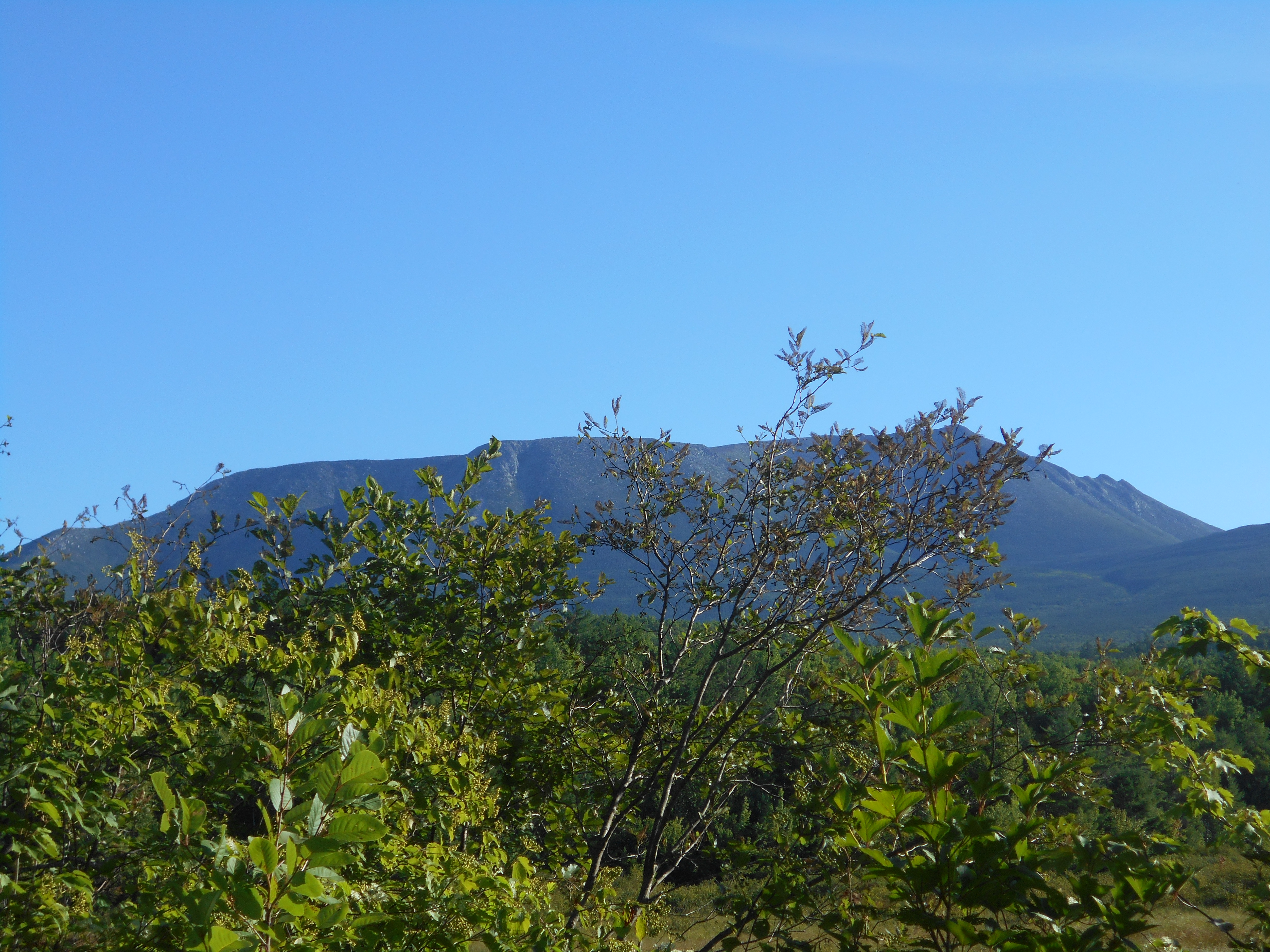
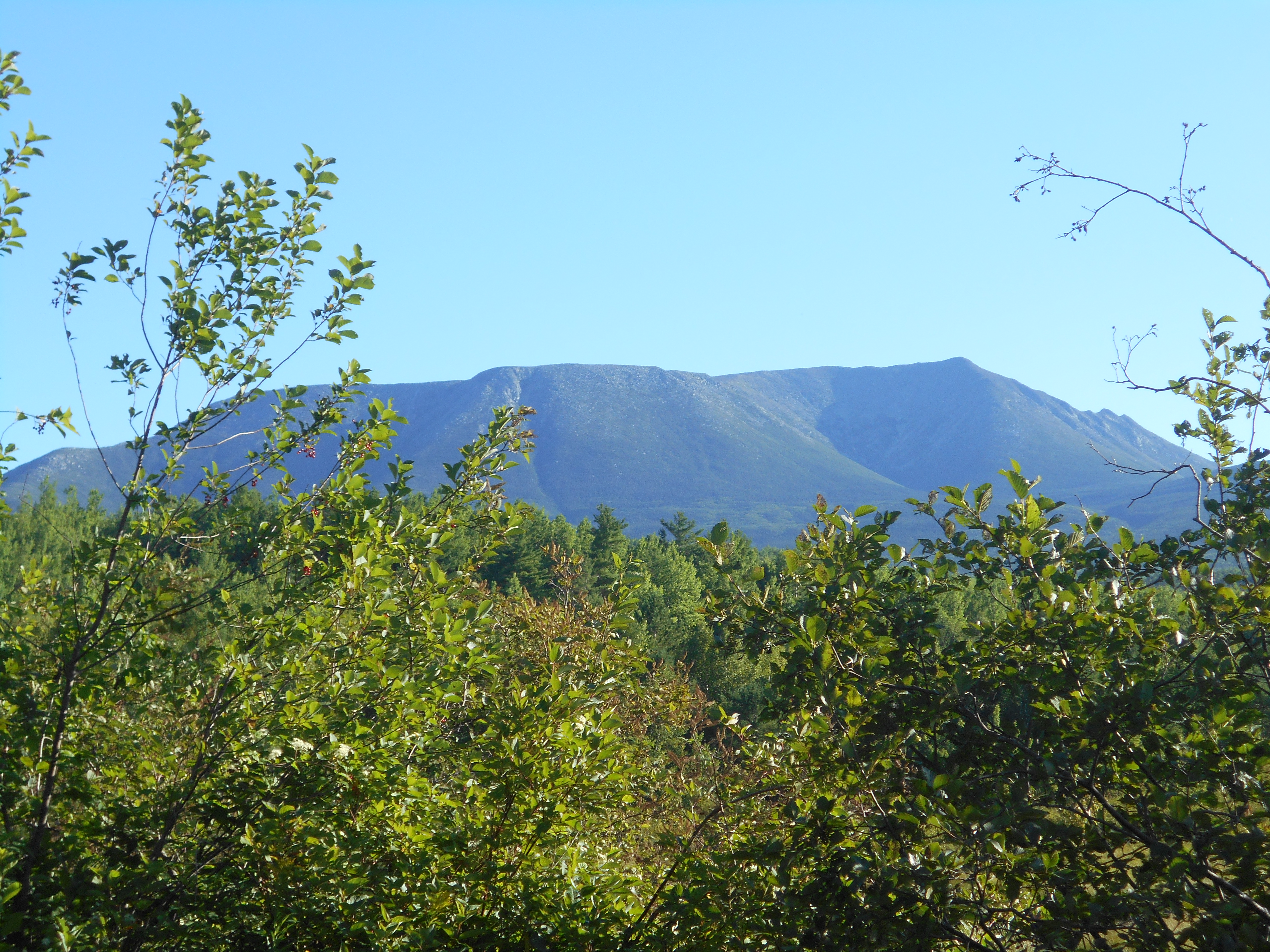
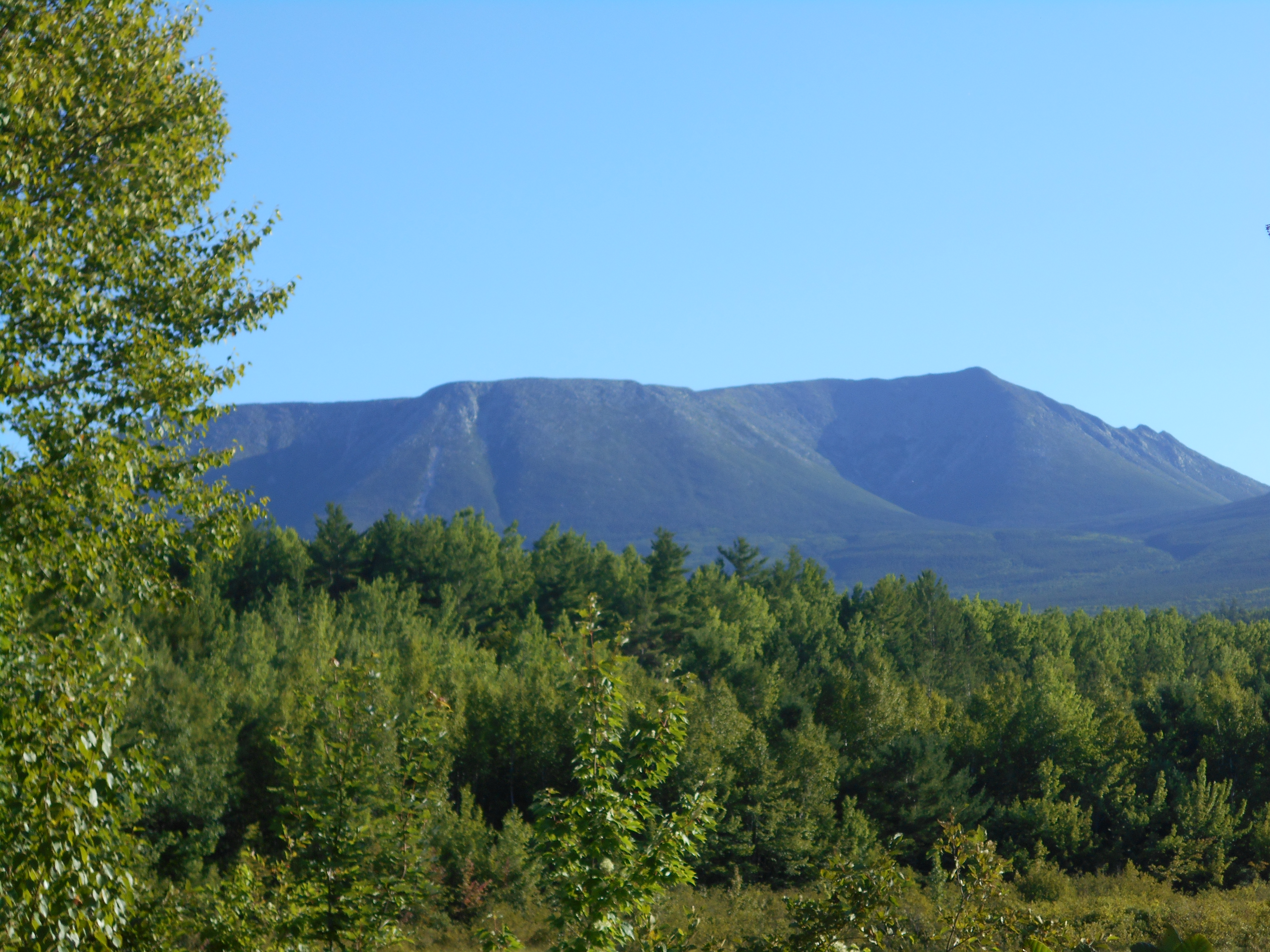
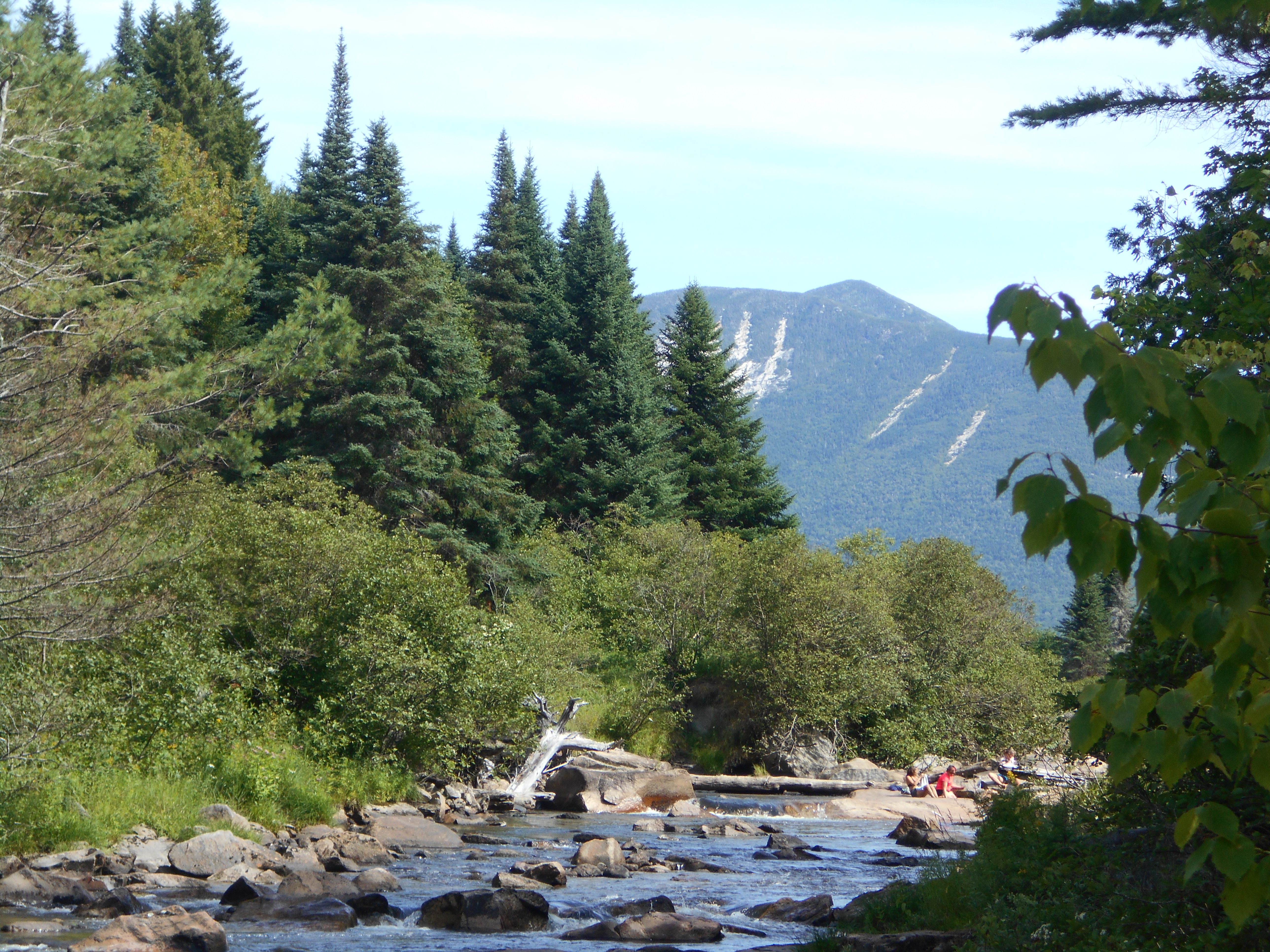
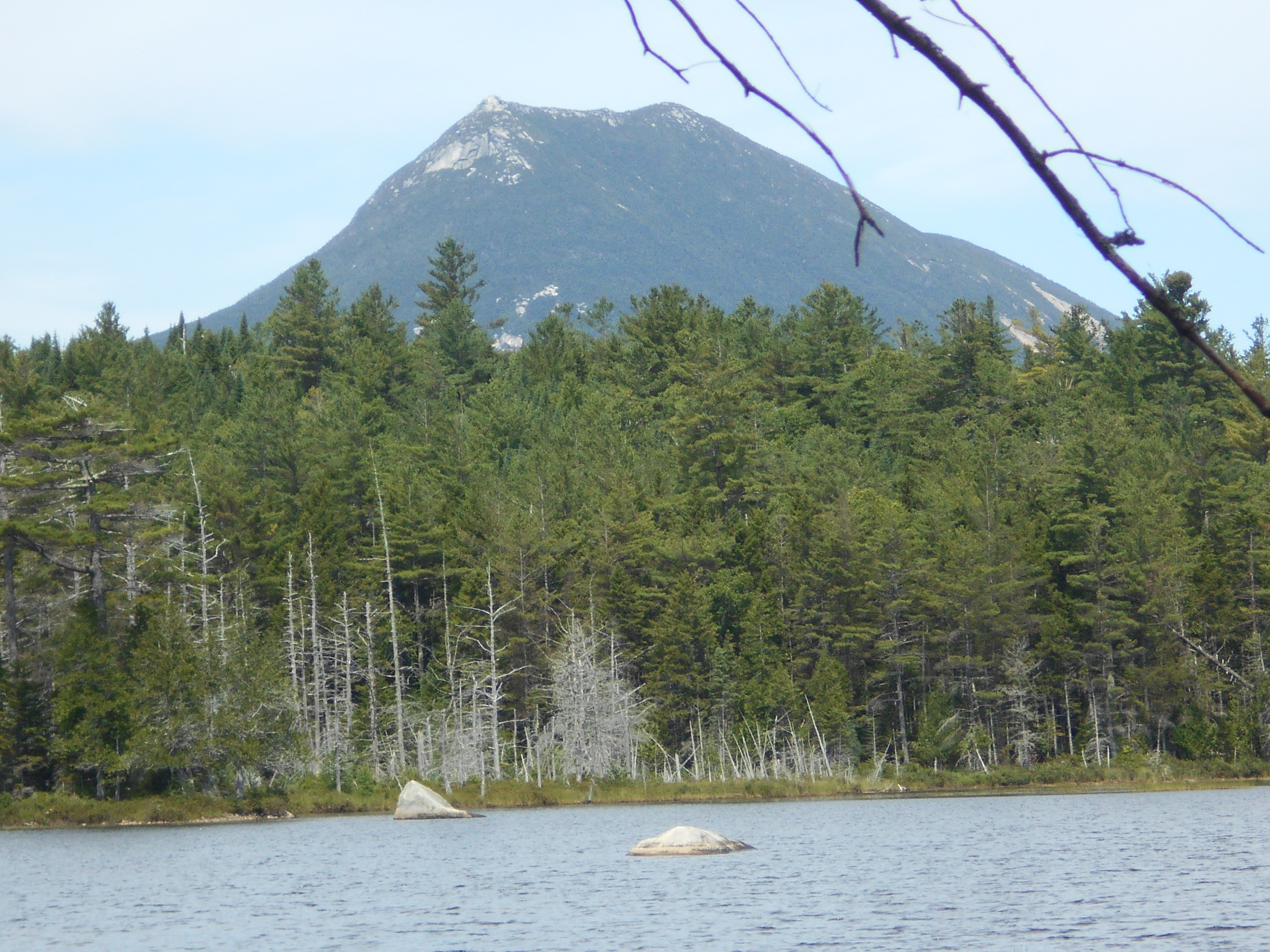
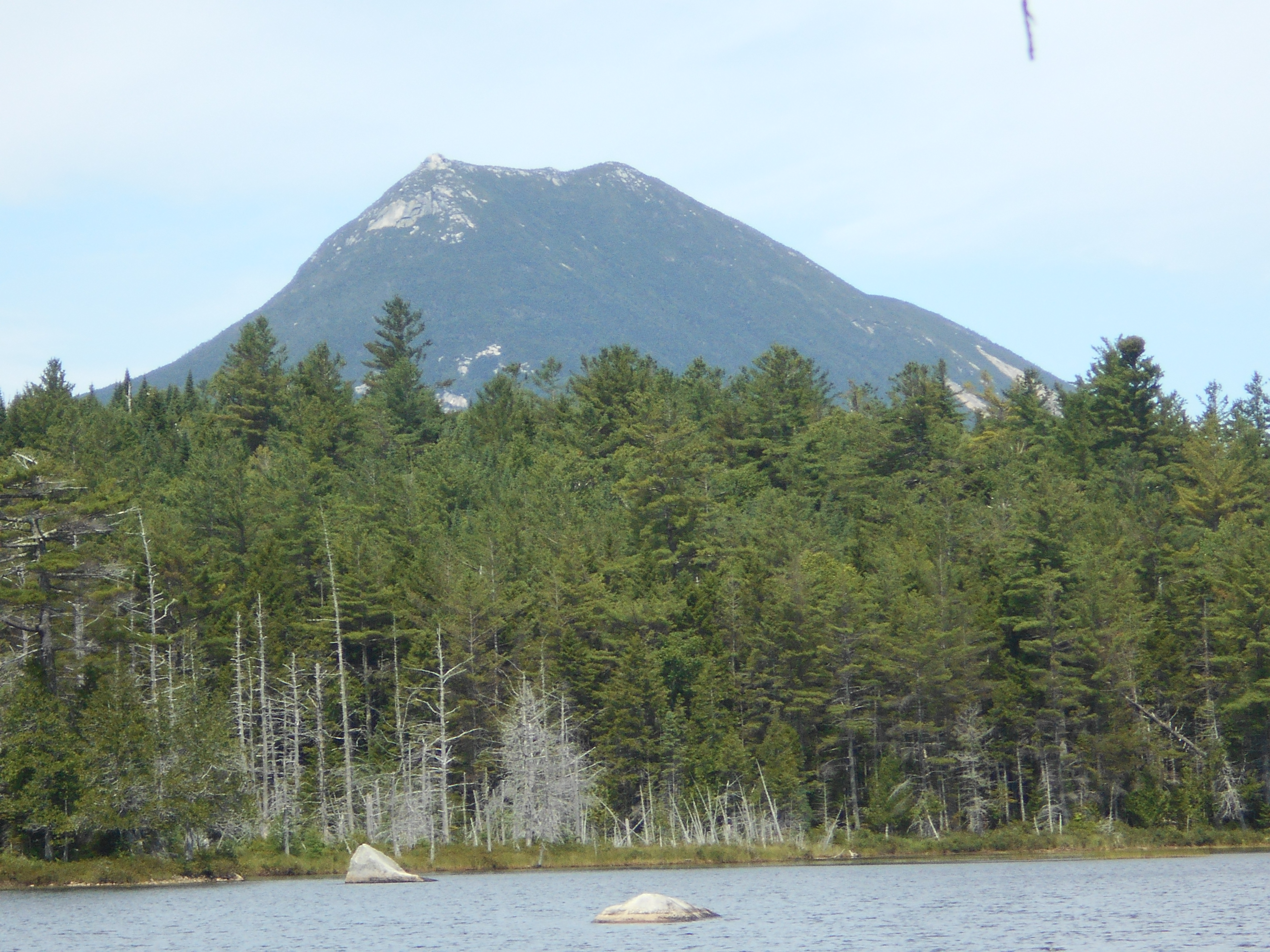
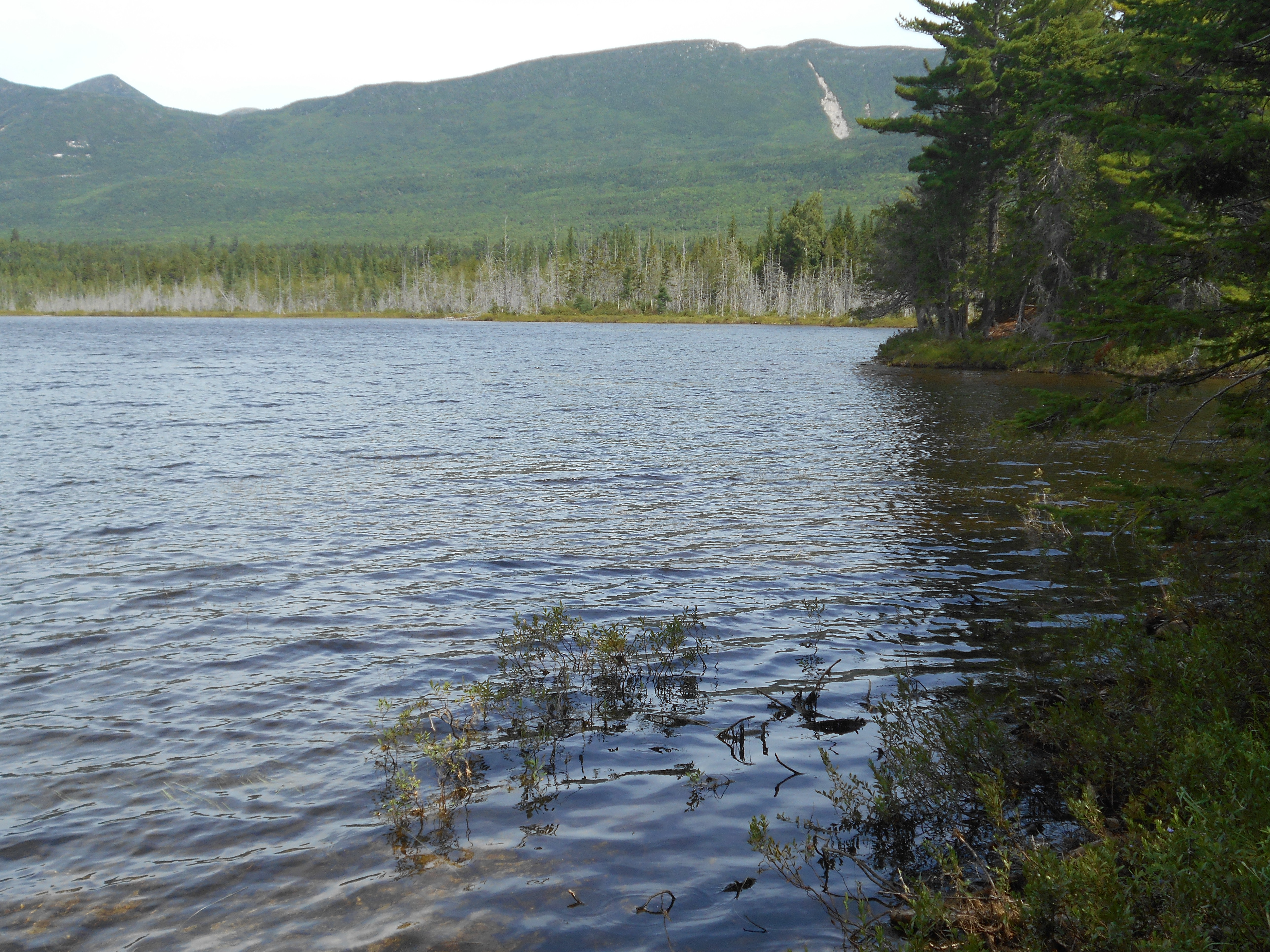
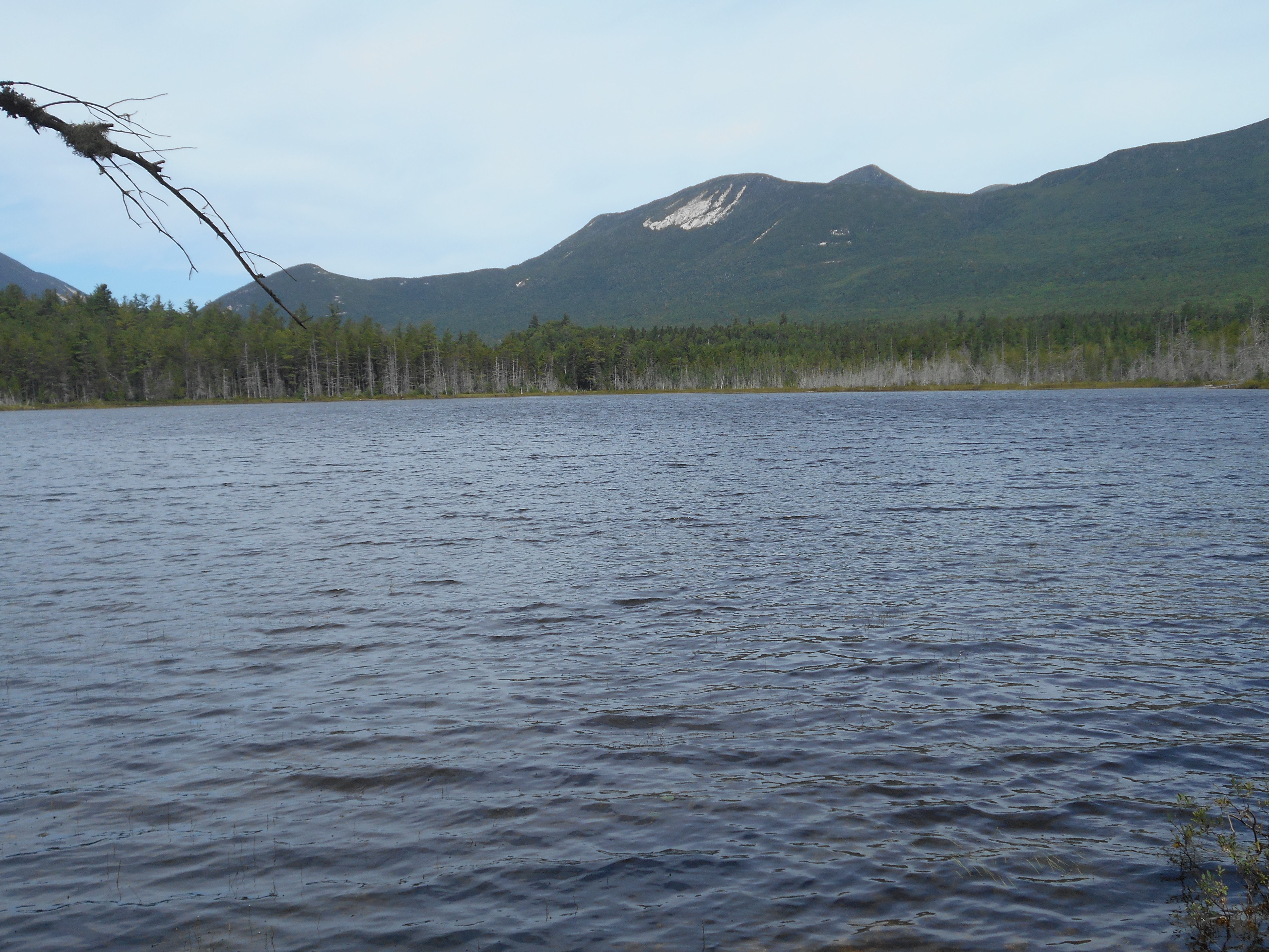
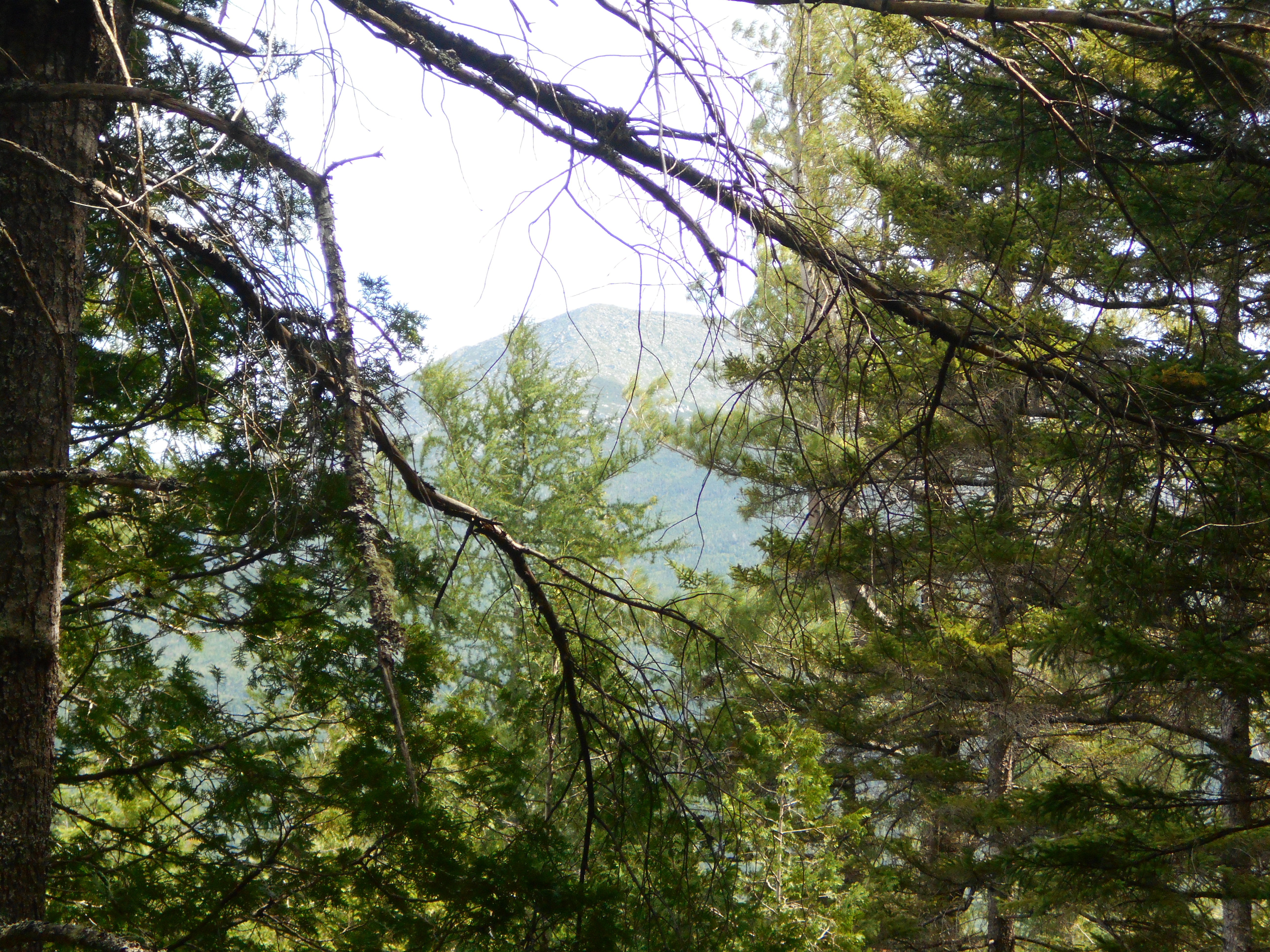
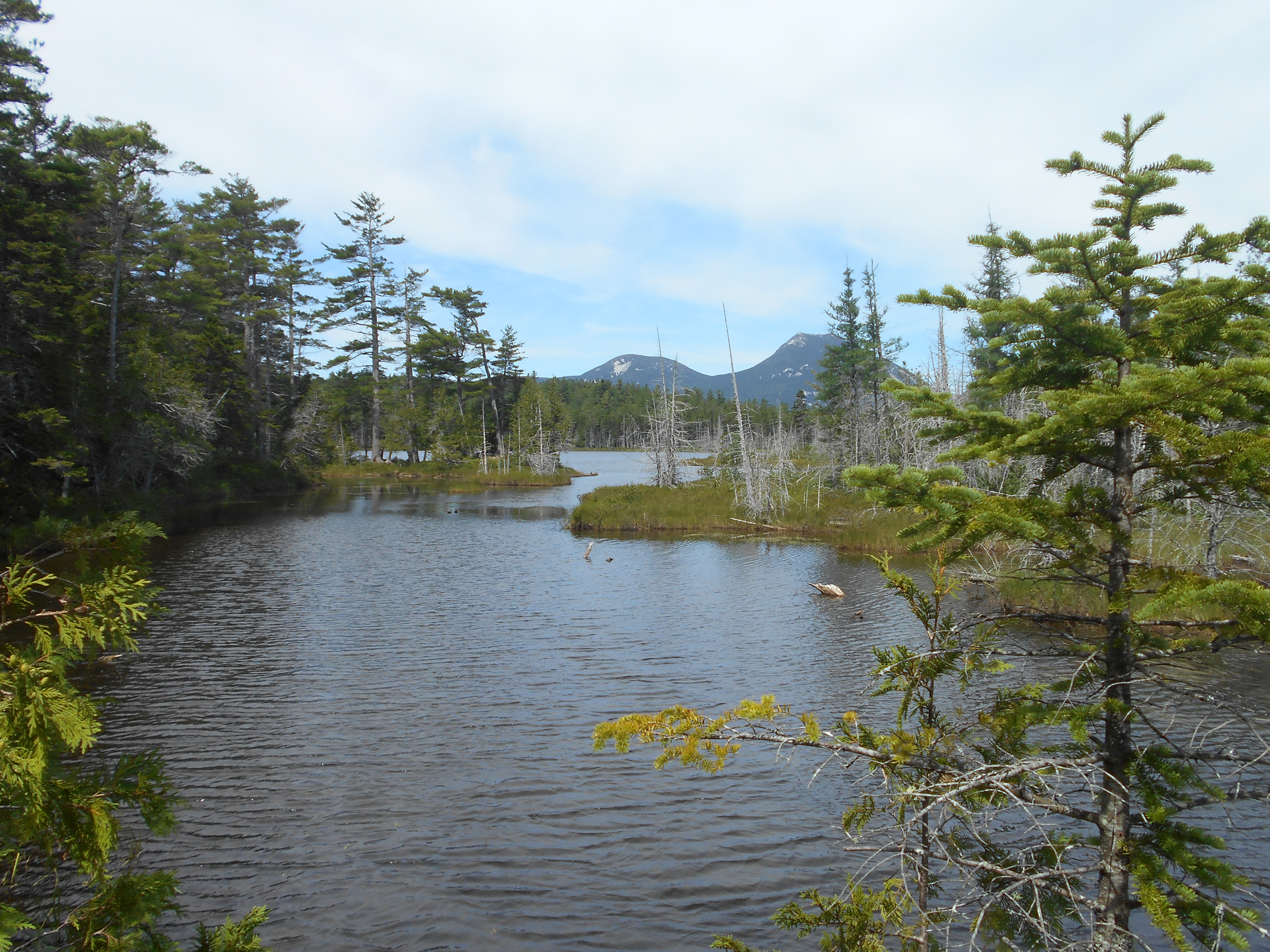
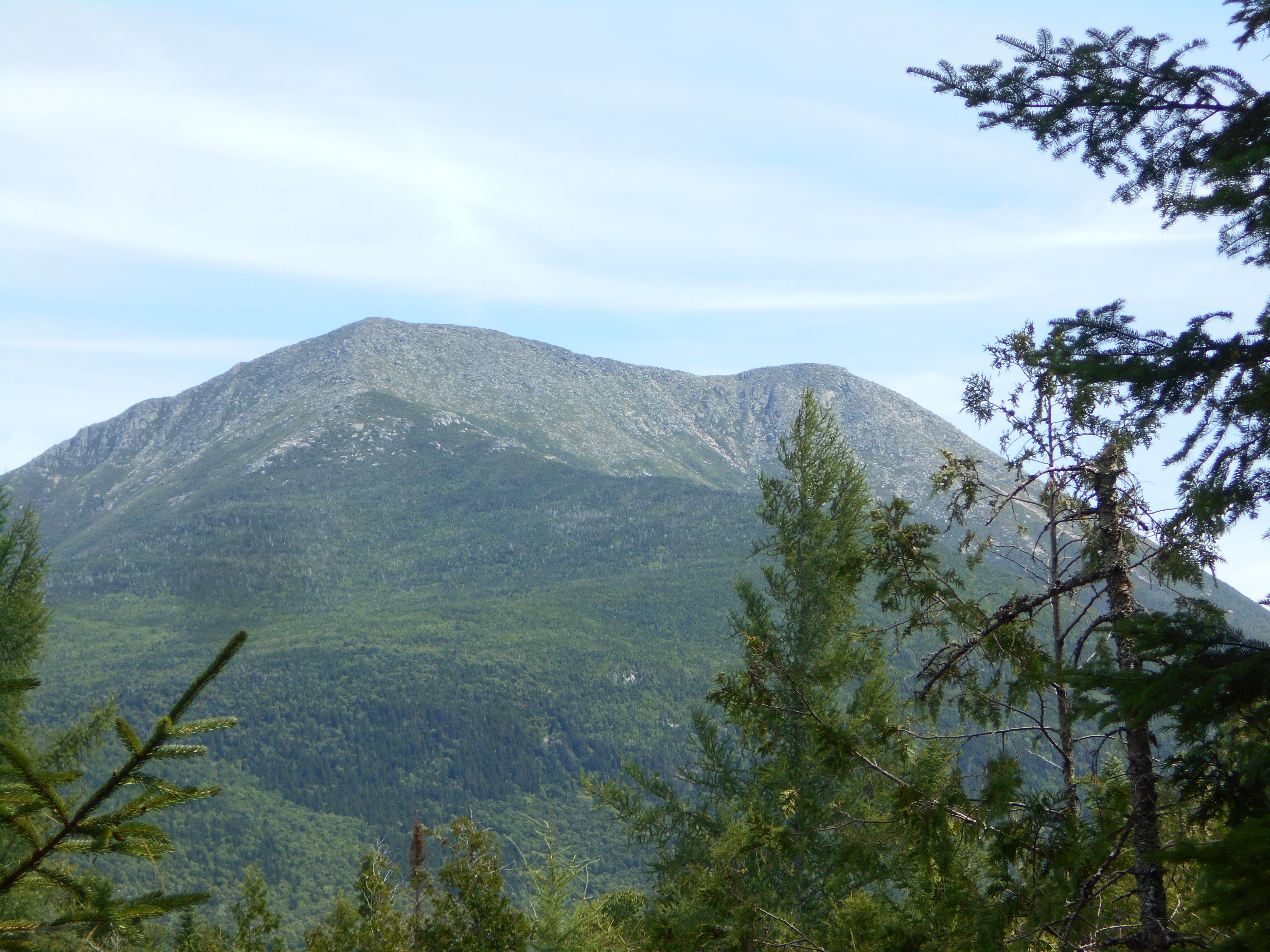
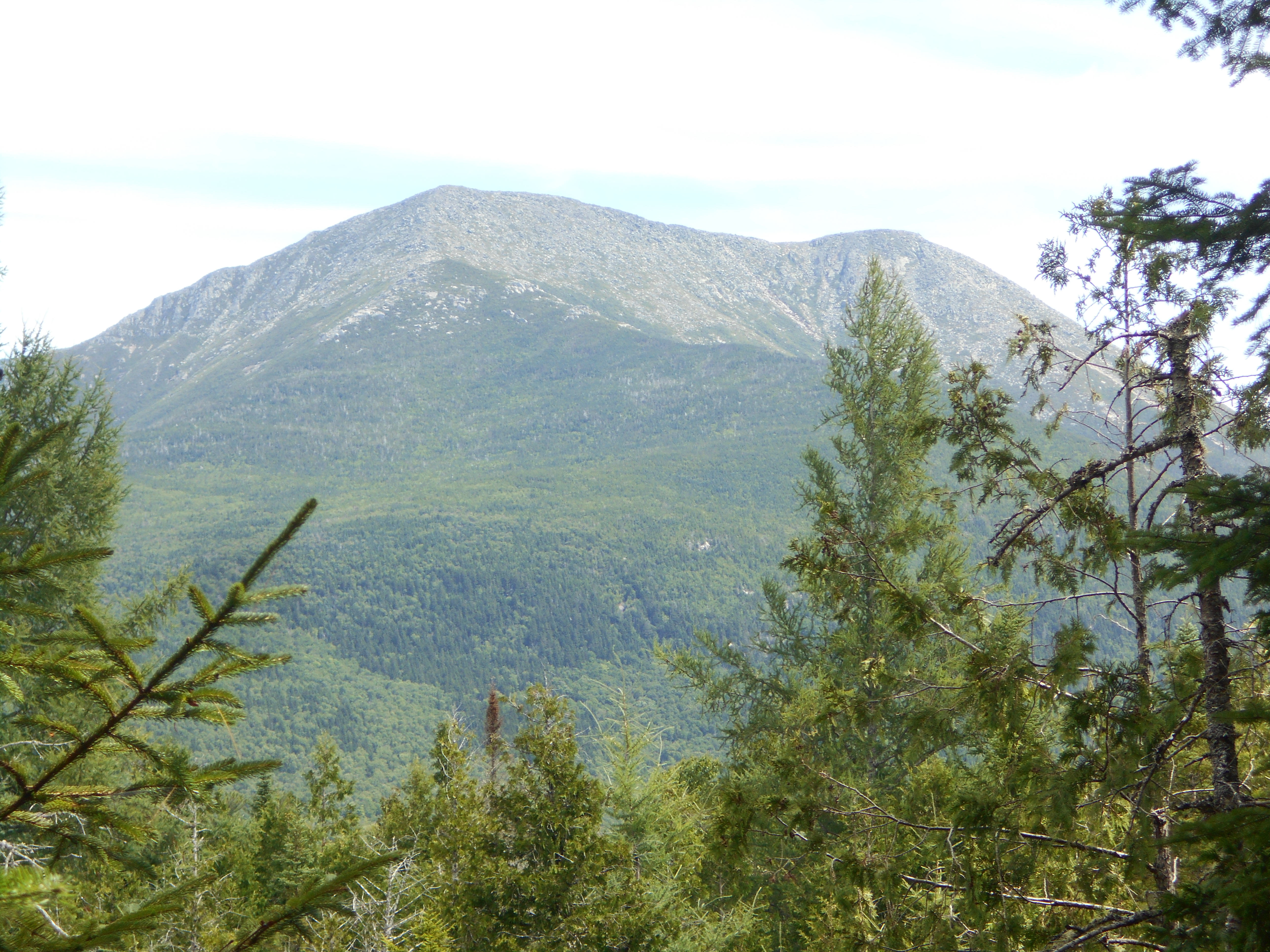
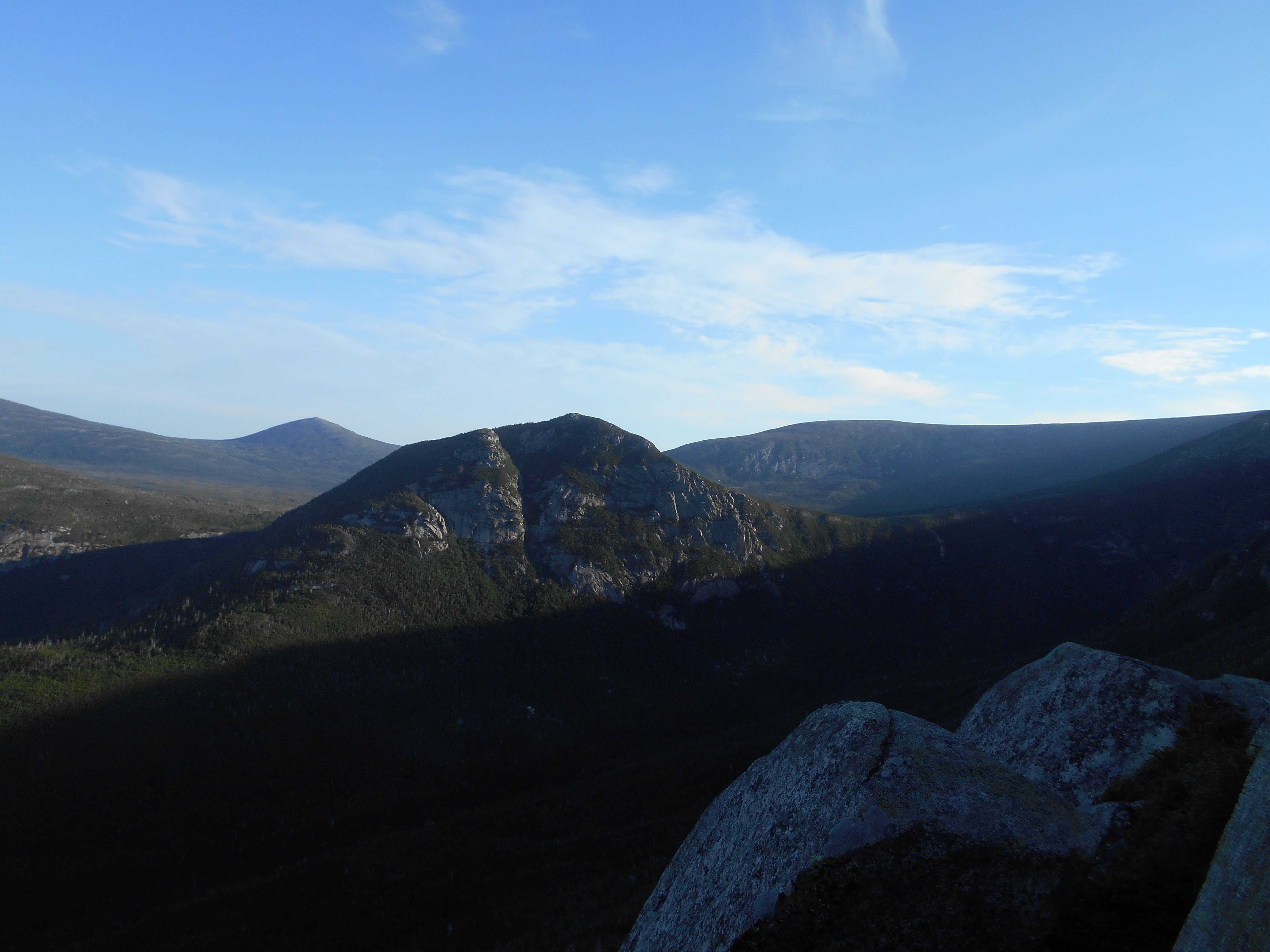
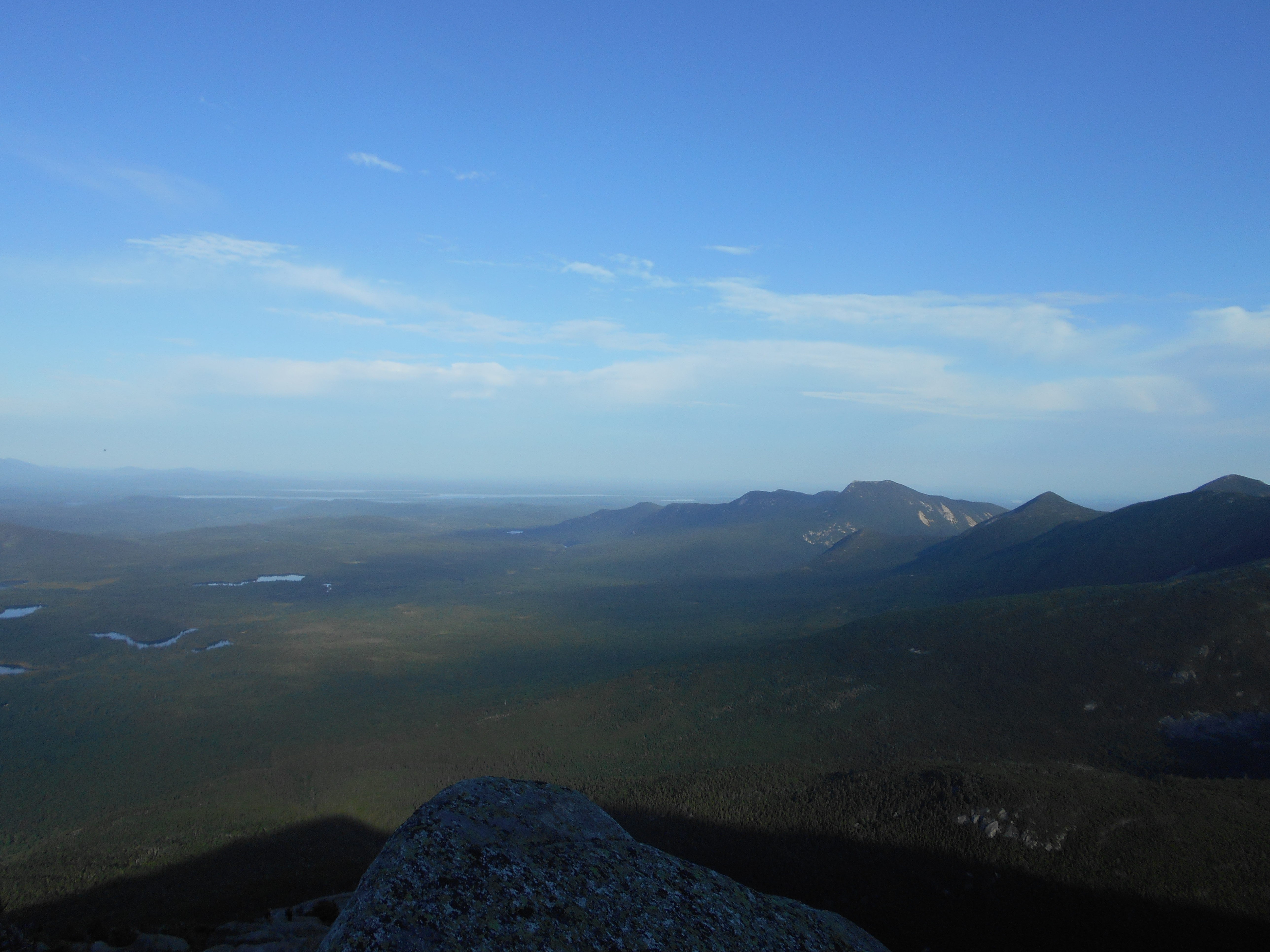
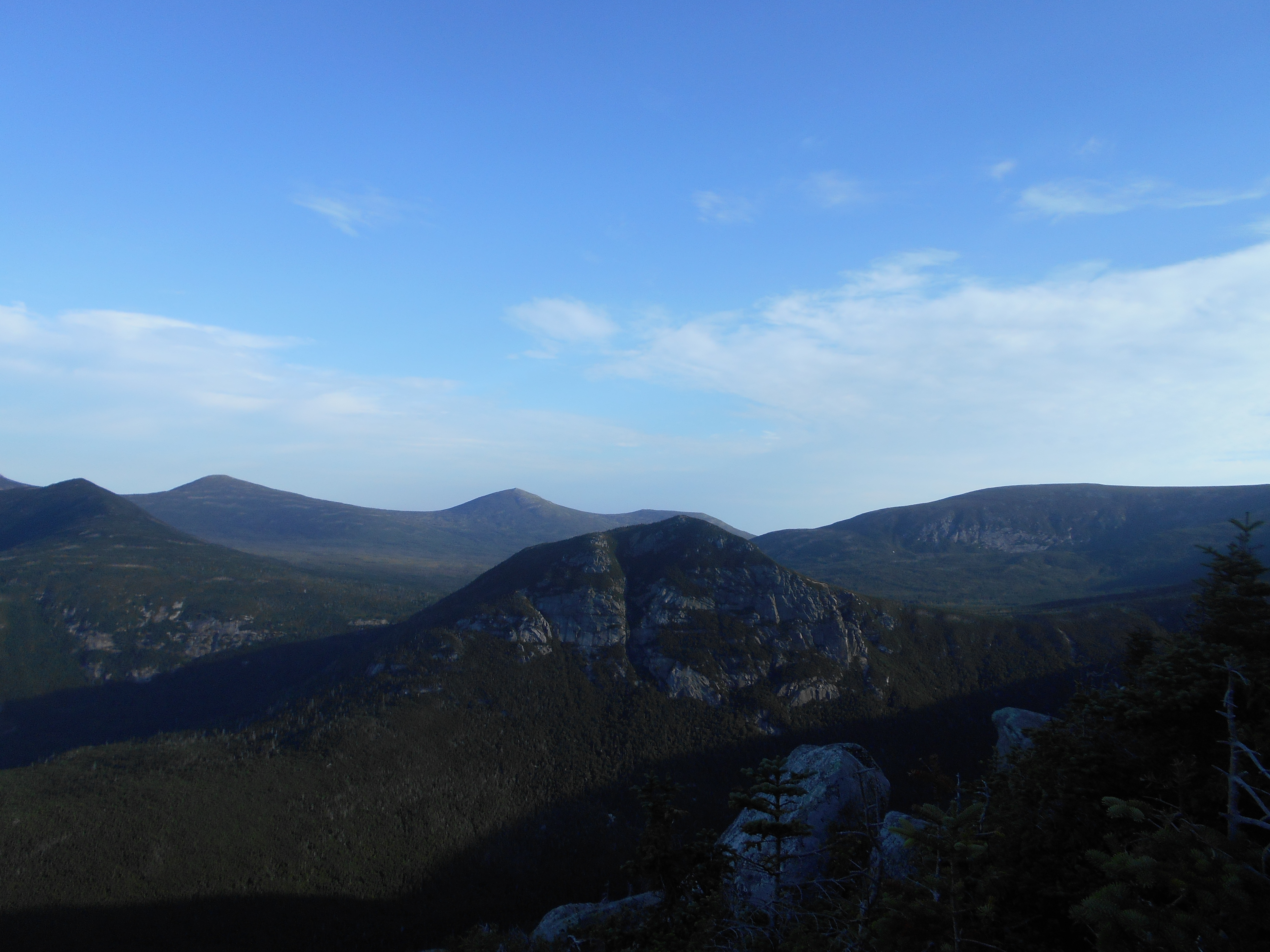
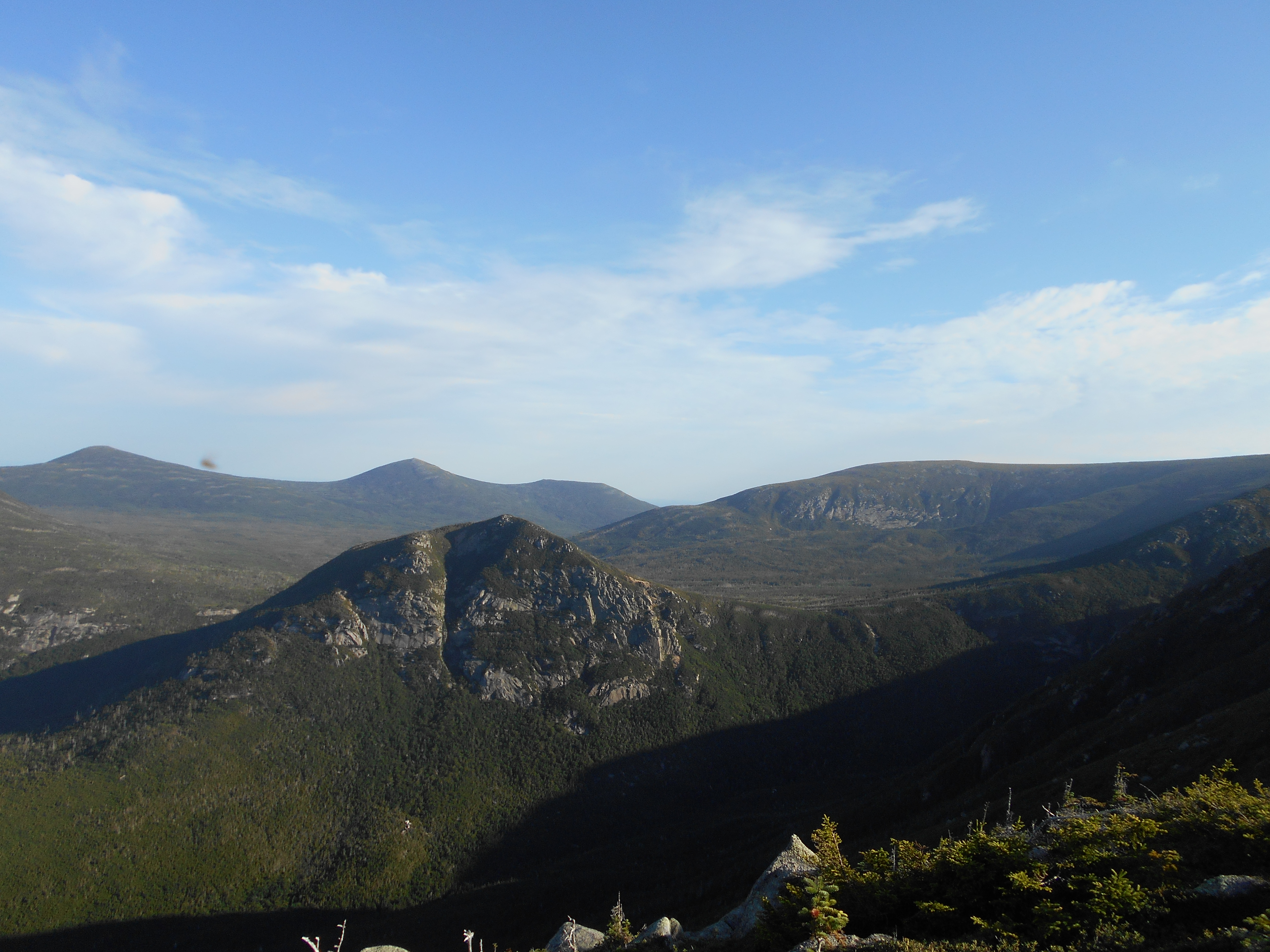
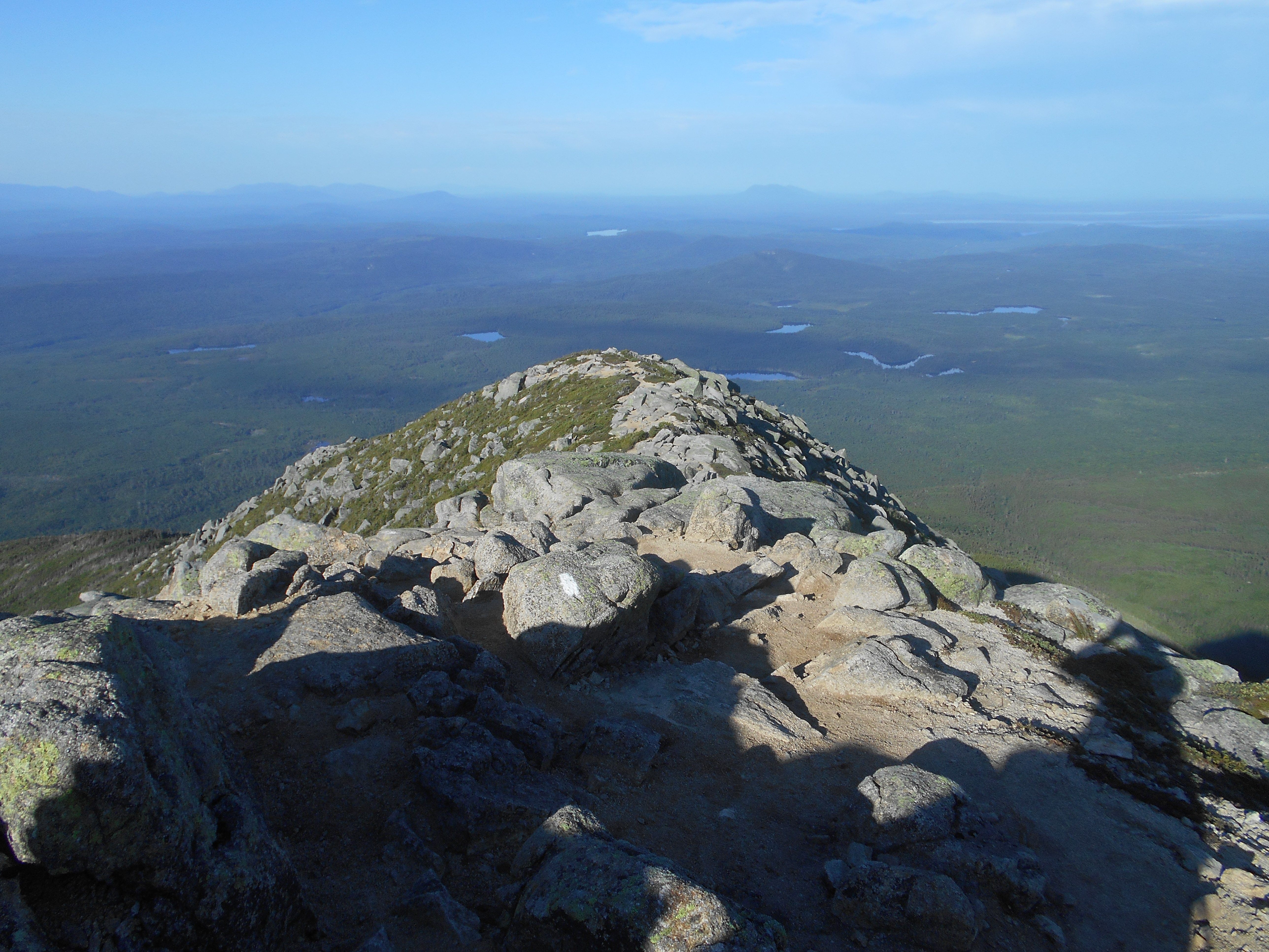
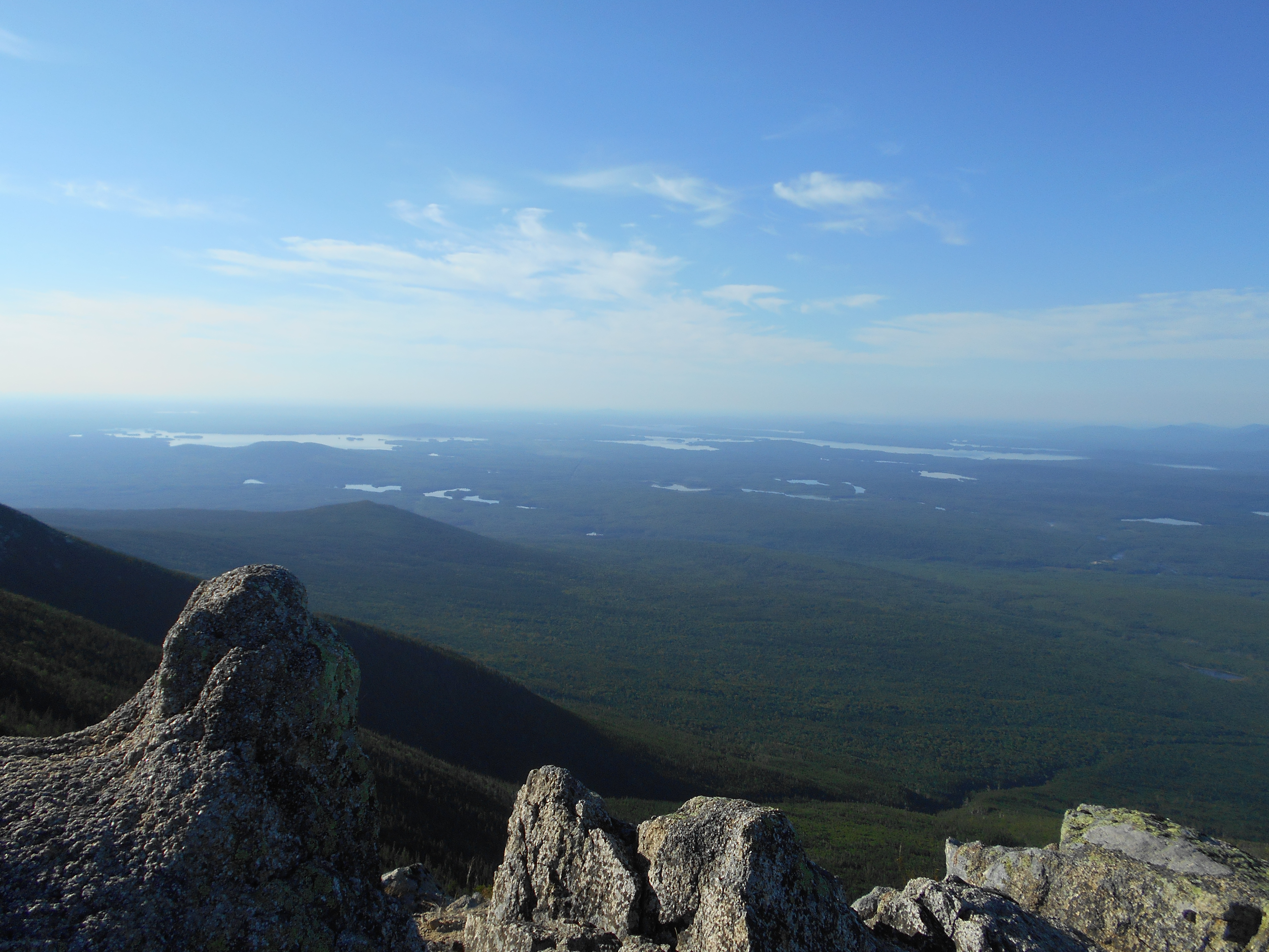
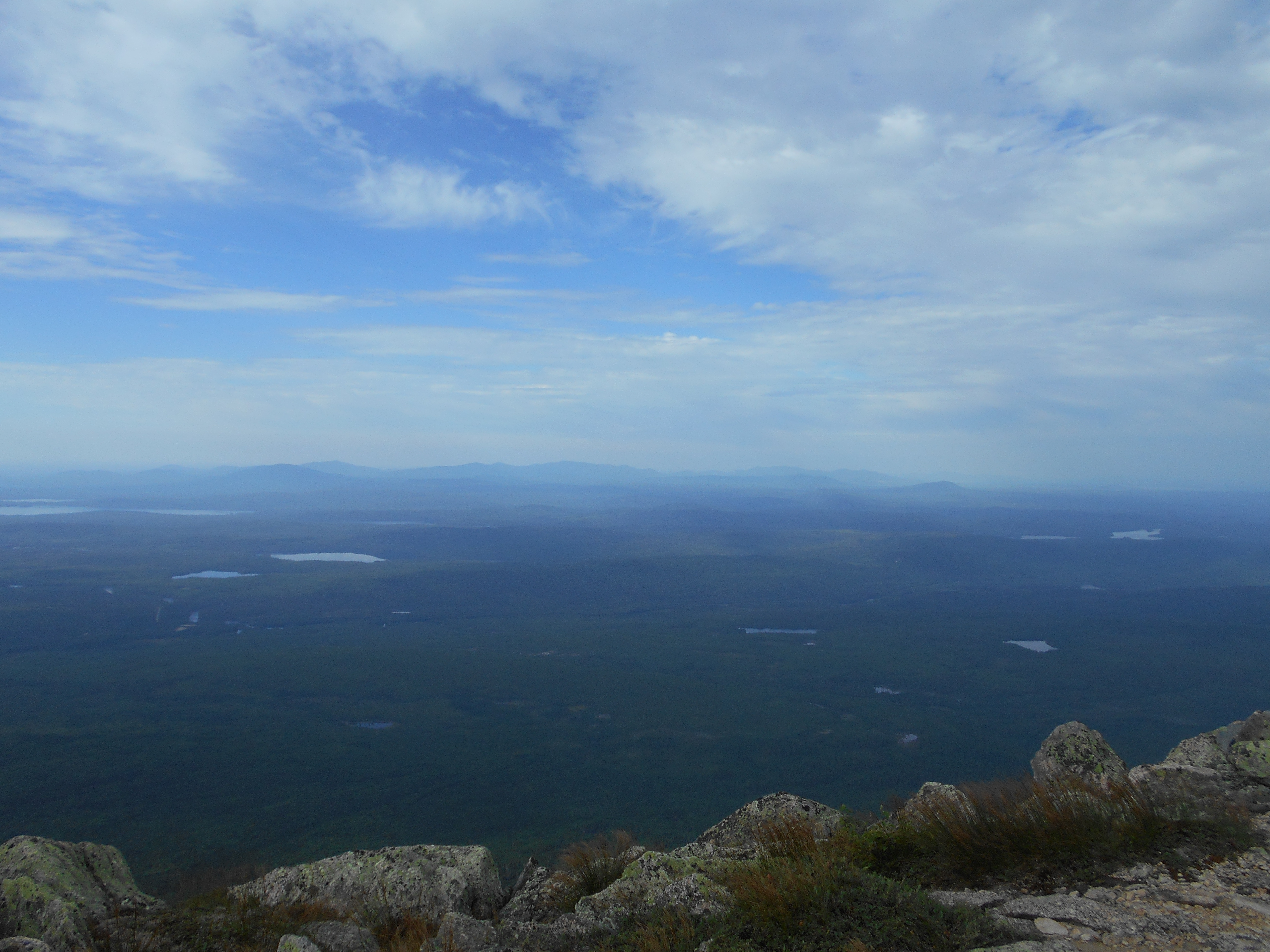
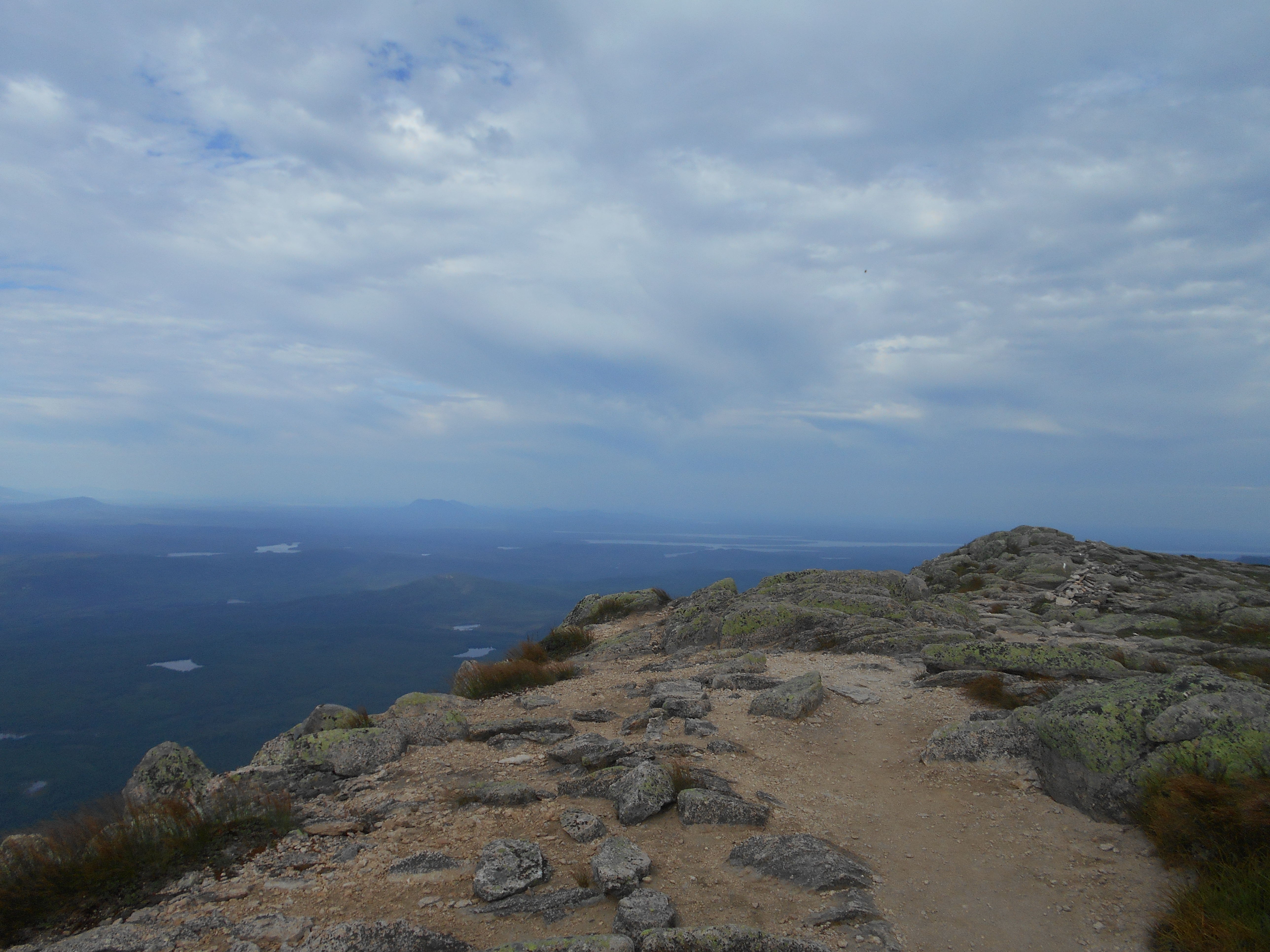
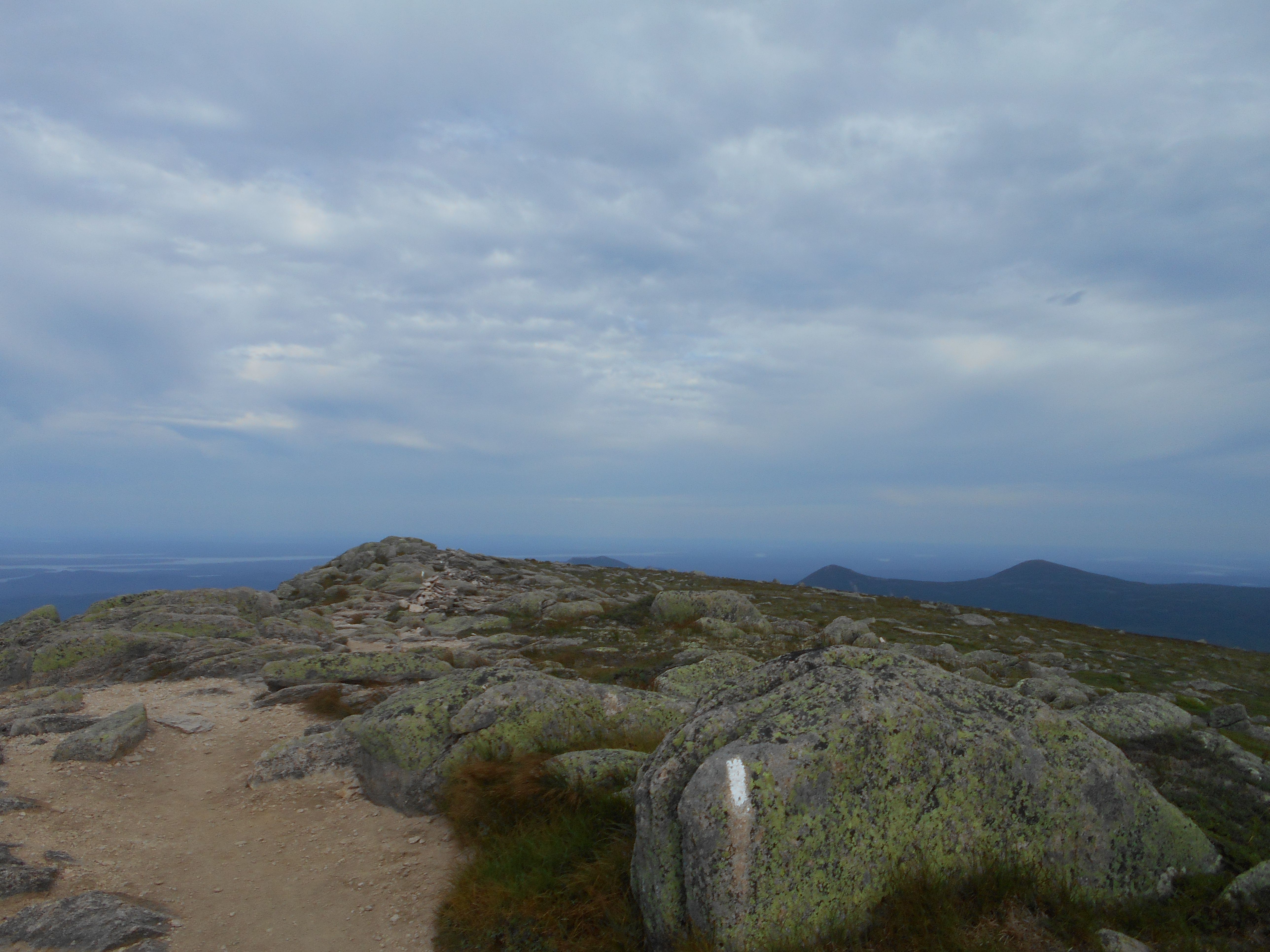
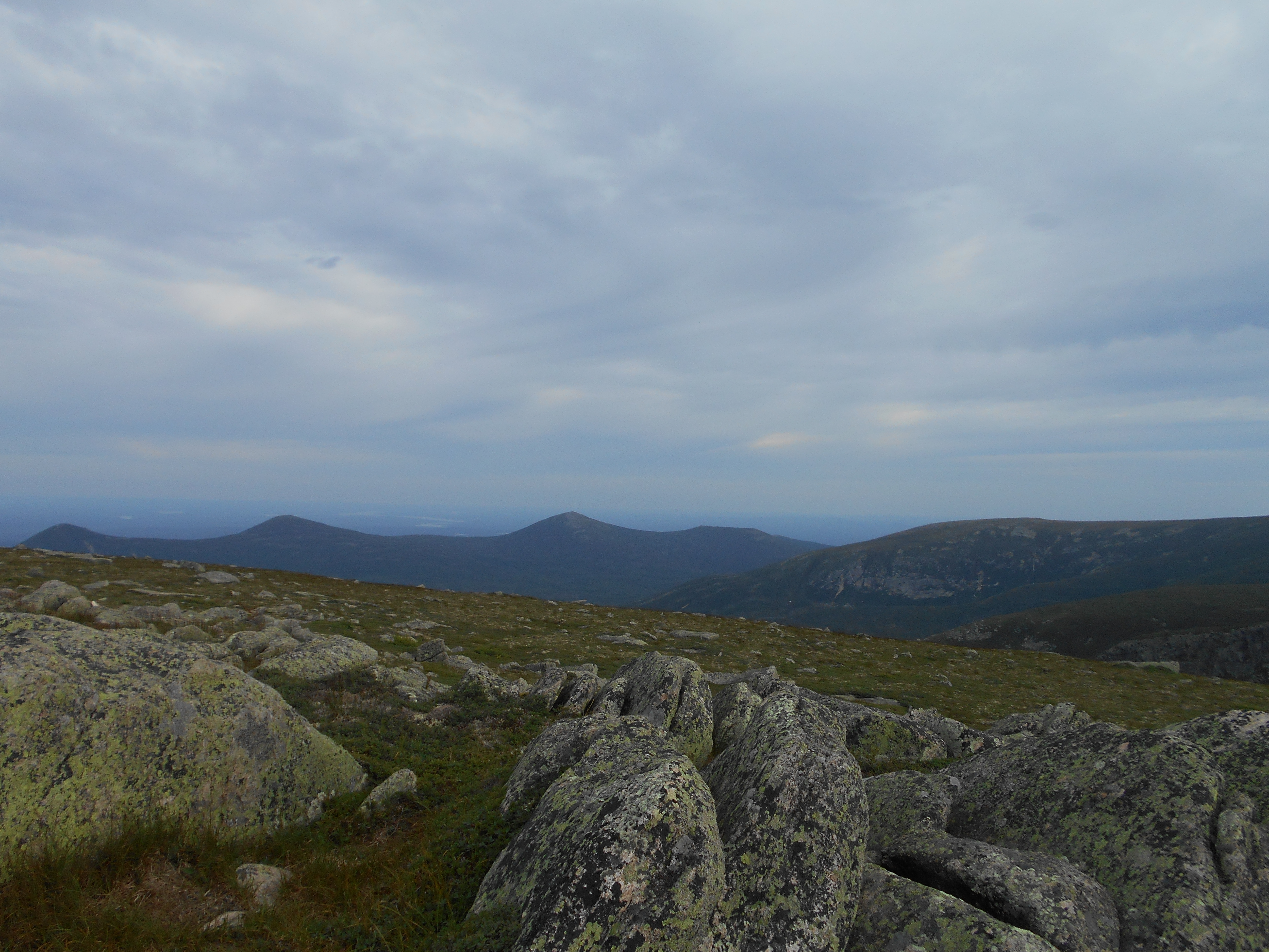
i expected, looked like it was mobed last night. then onto west peak and then hay mountain and got buzzed by an F16 (again so much for wilderness). saw someone making a cell call, so called mom just to say "i'm alive" then onto white cap mountain. Great views! saw a trail with a "View" marker off the other side of the mountain, took it and there was an arrow with a "k" next to it pointing to my first view of Katahdin! then downhill and took a water break at Logan Brook Lean-to. started hiking but after about a mile it started thundering and soon I was walking in the rain. not too bad, but enough for the rain jacket. stopped and started one more time during the hike to east branch. canadian group here but I camped away from them a bit and they seem quiet today. set up the tent and got my food bag up just in time for the next rain. the tent, already wet from last night, did leak a little during the worst of it, but not enough to cause any real issue. now hoping the rain ends so I can dry cloths, get water and cook dinner, but no such luck yet. misquetoes are starting to come out though, one or two bit me while I was up against the fly netting.
Aug 5, 2016
east branch lean-to to antlers campsite (tenting)
Milage 16.0
Miles from Springer
Features
Elevation
2121.3
East Branch Lean-to (1,225')?3.6mS; 8.1mN
1225
2121.6
East Branch Pleasant River (1,200')?ford
1200
2123.2
Mountain View Pond (1,597')?outlet
1597
2123.5
Spring (1,580')
1580
2124.8
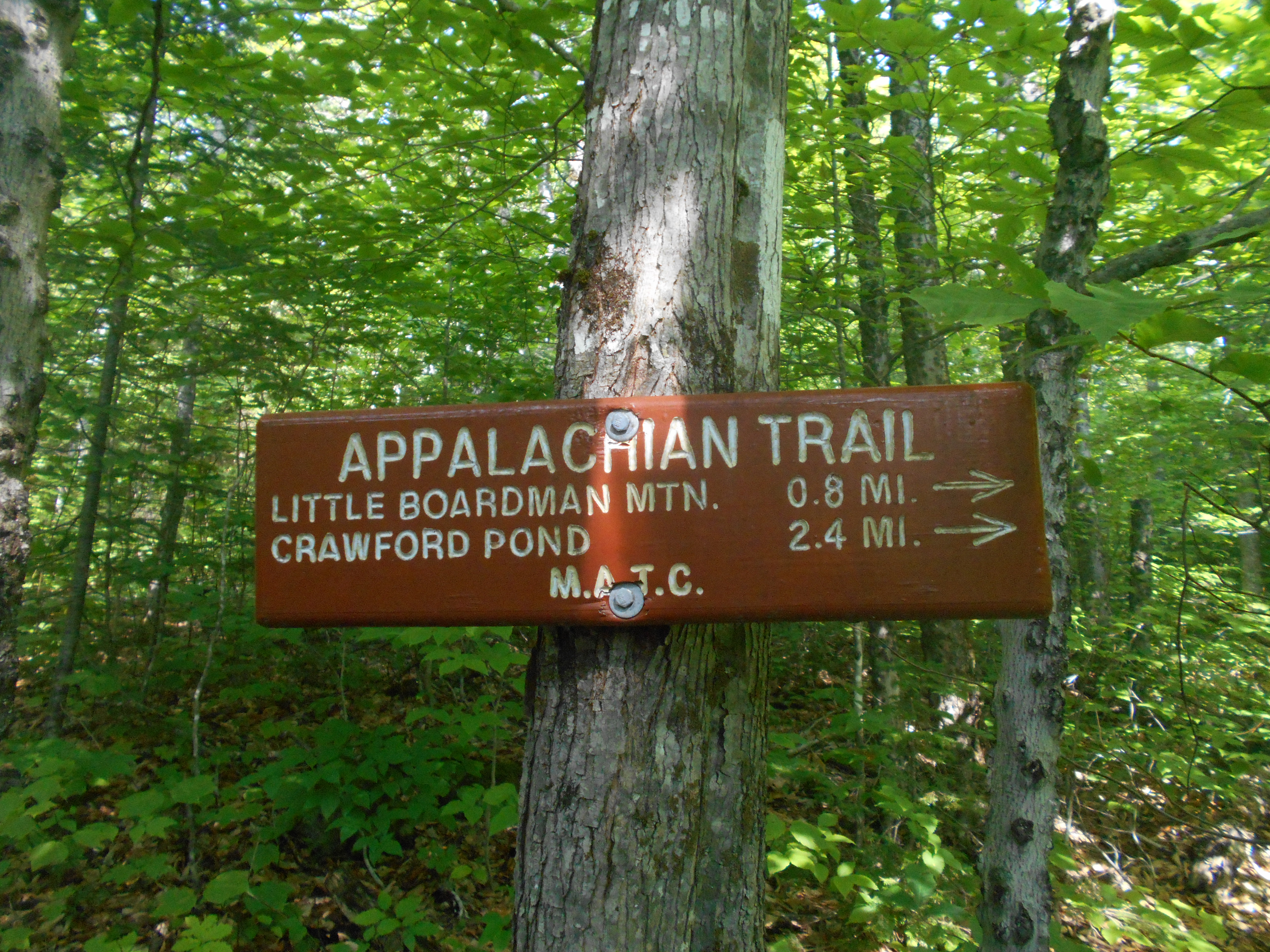
Little Boardman Mountain (2,017')
2017
2126.2
Kokadjo-B Pond Road (1,380')?gravel
1380
2127.1
Crawford Pond (1,240')?outlet, no camping
1240
2129.4
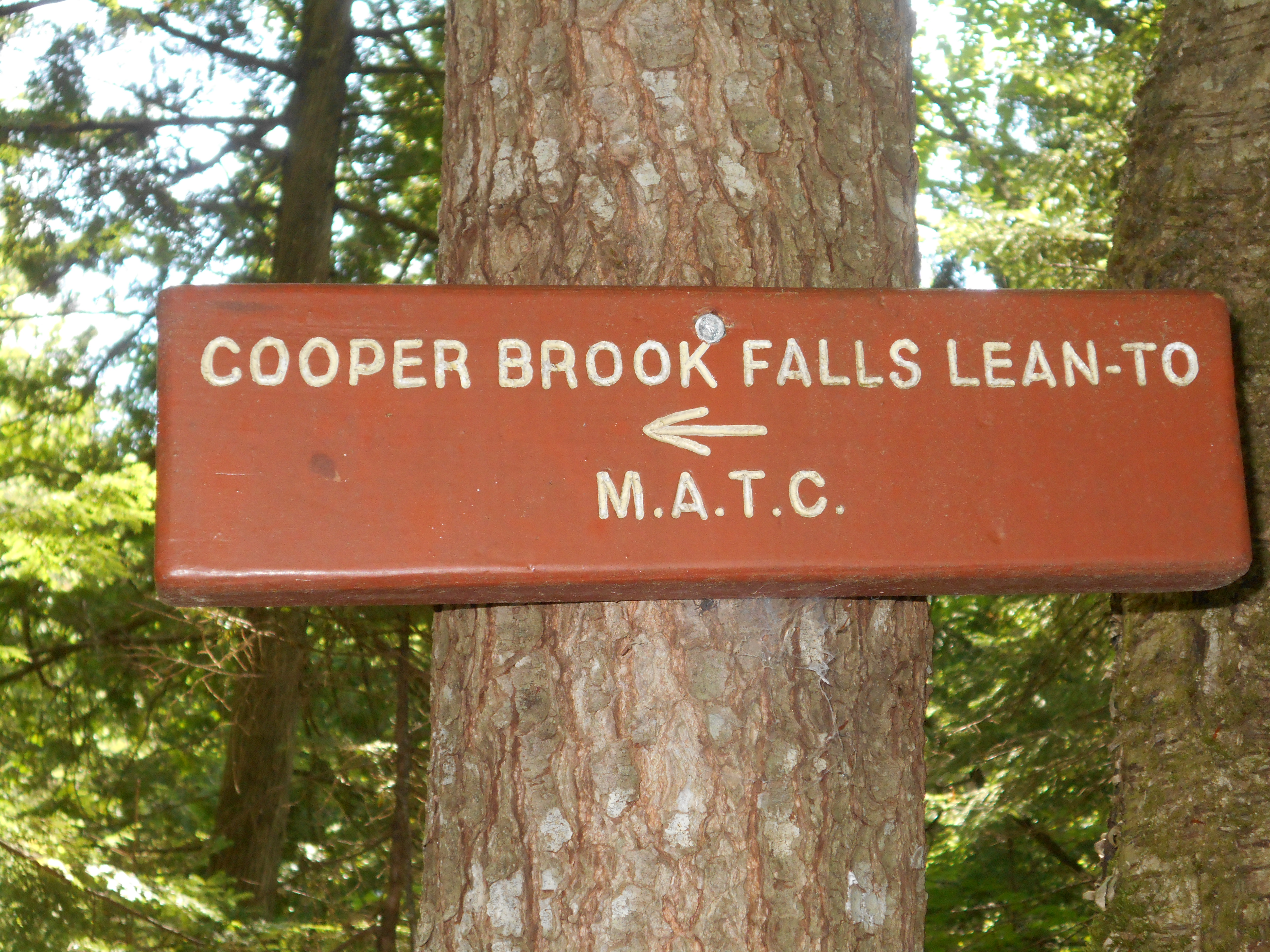
Cooper Brook Falls Lean-to (880') ?8.1mS; 11.4mN
880
2133.1
Jo-Mary Road (625')
625
2134.4
Side Trail to Cooper Pond (600')
600
2135.7
Gravel Logging Road (520')?snowsled bridge
520
2136
Mud Brook, Mud Pond Outlet (508')..bridge
508
2137.3
Antlers Campsite (500')
500
6:00pm
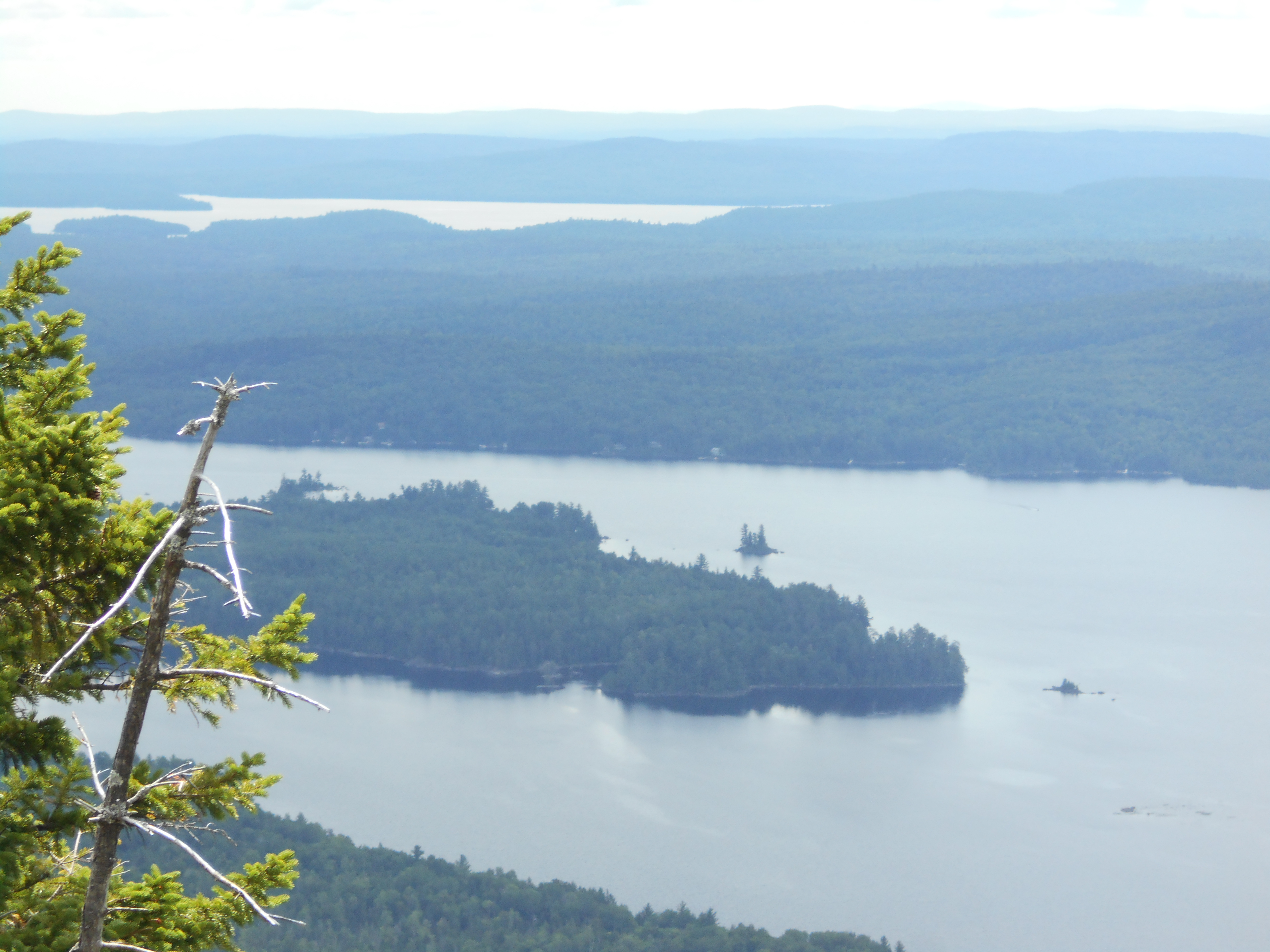
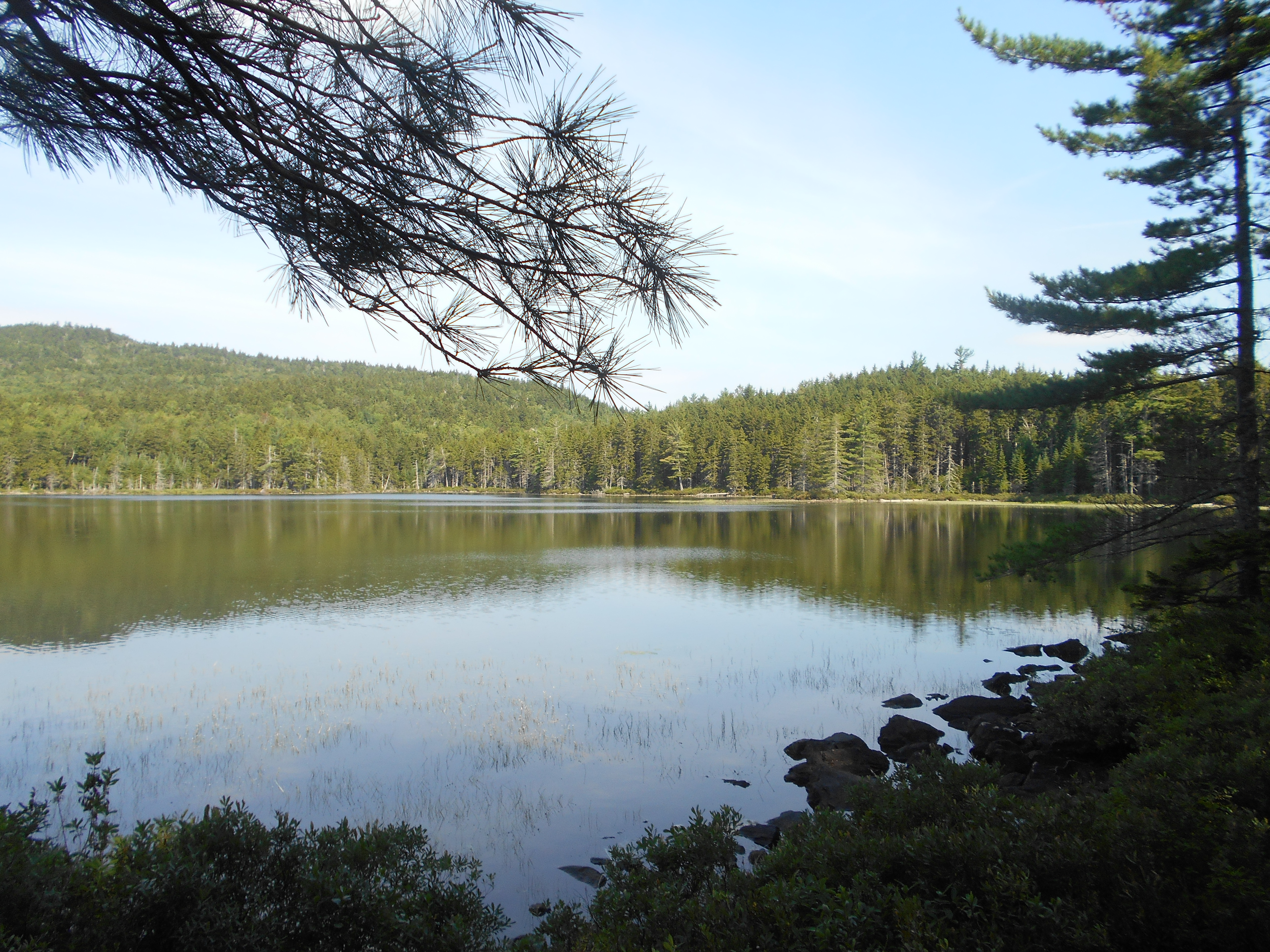
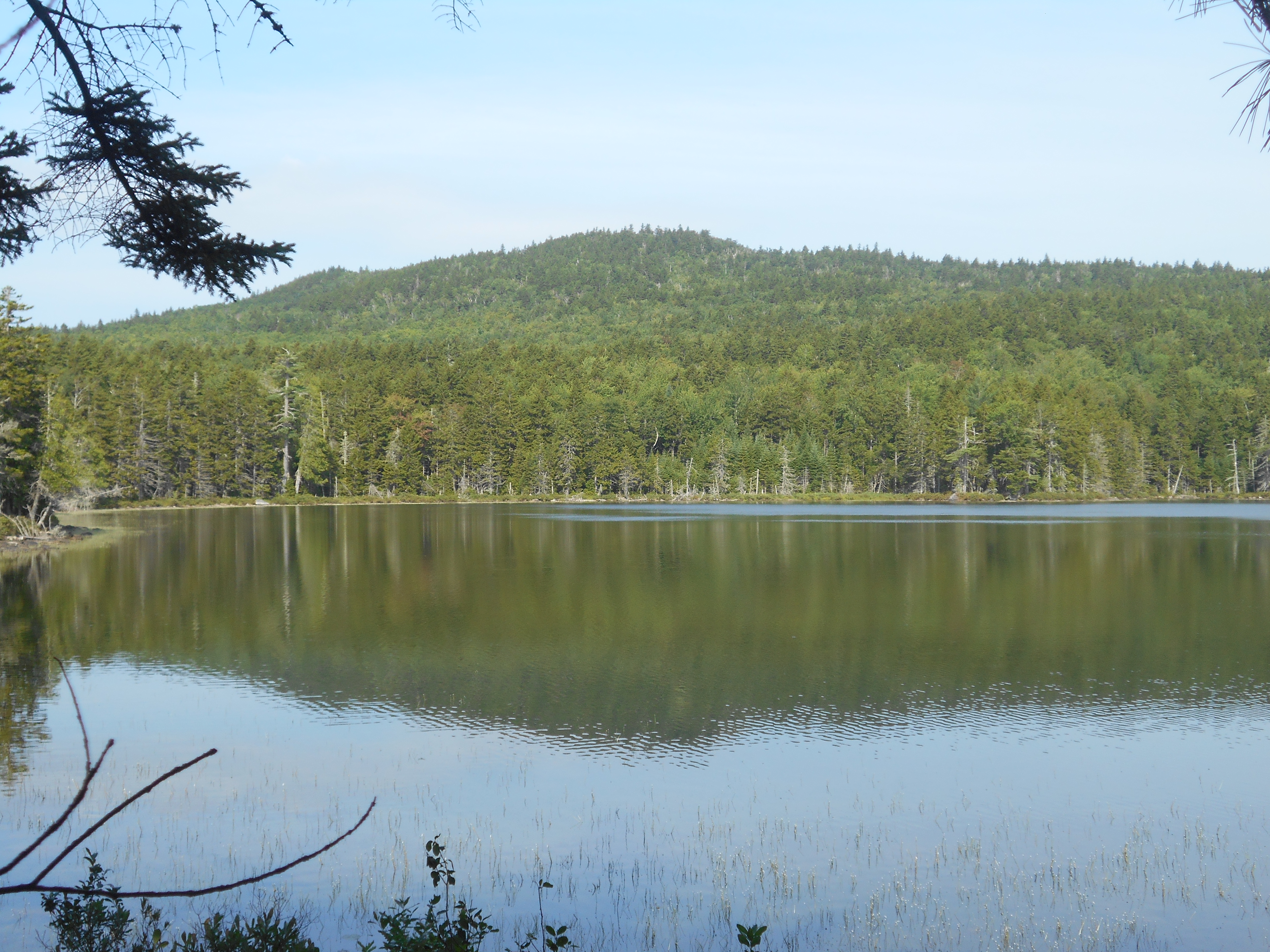
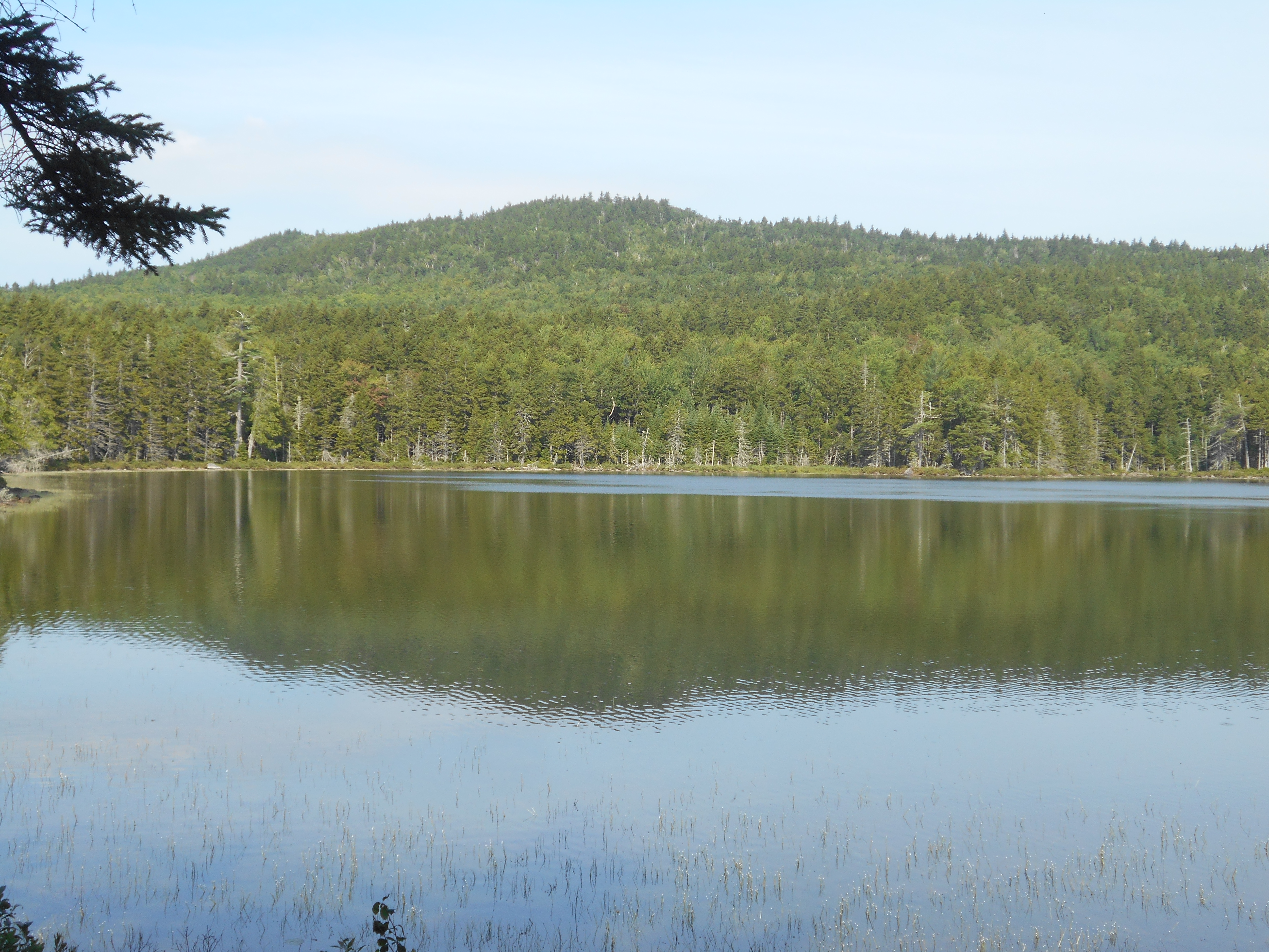
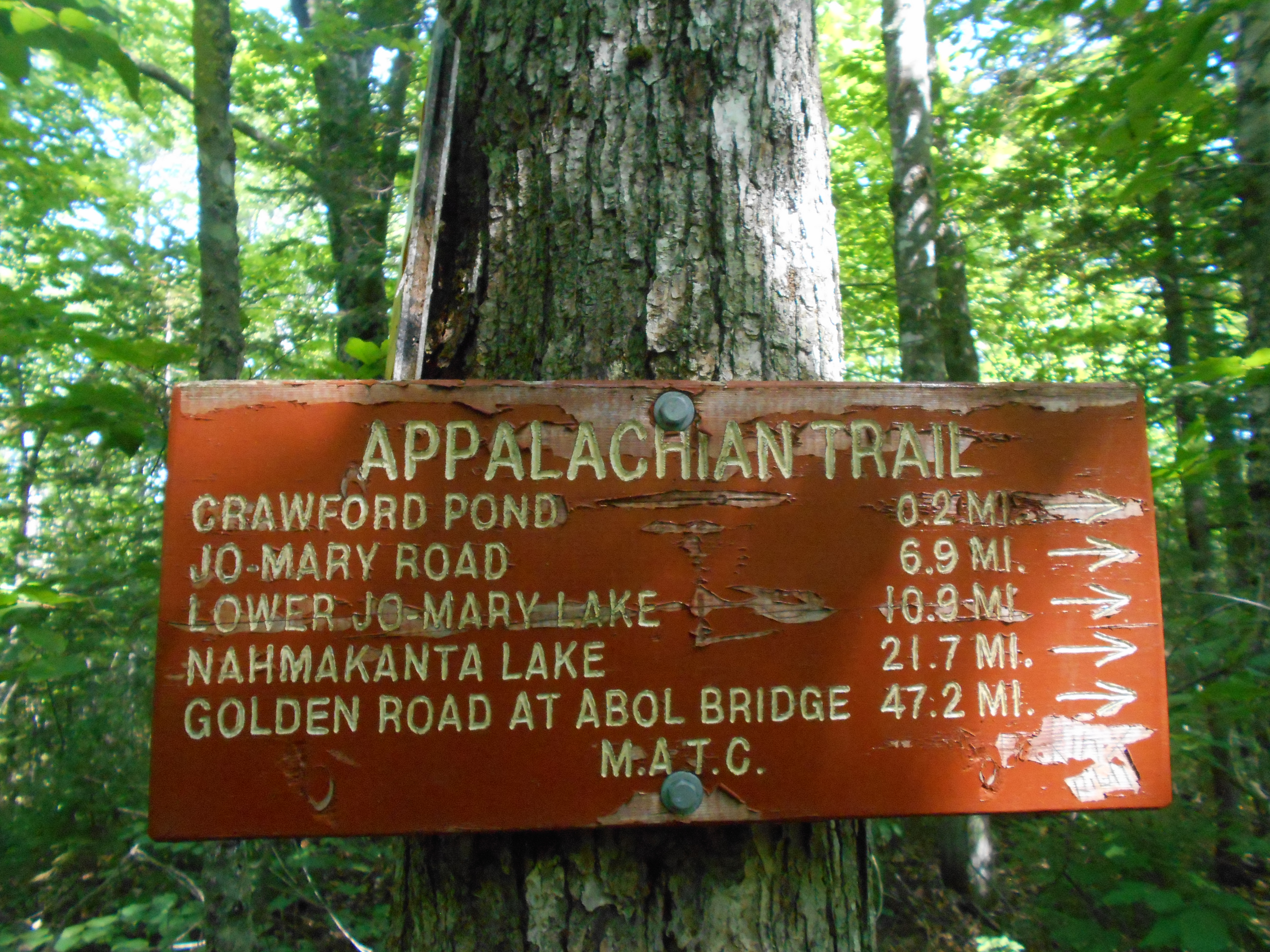
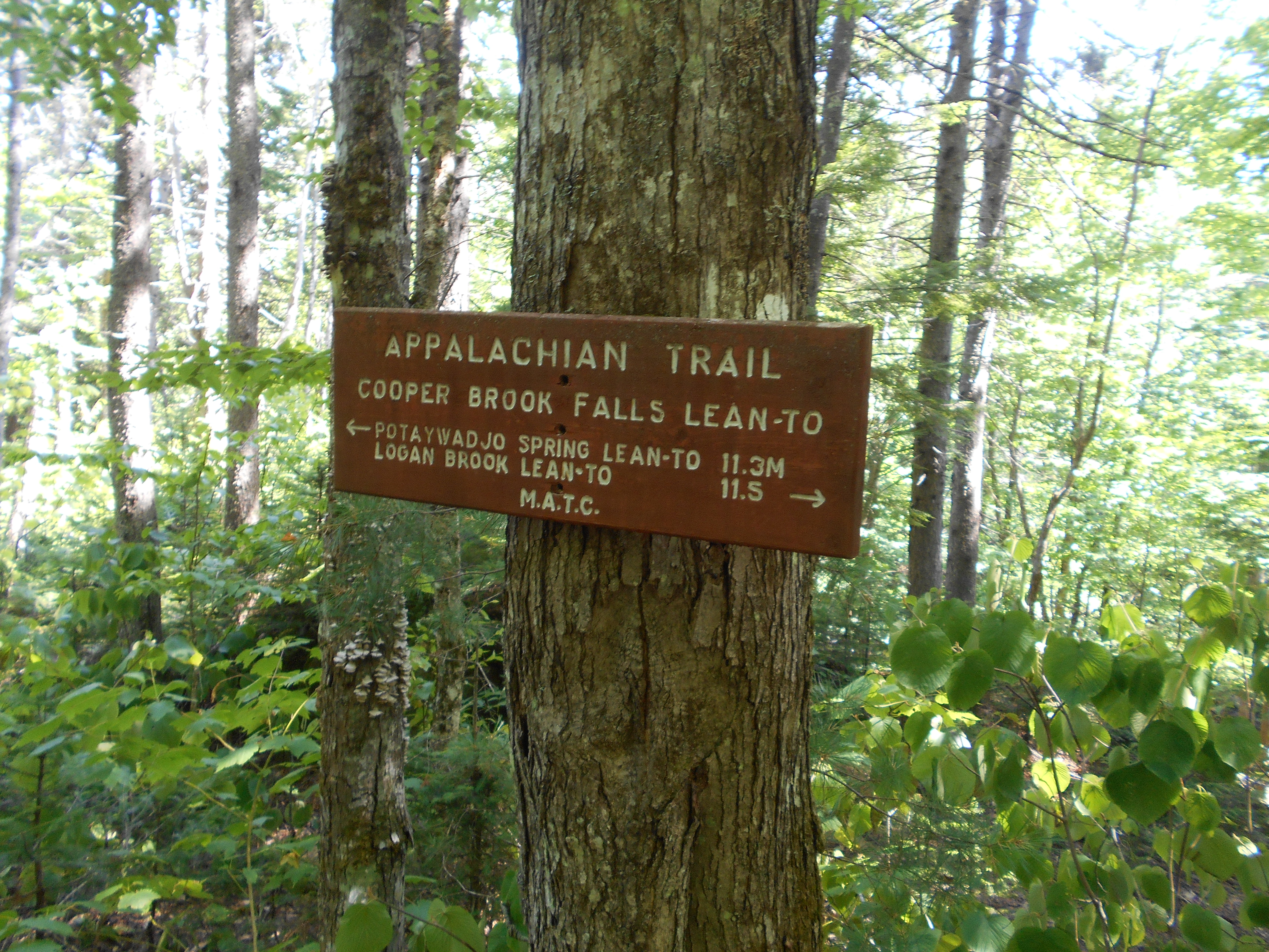
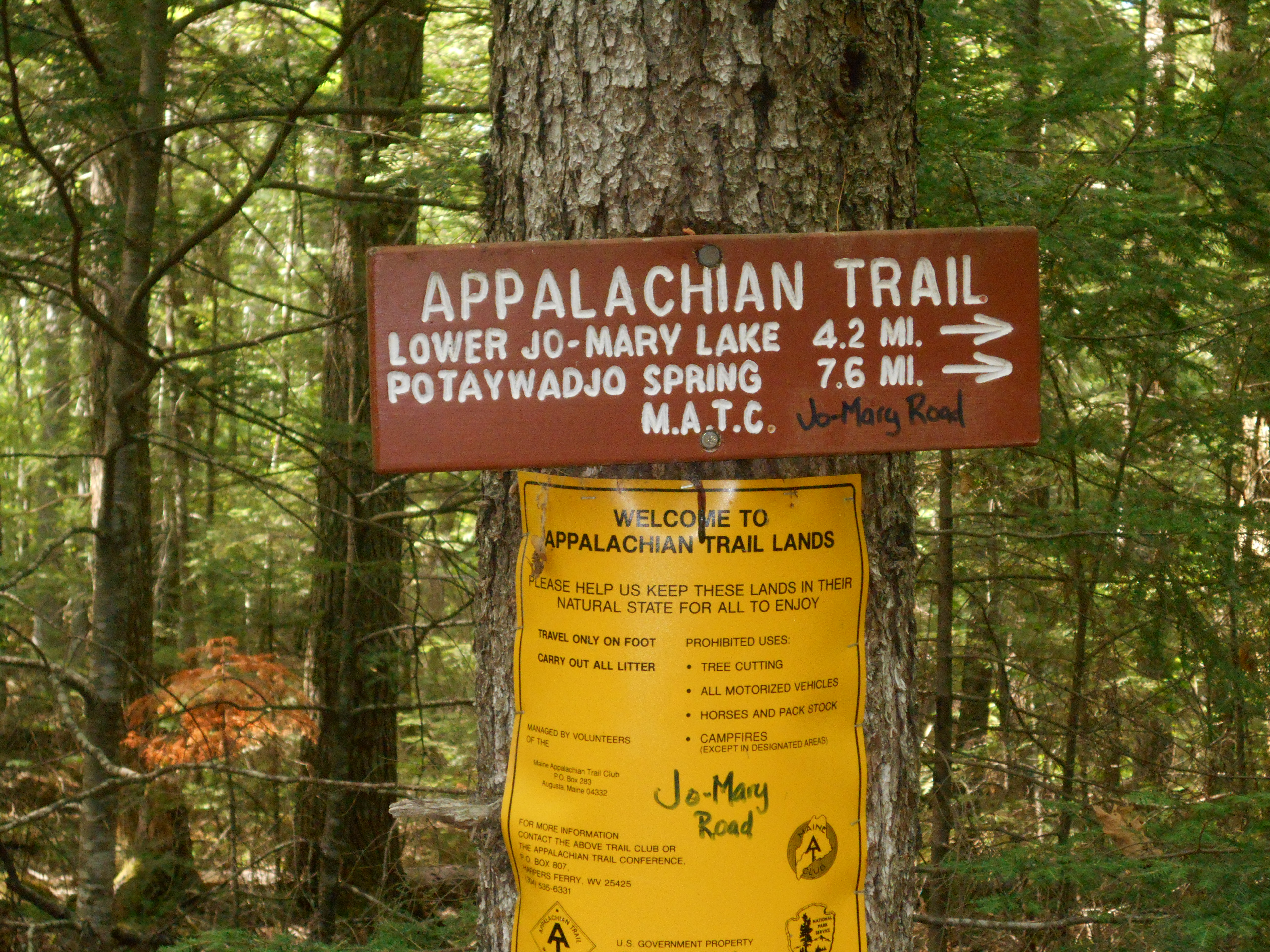
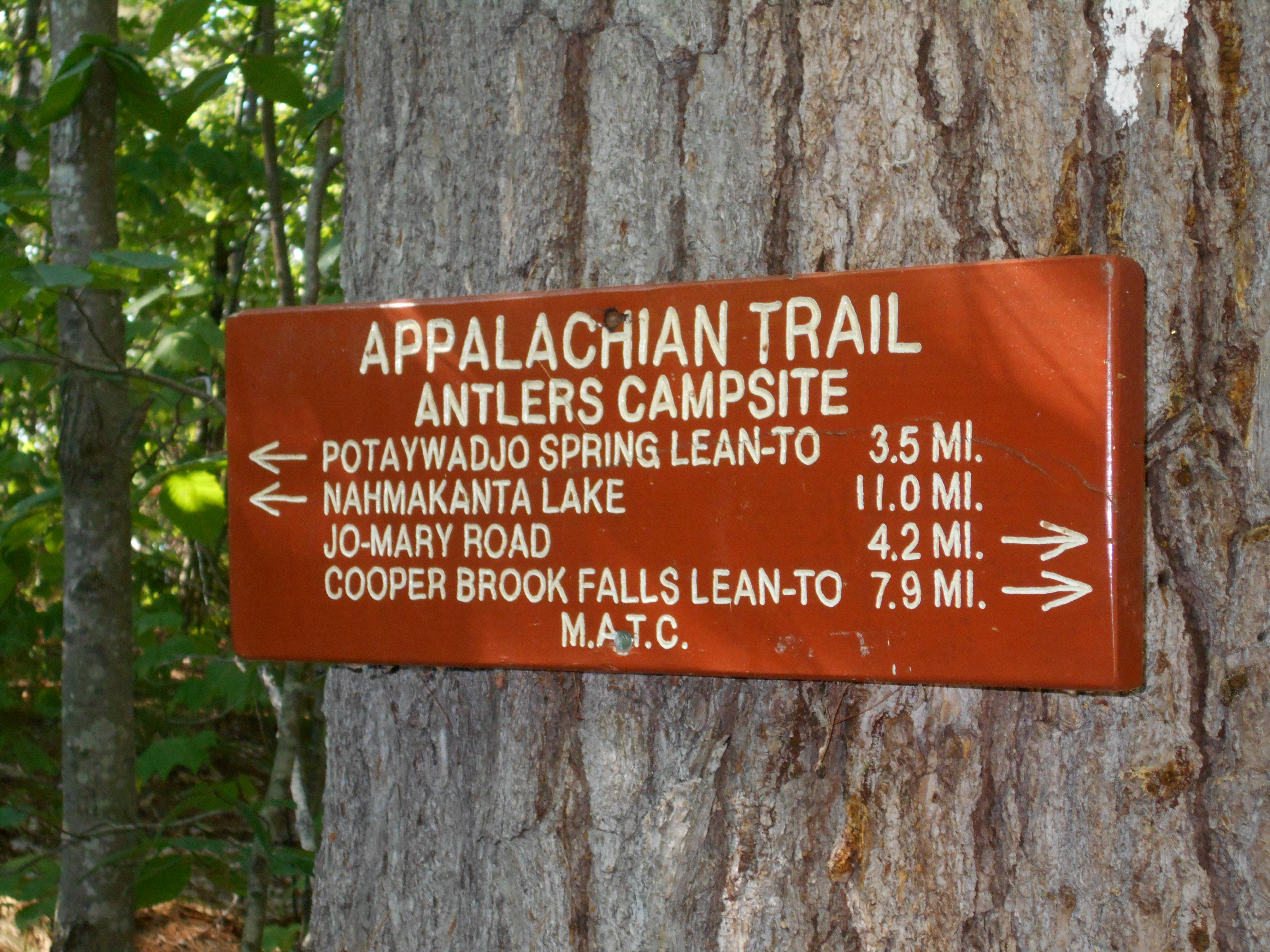
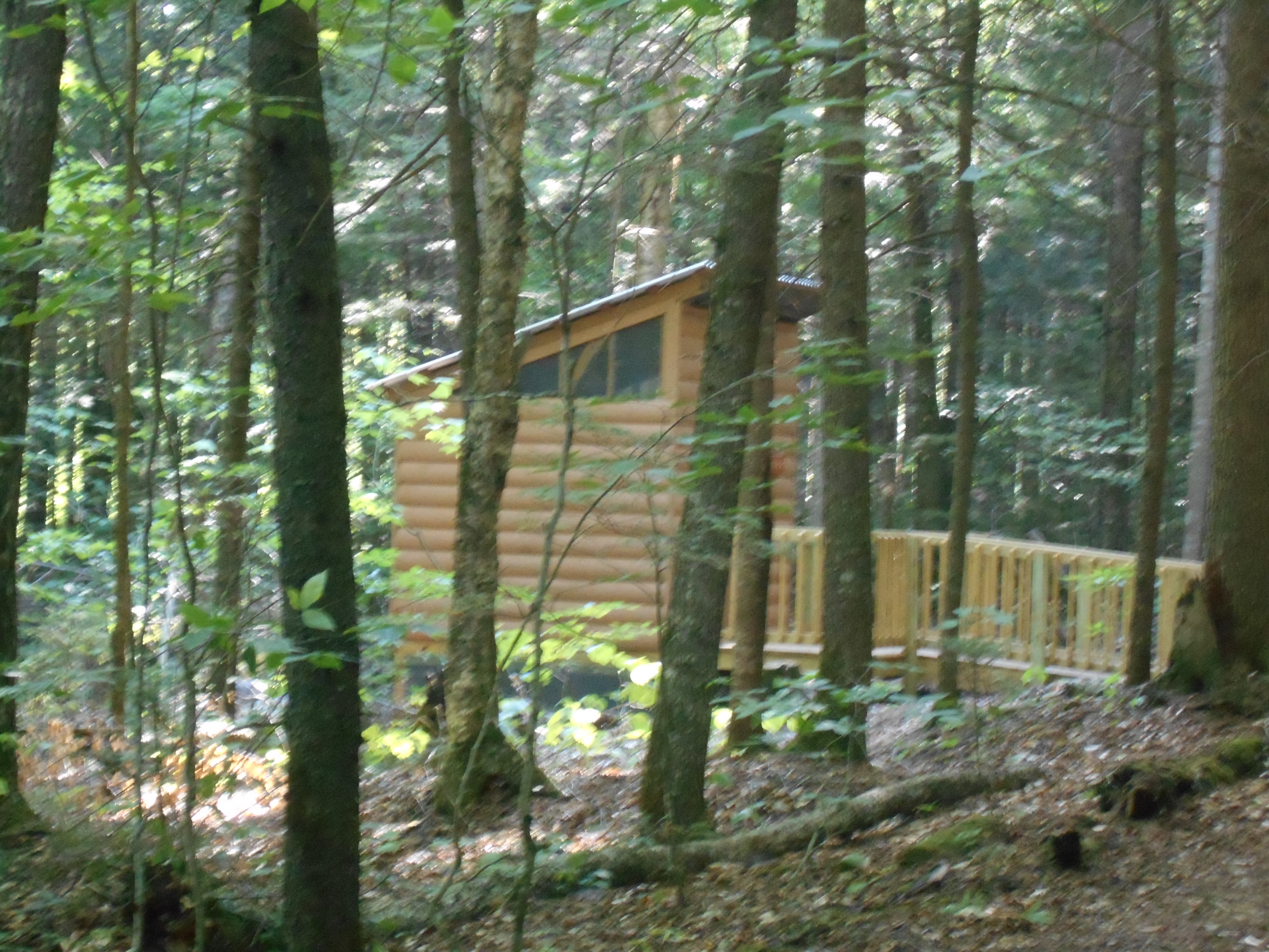
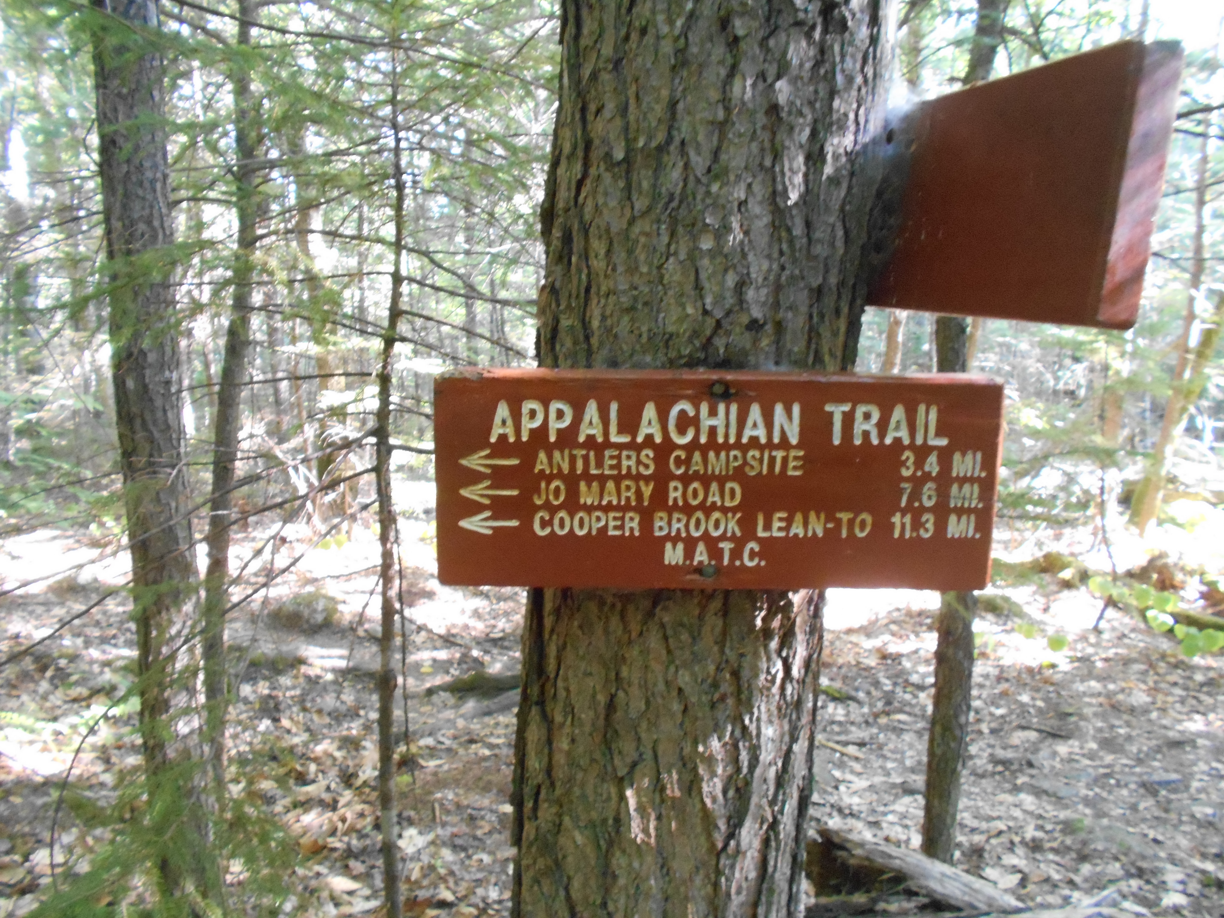
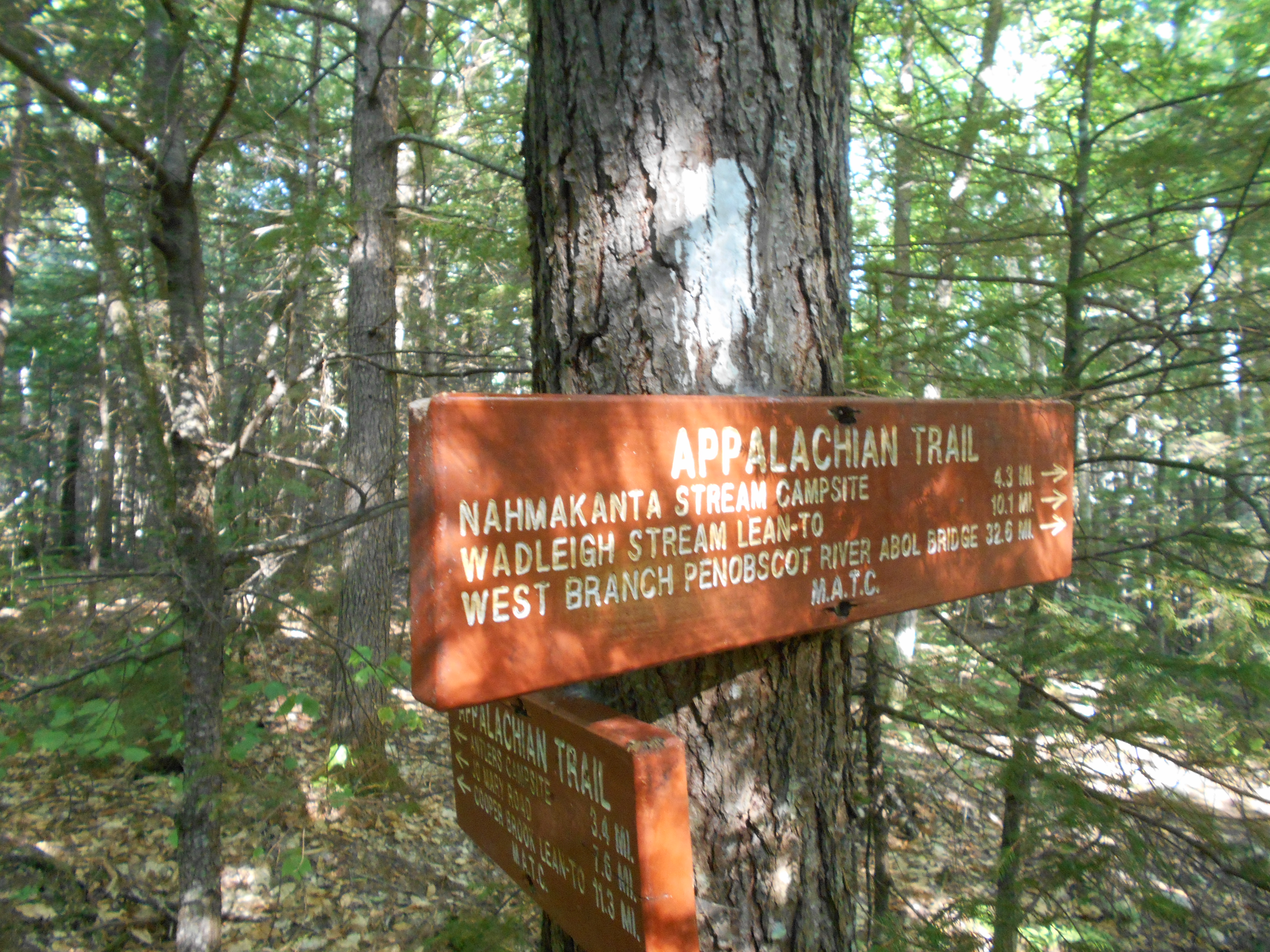
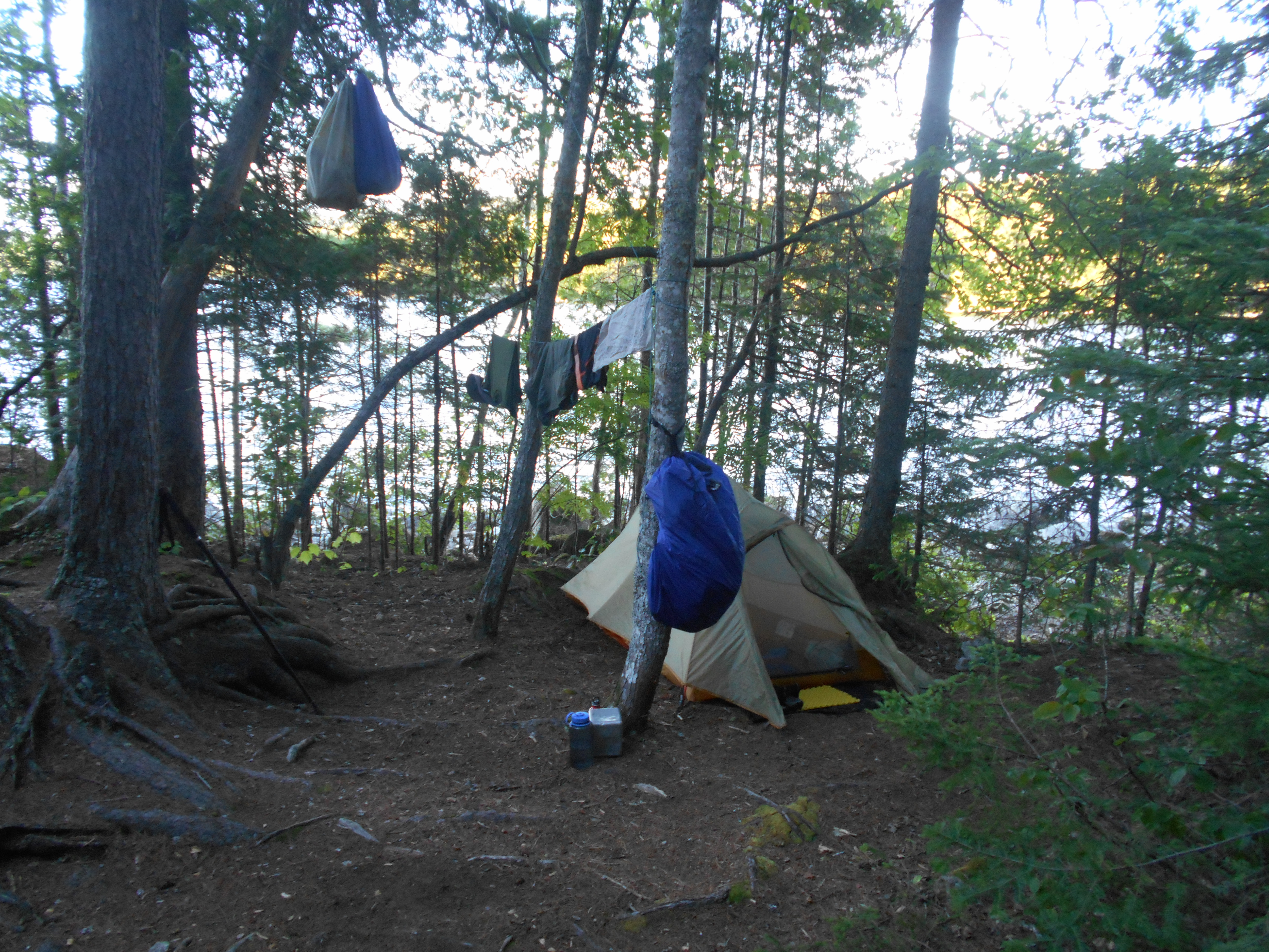
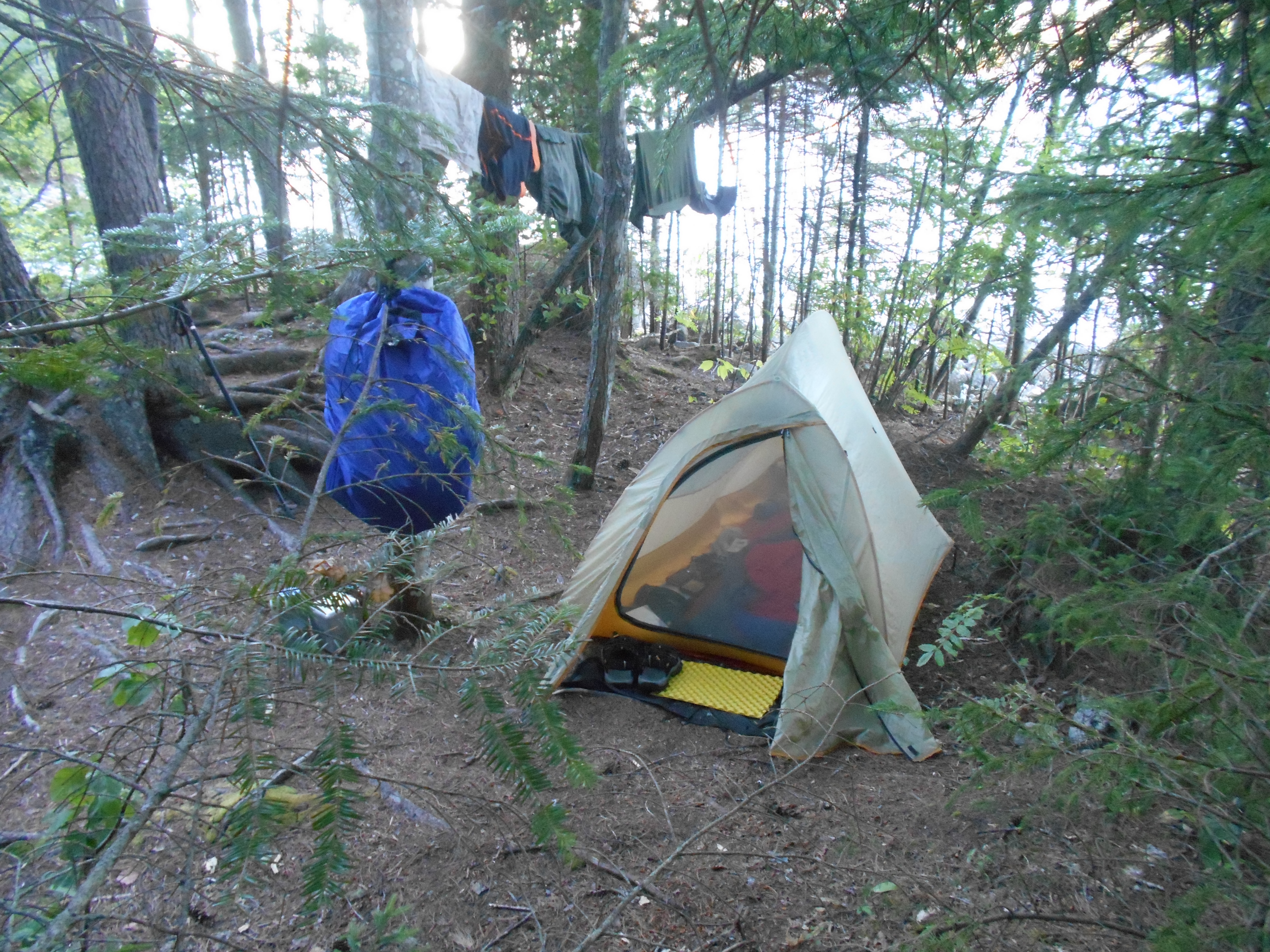
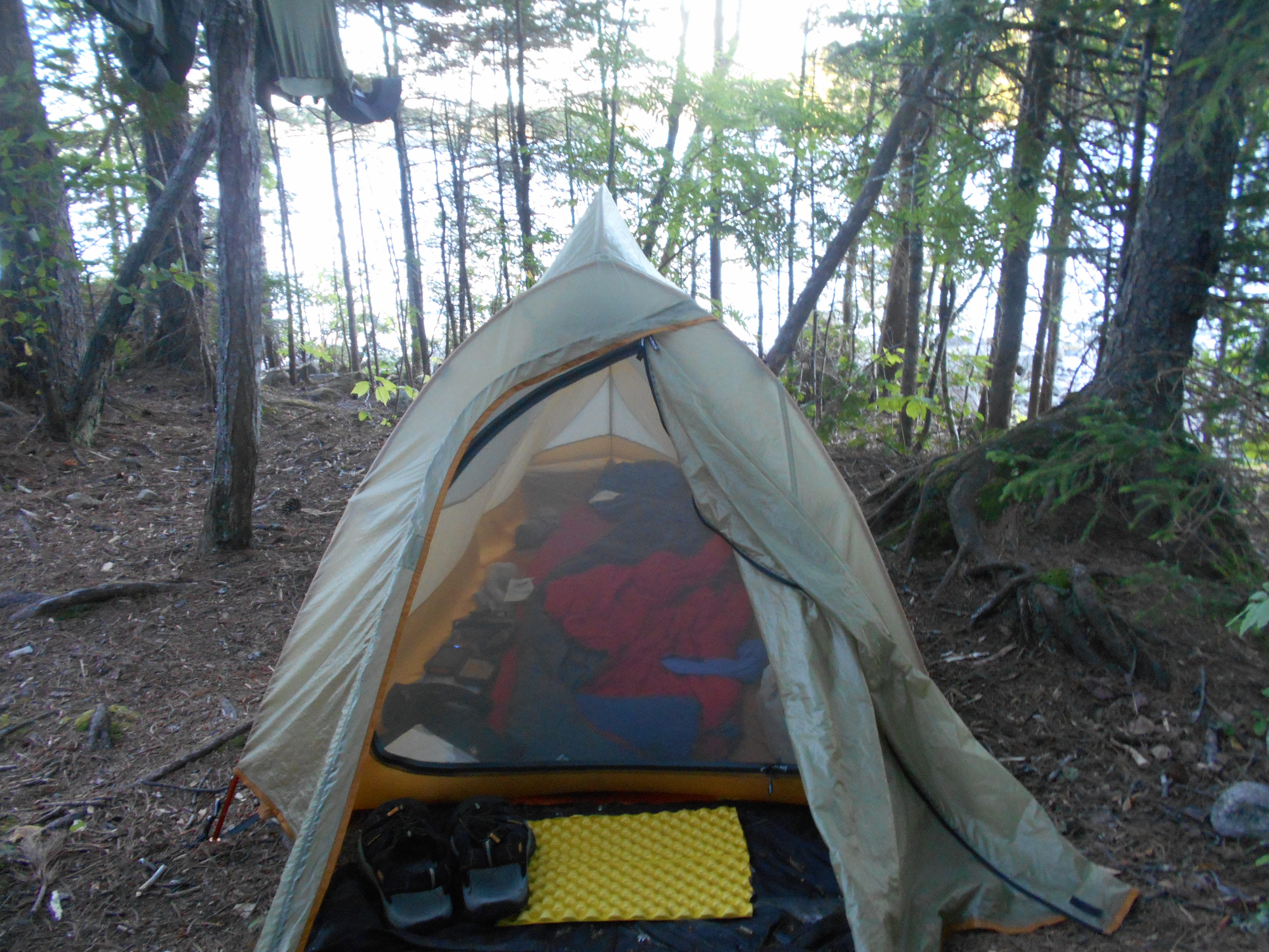
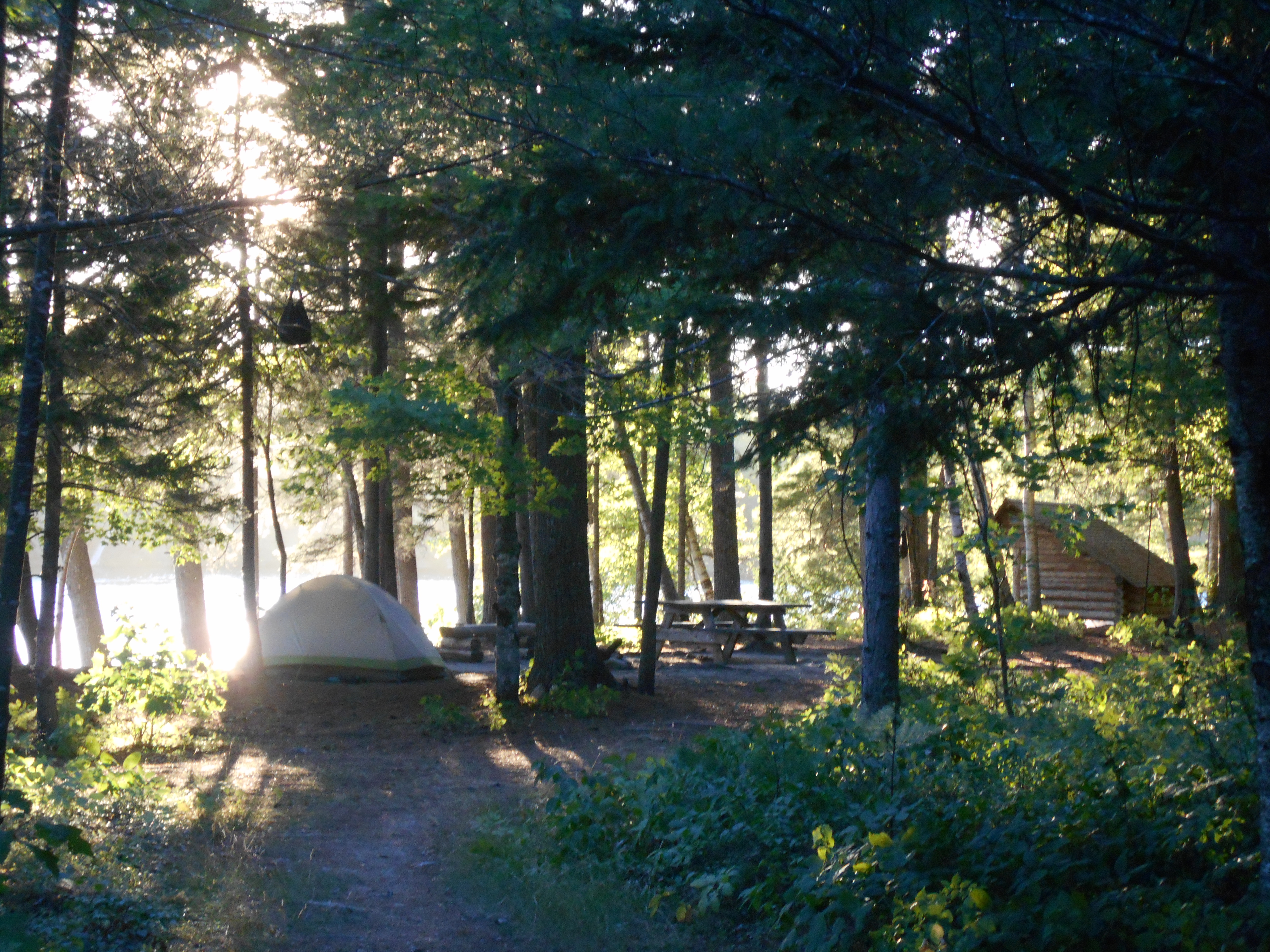
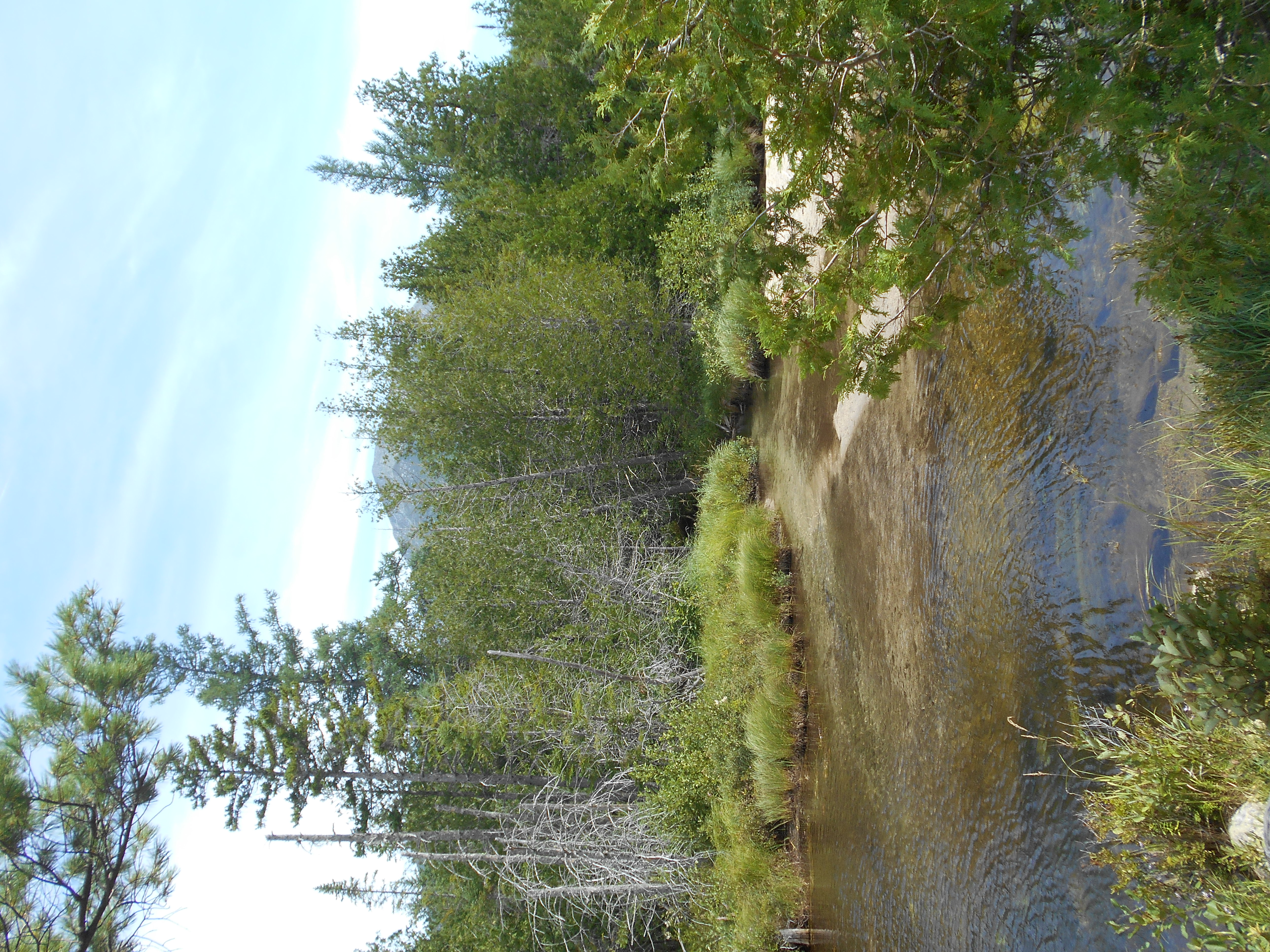
what a day. I think it was my biggest milage of the trip. only one hill, little boardman mnt, and the rest of the day flat, and mostly good trail (with some small sections of roots, rocks and bogs mixed in for variety). after the climb and decent I took a swim at crawford pond, with its sand beach. also washed and dried hiking cloths and dried my tent...the sun was so strong it took no time at all. did find a tick on me, but it wasnt attached. also, when I went to put on my socks, I did find a small leech on my foot...it wasnt attached yet, but it proves that maine lakes do have them. then it was on to the cooper brooks falls lean-to for a second break, nice falls and "bath tub" right in front of the shelter, I resisted the urge to jump in. Hiked on to here. on my way I passed "last minute", a nobo I met during my last break who left befor me. that is the first time I passed a thru hiker (although he is heading to the shelter beyond the campsite tonight). got here with only a group of girls (probably a camp) here. was able to get the premo site on the peninsula so I am surounded by Lower Mary-Jo lake on three sides. what people said about the site is right....one of the most beutiful on the AT. Took a second swim, just a short one....no leeches. dinner was pretty lame....2 packs of ramman noodles. Have just enough food to make it out of the "wilderness". oh yah my "this is wilderness?" moment of last night.....I heard large trucks all night (logging, mining or construction most likely).
8:15pm
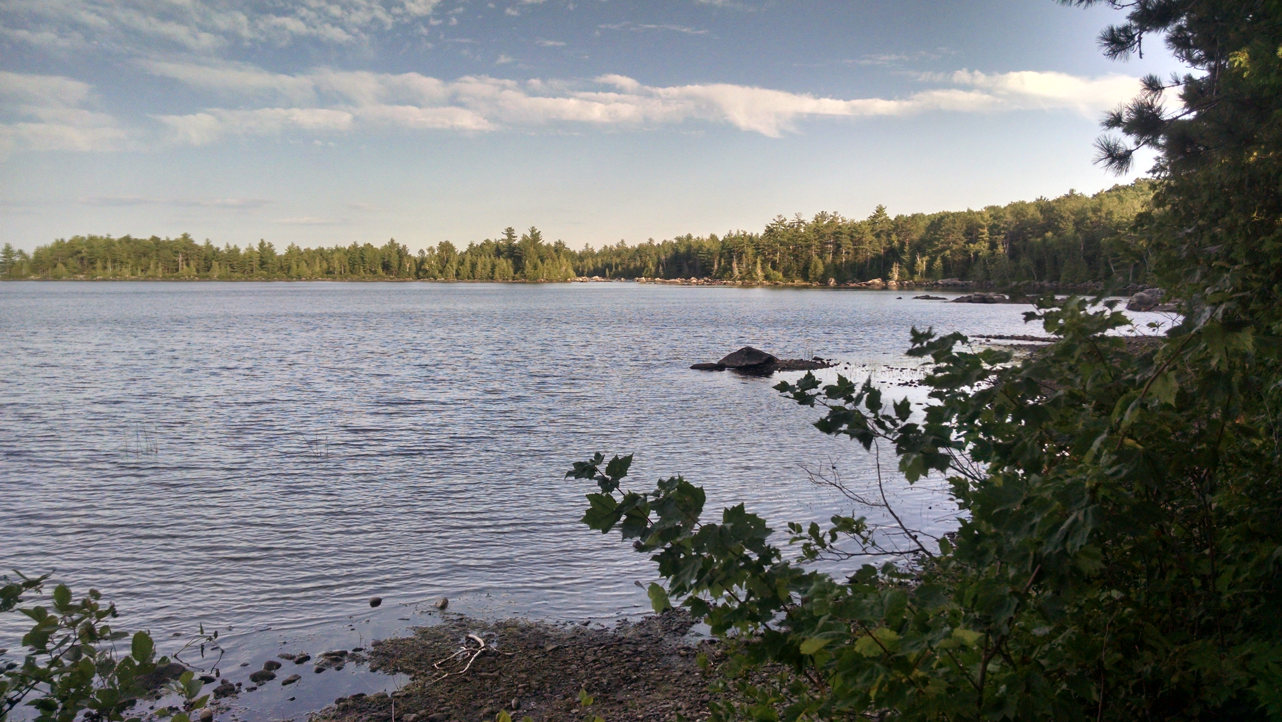
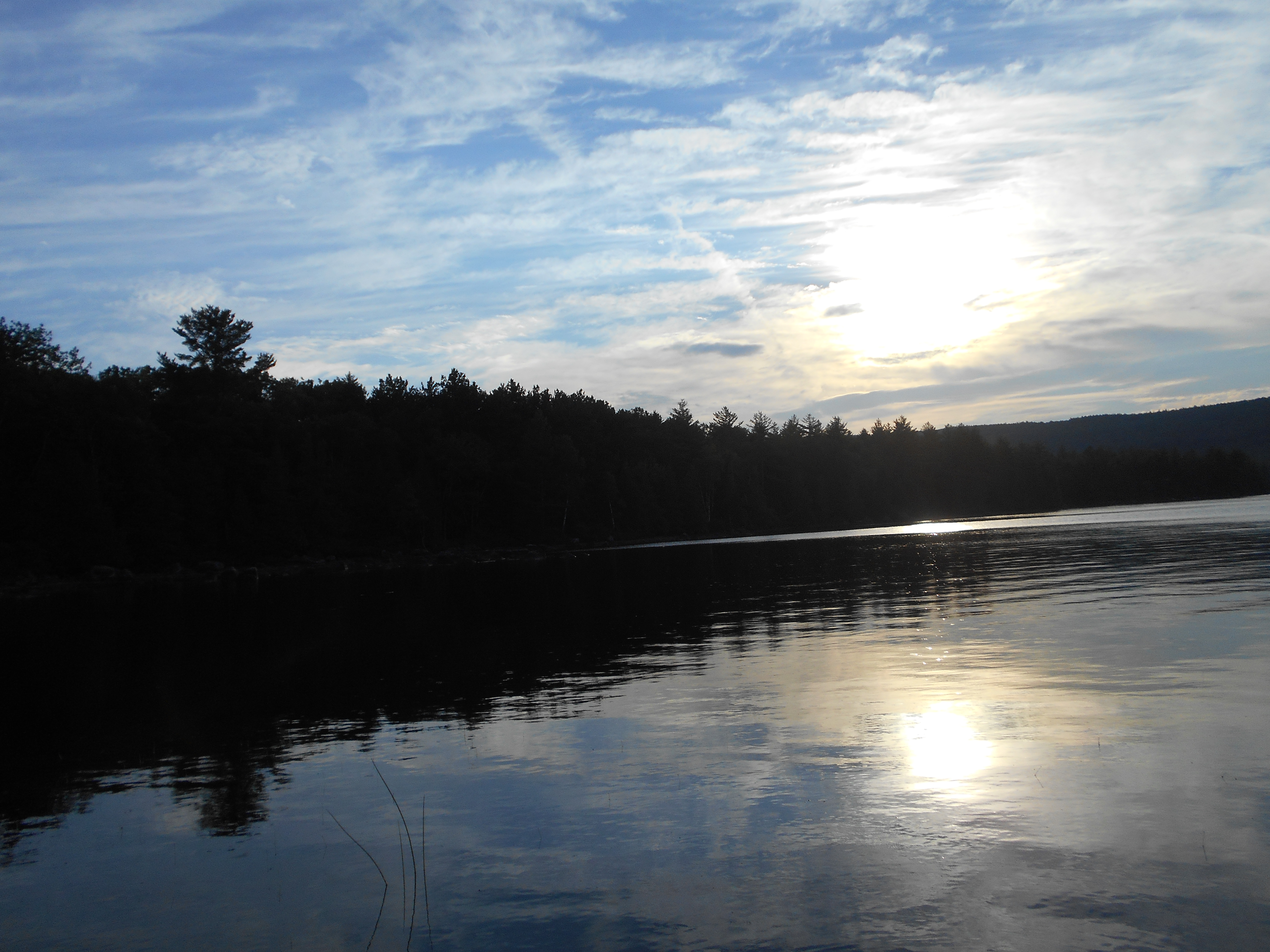
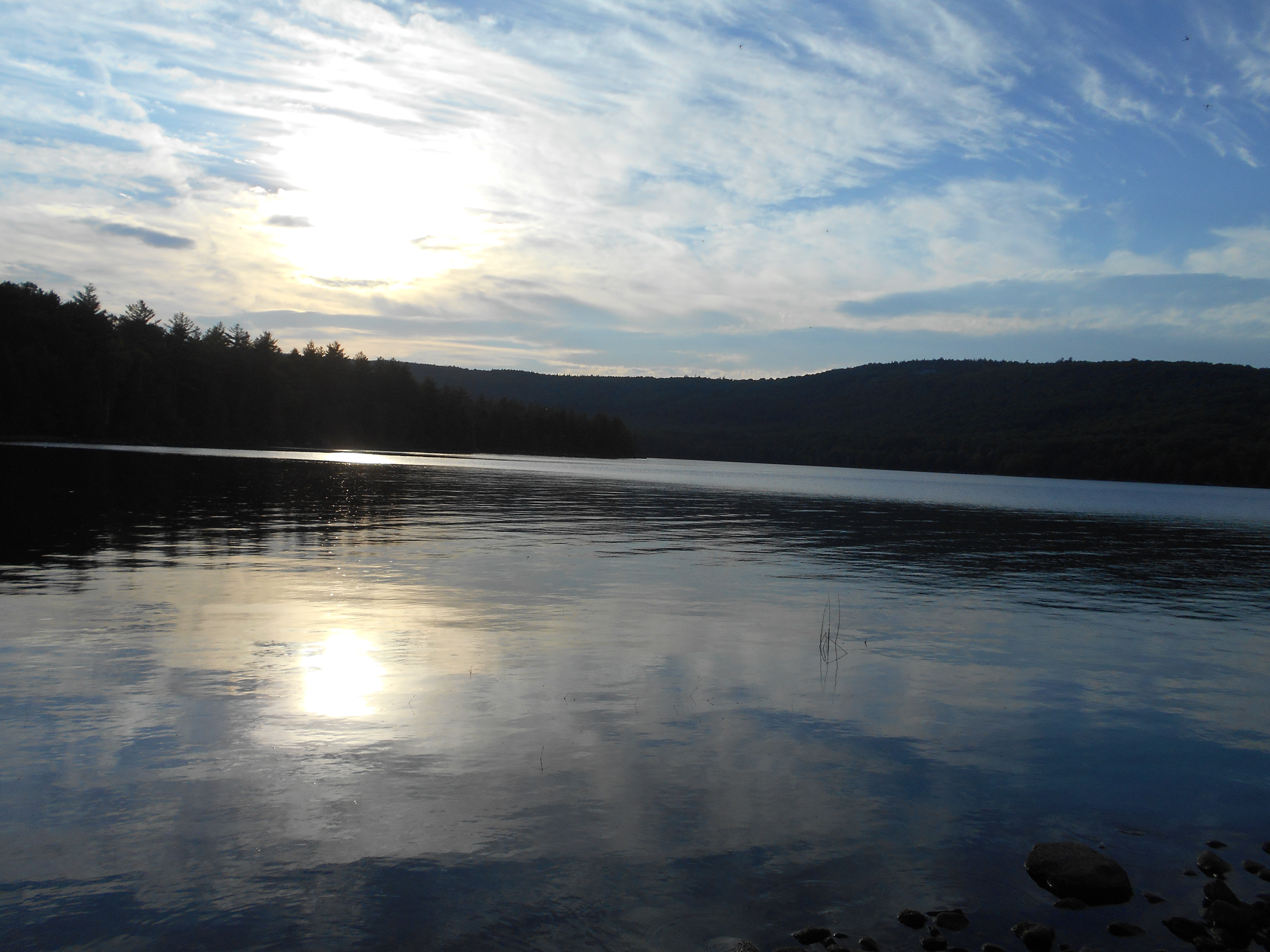
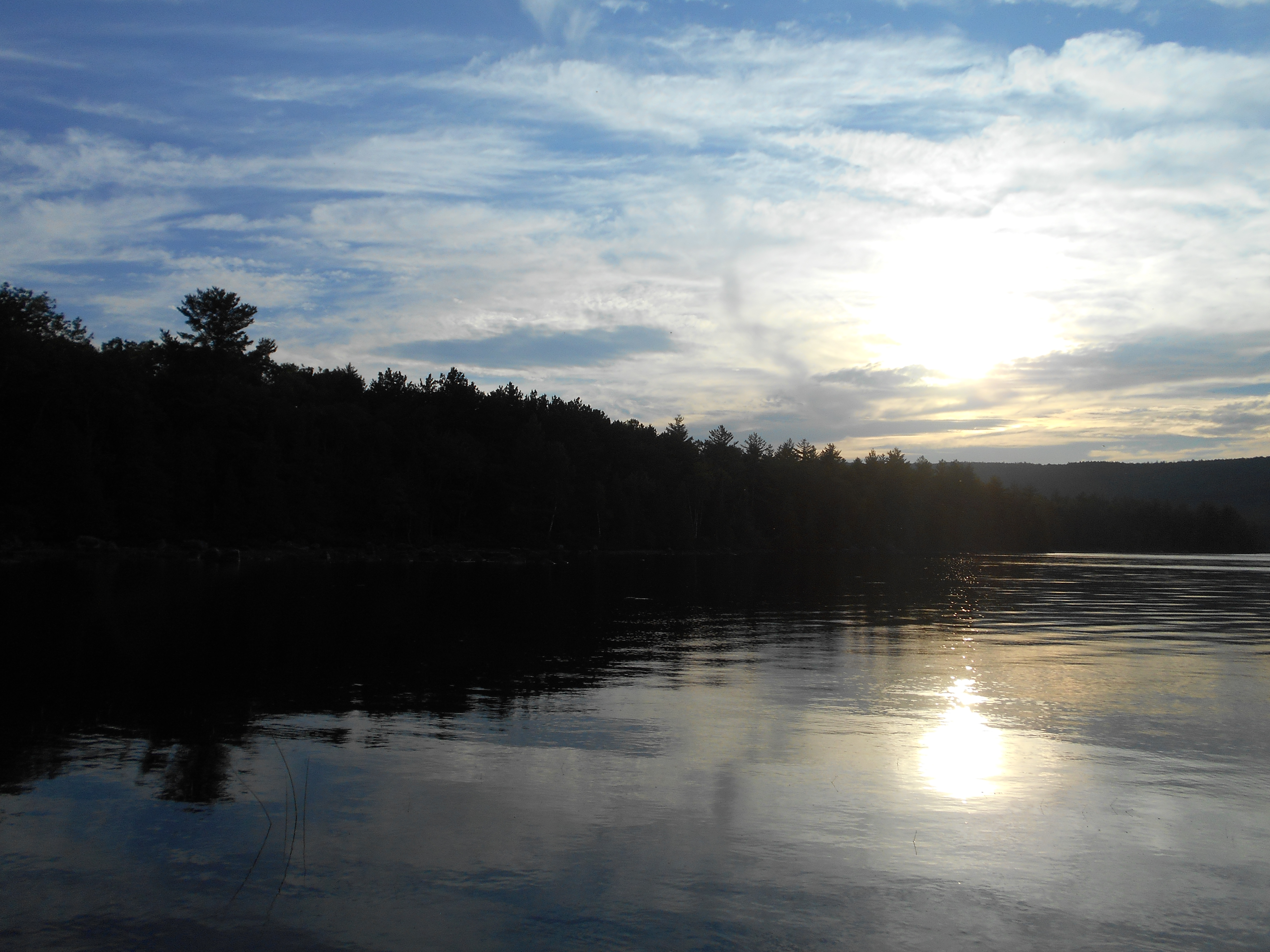
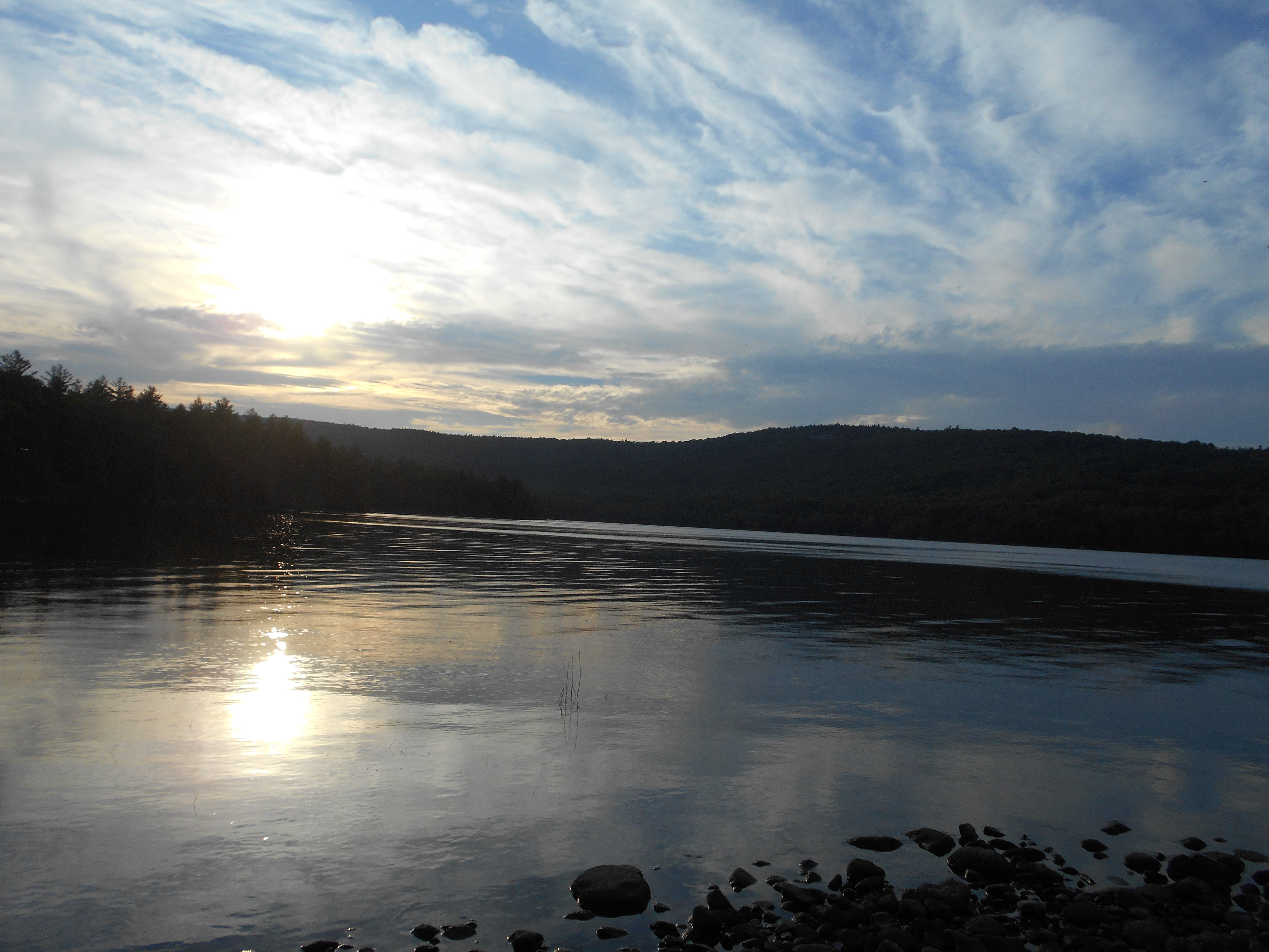
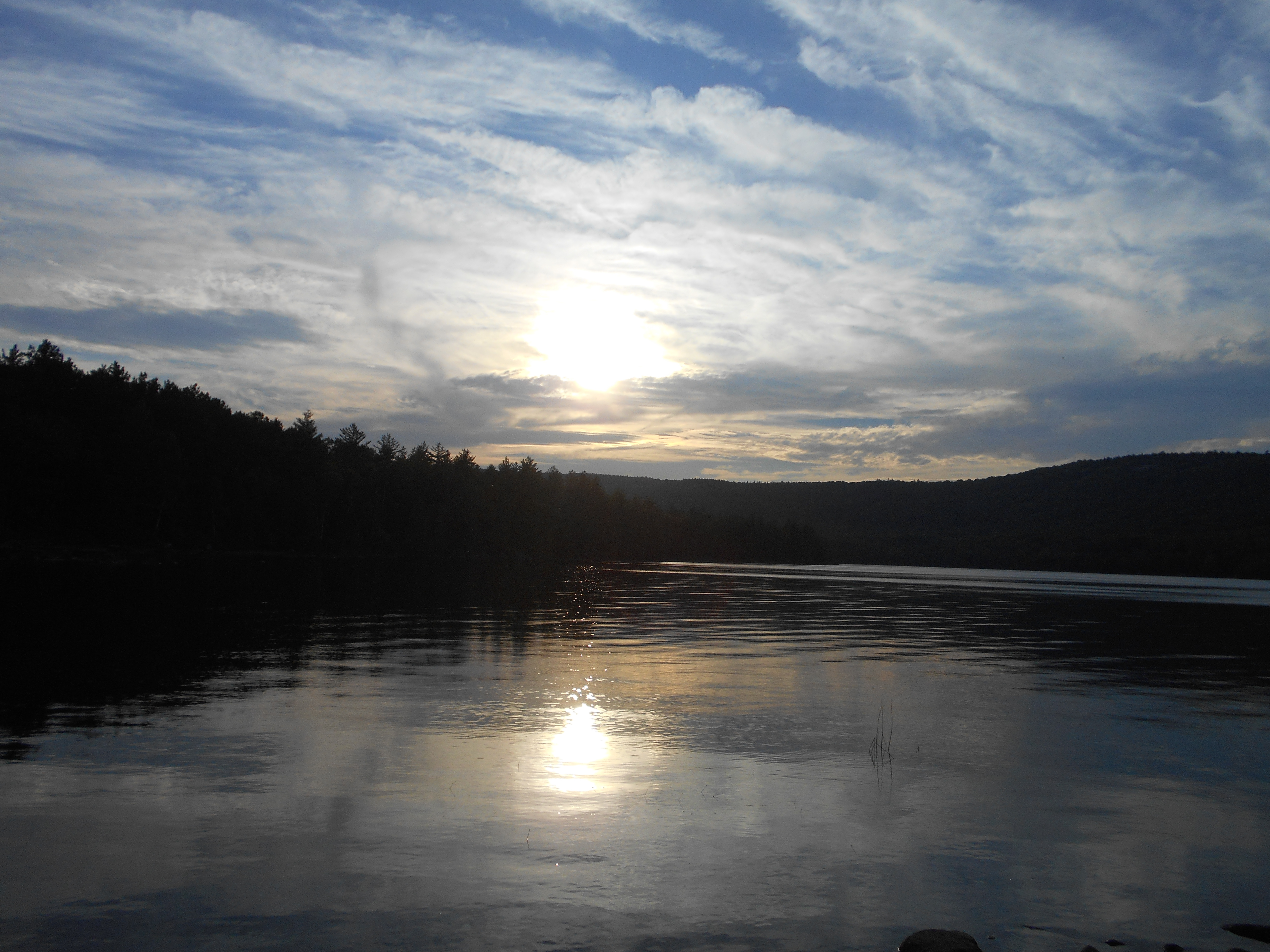
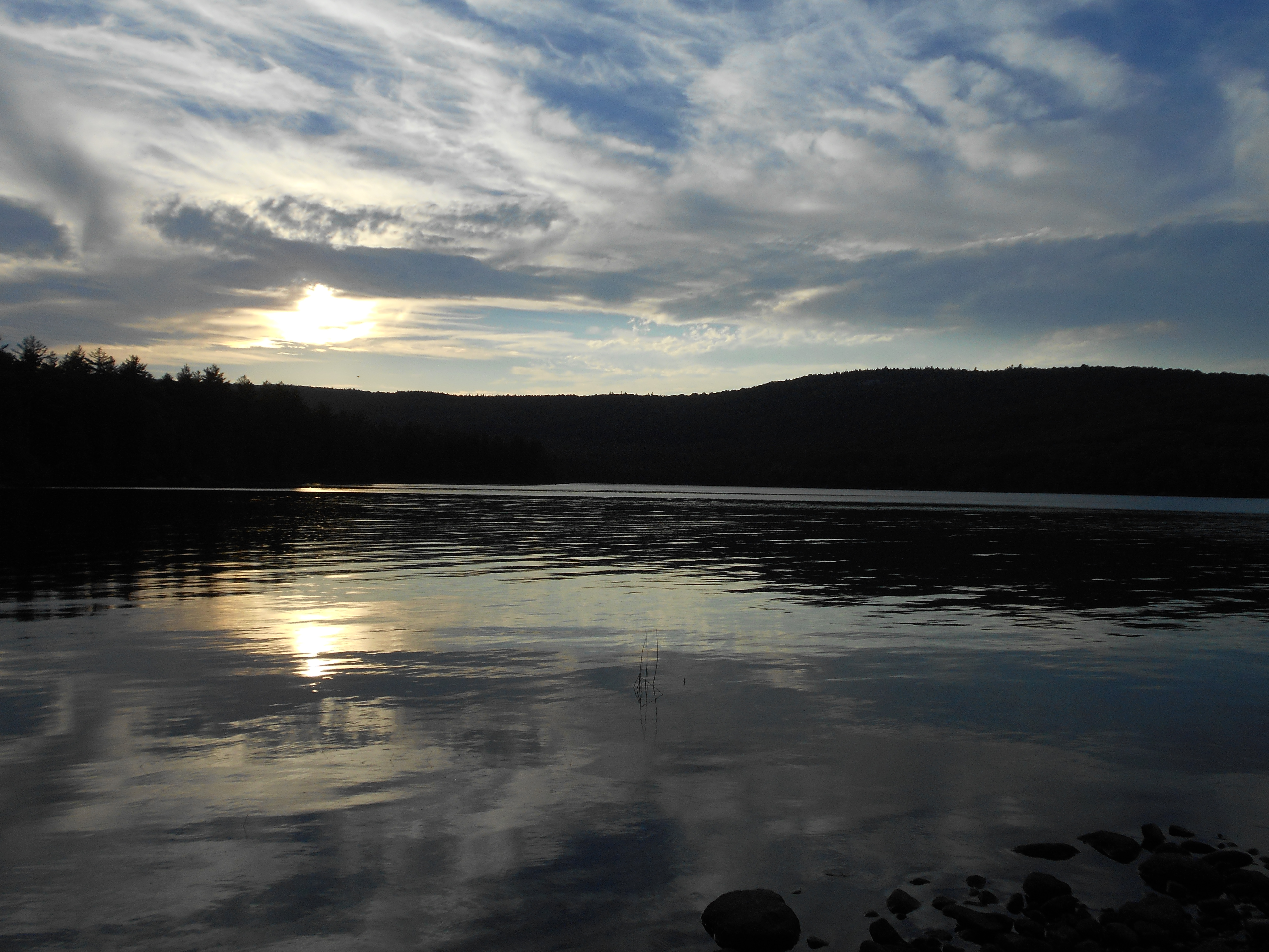
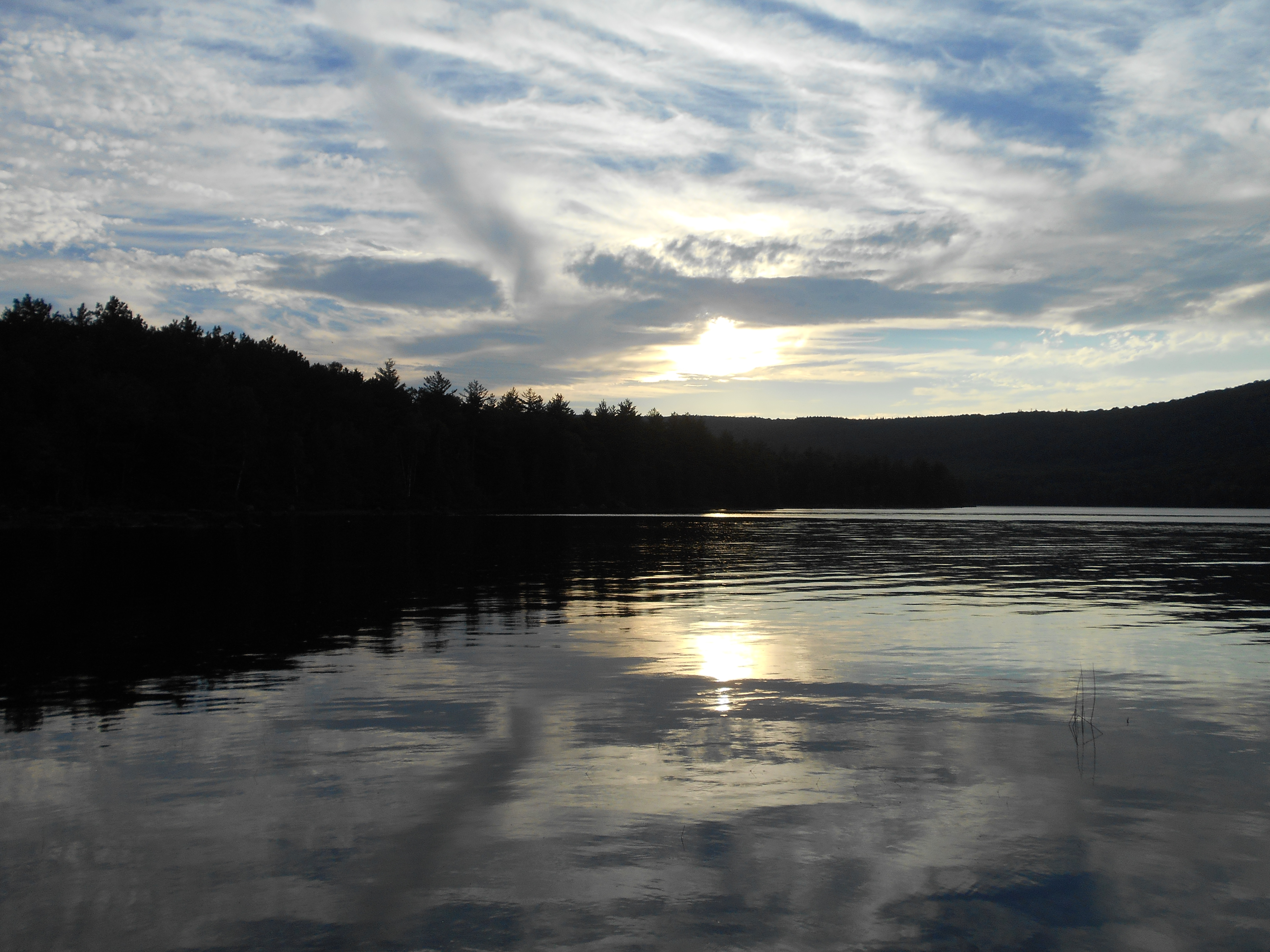
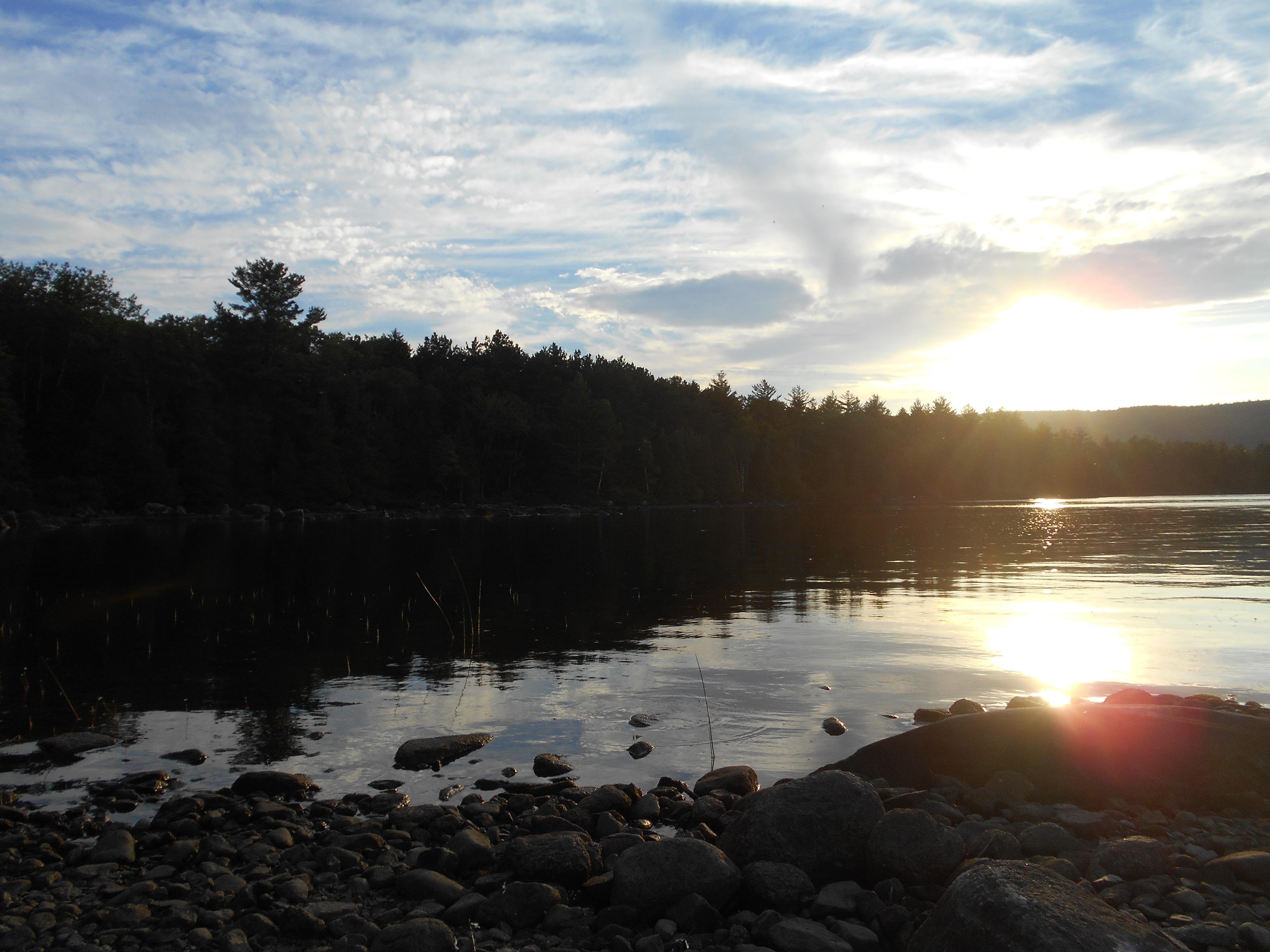
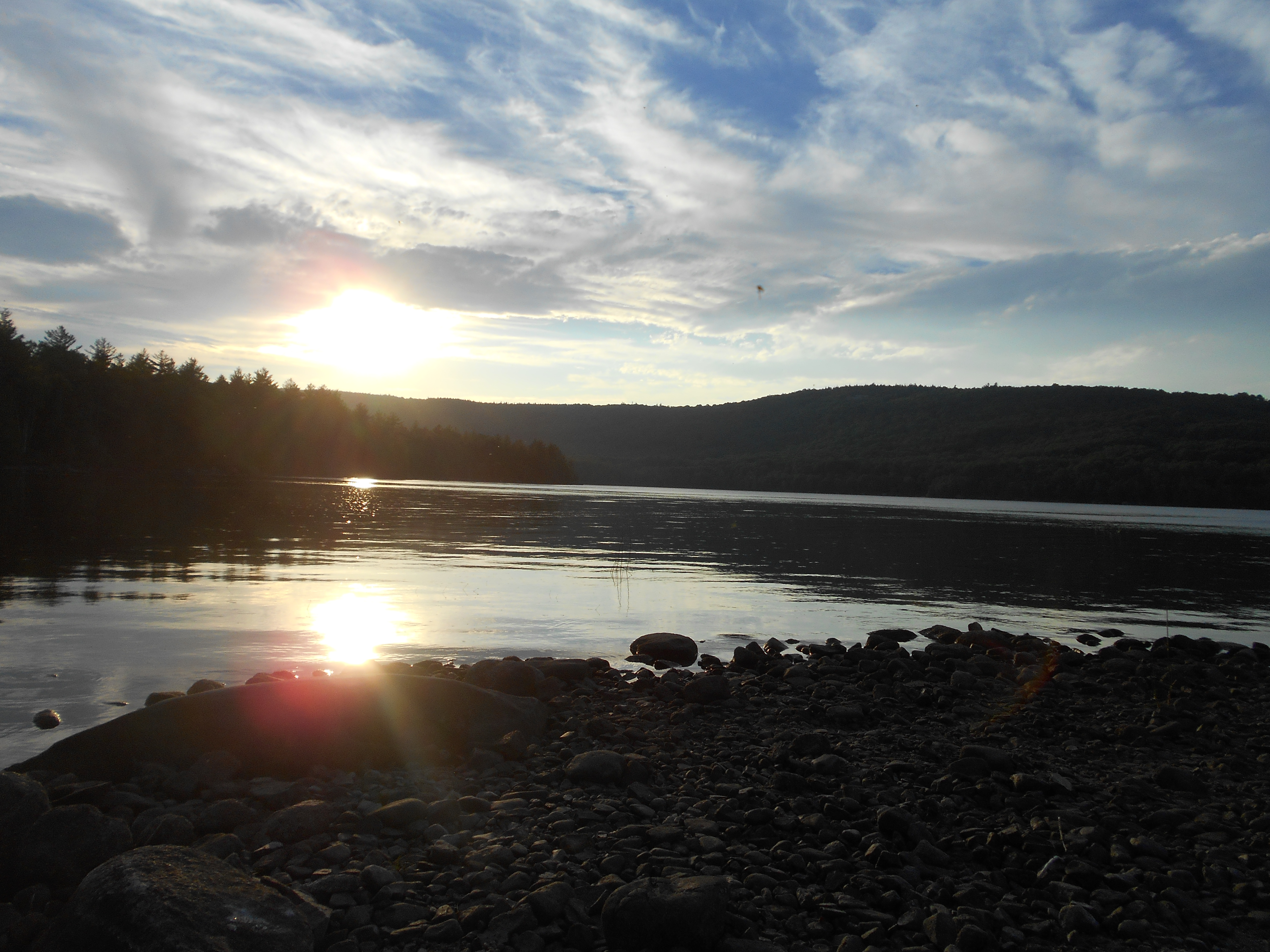
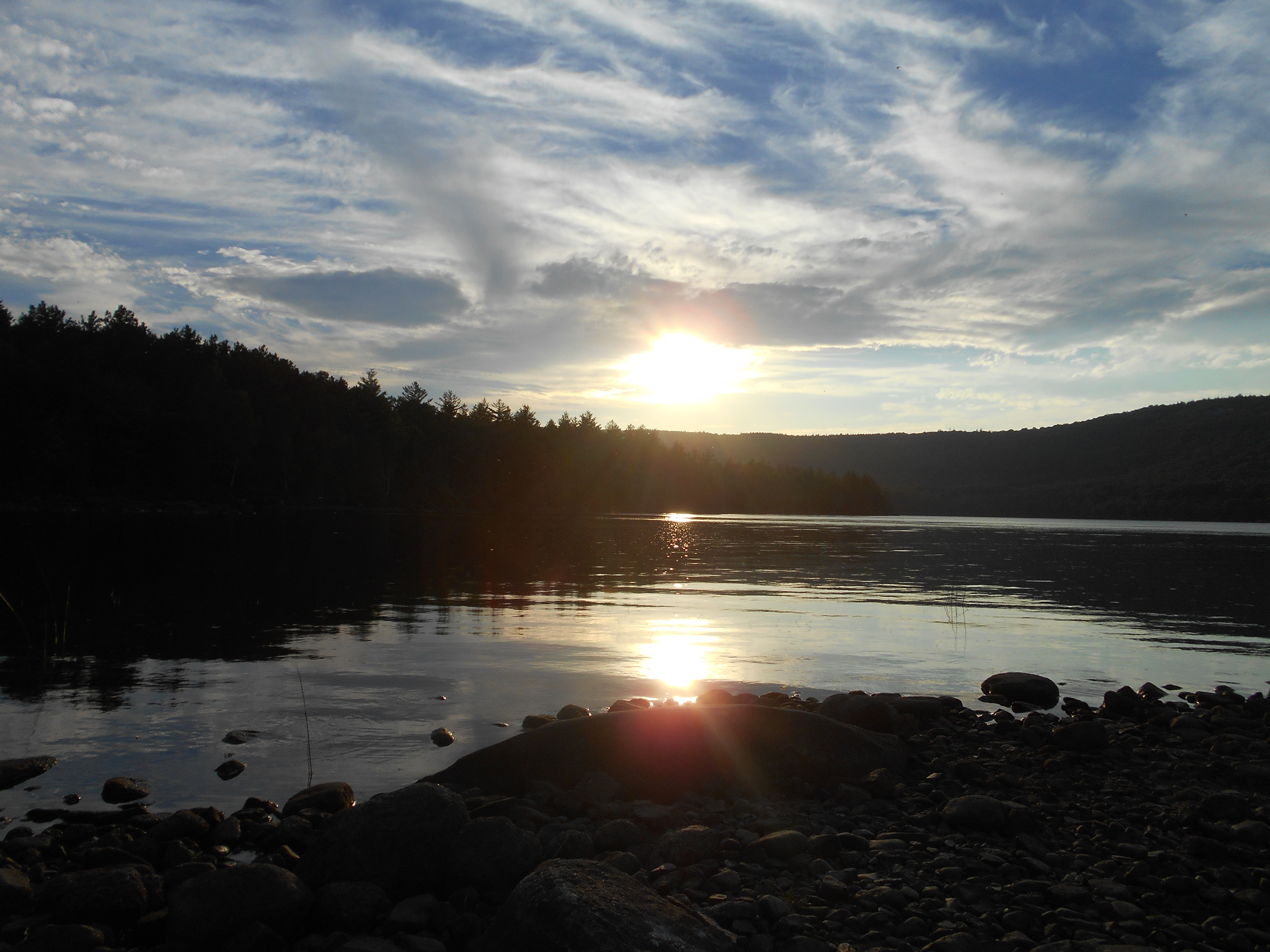
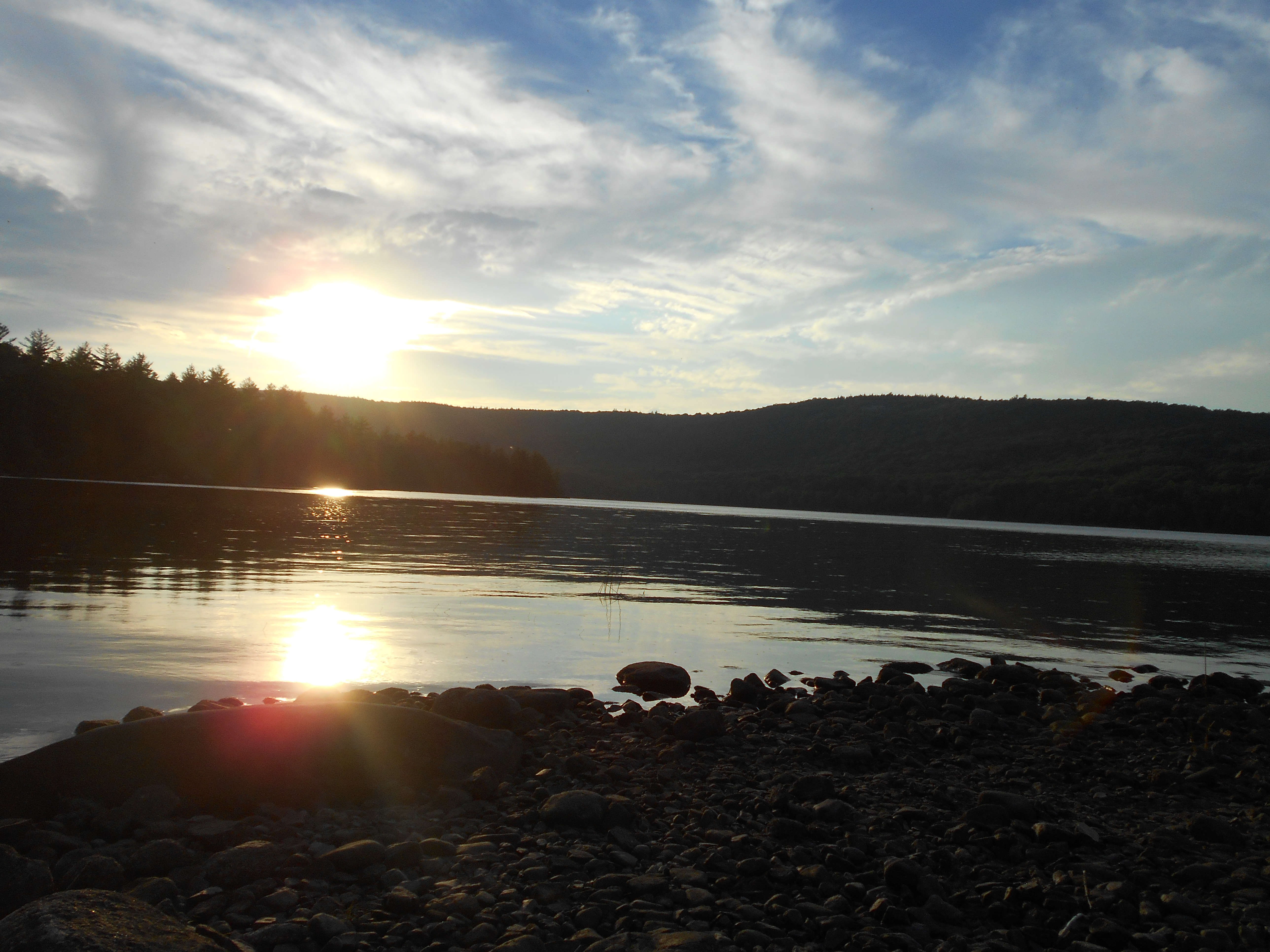
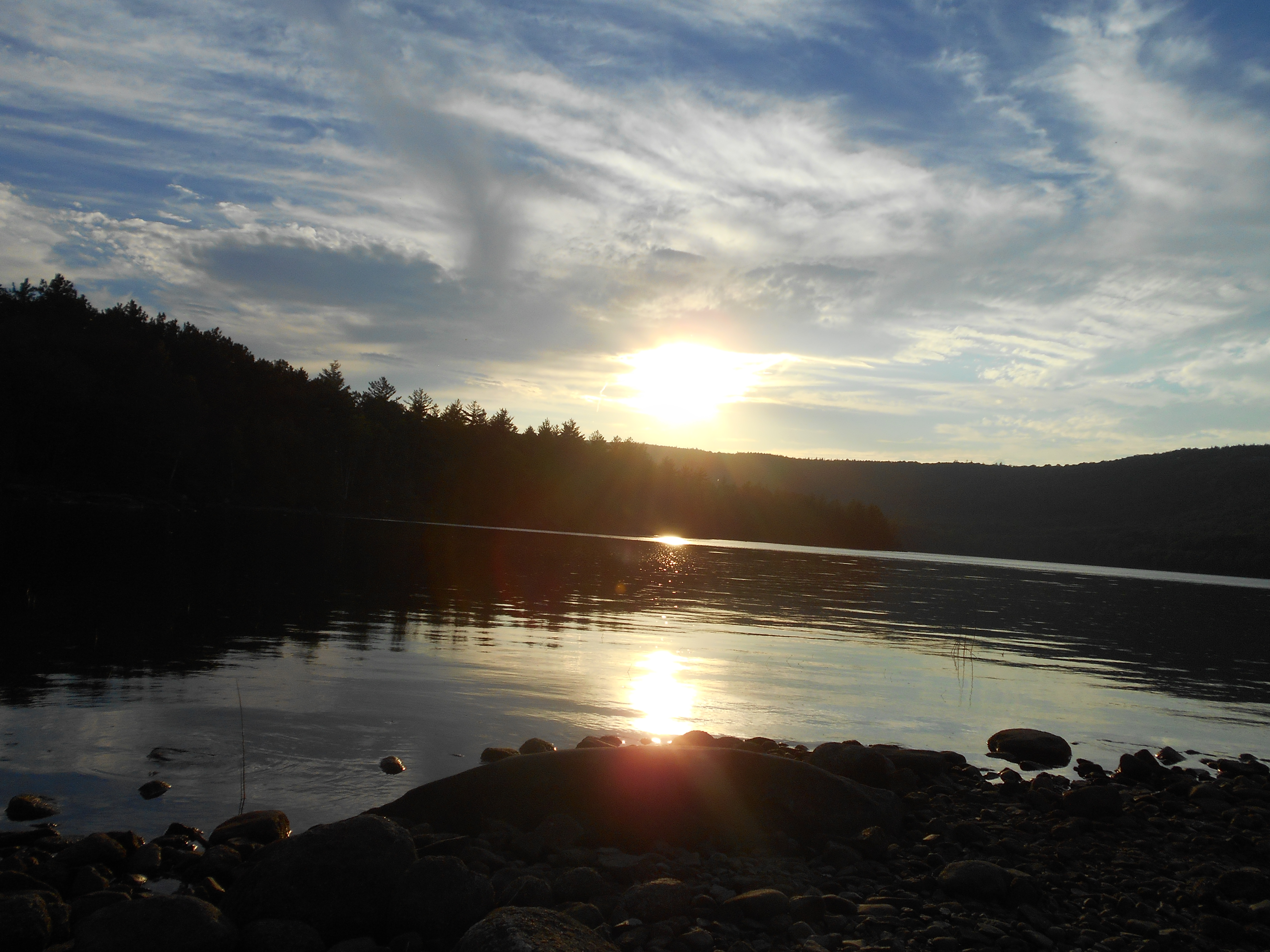
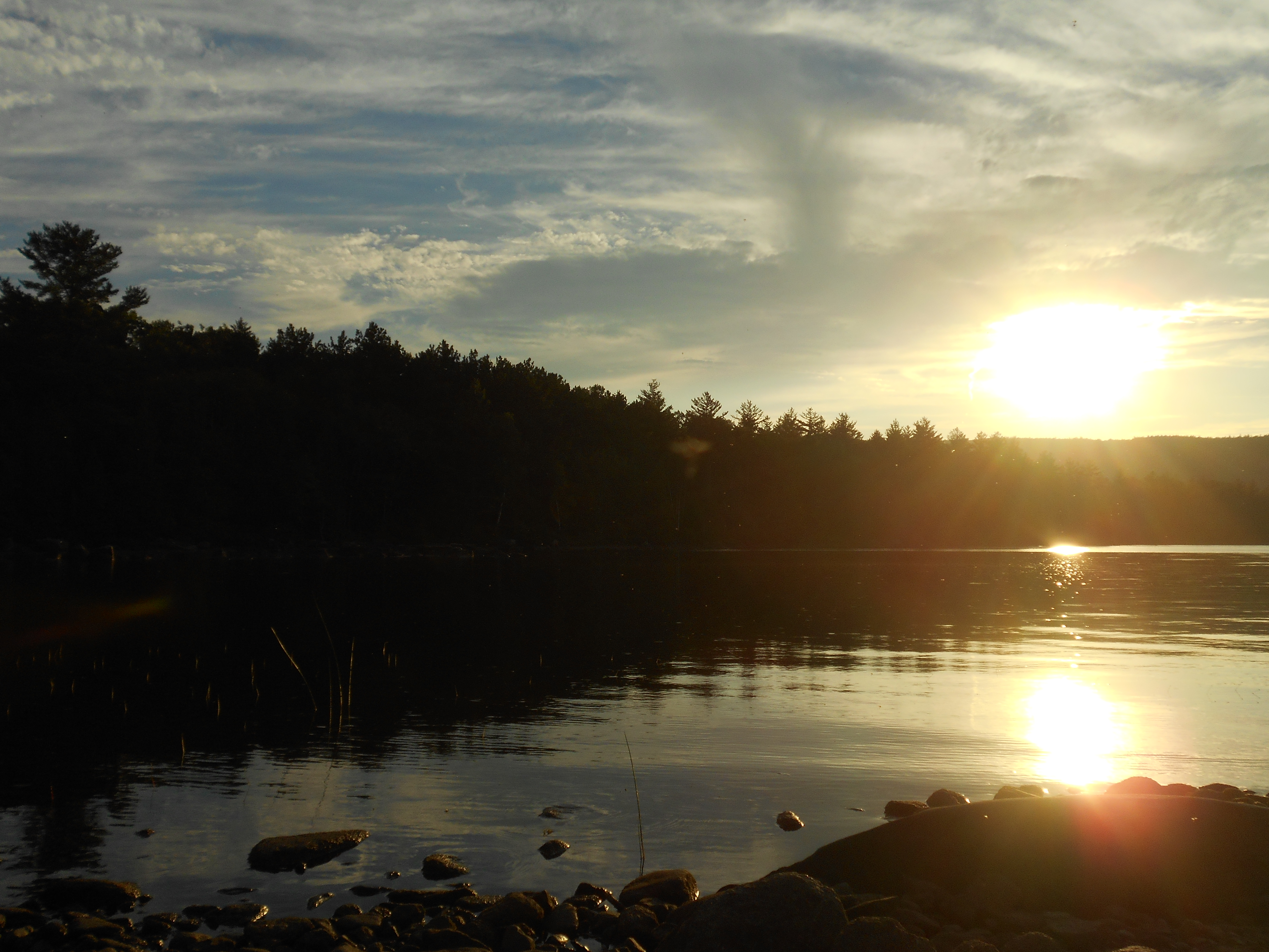
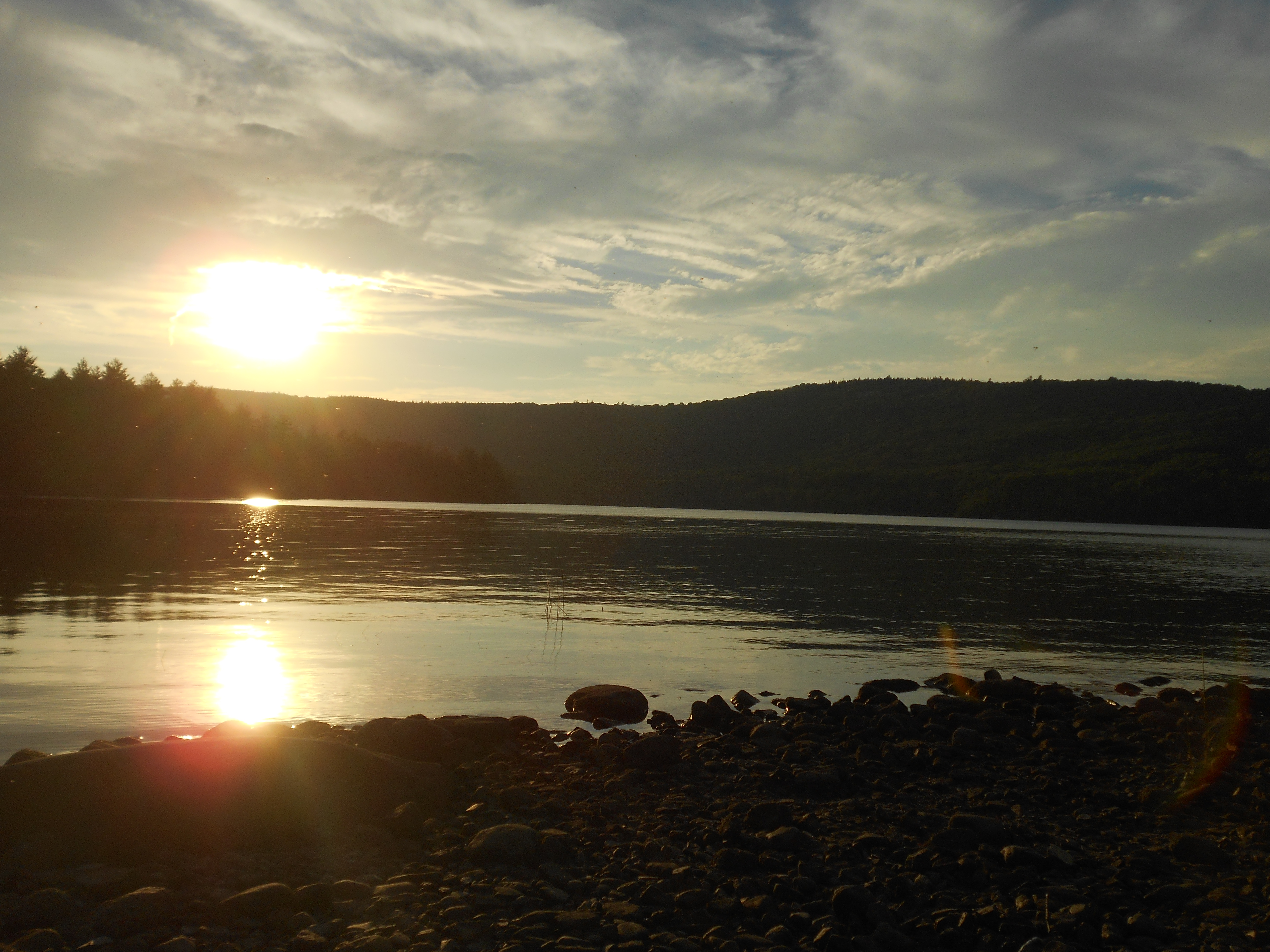
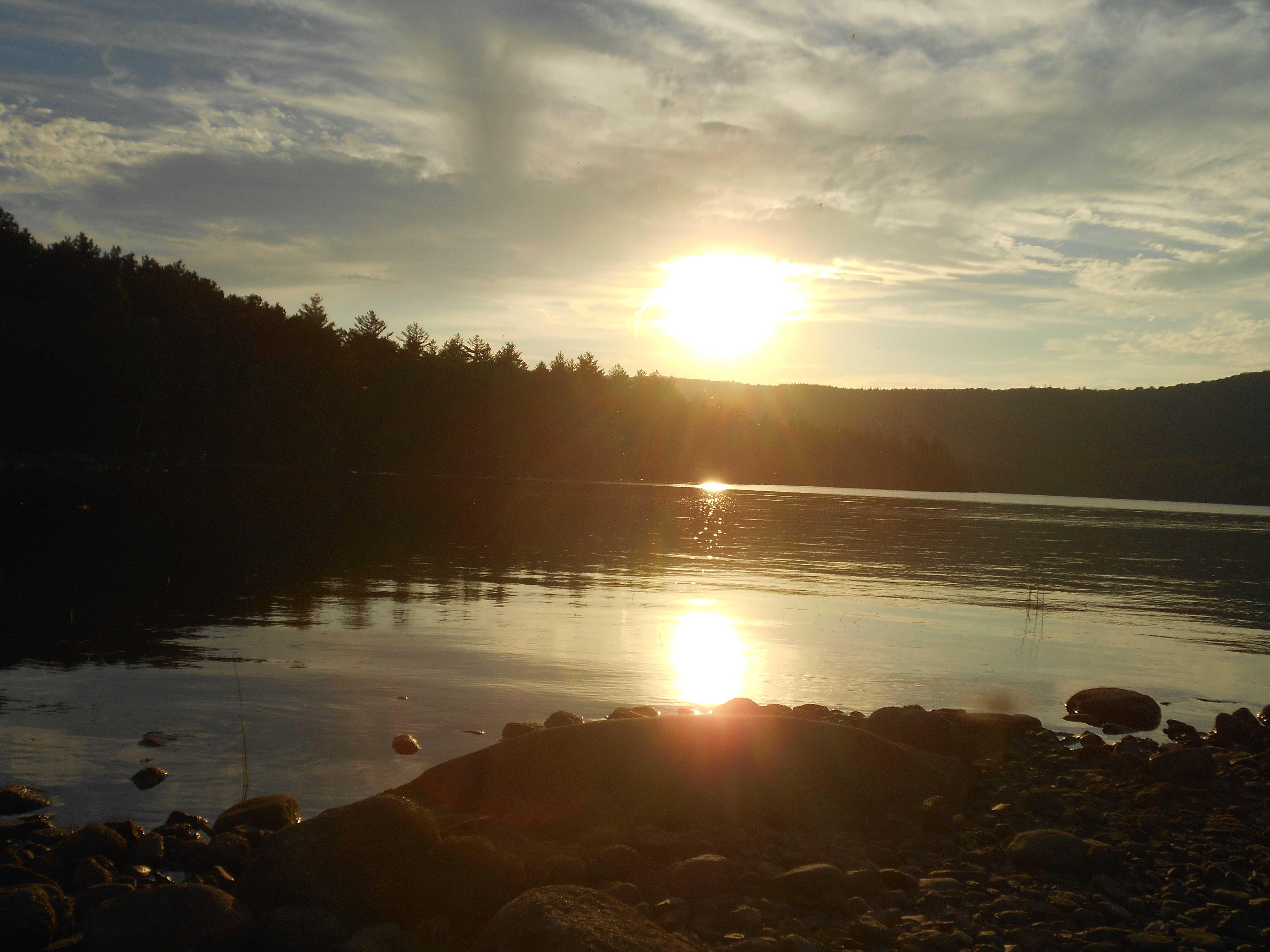
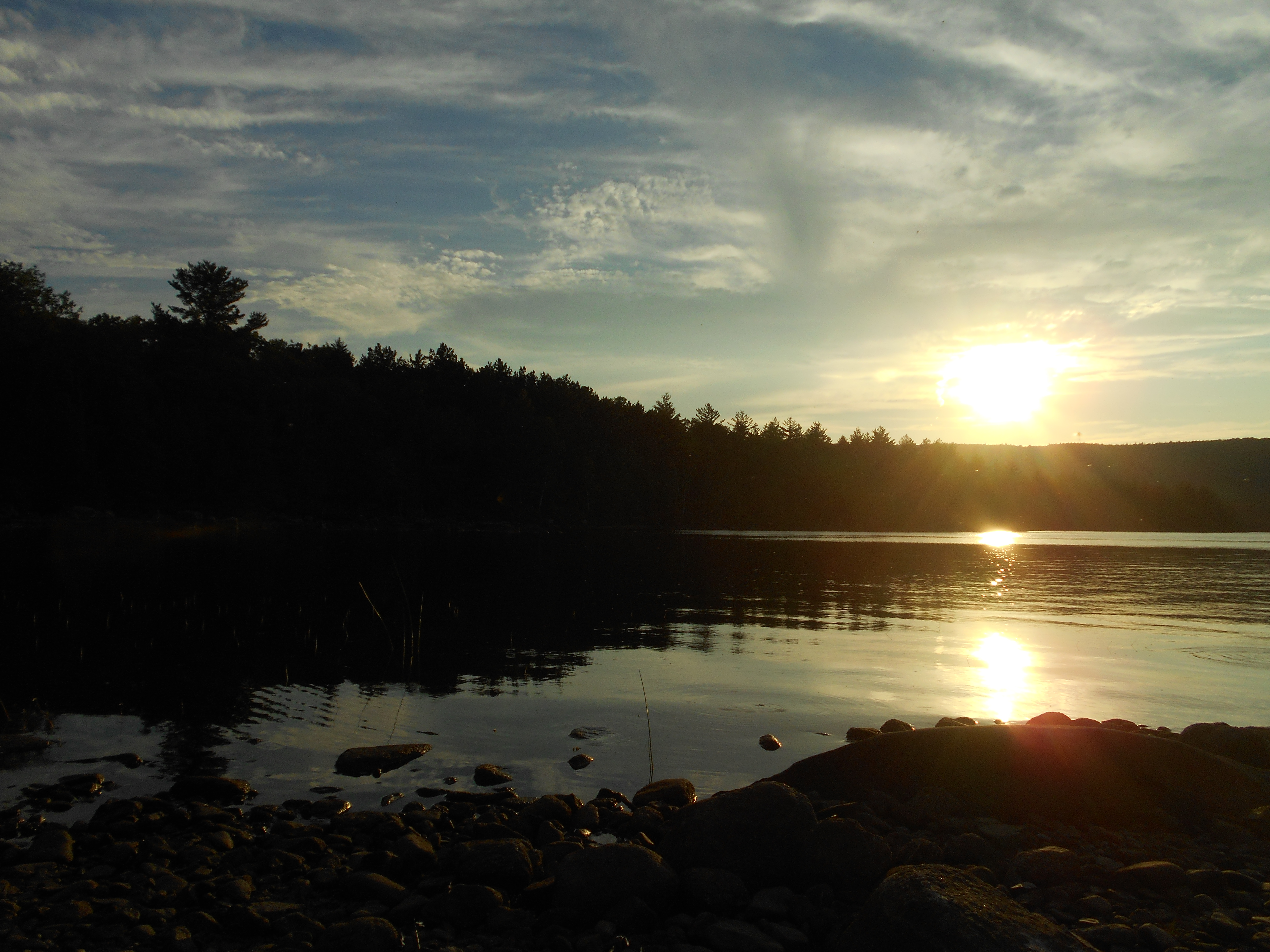
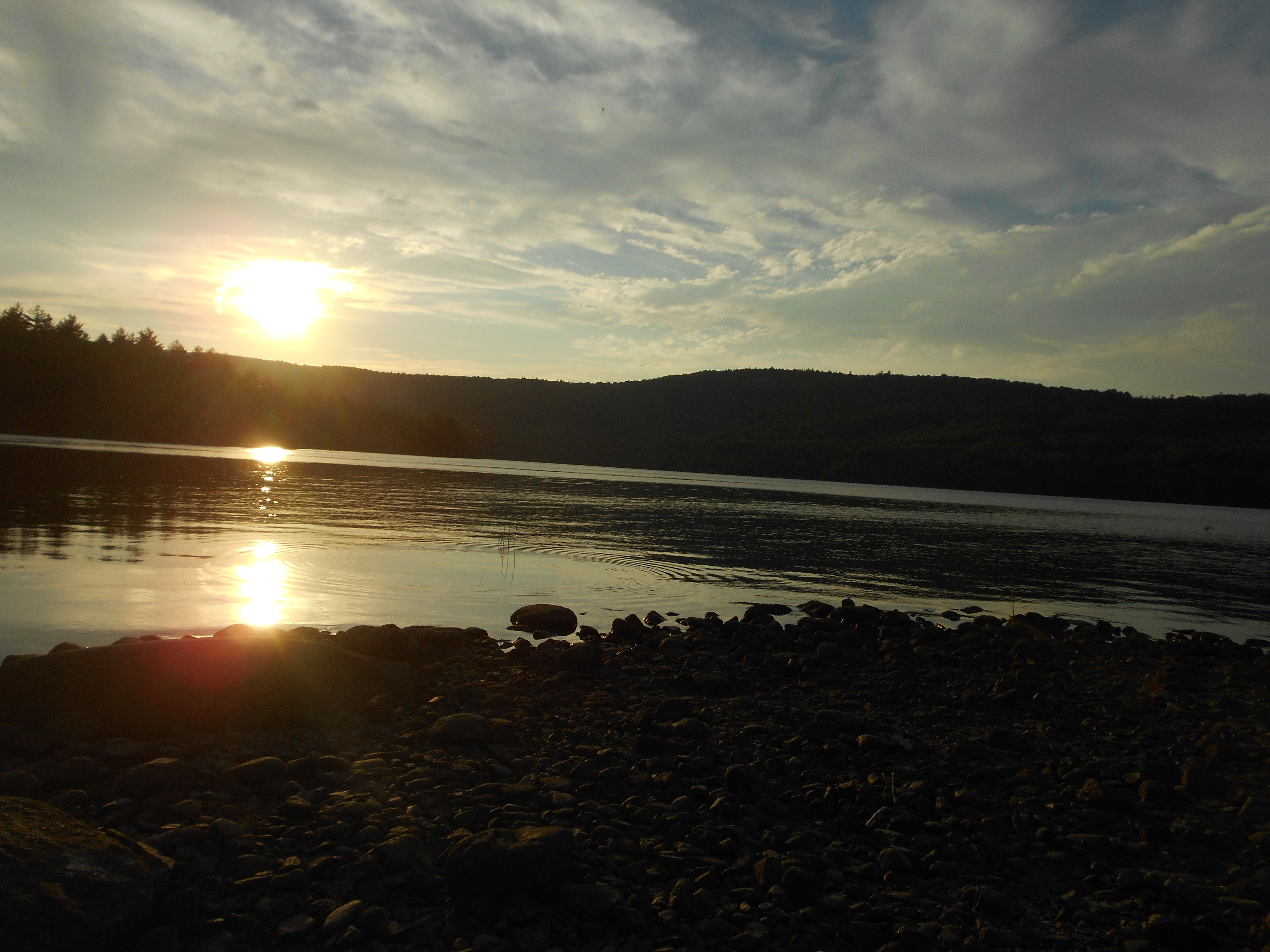
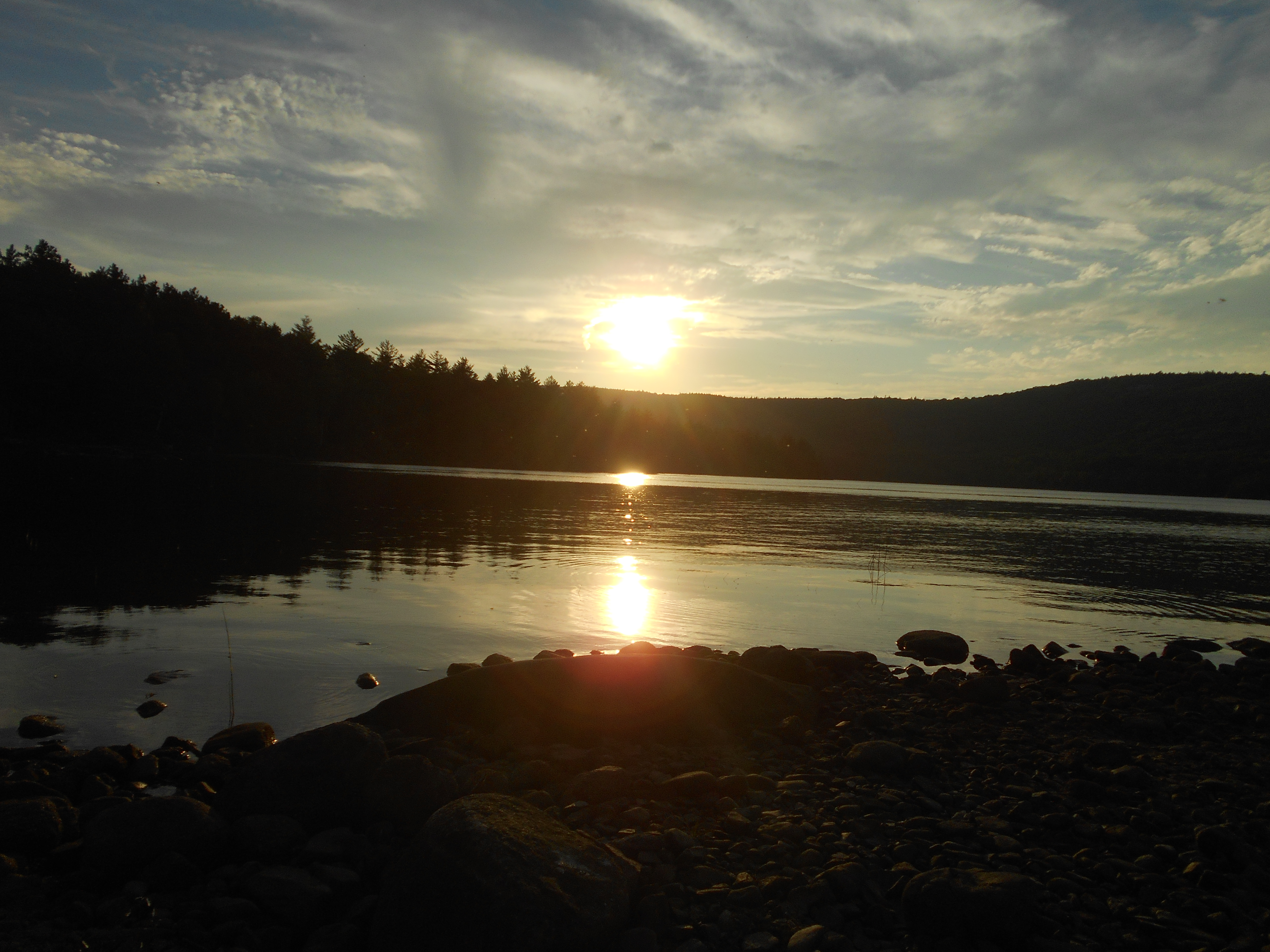
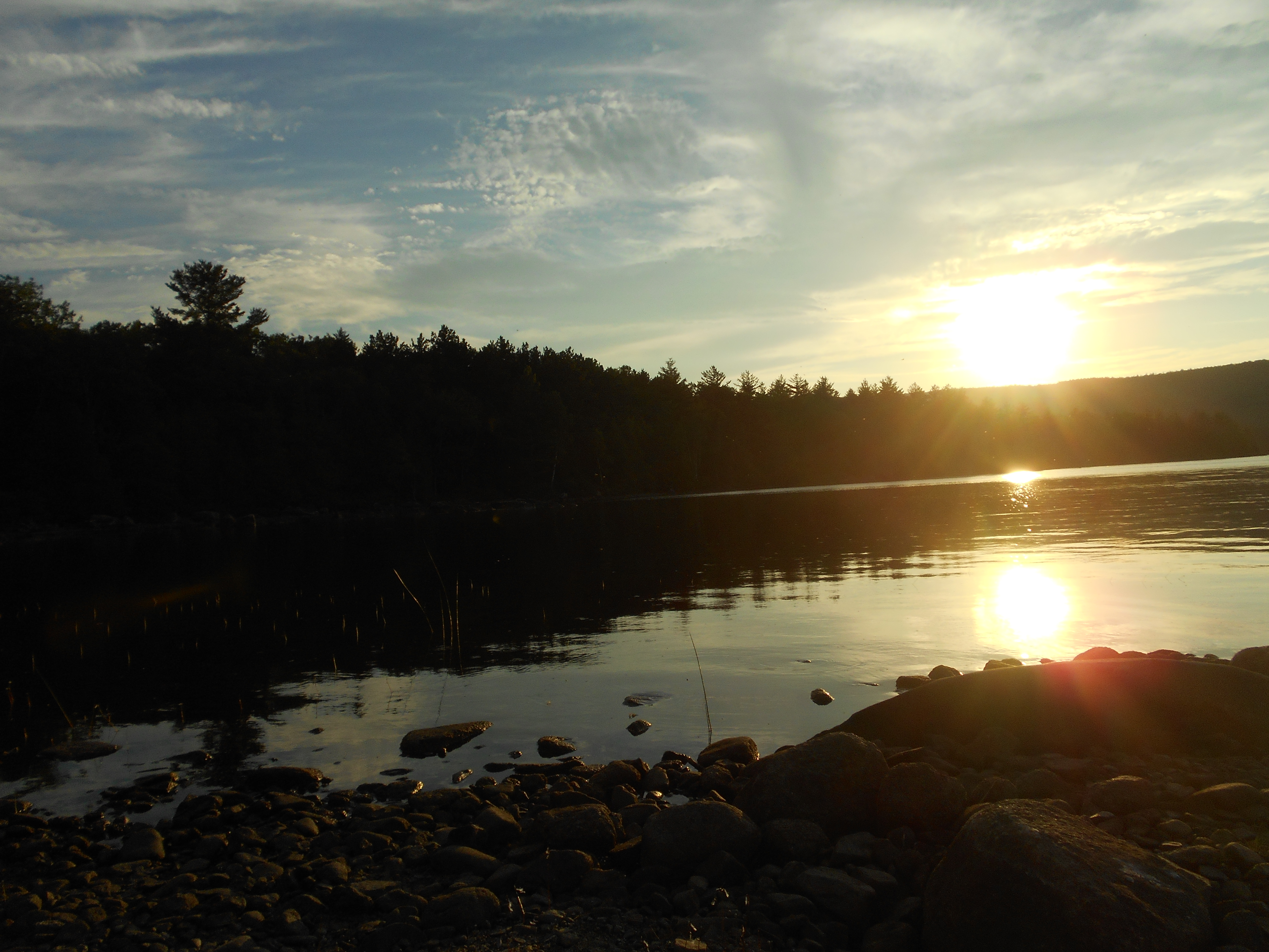
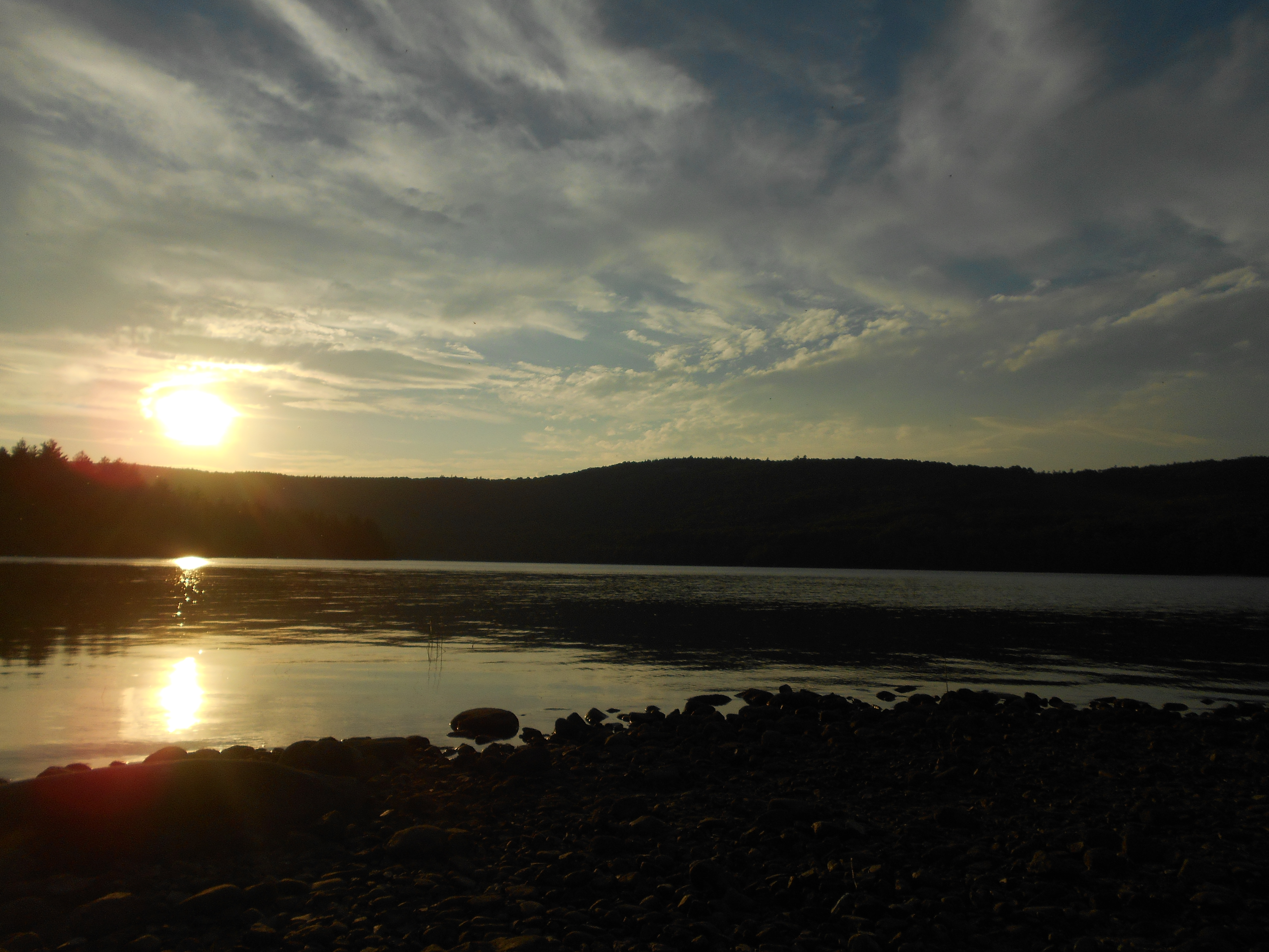
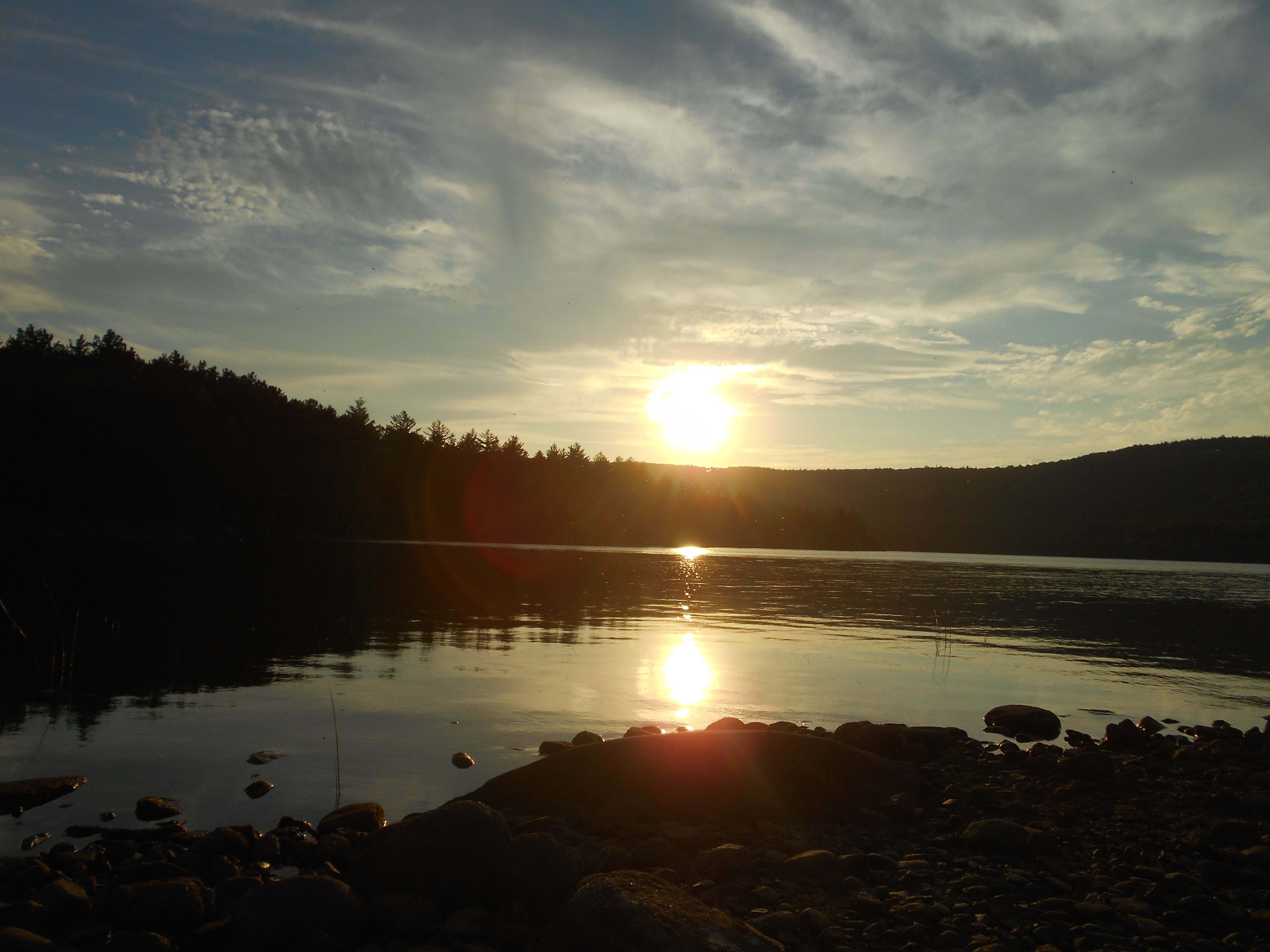
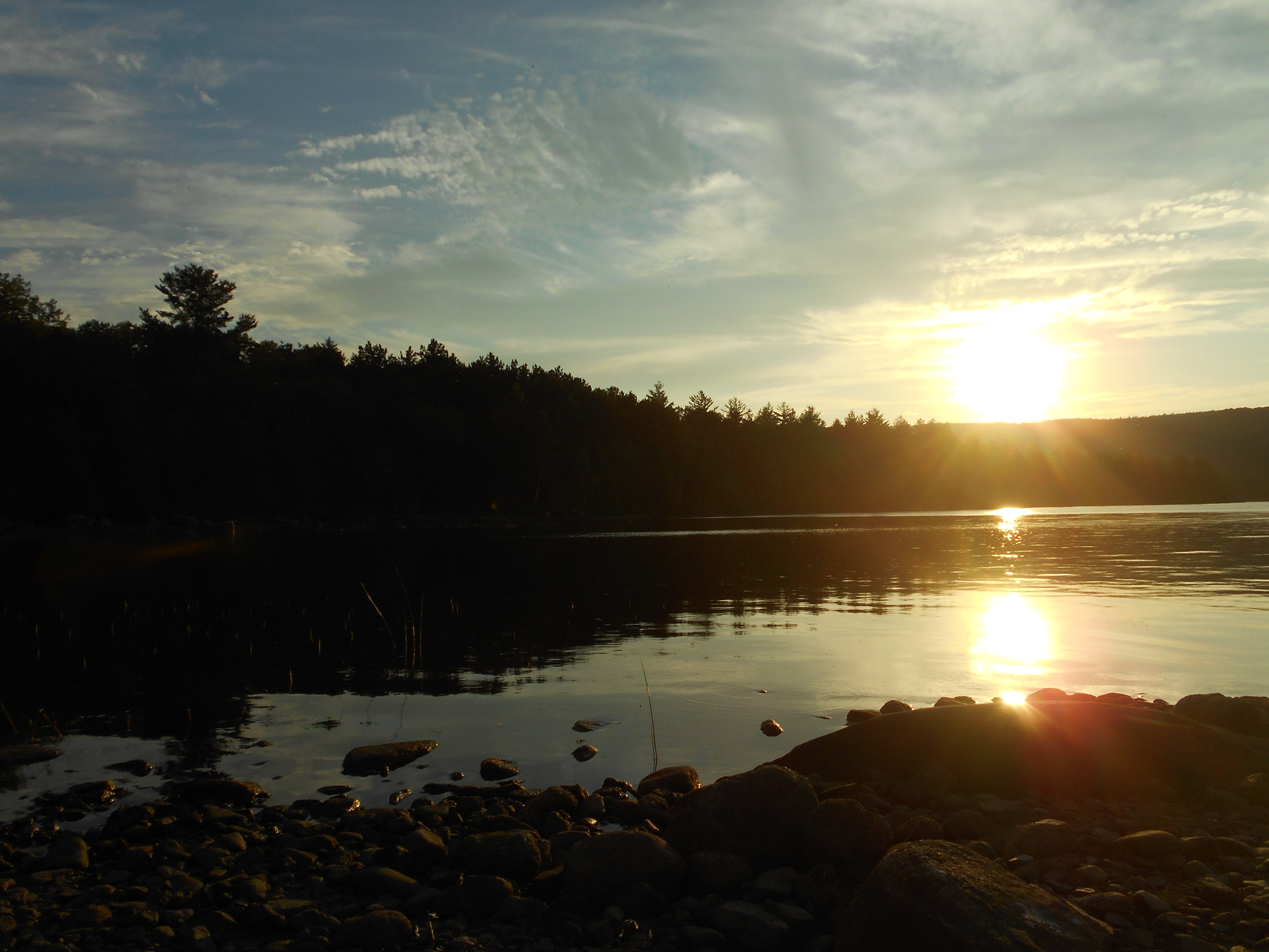
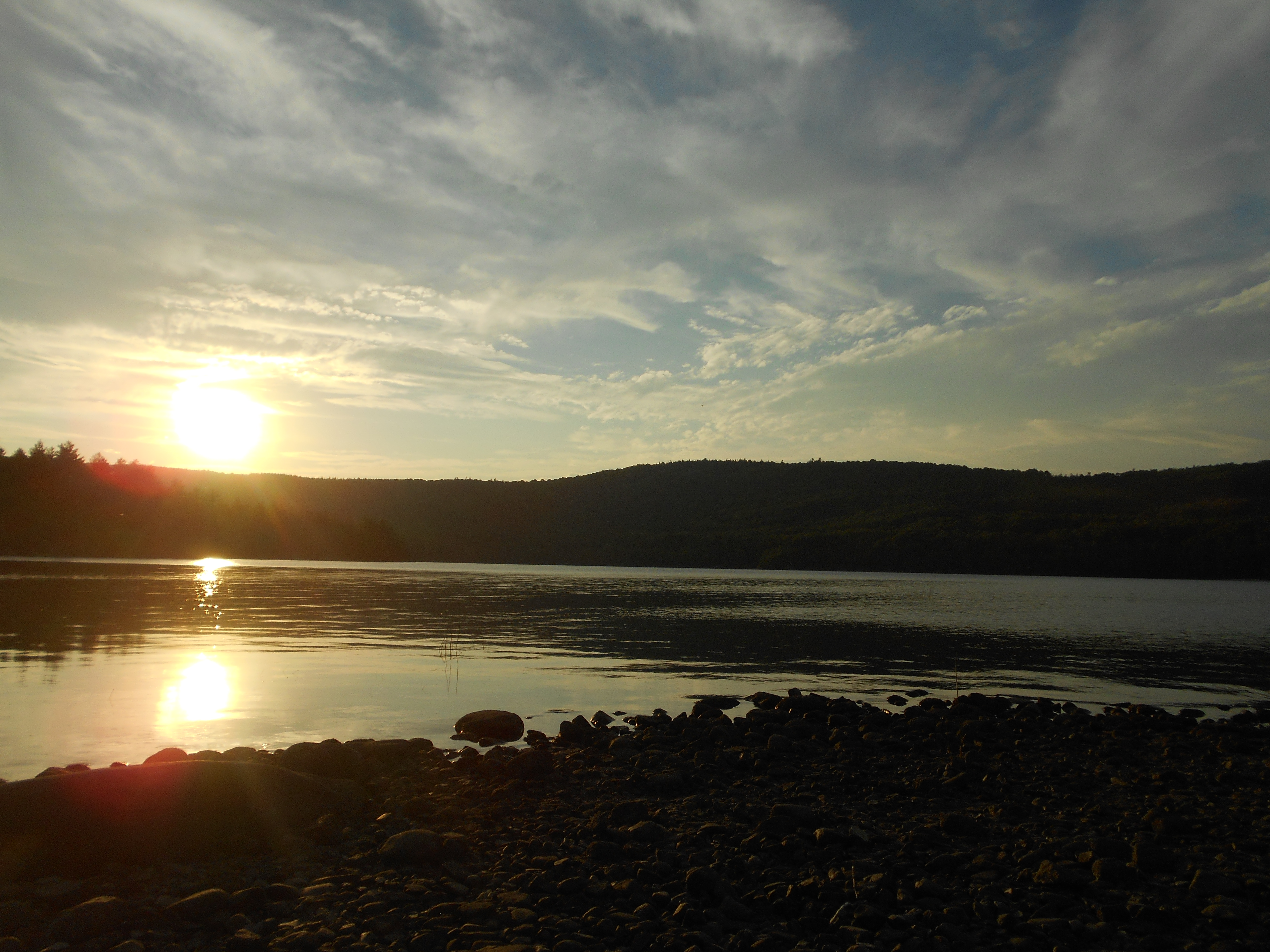
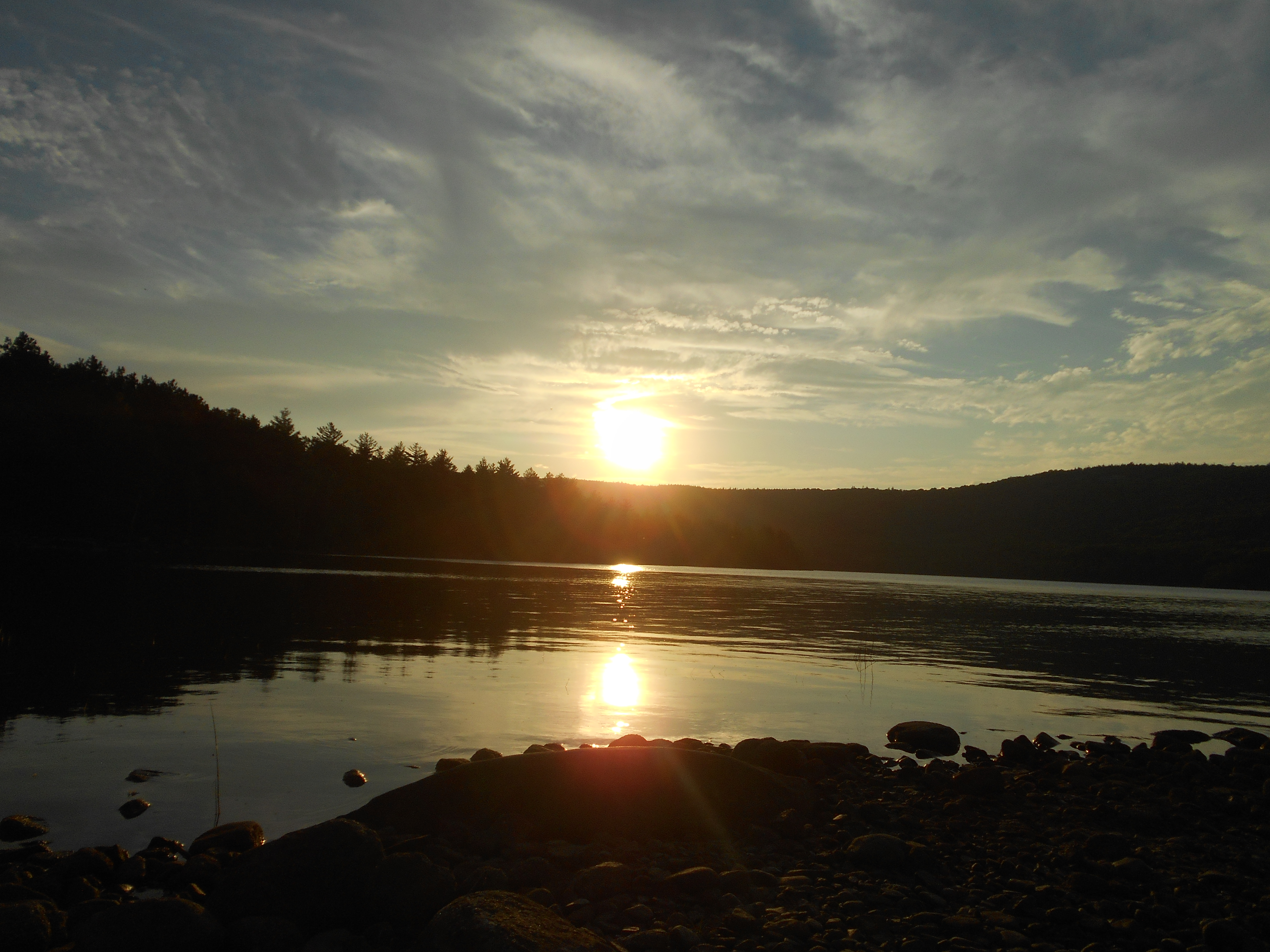
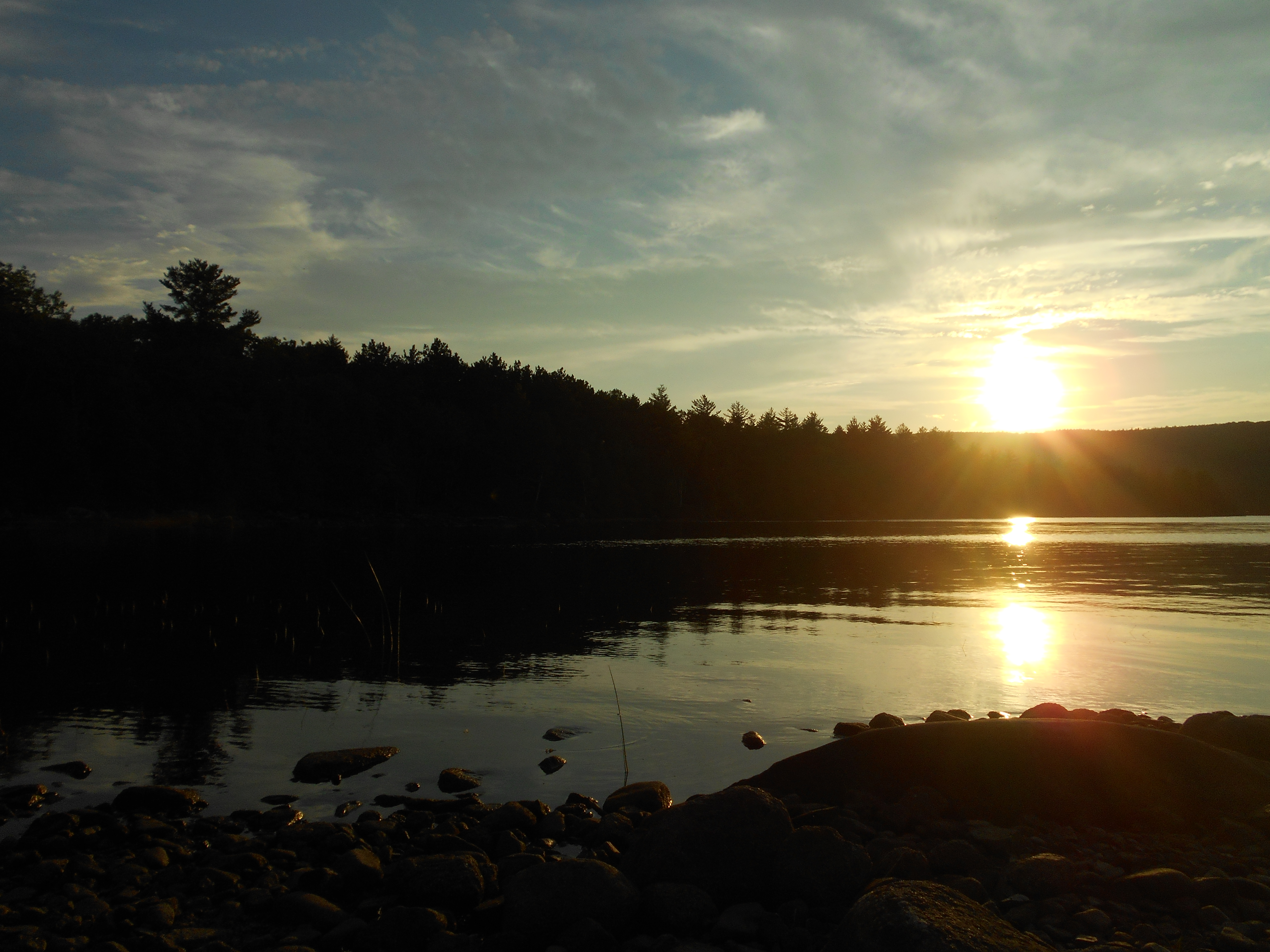
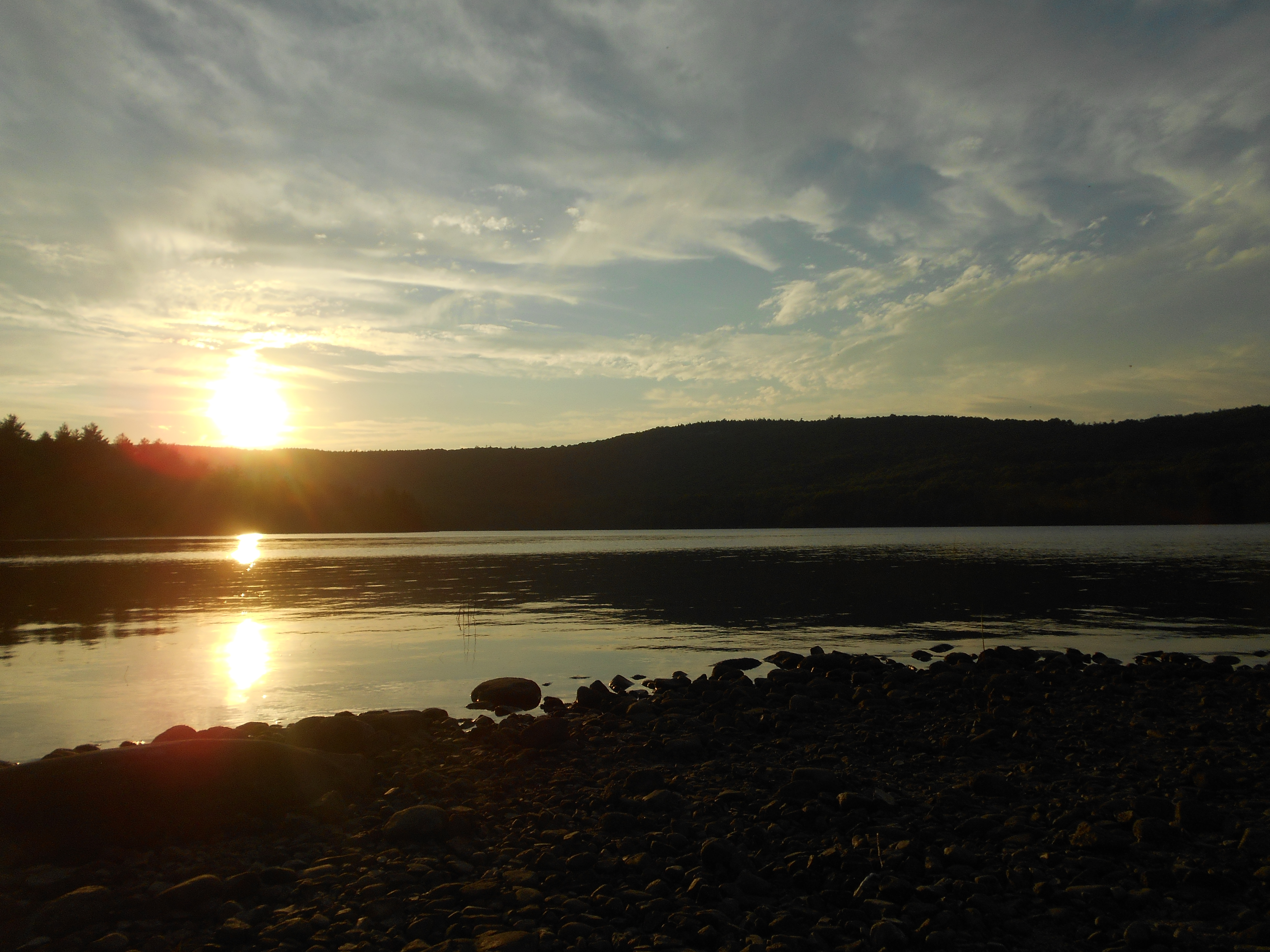
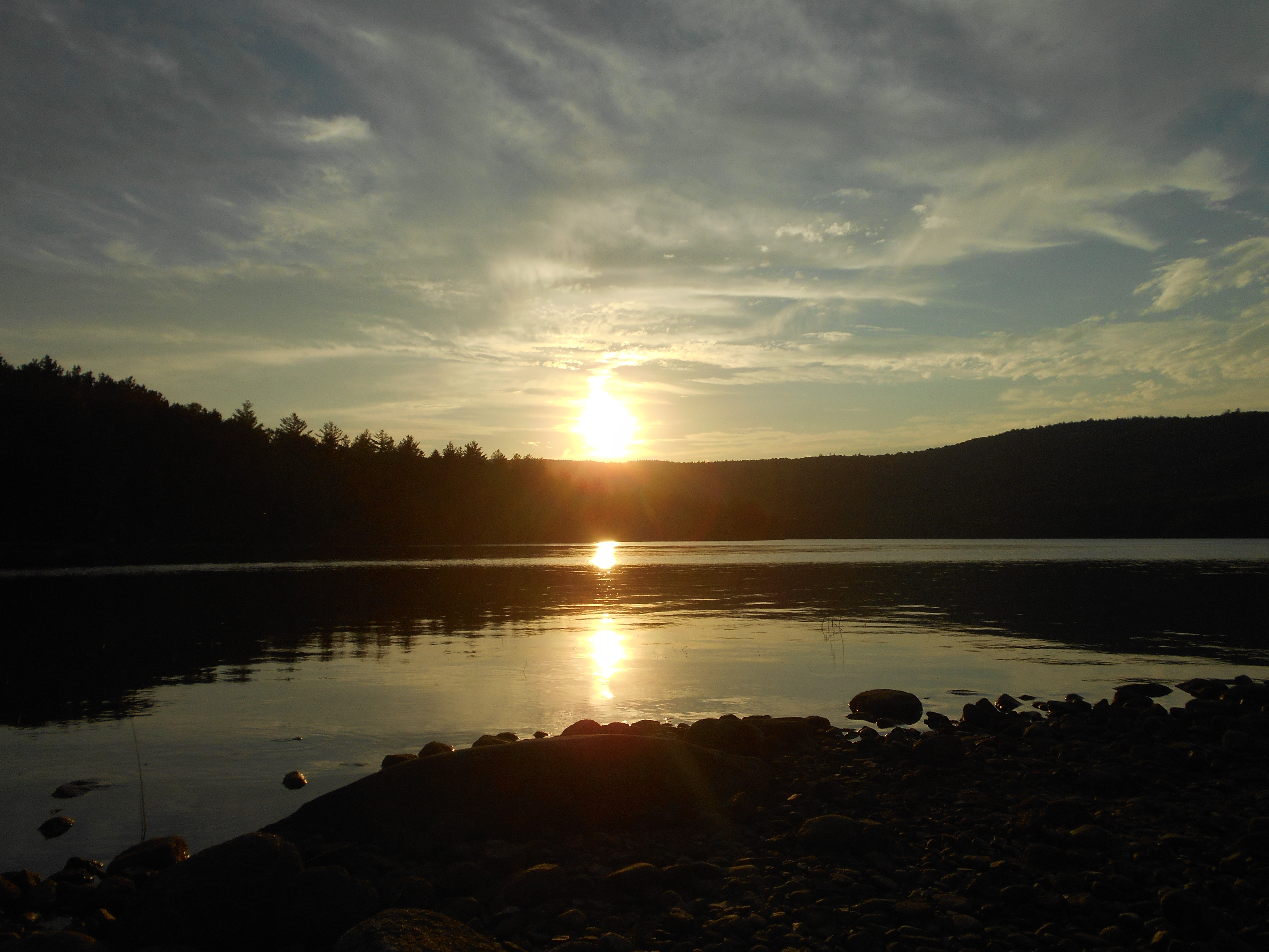
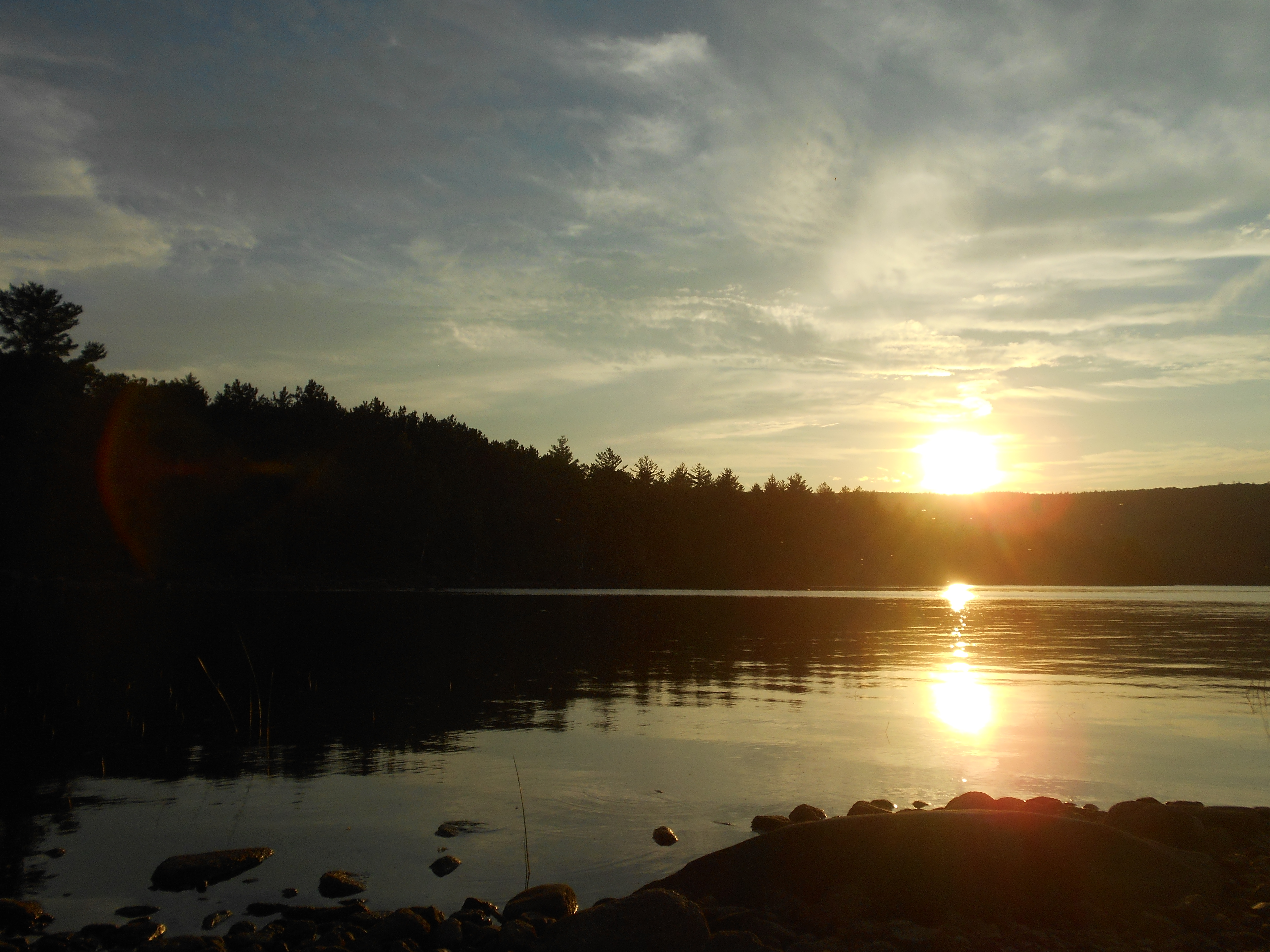
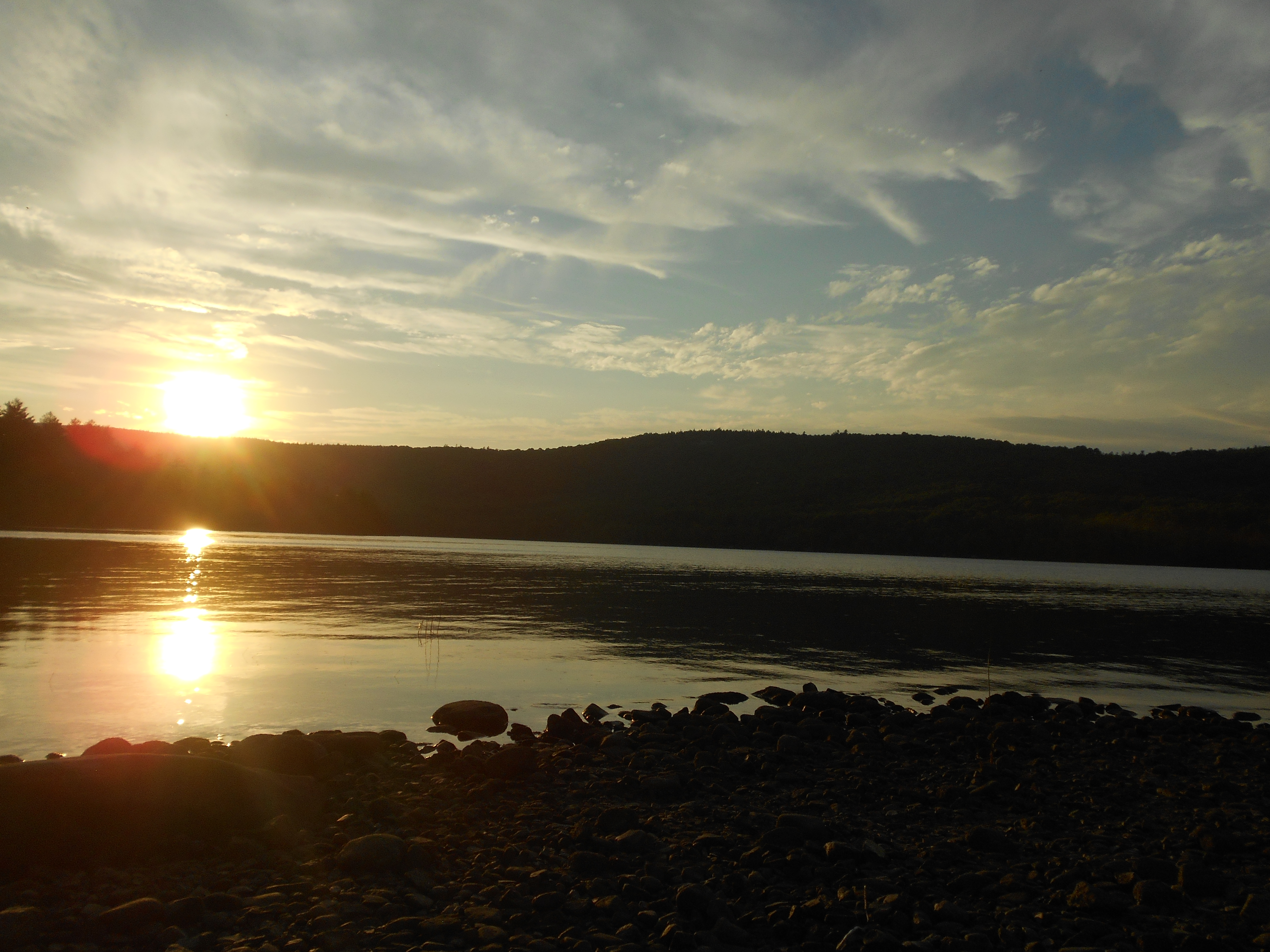
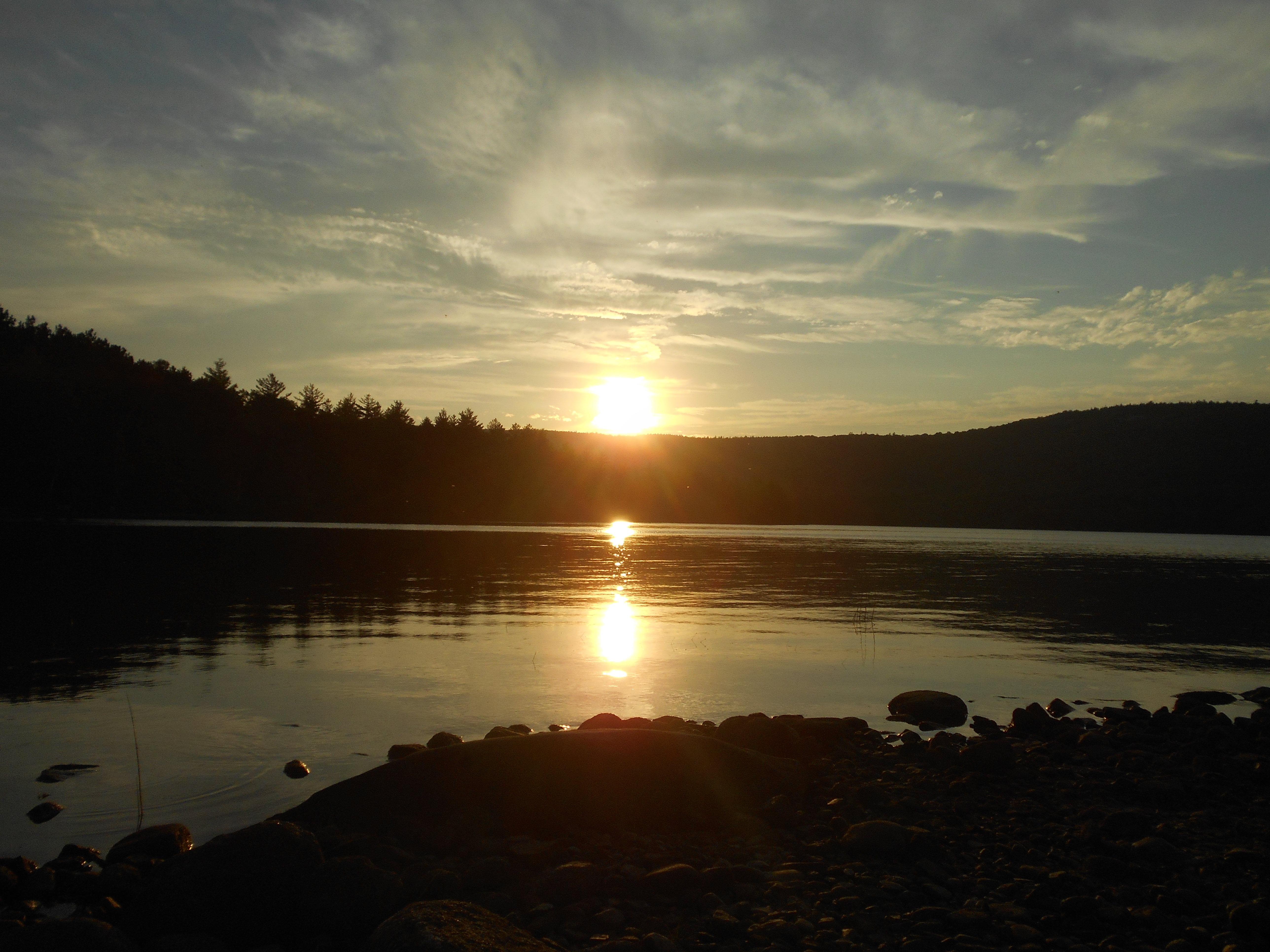
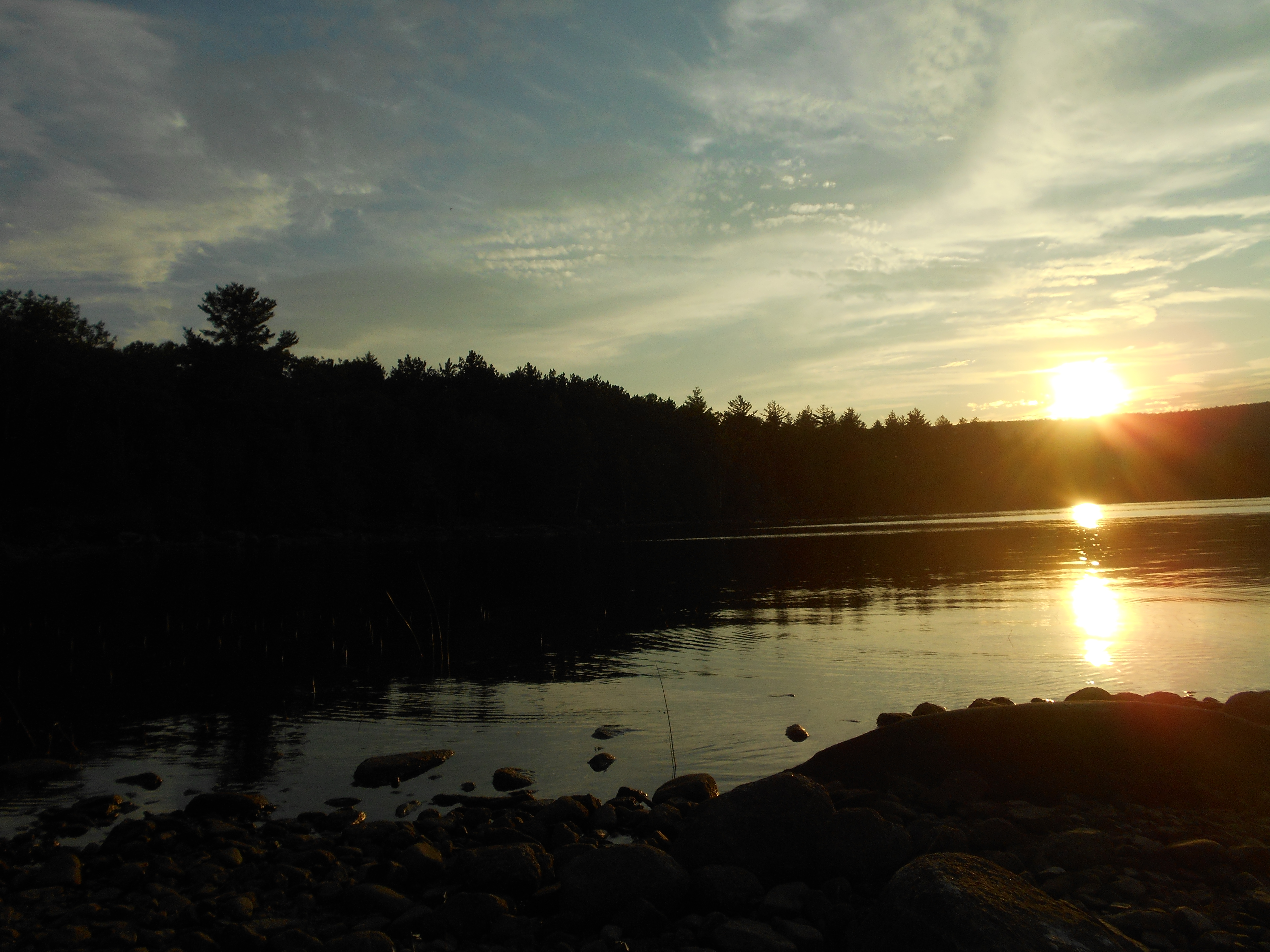
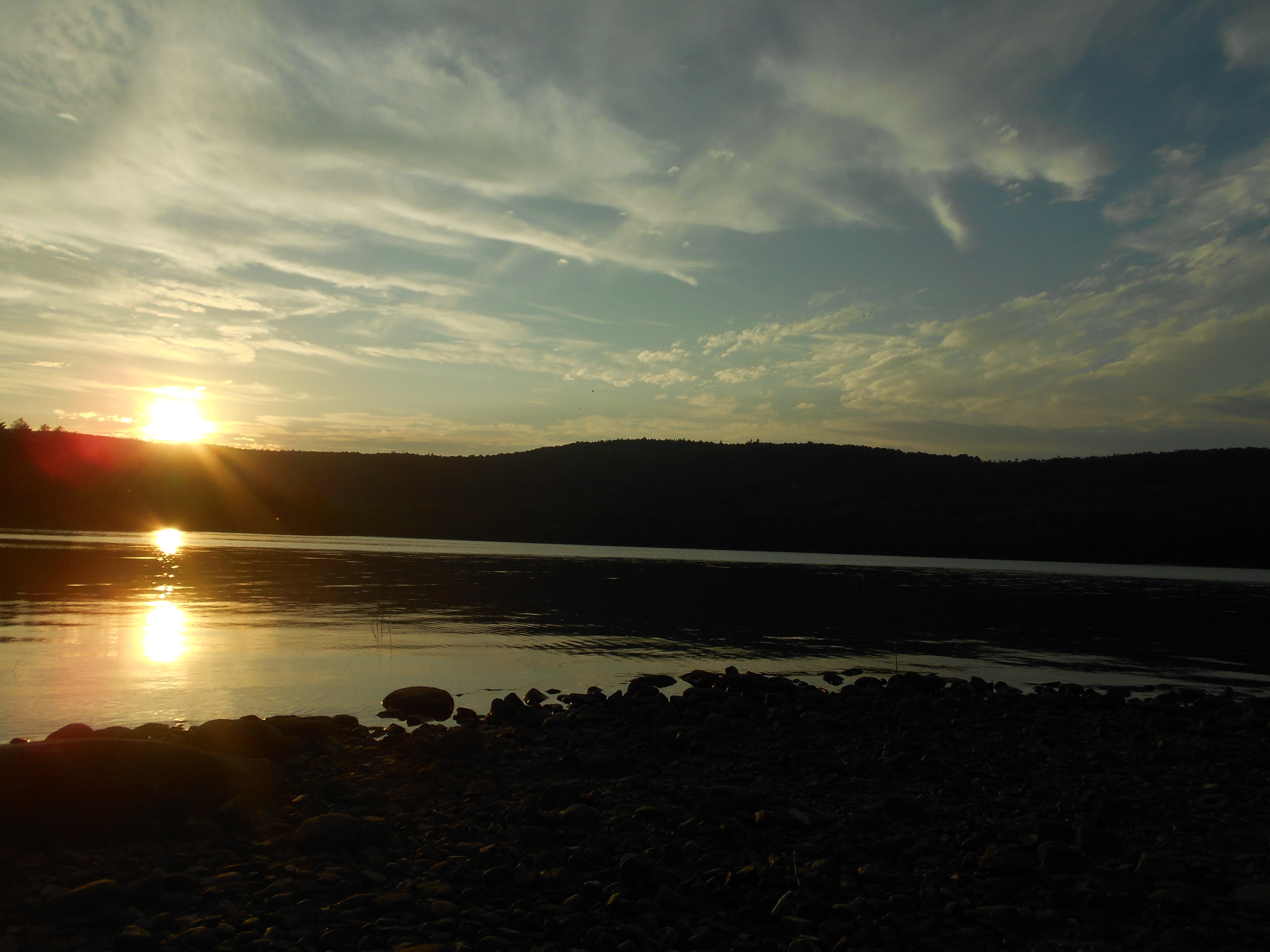
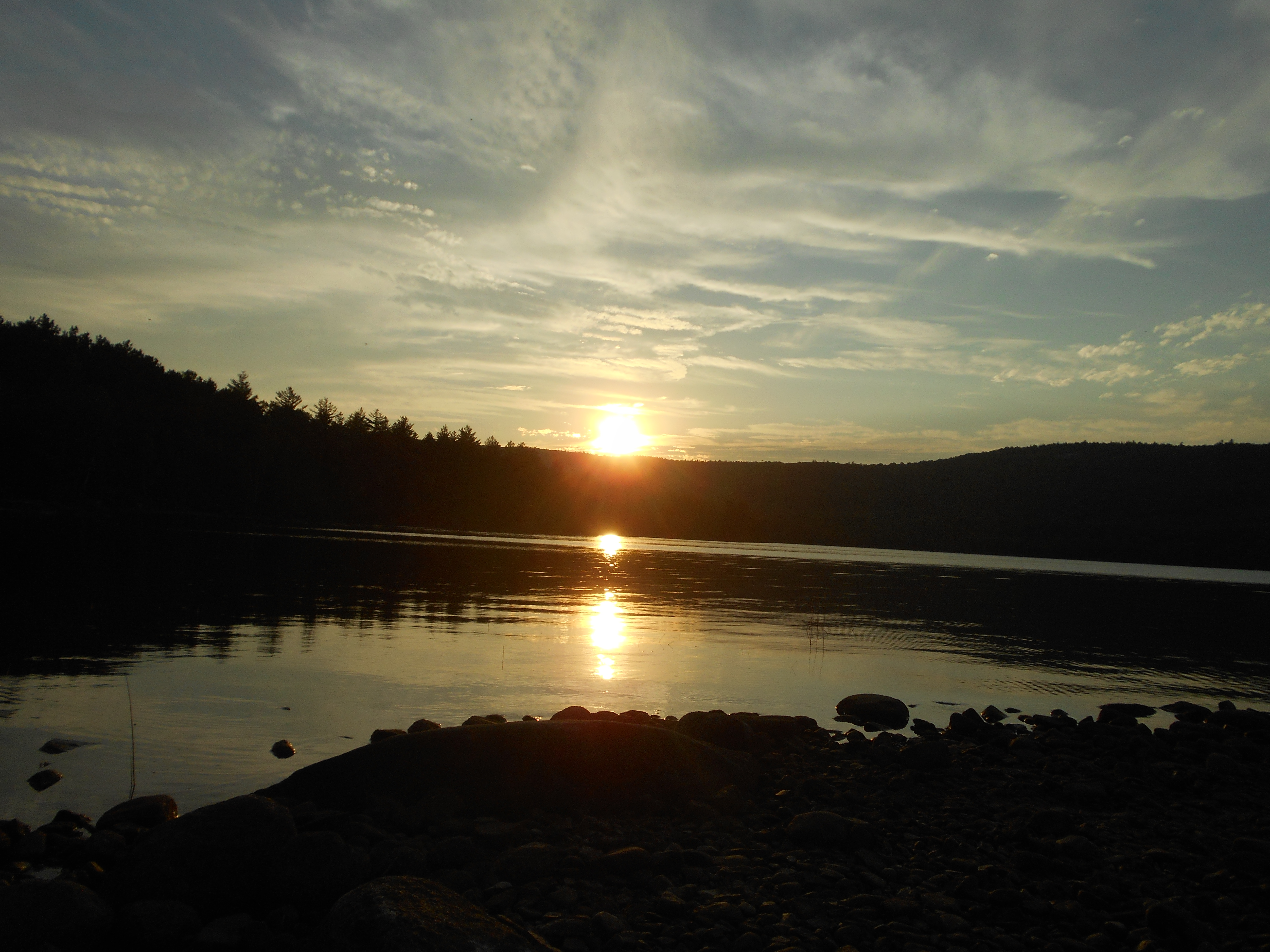
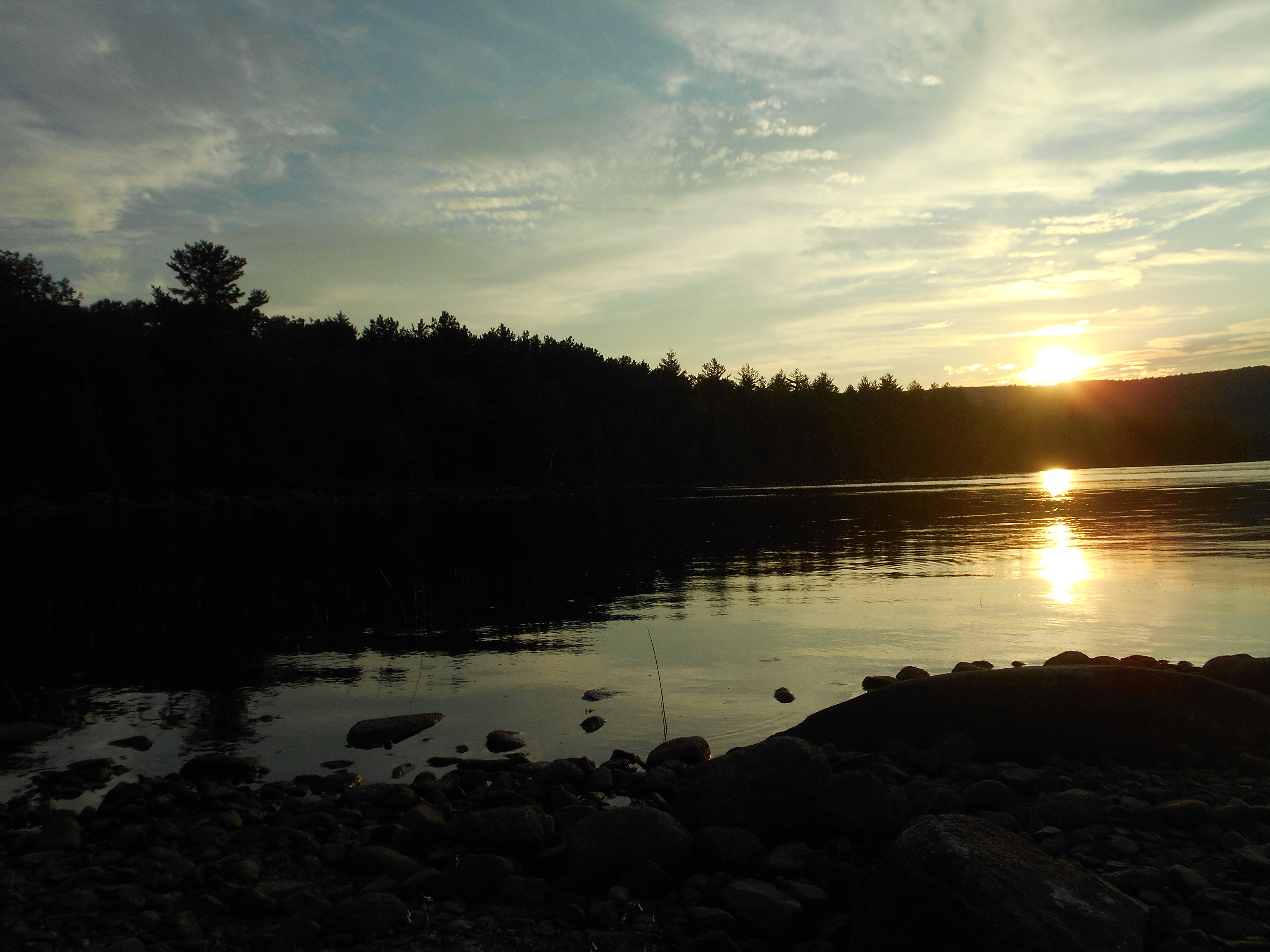
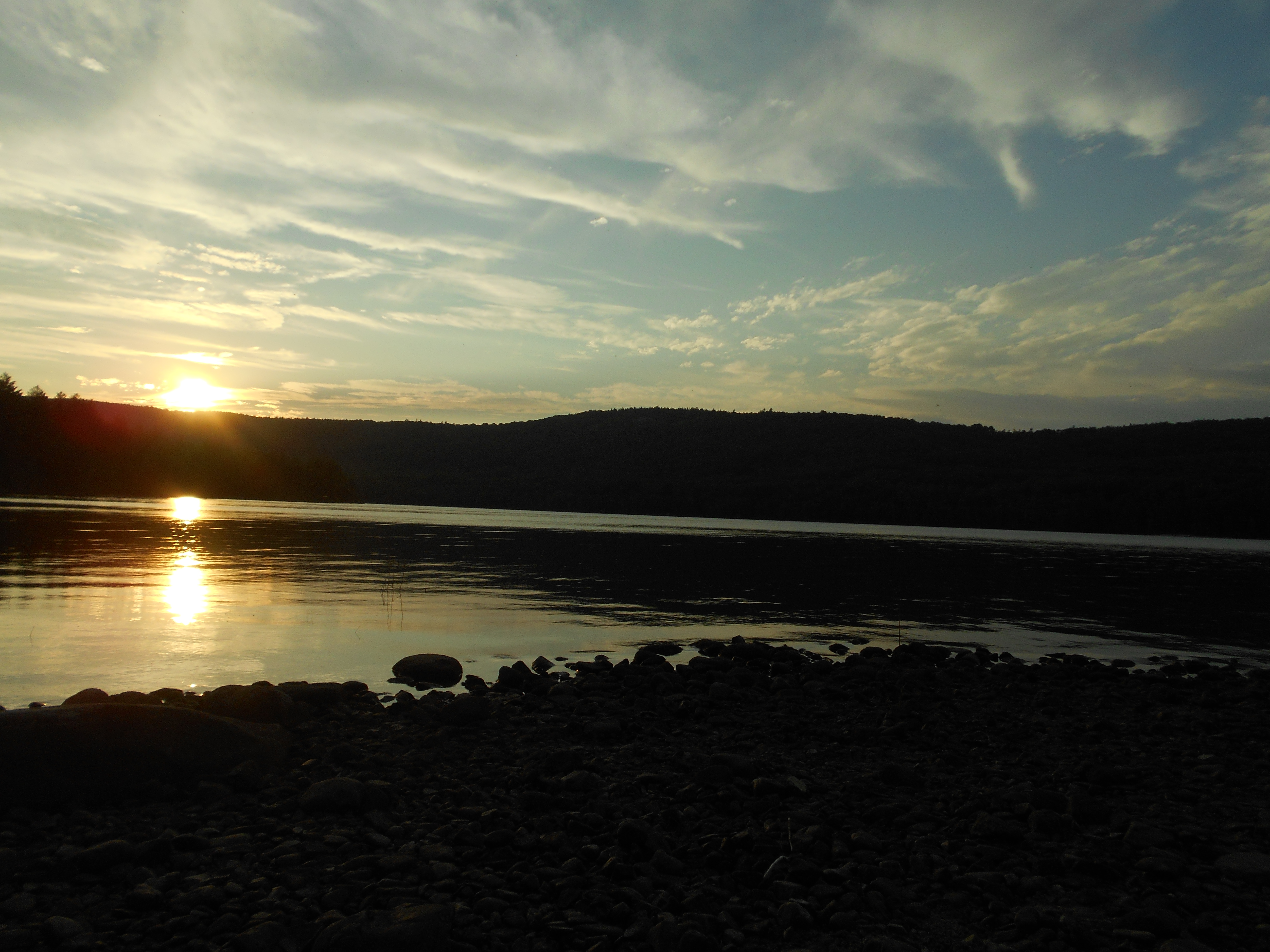
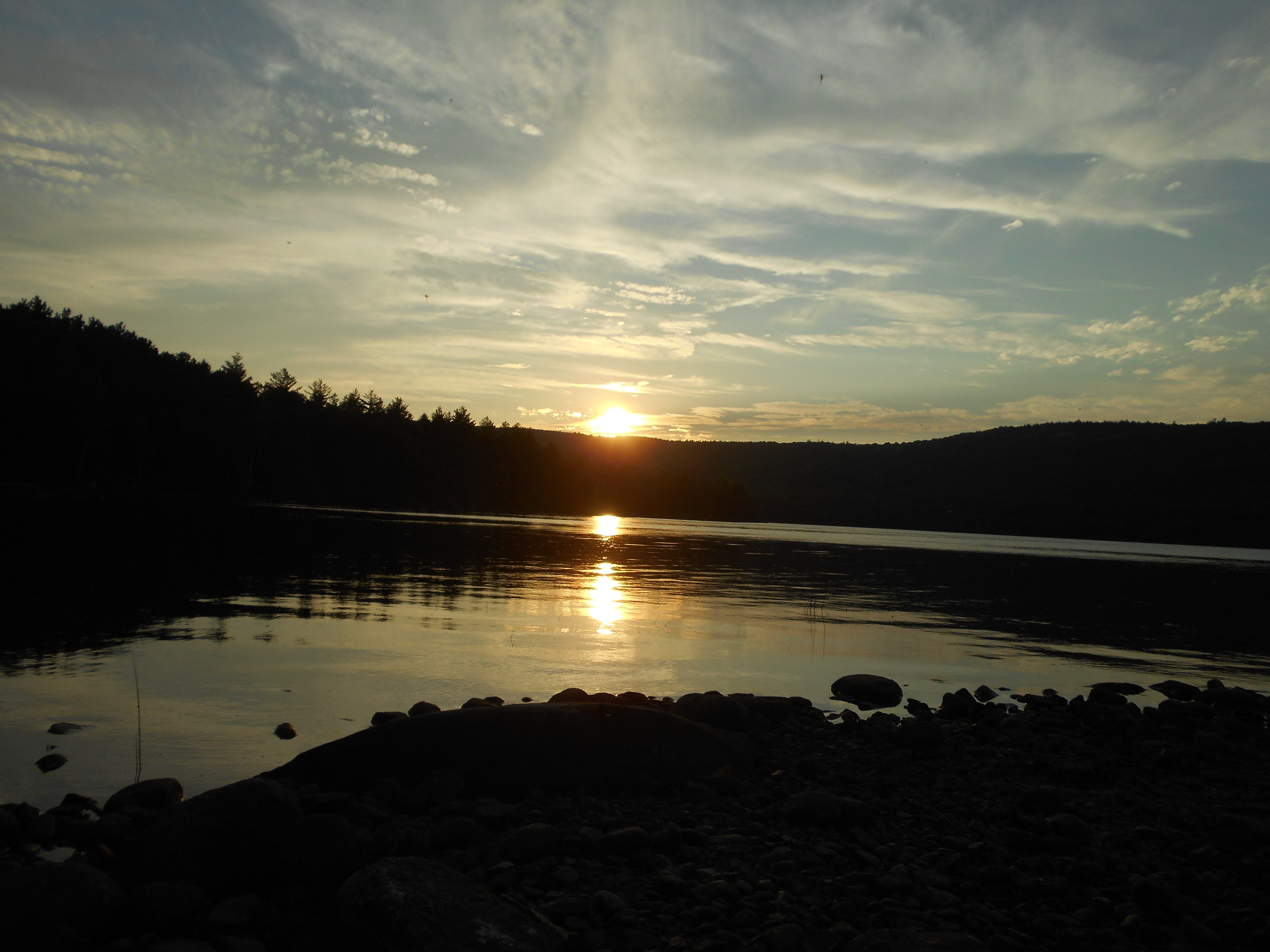
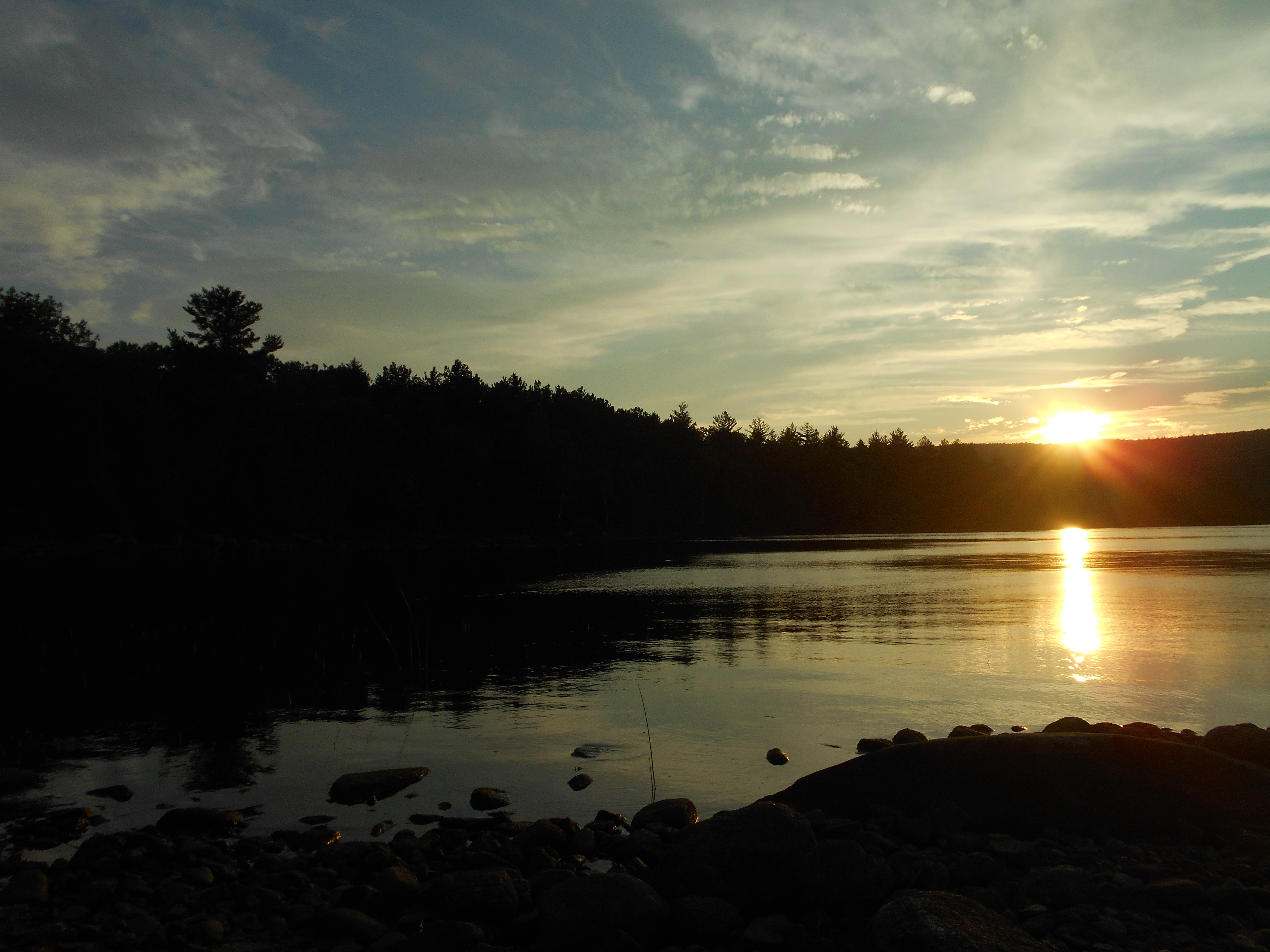
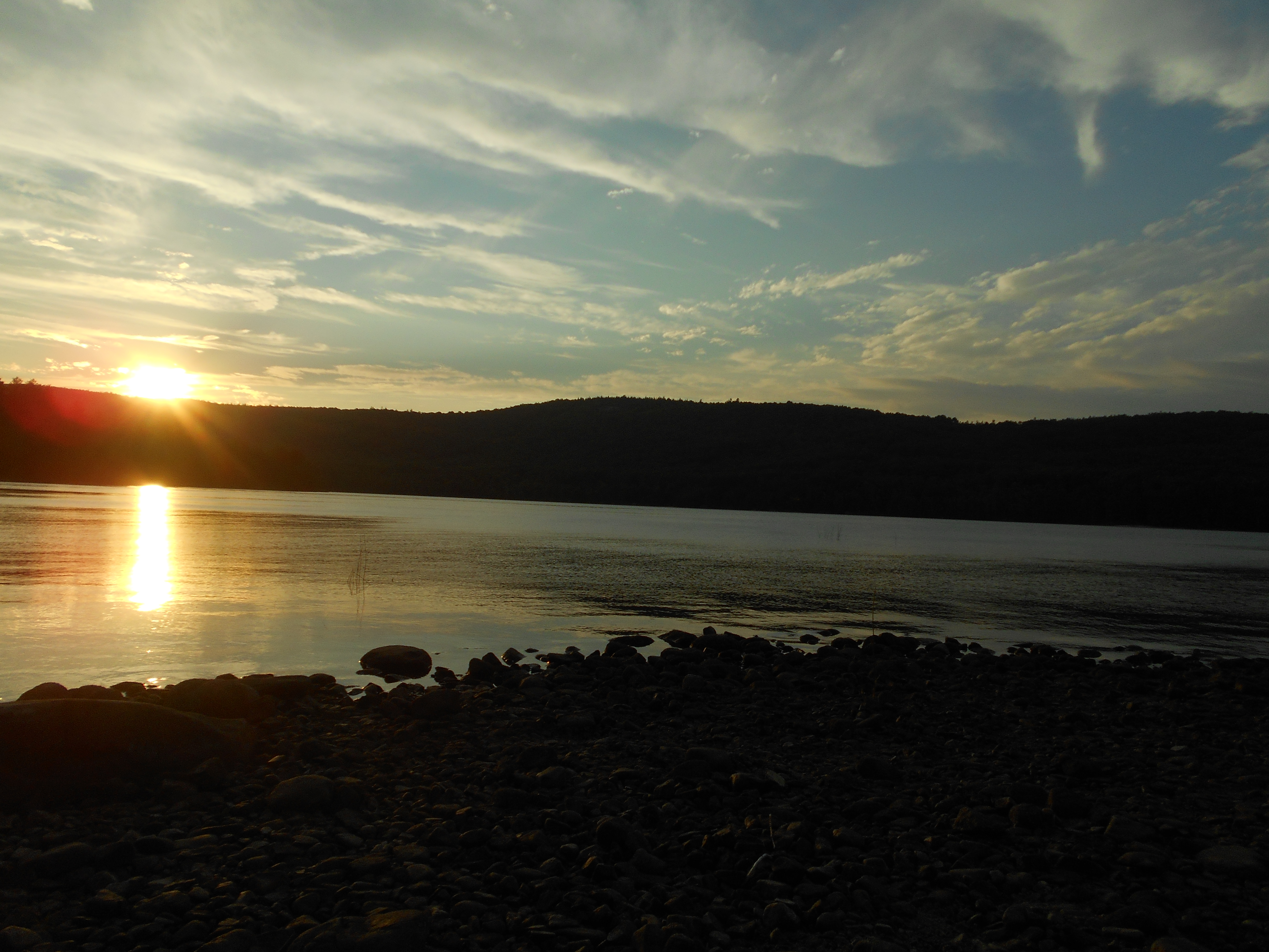
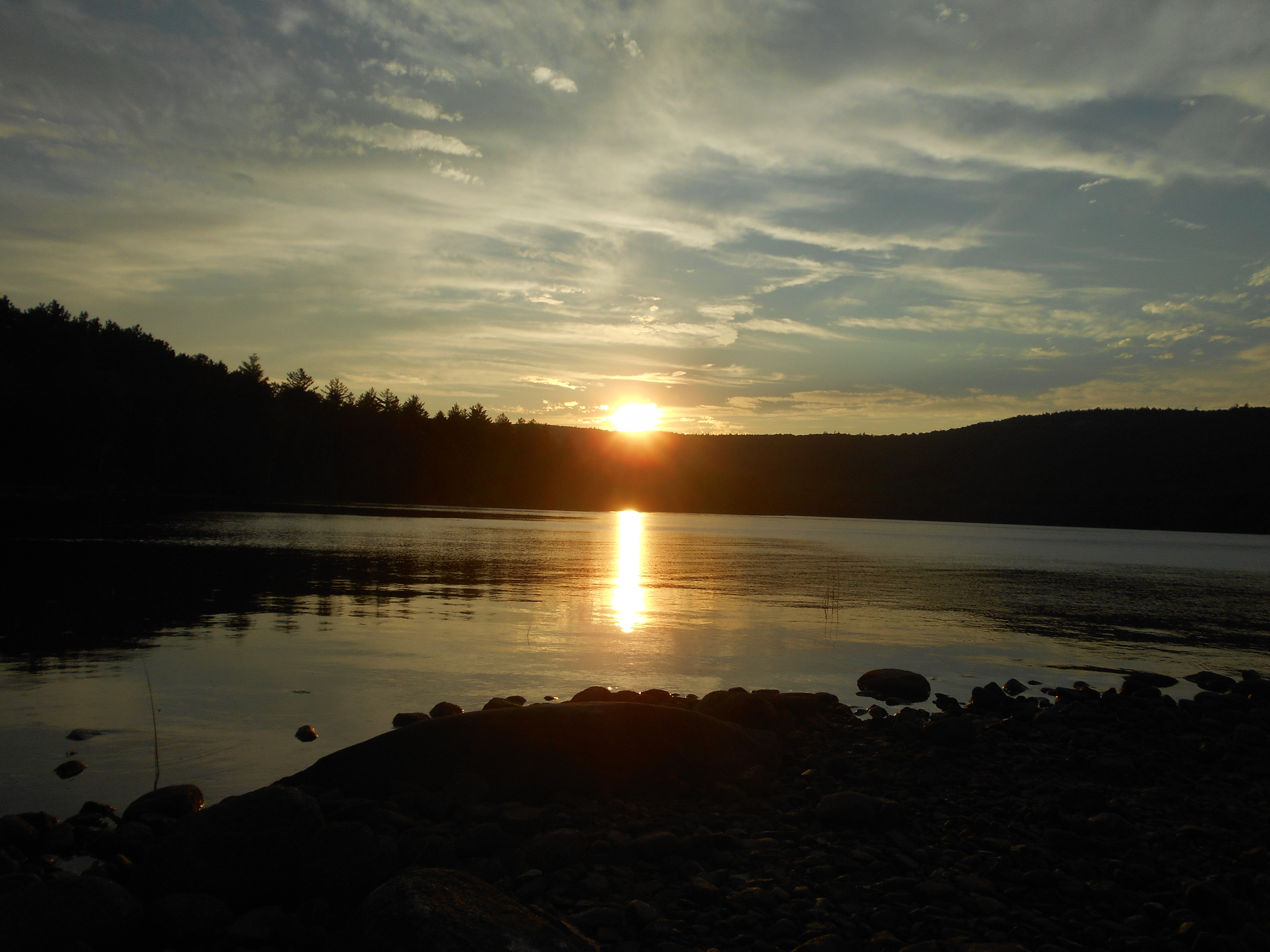
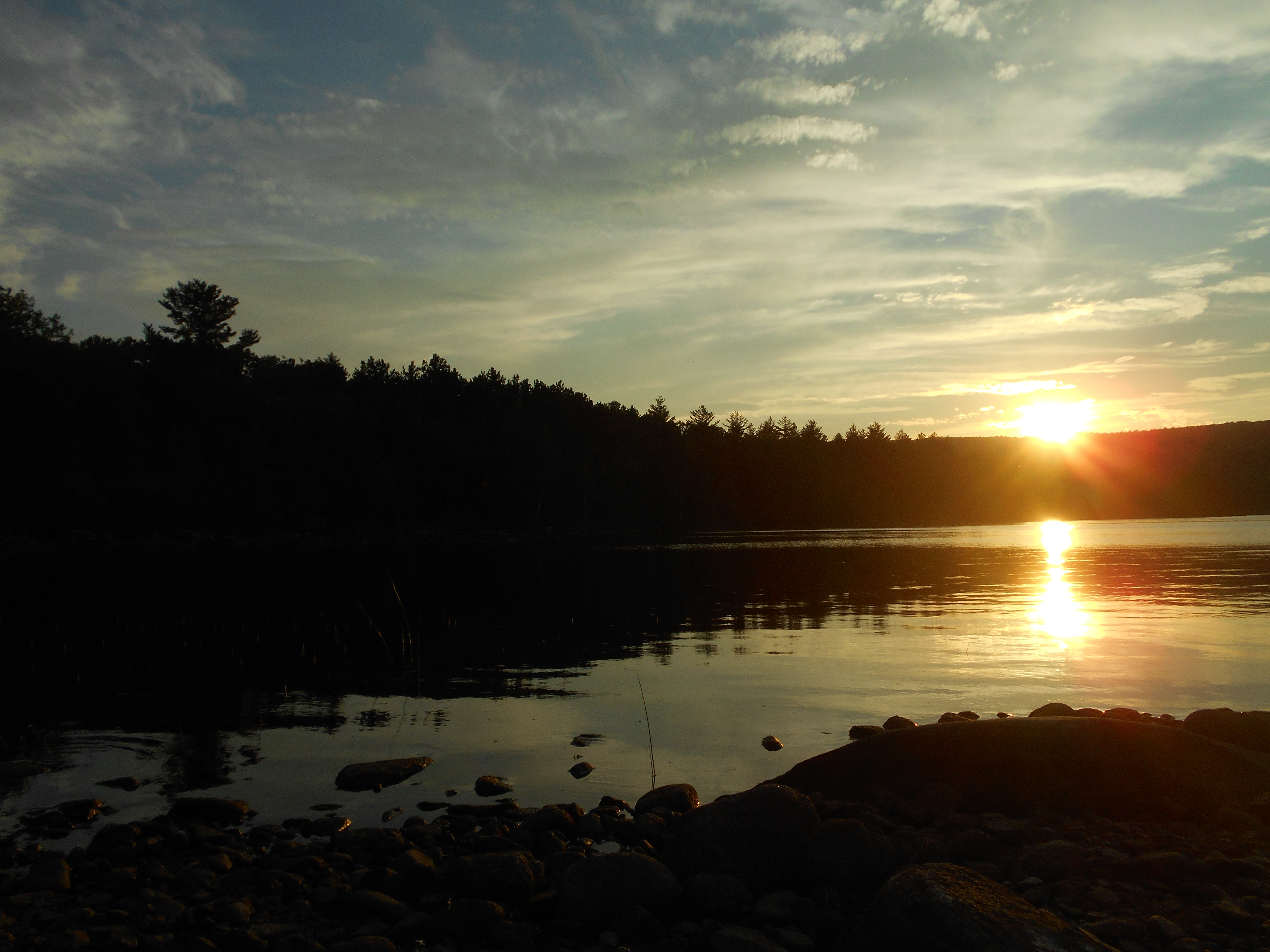
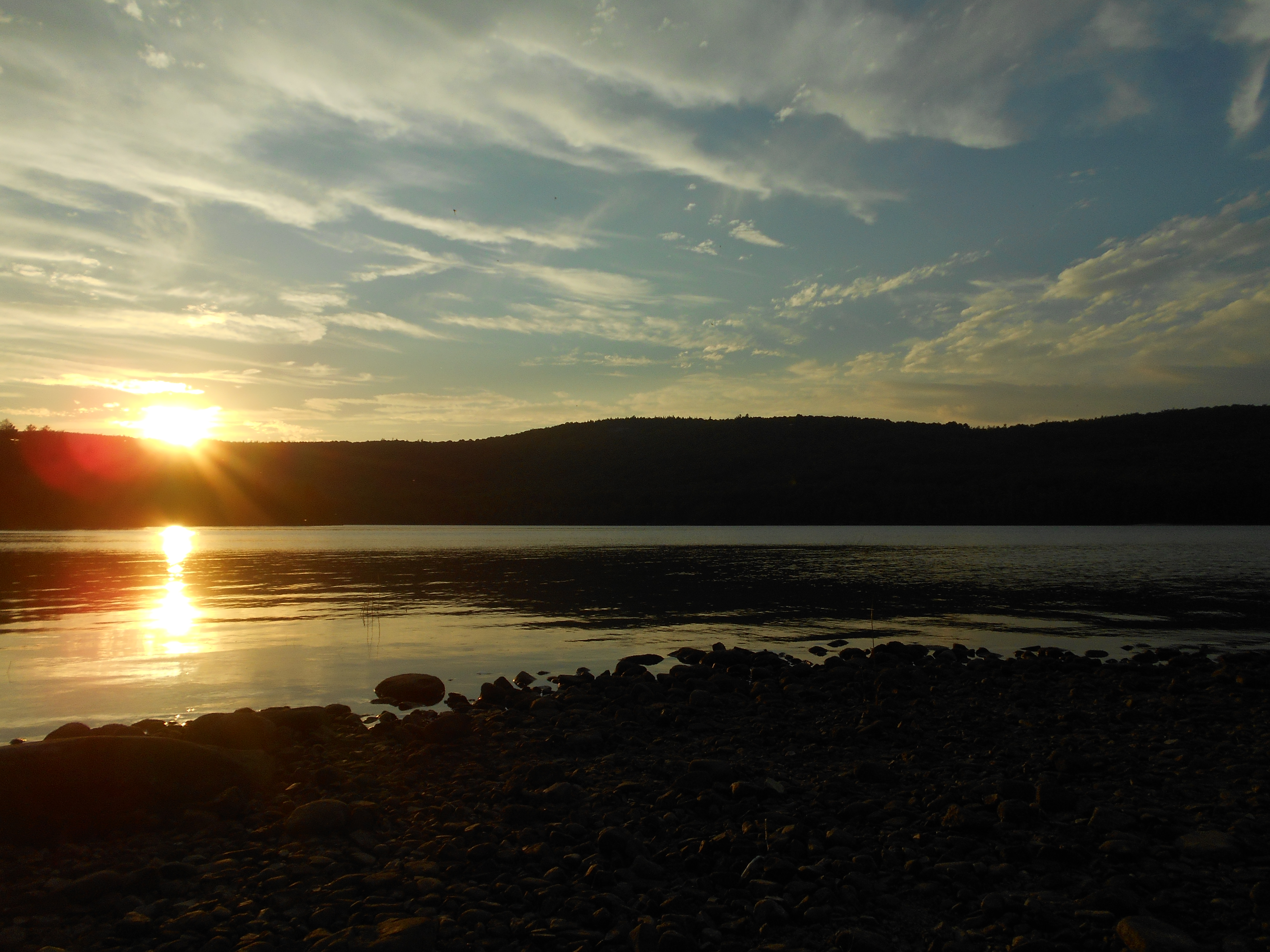
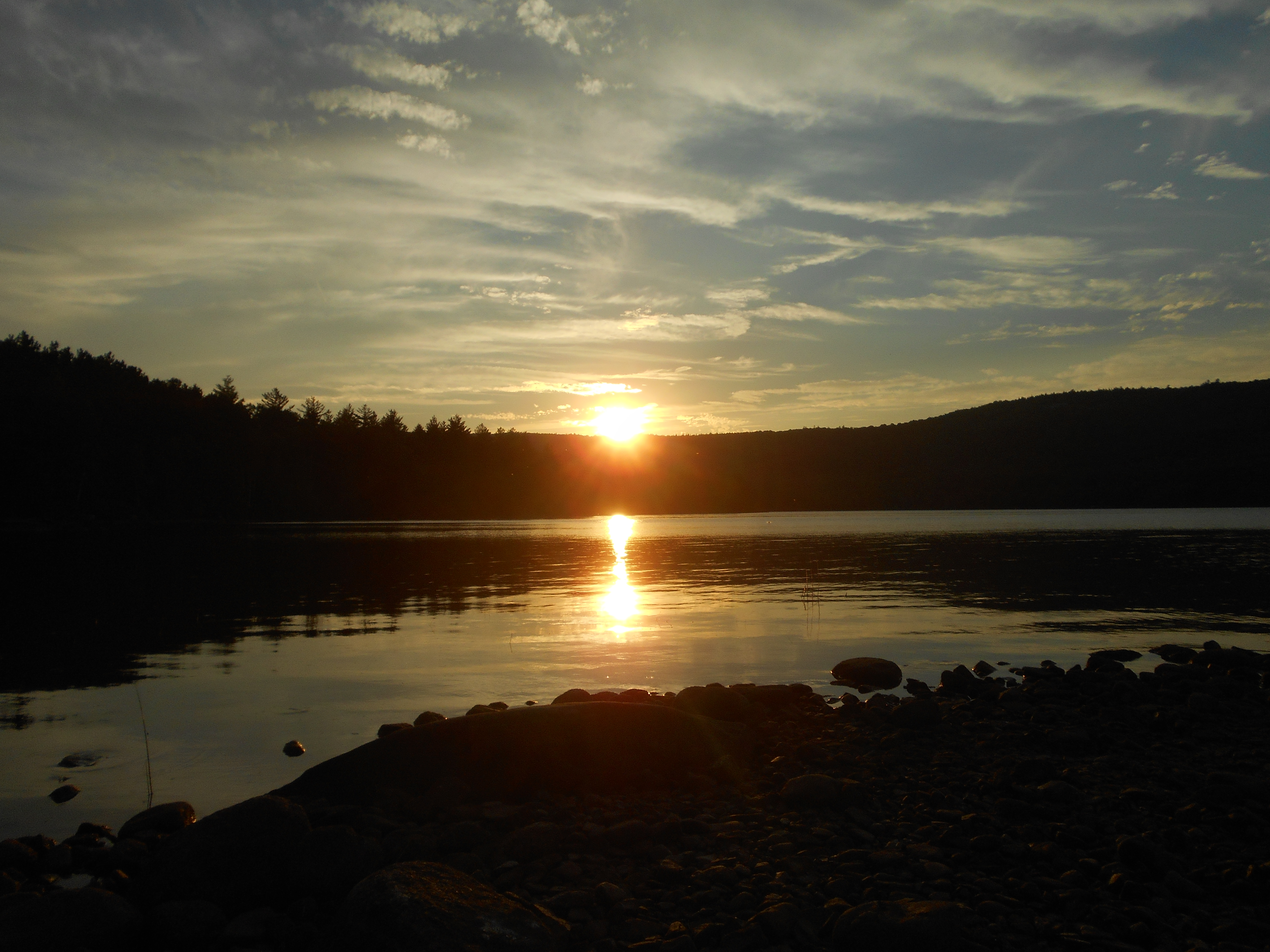
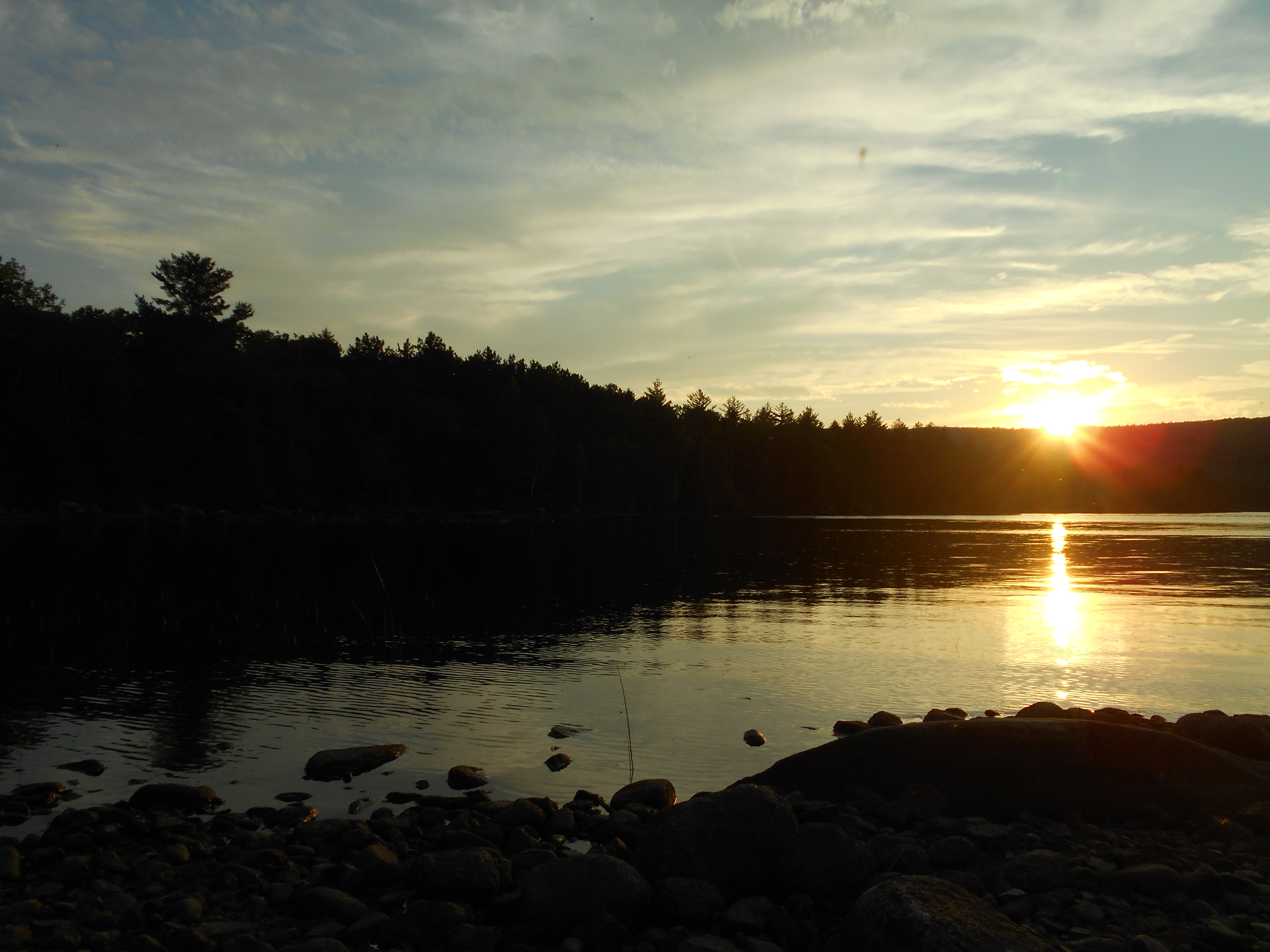
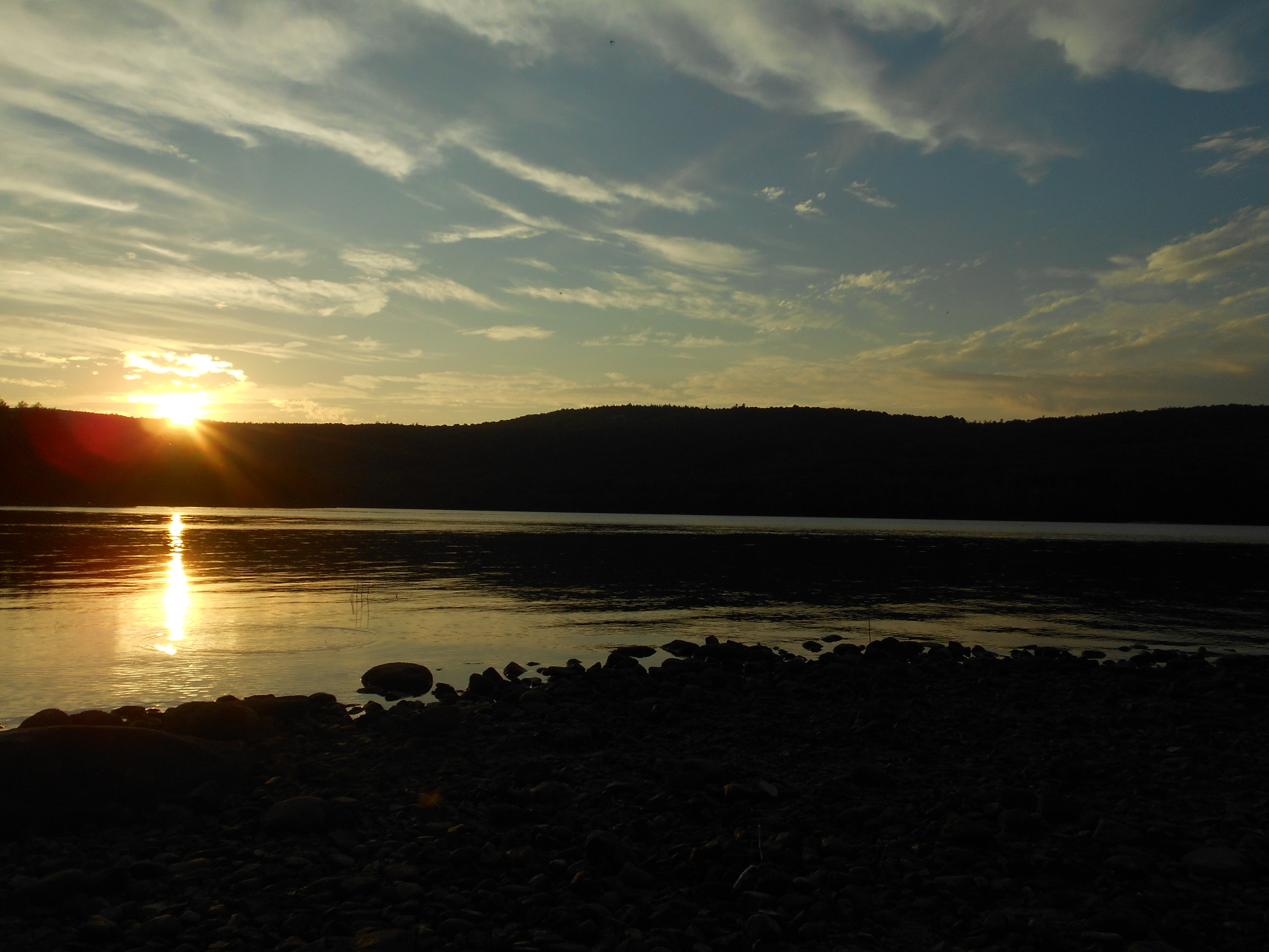
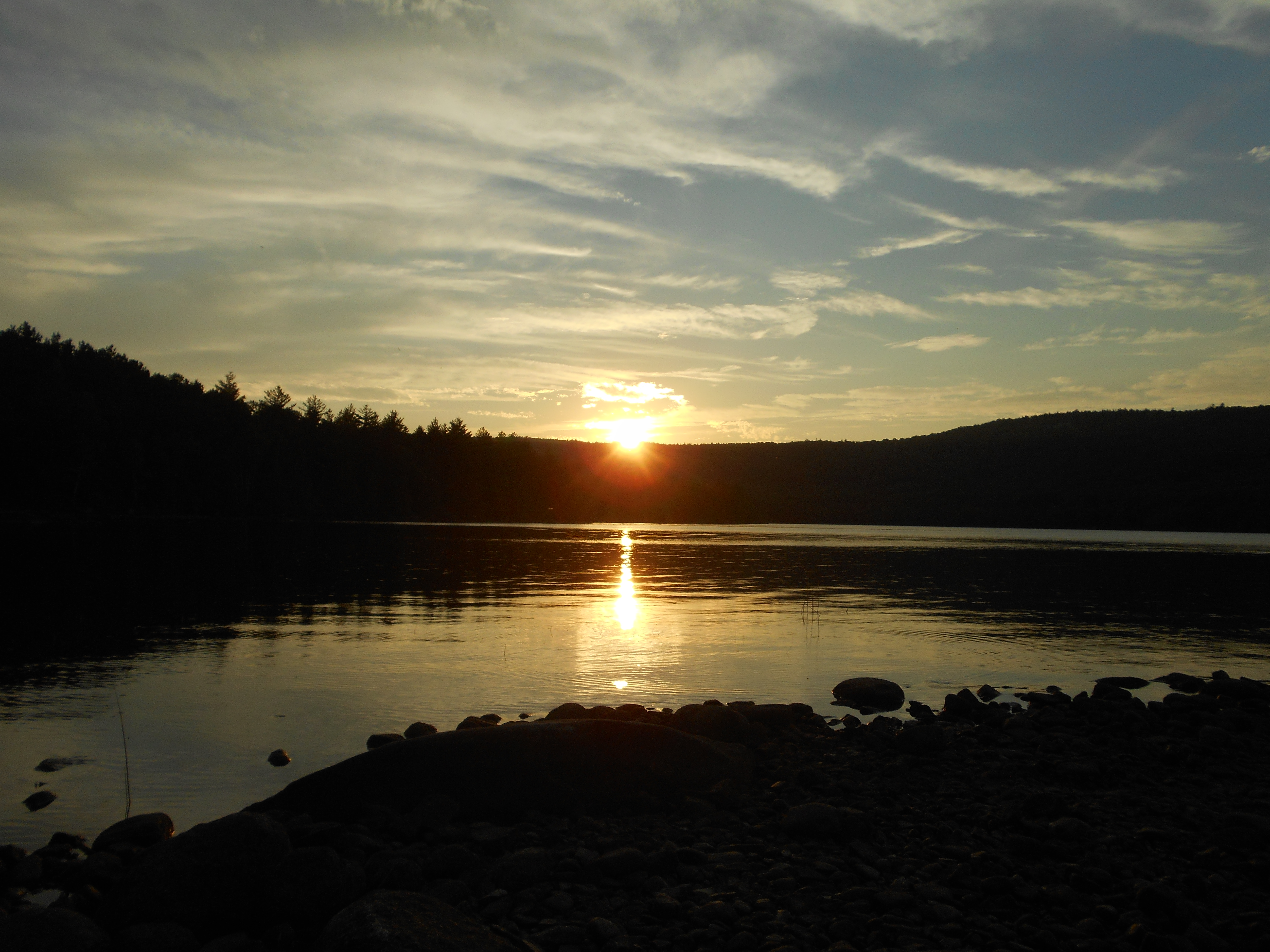
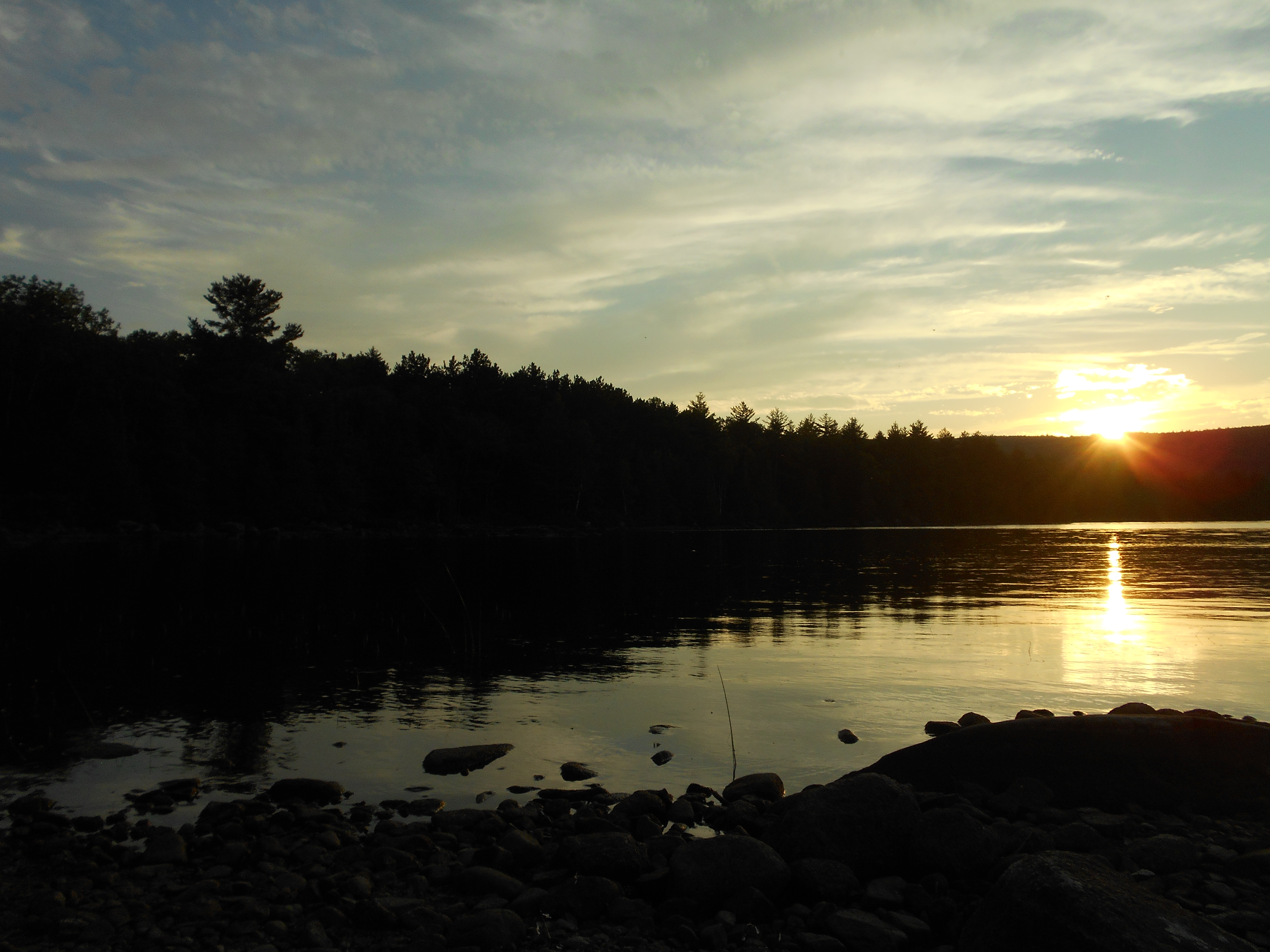
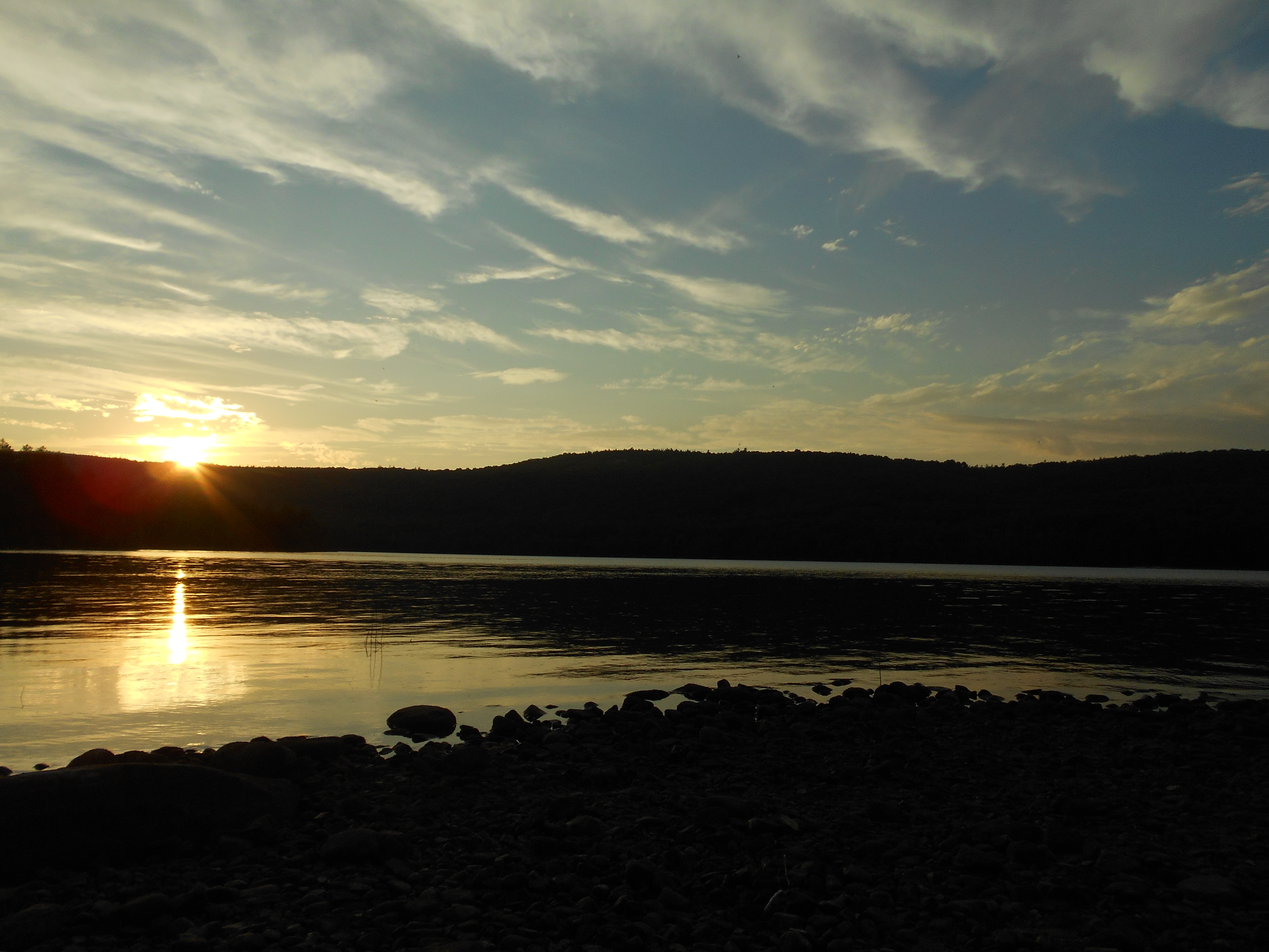
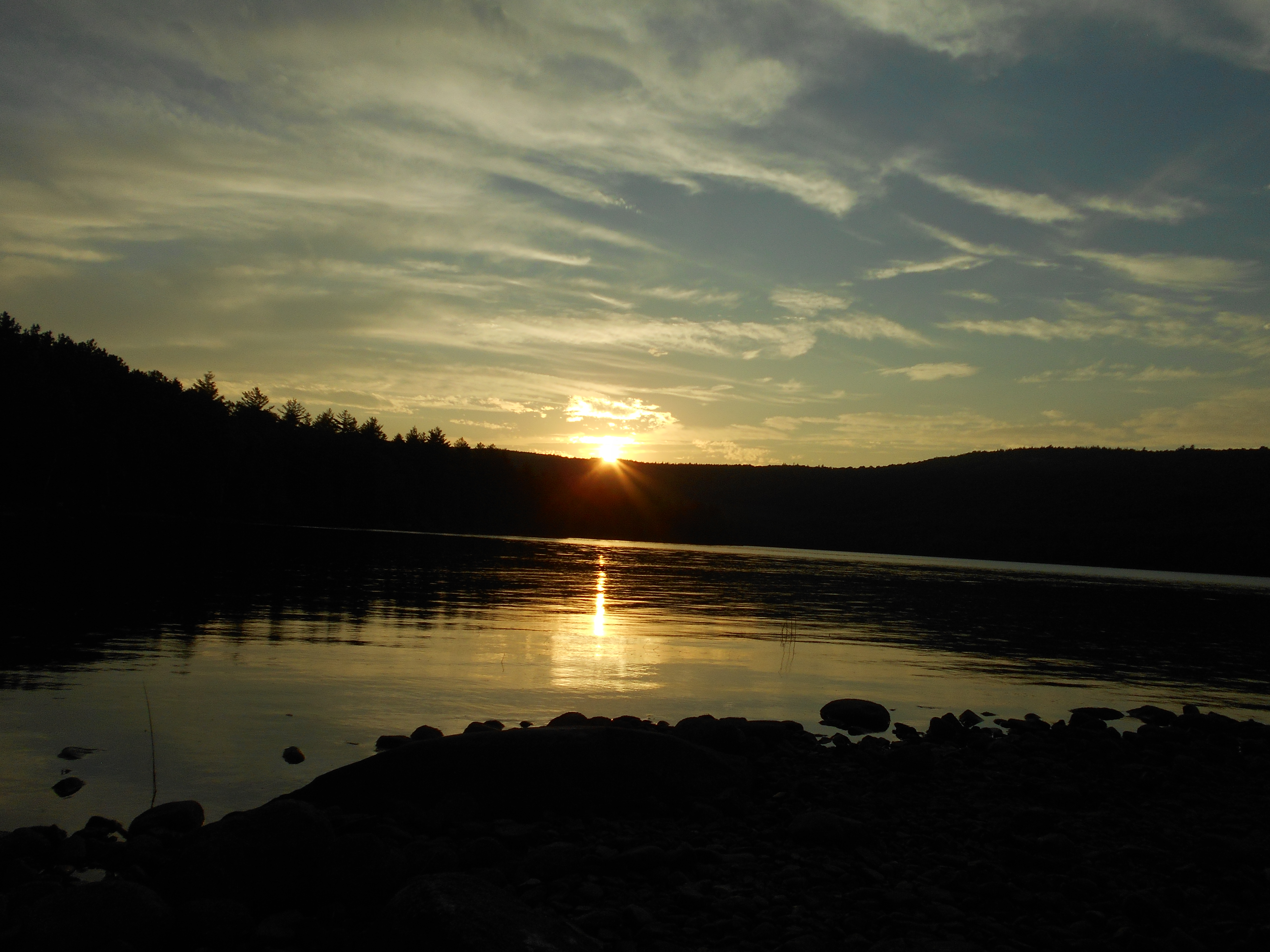
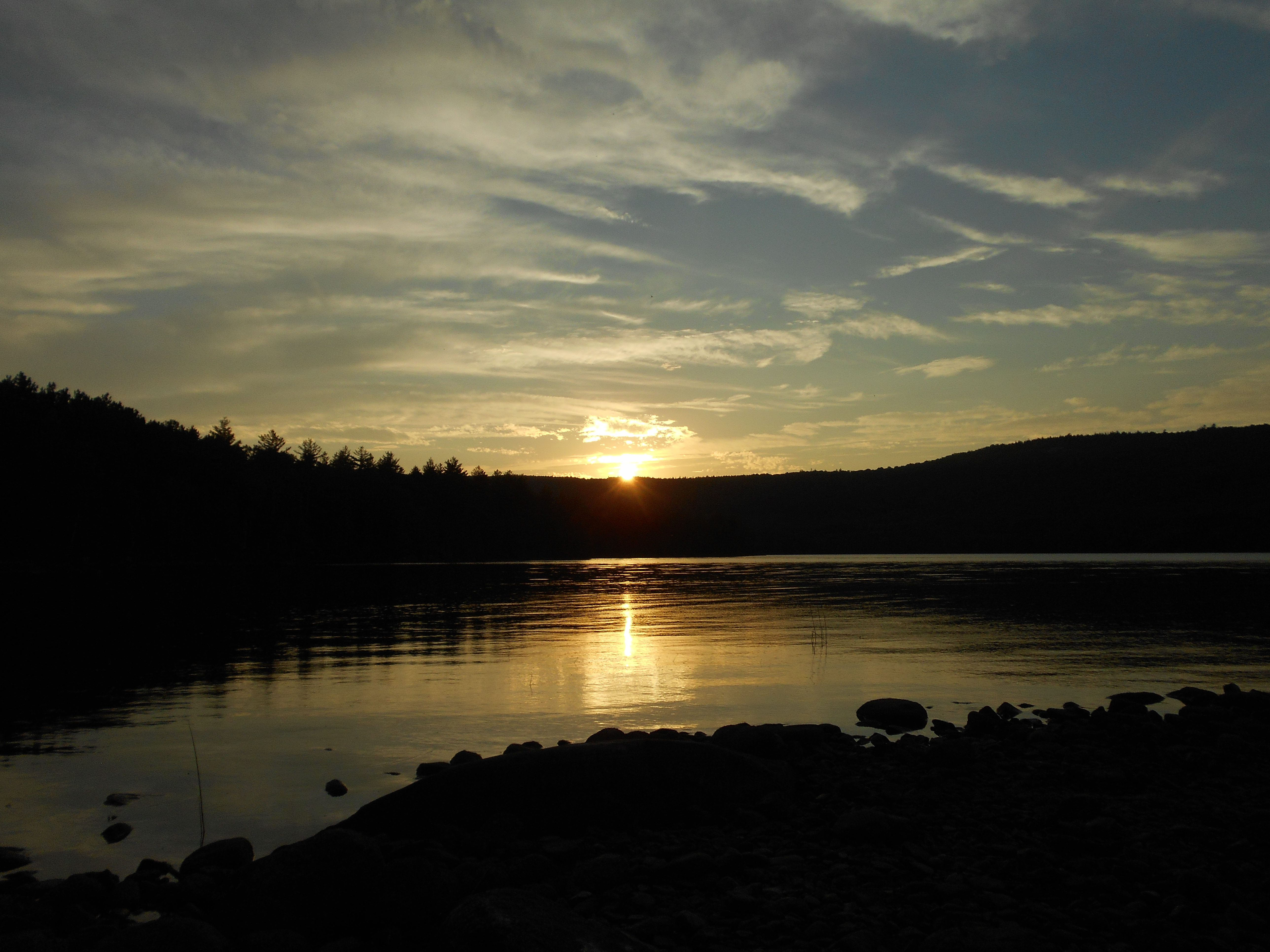
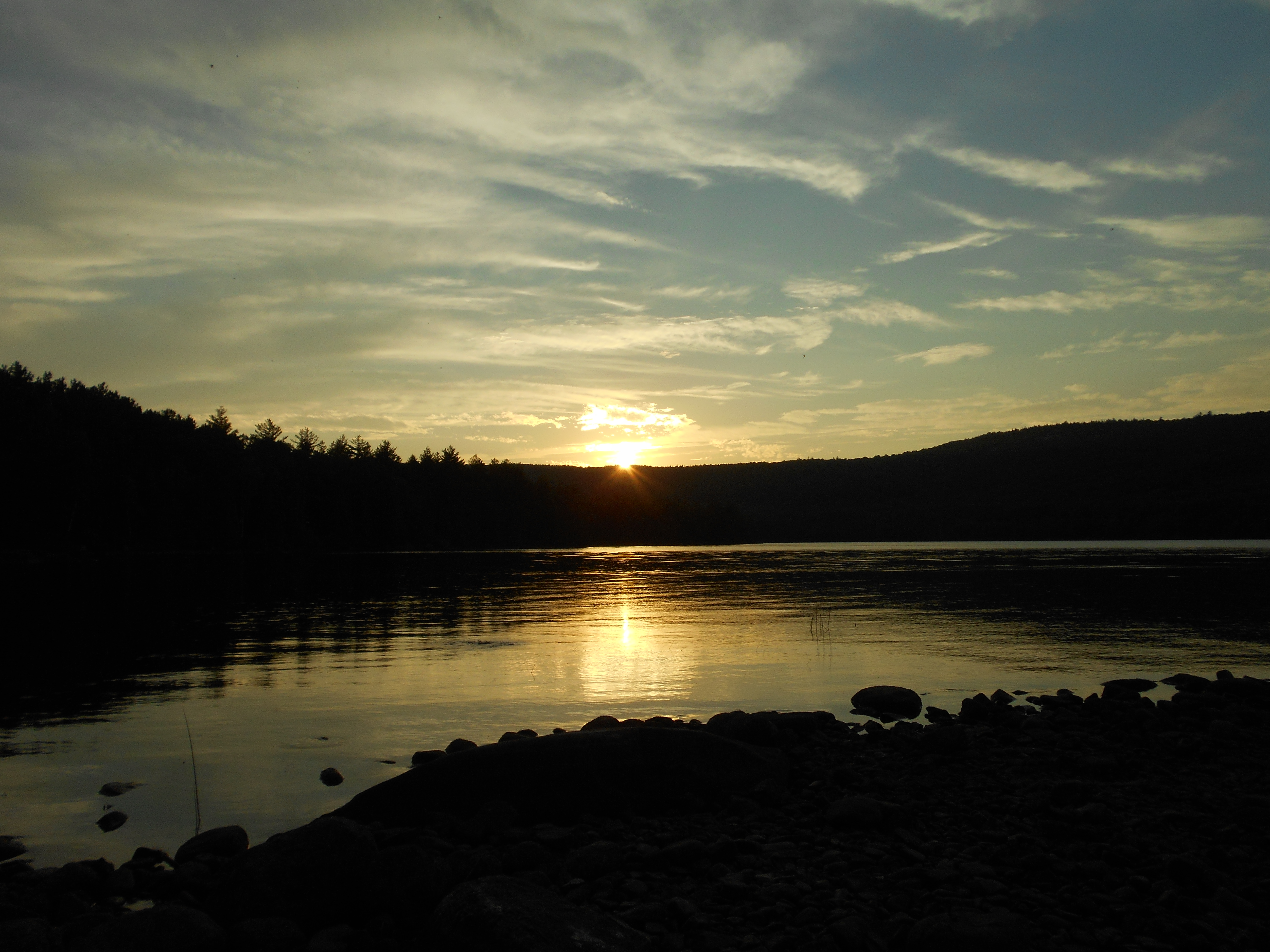
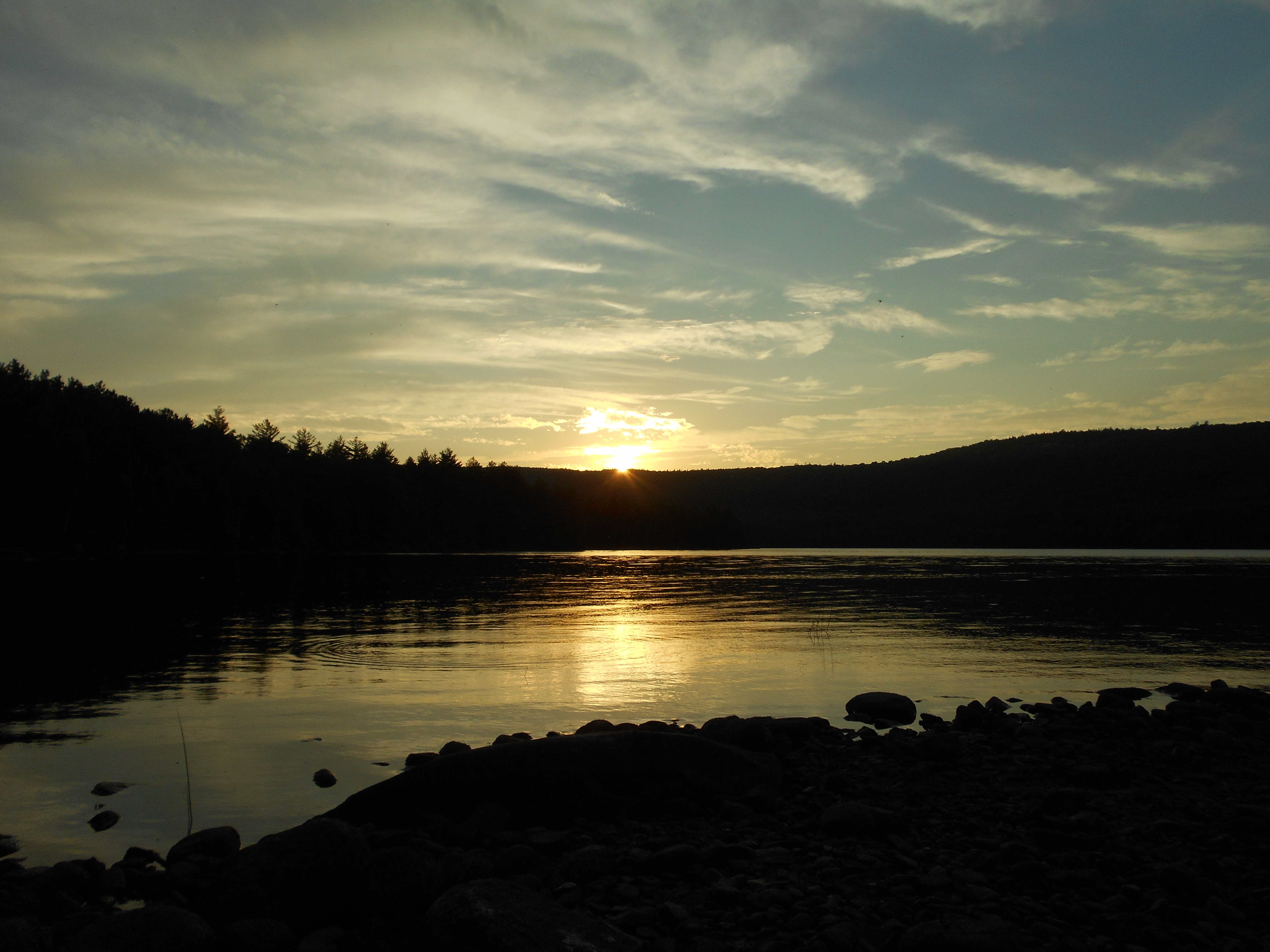
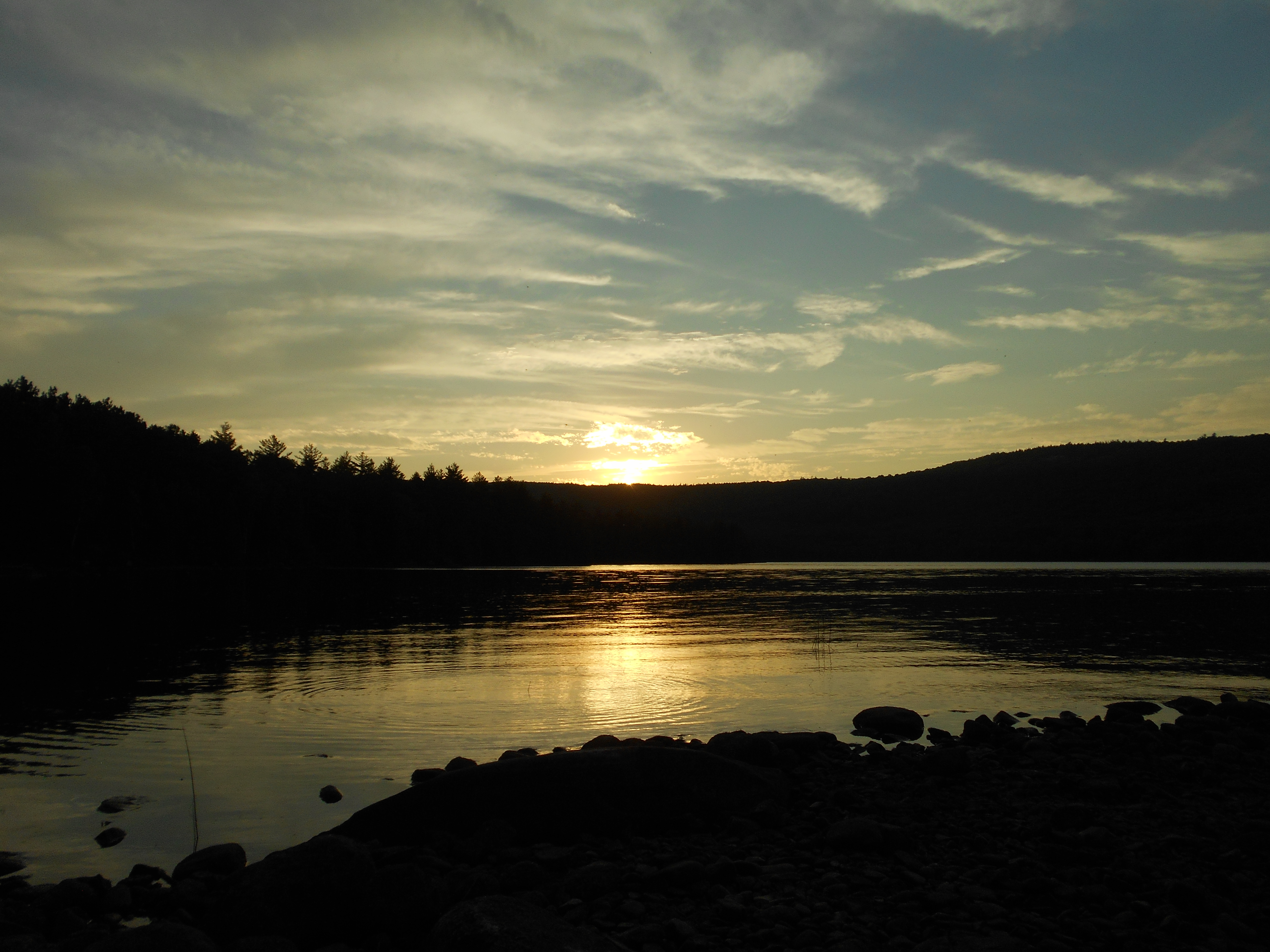
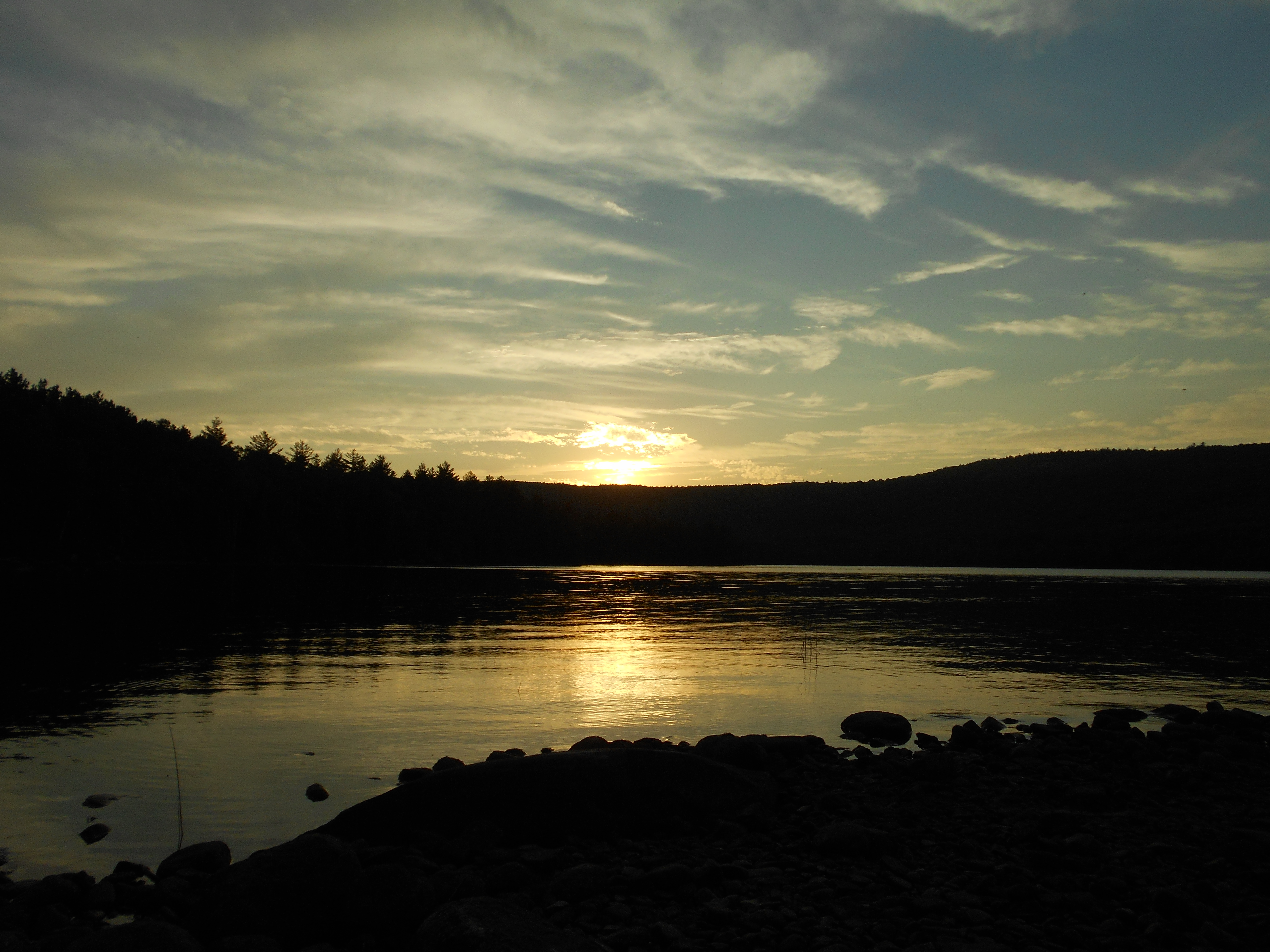
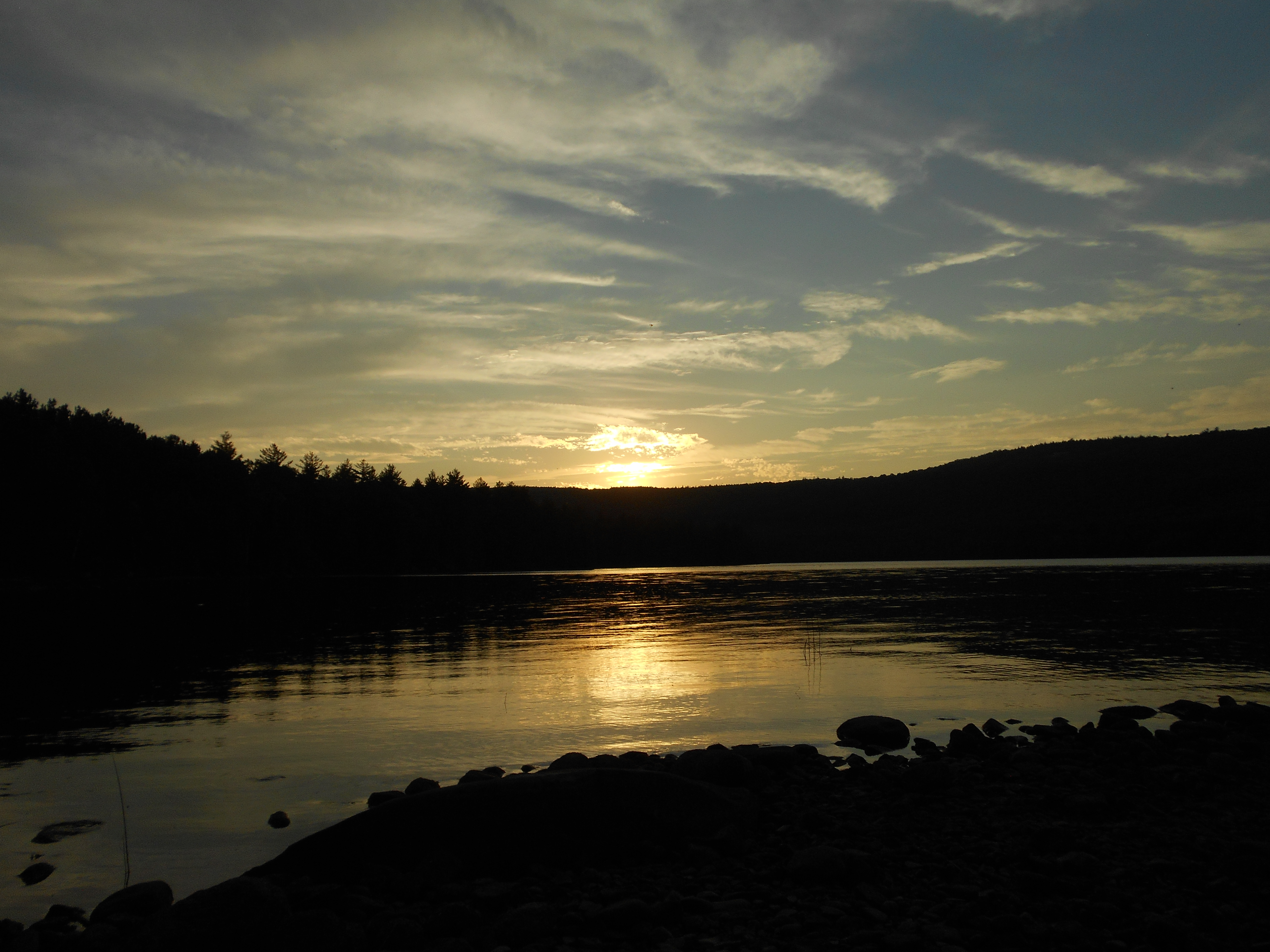
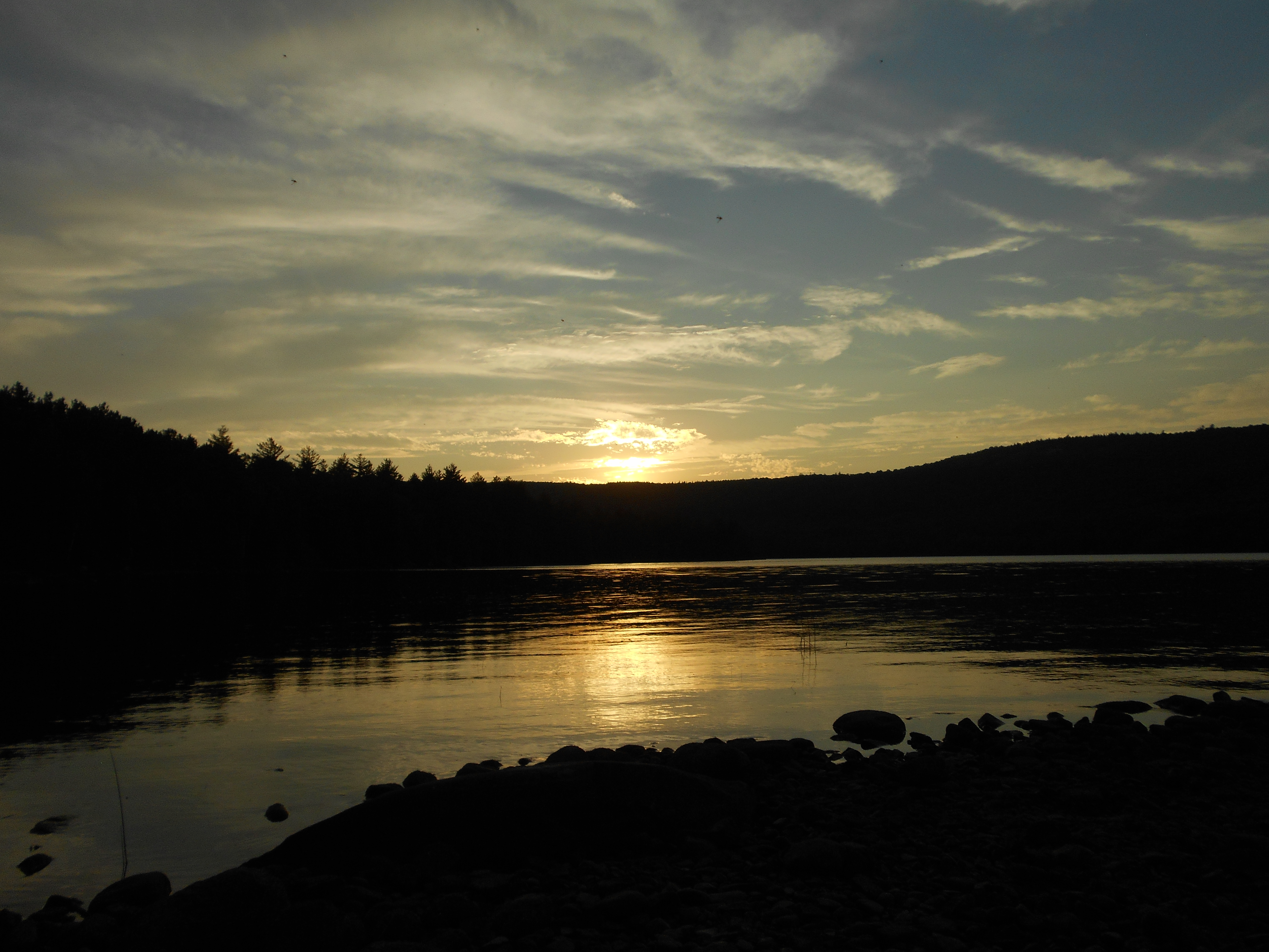
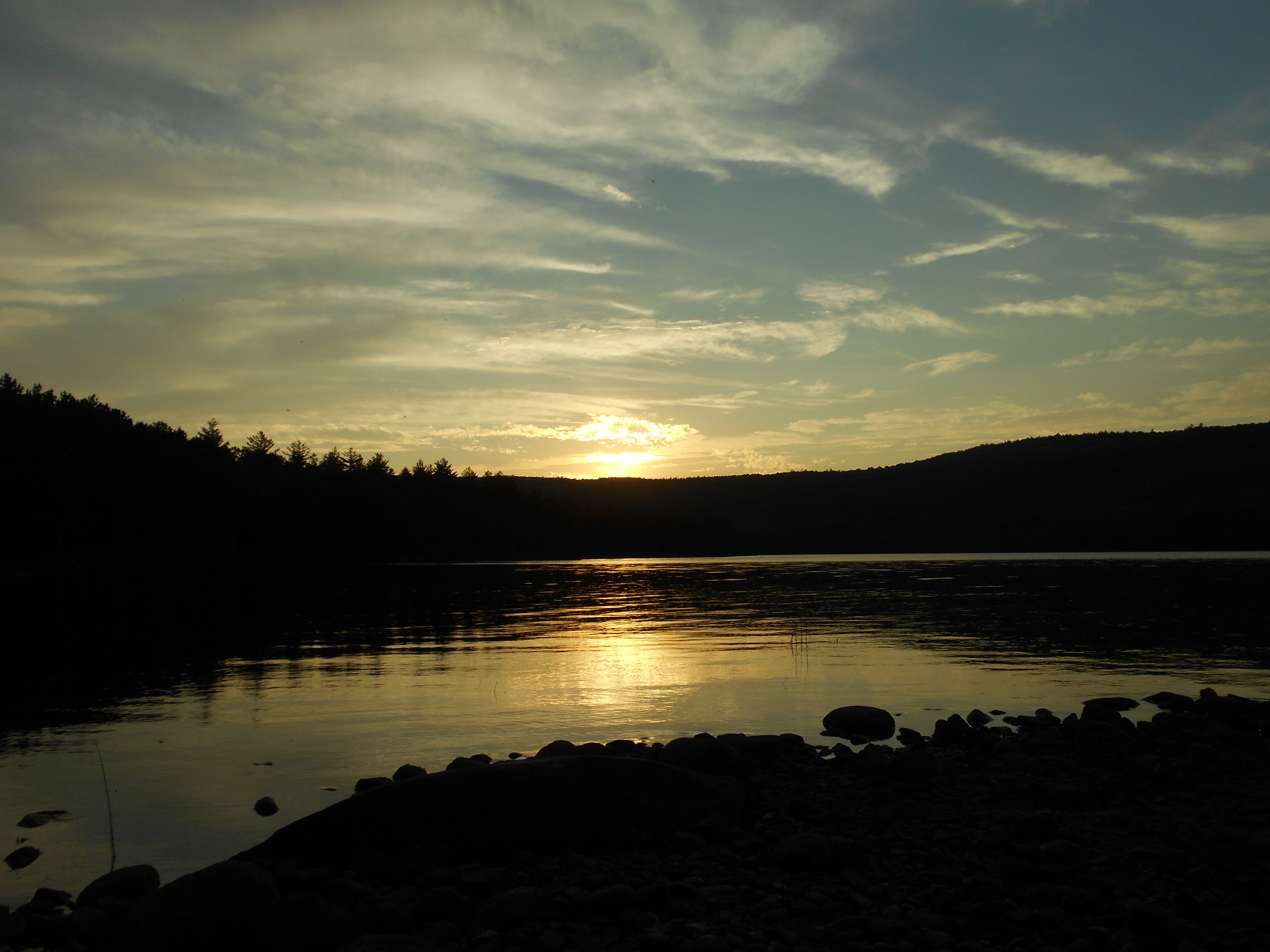
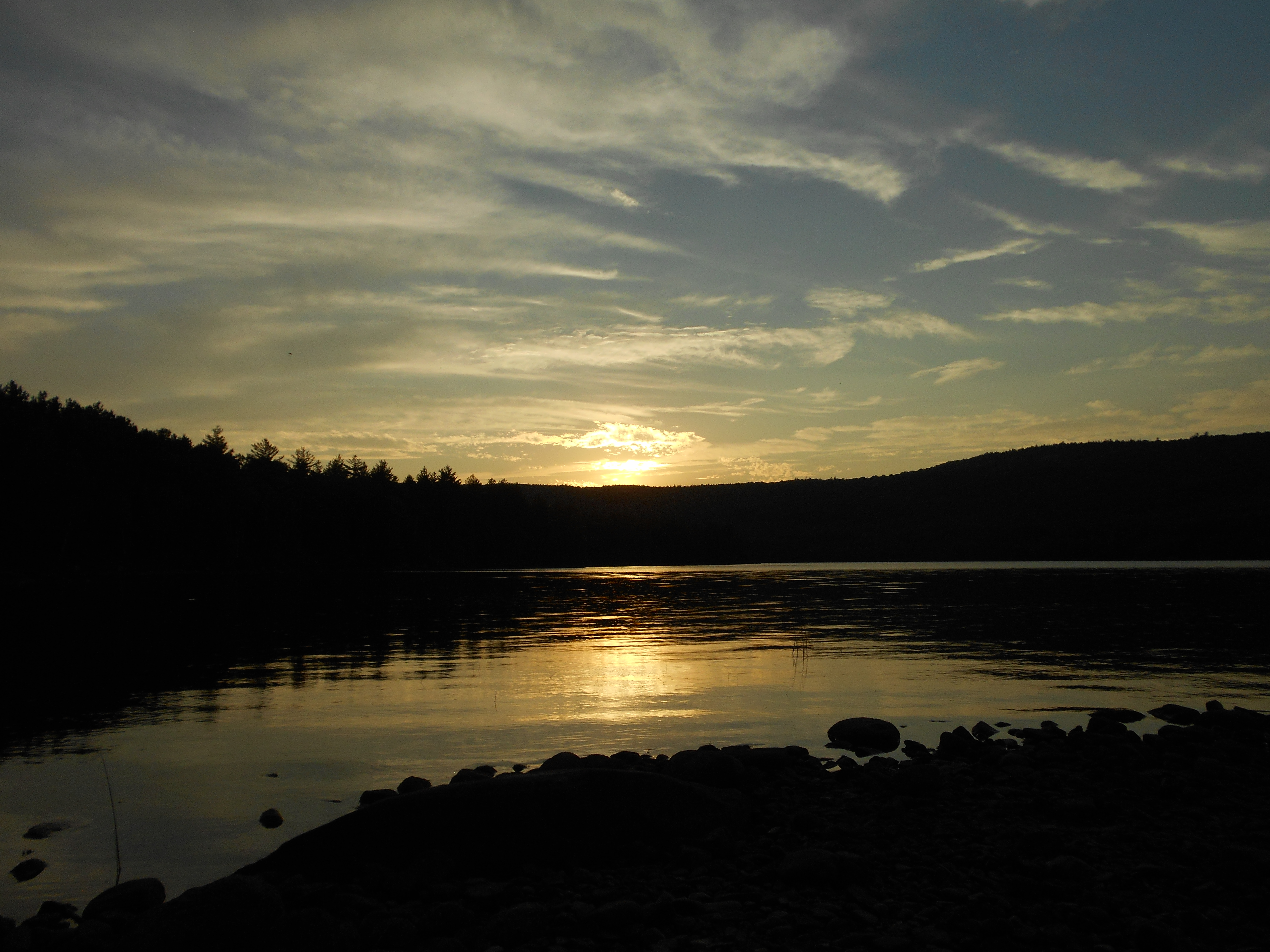
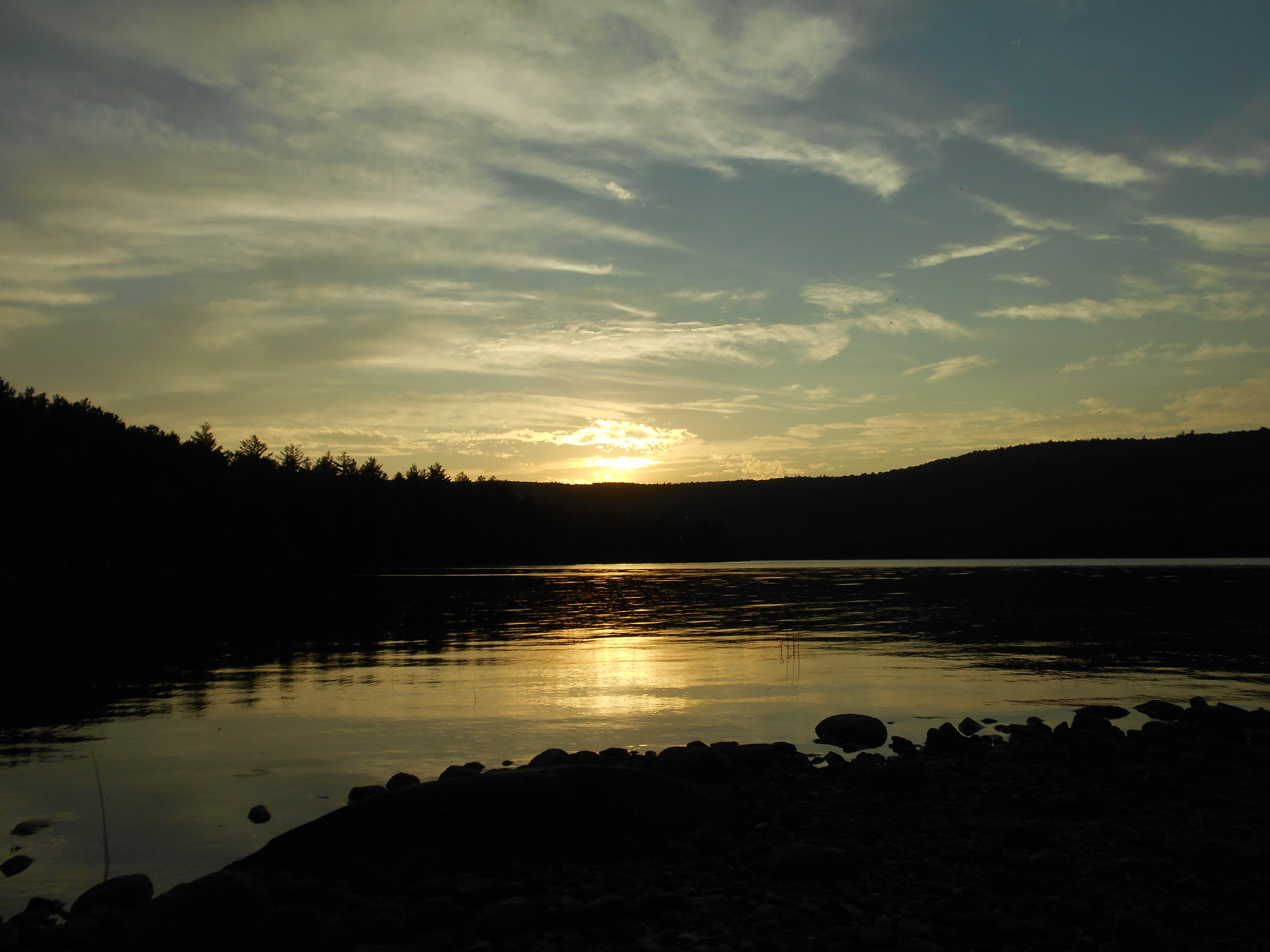
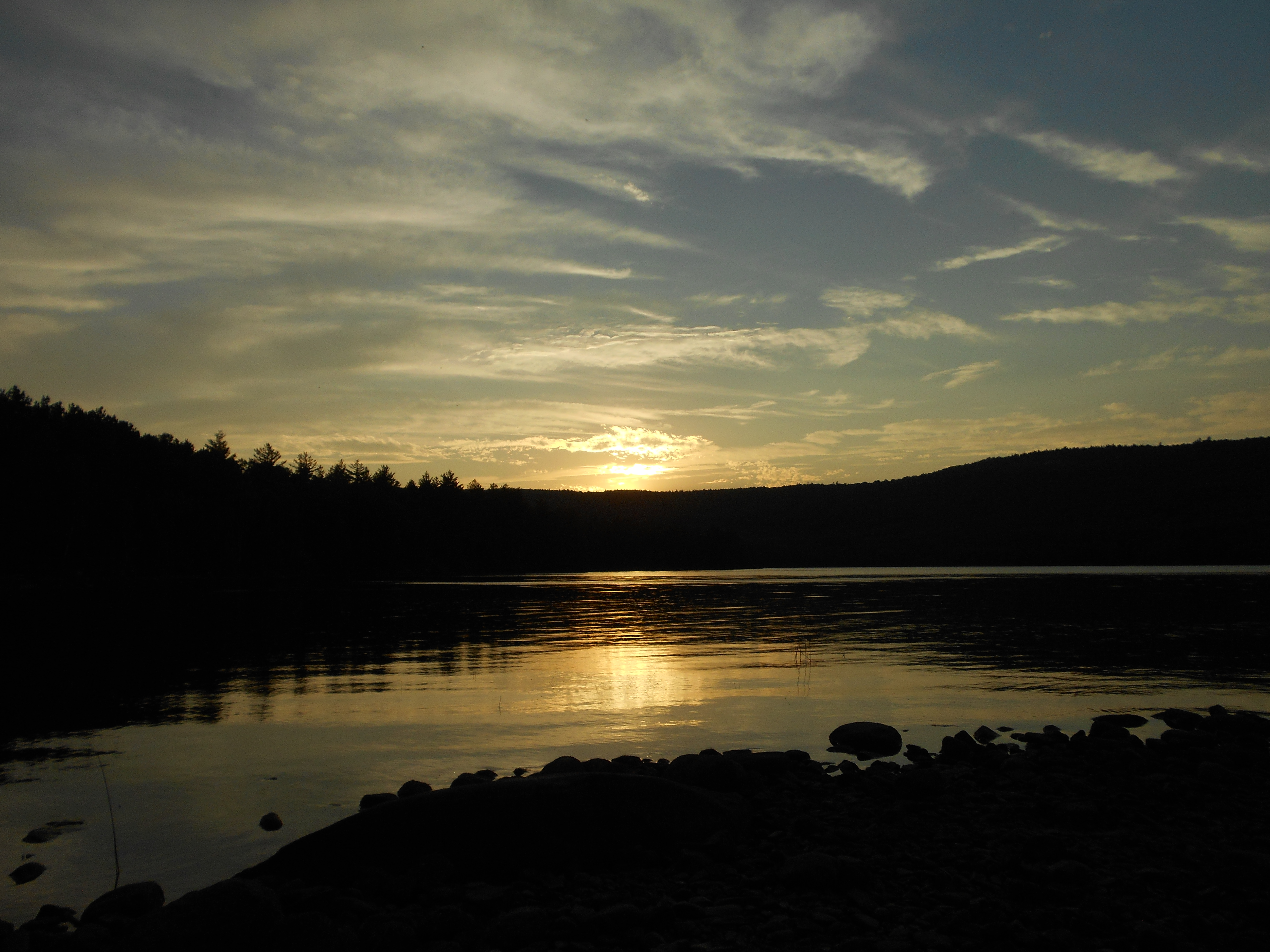
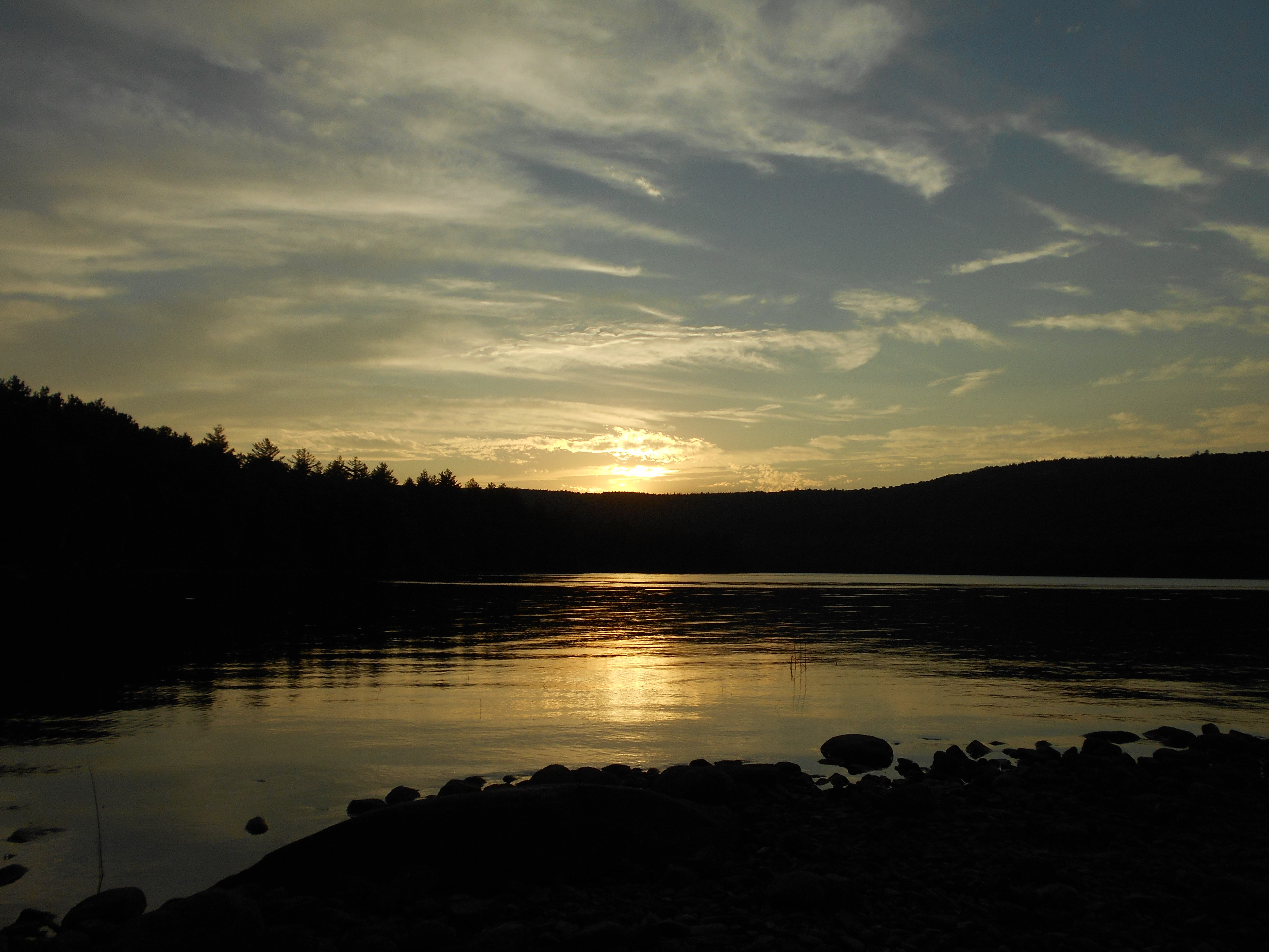
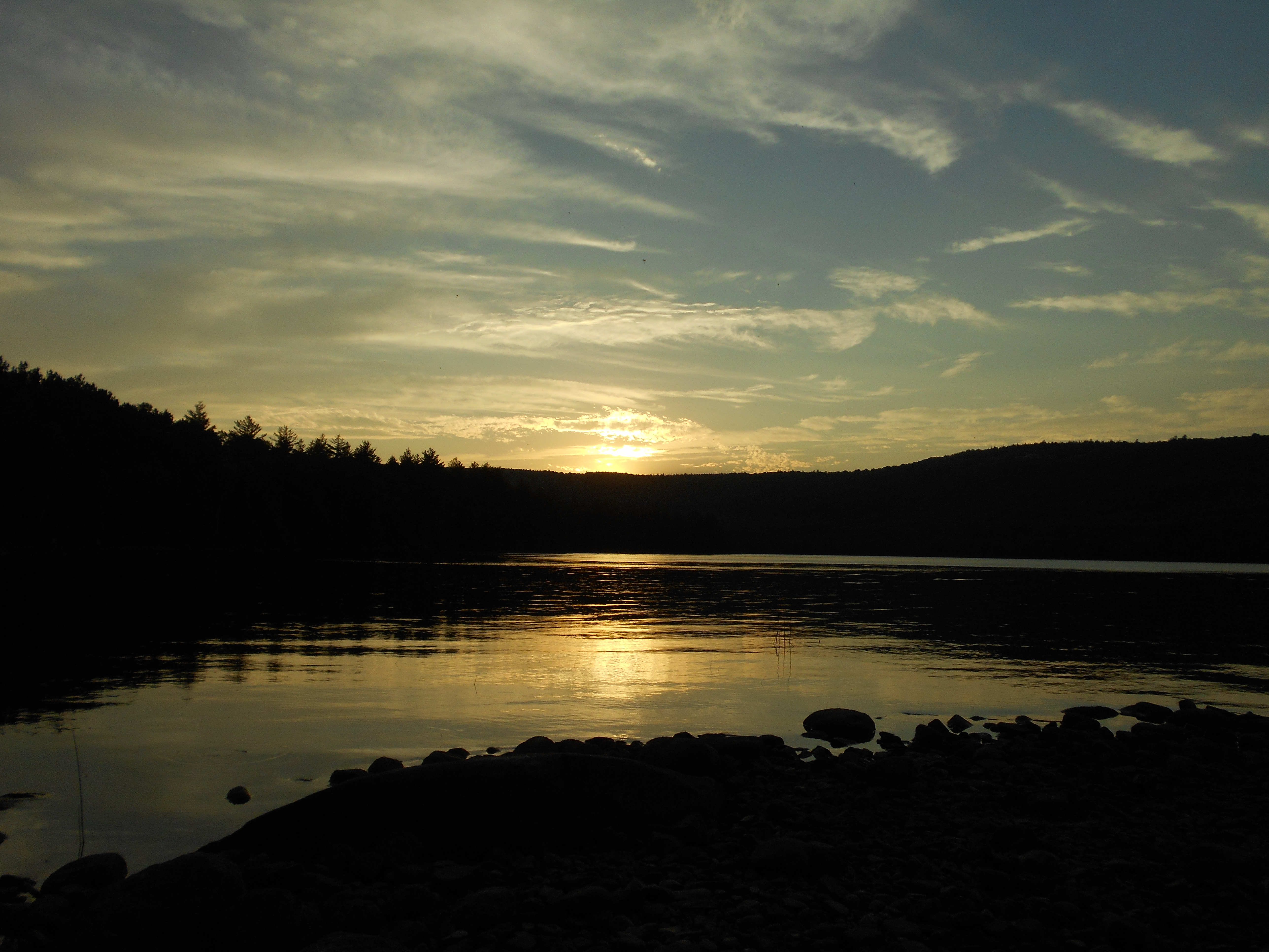
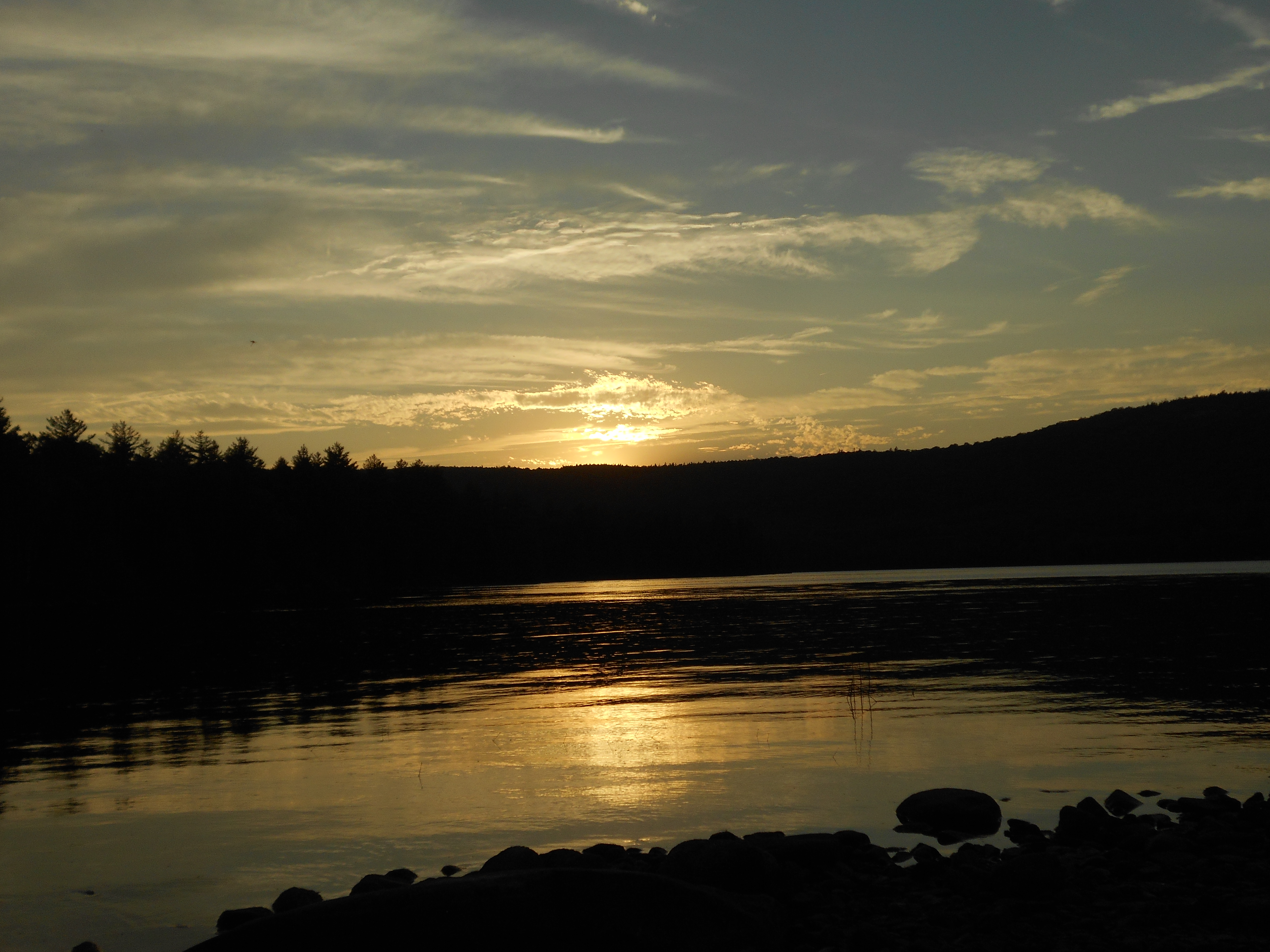
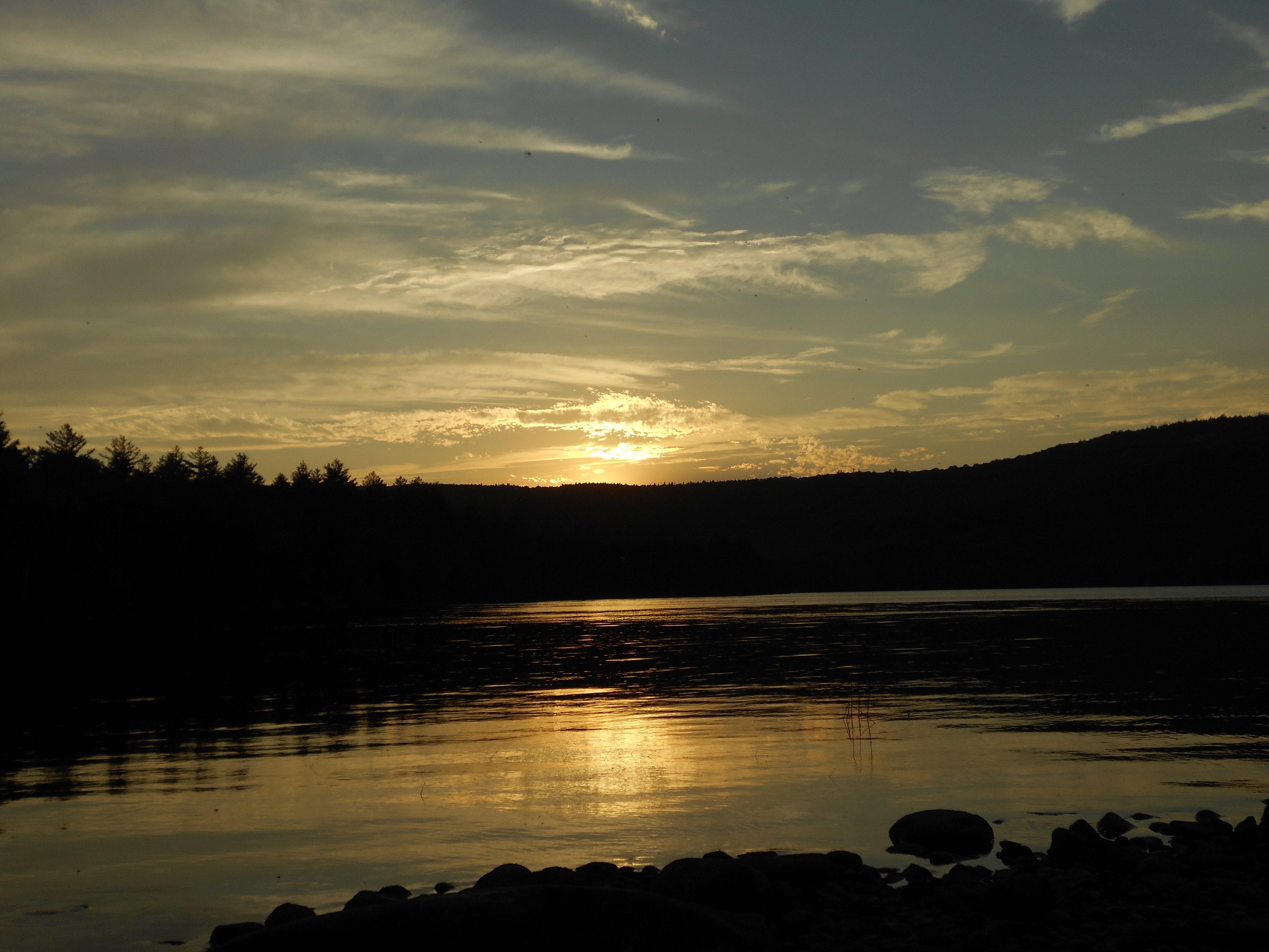
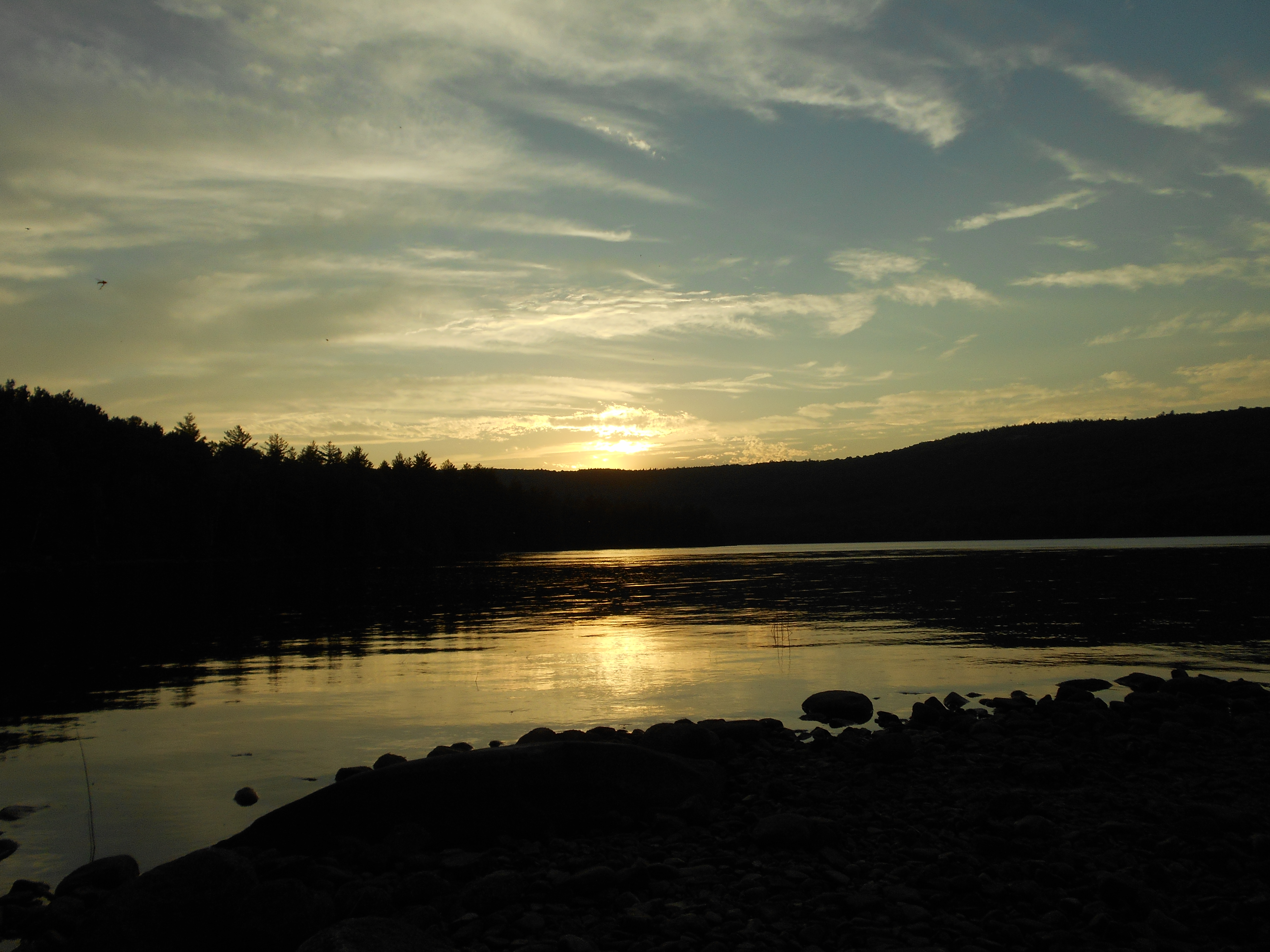
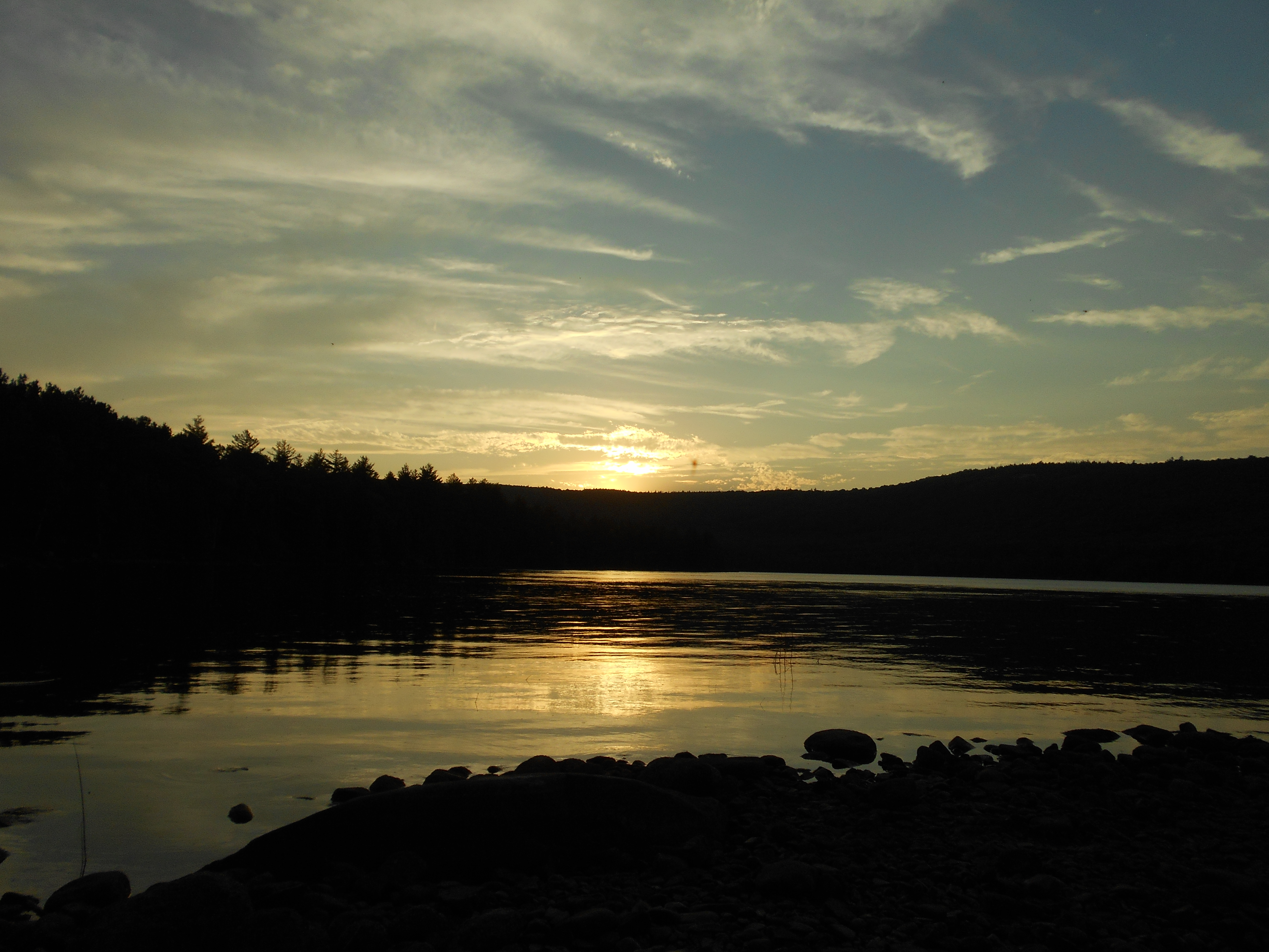
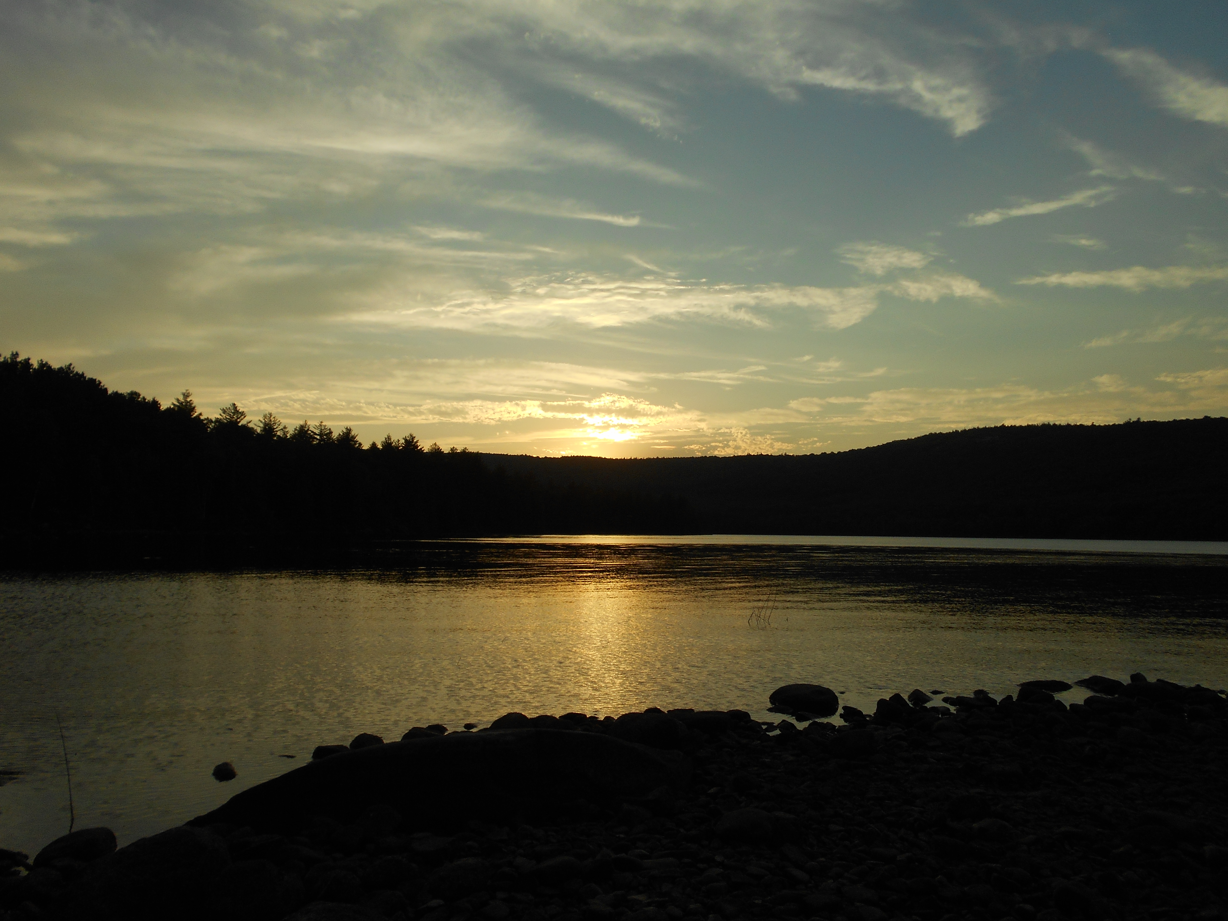
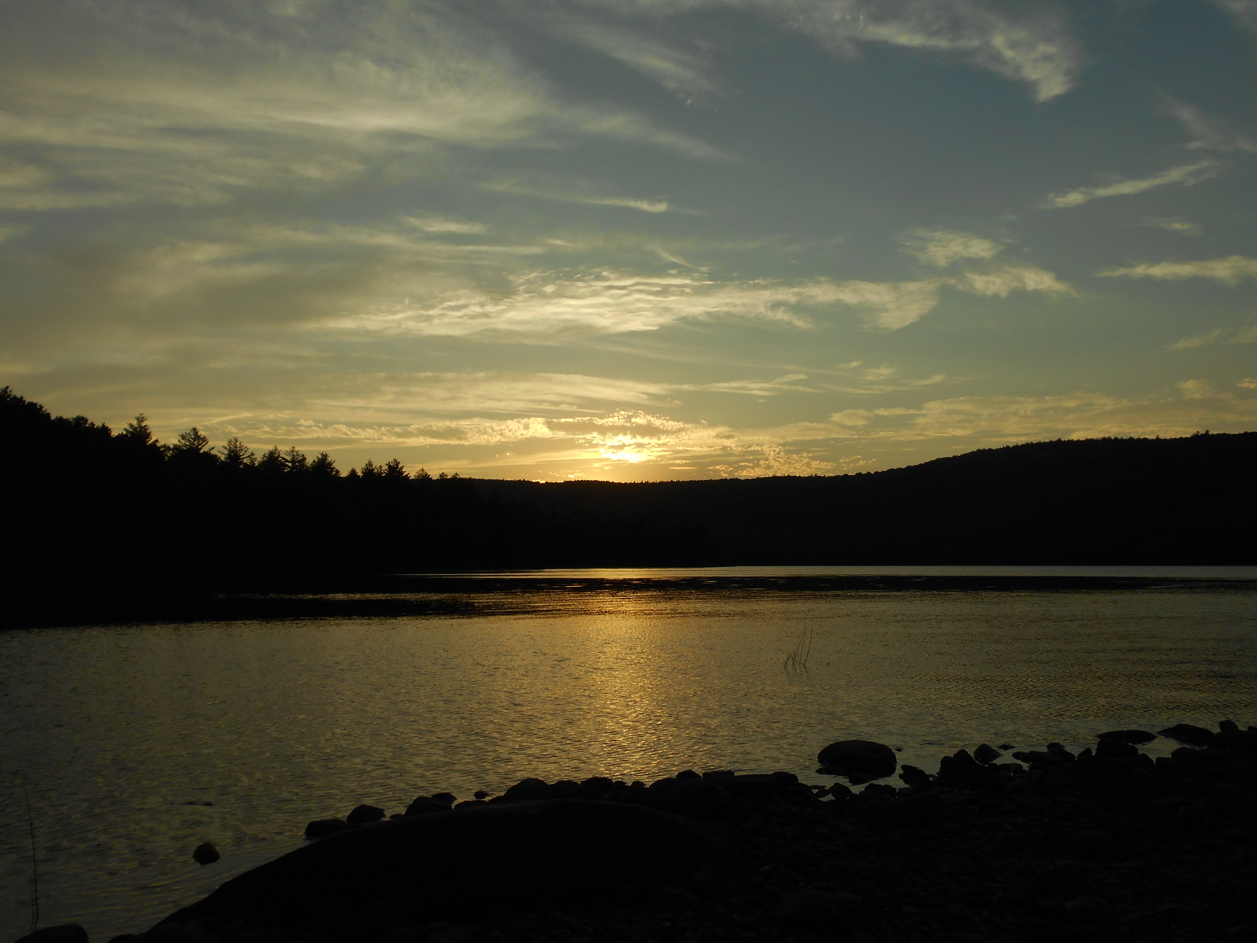
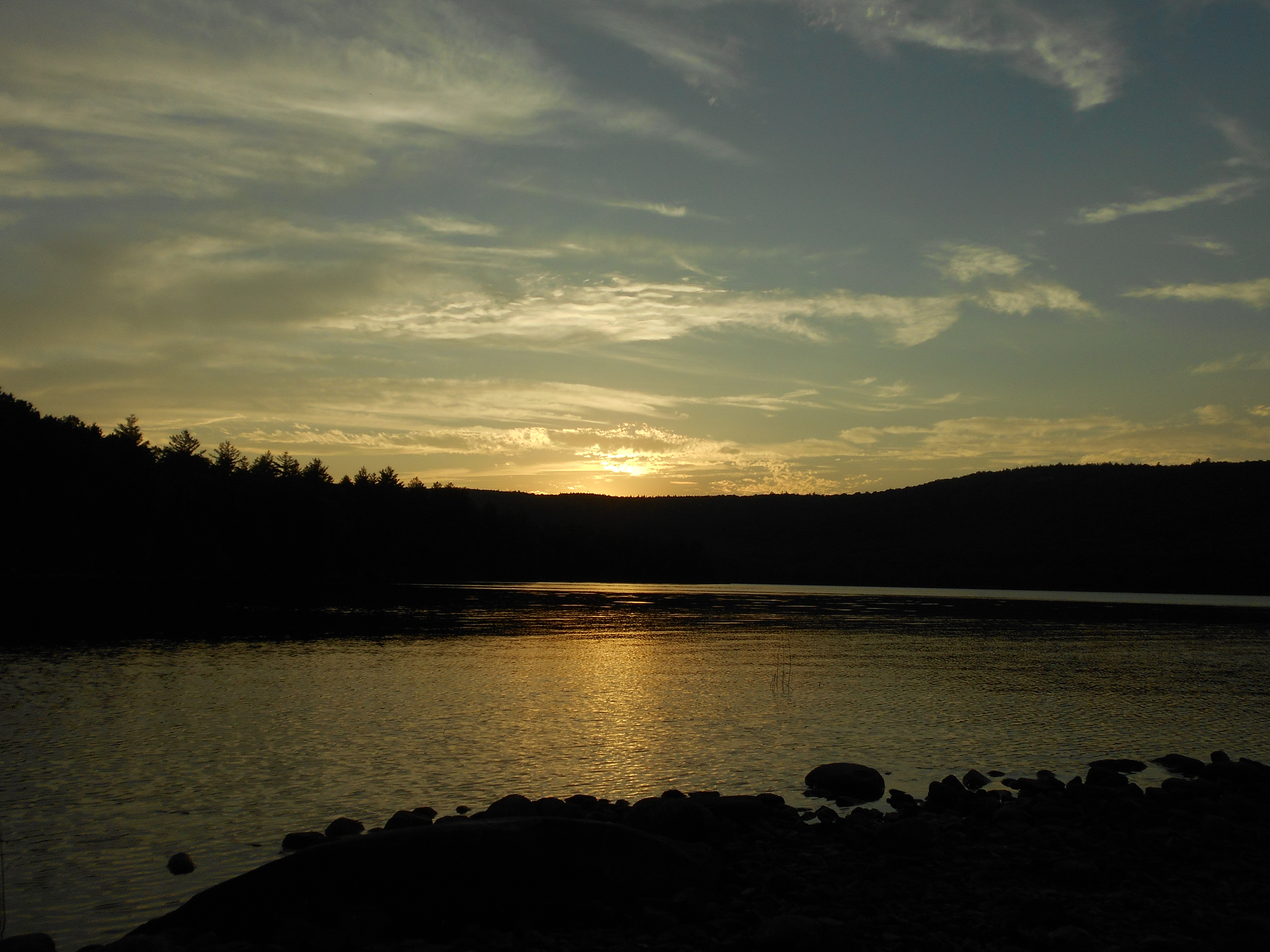
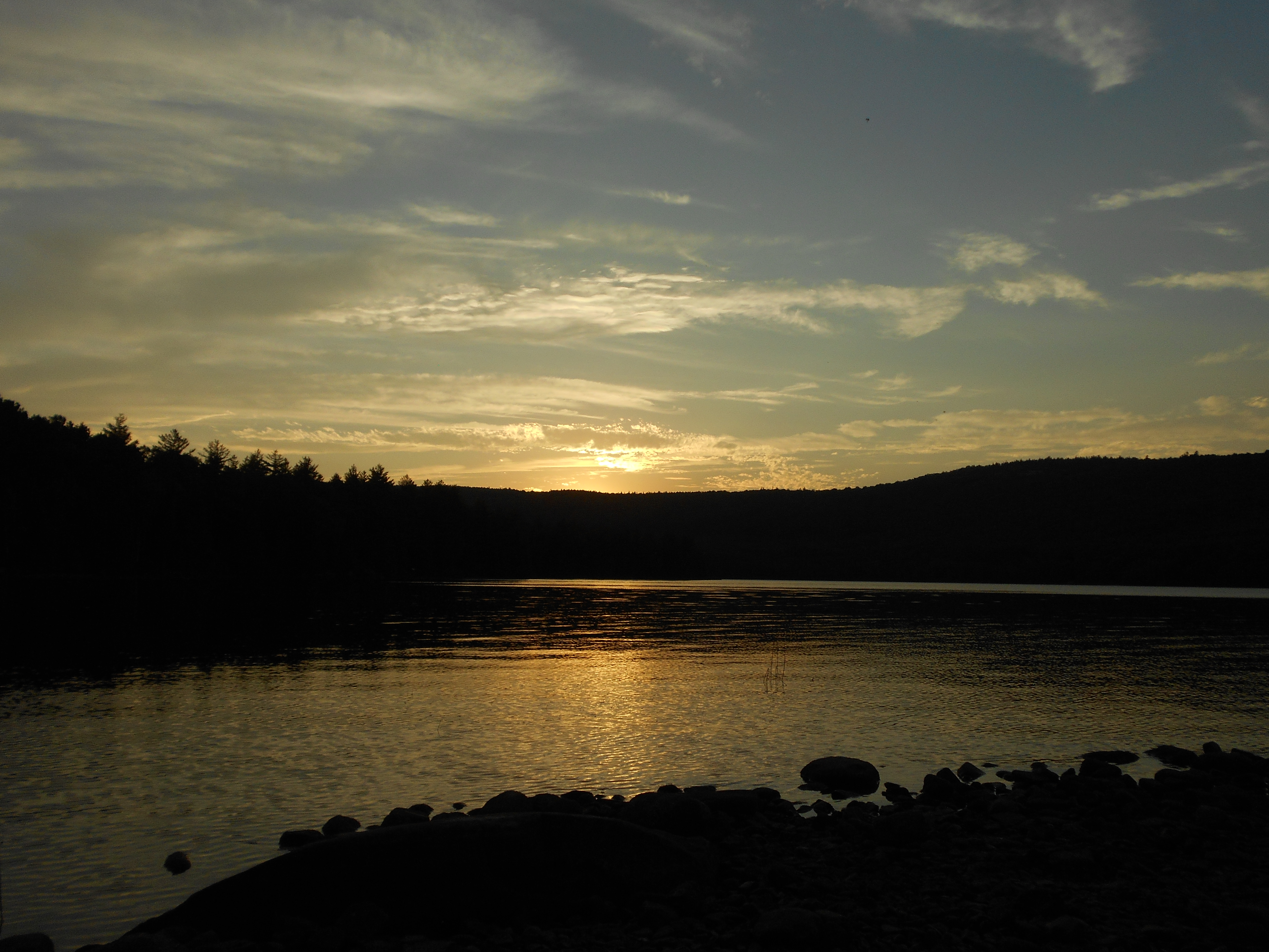
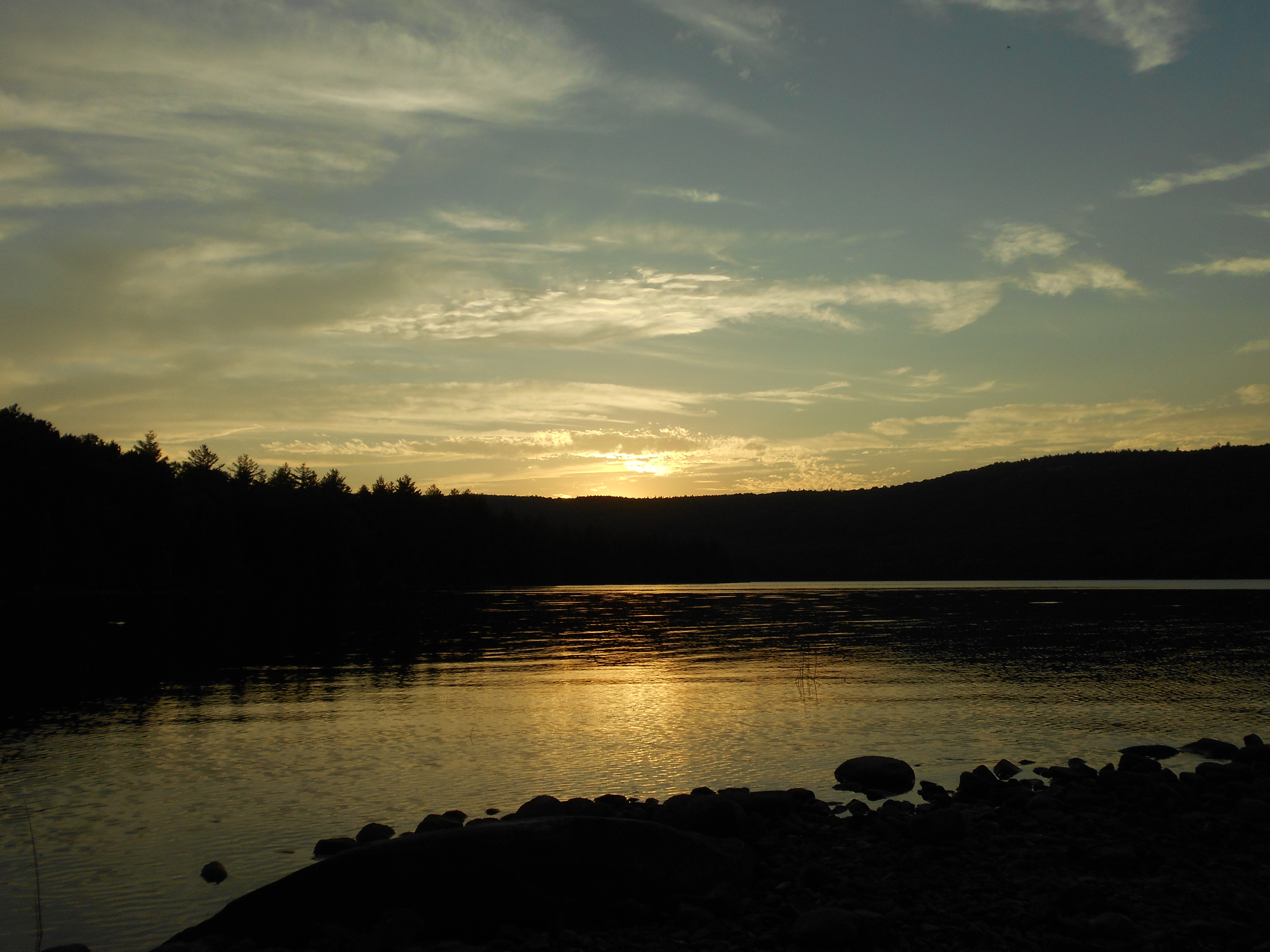
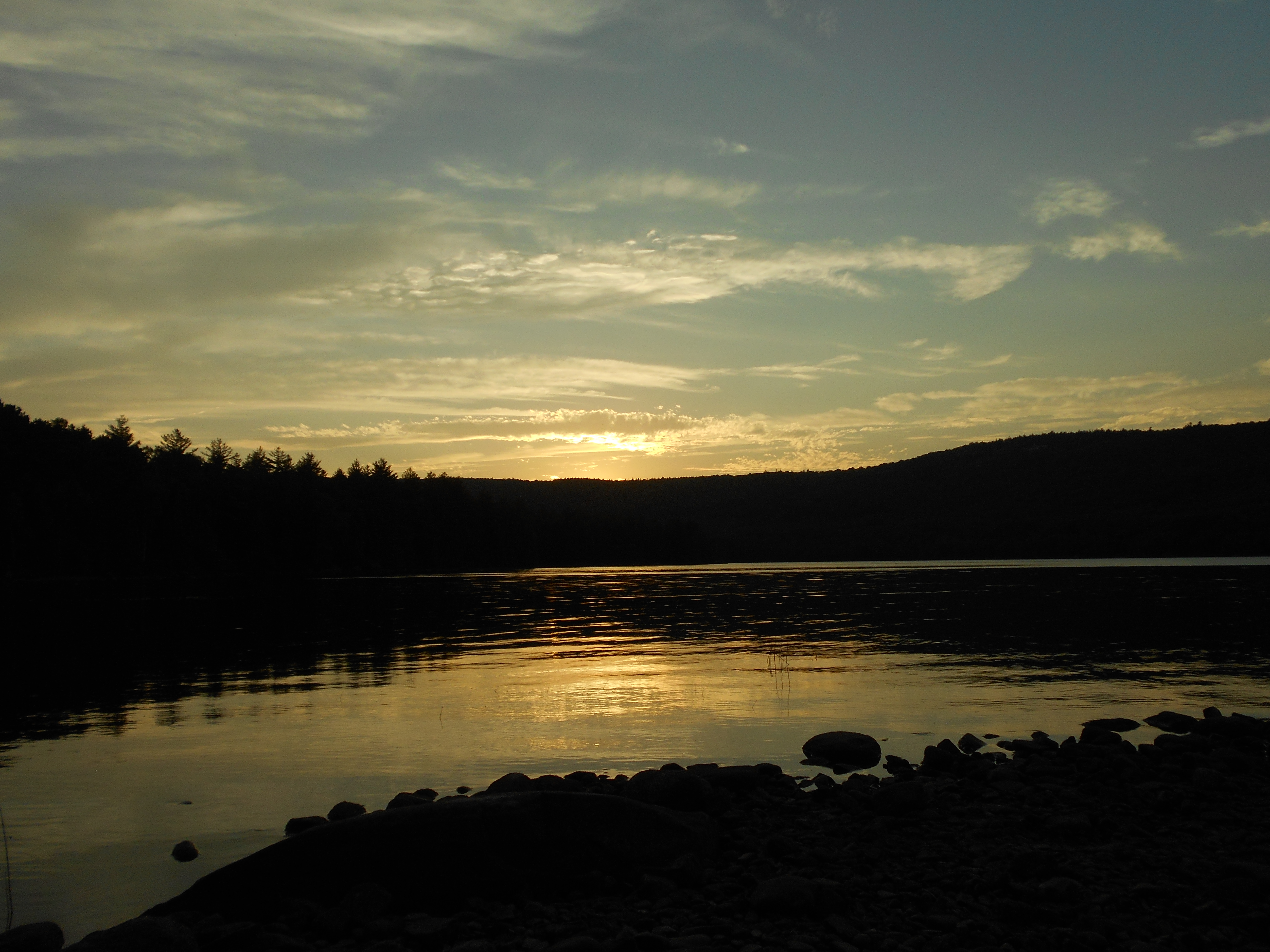
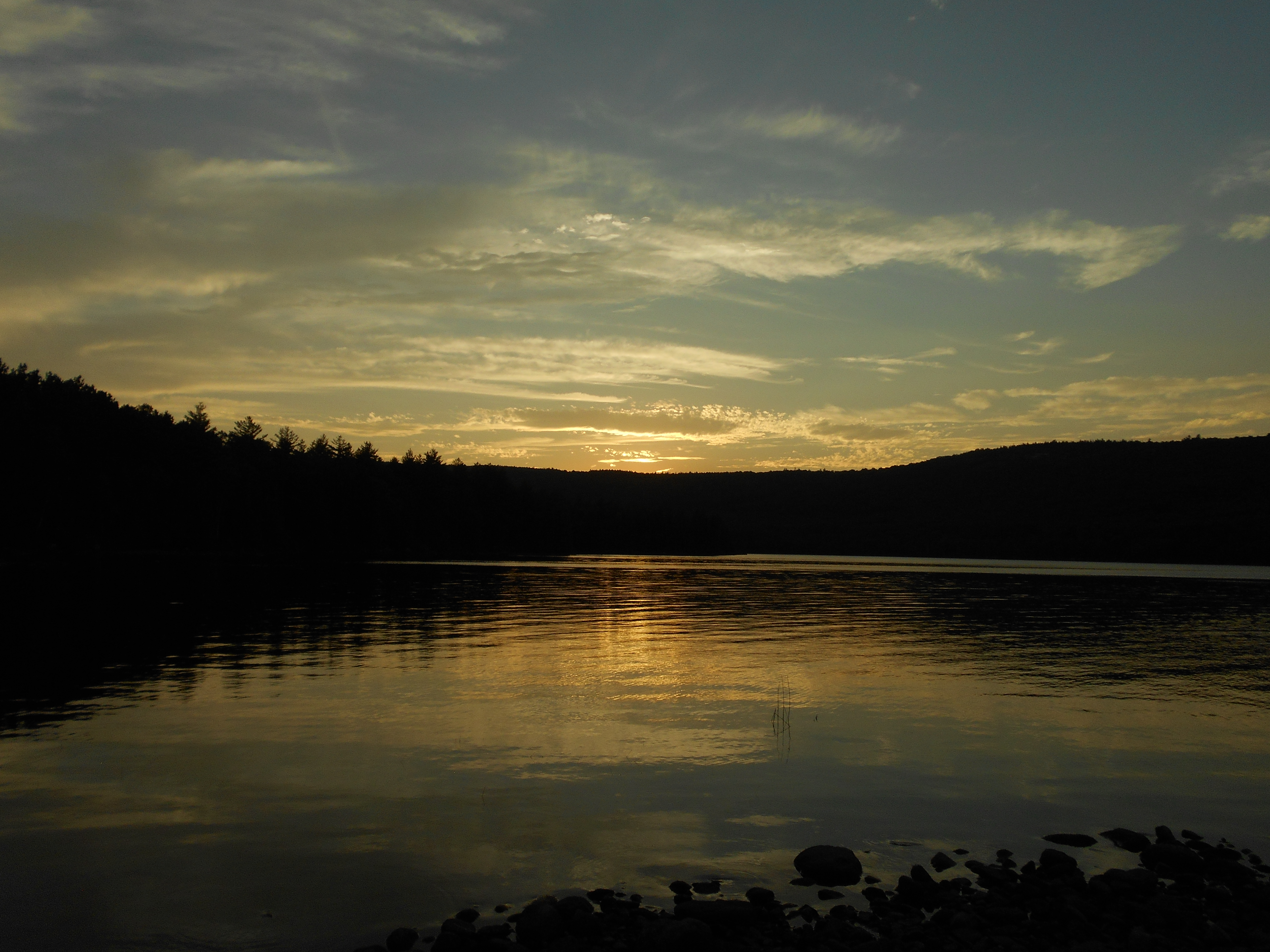
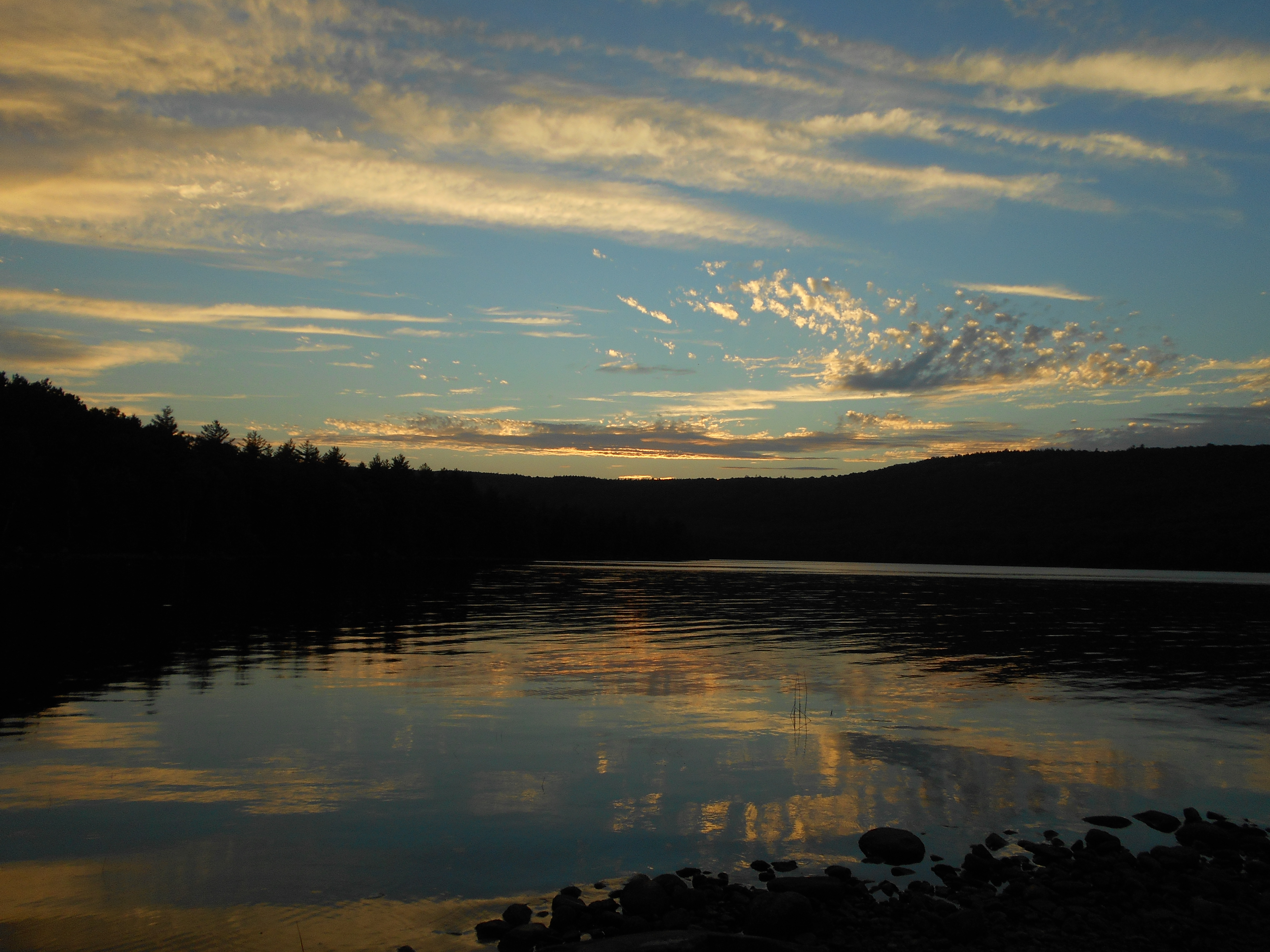
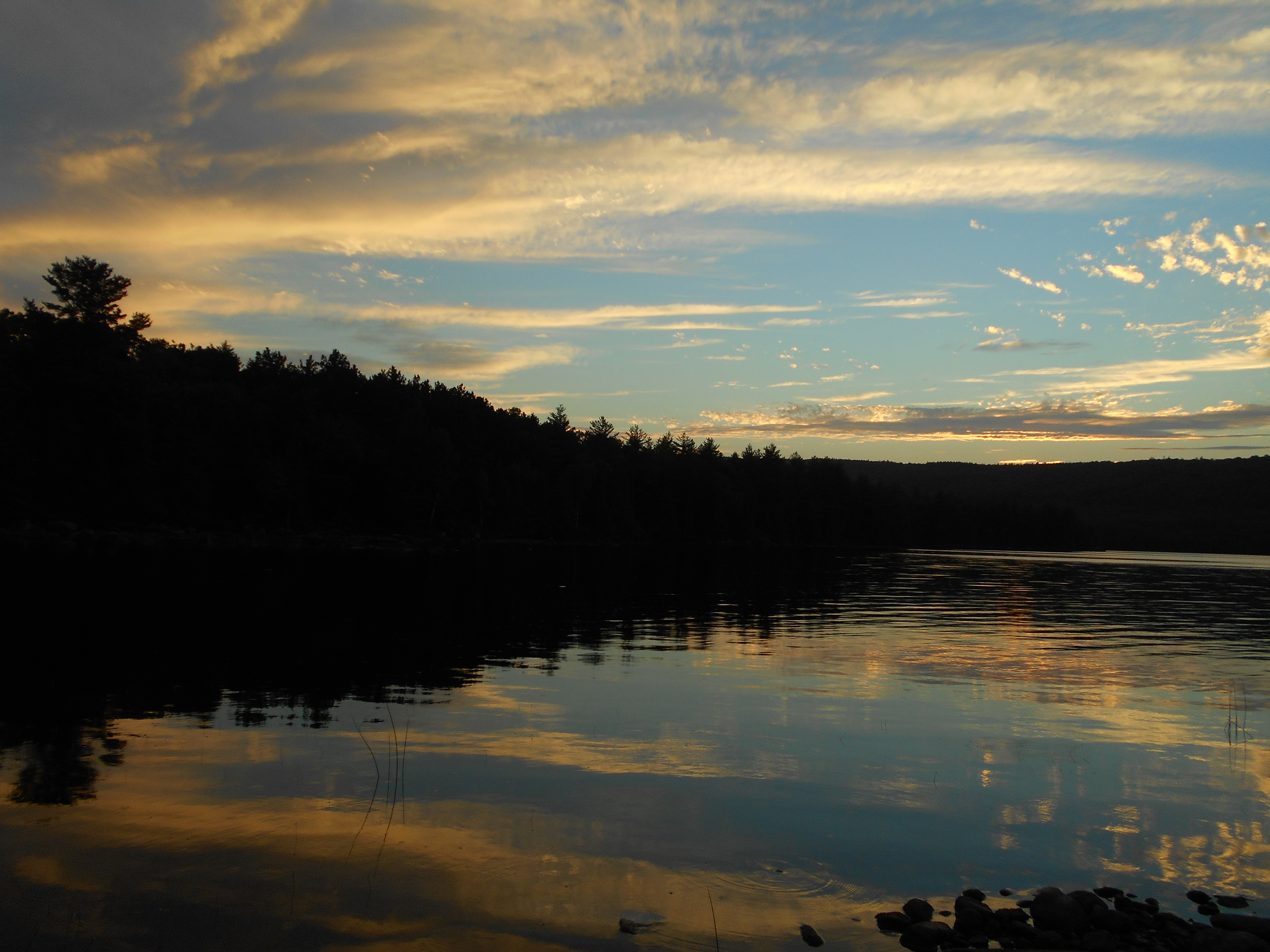
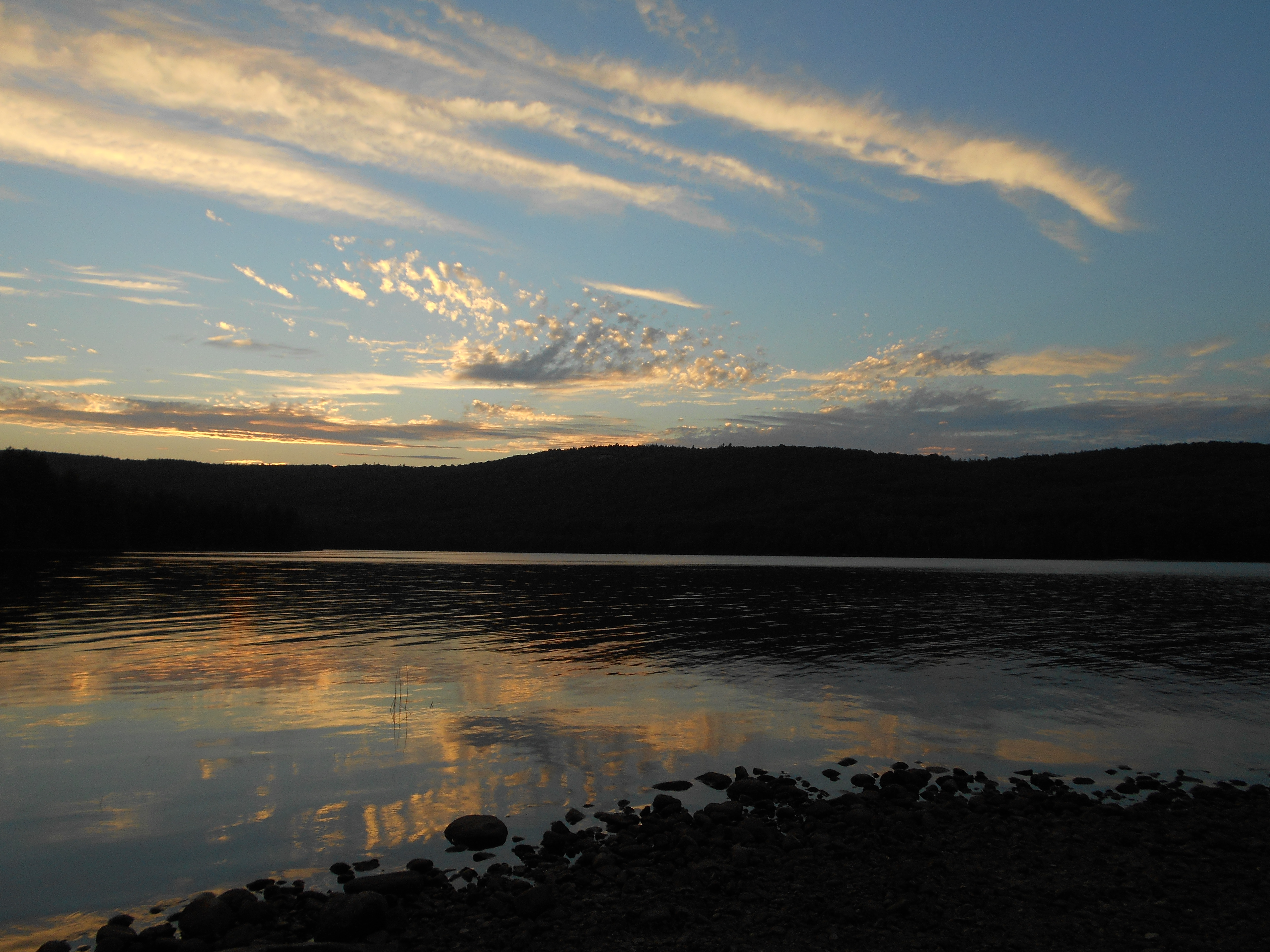
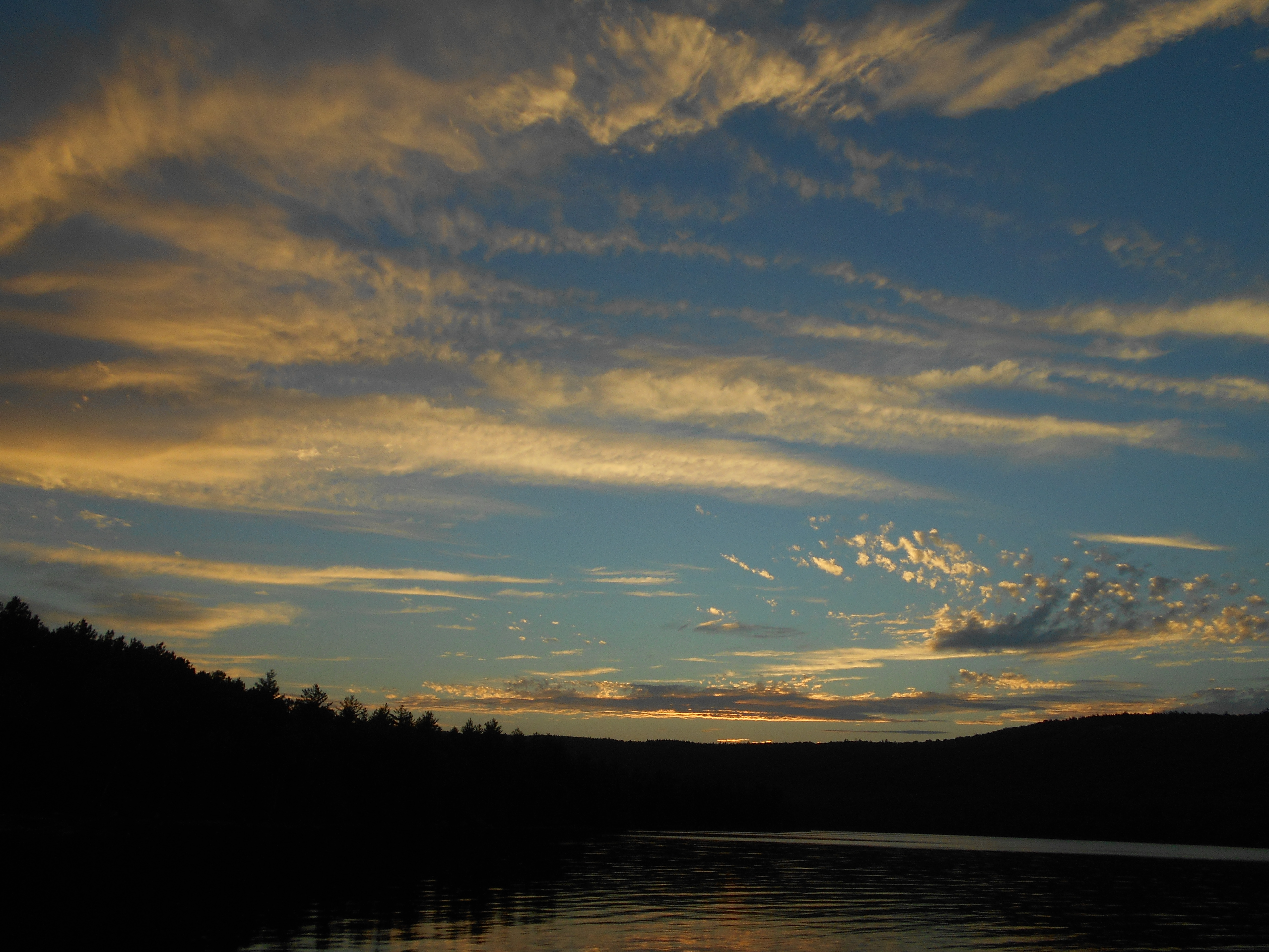
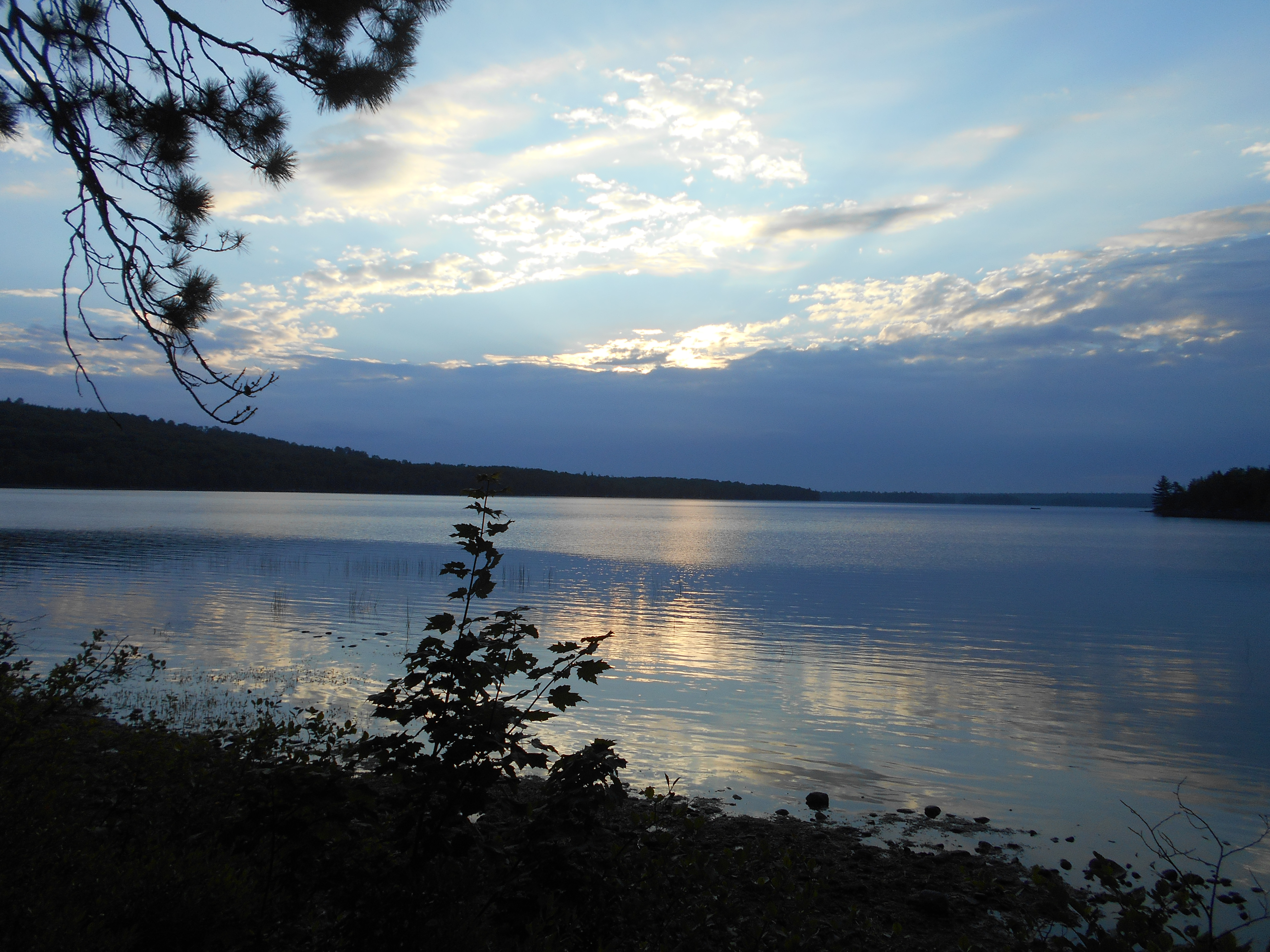
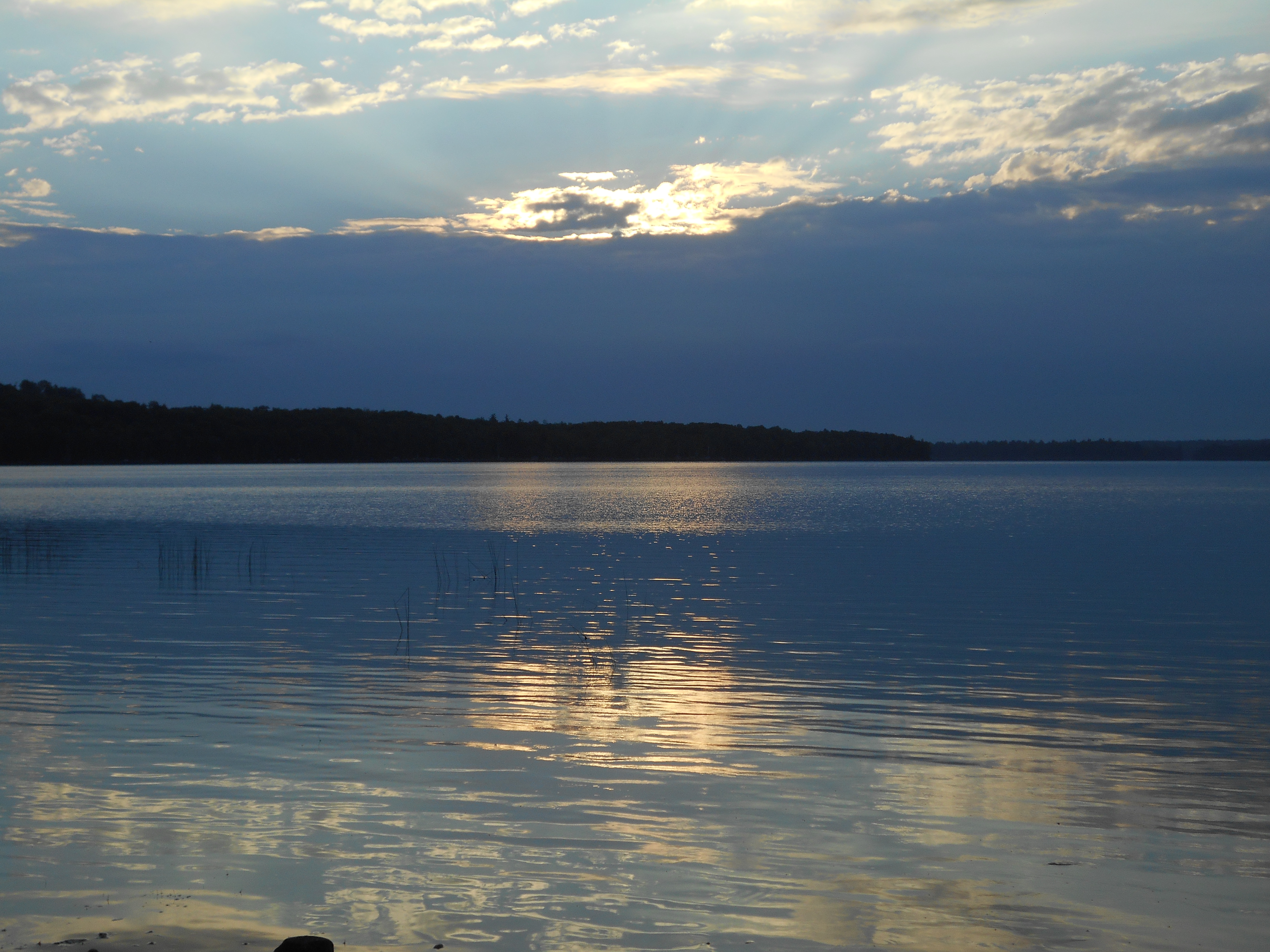
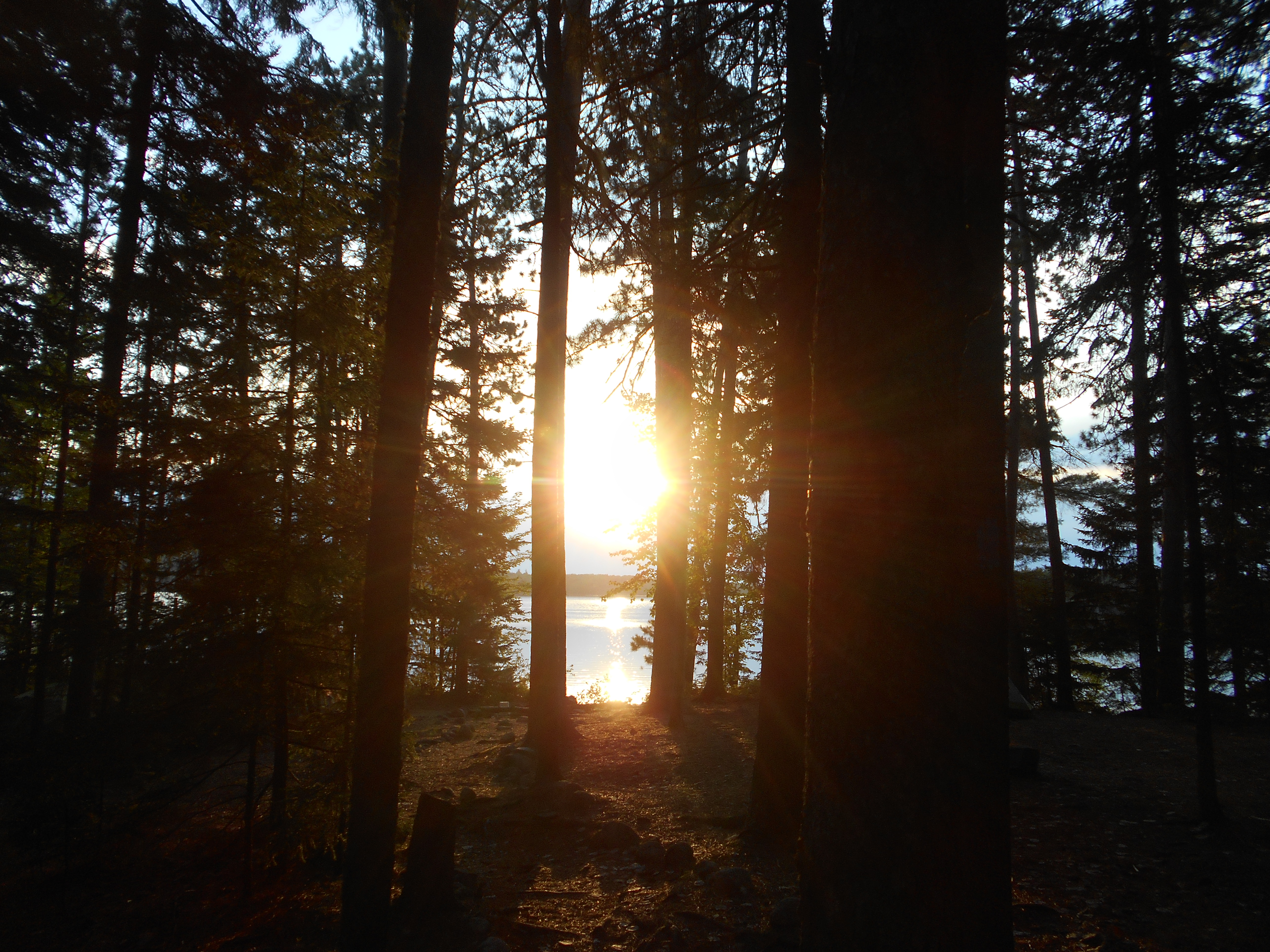
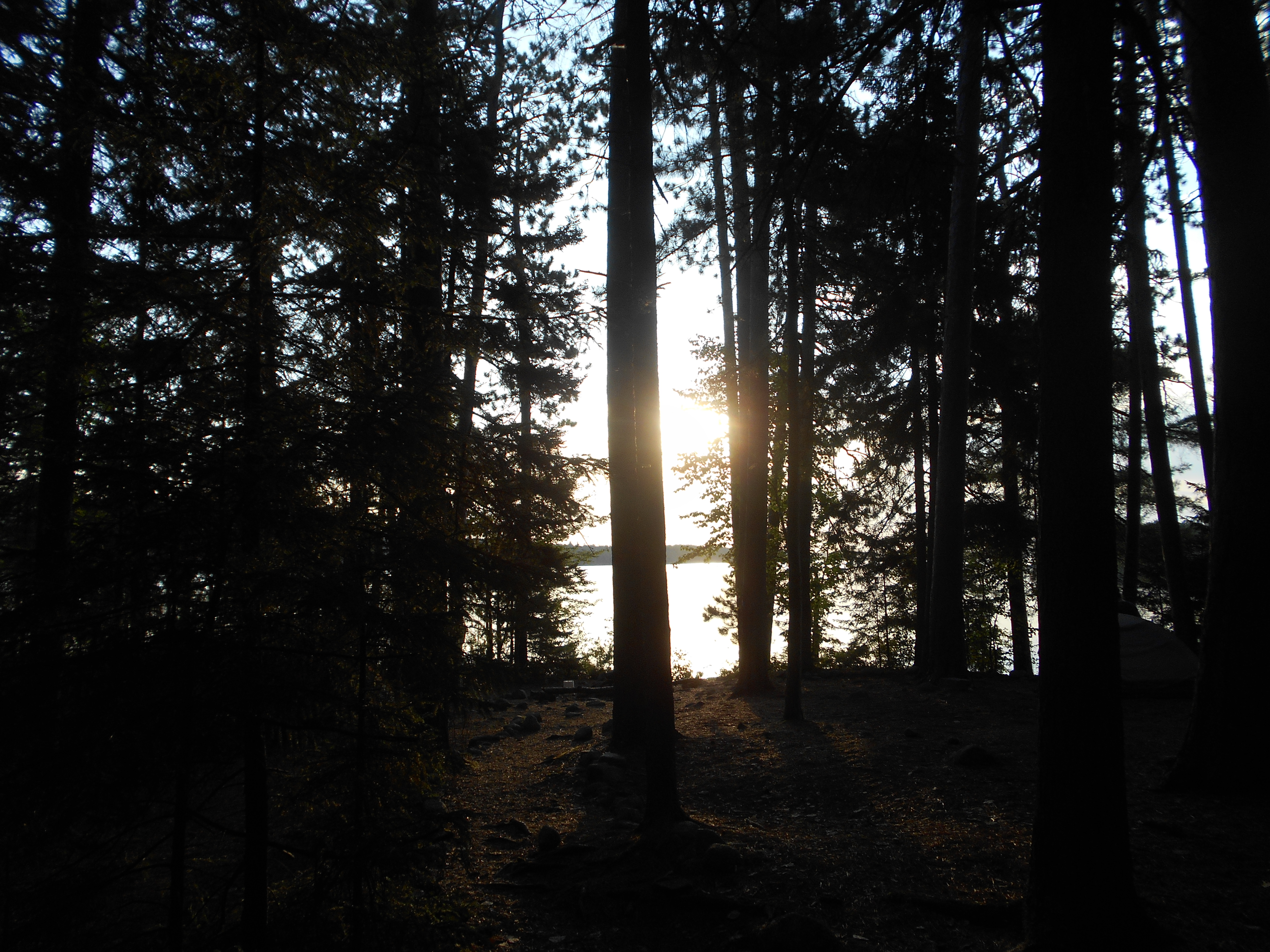
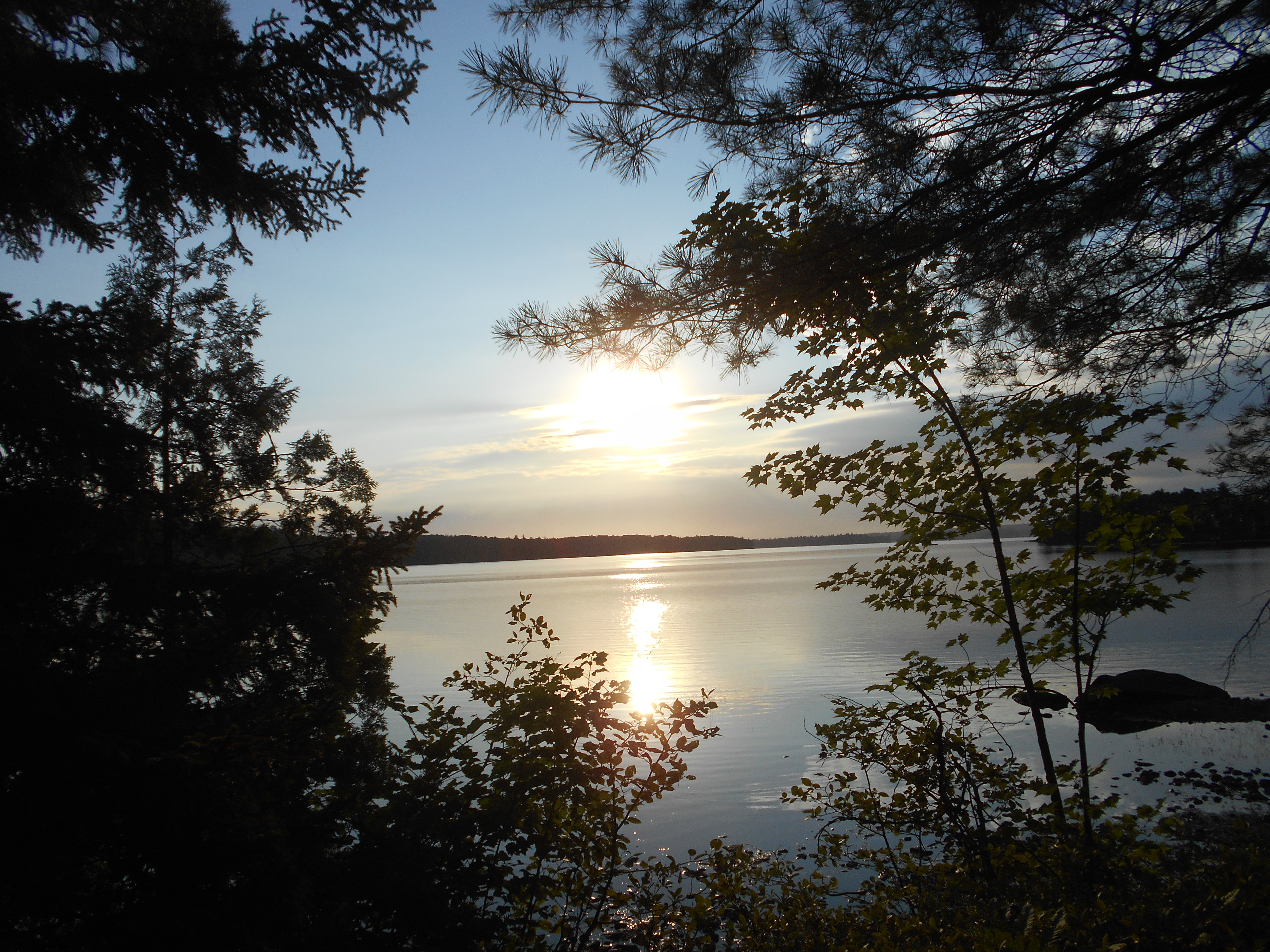
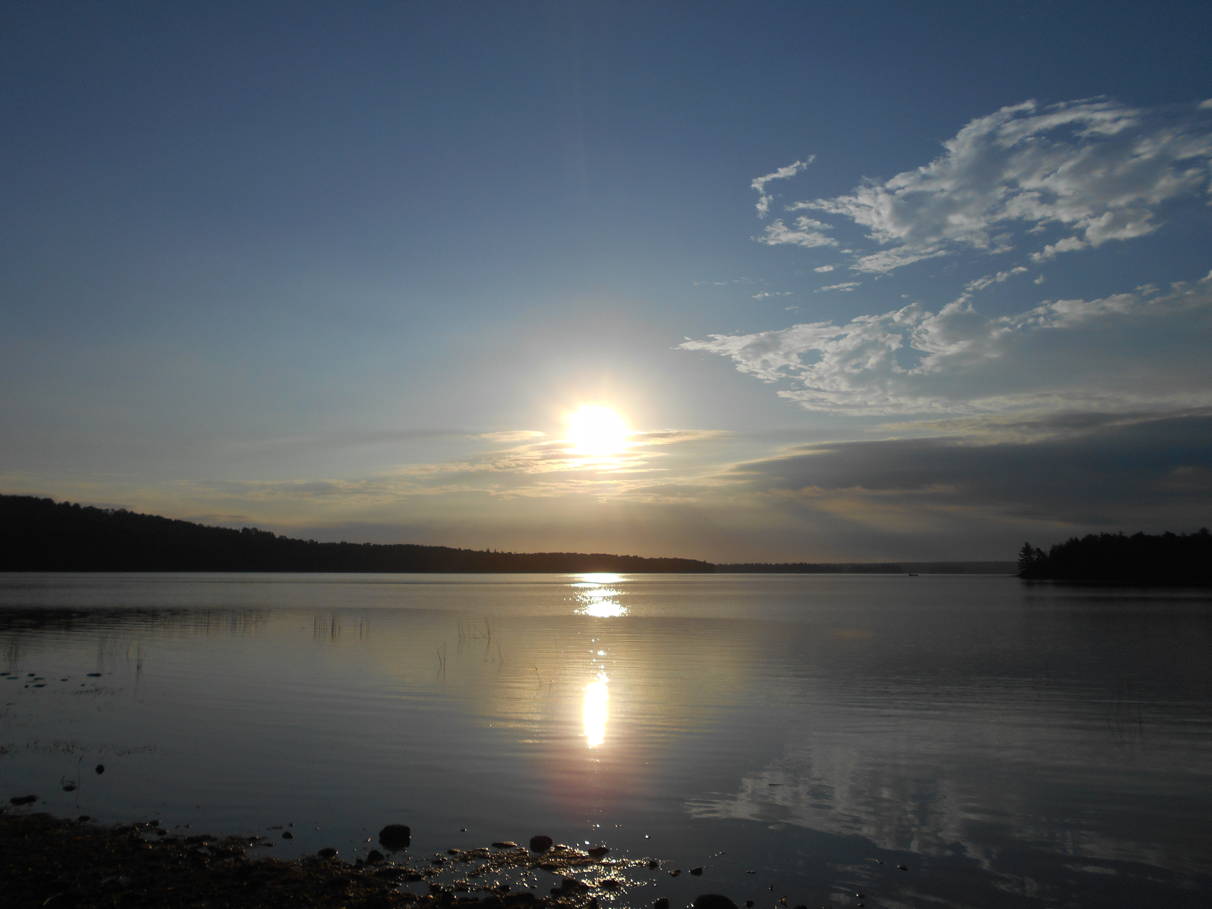
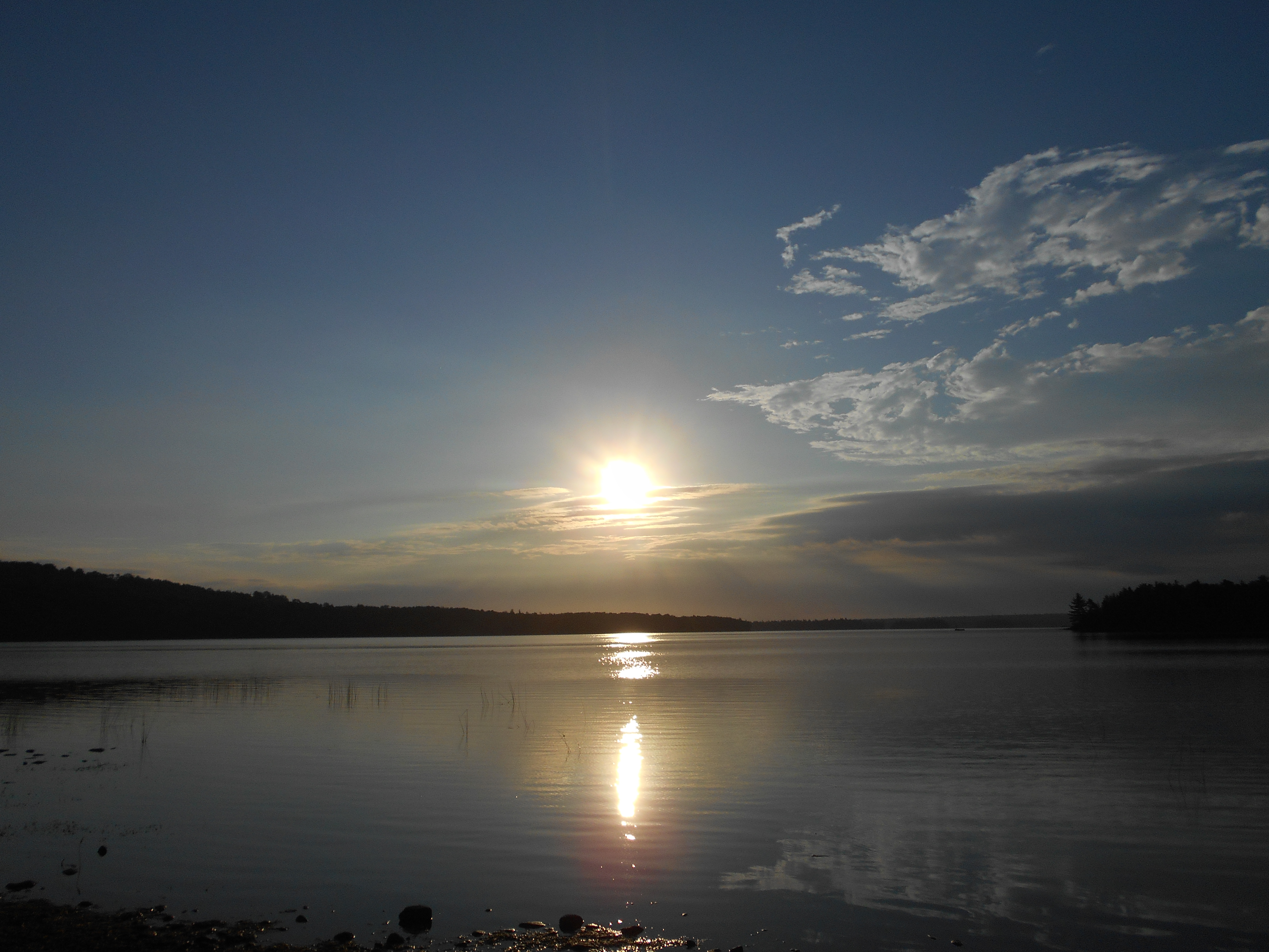
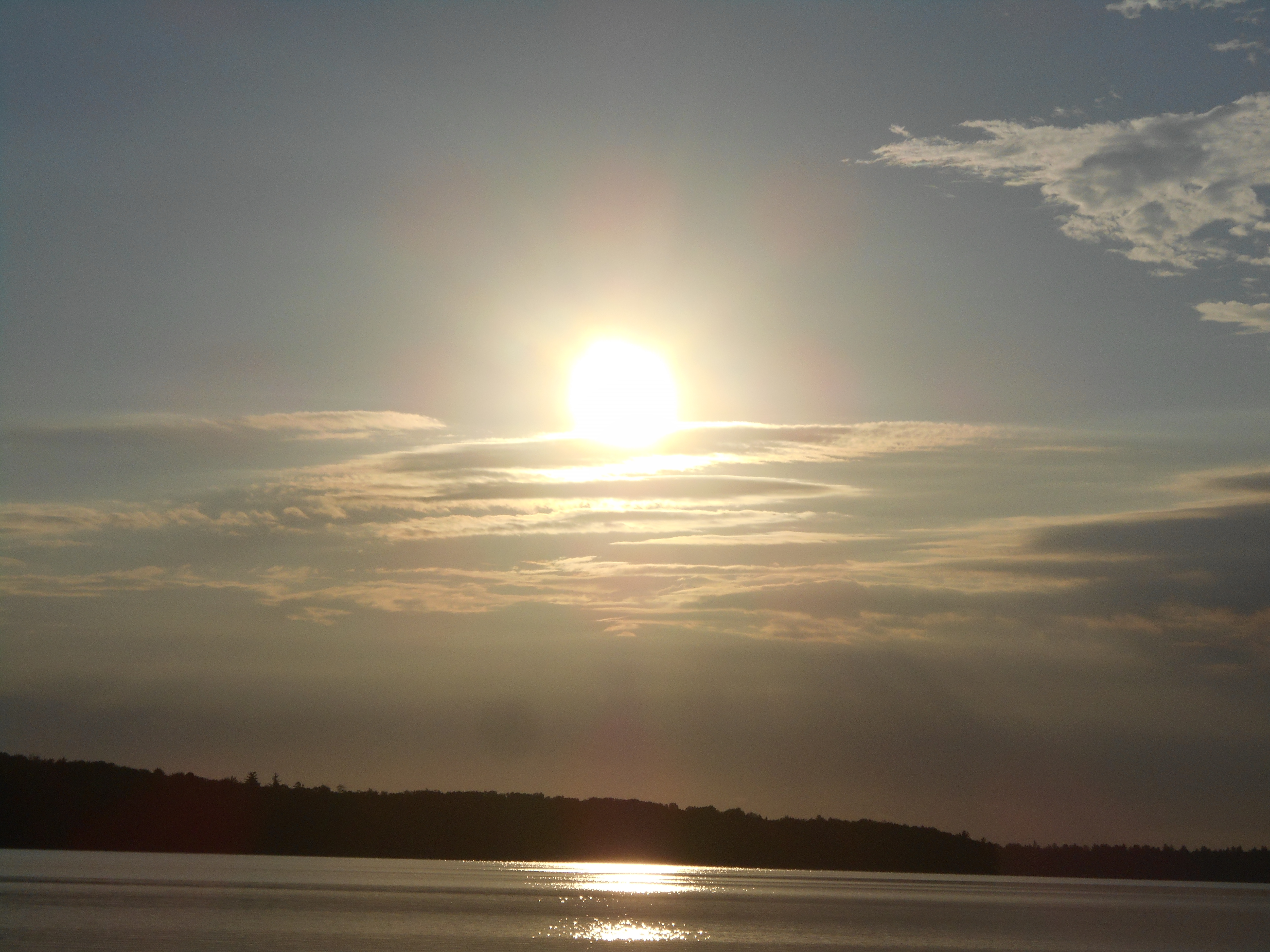
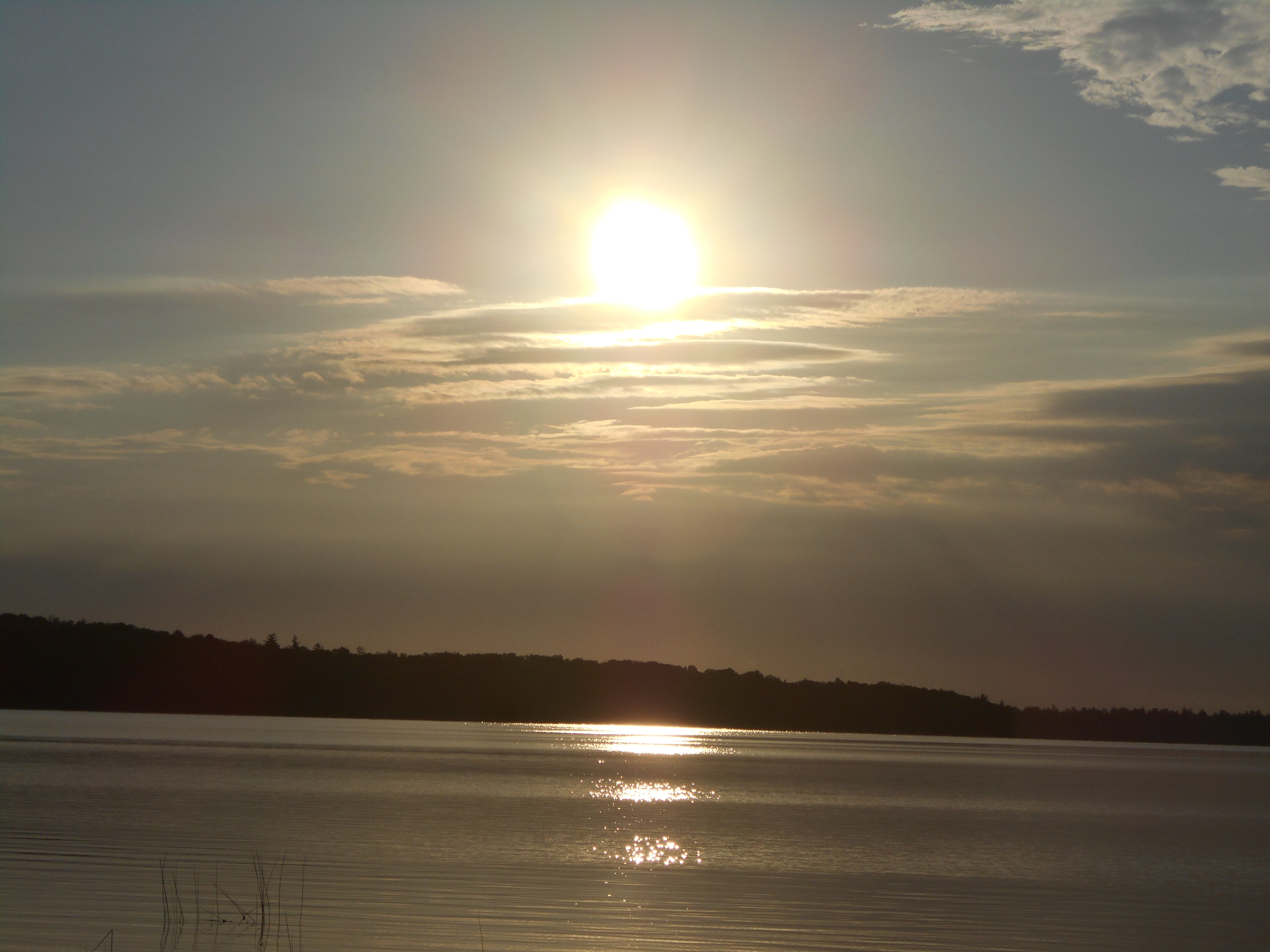
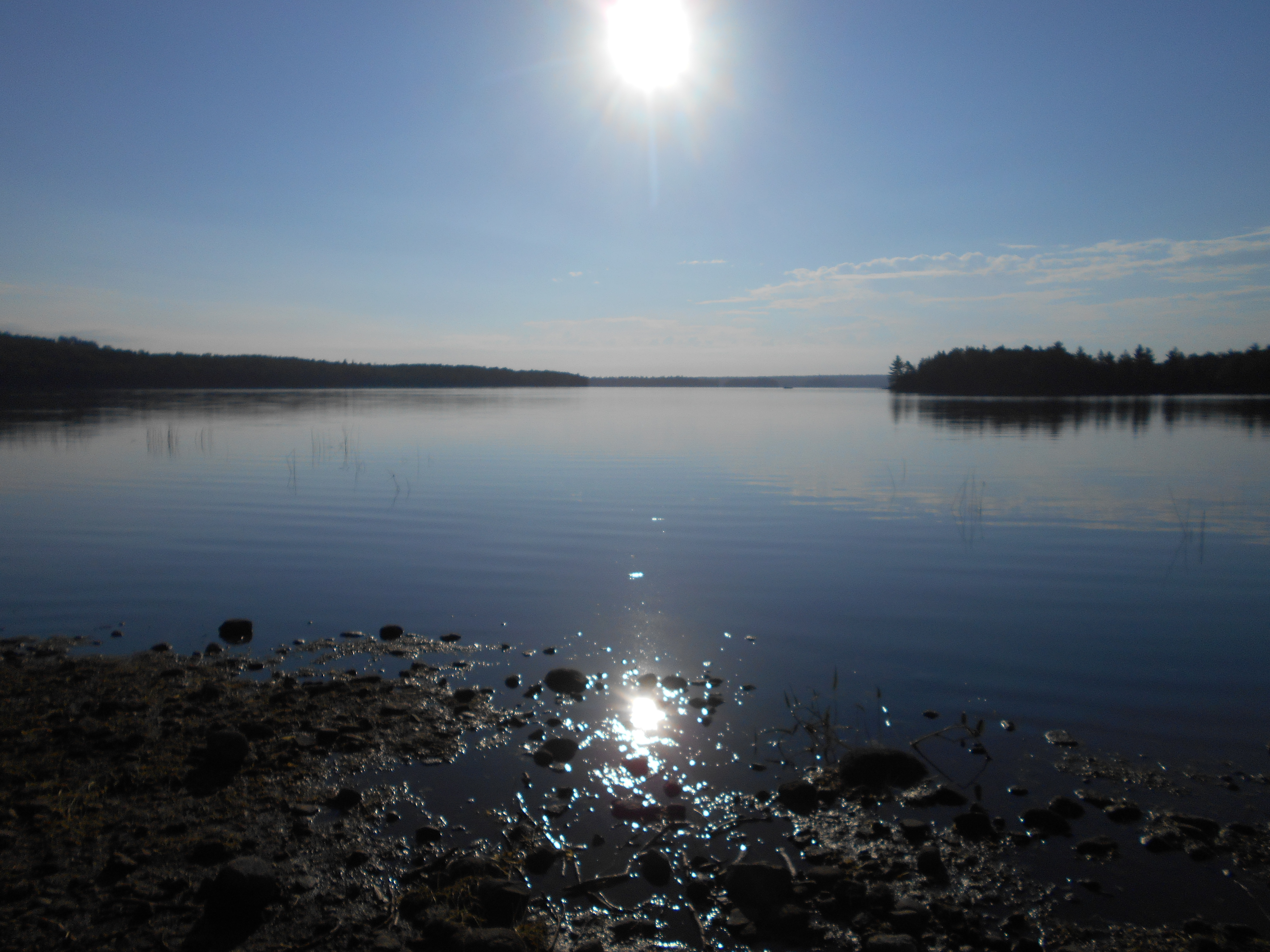
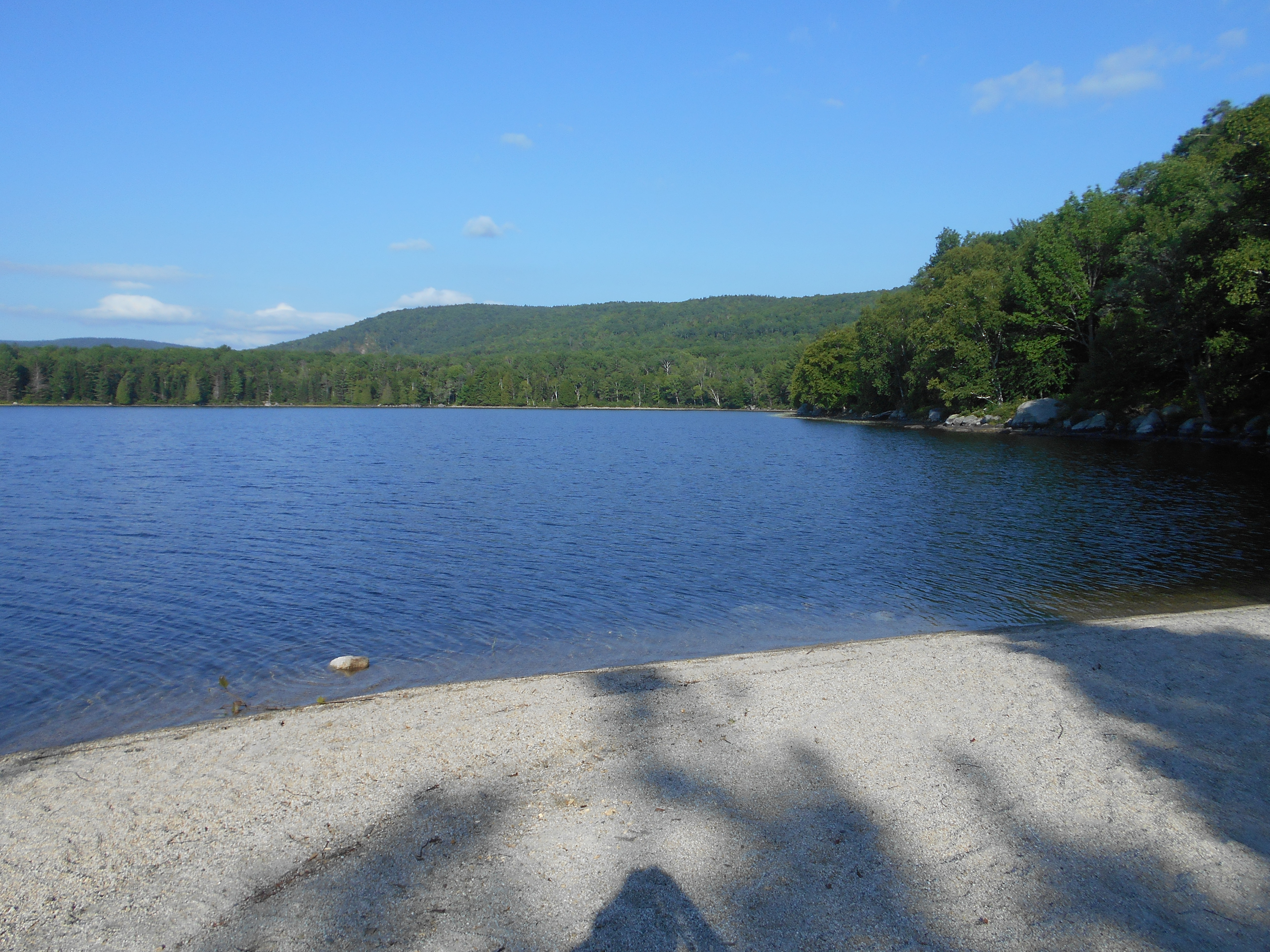
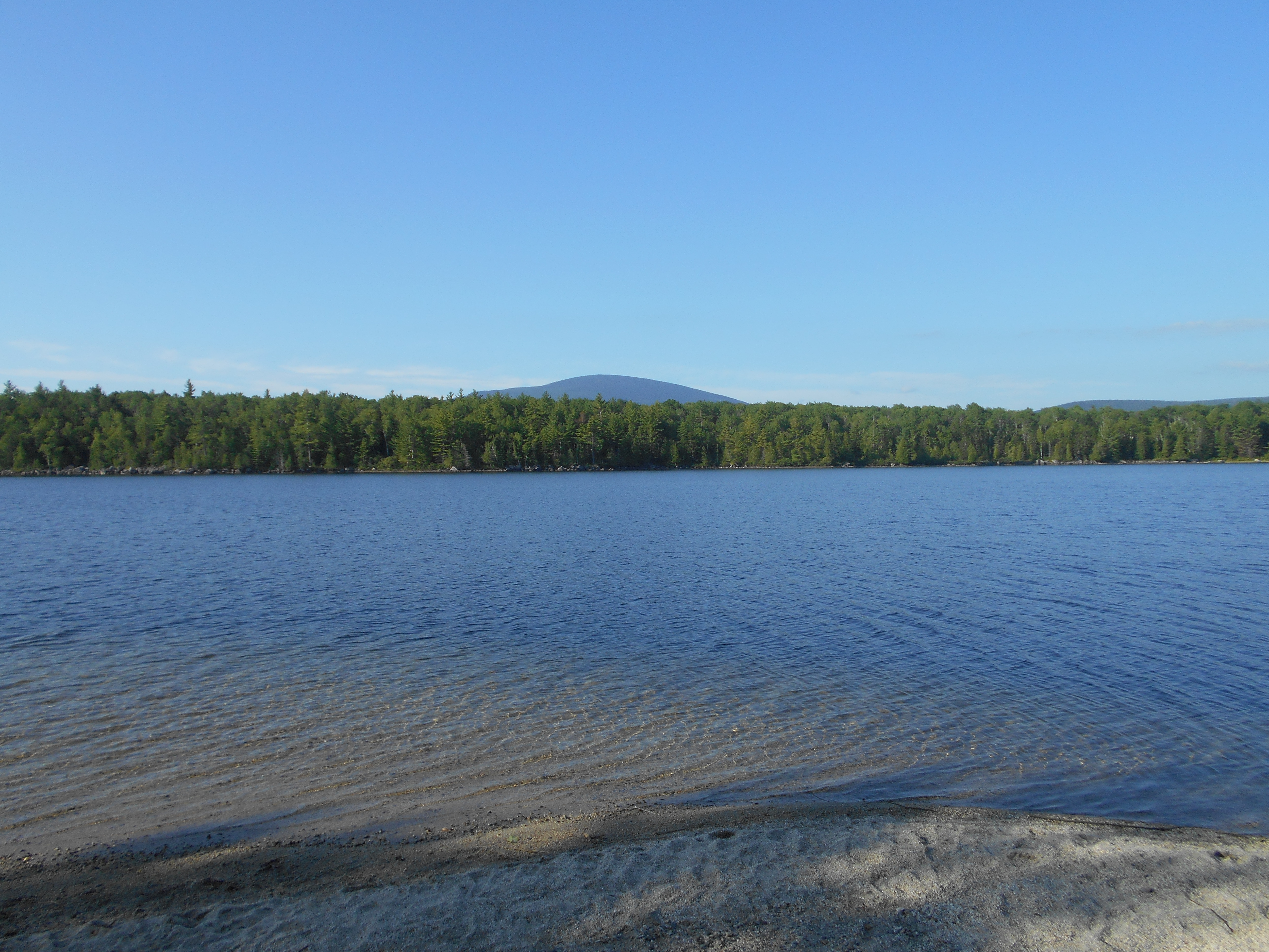
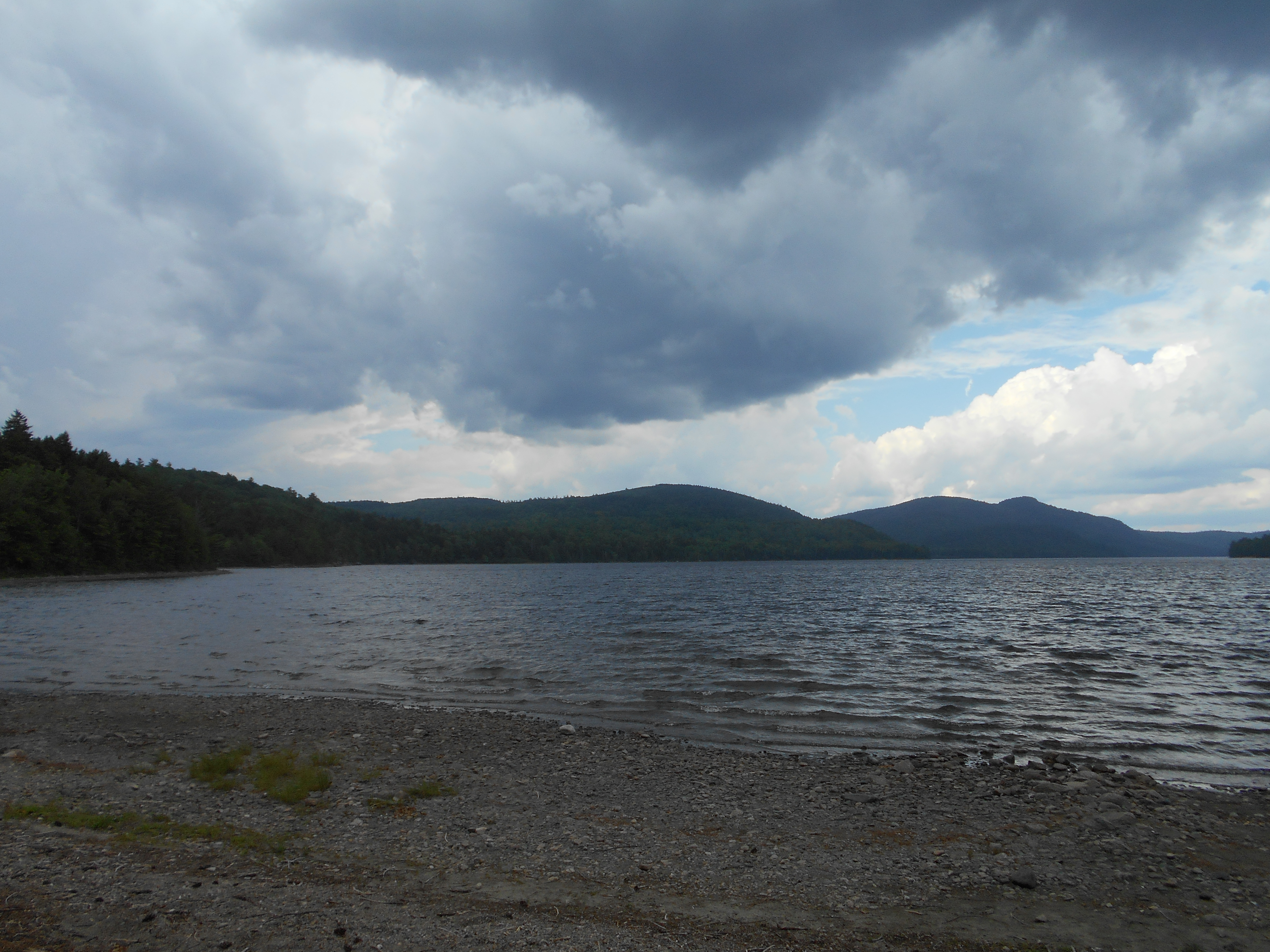
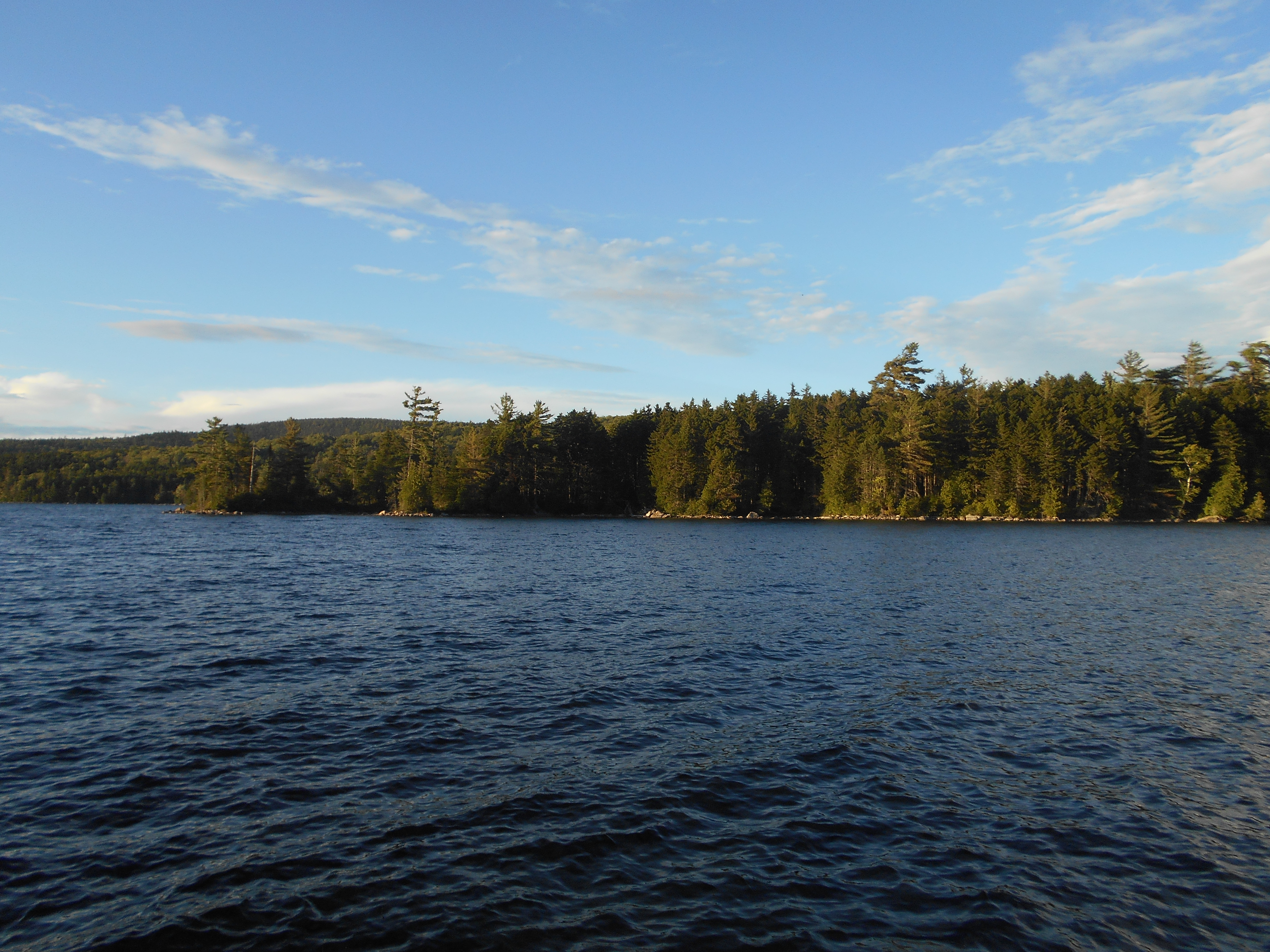
what a sunset! watched from the beach. took way too many pictures. this campsite is living up to its reputation.
equipment note:
my headlamp is malfunctioning....it is on very dim all the time. i wondered why I needed new batteries for it in monson, now I know.
2:15
woke up, thought I heard a moose but no luck. did hear a loon in the distance and saw some stars, but not as good as I had hoped, clouds perhaps.
Aug 6, 2016
antlers campsite to wadleigh stream lean-to (tenting)
Milage 13.5
Miles from Springer
Features
Elevation
2137.3
Antlers Campsite (500')
500
2139
Lower Jo-Mary Lake (580')?sand beach
580
2140.8
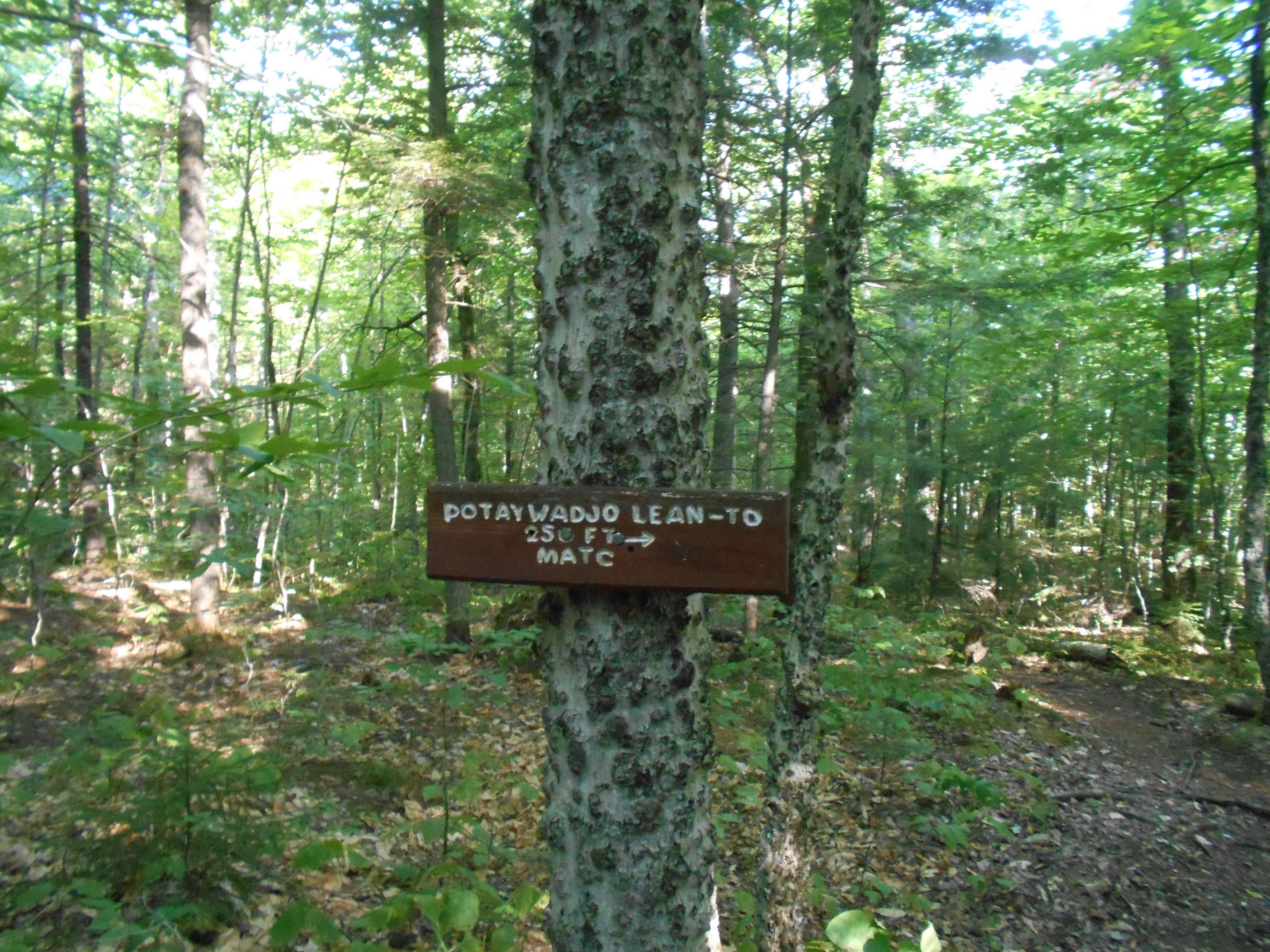
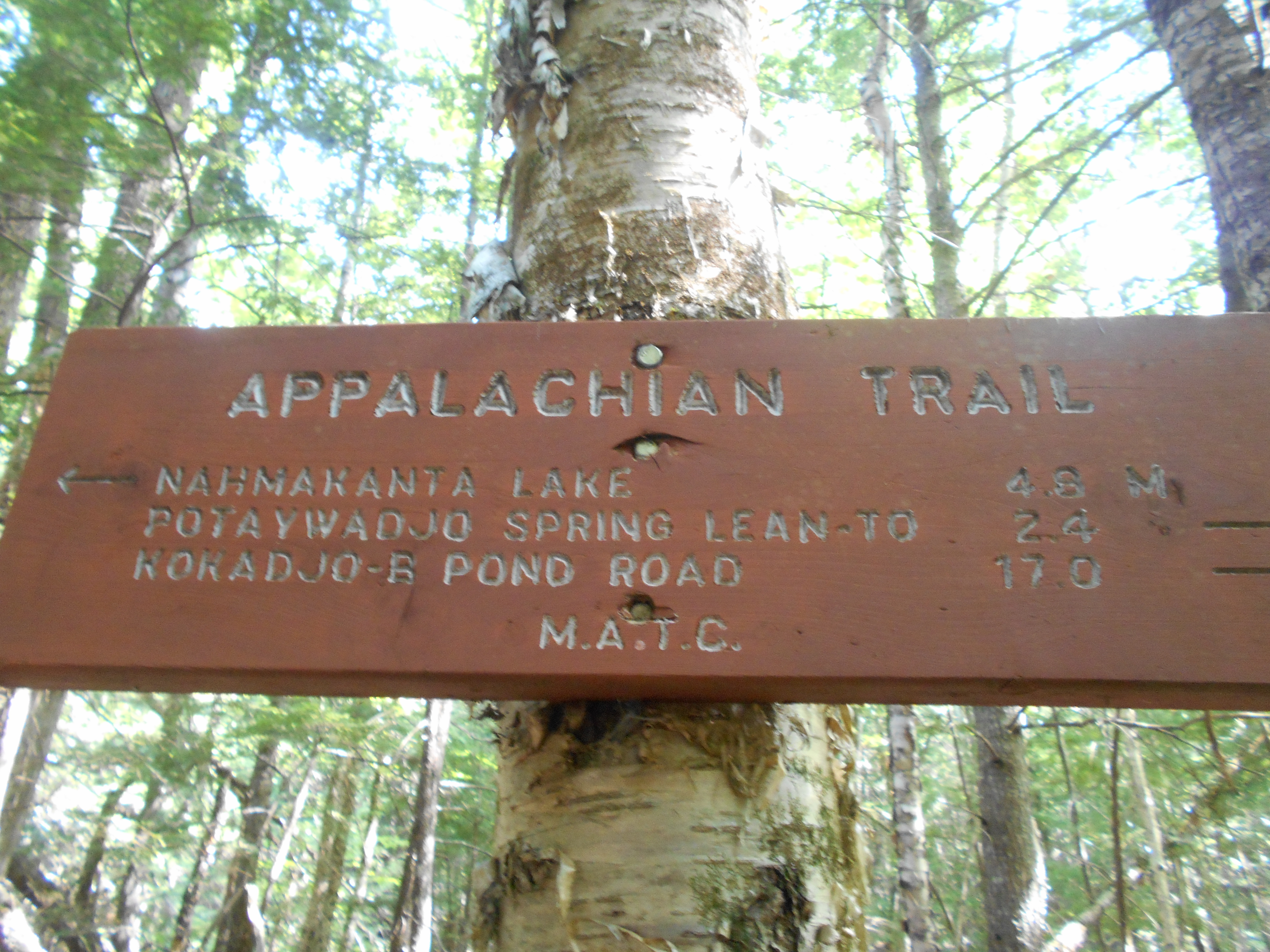
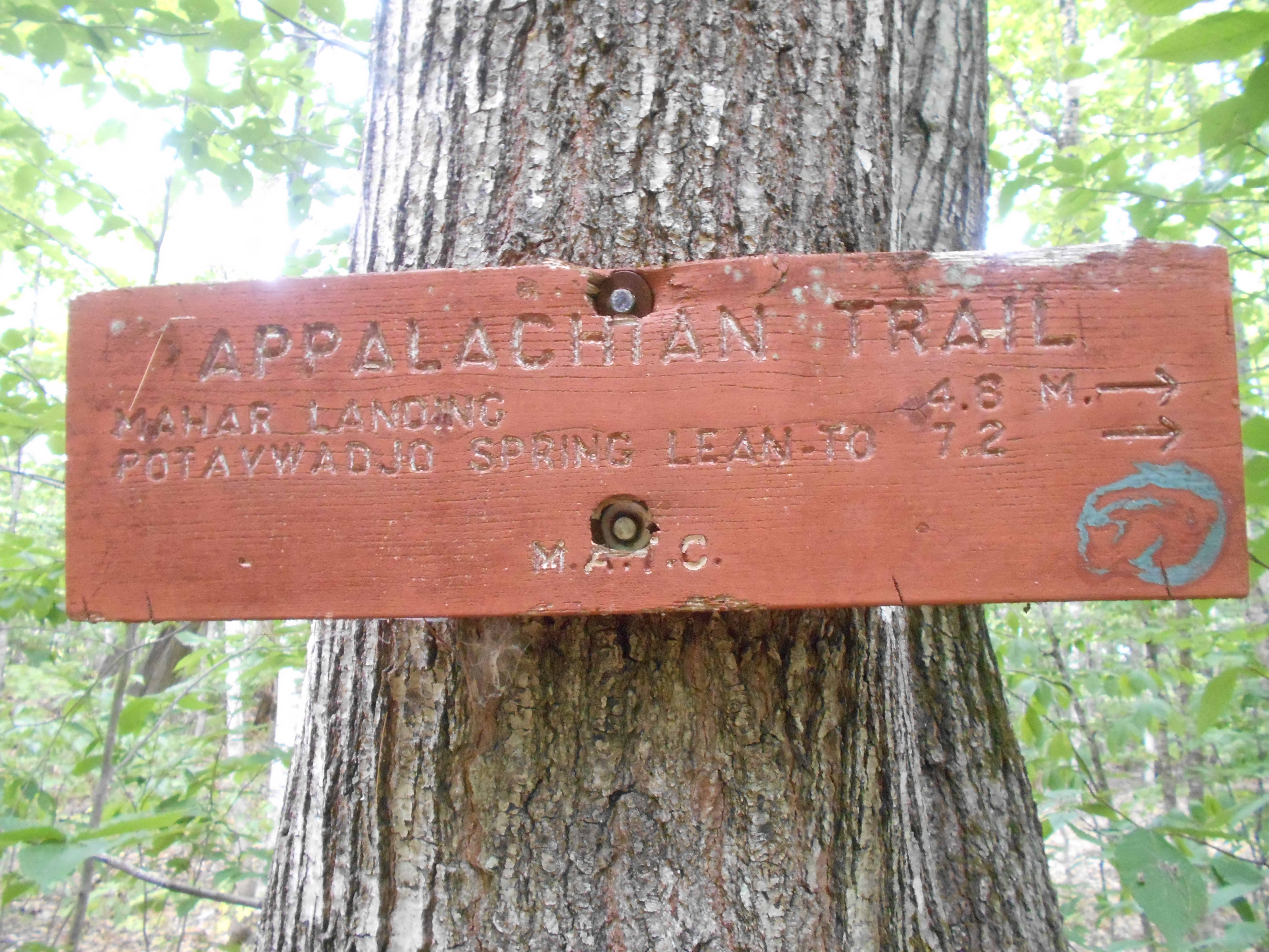
Potaywadjo Spring Lean-to (710') ?11.4mS; 10.1mN
710
2141.3
Twitchell Brook (590)?bridge
59
2141.4
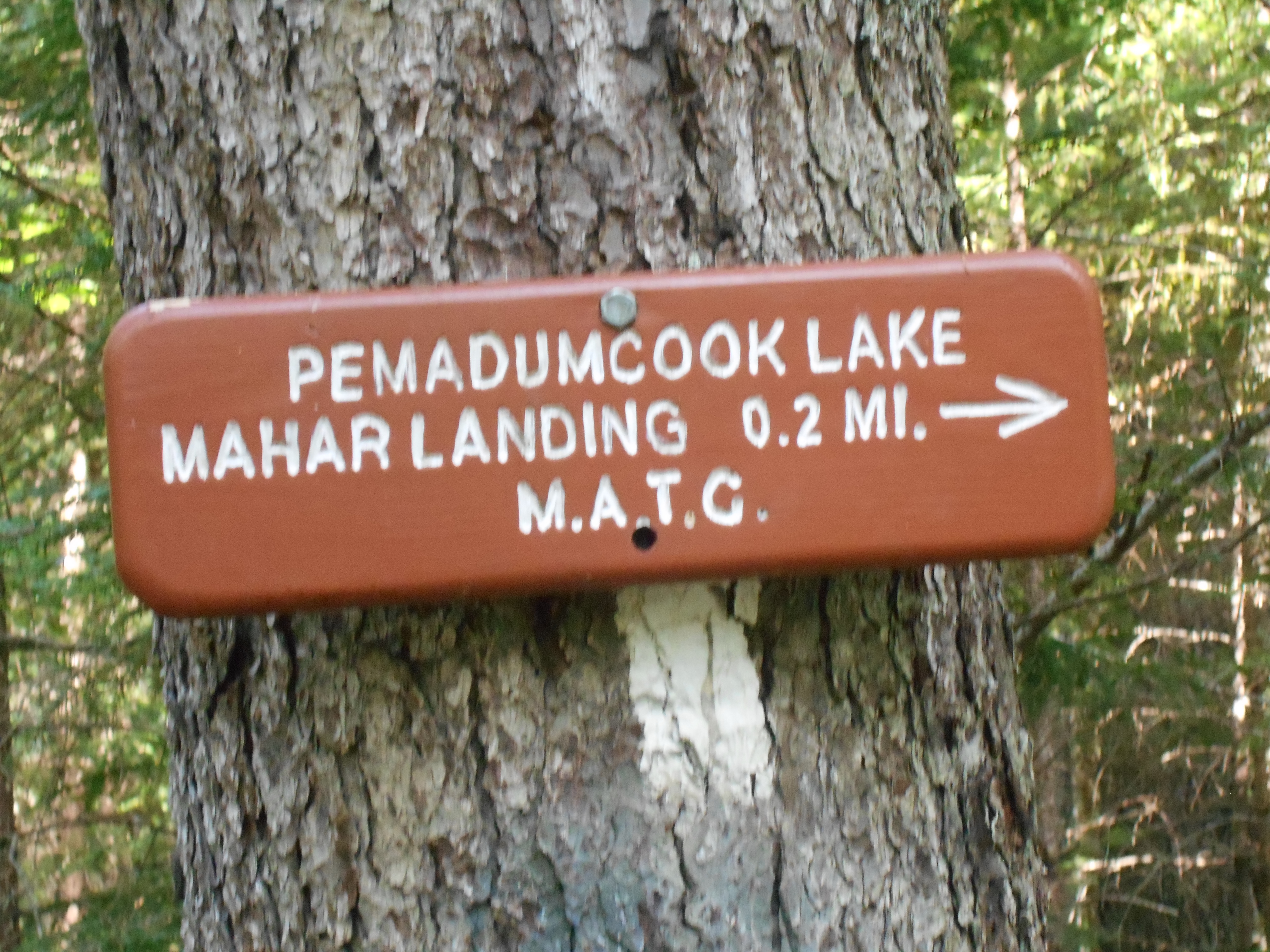
Pemadumcook Lake (580')?Katahdin view
580
2142.6
Deer Brook (588')
588
2143
Gravel Logging Road (580')
580
2143.1
Mahar Tote Logging Road (580')
580
2143.2
Branch of Nahmakanta Stream (580')?ford
580
2144.3
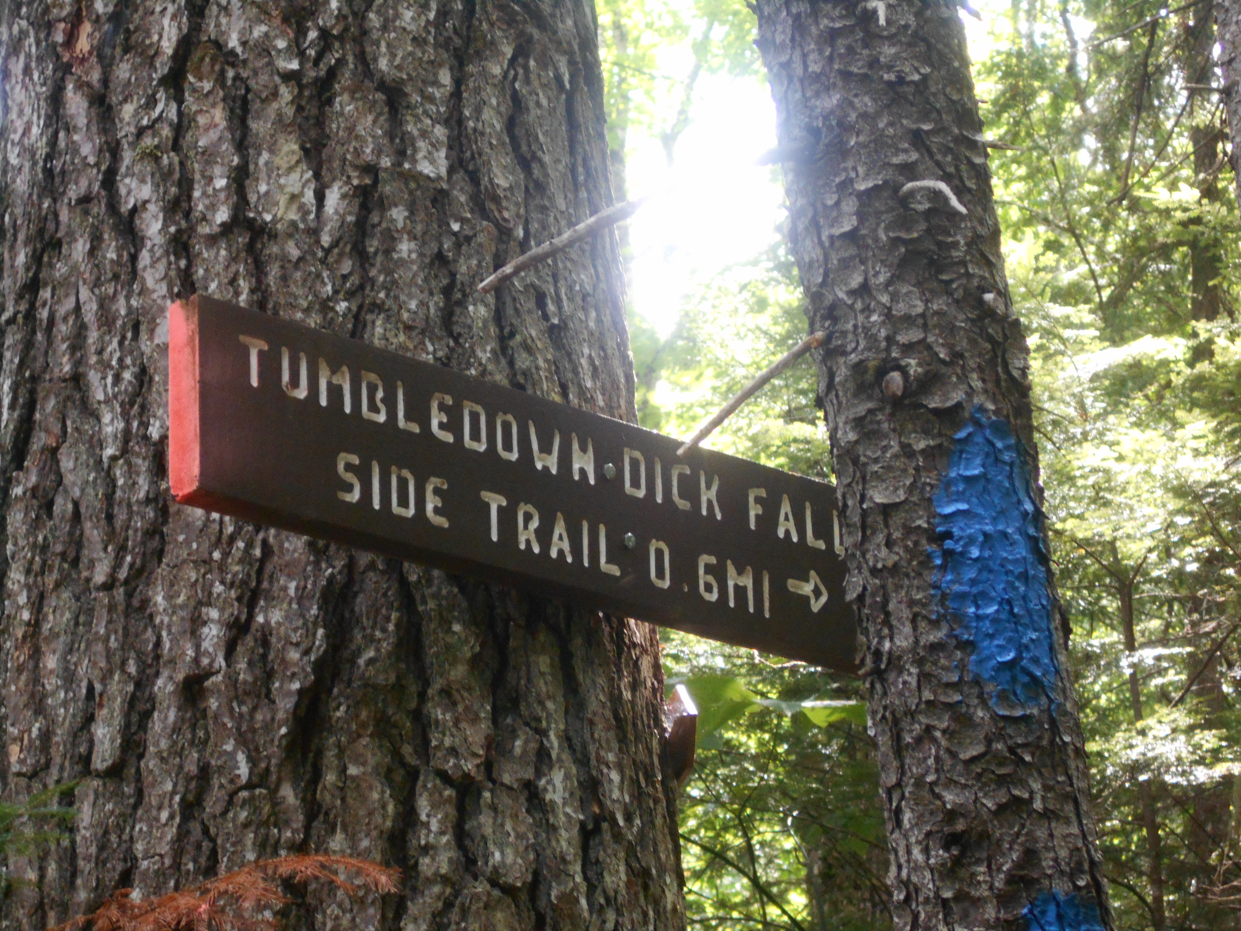
Tumbledown Dick Stream (590')?ford
590
2145.1
Nahmakanta Stream Campsite (600')
600
2146.6
Tumbledown Dick Trail (625')
625
2147.7
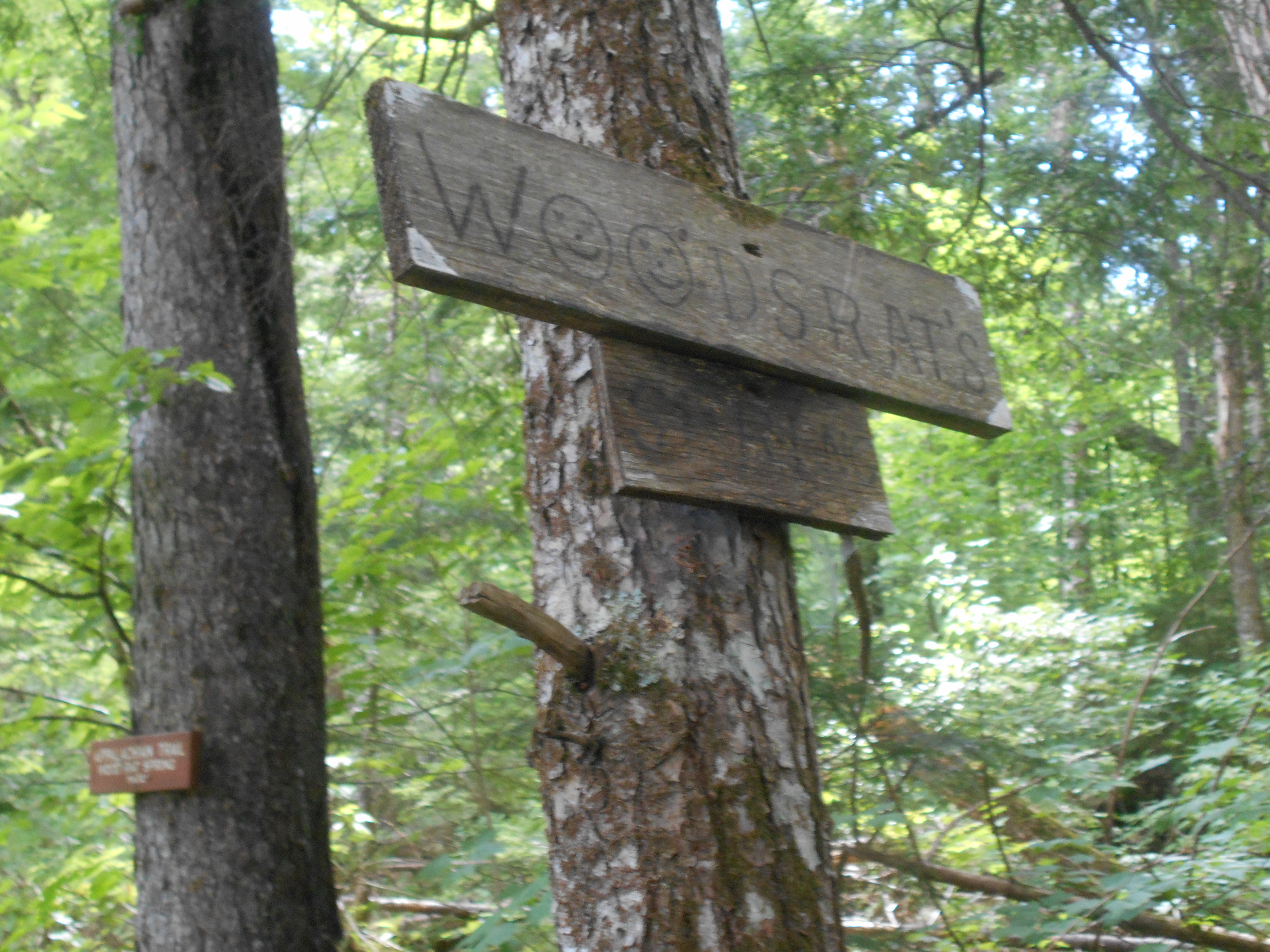
Wood Rat's Spring (740')
740
2148
Gravel Road (749')
749
2148.3
Nahmakanta Lake (south end) (650') ?gravel beach
650
2149.2
Prentiss Brook (590')
590
2150.5
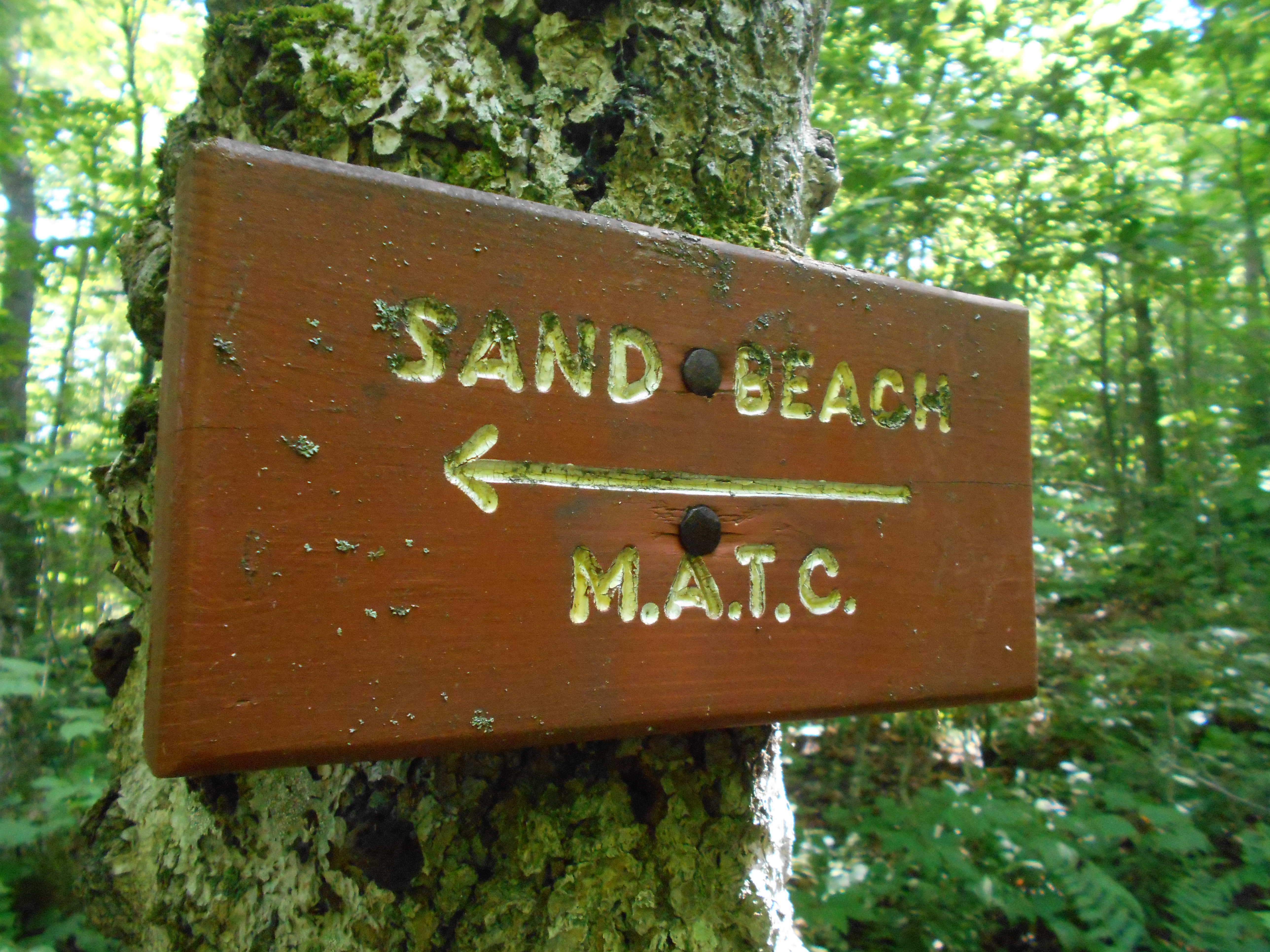
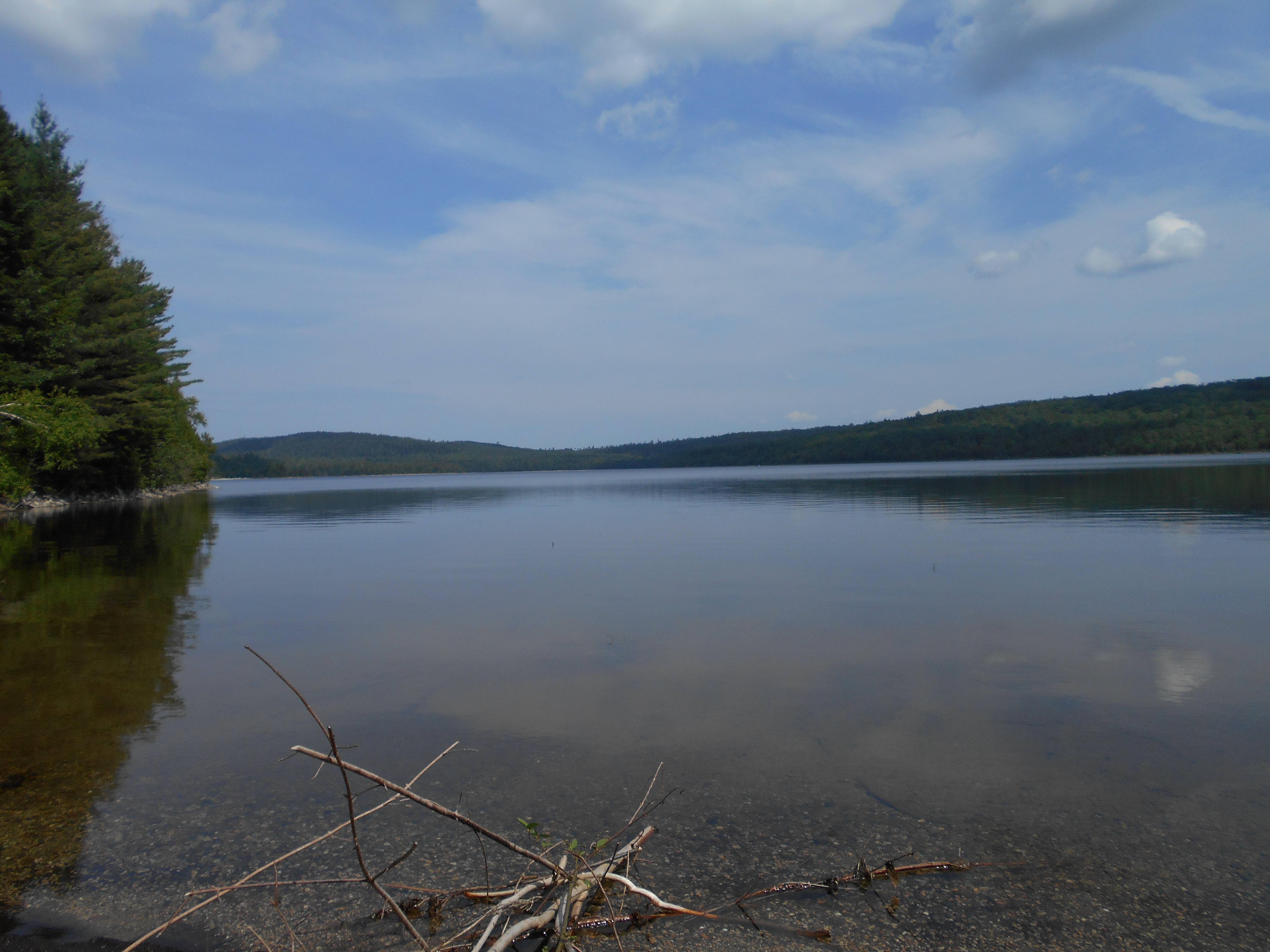
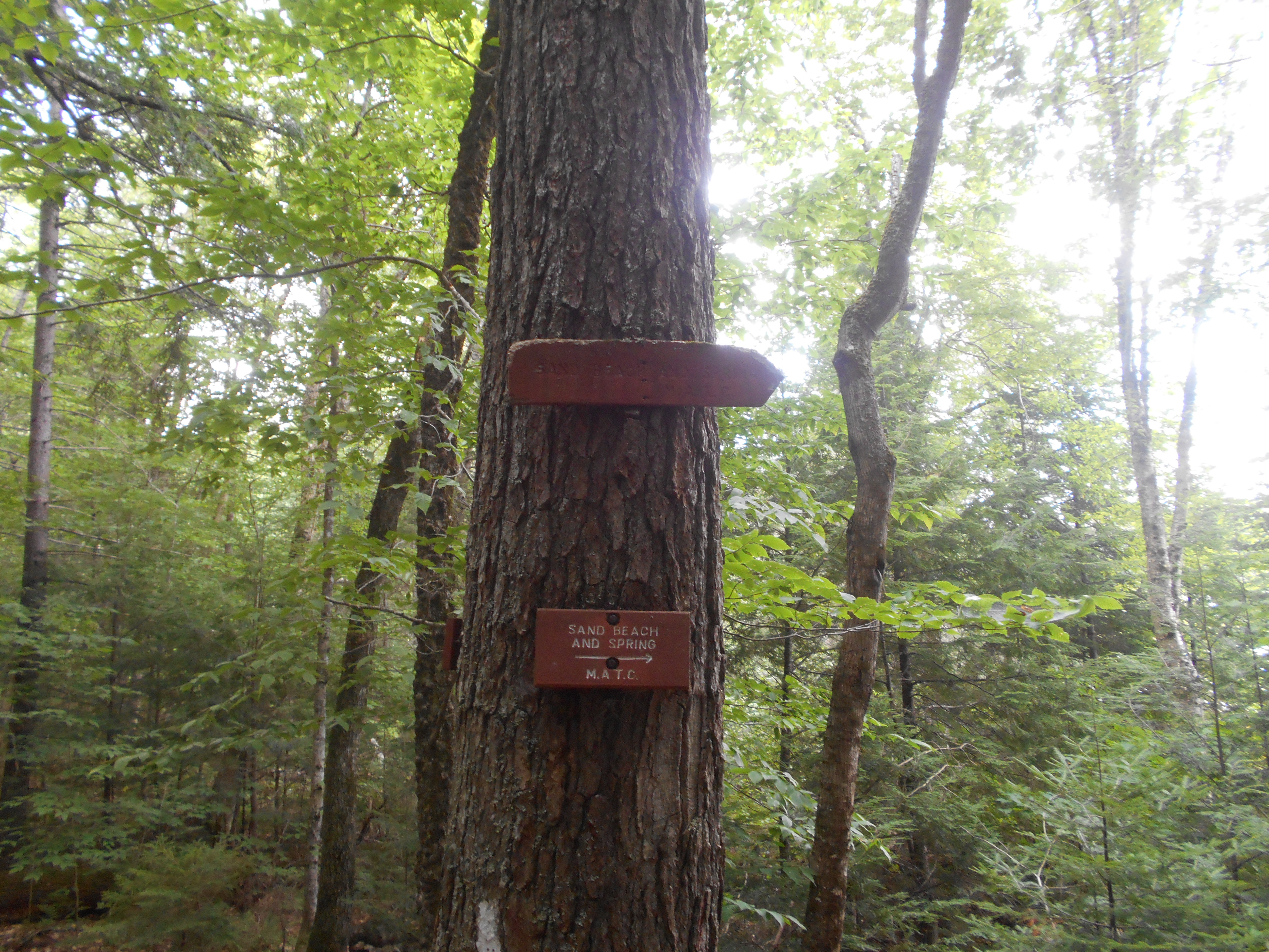
Sand Beach 50 ft. east (595') ?spring
595
2150.8
Wadleigh Stream (680')
680
2150.9
Wadleigh Stream Lean-to (685") ?10.1mS; 8.1mN
685
8:00pm
had to zip up the tent around 4:30am when a few drops of rain hit me in the face but that was all the rain. warm night, never got in my sleeping bag.
woke up early and got the sunraise over the lake. got out of camp early for me. made good time, but it was theatening to storm when I arrived. I had hoped to hike on to finish the 100 mile wilderness early (so i could eat more food) but decided to set up early and relax. Met BumbleBee (thru hike of 2011 I think) who is out from Katadin...nice person, chatted for quite some time. a camp group did set up near me but dont seem to obnoxious.
water here very sketchey.....not running at all, just a few pools left.
Aug 7, 2016
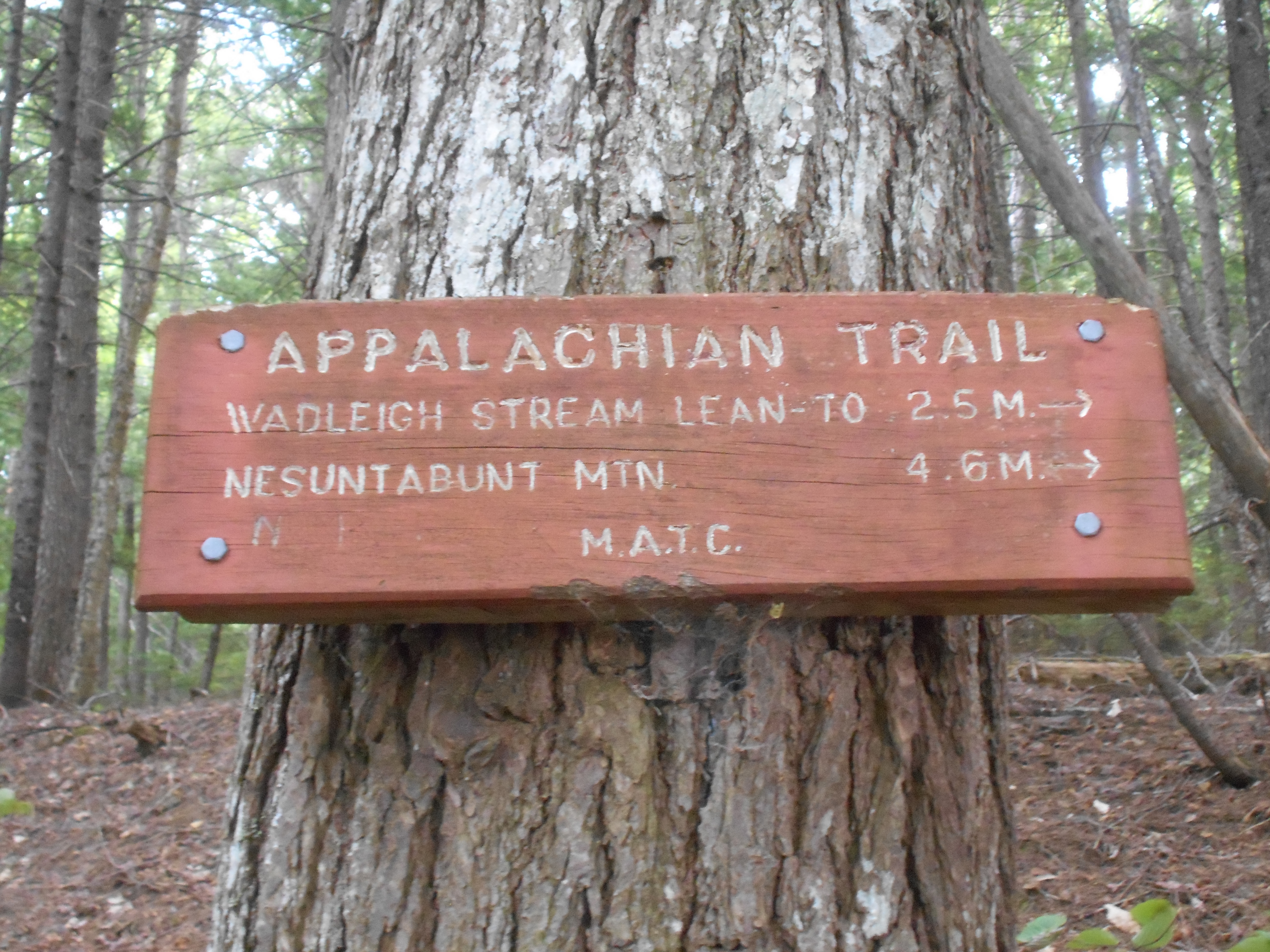
wadleigh stream lean-to to tentsight southeast shore of rainbow lake (tenting)
Milage 15.2
Miles from Springer
Features
Elevation
2152.8
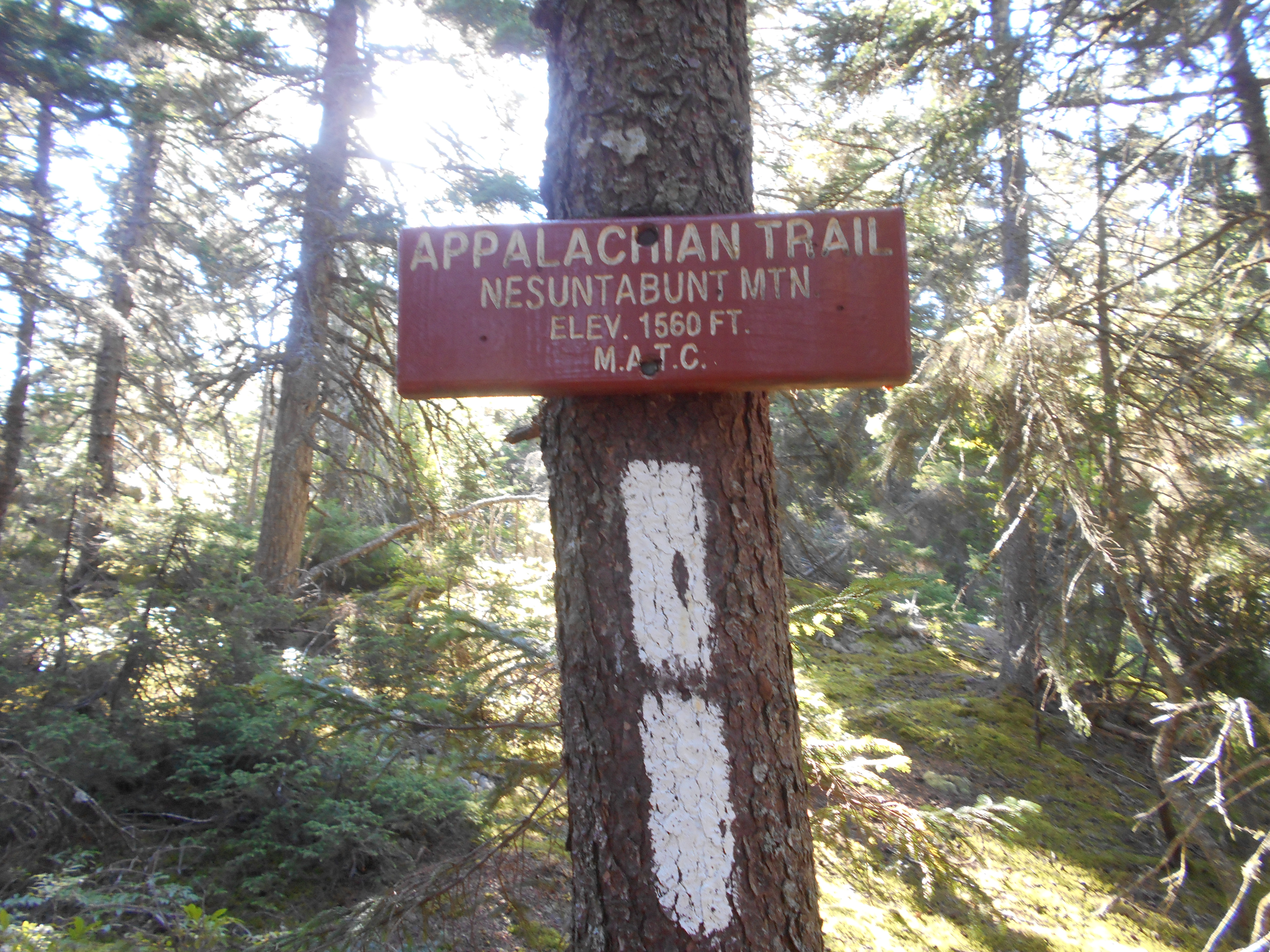
Nesuntabunt Mountain (1,520')?views
1520
2154
Logging Road (1,010')?gravel
1010
2155.2
Crescent Pond (west end) (980')
980
2155.6
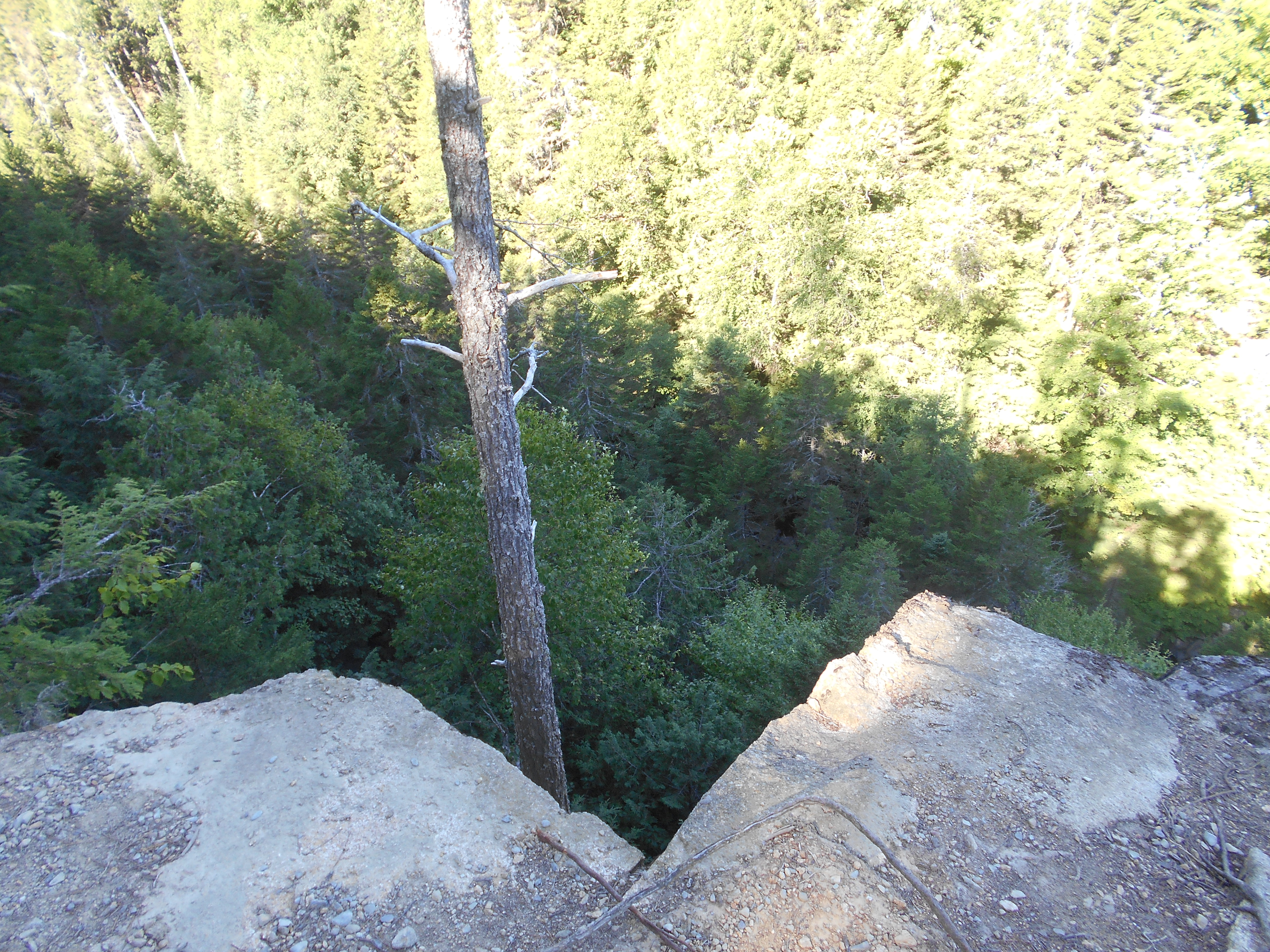
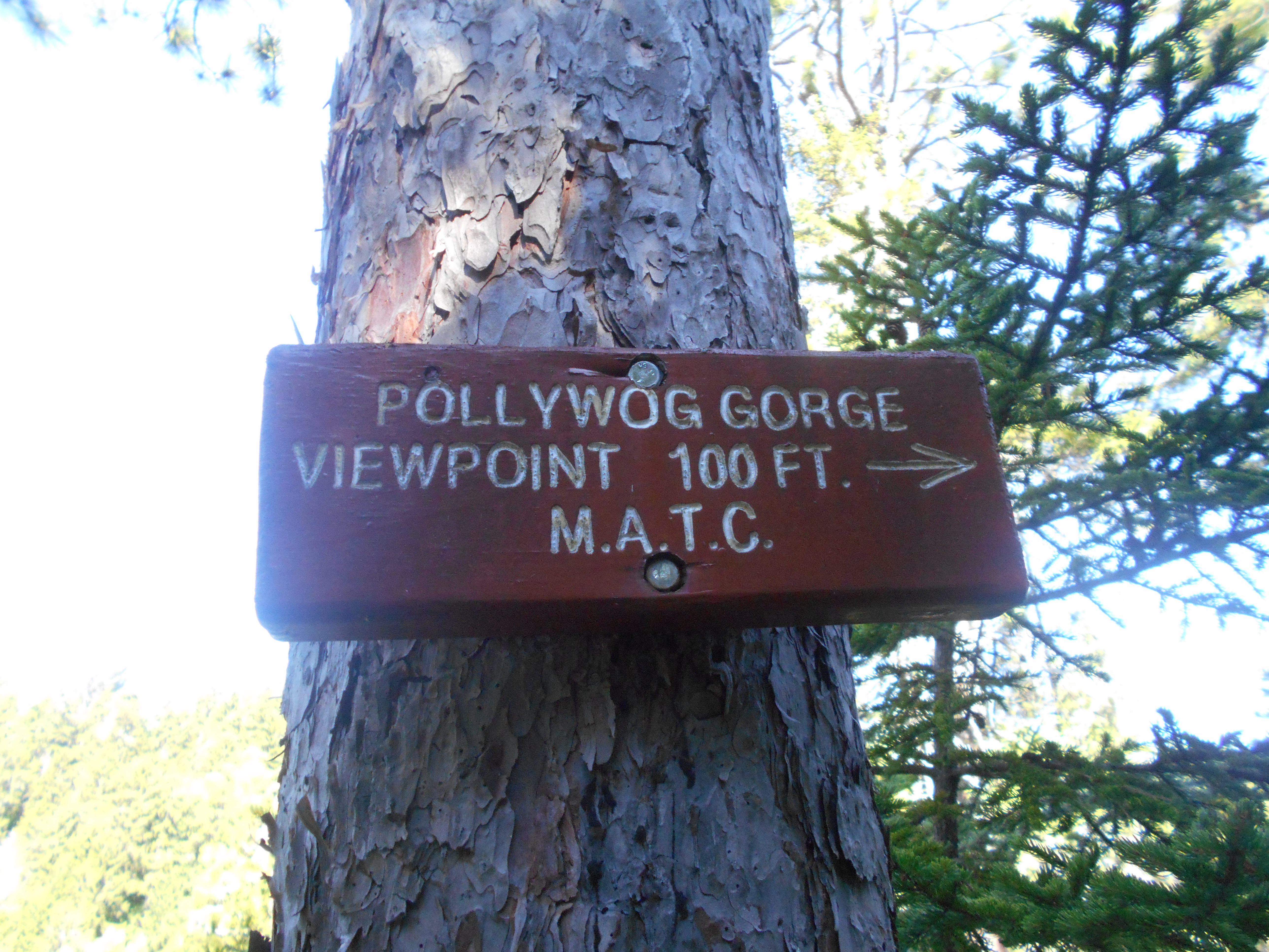
Pollywog Gorge (1,050')?views
1050
2156.6
Pollywog Stream (682')?logging road, bridge
682
2157.3
Flume in gorge (1,000')?remains of old logging dam
1000
2158.6
Murphy Pond Outlet Stream (1,020")
1020
2159
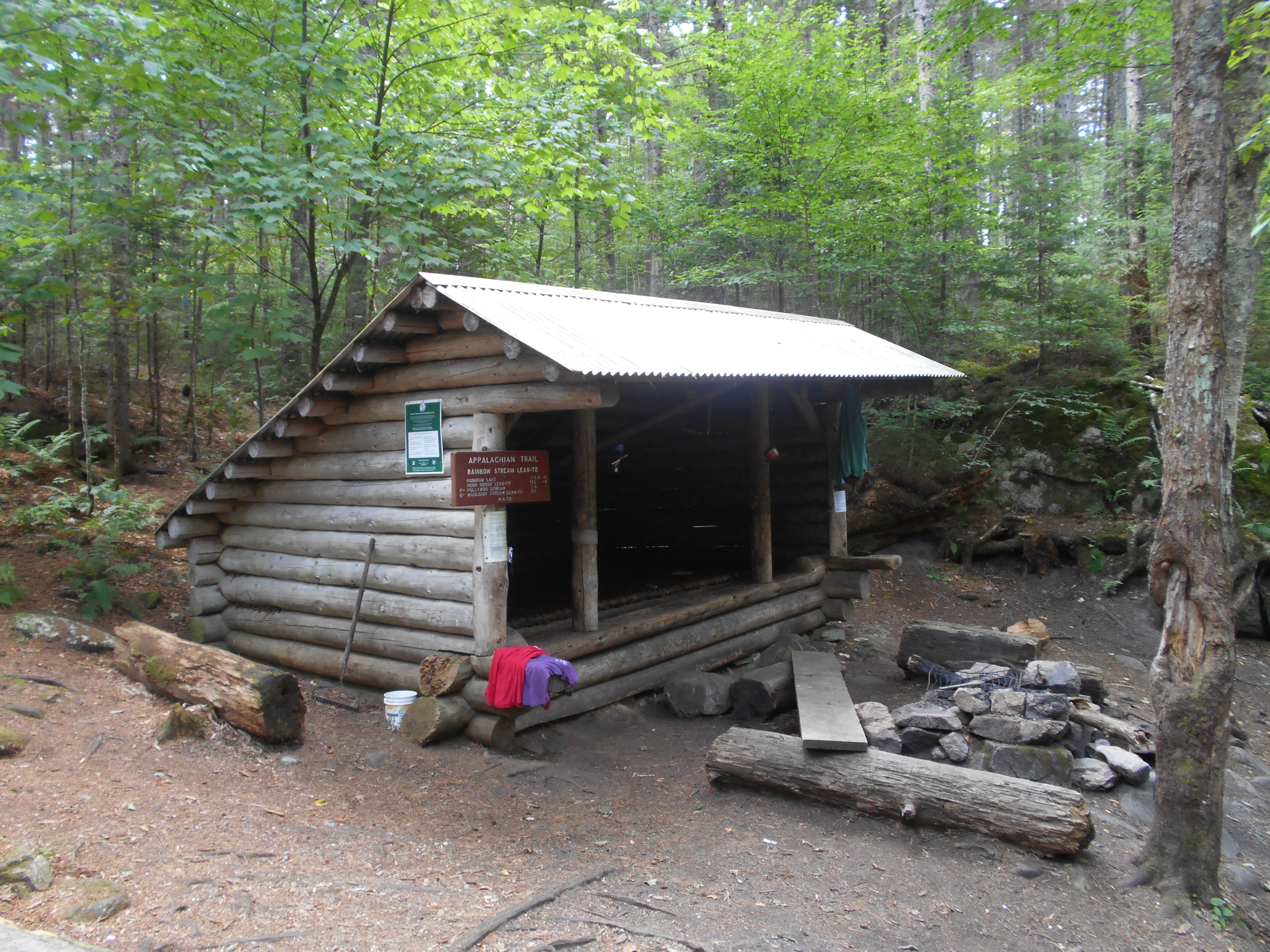
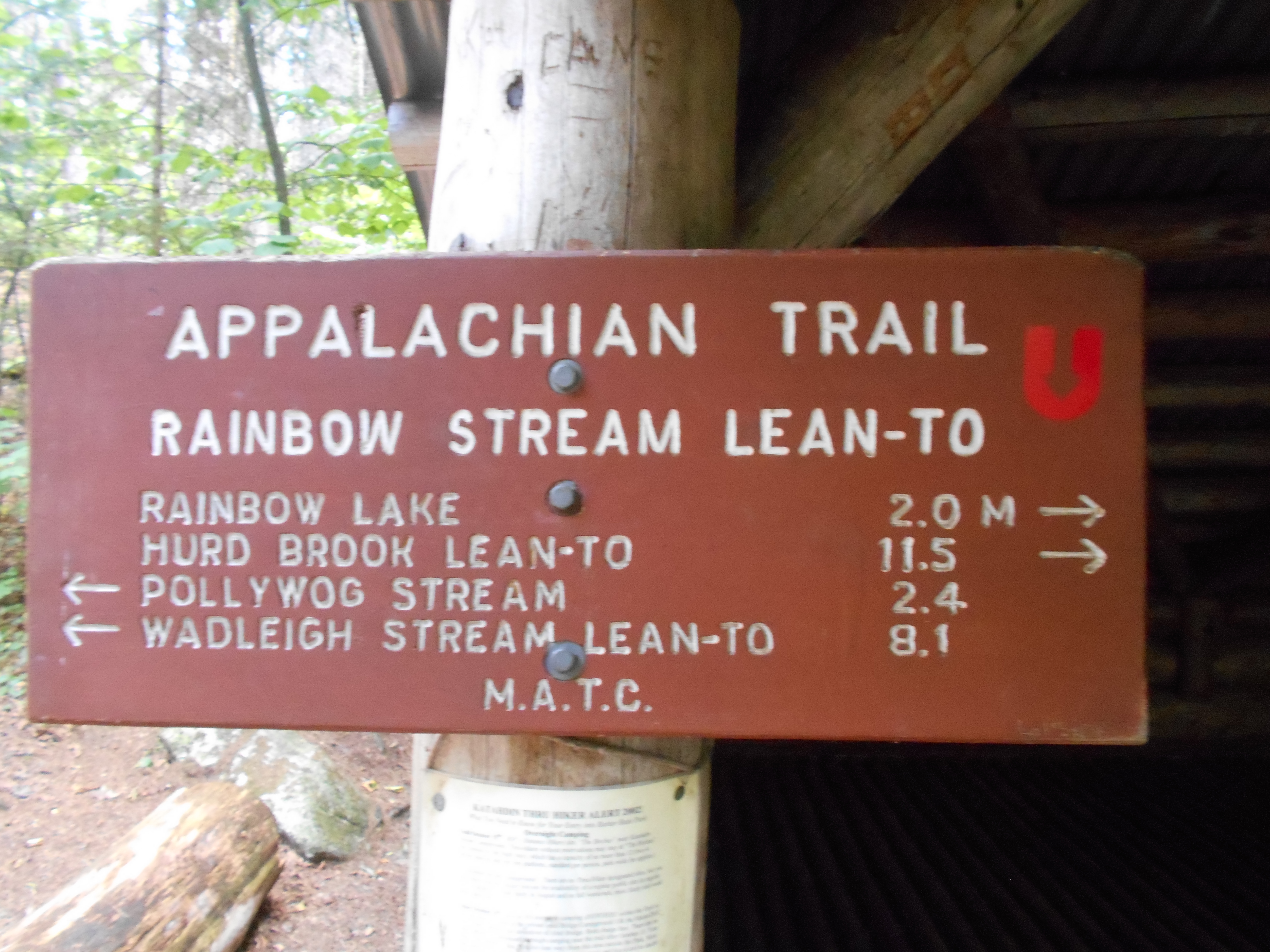
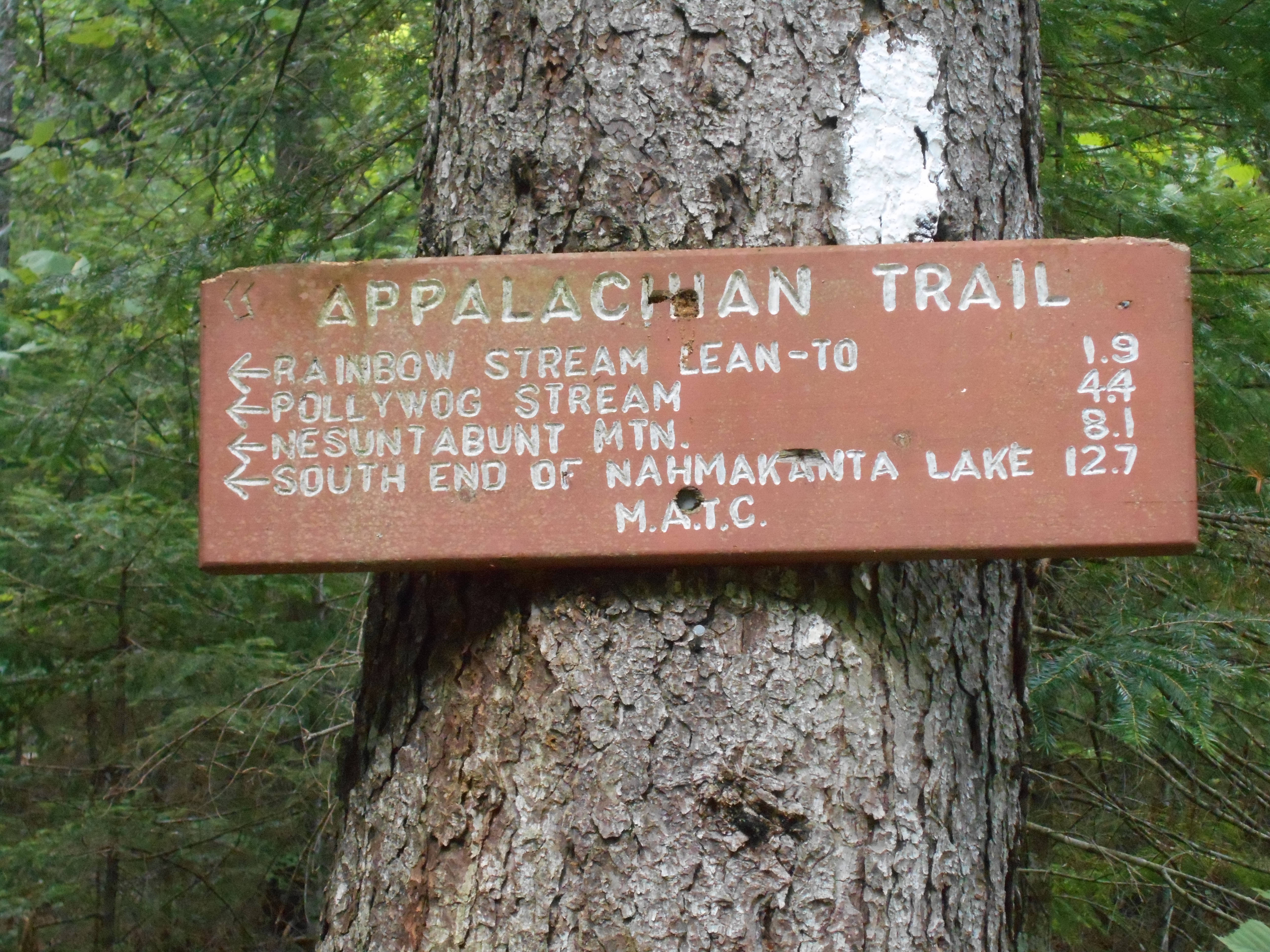
Rainbow Stream Lean-to (1,020') ?8.1mS; 11.5mN
1020
2161
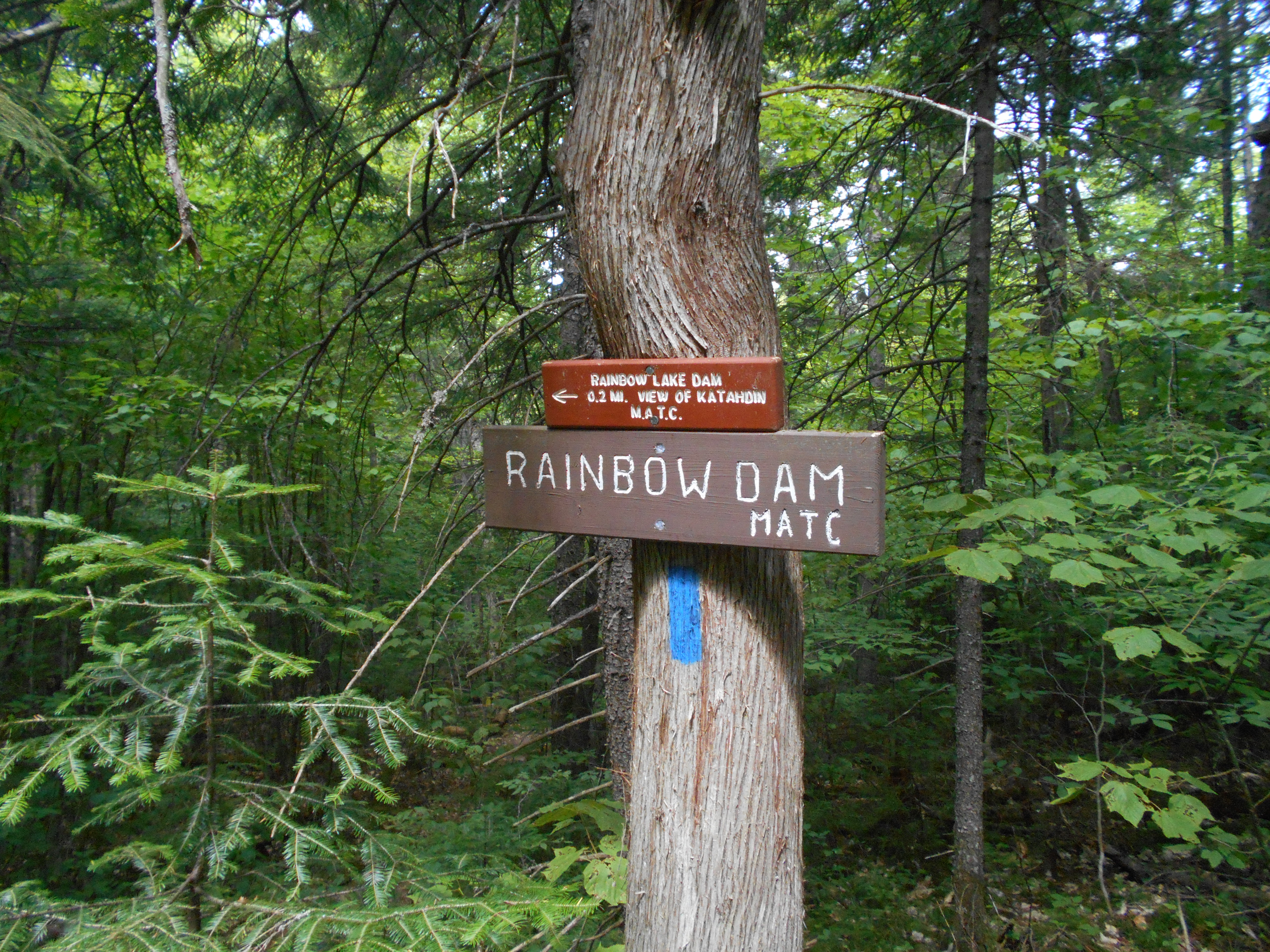
Rainbow Lake (west end) (1,080')?dam on sidetrail with Katahdin view
1080
2162.8
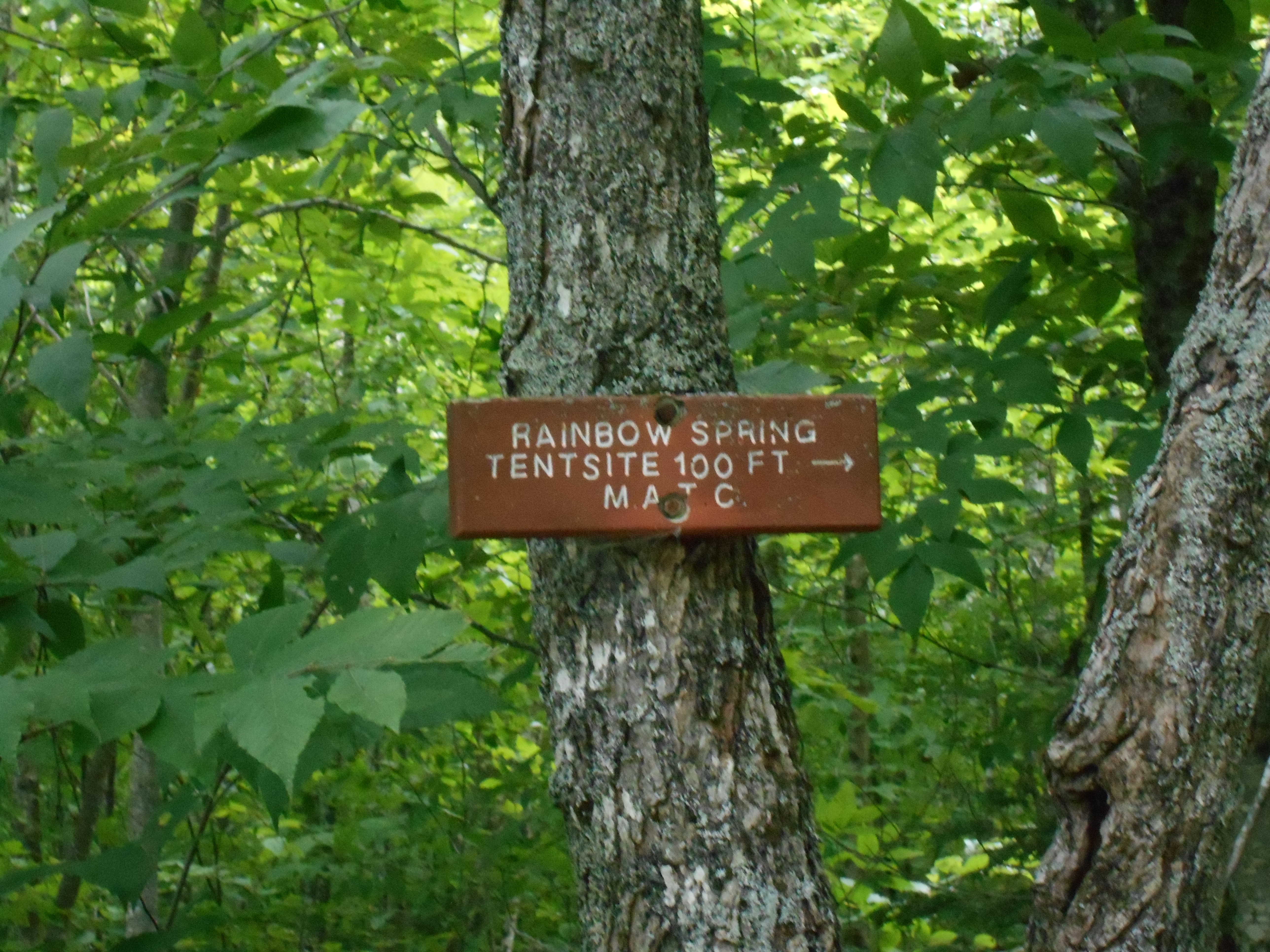
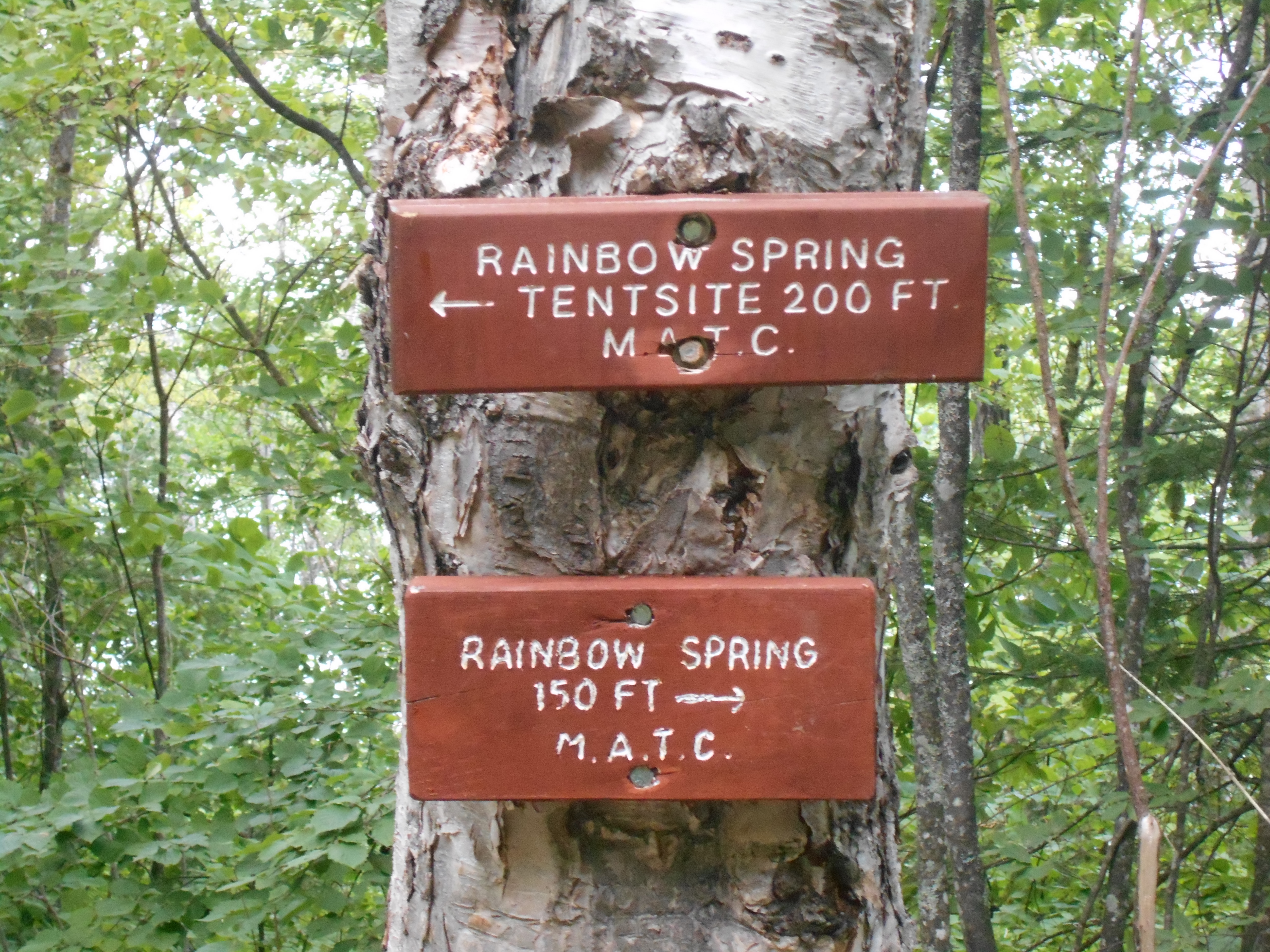
Rainbow Spring Campsite (1,100')
1100
2164.5
Trail to Rainbow Mountain (1,100')
1100
2166.2
Rainbow Lake (east end) (980')
980
10:45am
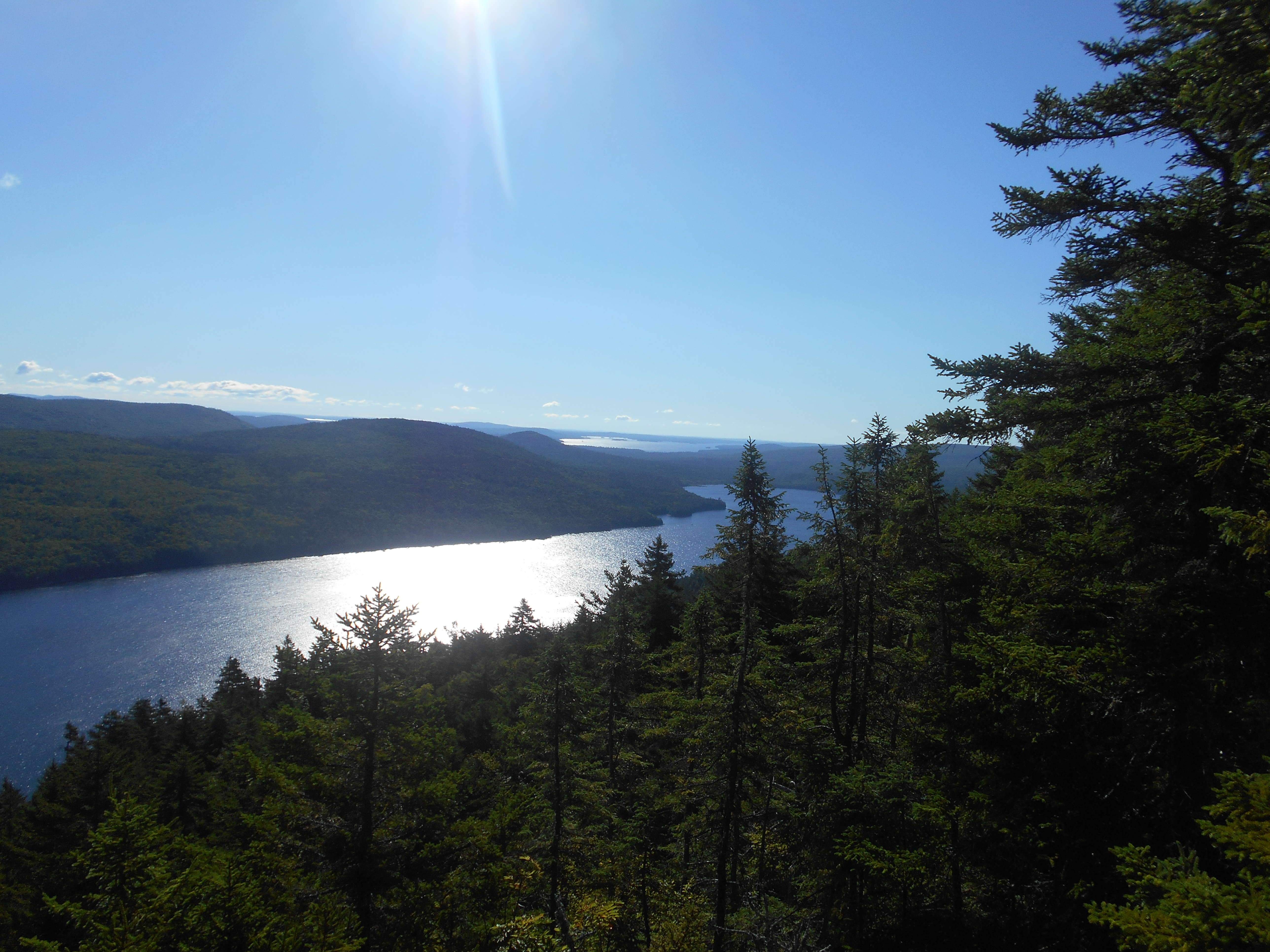
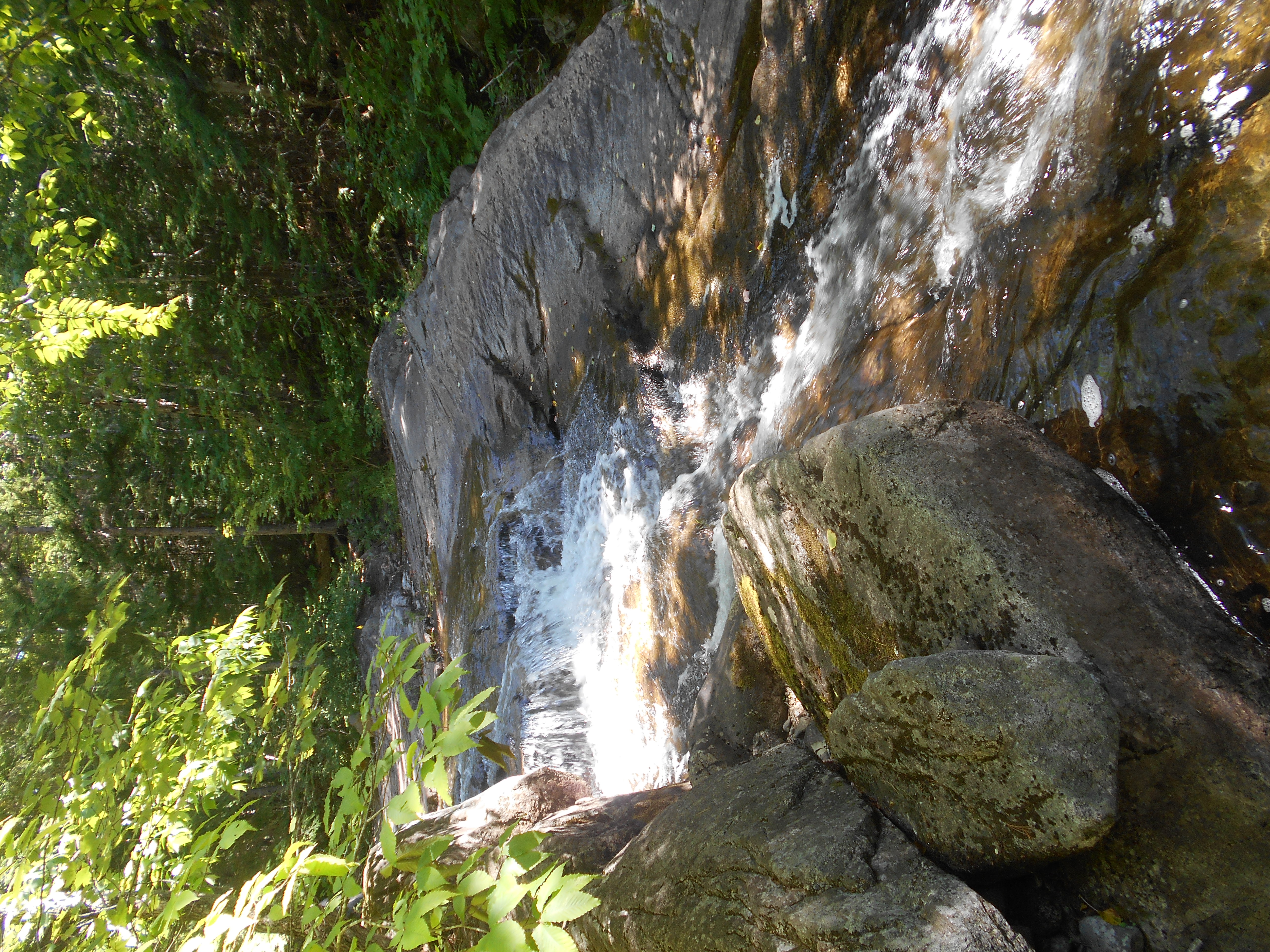
here at the botton of rainbow stream cascade for a dip and a break. camp kids not too bad, just a little noisy in the morning, but helped me get out of camp early. good views of Katahdin ealier today as well a a gorge view. sort of hoping to get as far as i can today, maybe even Abol Bridge...runnng low on food.
3:45pm
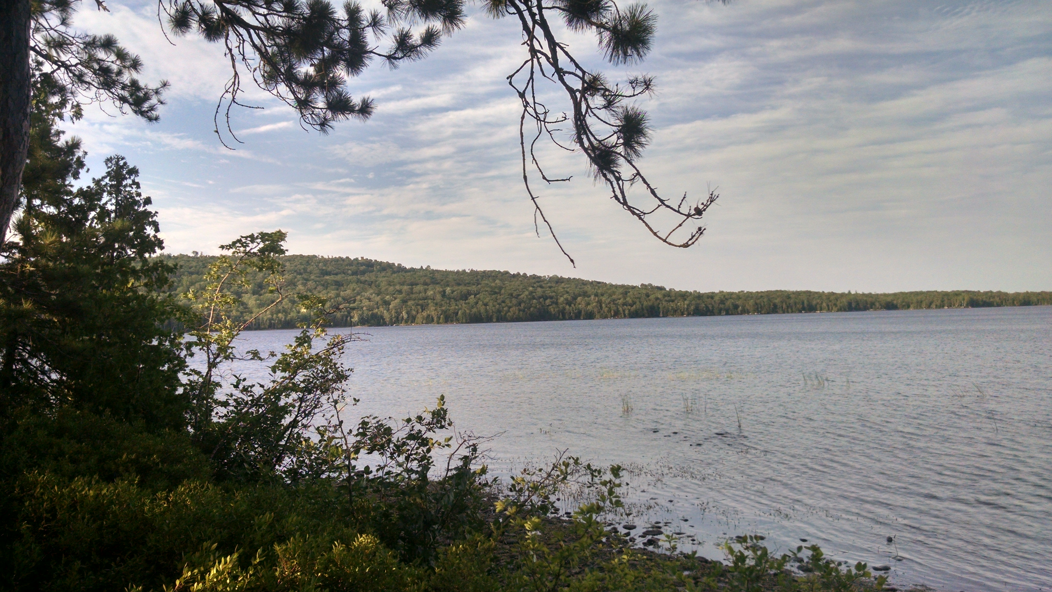
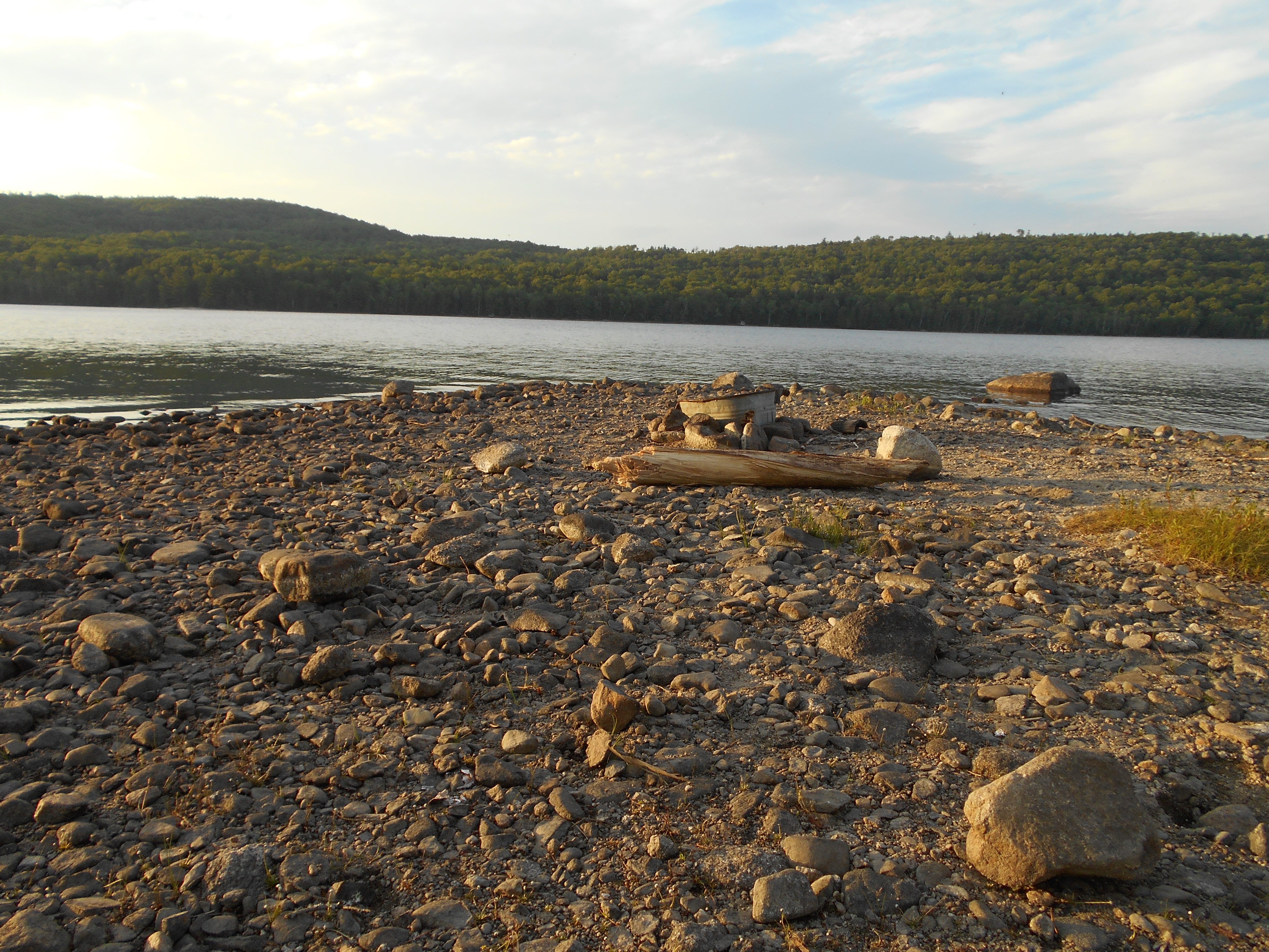
probably could have hiked on a bit further, but the lake was calling me in for a swim so I stayed. not the best place for tenting (hard to find a flat place with no root or rocks) but it is beuatiful. set up camp, swam/bathed/rinsed cloths. also airing out my sleeping bag (two warm nights in a row, it was sweaty). back and left ankle hurting today.....but managable, and with less than 25 miles to go I will crawl if I have to!
note to the hiker who smokes and loves sugar: leave not trace as$#@le! pick up your butts and stop leaving sugar packets on the ground!
6:30pm
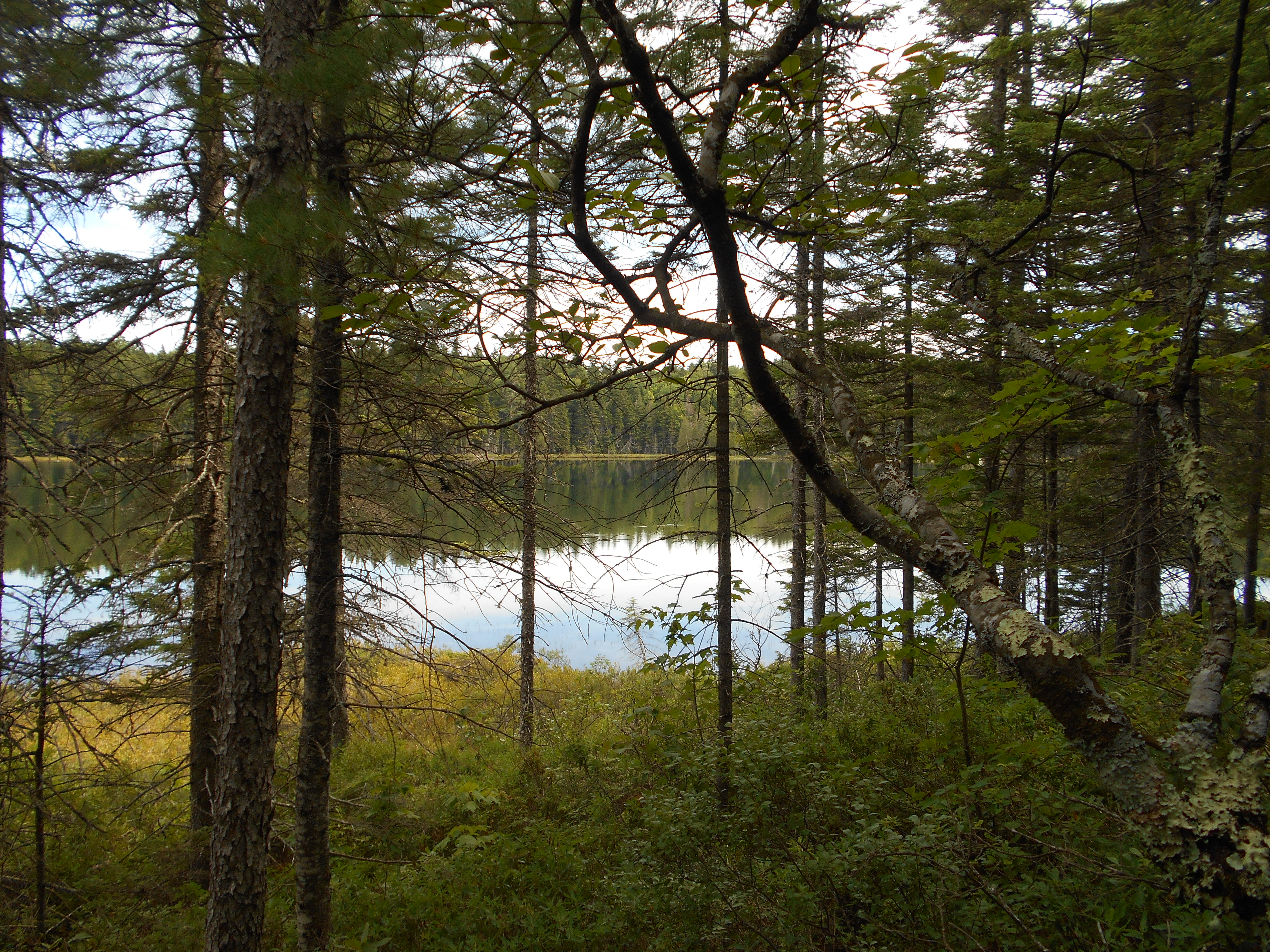
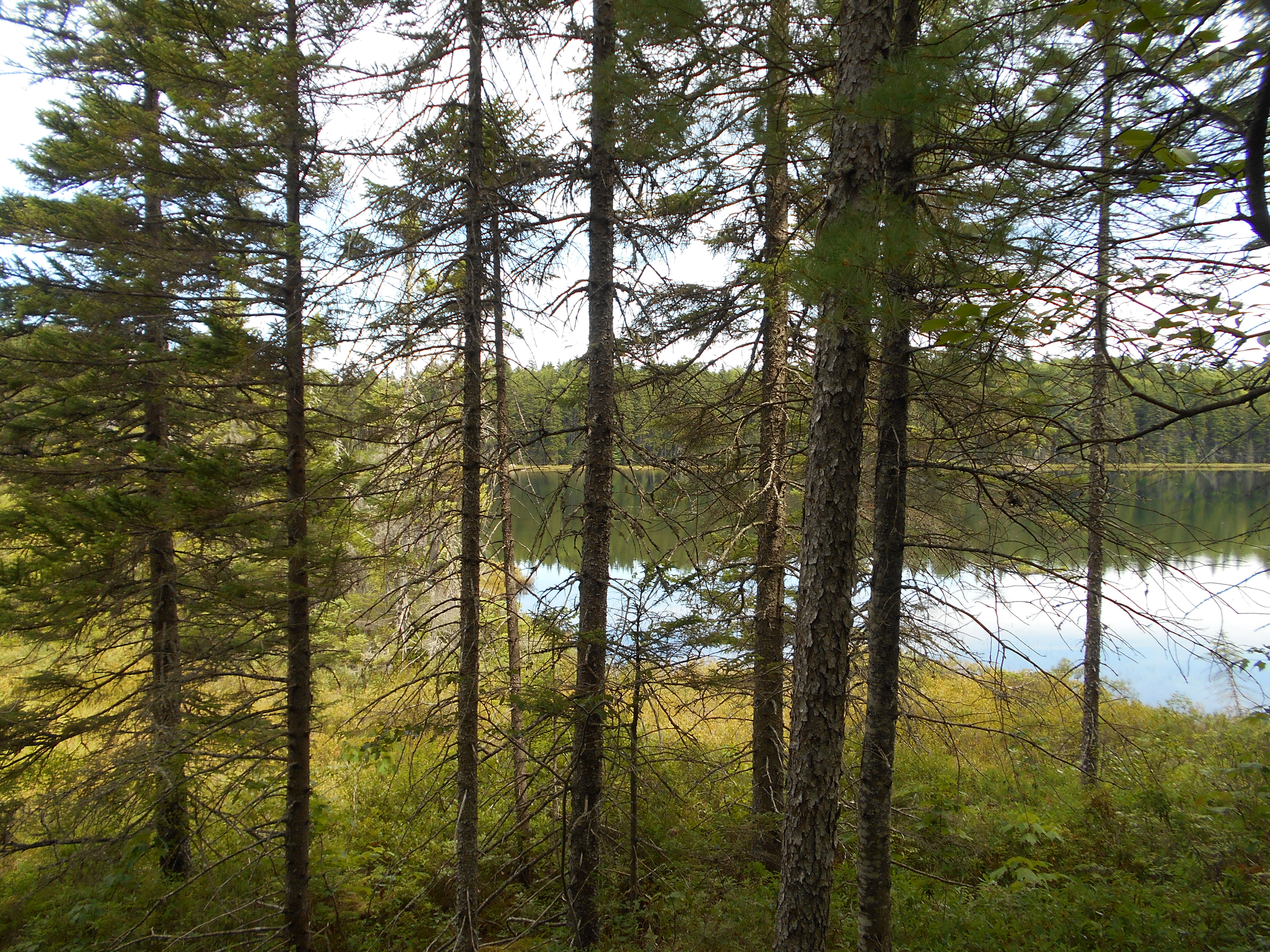
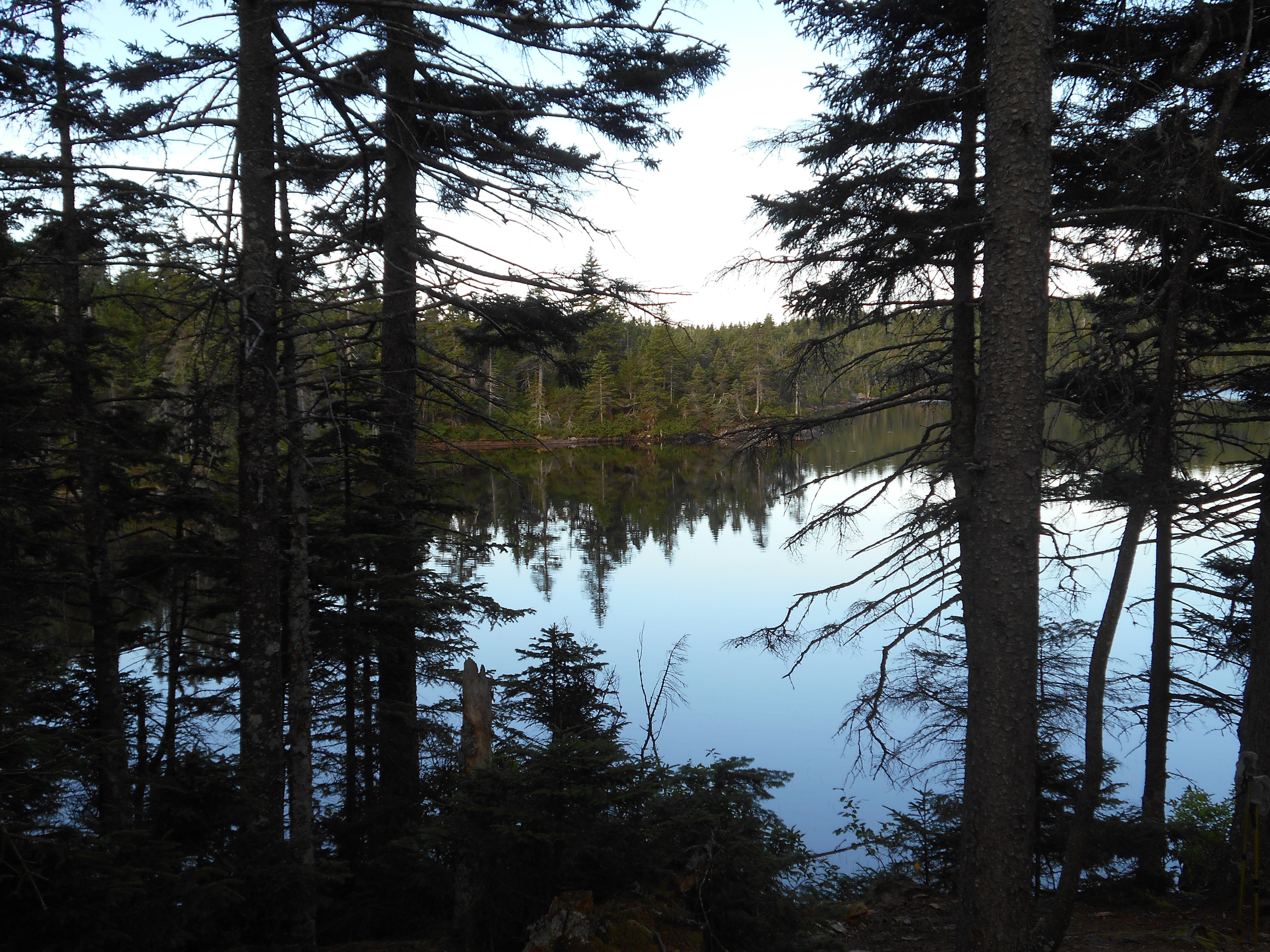
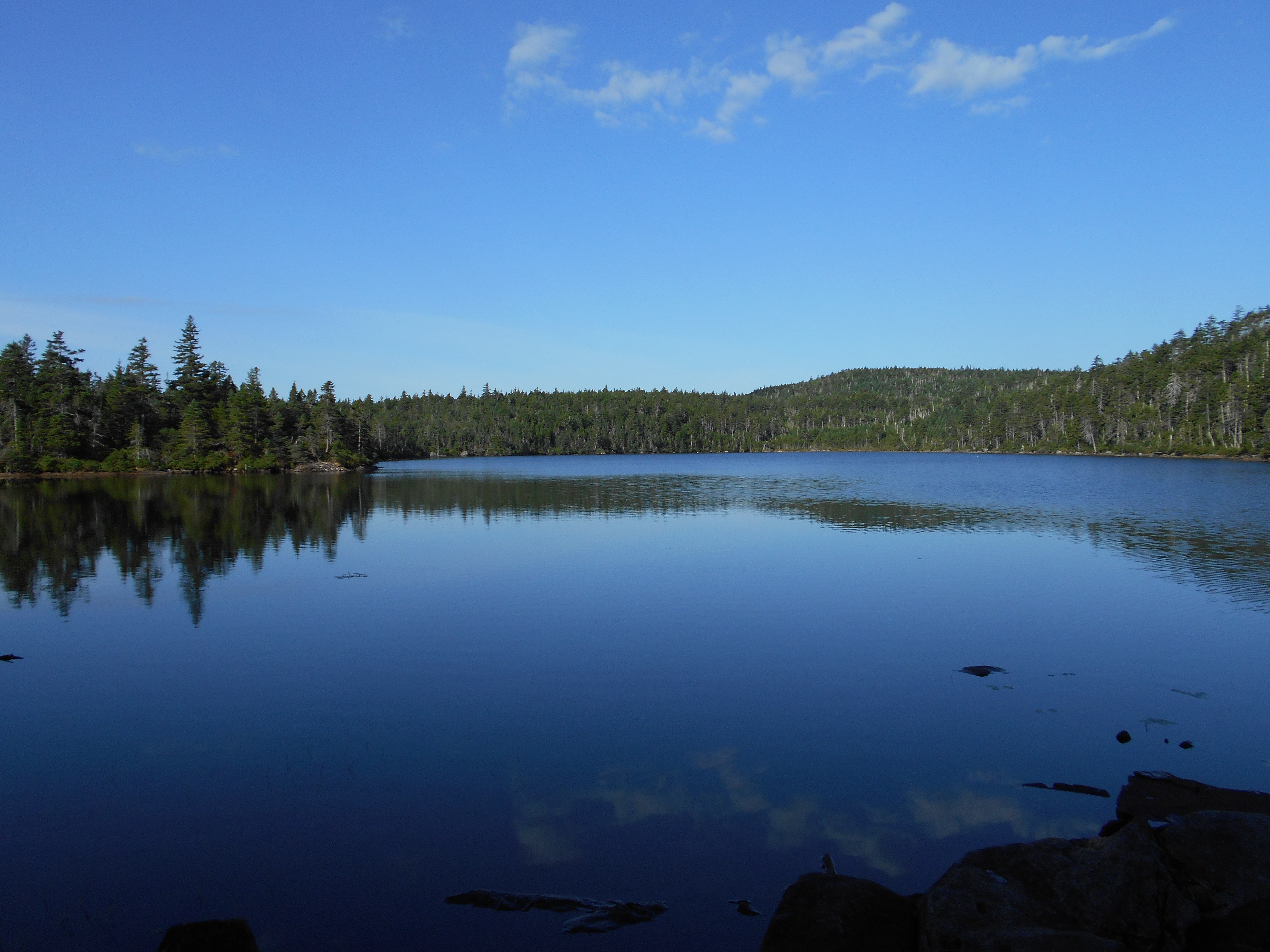
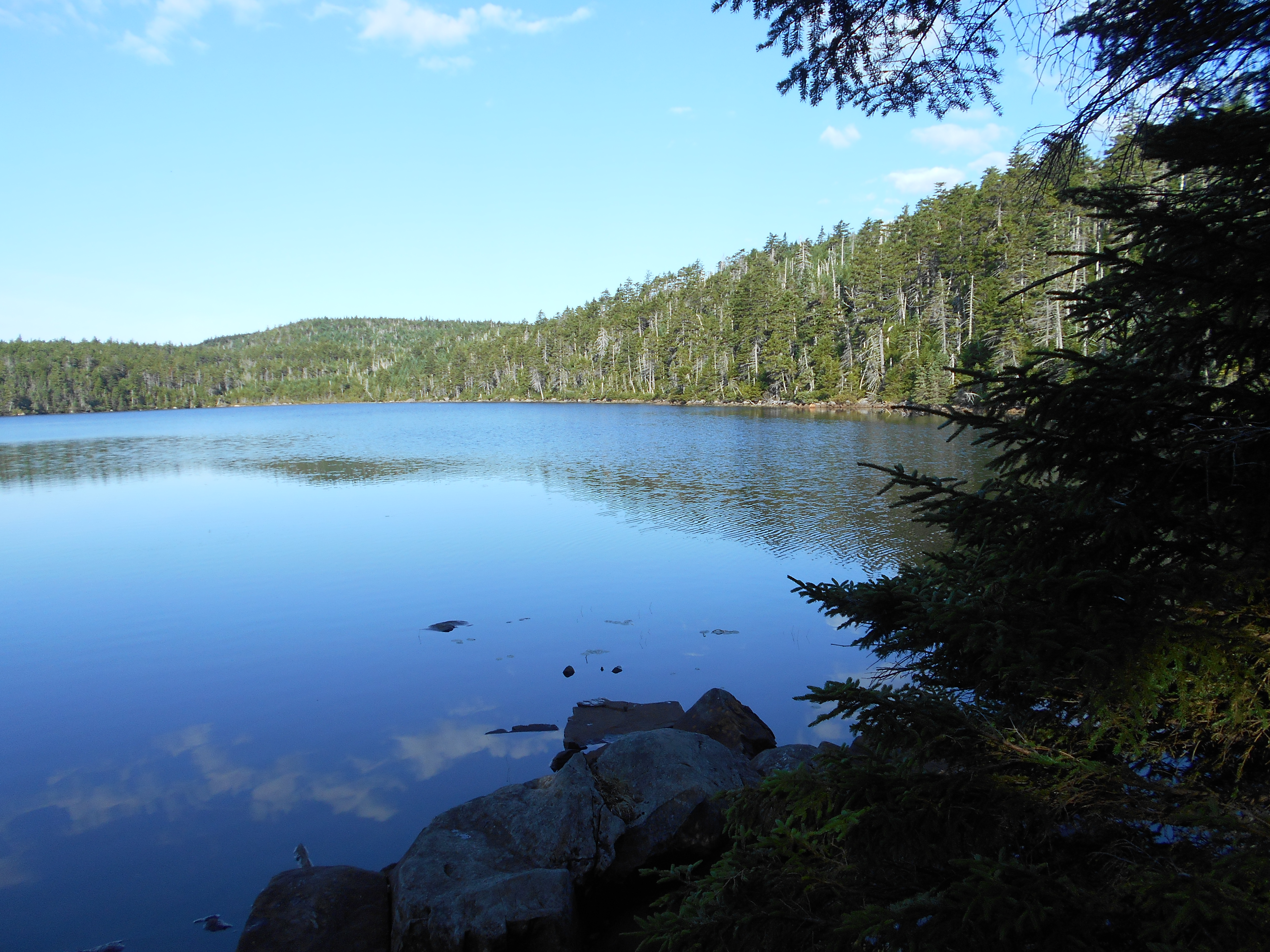
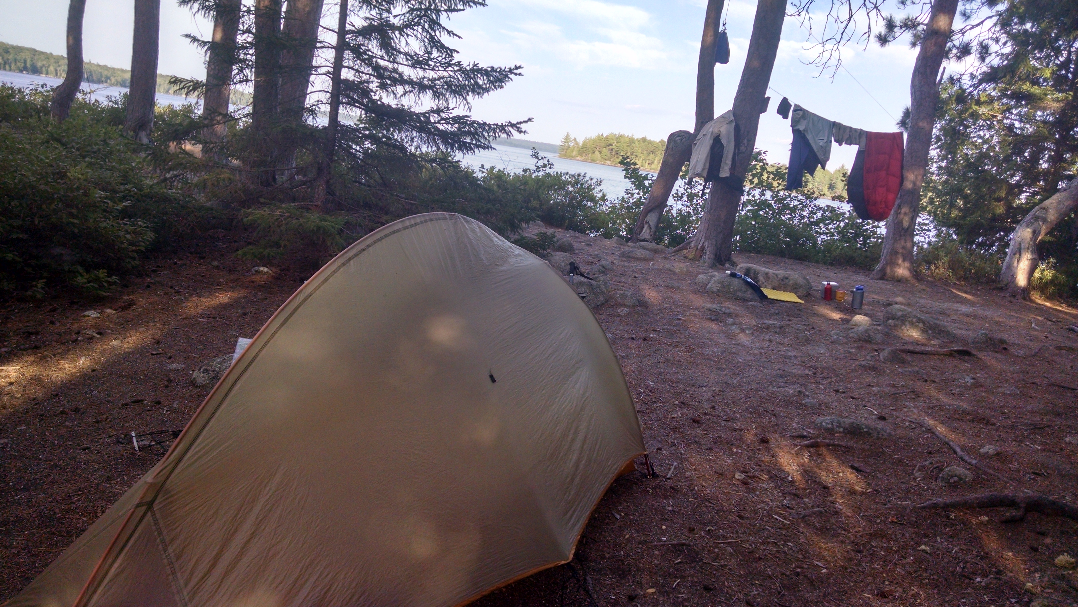
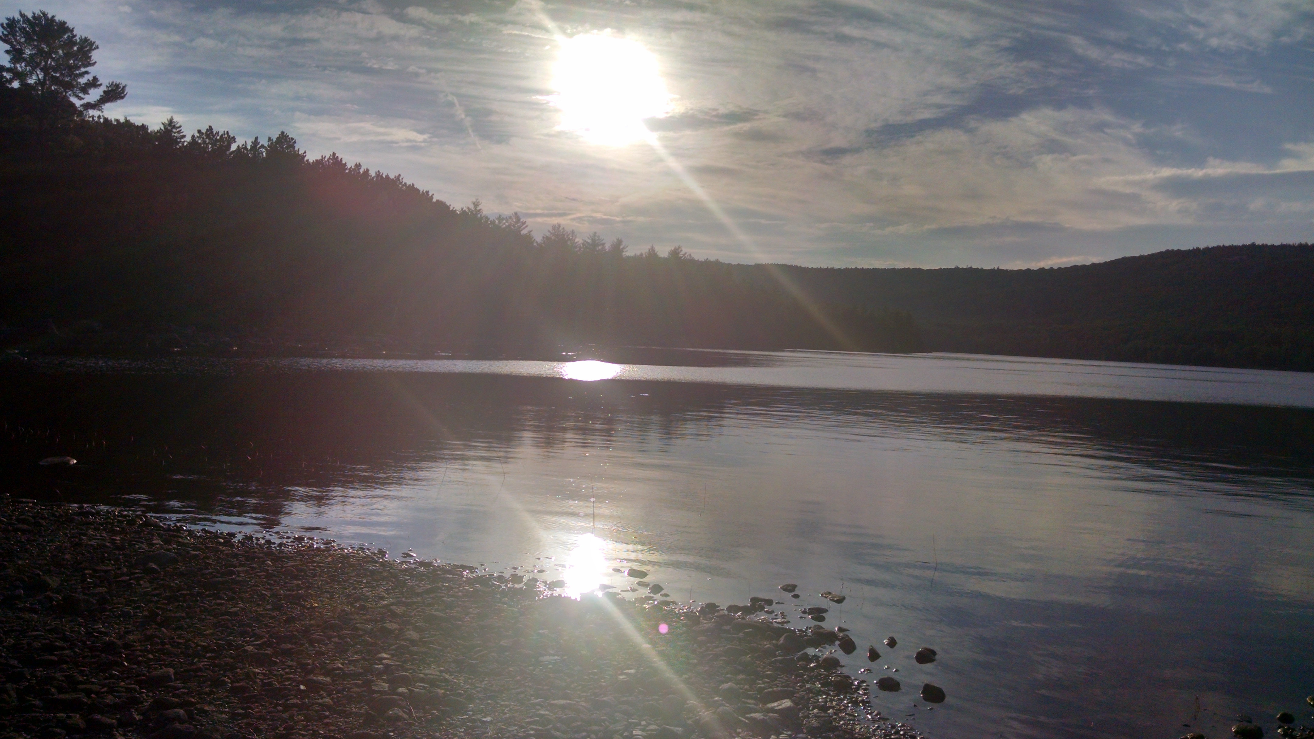
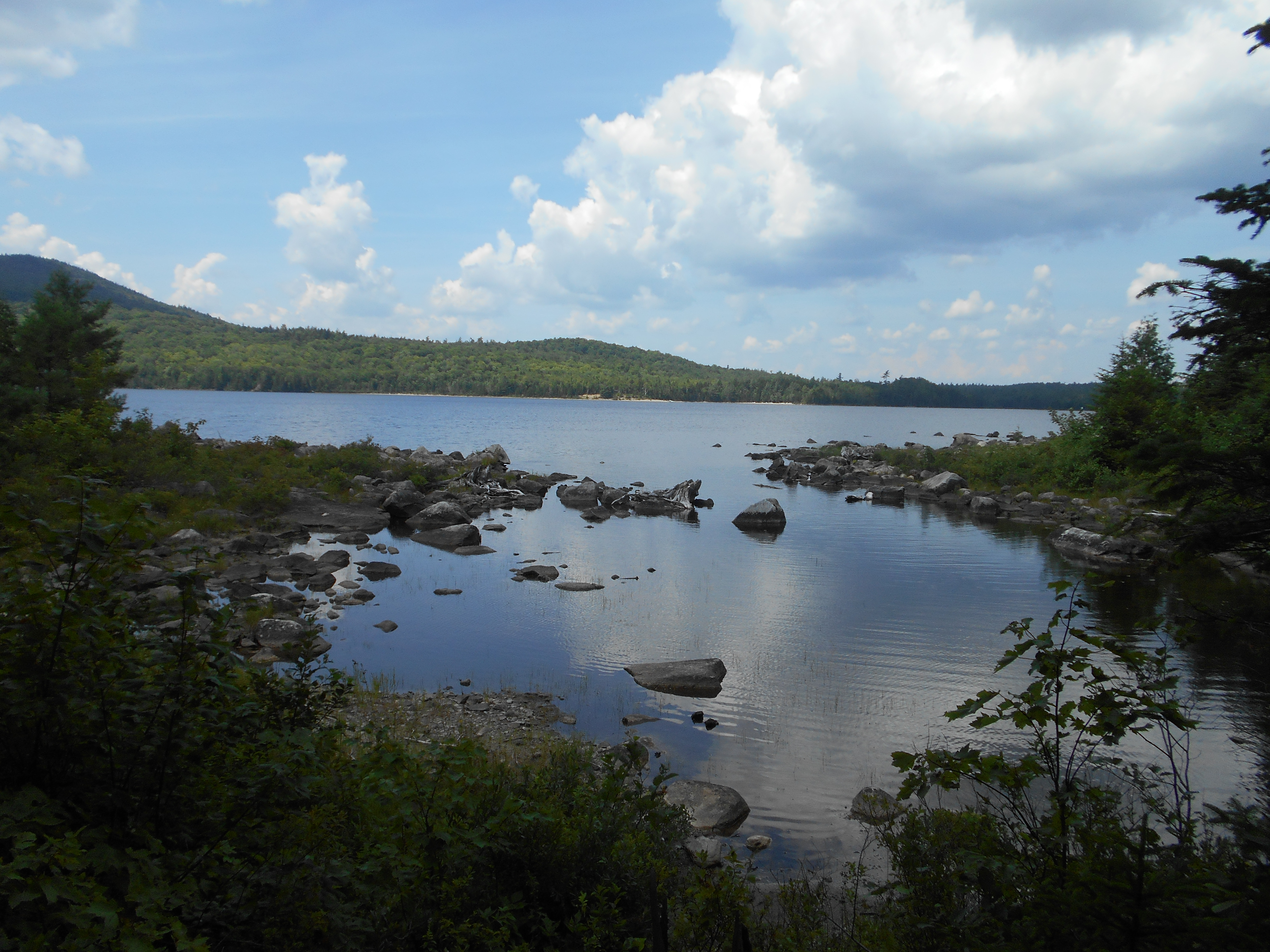
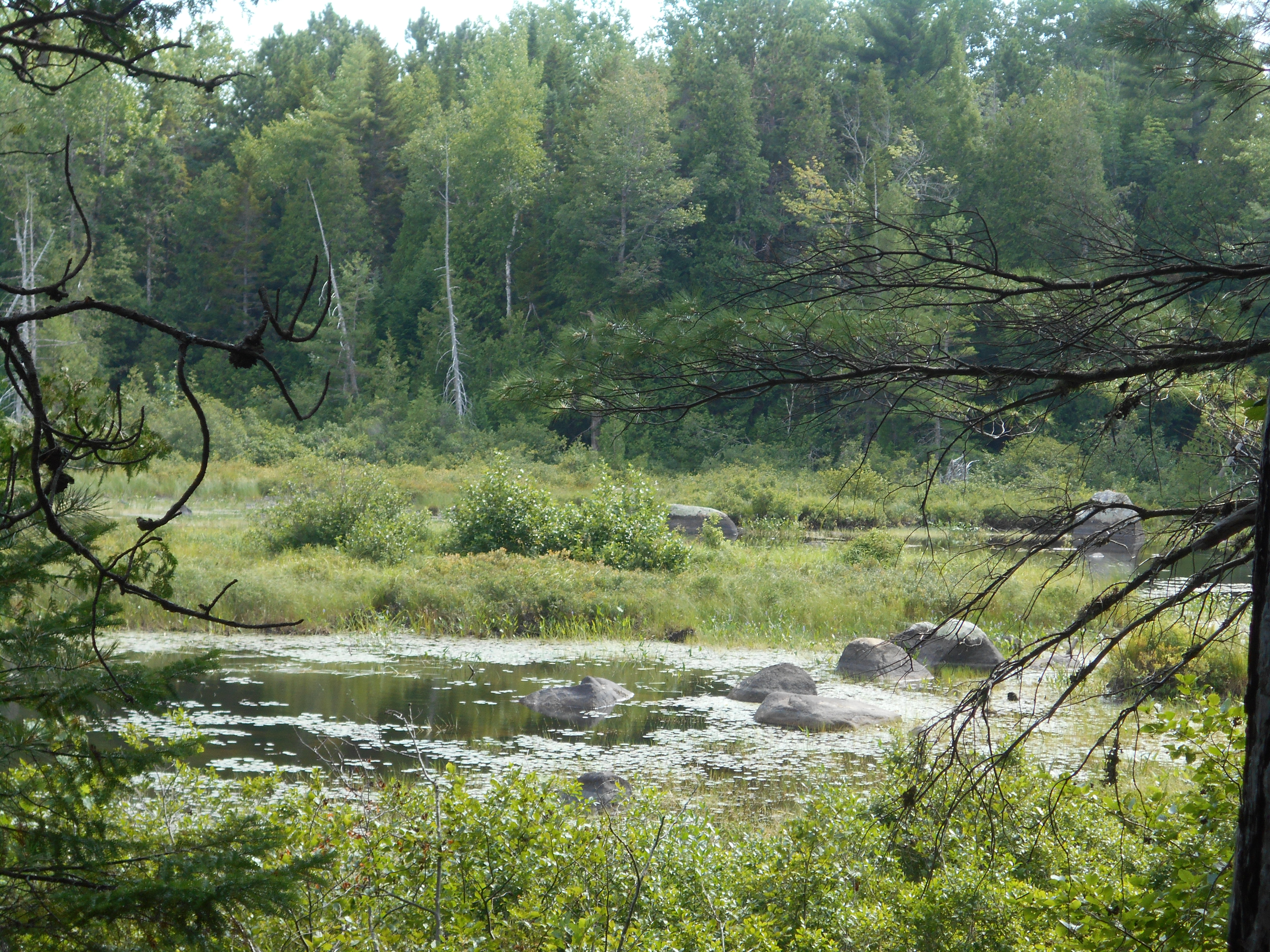
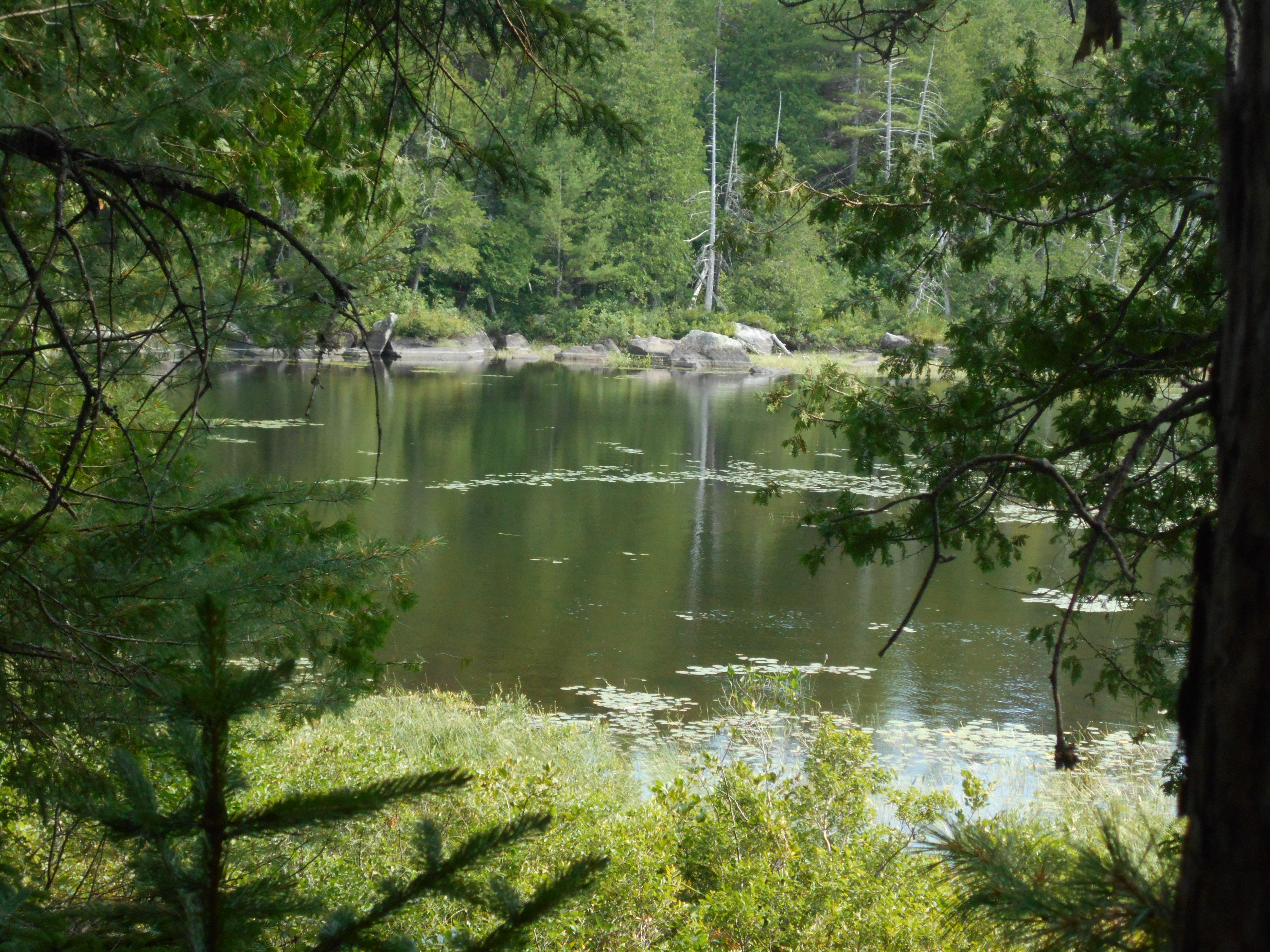
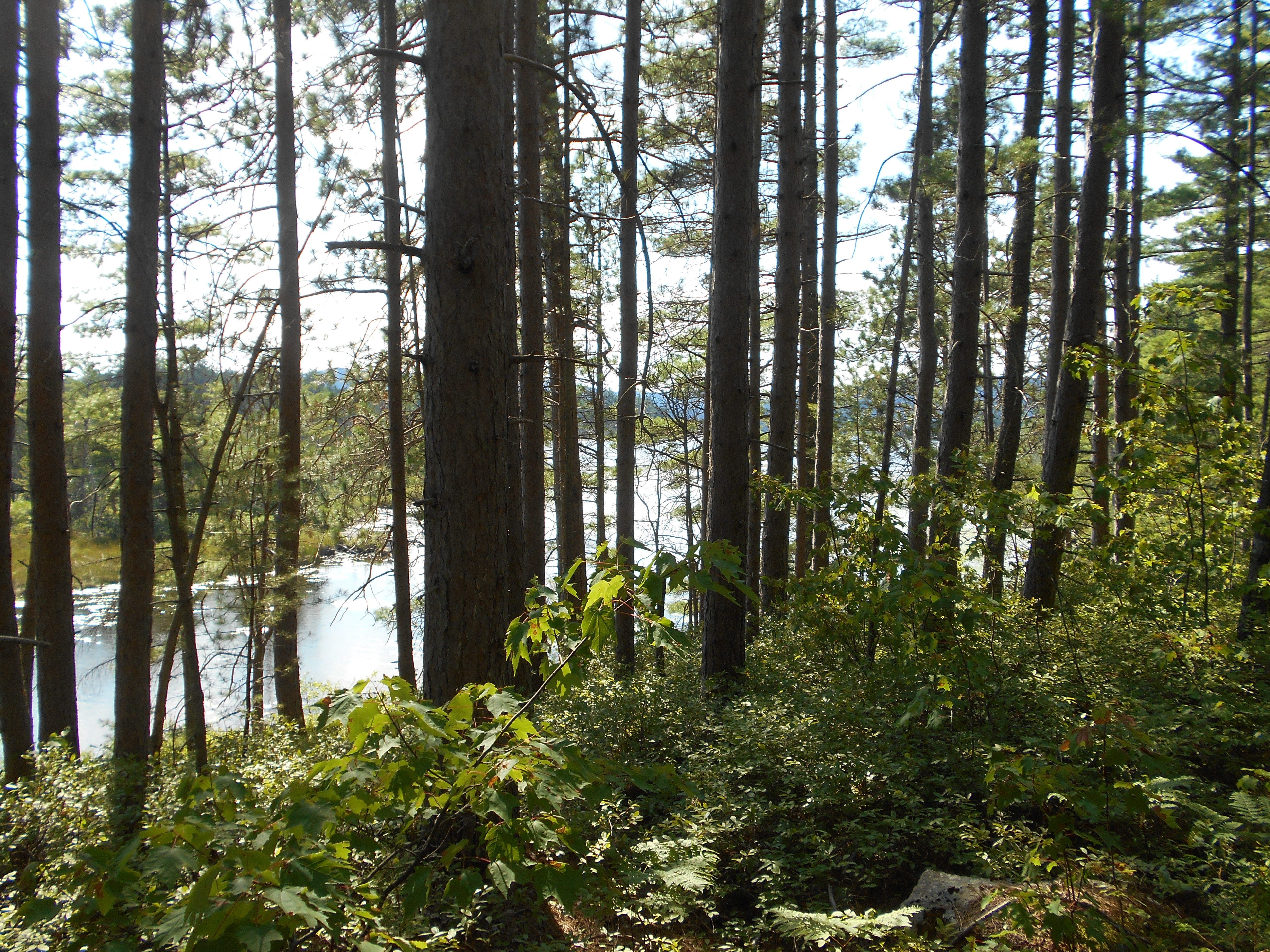
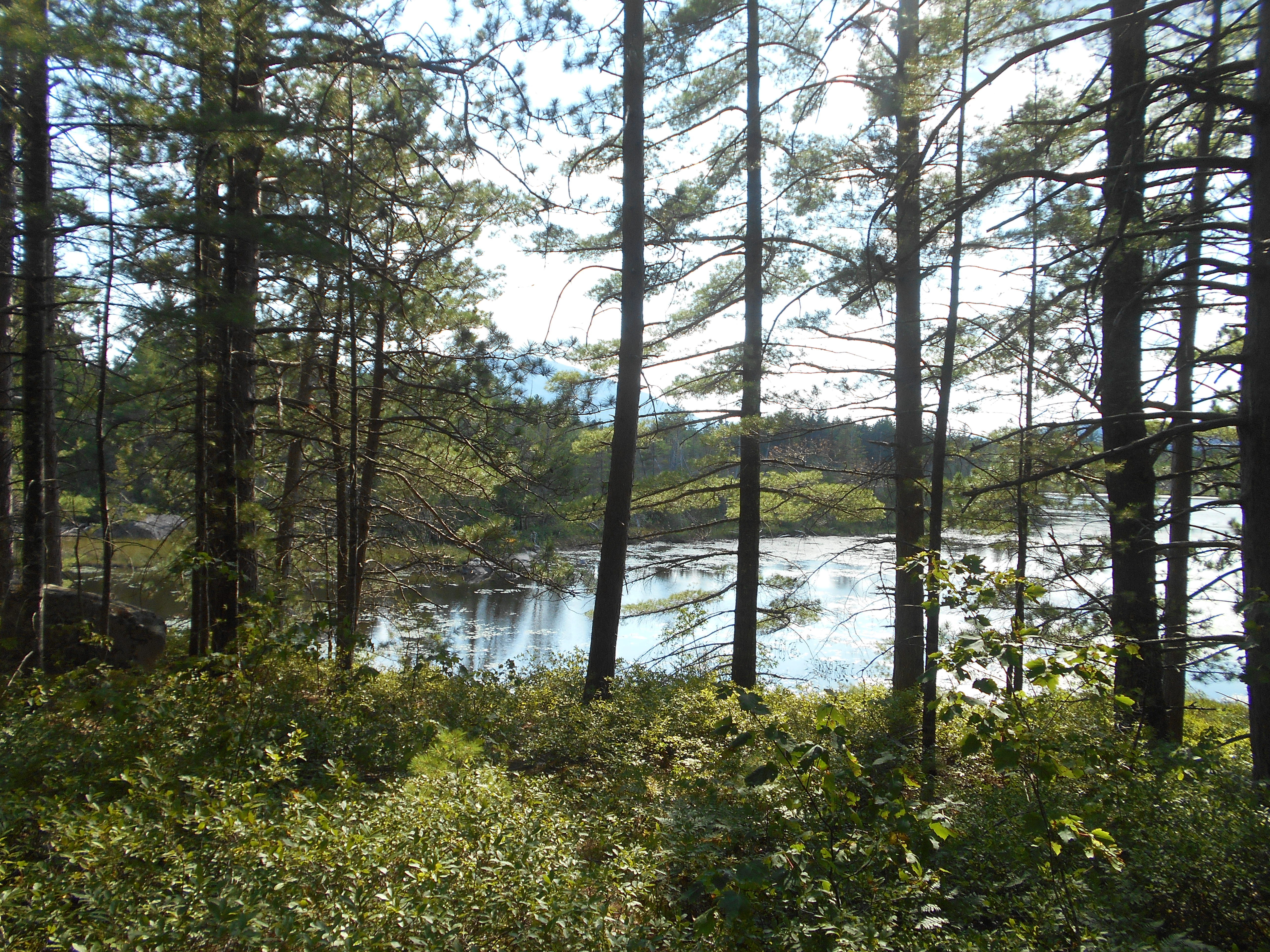
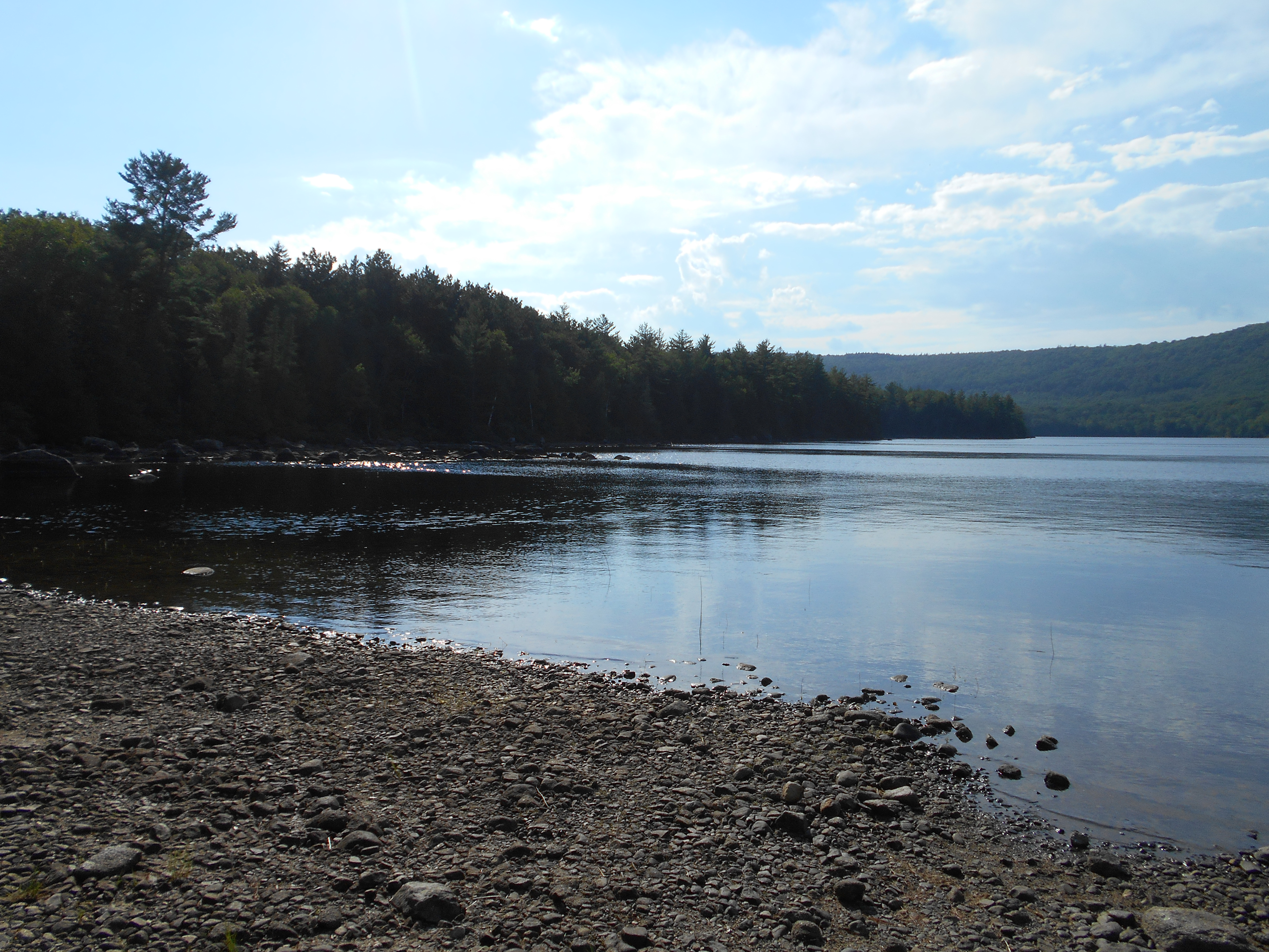
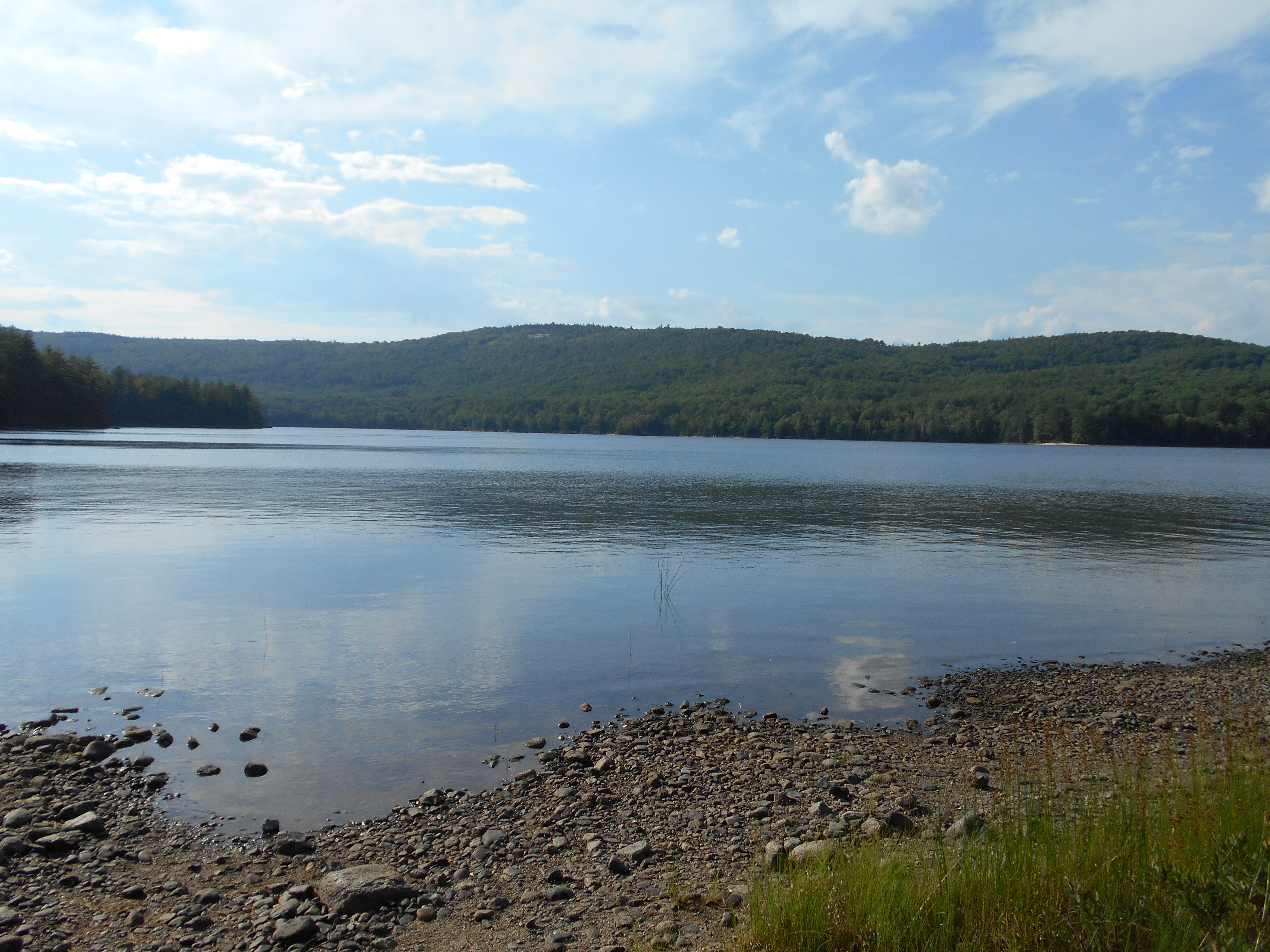
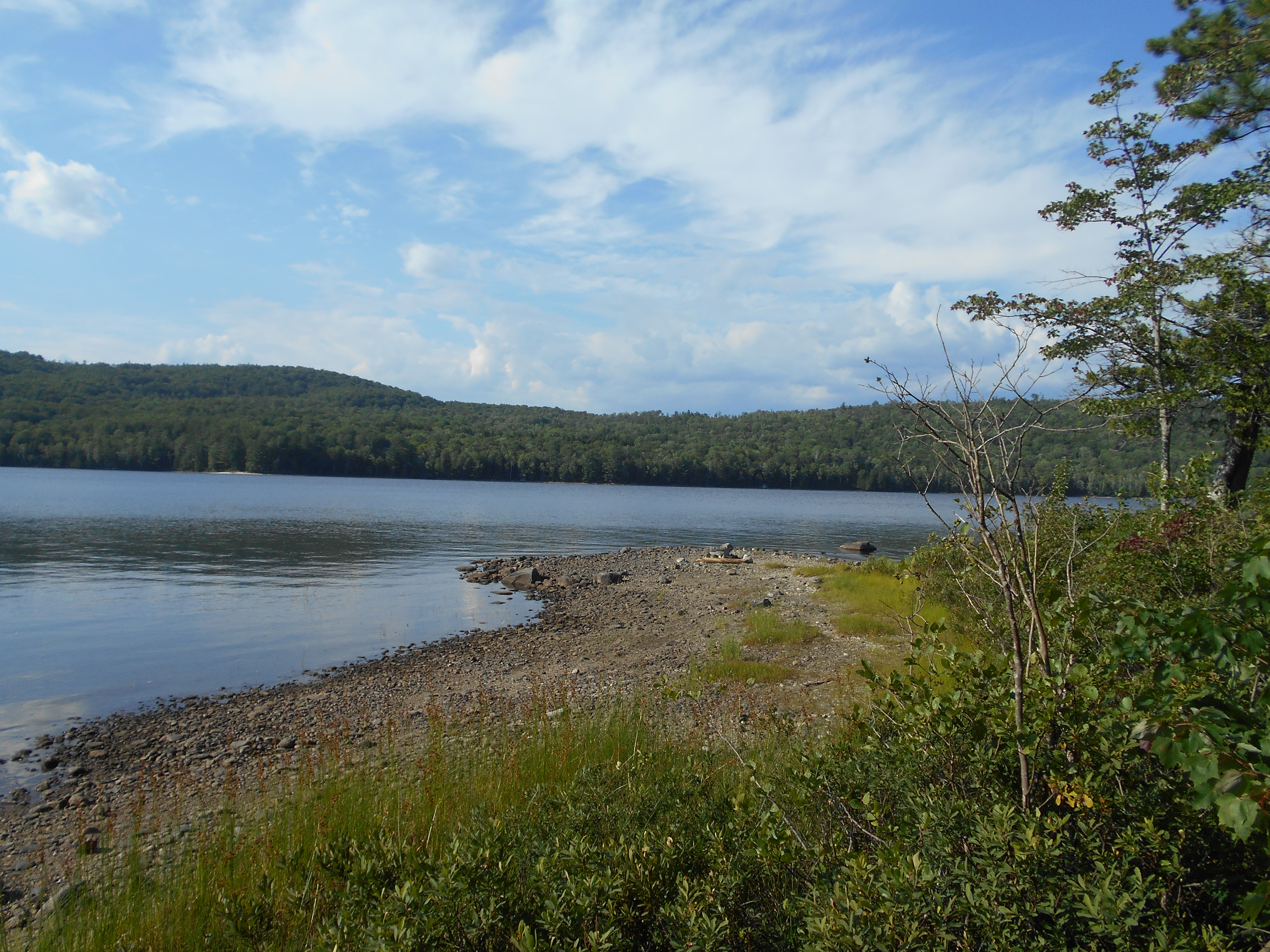
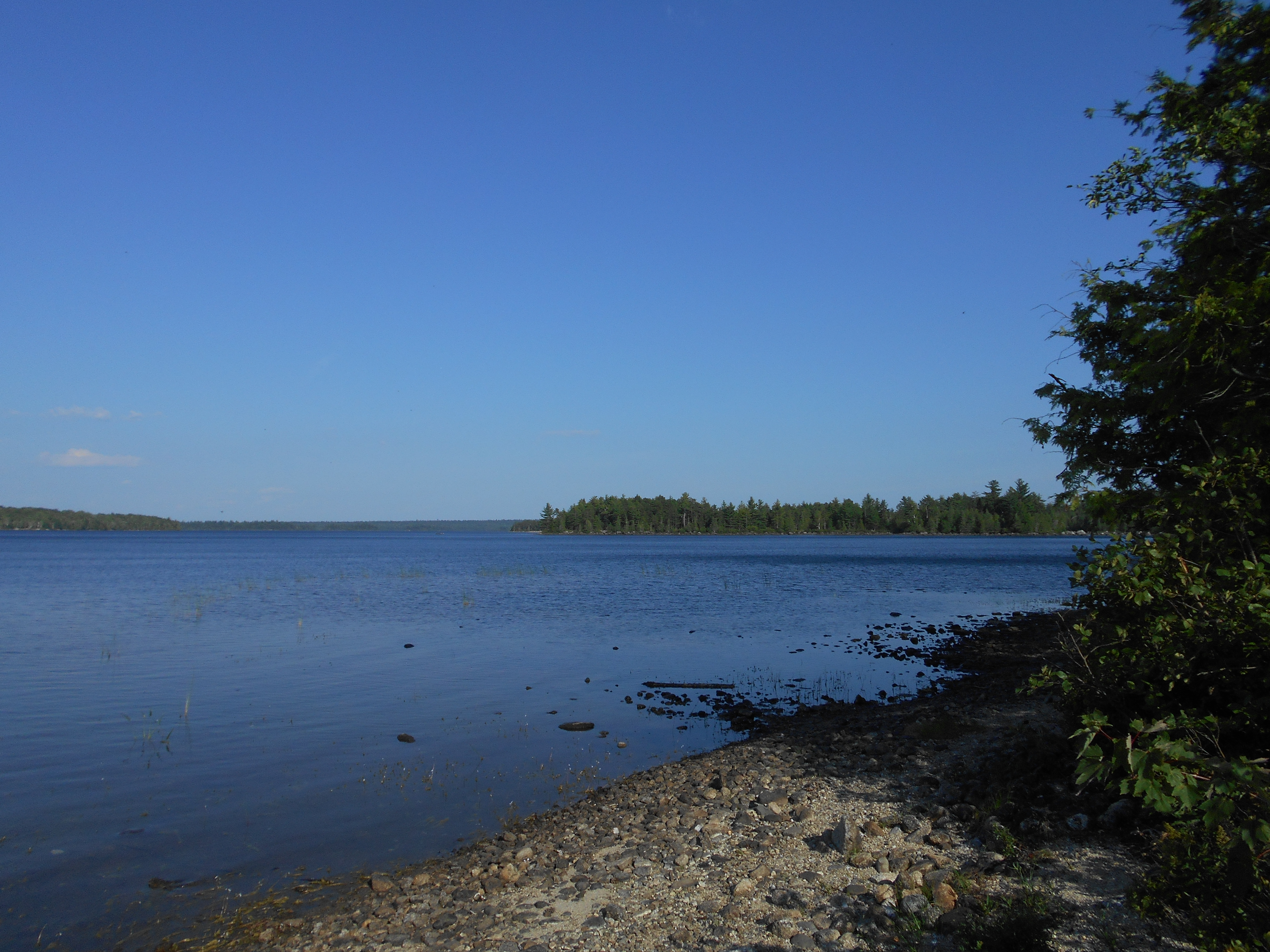
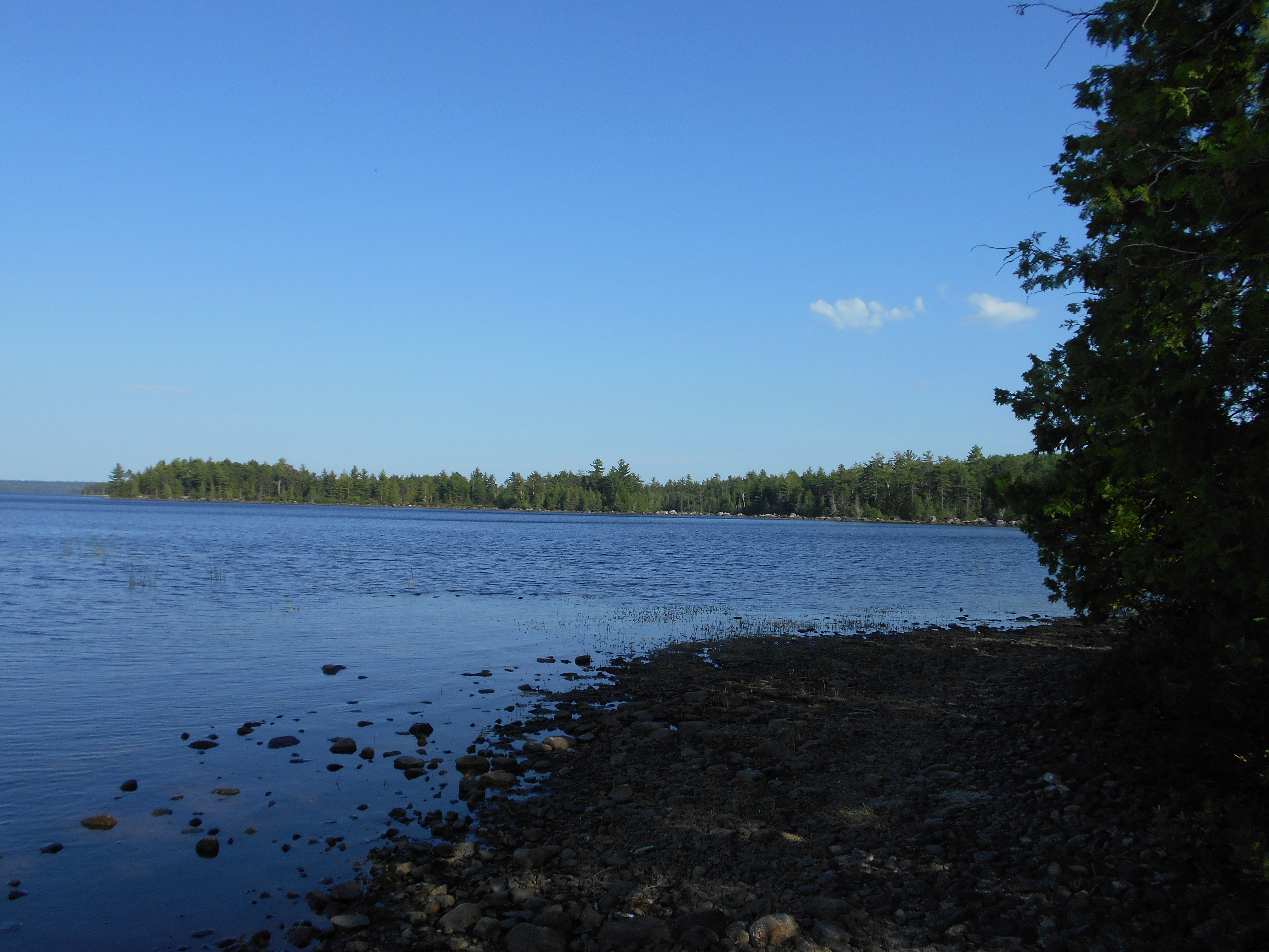
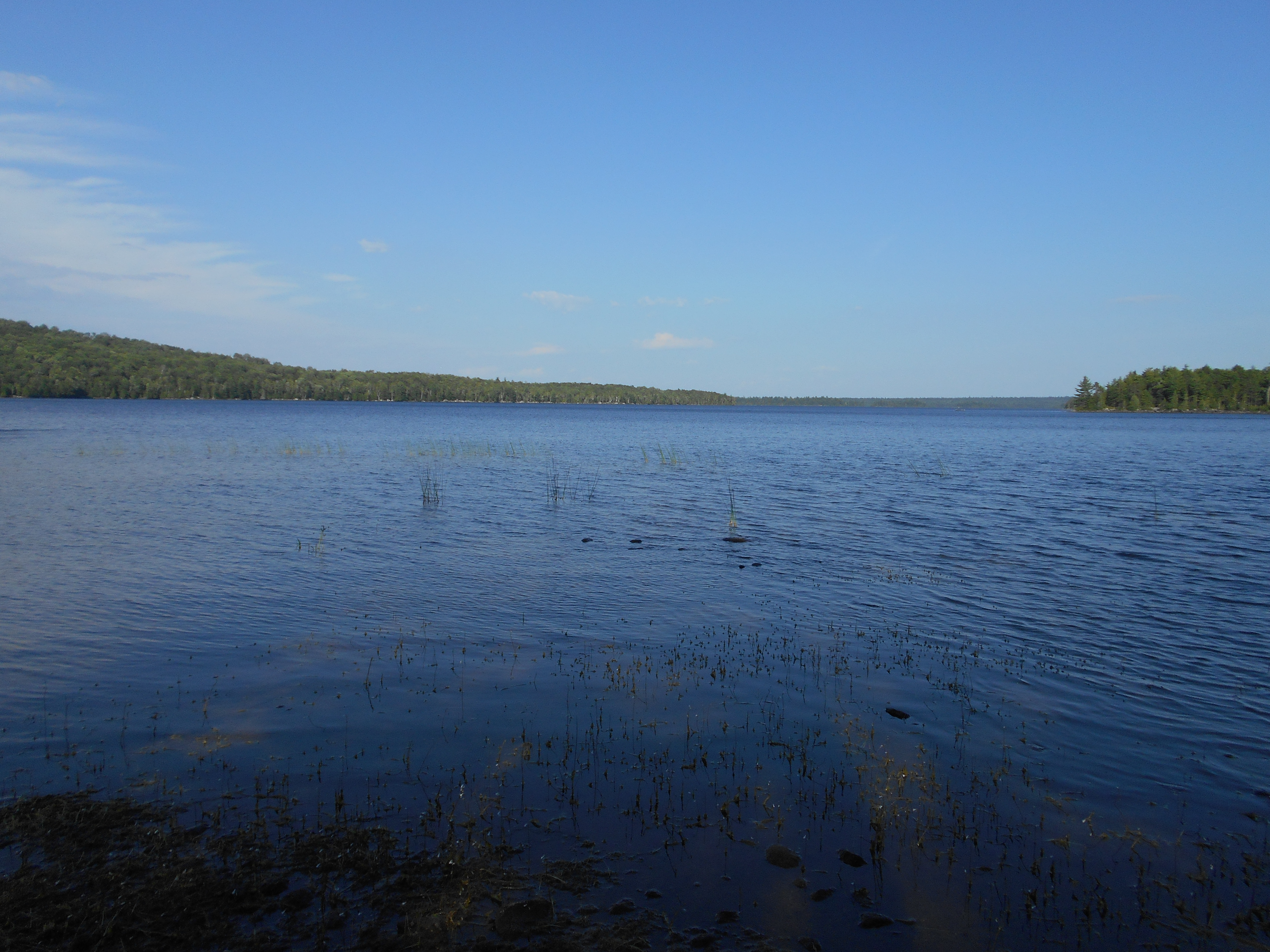
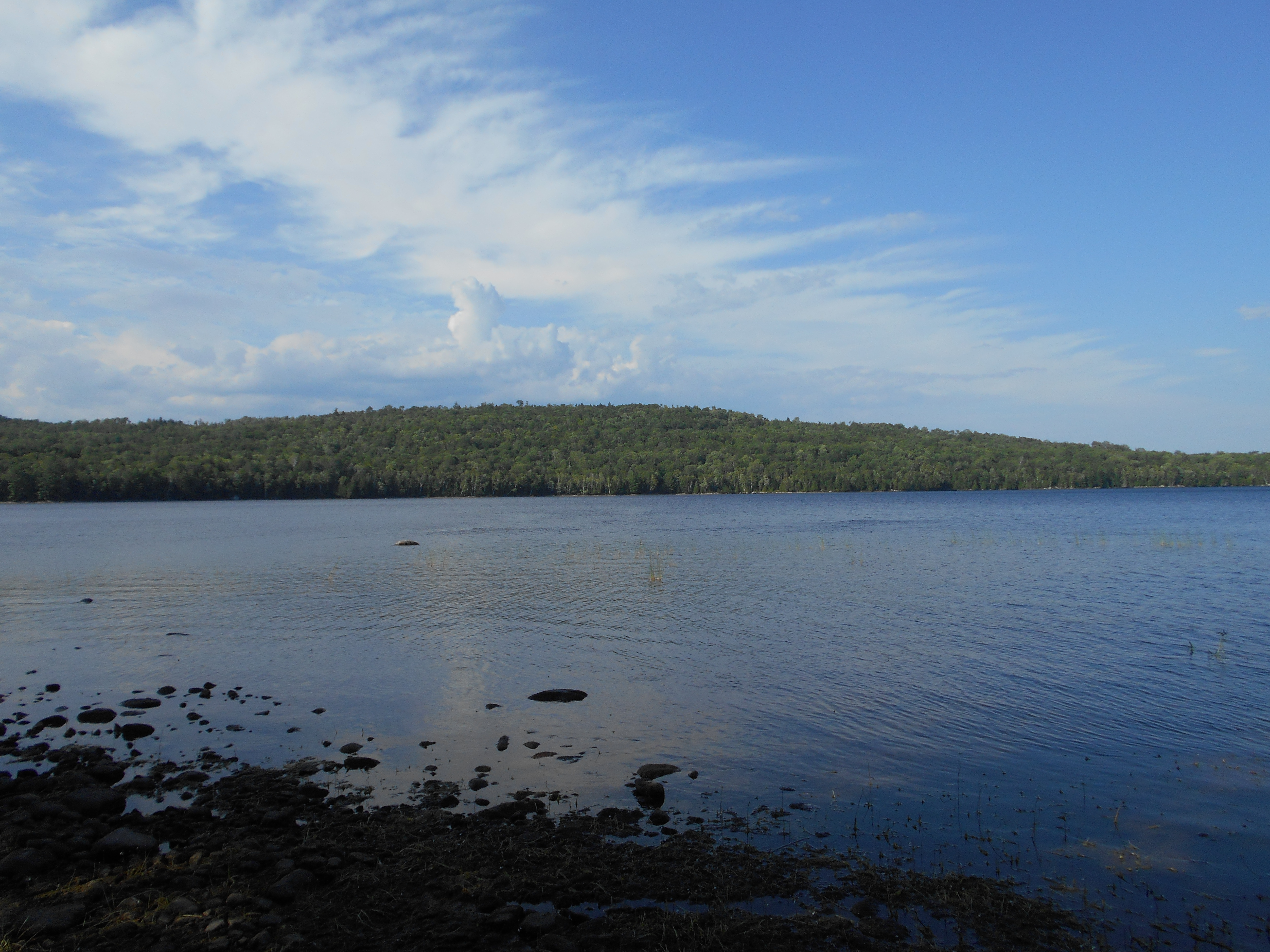
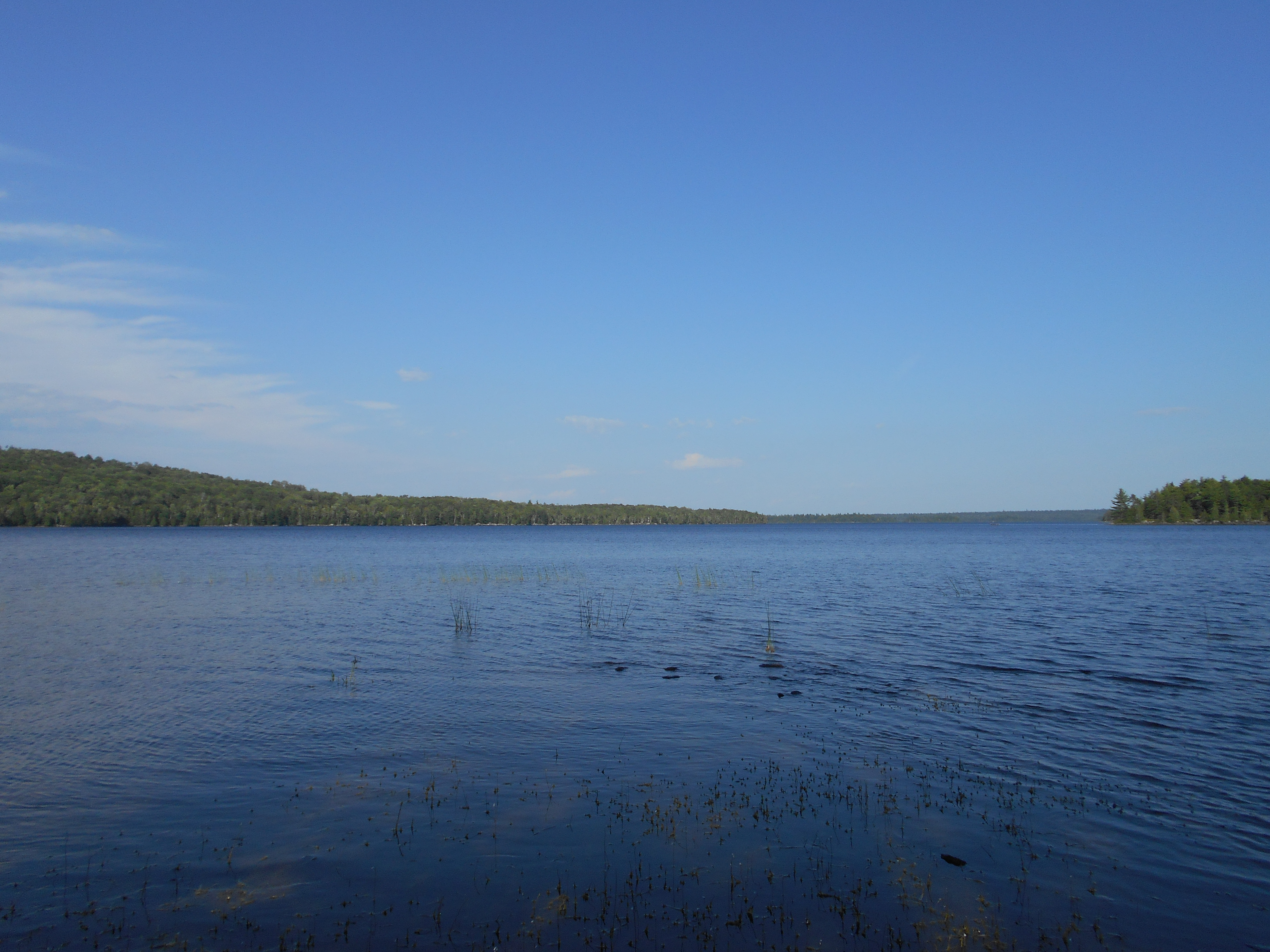
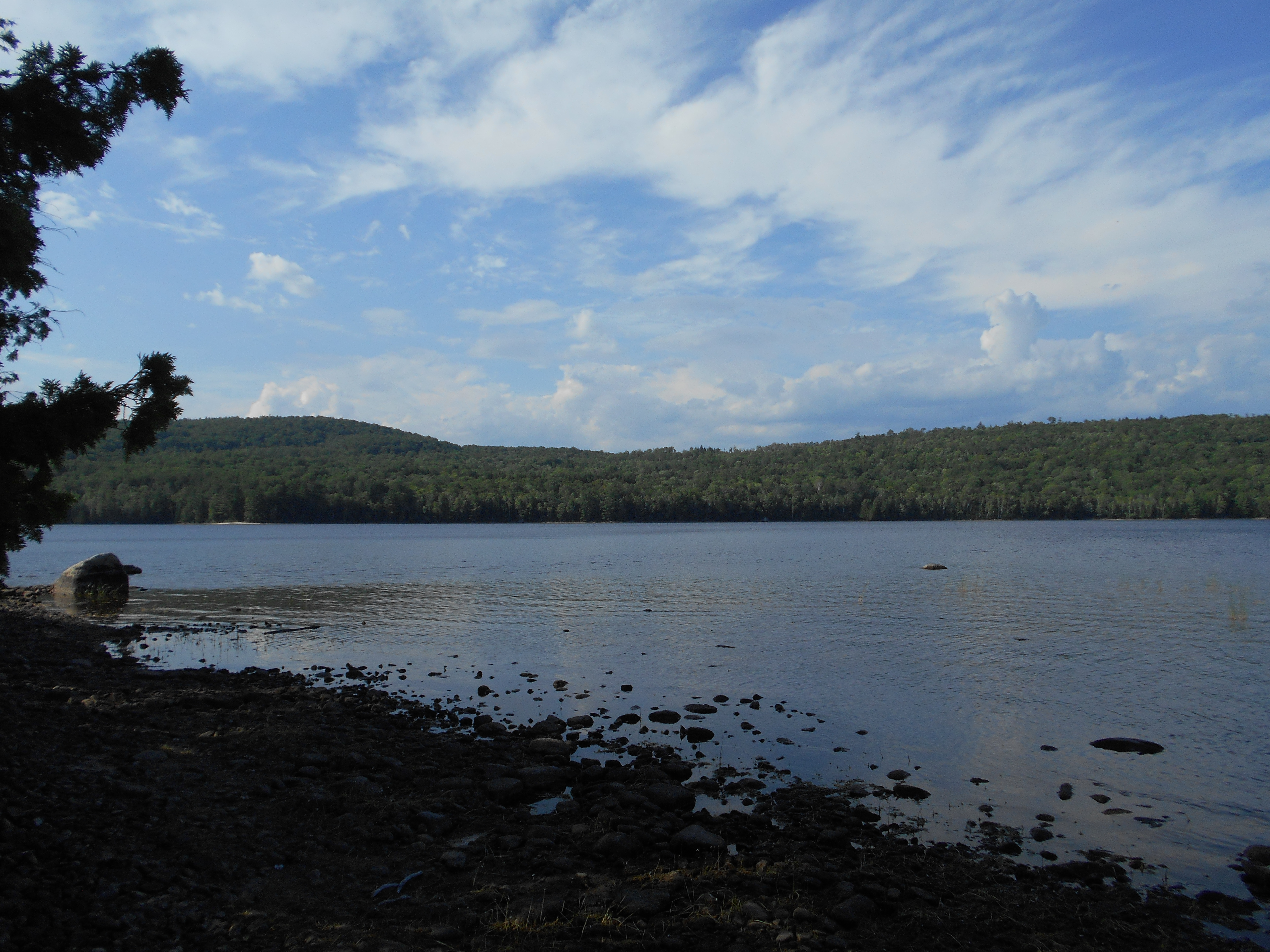
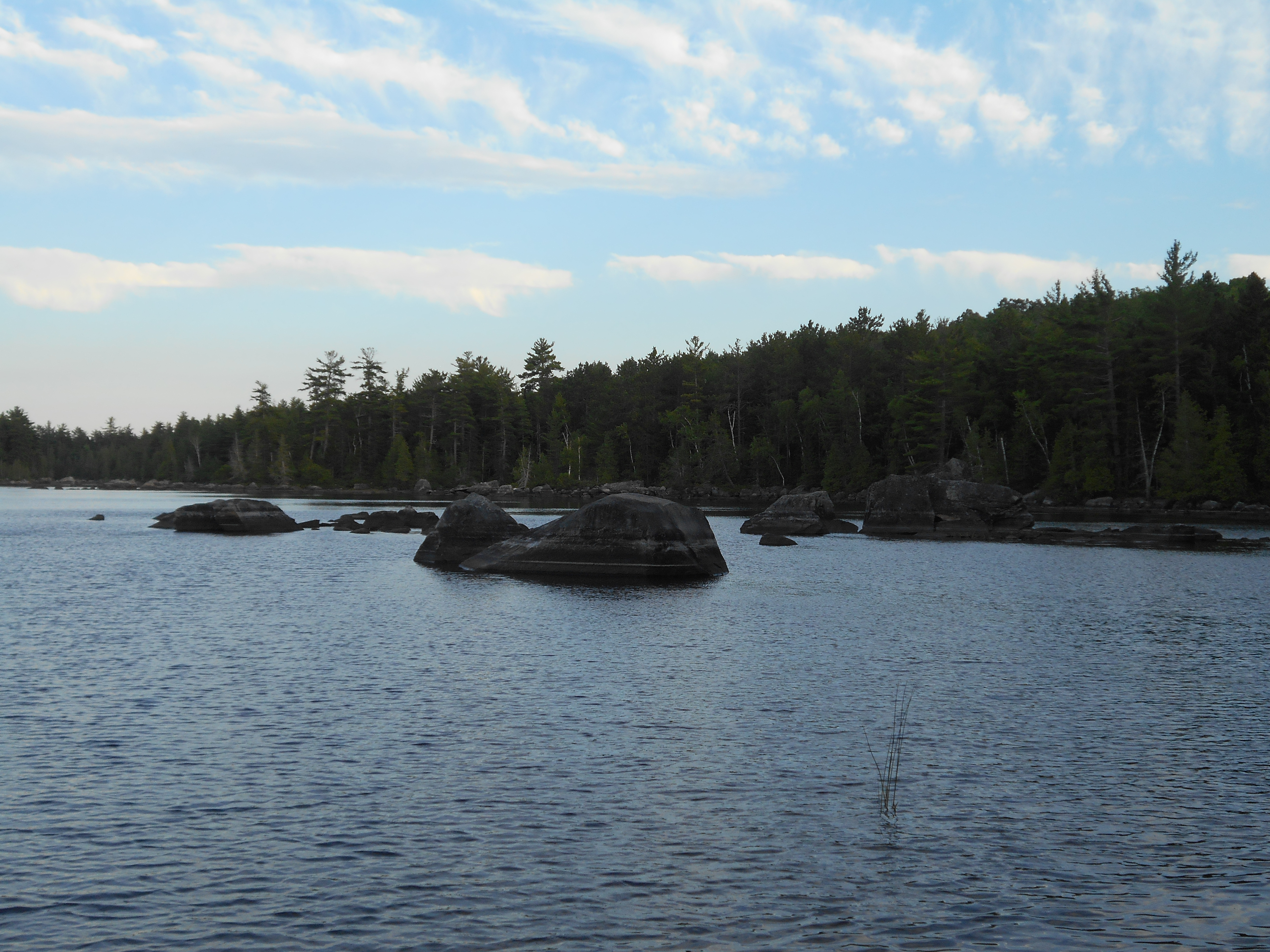
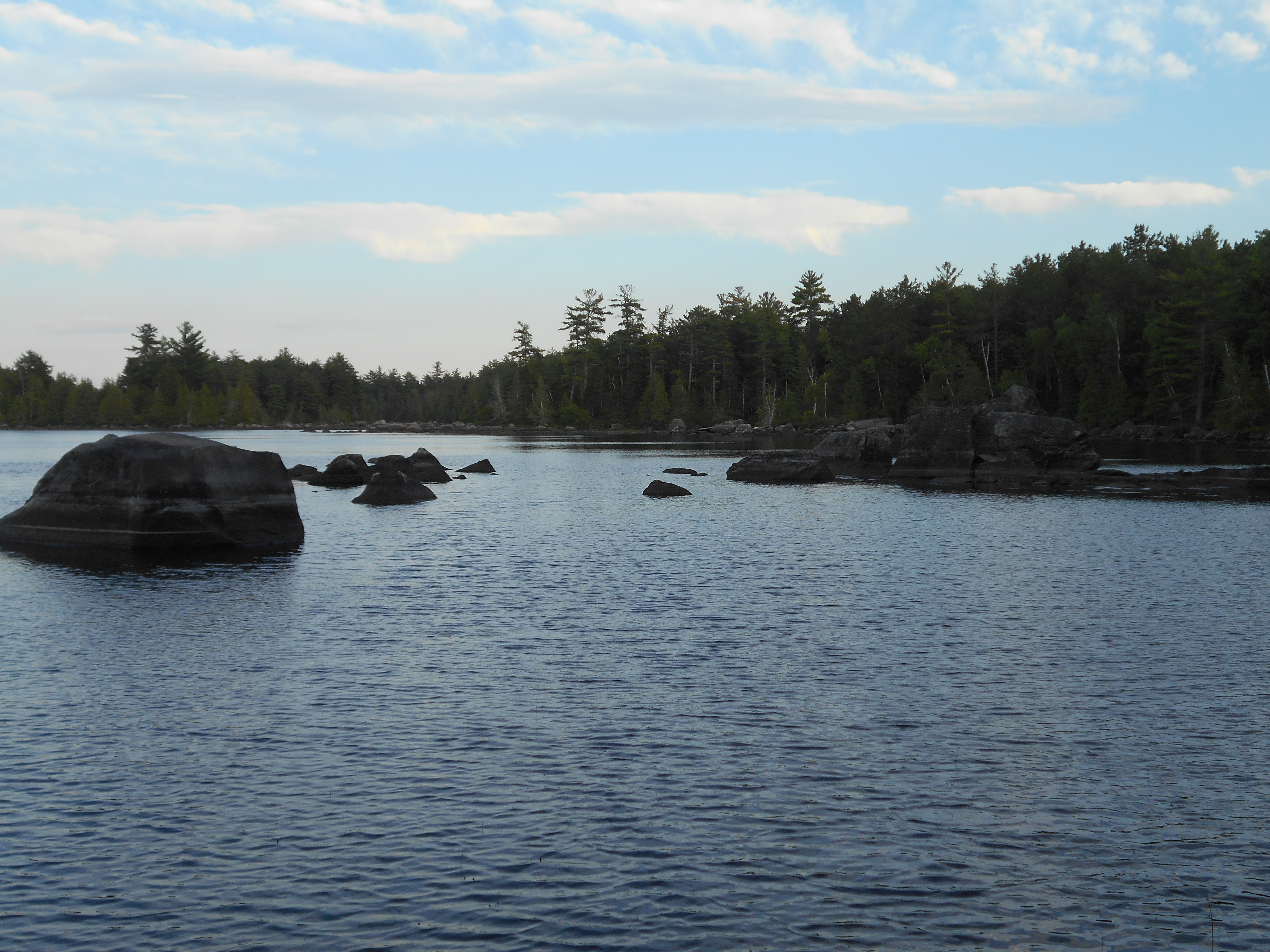
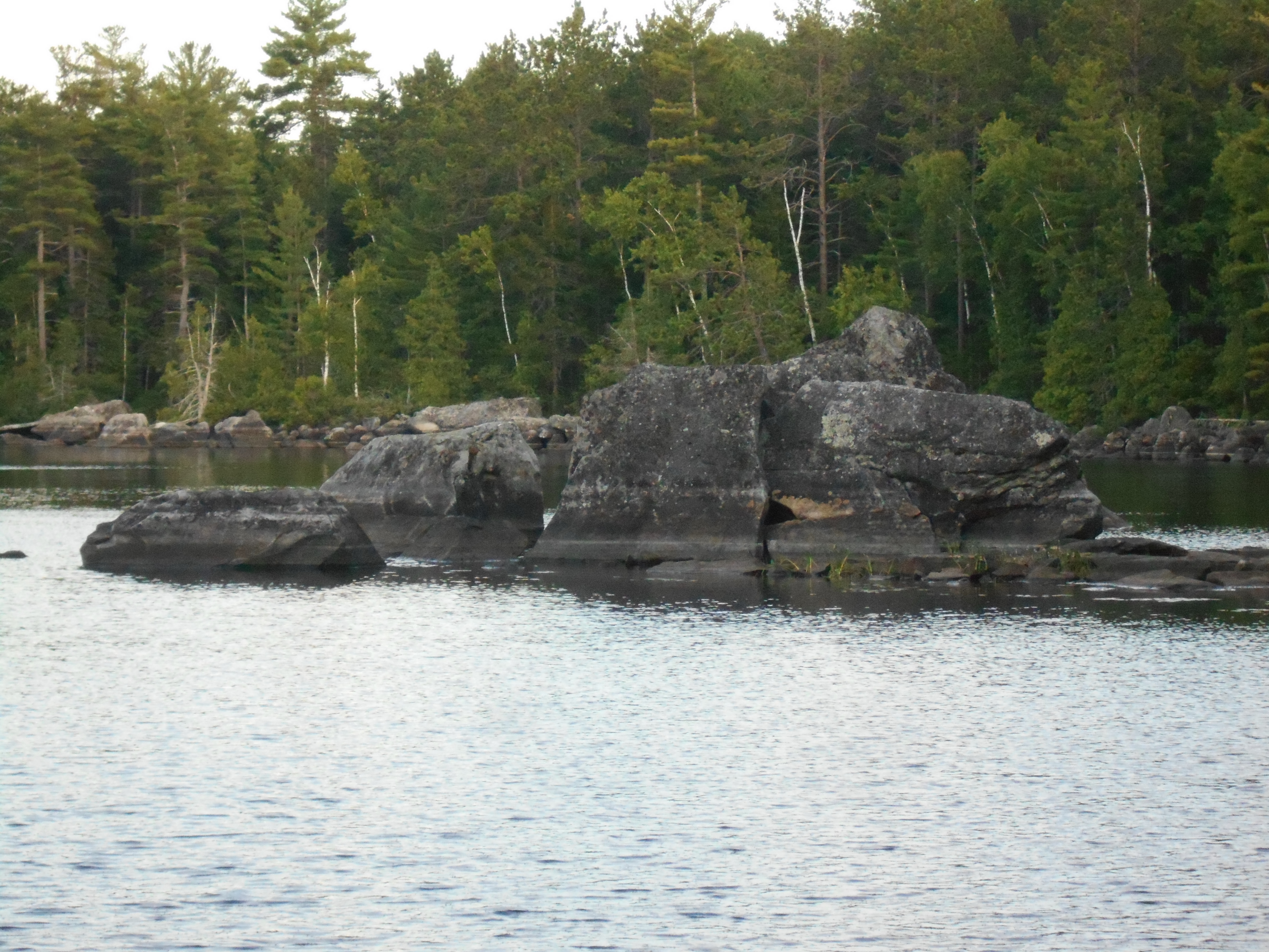
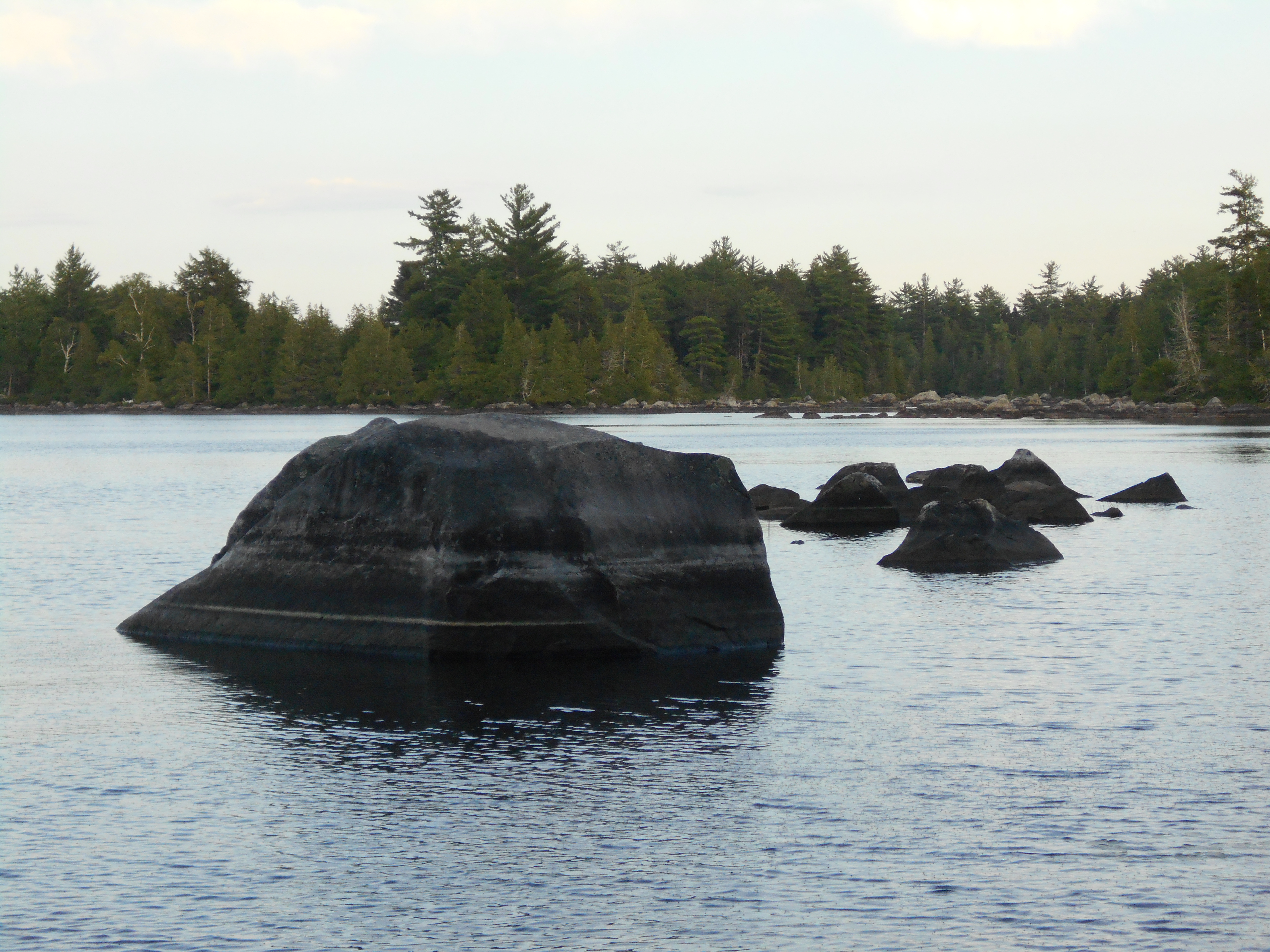
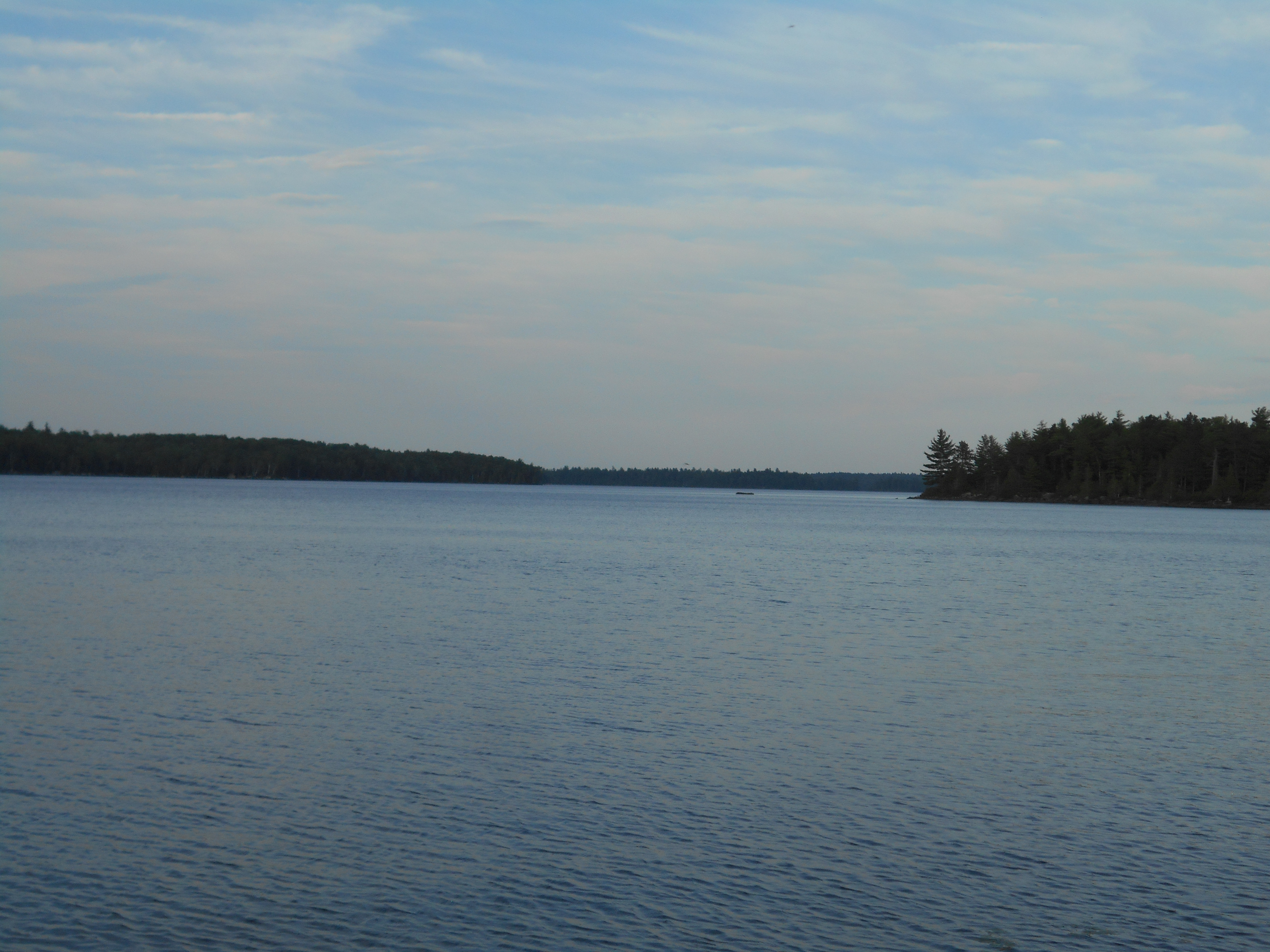
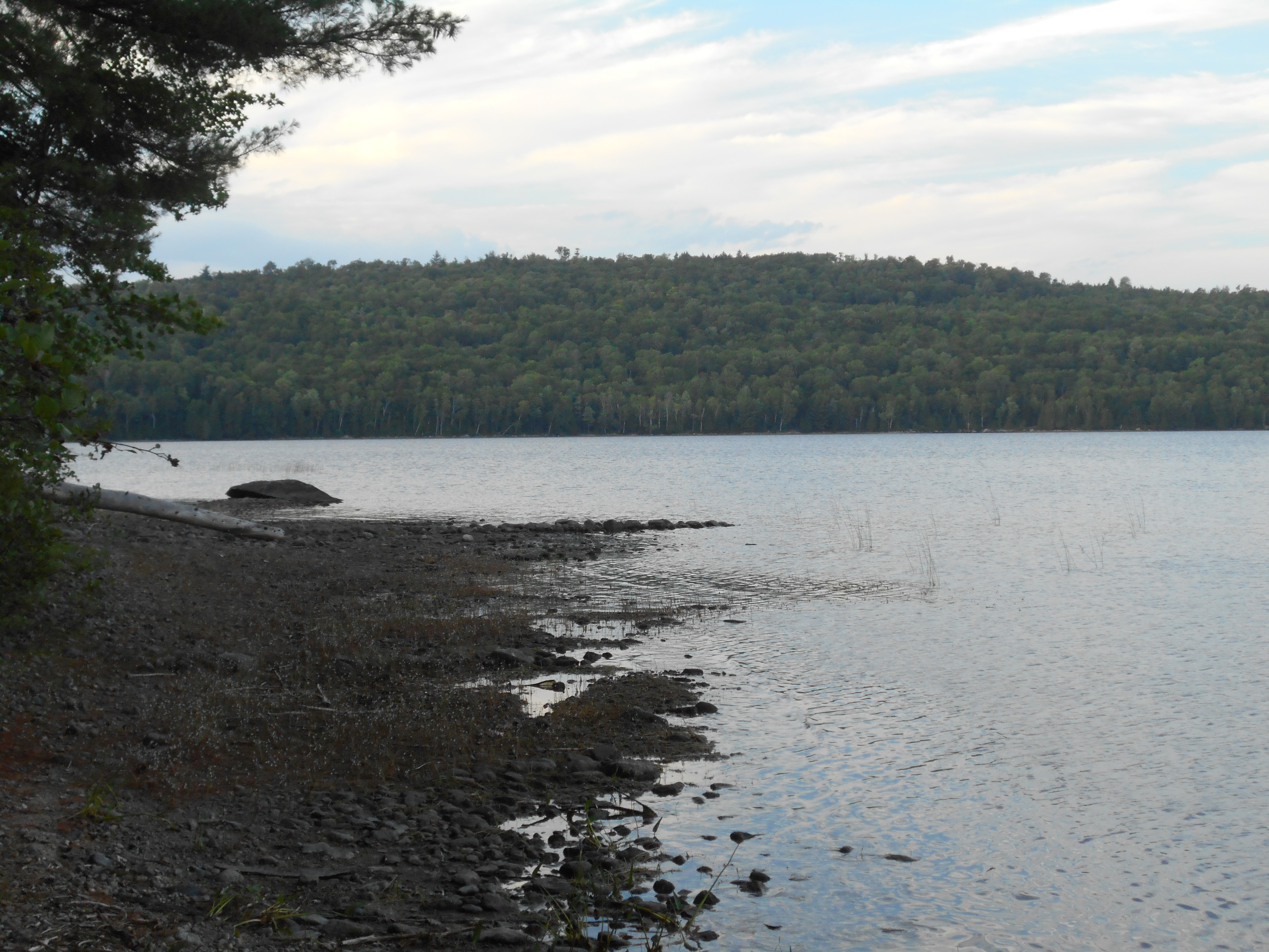
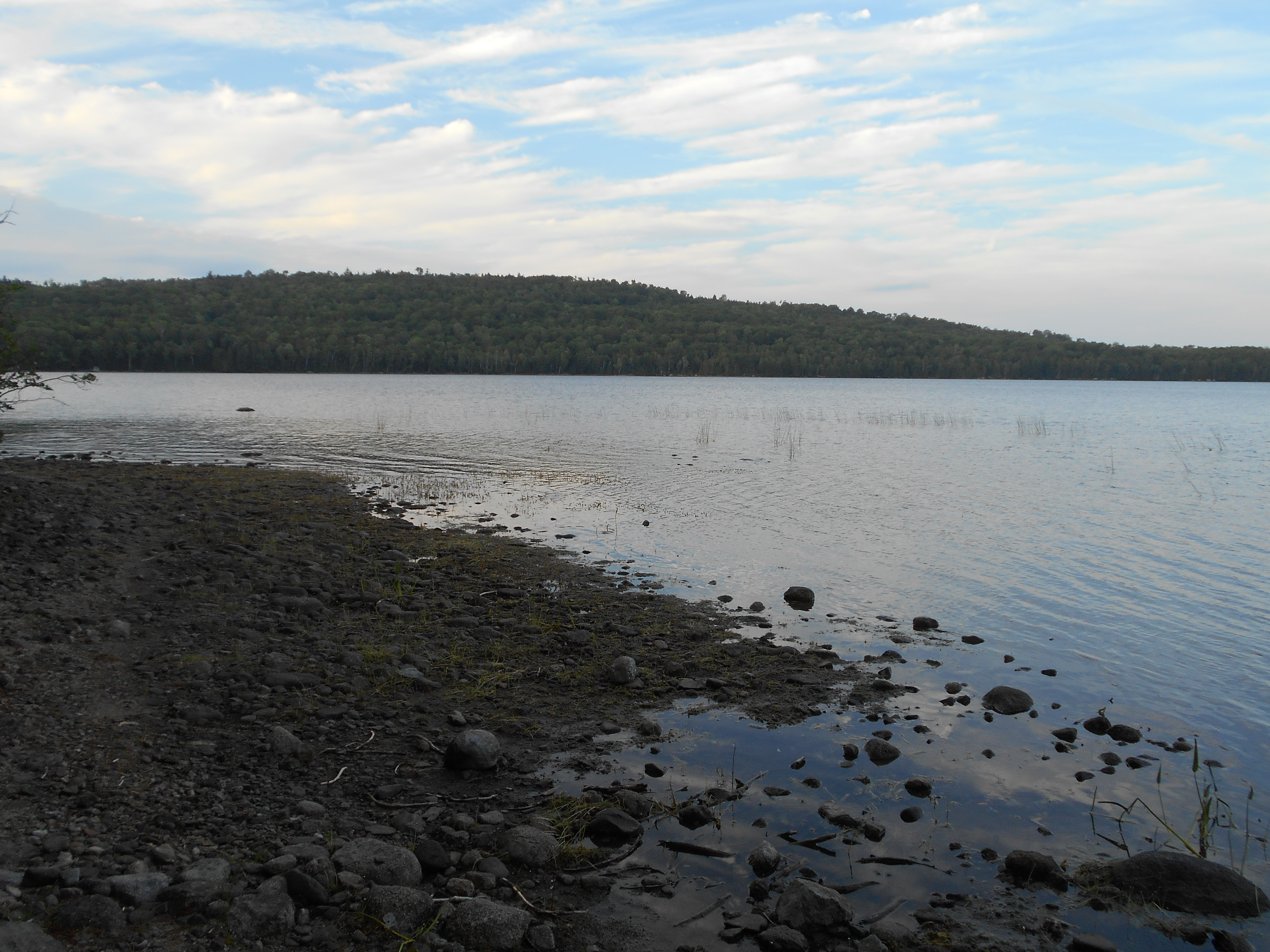
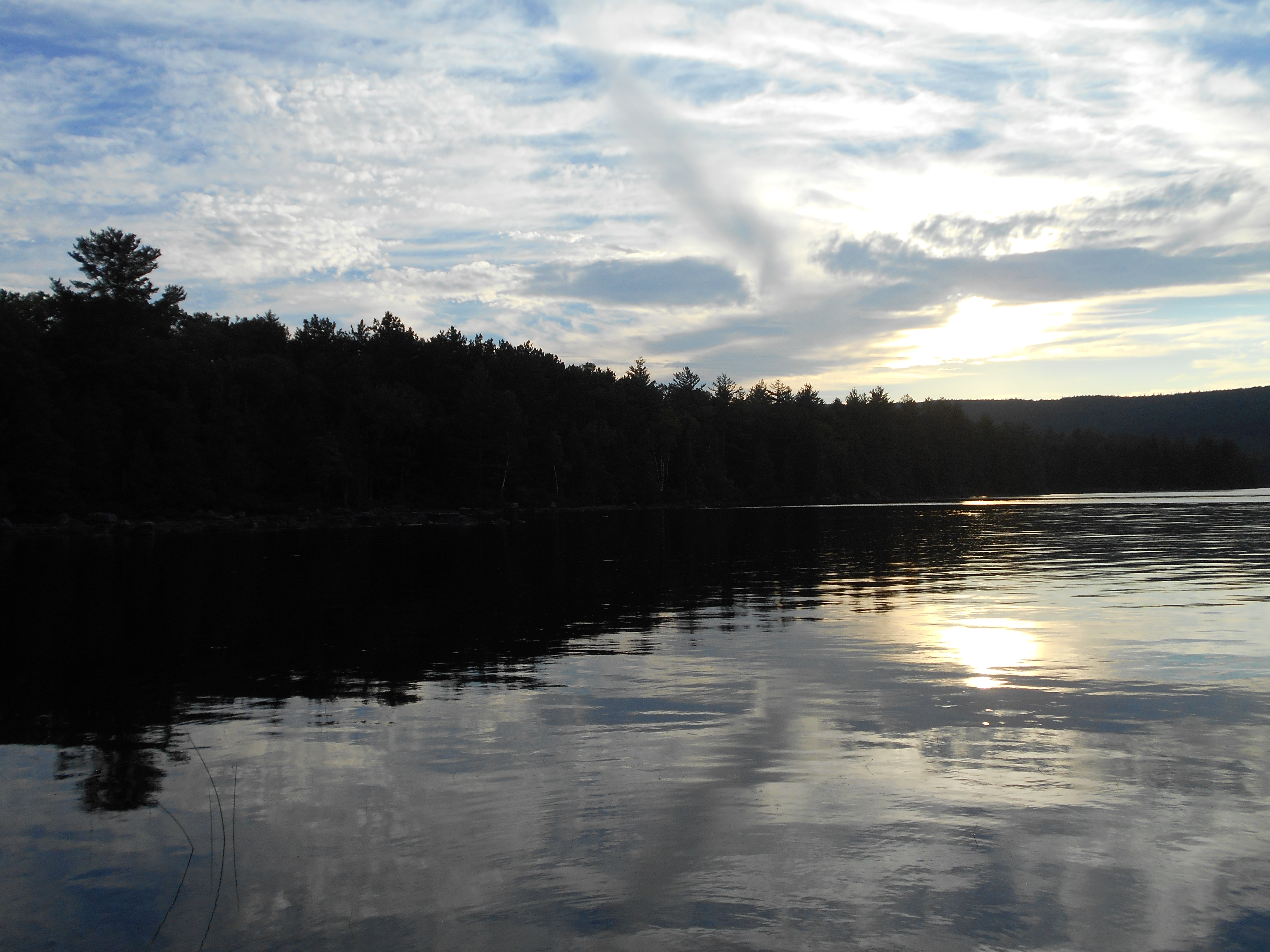
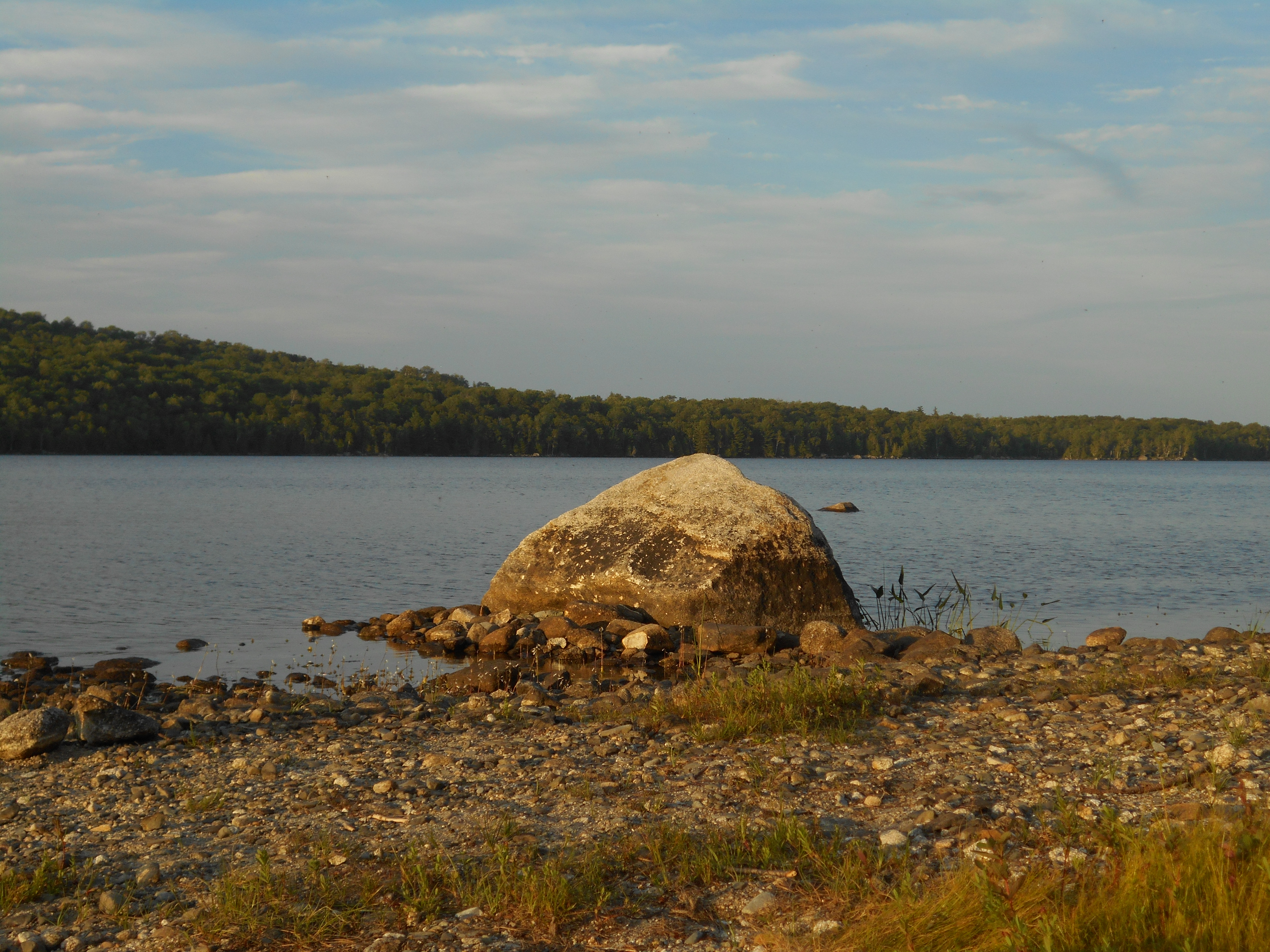
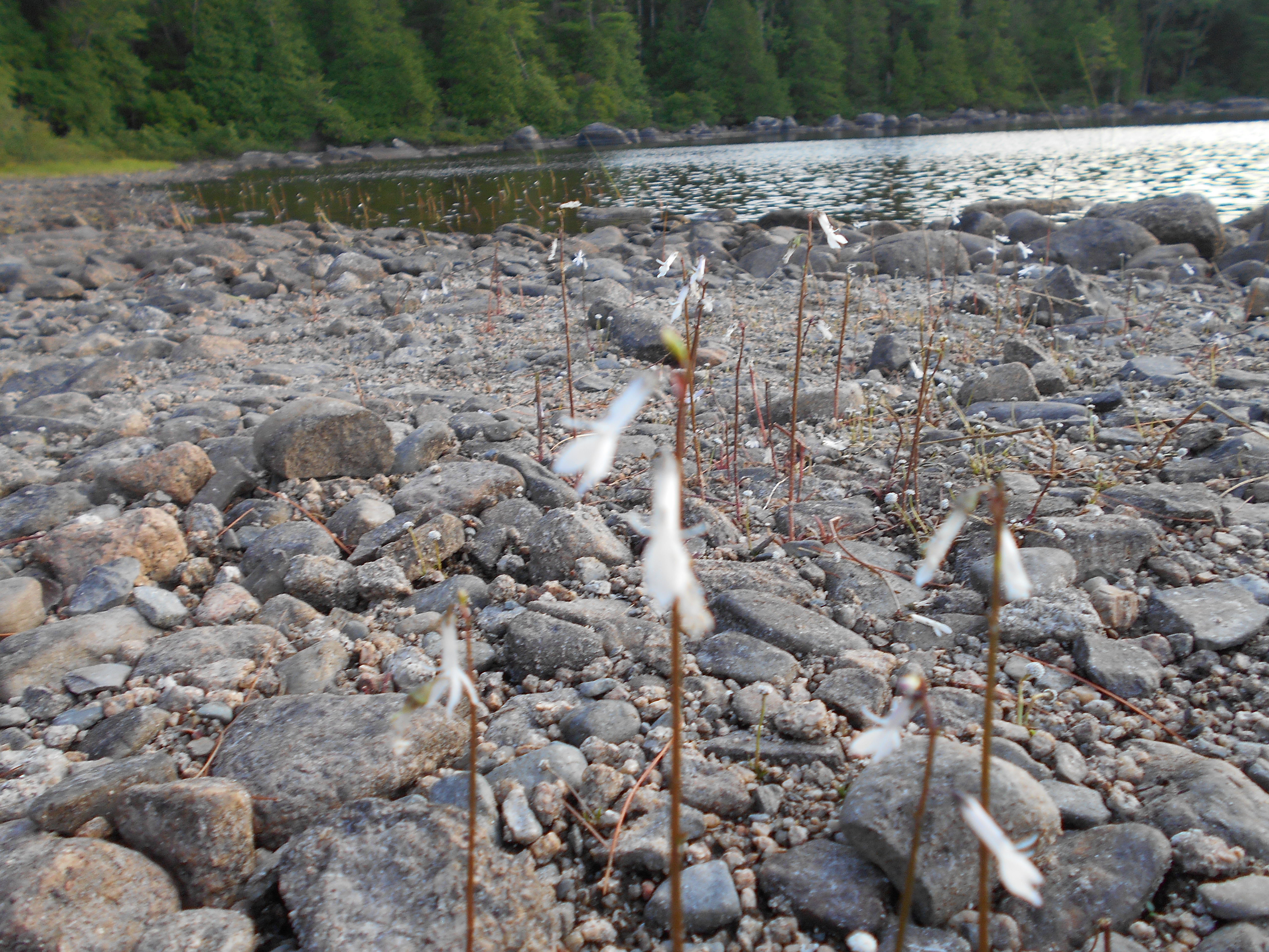
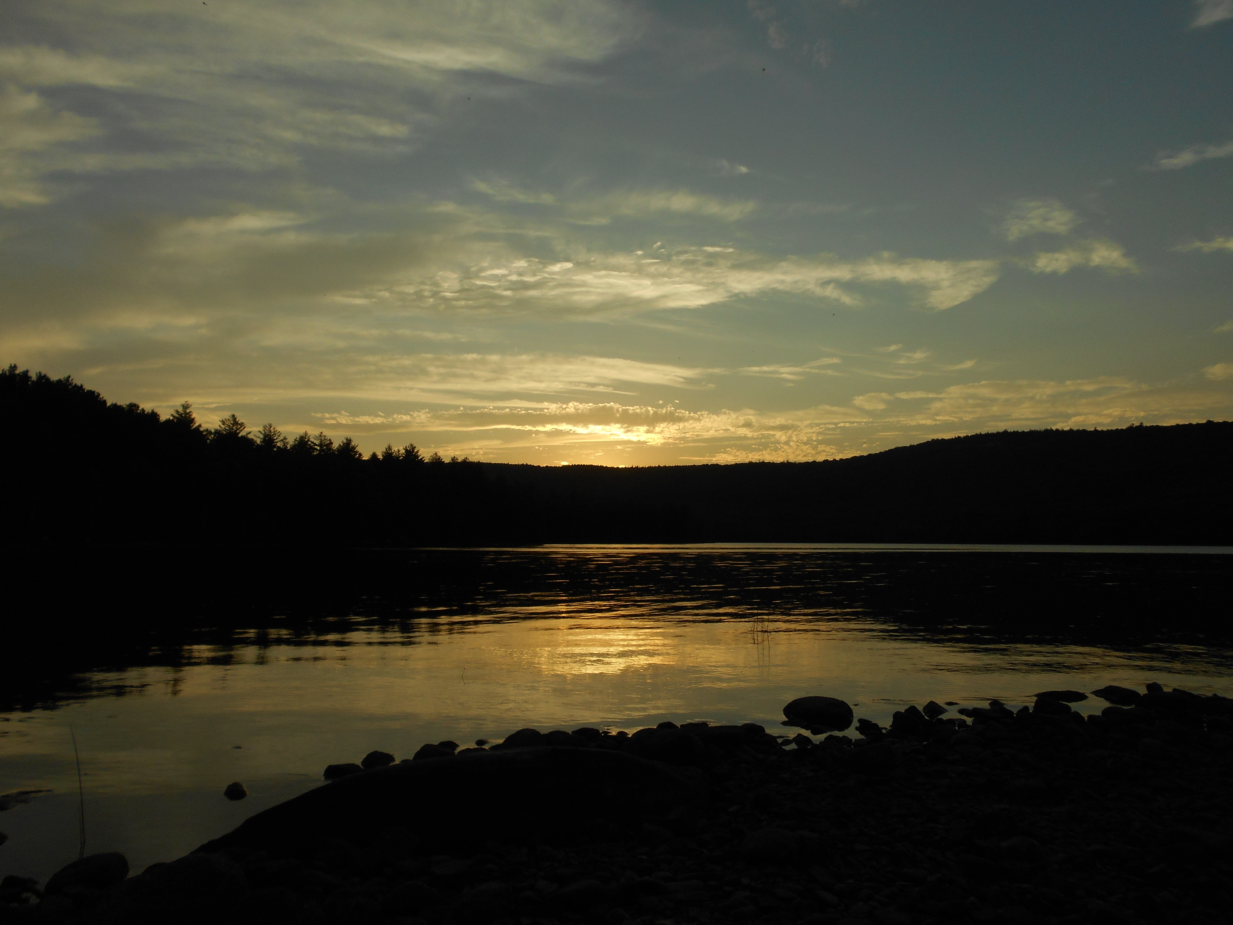
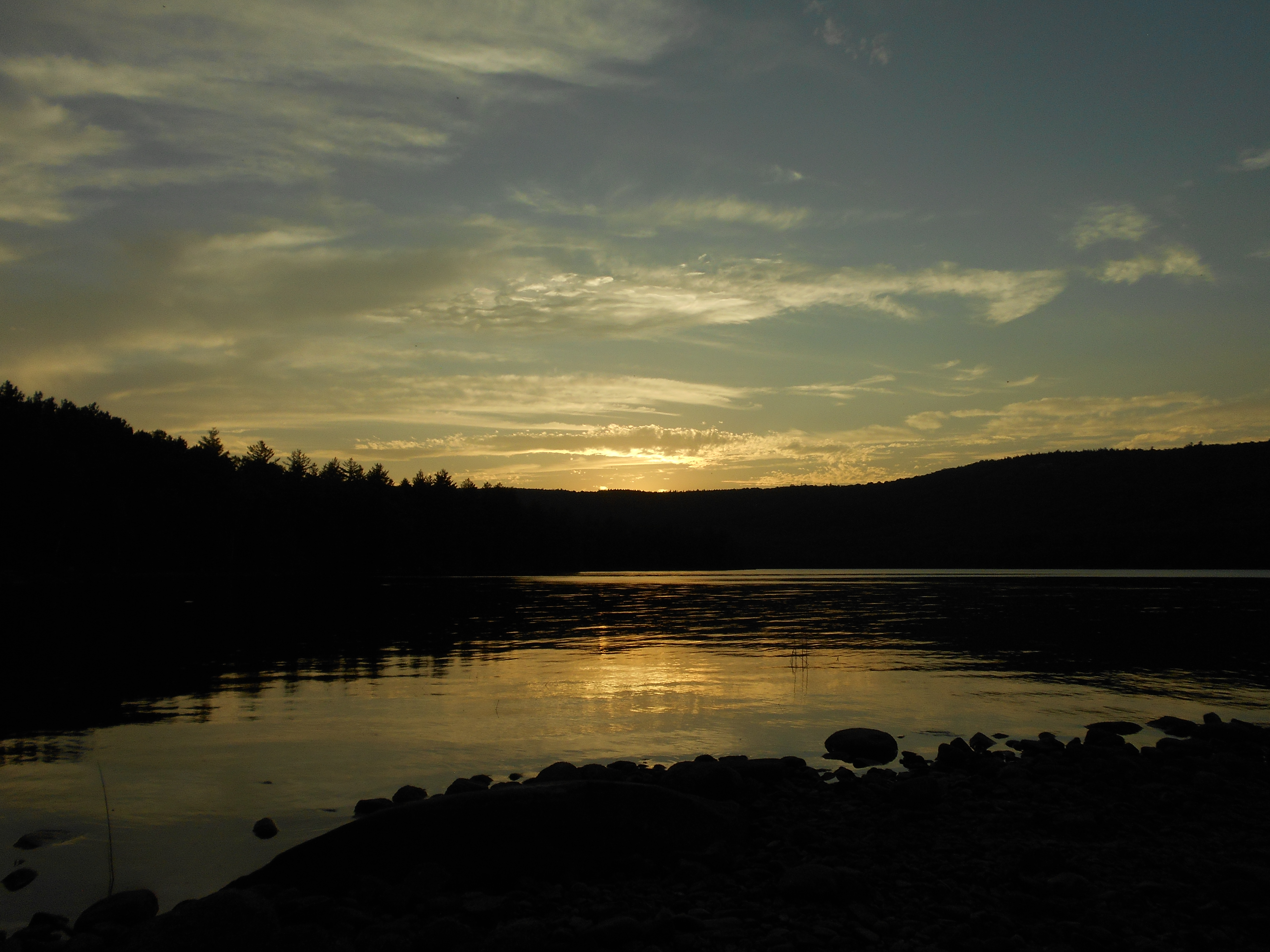
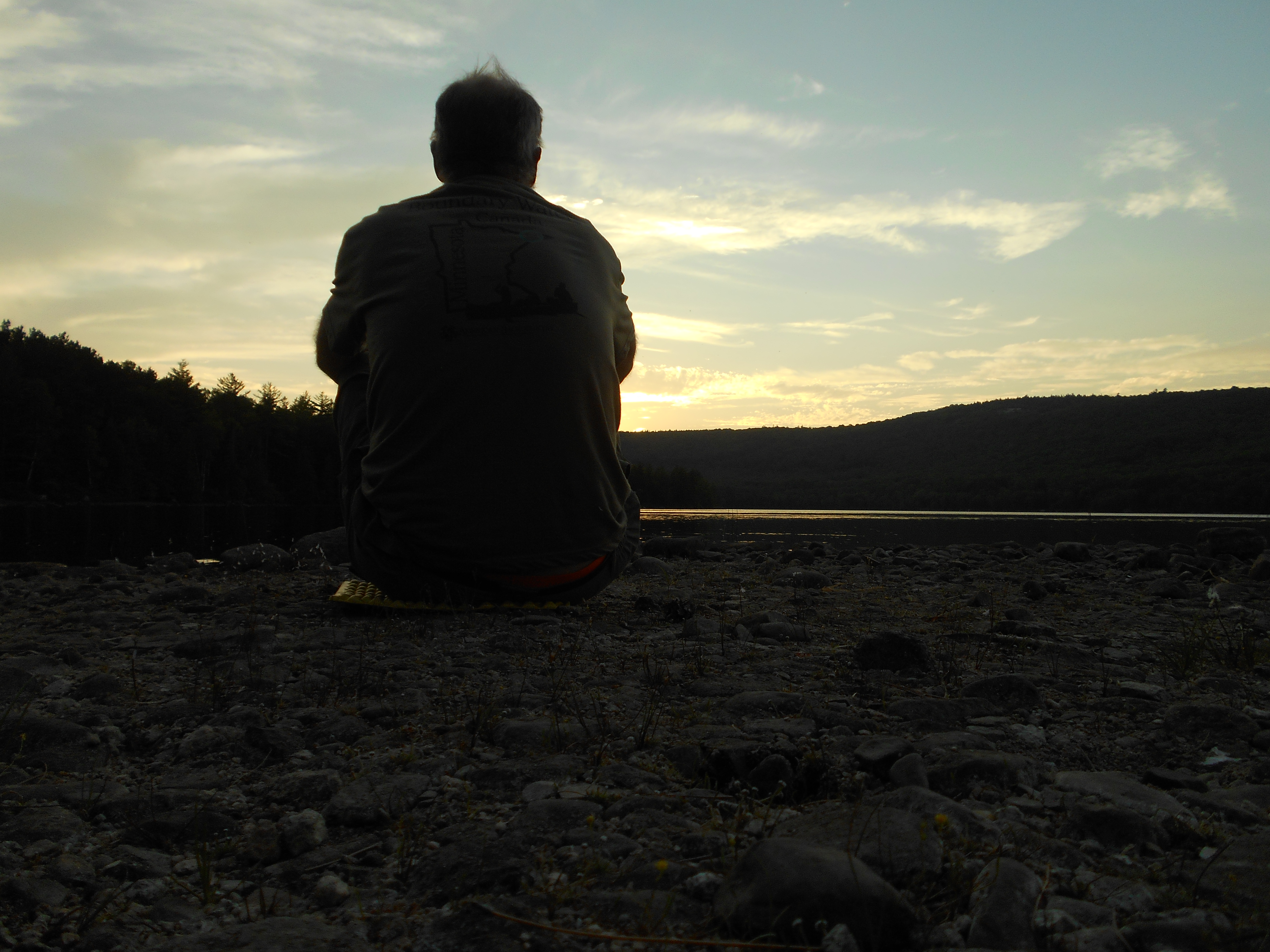
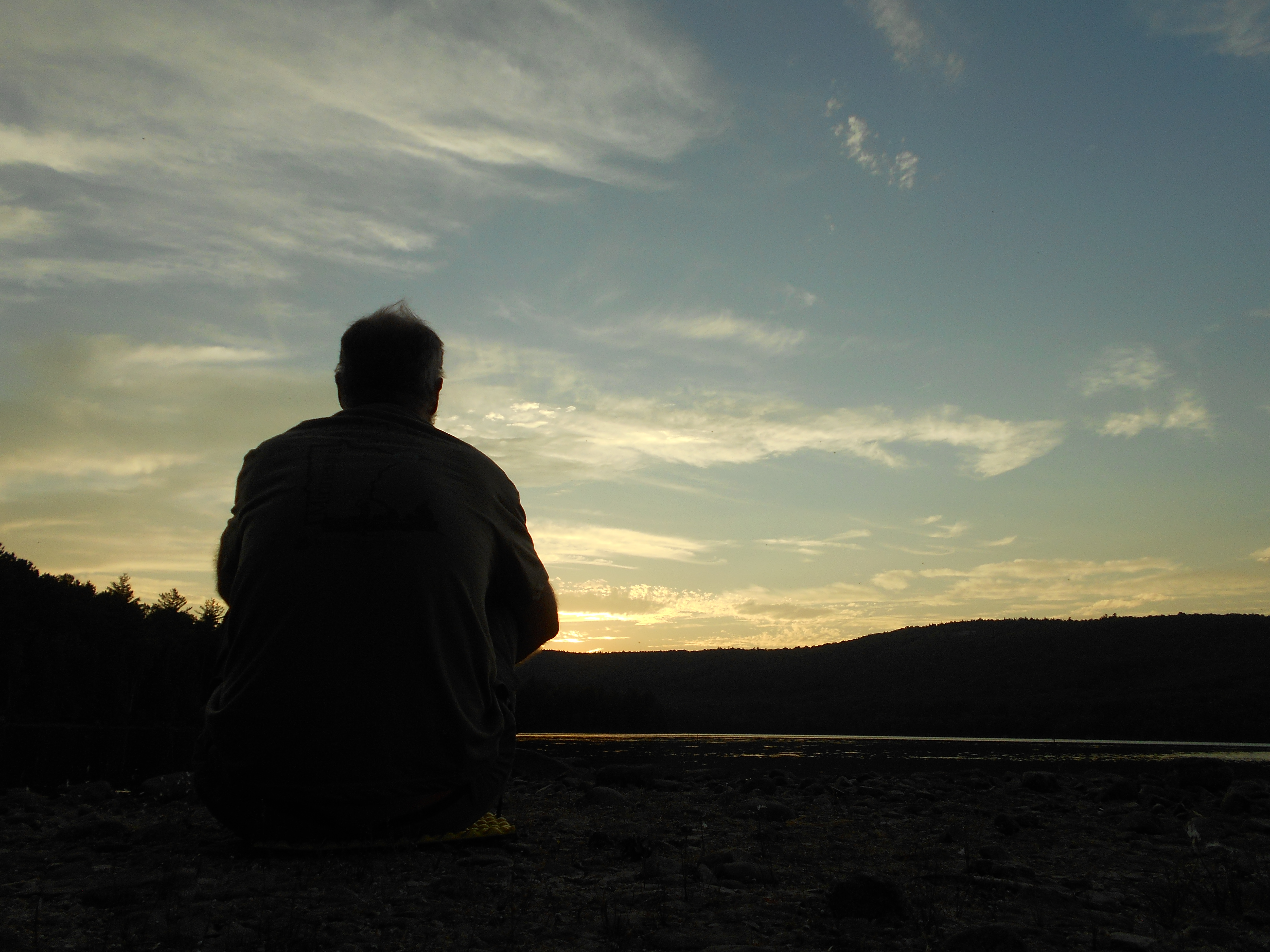
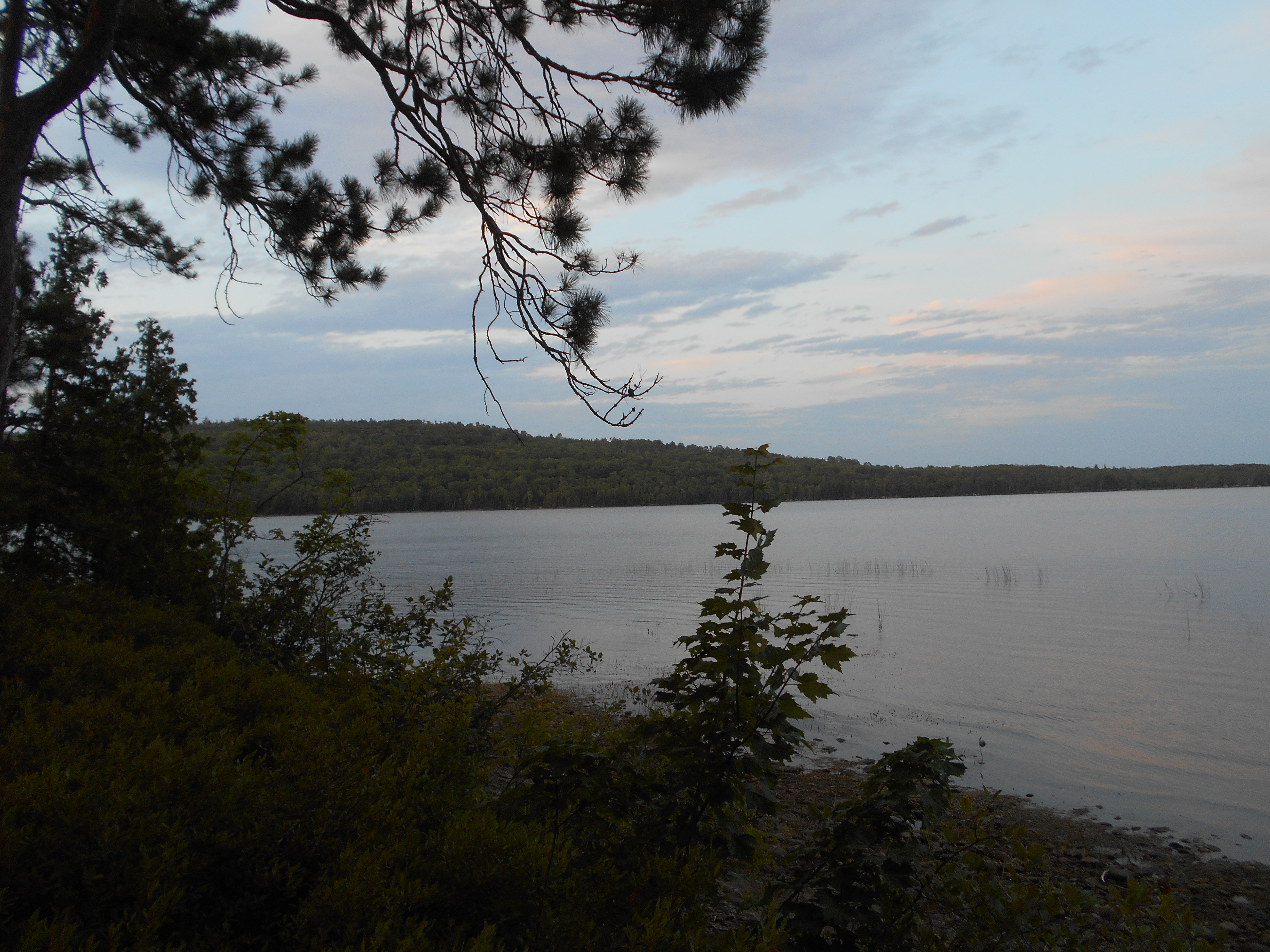
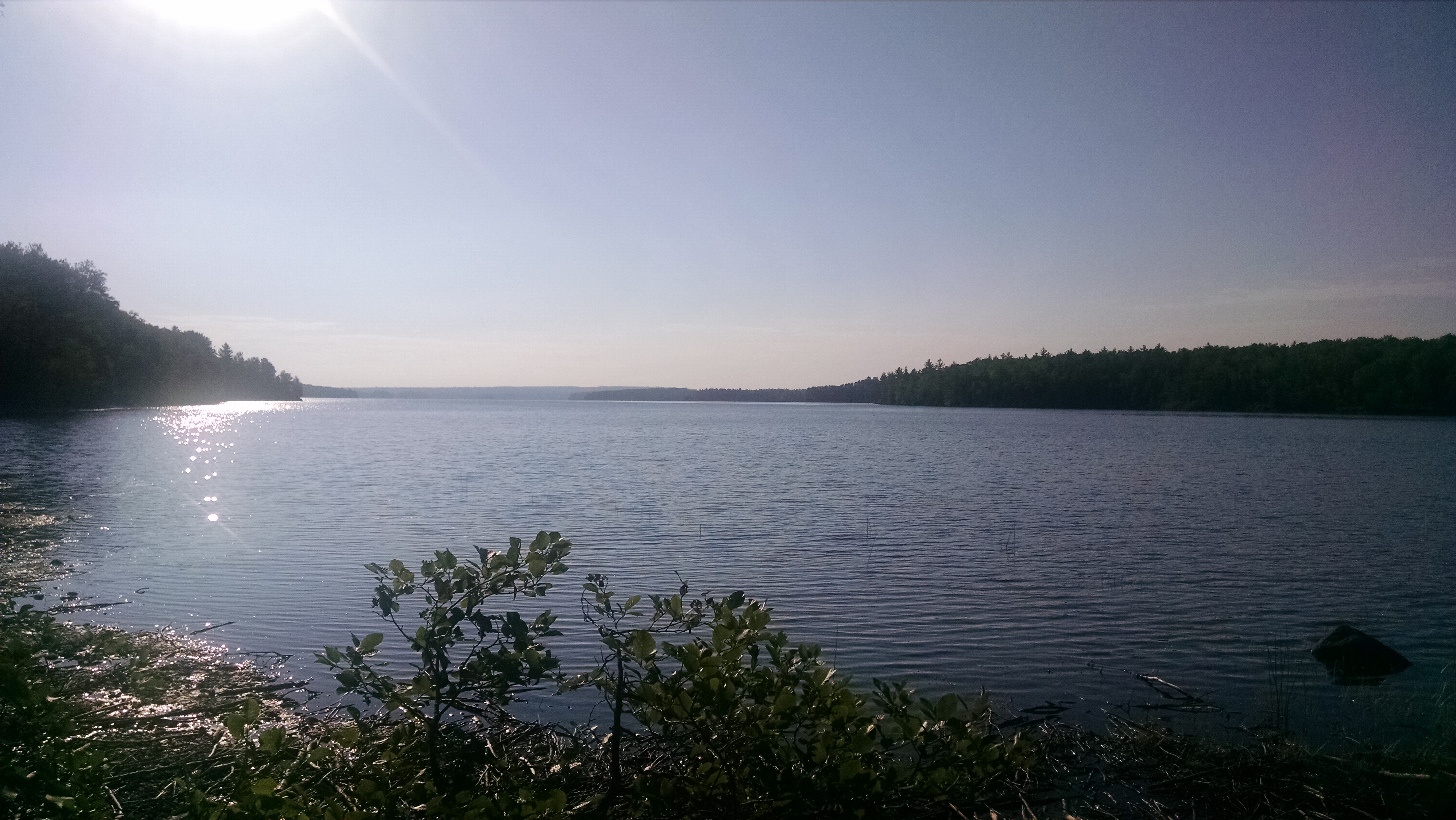
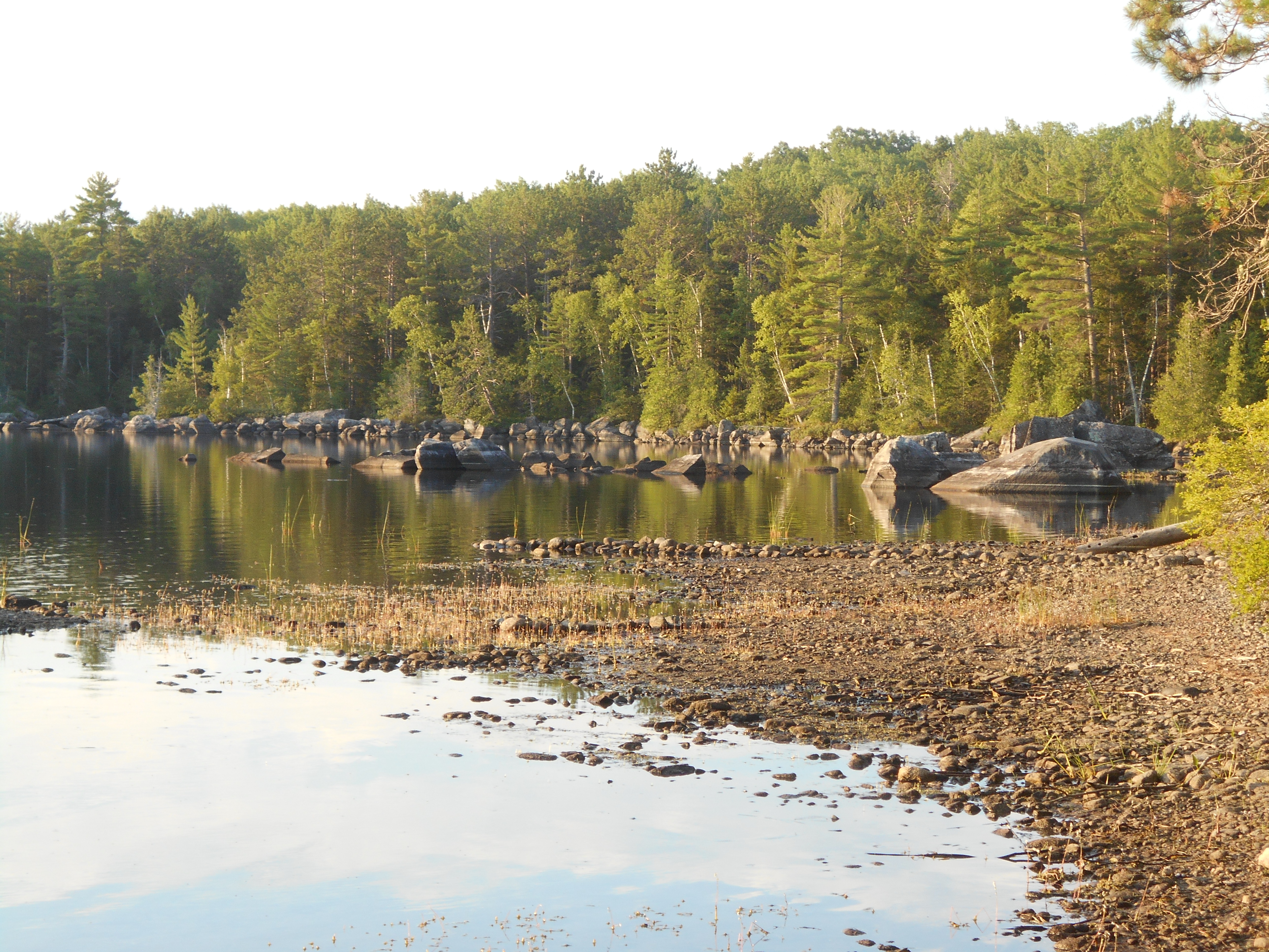
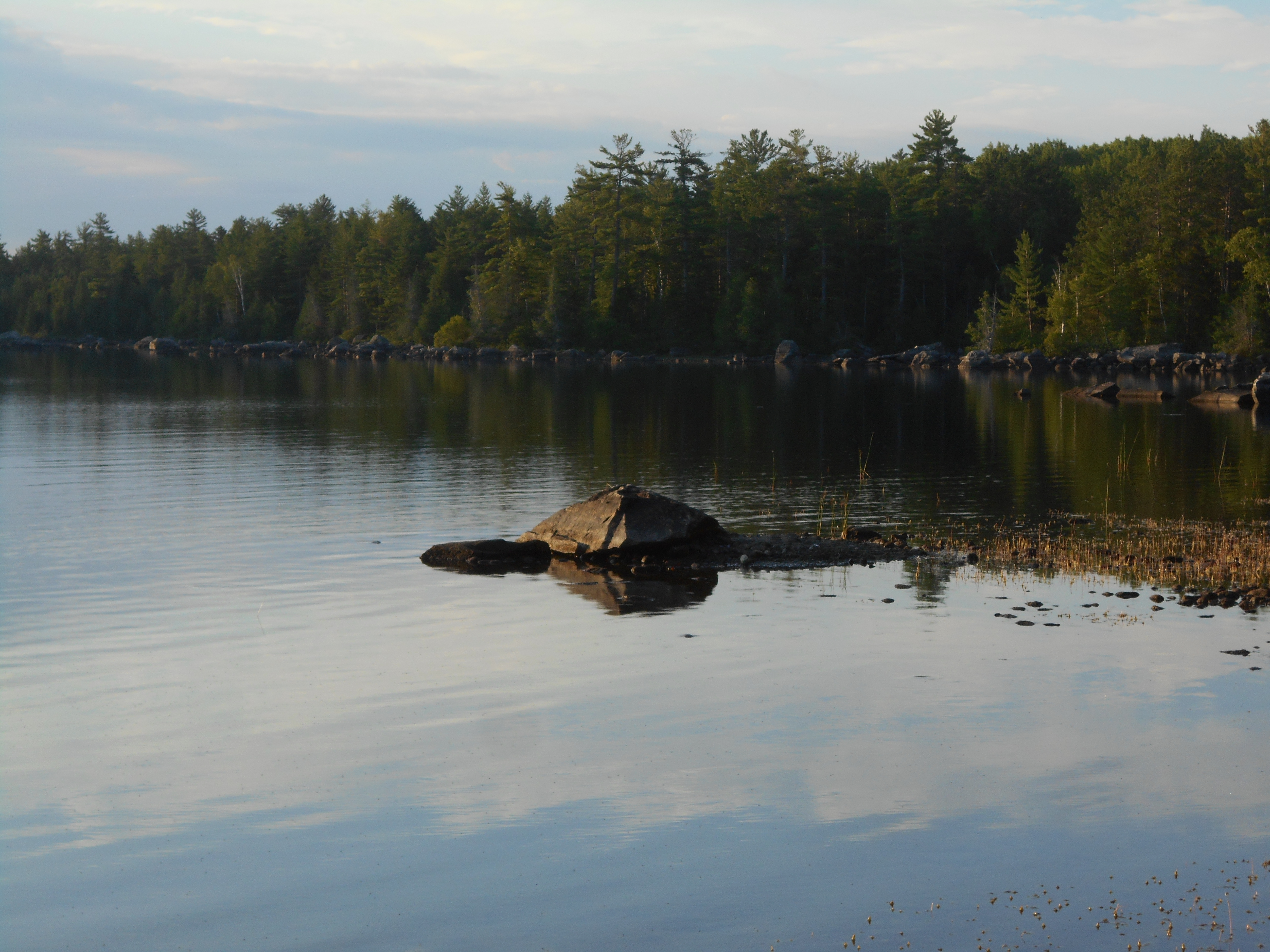
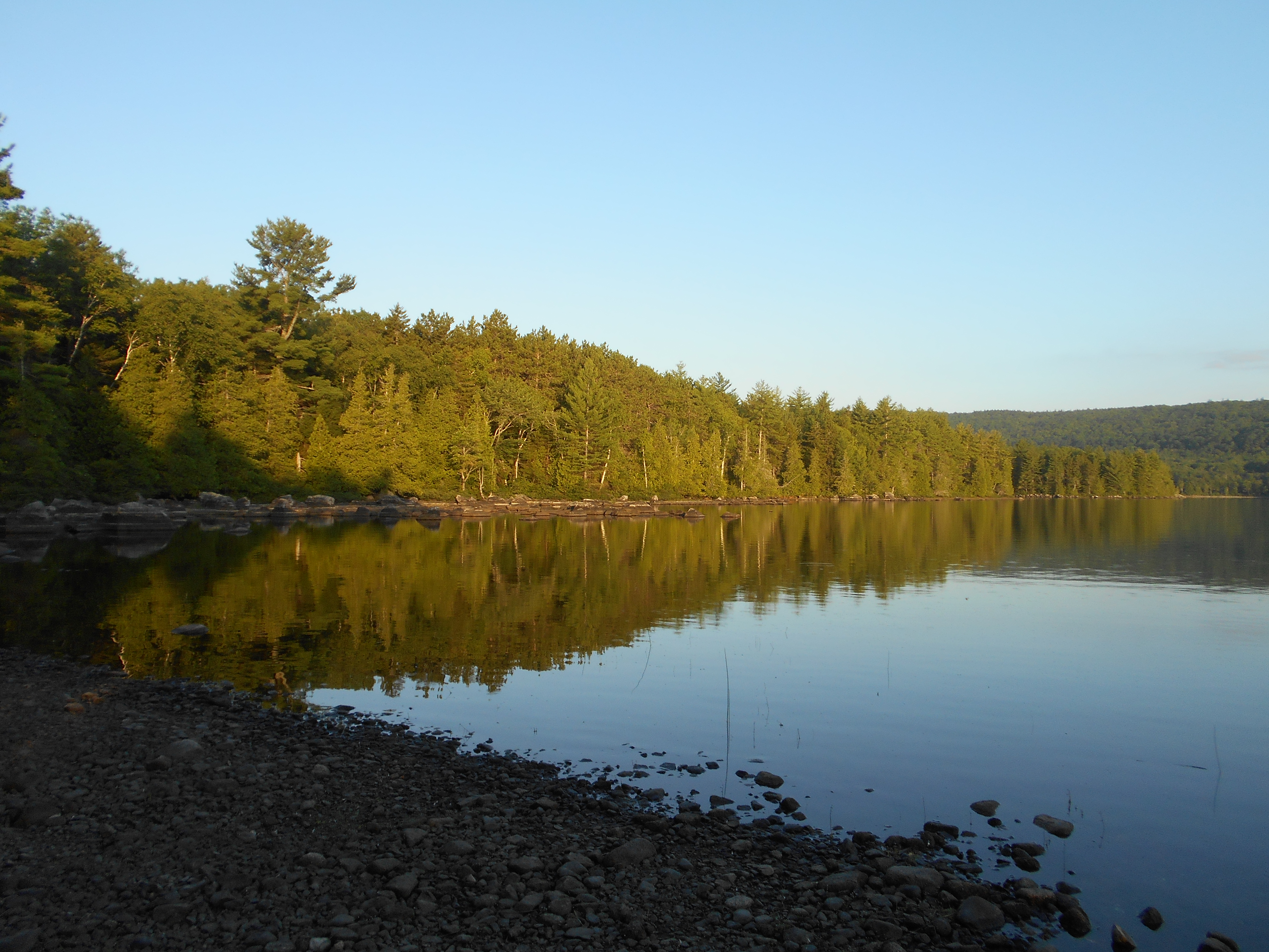
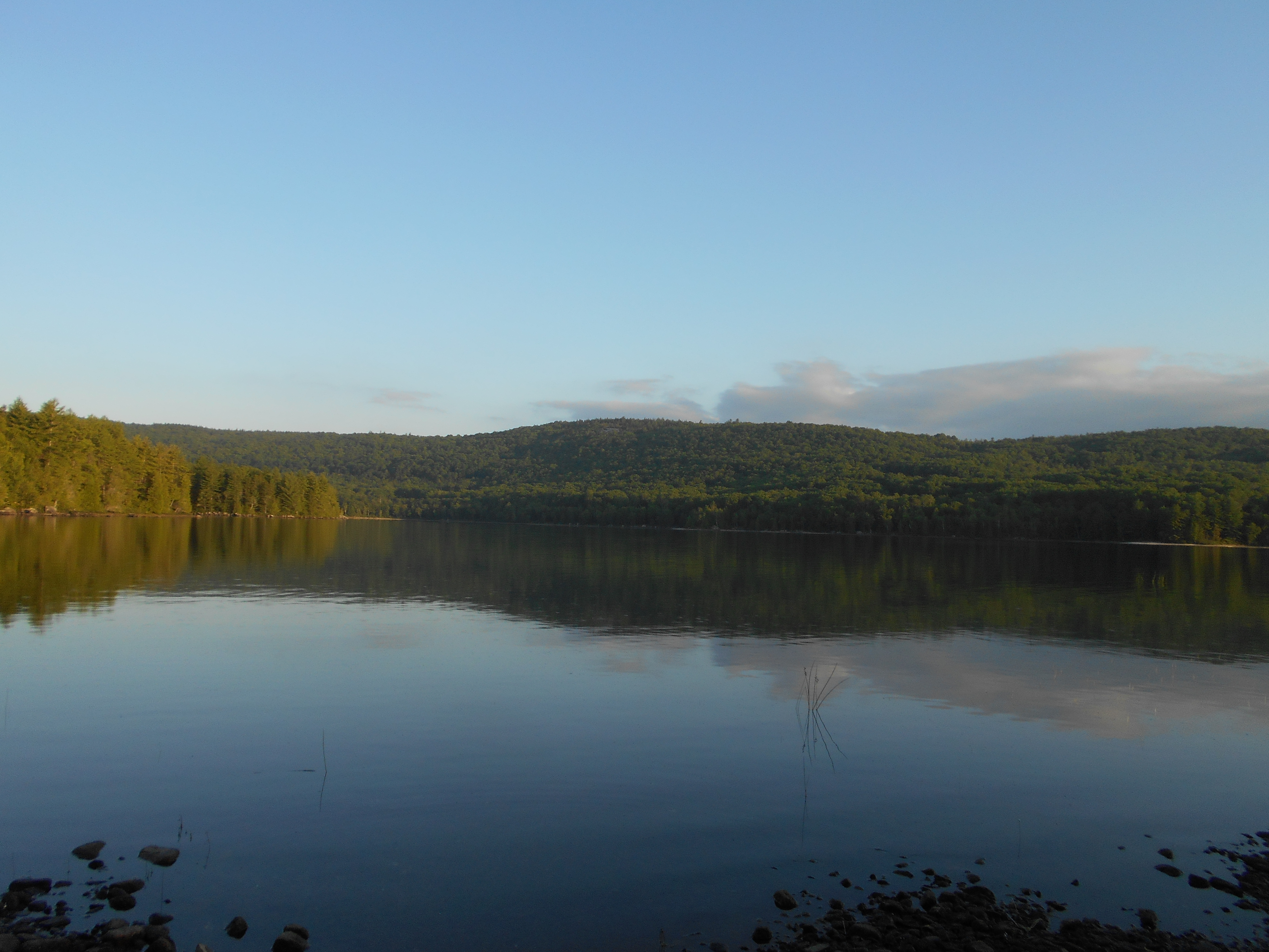
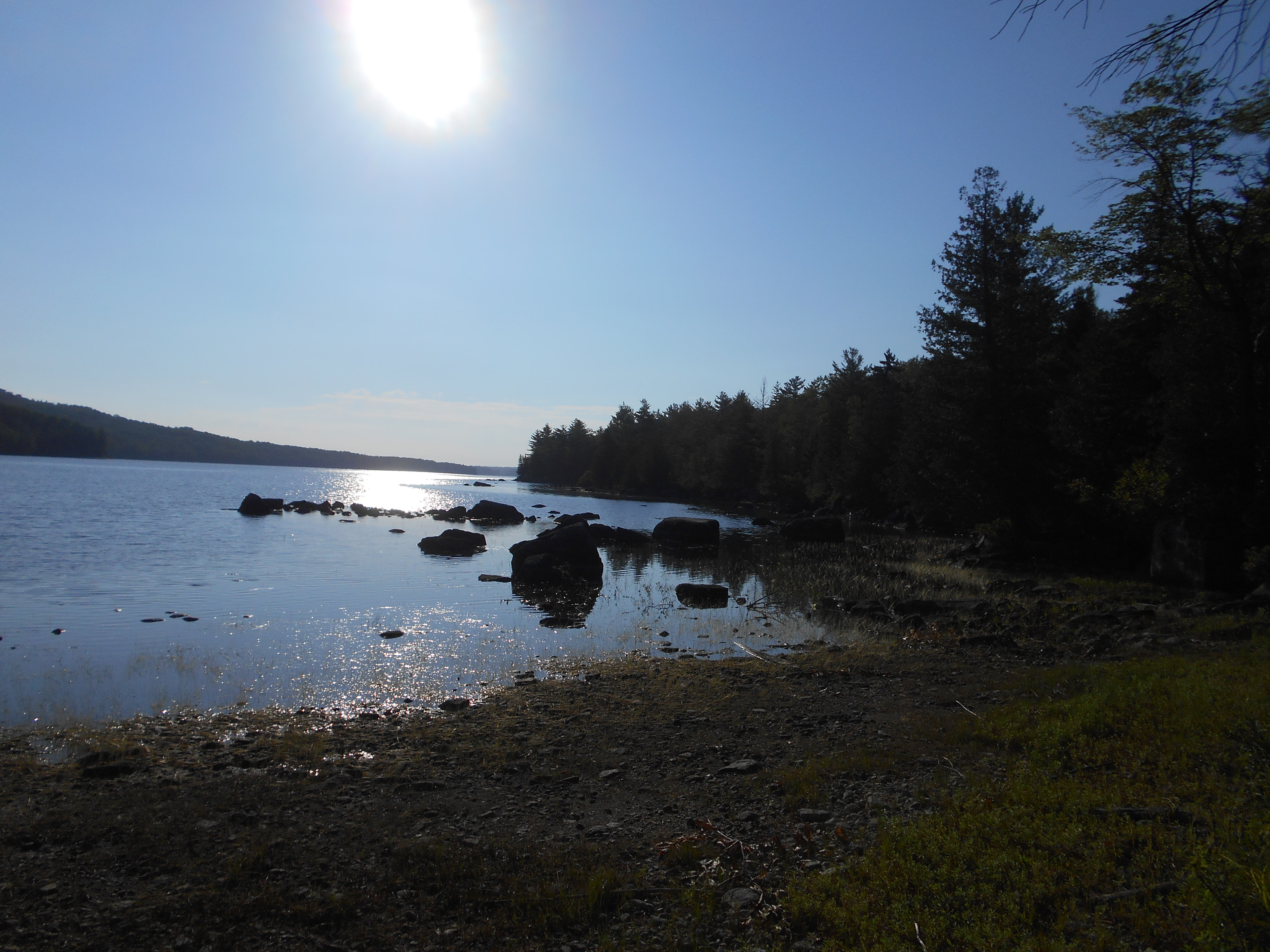
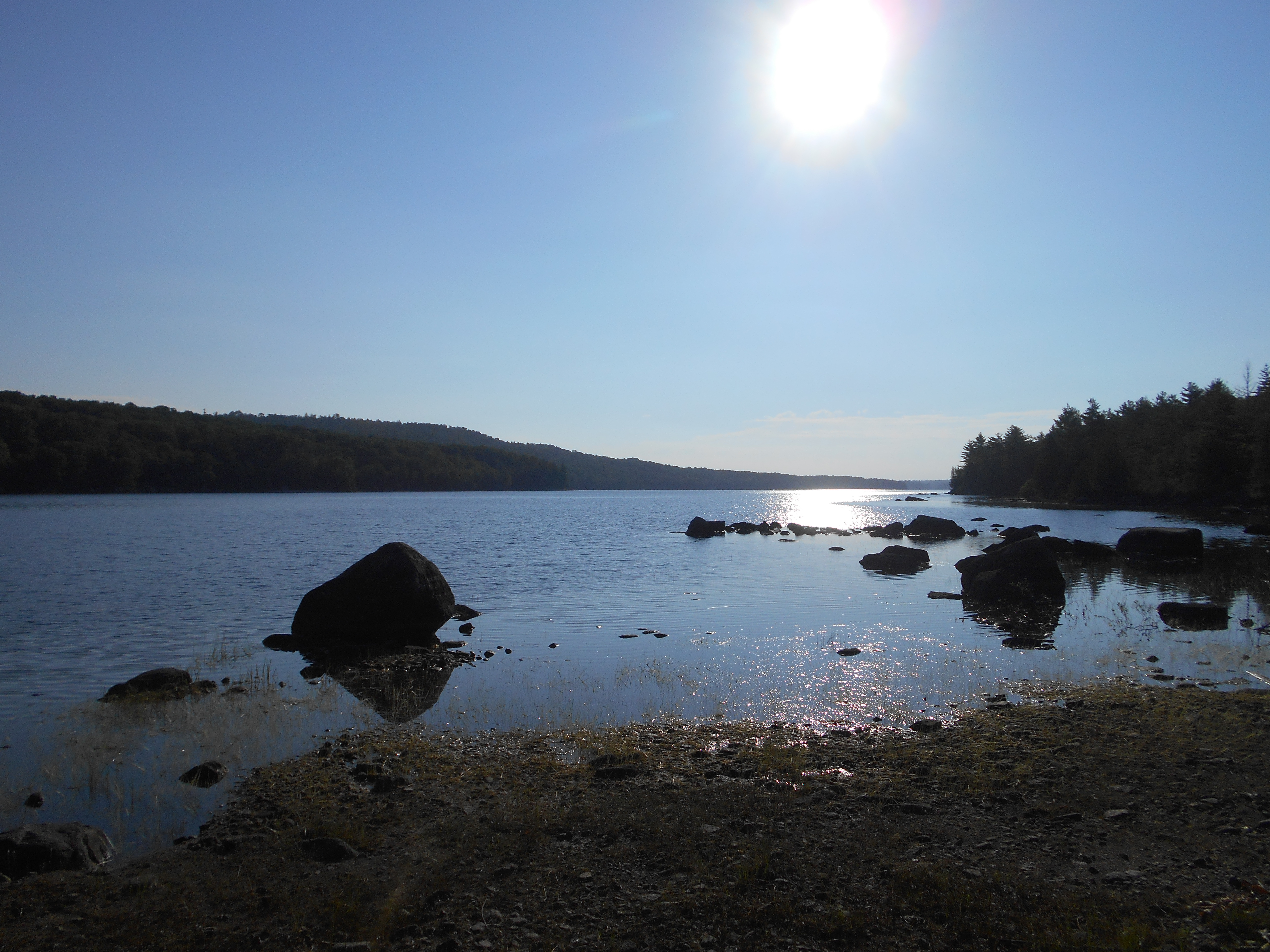
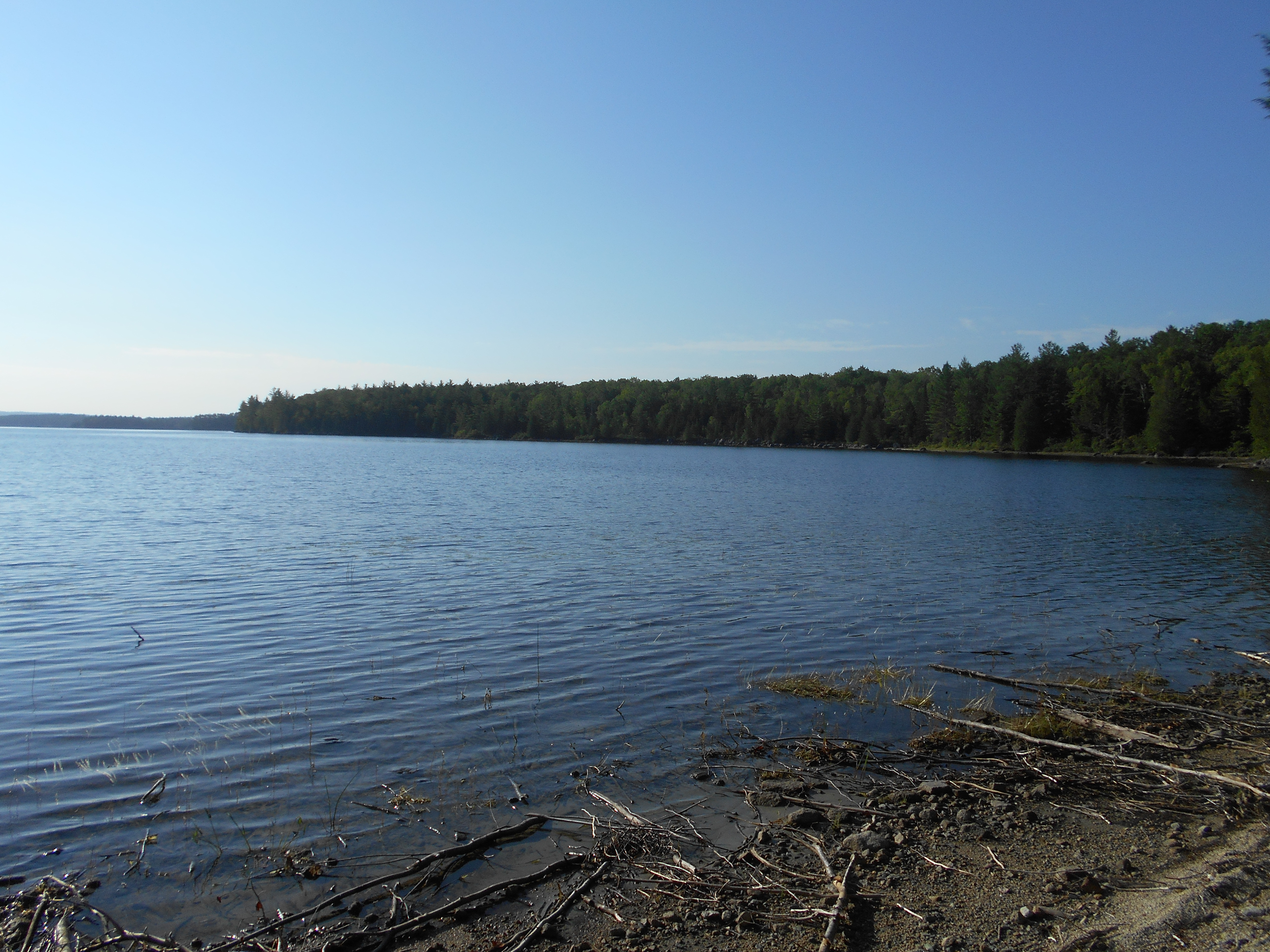
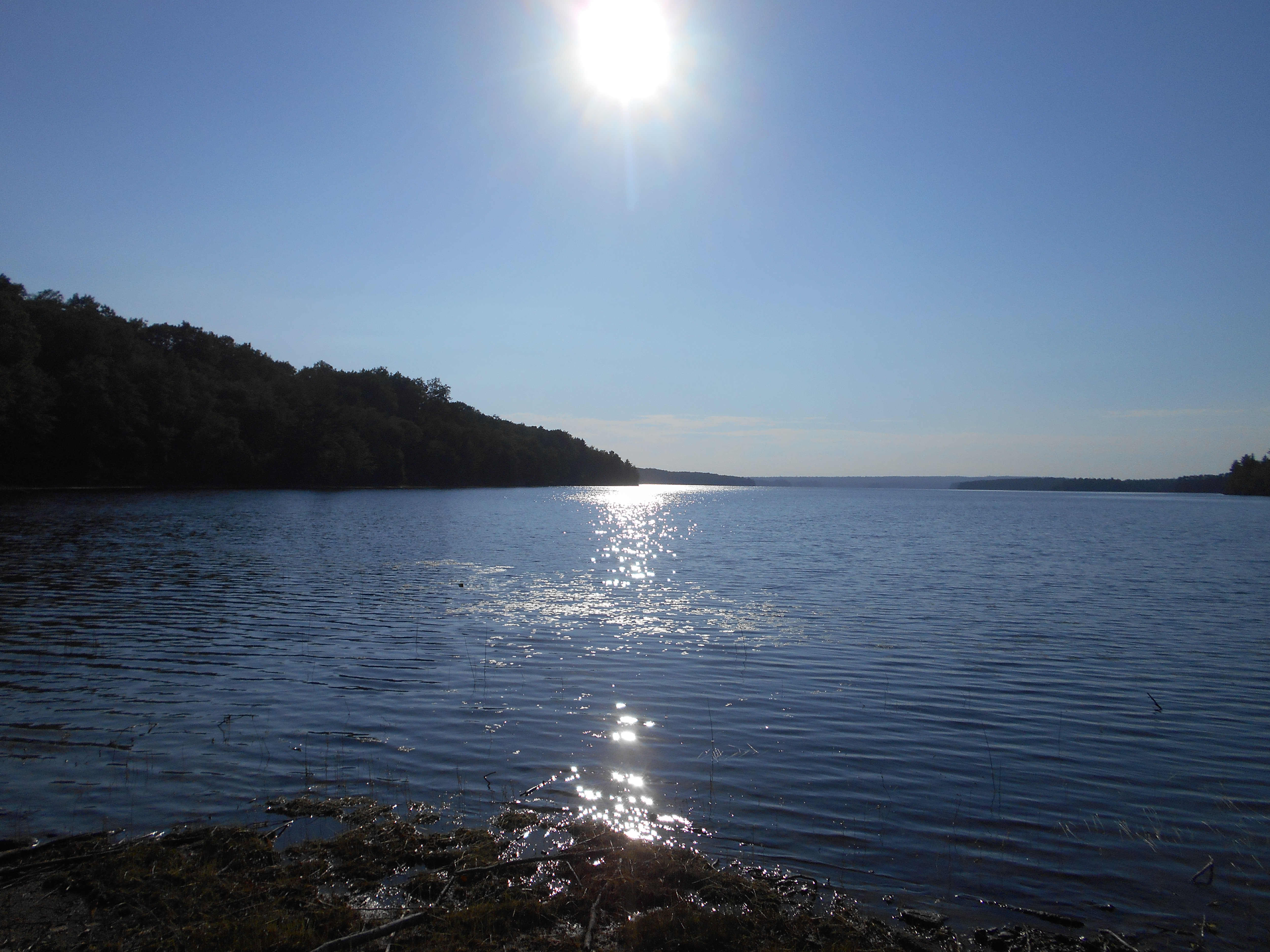
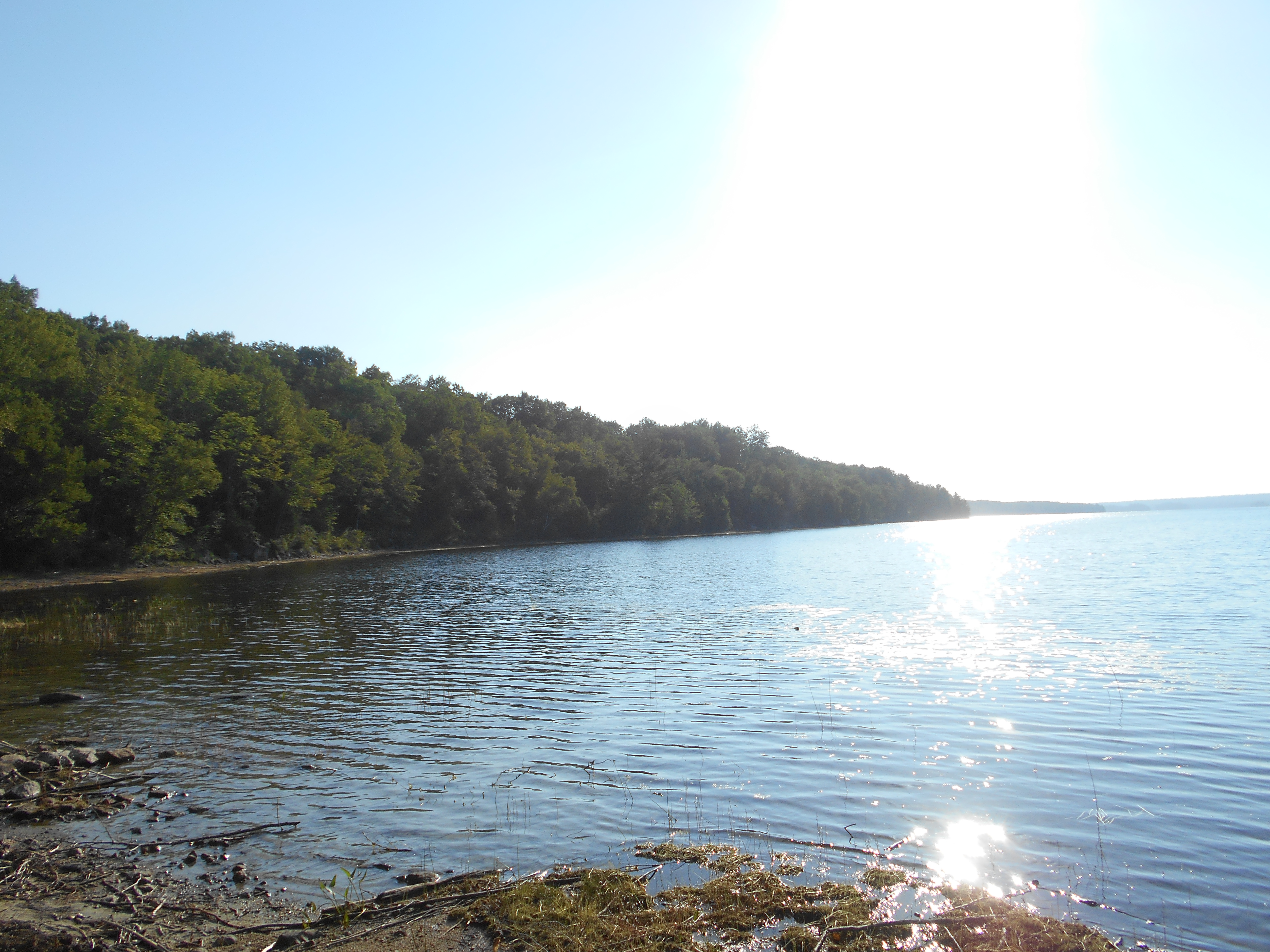
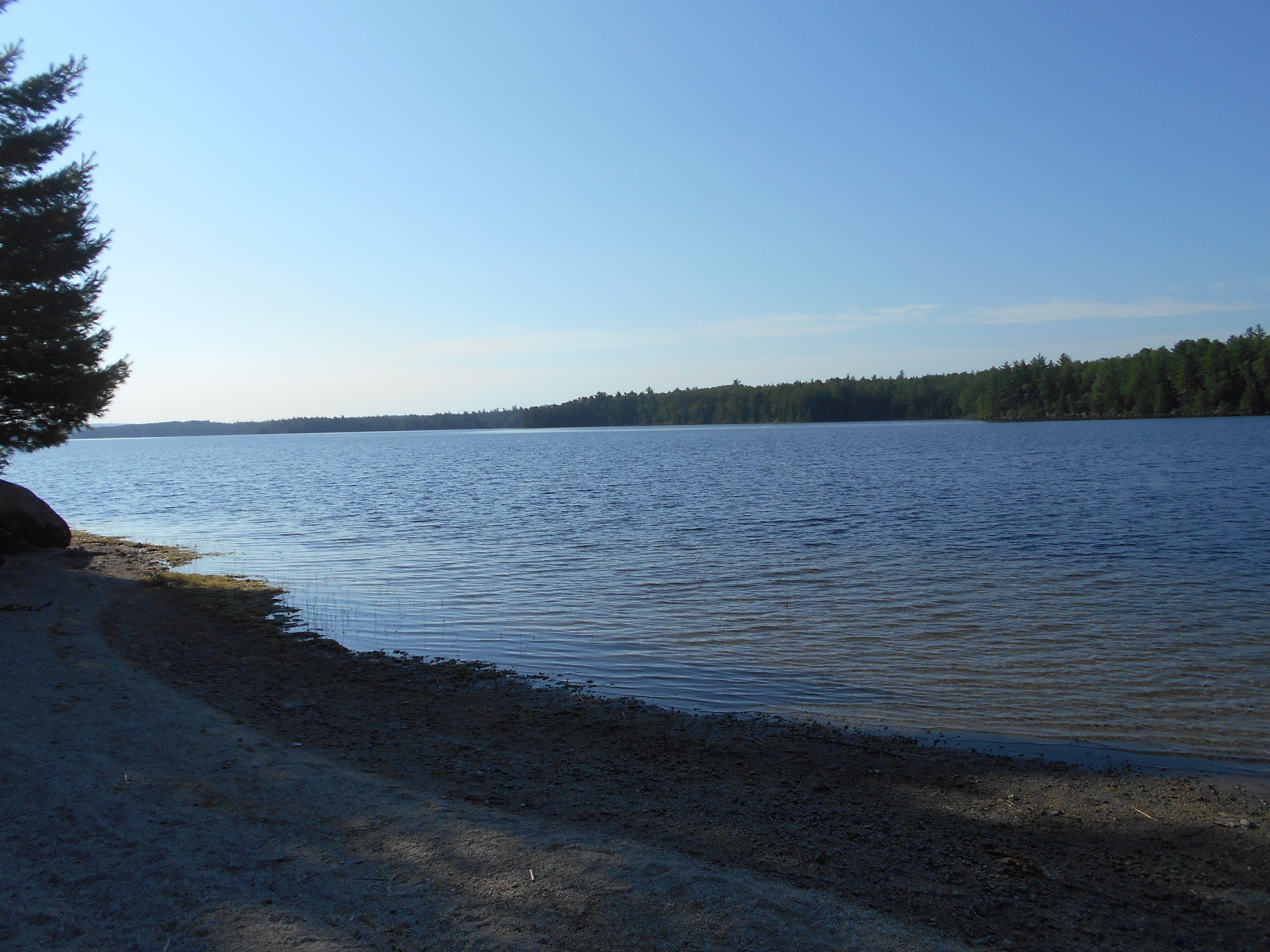
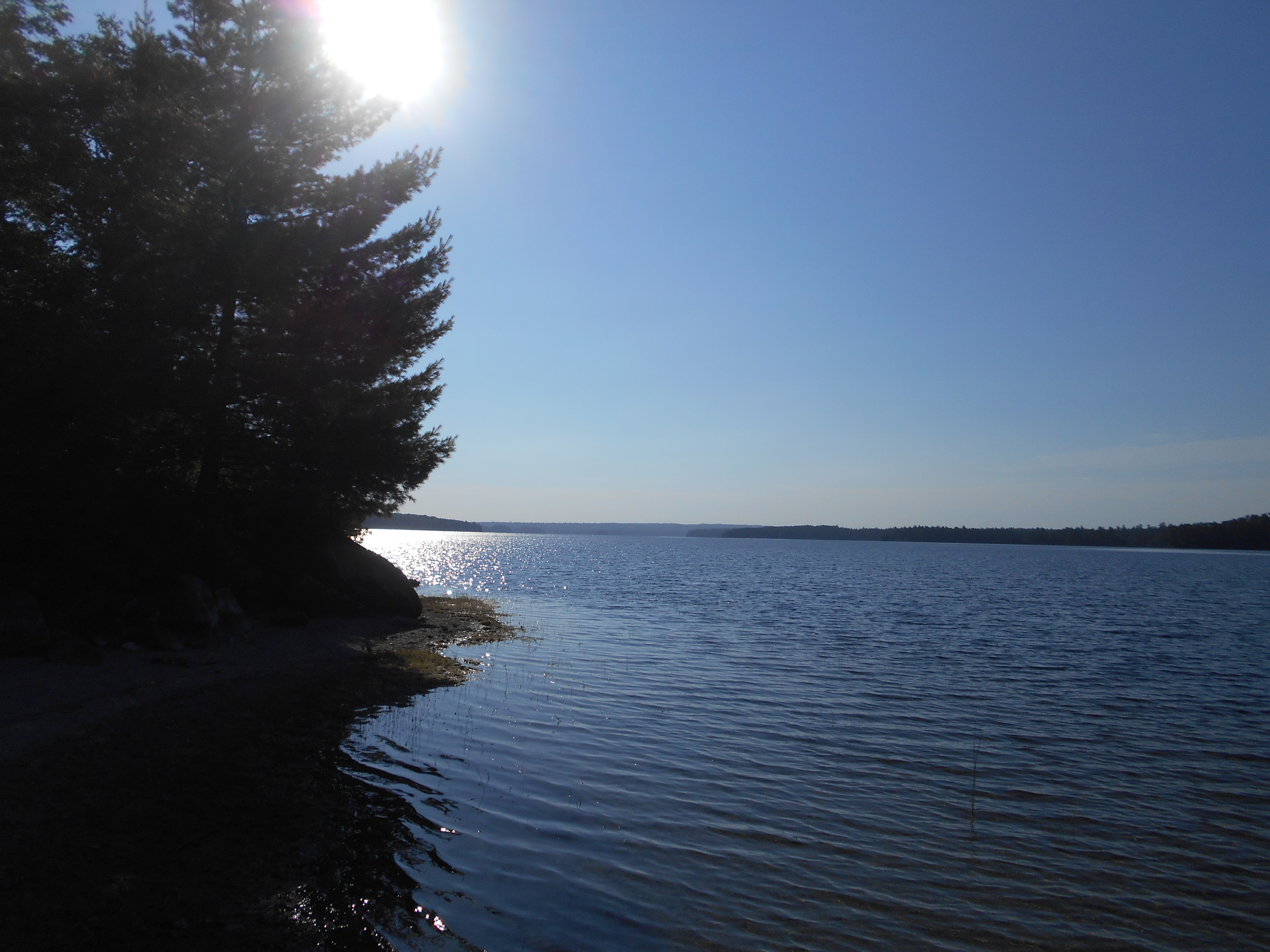
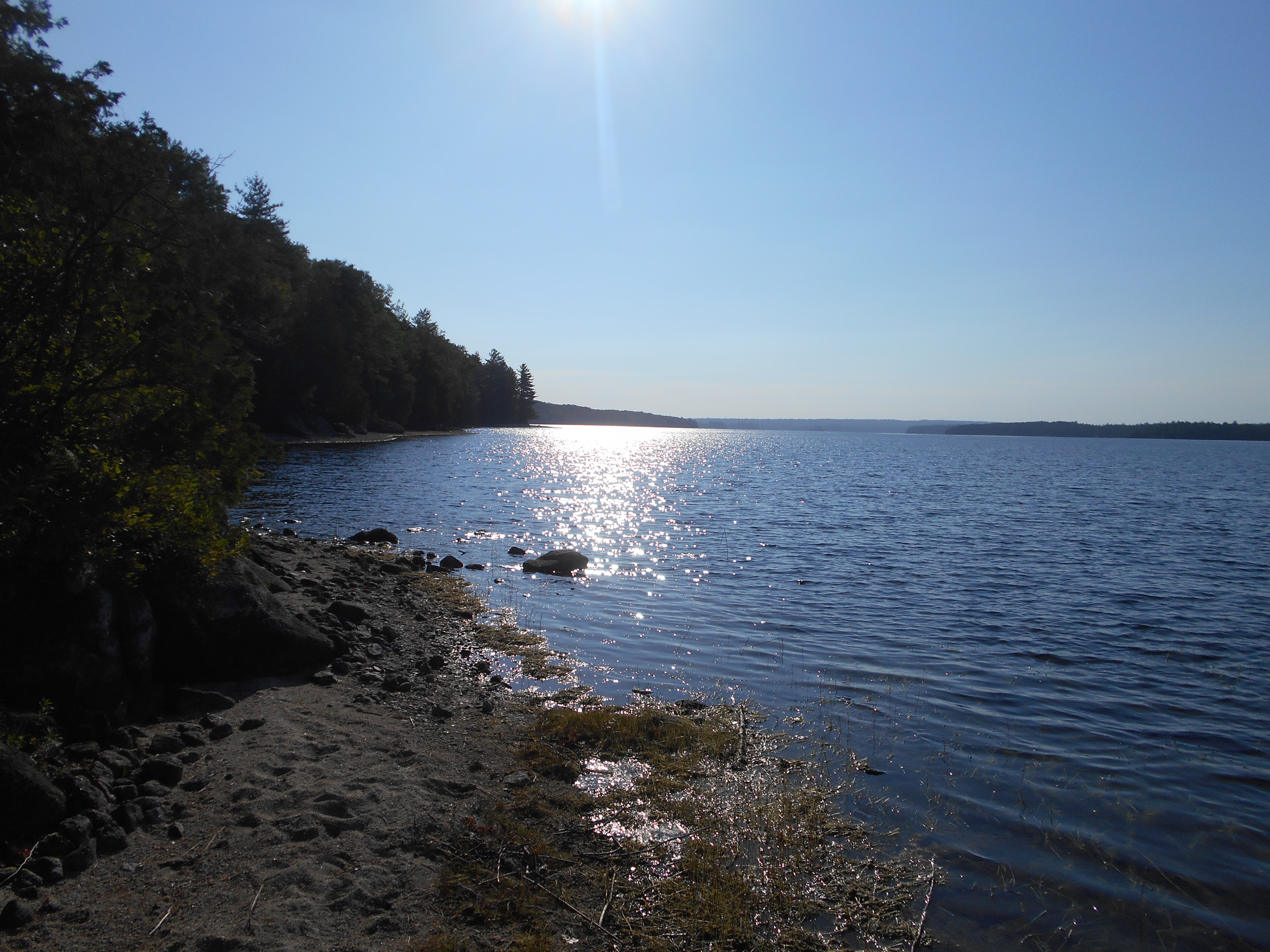
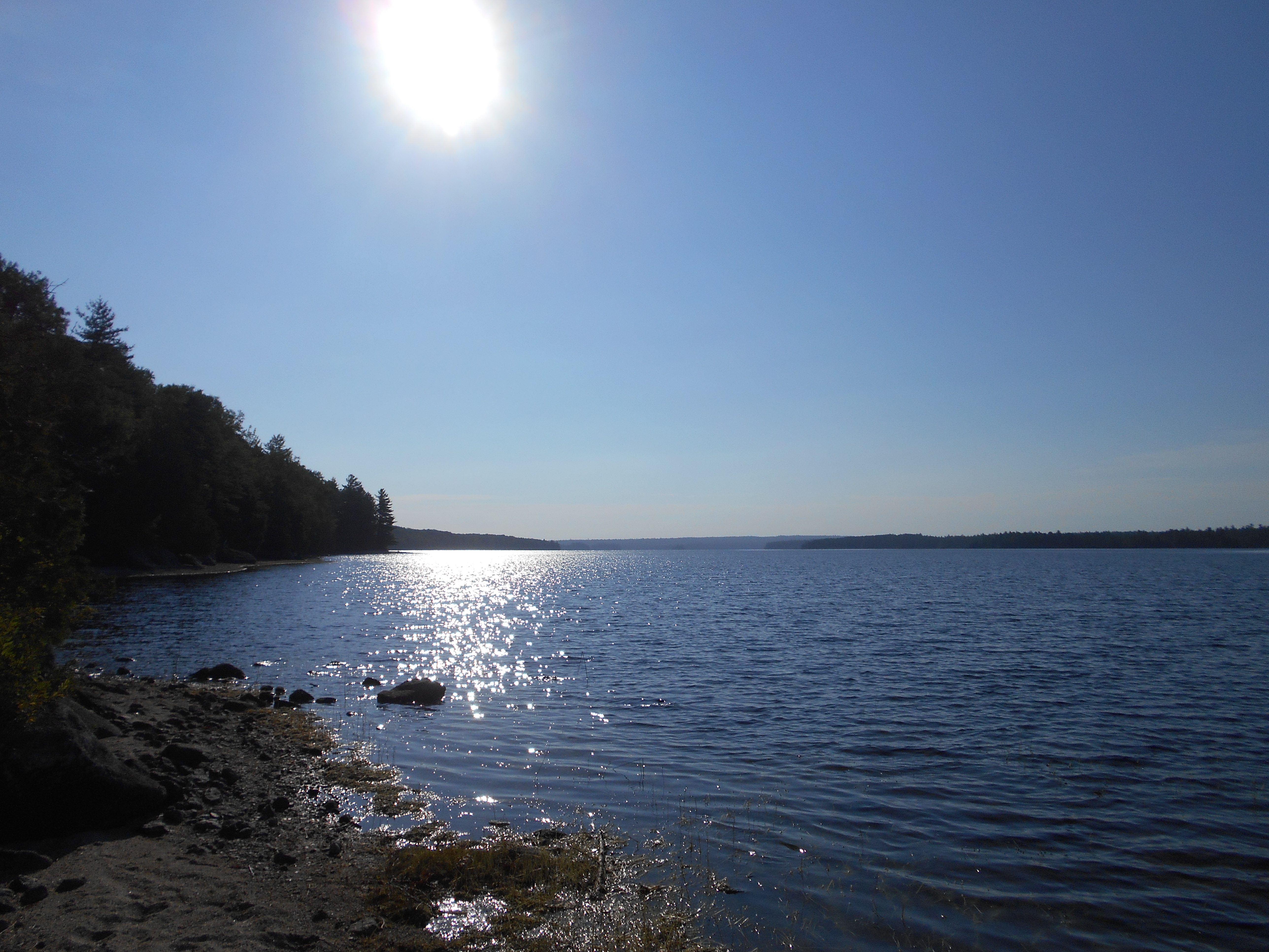
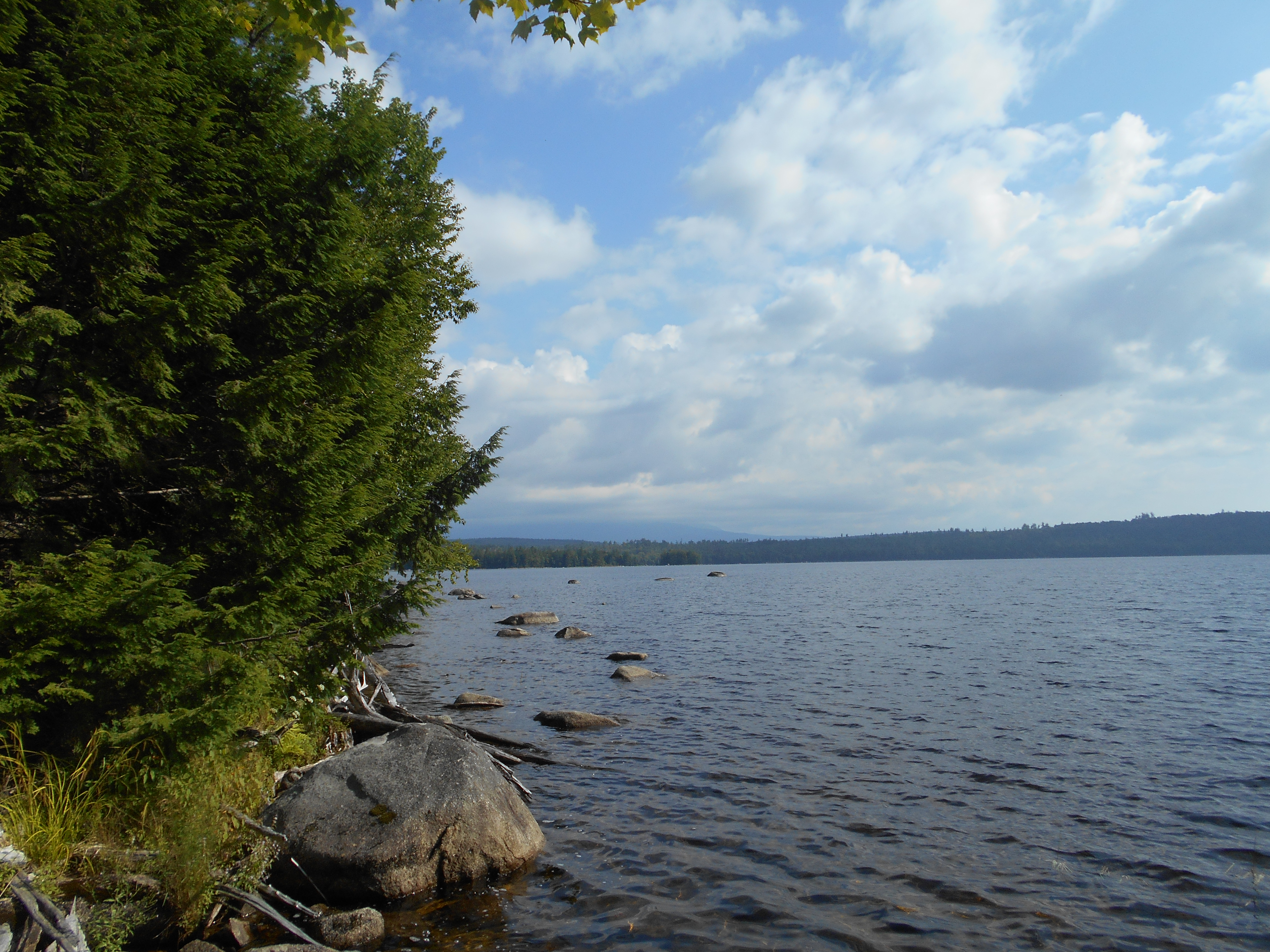
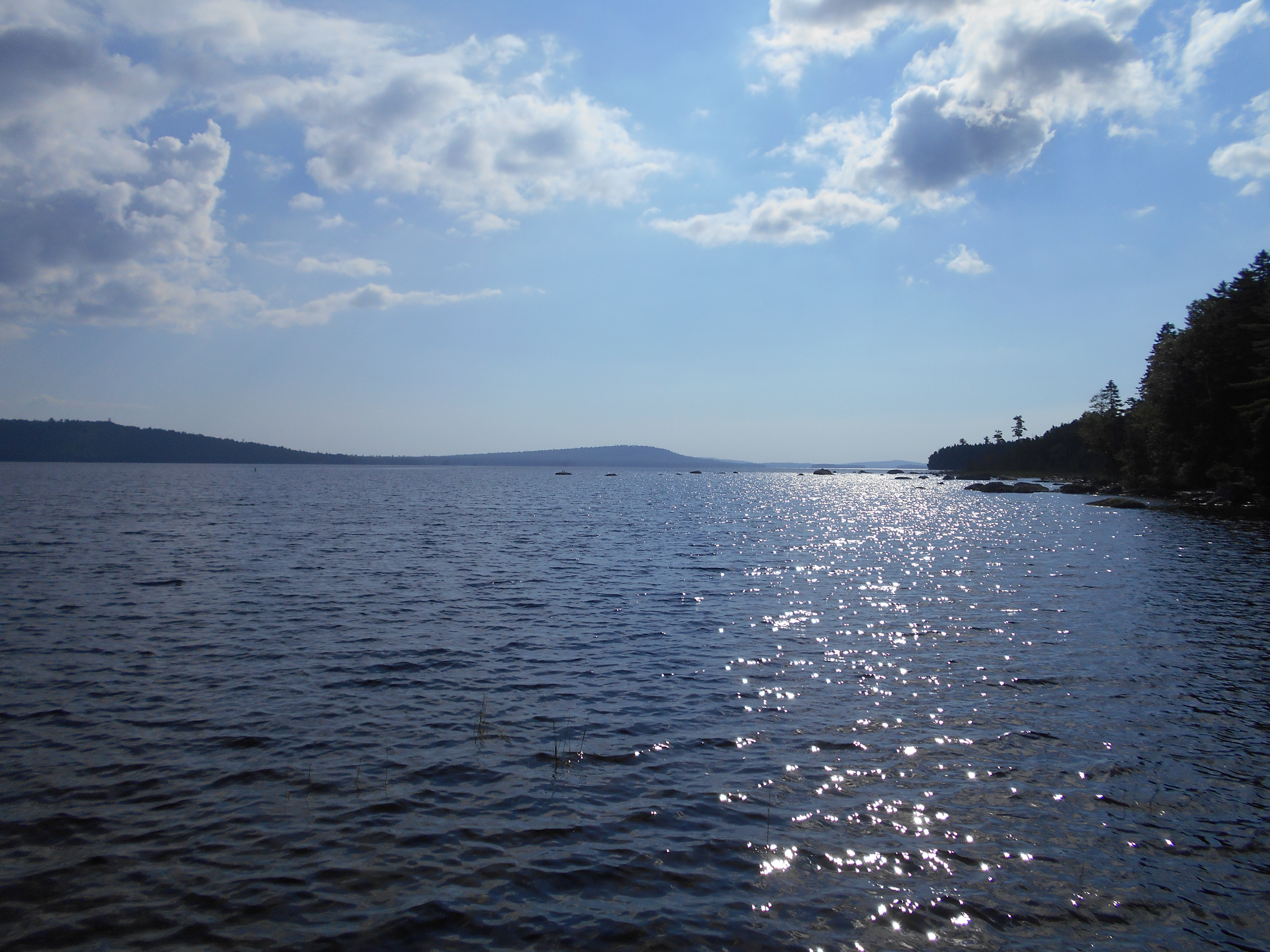
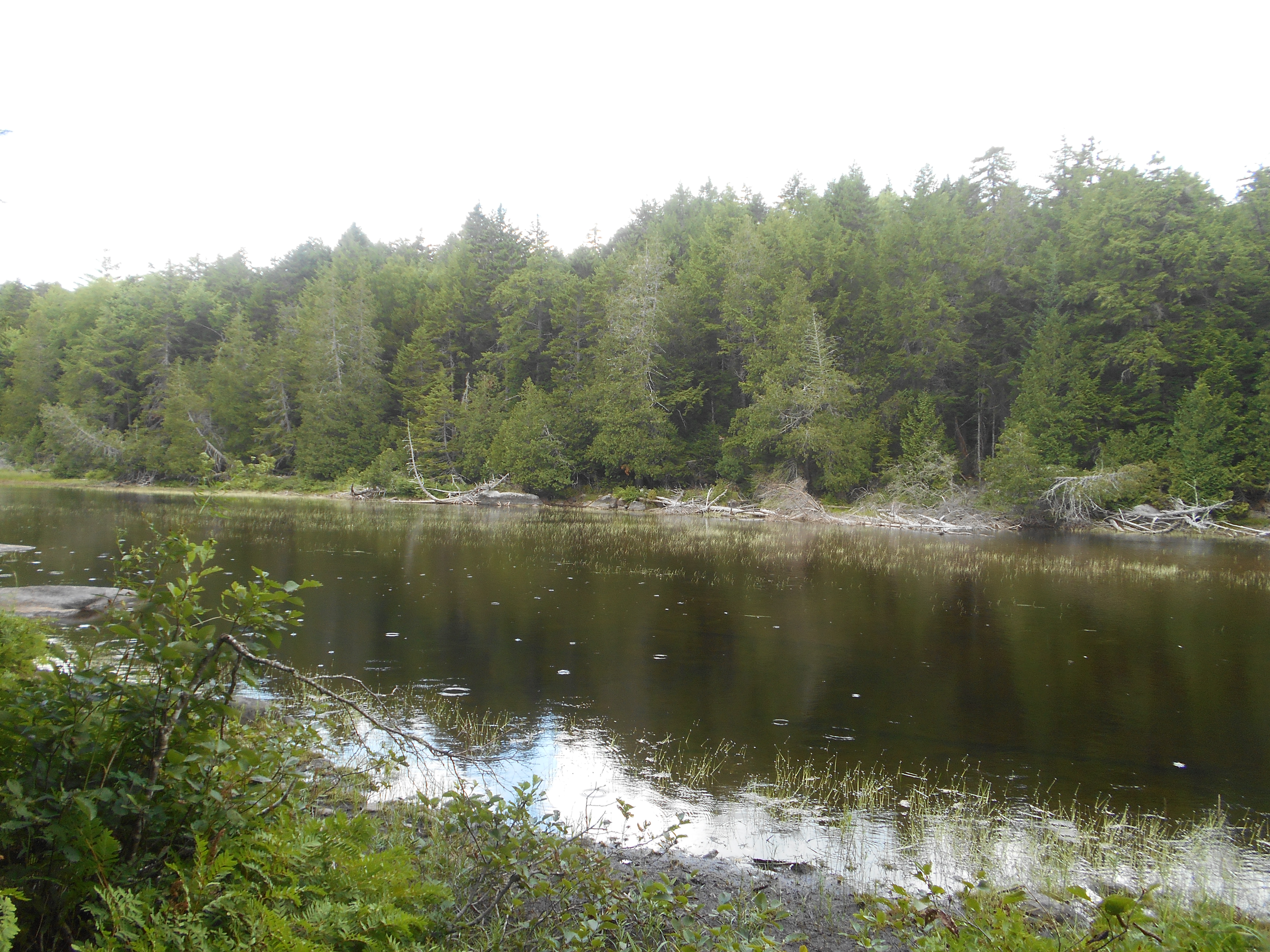
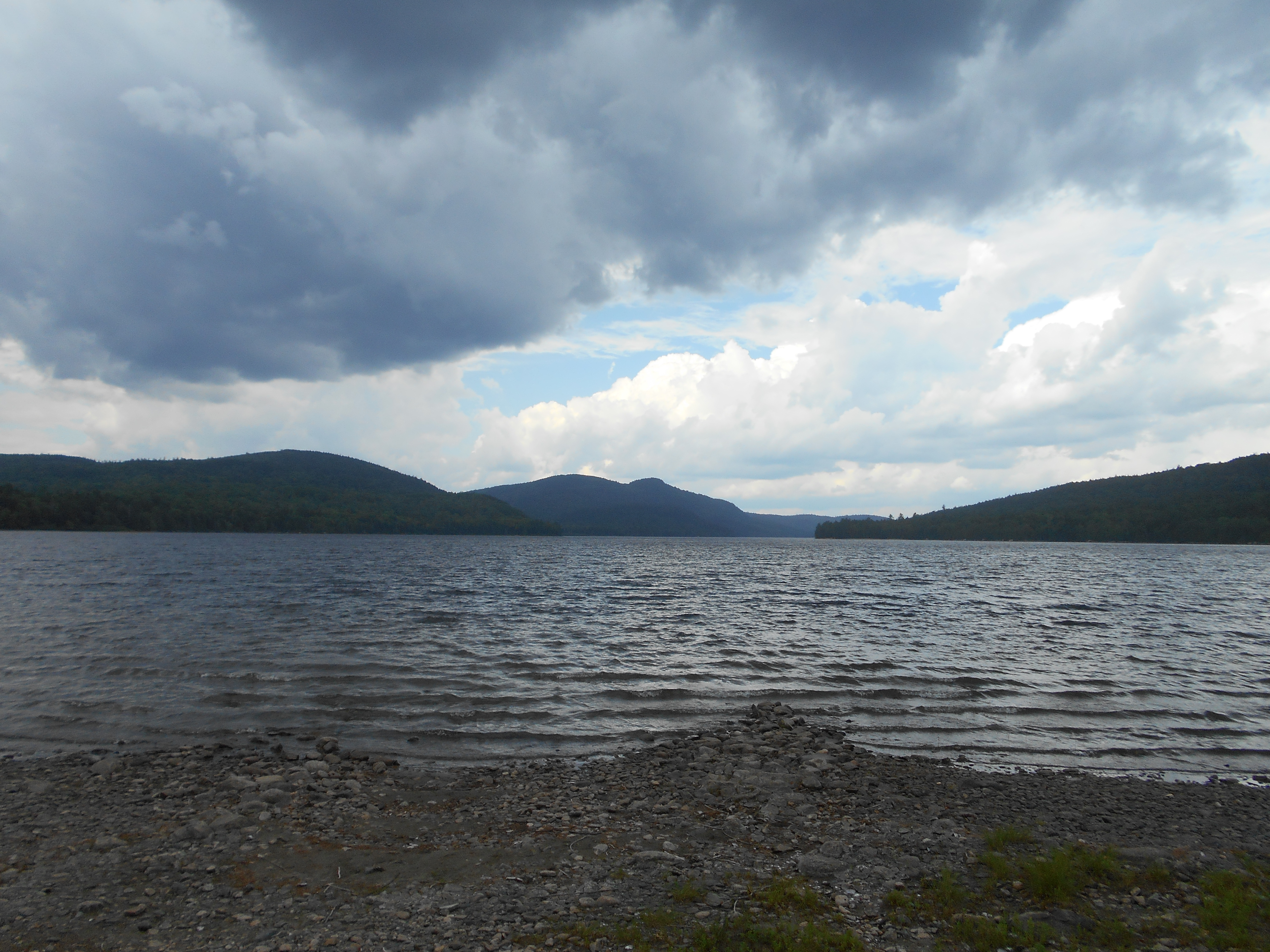
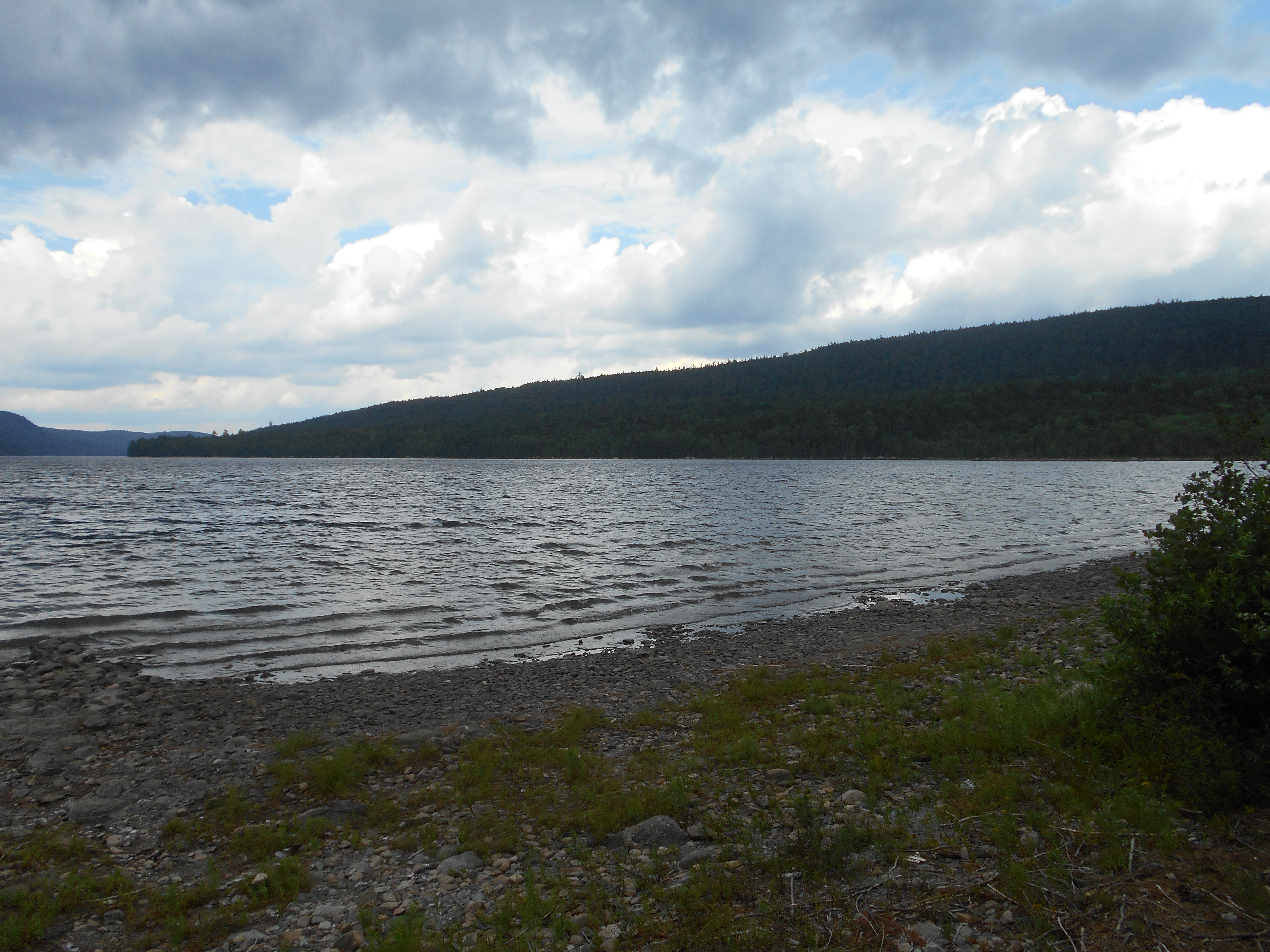
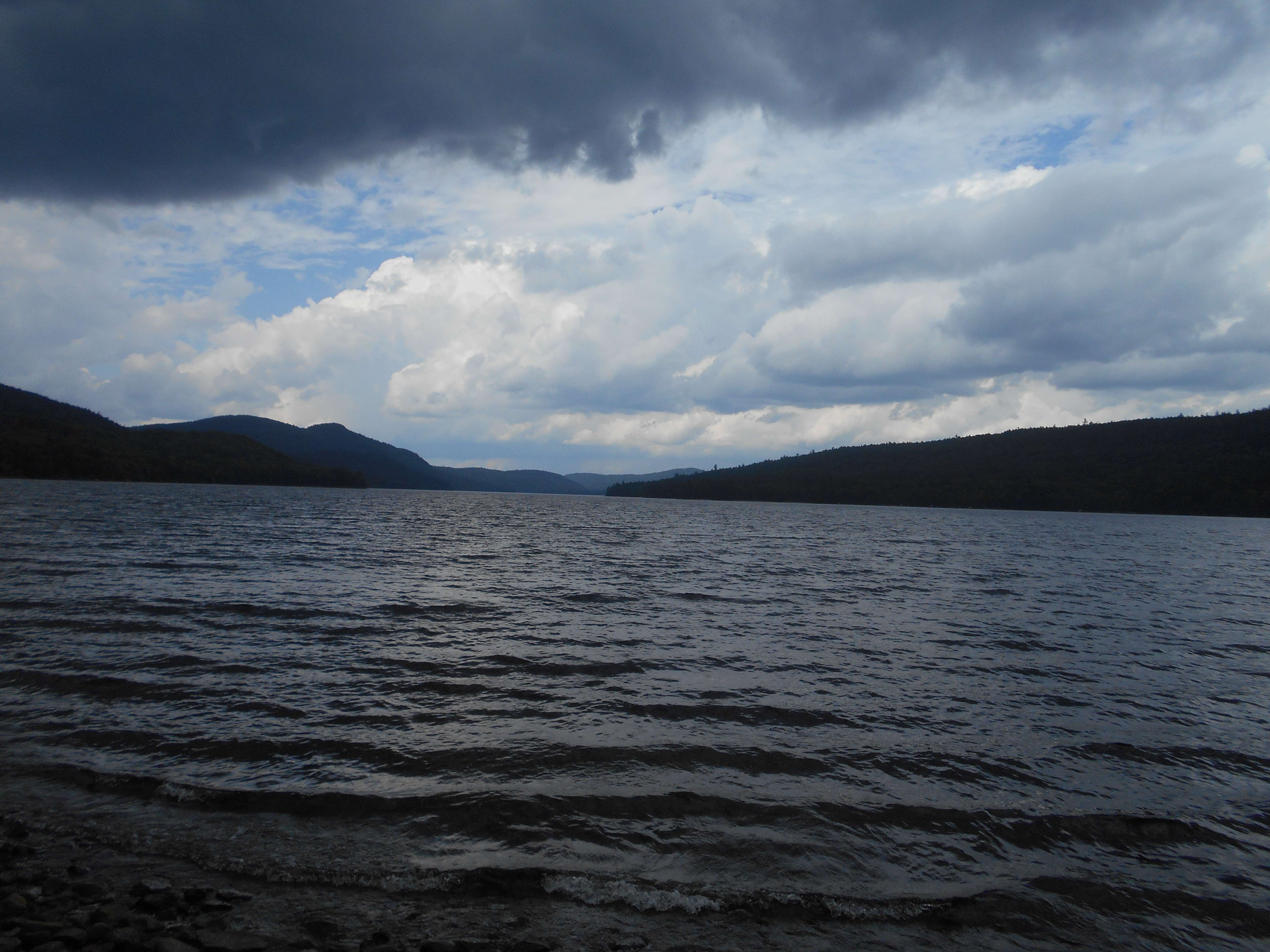
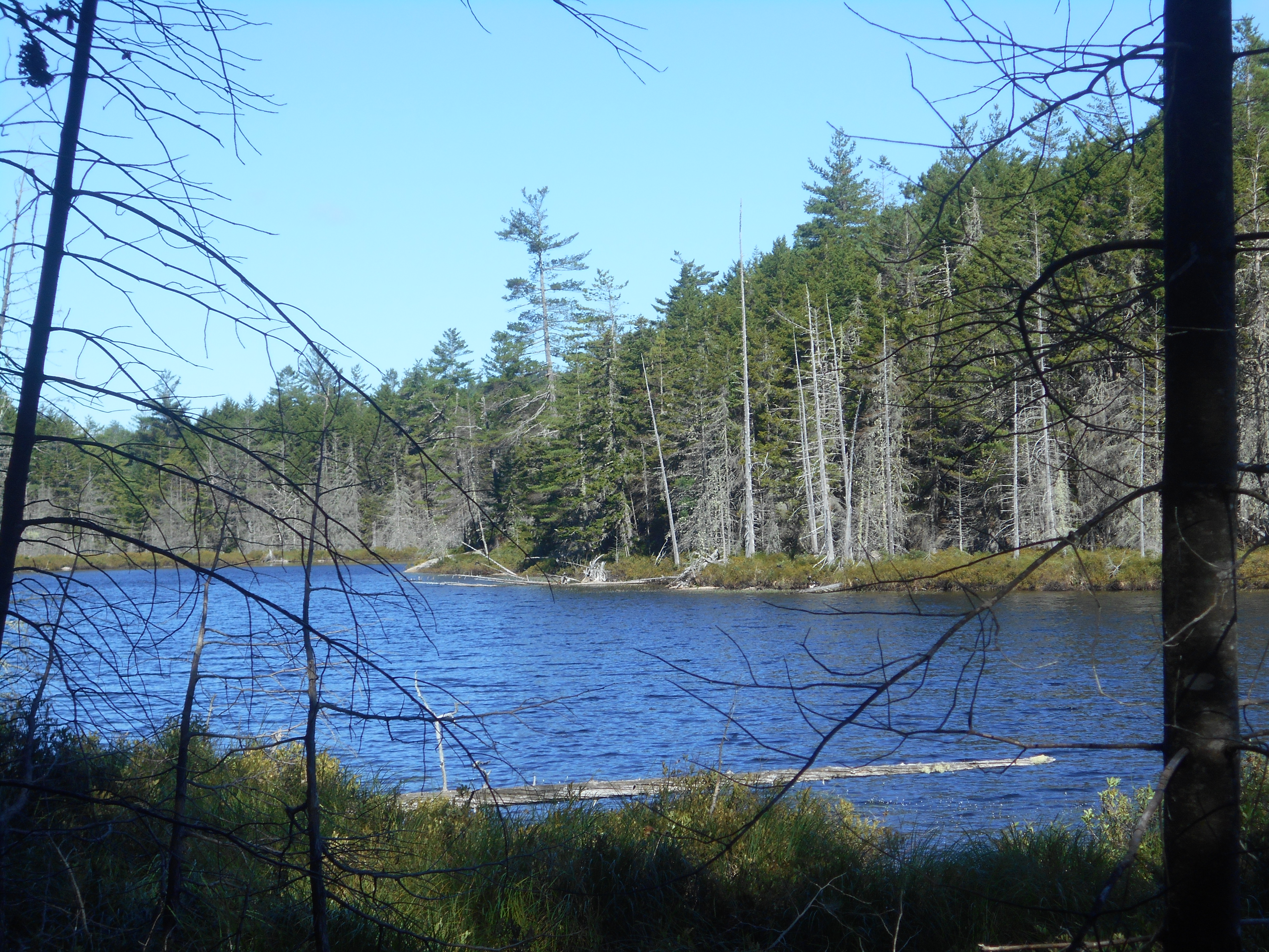
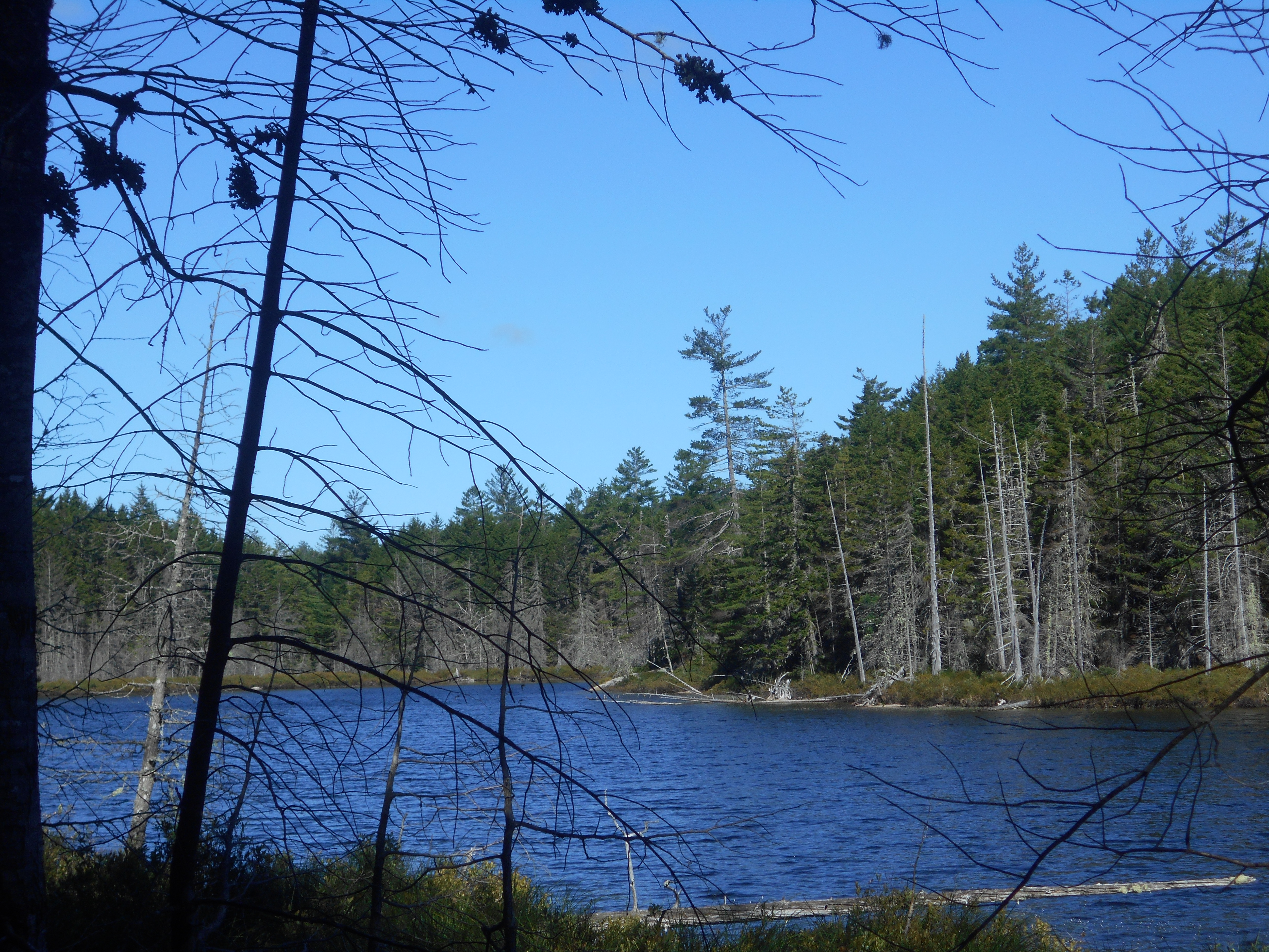
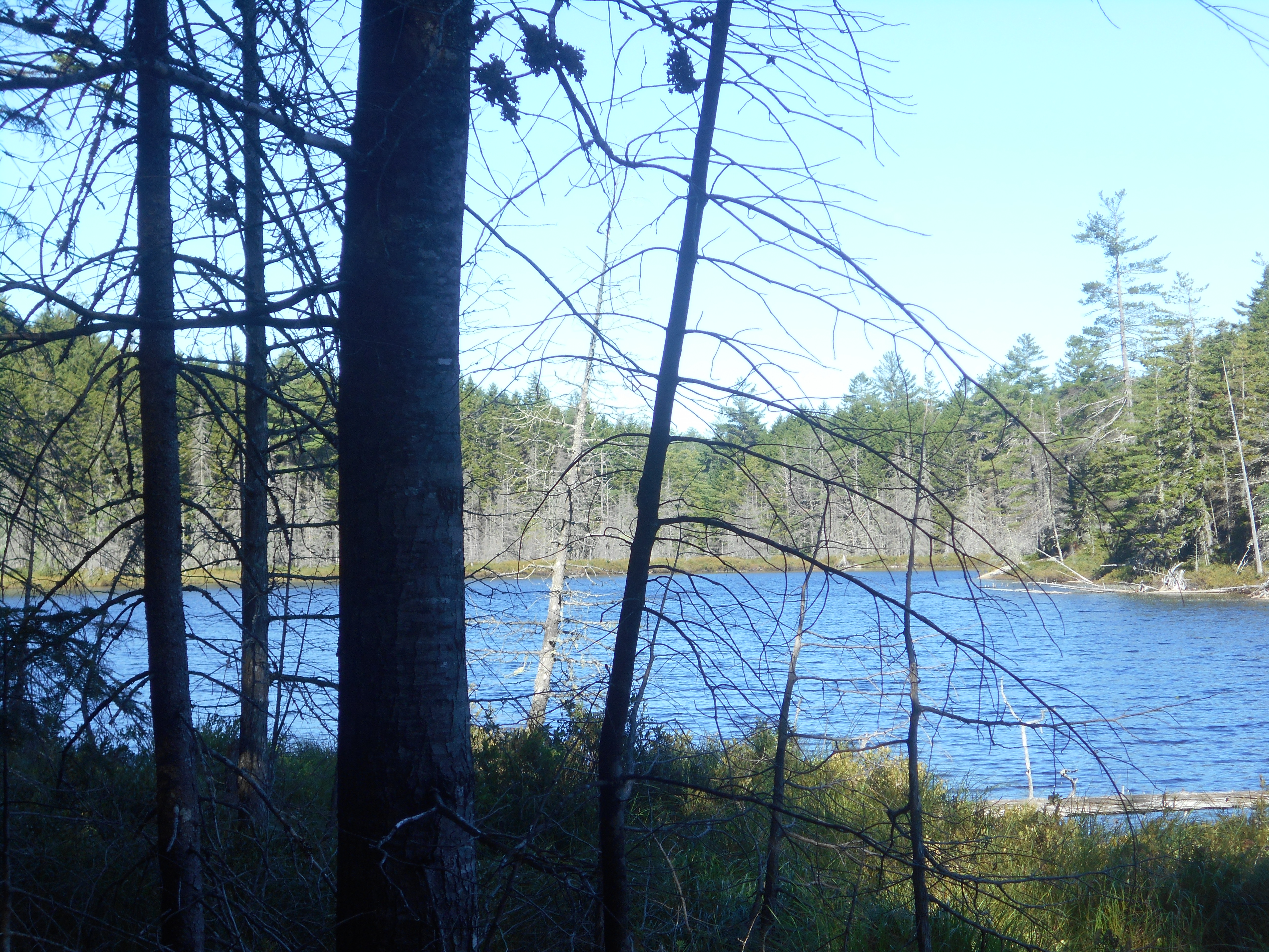
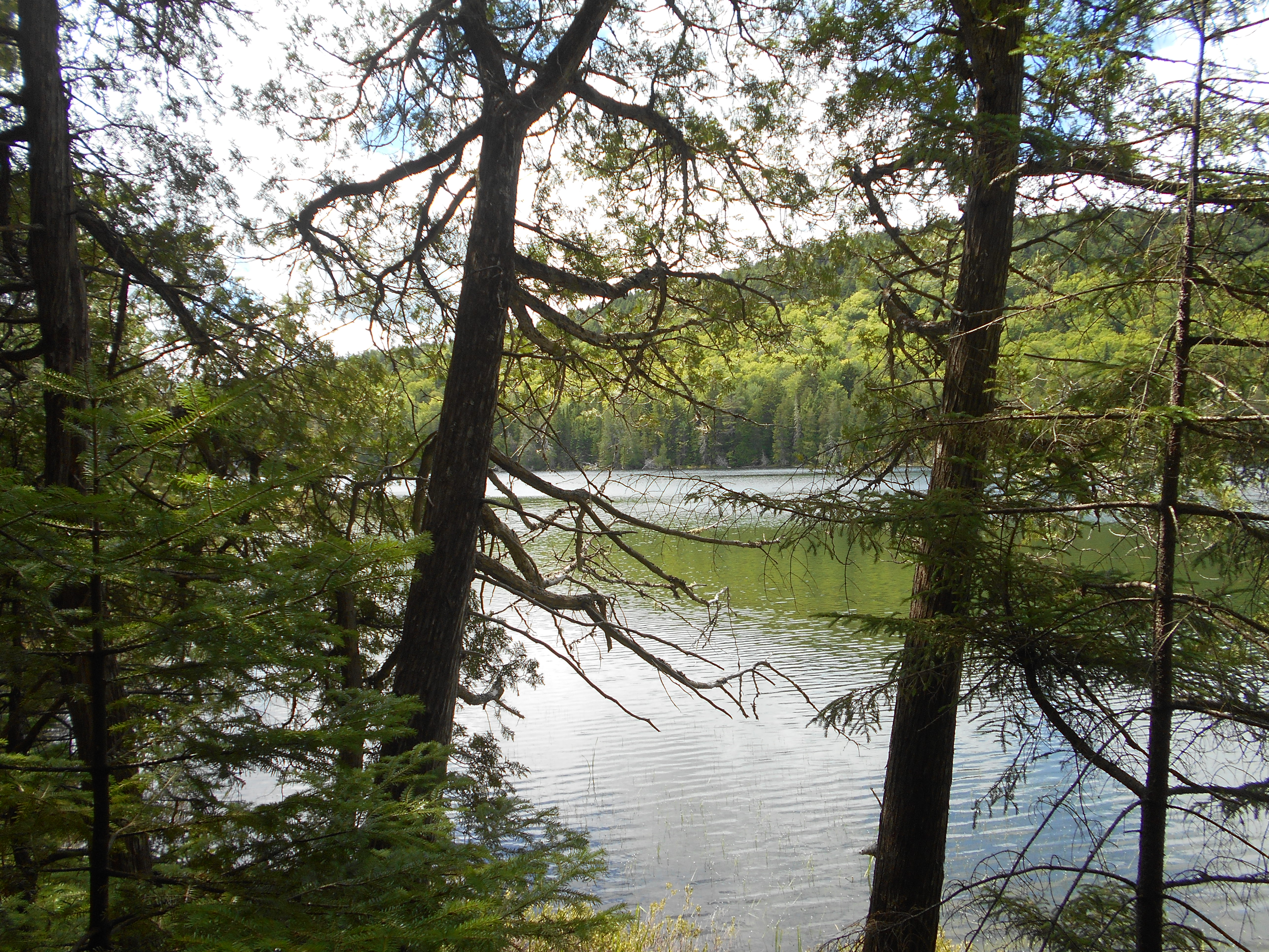
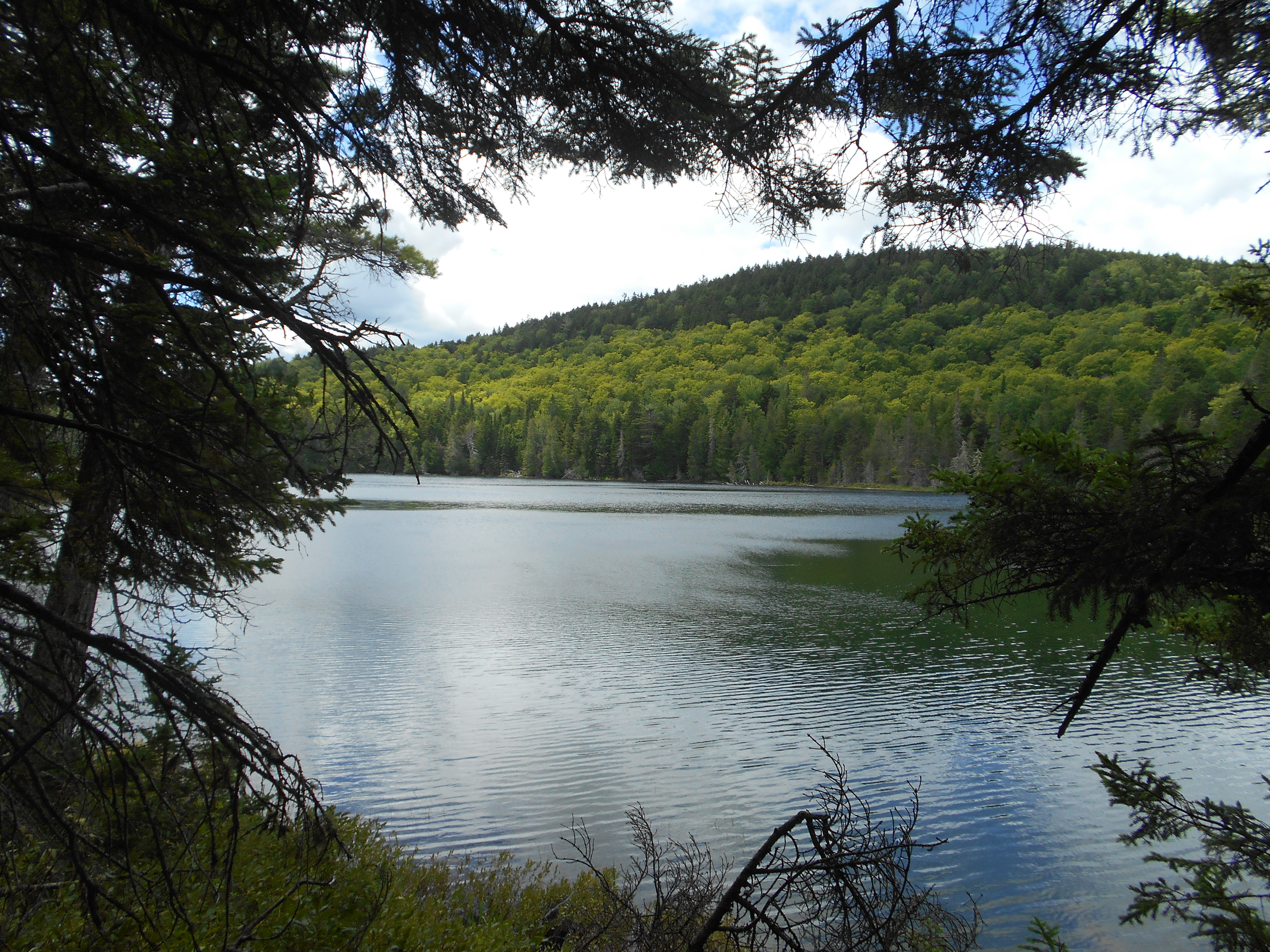
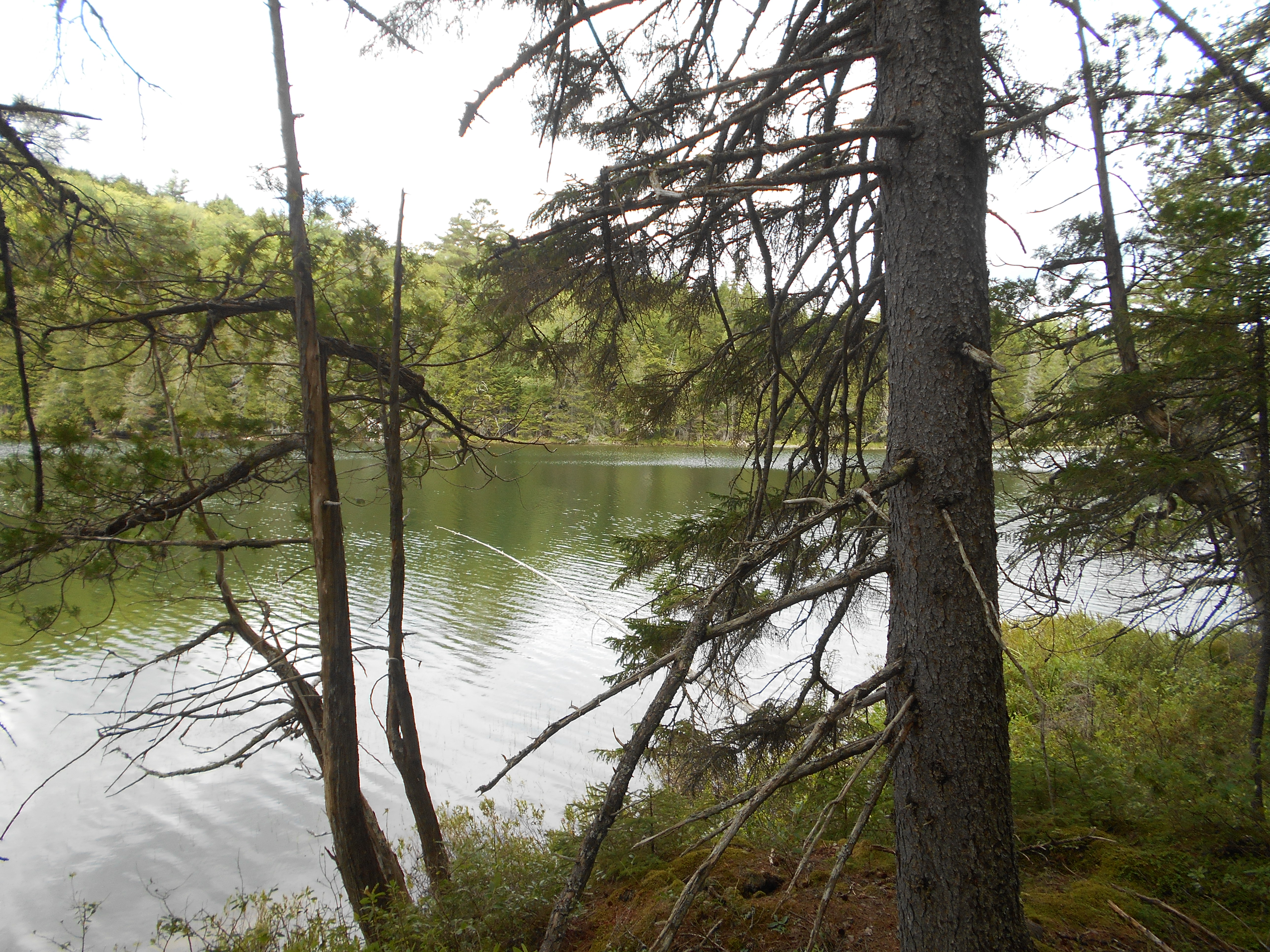
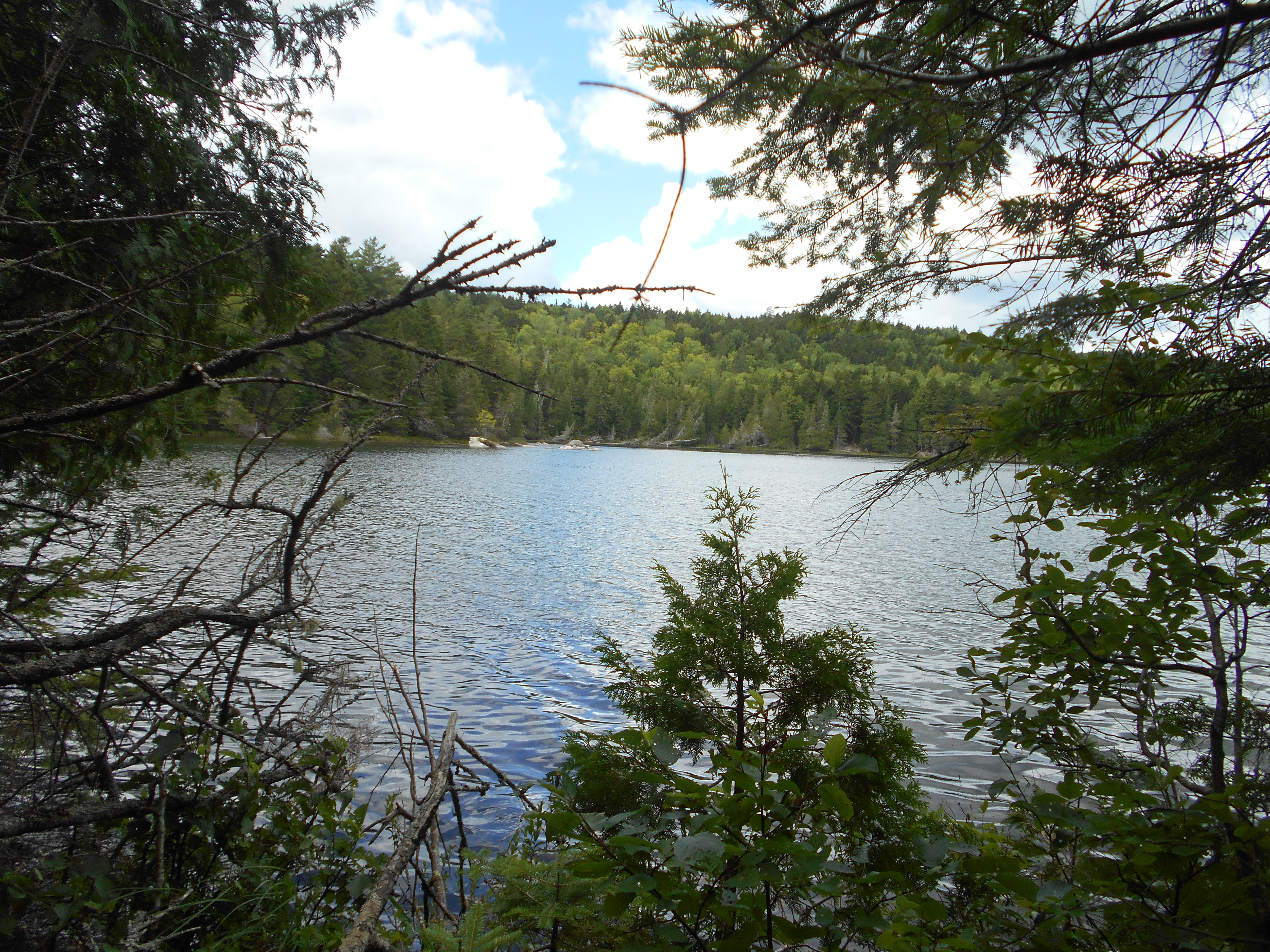
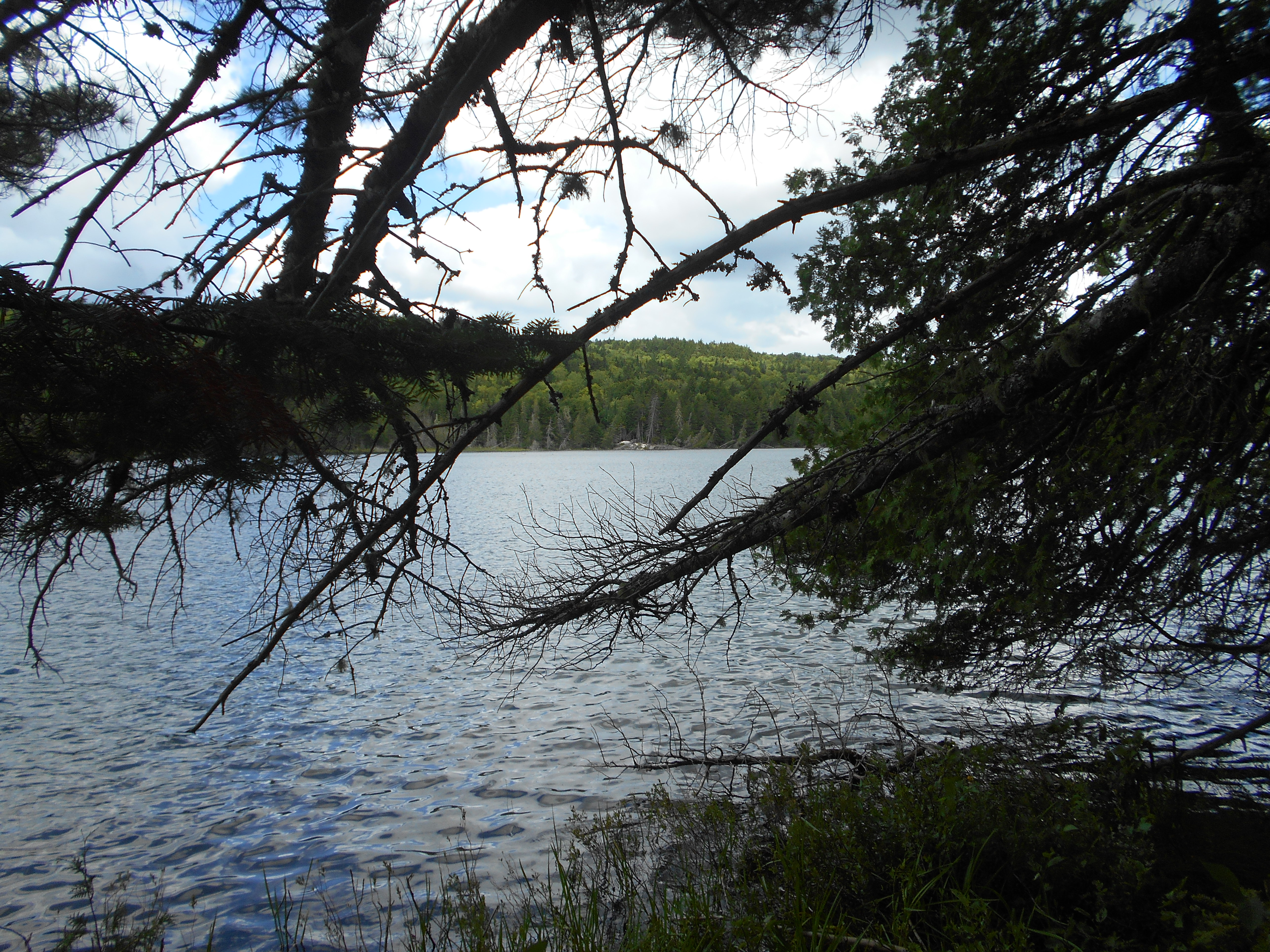
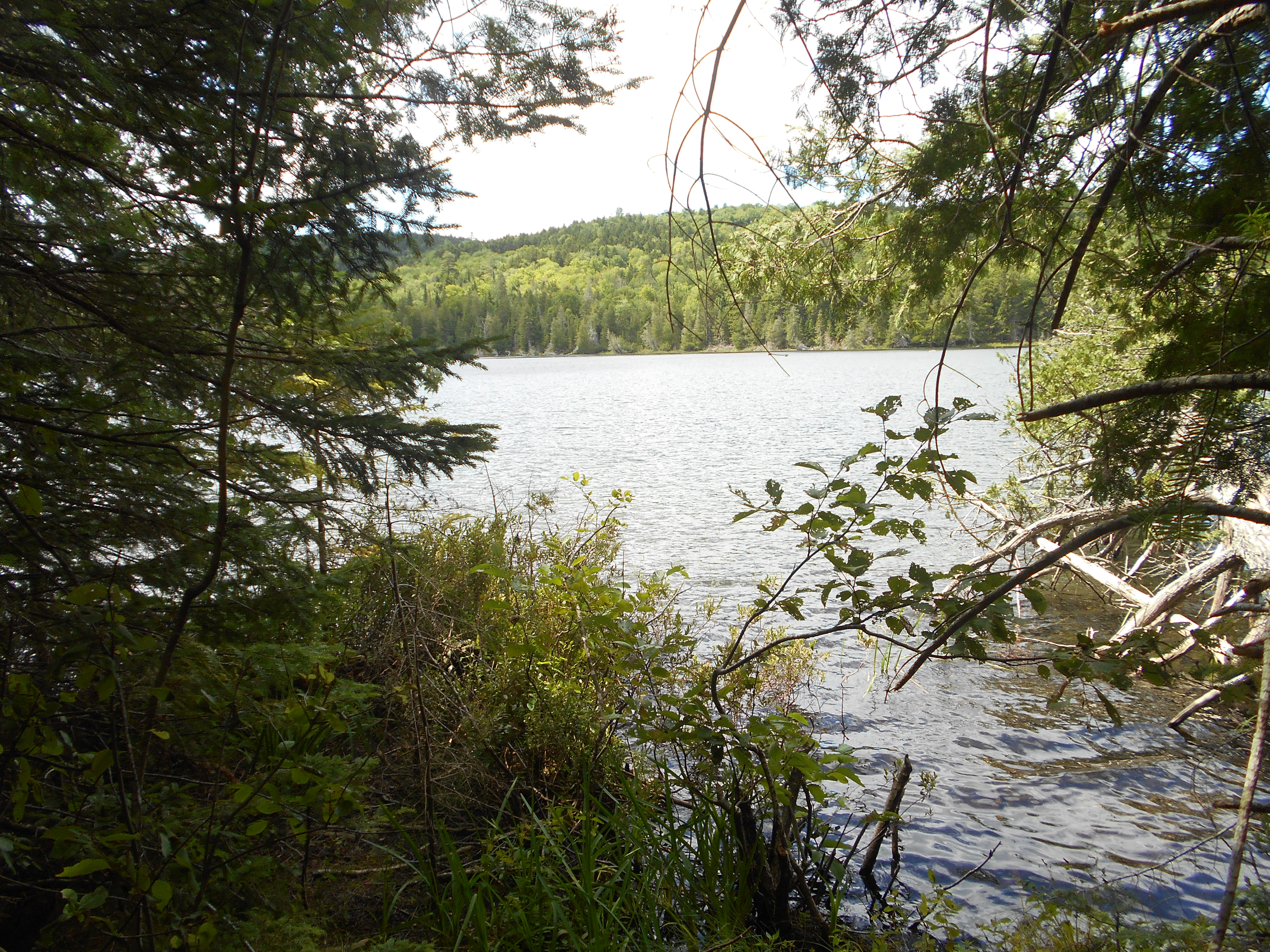
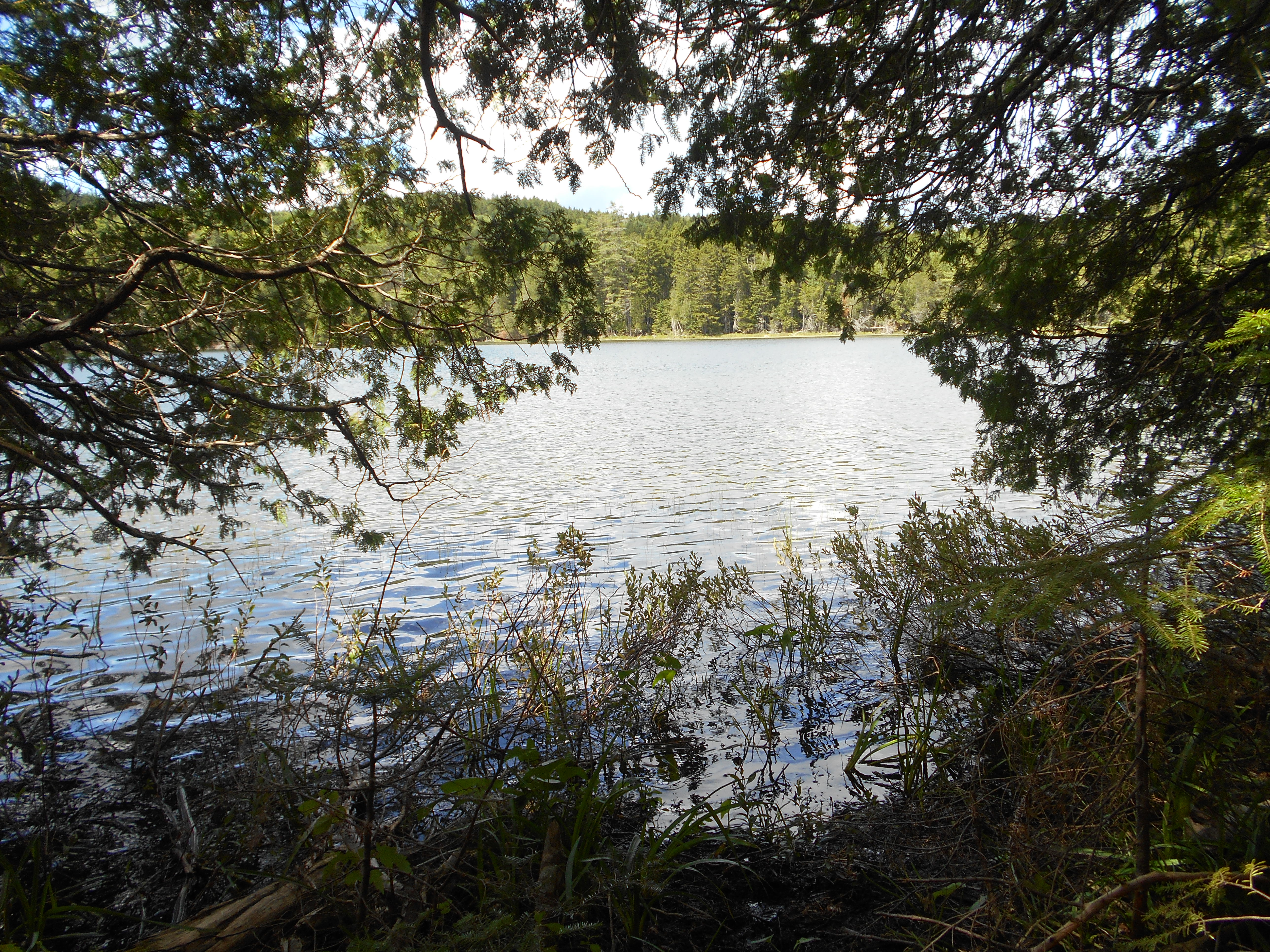
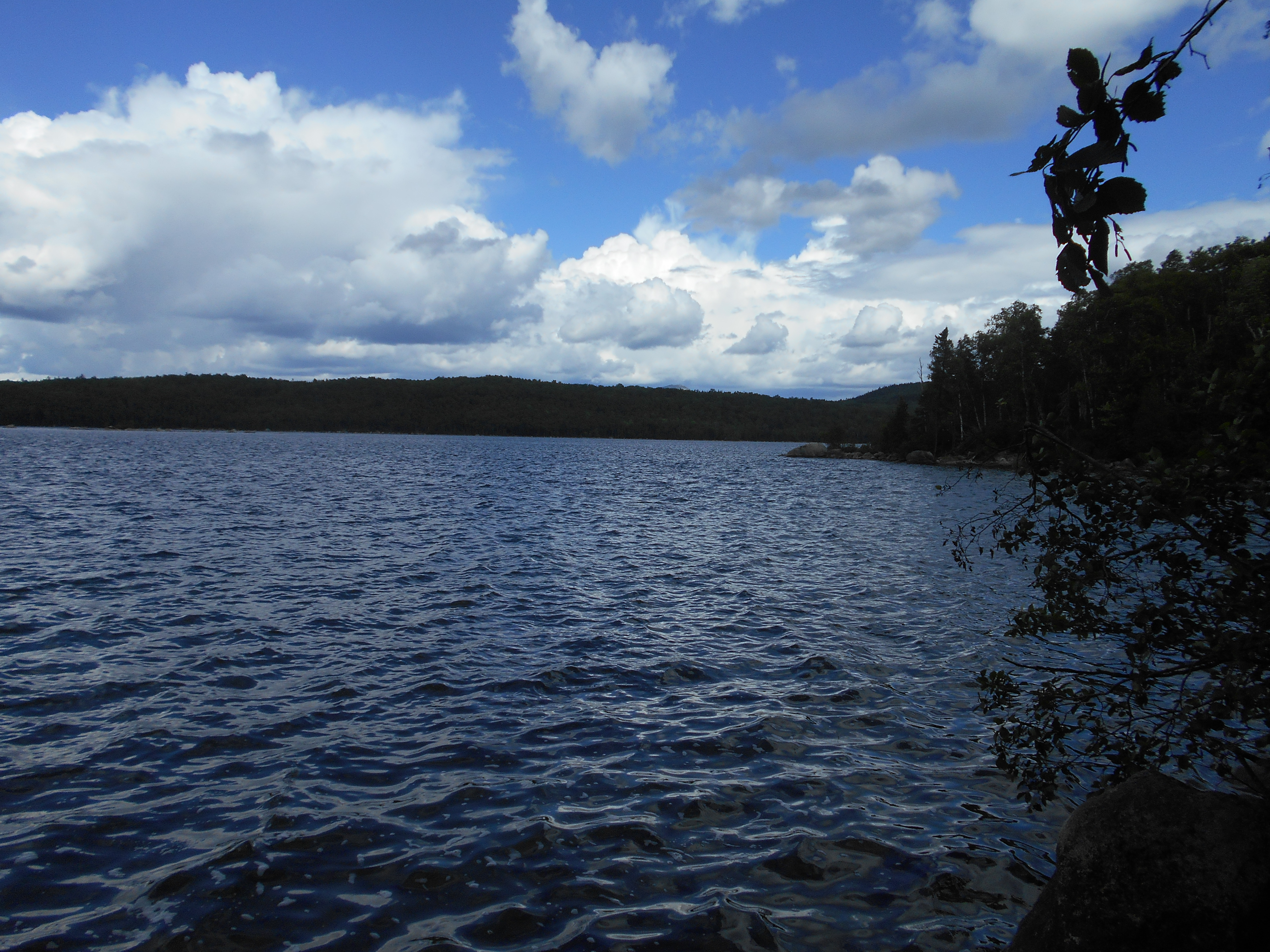
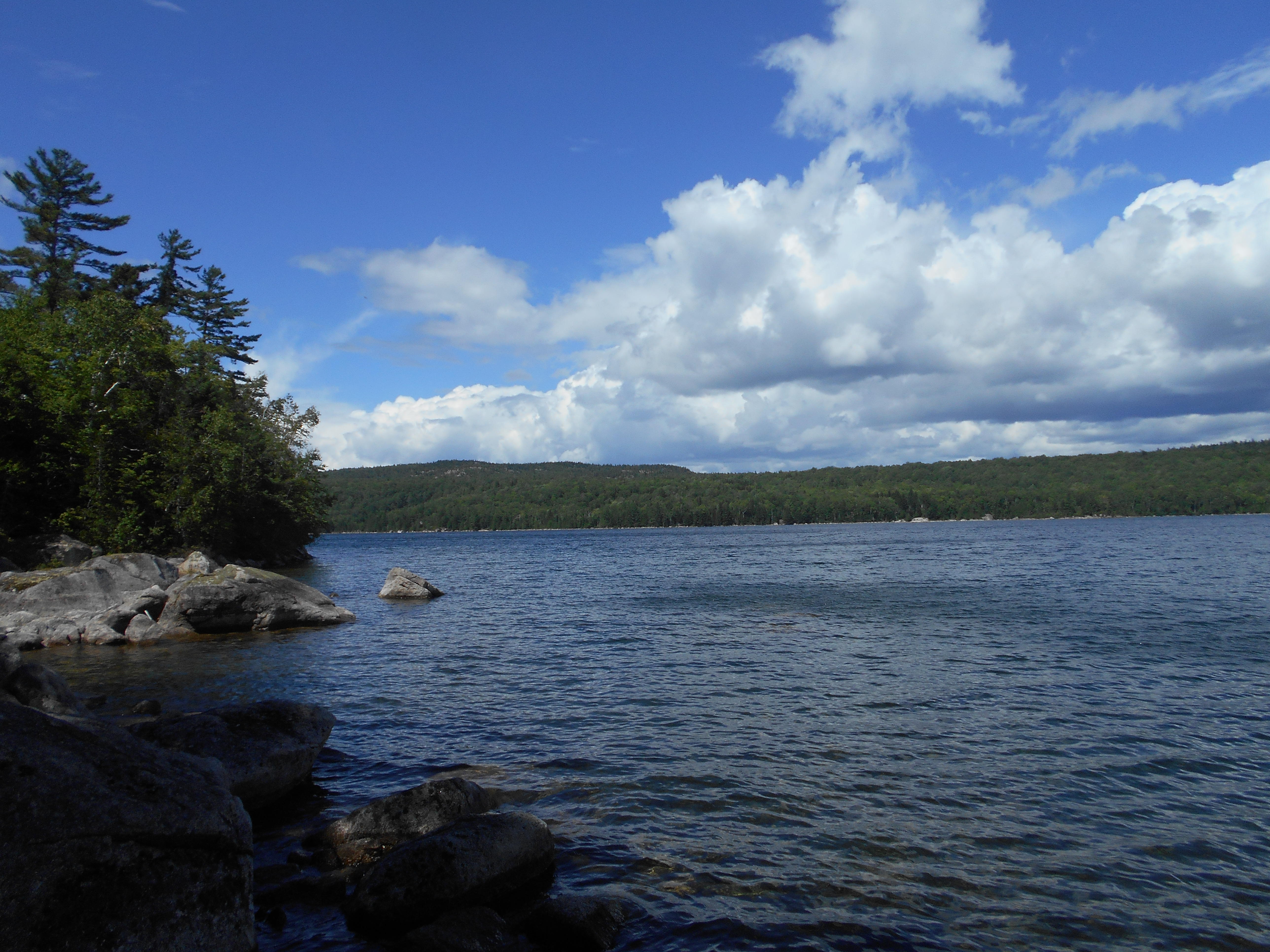
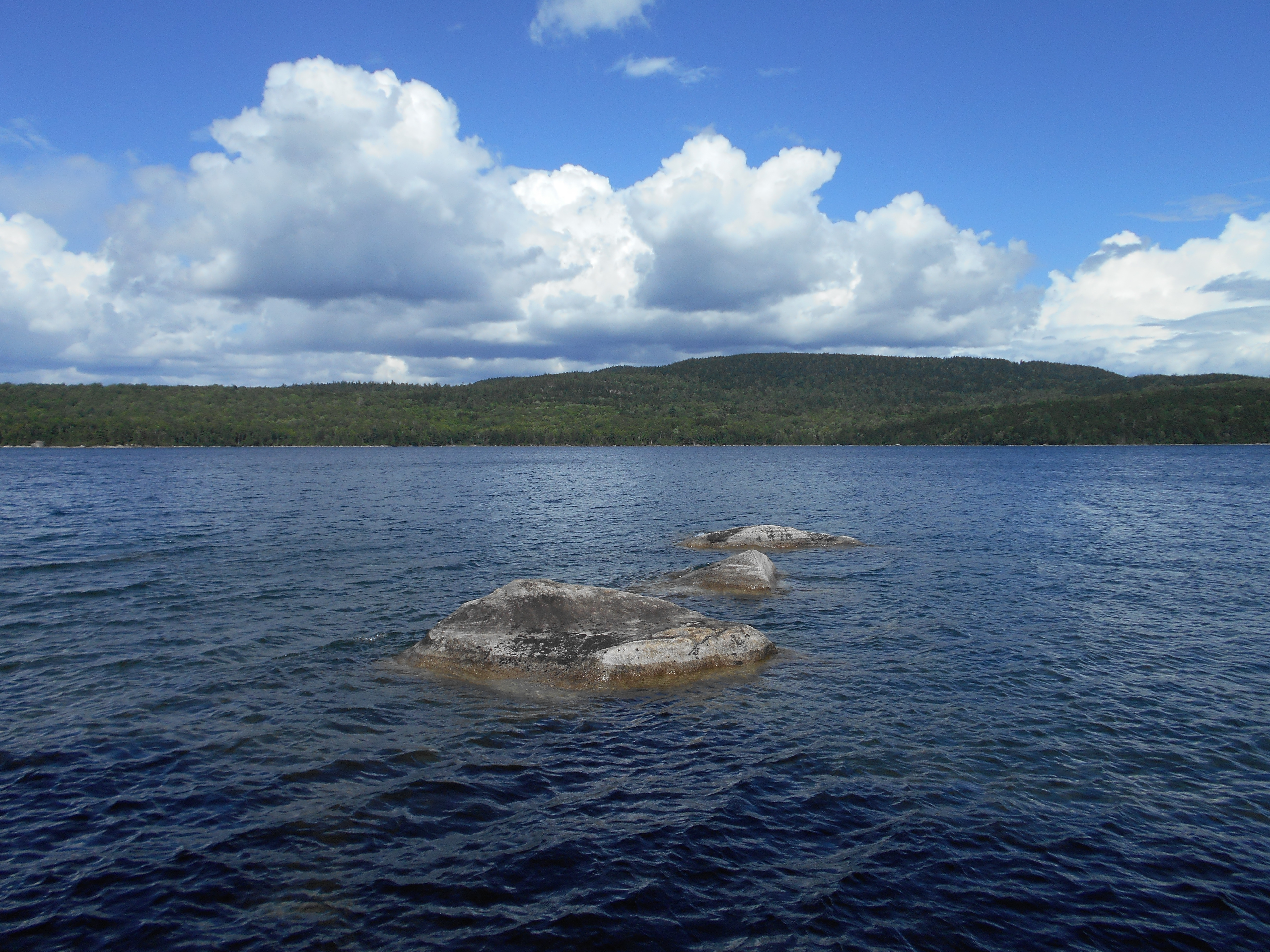
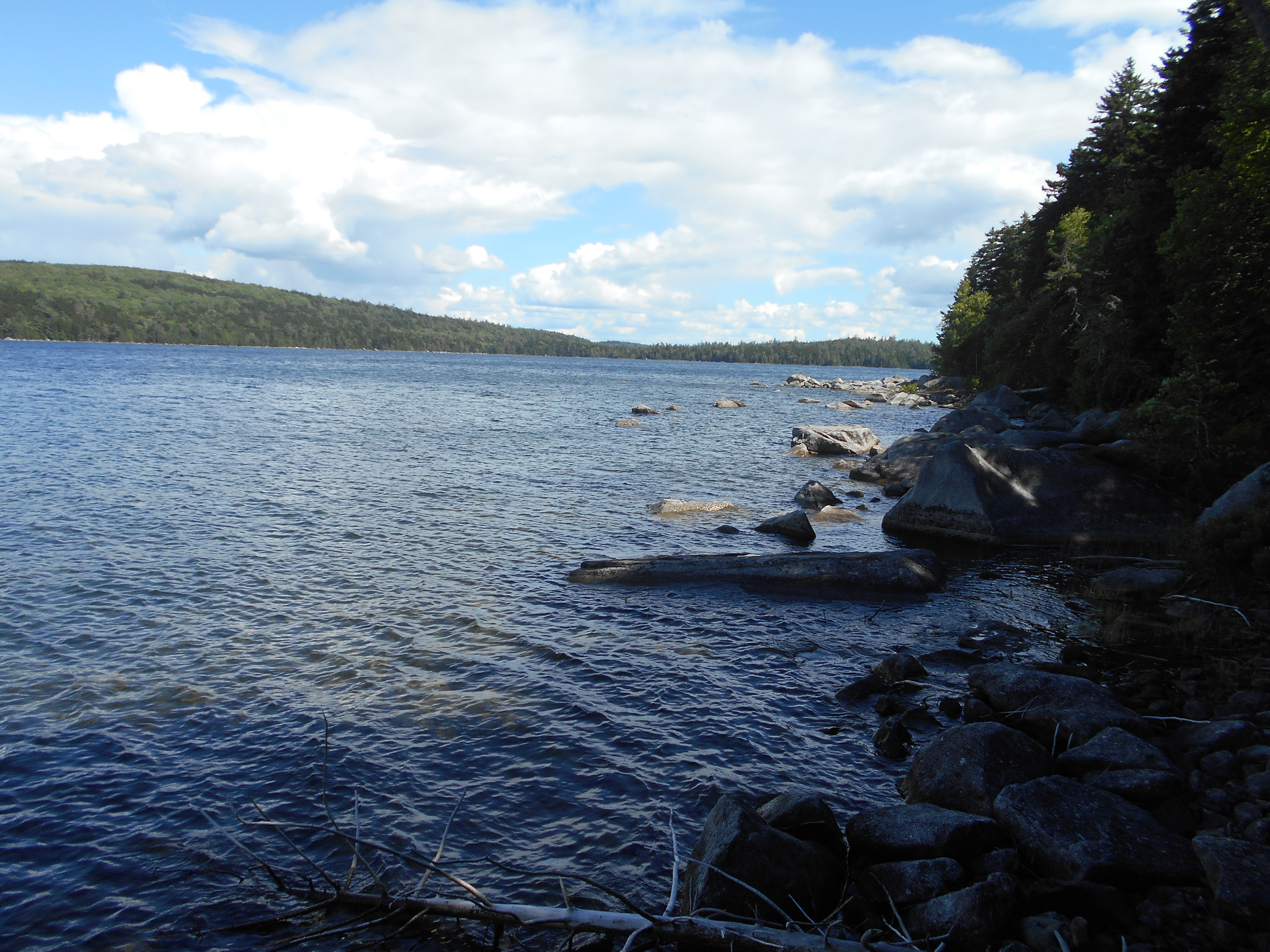
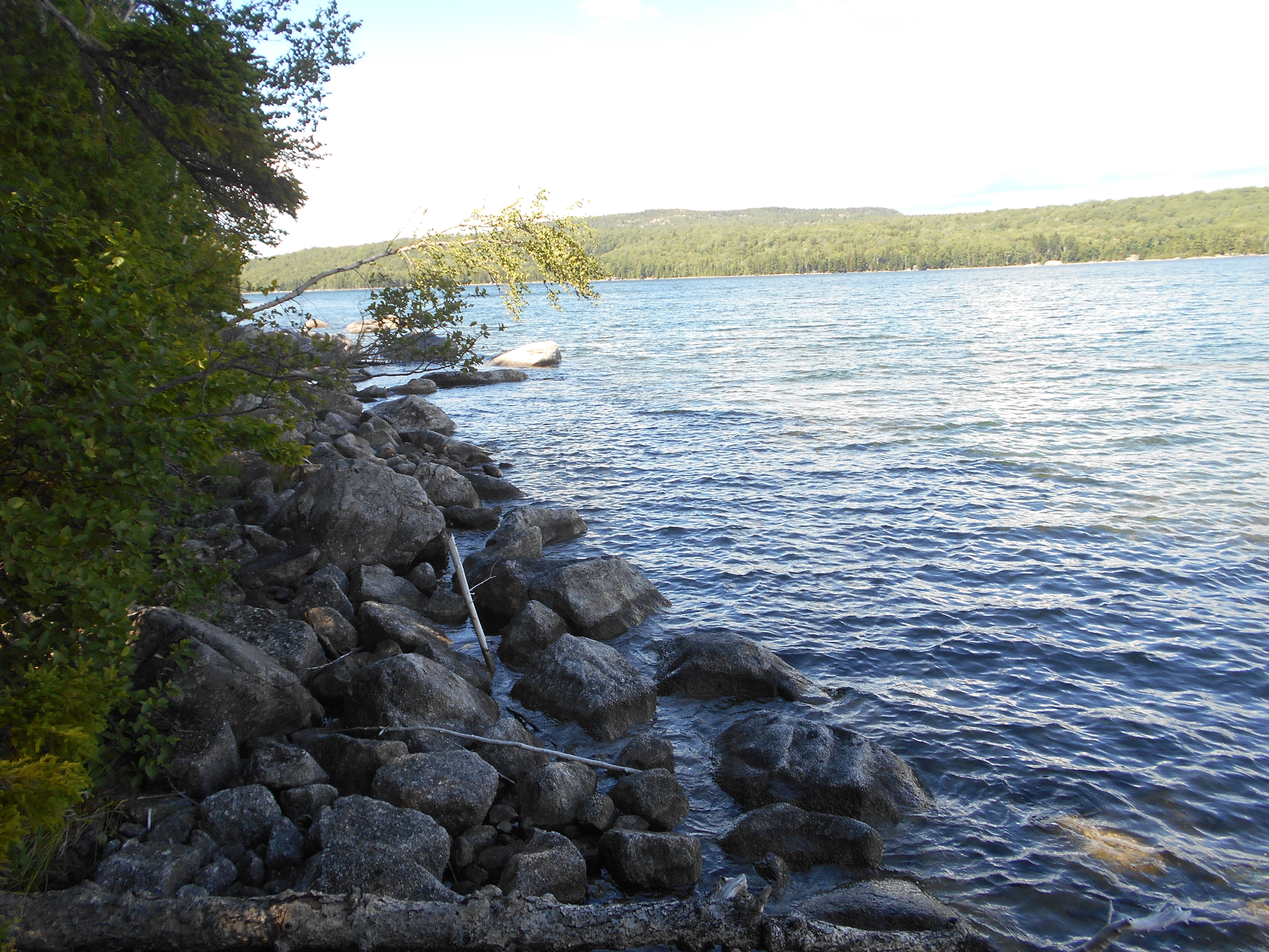
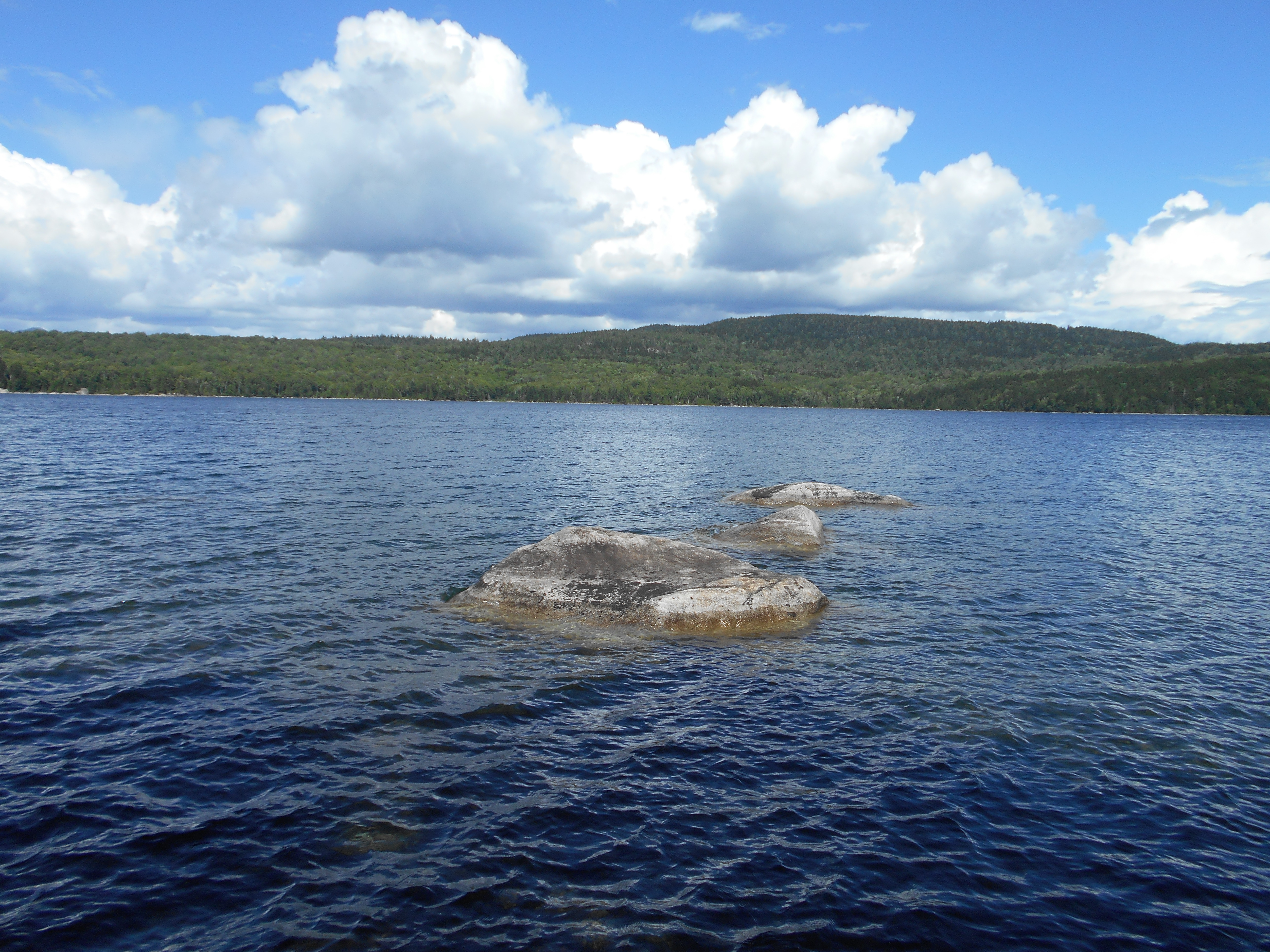
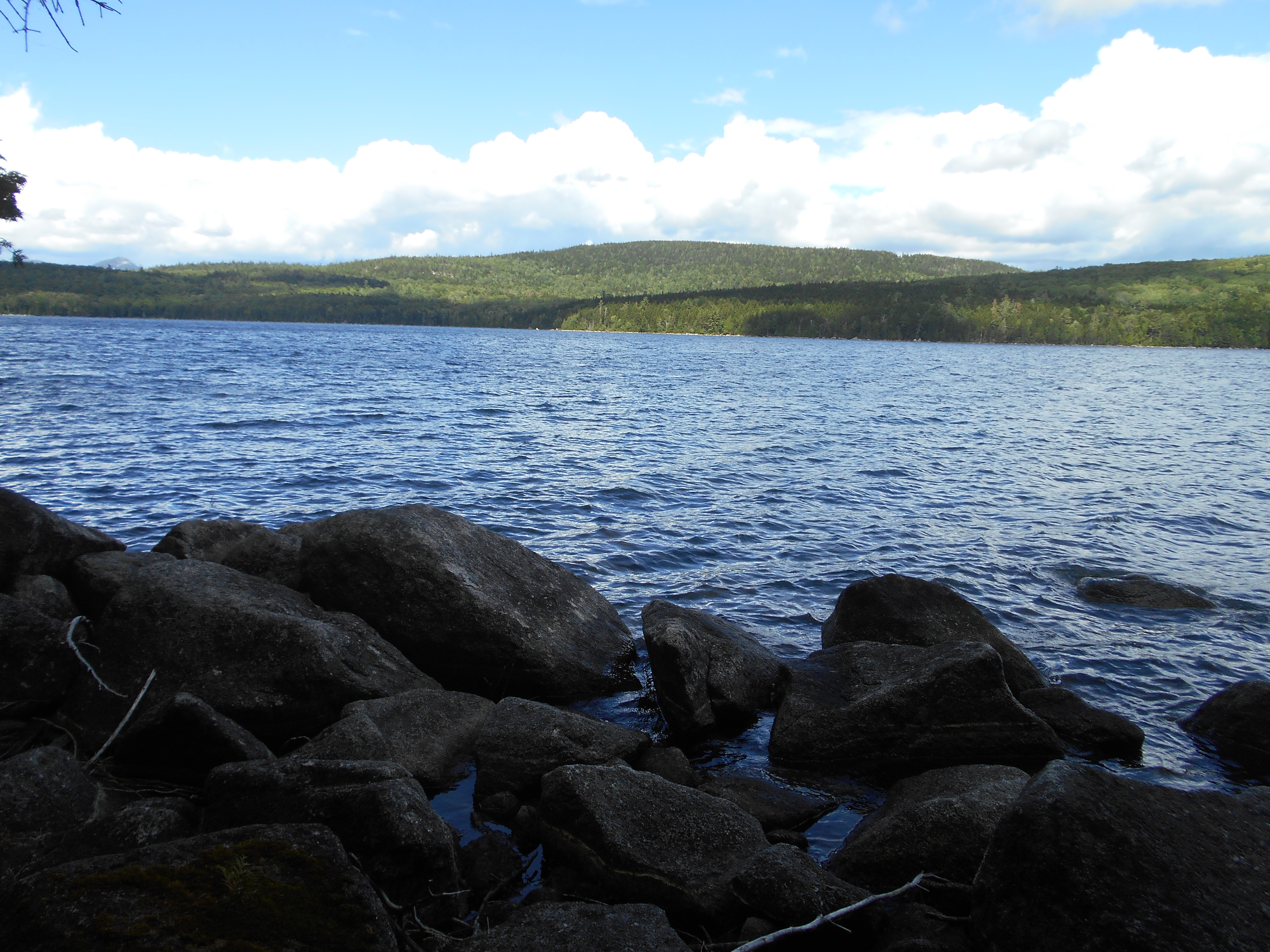
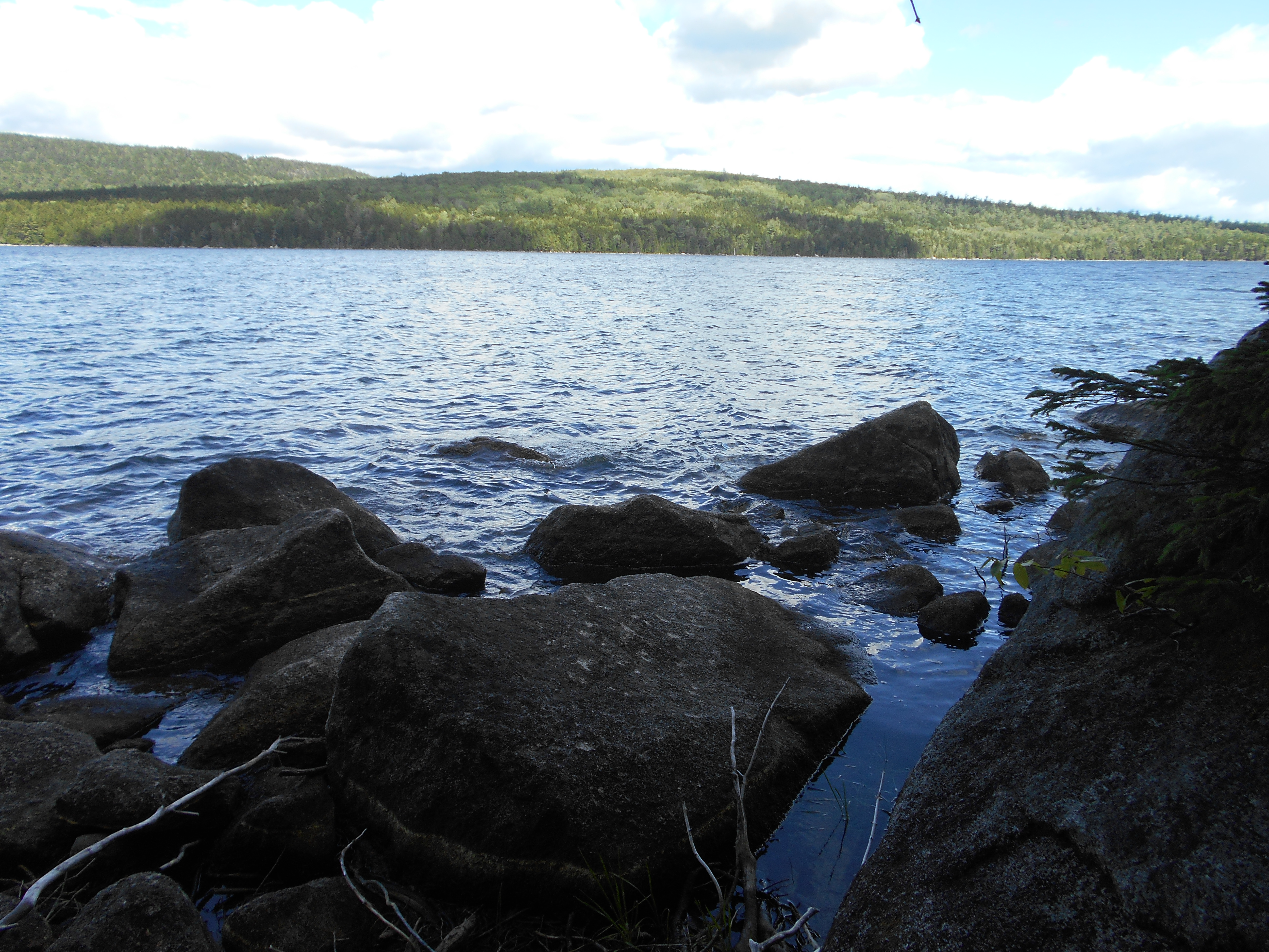
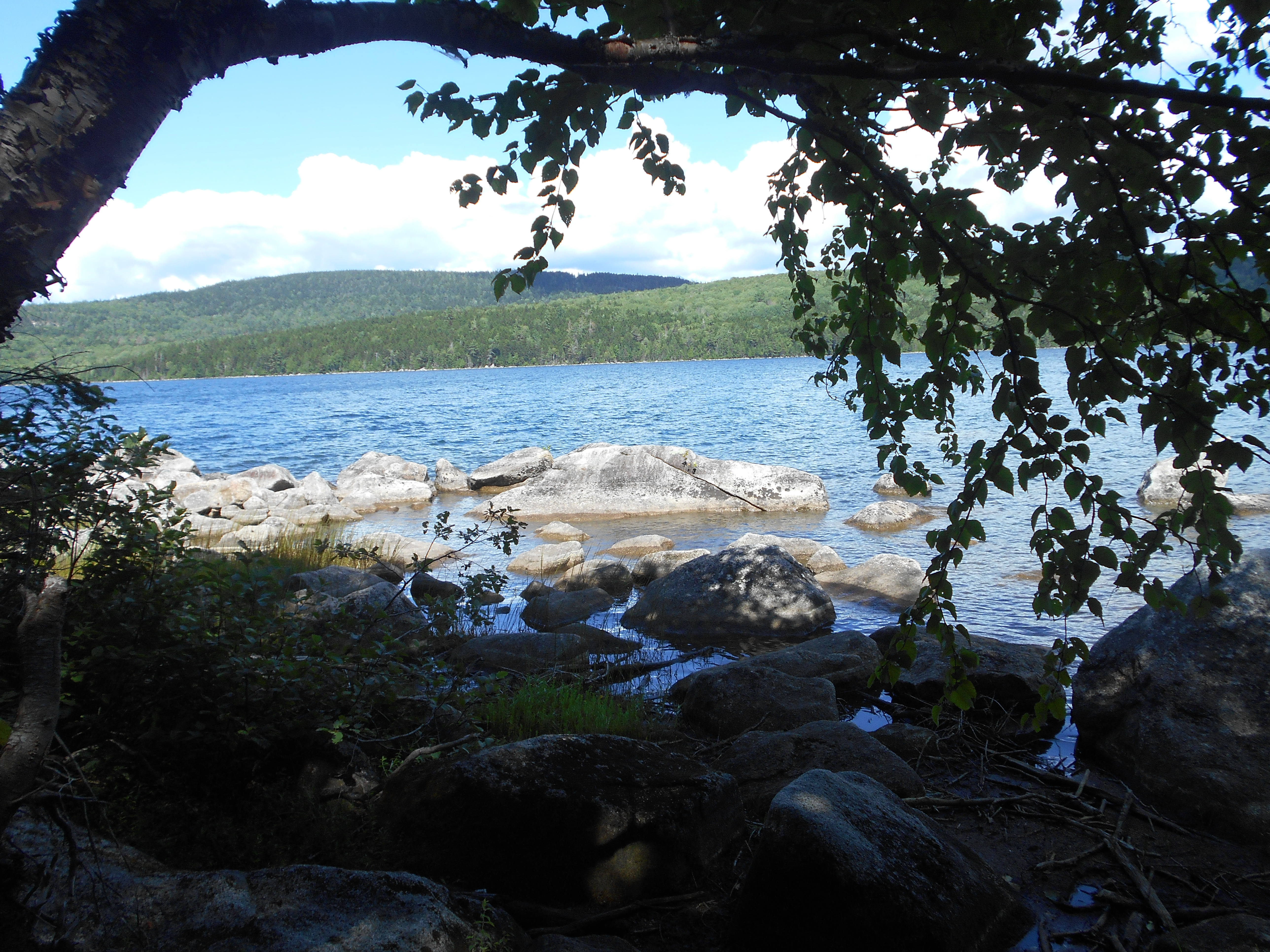
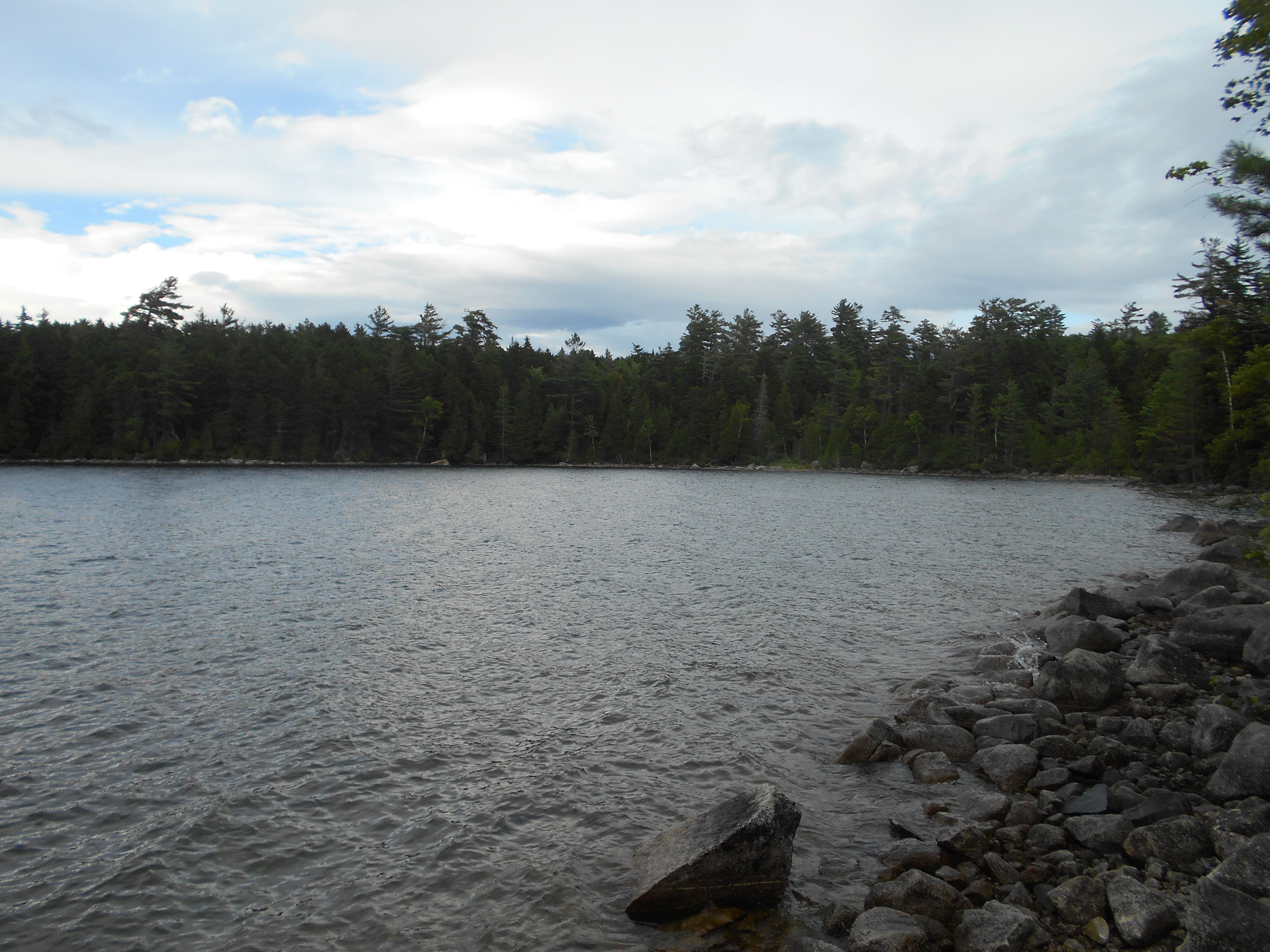
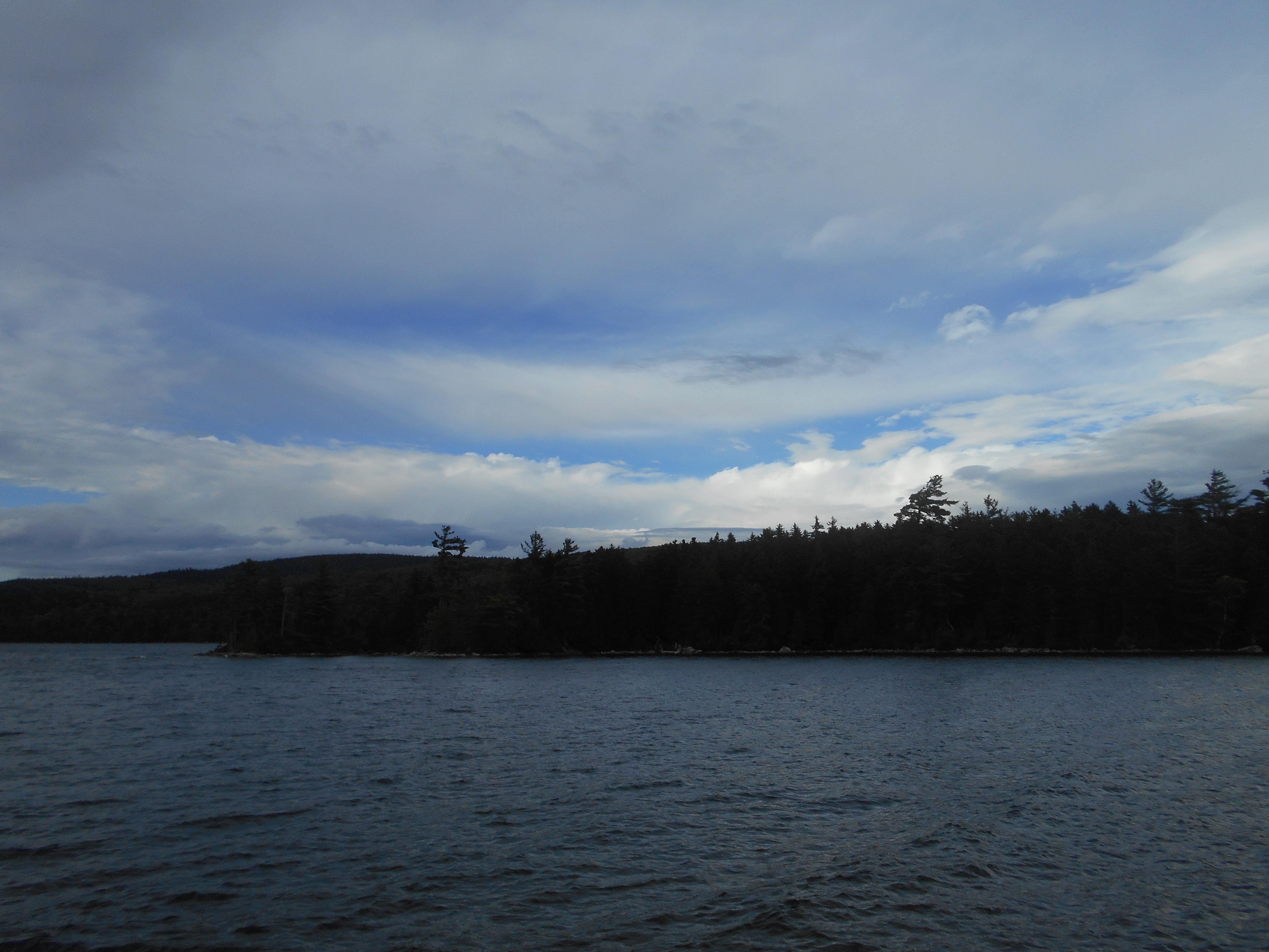
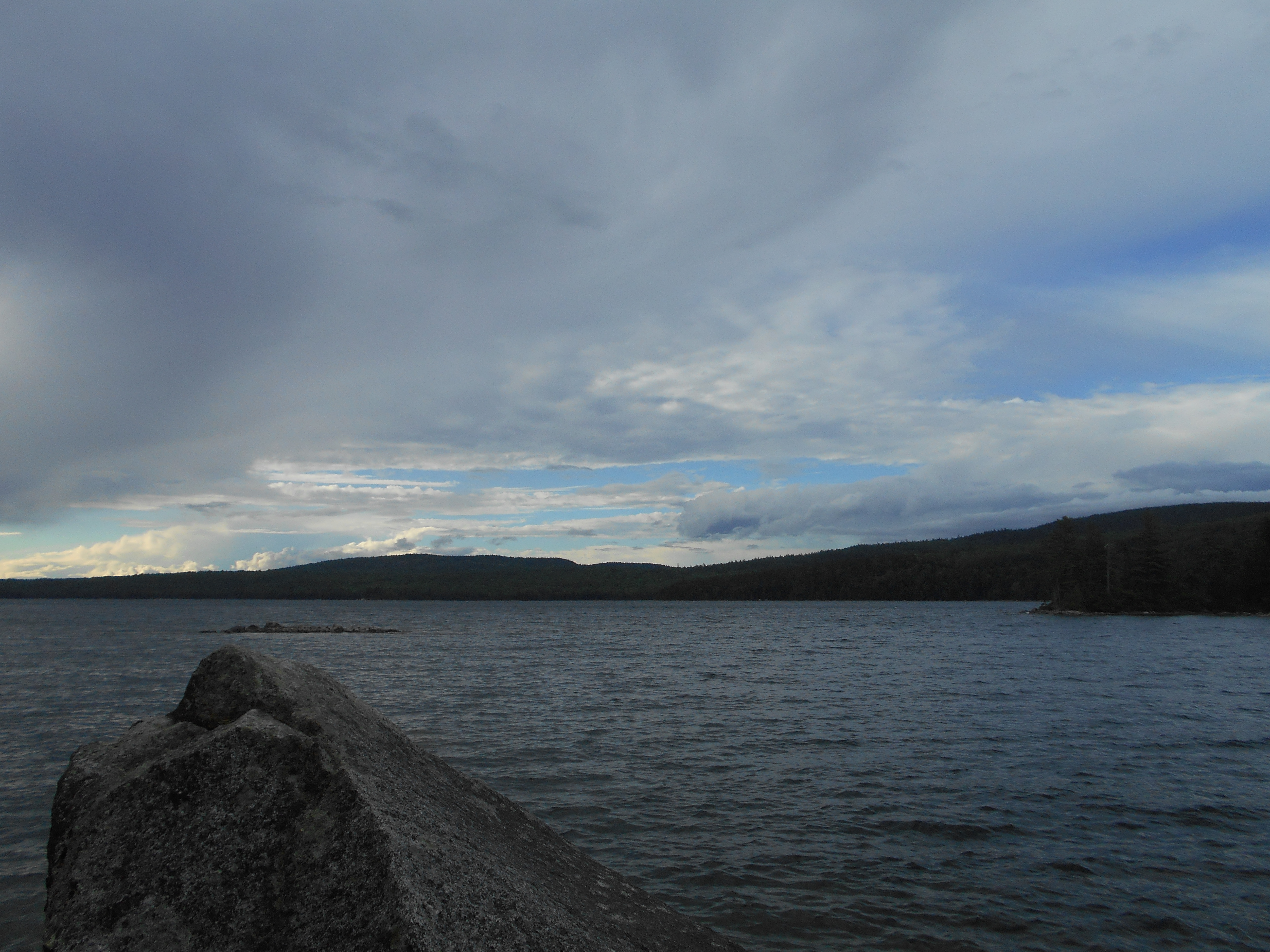
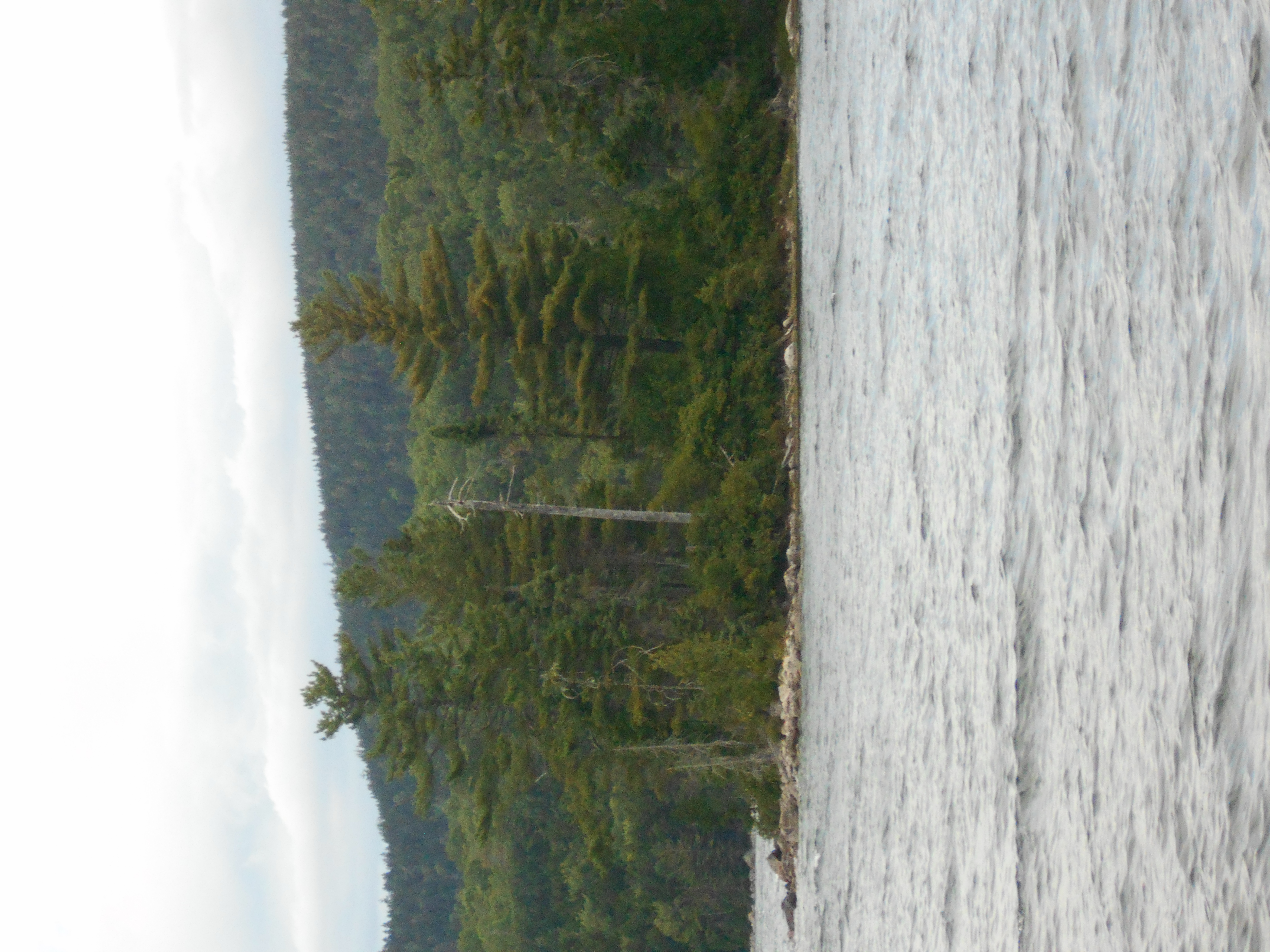
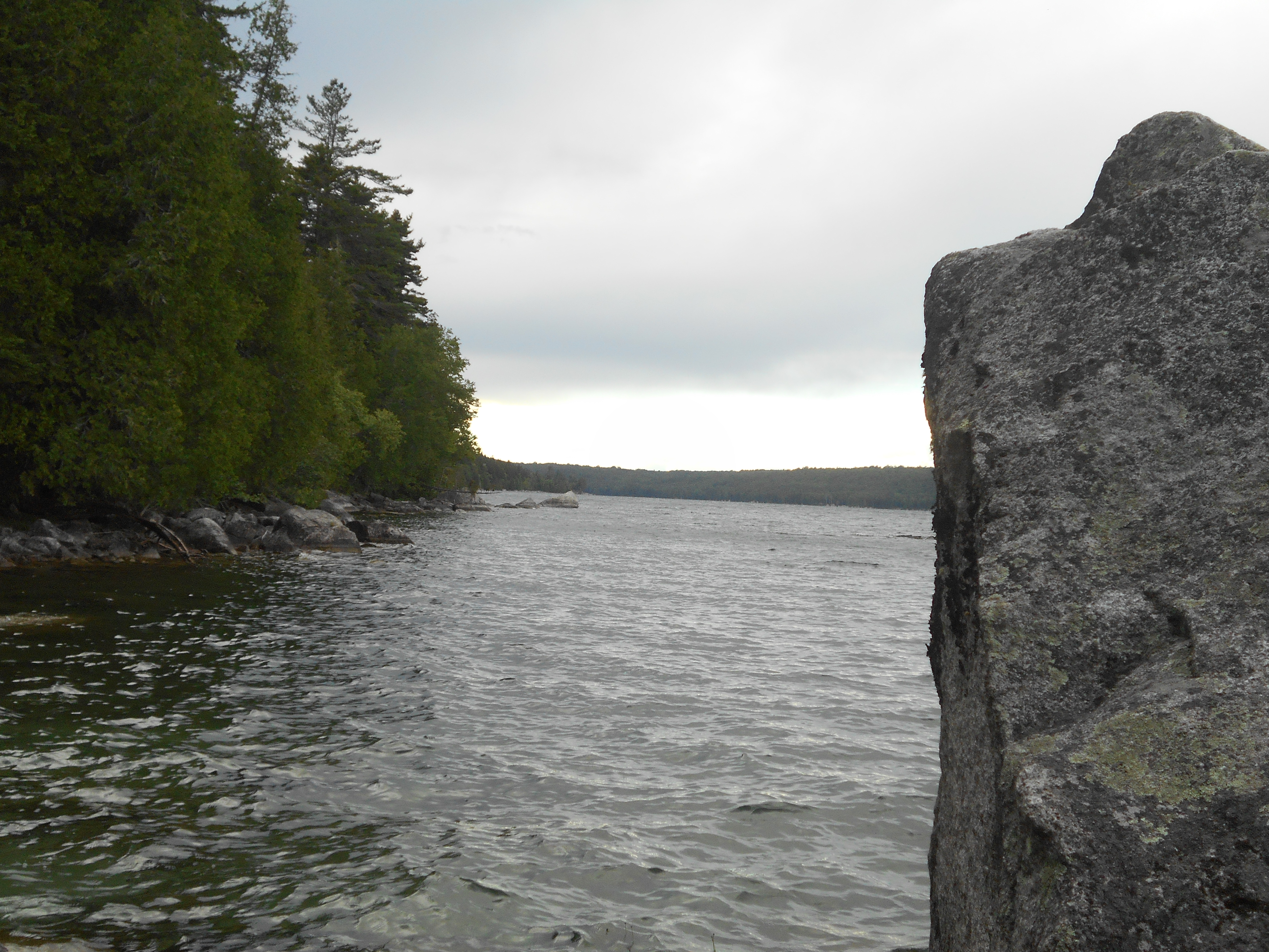
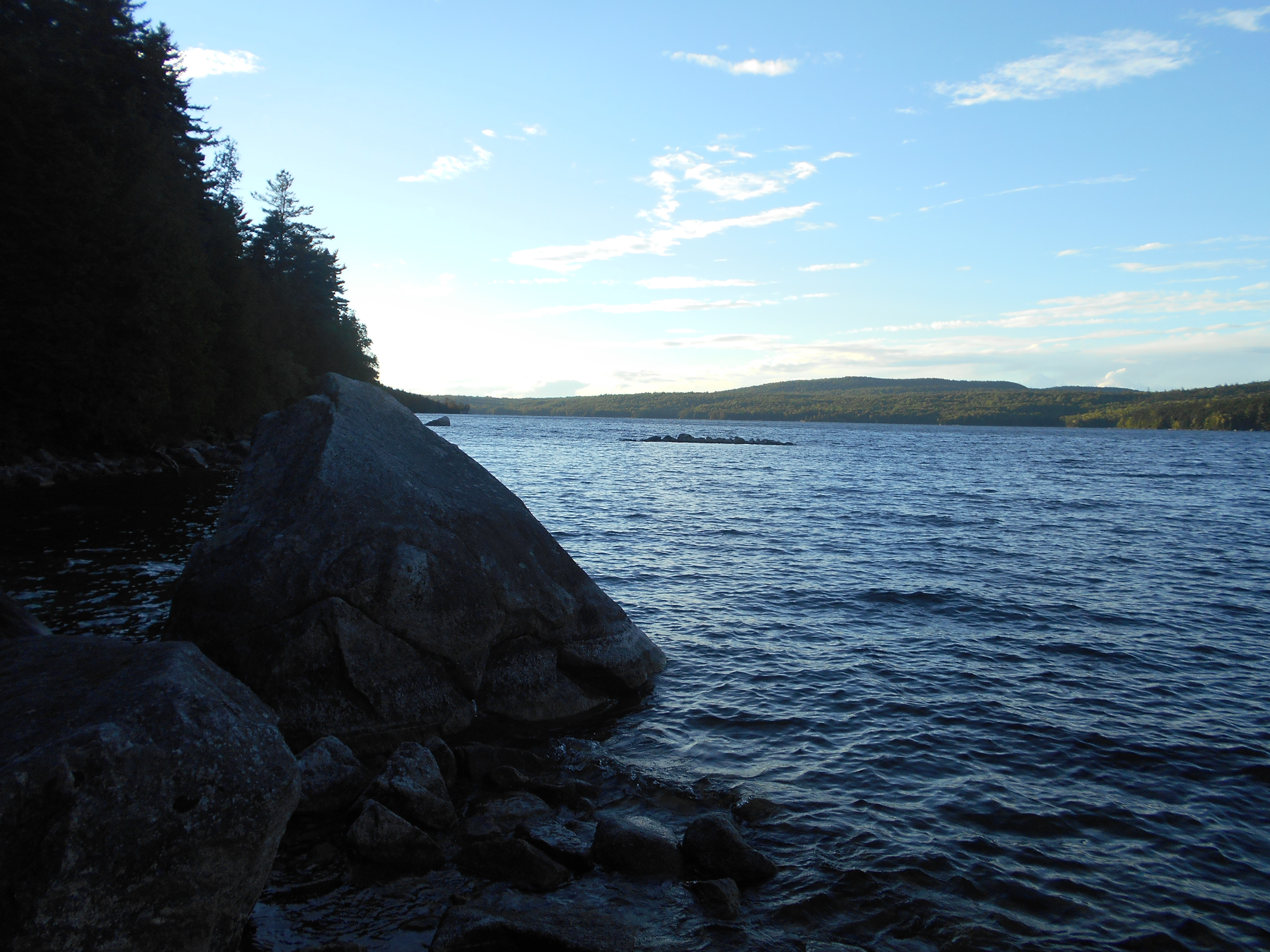
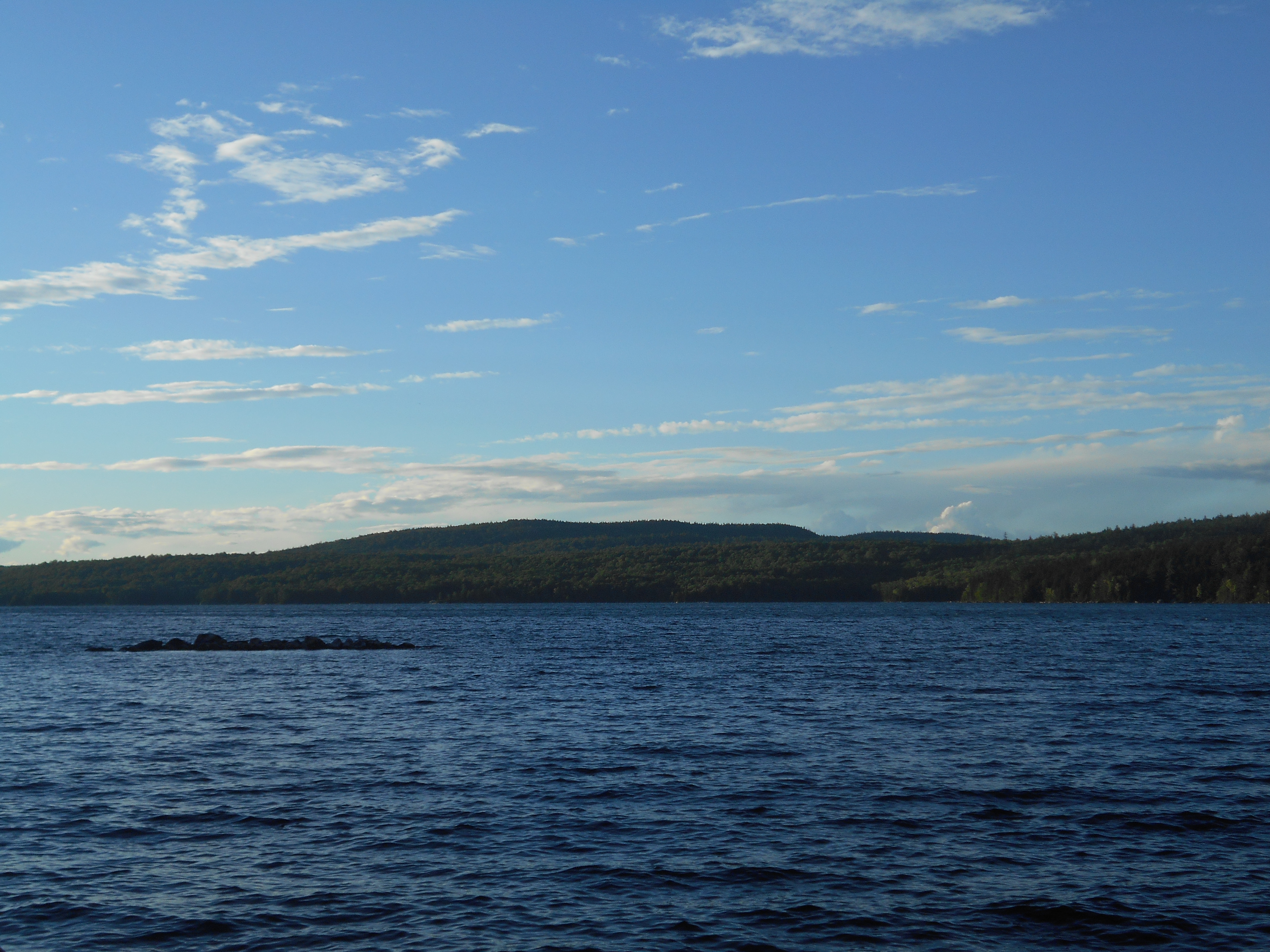
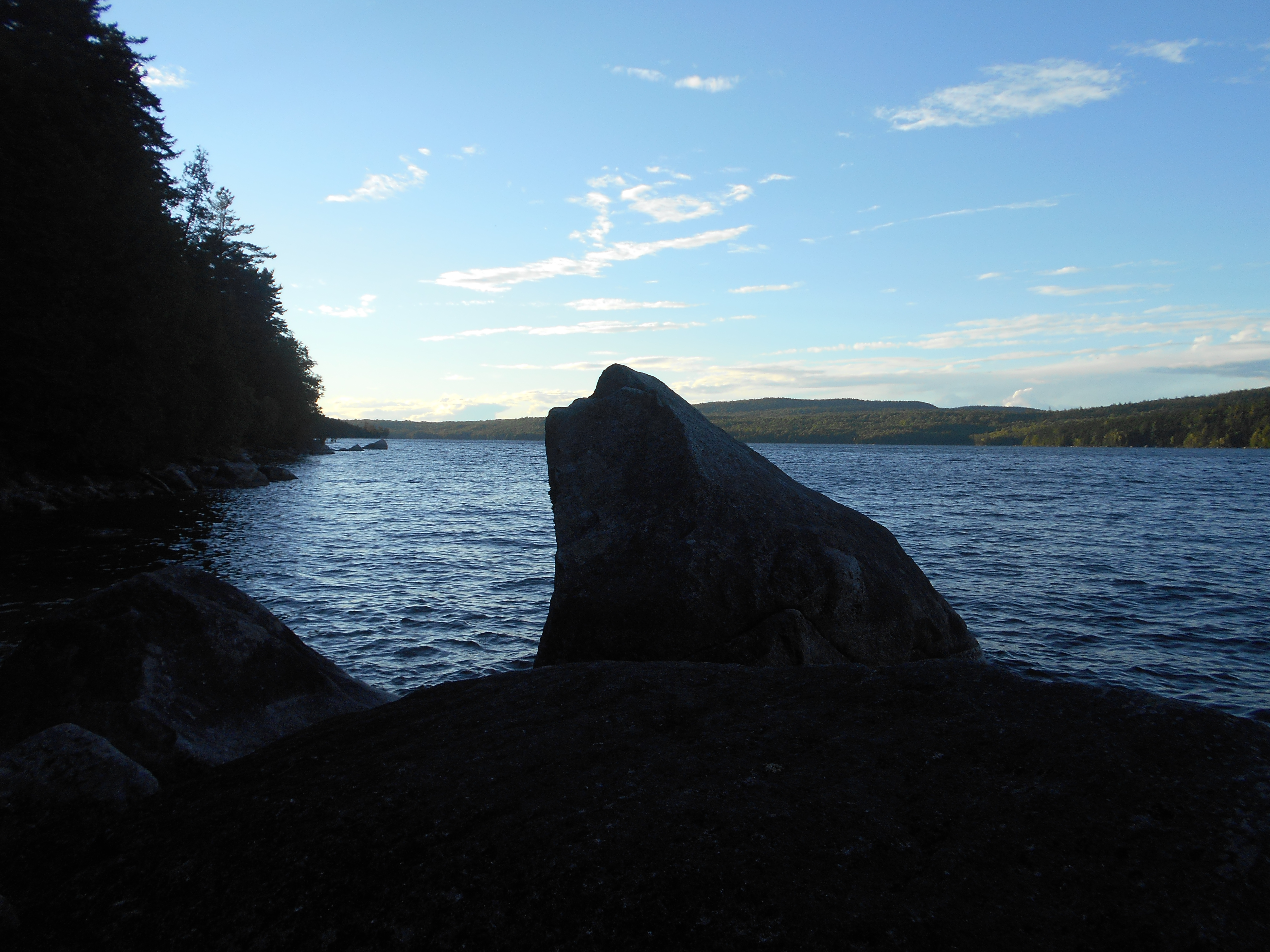
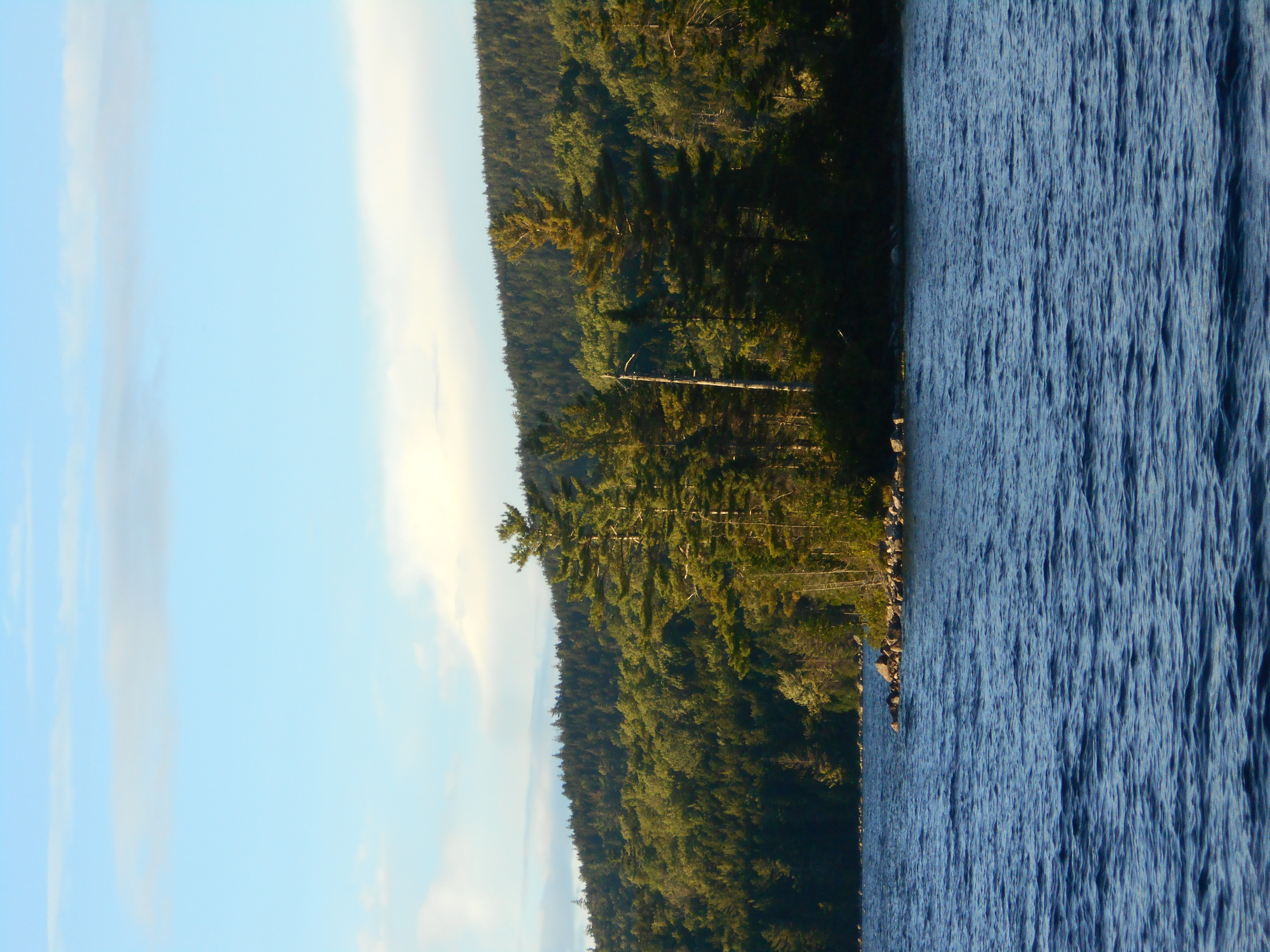
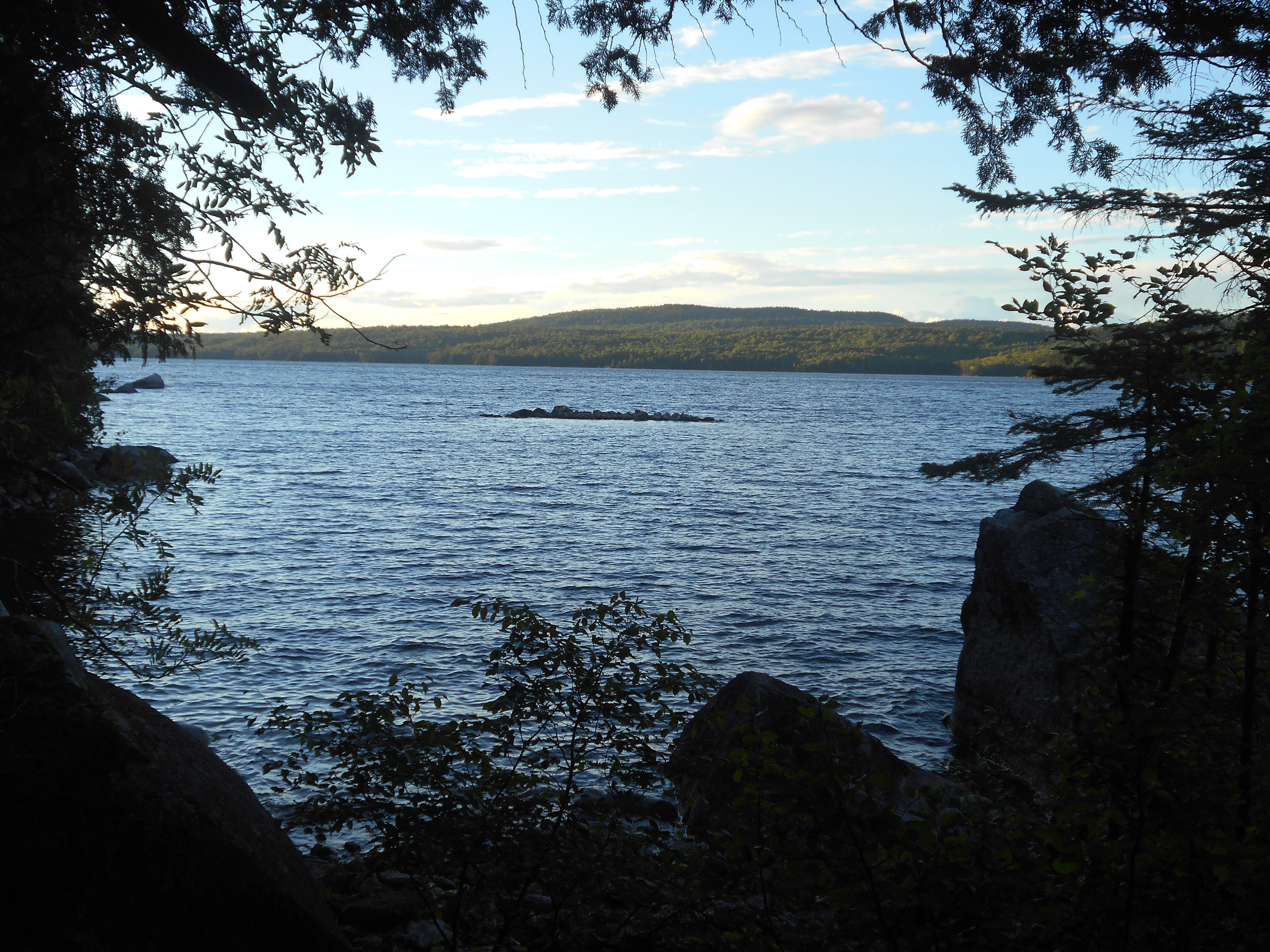
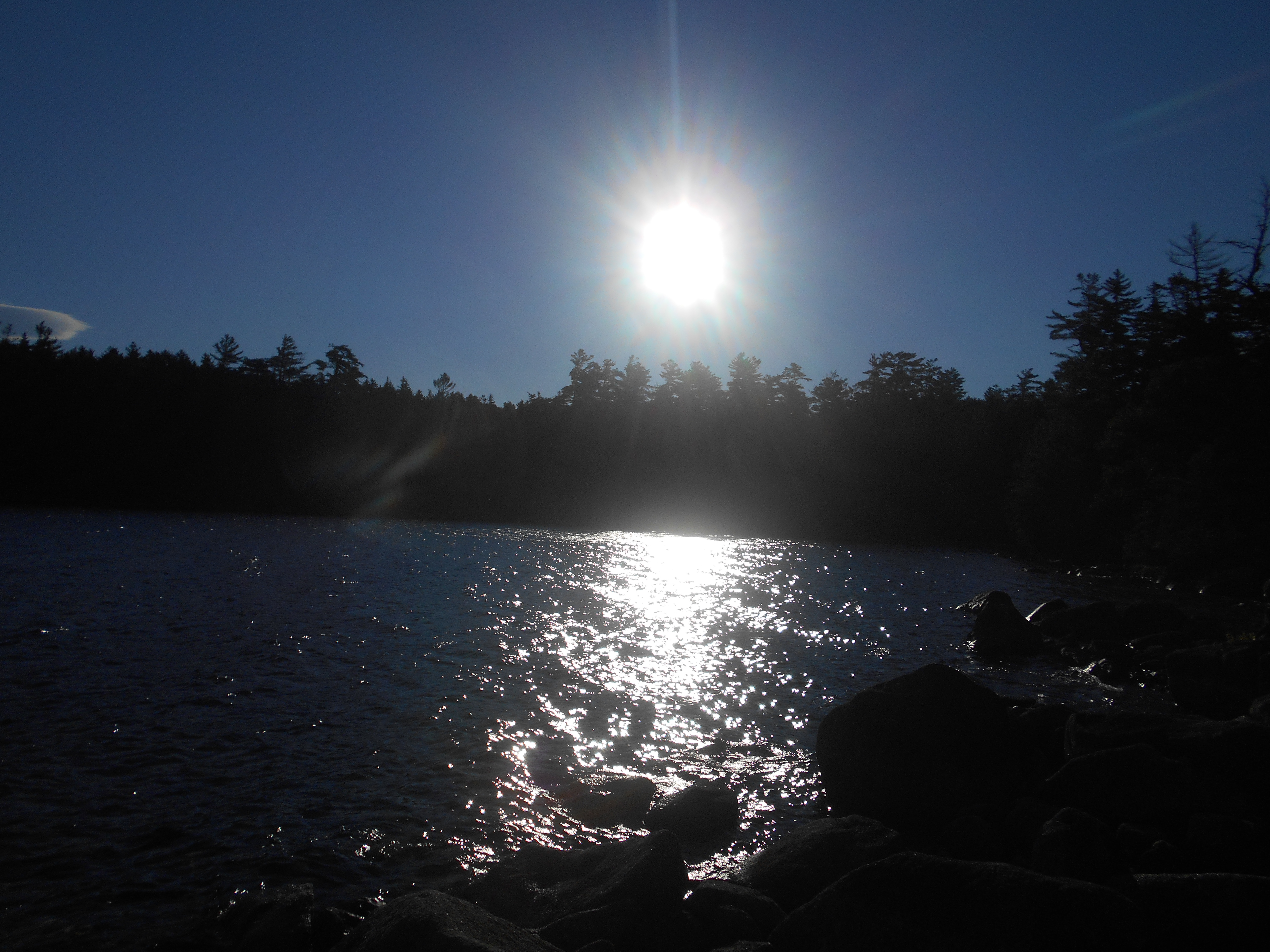
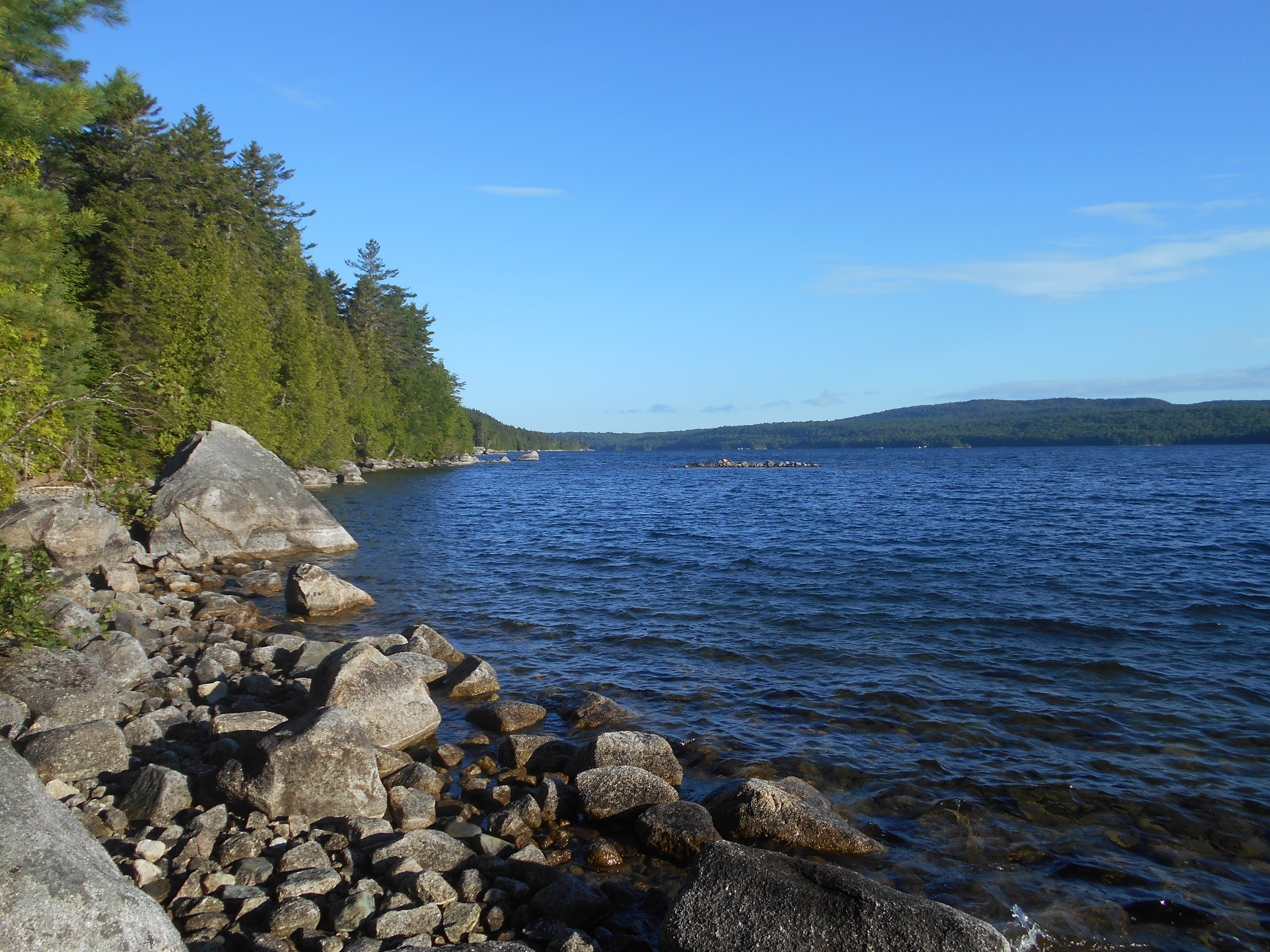
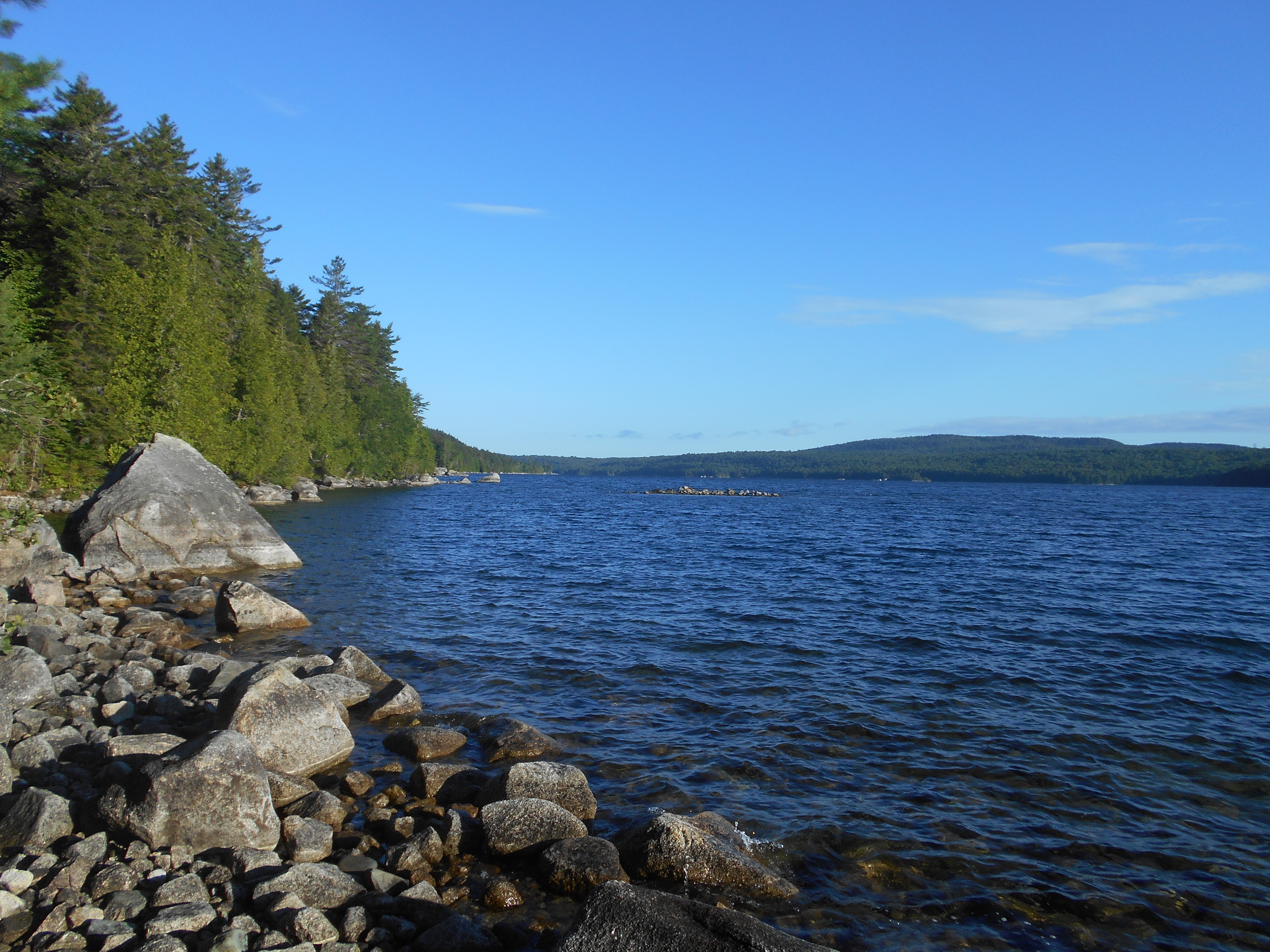
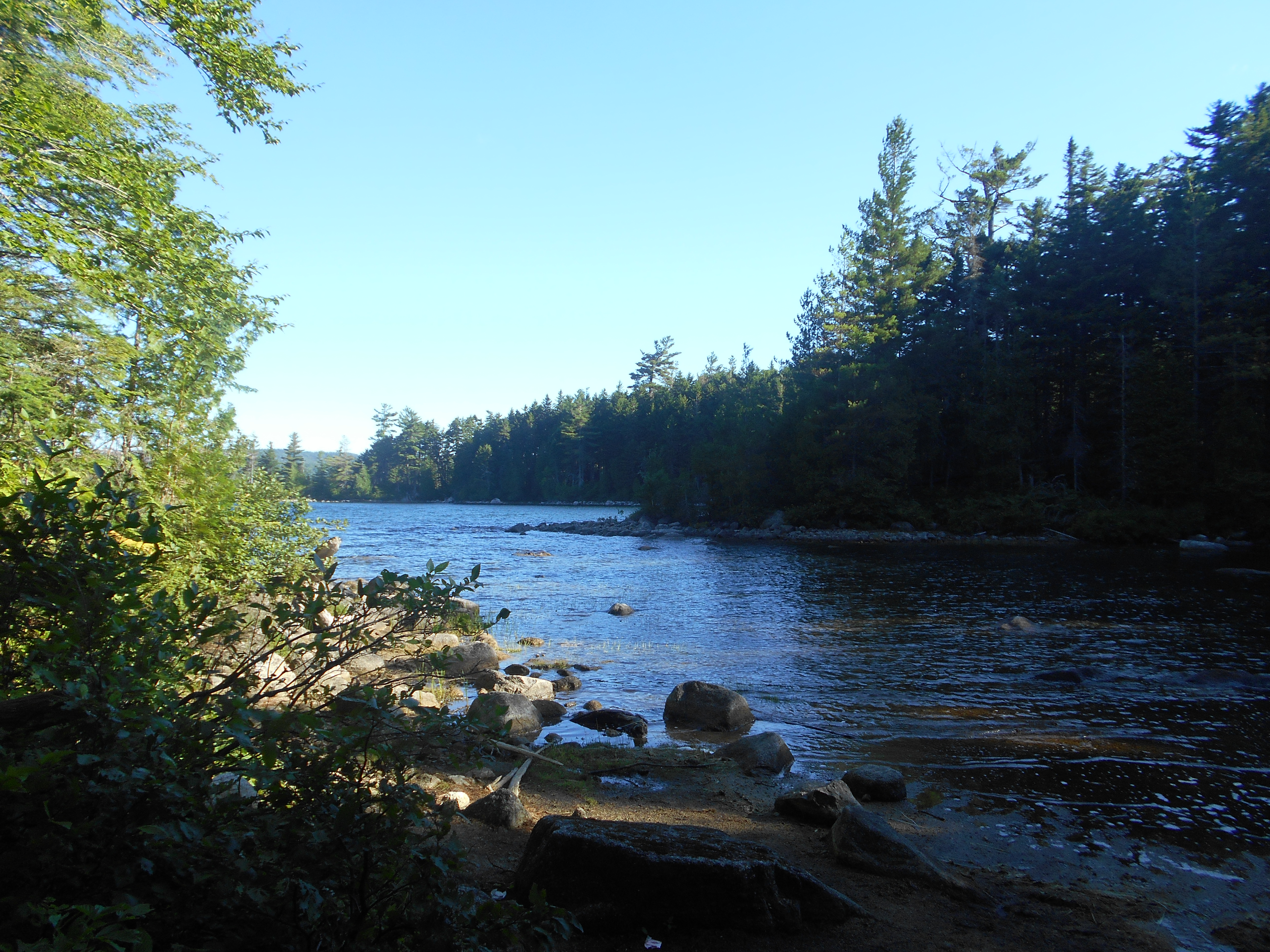
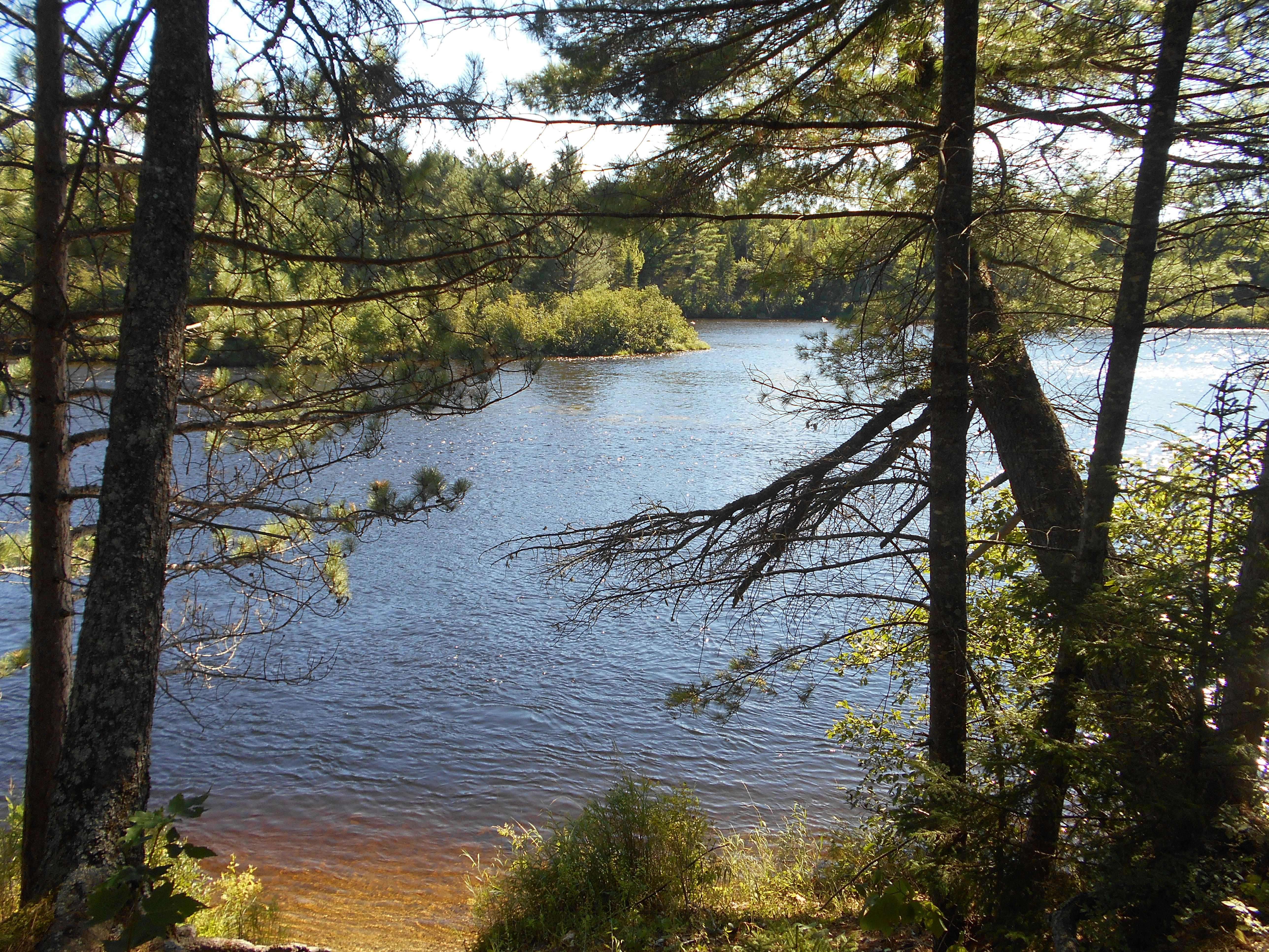
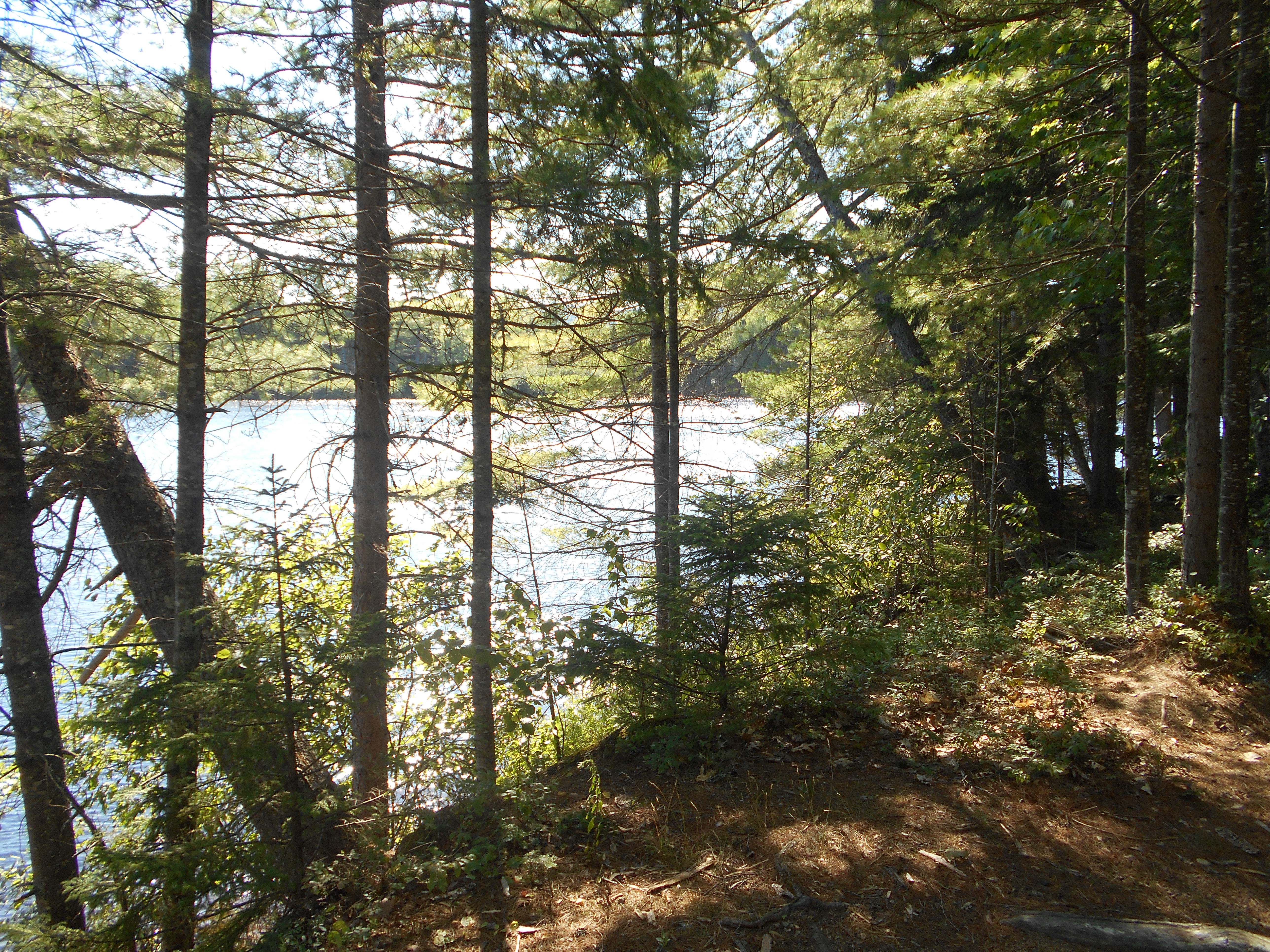
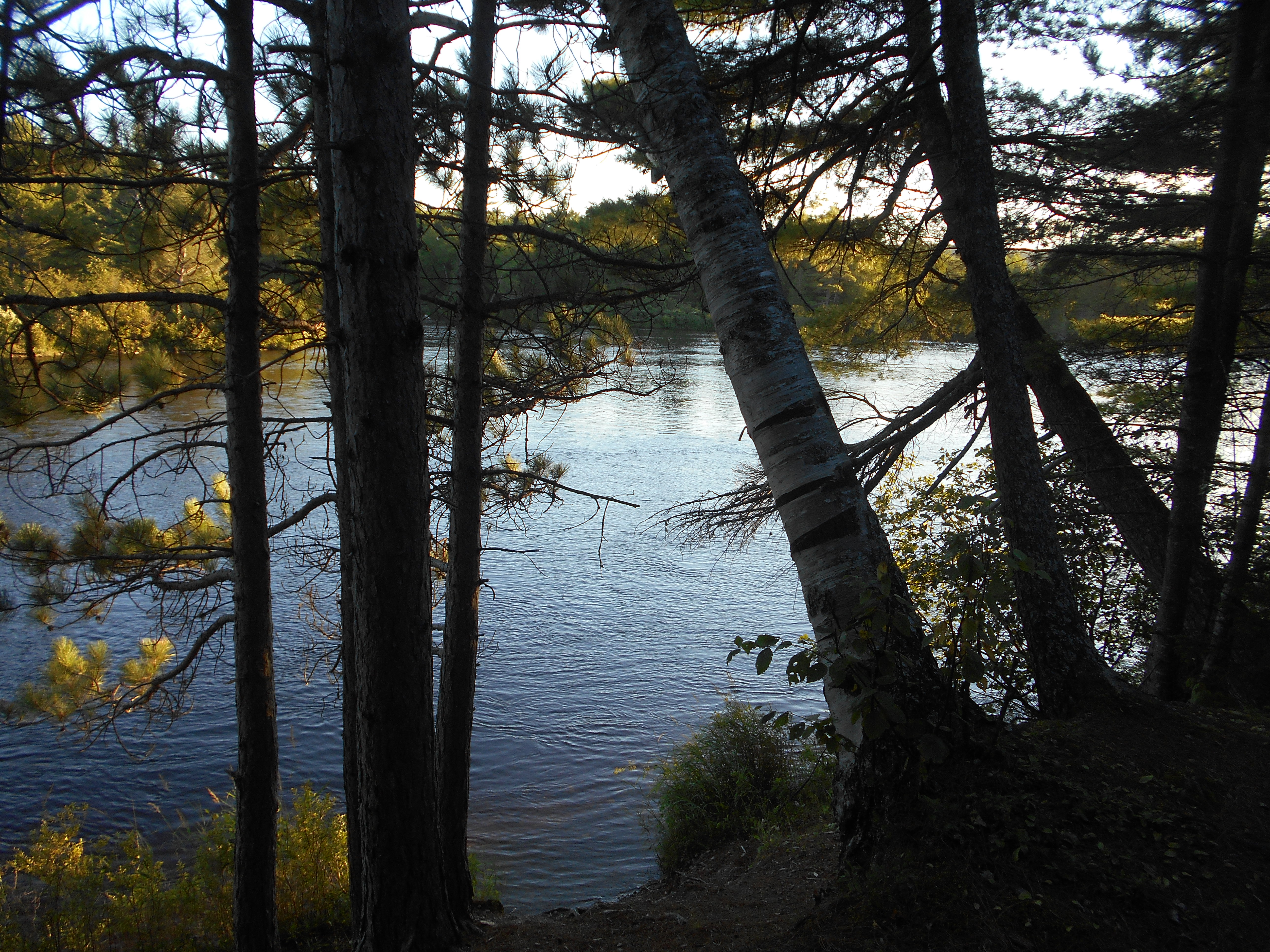
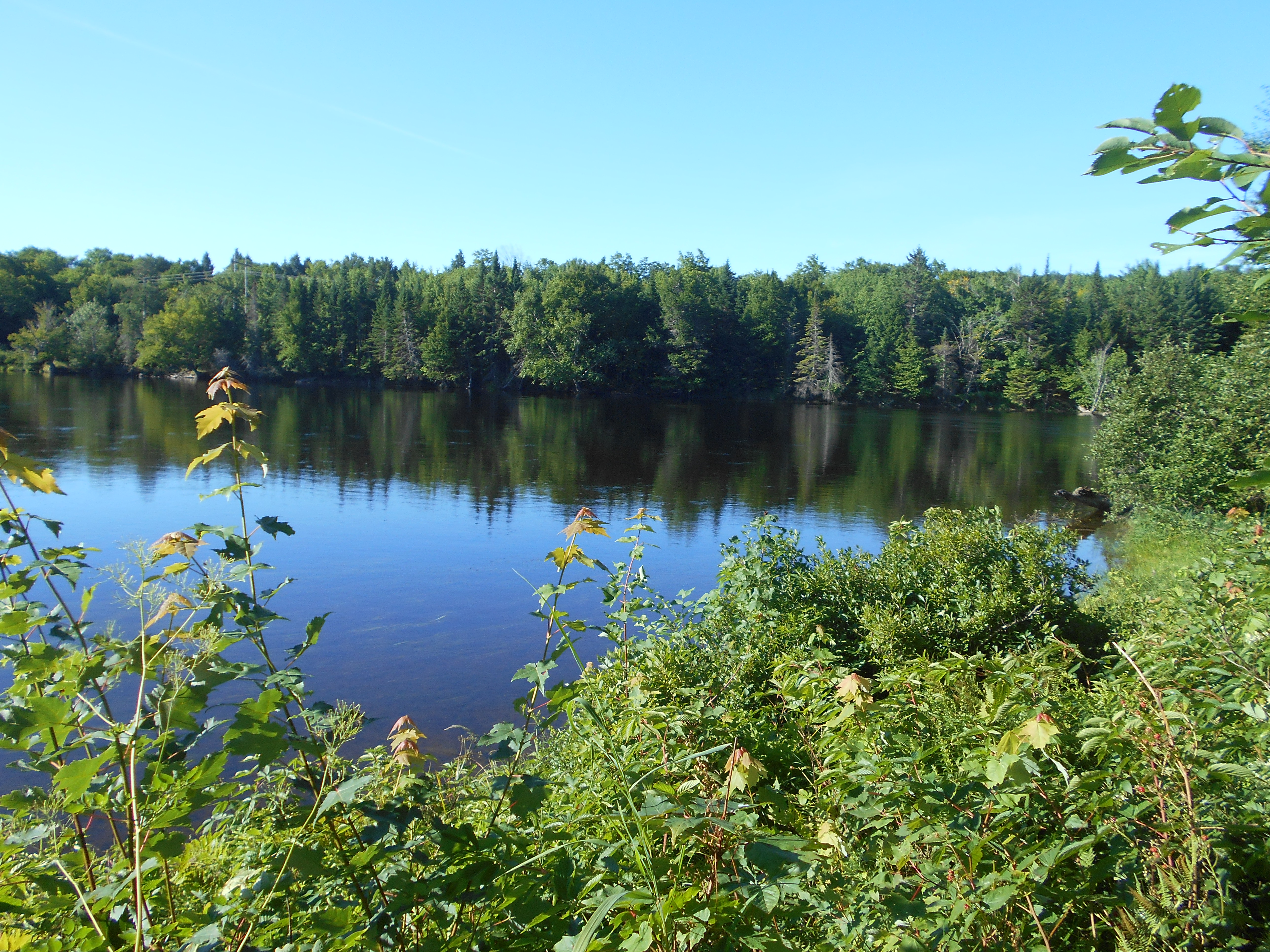
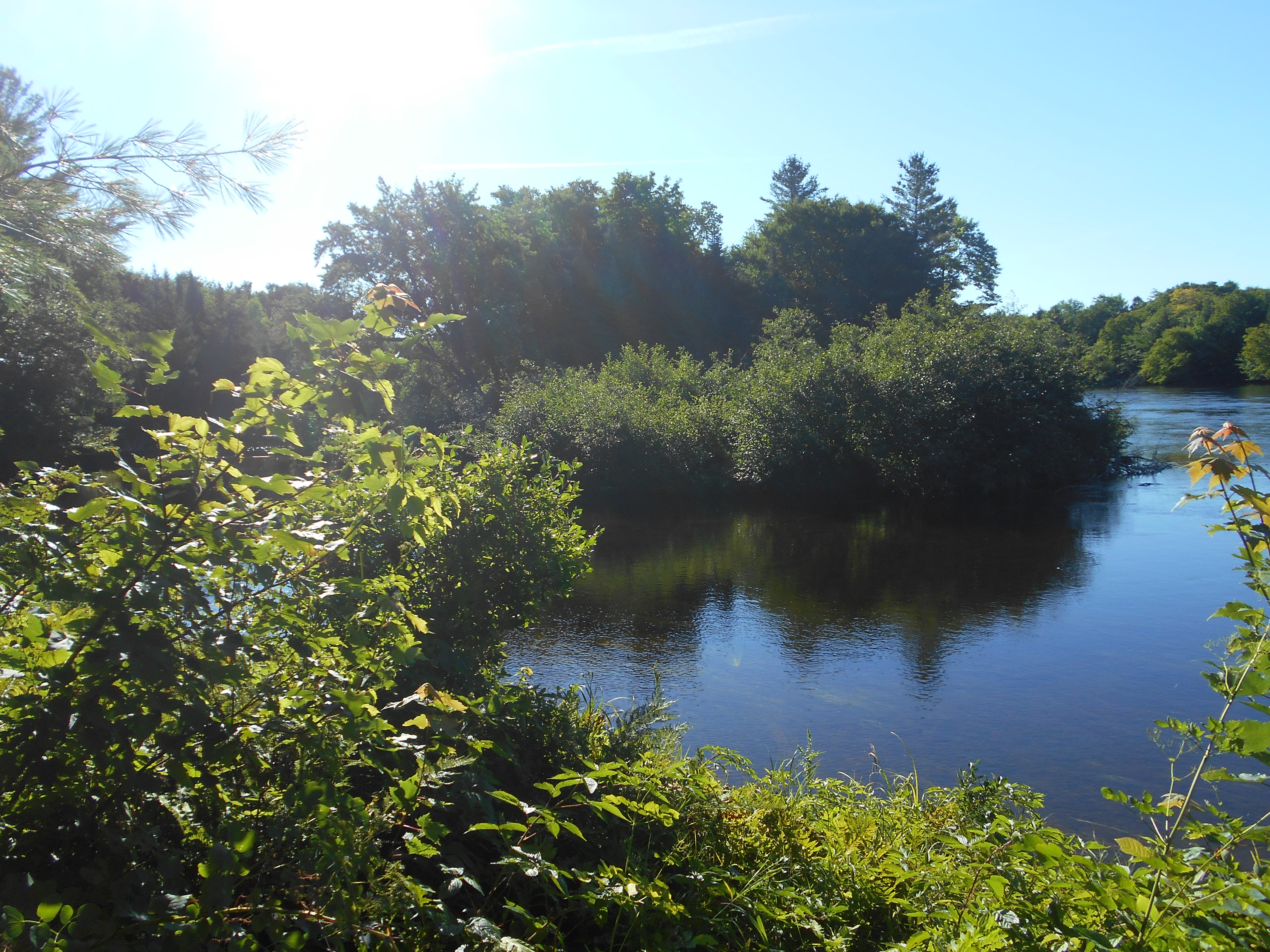
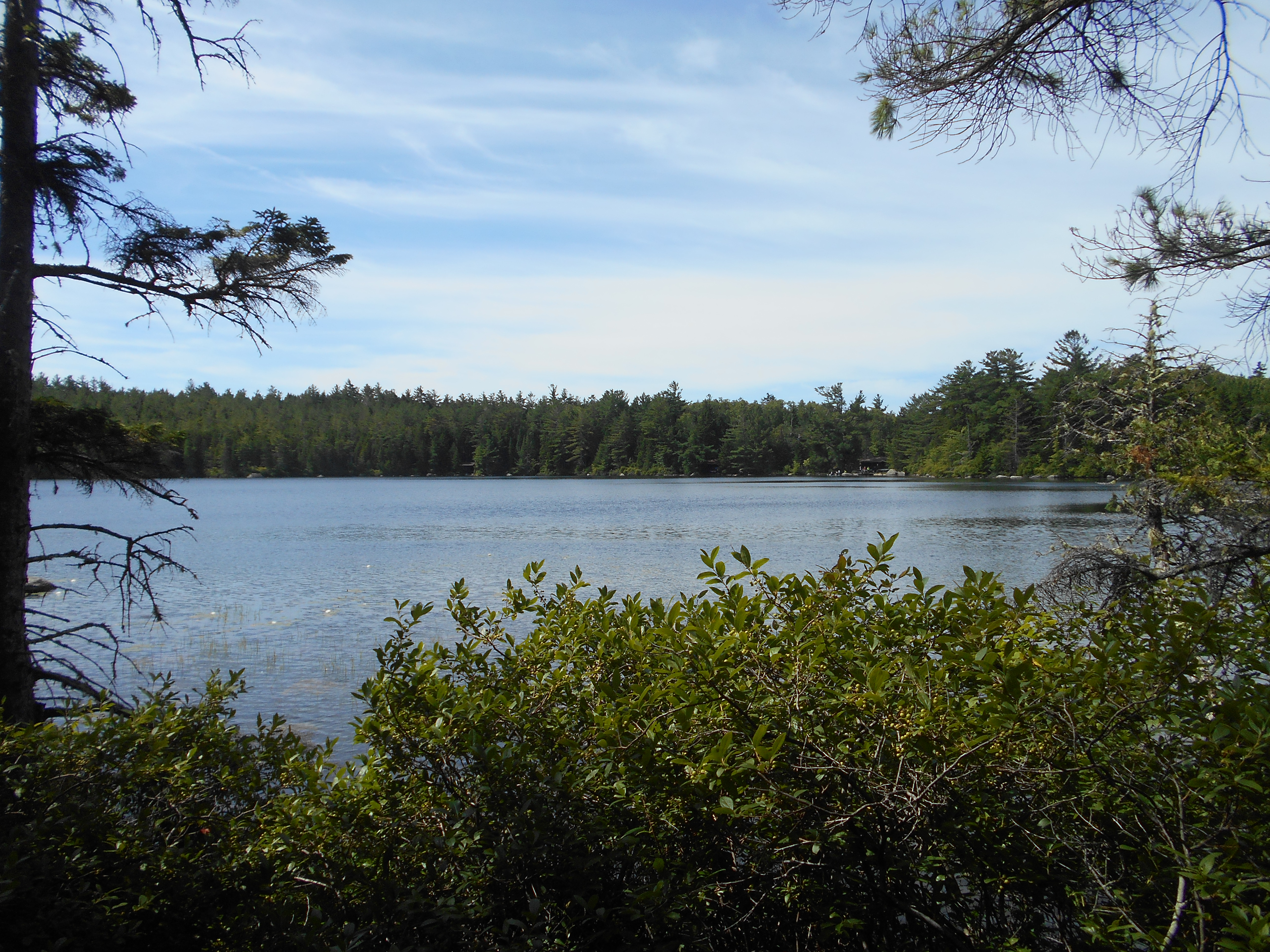
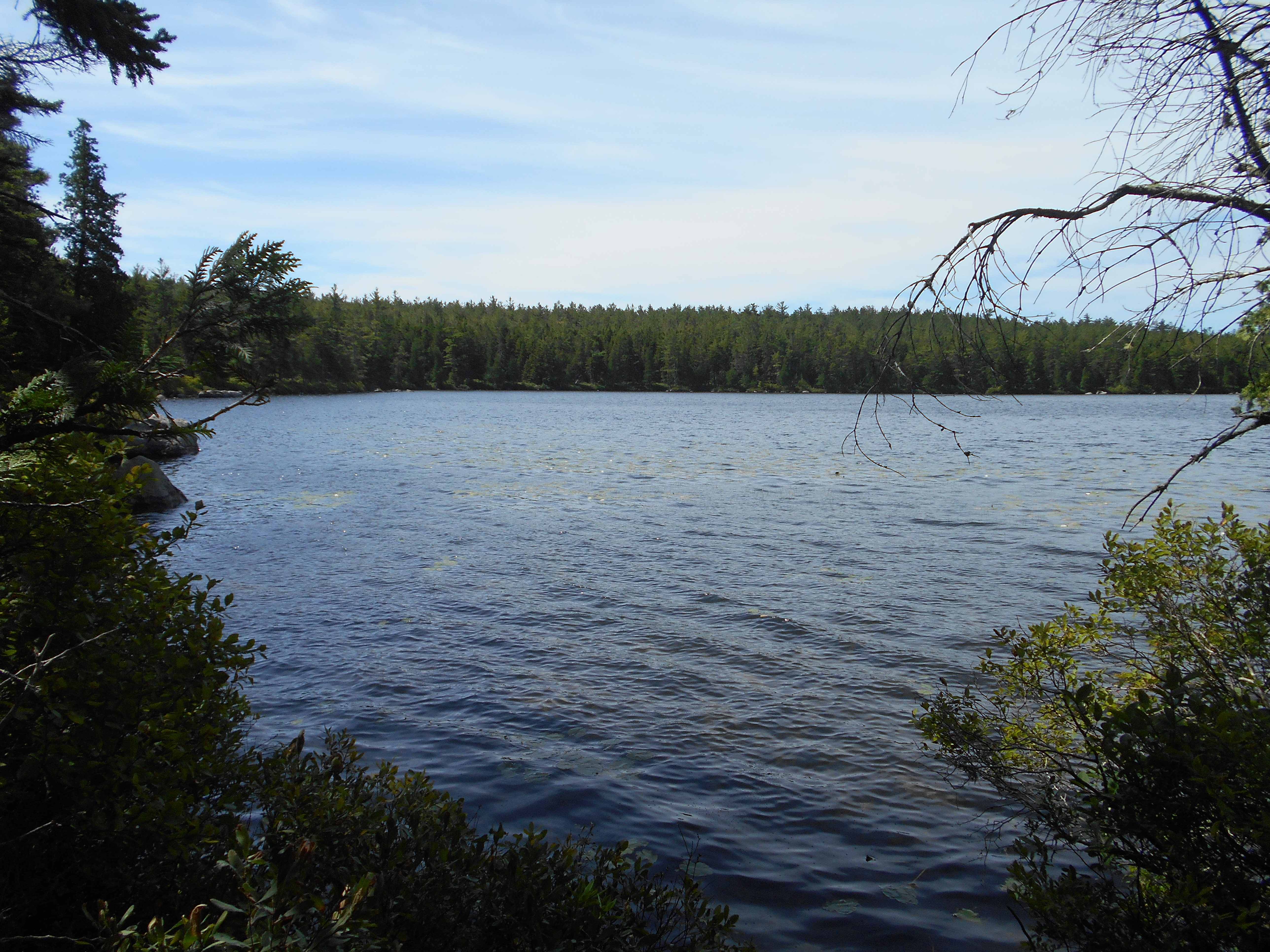
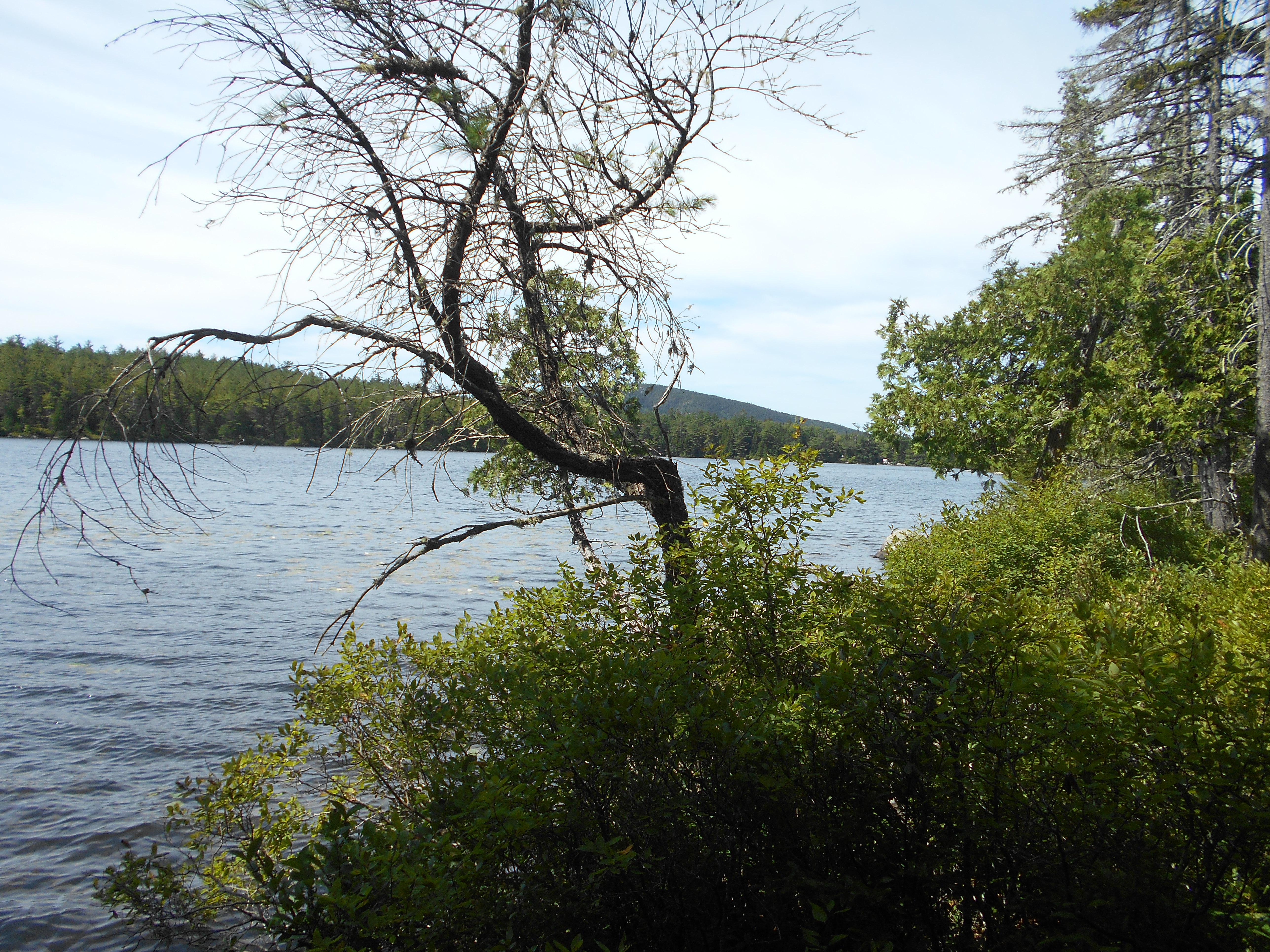
on and off sprinkles once again. got dinner cooked and eaten with only a few drops, but I expect more. did sit by the lake for a bit as well (see pics).
Aug 8, 2016
tentsight southeast shore of rainbow lake to Abol Pines
Milage 8.1
Miles from Springer
Features
Elevation
2166.3
Trail to Little Beaver and Big Beaver Ponds (1,100')
1100
2168
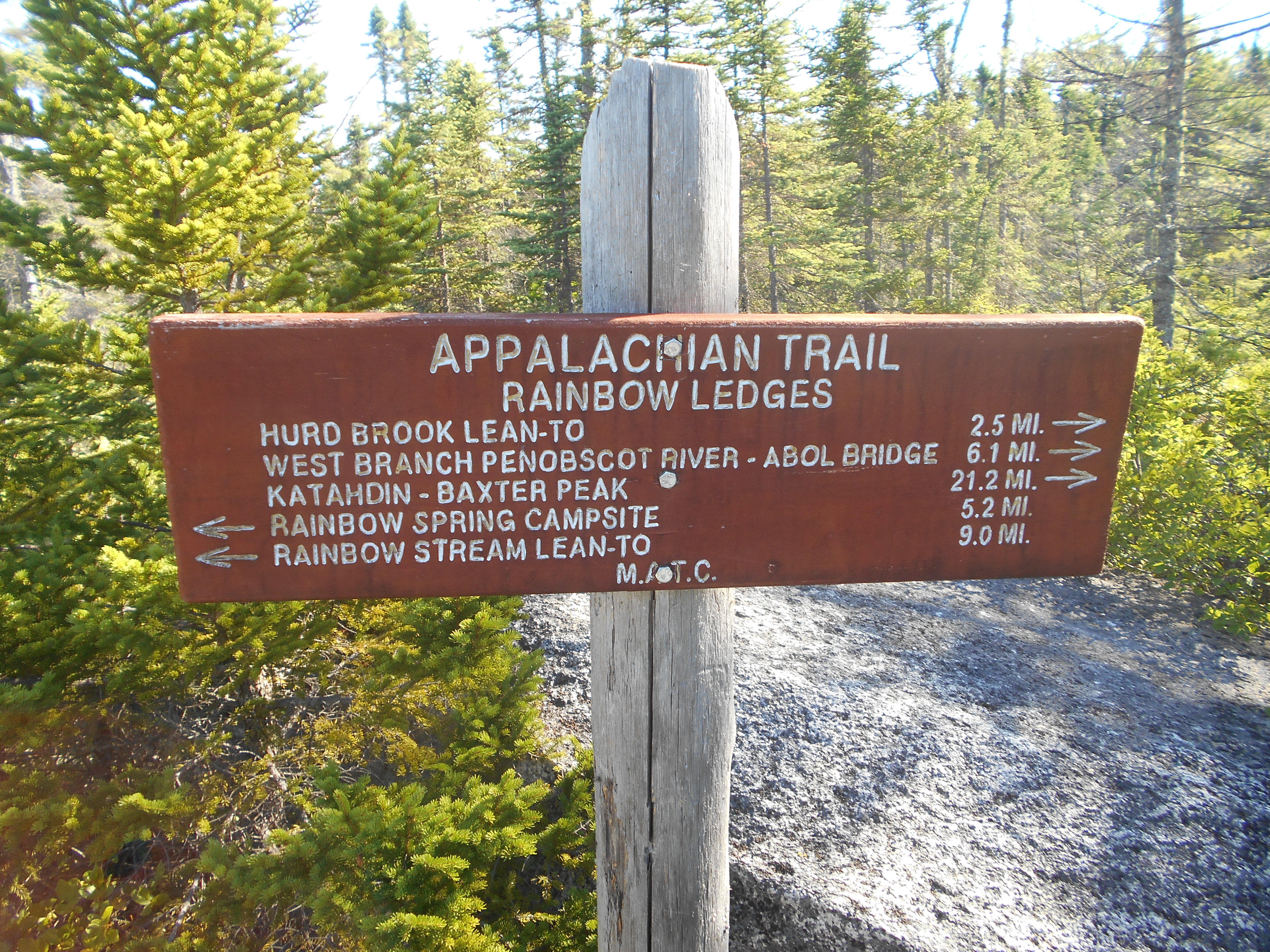
Rainbow Ledges (1,517')
1517
2170.5
Hurd Brook Lean-to (710')?11.5mS; 13.7mN
710
2171.2
Spring (740')
740
2173.9
Golden Road (Greenville-Millinocket Road) (600')
600
2174
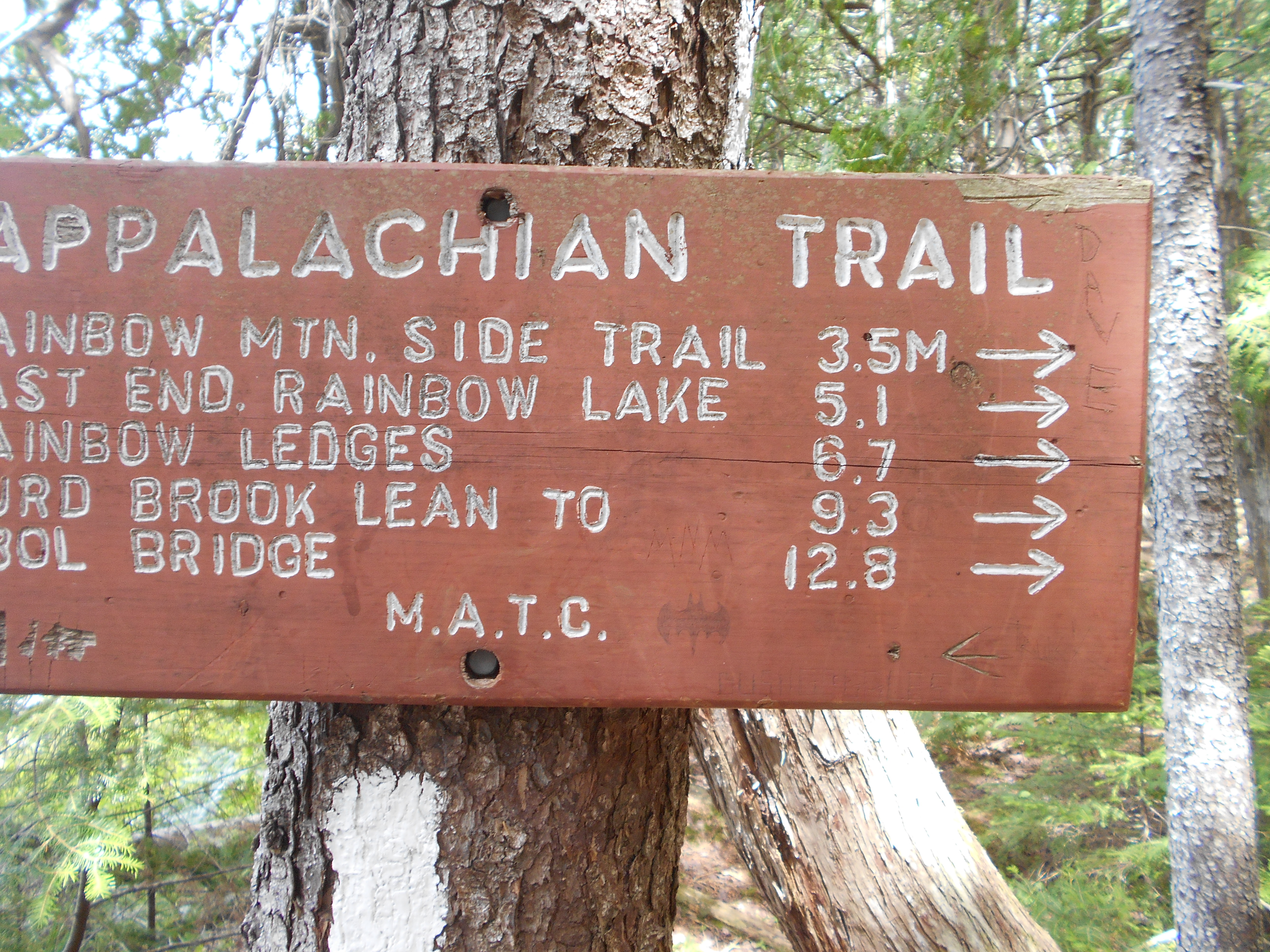
Abol Bridge over West Branch of Penobscot River, junction with International A.T., Abol Bridge Campground and Store (588')Millinocket, Maine 04462
588
1:00pm
well I am out of the wilderness! got to Abol Bridge and set up camp at Abol Pines but dropped the tent due to wind. went over to Abol Springs Campsite for lunch. had a hamburger and pasta salad (they were out if fries). good to have real food. now time to resupply.
2:15pm
got food for the next day and a half then got ice cream. came back to camp and decided to move to one of the small lean-tos they had since the wind is still gusting too much for the tent to handle. now just chilling until dinner.
4:30pm
funny, I think I have seen fewer people here than in the "wilderness" and this has road access. even in the reasurant, I was the only one there. wierd.......
7:30pm
had dinner at the returant: fried chicken, french fries and cheese sticks....ah grease!
more thru hikers eating dinner than I have seen in the wilderness....7. some have the same plan as me (birches tomarrow...Katahdin summit the next day) but others plan to hike in and summit the same day. did hear there is a 70% chance of late afternoon thunderstorms for the day I will summit, but I should be back below tree line by then. well all thats left is 15.1 miles and a 20 year adventure will draw to a close...wow 20 years, it seems like a lifetime ago.
8:00pm
group from two nights ago are here....made too much food....2nd dinner, good too! almost a spicey beef stroganogh (sp).and I said I was not going to pig out when I got out of the wilderness...ha ha.
1:30pm
after getting back to camp, four thru hikers came in and asked if they could stay at the site. great to have nobos for company this close to the end. 3 of the 4 left at around 5am and were going to summit today (saw two just ariving at the campground after they did).
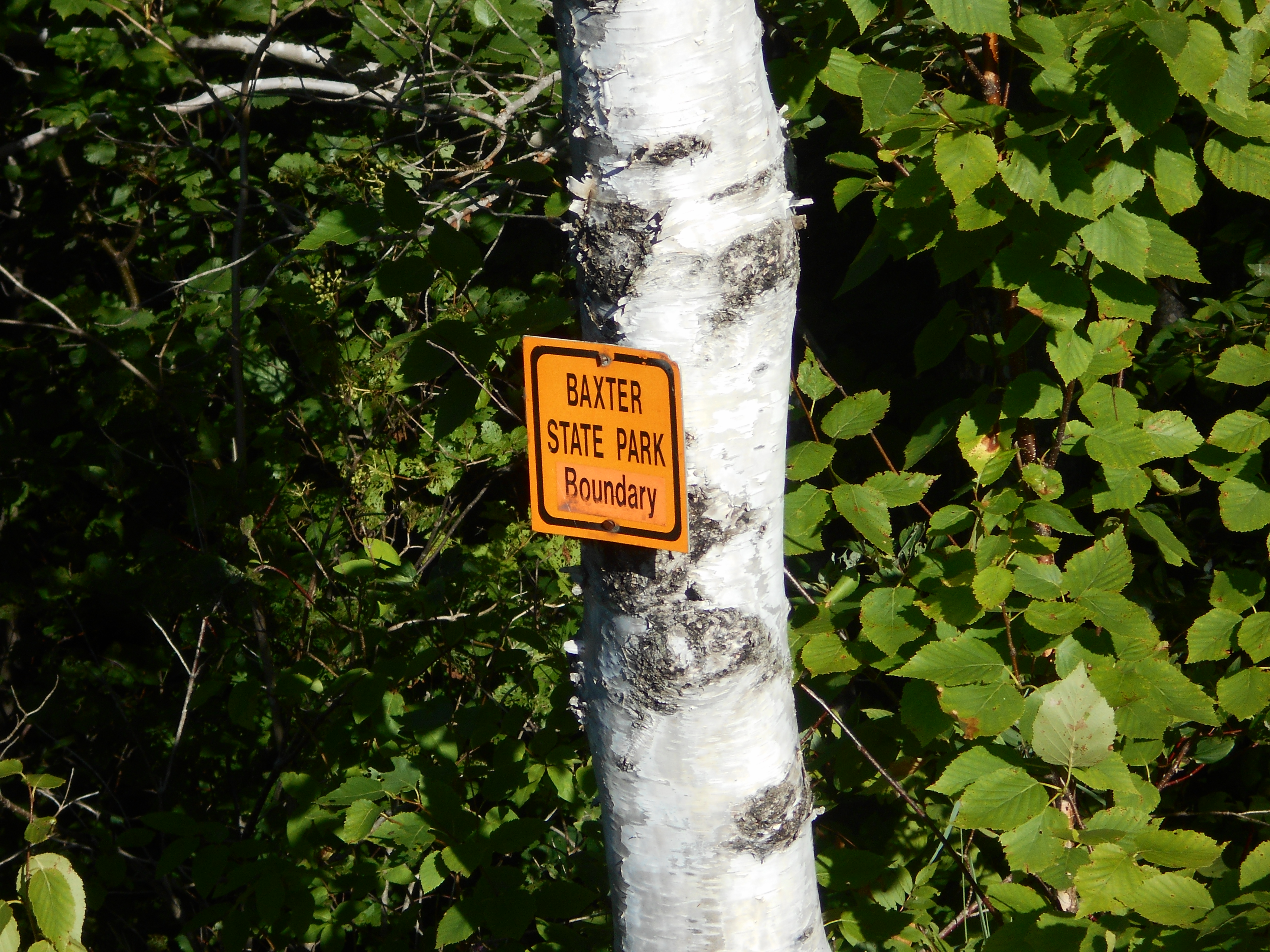
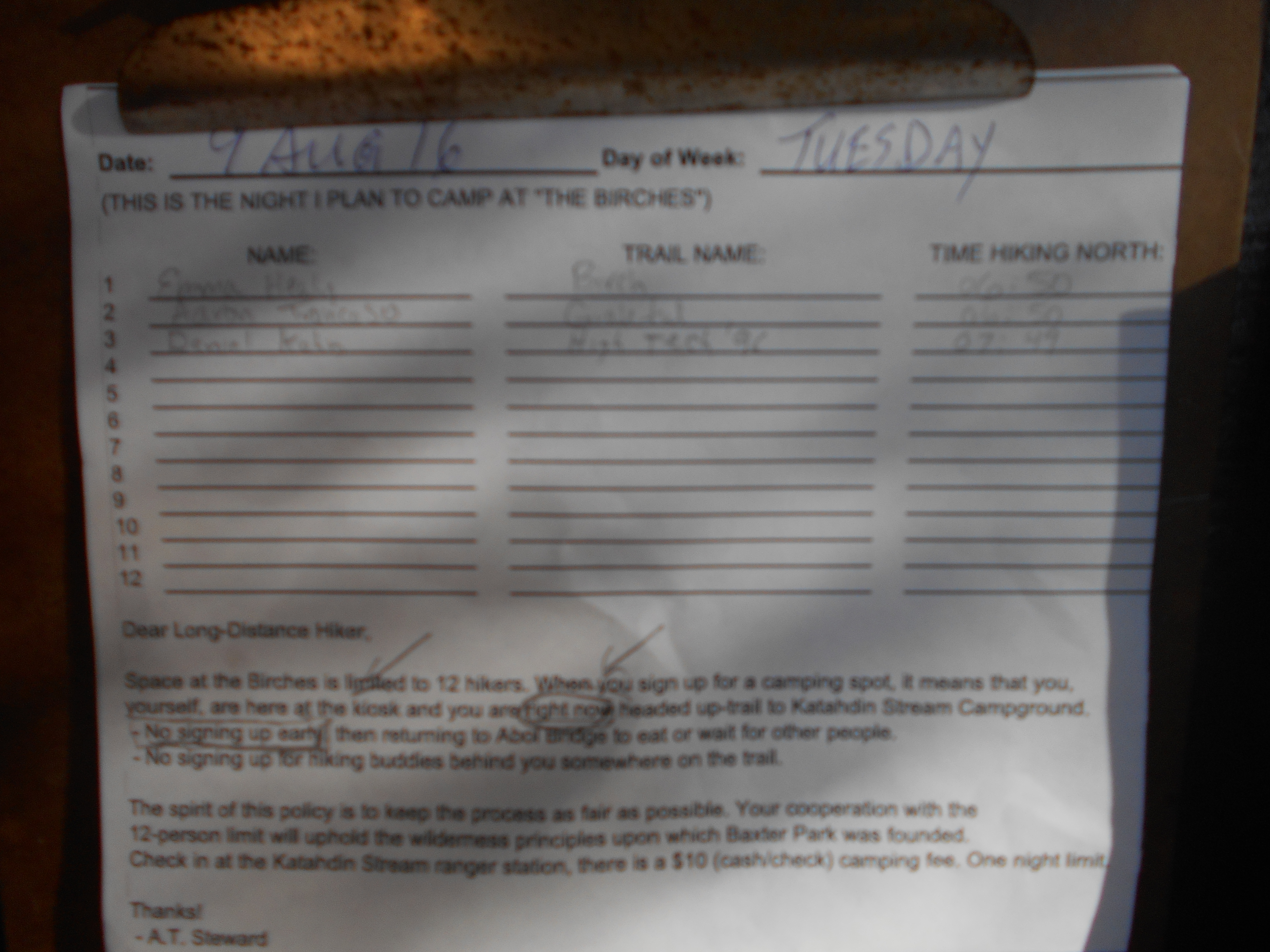
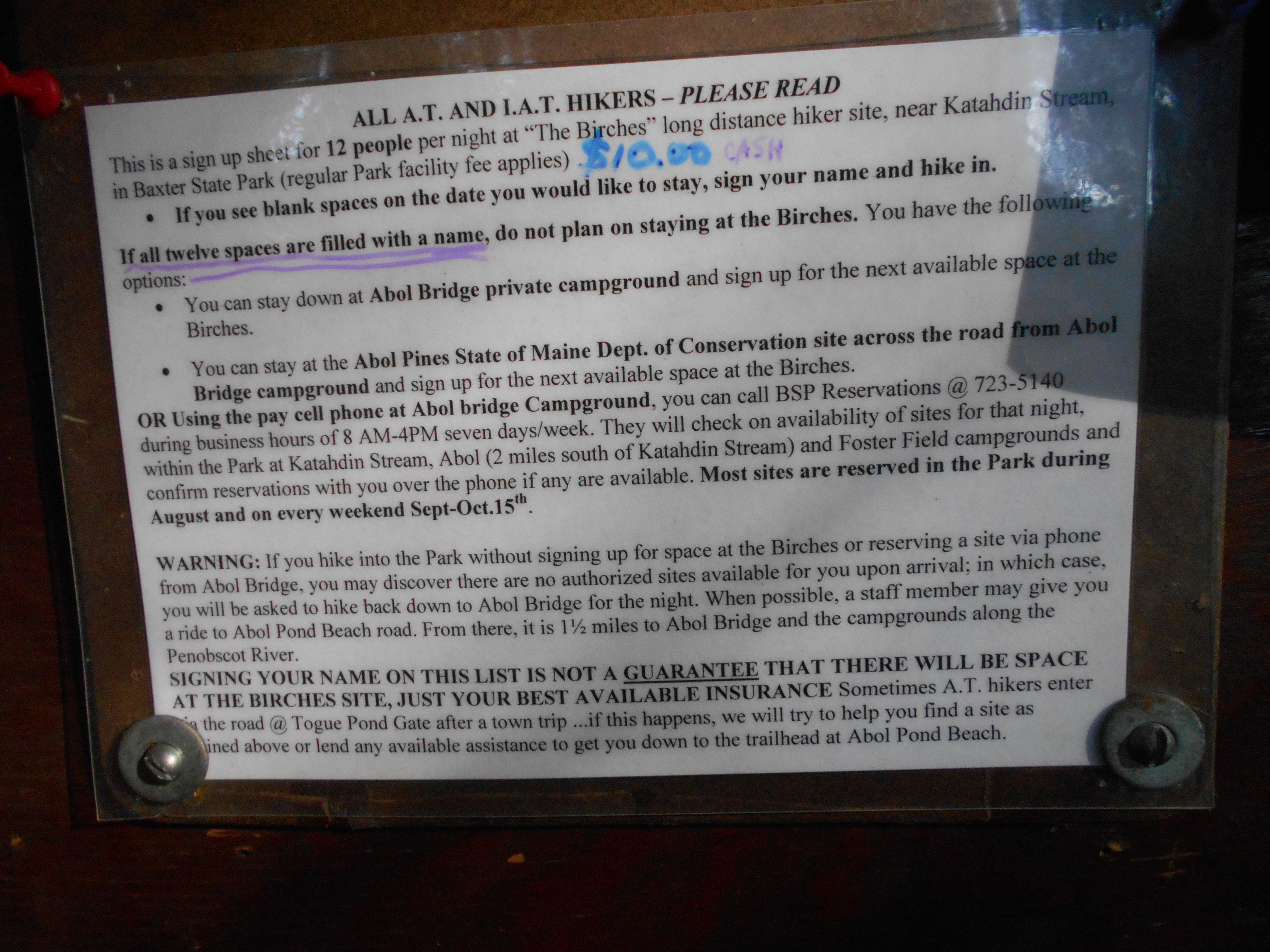
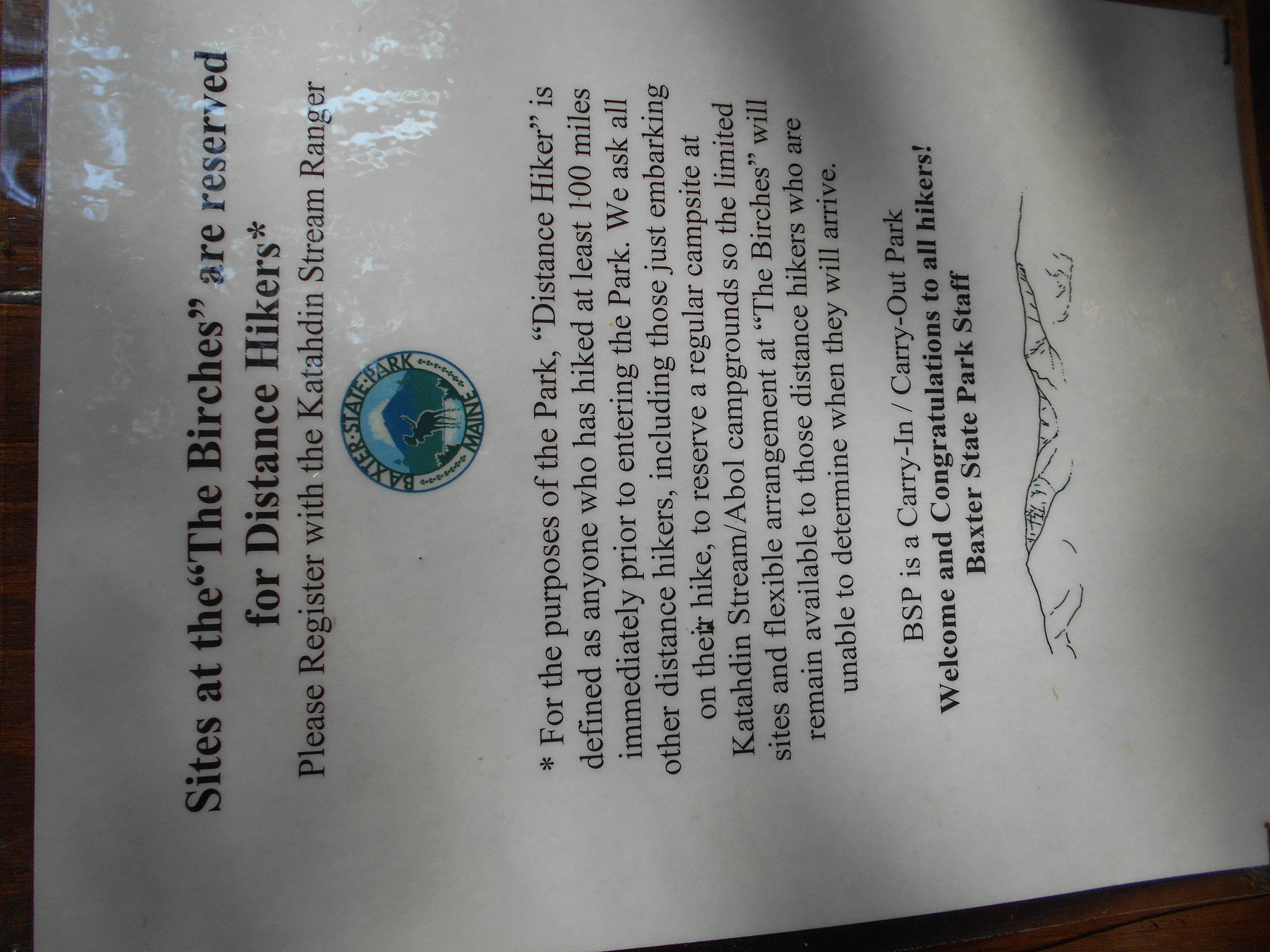
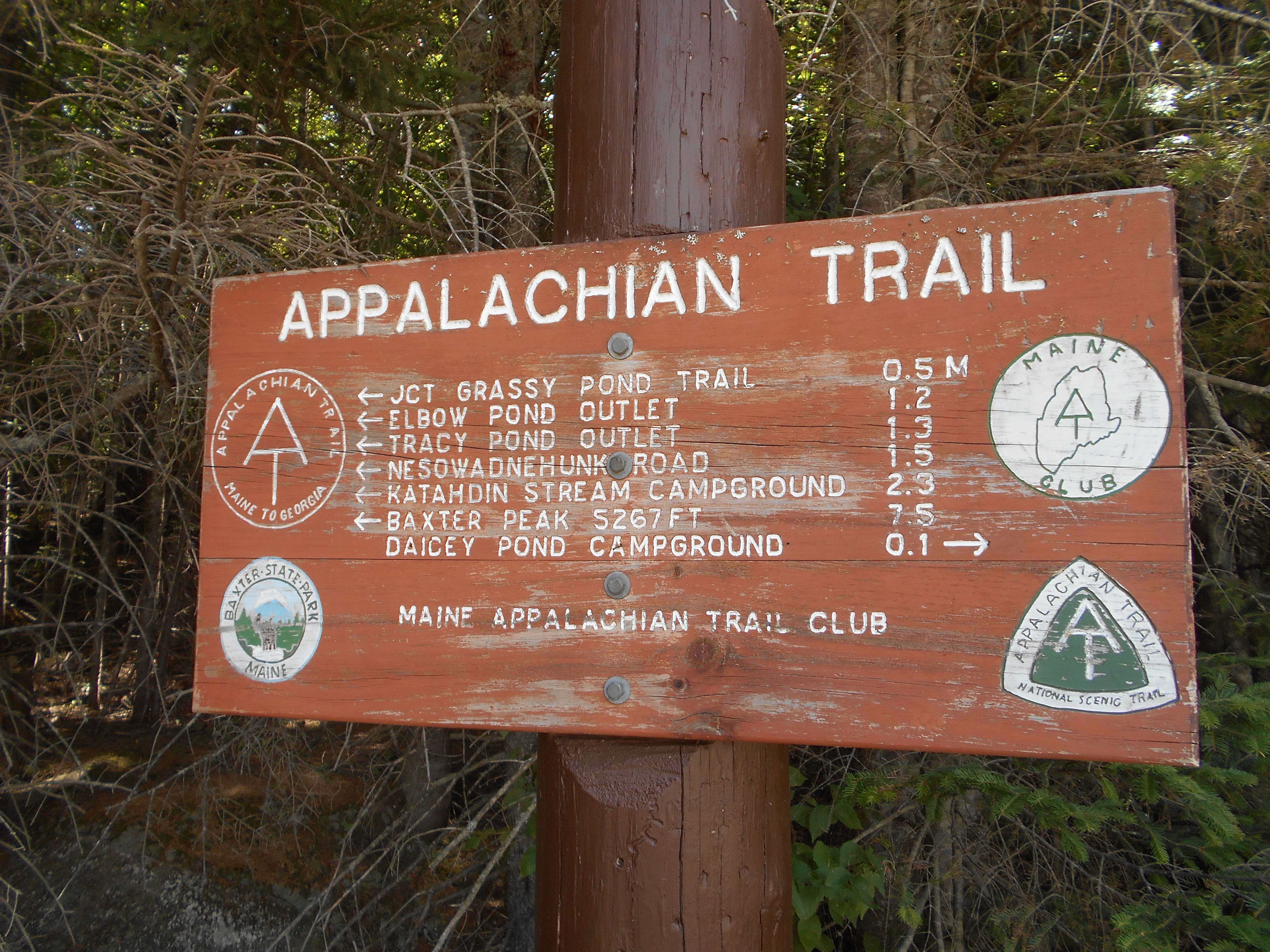
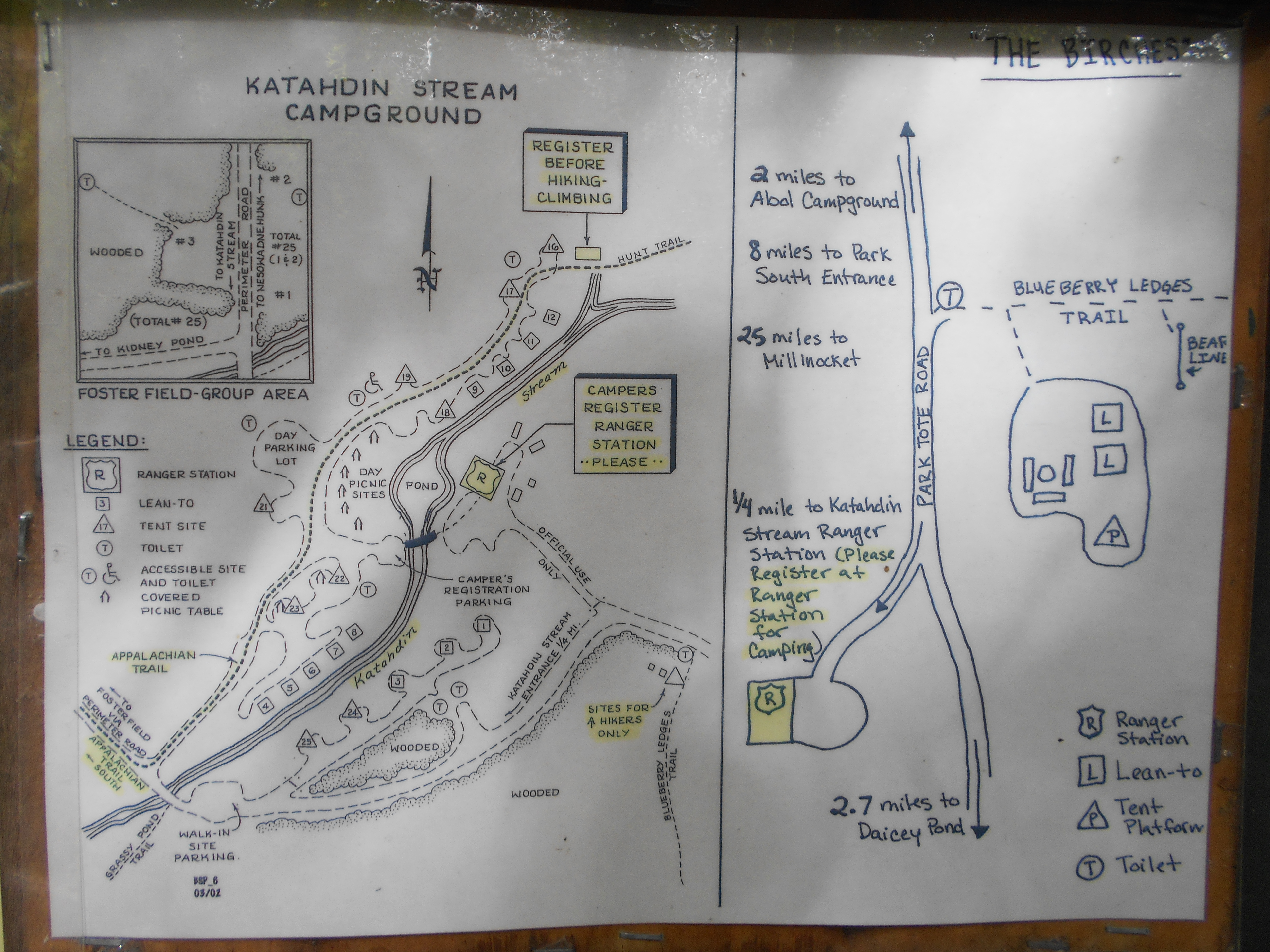
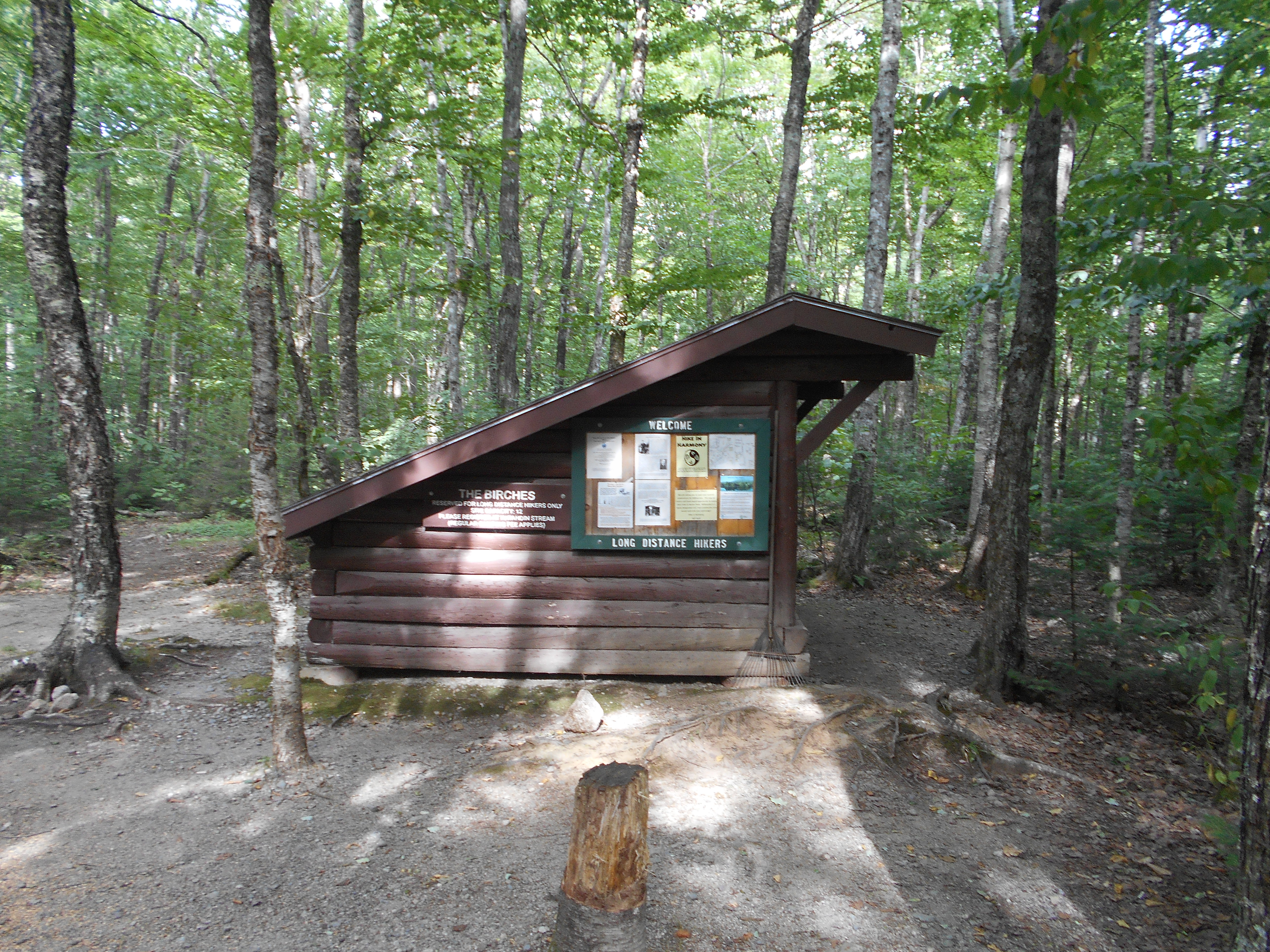
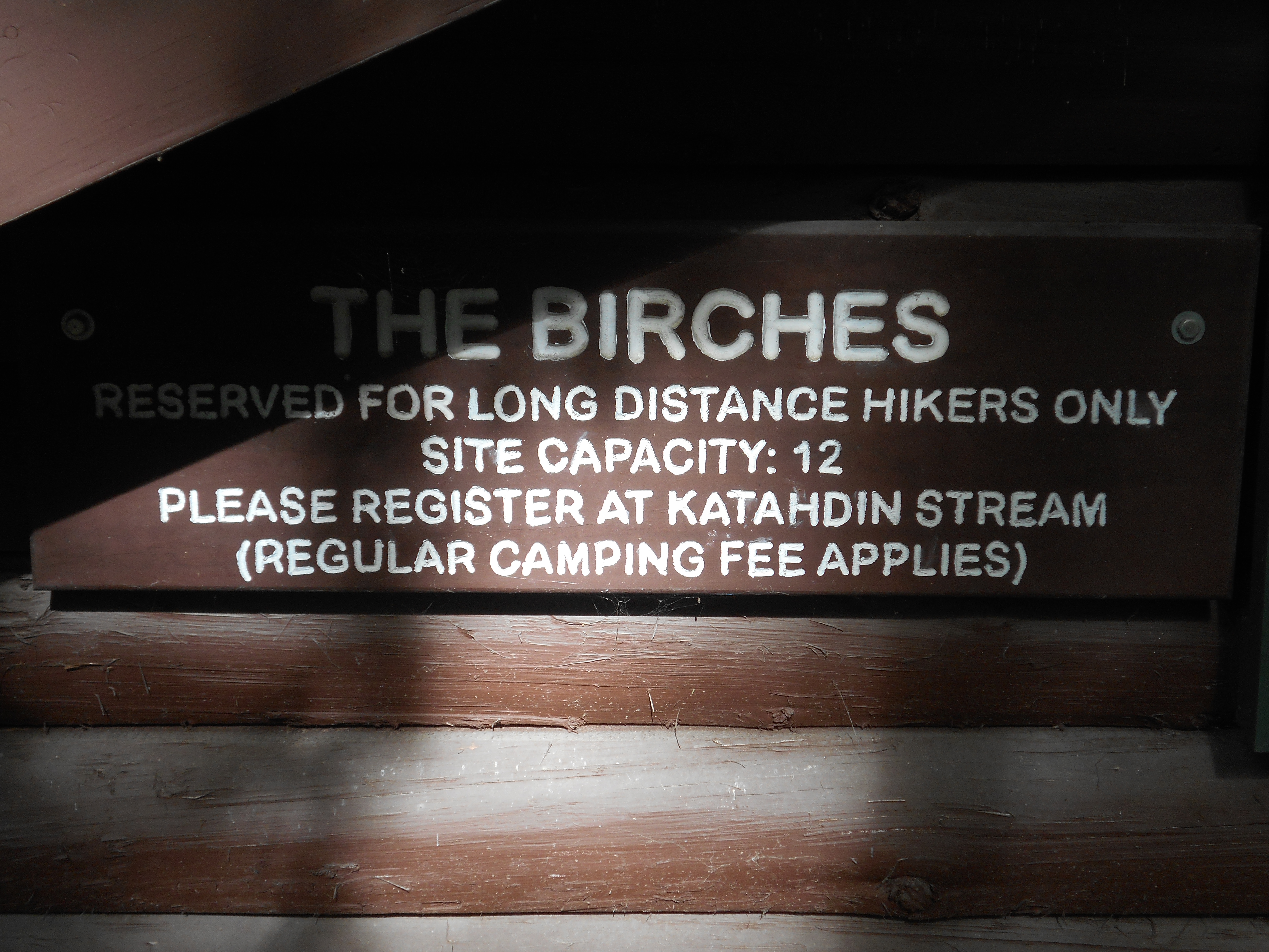
hike today was fairly easy. Did have to fill in paperwork to resereve my spot at the birches when I crossed into the park. did see some neet cascades and falls during the hike, along with a few lakes. STILL NO MOOSE.
now sittimg around with nothing to do....to late to hike Katahdin, but too early to not be hiking.
7:45pm
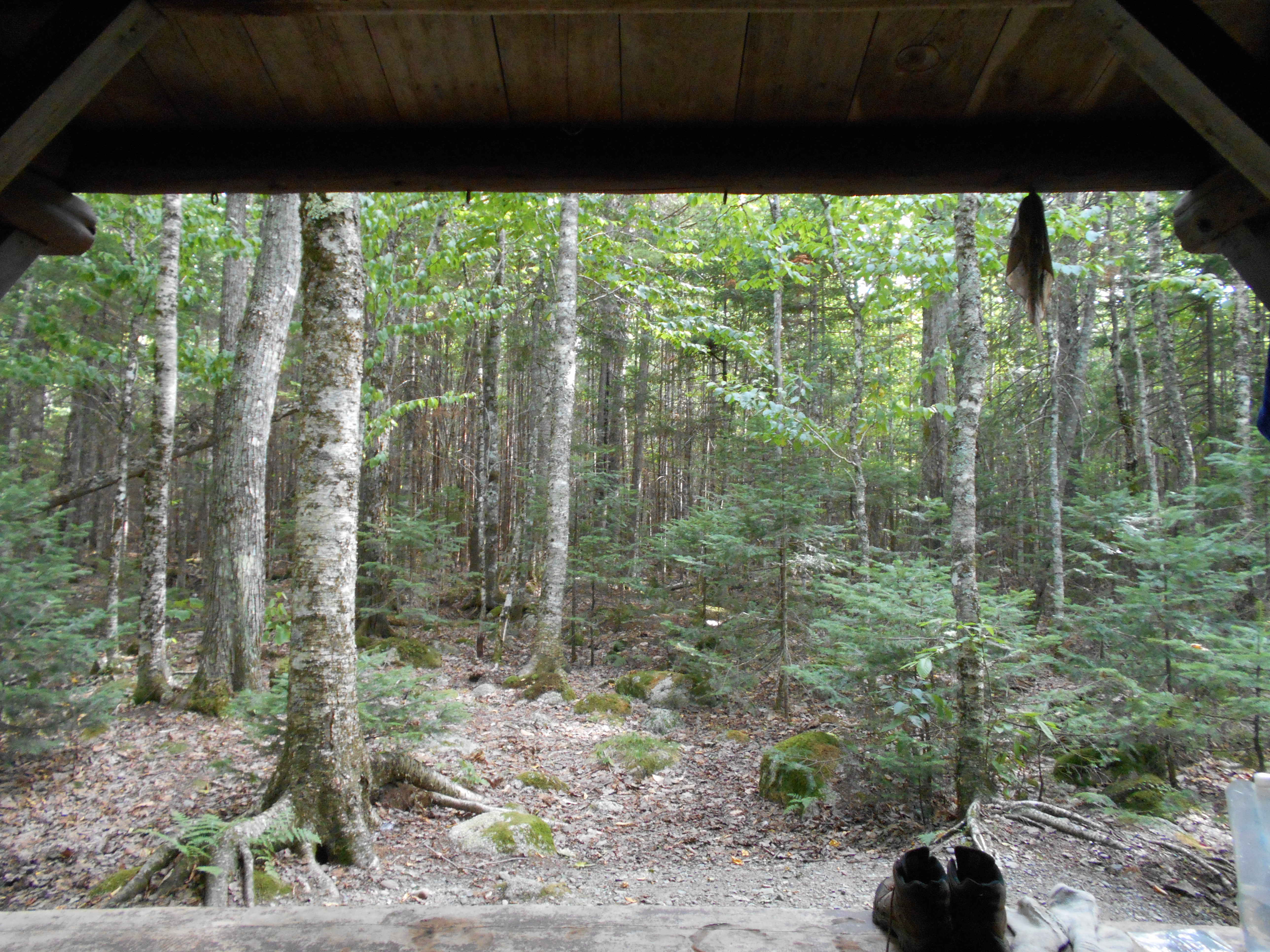
nine people at the birches with me already to summit tomarrow....cant wait!
4:30pm
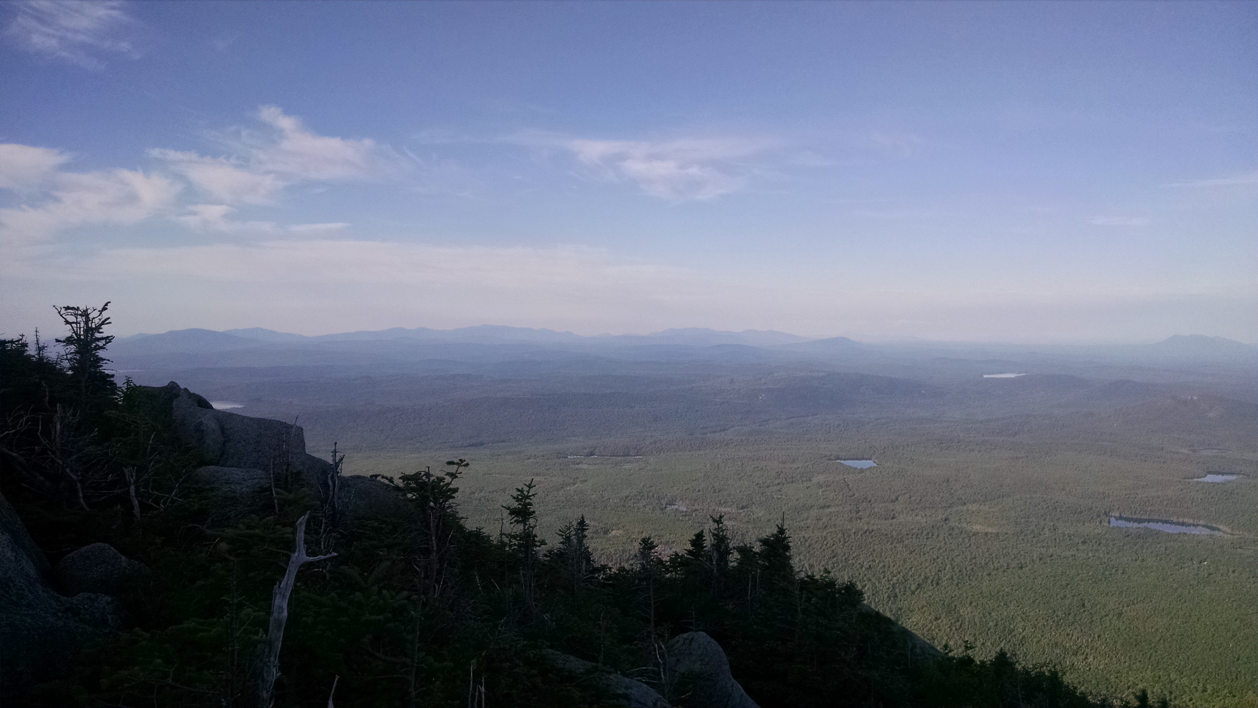
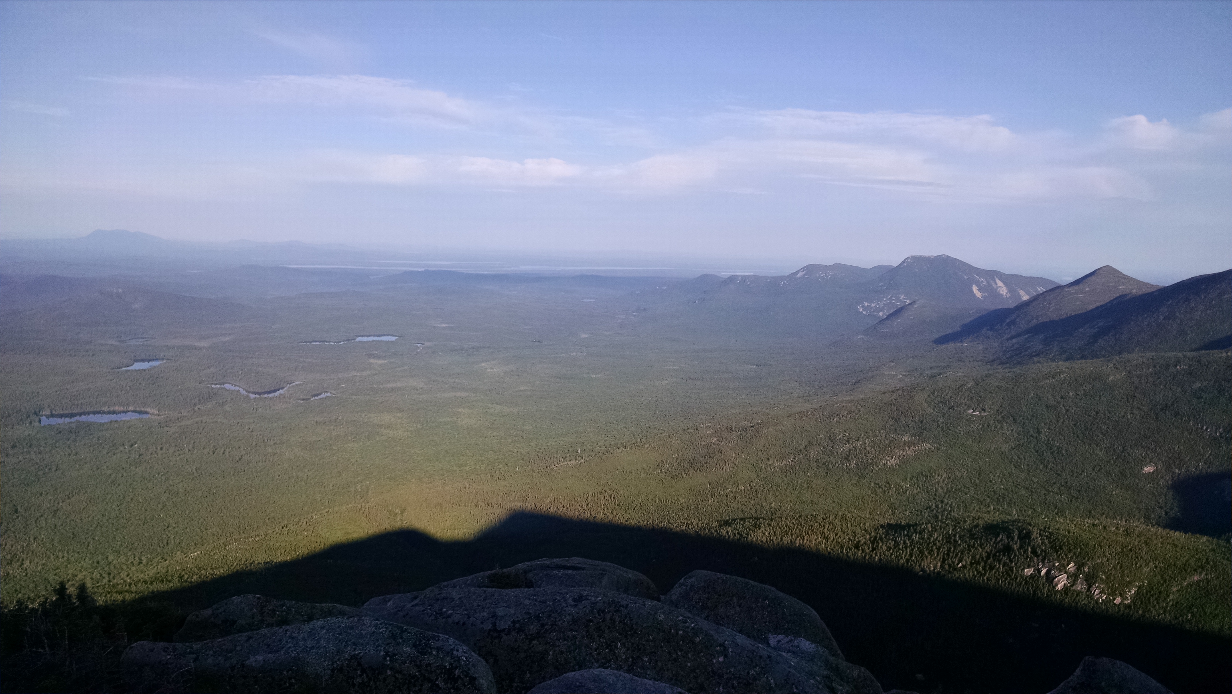
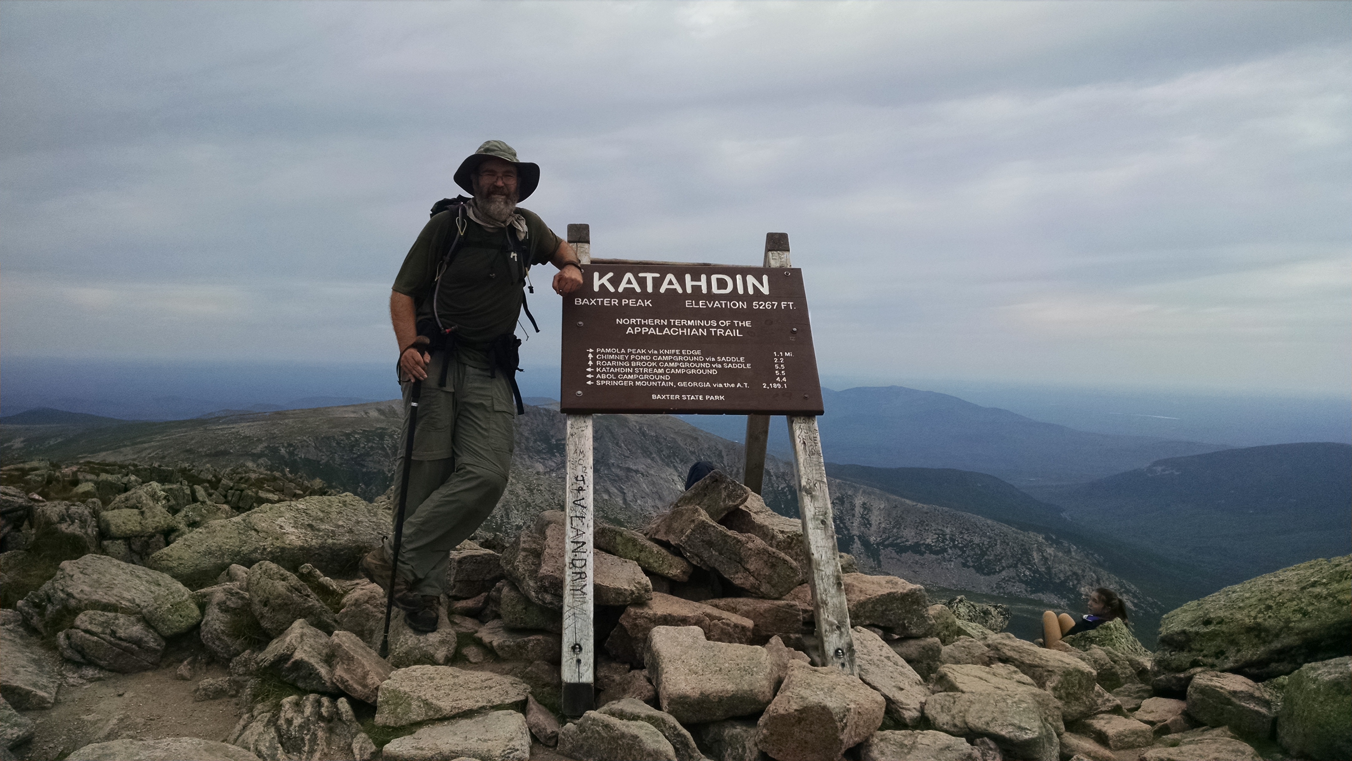
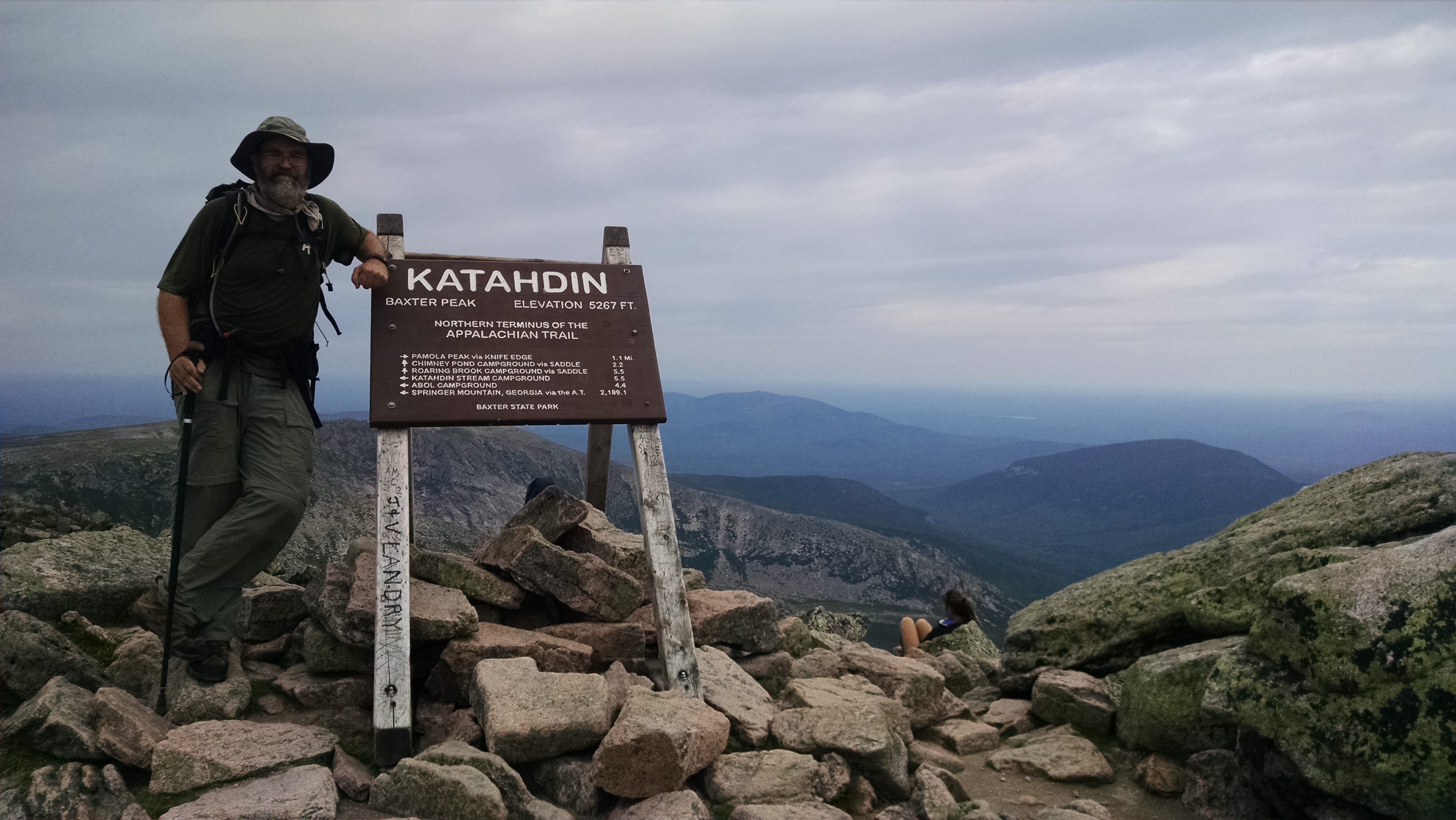
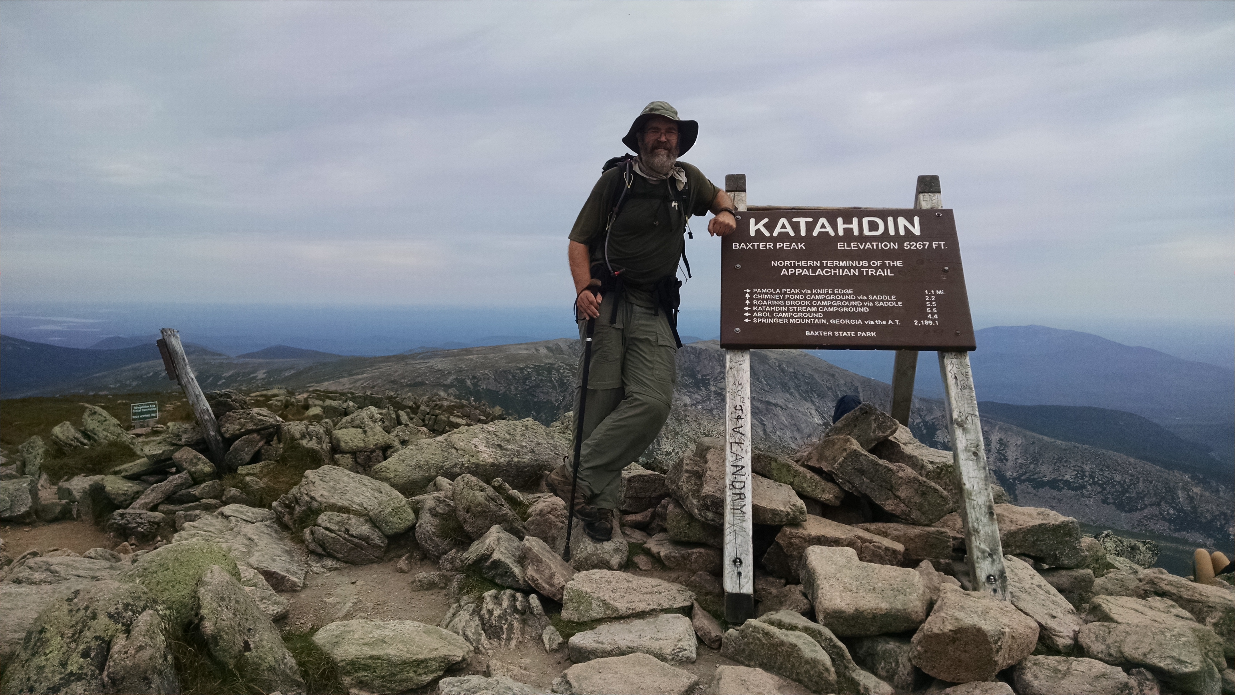
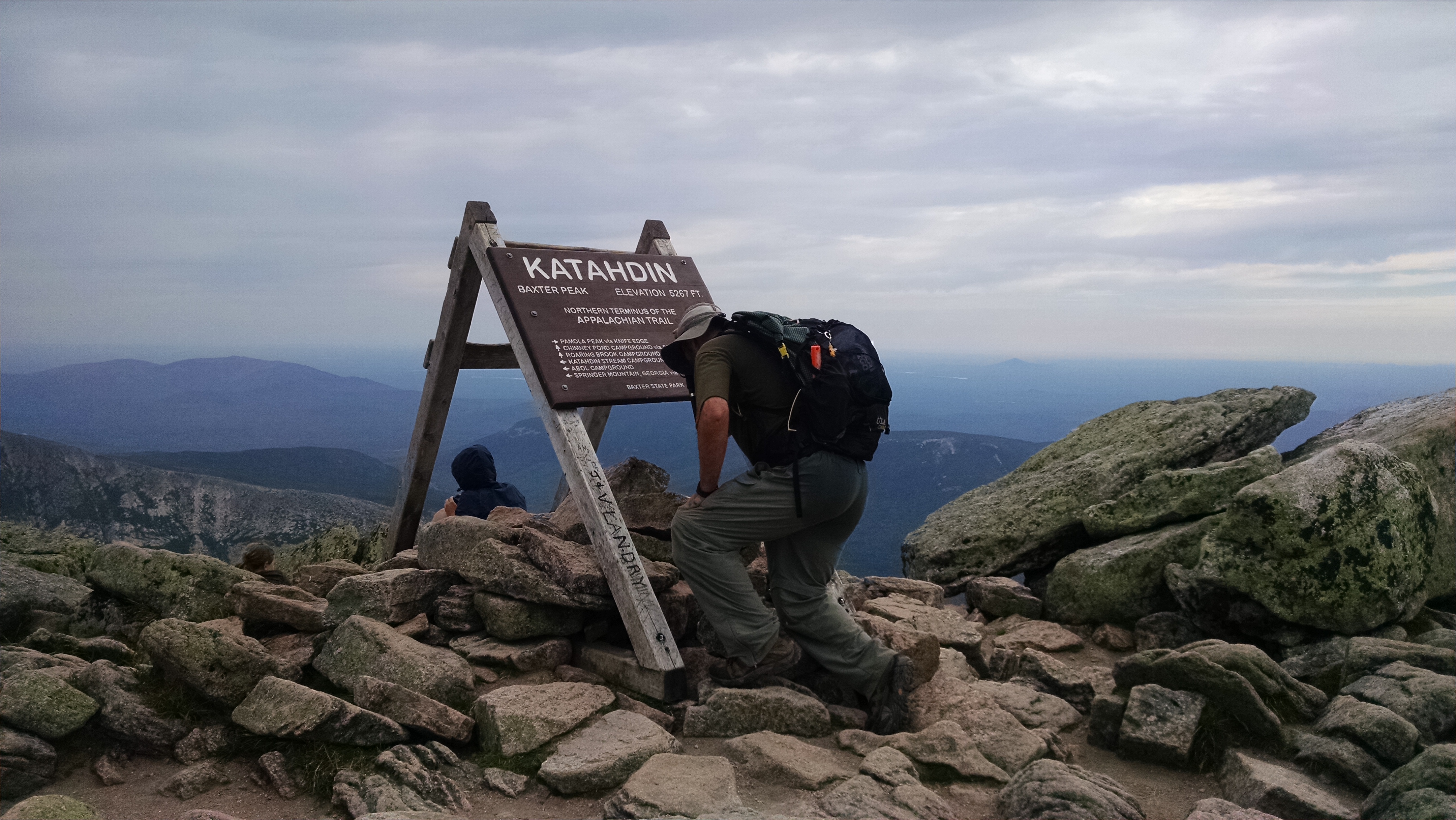
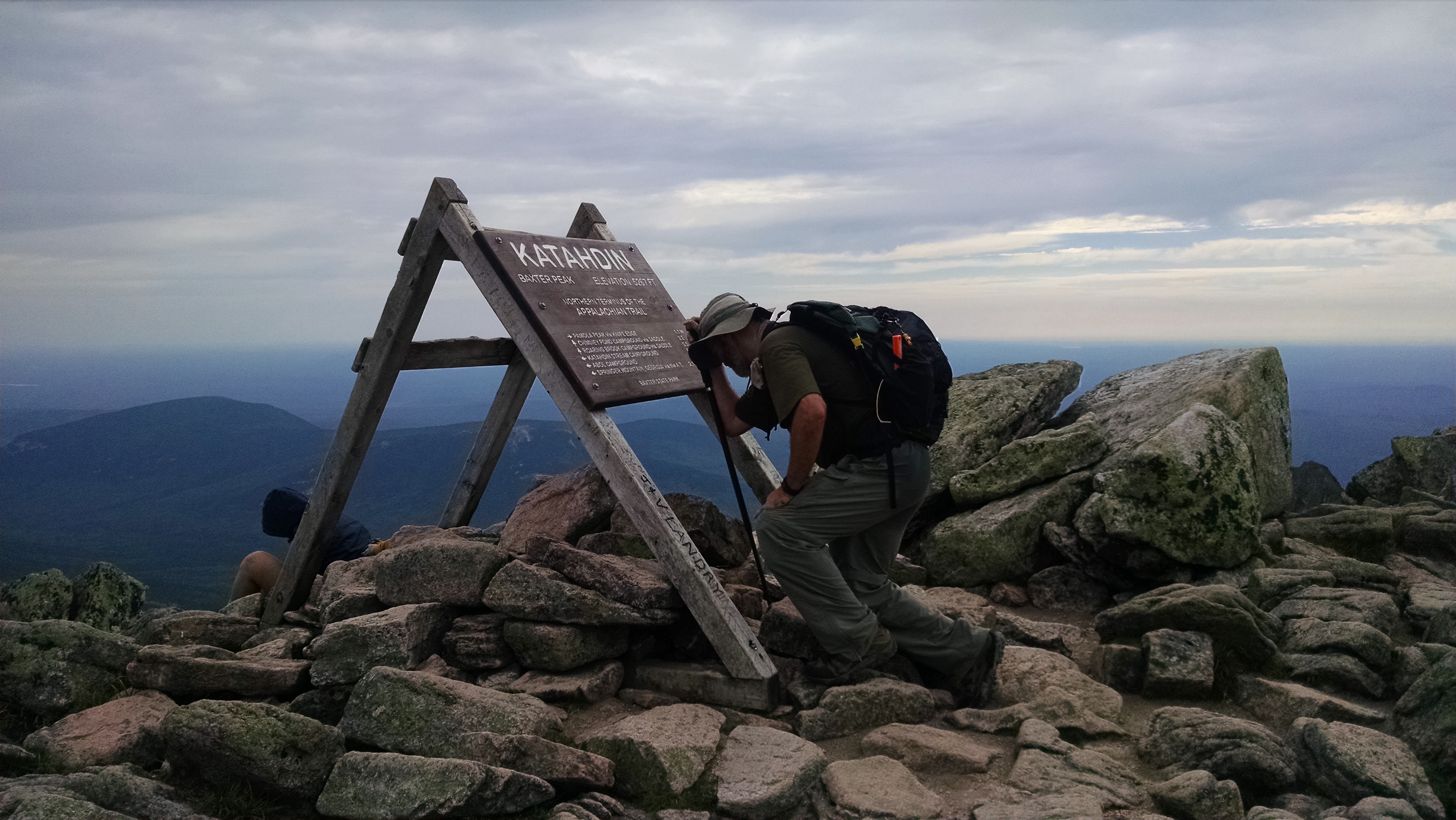
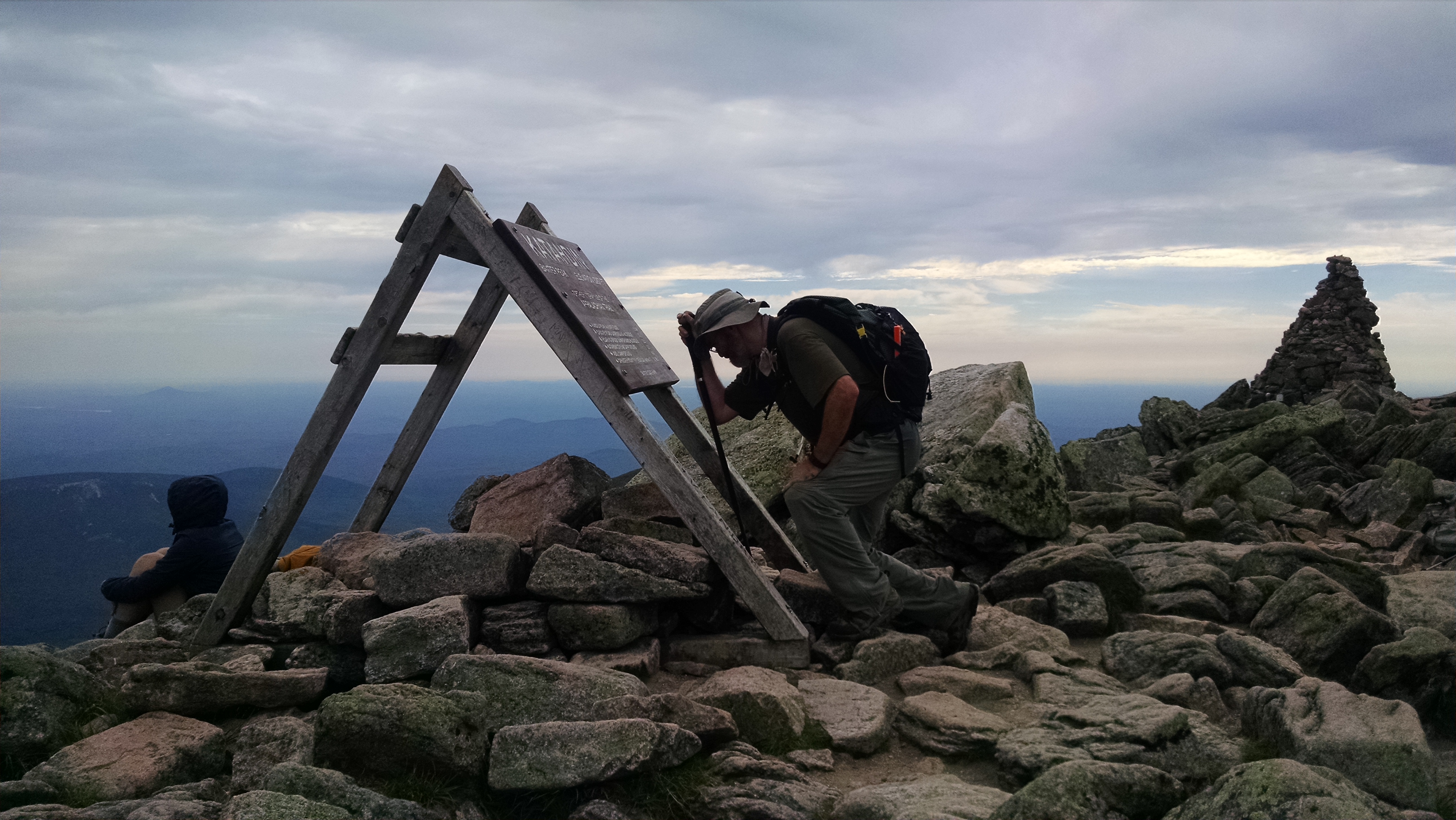
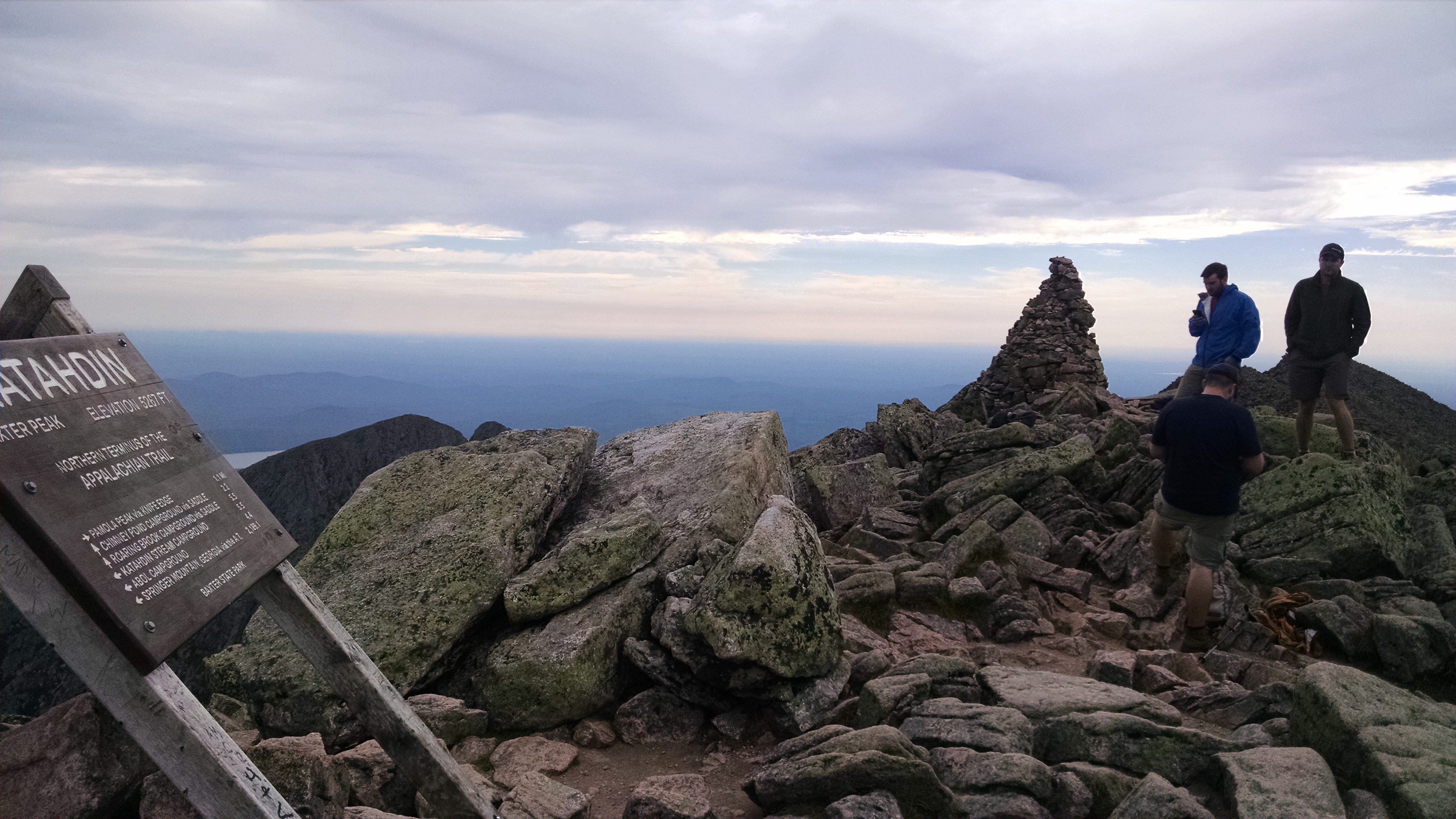
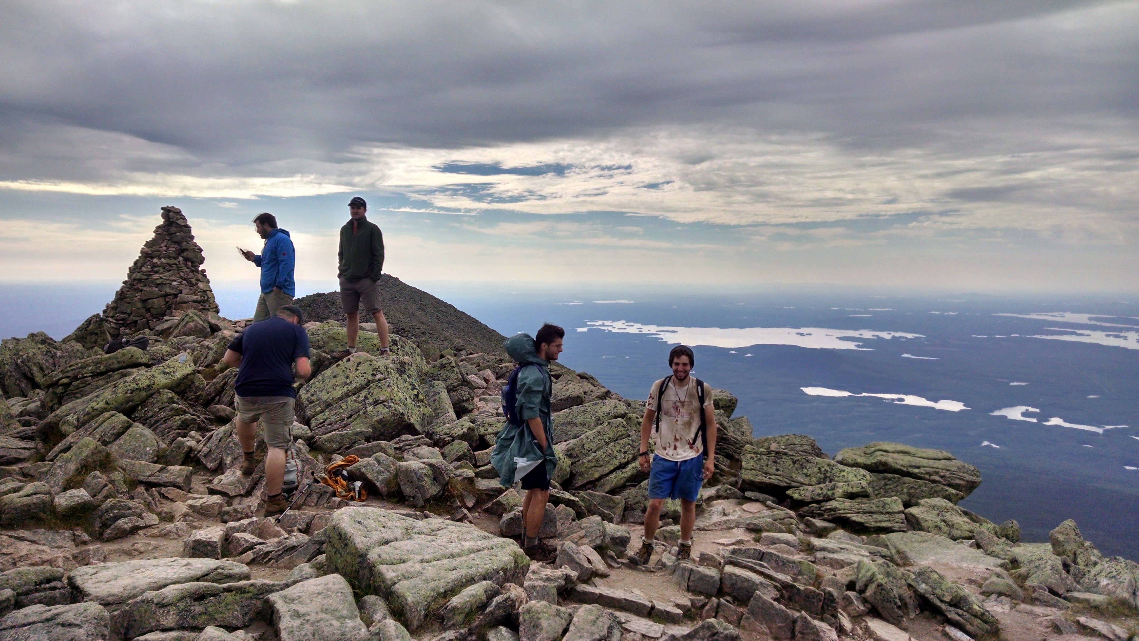
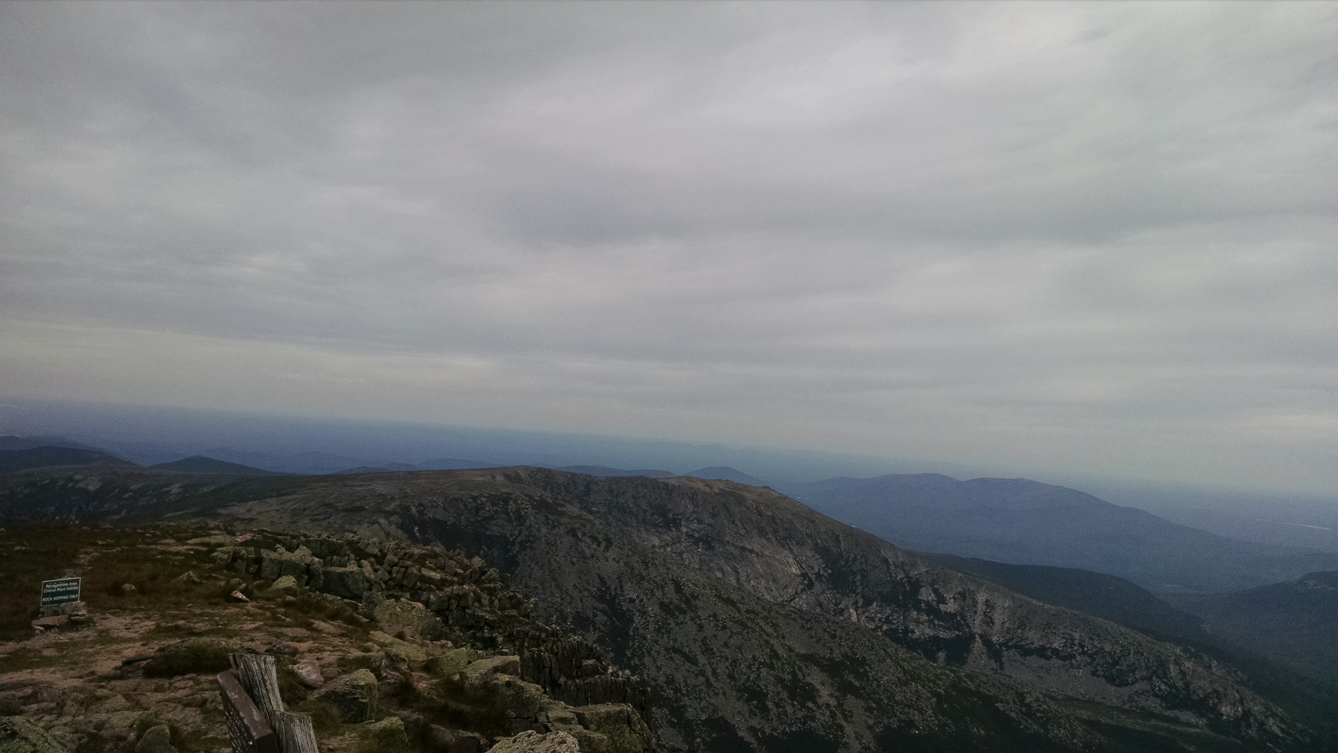
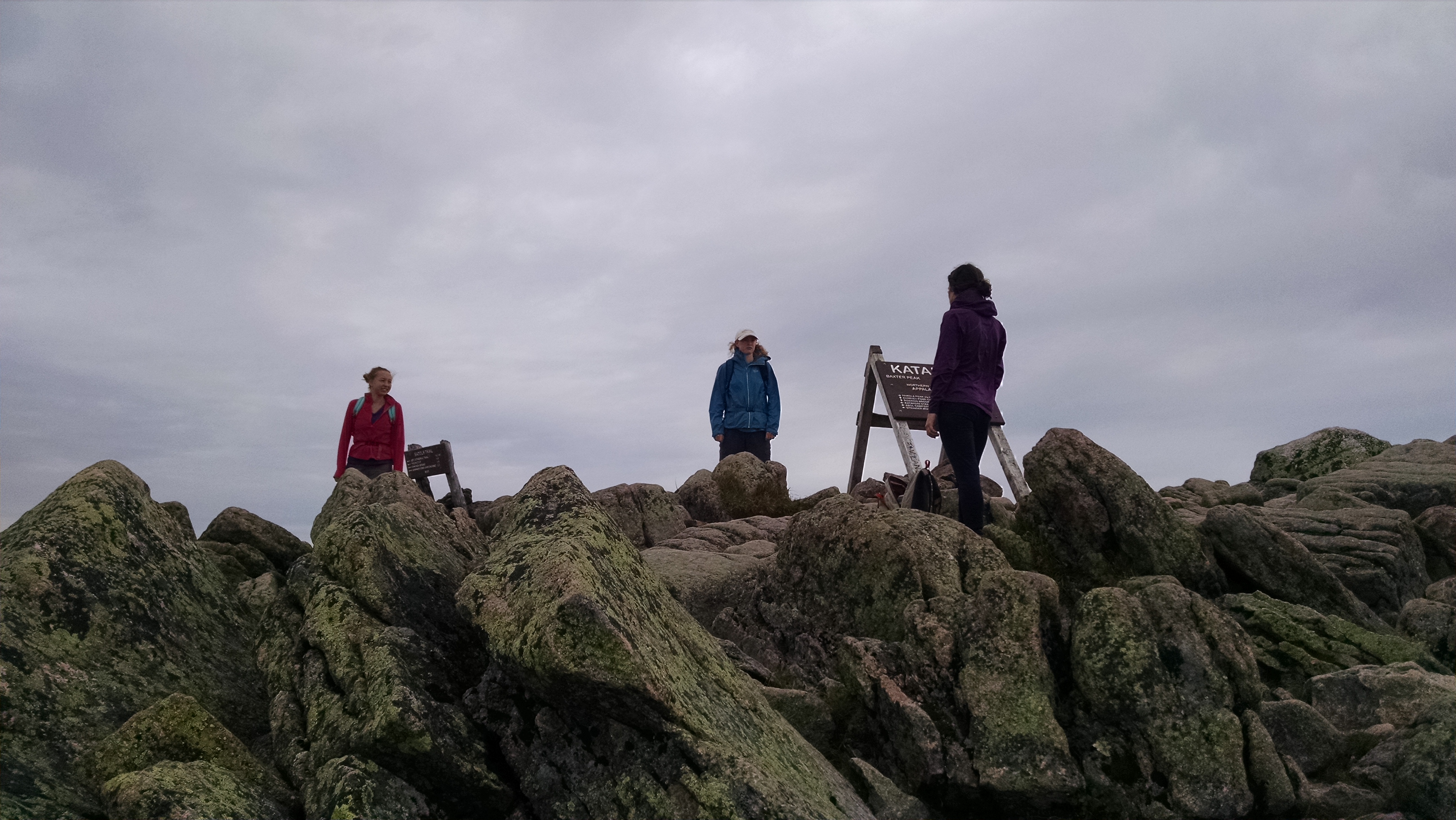
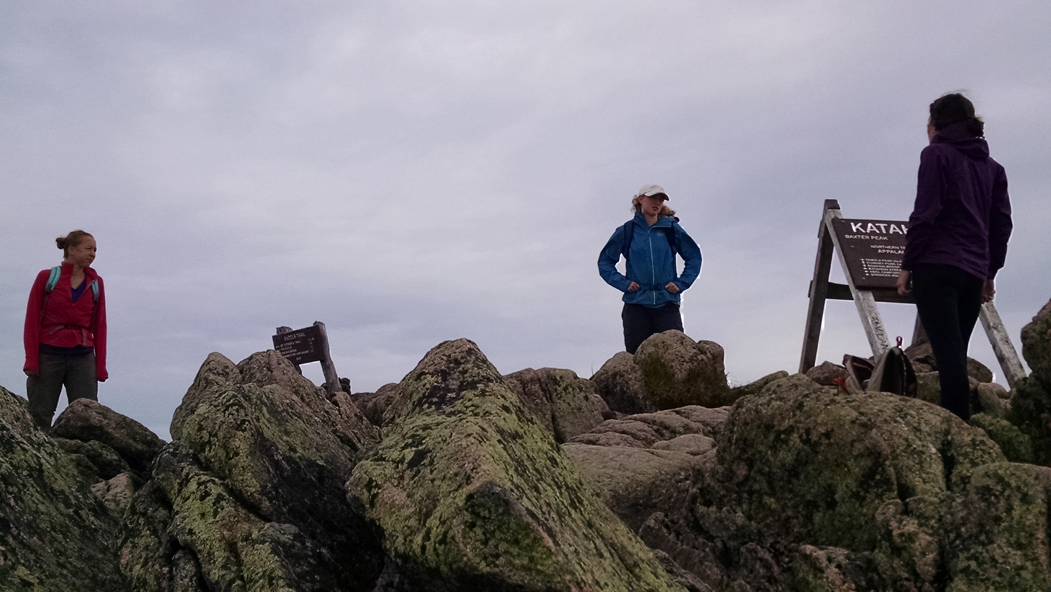
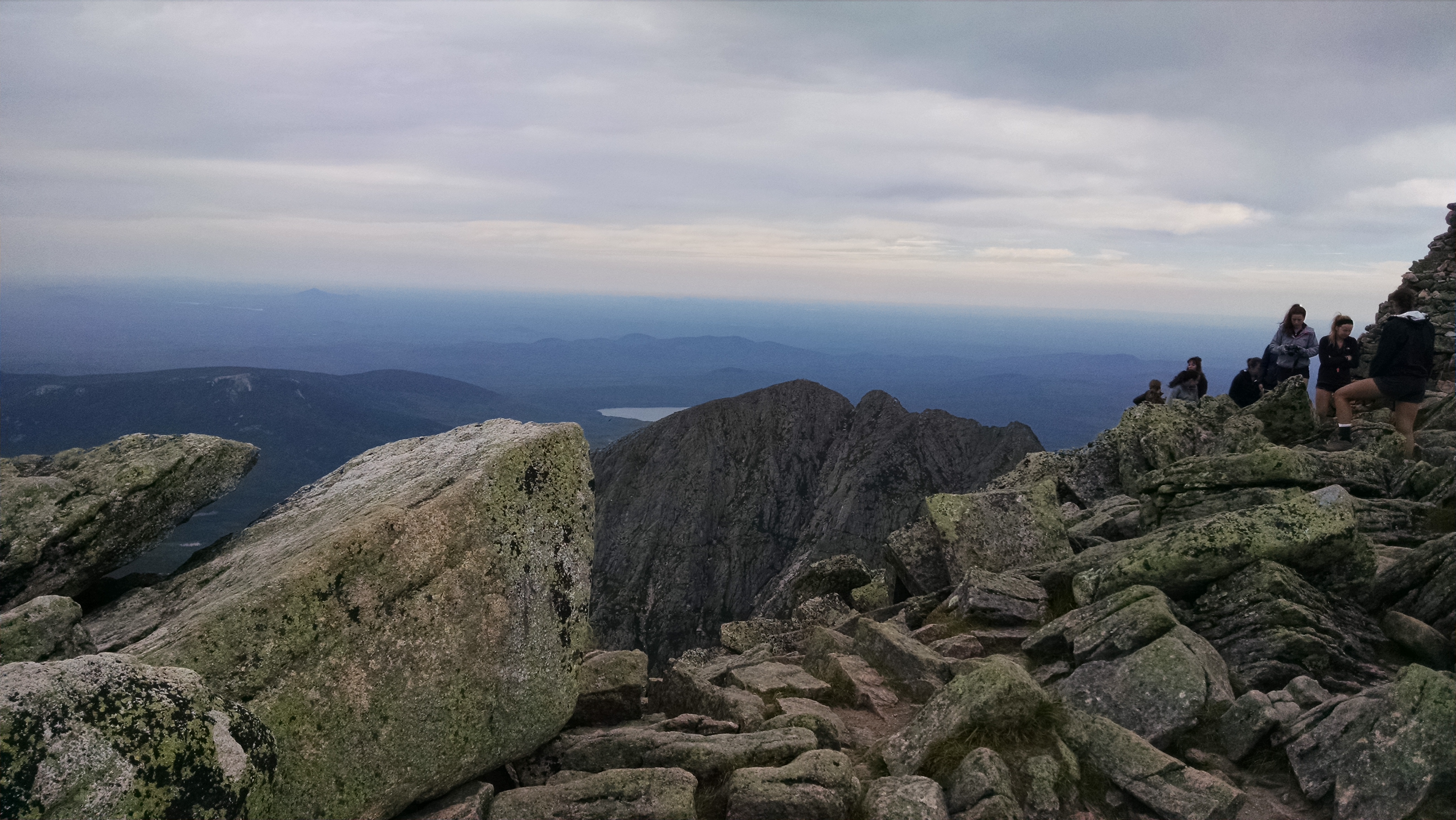
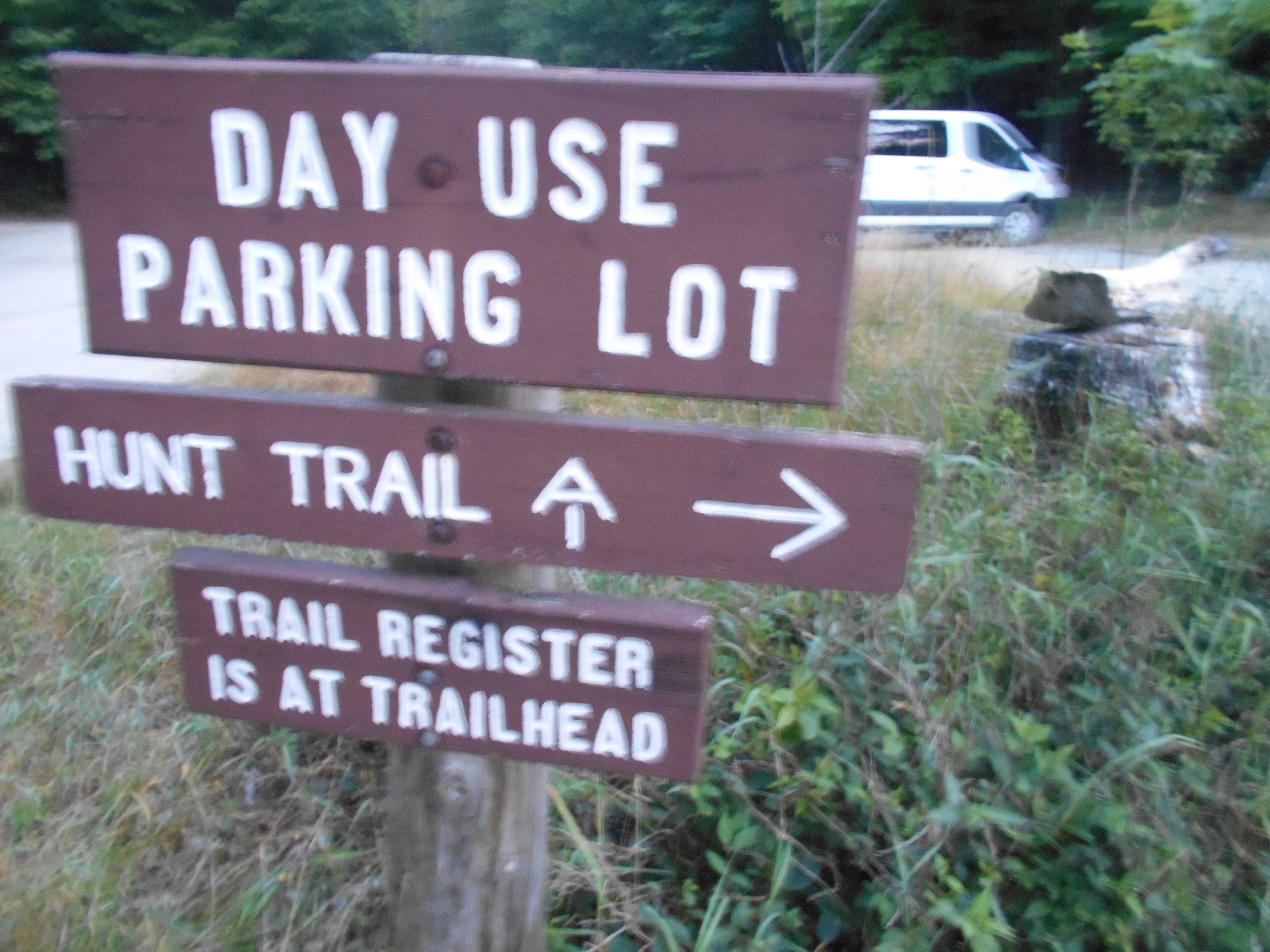
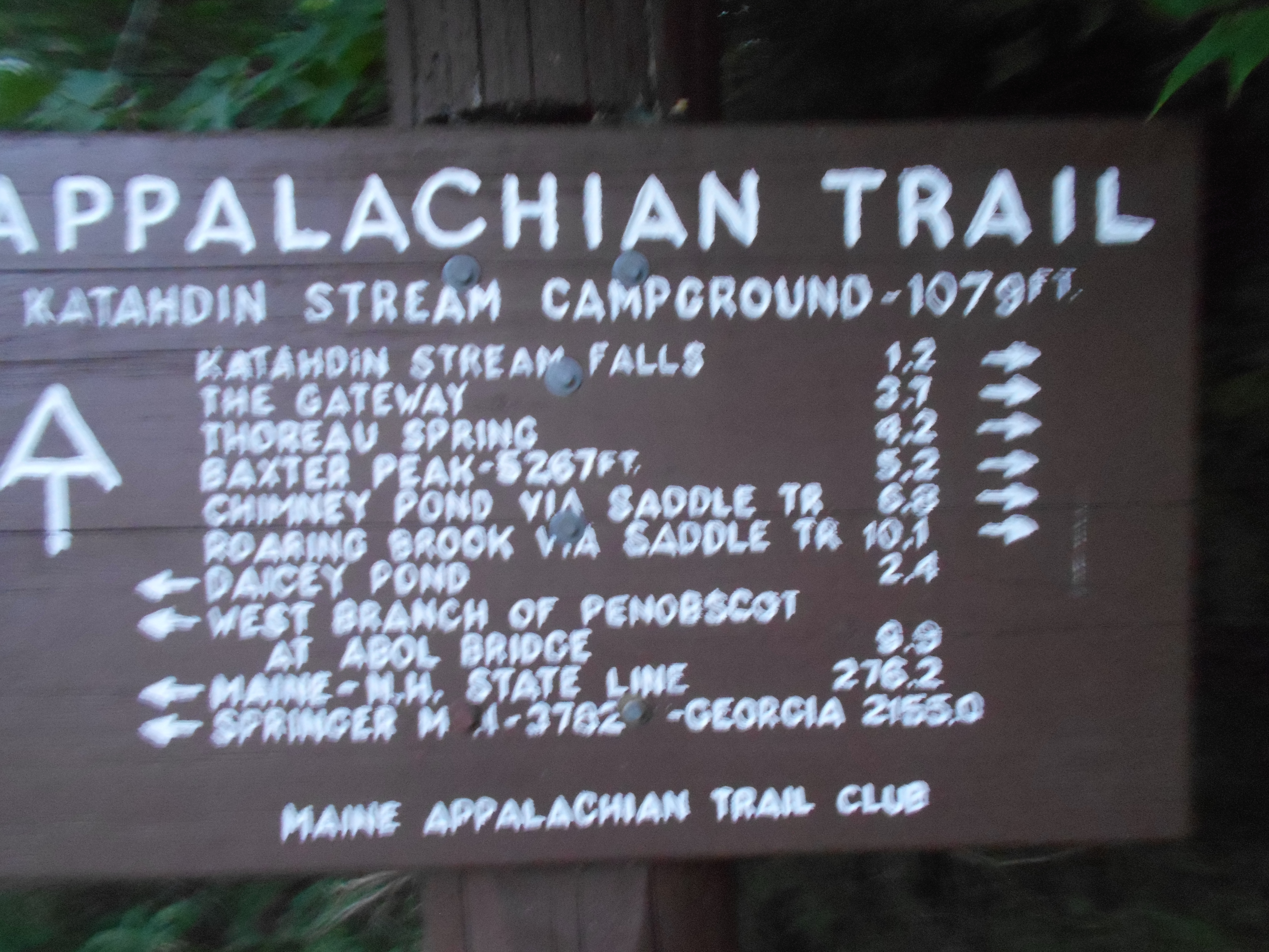
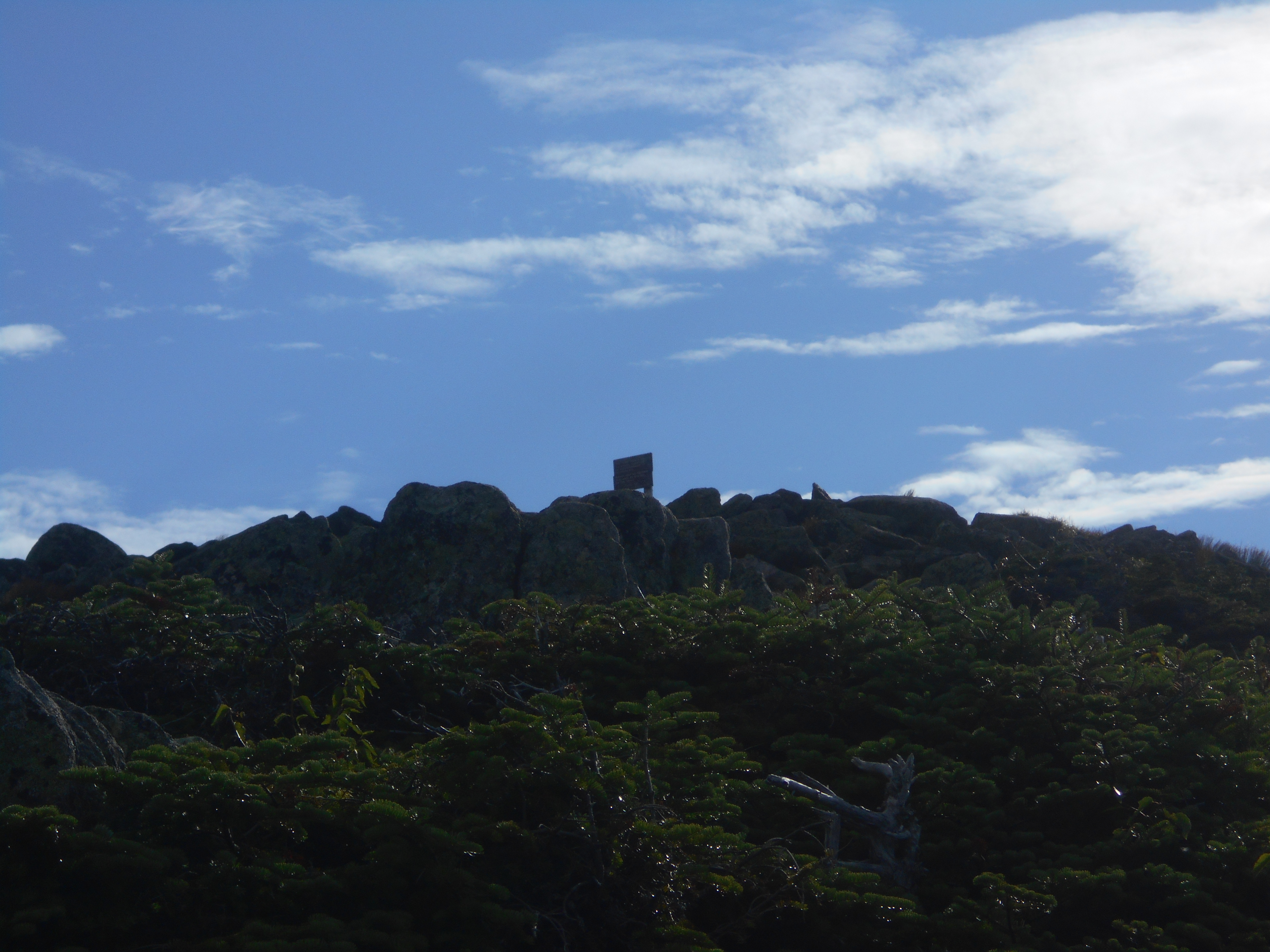
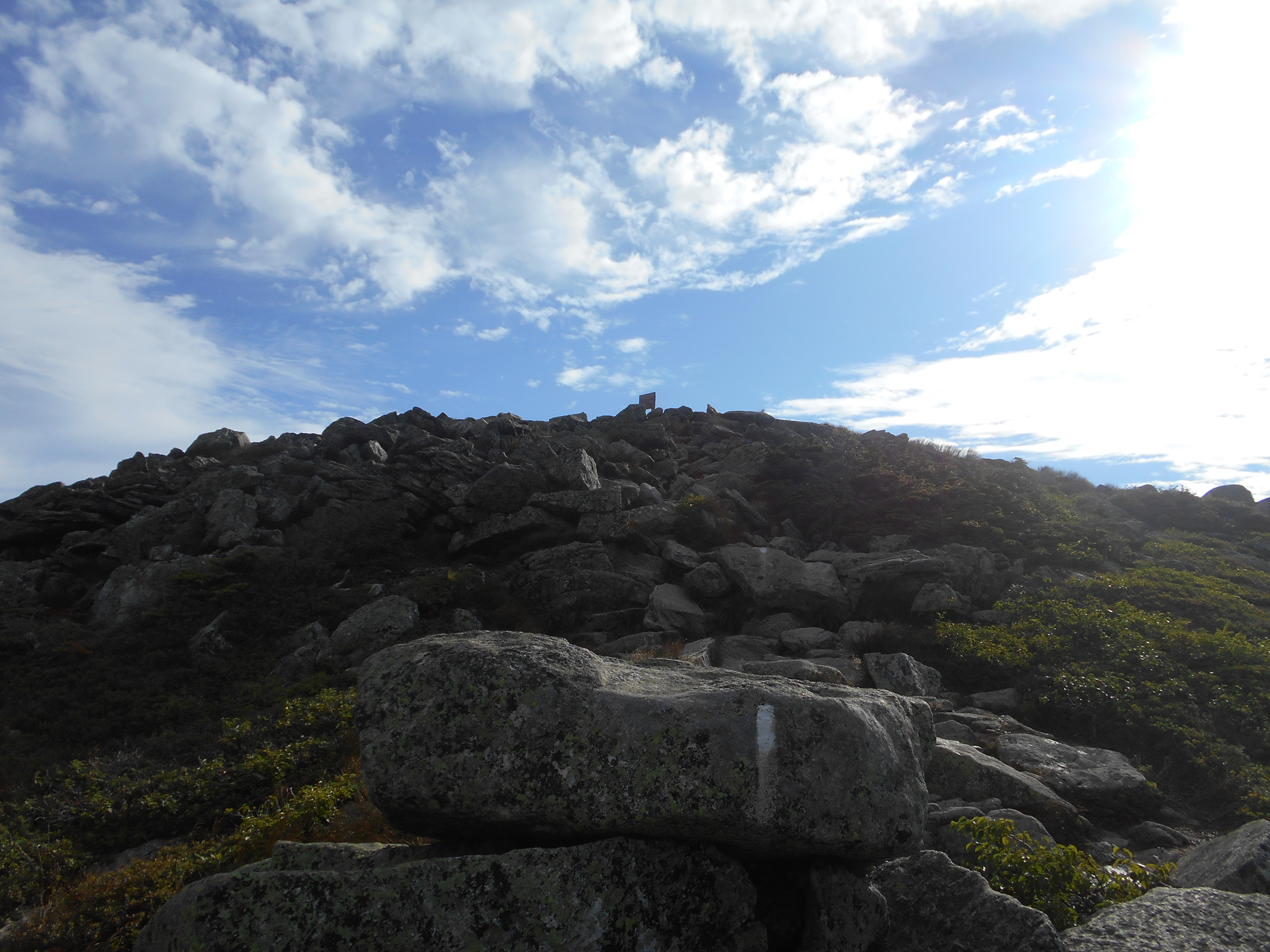
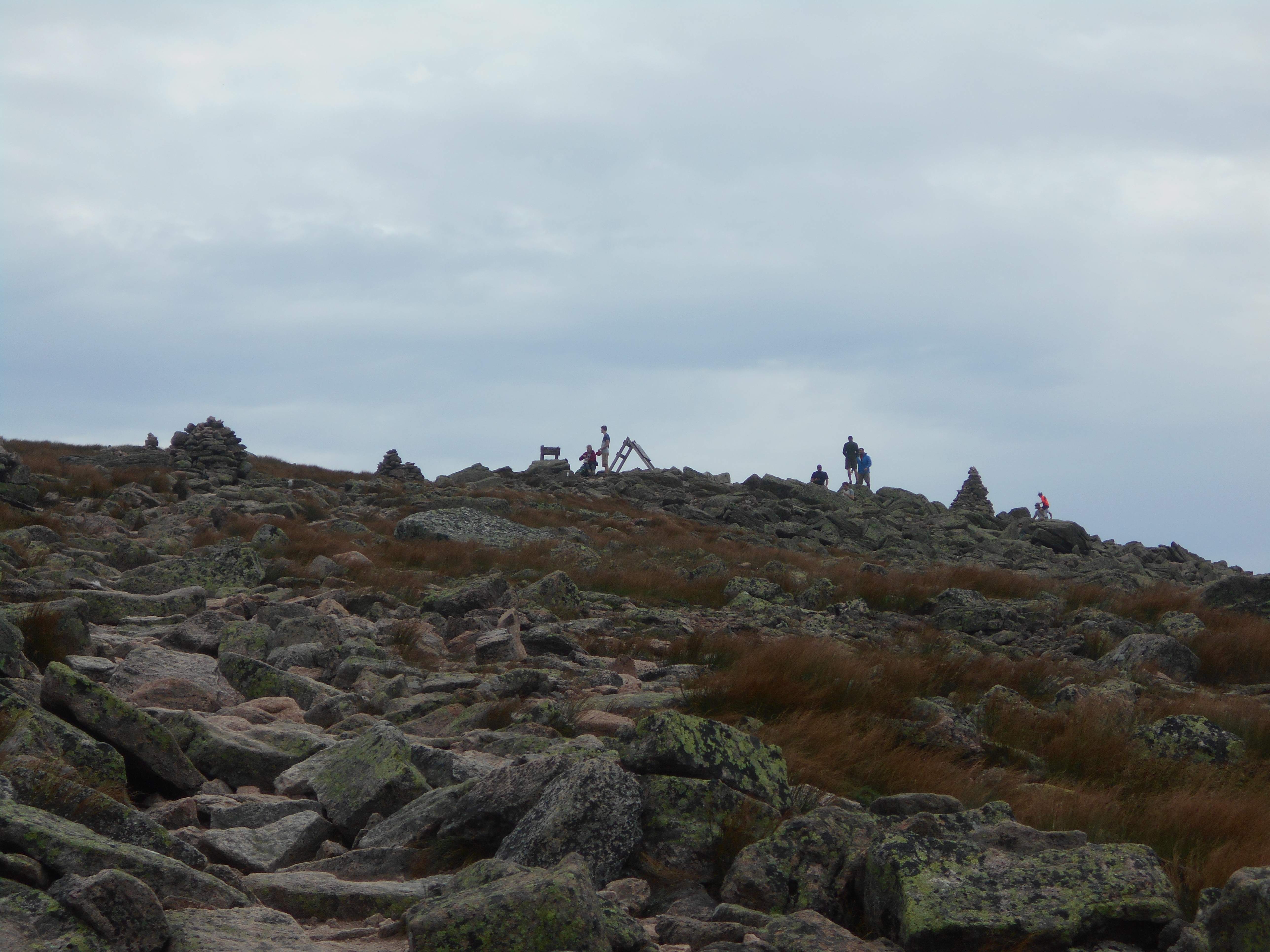
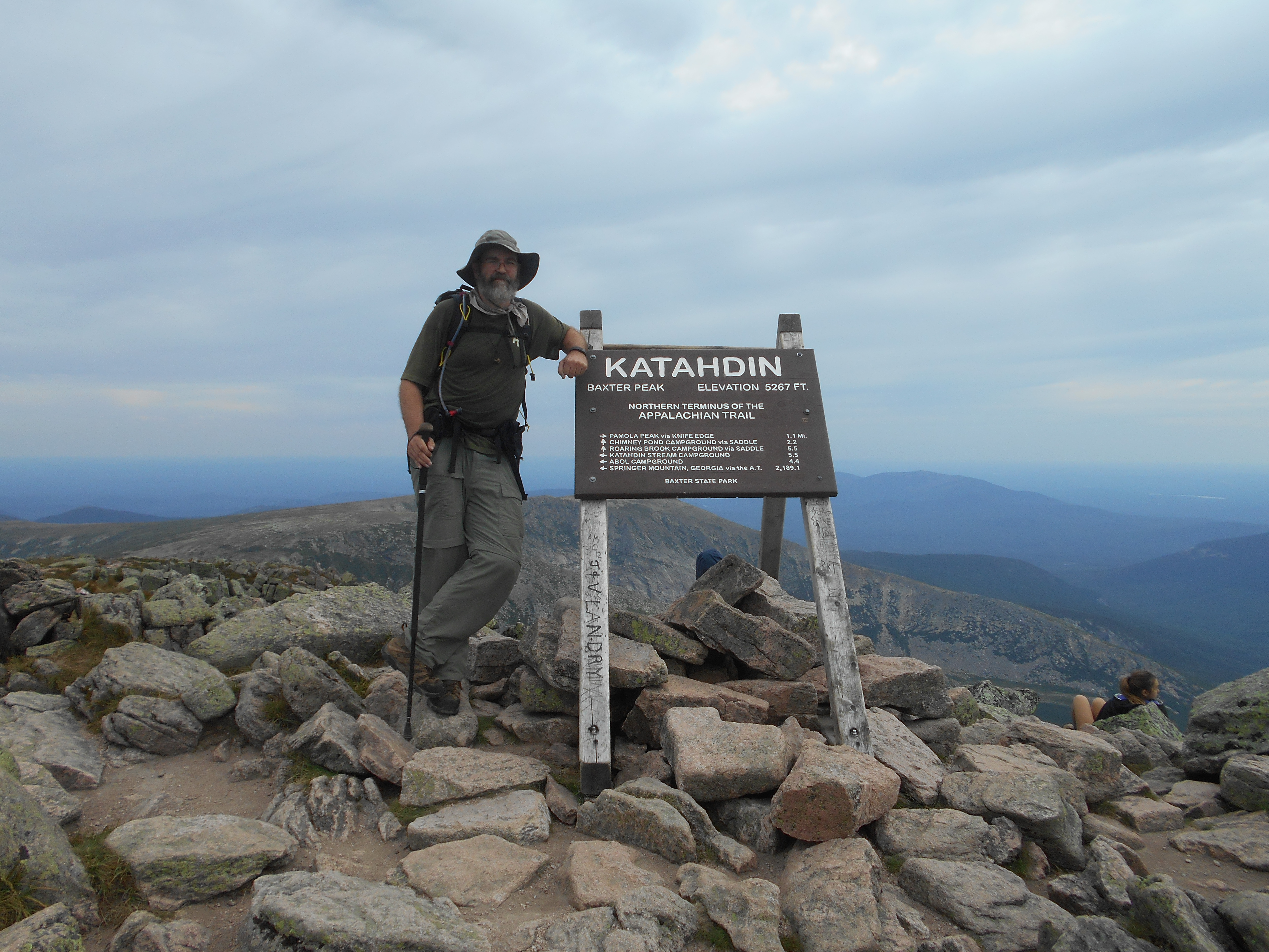
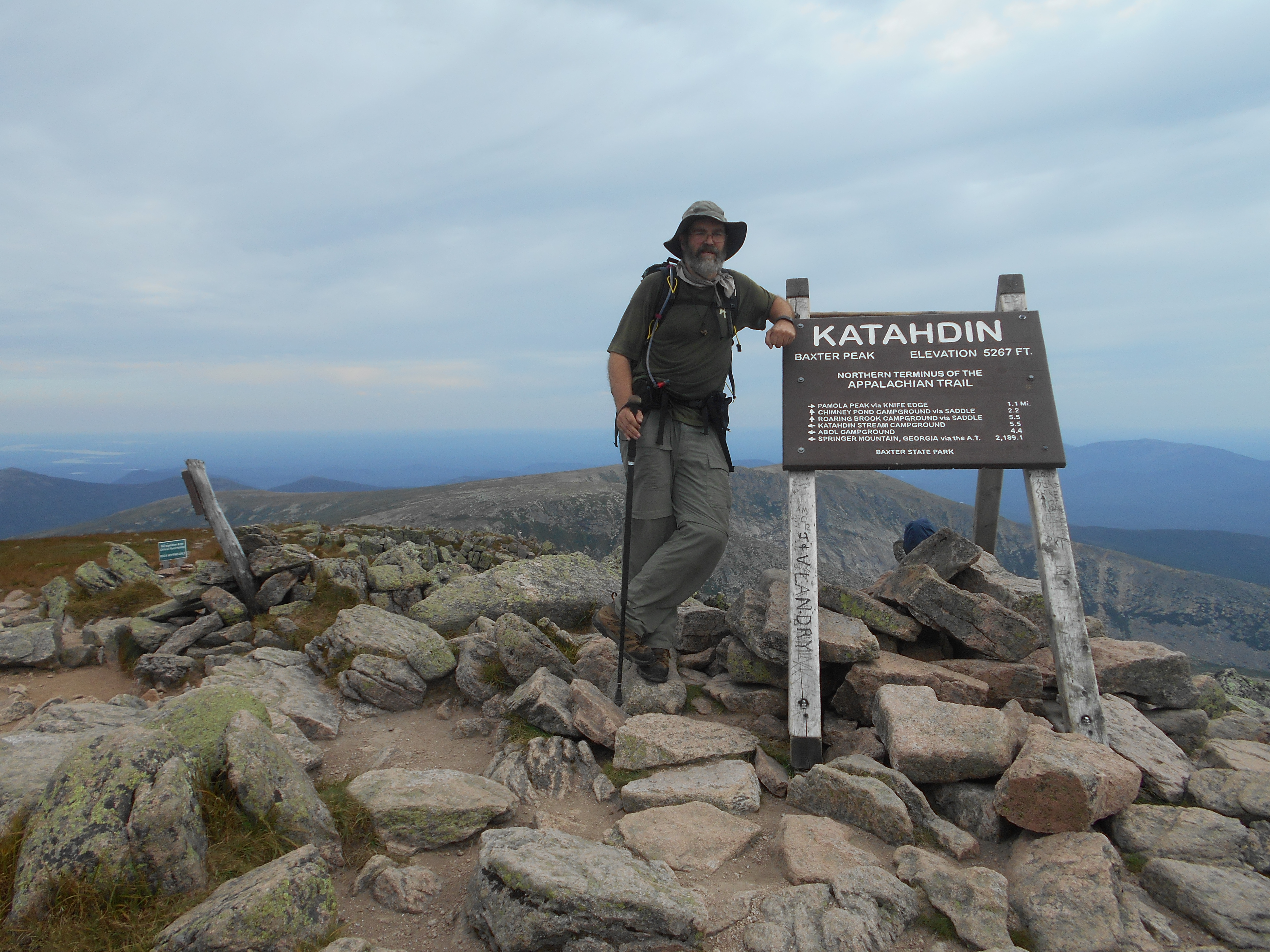
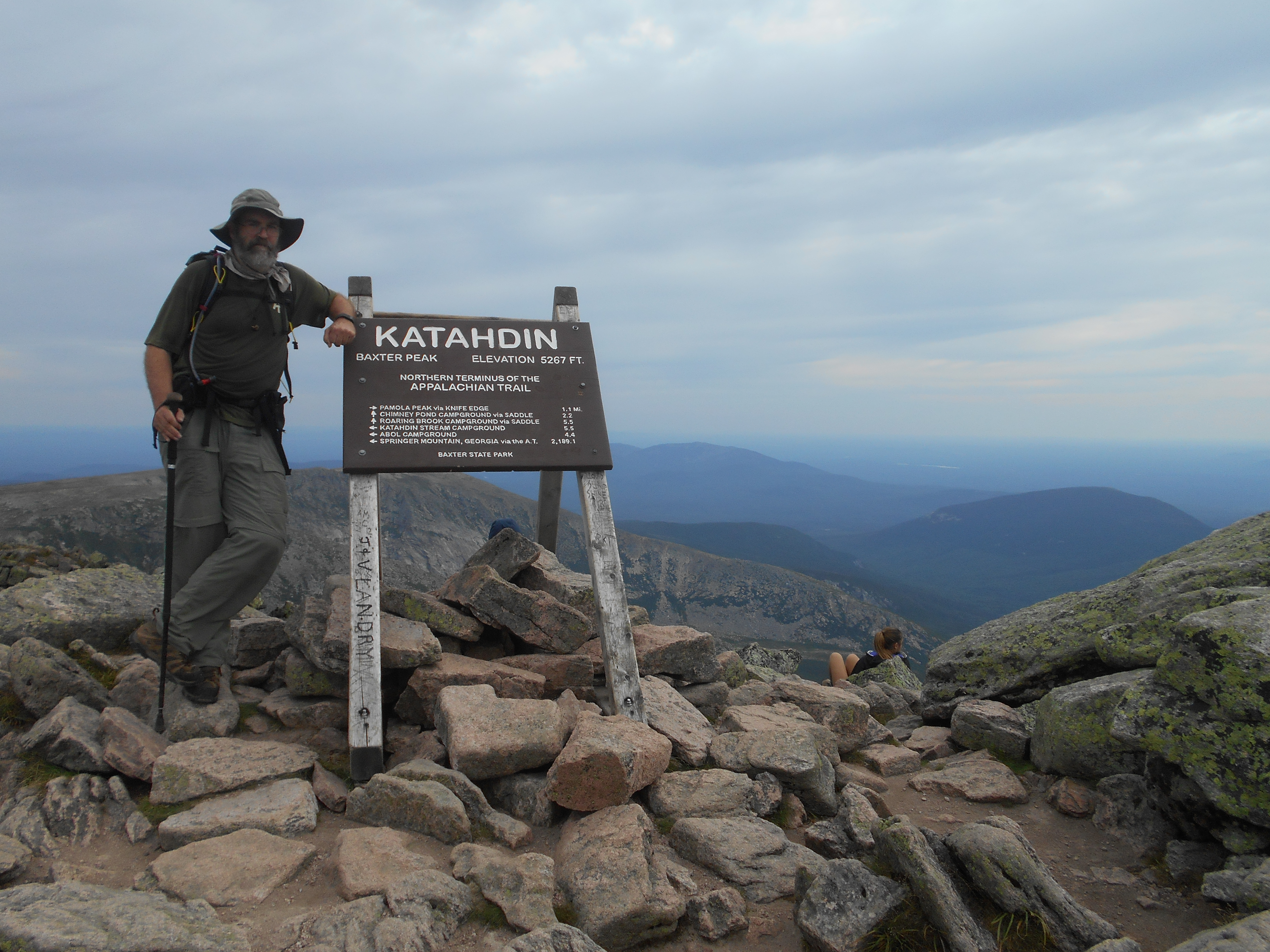
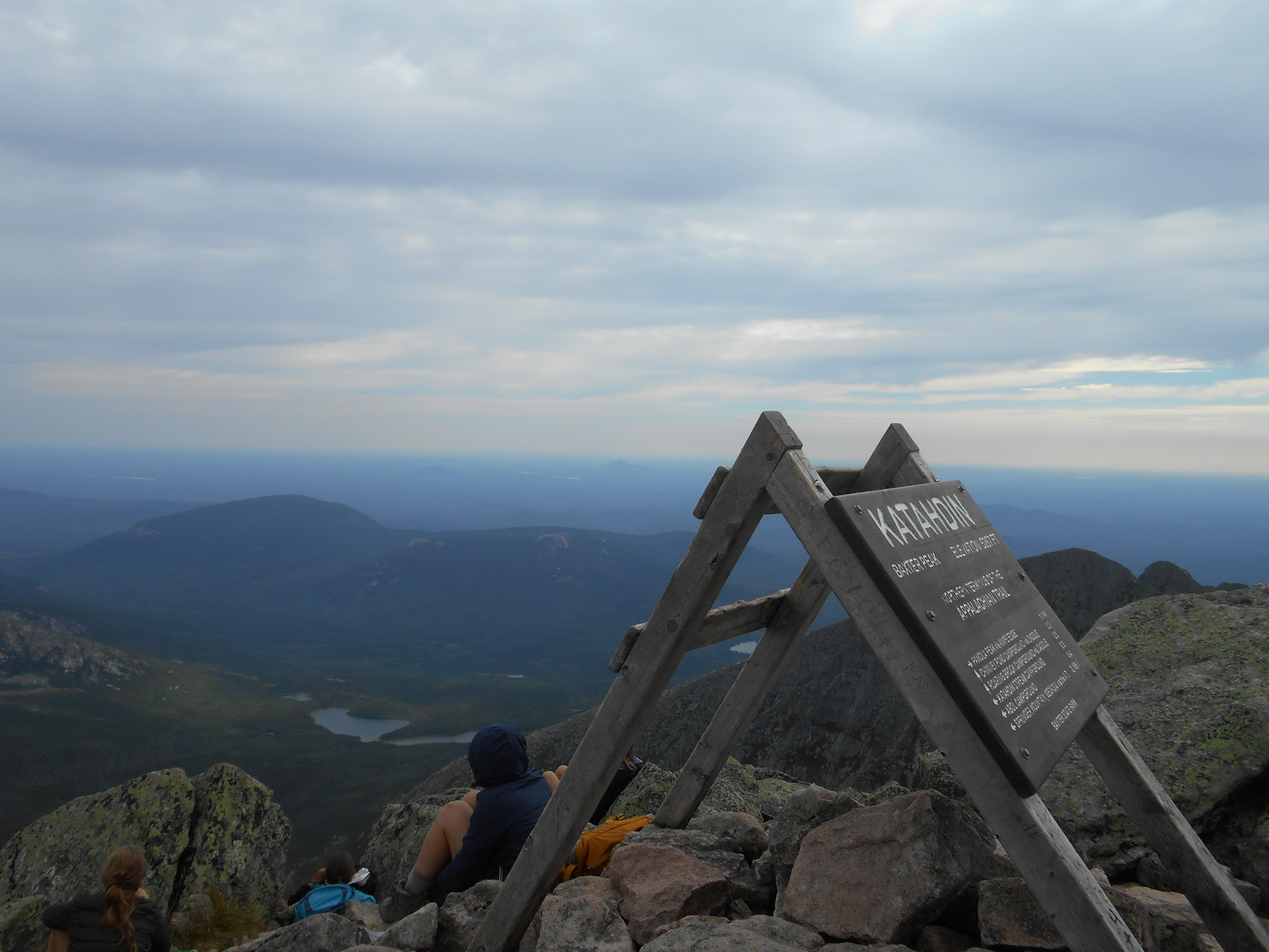
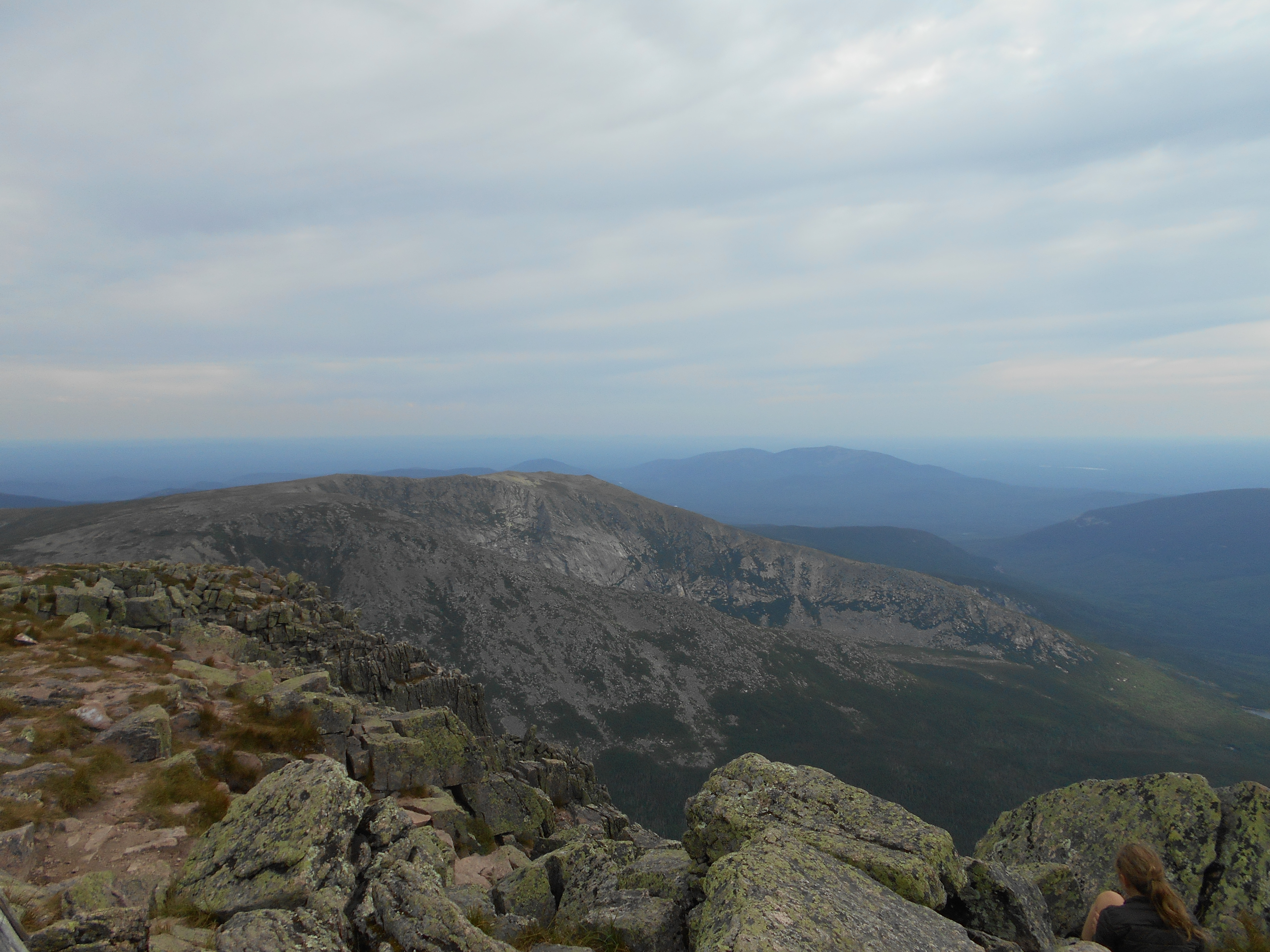
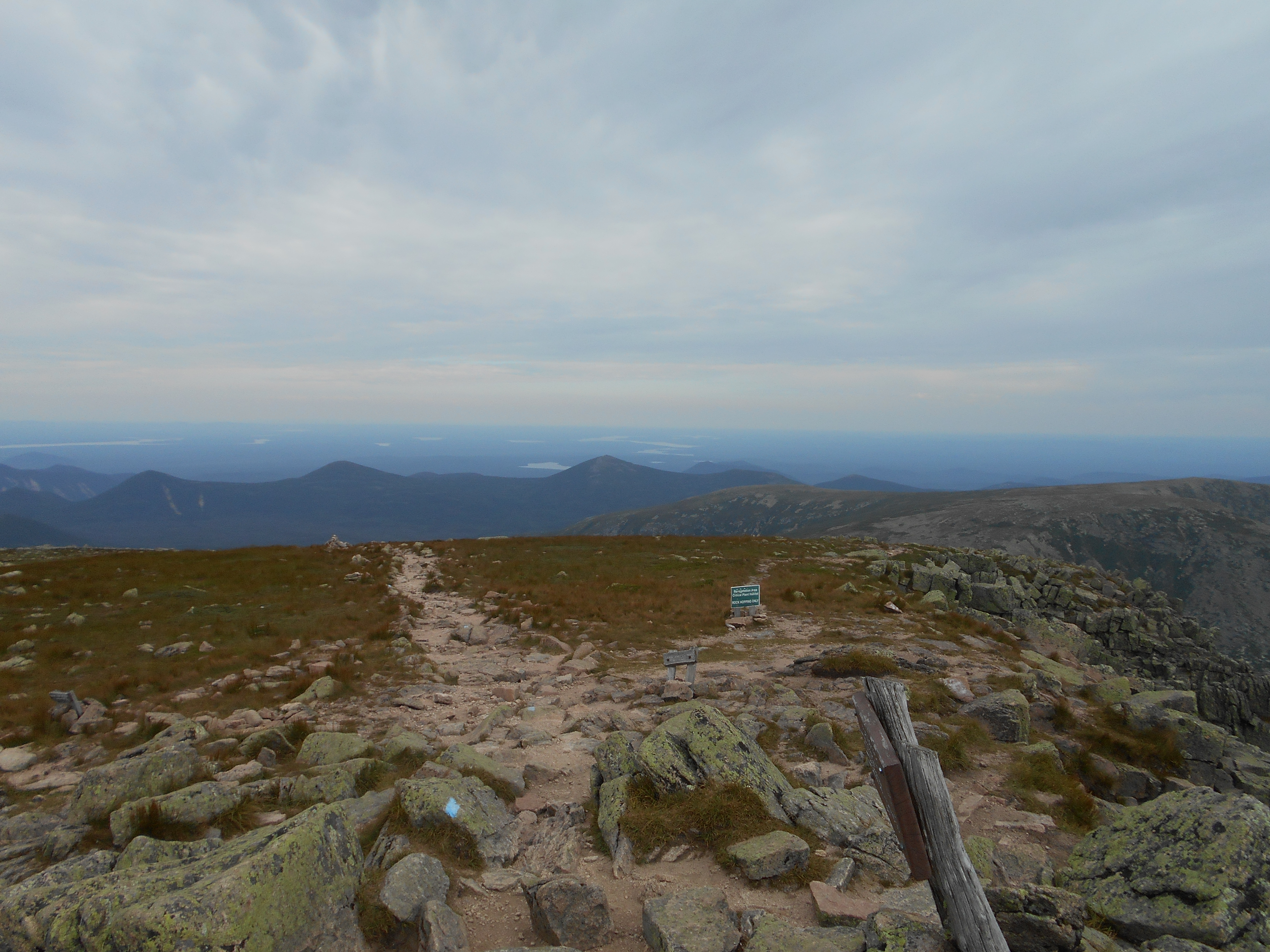
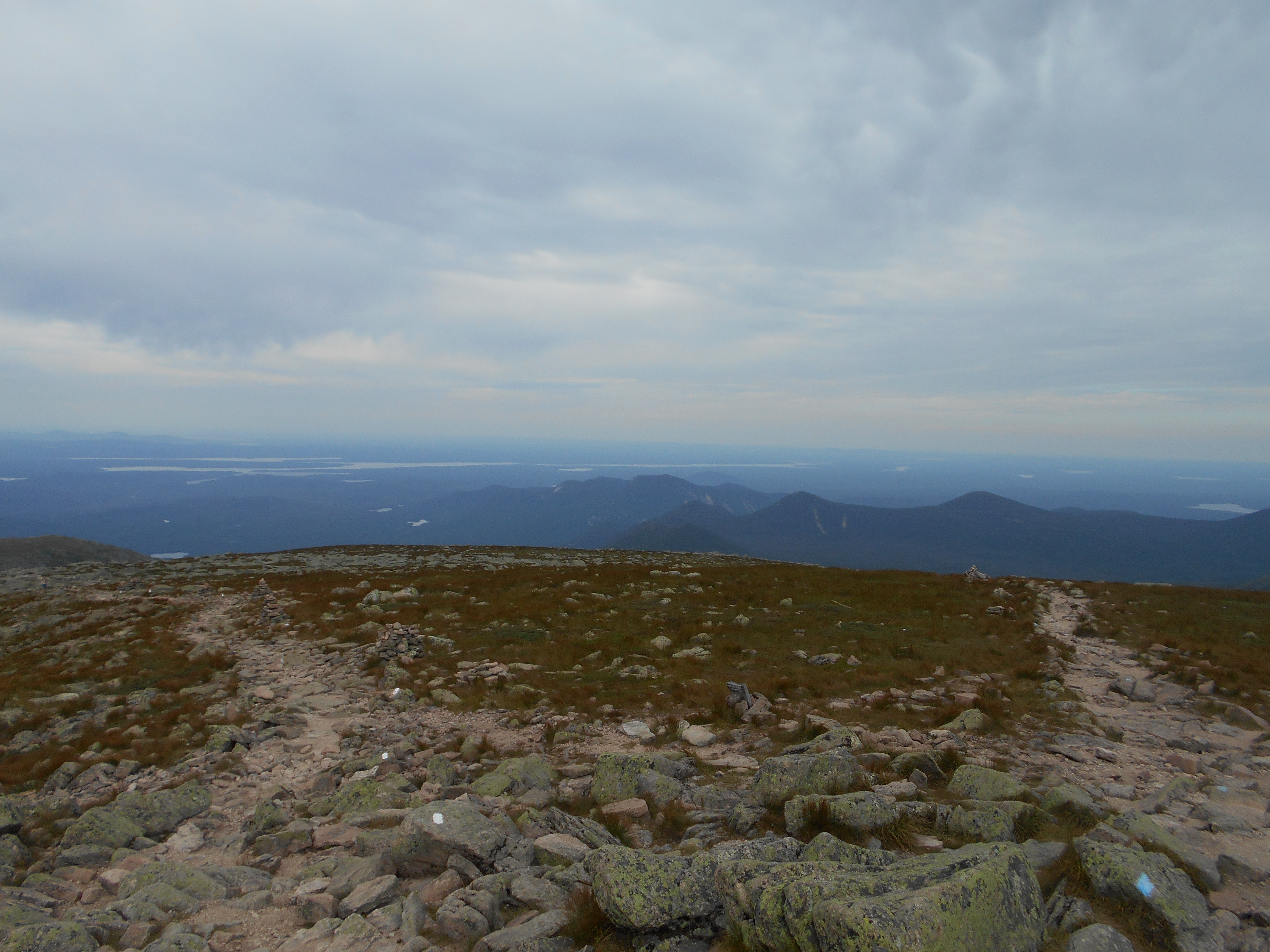
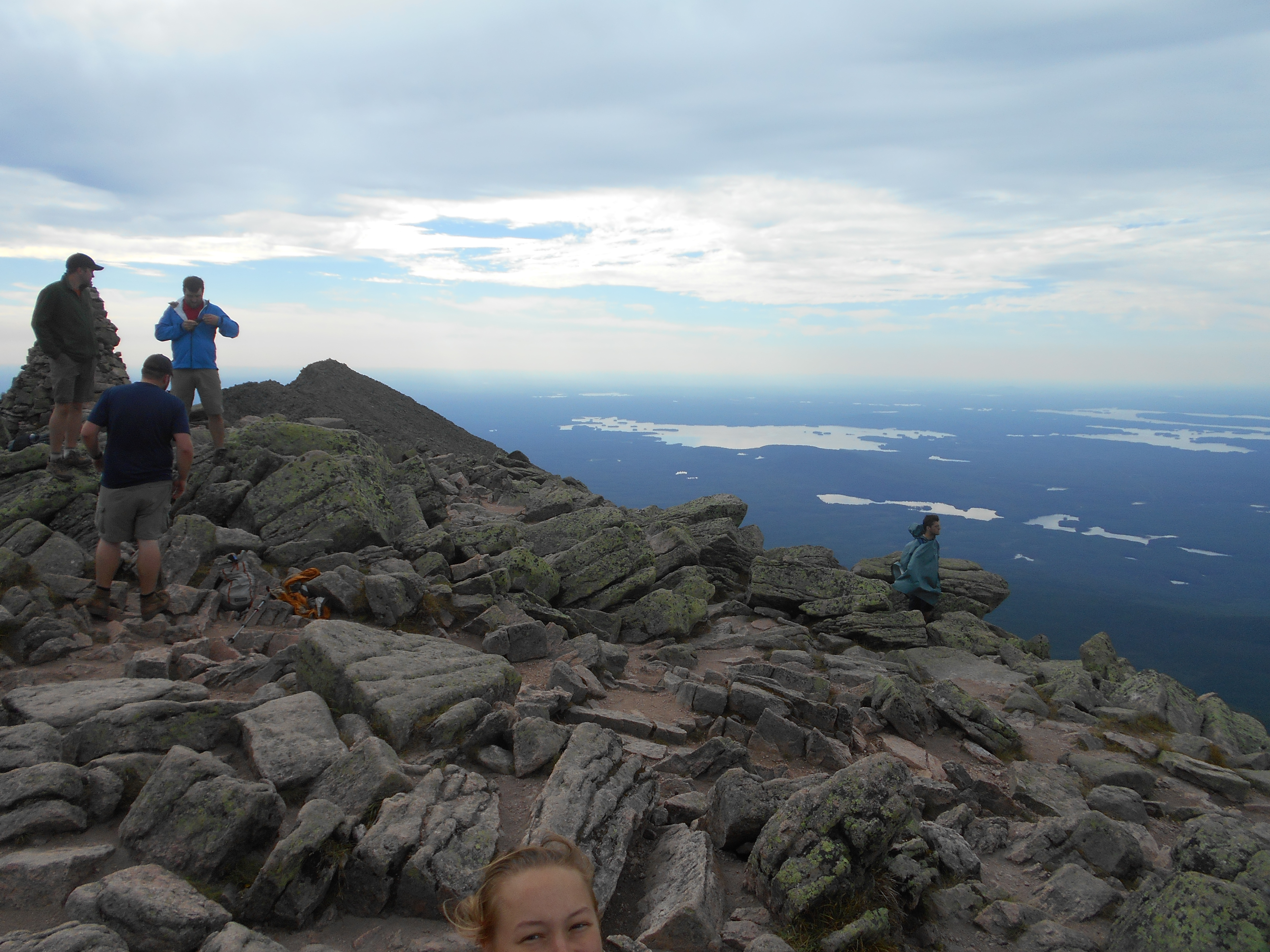
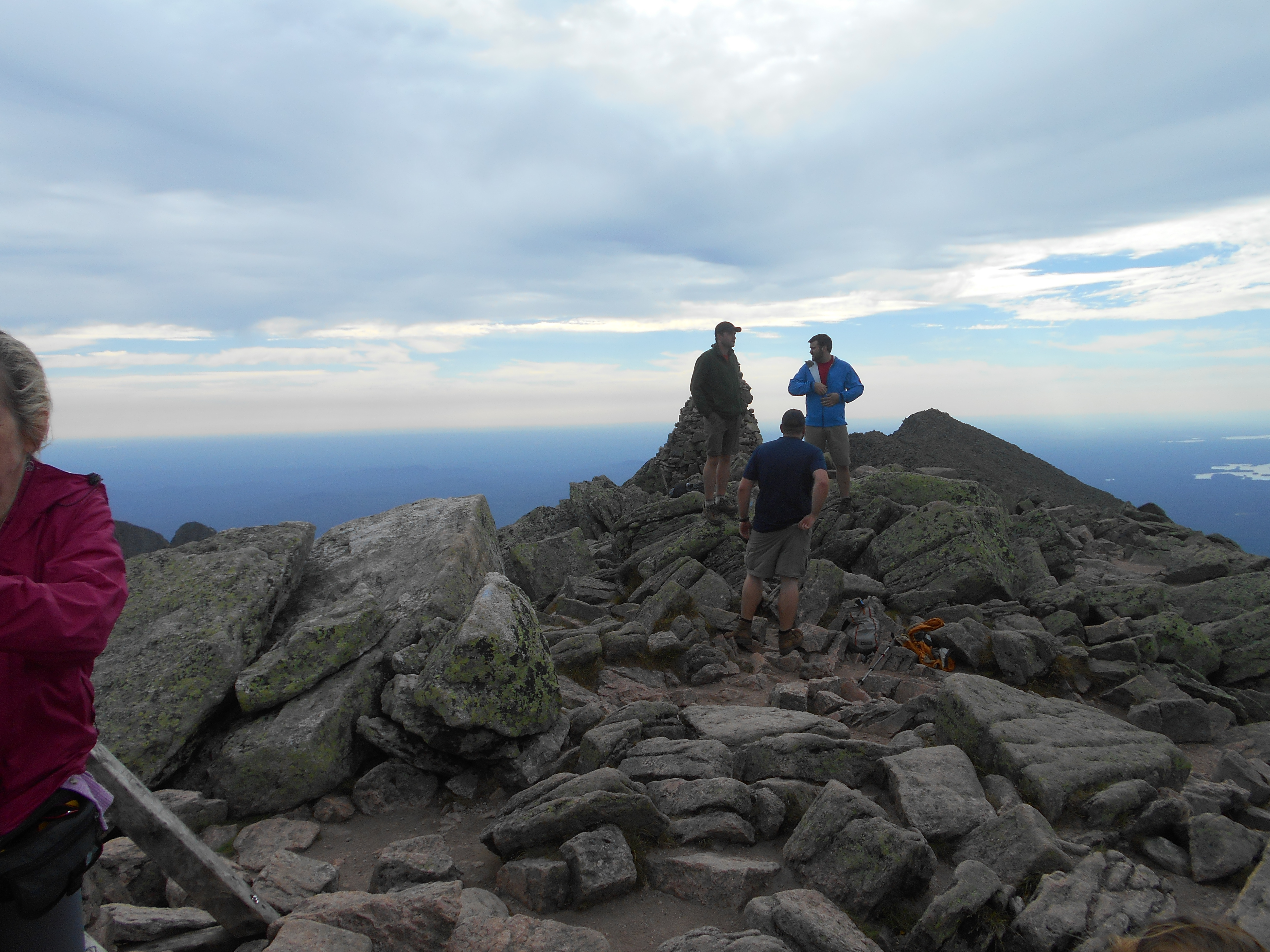
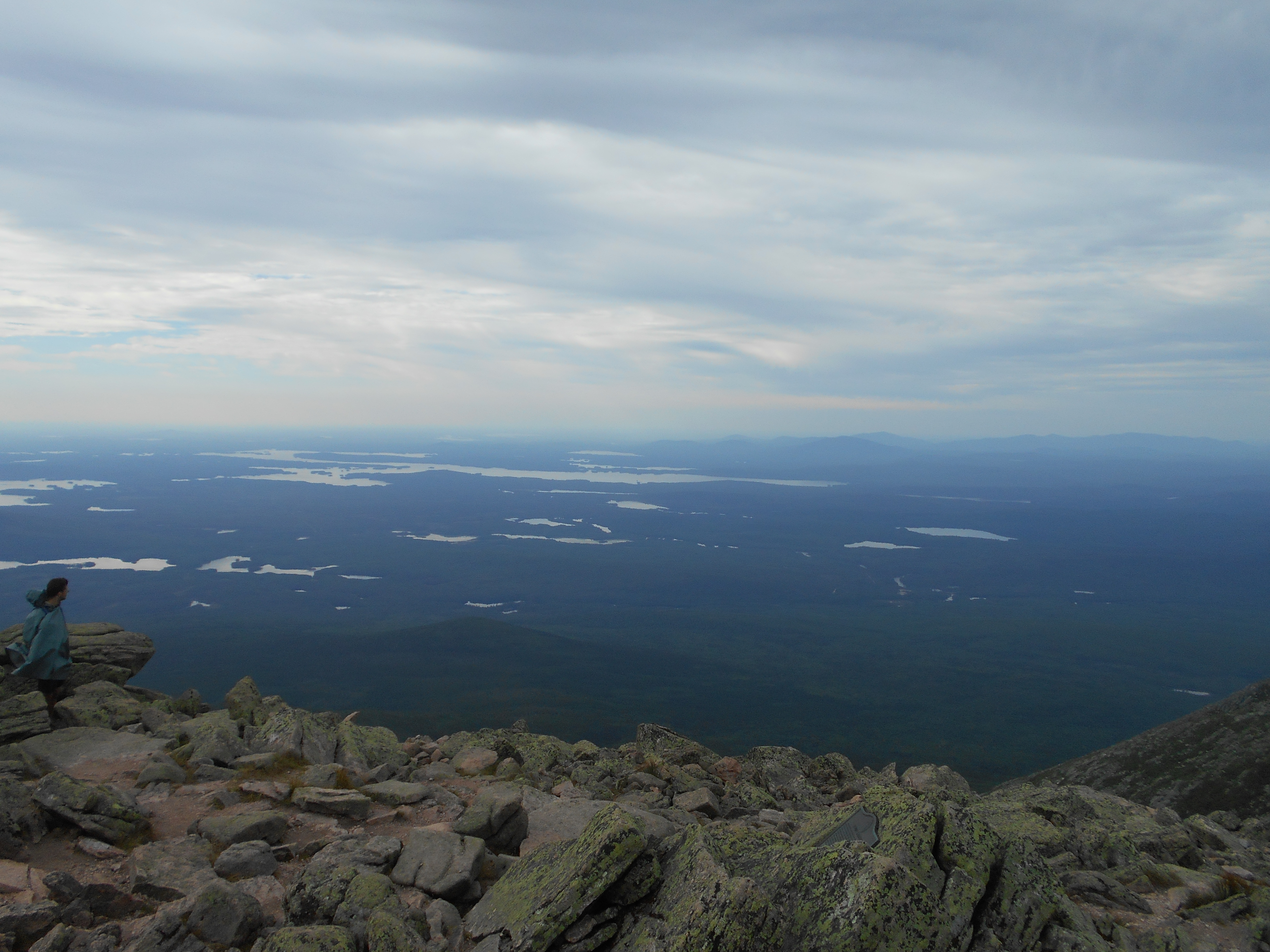
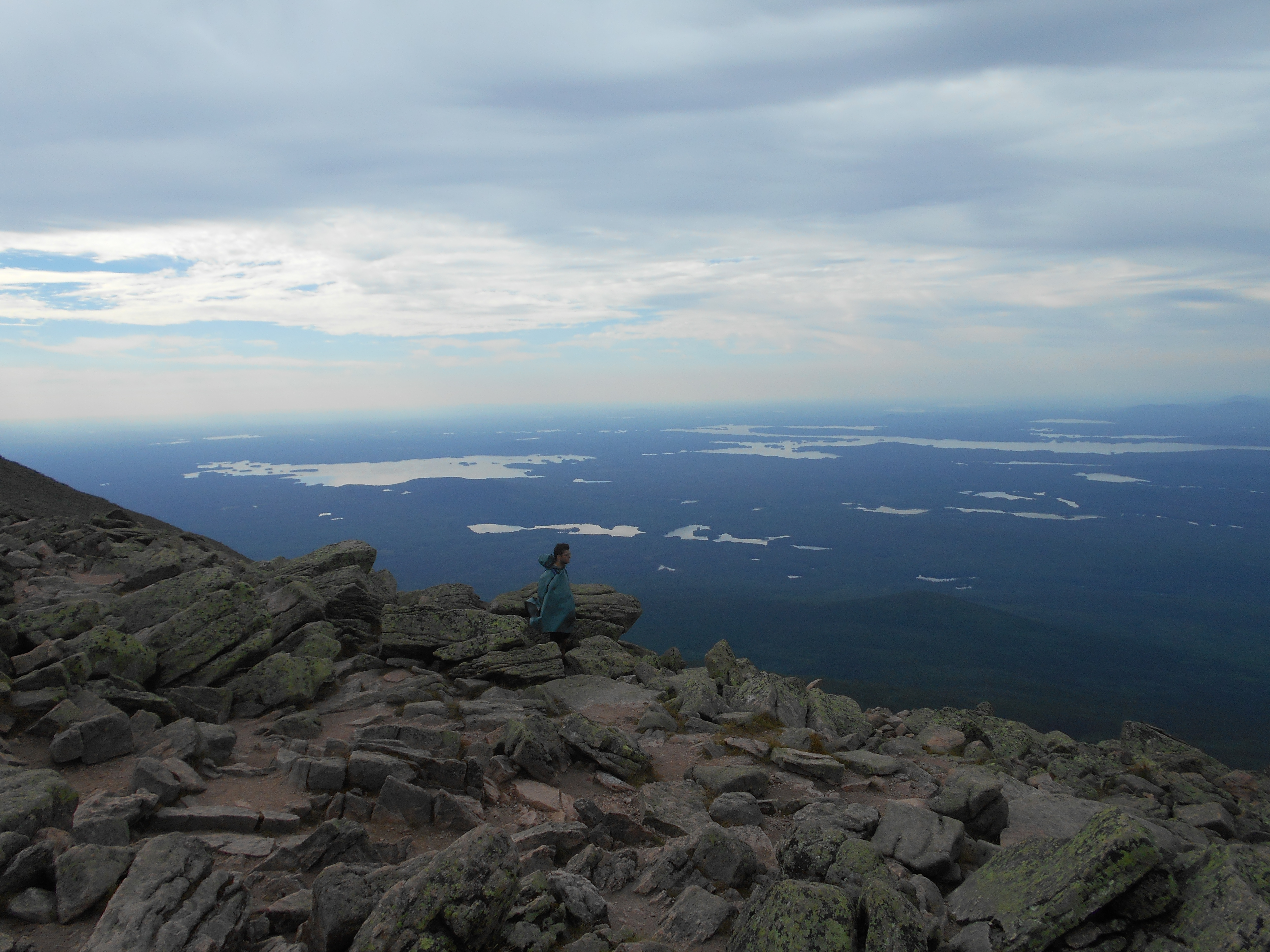
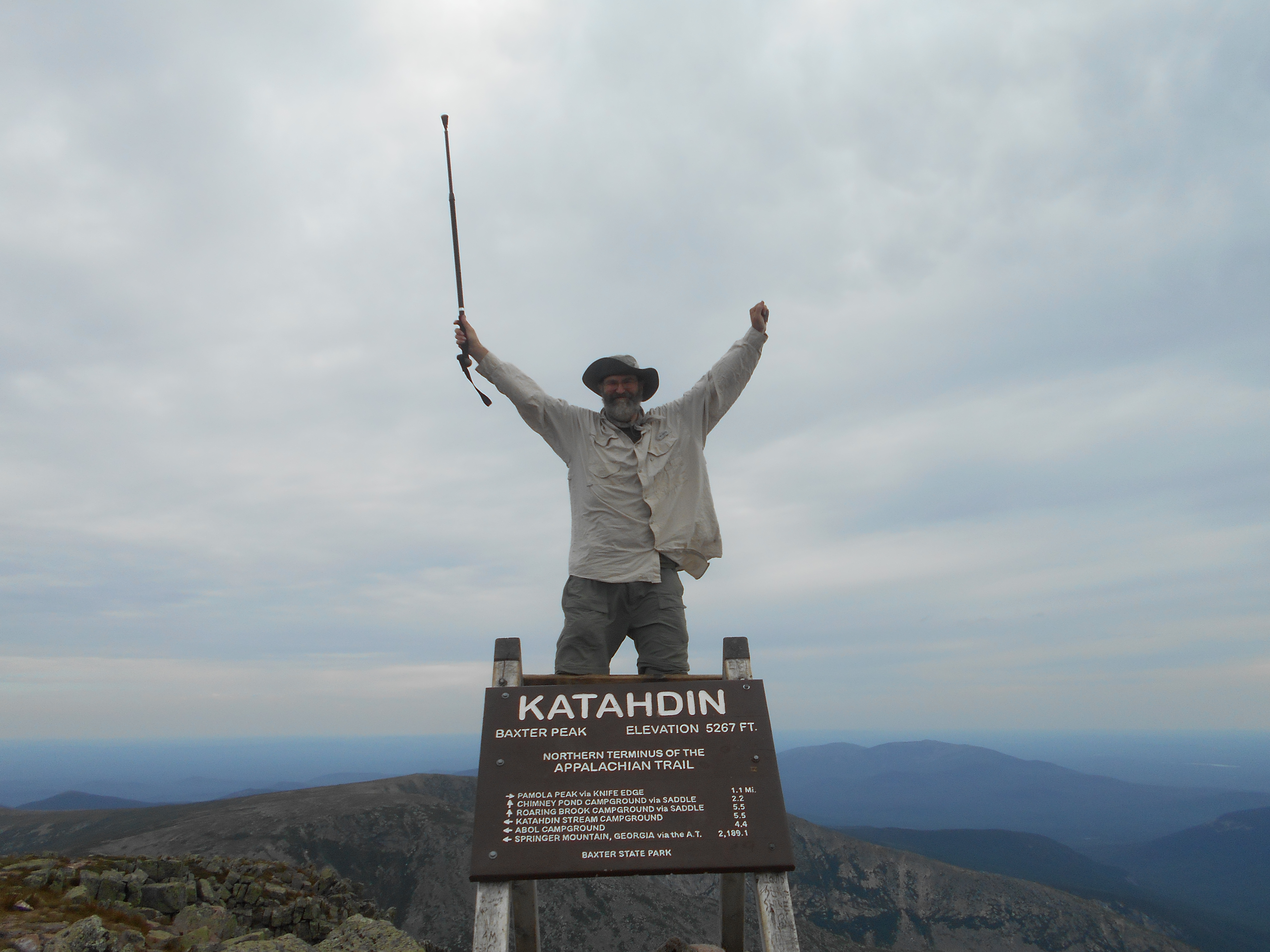
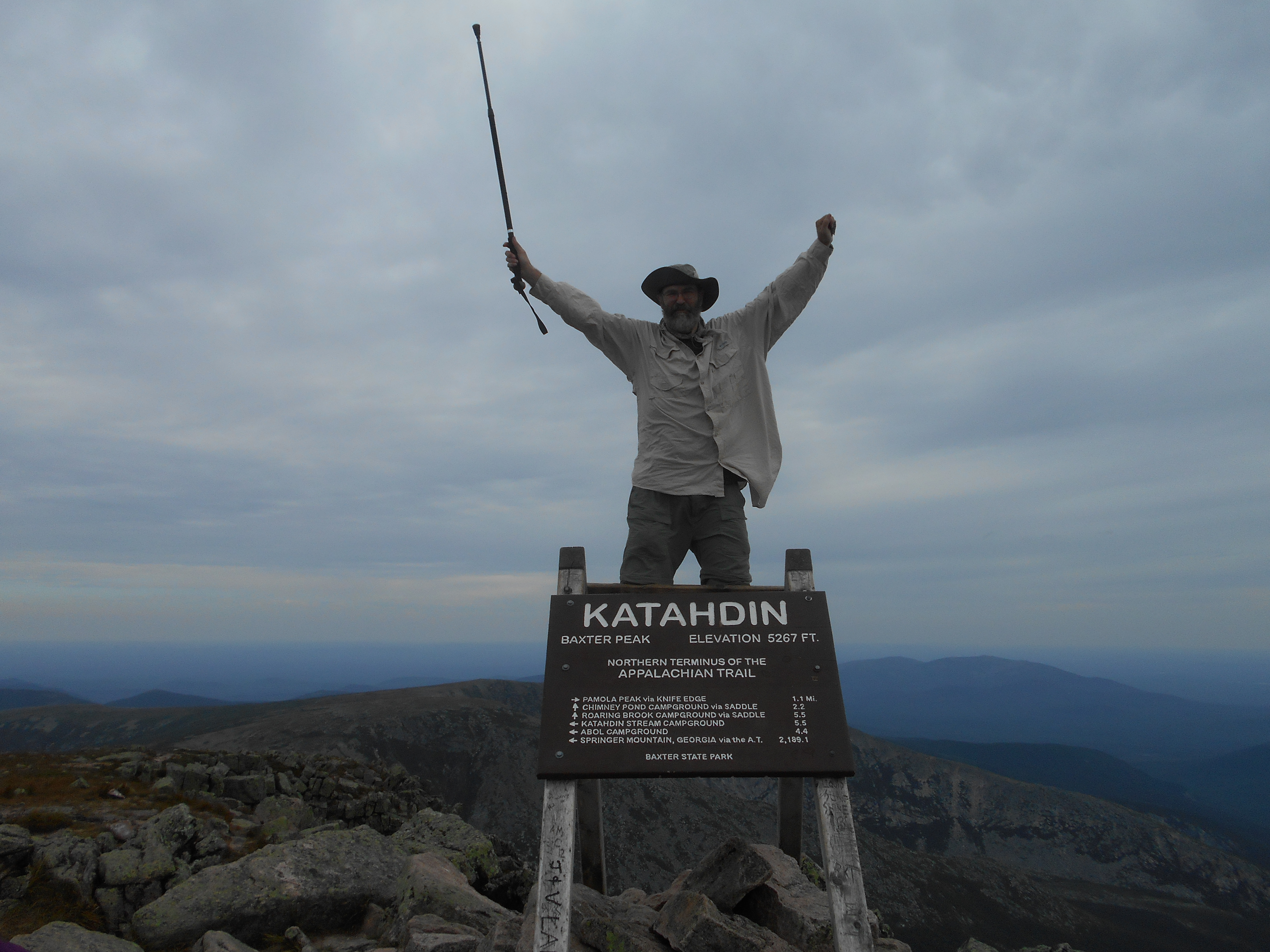
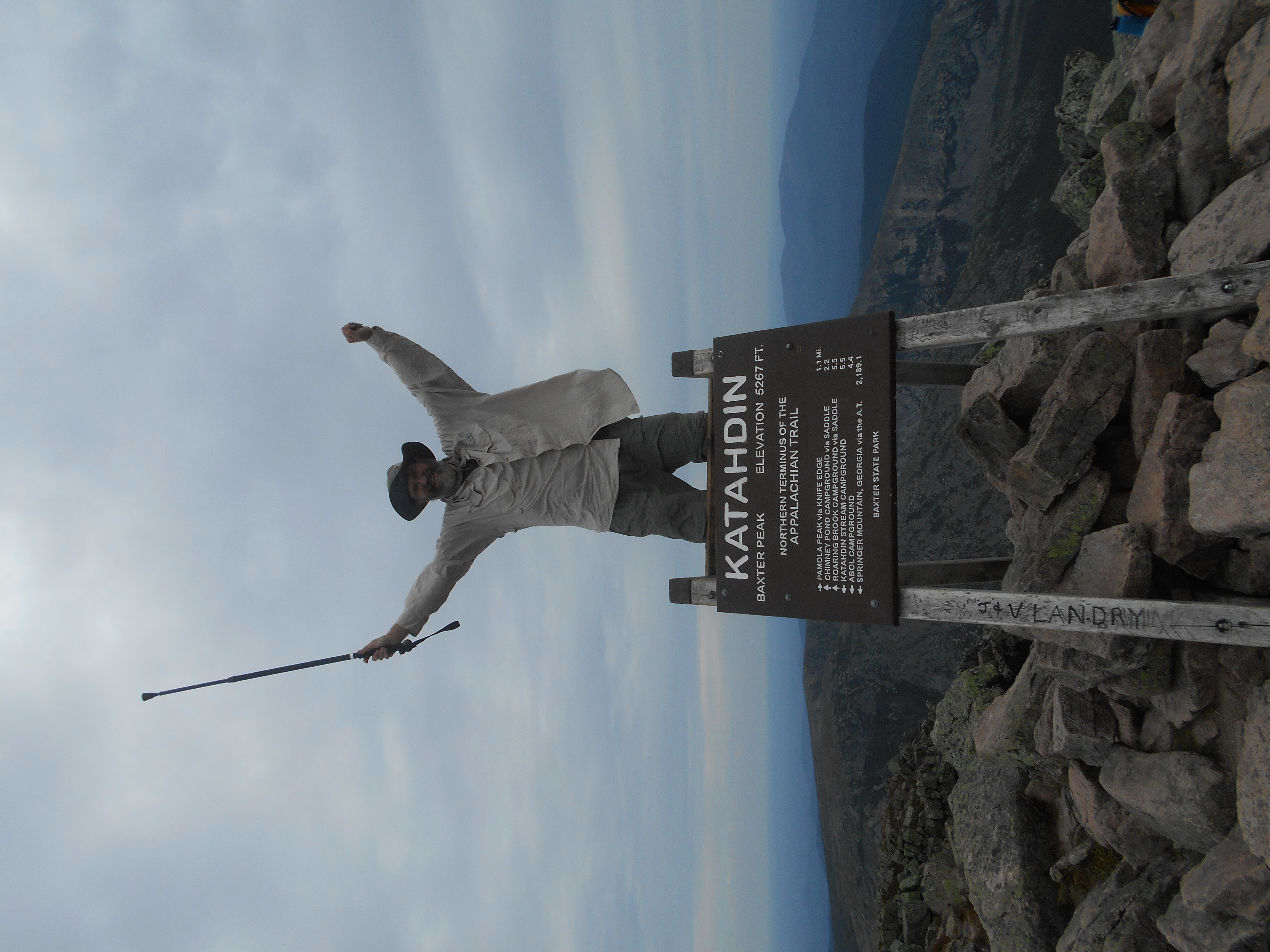
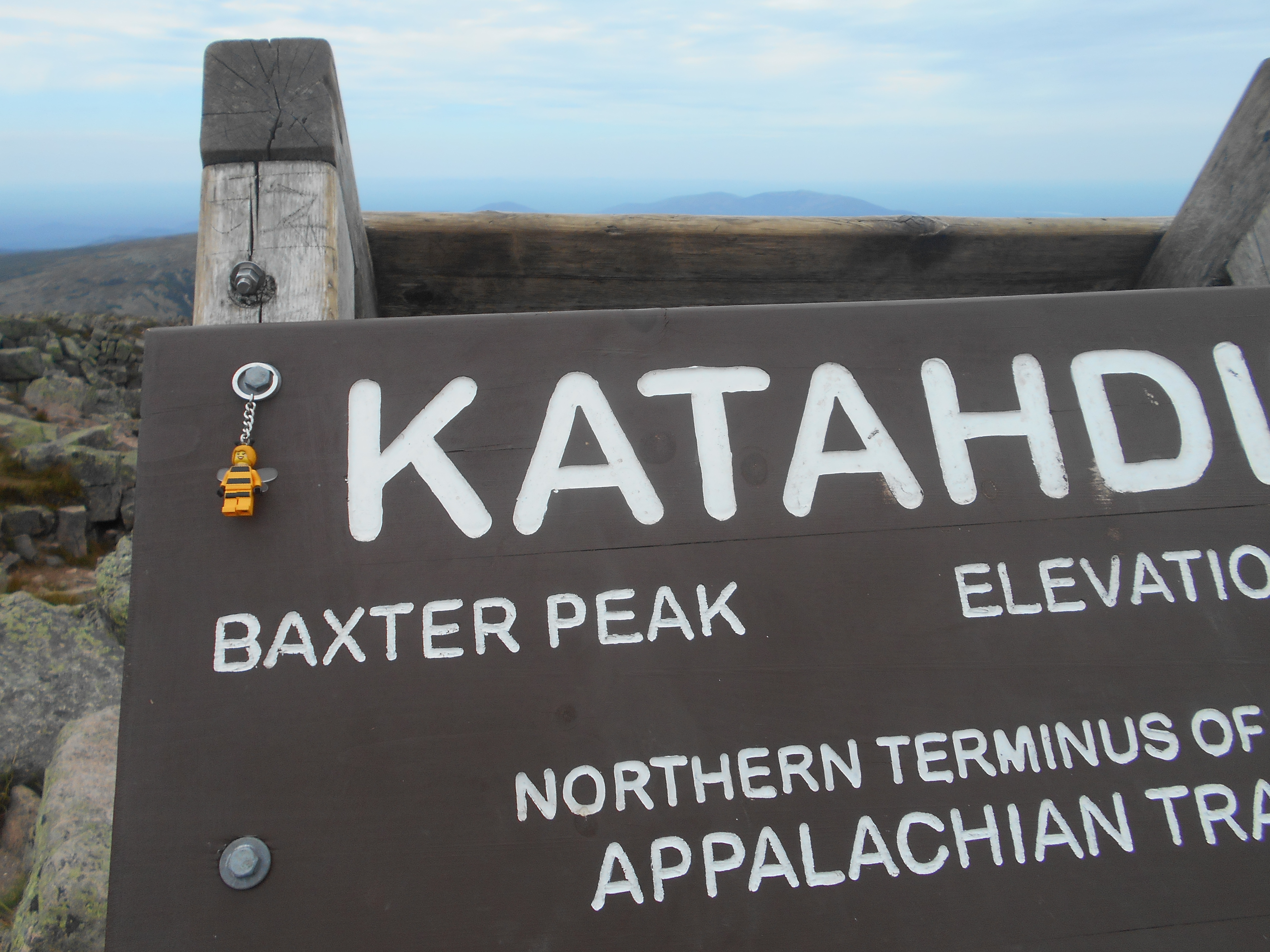
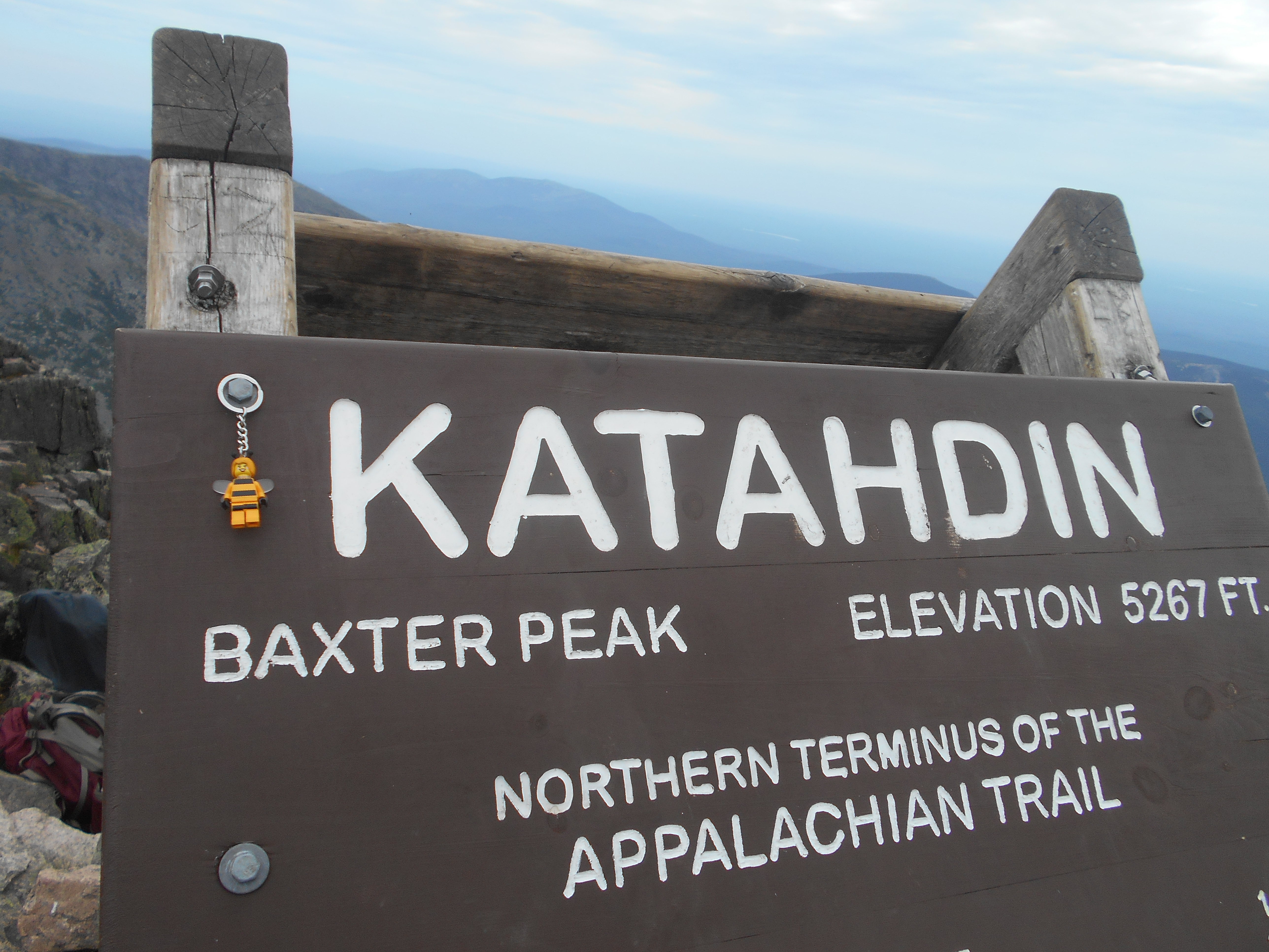
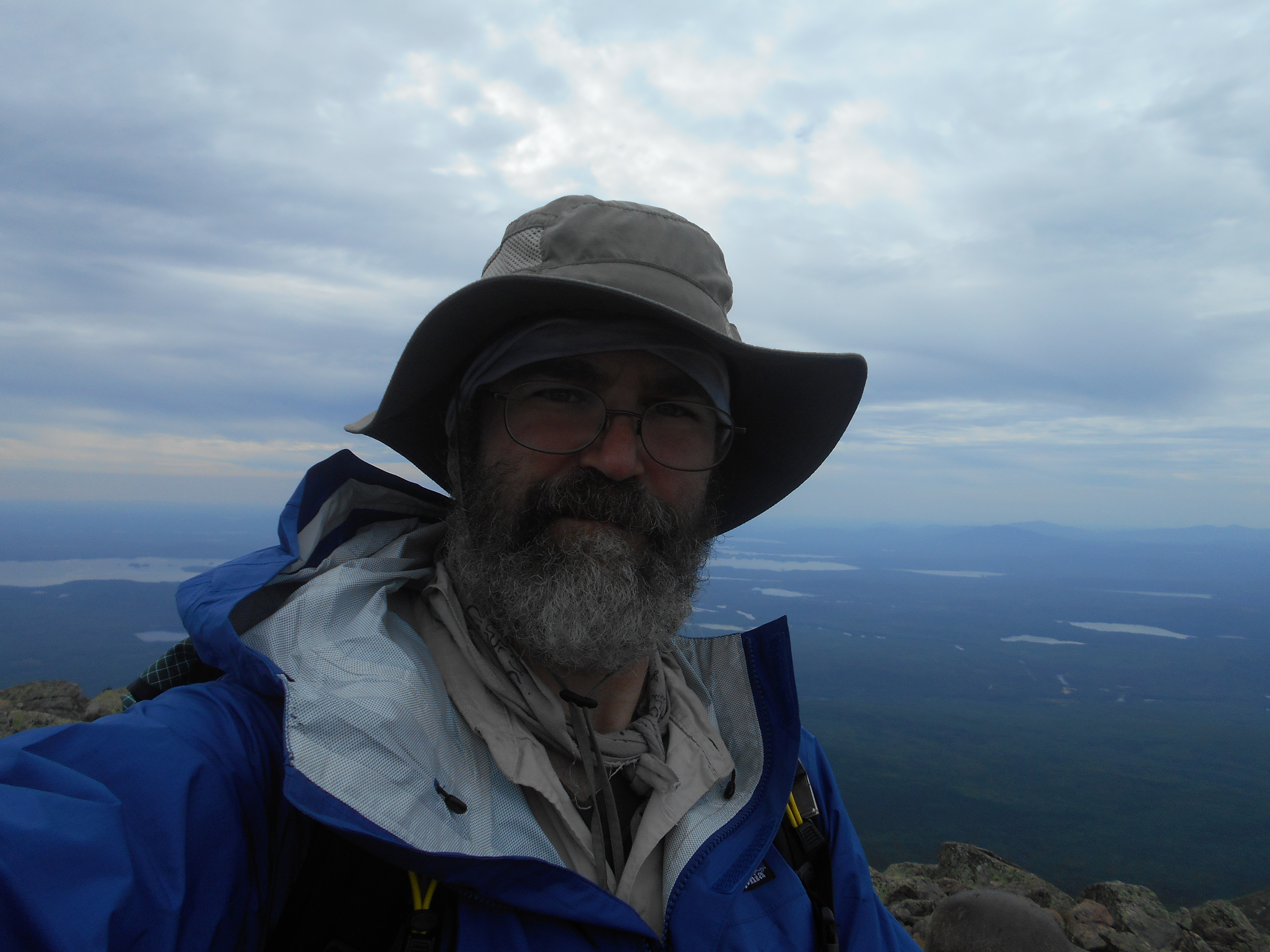
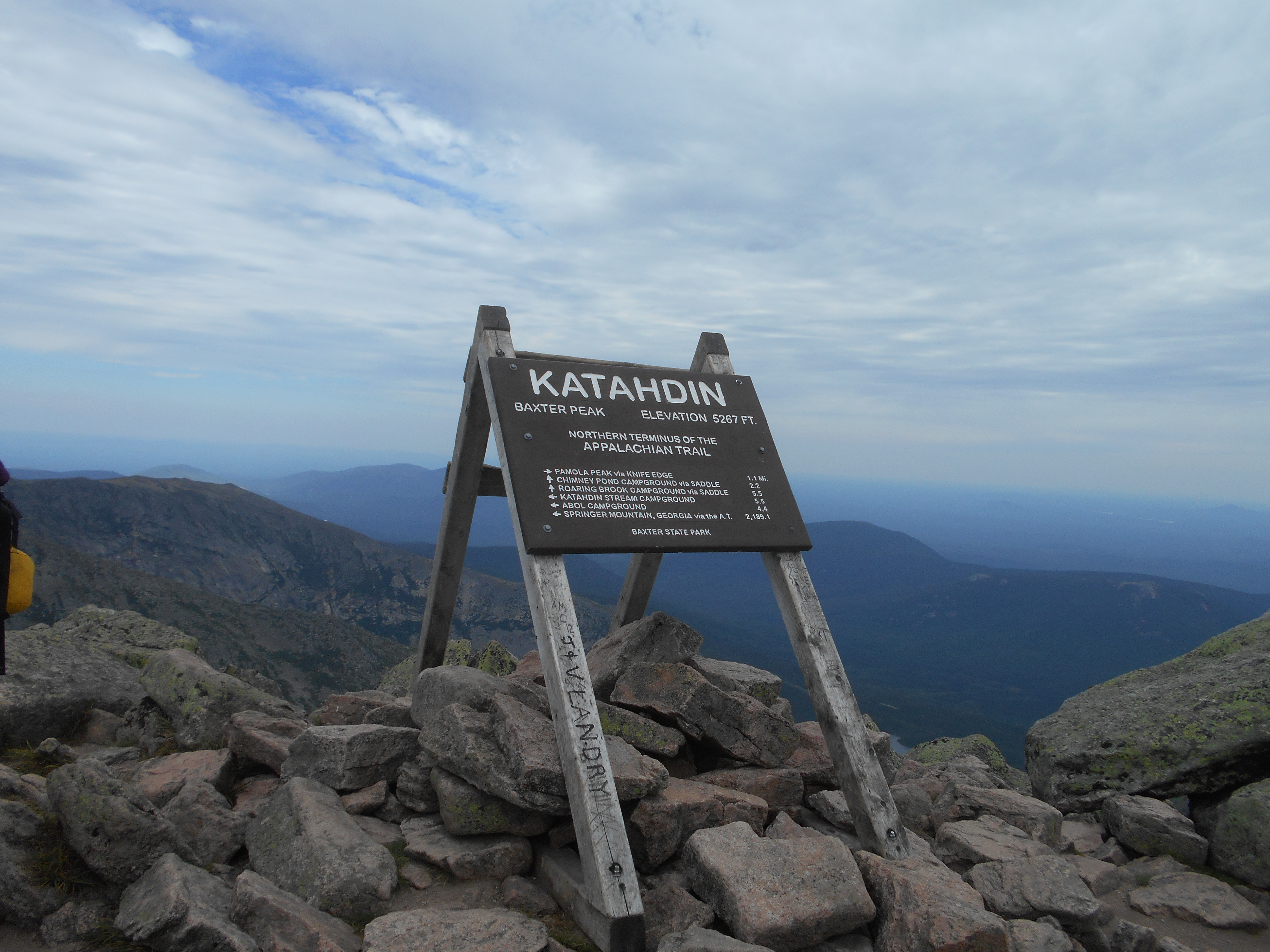
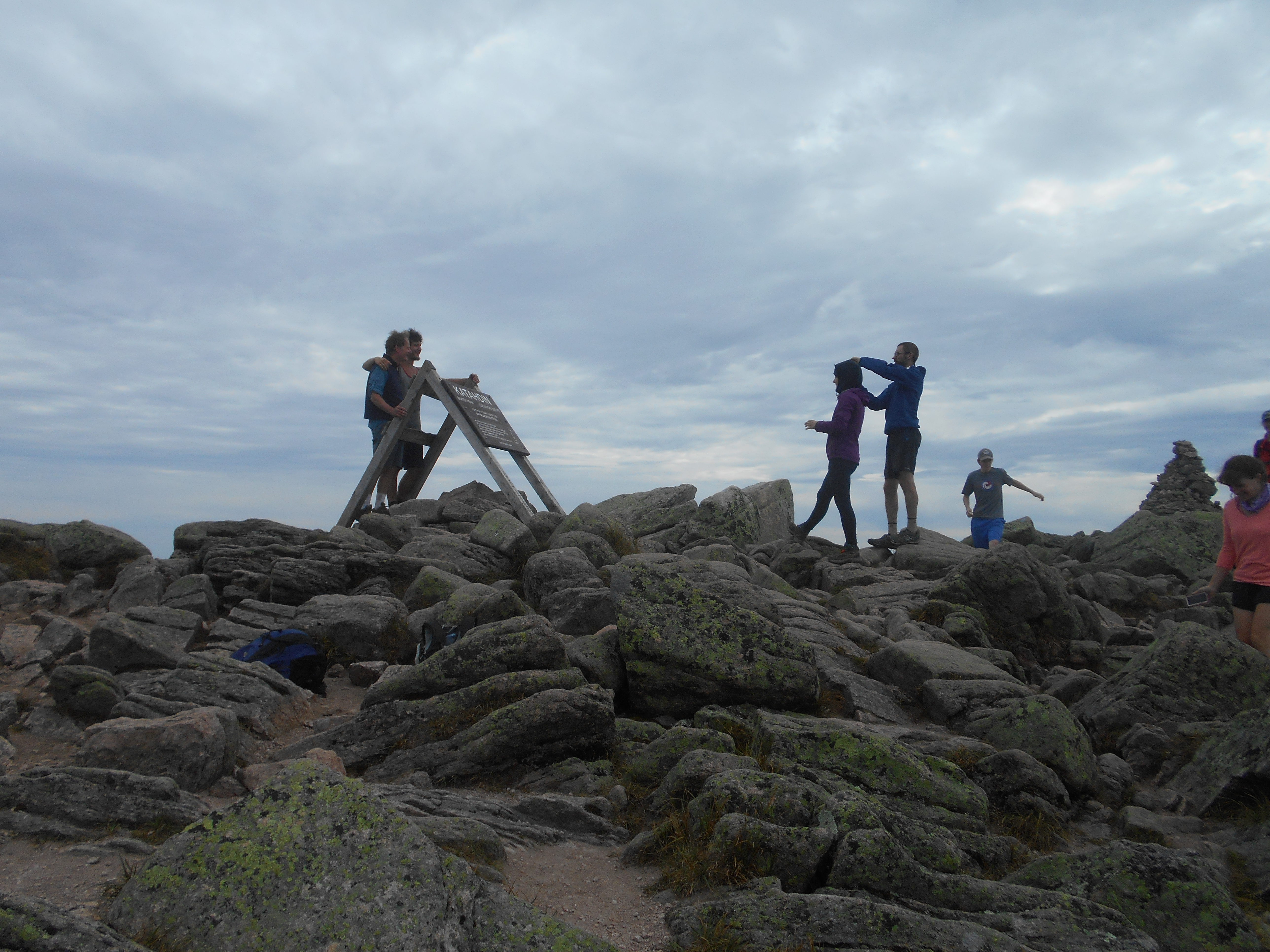
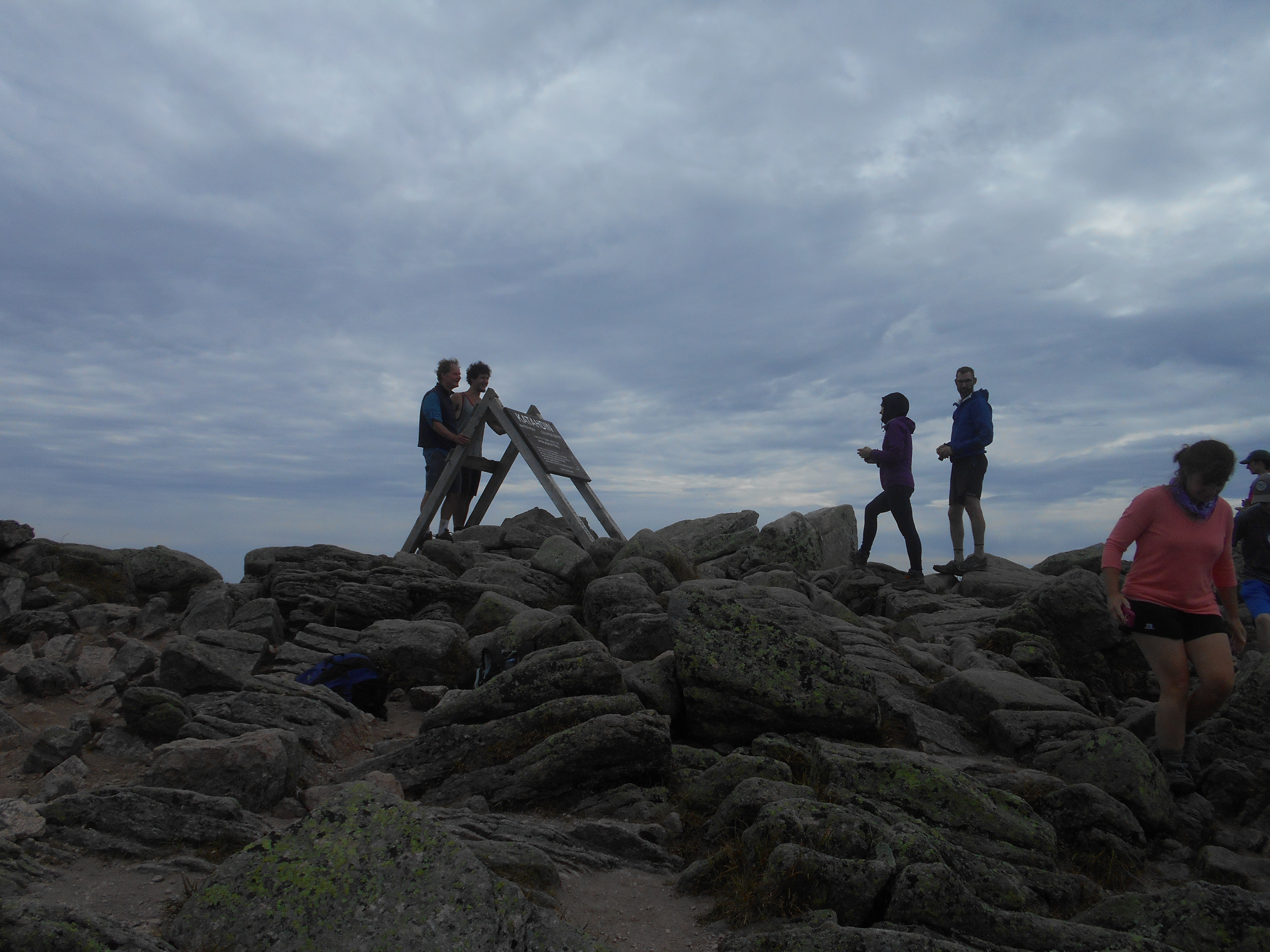
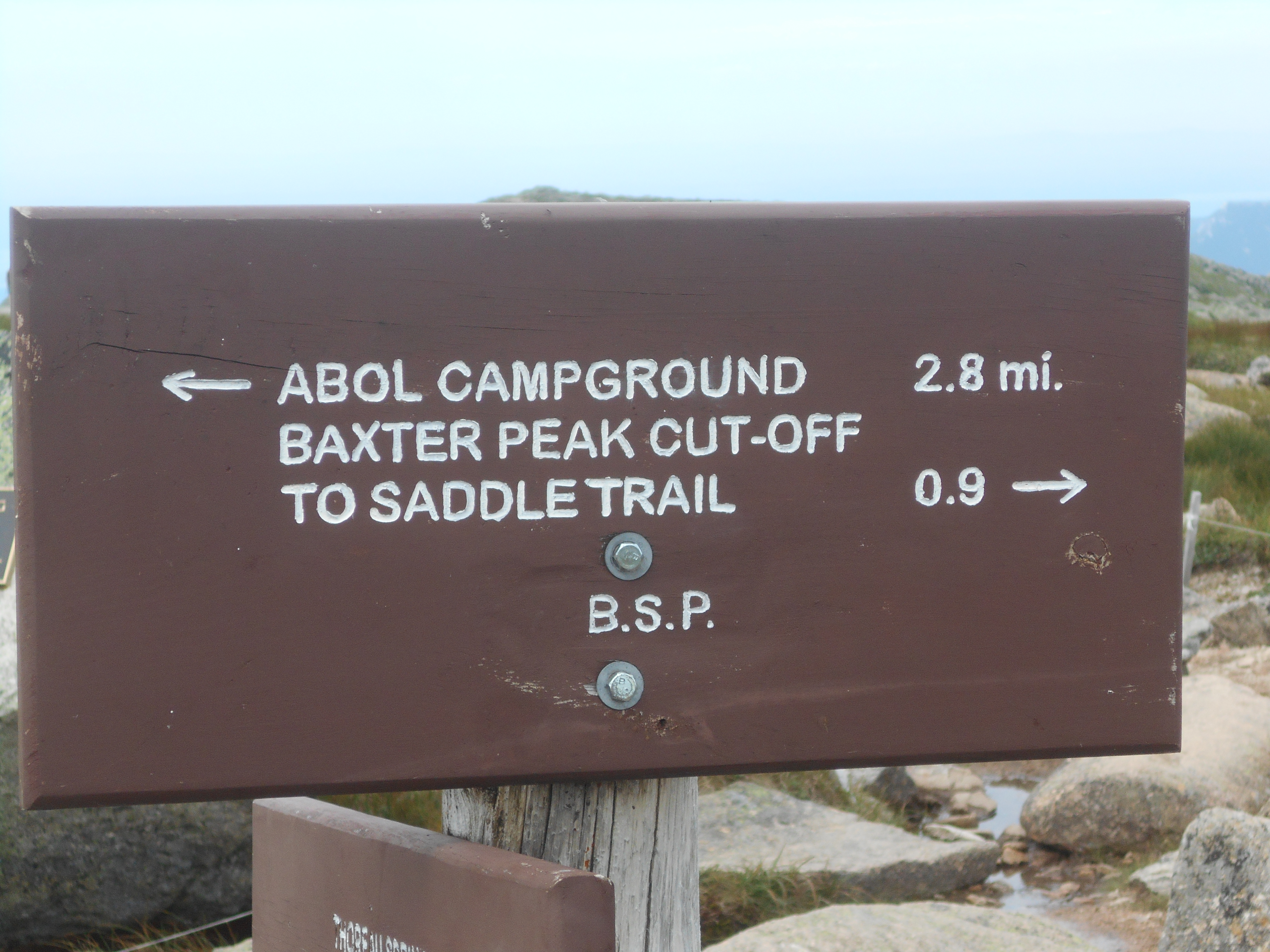
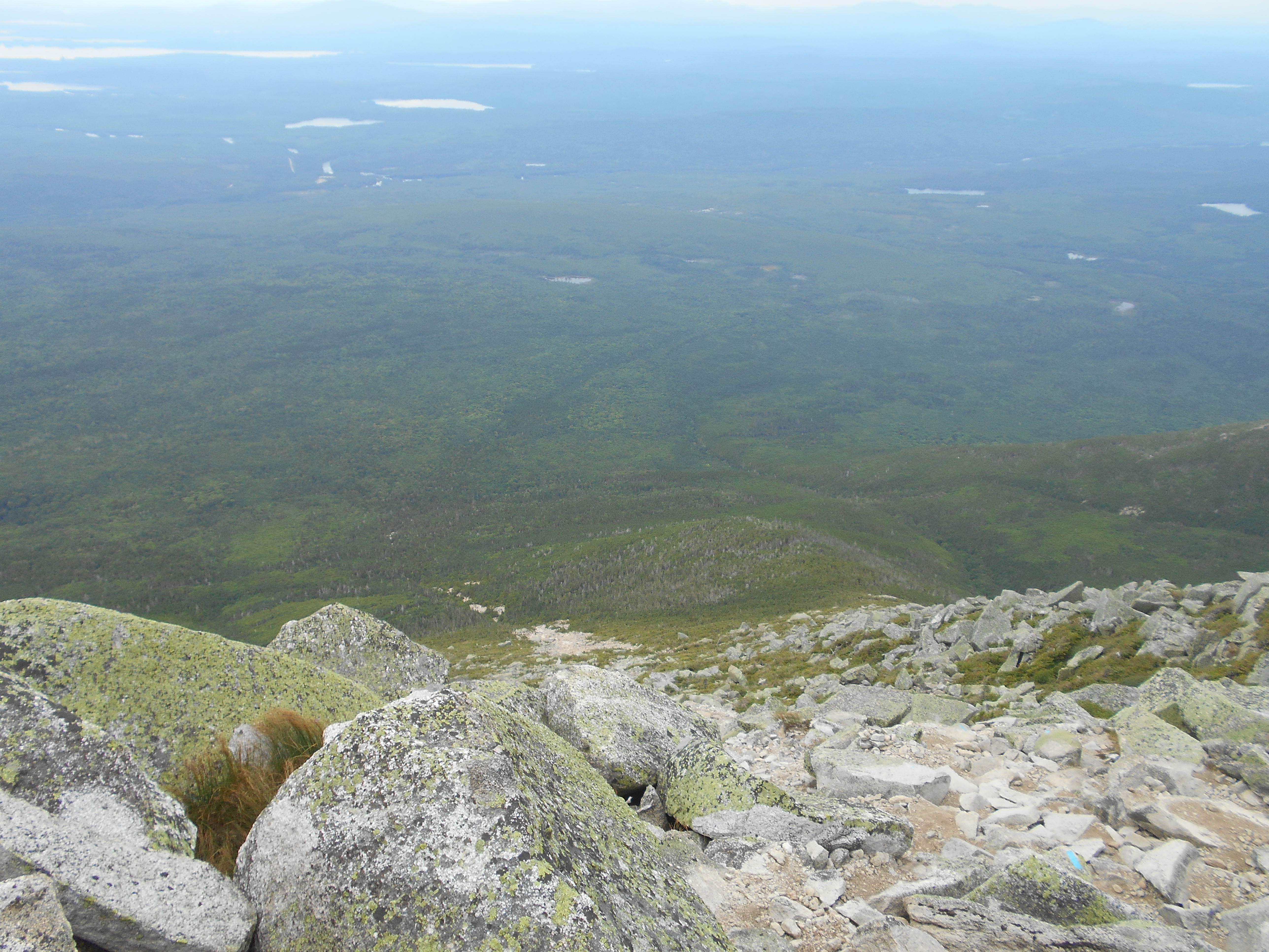
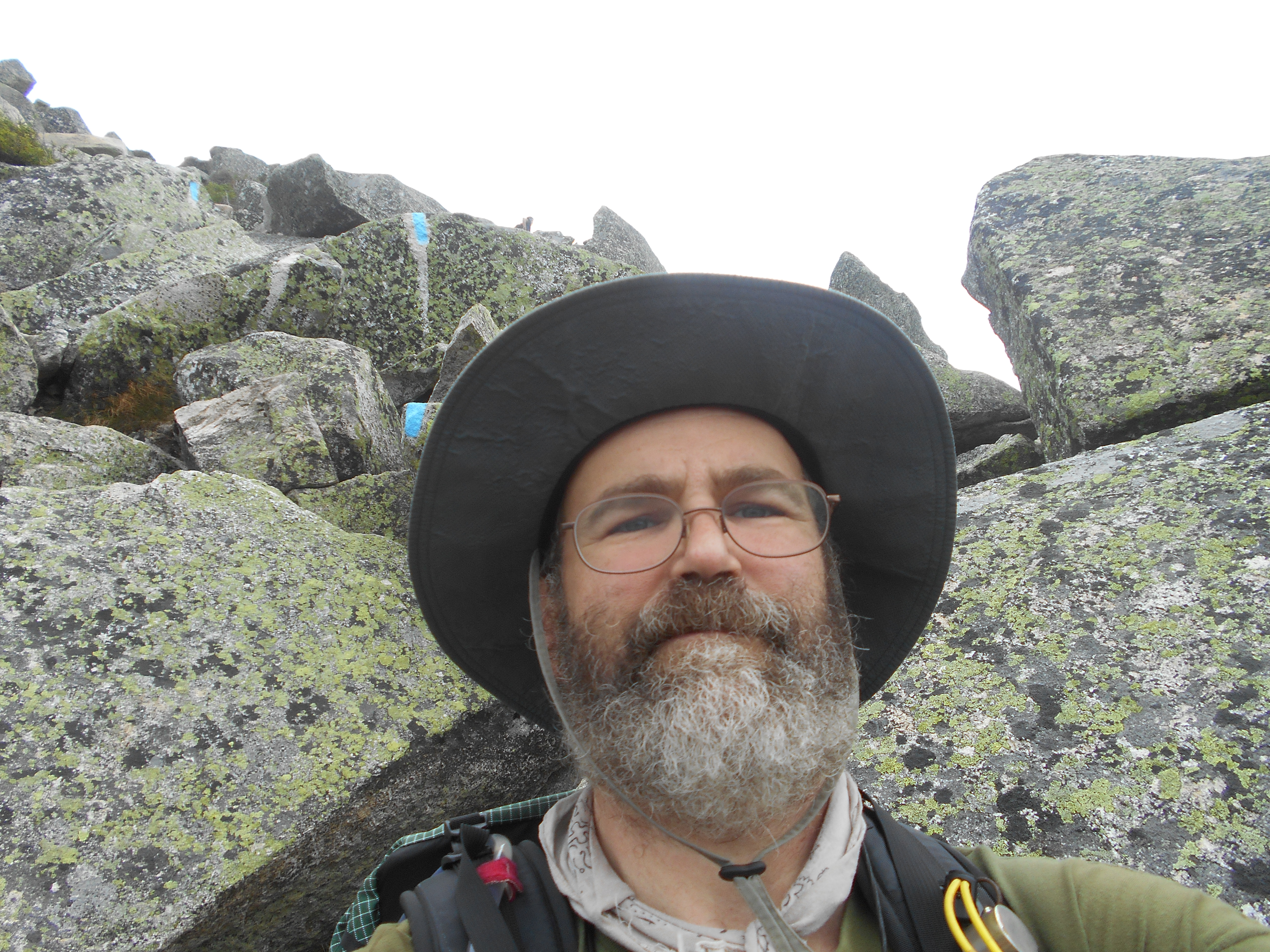
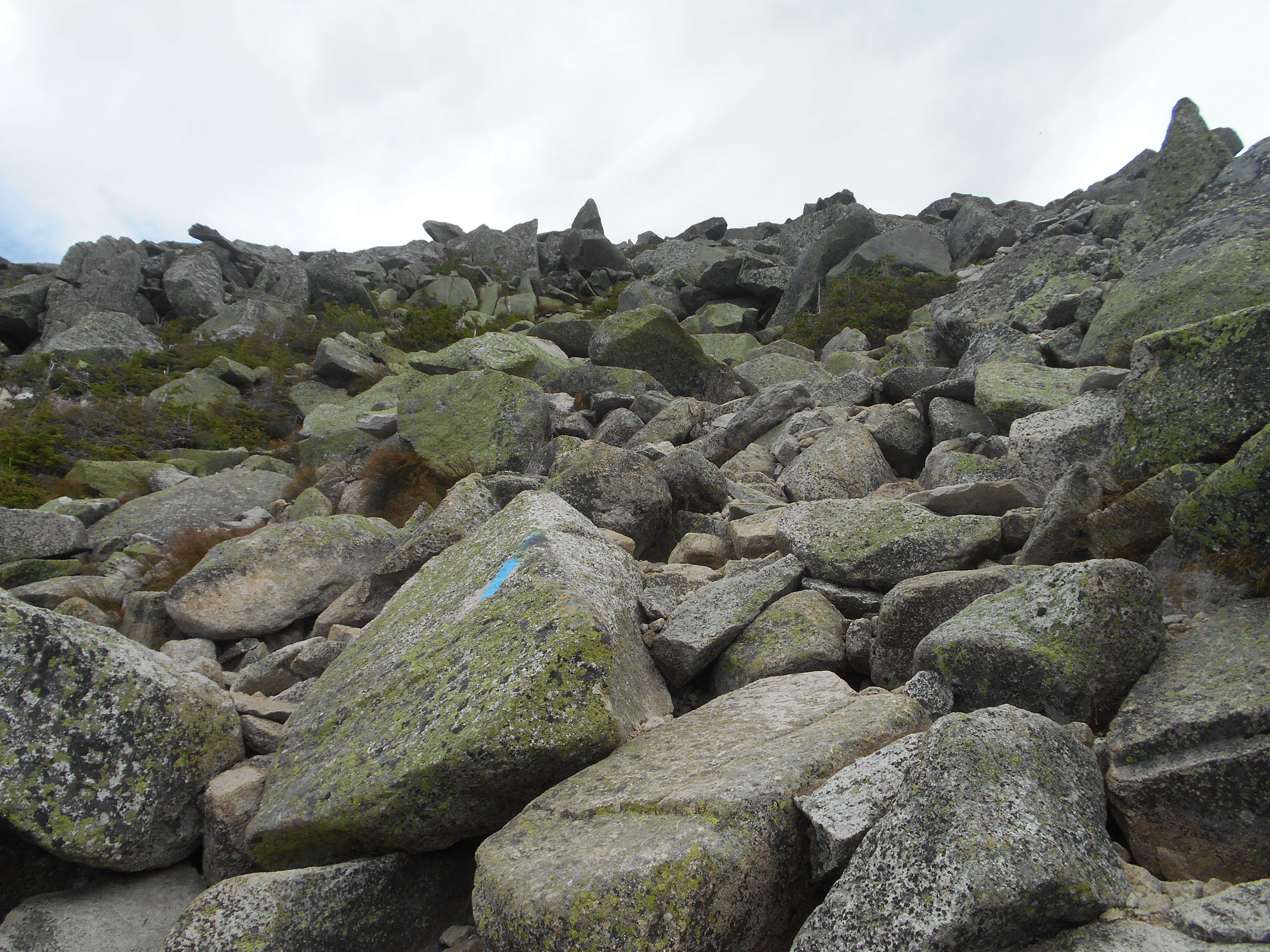
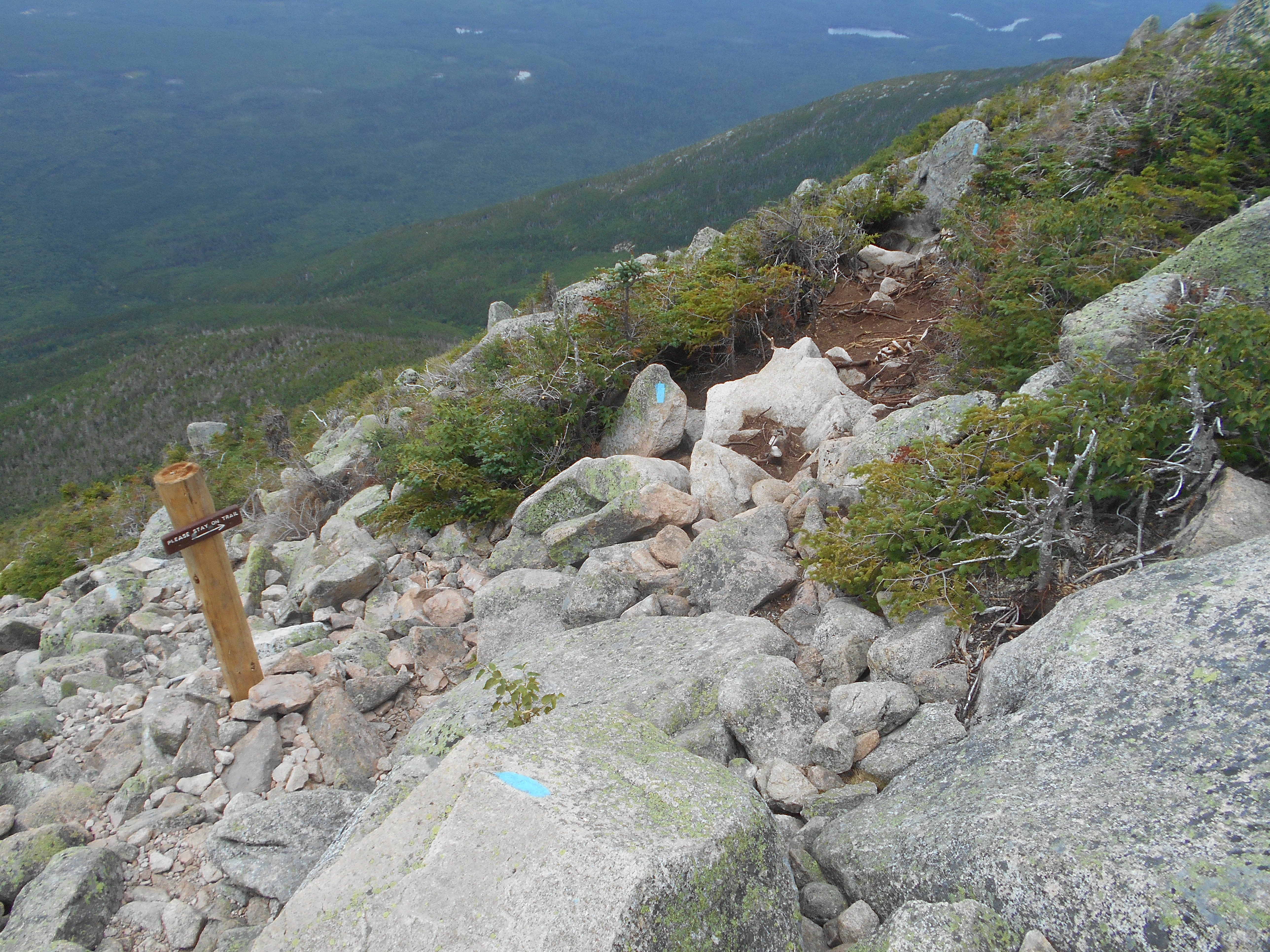
woke up at 4:30am because I had to go, but since almost every one else was up, i started packing for the hike to katahdin. started hiking at about 5 and signed the trail register at the Hunt (aka AT) trail at 5:19am. hike was as advertised, rock scrambles, rebar the works. A few places were outside my comfort zone, but I managed. made it to the top at 9:00am did all the photos and stuff and stayed up there for some time. decided to take the Abol Trail back. I was told it was easier and quicker, what they didnt tell me was that the trail was just reopened this year after it was wiped out by a land slide a few years ago and they are still working on sections. I think it was easier on my knees a bit but not easier.
trying to get to Millinocket. Hitched on the camp main road and one of the rangers gave me a lift to the main gate. they are trying to get me a lift as people leave (he asks if he sees an empty back seat). Hope to get to town, get a room and start to re-aclimate to civilization and start planing my trip home.
(written Aug 12 @10am)
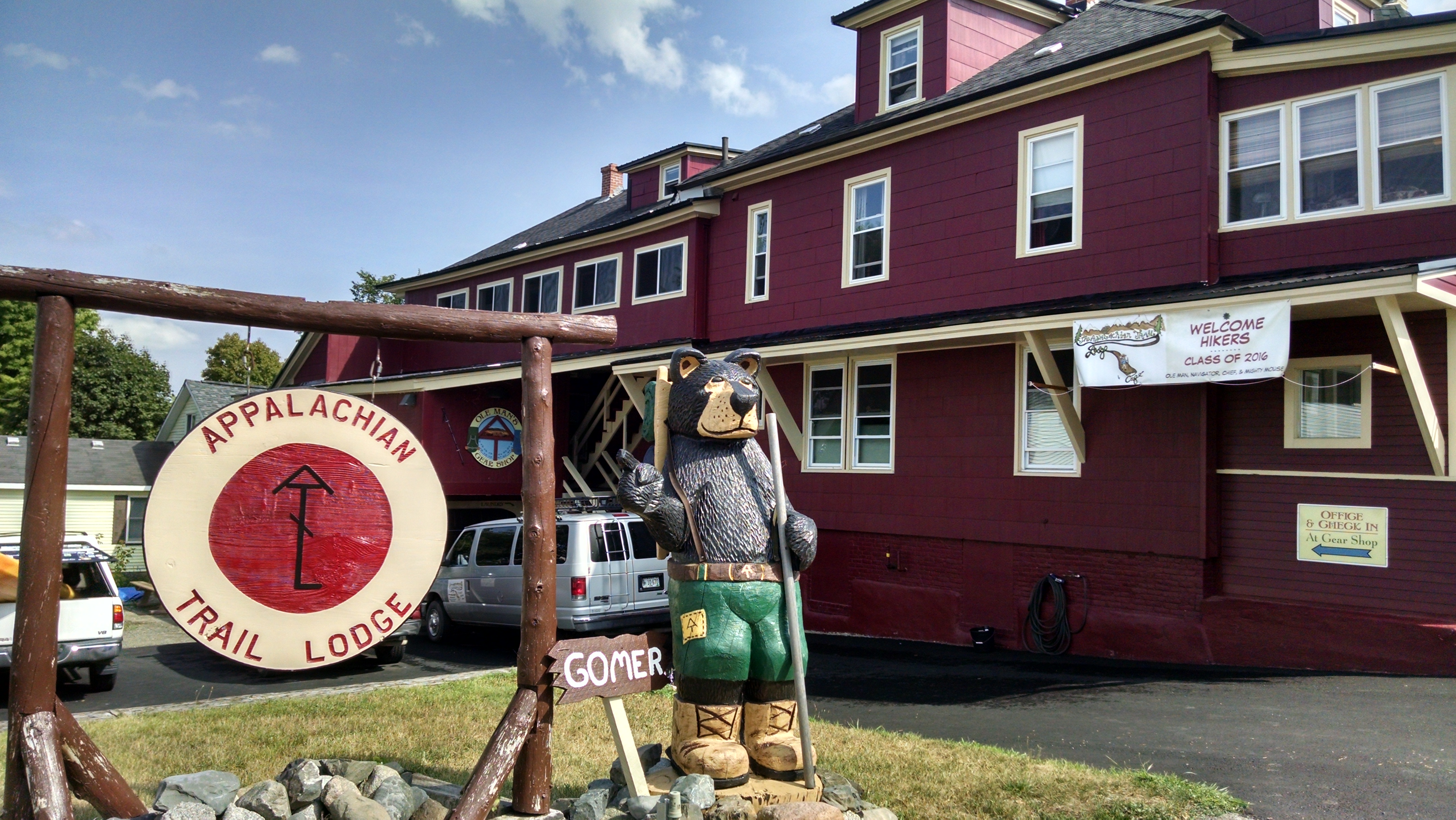
was at the BSP entrance for some time, but a ultra maratoner (sp) who was there to run up Katahdin said he would take me to town if I didnt mind riding in the back of the pickup. he was going to the A.T. Lodge so it worked out well. when we he gave me a congradulatory Yingling beer, then said he paid for a 2nd night but changed his mind so I could have his bed for the night. WOW, a ride, beer and bed as my last trail majic
...not bad!
showered, then out to angelos for pizza then back to the lodge to do laundry and bed.
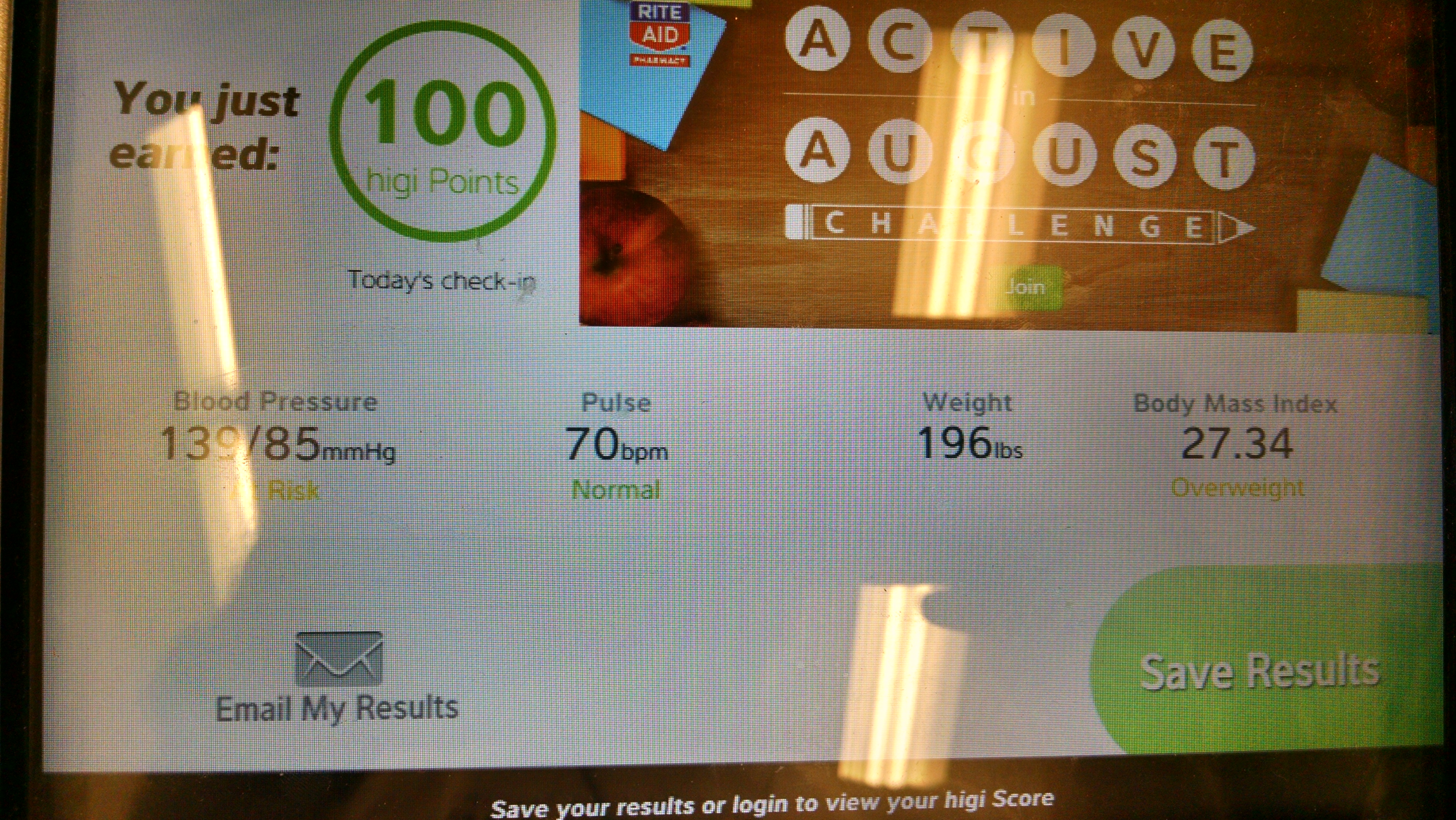
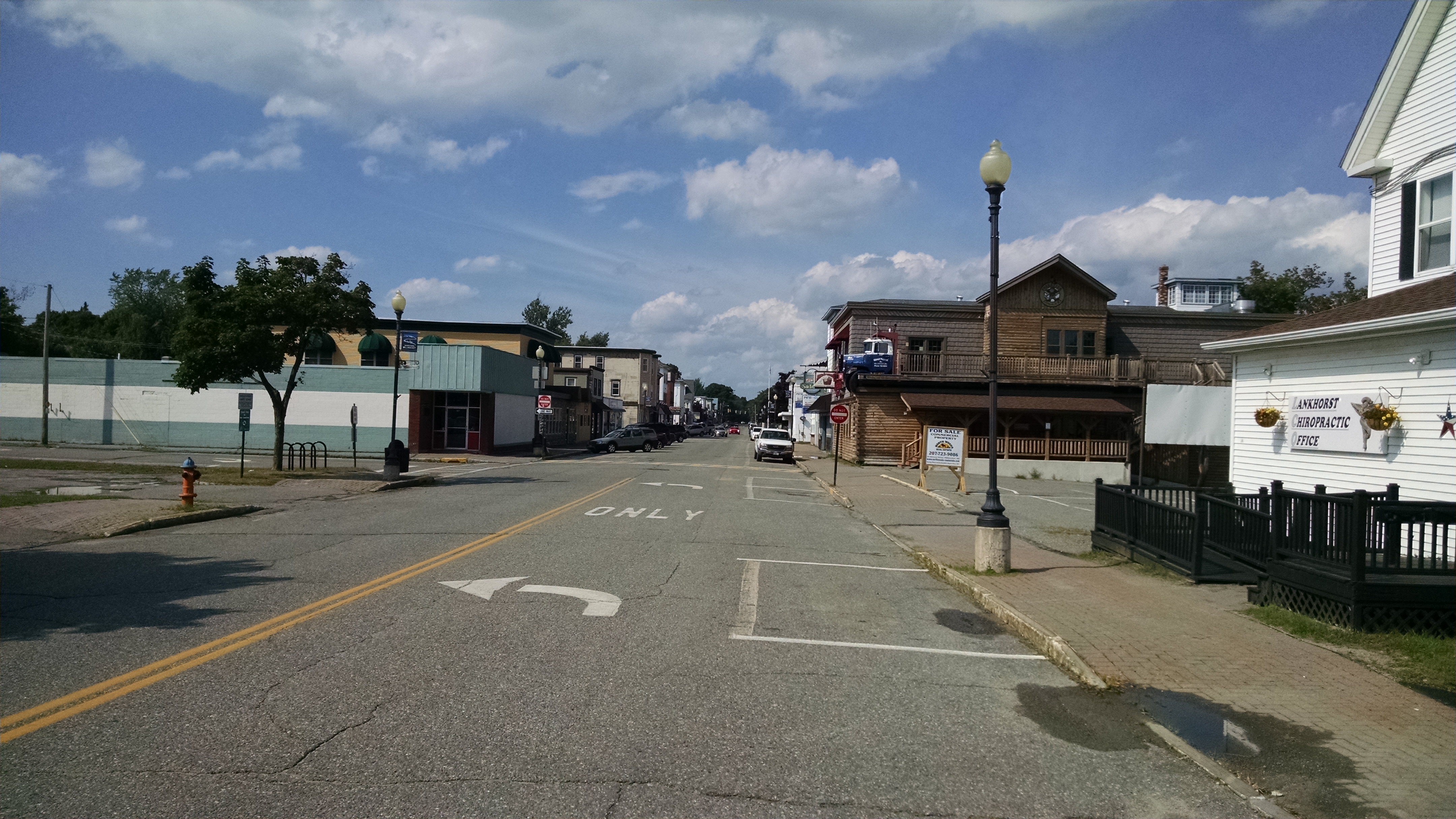
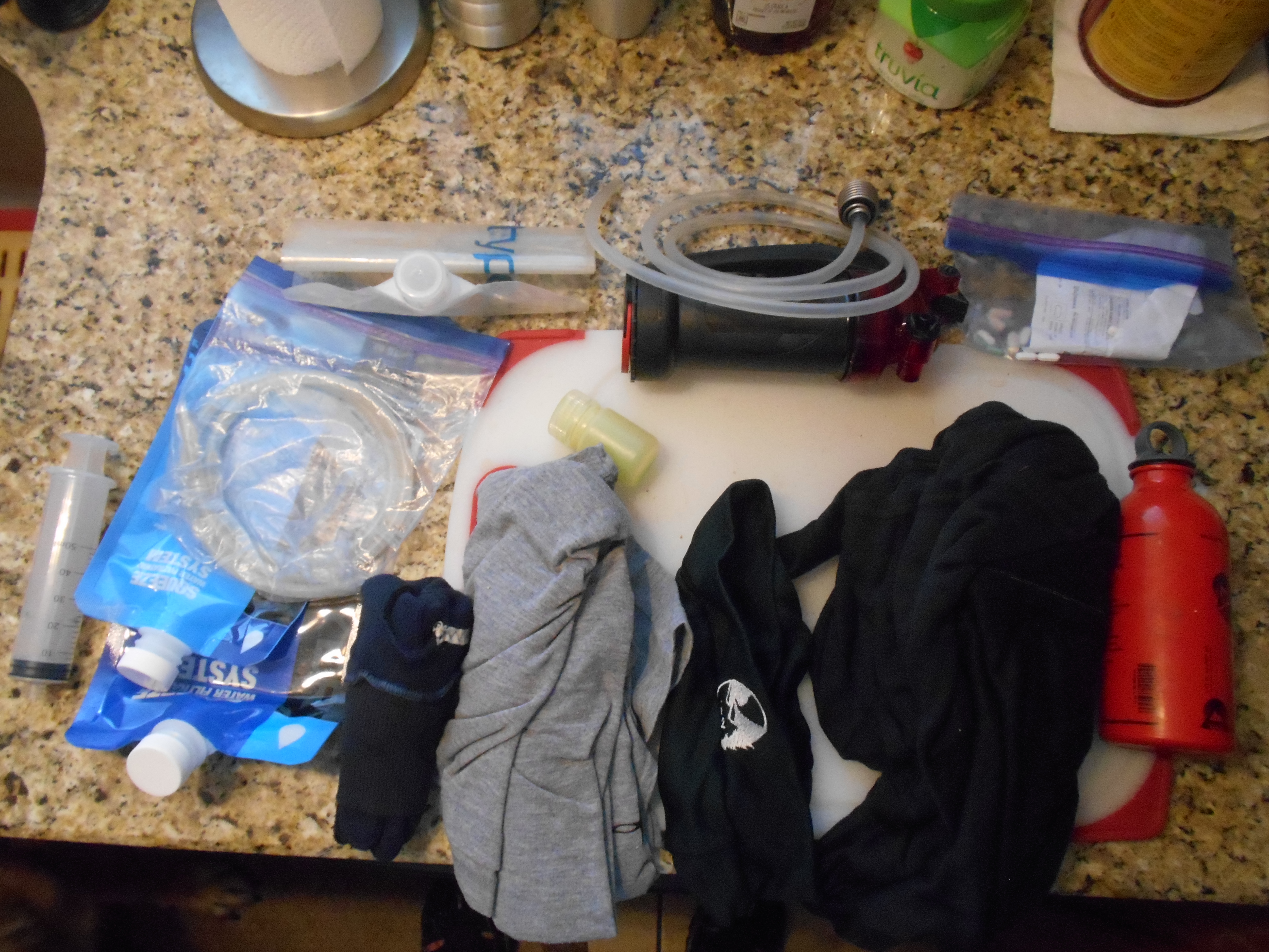
next day I went to the AT Trail Cafe for breakfast. after eating I headed to the Family Dollar and Rite Aid for cotton underwear, toiletries and other supplies. It was a longer walk than expected, but got a good portion of what I needed (especially a real finer splint). walked back to town, stopped at the convience store for a gatoraid and met the local drunk. then to the barber for a hair cut and beard trim. last stop was to the thrift store for pants and a shirt. had to buy 40 waist pants, but really needed 38s but they didnt have any. ate lunch at the cafe and then used the computer in the lounge to book flights and I alsi got a t-shirt. last thing for the day was to ship my stove and fuel bottle home. I should have also sent my stick home too, but didnt think of it until after the post office closed. dinner consisted of chicken parmageon (st) at Angelos then back to the lodge for an early night.
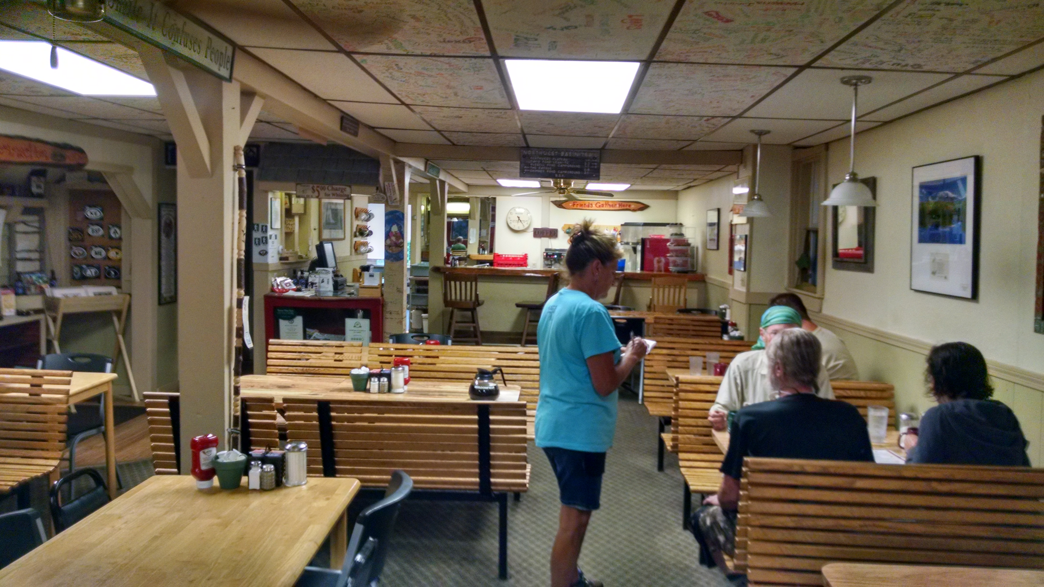
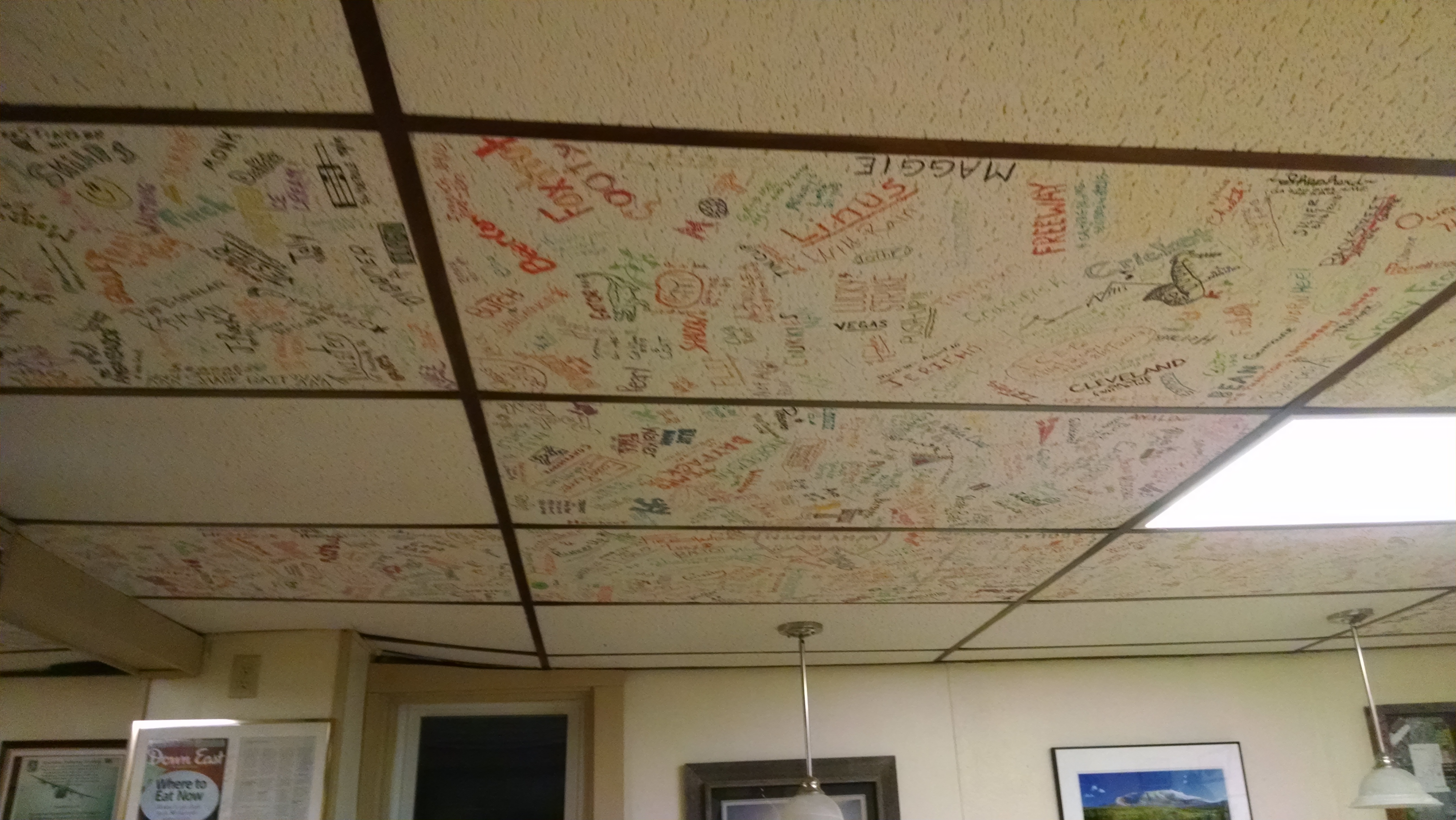
next moring to the AT Cafe for breakfast and to sign a sealing (sp) tile, a shower and into street cloths for the first time. then the suttle to midway to catch the bus to Bangor (which is where I am writing this).
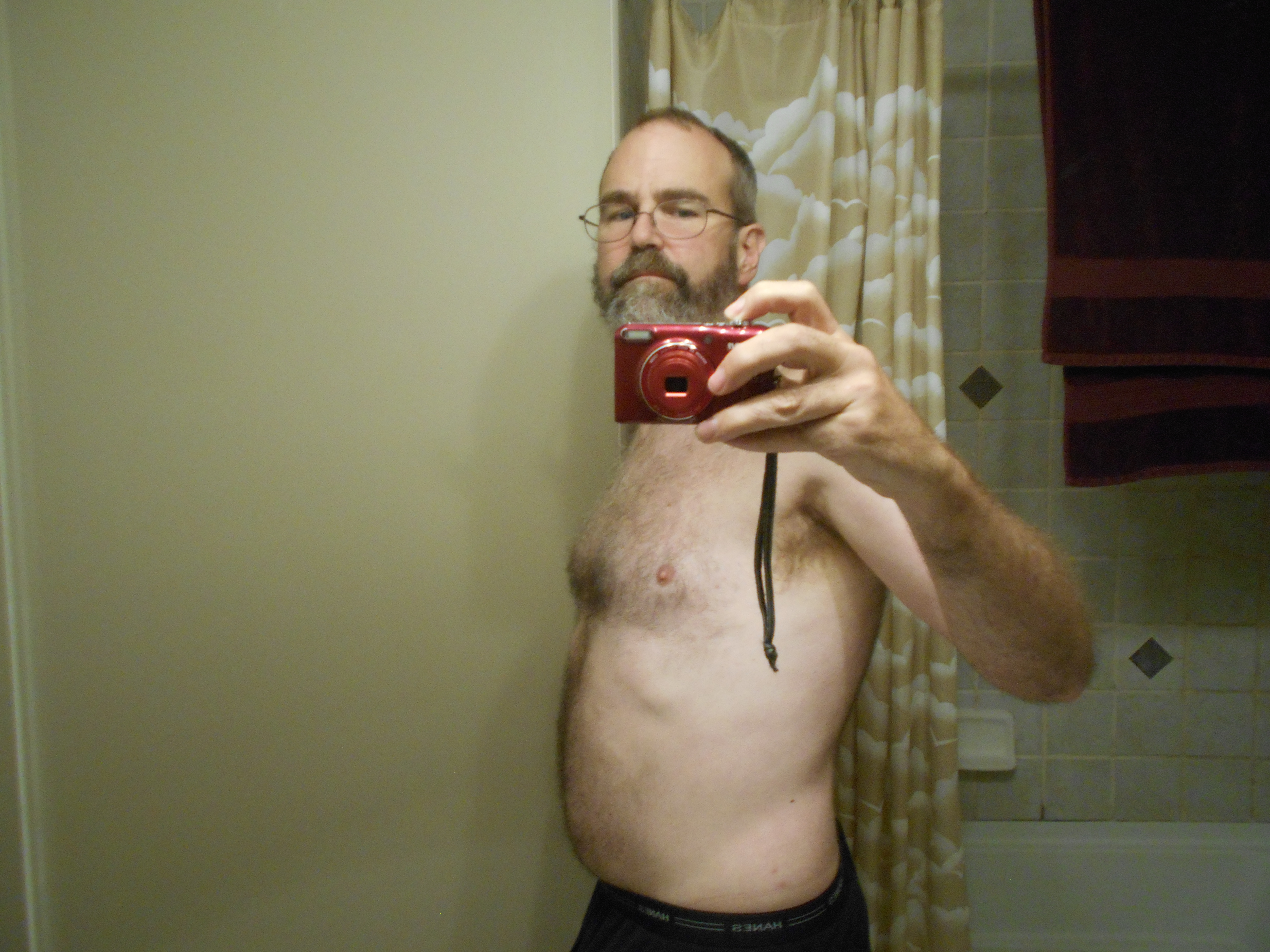
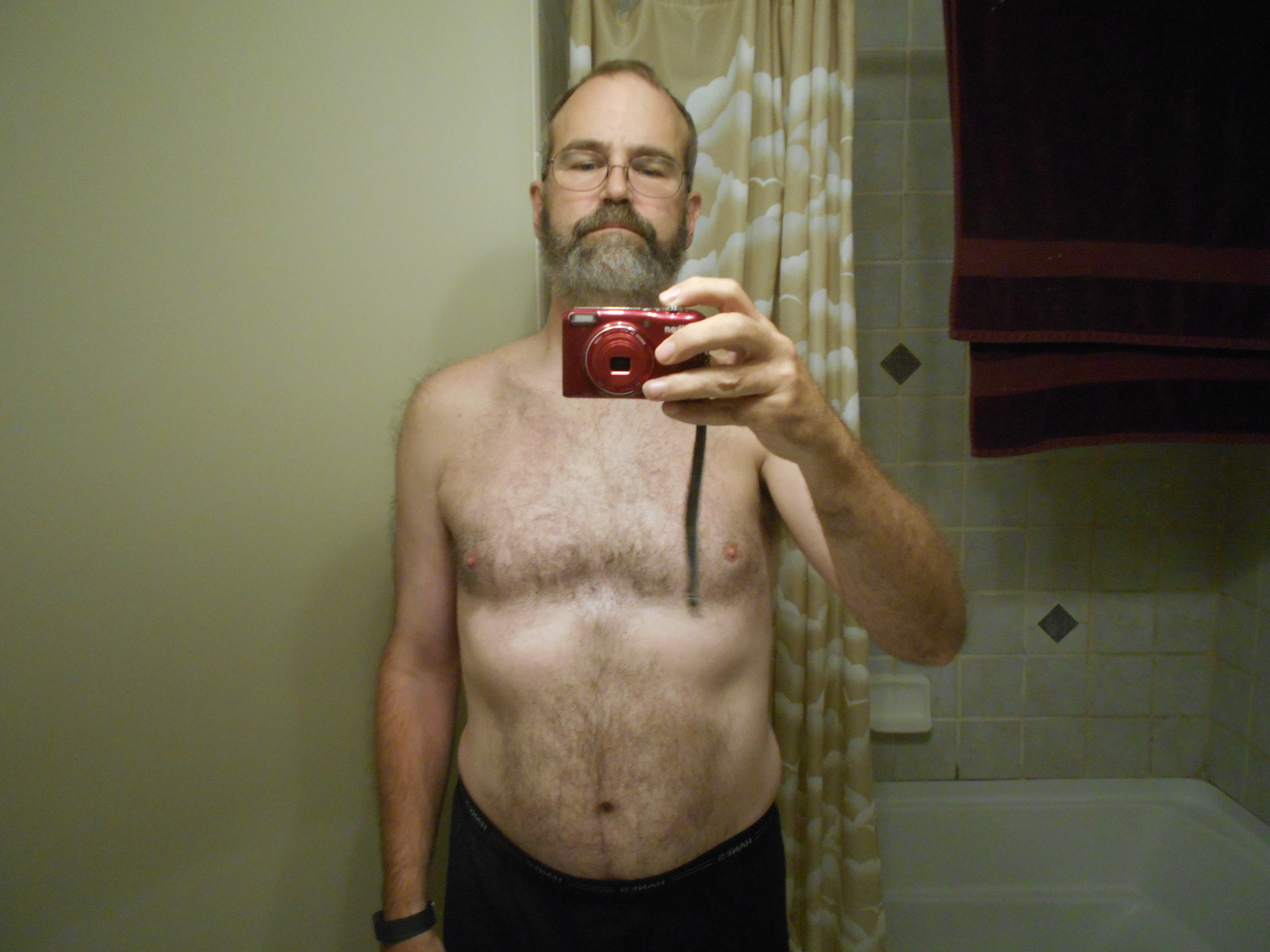
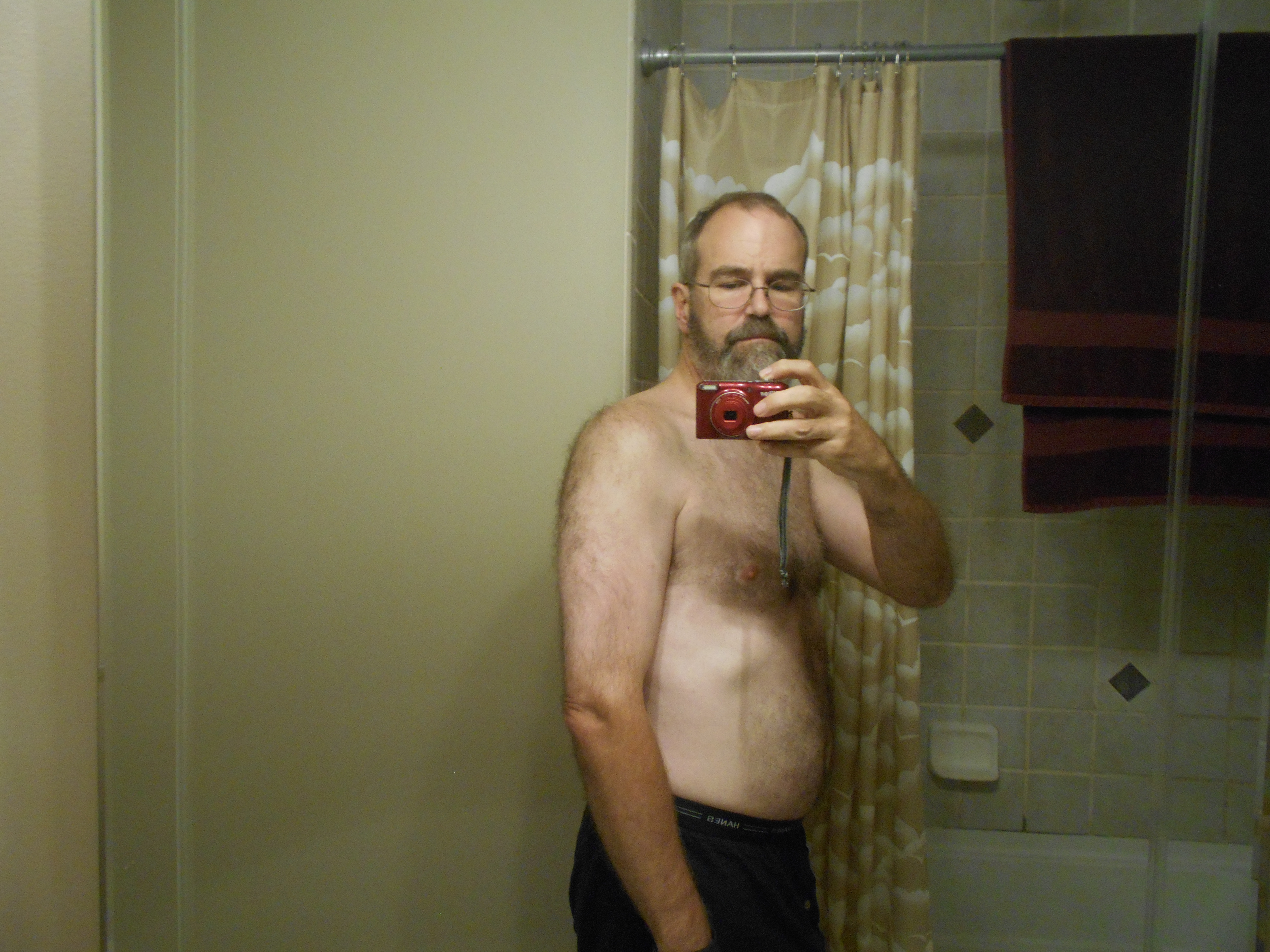
it still really hasnt fully sunk in my adenture is over. I did loose about 25 lbs this trip and about 3 inches on my waistline. I am proud of doing the hardest sections (the whites and Katahdin) at the age of 50 and was able to do it all with only bug bites, a few bangs and scrapes and the finger ingury (sp). the finger does not seem to be improving much (will see a doc back in Memphis to follow up).
(written aug 12 8:05)
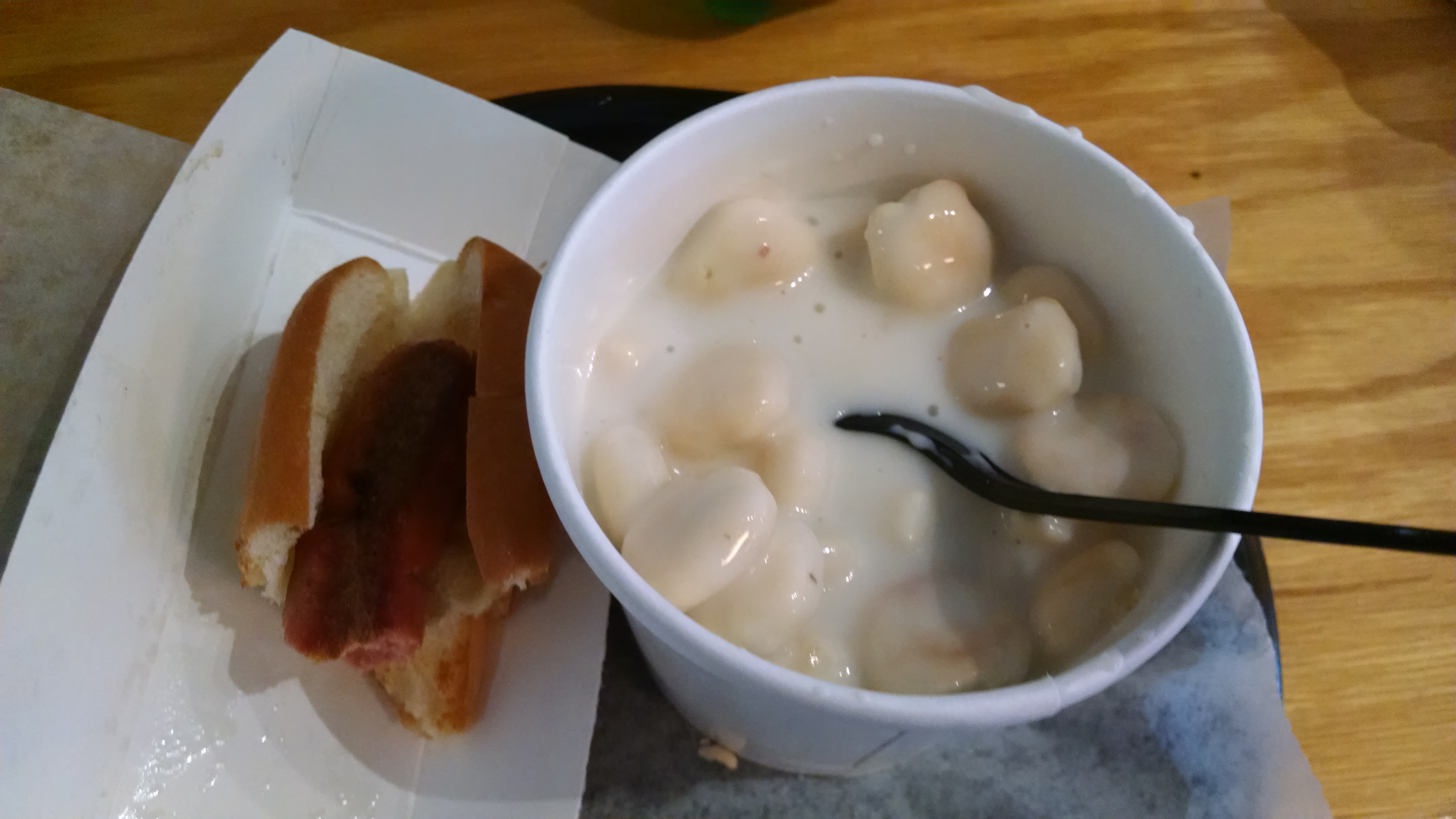
I took a quick cab ride from the bus station to the airport. I checked my backpack and just put my hiking stick in the same bag as the pack (using it as a handle), hope it will be ok. decided to sit in a cafe outside security for a bit since I had hours befor the flight (at airport around 11 and flight boards at 4:40) had a cheesburger or lunch and at around 2 had clam chowder and a hot dog (much better than that same meal on mnt washington) weather was affecting a lot of flights on the east coast, but not ours. we did have to sit on the runway for about a half hour because of some computer glitch. arived about on time, had another cheeseburger. was raining in detroit, but just as we started boarding a full rainbow (full arch) apeared outside the window....that doesnt happen every day. for some reason my left ankle is acting up (took some advil), probably from sitting so long on the first flight. now just waiting for the plane to finish boarding and then we are off.
9:35
never seen lightning from above before, but we flew around a storm cell and there it was...tried to take pictures, but no luck.
Post Hike
(written Aug 14)
Some issues since arriving home: Finger still not streigt and my left ankle is slightly swollen and sore. Doc says the treatment for the finger is correct (splint) but it will take more time. I am also wearing a ankle support and keeping off it as much as I can (Doc says a few weeks to recover). Lastly, lost annother toe nail (left foot 2nd smallest toe). Same as last one, nail under nail and top one fell off.
(written Oct 3)
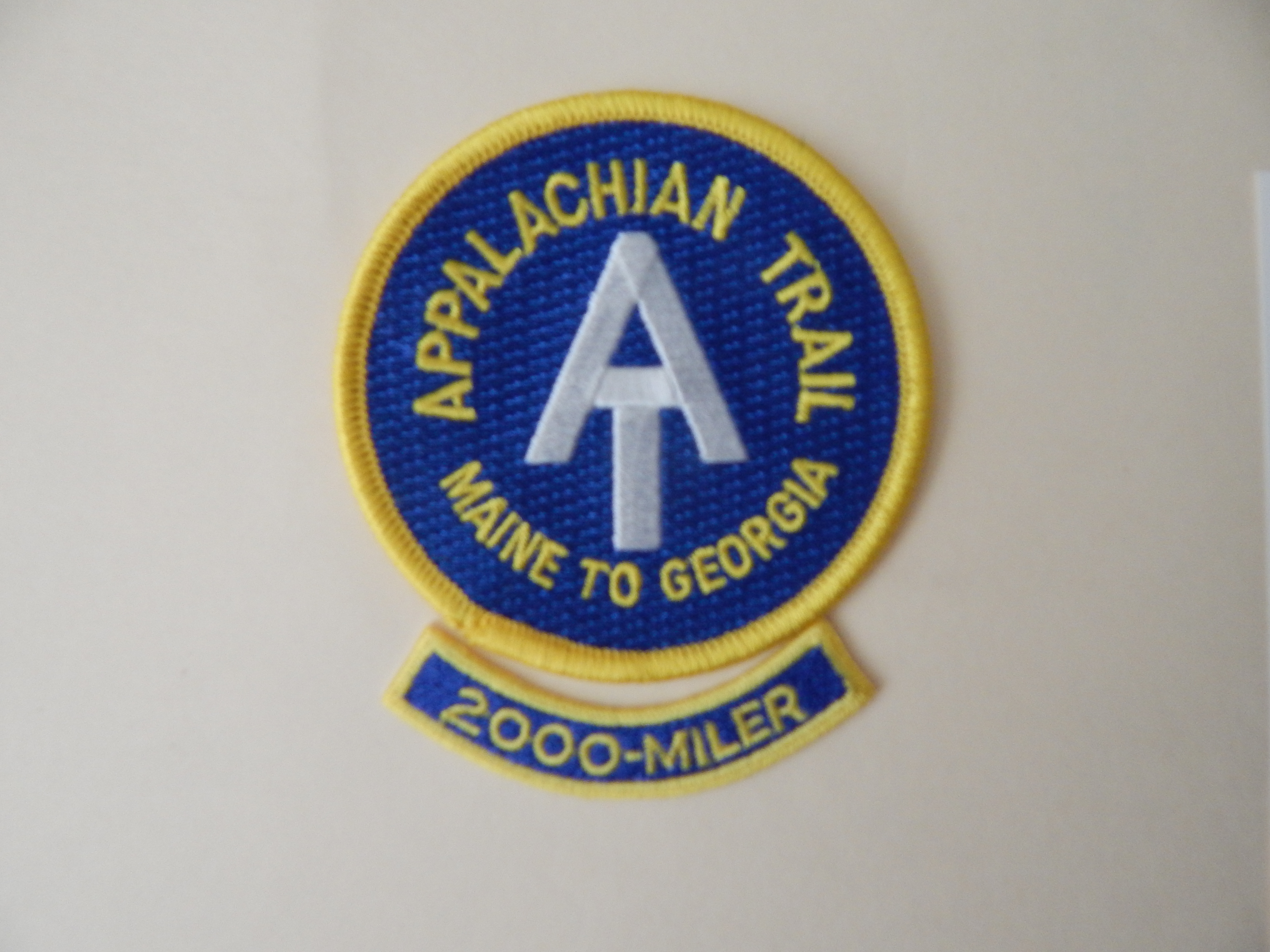
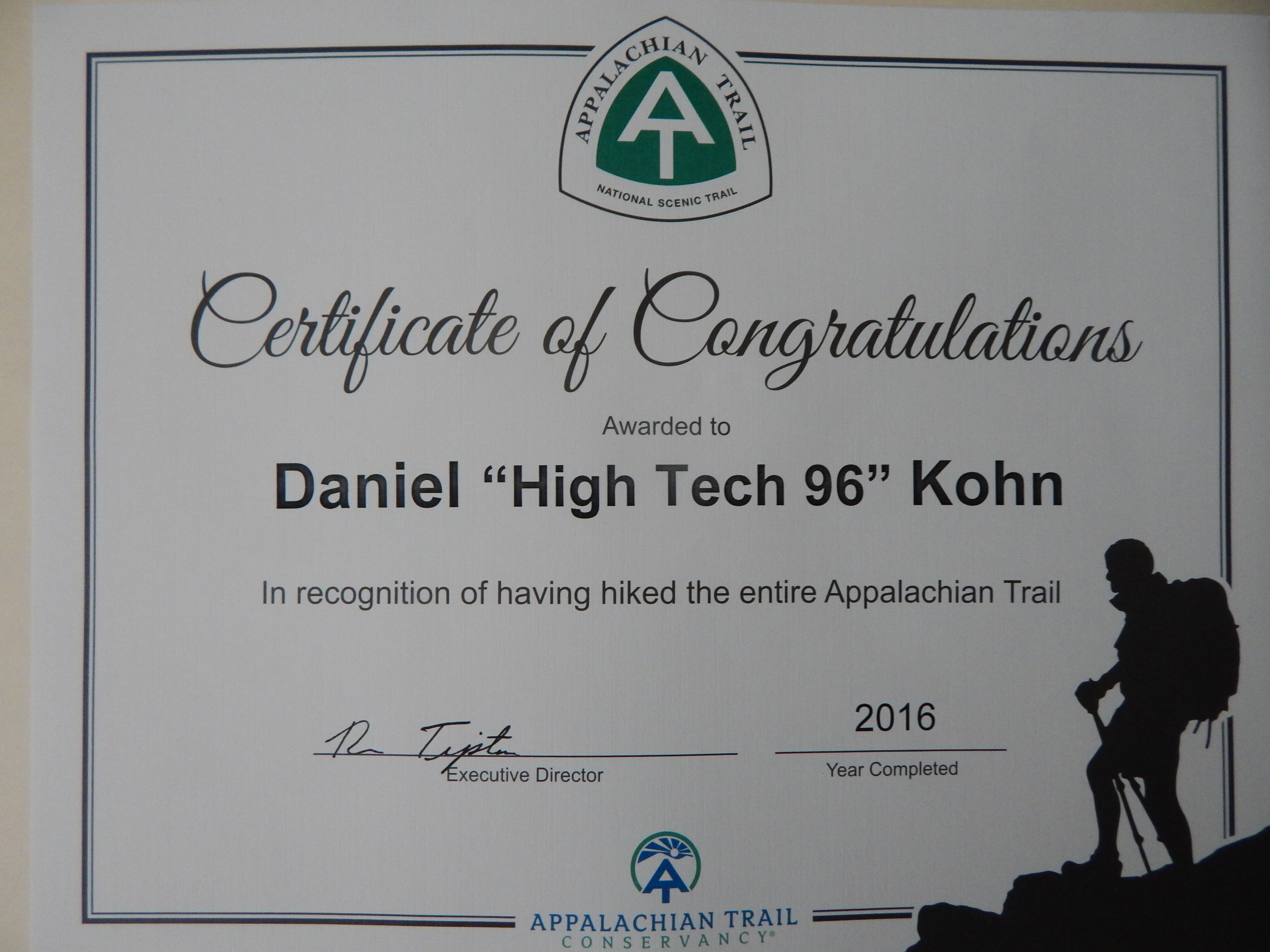
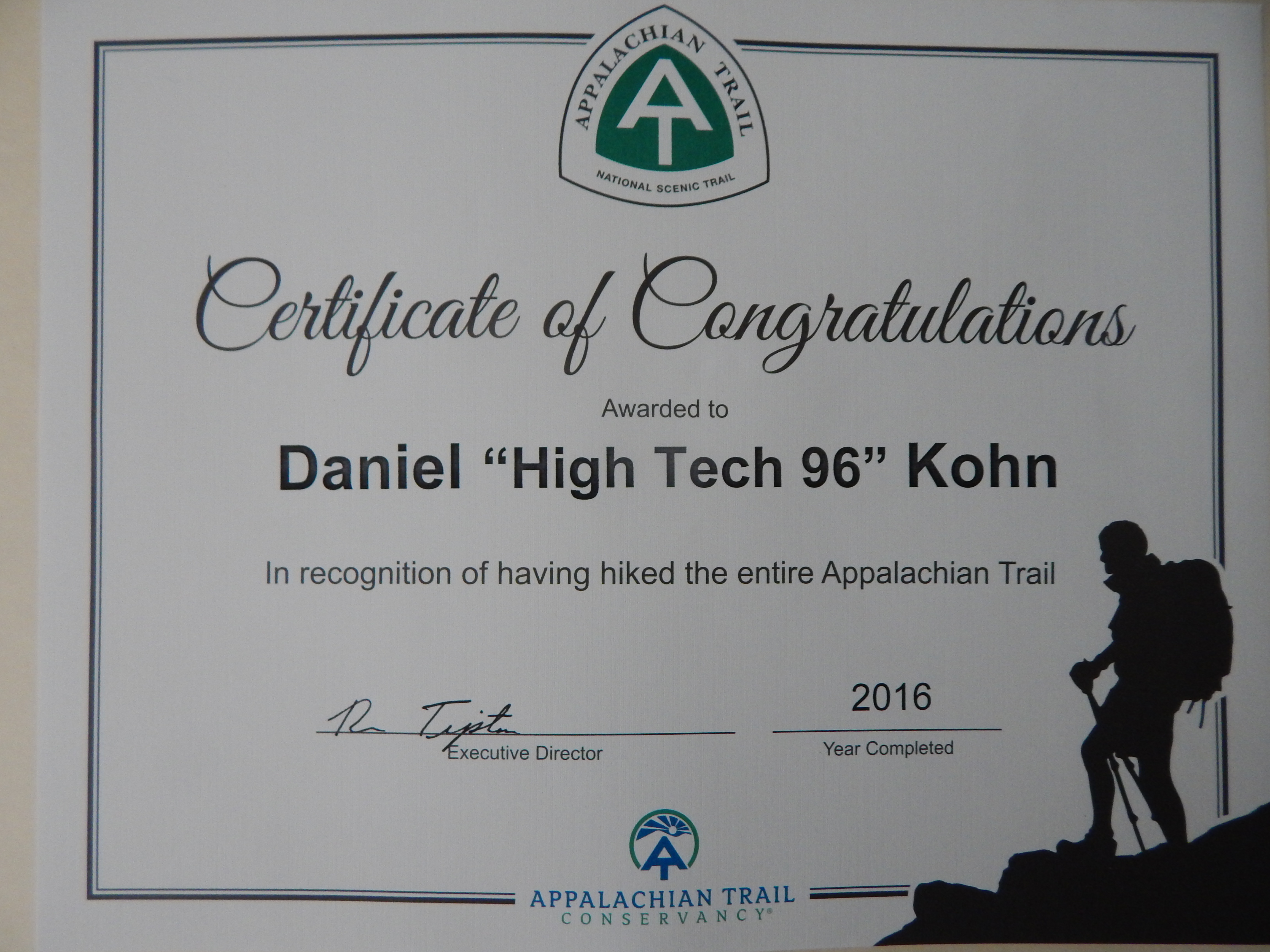
Just got my mail held while away hiking at Montgomery Bell State Park (see LOG) and what is in the mail but my official recognition from the ATC for finsihing the A.T. Nice birthday Present!