
| Miles from Springer | Features | Elevation |
|---|---|---|
| 469.8 | U.S. 58 Va. 91, Virginia Creeper Trail (1,928')?steps | 1928 |
| 470.9 | Cuckoo Knob (2,990') | 2990 |
| 472.3 | Iron Mountain Trail, Feathercamp Ridge (2,850') | 2850 |
| 473.8 | Beech Grove Trail (2,490') | 2490 |
| 474.4 | U.S. 58, Straight Branch Feathercamp Branch, Feathercamp Trail (2,200')? picnic area, privy | 2200 |
| 475.8 | Stream (2,490')?footbridge | 2490 |
| 476.4 | Taylors Valley Side Trail, Virginia Creeper Trail (2,850') | 2850 |
| 478 | Straight Mountain (3,500') | 3500 |
| 478.3 | Saunders Shelter (3,310') ?19.9mS; 6.7mN | 3310 |


| Miles from Springer | Features | Elevation |
|---|---|---|
| 480.6 | Beartree Gap Trail (3,050')?USFS Beartree Campground | 3050 |
| 480.8 | Campsite (3,020') | 3020 |
| 482.4 | Va. 728, Creek Junction Station (2,720')?old railroad bed | 2720 |
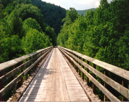
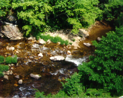
| 483 | Virginia Creeper Trail, Whitetop Laurel Creek (2,690') | 2690 |
| 483.6 | Va. 859, Grassy Ridge Road (2,900') | 2900 |
| 483.8 | Streams (3,040') | 3040 |
| 484.4 | Lost Mountain (3,400') | 3400 |
| 484.8 | Lost Mountain Shelter (3,360') ?6.7mS; 12.4mN | 3360 |

| Miles from Springer | Features | Elevation |
|---|---|---|
| 485.9 | U.S. 58; Summit Cut, Va. (3,160') | 3160 |
| 486.3 | Campsites near stream (3,300') | 3300 |
| 487.2 | Va. 601, Beech Mountain Road (3,600') | 3600 |
| 489.7 | Buzzard Rock on Whitetop Mountain (5,080') | 5080 |
| 490.5 | Spring (5,100')? piped | 5100 |
| 490.6 | USFS 89, Whitetop Mountain Road to summit (5,150') | 5150 |
| 493 | Va. 600, Elk Garden (4,434') Whitetop, Va. | 4434 |
| 493.5 | Boundary Lewis Fork Wilderness (4,640') | 4640 |
| 494.9 | Campsite (4,850')?blue blaze | 4850 |
| 495 | Deep Gap (4,900') | 4900 |
| 495.1 | Virginia Highlands Horse Trail, Mt. Rogers Trail (5,200')?USFS Grindstone Campground | 5200 |
| 496.1 | Brier Ridge Saddle (5,125')?views in meadow | 5125 |
| 497 | Spur Trail (5,490') to summit of Mt. Rogers (5,729') | 5729 |
| 497.2 | Thomas Knob Shelter (5,400') ?12.4mS; 5.1mN | 5400 |


| Miles from Springer | Features | Elevation |
|---|---|---|
| 497.2 | Thomas Knob Shelter (5,400') ?12.4mS; 5.1mN | 5400 |
| 498.2 | Rhododendron Gap (5,440') ?Pine Mtn Trail | 5440 |
| 498.7 | Wilburn Ridge Trail (5,440') | 5440 |
| 498.8 | Fatman Squeeze (5,300')?rock tunnel | 5300 |
| 499.4 | Wilburn Ridge Trail (4,900') | 4900 |
| 500.2 | Park service road to Massie Gap (4,800') | 4800 |
| 502.3 | Grayson Highlands State Park, Wise Shelter (4,460')?5.1mS; 6mN | 4460 |
| 502.4 | Big Wilson Creek (4,300')?footbridge | 4300 |
| 502.6 | Wilson Creek Trail (4,300') | 4300 |
| 502.7 | Scales Trail Junction (4,650') | 4650 |
| 503.7 | Spring (4,610') | 4610 |
| 504.9 | Stone Mountain (4,820') | 4820 |
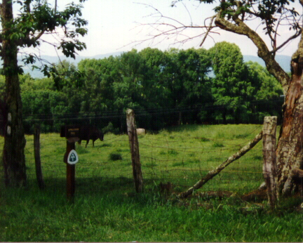
| 505.3 | The Scales (4,620') ?livestock corral, privy | 4620 |
| 506.7 | Pine Mountain Trail (5,000') | 5000 |
| 508.3 | Old Orchard Shelter (4,050') ?6mS; 4.9mN | 4050 |

| Miles from Springer | Features | Elevation |
|---|---|---|
| 508.4 | Upper Old Orchard Trail (4,020') | 4020 |
| 509.1 | Old Orchard Trail One (3,750') | 3750 |
| 510 | Va. 603 (3,480')?Fox Creek Horse Camp; USFS Grindstone Campground | 3480 |
| 510.1 | Fox Creek (3,450')?footbridge | 3450 |
| 512 | Hurricane Mountain (4,360') Tennessee-New River Divide | 4360 |
| 512.3 | Iron Mountain Trail, Chestnut Flats (4,240') | 4240 |
| 513.2 | Hurricane Mountain Shelter (3,850') ?4.9mS; 9.2mN | 3850 |
| 513.8 | Hurricane Creek Trail (3,300')?old logging road | 3300 |
| 514.6 | Stream (3,000') | 3000 |
| 516.3 | Dickey Gap Trail (3,090')?USFS Hurricane Campground | 3090 |
| 517 | Comers Creek Falls Trail (3,120') | 3120 |
| 517.1 | Comers Creek (3,100')?footbridge, waterfalls | 3100 |
| 518.3 | Va. 650, Dickey Gap (3,300')...100 yds. to Va. 16 Troutdale, Va. 24378 Sugar Grove, Va. 24374 | 3300 |
| 519.1 | Virginia Highlands Horse Trail | |
| 519.8 | Bobby's Trail, Raccoon Branch Campground (3,570')...spring | 3570 |
| 520.3 | High Point (4,040') | 4040 |
| 522.4 | Trimpi Shelter (2,900')?9.2mS; 9.8mN | 2900 |


| Miles from Springer | Features | Elevation |
|---|---|---|
| 522.4 | Trimpi Shelter (2,900')?9.2mS; 9.8mN | 2900 |
| 523.6 | Va. 672 (2,700')?gravel | 2700 |
| 524.5 | Va. 670, Teas Road, South Fork Holston River (2,450')?bridge | 2450 |
| 528.3 | Va. 601, Pugh Mountain Road (3,250')? gravel | 3250 |
| 532.2 | Partnership Shelter (3,360') ?9.8mS; 7mN | 3360 |
| 532.4 | Va. 16, Mount Rogers NRA Headquar-ters (3,220') Sugar Grove, Va. 24375 Marion, Va. 24354 | 3220 |

| Miles from Springer | Features | Elevation |
|---|---|---|
| 532.4 | Va. 16, Mount Rogers NRA Headquar-ters (3,220') Sugar Grove, Va. 24375 Marion, Va. 24354 | 3220 |
| 533.1 | Va. 622 (3,270') | 3270 |
| 533.6 | Brushy Mountain (3,600') | 3600 |
| 536 | Locust Mountain (3,900') | 3900 |
| 536.4 | USFS 86, Glade Mountain Road (3,650')?spring | 3650 |
| 537.7 | Glade Mountain (4,093') | 4093 |
| 539.2 | Chatfield Shelter (3,150')?7mS; 19.3mN | 3150 |
| 539.5 | USFS 644 (3,100') | 3100 |
| 541 | Va. 615, Rocky Hollow Road, Settlers Museum, Lindamood Schoolhouse (2,600') | 2600 |
| 541.5 | Va. 729, Kegley Lane (2,540')?gravel | 2540 |
| 541.9 | Kegley Trail (2,540')?old road | 2540 |
| 542.9 | Middle Fork of Holston River (2,420')? railroad tracks | 2420 |
| 543.8 | U.S. 11, I?81, Va. 683 (2,420')Groseclose, Va. Atkins, Va. 24311 Marion, Va. 24354 | 2420 |
 |  |  |