

| Miles from Springer | Features | Elevation |
|---|---|---|
| 544.8 | Va. 617, Davis Valley Road (2,580') | 2580 |
| 545.5 | Spring (2,610')?blue-blaze | 2610 |
| 546.6 | Davis Path Campsite (2,840') | 2840 |
| 549.4 | Little Brushy Mountain (3,300') | 3300 |
| 550.6 | Crawfish Valley along Reed Creek (2,600') | 2600 |
| 552.4 | Tilson Gap, Big Walker Mountain (3,500') | 3500 |
| 553.9 | Va. 610, Old Rich Valley Road (2,700') | 2700 |
| 555.4 | Va. 742, Shady Grove Road, North Fork of Holston River (2,460')?bridge | 2460 |
| 555.8 | Spring (2,550') | 2550 |
| 556.4 | Va. 42, Ceres, Va. (2,650') | 2650 |
| 557.3 | Brushy Mountain (3,200') | 3200 |
| 558.5 | Knot Maul Branch Shelter (2,880') ?19.3mS; 9.4mN | 2880 |


| Miles from Springer | Features | Elevation |
|---|---|---|
| 558.5 | Knot Maul Branch Shelter (2,880') ?19.3mS; 9.4mN | 2880 |
| 559 | Campsite and spring (2,810')?water for Knot Maul Branch Shelter | 2810 |
| 559.6 | Lynn Camp Creek (2,400')?footbridge | 2400 |
| 560.4 | Lynn Camp Mountain (3,000') | 3000 |
| 561.9 | Lick Creek (2,300')?footbridge | 2300 |
| 563.3 | USFS 222, Va. 625 (2,300') | 2300 |
| 566.1 | Spring-fed pond (3,800')?water for Chestnut Knob Shelter | 3800 |
| 566.2 | Chestnut Ridge (3,700') | 3700 |
| 567.9 | Chestnut Knob Shelter (4,409') ?9.4mS; 10.7mN Burkes Garden Overlook | 4409 |
| 569.3 | Walker Gap (3,520')?water for Chestnut Knob Shelter | 3520 |
| 569.5 | Spring (3,570') | 3570 |
| 574.1 | Va. 623, Burkes Garden Road, Garden Mountain (3,880') | 3880 |
| 575.1 | Davis Farm Campsite (3,850') | 3850 |
| 577.7 | Stream (3,700') | 3700 |
| 578.6 | Jenkins Shelter (2,470')?10.7mS; 13.8mN | 2470 |


| Miles from Springer | Features | Elevation |
|---|---|---|
| 582 | Brushy Mountain (3,080') | 3080 |
| 583 | Va. 615, Suiter Road, Laurel Creek (2,450') | 2450 |
| 589.9 | U.S. 52 (2,920') Bland, Va. 24315 Bastian, Va. 24314 Bluefield, W. Va. | 2920 |
| 590.3 | Va. 612, I?77 overpass (2,750') | 2750 |
| 590.7 | Va. 612, Kimberling Creek (2,700') | 2700 |
| 592.1 | Helveys Mill Shelter (3,090') ?13.8mS; 10mN | 3090 |


| Miles from Springer | Features | Elevation |
|---|---|---|
| 598.7 | Va. 611 (2,820') | 2820 |
| 600.1 | Brushy Mountain (3,101') | 3101 |
| 601.8 | Jenny Knob Shelter (2,800') ?10mS; 14.5mN | 2800 |
| 603 | Va. 608, Lickskillet Hollow (2,200') | 2200 |
| 606.4 | Brushy Mountain (2,800') | 2800 |
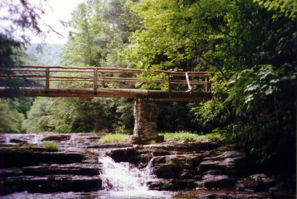
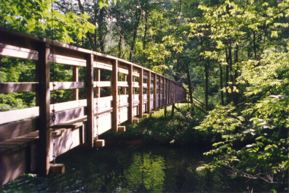
| 608.2 | Kimberling Creek (2,090')...suspension bridge | 2090 |
| 608.3 | Va. 606 (2,040') | 2040 |


| Miles from Springer | Features | Elevation |
|---|---|---|
| 610.2 | Dismal Creek Falls Trail (2,320') | 2320 |
| 612.1 | Walnut Flats Campground (2,400') | 2400 |
| 614.2 | Ribble Trail south junction (2,400')? USFS White Cedar Horse Campground | 2400 |
| 614.5 | Stream (2,500') | 2500 |
| 616.3 | Wapiti Shelter (2,600')?14.5mS; 9.5mN | 2600 |
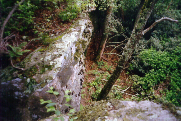
| 618.9 | Sugar Run Mountain (3,800')...rocky outcrop | 3800 |
| 621.8 | Ribble Trail north junction (3,800') | 3800 |
| 621.9 | USFS 103, Big Horse Gap (3,752') | 3752 |
| 623.5 | Va. 663, Sugar Run Gap Road, Sugar Run Gap (3,450') | 3450 |
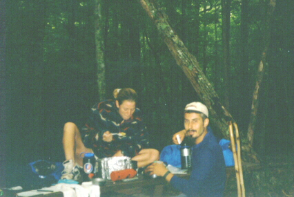
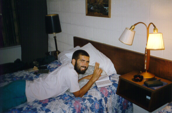
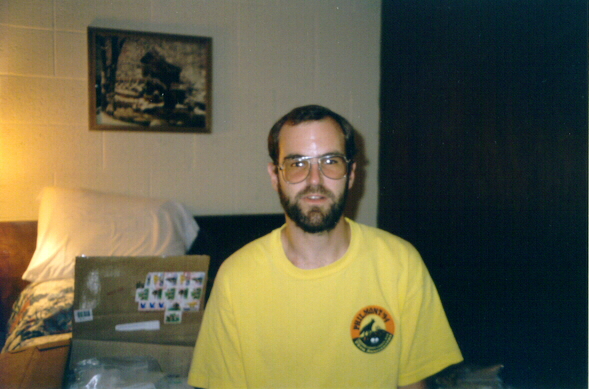
The Pathway Home
By Stephen "BJ" Dean Sr. (from Maine)

Weaving and winding
Over hill and dale.
For over 2,000 miles
It's called the Appalachian Trail.

Through mountain and valley
Be it sunshine or gray,
The Lord will lead me
All along the way.

This a spiritual journey
Along the Appalachian Trail,
With many a story
and meny a tale.

Through the way is long
The path leads home,
I need not fear
I'm never alone.

With staff in hand
Through hill and dale,
I'm walking home
On the Appalachian Trail.
06/23/96 10:32 pm

| Miles from Springer | Features | Elevation |
|---|---|---|
| 623.5 | Va. 663, Sugar Run Gap Road, Sugar Run Gap (3,450') | 3450 |
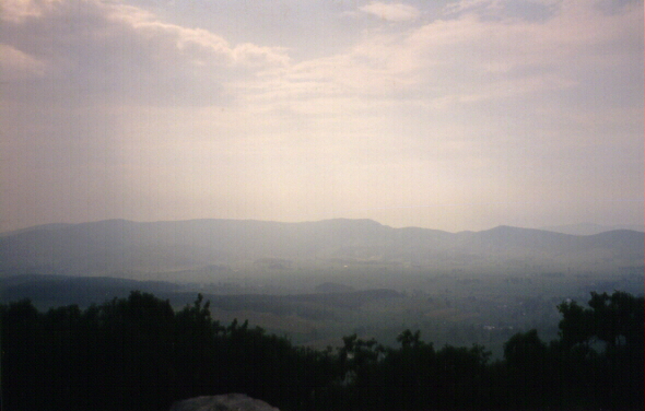
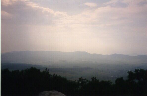
| 624.9 | Rock Cliff Overlook (3,850') | 3850 |
| 625.8 | Doc's Knob Shelter (3,555') ?9.5mS; 15.7mN | 3555 |
| 631.7 | Campsite and spring (3,750') | 3750 |
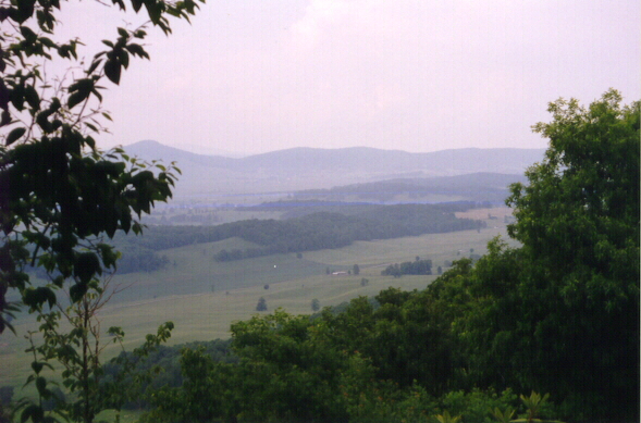
| 632.2 | Angels Rest on Pearis Mountain (3,555')?vista | 3555 |
| 633.6 | Spring (2,300') | 2300 |
| 634.2 | Va. 634, Cross Ave. (2,200') | 2200 |
| 634.6 | Lane Street to Bus. U.S. 460 (1,650') Pearisburg, Va. 24134 Pembroke, Va. Blacksburg, Va. | 1650 |
 |  |  |