| Miles from Springer | Features | Elevation |
|---|---|---|
| 239.2 | State Line Branch (1,600') | 1600 |
| 239.4 | Tobes Creek Road, Waterville Road (1,400'), Pigeon River | 1400 |
| 239.8 | I-40 (1,500')...underpass | 1500 |
| 239.9 | Green Corner Road (1,525')?steps | 1525 |
| 240.3 | Green Corner Road (1,800') | 1800 |
| 242.6 | Painter Branch (3,100') | 3100 |
| 243.5 | Spanish Oak Gap (3,730') | 3730 |
| 245 | Snowbird Mountain (4,263')?FAA tower | 4263 |
| 245.5 | Campsite (4,100') | 4100 |
| 247.5 | Deep Gap (2,900') Groundhog Creek Shelter? 10.7mS; 8.4mN | 2900 |
| Miles from Springer | Features | Elevation |
|---|---|---|
| 247.5 | Deep Gap (2,900') Groundhog Creek Shelter? 10.7mS; 8.4mN | 2900 |
| 250.4 | USFS 148A, Brown Gap (3,500') | 3500 |
| 253.1 | N.C. 1182, Max Patch Road (4,380') | 4380 |
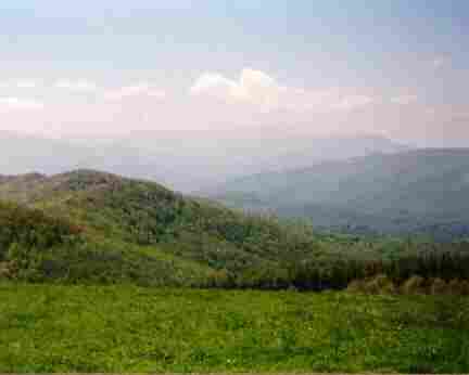
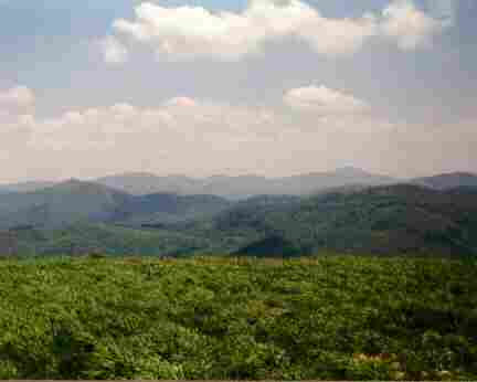
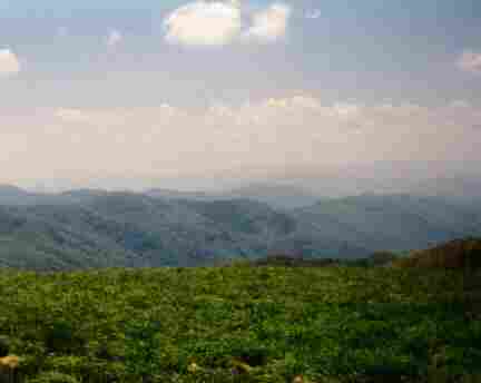
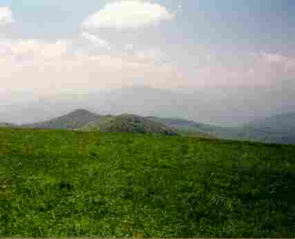
| 253.9 | Max Patch Summit (4,629') | 4629 |
| 255.7 | Roaring Fork Shelter (3,950') ?8.4mS; 4.9mN | 3950 |
| Miles from Springer | Features | Elevation |
|---|---|---|
| 259.3 | N.C. 1182, Tenn. 107, Lemon Gap (3,550') | 3550 |
| 260.6 | Walnut Mountain Shelter (4,260') ?4.9mS; 9.9mN | 4260 |
| 263 | Bluff Mountain (4,686') | 4686 |
| 264.6 | Big Rock Spring (3,730') | 3730 |
| 267.1 | Garenflo Gap Road, Garenflo Gap (2,500') | 2500 |
| 270.5 | Deer Park Mountain Shelter (2,330') ?9.9mS; 14.2mN | 2330 |
| 273.7 | U.S. 25 & 70, N.C. 209 (1,326') Hot Springs, N.C. 28743 | 1326 |

 |  |  |