
| Miles from Springer | Features | Elevation |
|---|---|---|
| 729 | U.S. 11, Norfolk Southern Railway (1,300') Troutville, Va. 24175 | 1300 |
| 729.5 | Va. 652, Mountain Pass Road (1,450') | 1450 |


| Miles from Springer | Features | Elevation |
|---|---|---|
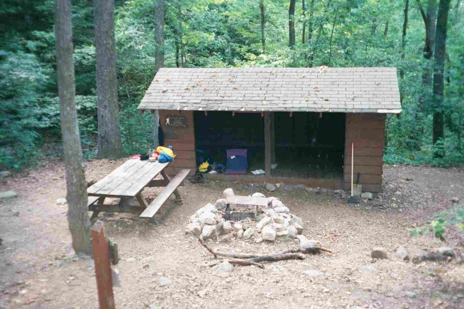
| 732.5 | Fullhardt Knob Shelter (2,676') ?14.4mS; 6.2mN | 2676 |
| 735.3 | USFS 191, Salt Pond Road (2,260') | 2260 |
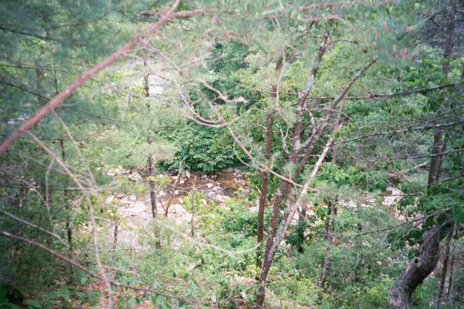
| 736.1 | Curry Creek (1,680') | 1680 |
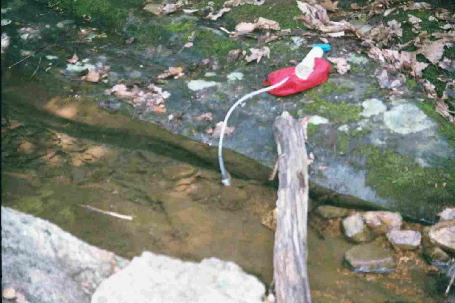
| 738 | Wilson Creek (1,690') | 1690 |
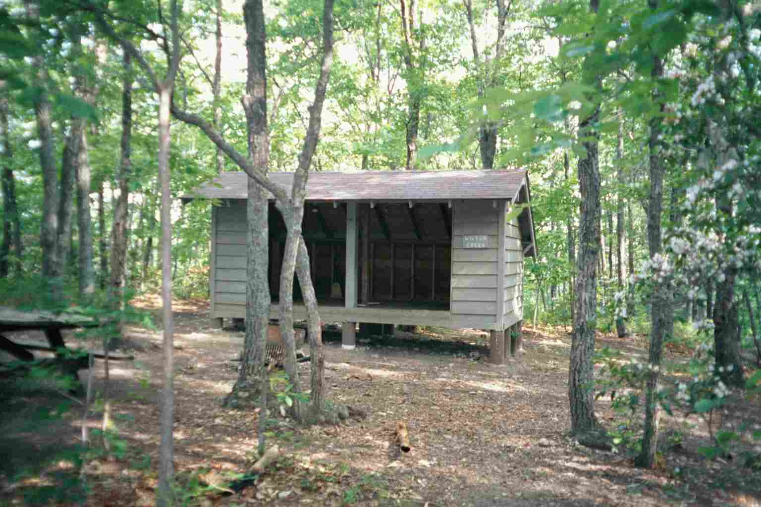
| 738.7 | Wilson Creek Shelter (1,830') ?6.2mS; 7.5mN | 1830 |

| Miles from Springer | Features | Elevation |
|---|---|---|
| 738.7 | Wilson Creek Shelter (1,830') ?6.2mS; 7.5mN | 1830 |
| 739.1 | Spring (2,050') | 2050 |
| 741.1 | USFS 186; BRP mp 97.7 (2,402') Old Fincastle Road; Black Horse Gap | 2402 |
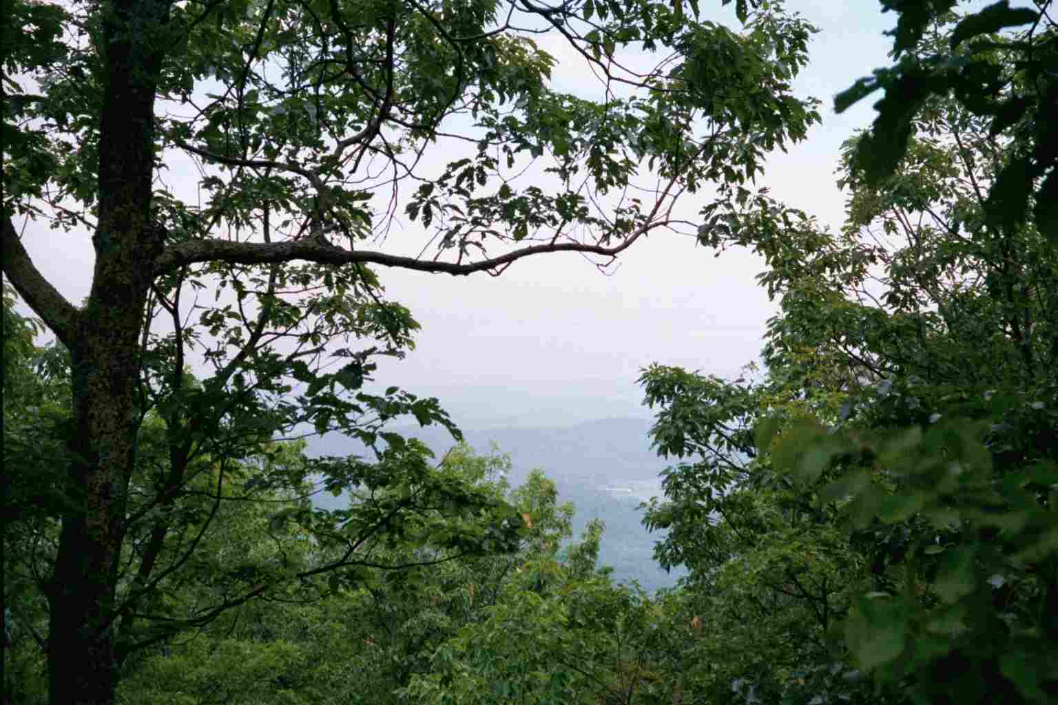
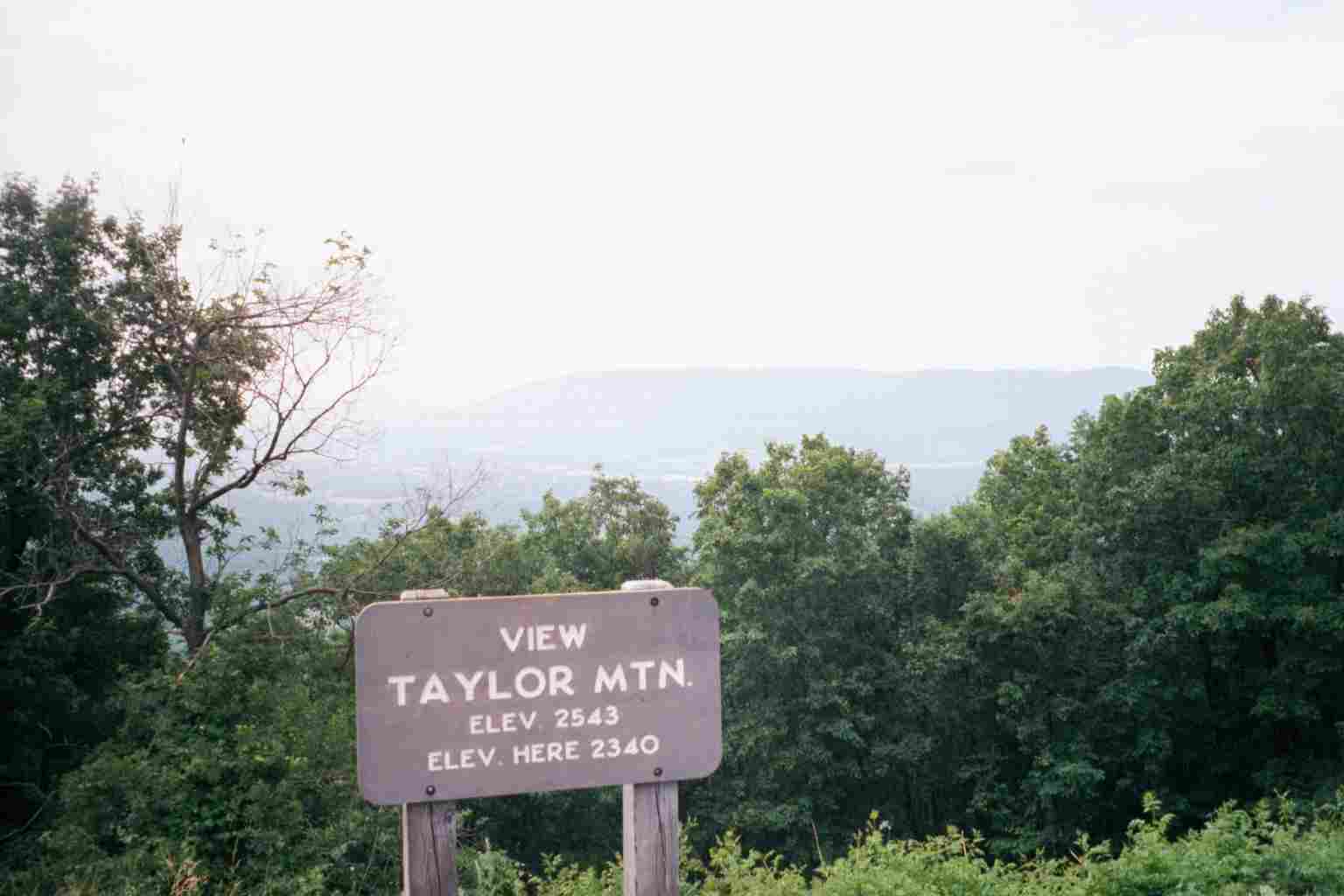
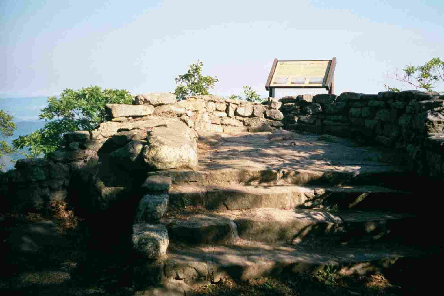
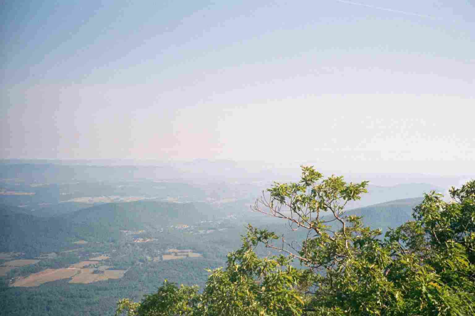
| 741.9 | Taylors Mountain Overlook; BRP mp 97.0 (2,350') | 2350 |
| 743 | Montvale Overlook; BRP mp 95.9 (2,400') | 2400 |
| 743.6 | Harveys Knob Overlook; BRP mp 95.3 (2,550') | 2550 |
| 746 | Bobblets Gap Shelter (1,920') ?7.5mS; 6.7mN | 1920 |

| Miles from Springer | Features | Elevation |
|---|---|---|
| 746 | Bobblets Gap Shelter (1,920') ?7.5mS; 6.7mN | 1920 |
| 746.7 | Peaks of Otter Overlook; BRP mp 92.5 (2,350') | 2350 |
| 747.4 | Mills Gap Overlook; BRP mp 91.8 (2,450') | 2450 |
| 749.1 | Va. 43, Bearwallow Gap; BRP mp 90.9 (2,228') Buchanan, Va. 24066 | 2228 |
| 750.7 | Cove Mountain (2,707') | 2707 |
| 751.1 | Little Cove Mountain Trail (2,600') | 2600 |
| 752.5 | Cove Mountain Shelter (1,925') ?6.7mS; 7mN | 1925 |
| 754.2 | Buchanan Trail (1,790') | 1790 |
| 755.7 | Va. 614, Jennings Creek Road (987') Jennings Creek | 987 |


| Miles from Springer | Features | Elevation |
|---|---|---|
| 755.7 | Va. 614, Jennings Creek Road (987') Jennings Creek | 987 |
| 757.3 | Fork Mountain (2,042') | 2042 |
| 759.5 | Bryant Ridge Shelter (1,330') ?7mS; 4.9mN | 1330 |
| 763.8 | Floyd Mountain (3,560') | 3560 |
| 764.4 | Cornelius Creek Shelter (3,145') ?4.9mS; 5.3mN | 3145 |

| Miles from Springer | Features | Elevation |
|---|---|---|
| 764.4 | Cornelius Creek Shelter (3,145') ?4.9mS; 5.3mN | 3145 |
| 765.3 | Black Rock (3,450') | 3450 |
| 767 | Apple Orchard Falls Trail (3,250') | 3250 |
| 767.1 | USFS 812, Parkers Gap Road; BRP mp 78.4 (3,410') | 3410 |
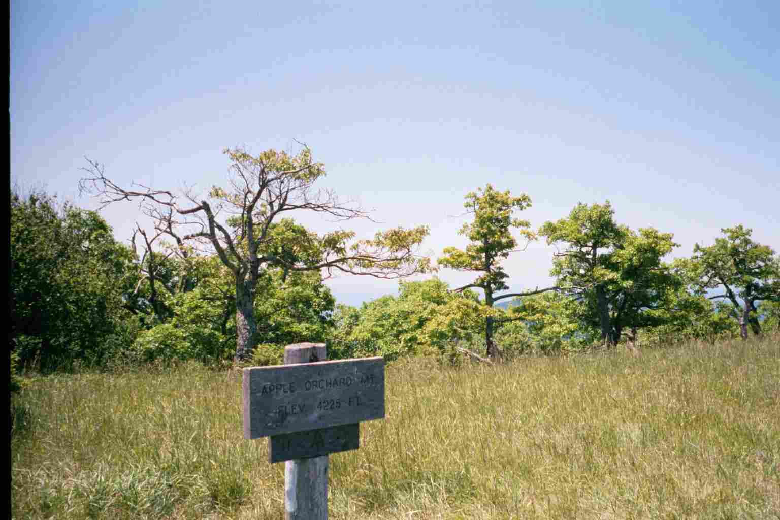
| 768.5 | Apple Orchard Mountain (4,206')?FAA radar dome | 4206 |
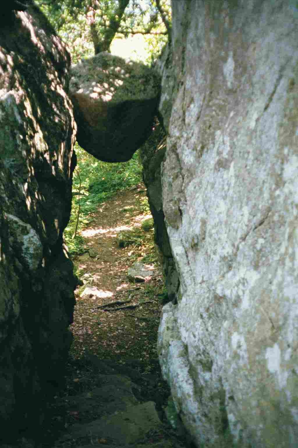
| 768.8 | The Guillotine (4,090')?suspended boulder | 4090 |
| 769.4 | Upper BRP crossing mp 76.3 (3,900') | 3900 |
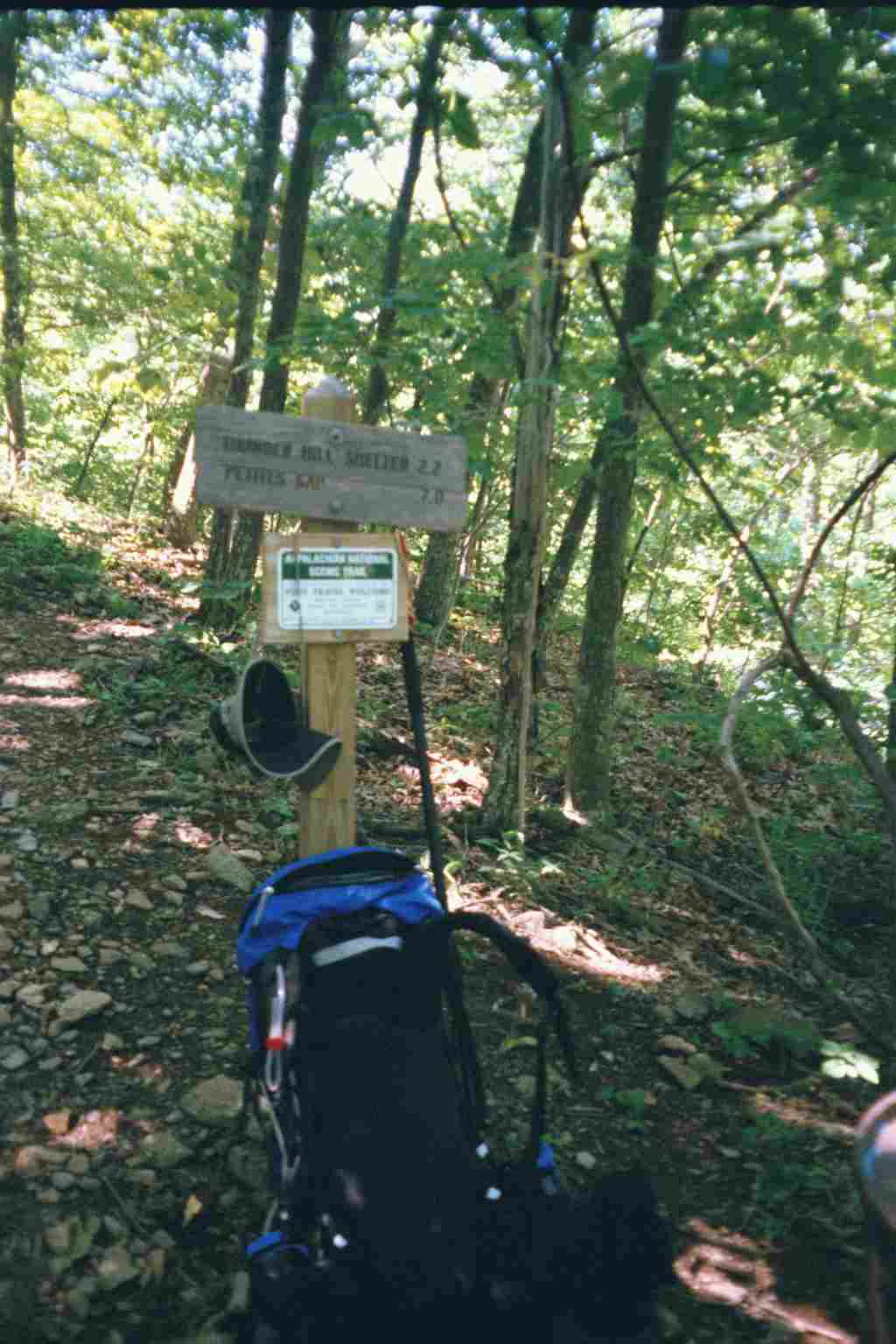
| 769.7 | Thunder Hill Shelter (3,960') ?5.3mS; 12.4mN | 3960 |


| Miles from Springer | Features | Elevation |
|---|---|---|
| 769.7 | Thunder Hill Shelter (3,960') ?5.3mS; 12.4mN | 3960 |
| 770.7 | Lower BRP crossing mp 74.9 (3,650') | 3650 |
| 771.1 | Thunder Hill Overlook; BRP mp 74.7 (3,525') | 3525 |
| 773 | Harrison Ground Spring (3,200') | 3200 |
| 774.4 | USFS 35, Petites Gap; BRP mp 71.0 (2,369') | 2369 |
| 775.6 | Highcock Knob (3,054') | 3054 |
| 776.6 | Marble Spring (2,290') | 2290 |
| 777.1 | Sulphur Spring Trail (south crossing) (2,400') | 2400 |
| 778.9 | Gunter Ridge Trail, Hickory Stand (2,650') | 2650 |
| 779.4 | Sulphur Spring Trail (north crossing) (2,588') | 2588 |
| 780.2 | Big Cove Branch (1,890') | 1890 |
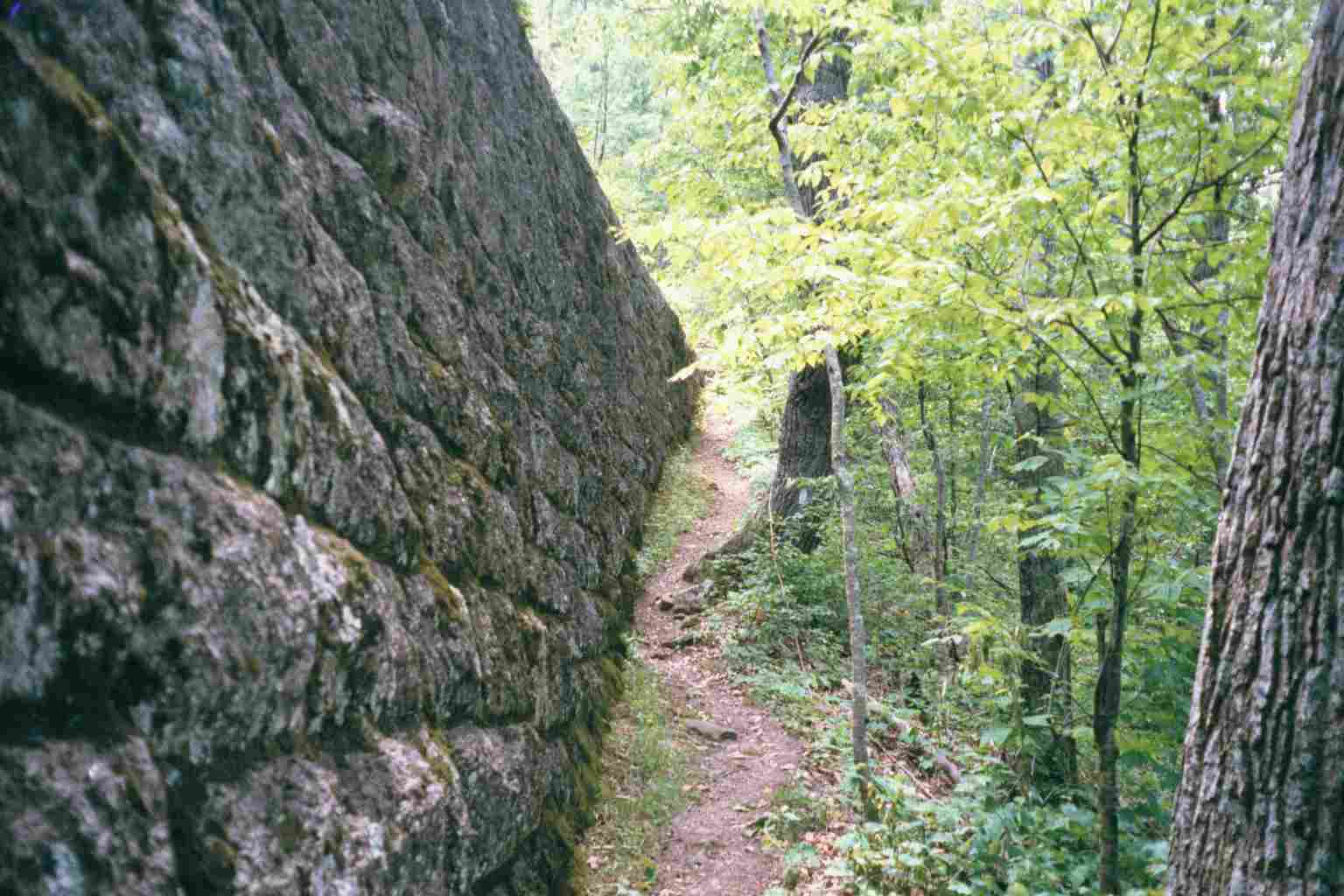
| 782.1 | Matts Creek Shelter (835') ?12.4mS; 3.9mN | 835 |

| Miles from Springer | Features | Elevation |
|---|---|---|
| 782.9 | Campsite (700') | 700 |
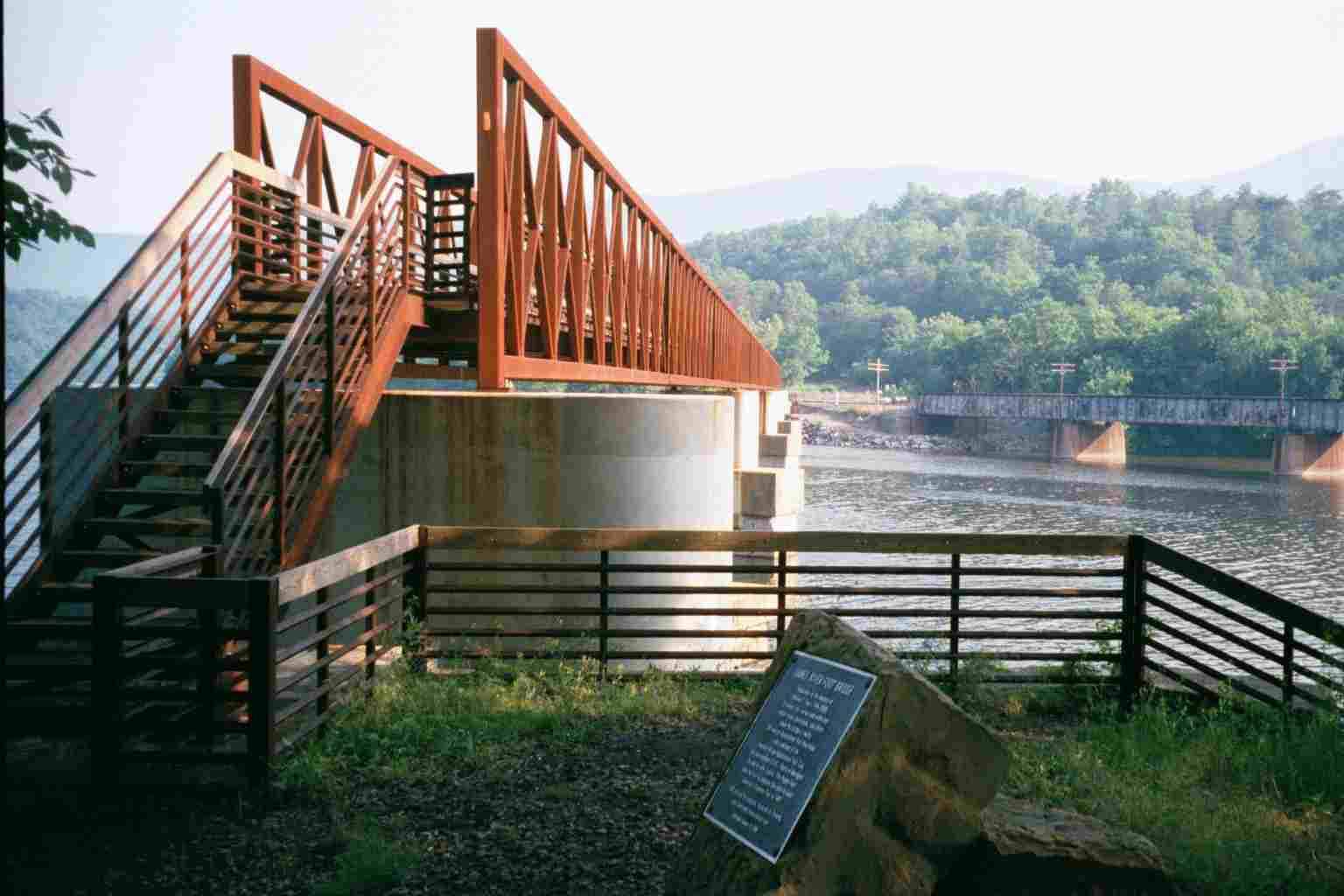
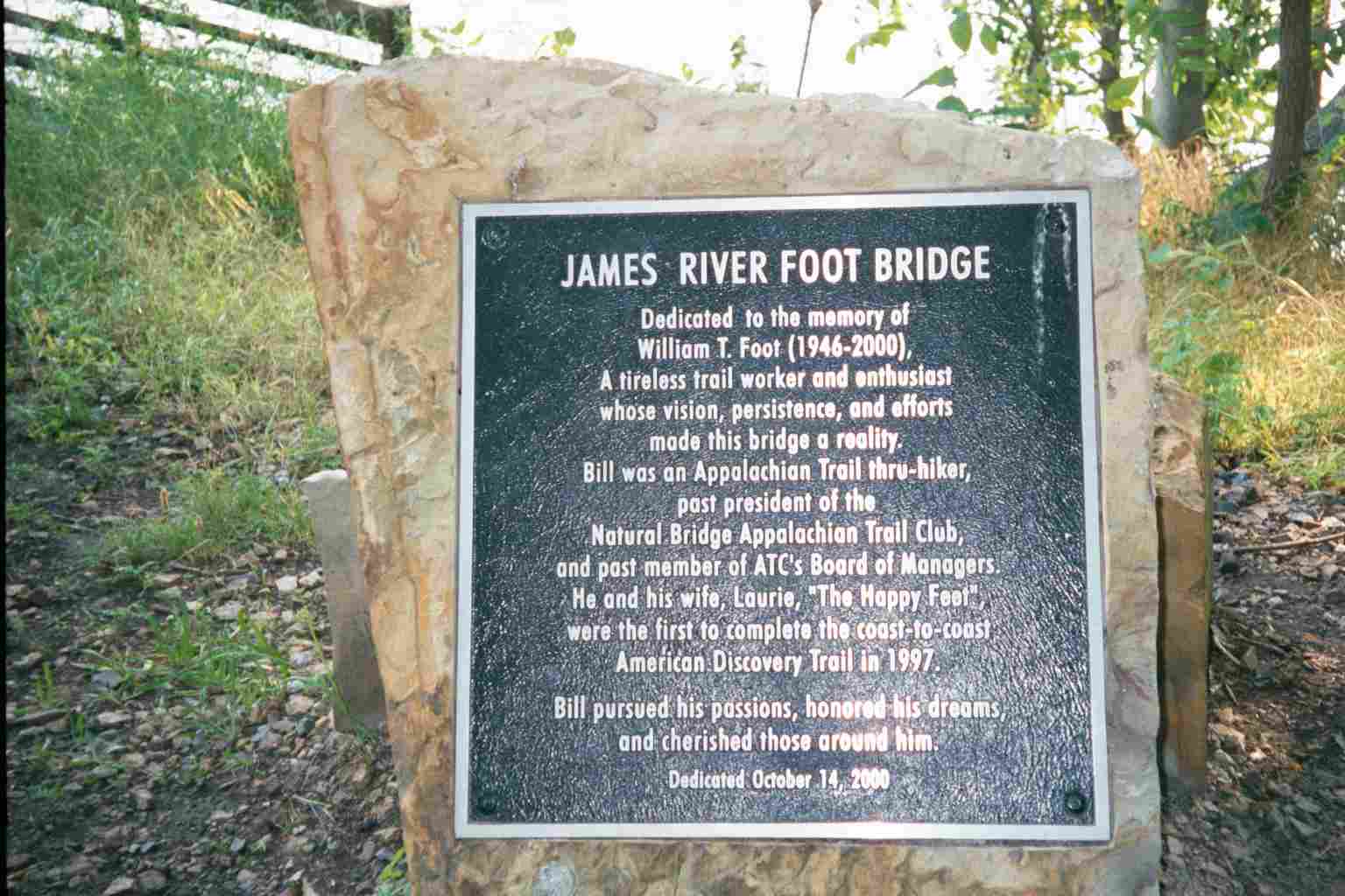
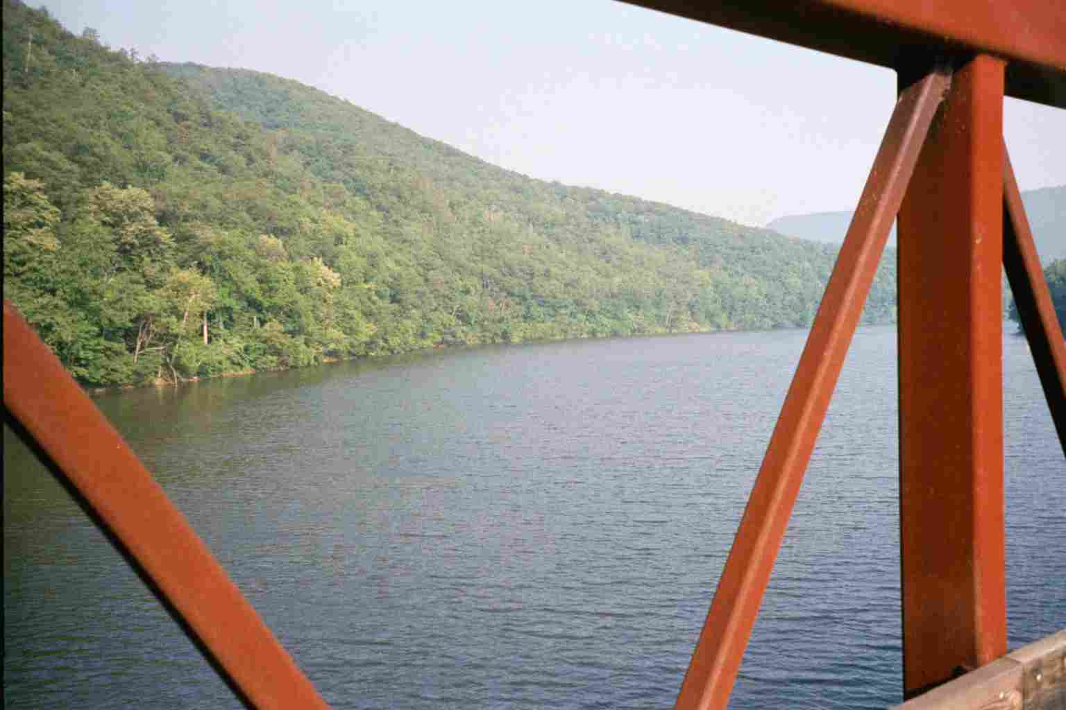
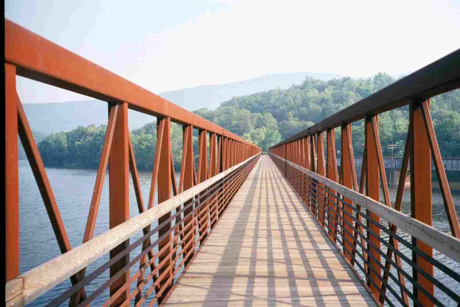
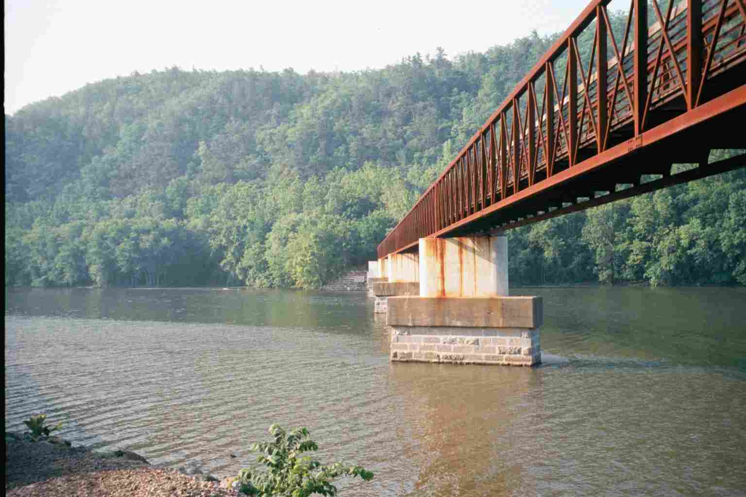
| 784.1 | James River Foot Bridge, James River (678') | 678 |
| 784.3 | U.S. 501 (680') Big Island, Va. 24526 Glasgow, Va. 24555 | 680 |
 |  |