
| Miles from Springer | Features | Elevation |
|---|---|---|
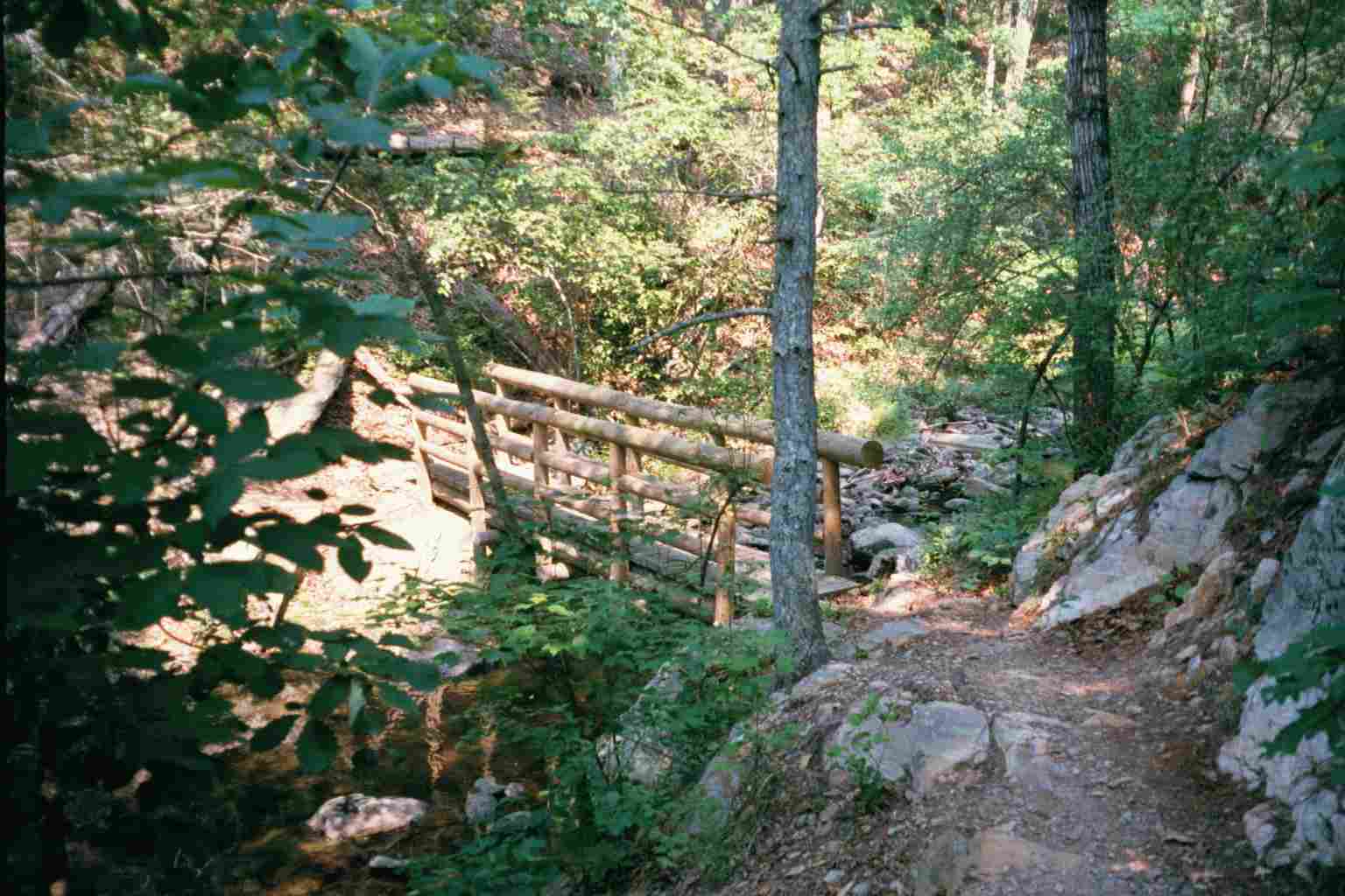
| 784.4 | Lower Rocky Row Run Bridge (740') | 740 |
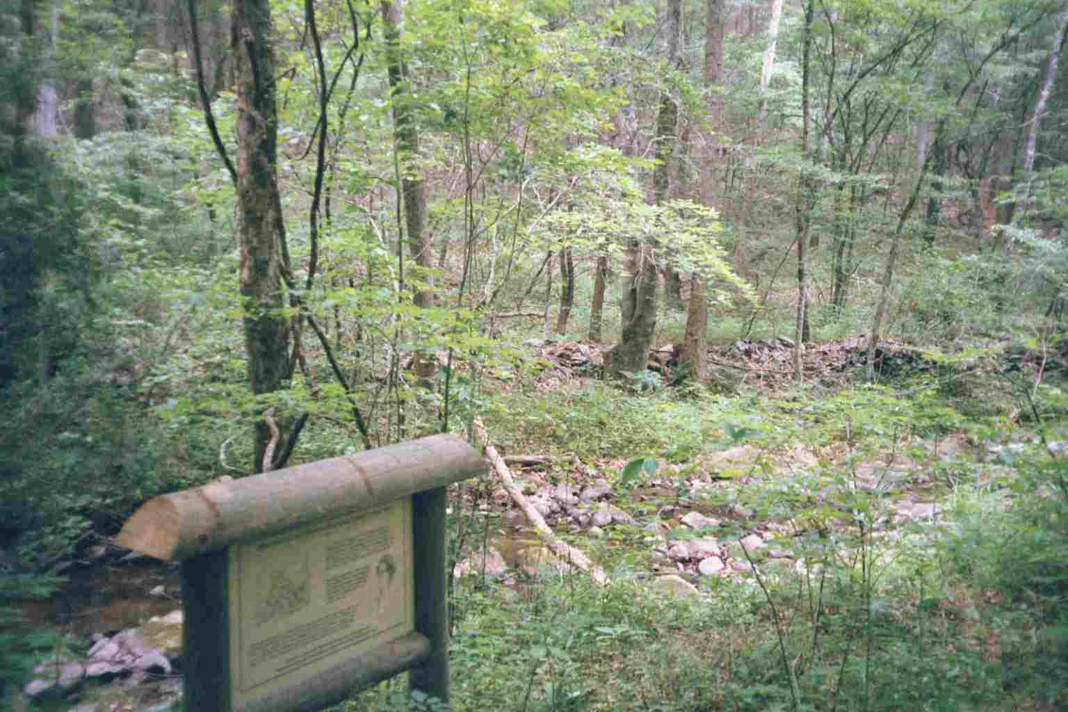
| 785.3 | Rocky Row Run (760')?campsites along creek | 760 |
| 785.4 | Va. 812, USFS 36 (825') | 825 |
| 786 | Johns Hollow Shelter (1,020') ?3.9mS; 9mN | 1020 |
                Lib |
                    |
                    |
                    |
                  P |
                  G |         the main road
--------------------+------------------------
   L     HR     GD

L - laundry
H - Hotel
R - Resuraunt
G - Grocery
D - Deli
P - Post office
Lib- Library winth internet

| Miles from Springer | Features | Elevation |
|---|---|---|
| 786 | Johns Hollow Shelter (1,020') ?3.9mS; 9mN | 1020 |
| 788 | Rocky Row Trail (2,400') | 2400 |
| 788.1 | Fullers Rocks, Little Rocky Row (2,486') | 2486 |
| 789.1 | Big Rocky Row (2,974') | 2974 |
| 790.6 | Saddle Gap, Saddle Gap Trail (2,600') | 2600 |
| 791.7 | Saltlog Gap (south) (2,573') | 2573 |
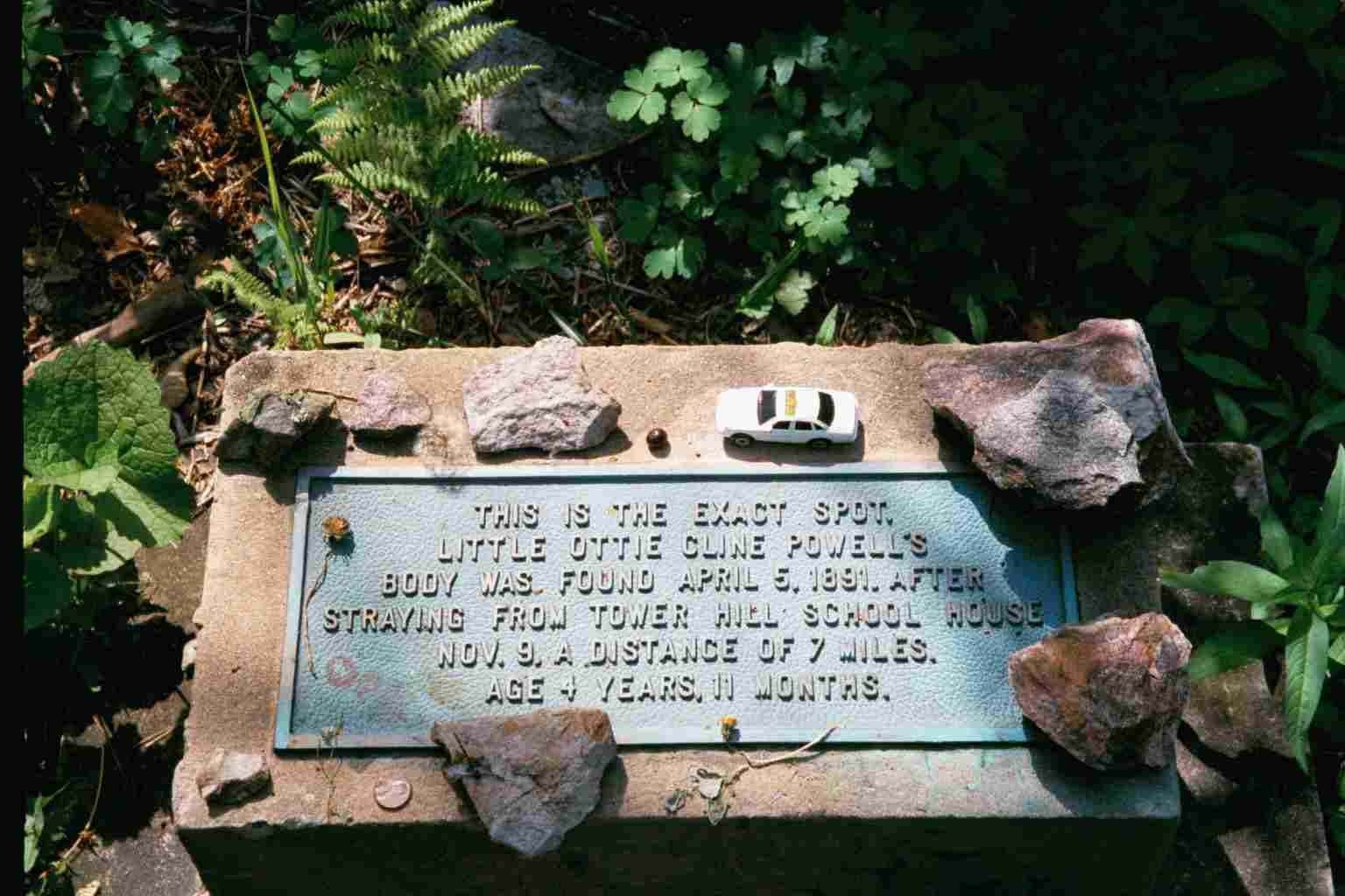
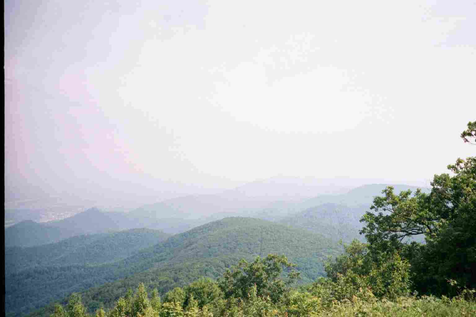
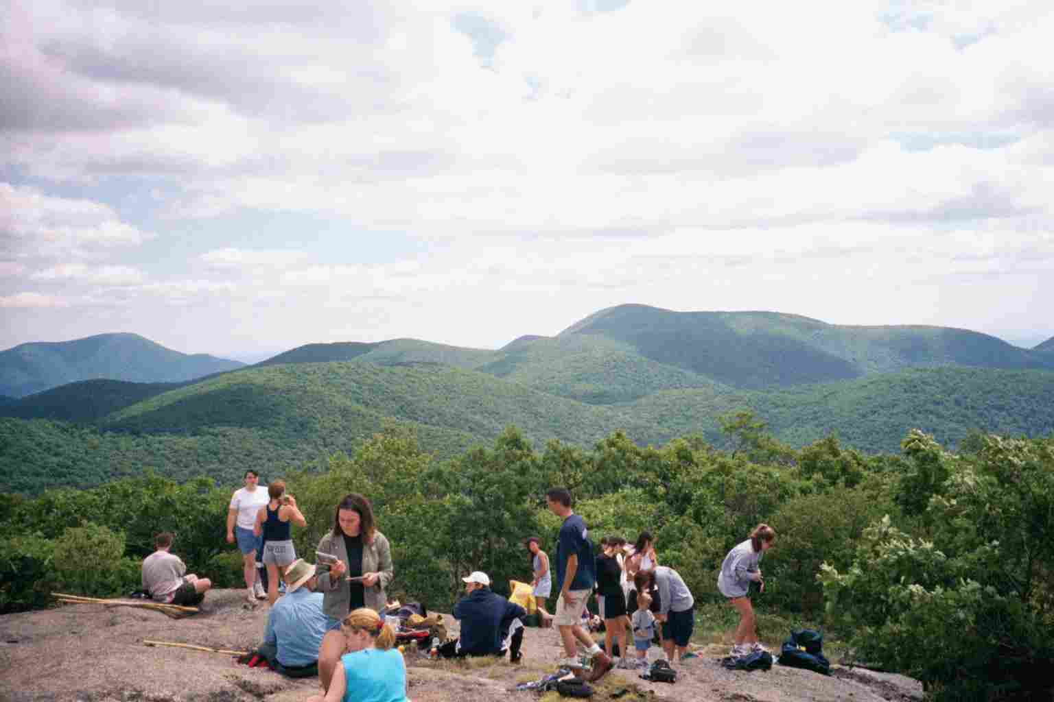
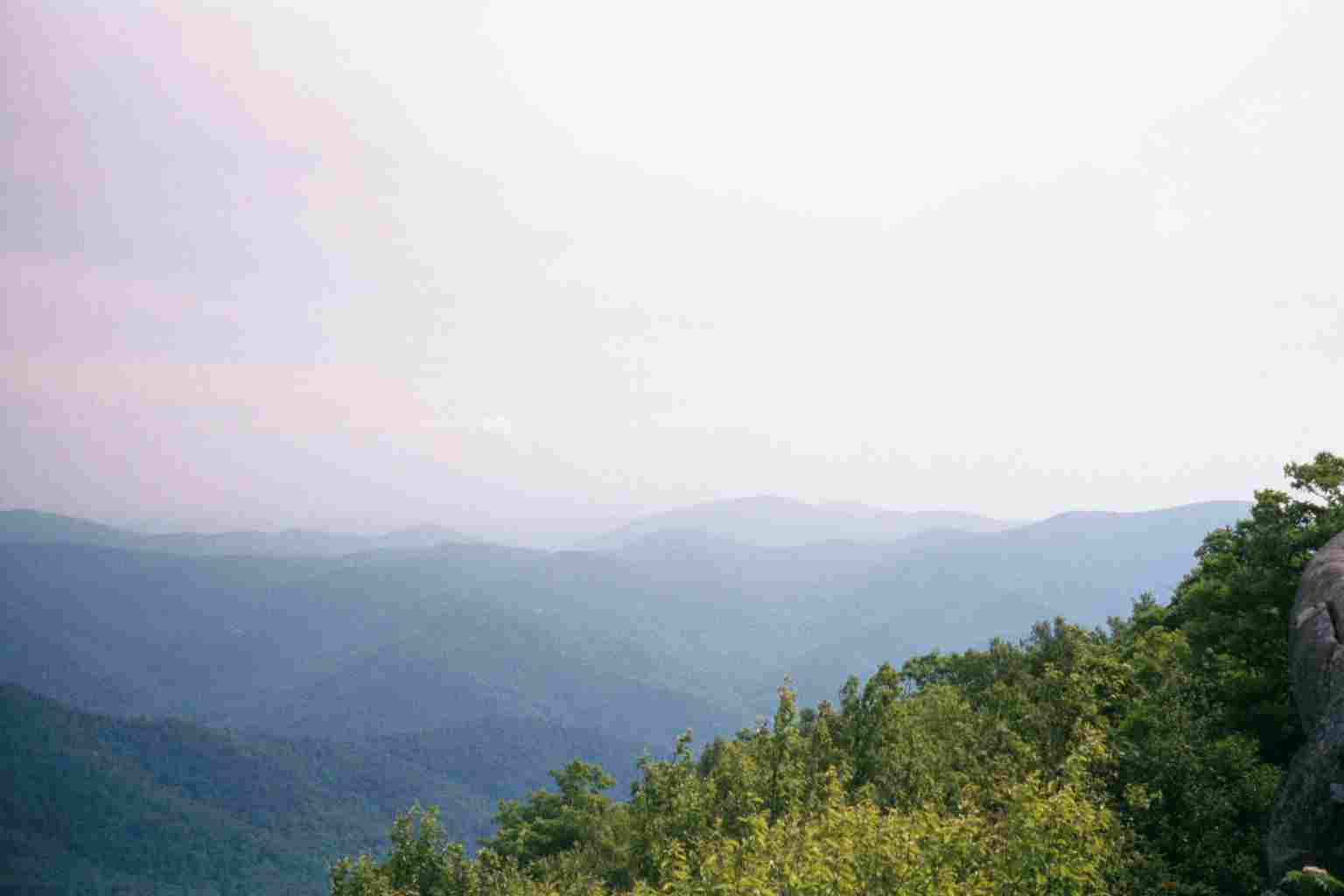
| 793.2 | Bluff Mountain (3,391')?Ottie Cline Powell Memorial | 3391 |
| 794.3 | Punchbowl Mountain (2,850') | 2850 |
| 794.8 | Punchbowl Shelter (2,500')?9mS; 9.7mN | 2500 |

| Miles from Springer | Features | Elevation |
|---|---|---|
| 795.2 | Punchbowl Mountain Crossing; BRP mp 51.7 (2,170') | 2170 |
| 795.5 | Va. 607, Robinson Gap Road (2,100') | 2100 |
| 797.4 | Rice Mountain (2,169') | 2169 |
| 799.3 | USFS 39 (990') | 990 |
| 799.4 | Pedlar River Bridge (970') | 970 |
| 802.3 | USFS 38, Swapping Camp Road (1,000') | 1000 |
| 804.3 | Brown Mountain Creek Shelter (1,395') ?9.7mS; 6.2mN | 1395 |
| 806.1 | U.S. 60, Lexington Turnpike (2,060') Long Mountain Wayside?picnic tables Buena Vista, Va. 24416 Lexington, Va. 24450 | 2060 |
| 808.9 | Bald Knob (4,059') | 4059 |
| 809.9 | Old Hotel Trail (3,428') Cow Camp Gap Shelter?6.2mS; 10.8mN | 3428 |
| 811.1 | Cole Mountain (4,022') | 4022 |
| 812.4 | USFS 48, Wiggins Spring Road (3,485') Hog Camp Gap | 3485 |
| 813.3 | Tar Jacket Ridge (3,840') | 3840 |
| 814.6 | USFS 63, Va. 634, Salt Log Gap (north) (3,290') | 3290 |
| 815.8 | USFS 246 (3,500') | 3500 |
| 816.3 | Greasy Spring Road (3,600') | 3600 |

| Miles from Springer | Features | Elevation |
|---|---|---|
| 818.2 | North Fork of Piney River (3,500') | 3500 |
| 819.4 | Elk Pond Branch (3,750') | 3750 |
| 820.1 | Seeley?Woodworth Shelter (3,770') ?10.8mS; 6.6mN | 3770 |
| 821.2 | Porters Field (3,650') | 3650 |
| 822.4 | Spy Rock Road (3,454')Montebello, Va. 24464 | 3454 |
| 822.9 | Spy Rock (3,680') | 3680 |
| 823.7 | Cash Hollow Rock (3,550') | 3550 |
| 825 | Cash Hollow Road (3,280') | 3280 |
| 825.8 | Va. 826, Crabtree Farm Road (3,350') Crabtree Falls Trail | 3350 |
| 826.7 | The Priest Shelter (3,840')?6.6mS; 7.6mN | 3840 |


| Miles from Springer | Features | Elevation |
|---|---|---|
| 826.7 | The Priest Shelter (3,840')?6.6mS; 7.6mN | 3840 |
| 827.2 | The Priest (4,063') | 4063 |
| 830.2 | Cripple Creek (1,800') | 1800 |
| 831.5 | Va. 56, Crabtree Falls Highway (997') | 997 |
| 831.6 | Tye River (950') | 950 |
| 833.2 | Mau-Har Trail (2,090') | 2090 |
| 834.3 | Harpers Creek Shelter (1,800') ?7.6mS; 6.2mN | 1800 |
| 836.3 | Chimney Rocks (3,190') | 3190 |
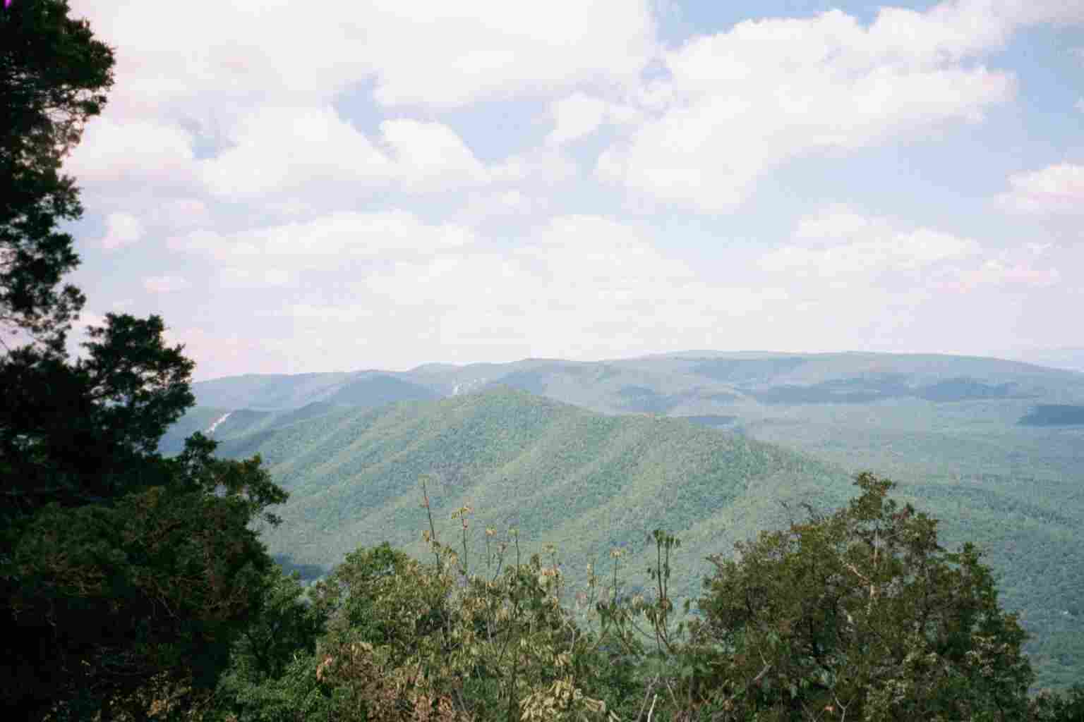
| 838 | Three Ridges (3,970') | 3970 |
| 838.5 | Hanging Rock (3,750') | 3750 |
| 840.5 | Maupin Field Shelter (2,720') ?6.2mS; 15.8mN | 2720 |


| Miles from Springer | Features | Elevation |
|---|---|---|
| 840.5 | Maupin Field Shelter (2,720') ?6.2mS; 15.8mN | 2720 |
| 842.2 | Reids Gap, Va. 664; BRP mp 13.6 (2,645') | 2645 |
| 842.7 | Three Ridges Parking Overlook; BRP mp 13.1 (2,700') | 2700 |
| 846.5 | Cedar Cliffs (2,800') | 2800 |
| 847 | Dripping Rock Parking Area; BRP mp 9.6 (2,950') | 2950 |
| 849.8 | Humpback Mountain (3,606') | 3606 |
| 850.8 | Trail to Humpback Rocks (3,250') | 3250 |
| 852.3 | Bear Spring (3,200') | 3200 |
| 854.5 | Glass Hollow Overlook (2,750') | 2750 |
| 854.8 | Trail to Humpback Visitors Center (2,150') | 2150 |
| 856.3 | Mill Creek (1,700') Paul C. Wolfe Shelter?15.8mS; 13mN | 1700 |

| Miles from Springer | Features | Elevation |
|---|---|---|
| 861.3 | U.S. 250, I-64, Rockfish Gap (1,902') Waynesboro, Va. 22980 | 1902 |
 |  |  |