
| Miles from Springer | Features | Elevation |
|---|---|---|
| 1022.4 | Appalachian Trail Conservancy Side Trail (394') Harpers Ferry, W.Va. 25425 | 394 |
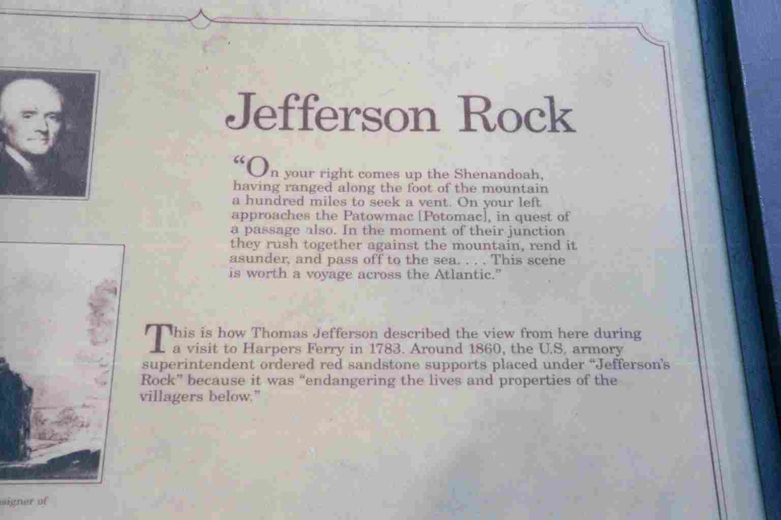
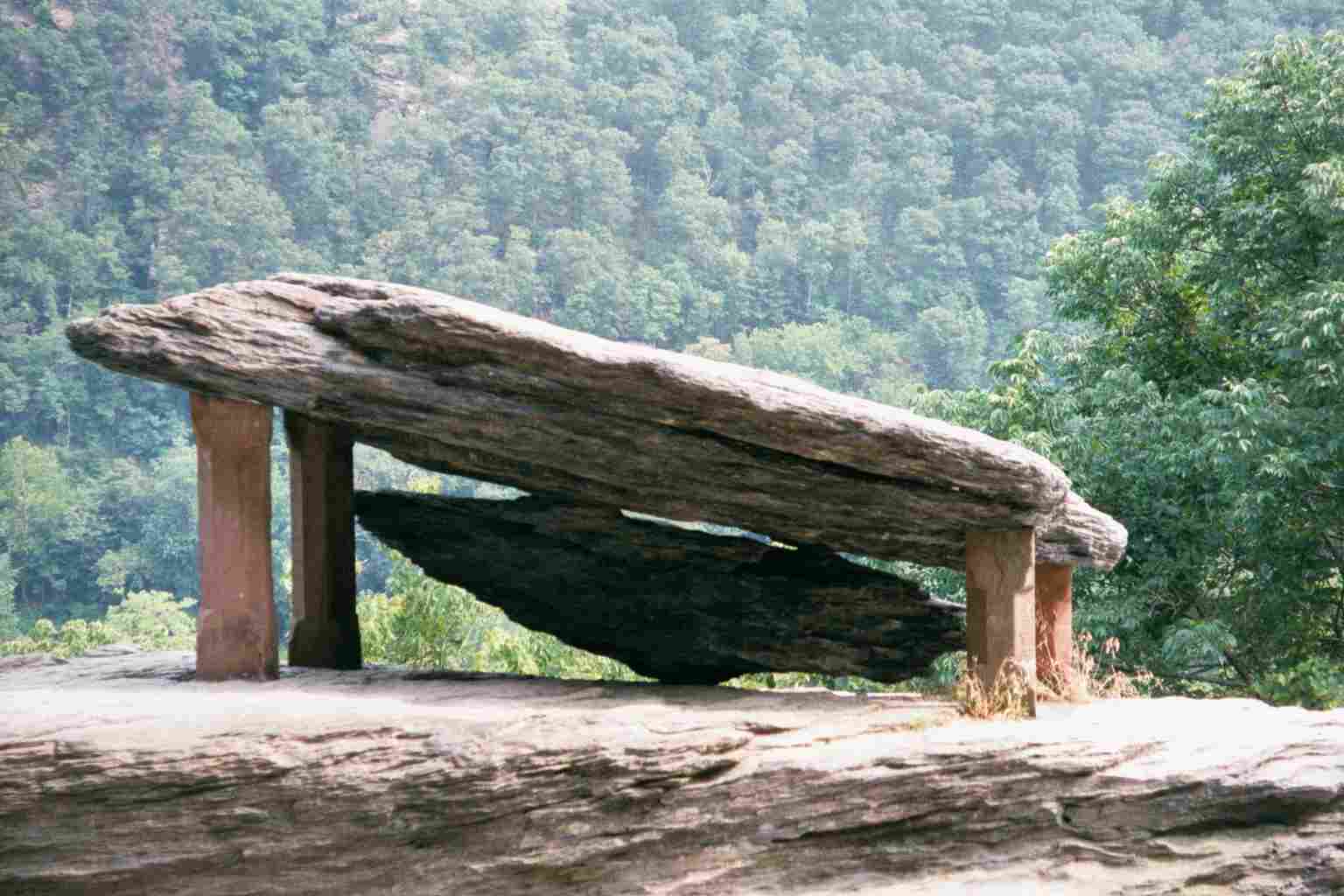
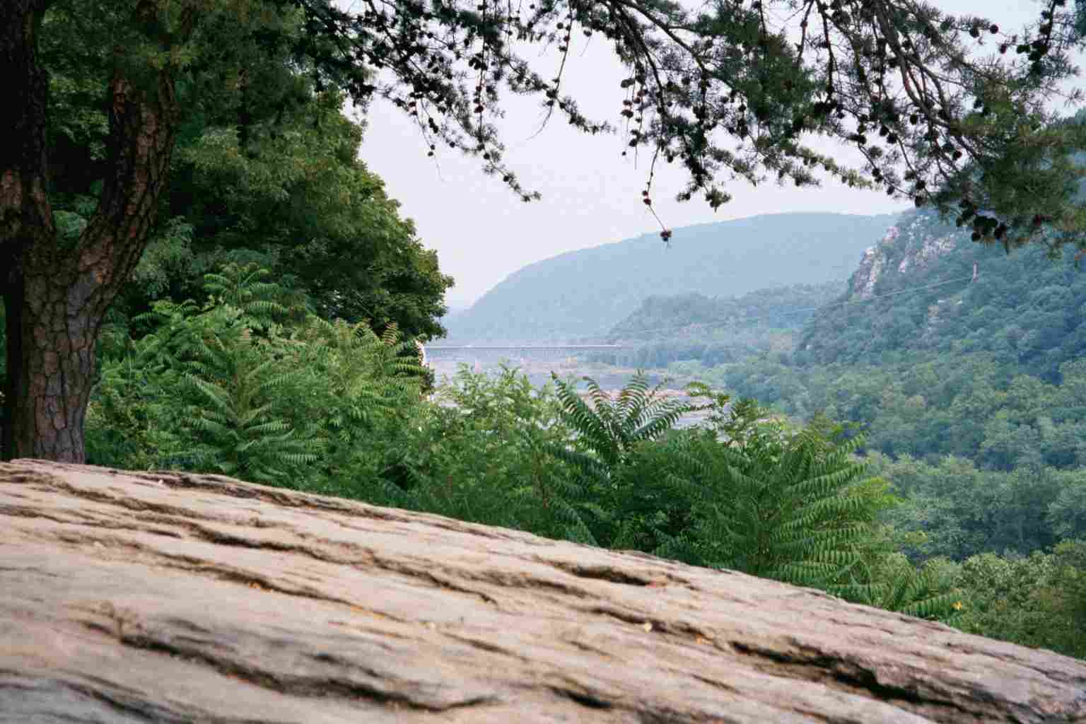
| 1022.9 | Jefferson Rock (425') | 425 |
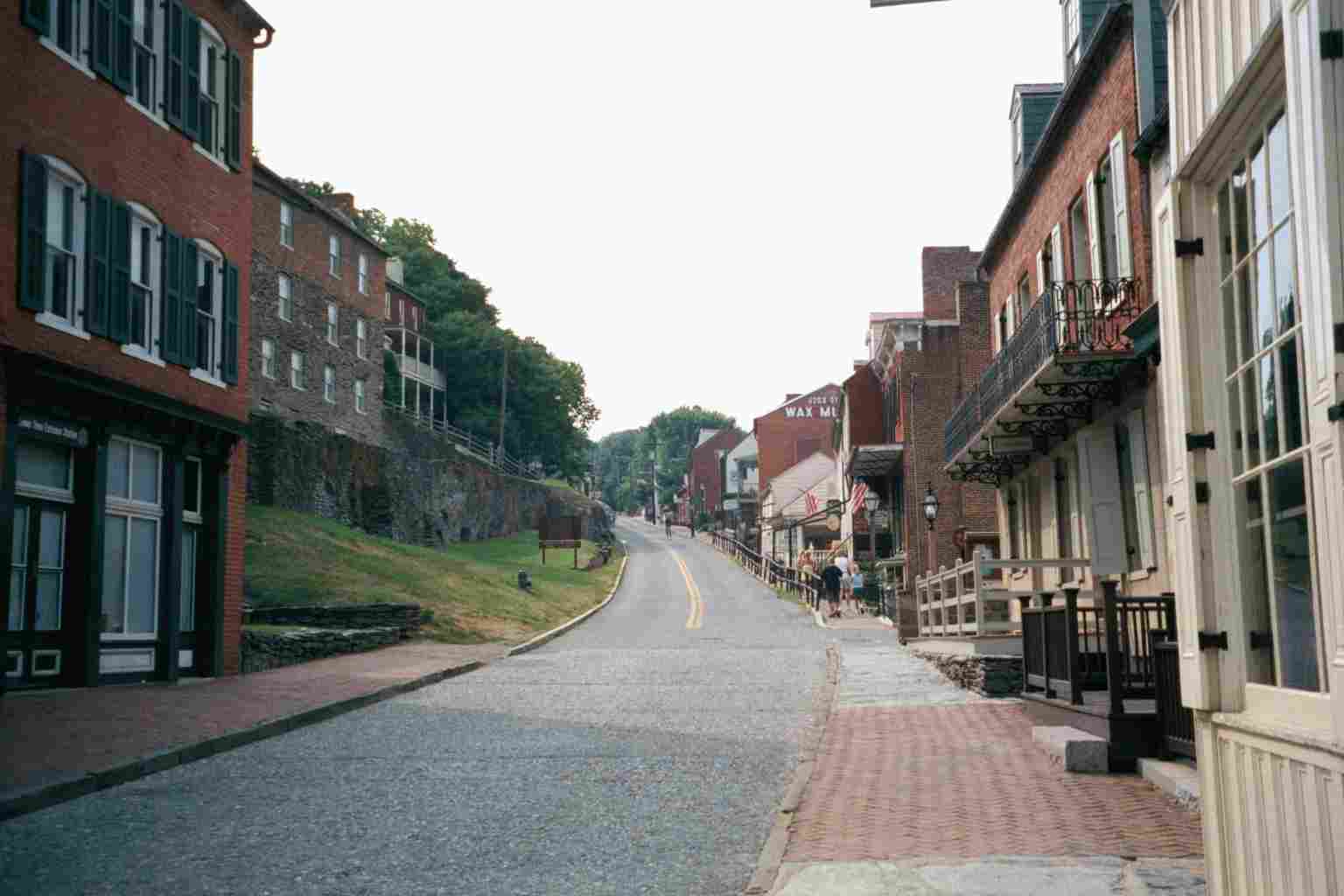
| 1023 | Shenandoah Street; Harpers Ferry National Historical Park (315') | 315 |
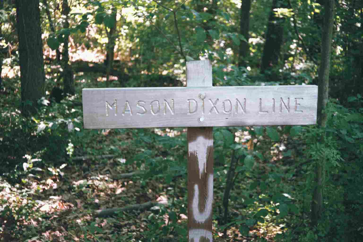
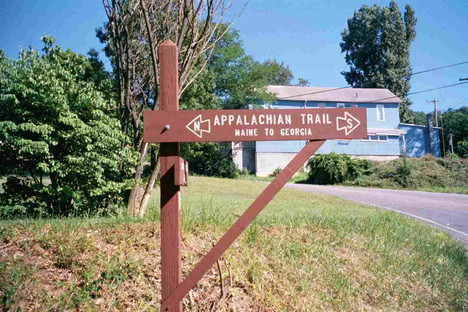
| 1023.1 | Potomac River, Goodloe E. Bryon Memorial Footbridge, West Virginia?Maryland State Line (250') | 250 |
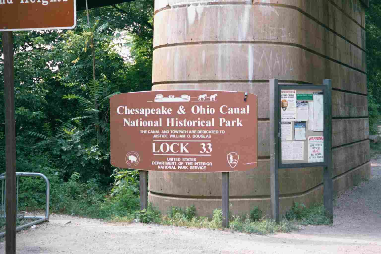
| 1023.3 | C&O Canal Towpath mp 60.2 (A.T. west jct.) (290') | 290 |
| 1024.4 | U.S. 340, Sandy Hook Bridge above (290') | 290 |
| 1025.9 | C & O Canal Towpath mp 58 (A.T. east jct.) (290') Lockhouse 38 | 290 |
| 1026 | Keep Tryst Road; Railroad tracks (320') Brunswick, Md. 21716 Knoxville, Md. | 320 |
| 1026.2 | U.S. 340 (400')?underpass | 400 |
| 1026.4 | Weaverton Road (420') | 420 |
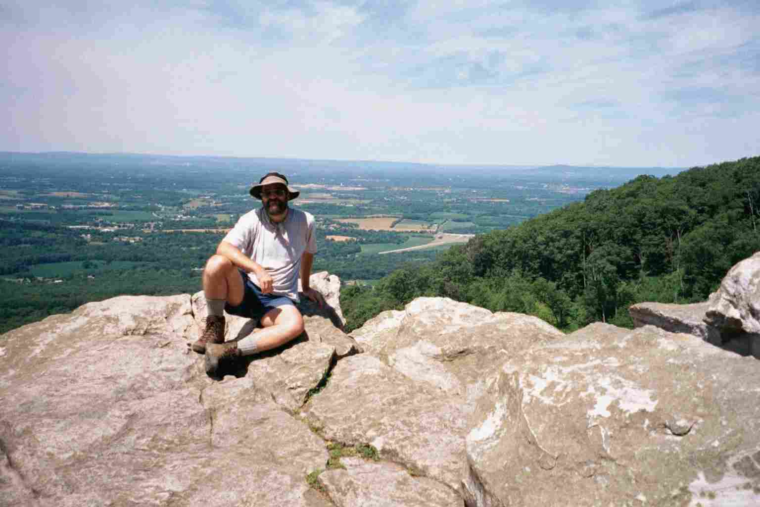
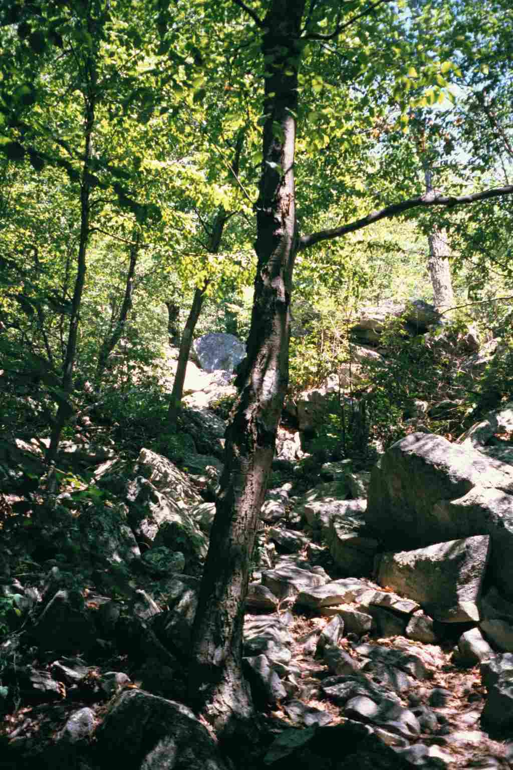
| 1027.3 | Weaverton Cliffs Trail (780')?Potomac River view, Congressman Goodloe E. Bryon plaque | 780 |
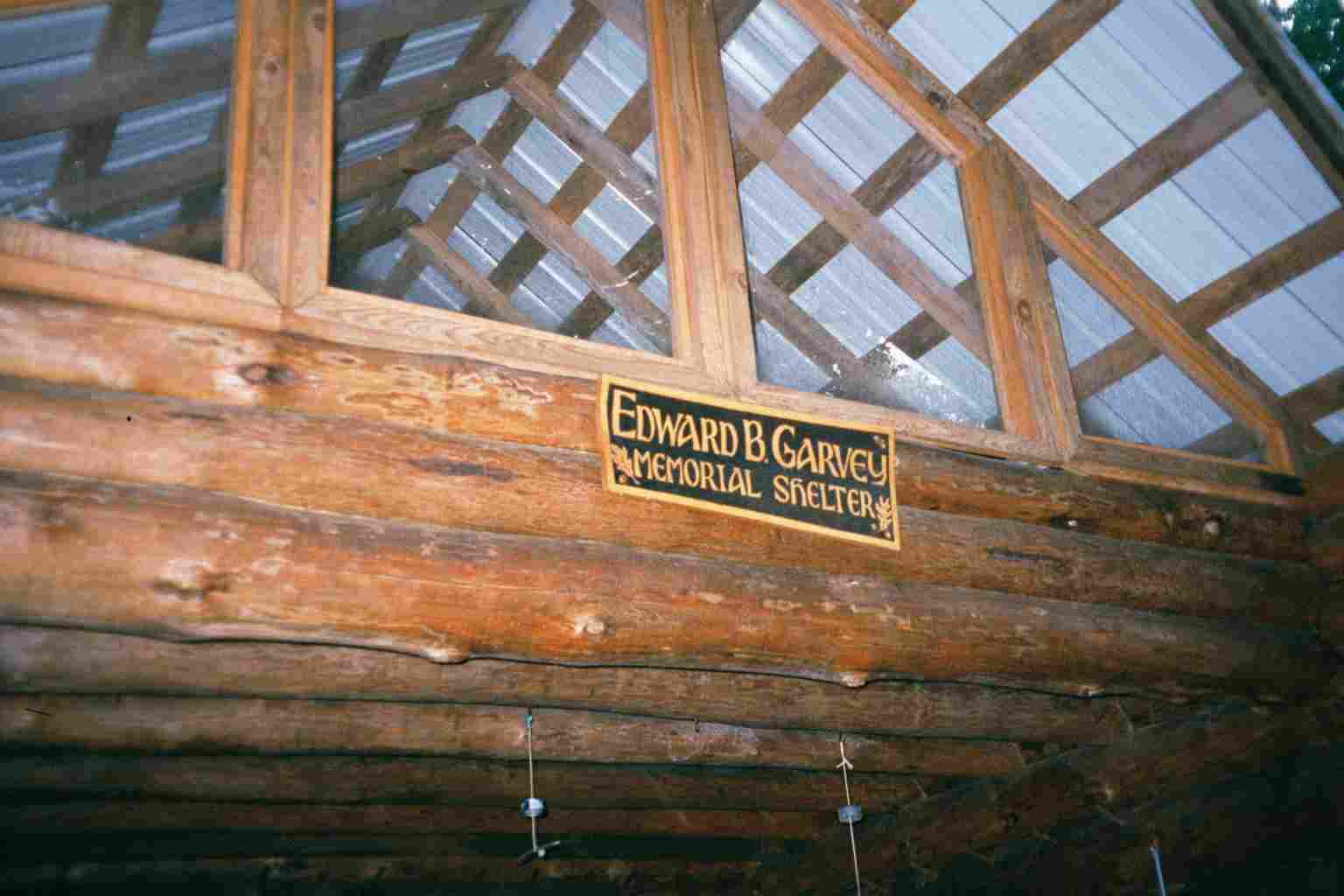
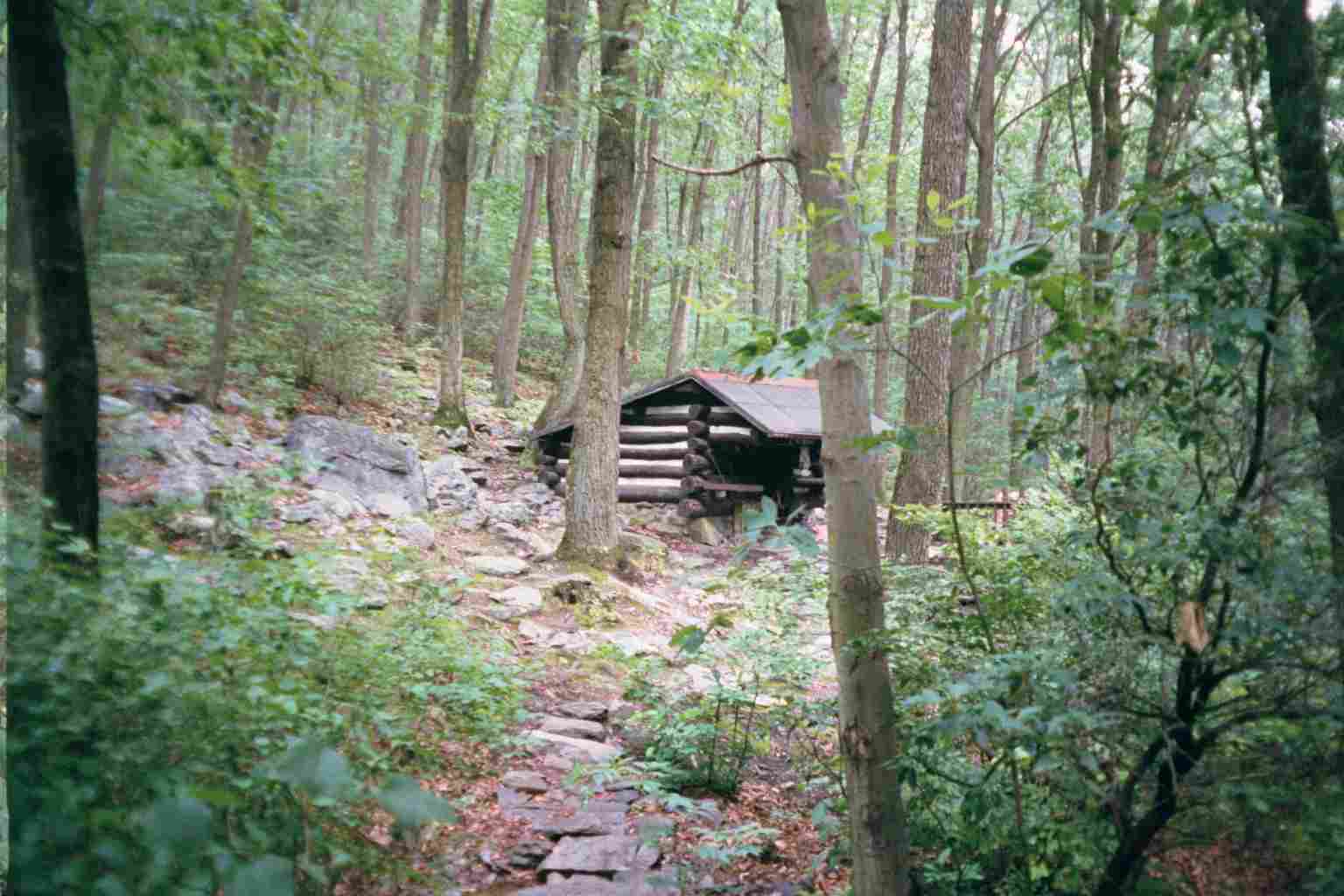
| 1029.4 | Ed Garvey Shelter (1,100')?15.8mS; 4.5mN | 1100 |


| Miles from Springer | Features | Elevation |
|---|---|---|
| 1029.4 | Ed Garvey Shelter (1,100')?15.8mS; 4.5mN | 1100 |
| 1031.4 | Brownsville Gap (1,140')?dirt road | 1140 |
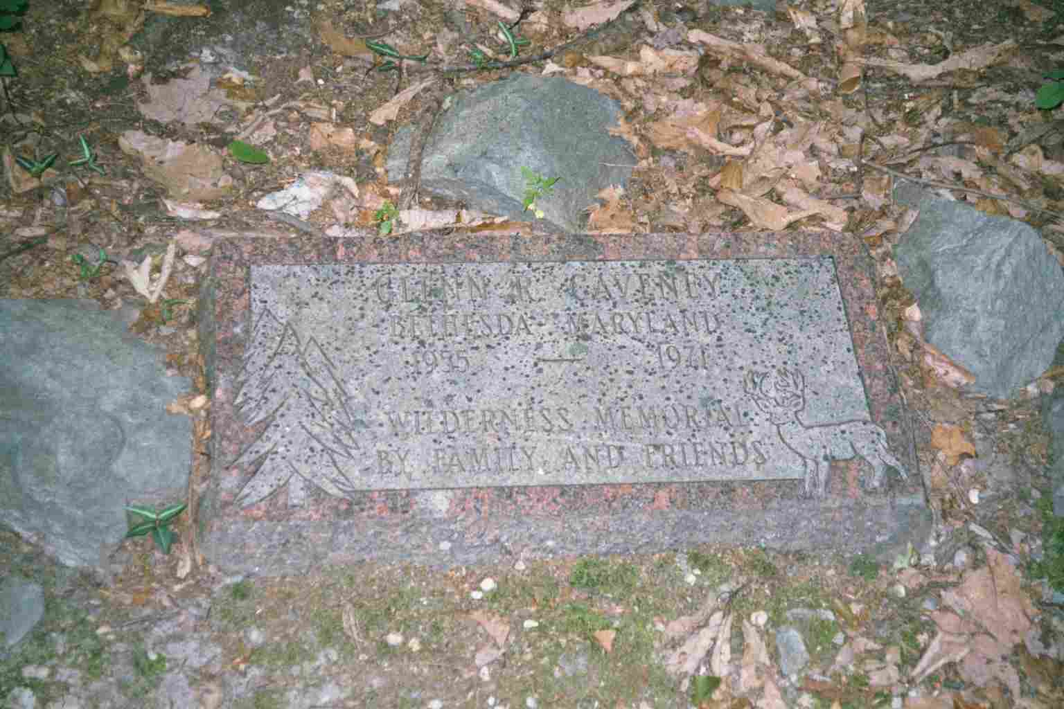
| 1031.7 | Glenn R. Caveney Memorial Plaque (1,150') | 1150 |
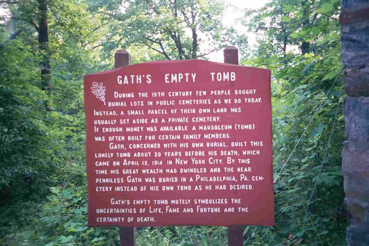
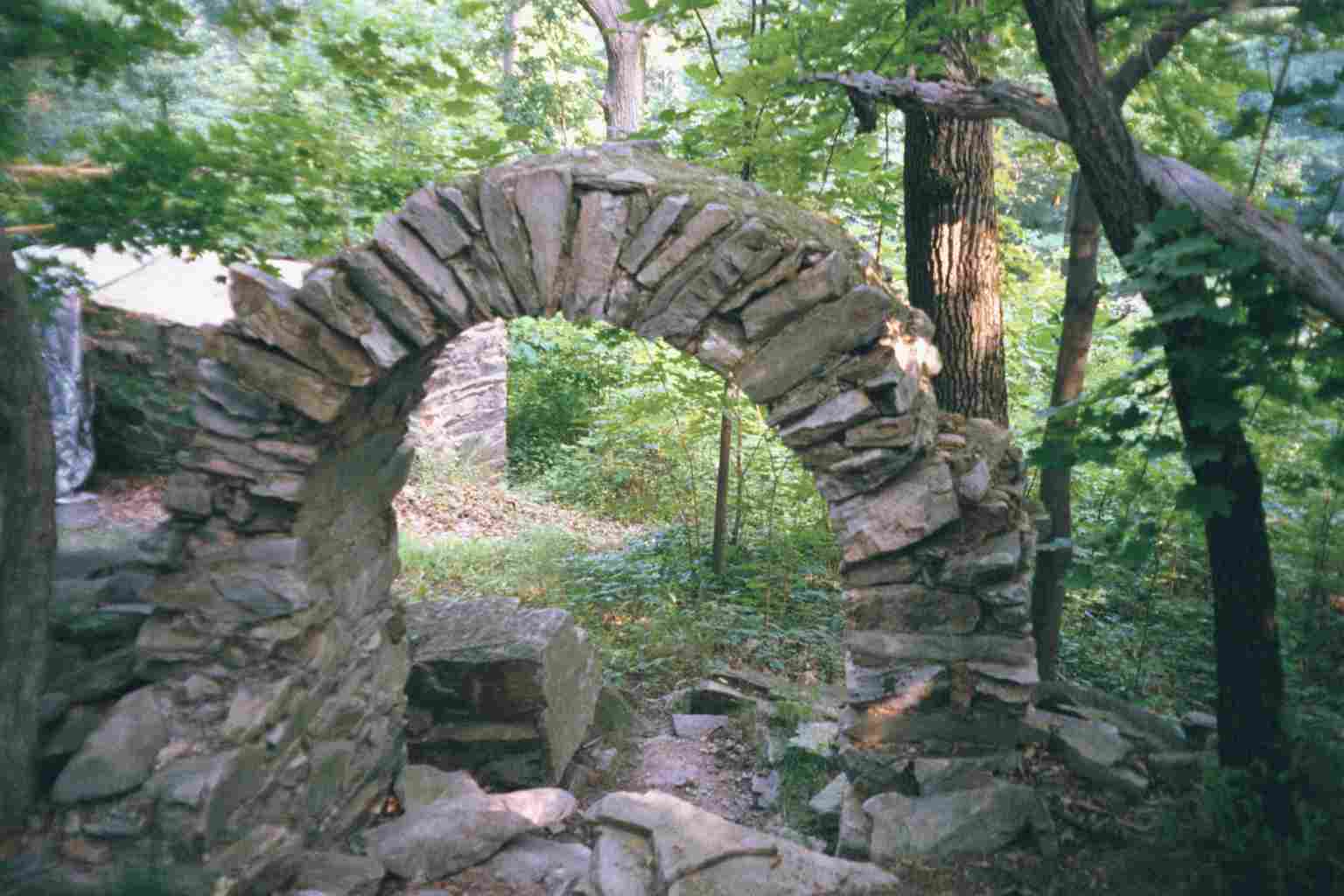
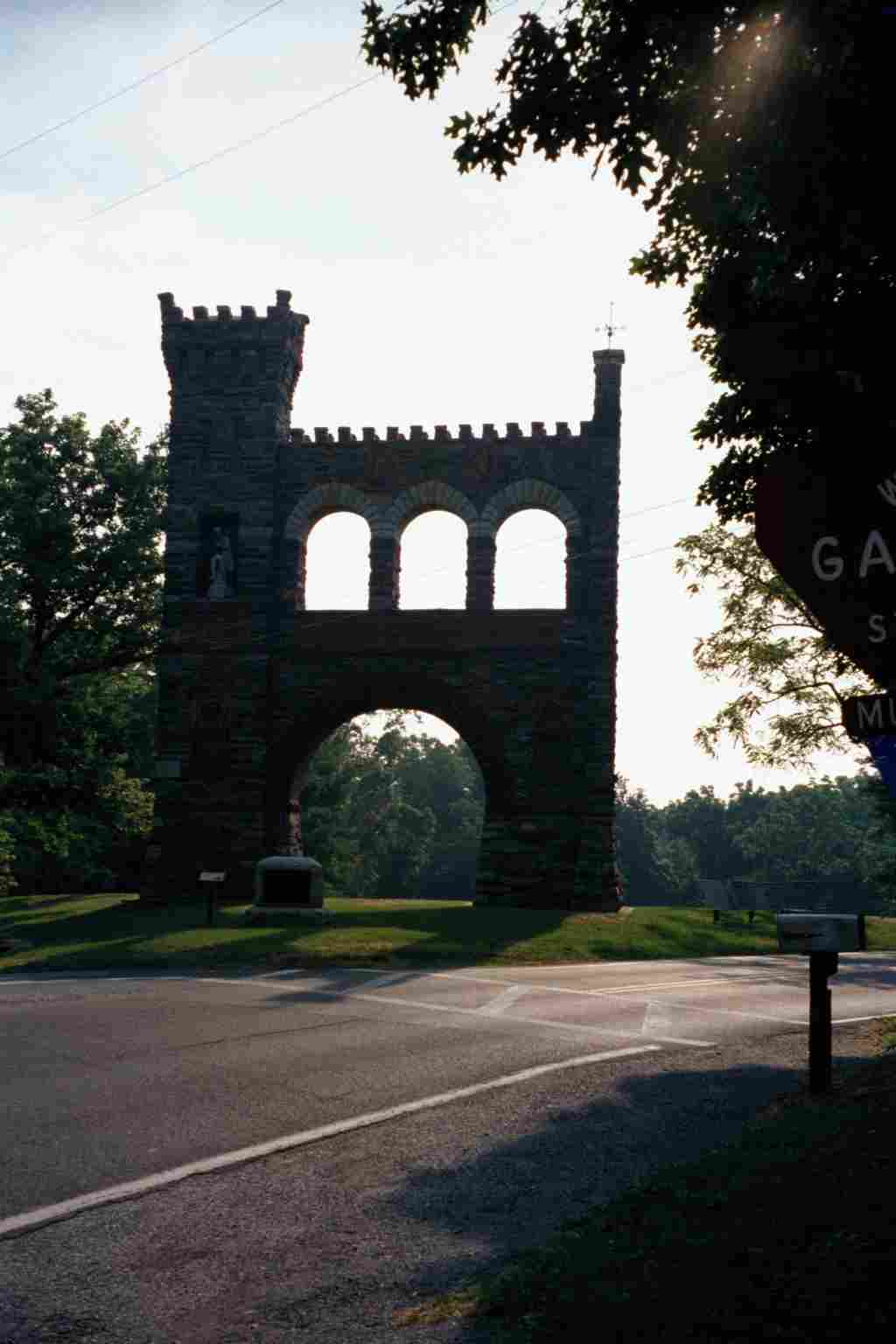
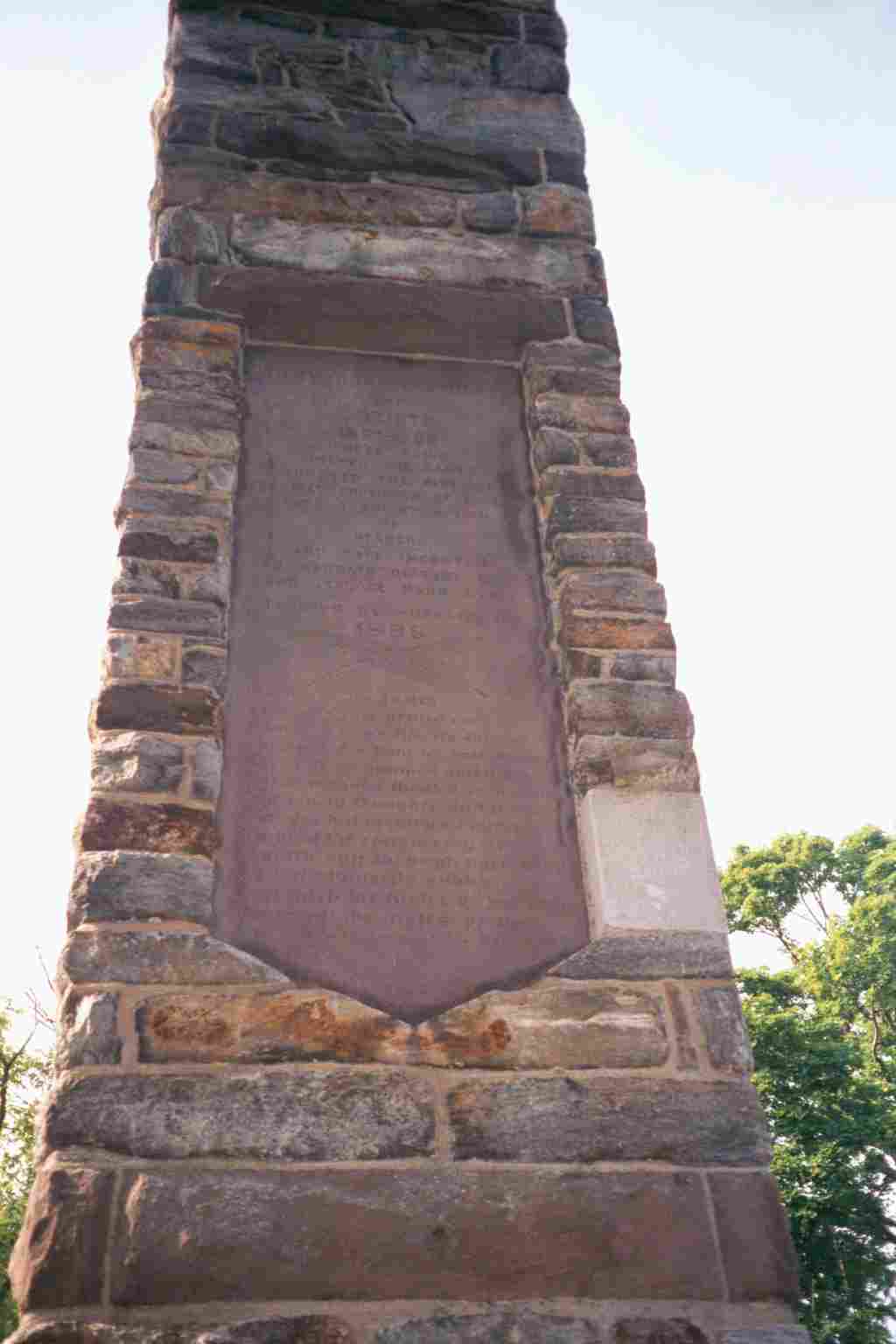
| 1033.1 | Gapland Road, Md. 572 (950') Gathland State Park, Crampton Gap | 950 |
| 1033.5 | Crampton Gap Shelter (1,000') ?4.5mS; 5.5mN | 1000 |
| 1036.1 | Trail to Bear Spring Cabin (locked) (1,480') | 1480 |
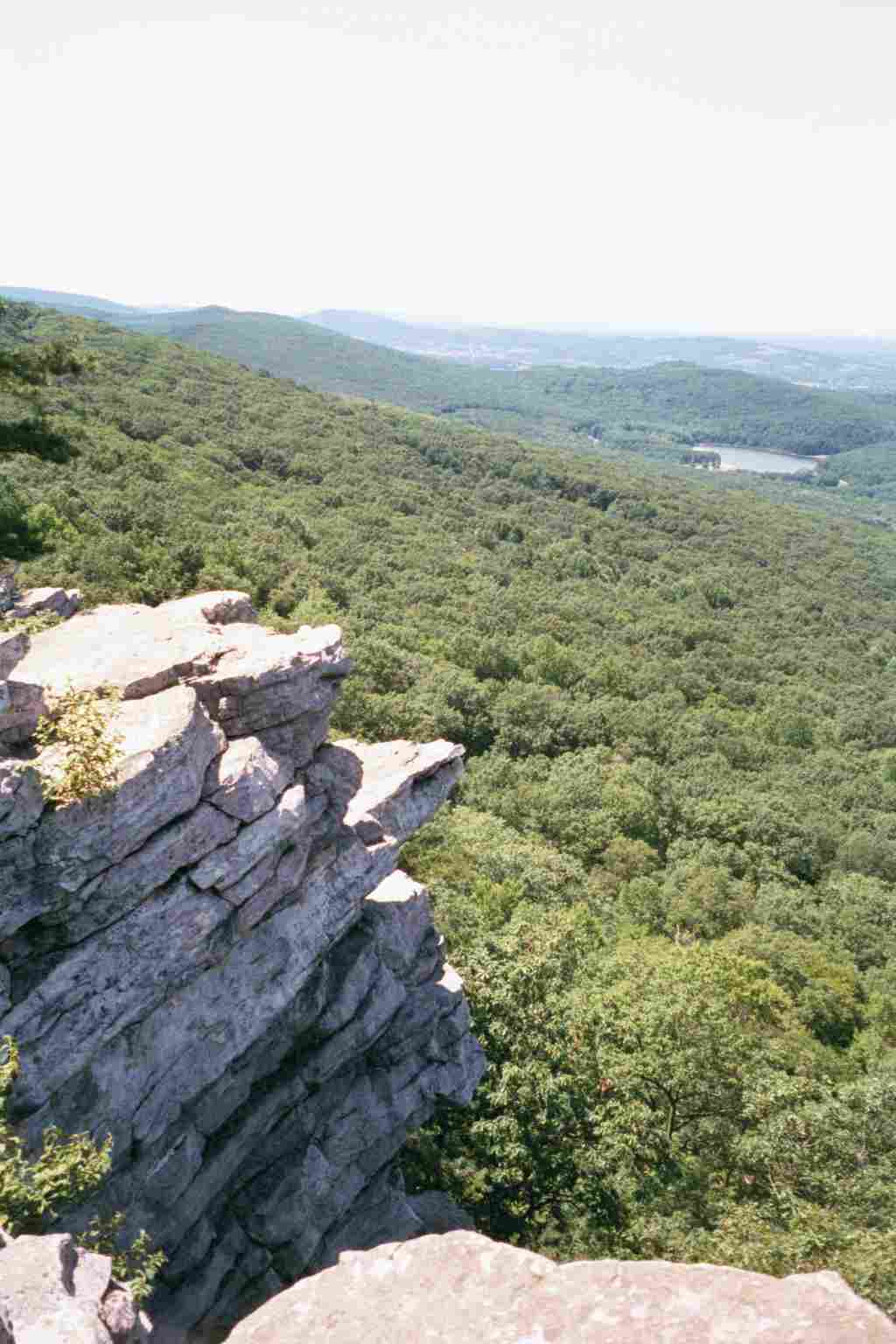
| 1036.7 | White Rocks Cliff (1,500')?view | 1500 |
| 1036.9 | Lamb's Knoll (1,600')?antenna tower | 1600 |
| 1038 | Tower Road (1,300') | 1300 |
| 1038.5 | Rocky Run Shelter (970')?5.5mS; 7.8mN | 970 |

| Miles from Springer | Features | Elevation |
|---|---|---|
| 1038.5 | Rocky Run Shelter (970')?5.5mS; 7.8mN | 970 |
| 1039 | High Tension Powerline Clearing (950') | 950 |
| 1039.5 | Reno Monument Road, Fox Gap (910') | 910 |
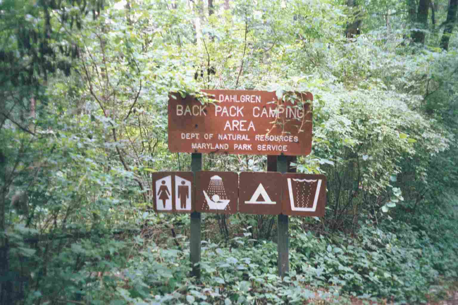
| 1040.3 | Dahlgren Backpacker Campground (980') | 980 |
| 1040.5 | U.S. Alt. 40, Turners Gap (1,000') Boonsboro, Md. 21713 | 1000 |
| 1041.9 | Monument Road (1,350') | 1350 |
| 1042.1 | Washington Monument Road (1,400') | 1400 |
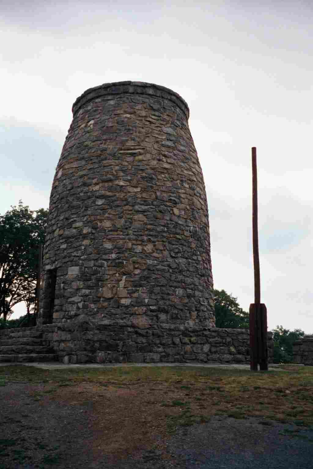
| 1042.5 | Washington Monument (1,500')?view | 1500 |
| 1044.6 | Boonsboro Mountain Road (1,300') | 1300 |
| 1044.9 | Bartman Hill Trail to Greenbrier State Park (1,380') | 1380 |
| 1045.4 | U.S. 40, 1-70 Footbridge (north end), Blue Blaze to Greenbrier State Park (1,200') | 1200 |
| 1046 | Pine Knob Shelter (1,360')?7.8mS; 8.3mN | 1360 |

| Miles from Springer | Features | Elevation |
|---|---|---|
| 1046 | Pine Knob Shelter (1,360')?7.8mS; 8.3mN | 1360 |
| 1047.6 | Trail to Annapolis Rock (1,820') | 1820 |
| 1048.6 | Black Rock Cliffs (1,800') | 1800 |
| 1049.2 | Pogo Memorial Campsite (1,500') | 1500 |
| 1054 | Md. 17, Wolfsville Road (1,400') Smithsburg, Md. 21783 | 1400 |
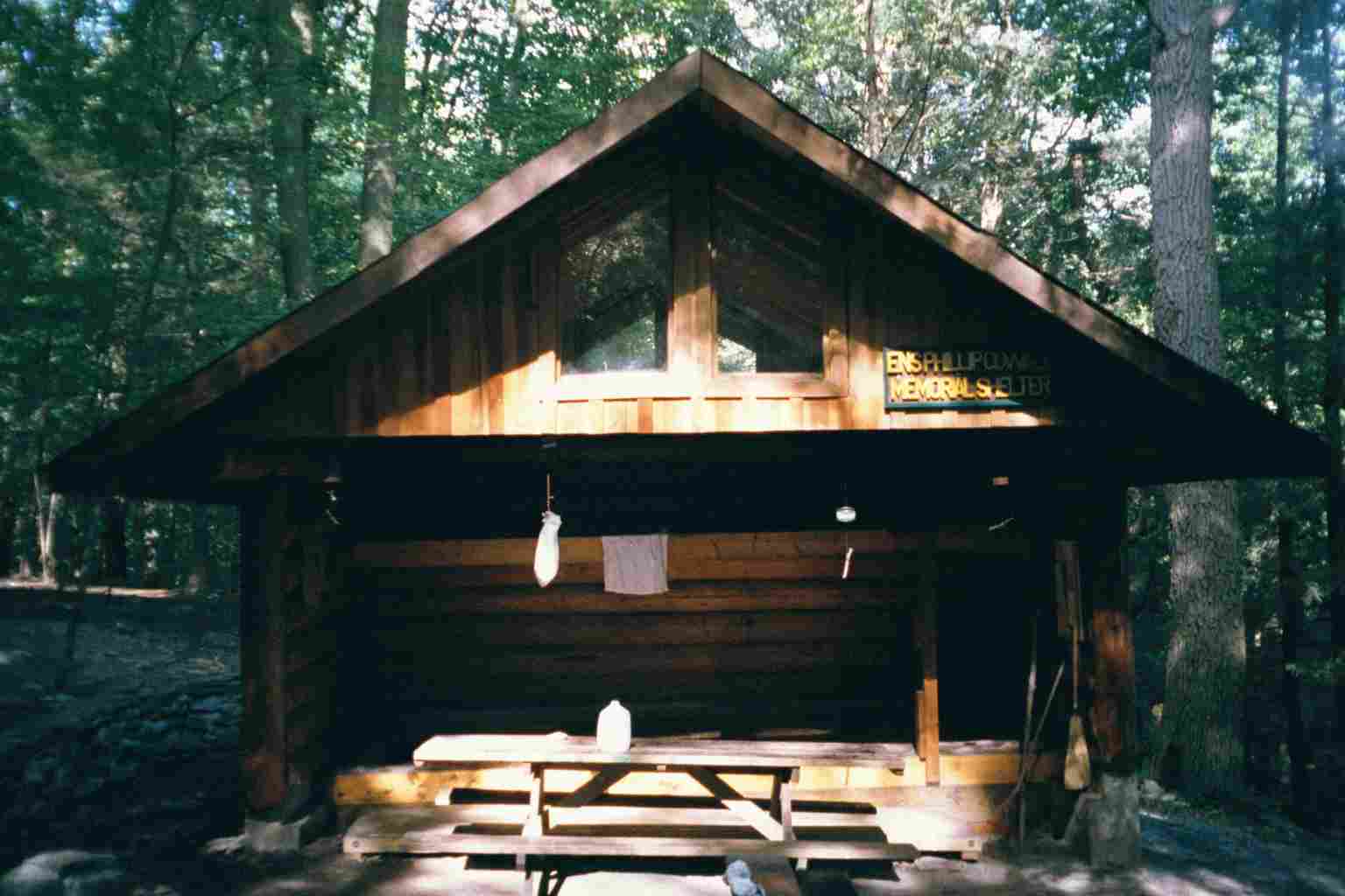
| 1054.2 | Ensign Cowall Shelter (1,430') ?8.3mS; 5.1mN | 1430 |


| Miles from Springer | Features | Elevation |
|---|---|---|
| 1055.5 | Md. 77, Foxville Road (1,450') | 1450 |
| 1056.7 | Spring (1,300') | 1300 |
| 1057.3 | Warner Gap Road (1,150')?two-board bridge across stream | 1150 |
| 1058.1 | Md. 491, Raven Rock Hollow (1,190') ?rock-hop stream | 1190 |
| 1059.1 | Raven Rock Shelter (1,480') ?5.1mS; 9.8mN | 1480 |
| 1060.9 | Trail to High Rock (1,950')?view | 1950 |
| 1063.8 | Pen Mar County Park (1,300')?picnic area Cascade, Md. 21719 Rouzerville, Pa. 17250 | 1300 |
 |  |