
| Miles from Springer | Features | Elevation |
|---|---|---|
| 972.4 | Mosby Campsite, Tom Sealock Spring (1,800') | 1800 |
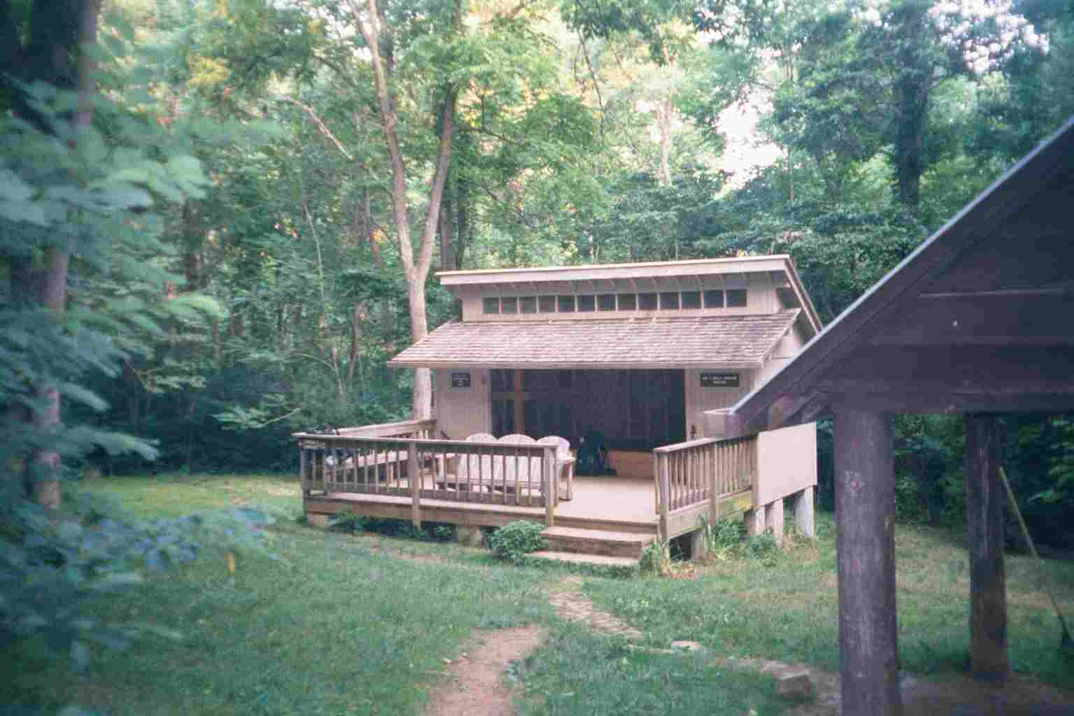
| 974.3 | Jim and Molly Denton Shelter (1,310') ?8.1mS; 5.5mN | 1310 |

| Miles from Springer | Features | Elevation |
|---|---|---|
| 975.4 | Va. 638 (1,150') Linden, Va. 22642 | 1150 |
| 977.3 | Va. 55, Manassas Gap (800') Linden, Va. 22642 | 800 |
| 979.8 | Manassas Gap Shelter (1,655') ?5.5mS; 4.7mN | 1655 |
| 981.7 | Trillium Trail (1,900') | 1900 |
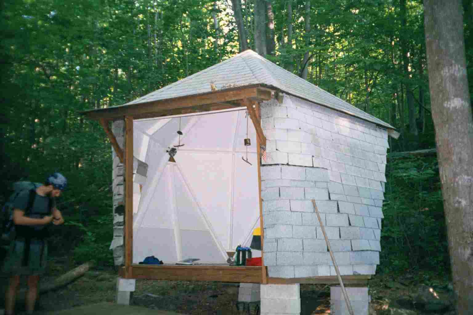
| 984.3 | Dick's Dome Shelter (1,230')?4.7mS; 8.8mN ? to be Whiskey Hollow Shelter in late spring 2016 | 1230 |


| Miles from Springer | Features | Elevation |
|---|---|---|
| 985.3 | Spring (1,850') | 1850 |
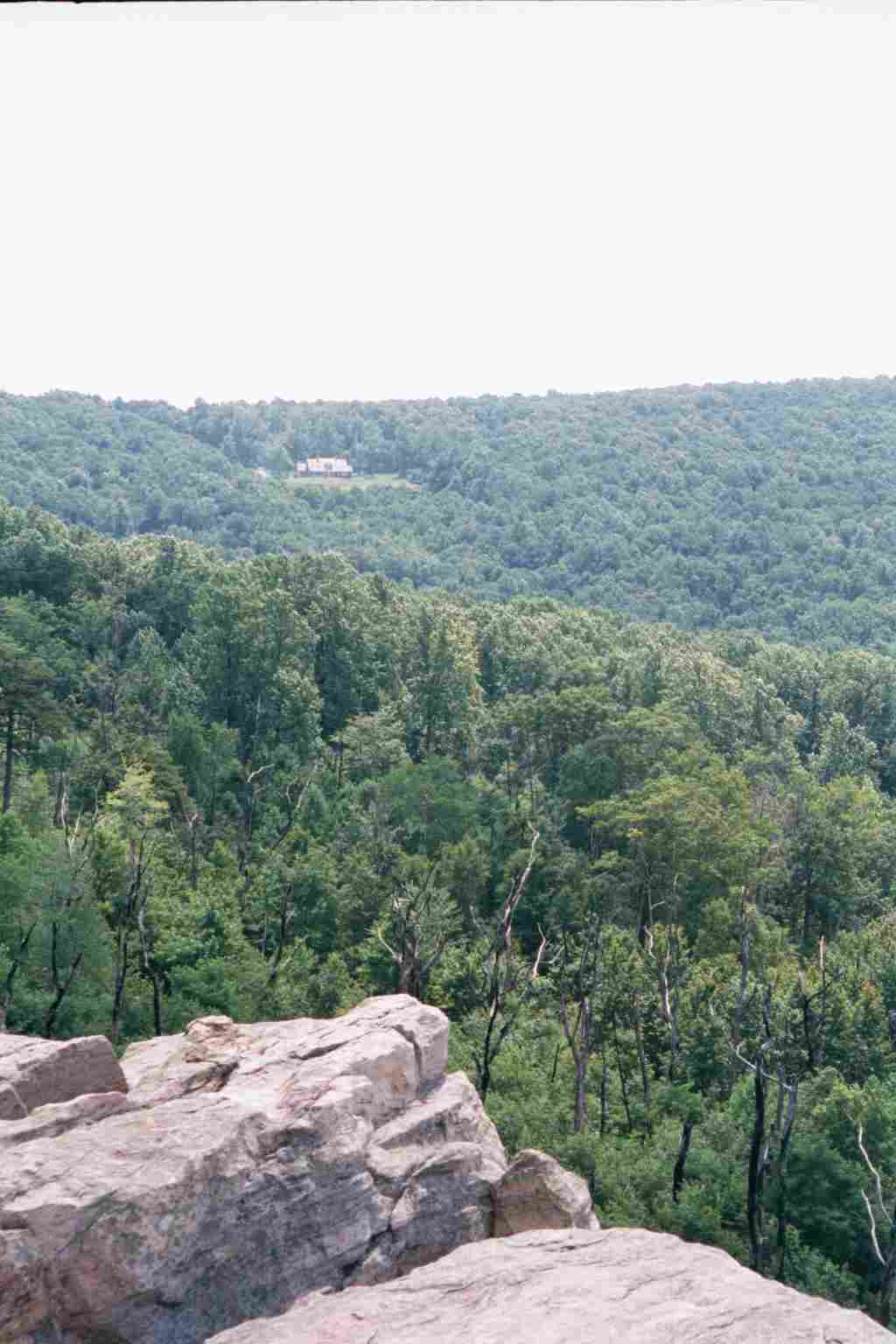
| 986.5 | +Sky Meadows State Park Side Trail (1,780') | 1780 |
| 989.1 | U.S. 50, U.S. 17, Ashby Gap (900')Paris, Va. | 900 |
| 992.7 | Rod Hollow Shelter (840')?8.8mS; 7.1mN | 840 |
| 996.4 | Va. 605, Morgans Mill Road (1,140') | 1140 |

| Miles from Springer | Features | Elevation |
|---|---|---|
| 996.4 | Va. 605, Morgans Mill Road (1,140') | 1140 |
| 997.6 | Spring (1,150') | 1150 |
| 999.6 | Sawmill Spring (990') Sam Moore Shelter?7.1mS; 11.2mN | 990 |
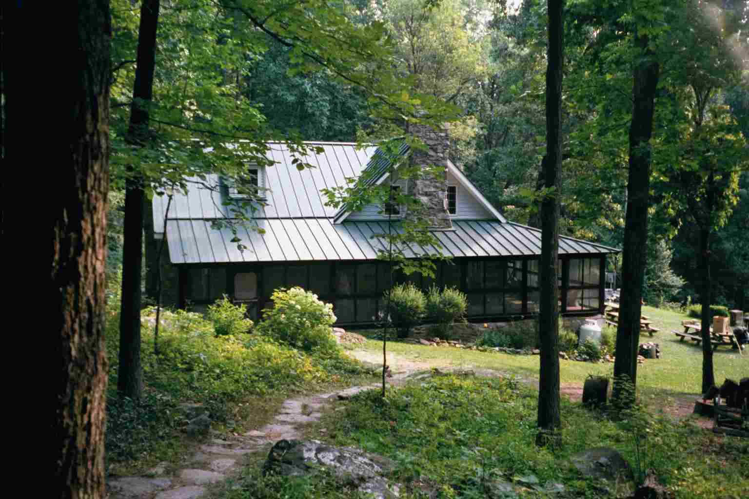
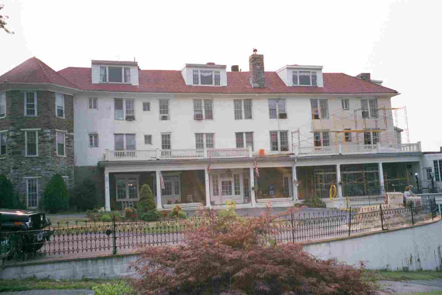
| 1002.6 | Bears Den Rocks, Bears Den Hostel (1,350') | 1350 |

| Miles from Springer | Features | Elevation |
|---|---|---|
| 1003.2 | Va. 7, Va. 679, Snickers Gap (1,000') Bluemont, Va. 20135 Purcellville, Va. Berryville, Va. 22611 | 1000 |
| 1005.4 | Spring (1,083') | 1083 |
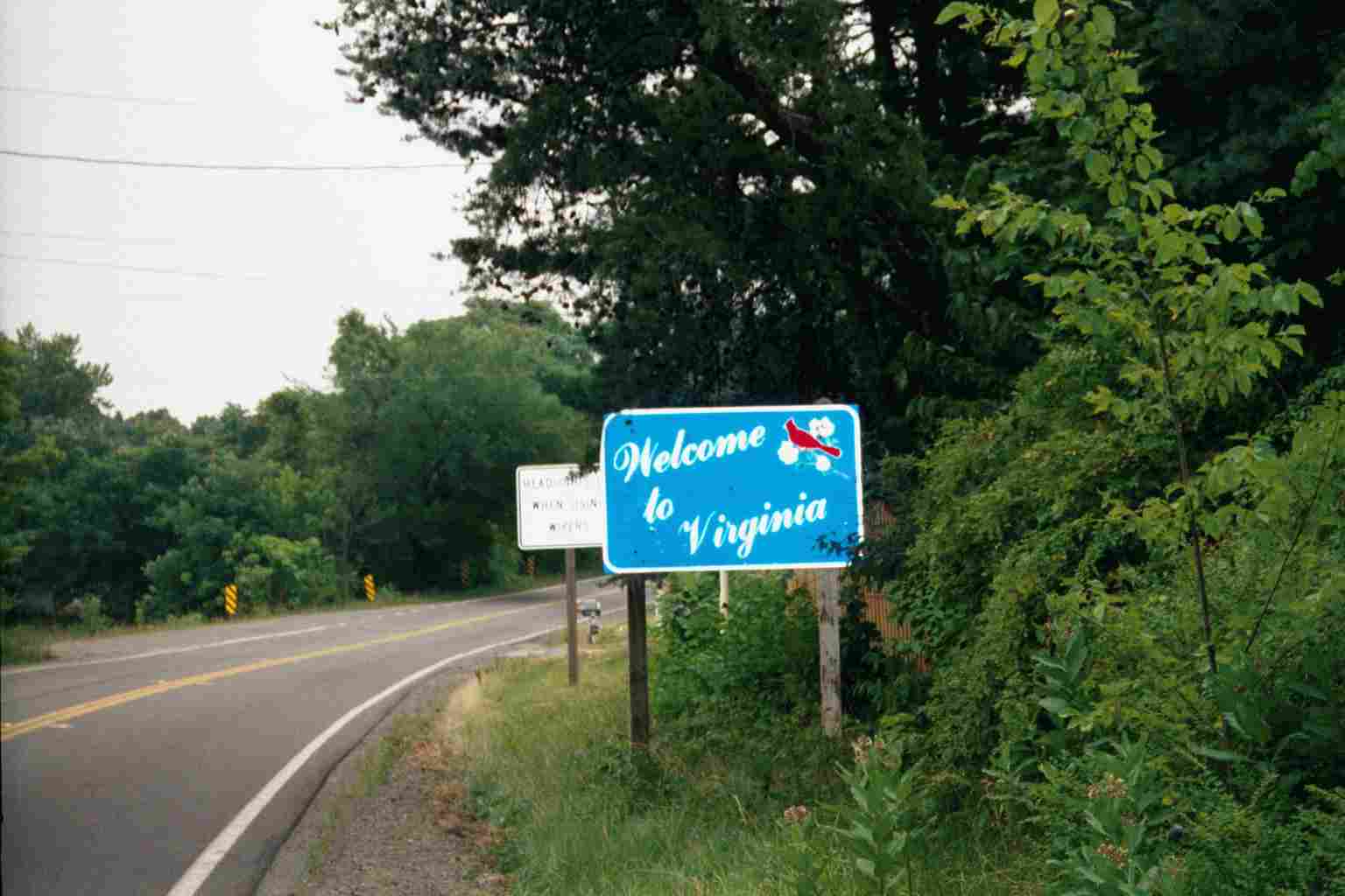
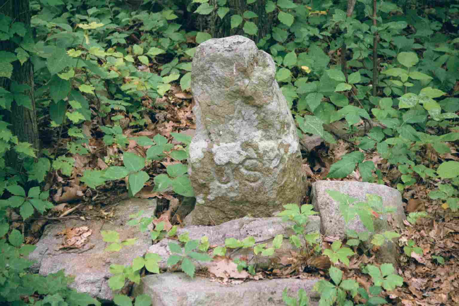
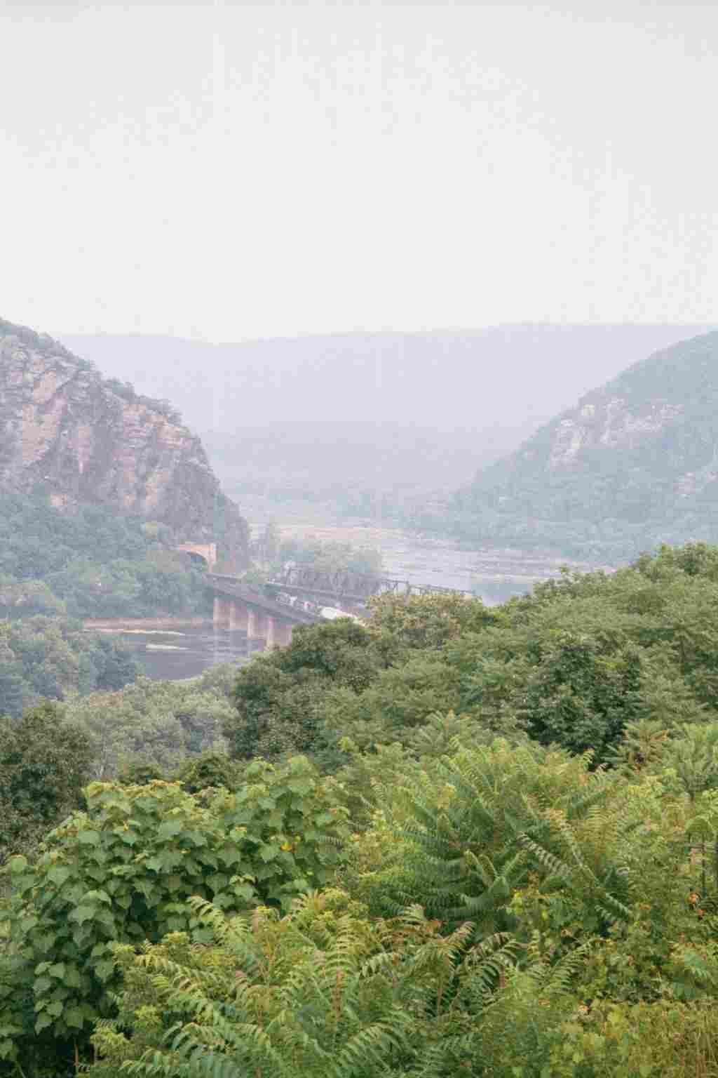
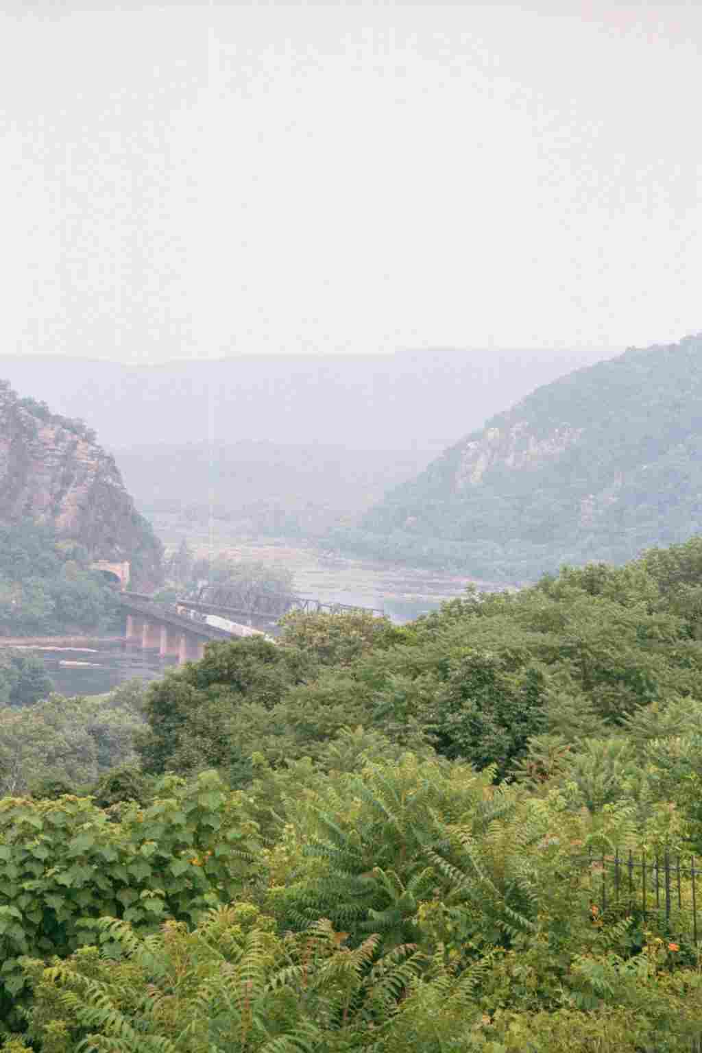
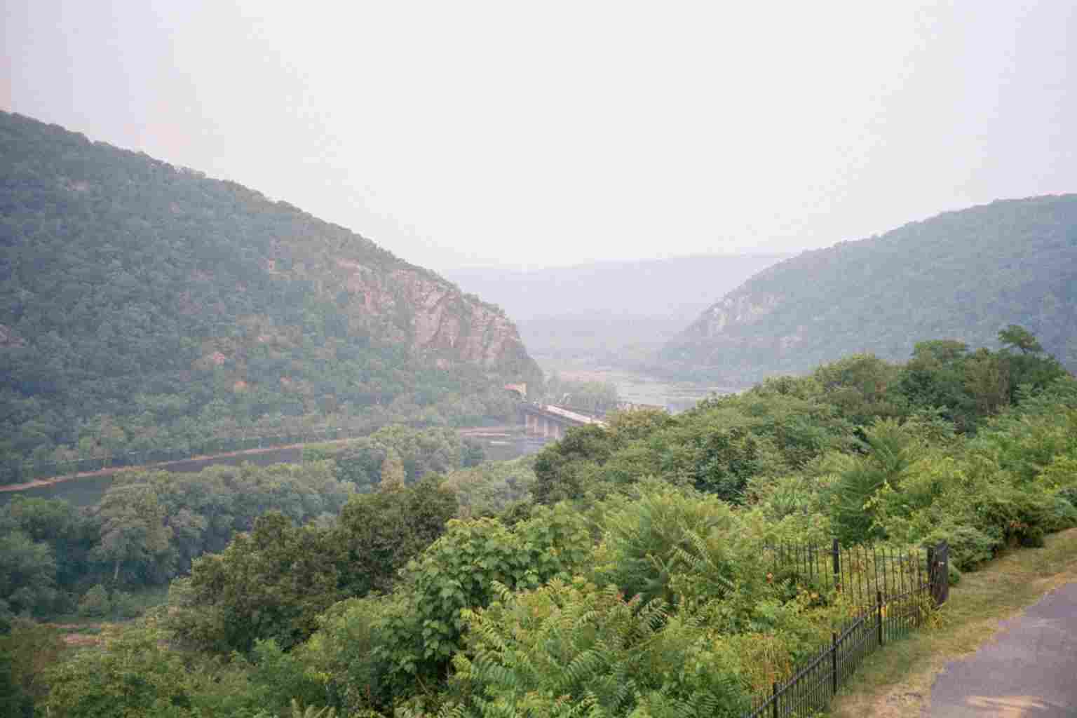
| 1005.7 | Virginia?West Virginia State Line (1,140') | 1140 |
| 1005.8 | Crescent Rock (1,312') | 1312 |
| 1006.4 | Sand Spring (1,150') | 1150 |
| 1006.5 | Devils Racecourse (1,200')?boulder field | 1200 |
| 1009.4 | Wilson Gap (1,380') | 1380 |
| 1010.6 | Blackburn Trail Center (1,650') ?11.2mS; 3.5mN | 1650 |


| Miles from Springer | Features | Elevation |
|---|---|---|
| 1013.8 | David Lesser Memorial Shelter (1,430') ?3.5mS; 15.8mN | 1430 |
| 1016.8 | W. Va. 9, Keys Gap (935') | 935 |
| 1018.3 | Powerline (920') | 920 |
| 1018.7 | Campsite (1,120') | 1120 |
| 1020.7 | Blue Trail to Loudoun Heights Va.?W. Va. State Line (1,200') | 1200 |
| 1021.4 | W. Va. 32, Chestnut Hill Road (820') | 820 |
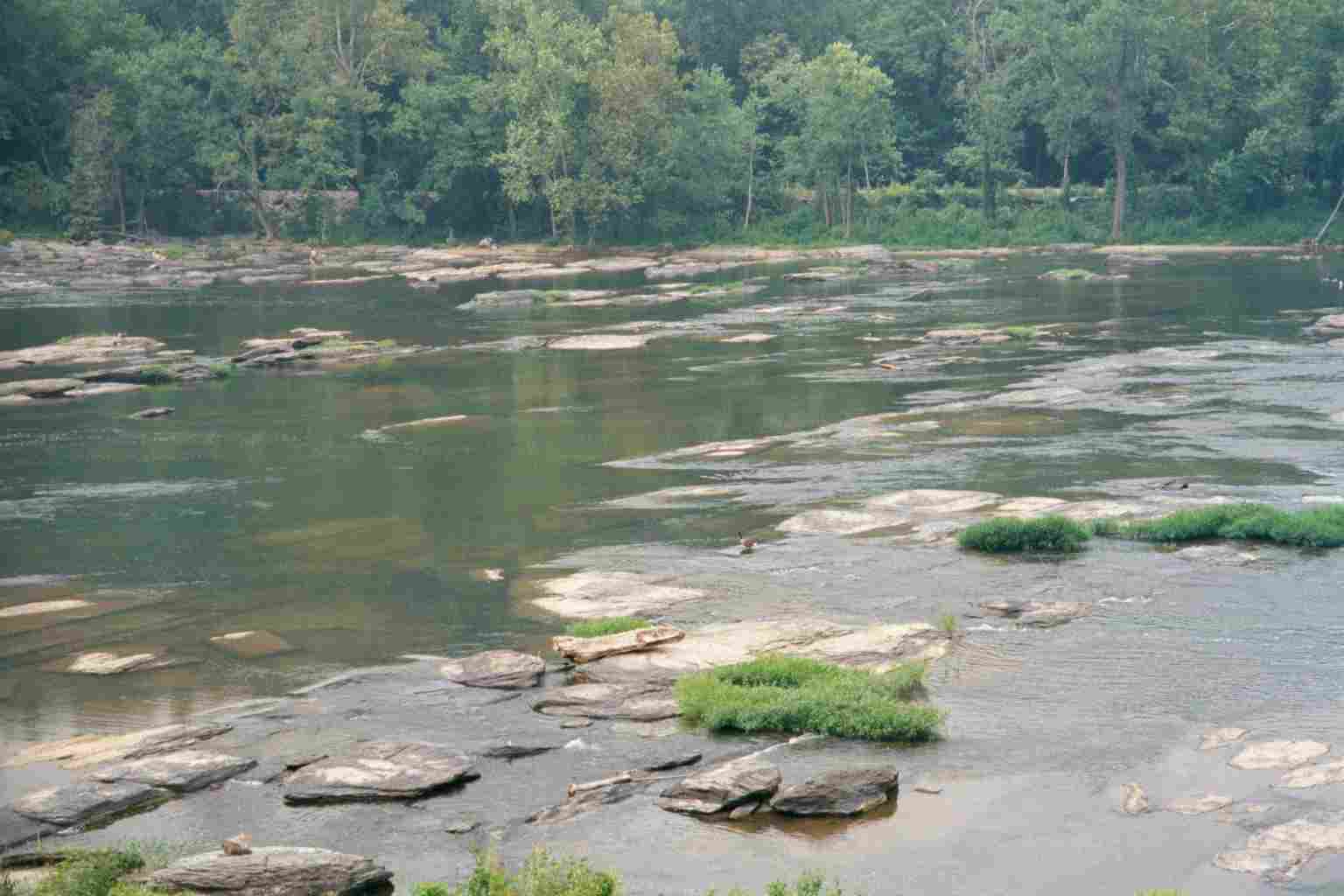
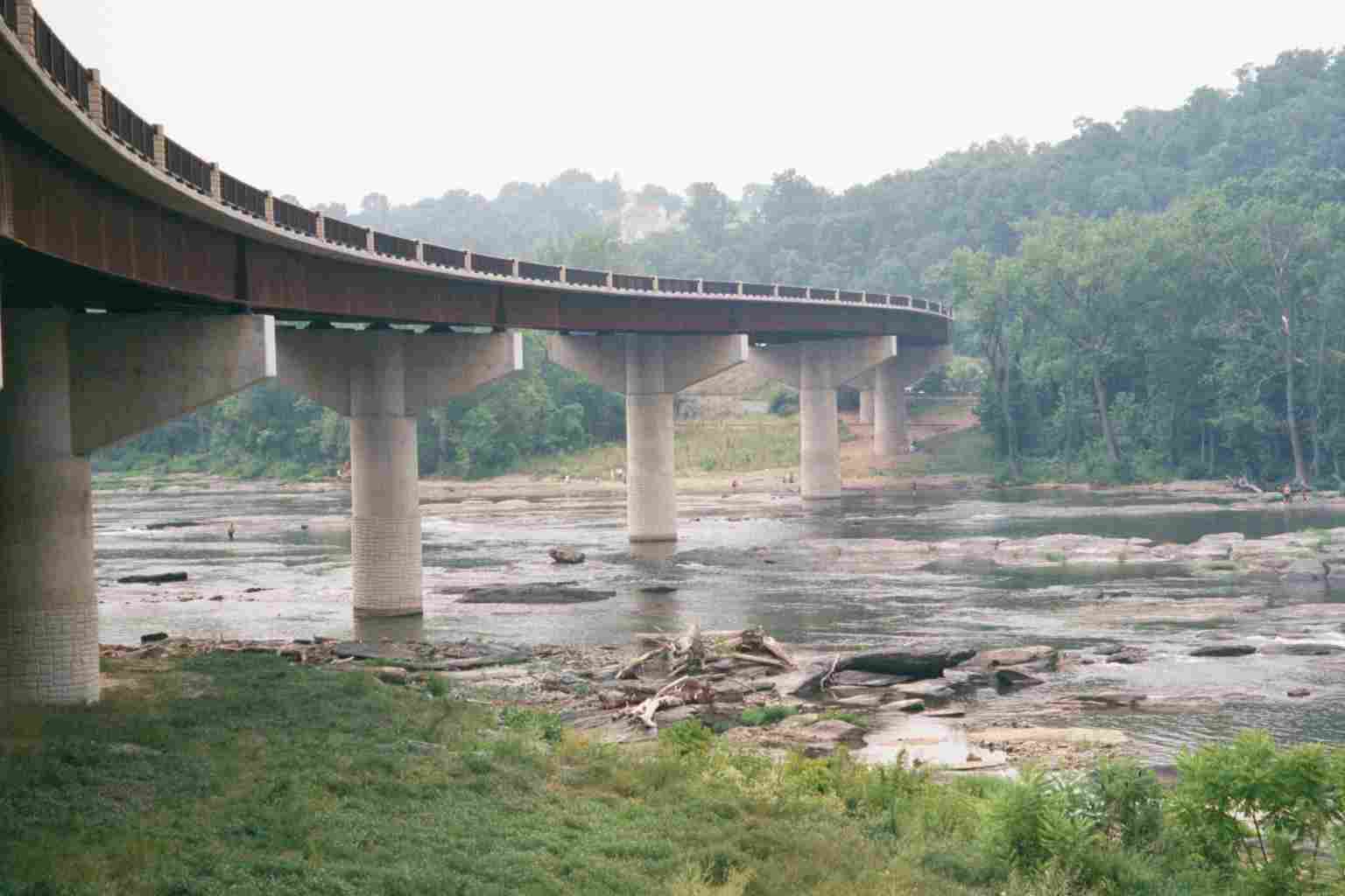
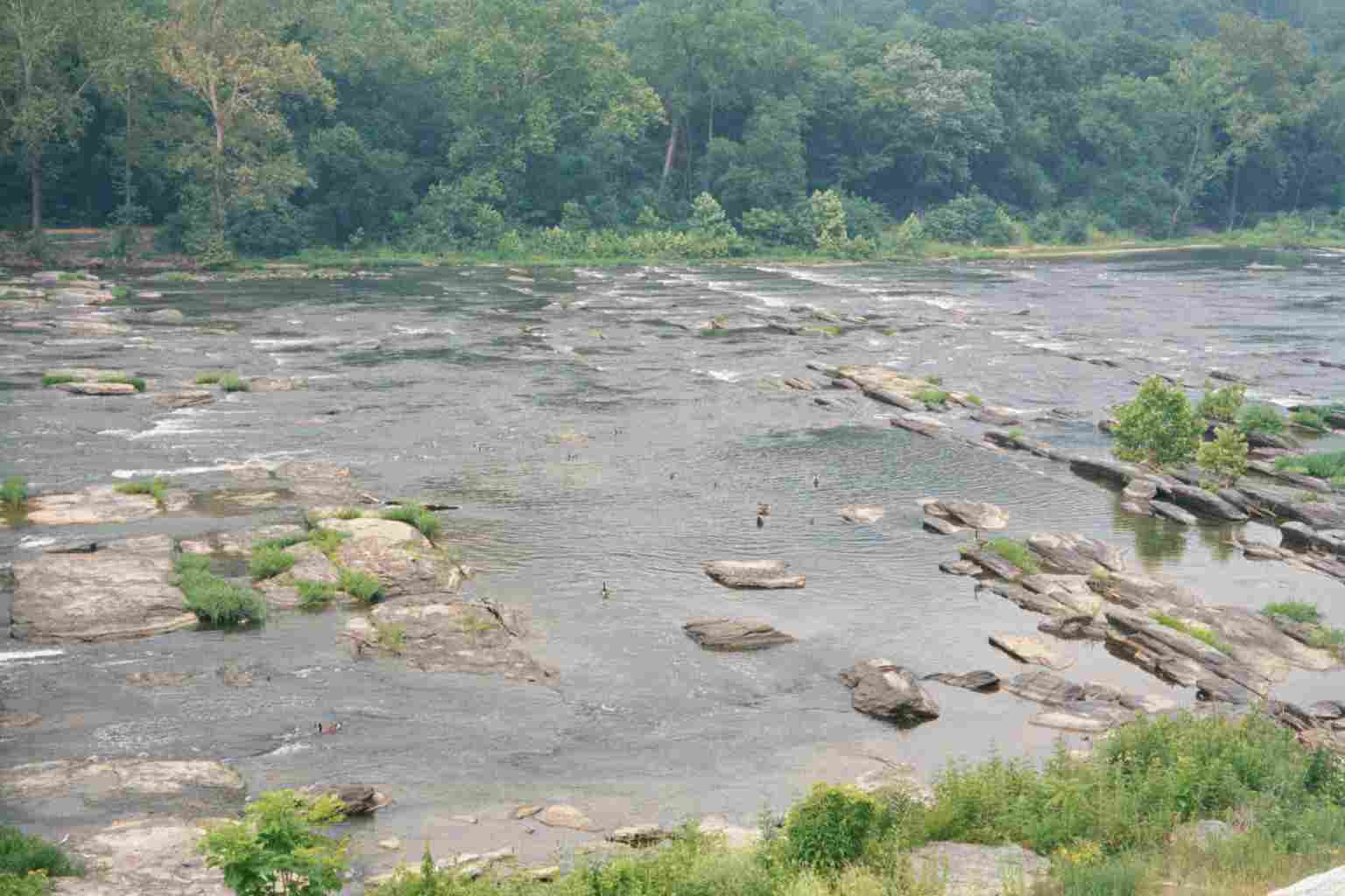
| 1022.1 | U.S. 340, Shenandoah River Bridge (north end) (312') Charles Town, W.Va. 25414 | 312 |
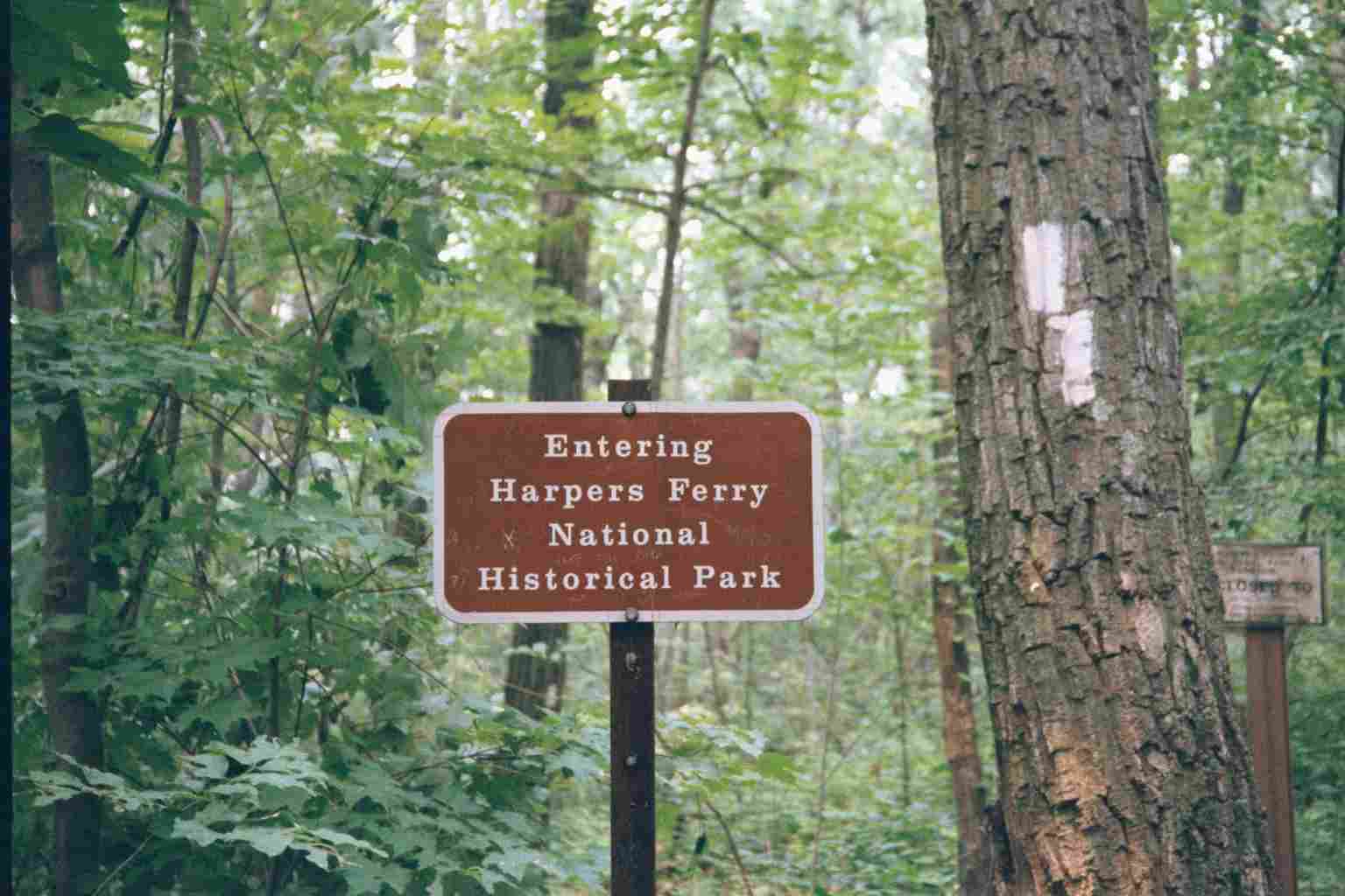
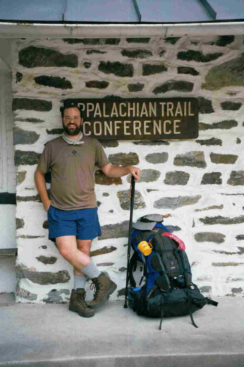
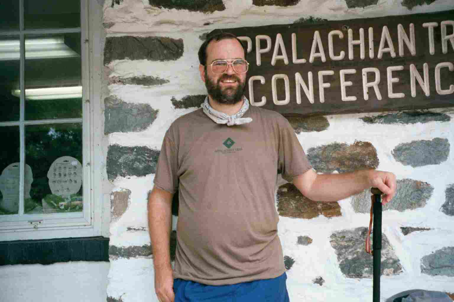
| 1022.4 | Appalachian Trail Conservancy Side Trail (394') Harpers Ferry, W.Va. 25425 | 394 |


 |  |  |