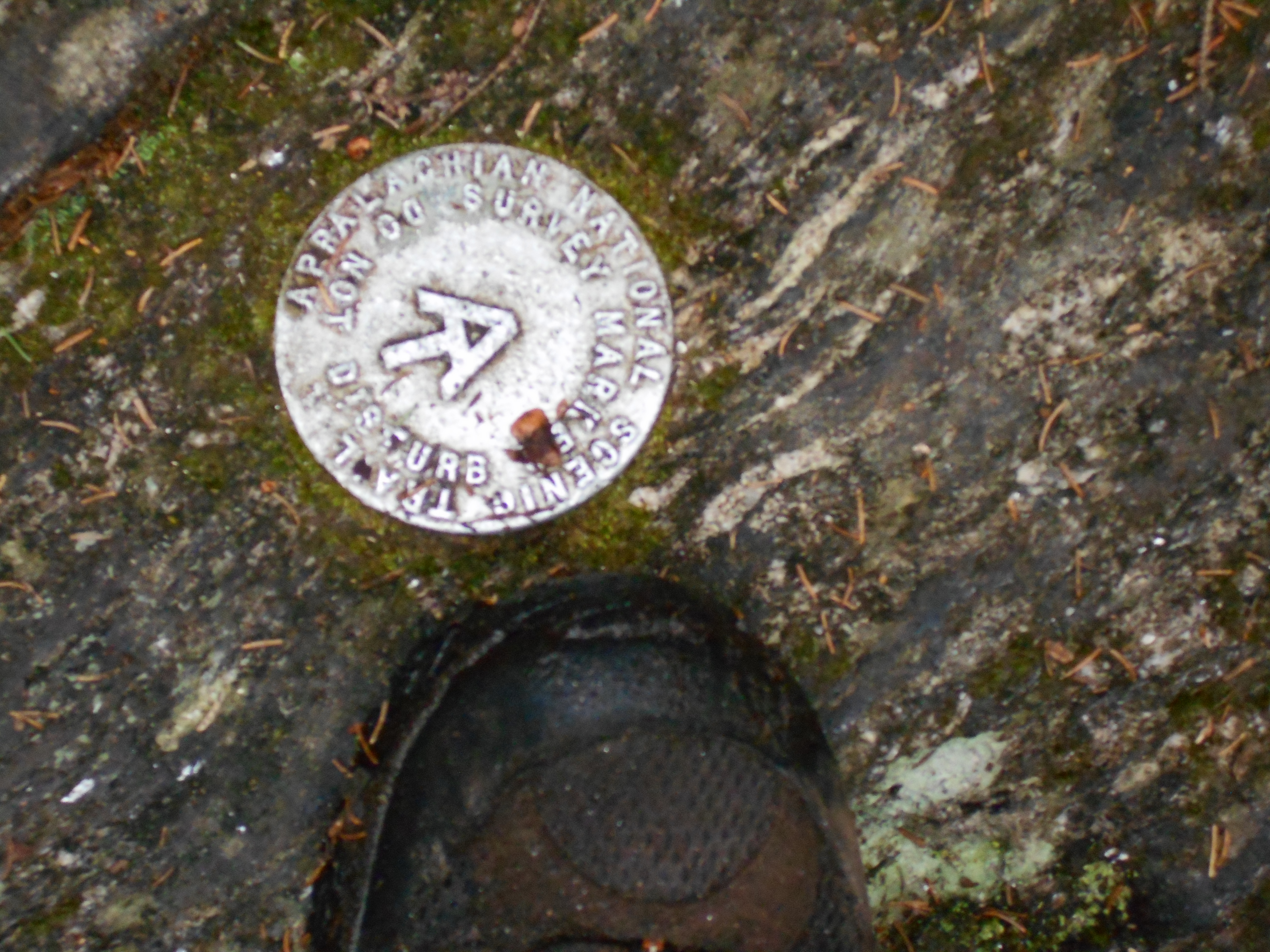
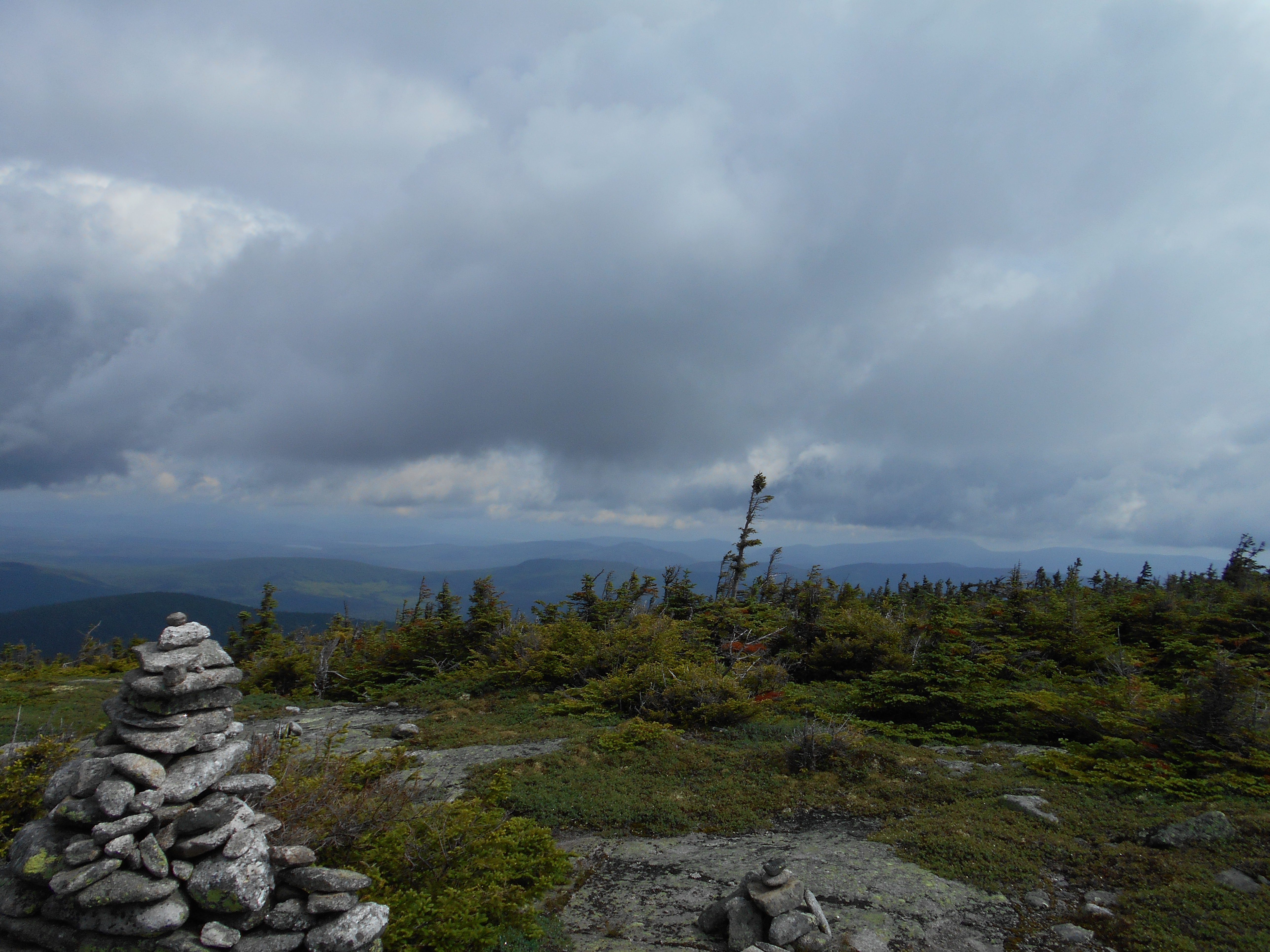
July 10, 2016
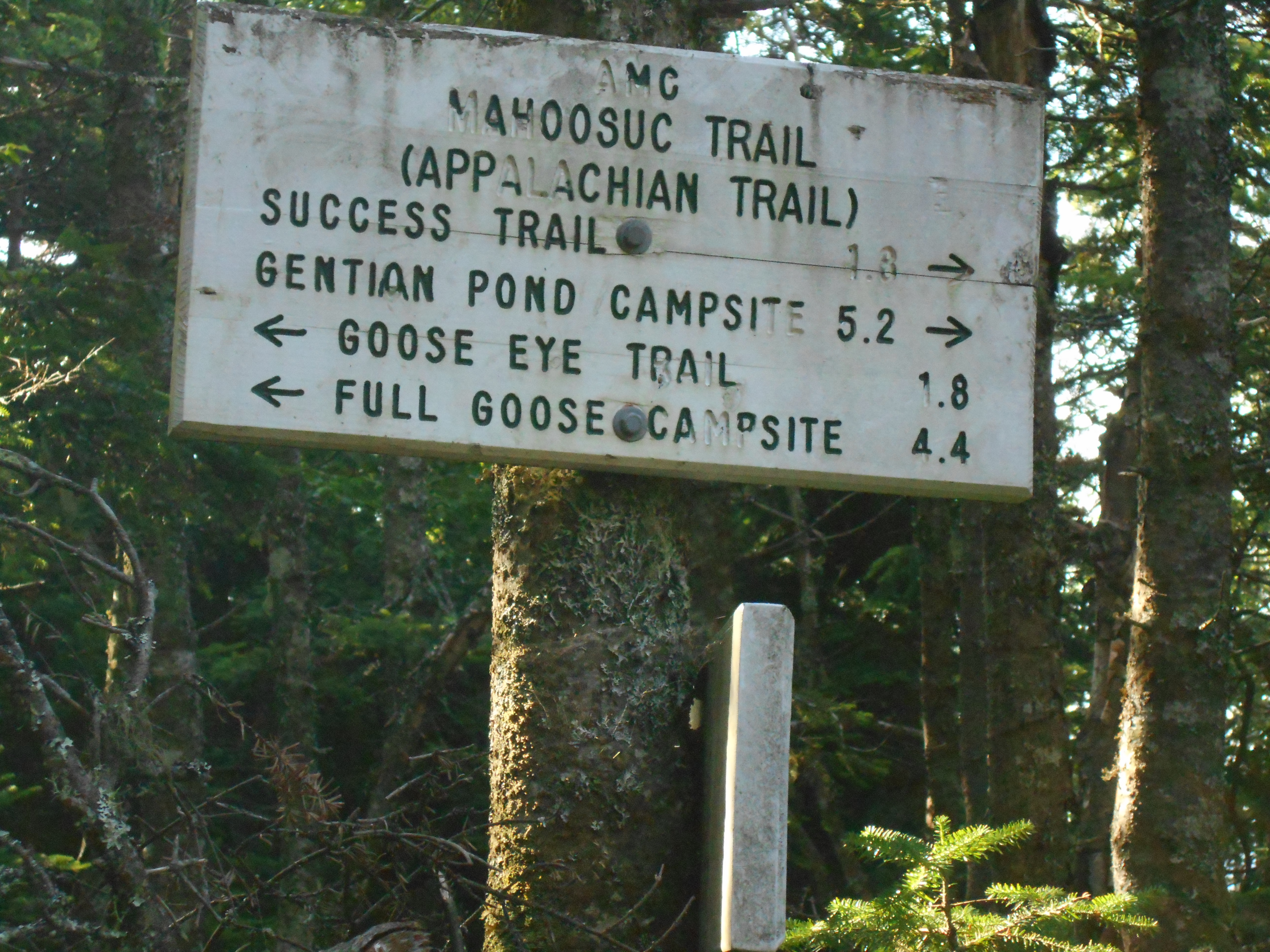
Gorham NH to Gentian pond shelter
Total Milage 11.6
Miles from Springer
Features
Elevation
1890.8
U.S. 2 (780')Shelburne, N.H. Gorham, N.H. 03581 Berlin, N.H.
780
1891.1
North Road, Androscoggin River (750')
750
1891.3
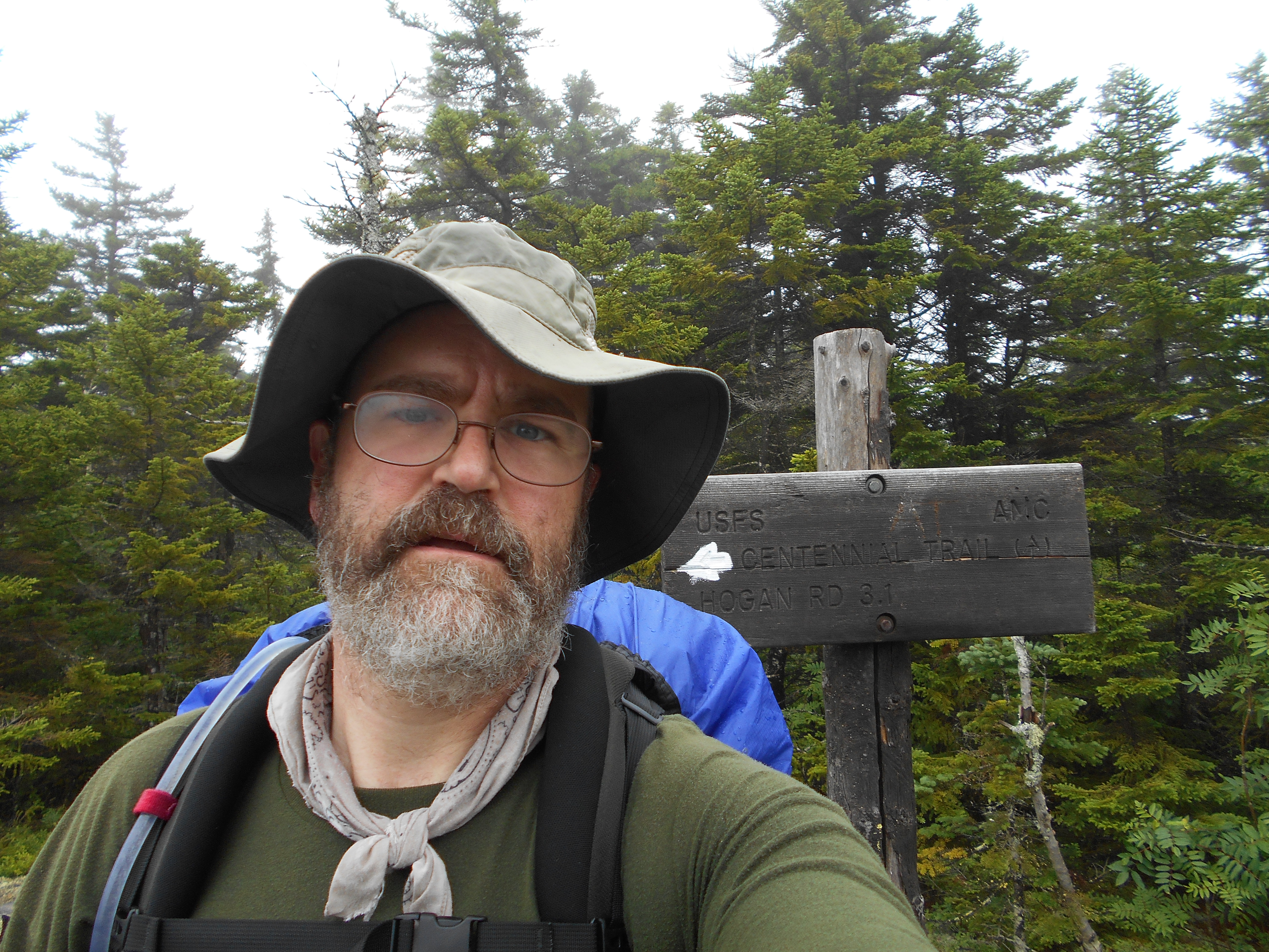
Hogan Road (760')?unpaved
760
1892.3
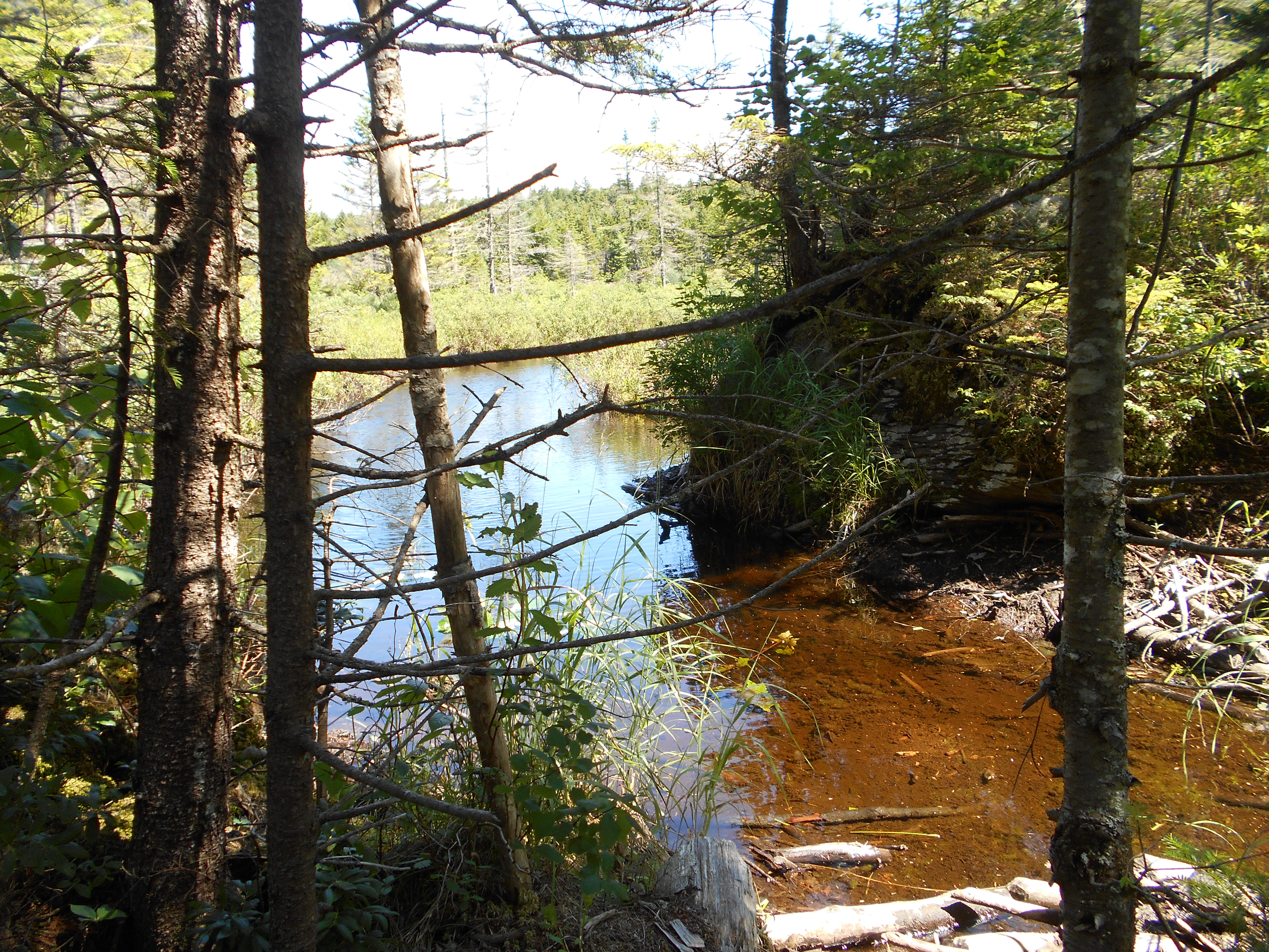
Brook (1,350')
1350
1894.4
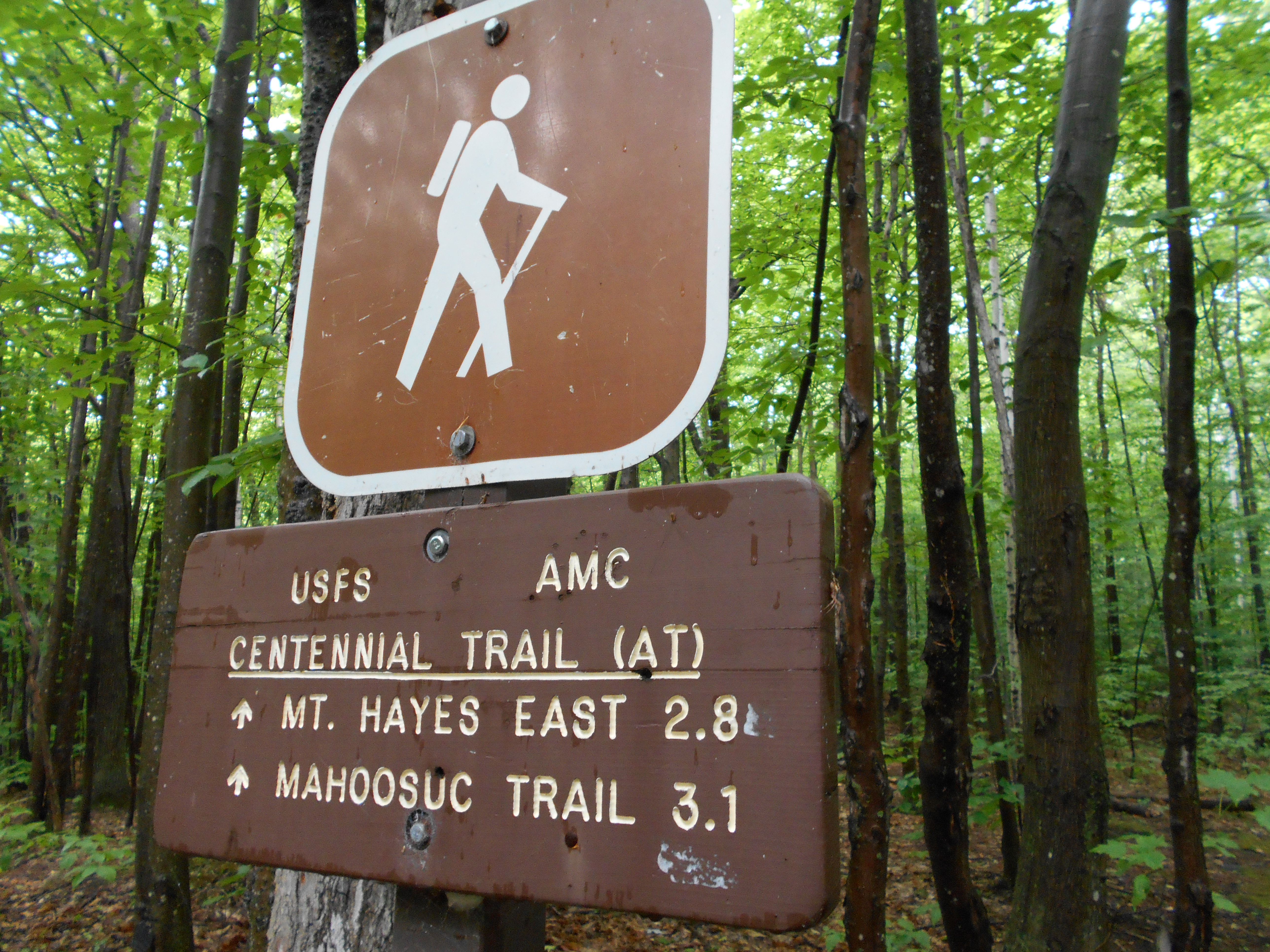
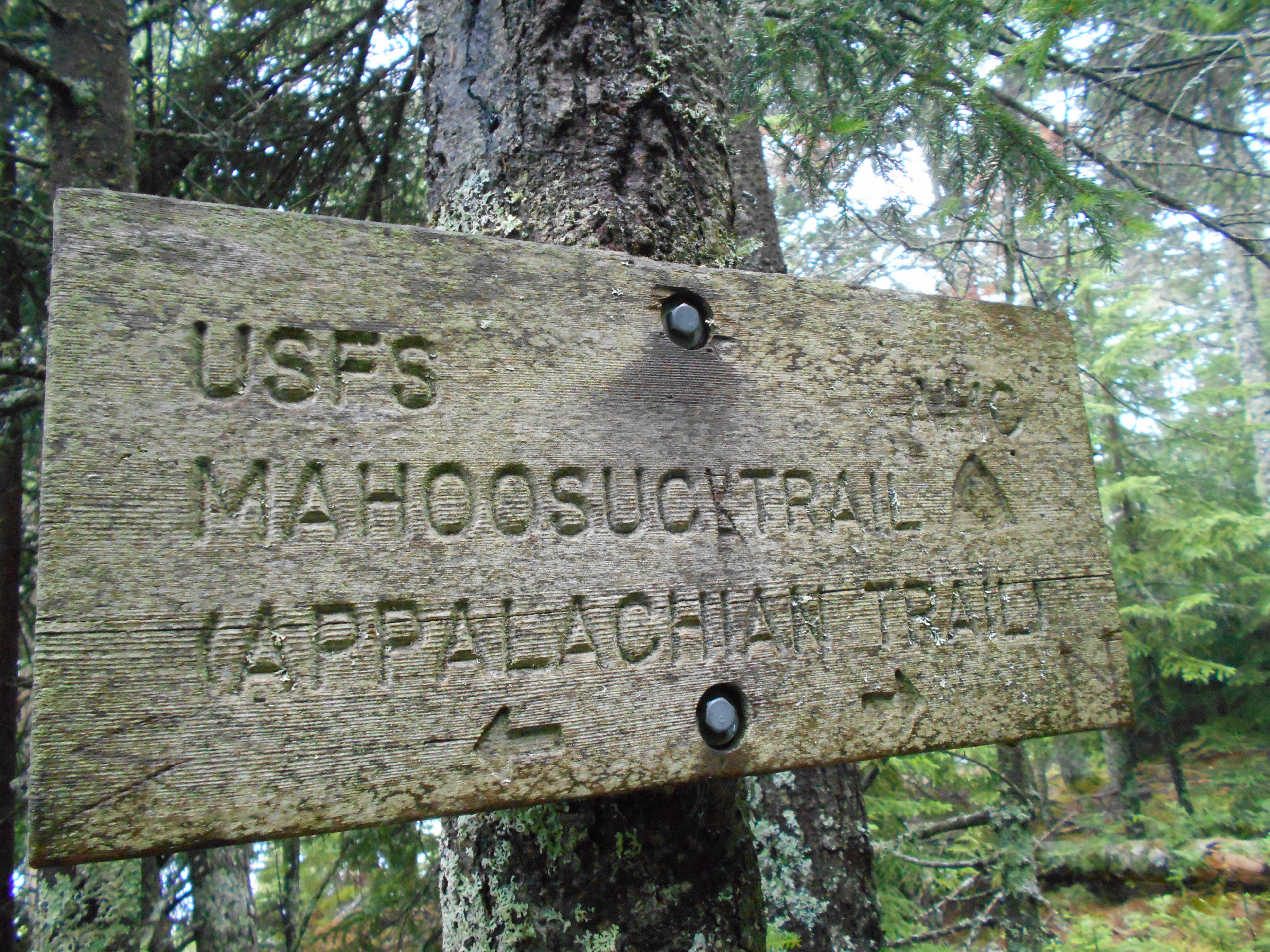
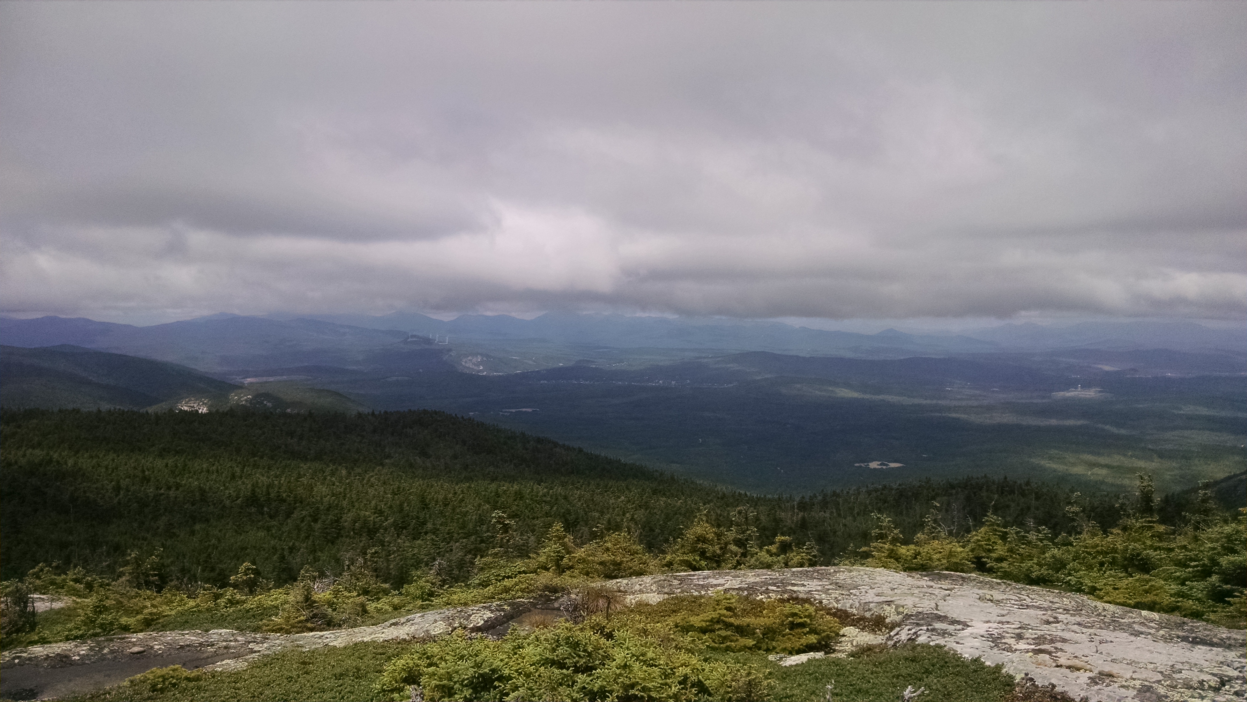
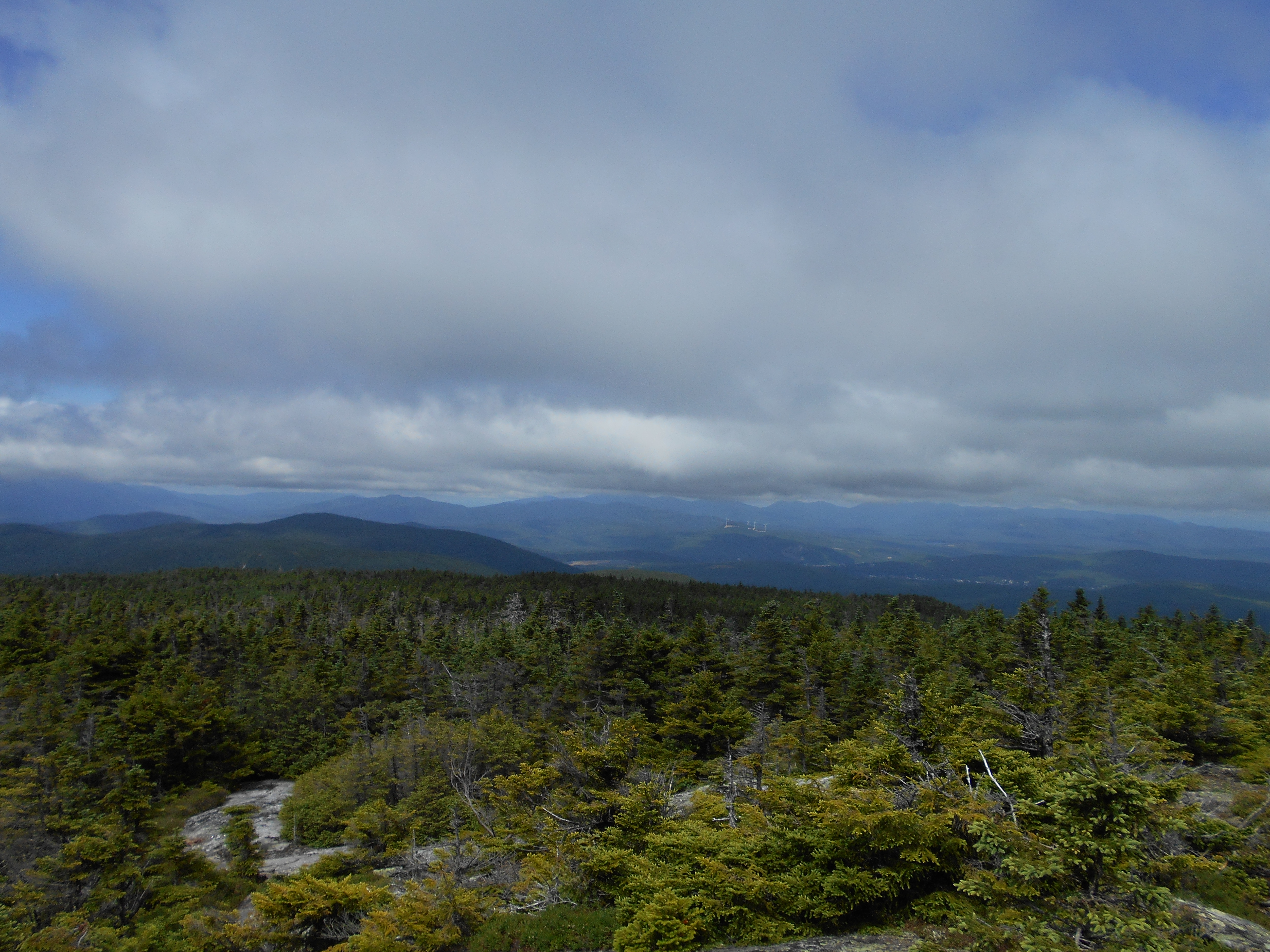
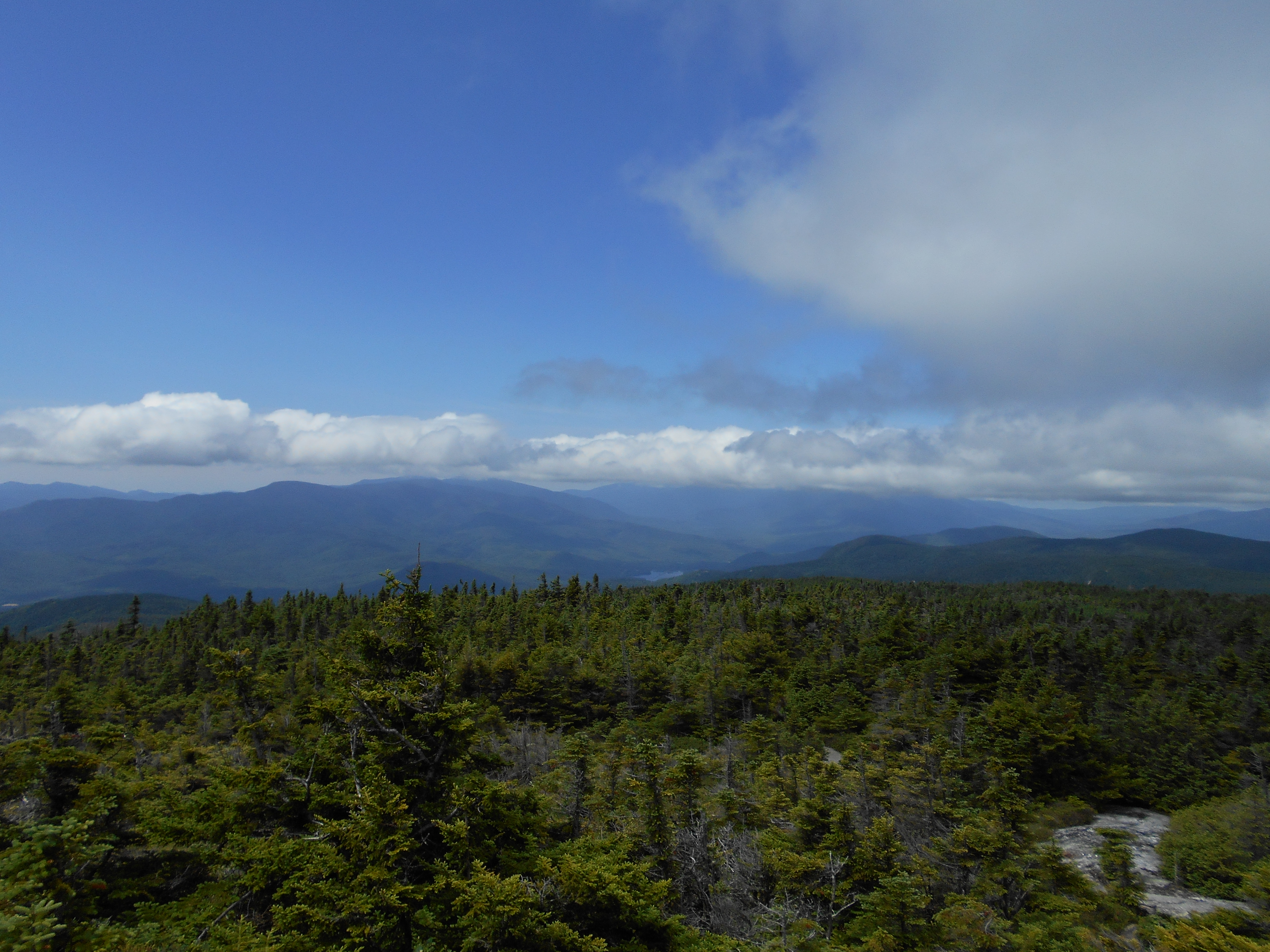
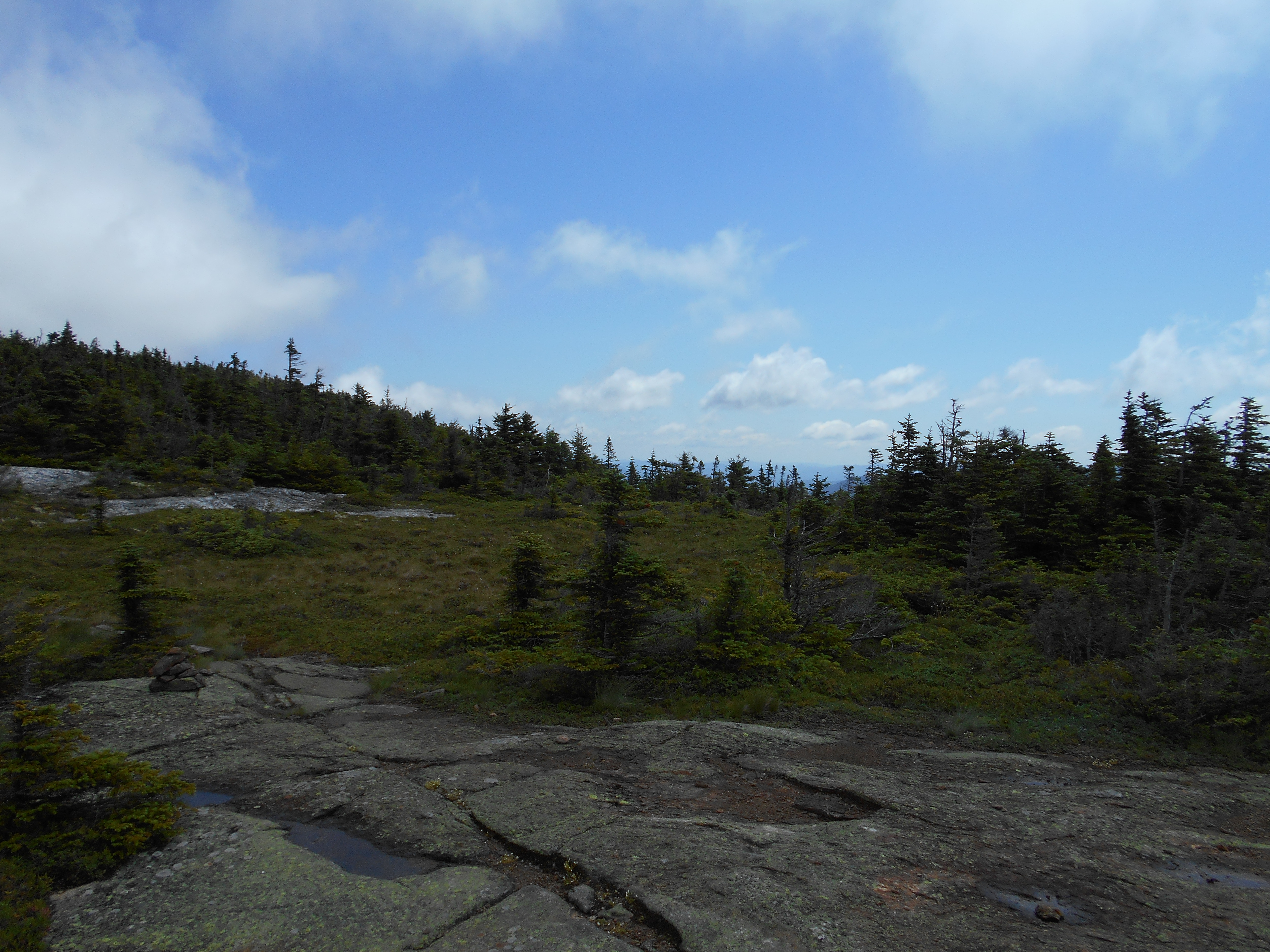
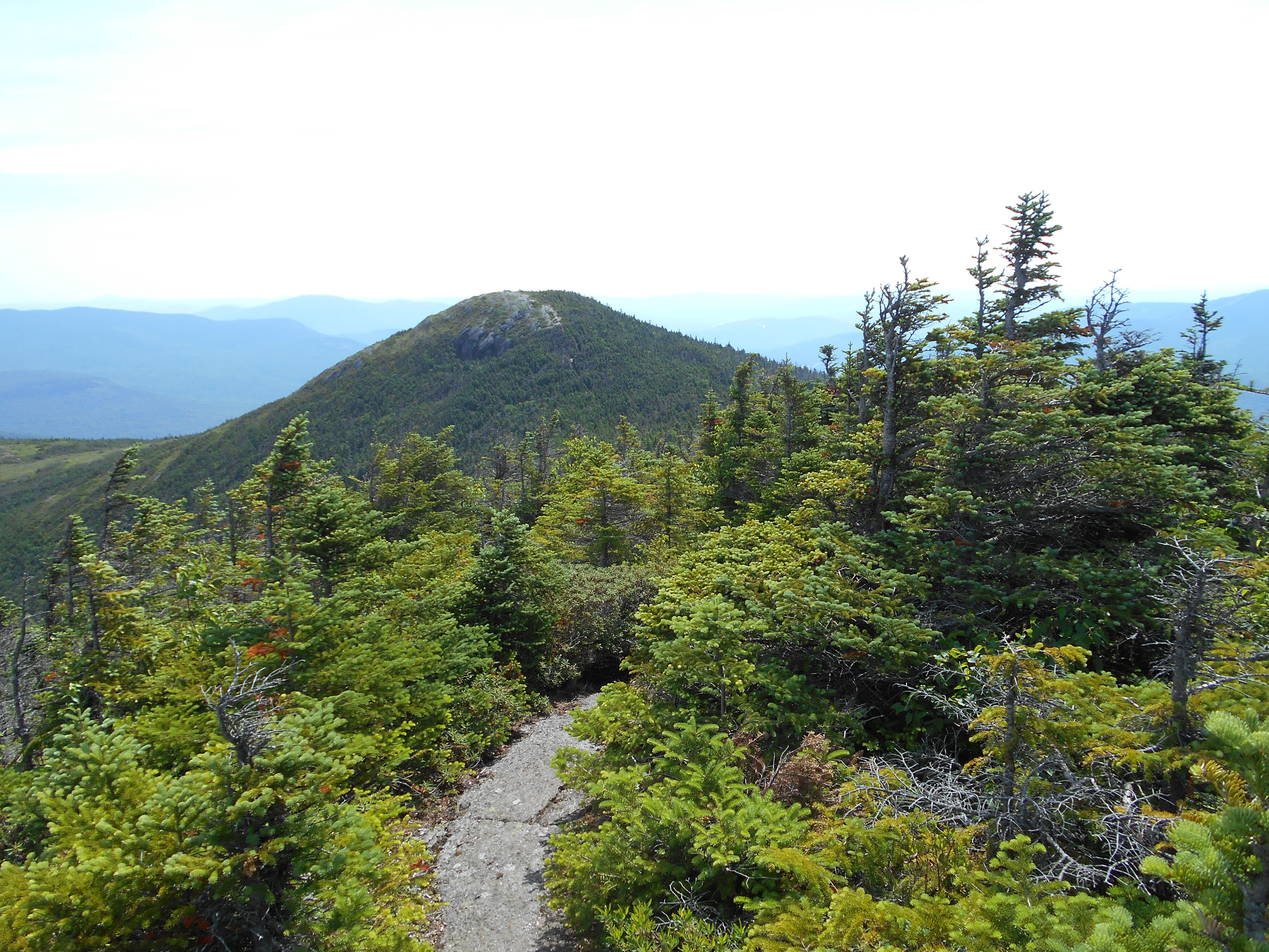
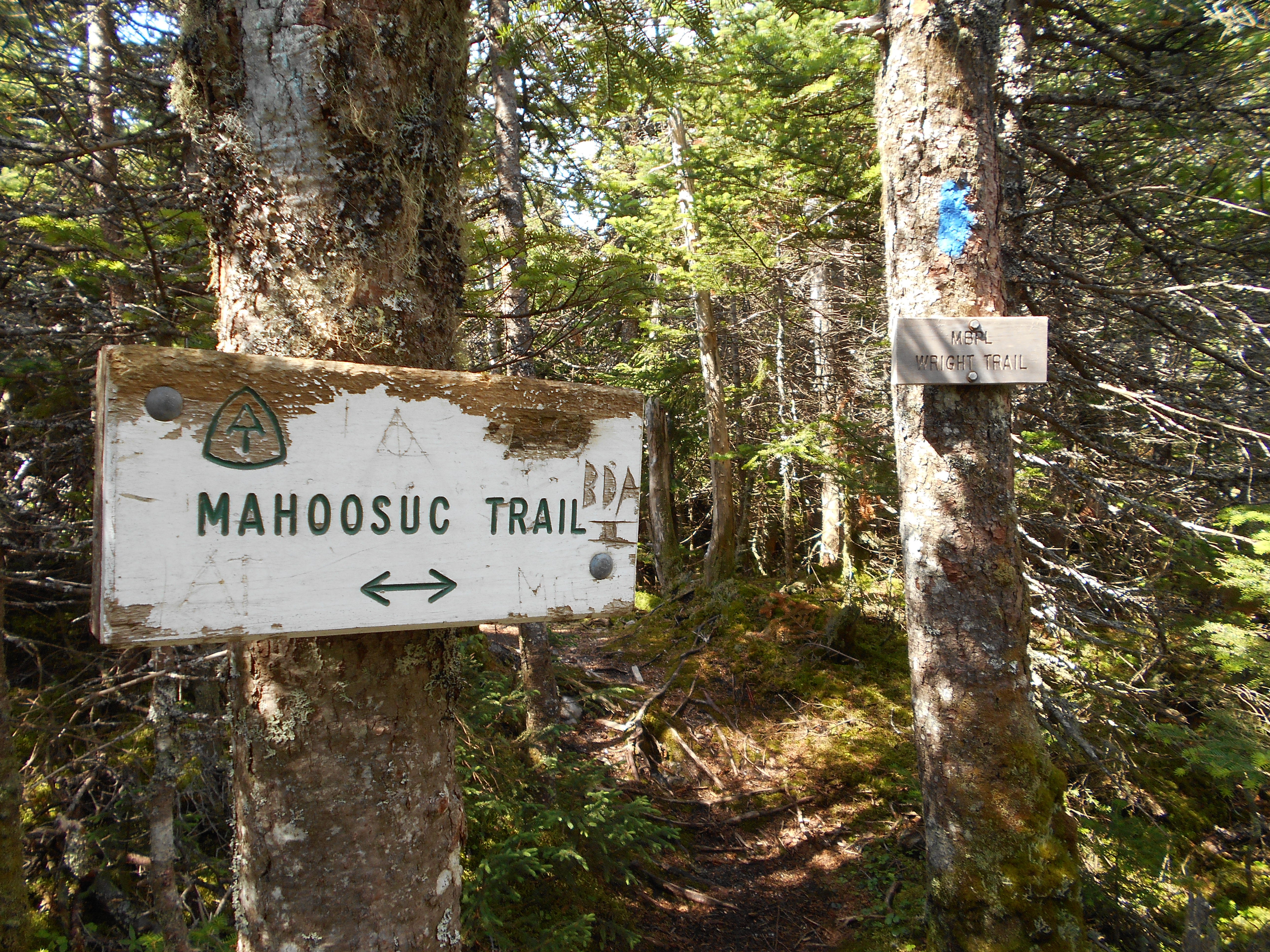
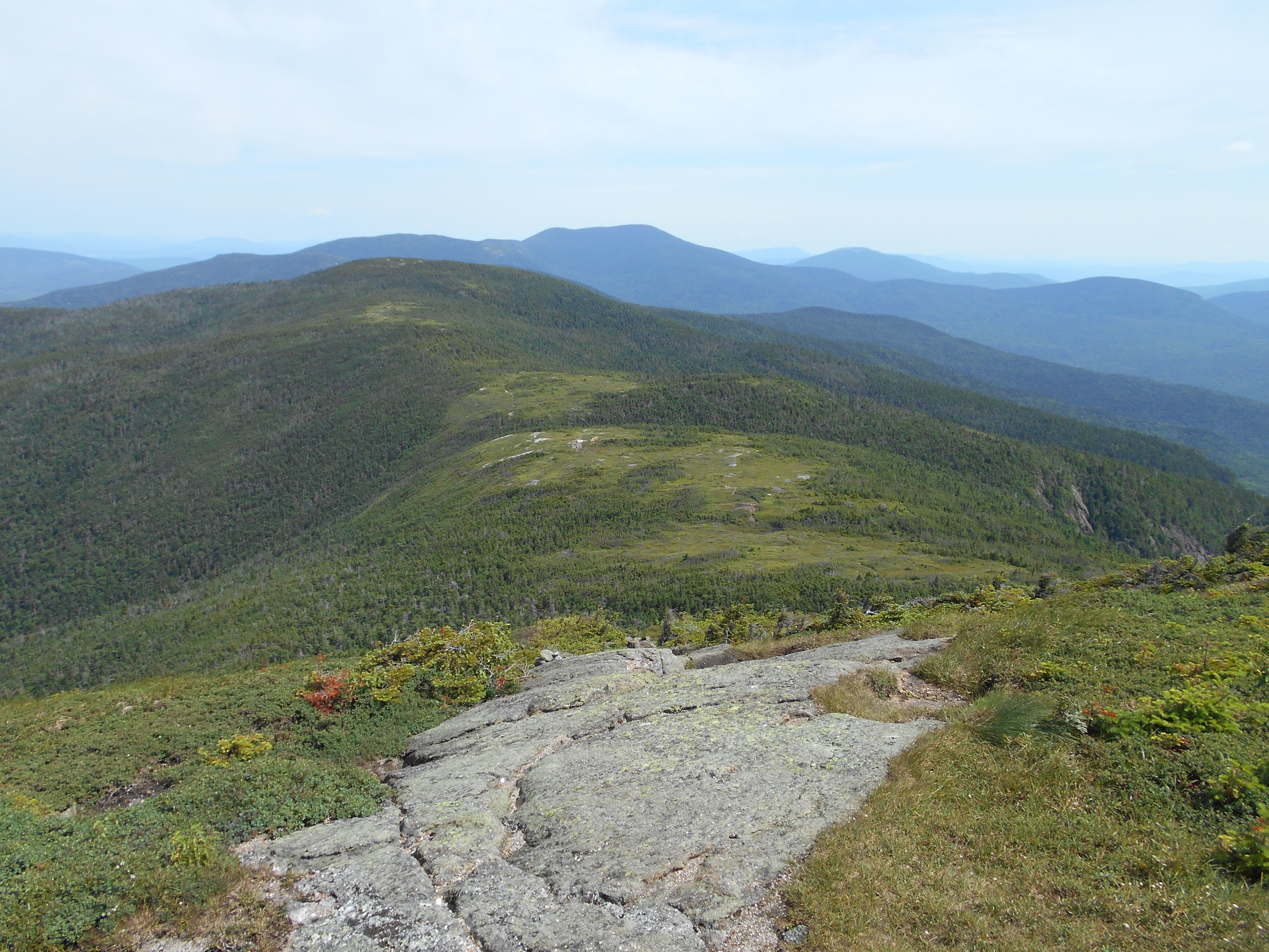
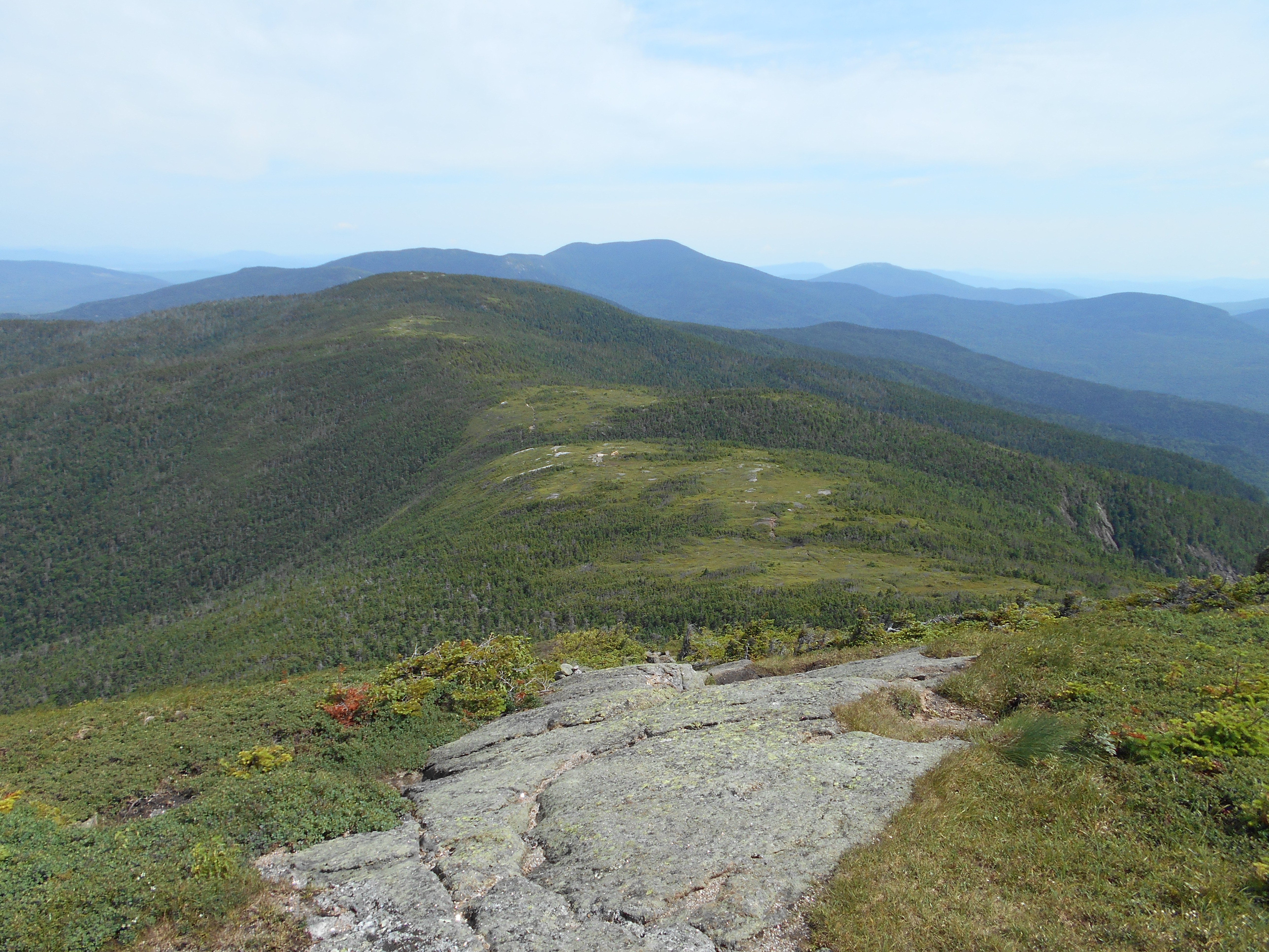
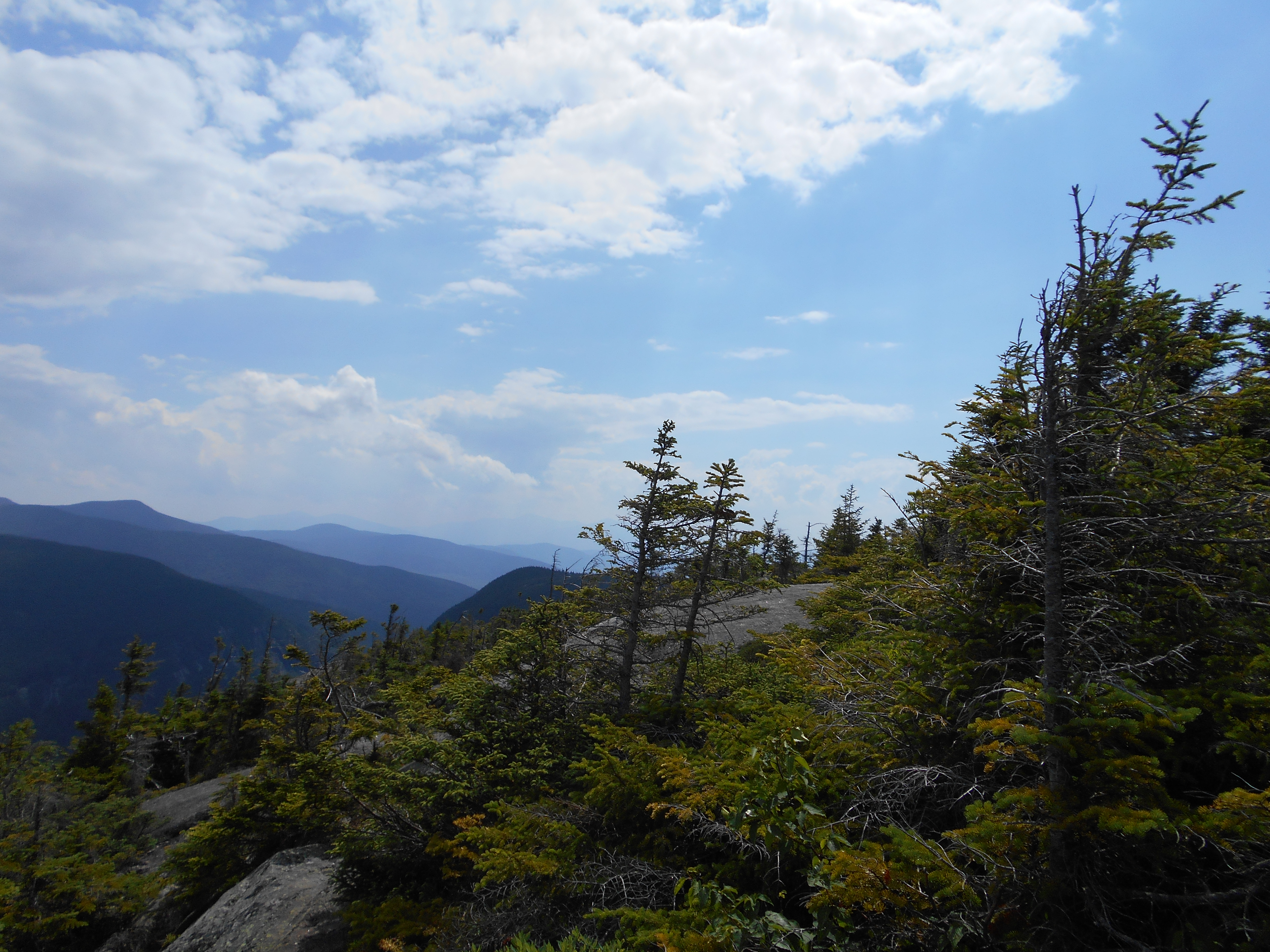
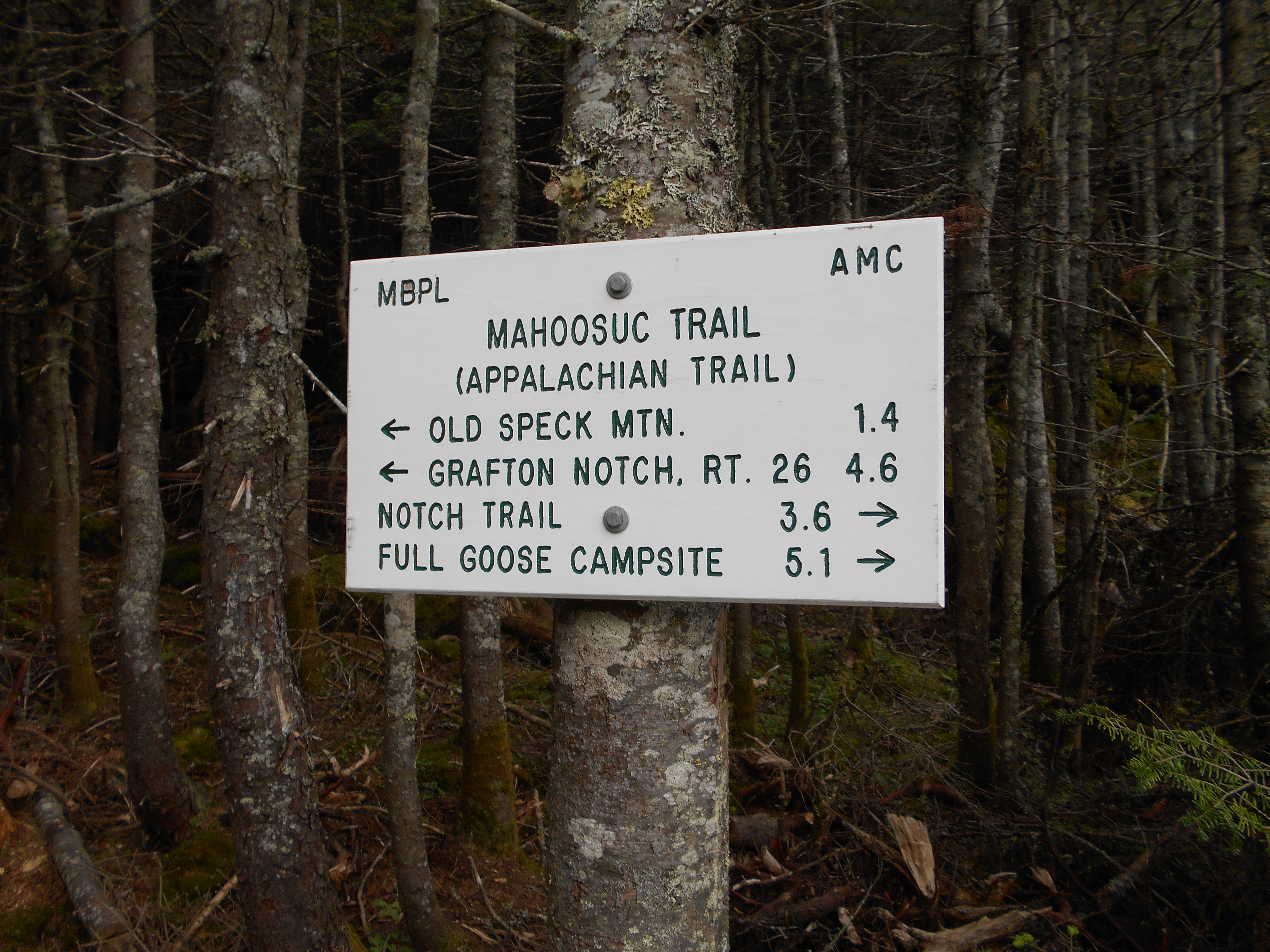
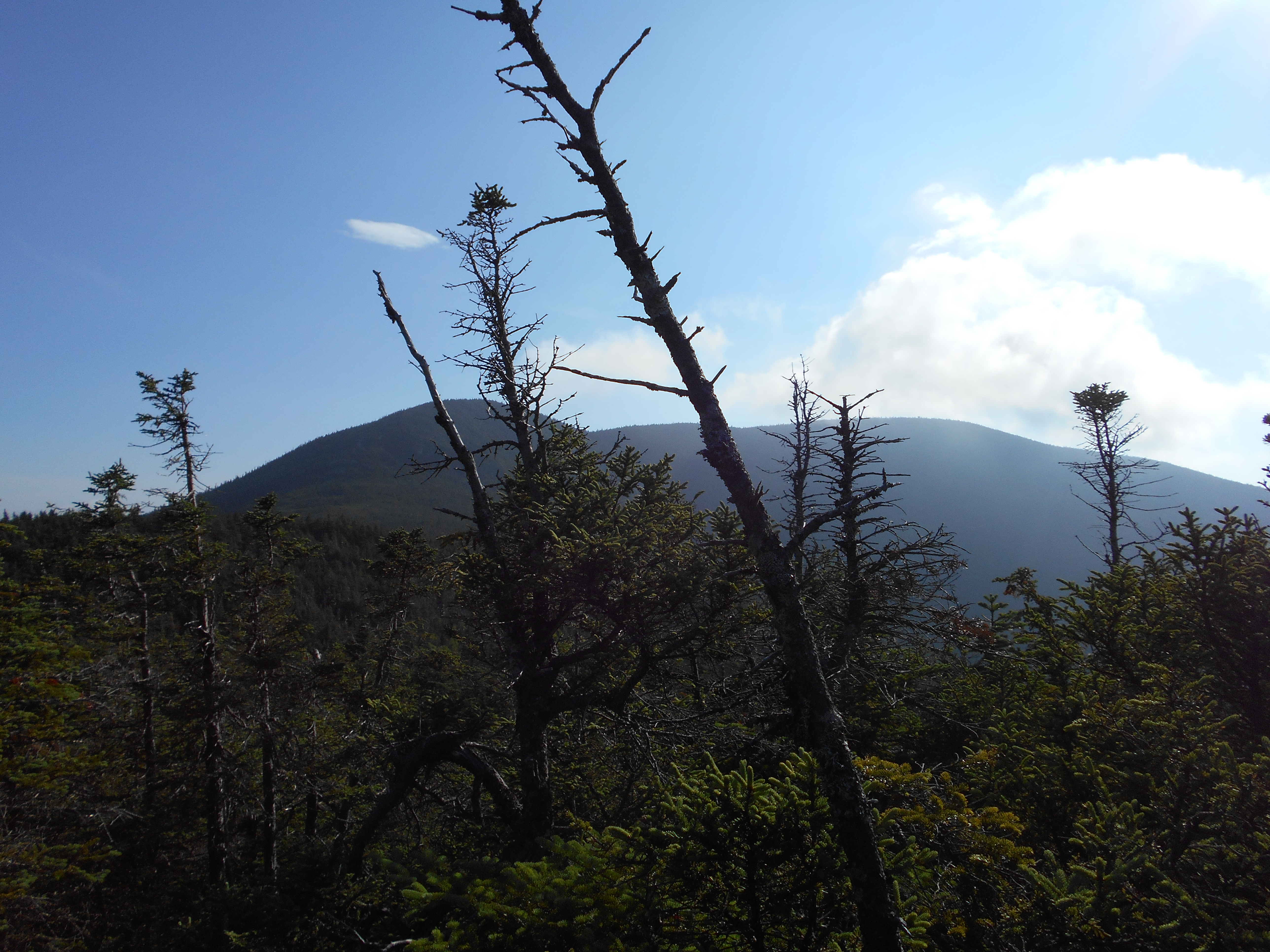
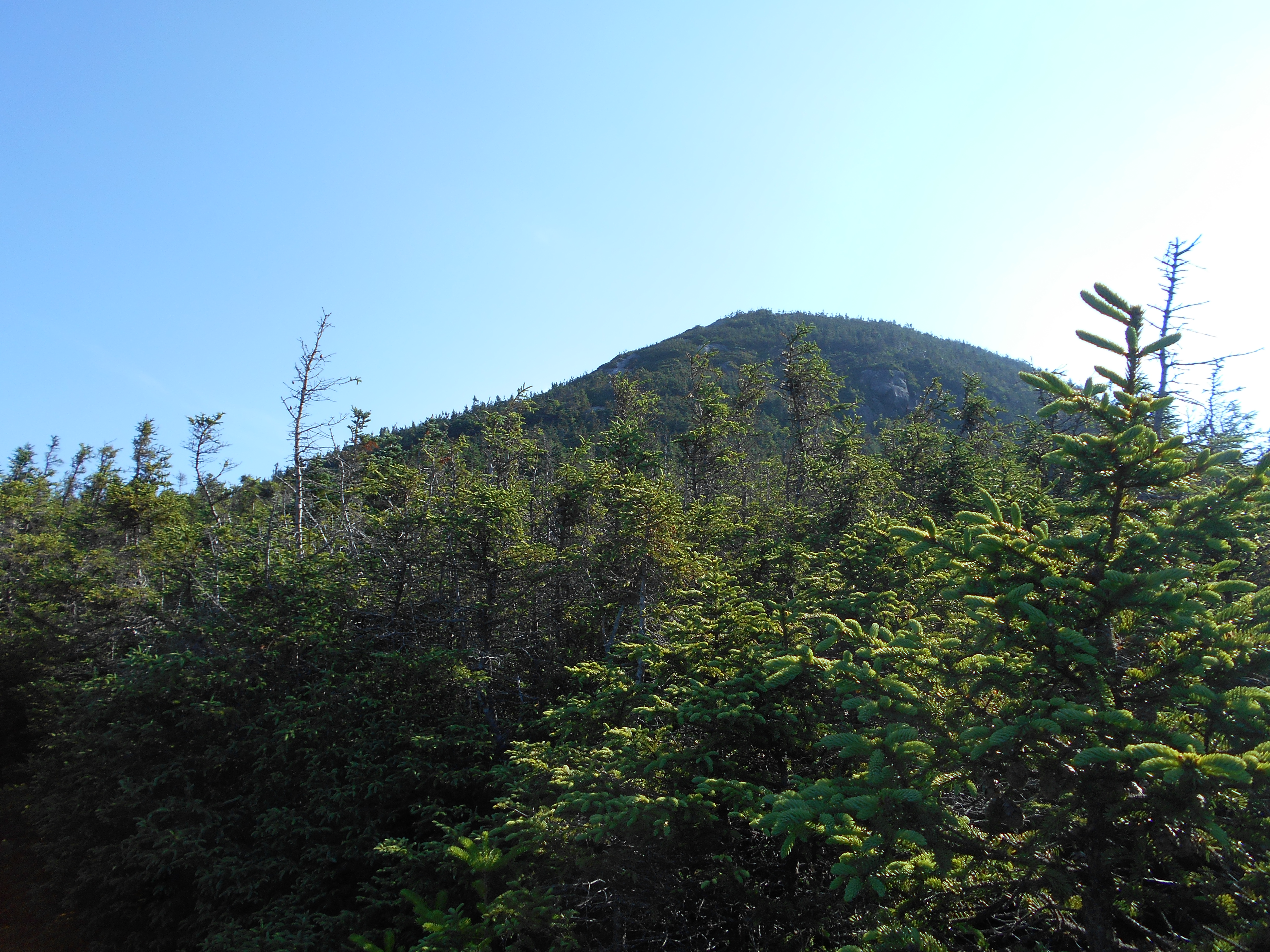
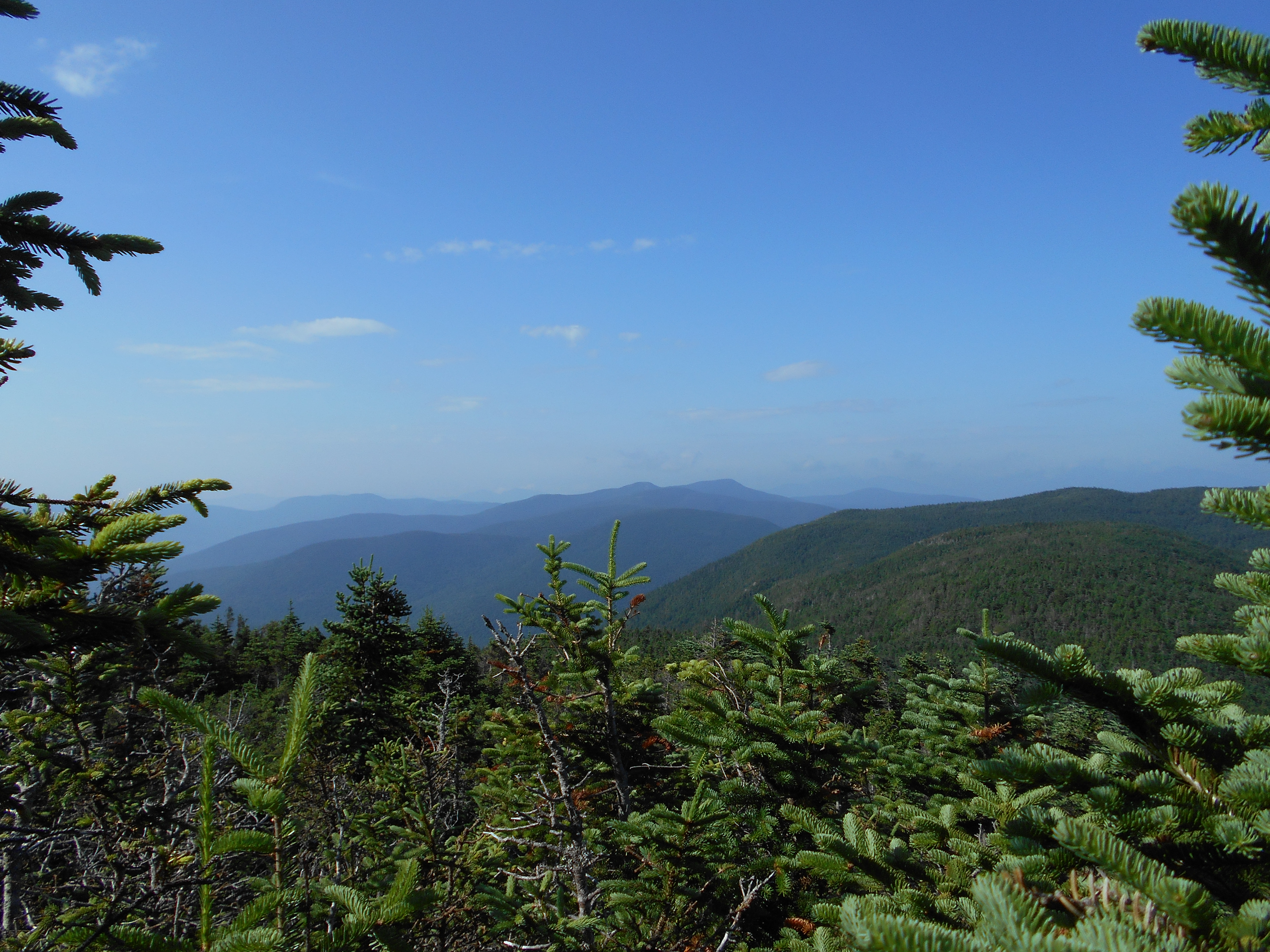
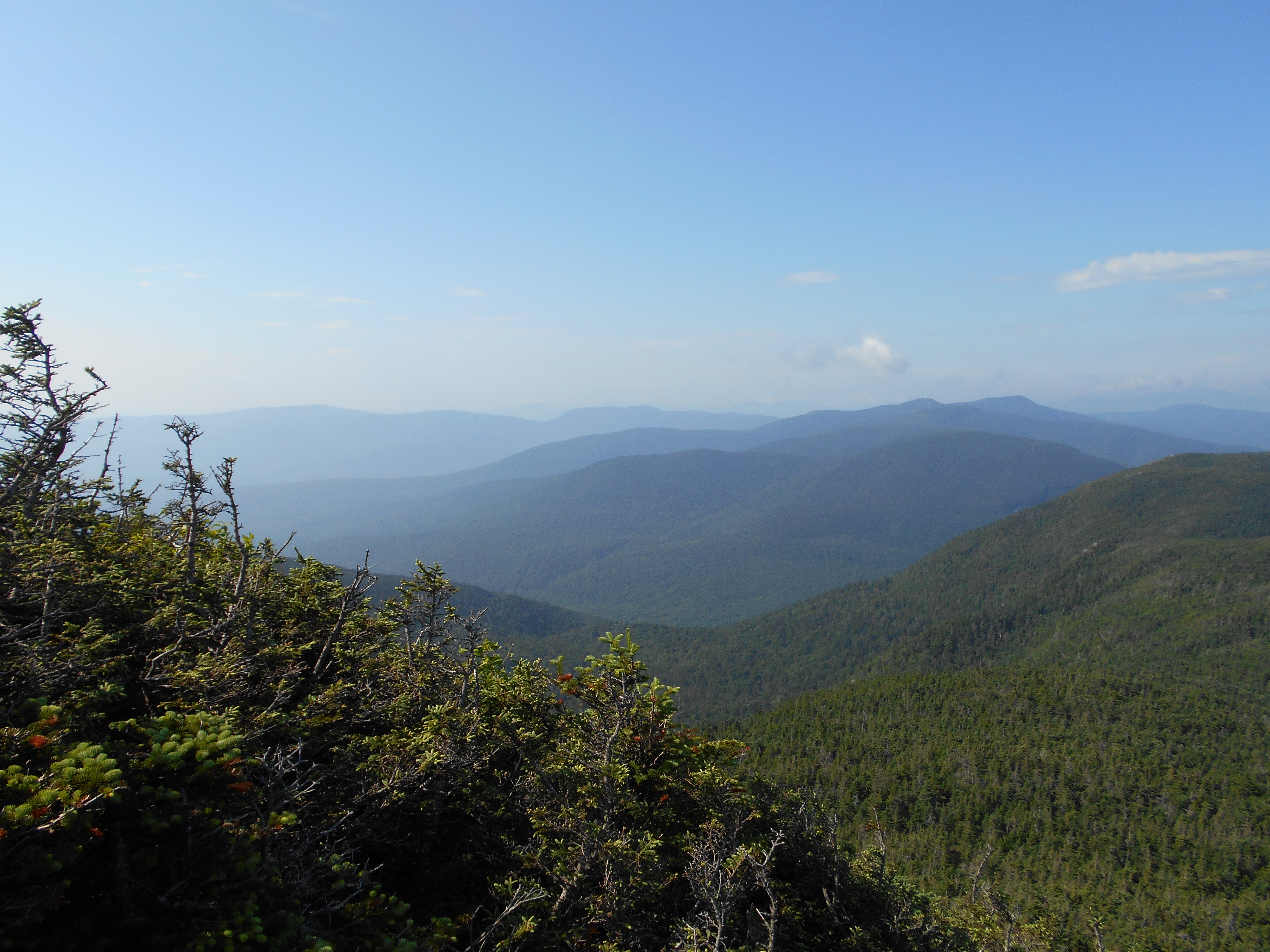
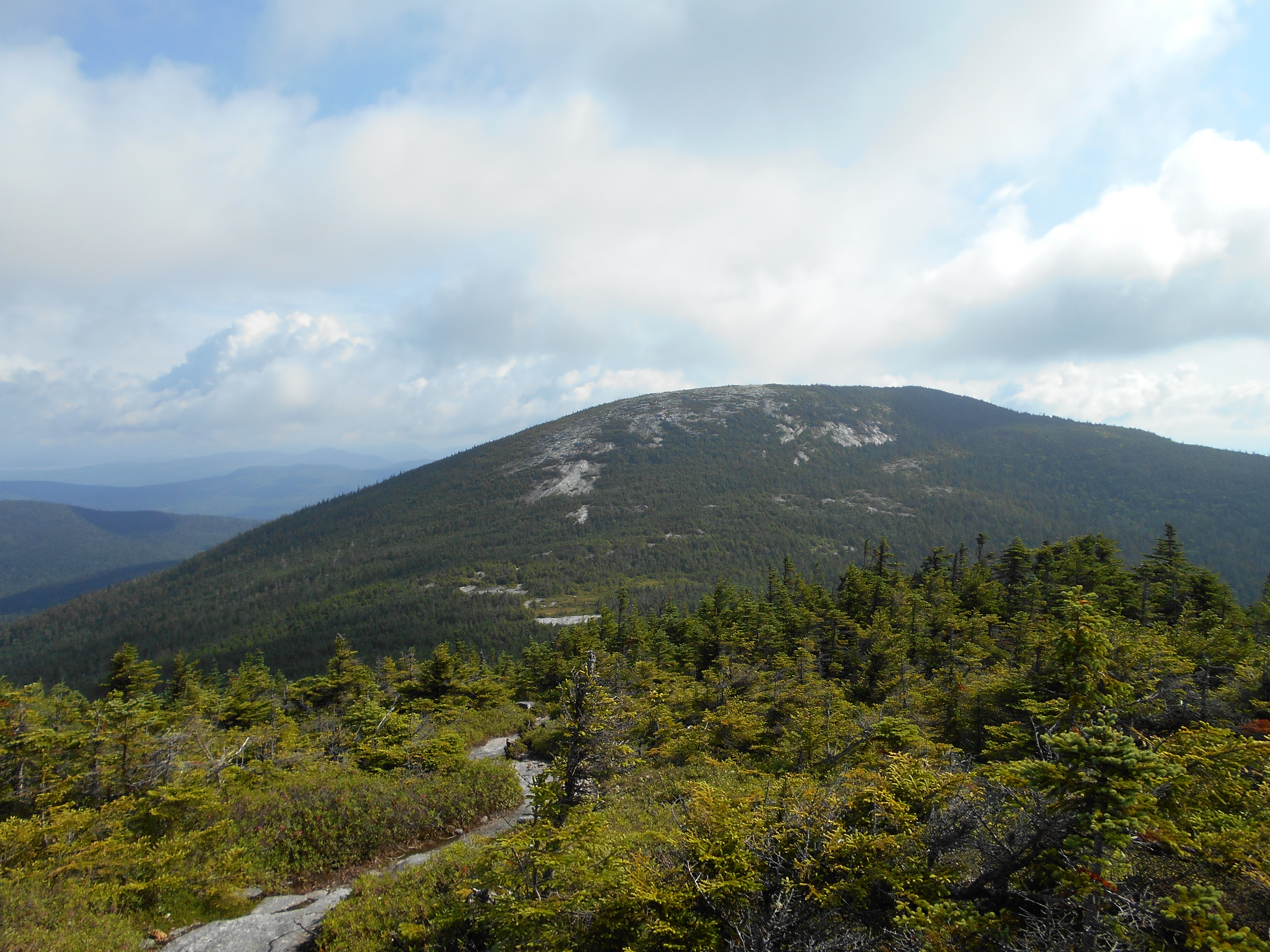
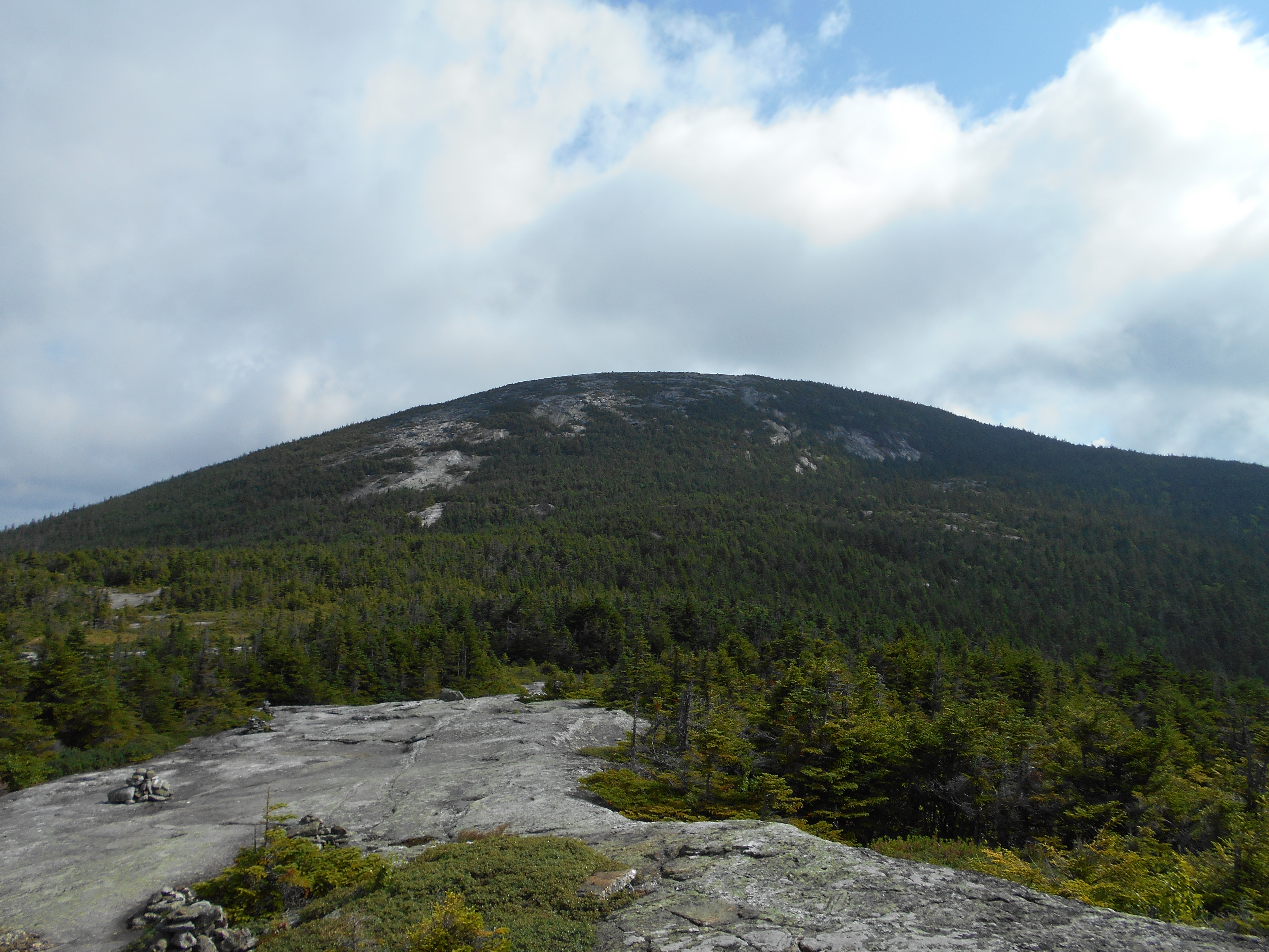
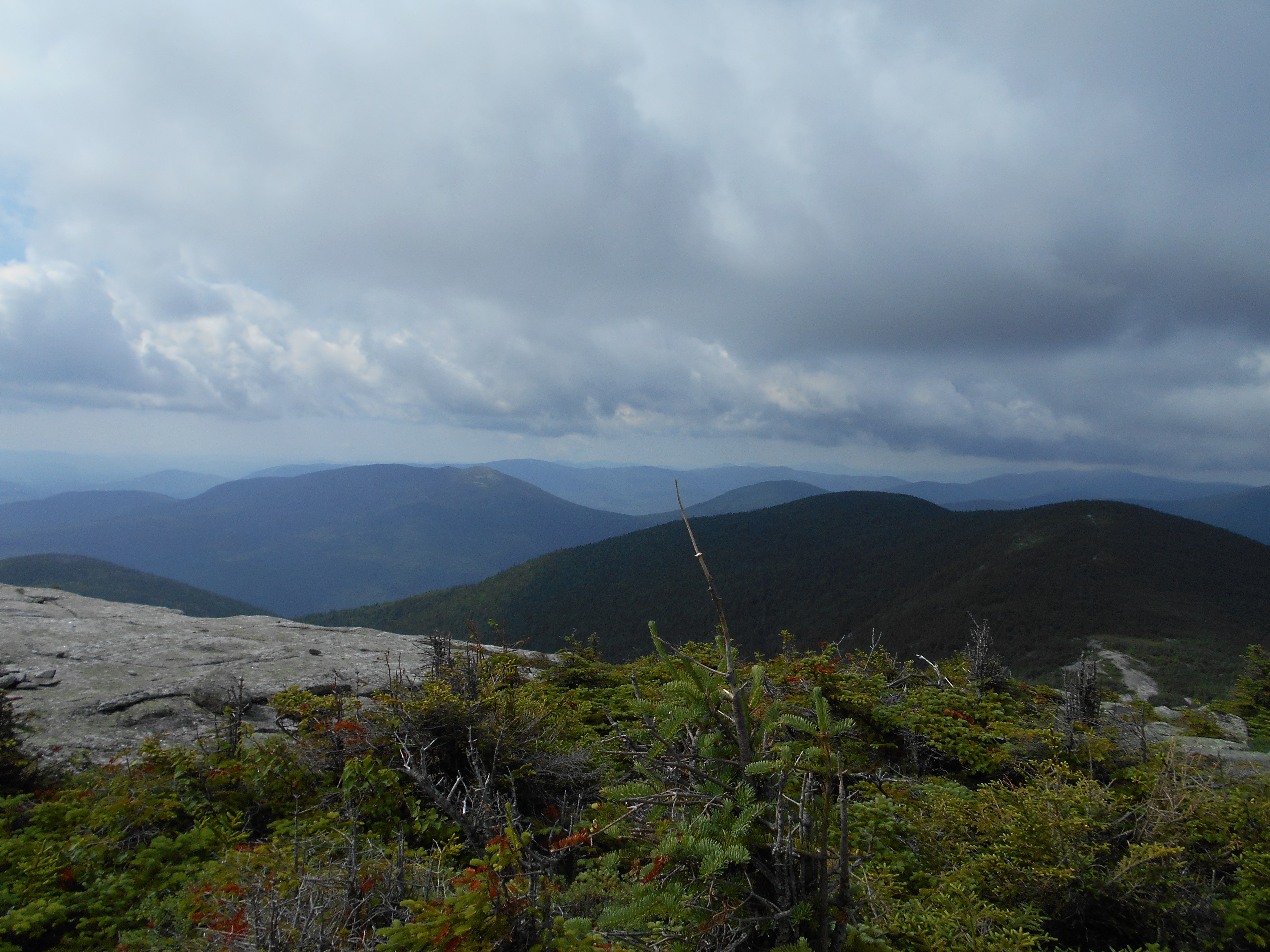
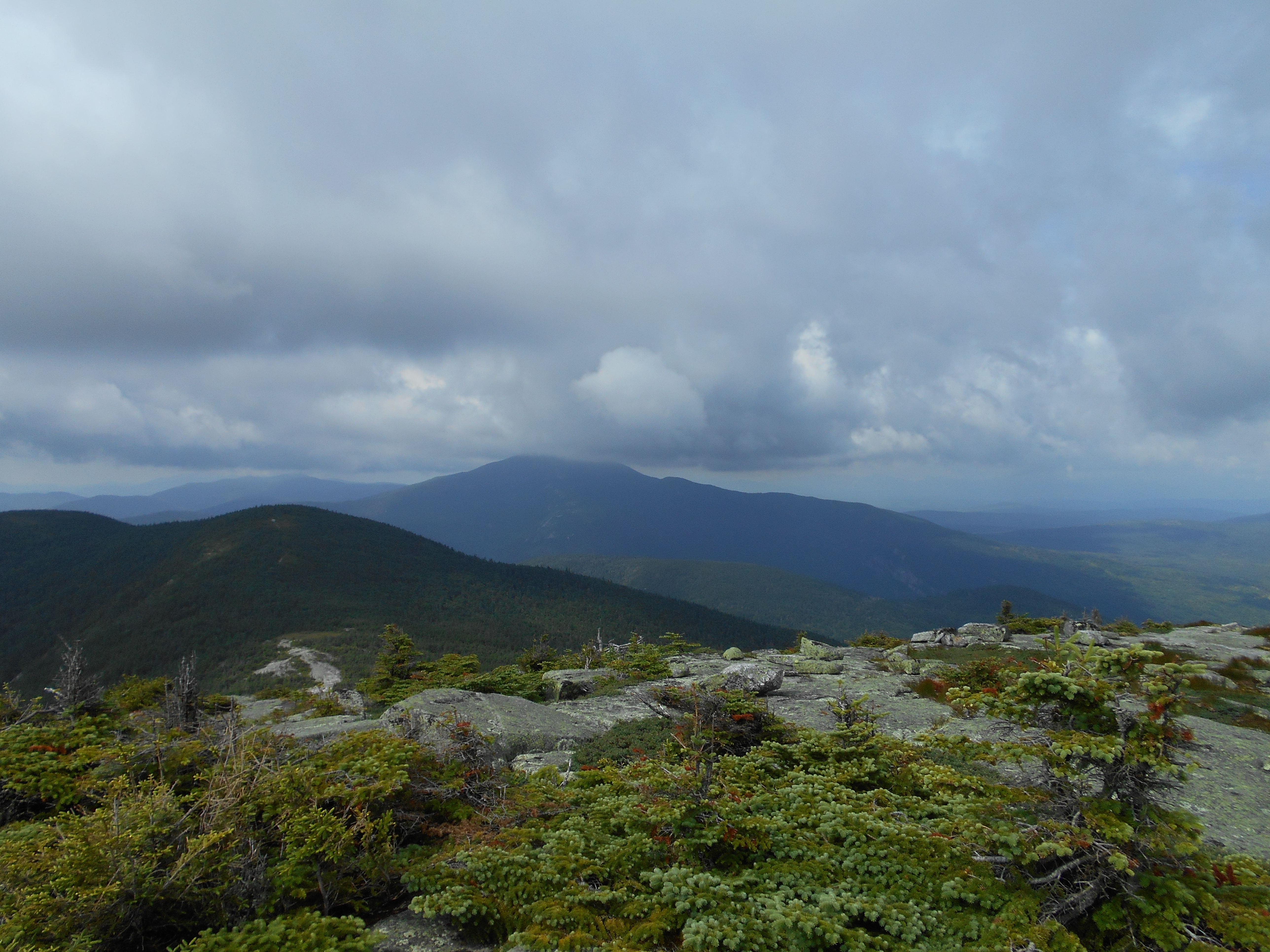
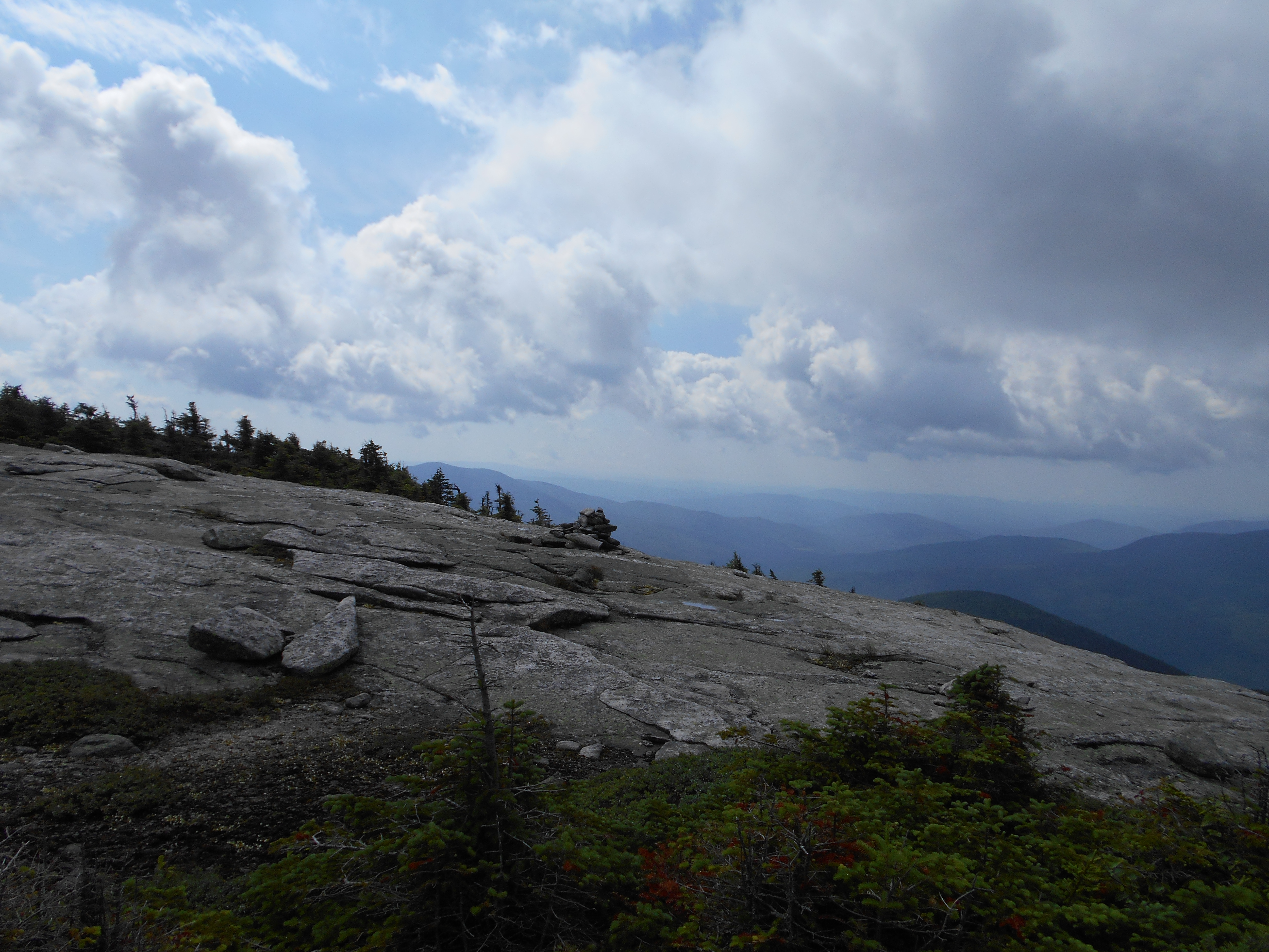
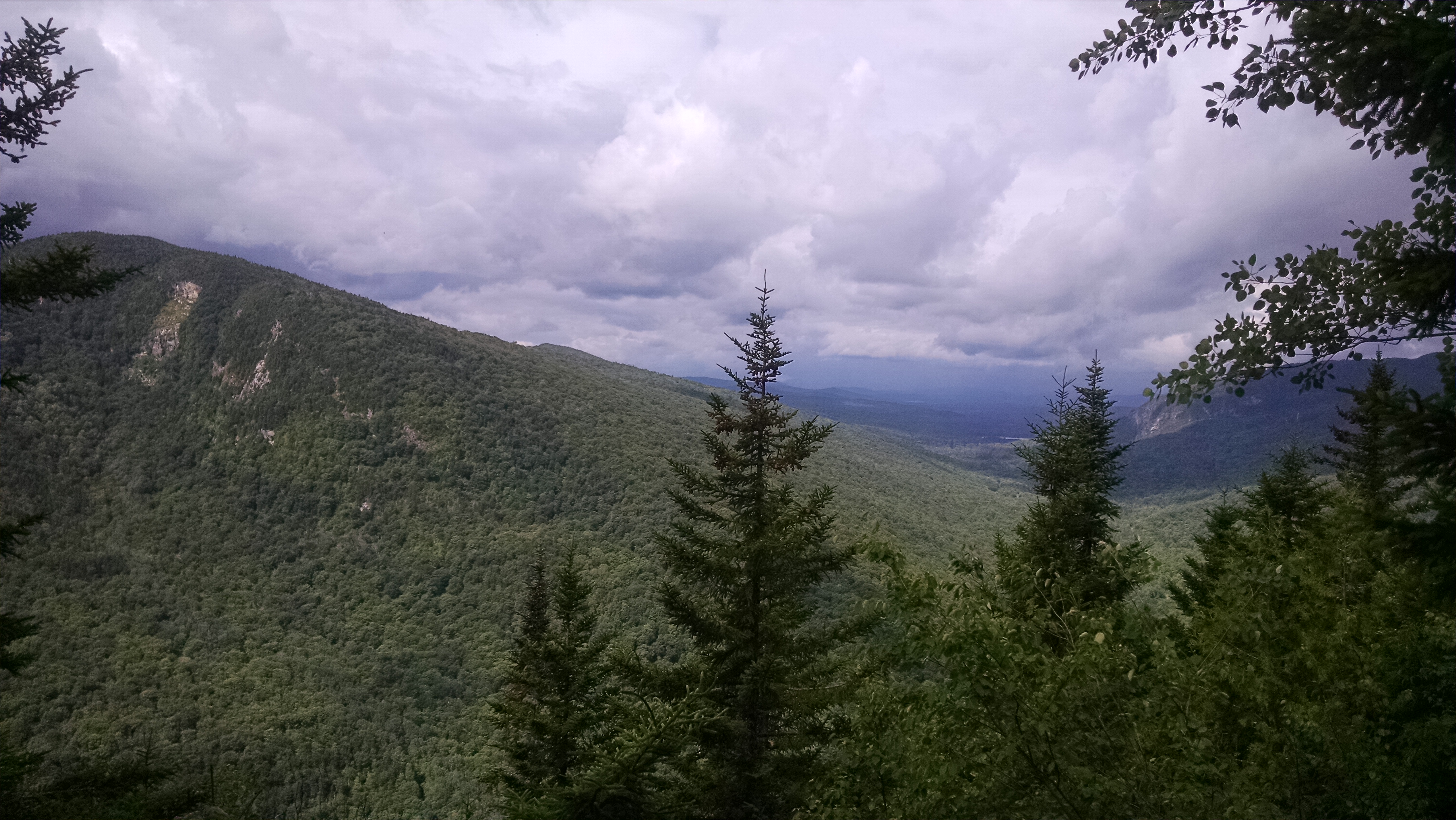
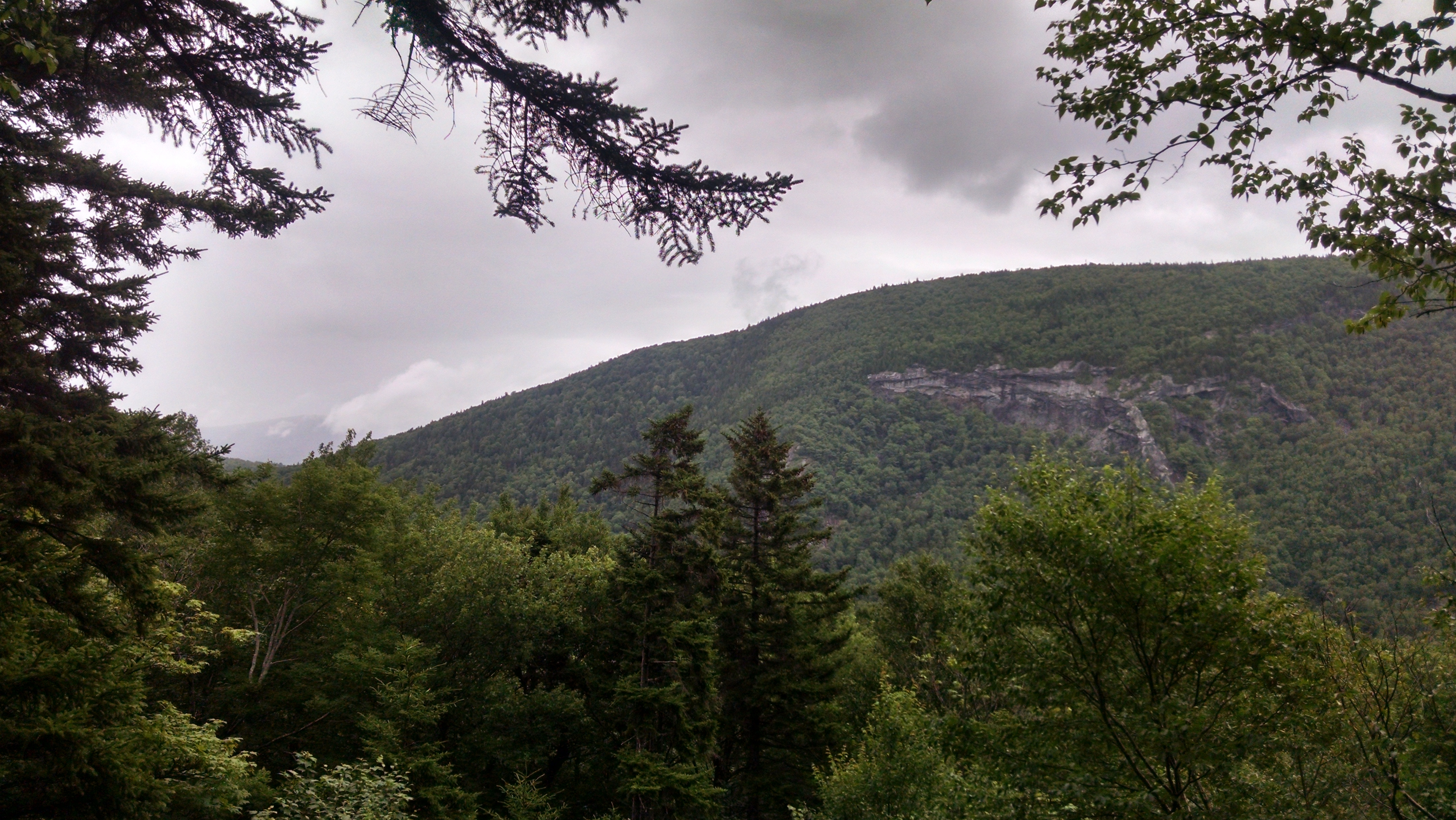
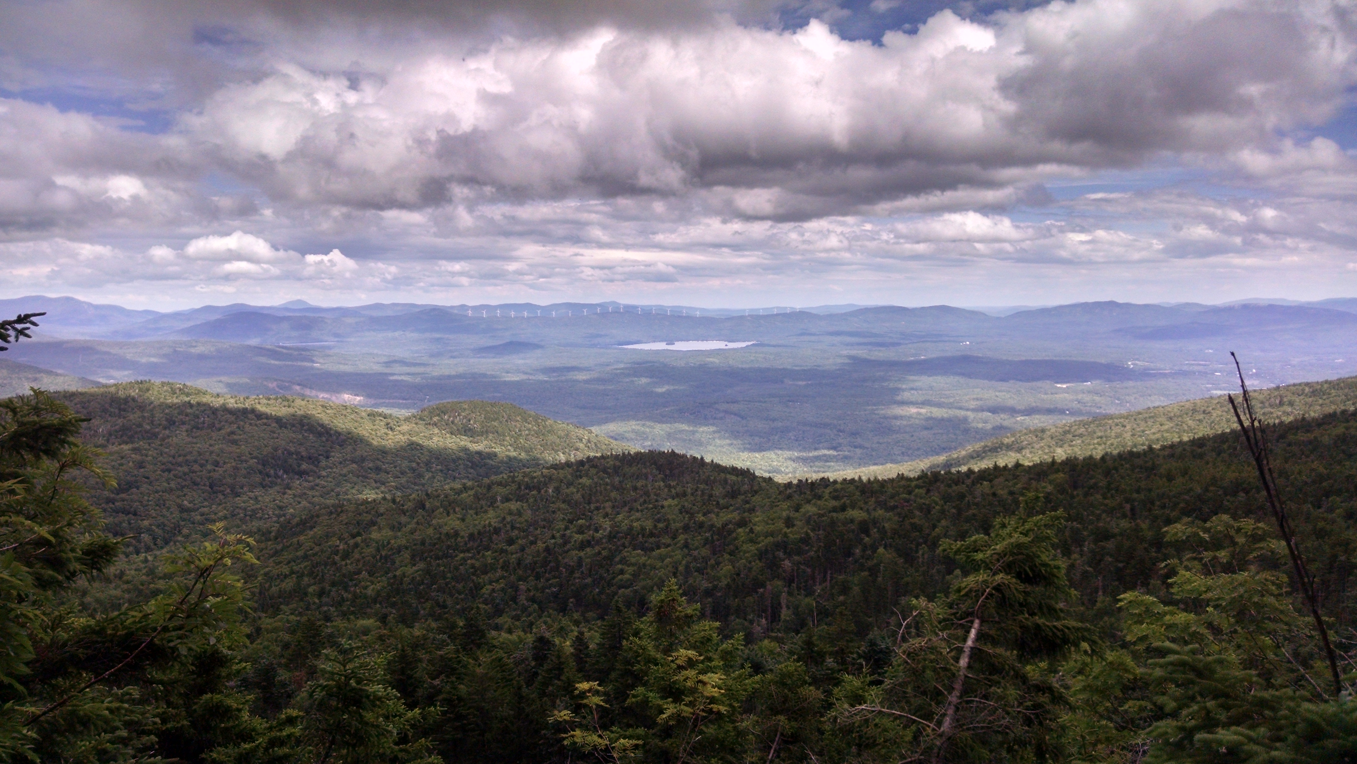
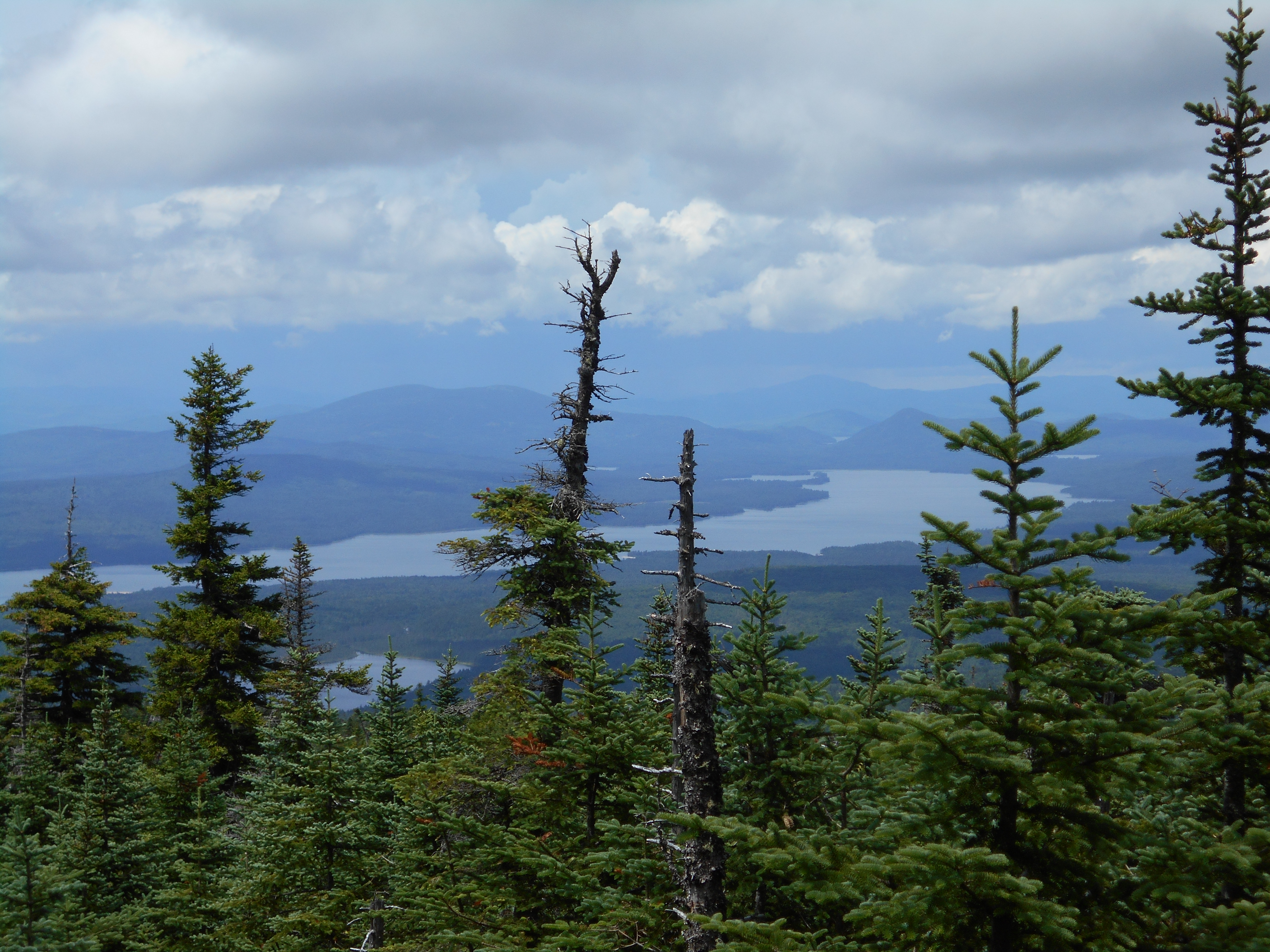
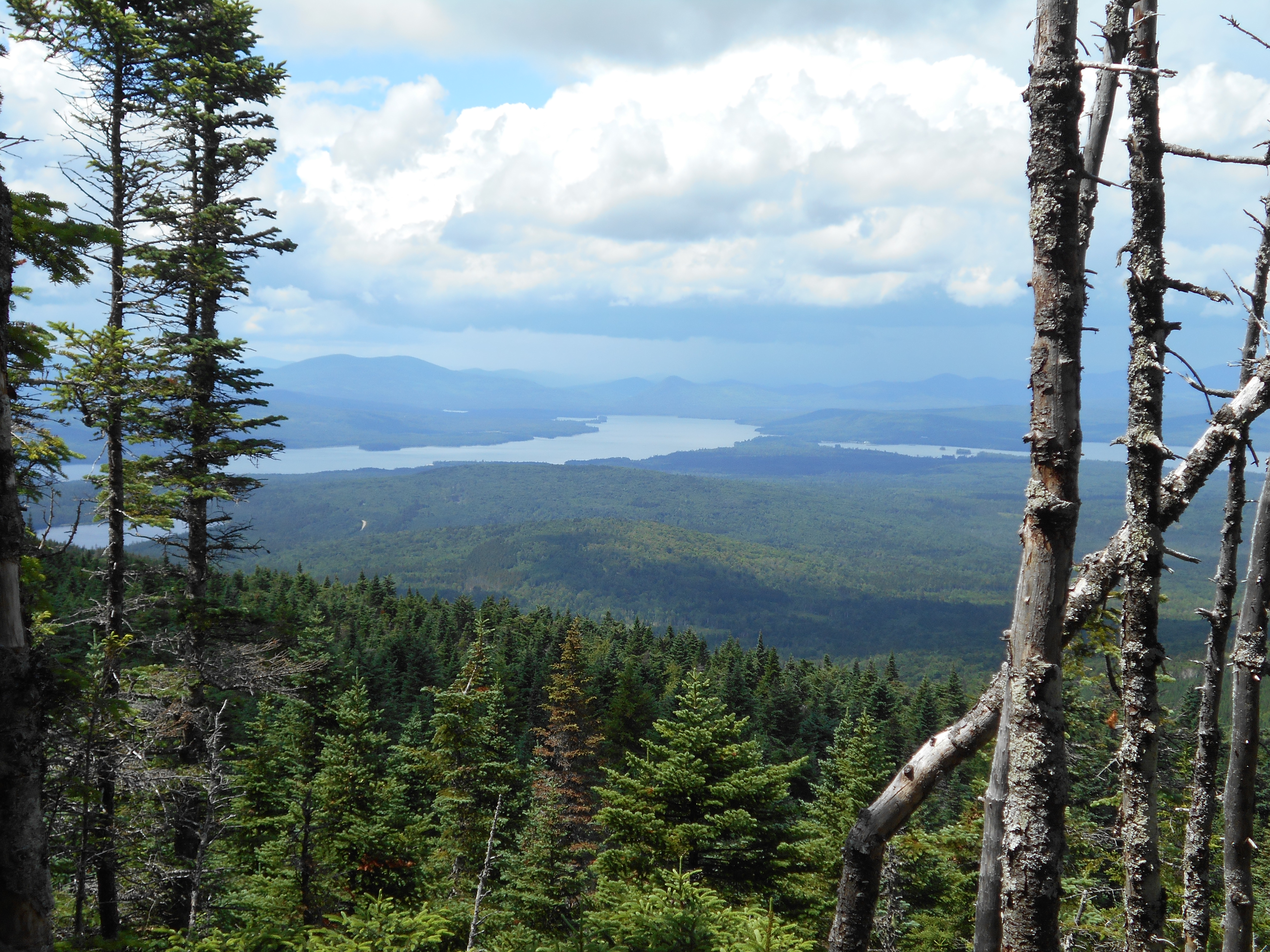
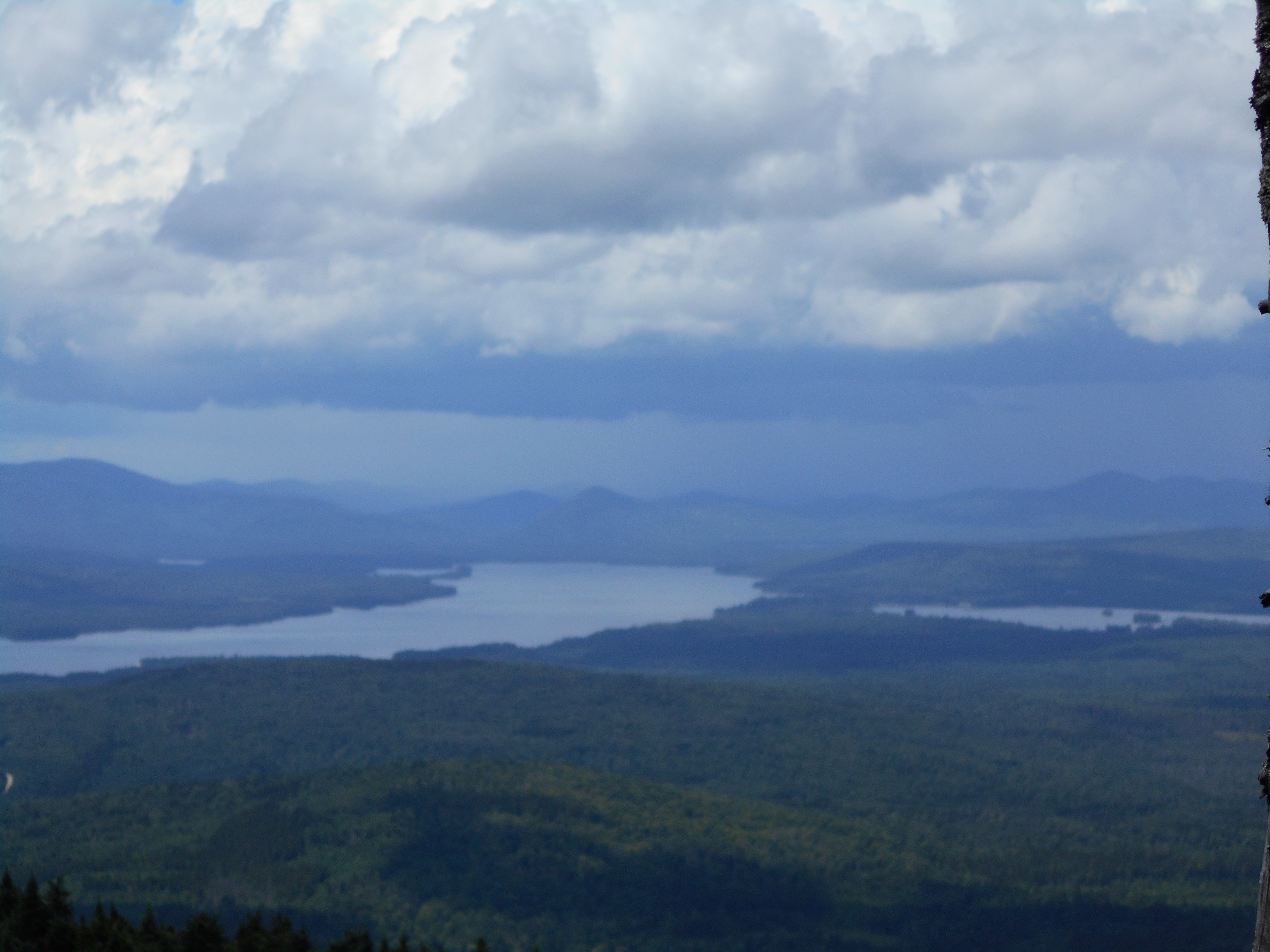
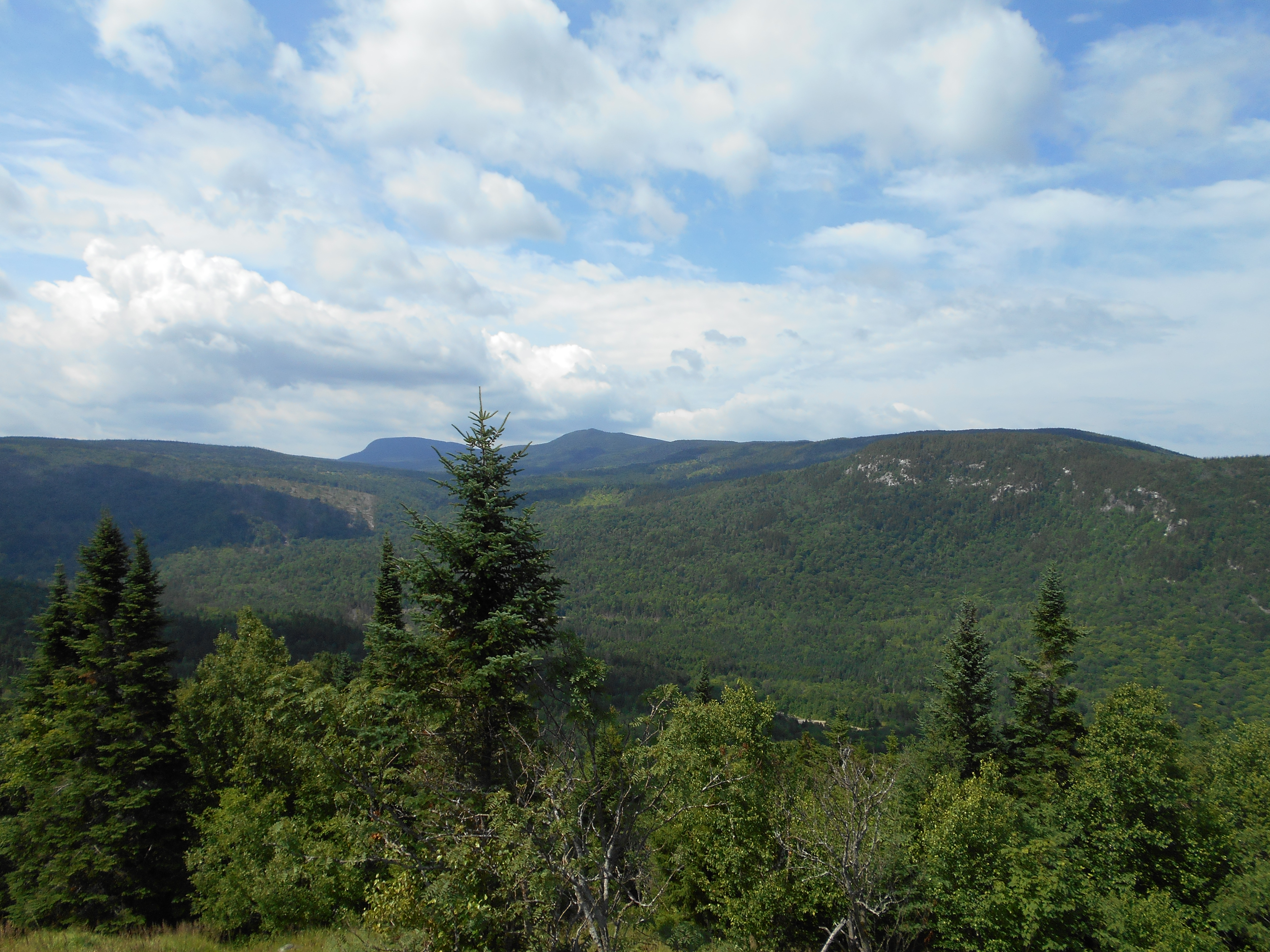
Mt. Hayes, Mahoosuc Trail (2,555')
2555
1896.6
Cascade Mountain (2,631')
2631
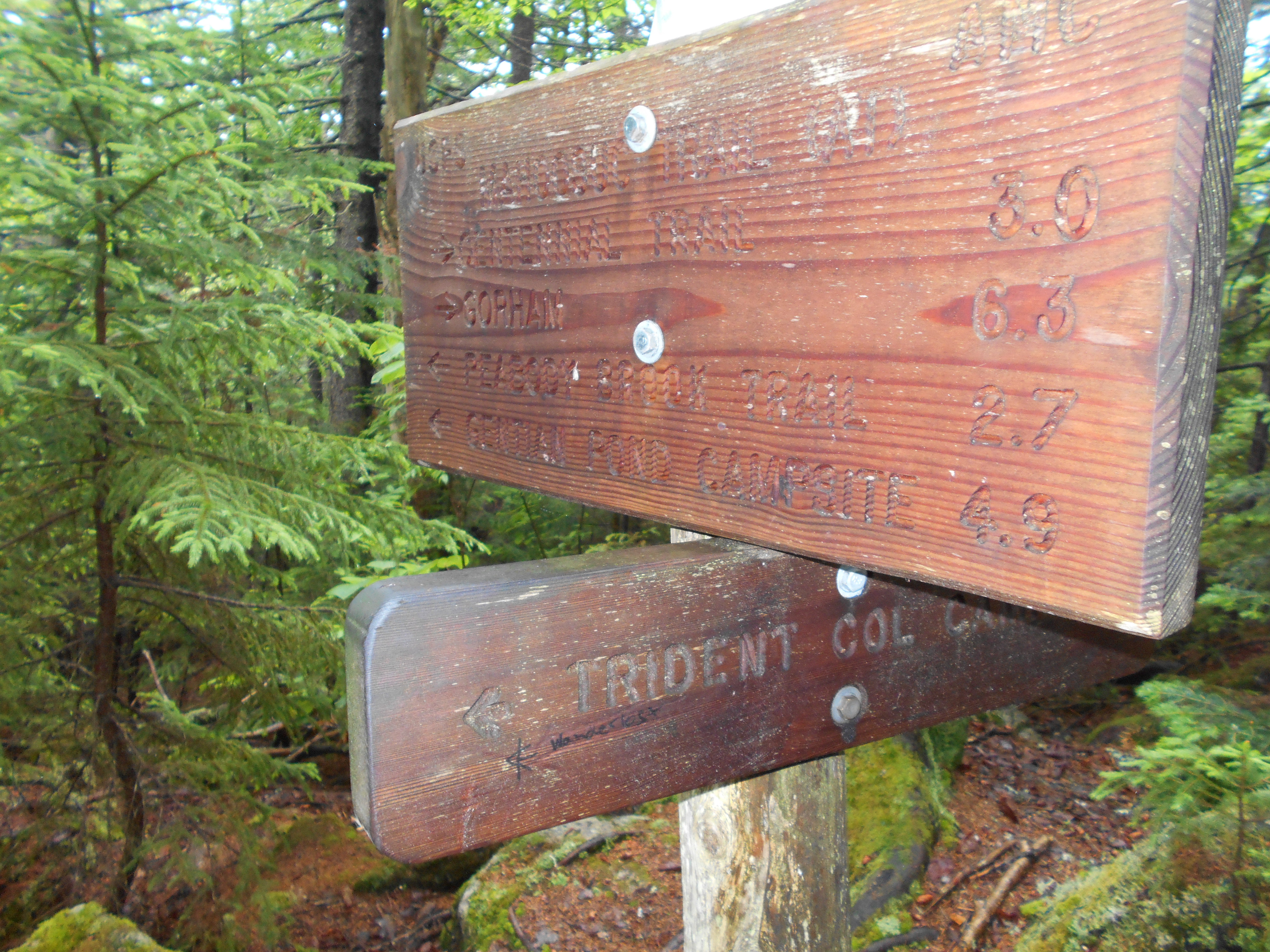
1897.7
Trident Col Tentsite (2,020')
2020
1898.7
Trident Pass, Page Pond (2,240')
2240
1899.3
Wockett Ledge (2,780')
2780
1900.4
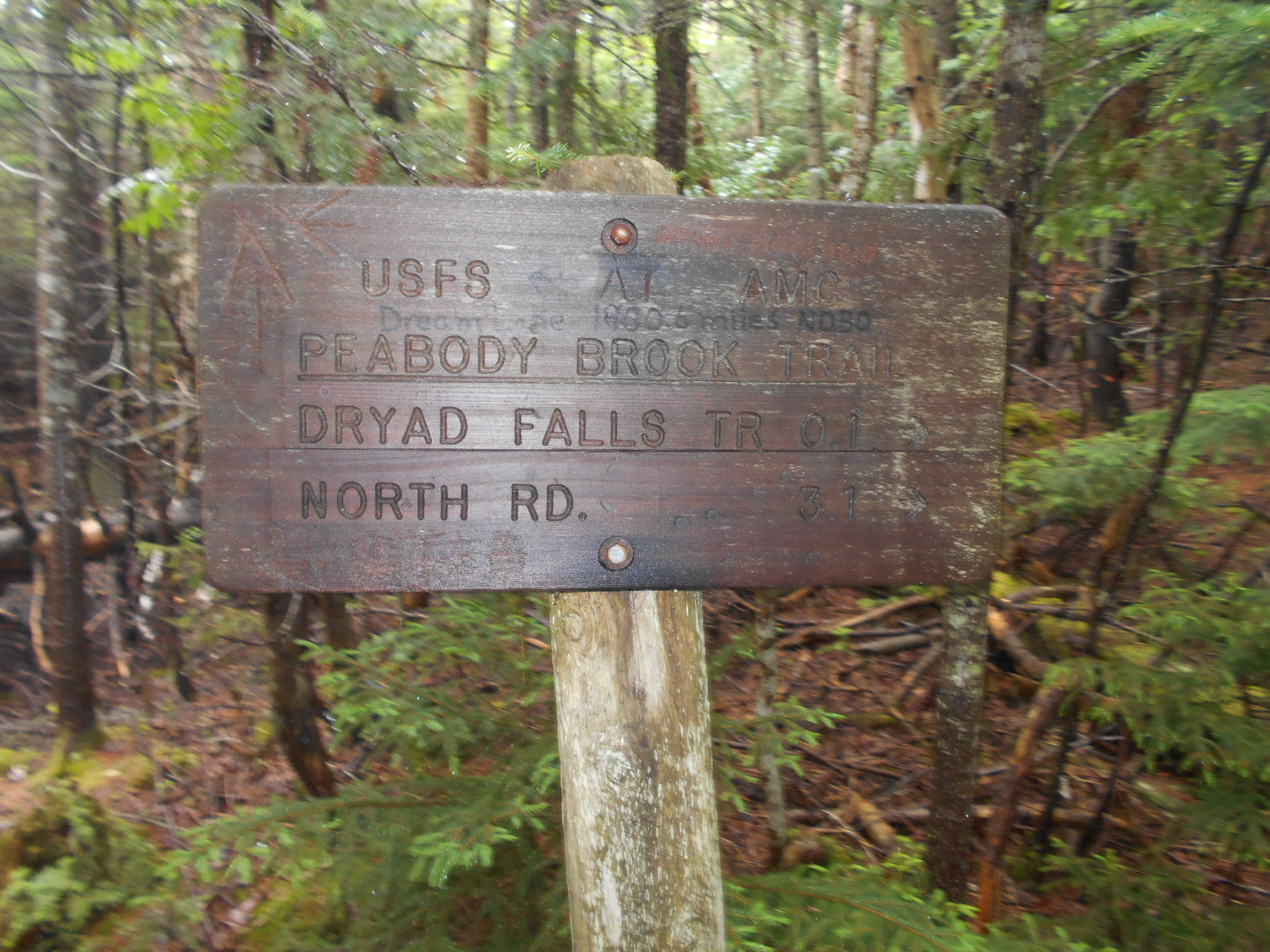
Dream Lake inlet, Peabody Brook Trail (2,610')
2610
1901.9
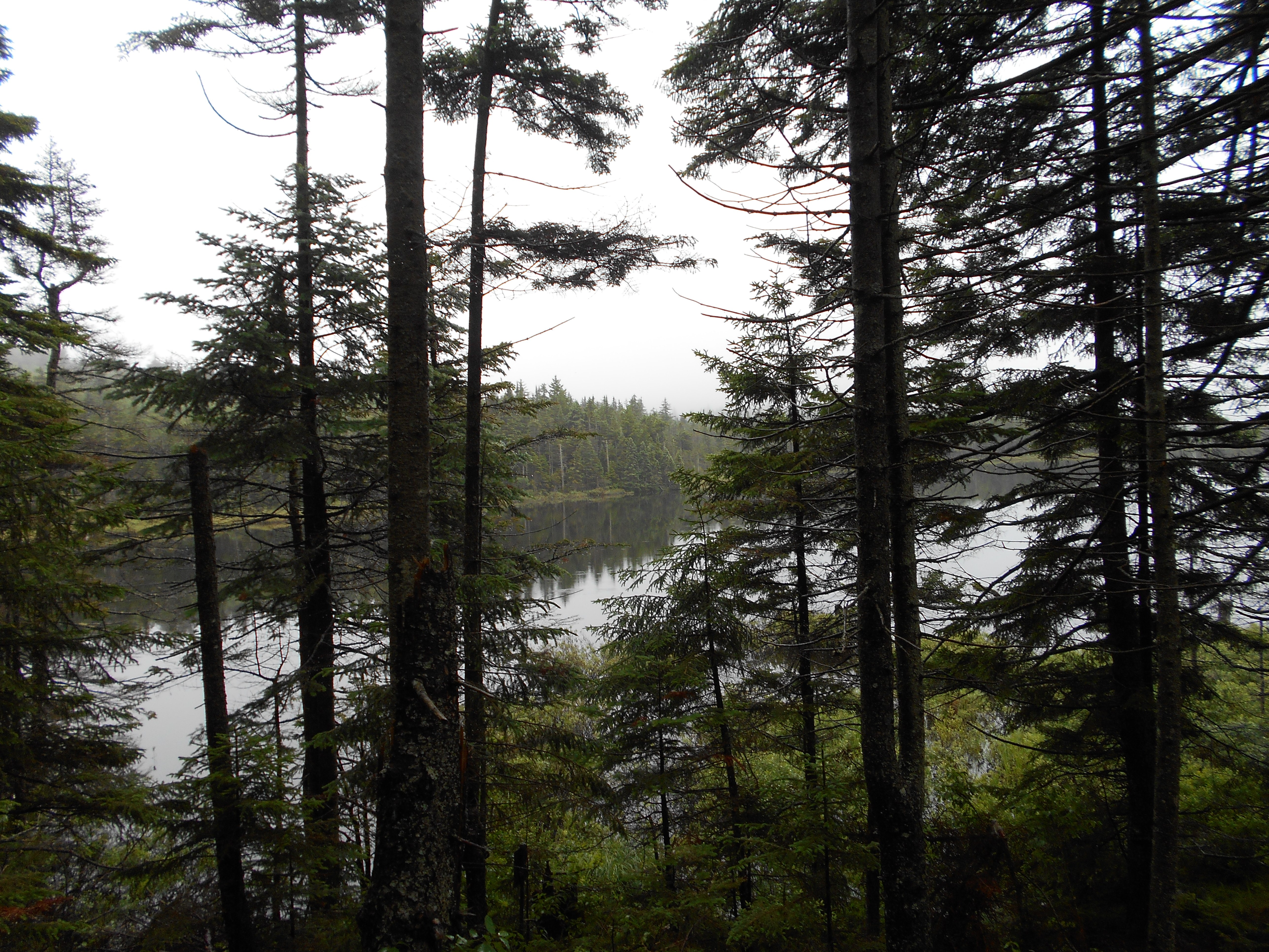
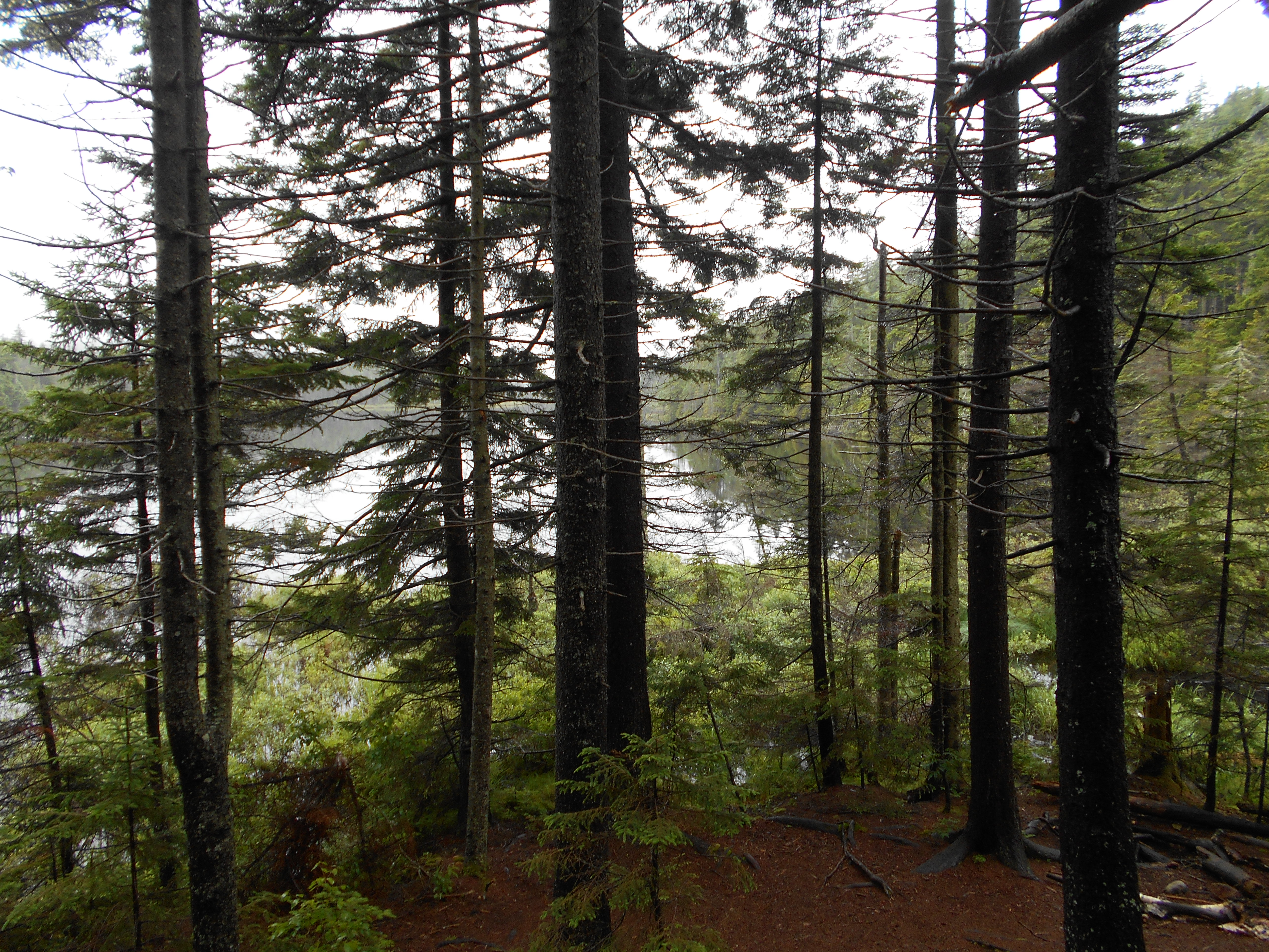
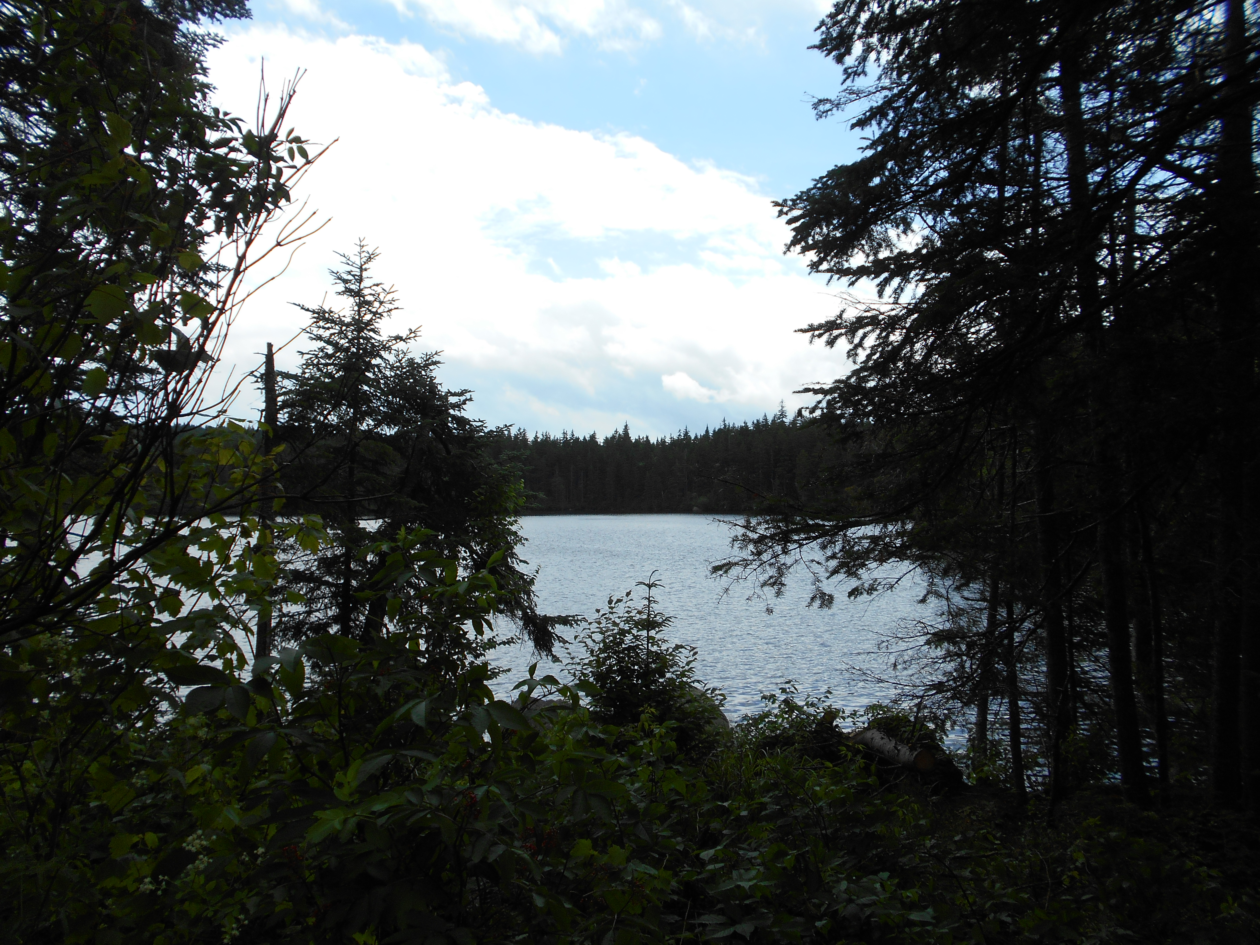
Moss Pond (2,630')
2630
1902.6
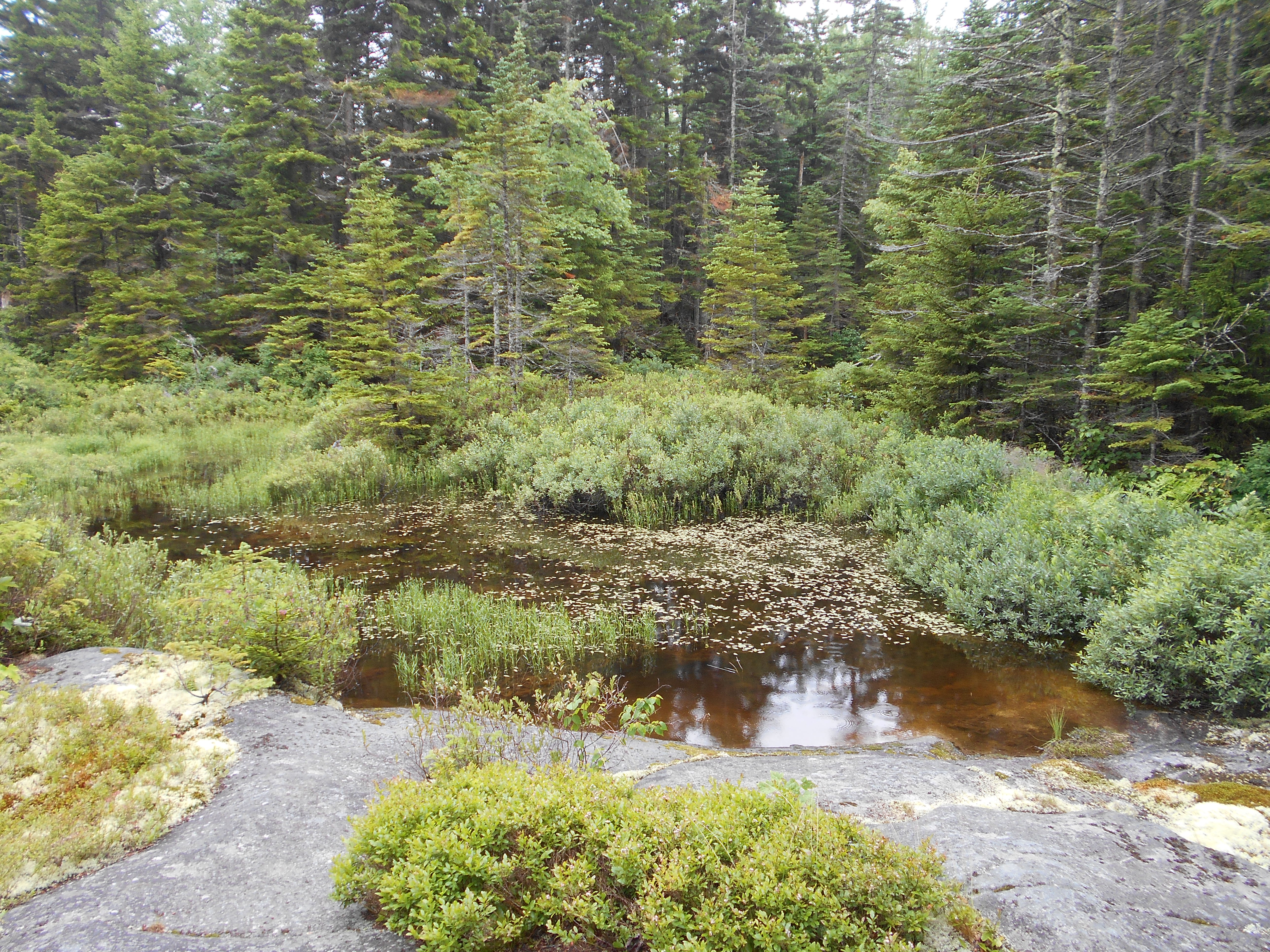
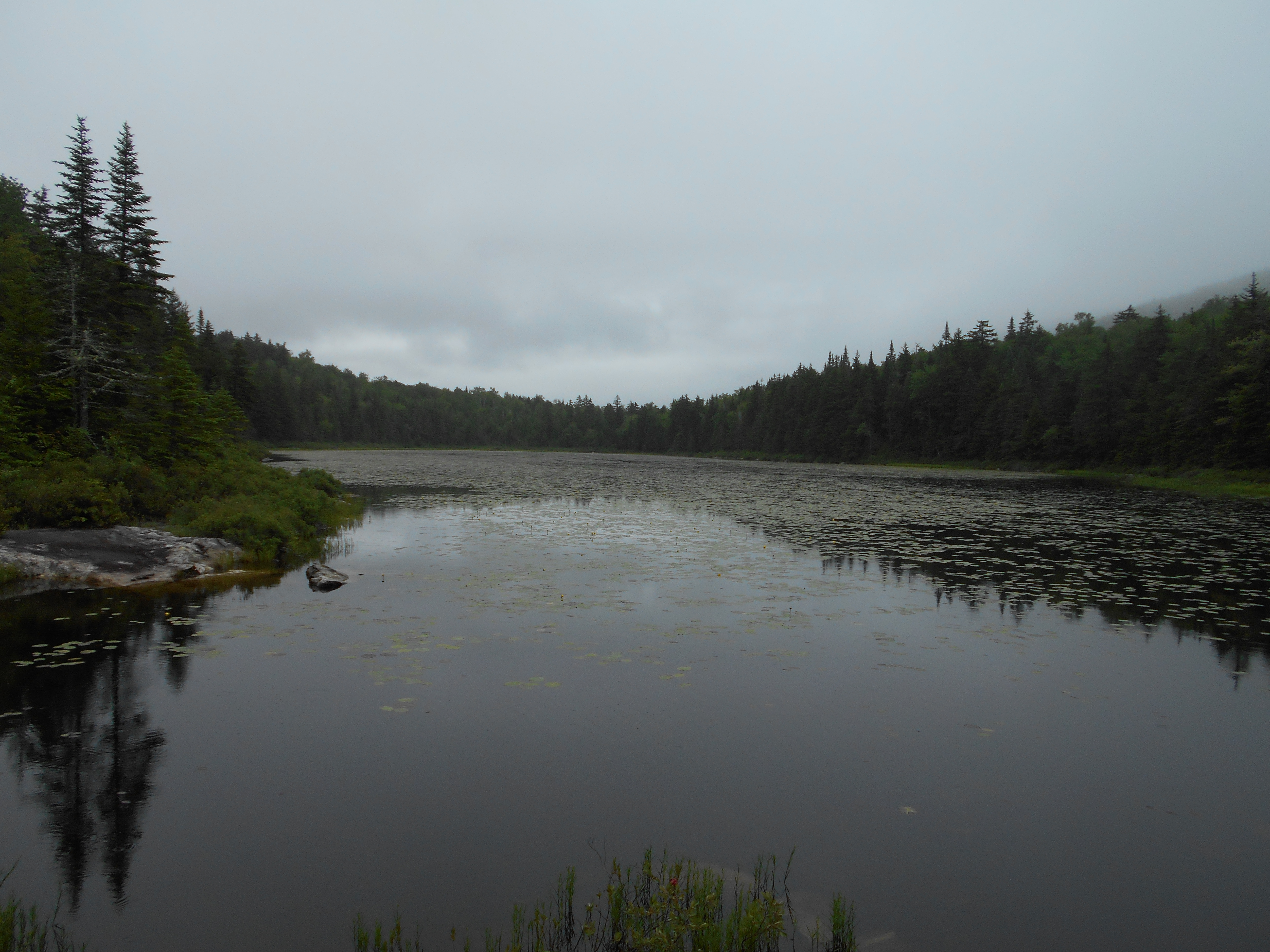
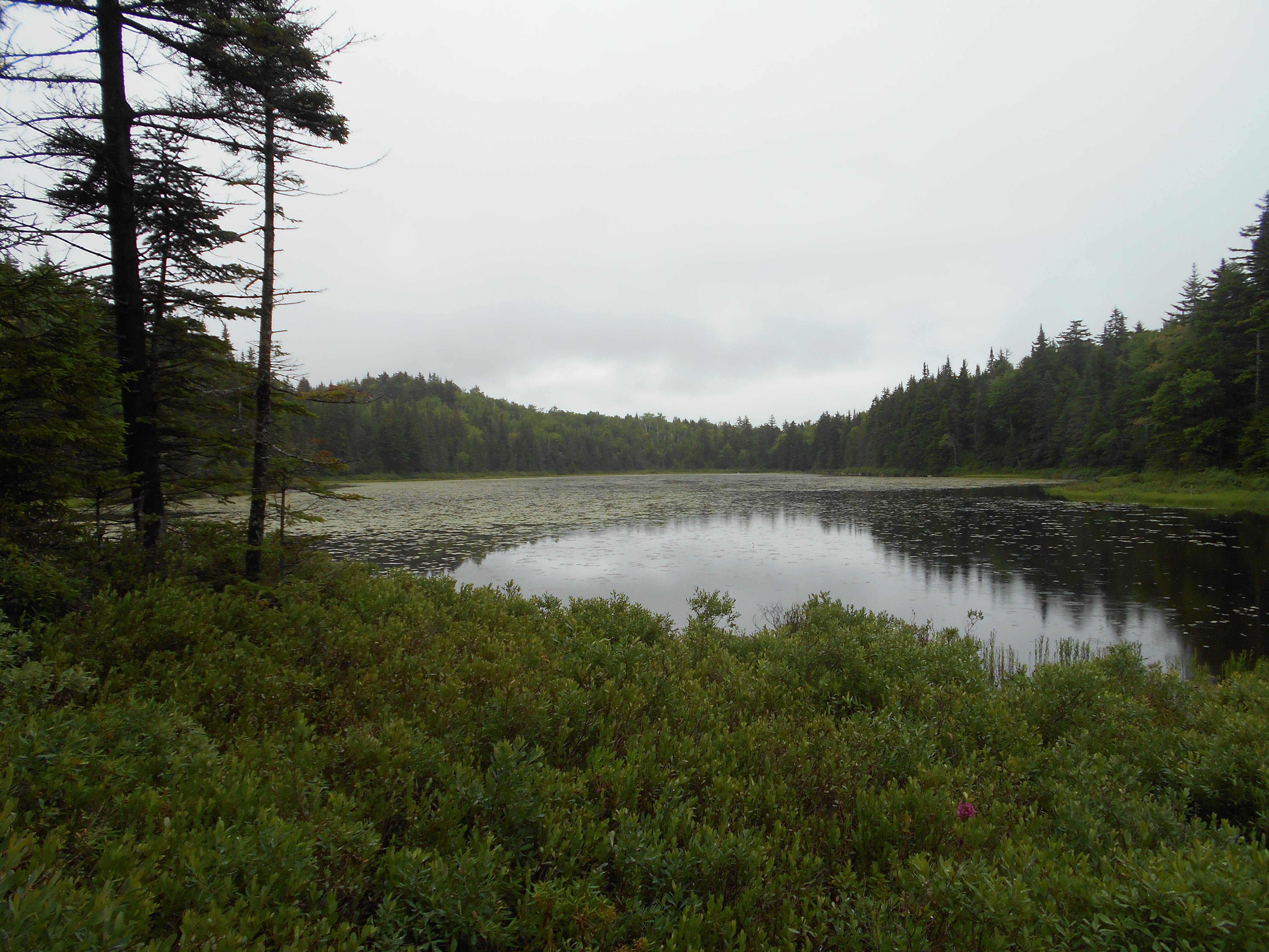
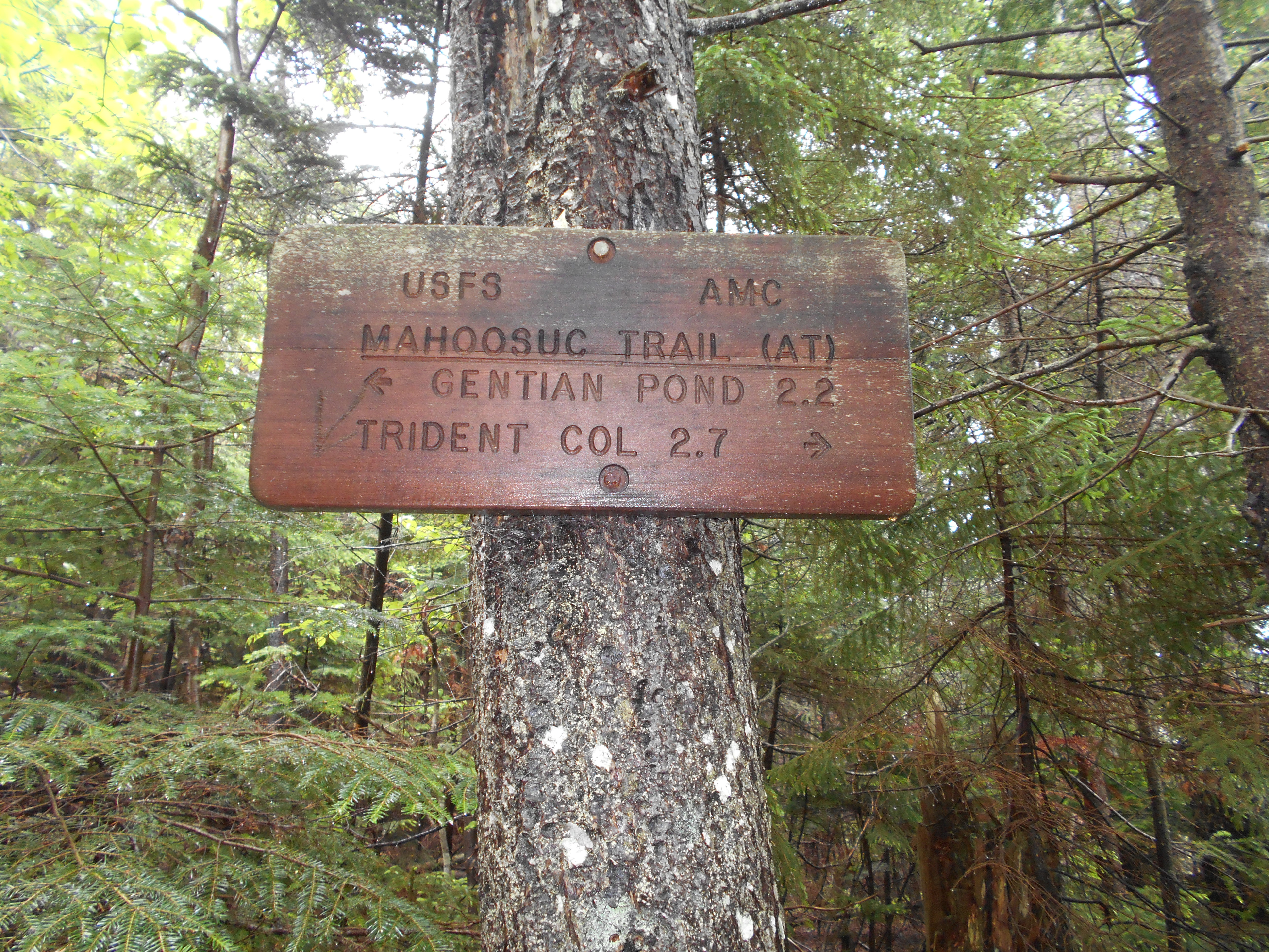
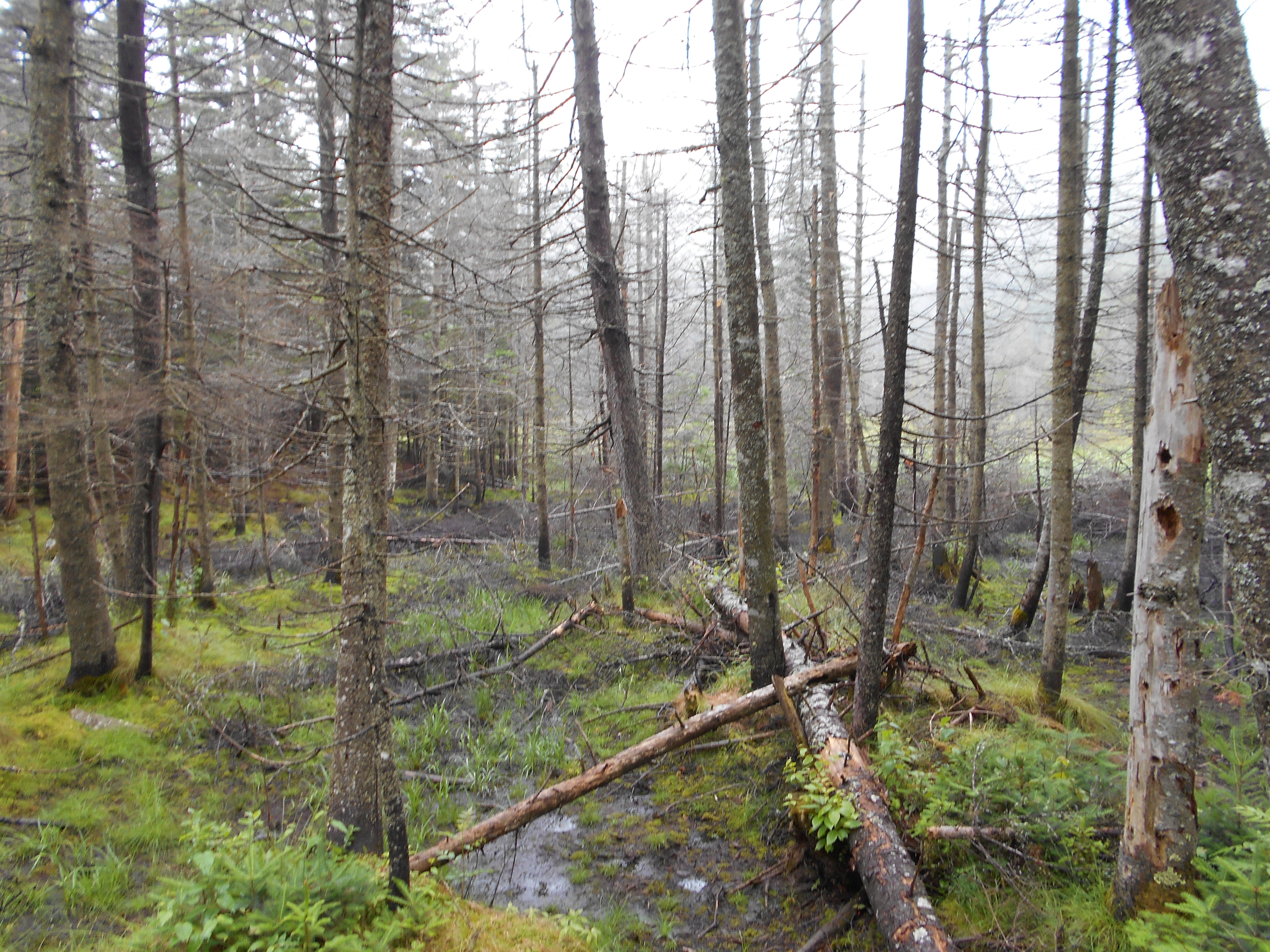
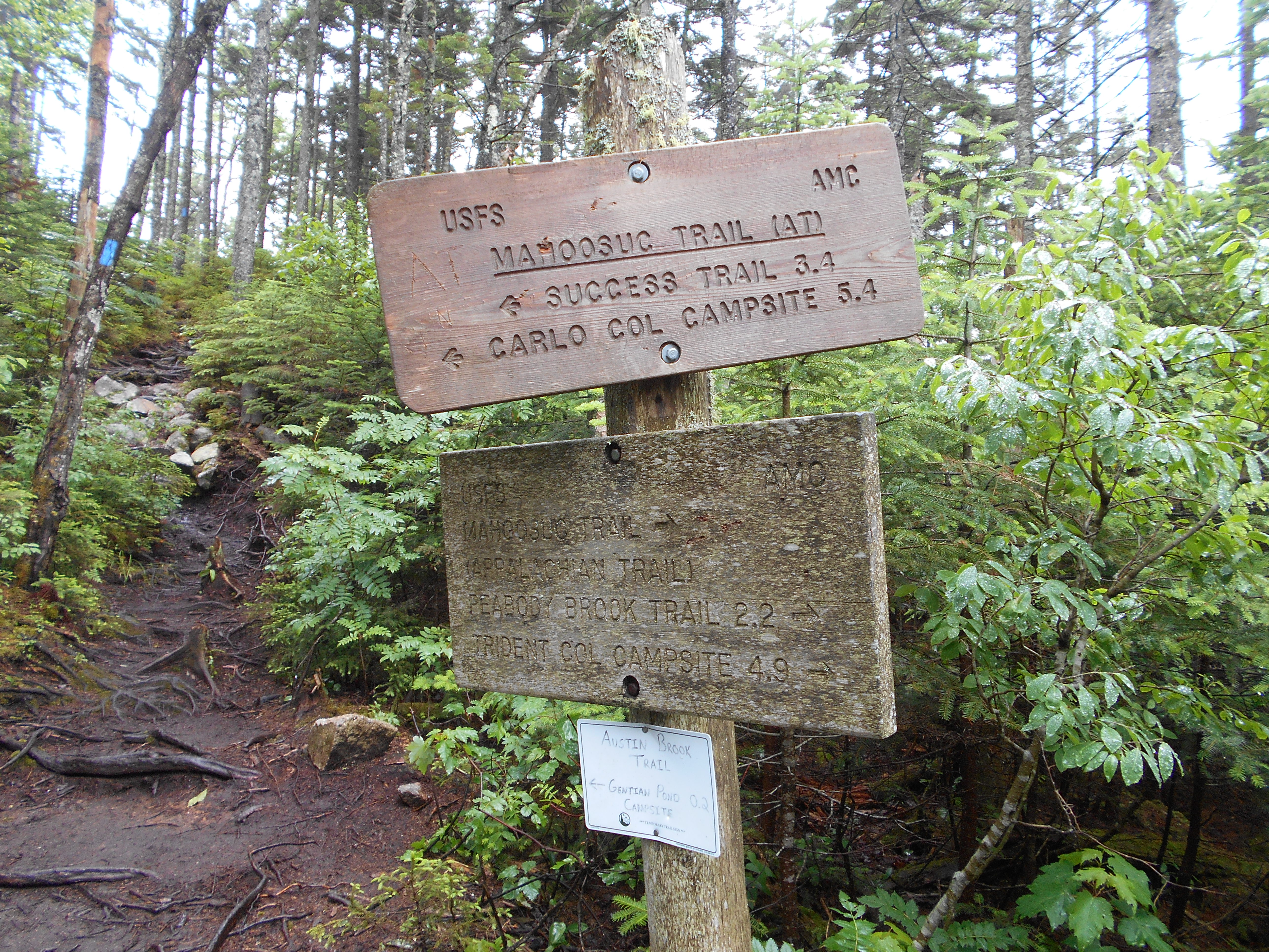
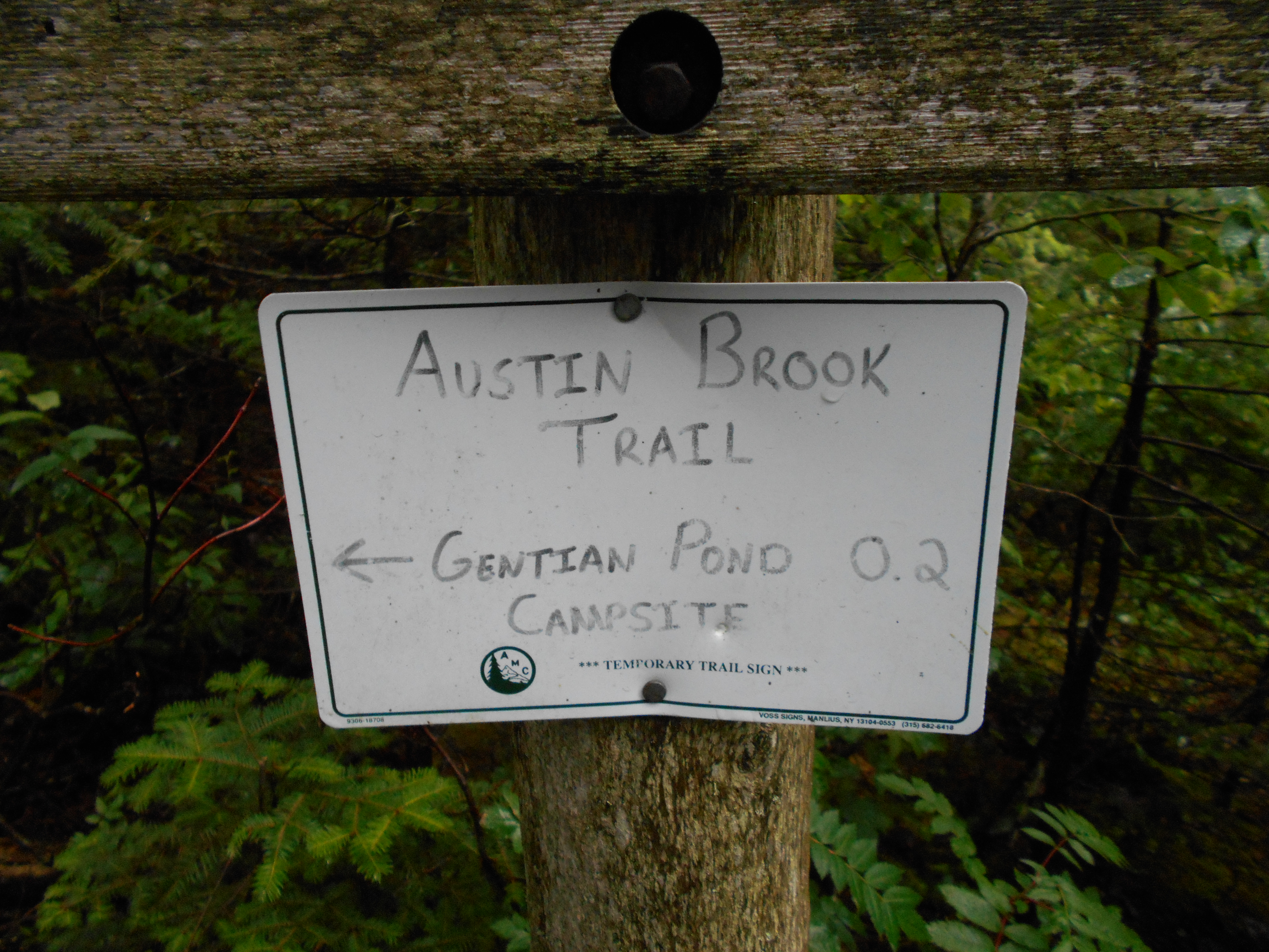
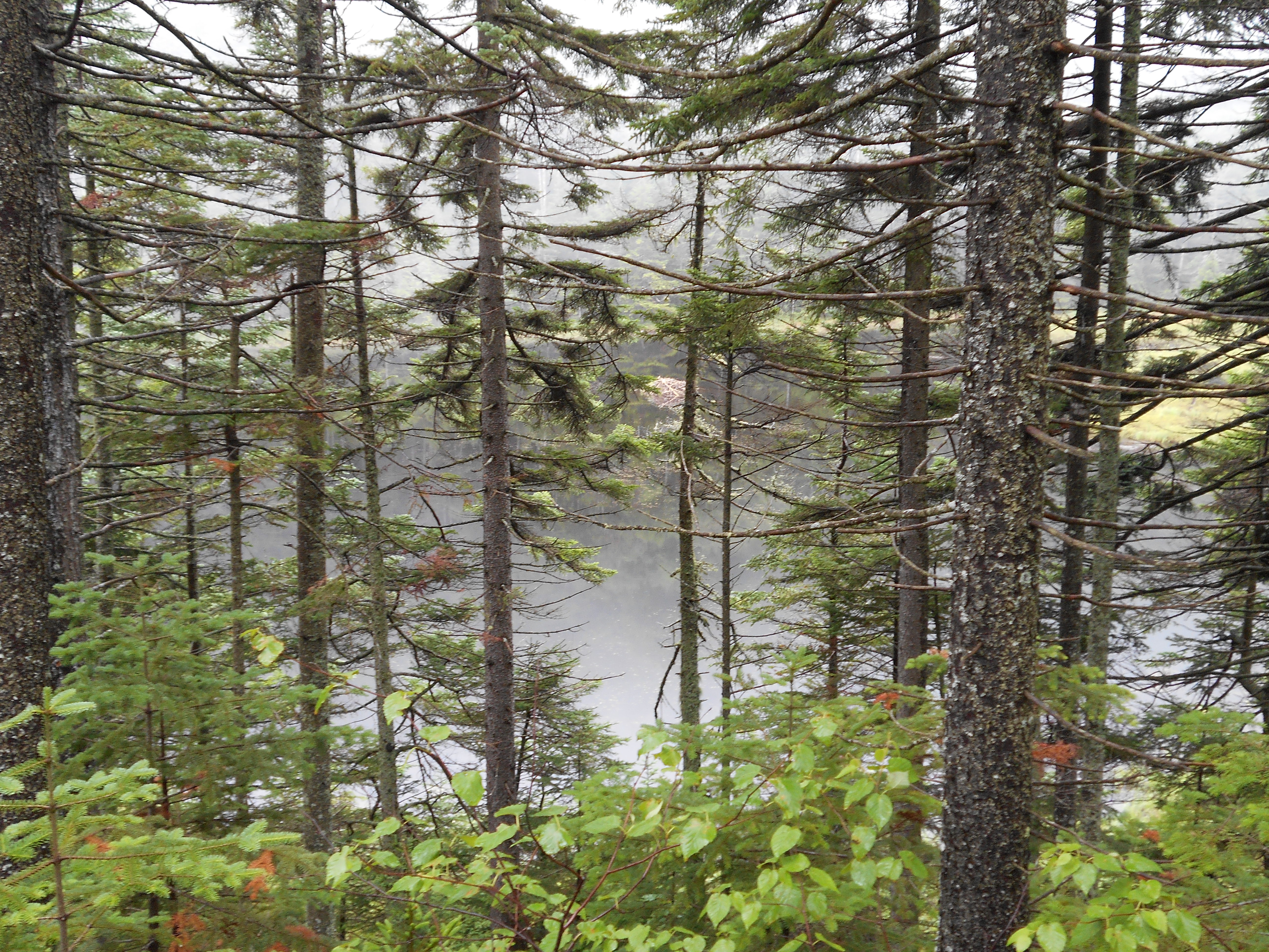
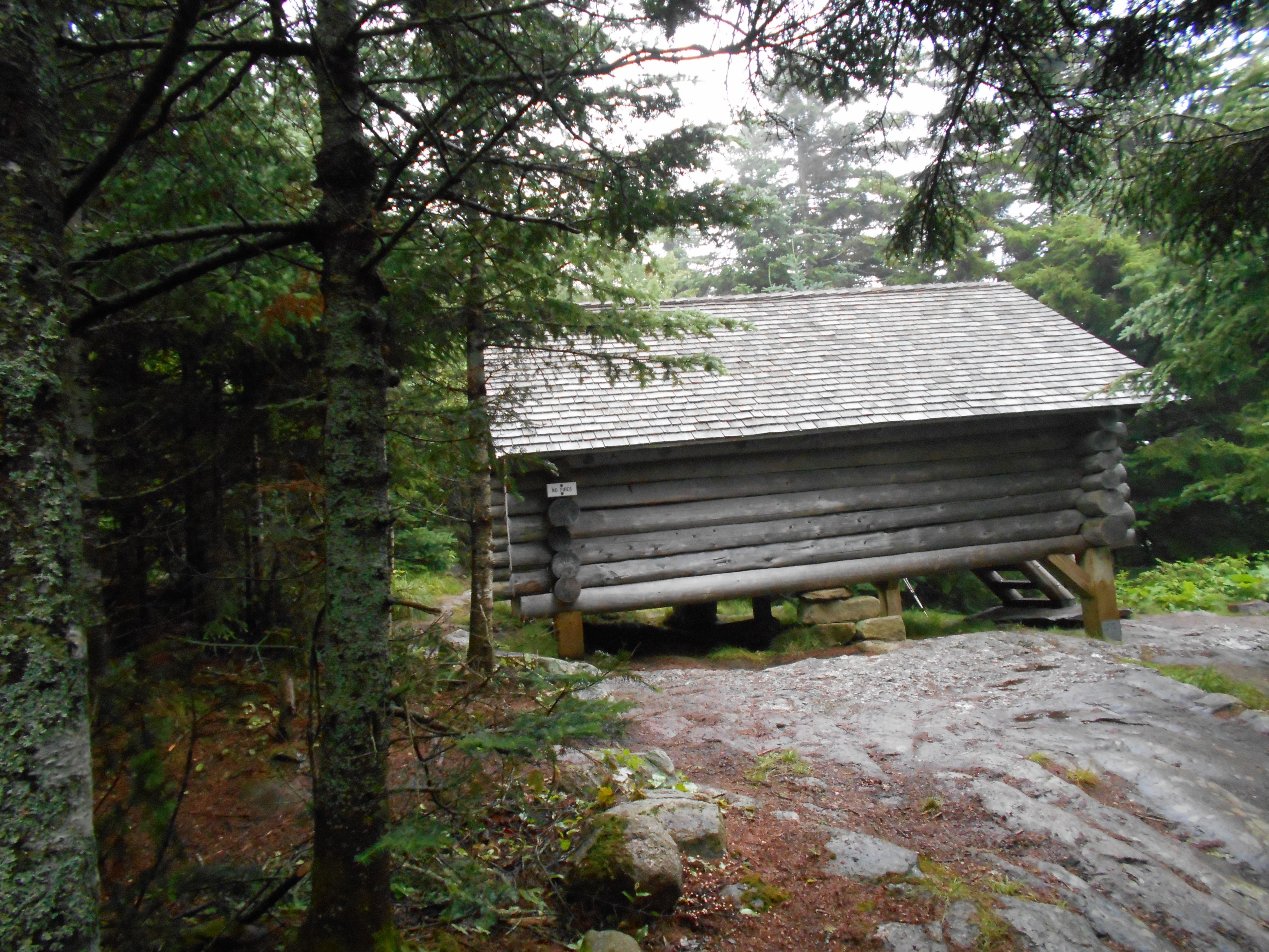
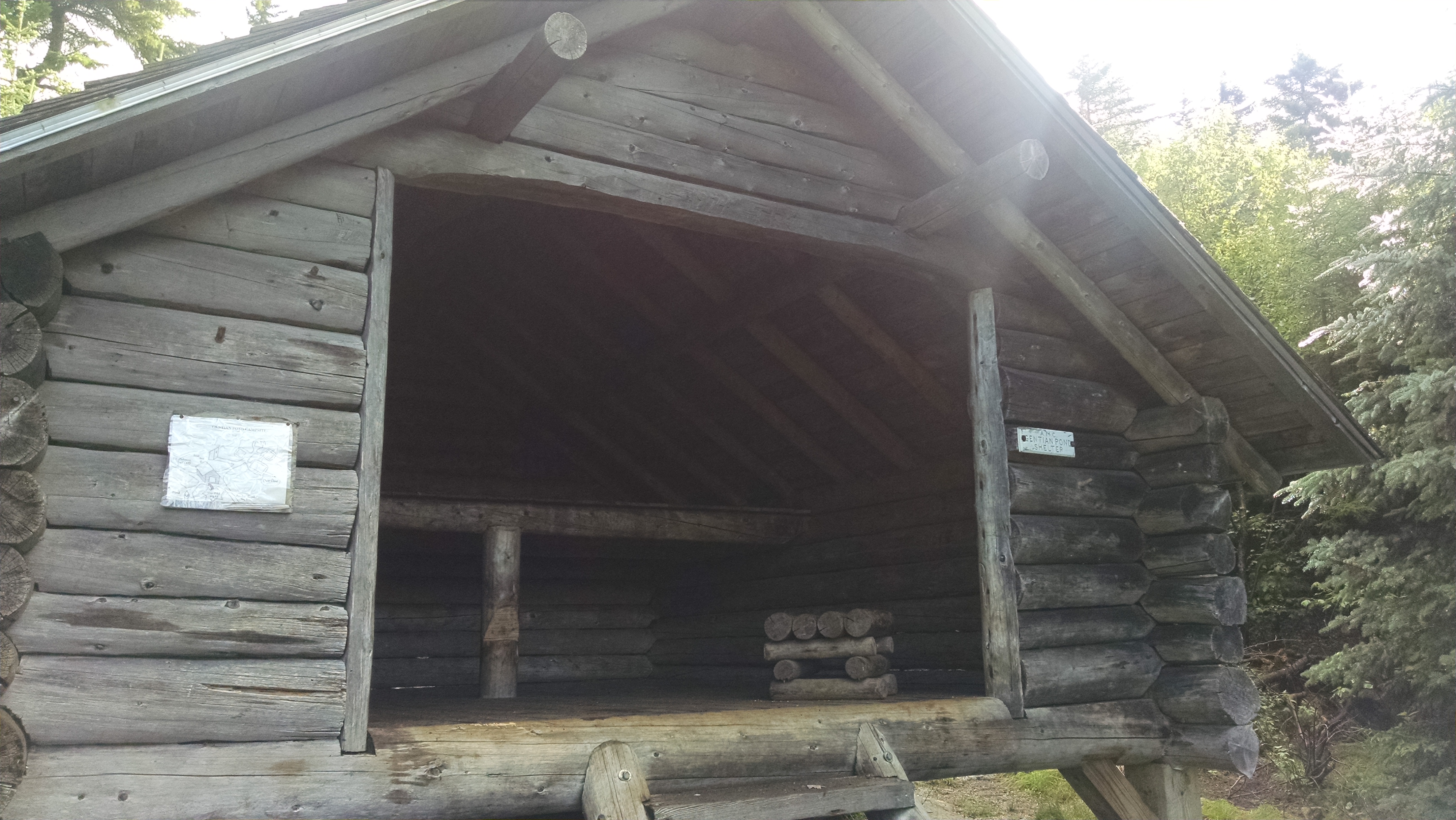
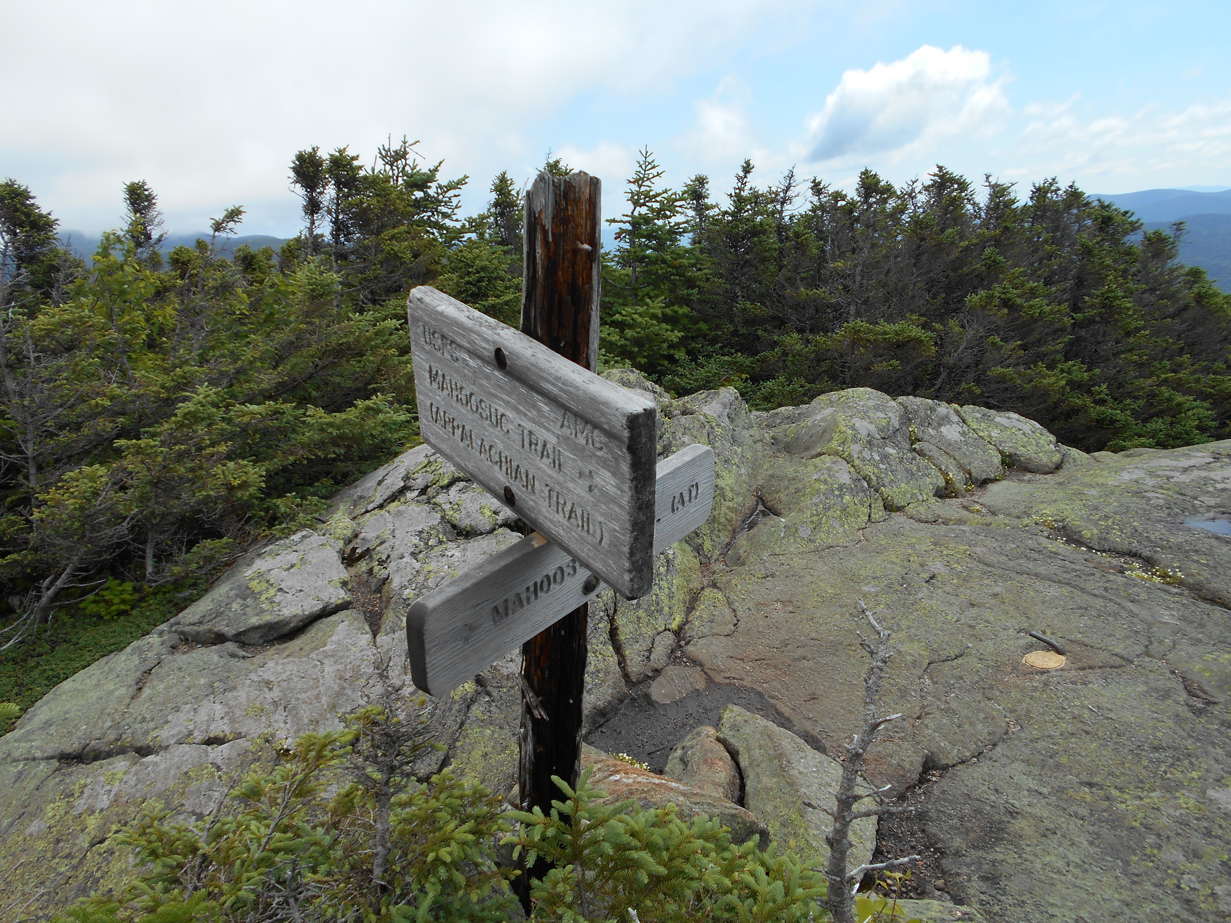
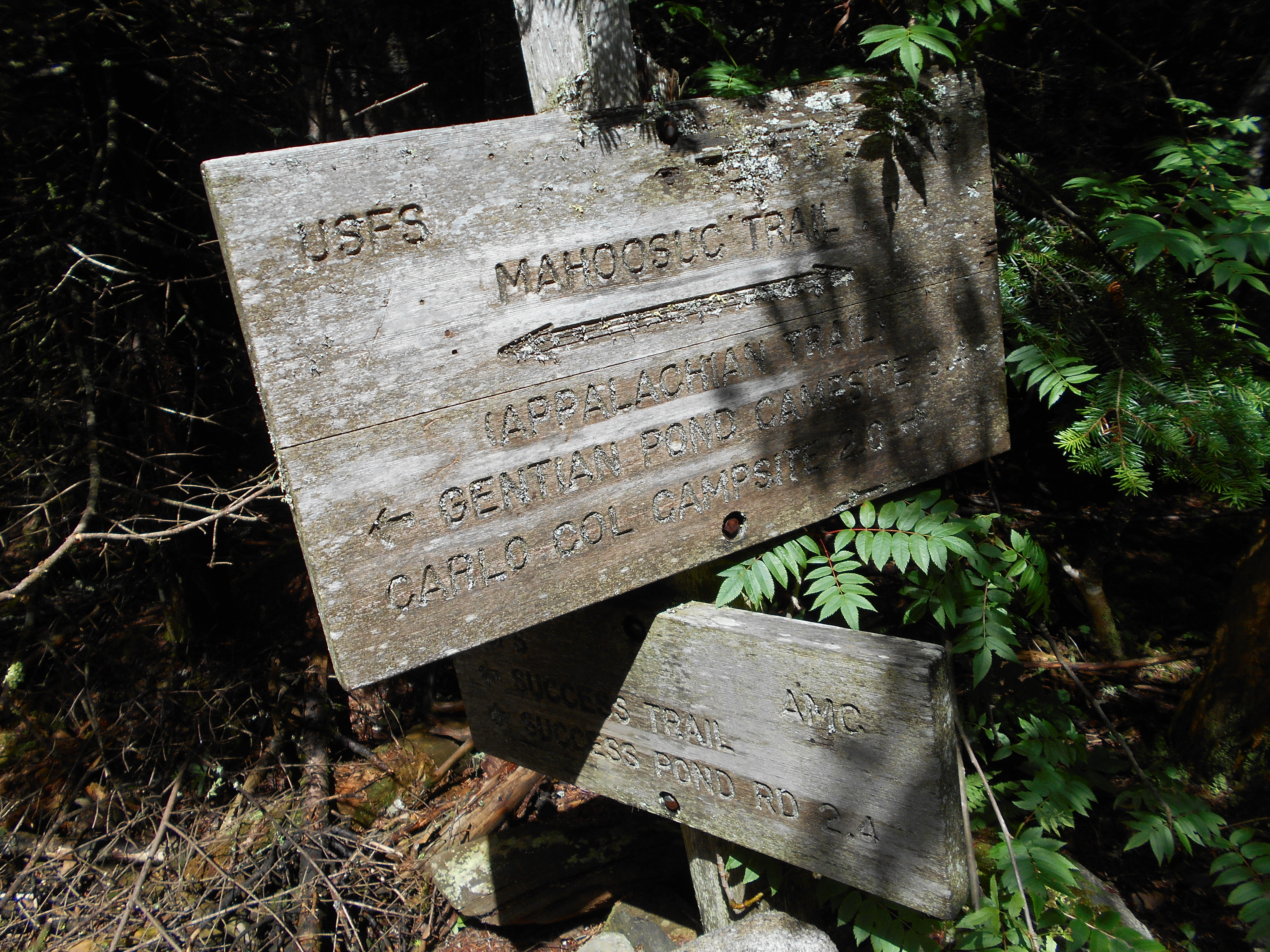
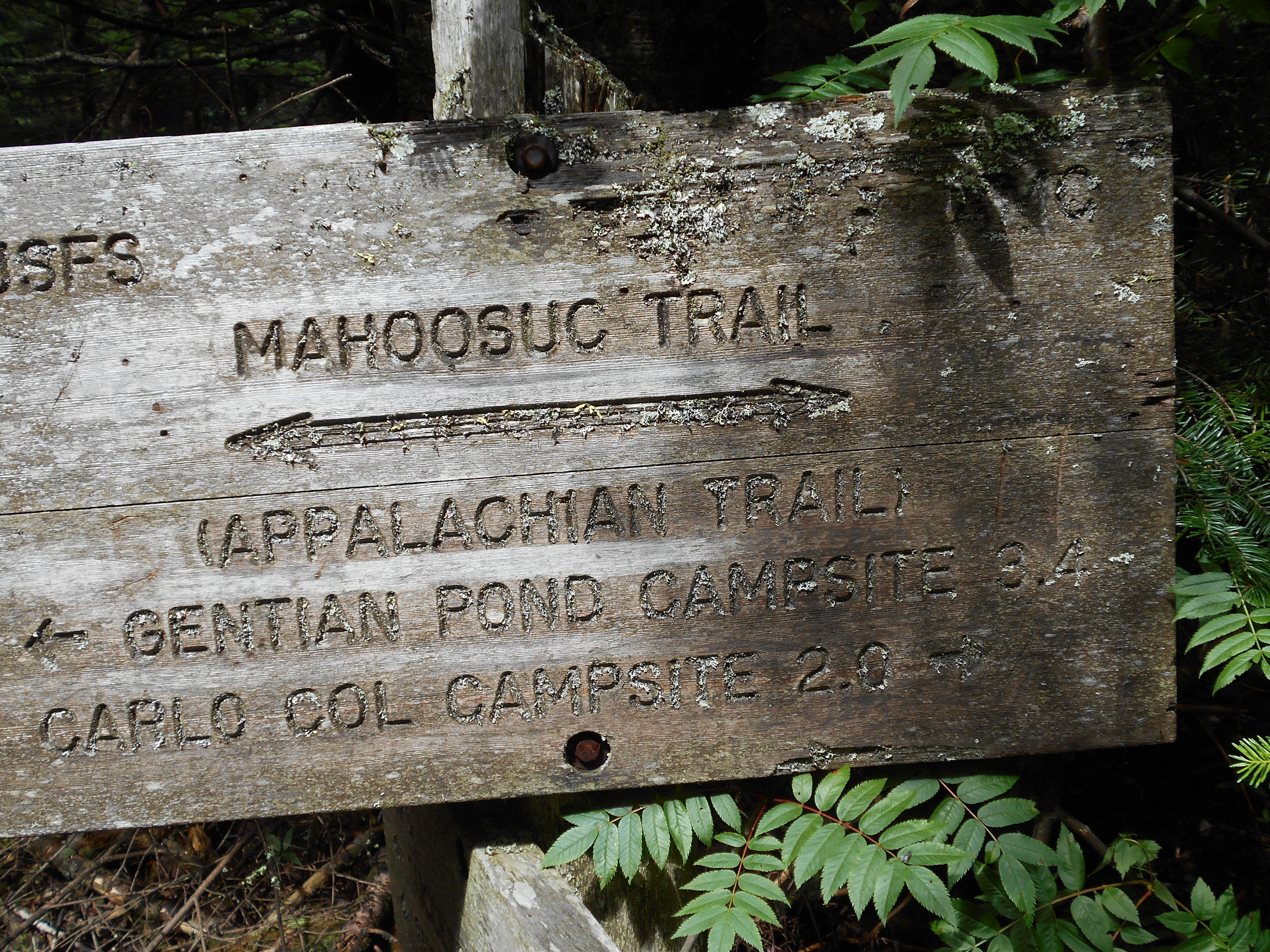
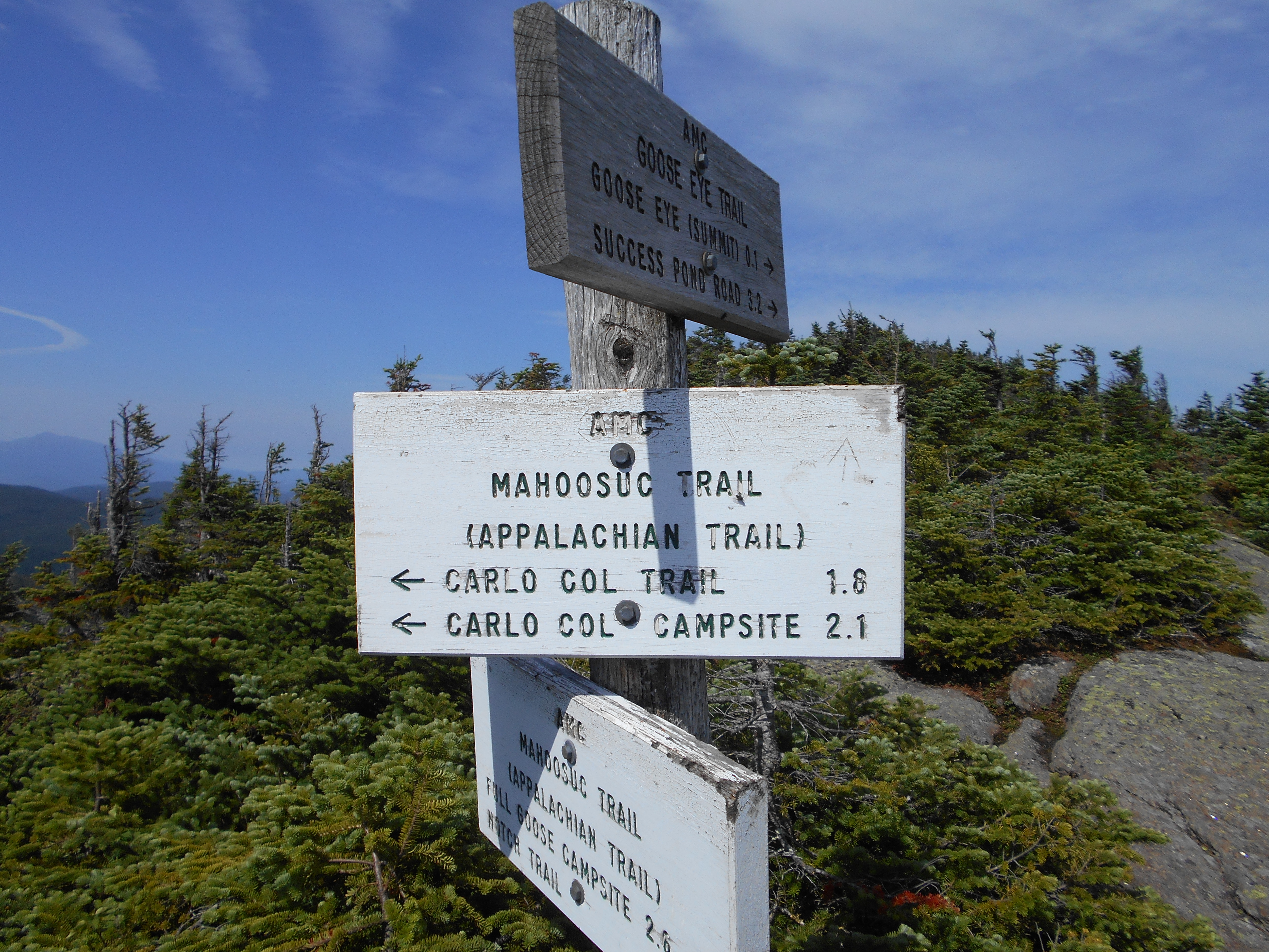
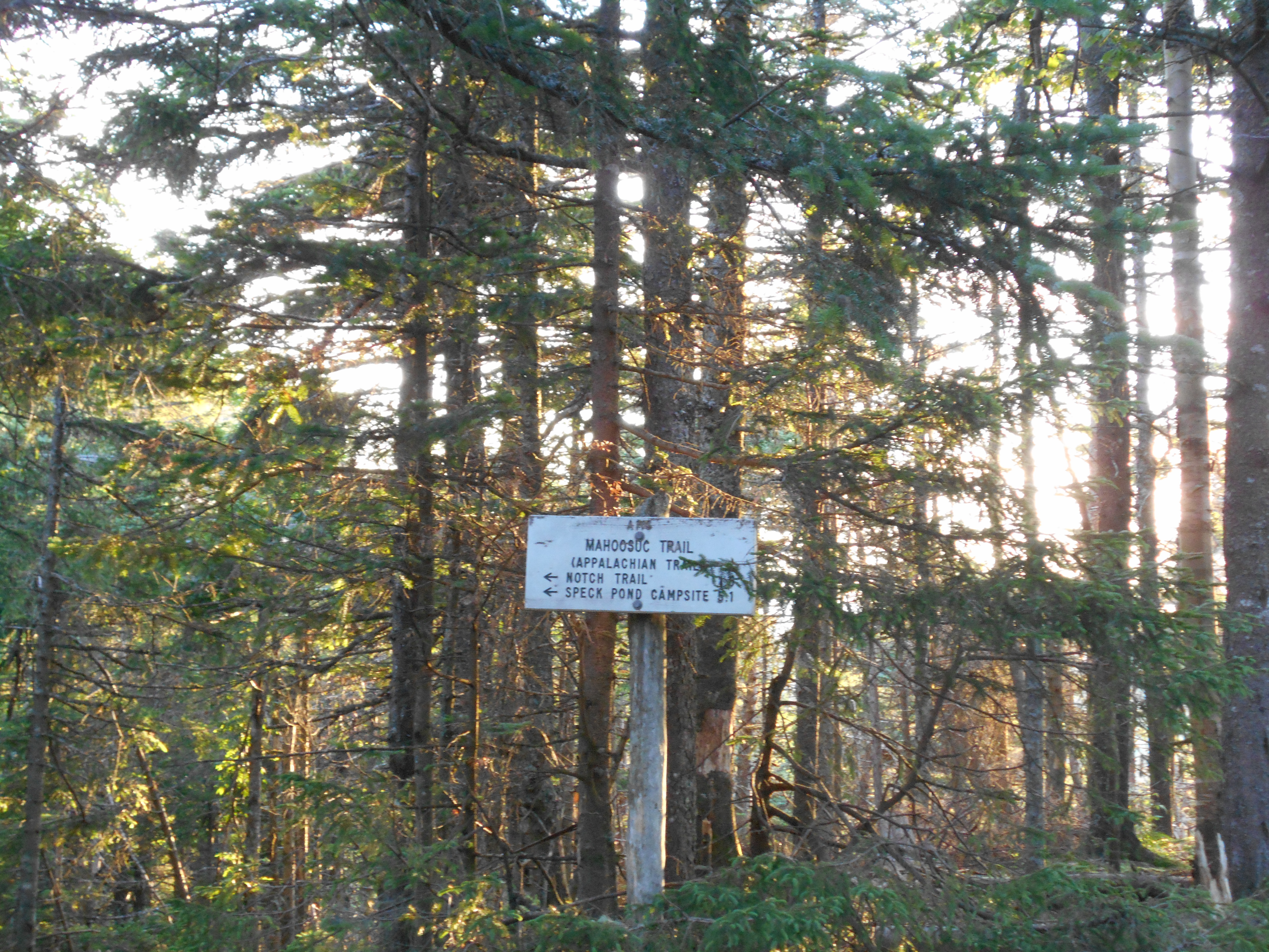
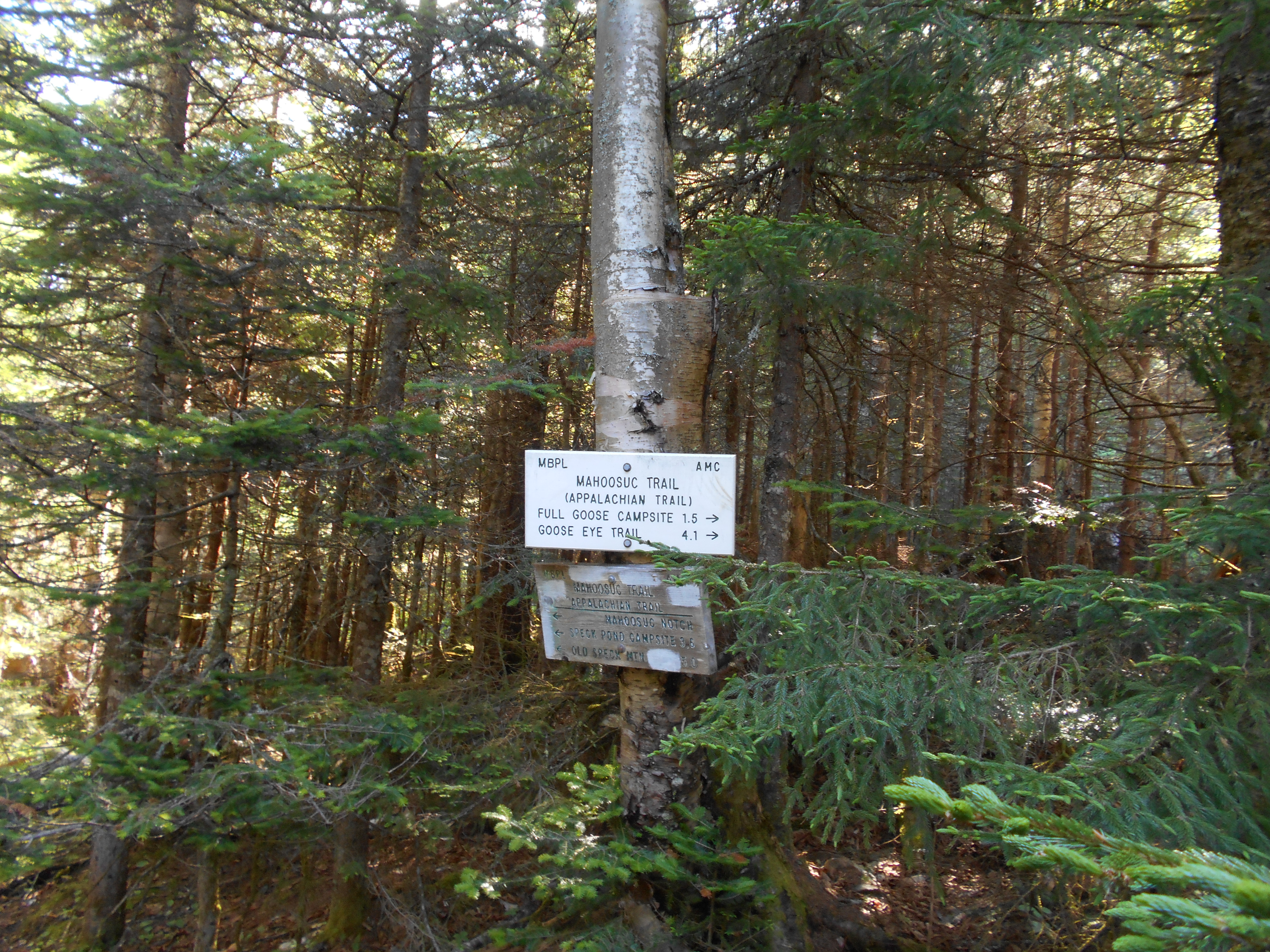
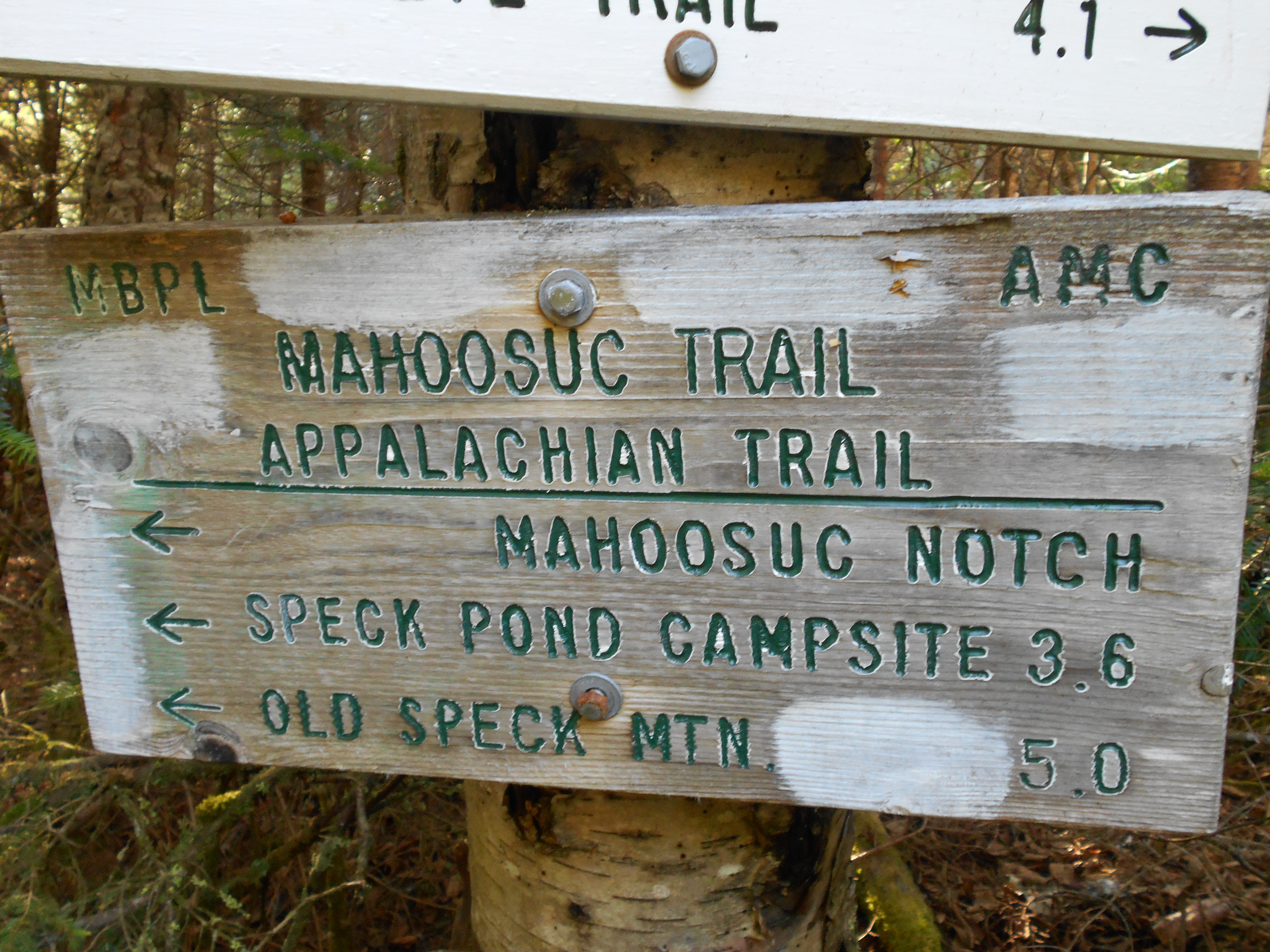
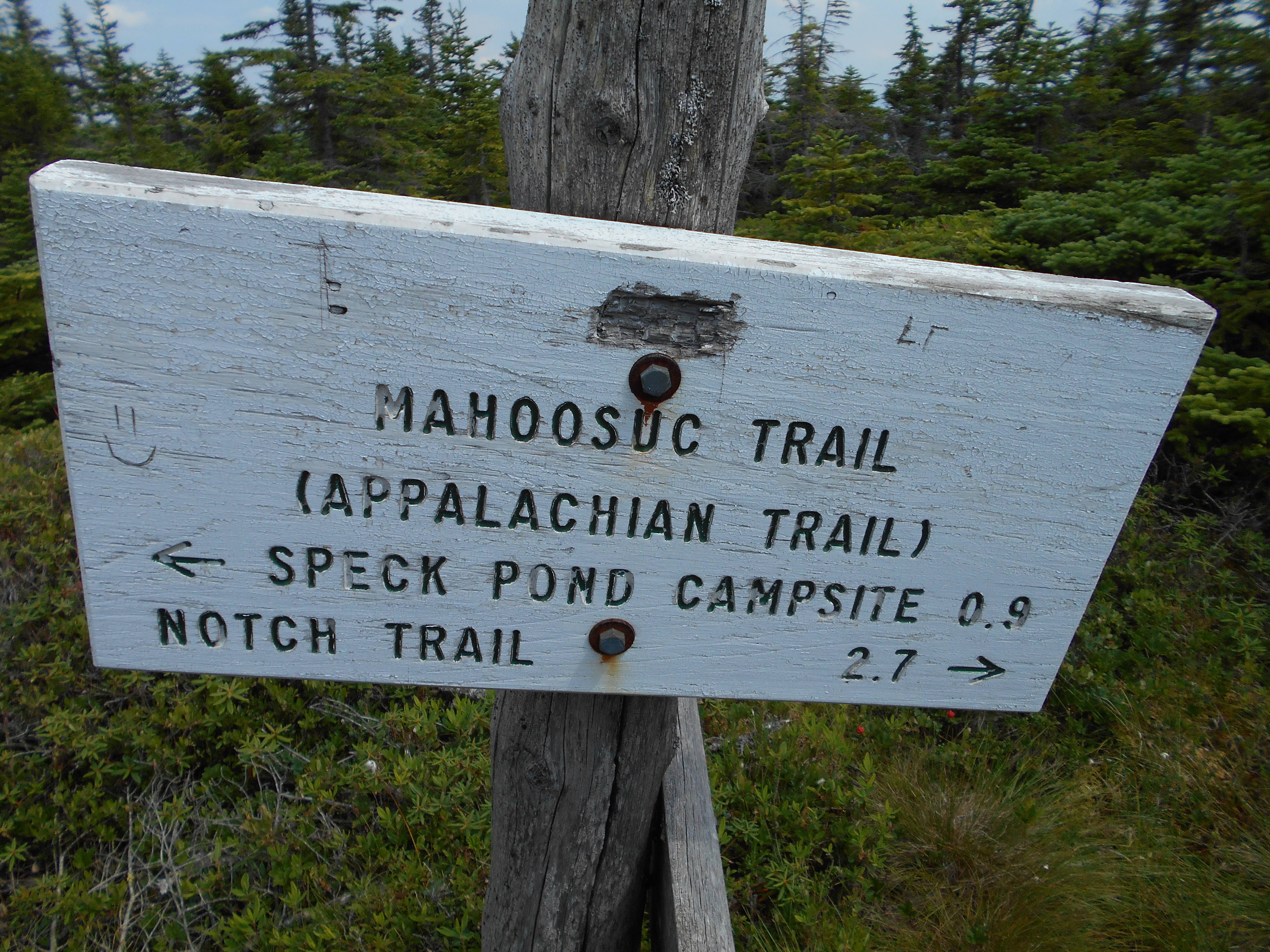
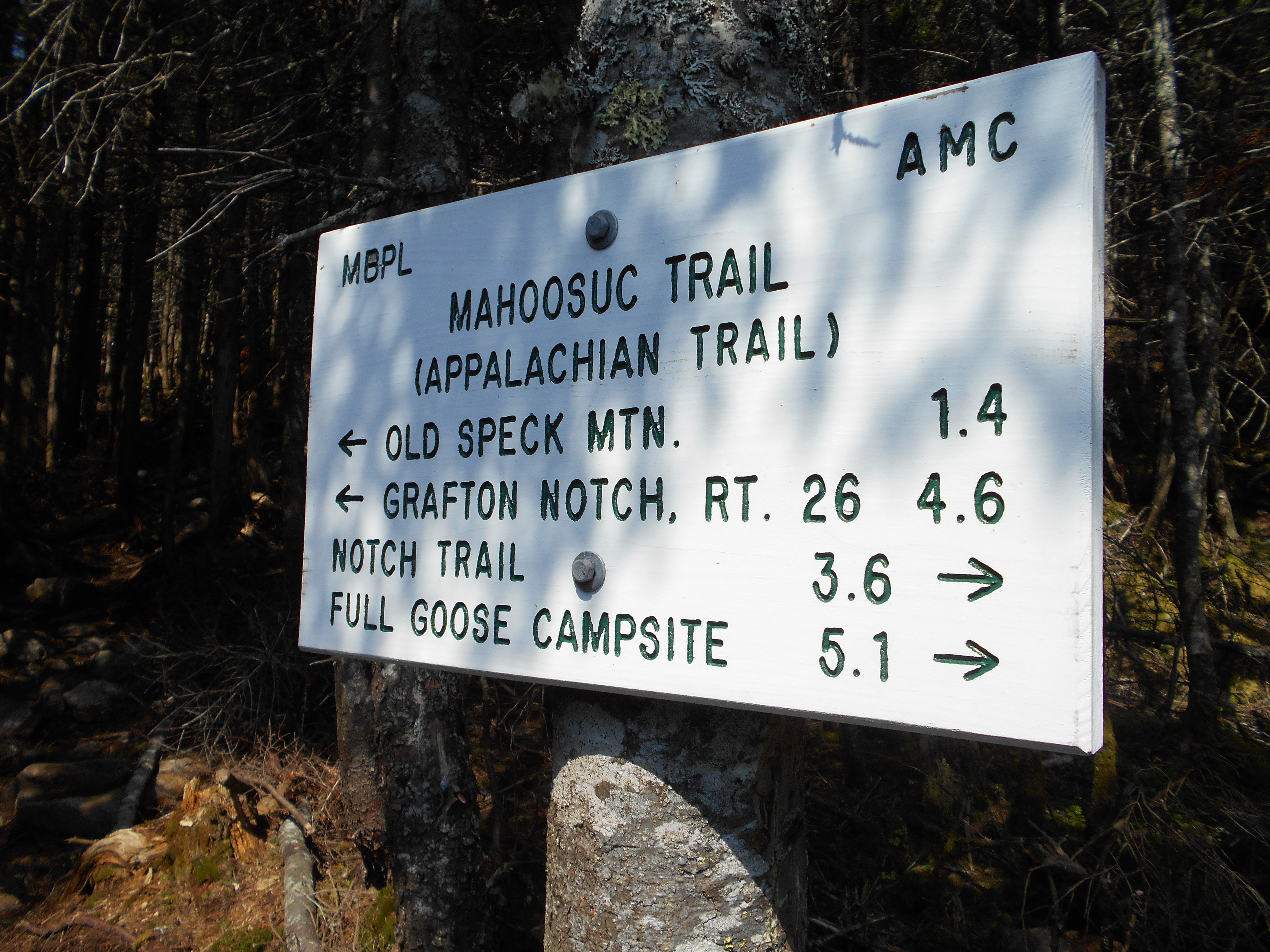
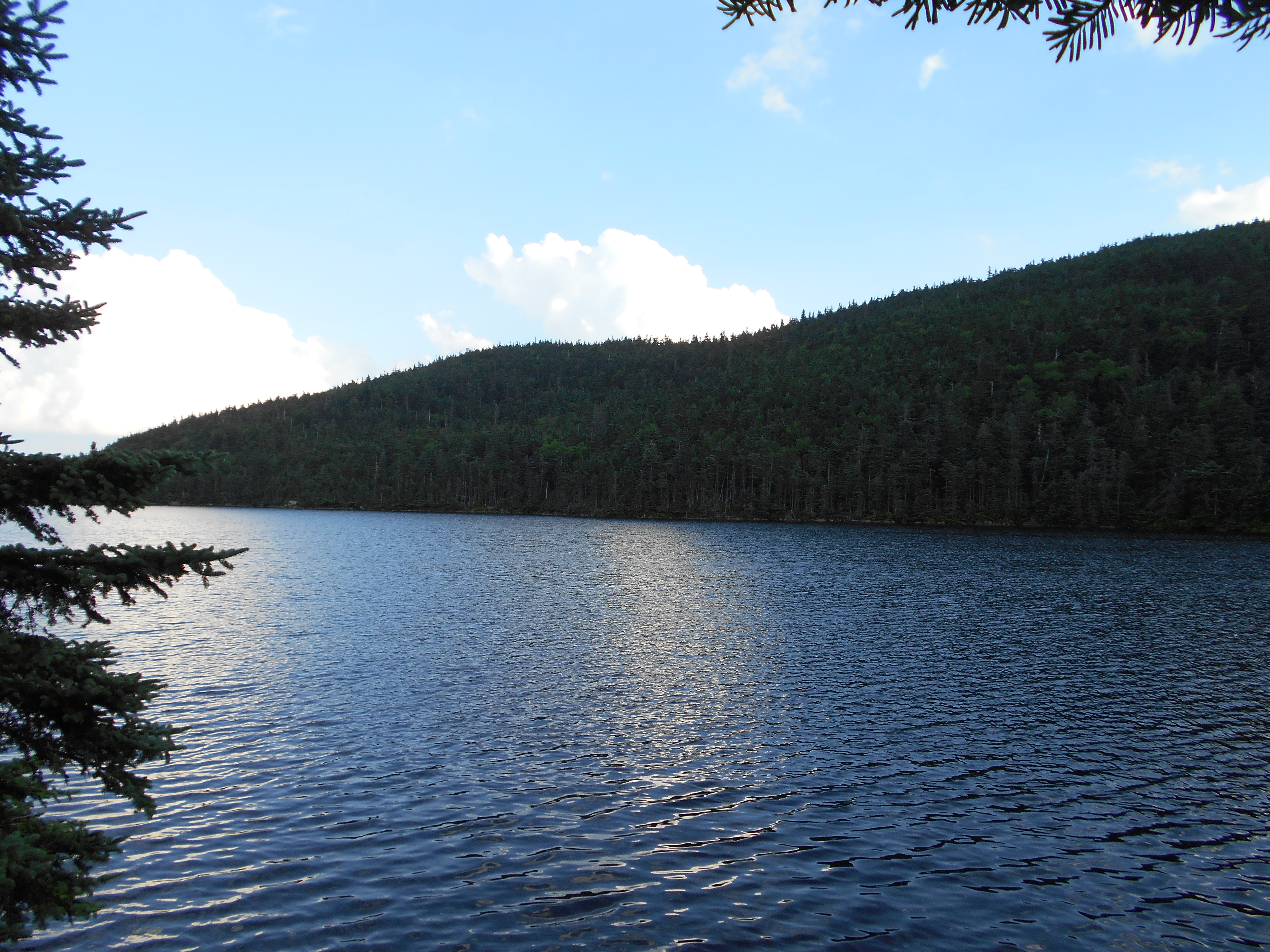
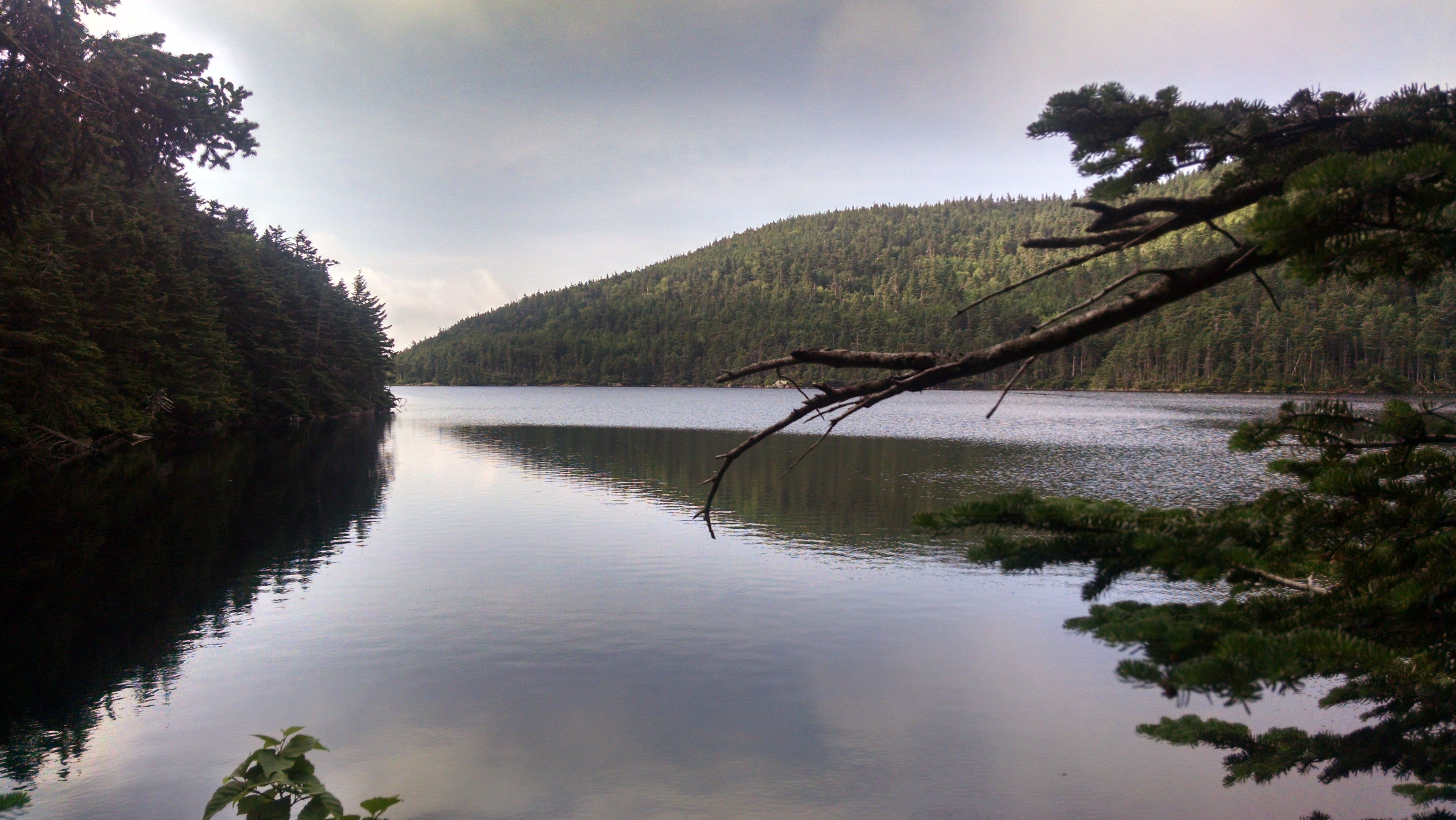
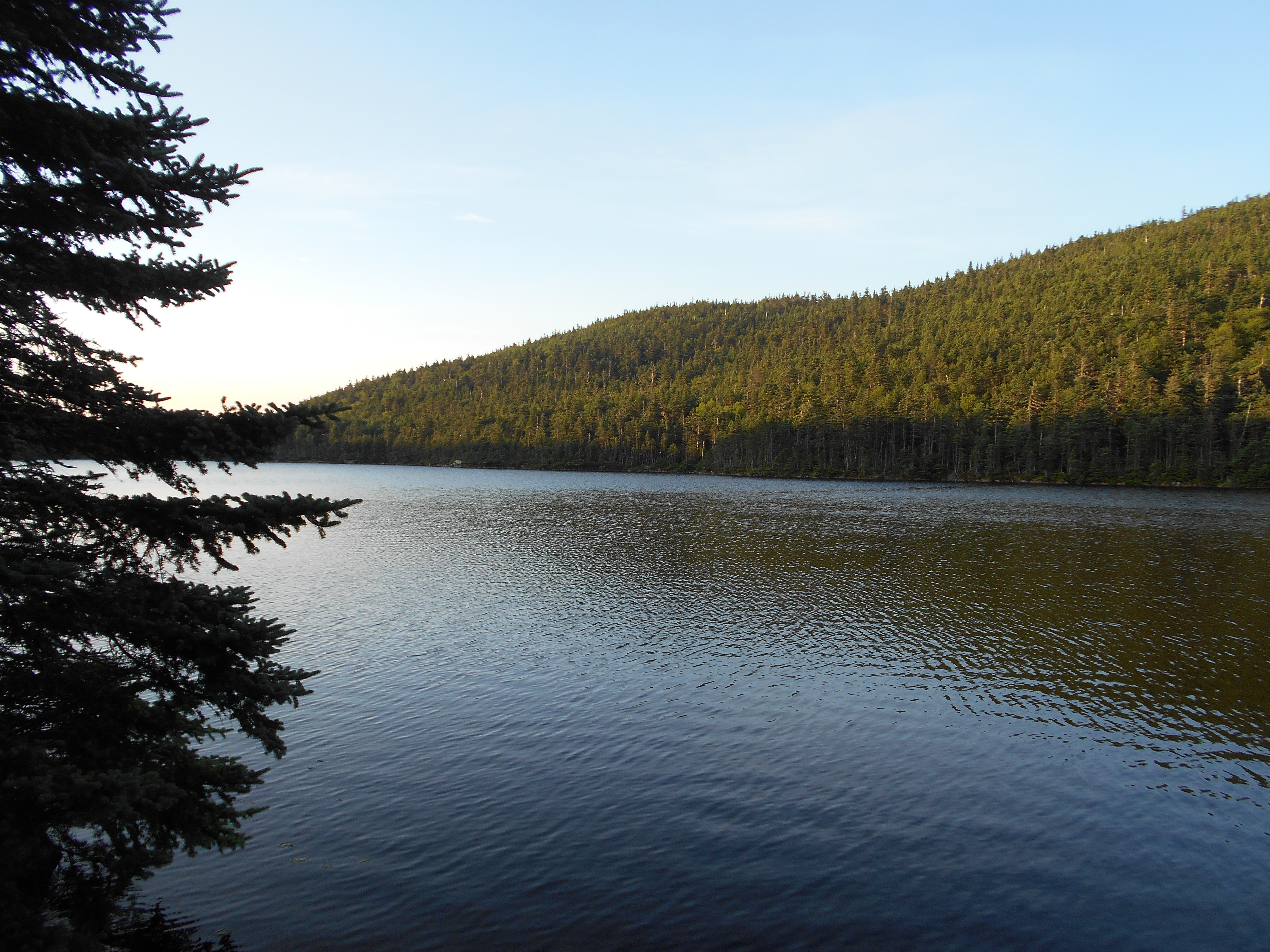
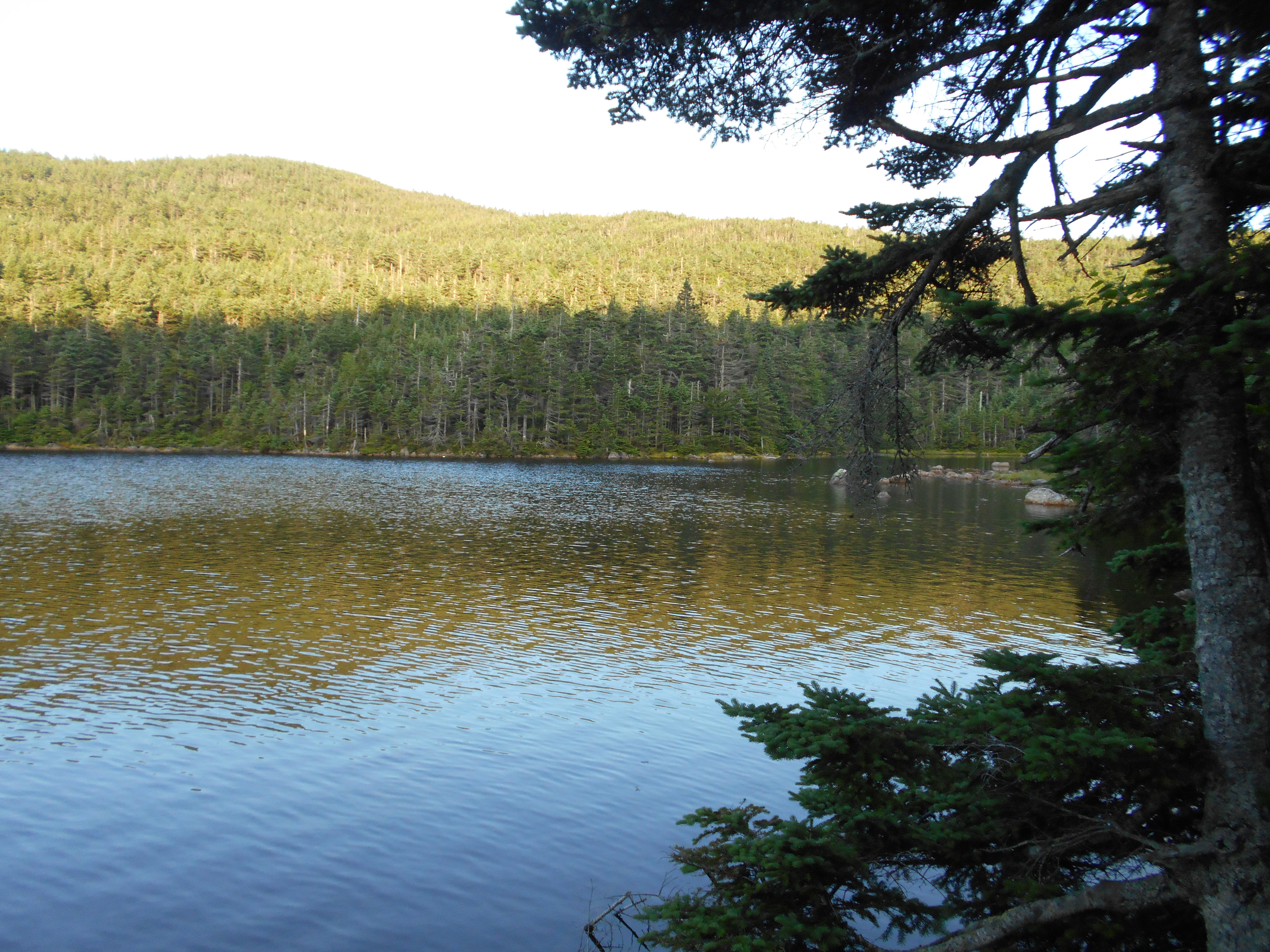
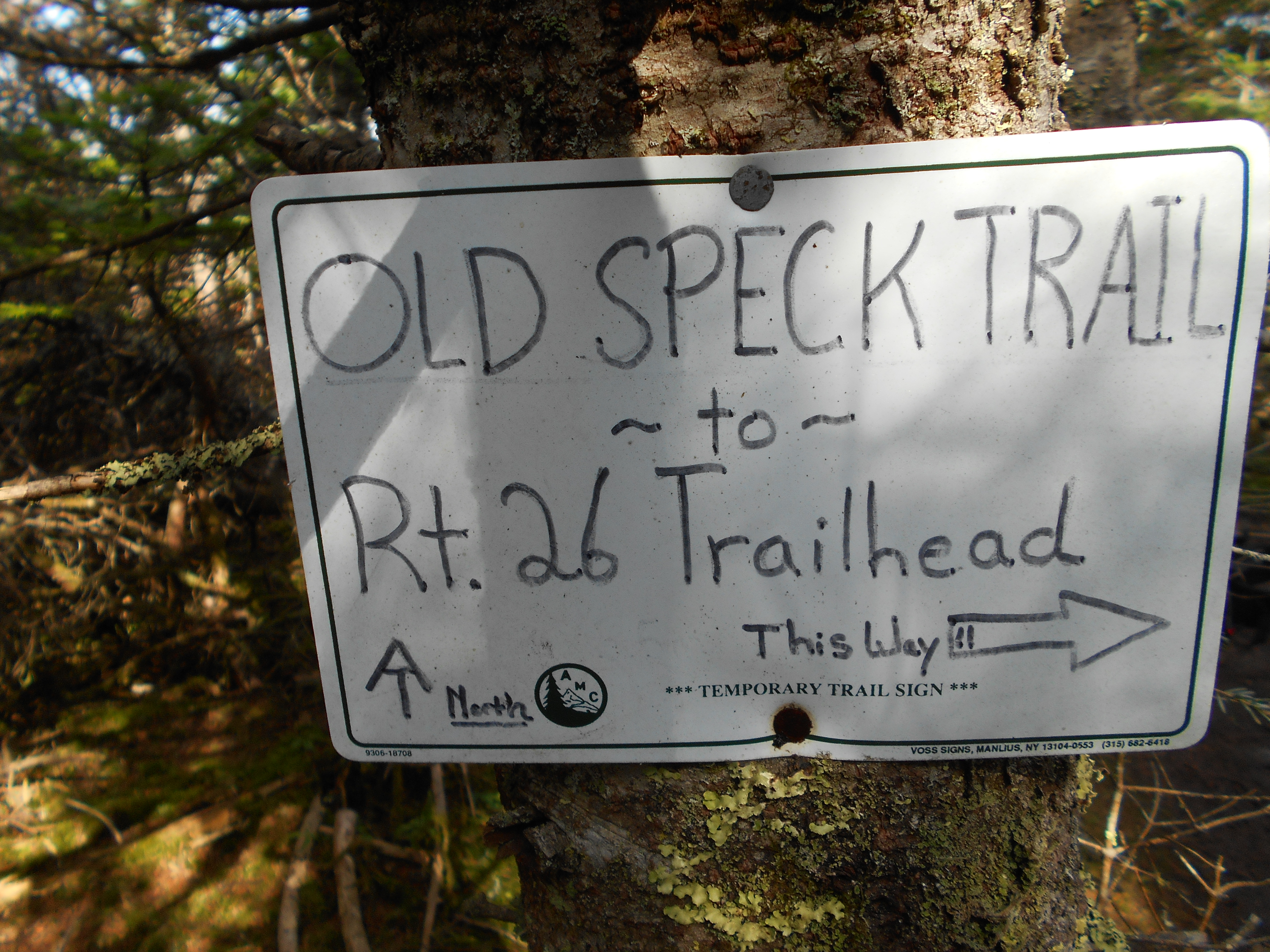
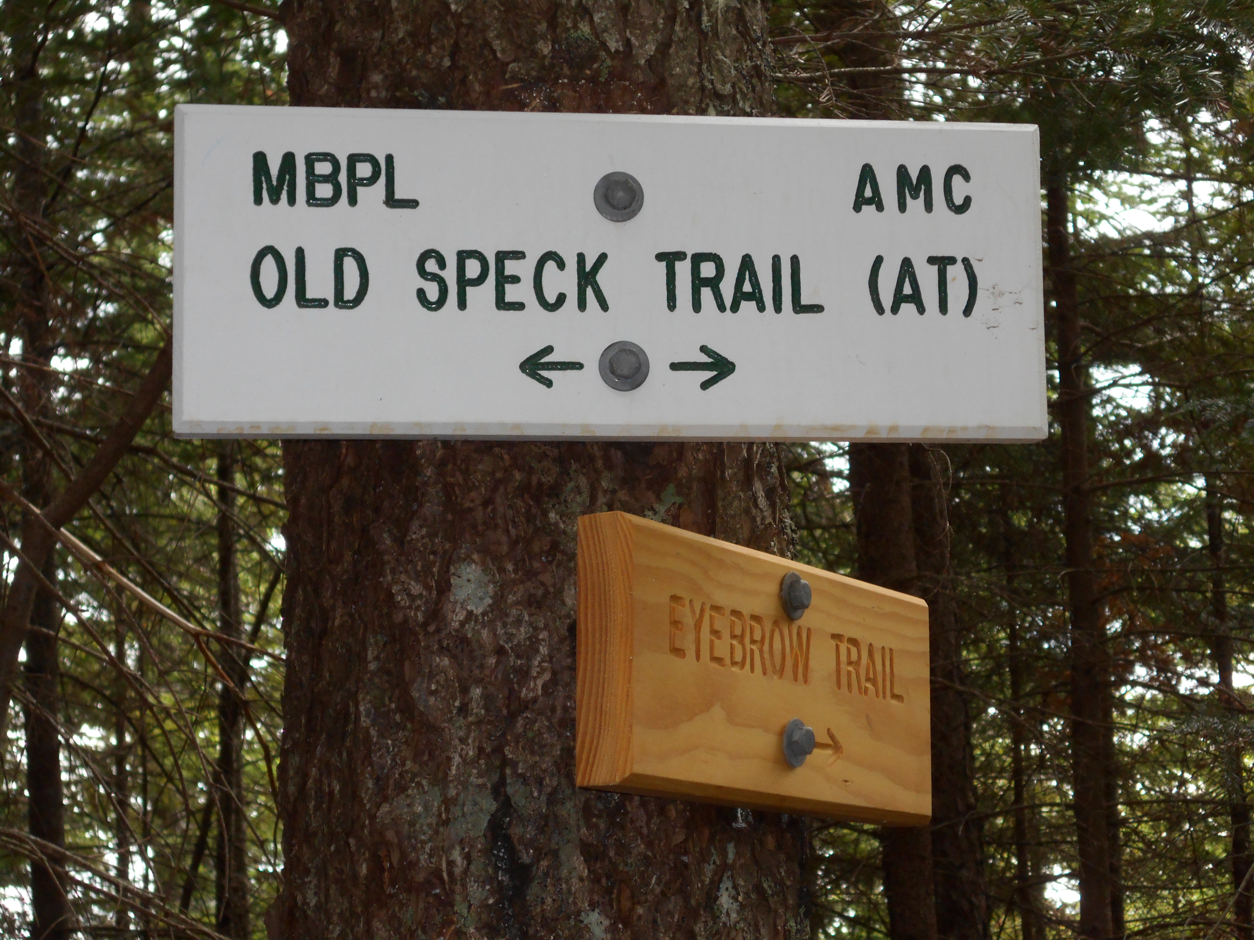
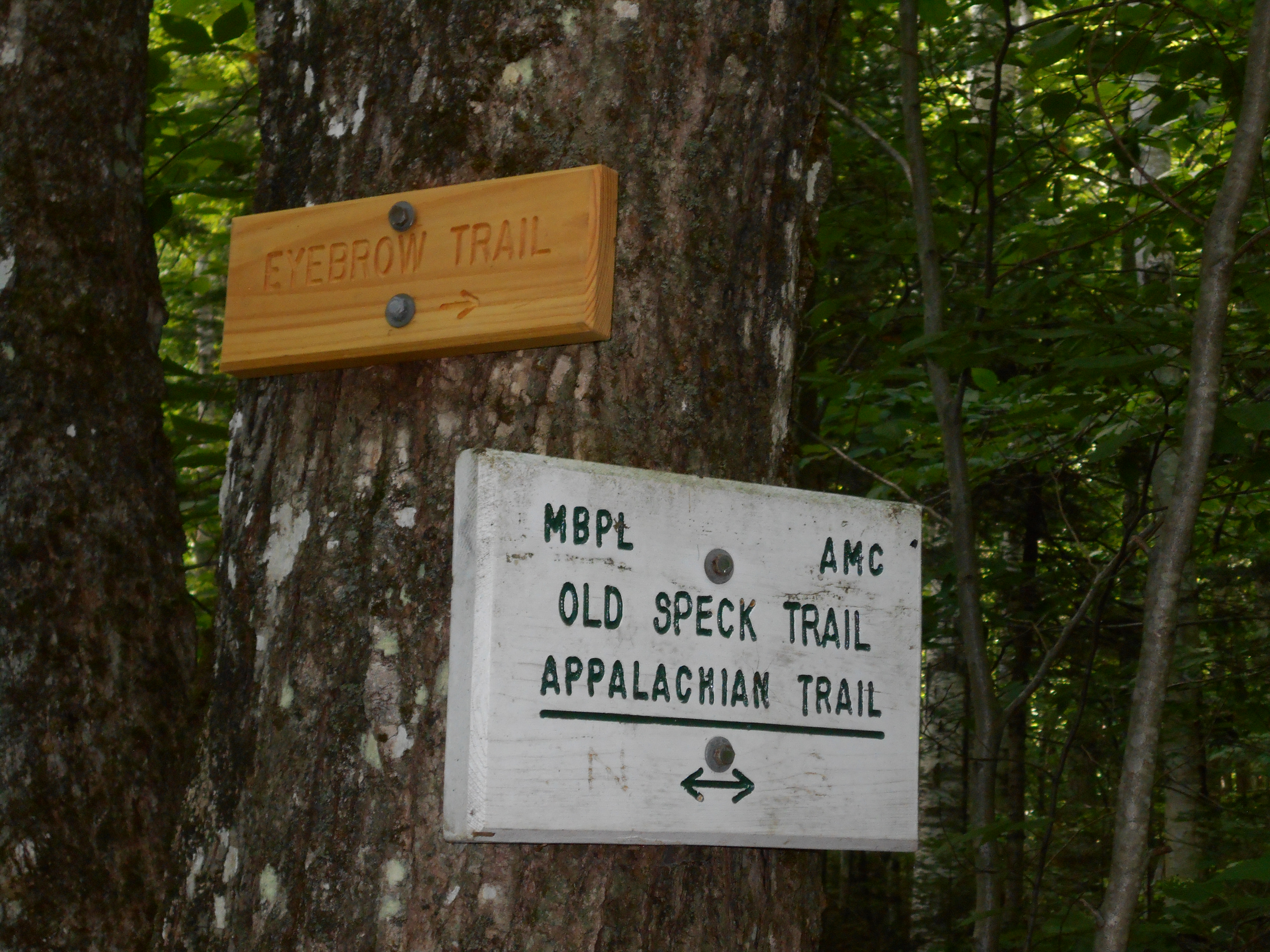
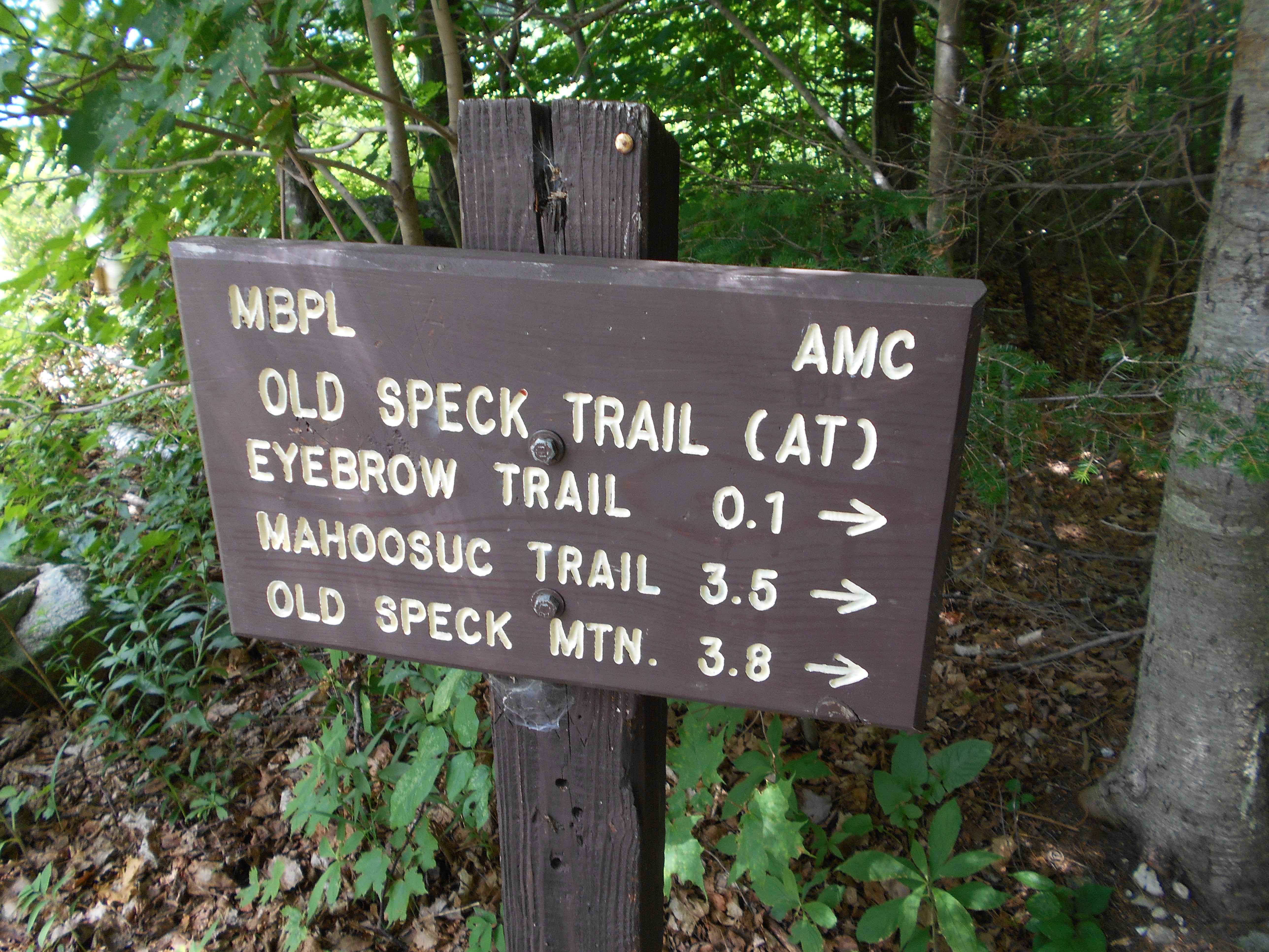
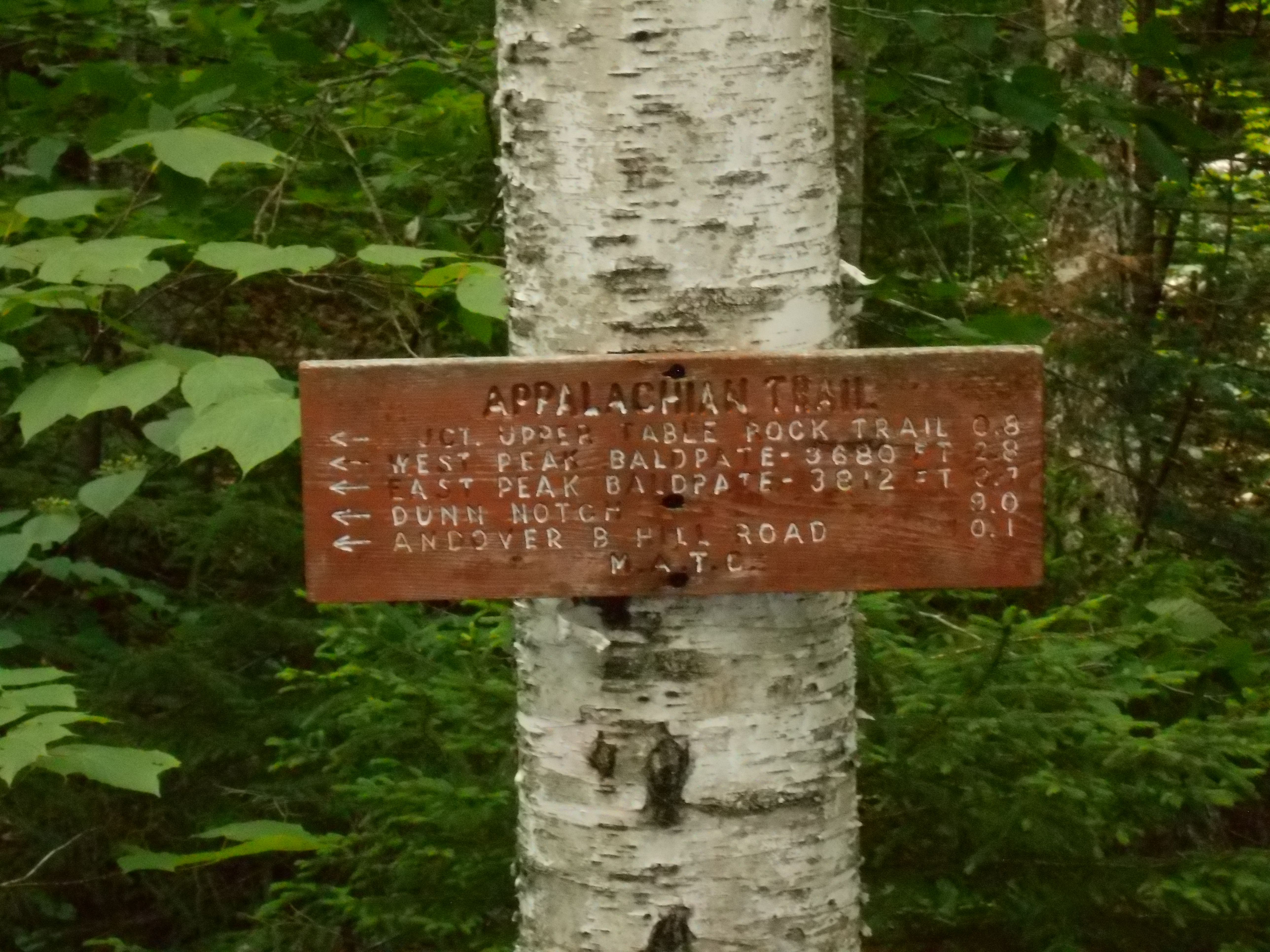
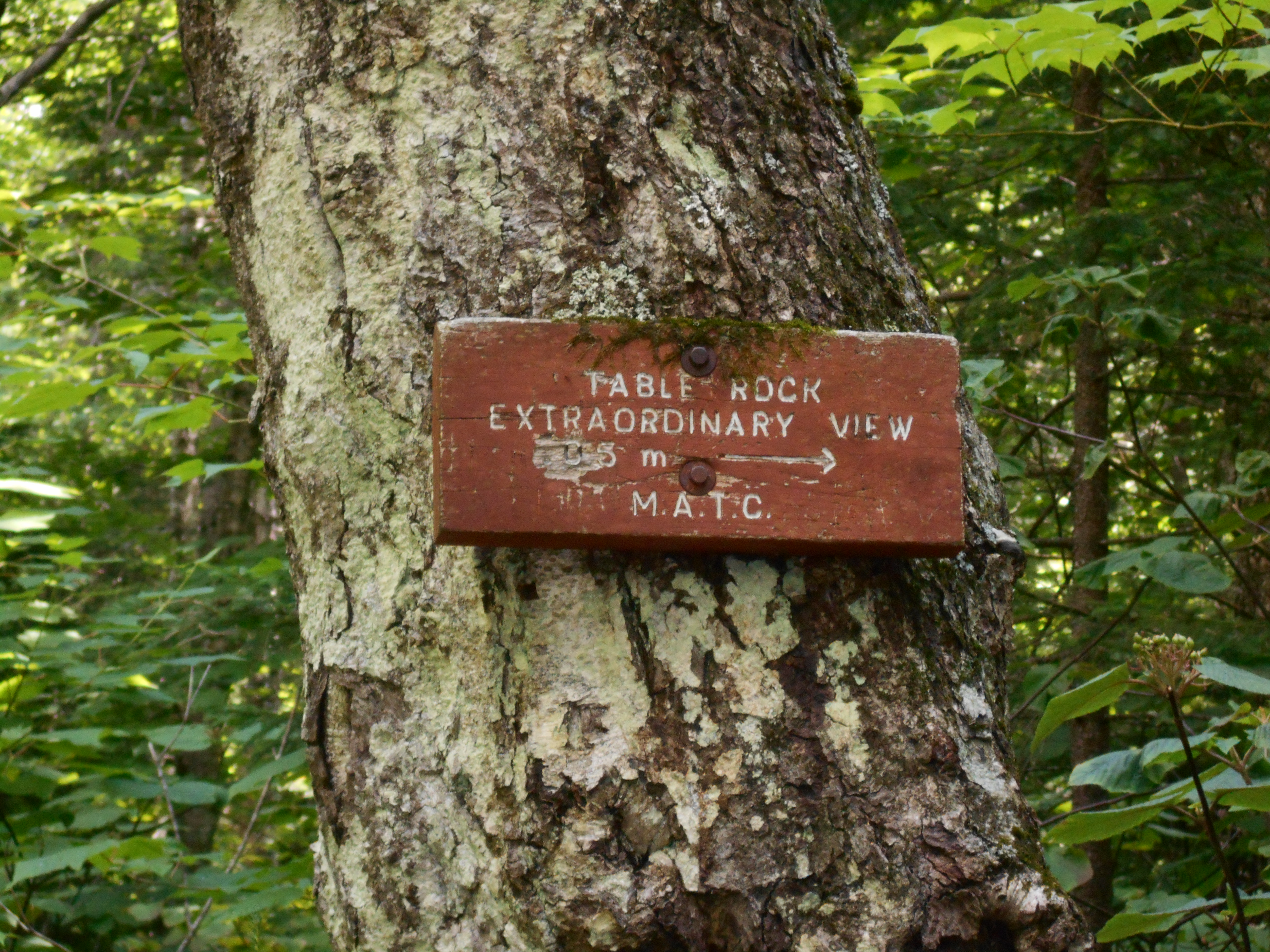
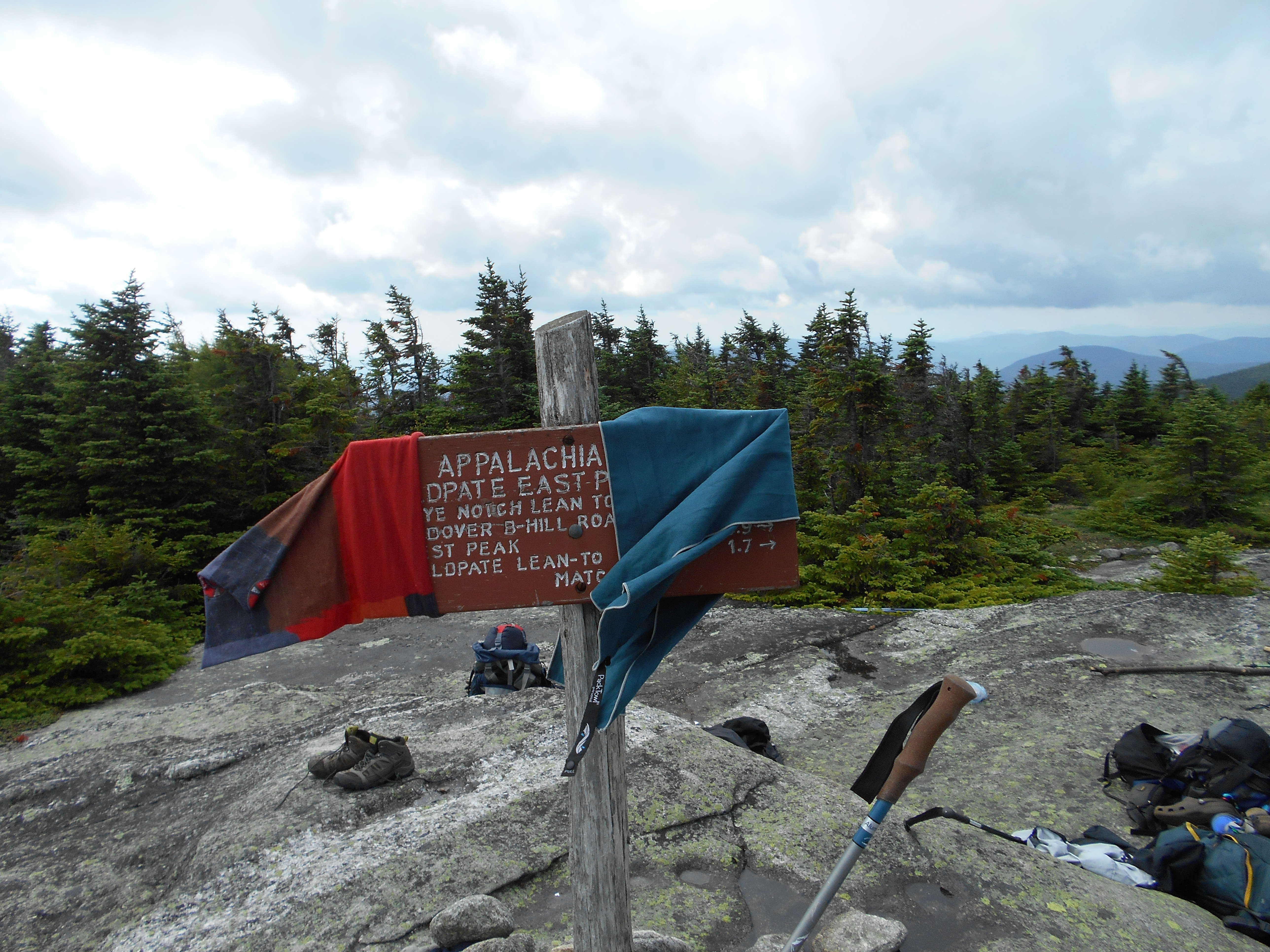
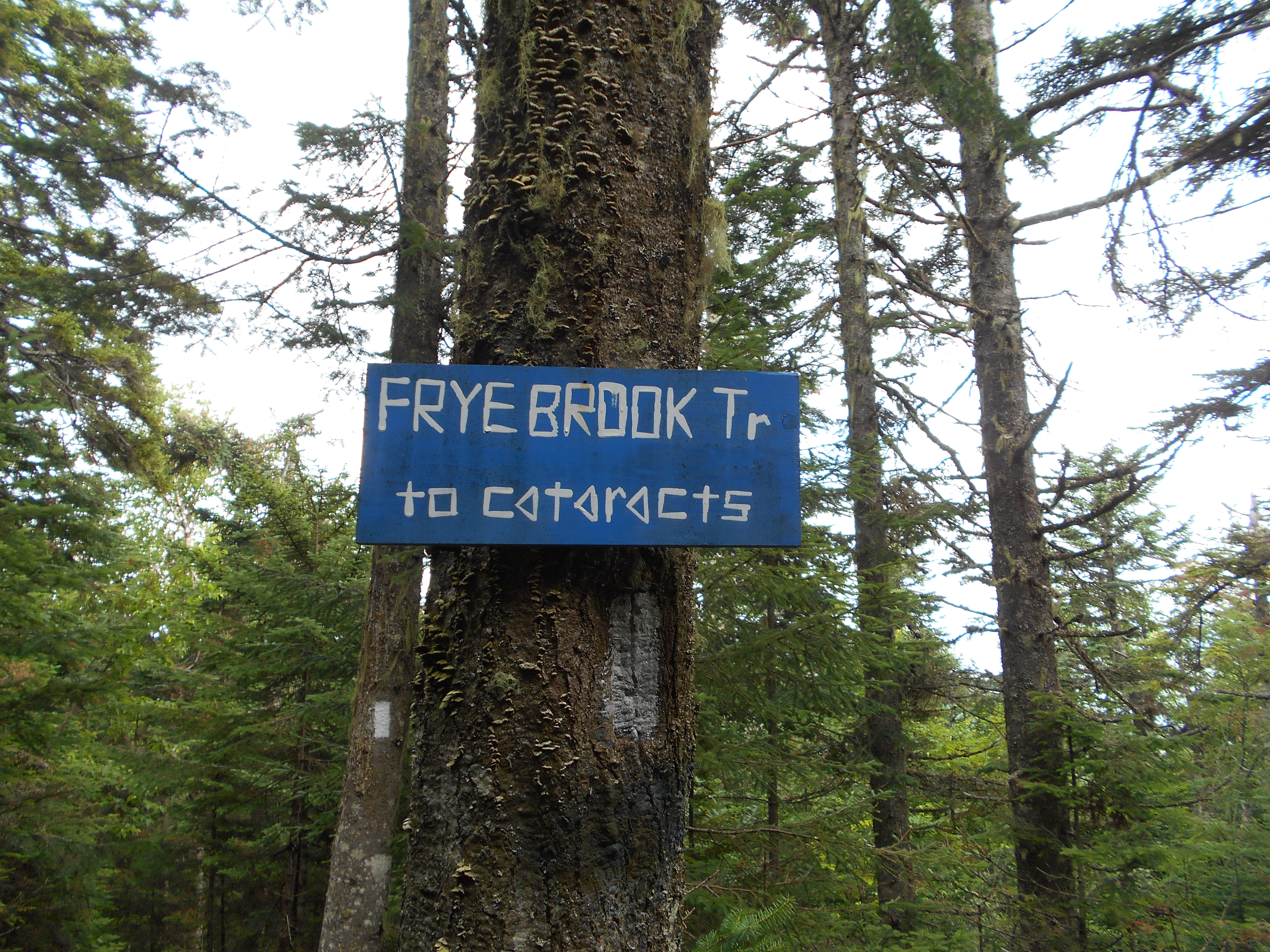
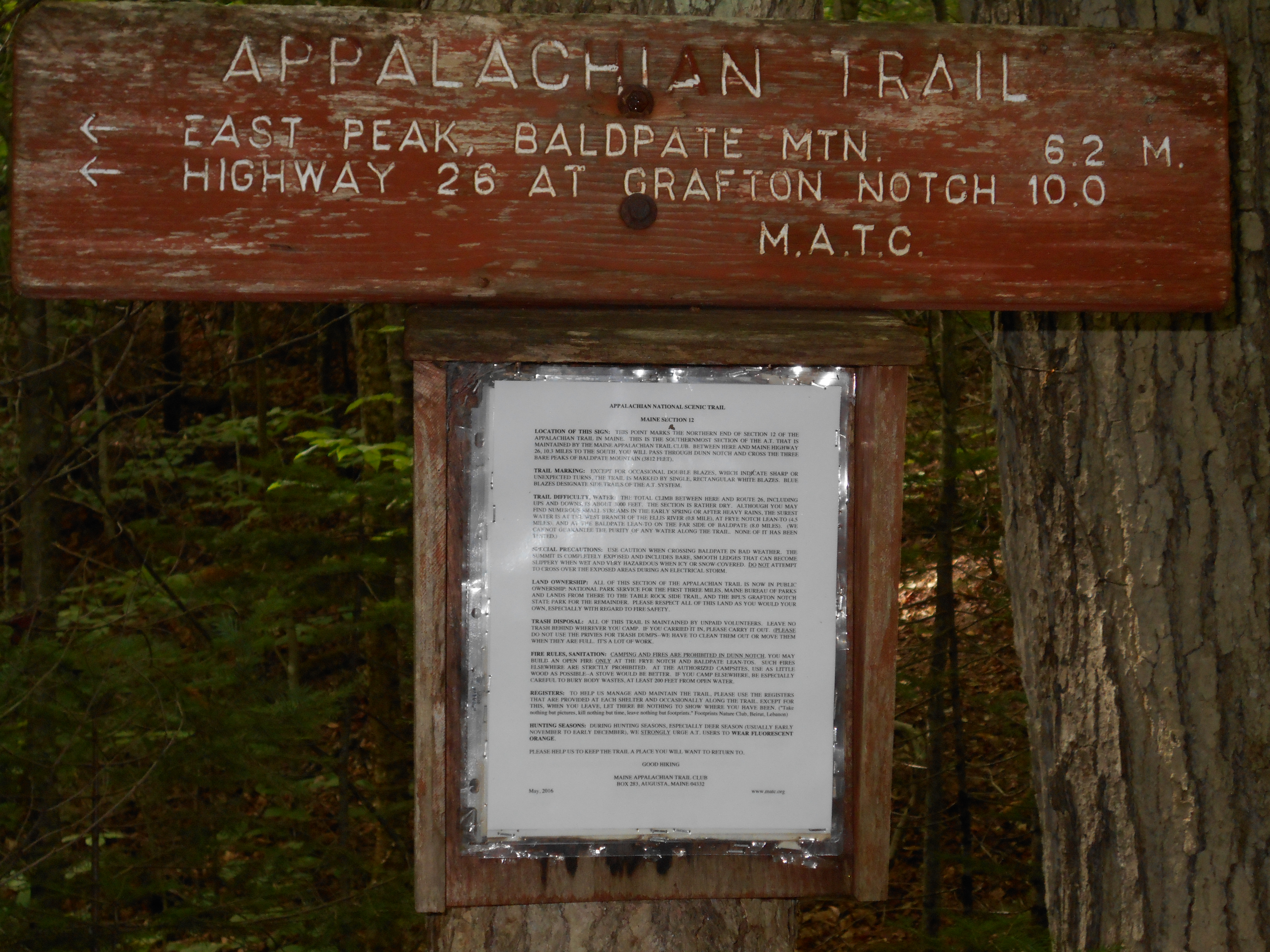
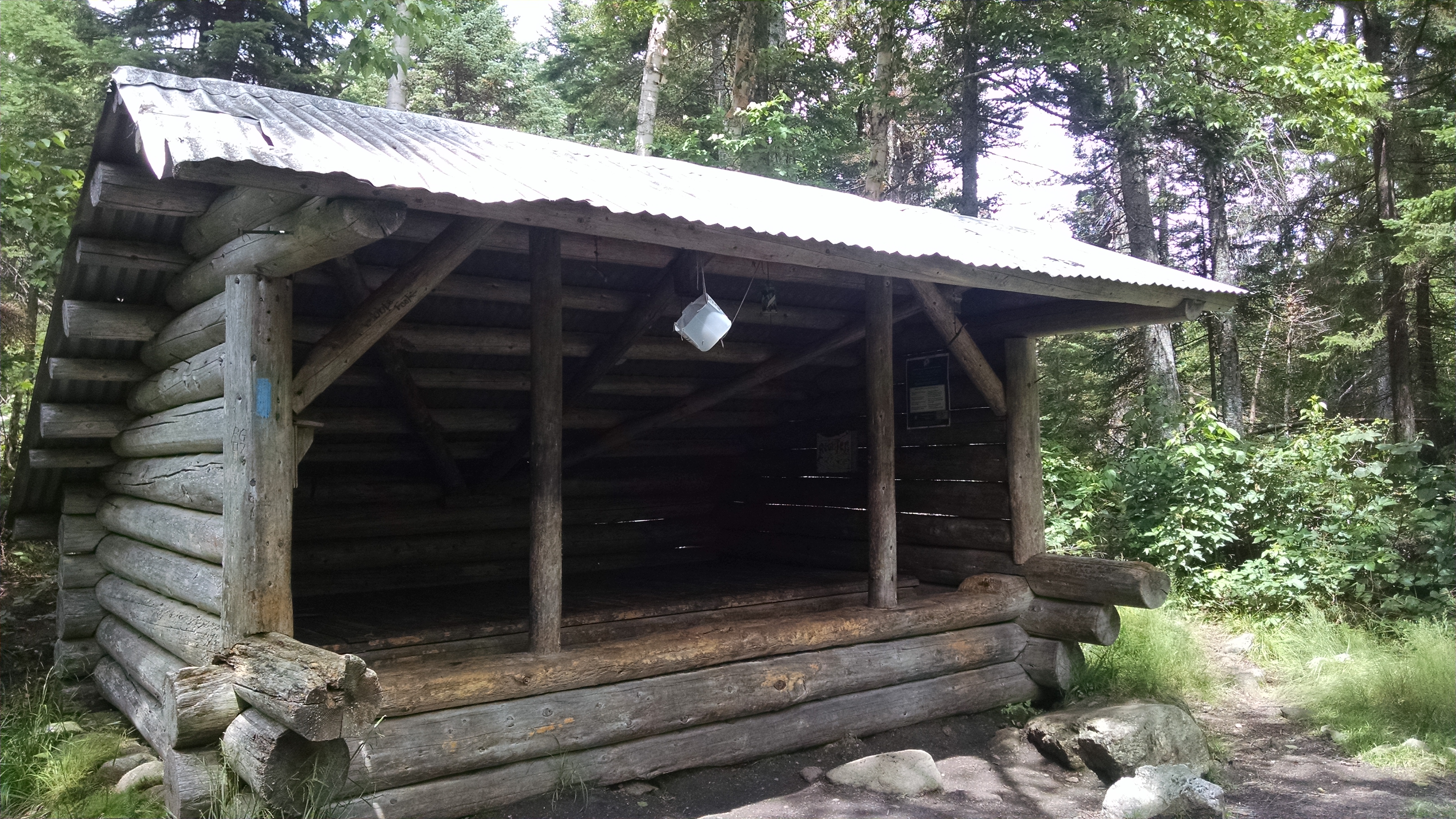
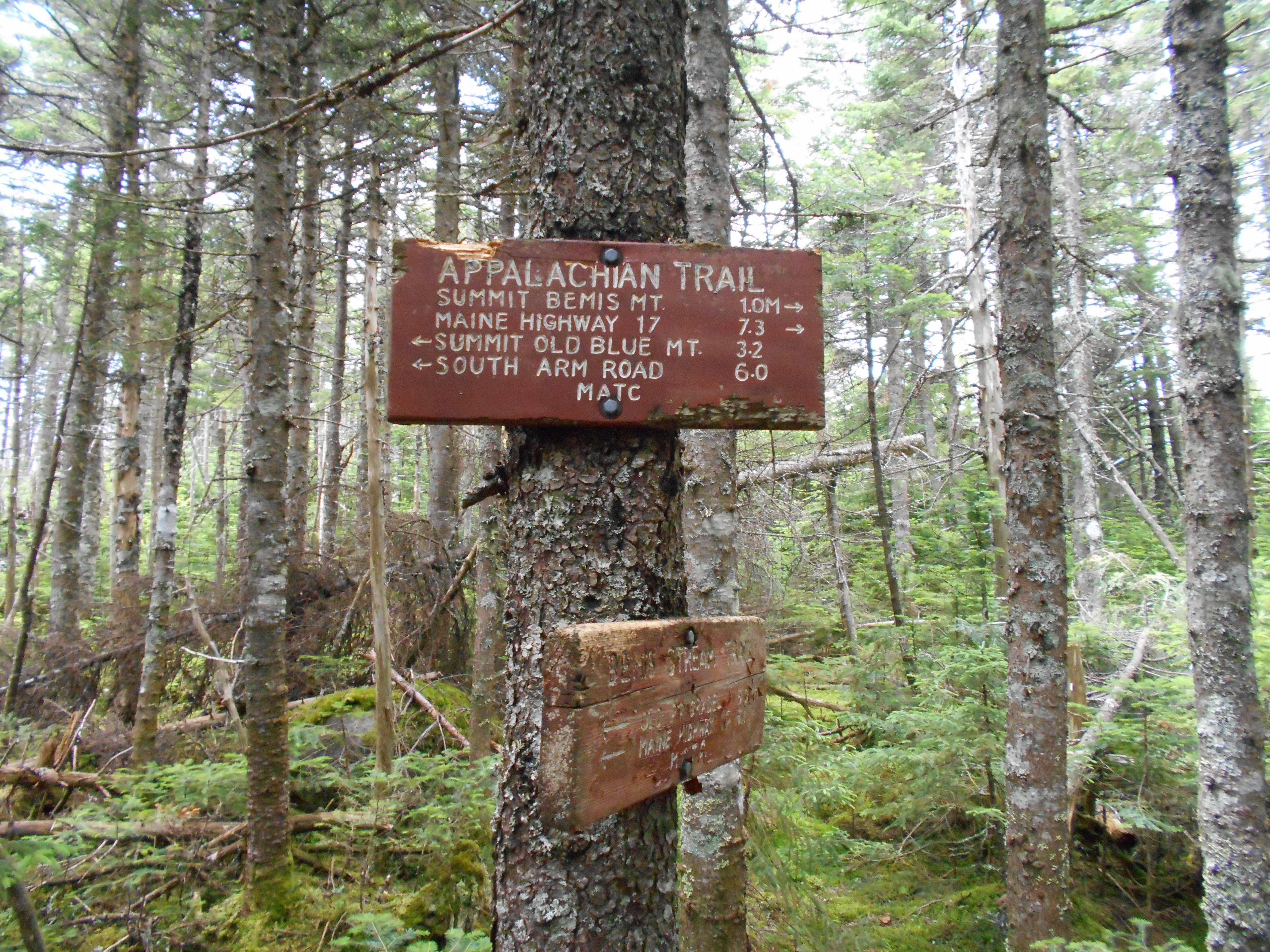
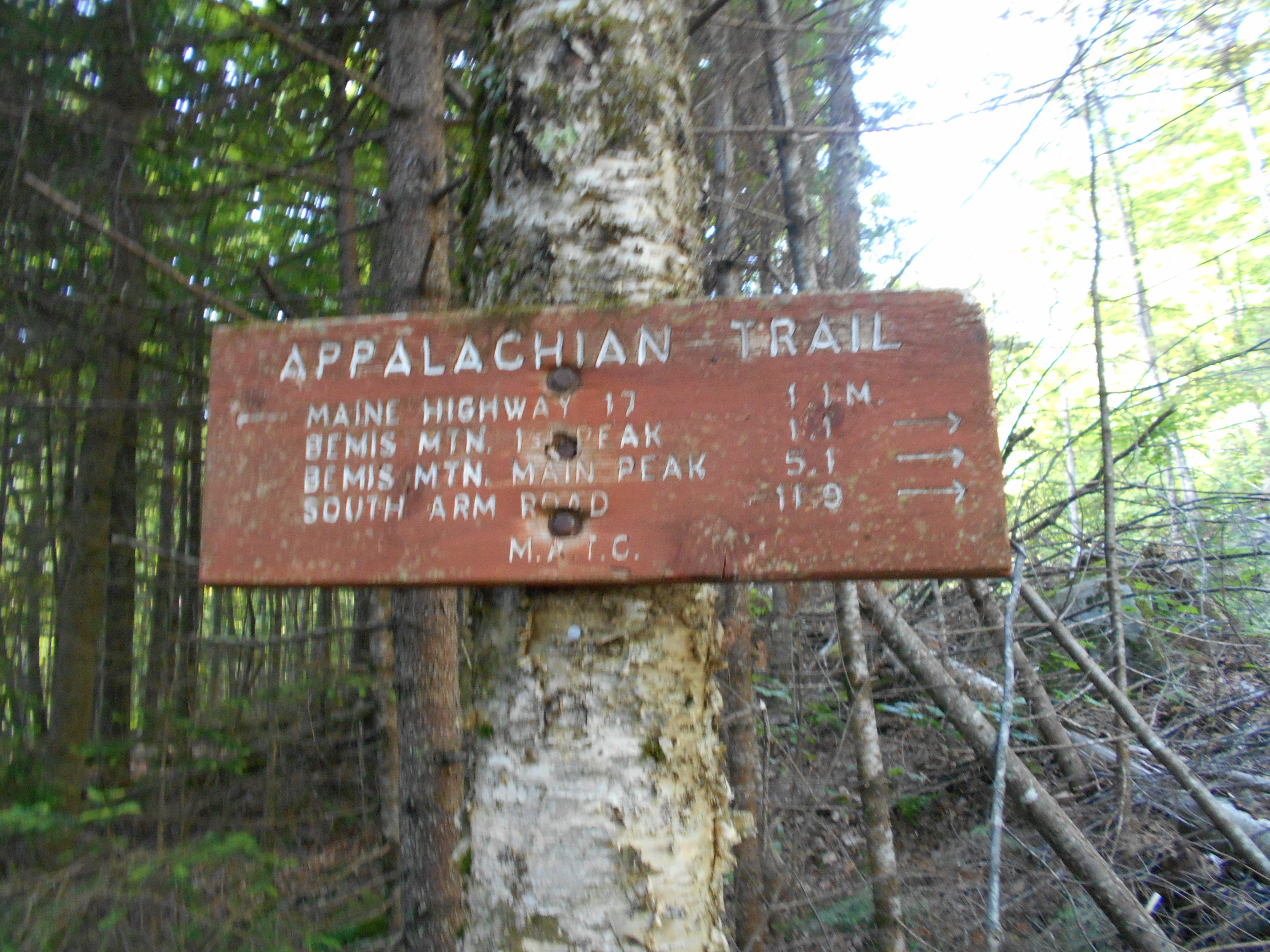
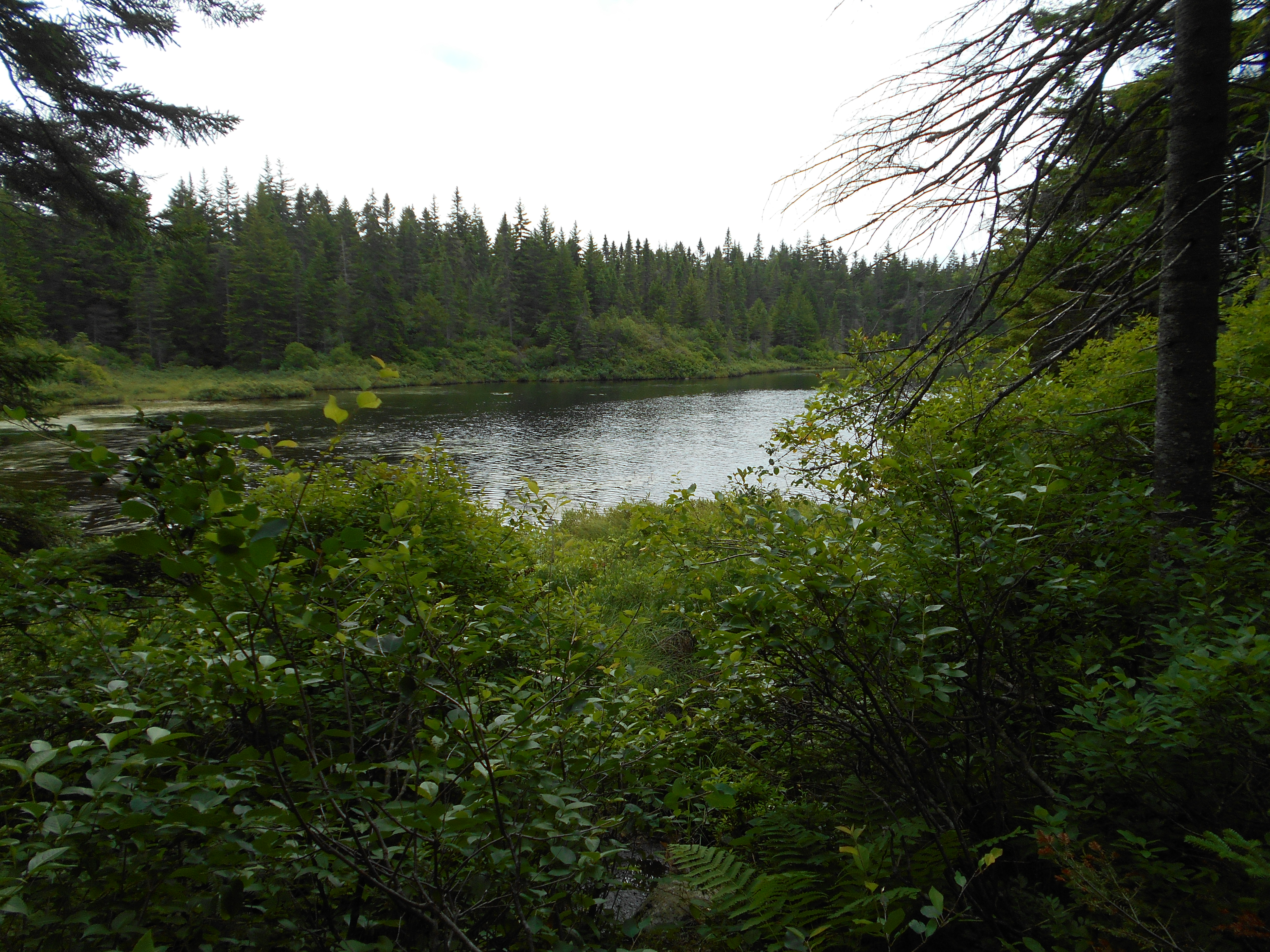
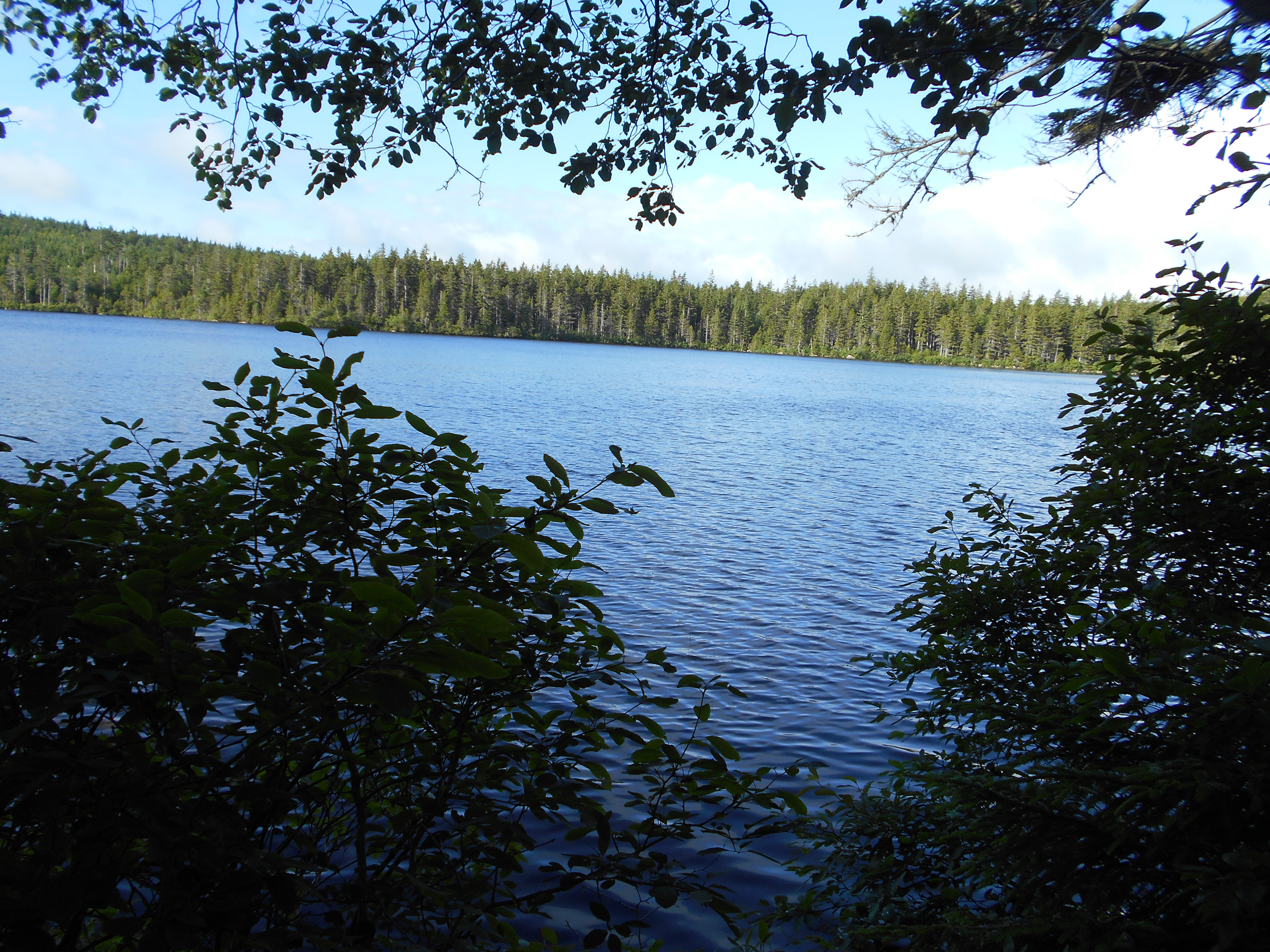
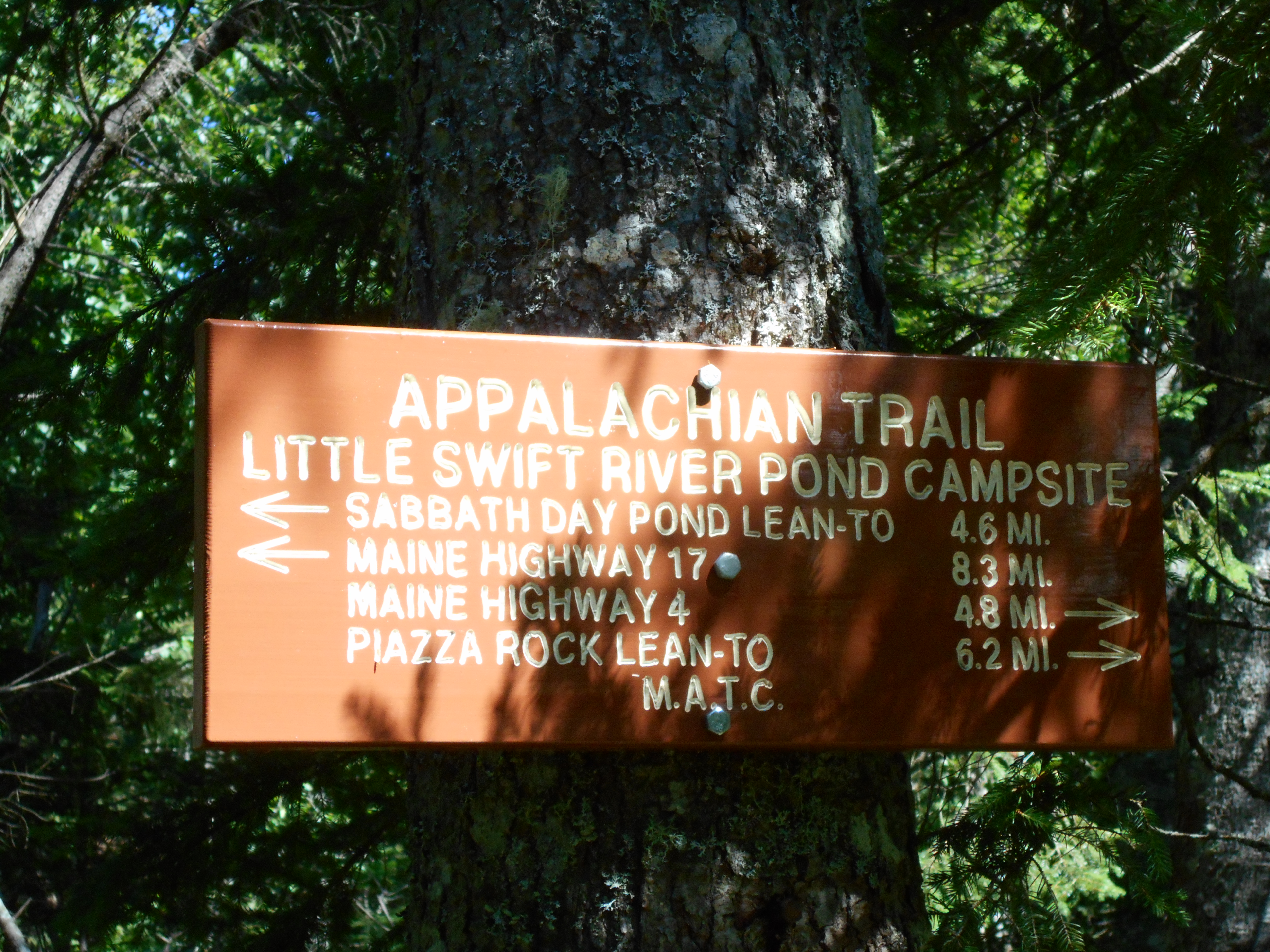
Austin Brook Trail Jct. to Gentian Pond Shelter and Campsite (2,166') ?13.9mS; 5.7mN
2166
equipment notes
bought:
new boots
sawer water filter
new buff (lost old one)
shipped home:
msr water filter ( too heavy and too slow)
rei polypro long sleeved shirt
muscle shirt
amc hat
sawer backflush suringe, two smaller bags
one msr fuel bottle
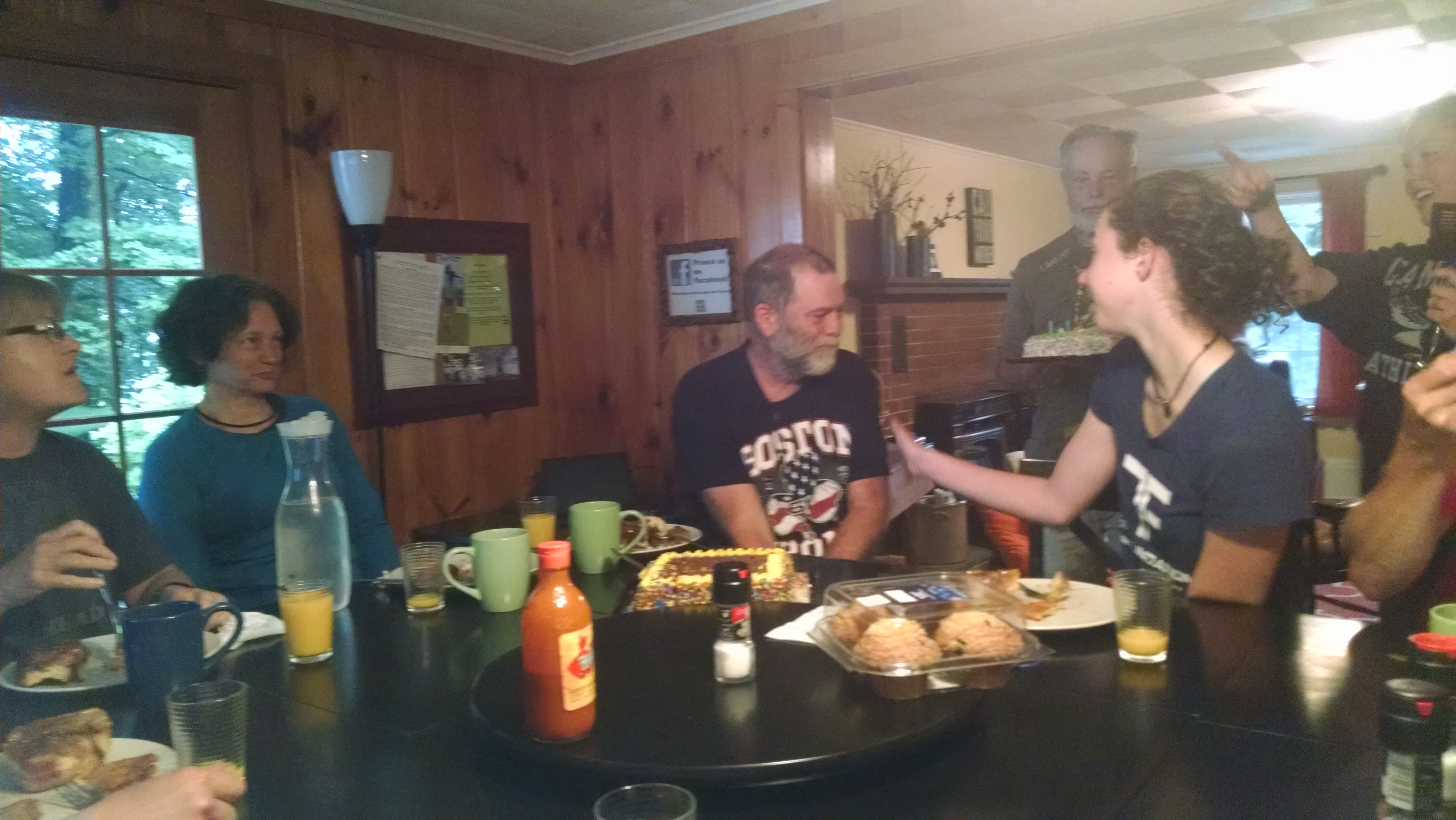
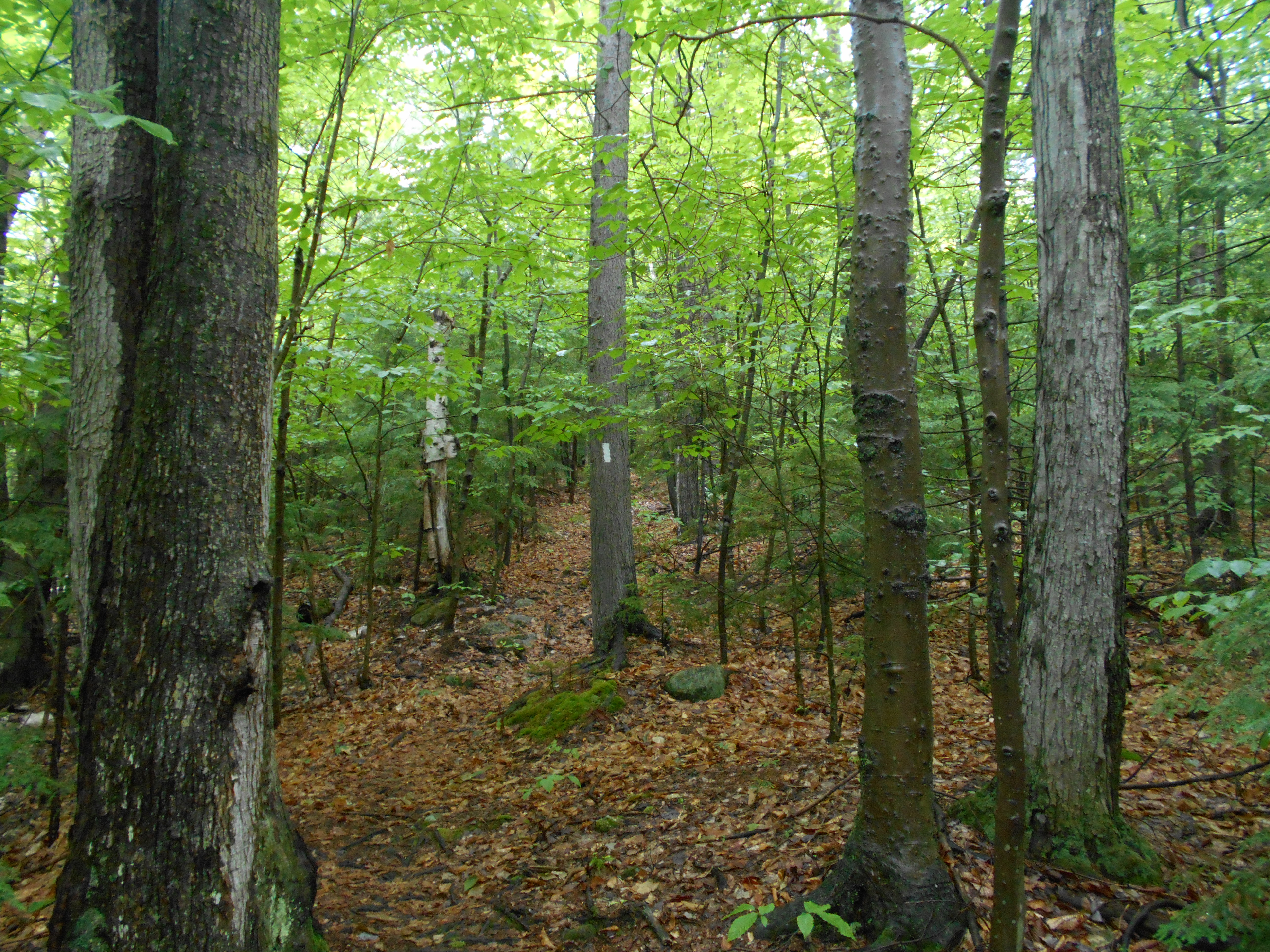
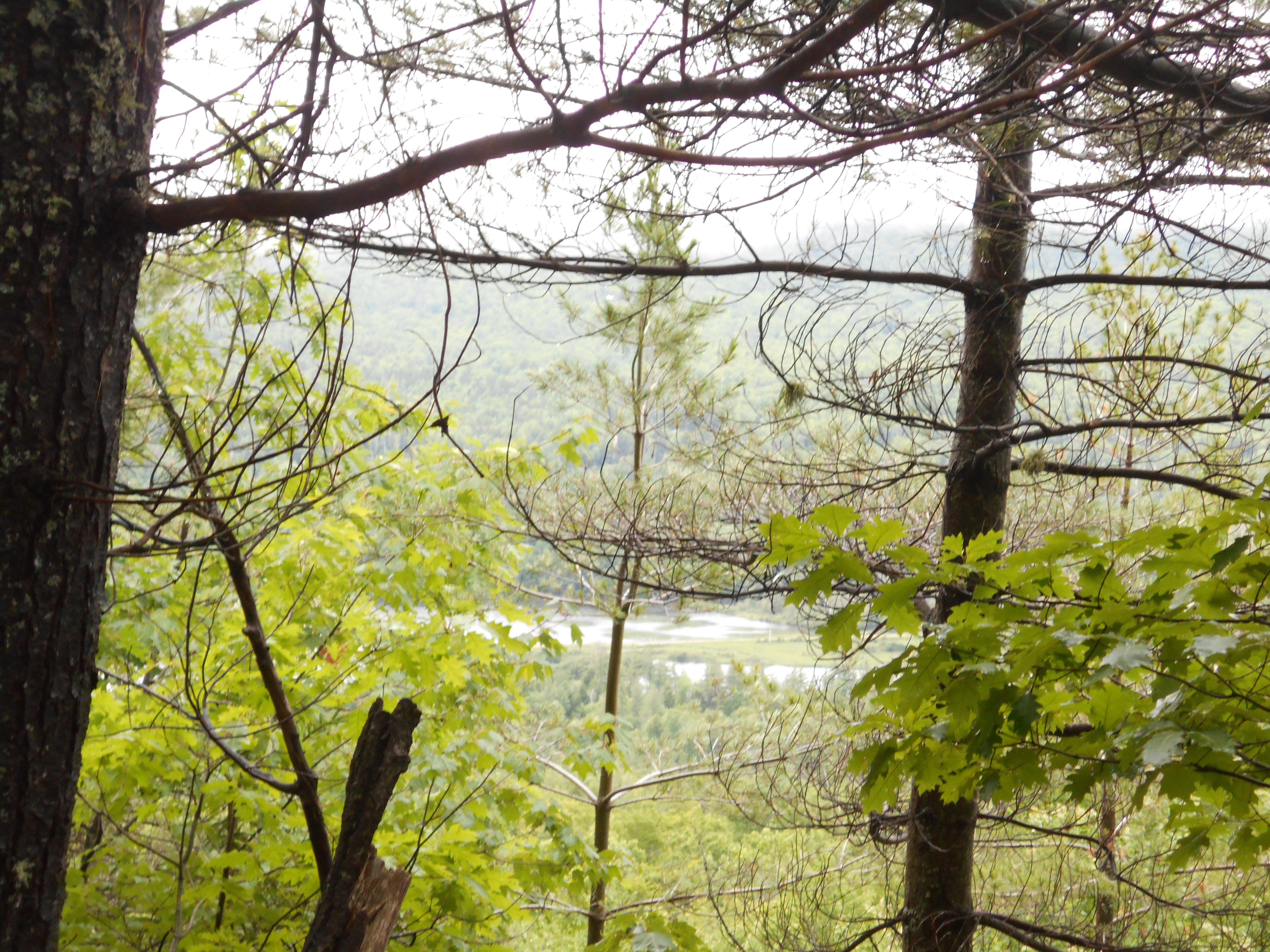
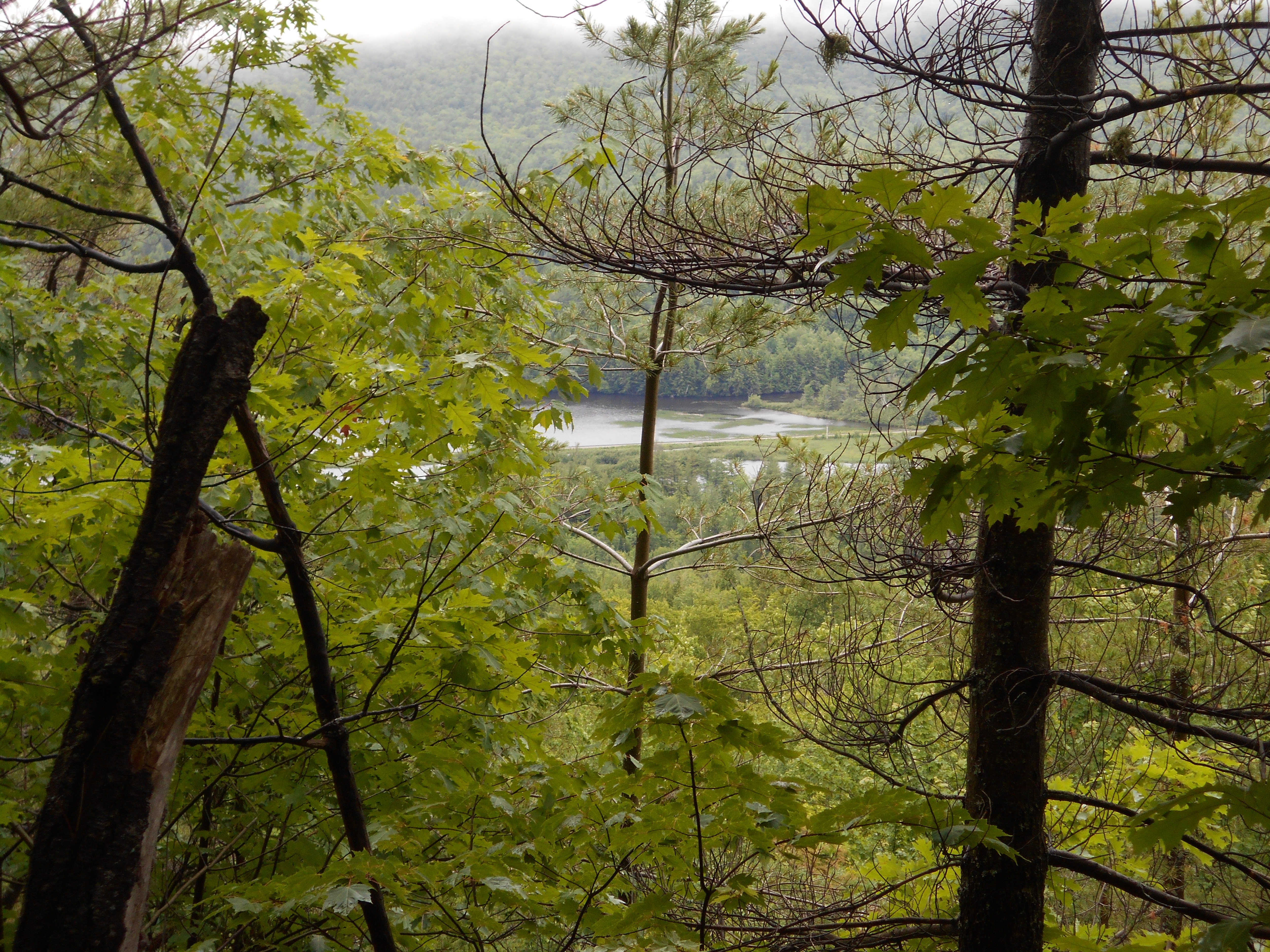
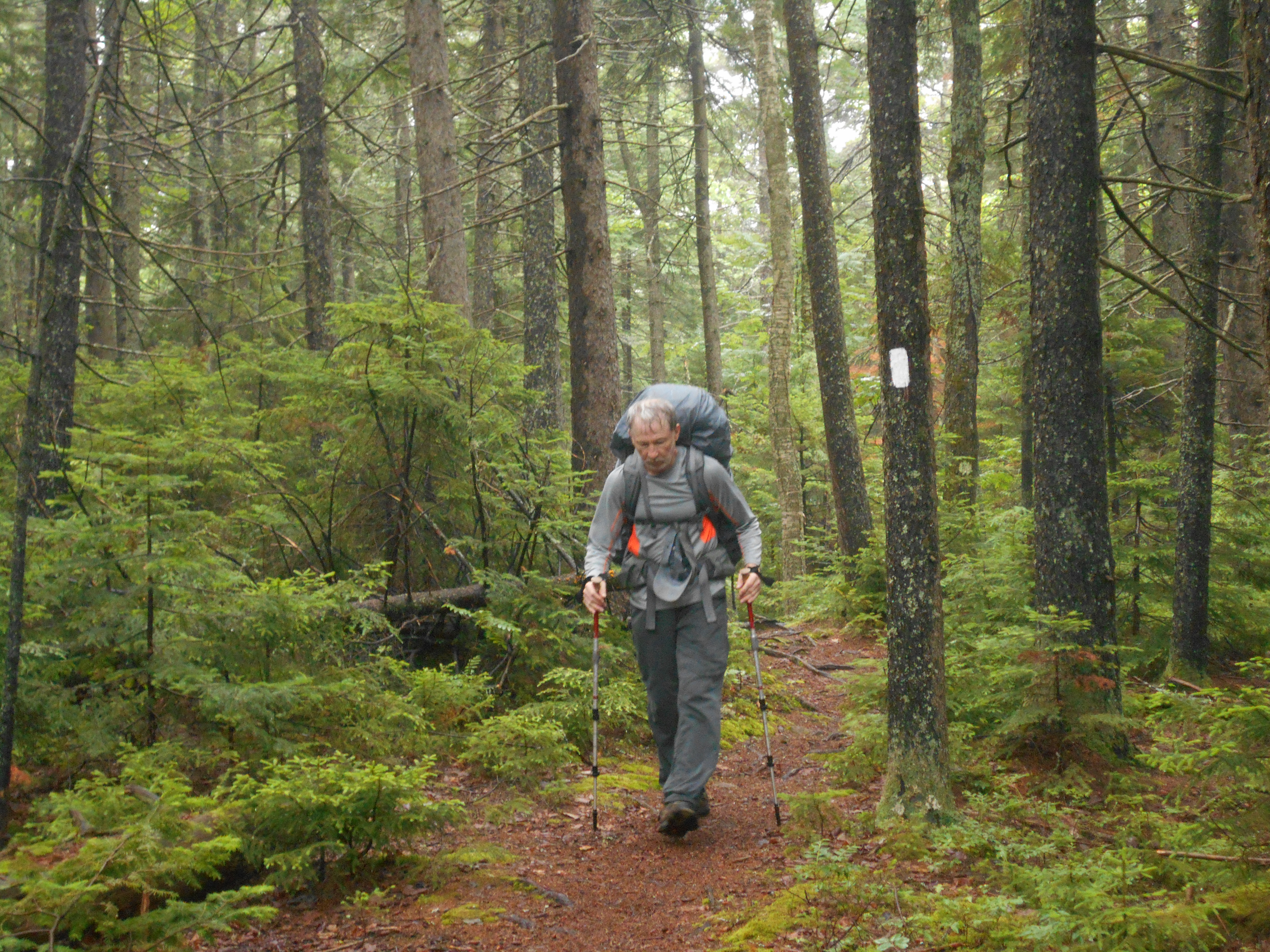
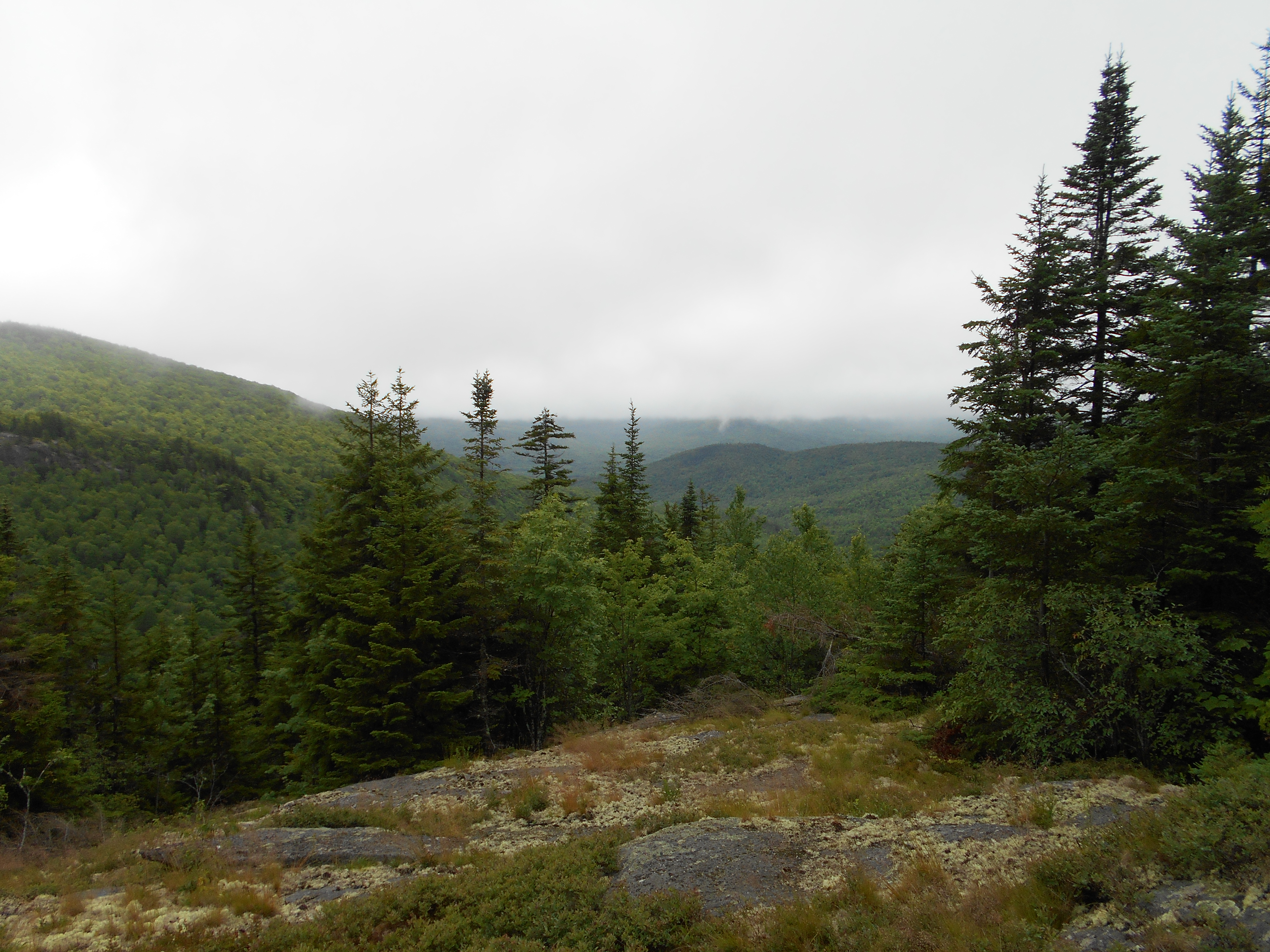
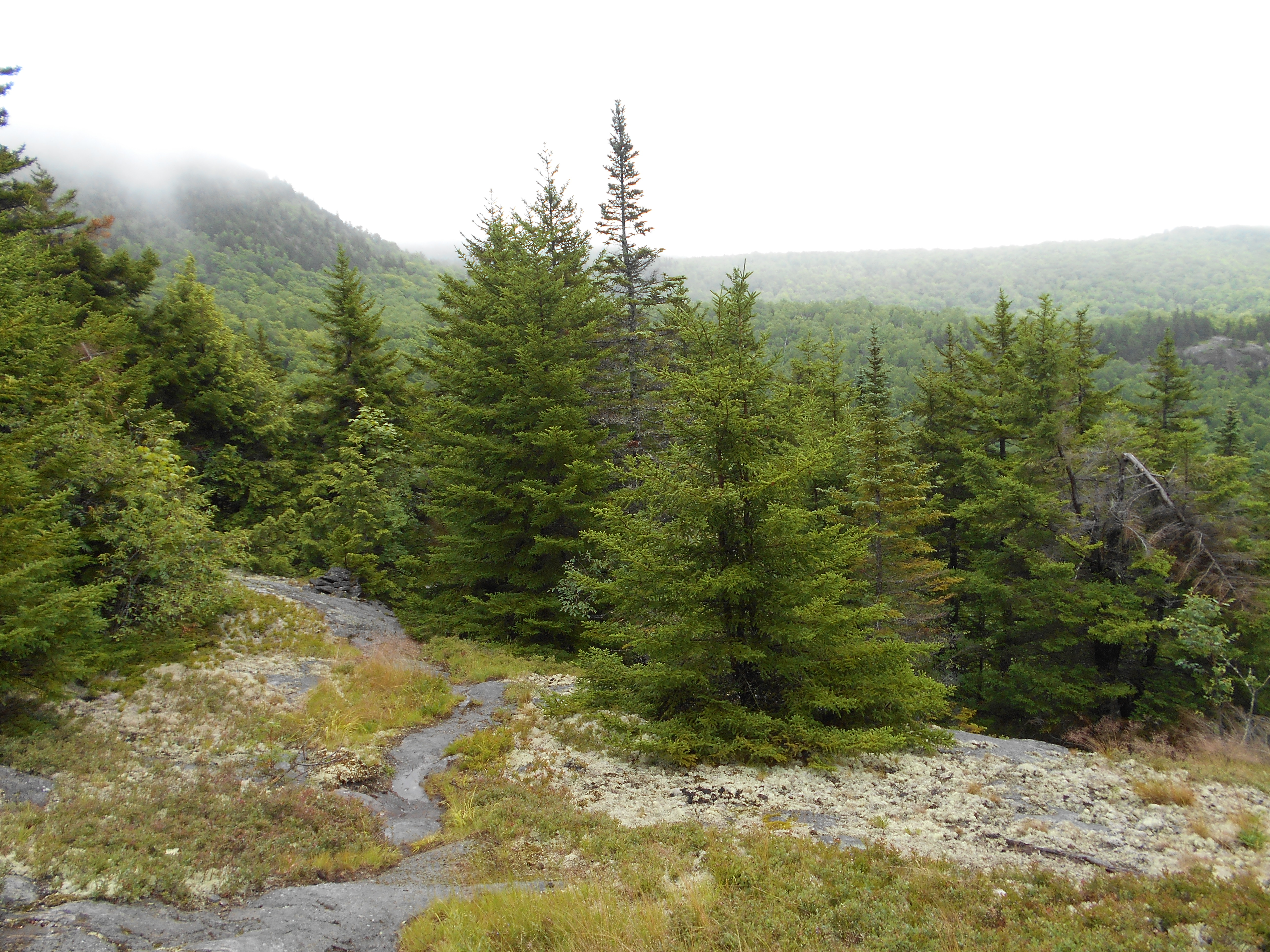
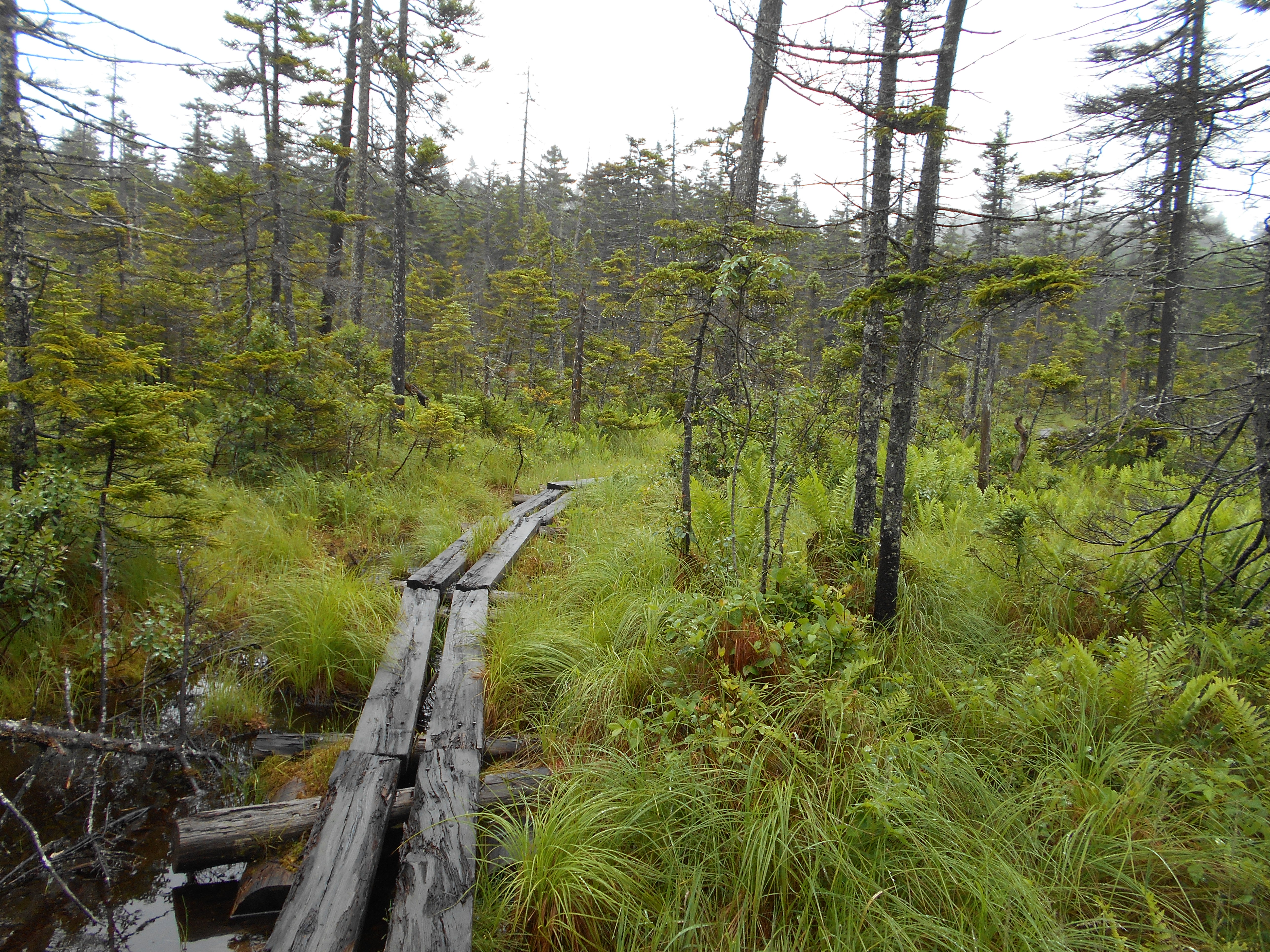
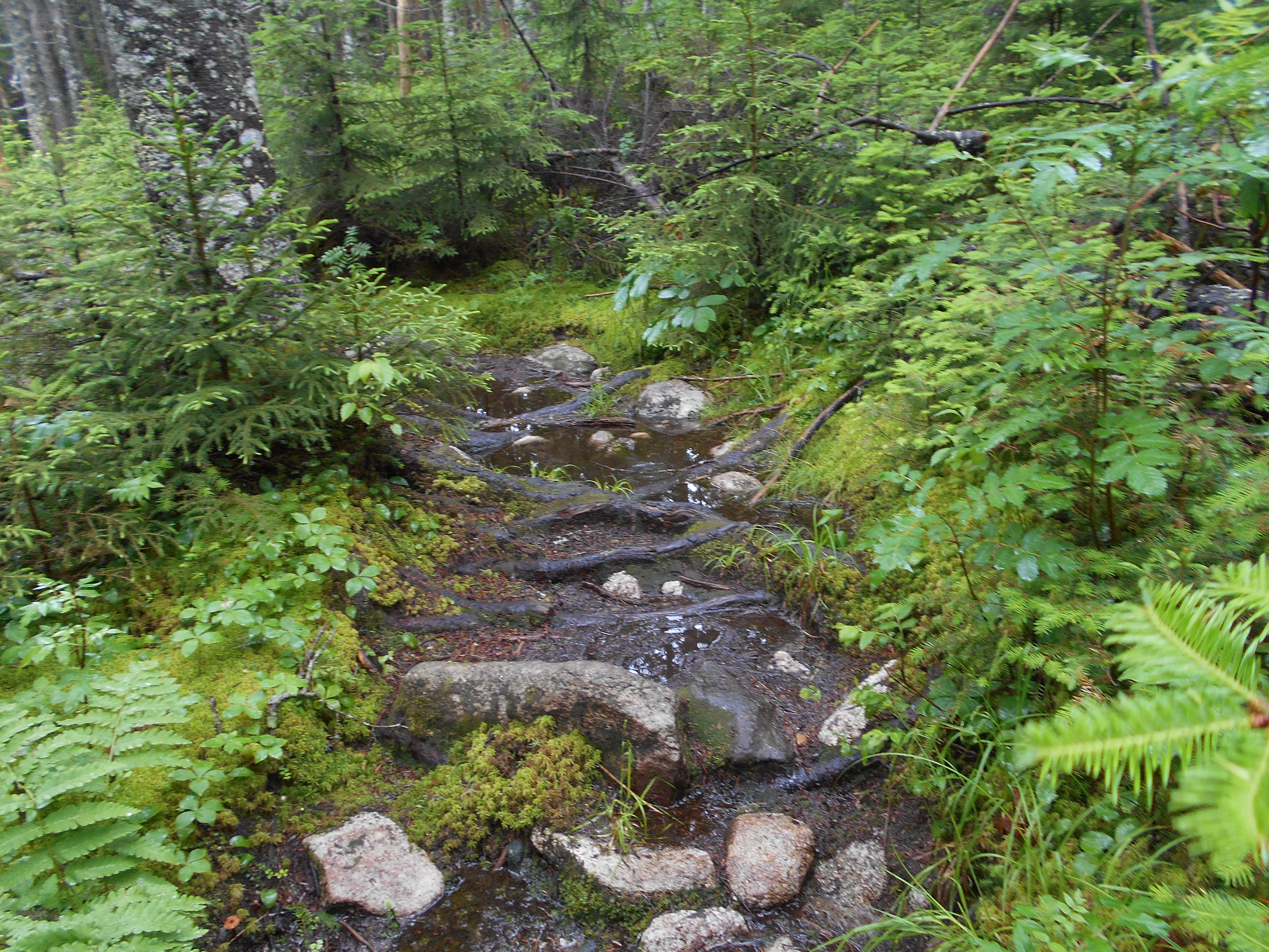
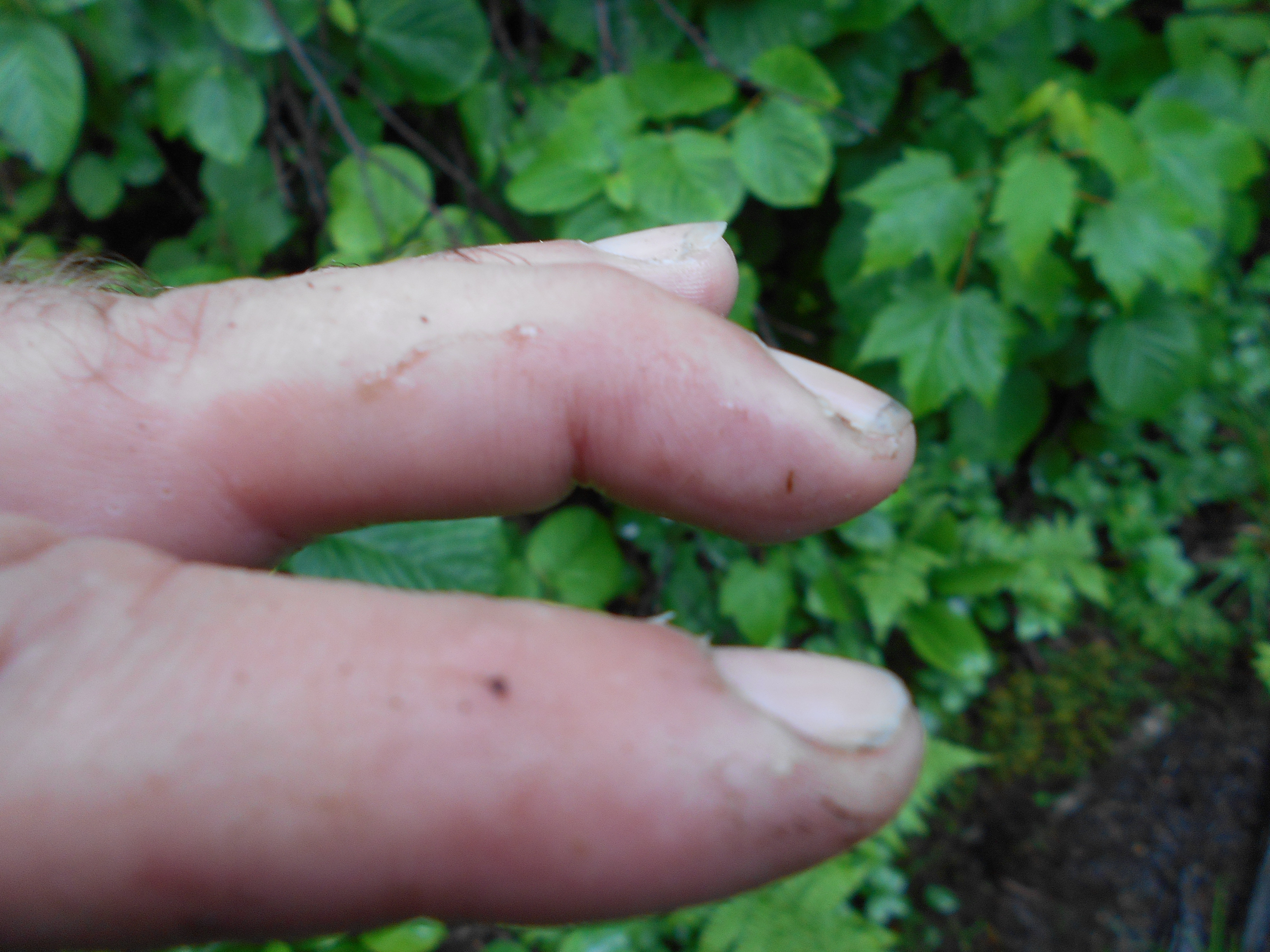
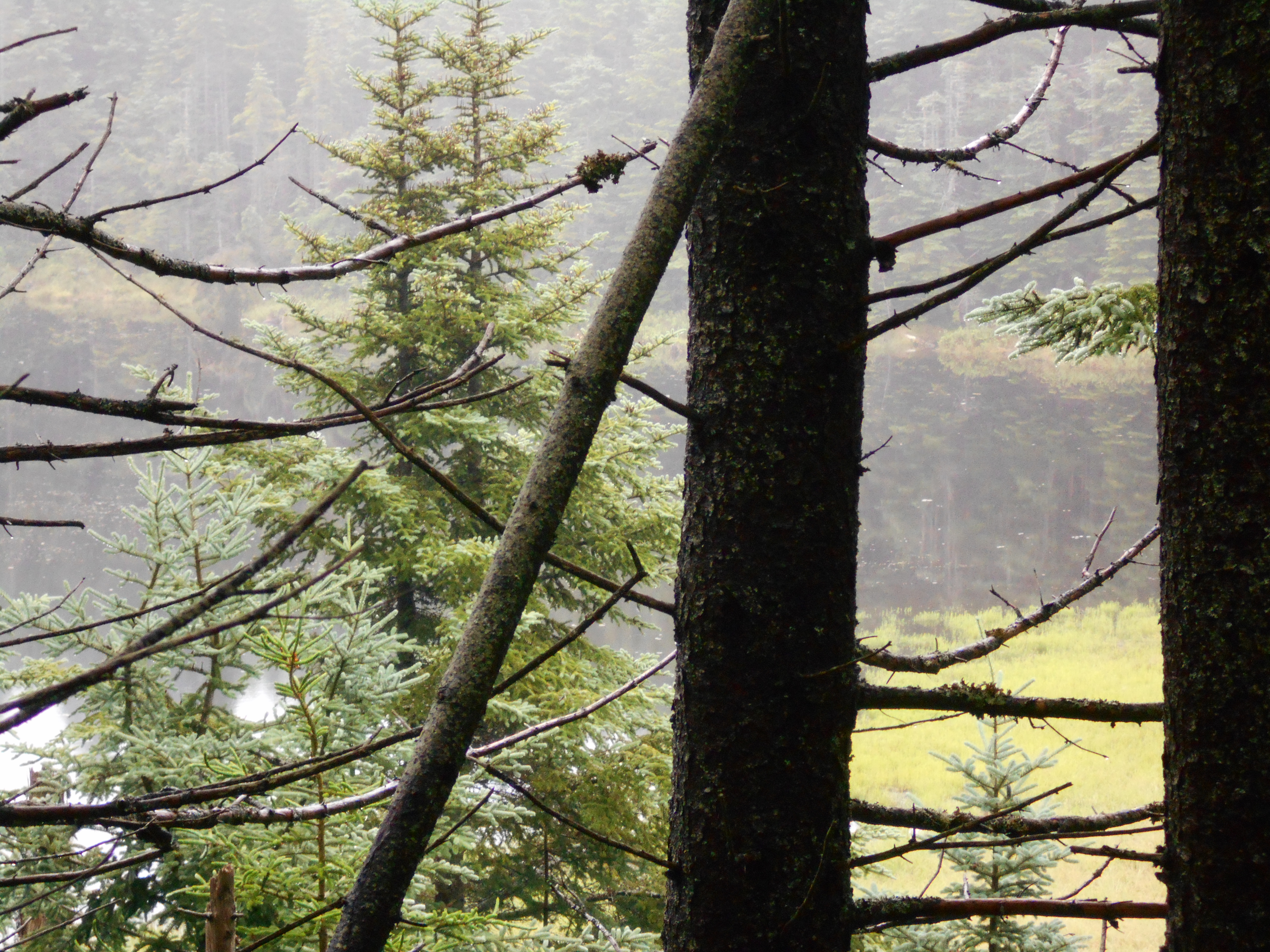
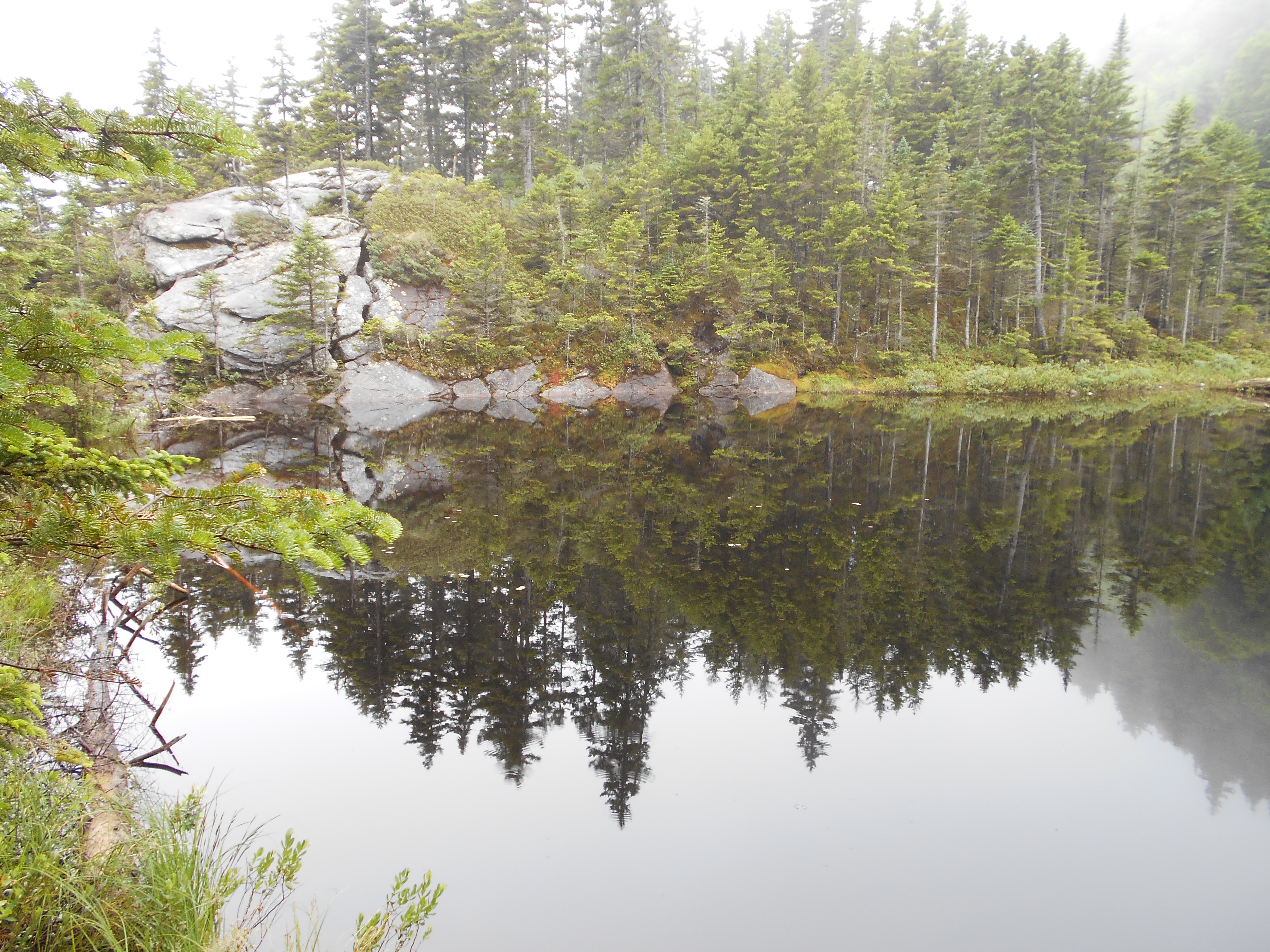
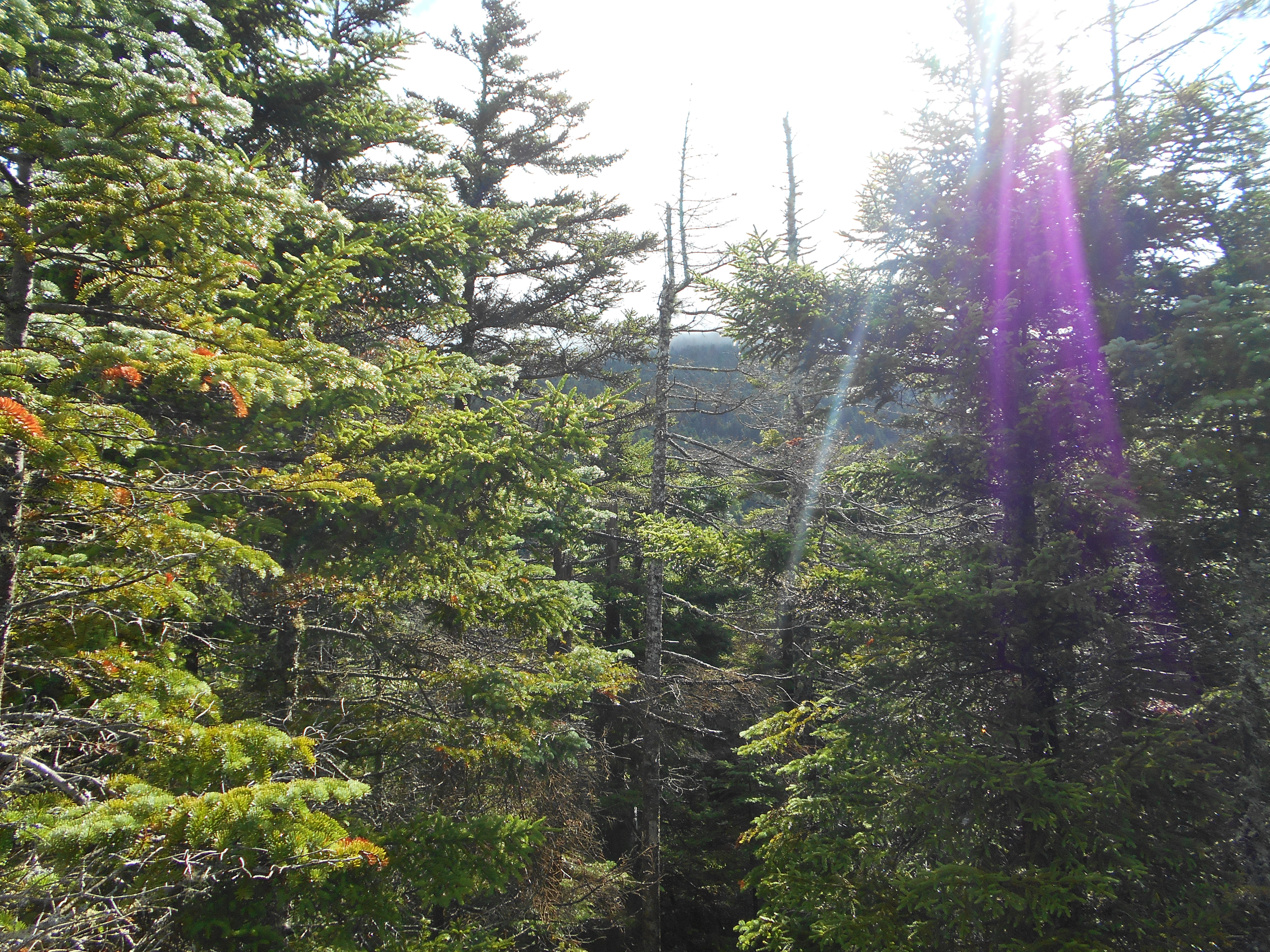
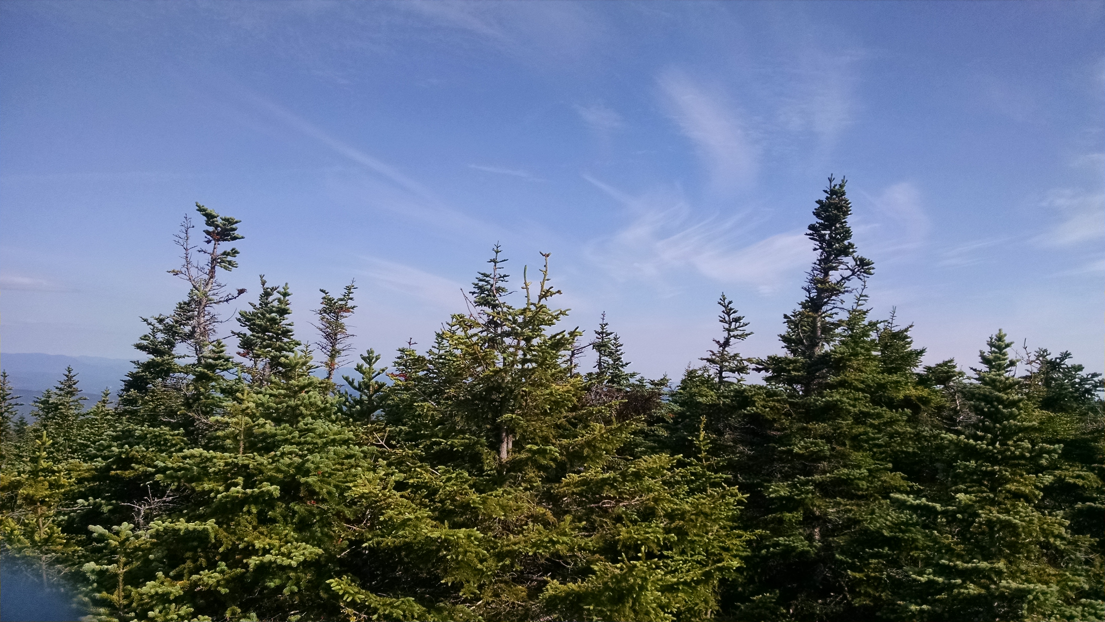
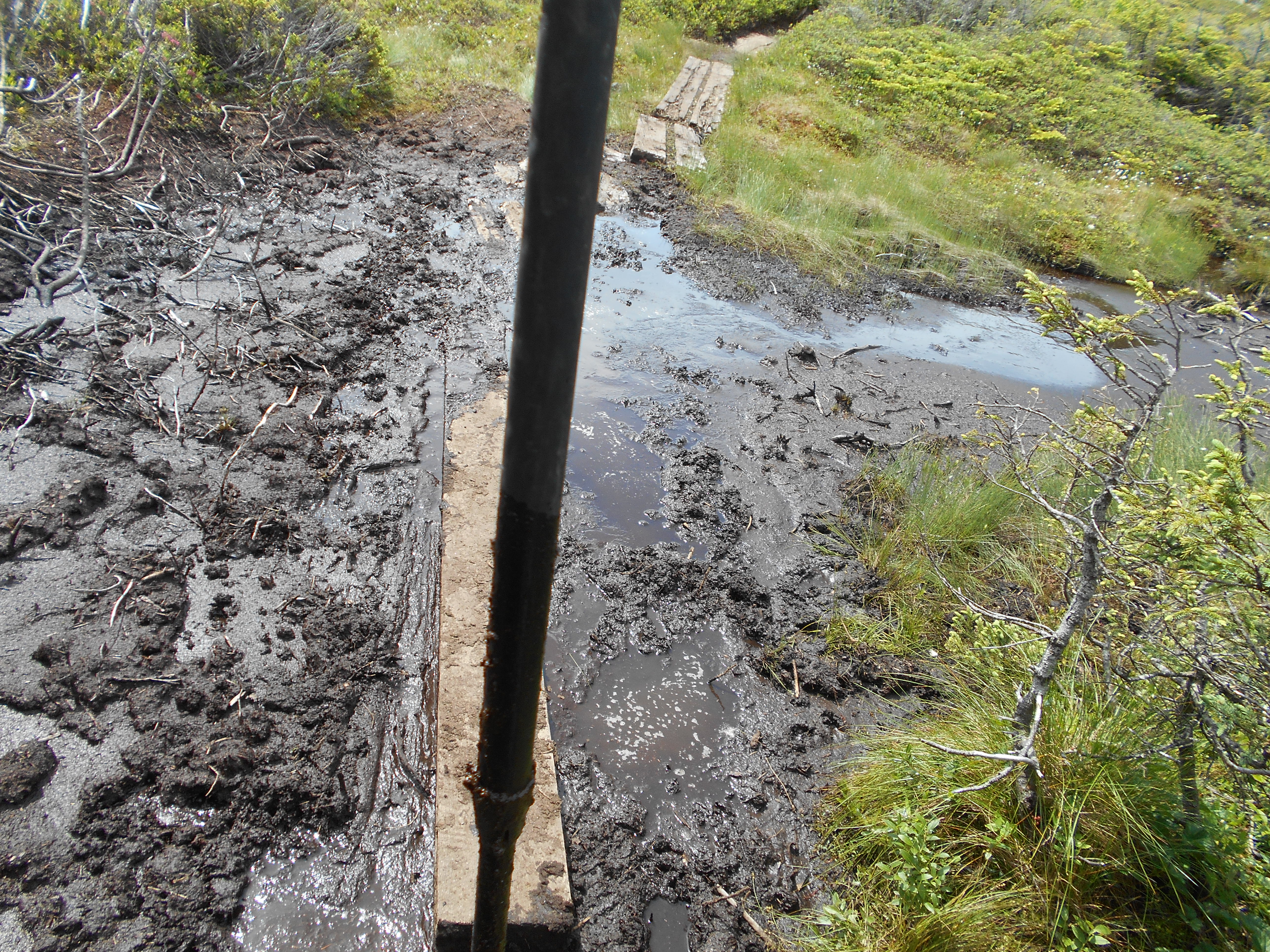
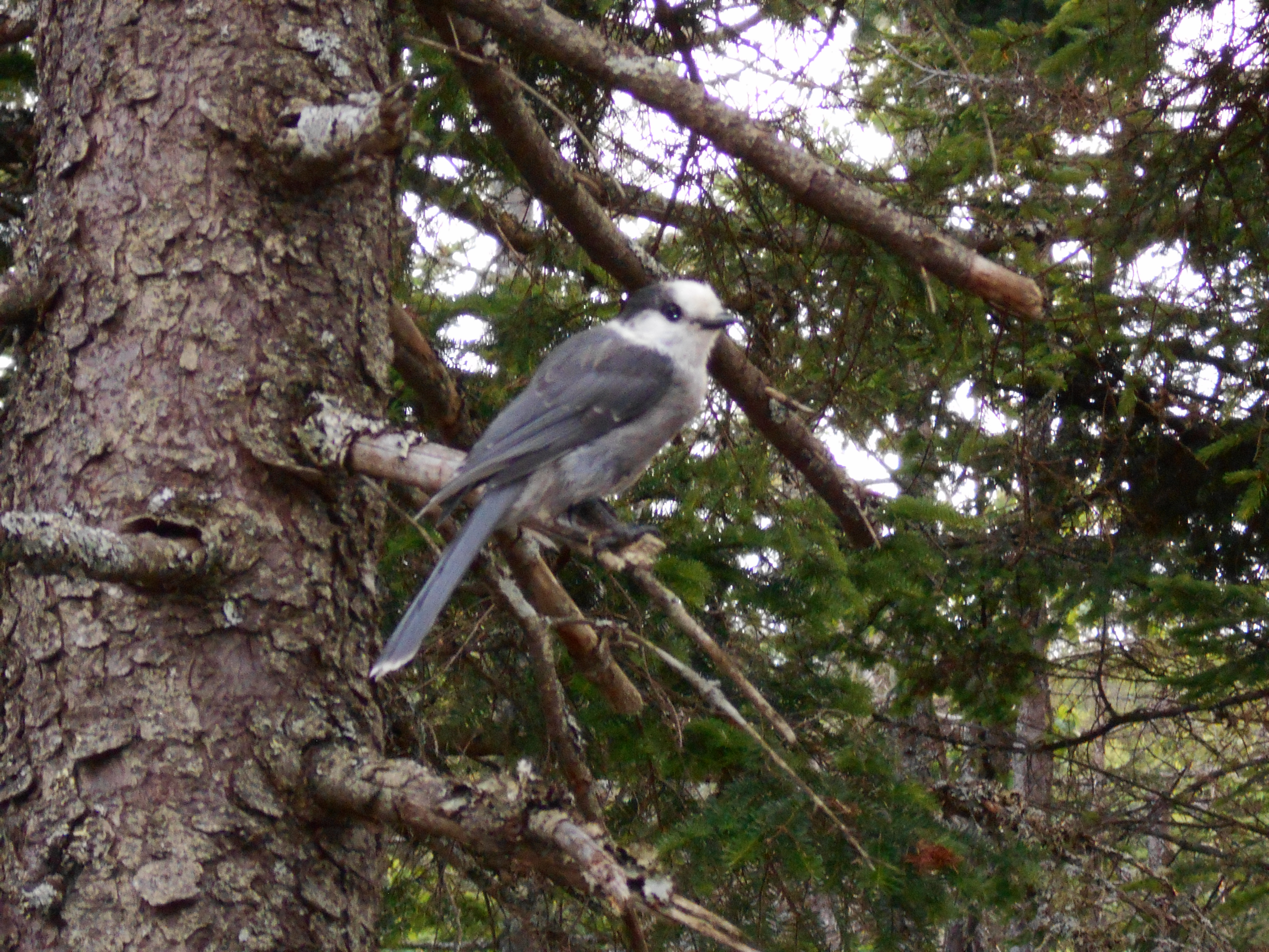
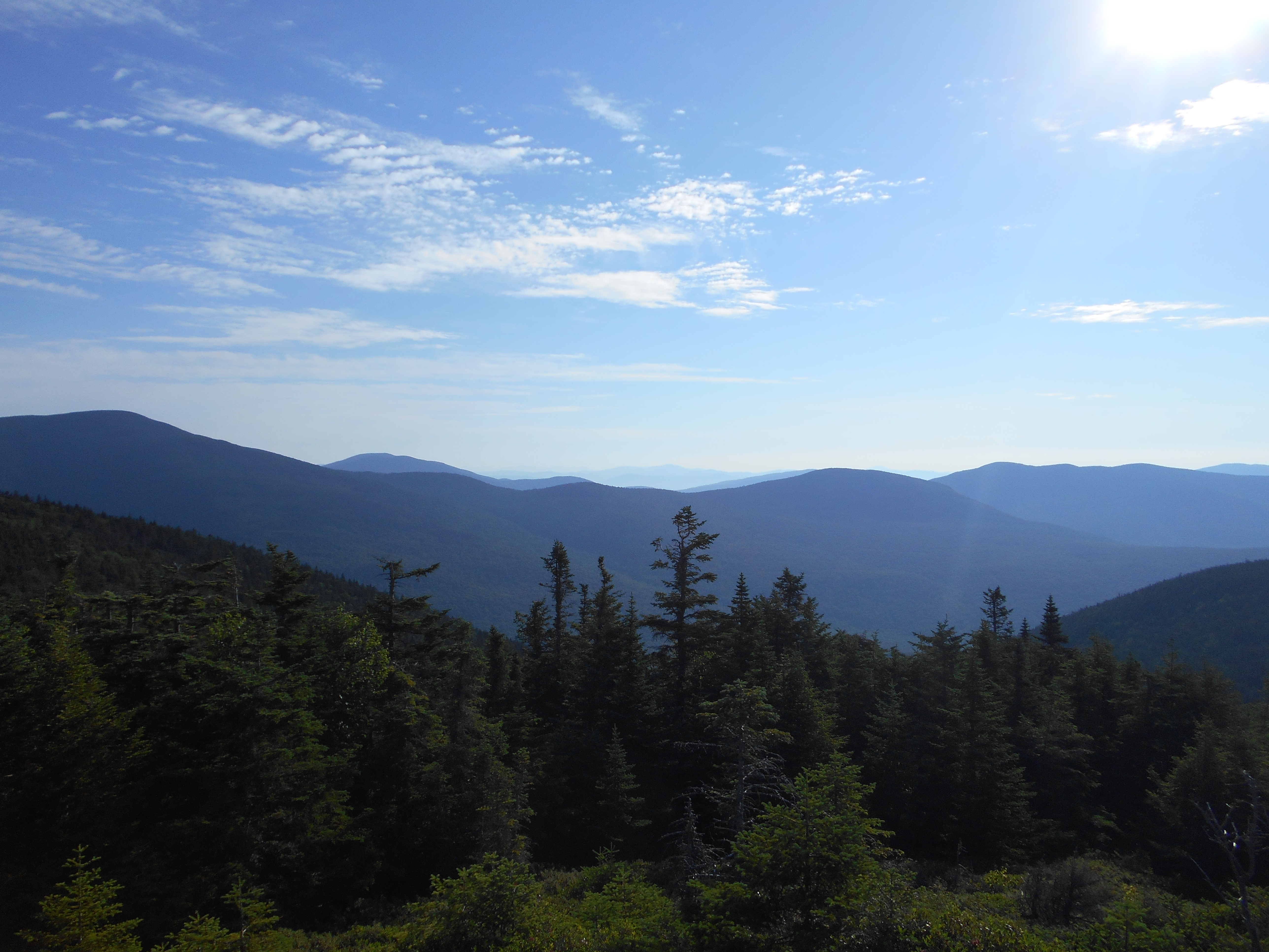
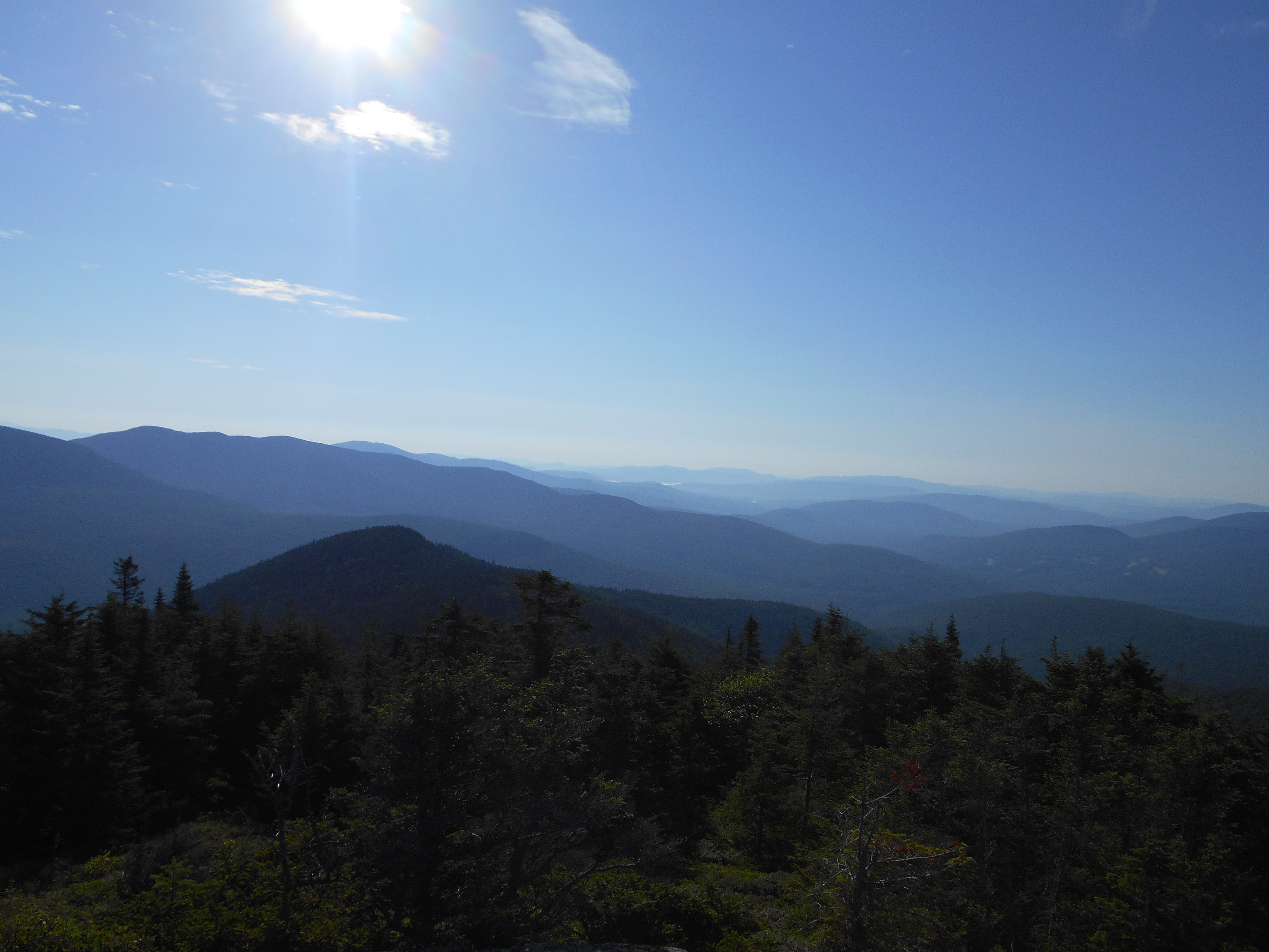
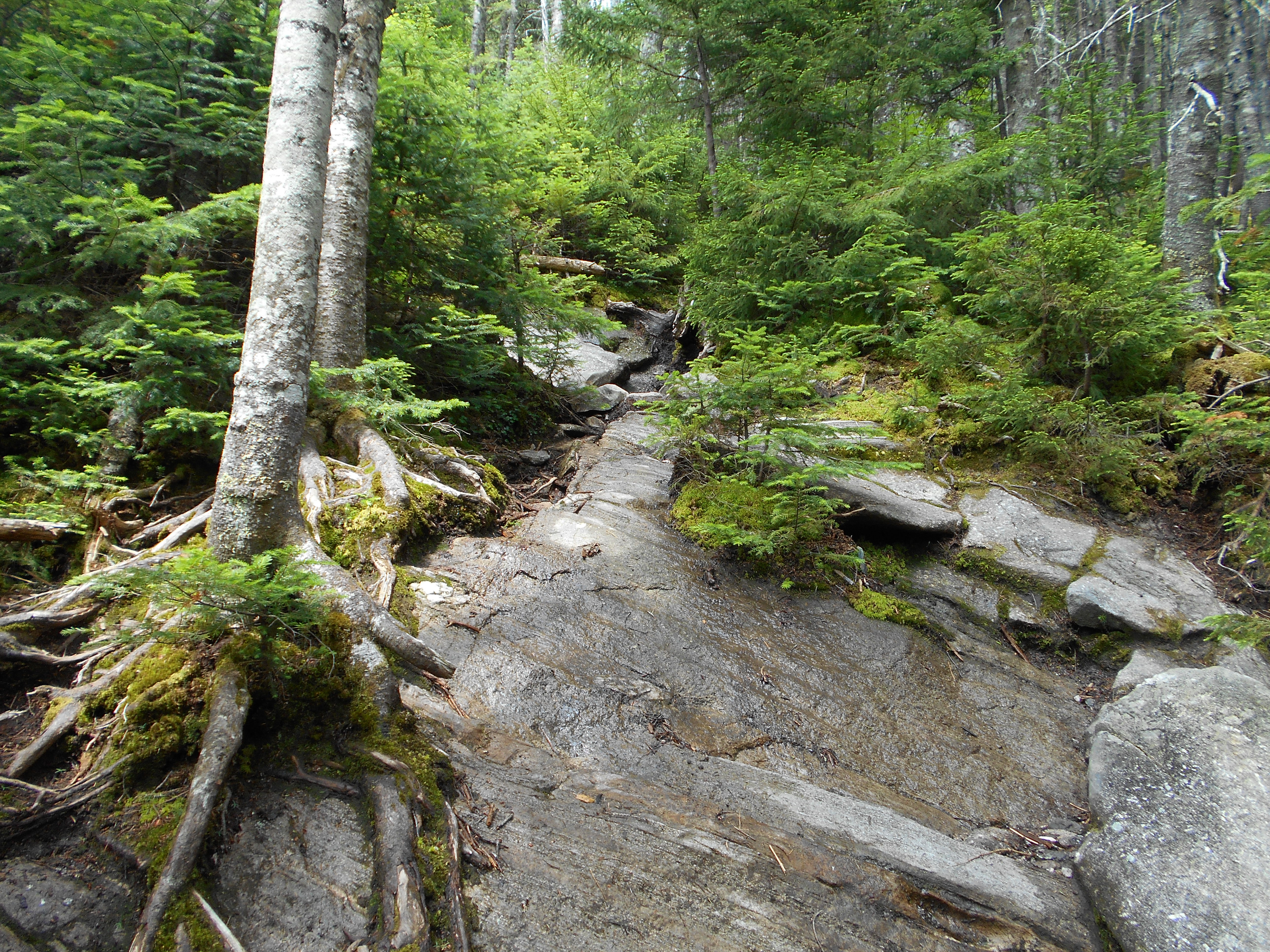
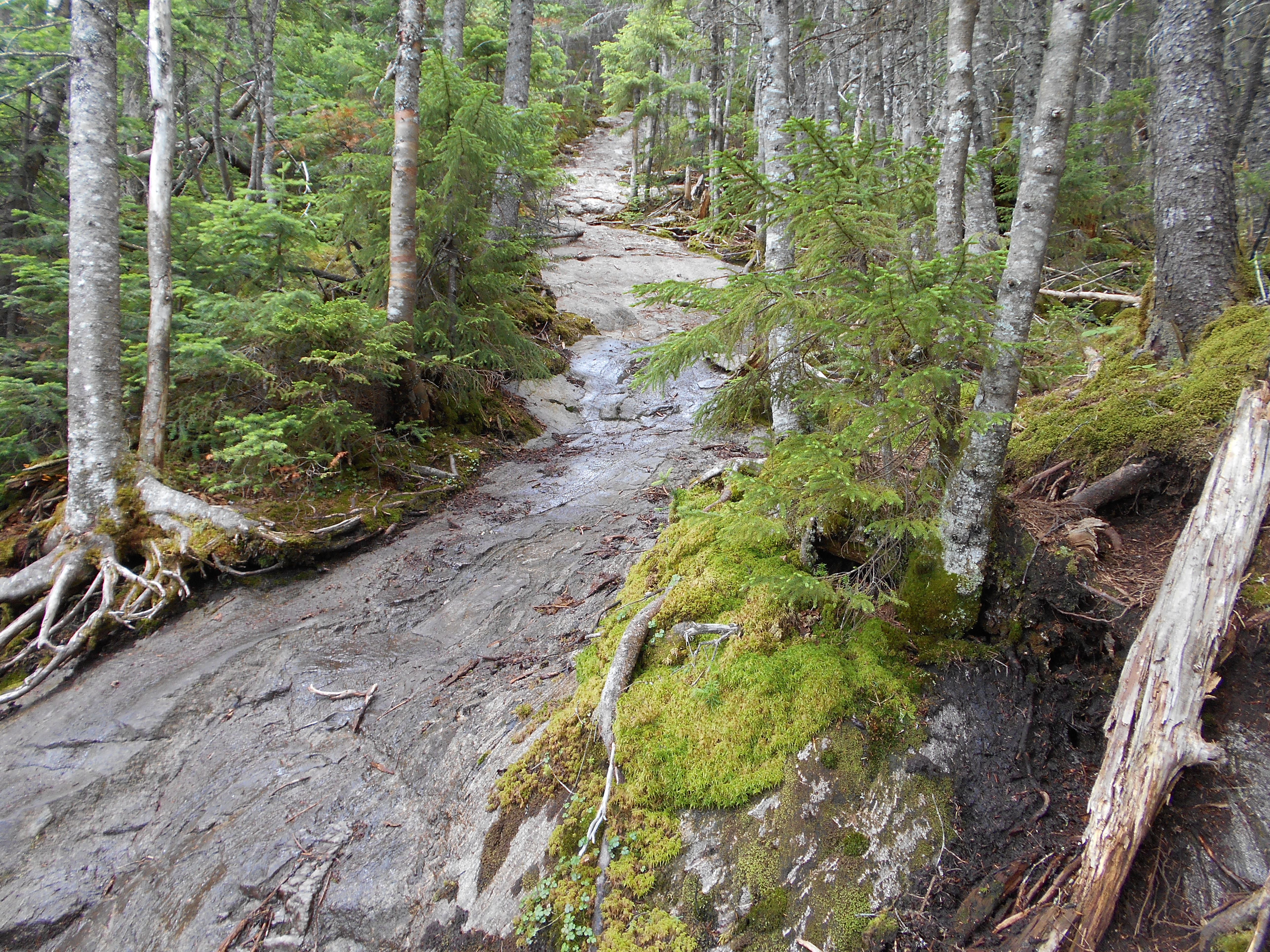
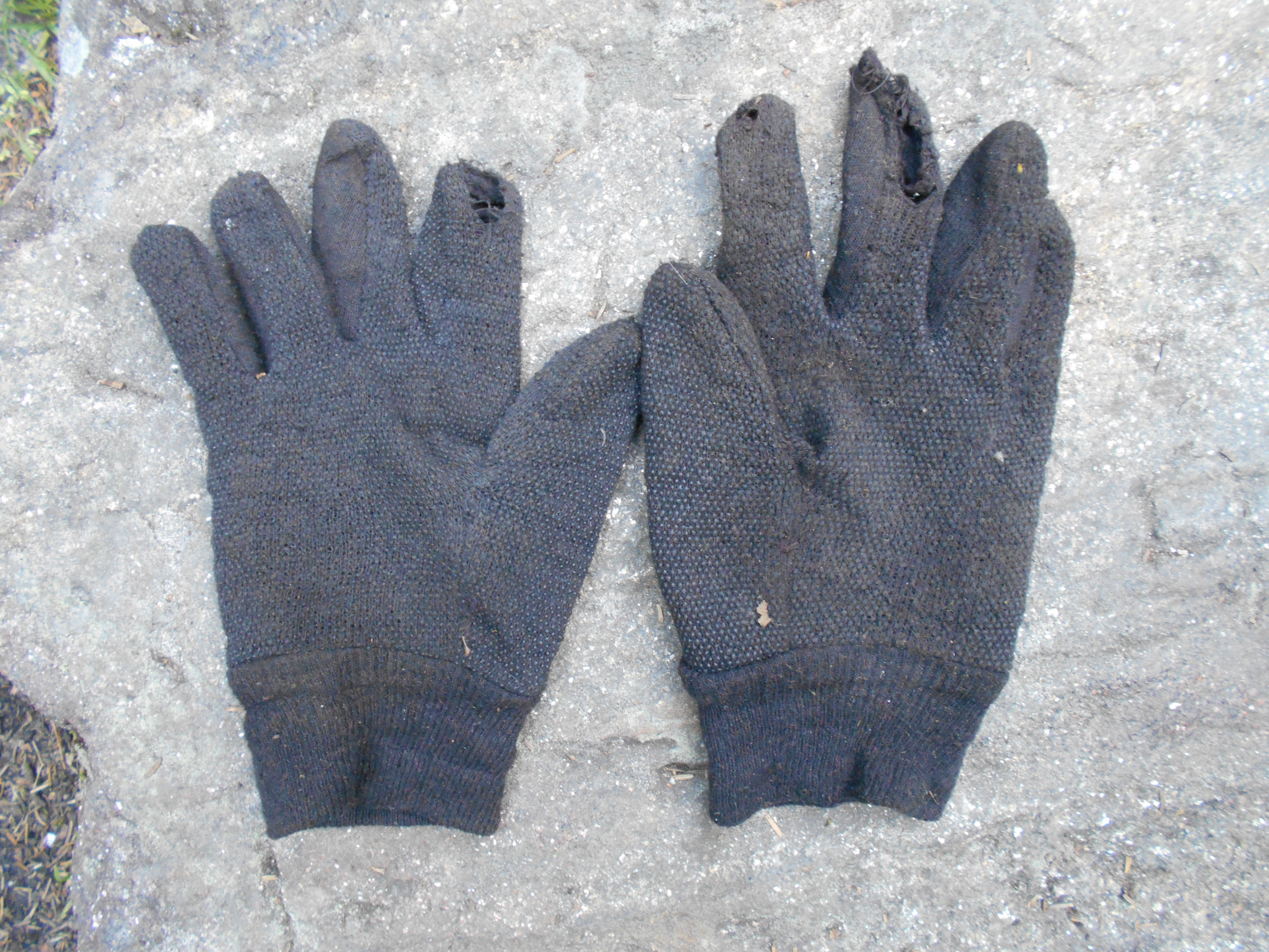
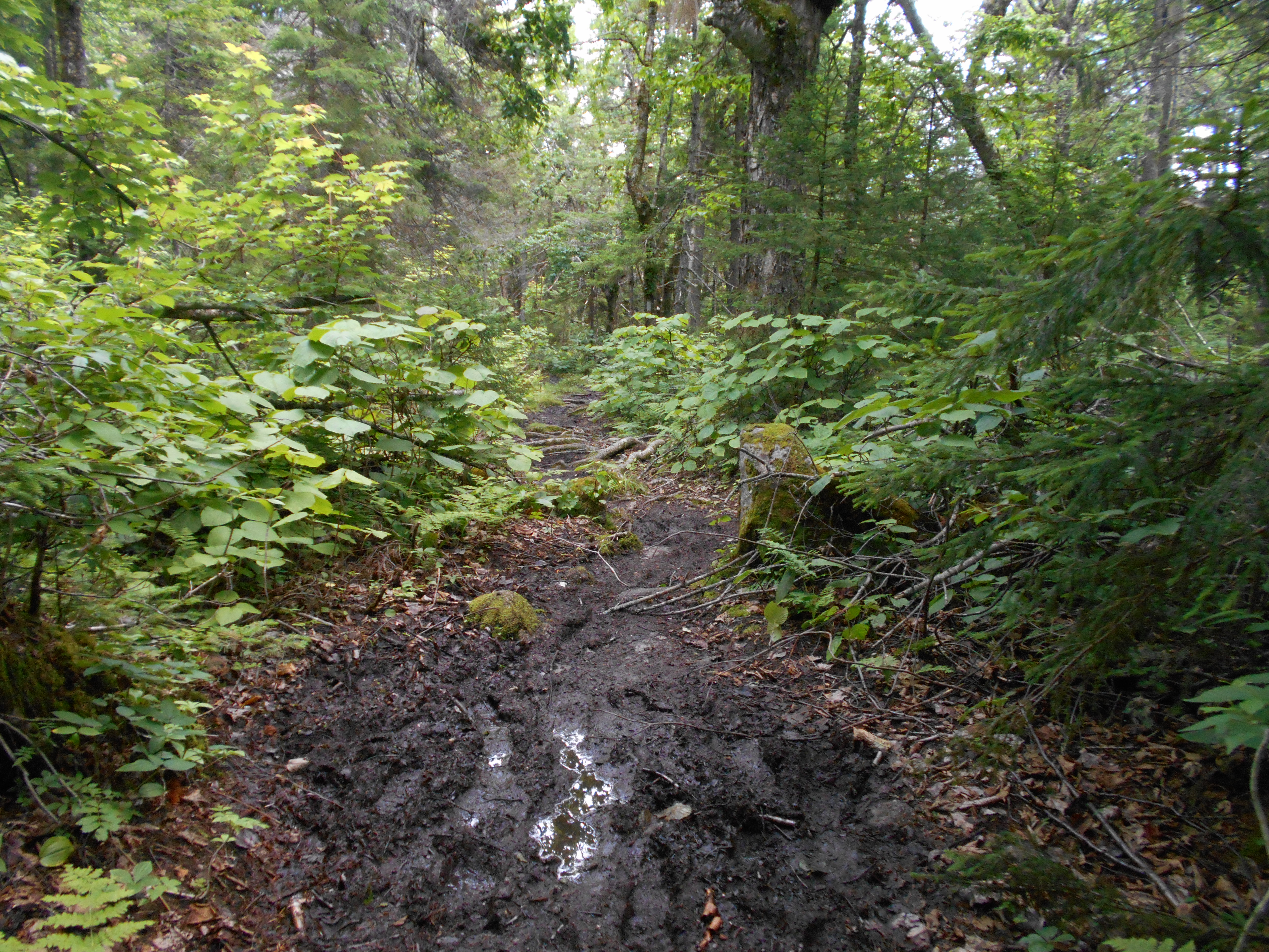
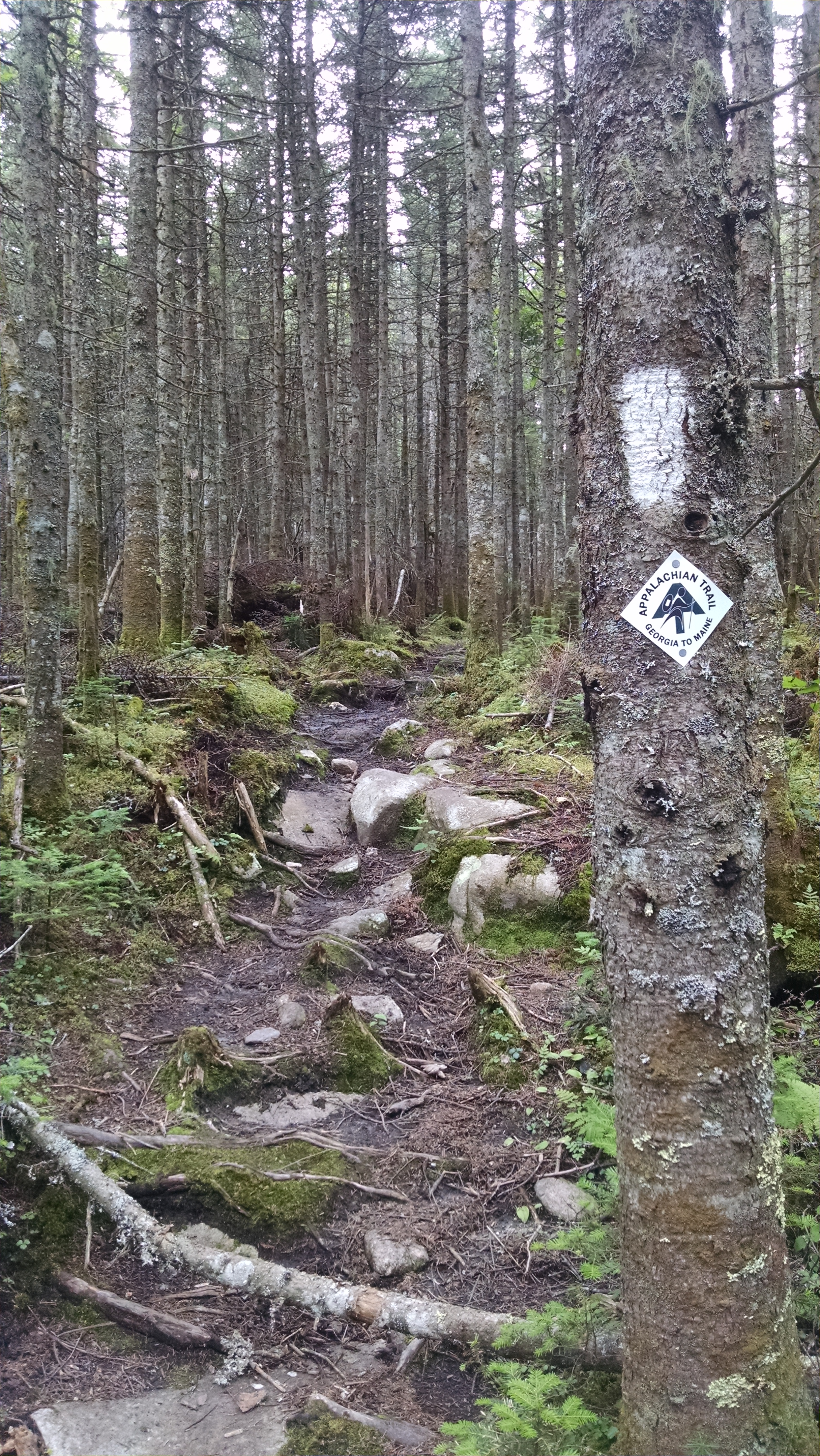
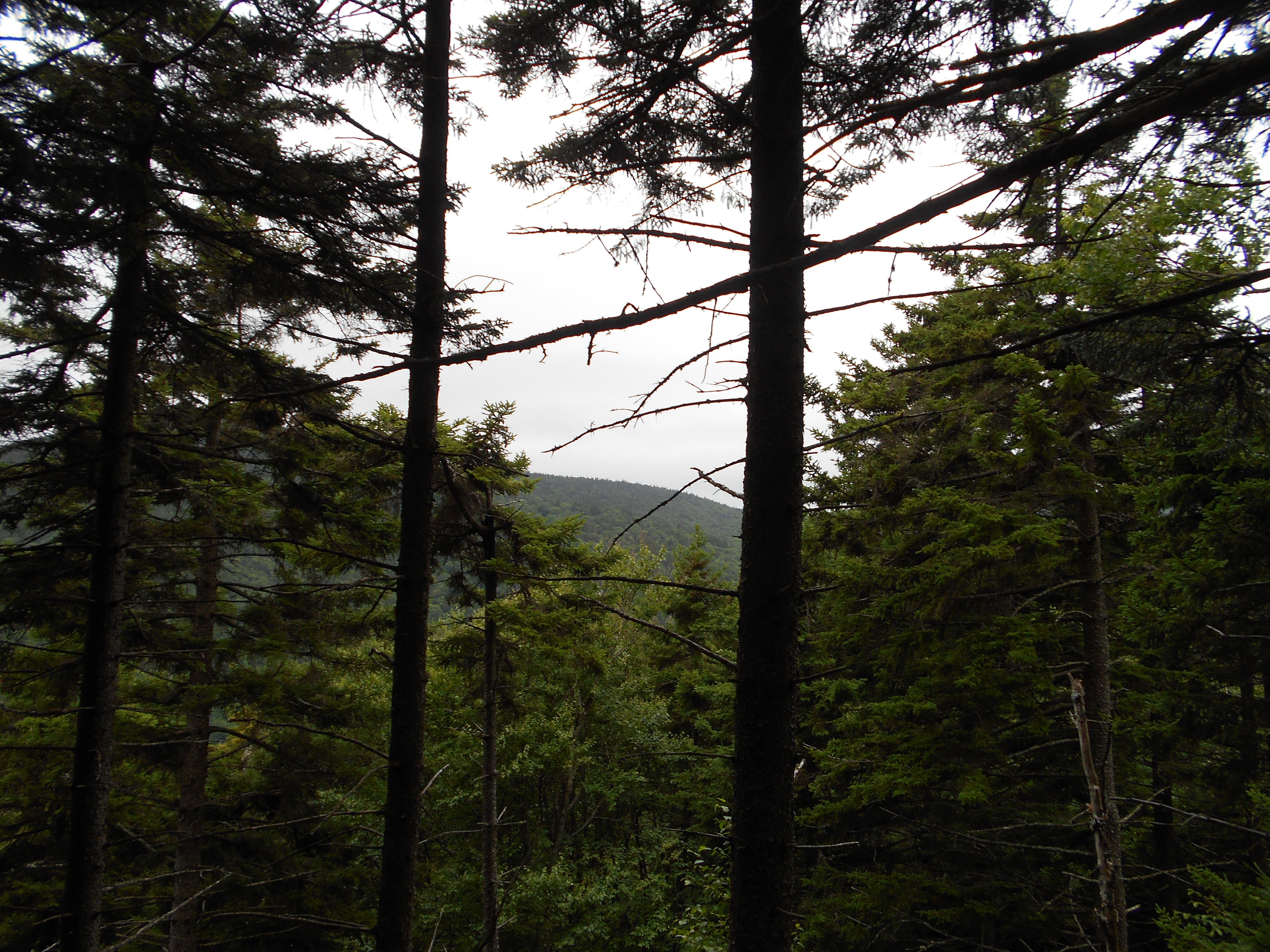
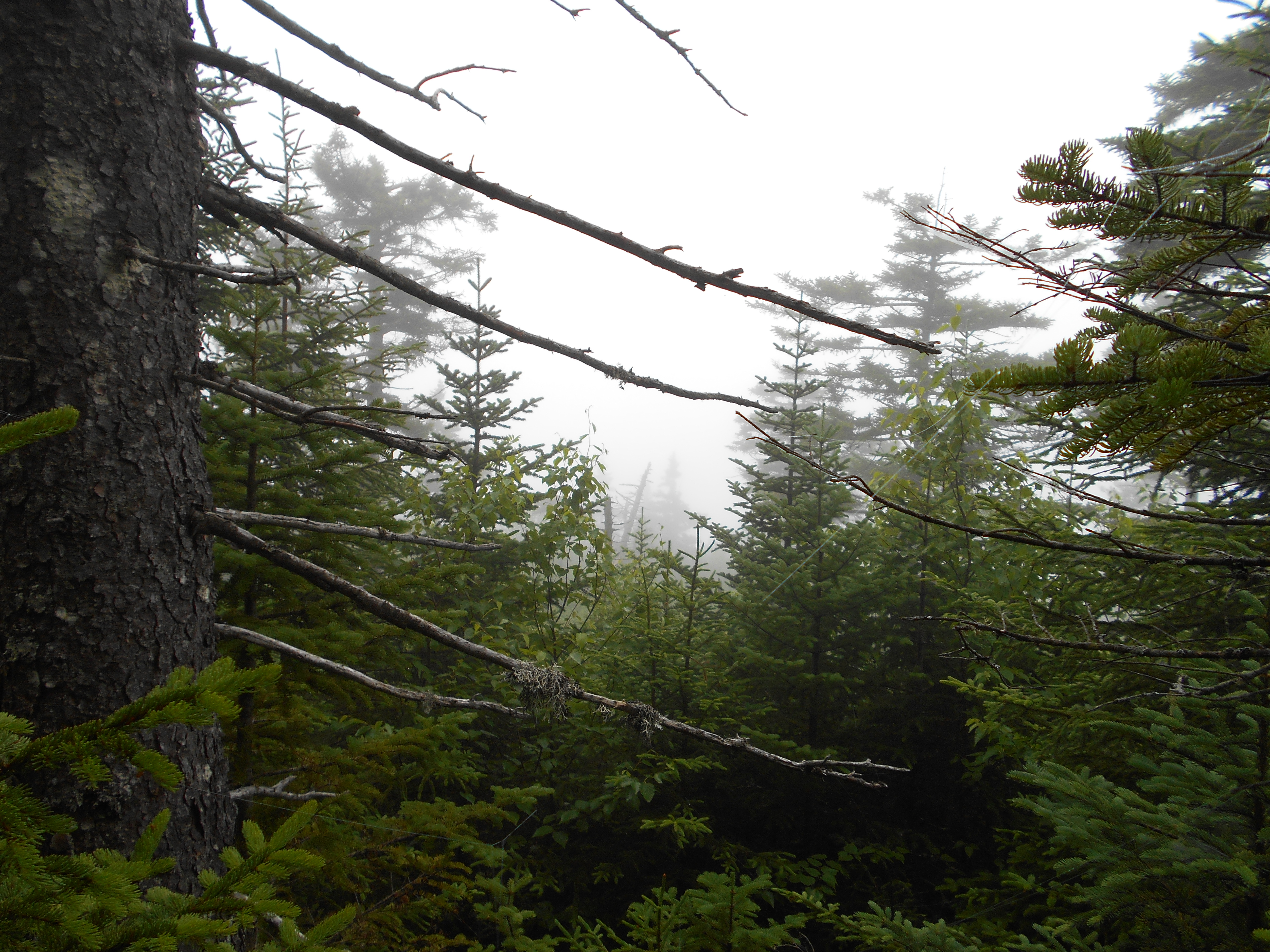
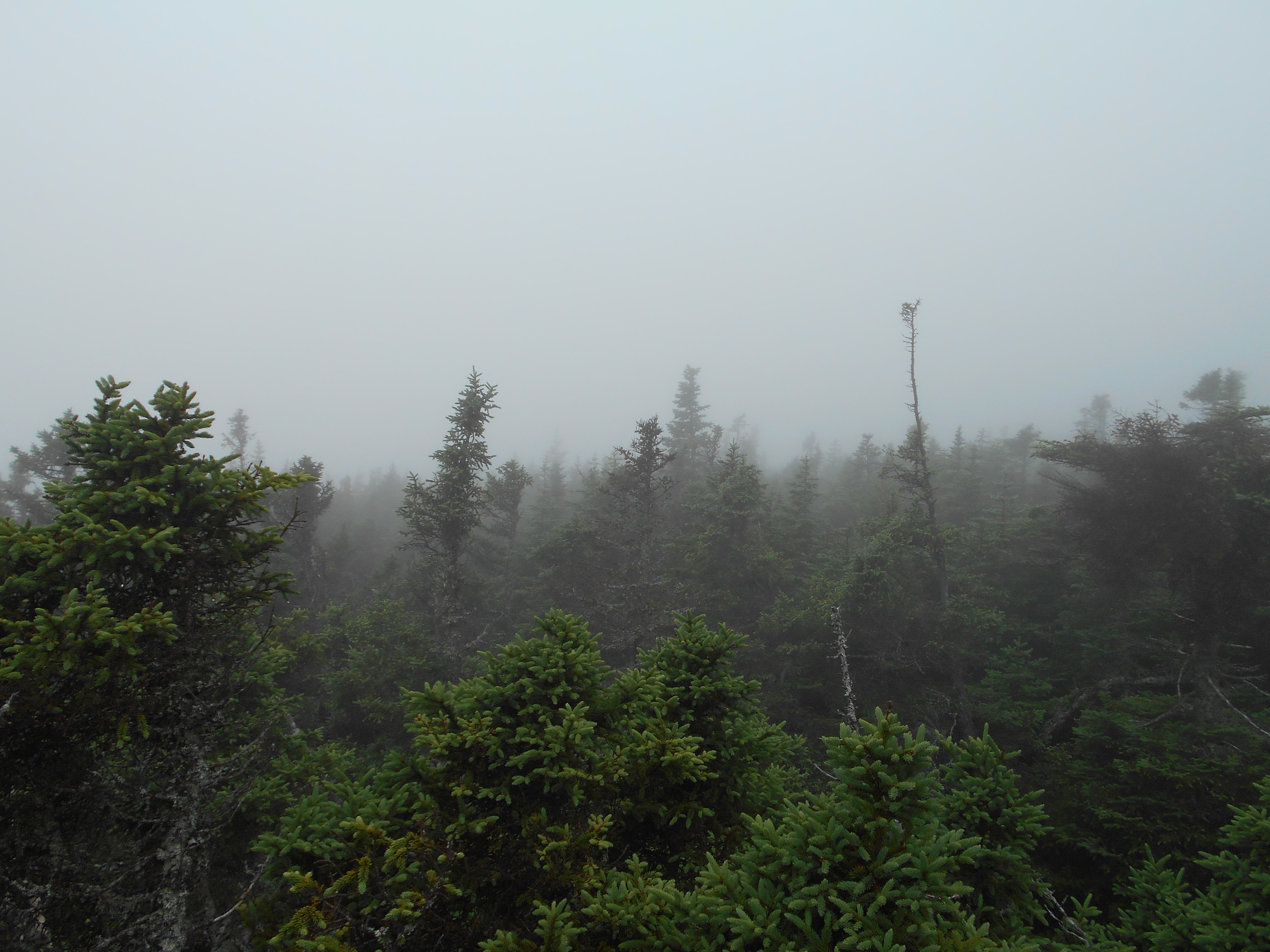
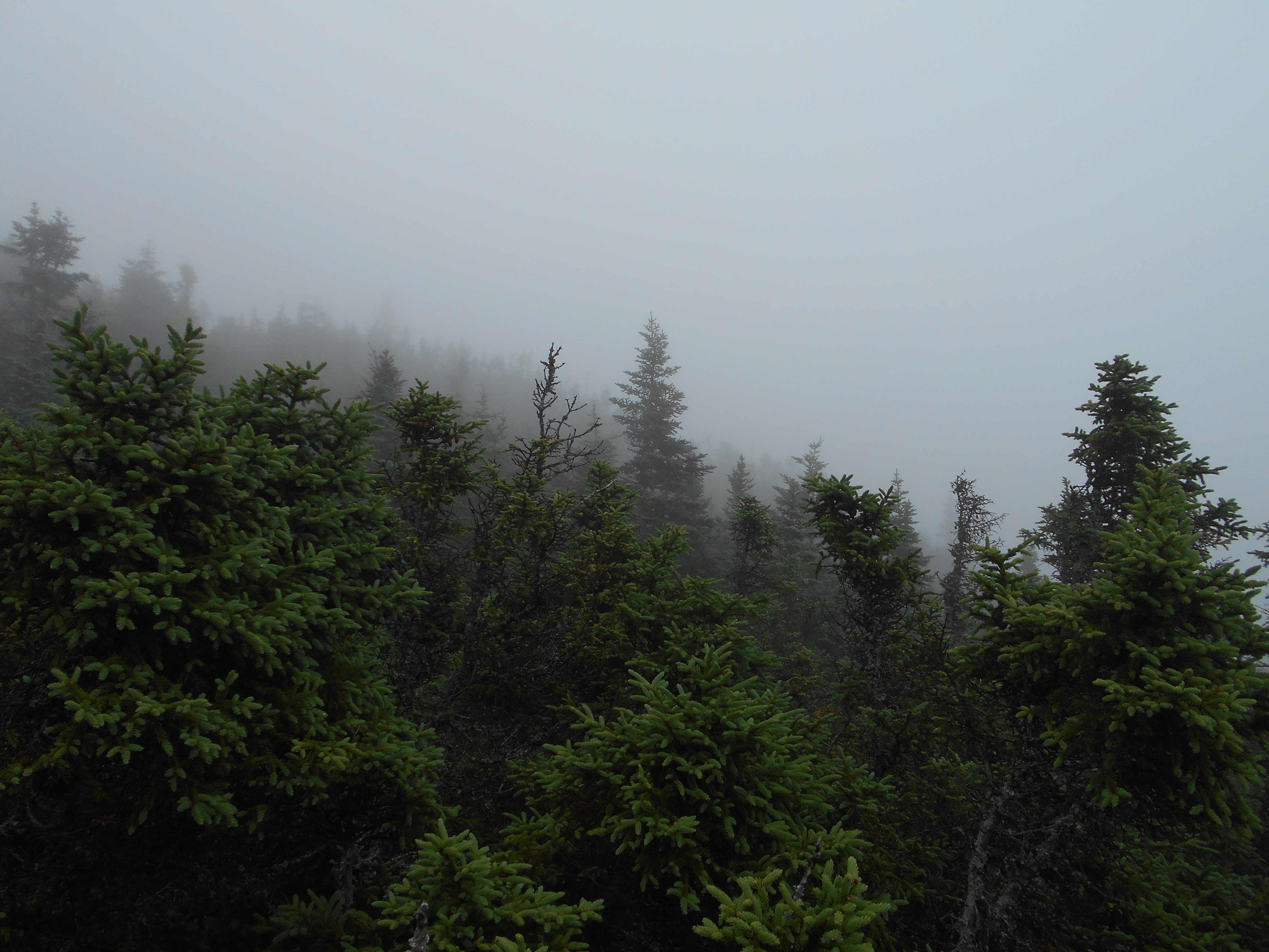
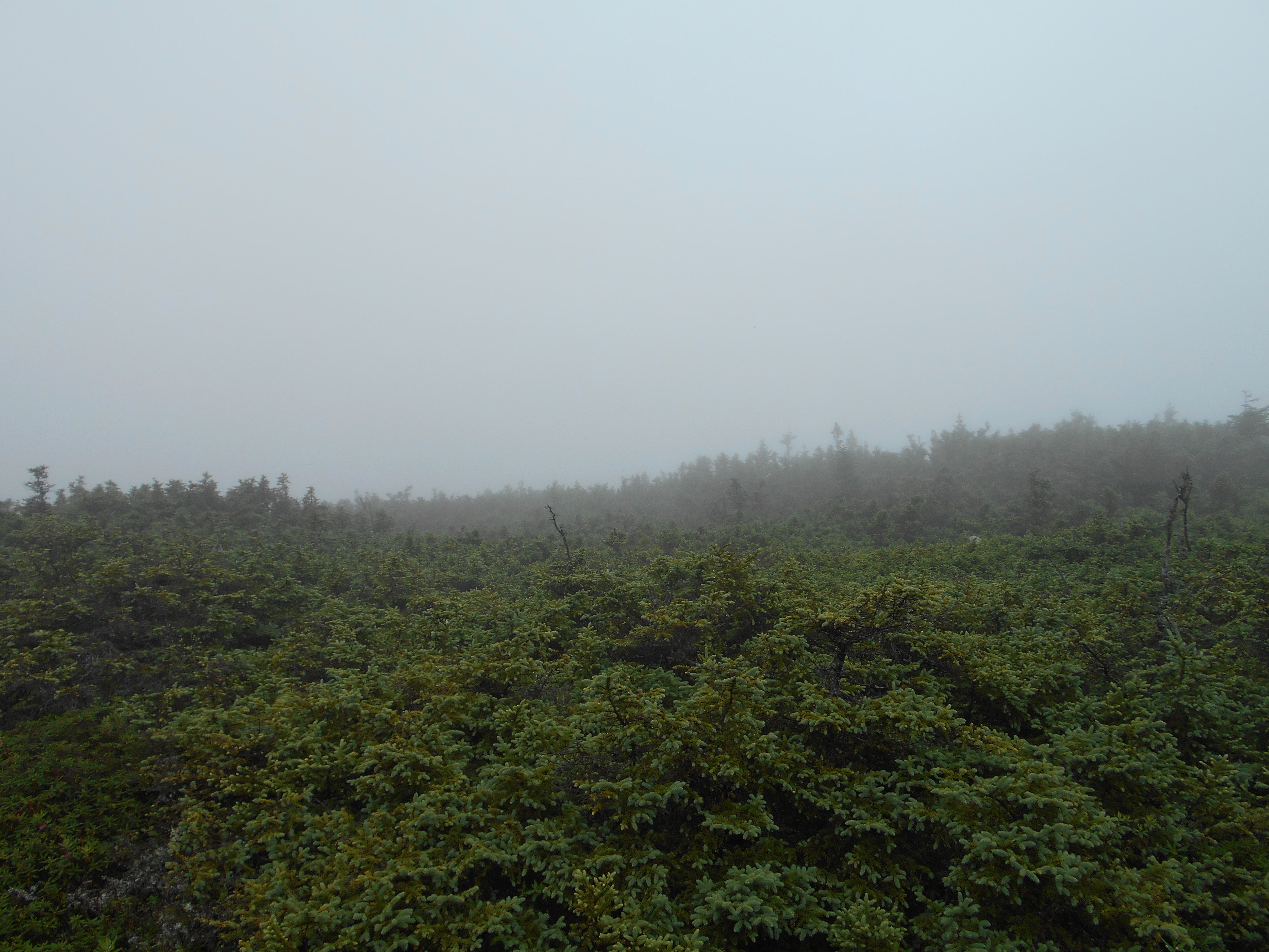
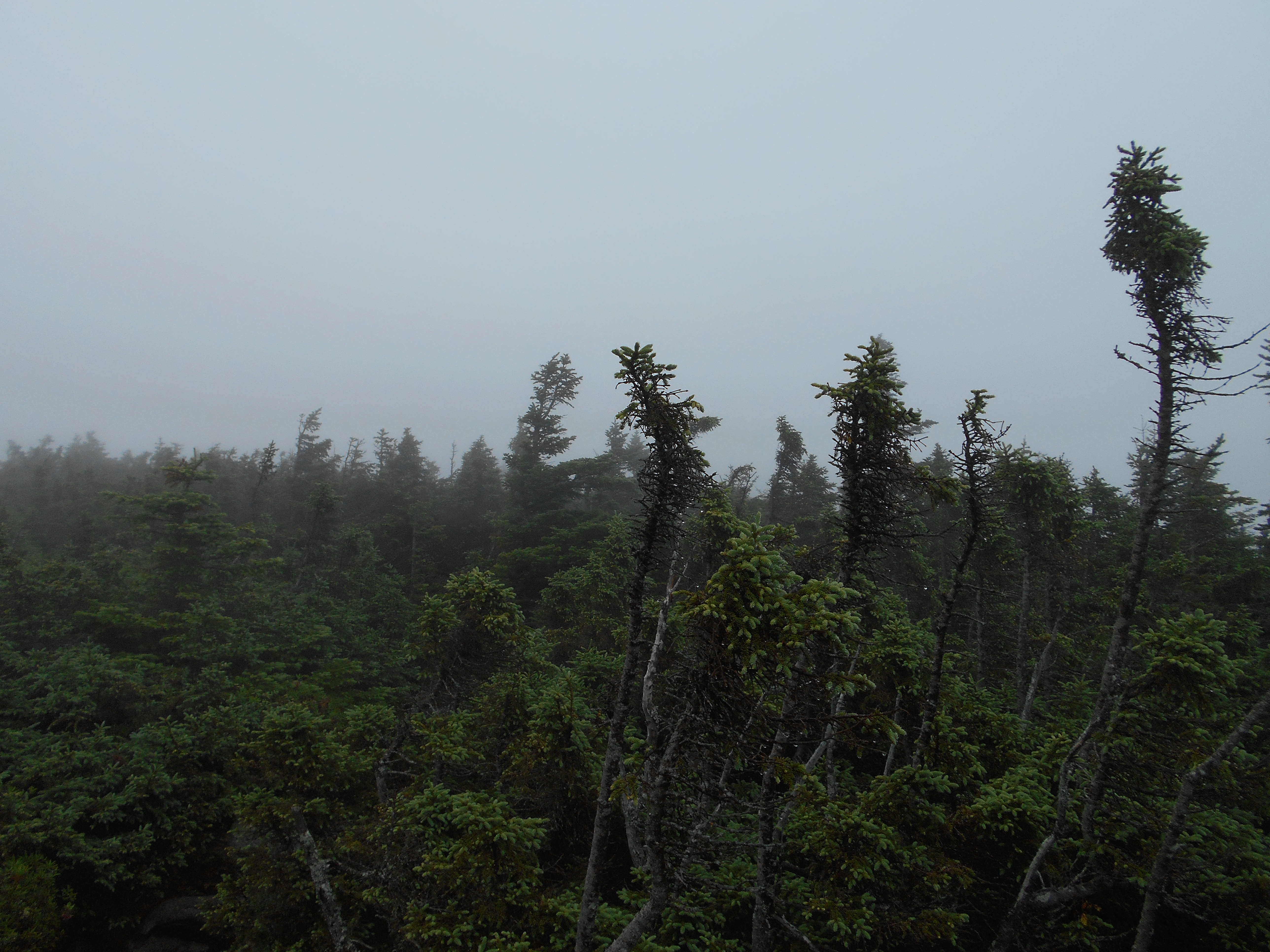
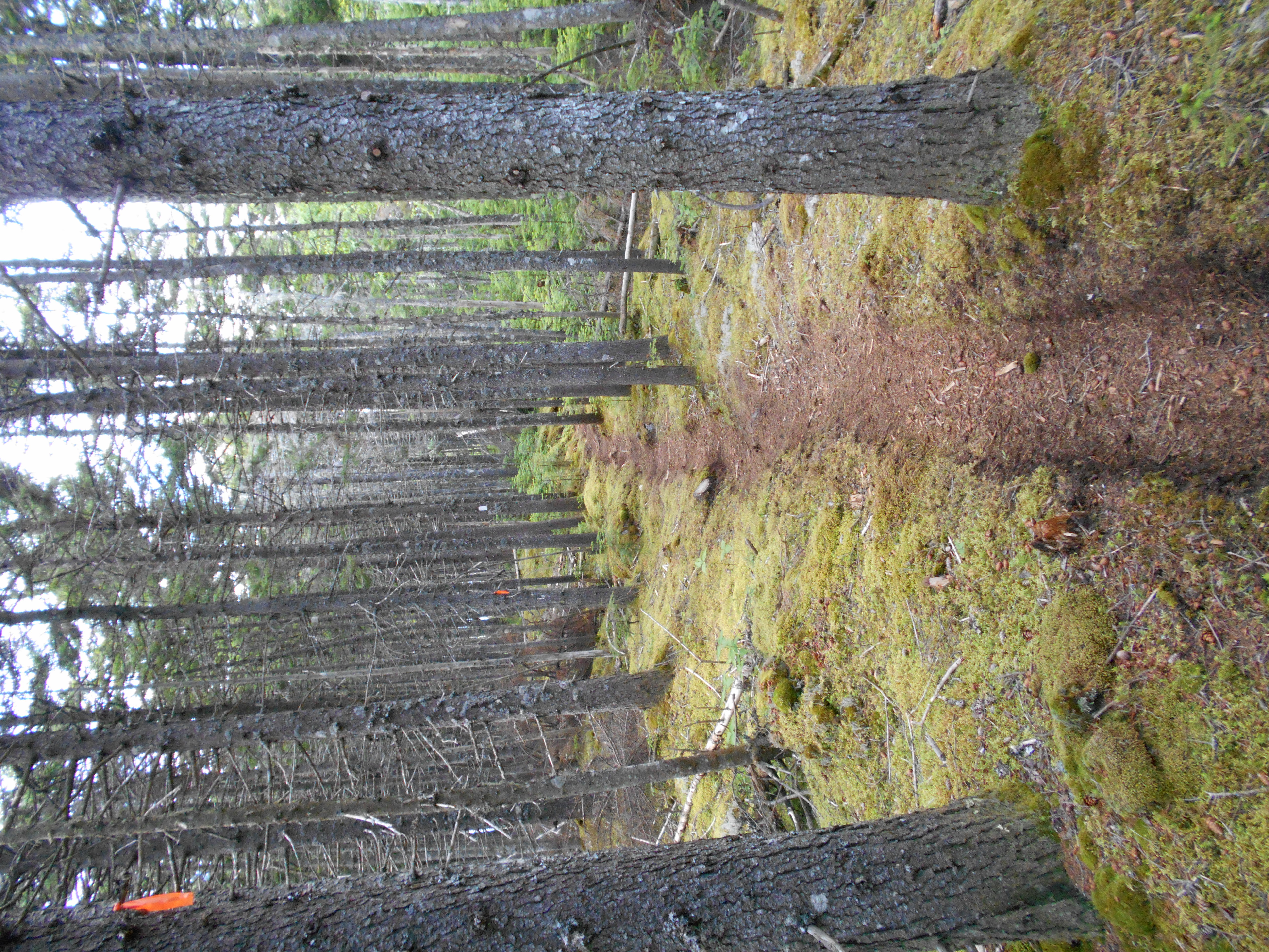
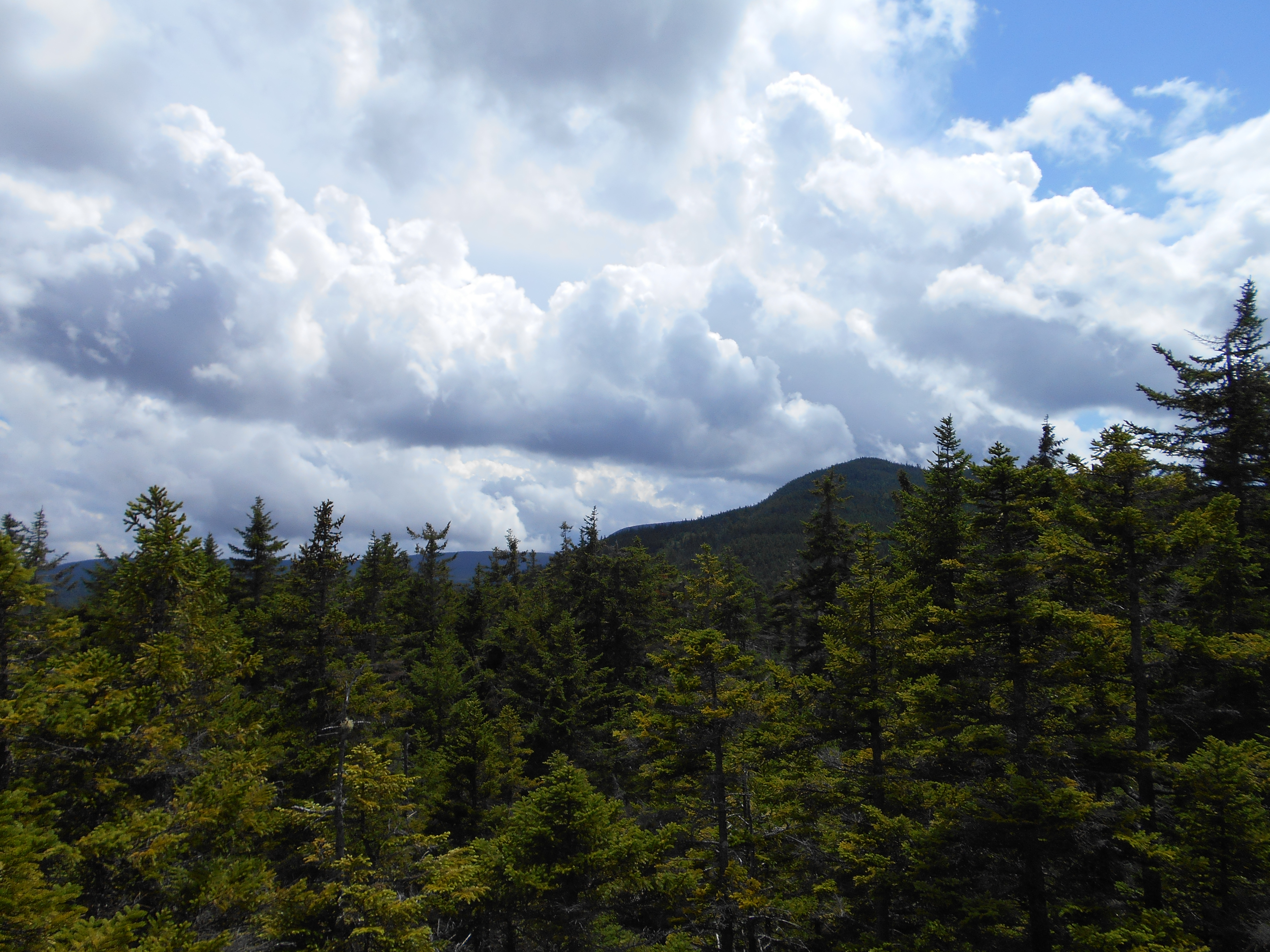
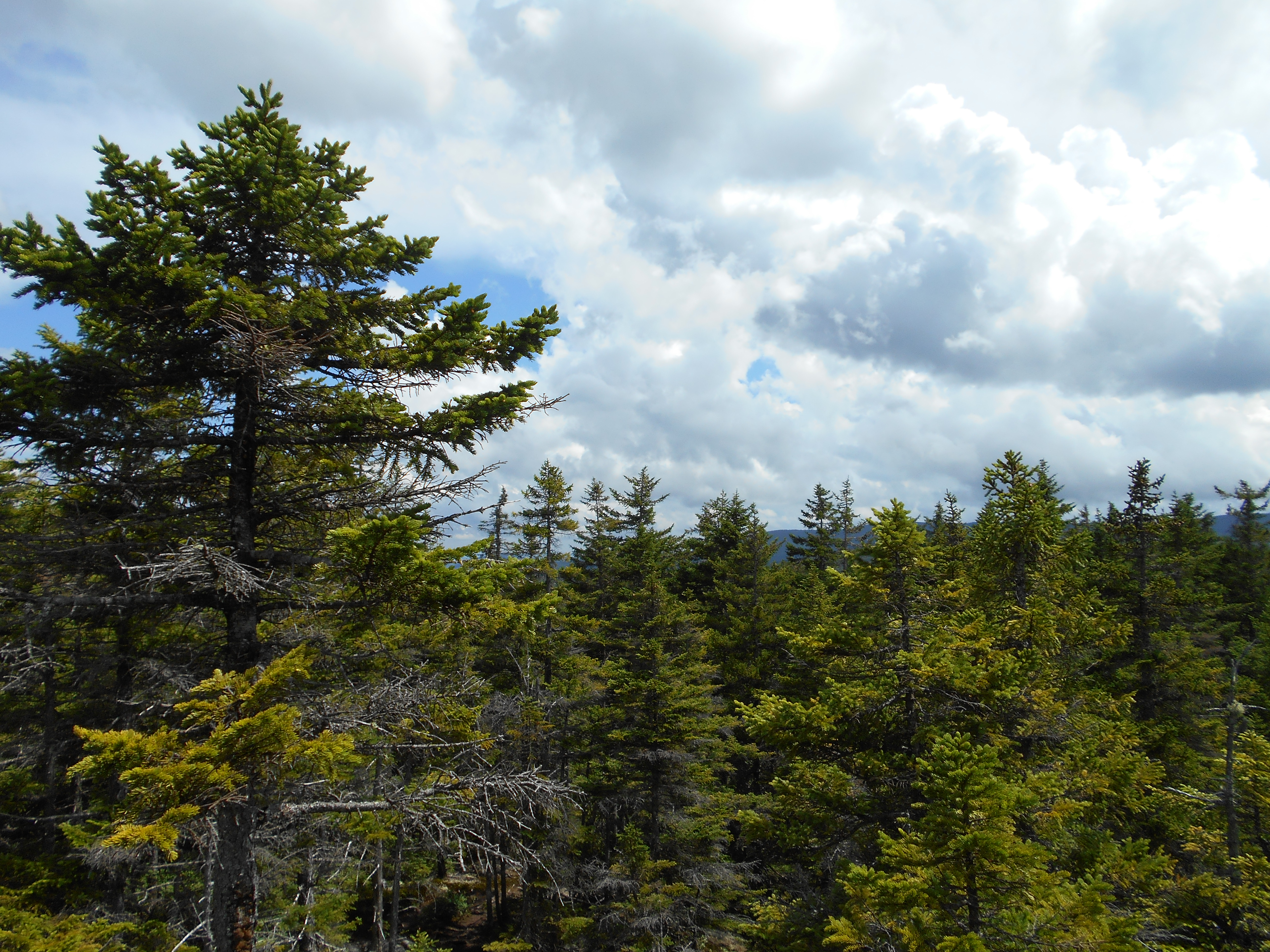
woke to annother excelent breakfast at the hostal but then it was time to pack up and leave. it rained most of the night so the trail was wet and soggy and socked in with fog. was able to make good time on the flats and uphills, but downhills were killing my knees still. backpack feels much better with the new adjustments and the new boots are doing ok. did fall two times today due to wet rocks. first no dammage, but the second I did do something to my 2nd finger on my left hand. it is bent at the first nuckle and will not streighten out. no pain and no sign of a break. luckly at the shelter there is a physiotheripist who said that if I put it in a splint for 4 to six weeks it should be ok, but leaving it unsplinted could leave it bent permanently.
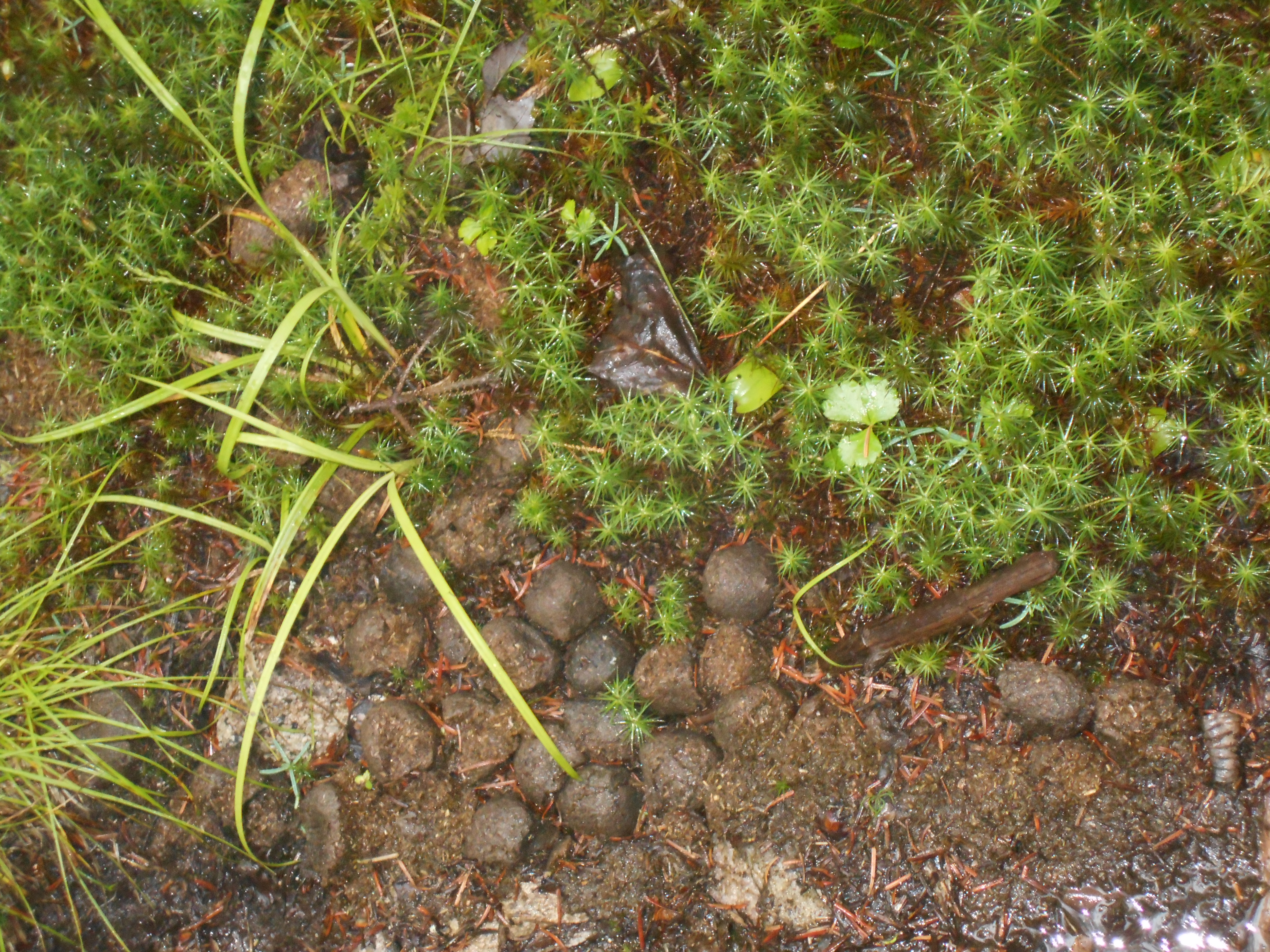
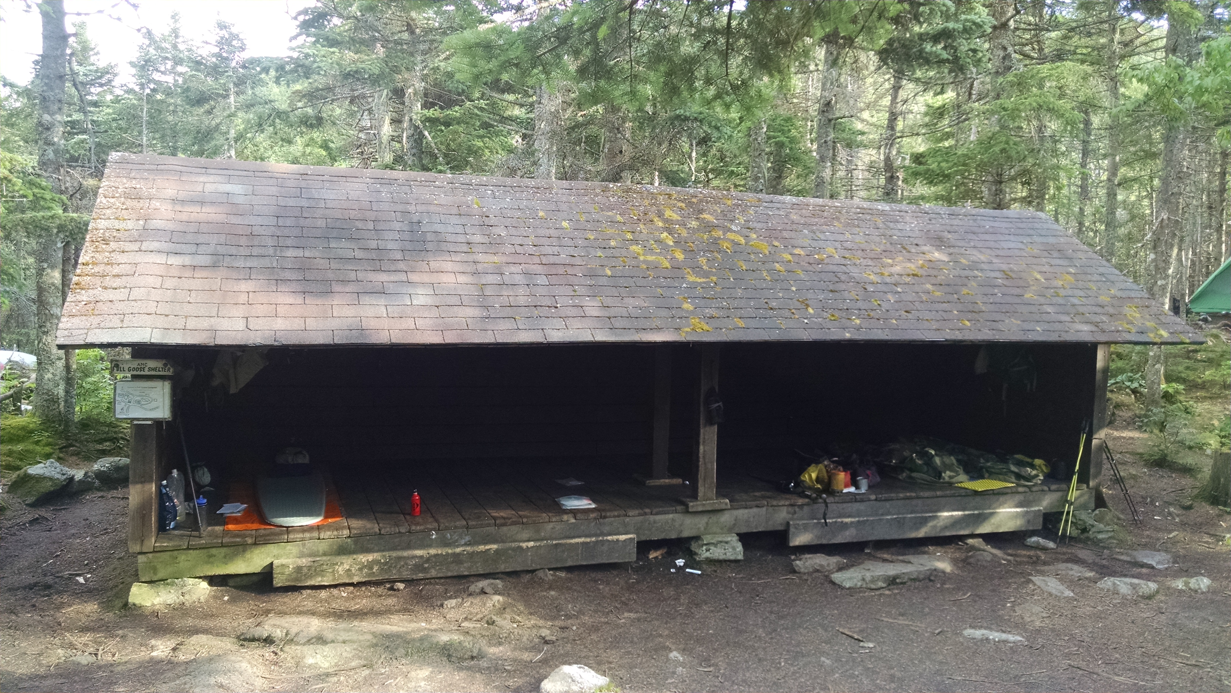
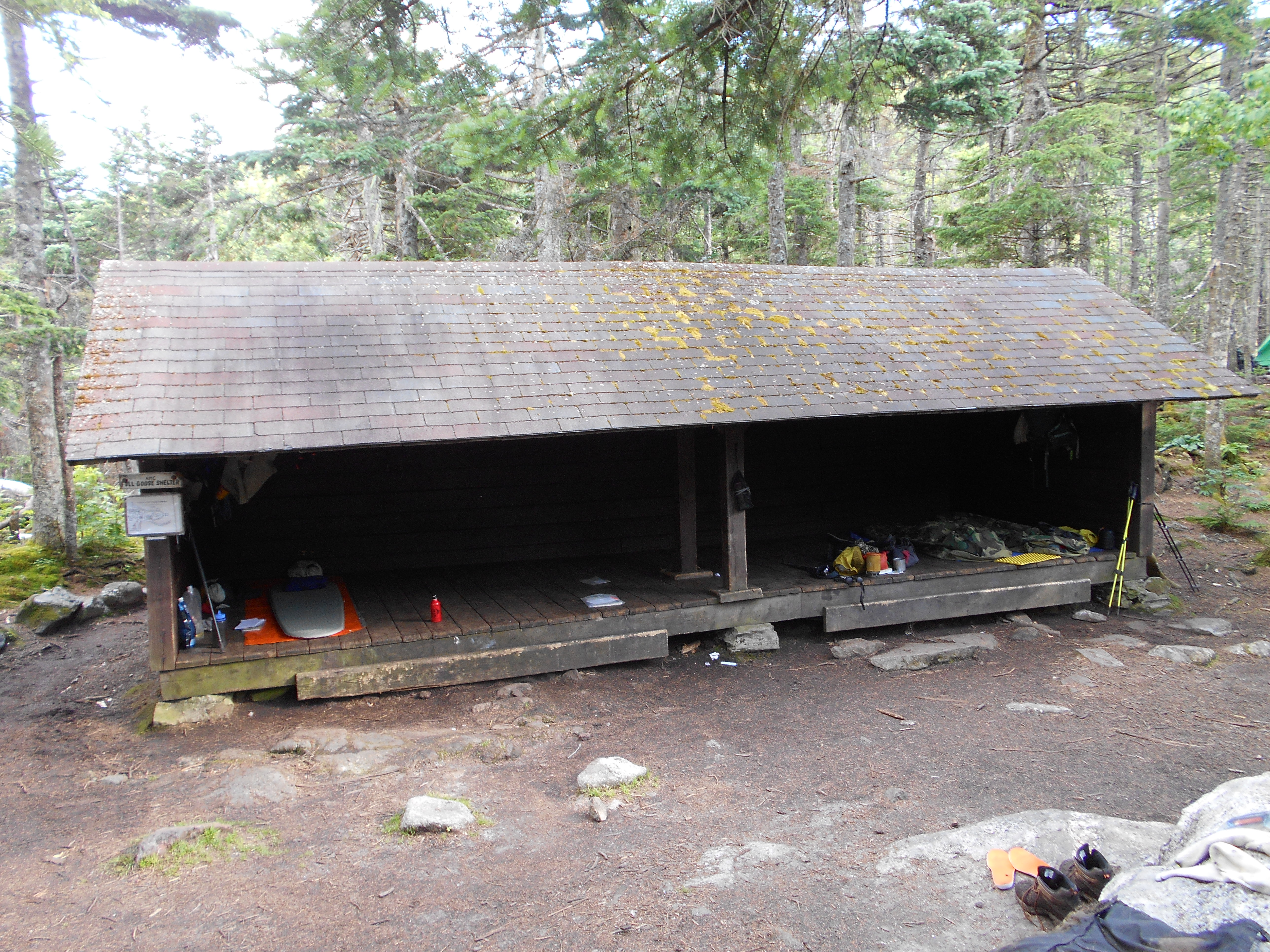
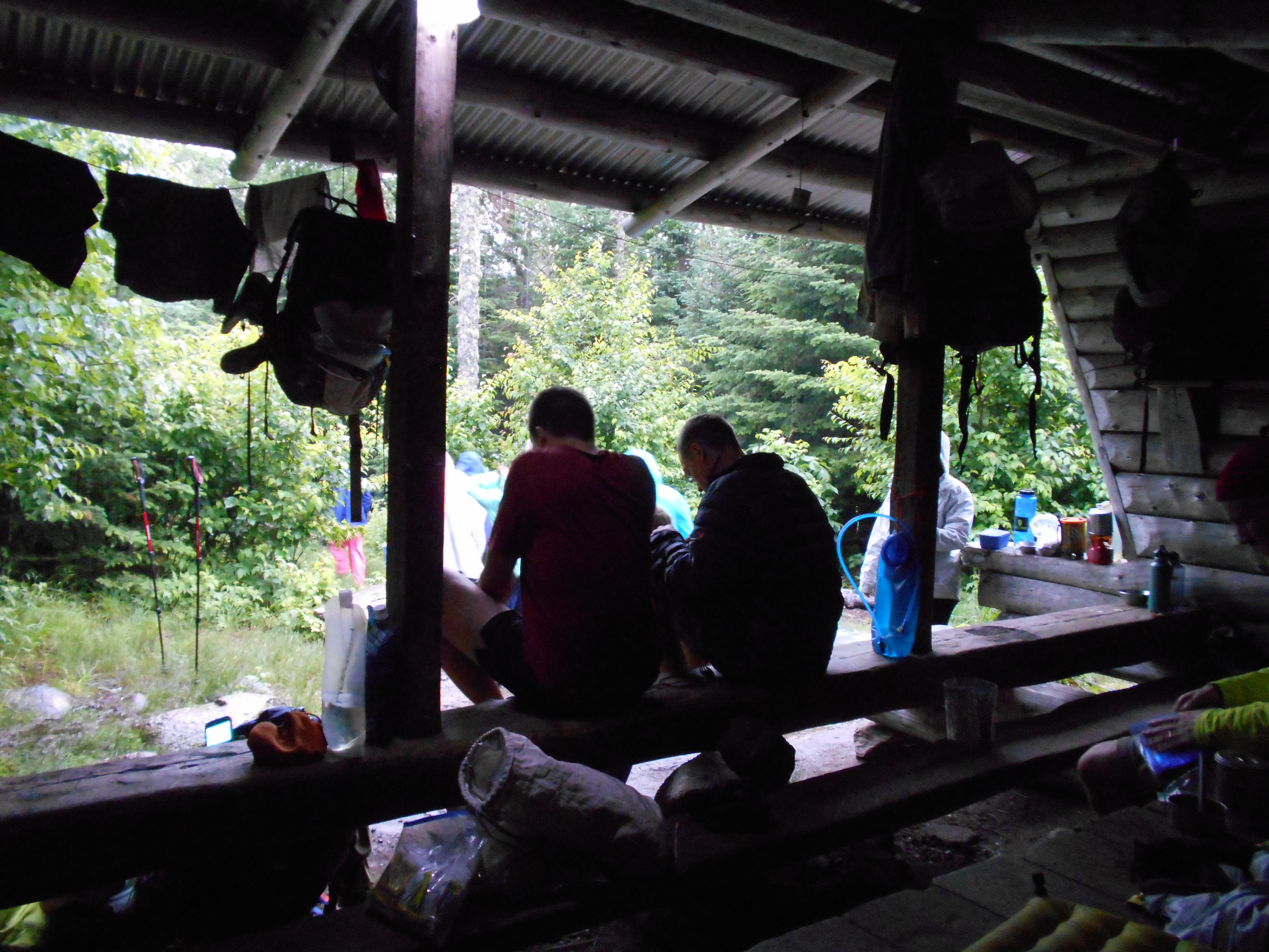
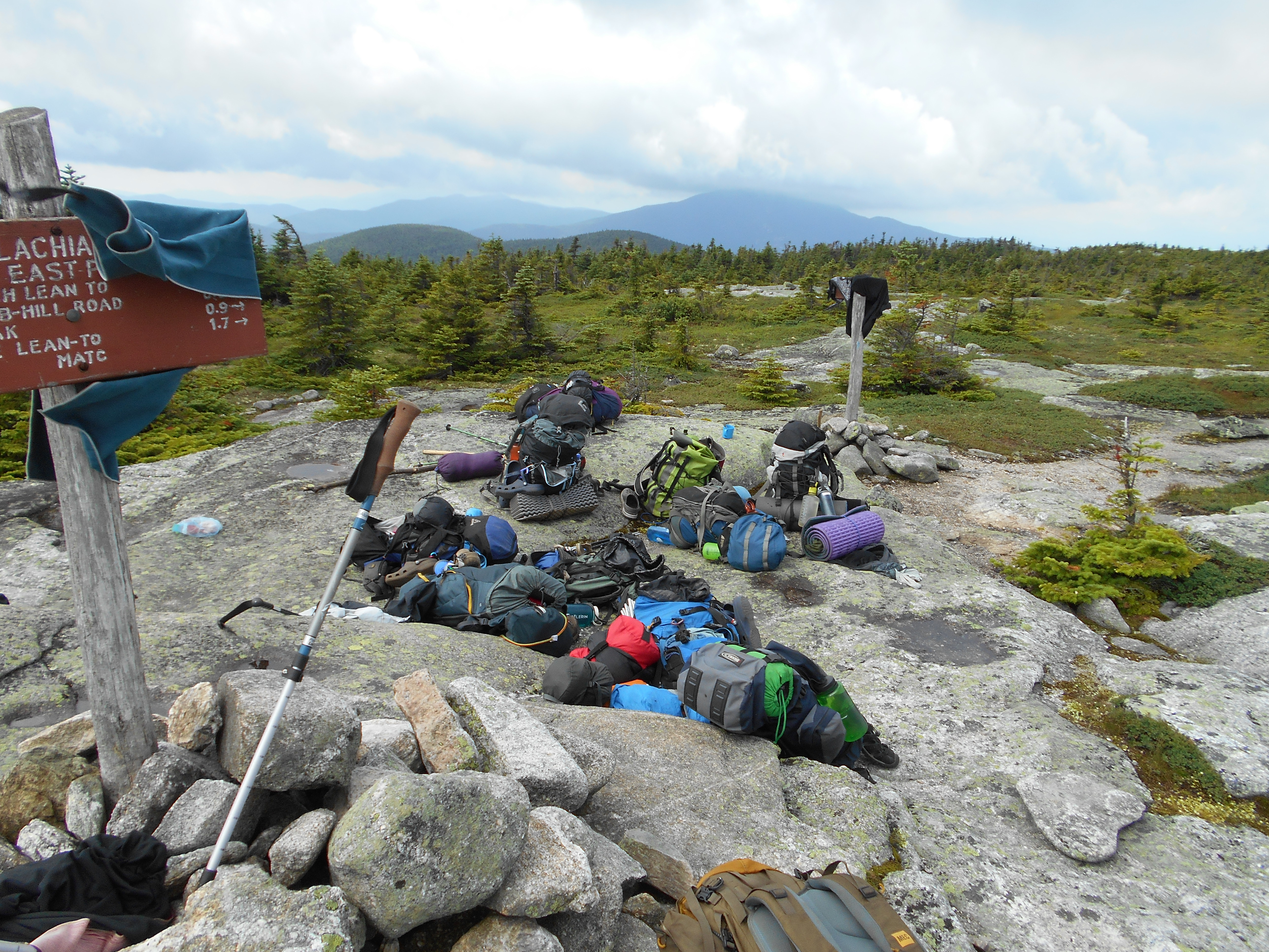
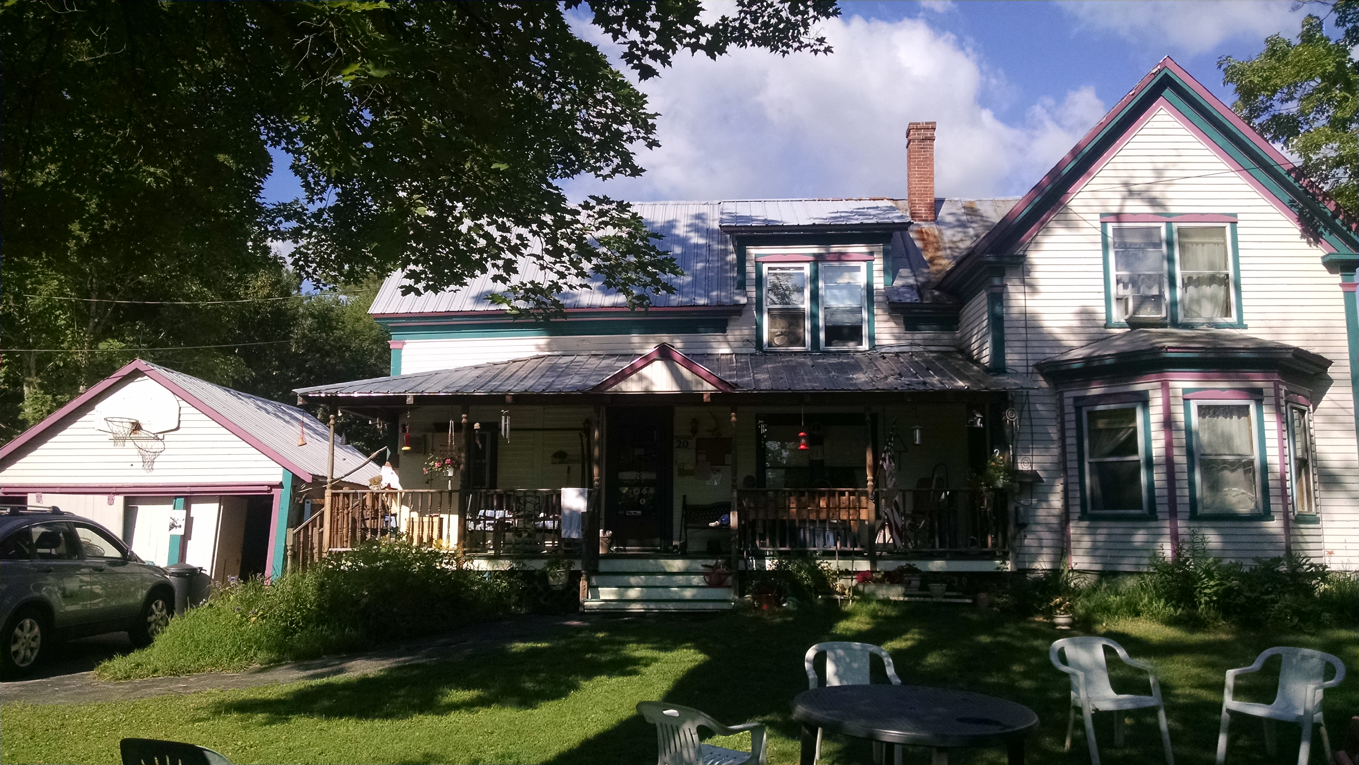
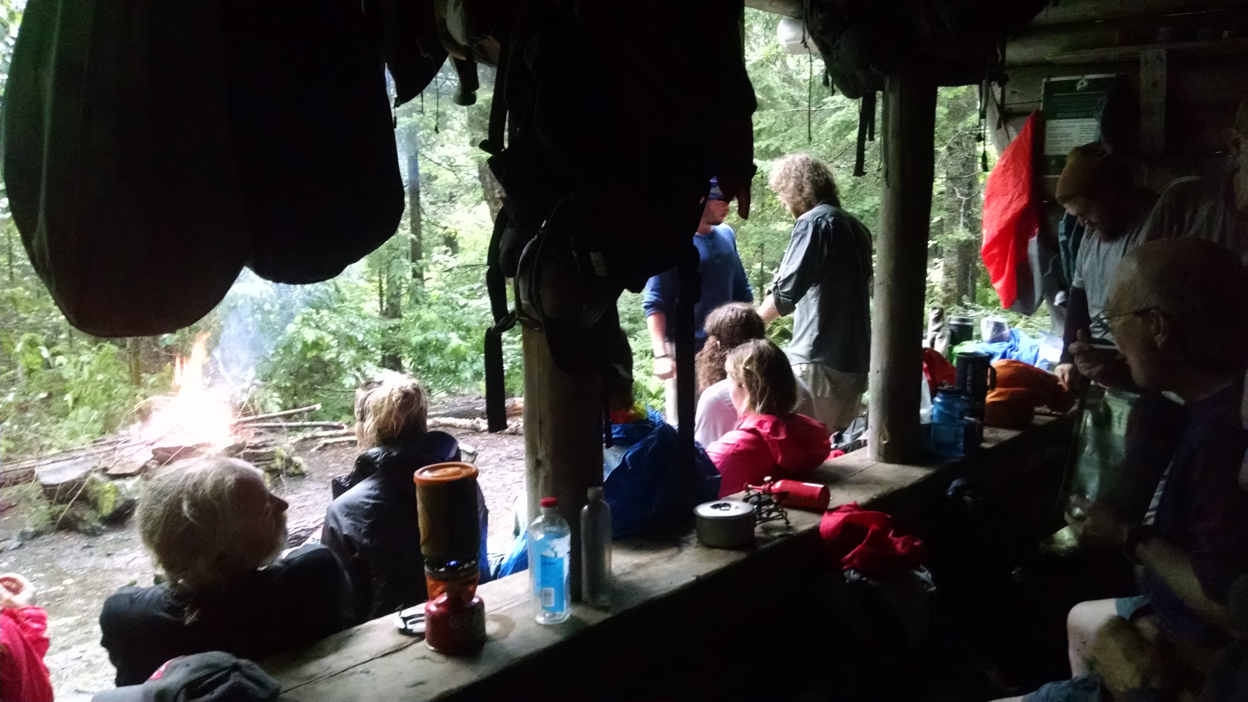
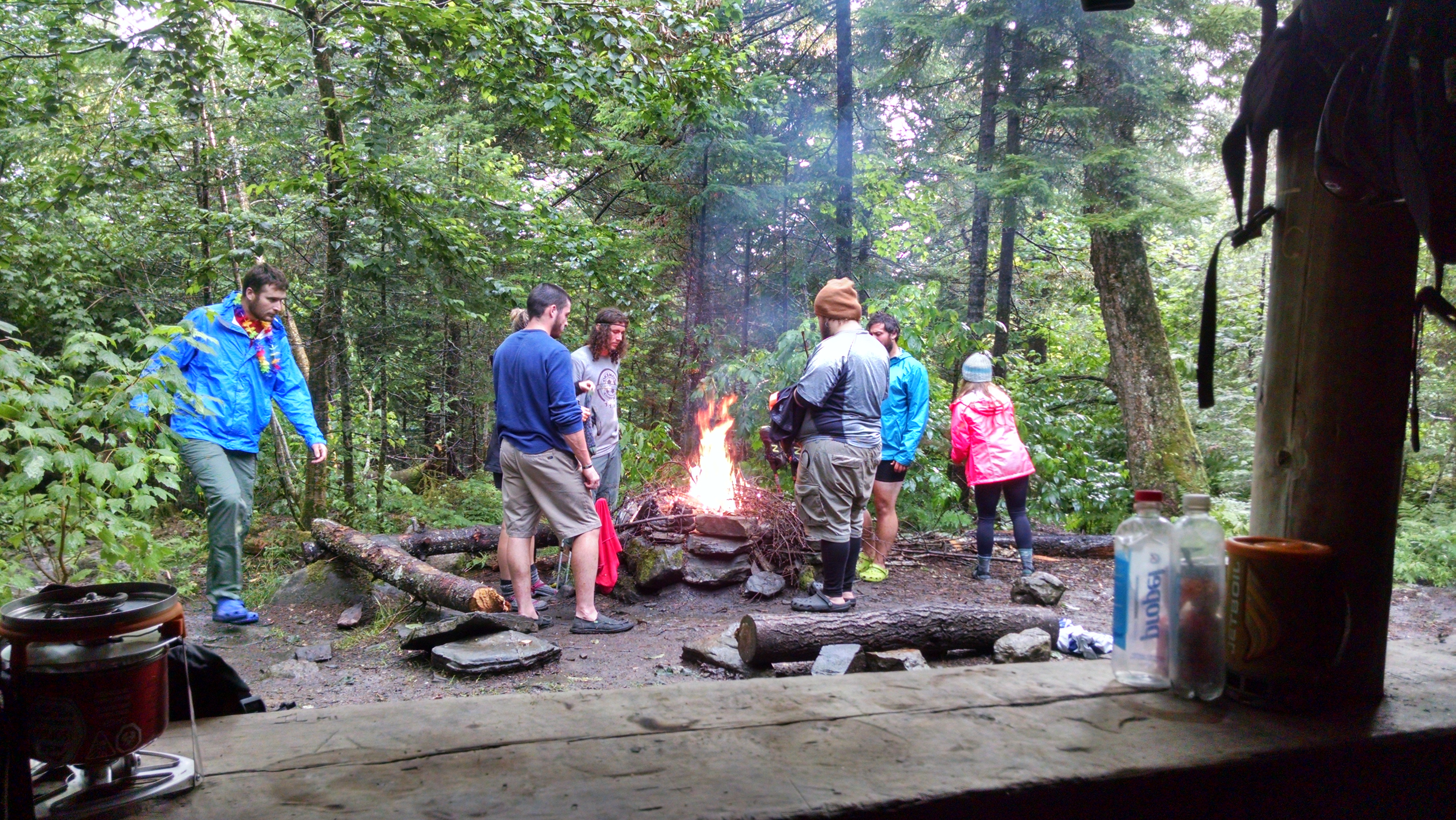
the shelter is full tonight with 11 people.
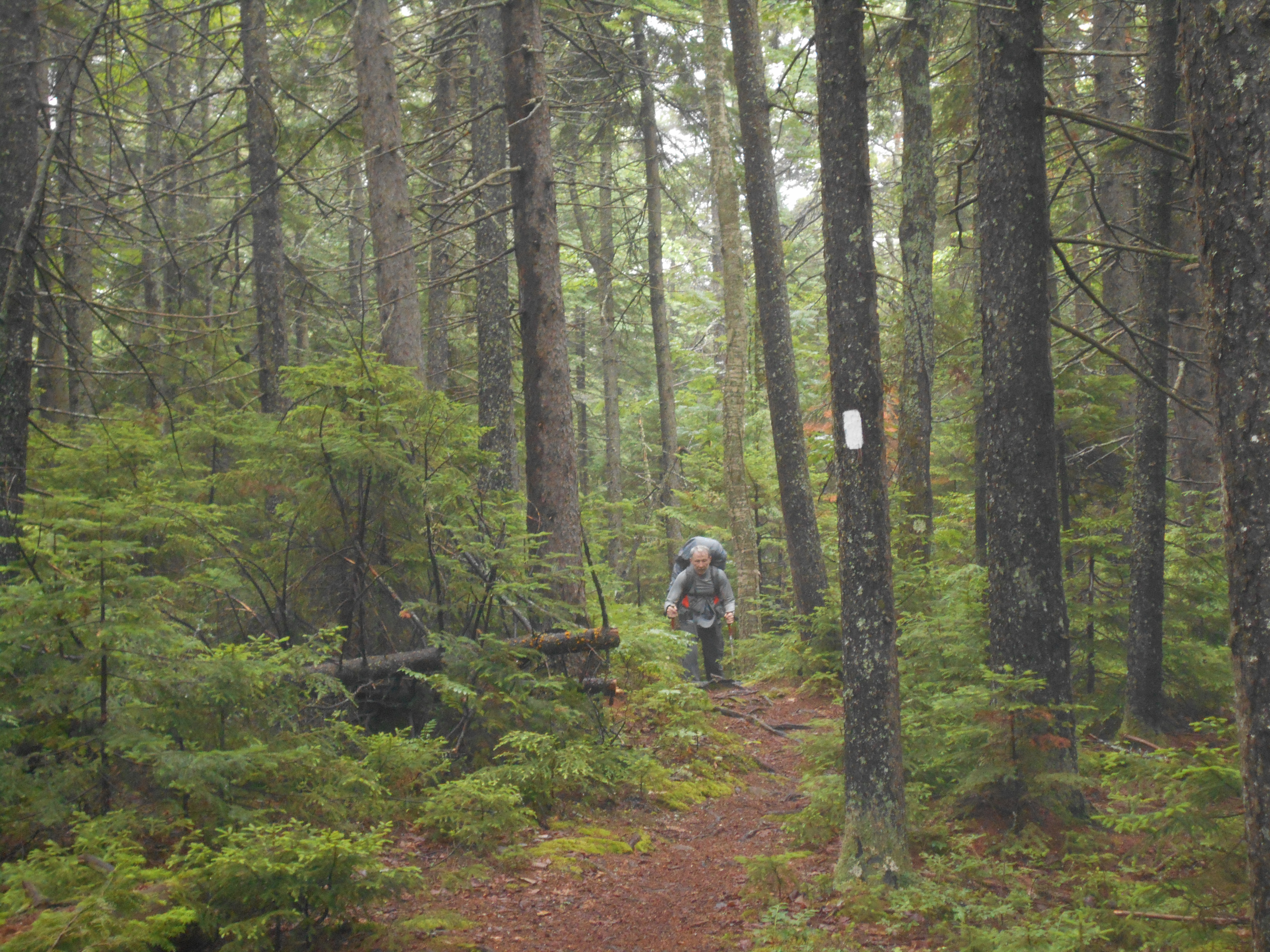
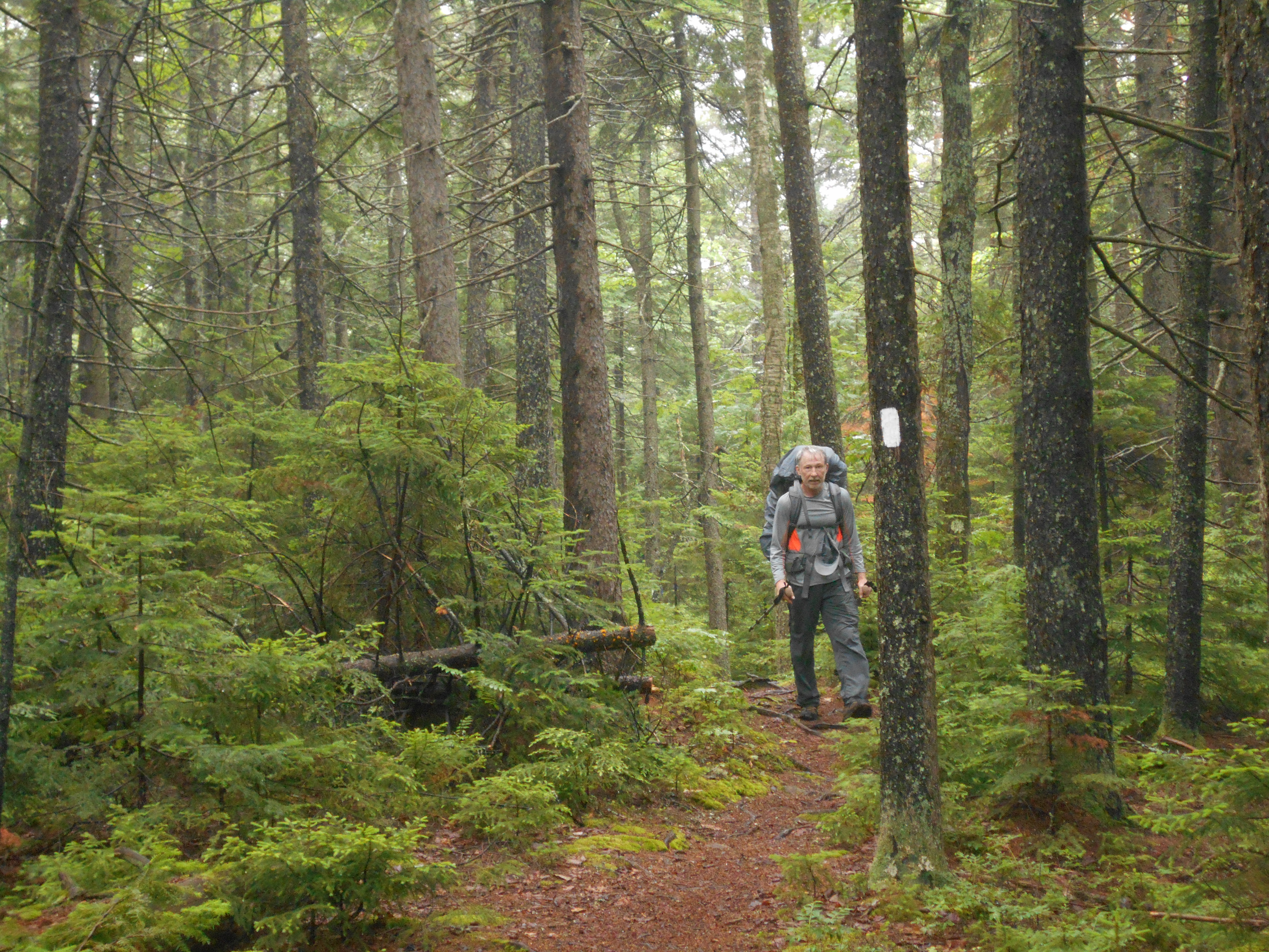
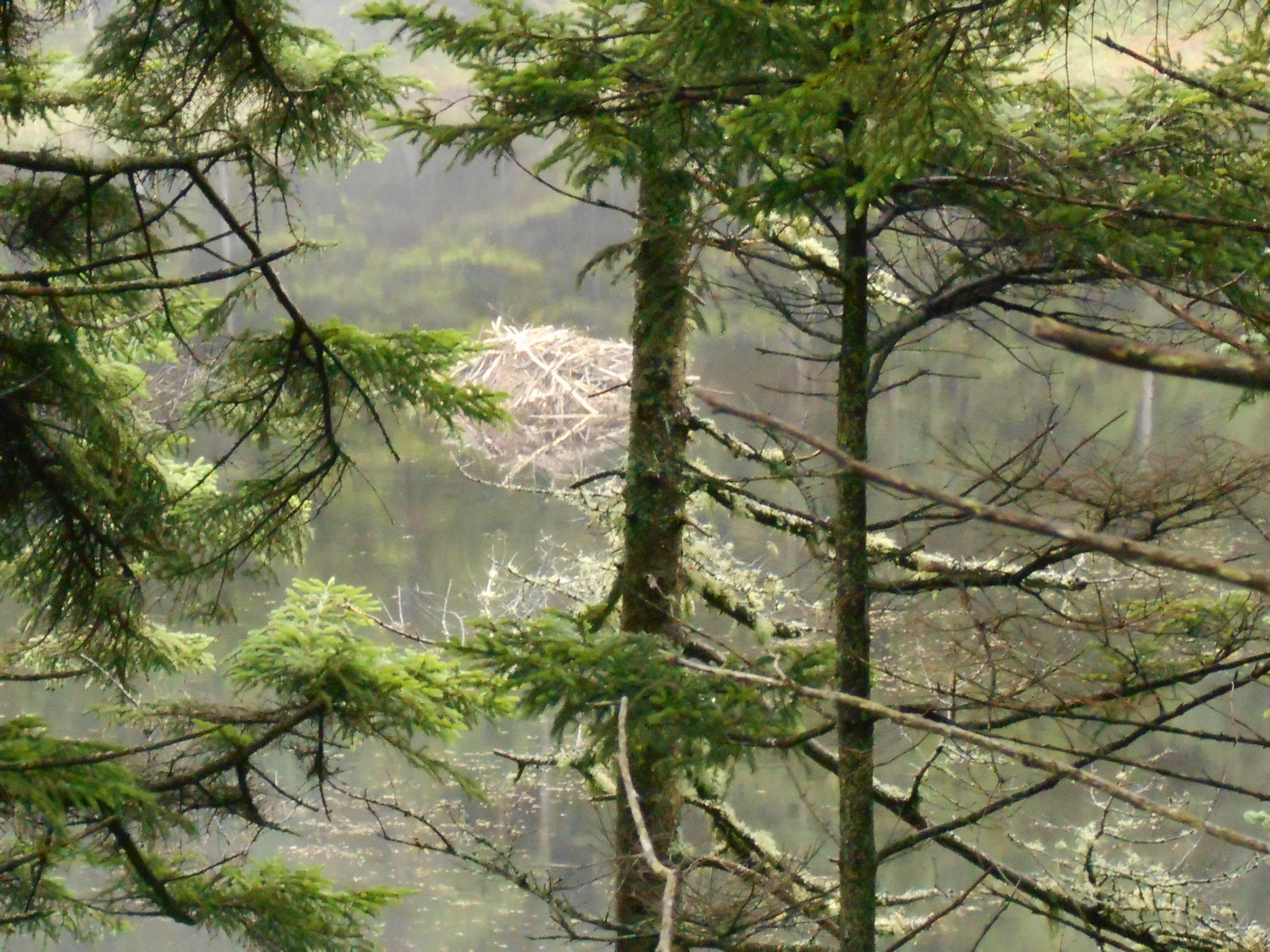
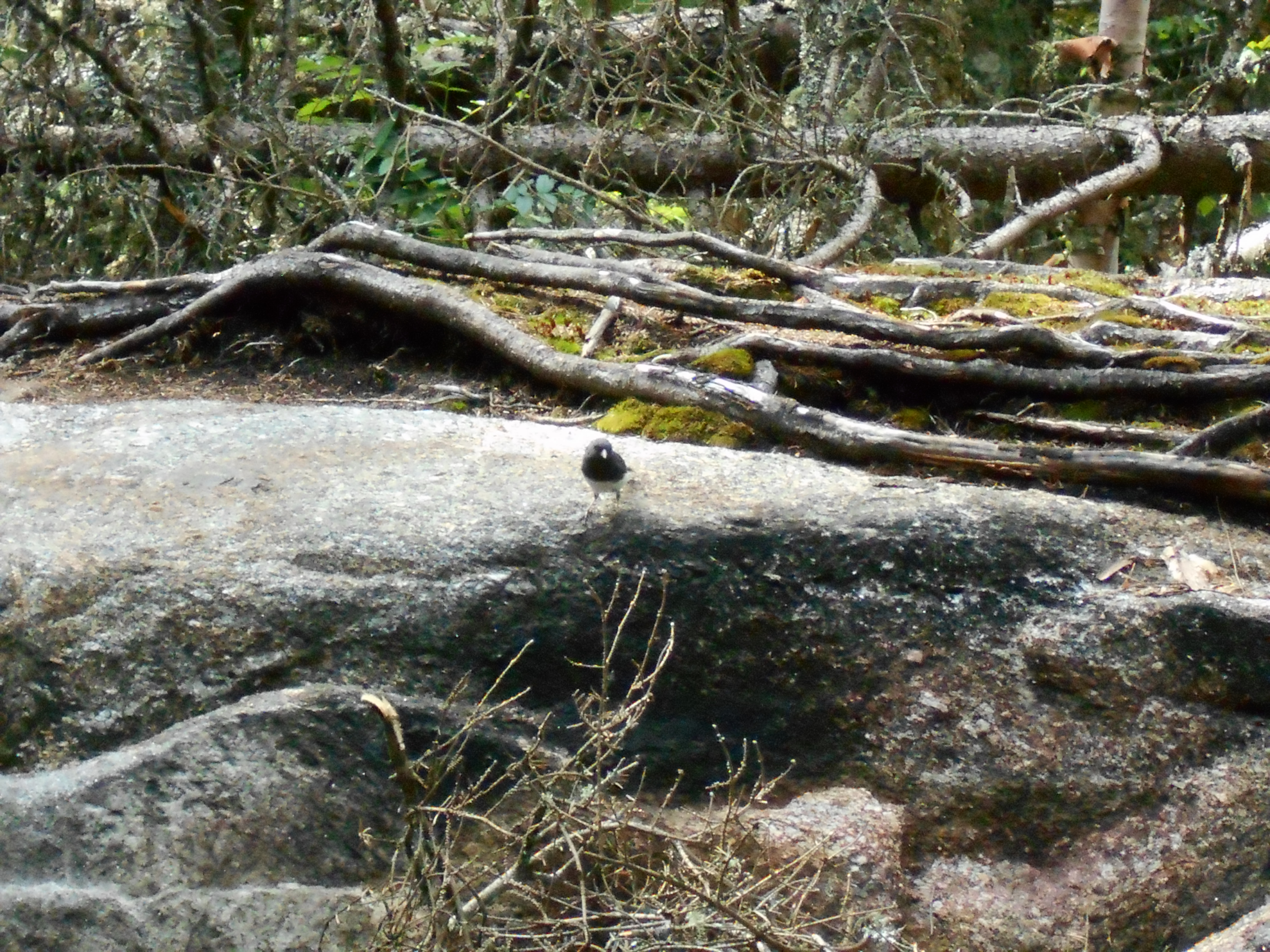
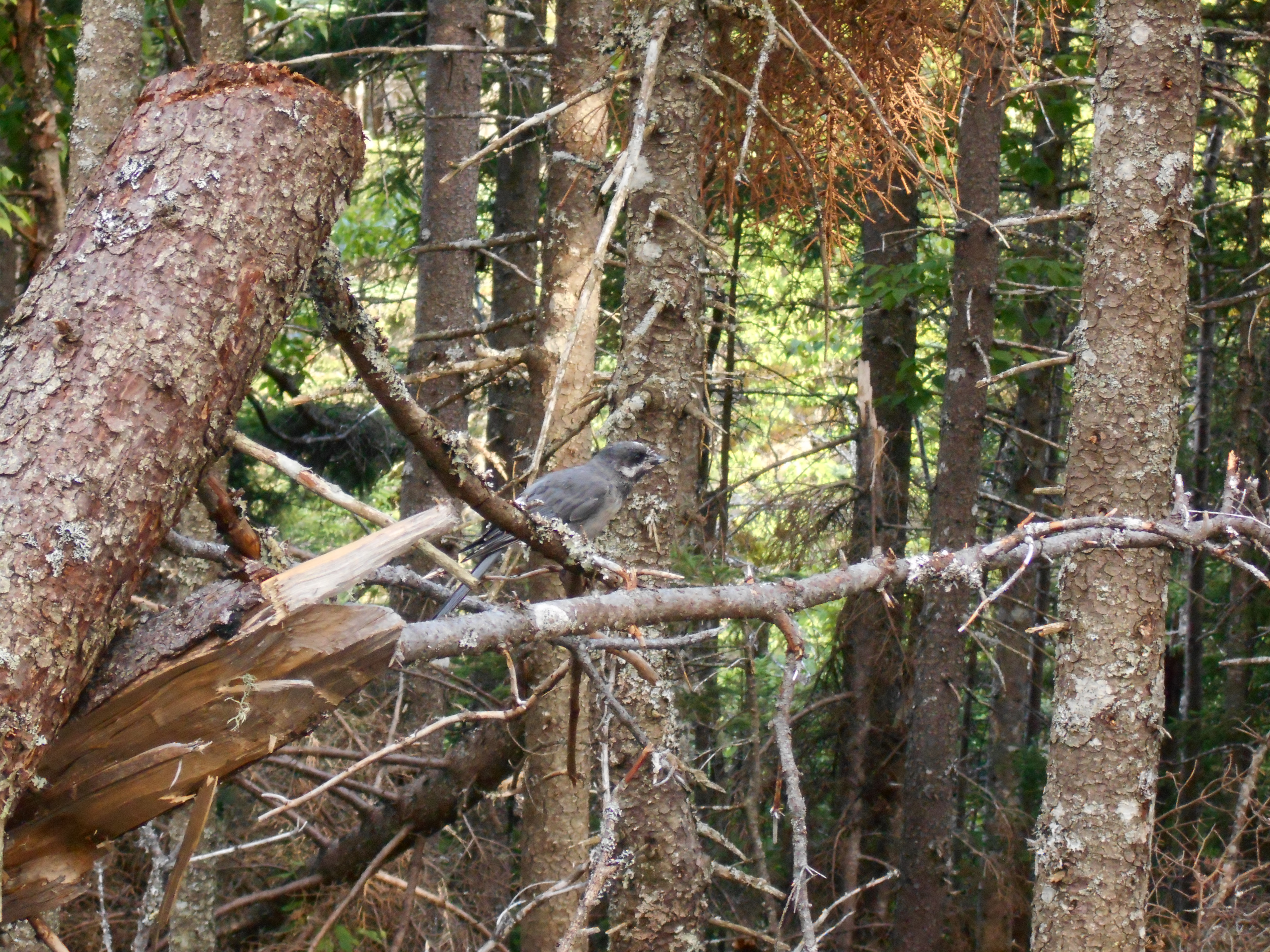
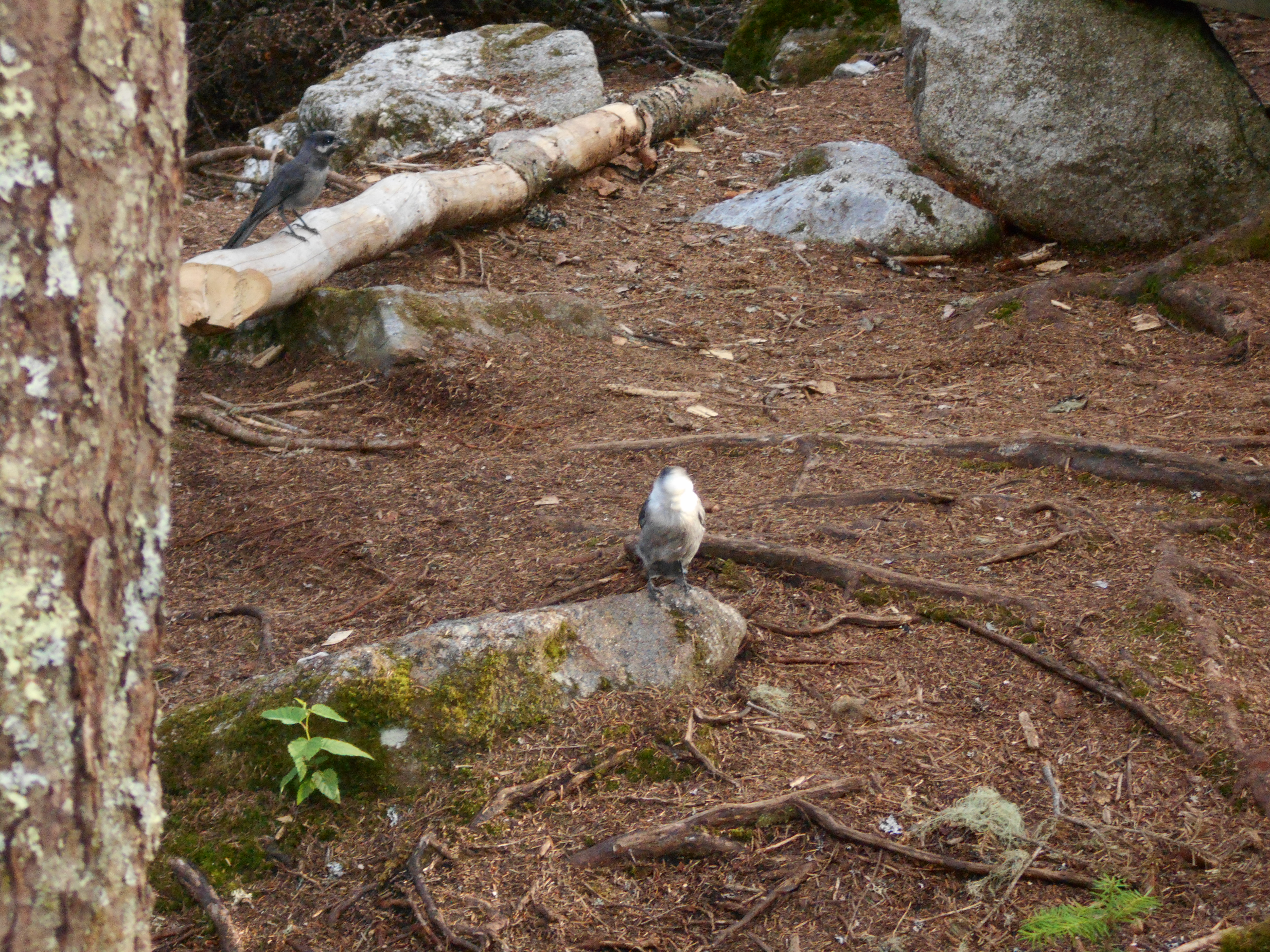
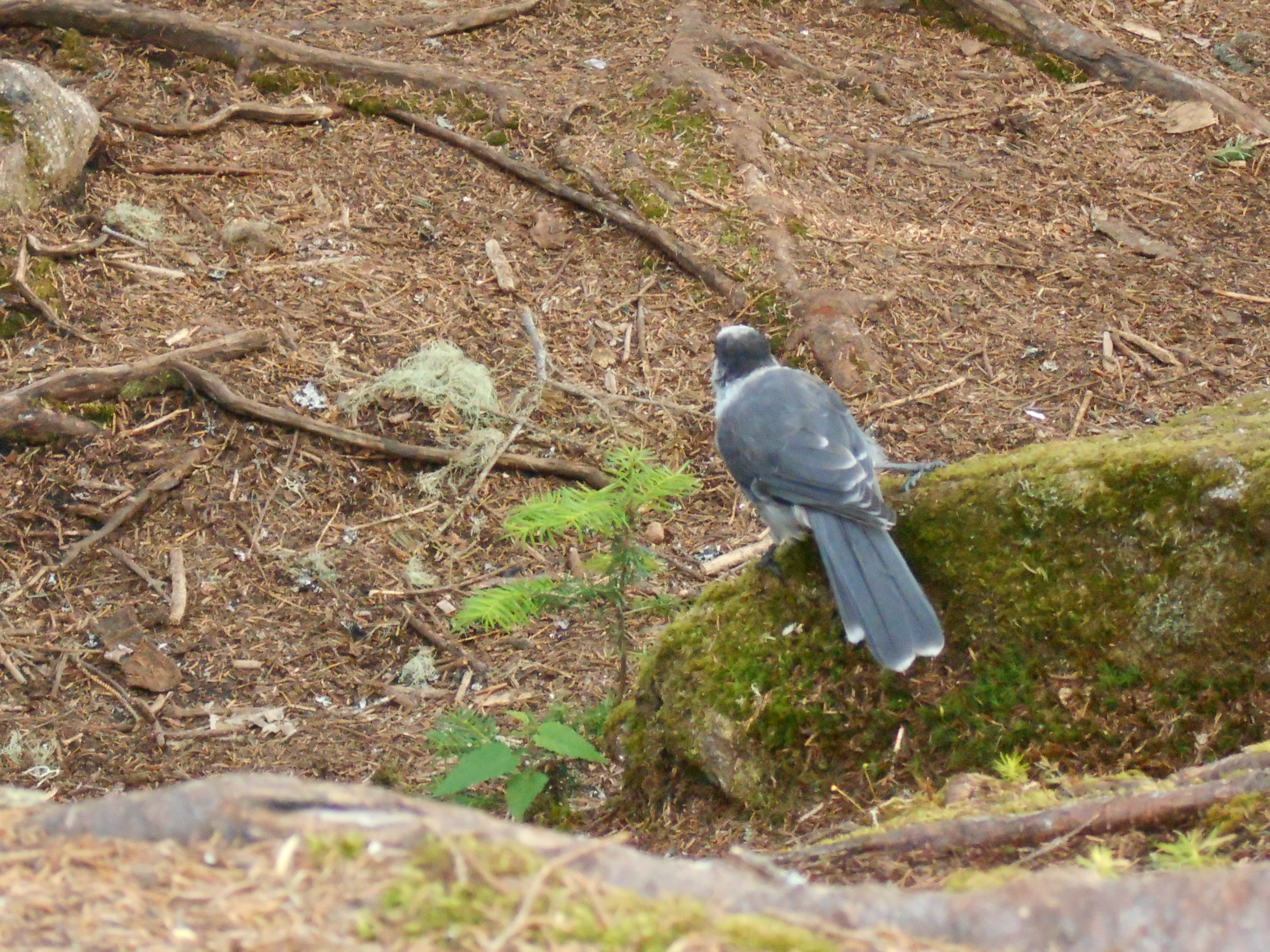
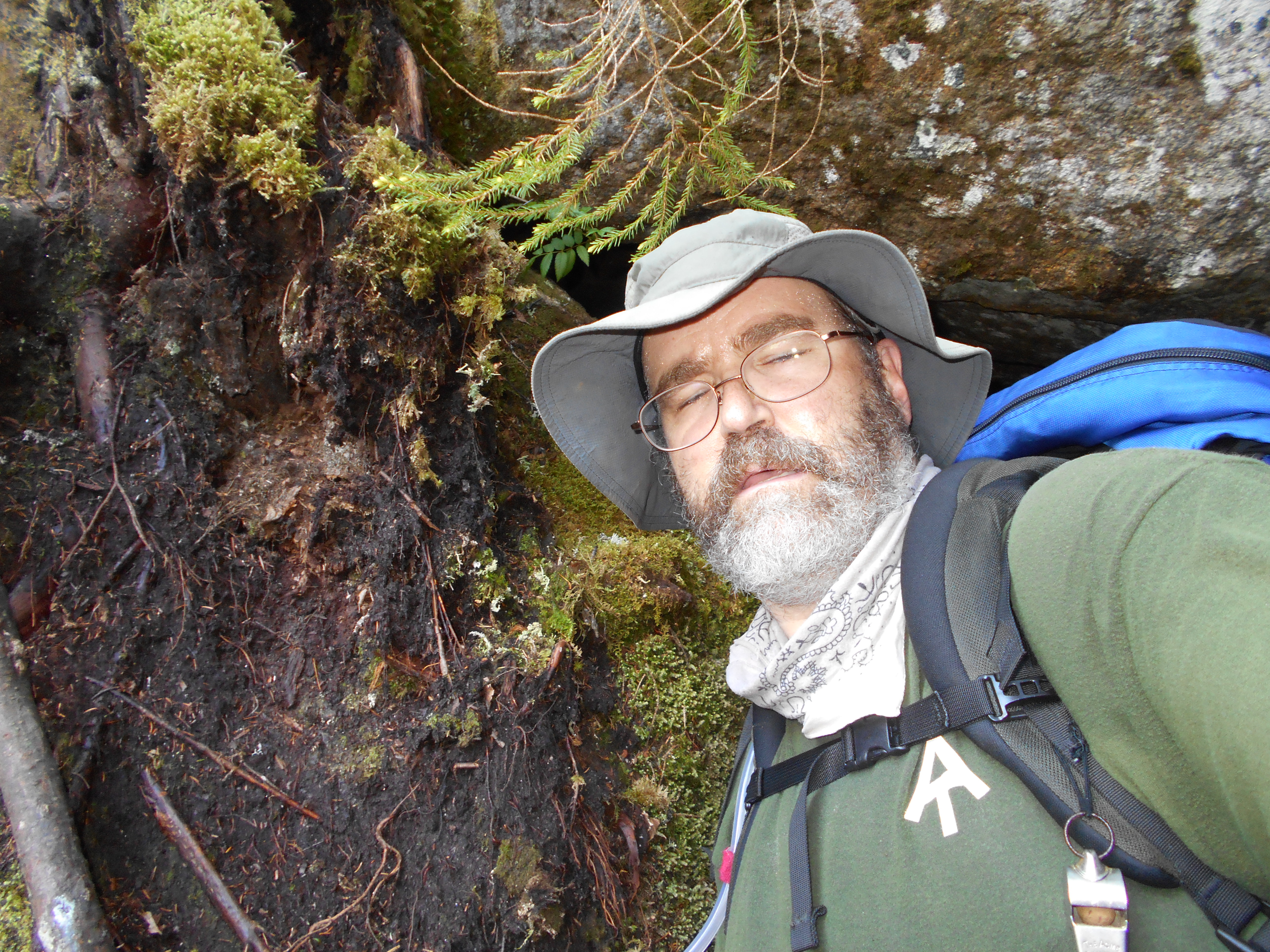
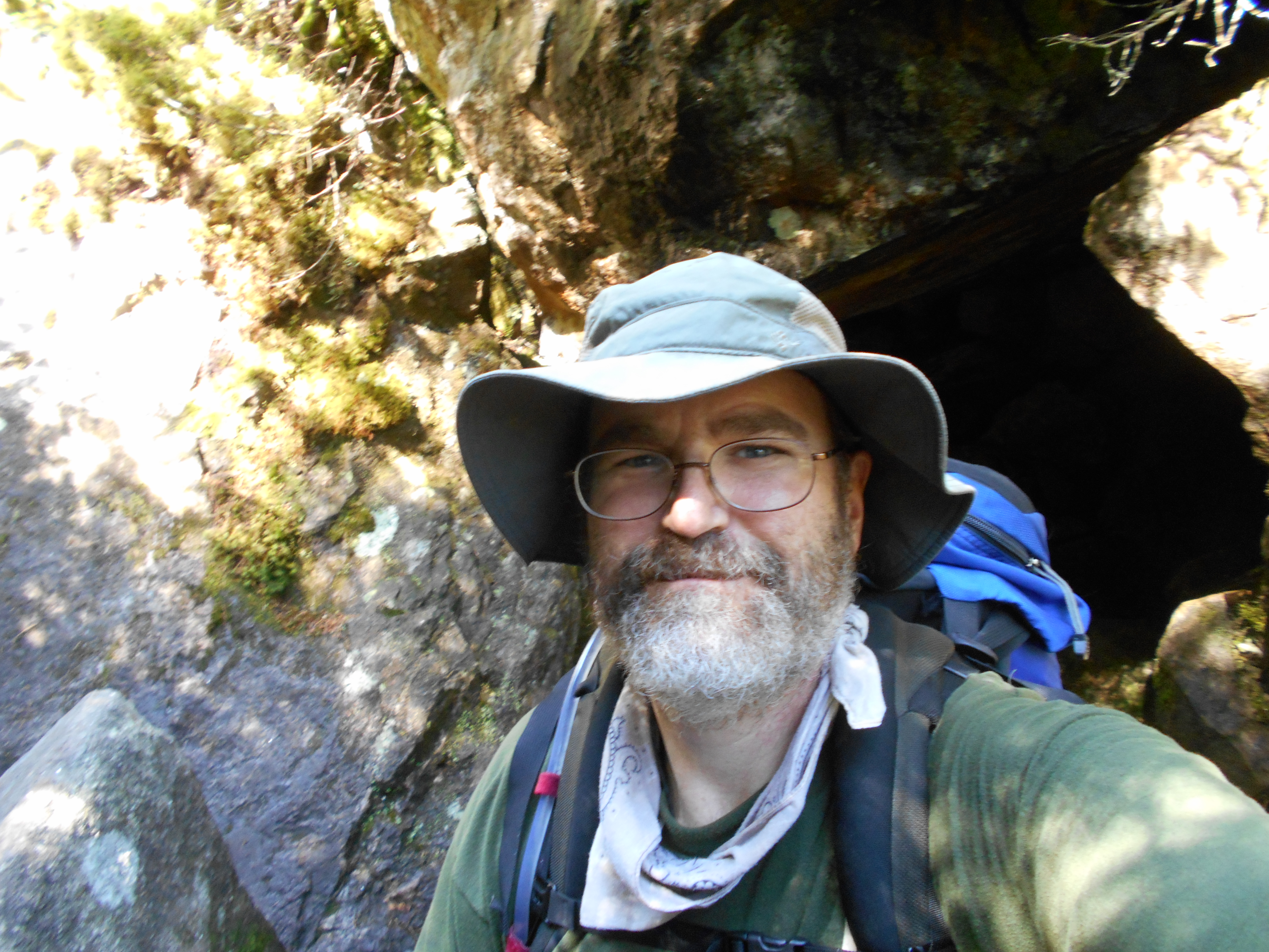
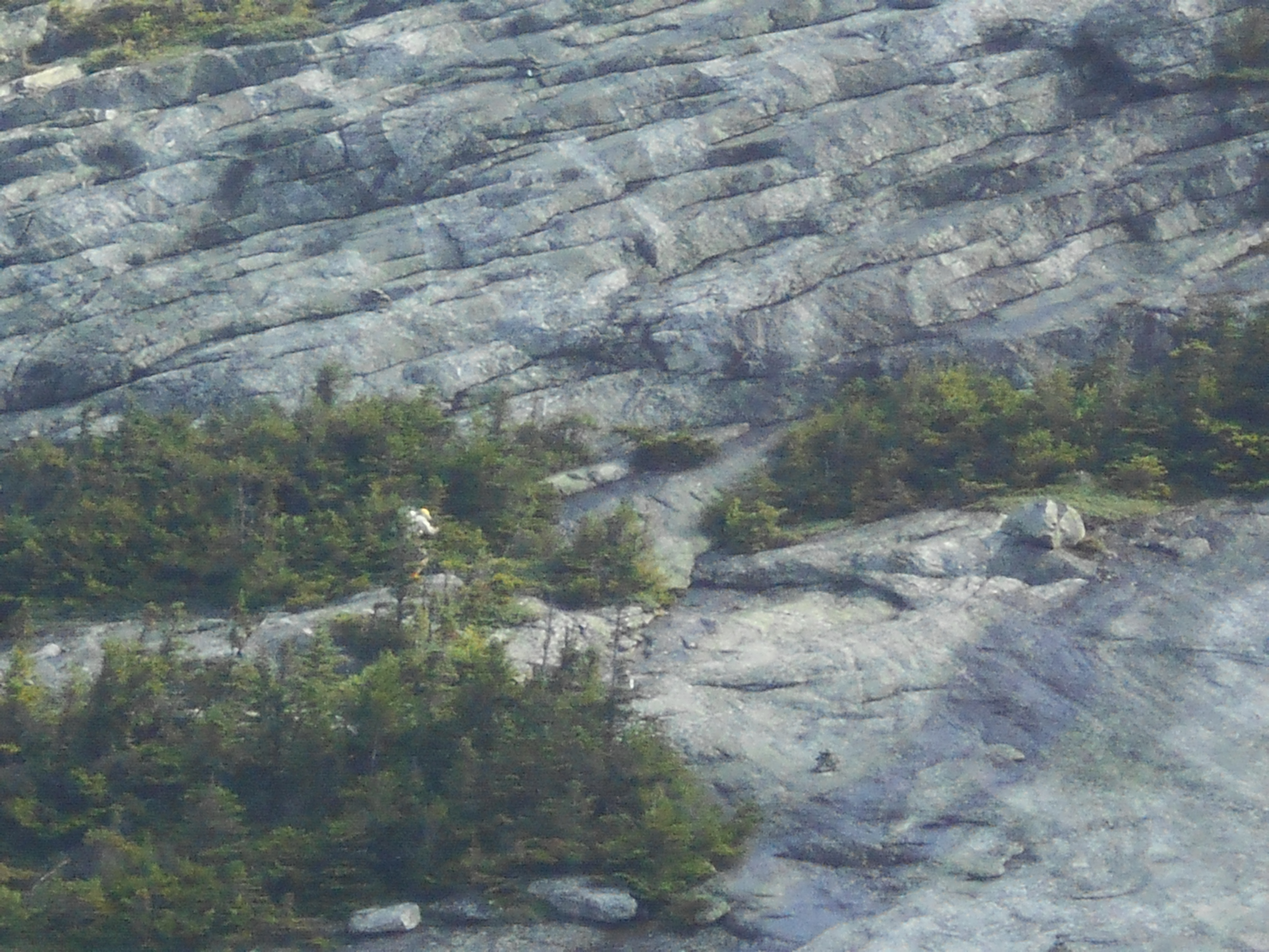
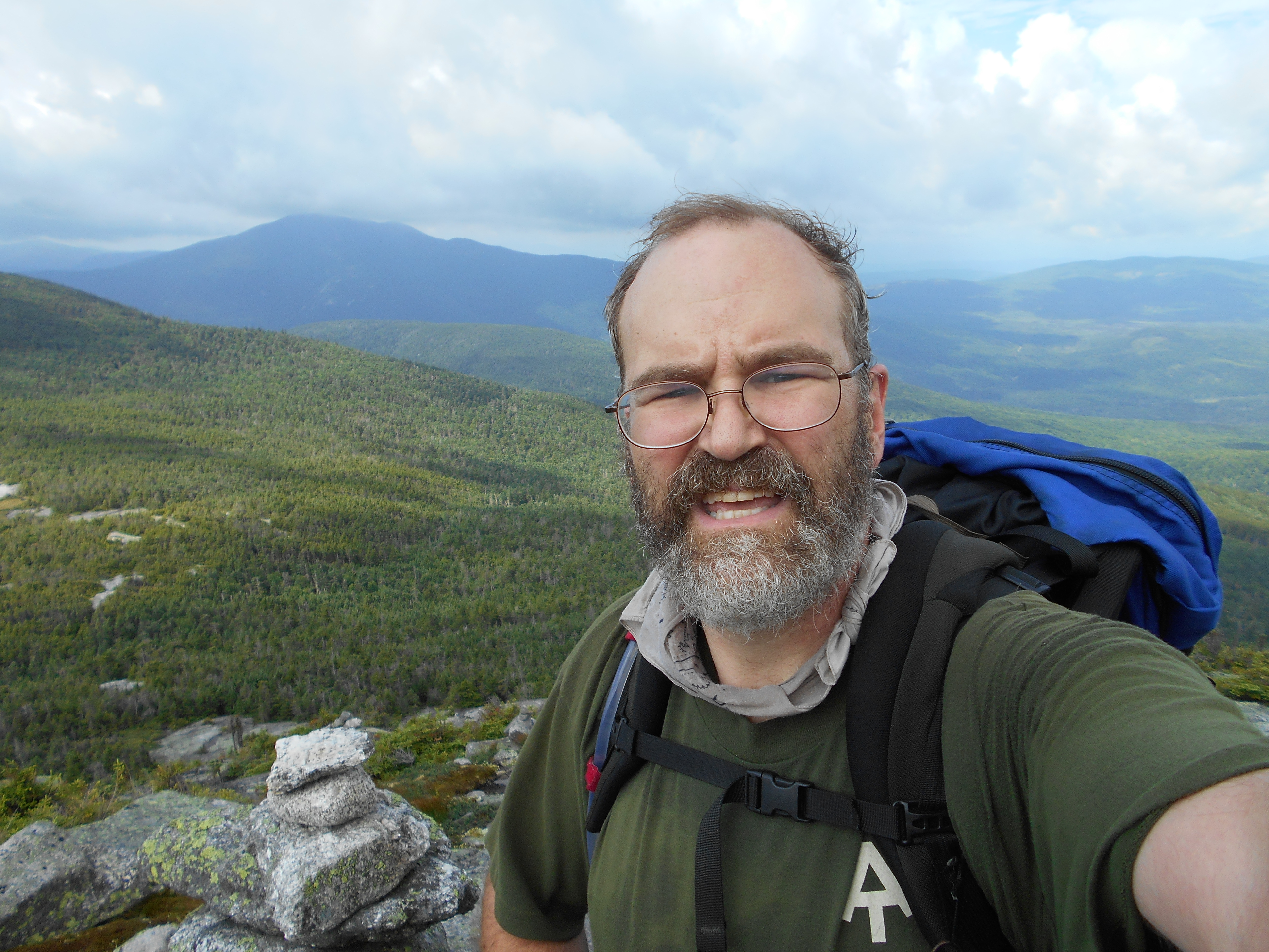
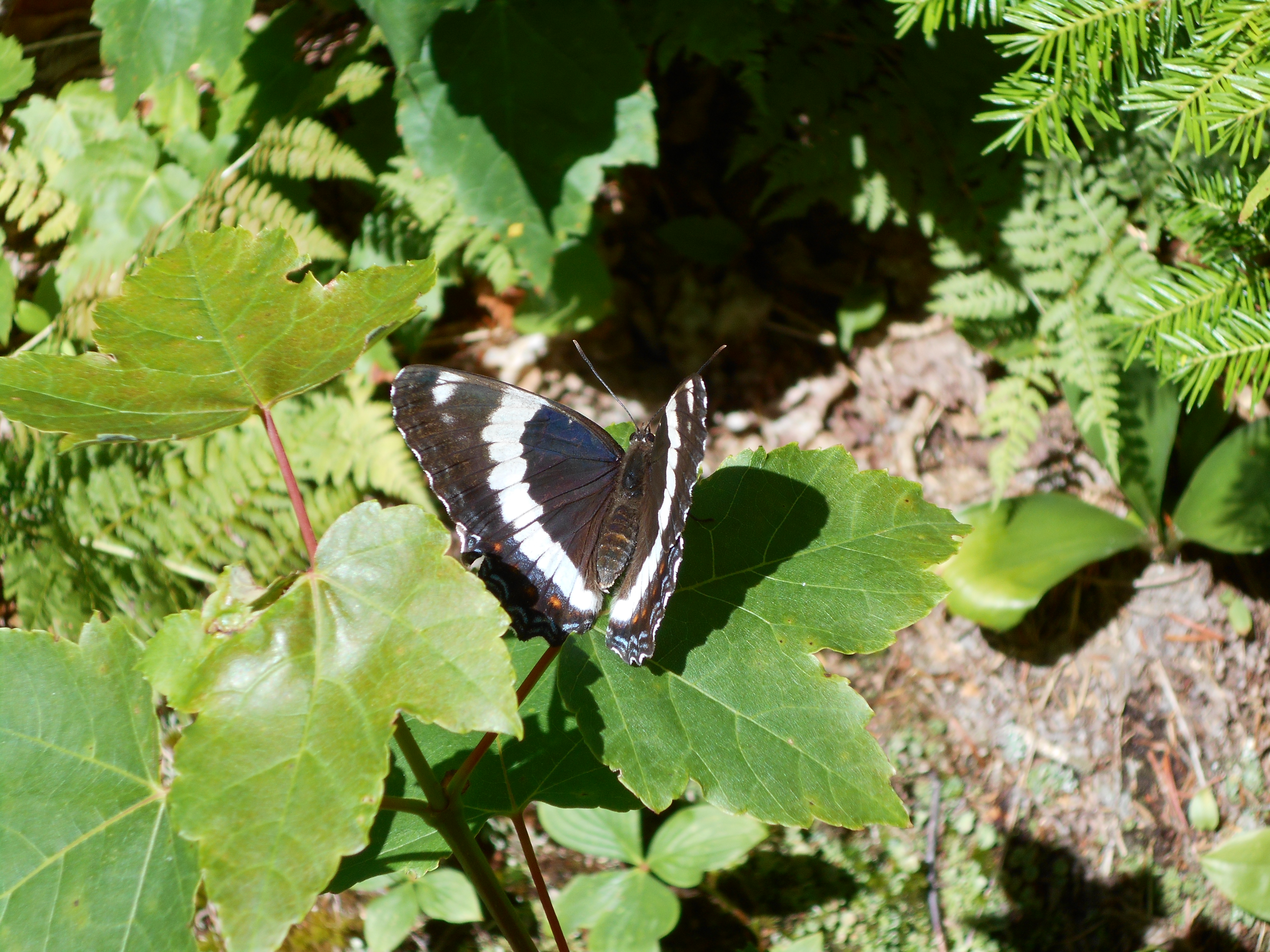
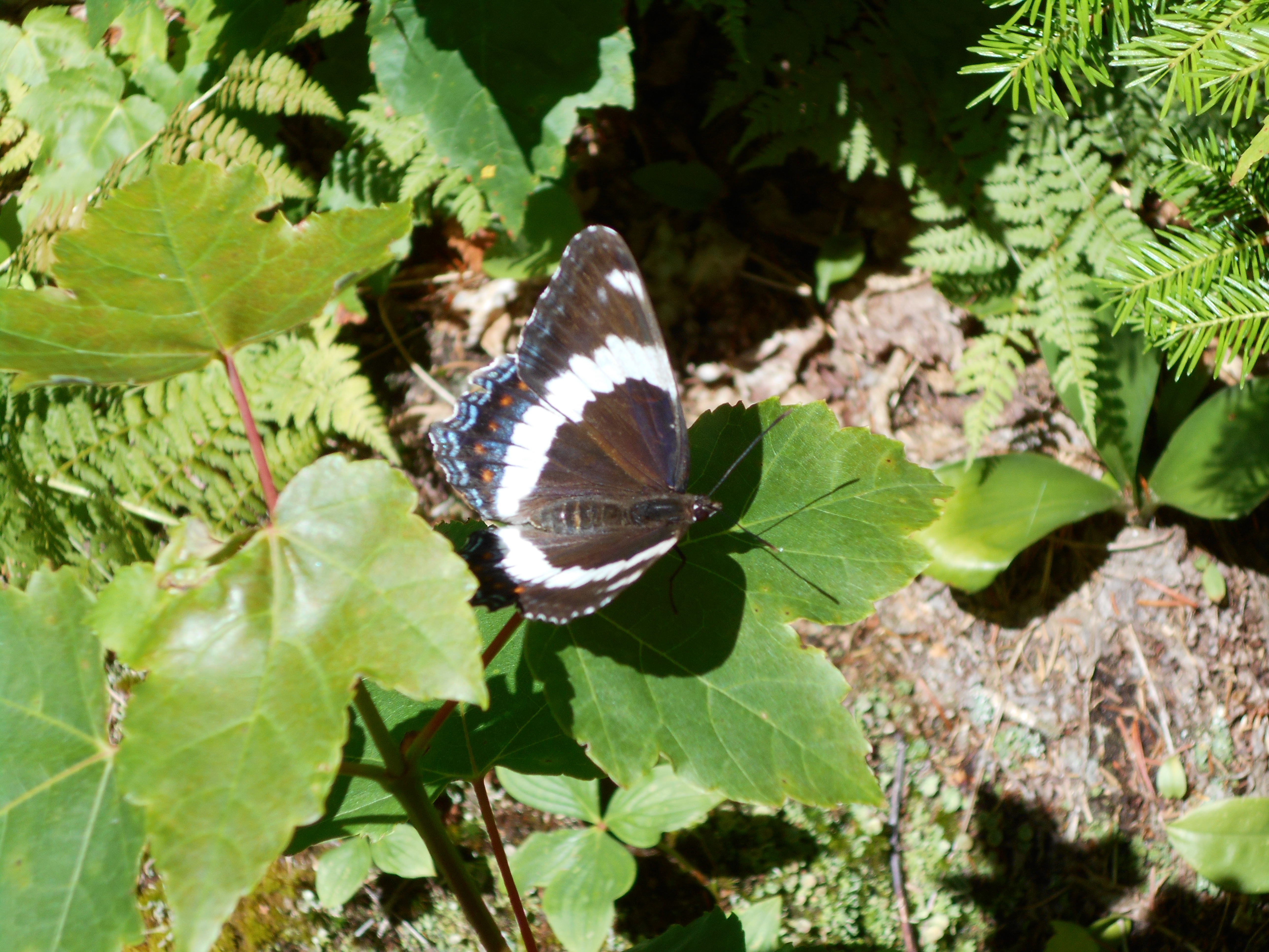
I do have to write about one hiker "sooner or latter" (see pic) he just has such a great presonallty and outlook on life. just a great person to be around! he is a nobo, preacher and family man. he works with drug adicts and the families and understands adiction since he was adictect as a youth but has been clean for decades now. he has in the hostal last night and is here in the shelter, like "the brothers" on my previous hike, when I was wet, cold, hungry and ingered, he mad me feel better with jokes and a positive additude.
cant belive i have now hiked just under 200 with 286.5 left to go half way there!
July 11, 2016
Gentian pond shelter to Carlo Col Shelter
Total Milage 5.2
Miles from Springer
Features
Elevation
1905.4
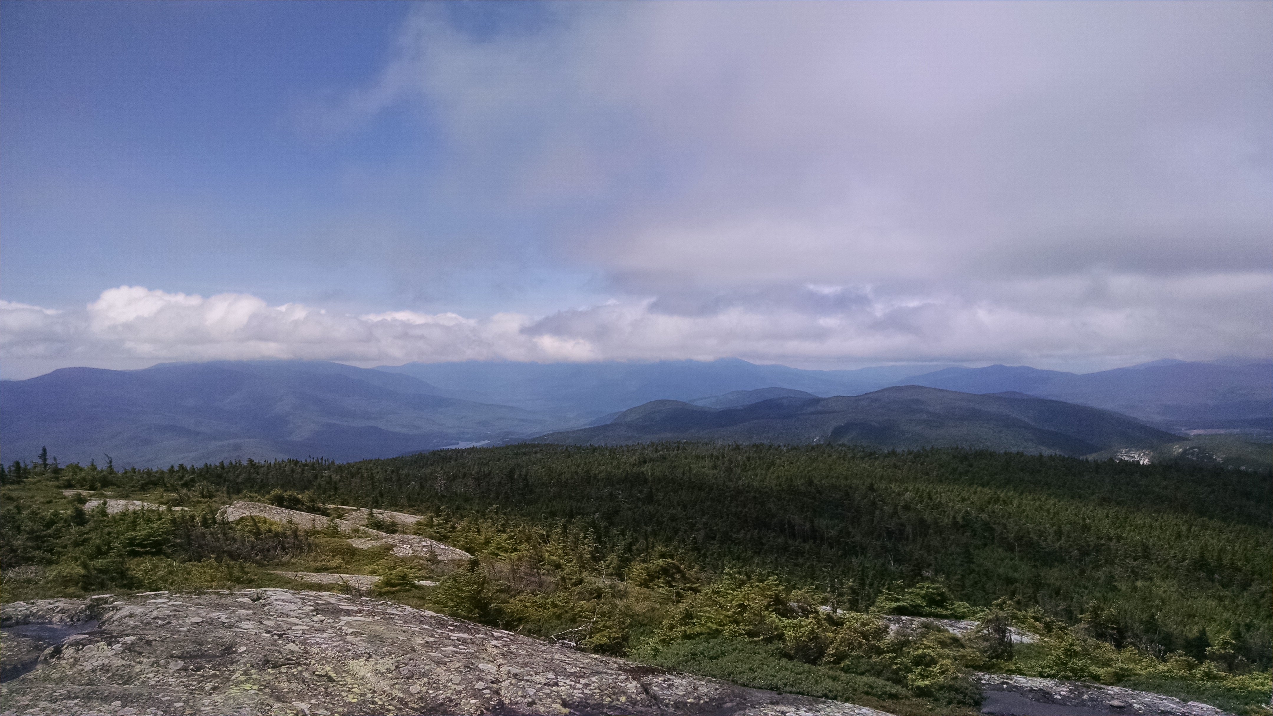
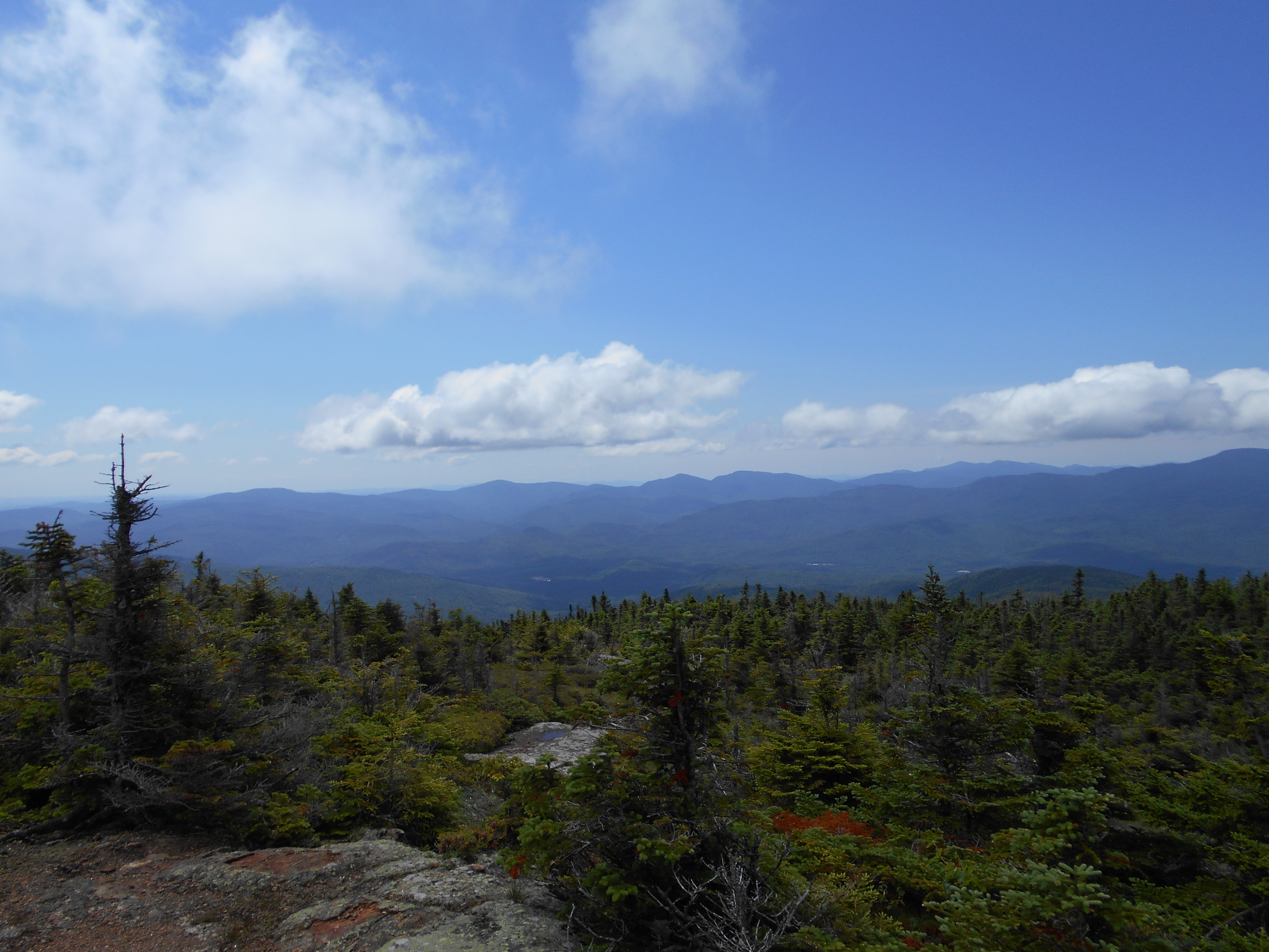
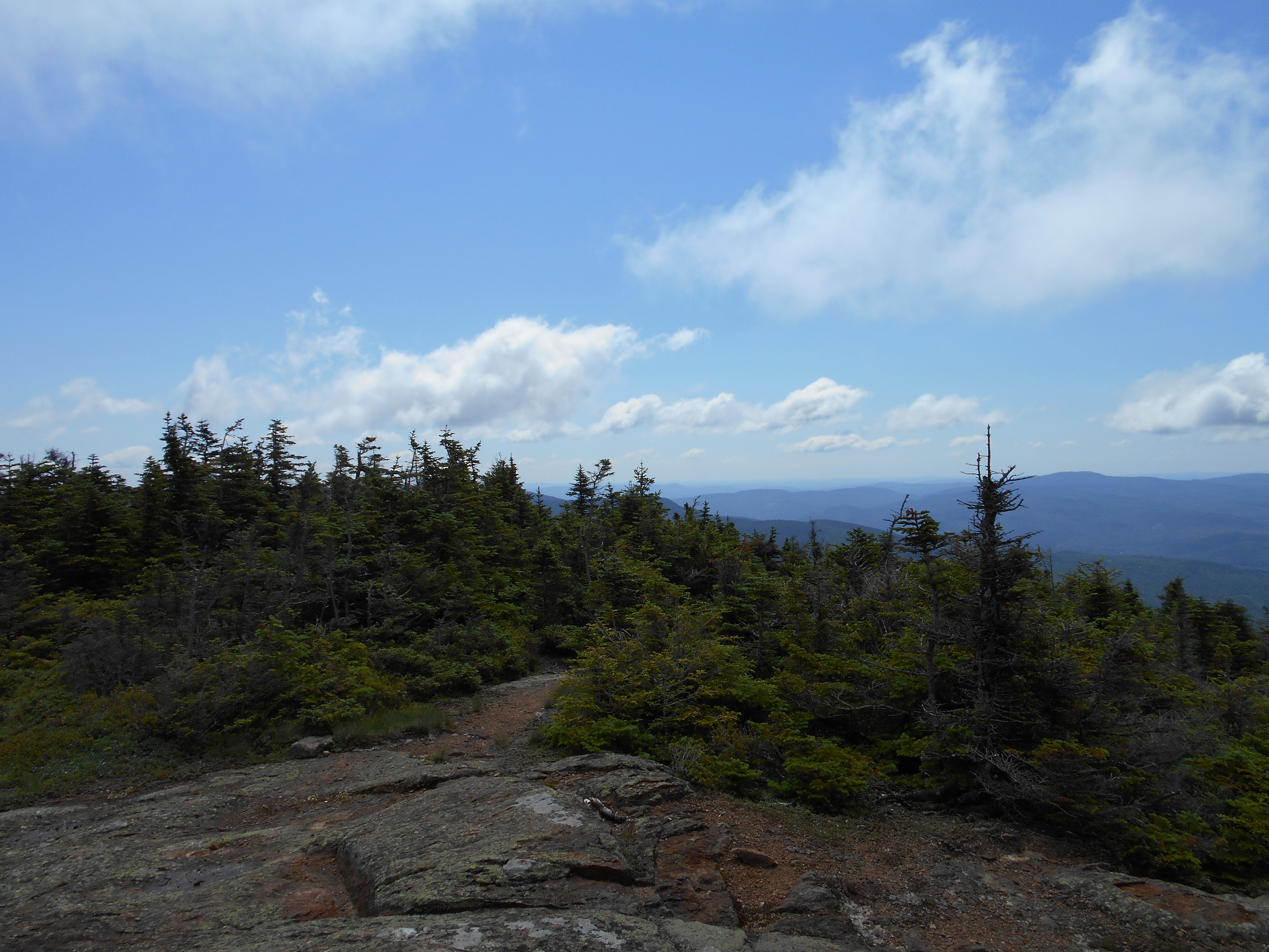
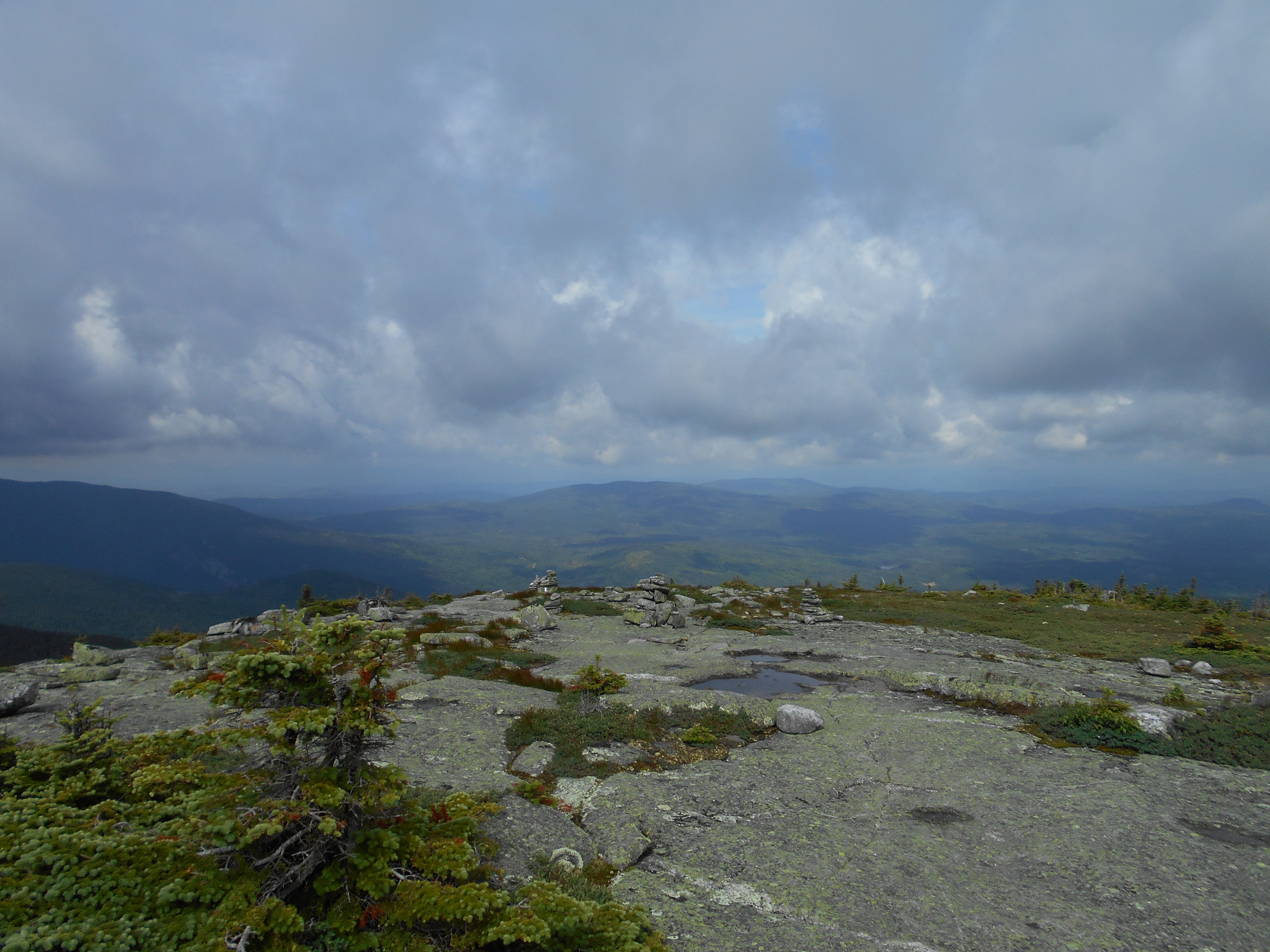
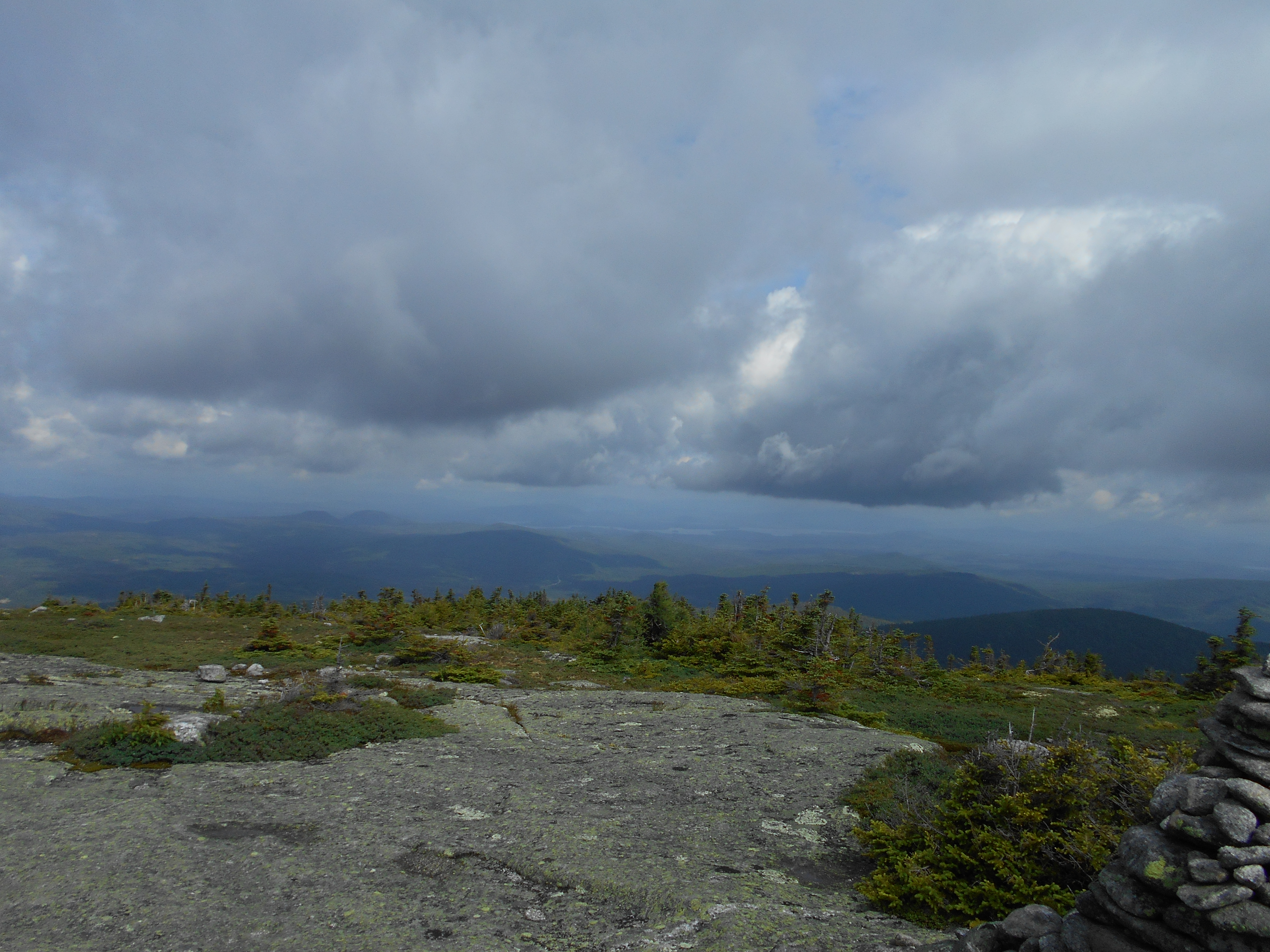
Mt. Success (3,565')
3565
1906
Success Trail (3,170')
3170
1907.3
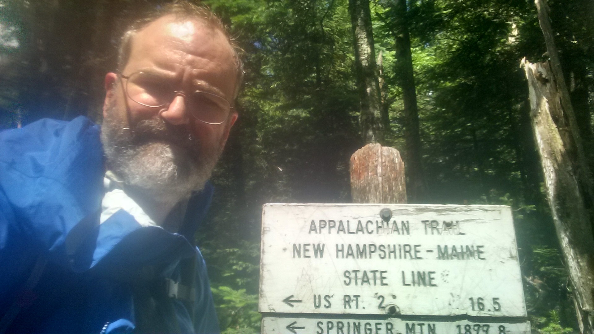
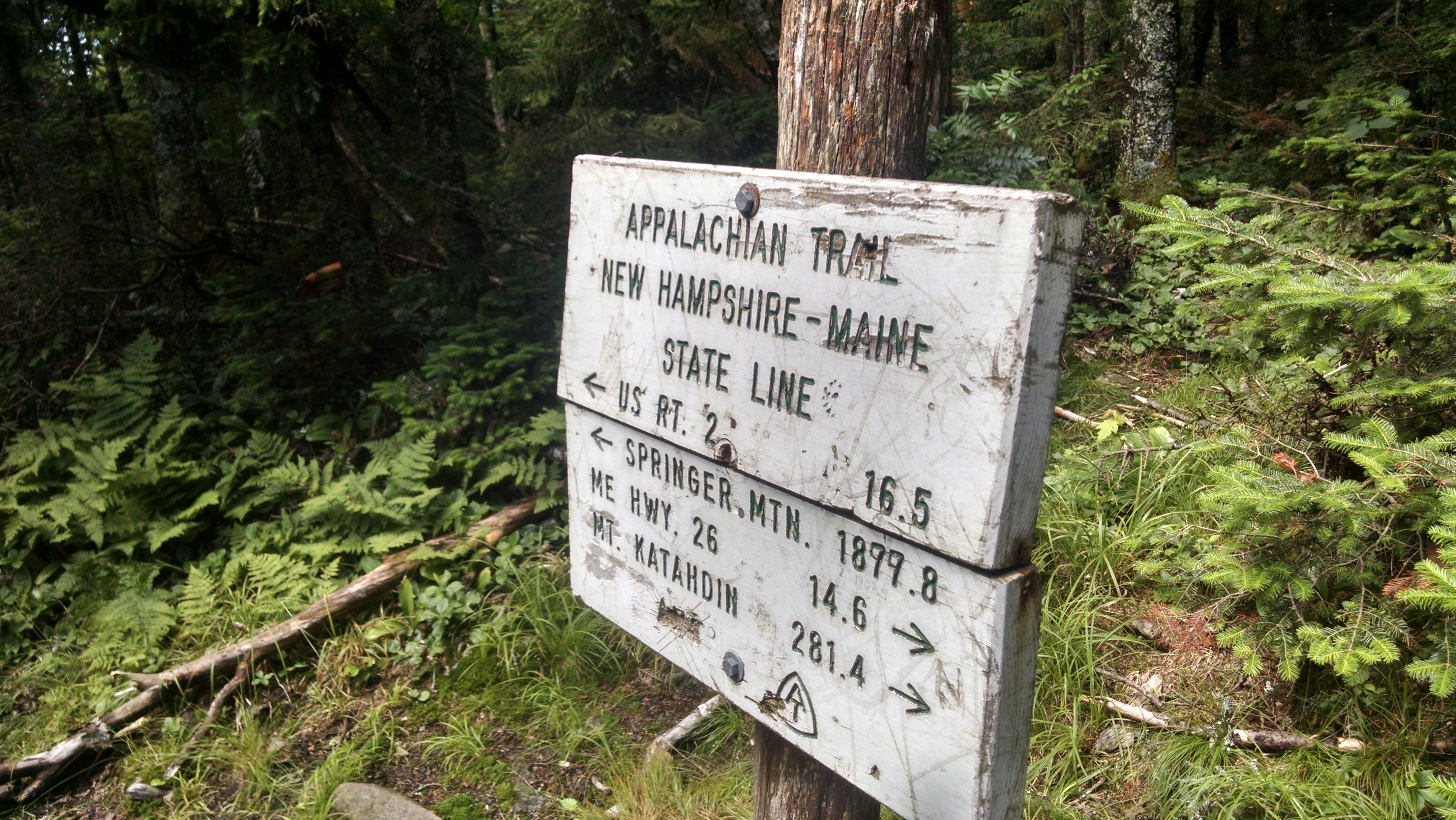
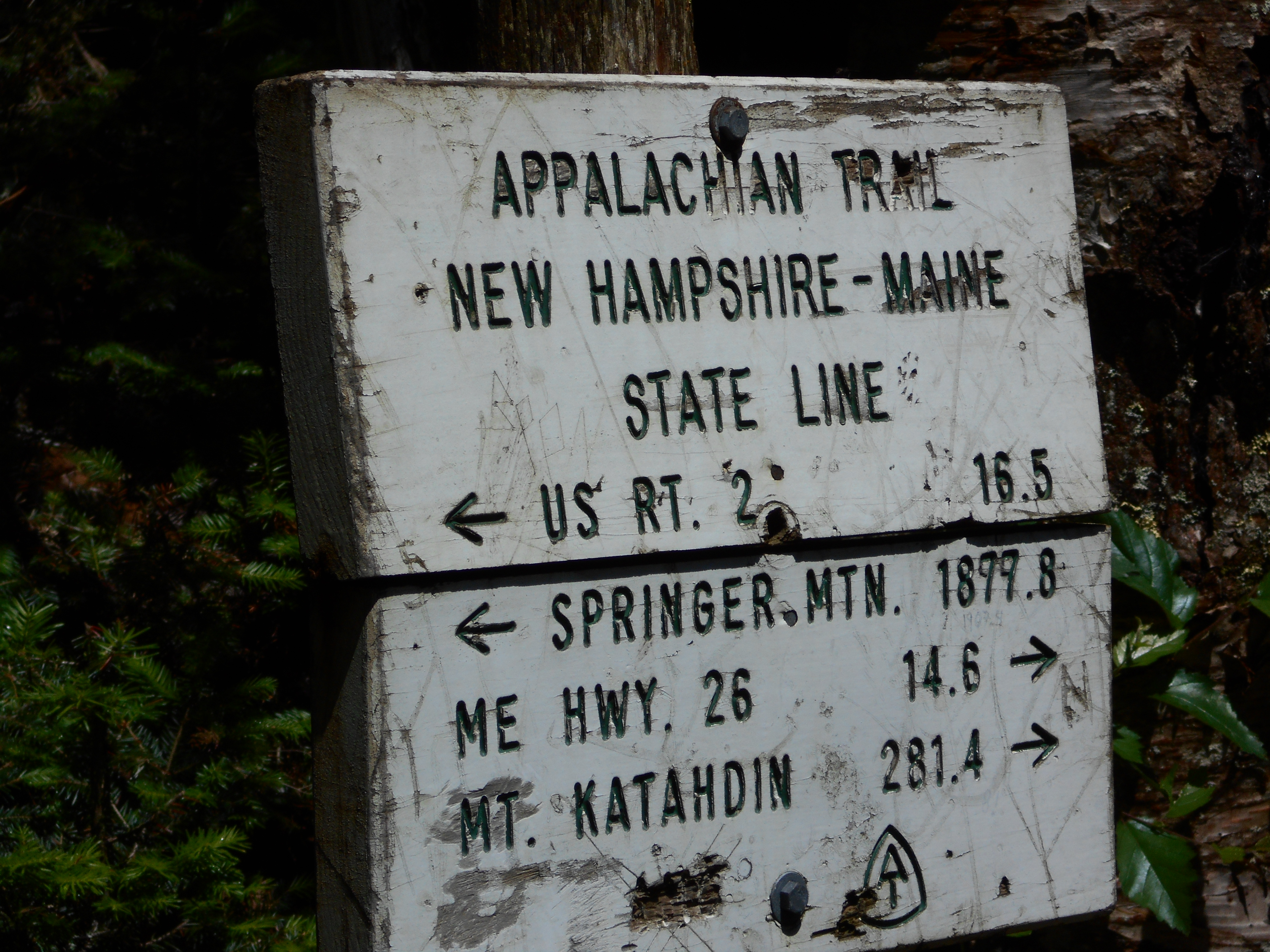
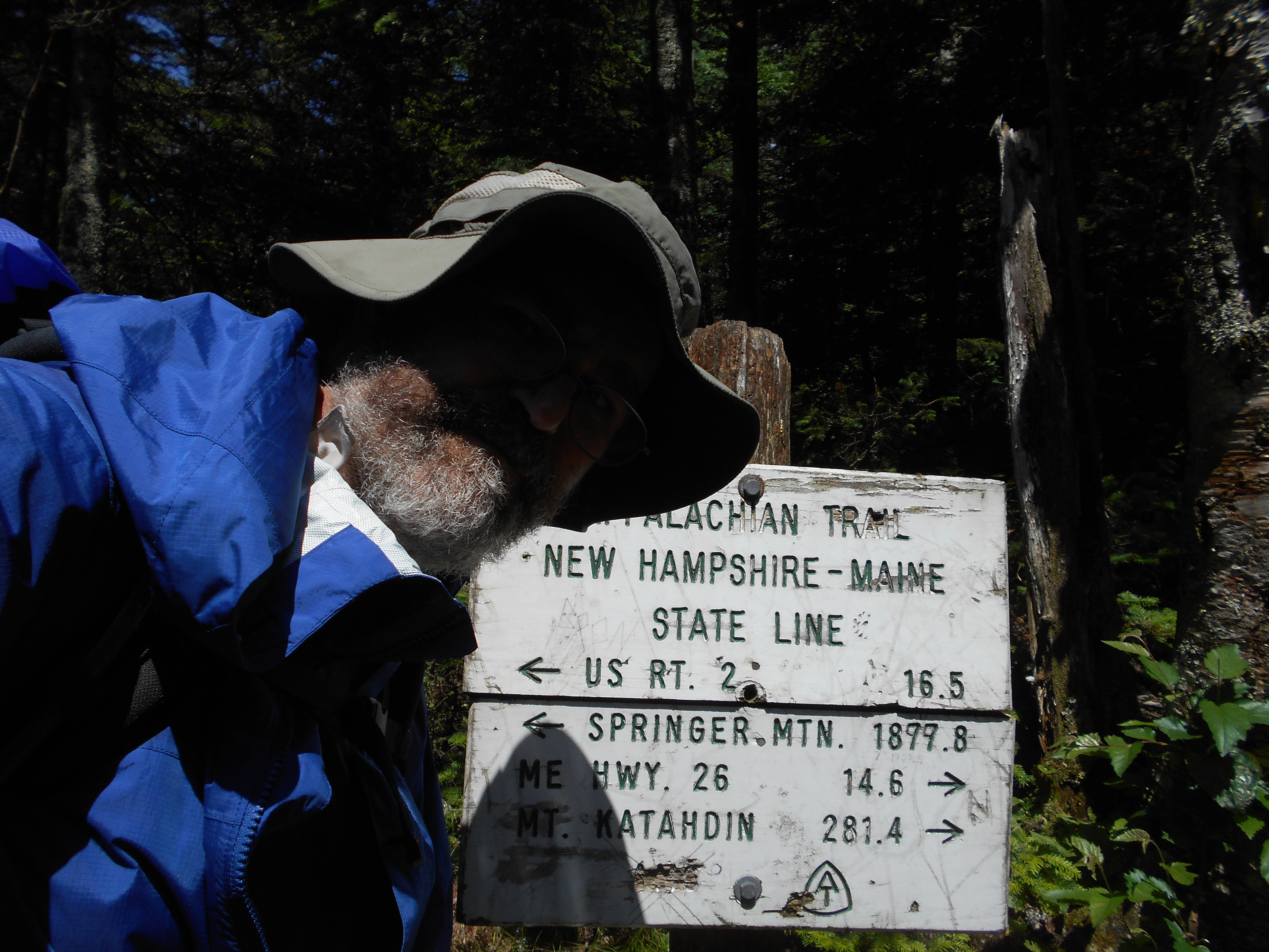
New Hampshire?Maine State Line (2,972')
2972
1907.8
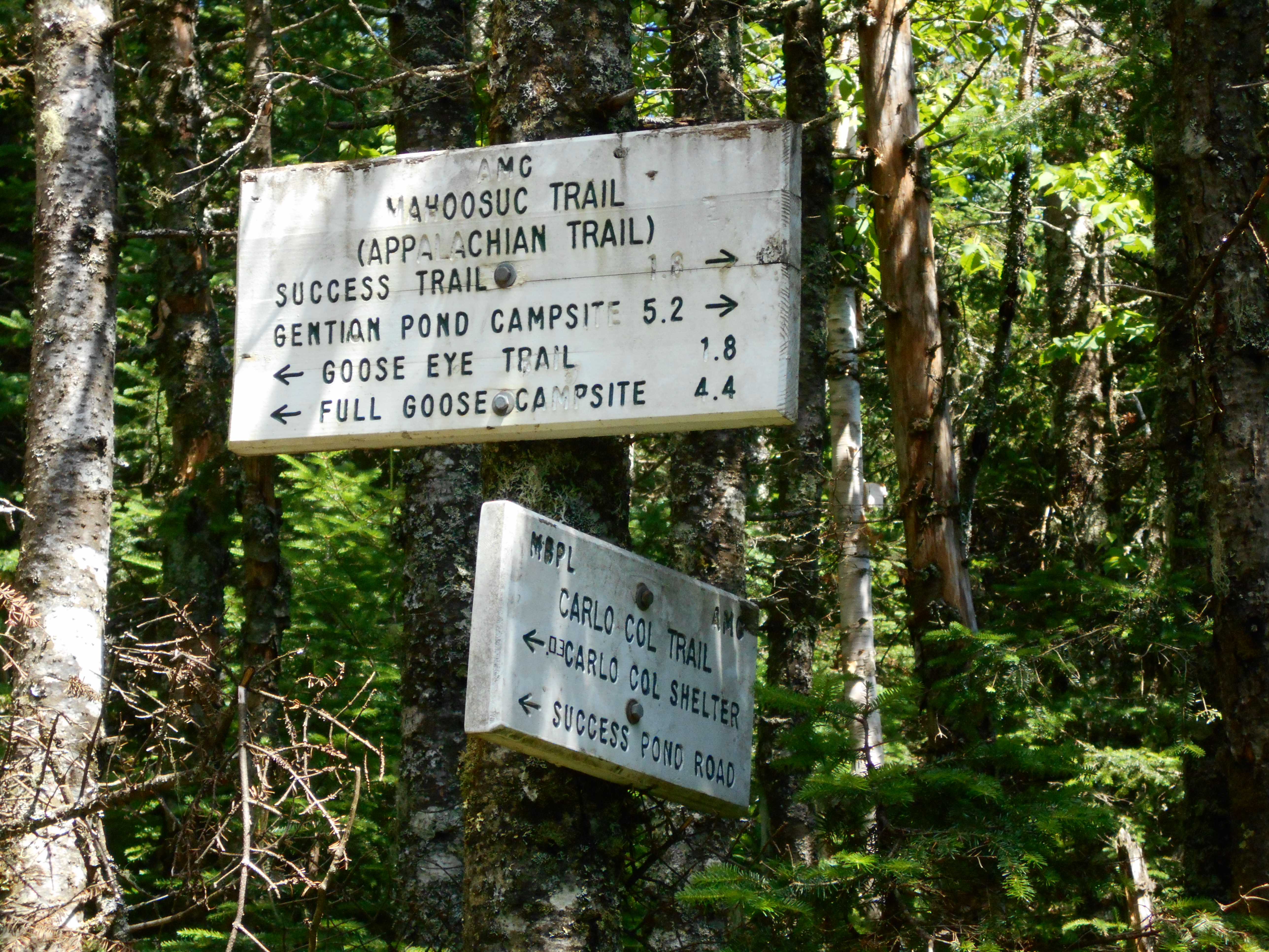
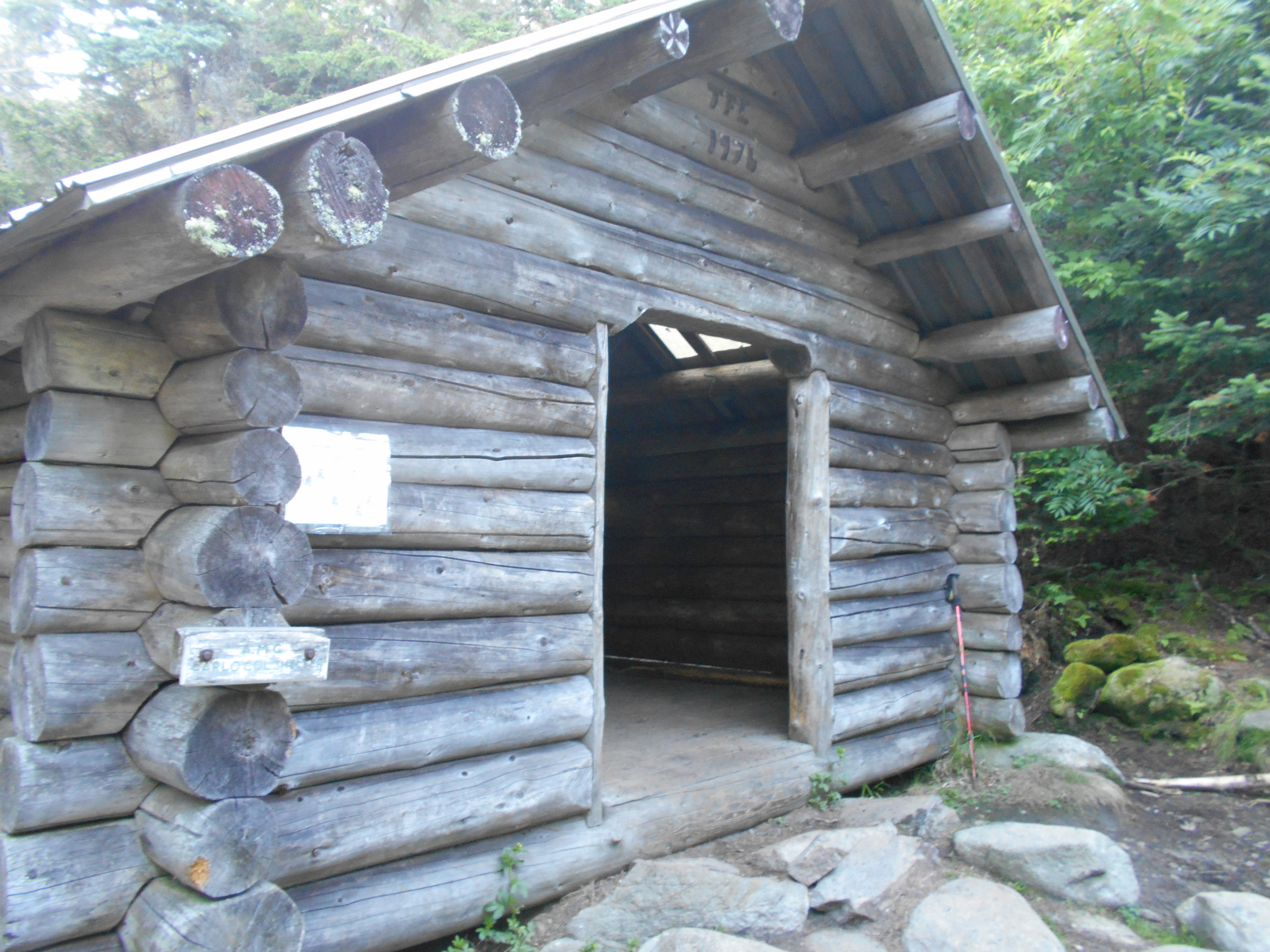
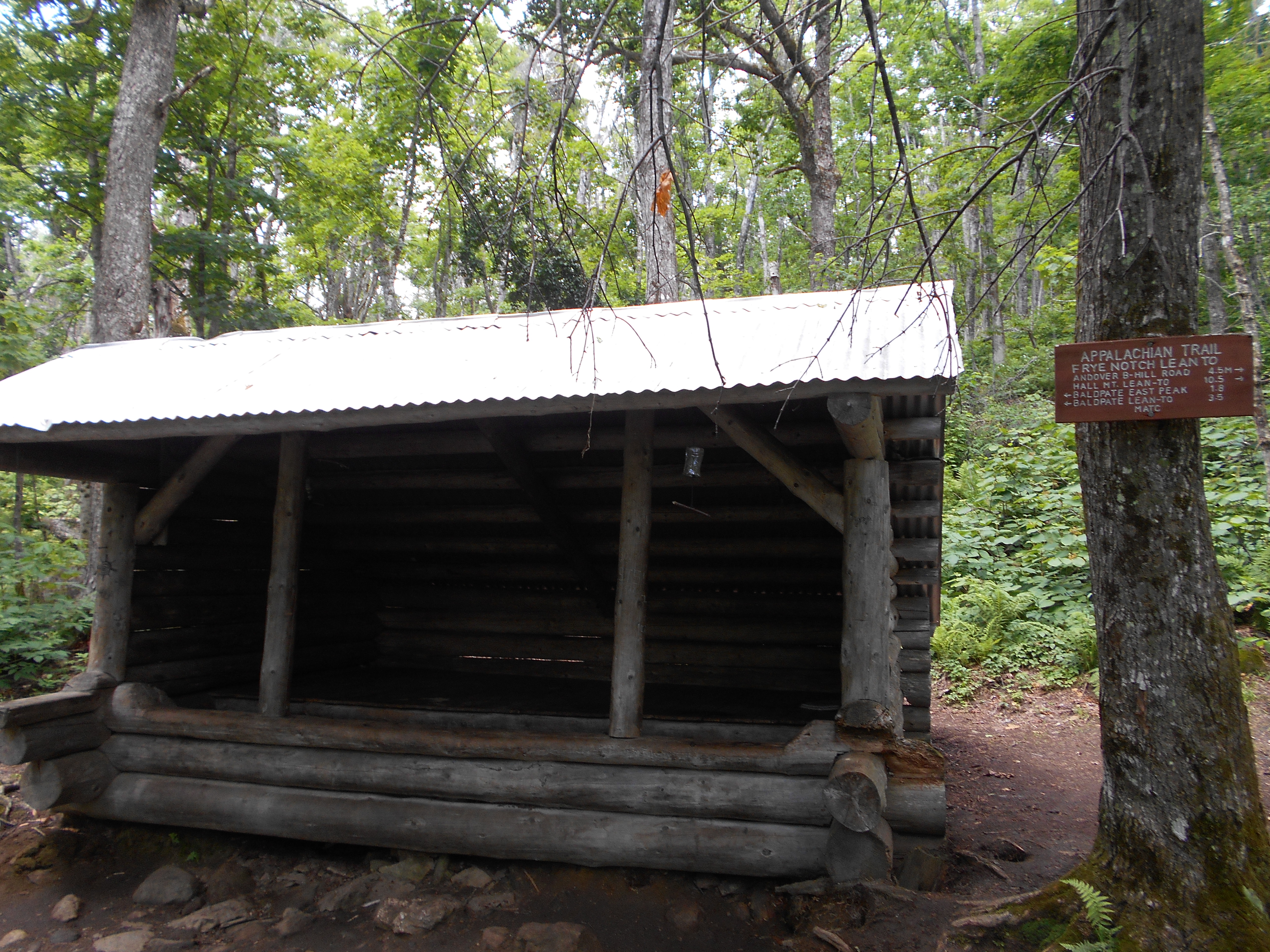
Carlo Col Trail Jct. to Carlo Col Shelter and Campsite (2,945')?5.7mS; 4.7mN
2945
3:30
made it to maine, but.....
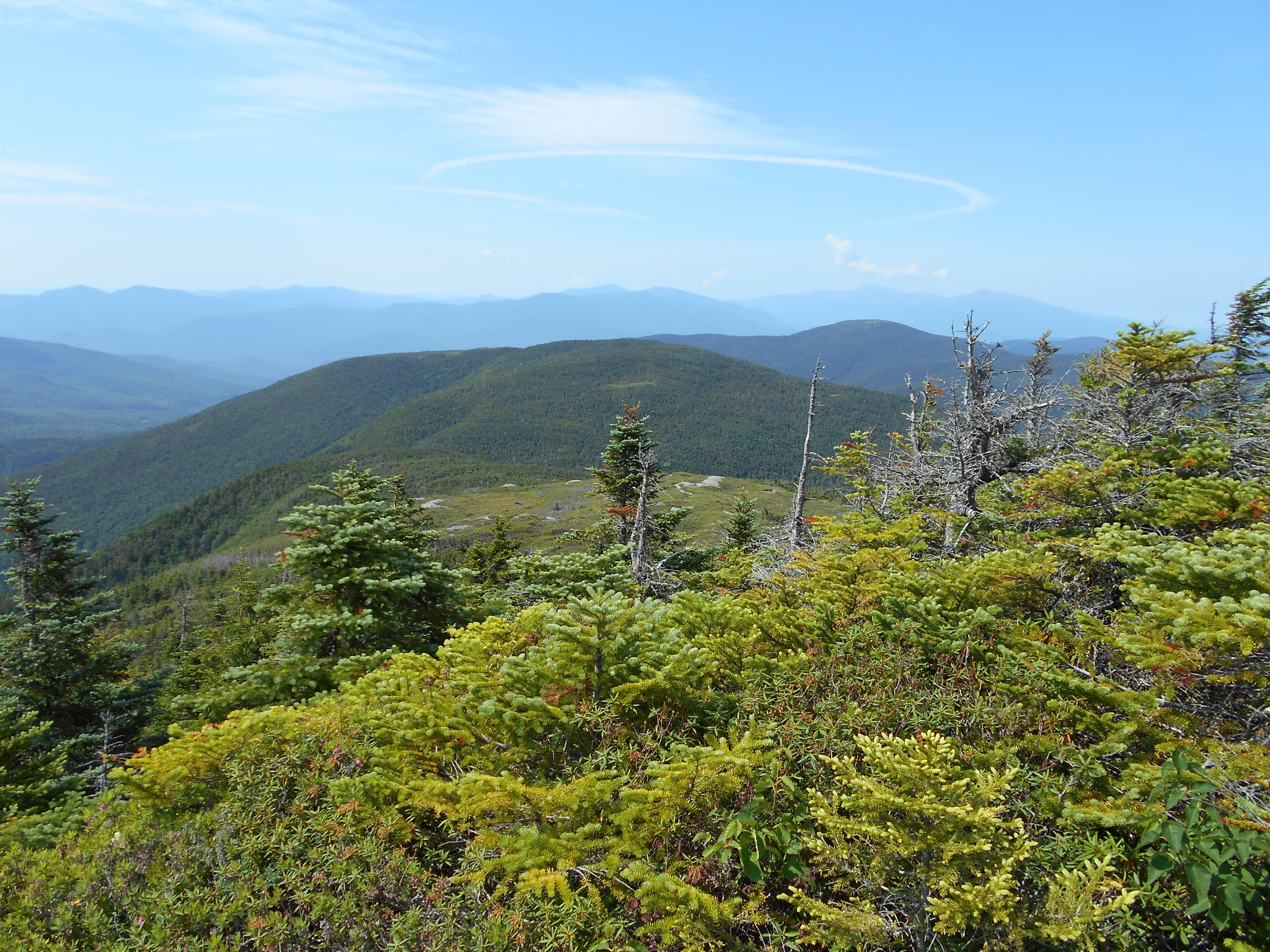
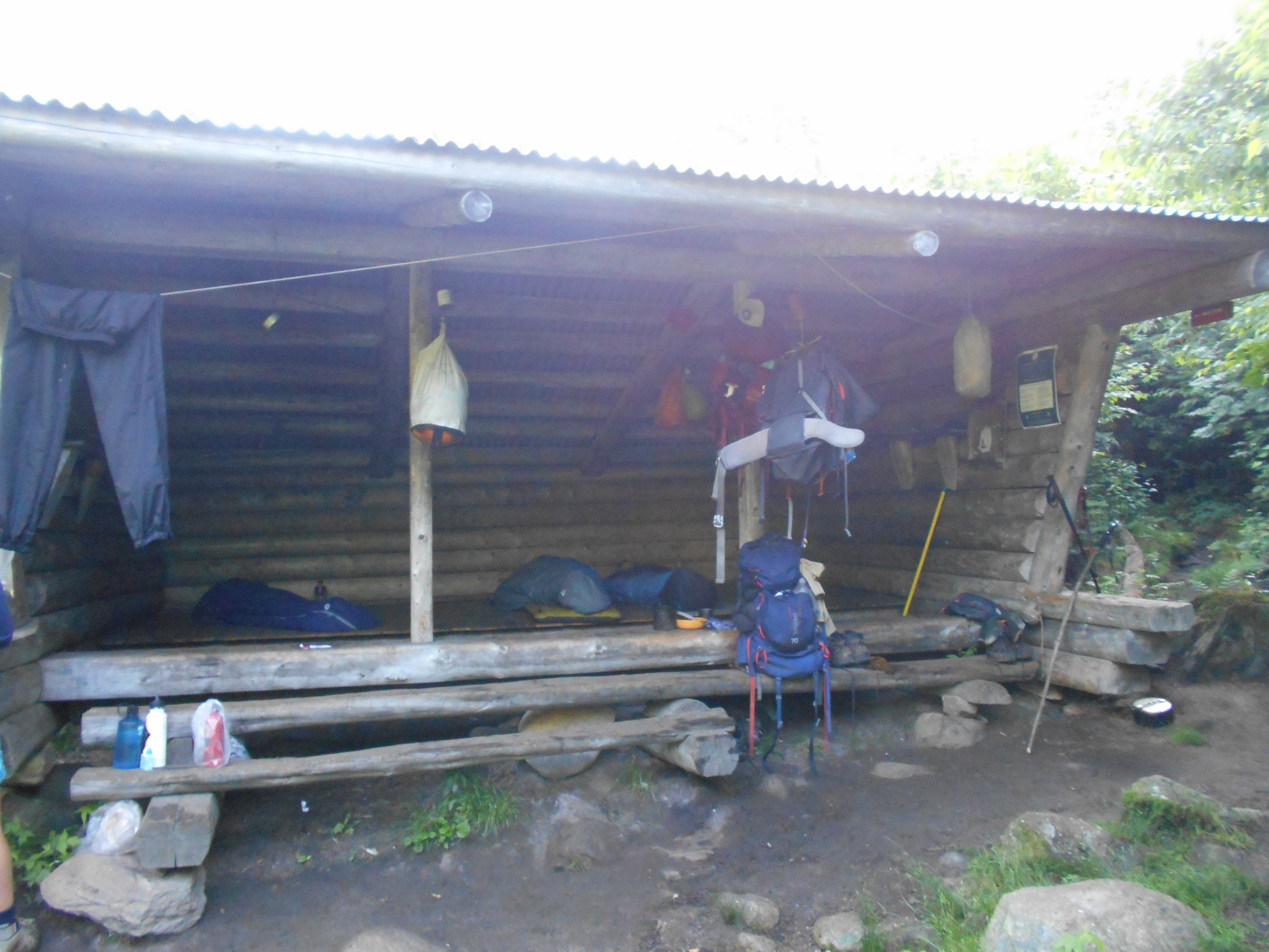
the plan was to go to full goose shelter some 4.5 miles beyond but arrived here at 3 after hiking 7 hours (including breaks) and just knew I would not reach it in good time so I stopped. hiking went from easy to rediculously impossible. on carlos col I backtracked three times saying "they just wouldnt make hikers do that" but I was wrong! dont know if the morning wetness (rained all night) sucked the energy out if me, or I didn't sleep well last night, or if it was something else, but the miles were just coming very slow today. hate to loose 50+ right befor mahoosec notch and arm, but I cant go further today....I am just wiped. Time for a nap before dinner.
8:45
a lot of people rolled in, more sobo's than nobo's. looks like a full shelter. a few people I have seen in gorham.
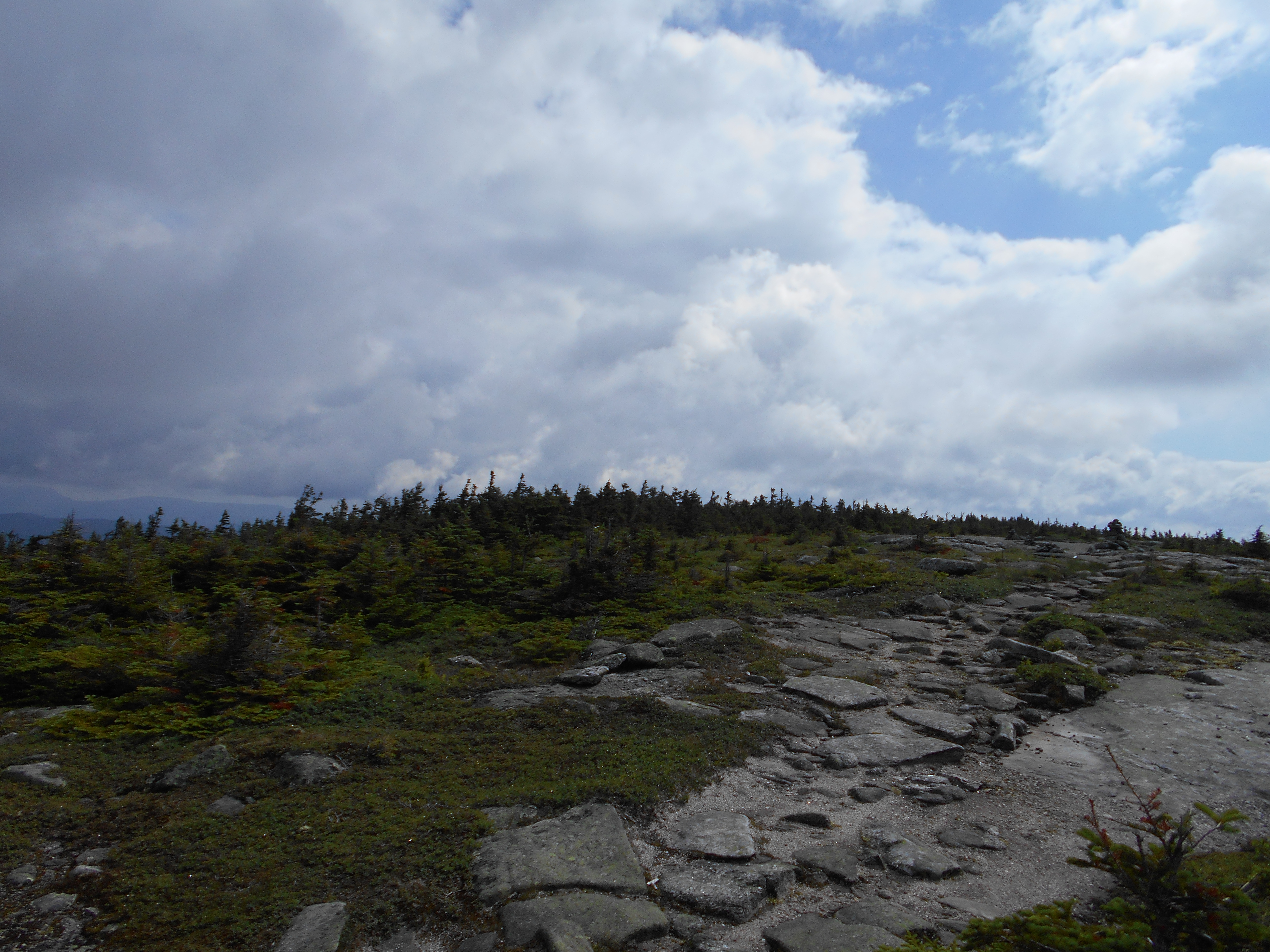
July 13, 2016
Full Goose Shelter to Speck Pond shelter
Total Milage 5.1
Miles from Springer
Features
Elevation
1912.7
Fulling Mill Mountain (South Peak) (3,395')
3395
1913.7
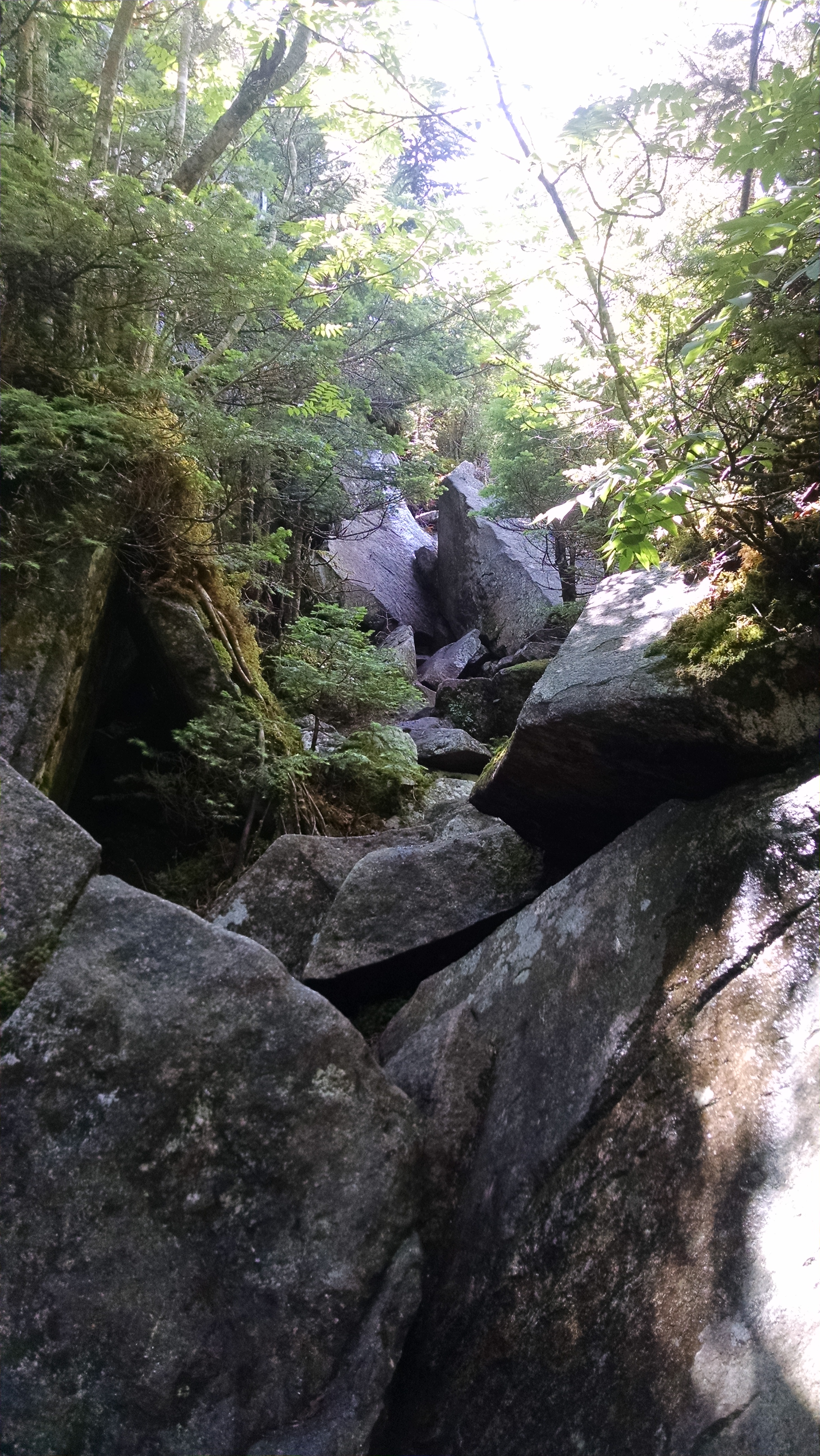
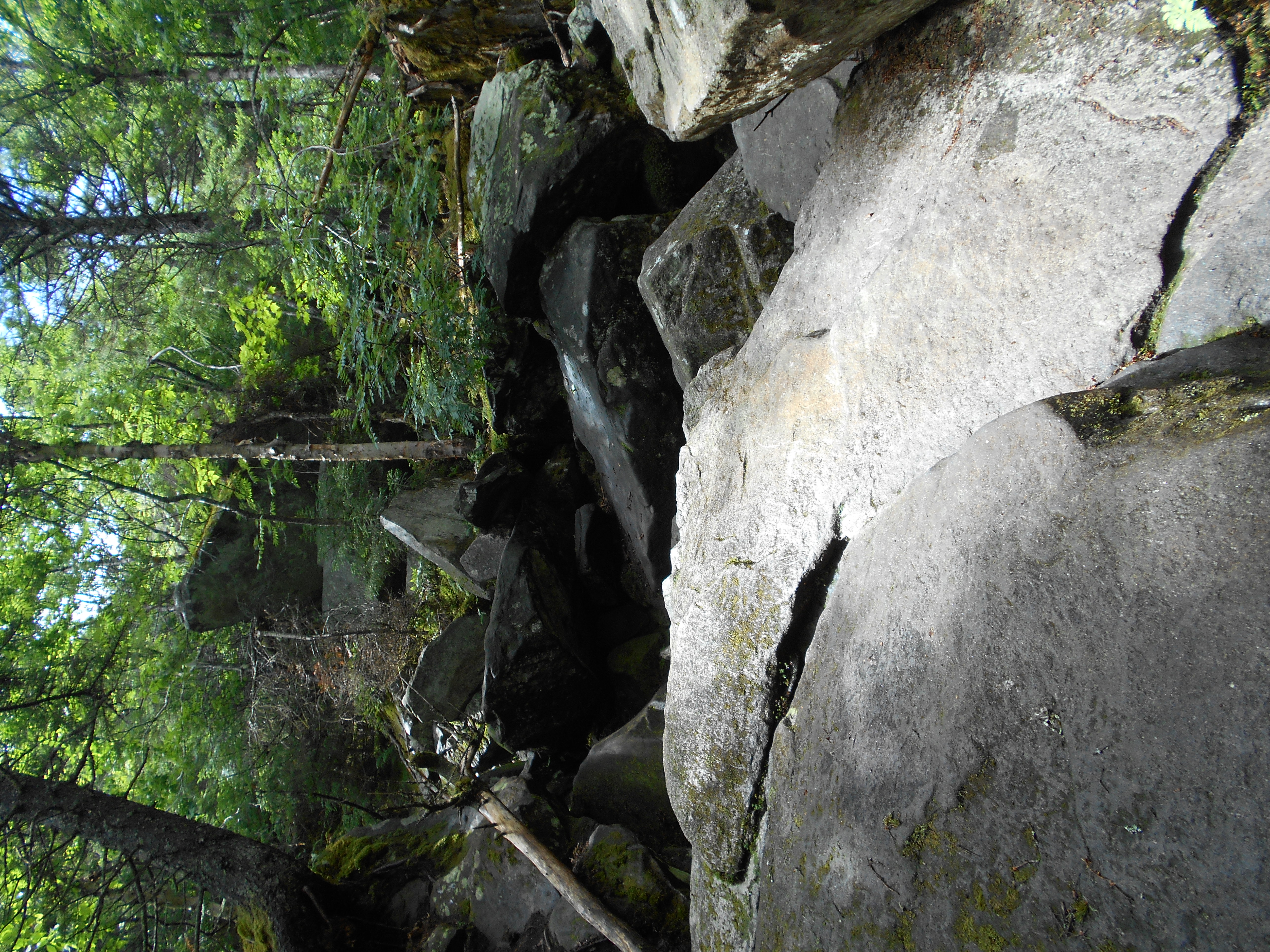
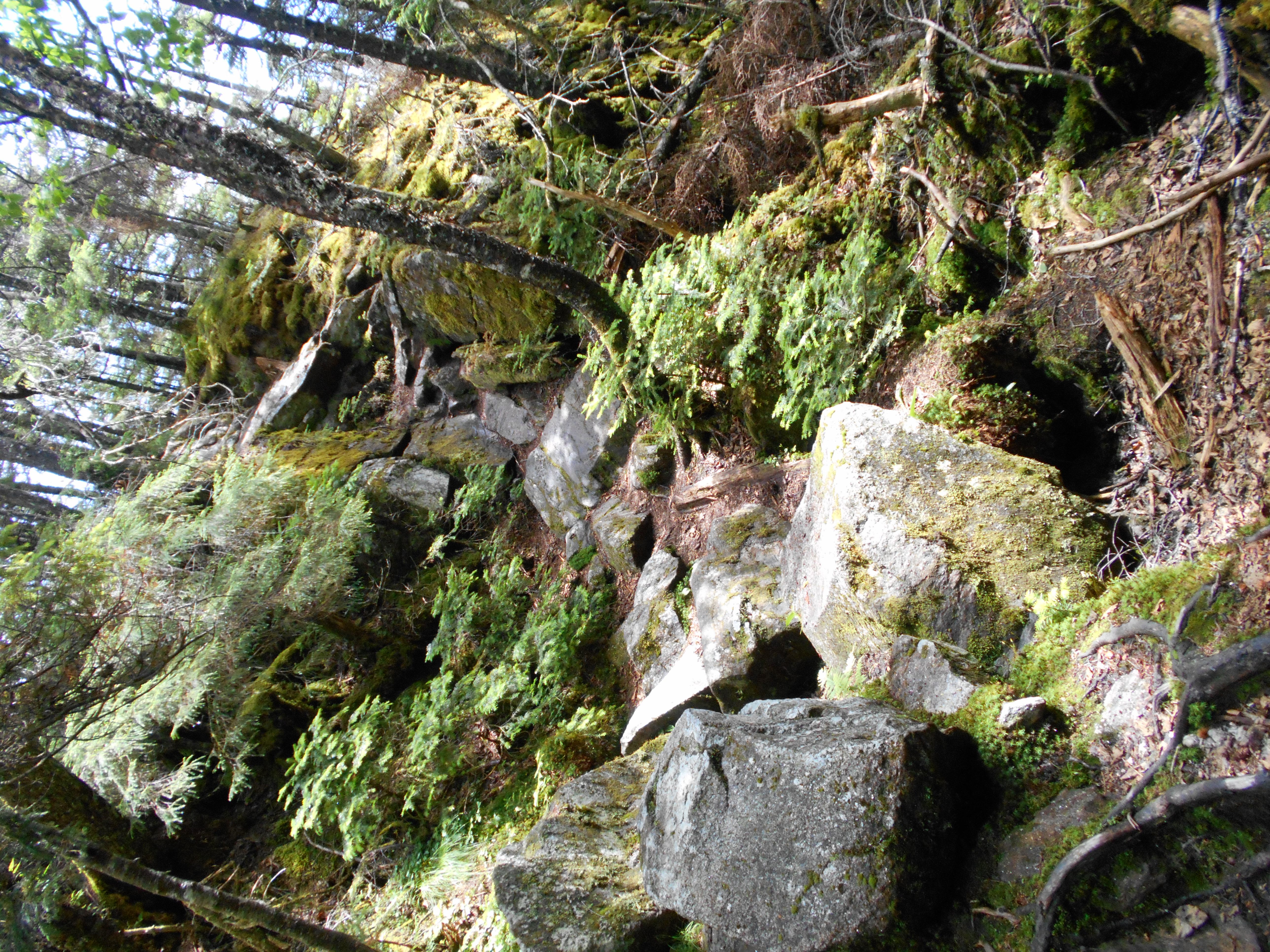
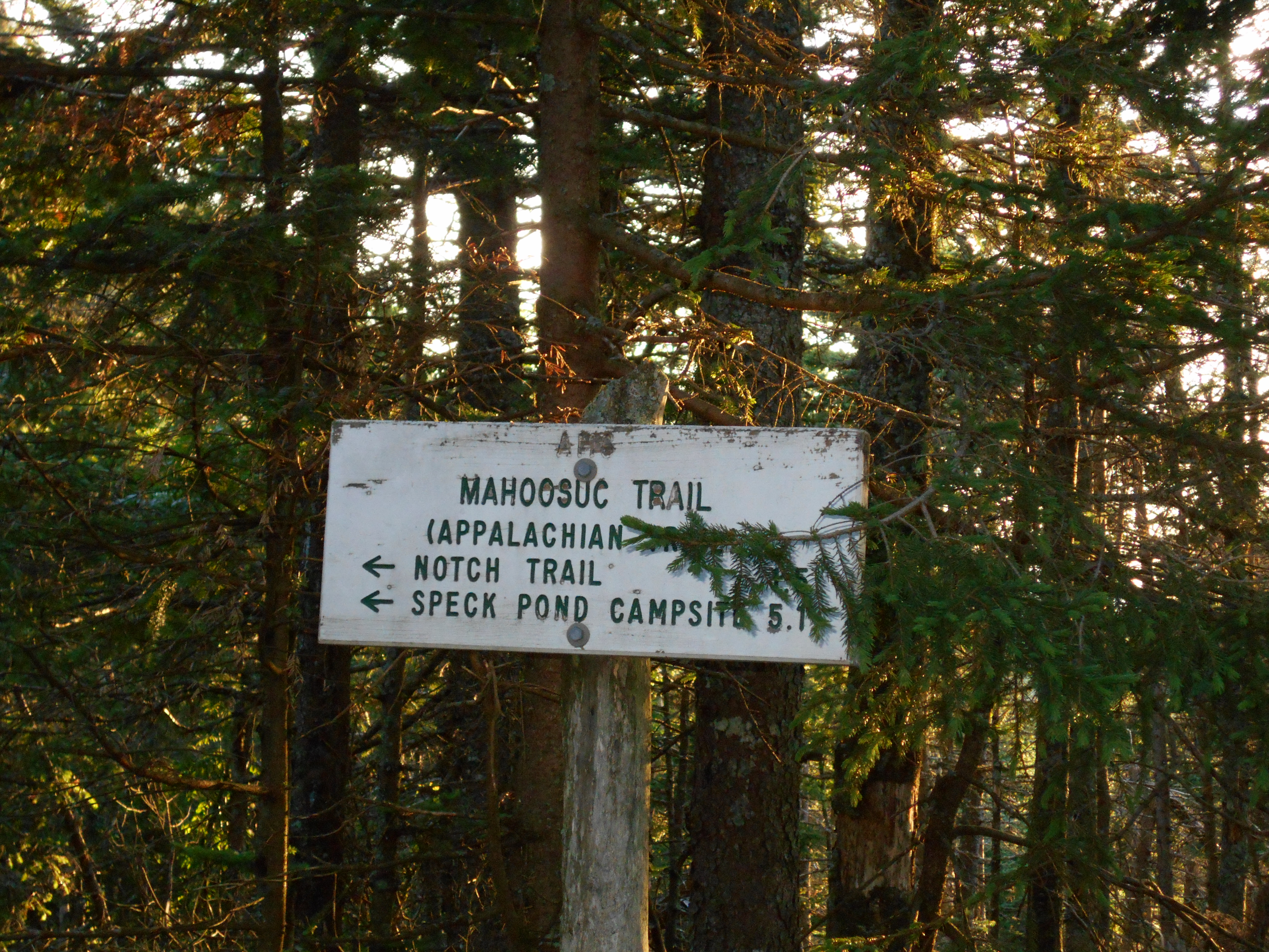
Mahoosuc Notch Trail (2,400') Mahoosuc Notch (west end)
2400
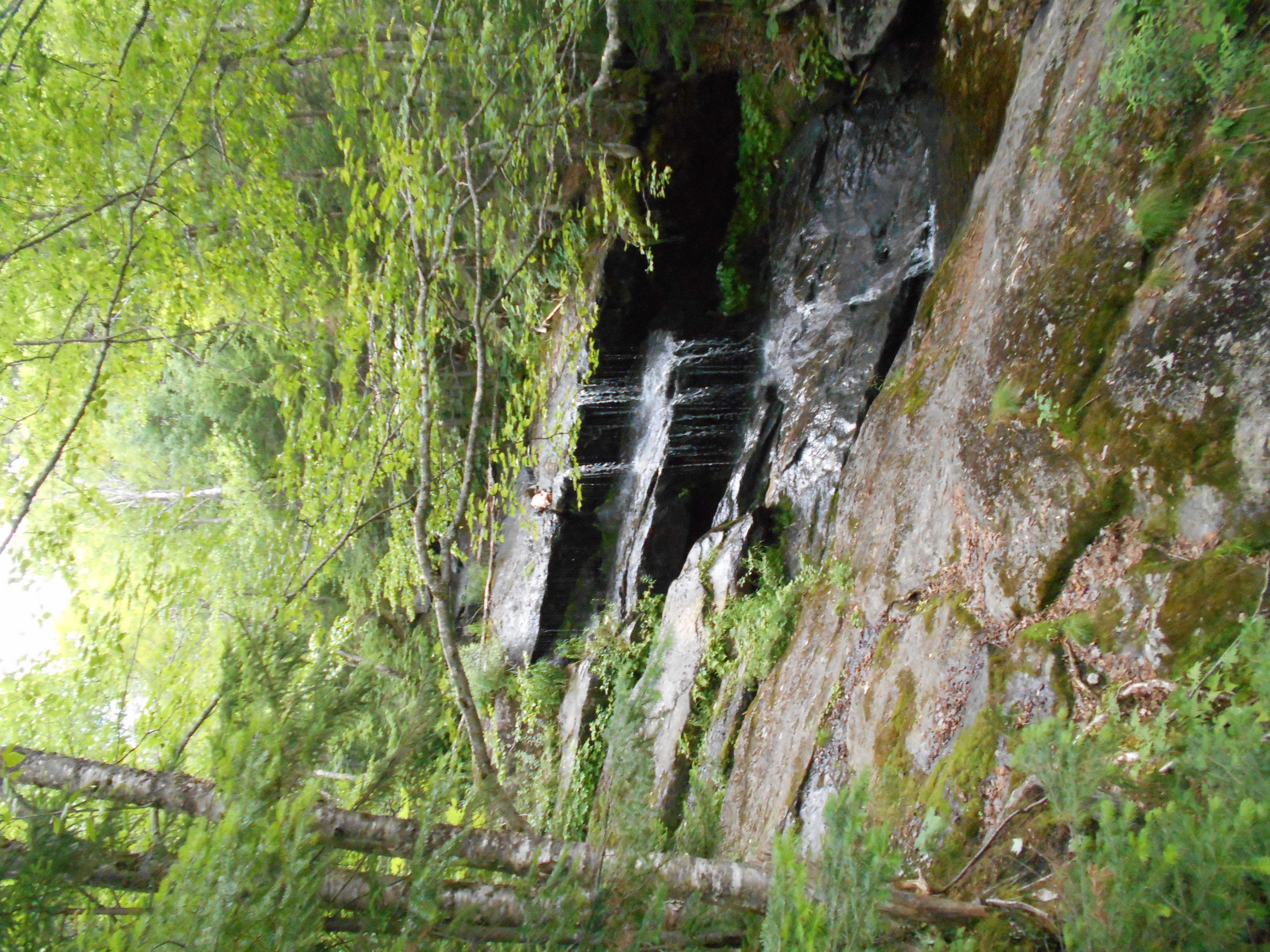
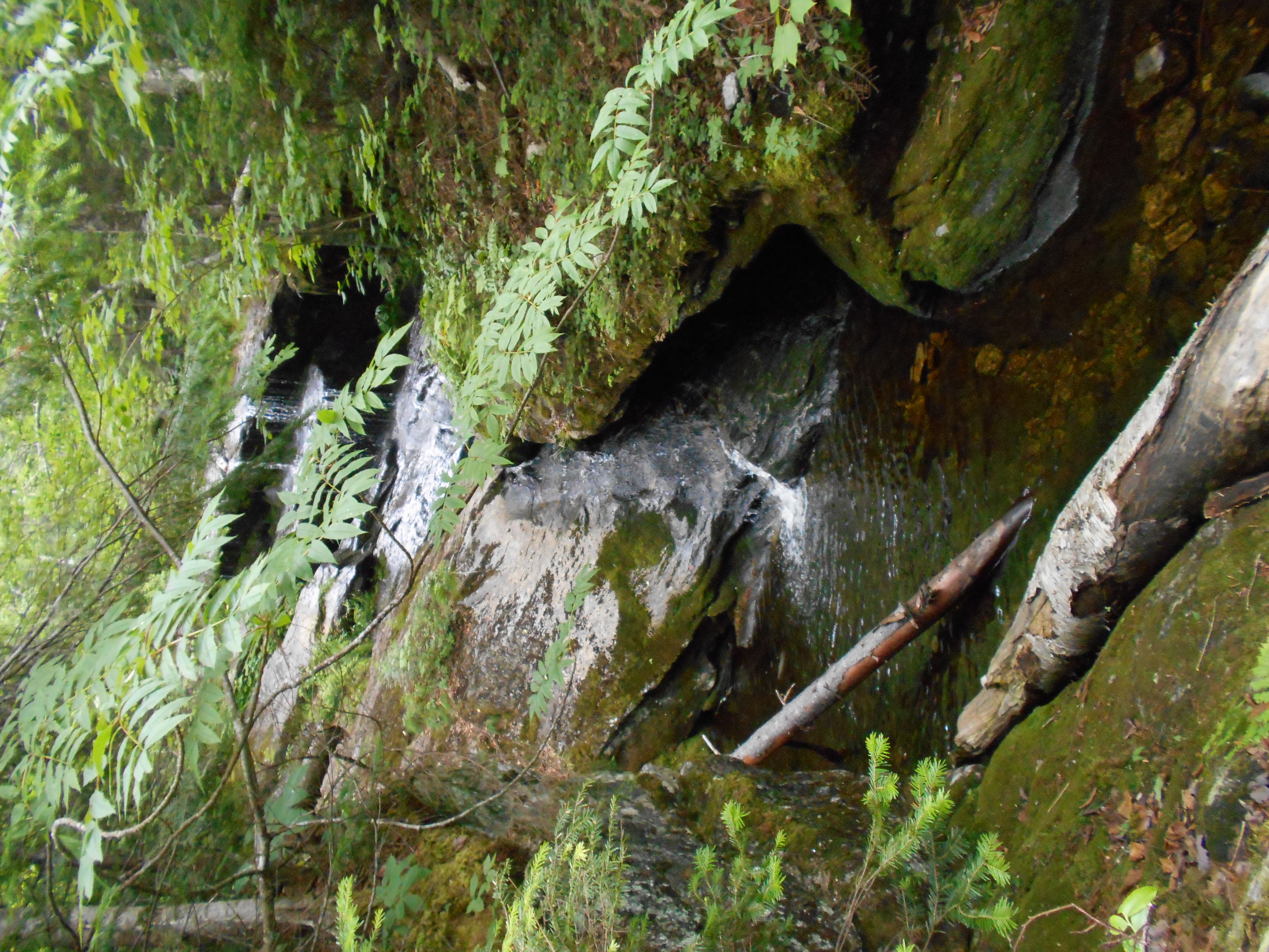
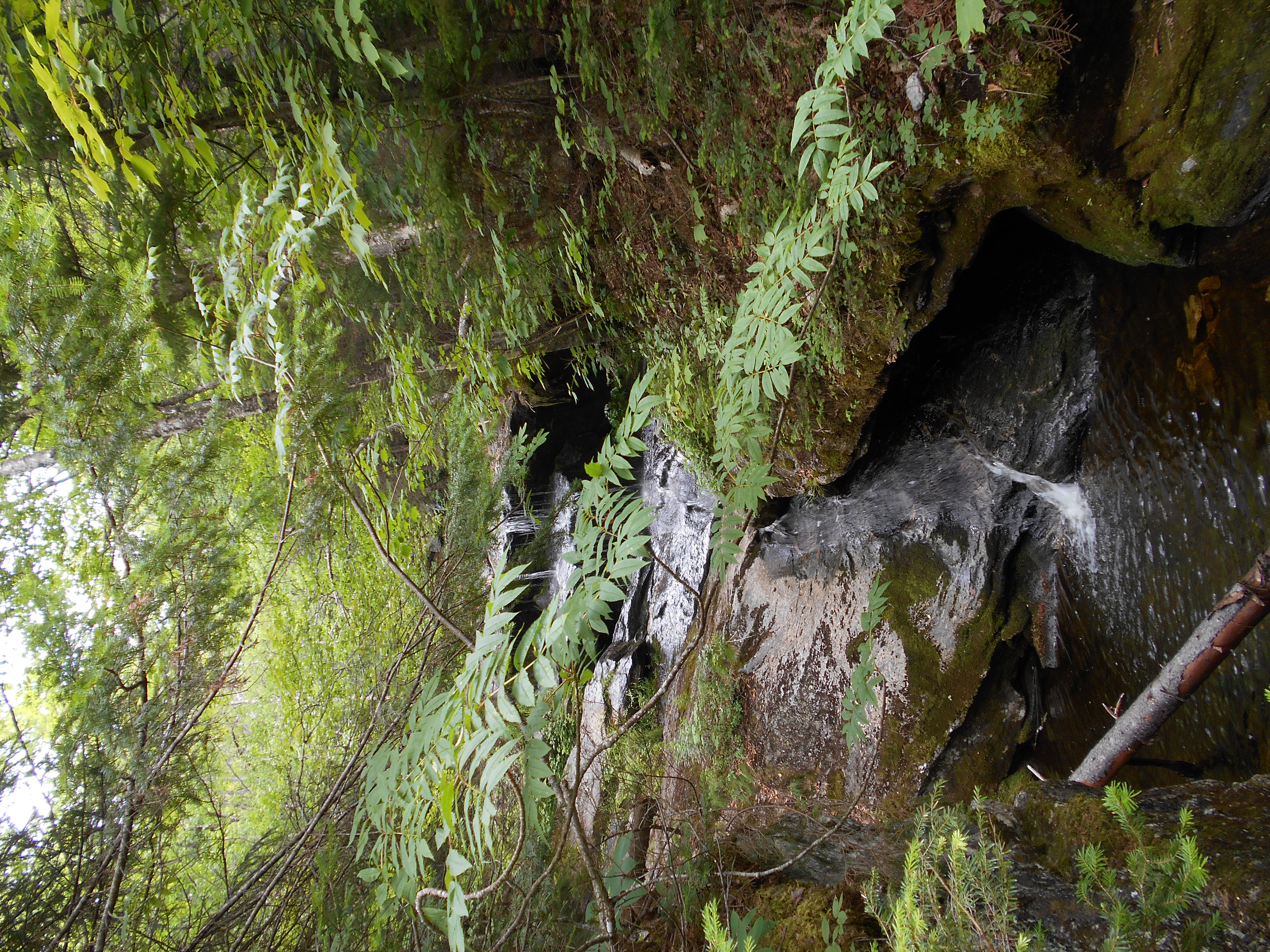
1914.8
Mahoosuc Notch (east end), Bull Branch (2,150')
2150
1916.4
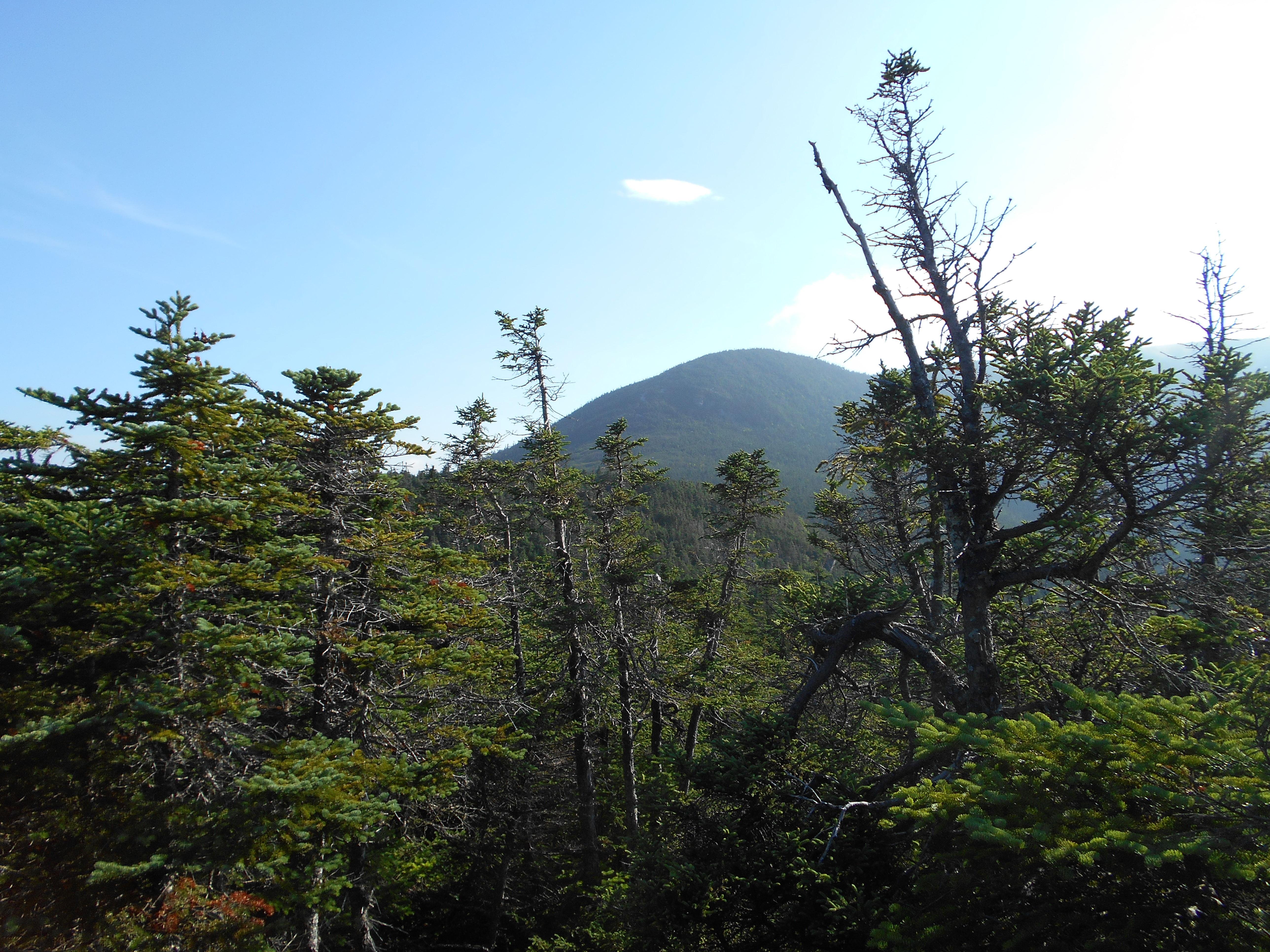
Mahoosuc Arm Summit, Joe May Cut-off Trail Jct. (3,765')
3765
1917
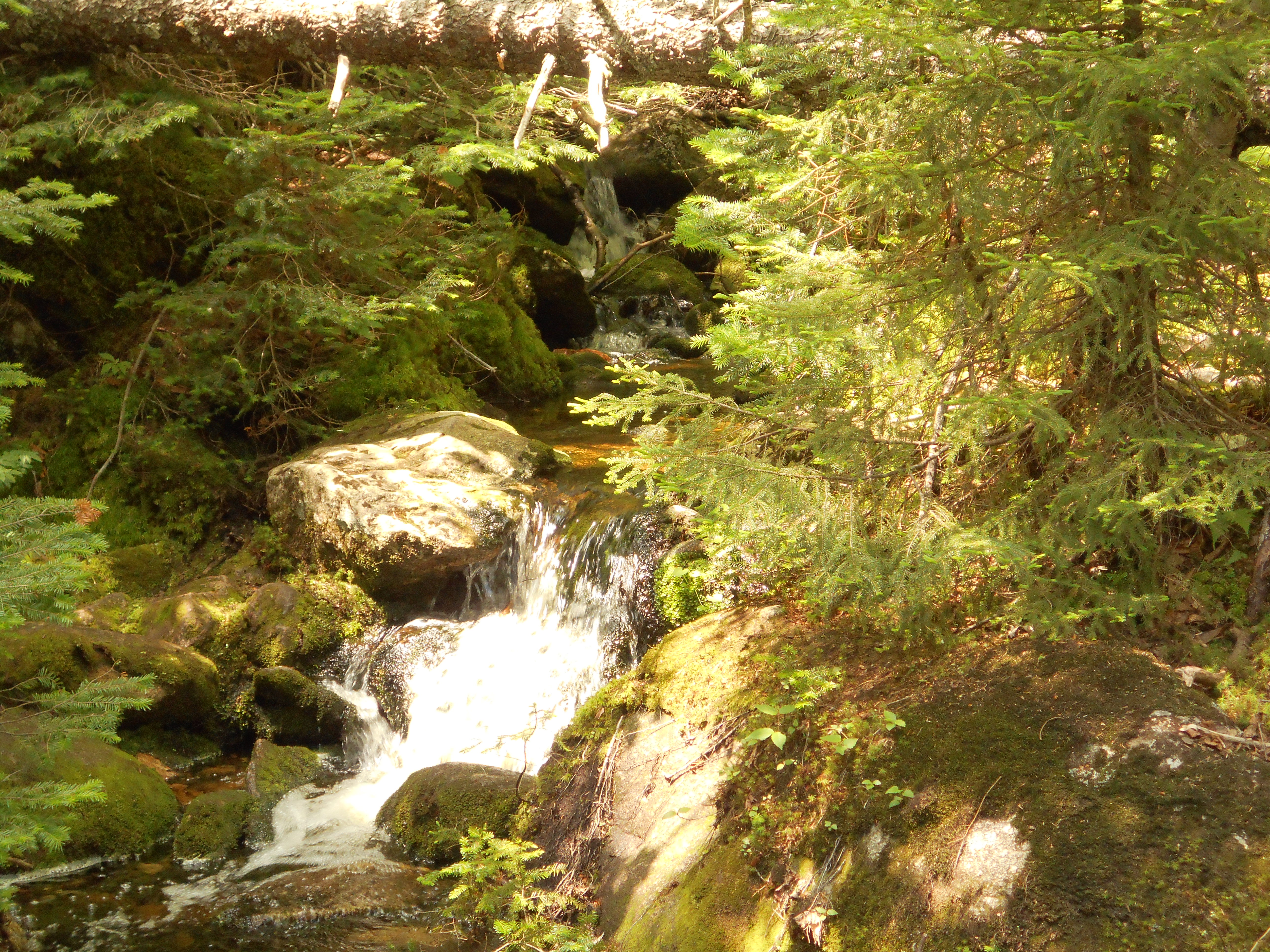
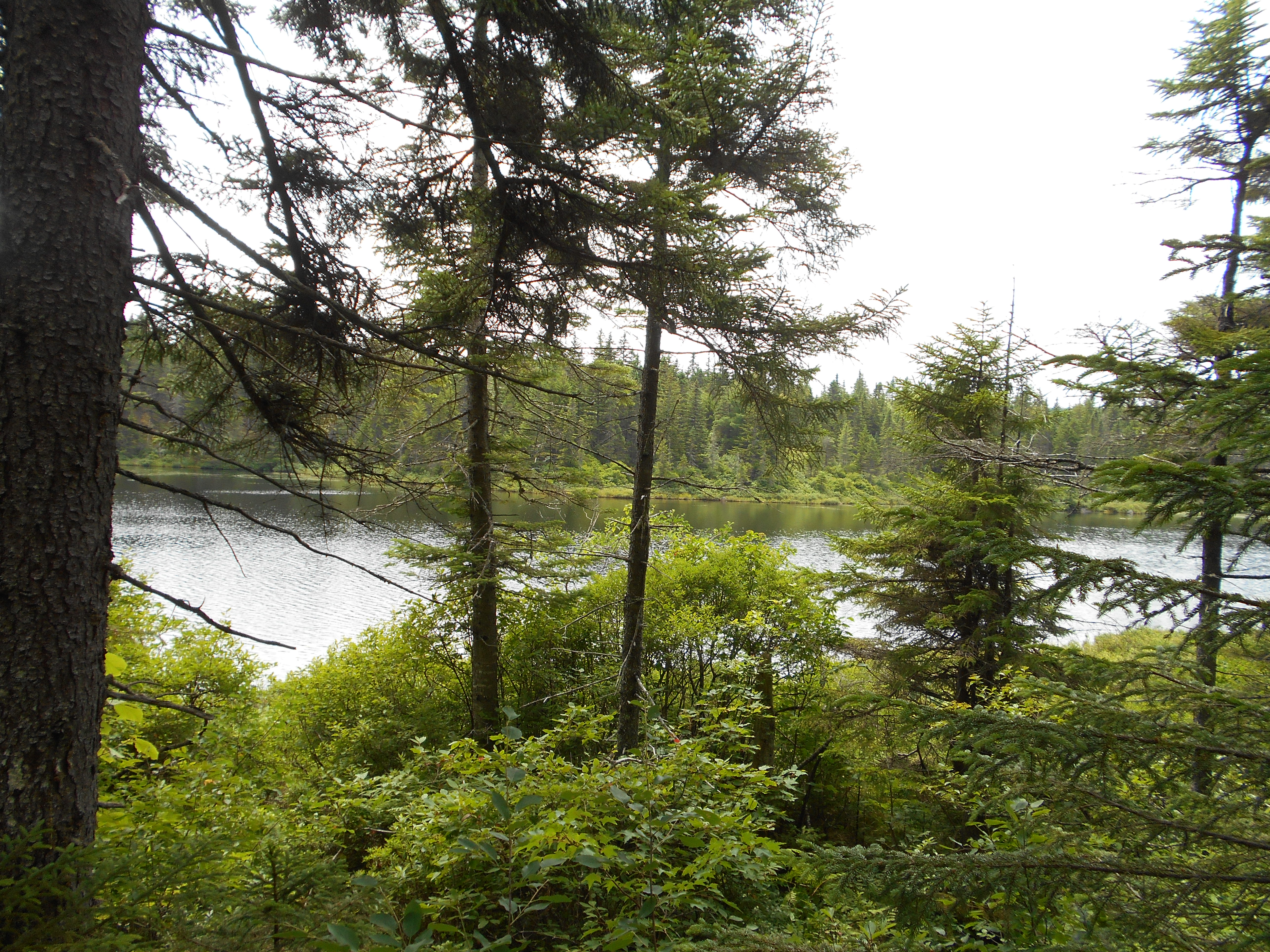
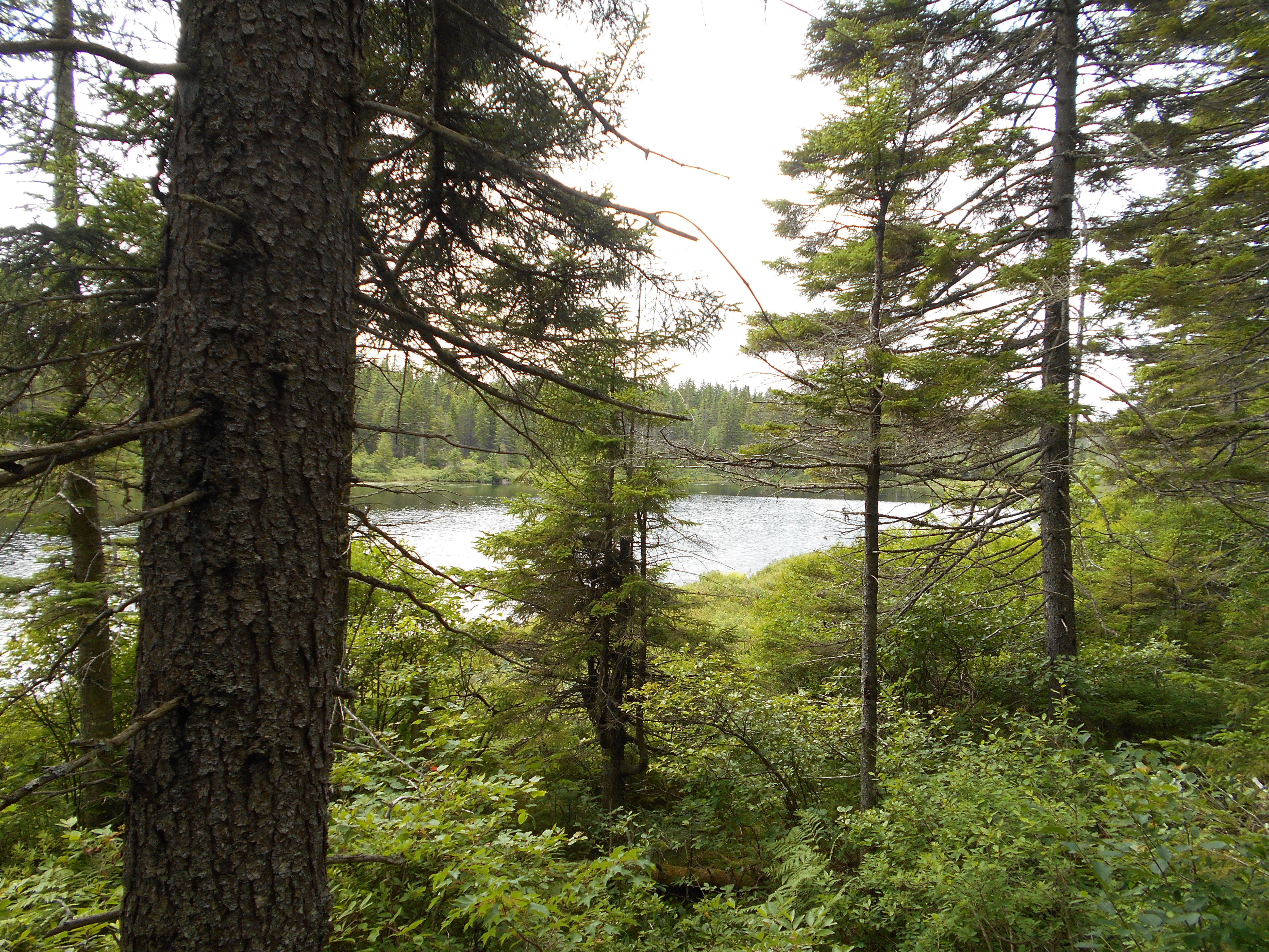
Speck Pond Brook (3,430')?outlet of Speck Pond
3430
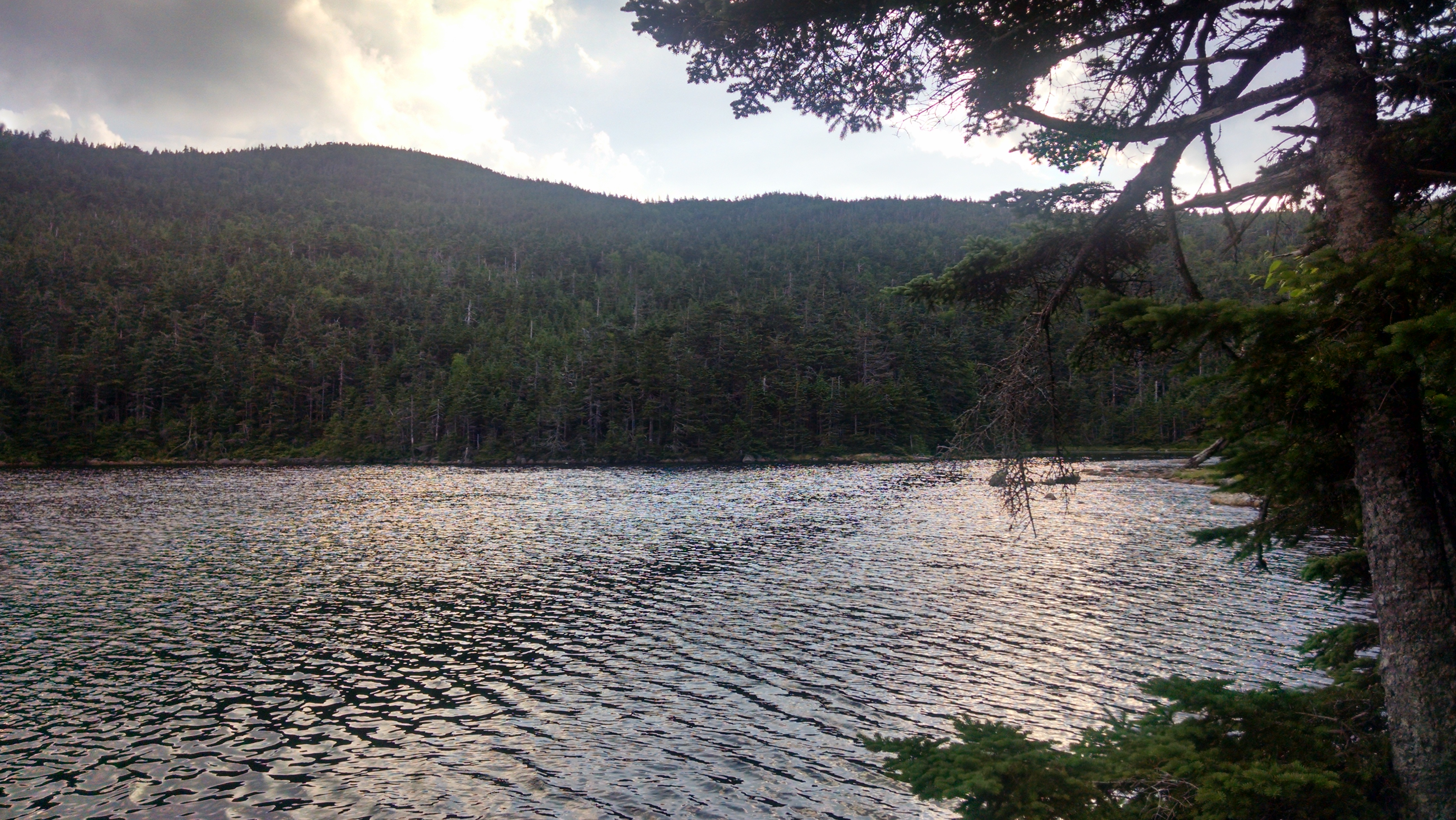
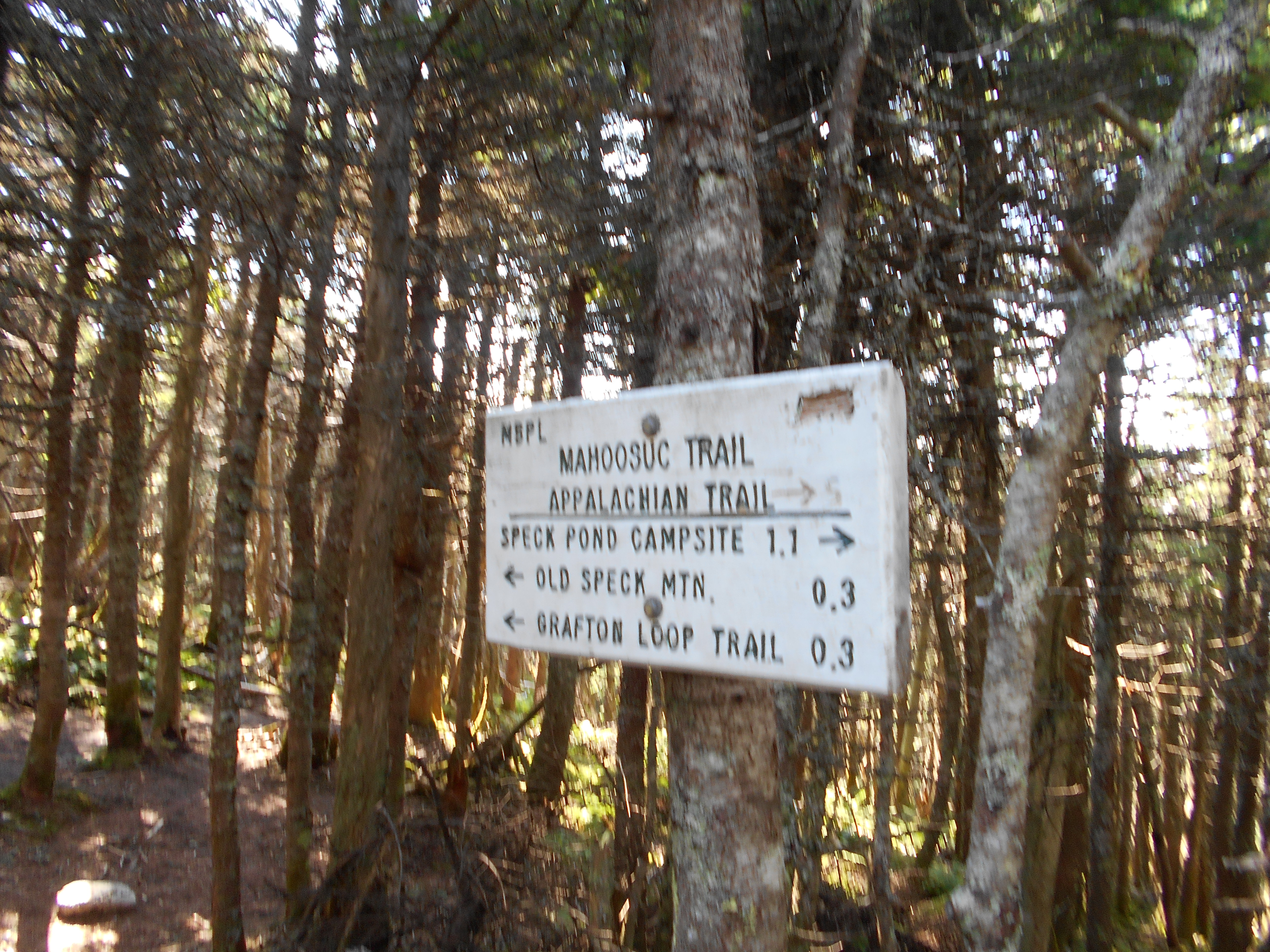
1917.3
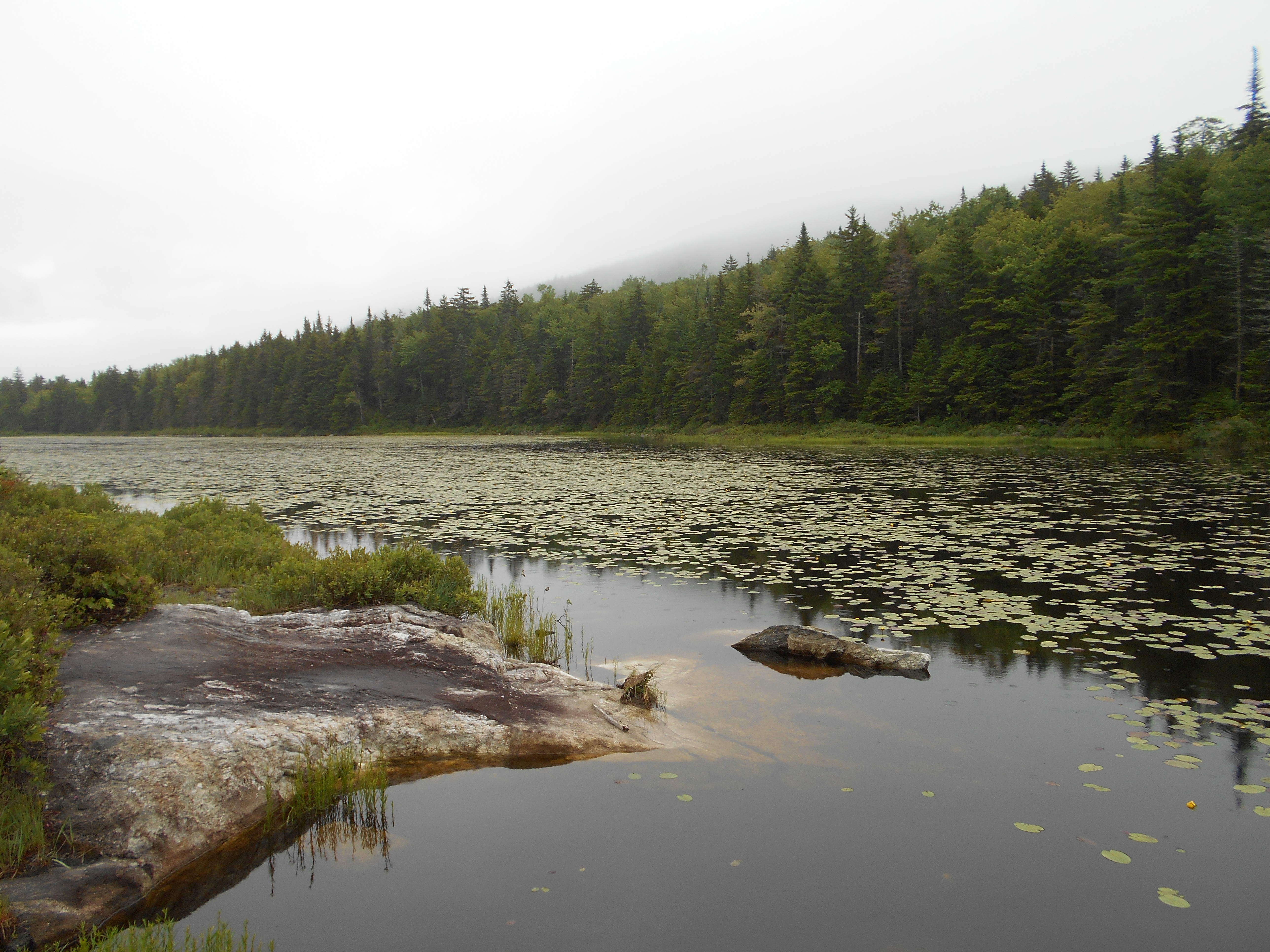
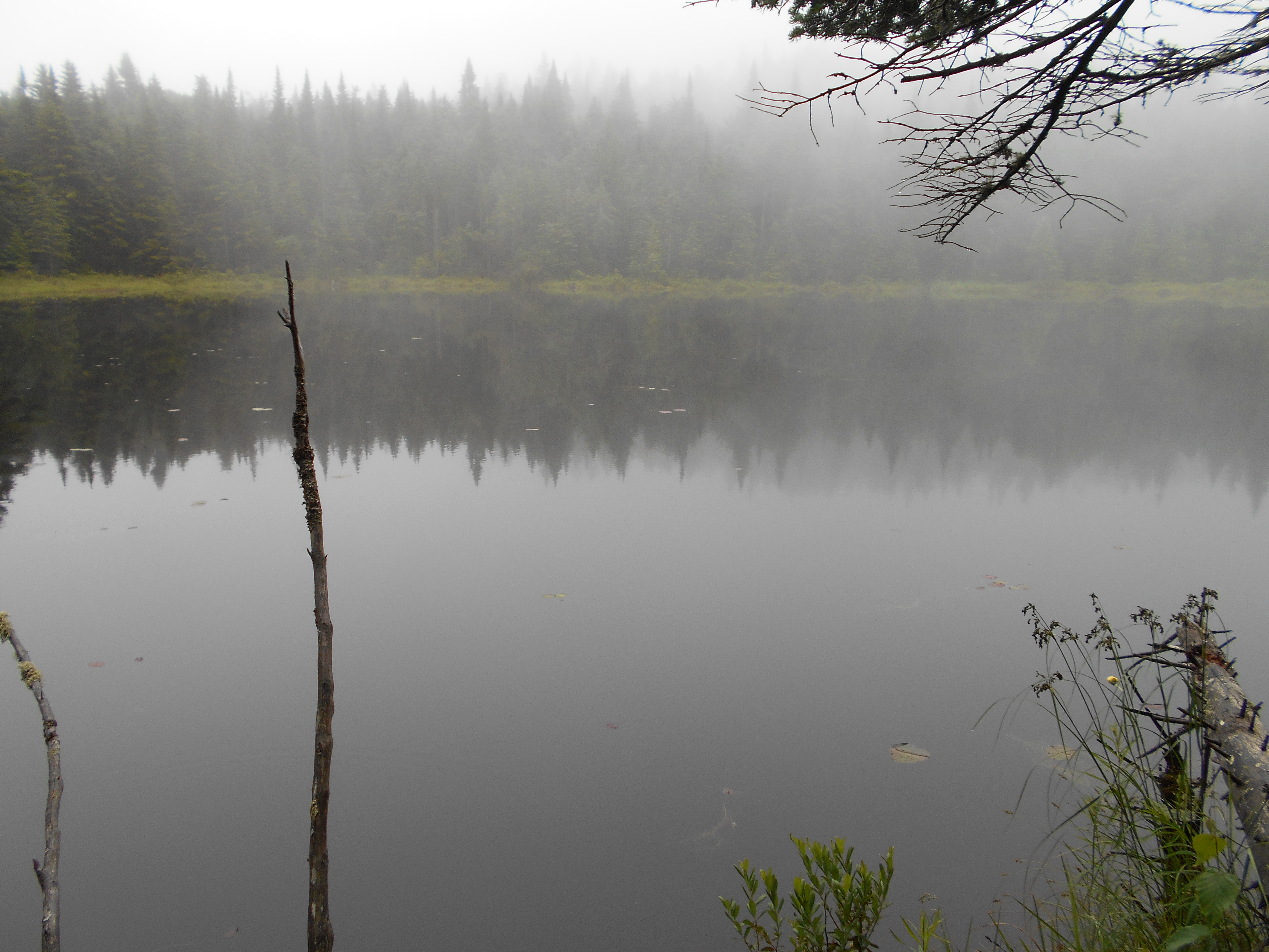
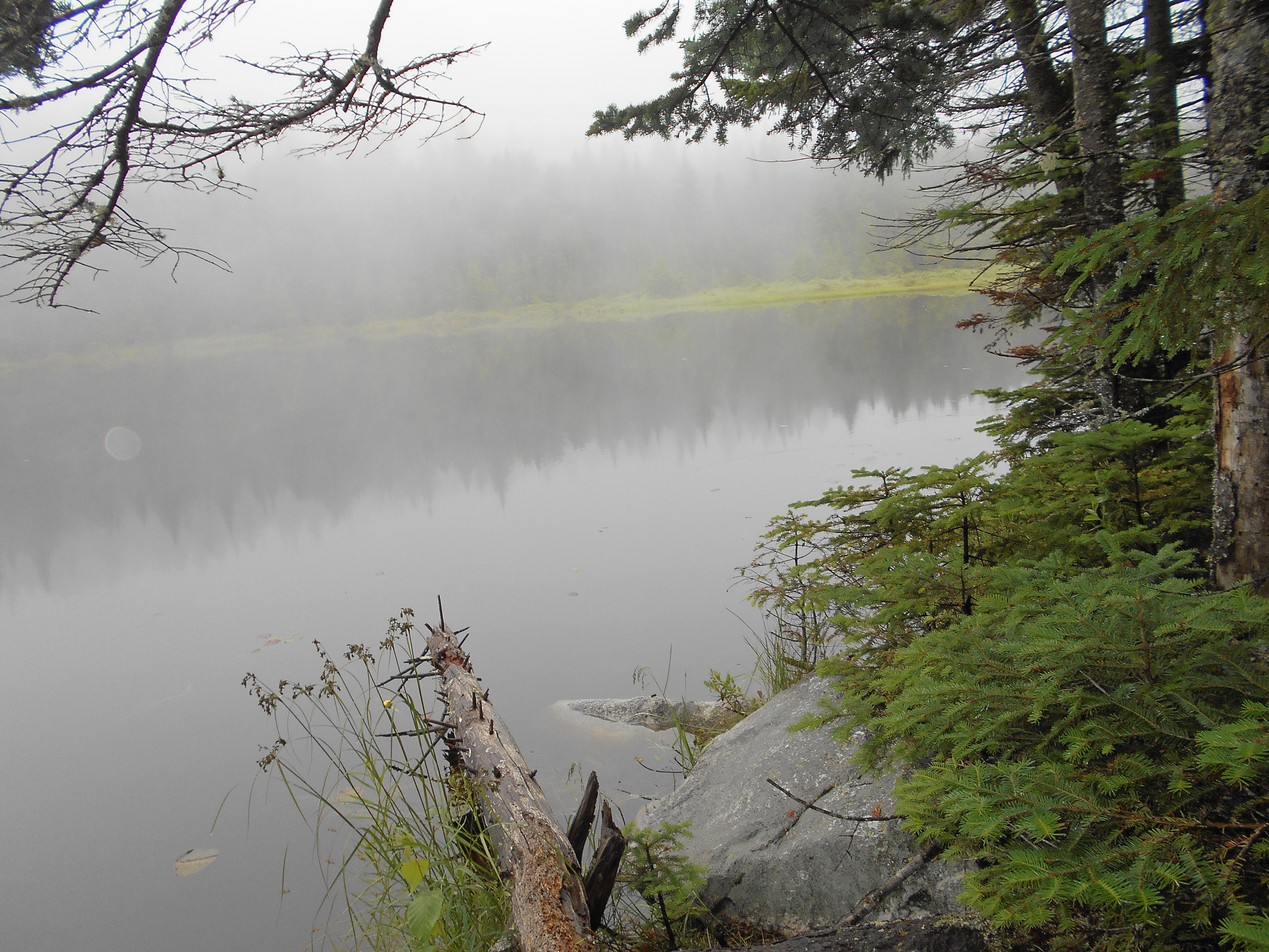
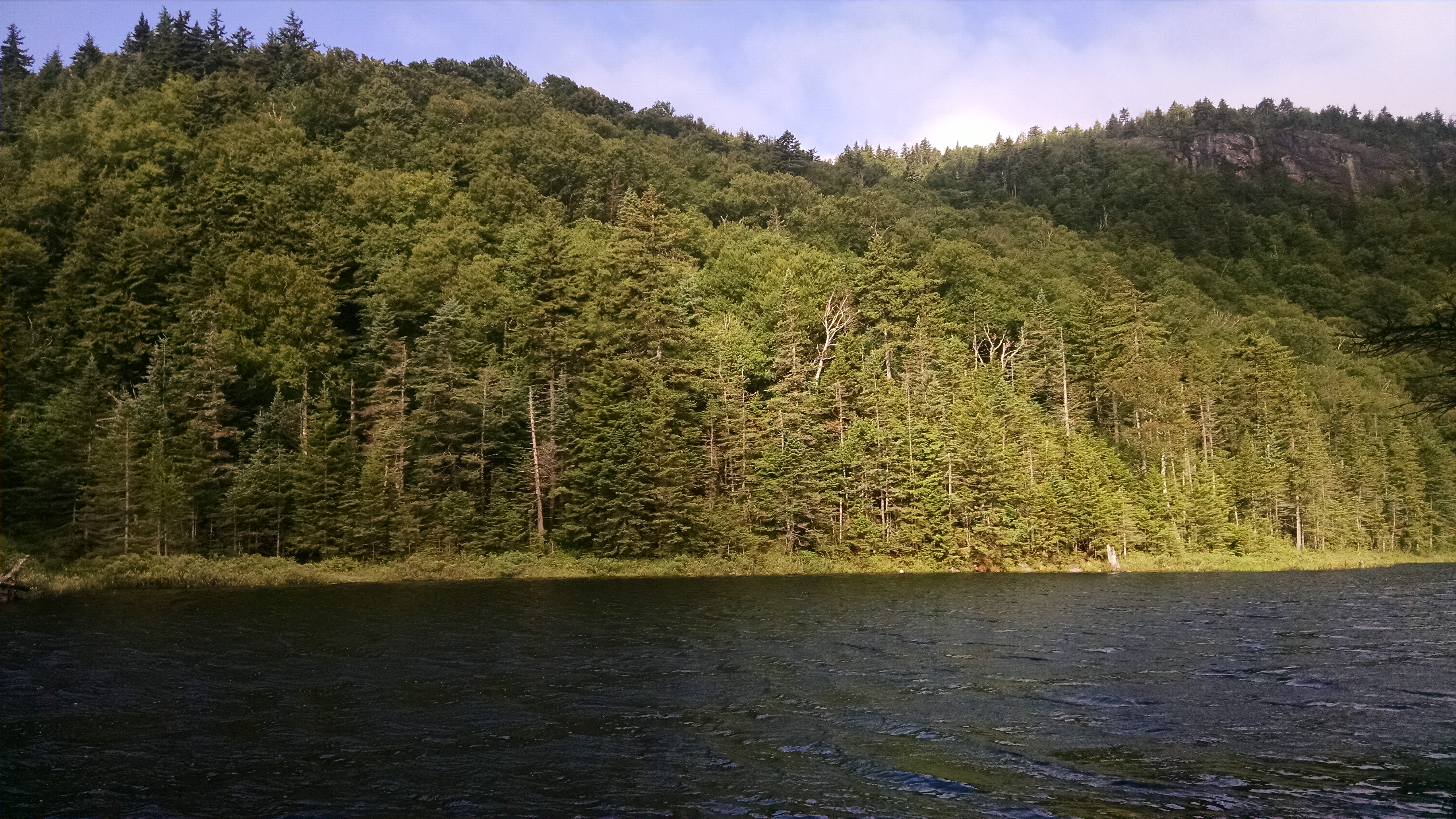
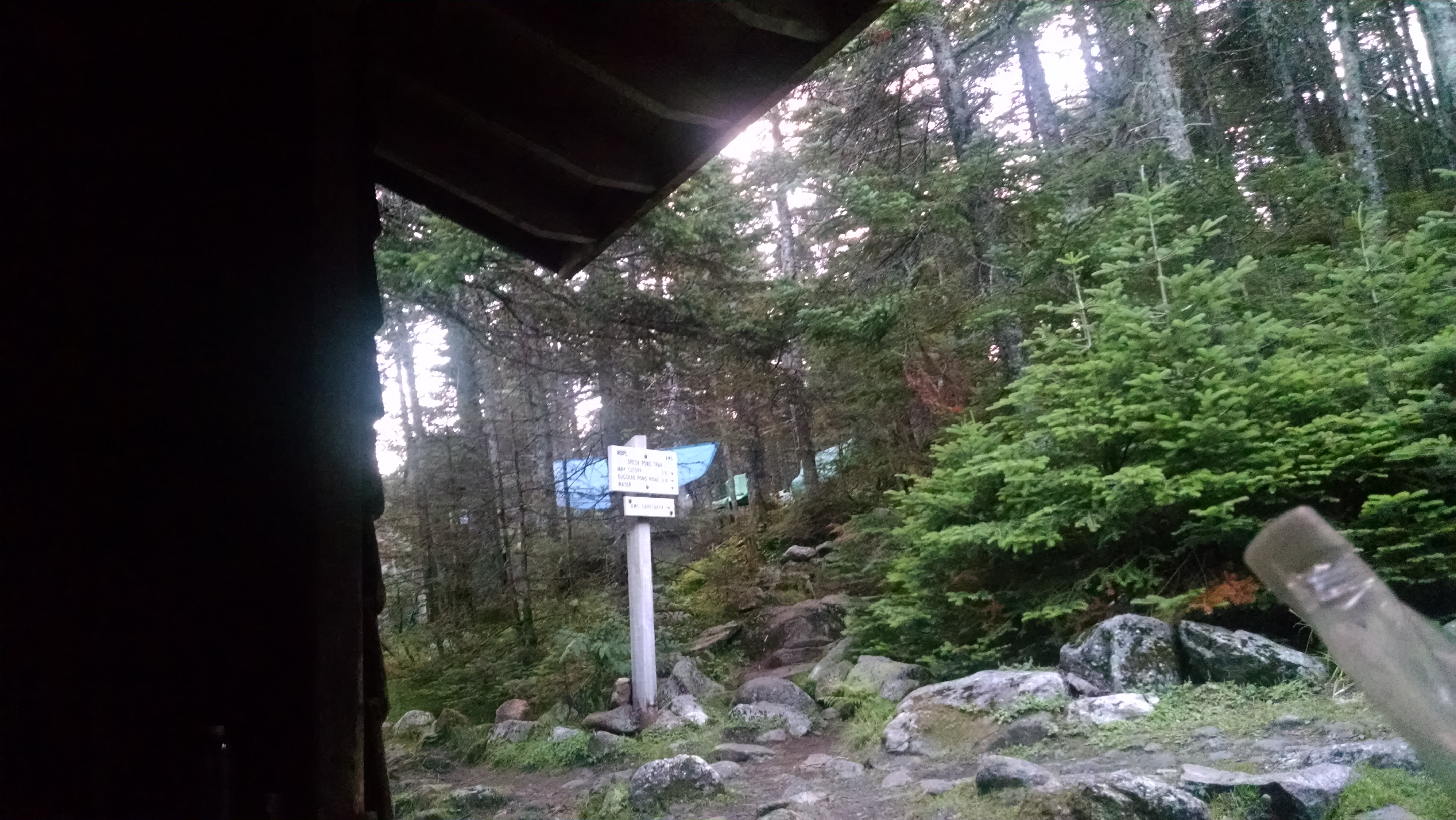
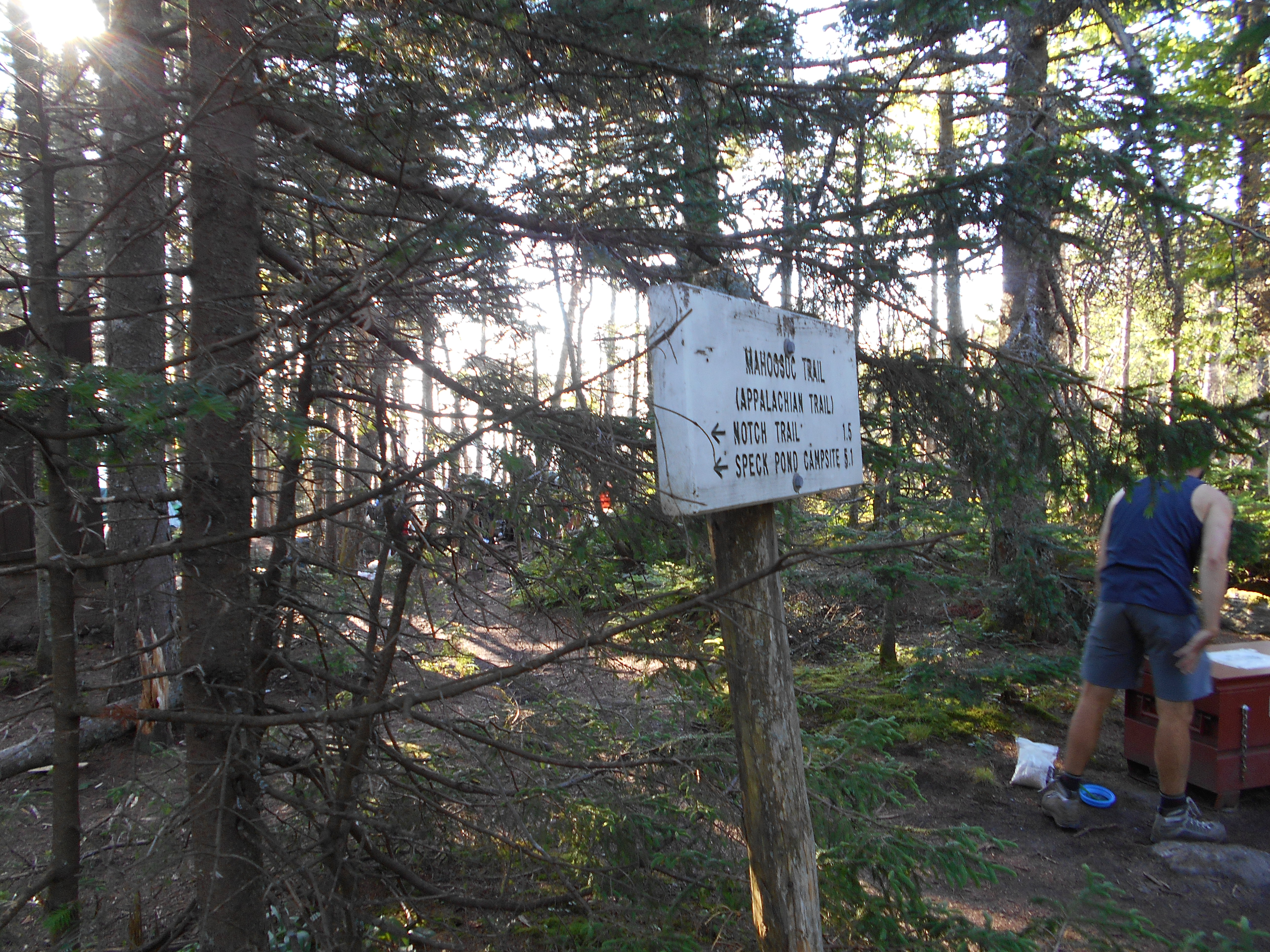
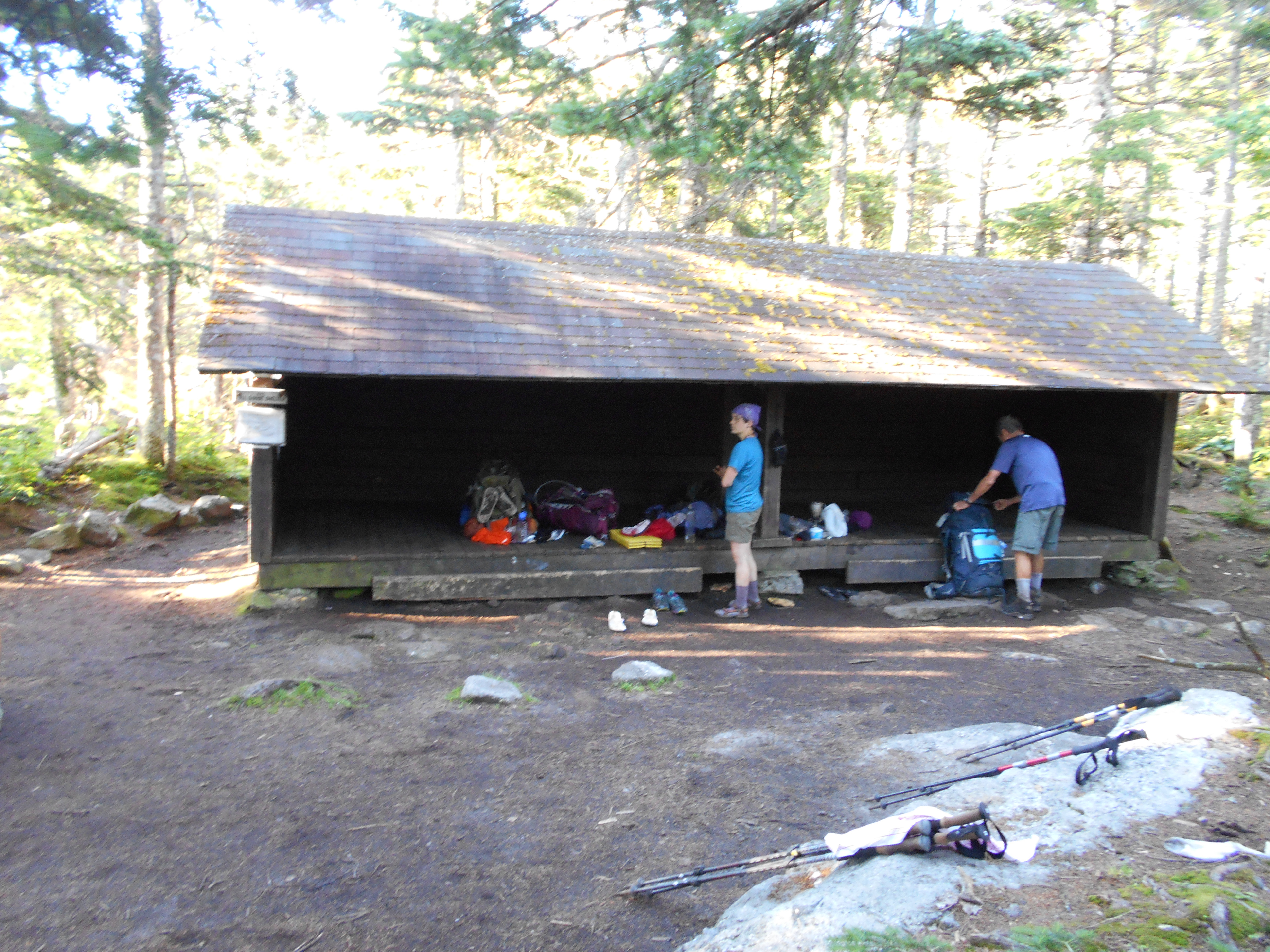
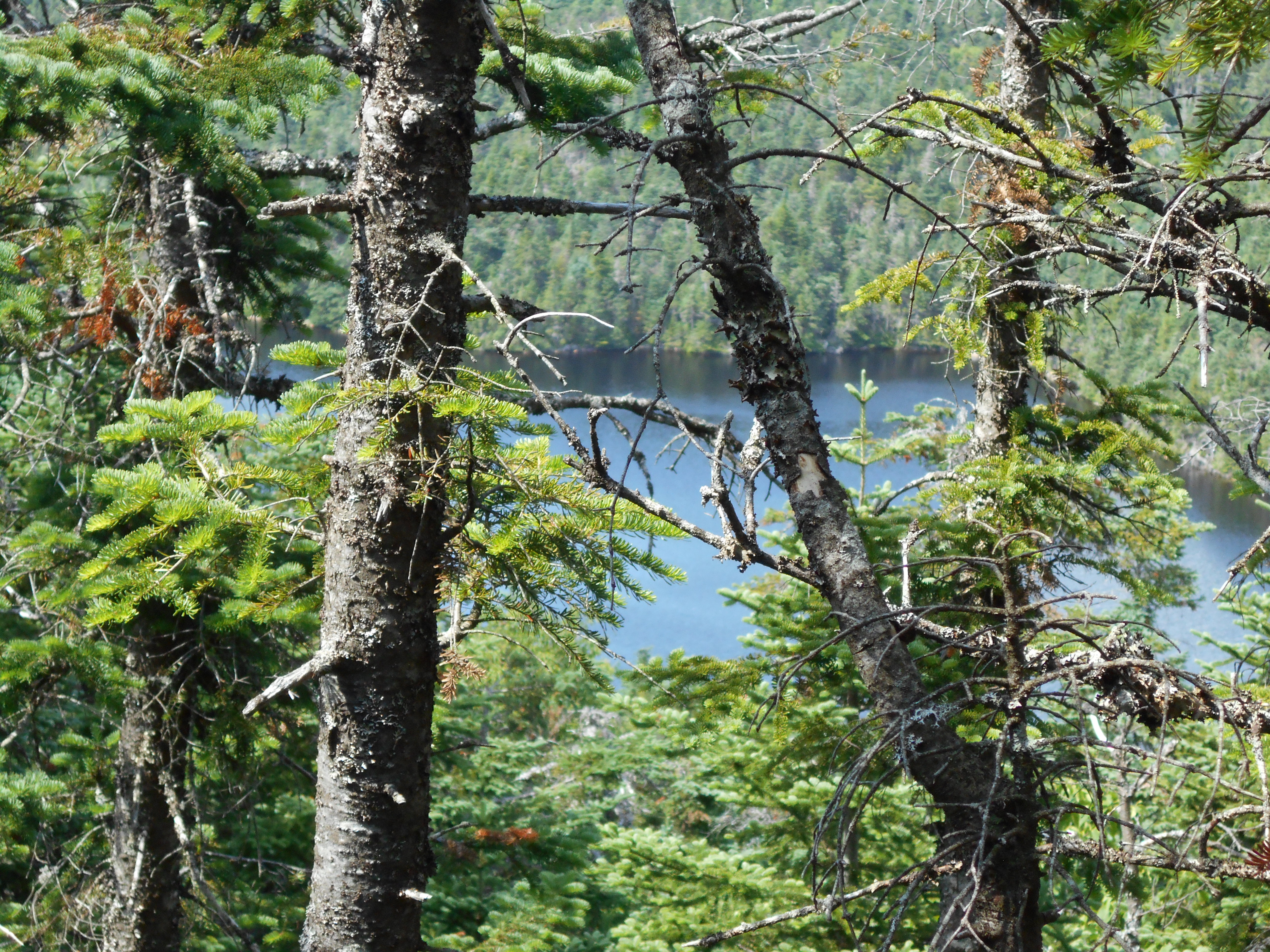
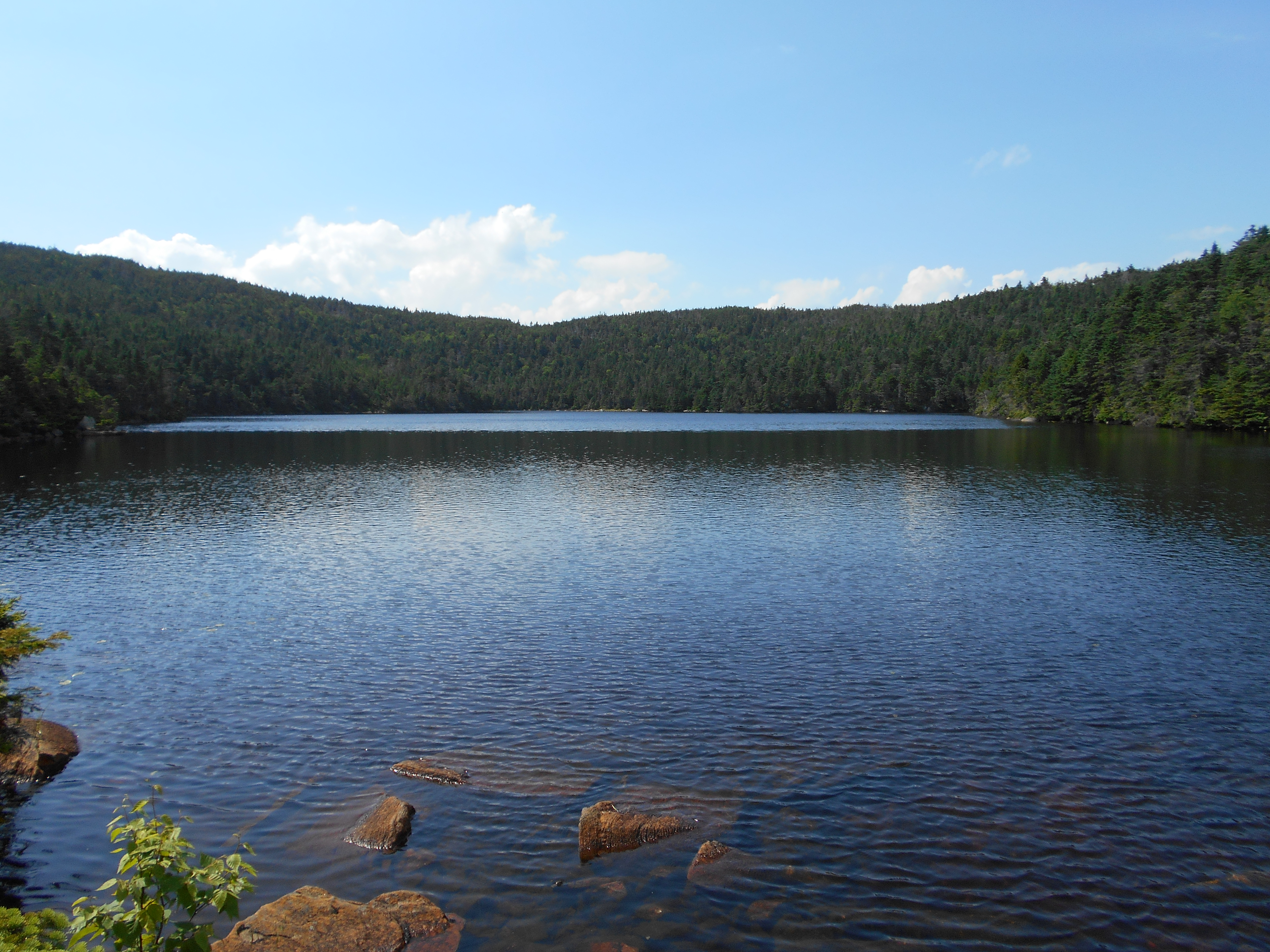
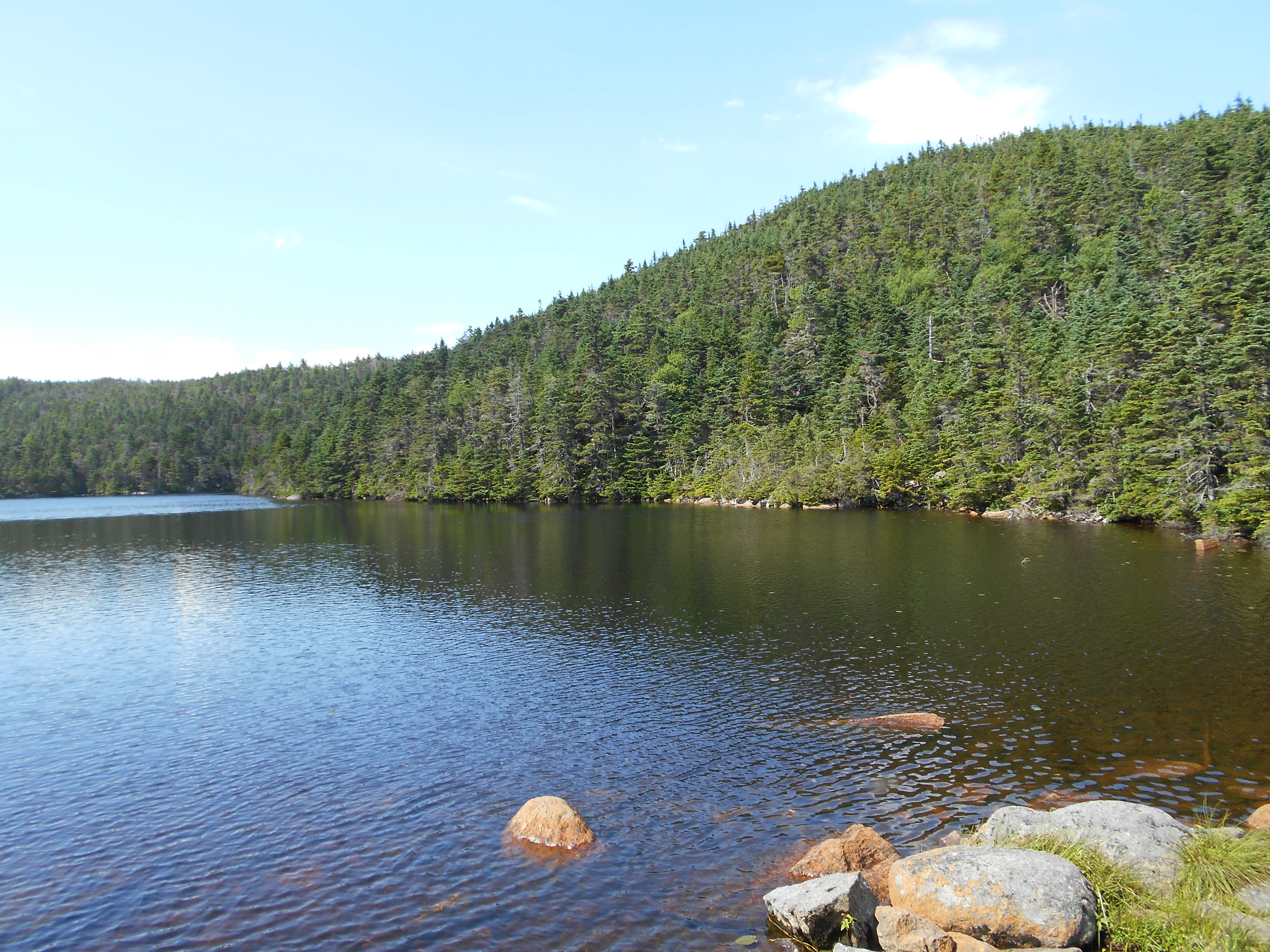
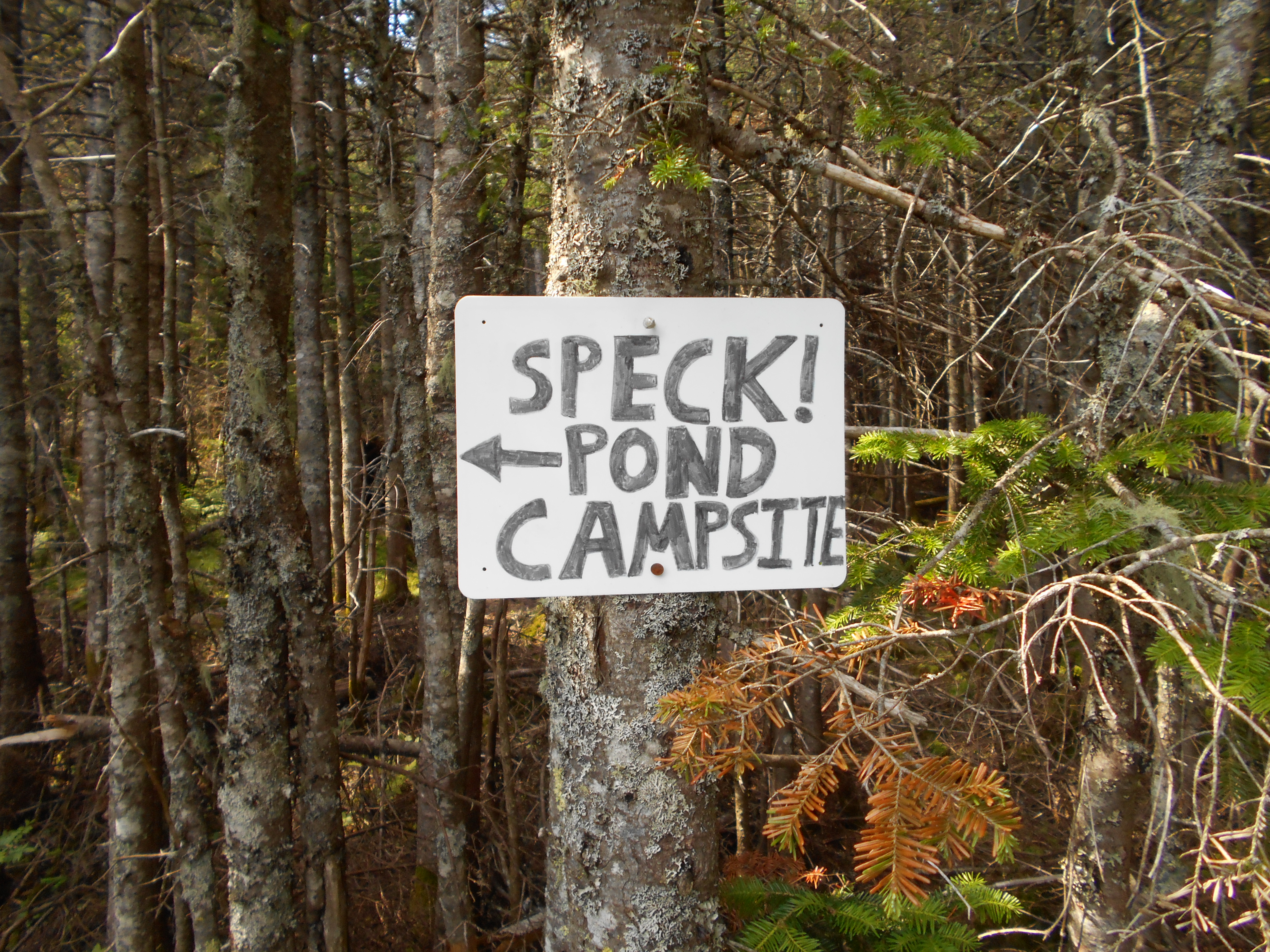
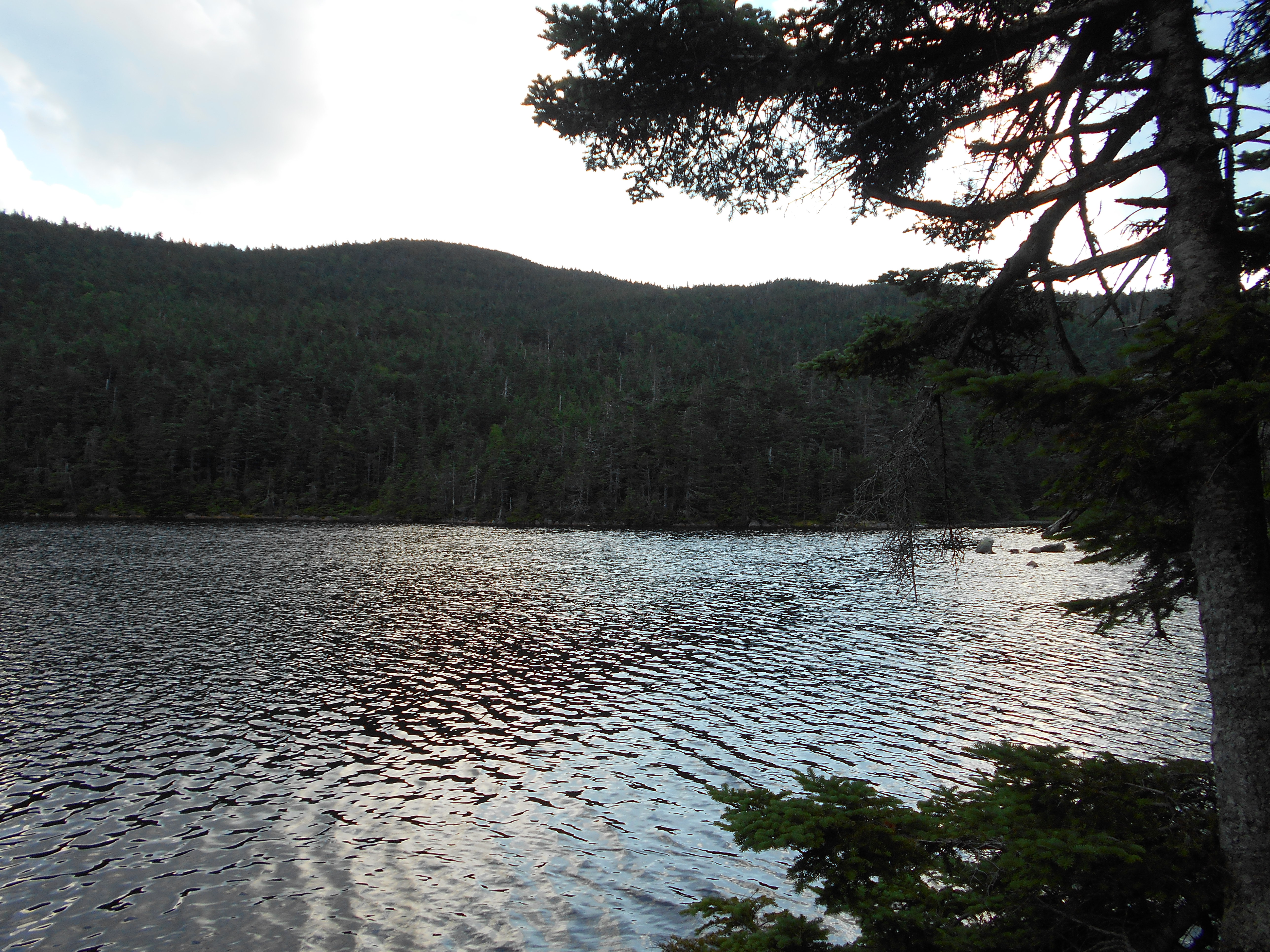
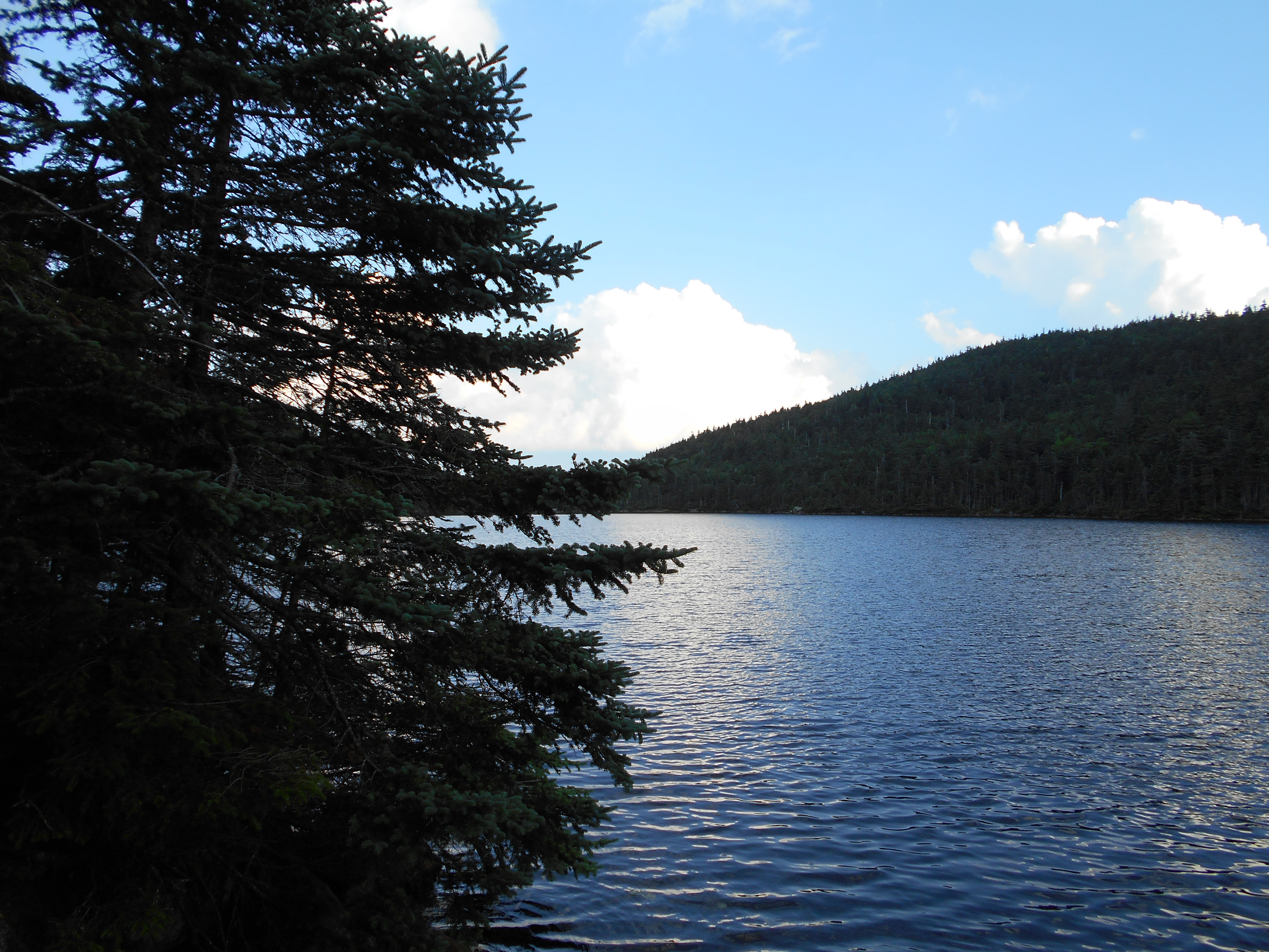
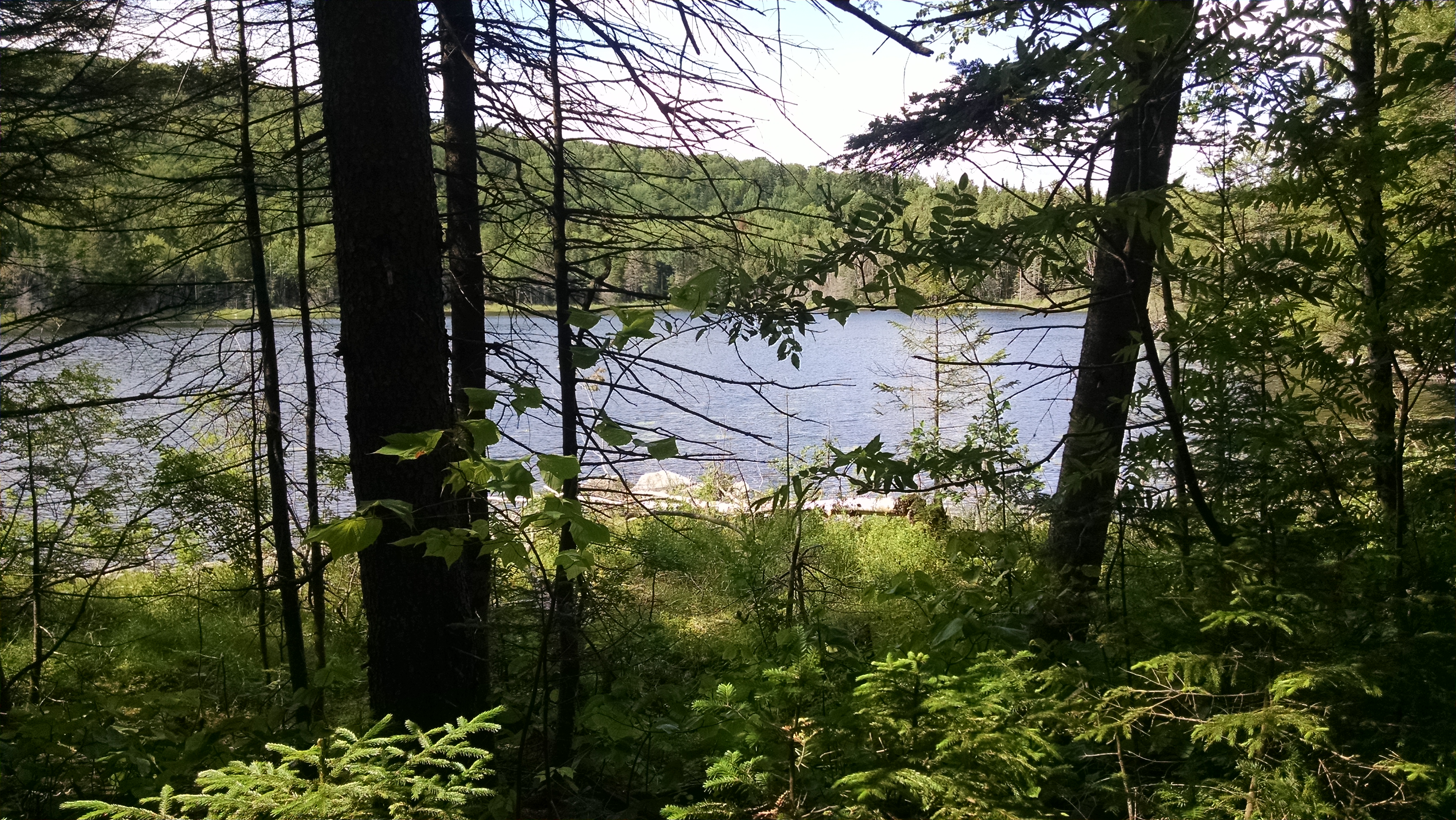
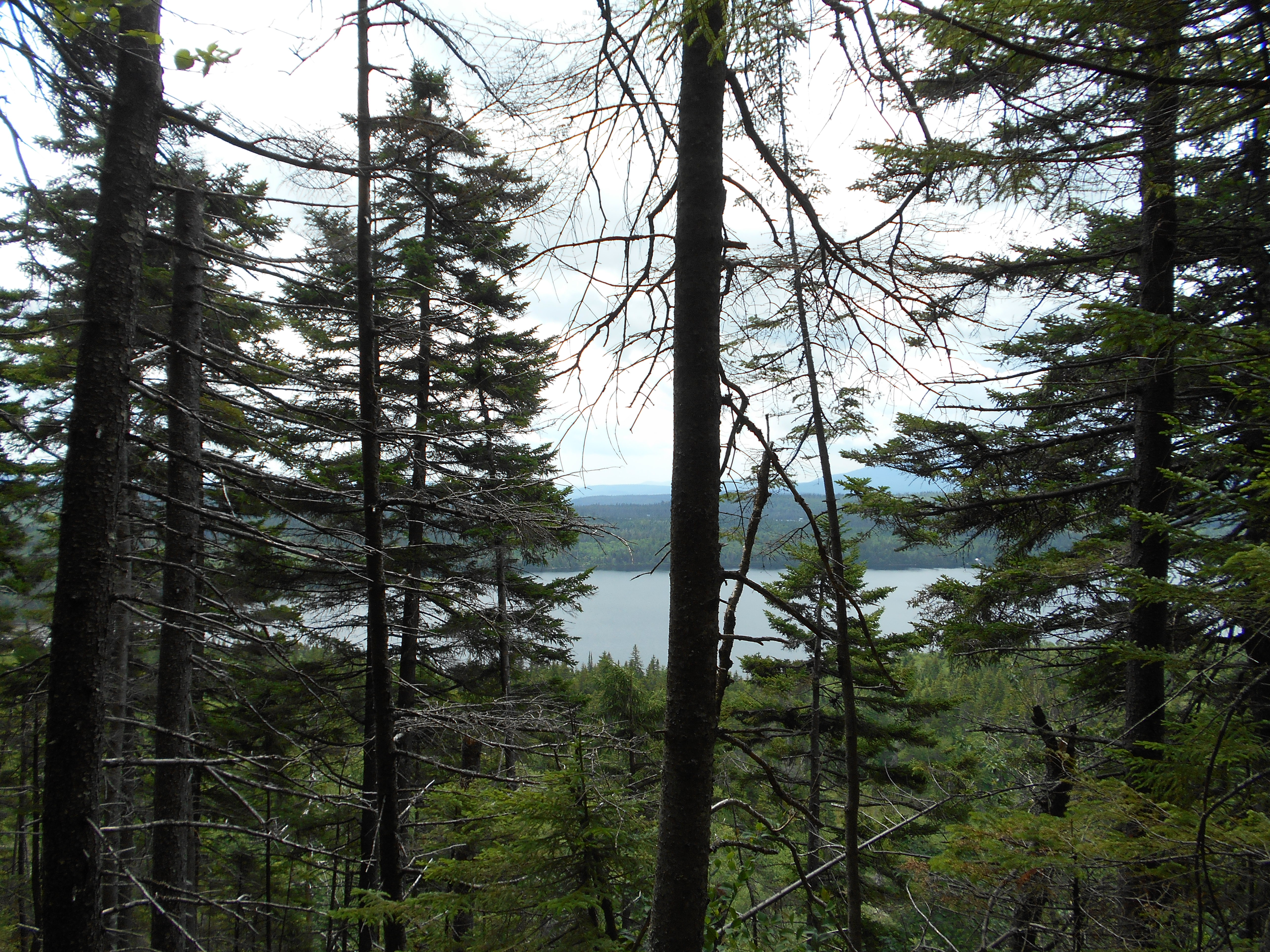
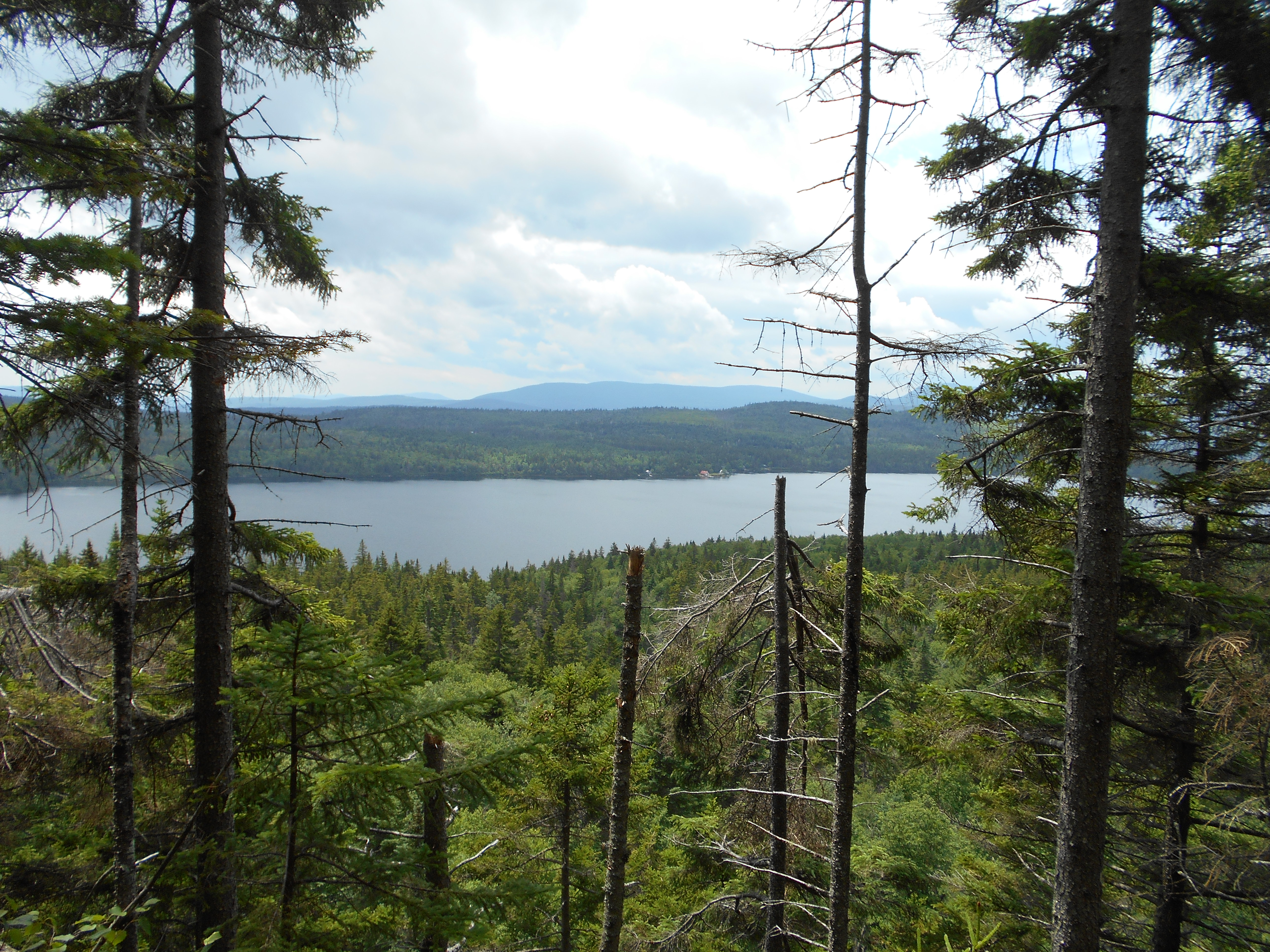
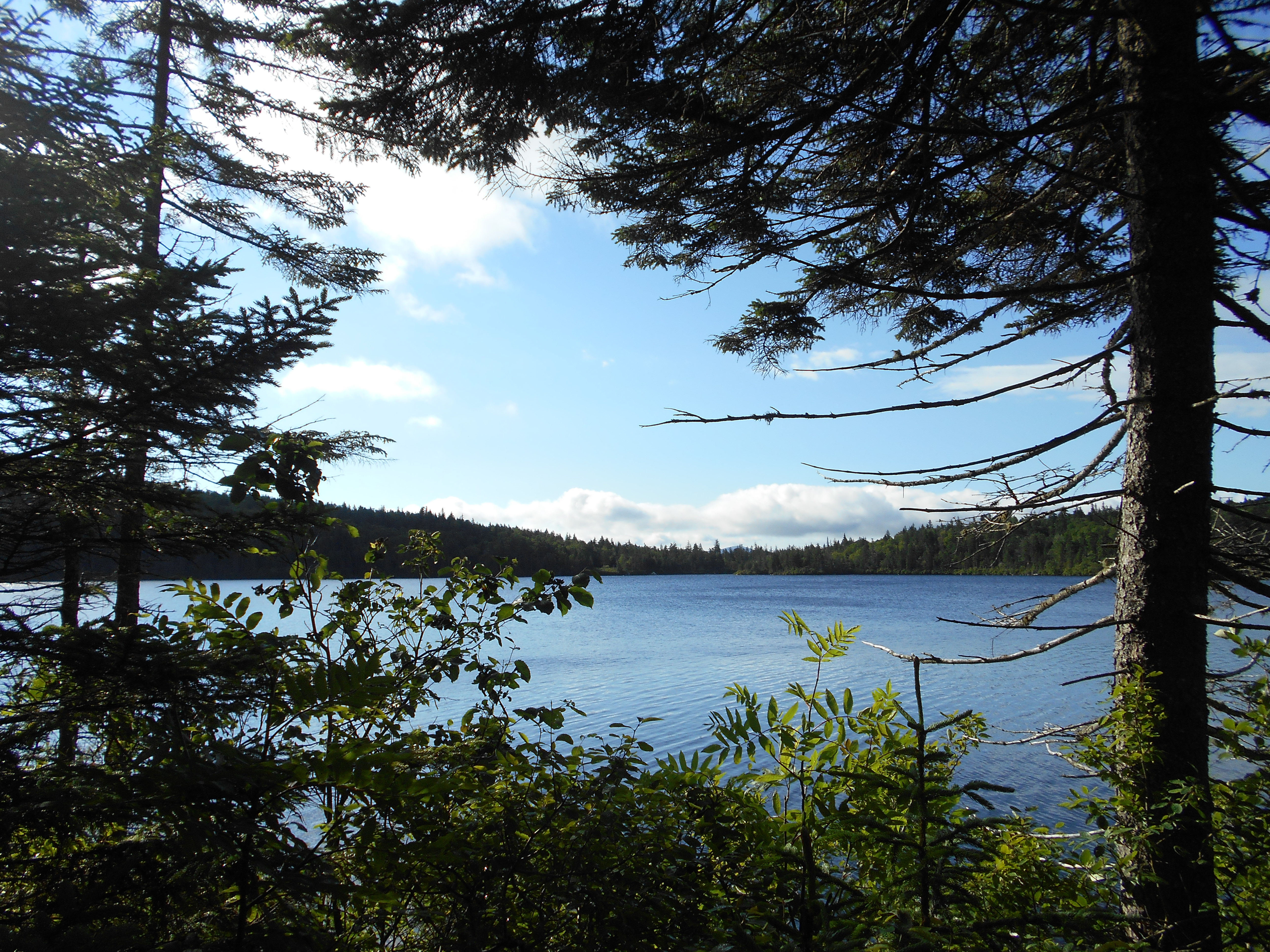
Speck Pond Trail, +AMC Speck Pond Shelter and Campsite (3,500')?last water for the next 3.5 miles north......5.2mS; 6.9mN
3500
5:00
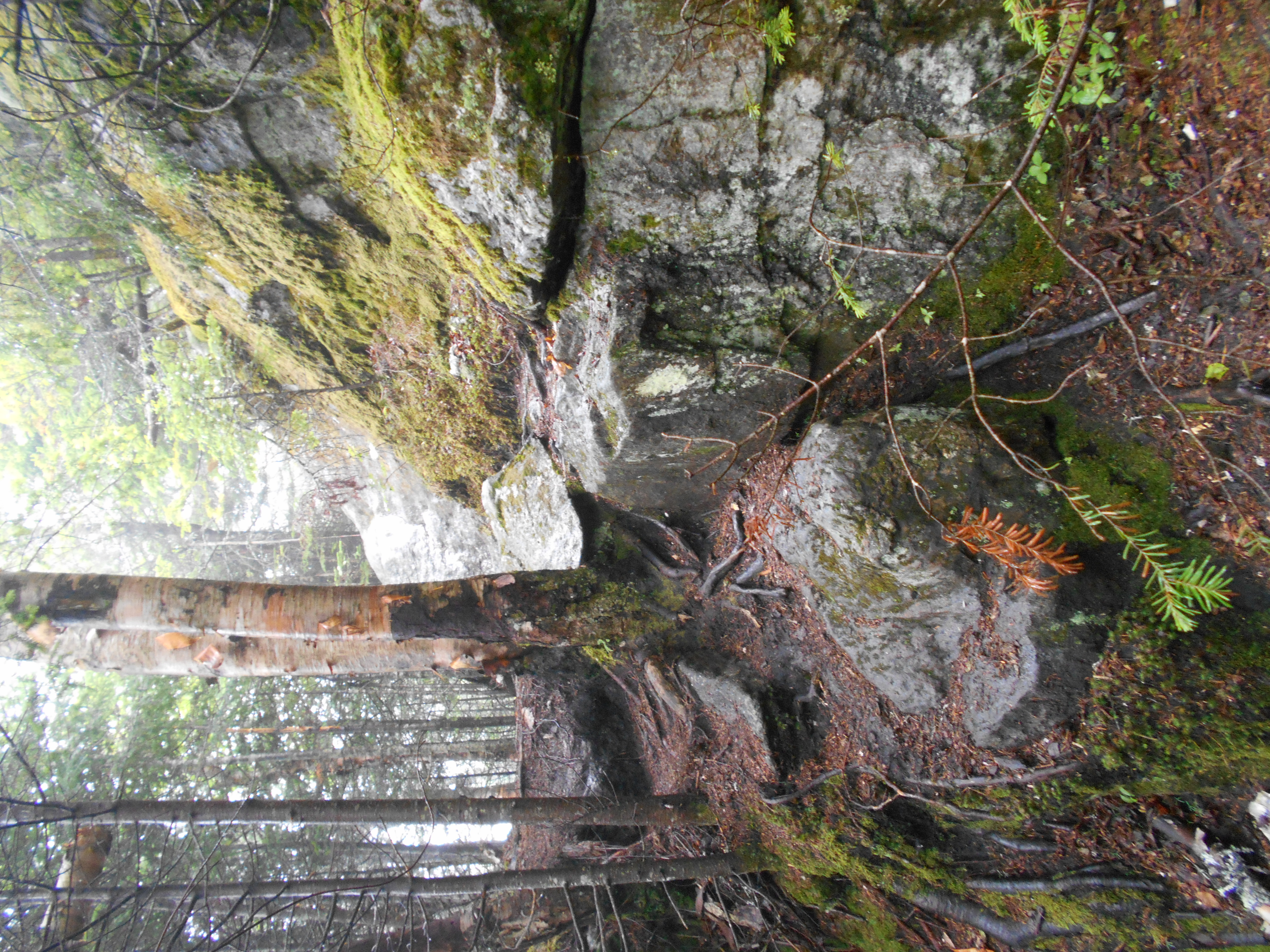
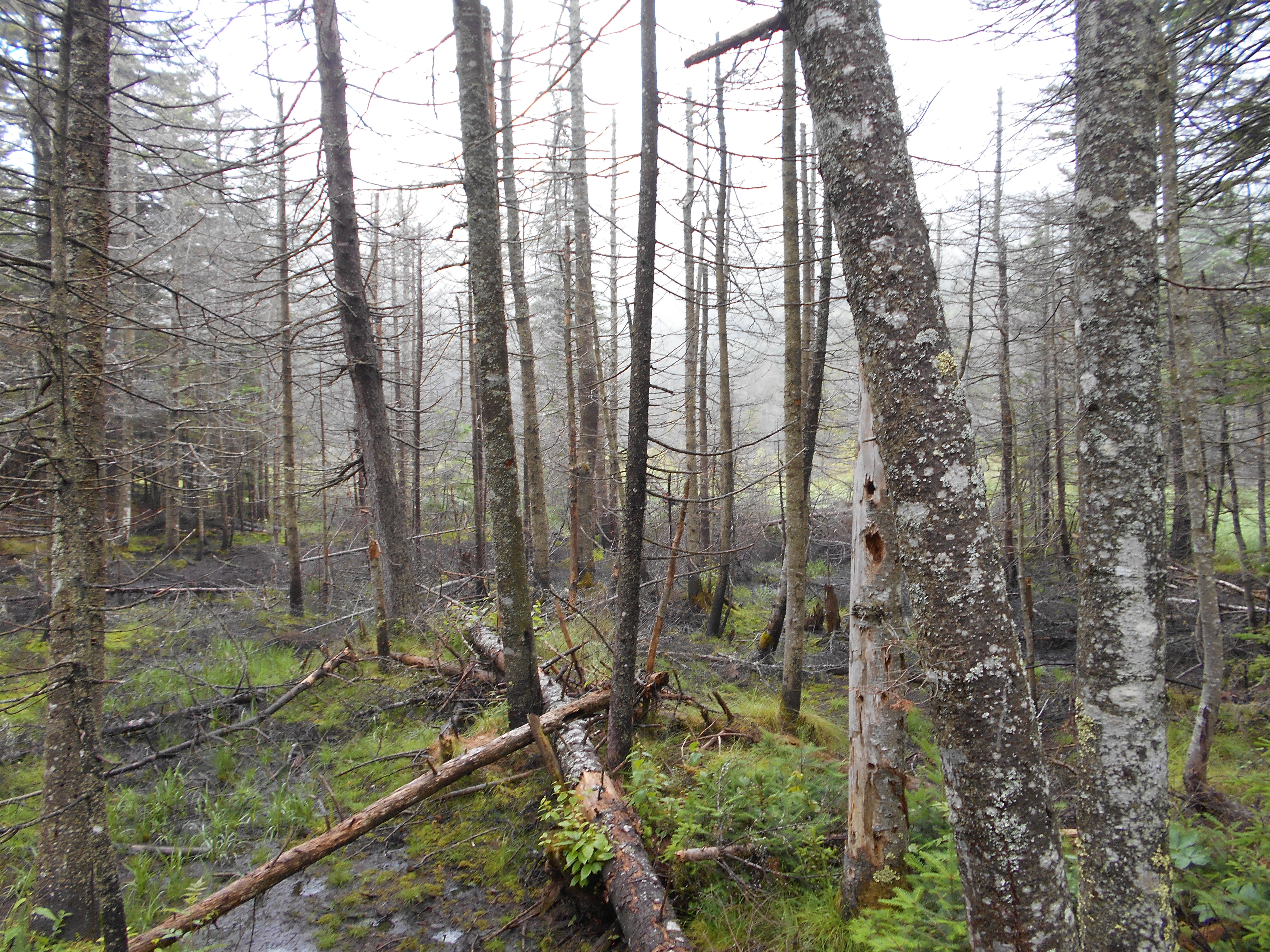
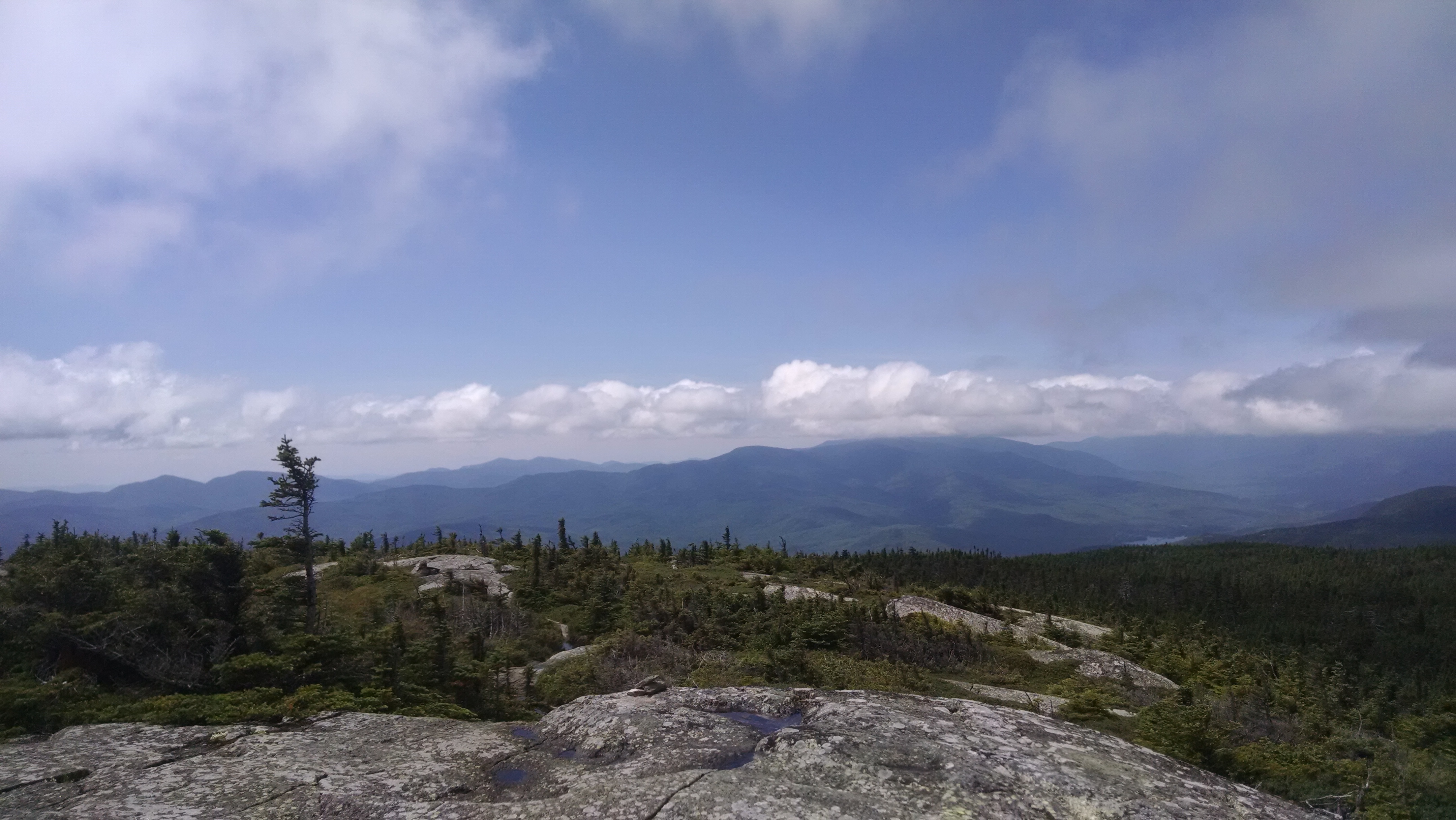
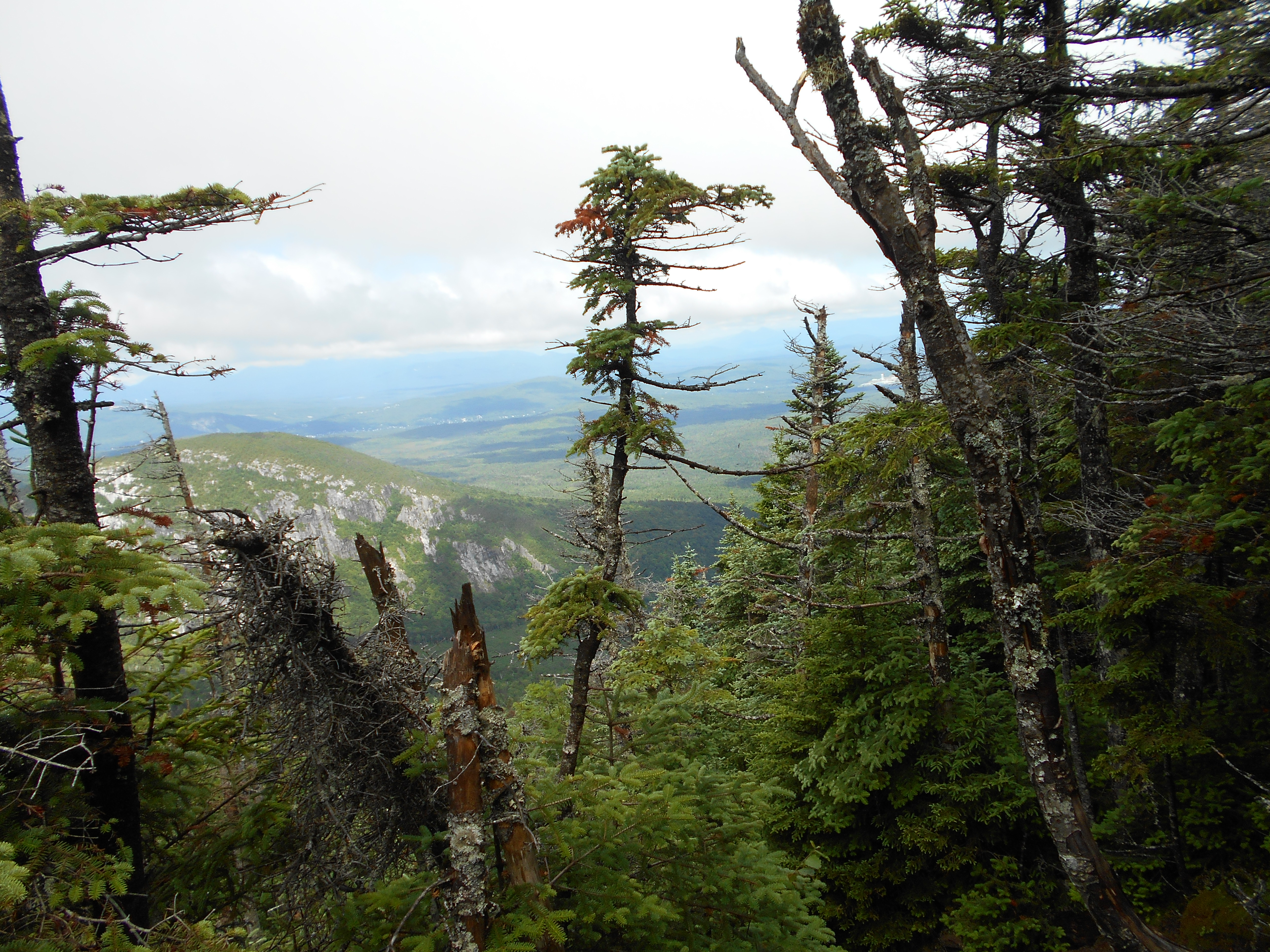
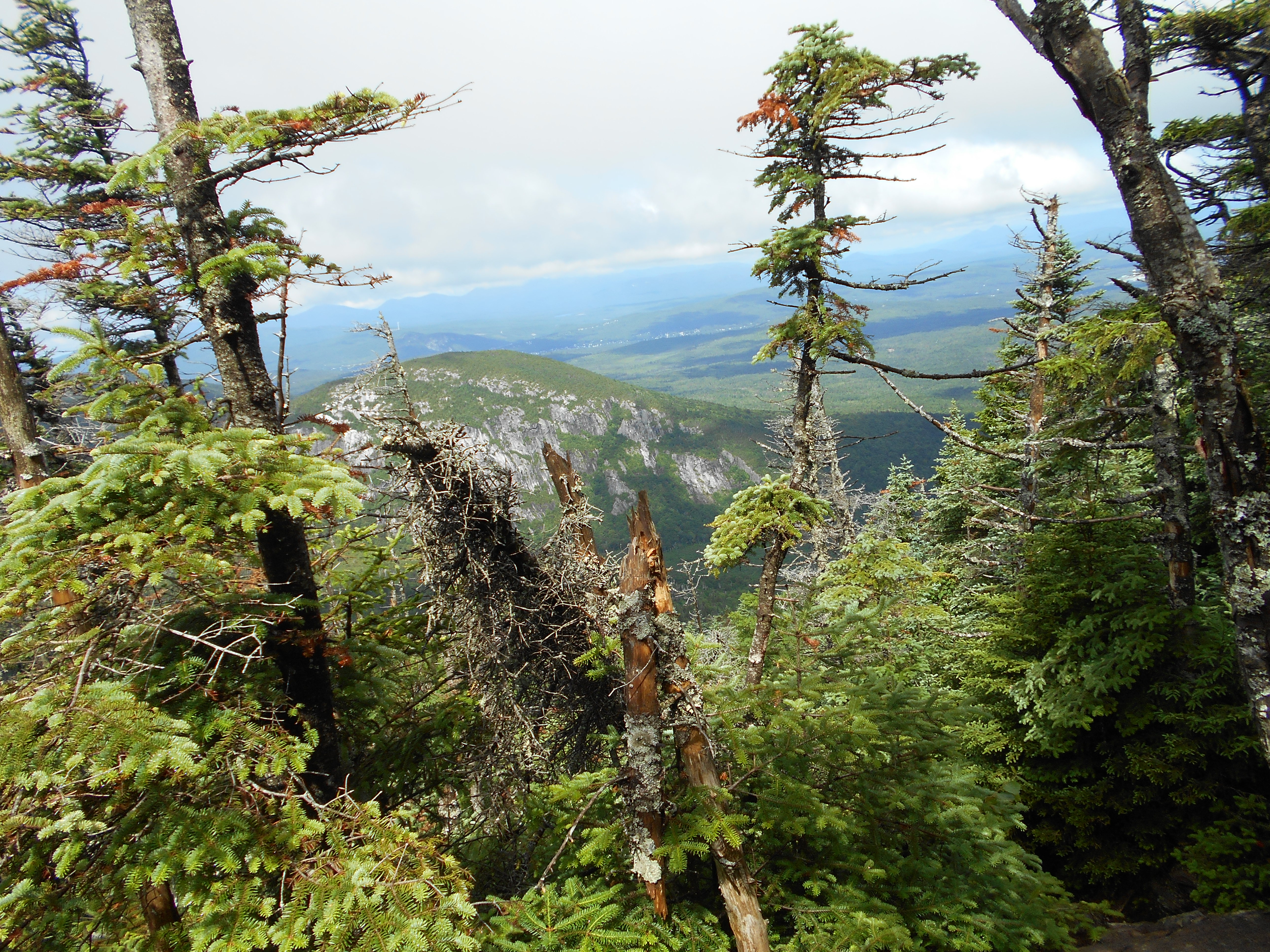
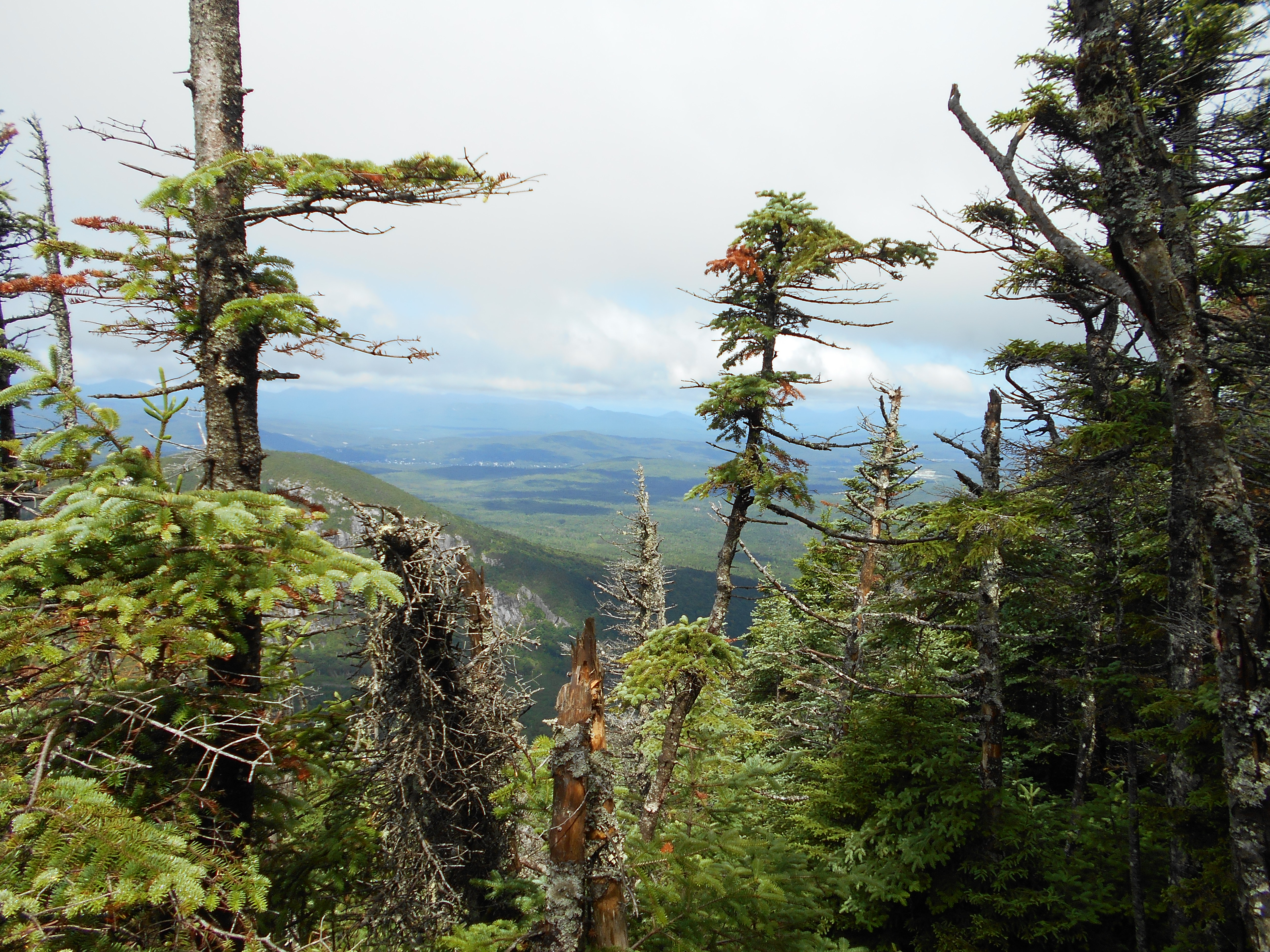
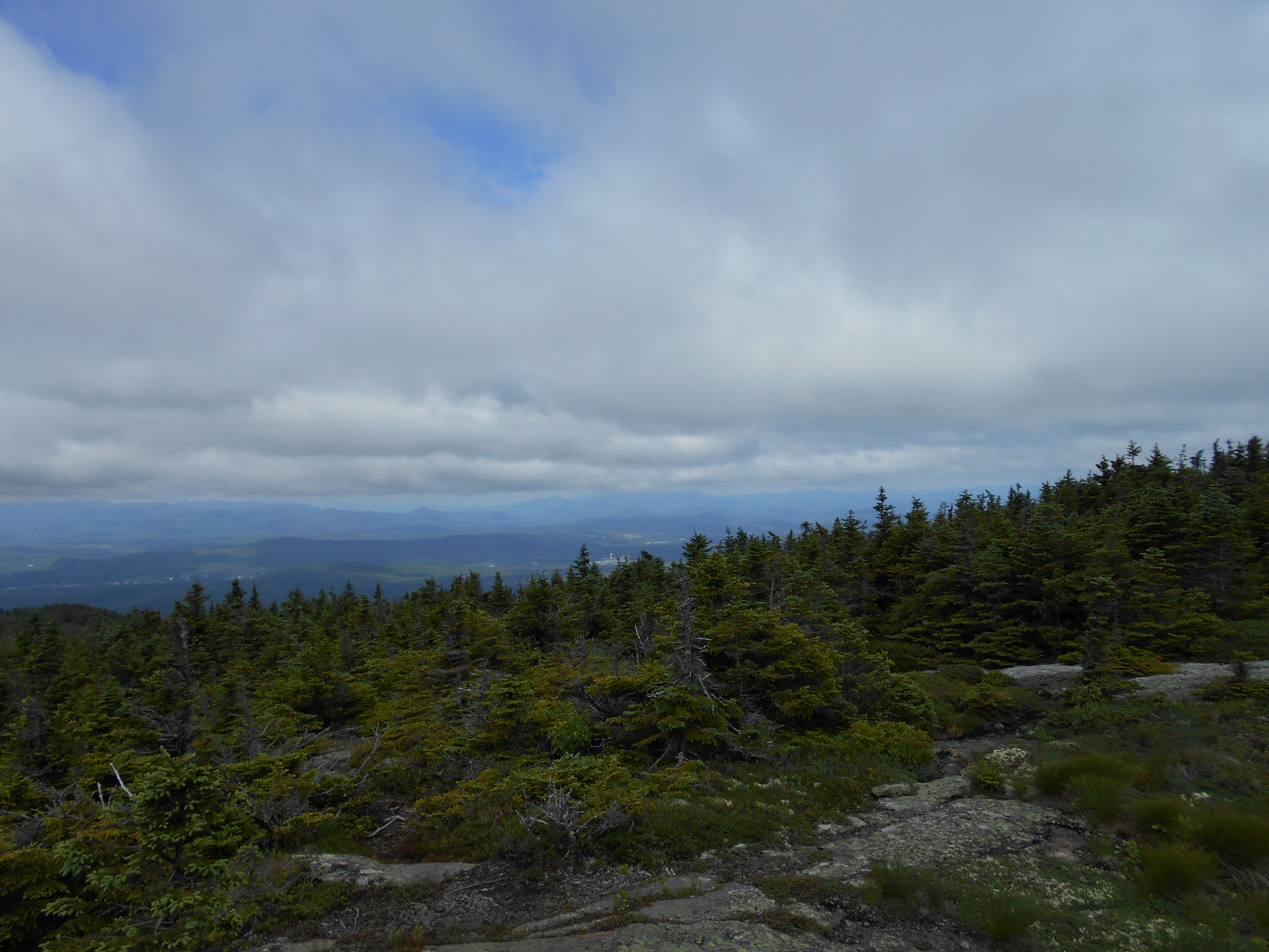
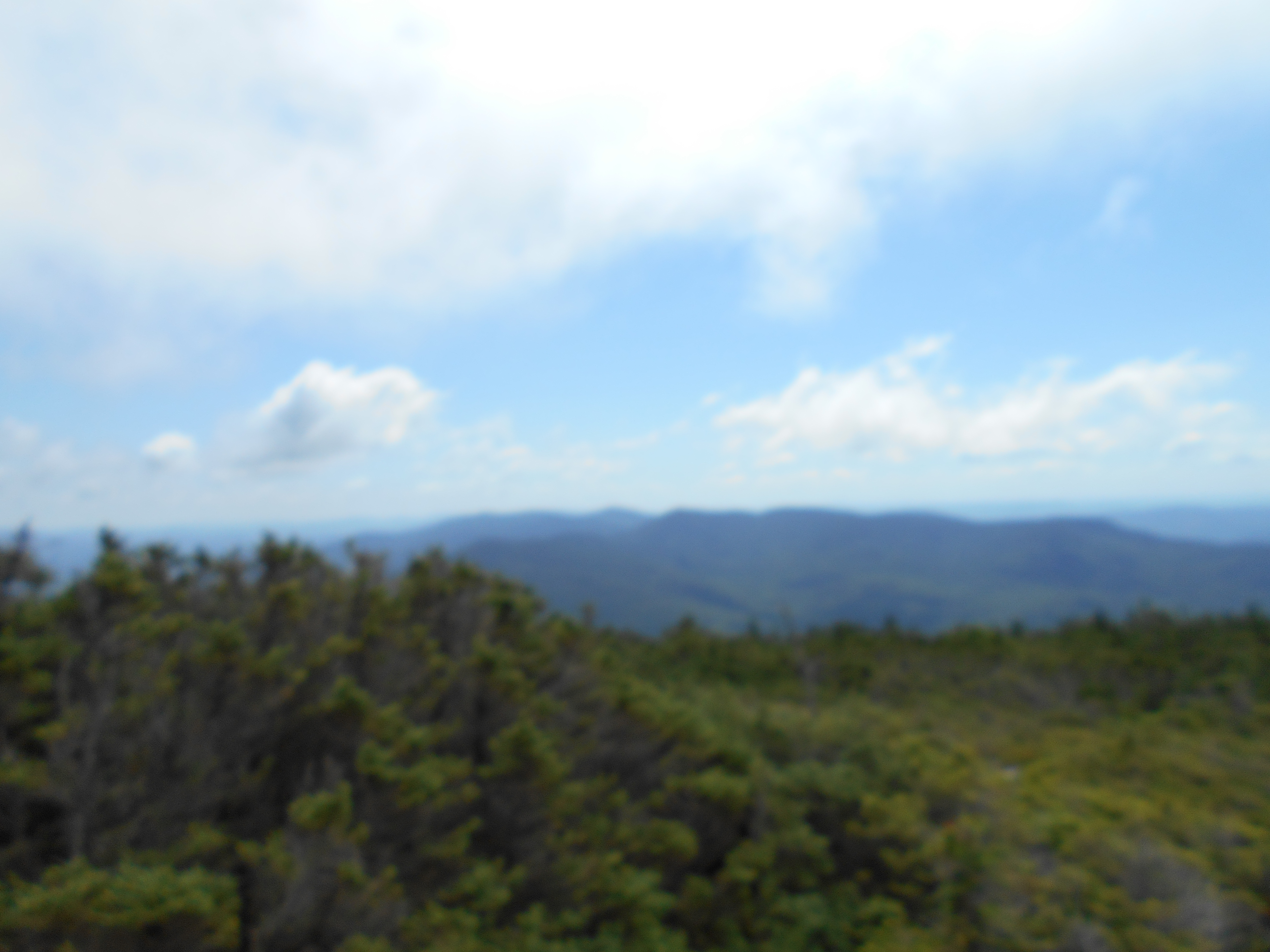
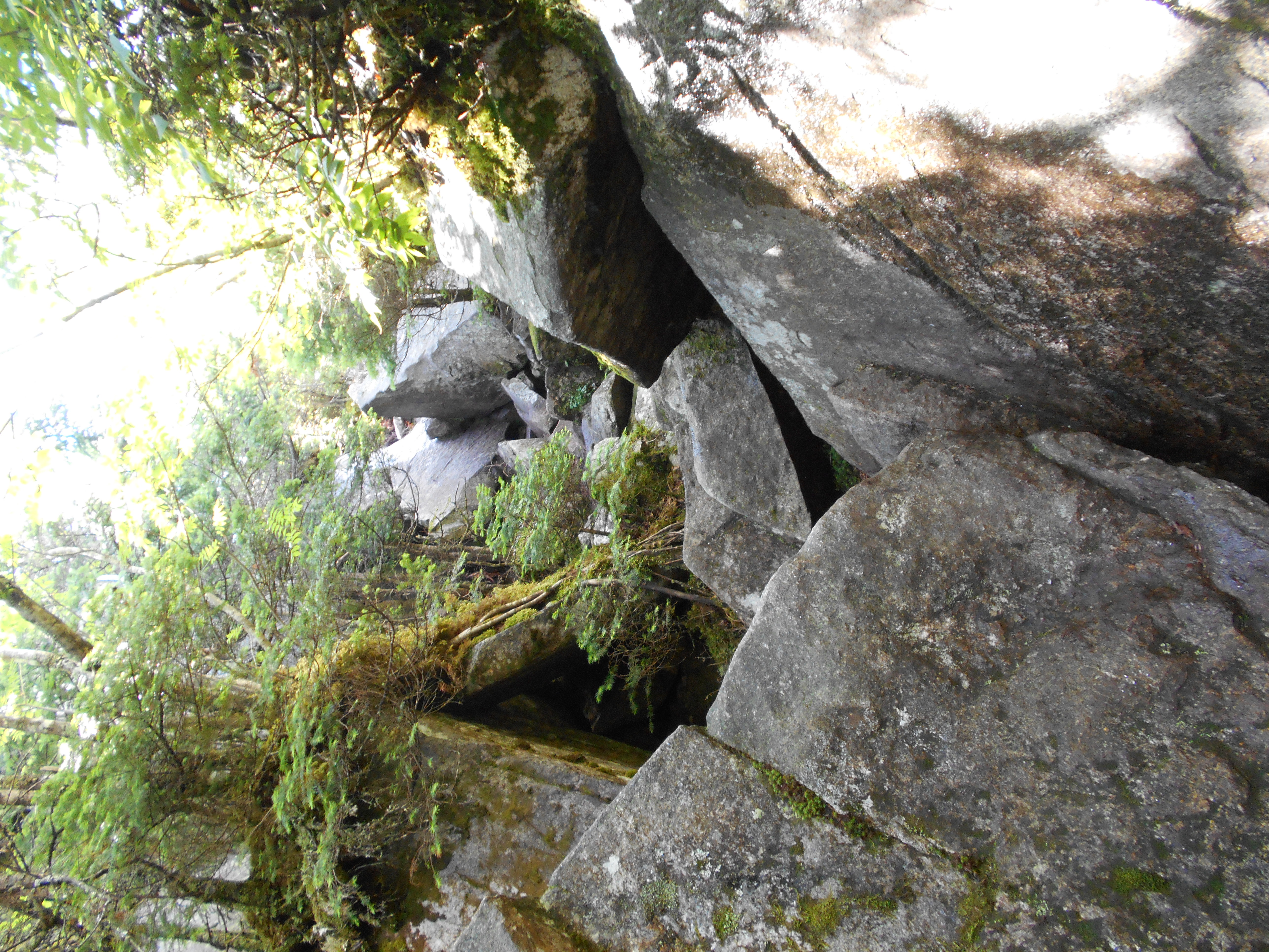
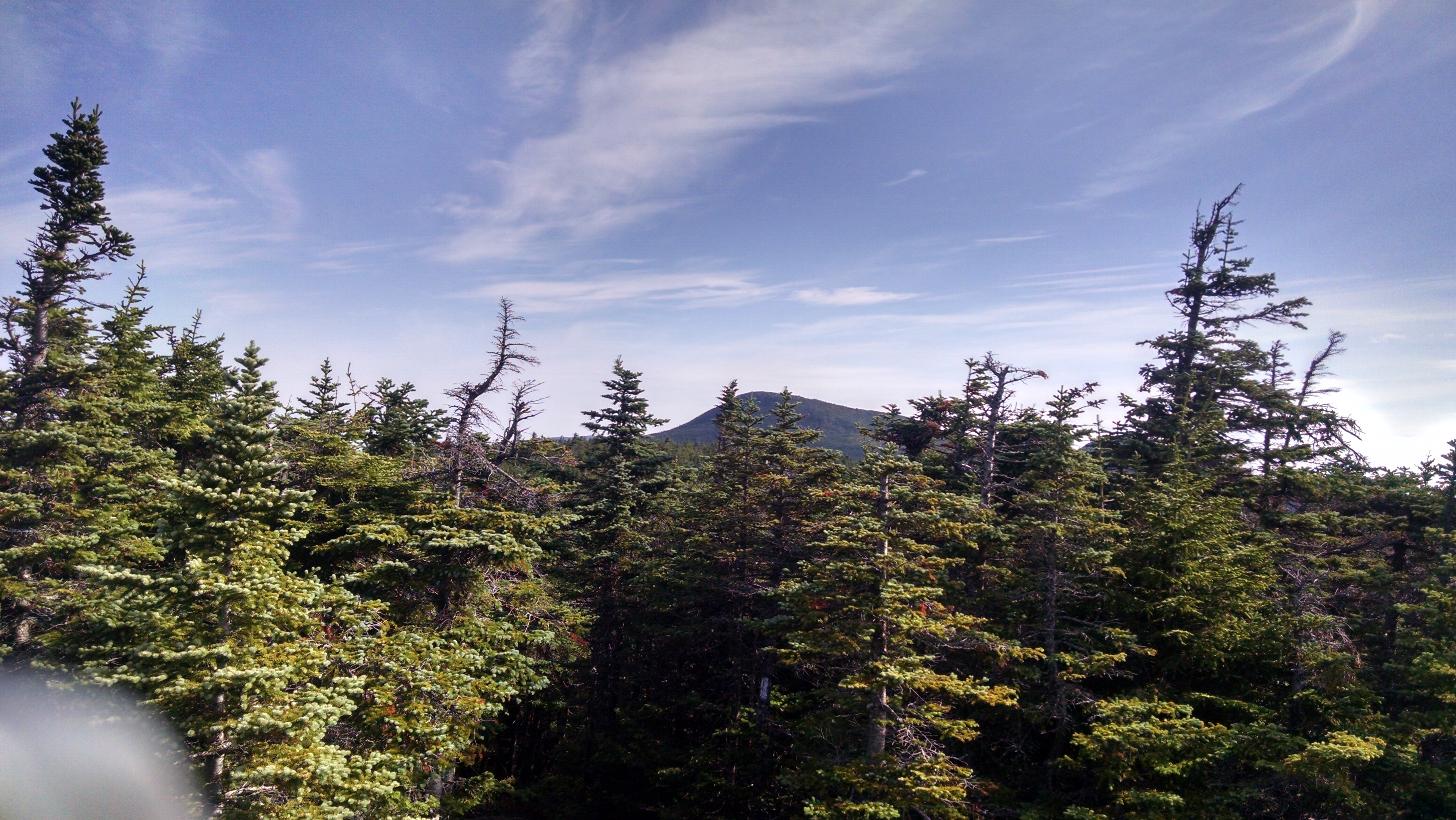
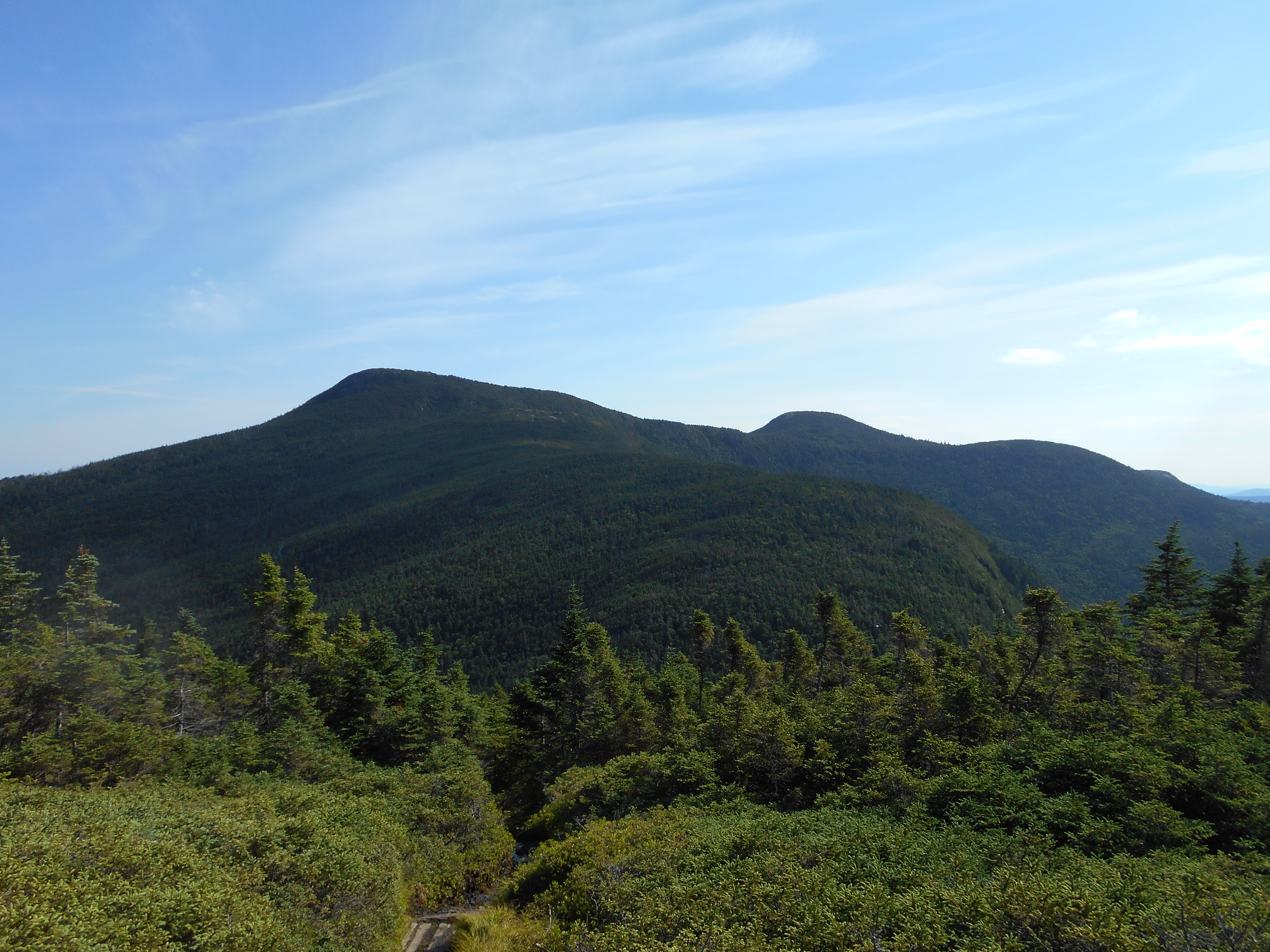
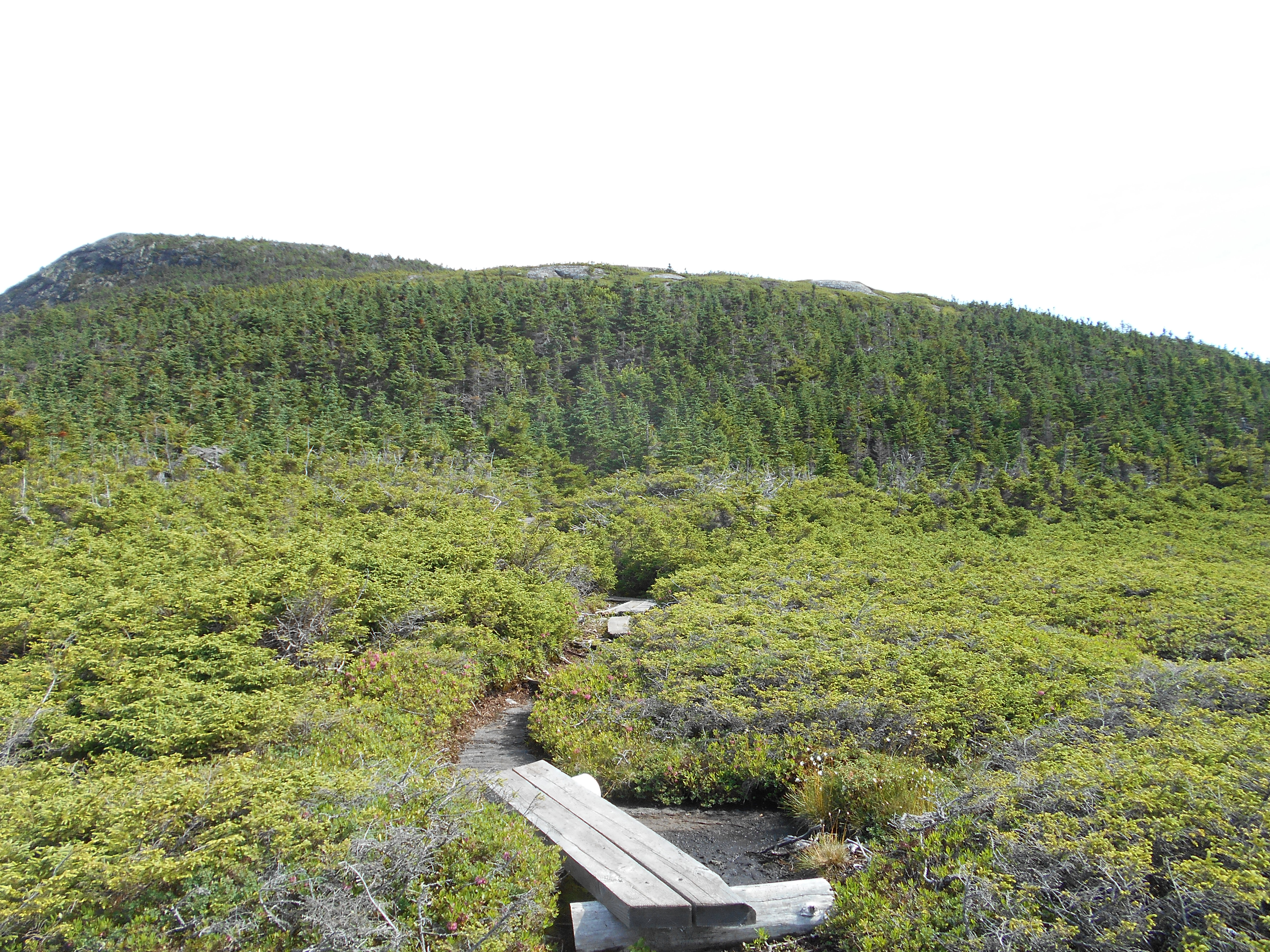
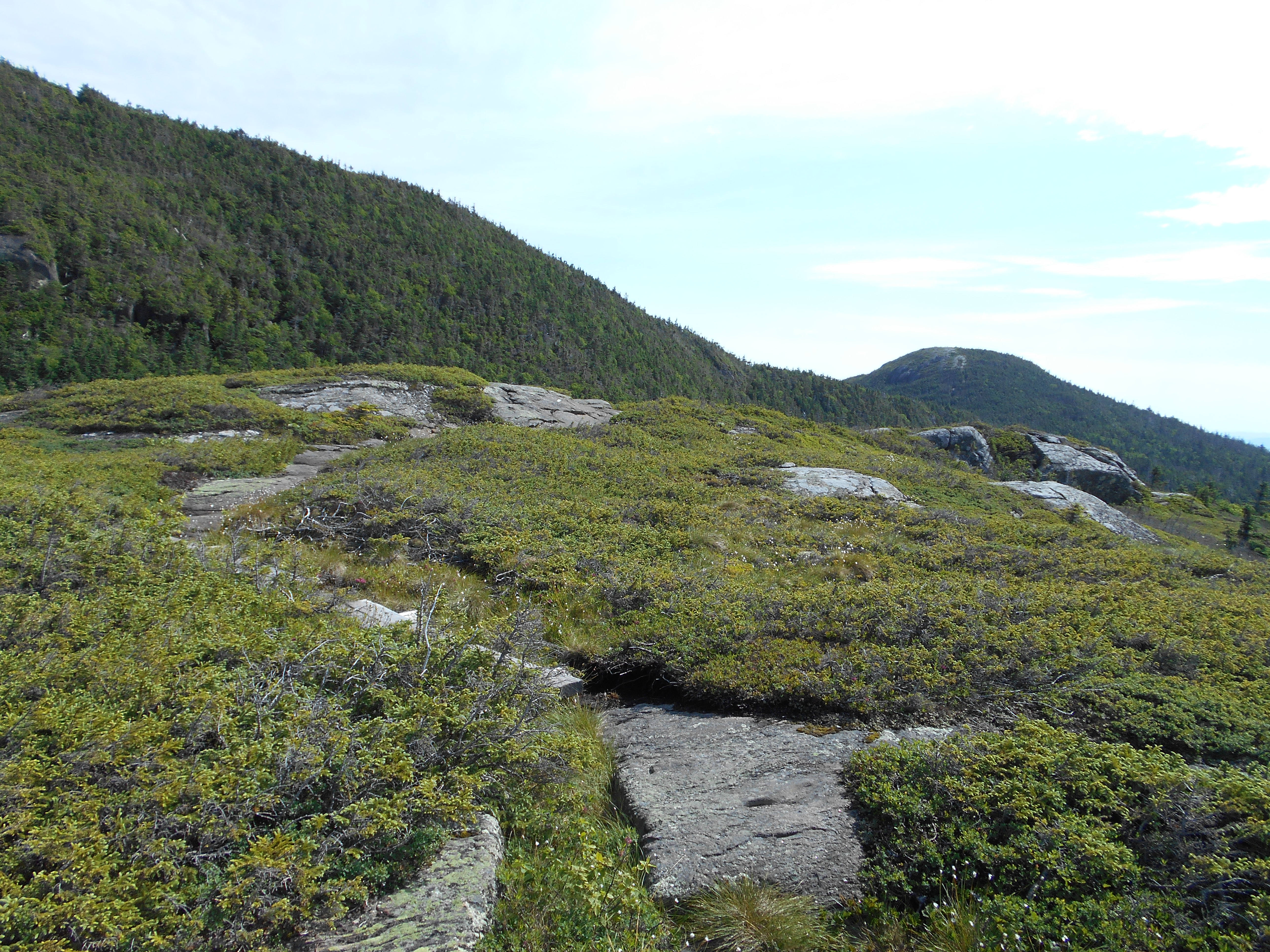
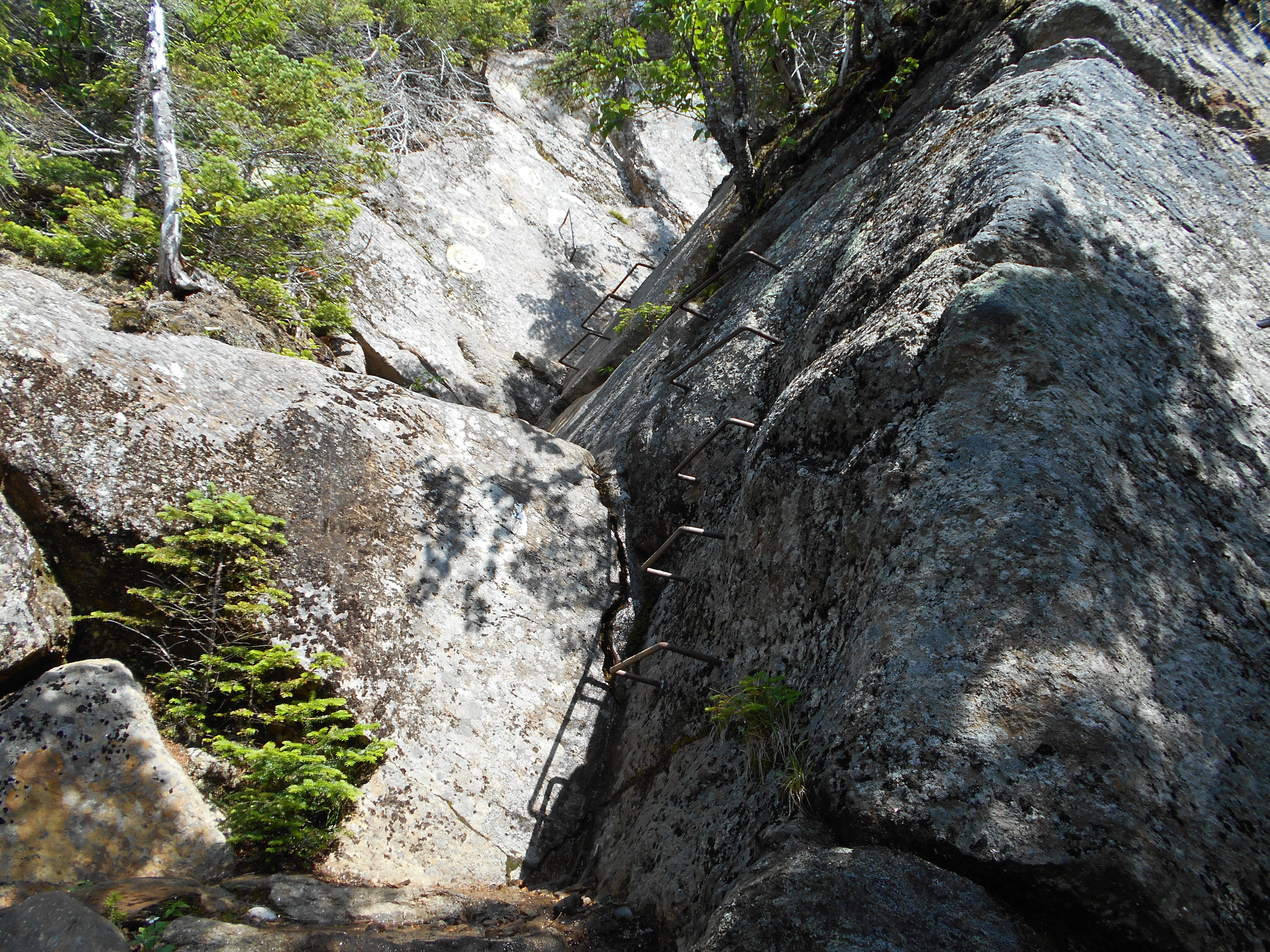
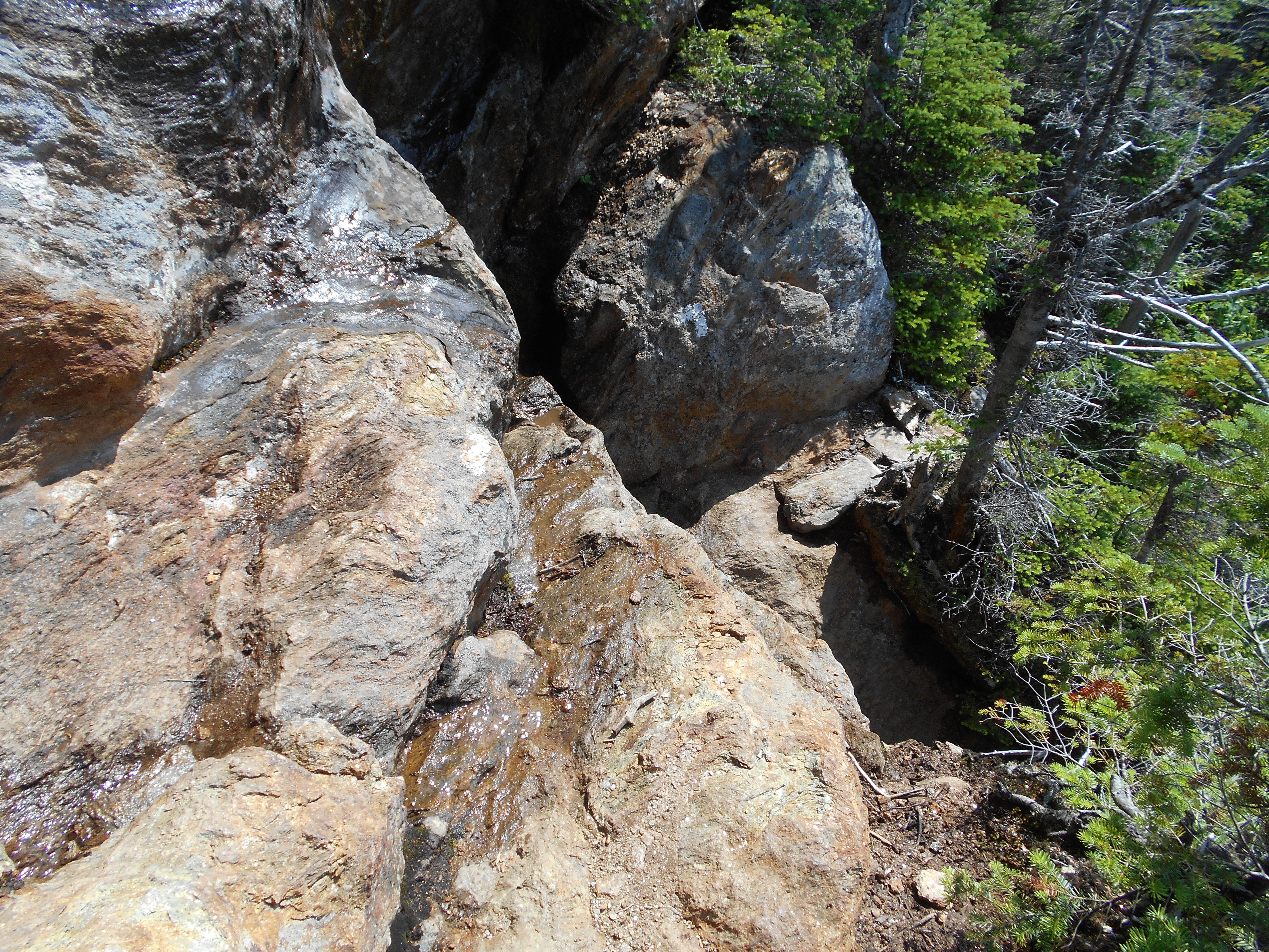
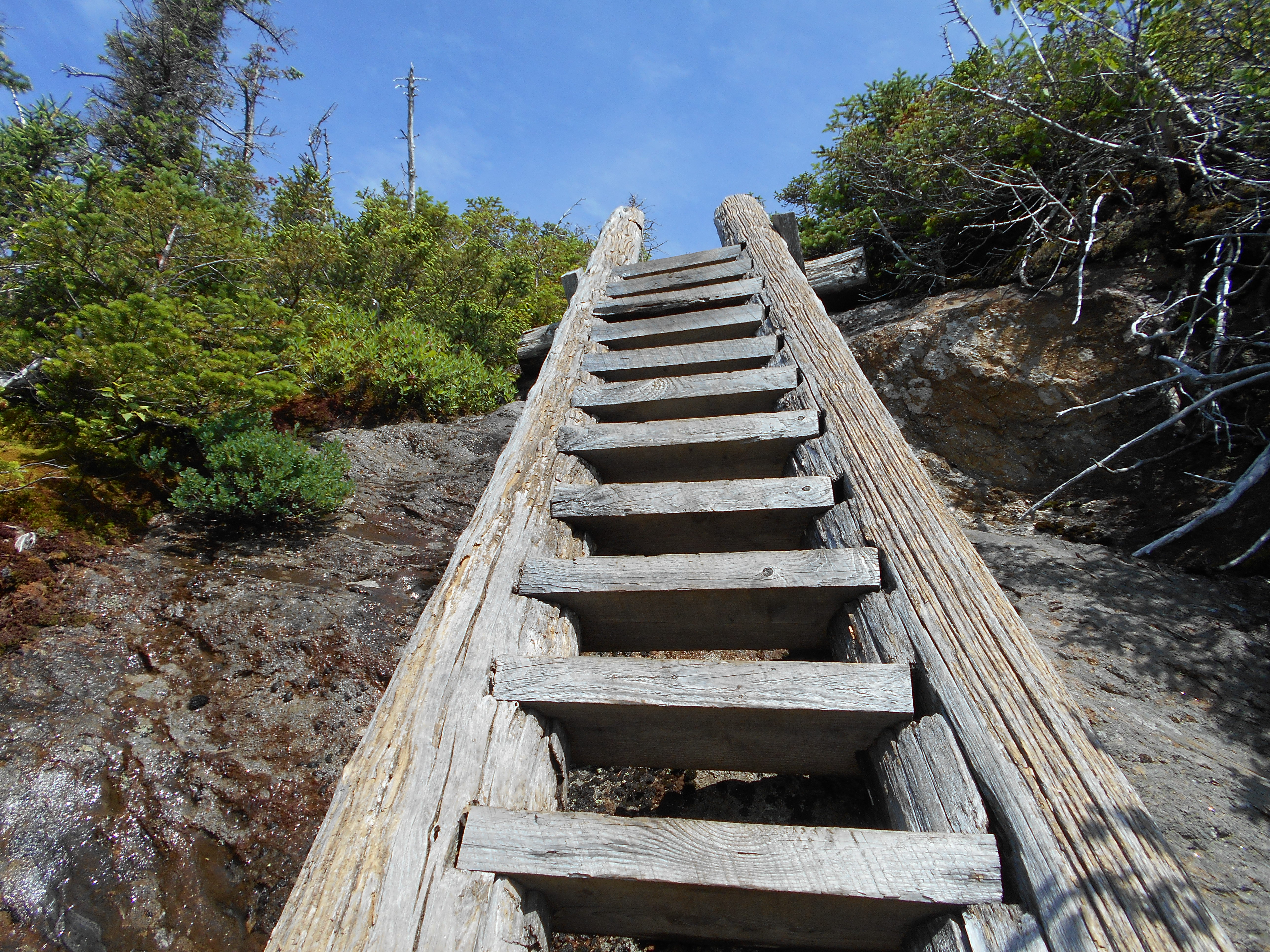
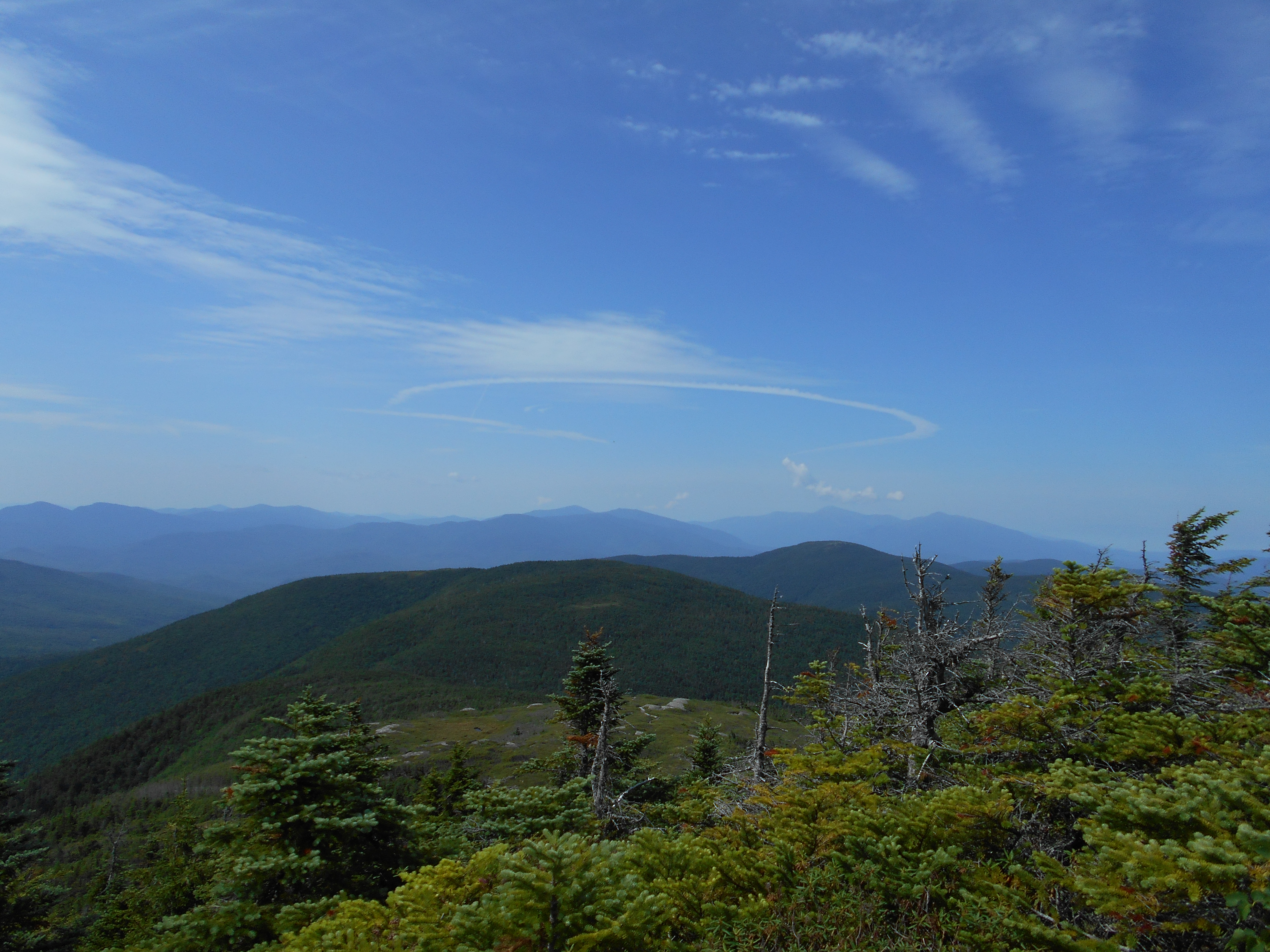
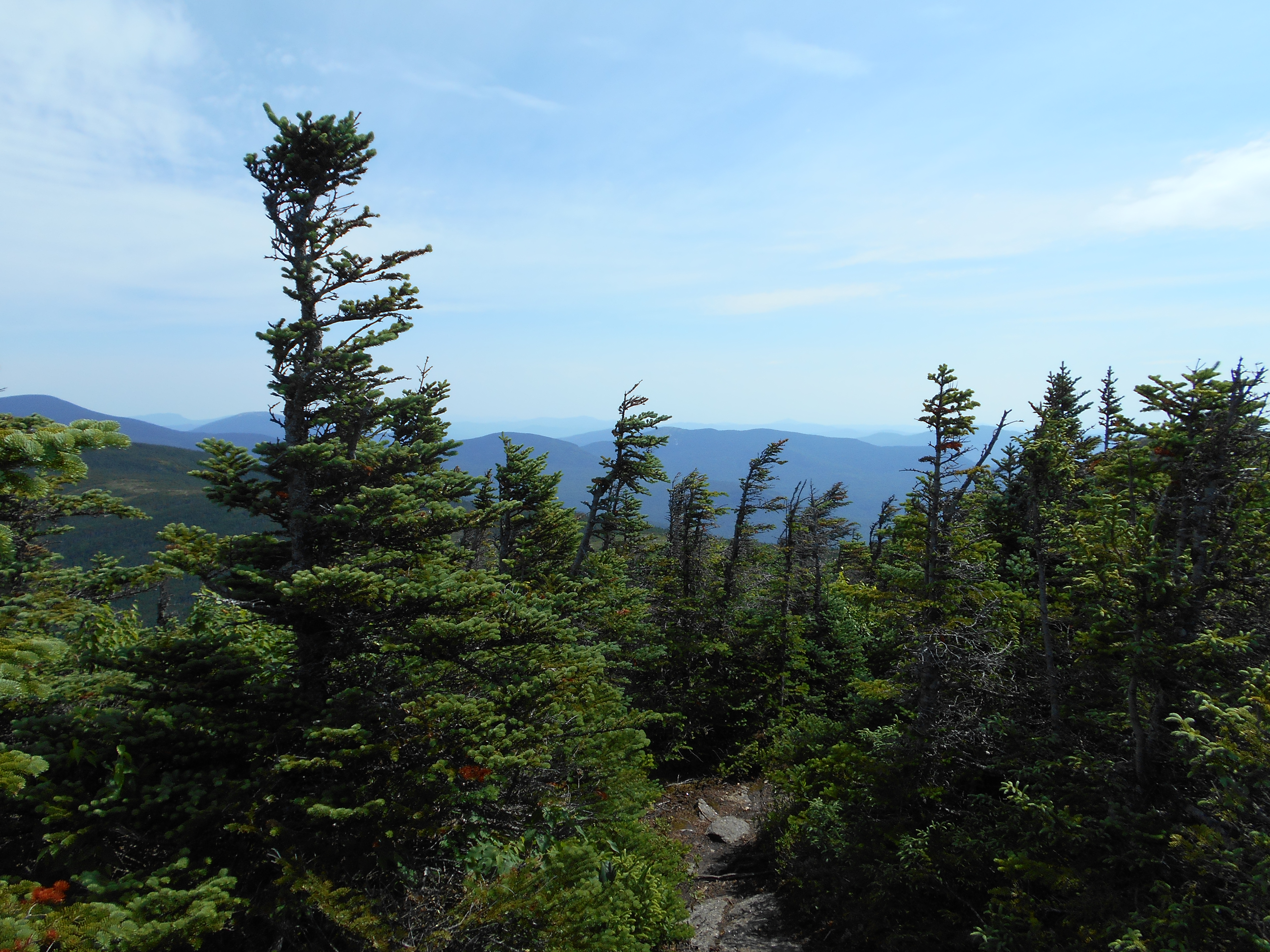
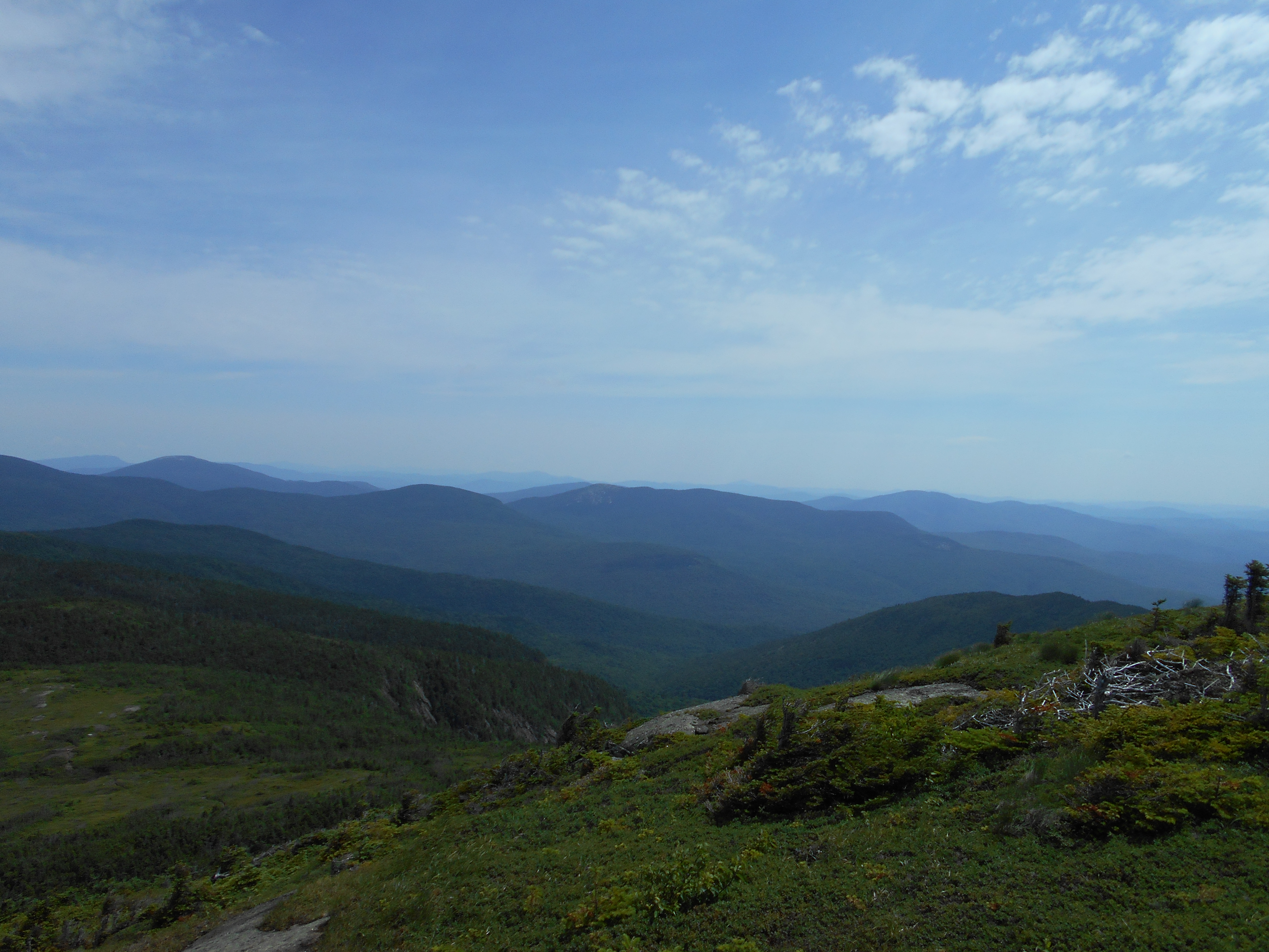
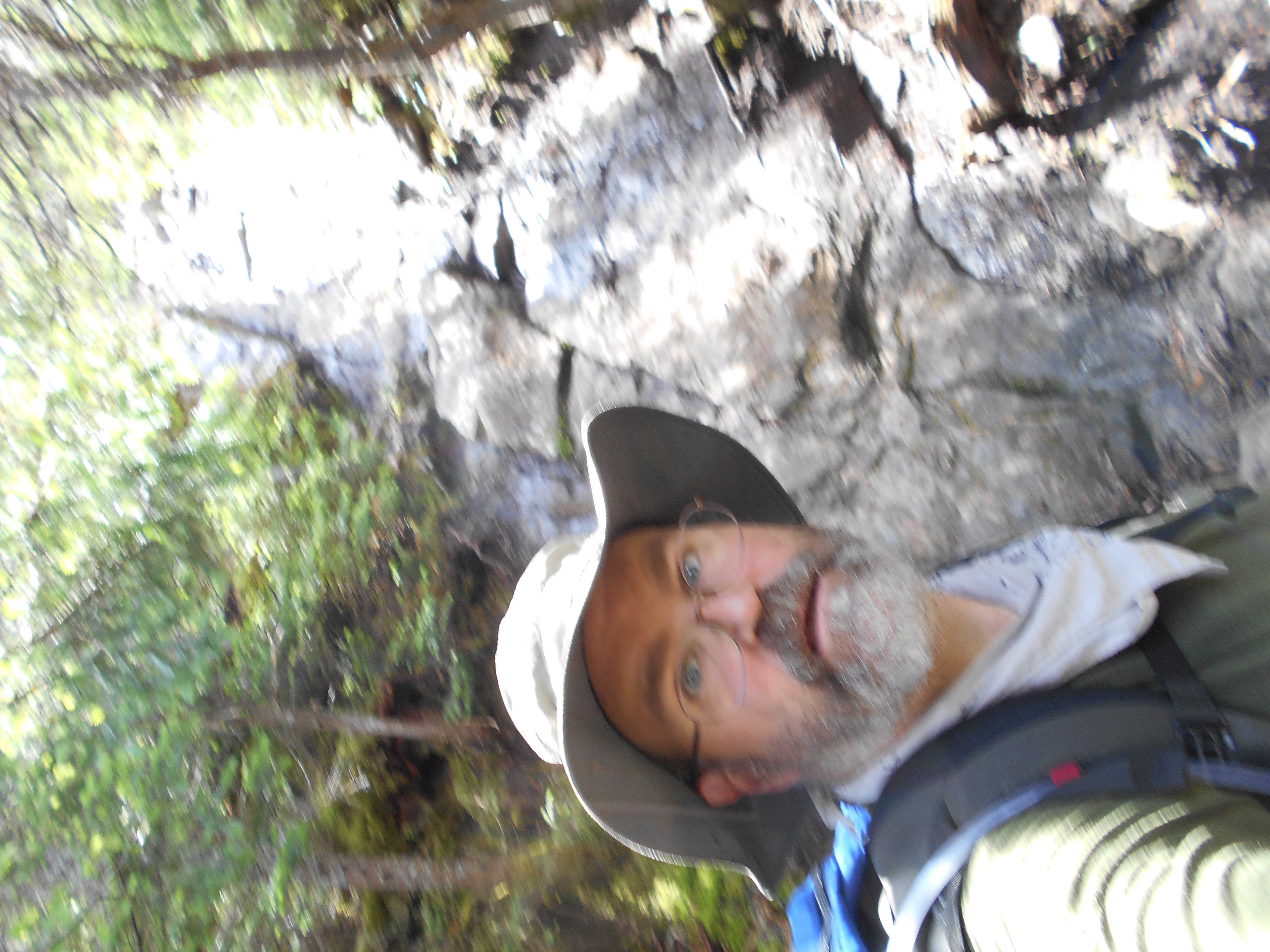
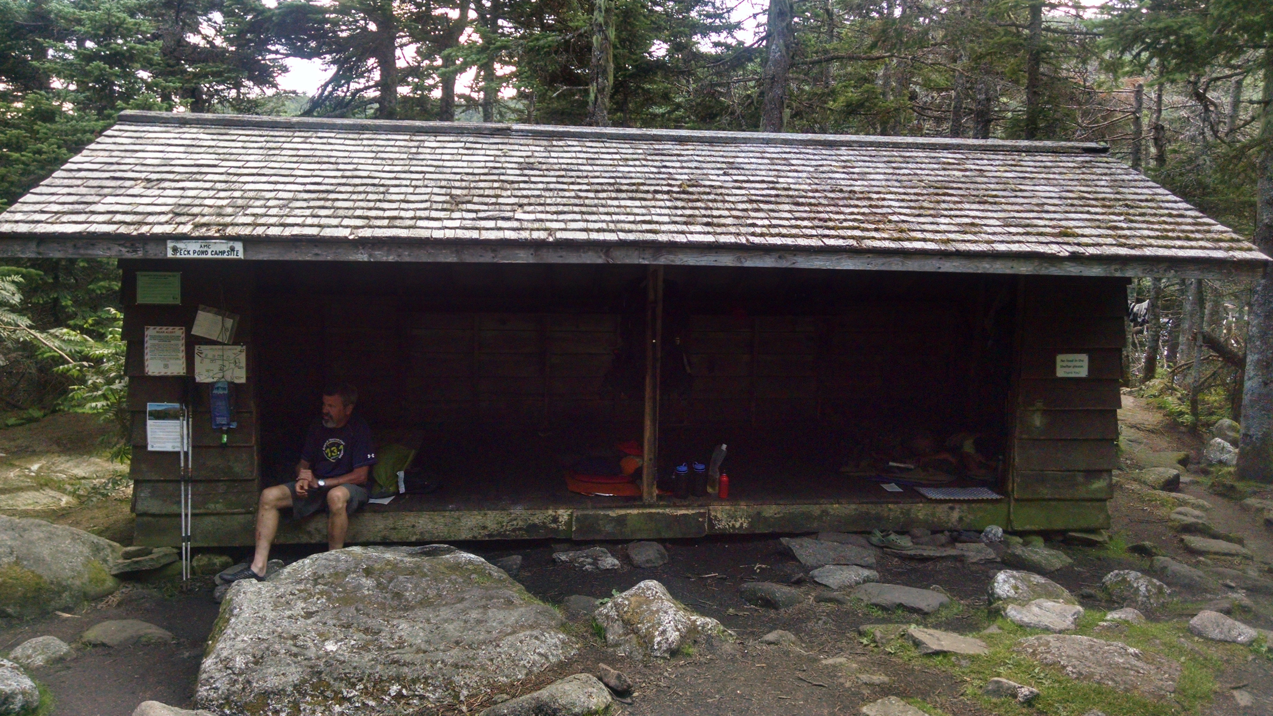
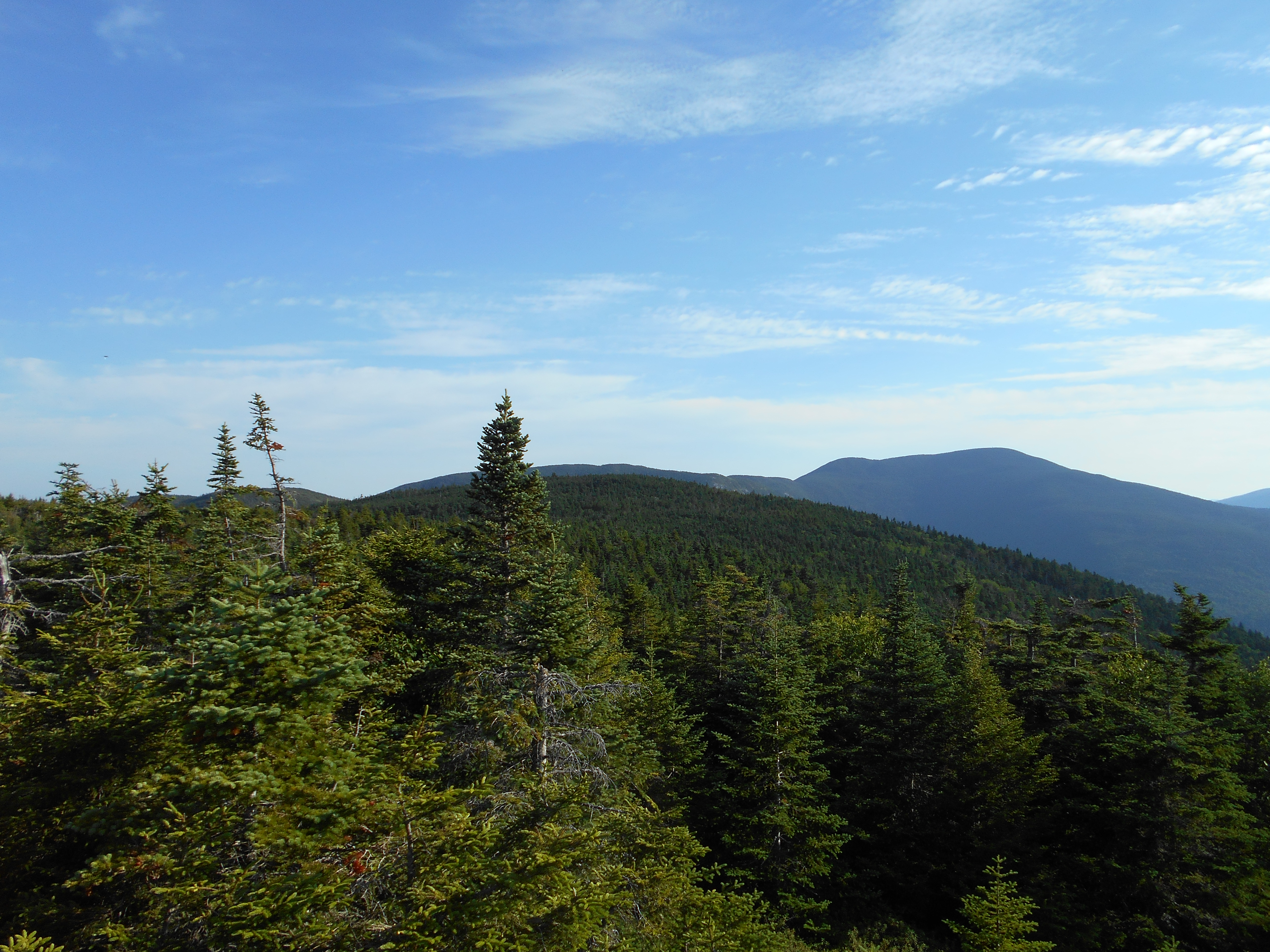
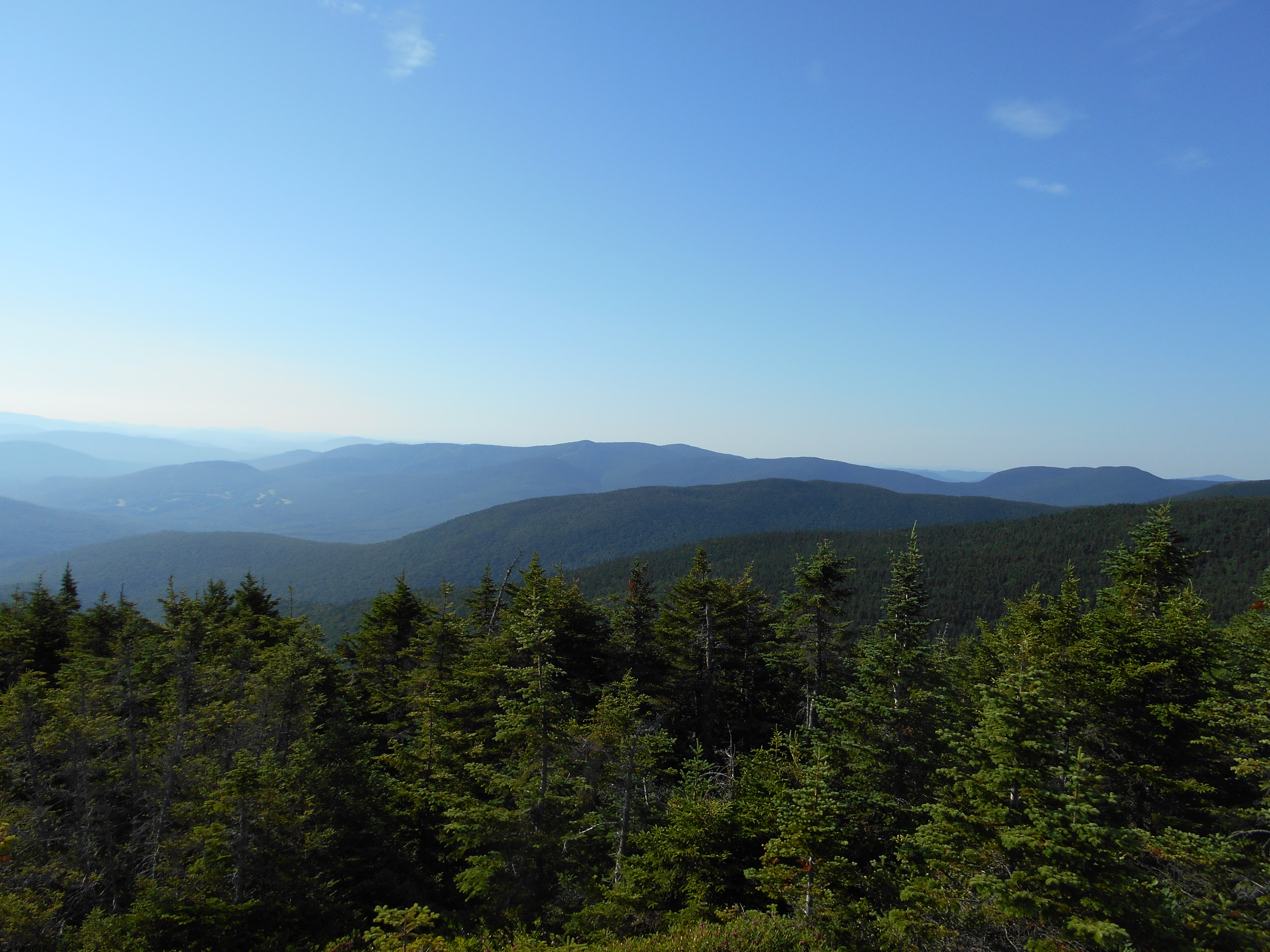
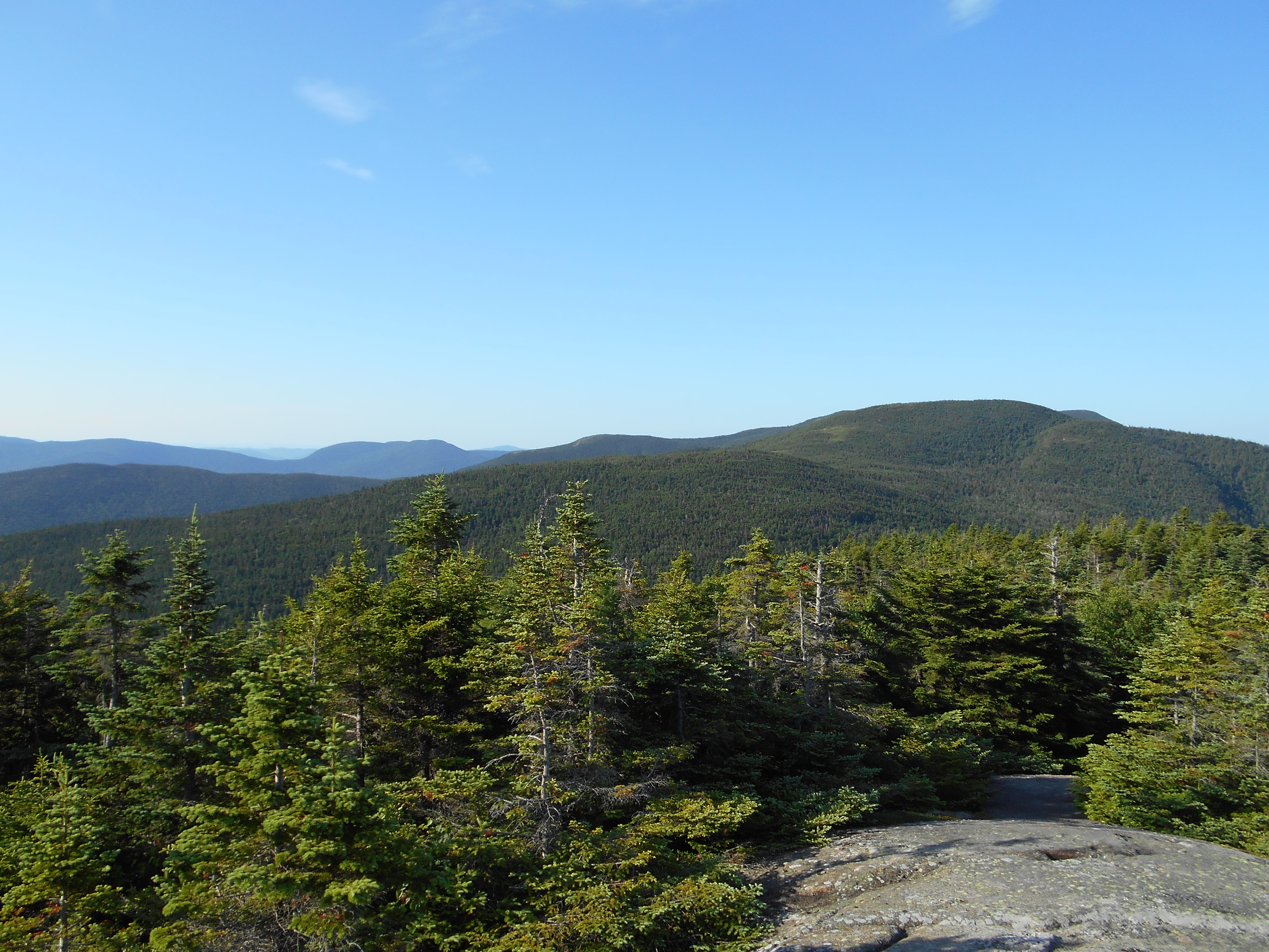
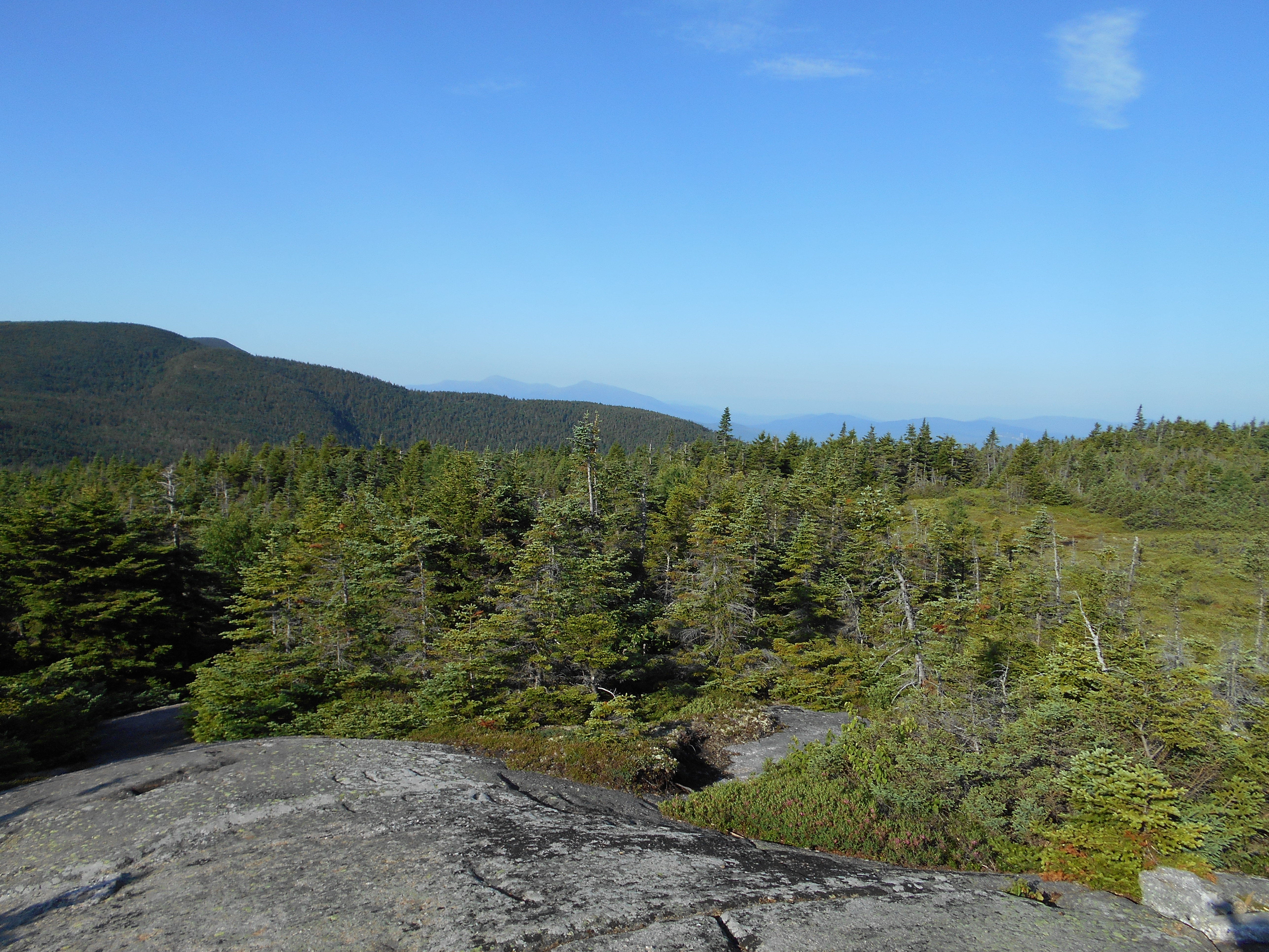
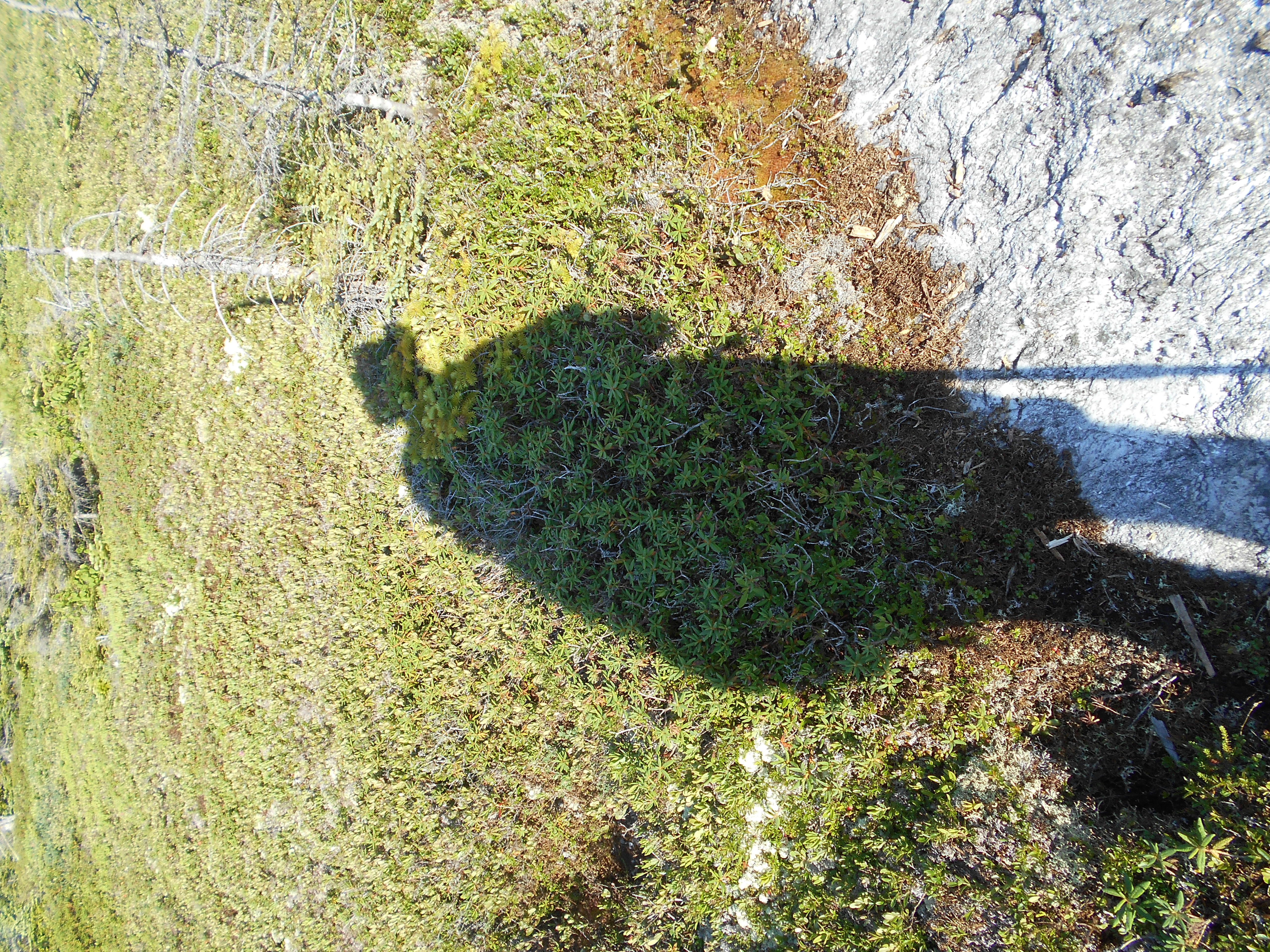
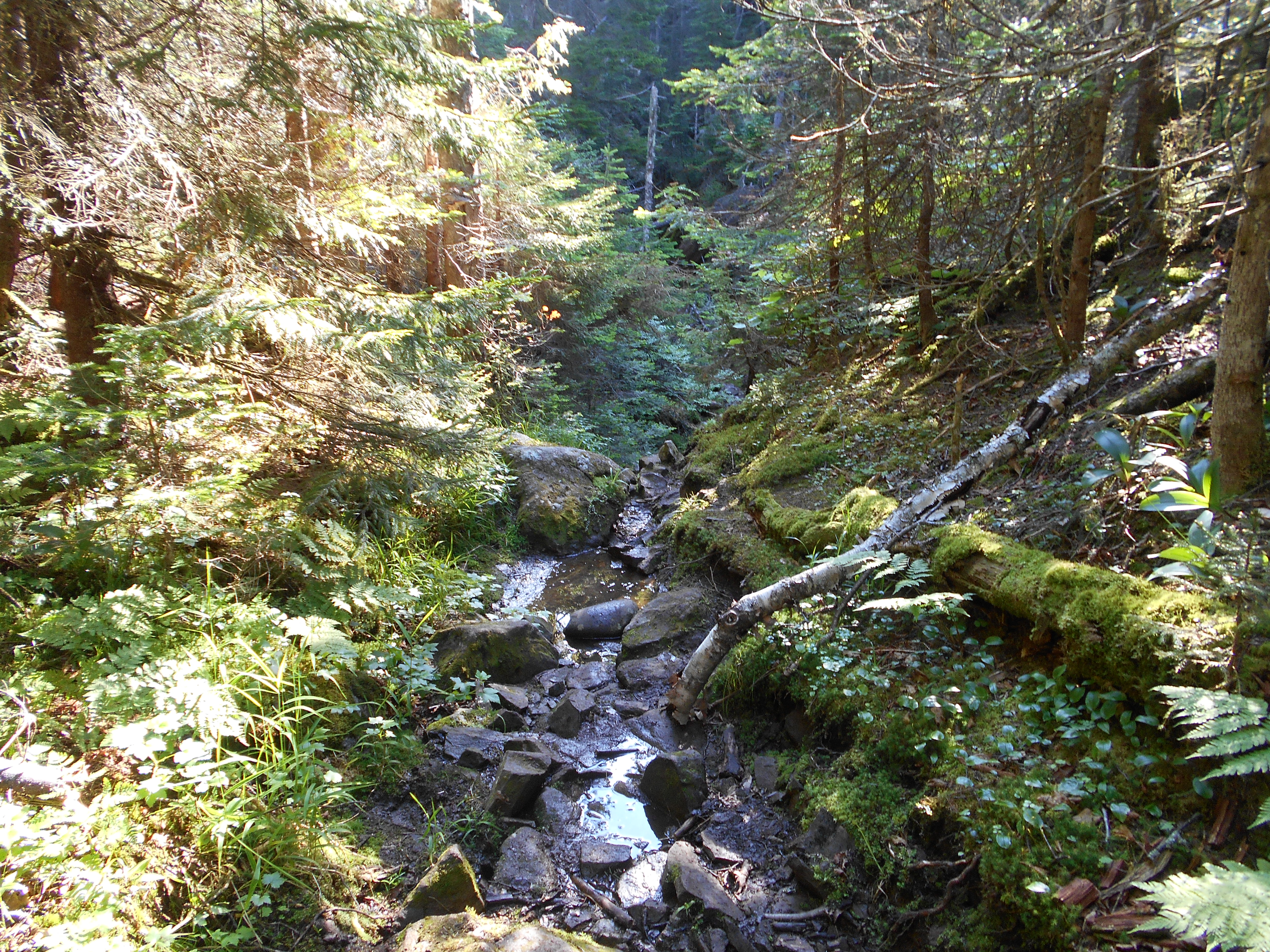
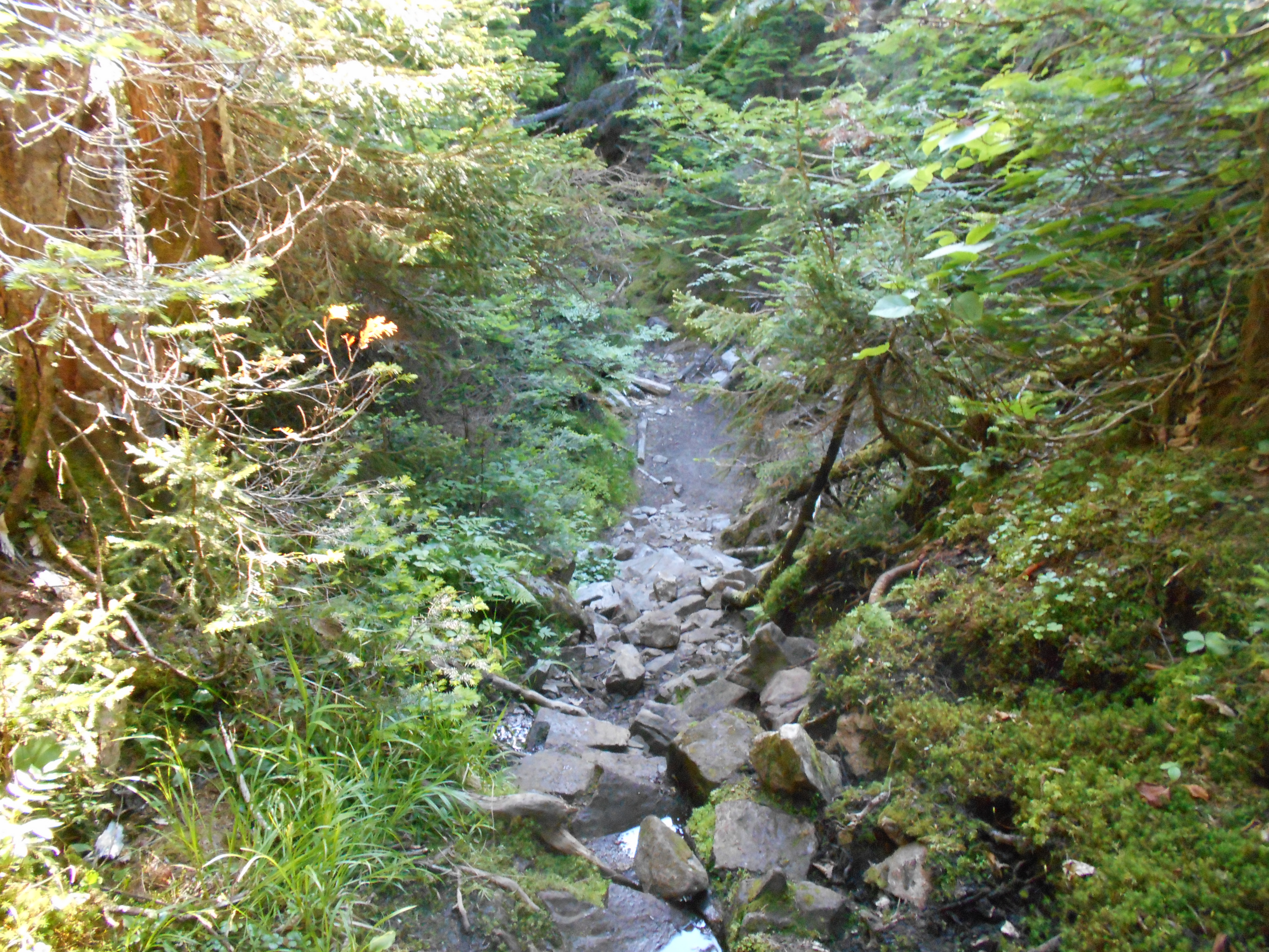
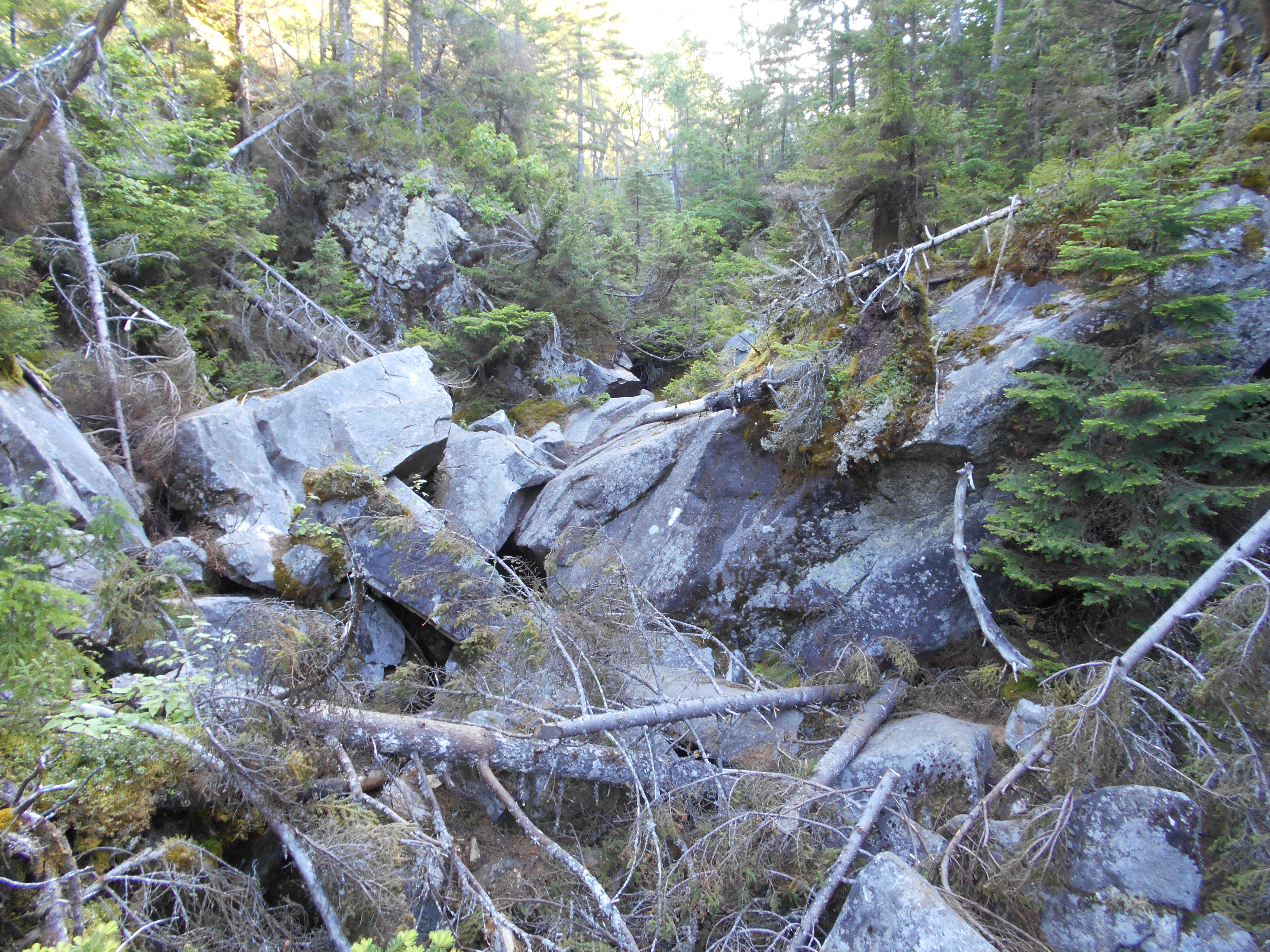
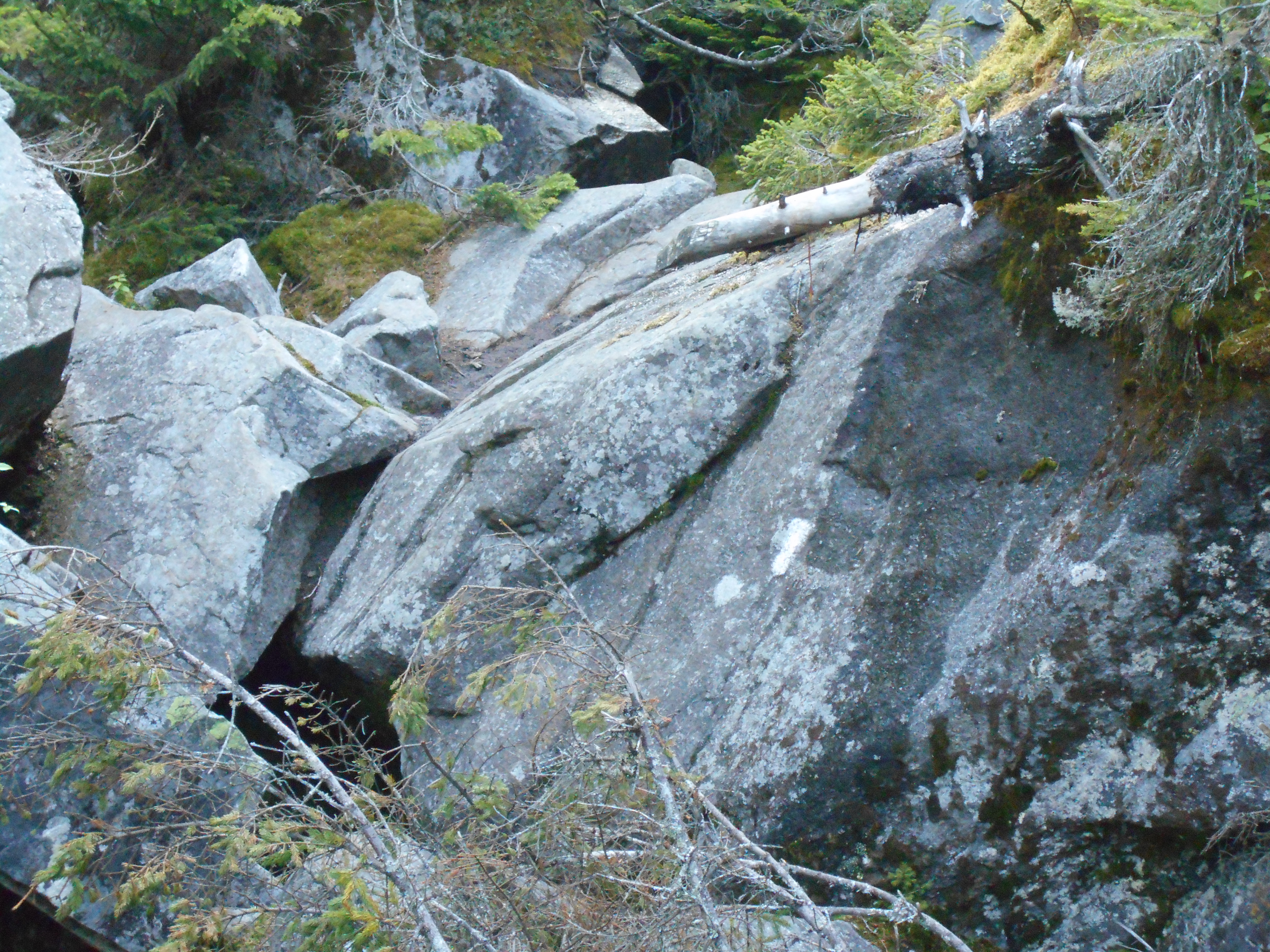
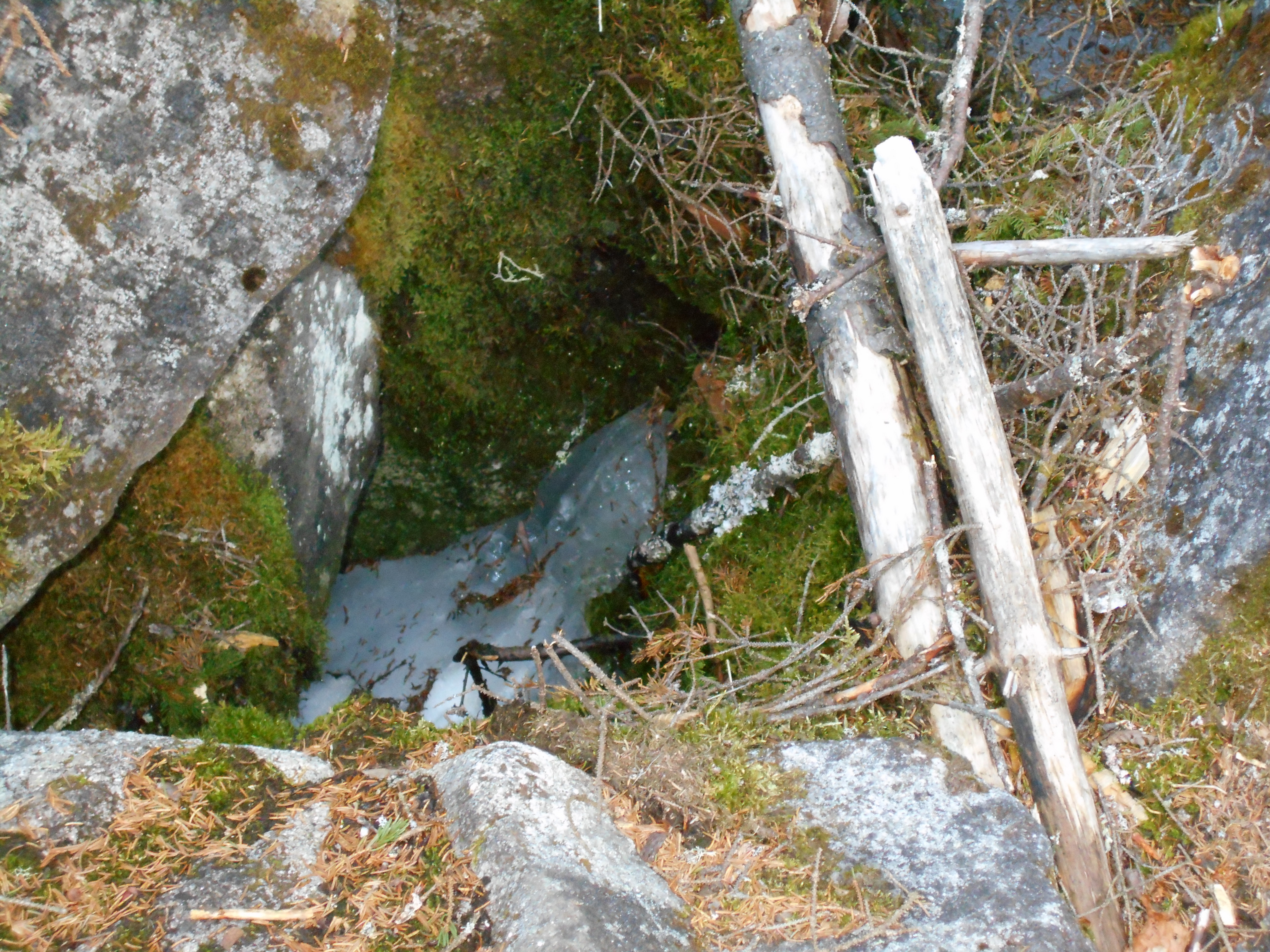
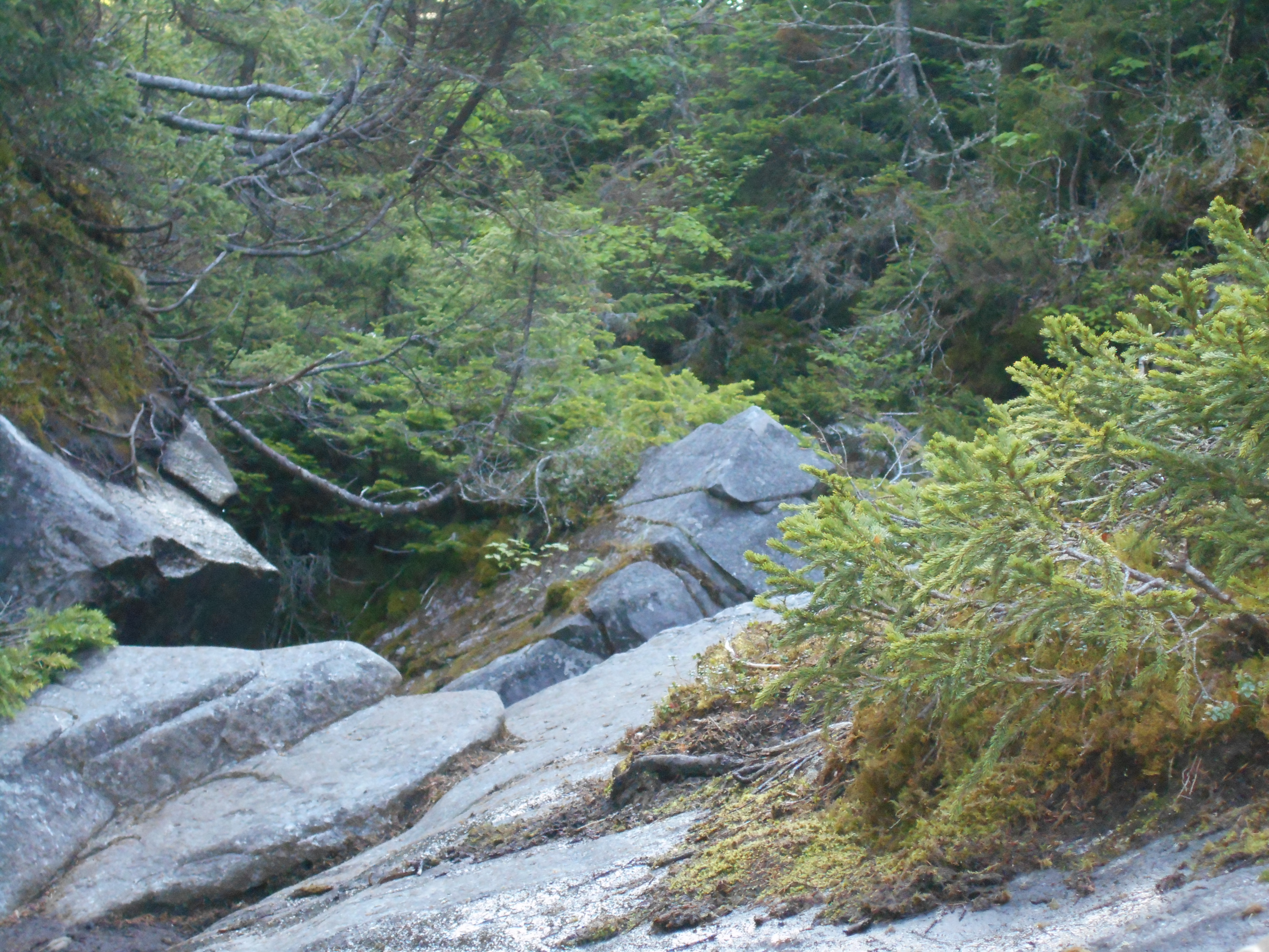
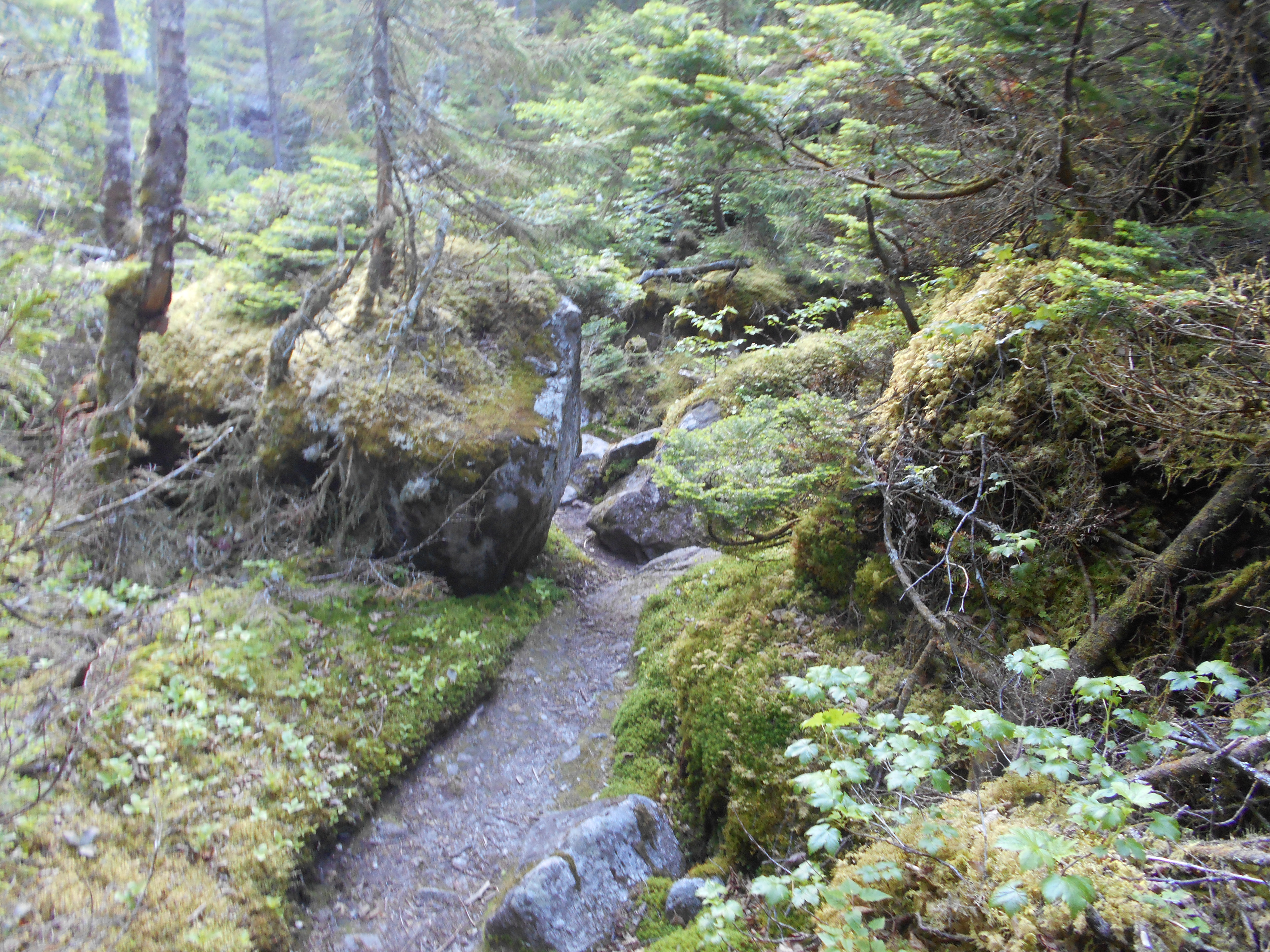
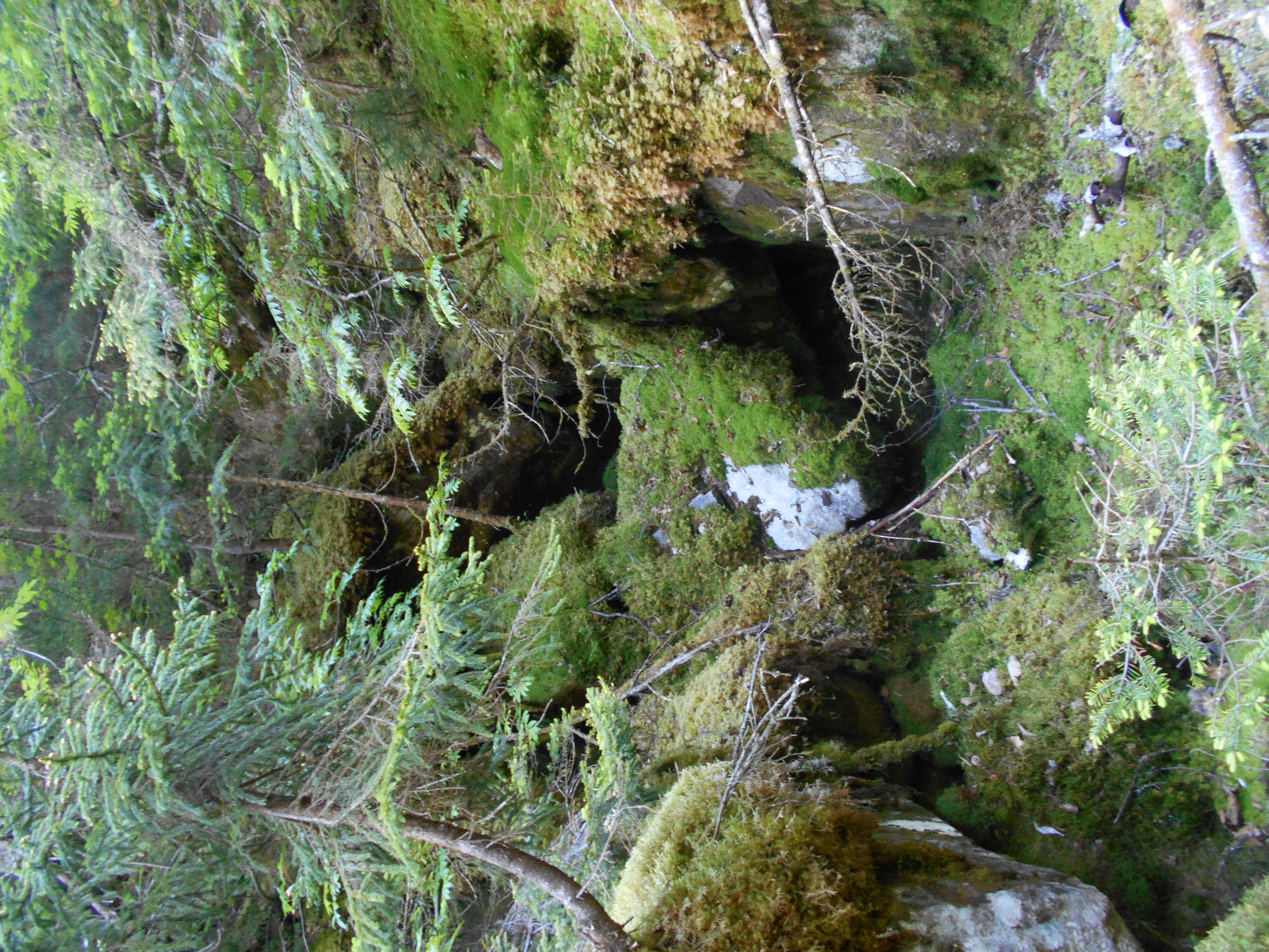
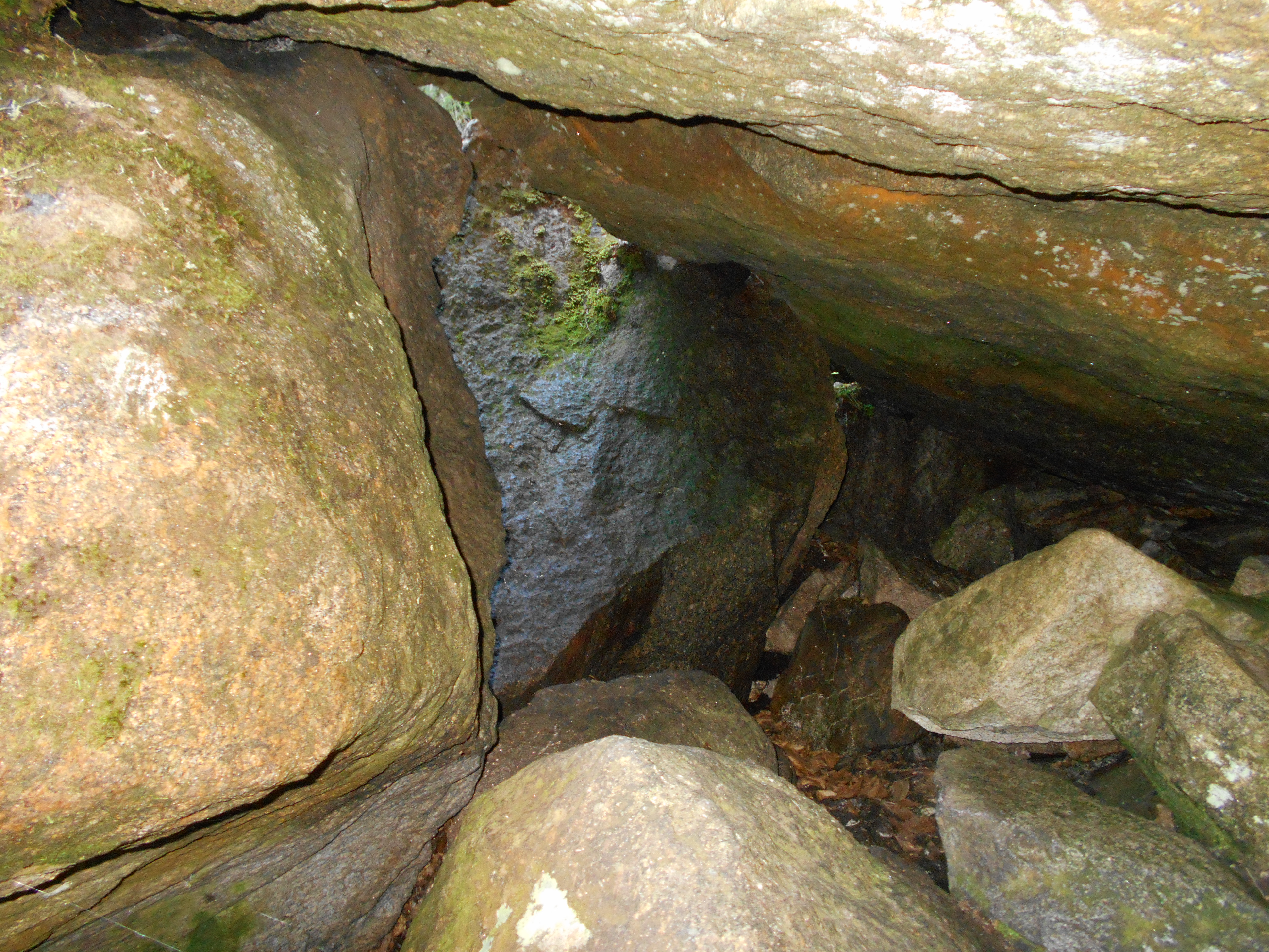
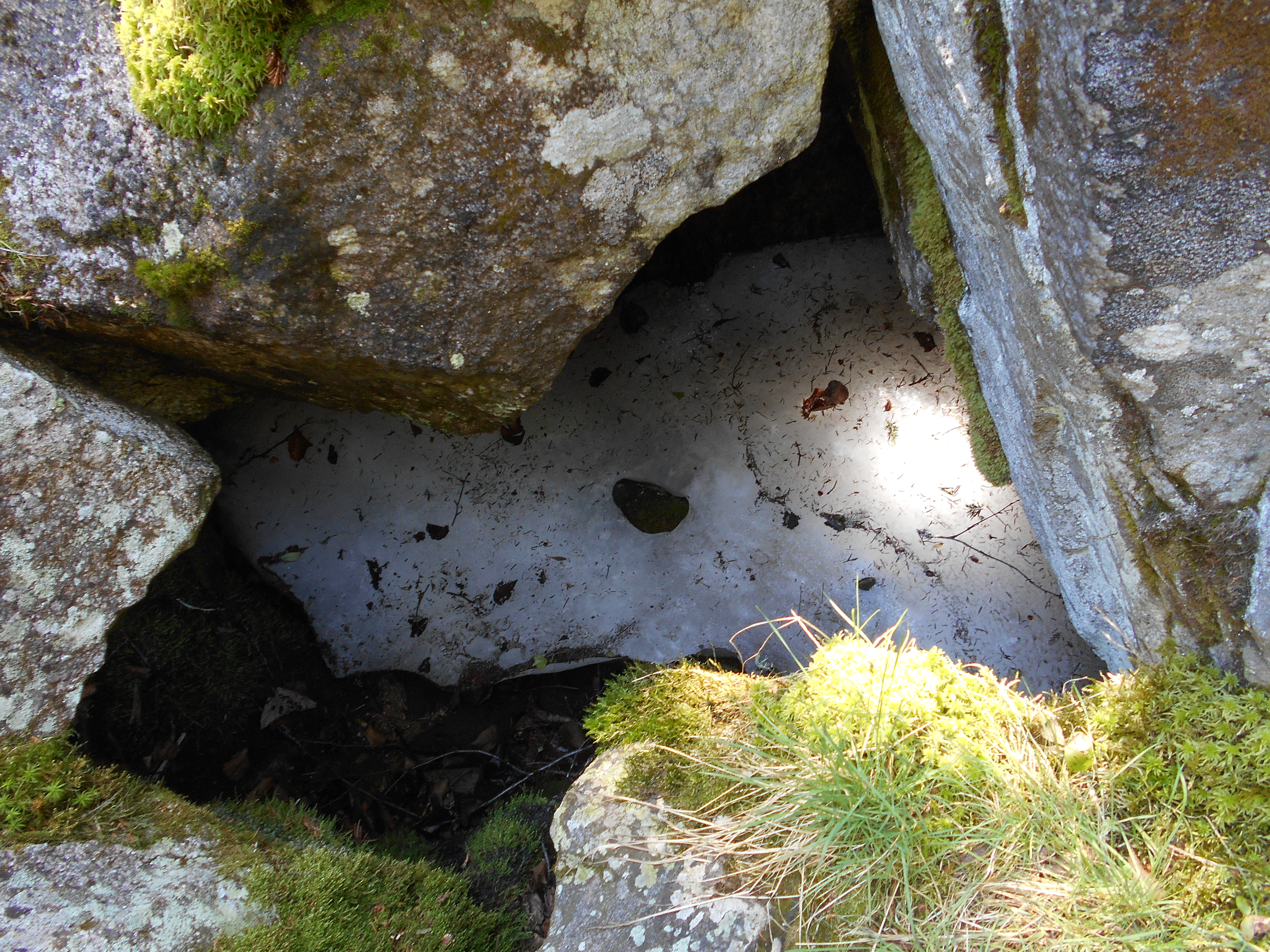
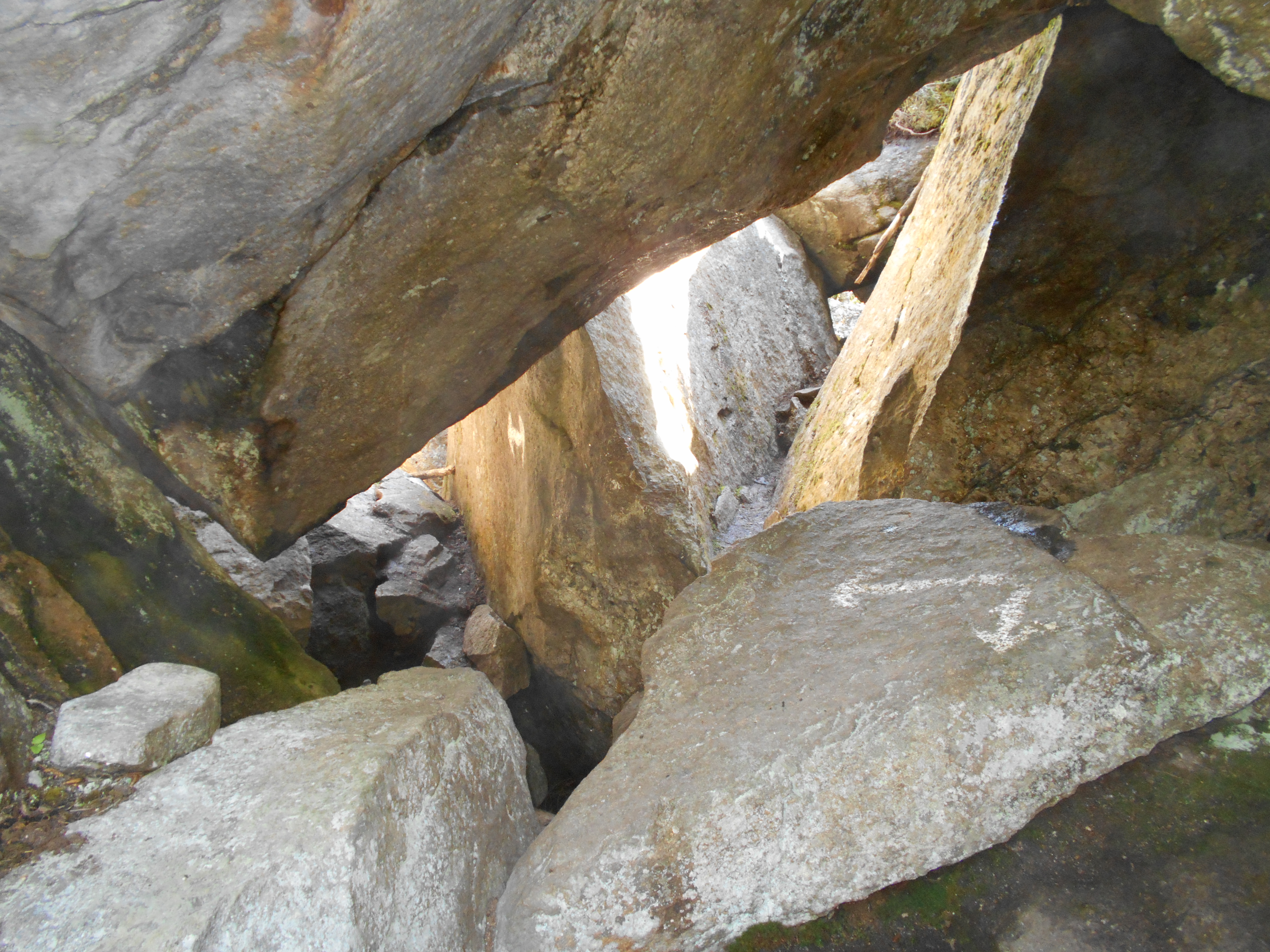
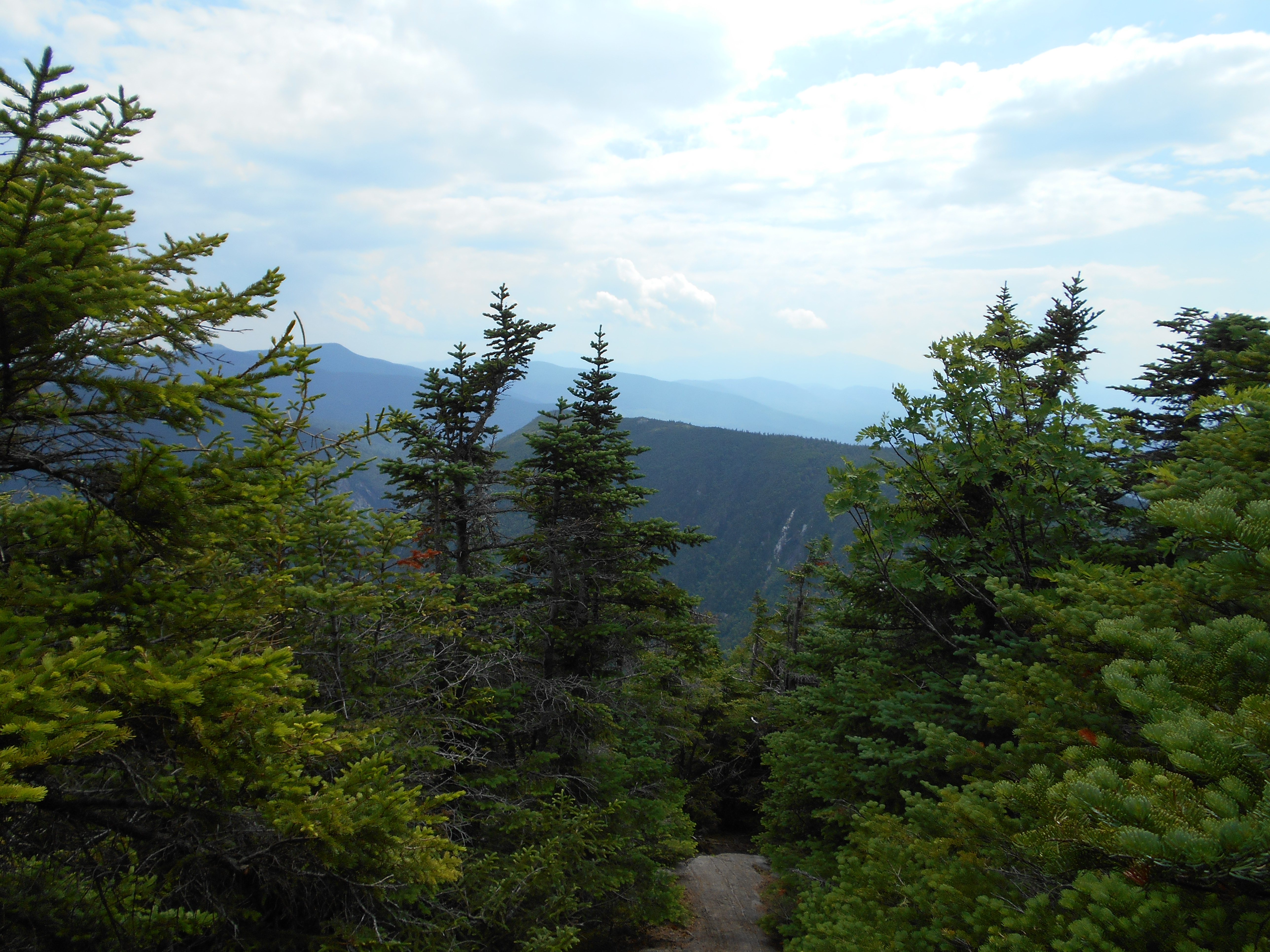
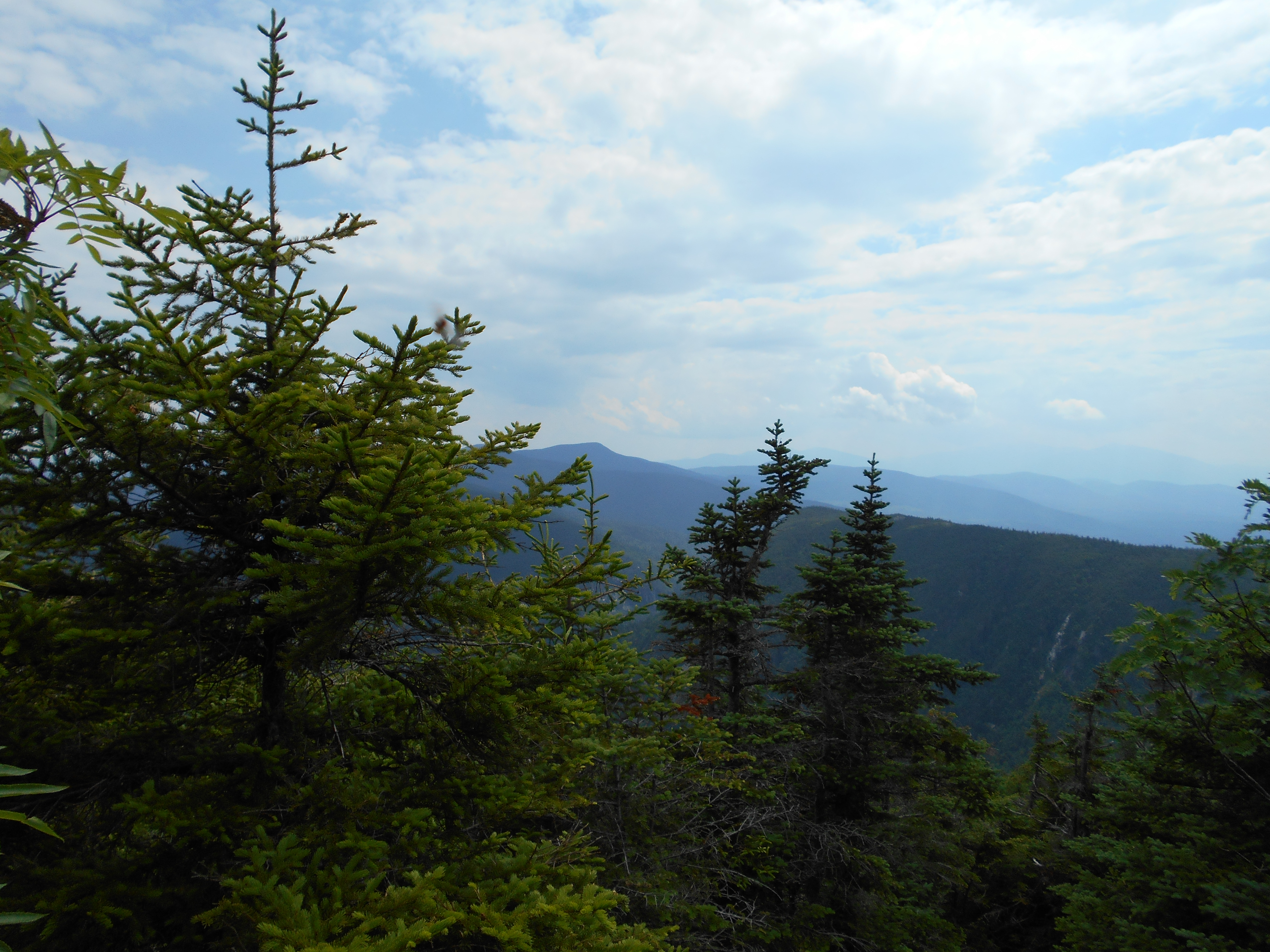
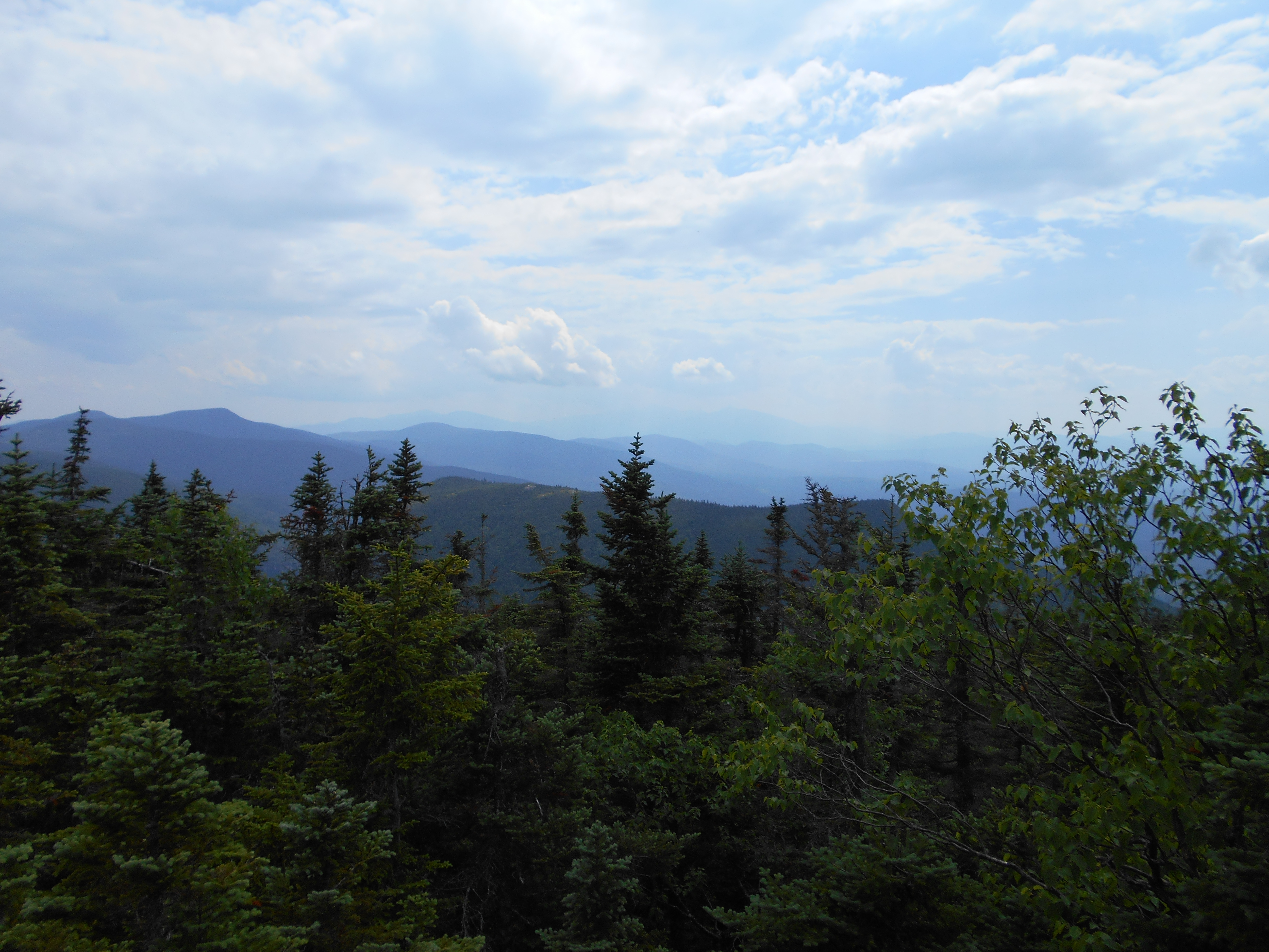
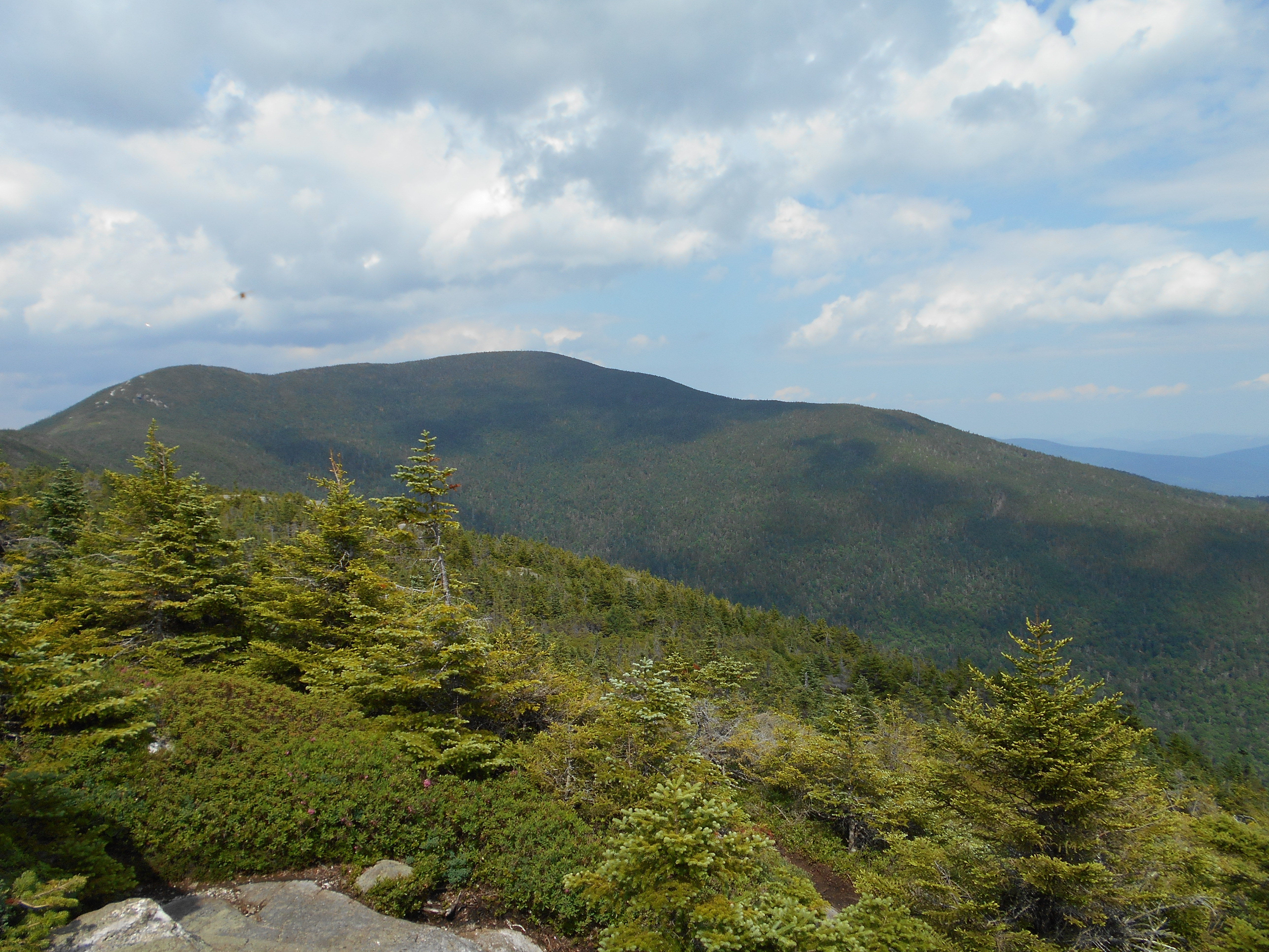
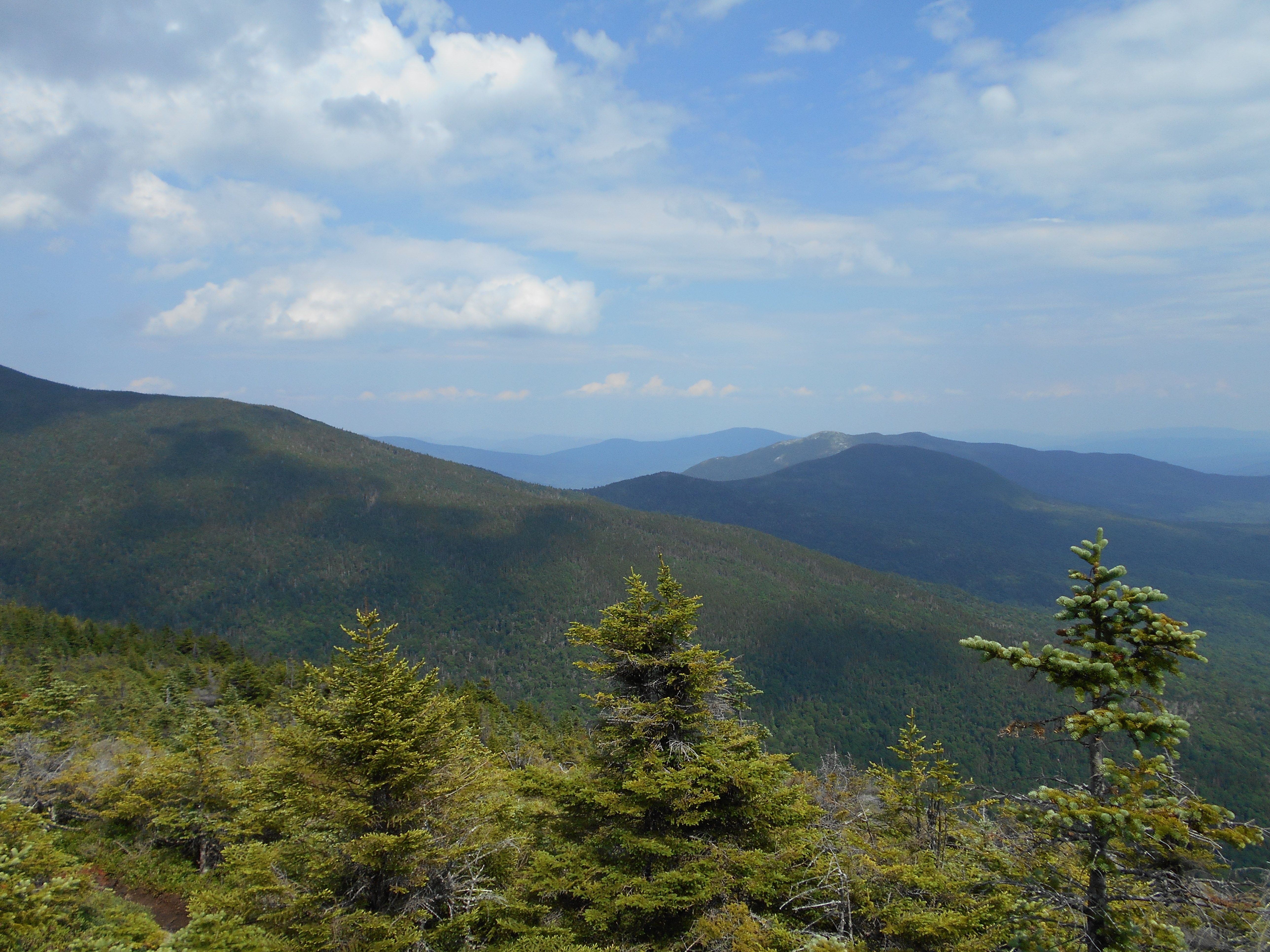
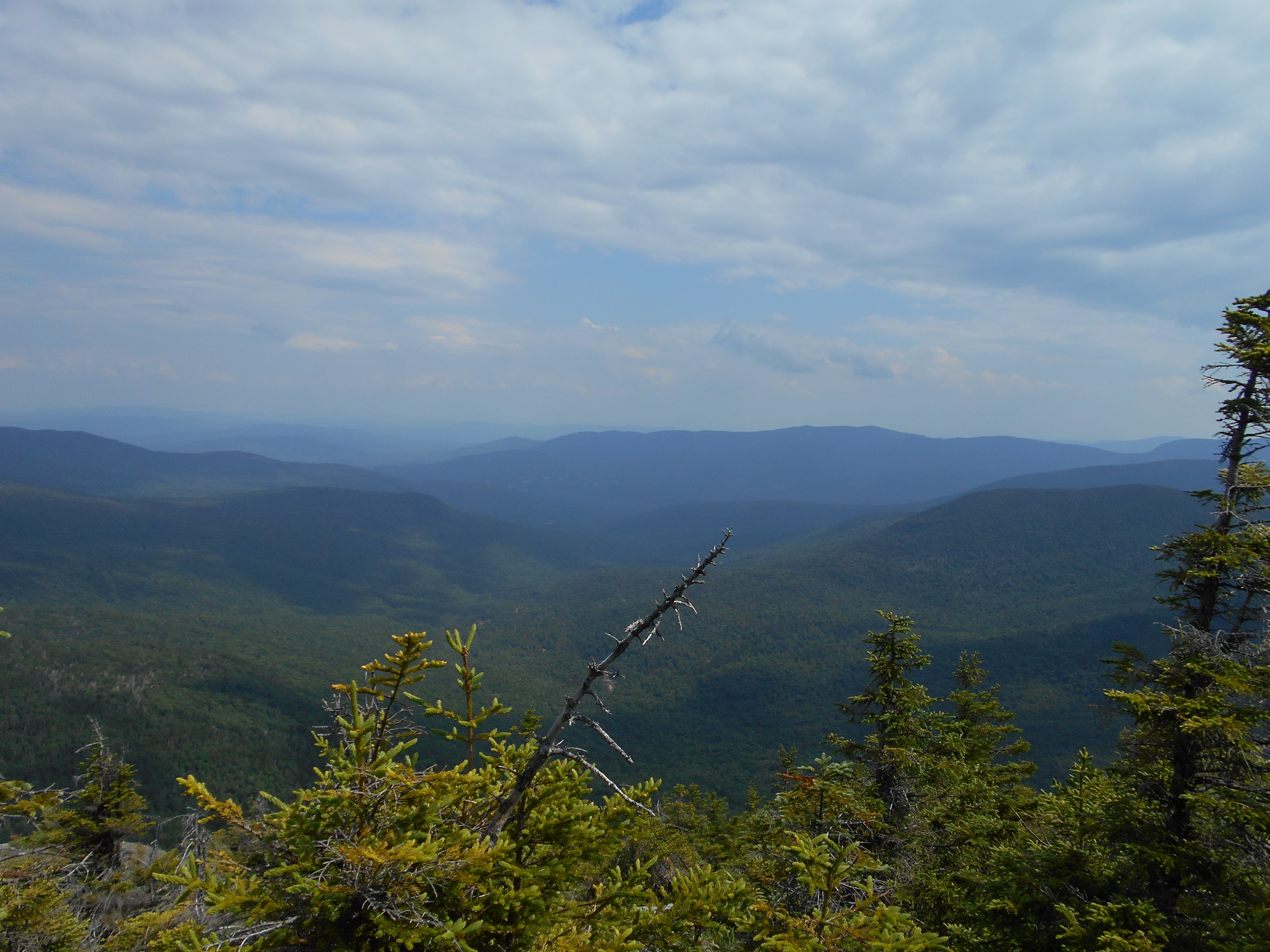
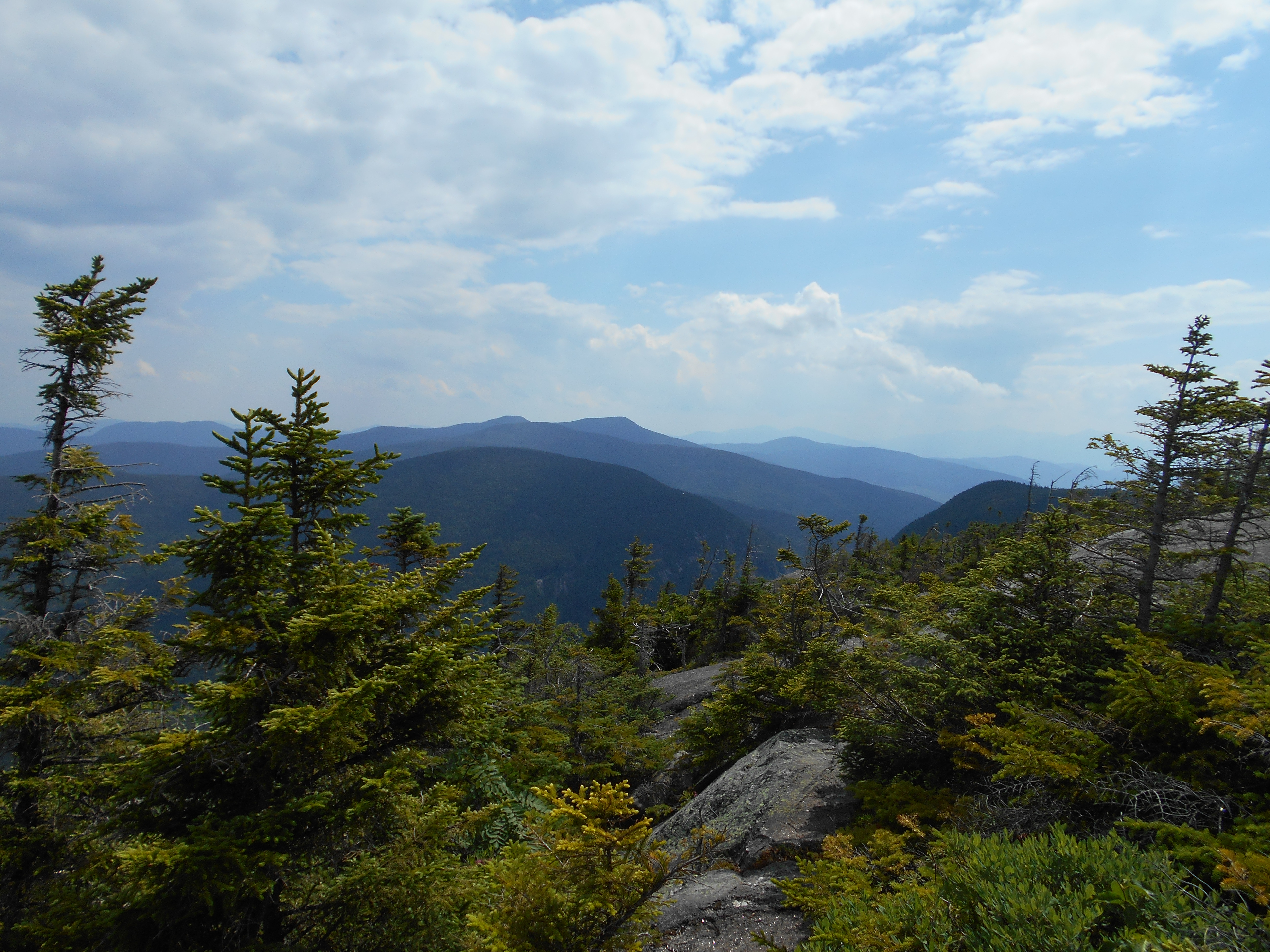
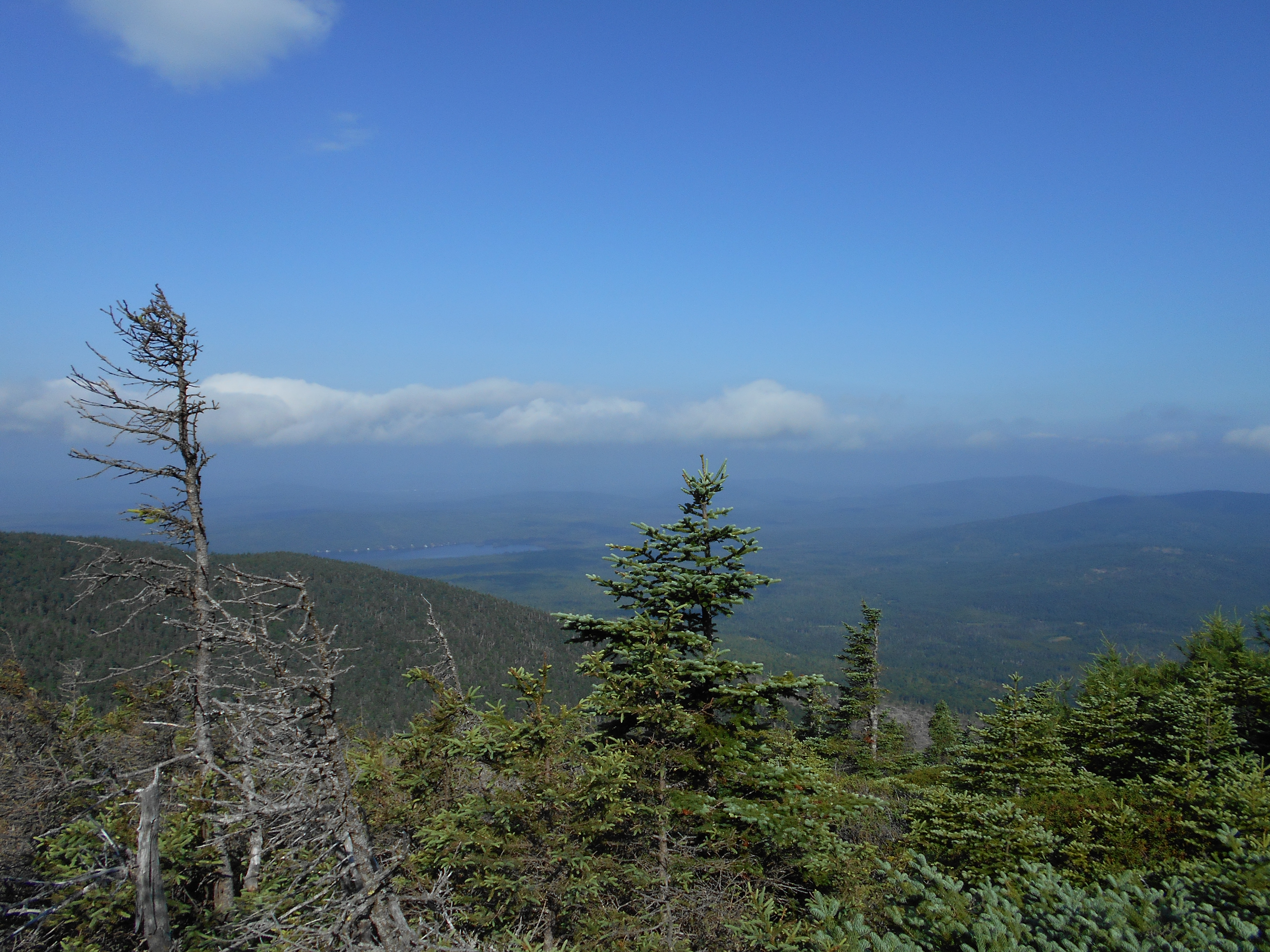
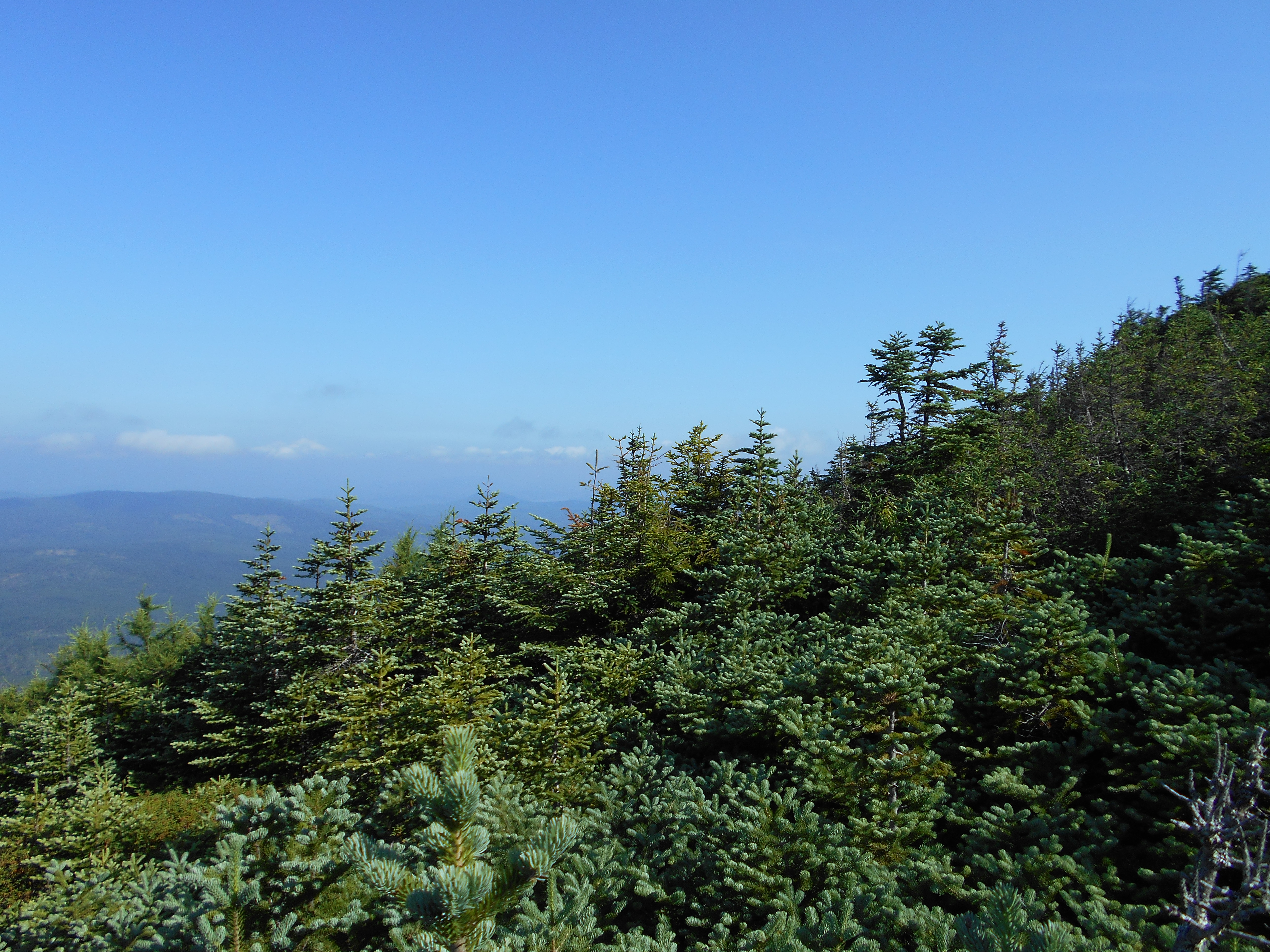
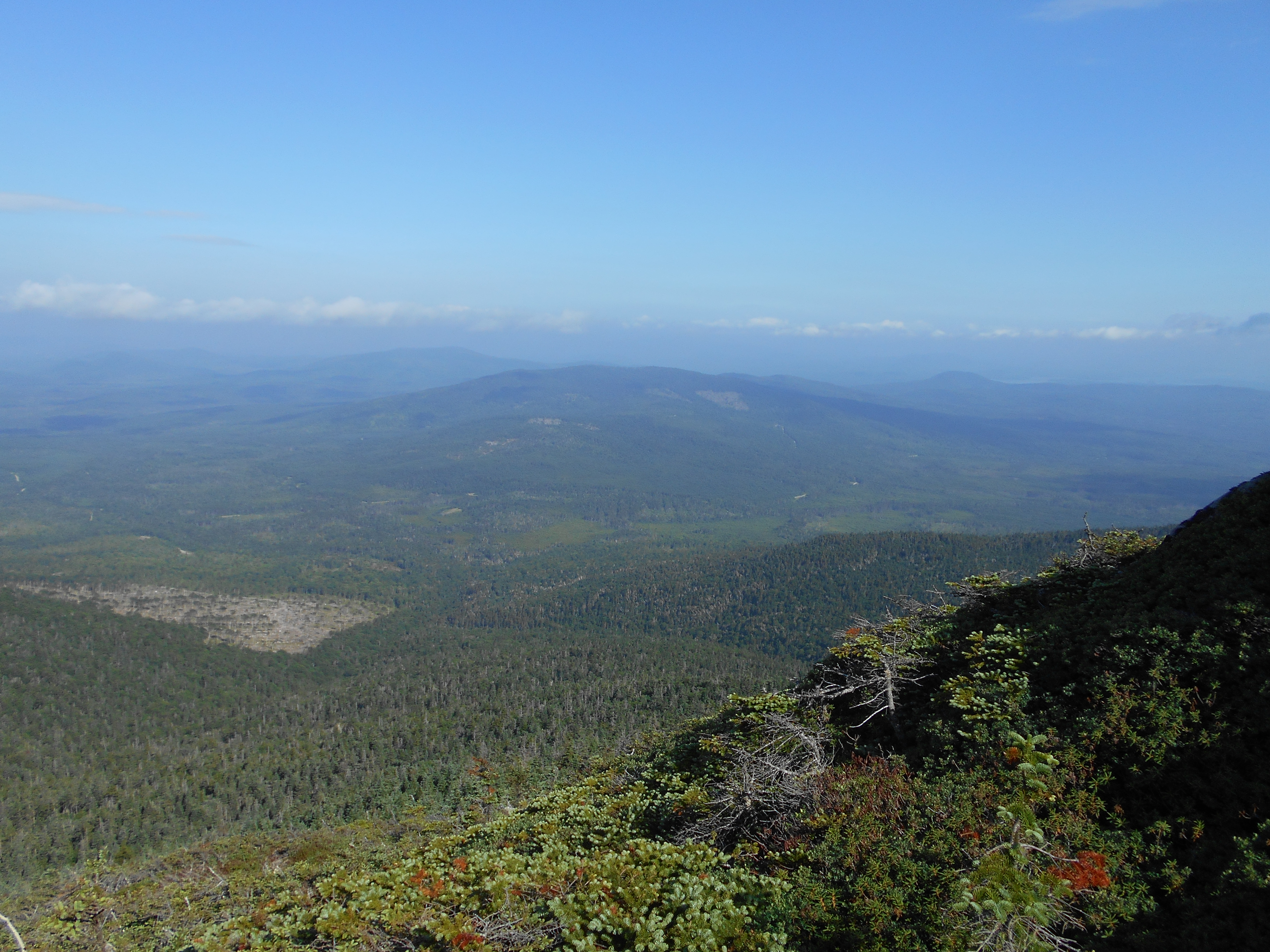
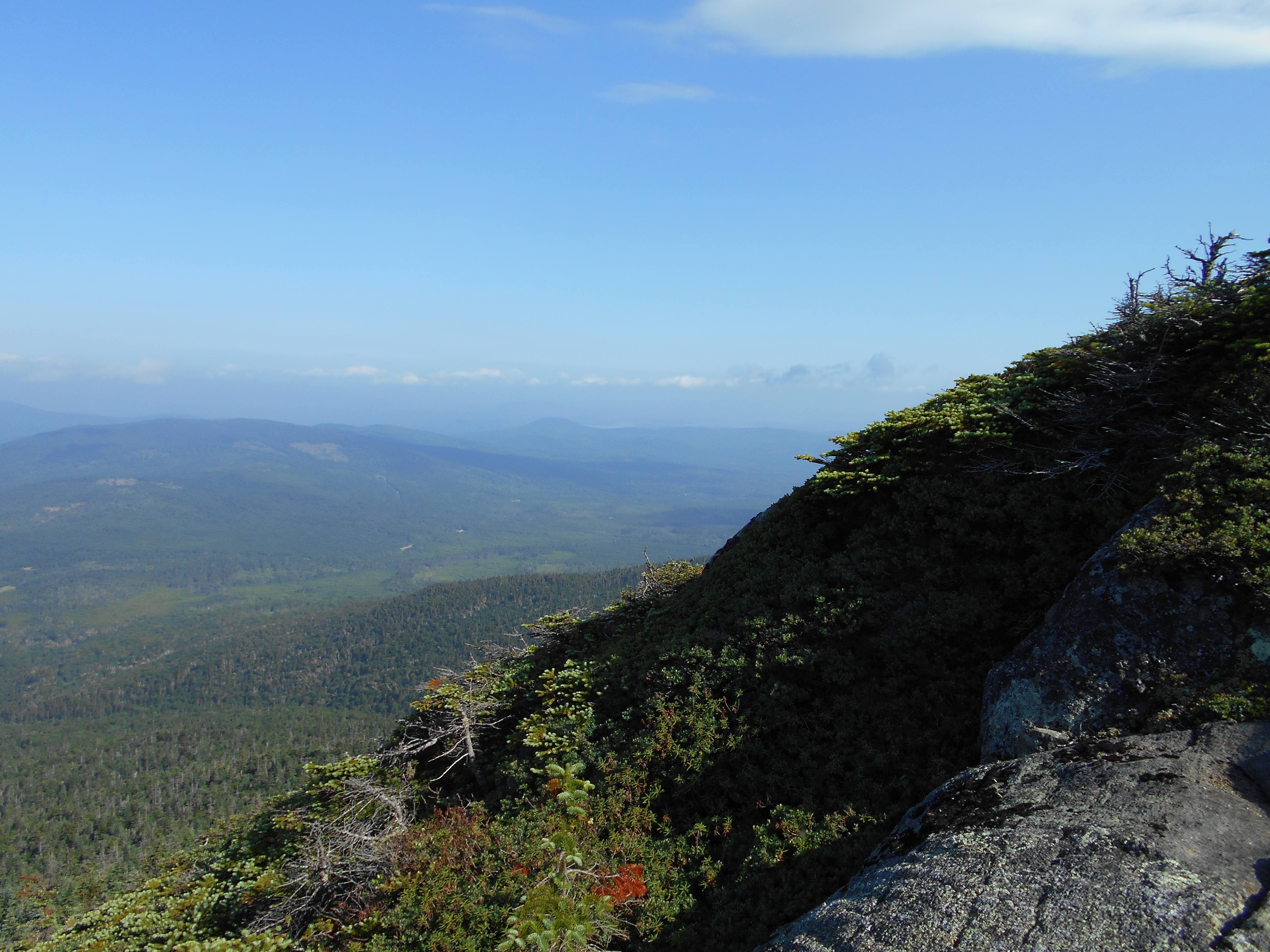
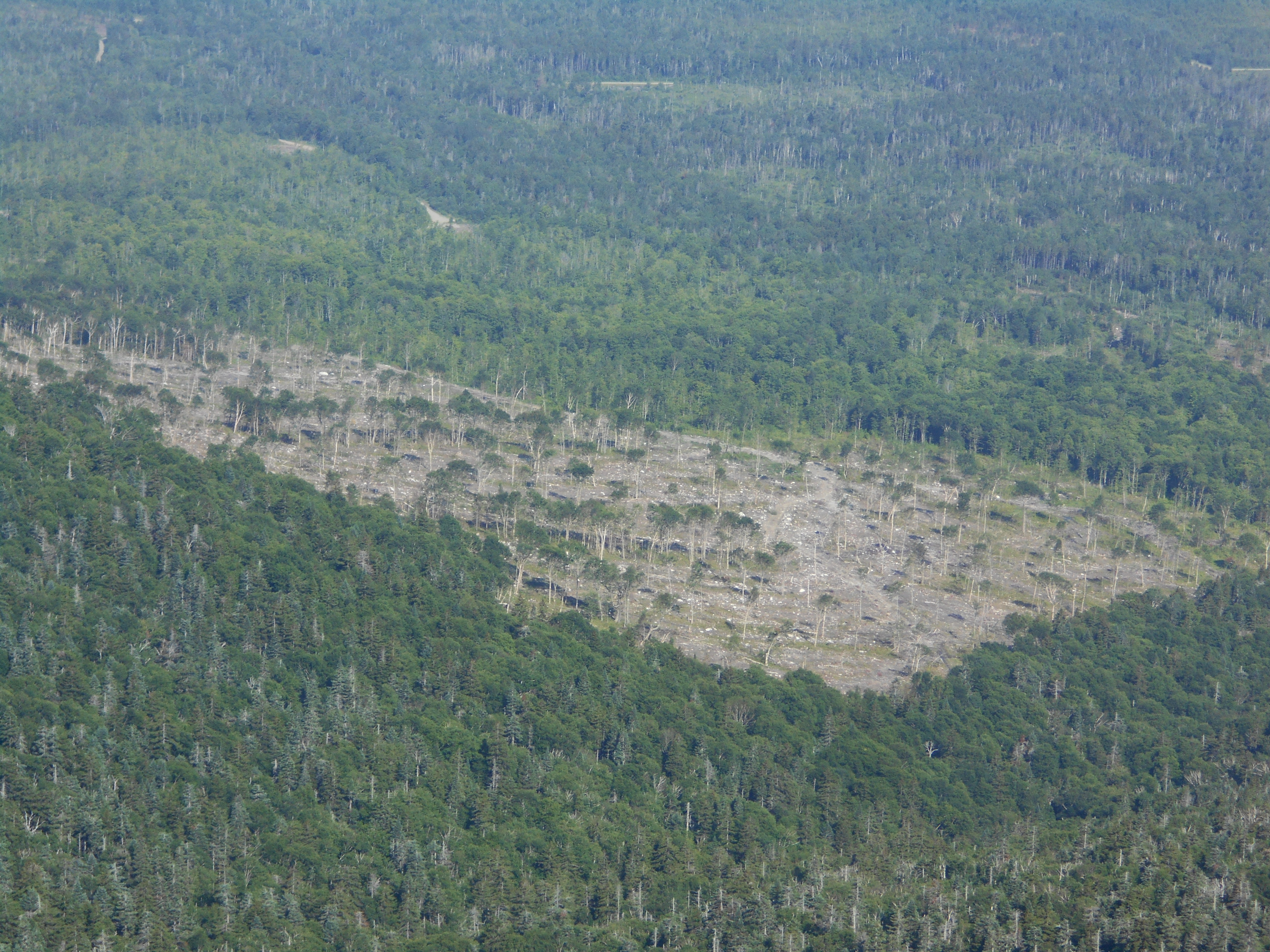
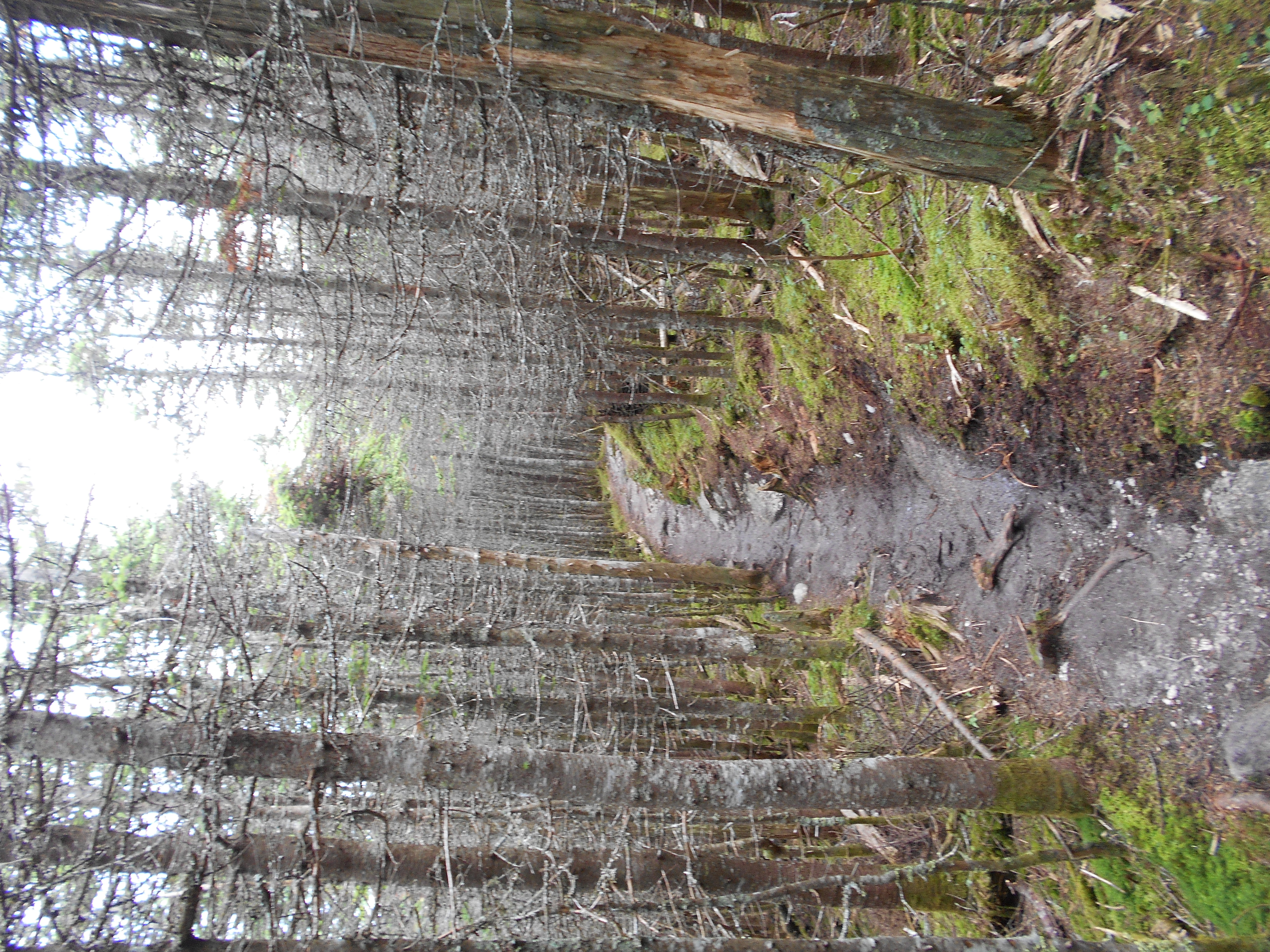
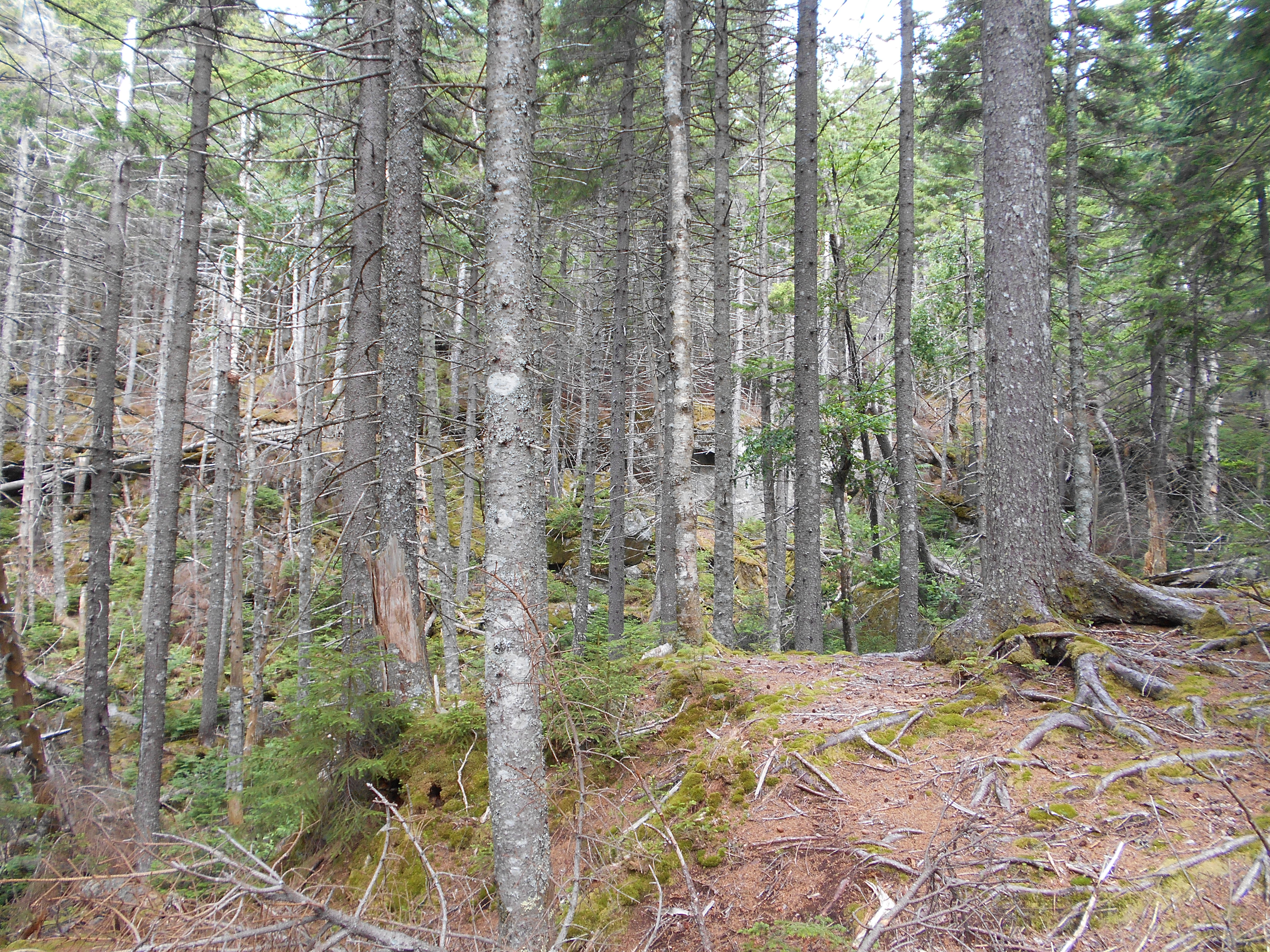
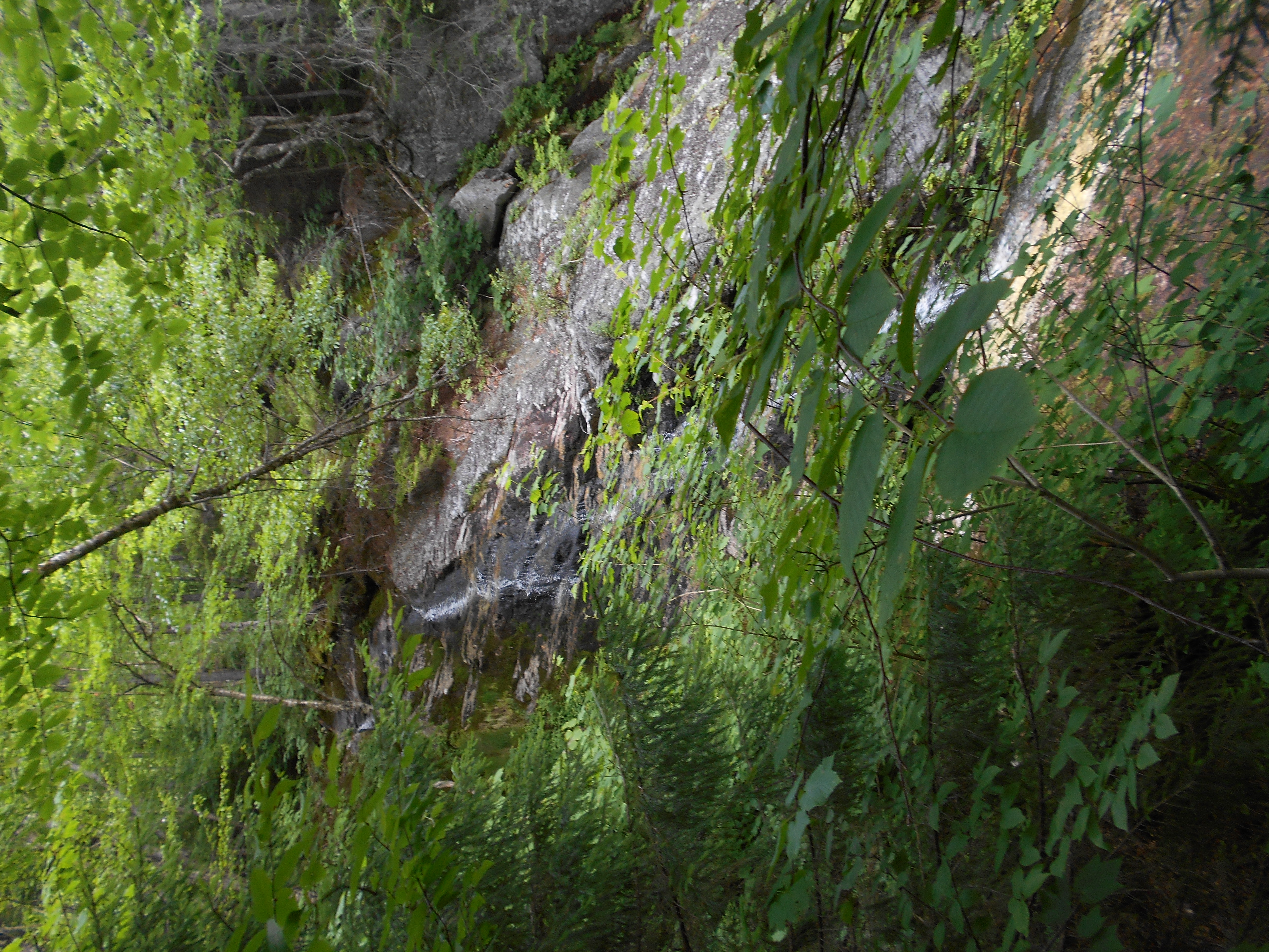
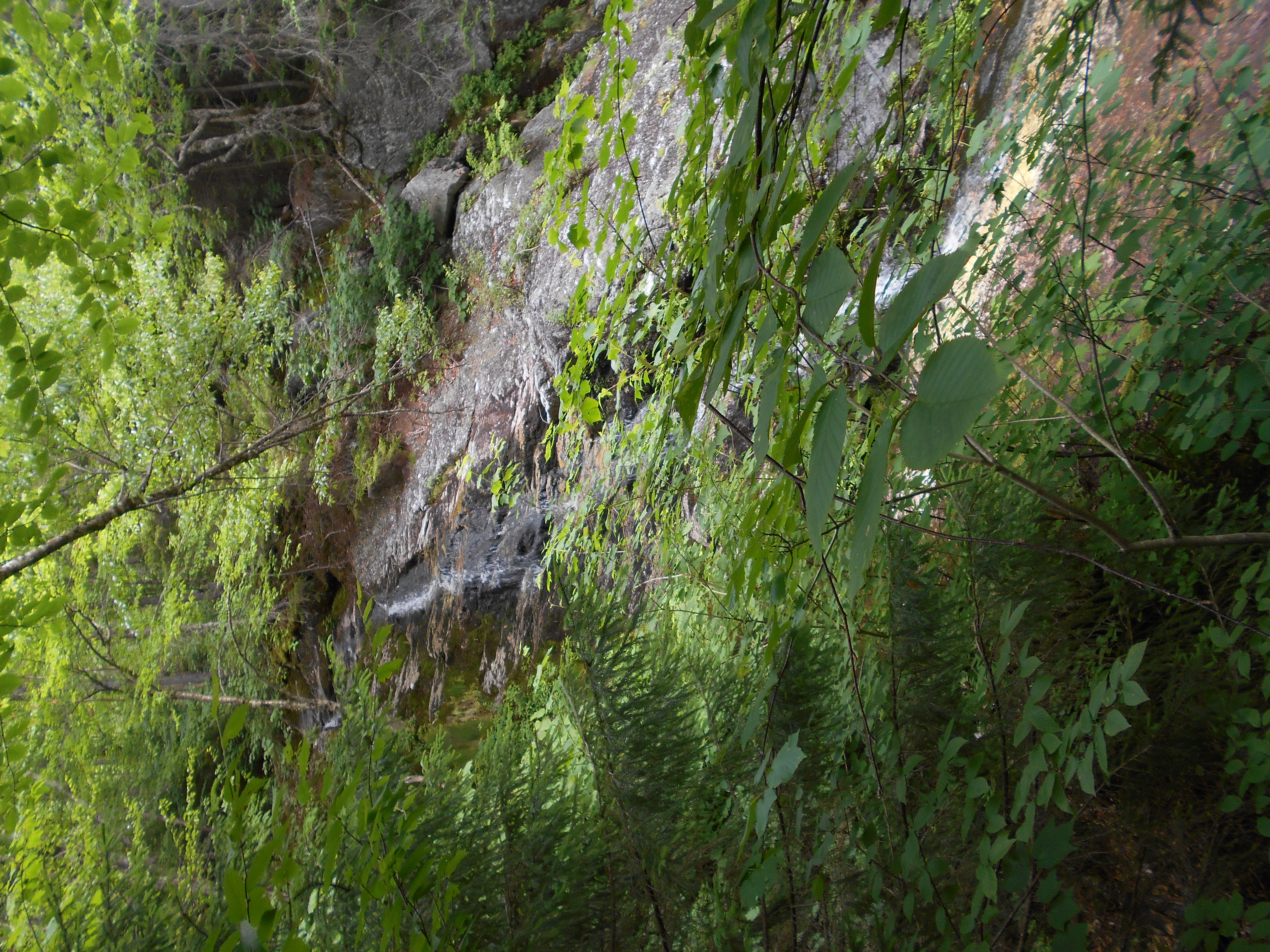
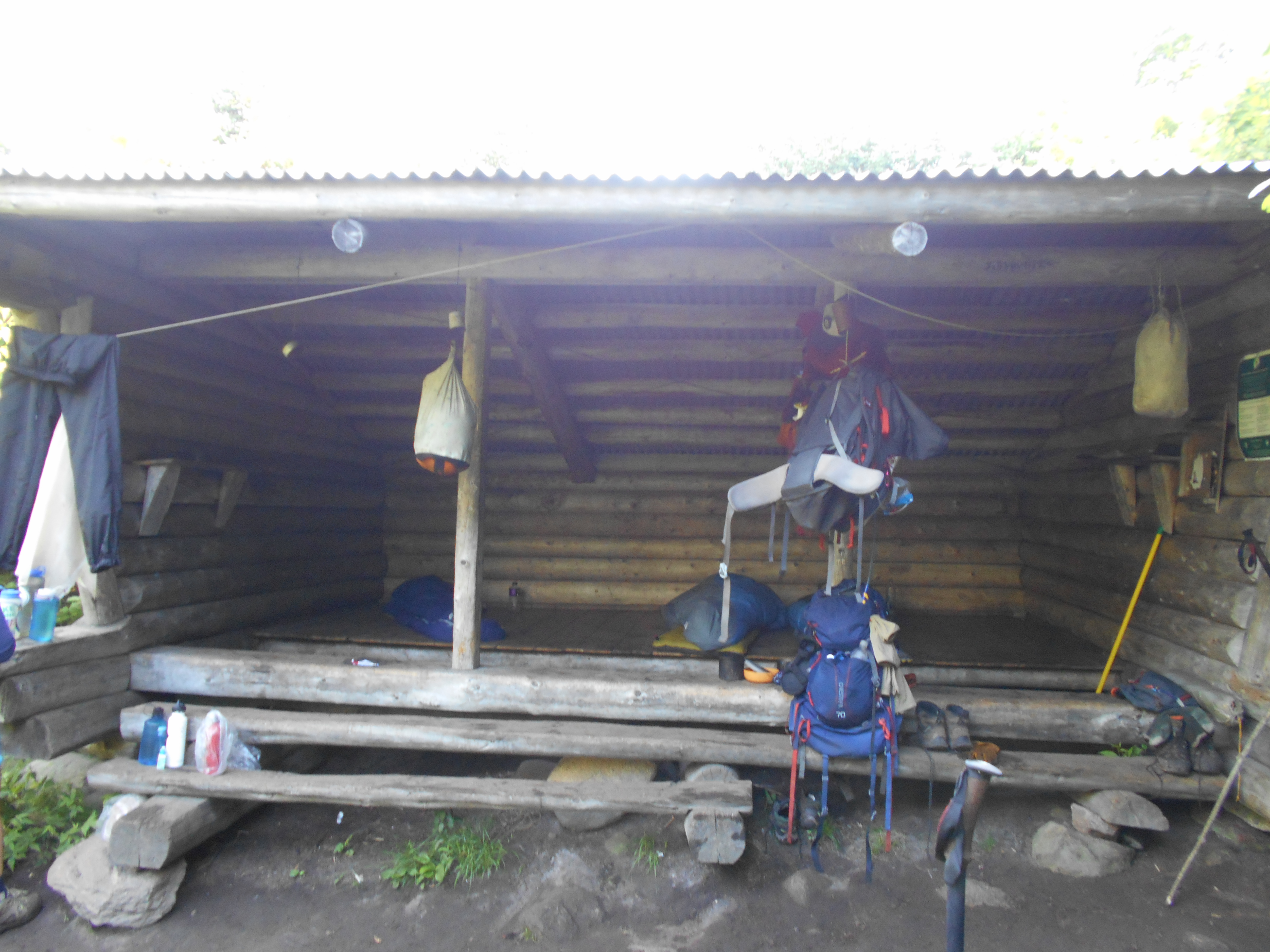
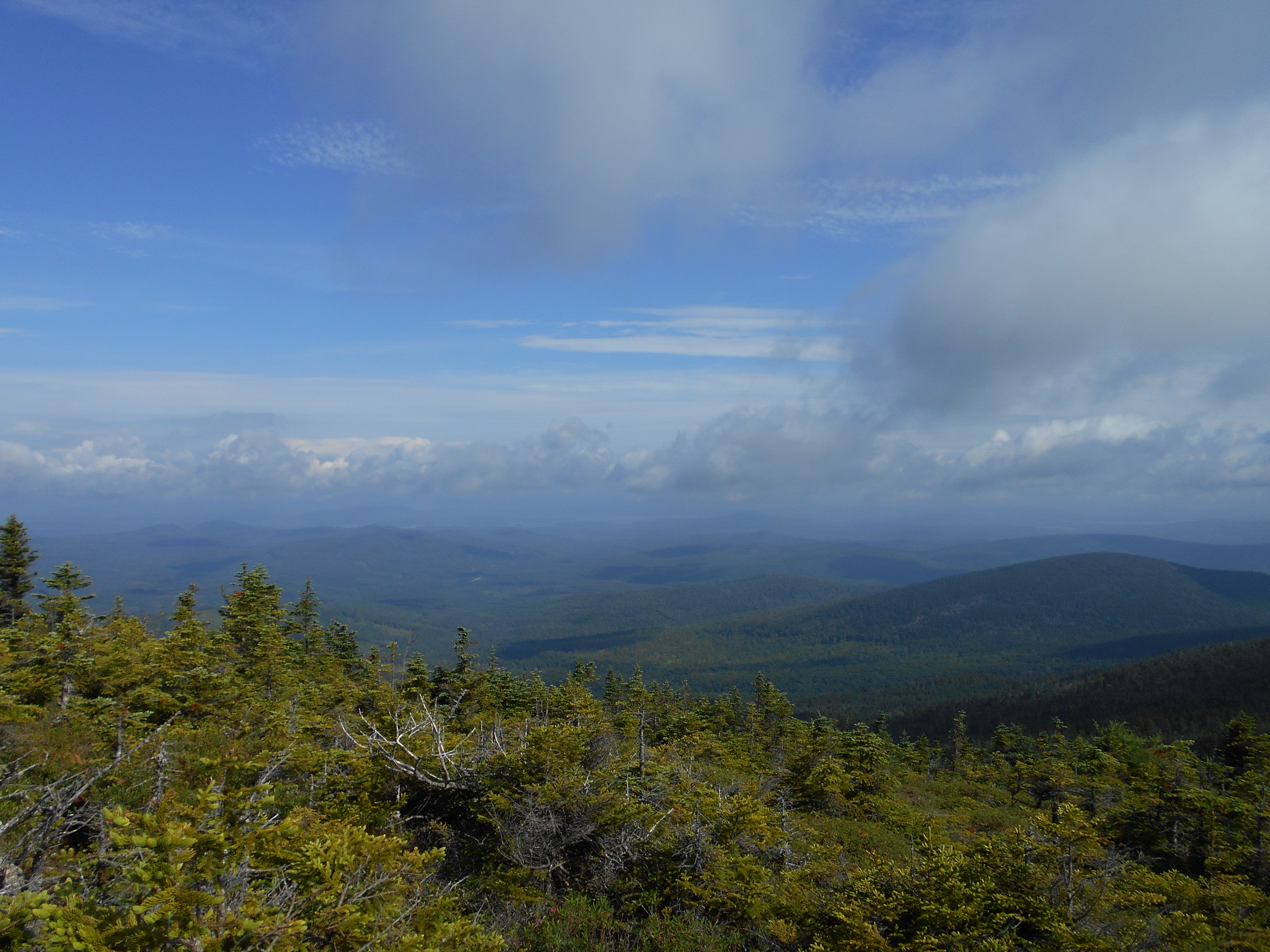
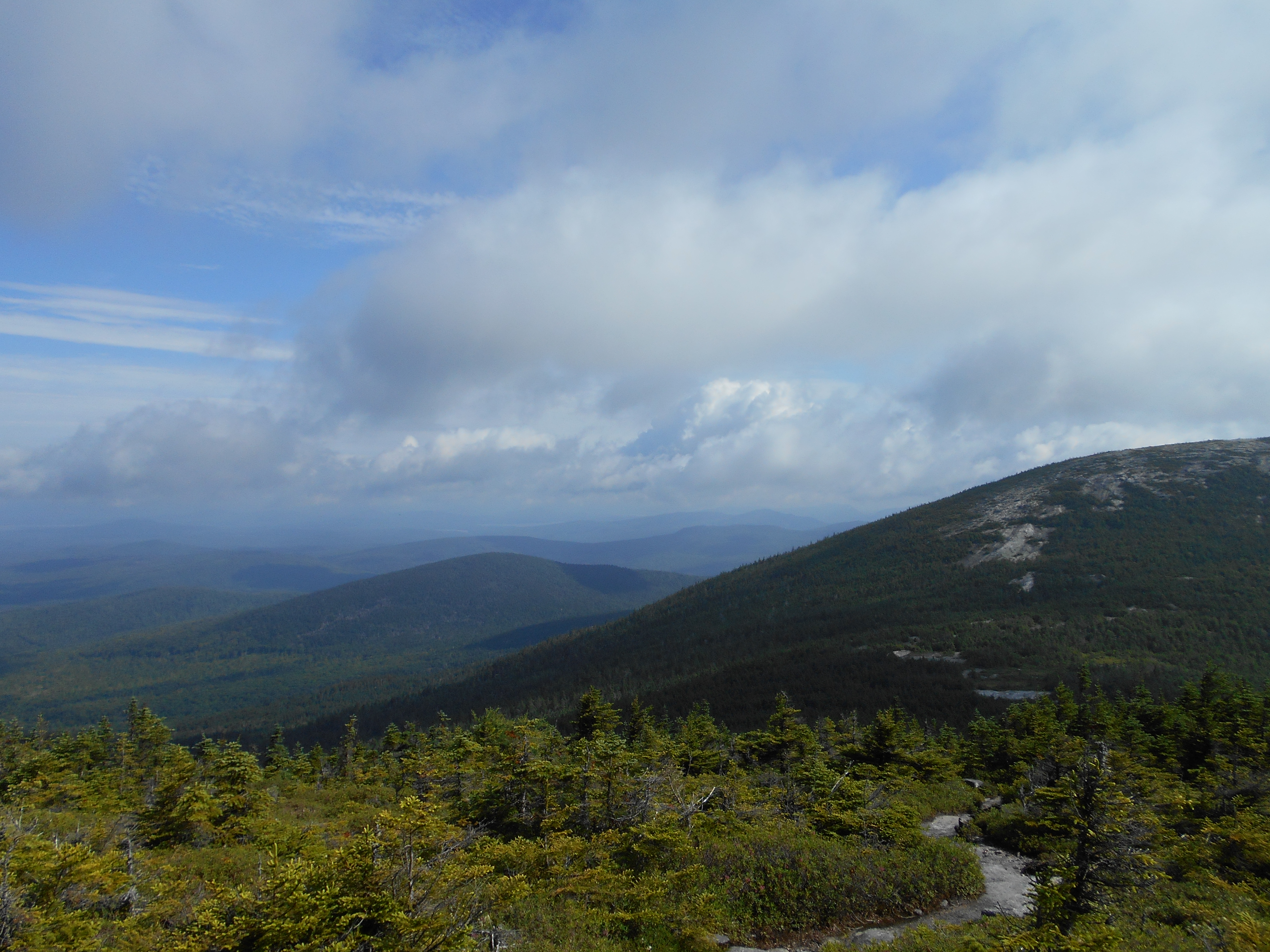
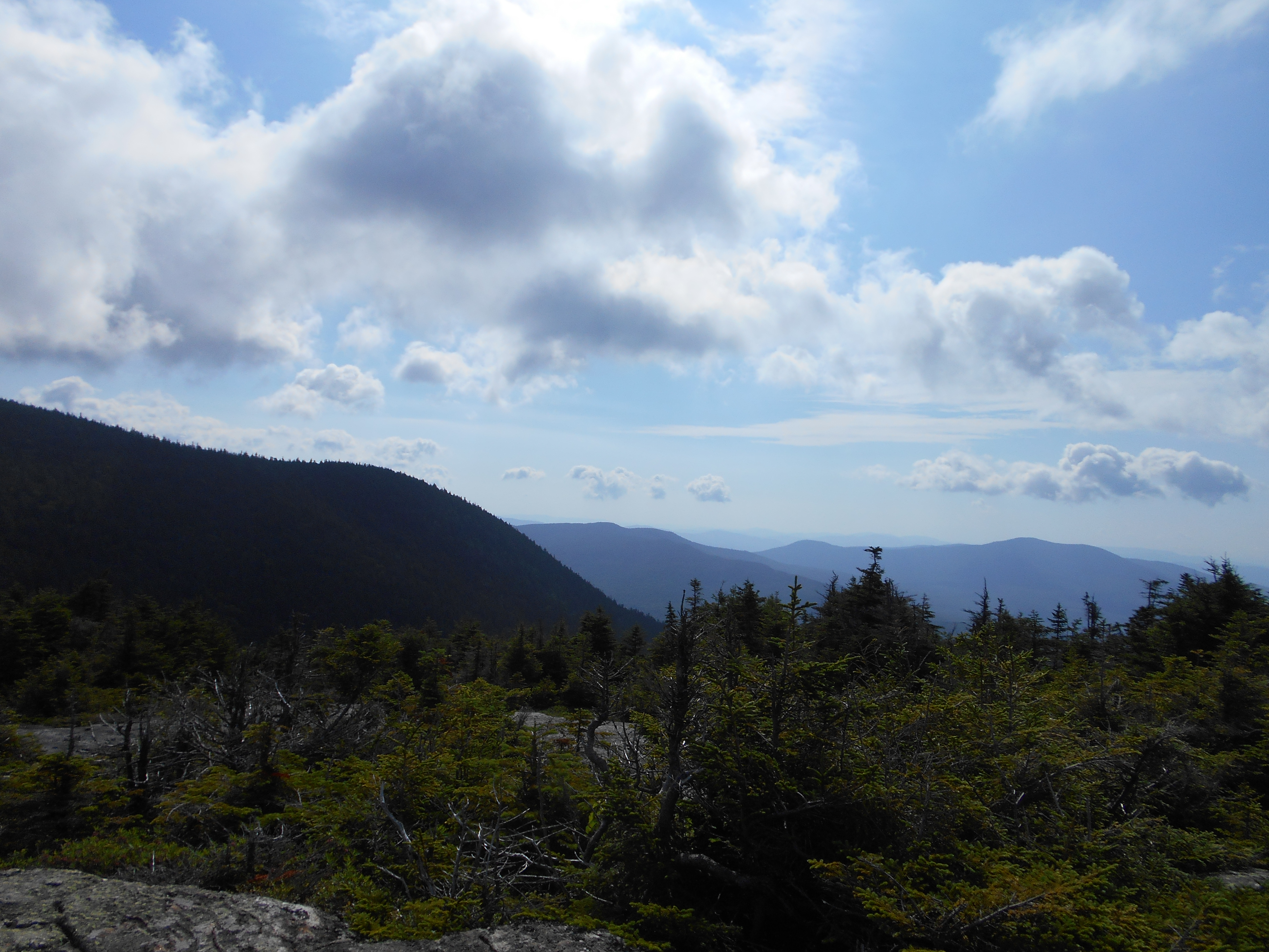
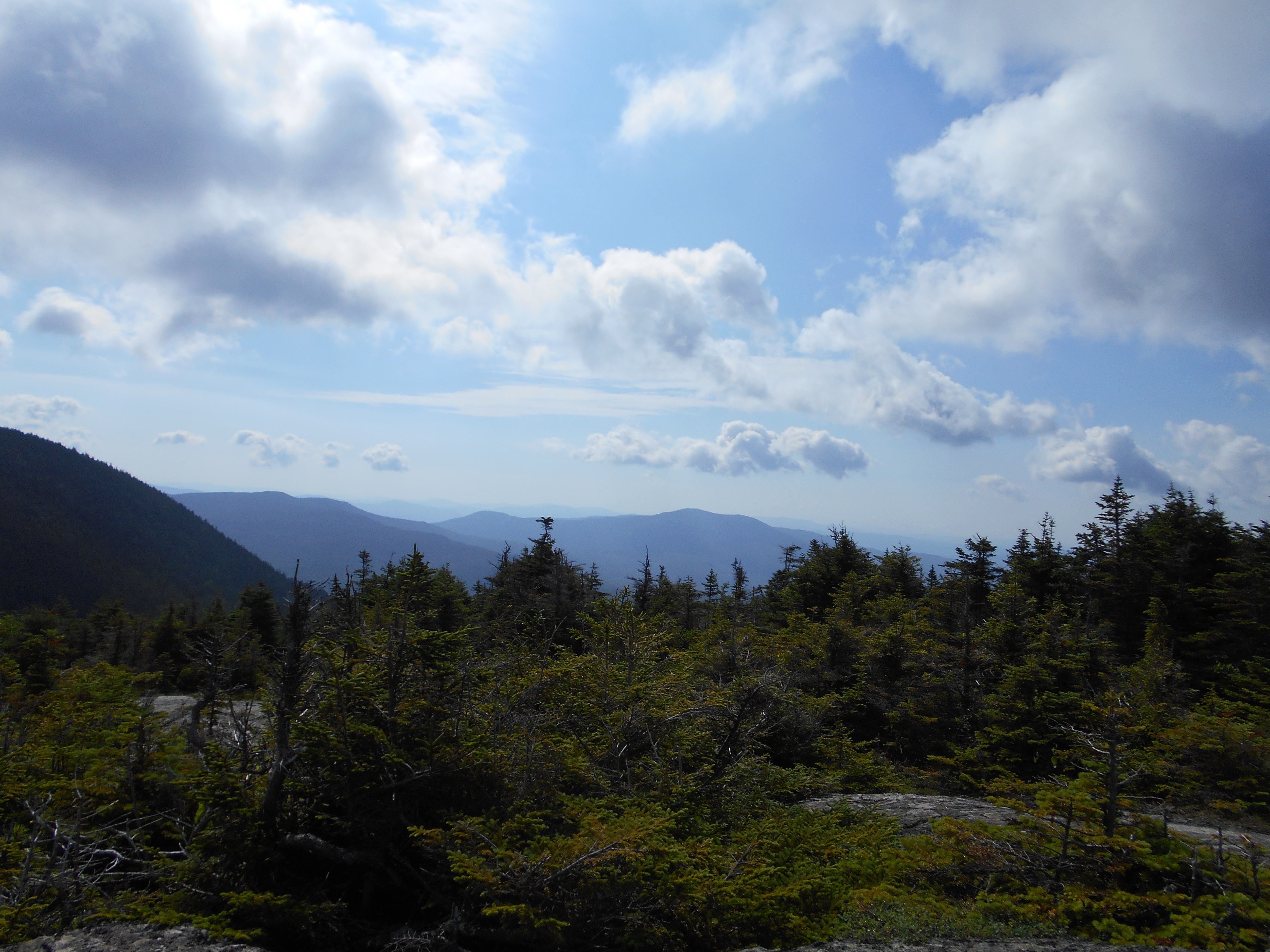
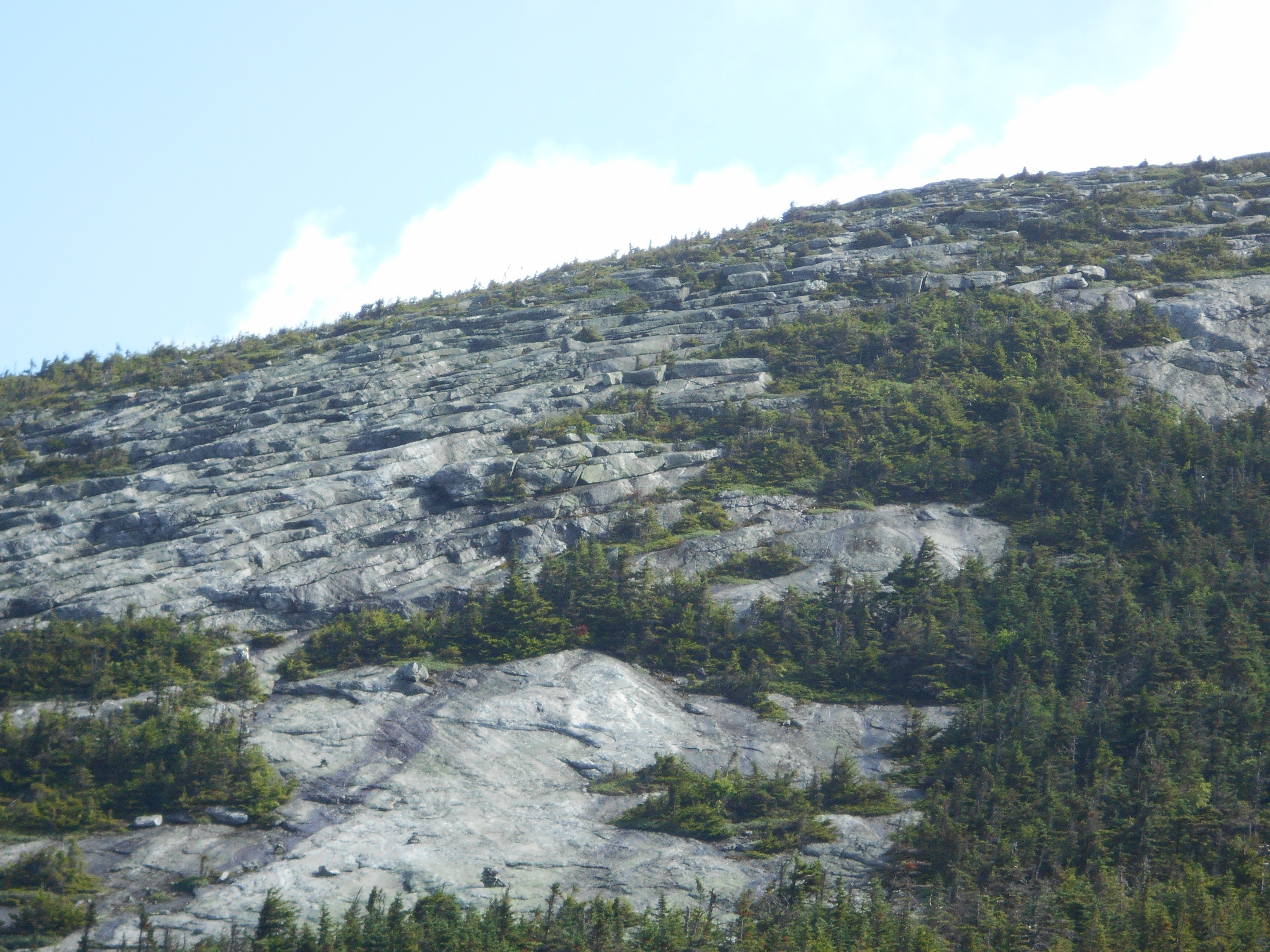
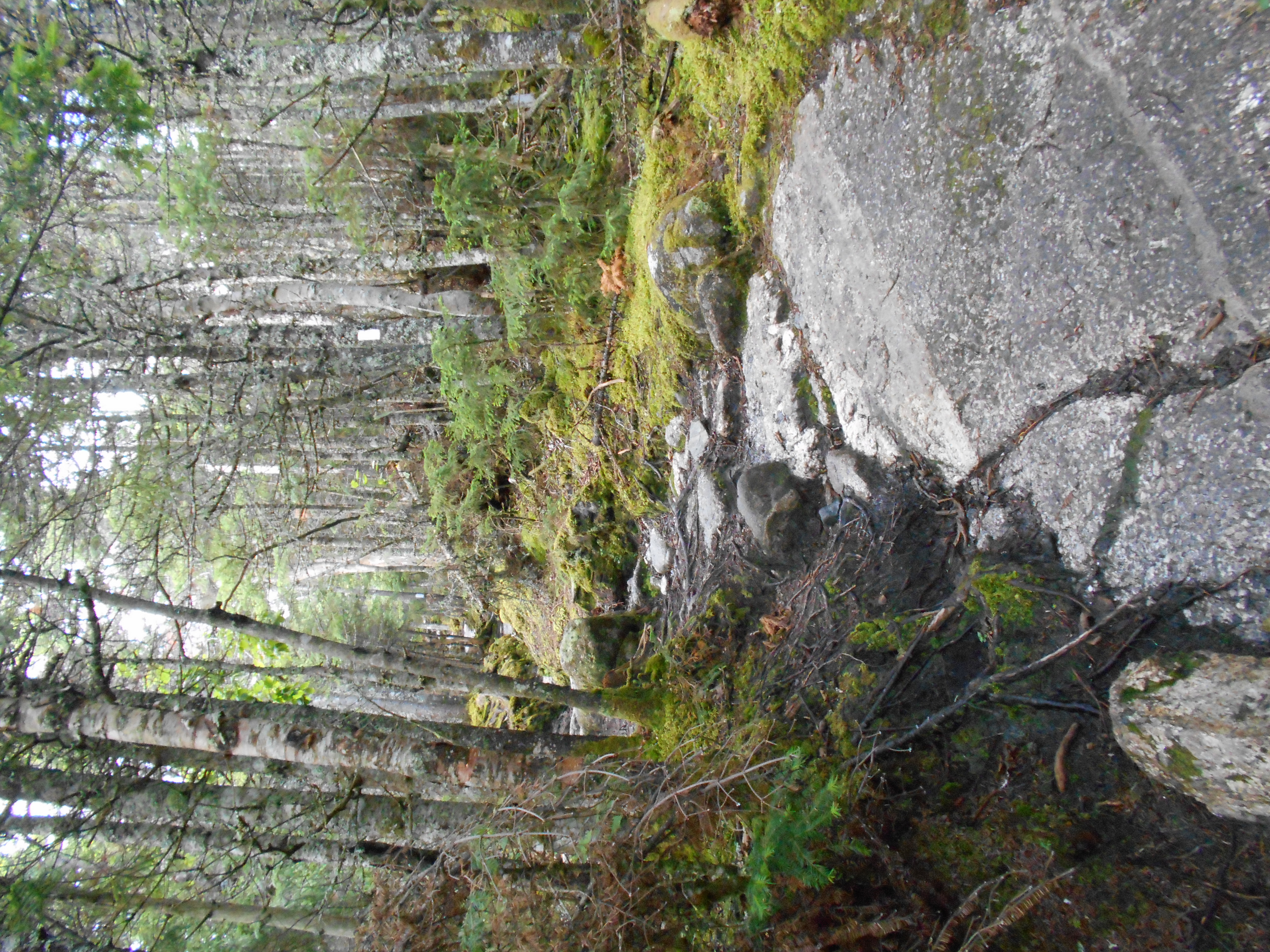
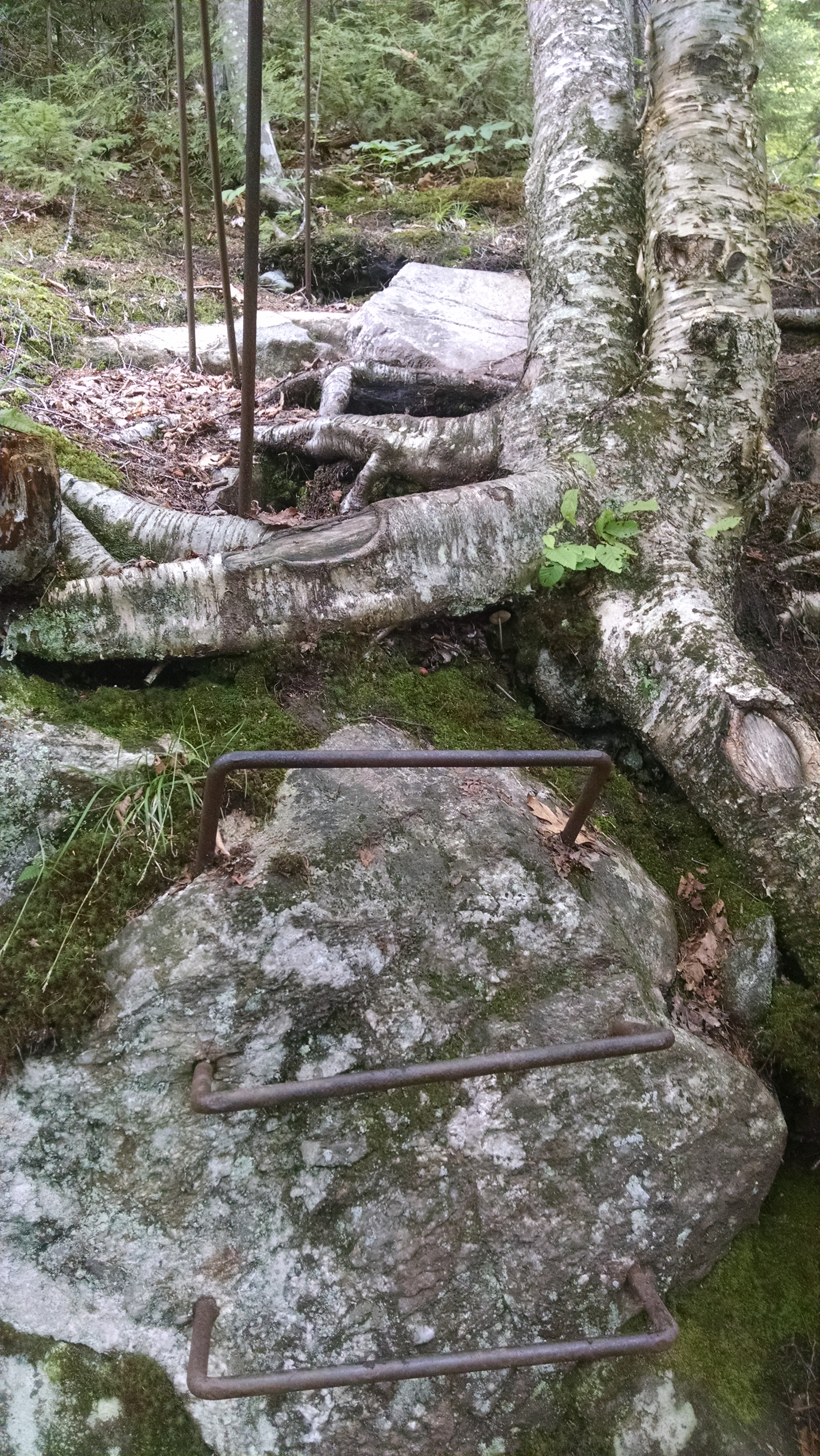
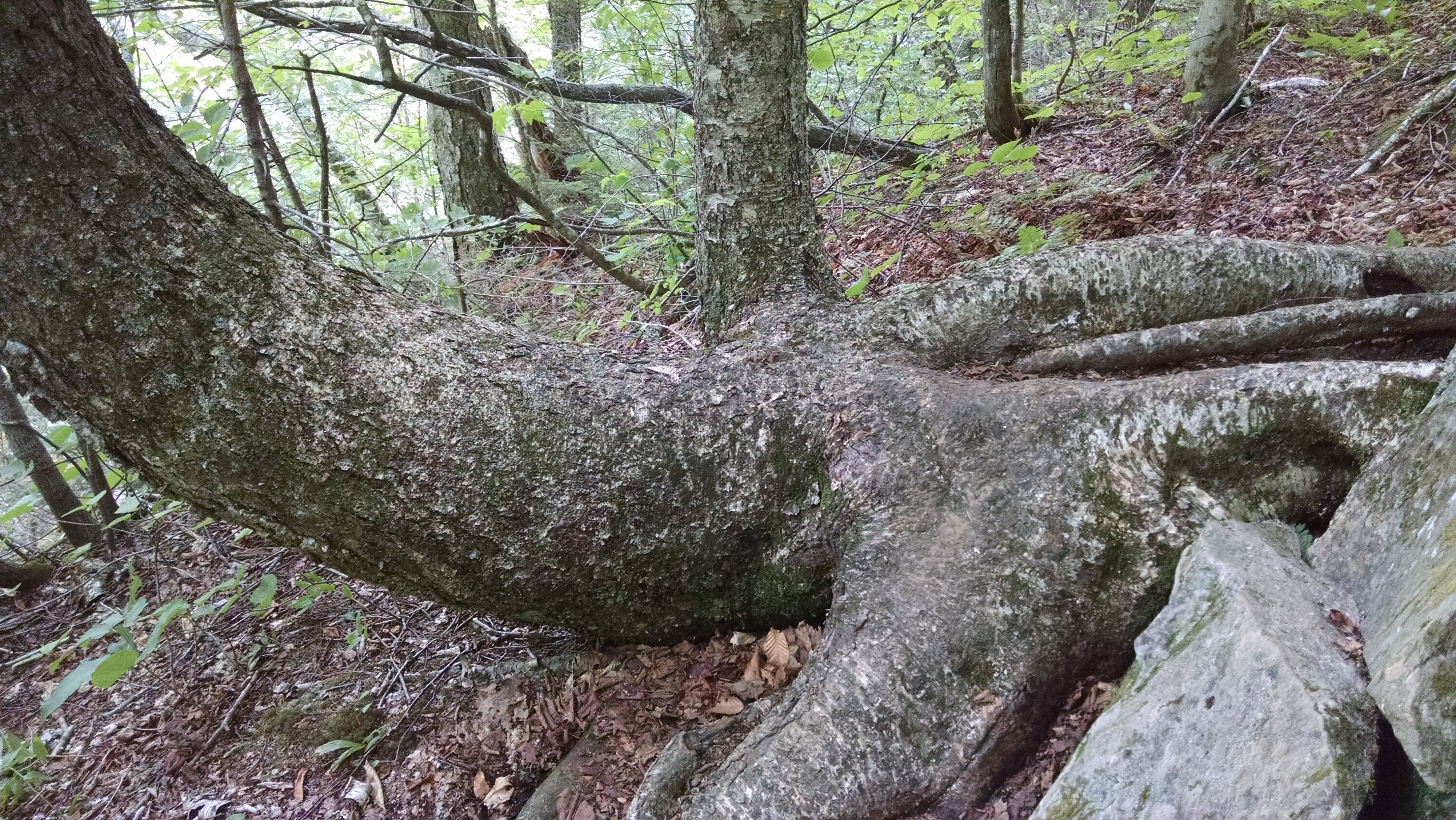
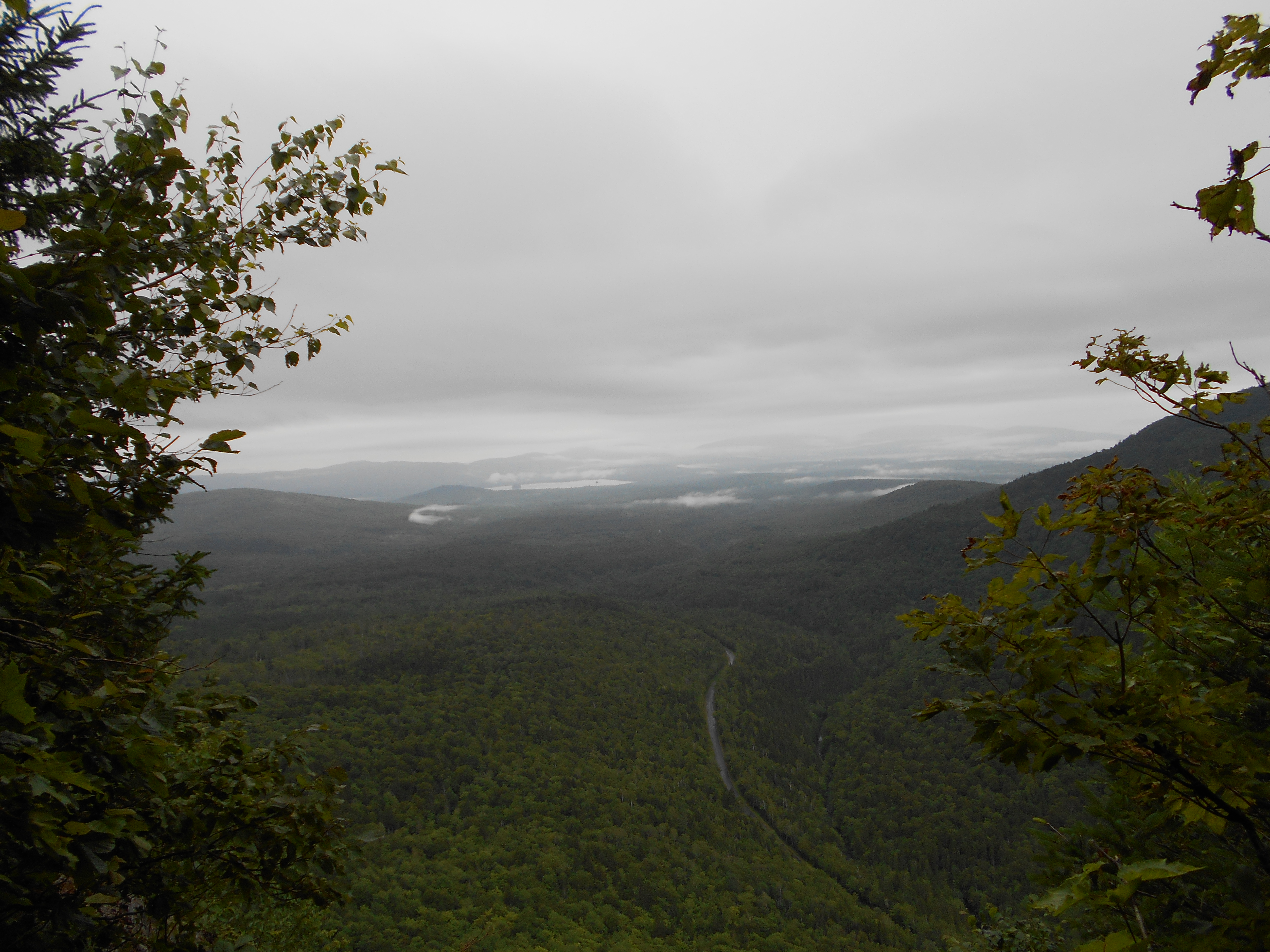
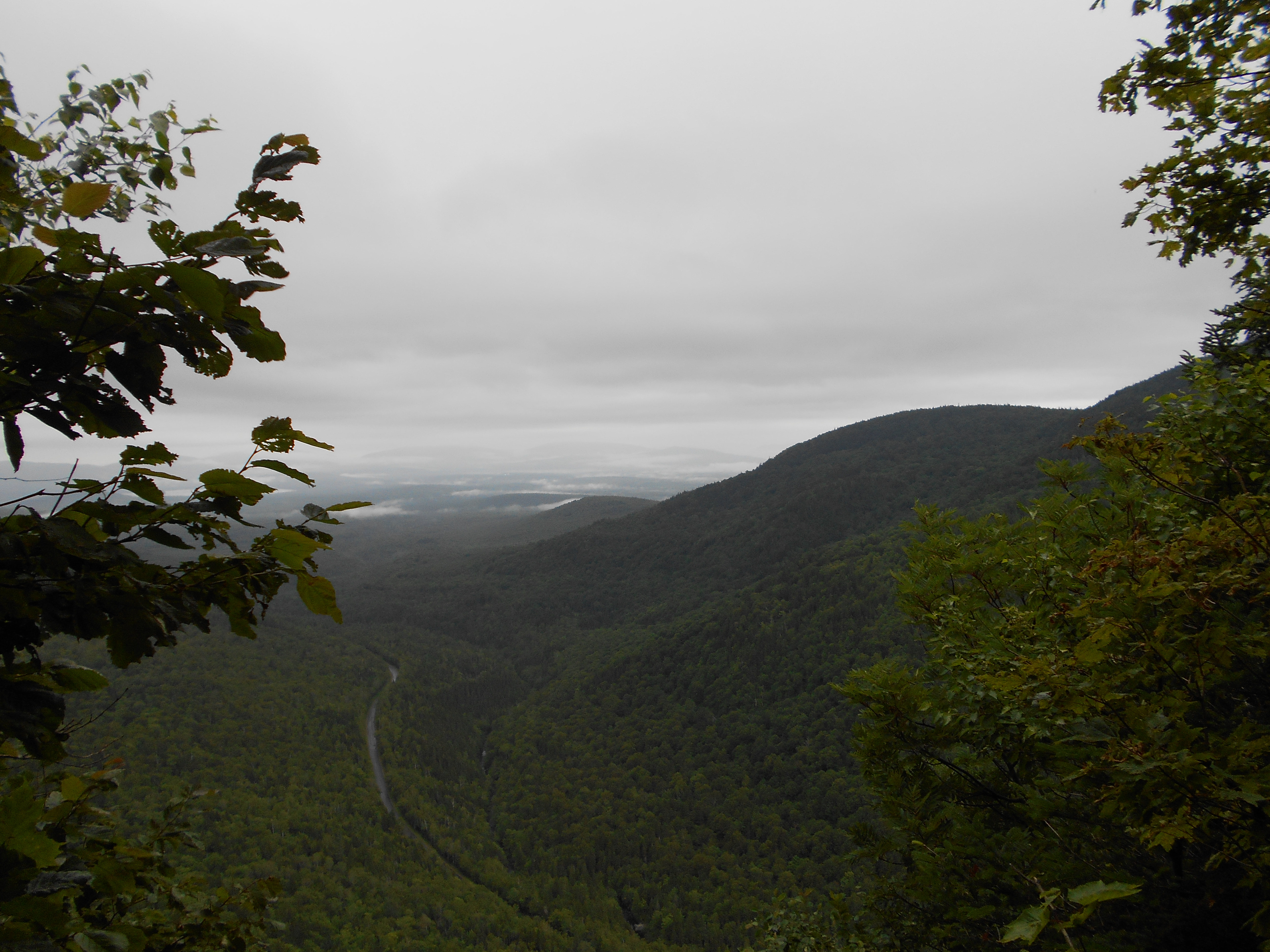
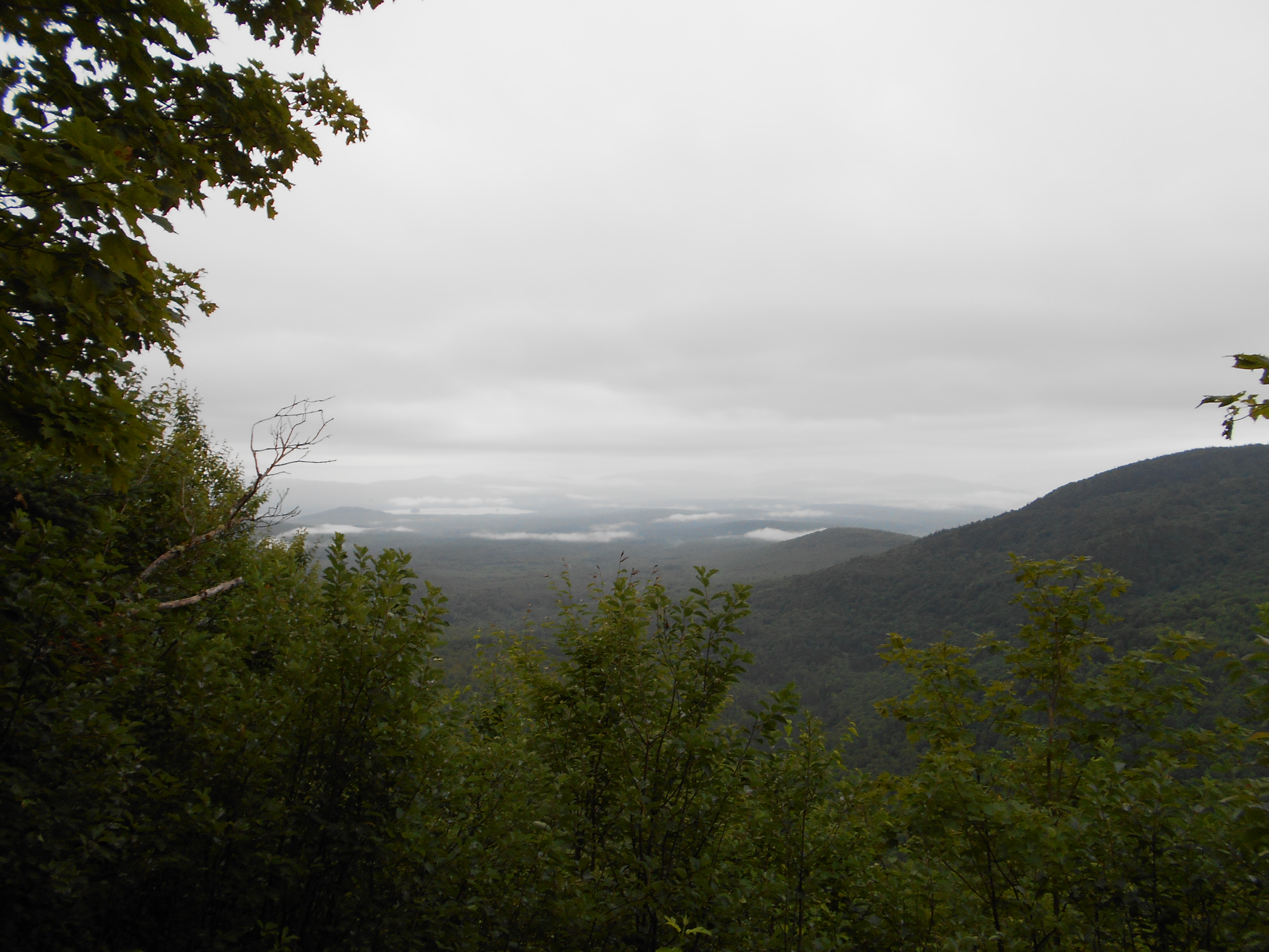
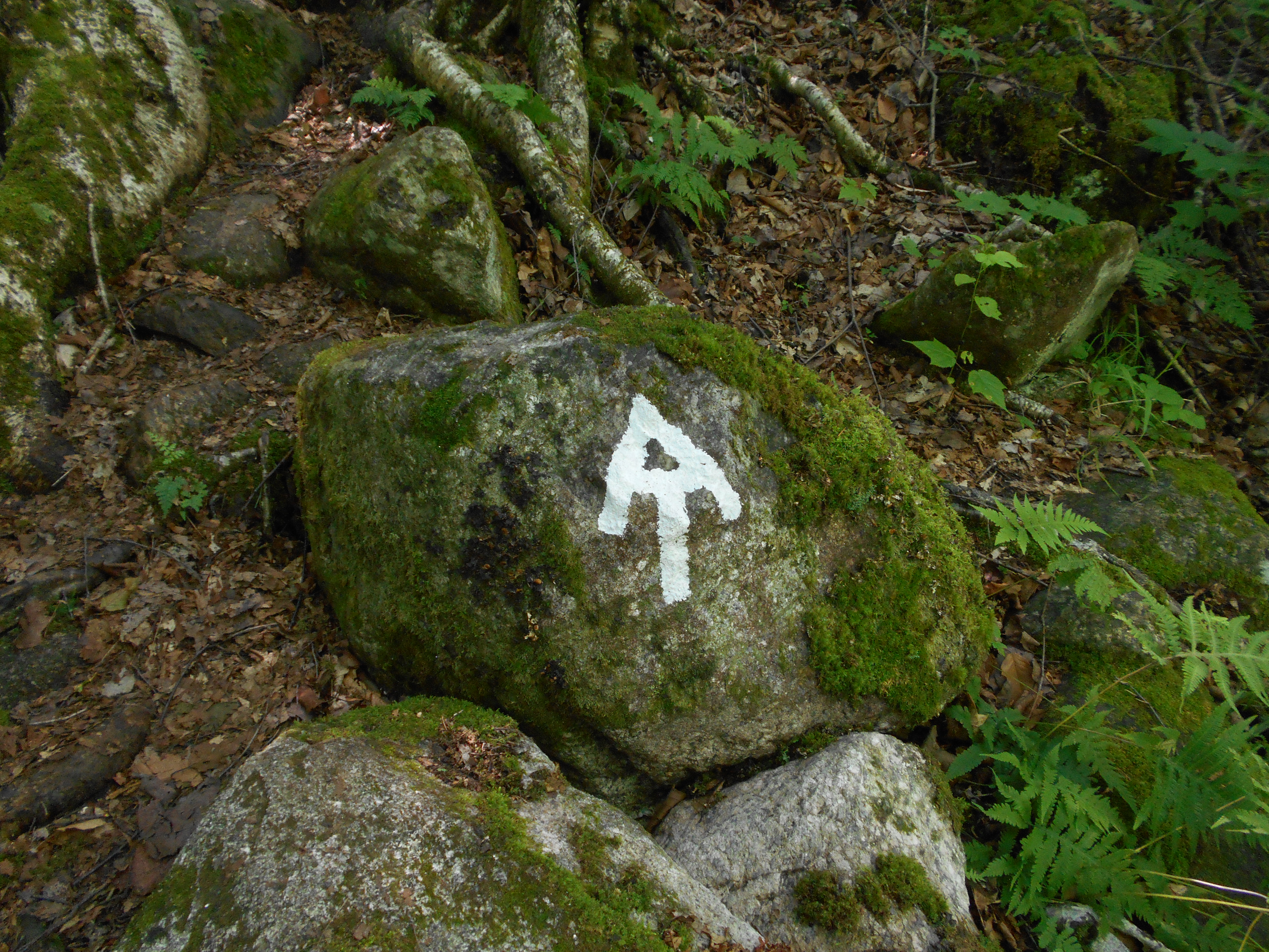
what a day! the short miles the last two days paid off. Did Mahoosuc Notch and Arm today. the notch was really fun. did see ice in some of the reccesses and the temperature in the notch felt at least 10 deg cooler. it was neat hopping over, under, and around bolders. did have to take off my pack 3 times to get though a squeeze, but I had fun, even when loosing the trail a few times due to the poor blazing.
even though I had been told several times to camp between the notch and arm, with the forcast turing bad tomarrow, I thought it would be better to press on. Maybe because I was going uphill, or maybe because it dried out from the last rain, the arm was not as bad as I expected, it was hard, don't get me wrong, but I envisioned a shear cliff I would be hiking on and that was not the case.
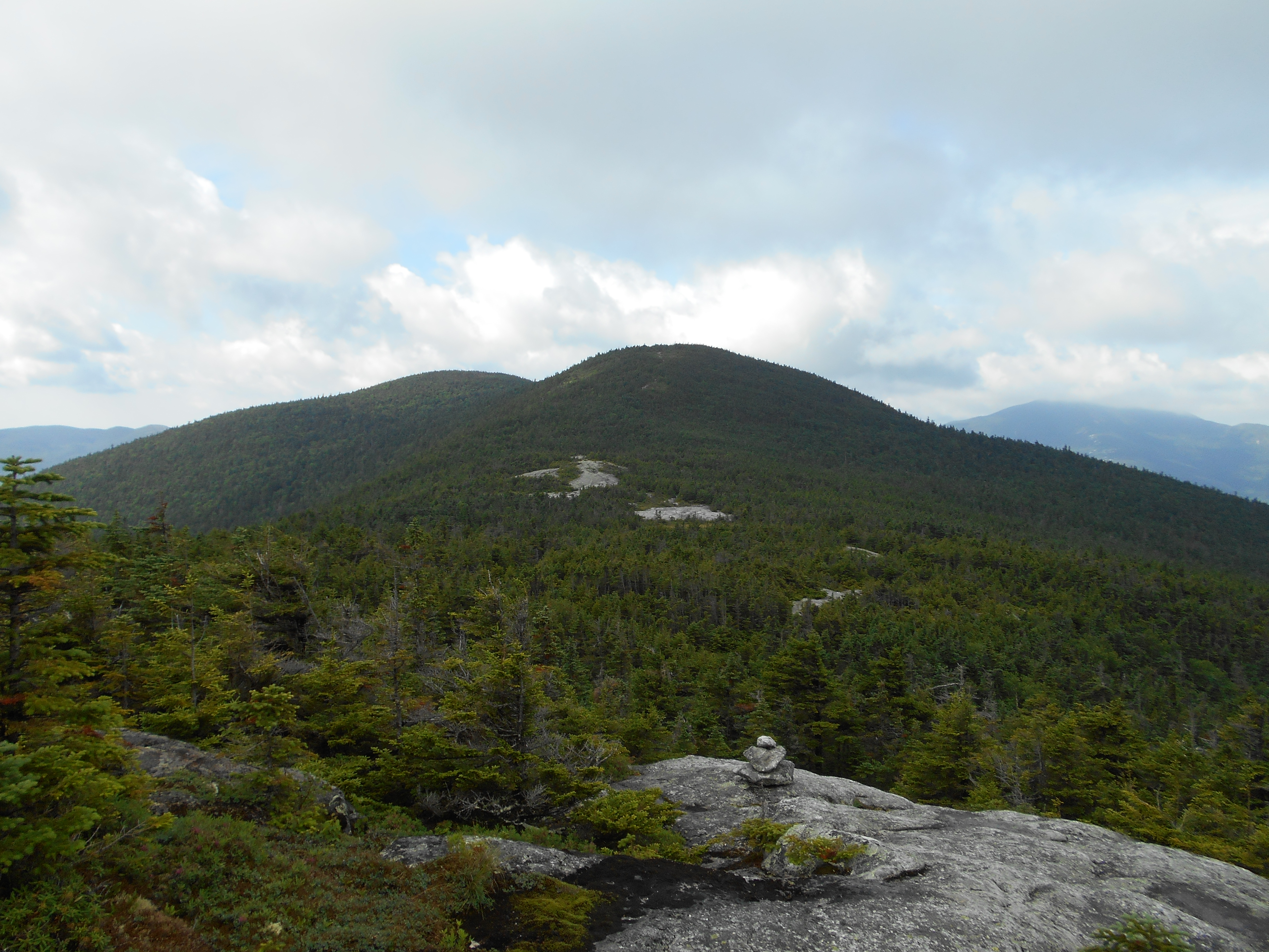
even though I only hiked 5.1 miles today, with the notch and arm consided to be some of the slowest hiking on the AT, I am proud I got here in one day.
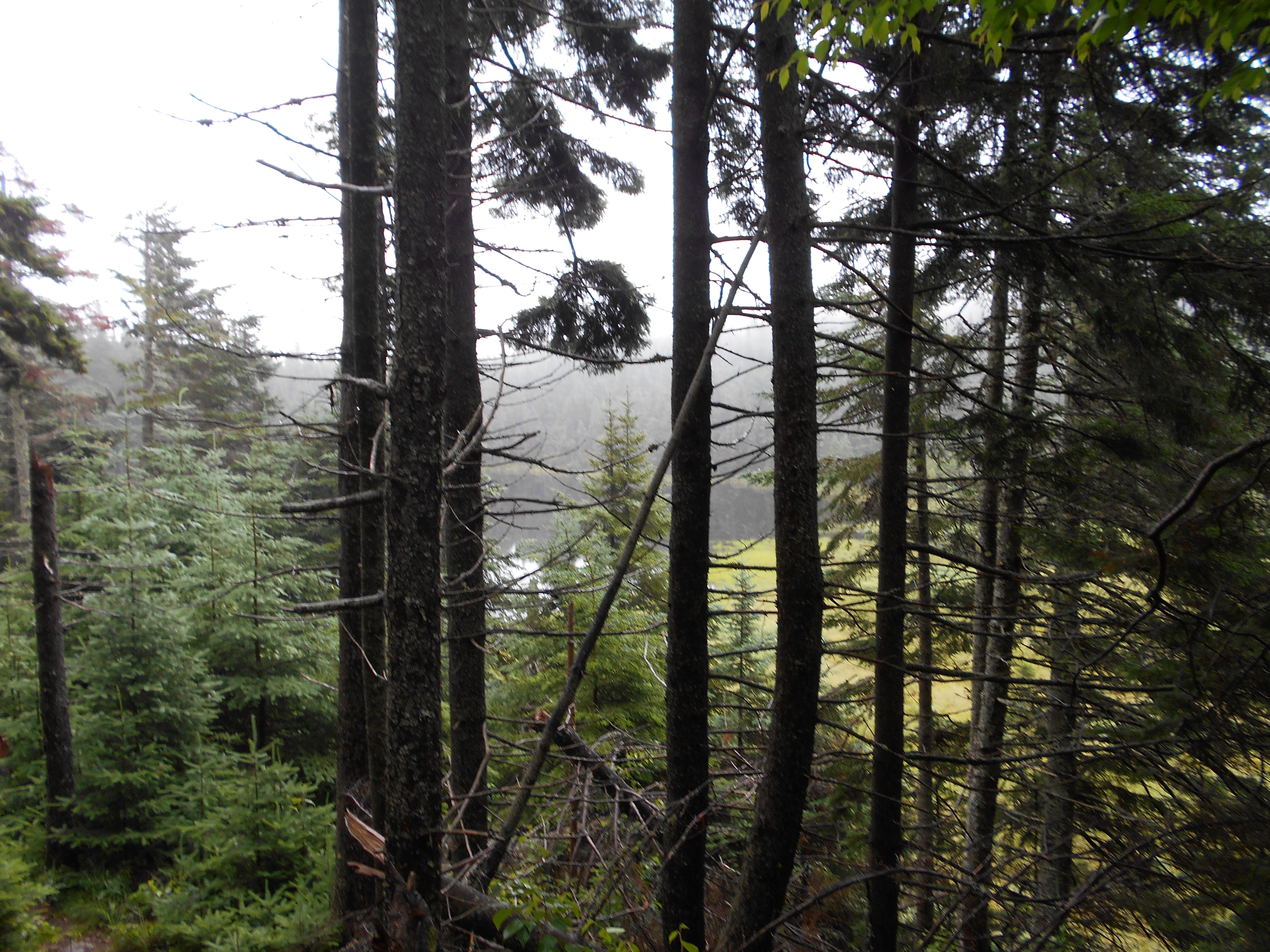
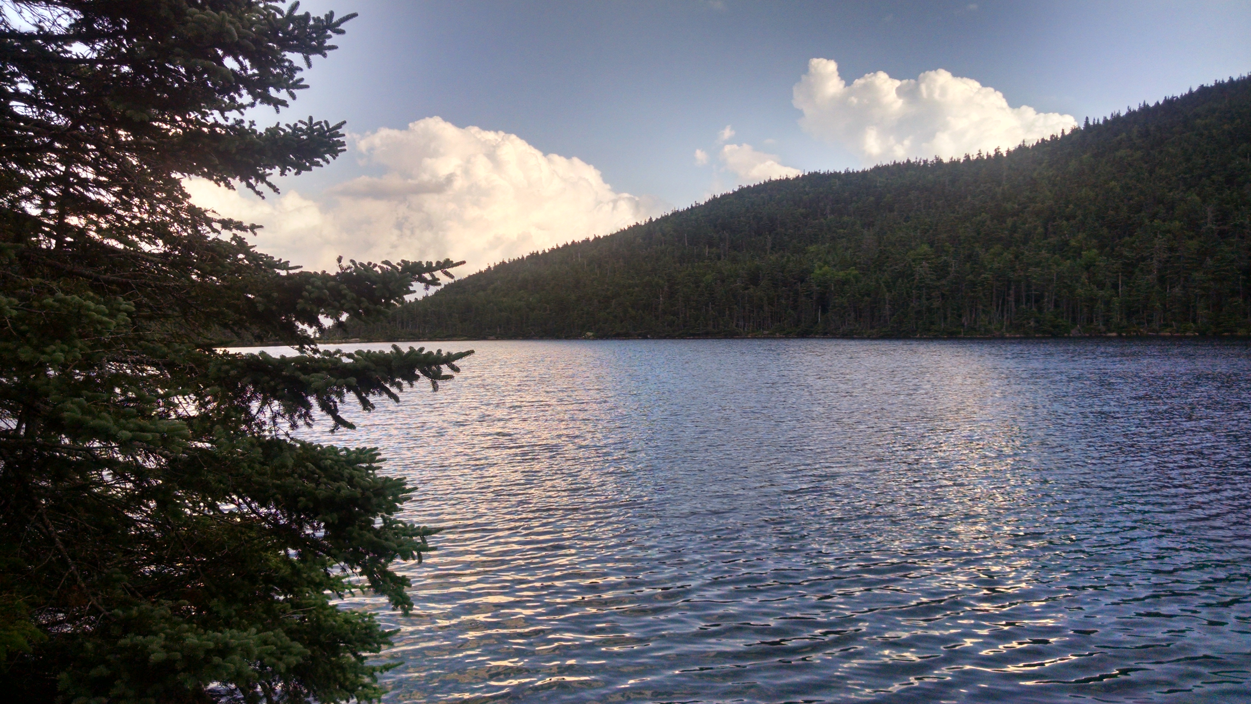
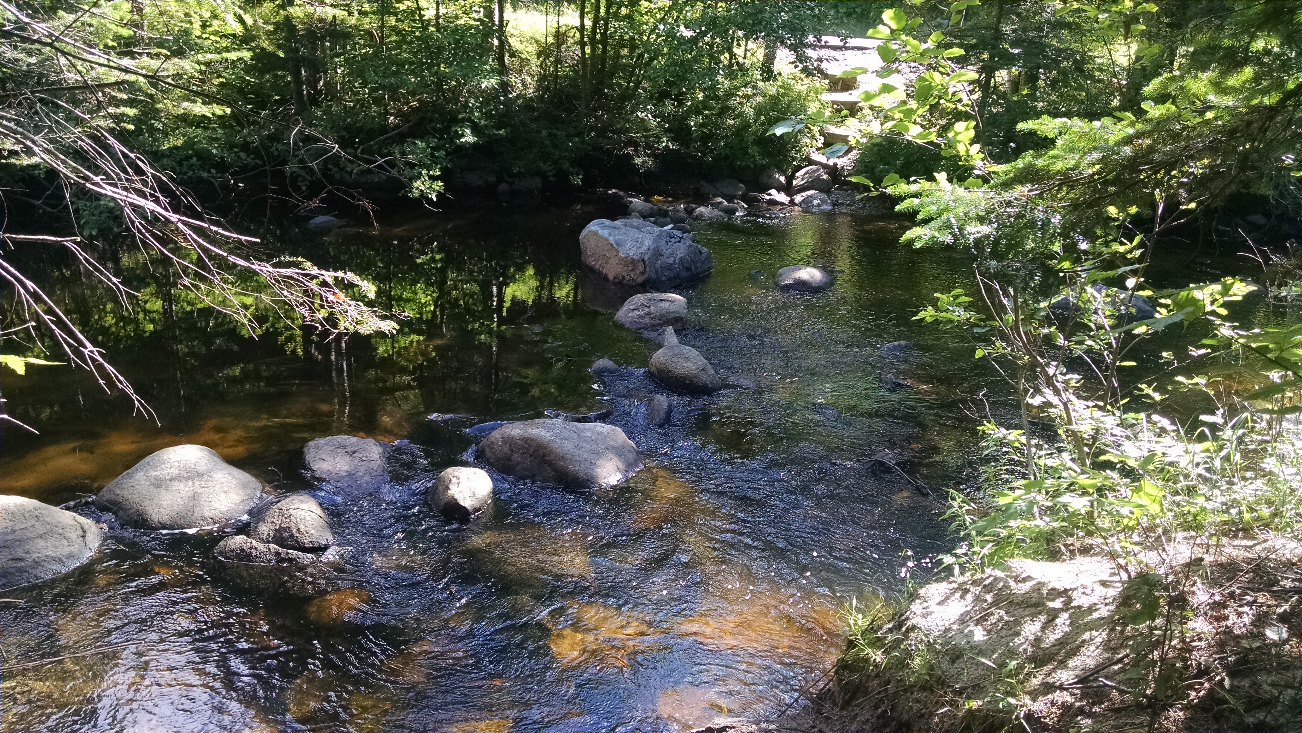
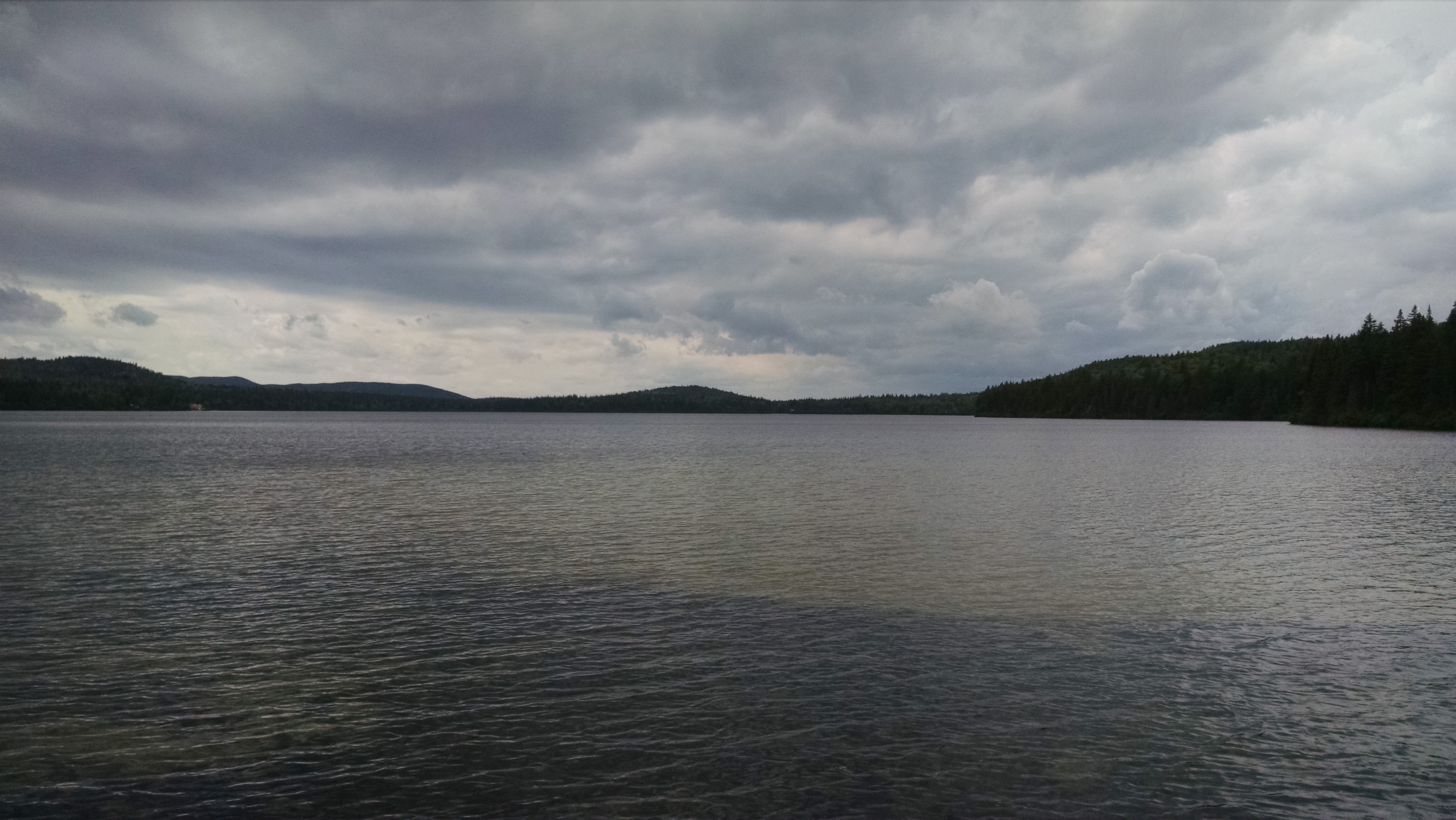
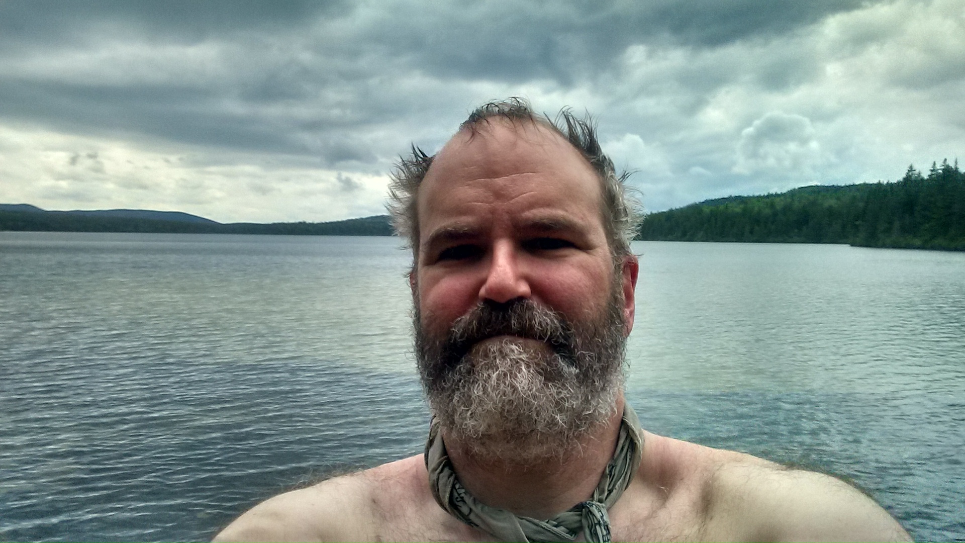
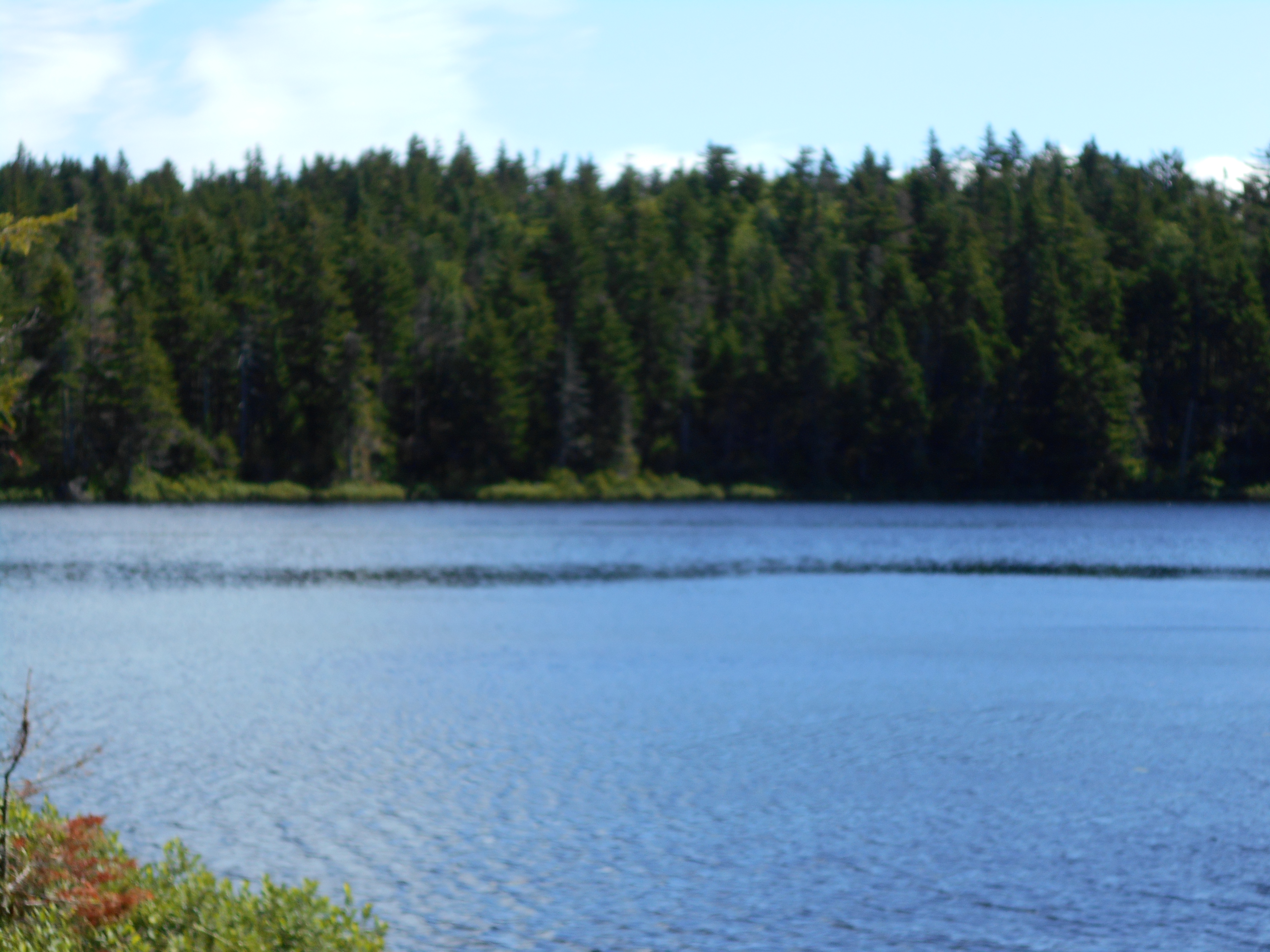
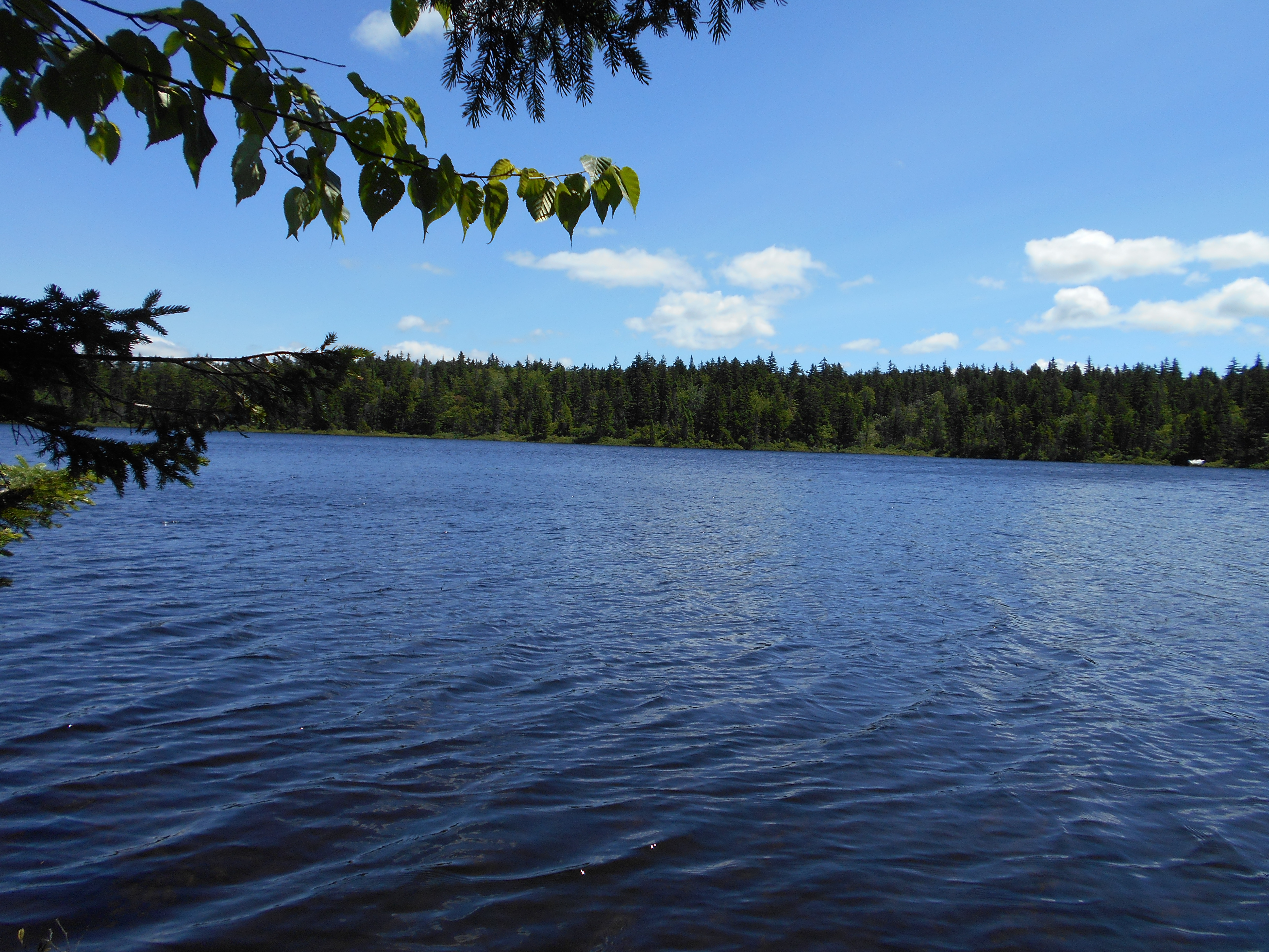
got here around 3:30. did a pack explosion, got water and rehydrated then took a dip in the pond. nice and refreshing and first time it was warm enough to swim. end to a good day!
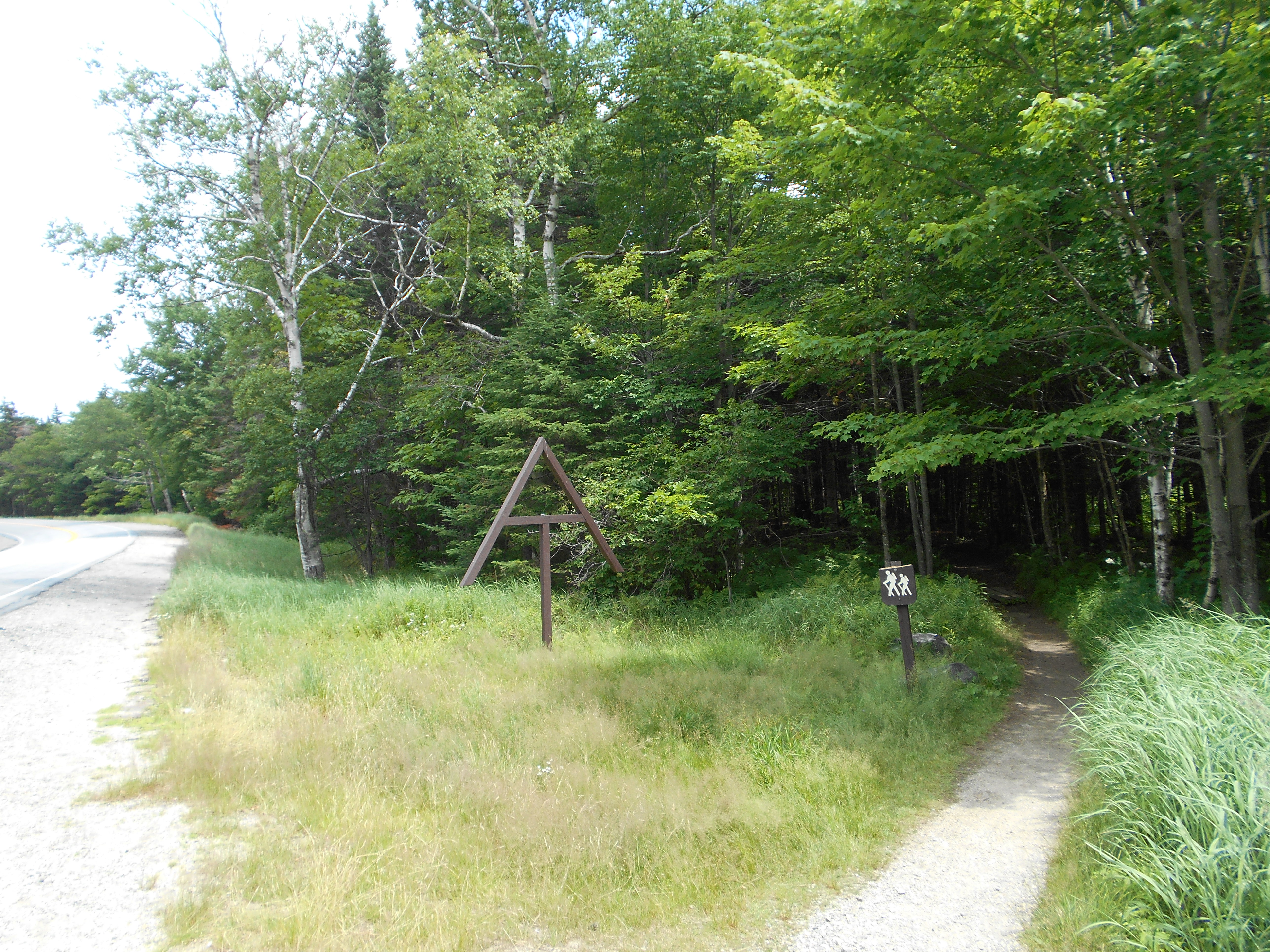
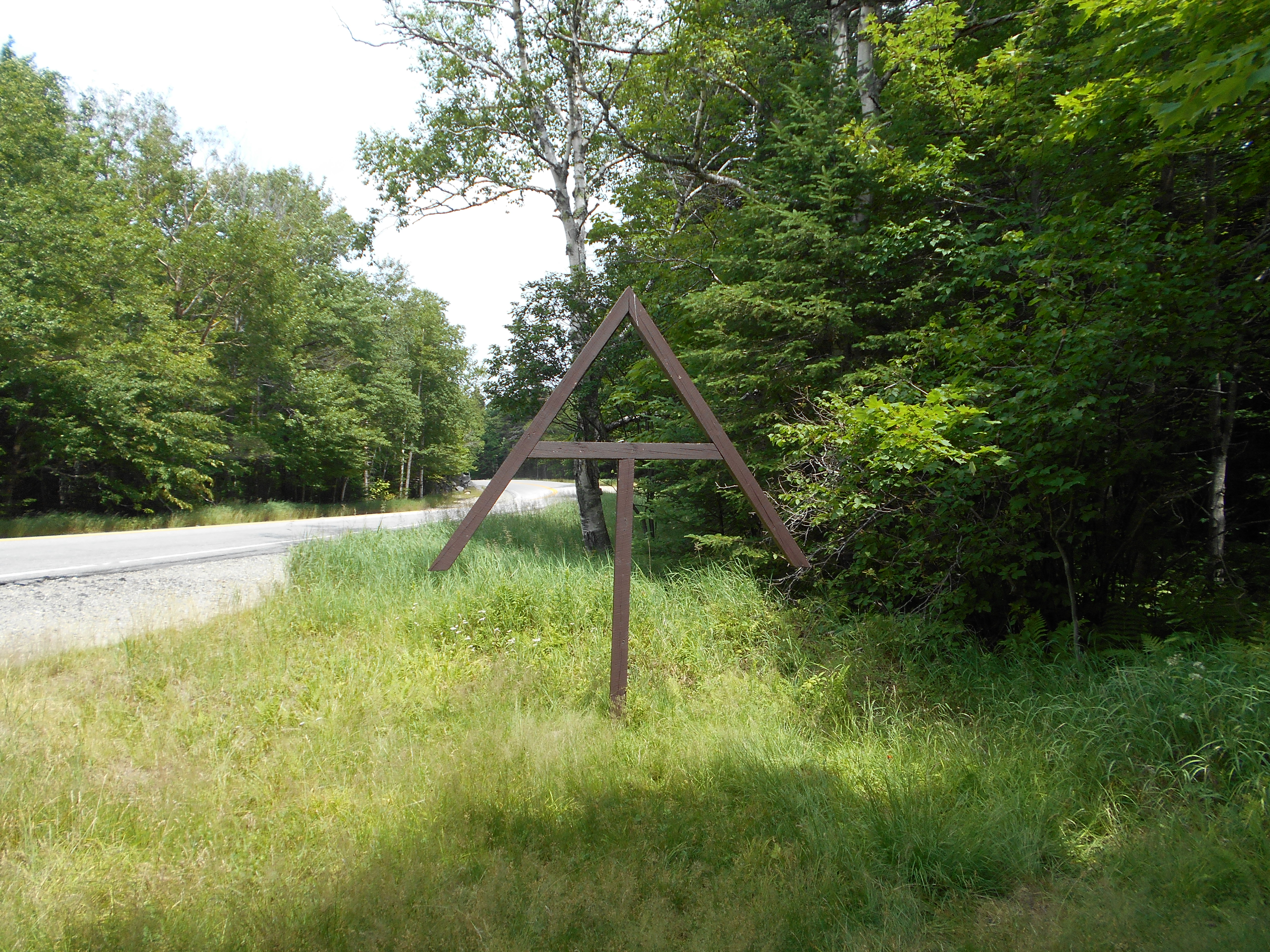
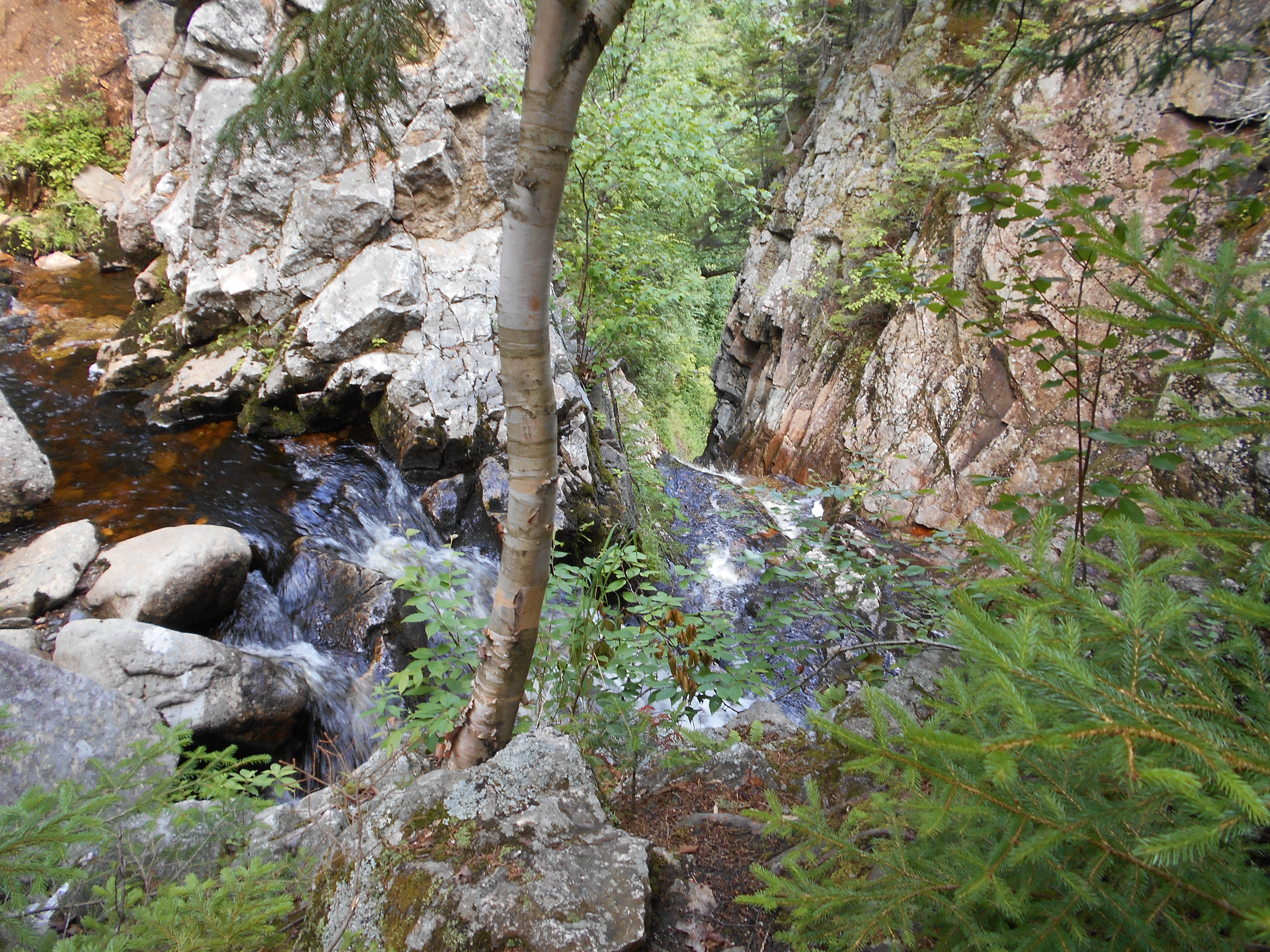
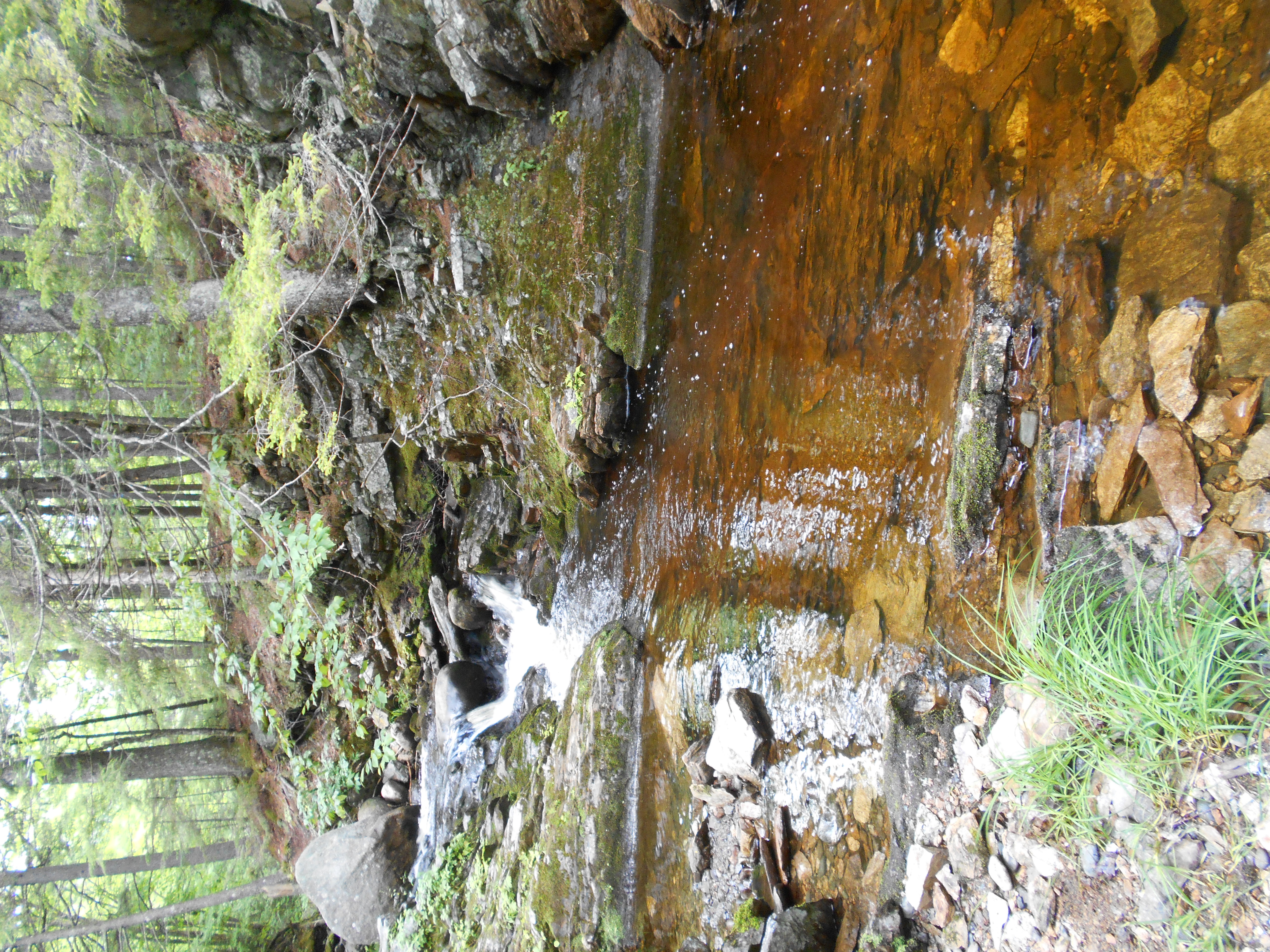
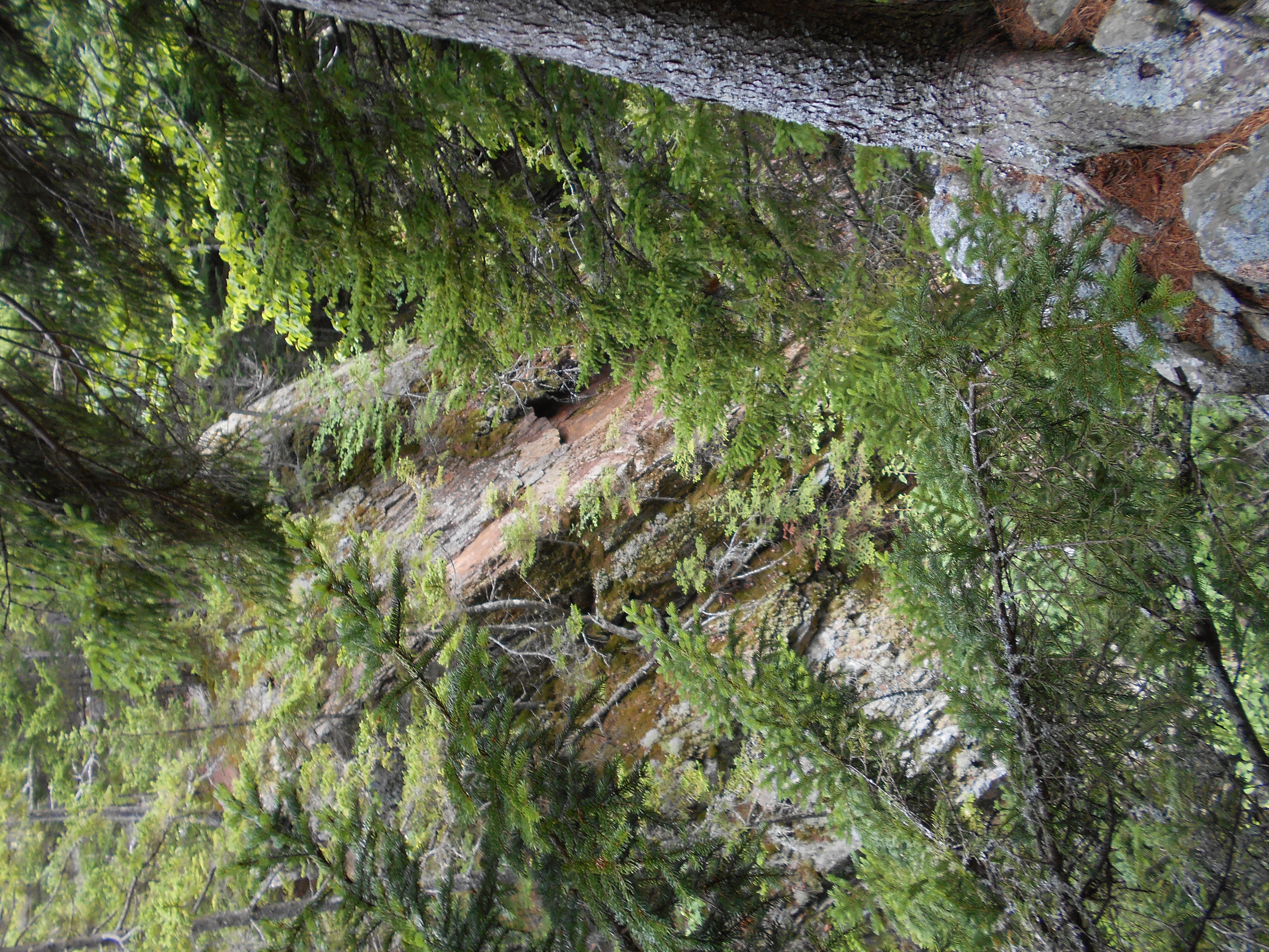
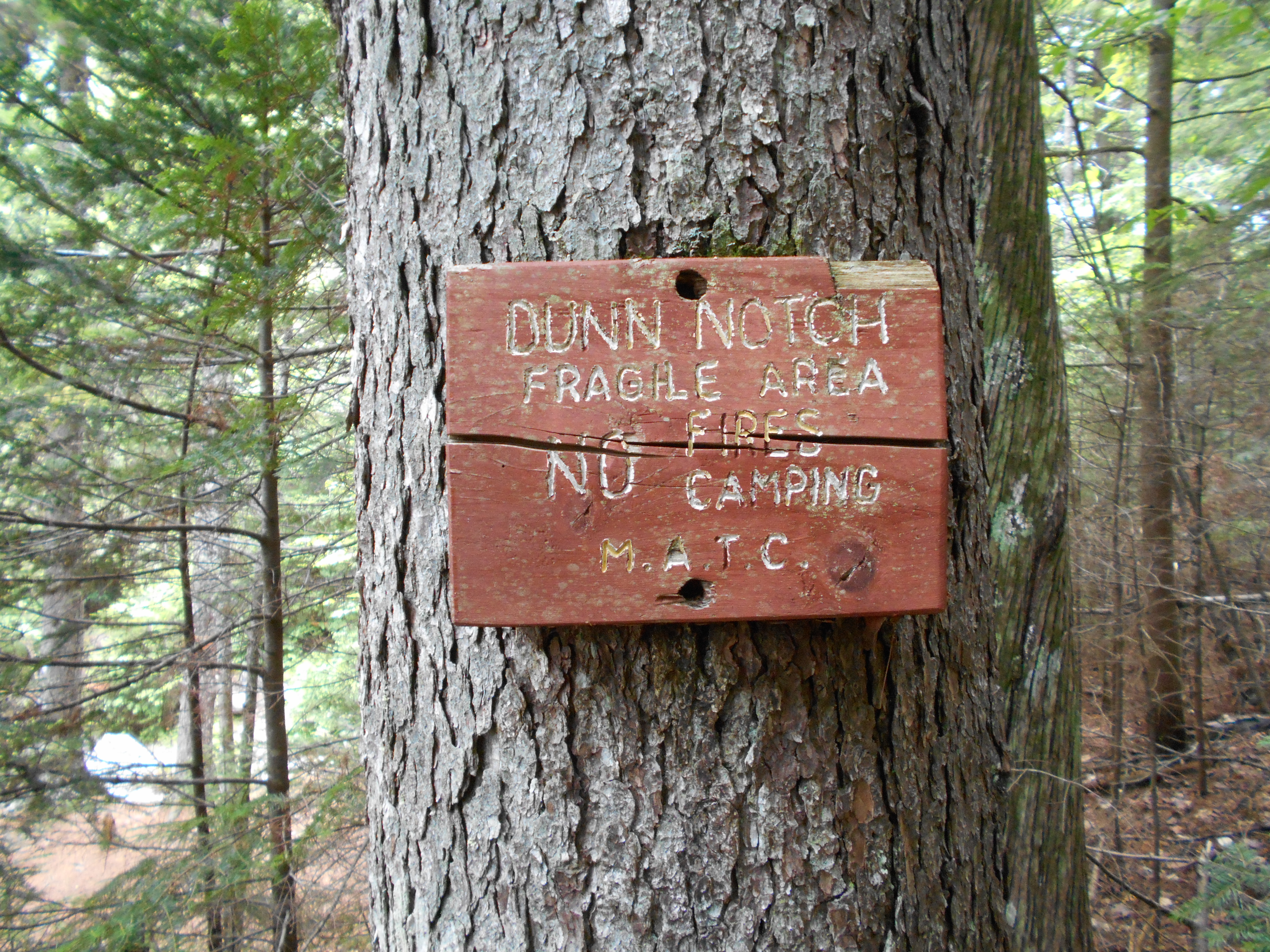
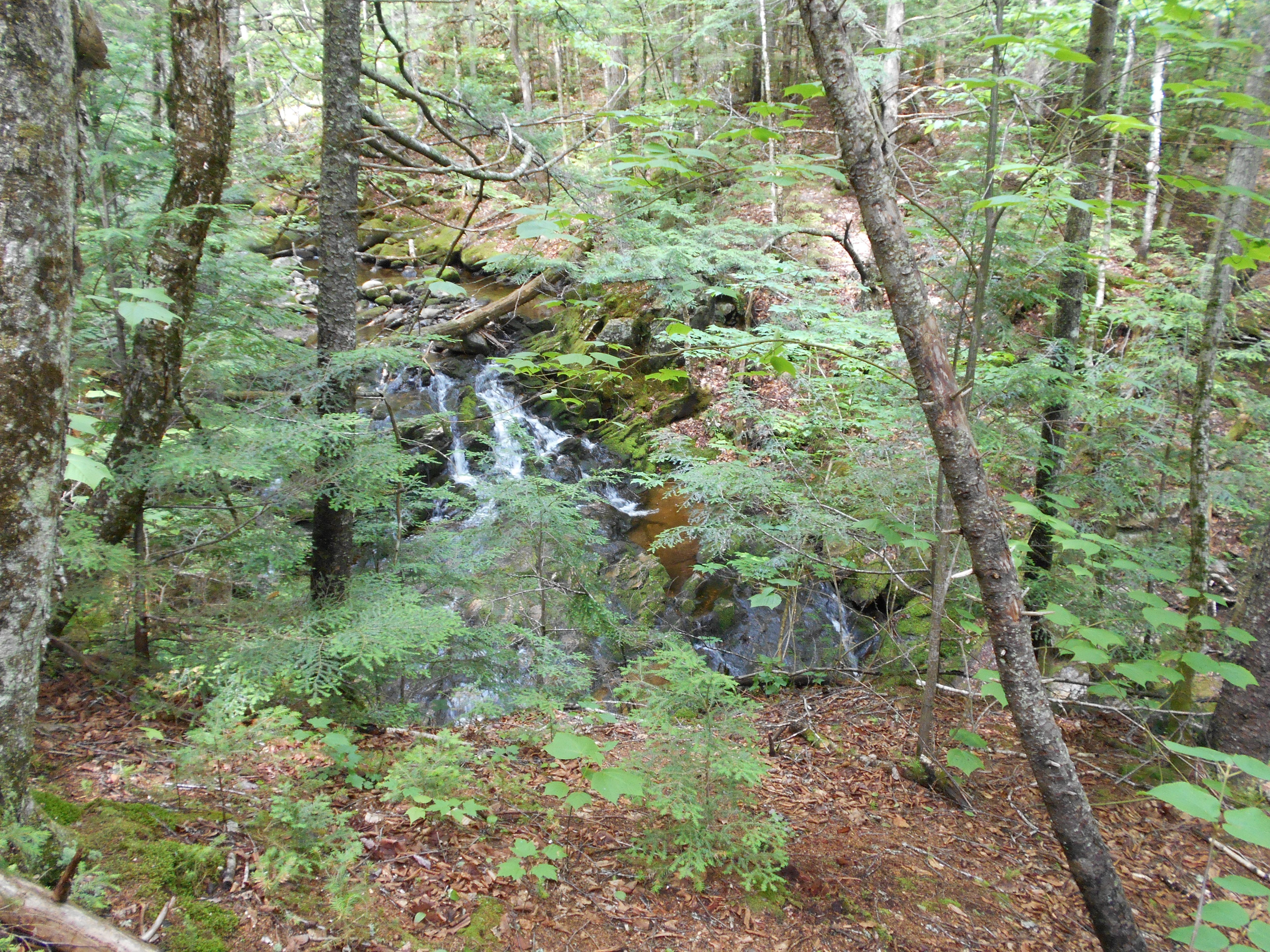
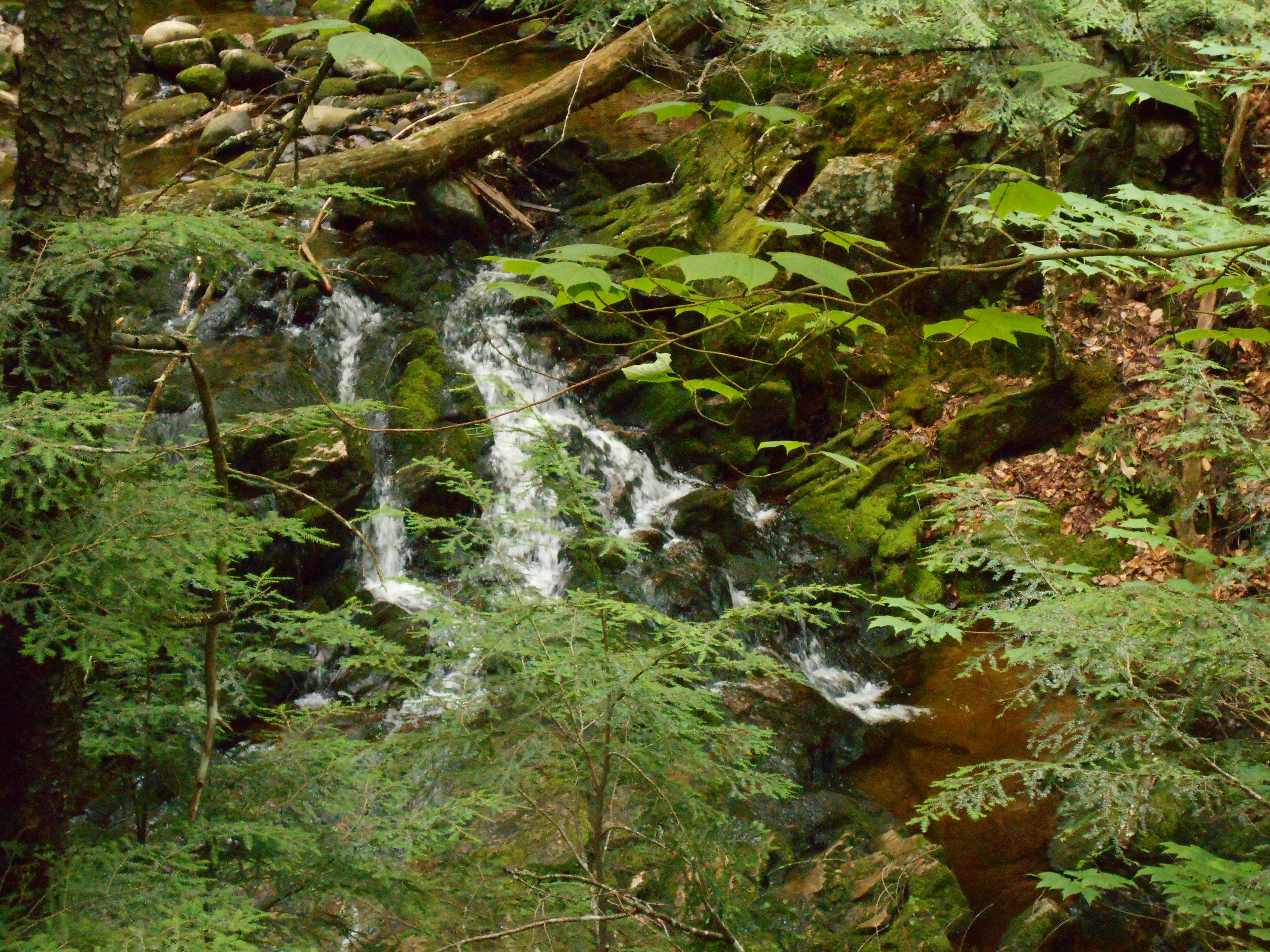
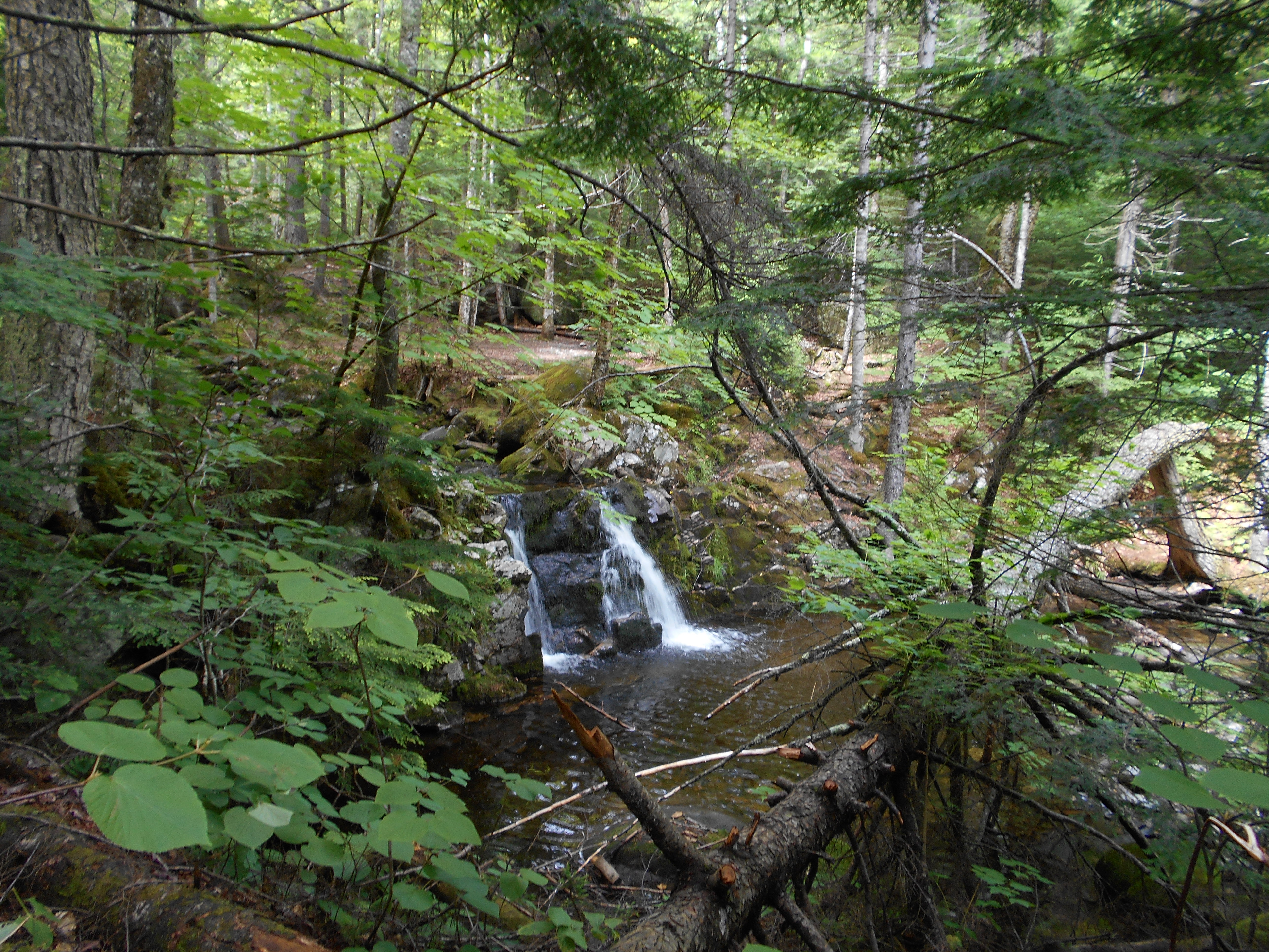
Dunn Notch and Falls (1,350')?ford West Branch Ellis River
1350
1932.2
East B Hill Road (1,485') Andover, Maine 04216
1485
10:00pm
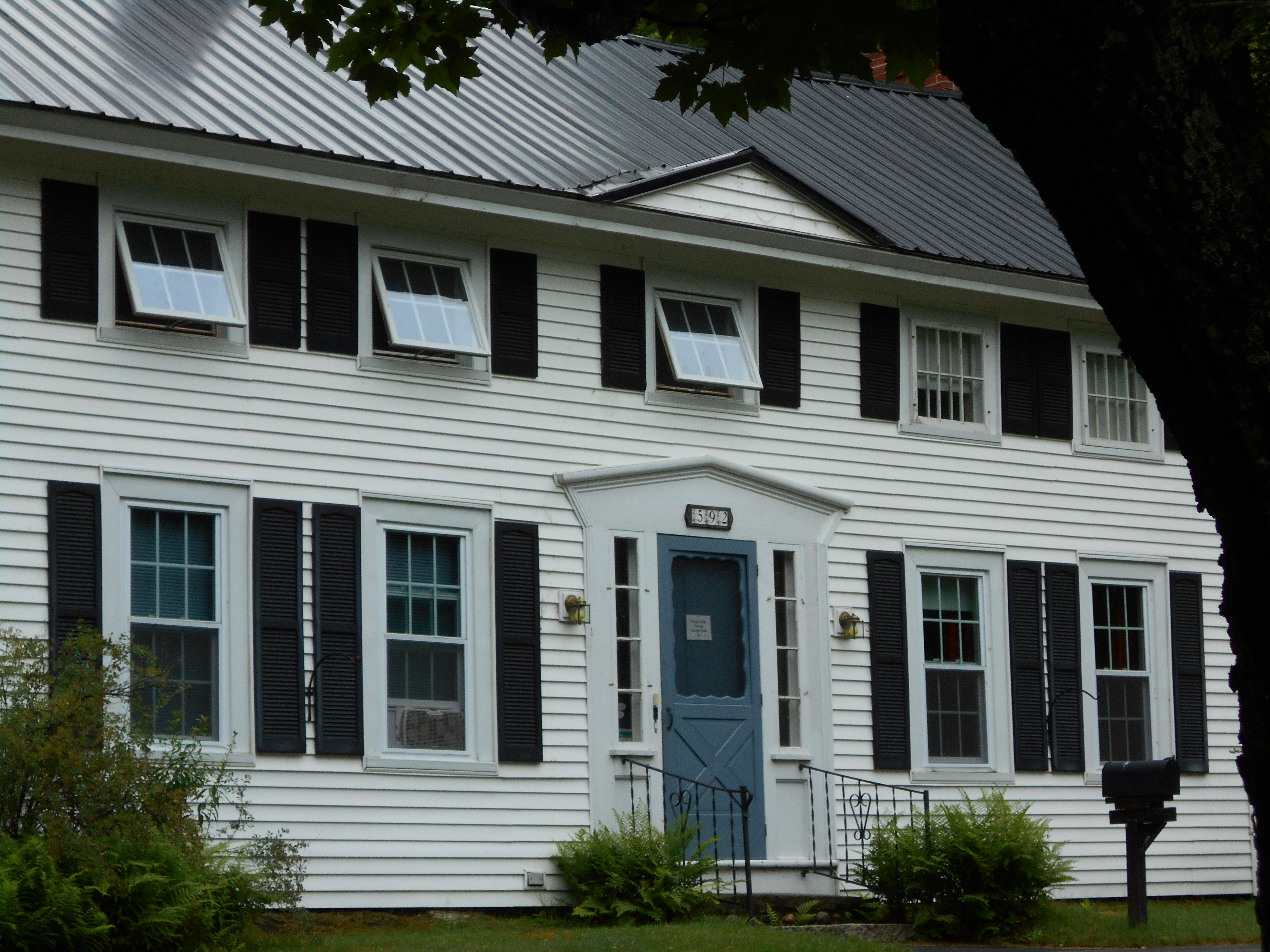
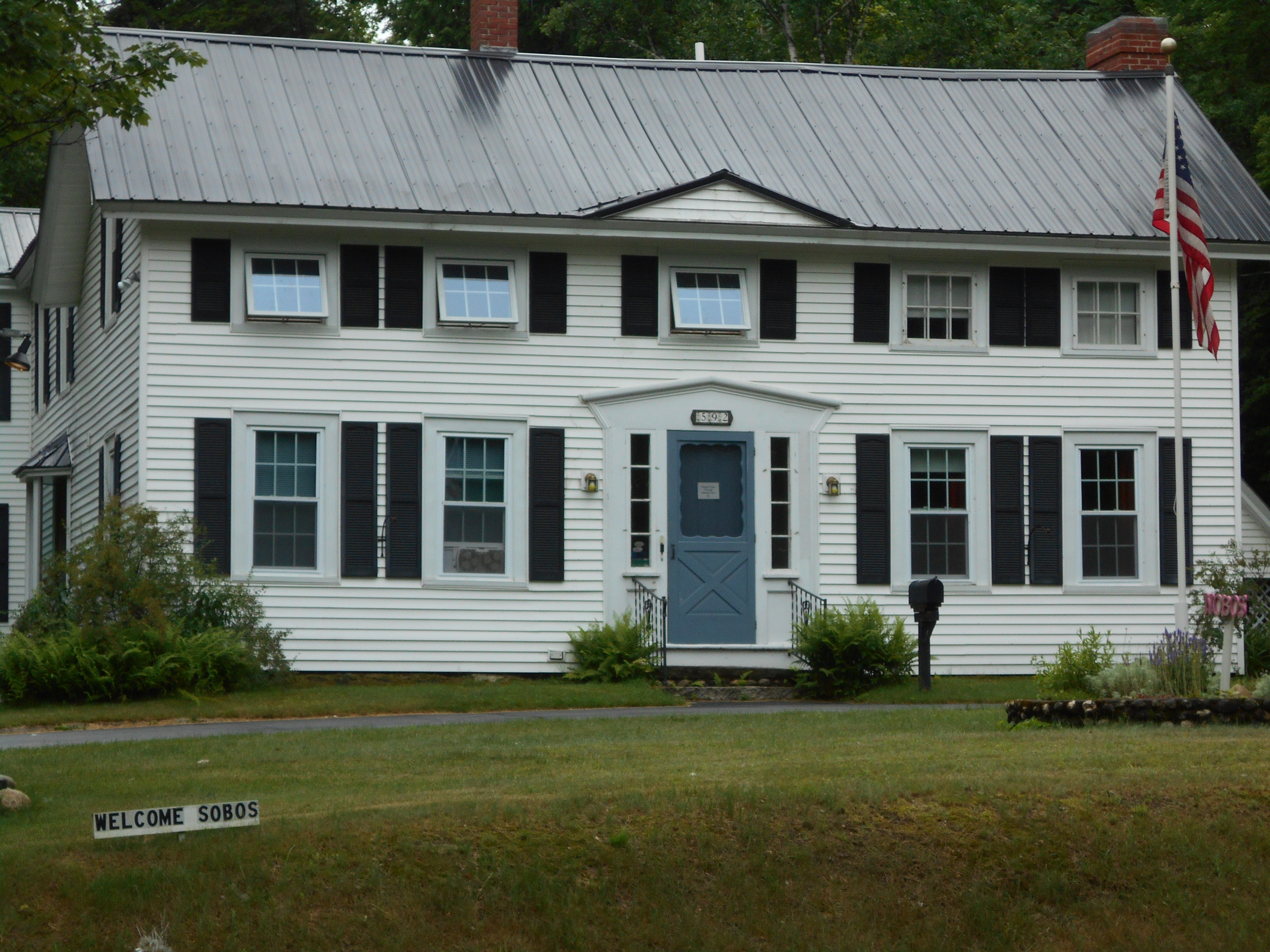
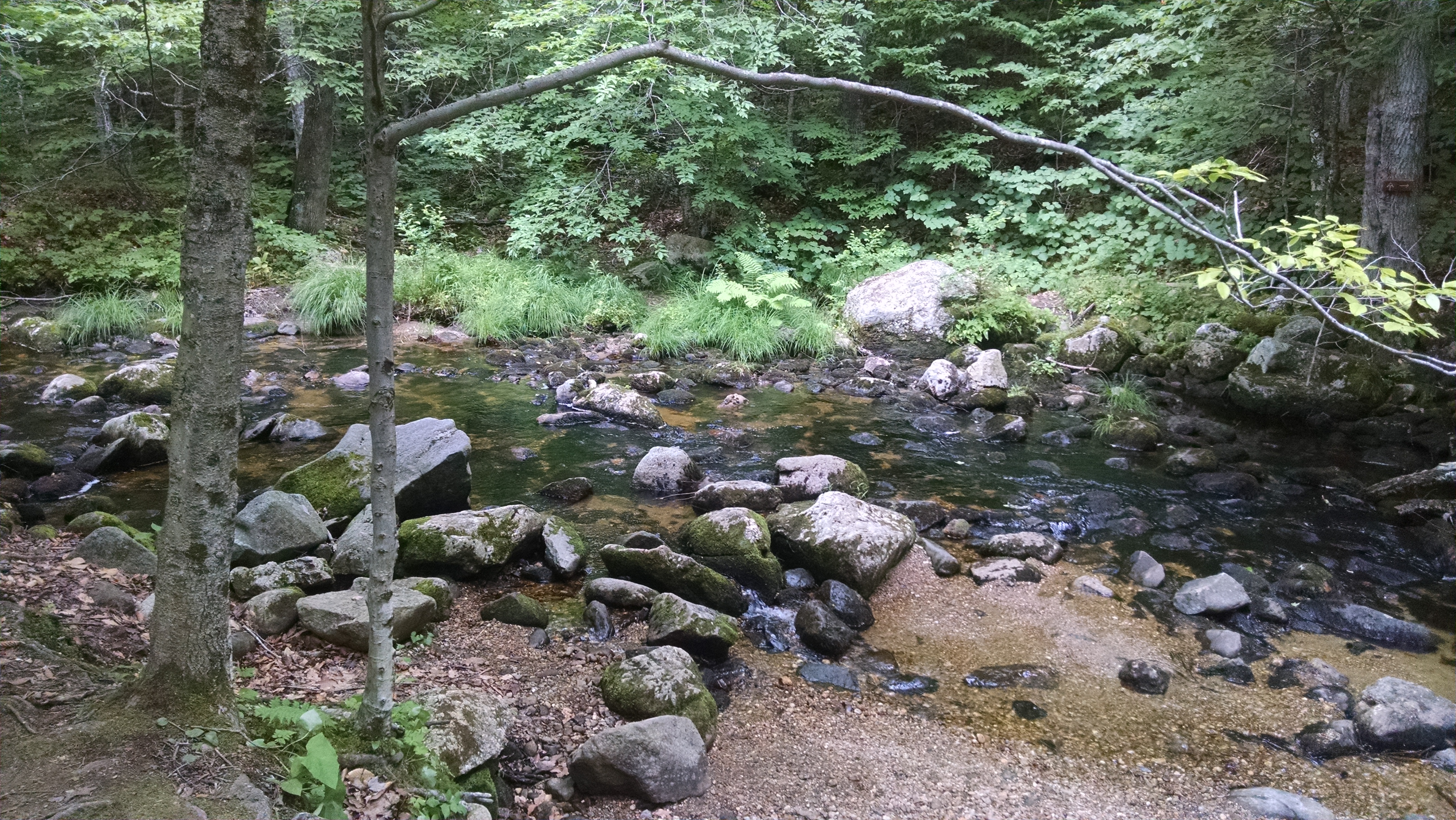
hike this morning was hard up baldplate west and east but great views. hike got much easier after that and I was at the stream befor I knew it. took a quick bath then on the to road crossing (east b hill rd). hitched in (first truck stopped) and I was in town before I knew it. staying at pine ellis lodge. also had a reunion with 50+ who was here (he came into andover via the 2nd road crossing, I came in the first). so we swapped stories from the trail.
had prime rib at the Little Red Hen resturant and bought too much for resupply. then started to thing about tomarrow. decided to slack pack south from the 2nd road to andover to the first road crossing. now just waiting for laundry to finish.
July 16, 2016
south arm rd to East B Hill Rd (<
andover, me ) SOBO Slackpack
Total Milage 10.1
Miles from Springer
Features
Elevation
1934
Burroughs Brook (2,050')?ford, outlet of Surplus Pond
2050
1934.1
Gravel logging road (2,050')
2050
1936.9
Wyman Mountain (northpeak) (2,945')
2945
1938.2
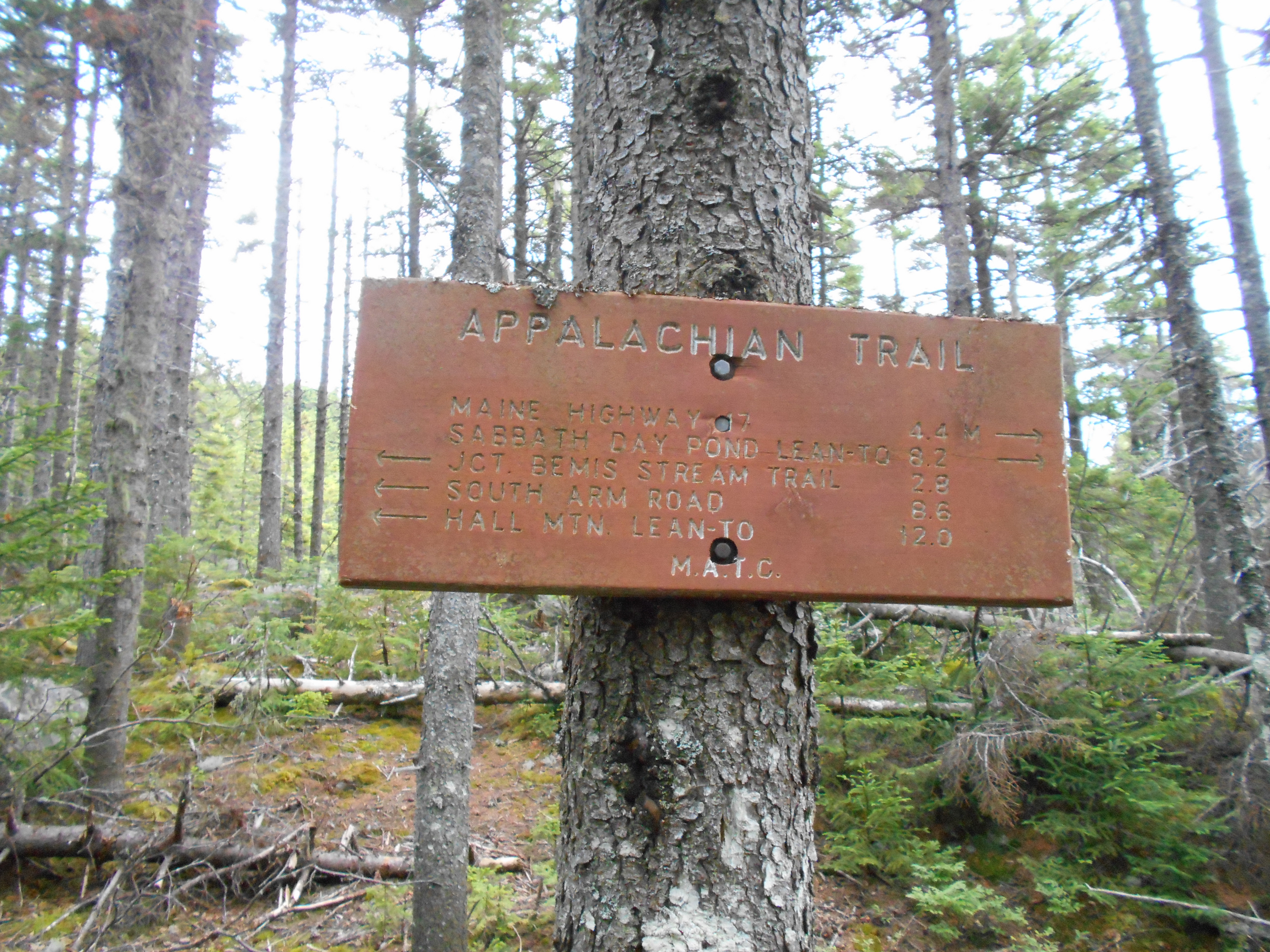
Hall Mountain Lean-to (2,635') ?10.5mS; 12.8mN
2635
1939.6
Sawyer Notch, Sawyer Brook (1,095')?ford
1095
1940.5
Moody Mountain (2,440')
2440
1942.3
South Arm Road, Black Brook (1,410')?ford Andover, Maine 04216
1410
7:40pm
woke up and had coffee at the hostel then off to the Little Red Hen for breakfast of french toast, eggs, sausage and bacon. then I got a chance to slackpack back to the hostal so I took it. syarted at soith arm rd going south. climb up moody mnt and whyman were not too bad, climb down to sawyer brook was ok too. at hall mnt shelter I called the hostal and they gave me a pickup time of 4pm. I was moving pretty good (for me) but still was a bit late to the road for pickup, but they were still there. showered when I got back and then off to Little Red Hen once again for AYCE lasagna, pizza and spagetti. all and all a good day and good hike.
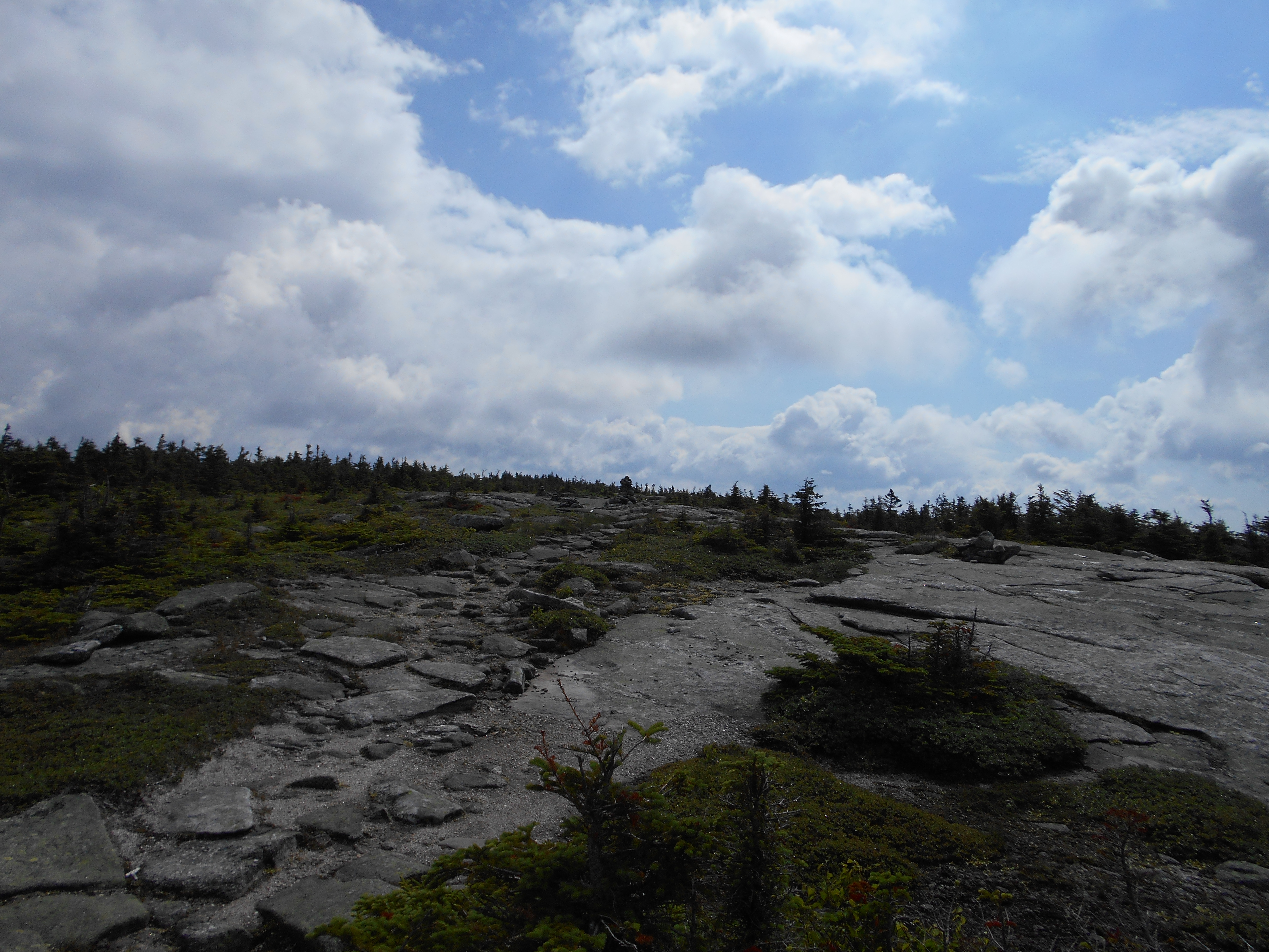
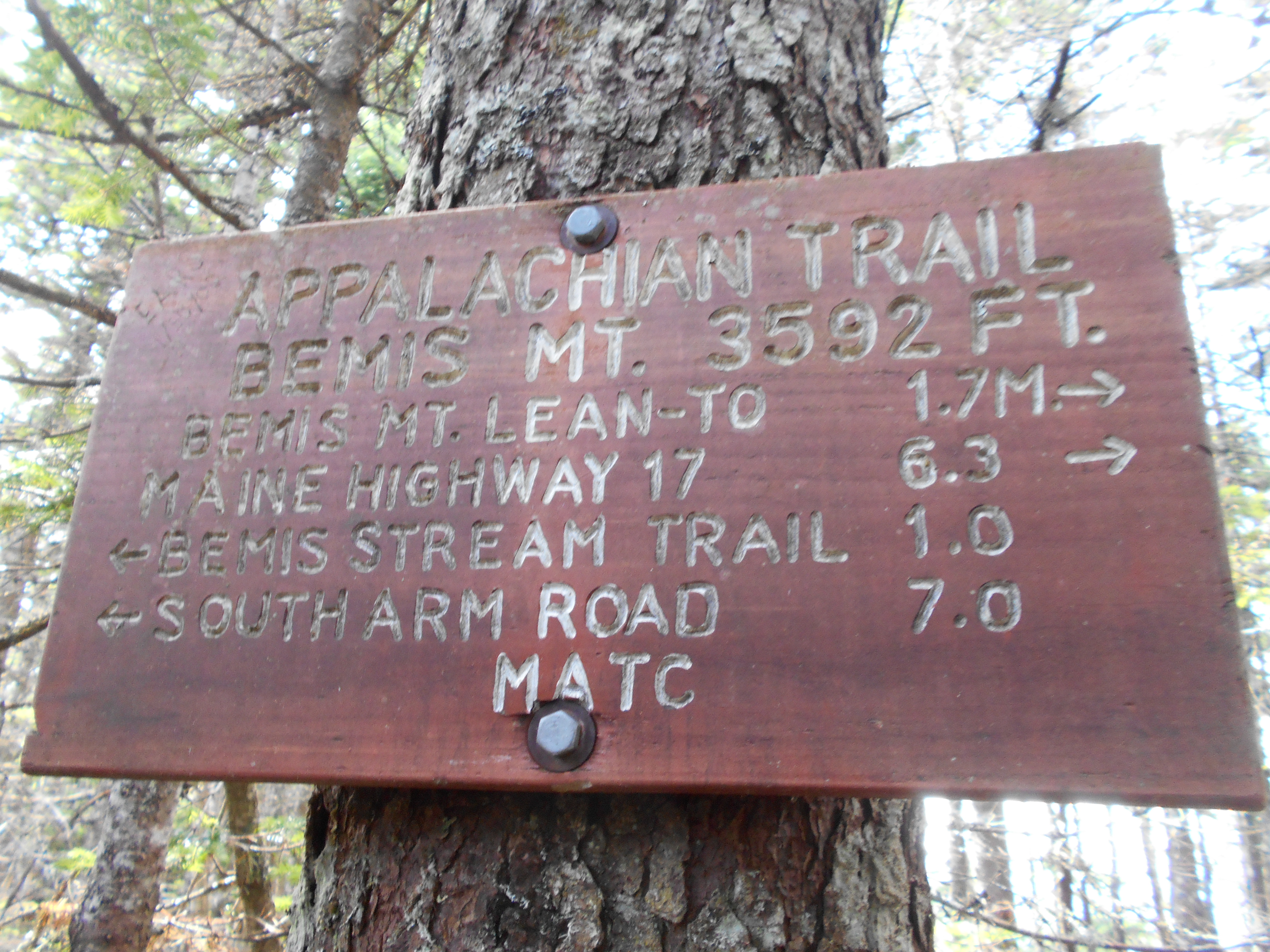
July 17, 2016
South Arm Rd to Bemis Mnt Shelter
Total Milage 8.7
Miles from Springer
Features
Elevation
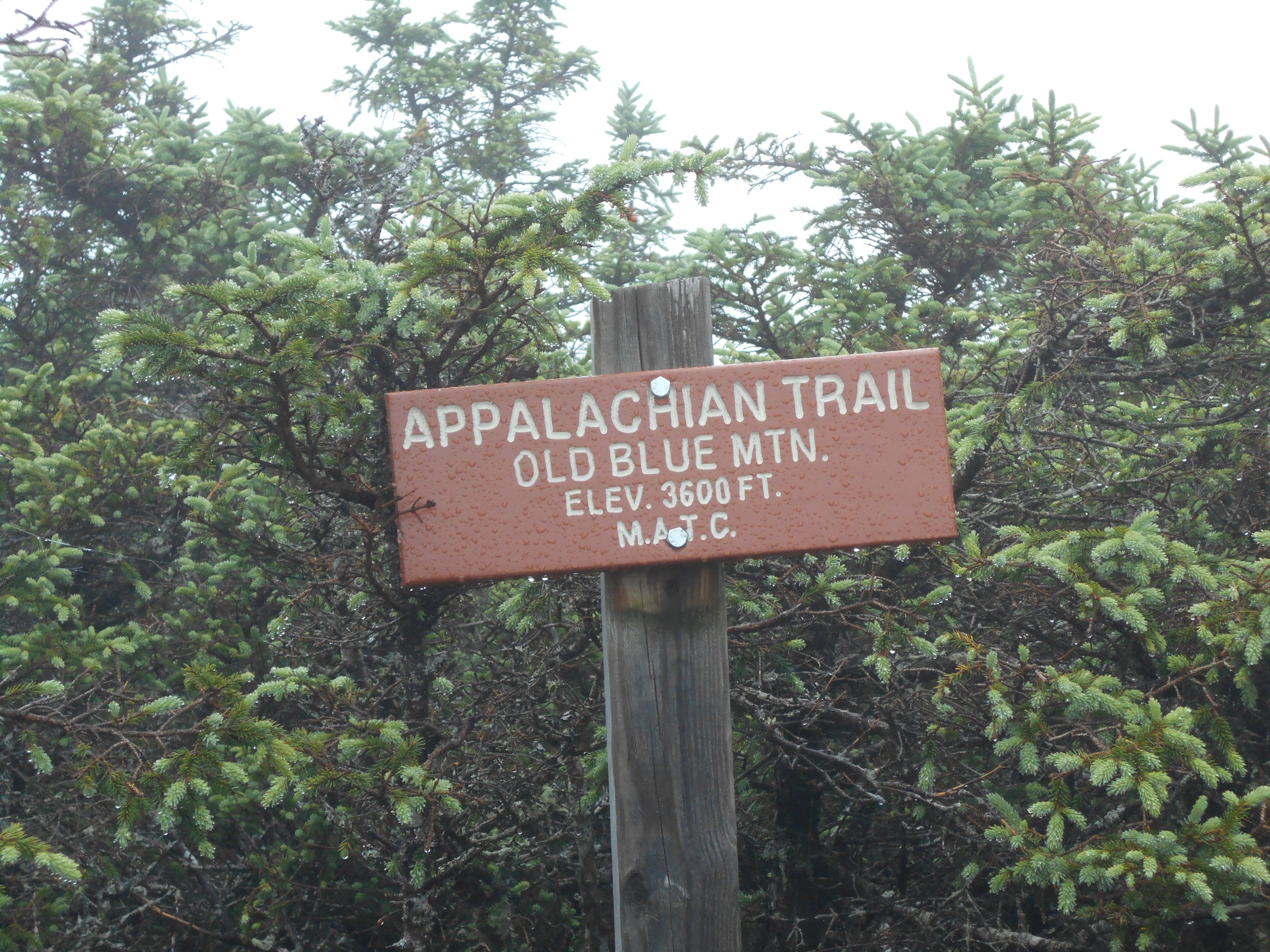
1945.1
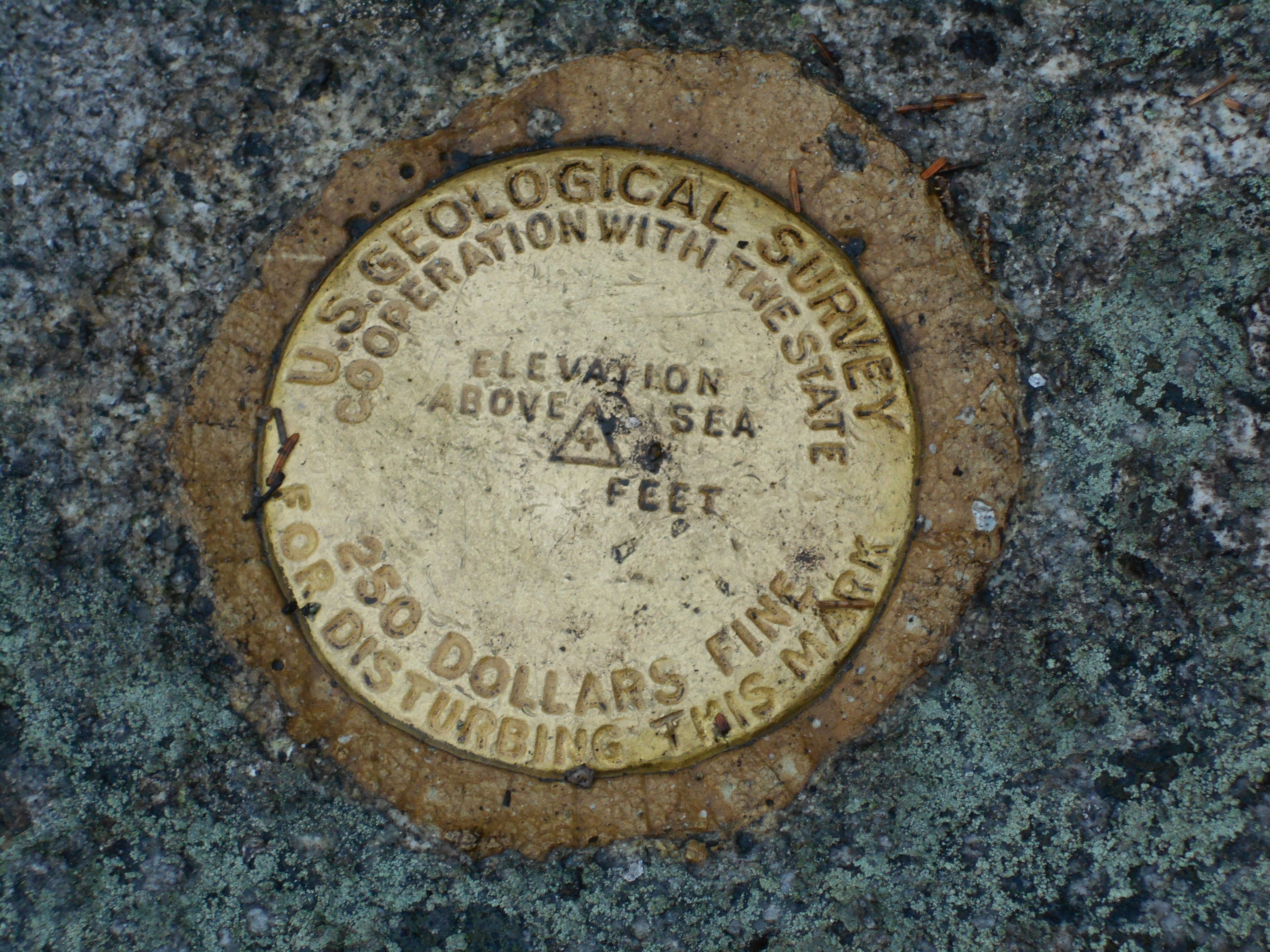
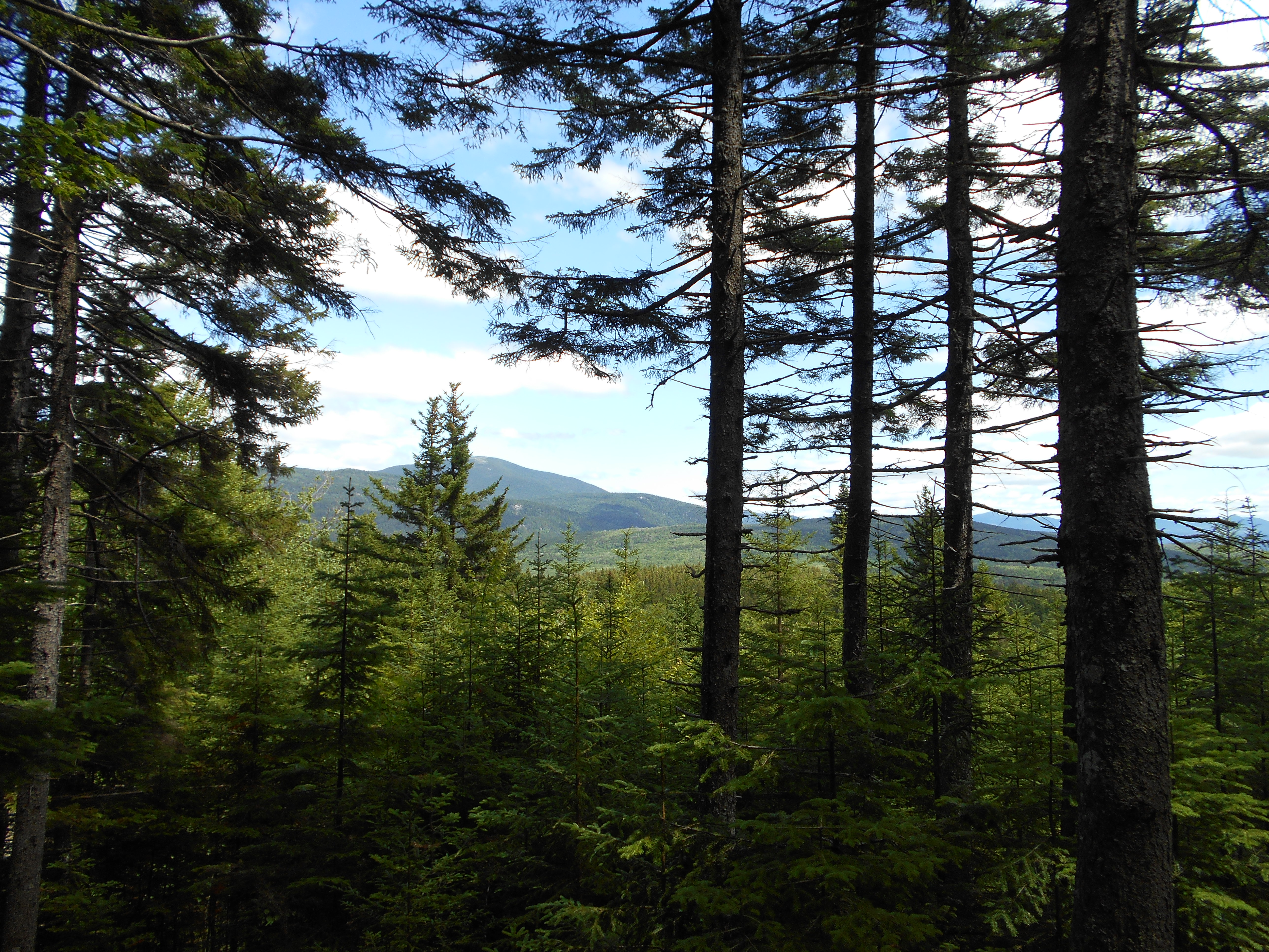
Old Blue Mountain (3,600')
3600
1948.3
Bemis Stream Trail (3,350')
3350
1949.3
Bemis Mountain (West Peak) (3,592')
3592
1951
Bemis Mountain Lean-to (2,790') ?12.8mS; 8.3mN
2790
3:30pm
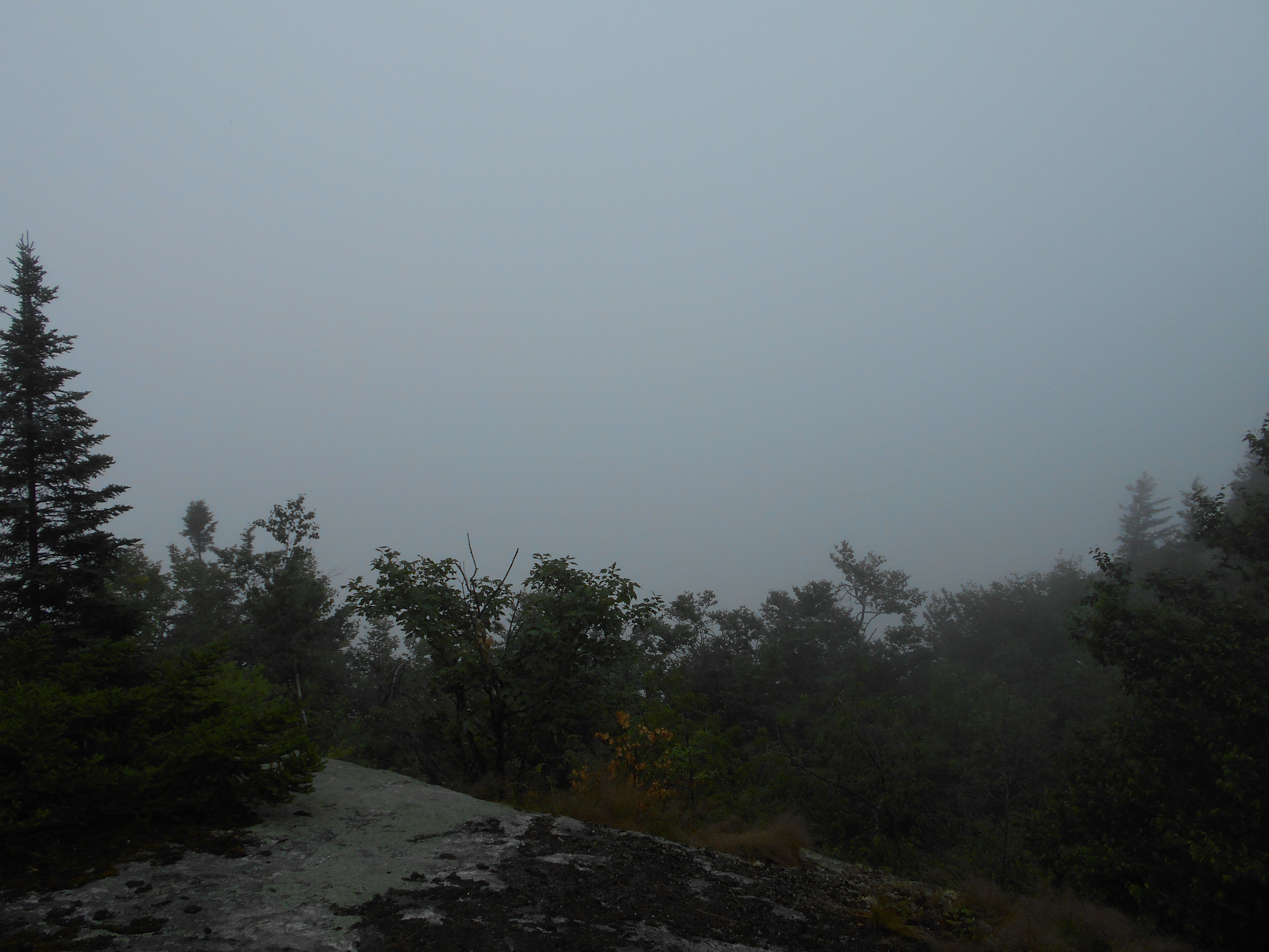
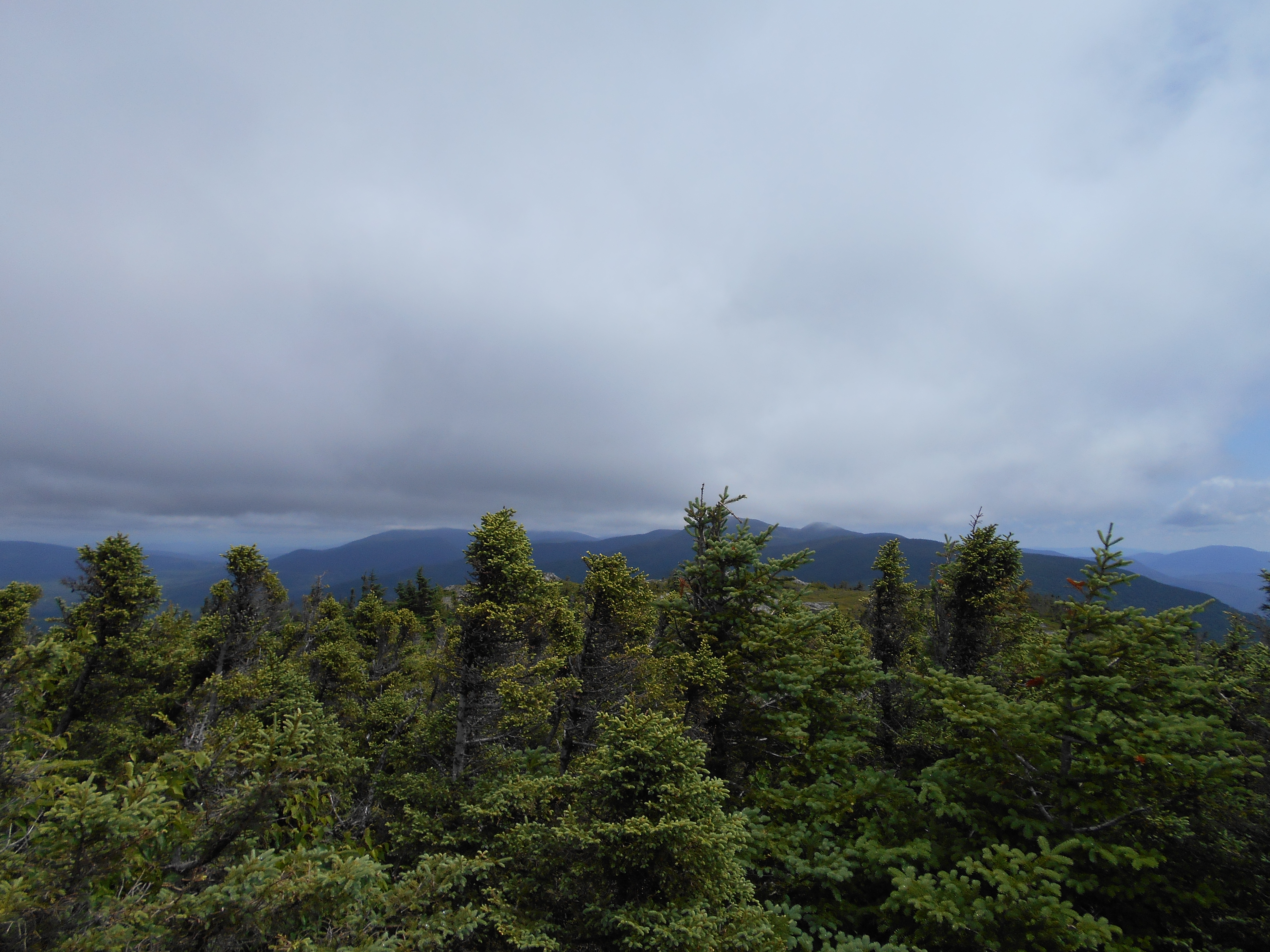
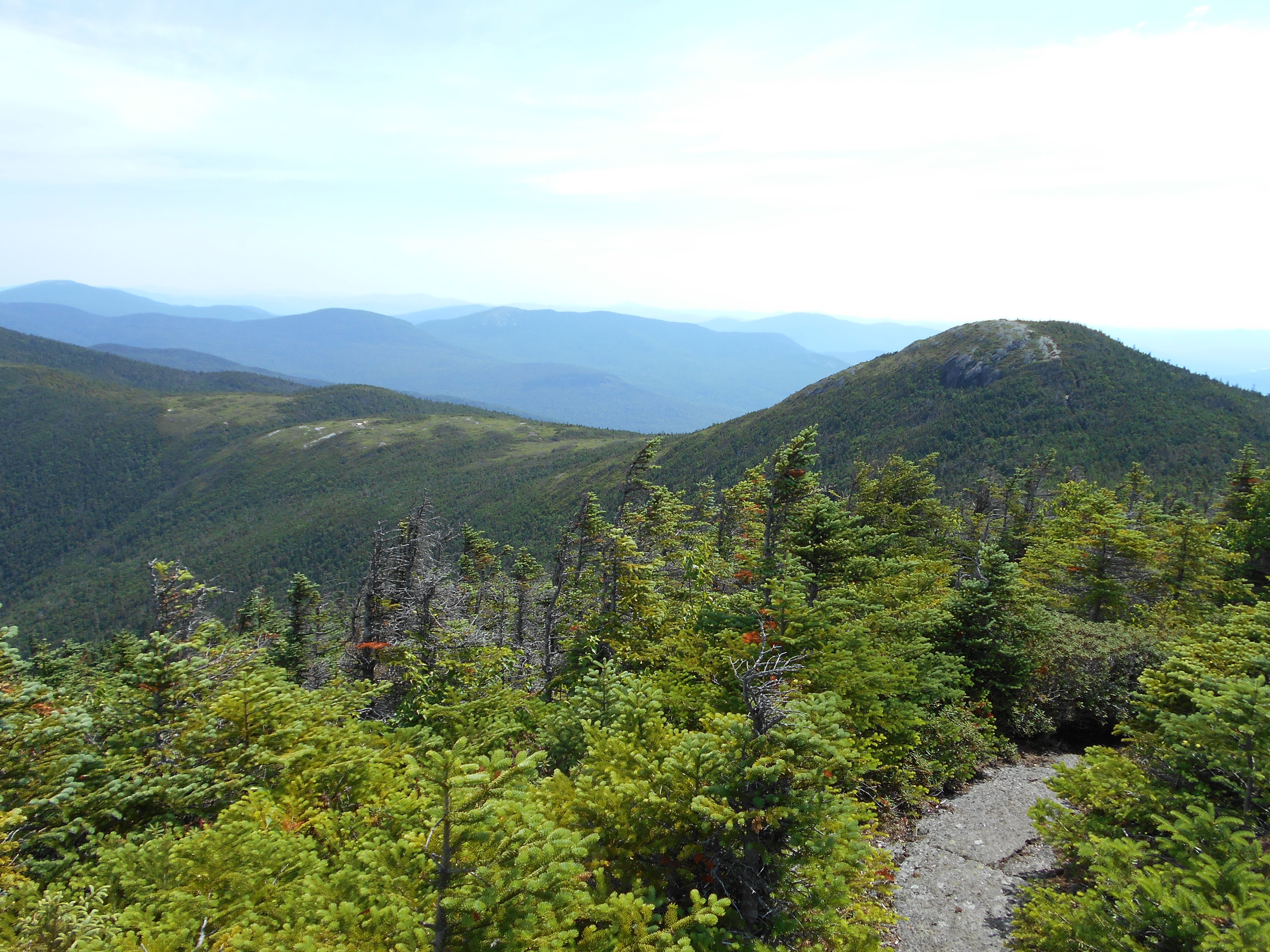
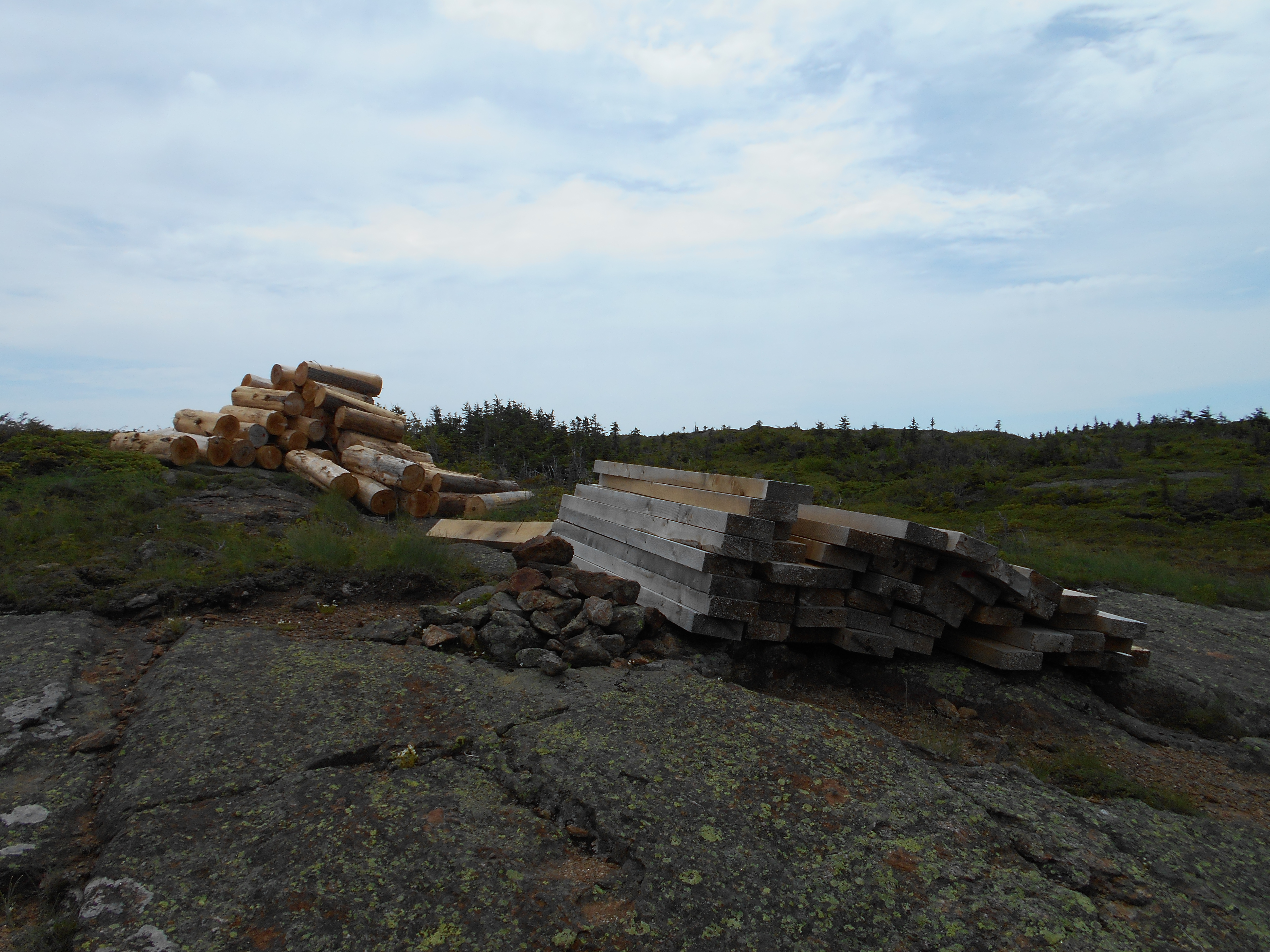
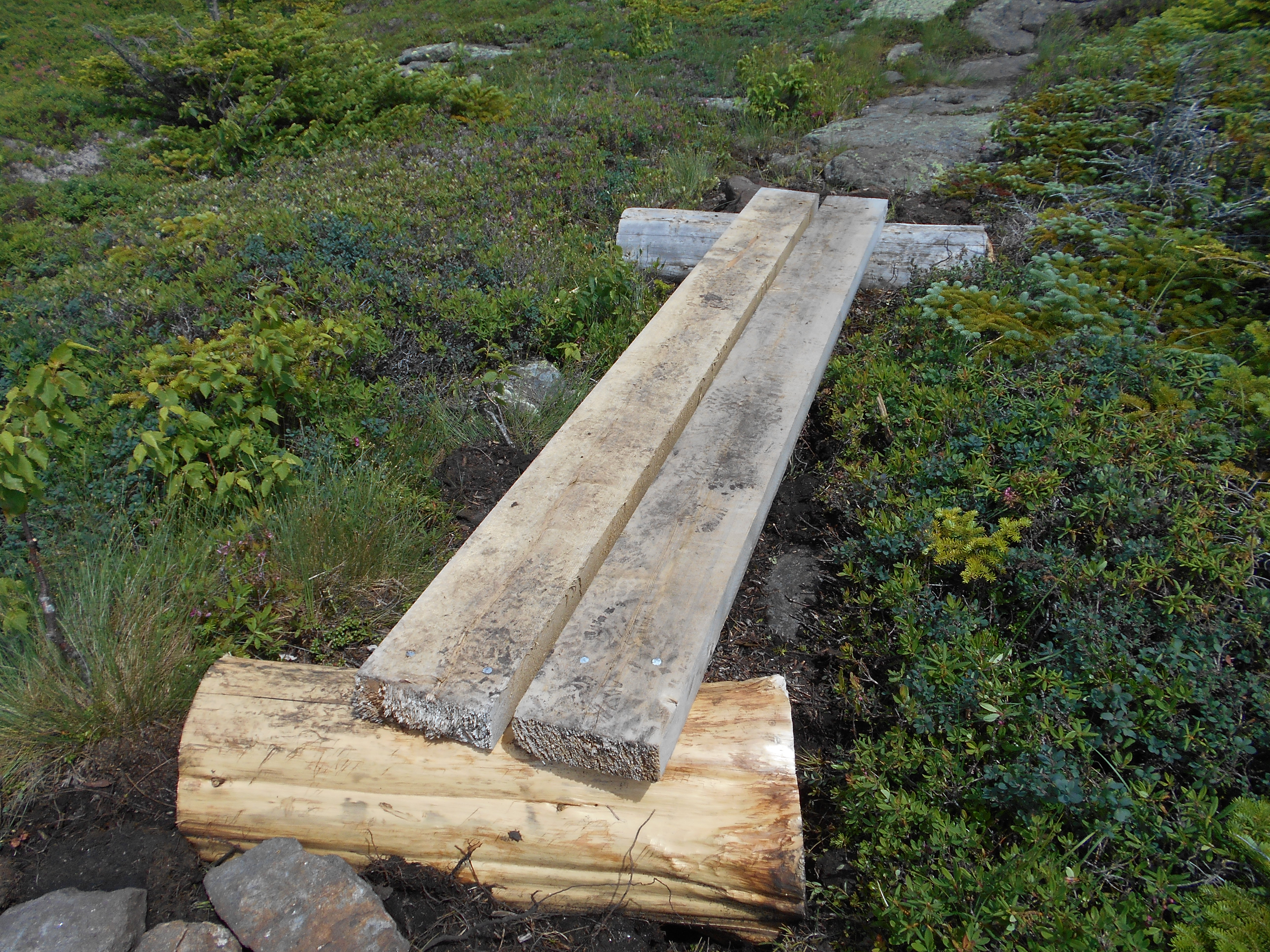
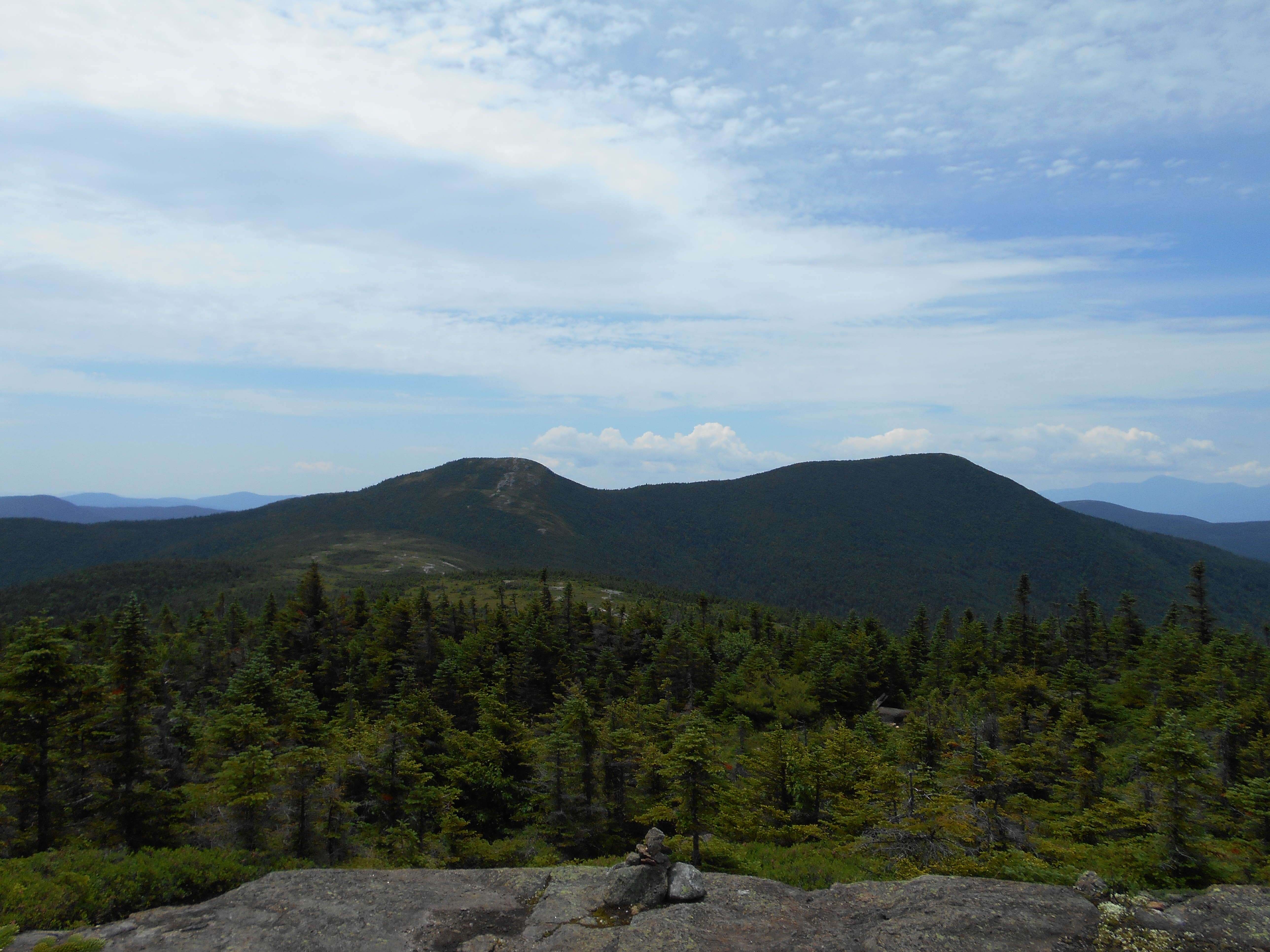
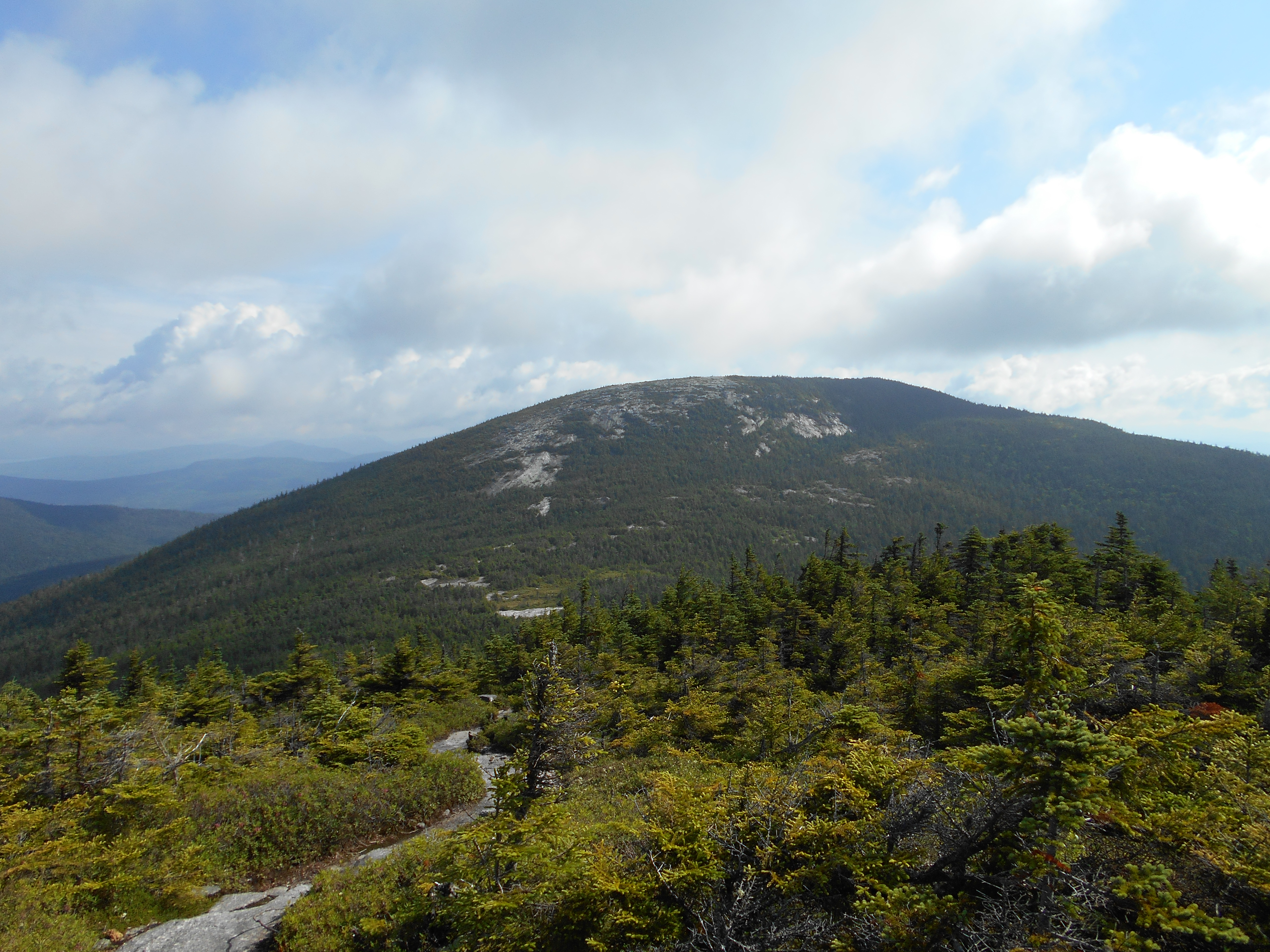
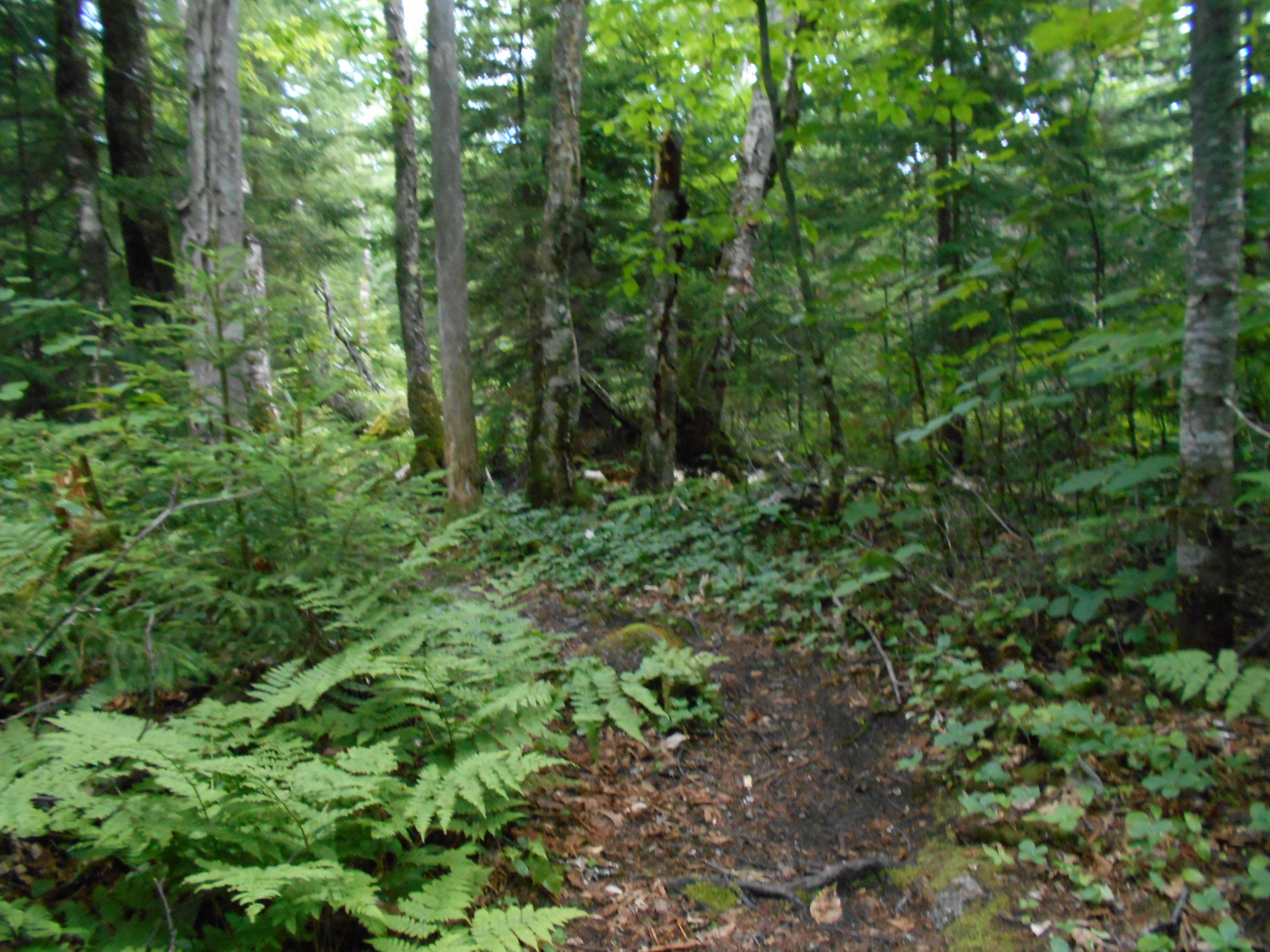
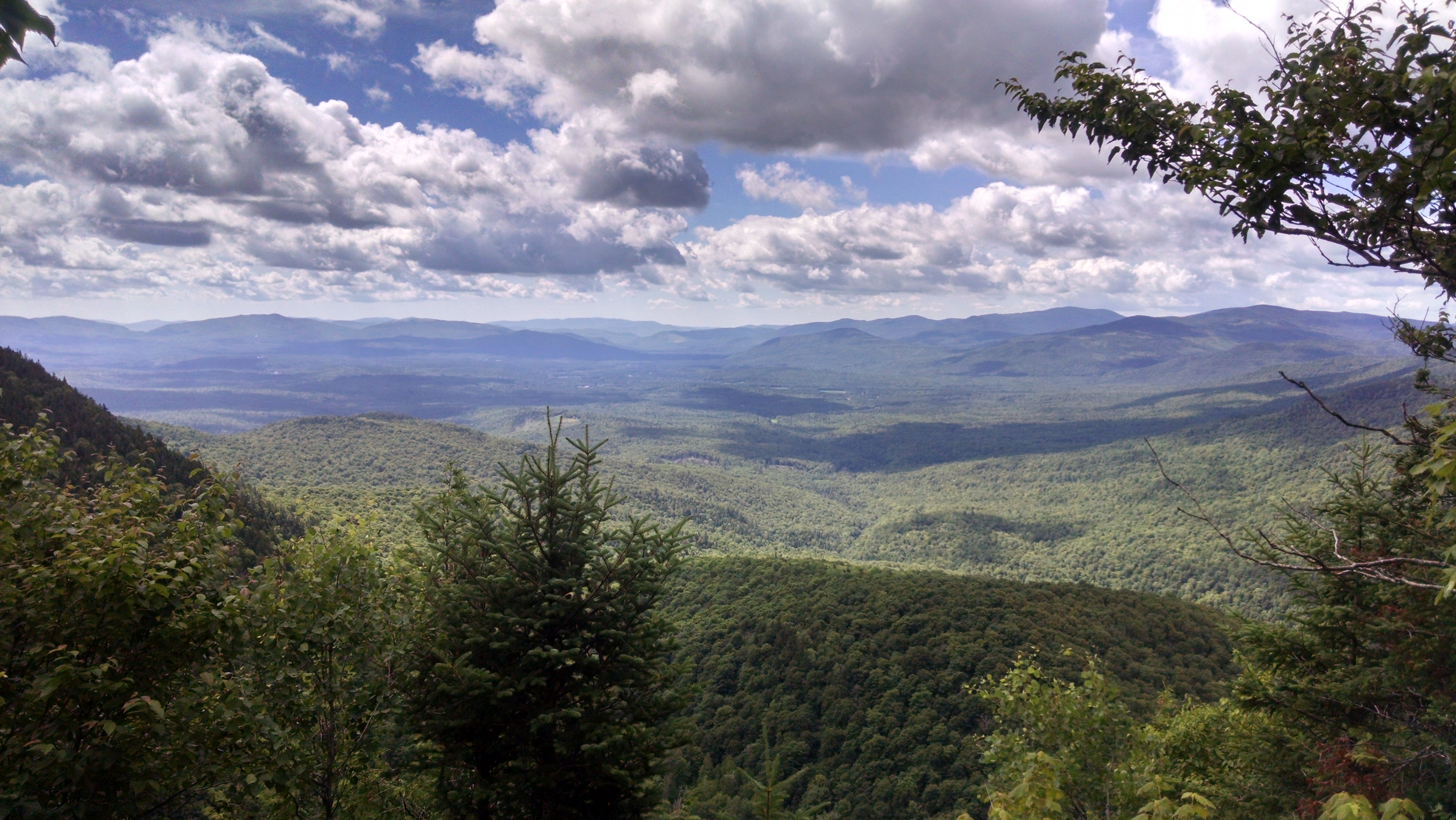
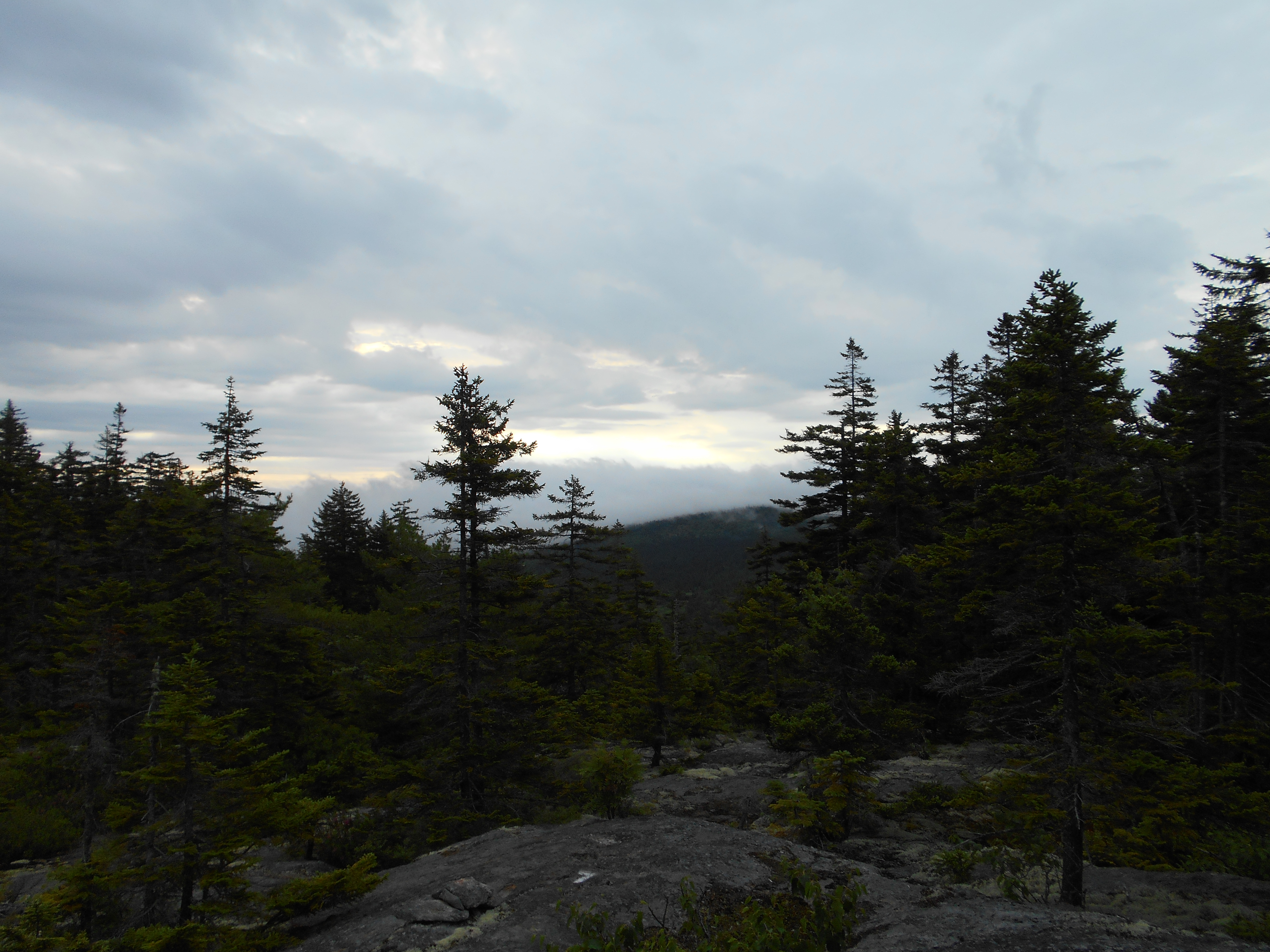
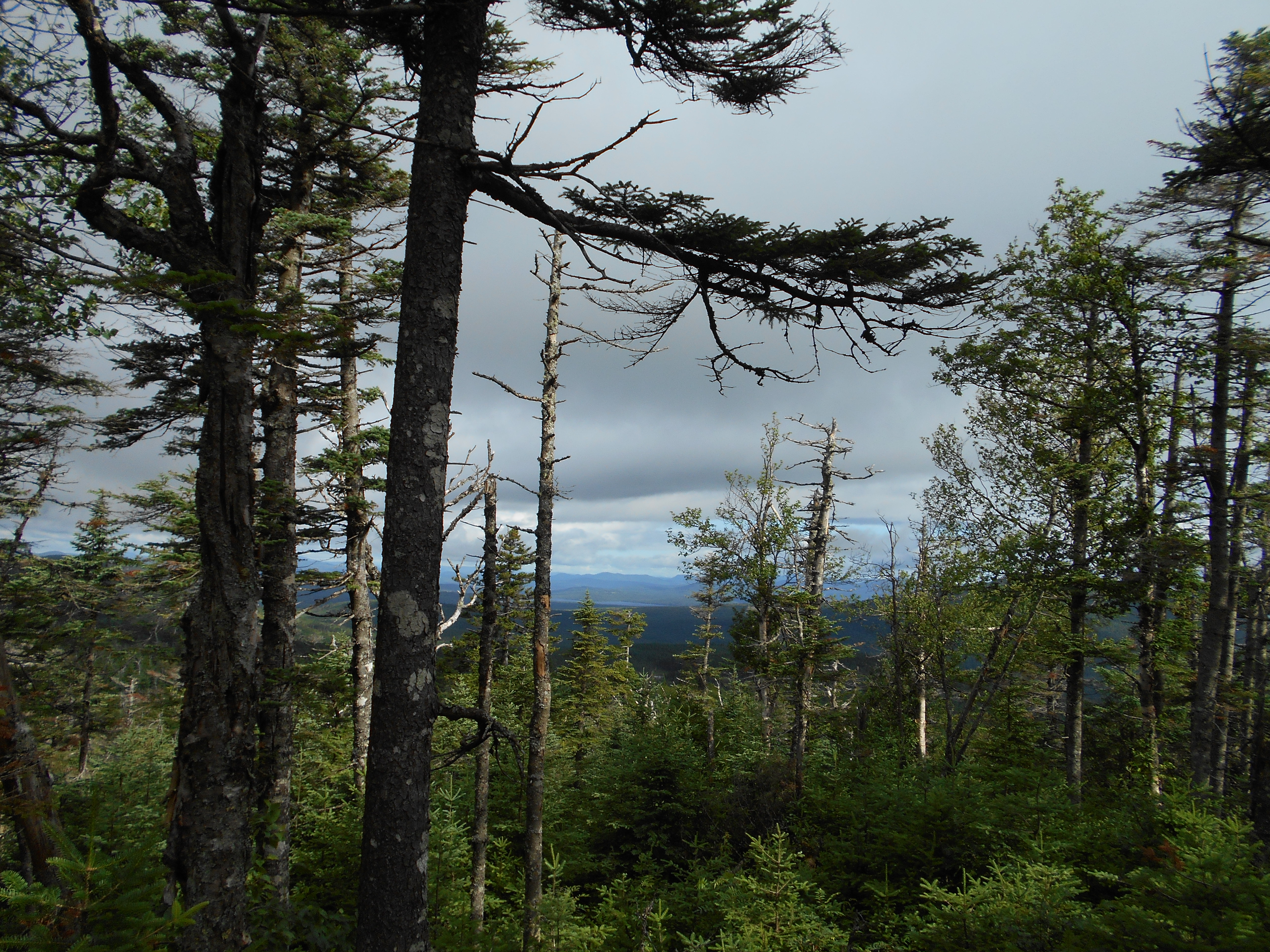
day started out rainy. walked to the general store for breakfast at 6am then back at the hostel for a 7am shuttle to the road. just a very light rain in the morning so good hiking w/o raingear. hike up old blue a little harder and longer than expected, with no views due to fog. other than typical maine rocks, roots and bogs, hike was uneventful until late afternoon. kept hearing thunder but so far only a few drops. also ran into a trail crew working on new steps and I thaked them for their work...I realy think hiking the trail is MUCH easier than building it...so we owe trailcrews a lot! now just relaxing before cooking dinner.
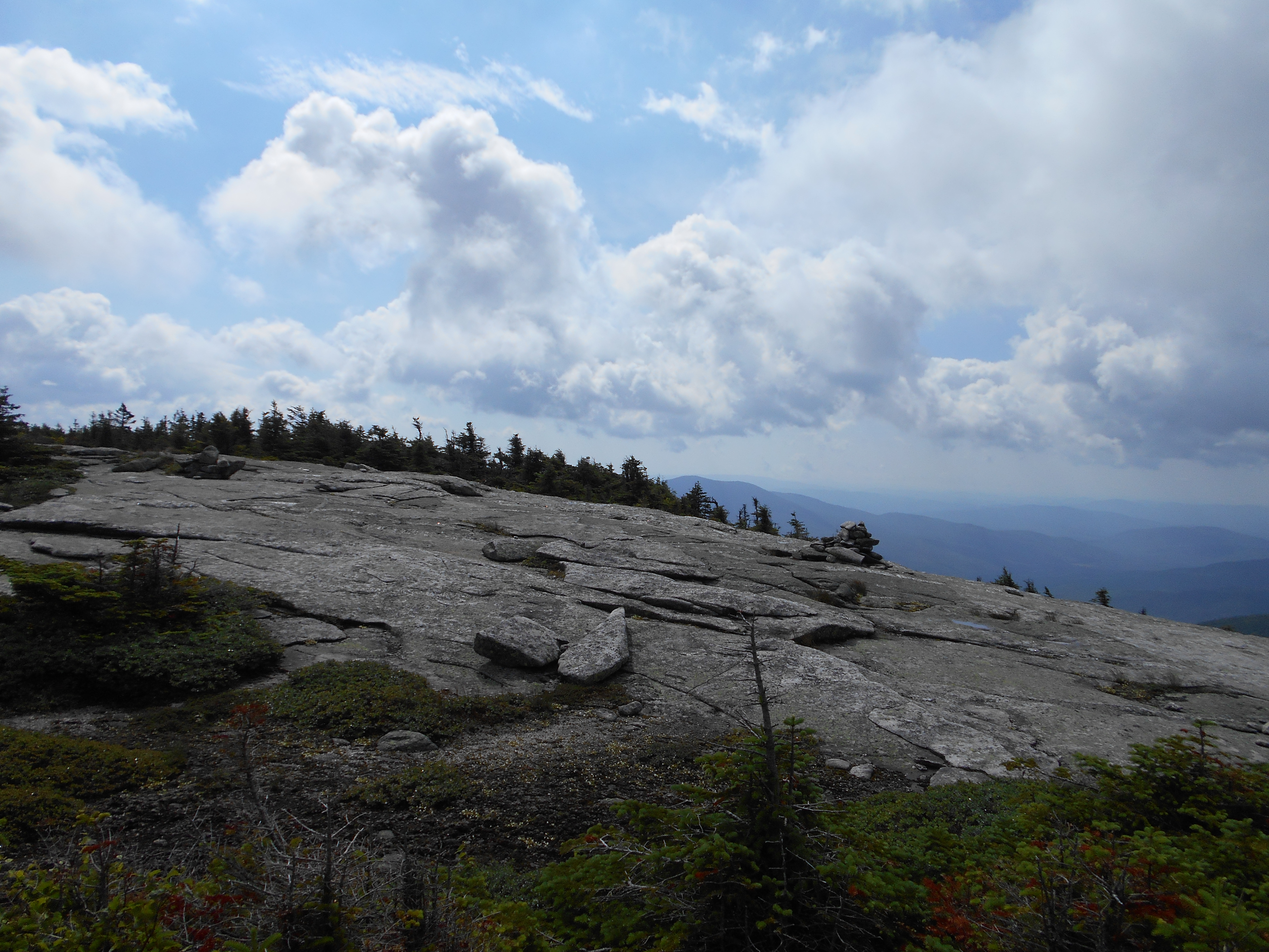
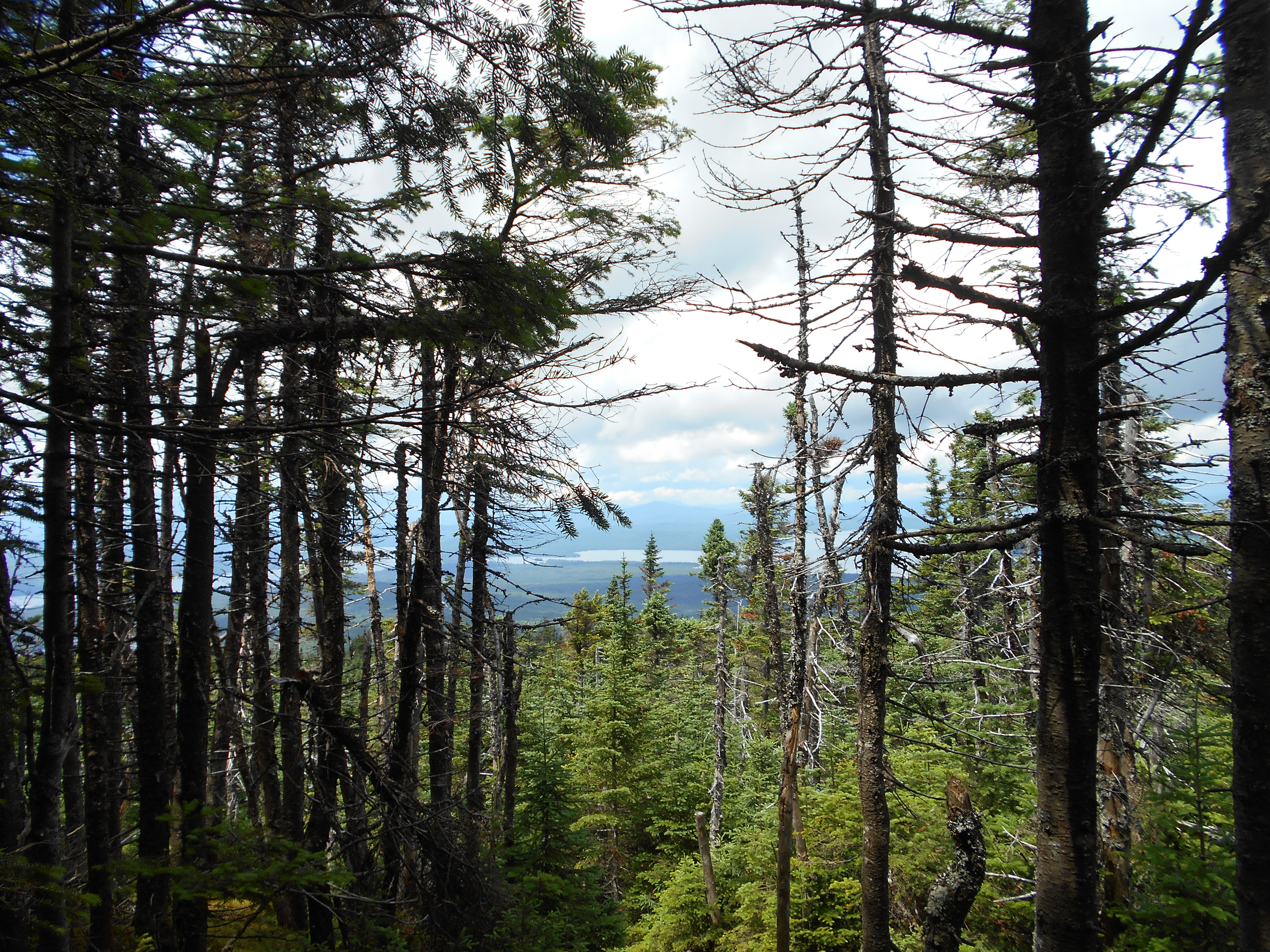
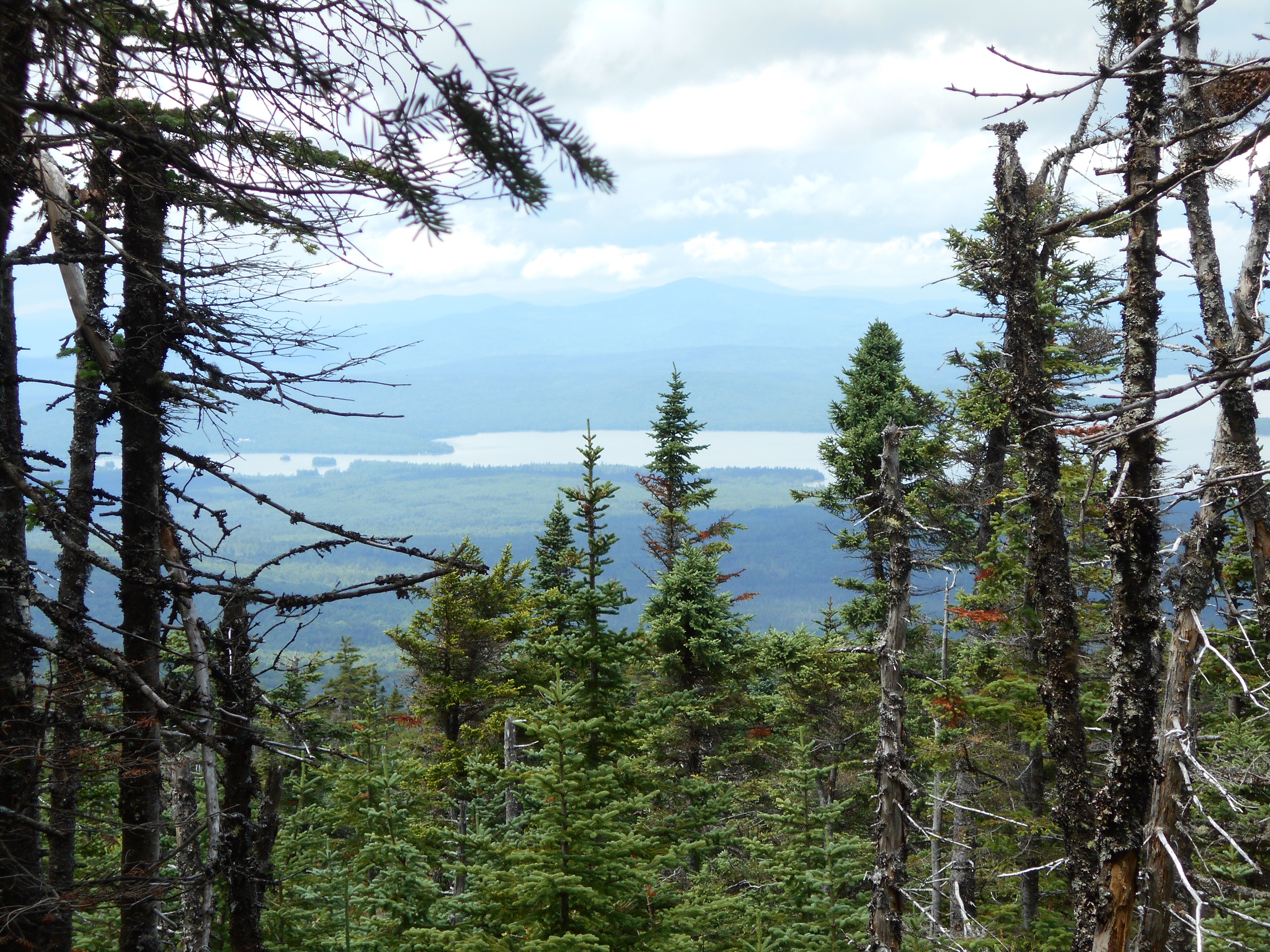
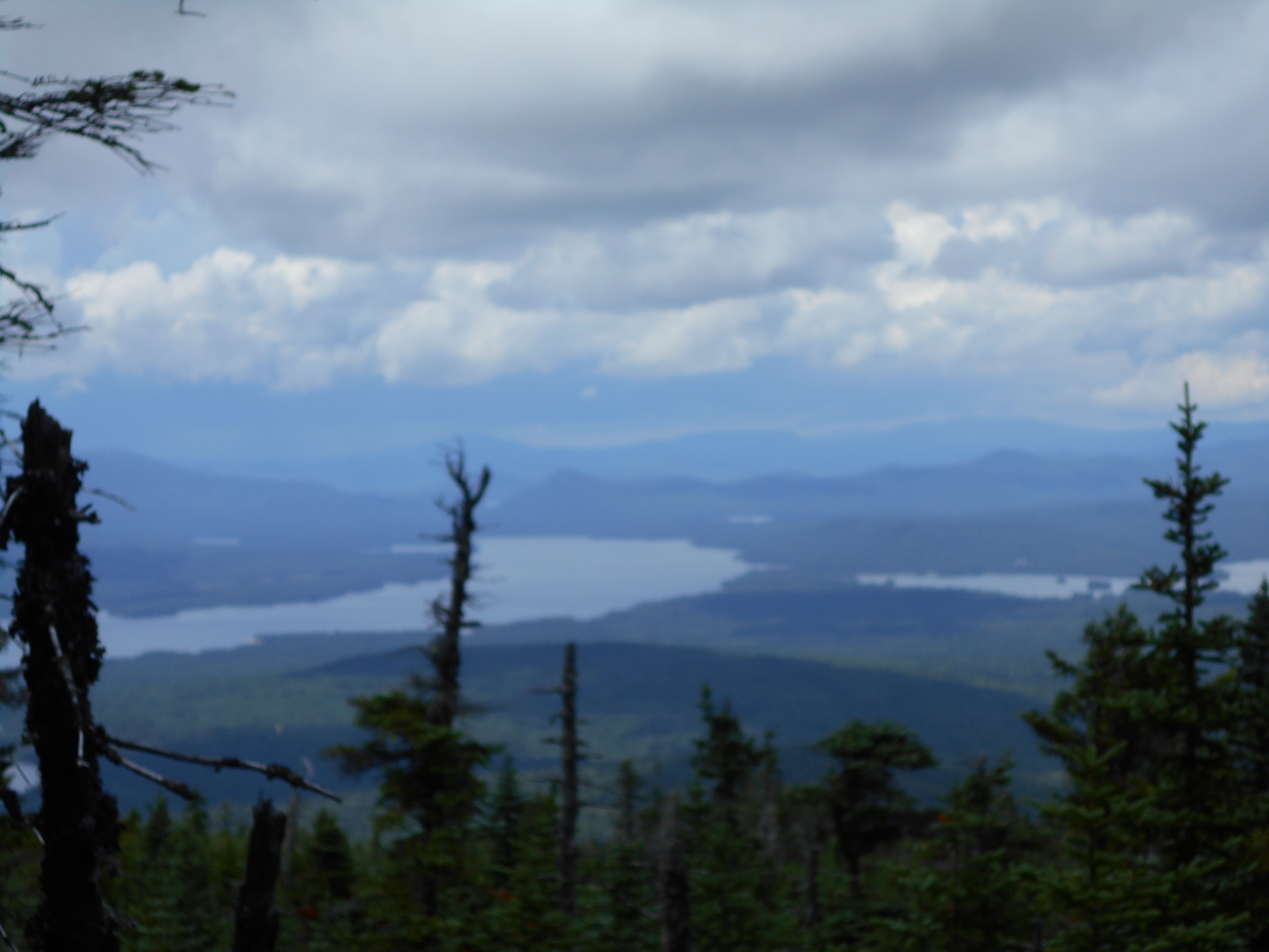
July 18, 2016
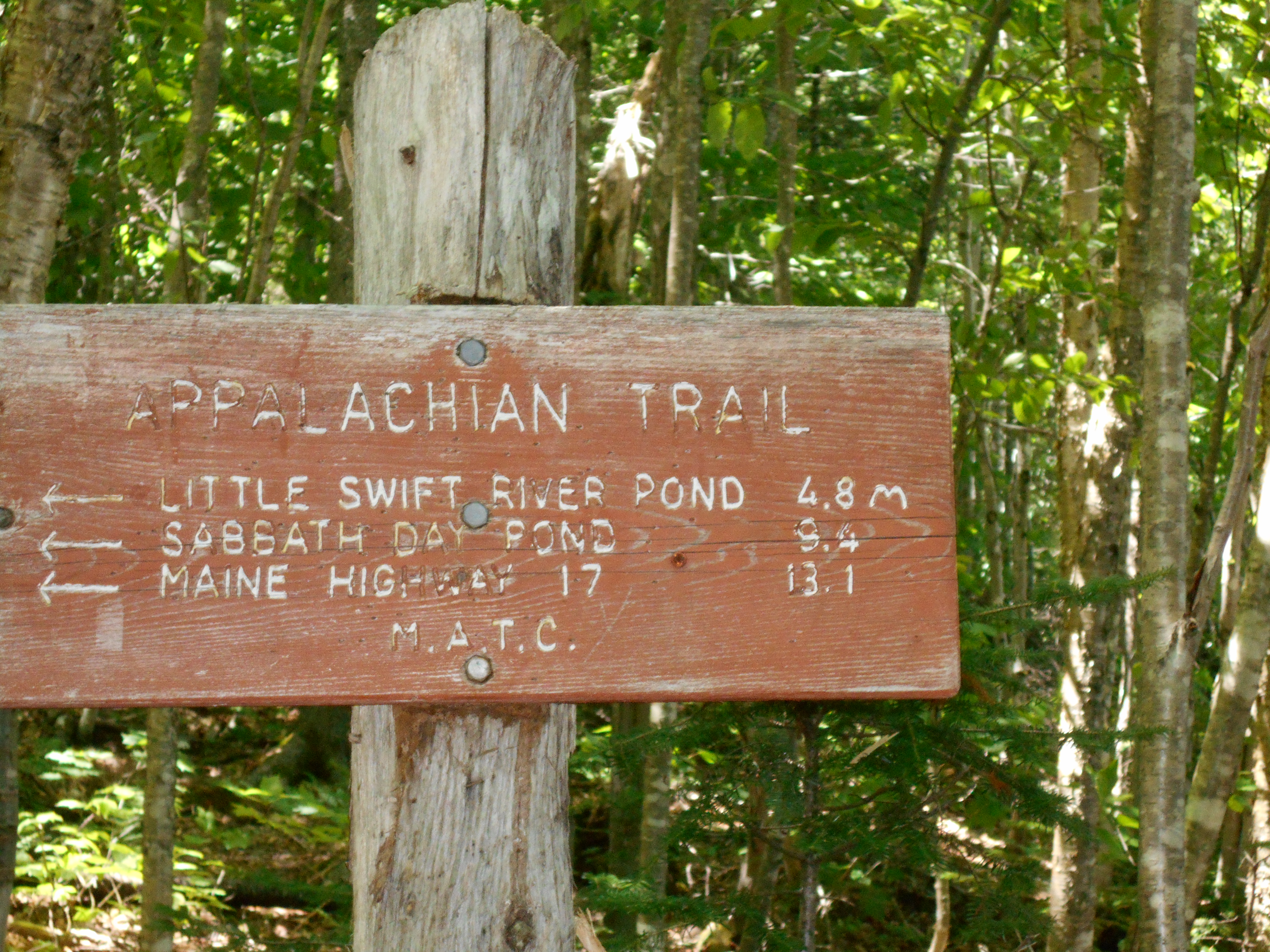
Bemis Mnt Shelter to sabbath day pond shelter
Total Milage 8.3
Miles from Springer
Features
Elevation
1951
Bemis Mountain Lean-to (2,790') ?12.8mS; 8.3mN
2790
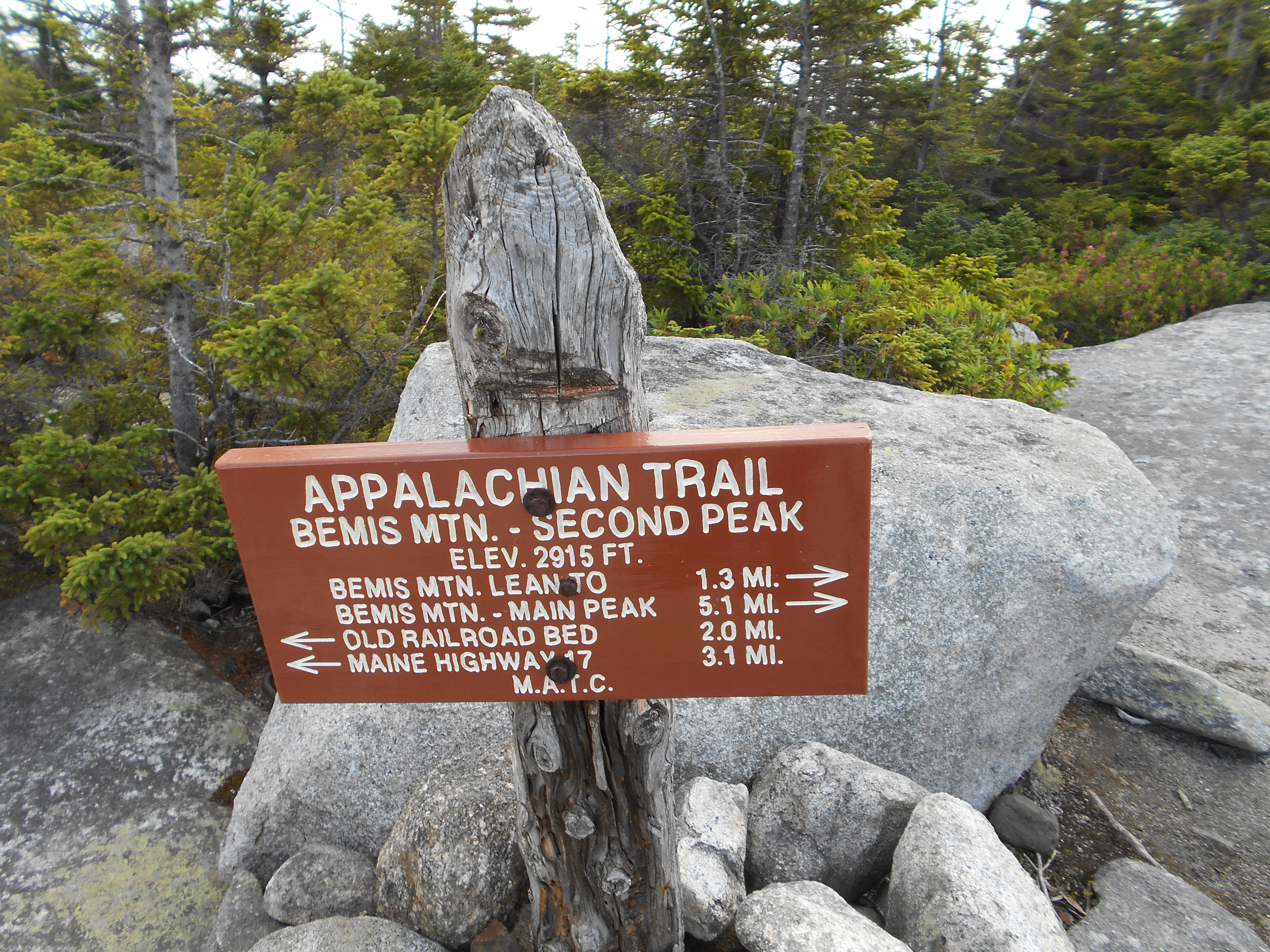
1952.5
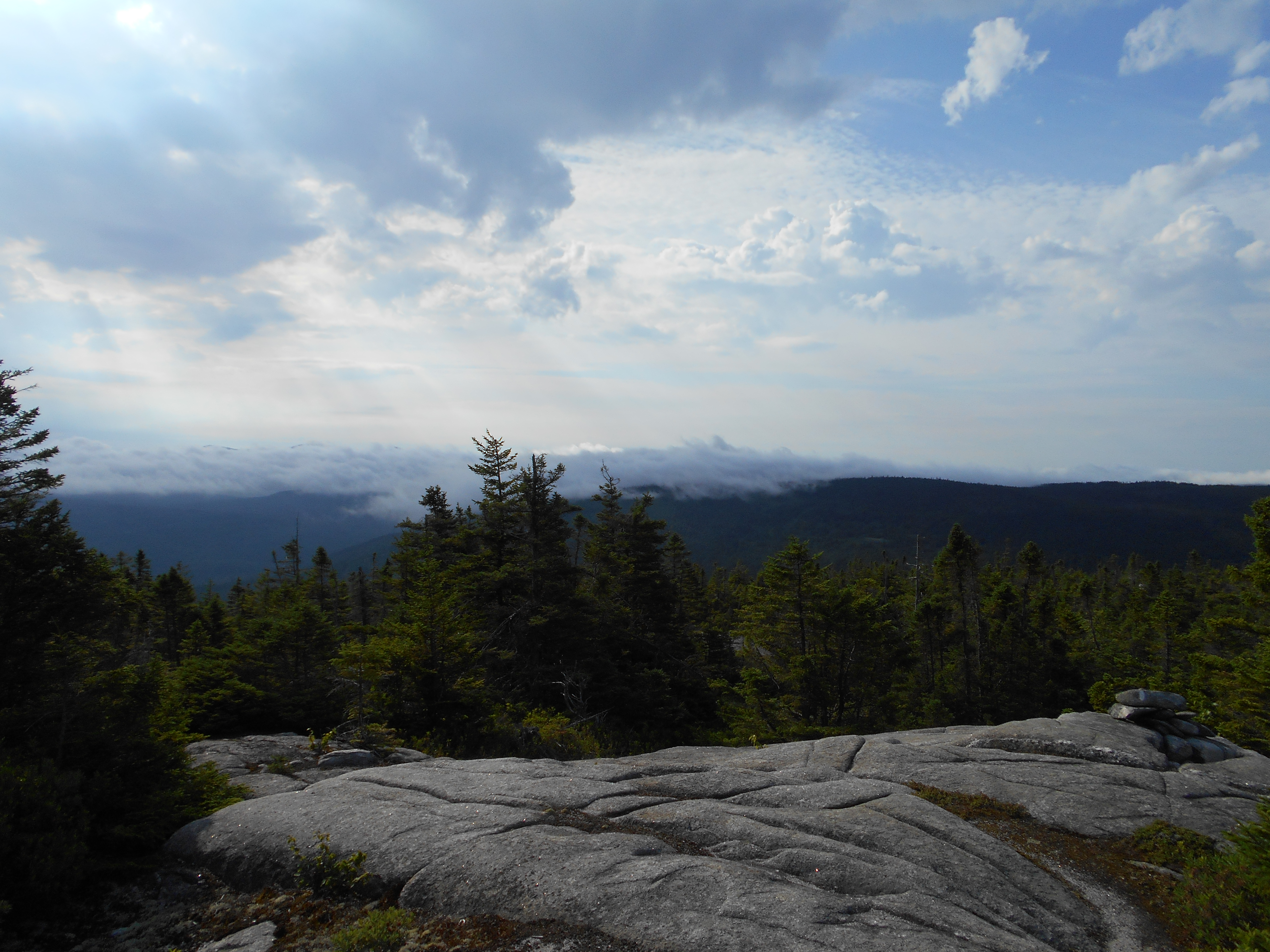
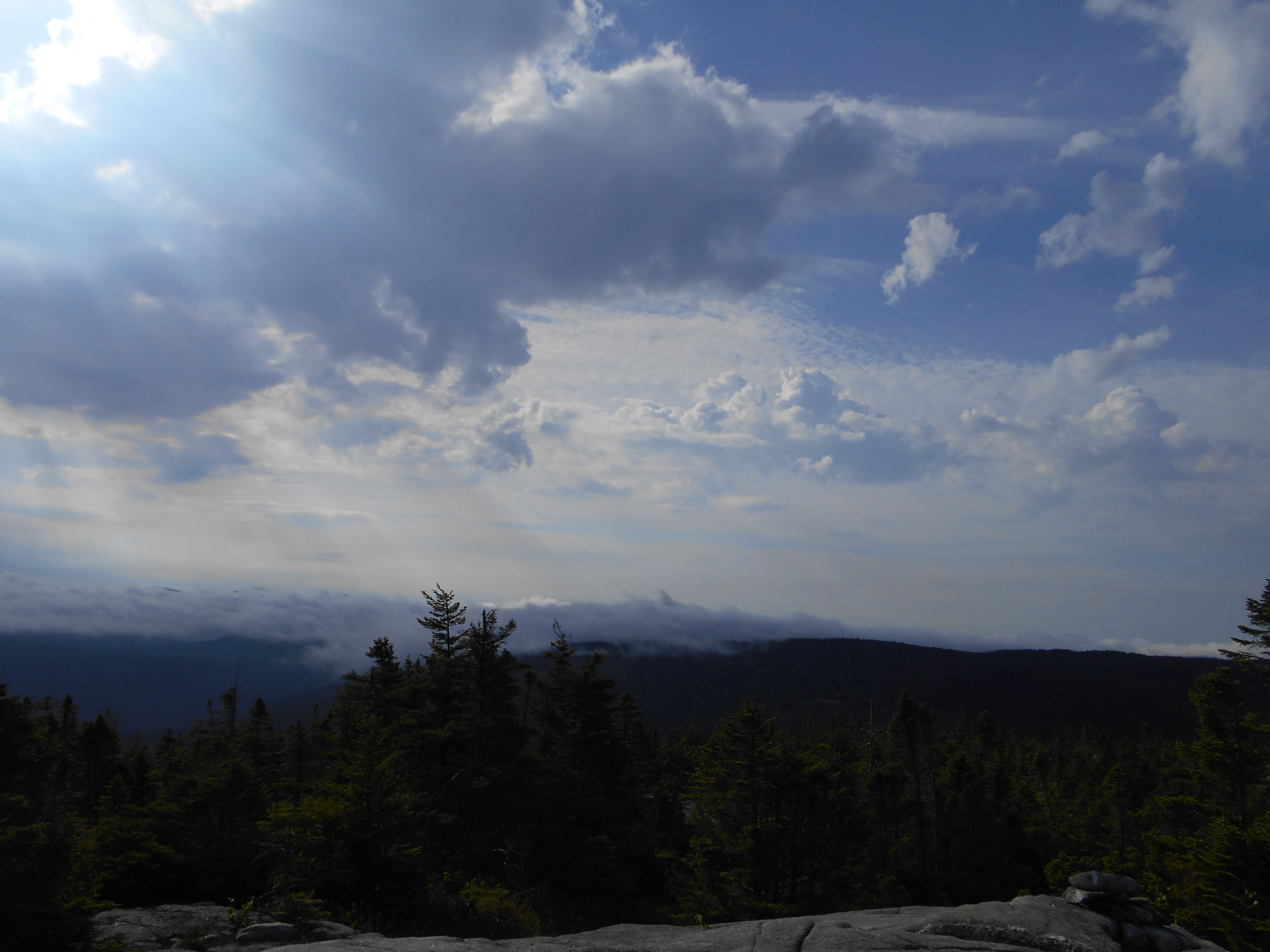
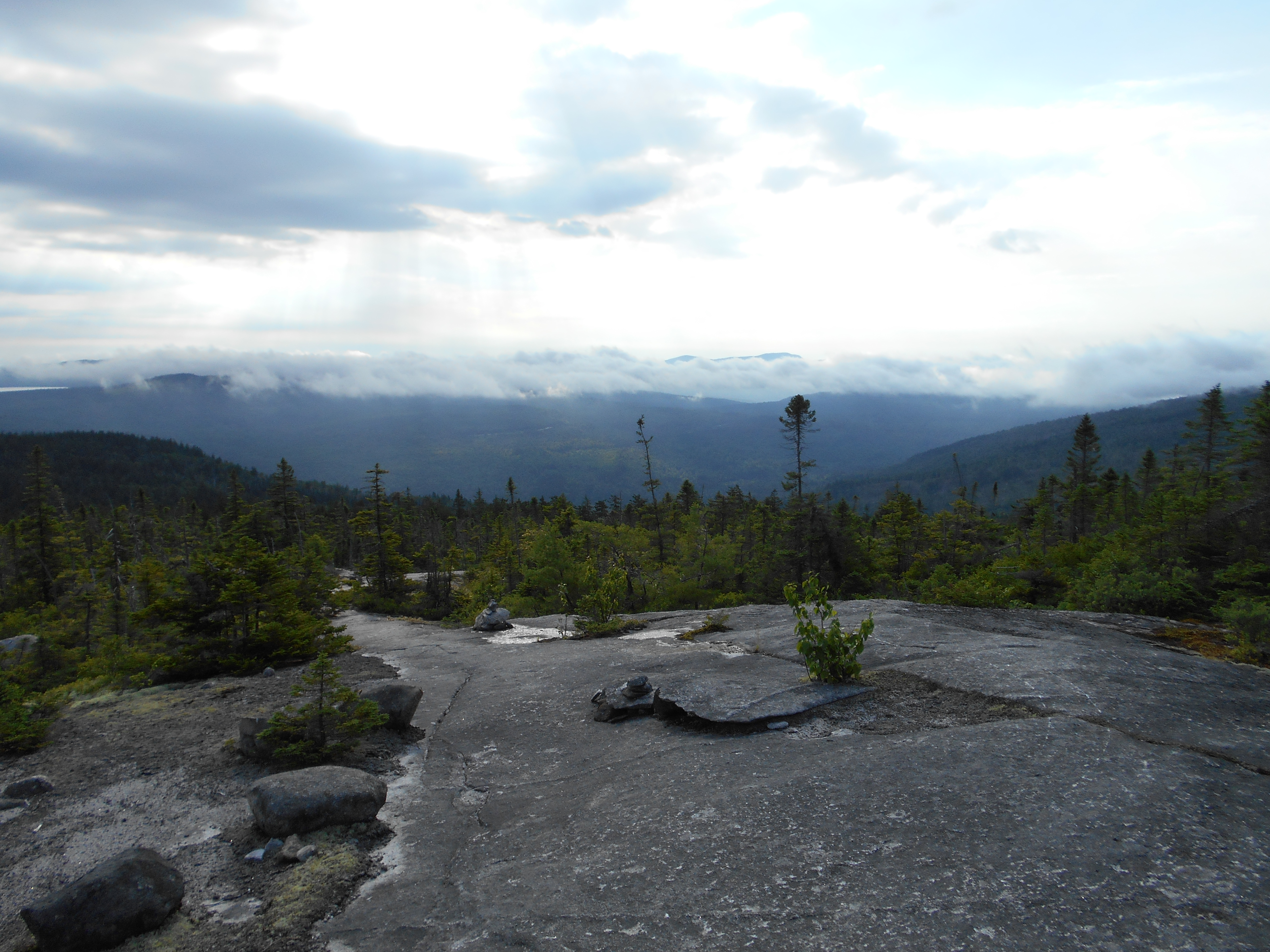
Bemis Range (Second Peak) (2,915')?open ledges
2915
1954.6
Gravel Road (1,550')?former rail bed
1550
1954.8
Bemis Stream (1,495')?ford
1495
1955.6
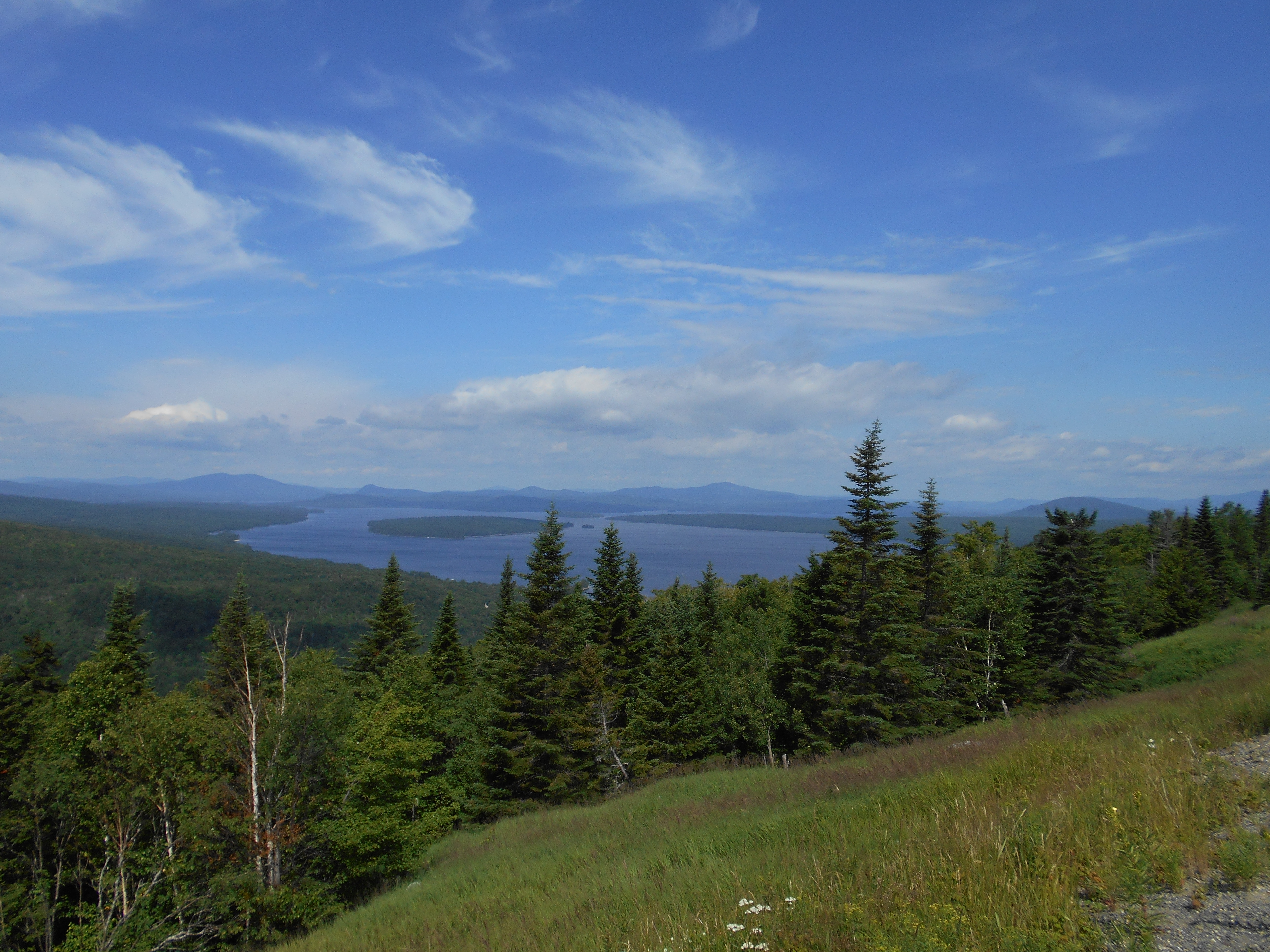
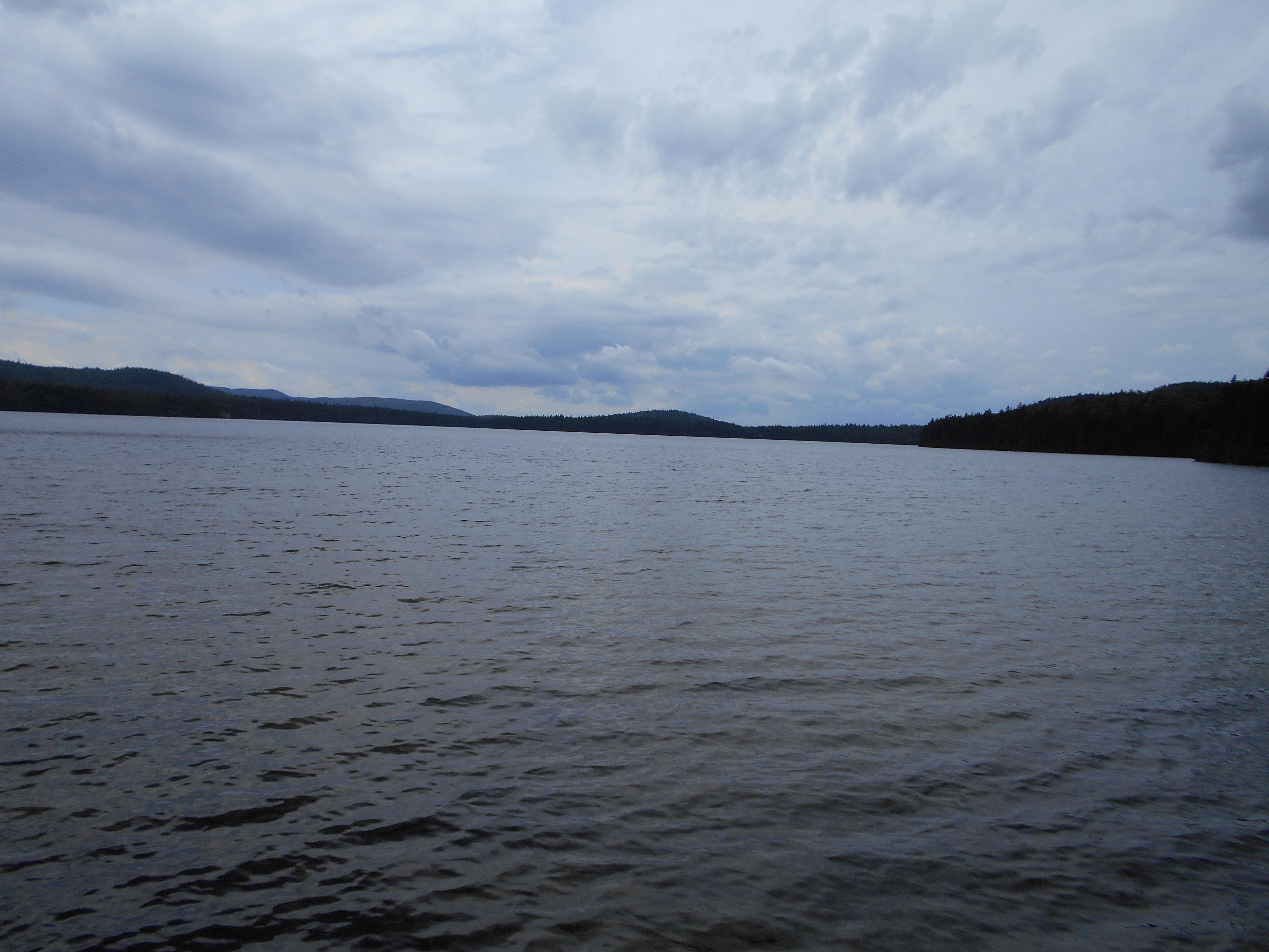
Maine 17 (2,200')?view of Mooselookme-guntic Lake Oquossoc, Maine 04964
2200
1956.4
Spruce Mountain (2,530')
2530
1957.2
Moxie Pond (2,400')
2400
1959
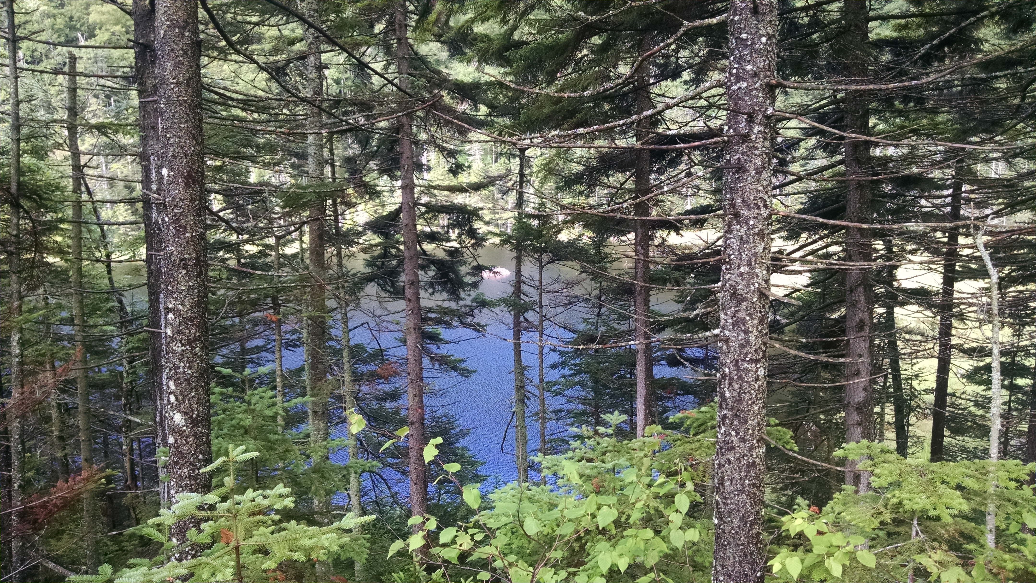
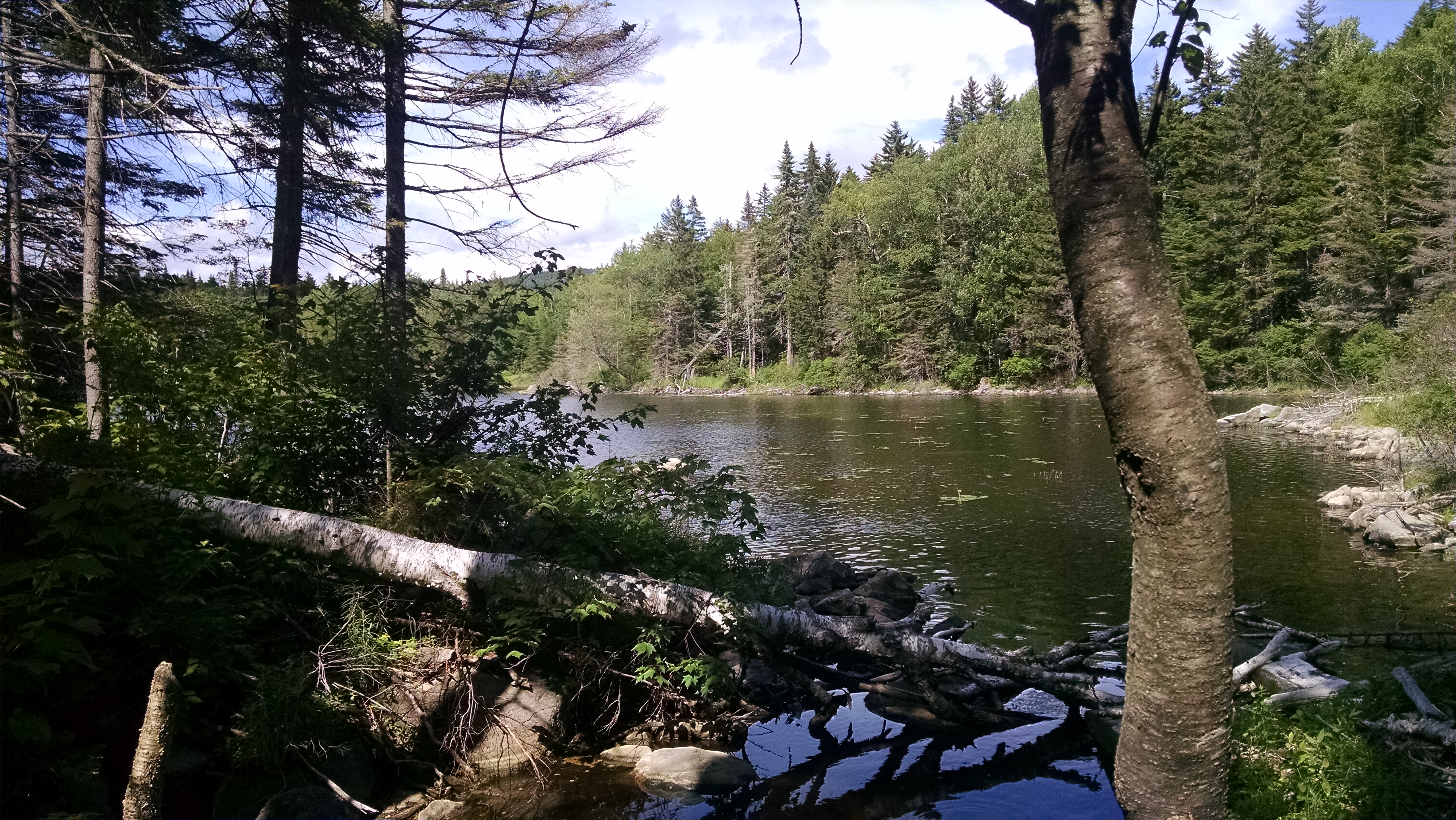
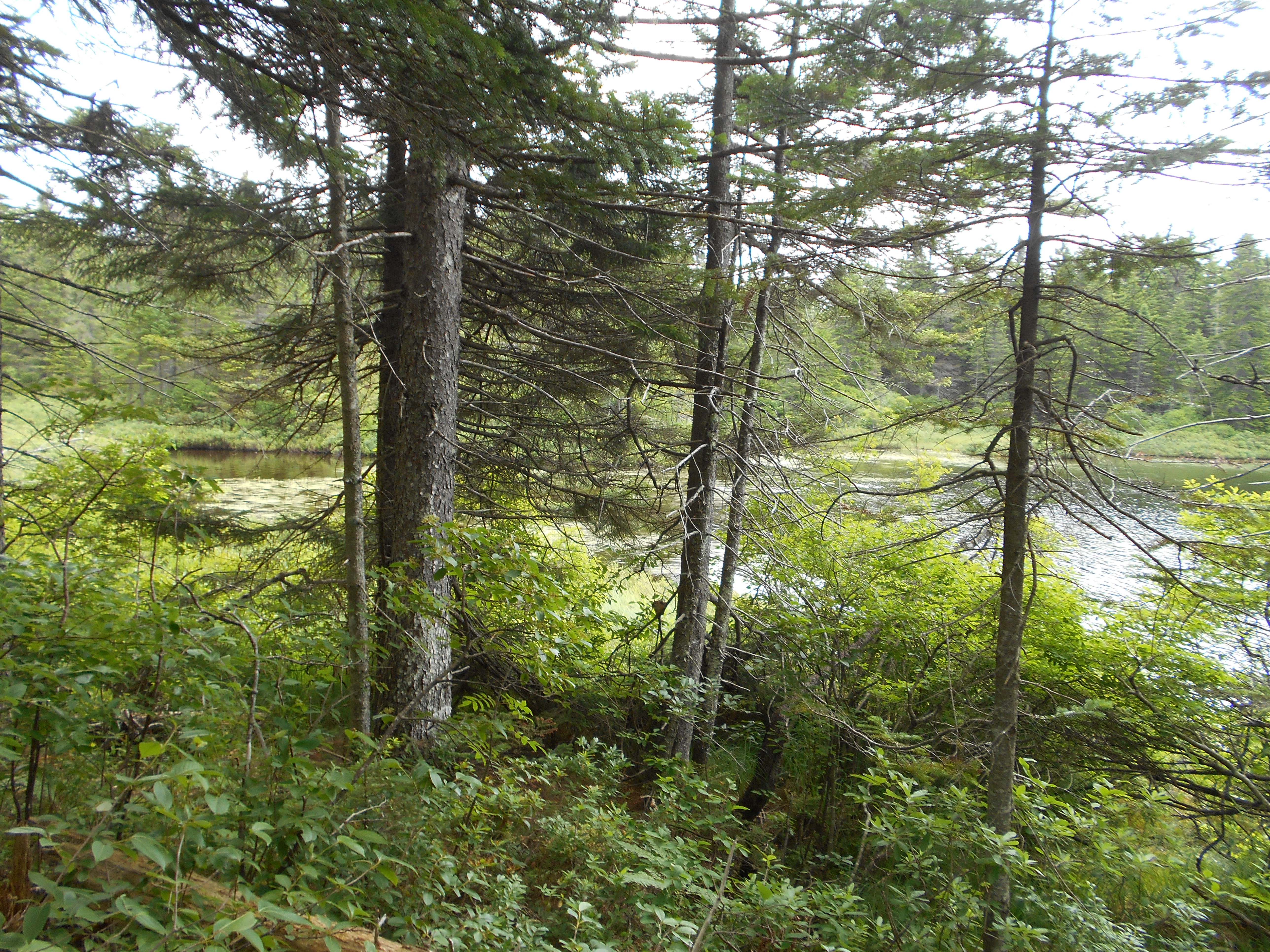
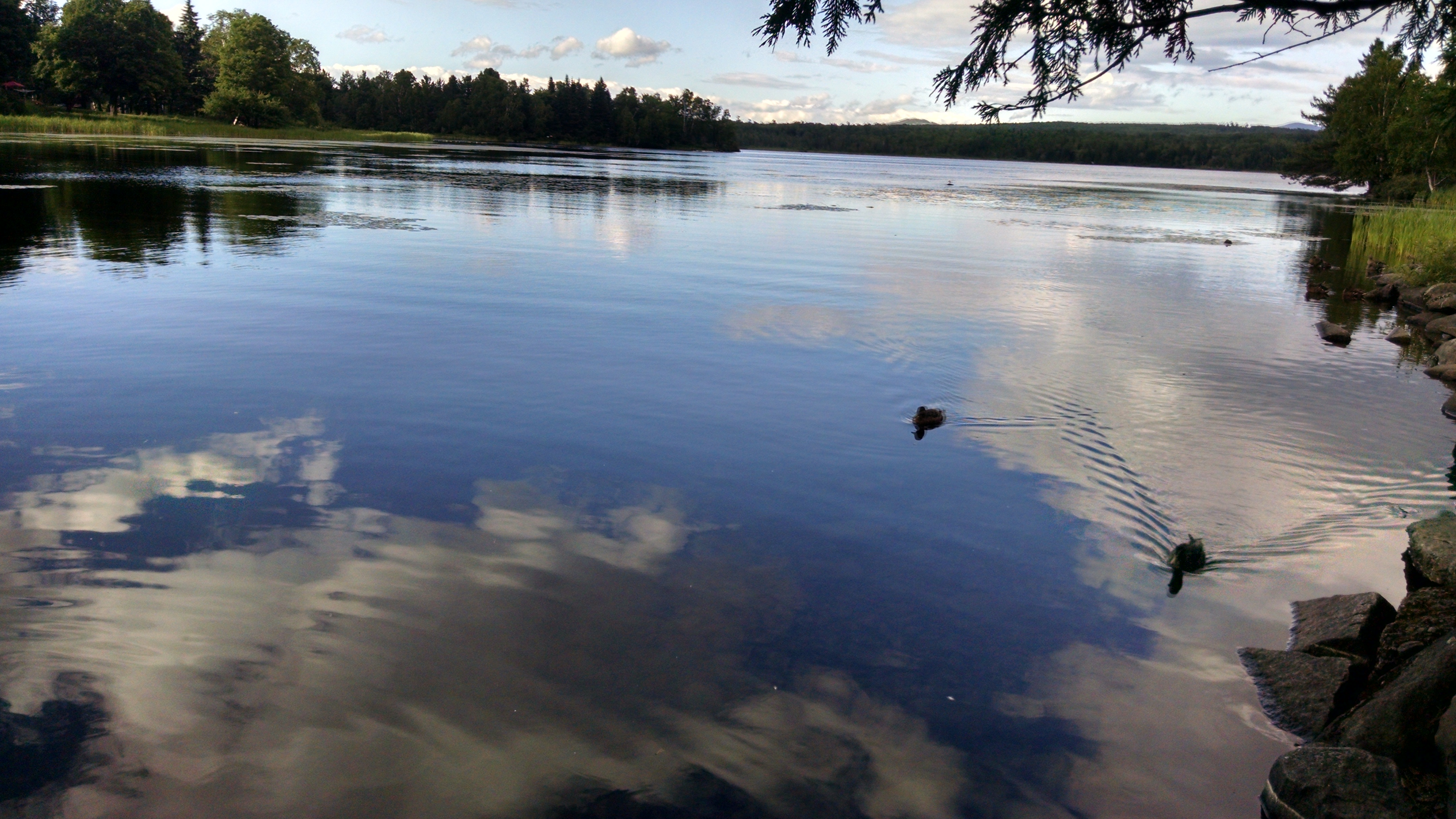
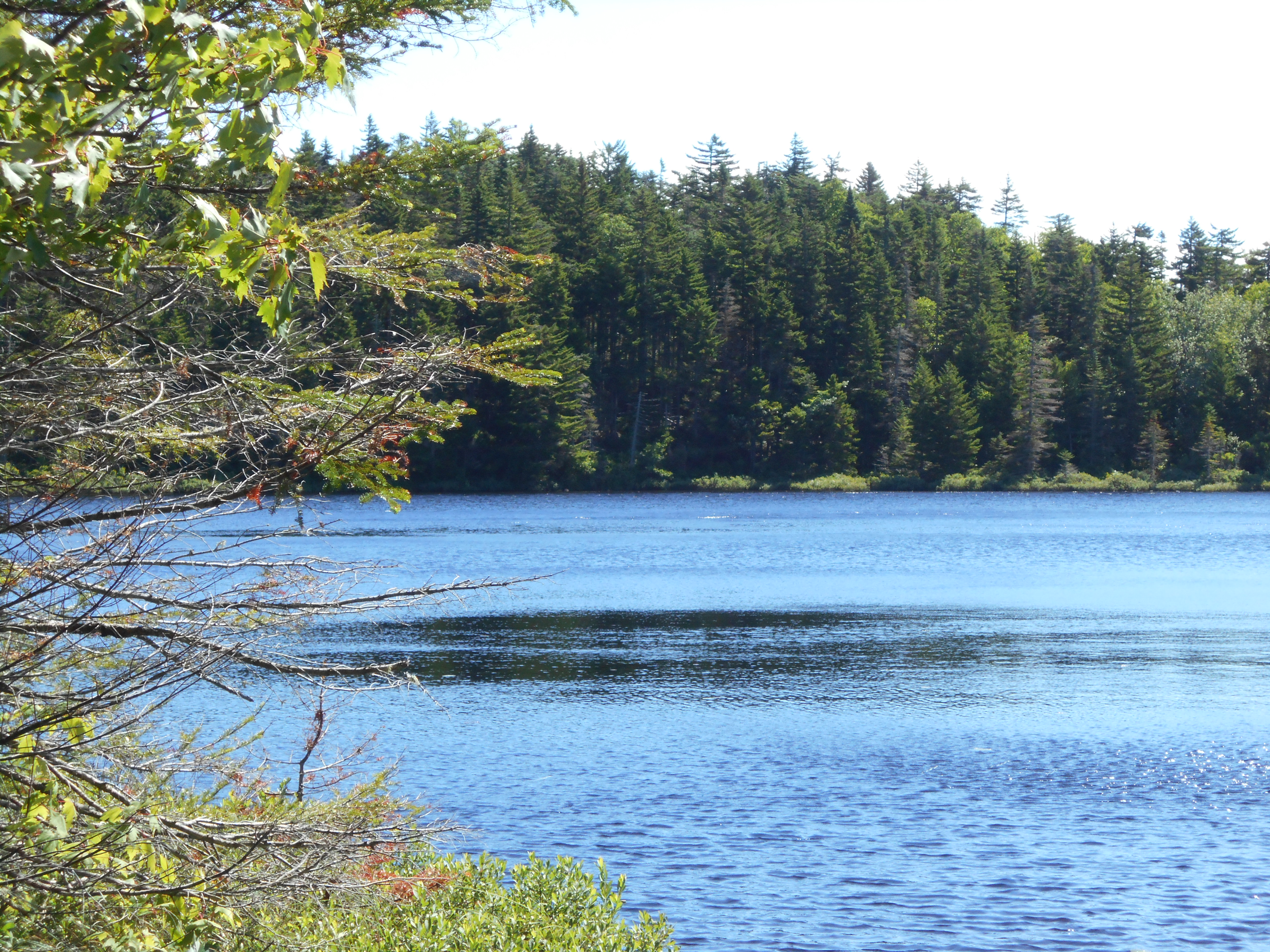
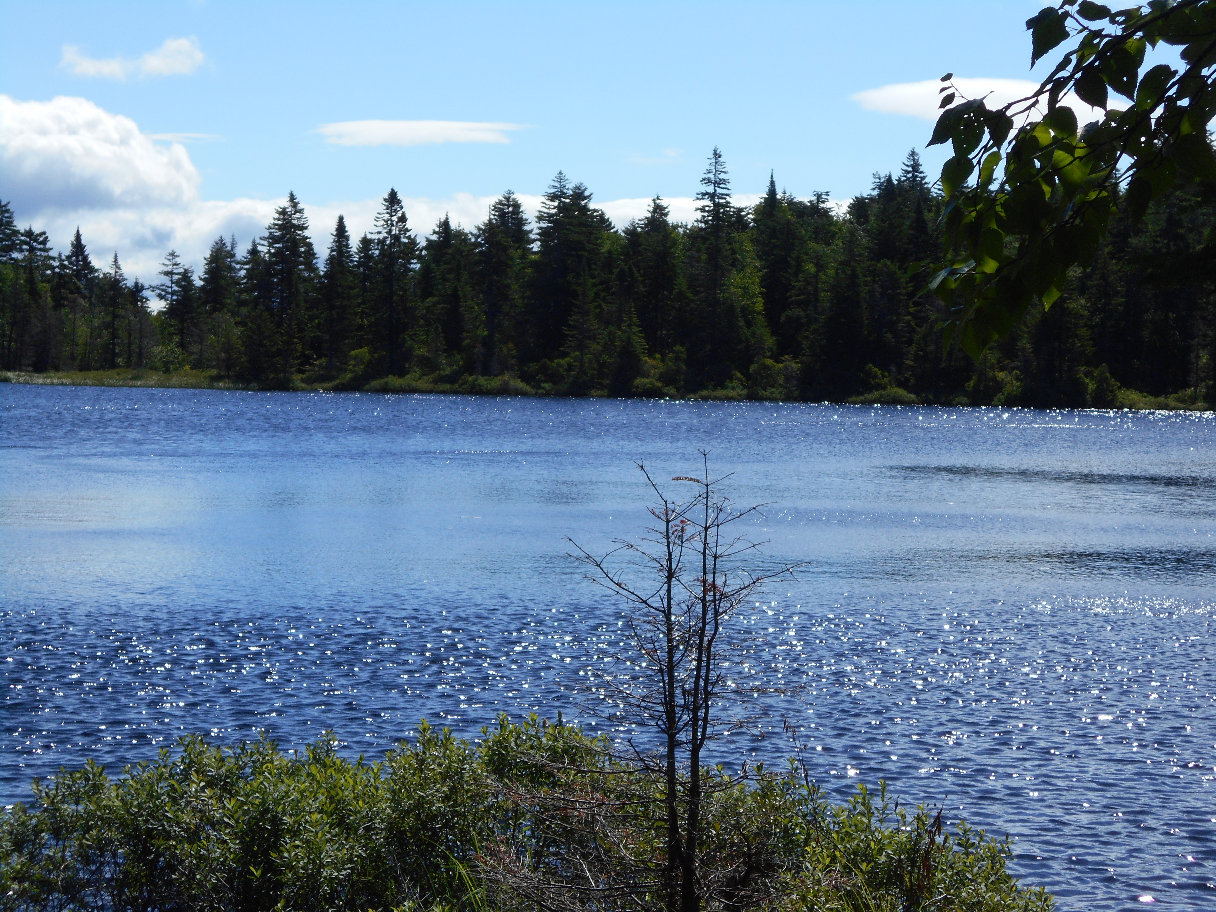
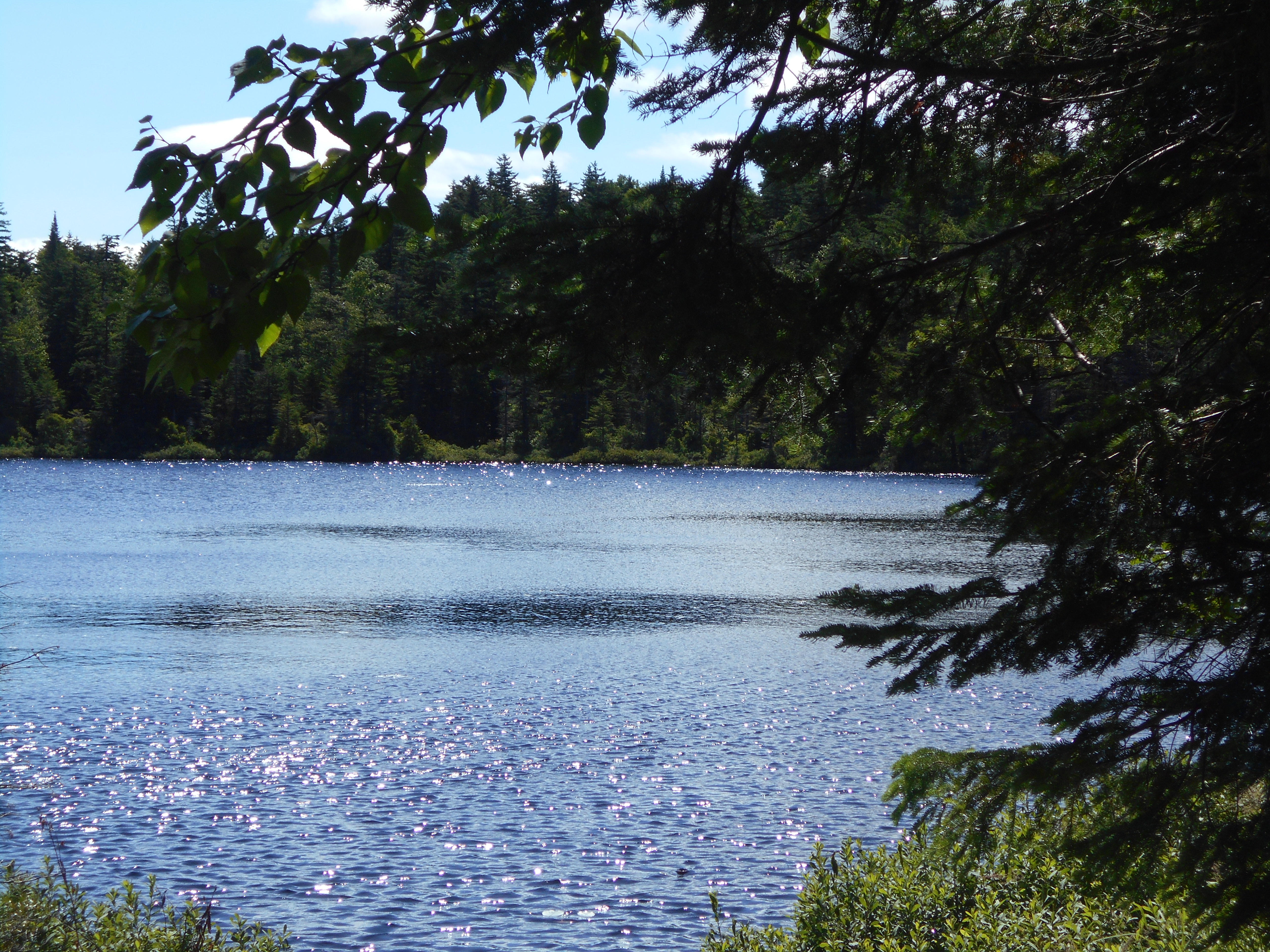
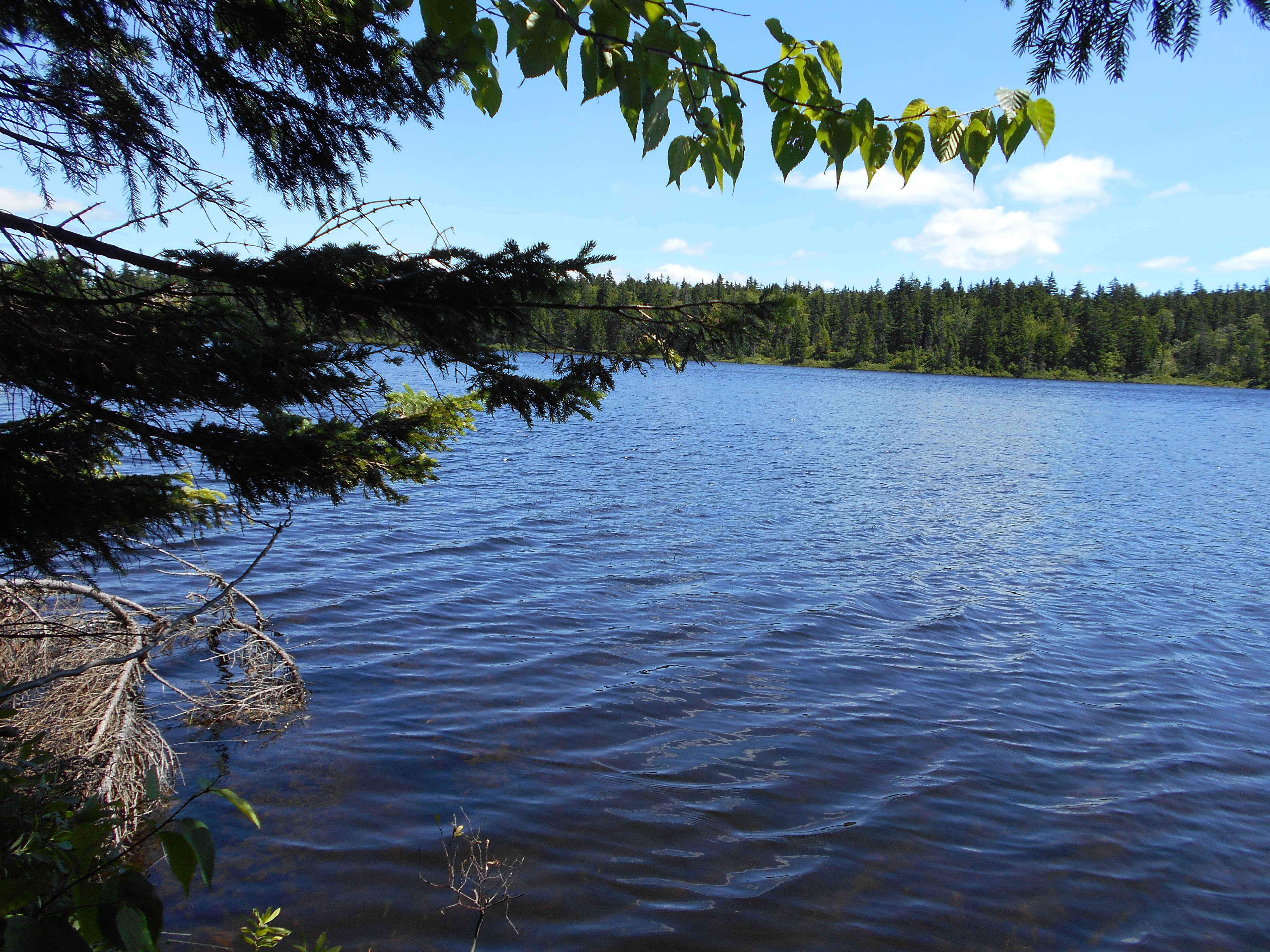
Long Pond (2,330')?sandy beach
2330
1959.3
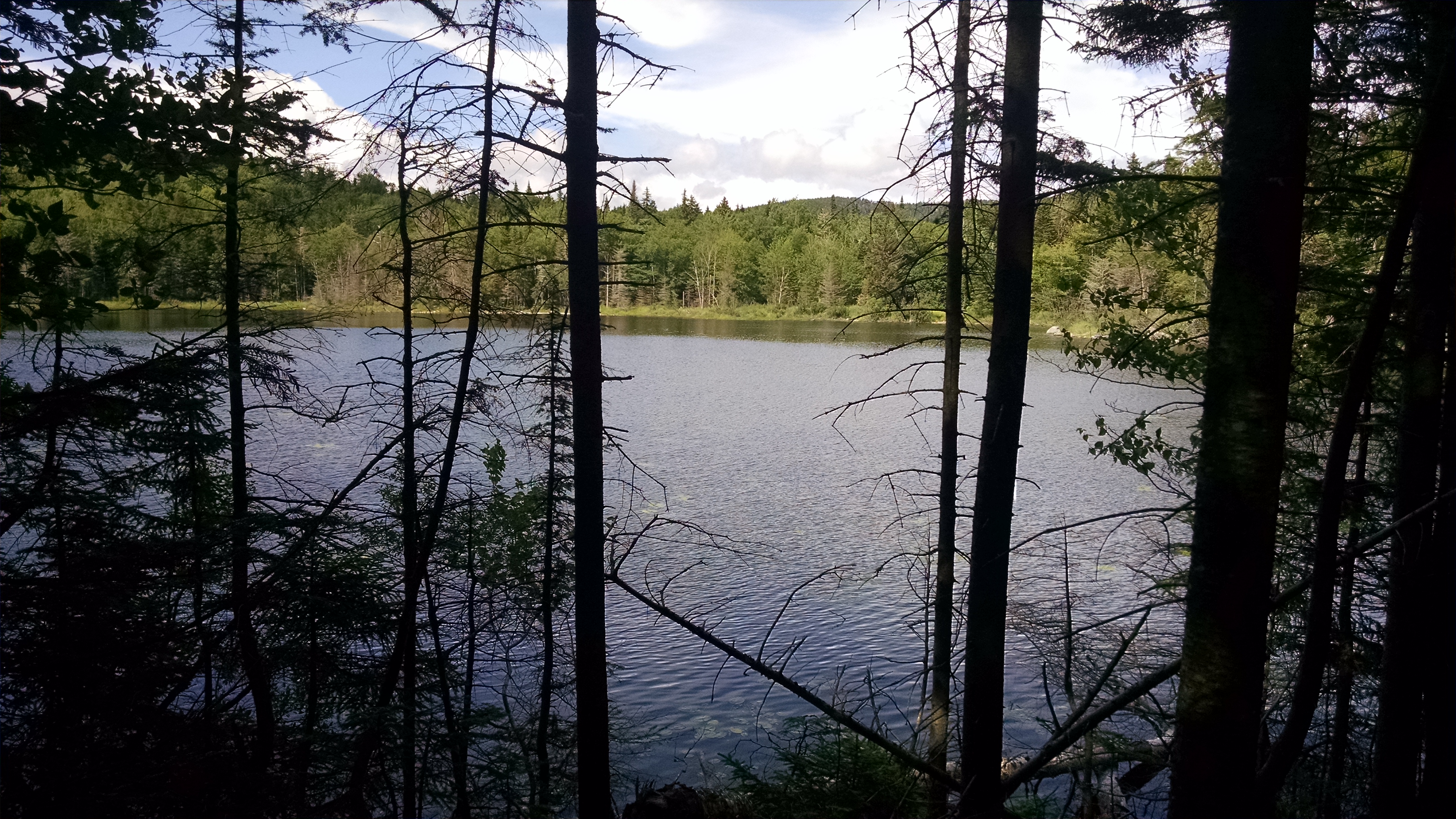
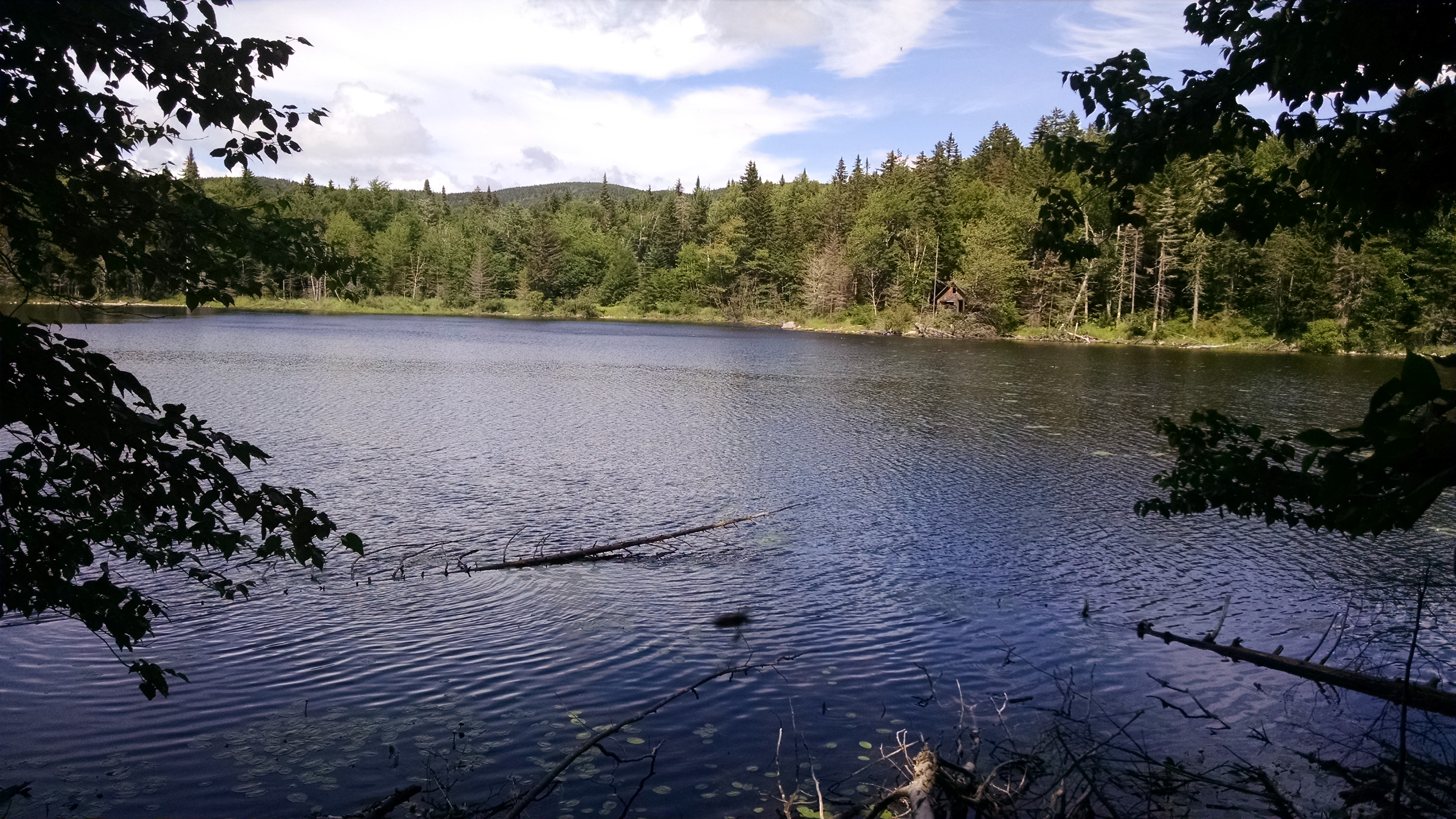
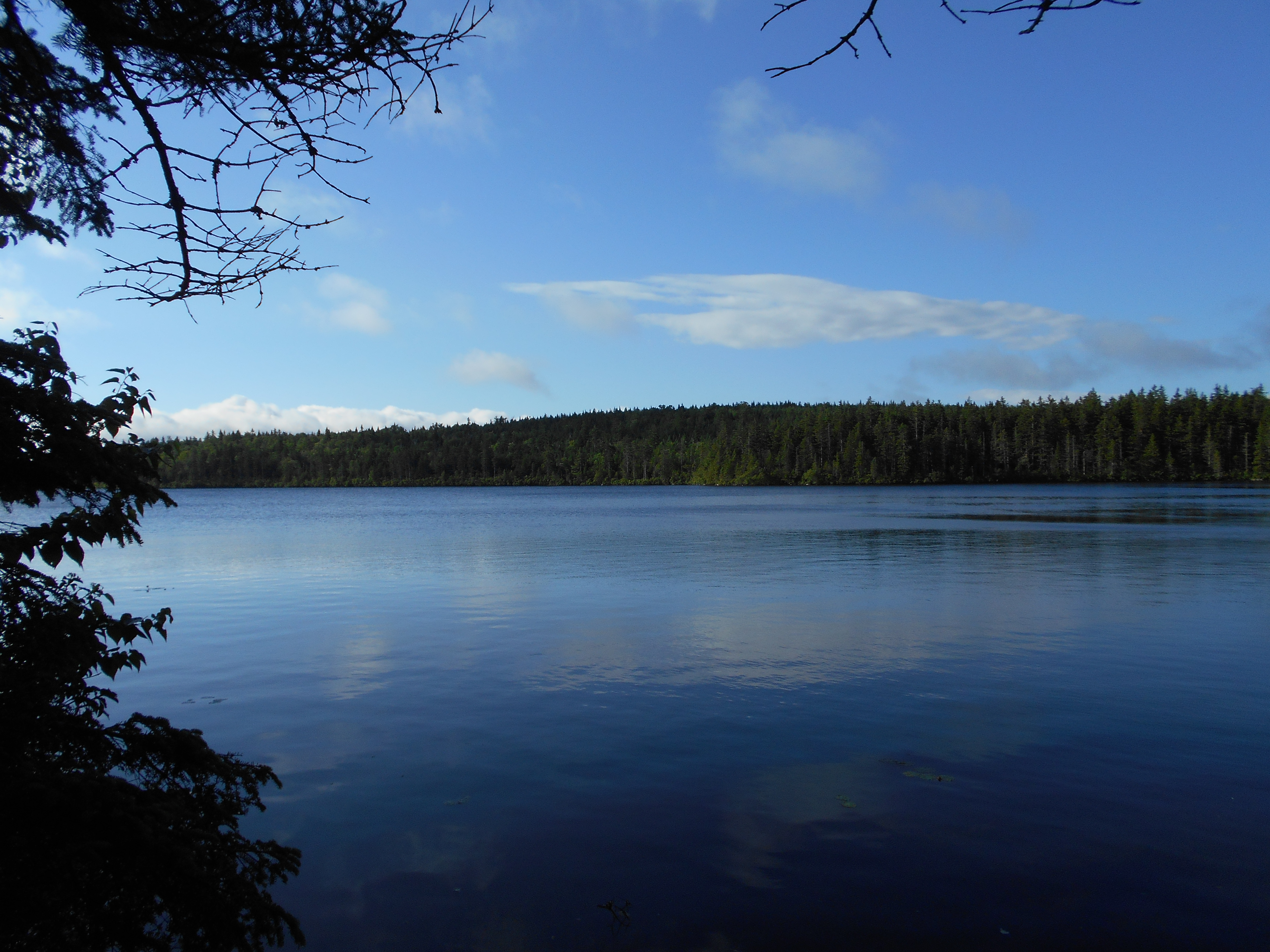
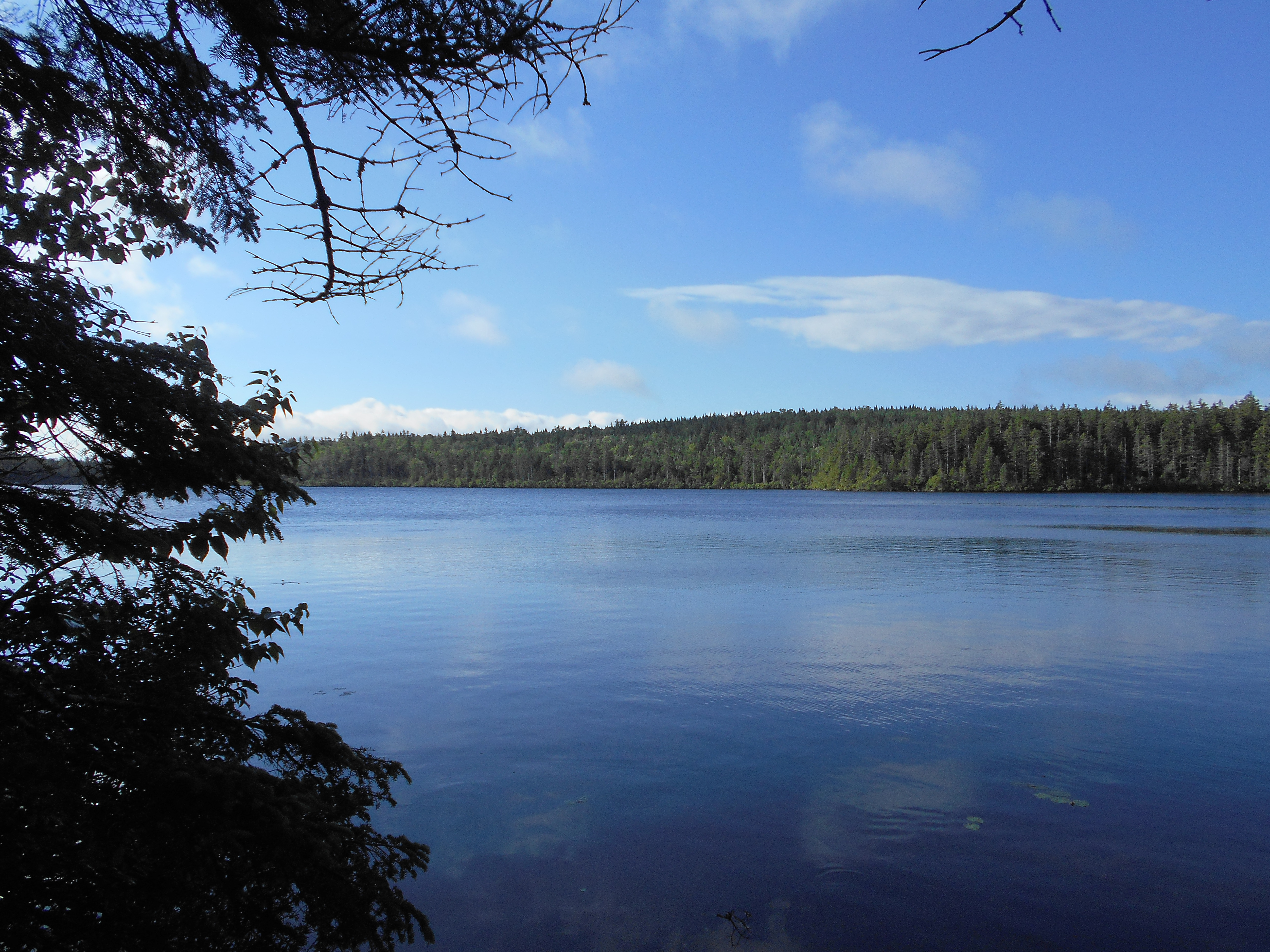
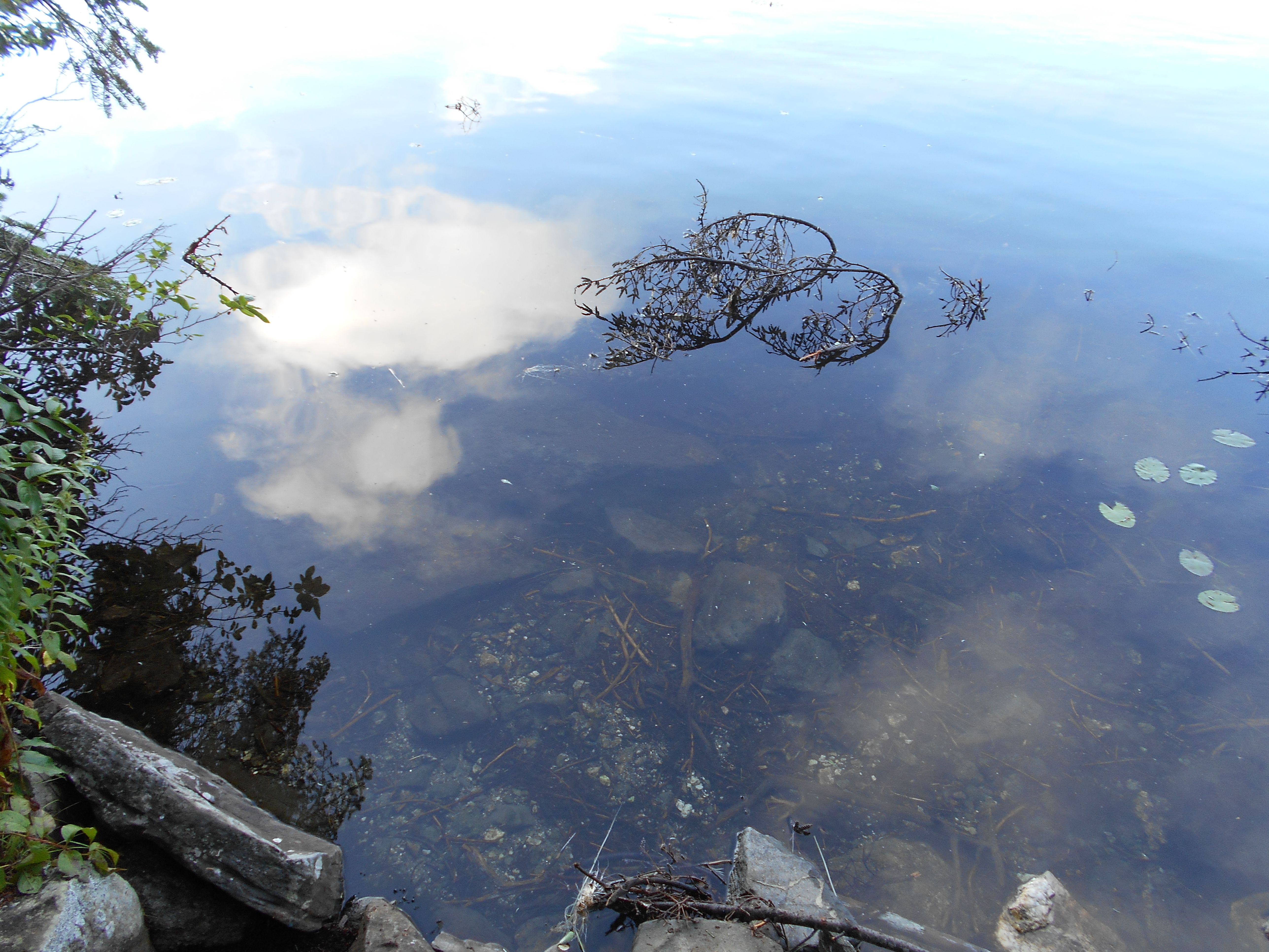
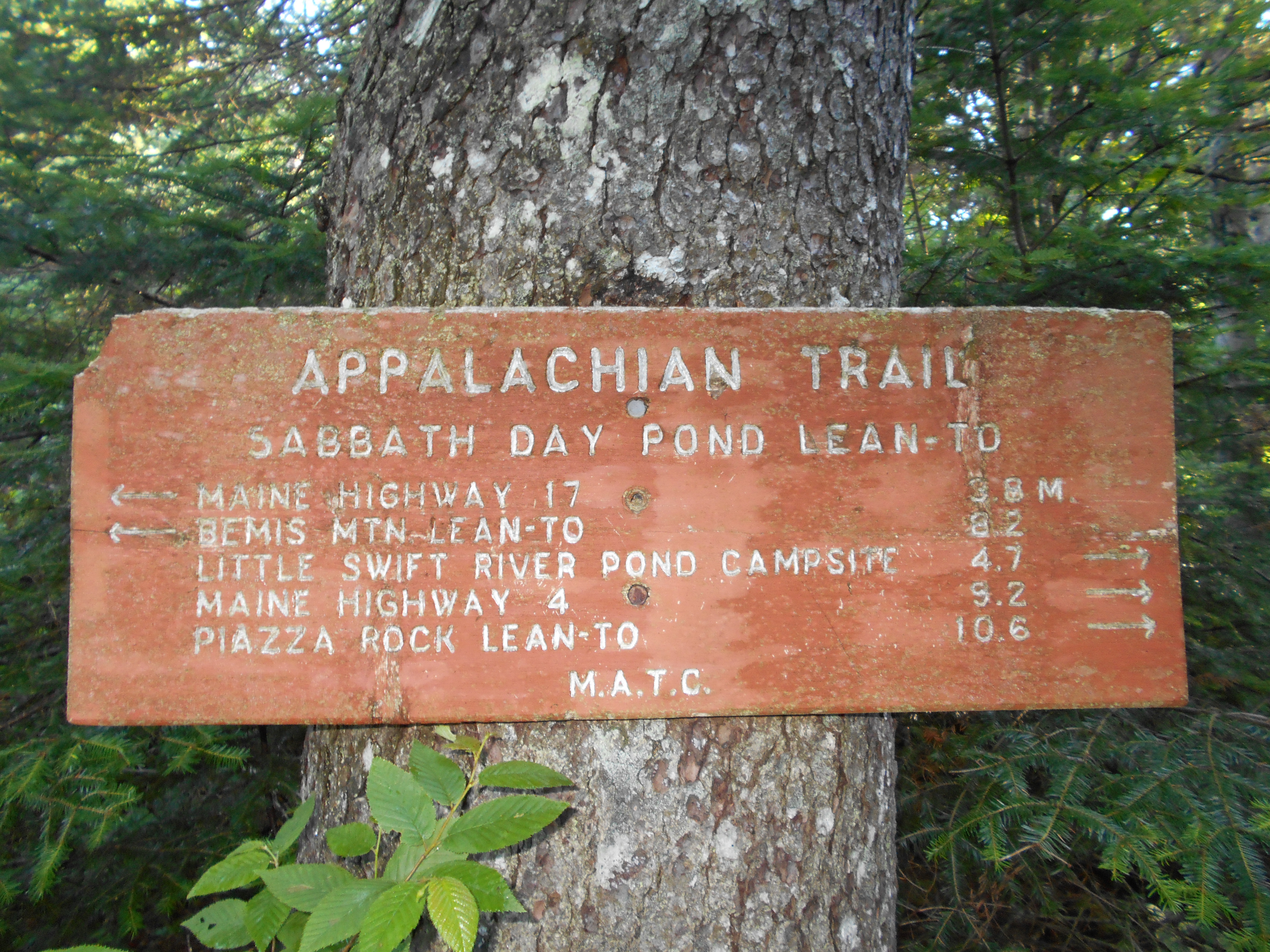
Sabbath Day Pond Lean-to (2,390') ?8.3mS; 11.2mN
2390
2:00pm
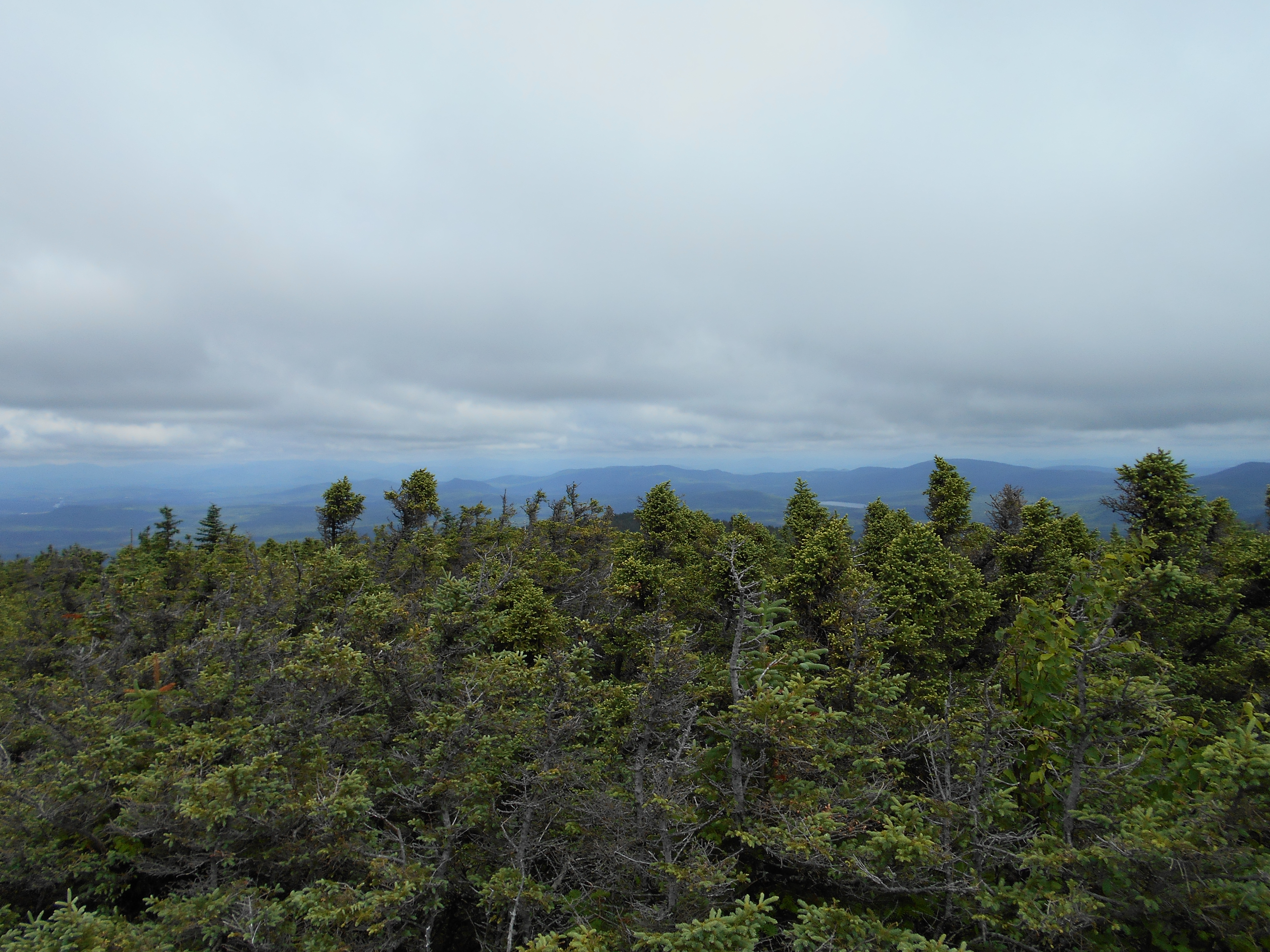
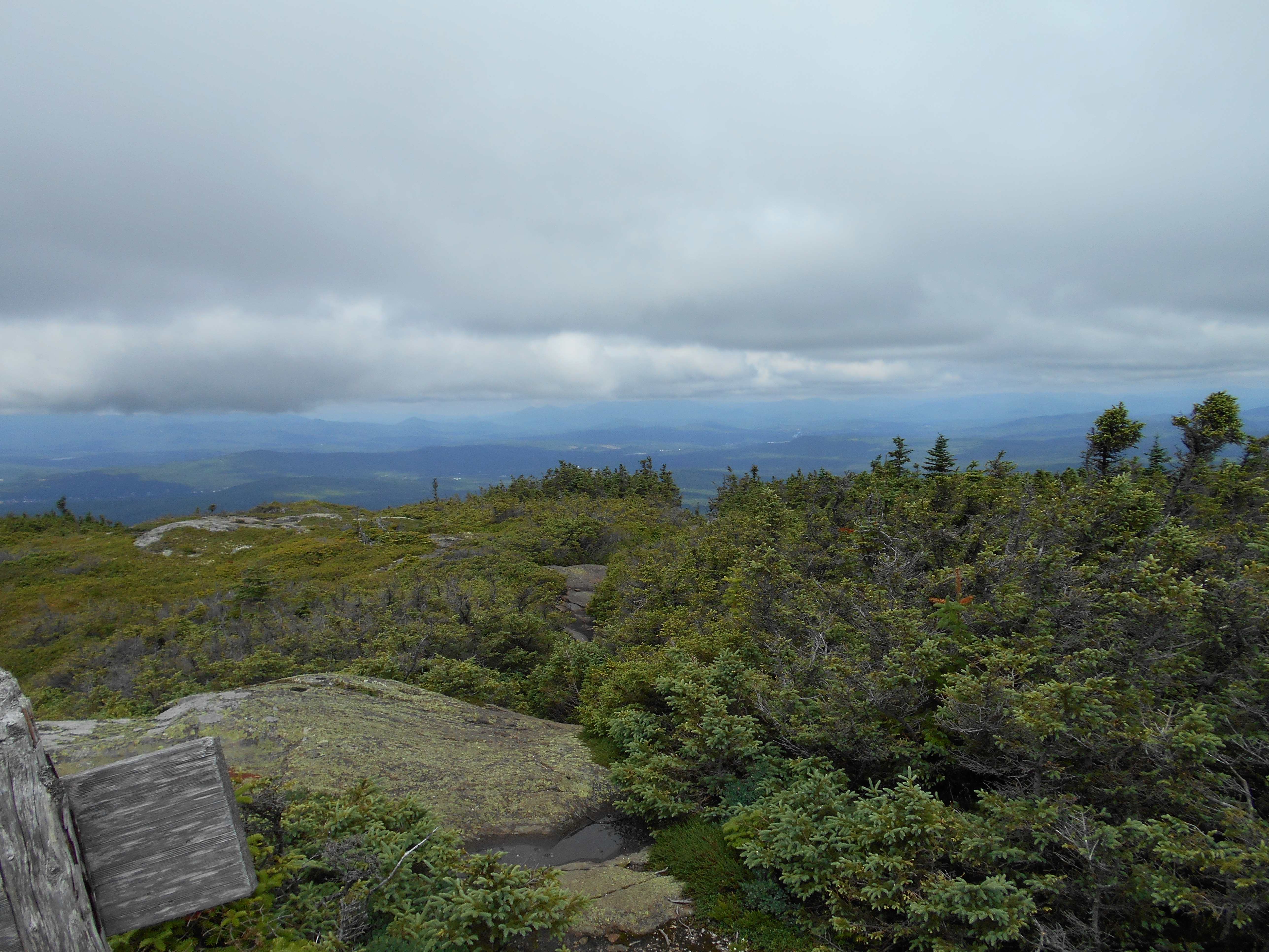
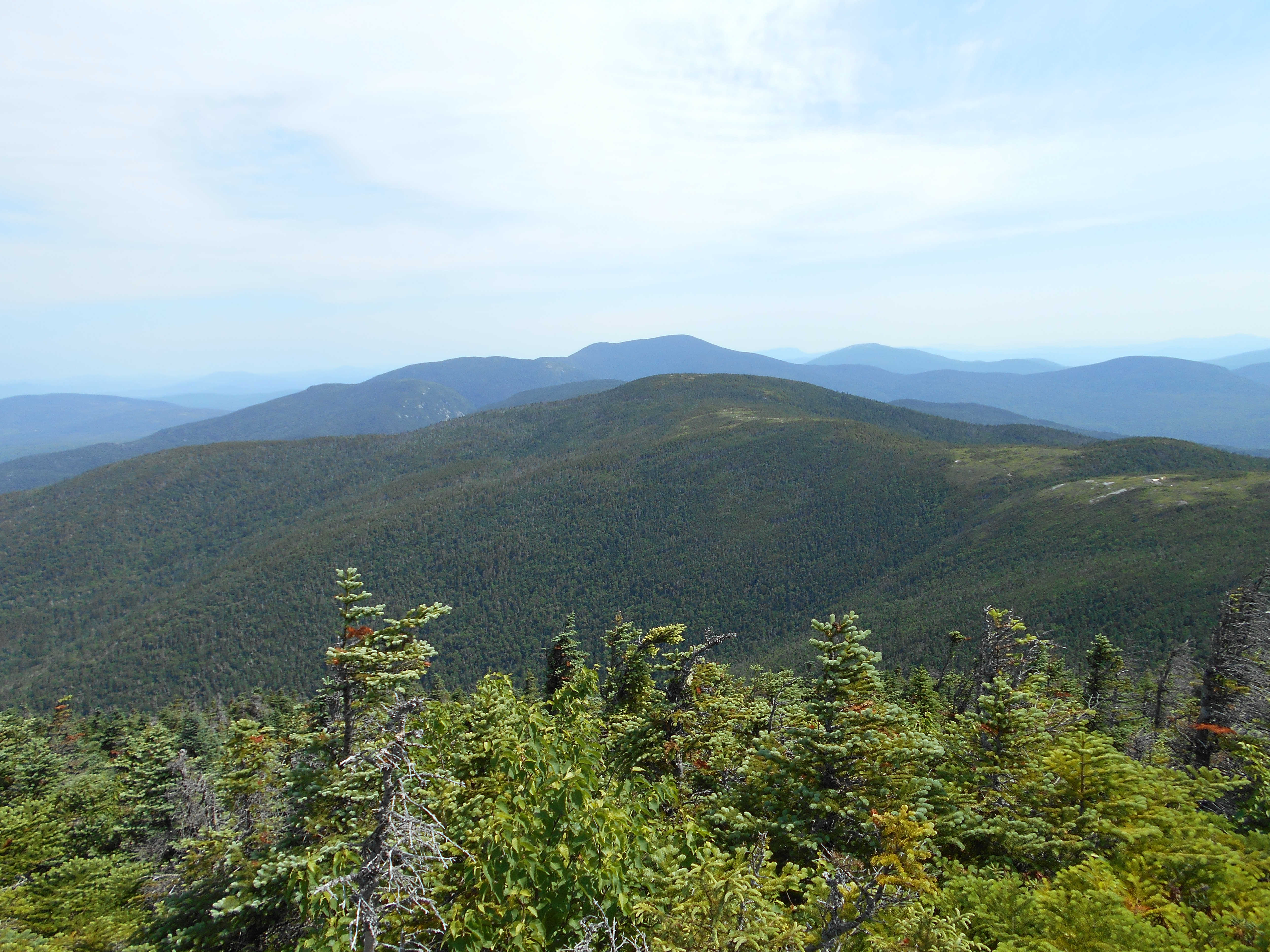
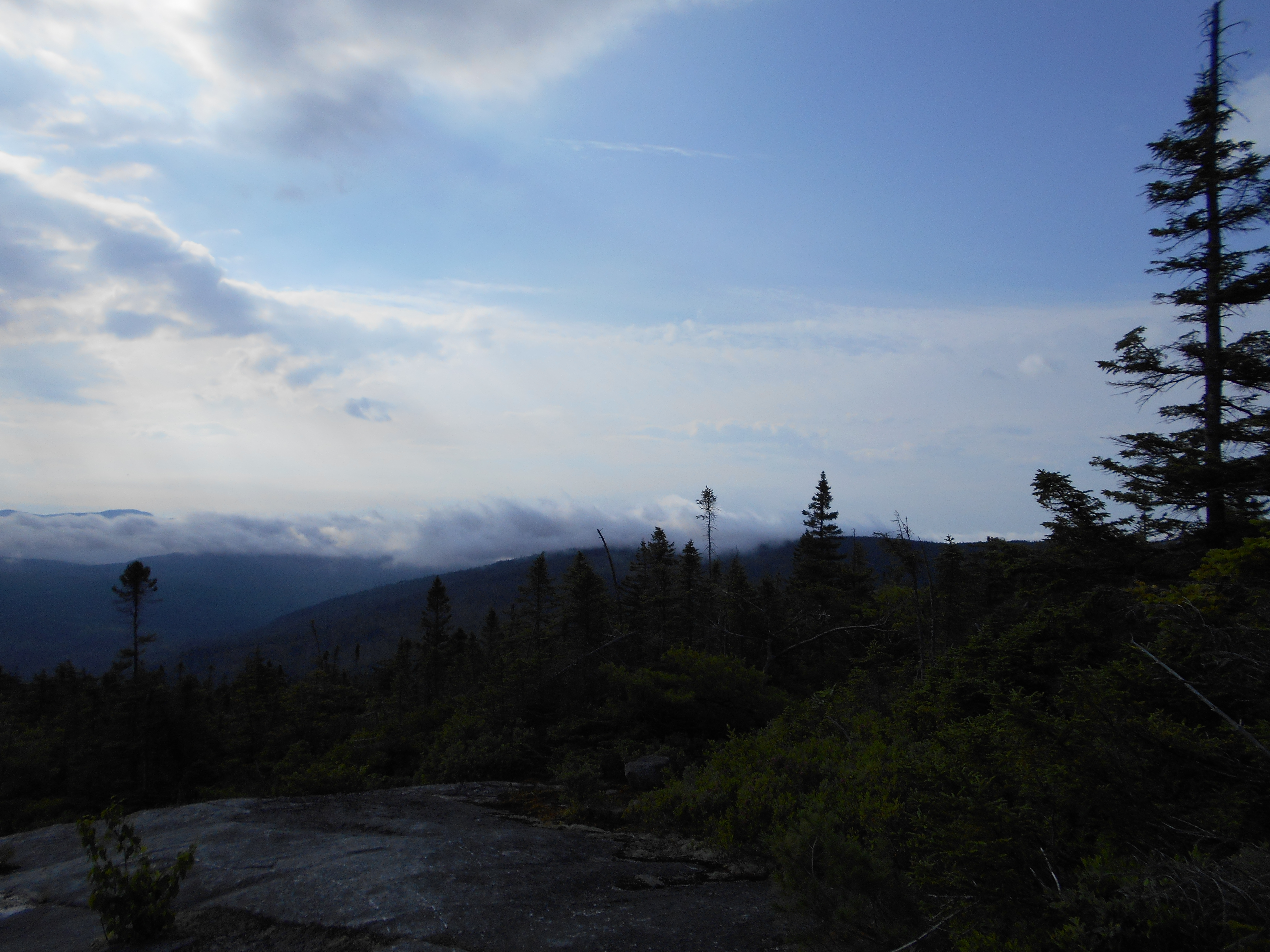
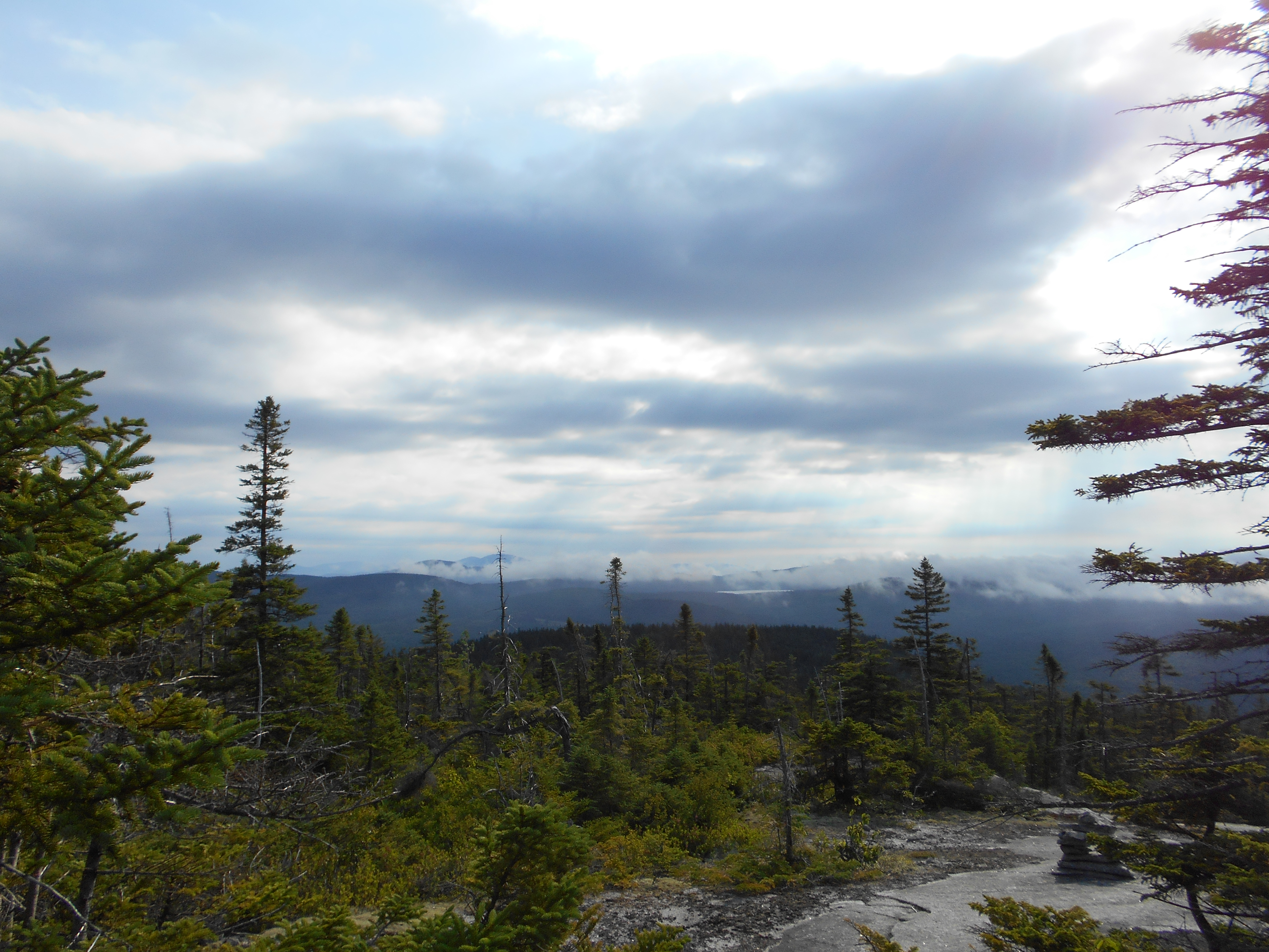
finally a day of hiking with few rock climbs or slides!
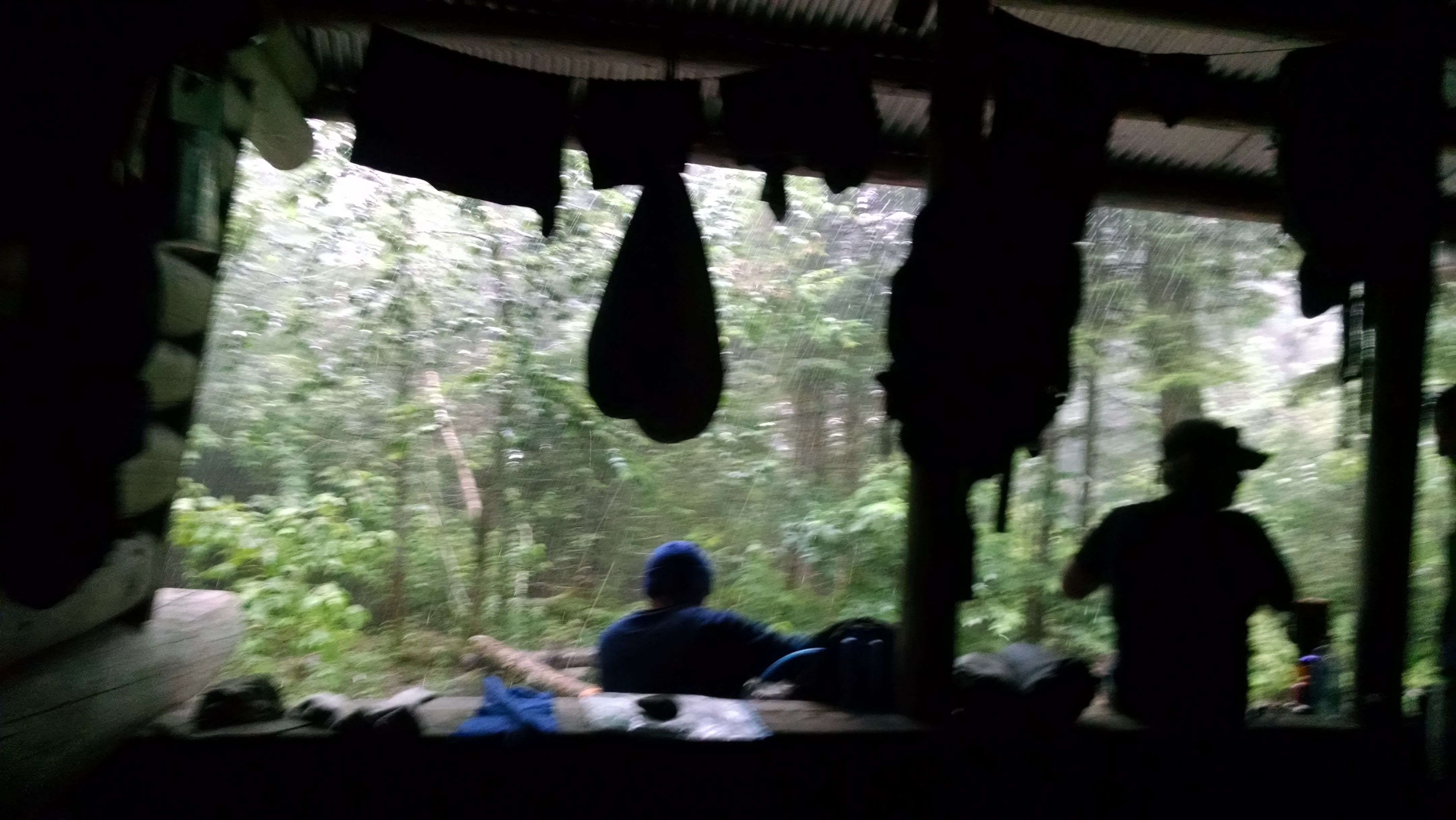
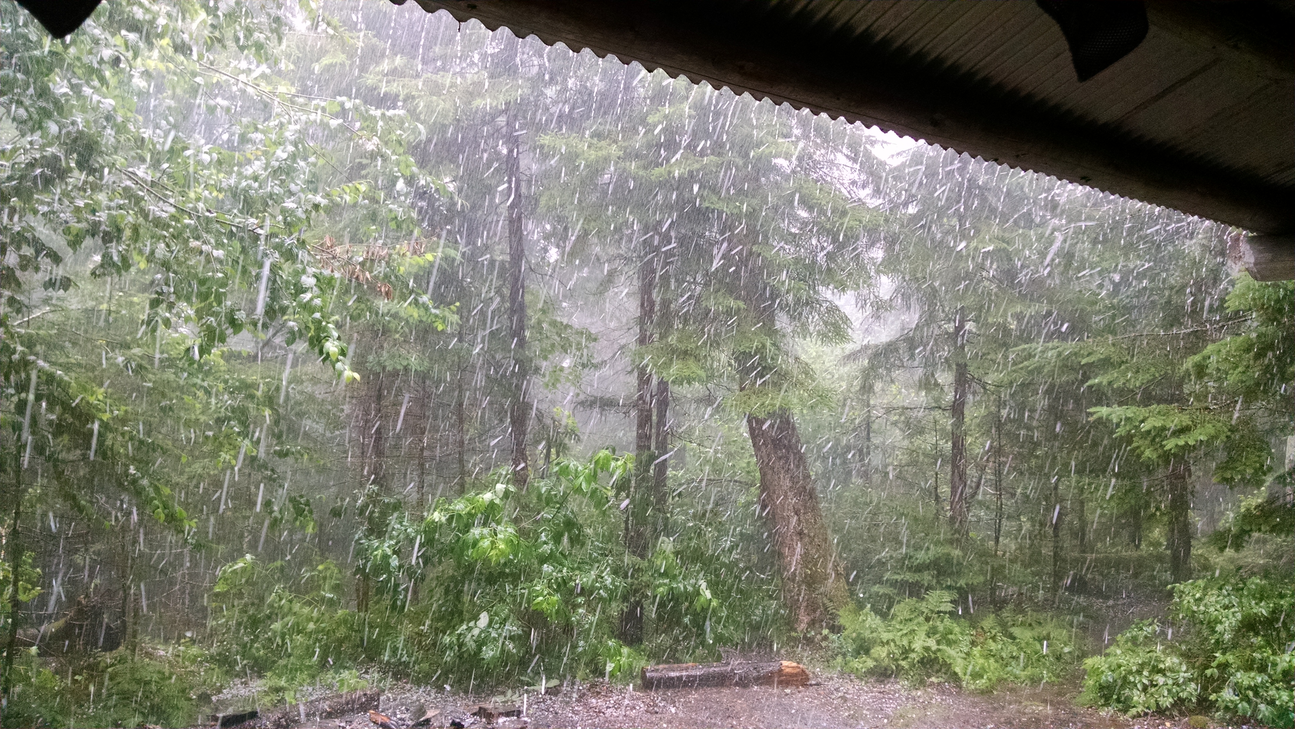
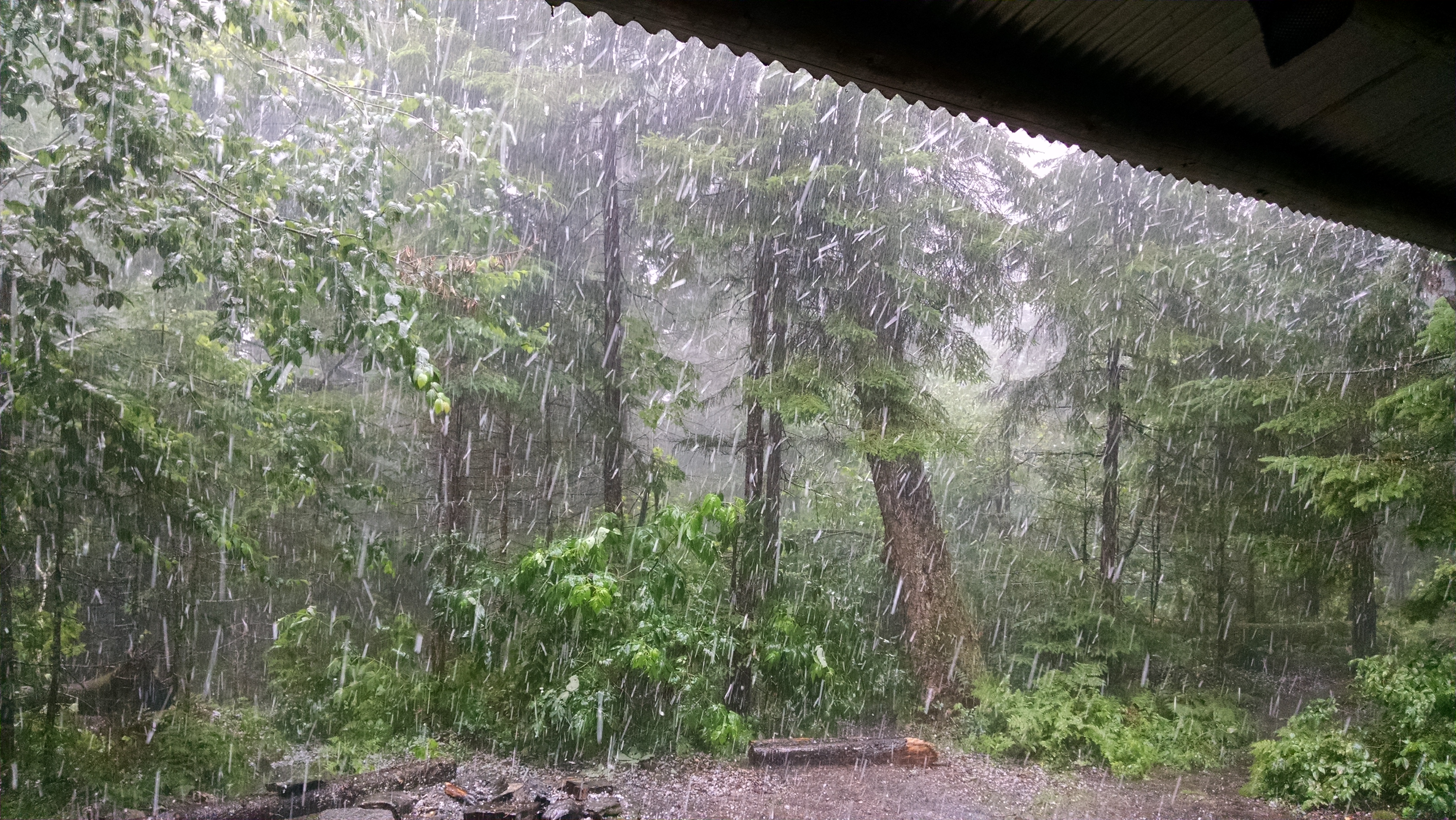
did the normal routine this morning and a few minutes befor being ready we got a few drops of rain, but that was it. hike was fairly easy, but still a lot of ups and downs. made good time and reached the Sabbath Day pond swim spot about 1pm. nice sandy beach and cool refreashing water.....I just dove in. had to get moving pretty quick since a storm was moving in. got to the shelter about a half hour latter and got a spot in the shelter, got water, and now just sitting in the shelter (in the dark, thanks to the storm) waiting for the worst of the storm to hit. by the look of the sky, and the thunder, we are in for a doosy.
2:18
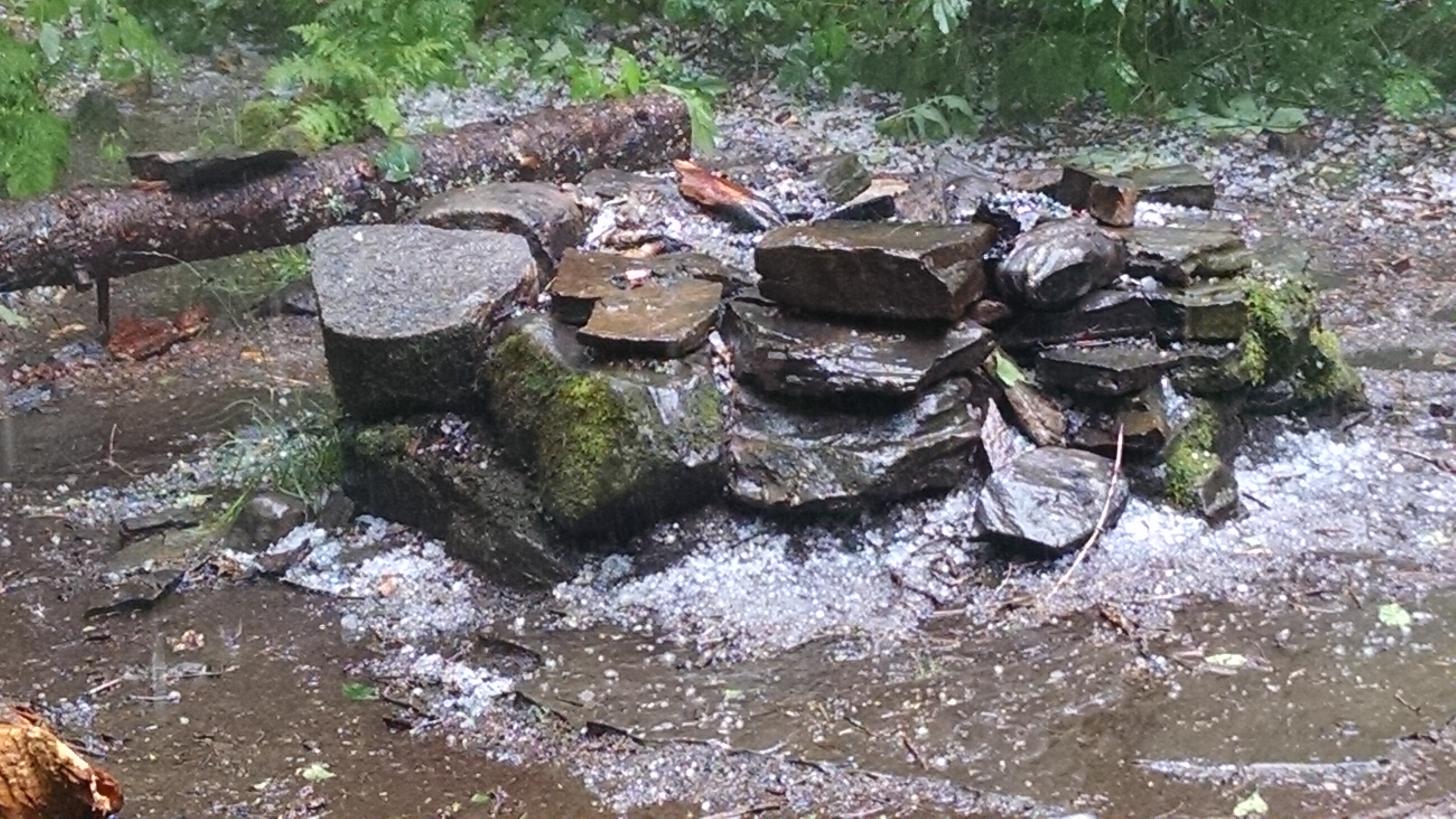
yep I was right, it was short but quite the storm, hail, wind, rain, thunder, lighting, the works. sooooooo glad I was in a shelter for it, but the poor dog in the shelter with us was going nuts with the noise of the hail hitting the metal roof....it was deafening!
5:50
2nd round, no hail this time but shelter full (8 staying and a total of 13 huddled around). storm seems to be moving on.
7:30
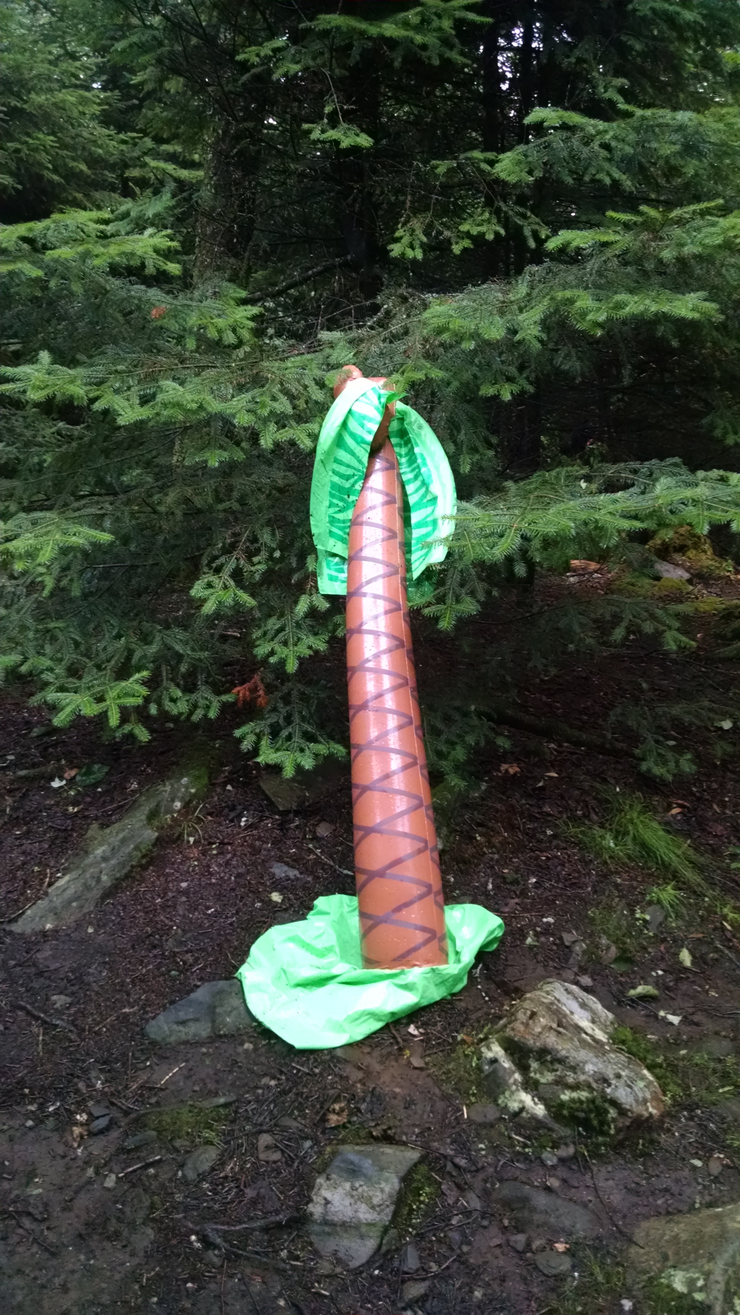
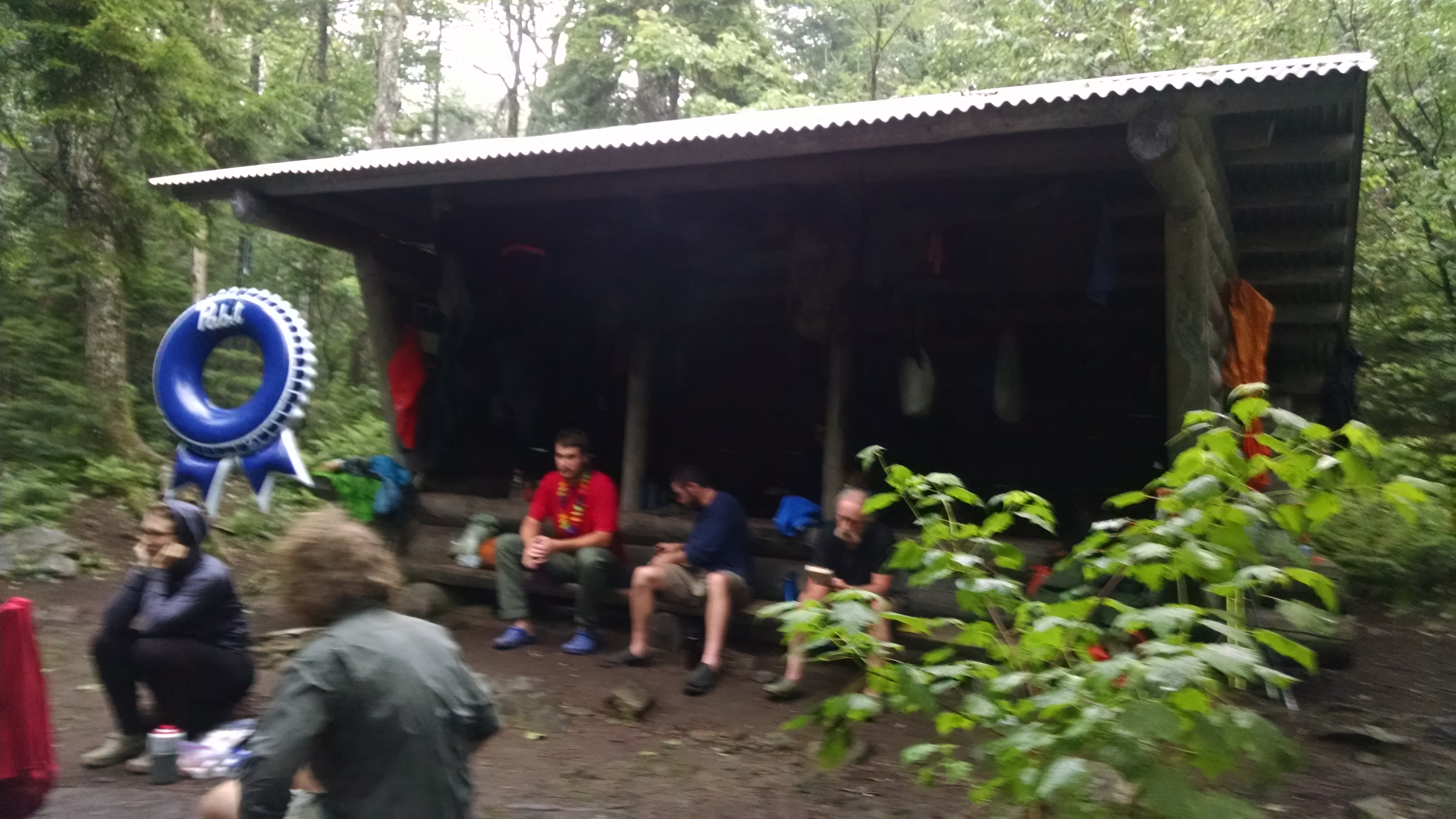
rain seems to be over and we have seen a little sun. the young sobos are having a good old fasioned community sock roast to dry socks, boots and cloths that got wet during their hike during the storm. this group seems to be partying diwn the trail. they were proud of the fact that they did a nero of 0.1 miles out of town, saw a campsite by the road and stoped for the day (then hitchhiked back to town to get pizza). they also carry two inflateables: a palm tree and a pabst blue ribbon. doubt many, if any will make it to springer.
July 18, 2016
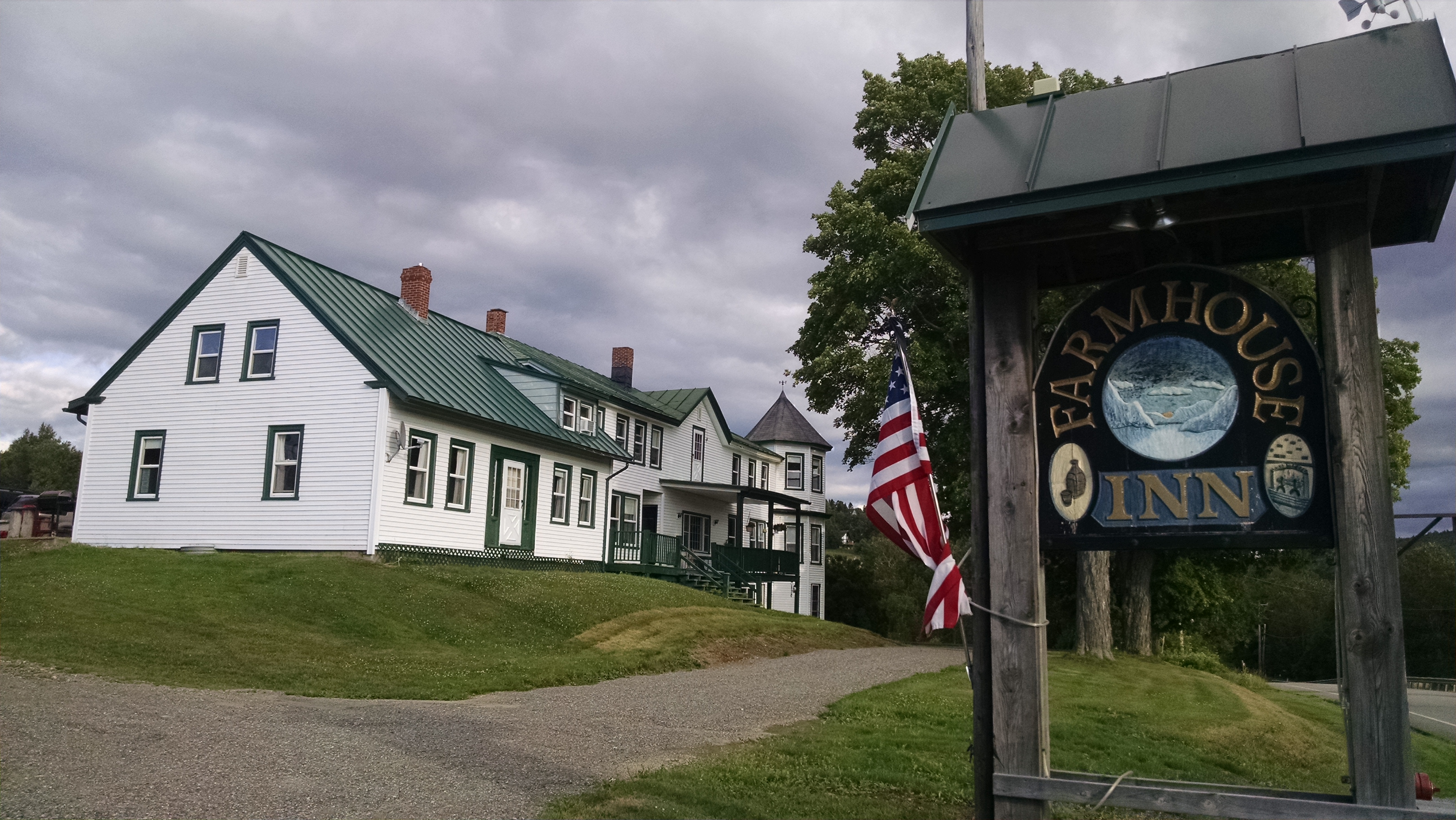
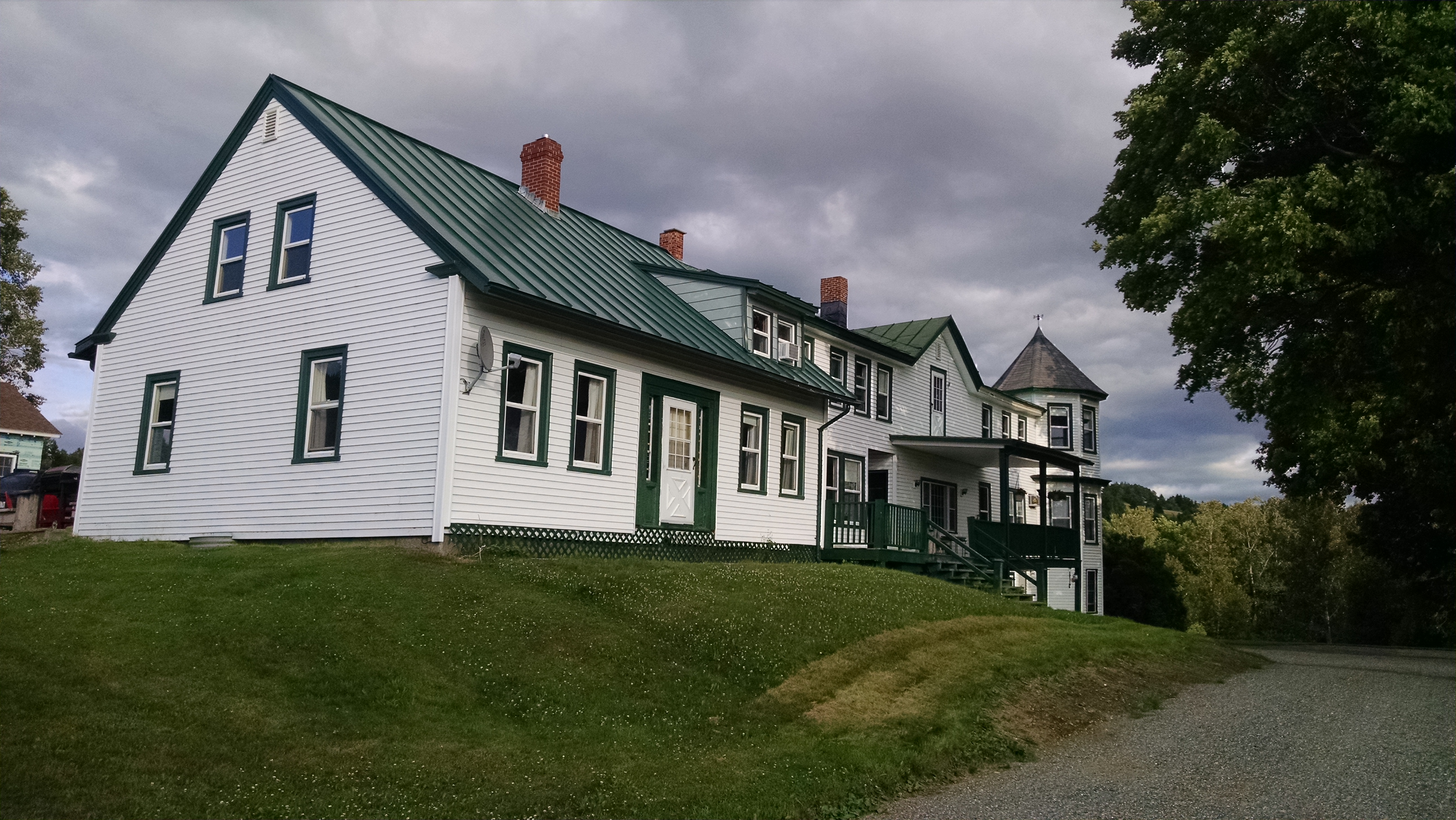
Sabbath Day Pond Shelter to Farmhouse Hostel (Rangeley, ME)
Total Milage 10.9
Miles from Springer
Features
Elevation
1959.3
Sabbath Day Pond Lean-to (2,390') ?8.3mS; 11.2mN
2390
1959.8
Houghton Fire Road (2,300')
2300
1963.9
Little Swift River Pond Campsite (2,460')
2460
1965.1
Chandler Mill Stream (2,150')?outlet of boreal bog
2150
1966.6
South Pond (2,174')
2174
1968.7
Maine 4 (1,700')Rangeley, Maine 04970
1700
3:15
here at the hostel, cold morning bit moving early and got to the road failry quick due to good trail and few ups and downs. started down the road and who drives by but the hostel owner so it was an easy in. then took a shower and got a ride into town and picked up my maildrop. now just lounging around.