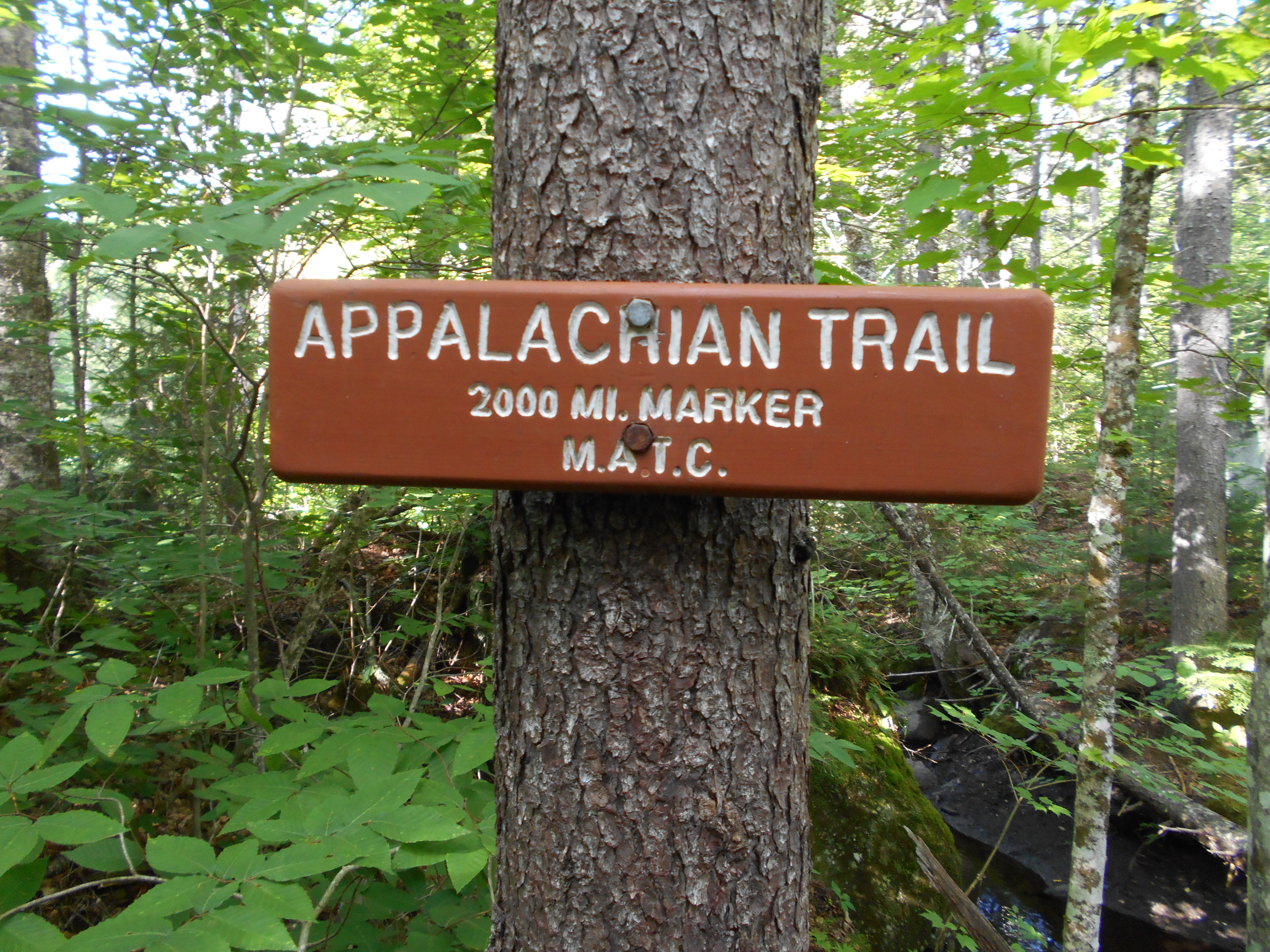
| Miles from Springer | Features | Elevation |
|---|---|---|
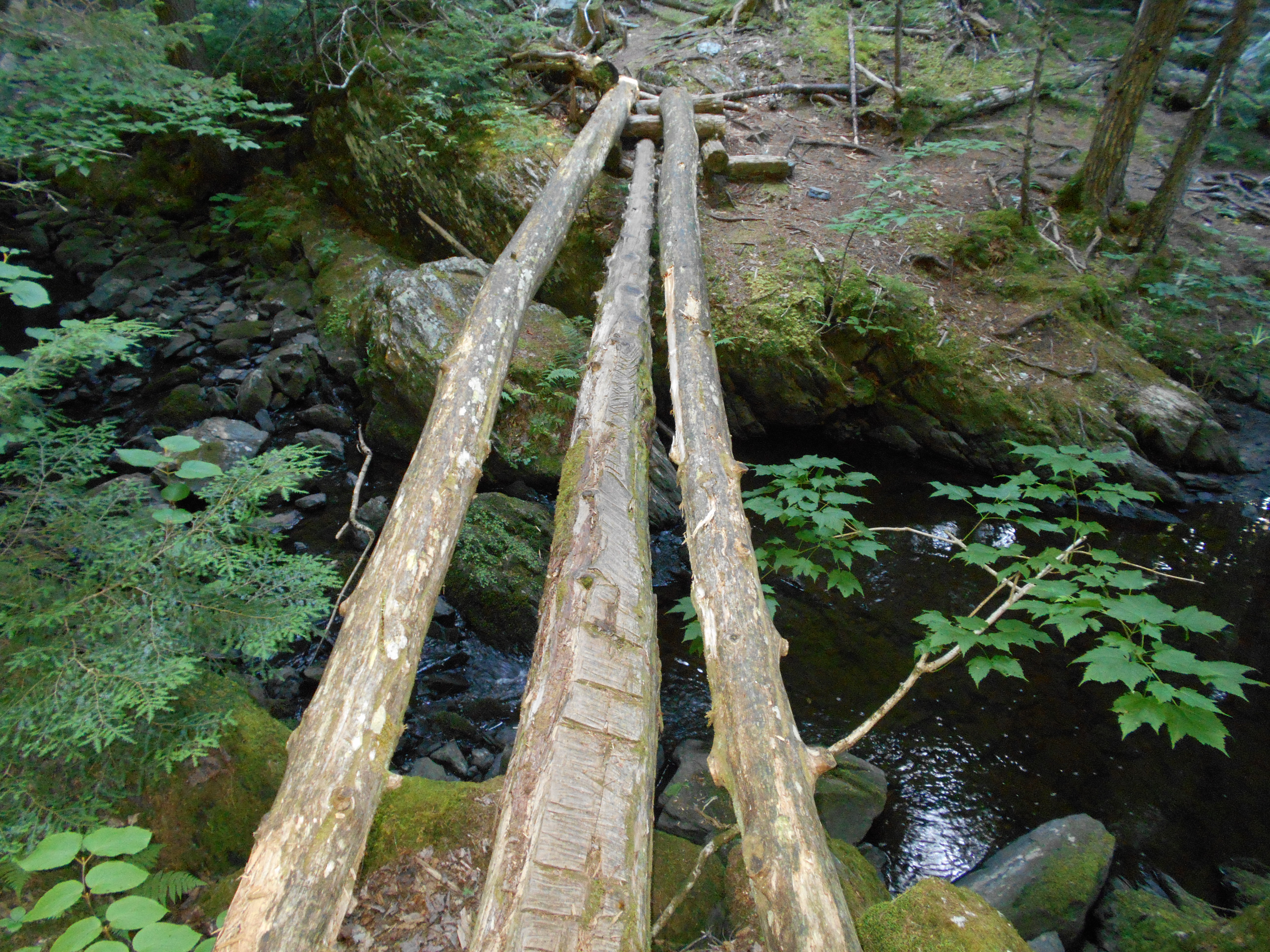
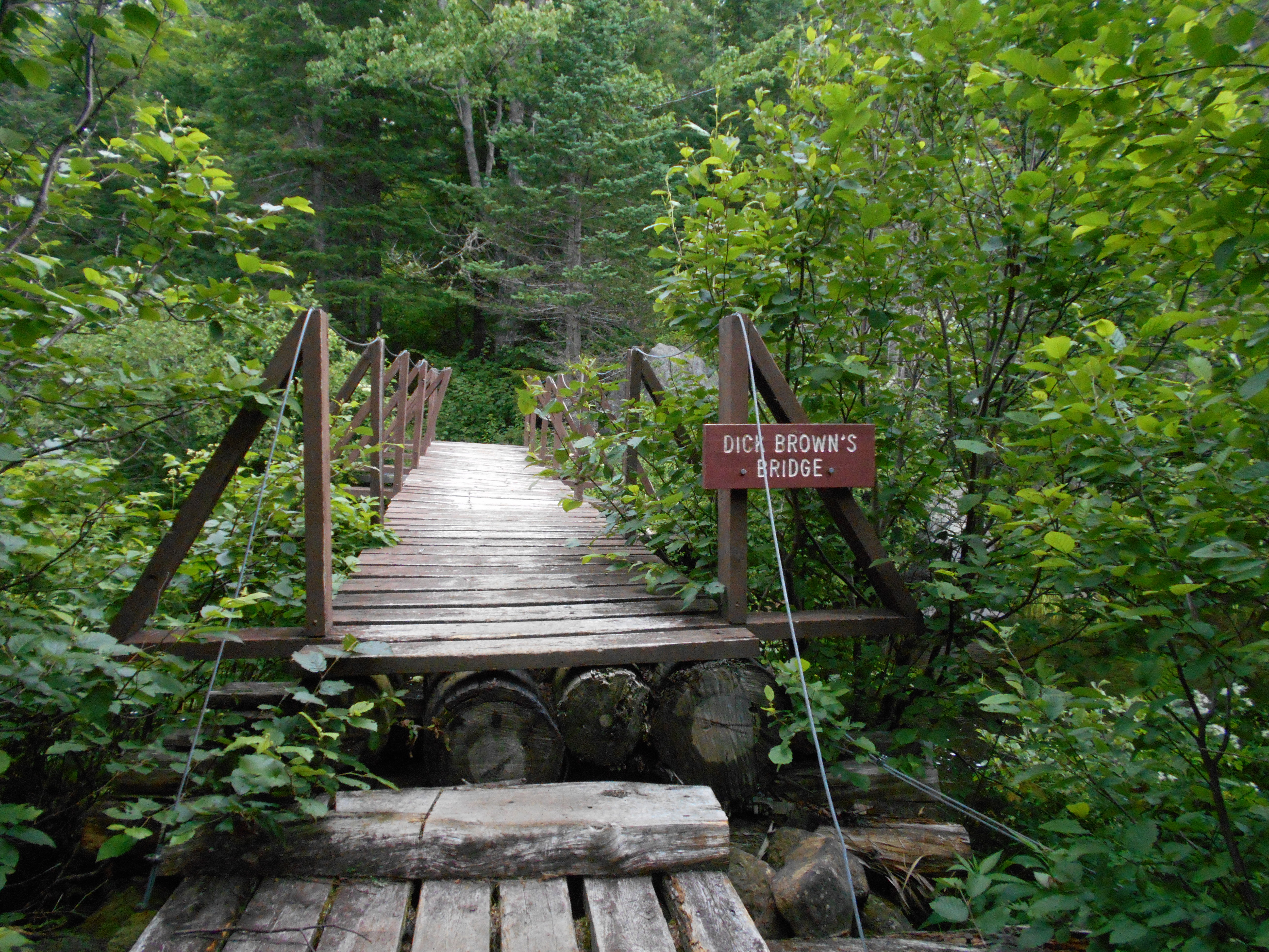
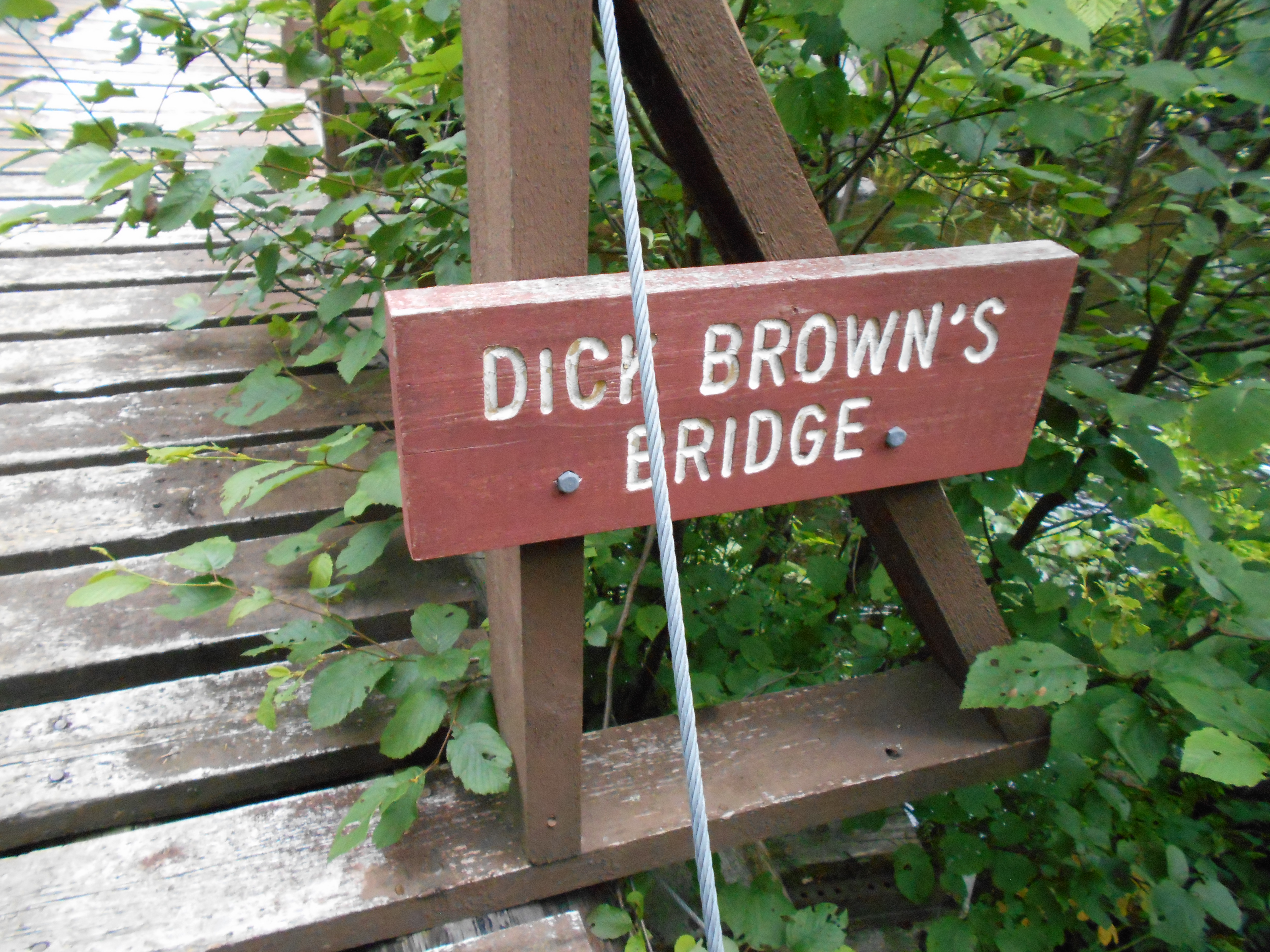
| 1968.8 | Sandy River (1,595')?footbridge | 1595 |
| 1969.4 | Gravel Road (1,750') | 1750 |
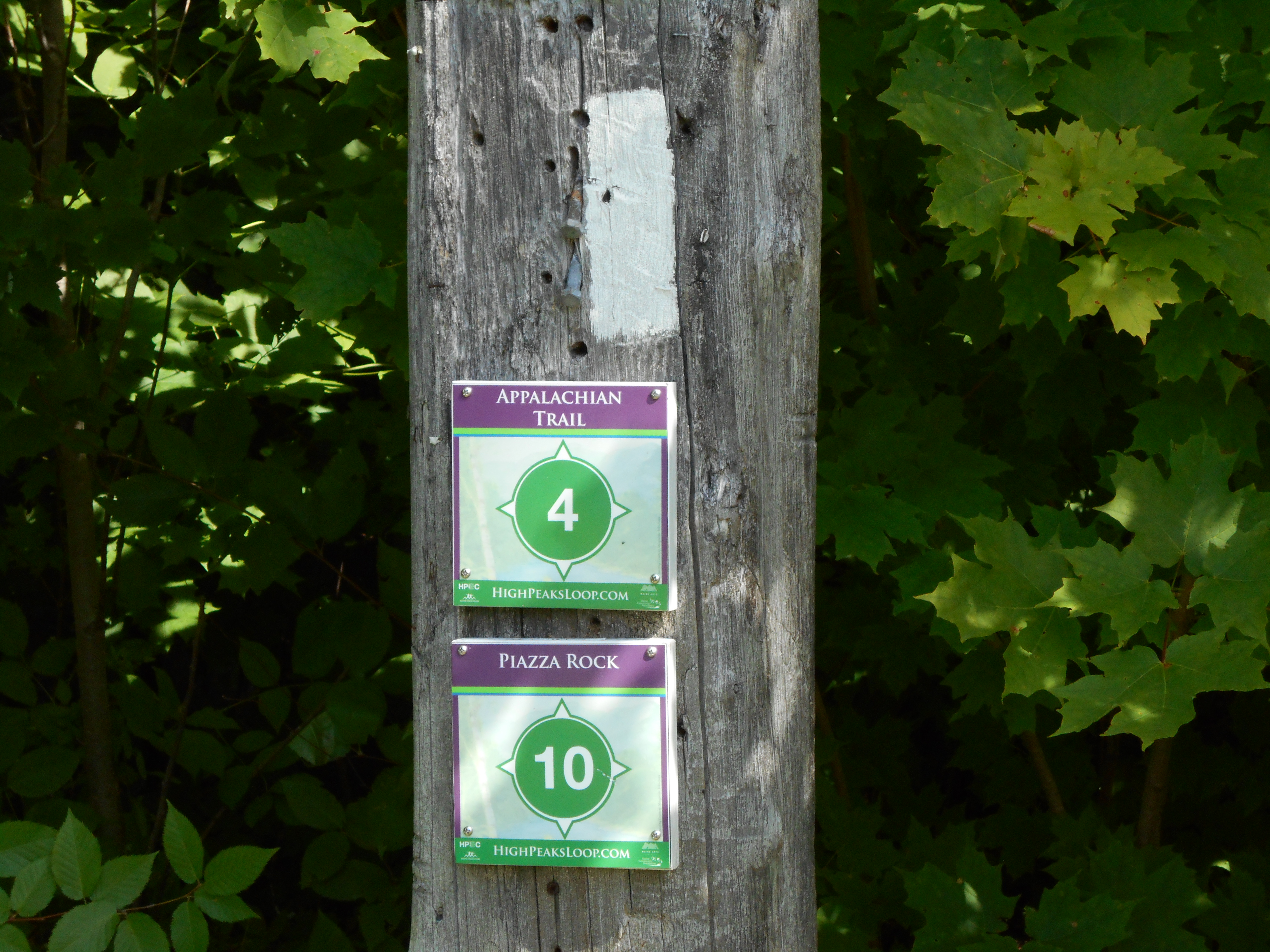
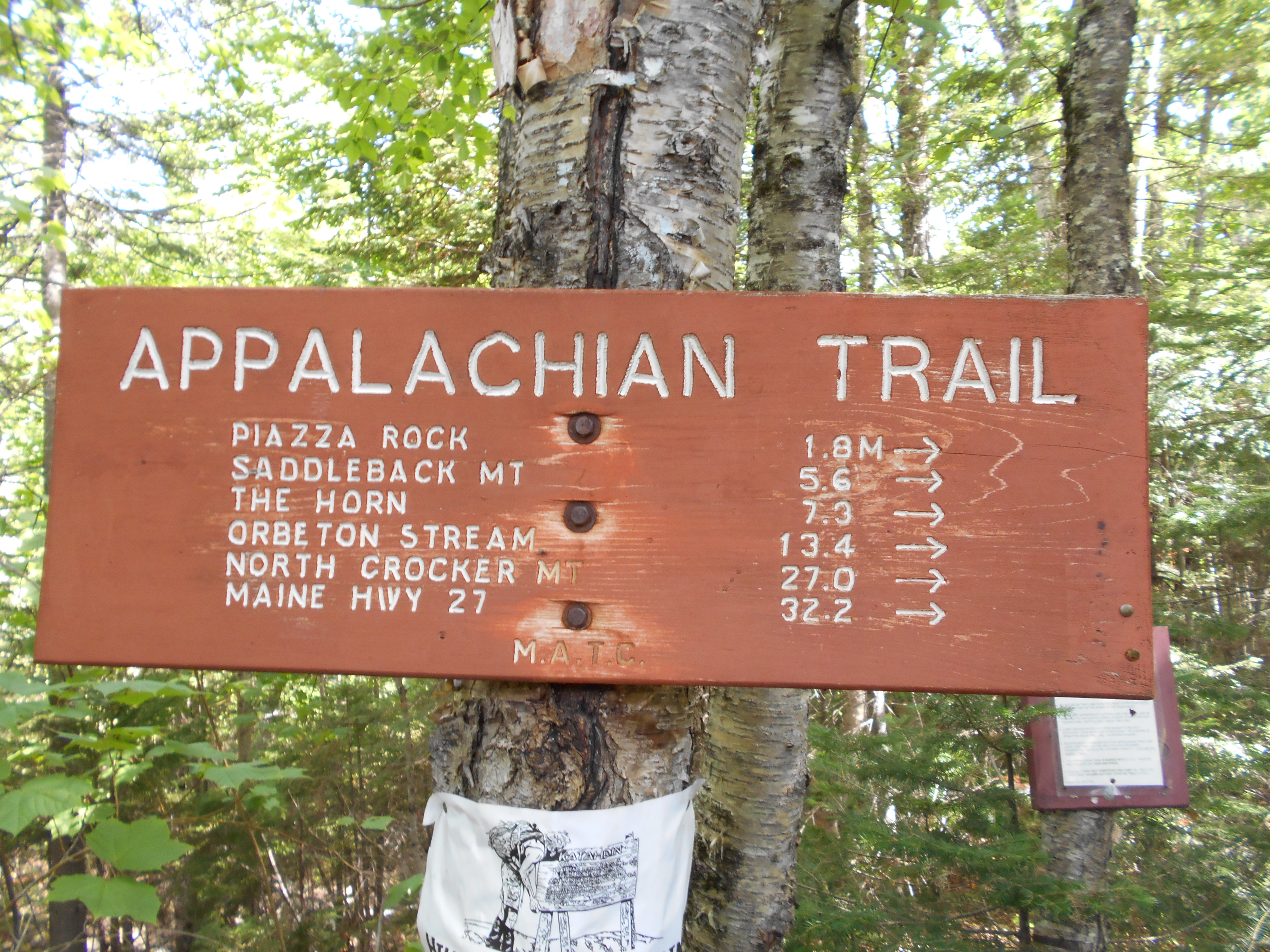
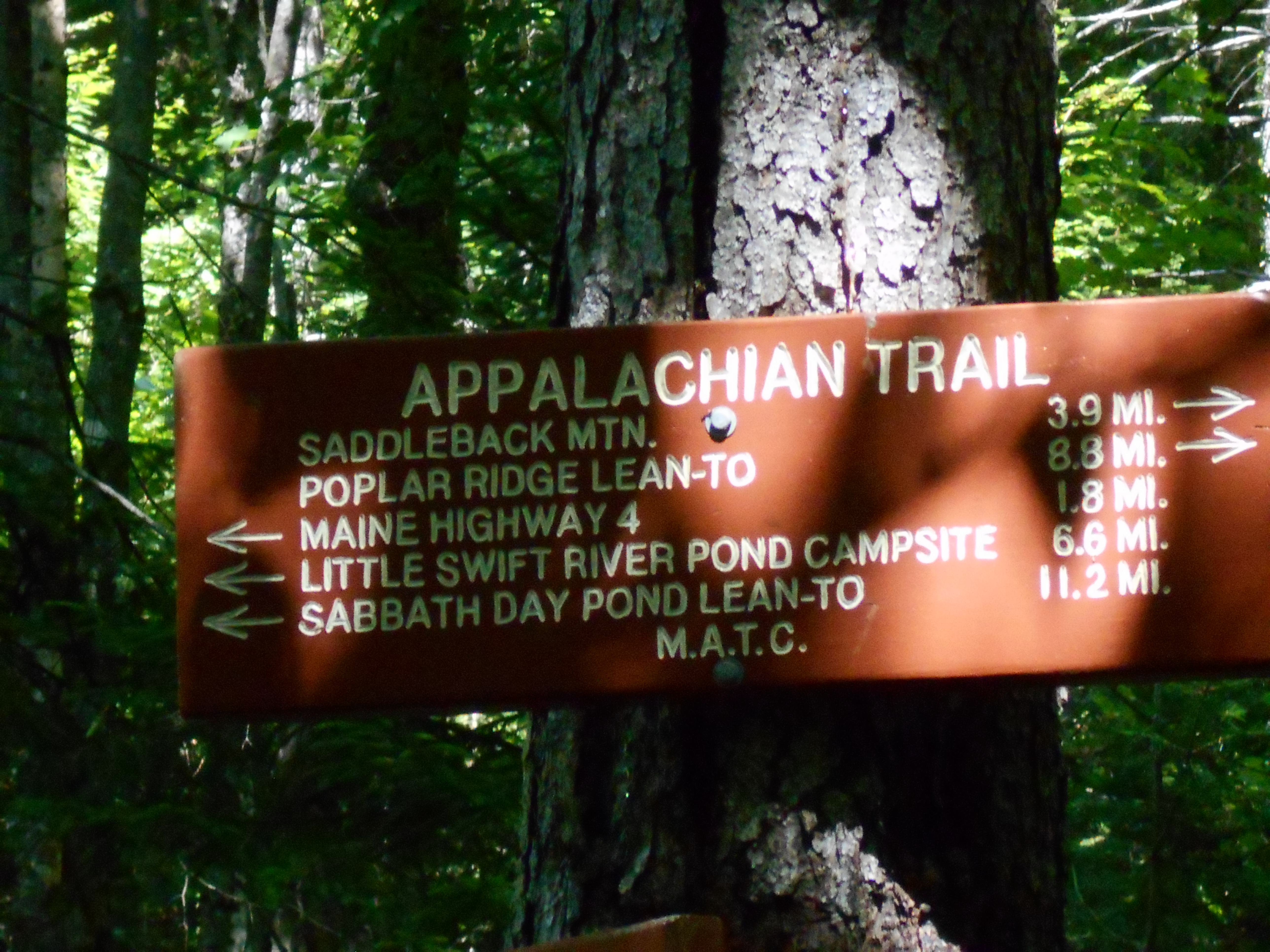
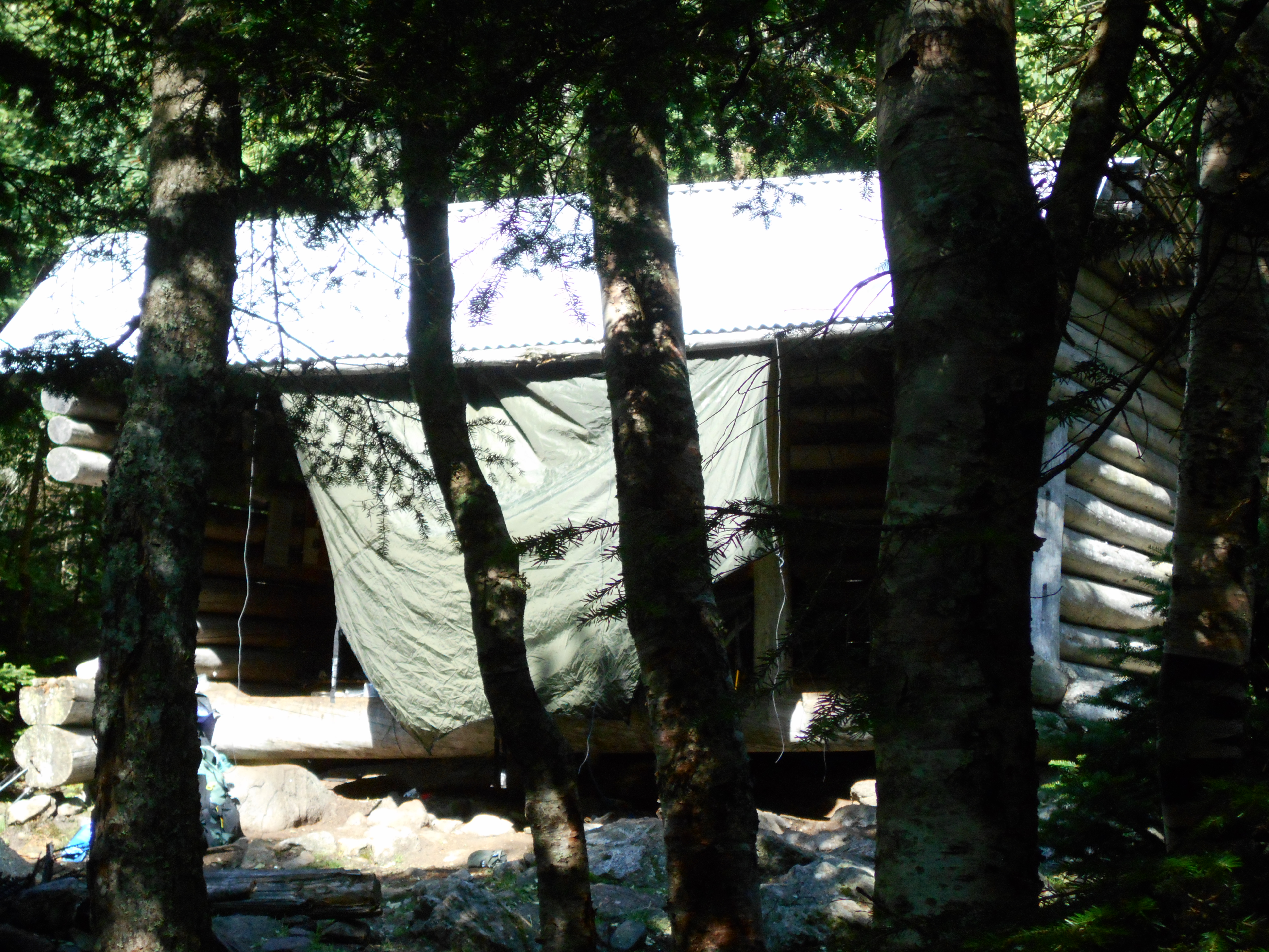
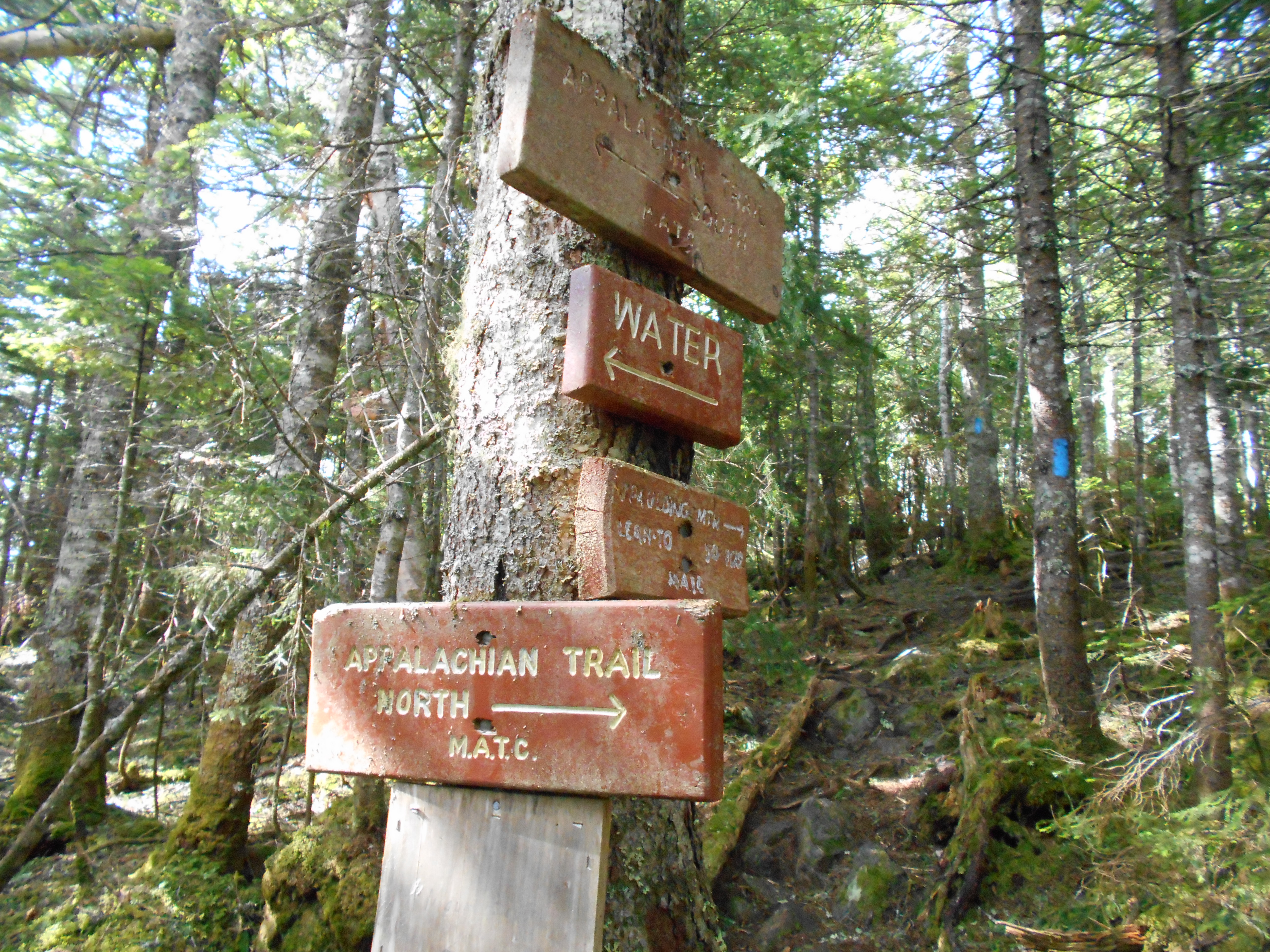
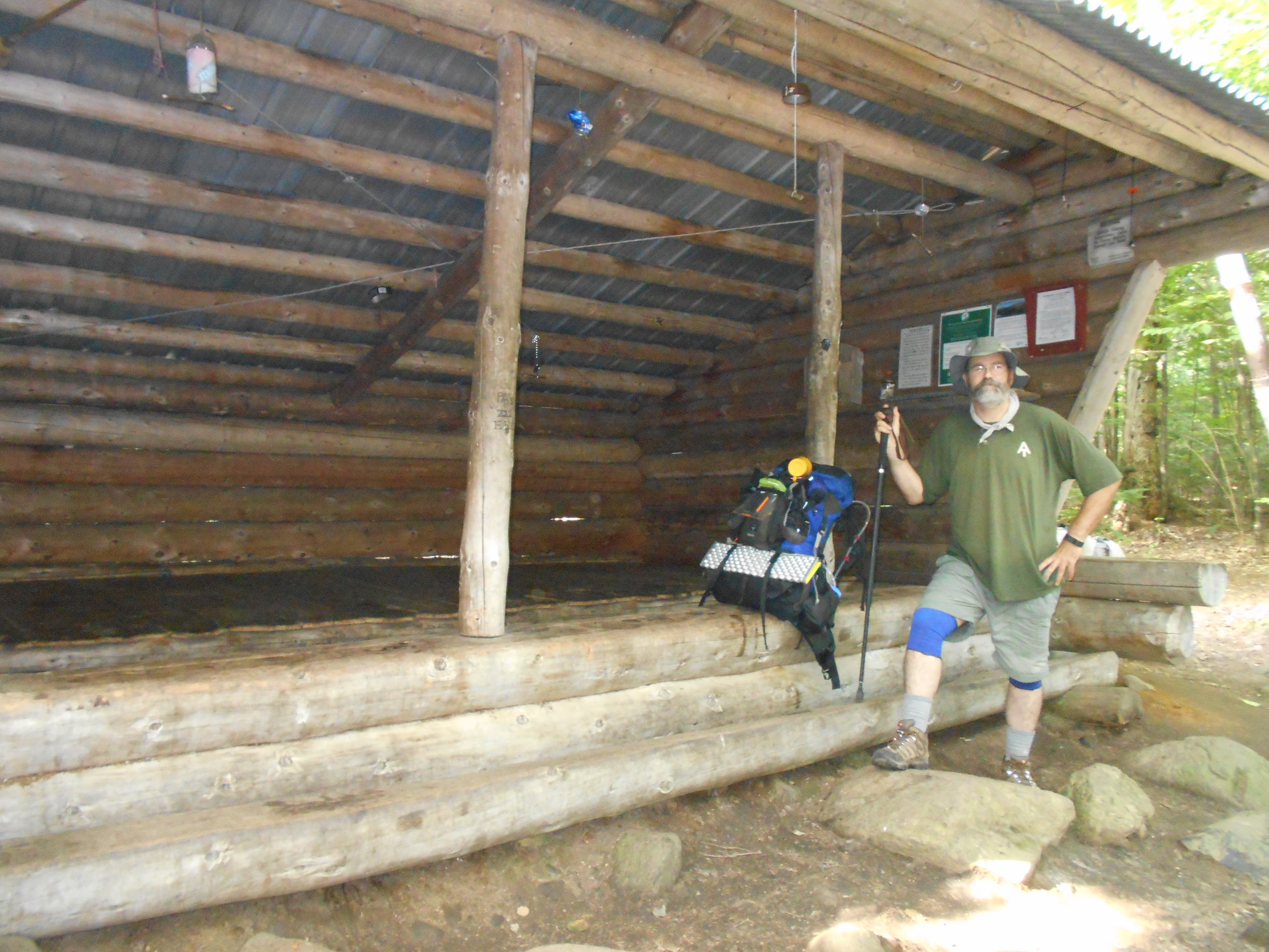
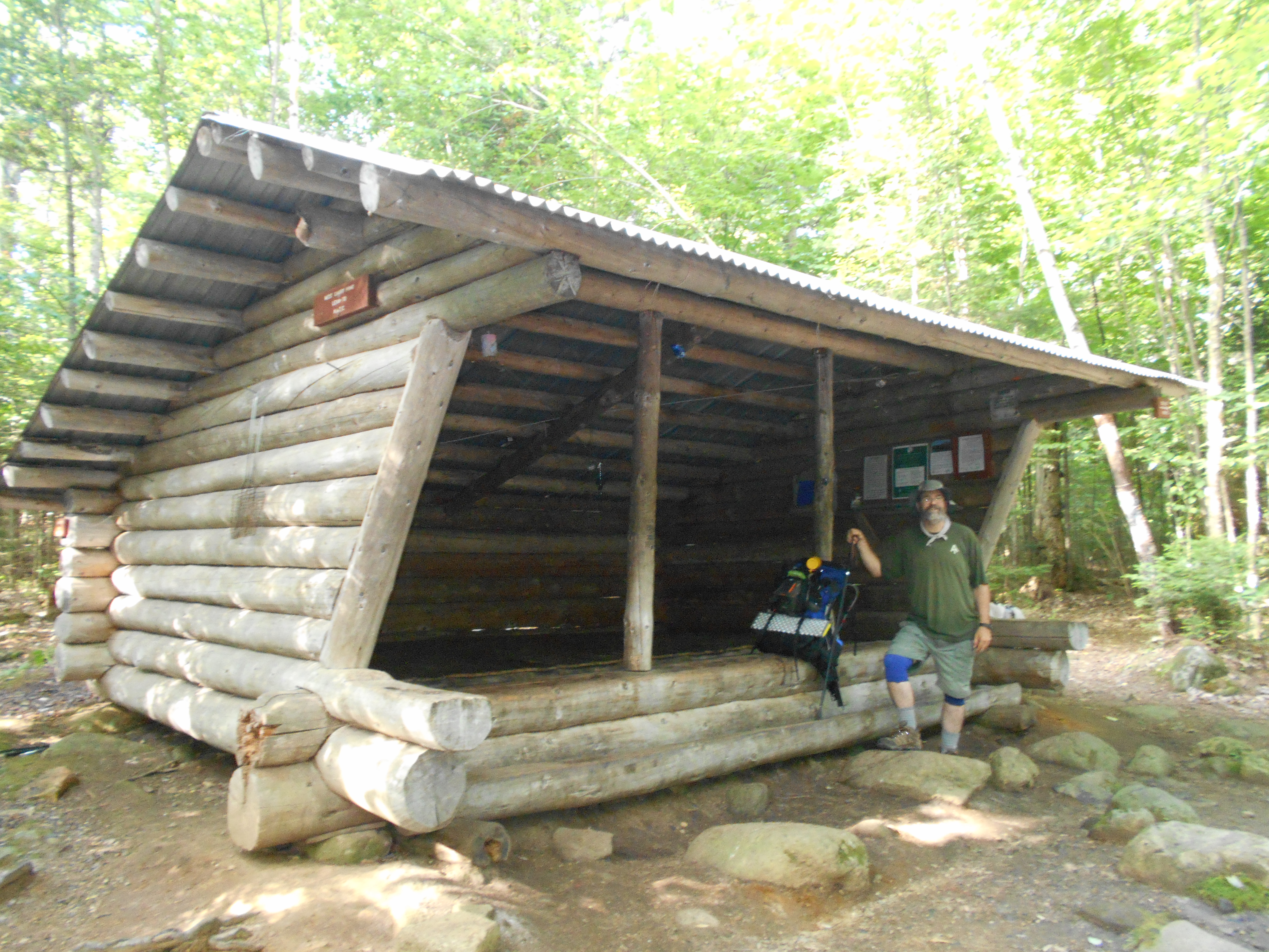
| 1970.5 | Piazza Rock Lean-to (2,080') ?11.2mS; 8.9mN | 2080 |
| 1971.4 | Ethel Pond (2,200') | 2200 |
| 1971.8 | Saddleback Stream (2,350') | 2350 |
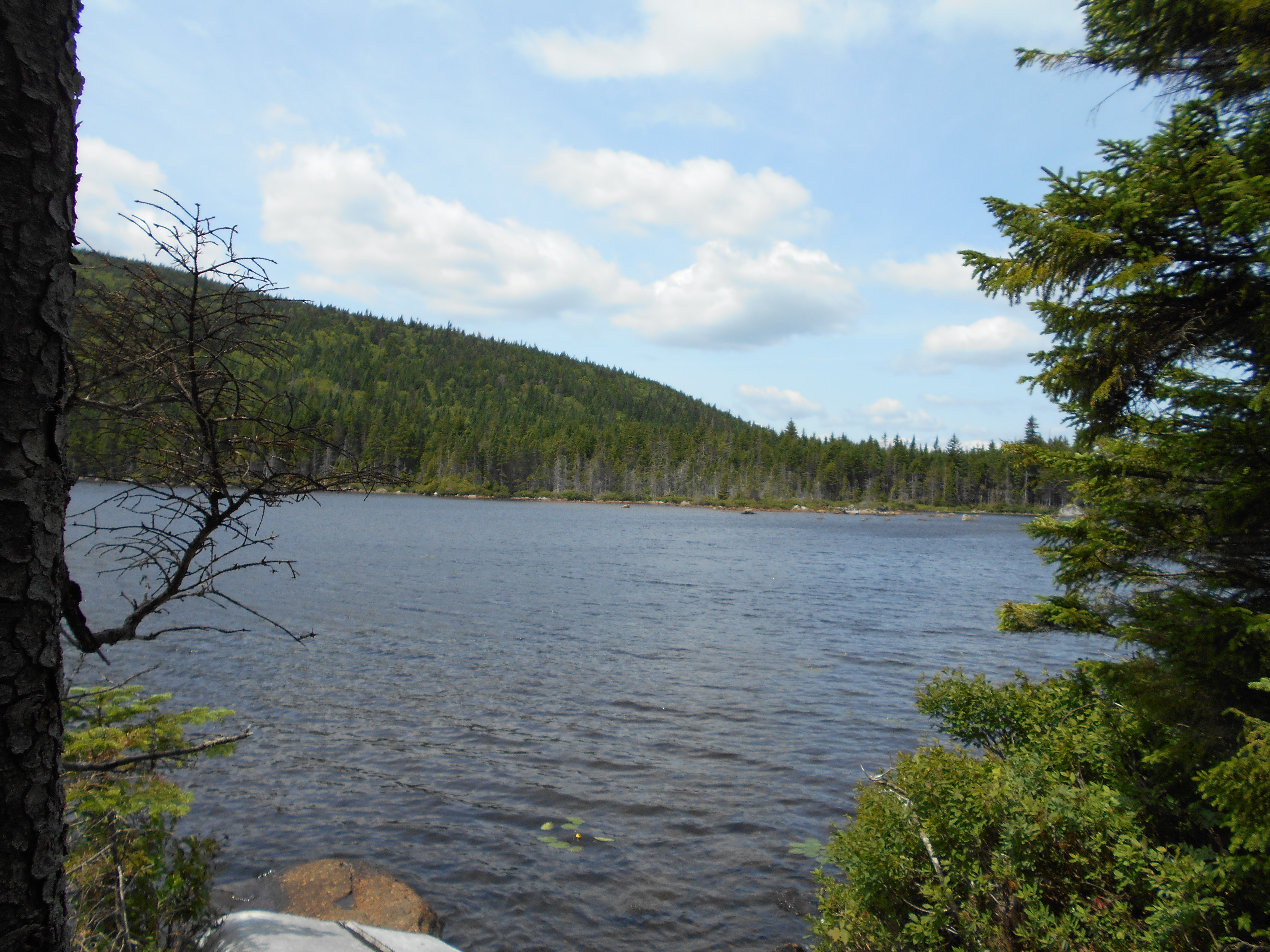
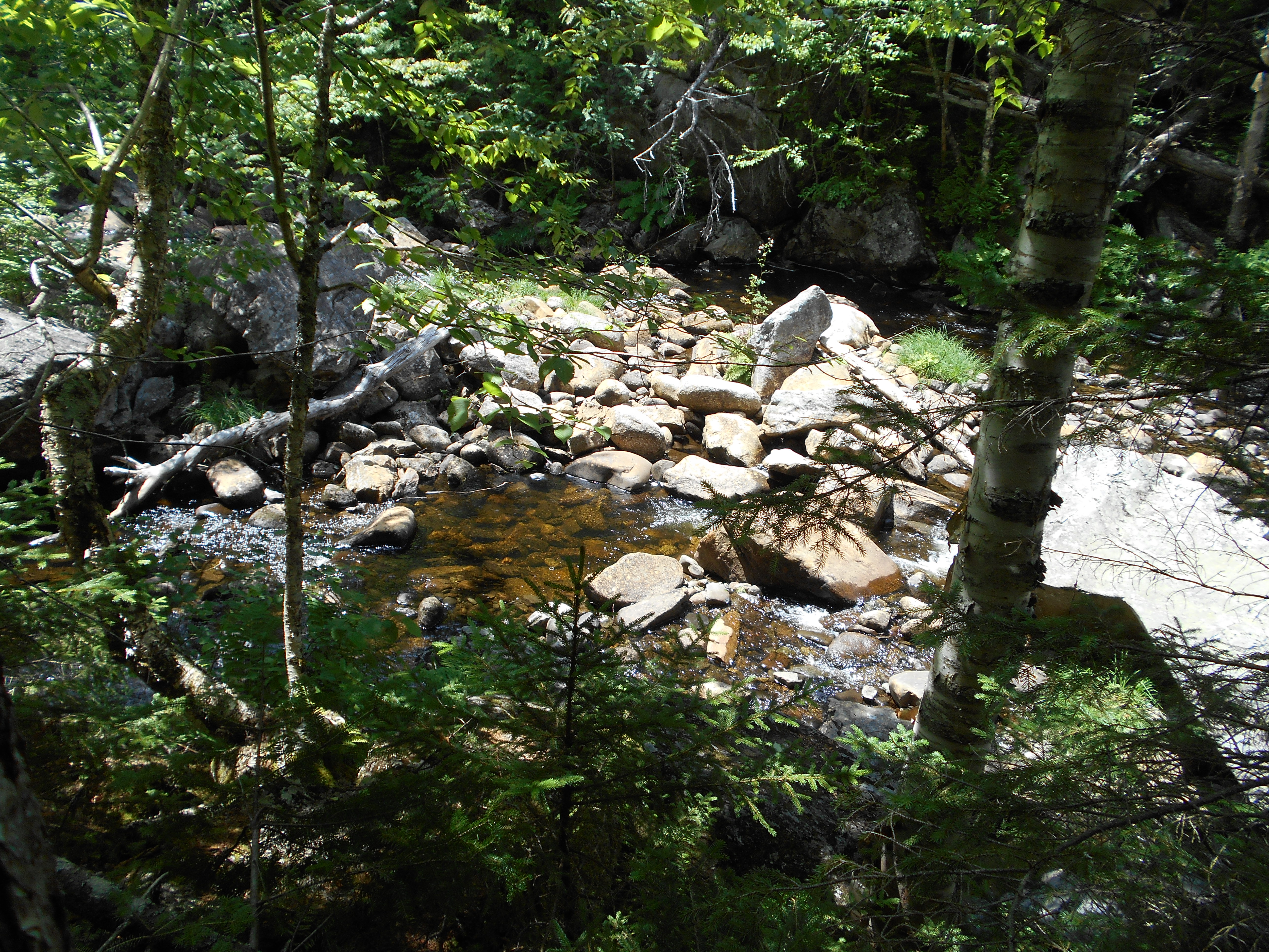
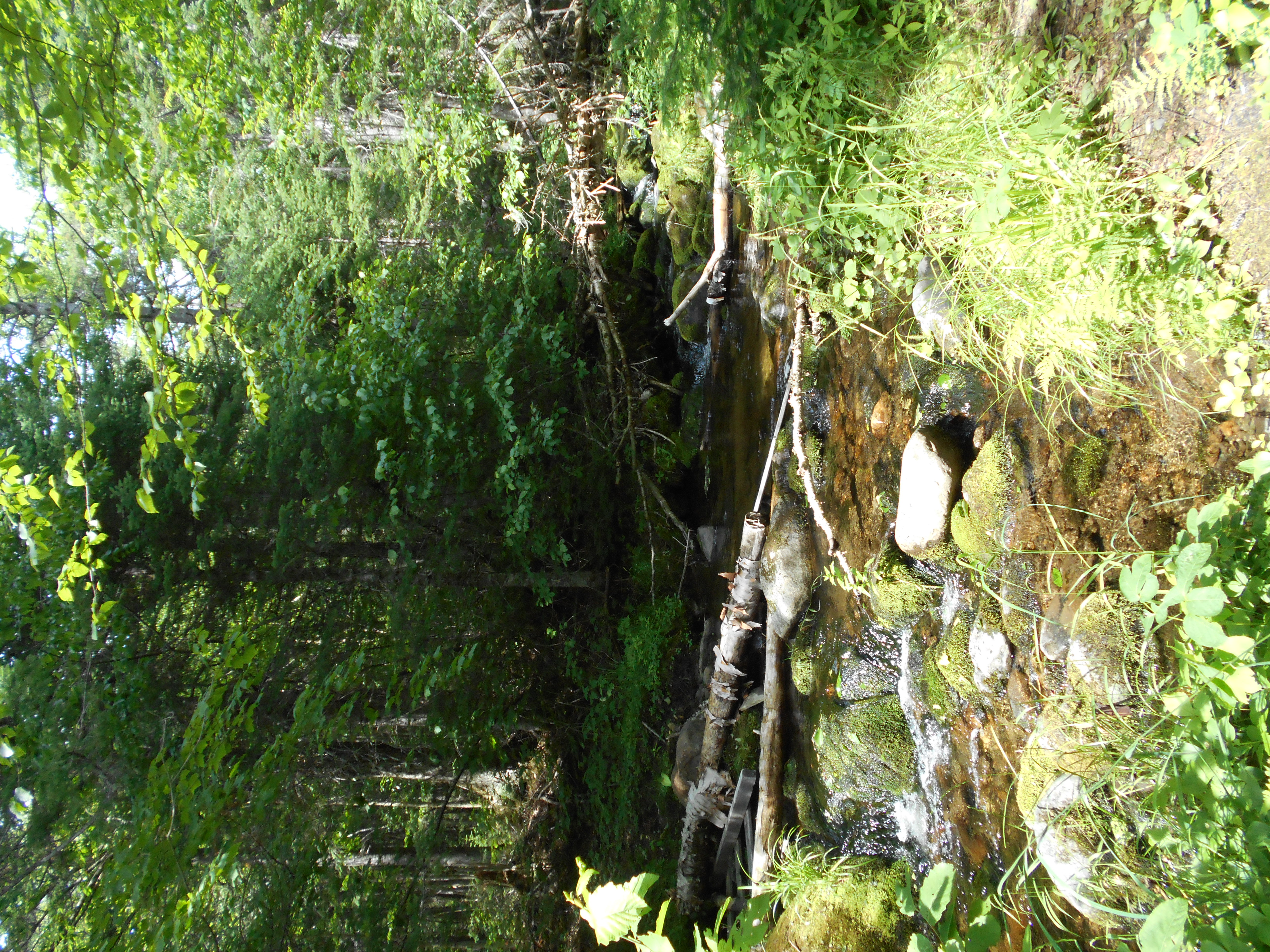
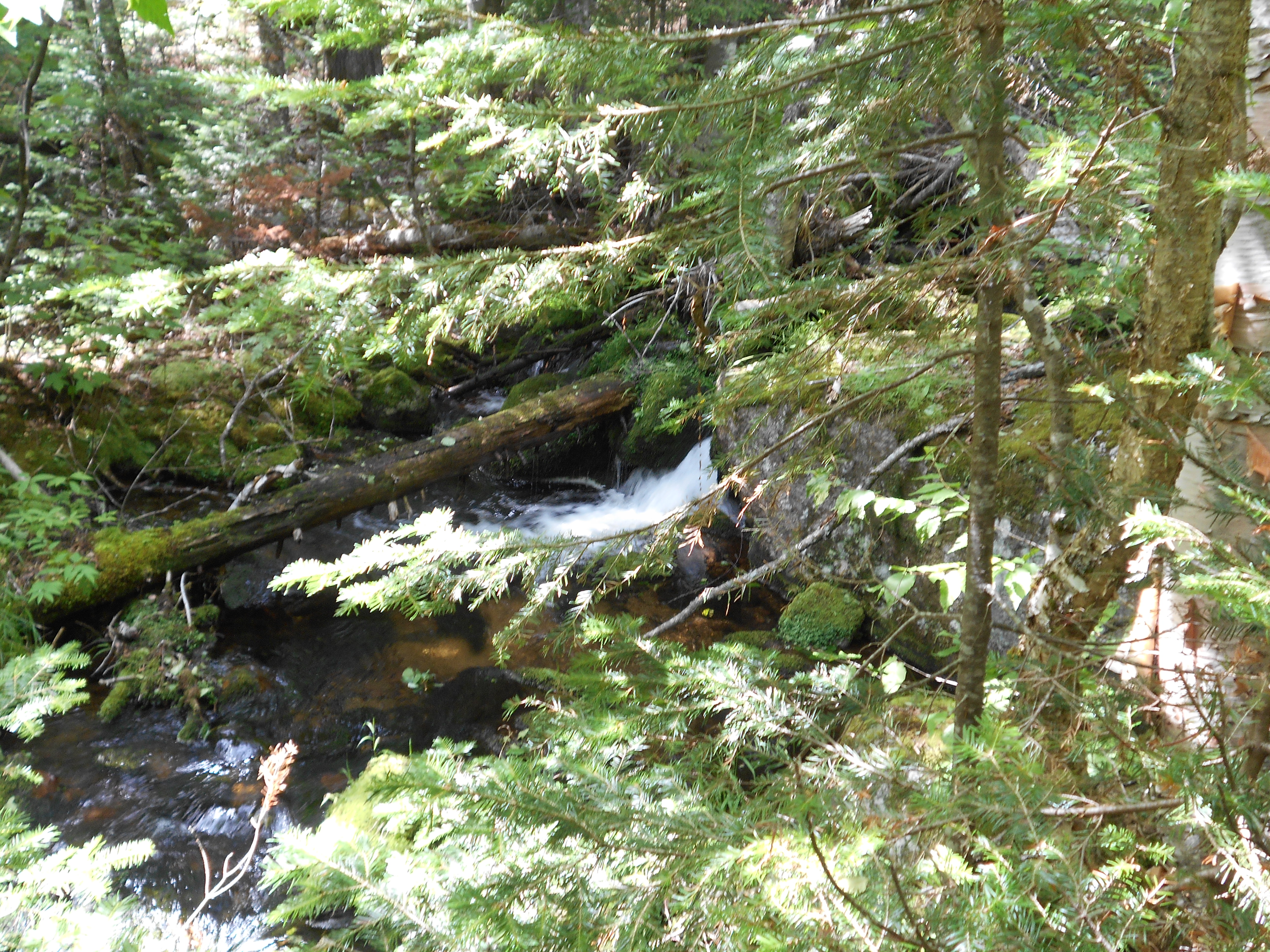
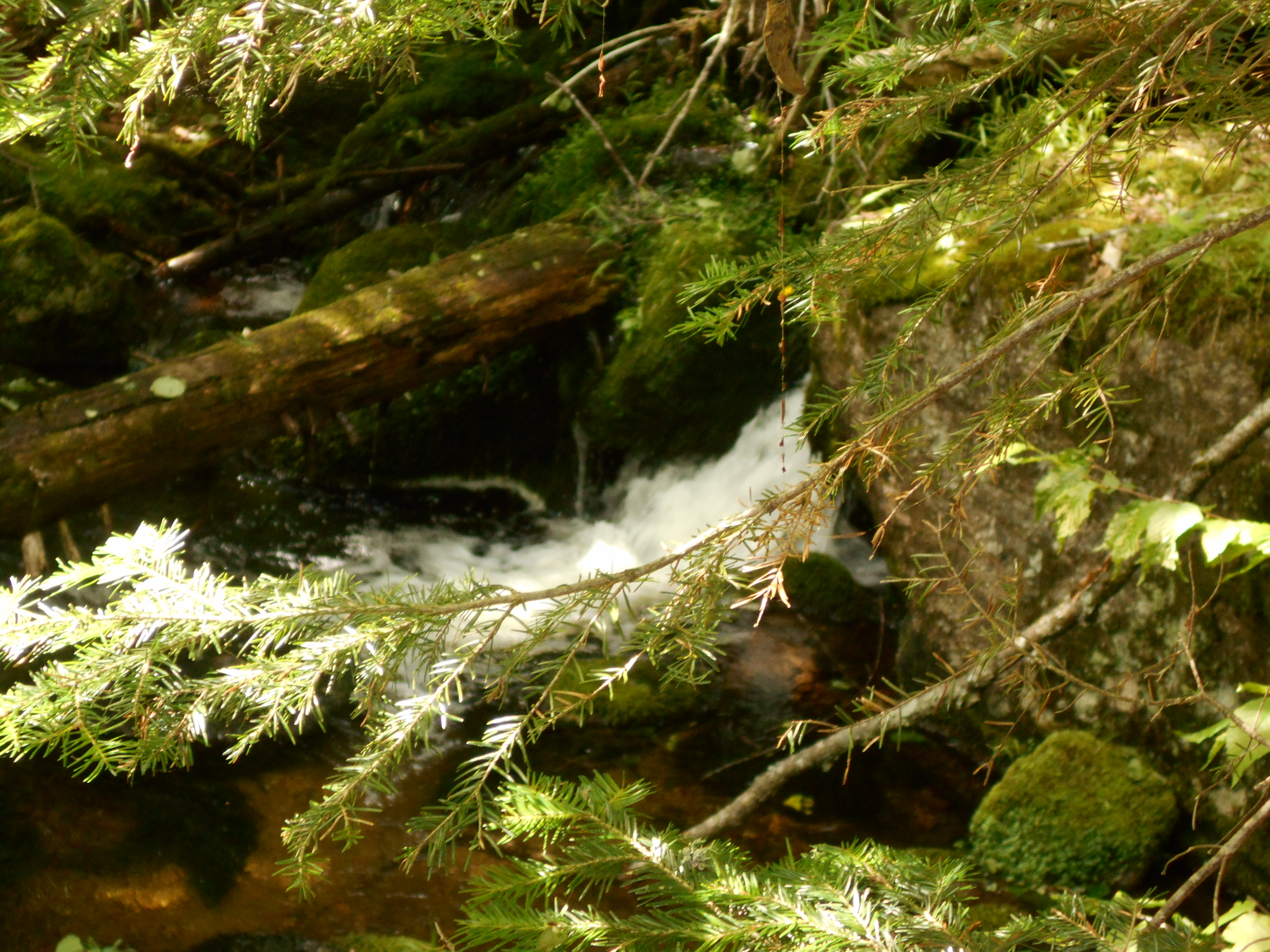
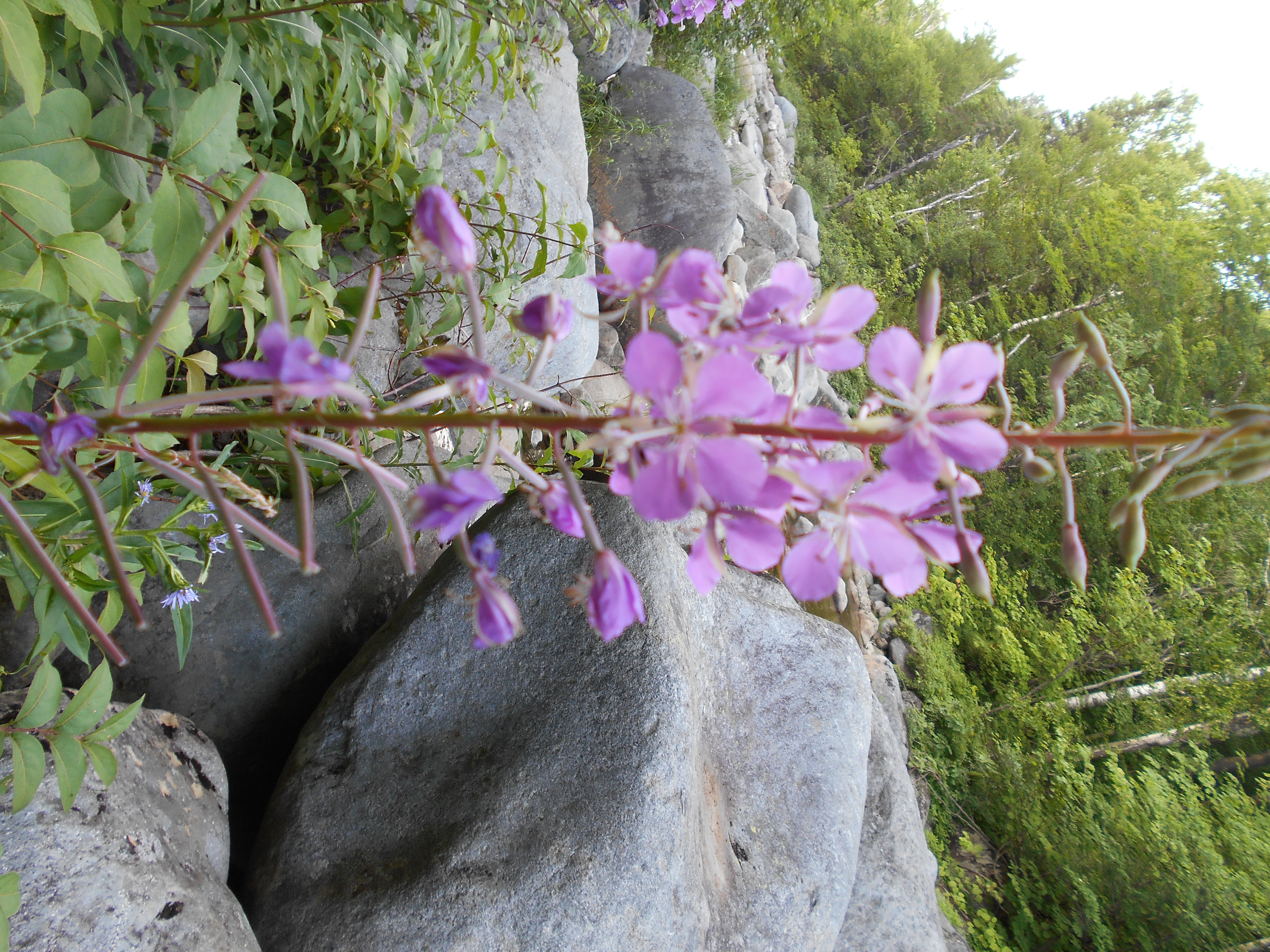
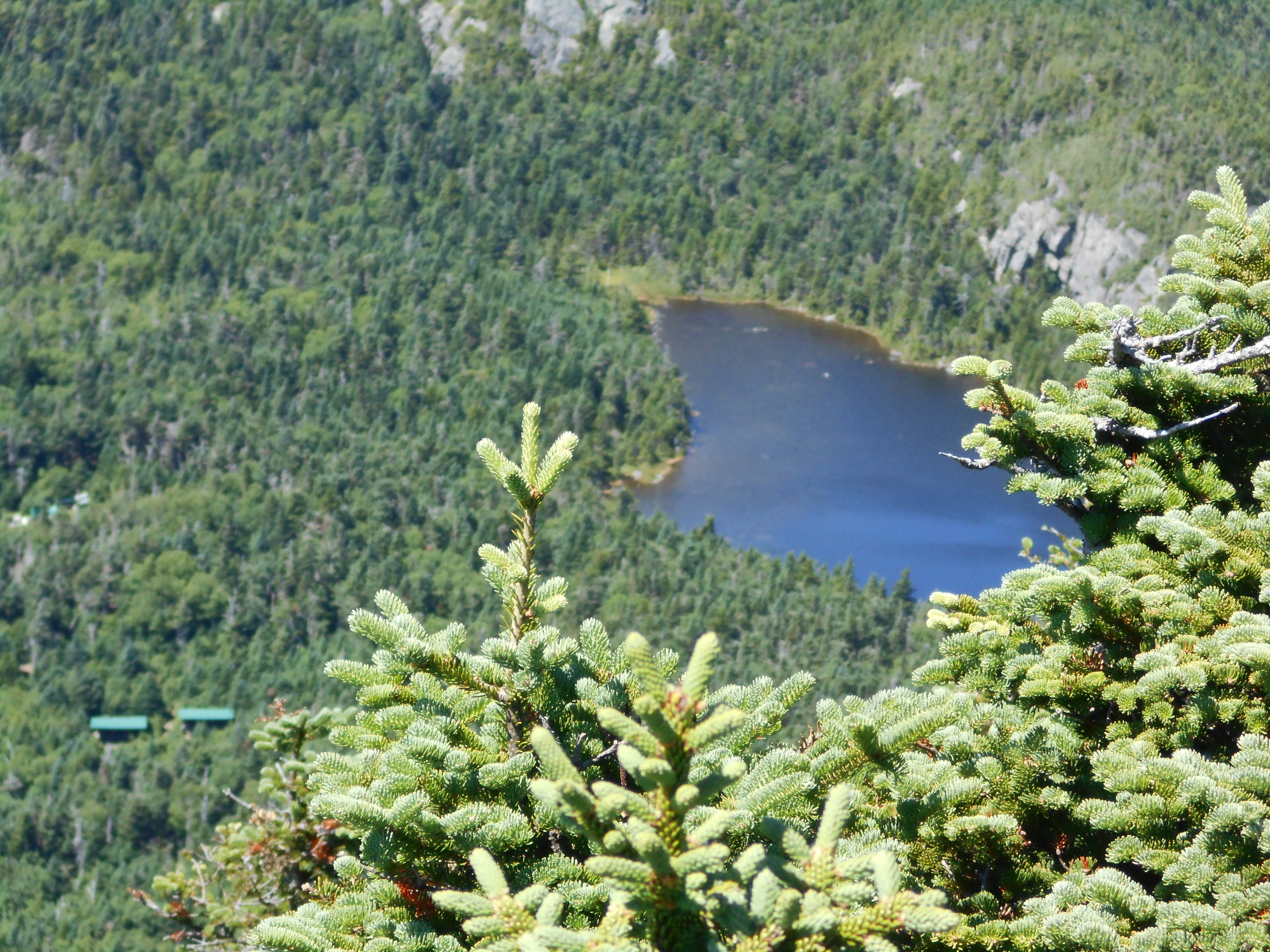
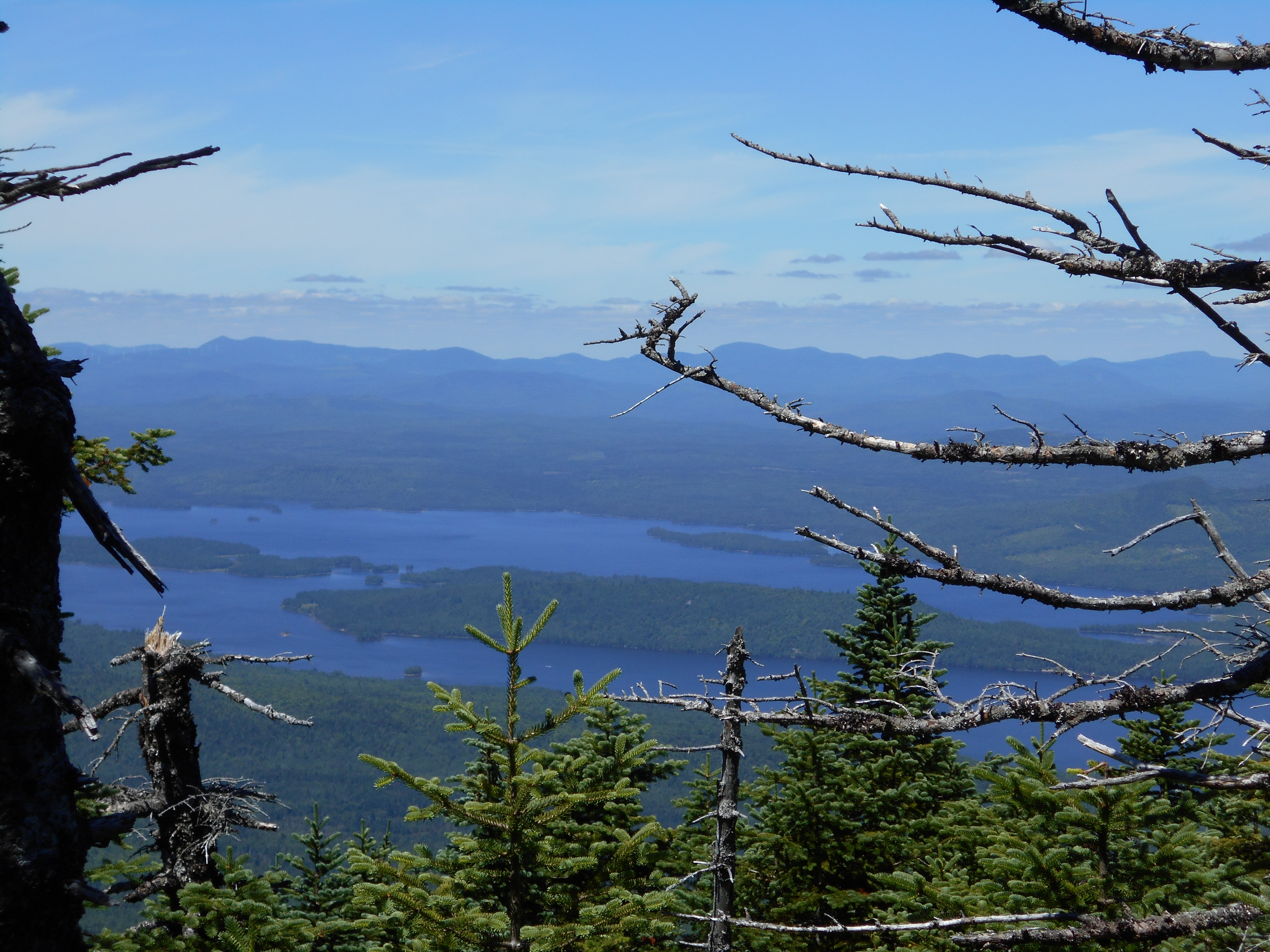
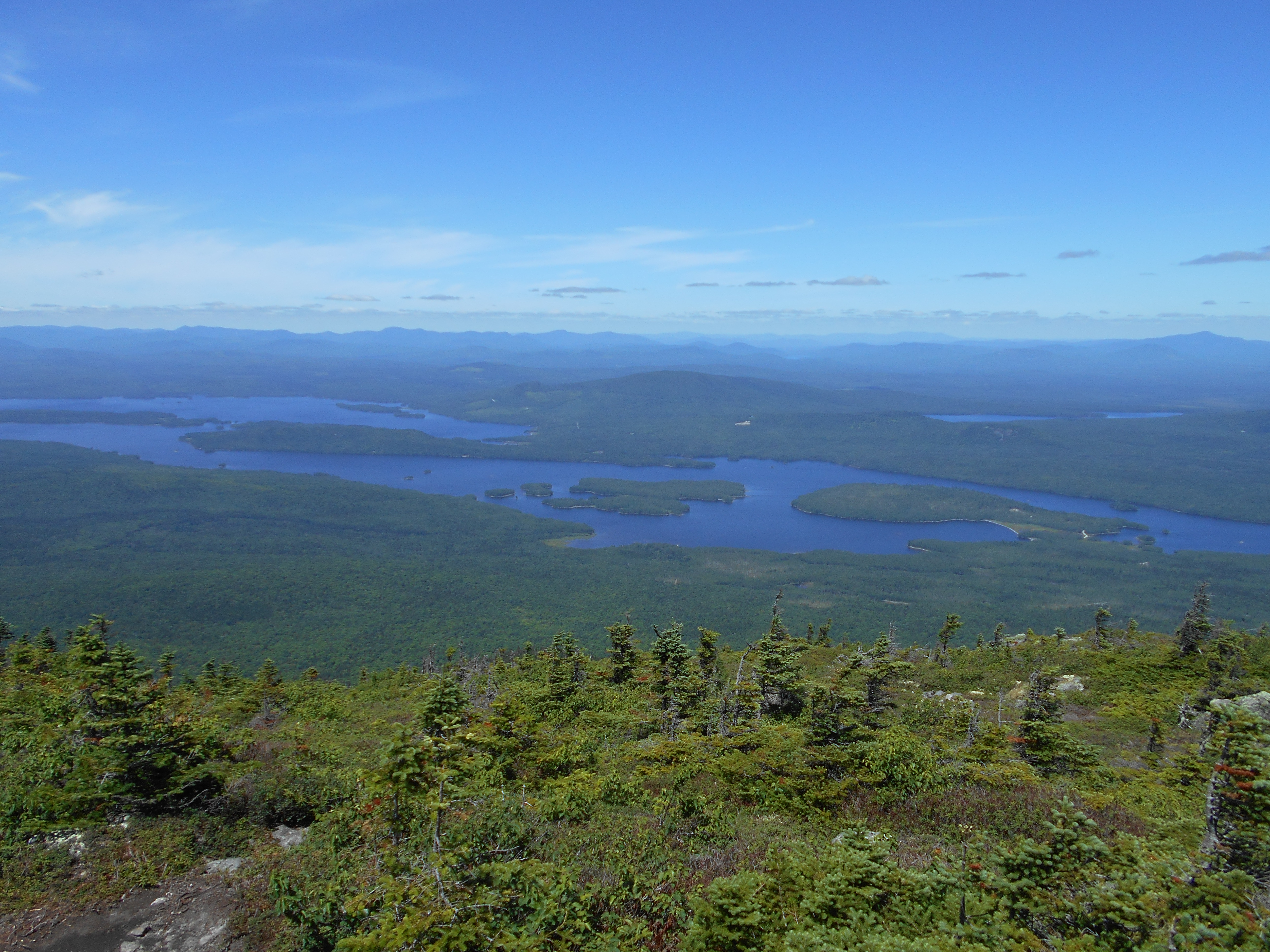
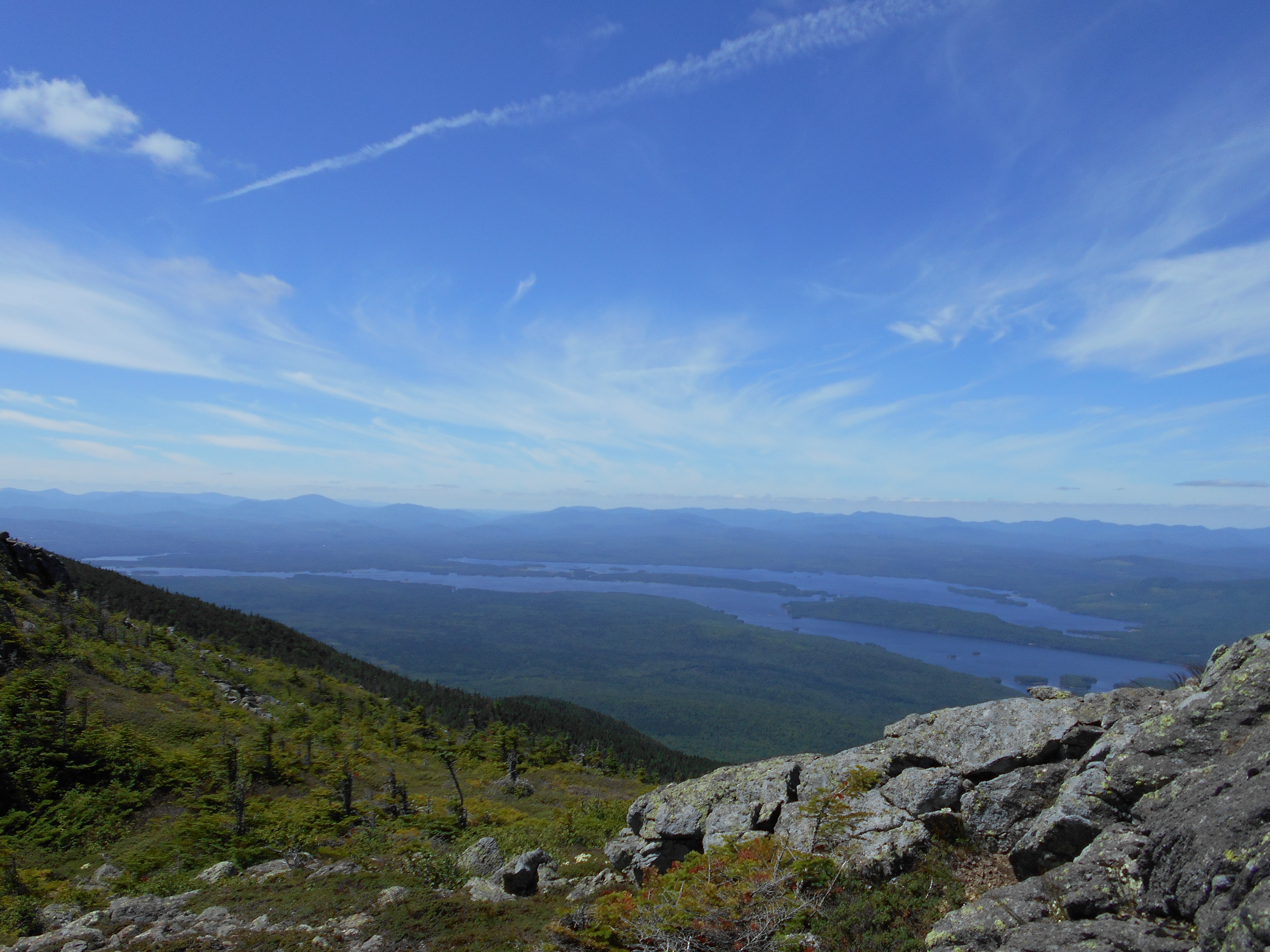
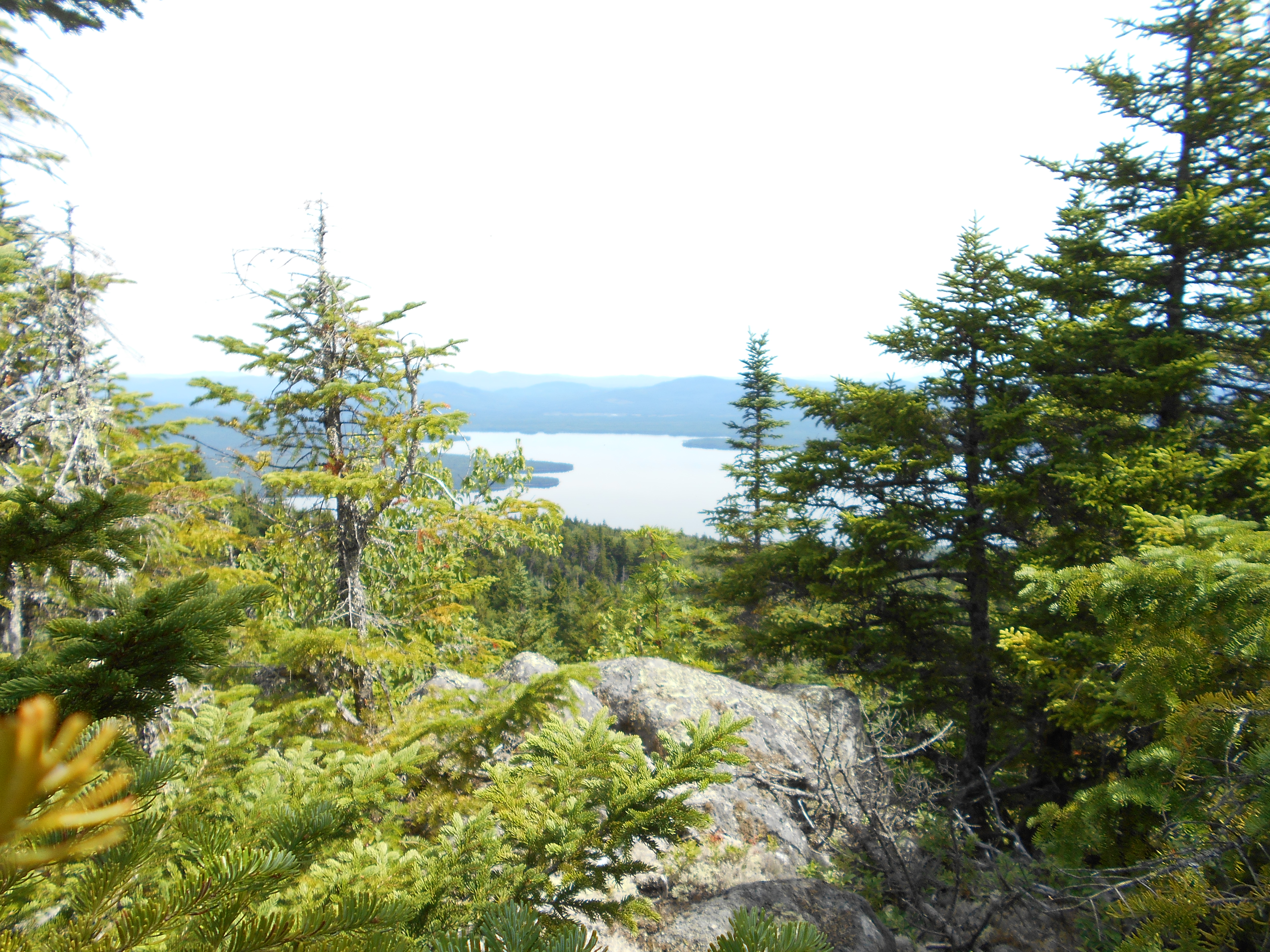
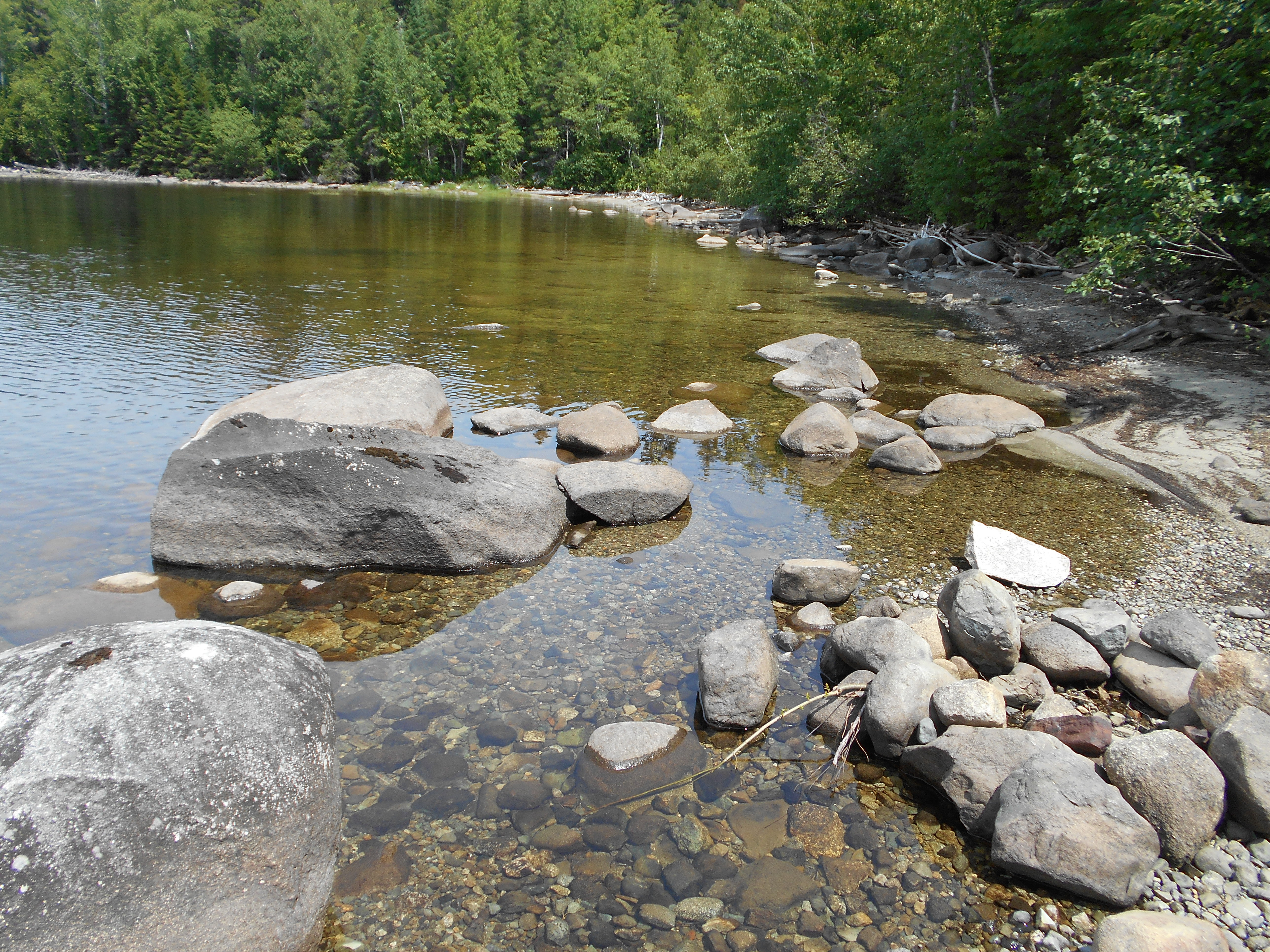
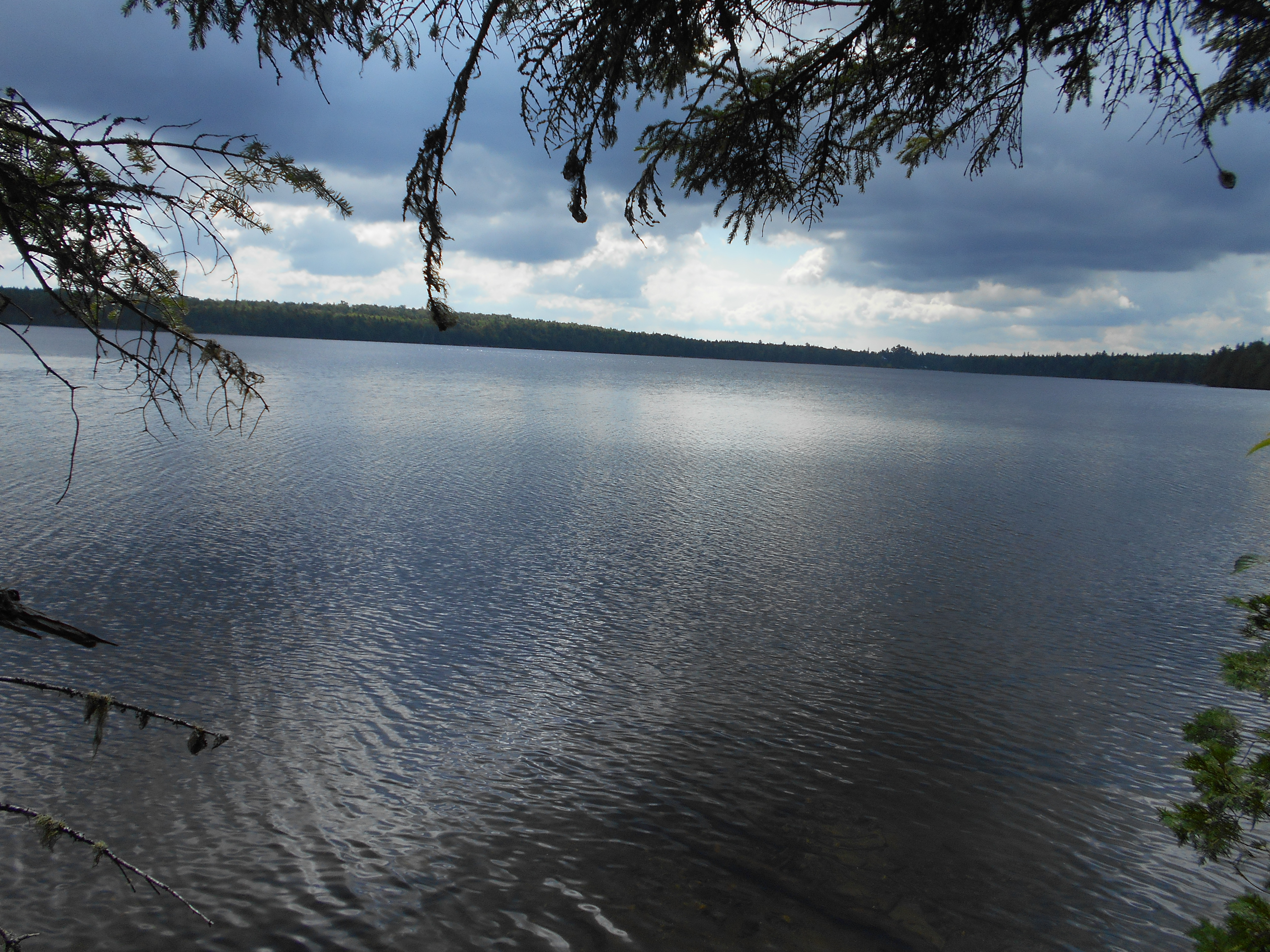
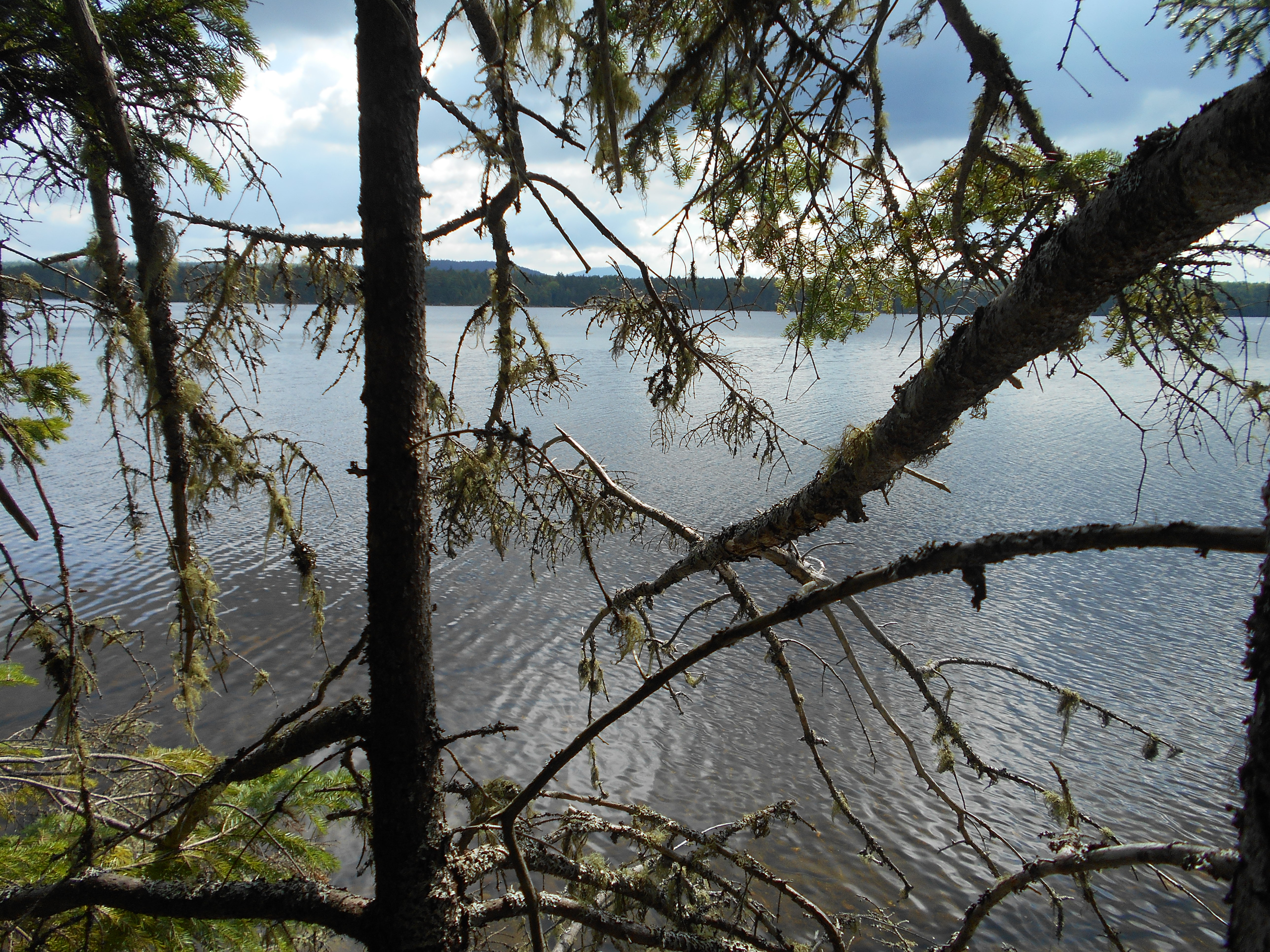
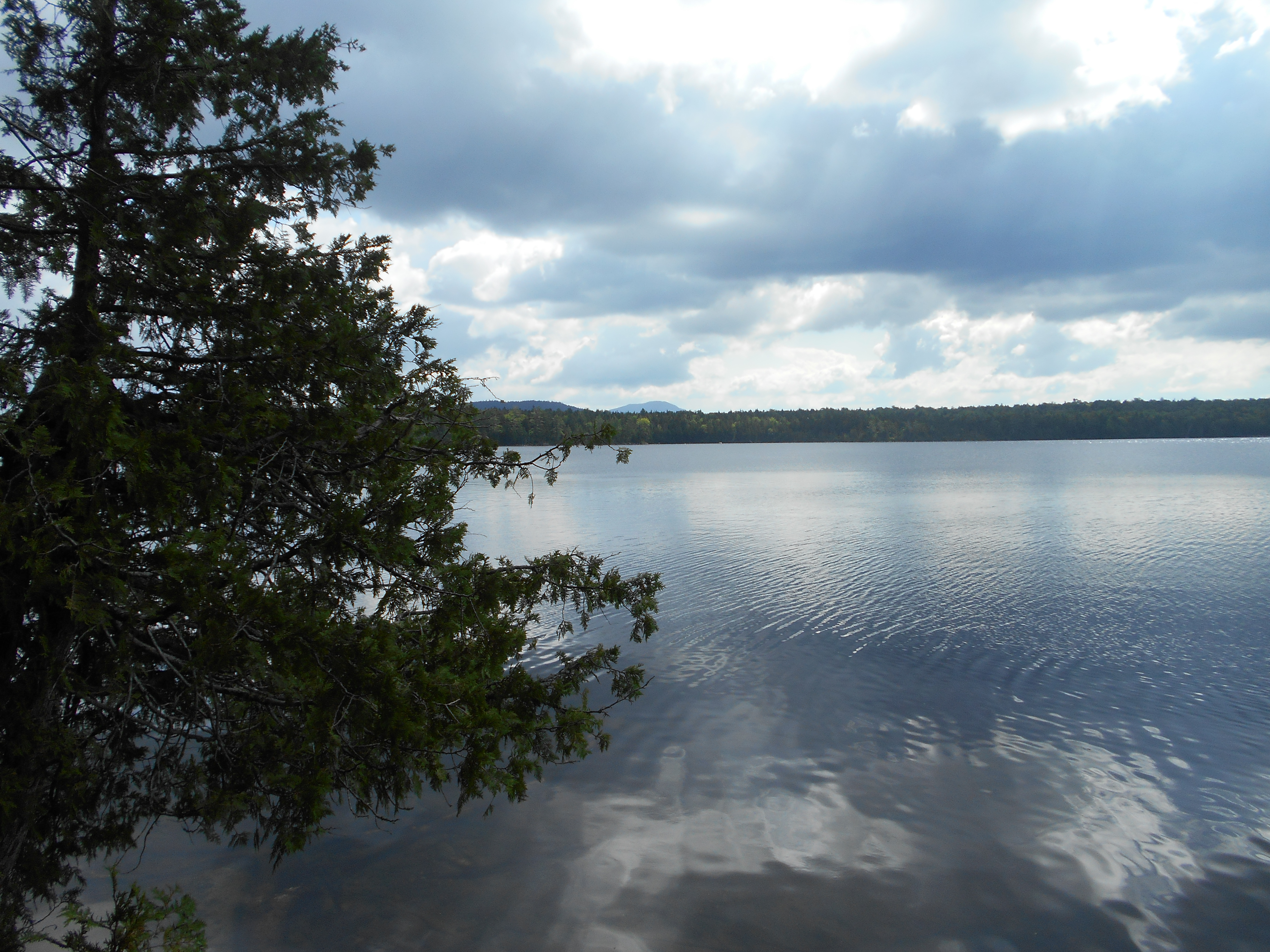
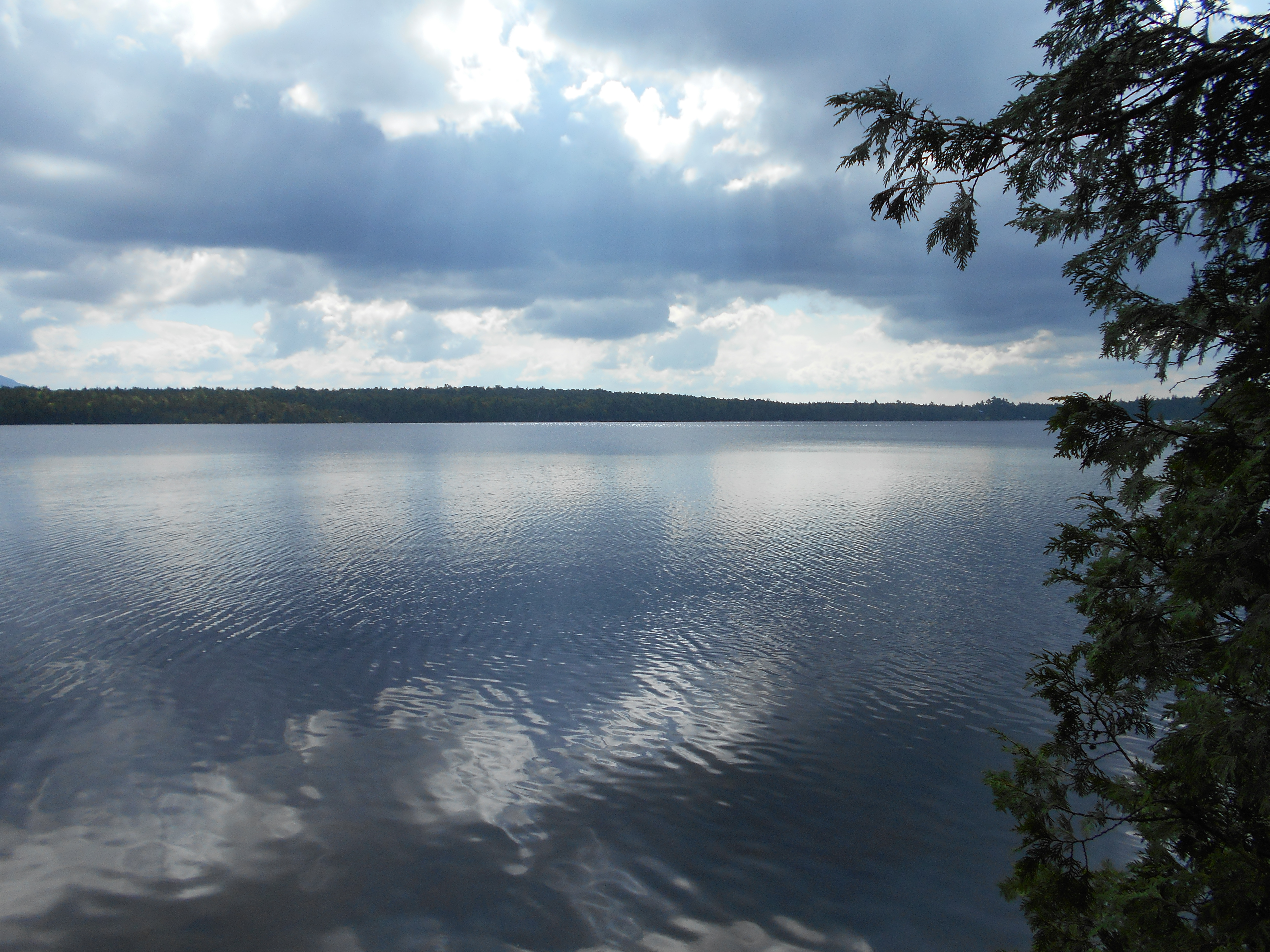
| 1972.4 | Moose and Deer Pond Outlet near Eddy Pond (2,616')?last water for the next 6 miles north | 2616 |
| 1972.6 | Gravel Logging Road (2,625') | 2625 |
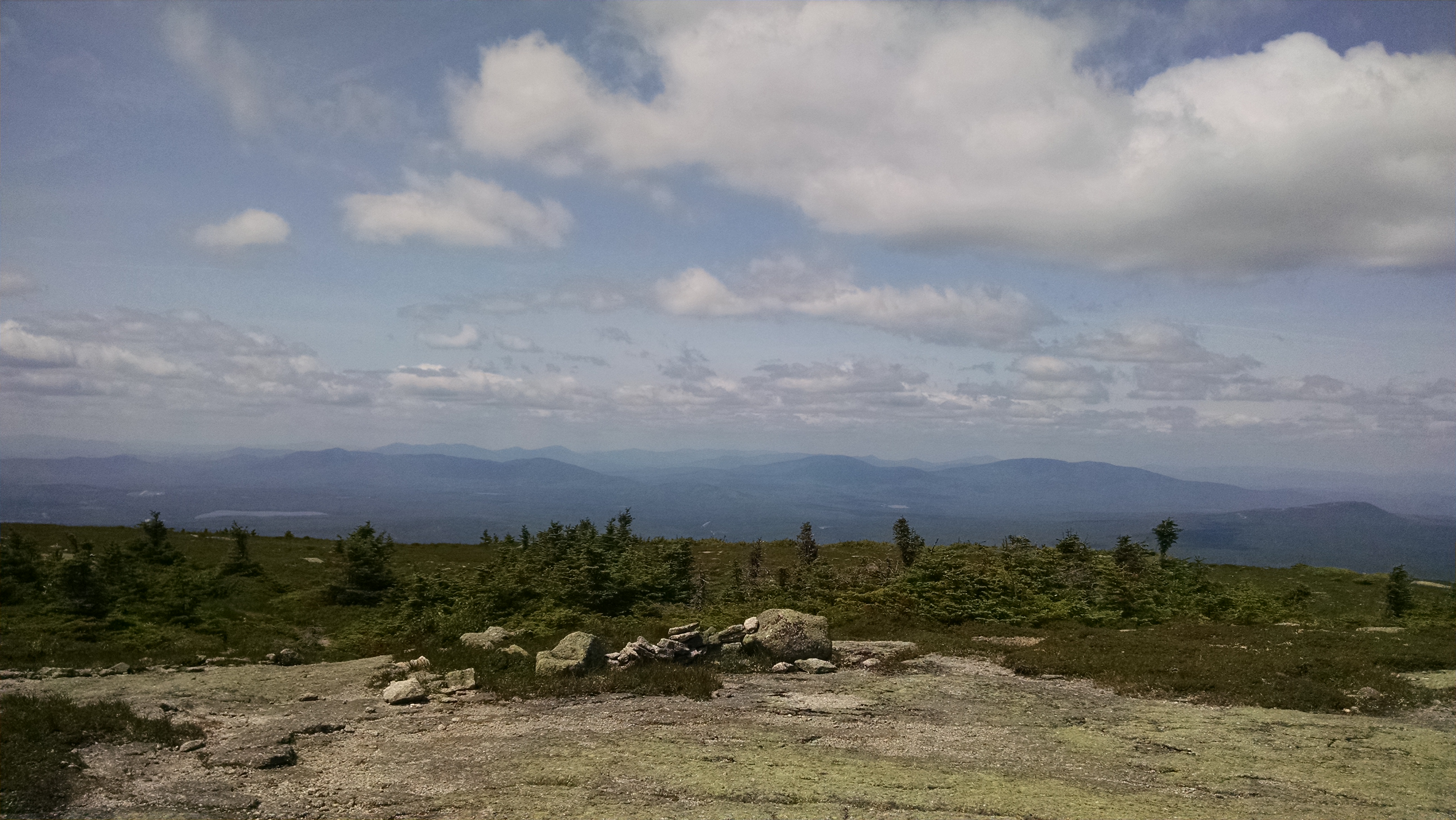
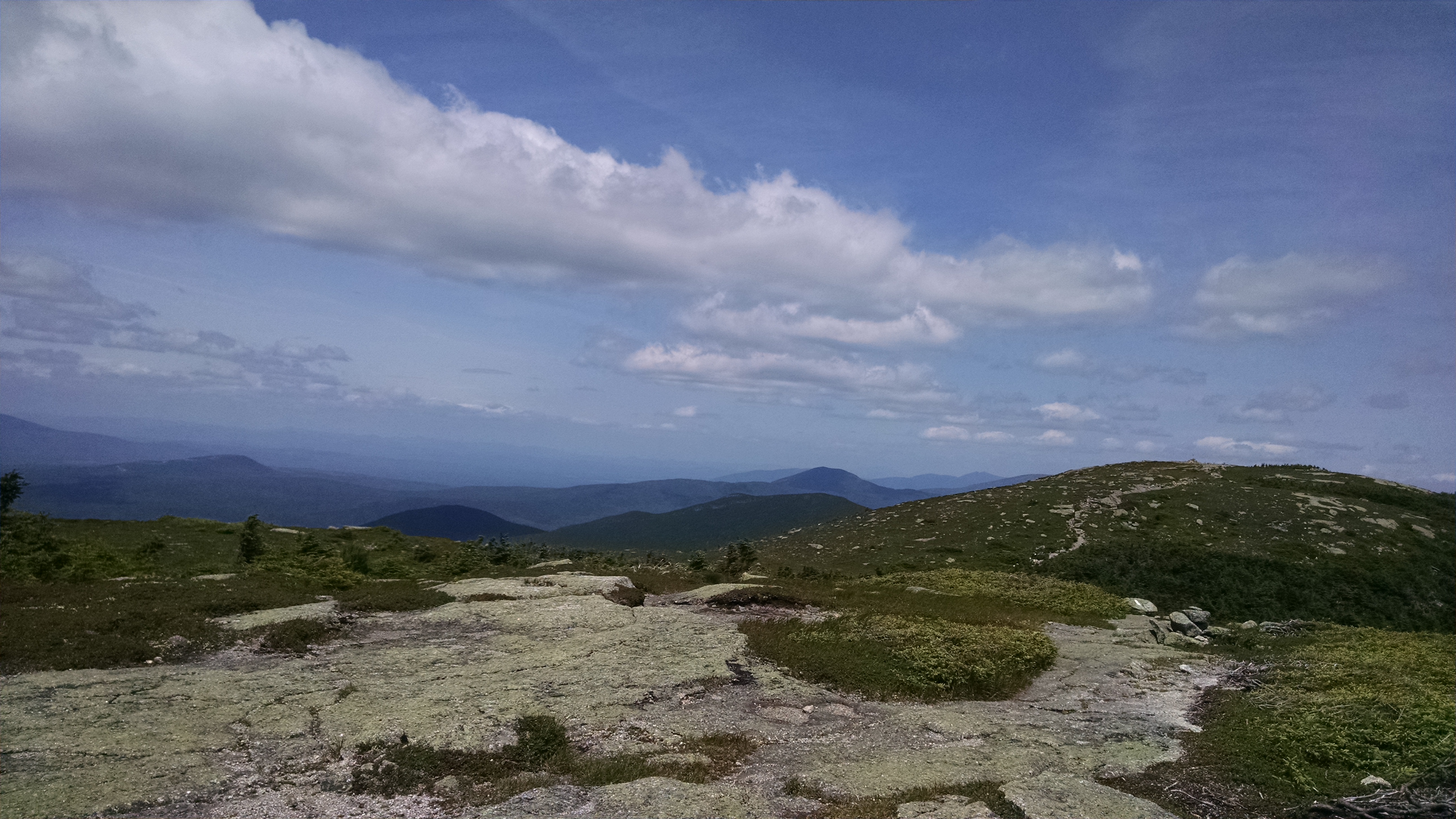
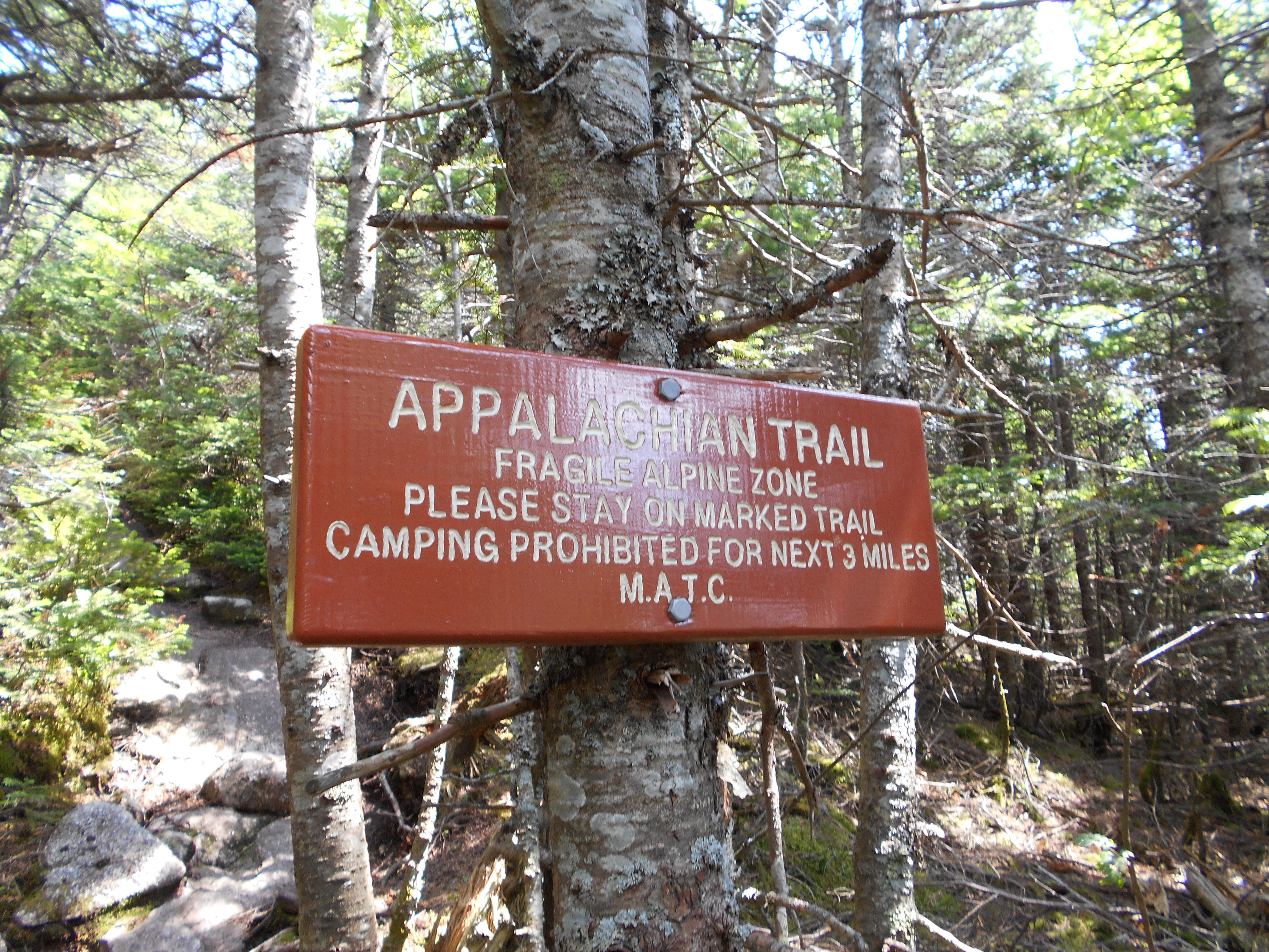
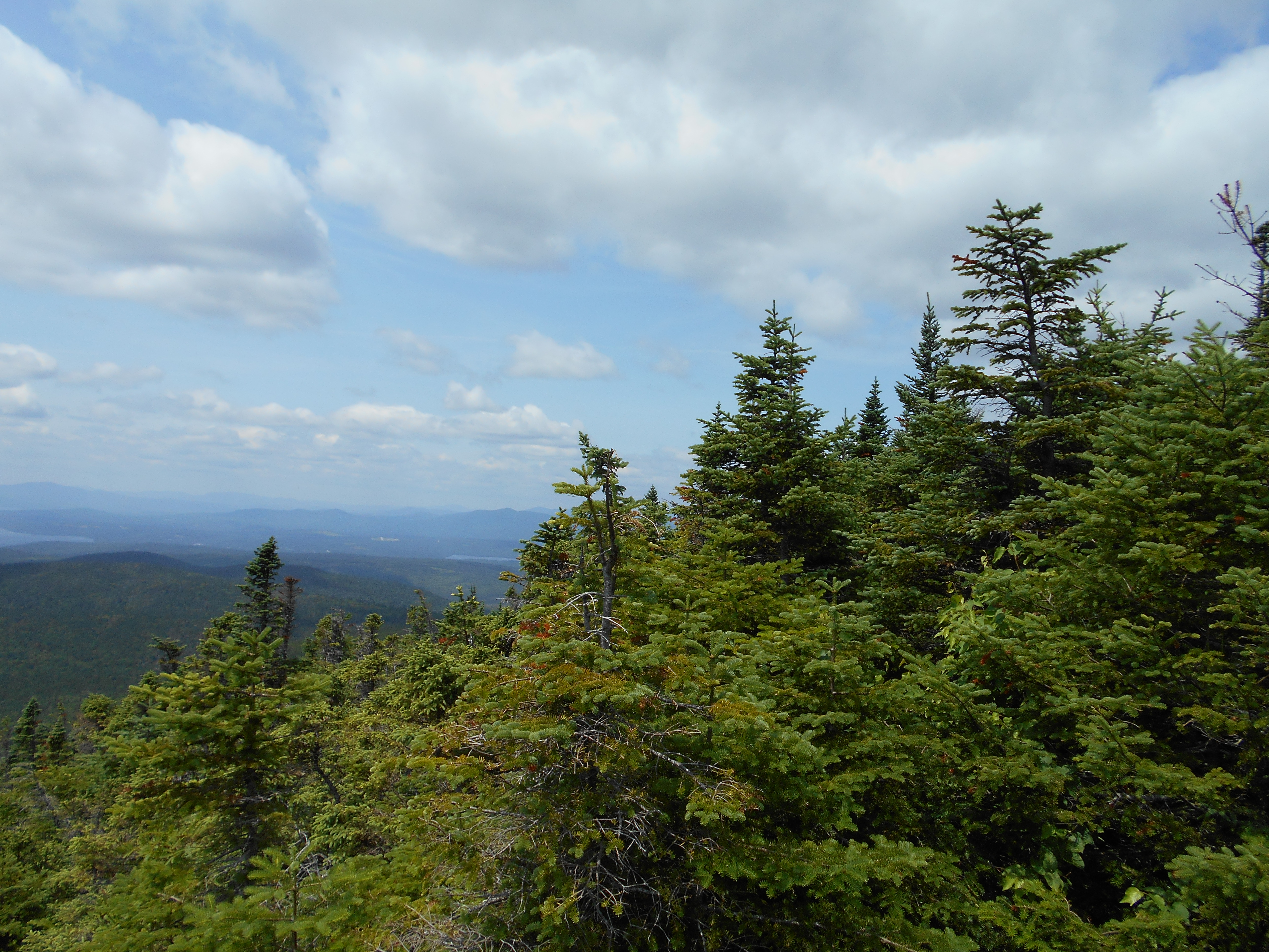
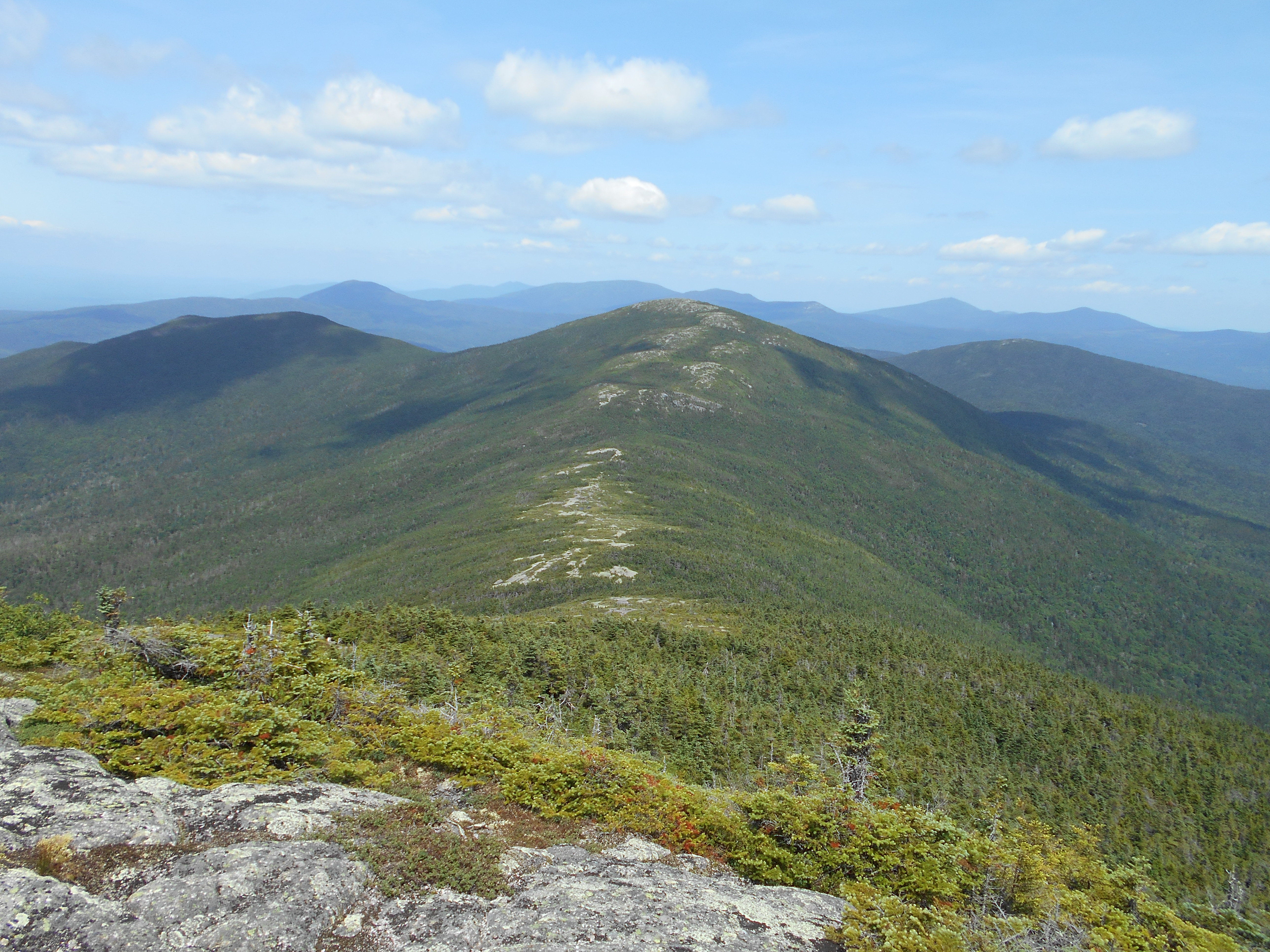
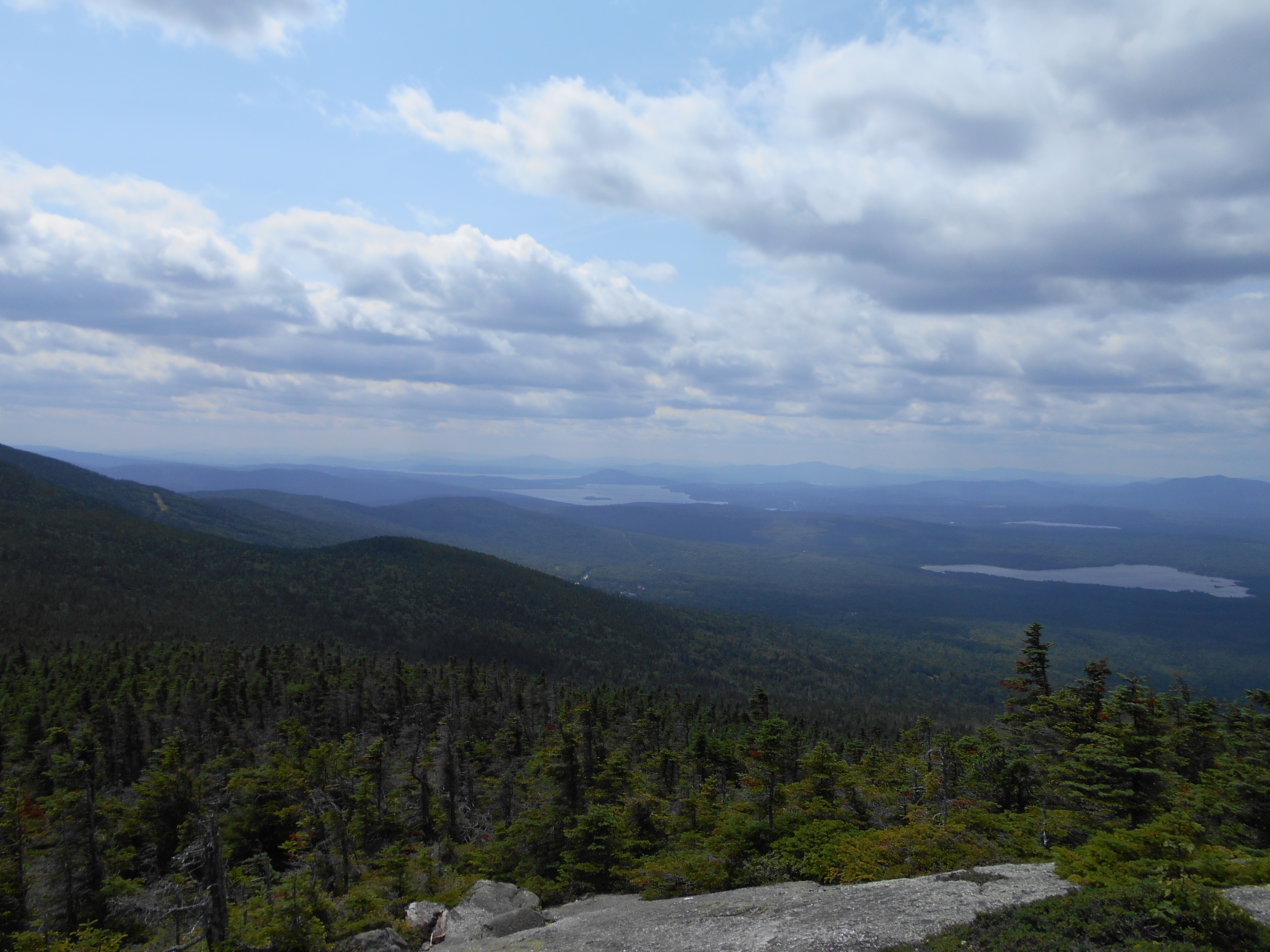
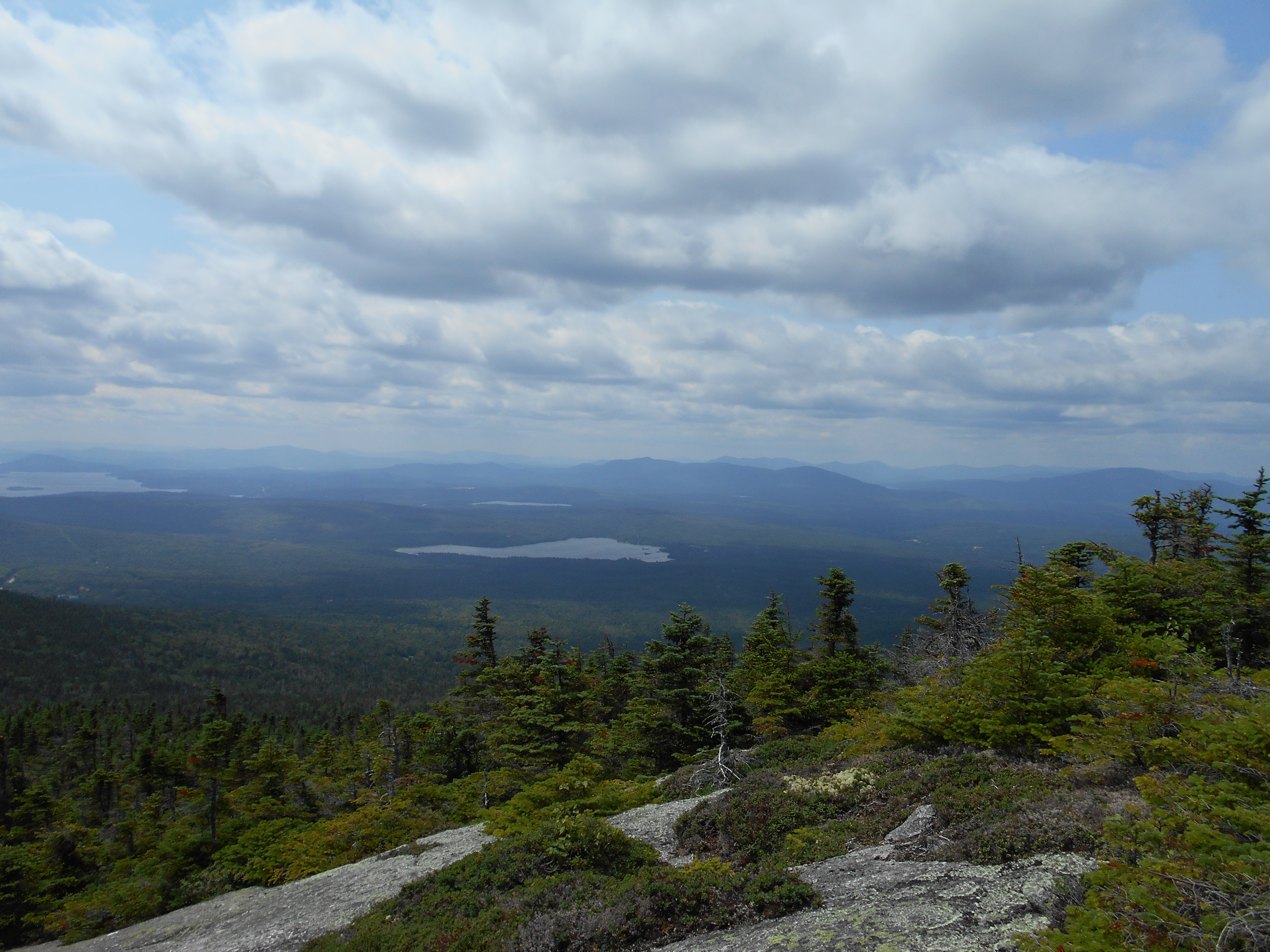
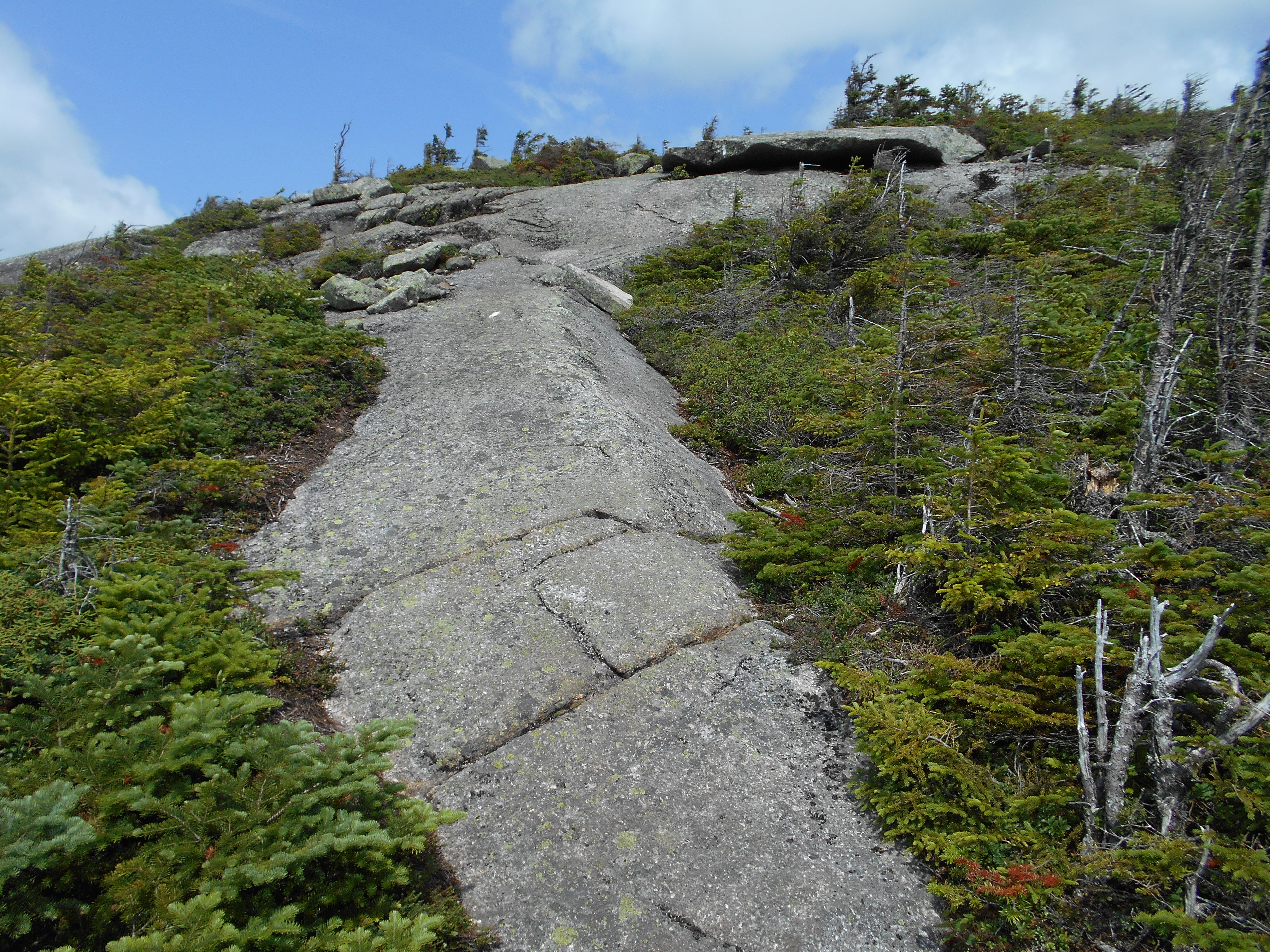
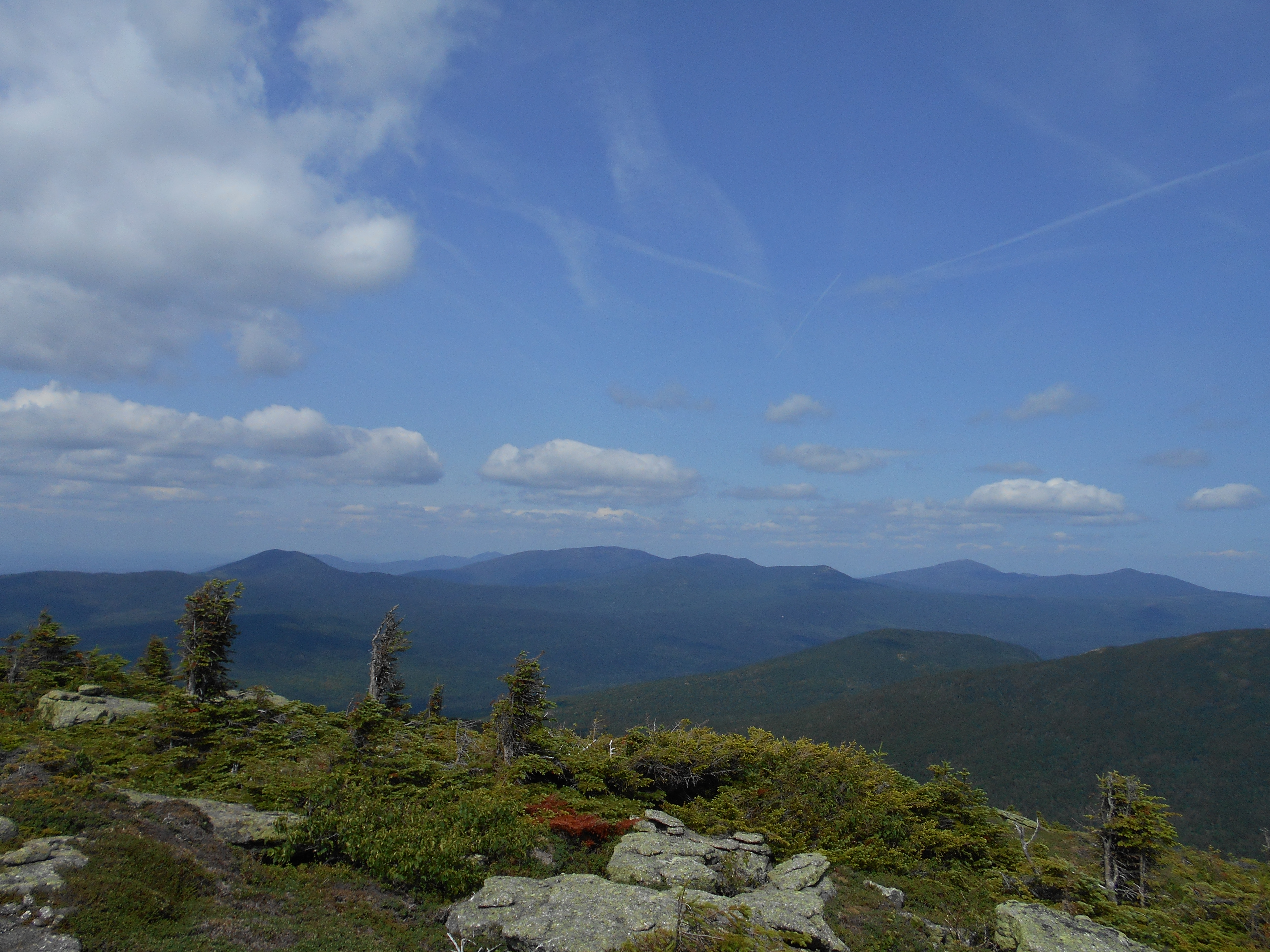
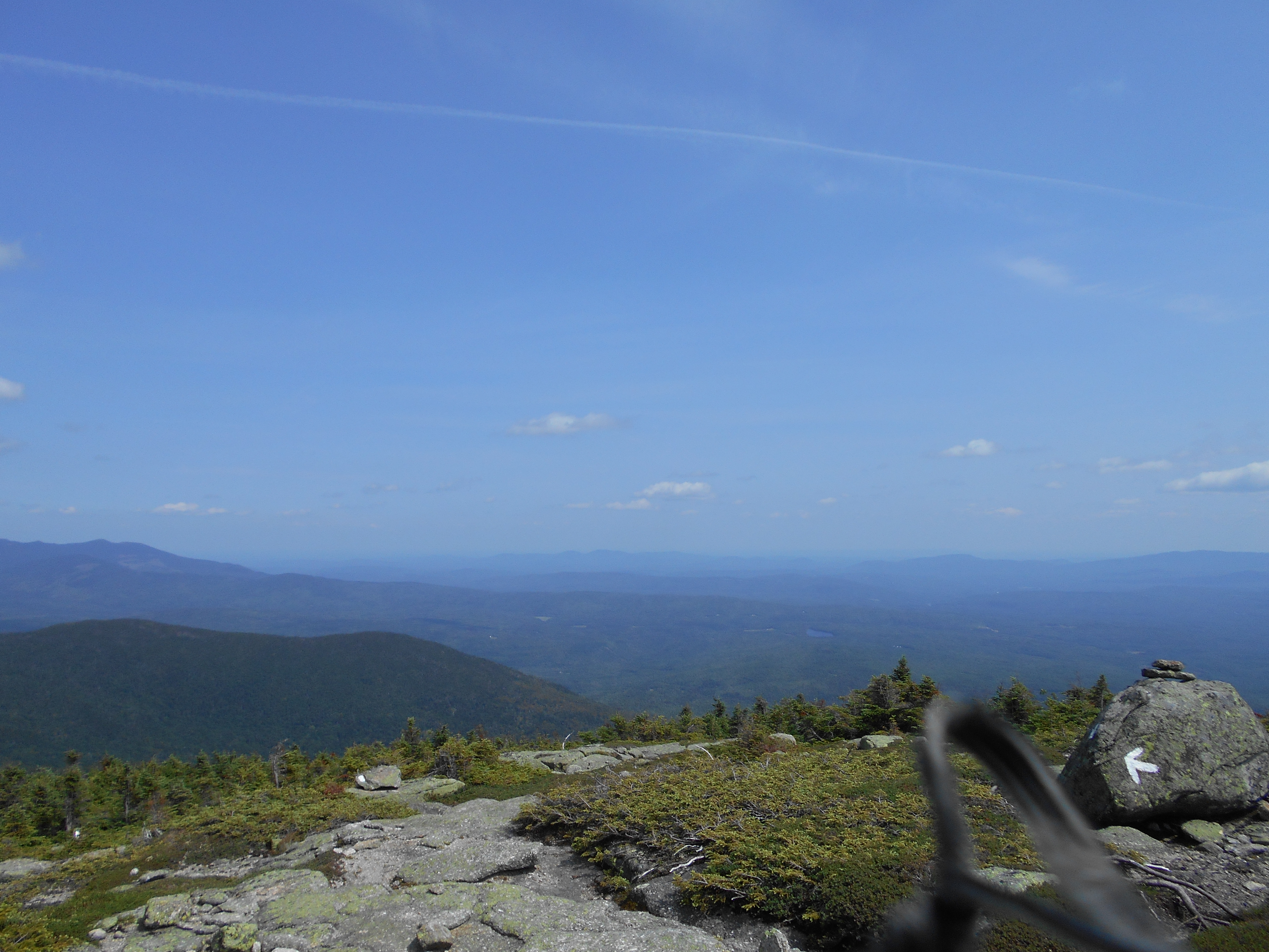
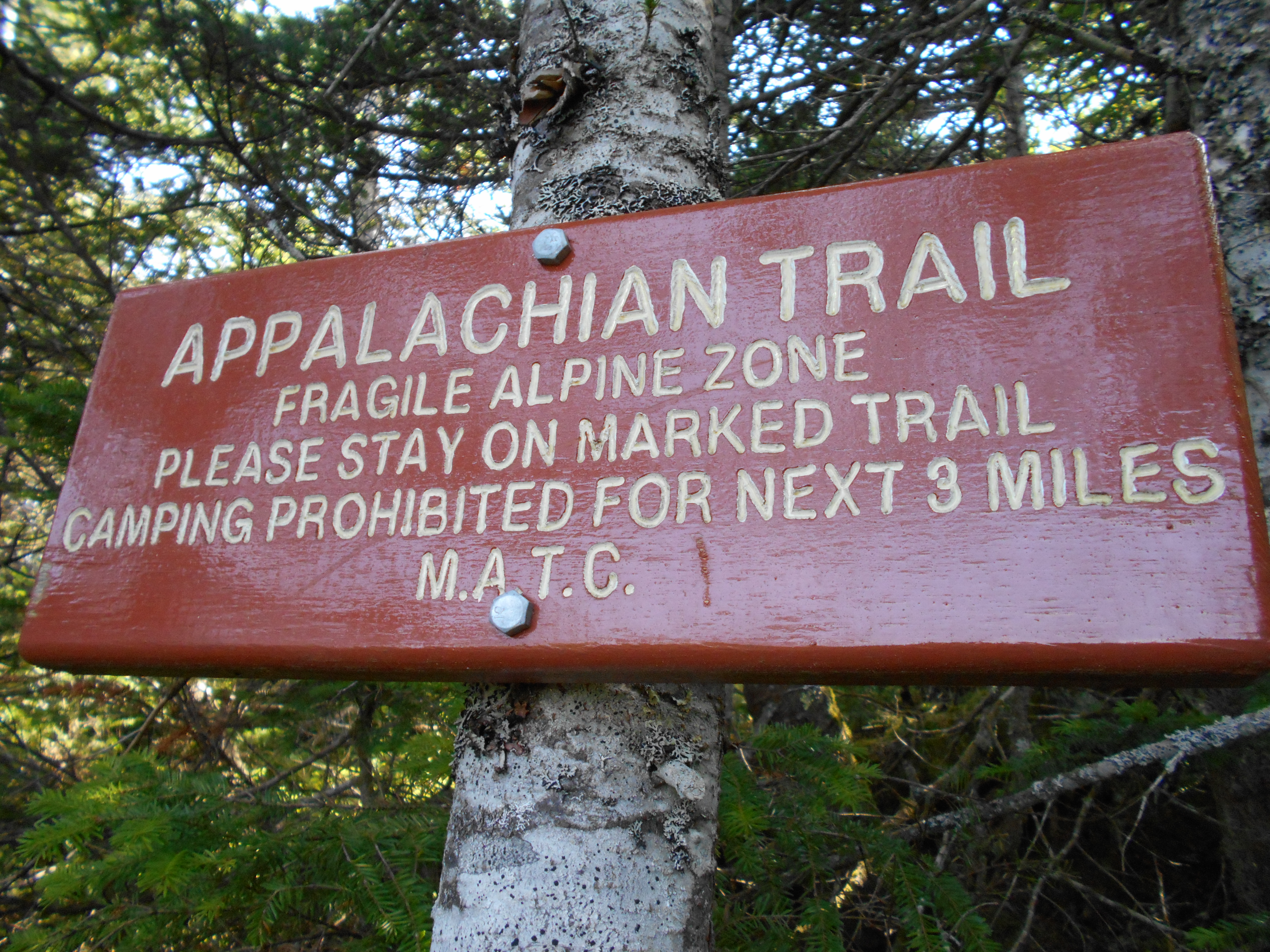
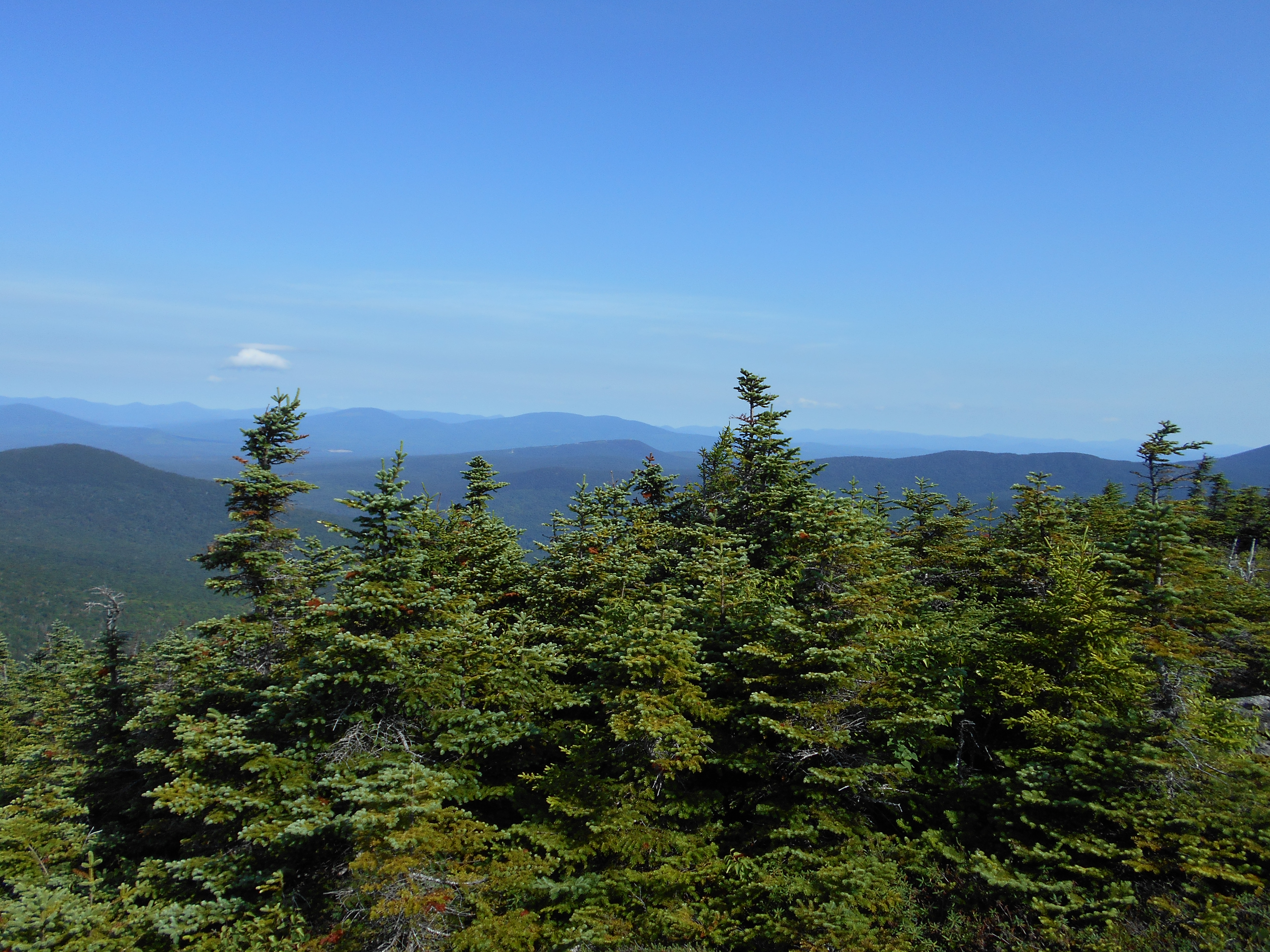
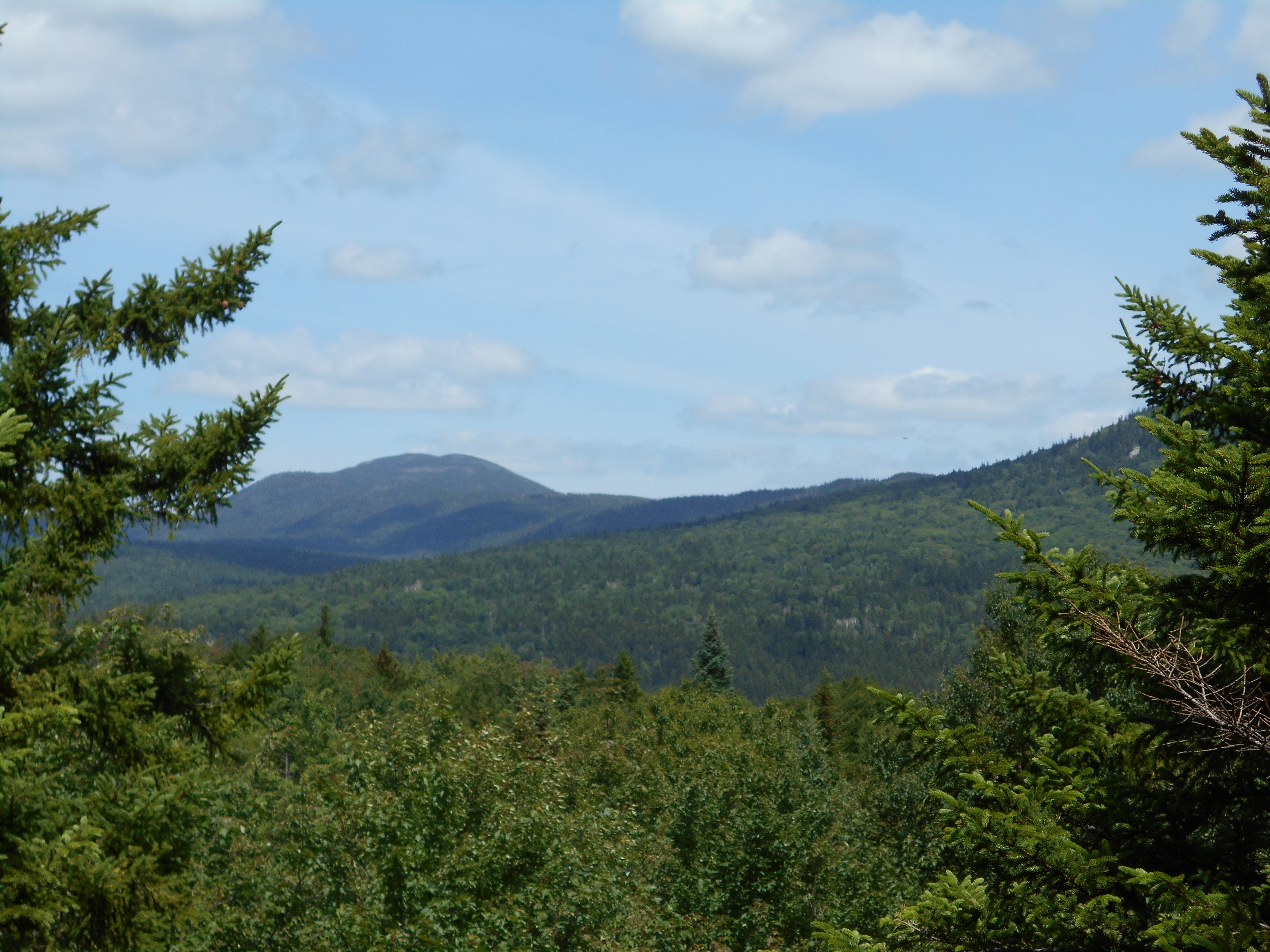
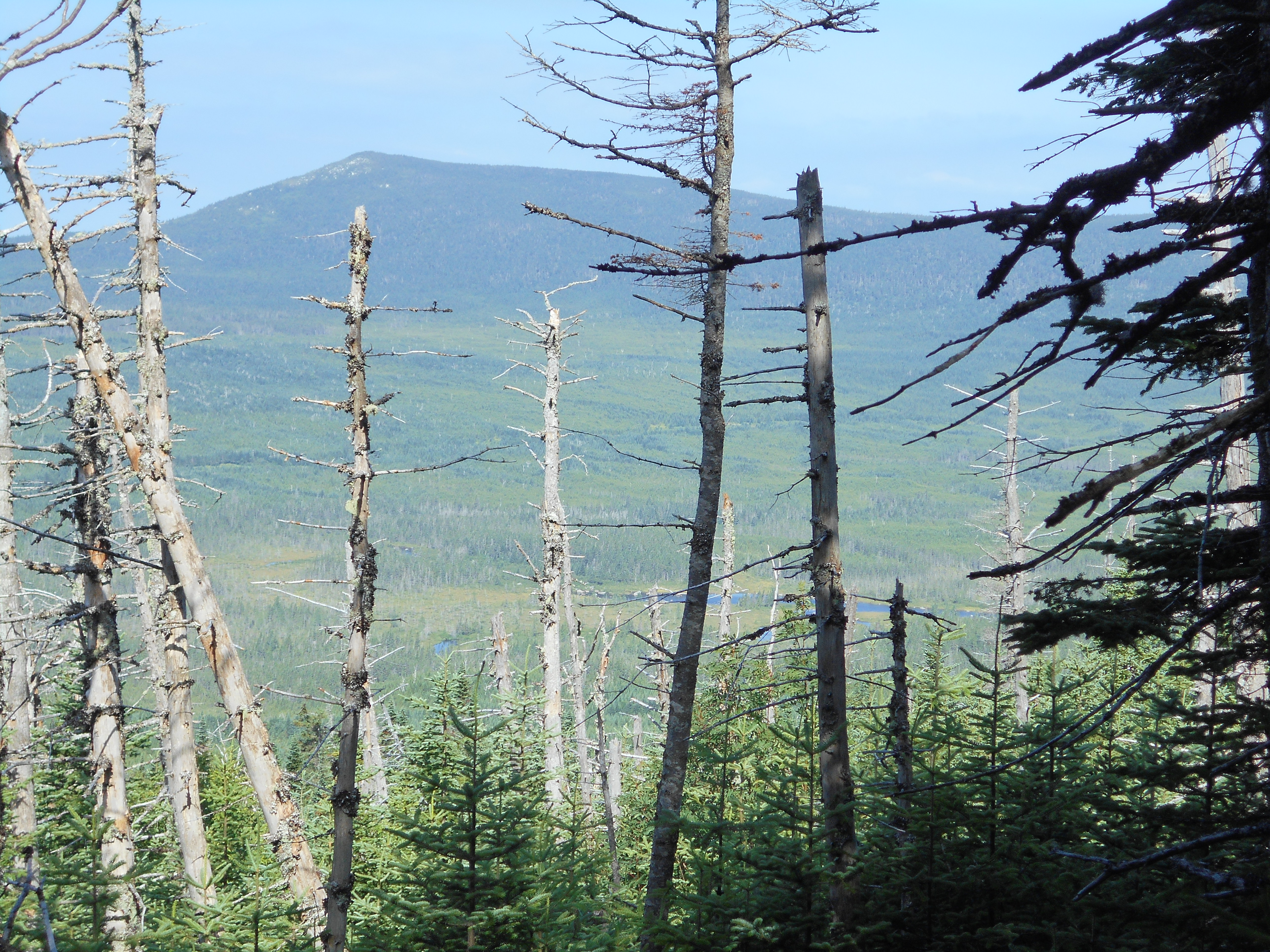
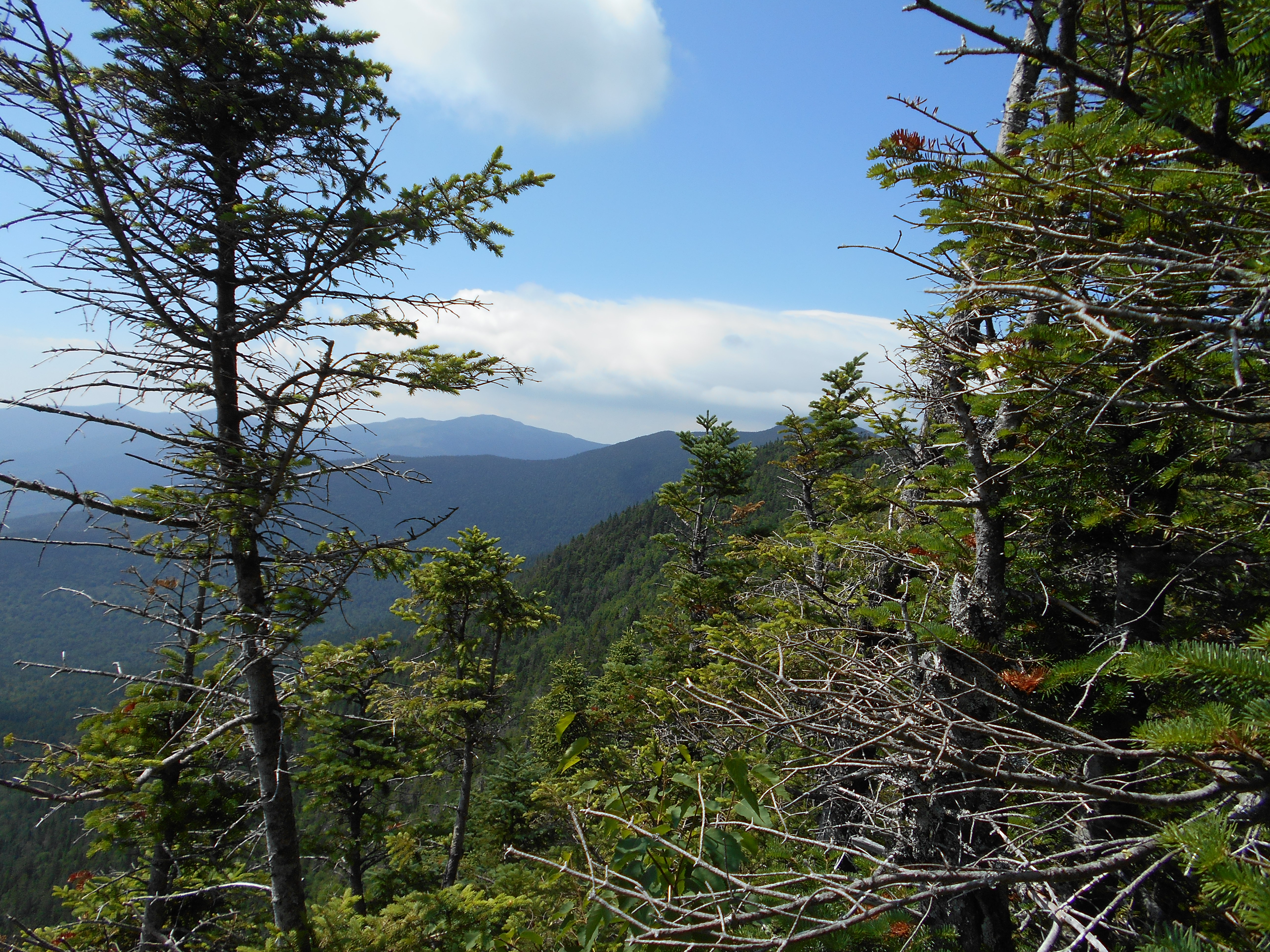
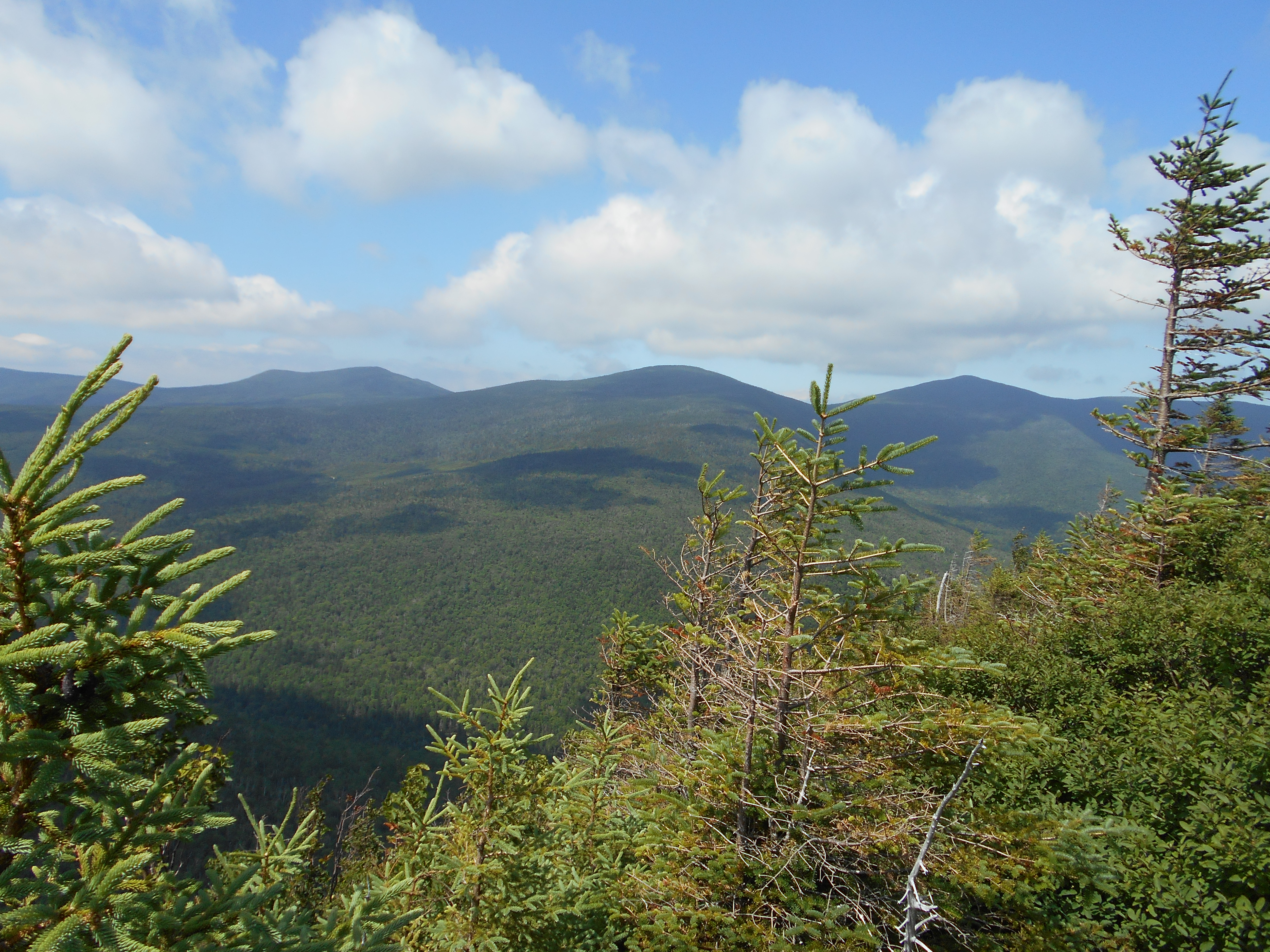
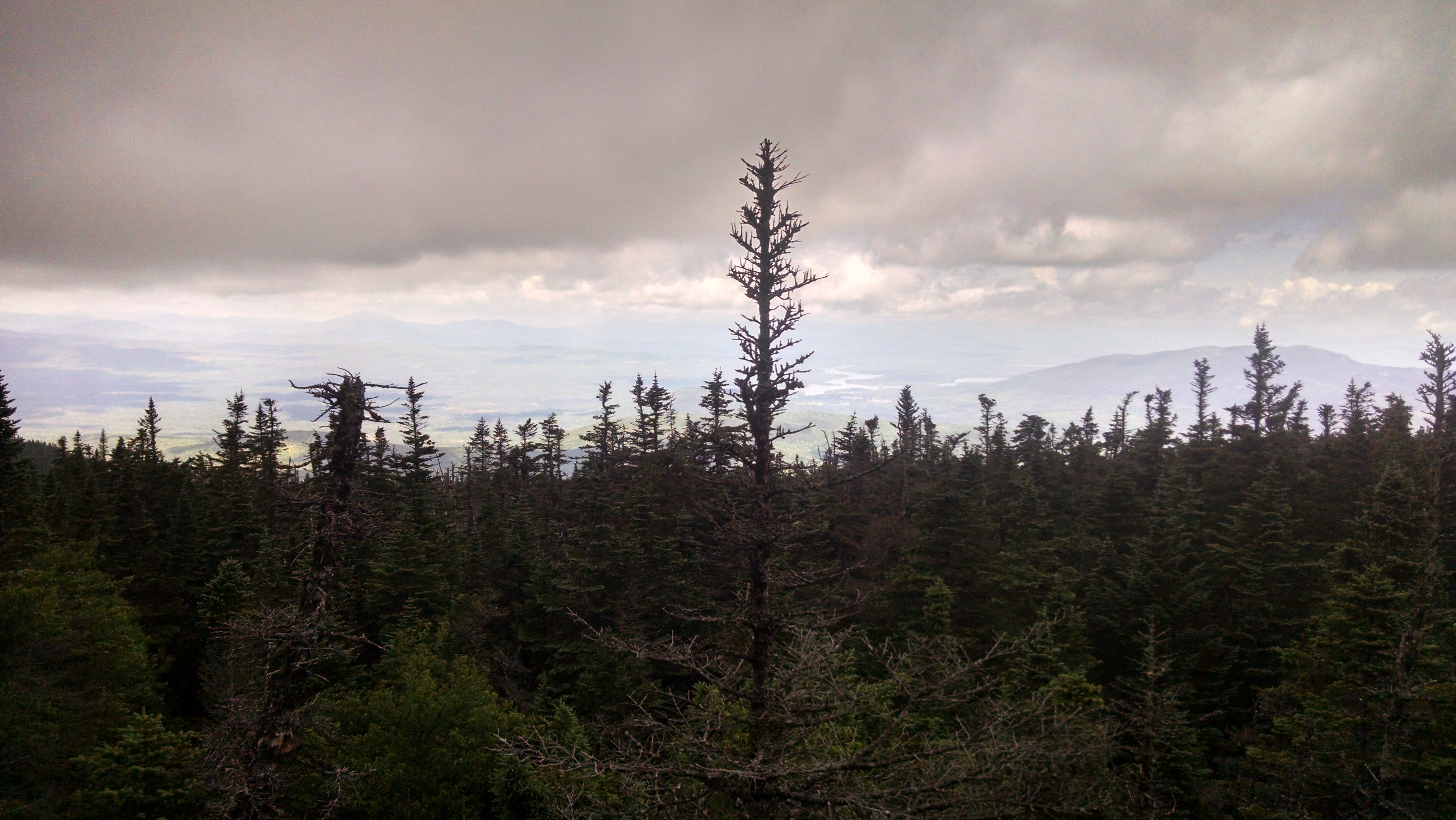
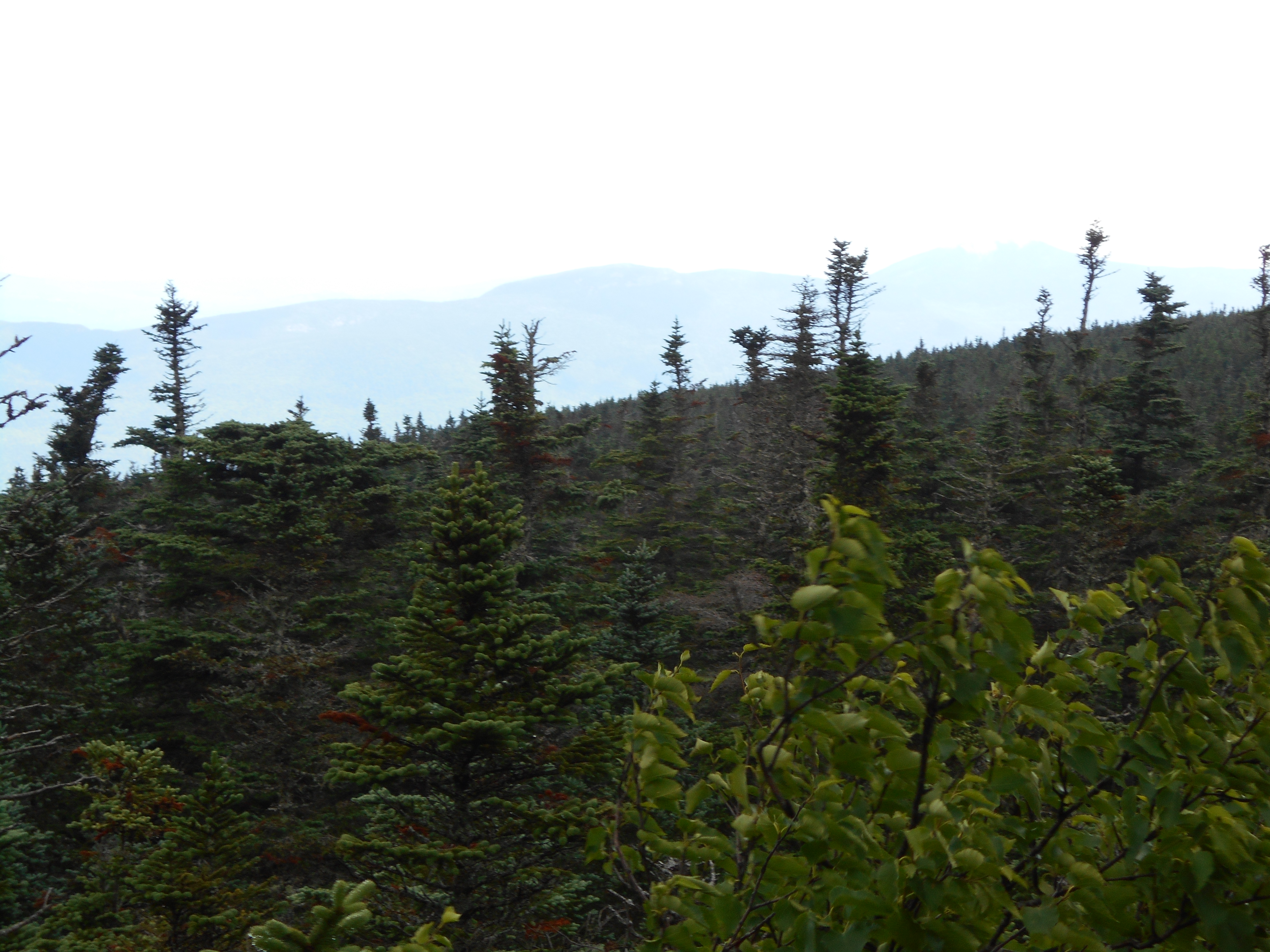
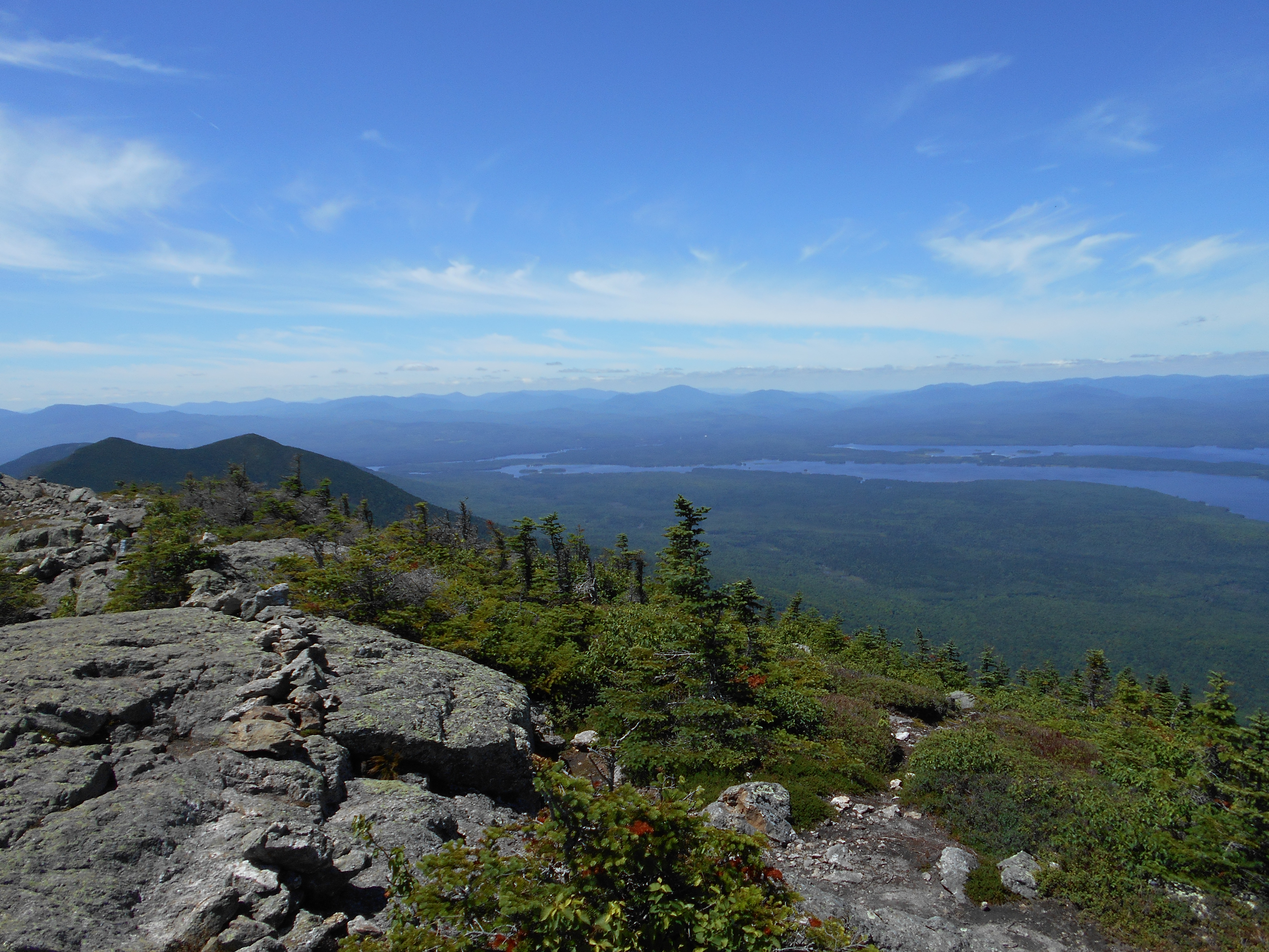
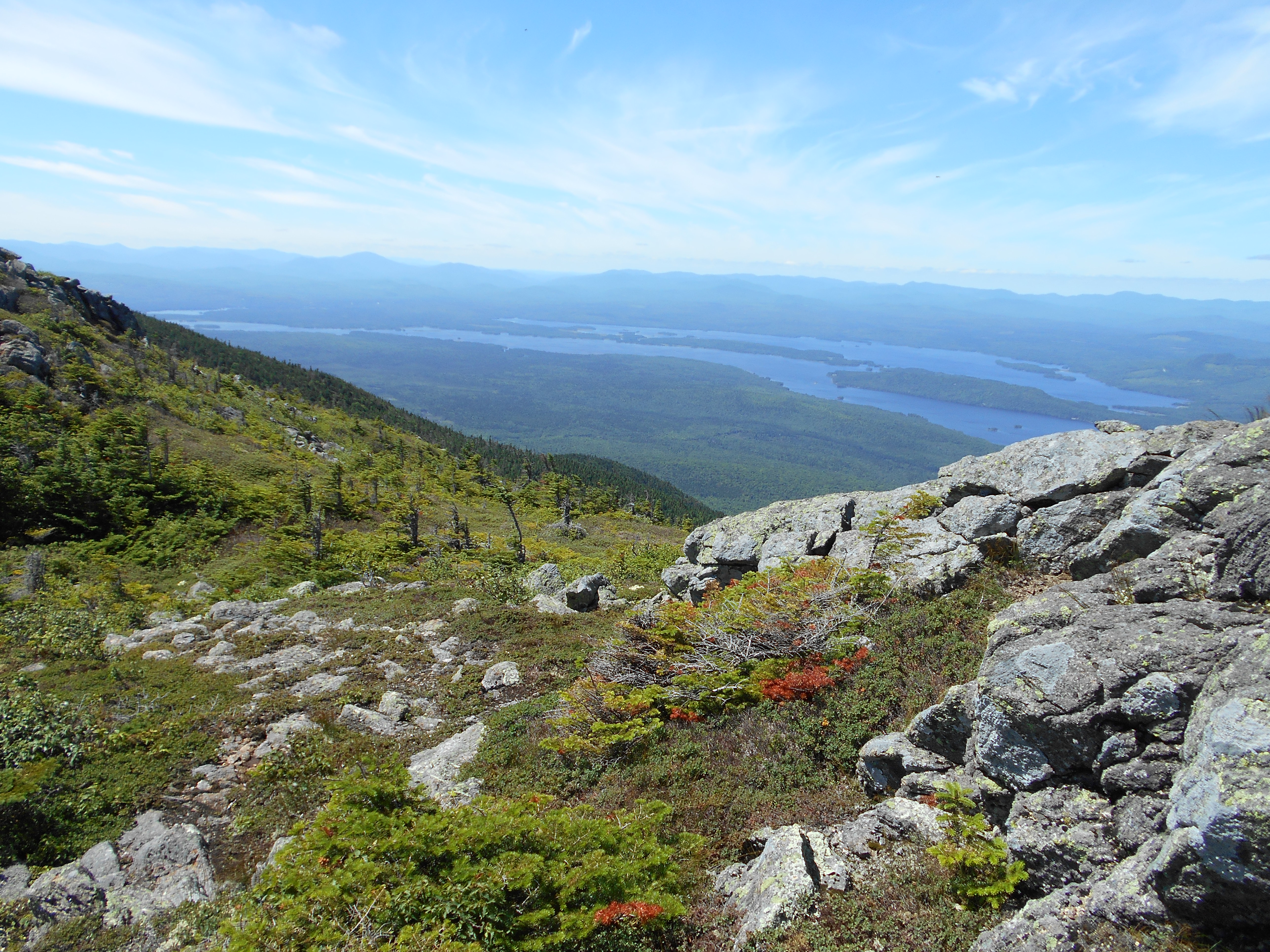
| 1973.4 | Treeline (3,700')?above treeline for the next 2.9 miles north | 3700 |
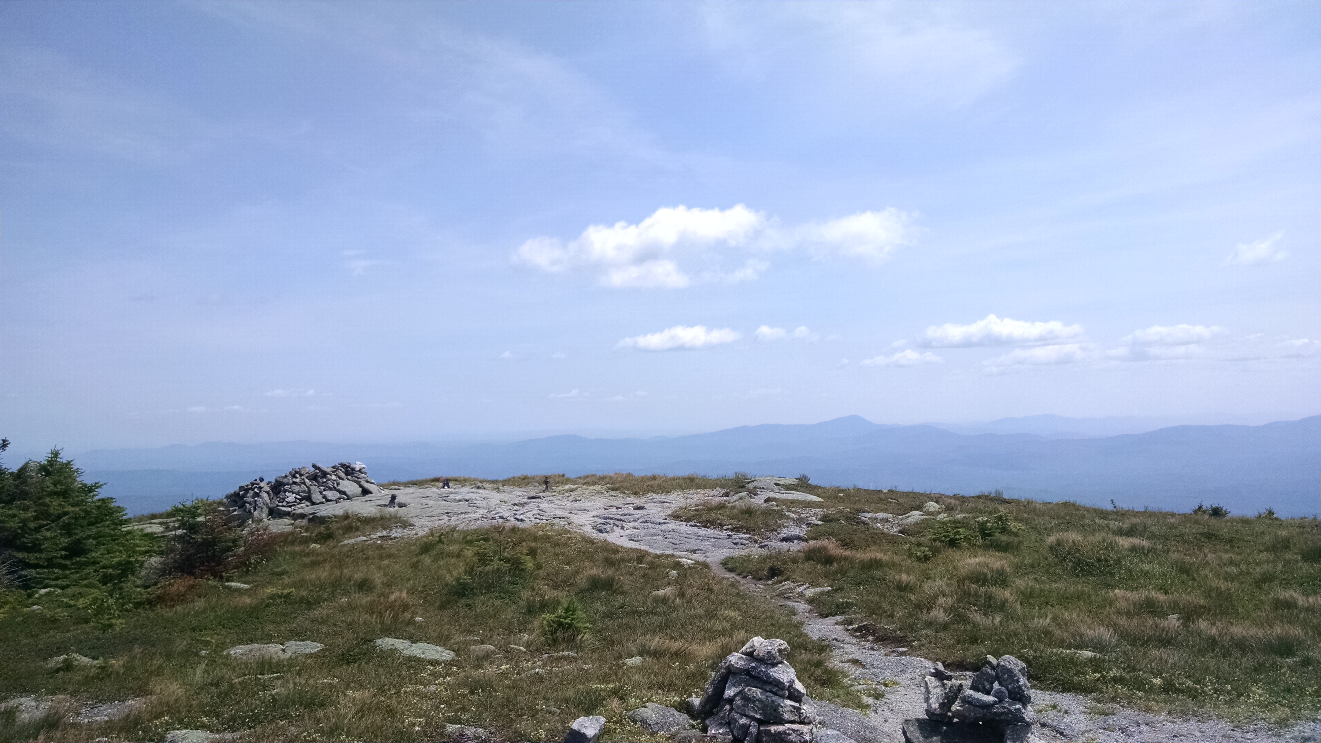
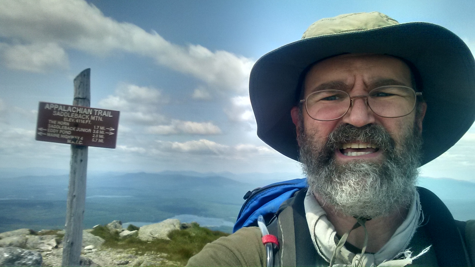
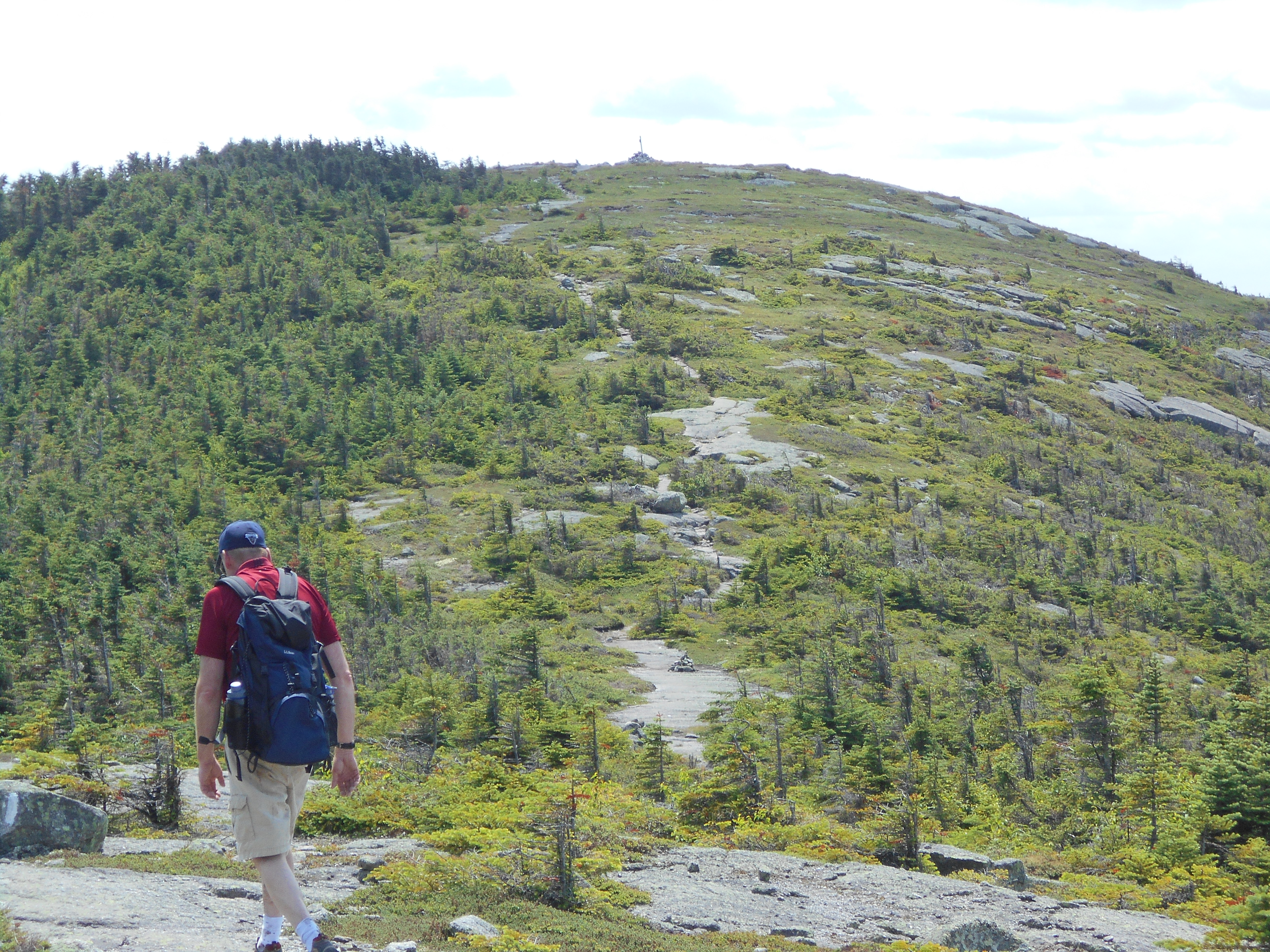
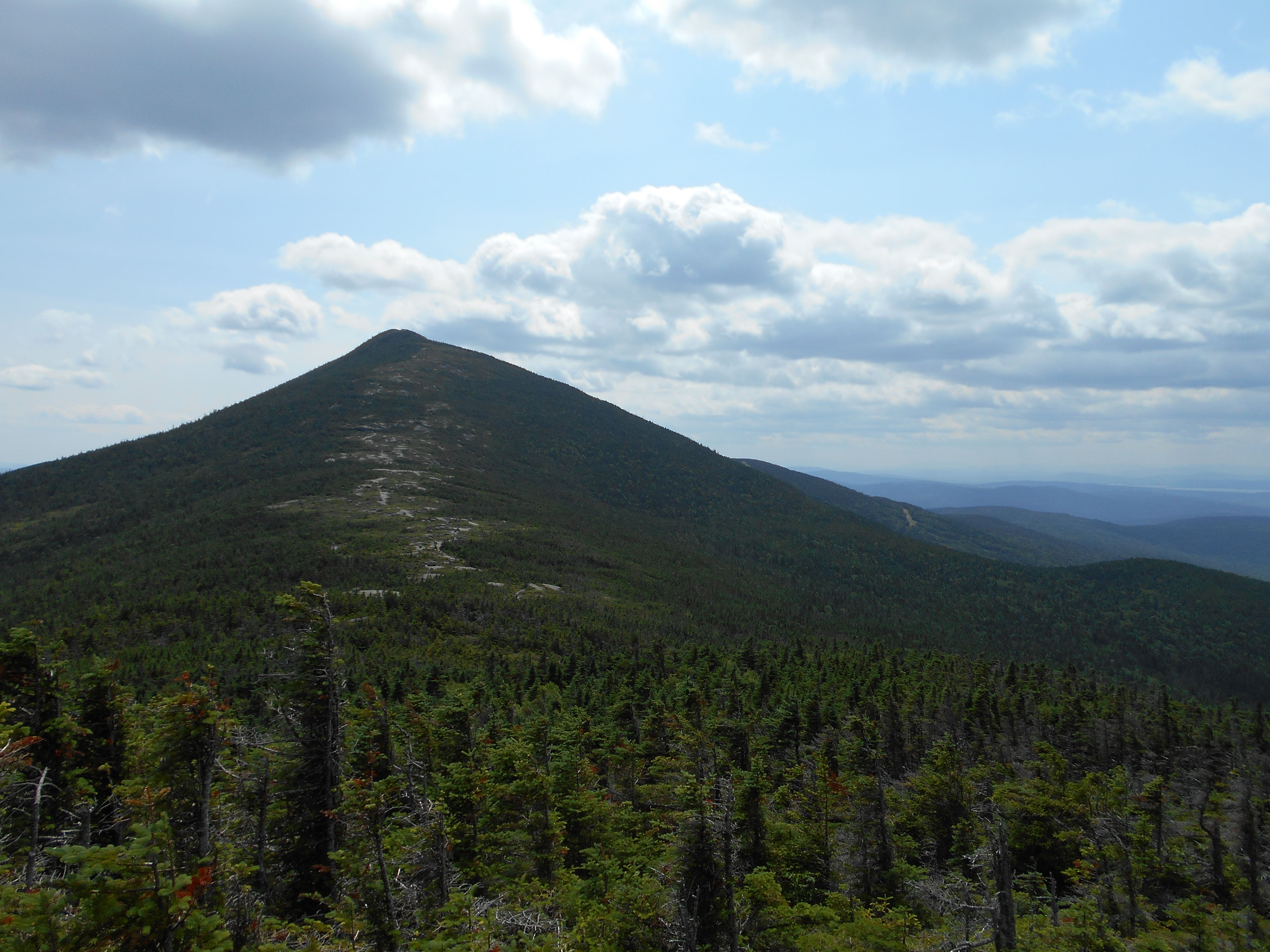
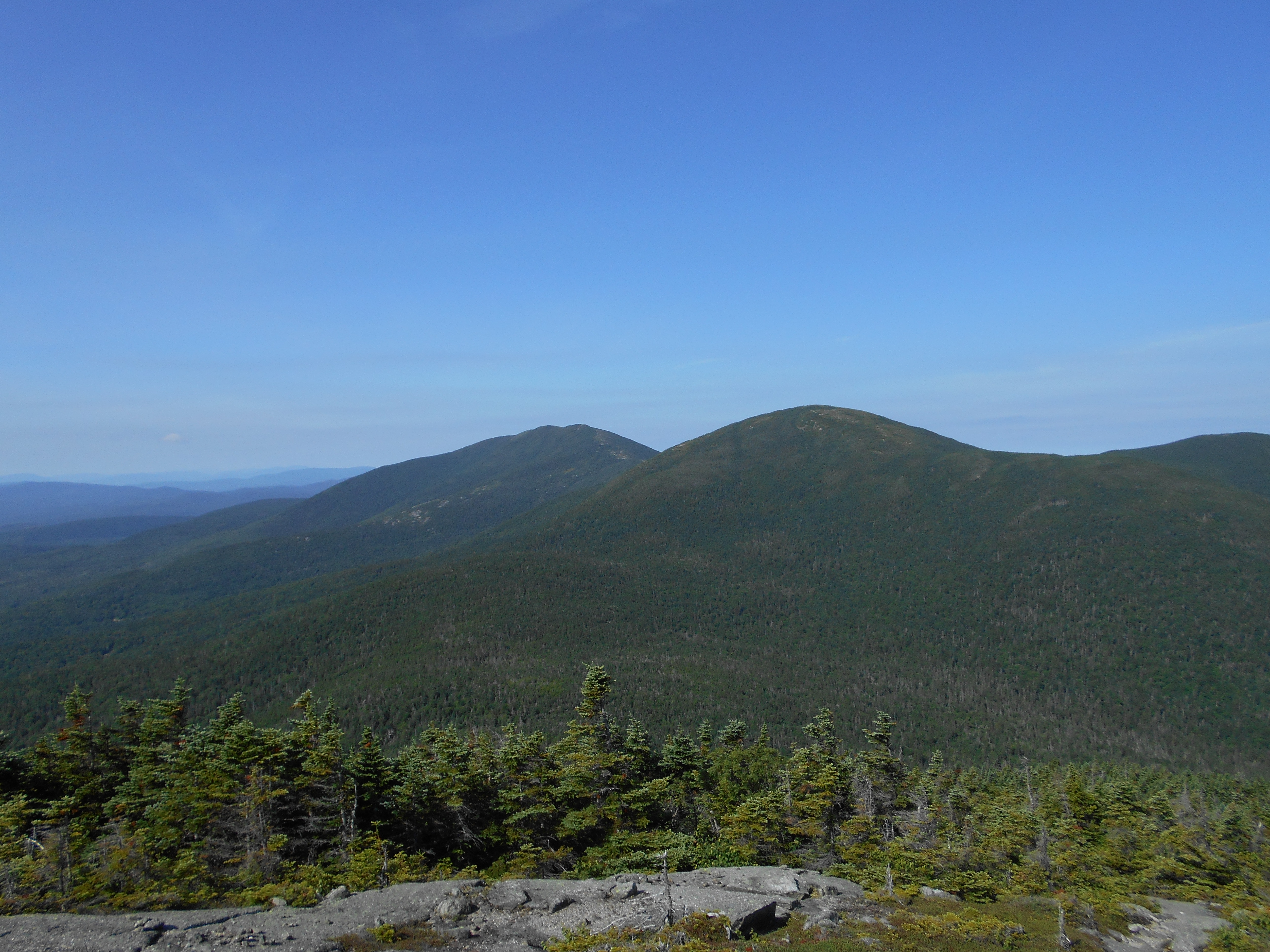
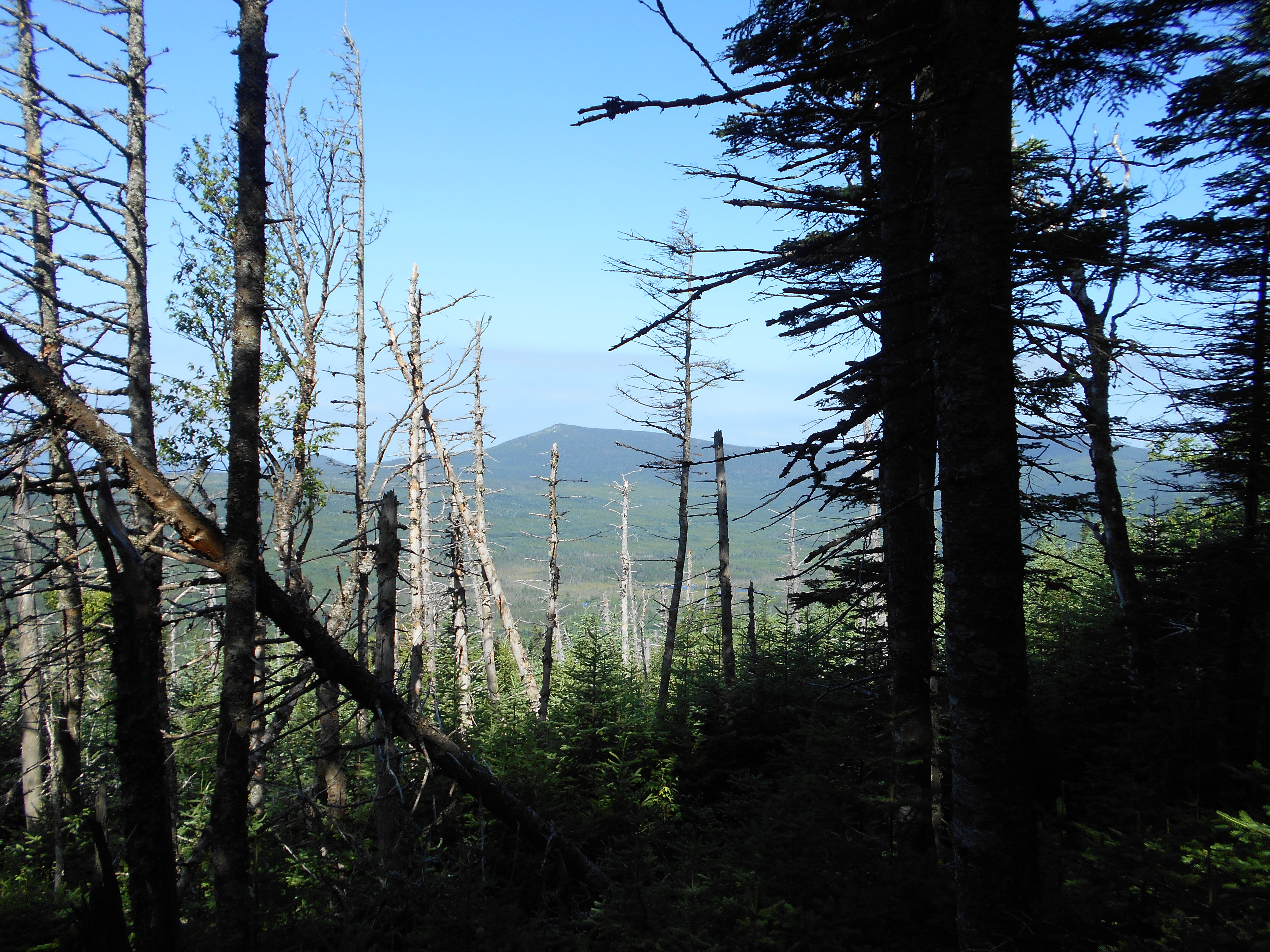
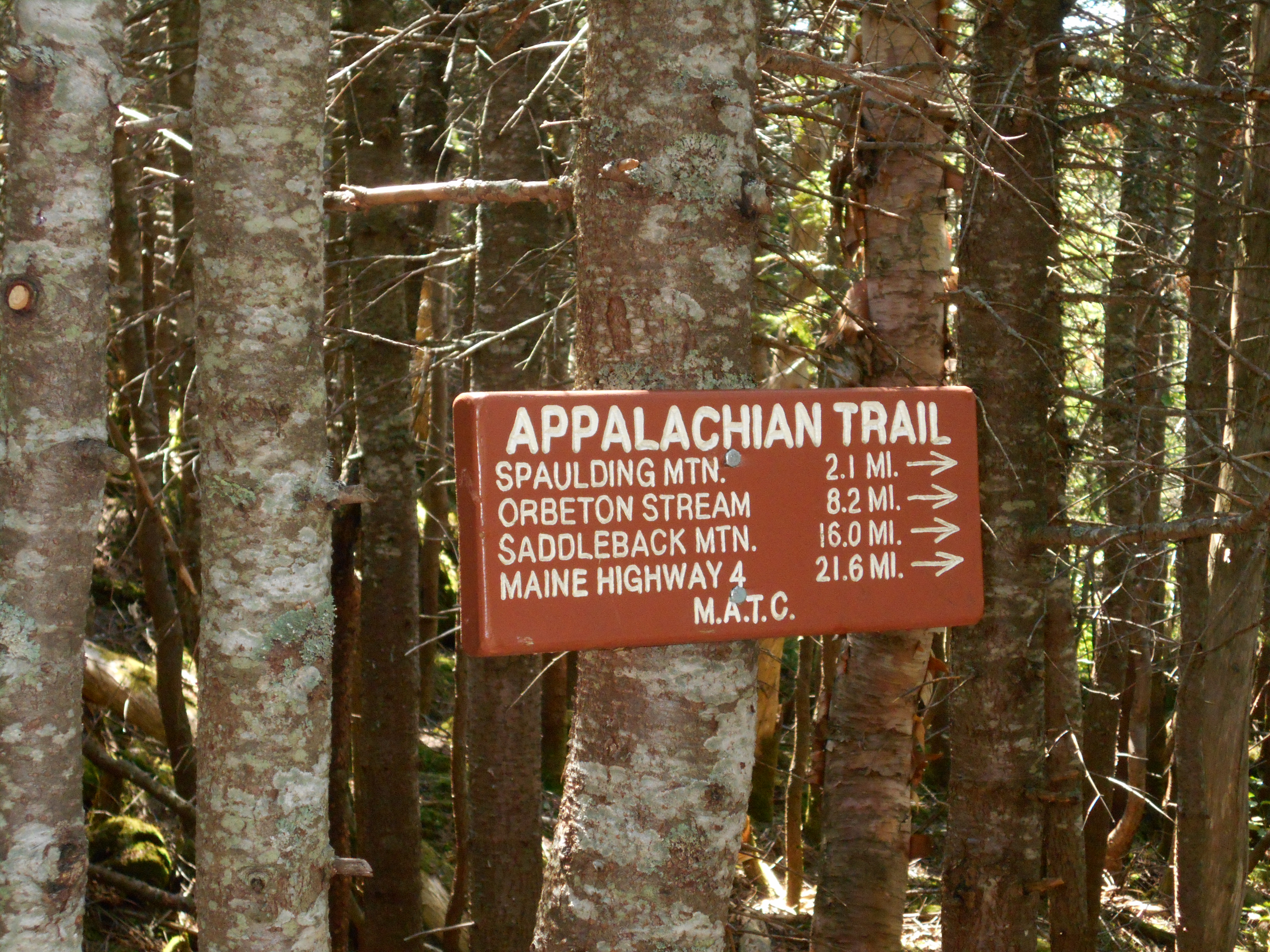
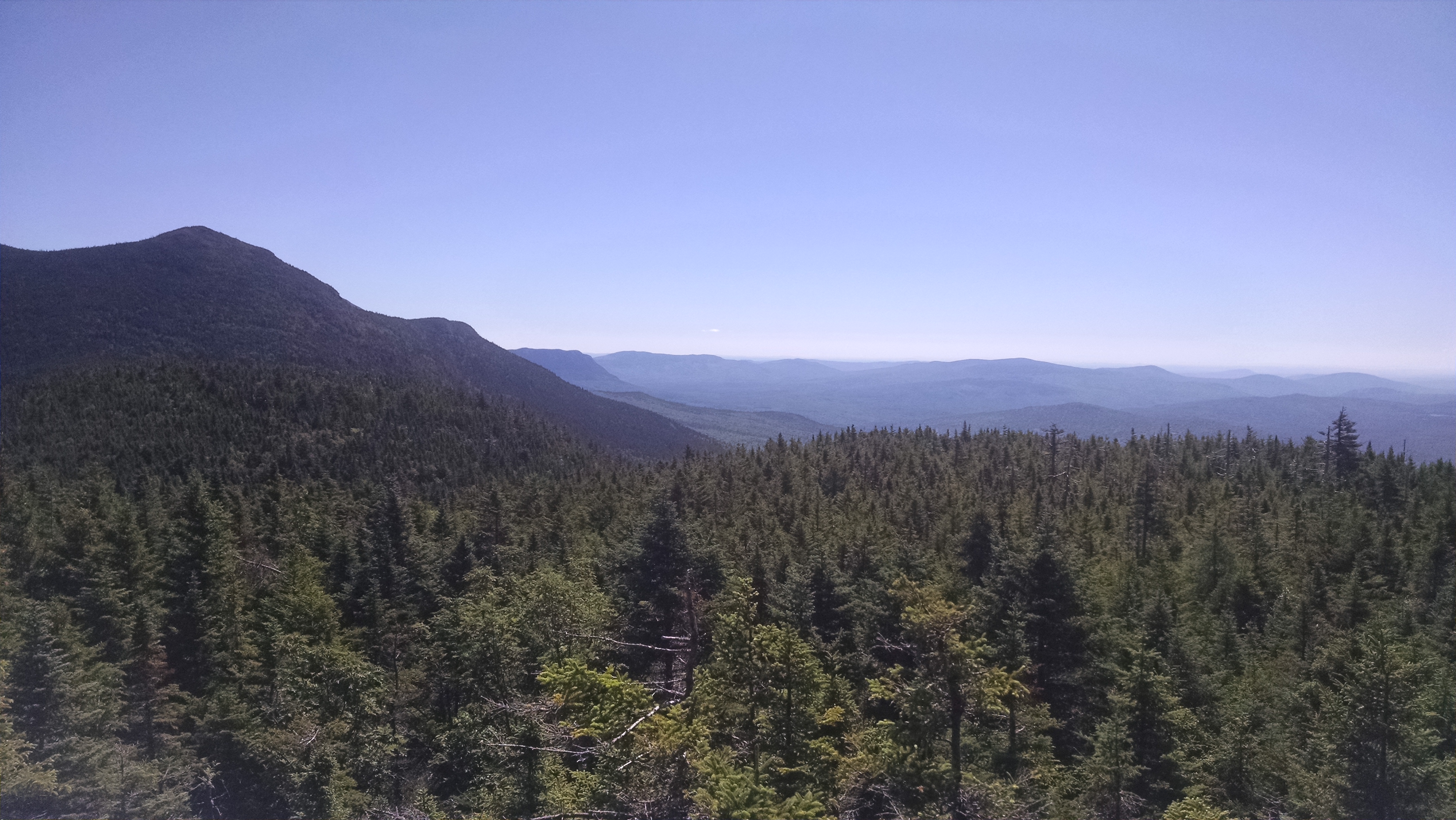
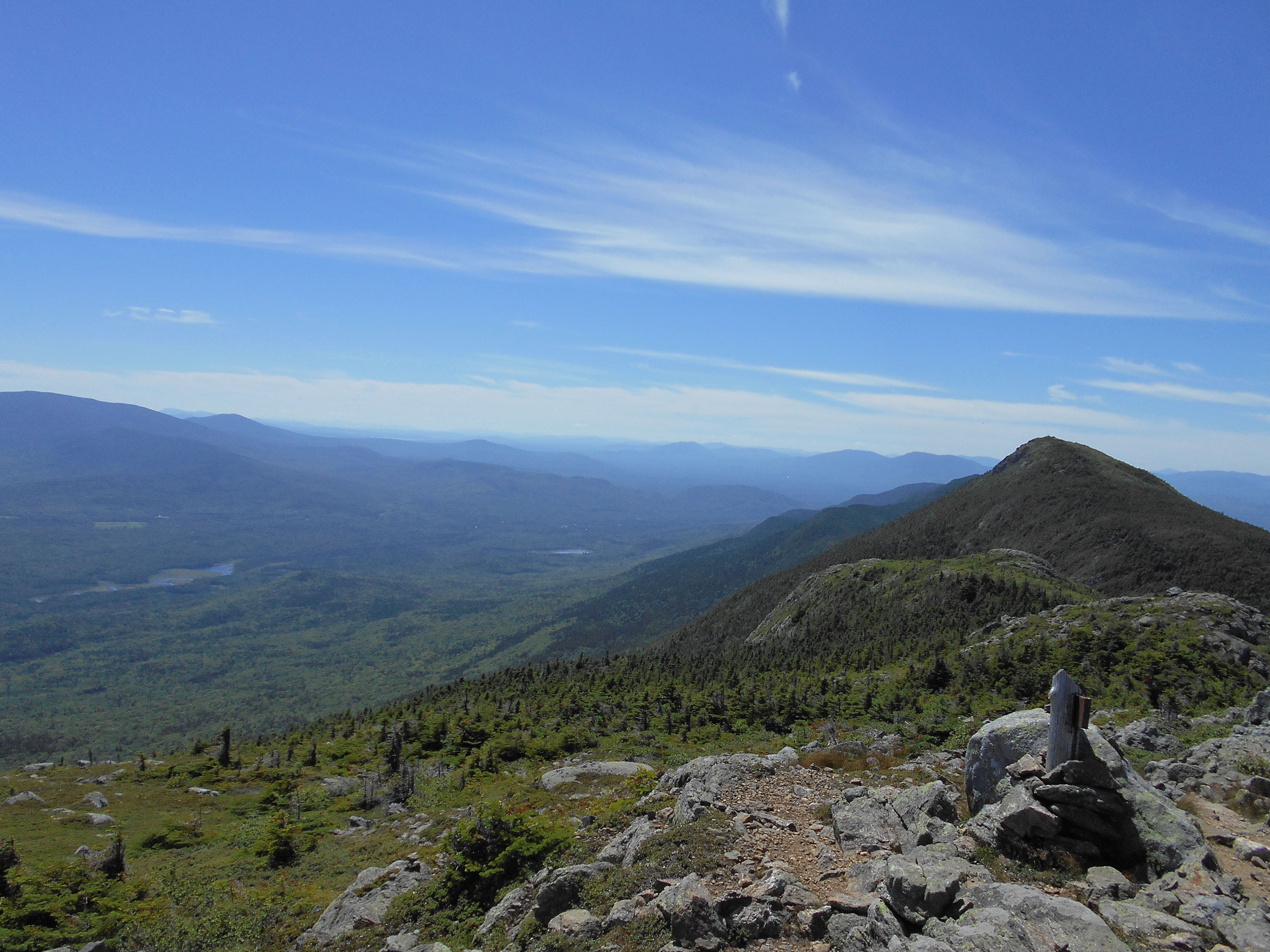
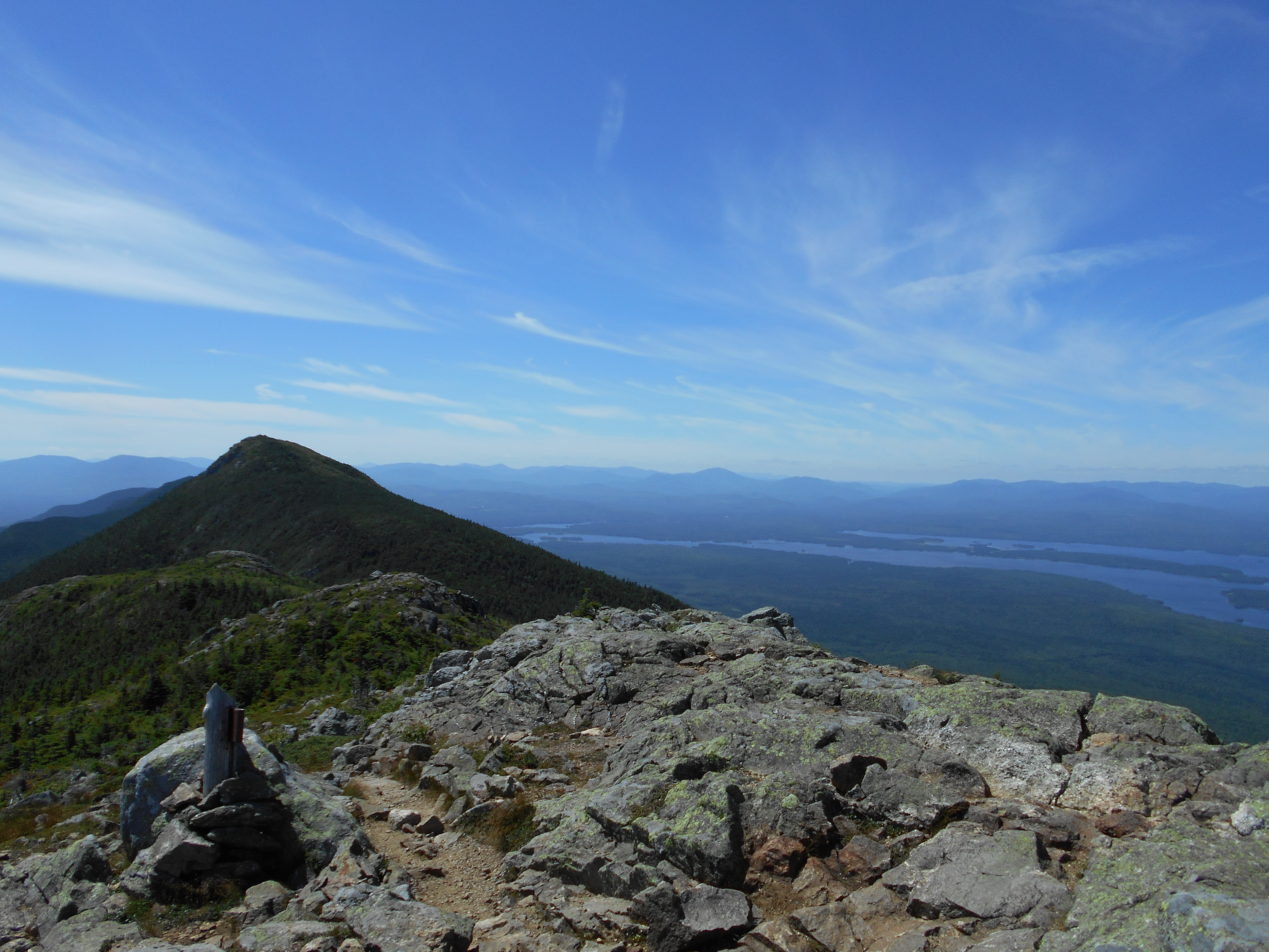
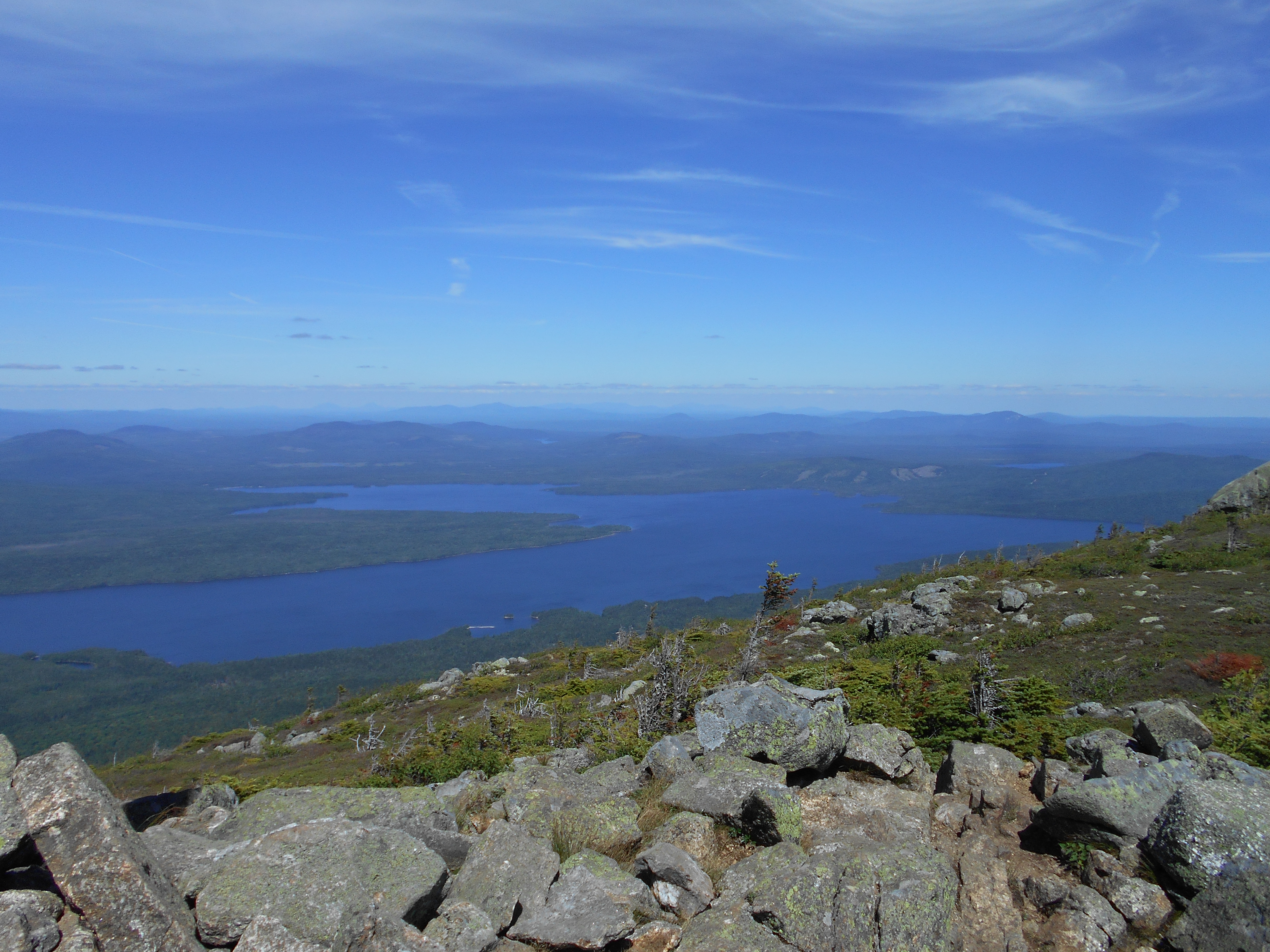
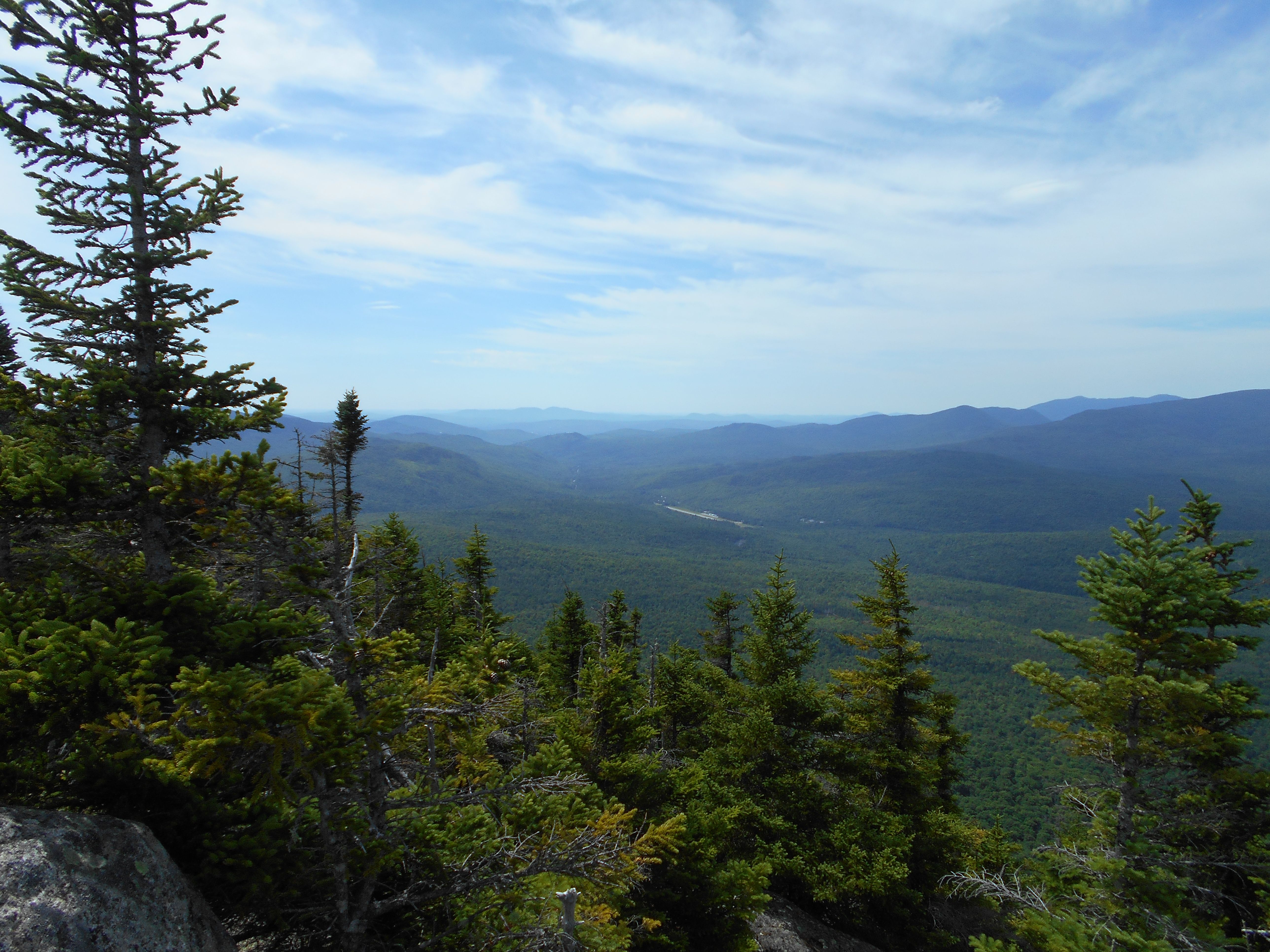
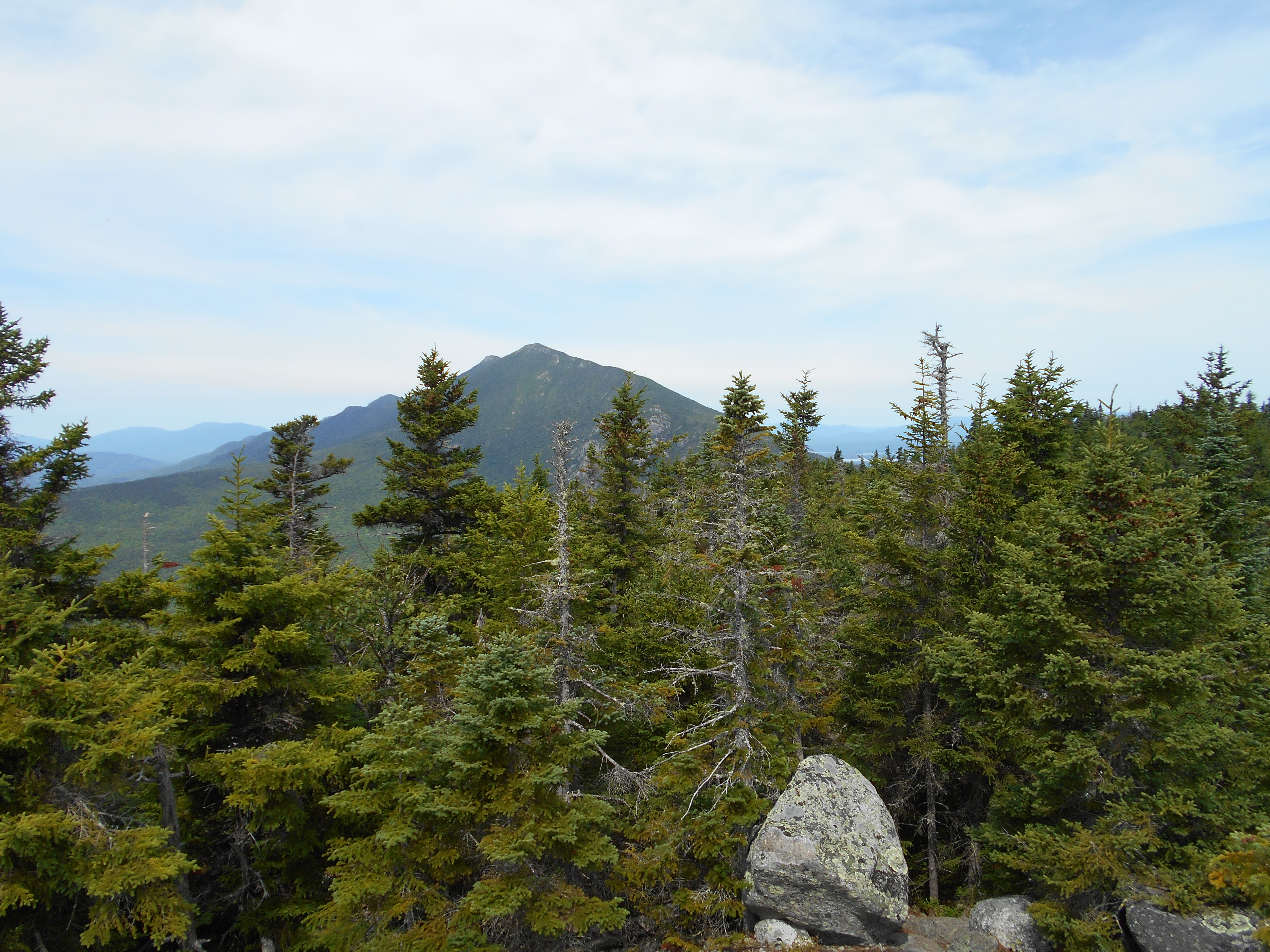
| 1974.4 | Saddleback Mountain (4,120') | 4120 |
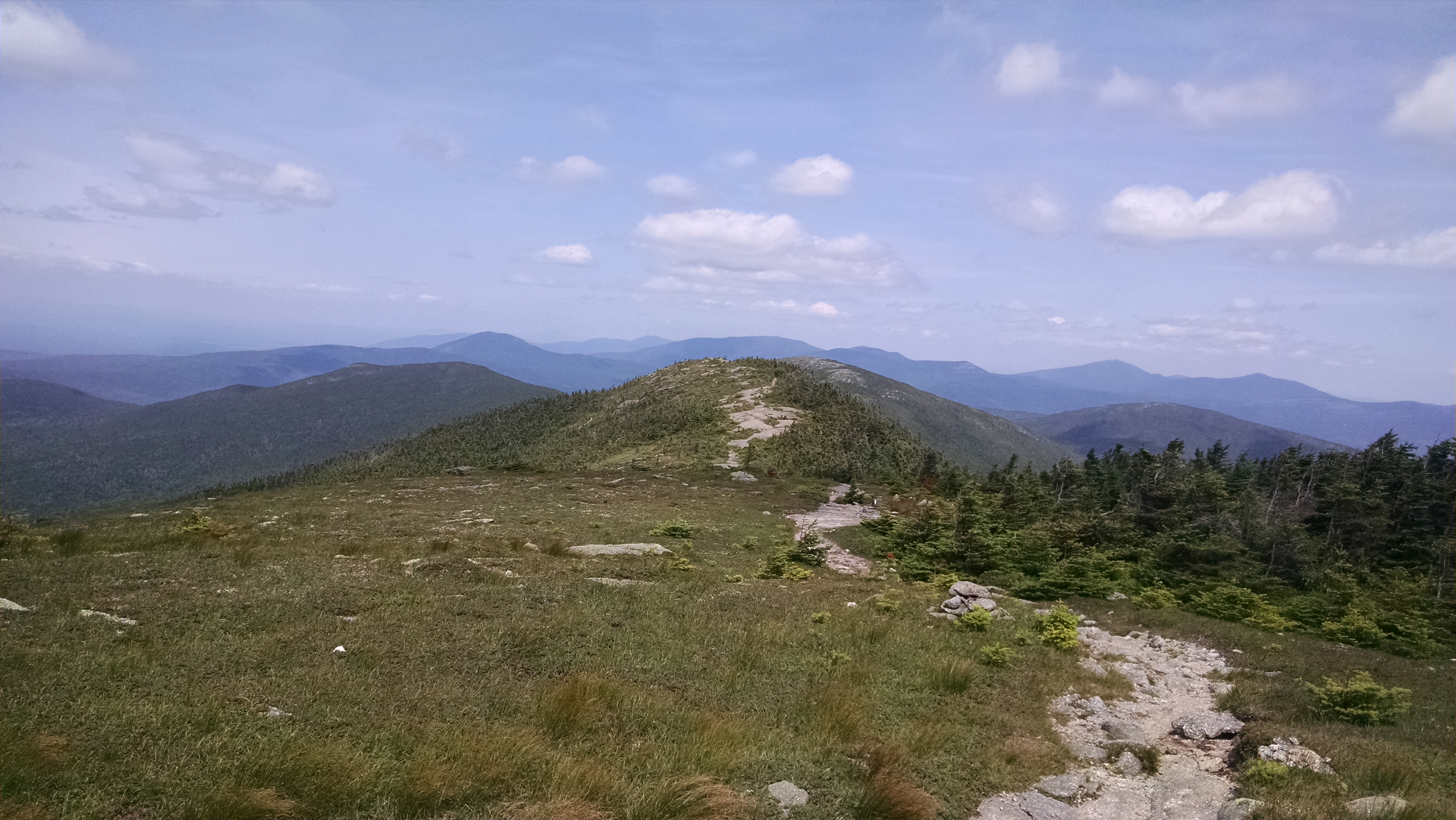
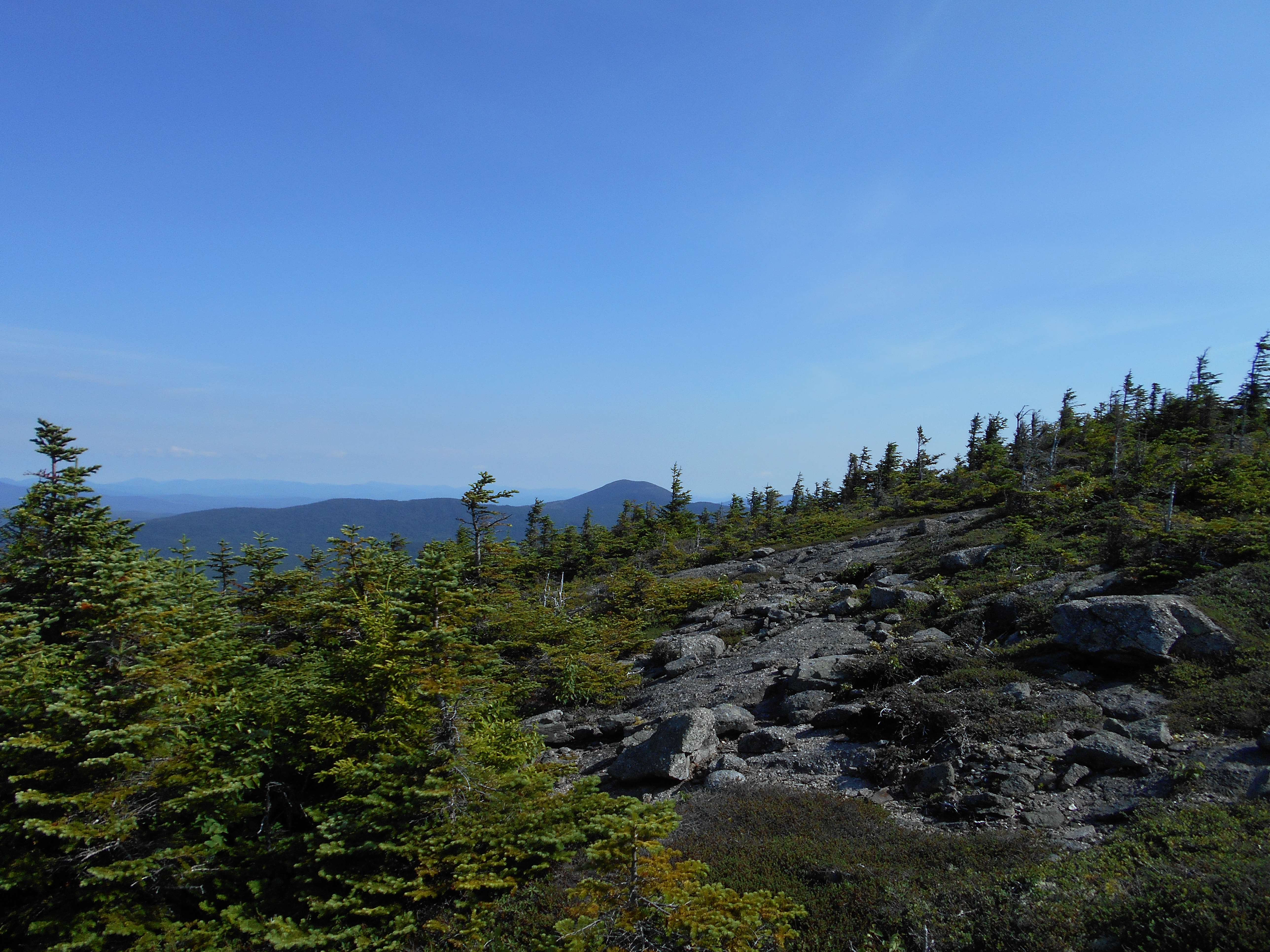
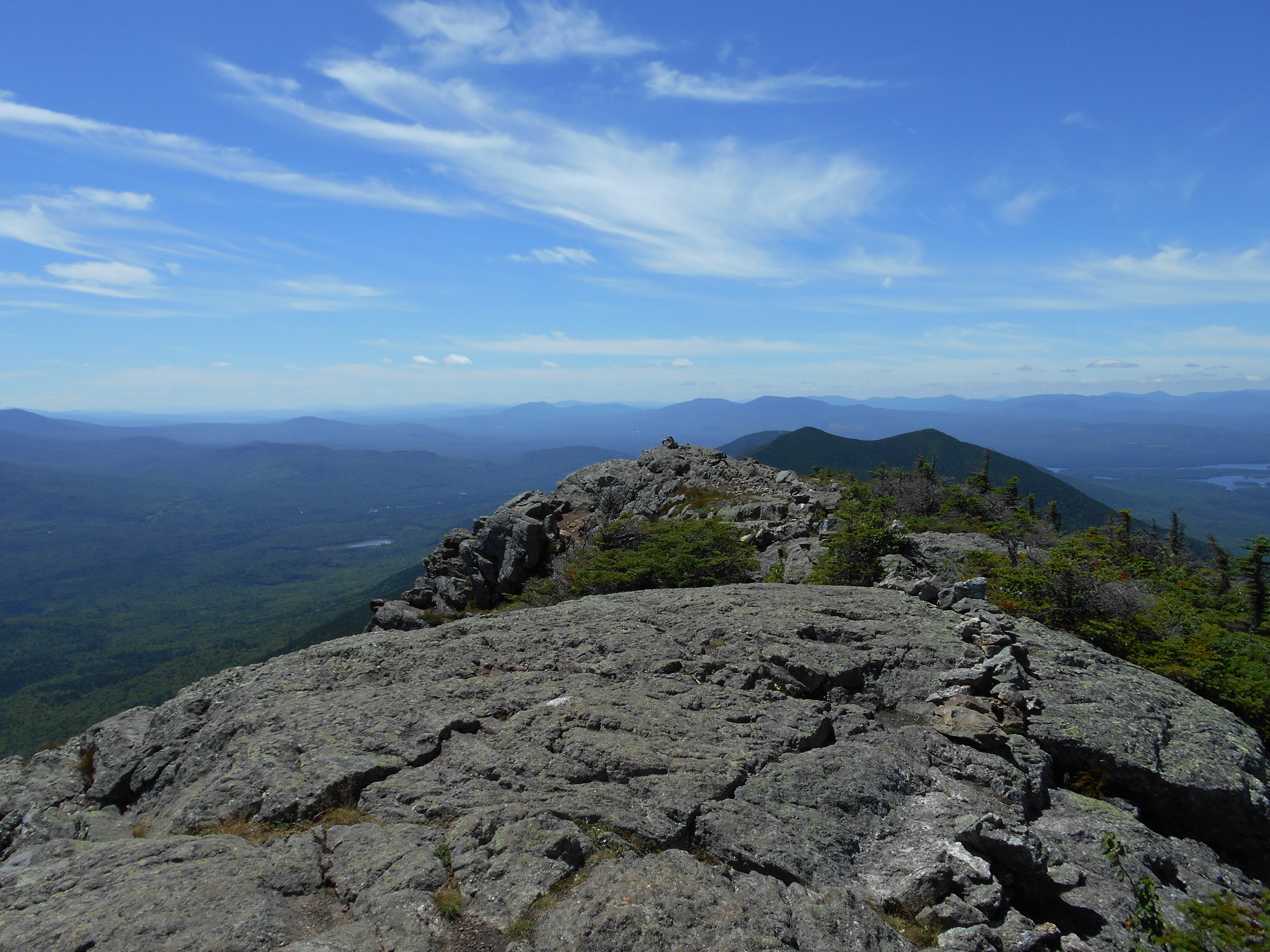
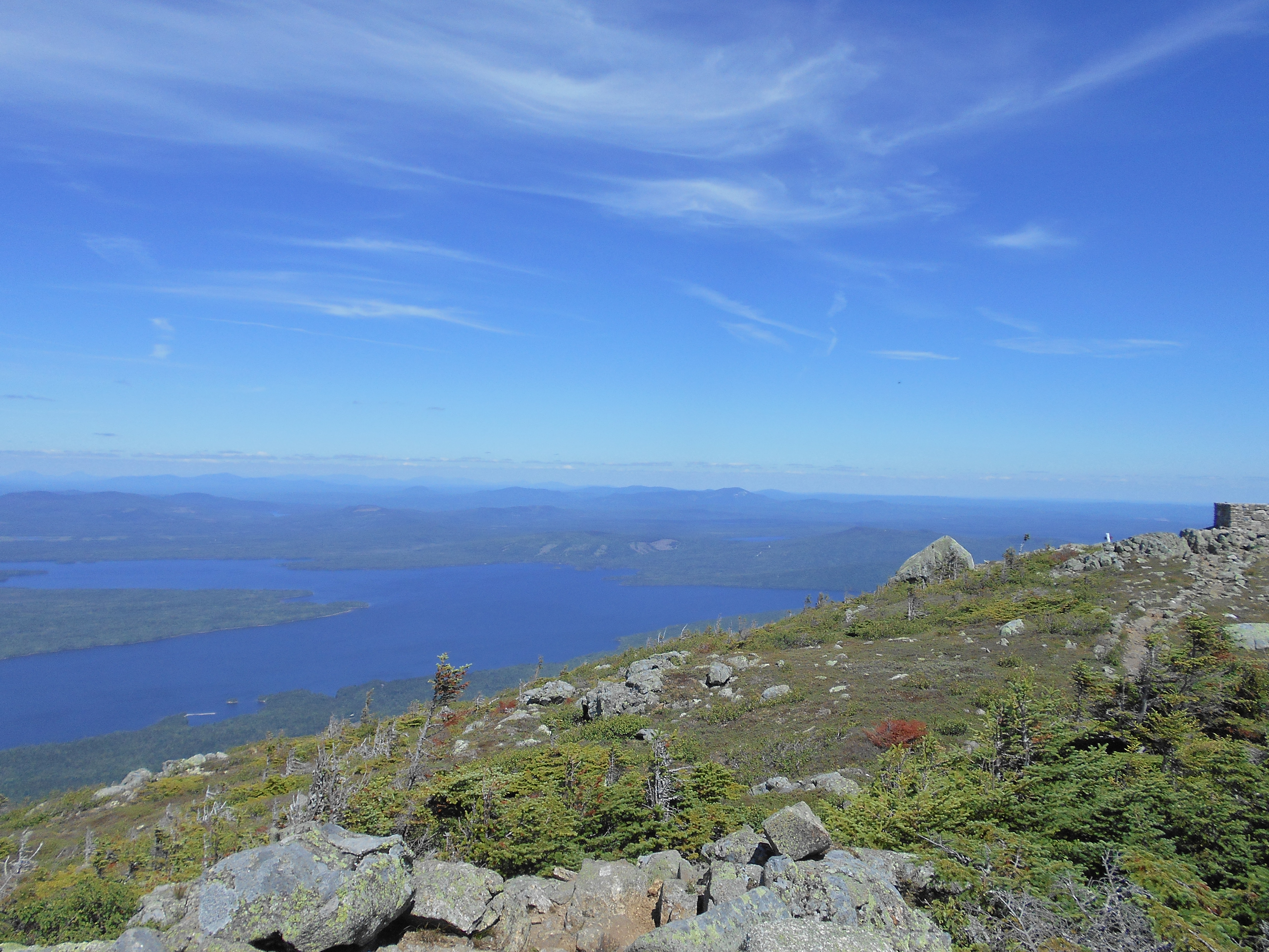
| 1976 | The Horn (4,041') | 4041 |
| 1976.3 | Treeline (3,620')?above treeline for the next 2.9 miles south | 3620 |
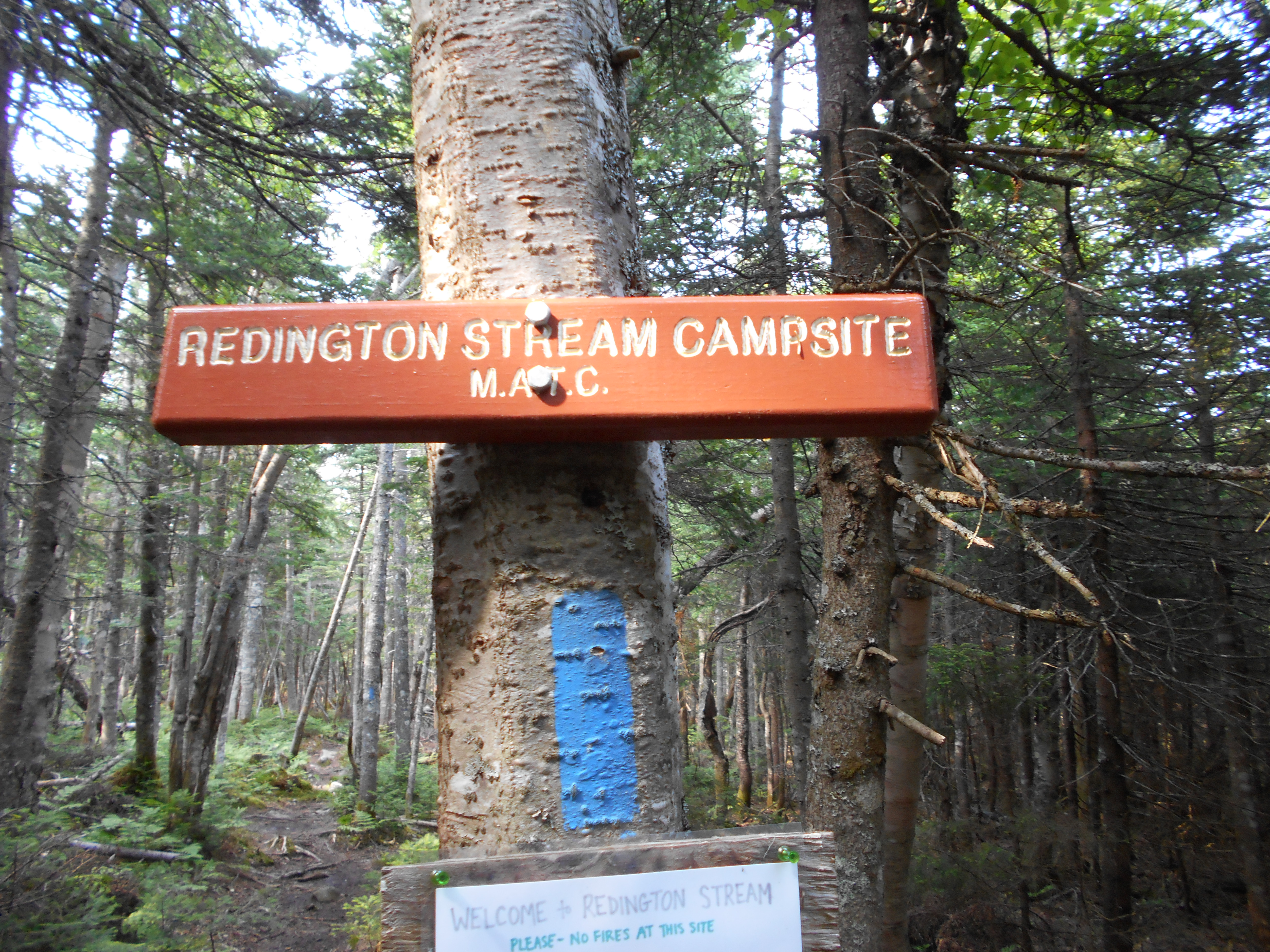
| 1976.7 | Redington Stream Campsite (3,170') | 3170 |


| Miles from Springer | Features | Elevation |
|---|---|---|
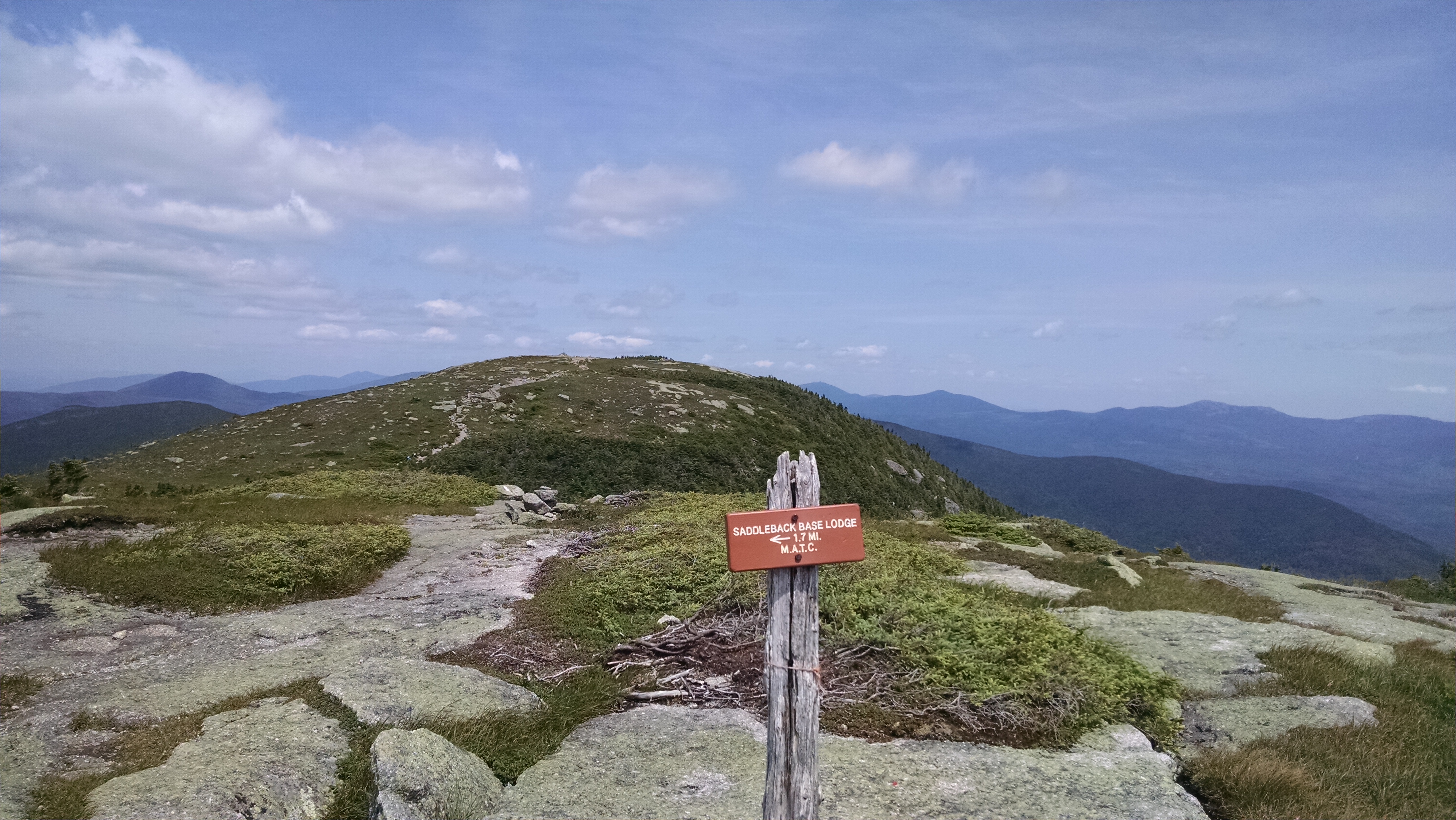
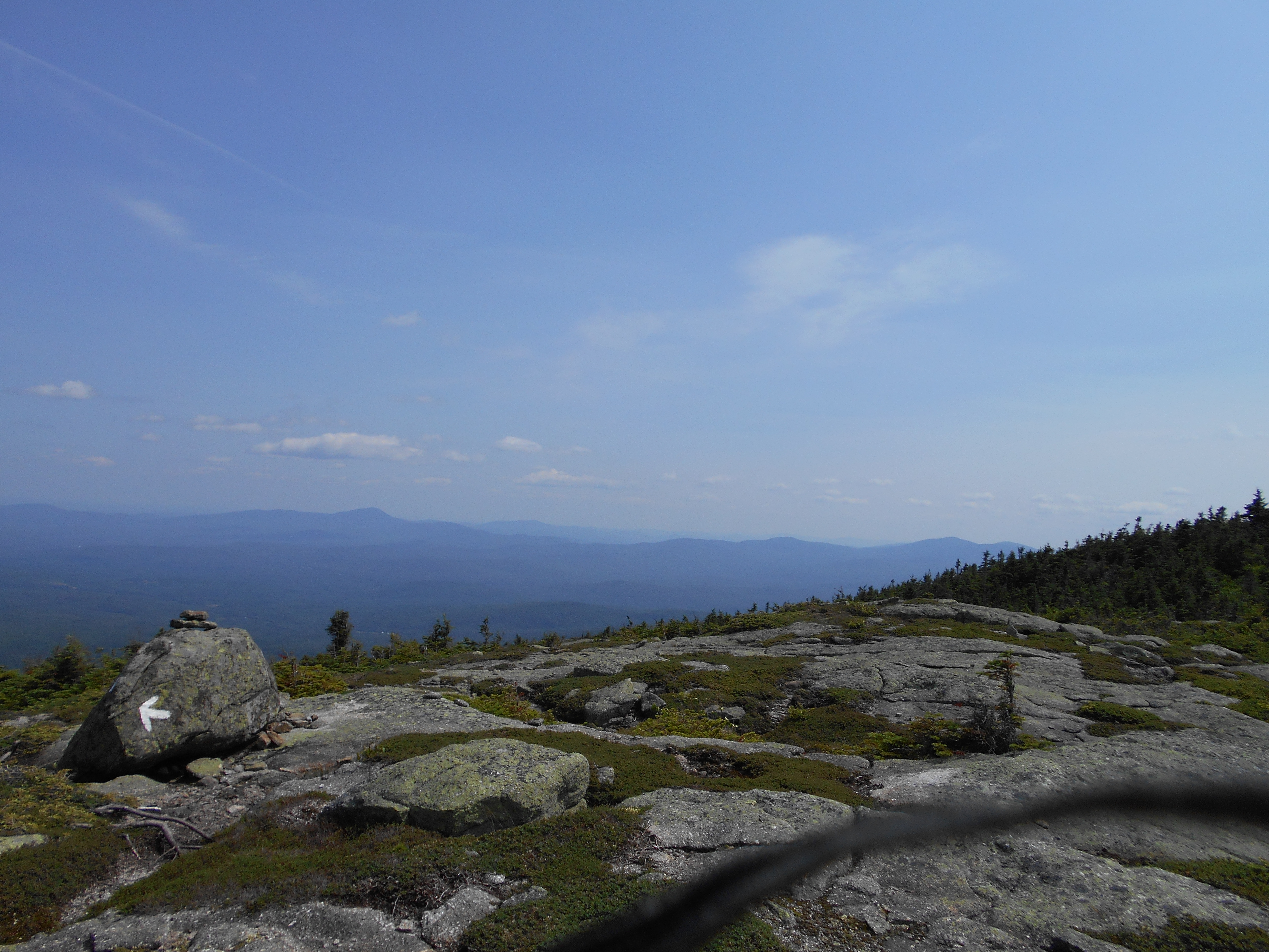
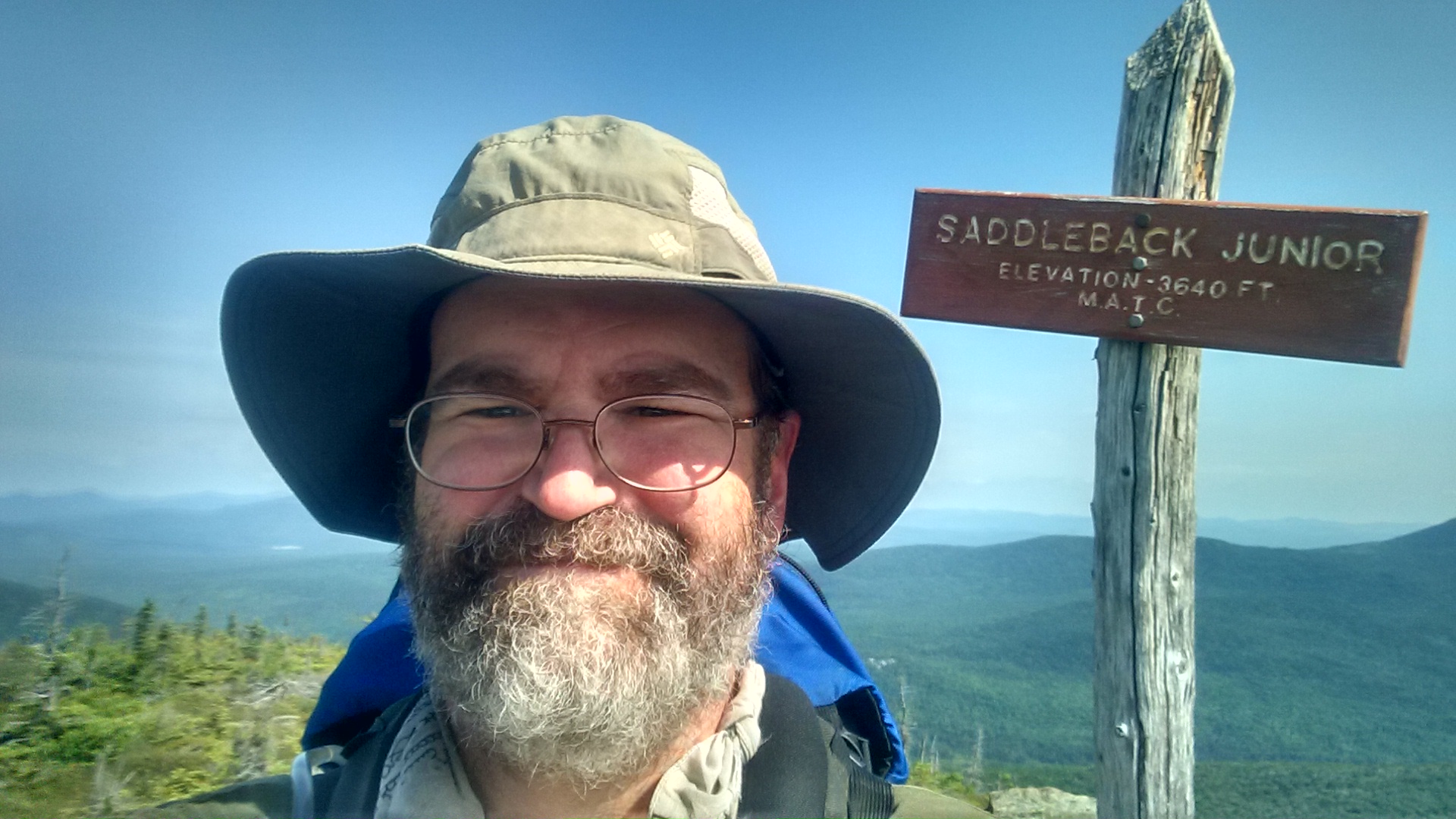
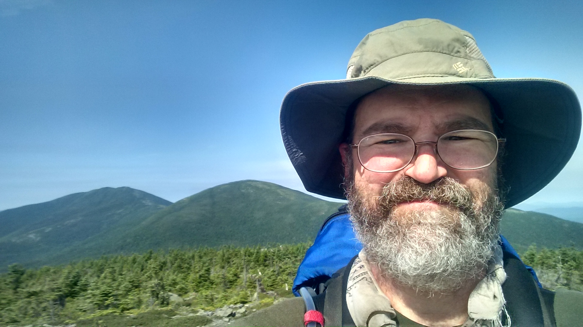
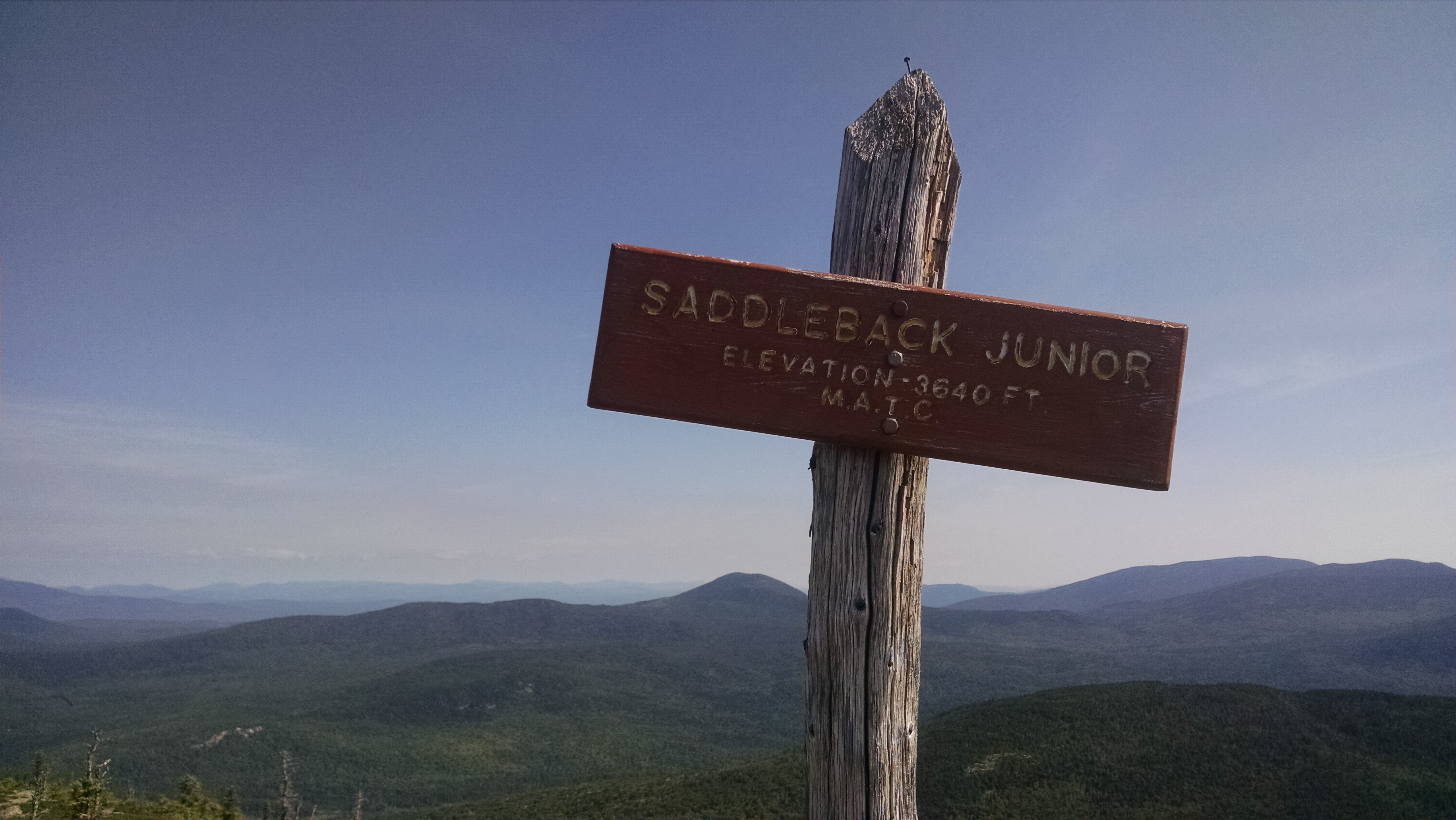
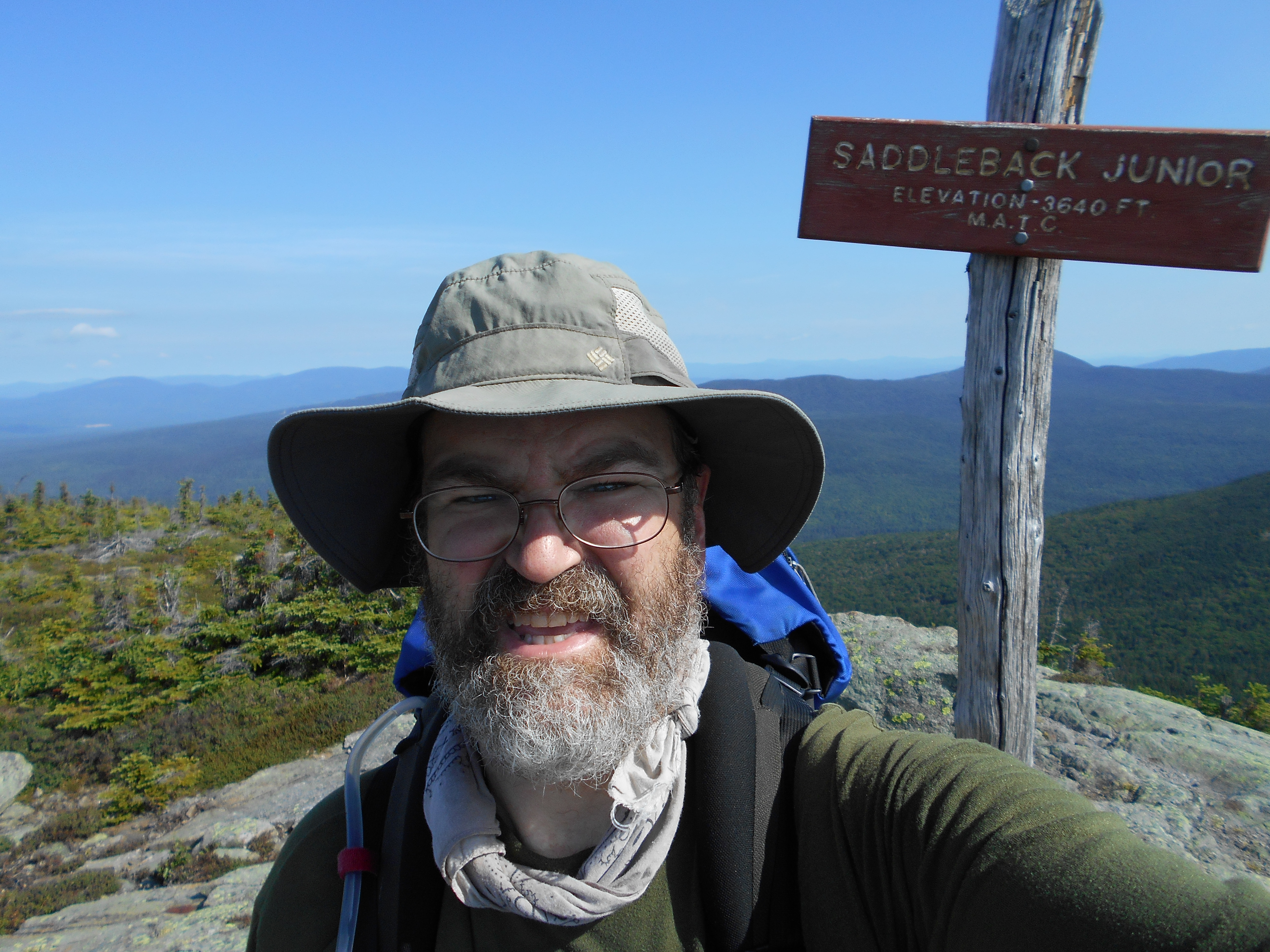
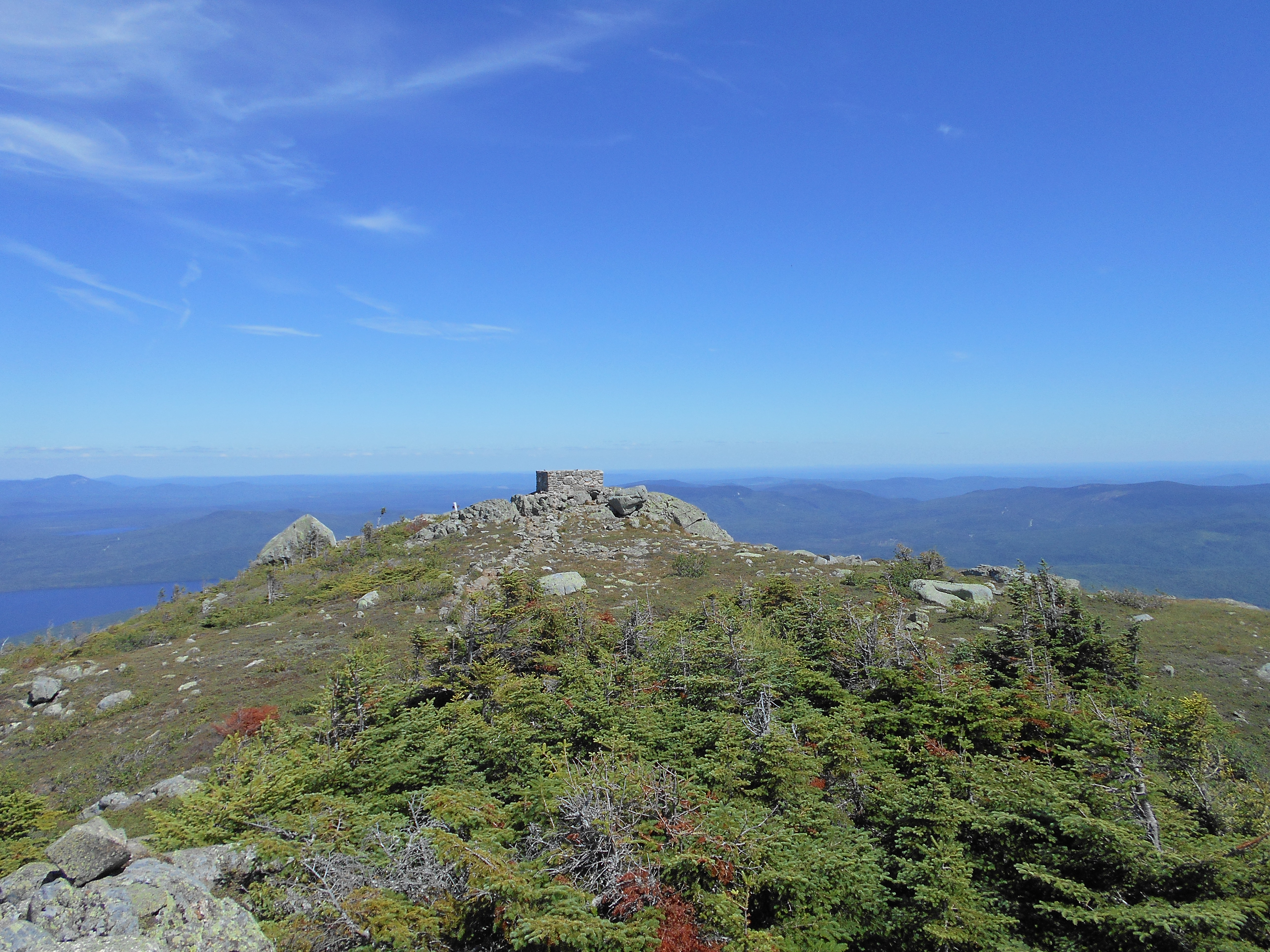
| 1978 | Saddleback Junior (3,655')?open summit | 3655 |
| 1978.4 | Brook (3,200')?last water for the next 6 miles south | 3200 |
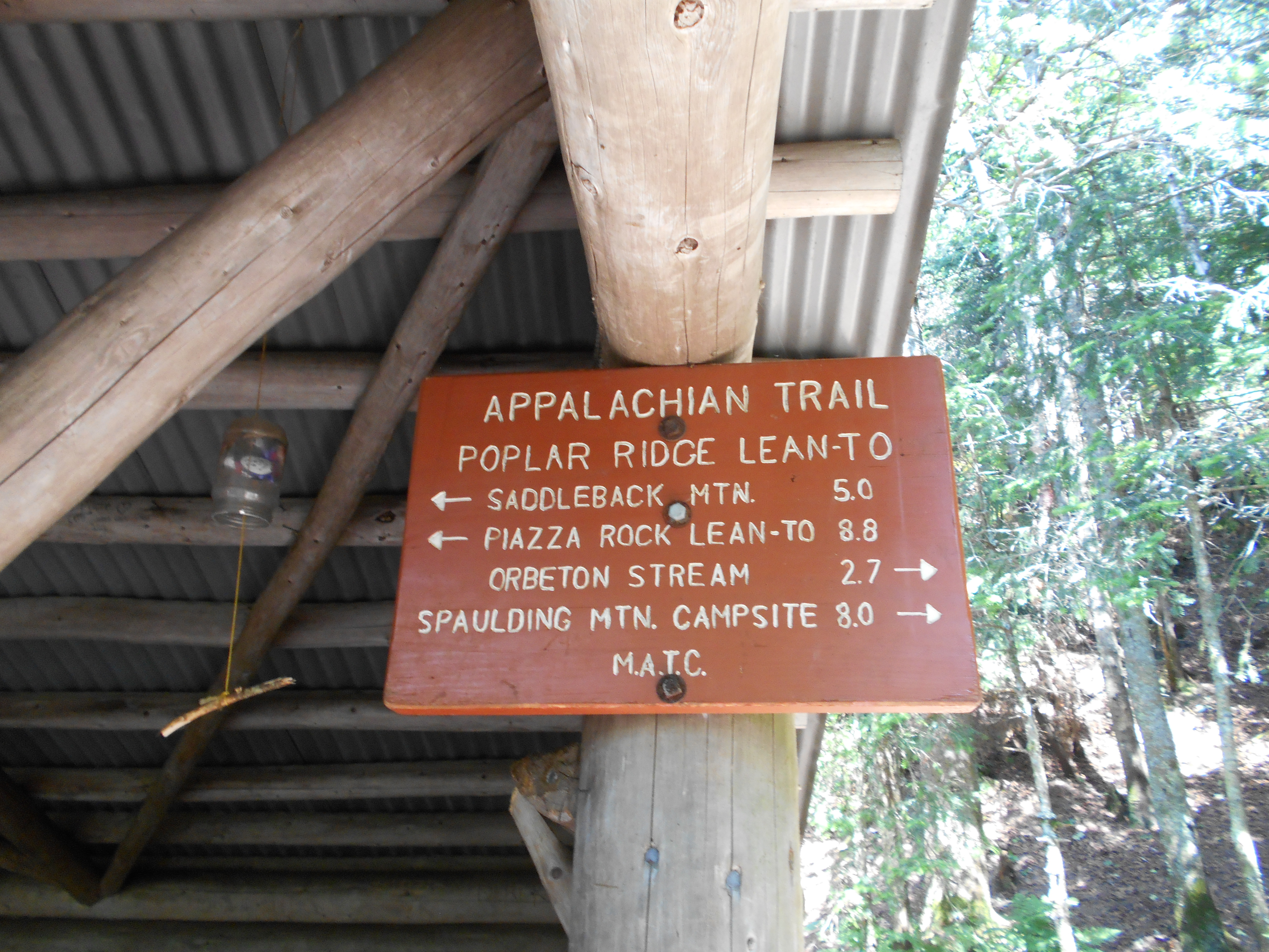
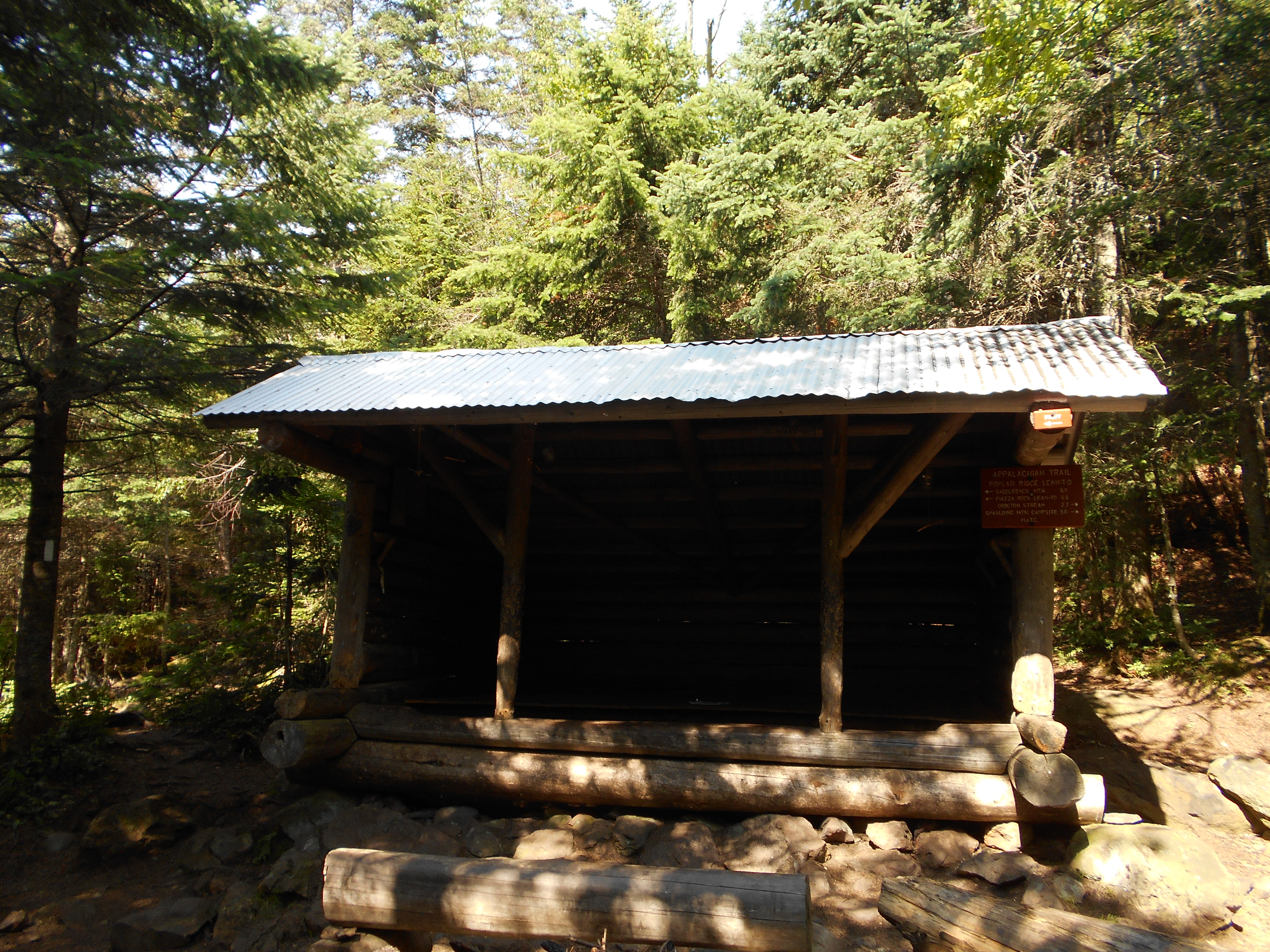
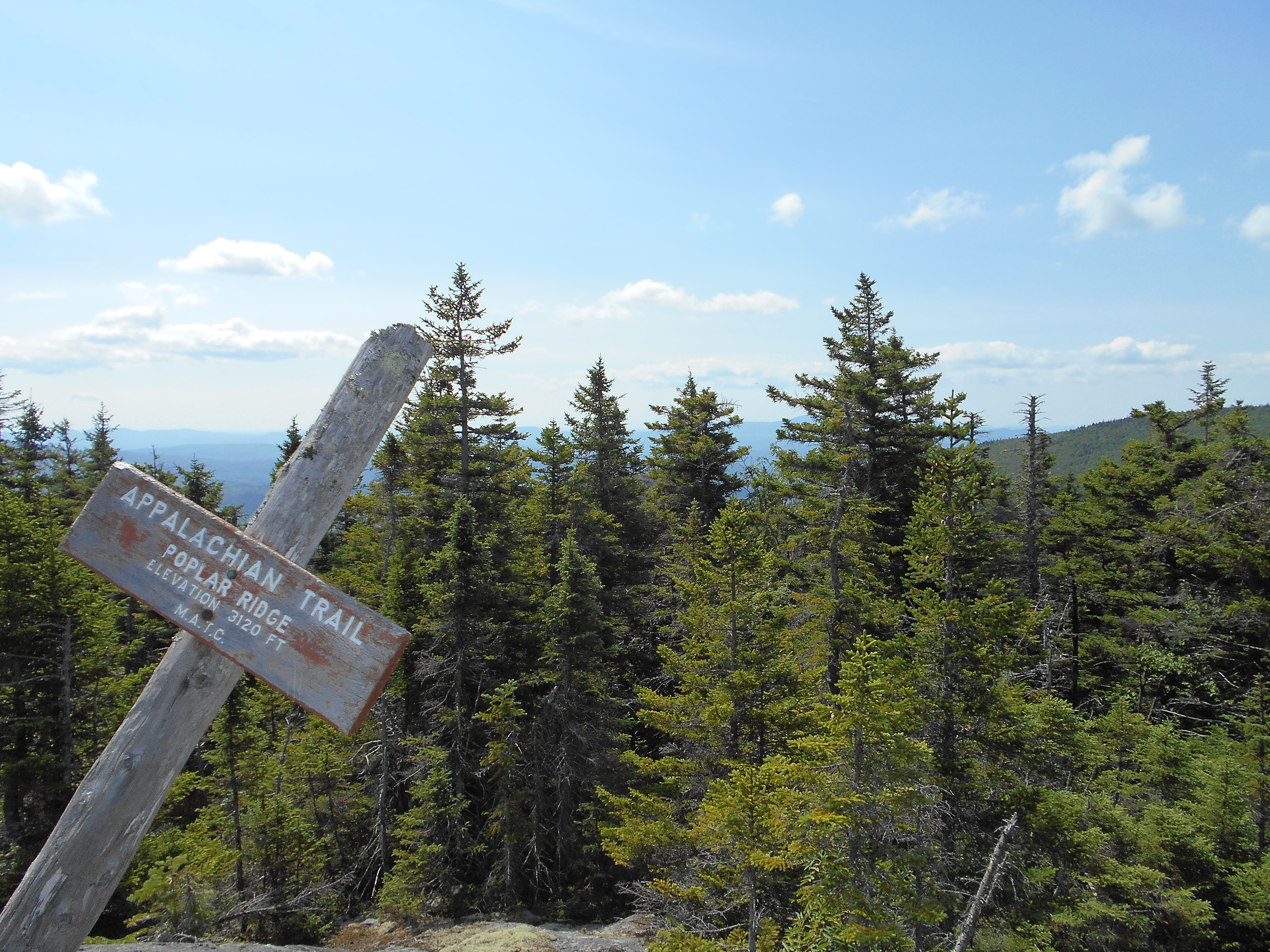
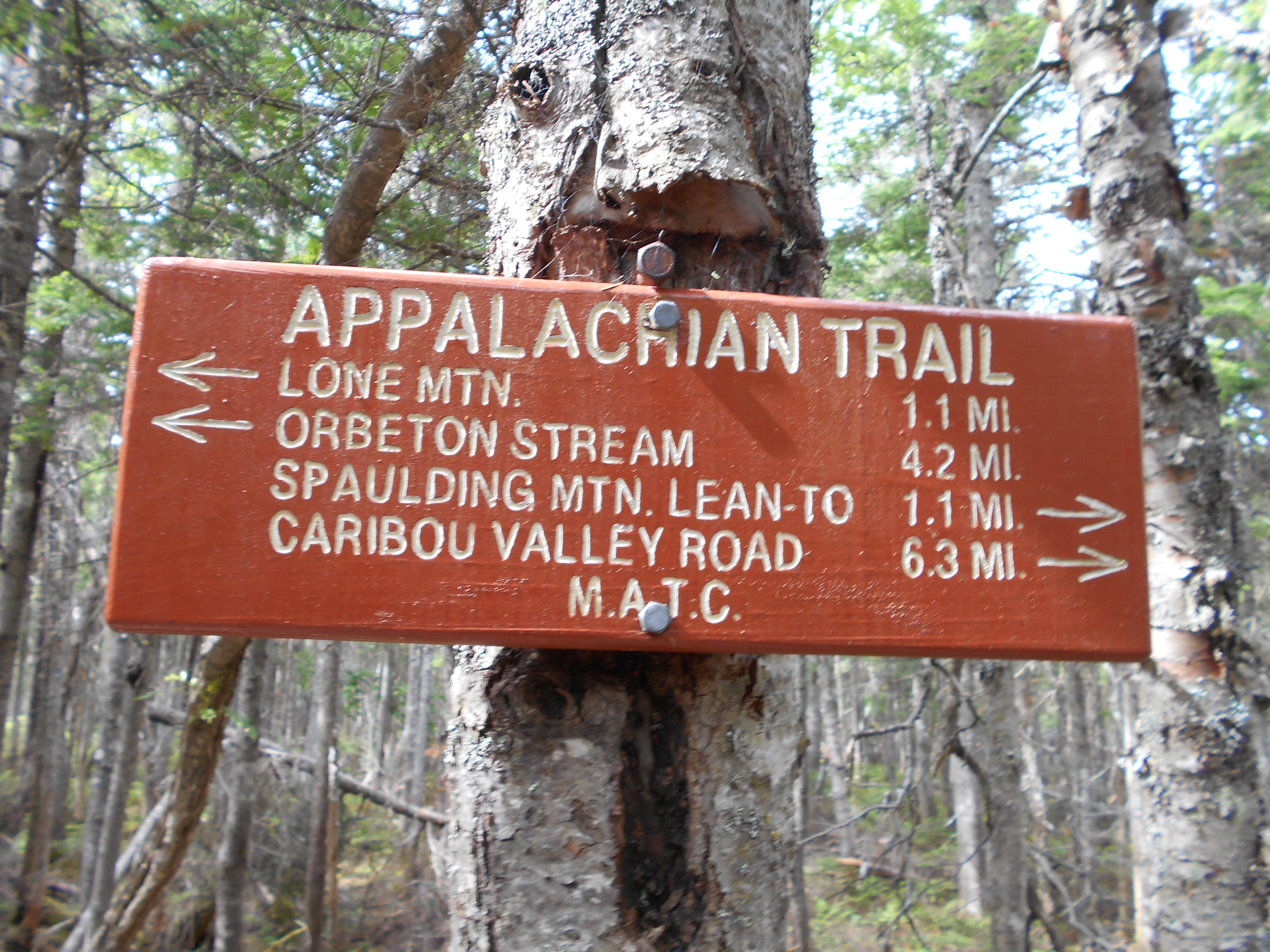
| 1979.4 | Poplar Ridge Lean-to (2,920')?8.9mS; 8mN | 2920 |
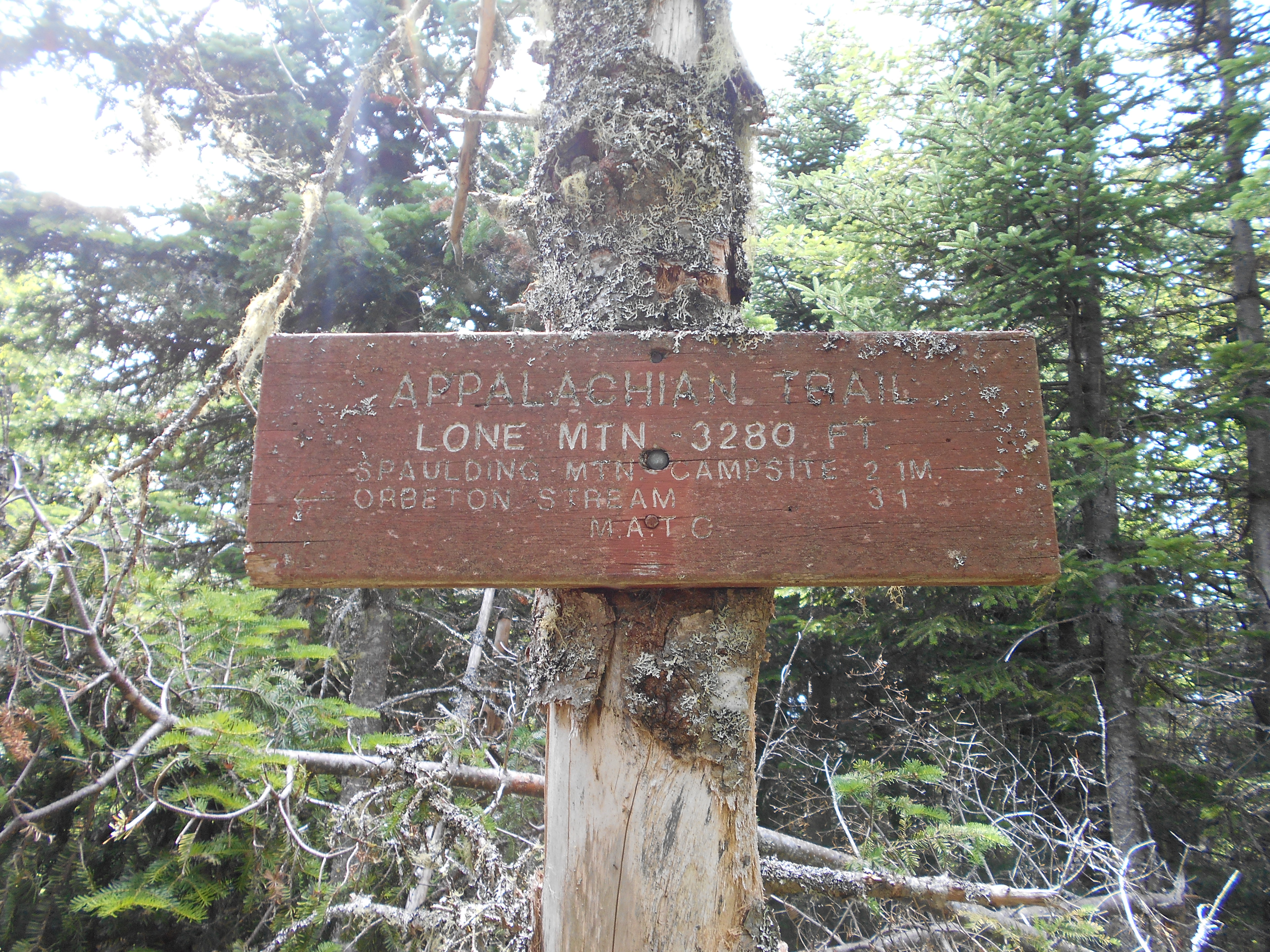
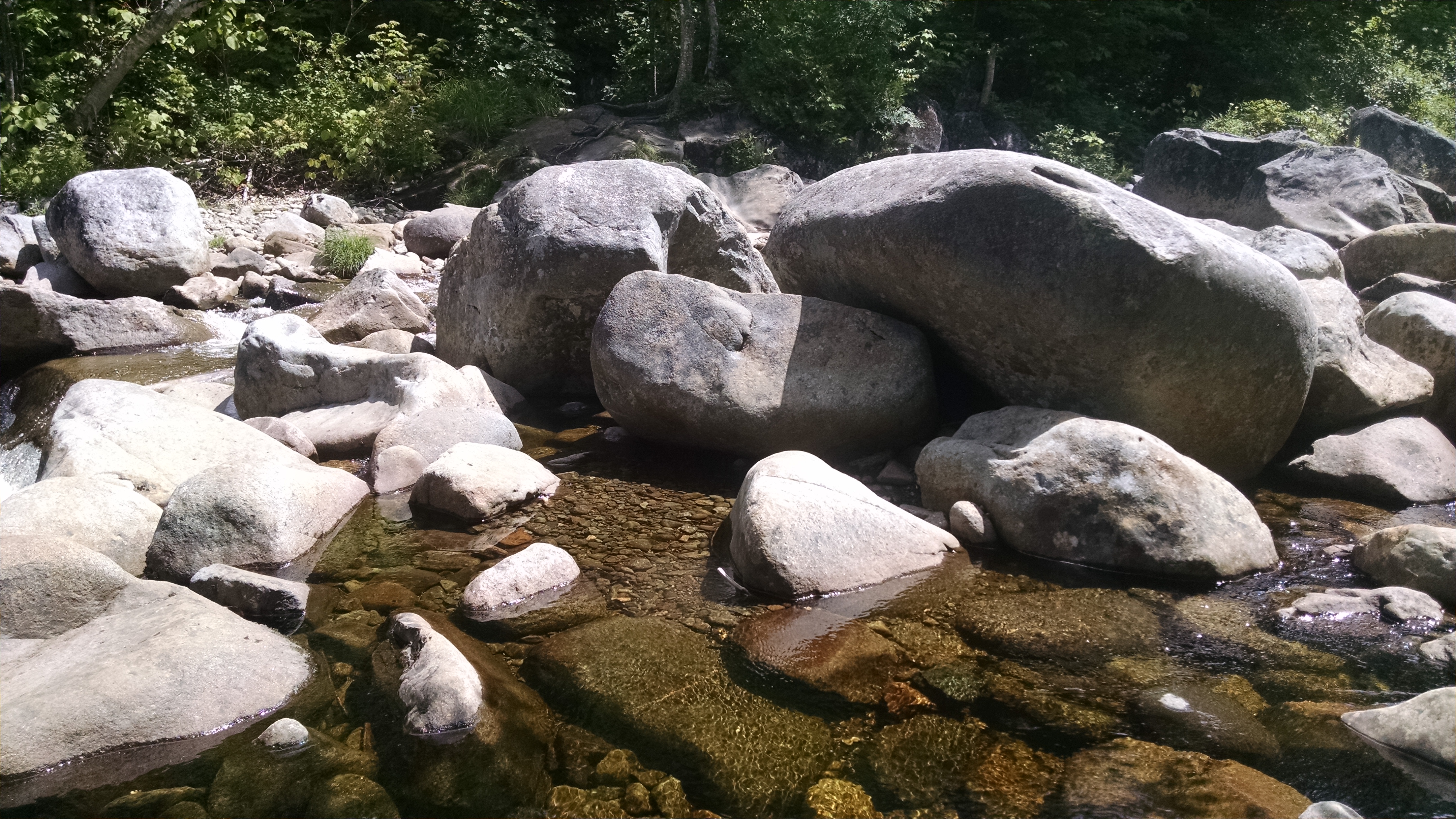
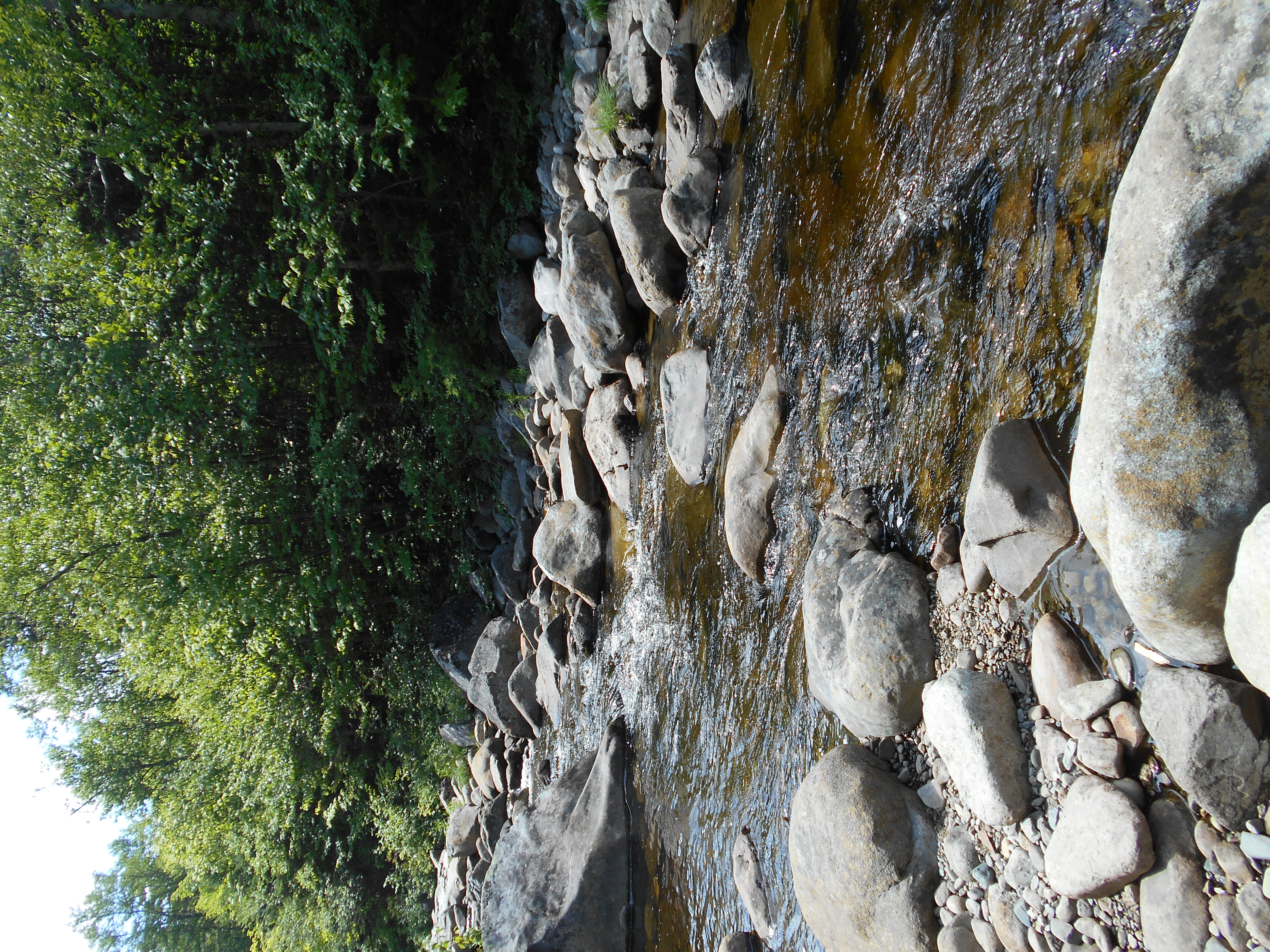
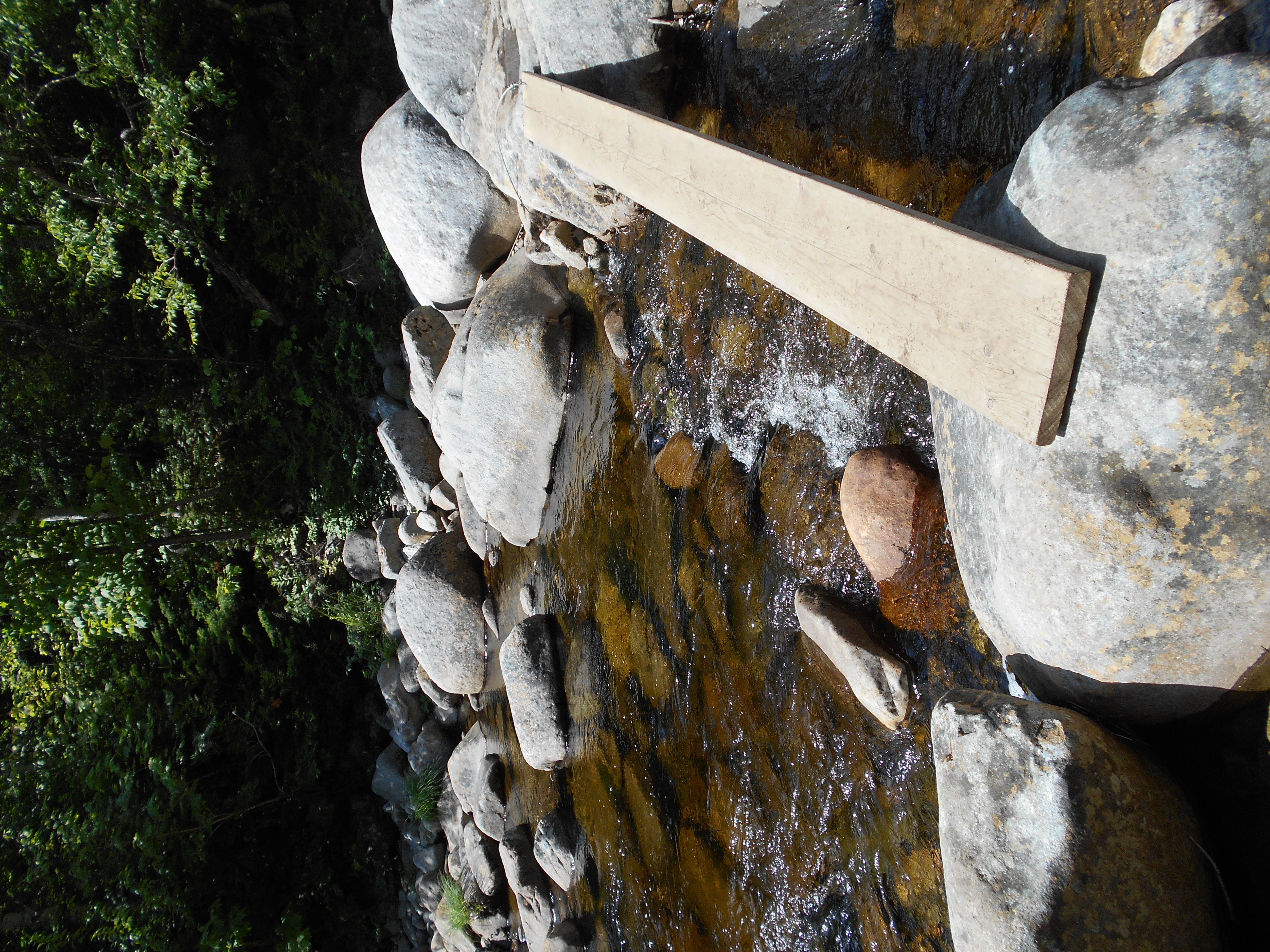
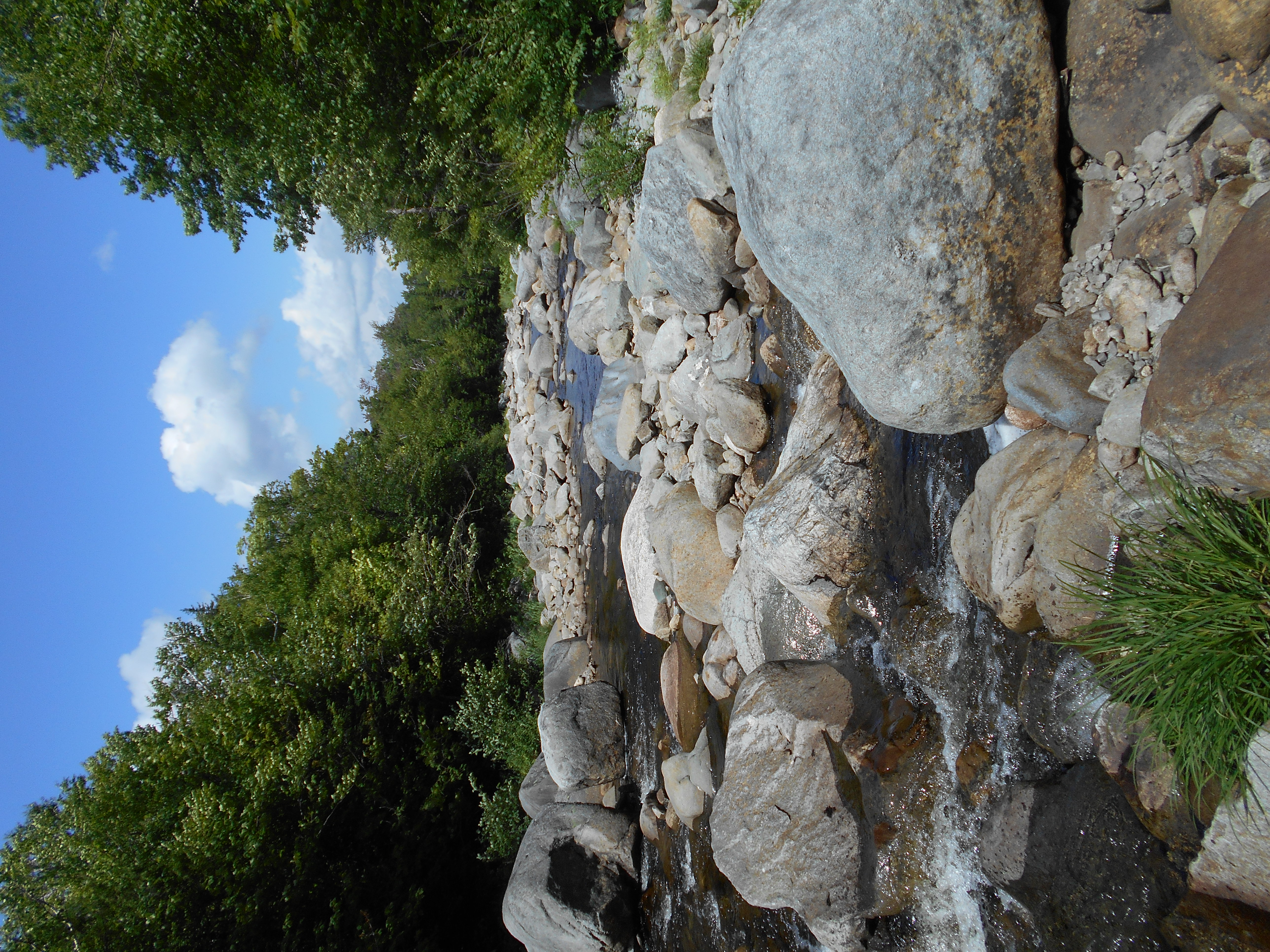
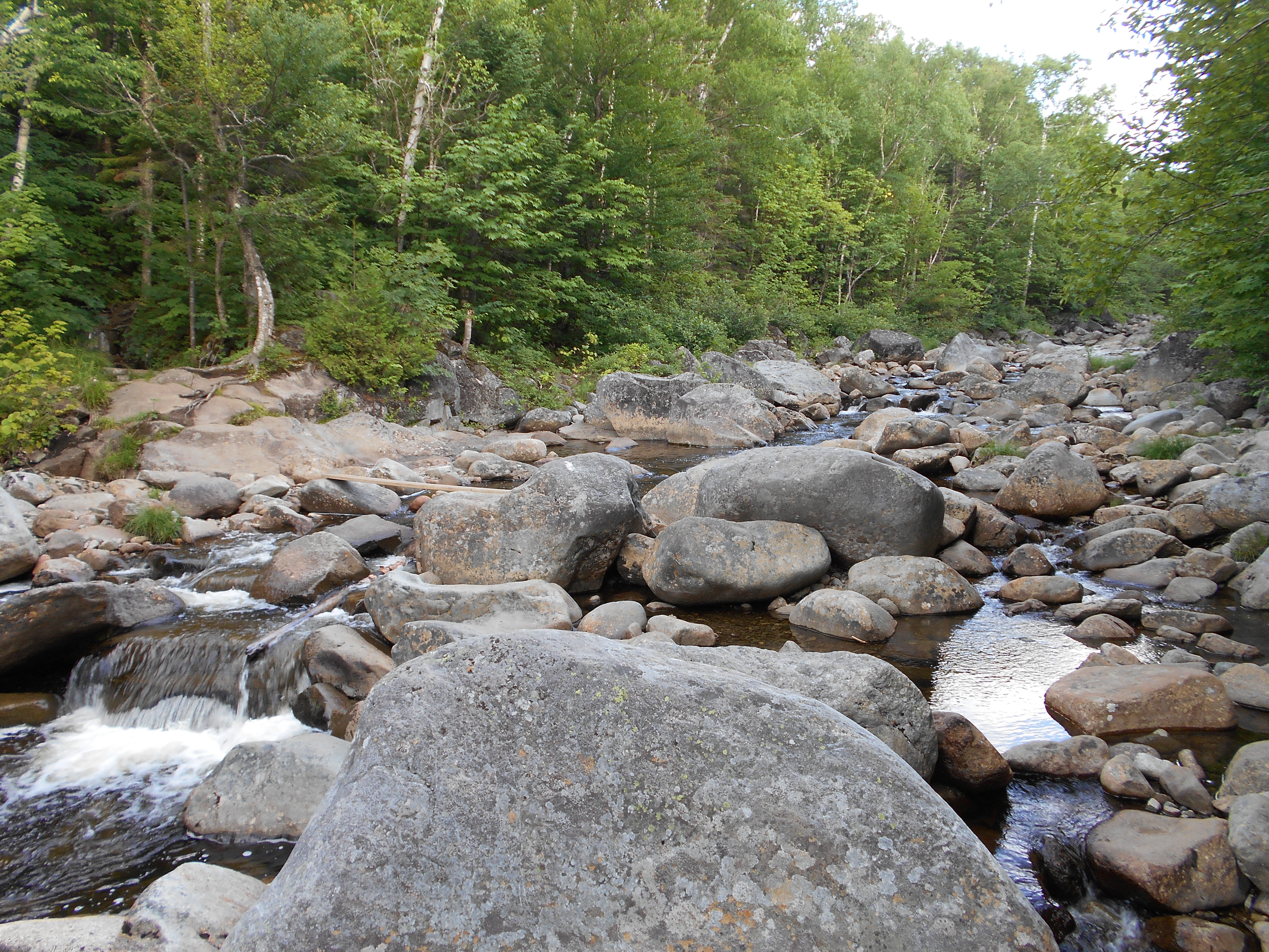
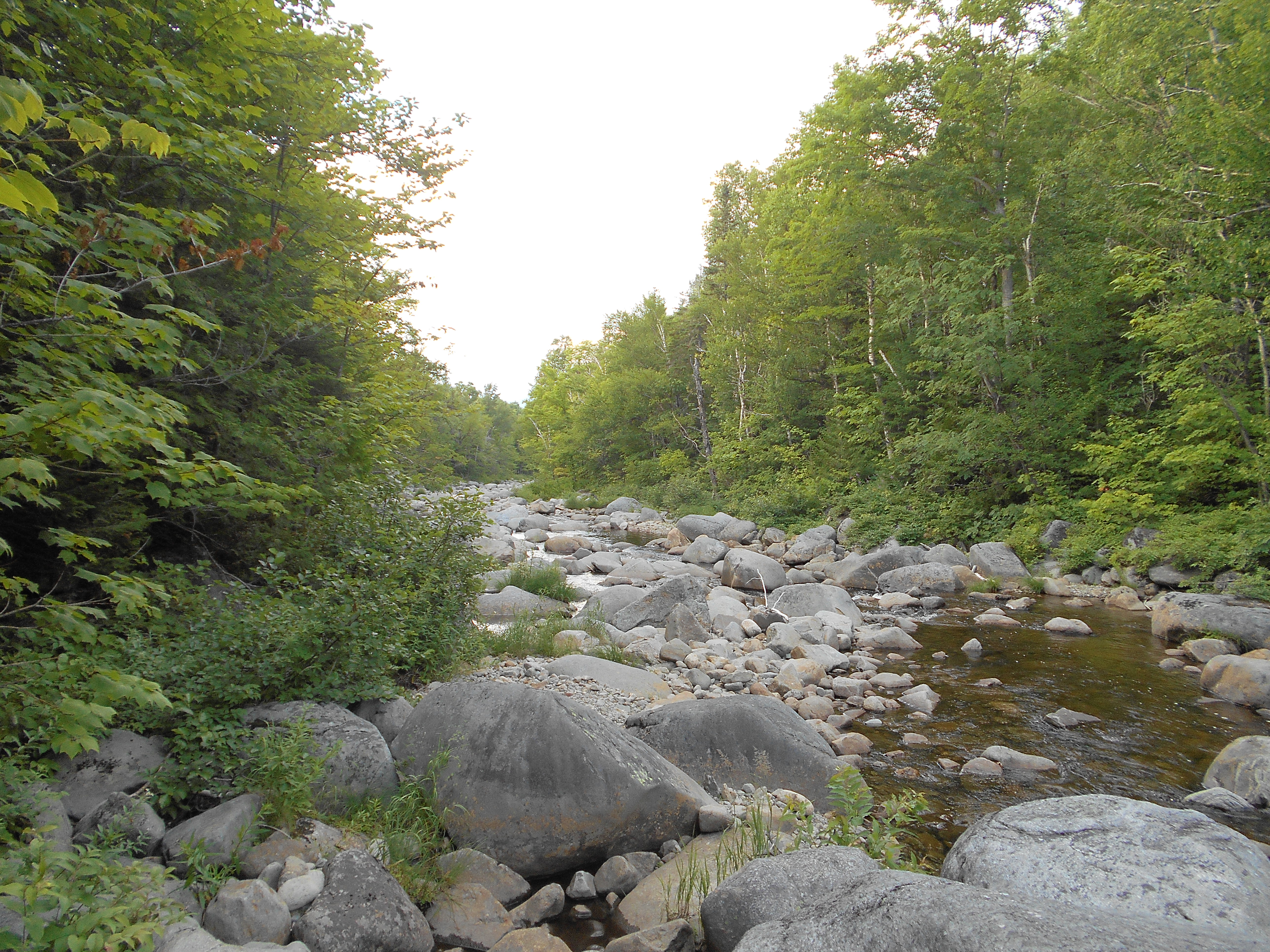
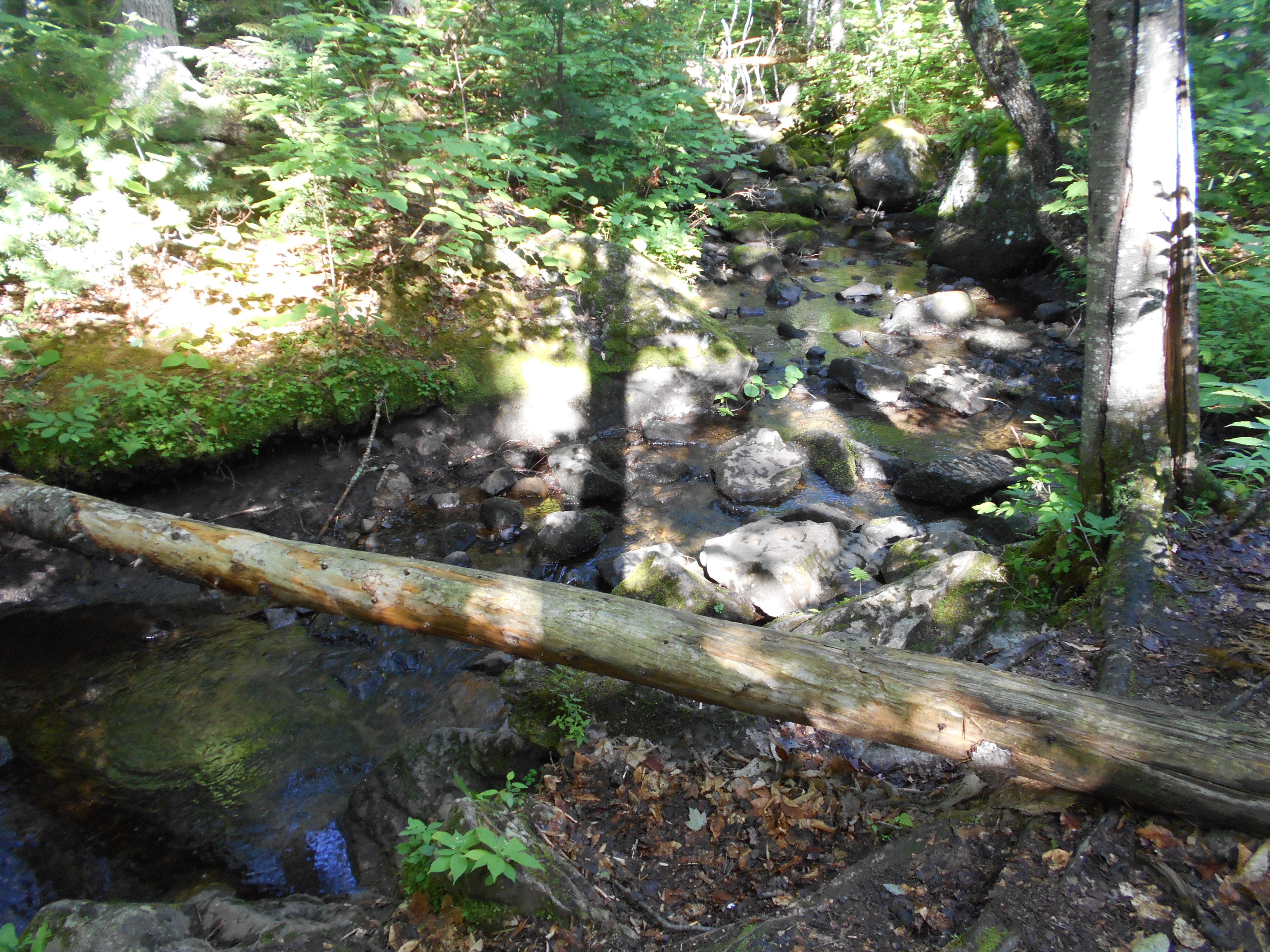
| 1982.1 | Orbeton Stream (1,550')?ford | 1550 |
| 1982.2 | Gravel Road (1,650')?old rail bed; north-bound turn E?100 ft. to re-enter woods | 1650 |
| 1982.9 | Sluice Brook (2,145') | 2145 |
| 1983.6 | Logging Road (2,300') | 2300 |
| 1984.1 | Logging Road (2,300')?Perham Stream nearby | 2300 |
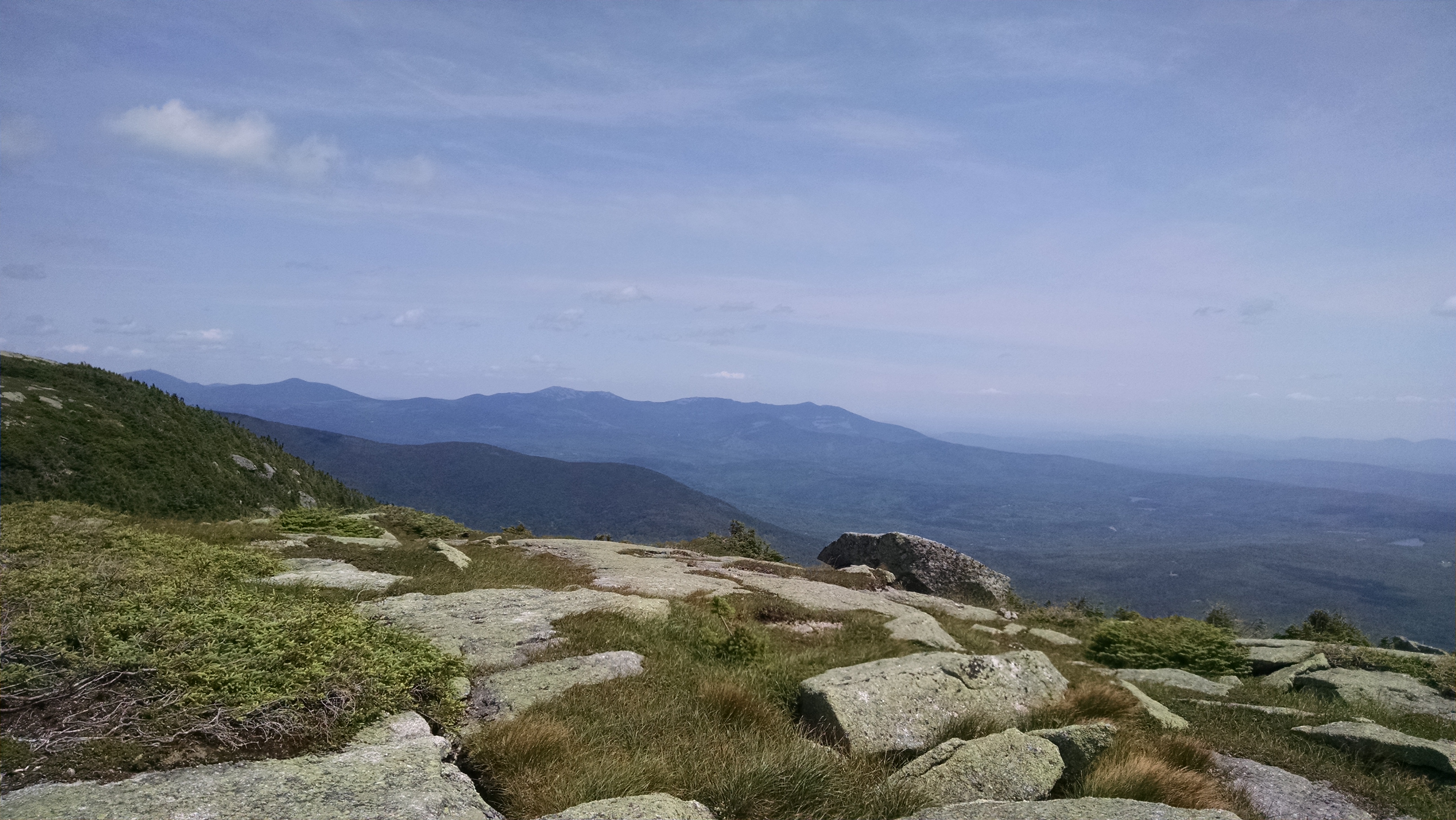
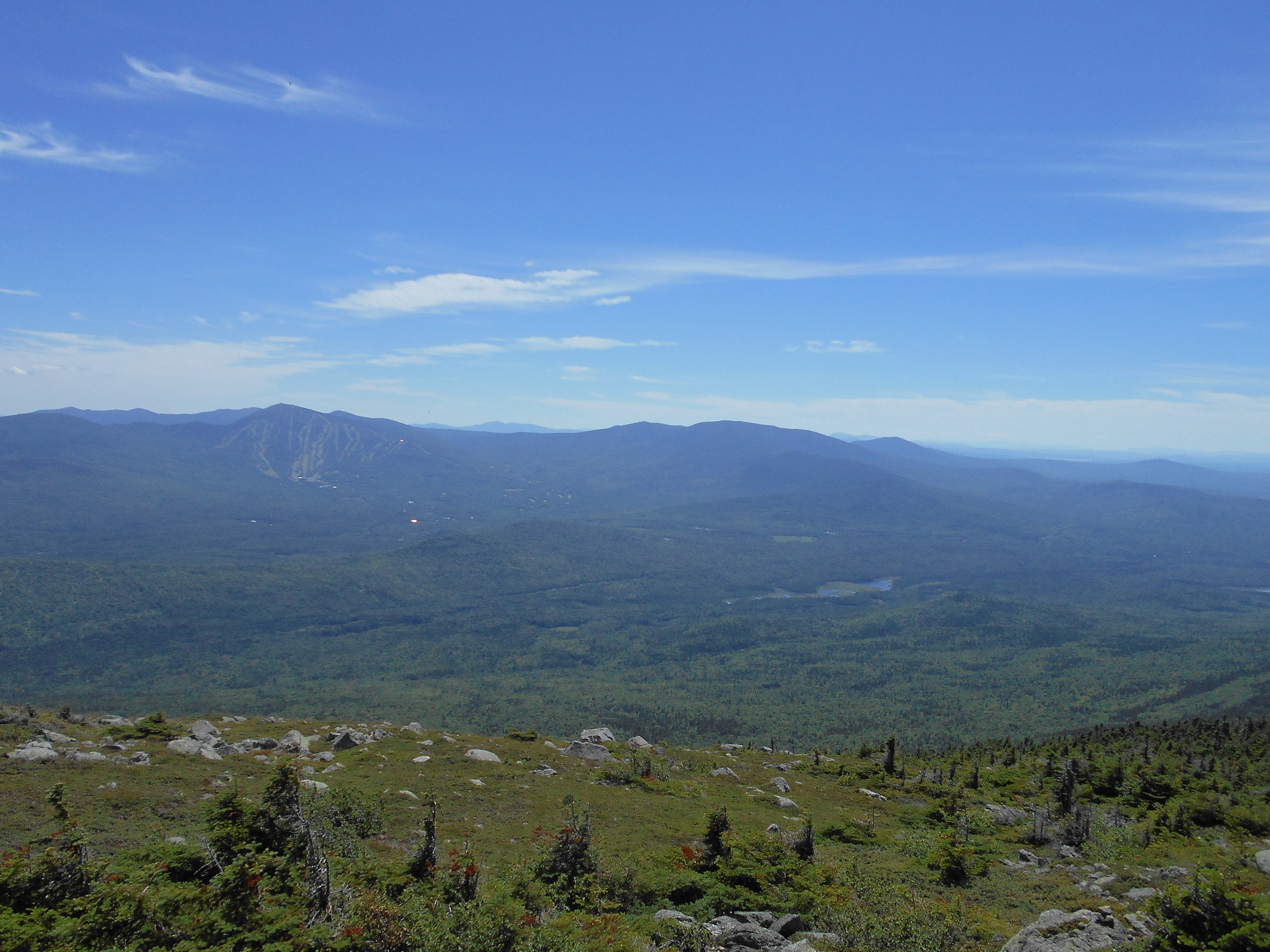
| 1985.2 | Lone Mountain (3,280') | 3280 |
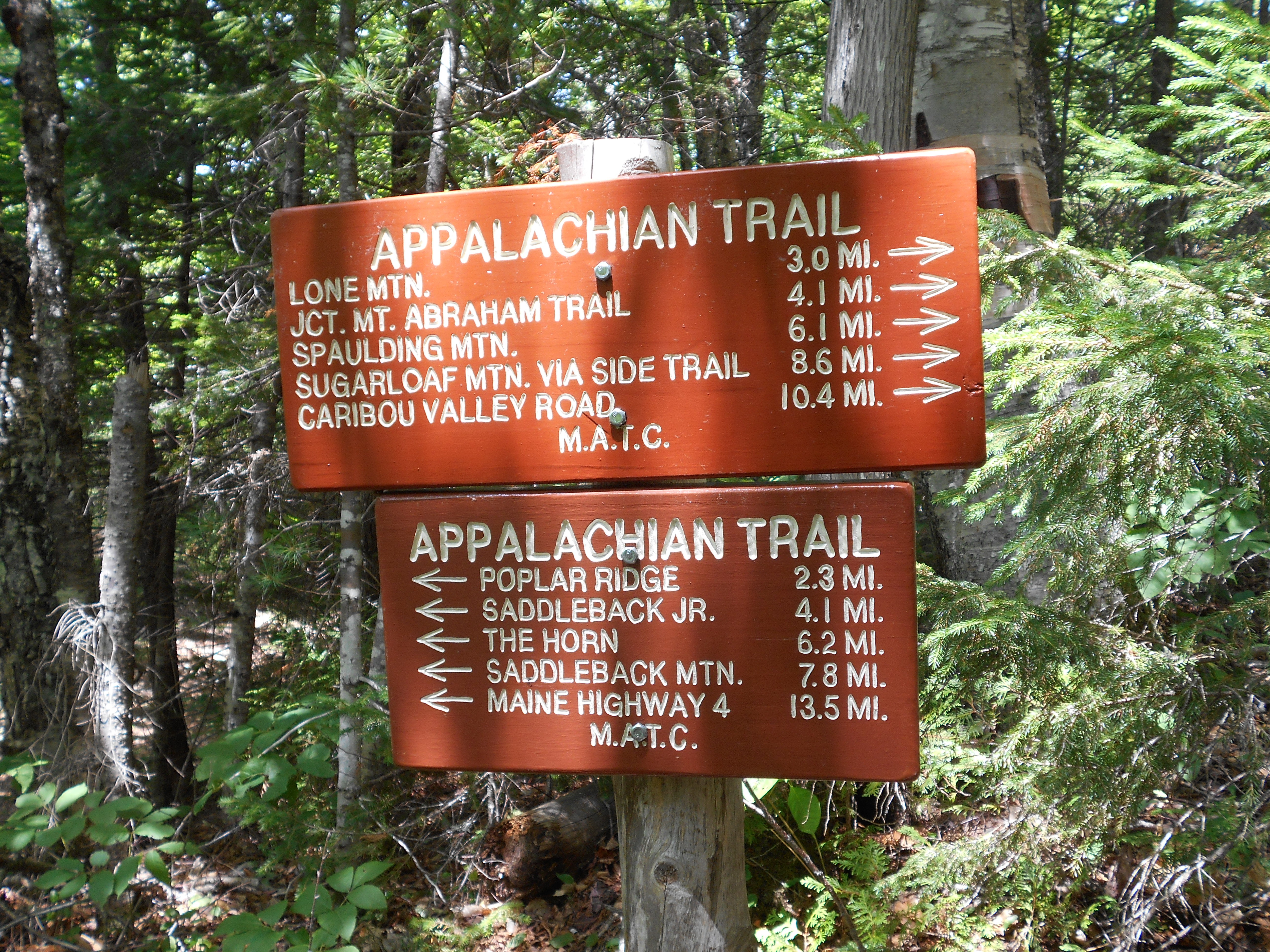
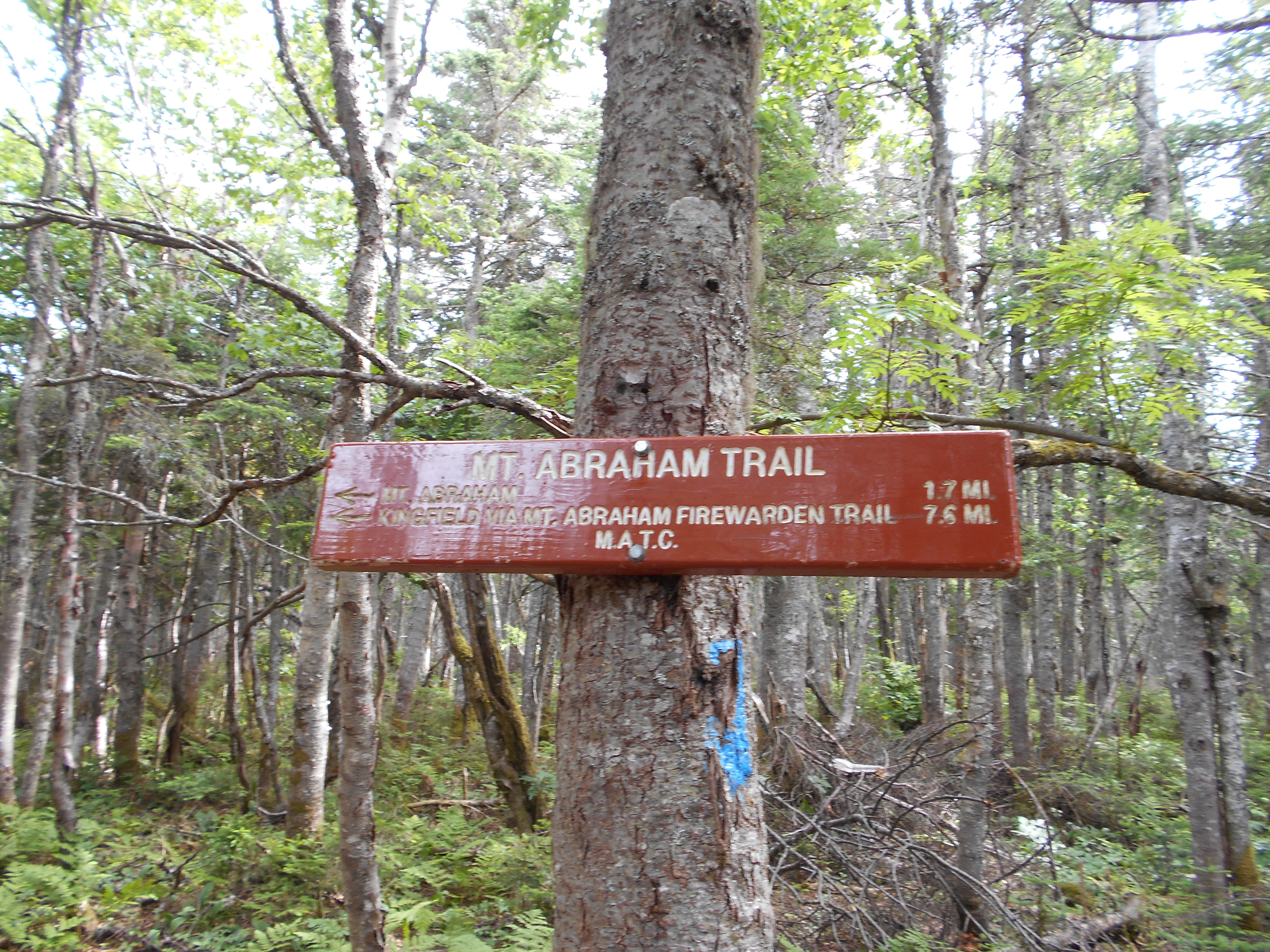
| 1986.3 | Mt. Abraham Trail (3,184')?(4,050') | 4050 |
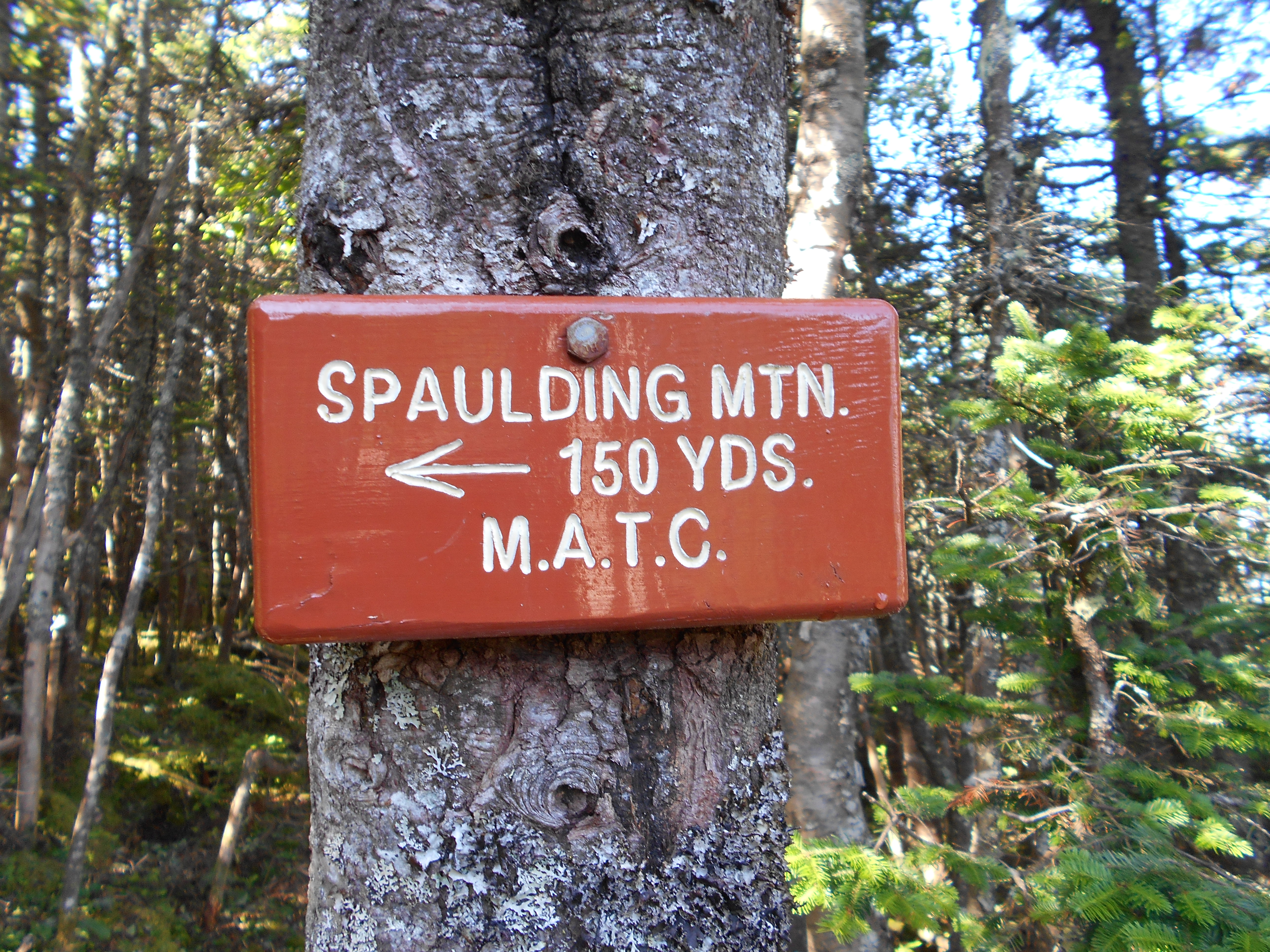
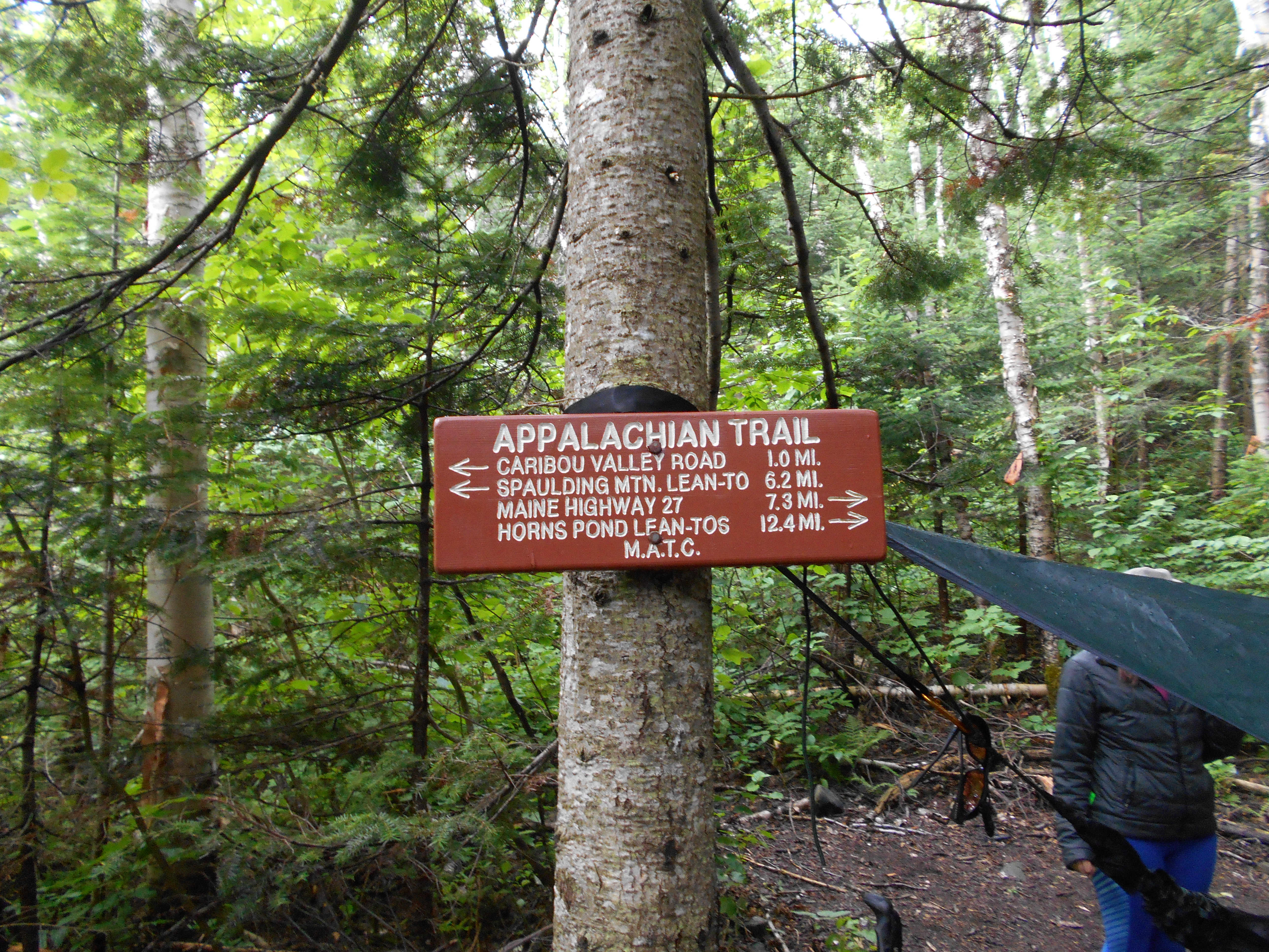
| 1987.4 | Spaulding Mountain Lean-to (3,140') ?8mS; 18.6mN | 3140 |


| Miles from Springer | Features | Elevation |
|---|---|---|
| 1987.4 | Spaulding Mountain Lean-to (3,140') ?8mS; 18.6mN | 3140 |
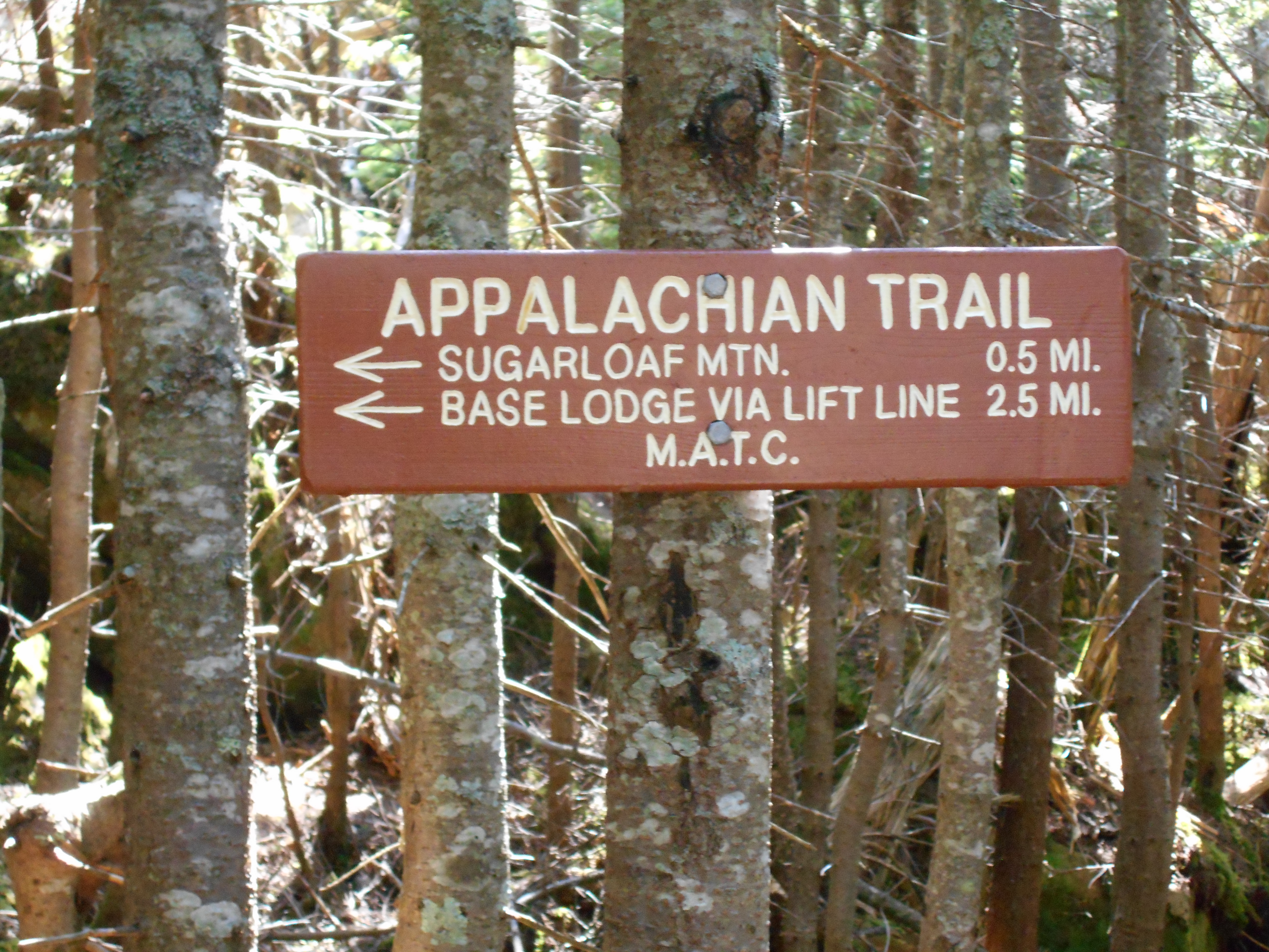
| 1988.2 | Trail to Spaulding Mountain (4,010') | 4010 |
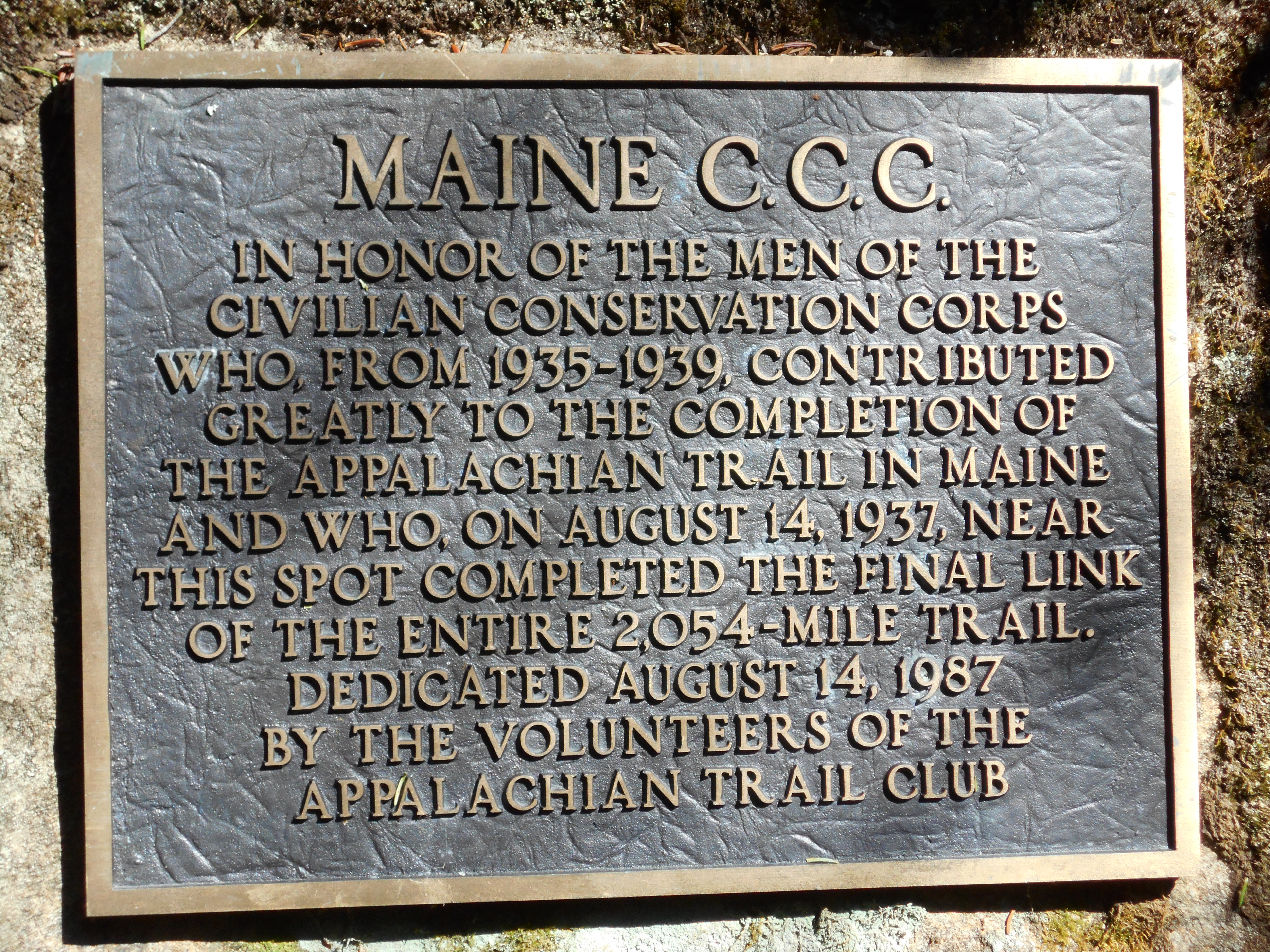
| 1988.9 | Bronze plaque (3,500')?1937 completion of the final two miles of the A.T. | 3500 |
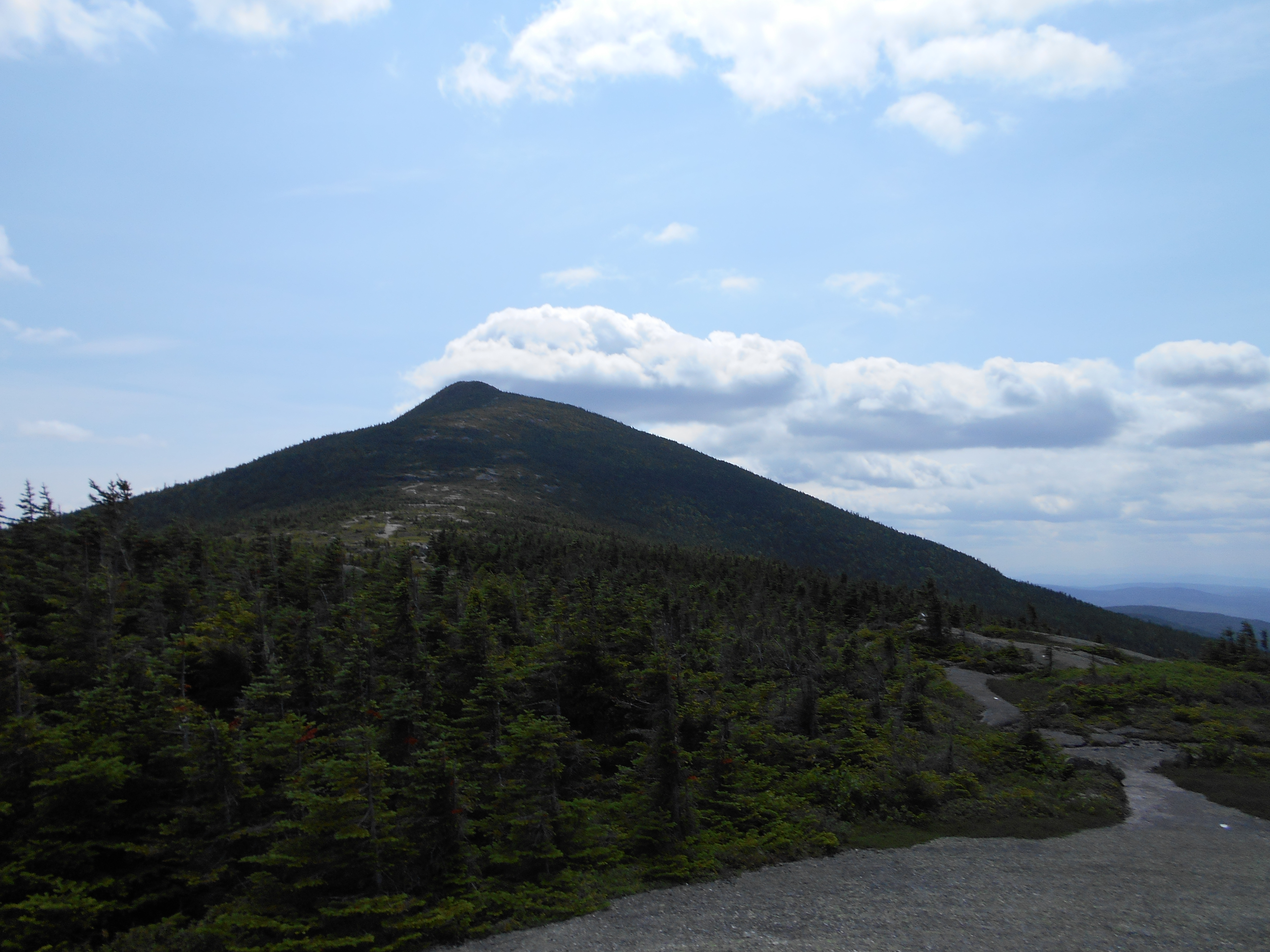
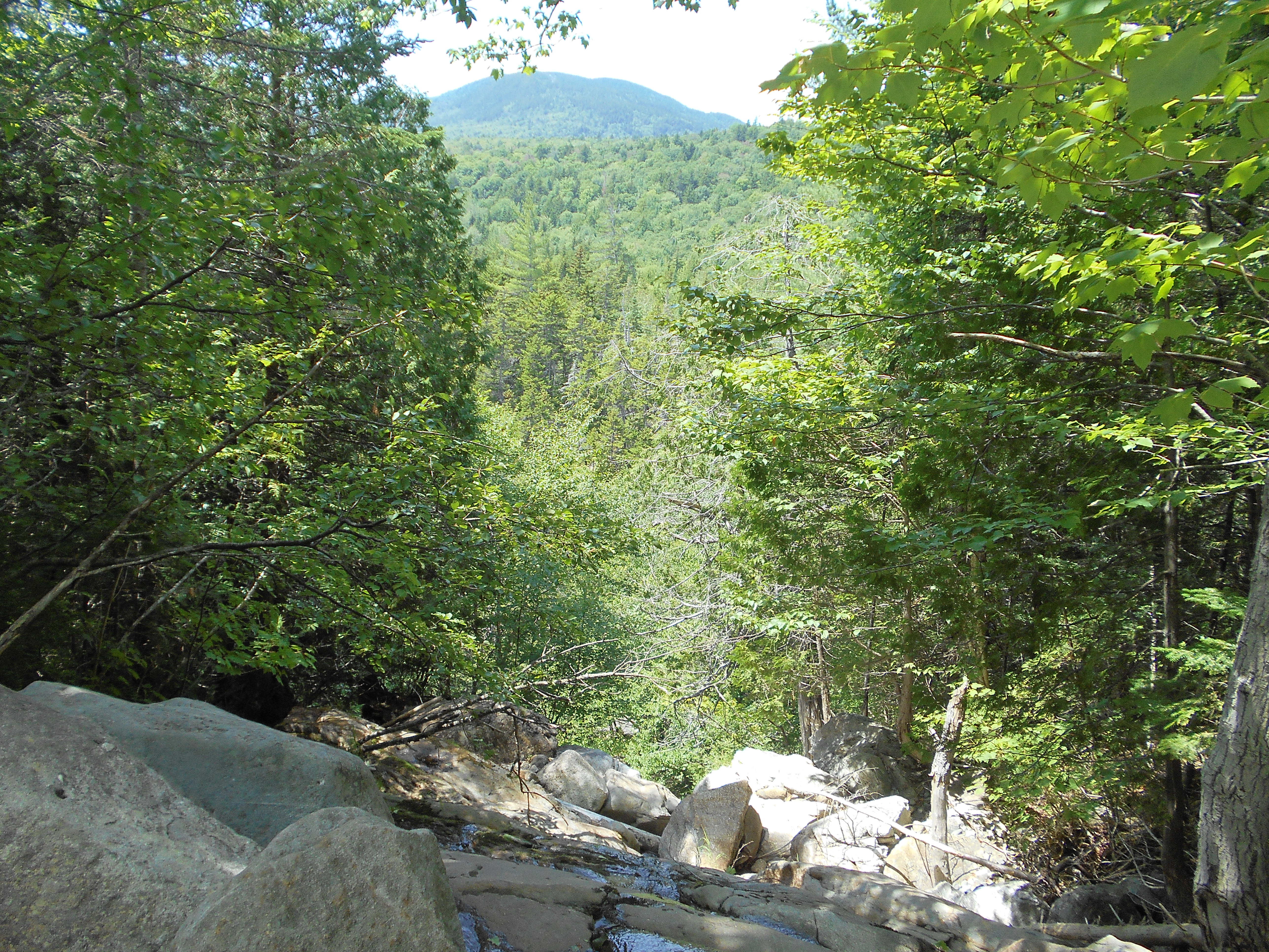
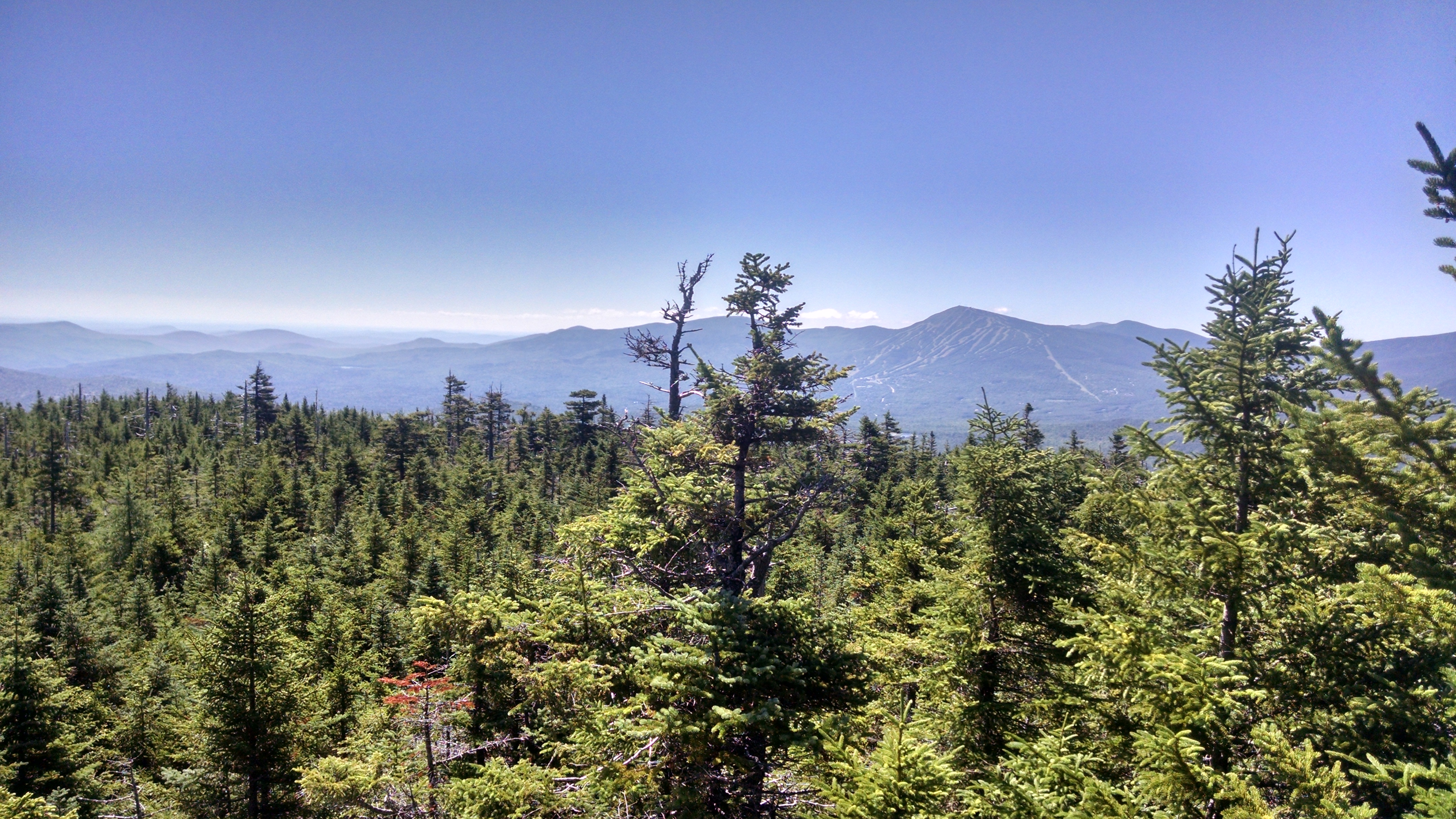
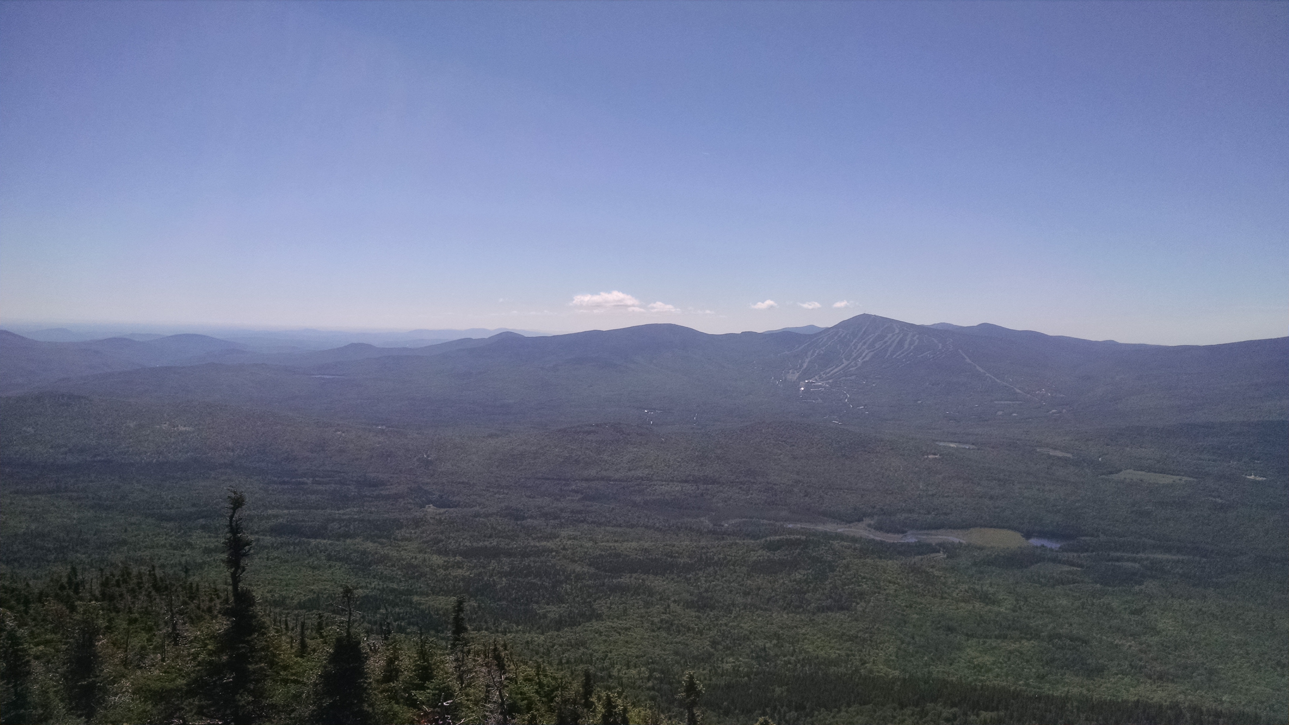
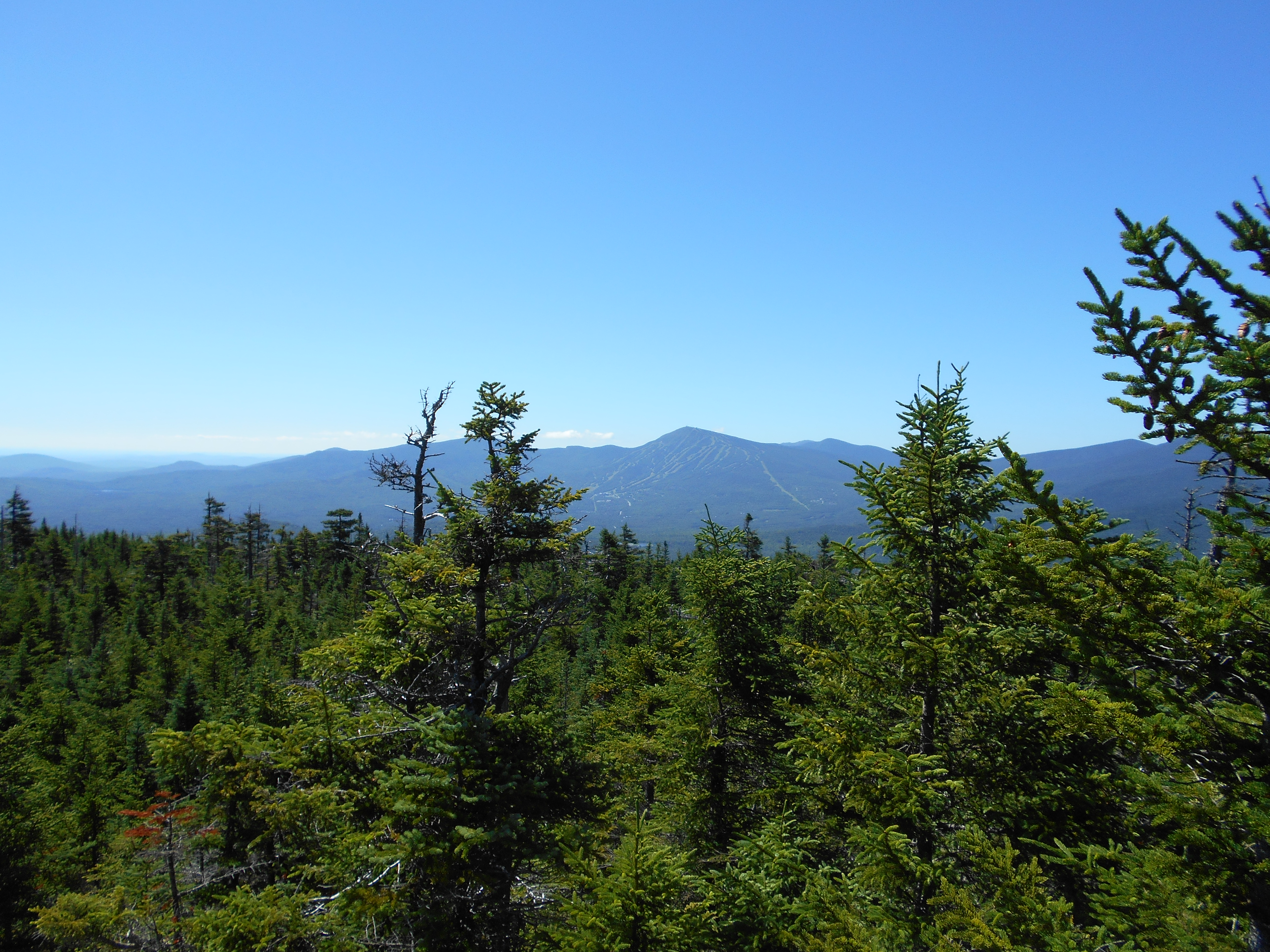
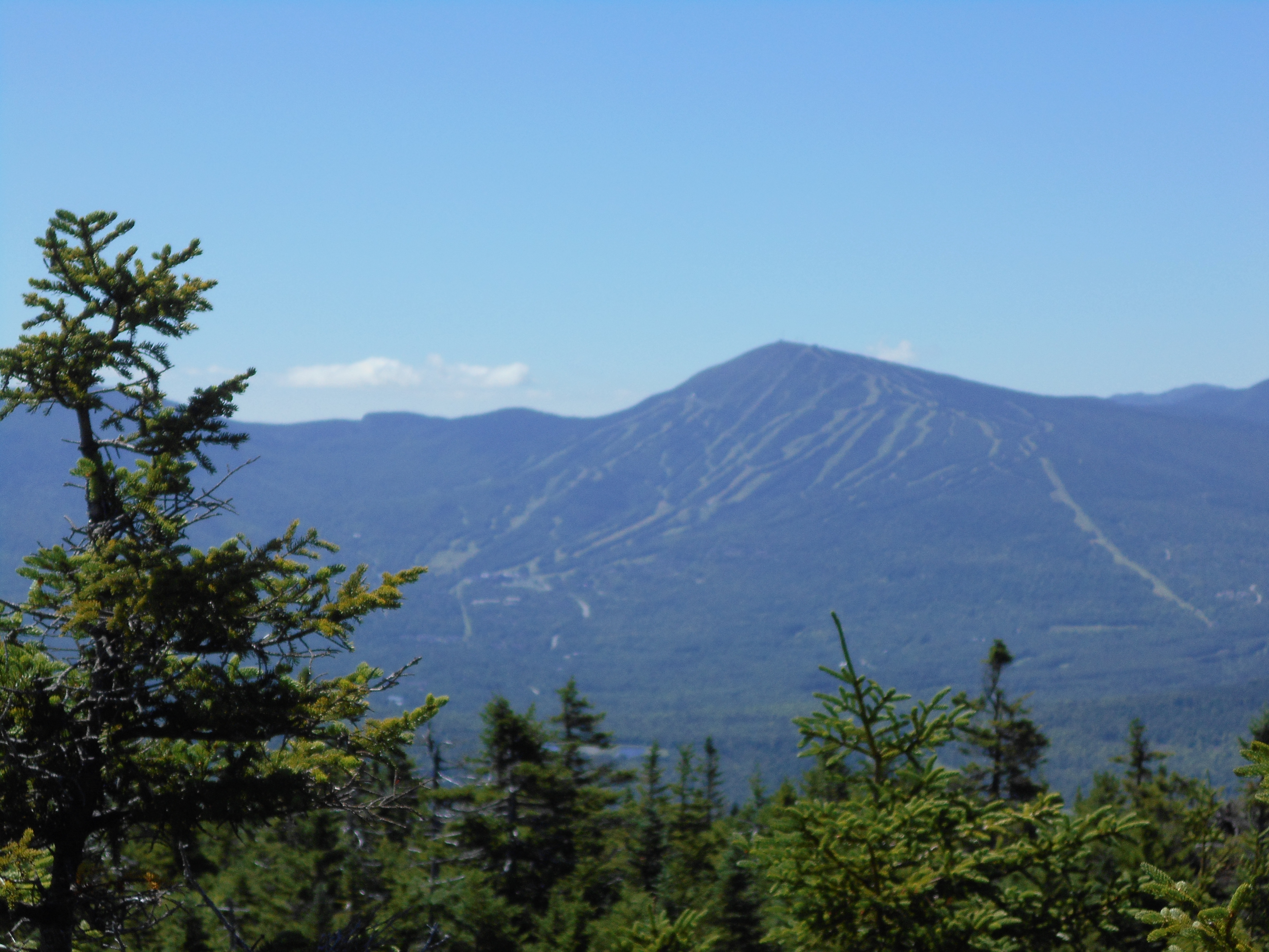
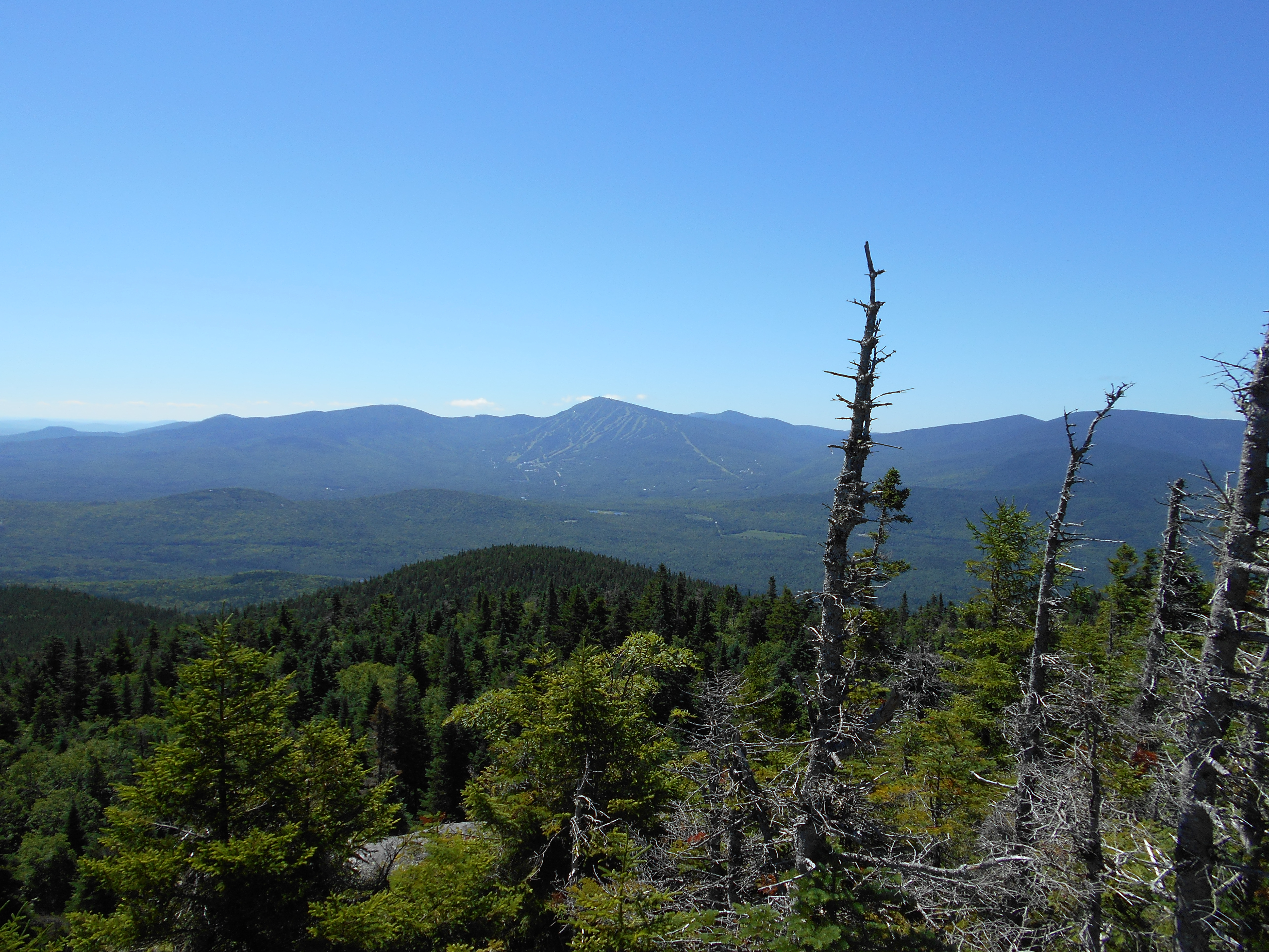
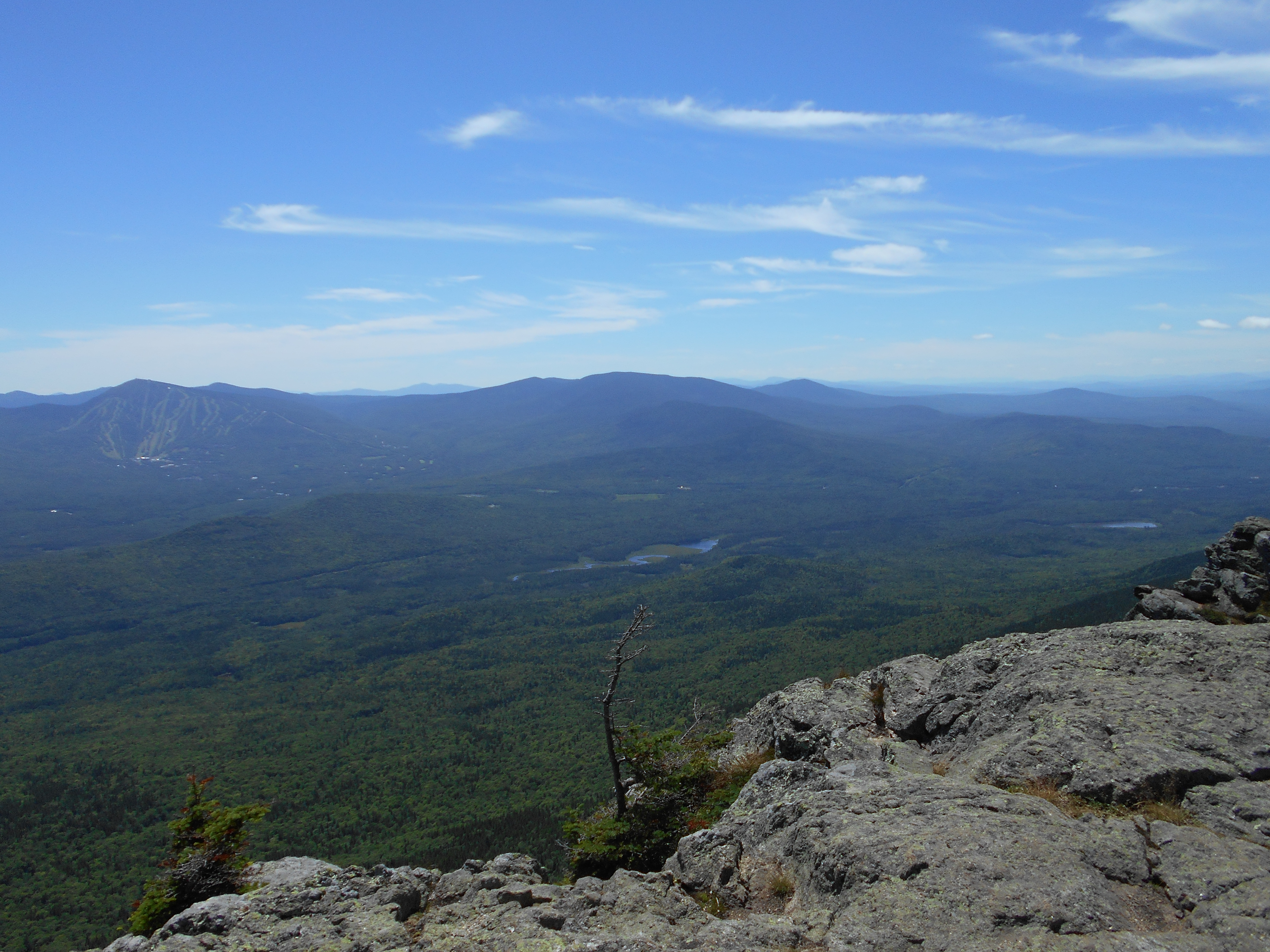
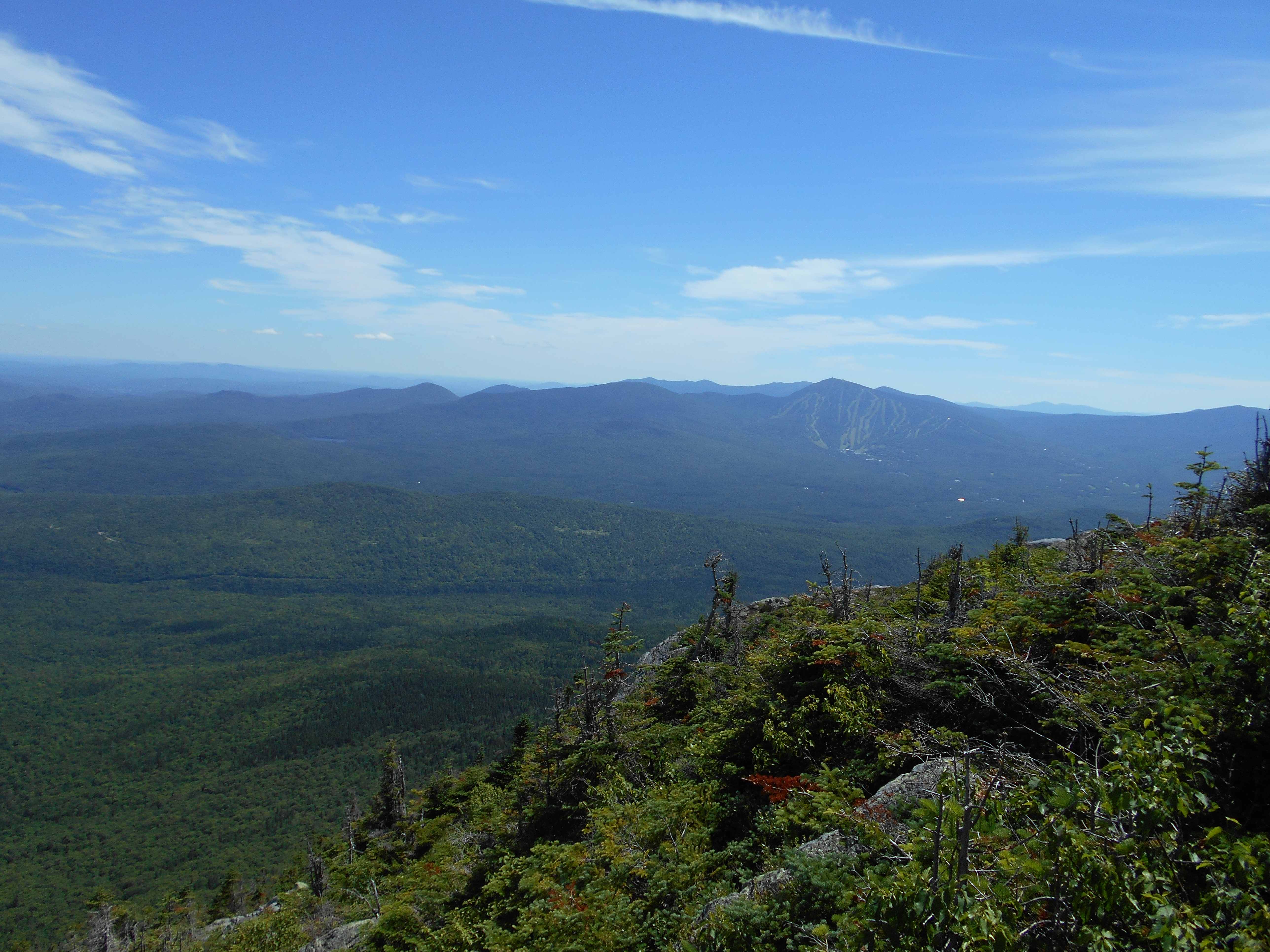
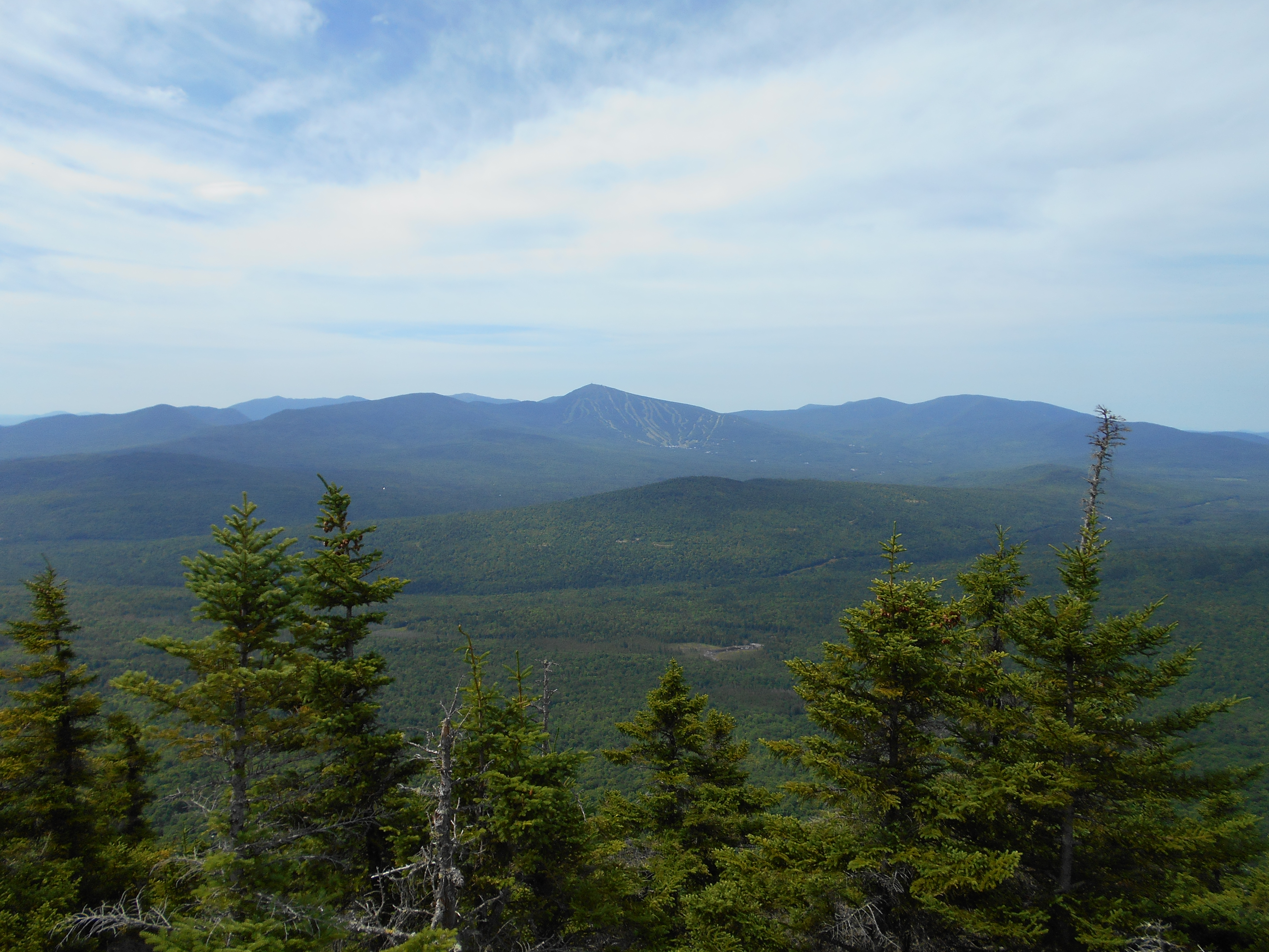
| 1990.3 | Sugarloaf Mountain Trail (3,540')?Maine's third-highest peak (4,250') | 4250 |
| 1992.5 | South Branch Carrabassett River (2,100')?ford | 2100 |


| Miles from Springer | Features | Elevation |
|---|---|---|
| 1992.5 | South Branch Carrabassett River (2,100')?ford | 2100 |
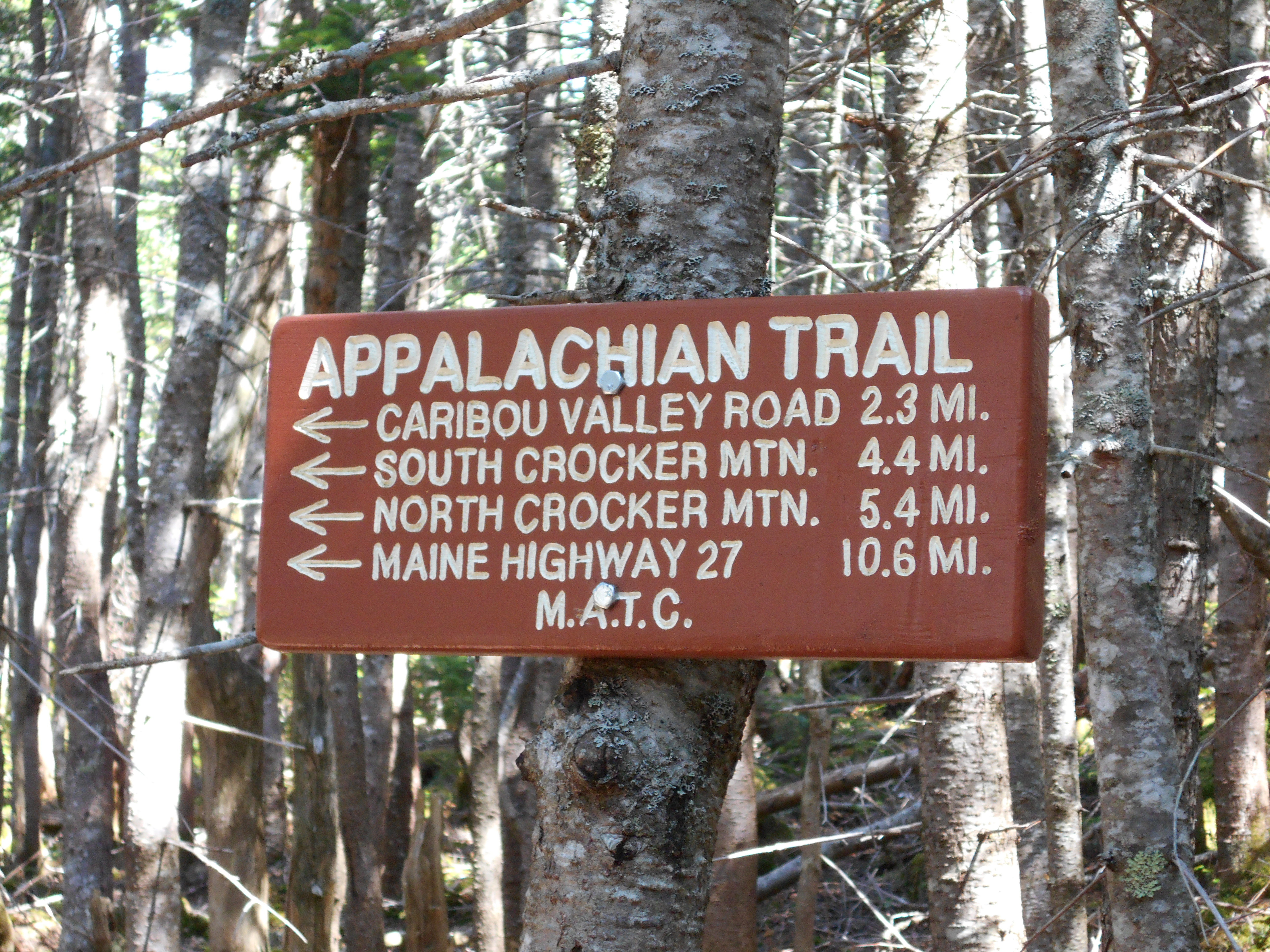
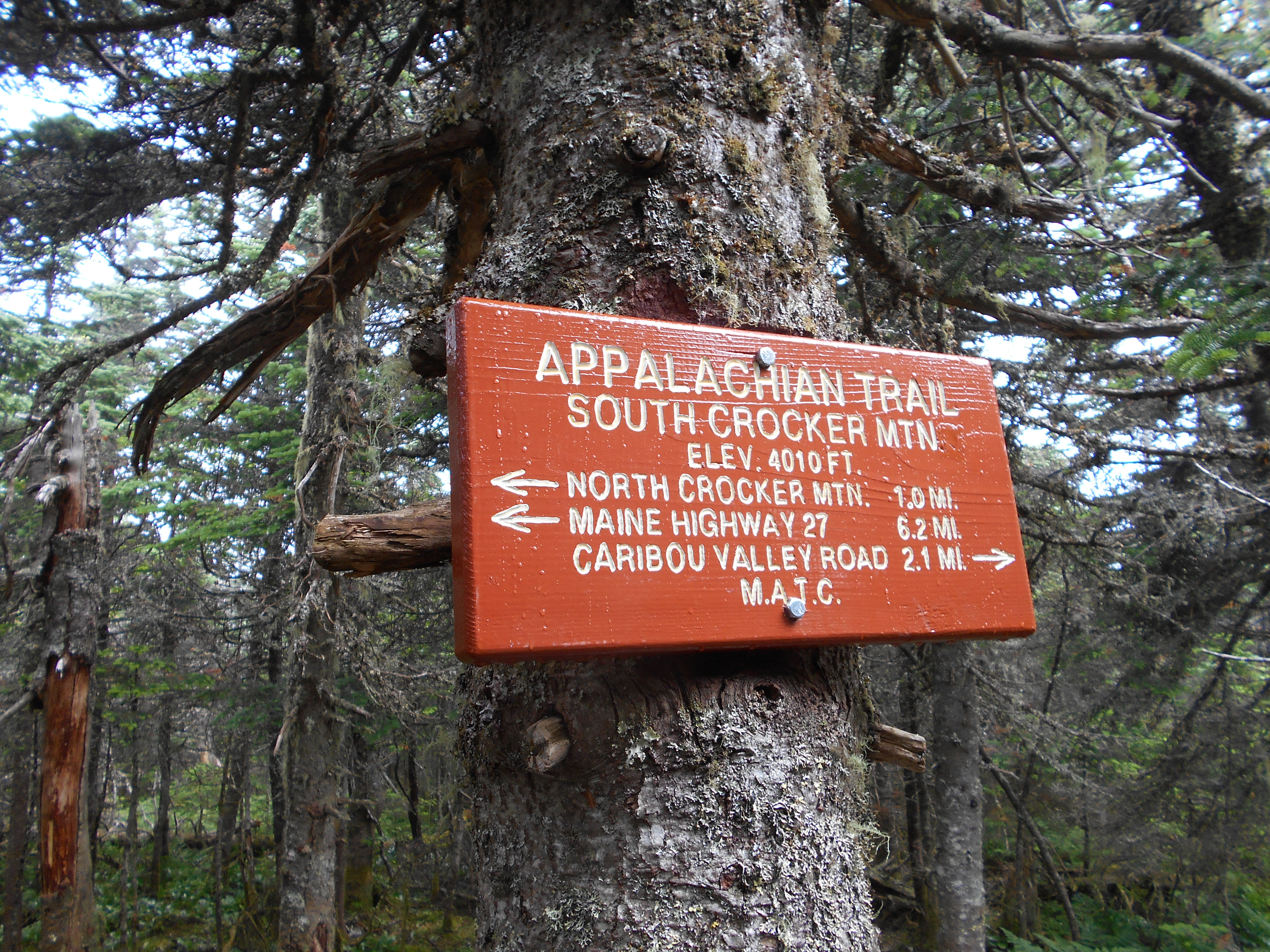
| 1992.6 | Caribou Valley Road (2,220')?gravel | 2220 |
| 1993.6 | Crocker Cirque Campsite (2,710')?stream | 2710 |
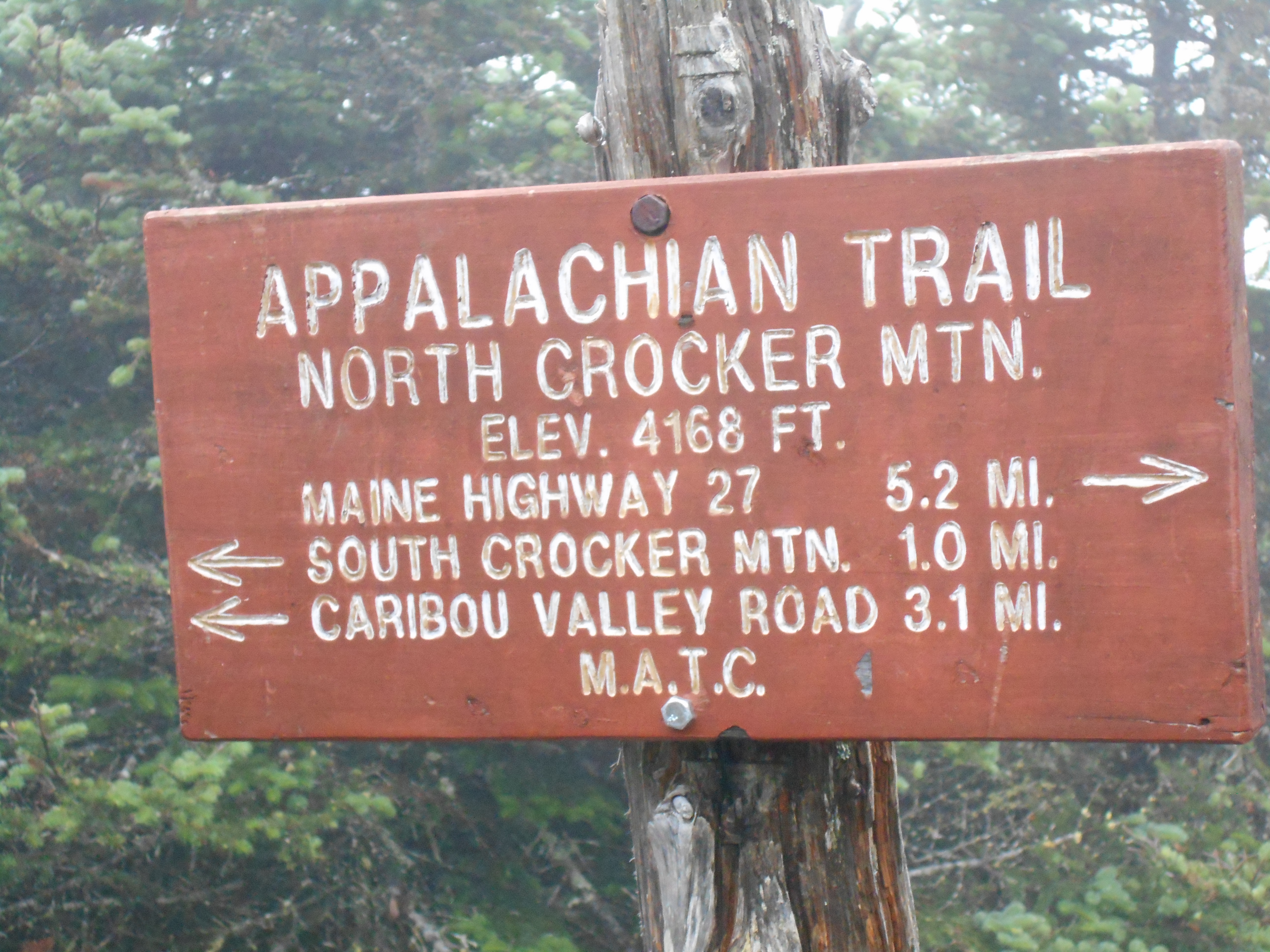
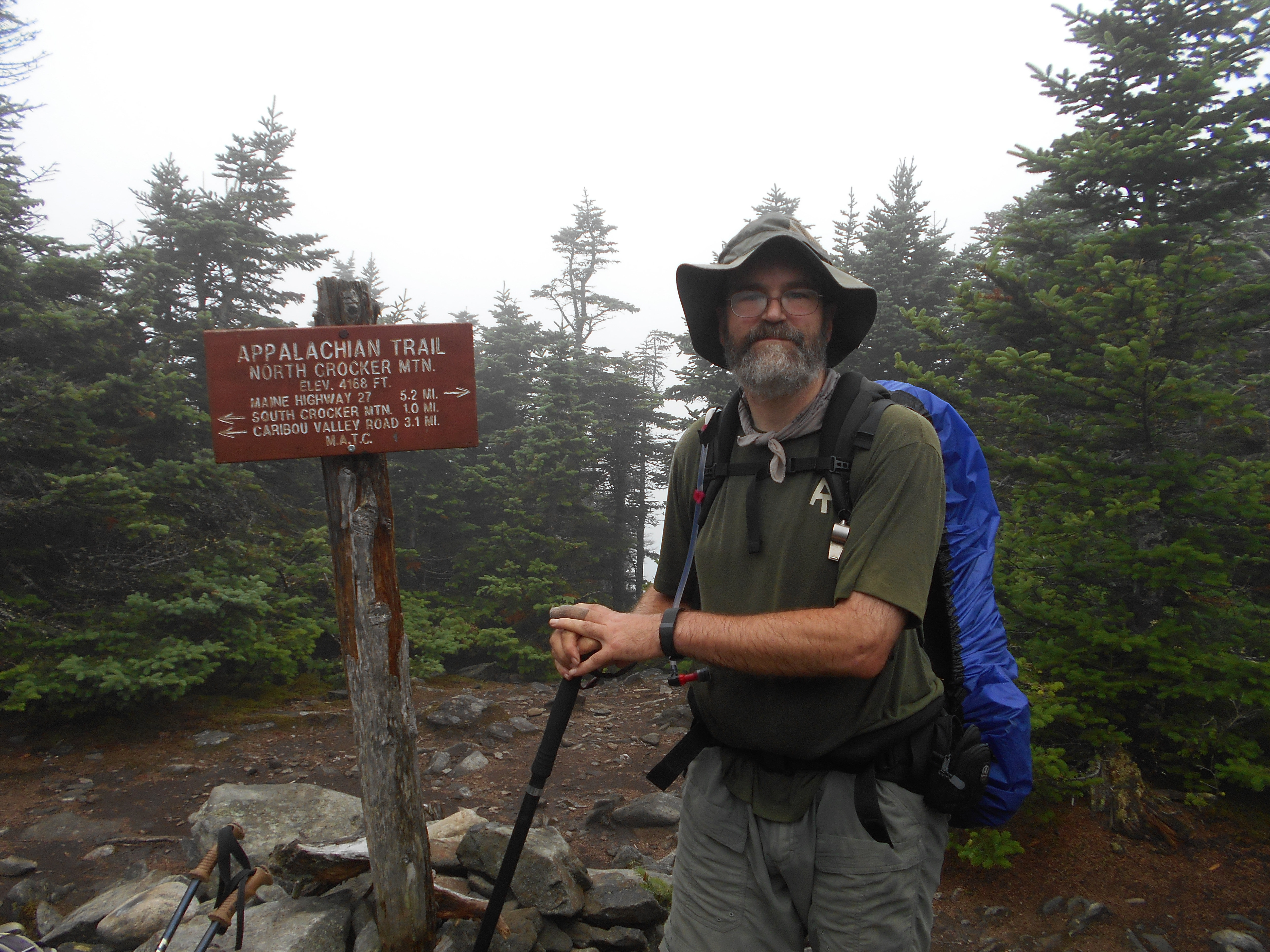
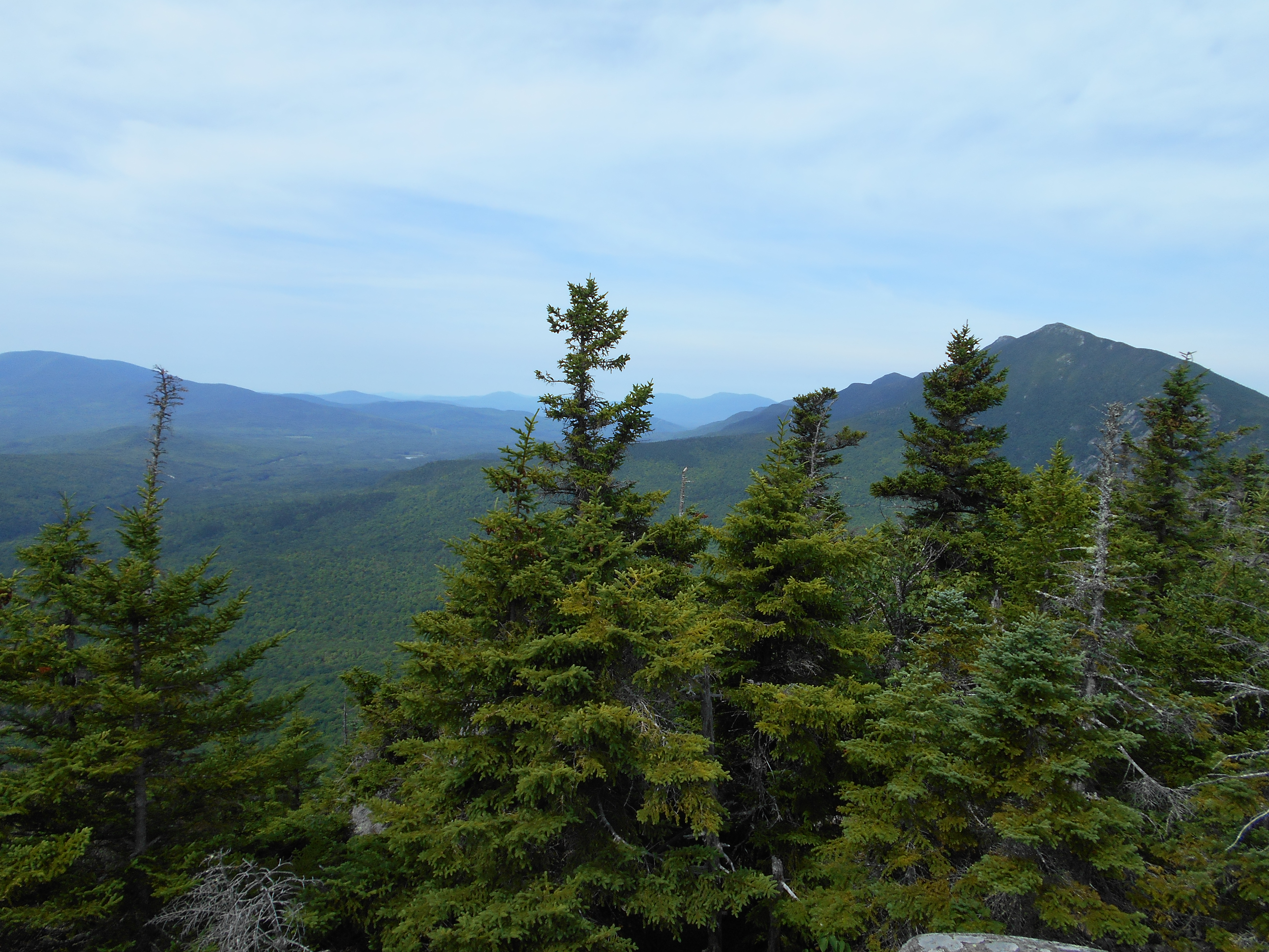
| 1994.7 | South Crocker Mountain (4,040') | 4040 |
| 1995.7 | North Crocker Mountain (4,228') | 4228 |
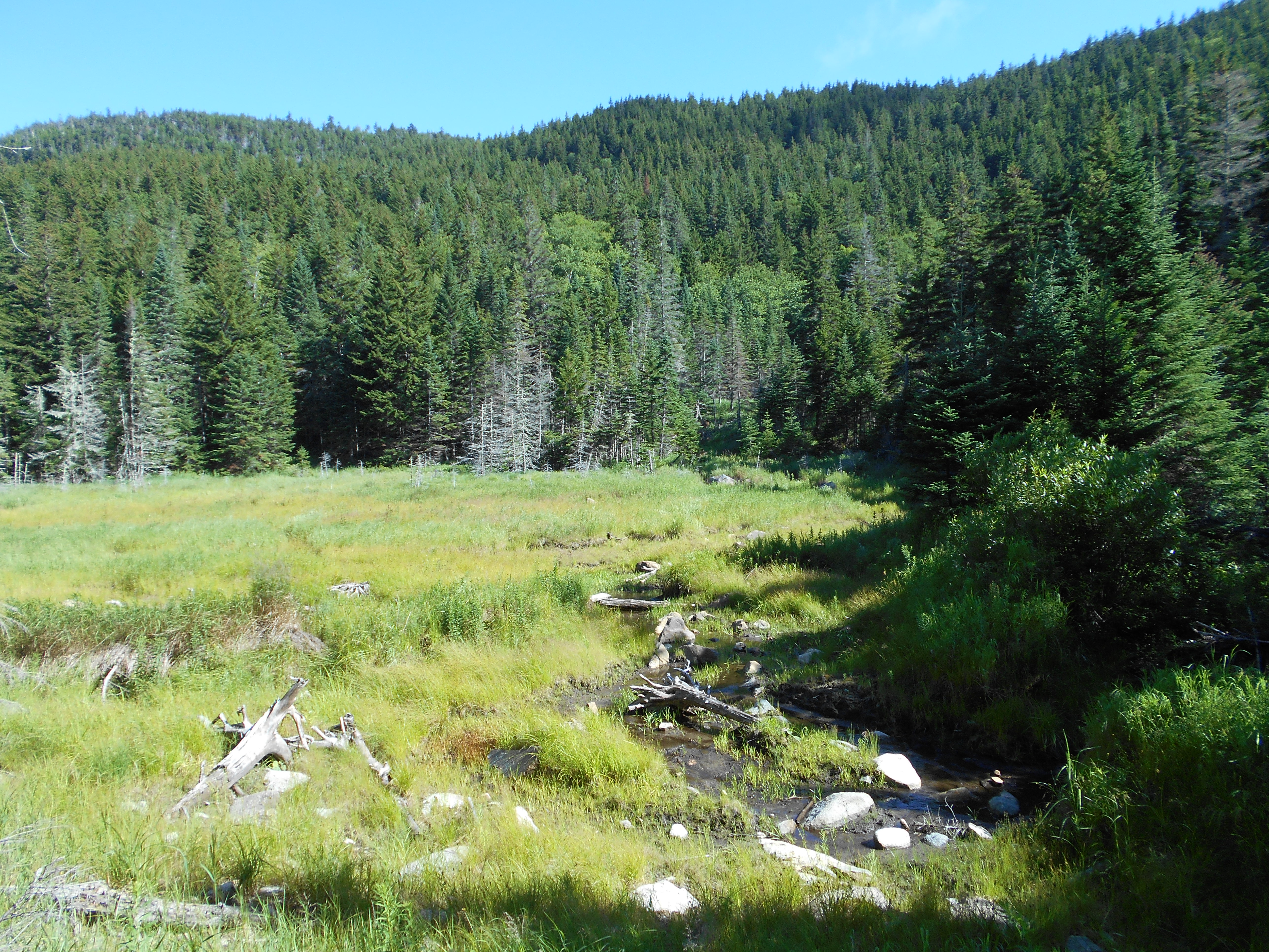
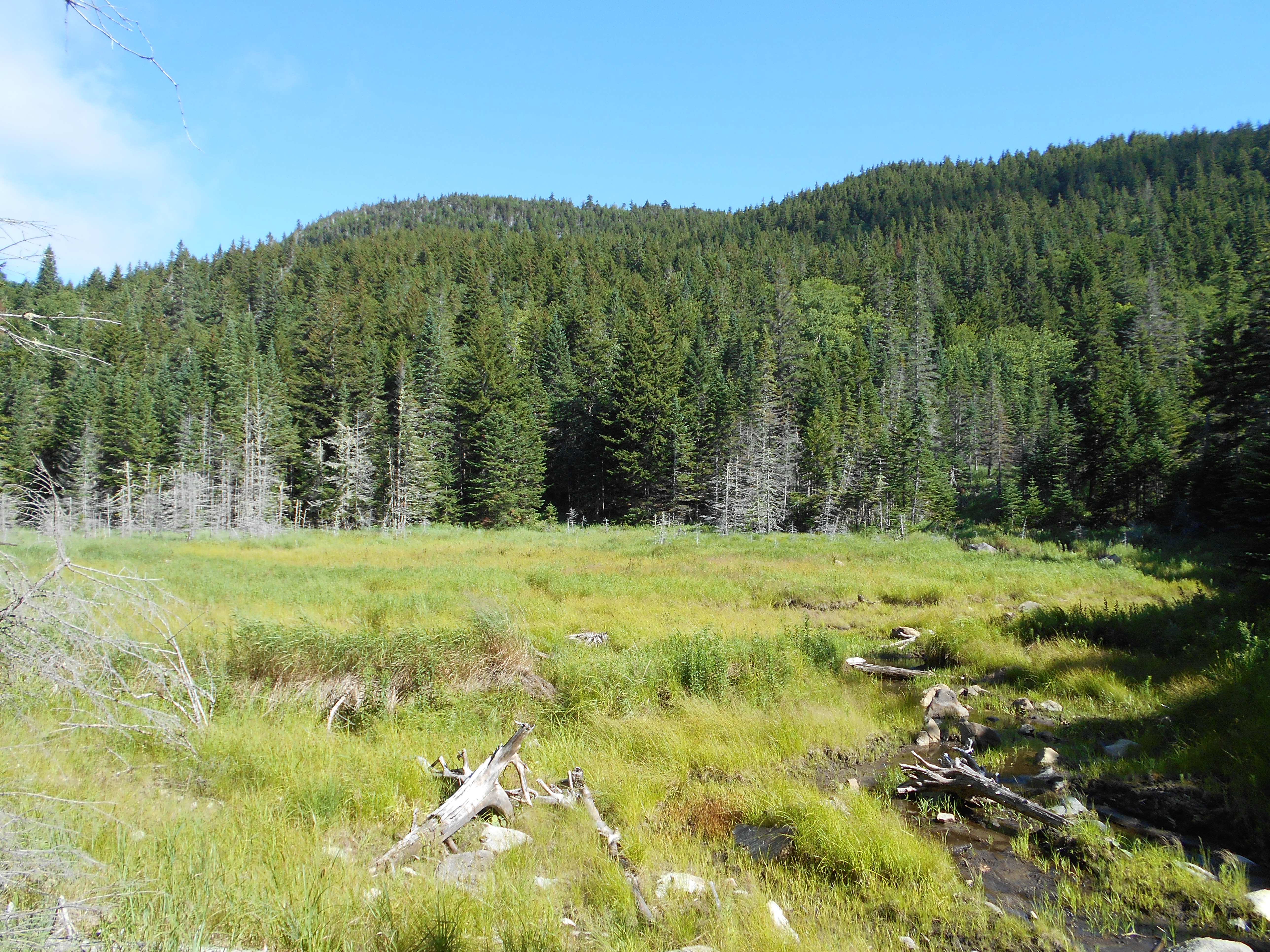
| 1996.7 | Stream (3,300') | 3300 |
| 1998.8 | Stream (2,500')?in stand of large white birch trees | 2500 |
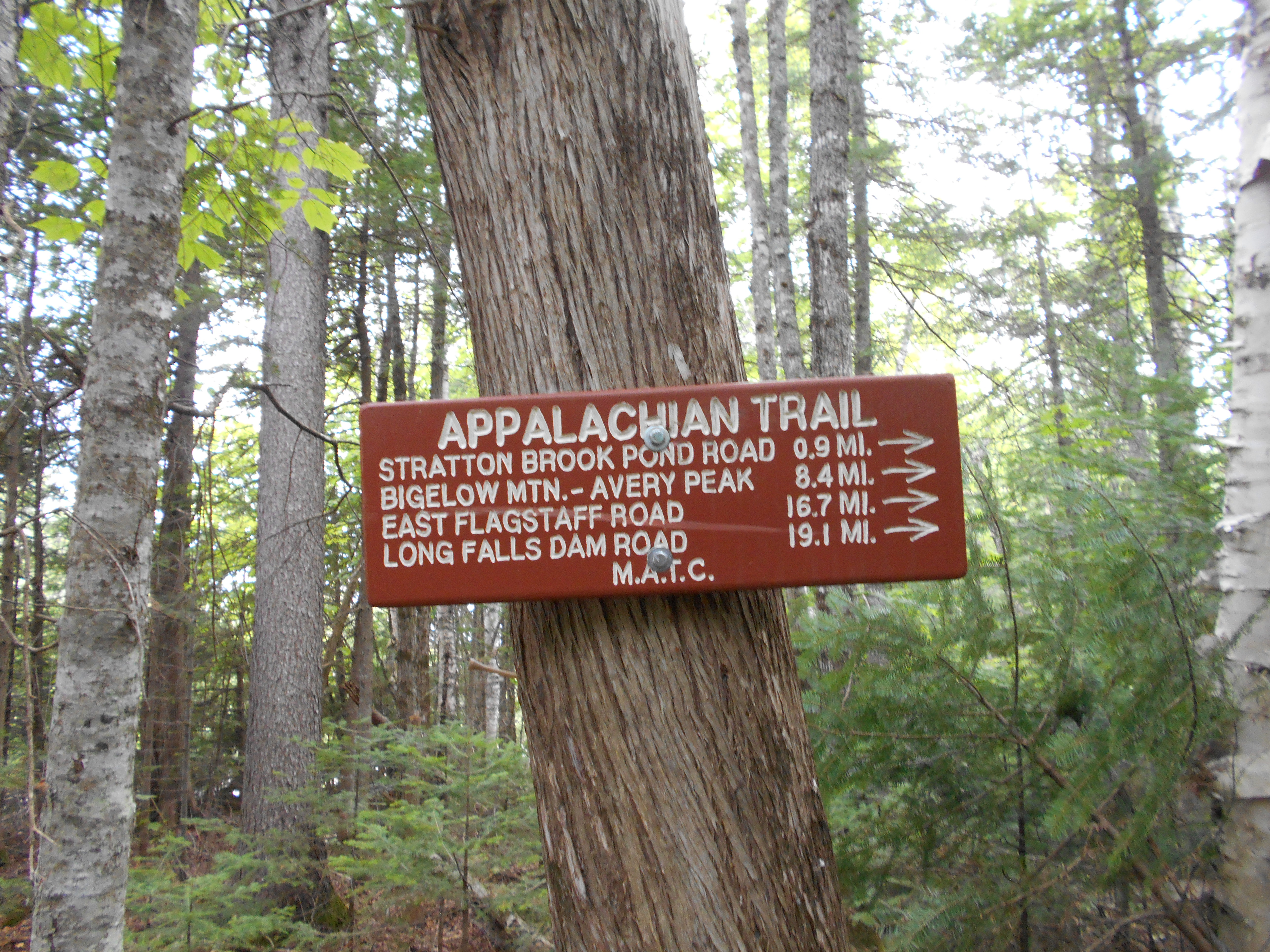
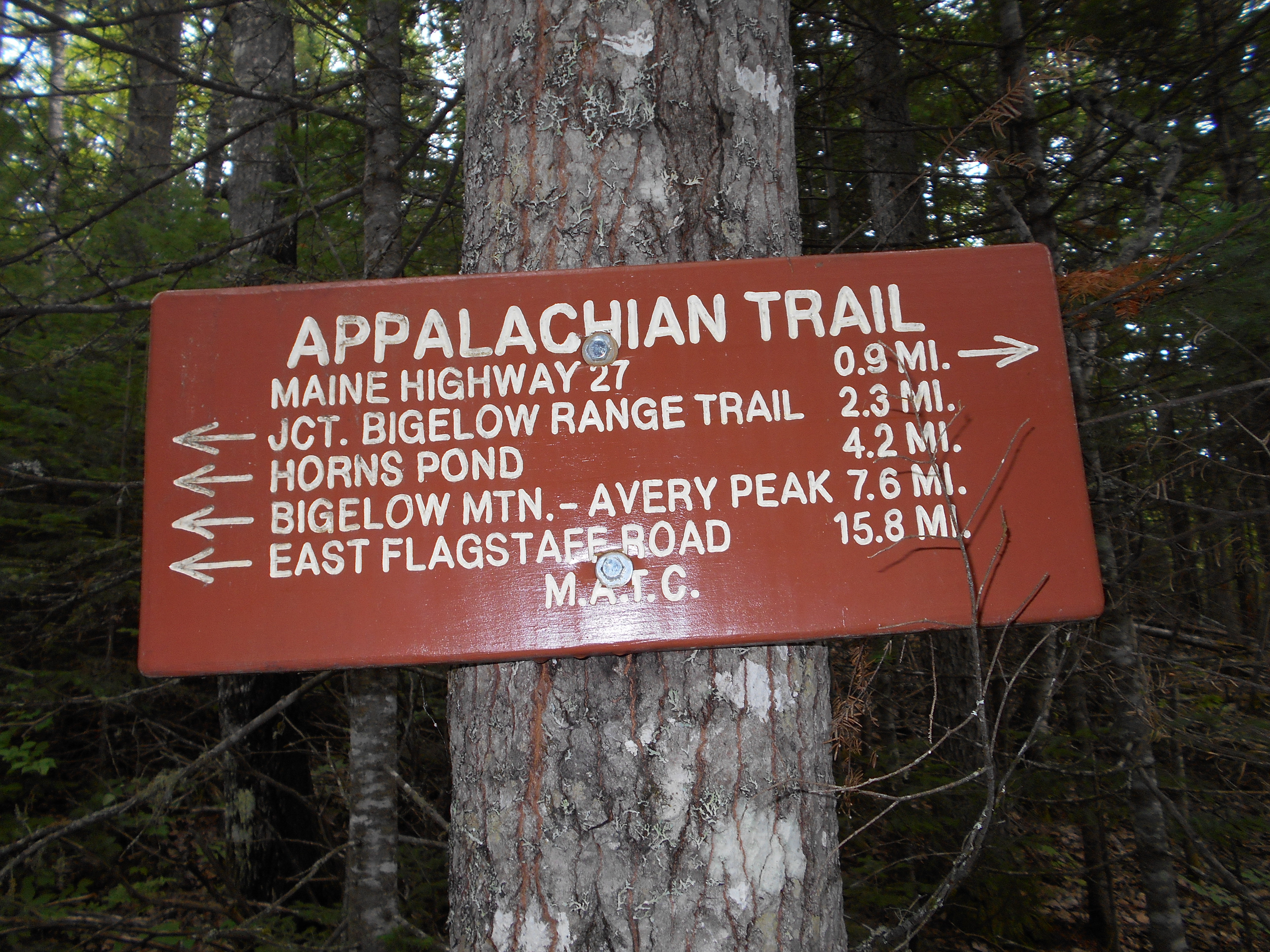
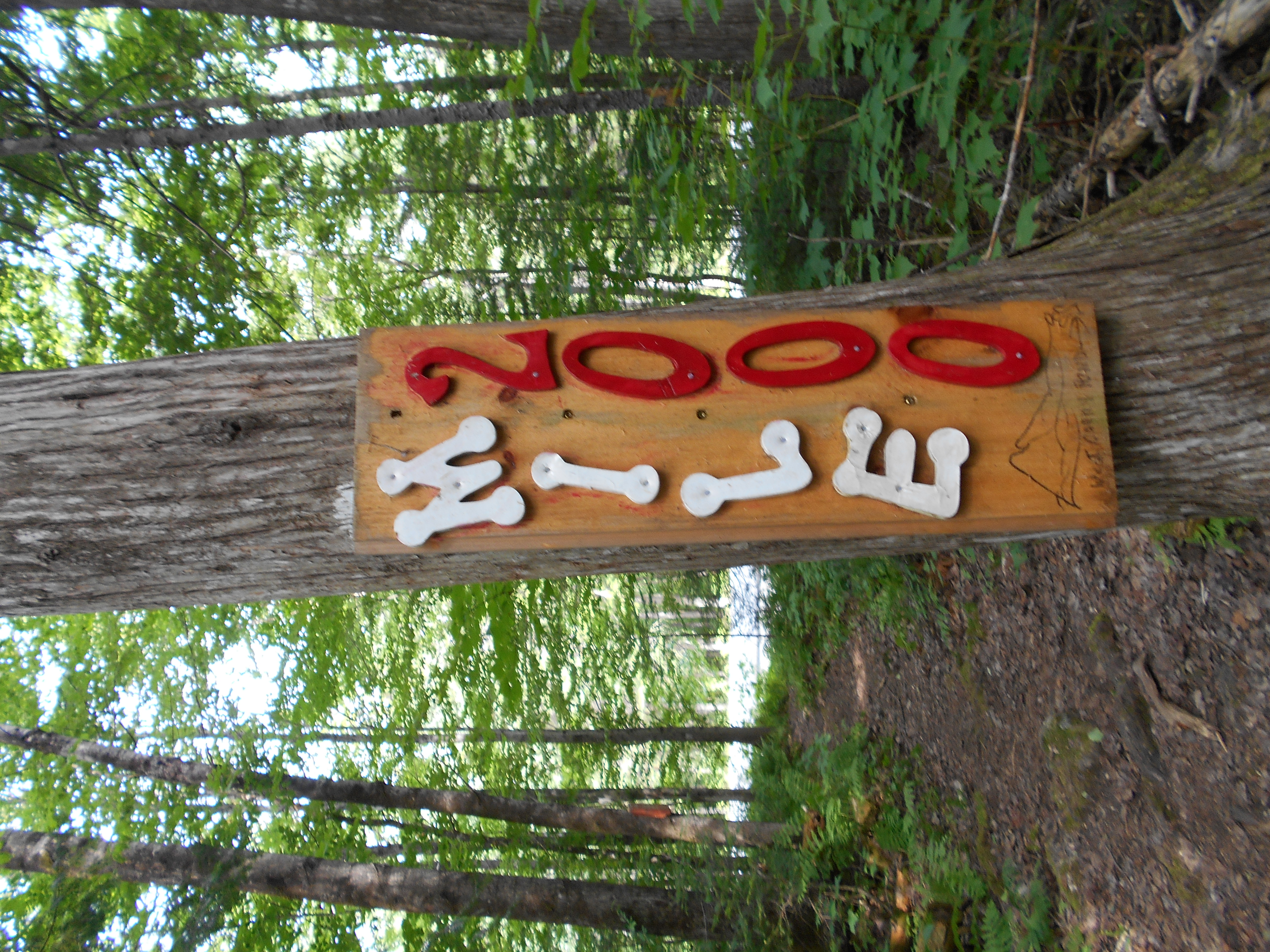
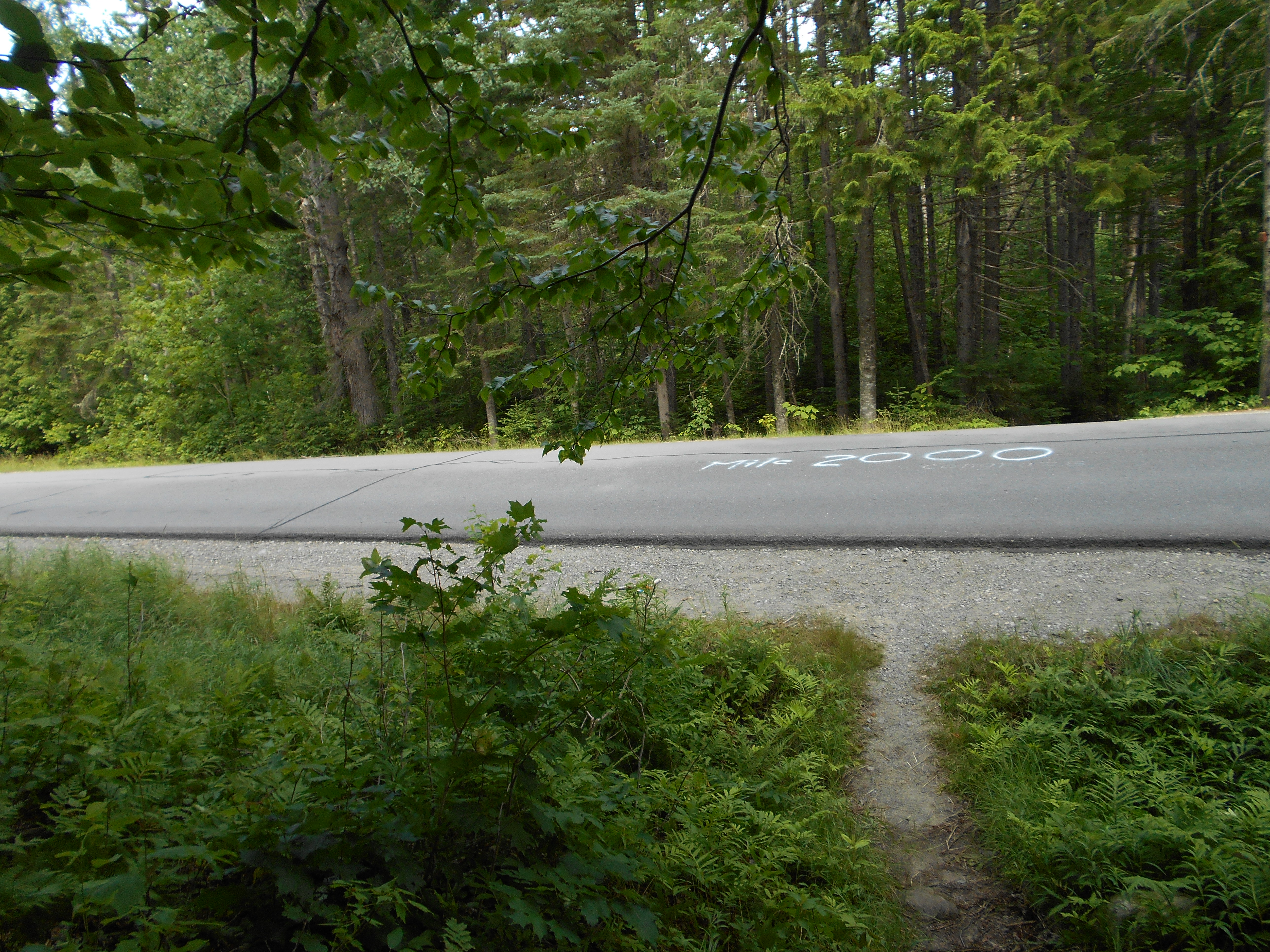
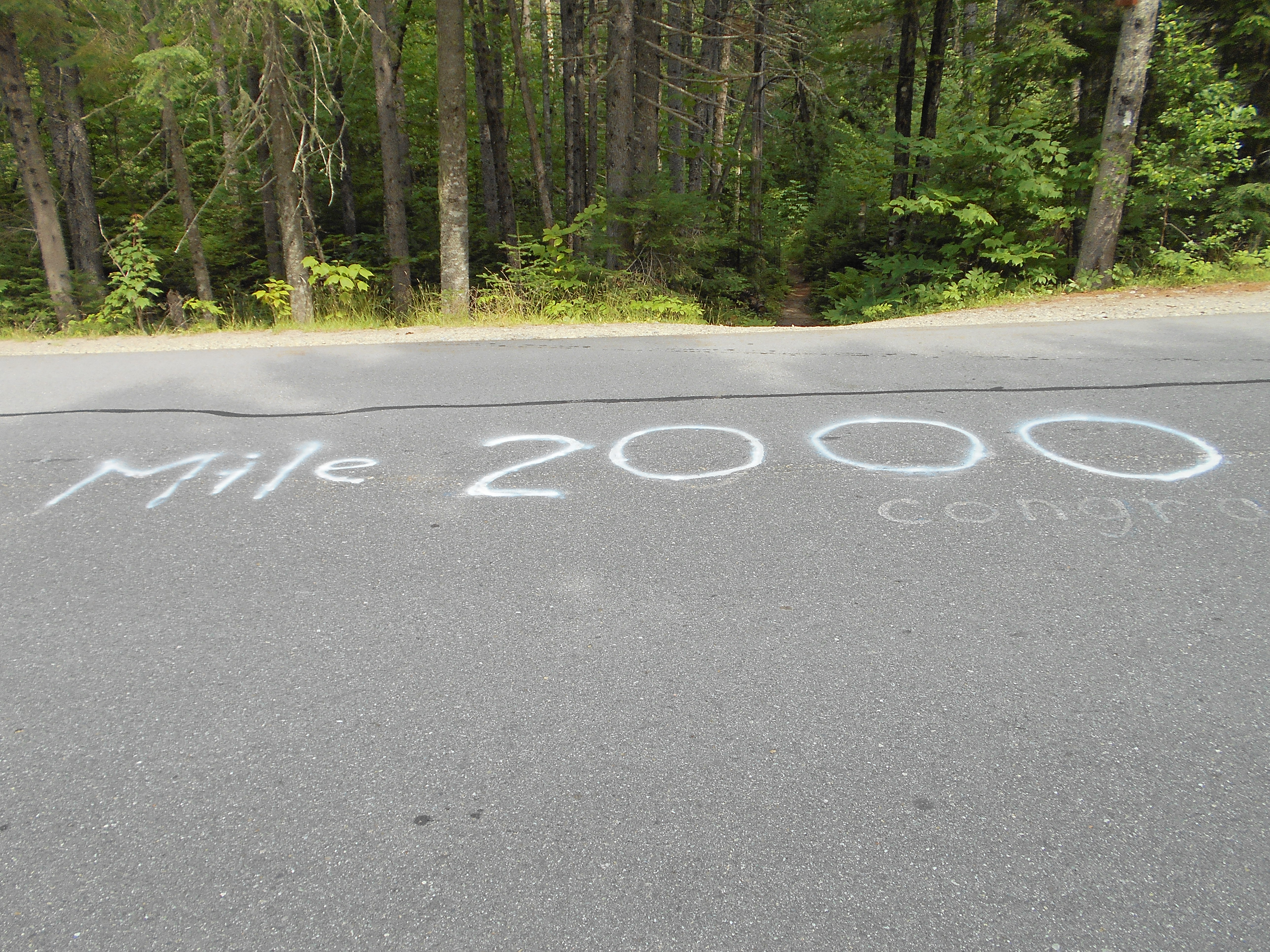
| 2000.9 | Maine 27 (1,450') Stratton, Maine 04982 | 1450 |
| 2001.7 | Stratton Brook Pond Road (1,250') | 1250 |
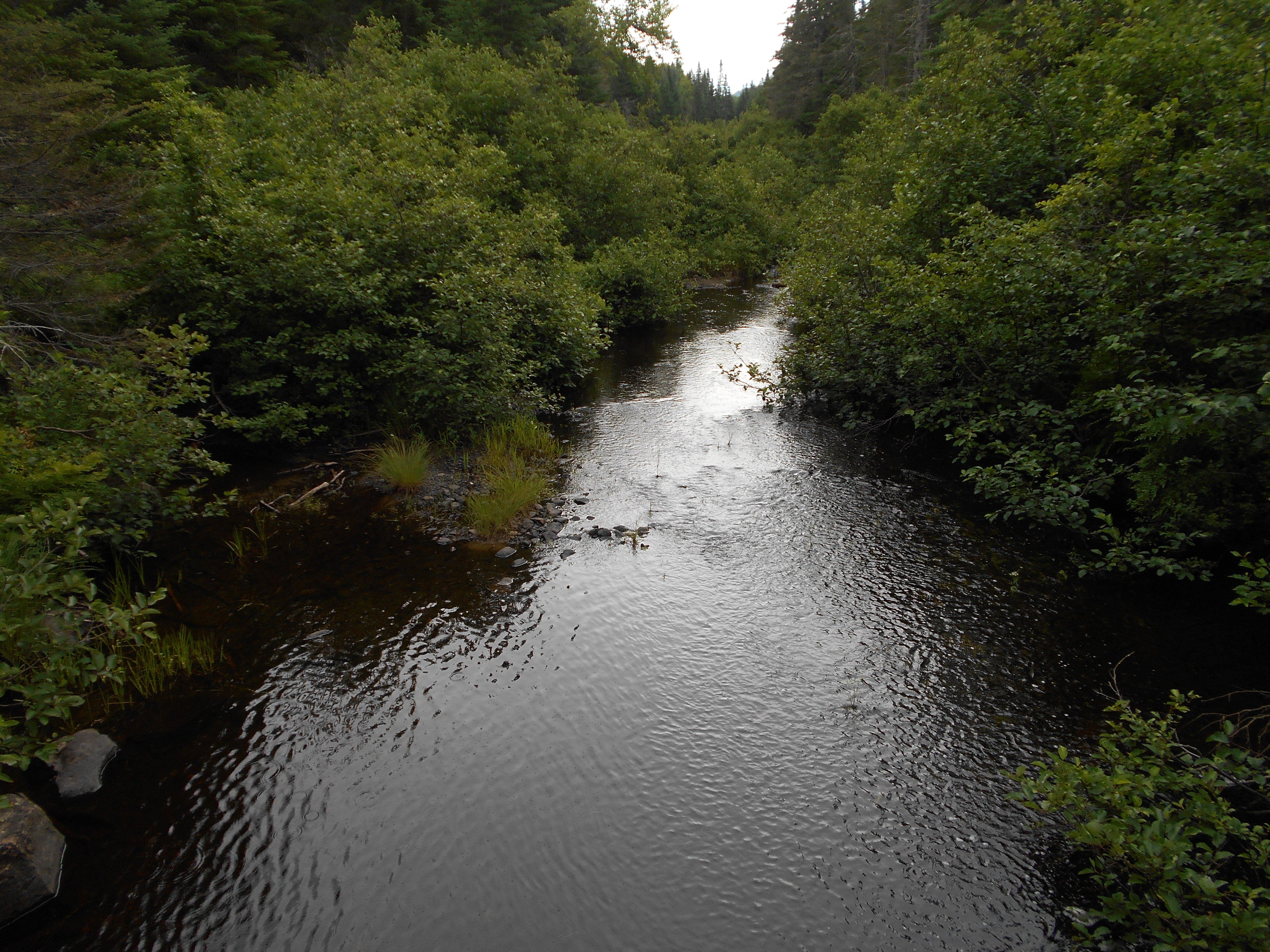
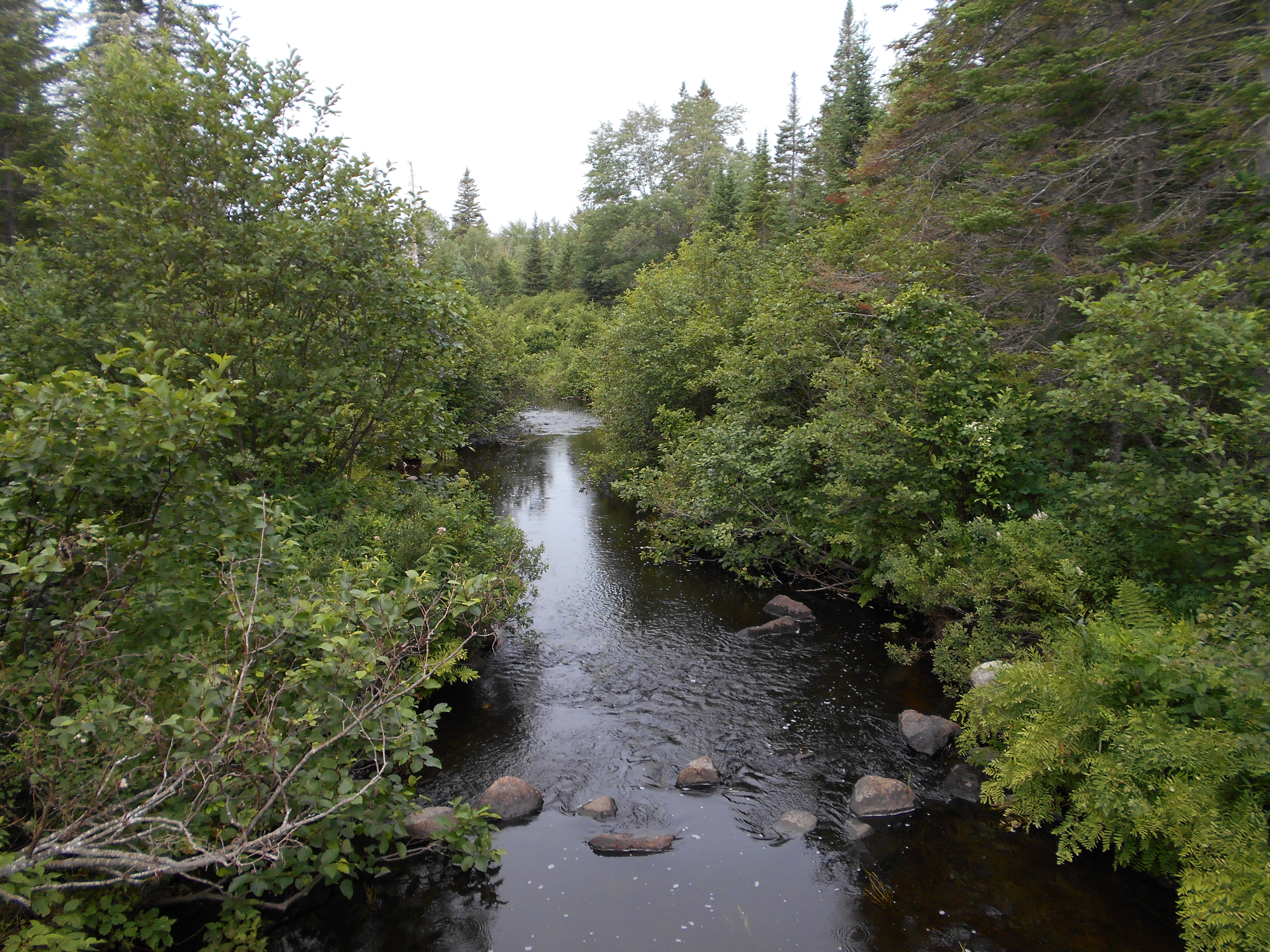
| 2001.9 | Stratton Brook (1,230')?footbridge | 1230 |
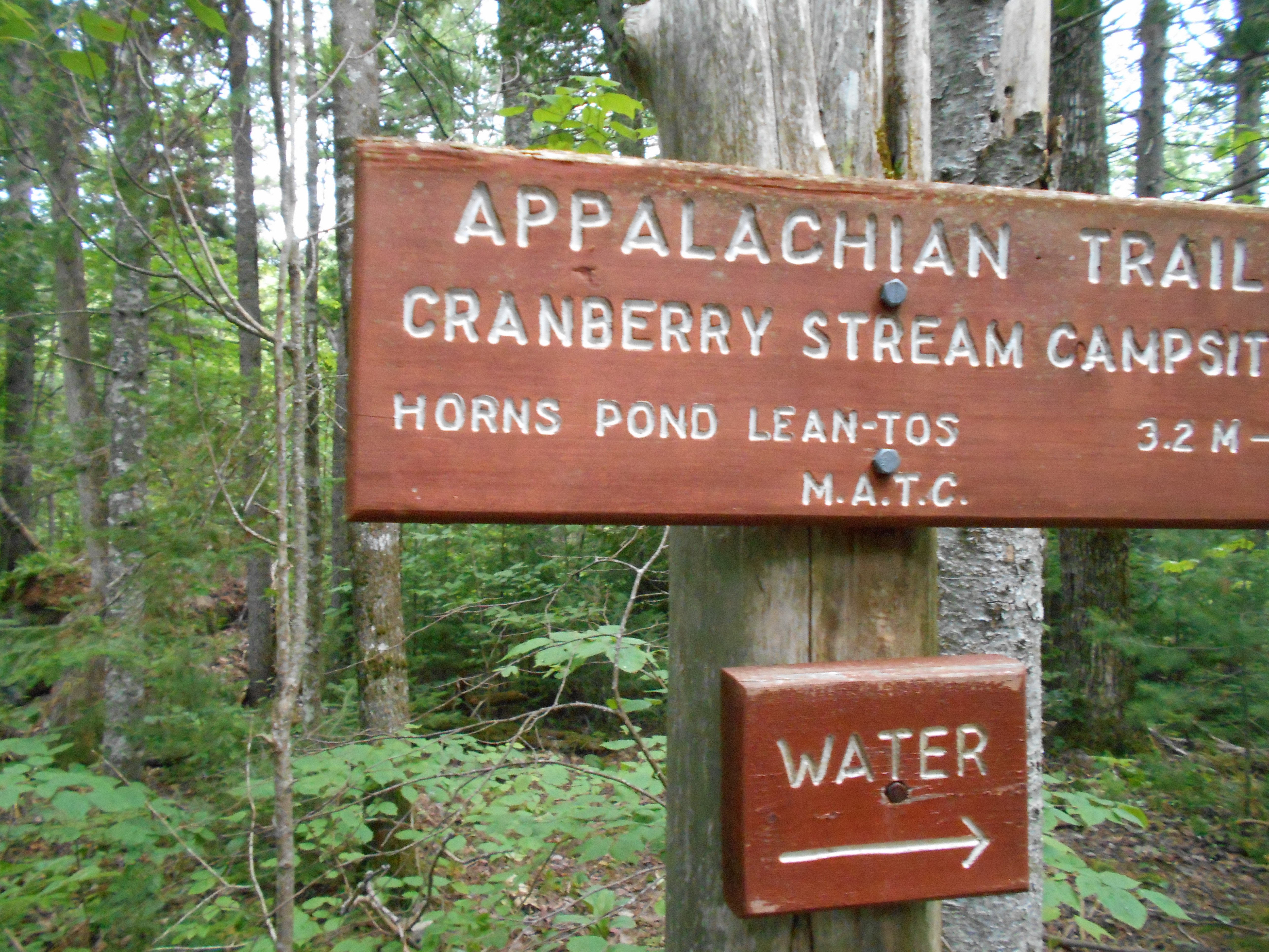
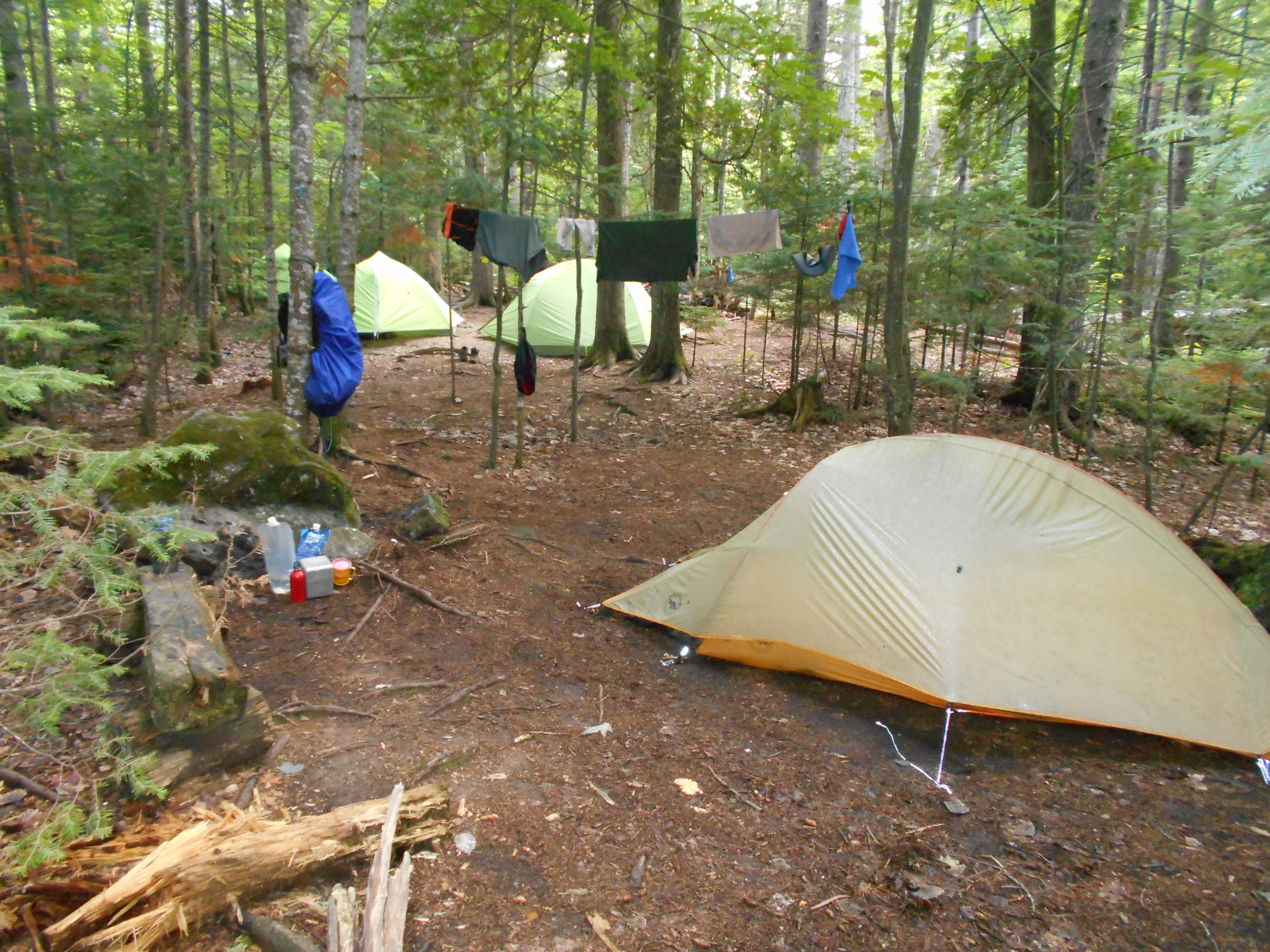
| 2002.8 | Cranberry Stream Campsite (1,350') | 1350 |


| Miles from Springer | Features | Elevation |
|---|---|---|
| 2002.8 | Cranberry Stream Campsite (1,350') | 1350 |
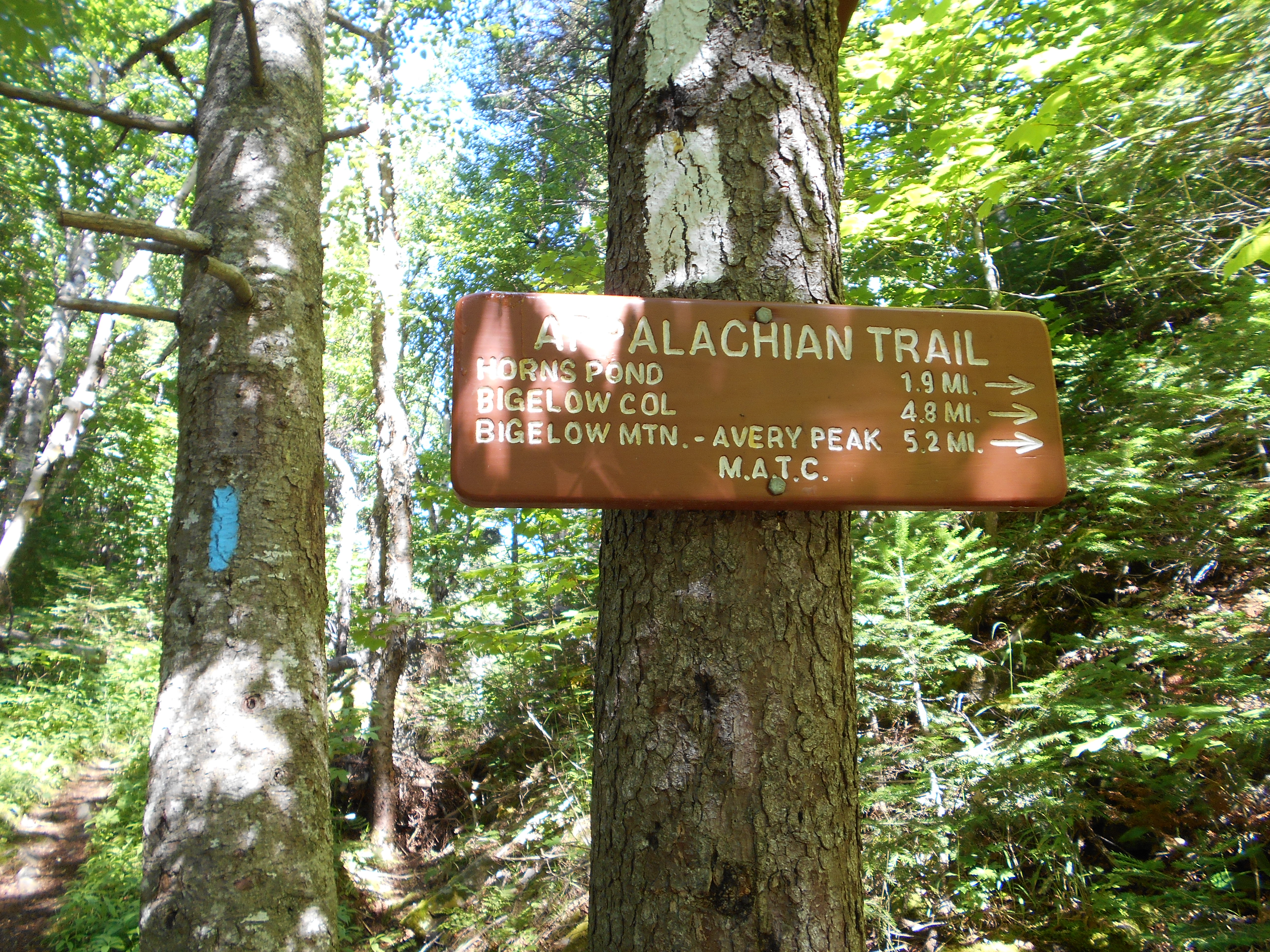
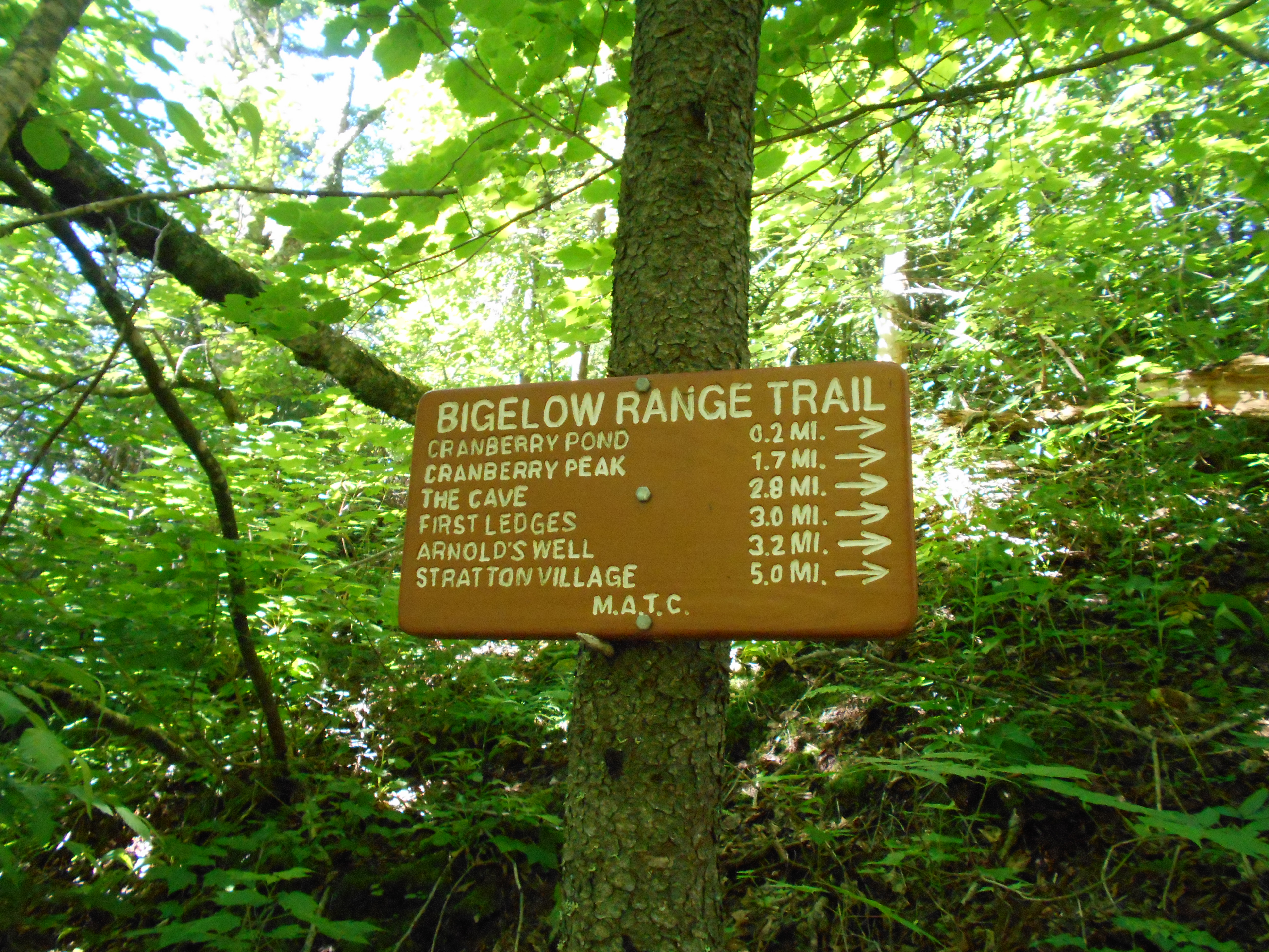
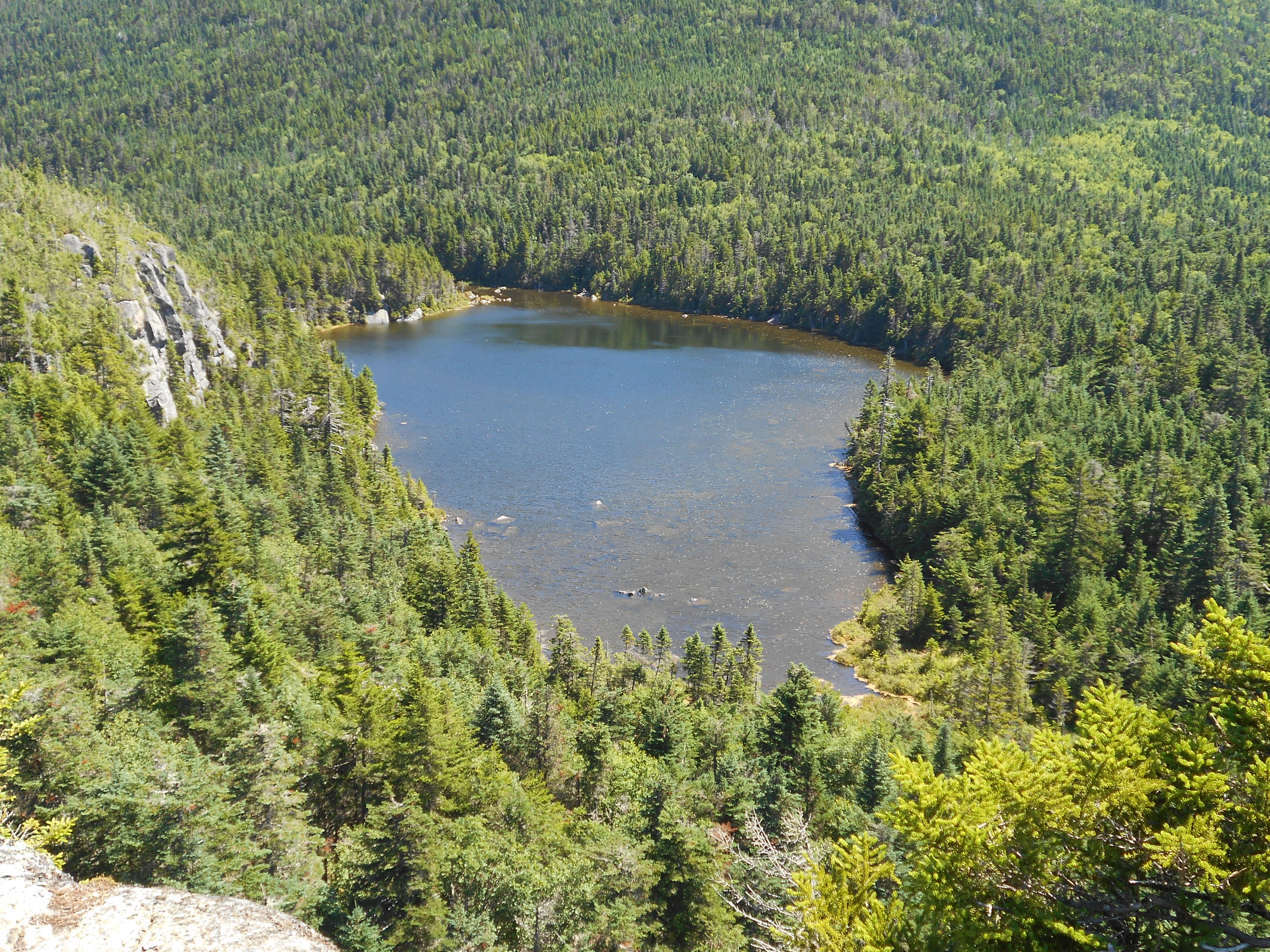
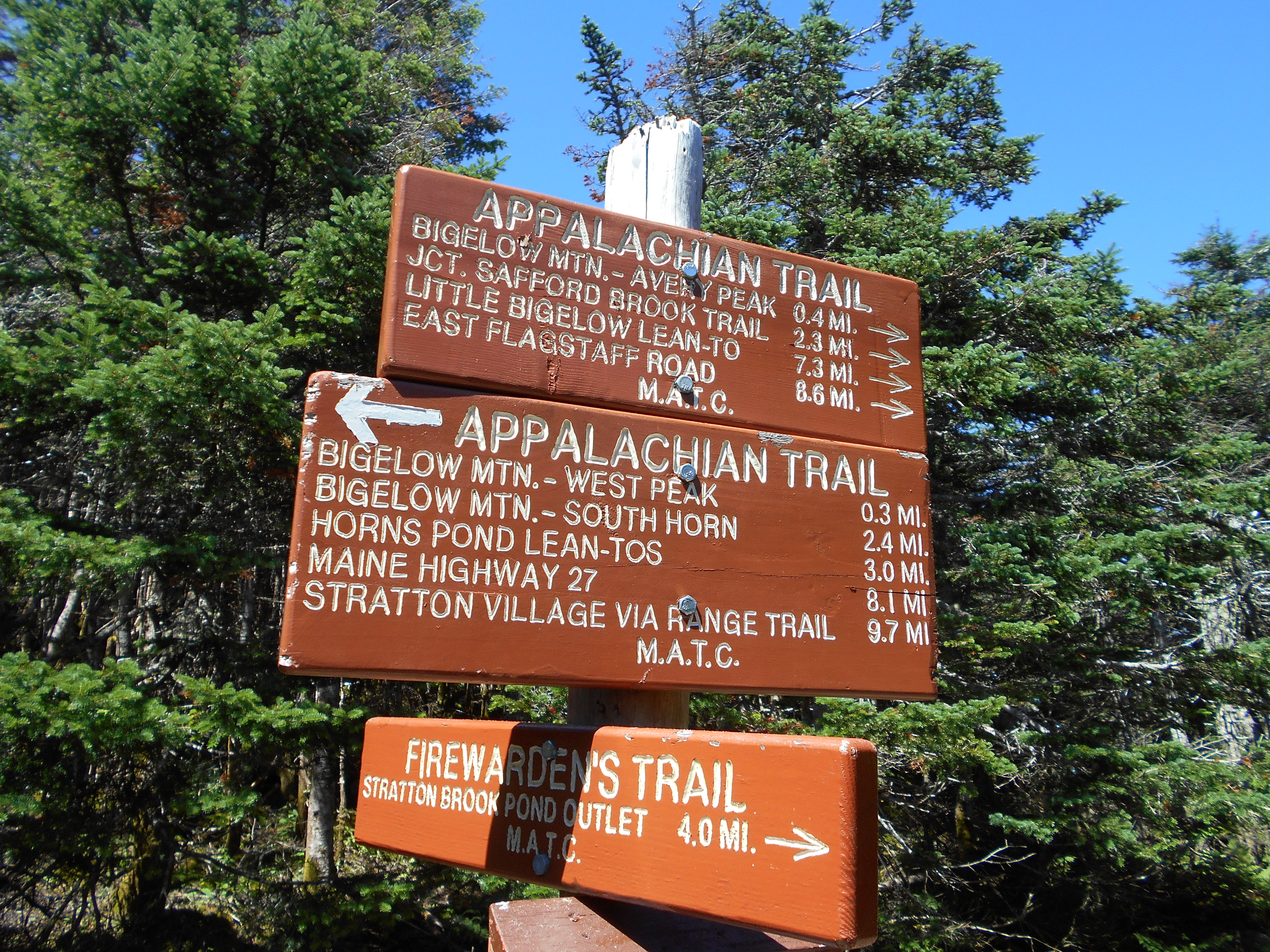
| 2004.1 | Bigelow Range Trail, Cranberry Pond (2,400') | 2400 |
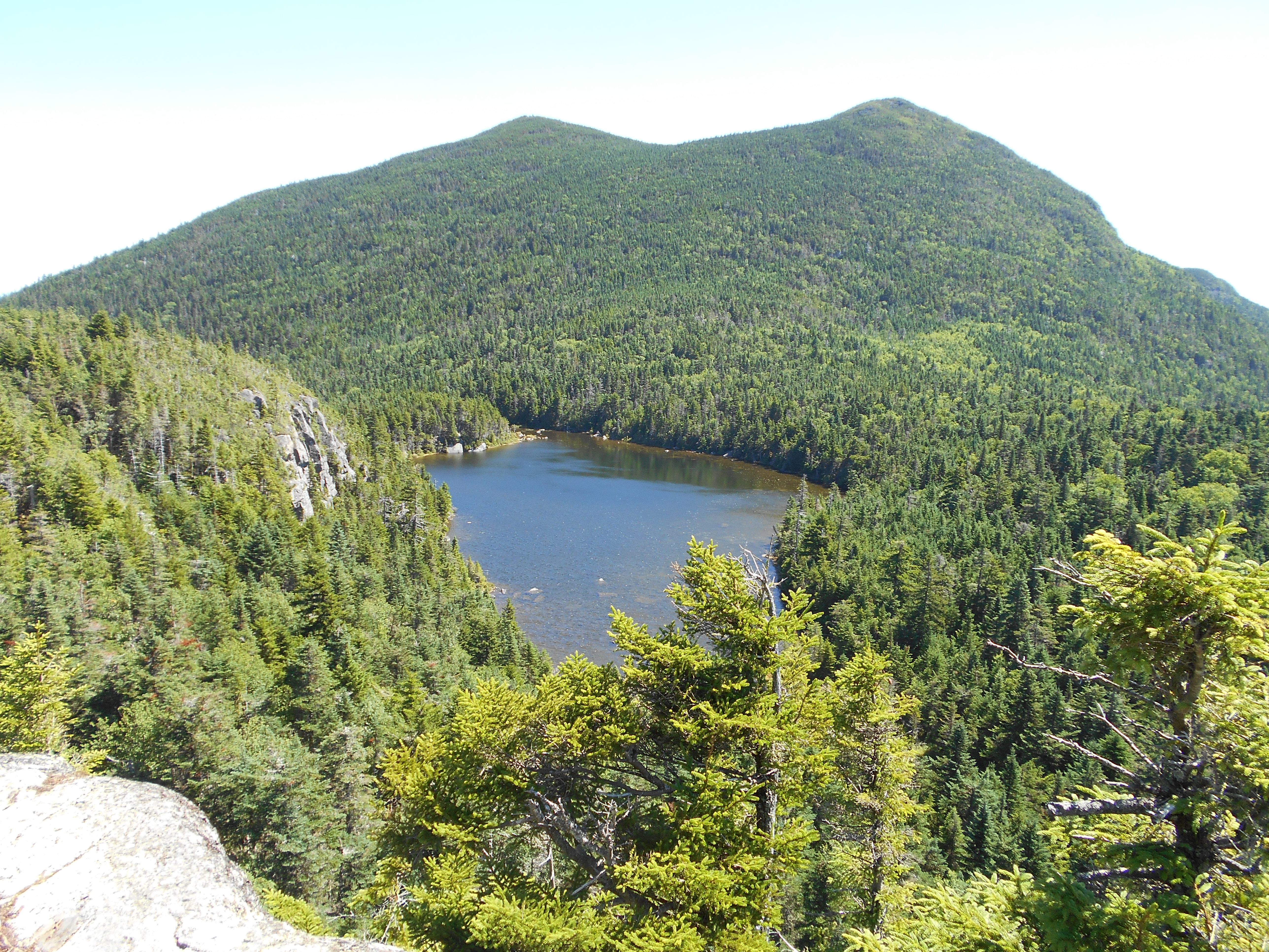
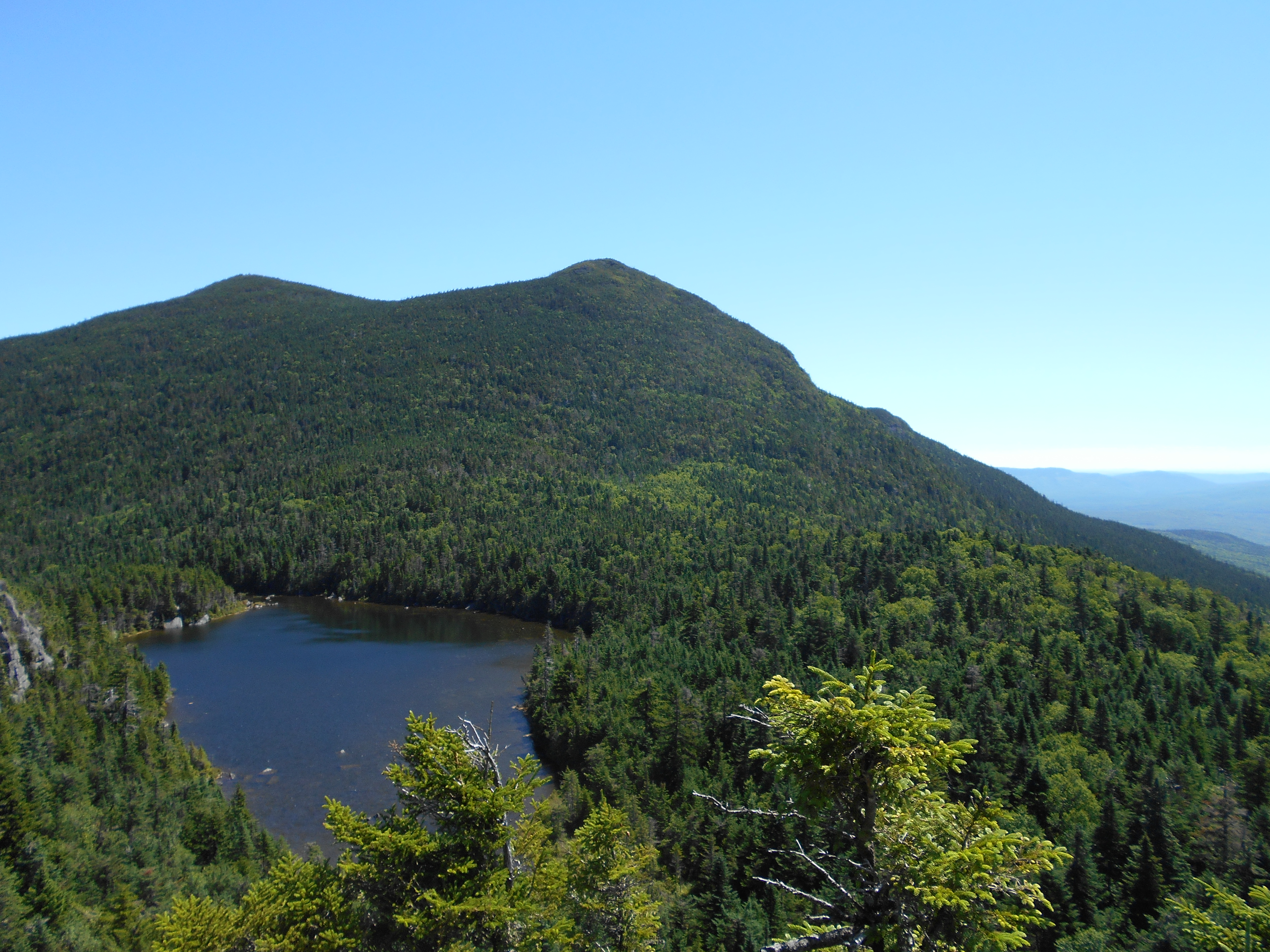
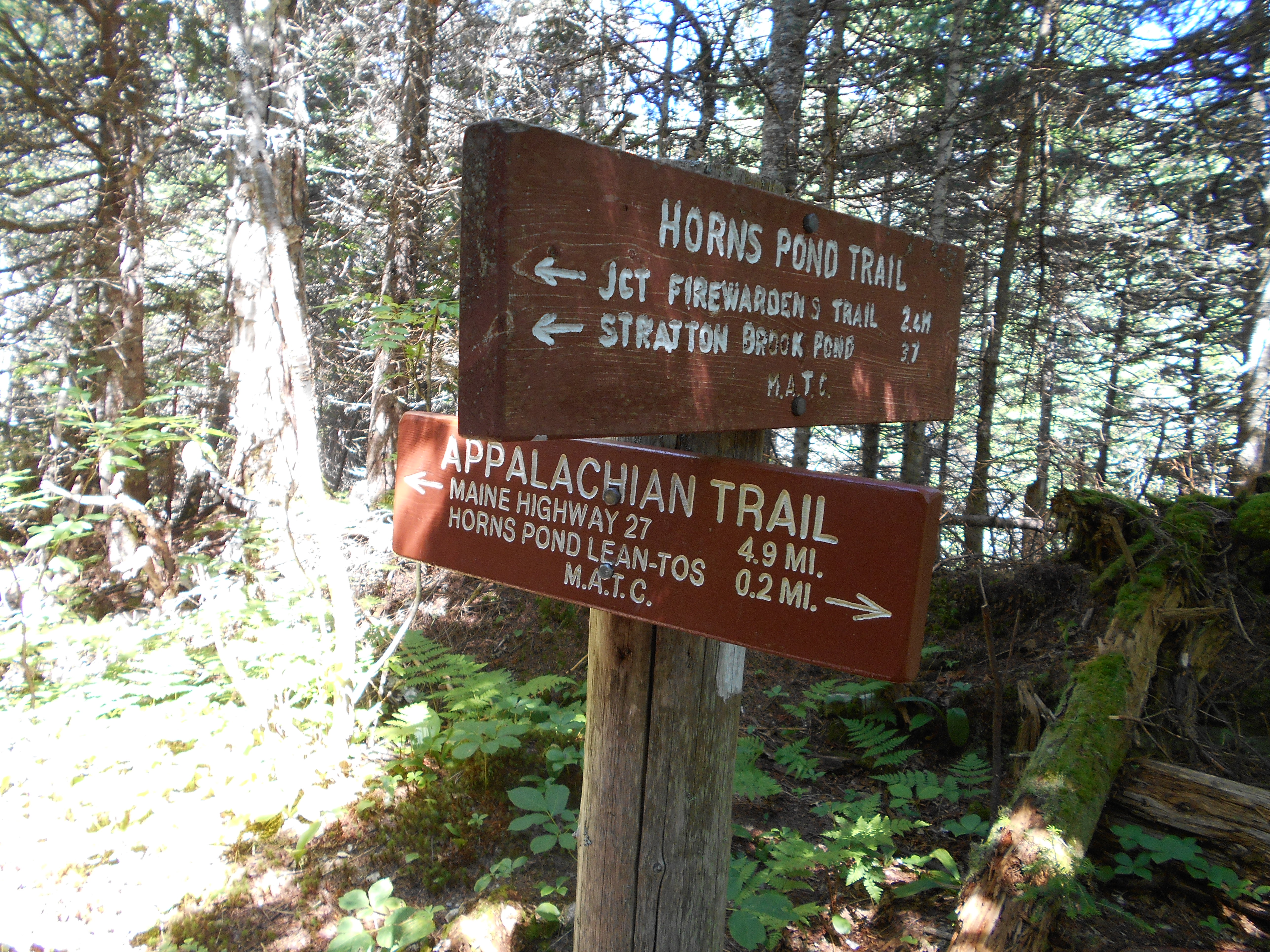
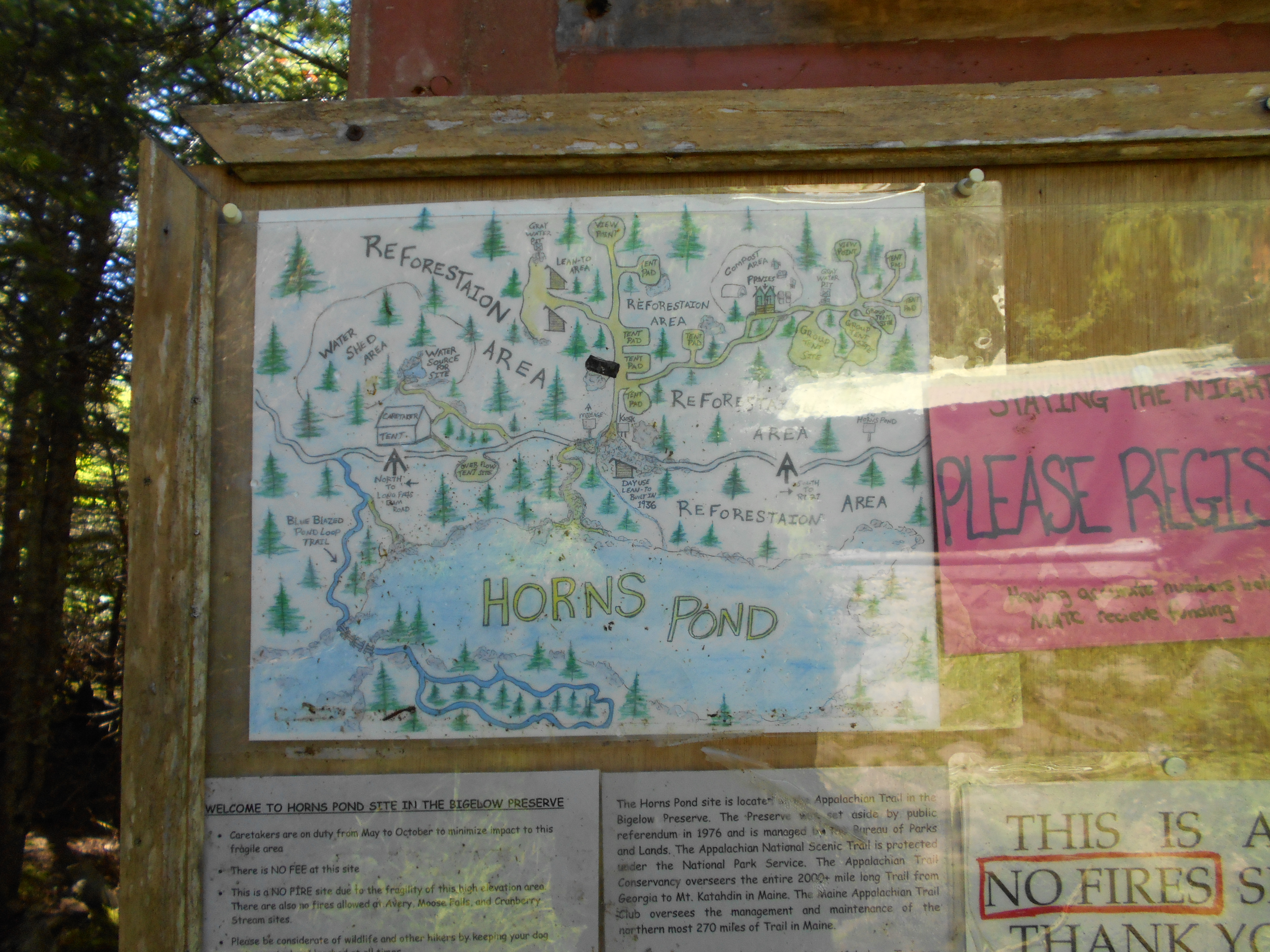
| 2005.8 | Horns Pond Trail (3,200') | 3200 |
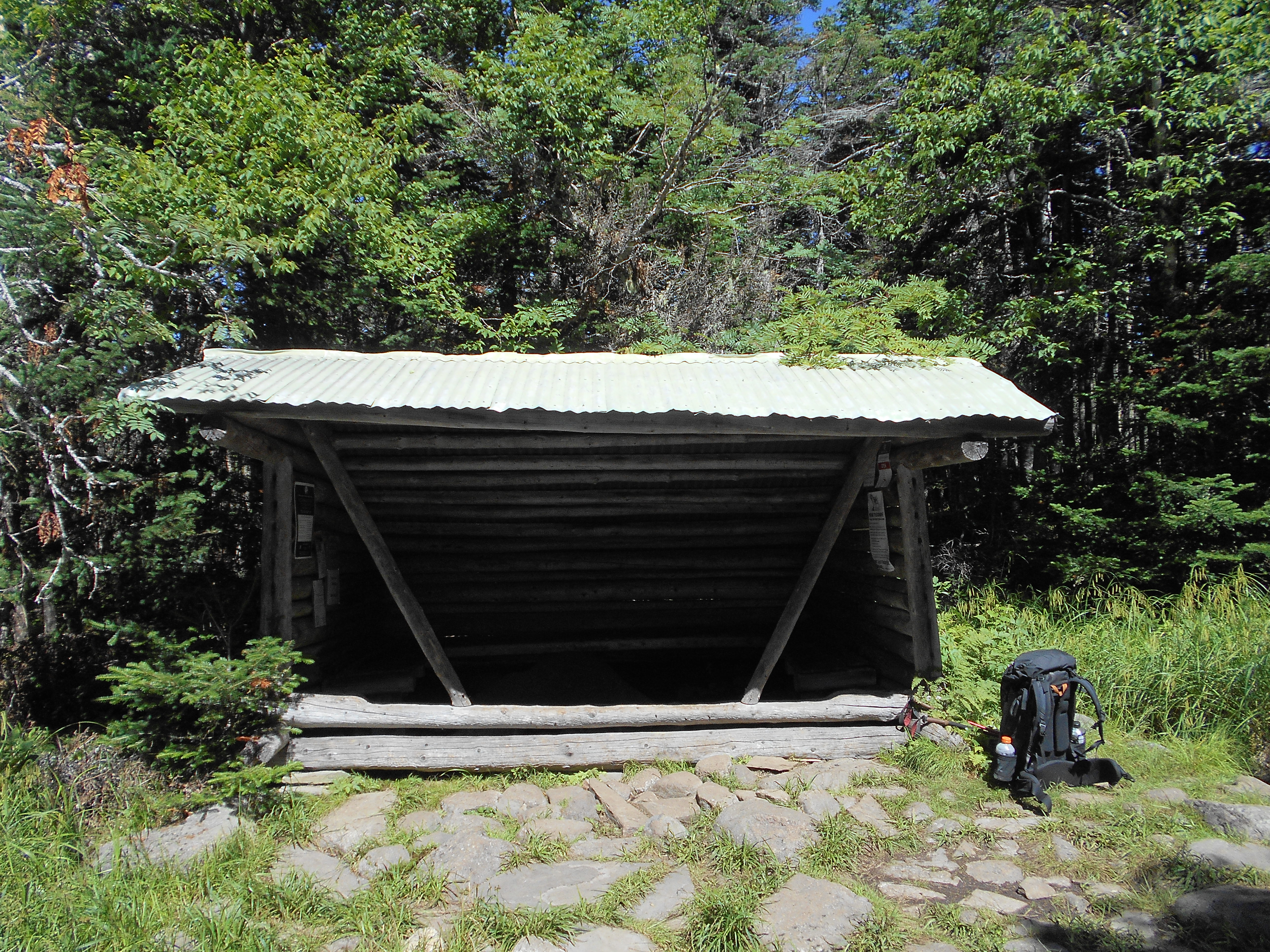
| 2006 | Horns Pond Lean-tos (3,160')?18.6mS; 10.2mN | 3160 |
| 2006.3 | Spring (3,400') | 3400 |
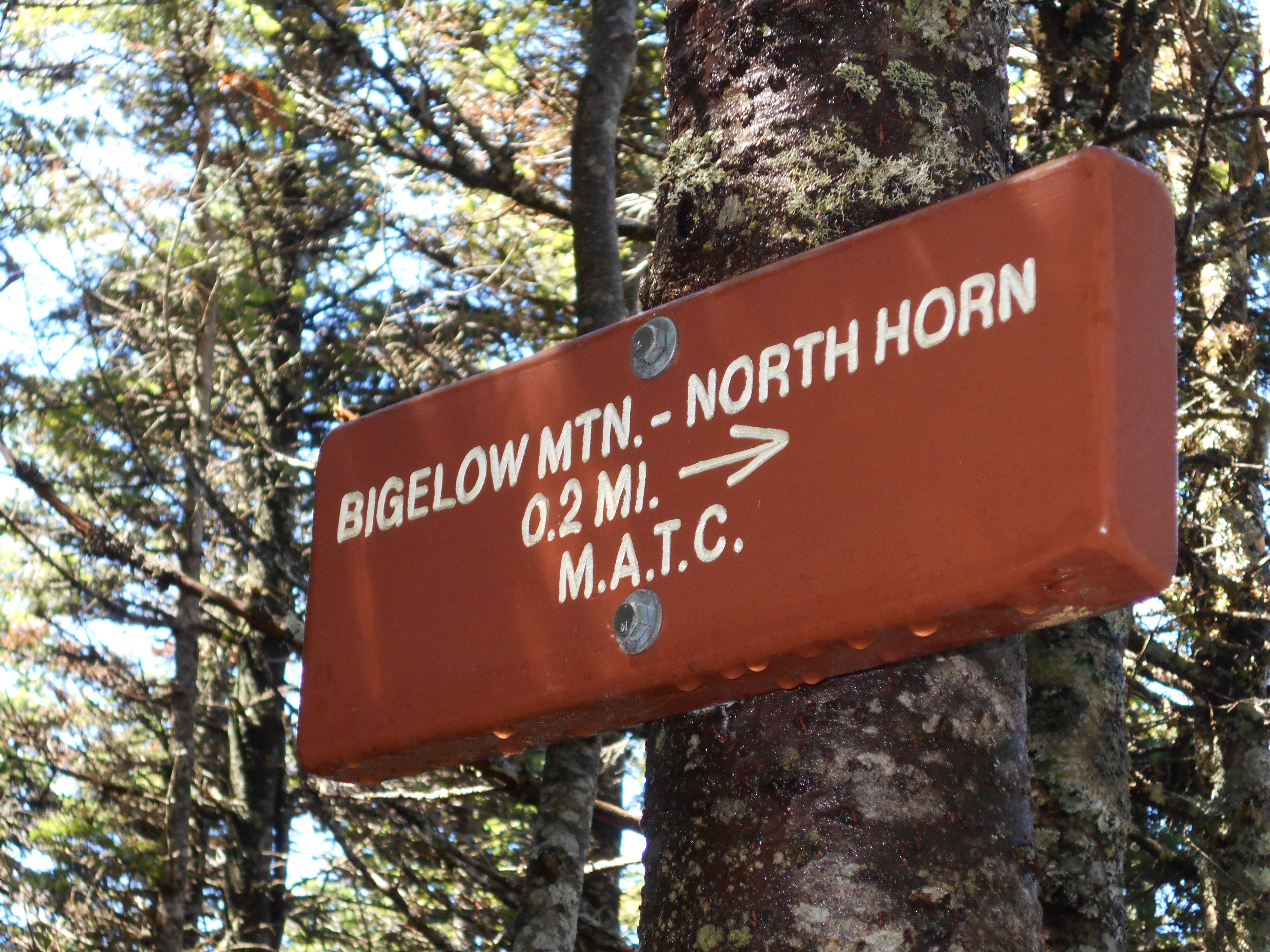
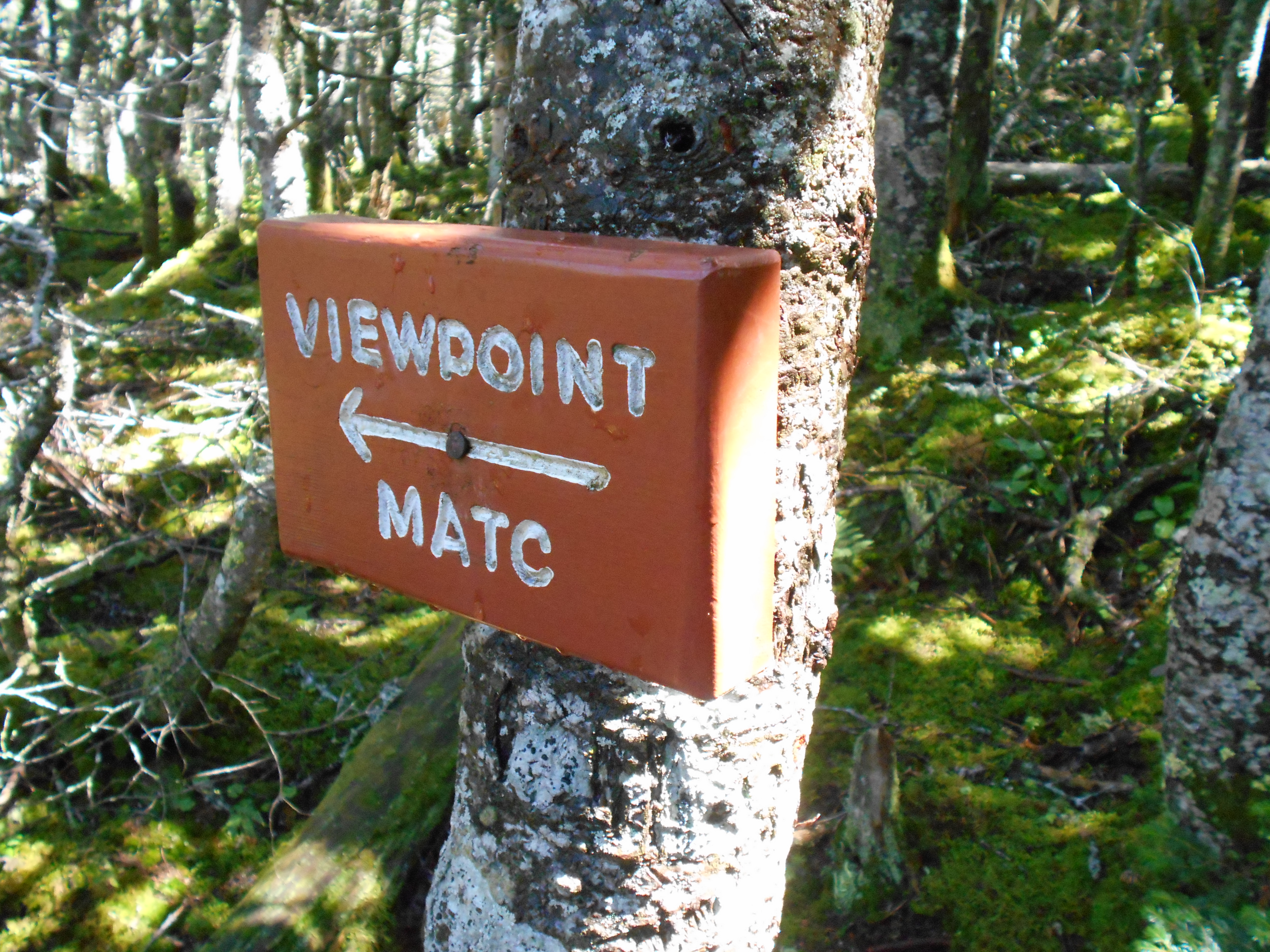
| 2006.4 | Side Trail to North Horn (3,792') | 3792 |
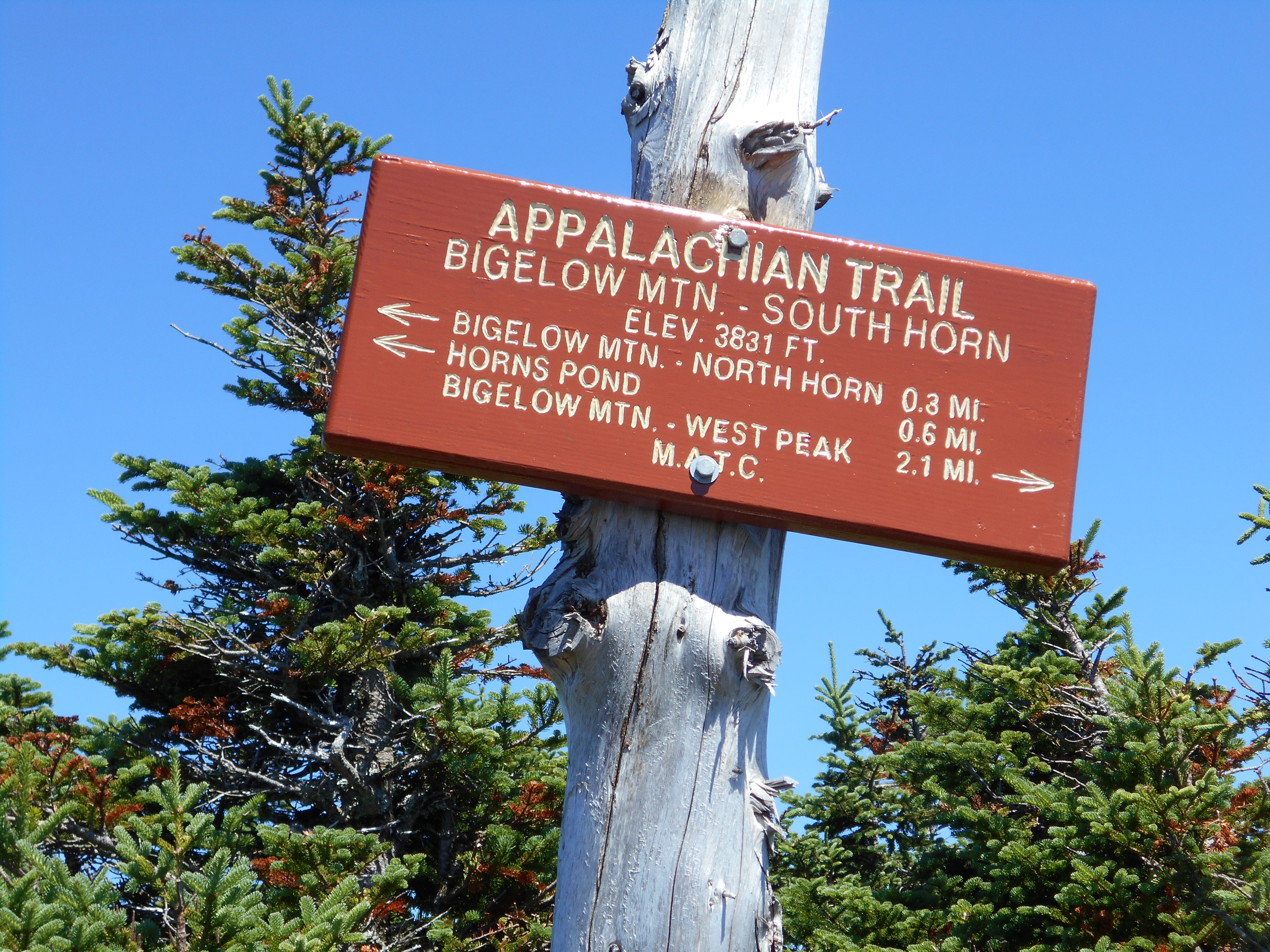
| 2006.5 | South Horn (3,831') | 3831 |
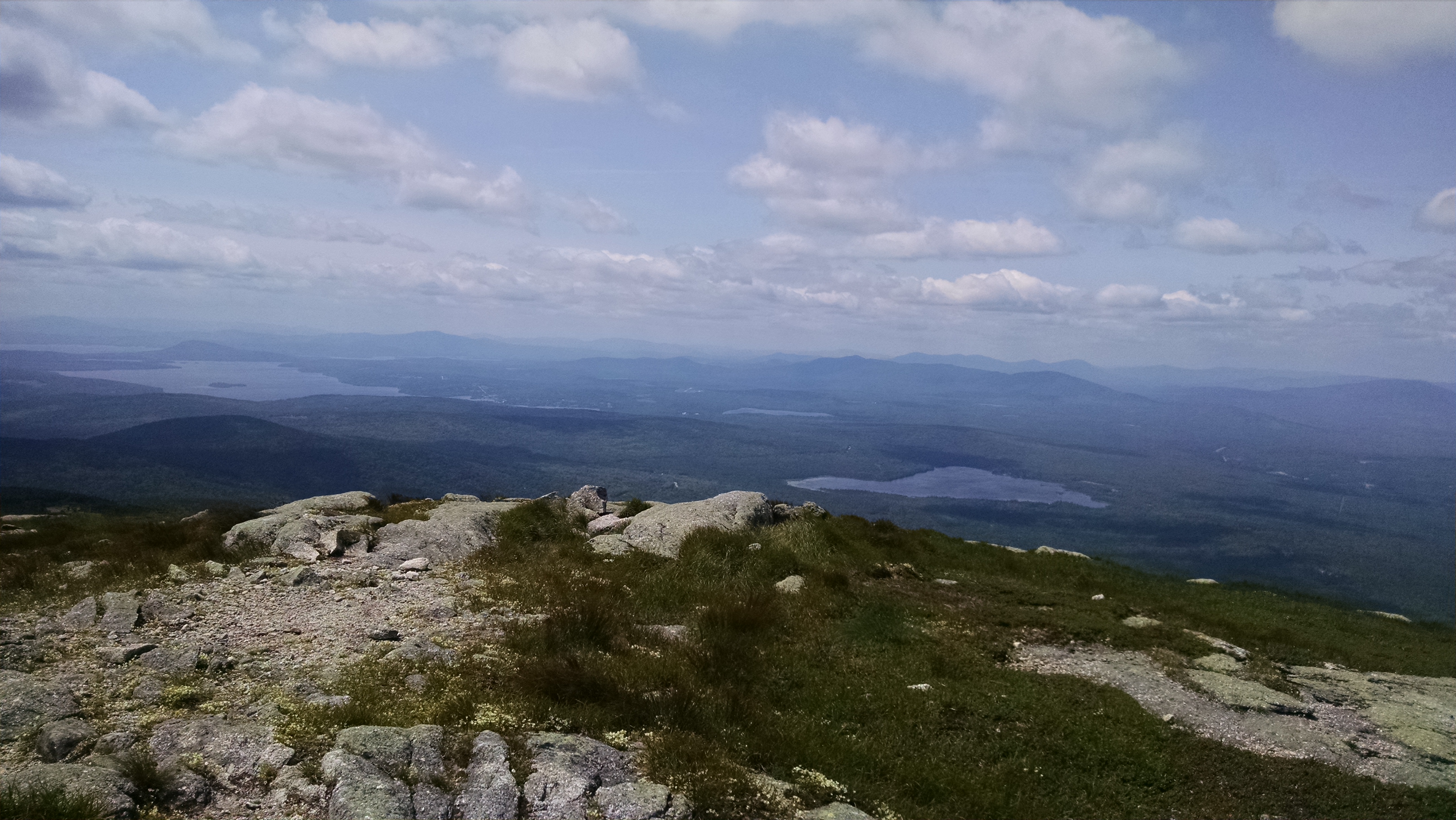
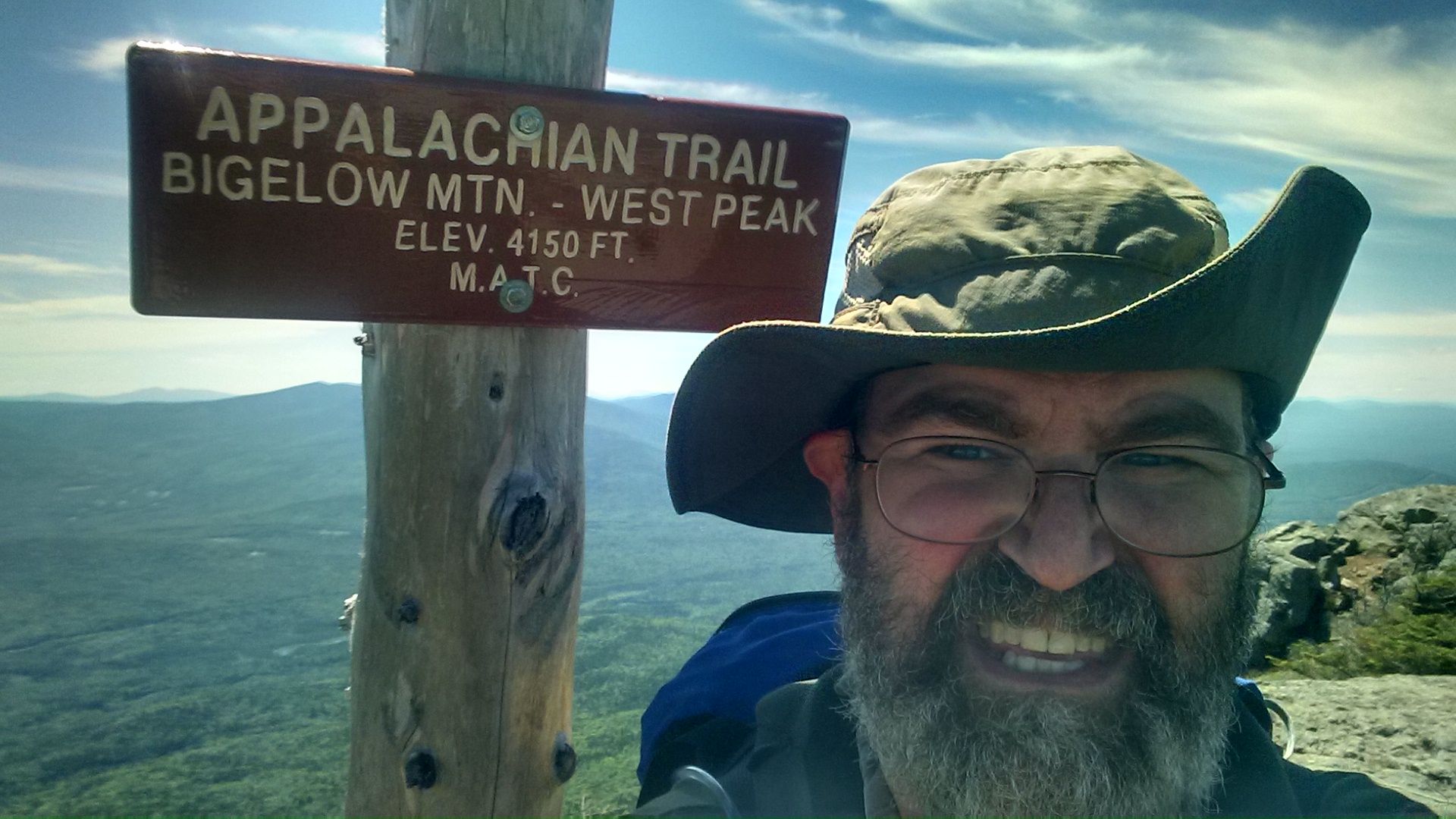
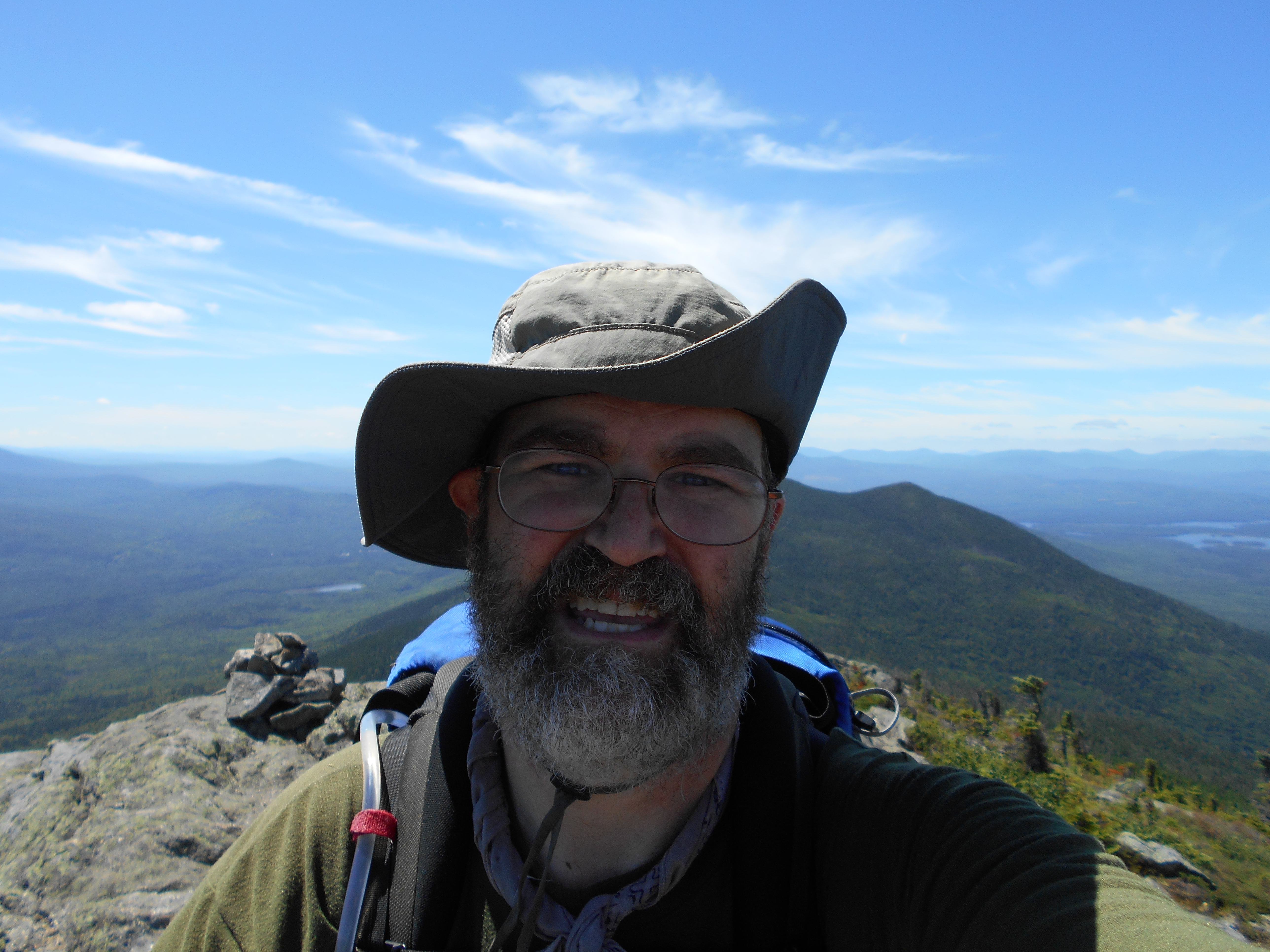
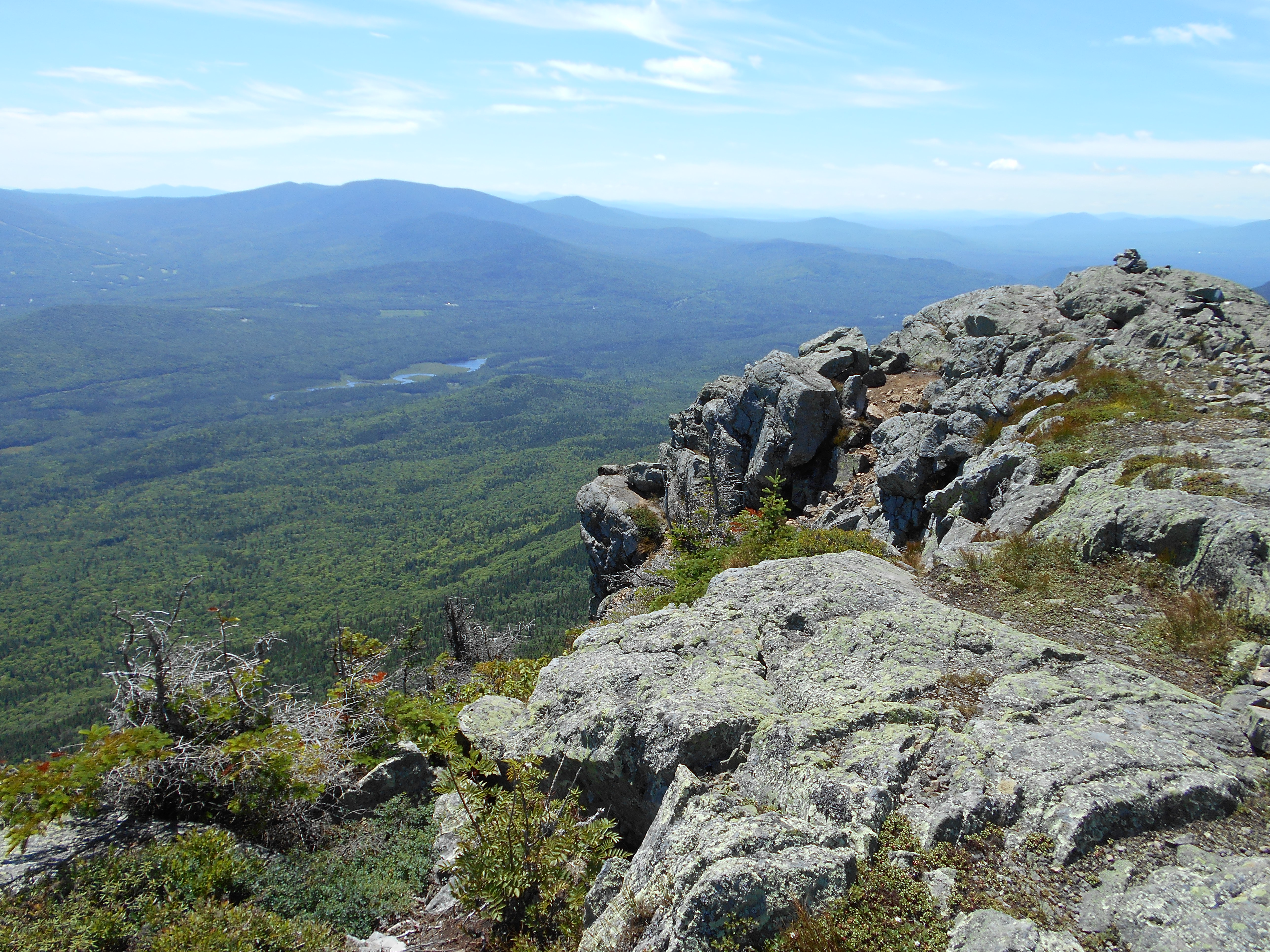
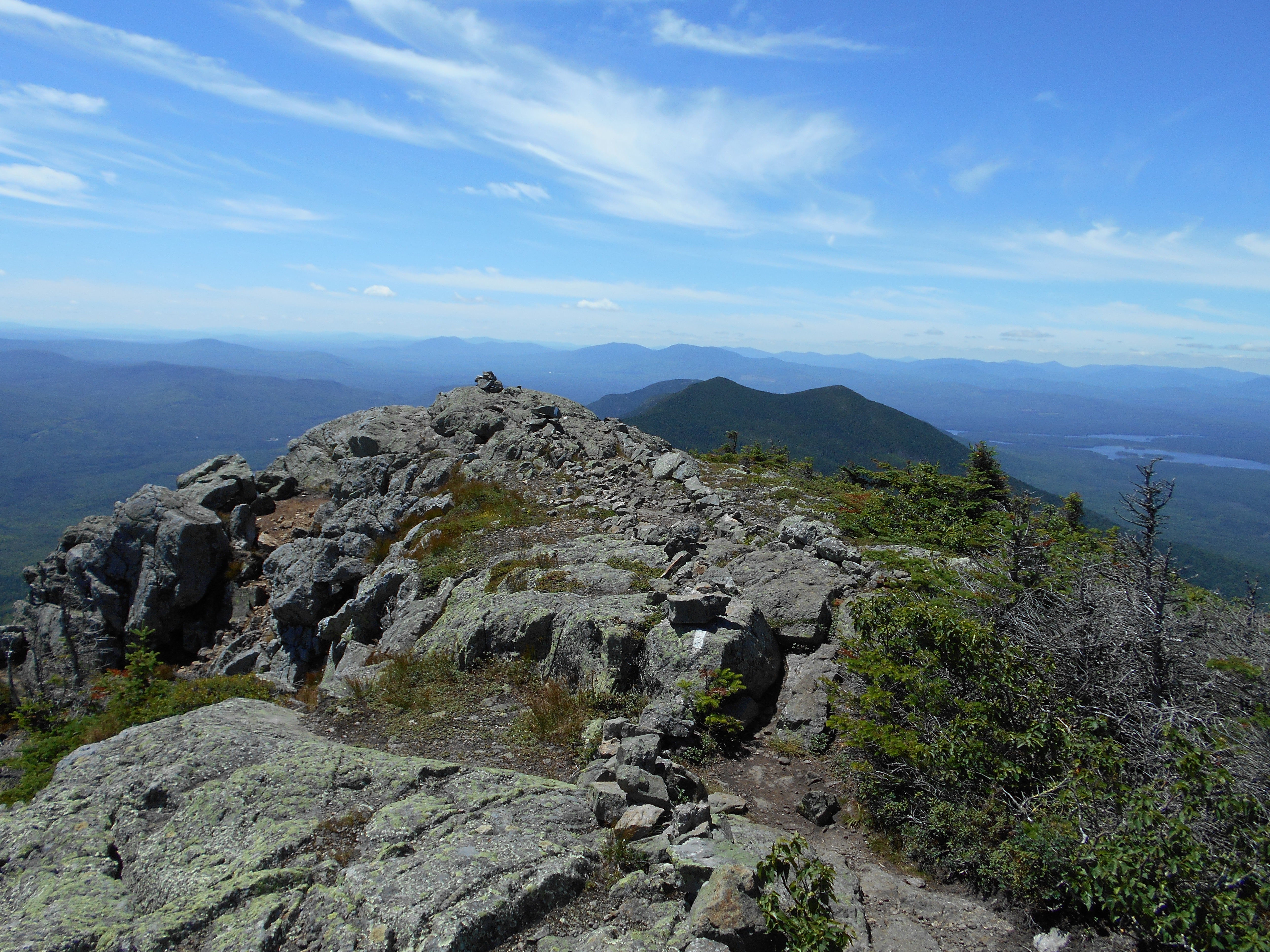
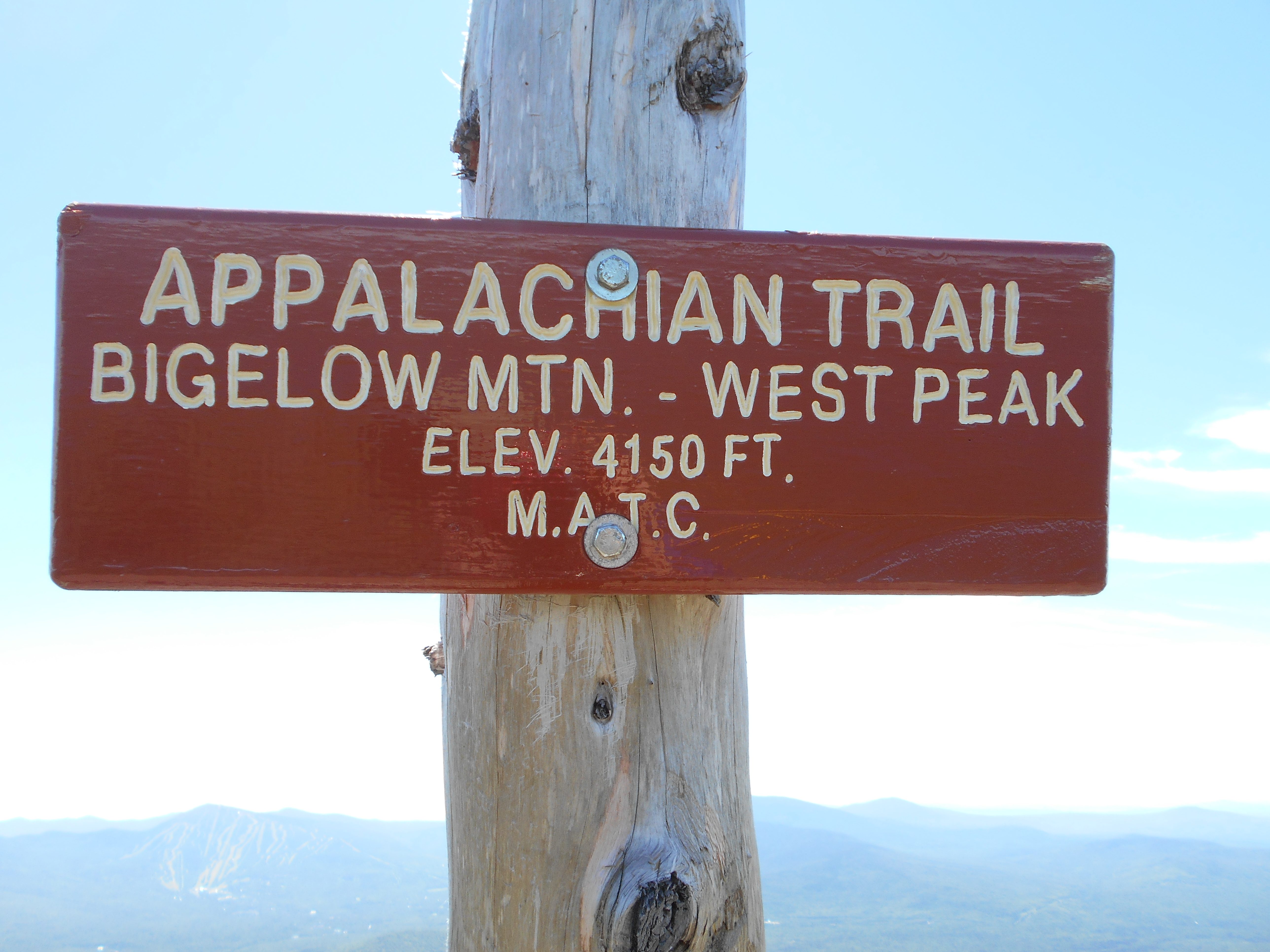
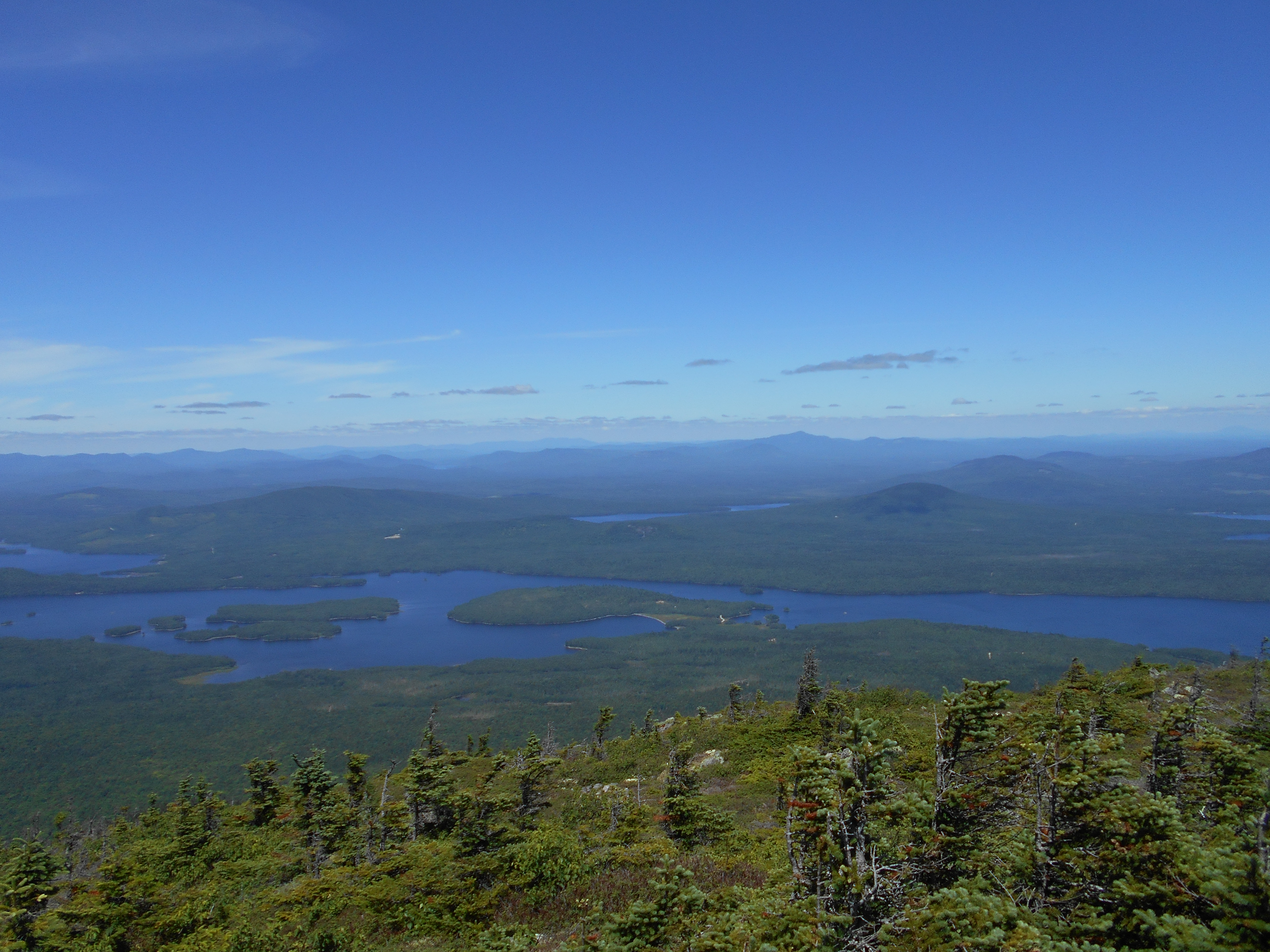
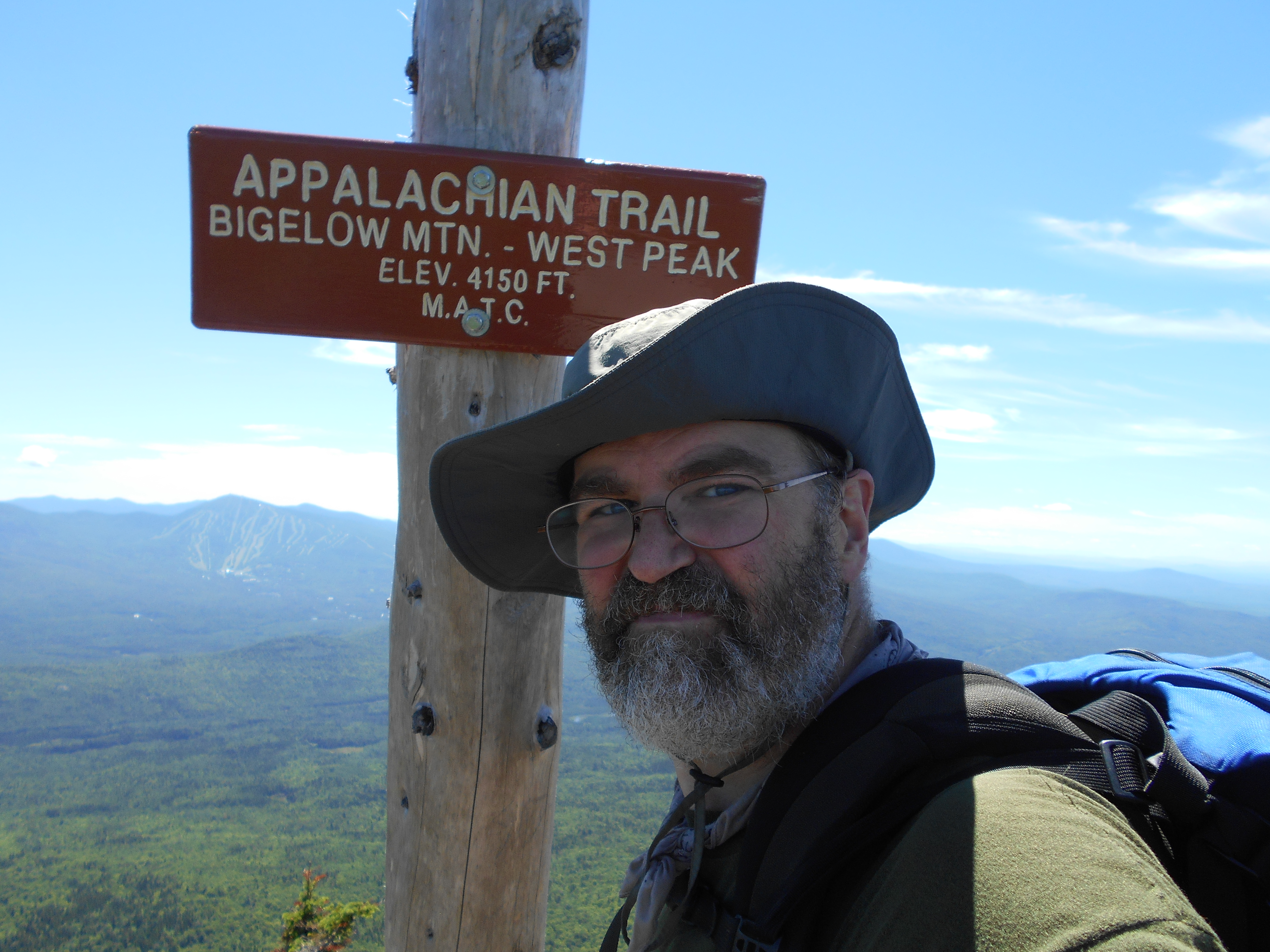
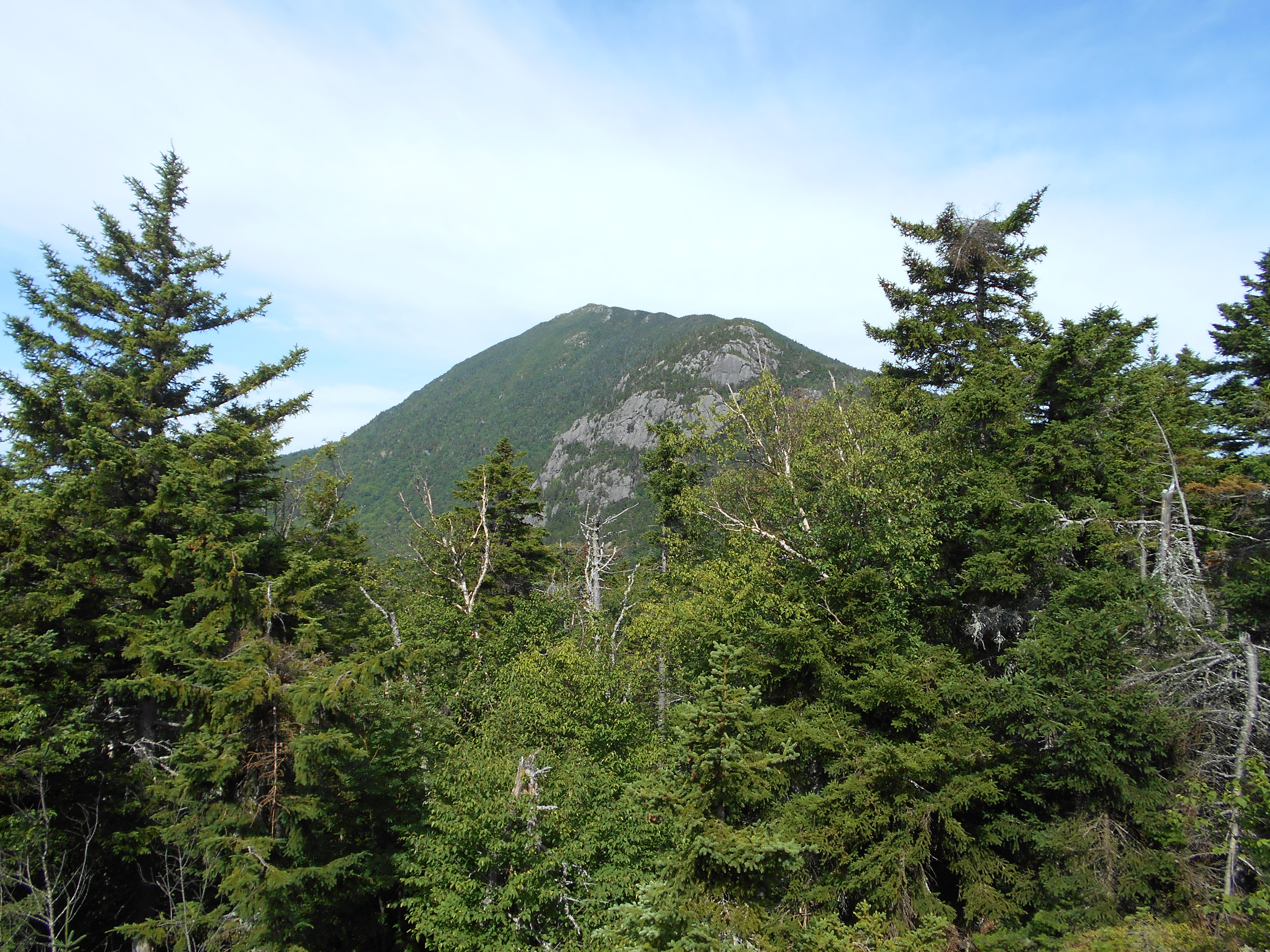
| 2008.6 | Bigelow Mountain (West Peak) (4,145') | 4145 |
| 2008.9 | Bigelow Col, Fire Warden's Trail, Avery Memorial Campsite (3,850') | 3850 |
| 2009.1 | Spring (3,900') | 3900 |
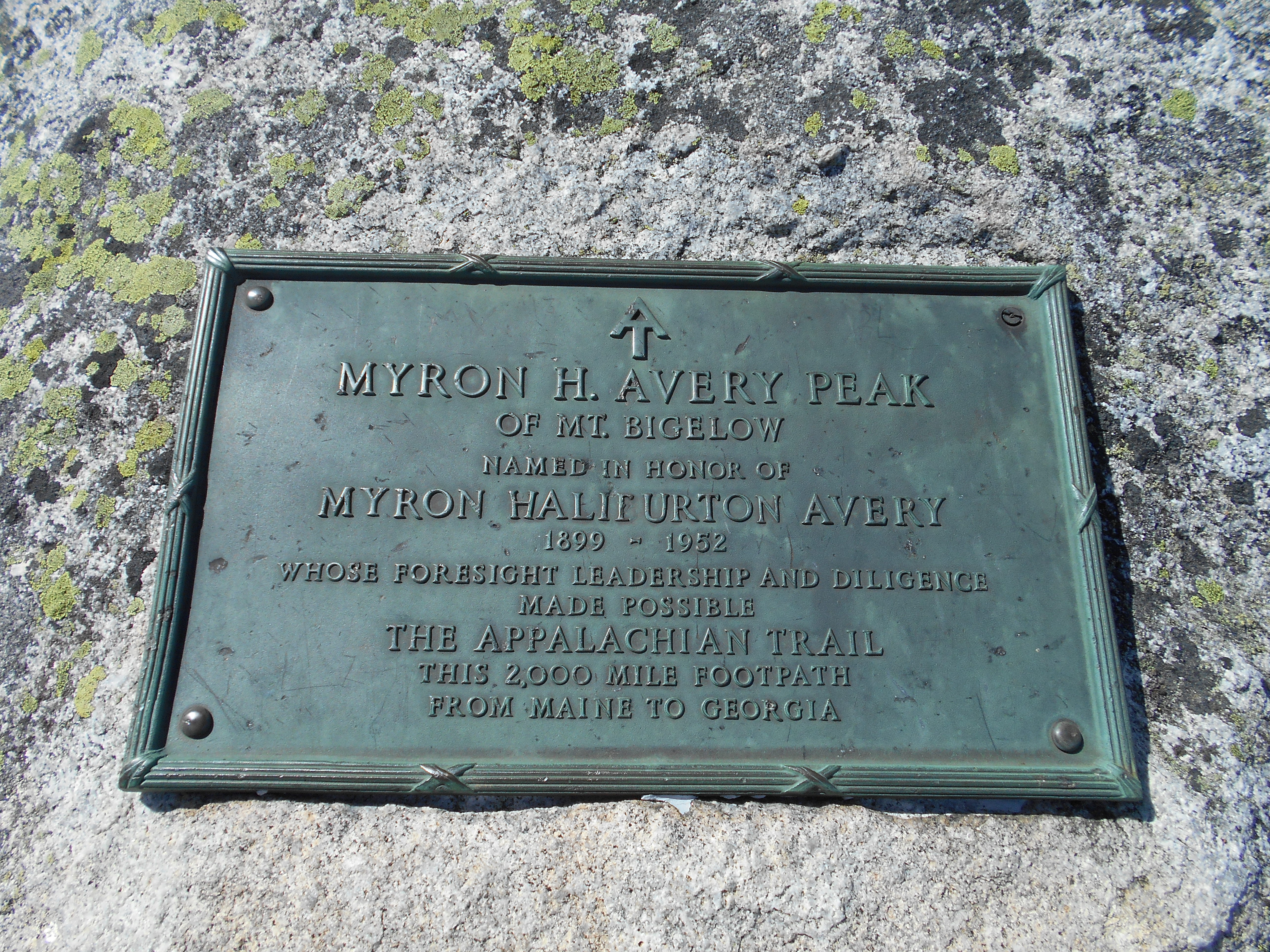
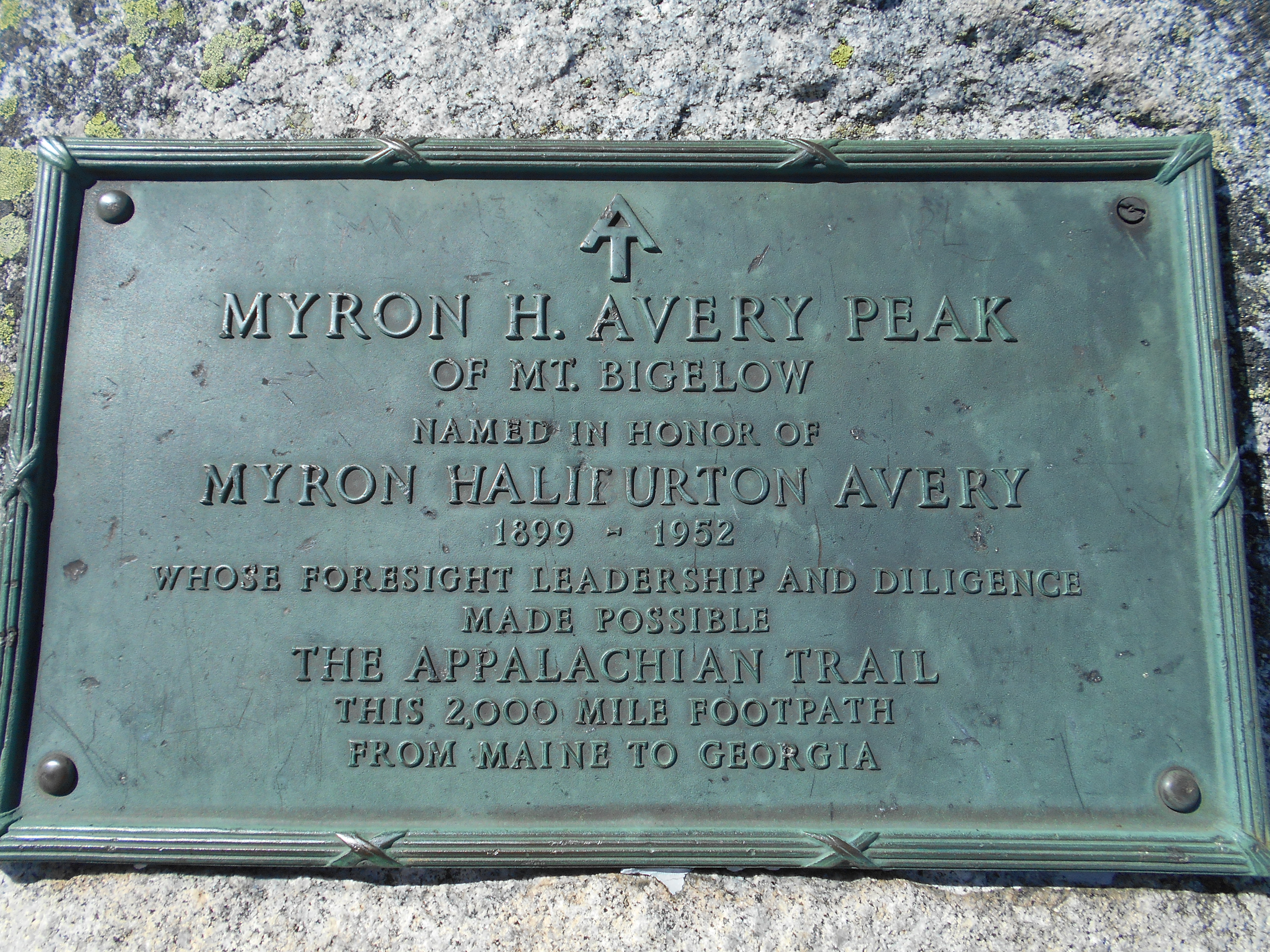
| 2009.3 | Bigelow Mountain; Avery Peak (4,090') | 4090 |
| 2011.2 | Safford Brook Trail (2,260') | 2260 |
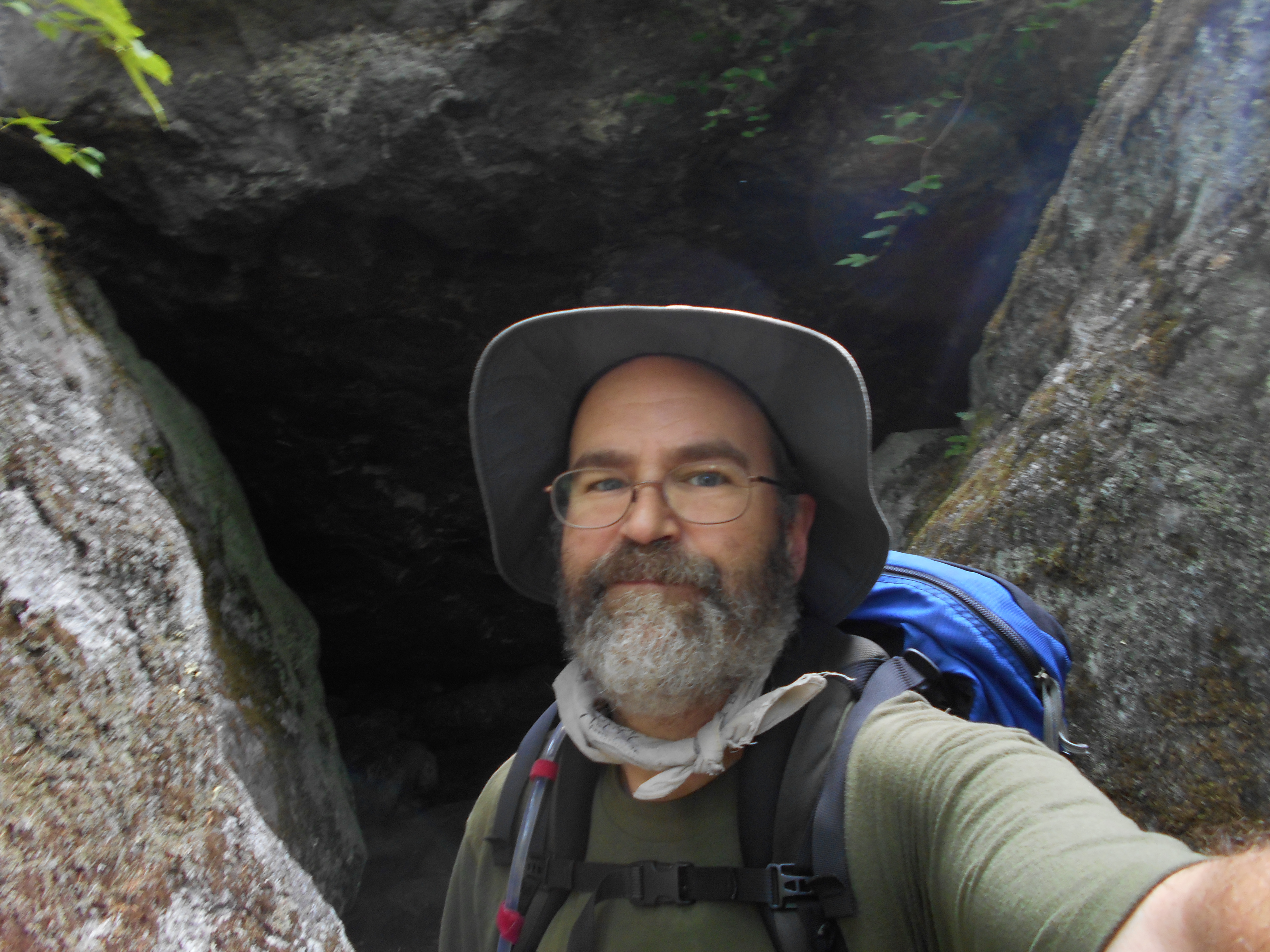
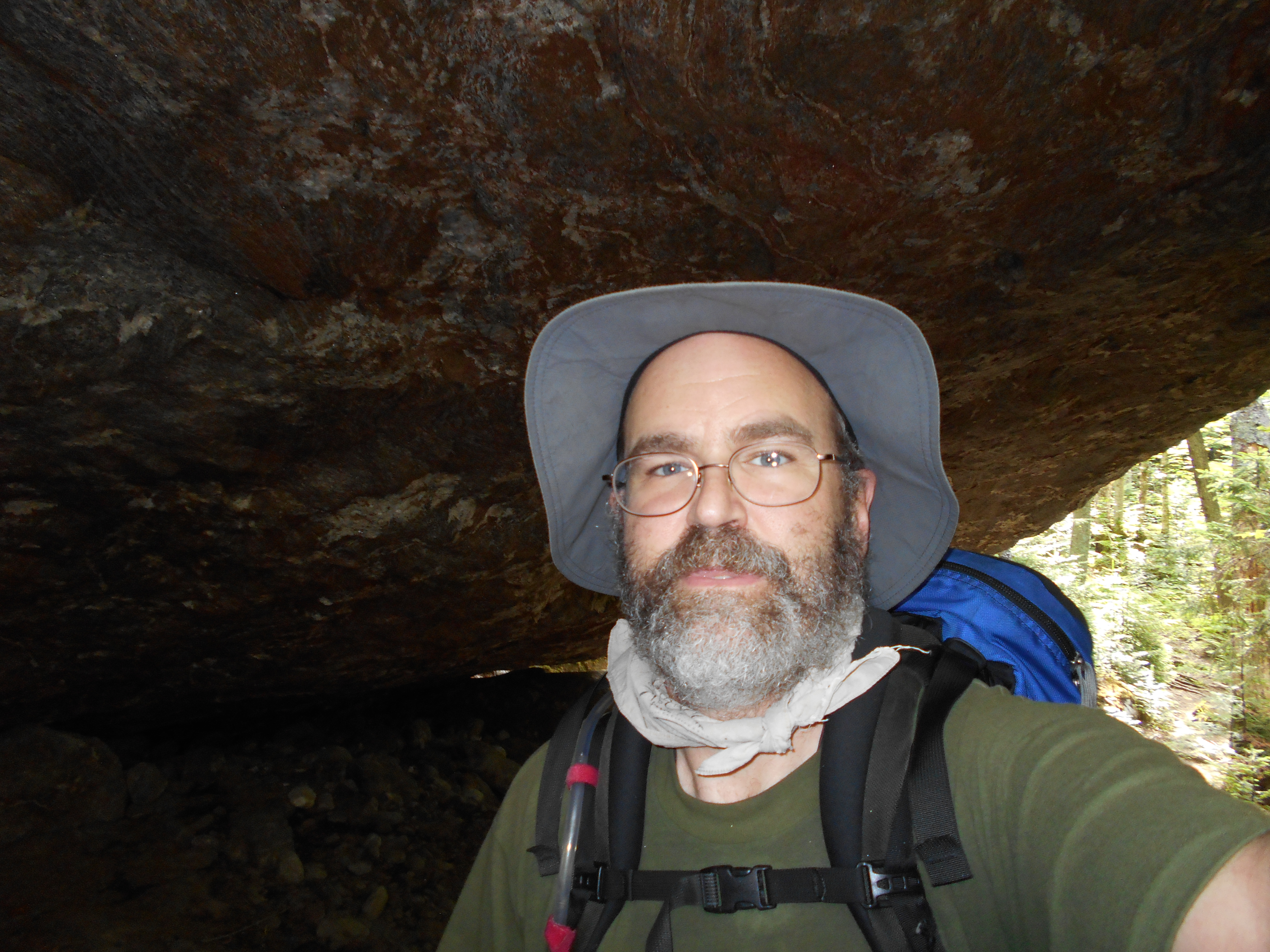
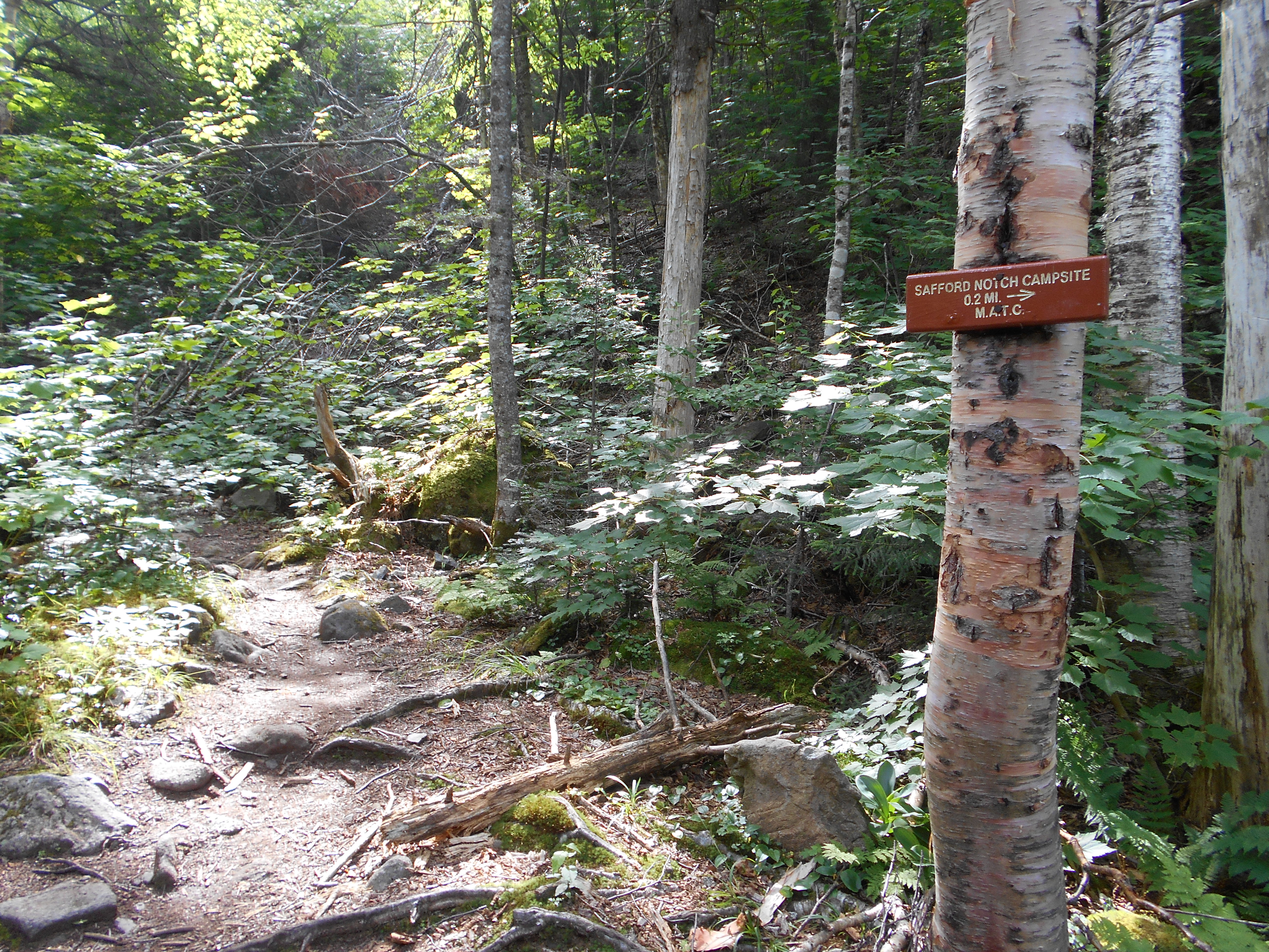
| 2011.3 | Safford Notch and Campsite (2,230') | 2230 |


| Miles from Springer | Features | Elevation |
|---|---|---|
| 2011.3 | Safford Notch and Campsite (2,230') | 2230 |
| 2013.1 | Little Bigelow Mountain (west end) (3,035') | 3035 |
| 2014.5 | Little Bigelow Mountain (east end) (3,040') | 3040 |
| 2016.2 | Little Bigelow Lean-to (1,760')?10.2mS; 7.7mN | 1760 |
| 2017.6 | East Flagstaff Road (1,200') | 1200 |
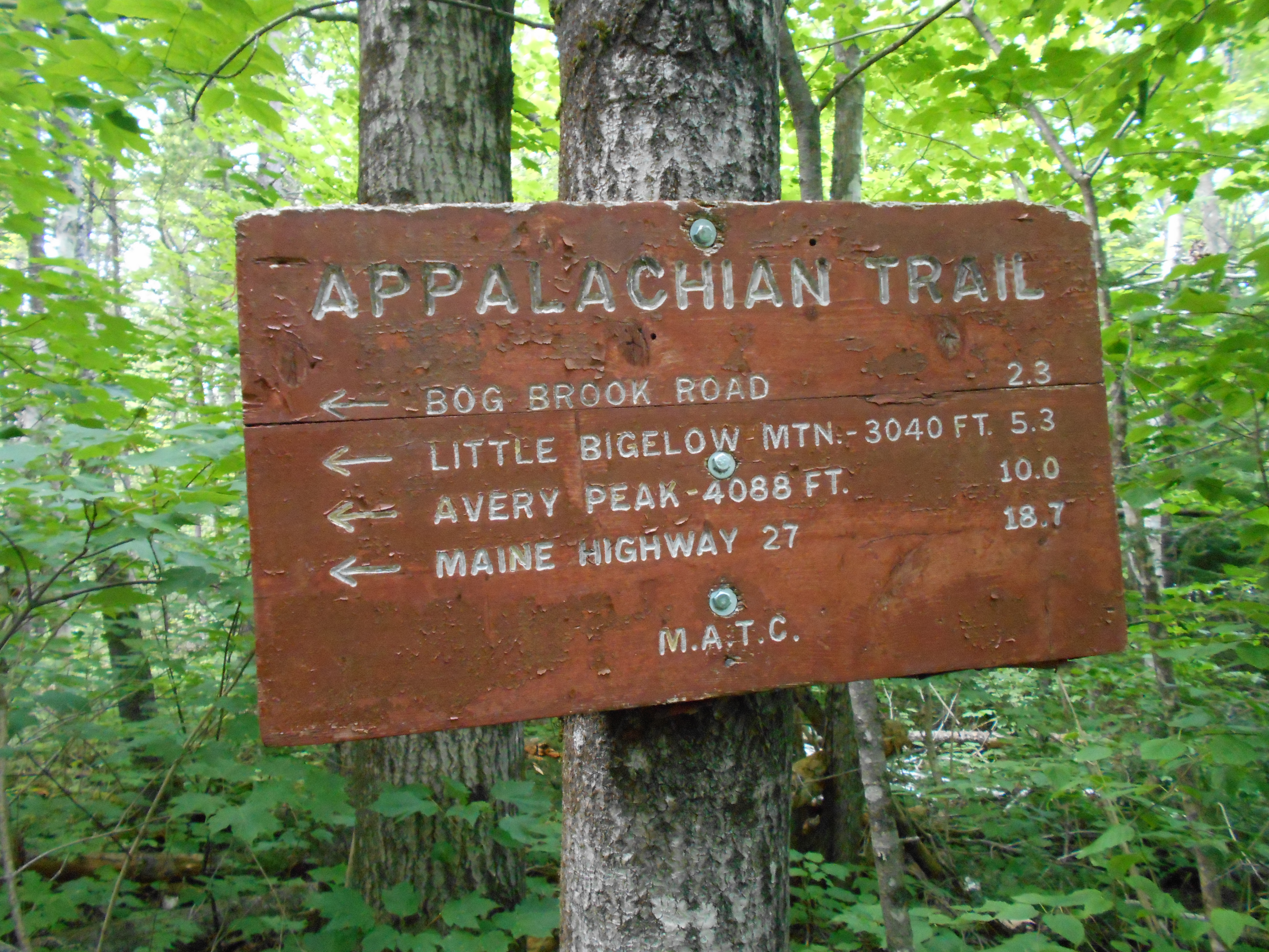
| 2017.7 | Bog Brook Road, Flagstaff Lake (1,150')?inlet | 1150 |
| 2018.7 | Campsite (1,210') | 1210 |
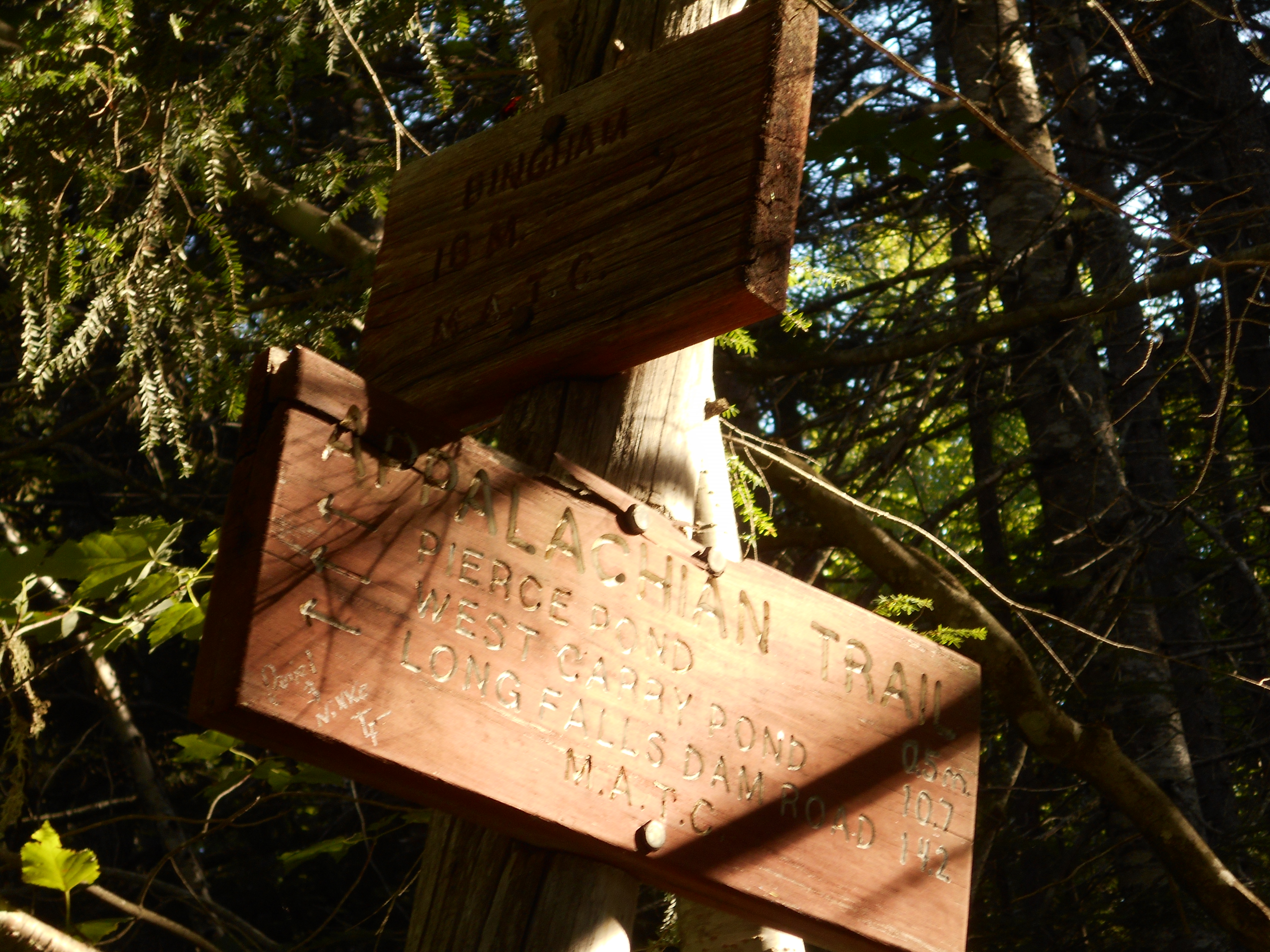
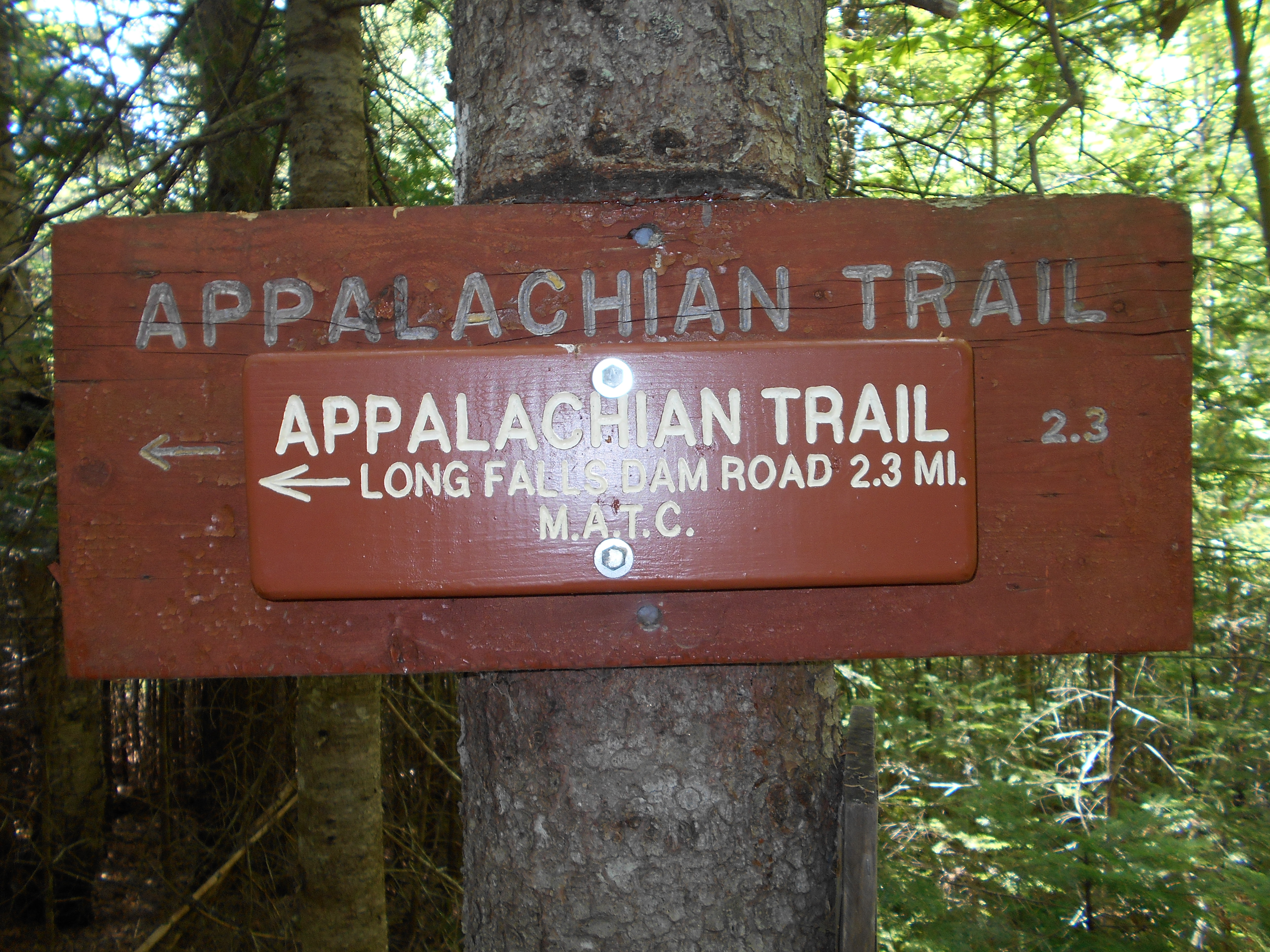
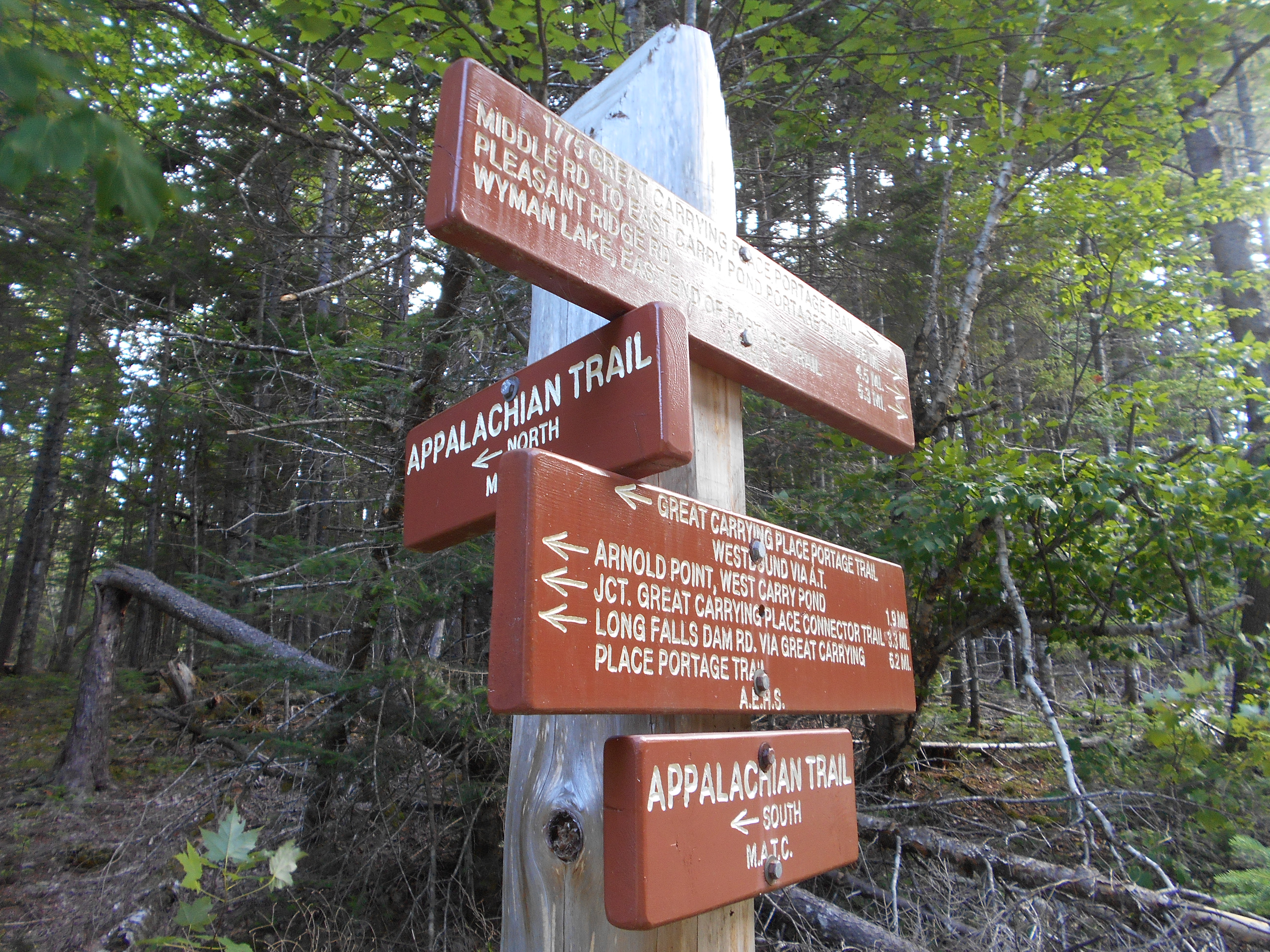
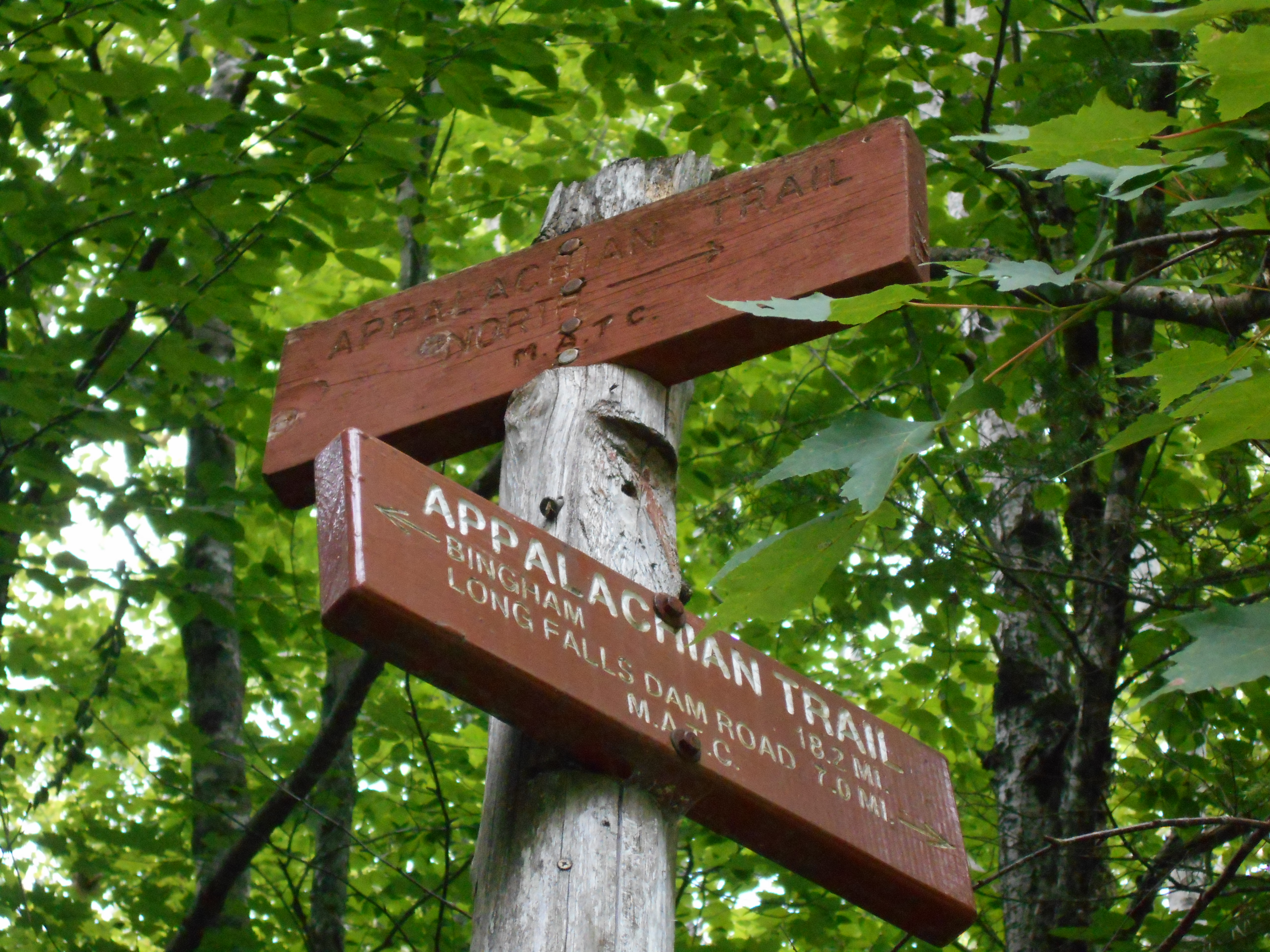
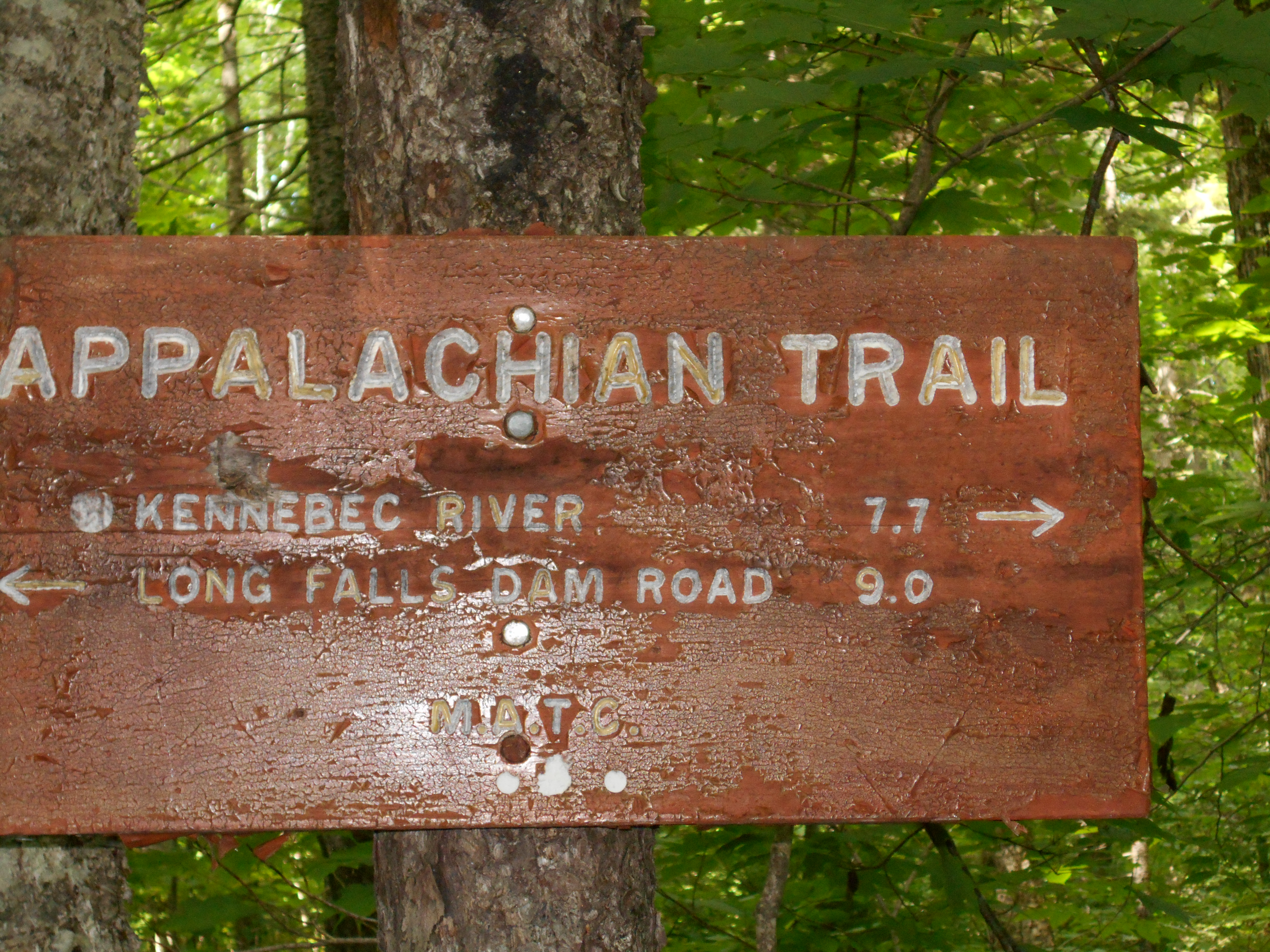
| 2020.4 | Long Falls Dam Road (1,225') | 1225 |
| 2020.5 | Jerome Brook (1,300') | 1300 |
| 2020.8 | Logging Road (1,400')?gravel | 1400 |
| 2022.1 | Roundtop Mountain (1,760') | 1760 |
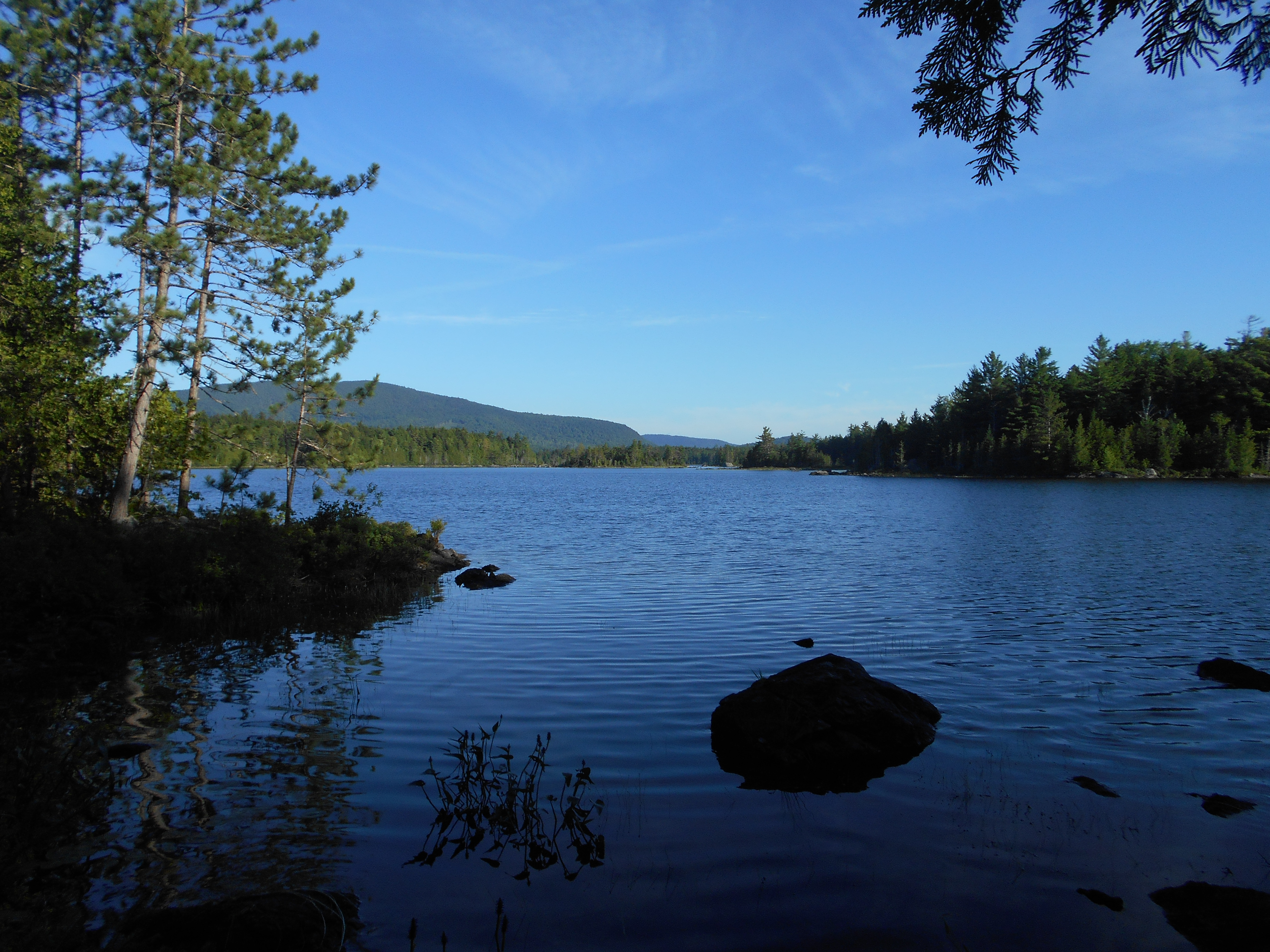
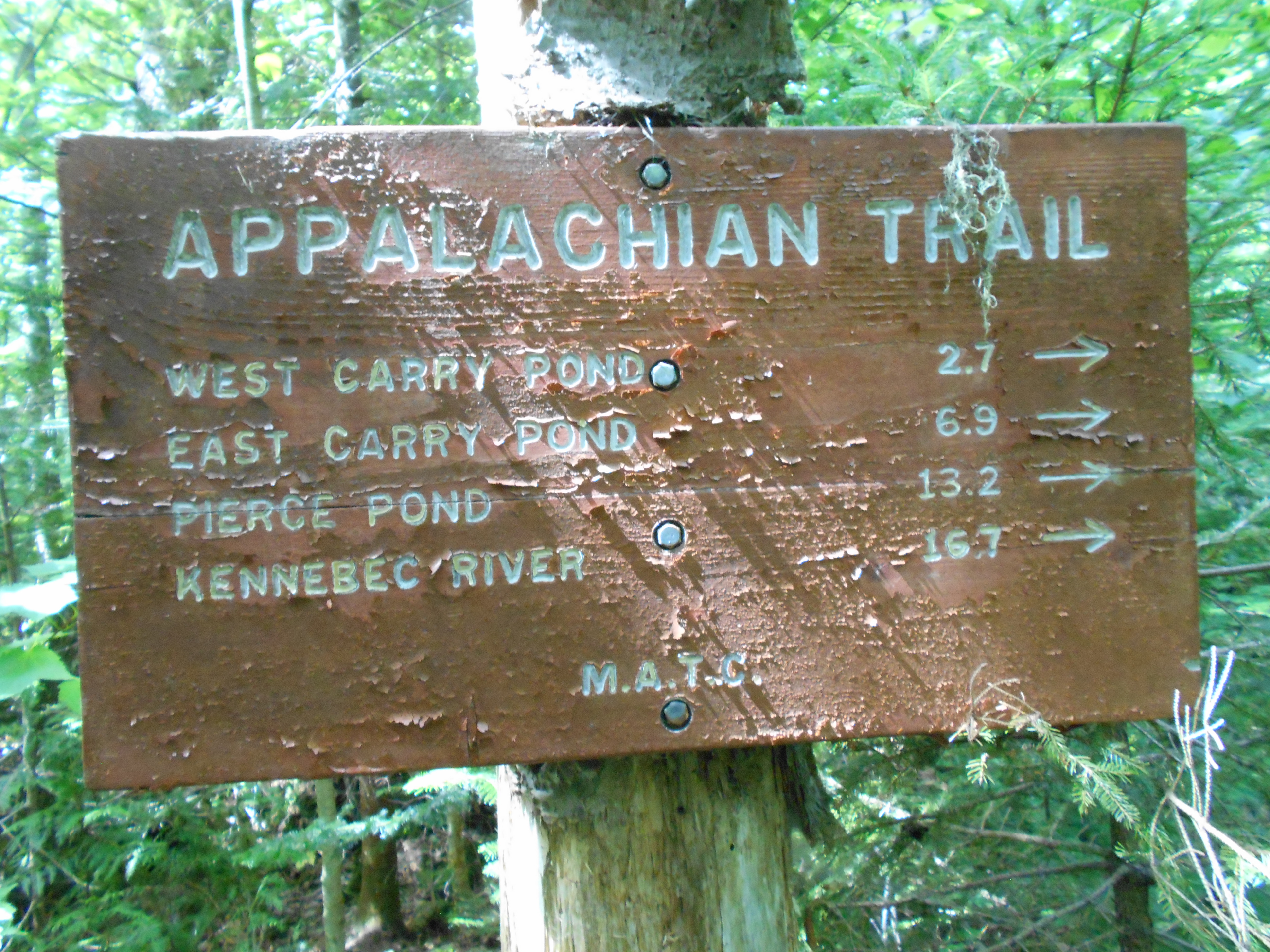
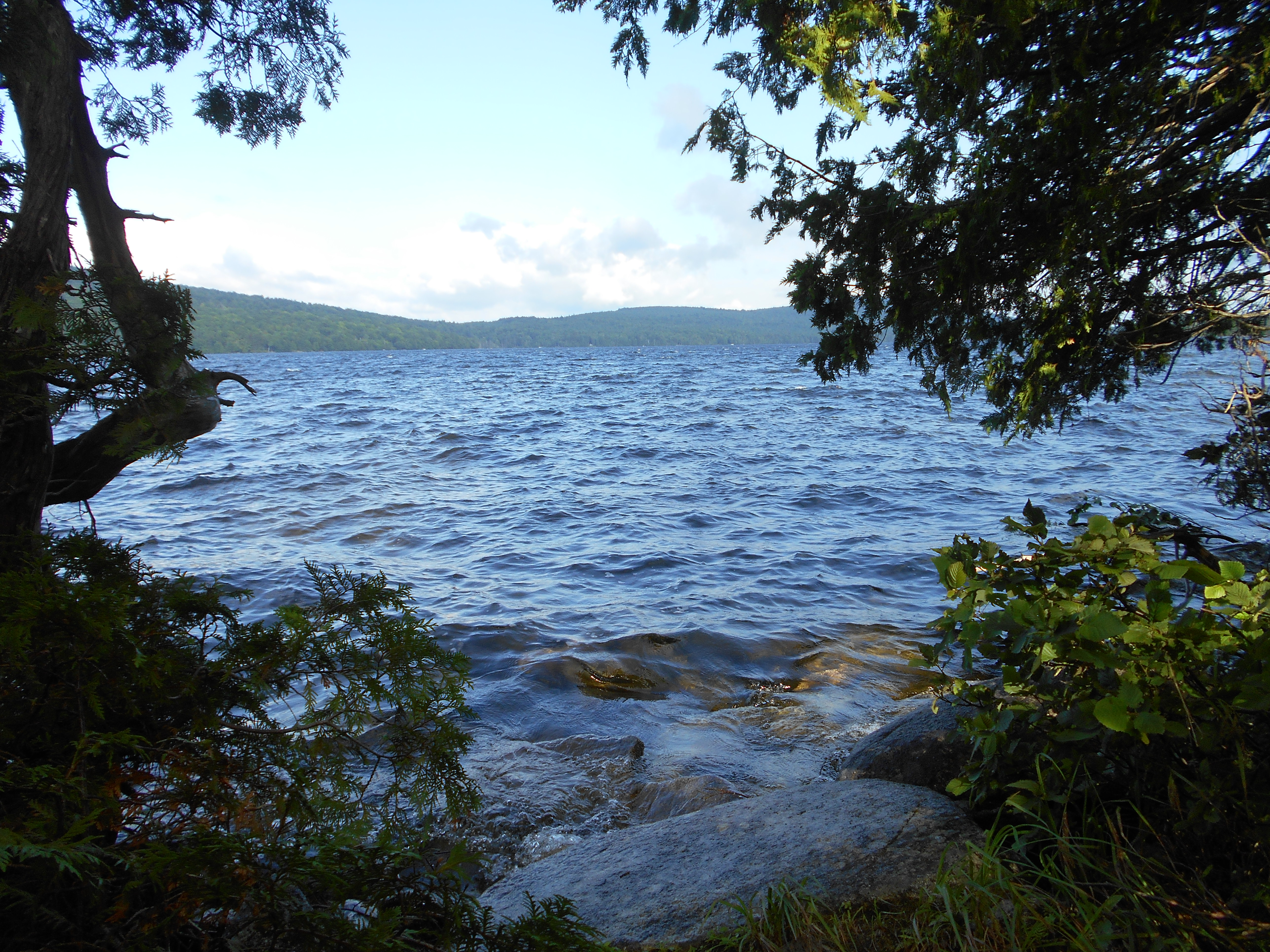
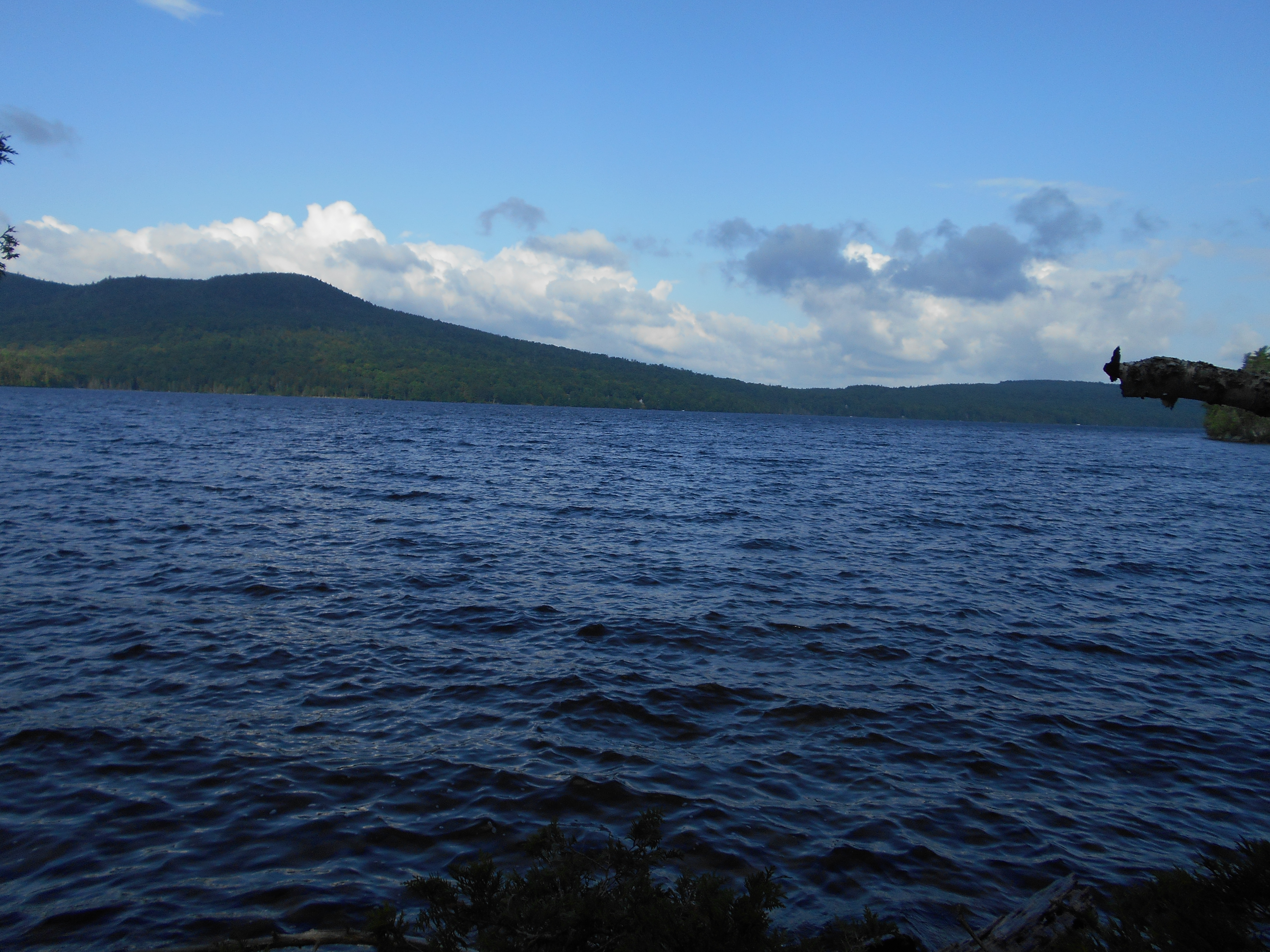
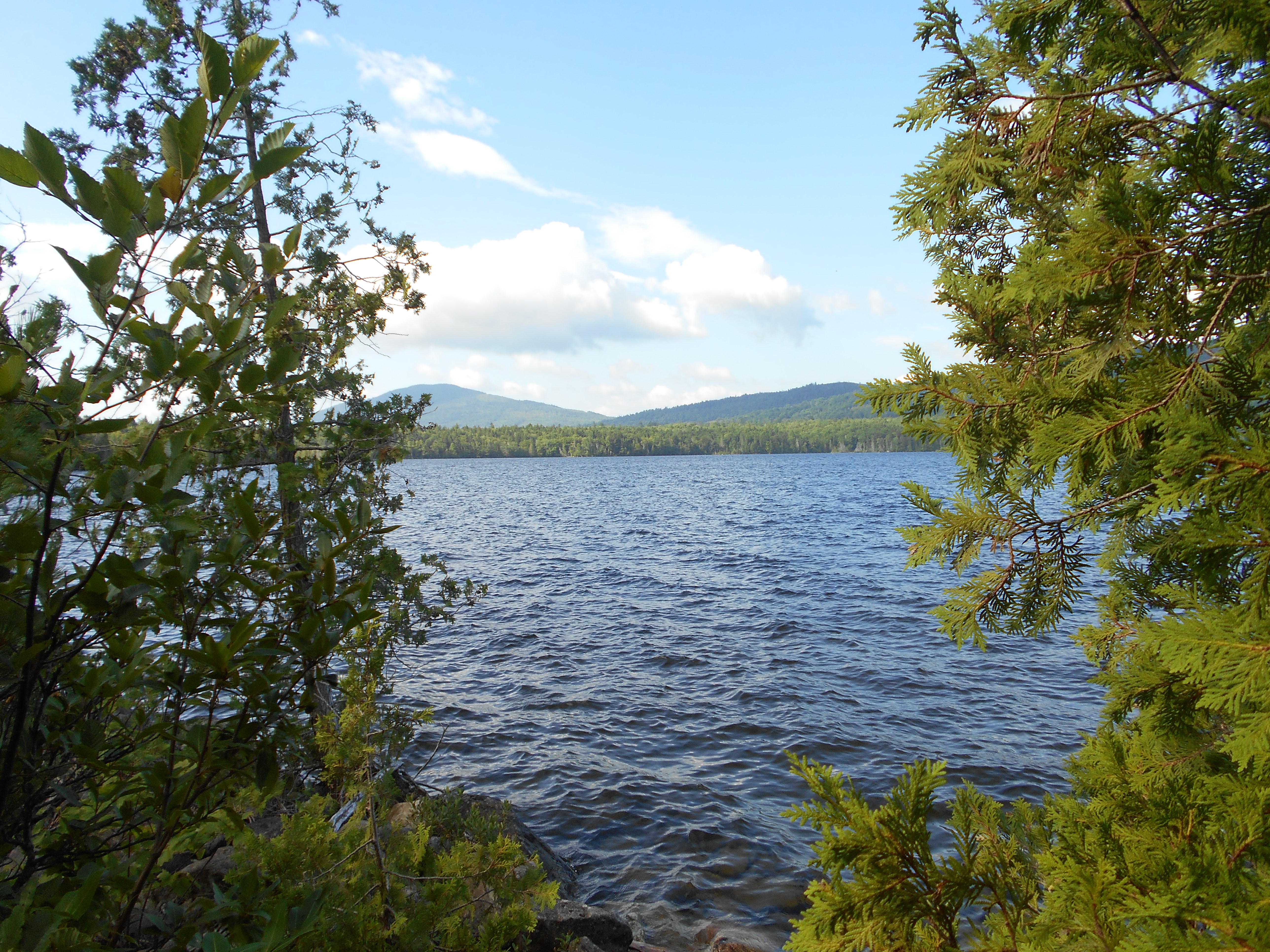
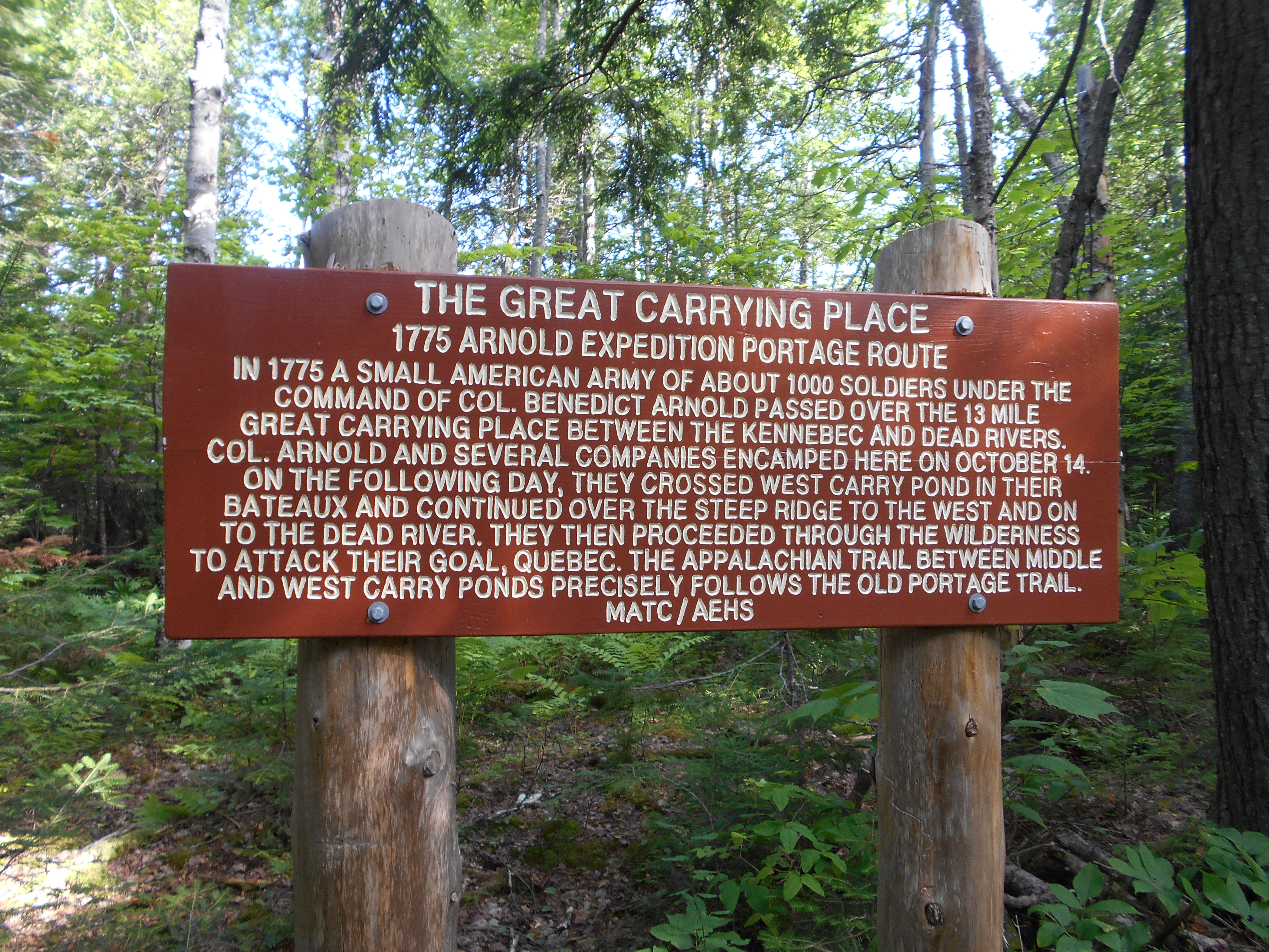
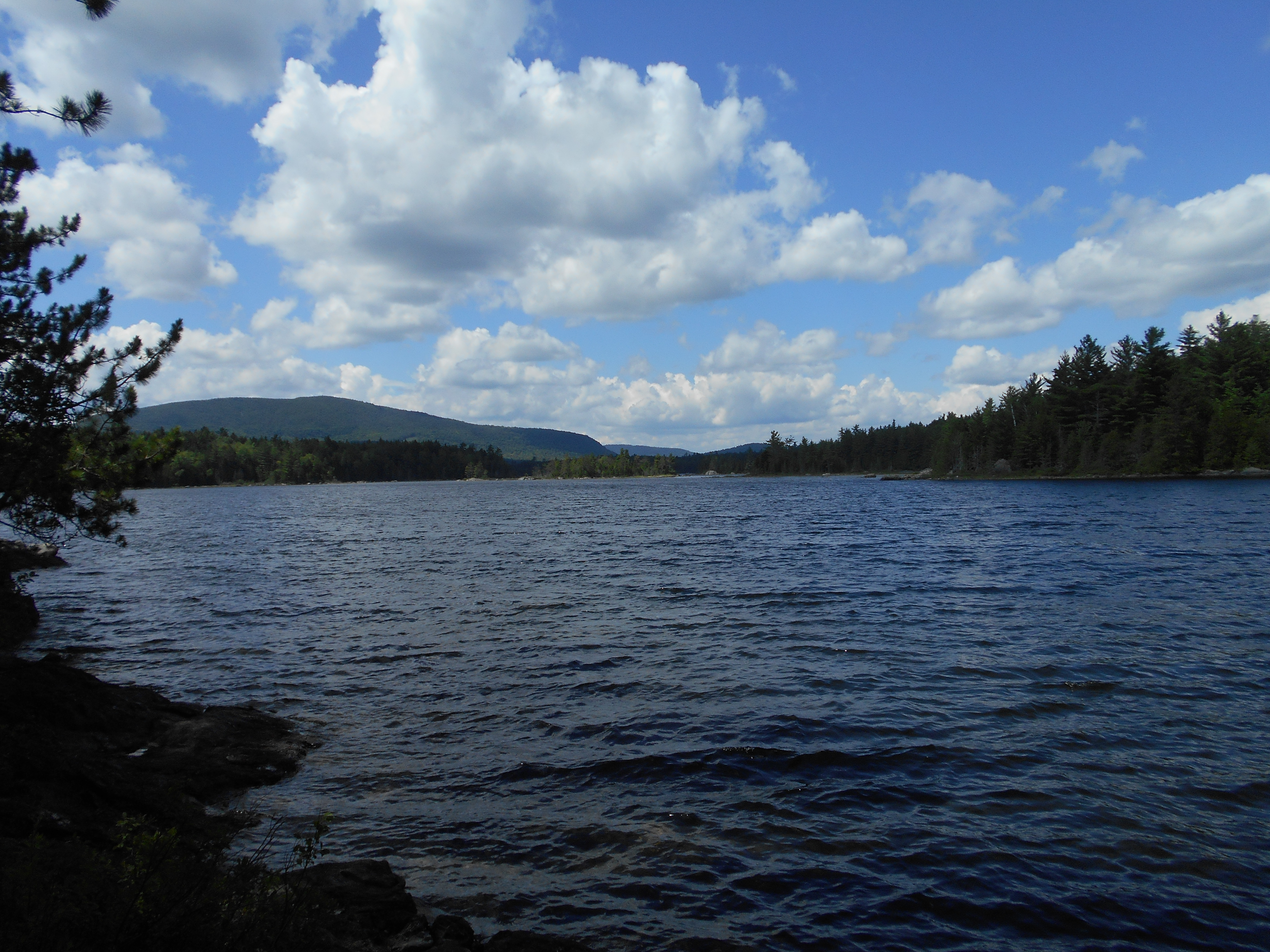
| 2023.2 | West Carry Pond (west side) (1,320') | 1320 |
| 2023.9 | West Carry Pond Lean-to (1,340') ?7.7mS; 10mN | 1340 |


| Miles from Springer | Features | Elevation |
|---|---|---|
| 2023.9 | West Carry Pond Lean-to (1,340') ?7.7mS; 10mN | 1340 |
| 2024.6 | West Carry Pond (east side) (1,320')?side trail west to Arnold Point Beach on Arnold Trail | 1320 |
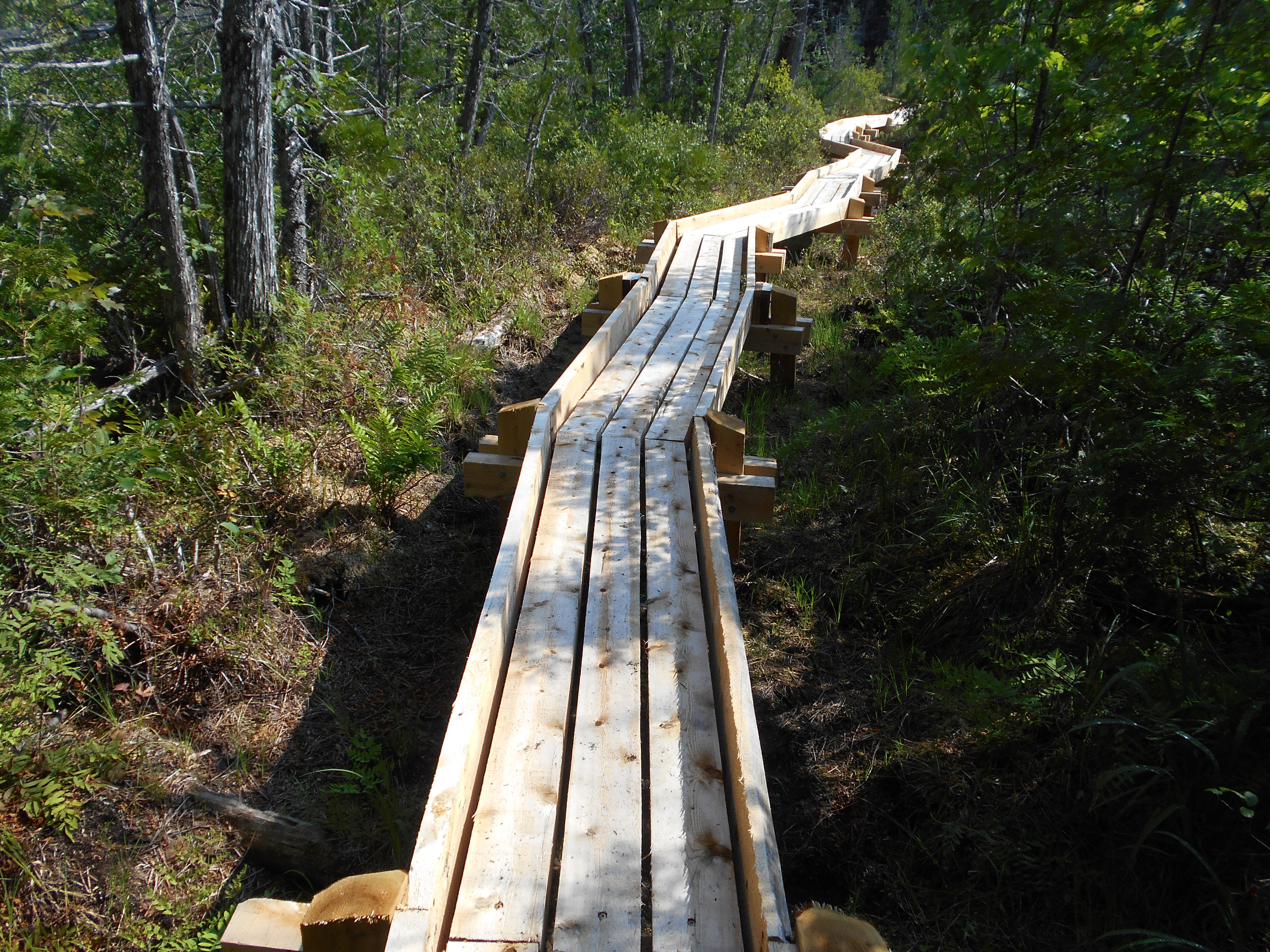
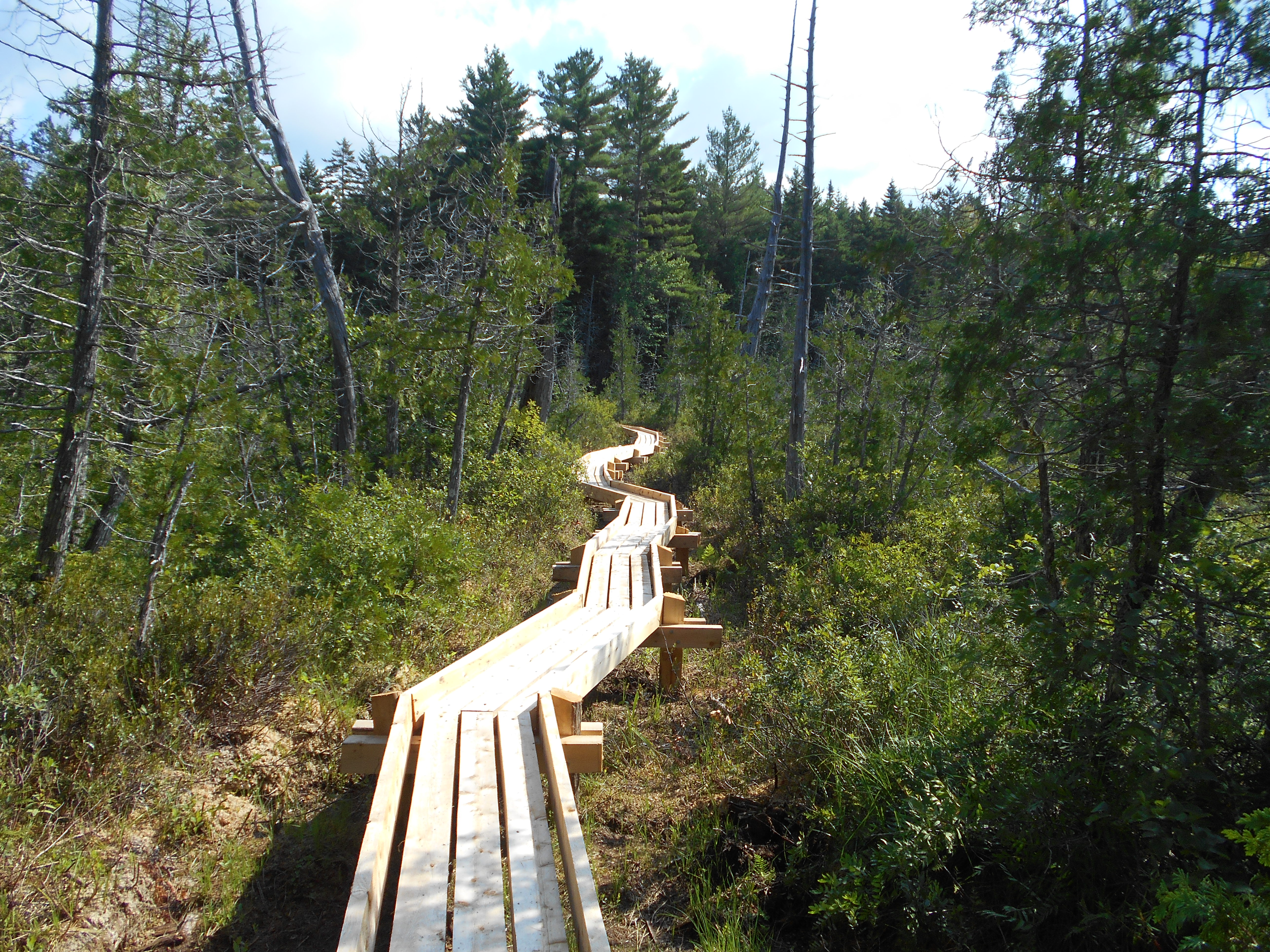
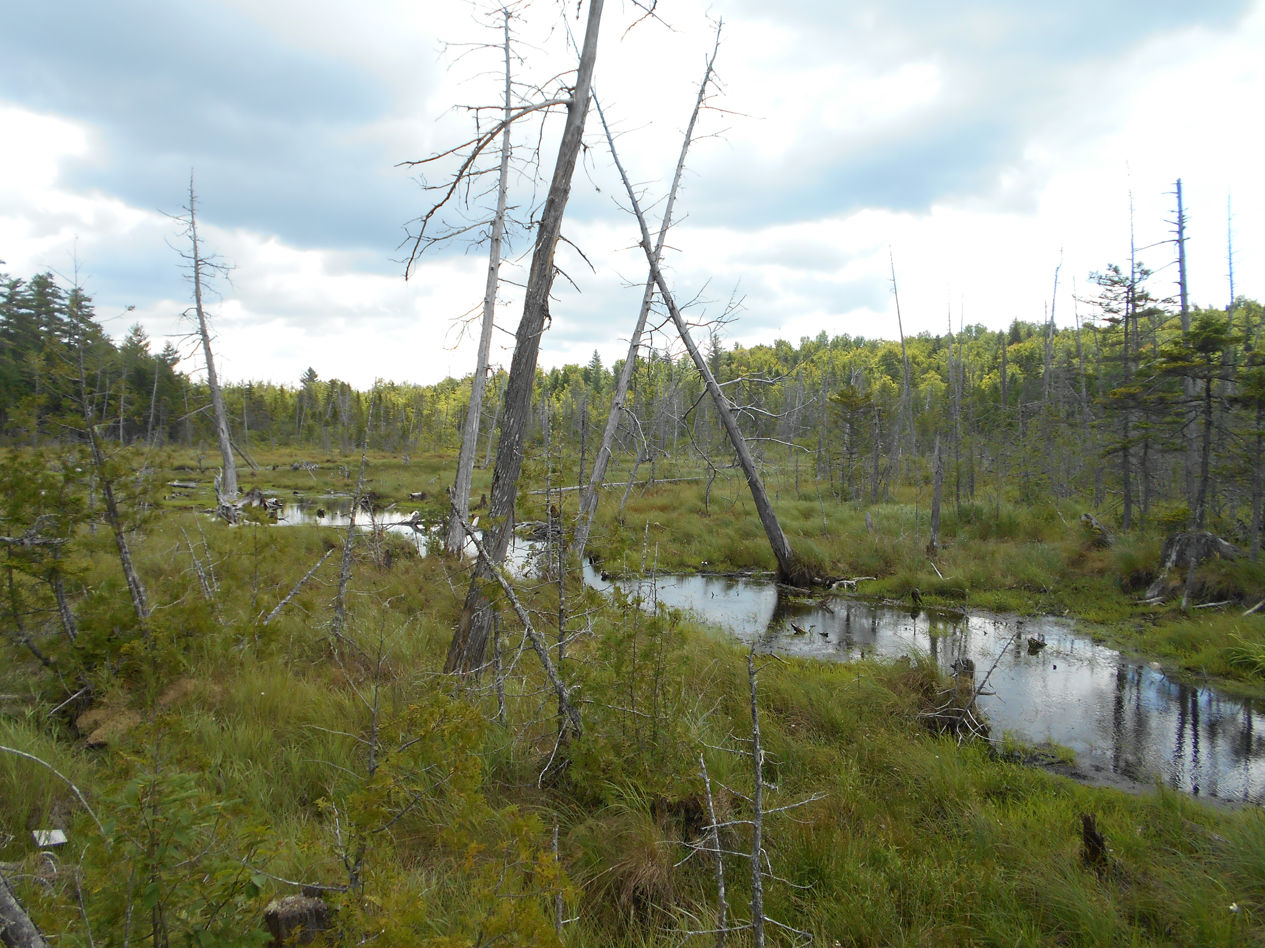
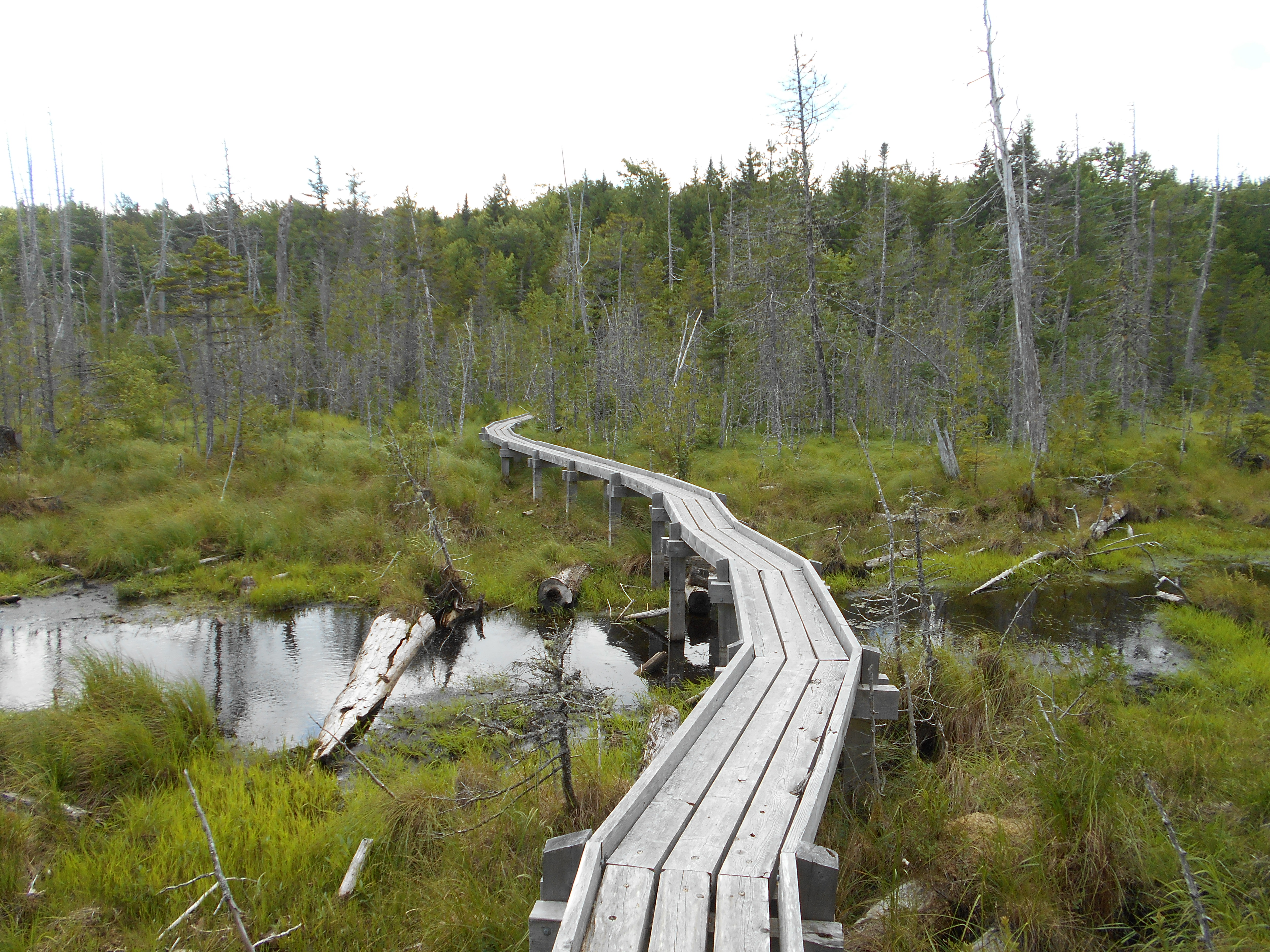
| 2026.1 | Arnold Swamp (1,255')?many bog bridges | 1255 |
| 2026.3 | Long Pond Road (1,250') | 1250 |
| 2026.5 | Sandy Stream, Middle Carry Pond Road (1,229')?bridge | 1229 |
| 2027.3 | East Carry Pond Logging Road (1,250')?gravel | 1250 |
| 2028 | East Carry Pond (north end) (1,237') | 1237 |
| 2029.7 | Scott Road (1,300')?main logging road | 1300 |
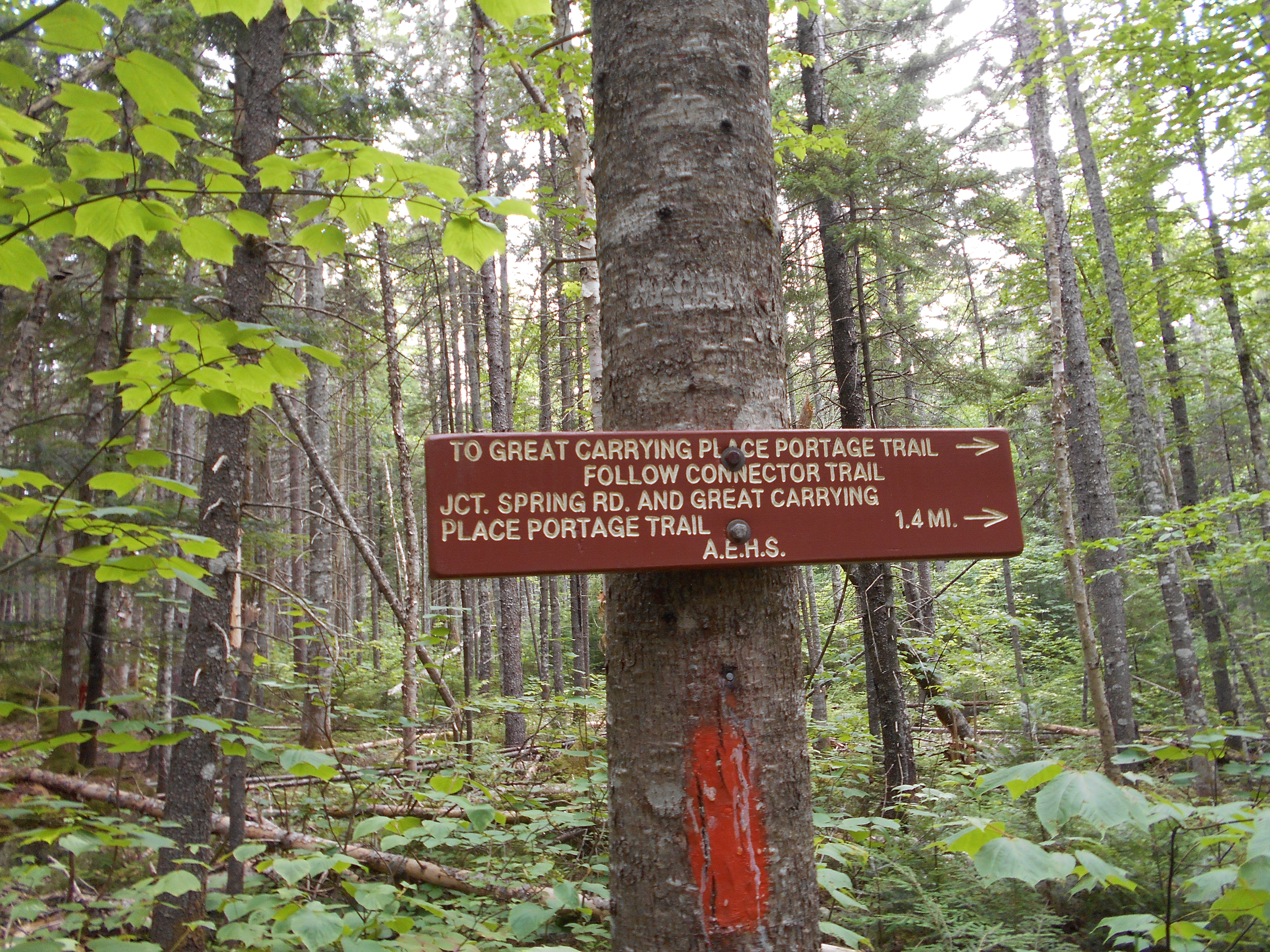
| 2030.4 | North Branch of Carrying Place Stream (1,200')?ford | 1200 |
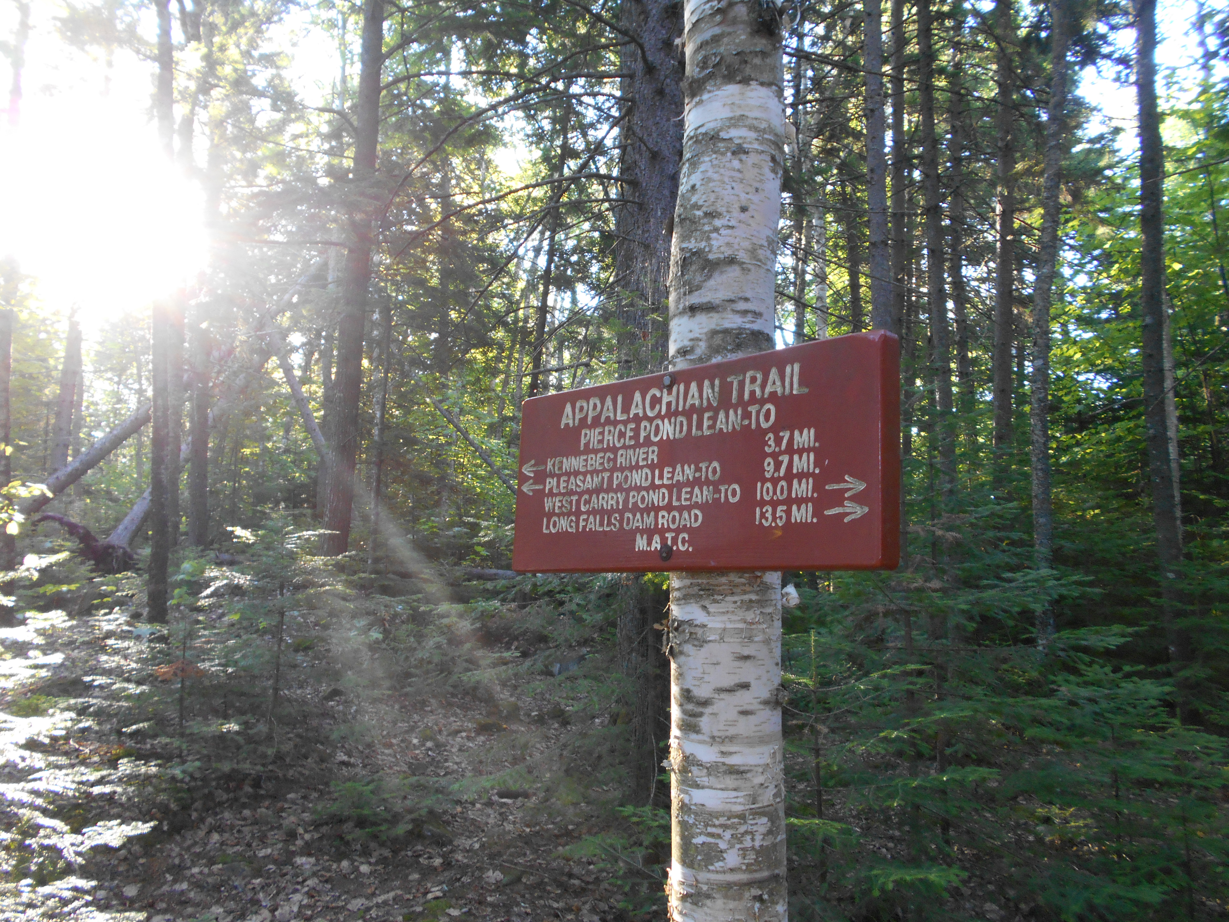
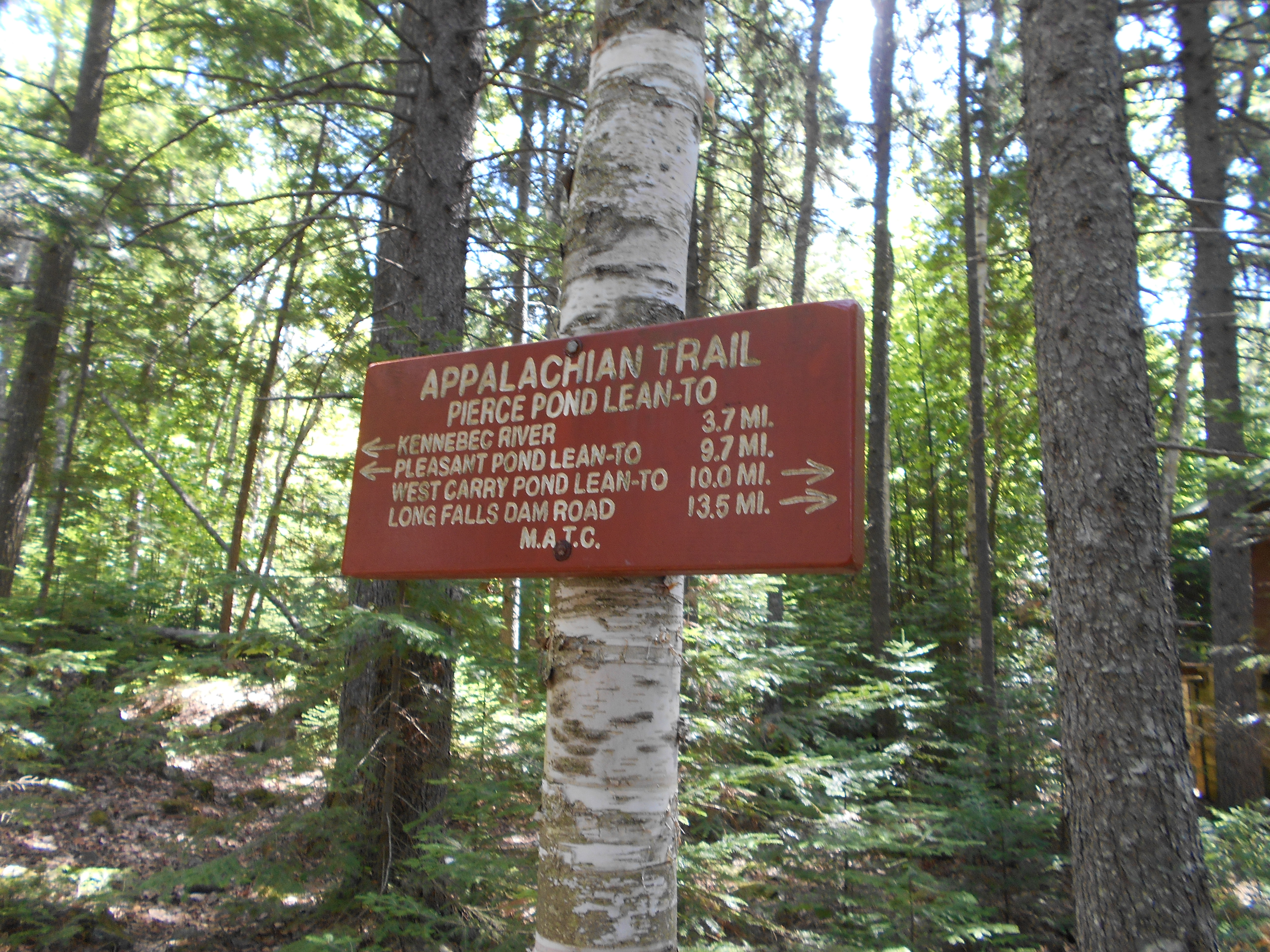
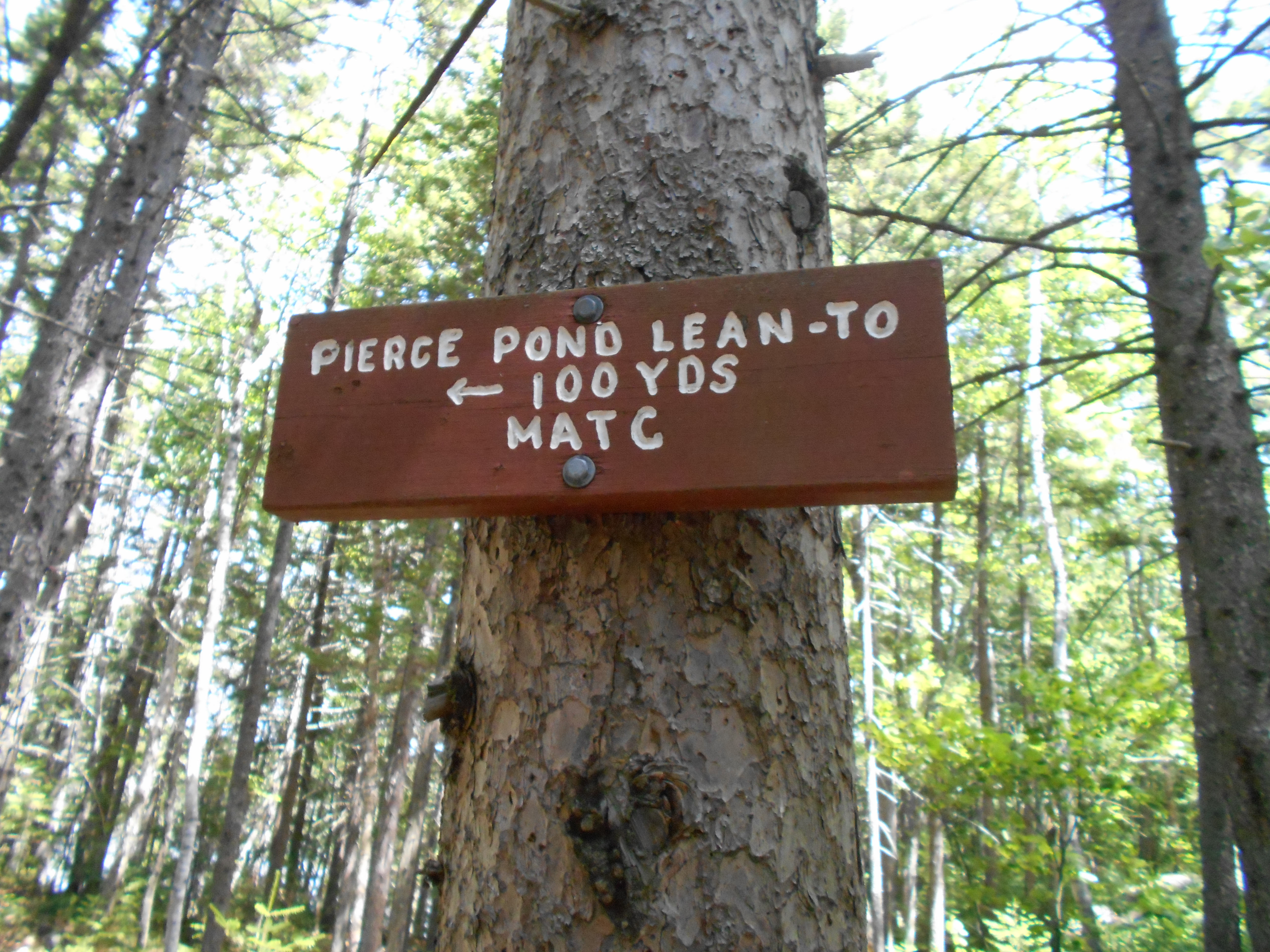
| 2033.9 | Pierce Pond Lean-to (1,150')?10mS: 9.7mN | 1150 |


| Miles from Springer | Features | Elevation |
|---|---|---|
| 2033.9 | Pierce Pond Lean-to (1,150')?10mS: 9.7mN | 1150 |
| 2034.1 | Wooden Dam (1,120')?outlet of Pierce Pond | 1120 |
| 2034.3 | Trail to Harrison's Pierce Pond Camps (1,100') | 1100 |
| 2034.6 | Otter Pond Road (1,080')?gravel | 1080 |
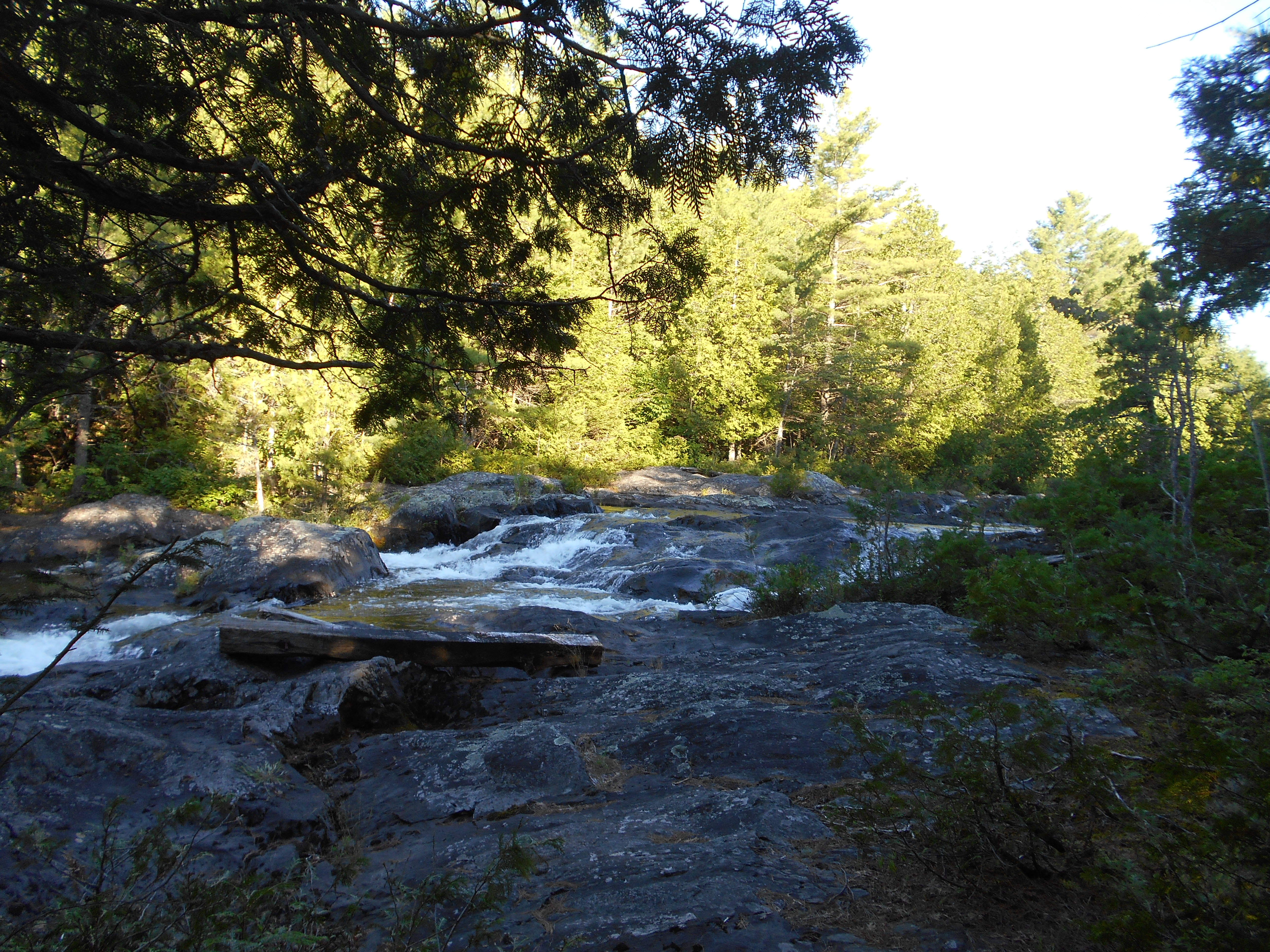
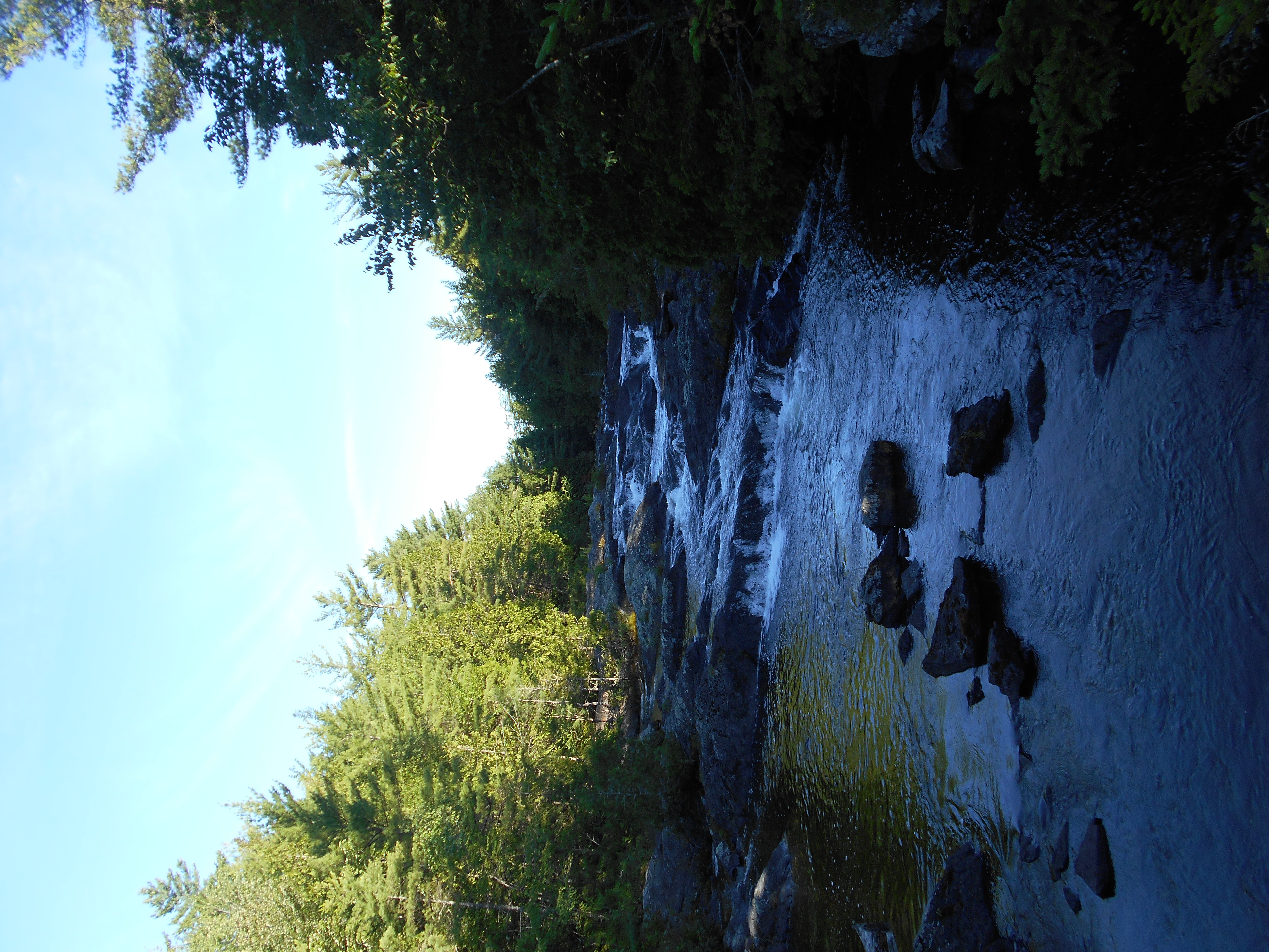
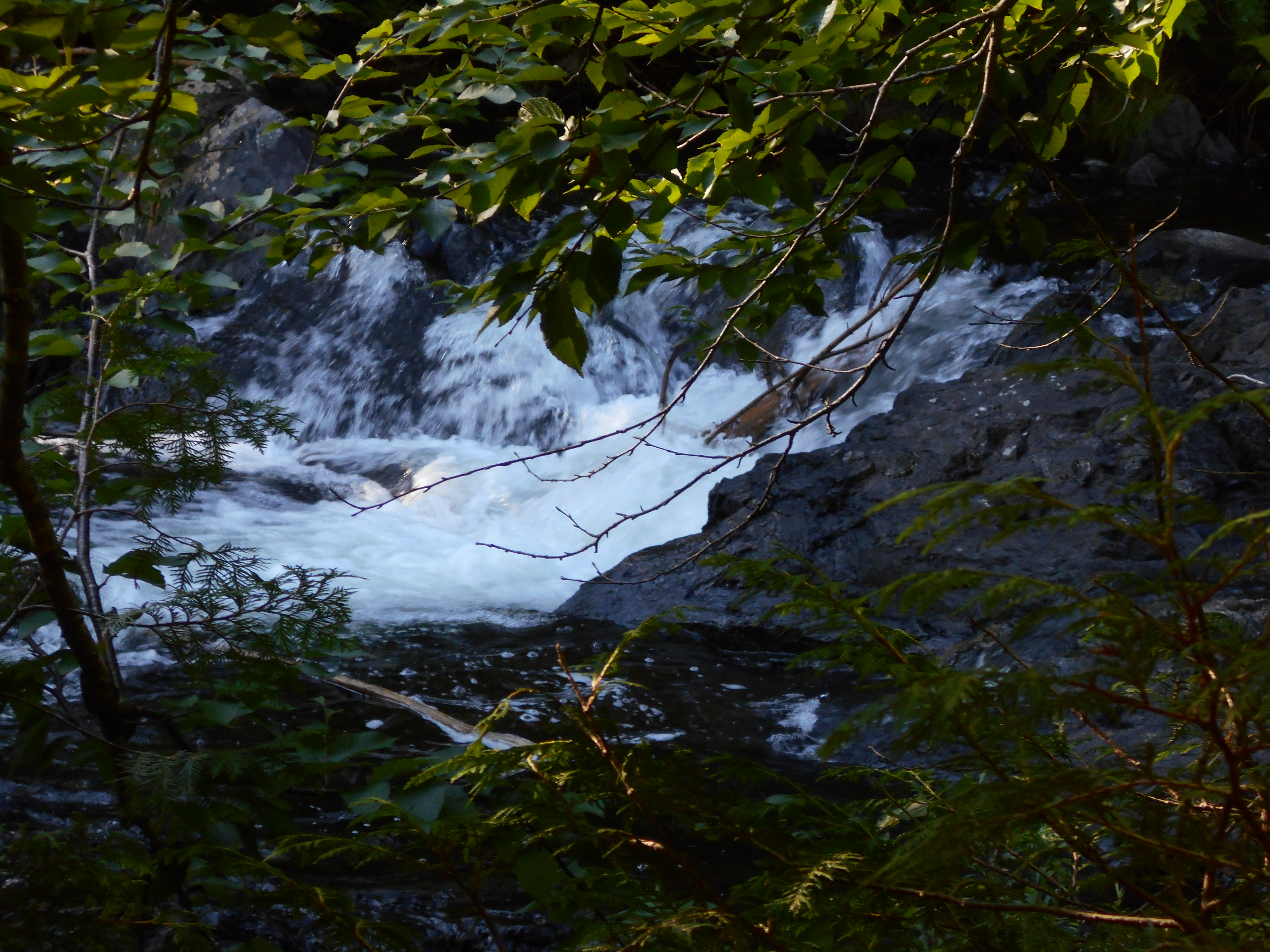
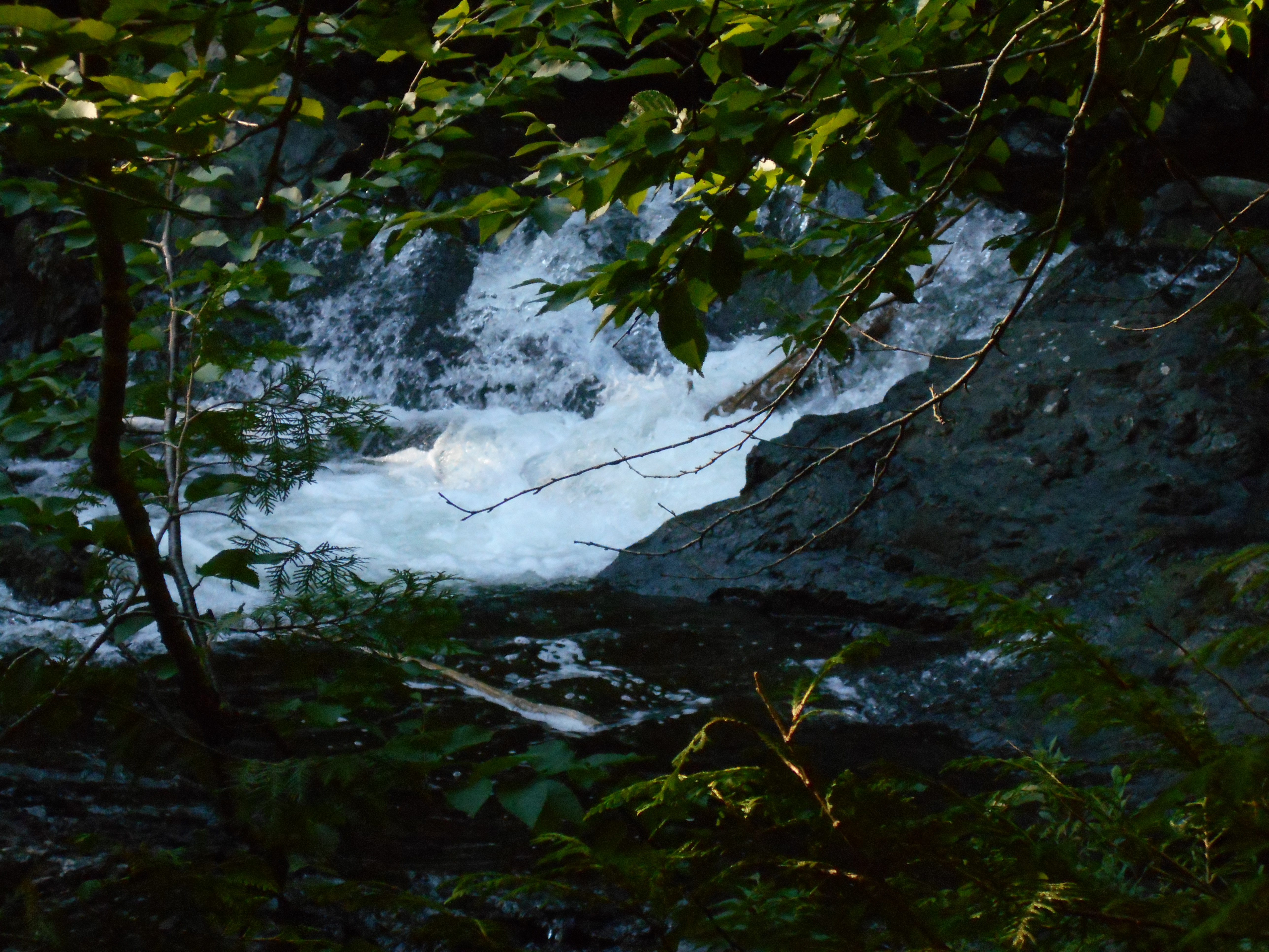
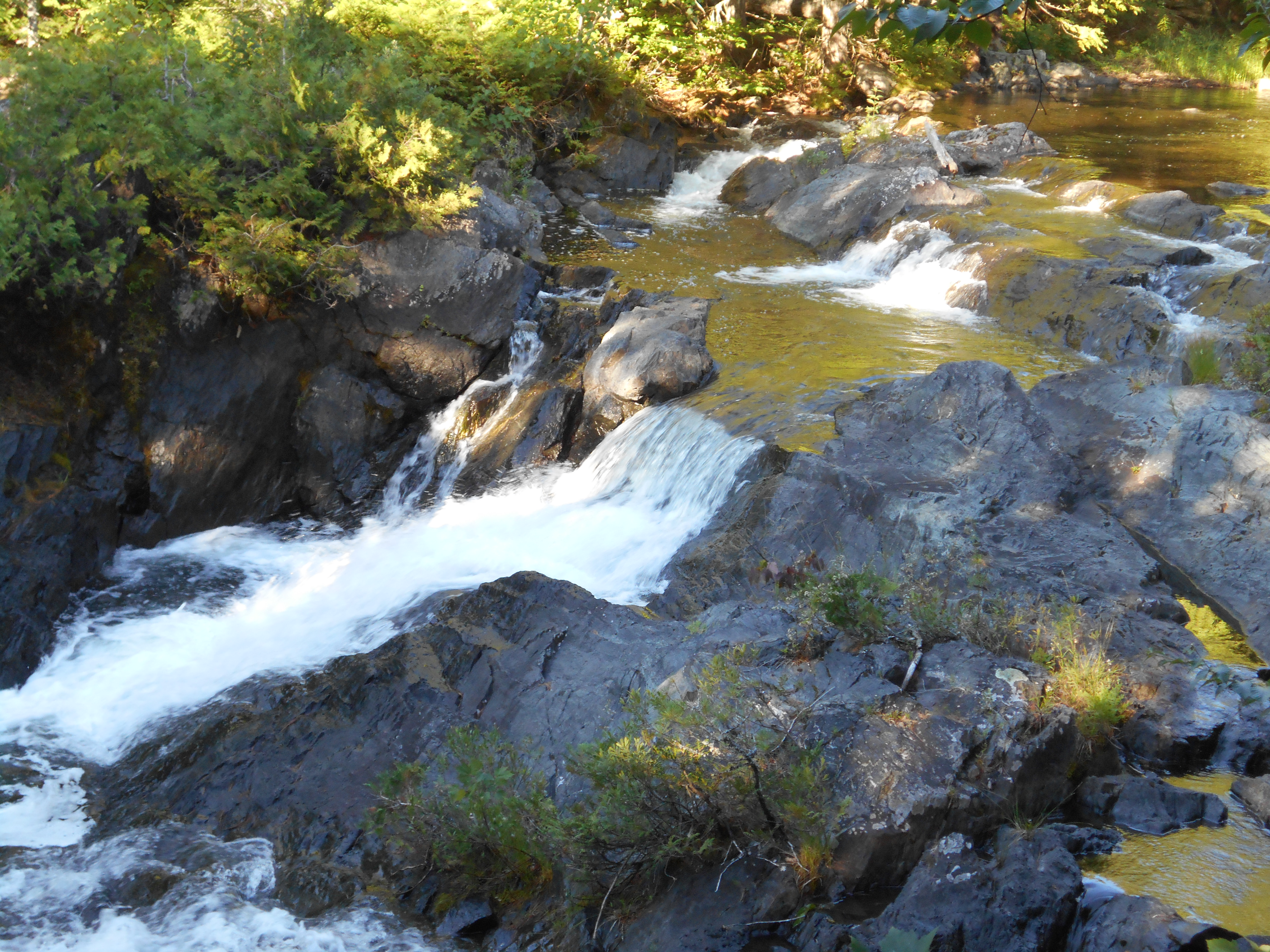
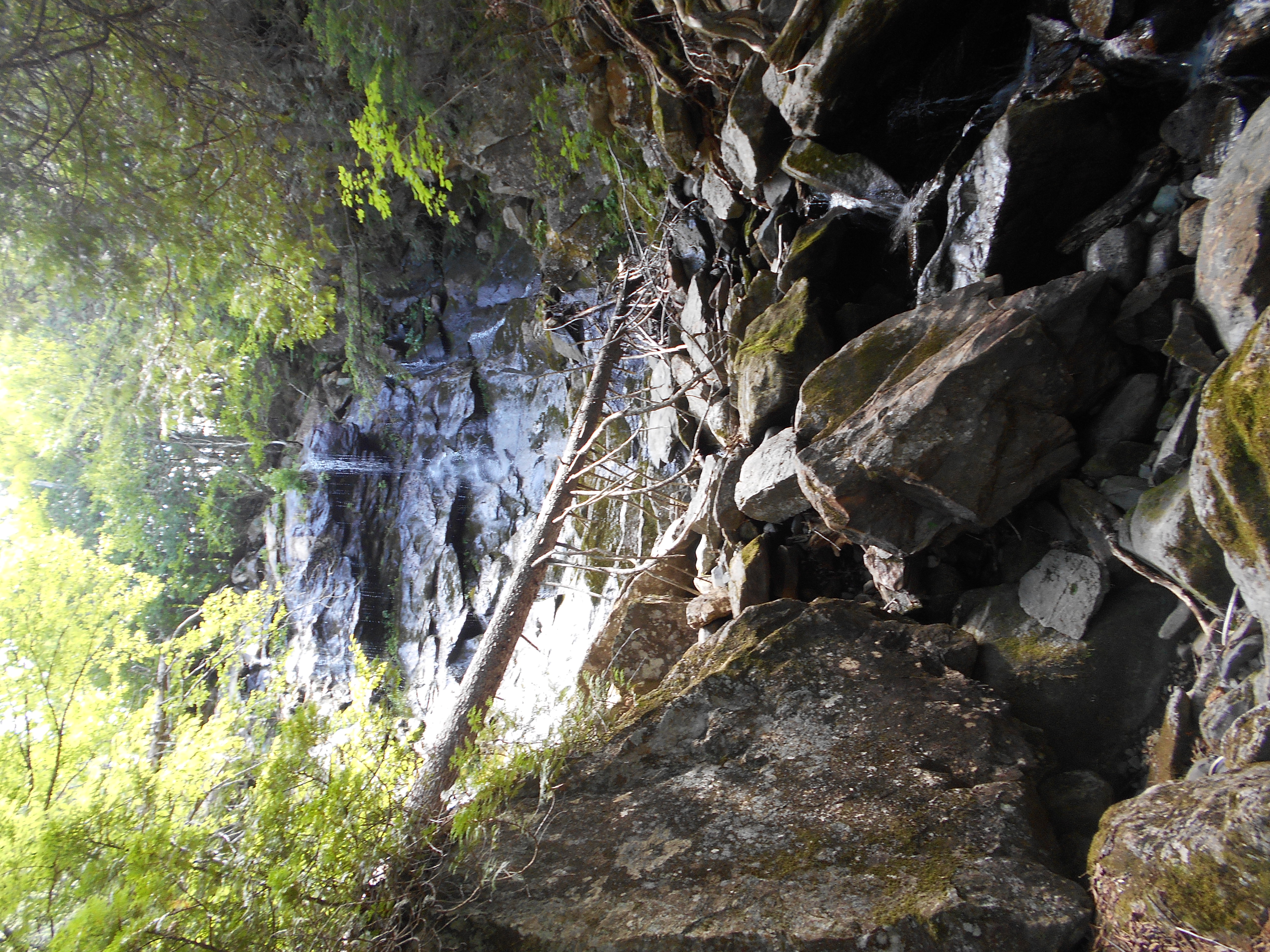
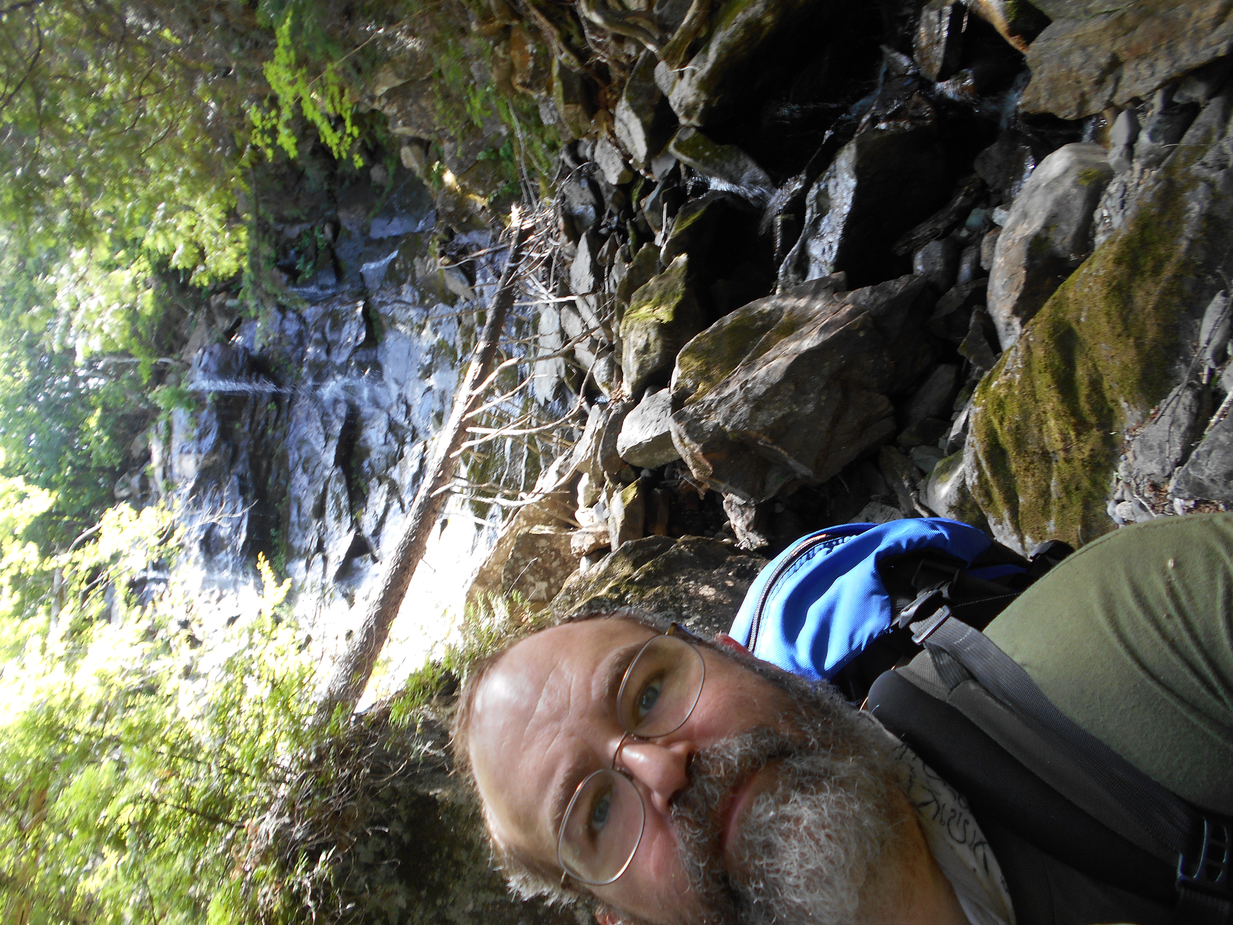
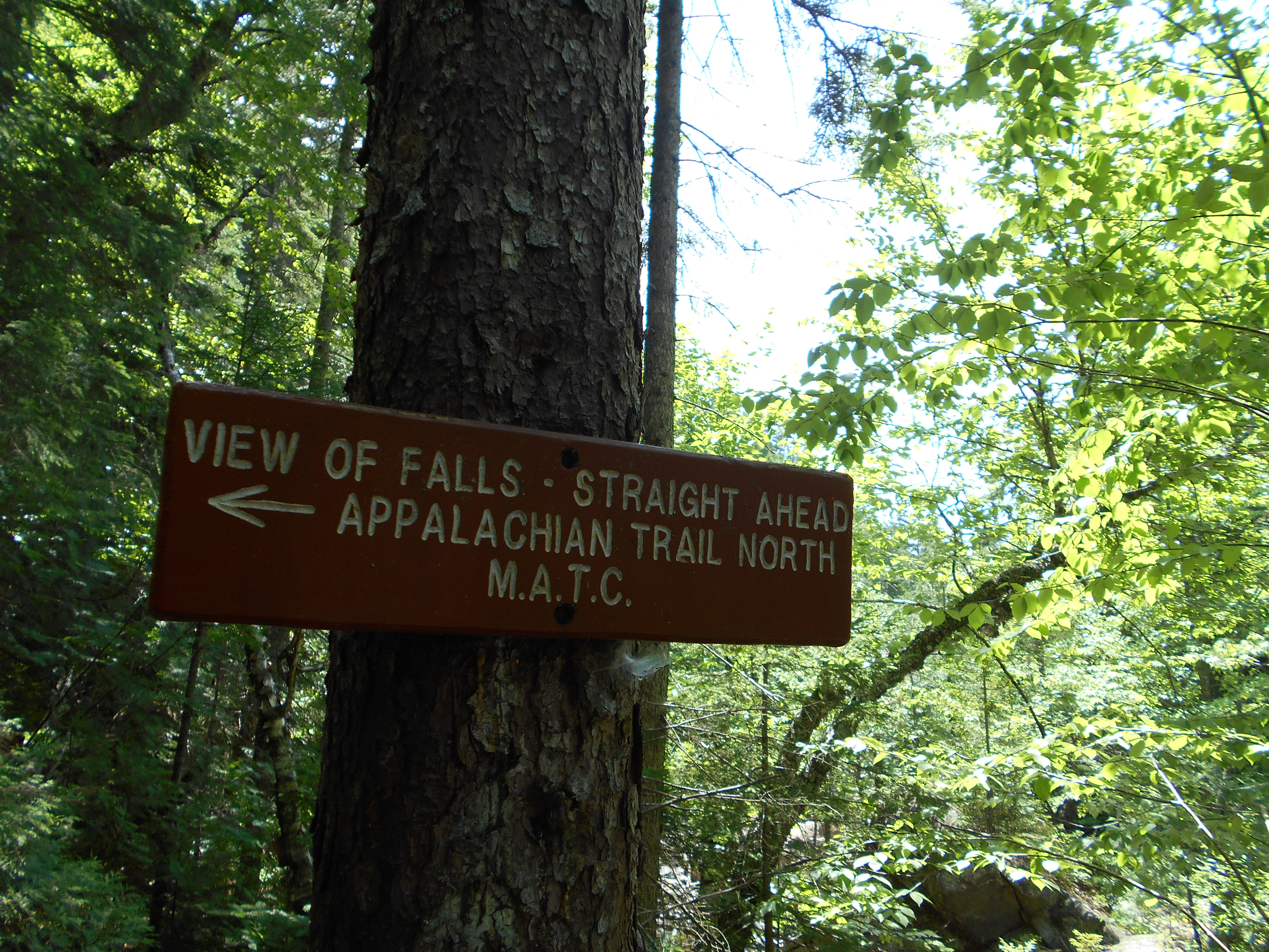
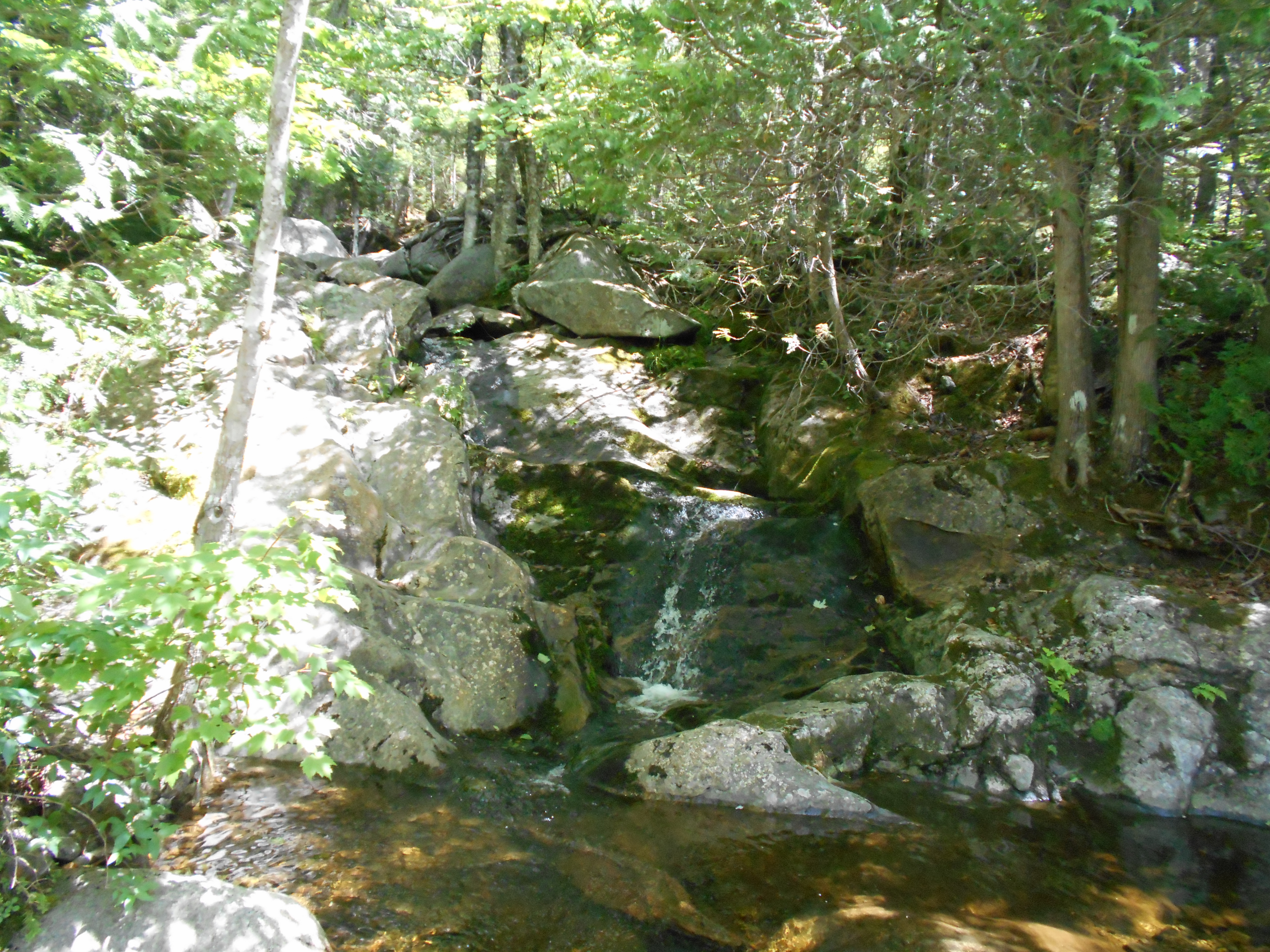
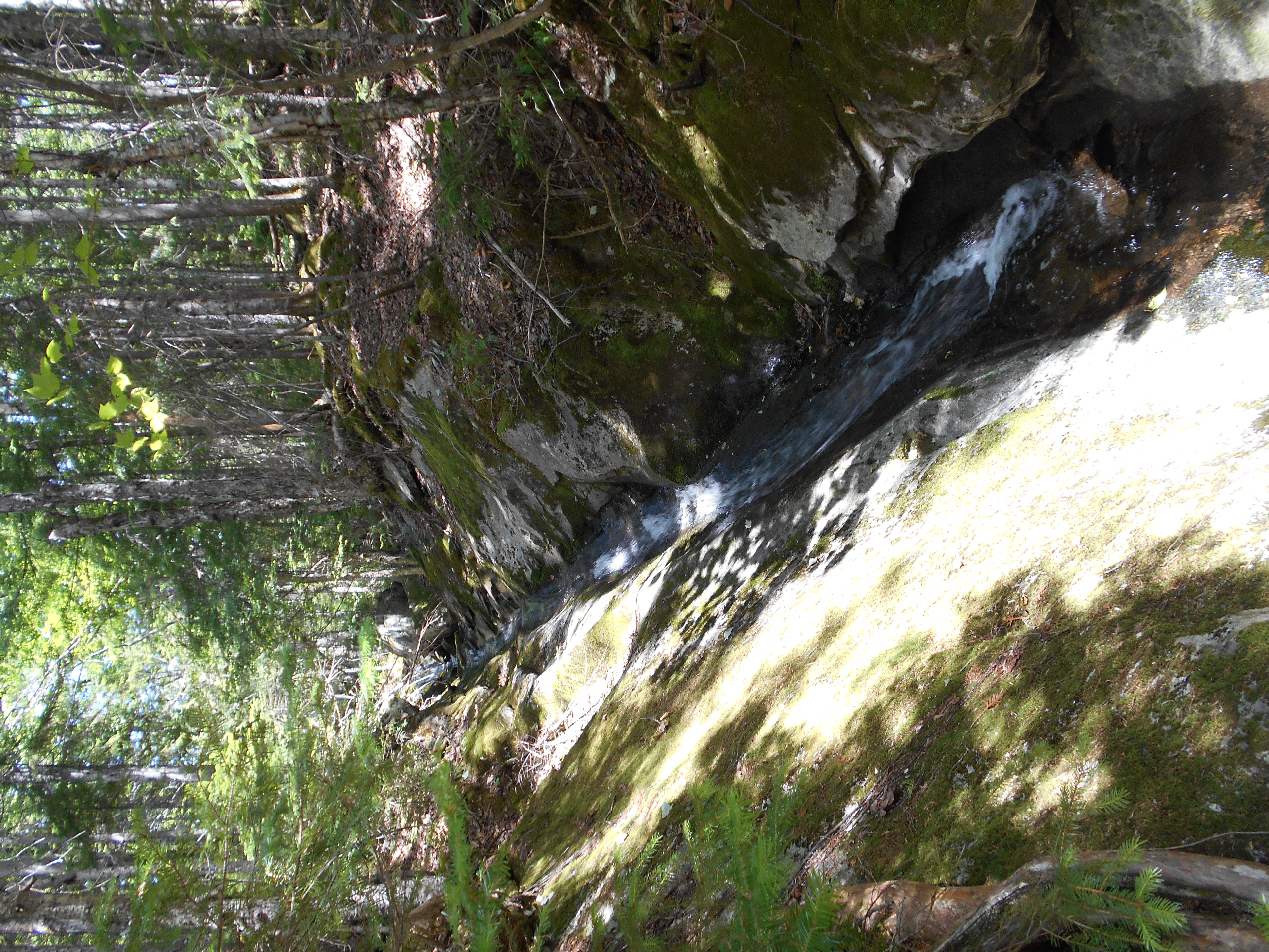
| 2035.3 | Trail to pool at base of waterfalls (850')? Pierce Pond Stream | 850 |
| 2035.7 | Otter Pond Stream (900')?bridge | 900 |
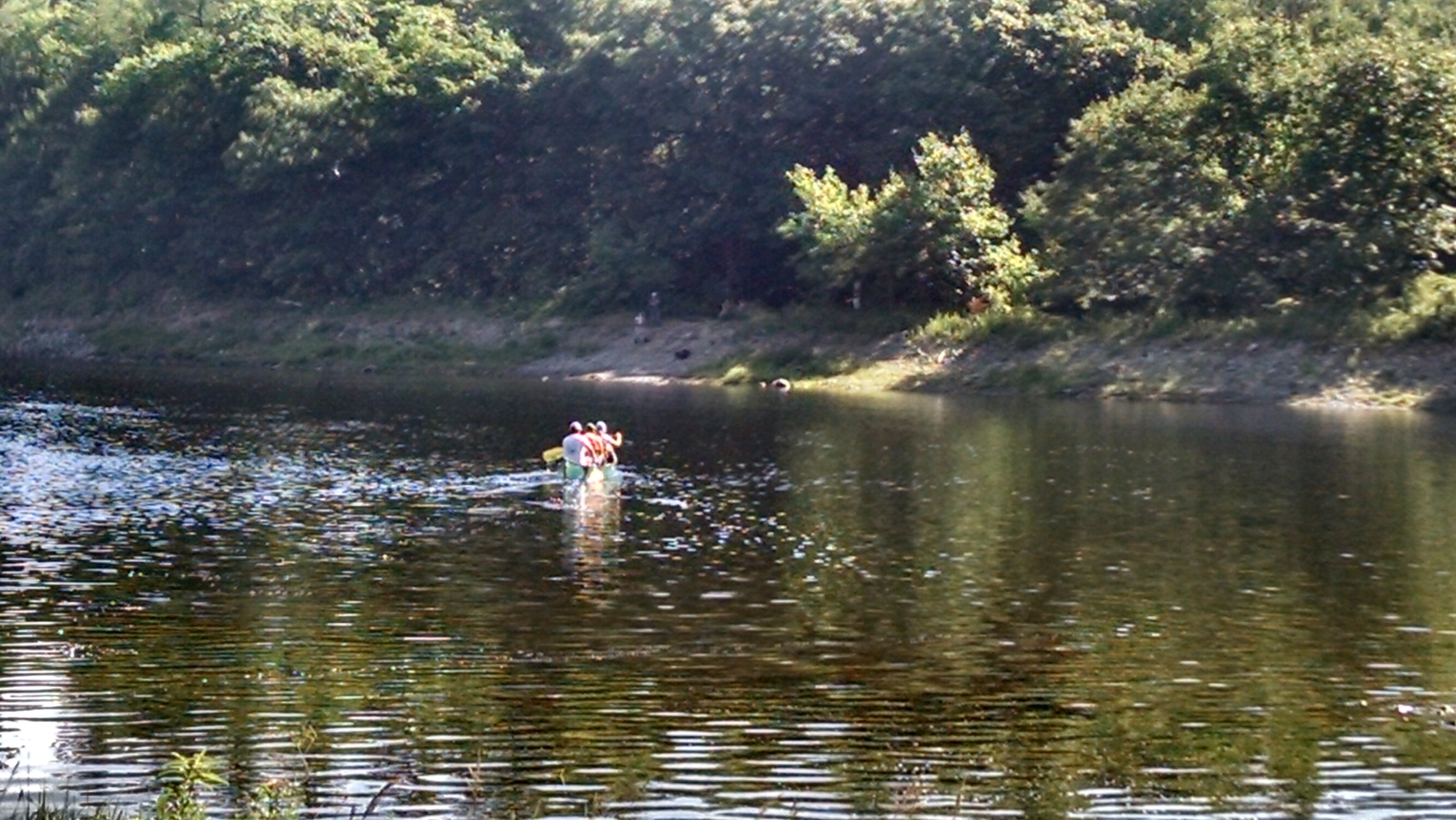
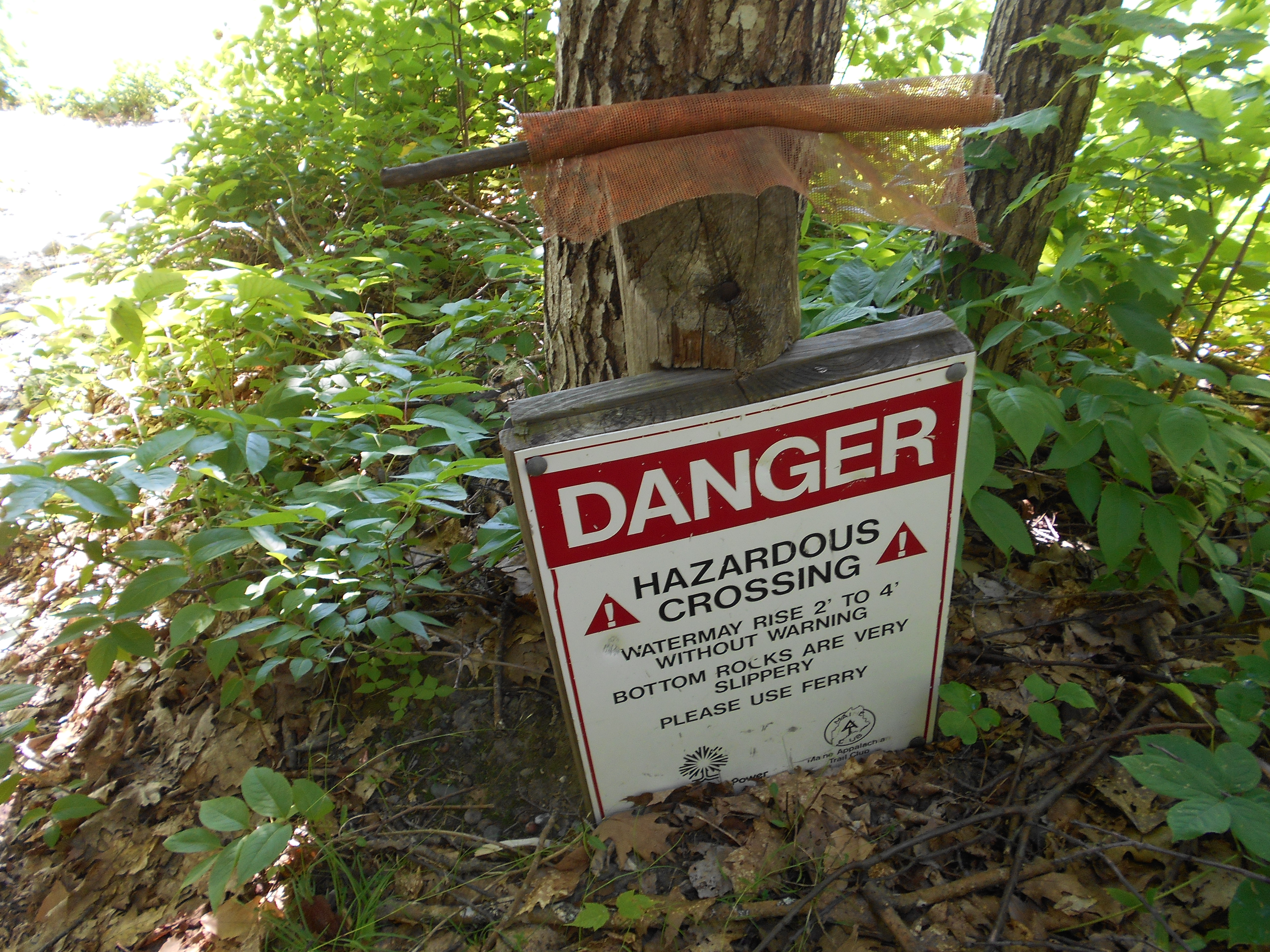
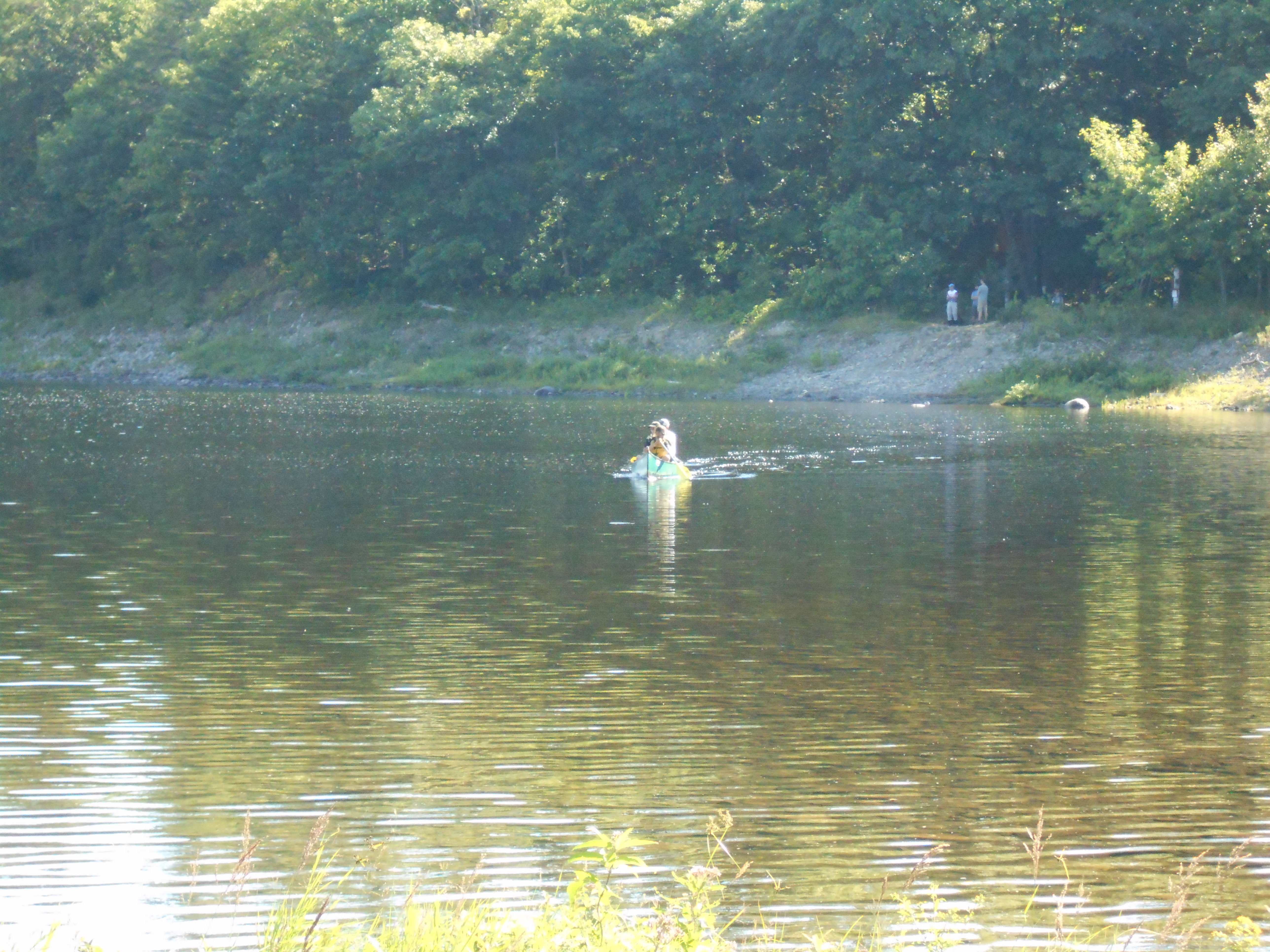
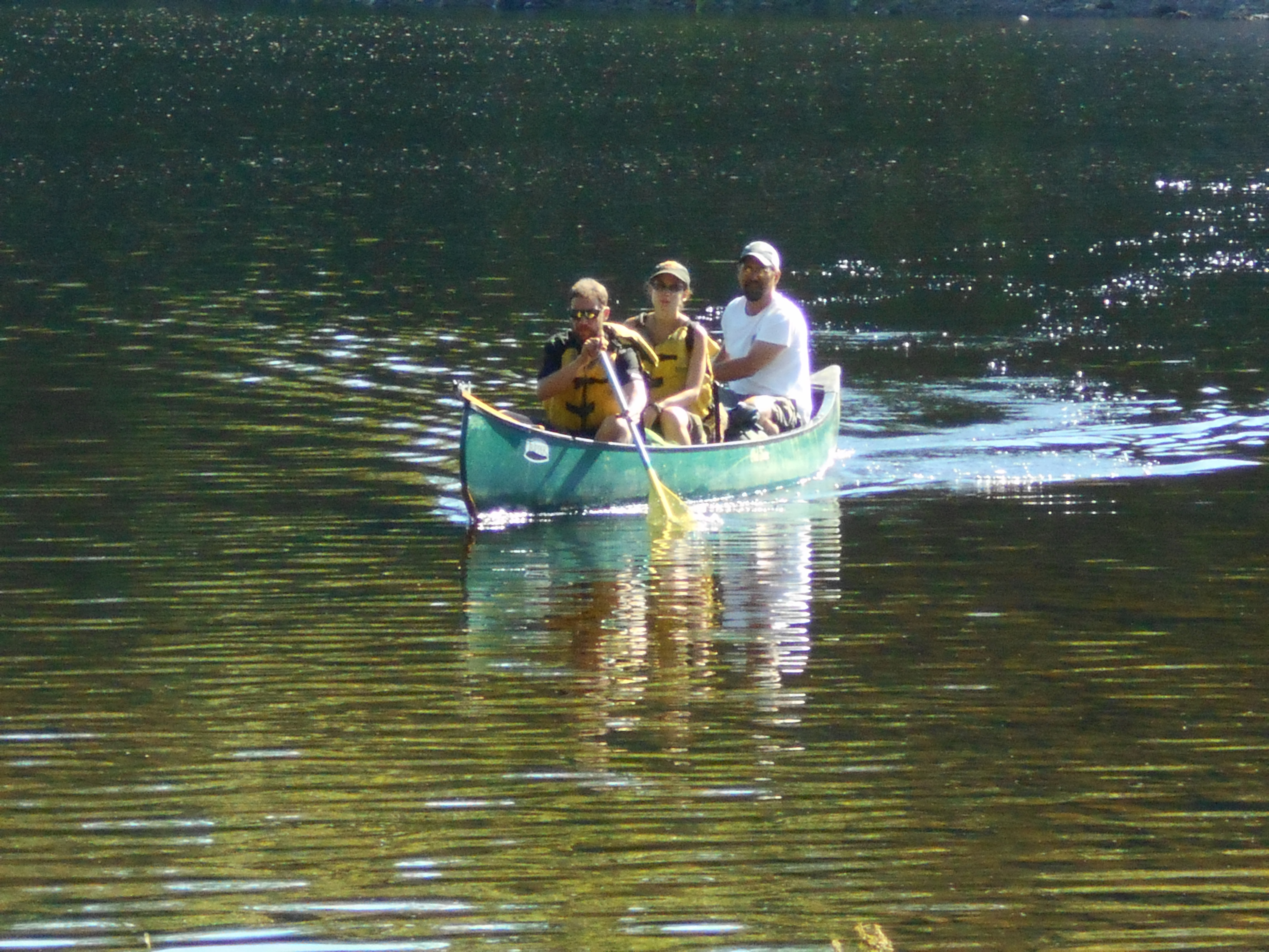
| 2037.6 | Kennebec River (490')?ferry | 490 |
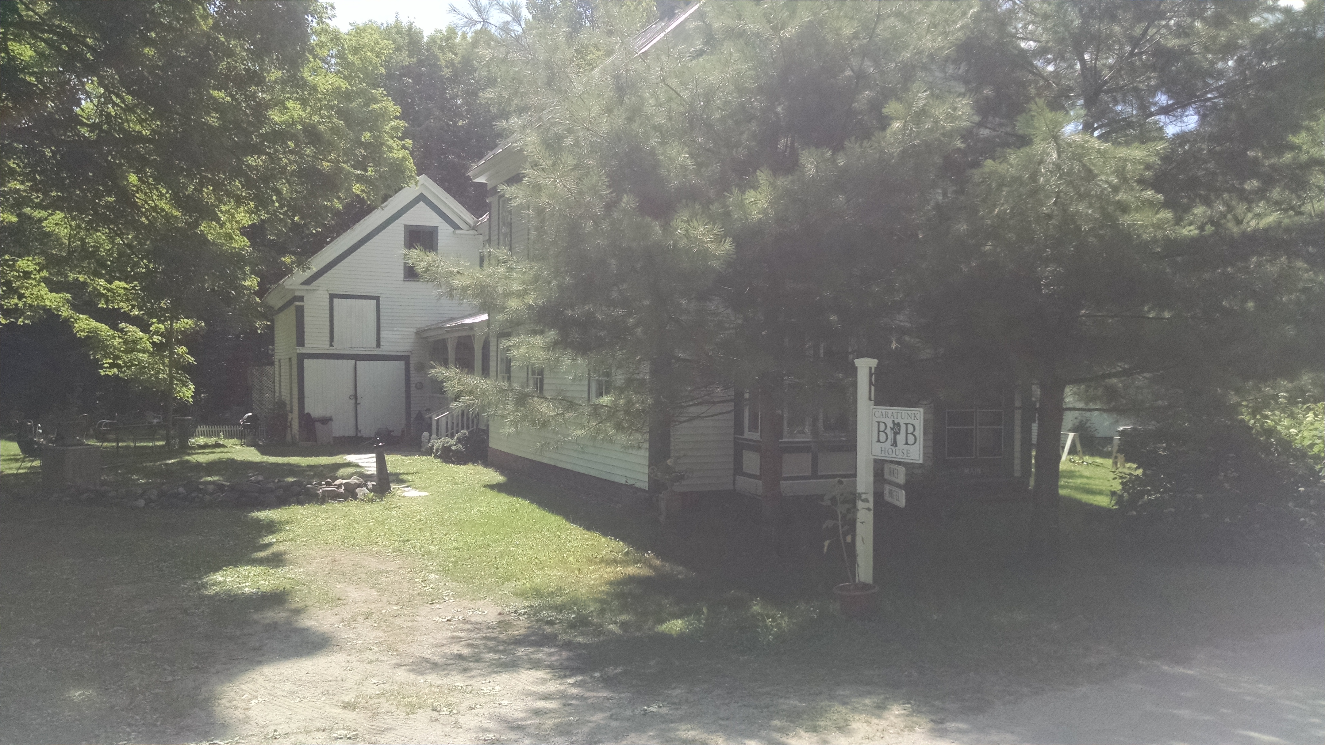
| 2037.9 | U.S. 201 (520') Caratunk, Maine 04925 Bingham, Maine The Forks, Maine | 520 |