| Miles from Springer | Features | Elevation |
|---|---|---|
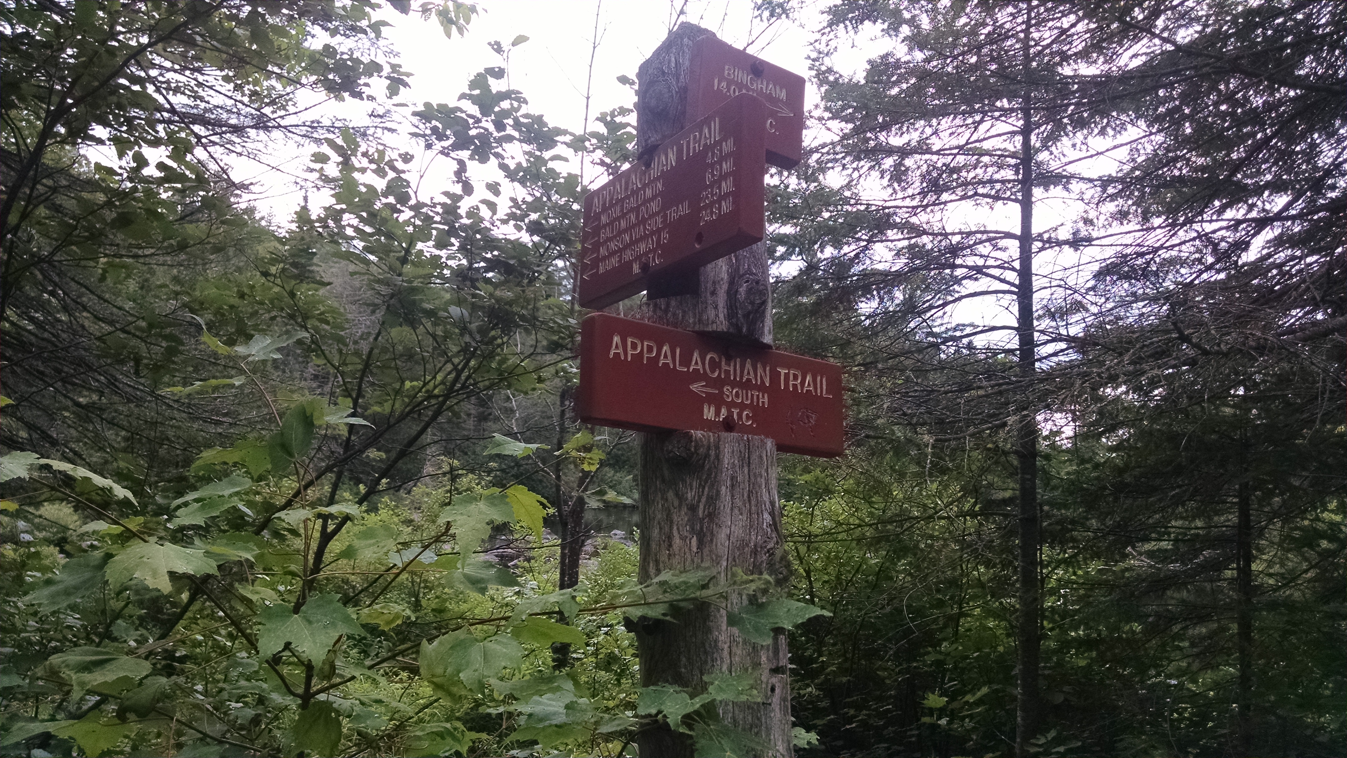
| 2037.9 | U.S. 201 (520') Caratunk, Maine 04925 Bingham, Maine The Forks, Maine | 520 |
| 2040.6 | Holly Brook (900') | 900 |
| 2042 | Hangtown Road (1,240')?gravel logging road | 1240 |
| 2043.2 | Boise?Cascade Logging Road (1,400') | 1400 |
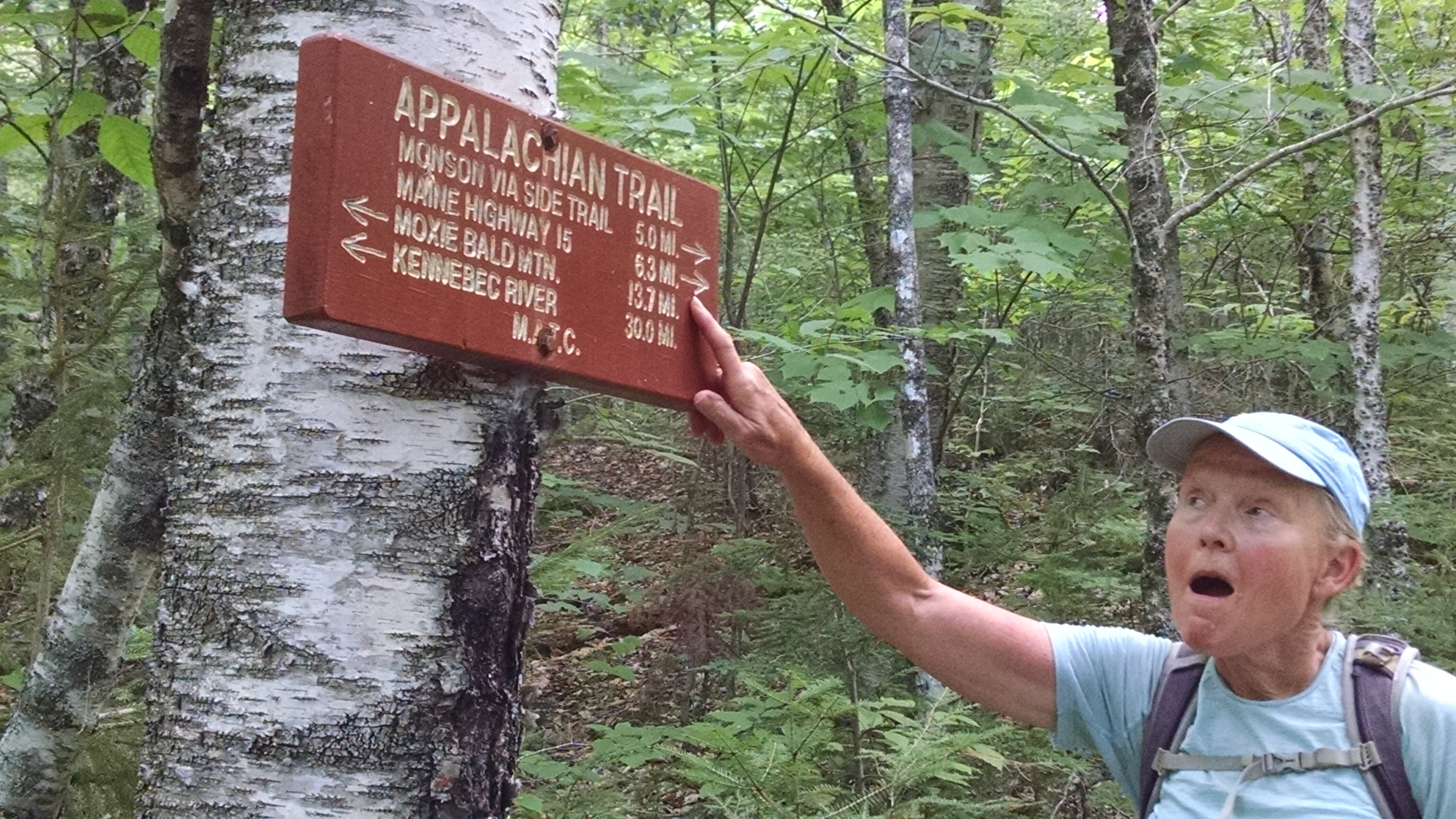
| 2043.6 | Pleasant Pond Lean-to (1,320')?9.7mS; 9mN | 1320 |
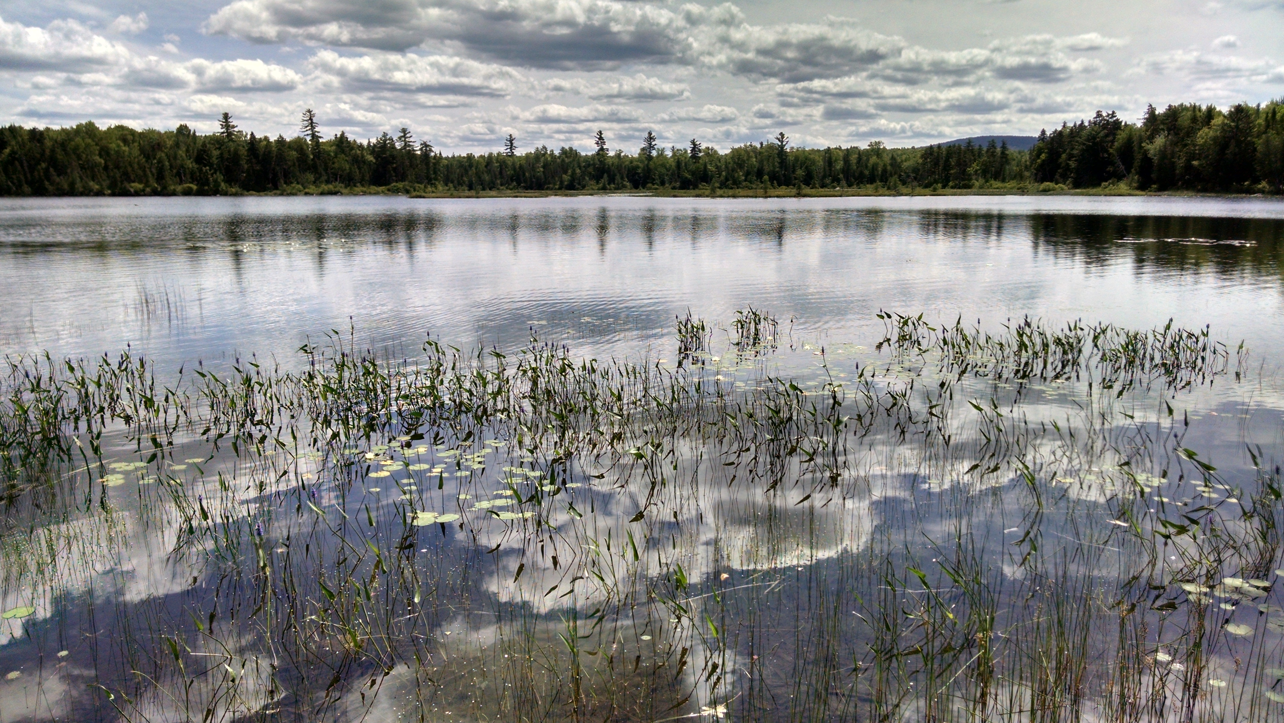
| 2043.8 | Trail to Pleasant Pond Beach (1,360') | 1360 |
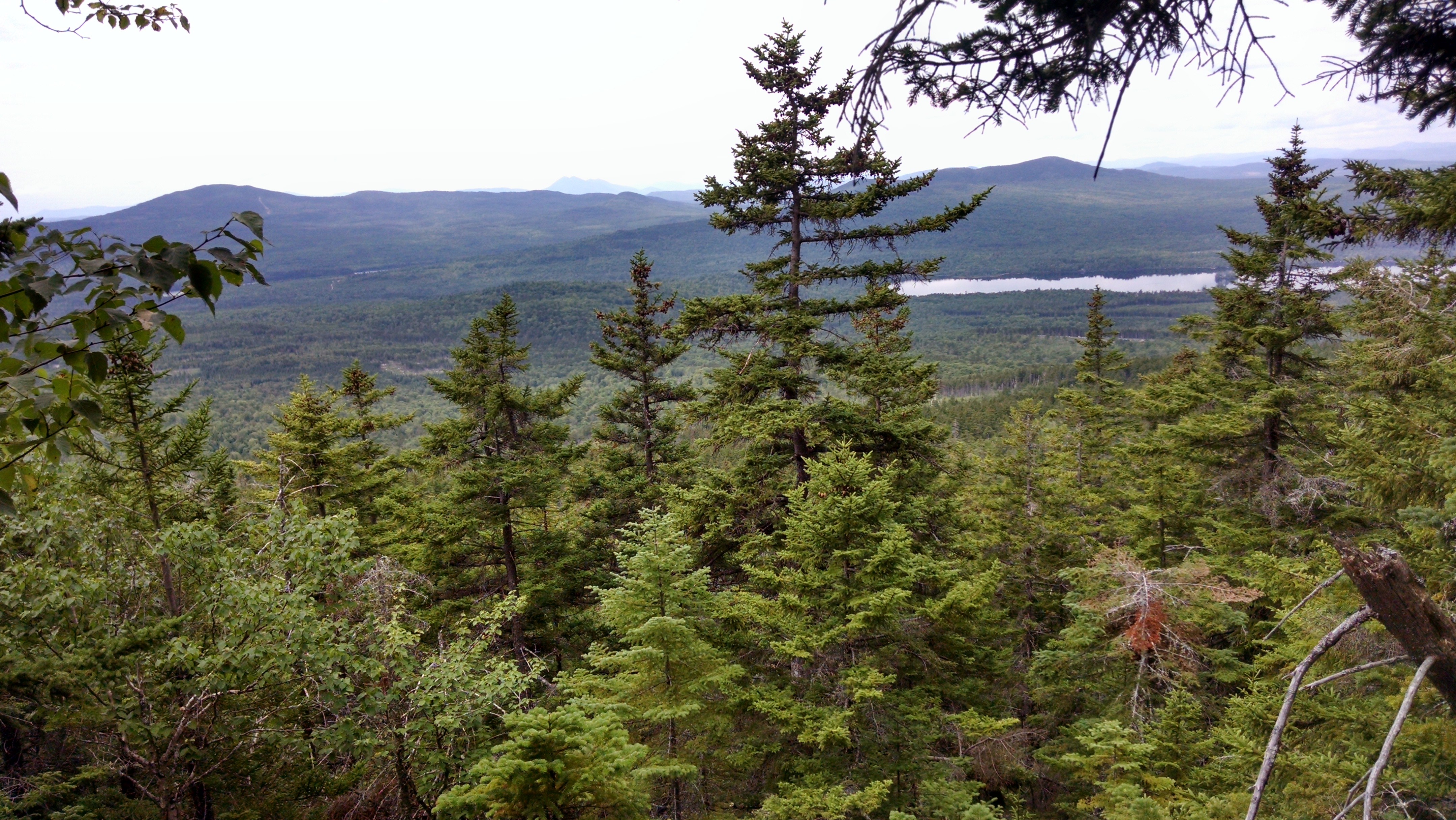
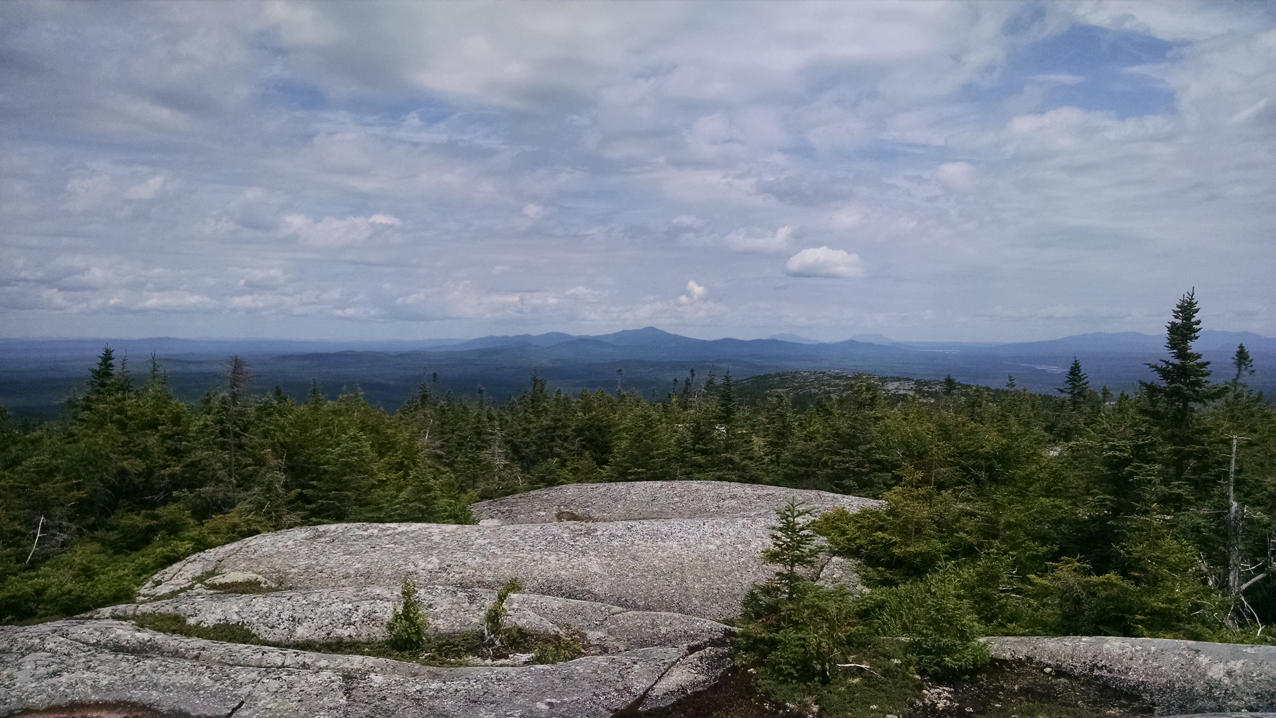
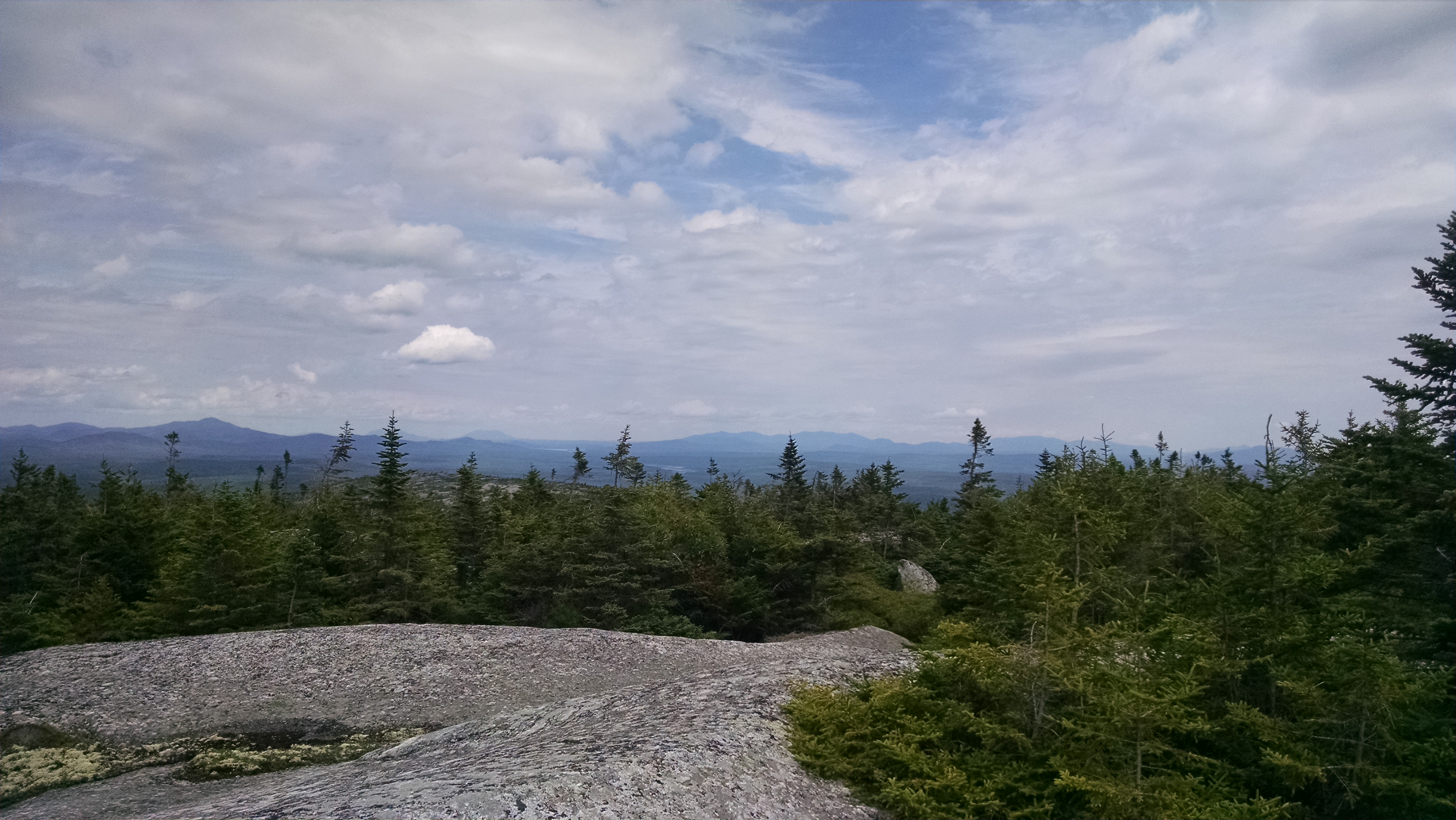
| 2044.9 | Pleasant Pond Mountain (2,477') | 2477 |
| 2049.8 | Moxie Pond (south end), Joe's Hole (970'), Troutdale Road | 970 |


| Miles from Springer | Features | Elevation |
|---|---|---|
| 2049.8 | Moxie Pond (south end), Joe's Hole (970'), Troutdale Road | 970 |
| 2049.9 | Baker Stream (1,010')?ford | 1010 |
| 2051 | Joe's Hole Brook (1,240') | 1240 |
| 2052.4 | Bald Mountain Brook Campsite (1,200') | 1200 |
| 2052.6 | Bald Mountain Brook Lean-to (1,280') ?9mS; 4.1mN | 1280 |
| 2054 | Summit bypass trail (2,250') | 2250 |
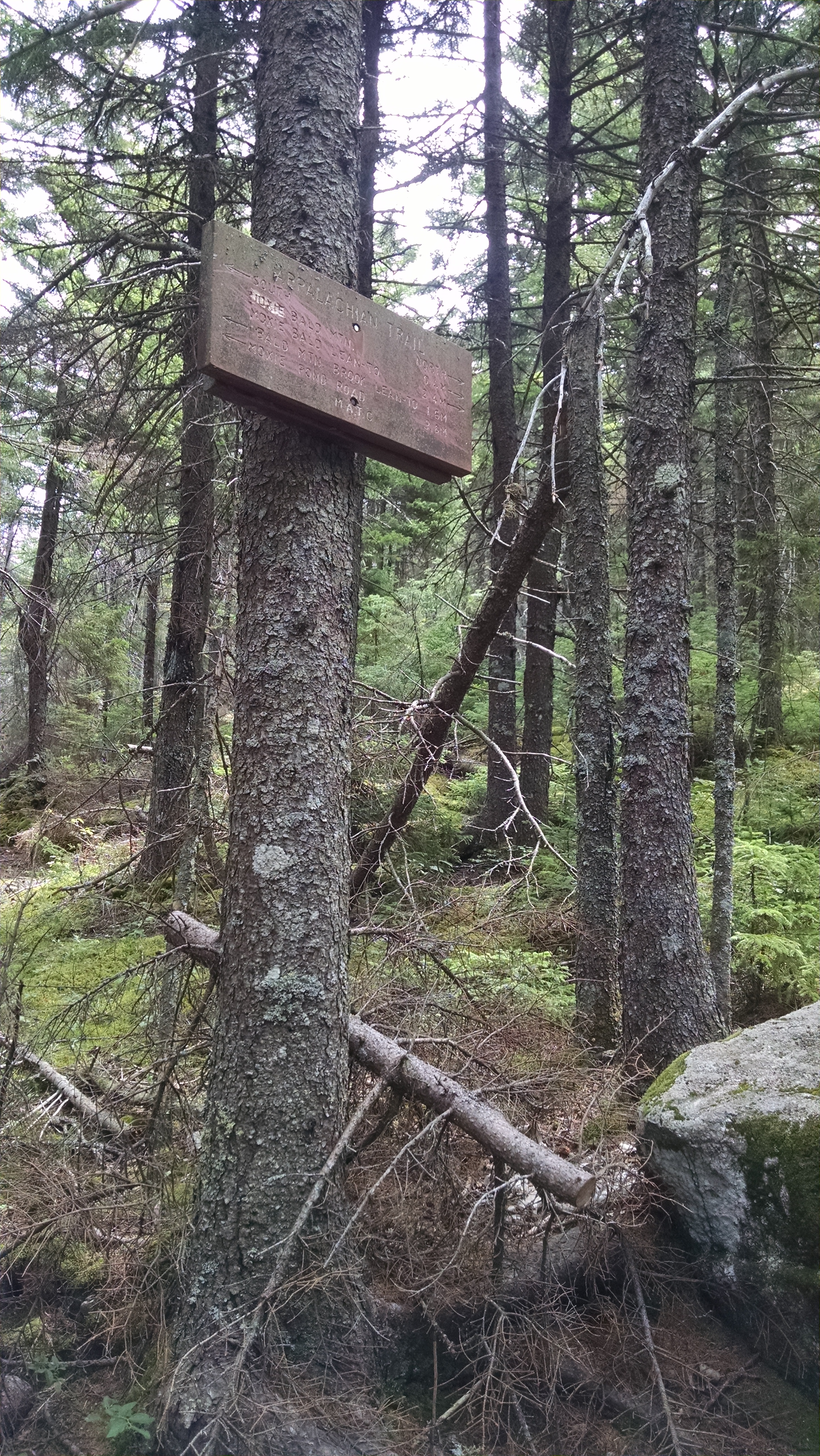
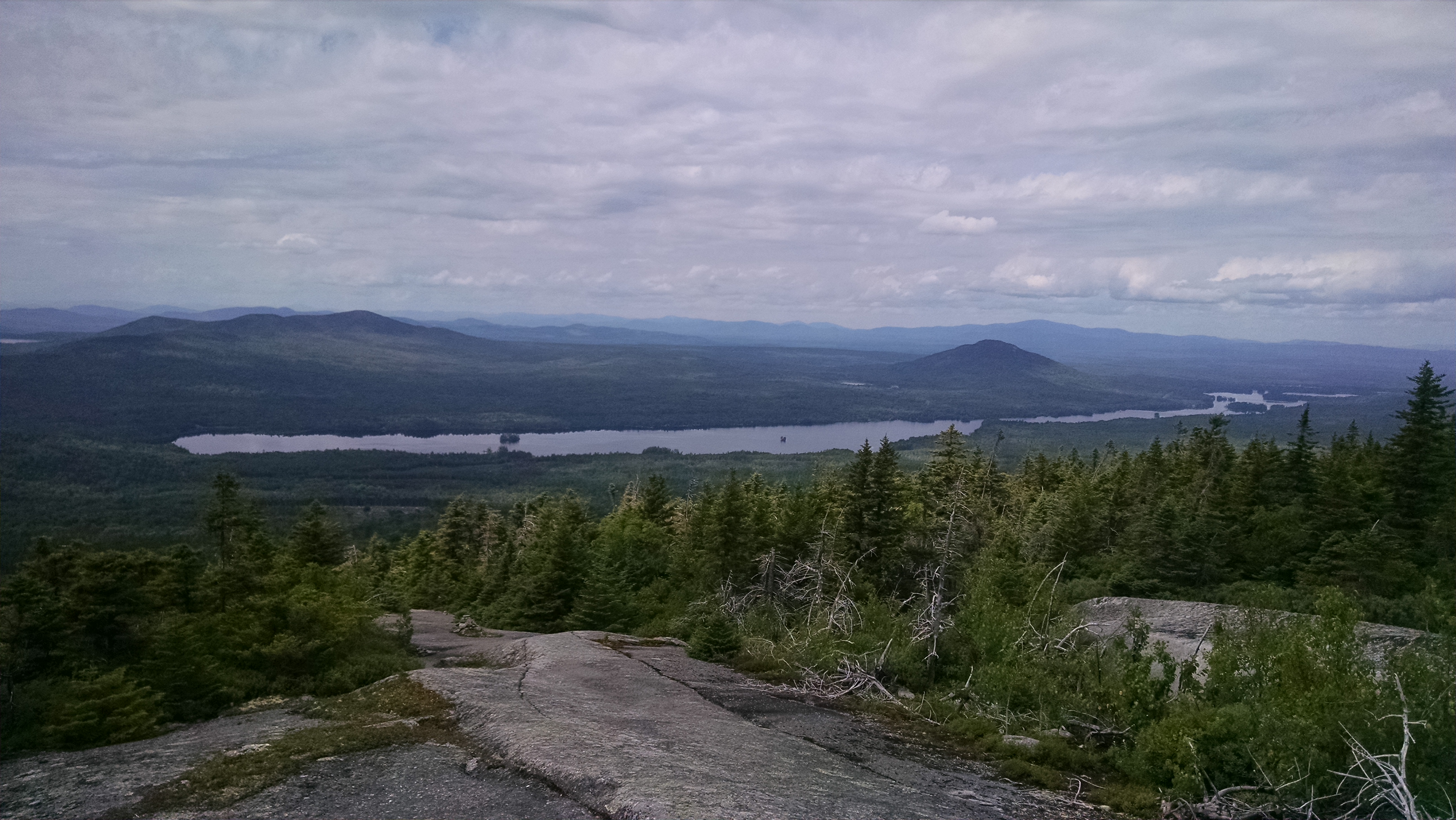
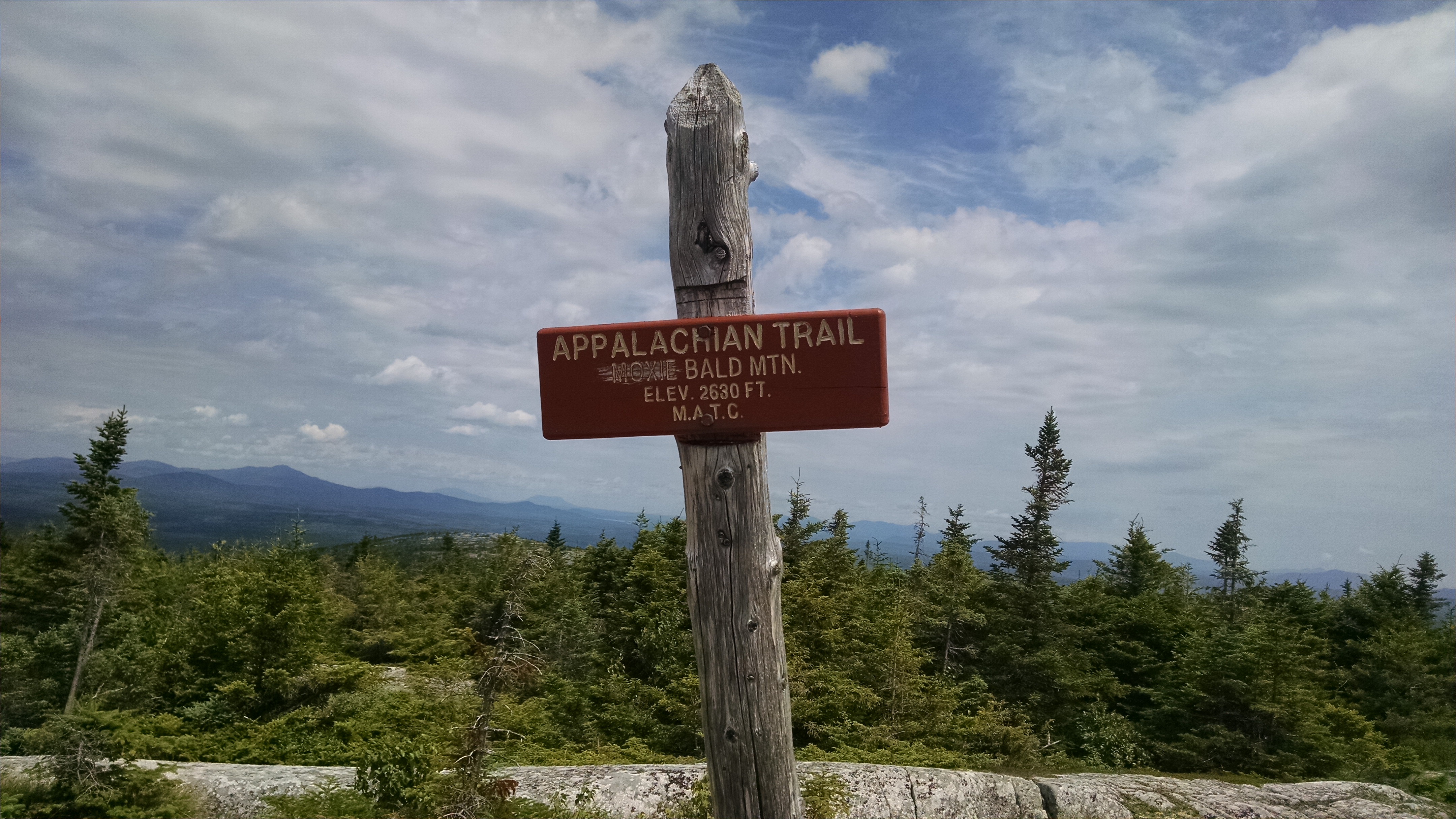
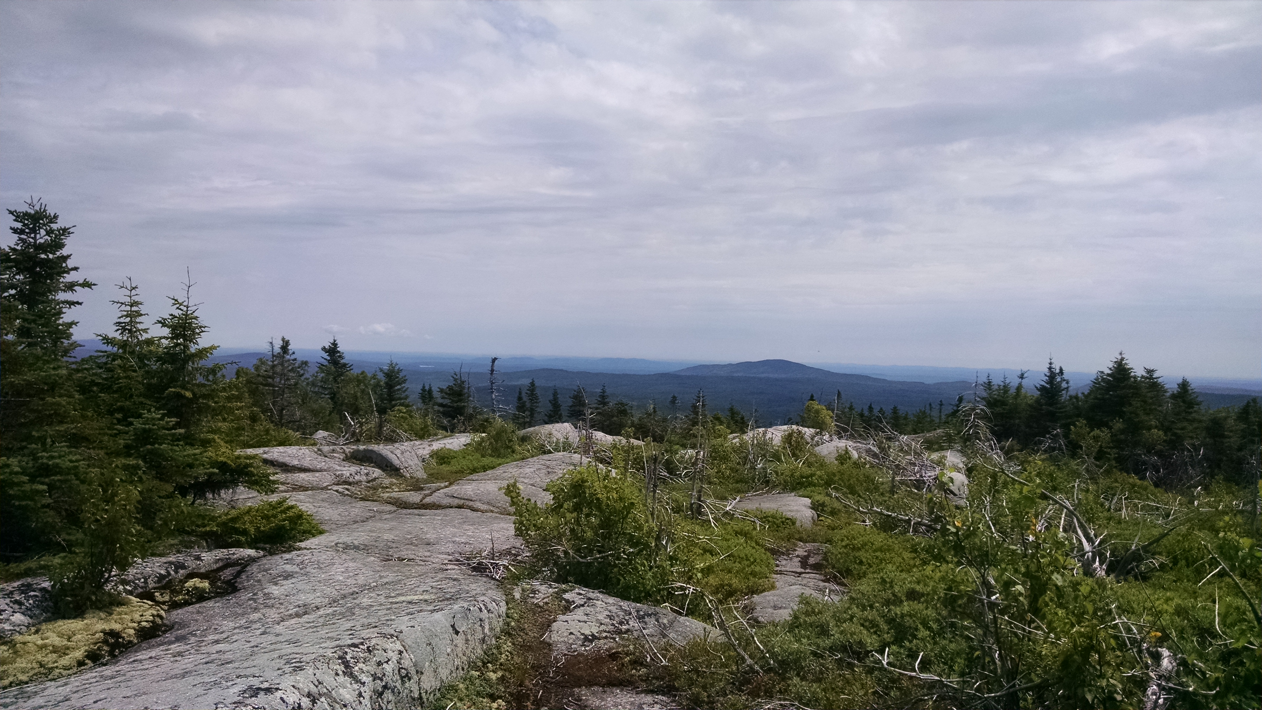
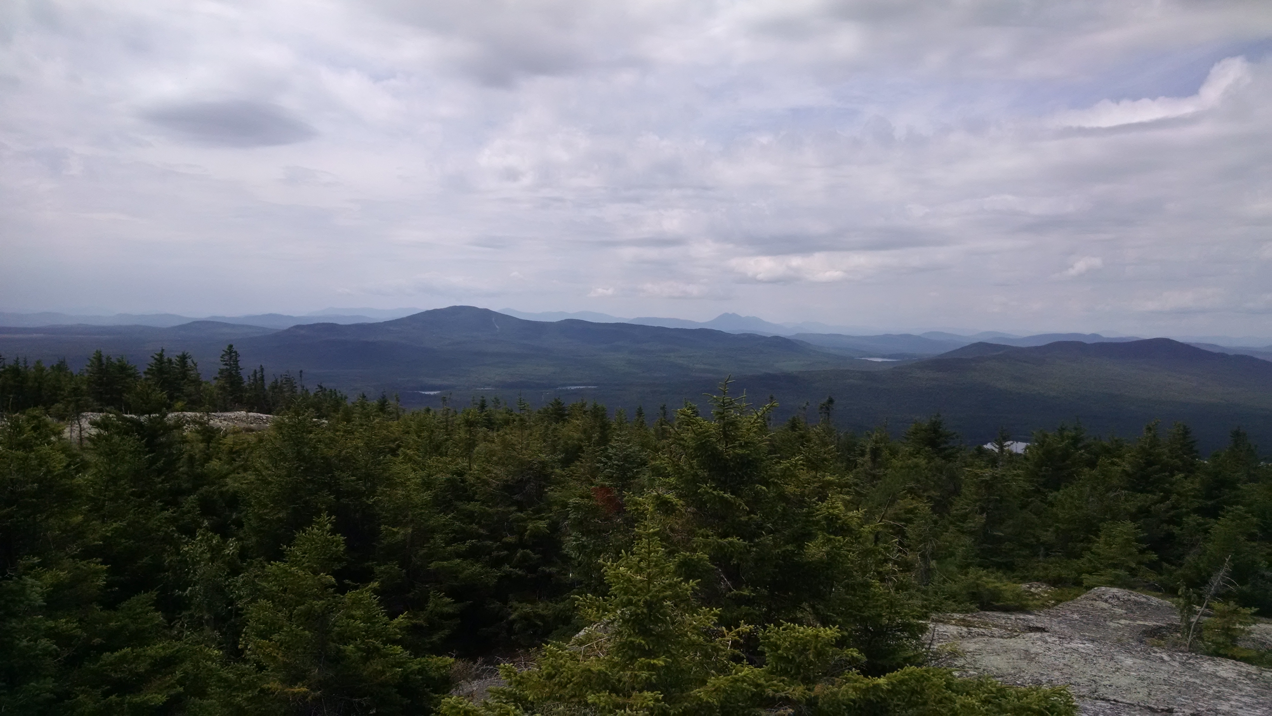
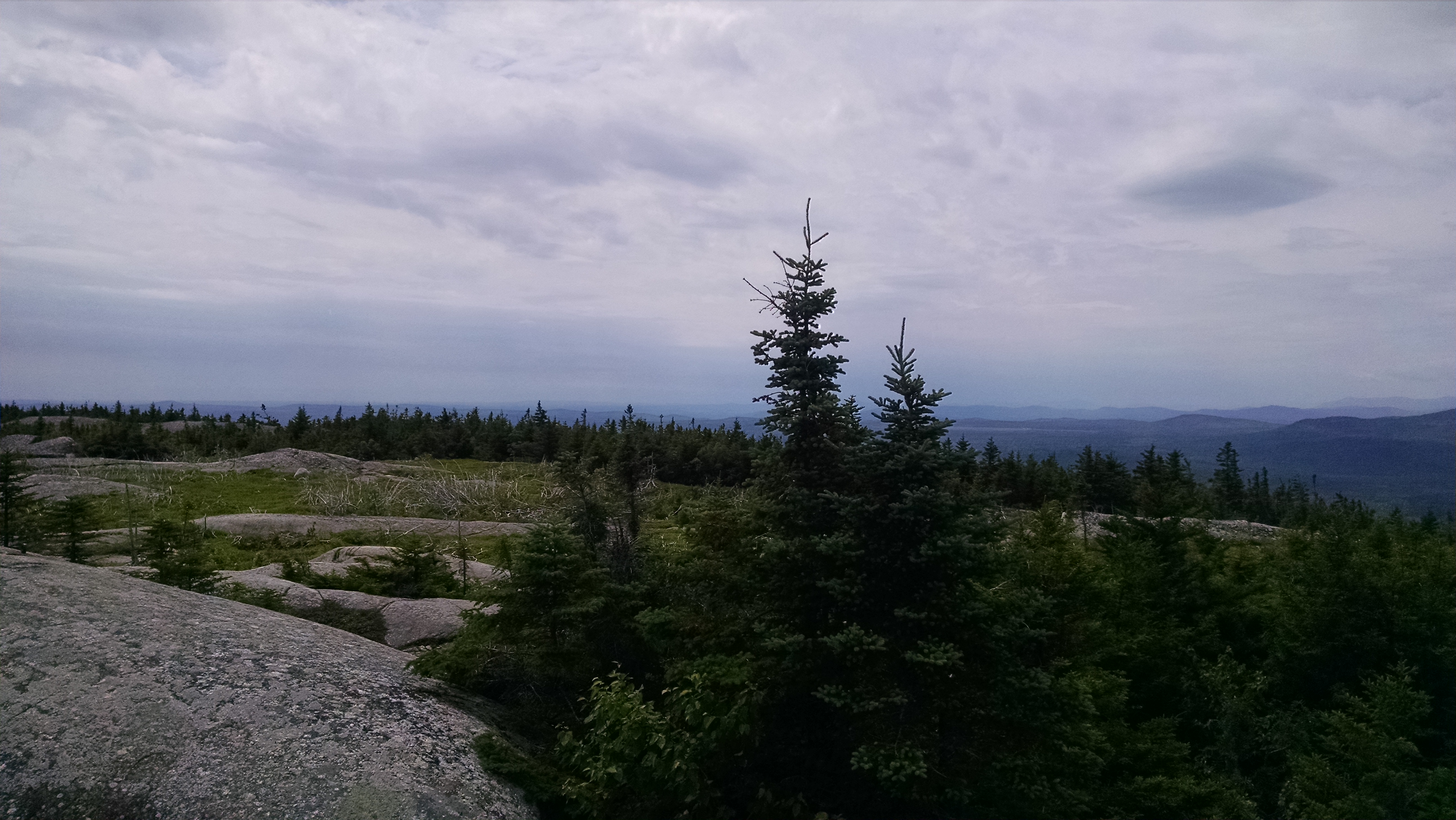
| 2054.6 | Moxie Bald Mountain (2,629') | 2629 |
| 2054.9 | Summit bypass trail (2,490') | 2490 |
| 2055.6 | Trail to Moxie Bald Mountain (north peak) (2,320') | 2320 |
| 2056.7 | Moxie Bald Lean-to (1,220')?4.1mS; 8.9mN | 1220 |
| 2057.2 | Gravel Road (1,290') | 1290 |
| 2058.8 | Bald Mountain Stream (1,213')?outlet of Bald Mountain Pond | 1213 |
| 2060.7 | Bald Mountain Stream Road (1,100')?gravel | 1100 |
| 2062.2 | Marble Brook and ?Jeep Road? (990') | 990 |


| Miles from Springer | Features | Elevation |
|---|---|---|
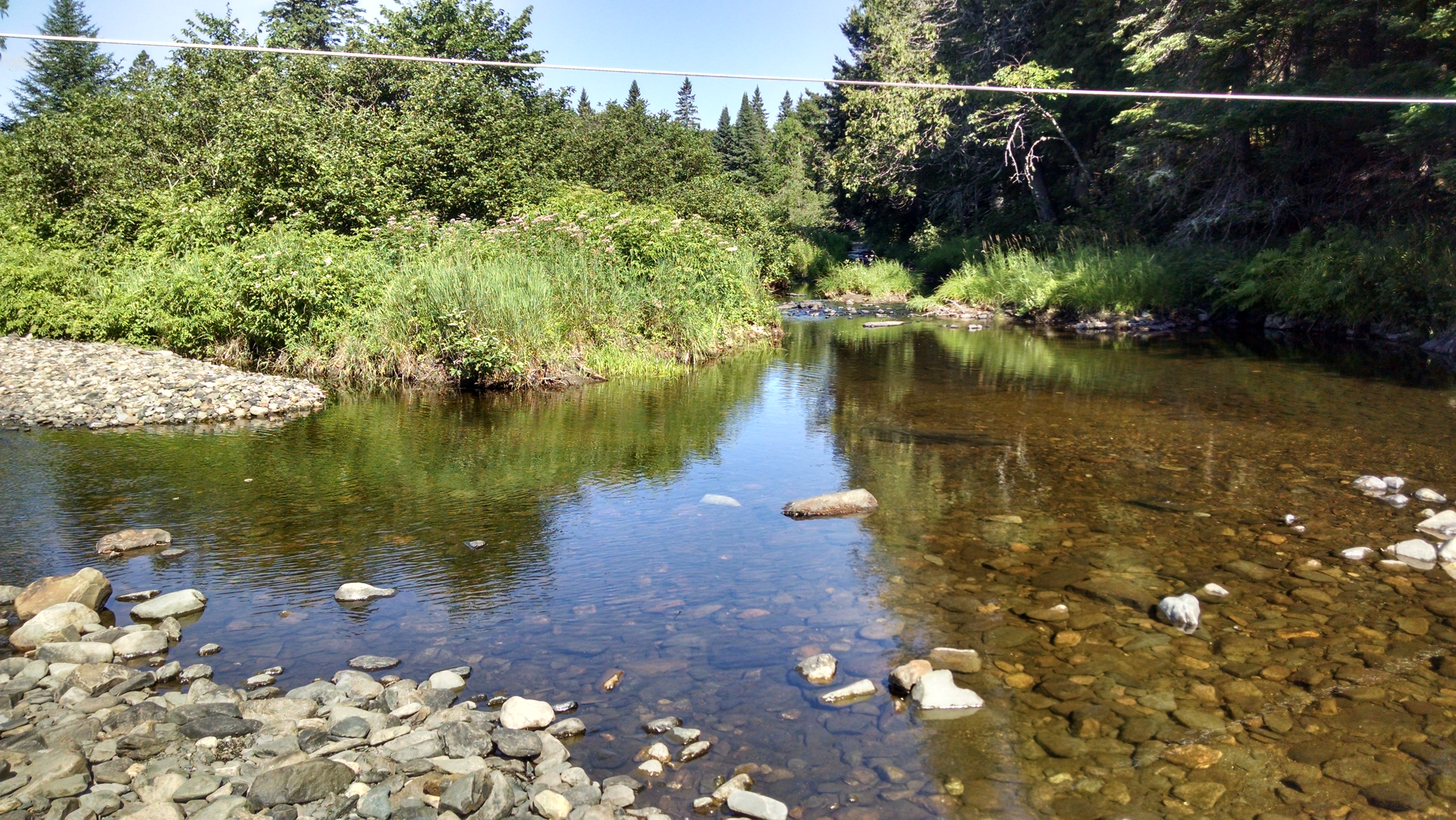
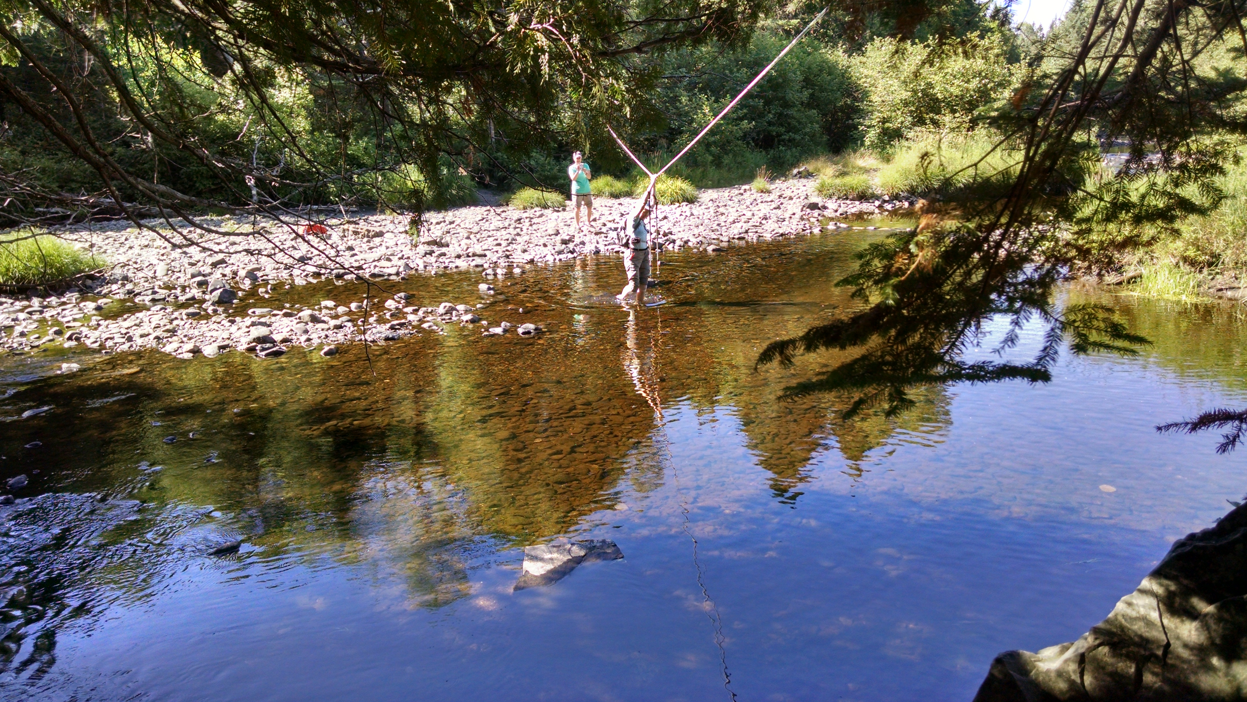
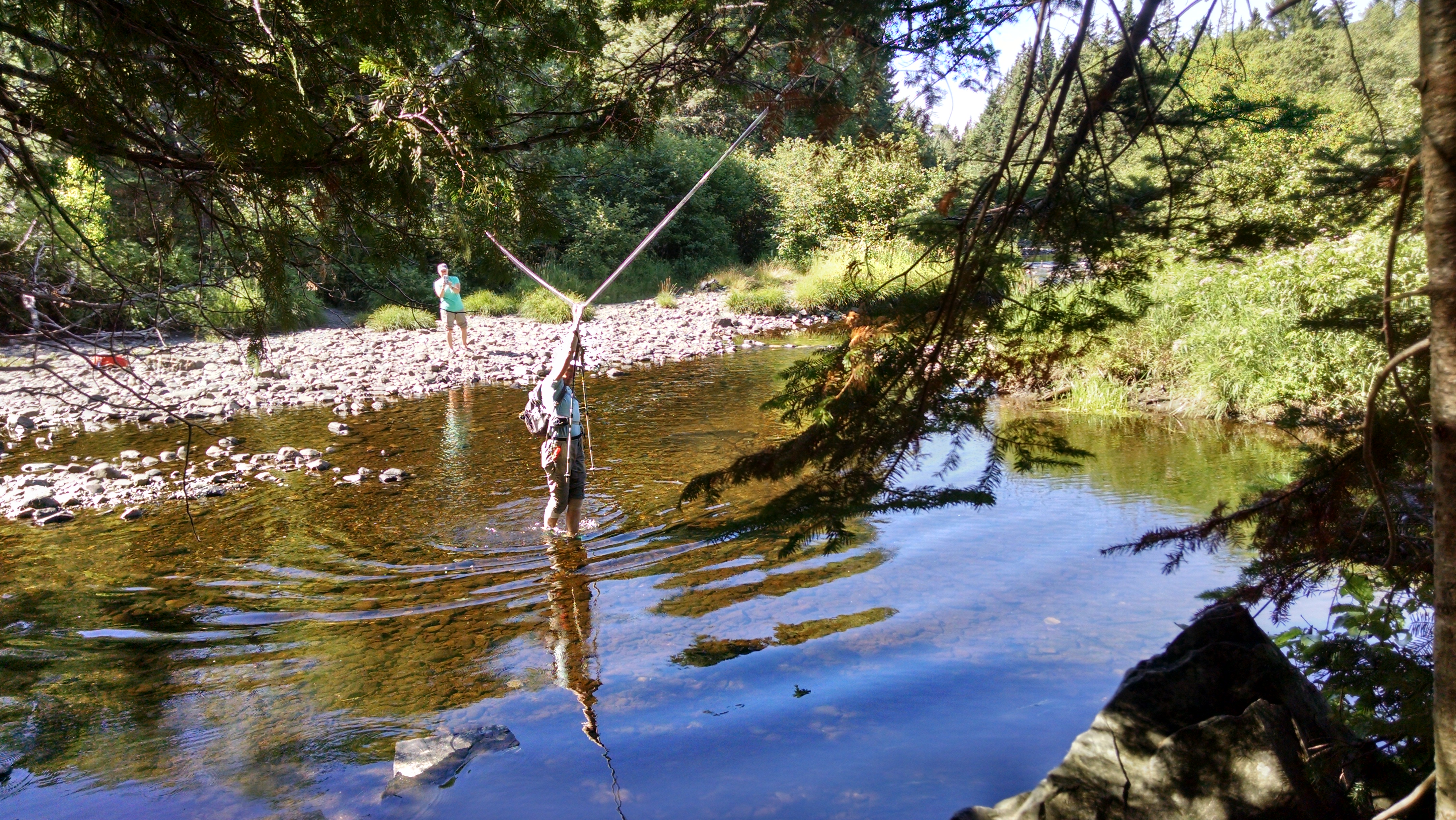
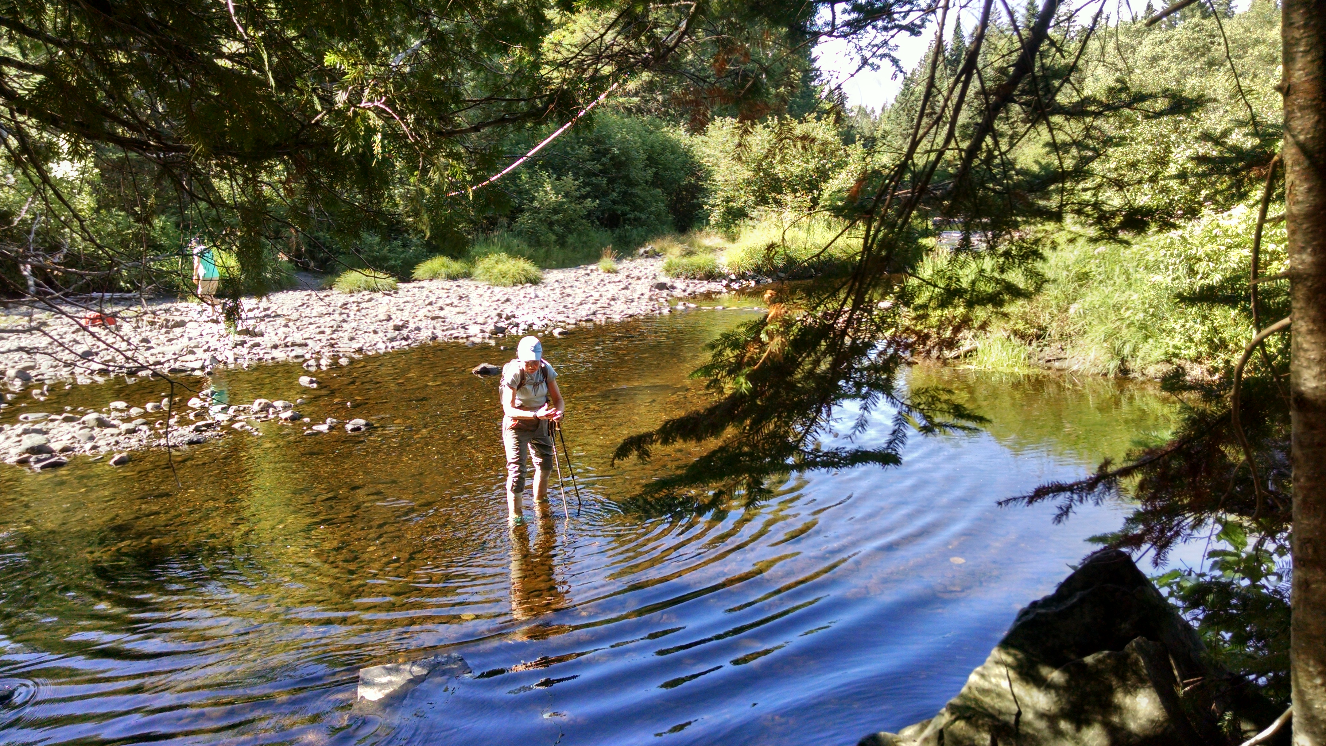
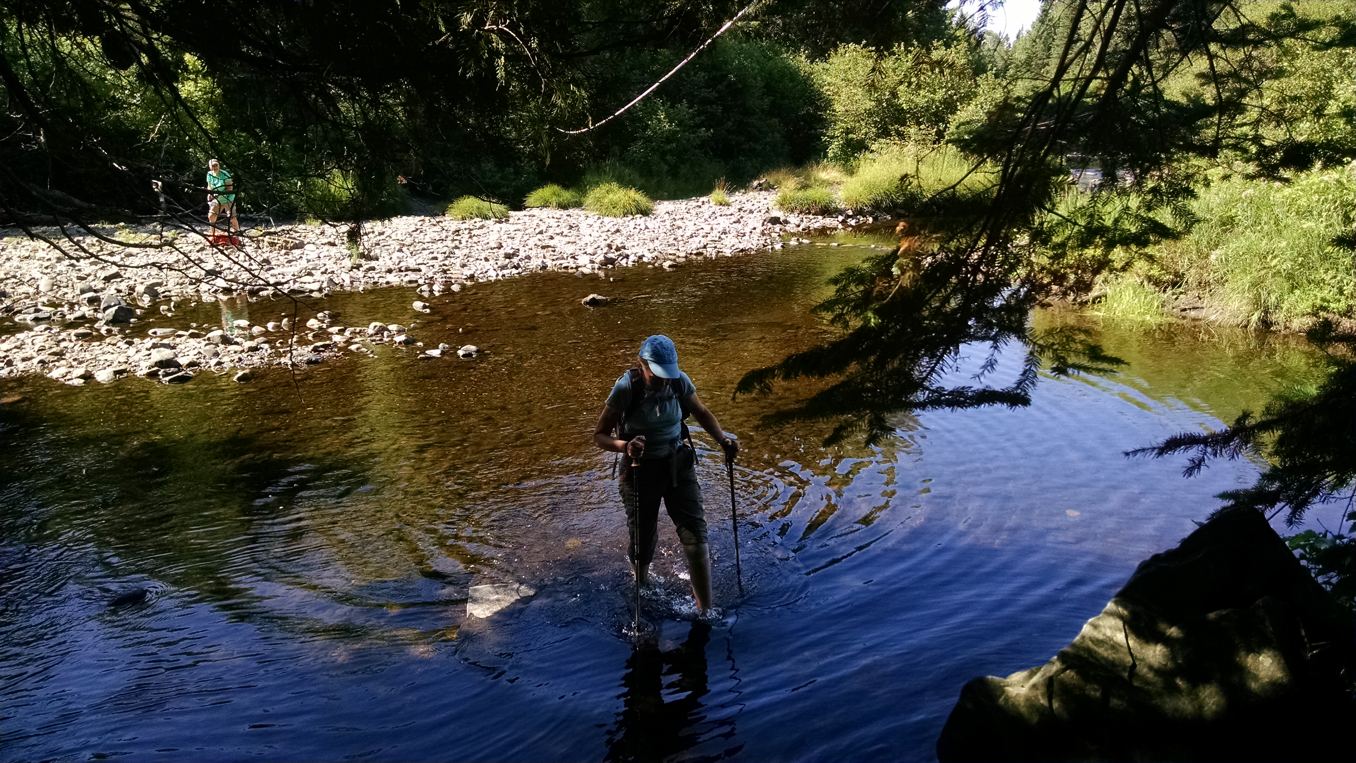
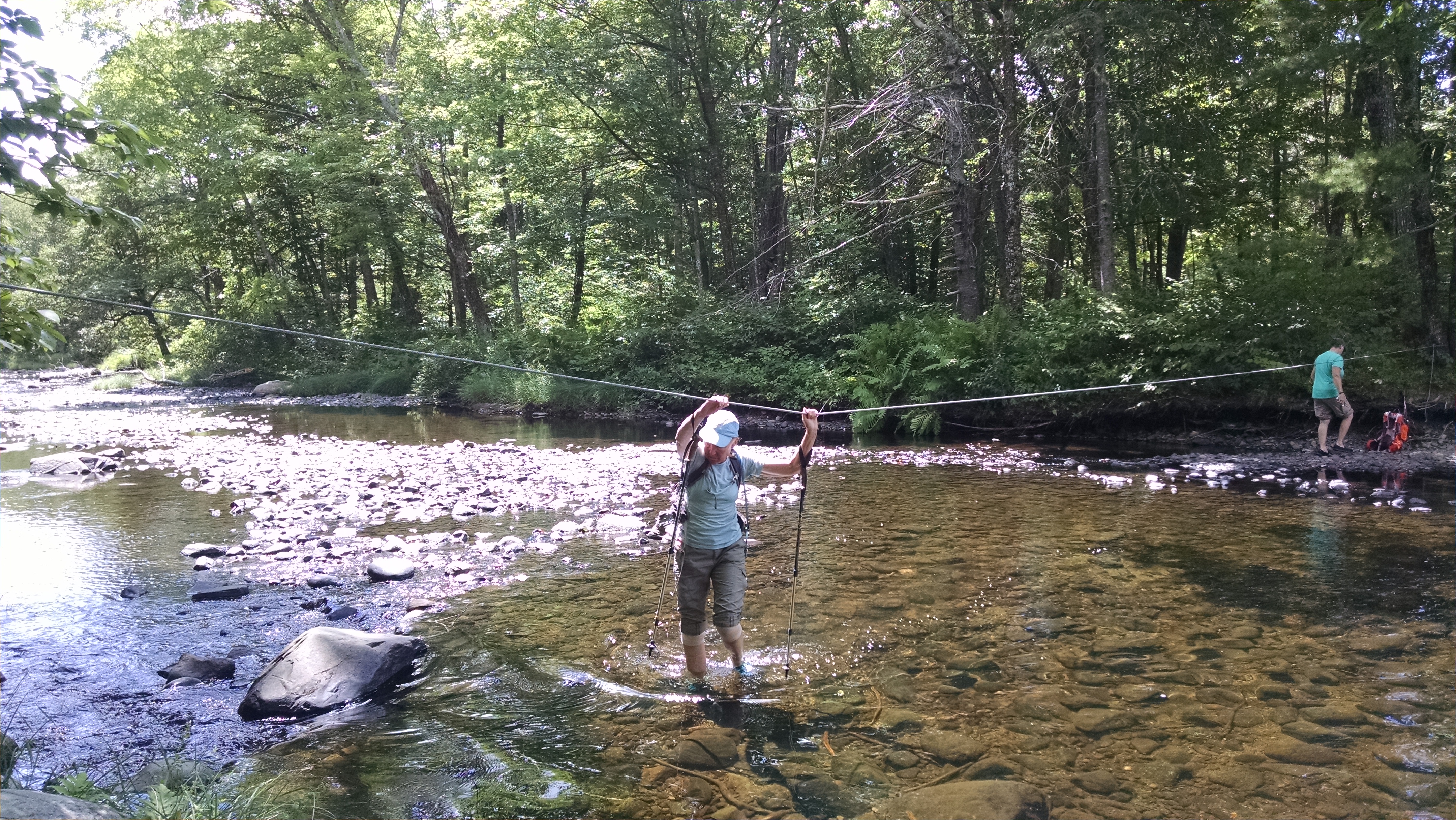
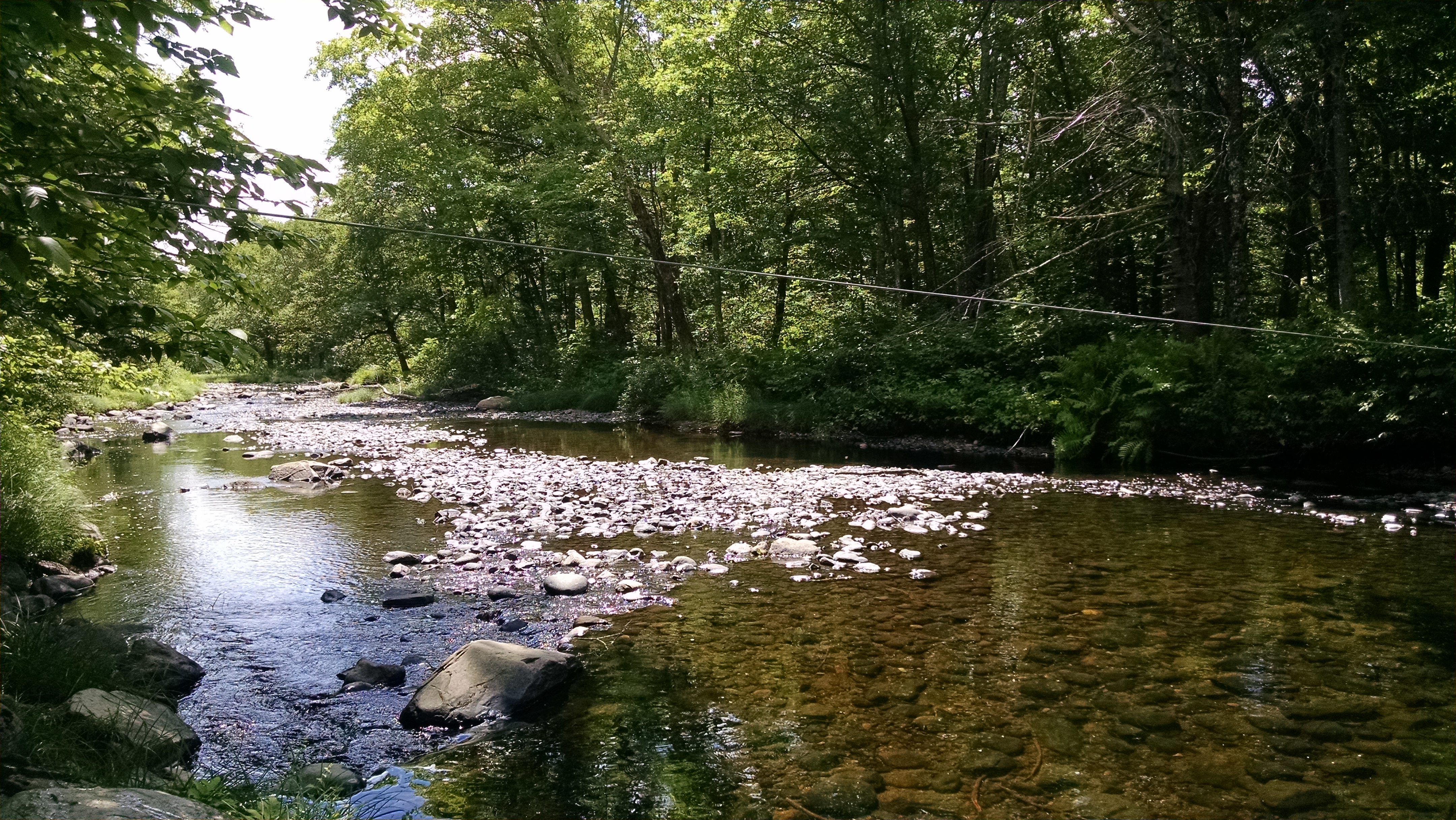
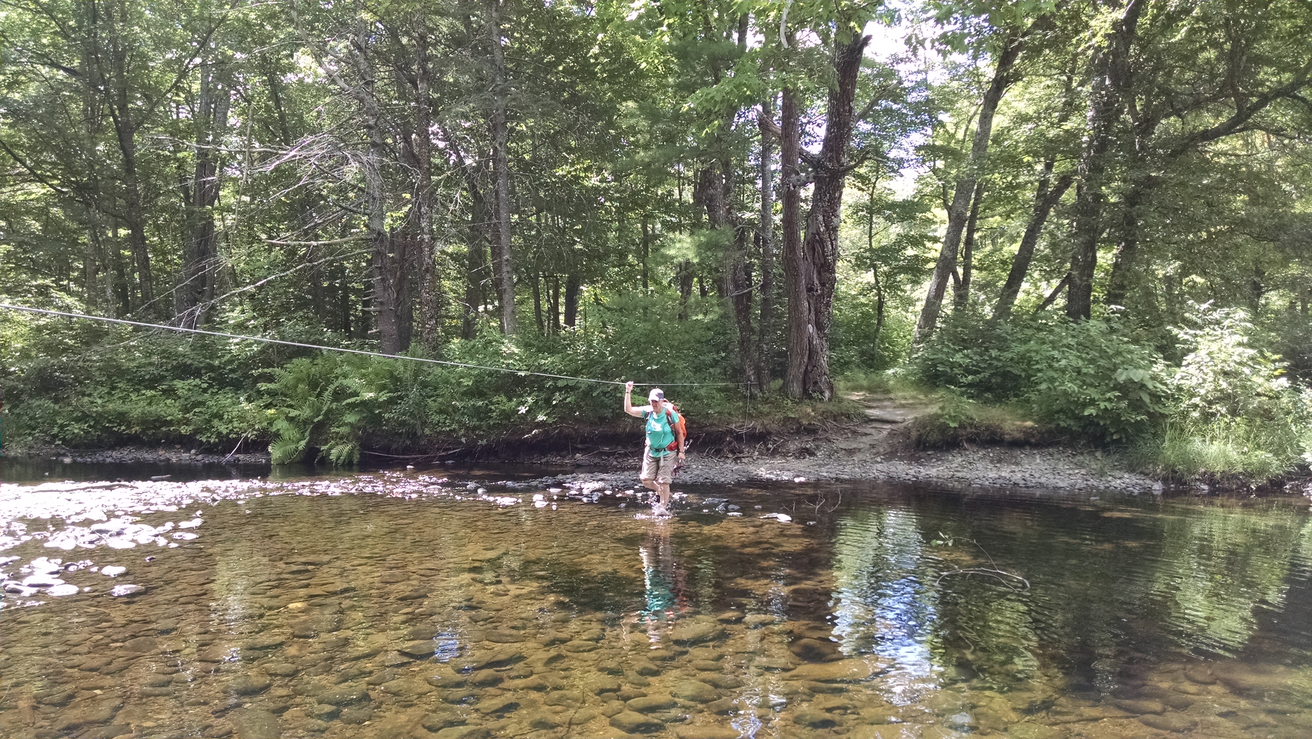
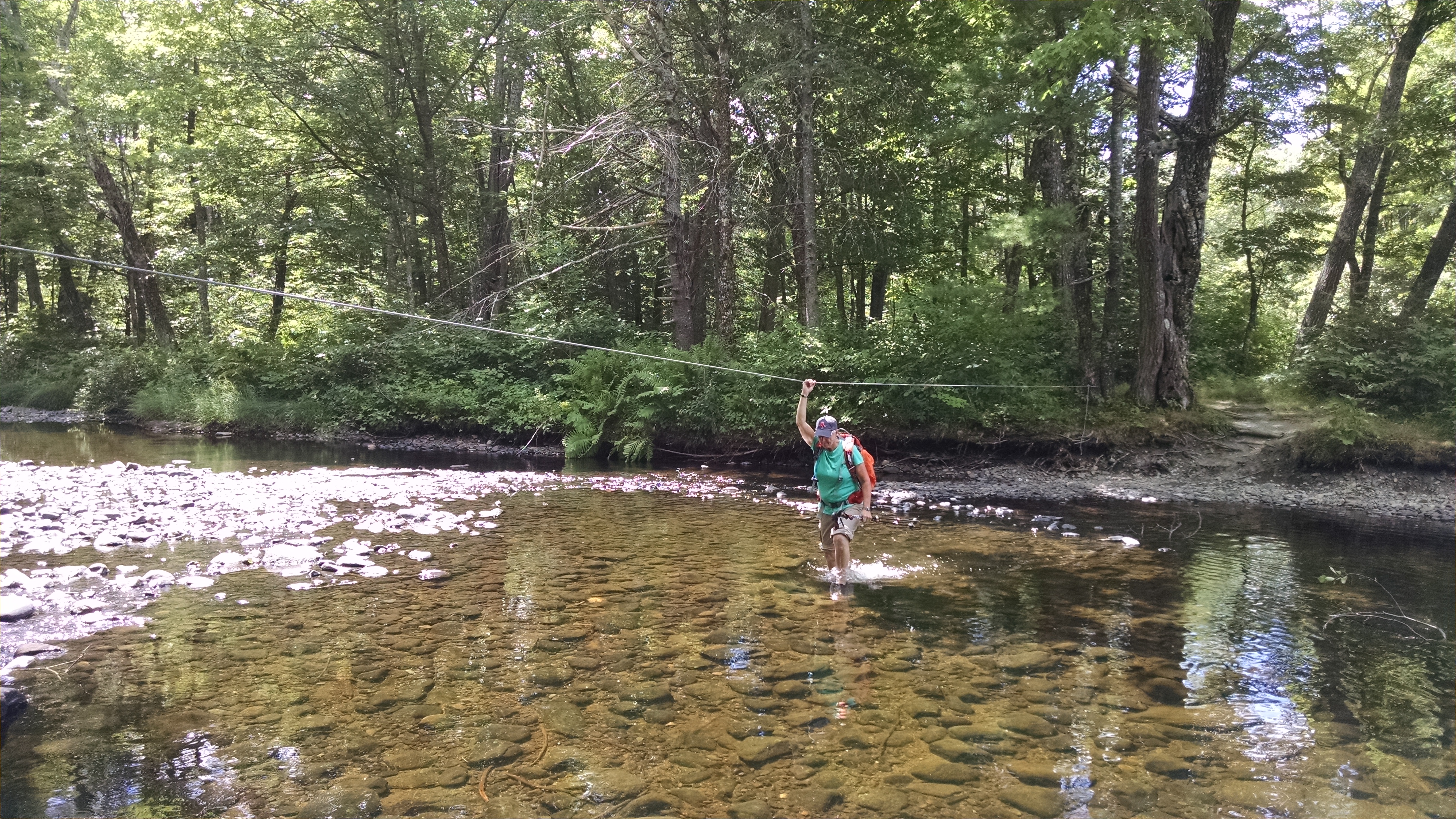
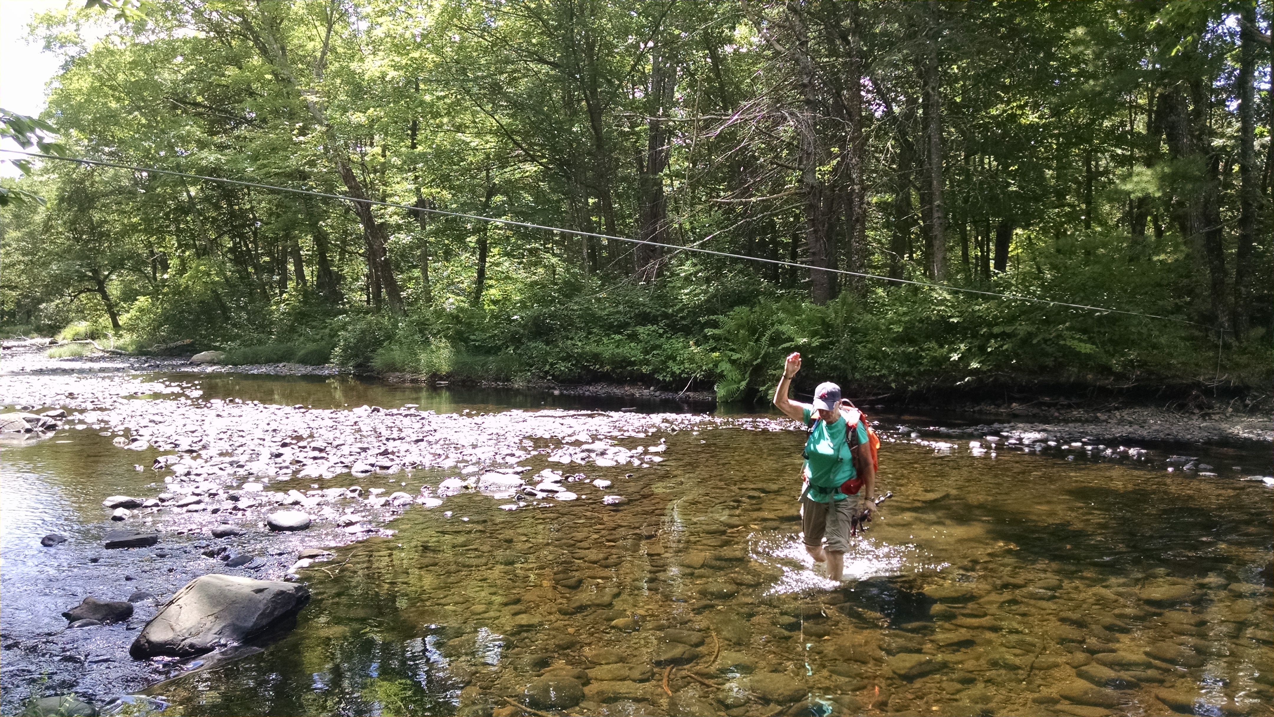
| 2062.5 | West Branch Piscataquis River (900')?ford | 900 |
| 2065.6 | Horseshoe Canyon Lean-to (880') ?8.9mS; 12mN | 880 |
| 2067.9 | East Branch Piscataquis River (650')?ford | 650 |
| 2068.2 | Old Bangor and Aroostook Railroad bed (800') | 800 |
| 2068.3 | Shirley?Blanchard Road (880')?paved | 880 |
| 2071.3 | Blue?blaze to Pleasant St., Lake Hebron (900') | 900 |
| 2072.4 | Buck Hill (1,390') | 1390 |
| 2073.2 | Trail to Doughty Ponds (1,240') | 1240 |
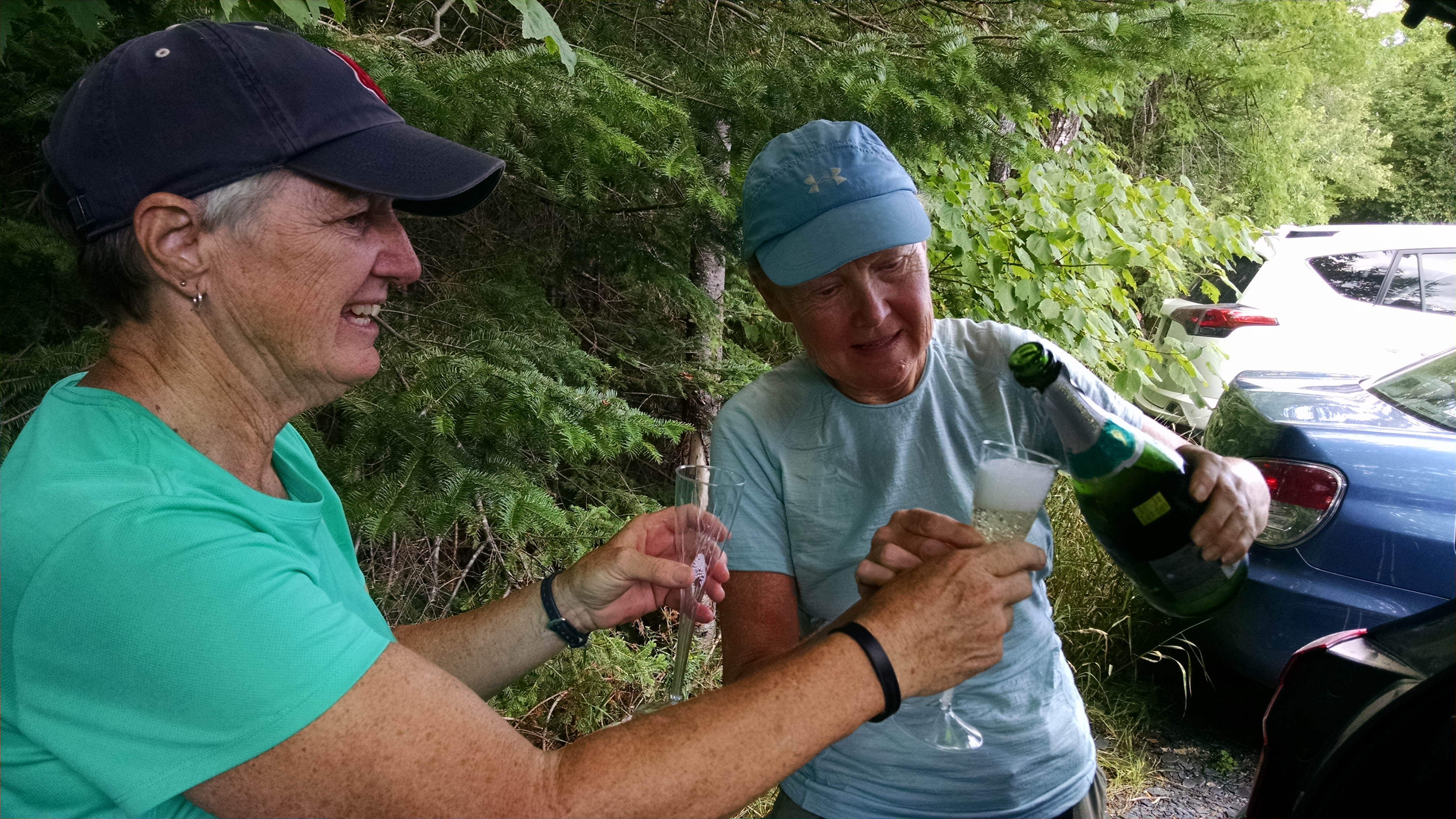
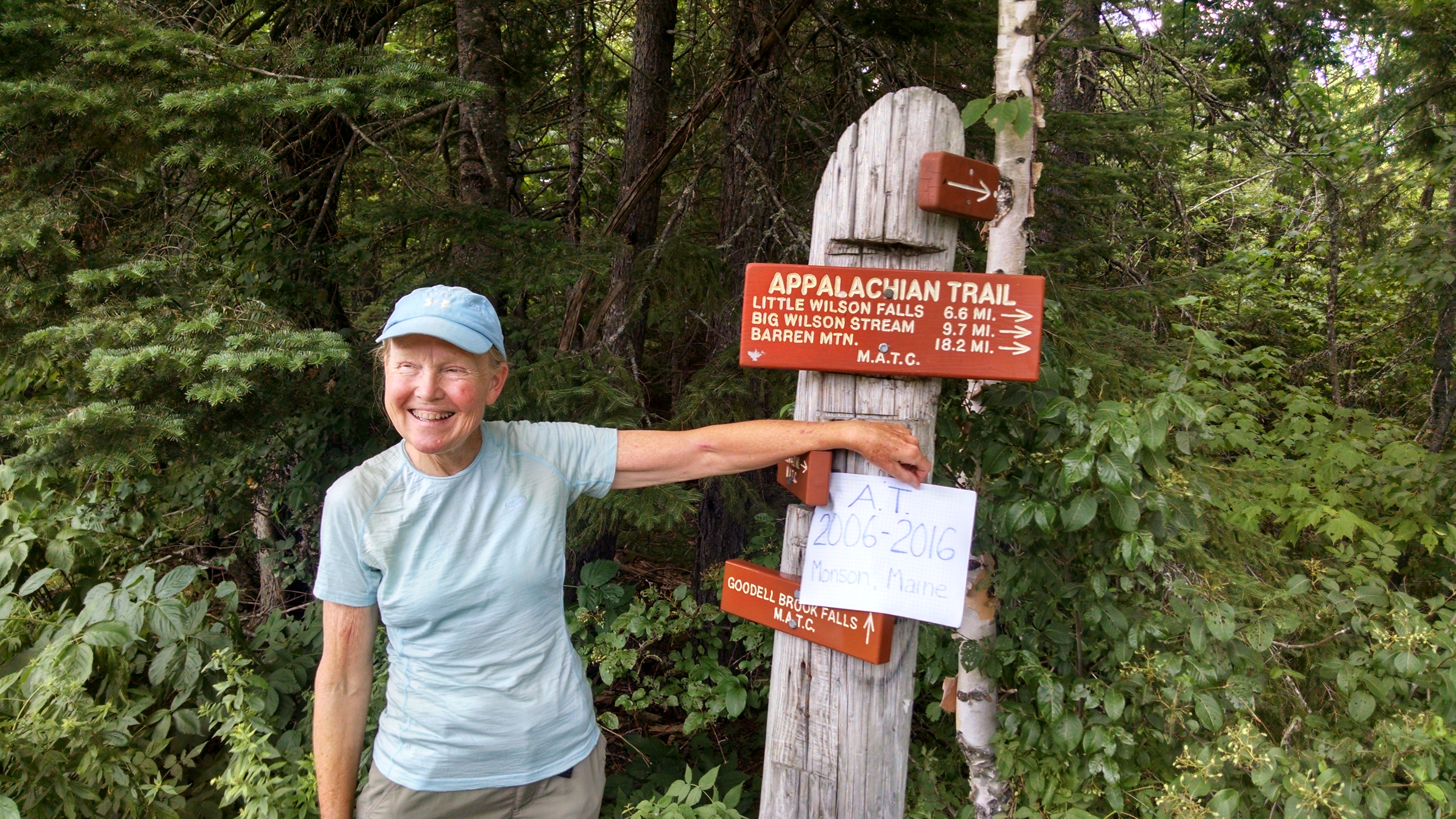
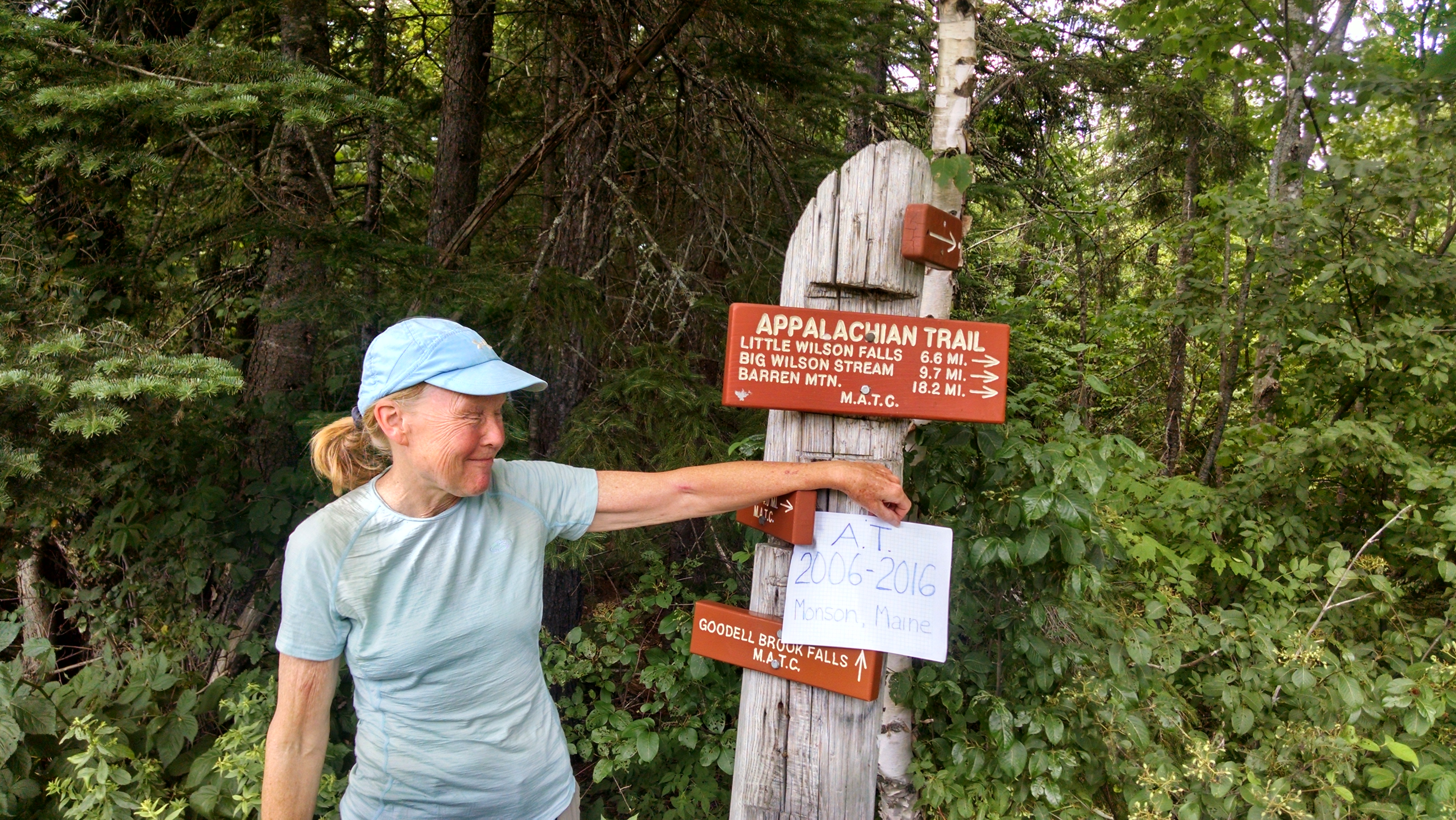
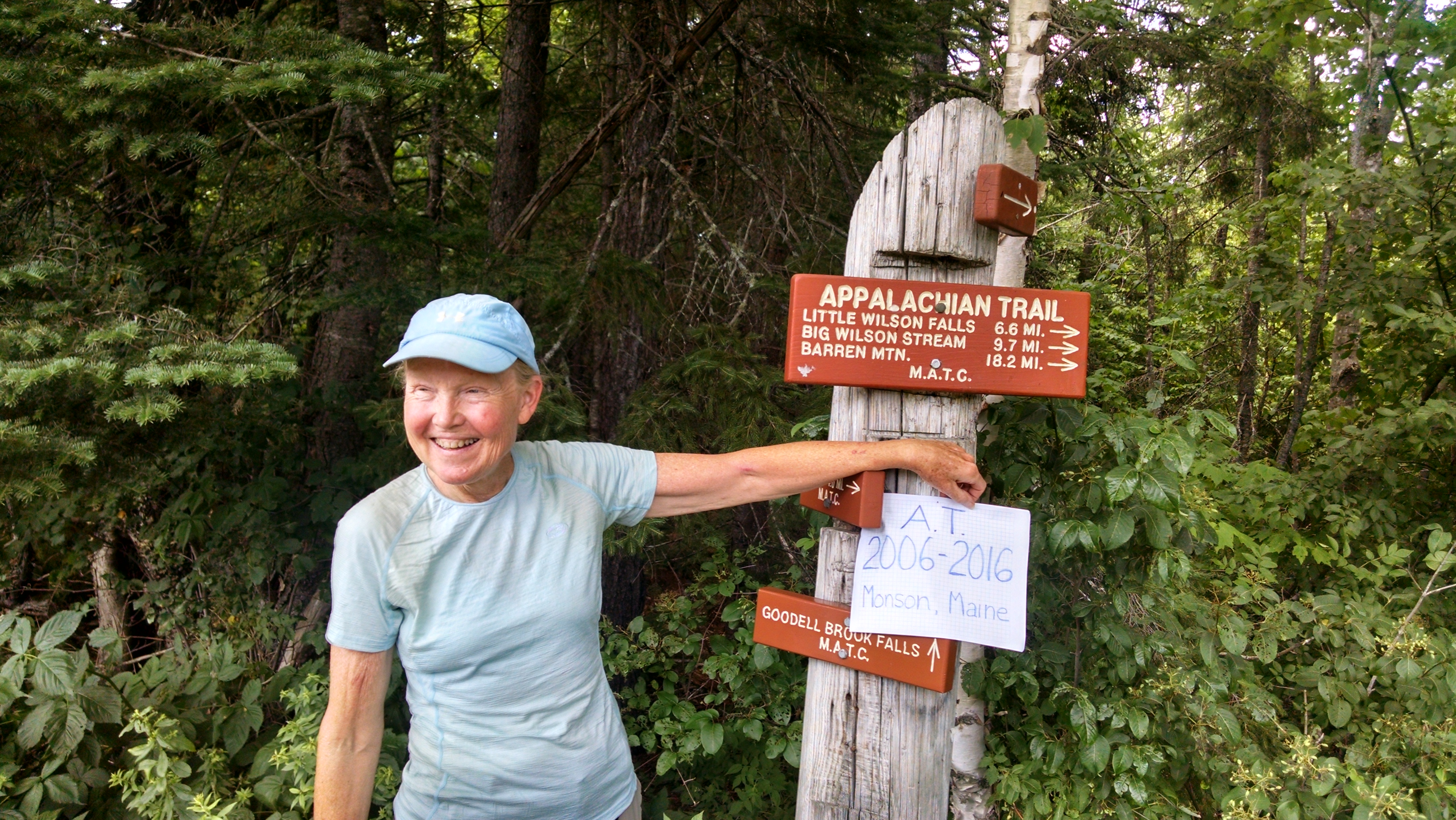
| 2074.6 | Maine 15 (1,215') Monson, Maine 04464 Greenville, Maine | 1215 |