| Miles from Springer | Features | Elevation |
|---|---|---|
| 31.7 | U.S. 19 & 129, Neel Gap (3,125') | 3125 |
| 32.8 | Bull Gap (3,690') | 3690 |
| 33.2 | Levelland Mountain (3,942') | 3942 |
| 33.9 | Swaim Gap (3,470') | 3470 |
| 34.7 | Rock Spring Top (3,520') | 3520 |
| 35.4 | Wolf Laurel Top (3,766') | 3766 |
| 35.9 | Baggs Creek Gap (3,800') | 3800 |
| 36.7 | Cowrock Mountain (3,842') | 3842 |
| 37.7 | Ga. 348, Tesnatee Gap (3,138') | 3138 |
| 38.4 | Whitley Gap Shelter (3,370')?10.3mS; 6mN | 3370 |
| Miles from Springer | Features | Elevation |
|---|---|---|
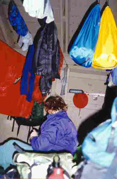
| 38.4 | Whitley Gap Shelter (3,370')?10.3mS; 6mN | 3370 |
| 38.6 | Ga. 348, Hogpen Gap (3,450')?A.T. plaque | 3450 |
| 39.5 | White Oak Stamp (3,470') | 3470 |
| 40.6 | Poor Mountain (3,620') | 3620 |
| 42.4 | Sheep Rock Top (3,600') | 3600 |
| 43.2 | Low Gap Shelter (3,050')?6mS; 7.3mN | 3050 |
| 44.6 | Poplar Stamp Gap (2,990') | 2990 |
| 47 | Cold Springs Gap (3,300') | 3300 |
| 48.2 | Chattahoochee Gap (3,500') Jack's Gap Trail to Ga. 180 | 3500 |
| 48.9 | Red Clay Gap (3,485') | 3485 |
| 49.6 | Campsite (3,600') | 3600 |
| 49.8 | Spring (3,500') | 3500 |
| 50.4 | Spring (3,890')?water for Blue Mountain Shelter | 3890 |
| 50.5 | Blue Mountain Shelter (3,900')?7.3mS; 8.1mN | 3900 |
| Miles from Springer | Features | Elevation |
|---|---|---|
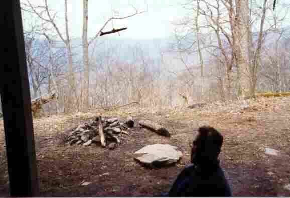
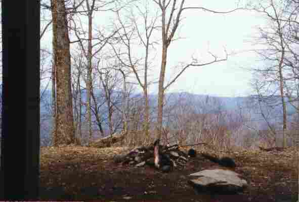
| 50.5 | Blue Mountain Shelter (3,900')?7.3mS; 8.1mN | 3900 |
| 51.4 | Blue Mountain (4,025') | 4025 |
| 52.9 | Ga. 75, Unicoi Gap (2,949')?A.T. plaque Helen, Ga. 30545 Cleveland, Ga. Hiawassee, Ga. 30546 | 2949 |
| 53.5 | Stream (3,300') | 3300 |
| 54.3 | Rocky Mountain (4,017') | 4017 |
| 55.6 | USFS 283, Indian Grave Gap (3,113') | 3113 |
| 56.3 | USFS 79, Tray Mountain Road (3,580') | 3580 |
| 56.6 | Cheese Factory Site (3,590') | 3590 |
| 57.3 | USFS 79/698, Tray Mountain Road, Tray Gap (3,847') | 3847 |
| 58.1 | Tray Mountain (4,430') | 4430 |
| 58.6 | Tray Mountain Shelter (4,200')?8.1mS; 7.7mN | 4200 |
| 59.6 | Wolfpen Gap (3,600') | 3600 |
| 60.2 | Steeltrap Gap (3,490') | 3490 |
| Miles from Springer | Features | Elevation |
|---|---|---|
| 60.2 | Steeltrap Gap (3,490') | 3490 |
| 60.8 | Younglick Knob (3,800') | 3800 |
| 62.2 | Swag of the Blue Ridge (3,400') | 3400 |
| 63.3 | Sassafras Gap (3,500') | 3500 |
| 64.2 | Addis Gap to USFS 26-2 (3,304') | 3304 |
| 65.2 | Kelly Knob (4,276') | 4276 |
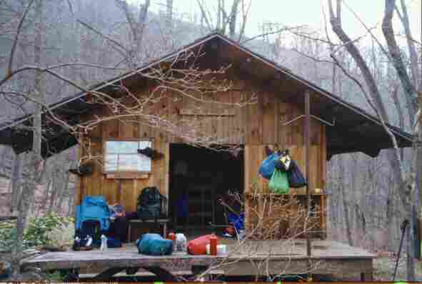
| 66 | Deep Gap Shelter (3,550')?7.7mS; 8.6mN | 3550 |
| Miles from Springer | Features | Elevation |
|---|---|---|
| 66 | Deep Gap Shelter (3,550')?7.7mS; 8.6mN | 3550 |
| 67.2 | McClure Gap (3,650') | 3650 |
| 67.4 | Powell Mountain (3,850') | 3850 |
| 68.4 | Moreland Gap (3,200') | 3200 |
| 69 | Streams (2,650') | 2650 |
| 69.6 | U.S. 76, Dicks Creek Gap (2,675')? picnic areaHiawassee, Ga. 30546 | 2675 |


 |  |  |